One of the most intriguing aspects of Lake Michigan is that lighthouses and dunes occupy the same coastal environments.
Our narrative tells us that the lighthouses and dunes ofLake Michigan are a remarkable marriage of maritime history and natural beauty, and that together the two tell an interconnected story of Great Lakes navigation and the story of a constantly changing coastal environment.
I think there’s another story behind what created created the Great Lakes, and it’s very different from what we have always been taught about our world.
I believe that there was a highly advanced worldwide civilization with a free-energy grid that was deliberately destroyed, and the resulting cataclysmic event created what we see in the world today that we have always been told was the result of natural forces over geologic time.
Following this event, the Beings behind this event, which I will be referring to as the “Controllers,” brought back enough of the original infrastructure from the ruined Earth so they could be used once again and civilization restarted, which I think started in earnest in the mid-to-late 1700s and early 1800s, and I will give you many examples of why I believe this to be the case throughout this post.
During the 19th- and early 20th-centuries, Lake Michigan’s shoreline supported things like growing port cities and harbors; iron ore and industrial transportation; and lumber industries.
The same infrastructure of lighthouses, railroads and streetcar systems, airports, water treatment facilities, and so on, are found all around the shores of Lake Michigan as well as the historical presence of Jesuits and Freemasons.
I am going to begin with some general information about Lake Michigan, and then proceed to look at what is found all around its shores pertaining to these subjects, both past and present.
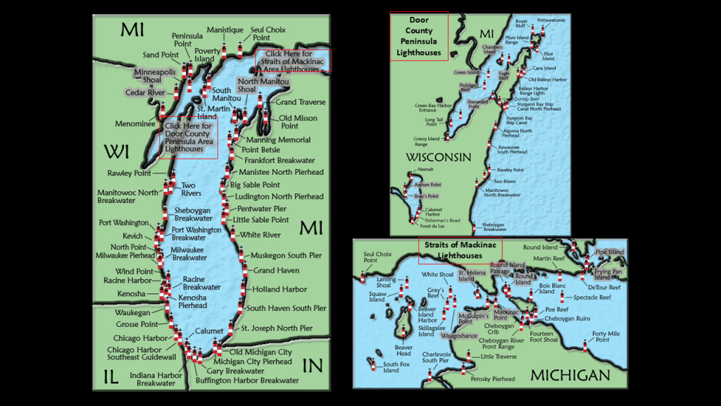
There are approximately 88 lighthouses along the shore of Lake Michigan, which has more lighthouses than any of the Great Lakes.
One of Michigan’s nicknames is “The Lighthouse State,” as it has more lighthouses than any other state.
In the recent series I did on the Great Lakes, I looked at indicators like the bathymetry for each of the Great Lakes , which is the measurement of the depth of water and shapes of underwater terrain in a body of water.
The bathymetry of Lake Michigan shows shallows around the edges ranging from 0-to around 100-meters, or 0- to around 328-feet, with an uneven lake-floor towards the middle ranging in depth from 100-meters, to its deepest point at 282-meters, or 925-feet, which is marked by the “x” circled in red.
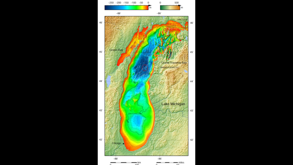
The average depth of Lake Michigan is 85-meters, or 279-feet.
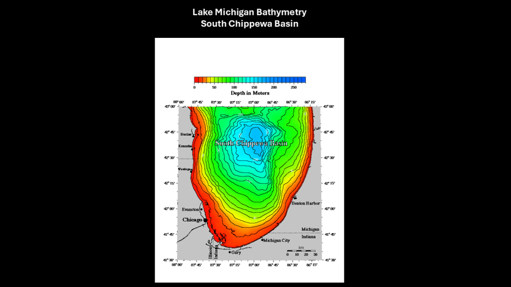
Here’s a breakdown of the five regions of this lake’s bathymetry: Islands and Straits; Green Bay; the Chippewa Basin; the Mid-Lake Plateau; and the South Chippewa Basin.
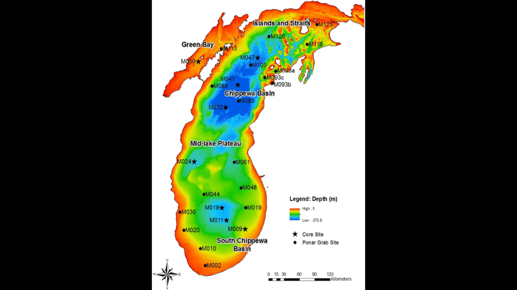
The Islands and Straits region of Lake Michigan includes the Mackinac Channel; the Strait of Mackinac between Lake Michigan and Lake Huron; Sturgeon Bay; St. Martin Bay; Grand Traverse Bay; and several islands of varying sizes including Beaver Island.
Most of the northern section of this region in the Mackinac Channel and Strait, Sturgeon Bay and St. Martin Bay, is quite shallow, ranging in depth from 0- to 50-meters, or 0- to -164-feet, with deeper depths of up to 200-meters, or 656-feet, seen closer to shore mixed in the with shallows, on the northeastern section which includes Grand Traverse Bay and the Manitou Passage.
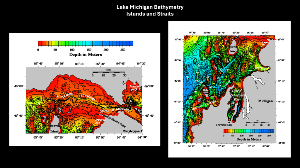
Likewise, the Green Bay region on the Wisconsin-side of Lake Michigan, which includes some other bays, channels and islands, as well as the Door Peninsula separating it from the main part of the lake, are also quite shallow, ranging in depth from 0- to around -50-meters, or 0- to -164-feet.
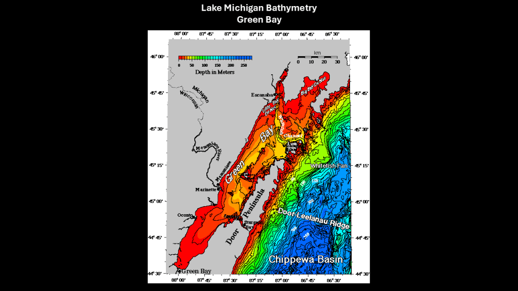
The Chippewa Basin roughly in the north-middle of Lake Michigan, is the deepest, with depths primarily ranging from 100-meters, or 328-feet, to its deepest point at 282-meters, or 925-feet, as previously-mentioned.
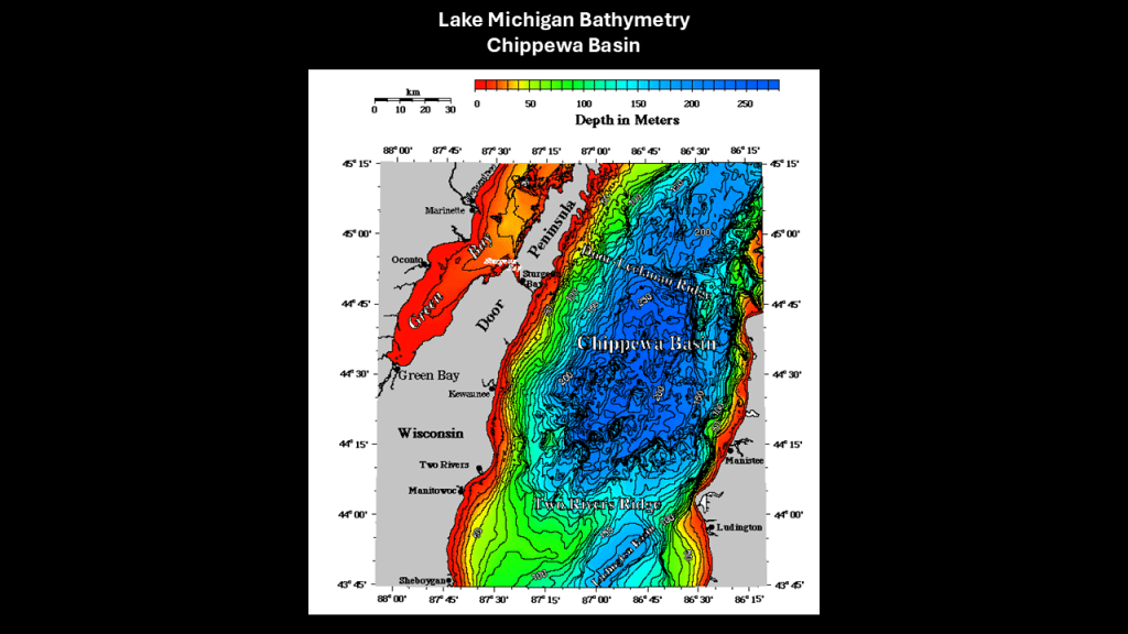
The Mid-Lake Plateau region is located in the center of Lake Michigan between the Chippewa Basin and South Chippewa Basin.
The Mid-Lake Plateau is showing as 50- to 100-meters, or 164- to 328-feet, in-depth.
Directly to the west of the Mid-Lake Plateau is the Milwaukee Basin, and directly to the east the Muskegon Basin, with both of these basins somewhere around 150-meters, or 492-feet, in-depth at its deepest.

Lastly, the South Chippewa Basin is also approximately 150-meters, or 492-feet, in-depth, at its deepest.
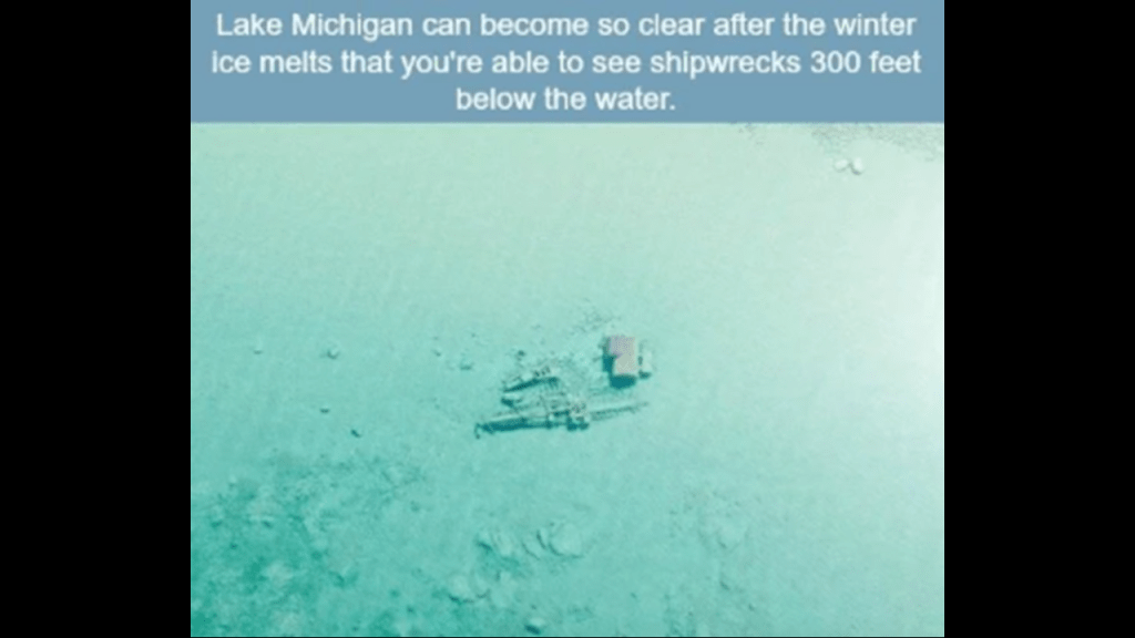
It is estimated that there are around 780 shipwrecks in Lake Michigan, with about 250 identified, and it has been nicknamed “Graveyard of the Great Lakes.”
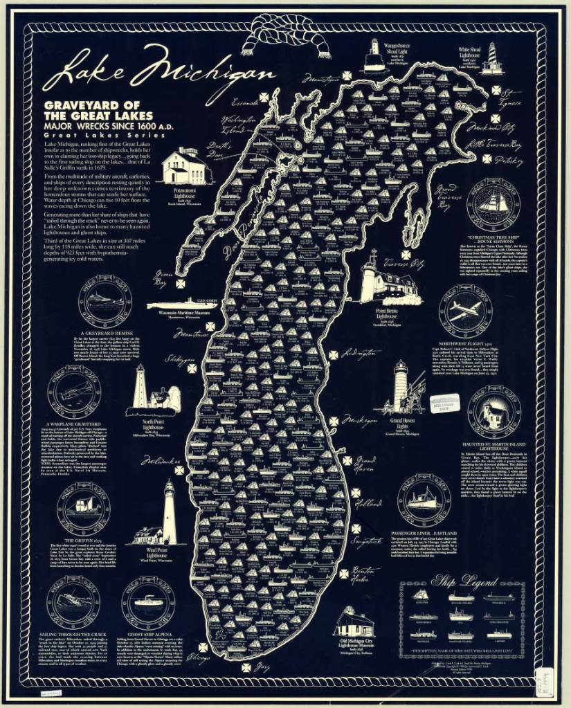
This is actually a nickname that is given to all of the Great Lakes.
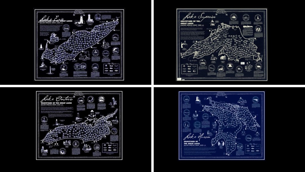
All of the Great Lakes are infamous for their shipwrecks, with an estimated somewhere between 6,000 to 10,000 ships and somewhere around 30,000 lives lost.
The reasons given for the high number of shipwrecks are severe weather, heavy cargo and navigational challenges.
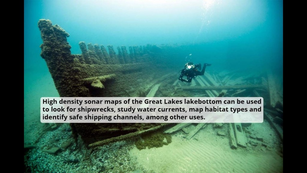
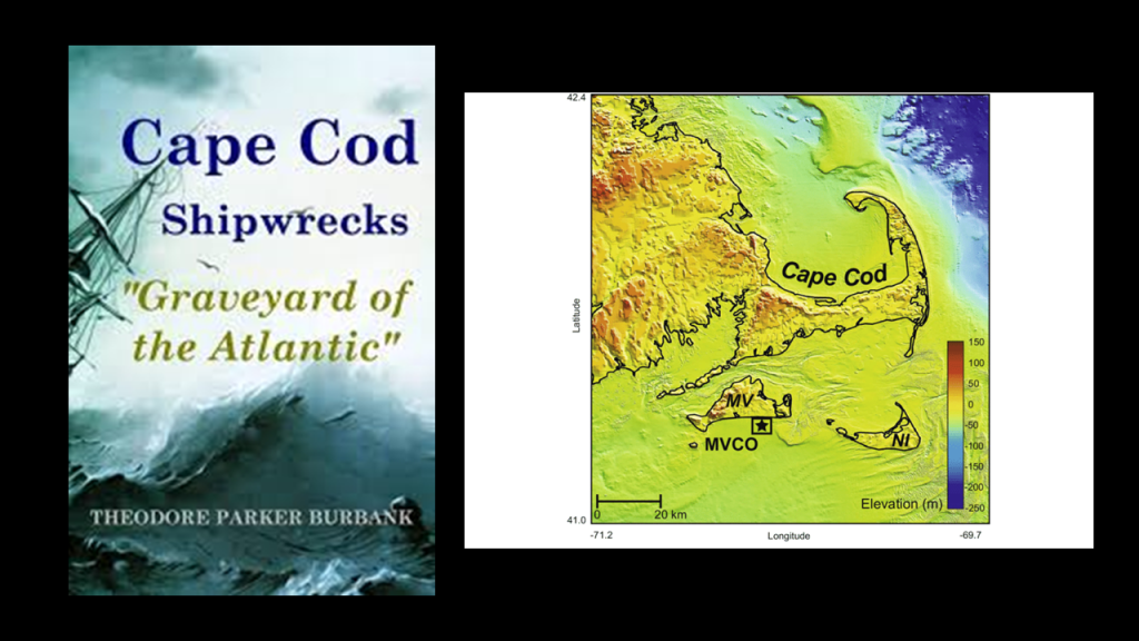
I find it noteworthy that the Great Lakes region is very similar to other places that I have looked into that are known for the same kind of severe weather, shipwrecks, and have the same kind bathymetry that I shared previously ranging unevenly in-depth from shallow to quite deep.
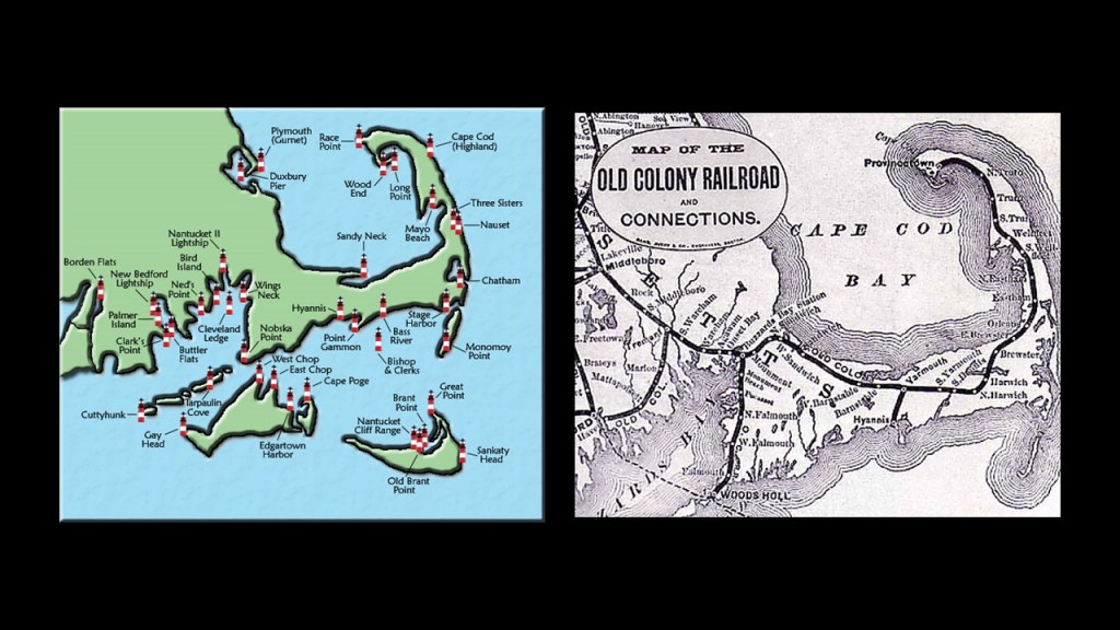
Places like Cape Cod in Massachusetts, which is known as a “Graveyard of the Atlantic” due to the large number of shipwrecks that have occurred here because of its dangerous shallows.
Here is a map showing fourteen lighthouses on Cape Cod alone, as well as other lighthouses of this part of New England, on the left, as well as the historic Old Colony Railroad that traversed the length of the narrow Cape Cod on the right.
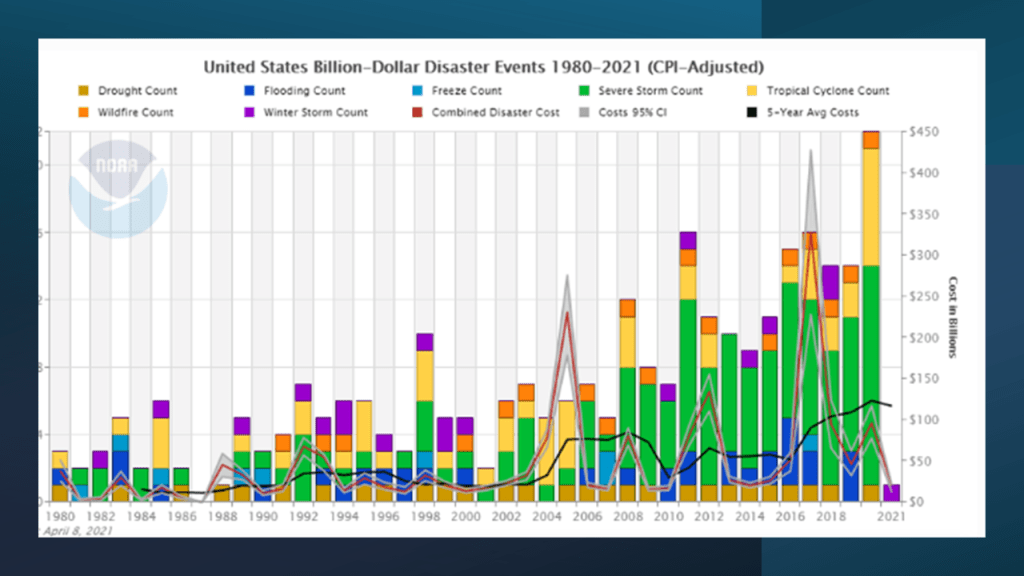
The reason we are given for the extreme weather in our official narrative is climate change, which is linked to the United Nations 2016 Paris Climate Agreement, and to all of the goals of the United Nations 2030 Agenda for Sustainable Development.
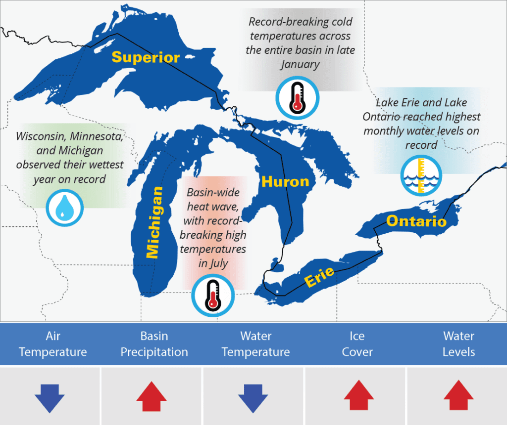
But I have come to believe the explanation for the extreme weather could very well be found in things like the presence of ruined and sunken land just underneath the surface of the water and possibly creating instability where weather is concerned, and/or perhaps generating their own weather systems in their respective regions.
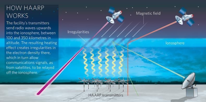
Or perhaps the creation of extreme weather may have some external help.
Lake Michigan has many beaches, and is frequently referred to as the “Third Coast” of the U. S. after the Atlantic coast and the Pacific coast.
Called “singing sands,” the sand is often soft and white, or off-white, and squeaks when walked upon, believed to be caused by the high quartz content of the sand.
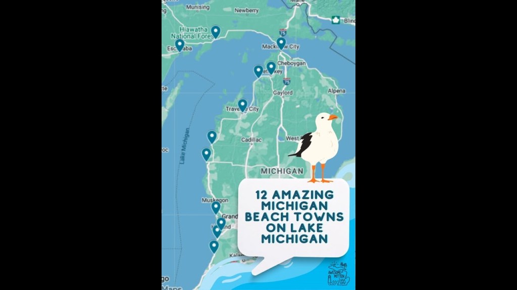
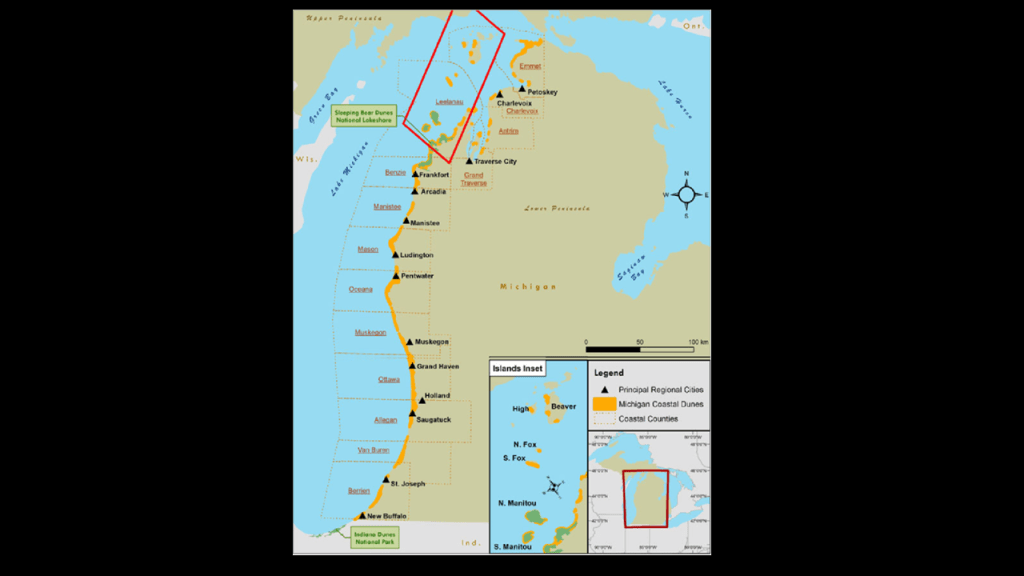
I am going to be looking at some of the sand dune systems as I go along the shores of lake Michigan in this post.
The sand dunes located on the east shore of Lake Michigan are considered the largest freshwater dune system in the world.
Large dune formations can be seen in many state parks, national forests and national parks along the Michigan, Indiana and Wisconsin shoreline.
I am going to start this journey around Lake Michigan by first looking at the lighthouses around Lake Michigan starting at Mackinaw City and the area surrounding it at the top of what is called the “Lower Peninsula of Michigan,” also known as the “Mitten,” and I am going to end it at St. Ignace, across the Straits of Mackinac from Mackinaw City on the Upper Peninsula.
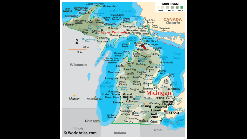
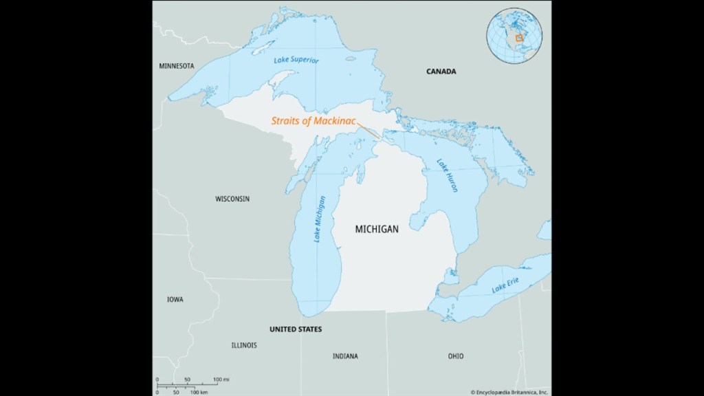
Lake Michigan is hydrologically-connected to Lake Huron thorugh the Straits of Mackinac.
The Straits of Mackinac are the short waterways between the Upper and Lower Peninsulas of Michigan, and are crossed by the Mackinac Bridge, which was said to have first opened in 1957.
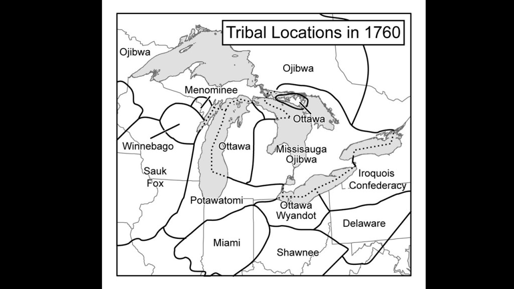
We are told the indigenous Ottawa people of this region, called the region around the straits “Michilimackinac.”
The Straits of Mackinac were an important fur-trading route and one of the four main fur-trading centers in the Great Lakes region established by the British North West Company, a fur-trading business based out of Montreal in Quebec from 1779 before it was forcibly merged with the Hudson’s Bay Company in 1821, along with Grand Portage, Fort Niagara, and Fort Detroit.
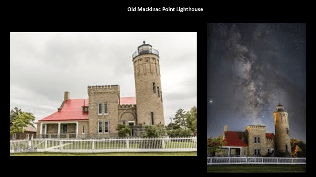
The Old Mackinac Point Lighthouse is also in the Colonial Michilimackinac Historic State Park.
It was said to have been constructed in 1892 and deactivated in 1957, the same year the Mackinac Bridge was said to have first opened.
Here is a photo on the right of this lighthouse with a Milky Way alignment.
This lighthouse is a museum today.
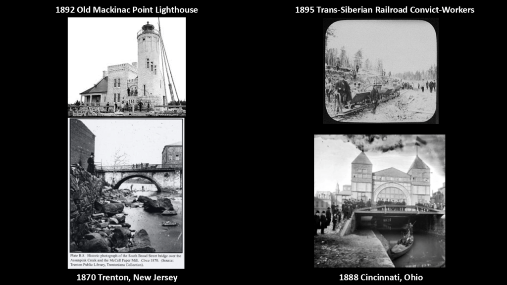
The historic photo of this lighthouse on the top left reminds me of the creepy, staged-looking photos I have encountered in the years I have been doing this research, all taken within 15-years of each other, like the photo on the top right, which was labelled as an 1895 photo of convicts working on the railroad in East Siberia near Khabarovsk; the 1870 photo on the bottom left taken in Trenton, New Jersey; and on the right, a photo taken in front of the Machinery Hall for the 1888 Centennial Exposition of the Ohio Valley and Central States in Cincinnati.
Some other lighthouses on this side of the Straits of Mackinac in the vicinity of the Old Mackinac Point Lighthouse that I would like to mention here are:
The McGulpin Point Lighthouse, which is 3-miles, or 4.8-kilometers, west of the Old Mackinac Point Lighthouse.
It was in operation as a lighthouse from 1869 to 1906.
Owned by Emmett County today, it was privately-owned and used as a residence at some point after it was deactivated in 1906, and then ownership passed to Emmett County in 2008.
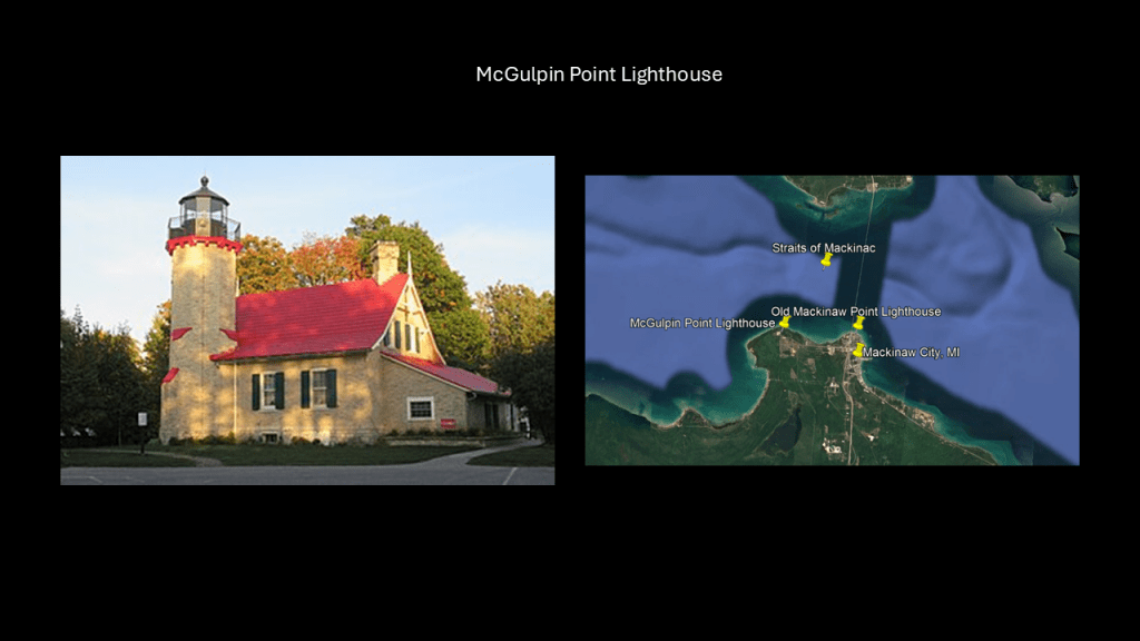
The Waugoshance Lighthouse, said to have been built here in 1851, is described as a ruined lighthouse in a shoal area that is 15-miles, or 24-kilometers, due west of Mackinaw City.
We are told that due to erosion and deterioration, that lighthouse is critically-endangered, and likely to fall into the lake in the near future.
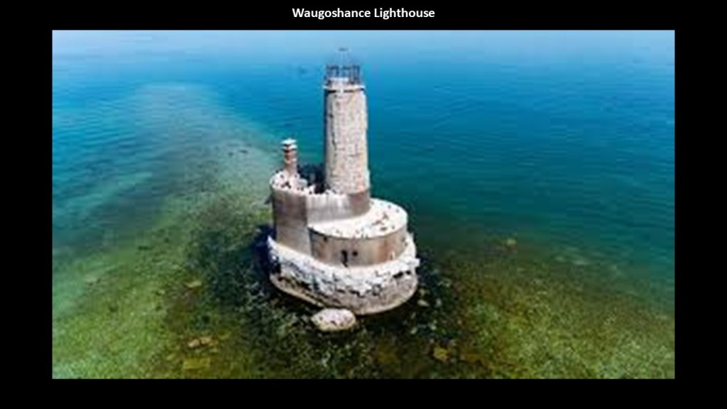
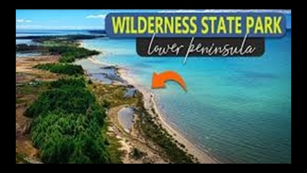
The Waugoshance Lighthouse is in the Wilderness State Park, called one of the most hazardous areas near the Straits of Mackinac.
The Wilderness State Park is described as a diverse forested, dune, and wetlands with swale complexes, with swale as a landform being defined as a sunken or marshy place.
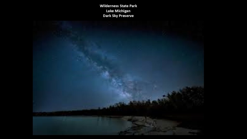
The Wilderness State Park has also been designated as a “Dark Sky Preserve” since 2012, where light is restricted for astronomical observation and enjoyment, as seen here with a view of the Milky Way in the night sky.
Besides the ruined Waugoshance lighthouse, there are three other lighthouses near the western end of the Wilderness State Park – the Grays Reef Light Station; the White Shoal Light; and the Aux Galets Lighthouse.
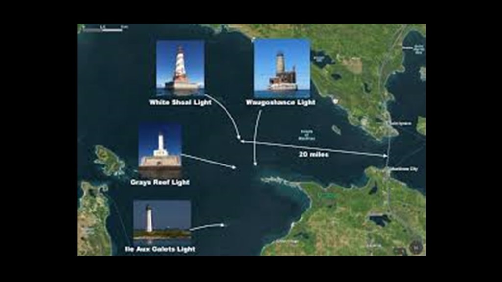
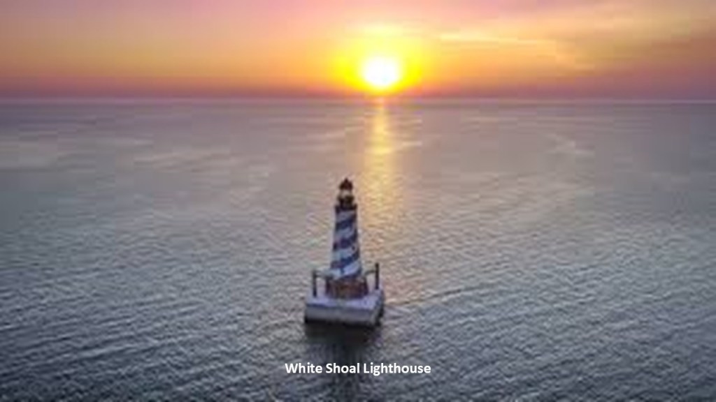
The White Shoal Lighthouse is located 20-miles, or 32-kilometers, west of the Mackinac Bridge.
It is still an active lighthouse, and the tallest lighthouse on Lake Michigan.
The construction of the current lighthouse here was said to have started in 1908, and first lit in 1910.
Here is the White Shoal Lighthouse in a solar alignment.
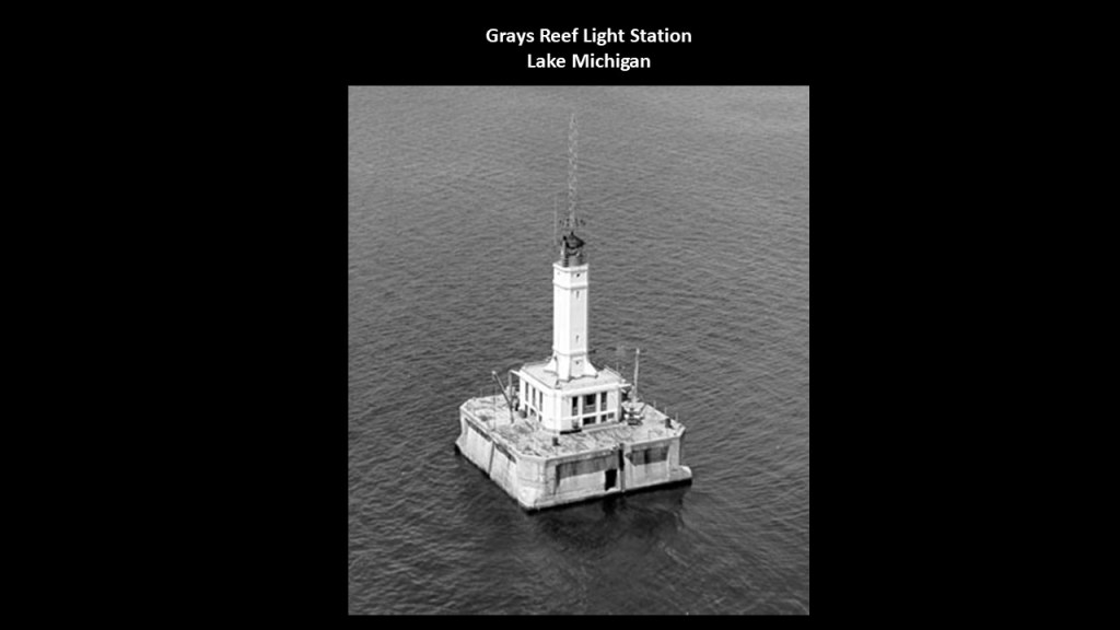
The Grays Reef Light Station is 3.8-miles, or 6.1-kilometers, west of the Waugoshance Lighthouse, said to have been built starting in 1934 on top of submerged stone and a concrete pier, and first lit in 1936, which all would have been during the Great Depression.
It is also an active lighthouse.
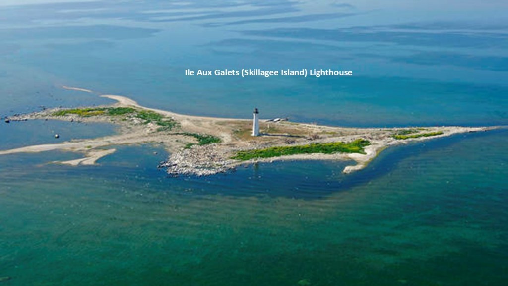
And the Aux Galets Lighthouse, also known as the Skillagee Island Lighthouse, is on a gravelly, low-lying island near the mainland and Sturgeon Bay.
The current lighthouse here was said to have been built in 1888 to warn shipping away from the reefs and shoals of Waugoshance Point, along with the other three lighthouses, which pose an imminent hazard to navigation.
As I said earlier in this post, I don’t believe at all that lighthouses were built to guide ships by whom they were said to have built when they were said to have been built.
What I am seeing is that they ended up next to the edge of water when the land around them sank, and were repurposed into navigational aids in the New World to guide ships through the now broken landmasses in the surrounding waters.
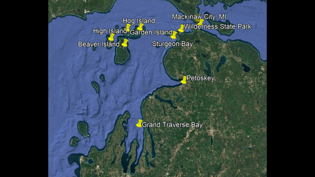
Before I move on down the western coast of Michigan on the eastern shore of Lake Michigan, I want to take a look at Beaver Island.
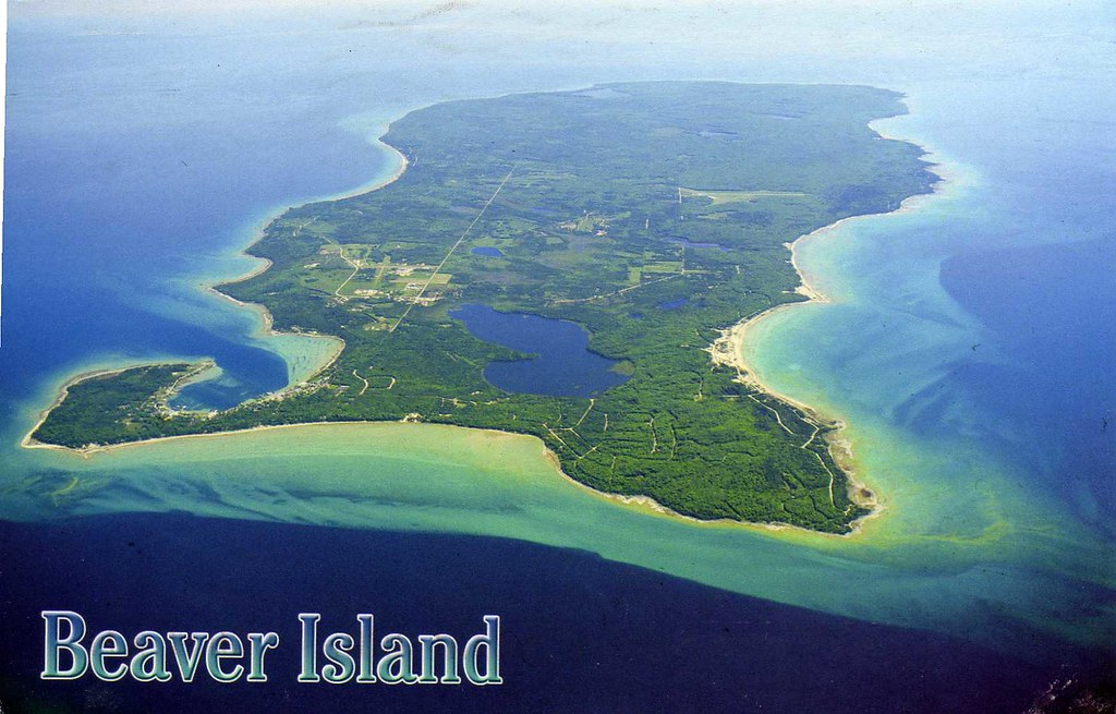
Beaver Island is the largest island in Lake Michigan.
There are several thing that stand out about this location.
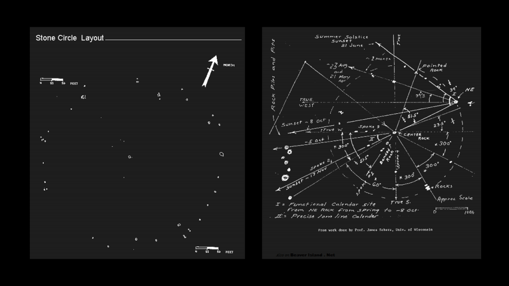
The first is that we are told there is at least one stone circle found here.
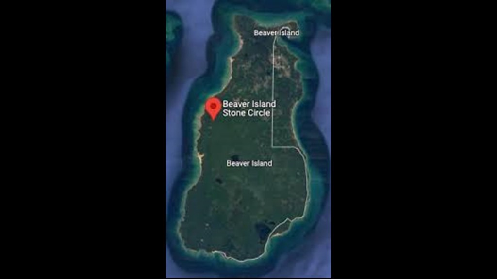
It is called the “Beaver Island Sun Circle,” also known as the Beaver Island Stonehenge, complete with astronomical alignments.
The next is that Beaver Island was the location of a relatively-short-lived Mormon theocratic kingdom from 1848 until his assassination in 1856, where the Mormon leader James Strang appointed himself king and took over the island there with his followers, who were known as Strangite Mormons.
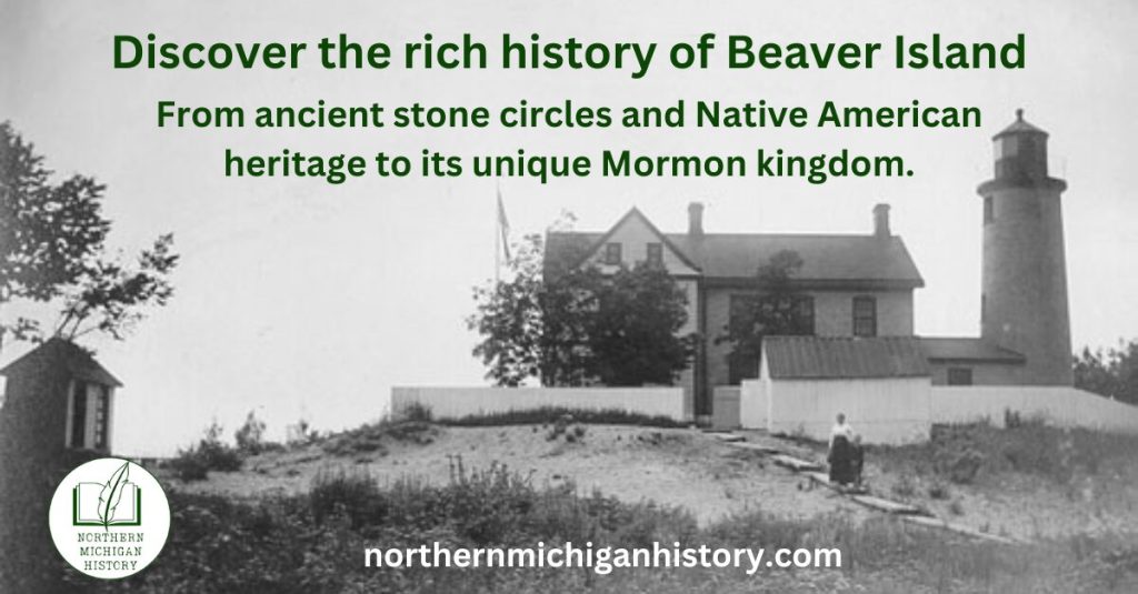
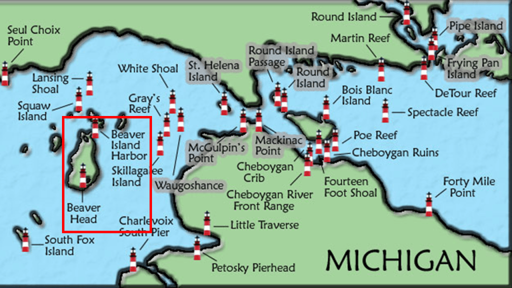
The last thing I want to mention is that Beaver Island has two lighthouses – the Beaver Island Harbor Lighthouse and the Beaver Head Lighthouse, along with several others on the western end of the Straits of Mackinac.
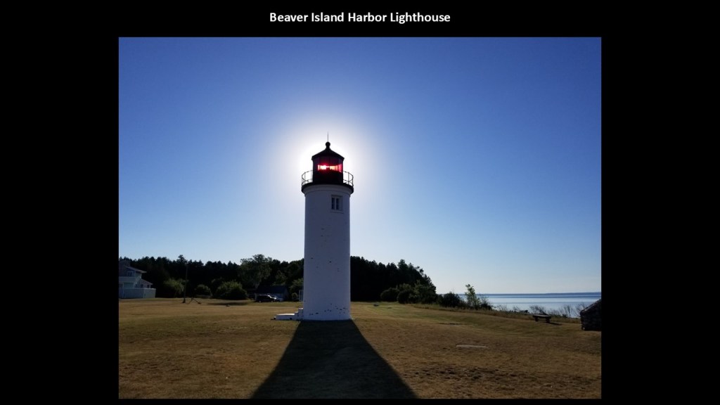
The Beaver Island Harbor Lighthouse is located in St. James, an unincorporated community apparently named for himself by the self-proclaimed King, James Strang.
We are told the original lighthouse here was constructed in 1856, and the one currently there in 1870, and is still an active lighthouse today.
Here it is seen with a solar alignment behind the top of the lighthouse.
The Beaver Head Lighthouse is located on a bluff on the southern end of Beaver Island.
We are told boats have to navigate very carefully between Gray’s Reef and Beaver Island.
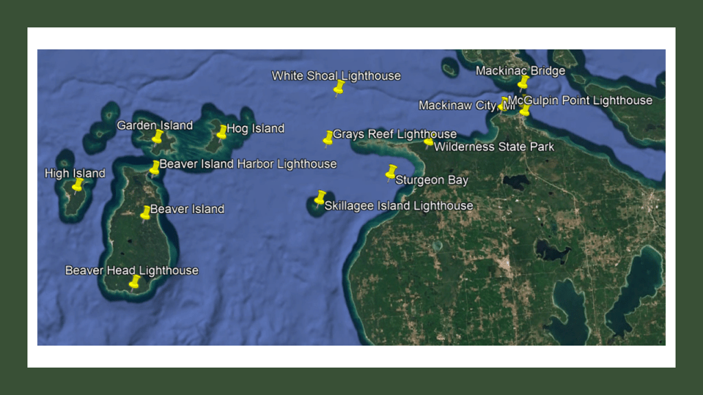
We are told the Beaver Head lighthouse was operational between 1858 and 1962, and that in 1975, the Charlevoix Public Schools purchased the location for $1.
Since 1978, there has been an Environmental and Vocational Educational Center in the Keepers building and the lighthouse is open to the public in the summer months from 8 am to 9 pm.
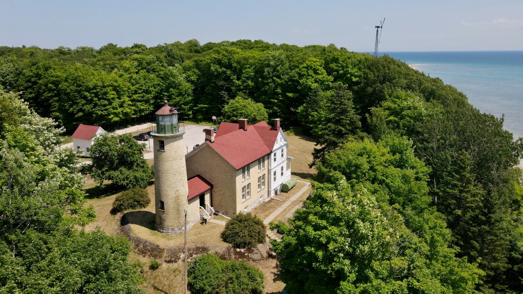
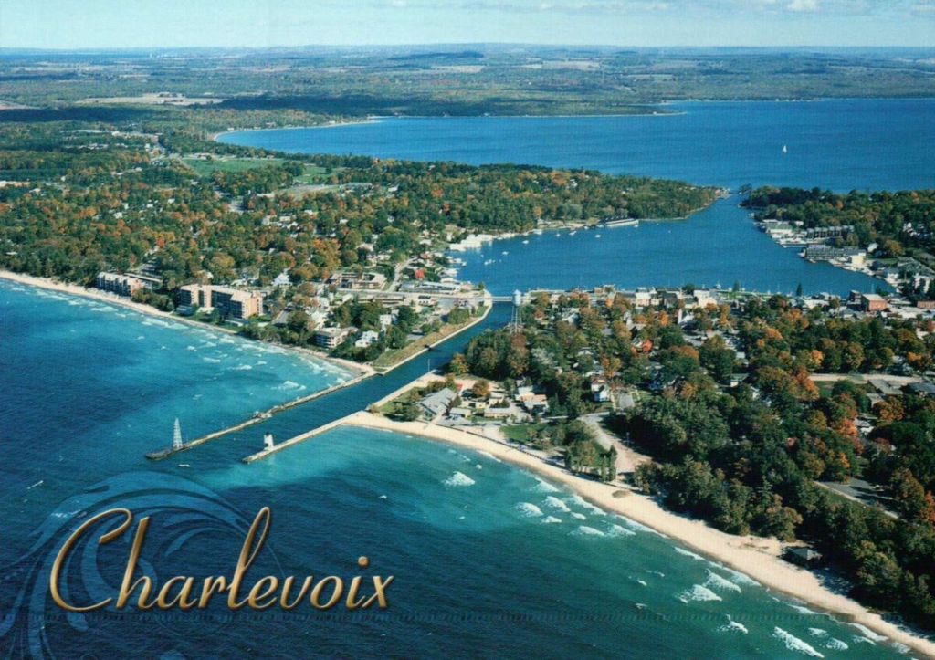
The main access point for Beaver Island is Charlevoix.
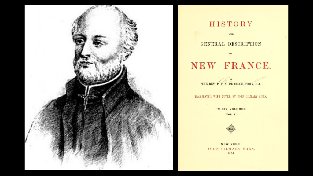
Charlevoix was named for the Jesuit explorer Pierre Francois Xavier de Charlevoix, who stayed the night on Fisherman’s Island during a harsh storm sometime in the 1720s, which is located near his namesake city.
The Ottawa and Ojibwe peoples lived throughout northern Michigan prior to the arrival of the Jesuits and the European colonizers.
The Jesuit explorer Charlevois is known for the journal record he kept of his exploration of New France in present-day Canada and the United States first published in 1744 as the “History and General Description of New France.”
We are told that fishermen first settled what became known as Charlevoix around 1852.
We are told among other new arrivals as time went on, the Homestead Act of 1862 brought Civil War veterans and speculators up this way, with 160-acre tracts of land land selling for $1.25/acre.
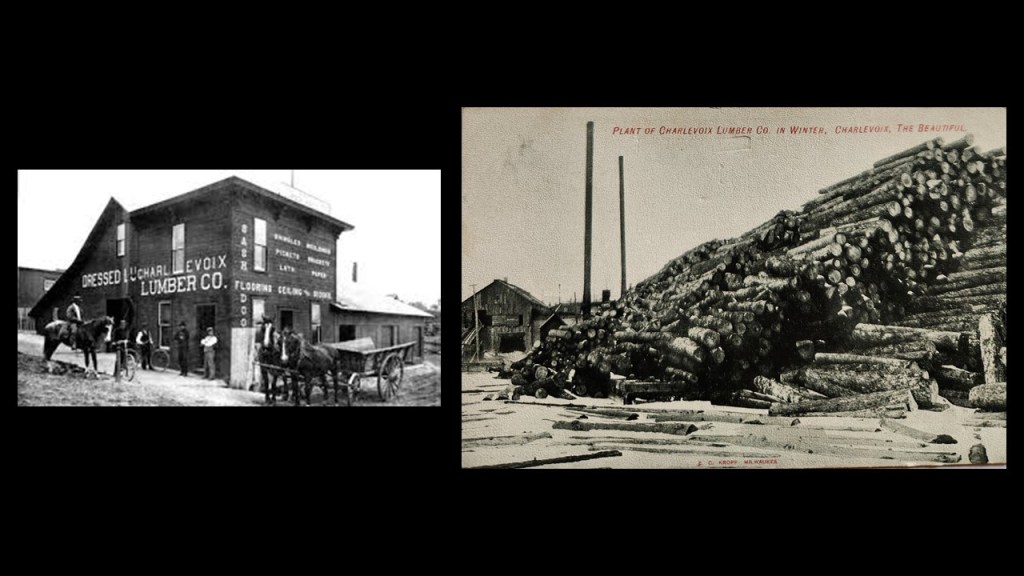
It is important to note that logging quickly became a thing, and lumber companies like the “Charlevoix Lumber Company” beginning in 1876, shipped out 40-million board feet of lumber before much of peninsula was stripped of its original forests.
There was actually a lot of activity of all kinds going on in and around Charlevois in its illustrious past, but today its population is less than 2,500 people as of the 2020 census.
Michigan Beach Park at Charlevoix is one of many beaches around this area, and is still very much a popular recreational spot in the present-day with its white sands and recreational facilities.
It is located right next to South Pierhead lighthouse at the end of what is called the “Pine River Channel.”
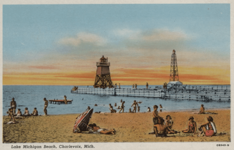
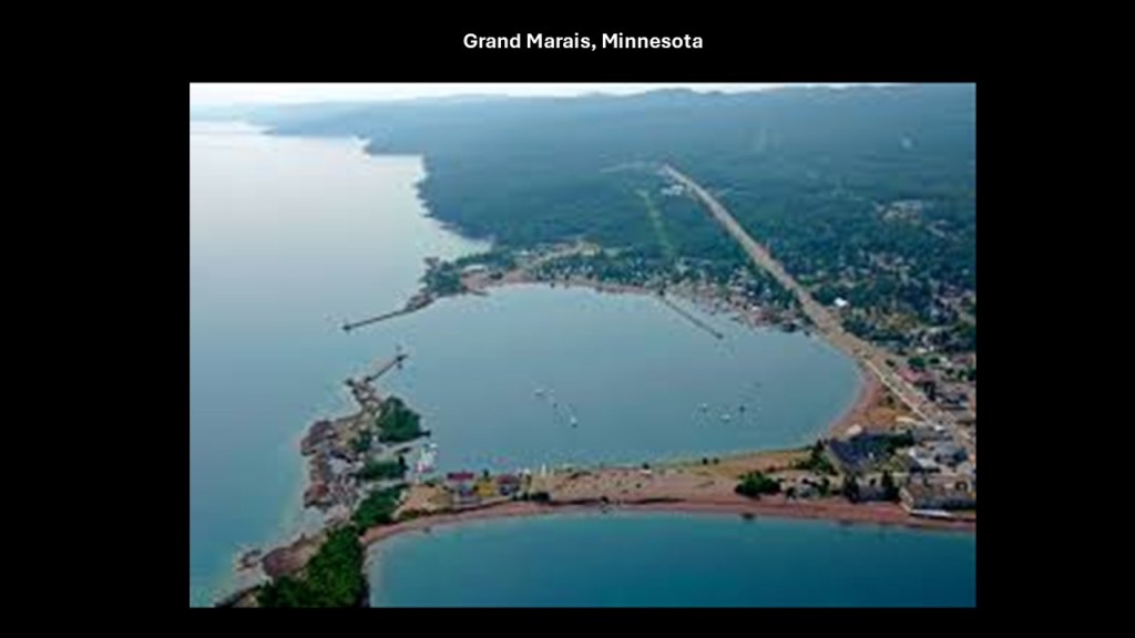
I have found things like piers and breakwaters, with lighthouses on the end, not only in the Great Lakes region like Lake Superior at Grand Marais in Minnesota…
…but the same kind of configurations all over the world, like Dover in England in the English Channel…

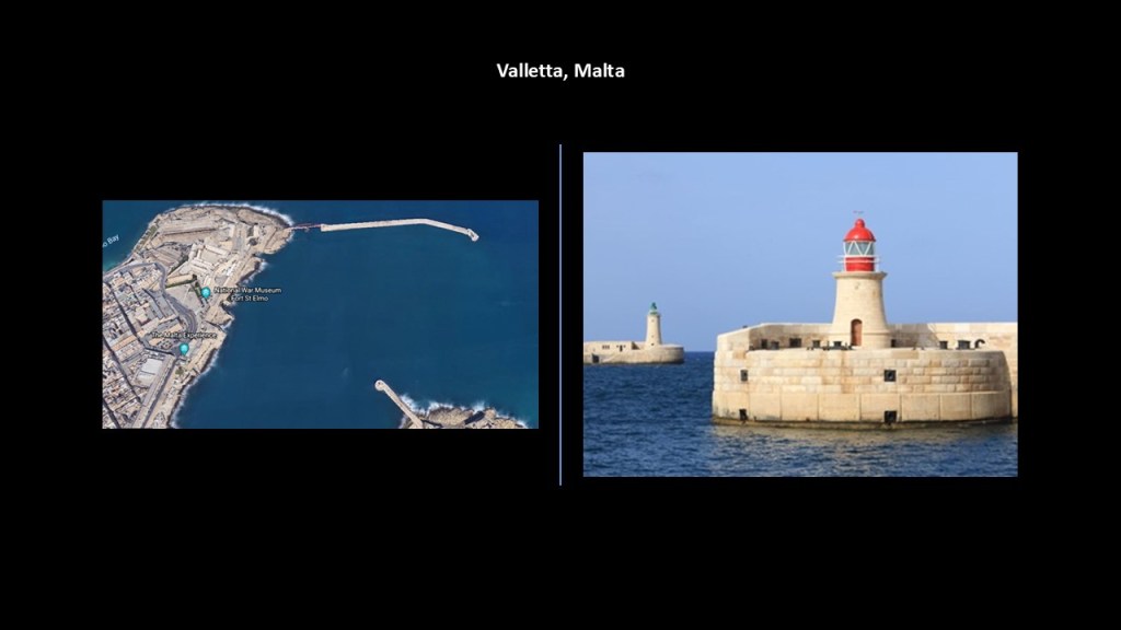
…and in Malta at the entrance to the Grand Harbor in the capital city of Valletta.
Next, Grand Traverse Bay is on the other side of Charlevoix and a short-distance south of Beaver Island.
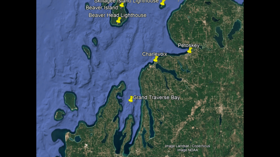
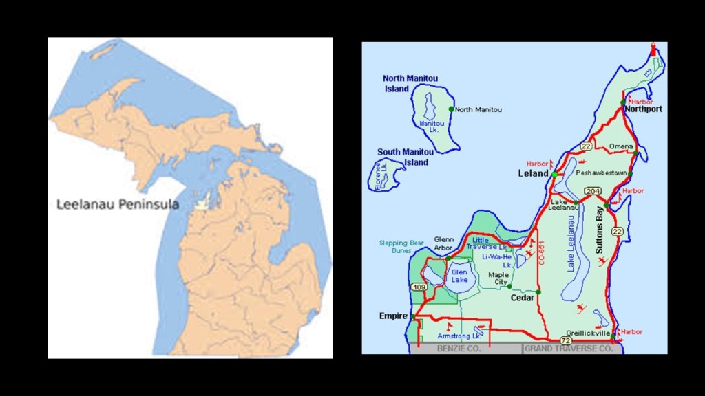
The Grand Traverse Bay is separated from Lake Michigan by the Leelanau Peninsula, also known as the “Little Finger” of the mitten-shaped Lower Peninsula.
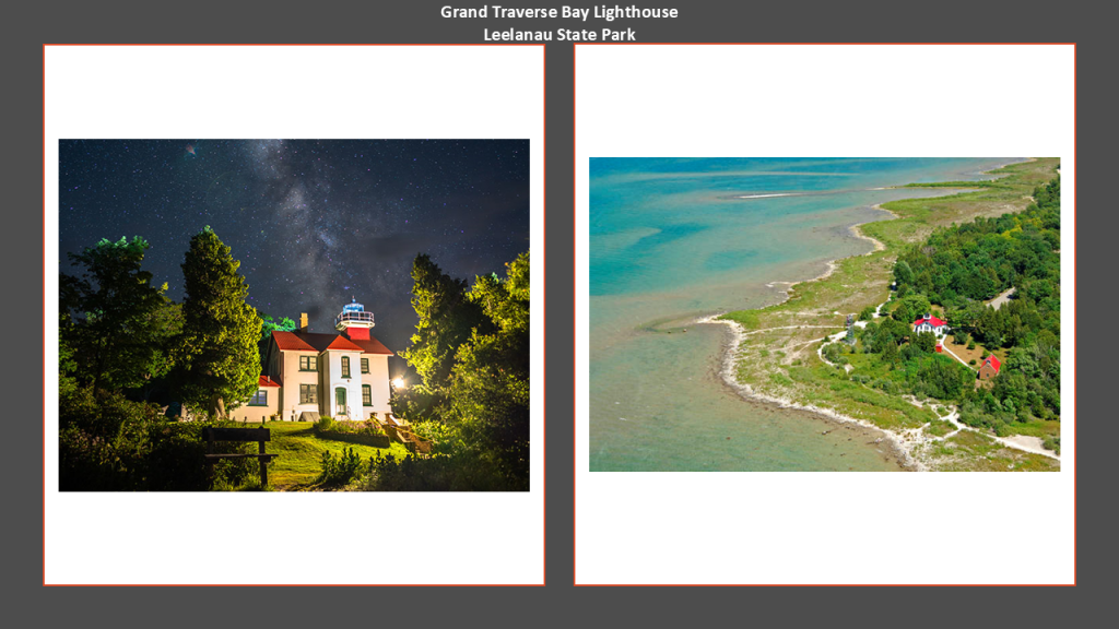
The Grand Traverse Lighthouse is located at the tip of the Leelanau Peninsula, where the Manitou Passage separates Lake Michigan and Grand Traverse Bay.
The current lighthouse was said to have been built in 1858, and is located today in Leelanau State Park.
The Sleeping Bear Dunes National Lakeshore is located on the western-side of the Leelanau Peninsula, and North and South Manitou Islands, and is also notable for its shipwrecks, so much so the bottomlands have been designated the “Manitou Passage Underwater Preserve.”
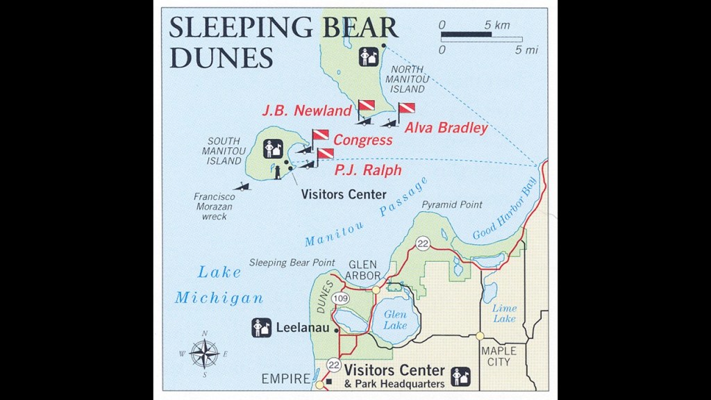
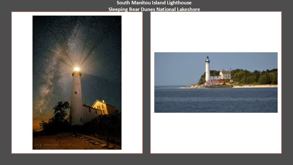
There is also a lighthouse on South Manitou Island, with the current one said to have been built in 1872, and decommissioned in 1958.
It is a museum these days.
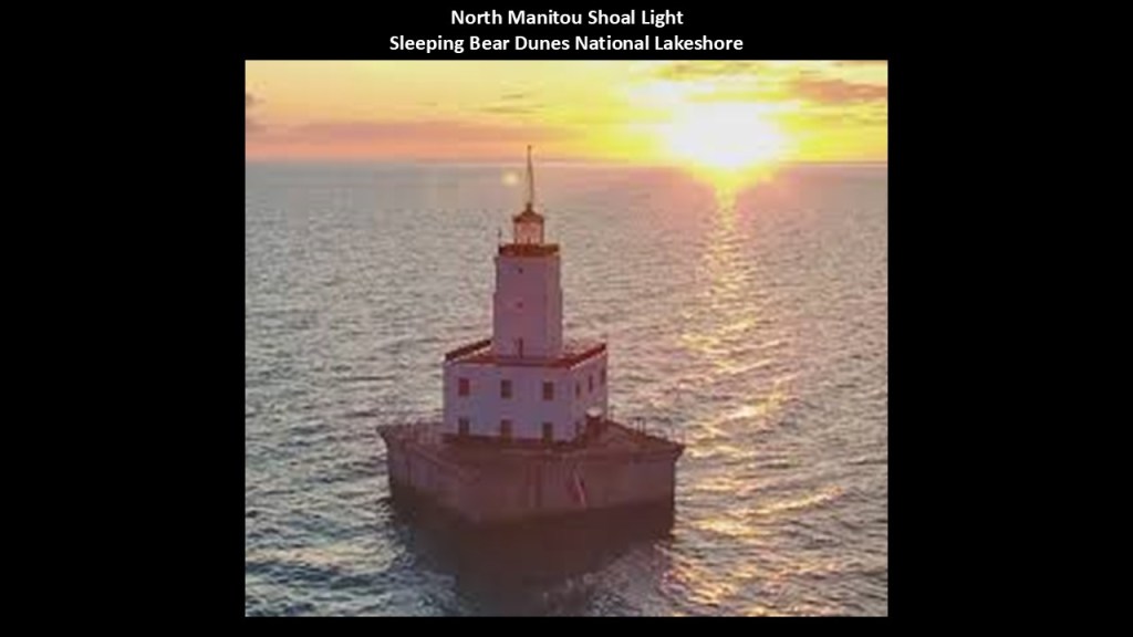
The North Manitou Shoal Light is located southeast of North Manitou Island, and it was said to have been constructed in 1935 to mark a dangerous shoal, and it is still in operation today.
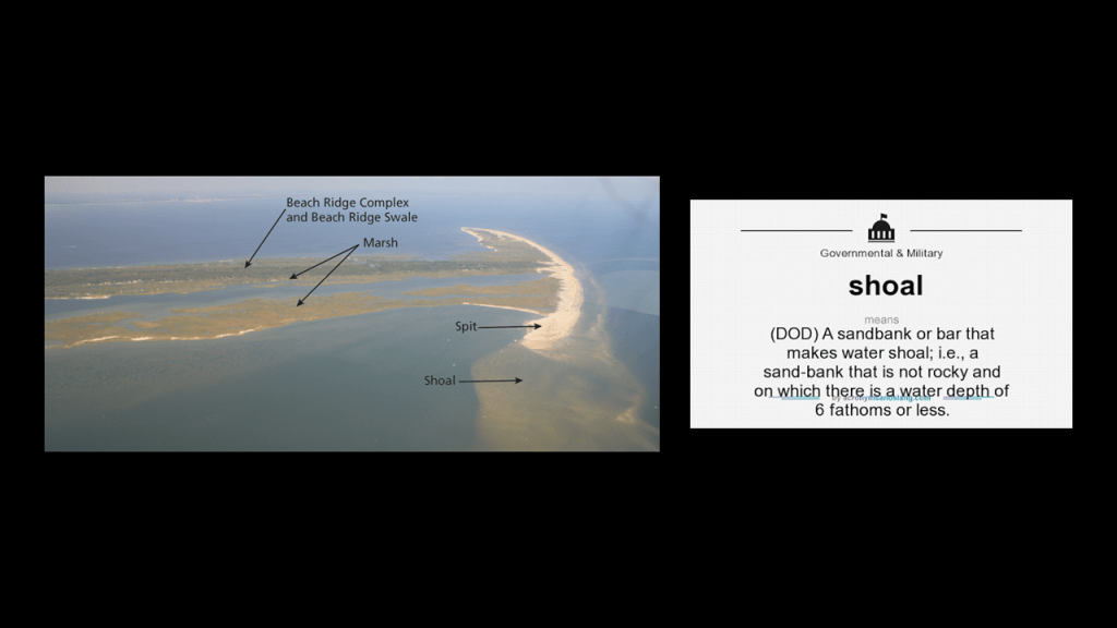
A shoal is defined as a place where a body of water is shallow, and where a ridge, bank or bar is close to the surface of the water, and poses a danger to navigation.
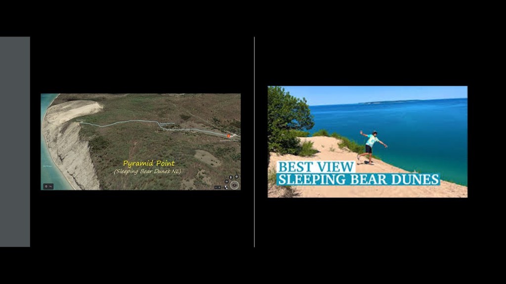
In the Sleeping Bear Dunes National Lakeshore on the Leelanau Peninsula, there are such places to visit and hike as Pyramid Point, known for its stunning views of Lake Michigan and the Manitou Islands…
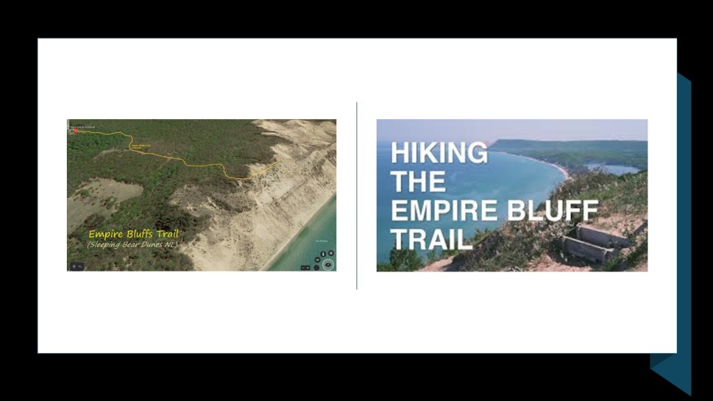
…the Empire Bluff Trail…
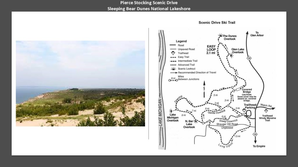
…and the Pierce Stocking Scenic Drive, a 7.4-mile, or 11.9-kilometer, drive through forest and dune areas and great views of Lake Michigan.
It was said to have been built in the 1960s and finished in 1967 by a lumberman named Pierce Stocking who wanted to share the beauty of the area with others.
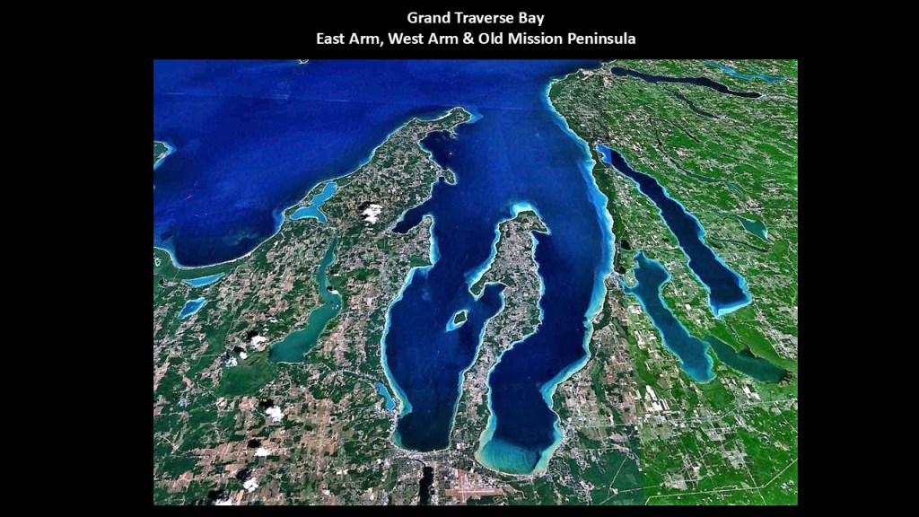
The Grand Traverse Bay is further divided into an “East Arm” and a “West Arm,” which are separated by what is called the “Old Mission Peninsula.”
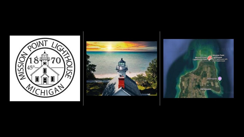
The Old Mission Peninsula has the Mission Point Lighthouse at its northern tip, which lies just a few yards south of the 45th Parallel North, which is halfway between the North Pole and the Equator.
The Mission Point Lighthouse was said to have been built in 1870, and it was deactivated in 1933.
It is in Lighthouse Park, and accessible to the public.
Traverse City is located at the base of the Old Mission Peninsula, and is the largest city in northern Michigan.
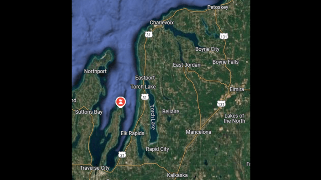
Traverse City is nicknamed “The Cherry Capital of the World,” and the whole Grand Traverse Bay region is known for its cherry production and its wine-grape-growing and Michigan wine.

We are told that what became Traverse City was first settled in June of 1847 by Captain Horace Boardman, who built a sawmill near the mouth of the Boardman River.
Traverse City was incorporated as a village in 1881, and as a city in 1895.

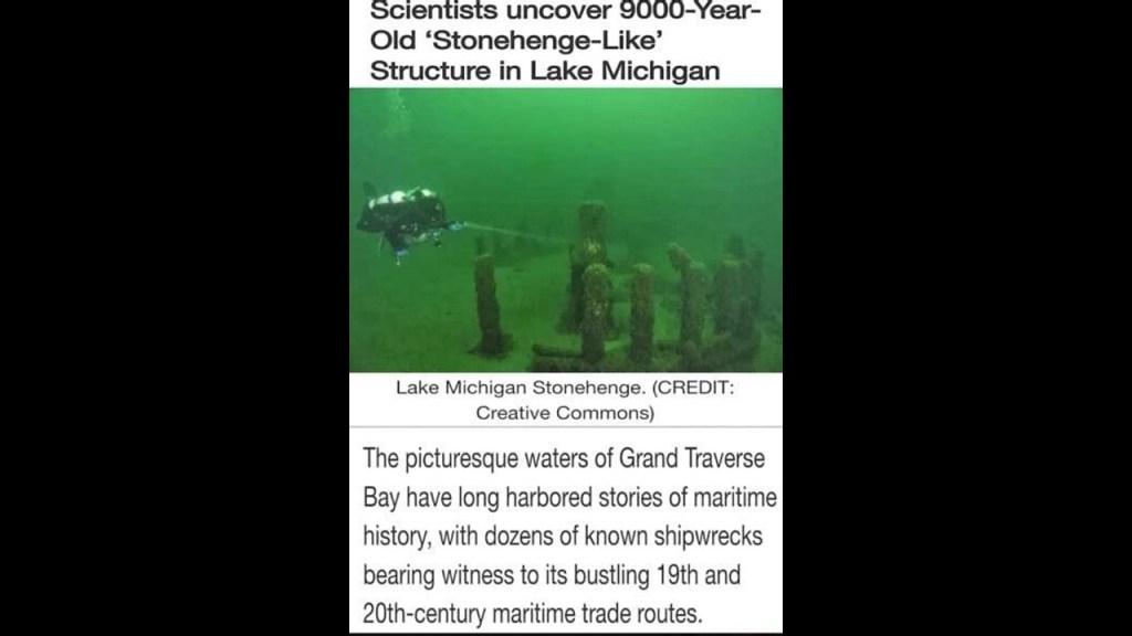
Before I take leave of the Grand Traverse Bay region, I would like to mention that there was a stonehenge-type structure identified in the Grand Traverse Bay.
Dr. Mark Holley, Professor of Underwater Archeology at Northwestern Michigan University, discovered an arrangement of large granite stones resting on the lake bed about 40-feet, or 12-meters, below the surface of the water, in 2007.
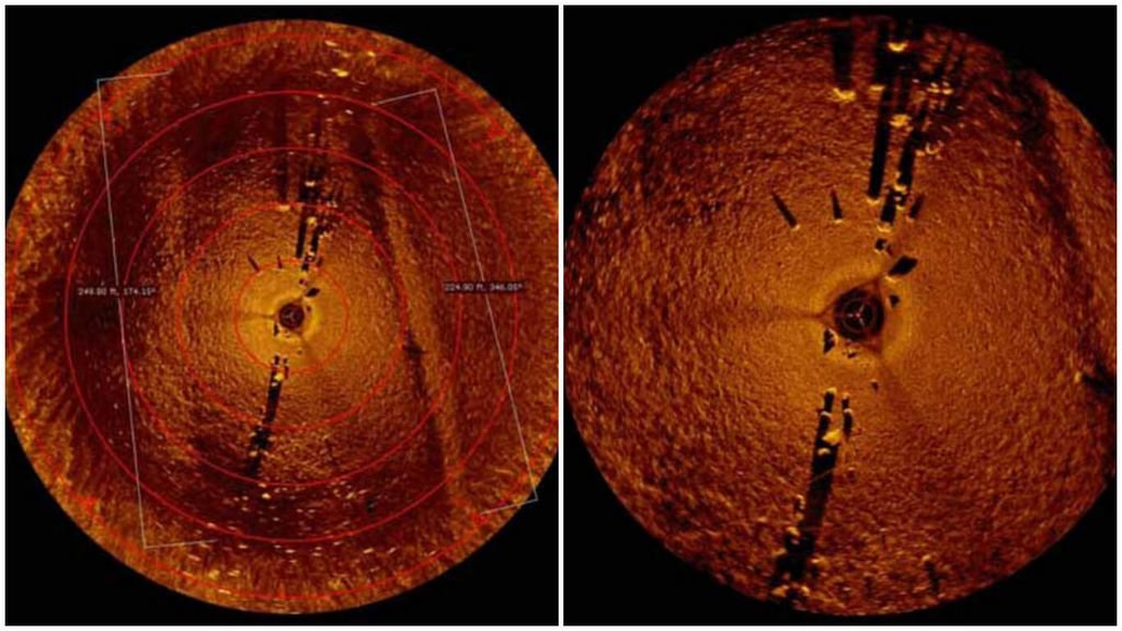
The stones are believed to date back 9,000-years, making it 4,000-years older than the date given in our historical narrative for England’s famous Stonehenge, which was said to have been built 5,000-years-ago.
The next place I am to take a look at moving down the coast of the eastern shore of Lake Michigan is Manistee.
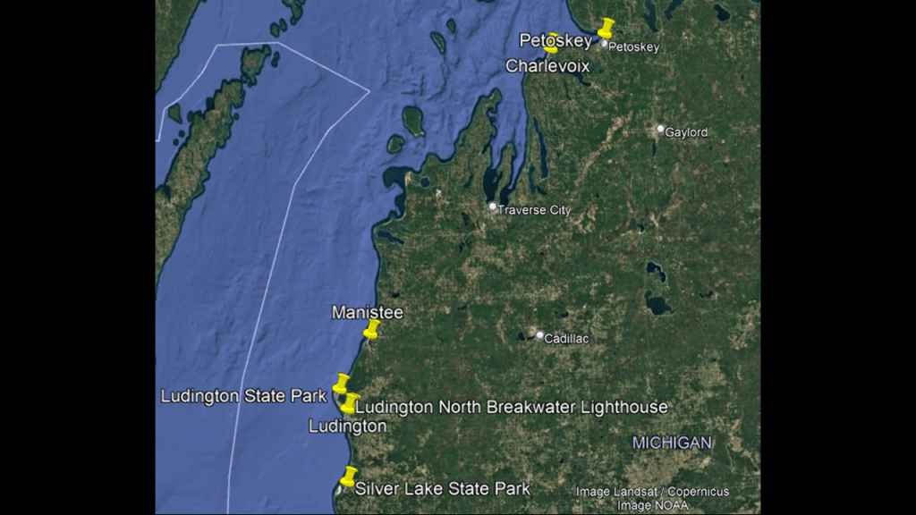
We are told that a Jesuit mission was first established in Manistee in 1751, and that Jesuit missionaries came to the area in the early 19th-century, with a Jesuit Mission house located on the northwest shore of Manistee Lake in 1826.

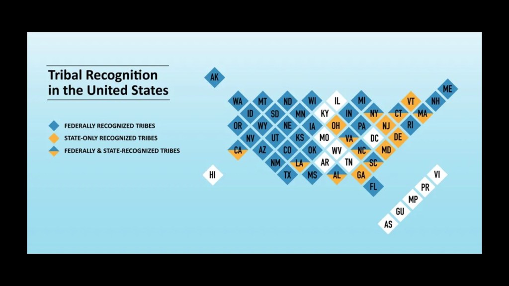
According to available information, Manistee was one of fifteen Ottawa villages on Lake Michigan’s shore in 1830, and it is the location of the federally-recognized Little River Band of Ottawa, who historically lived in this region.
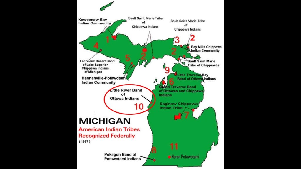
Federal recognition signifies the United States Government’s acknowledgment of a tribe’s status as a sovereign entity with a government-to-government relationship.
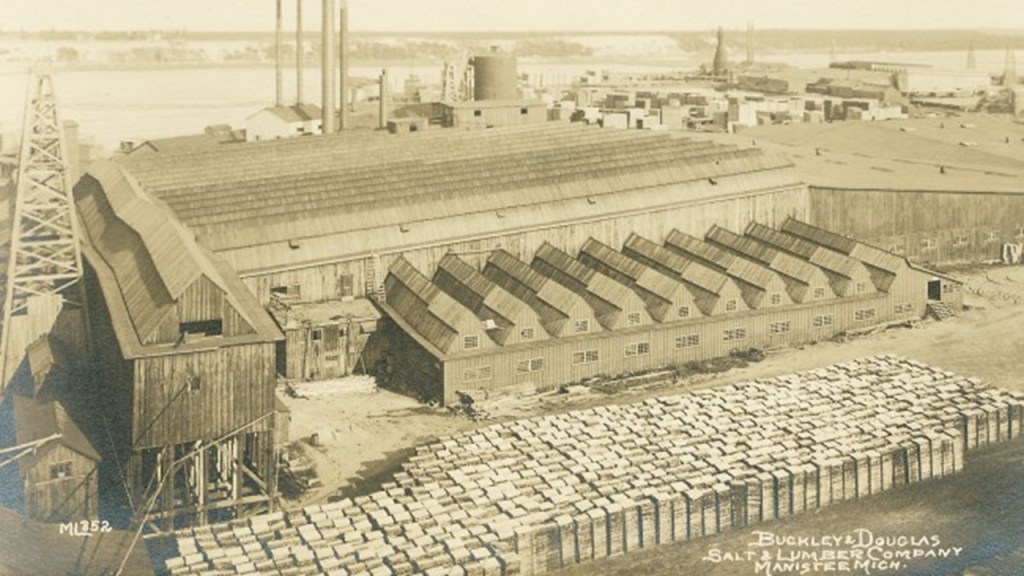
The first European settlement was established in Manistee in April of 1841, when settlers John and Adam Stronach arrived with men and equipment and established a sawmill, and Manistee became a significant location for lumber mills, with large numbers of white pine logs being floated down the river to the port at Manistee.
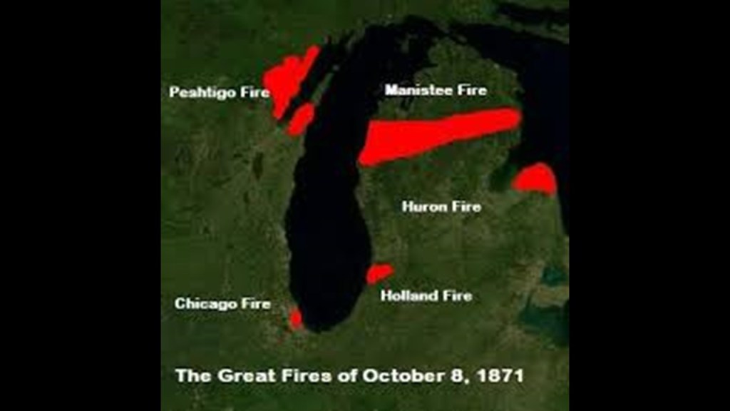
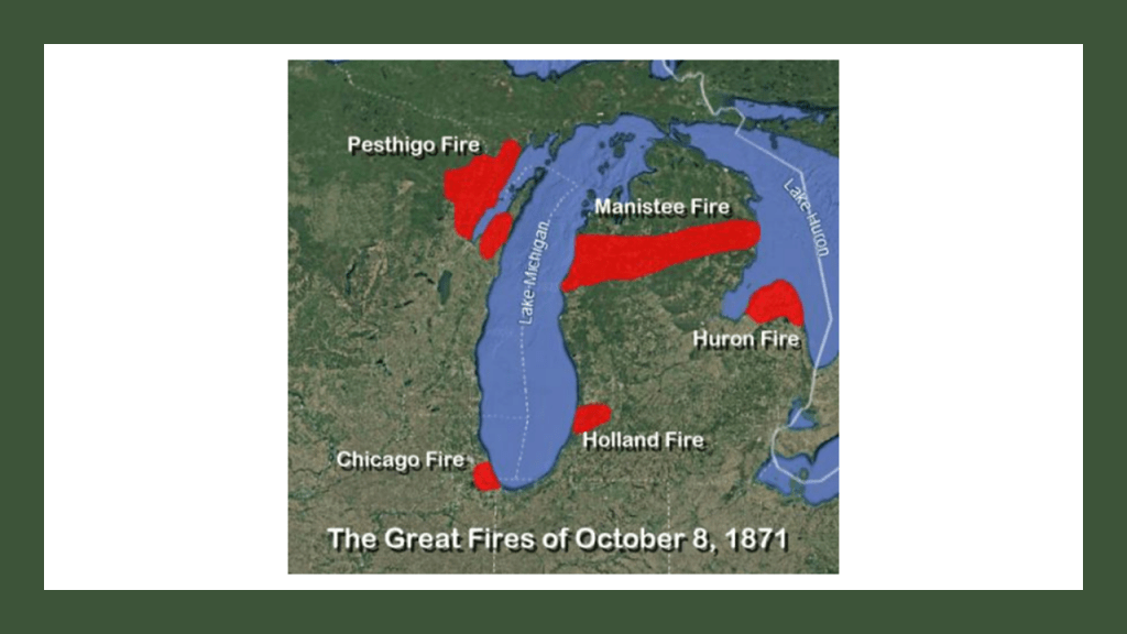
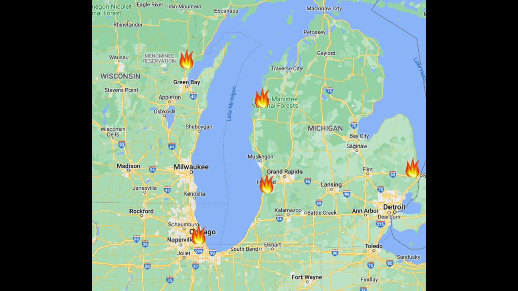
The Manistee Fire was one of the fires that constitute what is known as the “Great Michigan Fire” of October 8th of 1871, along with the Holland Fire and the Port Huron Fire.
These fires took place on the exact same day as the Great Chicago Fire and Peshtigo Fire, and Urbana in Illinois burned on the following day.
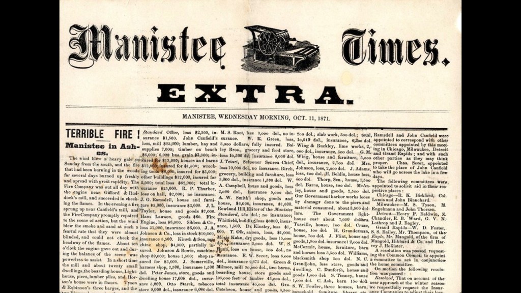
We are told the Manistee Fire destroyed much of the city of Manistee.
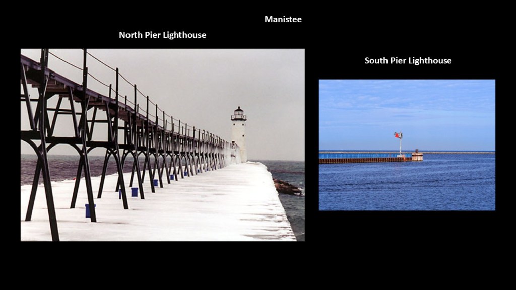
Manistee Harbor still has two active lighthouses, one on its North Pier and one on its South Pier, which are also called “breakwaters.”
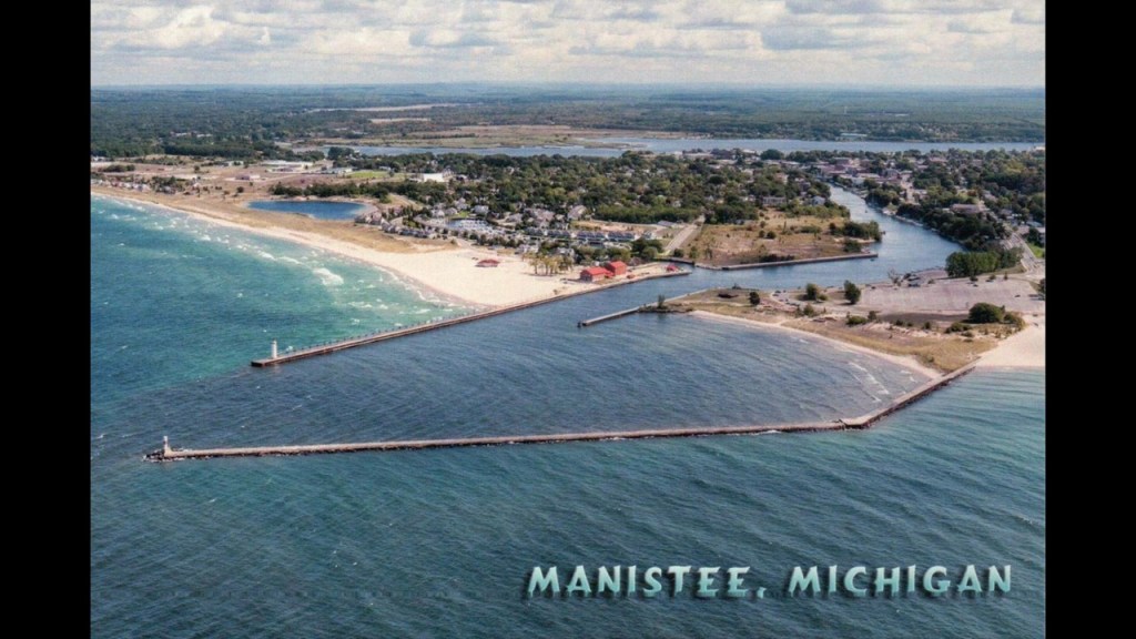
We are told that the first lighthouse was on the South Pier in 1870, but it burned in the Great Fire in 1871.
Then we are told two lighthouses were built here in 1875, but over the years they have been moved, and even torn down and rebuilt.
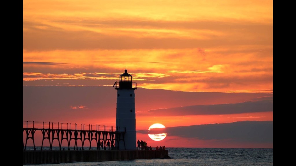
Here is a photo of the North Pier Lighthouse in Manistee in alignment with the setting sun.
Before I leave the Manistee area, I want to look into the Lake Bluff Bird Sanctuary, Located on top of a 100-foot, or 30-meter, -high bluff.
The Michigan Audubon Society received the M. E. and Gertrude Gray home and property as a gift in 1988, which later became the Lake Bluff Bird Sanctuary.
In addition to its status as a bird sanctuary…
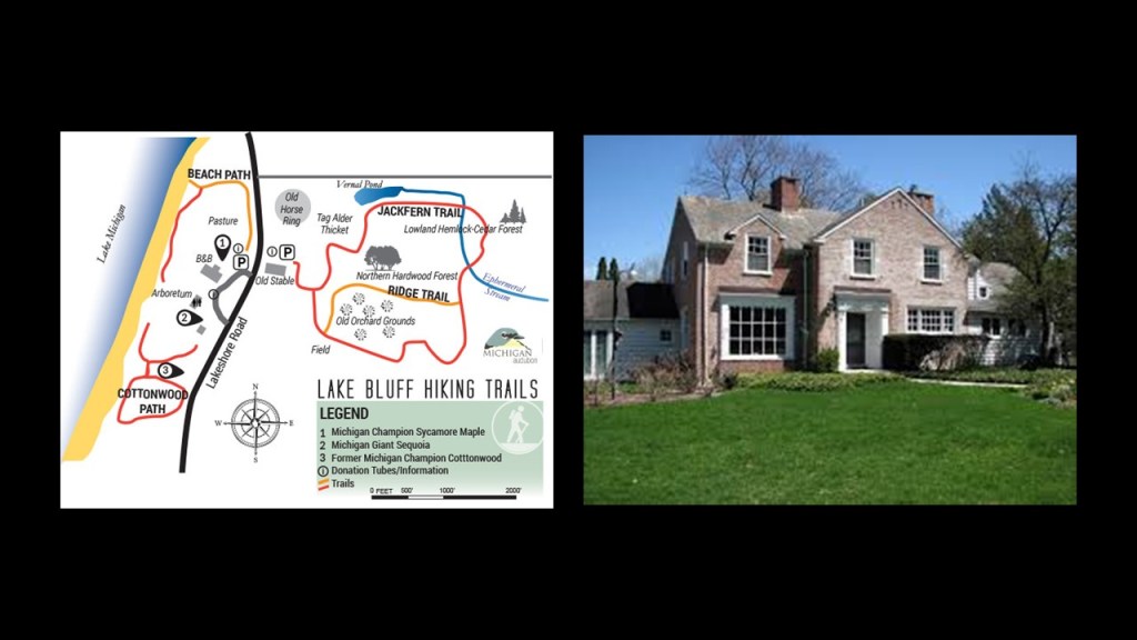
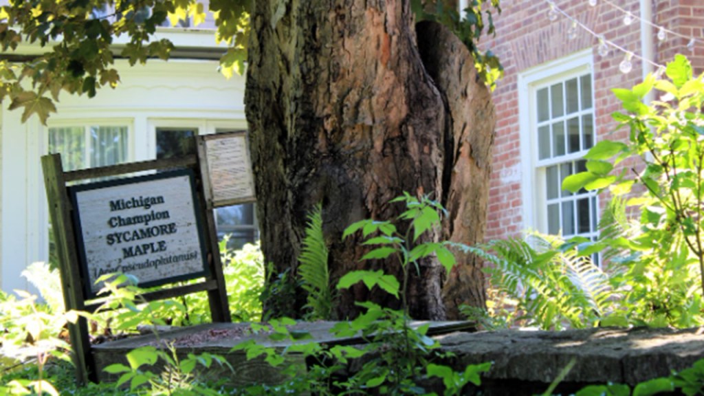
…it is notable for the trees preserved on its grounds, which include a Michigan Giant Sequoia…
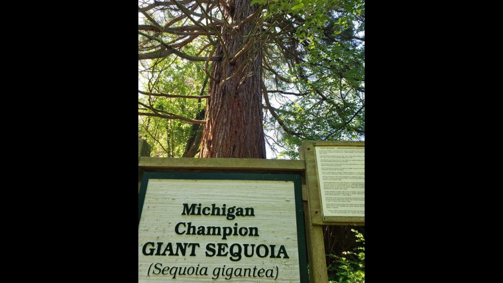
…and a Michigan Sycamore Maple.
Now I am going to head on down the eastern coast of Lake Michigan to the Ludington area and see what’s there.
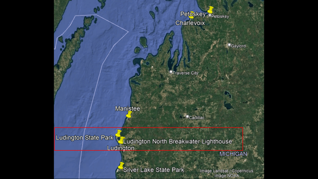
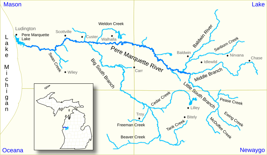
The City of Ludington is situated at the mouth of the Pere Marquette River, which quickly turns into the Pere Marquette Lake in Ludington.
We are told that the Jesuit explorer Father Jacques Marquette died near Ludington in 1675, and that in 1955, a memorial and 40-foot, or 12-meter, cross were built to mark the location.

The settlement here was originally named “Pere Marquette,” but was later renamed “Ludington” after the industrialist James Ludington, who established logging operations here.
By 1892, Ludington sawmills had produced 162-million board feet of lumber and 52-million wood shingles and Ludington became a major Great Lakes shipping port.

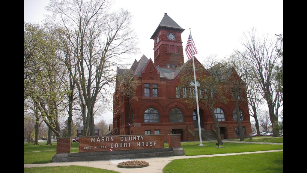
Ludington was incorporated as a city in 1873, and the county seat of Mason County was moved here.
The Ludington Lighthouse is located at the end of the North Breakwater where the Pere Marquette River meets Lake Michigan in the Pere Marquette Harbor.
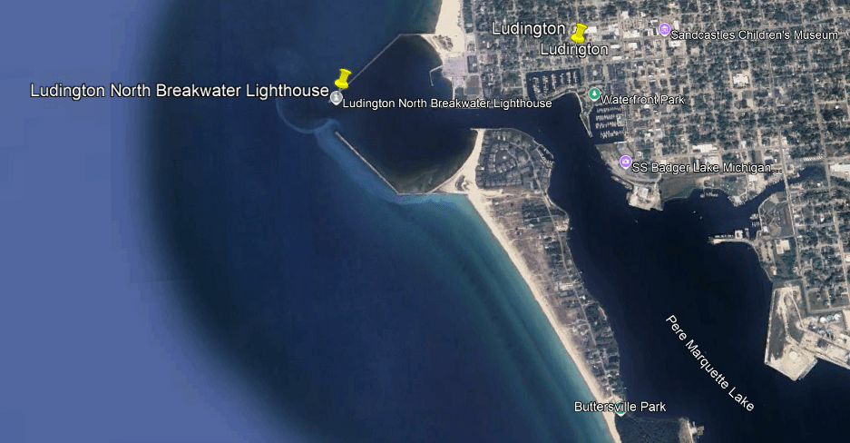
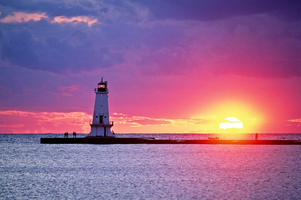
It was said to have been established in 1871 originally, and the structure there today was said to have been built in 1924.
Here is the Ludington Lighthouse in alignment with the setting sun.
The Big Sable Point Lighthouse is located on the other side of Ludington State Park from the Ludington Lighthouse, in the vicinity of the Nordhouse Dunes Wilderness Area.
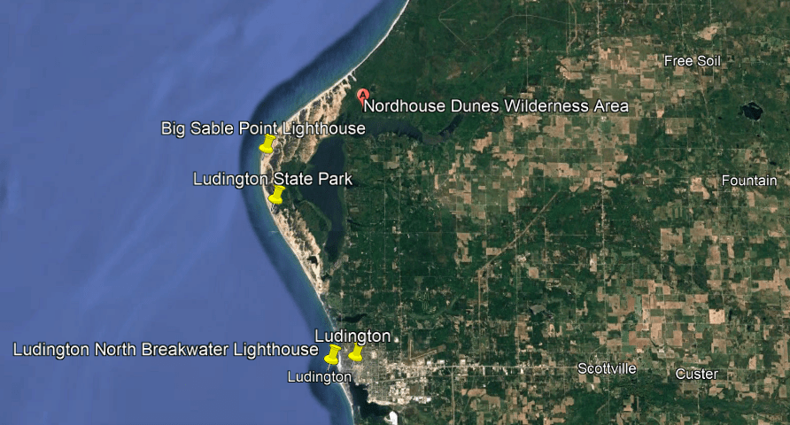
The Big Sable Point Lighthouse was said to have been built in 1867, and is just a short-distance north of the Ludington State Park entrance.
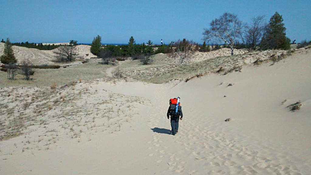
We are told that construction materials were brought in by ship since there wasn’t a road to it until 1933, and even today the road to get there is sandy and you have to walk because motor vehicles are prohibited.
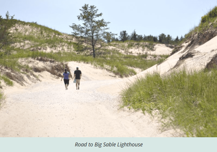
Also, this was the last Great Lakes lighthouse to get electricity and plumbing, which came in the late 1940s.
Here it is at sunset as well.
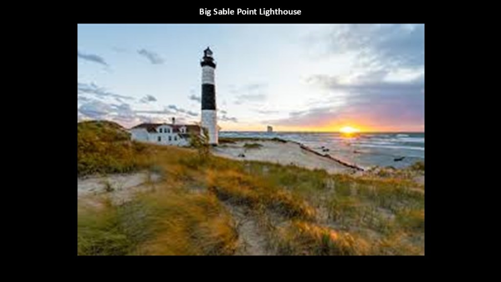
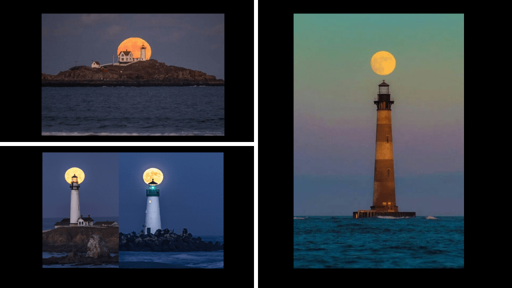
I’ve seen enough lighthouses over the years in perfect alignment with the heavens to more than convince me that in no way are these astronomical alignments occurring randomly but were very much intentional by the original builders and were not built by the people in the historical reset narrative that claimed credit for building them.
The Ludington State Park, of which the Big Sable Point Lighthouse is a part, is altogether 4,800-acres, or 1,900-hectares in size, with many different kinds of ecosystems, which include sand dunes, wetlands, marshlands and forests.
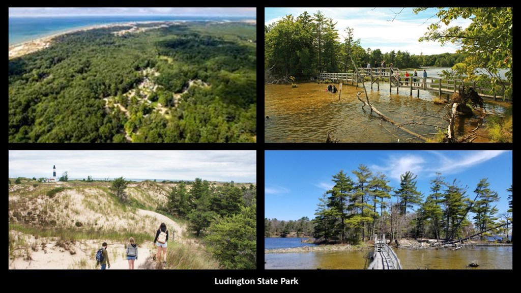
The Nordhouse Dunes Wilderness Area which is directly adjacent to the Ludington State Park is part of the Manistee National Forest lands, and managed by the U. S. Forest Service.
The federal government declared the Nordhouse Dunes area of the Manistee National Forest a wilderness in the Michigan Wilderness Act of 1987.
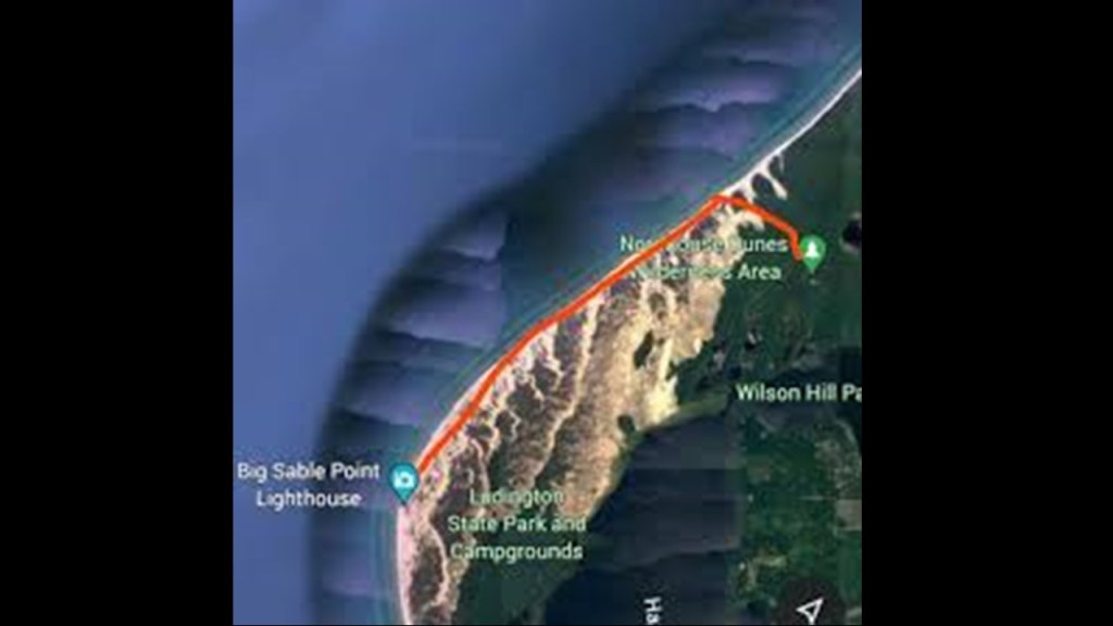
On 3,450-acres, or 1,396-hectares of land, it is the world’s most extensive set of freshwater dunes.
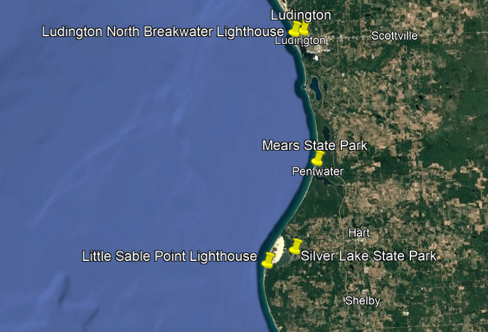
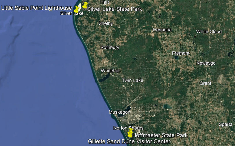
Continuing on down the coast a little ways, the next area I am going to look at includes the Silver Lake State Park and the Little Sable Point Lighthouse.
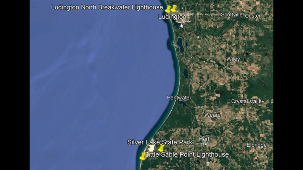
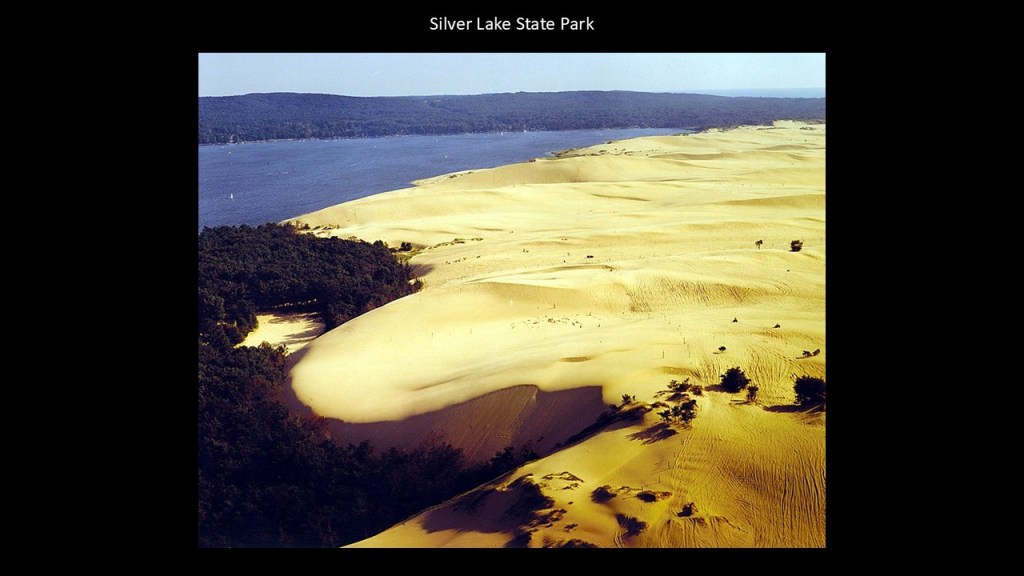
The Silver Lake State Park is 4-miles, or 6.4-kilometers, west of Mears in Oceana County, and on its almost 3,000-acres, or 1,200-hectares, of land, has along with mature forest land, over 2,000-acres, or 810-hectares of sand dunes.
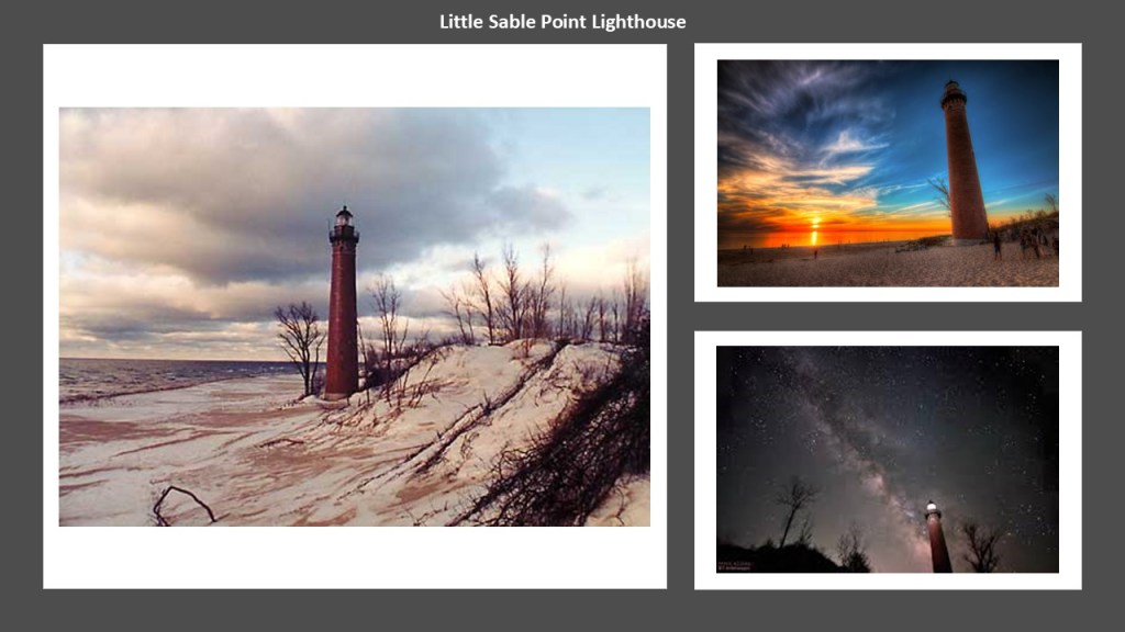
The Little Sable Point Lighthouse is located just south of Silver Lake State Park.
It was said to have been designed by Col. Orlando Poe, and finally constructed in 1874, after funding was approved by Congress in 1871.
Apparently construction was delayed because there weren’t any roads here either according to the official narrative.
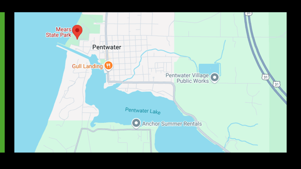
Mears State Park is located north of Silver Lake at Pentwater, which is roughly half-way between the Ludington area and the Silver Lake area.
Mears State Park is comprised of 50-acres, or 20-hectares, of land on the north side of the Channel that connects Pentwater Lake to Lake Michigan.
Mears State Park is a swimming, camping, hiking and fishing destination.
Mears State Park is known for its stunning sunsets, like this one behind the Pentwater North Pierhead Light.
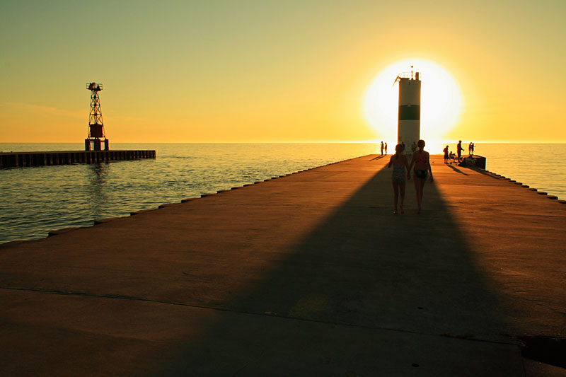
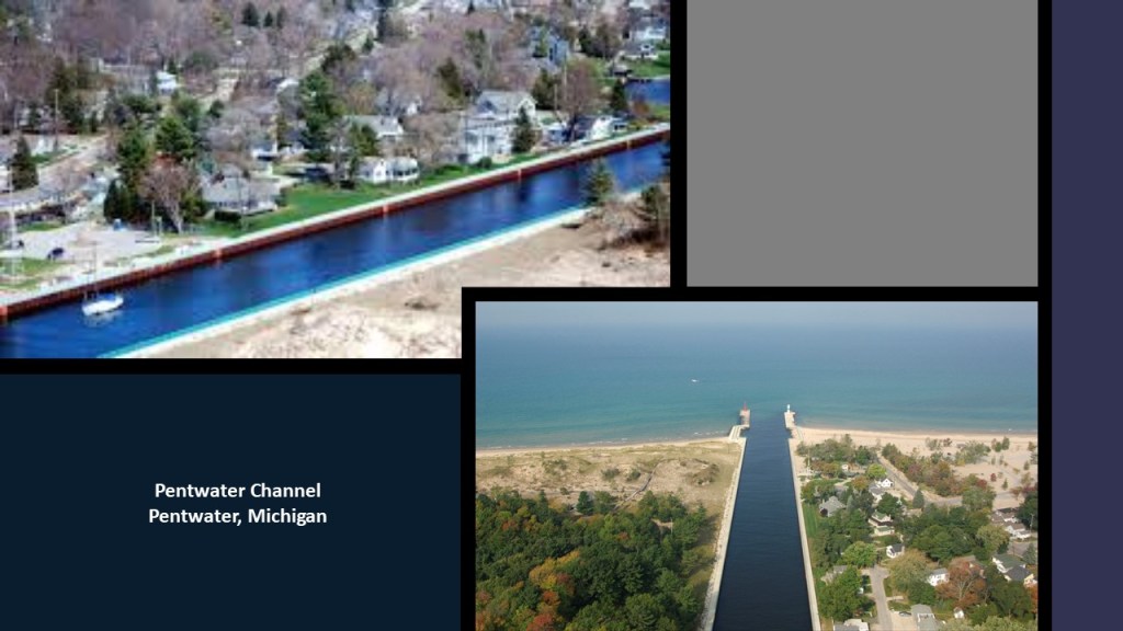
Charles Mears was said to have constructed the Pentwater Channel in 1855 to accommodate his lumber interests, and he was said to have constructed a pier here as well, though we are told the U. S. Army Corps of Engineers built the concrete piers we see today in 1937, which would have been during the Great Depression, which lasted from 1929 to 1939.
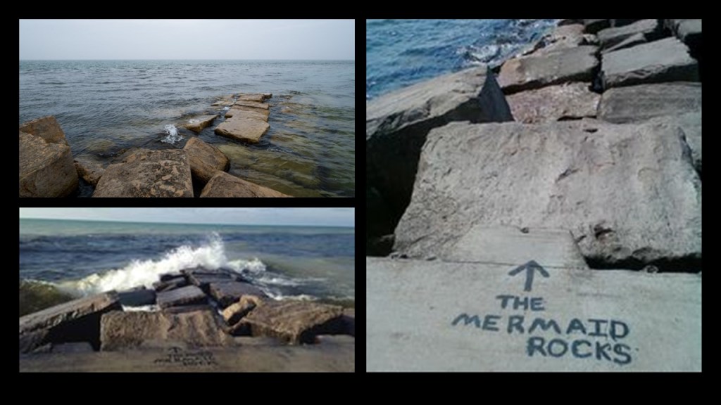
Interesting to note the presence of megalithic stone blocks in the waters off of Pentwater.
Next, I am going to head down the coast to the Muskegon area.
Muskegon is the largest city on Lake Michigan’s eastern shore.
The city of Muskegon is located on the south-side of Muskegon Lake, which is a harbor of Lake Michigan, which like we just saw in Pentwater, is connected to it by a navigational channel.
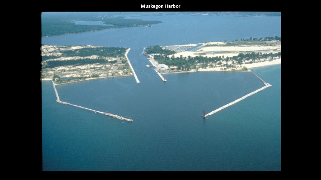
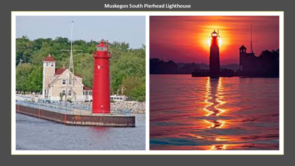
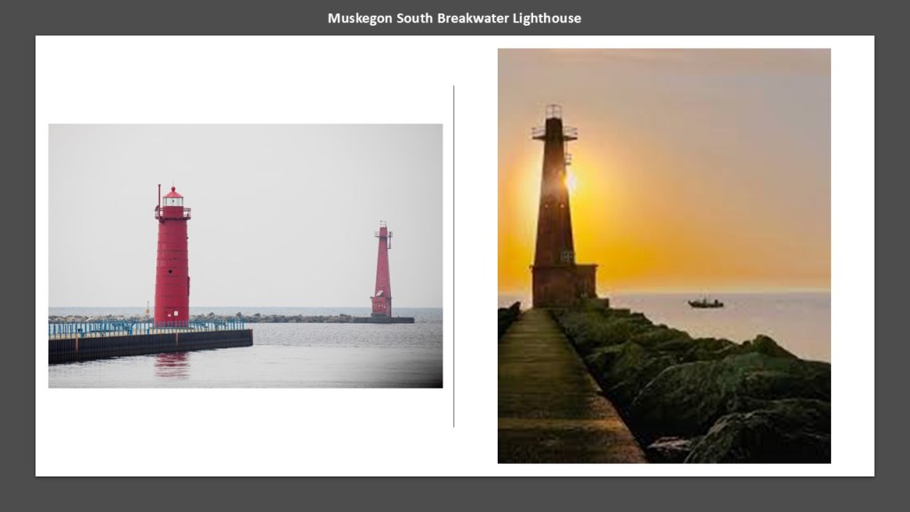
There are two lighthouses at this location – the Muskegon South Pierhead Lighthouse and the Muskegon South Breakwater Lighthouse.
The South Pierhead Lighthouse is located on the Harbor Channel, where there has been said to have been one since 1851, though we are told the current lighthouse was constructed in 1903.
We are told the Muskegon South Breakwater Lighthouse was constructed in 1929 and first lit in 1930.
We are told that the earliest Europeans who visited the area were French explorers like the Jesuit Father Marquette and French soldiers under the explorer LaSalle in the late 1670s.
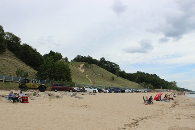
As a matter of fact, Pere Marquette Park is a beach-area that is located just to the south of the south breakwater and pier.
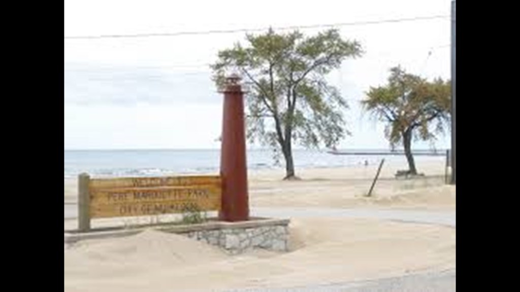
The Pere Marquette quartz-sand beach is bordered by large sand-dunes.
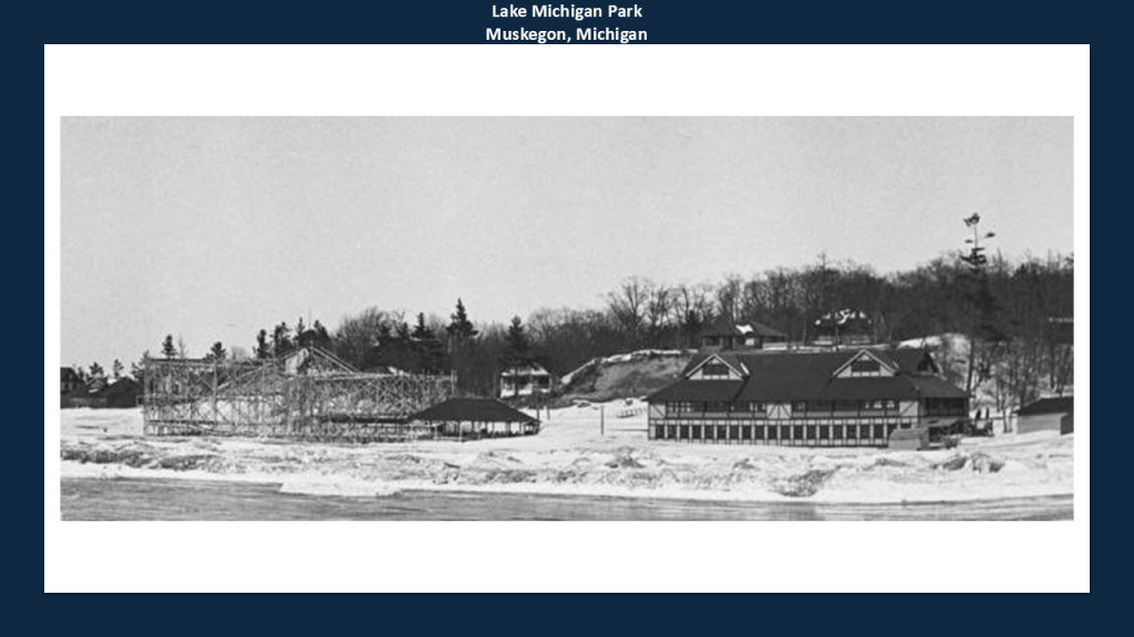
When I was looking for information about Pere Marquette Park, I came across the information that Lake Michigan Park occupied the north end of today’s Pere Marquette Park.
Lake Michigan Park was a trolley park that had a large roller coaster, dance hall, and pavilions where rail service was said to have been developed in the late 18th- and early-19th-centuries to encourage local and regional demand.
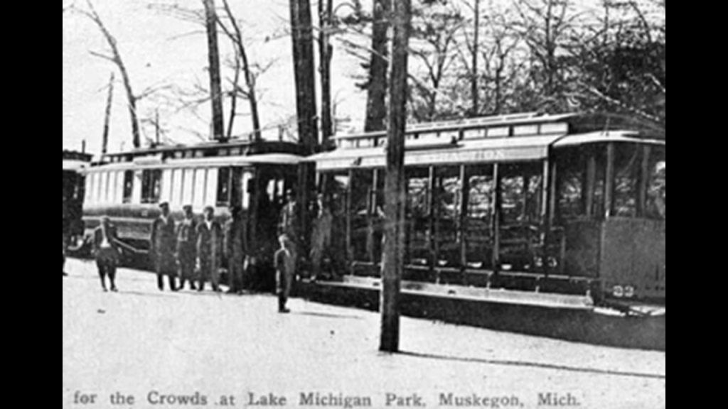
We are told the trolley park’s closure was linked to the decline of the trolley service, and the amusement park was torn down in 1930, and at some point became Pere Marquette Park.
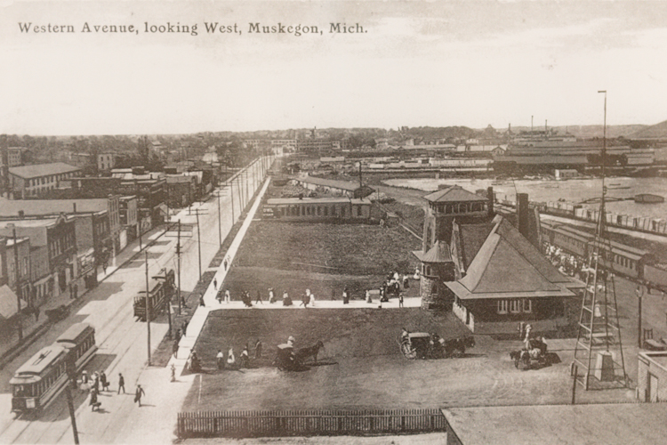
While the earliest European settlers to the area that became Muskegon were in the fur trade, ultimately the population and economic growth of Muskegon was due to the lumber industry, which began there in 1837, and the city became known as the “Lumber Queen of the World.”
Muskegon also became a manufacturing hub, including but not limited to bowling pins, Raggedy Ann dolls, boats, beer, engines, pianos, and paper to name a few.
This is an historic photograph of Muskegon, circa 1900.
The P. J. Hoffmaster State Park is located south of Norton Shores and the Muskegon County Airport, and just to the west of Highway 31.
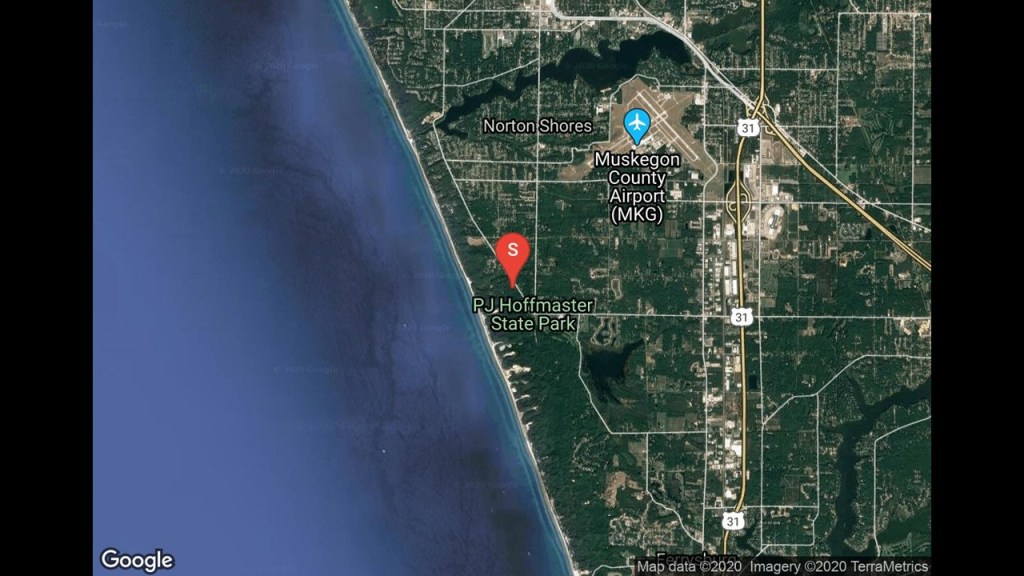
It was established in 1963, and named after Percy James Hoffmaster, who was considered the founder of the Michigan State Parks system, and is a public recreation area with hiking trails, camping areas, and a beach.
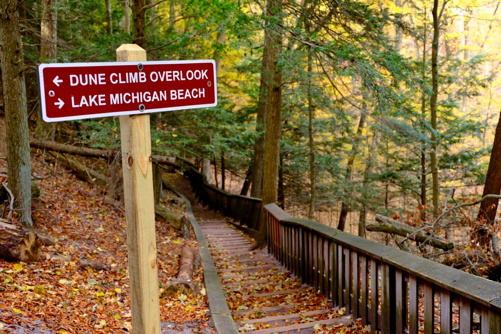
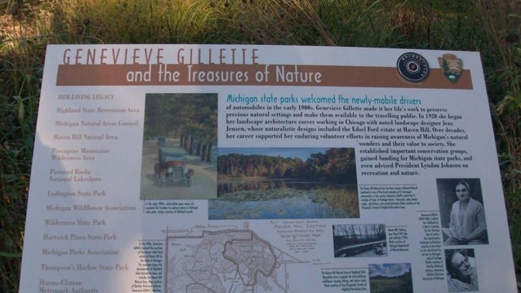
The Gillette Sand Dune Visitor Center was named after Genevieve Gillette, a conservationist who scouted for new state park locations for P. J. Hoffmaster.
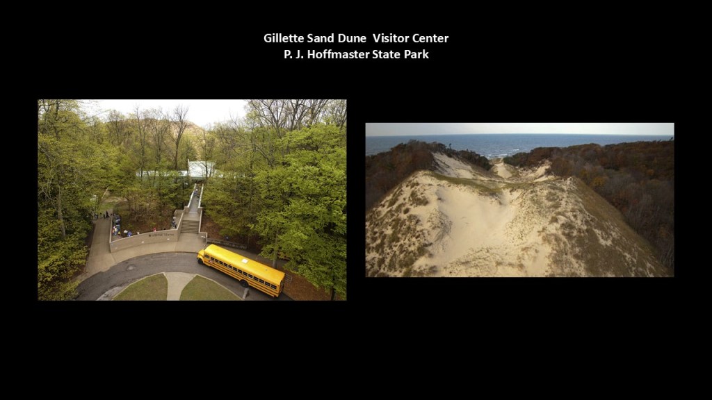
The Gillette Sand Dune Visitor Center is described as being nestled among one of the nation’s most impressive dune systems, and is itself perched on top of a large wooded dune.
Now I am going to head down the eastern coast of Lake Michigan to the Holland area.
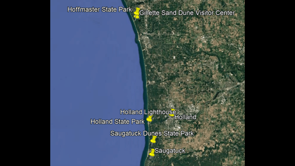
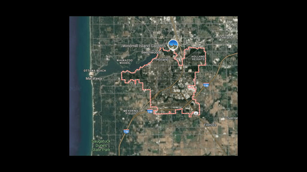
Holland is located near the eastern shore of Lake Macatawa, known historically as Black Lake, which is fed by the Macatawa River, known as the Black River.
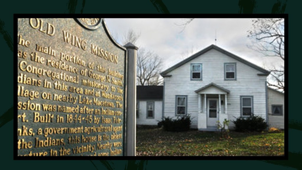
Historically the land of the Ottawa people, we are told that in 1839, the Reverend George Smith established the Old Wing Mission here as a Christian mission to the Ottawa people, and the building described as a Greek Revival structure is said to be the oldest house in Holland.
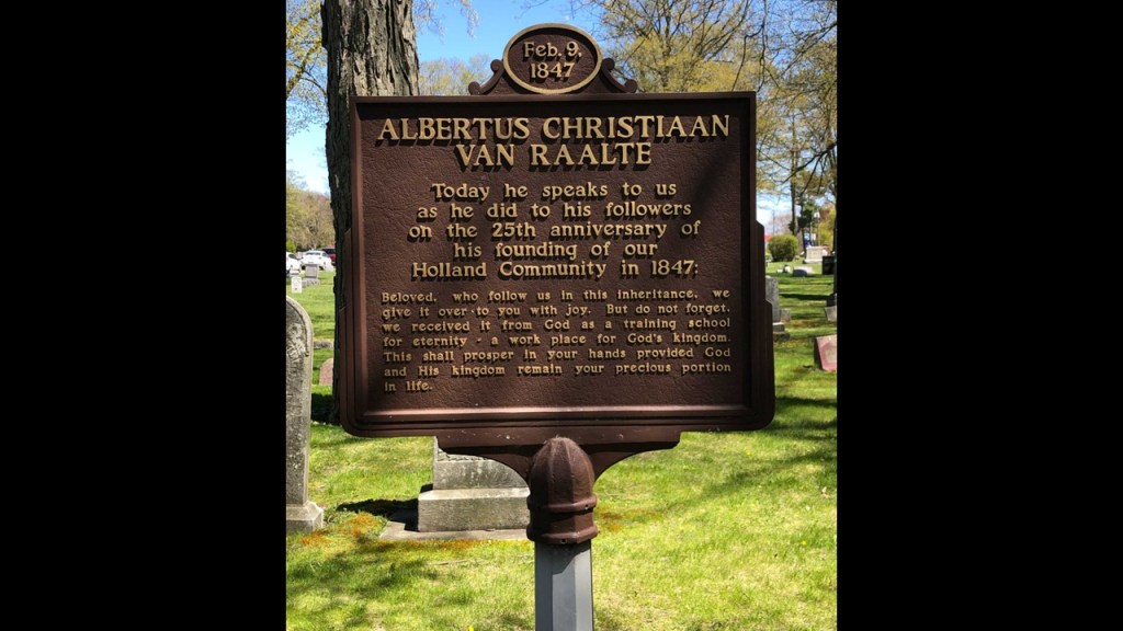
Then we are told in 1847, Holland was settled by Dutch Calvinist Separatists who emigrated from the Netherlands under the leadership of Dr. Albertus van Raalte because of drastic economic conditions there settled in the Old Wing Mission area along with the Ottawa, and there was conflict between the two, resulting in the Ottawa moving north from their land.
Dr. van Raalte then established a congregation of the Reformed Church in America, later called the First Reformed Church of Holland.
Then in 1867, Holland was incorporated as a city.
Holland was one of the locations of the Great Michigan Fire on October 8th of 1871.
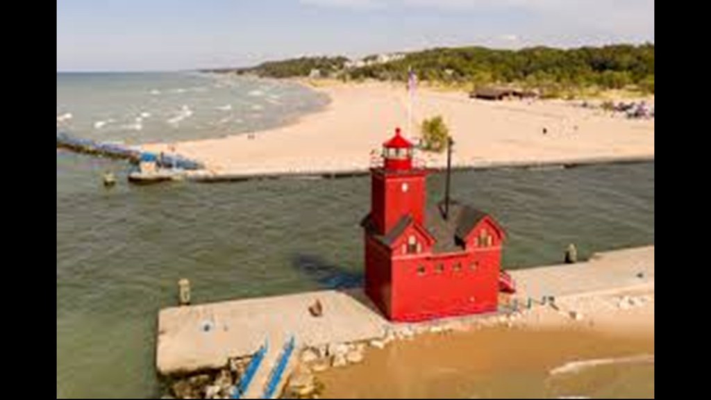
The Holland Harbor Lighthouse is nicknamed “Big Red.”
It is located at the entrance of the channel that connects Lake Macatawa to Lake Michigan, and the current structure was said to have been built in 1907, though we are told a lighthouse was first constructed here in 1872.
The light was automated in 1932 and is maintained by the Coast Guard.
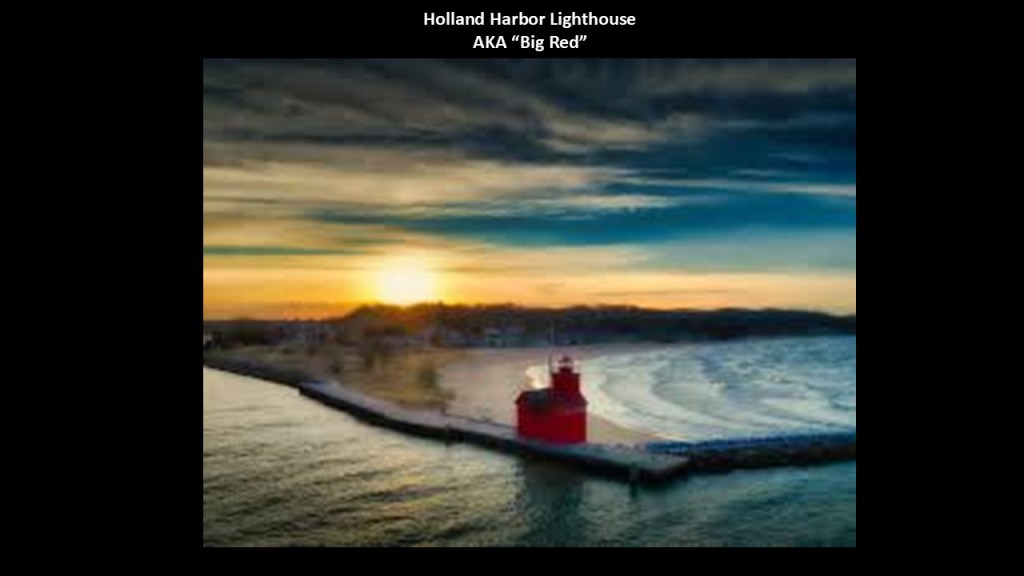
Public access to “Big Red” is limited, so the best viewing location is from across the Harbor at Holland State Park, one of Michigan’s popular beach locations, receiving 1.5-million to 2-million visitors each year.
The next area I am going to take a look at on the eastern shore of Lake Michigan in western Michigan is Benton Harbor and St. Joseph.
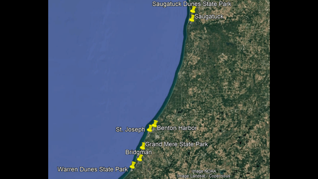
Benton Harbor and St. Joseph are known locally as the “Twin Cities,” and are separated by the St. Joseph River.
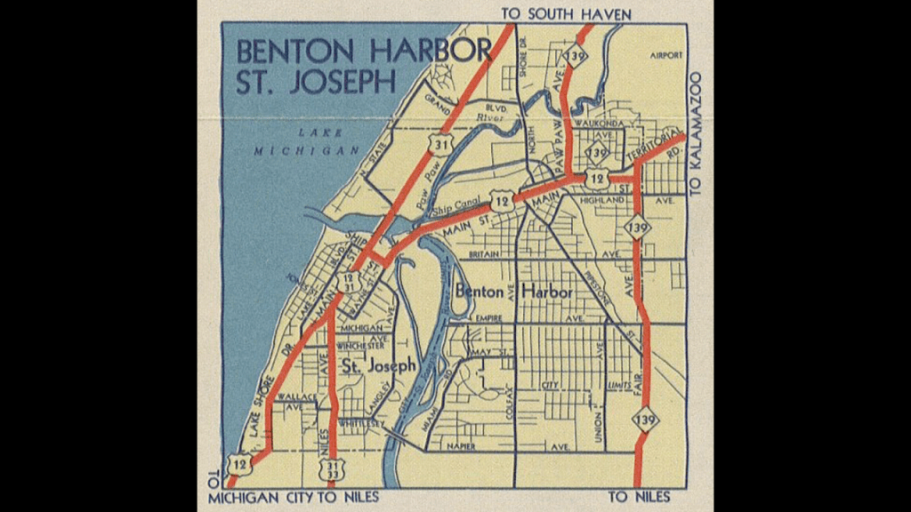
We are told before a village was laid out in 1860 at what became Benton Harbor, the location was said to be wetlands bordered by the Paw Paw River through which a ship canal was built to drain the wetlands and create a harbor.
The canal has not been navigable at all since 1963.
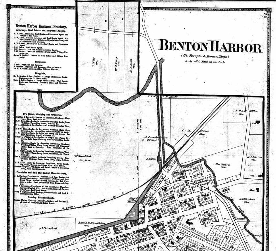
Benton Harbor was named after Thomas Hart Benton, a Senator from Missouri who helped Michigan become a state.
I first came across Thomas Hart Benton in the National Statuary Hall representing Missouri at the U. S. Capitol building in Washington.
Thomas Hart Benton was a United States Senator from Missouri, and he was a champion of westward expansion, a cause that became known as “Manifest Destiny.”
He served in the U. S. Senate between 1821 and 1851, becoming the first Senator to serve five-terms.

As Senator, Benton’s main concern was westward expansion, or what became known as “Manifest Destiny,” a 19th-century belief that the United States was destined by God to expand its dominion and spread democracy and capitalism across the entire continent.
Thomas Hart Benton was also a Freemason.

Next, I am going to head across the St. Joseph River from Benton Harbor to St. Joseph, the county seat of Berrien County.
St. Joseph was incorporated as a village in 1834 and as a city in 1891.
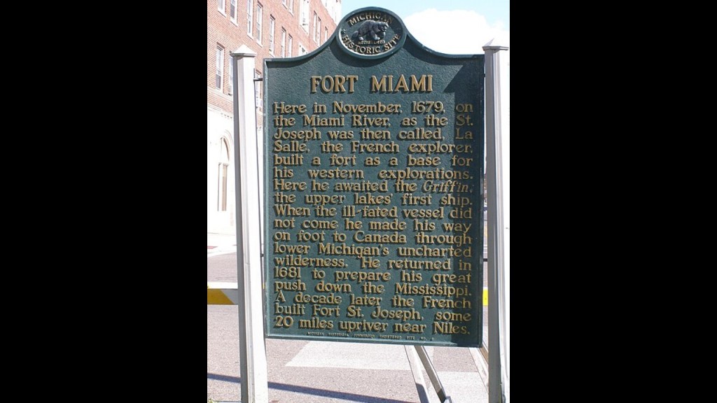
French explorers led by La Salle were said to have arrived here in 1679 and established Fort Miami on a bluff overlooking Lake Michigan.
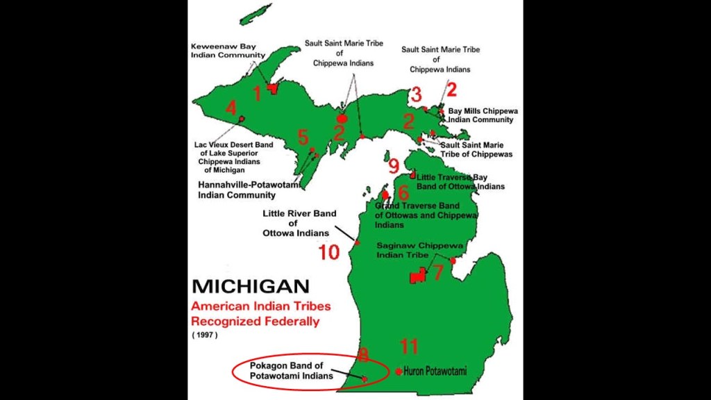
This part of Michigan is the traditional land of the Potawatomi people.
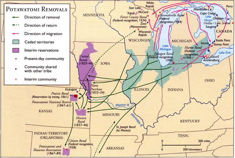
What is called the Pokagon Band of Potawatomi has deep ties to the St. Joseph area and we are told were the only Potawatomi band that was allowed to remain in Michigan after the forced removals of the 1830s.
In the 1830s, most were removed from their lands and forced to relocate west to Indian Territory.
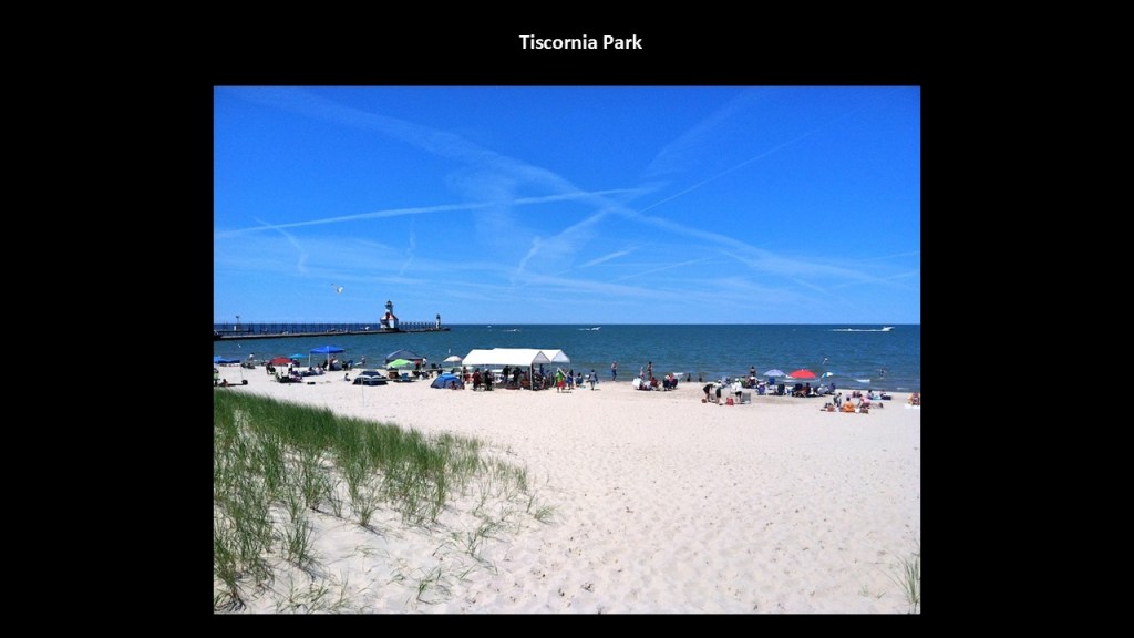
The St. Joseph North Pier Inner and Outer Lights are lighthouses at the entrance to the St. Joseph River on Lake Michigan, said to have been built in 1906 and 1907, and were decommissioned in 2005.
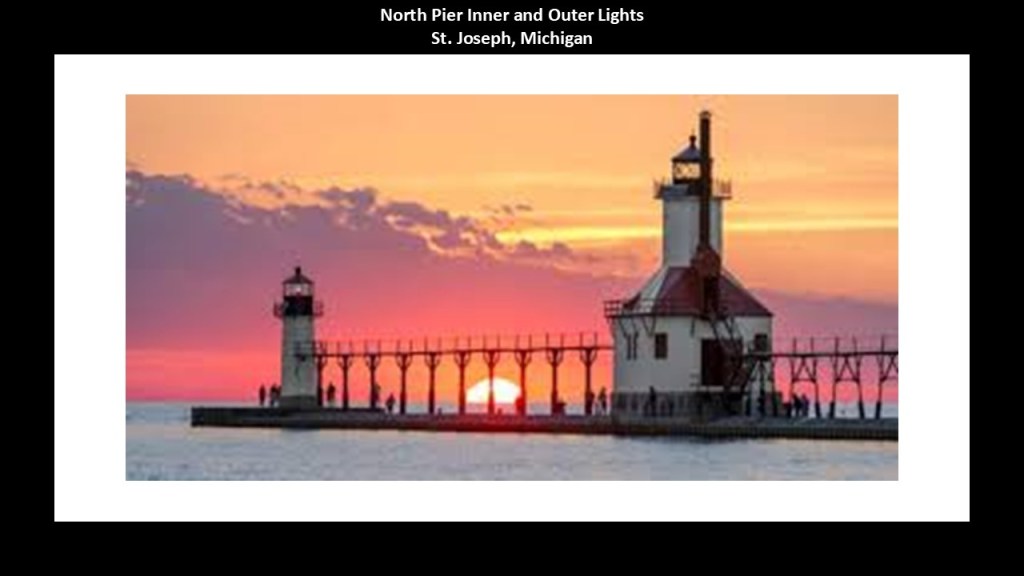
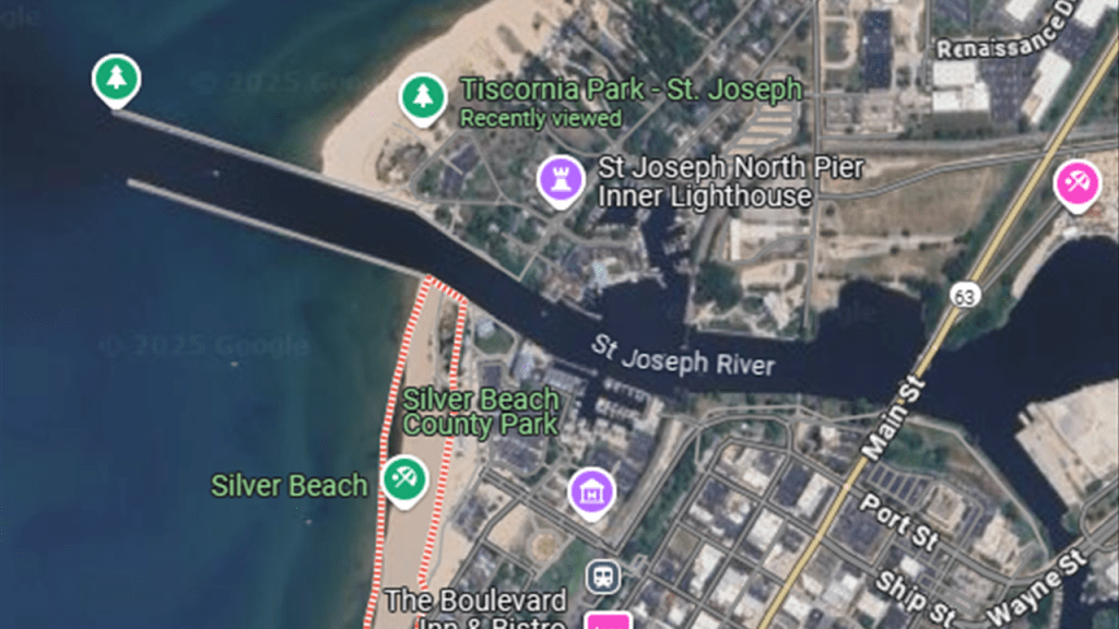
The lighthouses can be accessed by the public at Tiscornia Park, which is a Lake Michigan beach, dune and wildlife area on the north side of the channel that is called the St. Joseph River.
Silver Beach County Park is located on the other side of the channel.
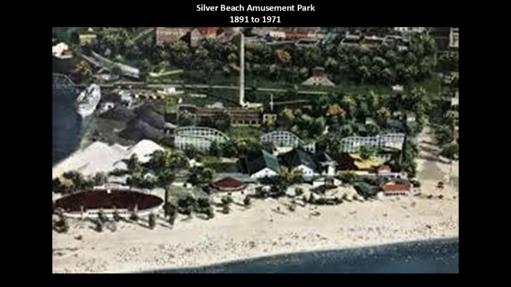
At one time, Silver Beach was a trolley park and developed as a vacation resort, which first opened in 1891.
The amusement park had a roller coaster, roller skating rink, pipe organ, boxing ring, dance hall and carousel.
The carousel was restored to its former glory and can be found in the building to the right-side of this photo of the park facing Lake Michigan.
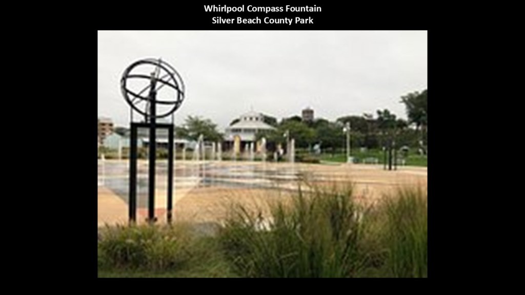
There is a fountain on the left called the Whirlpool Compass Fountain.
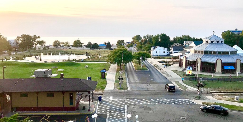
The Whirlpool Compass Fountain is described as a large splash pad with water jets that can be enjoyed in the spring and summer months.
I have no doubt there is more to this story as well.
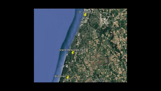
Next, Grand Mere State Park is located between St. Joseph and Bridgman.
Grand Mere State Park is described as having “magnificent sand dunes and deep blow-outs,” and has several lakes and wetlands as well.
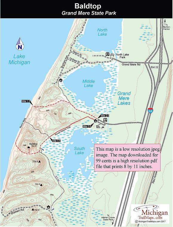
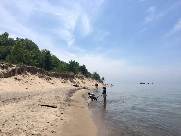
The park has almost two-miles, or 3.2-kilometers, of sandy beach that you have to climb over steep sand dunes on foot to get to because off-road vehicles have been banned.
The Warren Dunes State Park is in the southwest corner of the Lower Peninsula in Berrien County heading towards the state line with Indiana, just to the south of Bridgman.
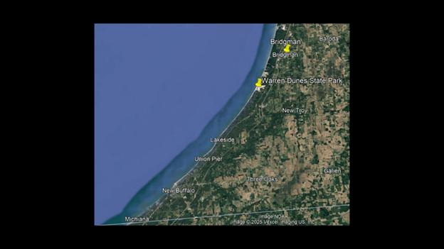
We are told the Warren Dunes State Park’s large sand dunes and lake shore beaches make it one of the most popular state parks of Michigan.
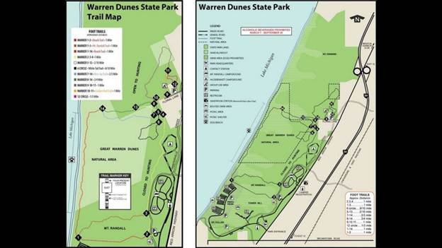
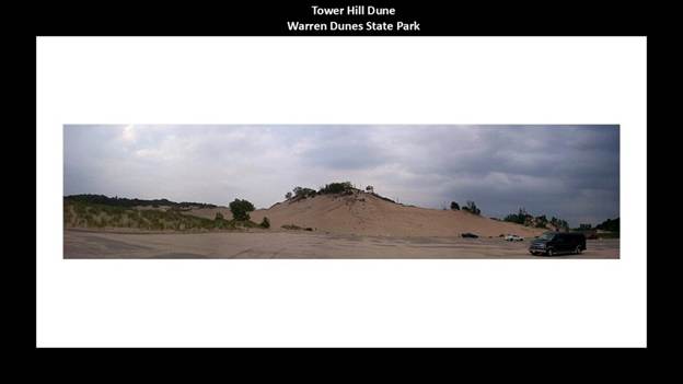
The Tower Hill Dune is one of the many large dunes found at the park, which is the highest point in the park standing at about 240-feet, or 73-meters, -high.
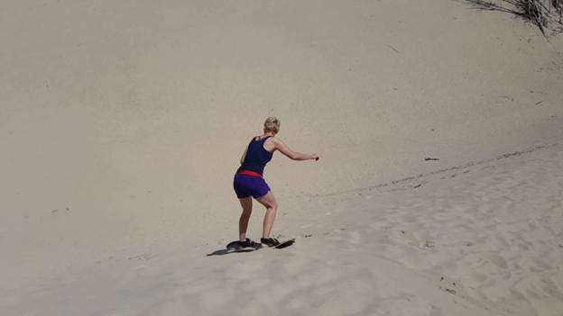
This park is a popular place for sandboarding because of easy access to the dunes.
Now I am going to cross the Indiana state line and next take a look at Michigan City; the Indiana Dunes; and Gary.
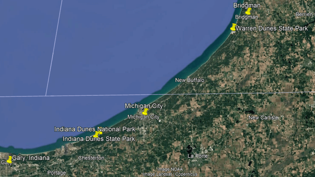
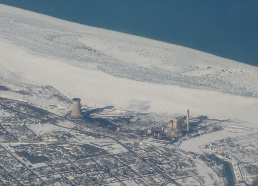
The Michigan City Power Plant is west of the city’s downtown on the lake-shore next to the dunes, and while it is not a nuclear power plant, it is a coal-burning plant that looks like one.
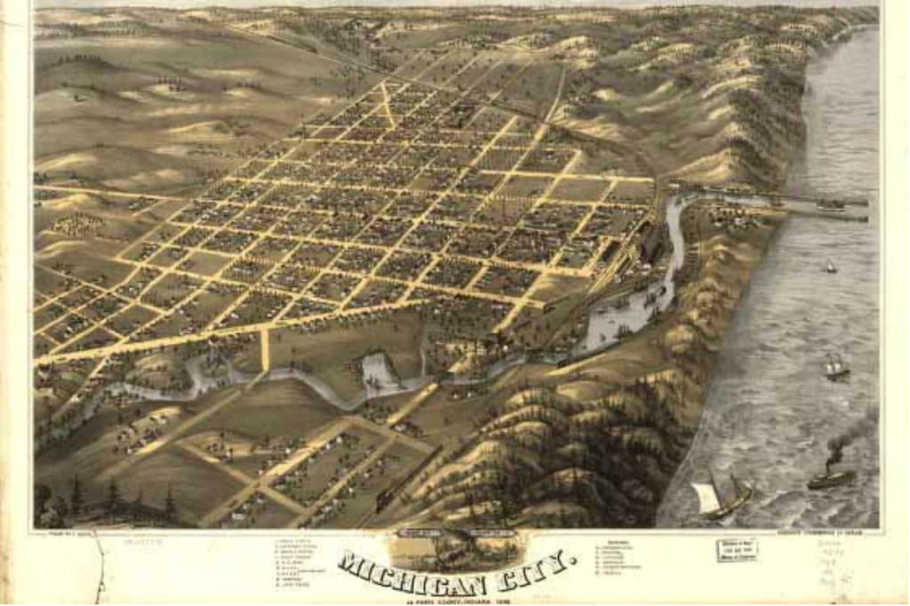
We are told that the origins of Michigan City go back to 1830, when real estate speculator Isaac Elston purchased land for the city, paying $200 for 160-acres, or 65-hectares, of land, and that by the time the city was incorporated in 1836, it had 1,500 residents; a post office; a newspaper; a church; a commercial district and ten hotels, having grown to a size of 15-square-miles, or 39-kilometers-squared in six-years.
The Old Michigan City Light in the harbor was said to have been built in 1858 and deactivated in 1904.
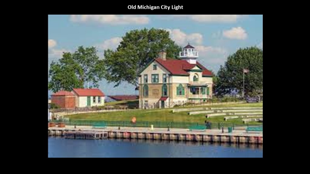
It’s a museum these days.
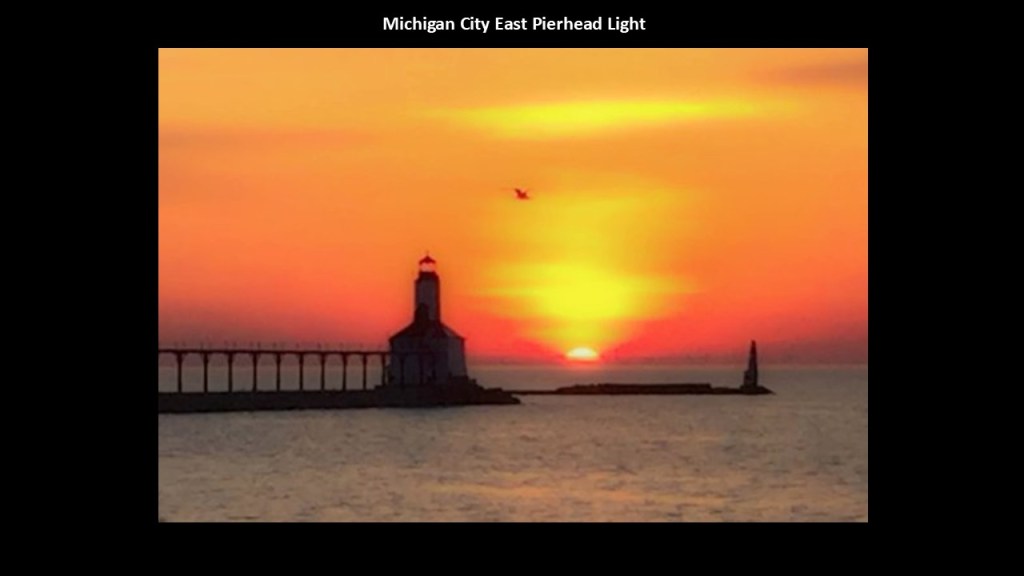
We are told the Michigan City East Pierhead Light was constructed on a newly extended pier in the harbor in 1904 and replaced the Old Michigan City Light, and then in 2007, the U. S. Coast Guard deemed this lighthouse excess, and offered it for no cost to eligible entities under the terms of the National Historic Lighthouse Preservation Act of 2000 to facilitate transfer of ownership from federal to private hands, and Michigan City filed a letter of interest for it.
The next place we come to after Michigan City are the Indiana Dunes.
Designated as the nation’s newest National Park in February of 2019, the Indiana Dunes National Park runs 20-miles, or 32-kilometers, along the southern shore of Lake Michigan.
It had been designated as a National Lakeshore by Congress in 1966.
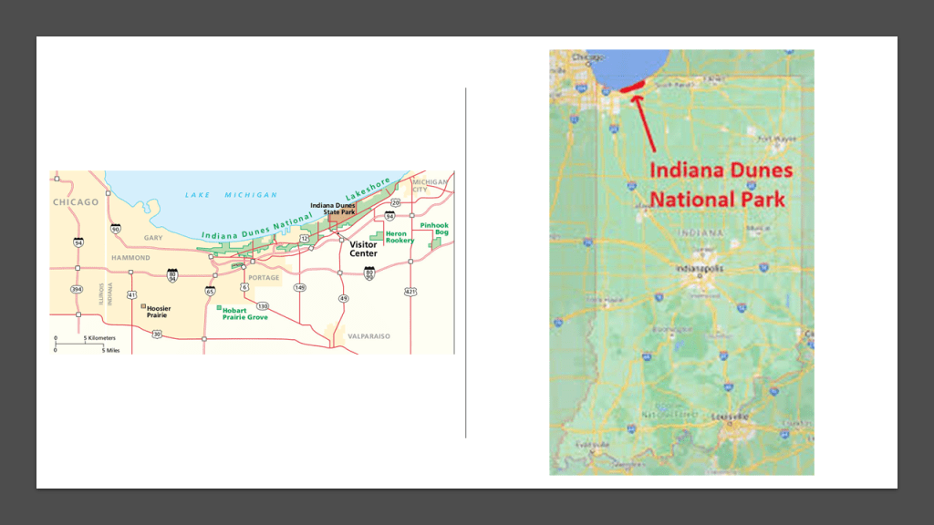
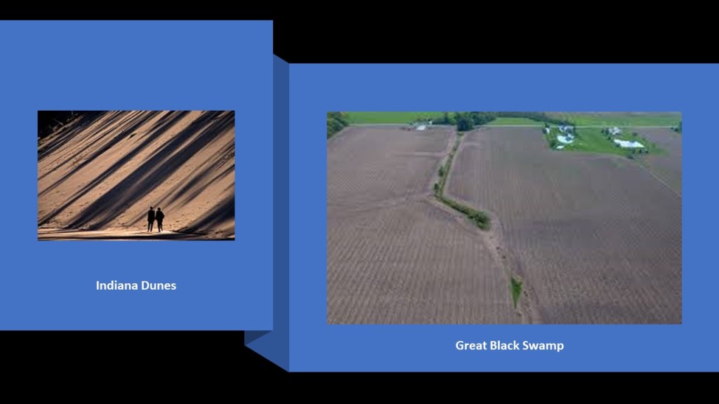
The Indiana Dunes are to the northwest between Fort Wayne and Lake Michigan, and the Great Black Swamp is to the northeast between Fort Wayne and Lake Erie.
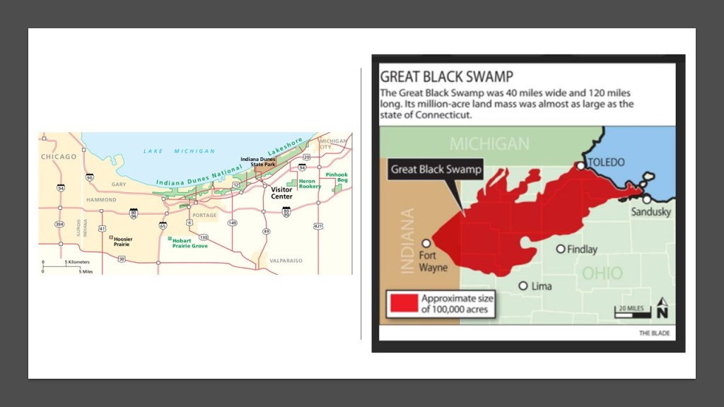
I absolutely believe there is much to be discovered from the original civilization underneath all that sand and all that land!
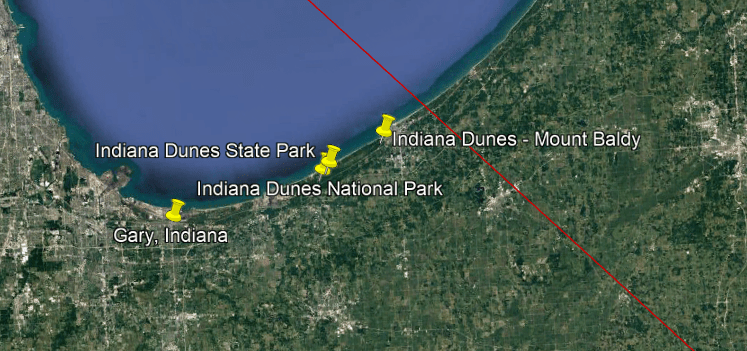
The South Shore Line runs in this part of Indiana starting in South Bend, and goes between Michigan City just to the east of the Indiana Dunes, to Gary, Indiana, located just to the west of the Indiana Dunes, on its way to Chicago, Illinois.

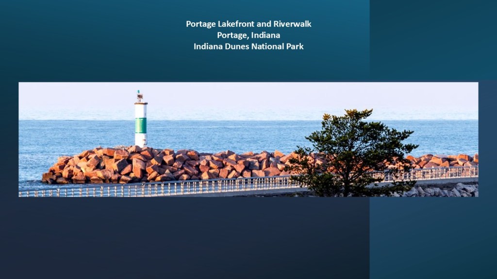
There is a lighthouse at the Indiana Dunes National Park on the Portage Lakefront and Riverwalk.
This area was heavily-altered by steel-making and related industrial activities before its conversion into a public lakefront destination.
This reclaimed industrial site that sits beside northwestern Indiana’s major industrial corridor and was opened to the public in October of 2008 after former industrial settling ponds and a sewage treatment facility were redeveloped.
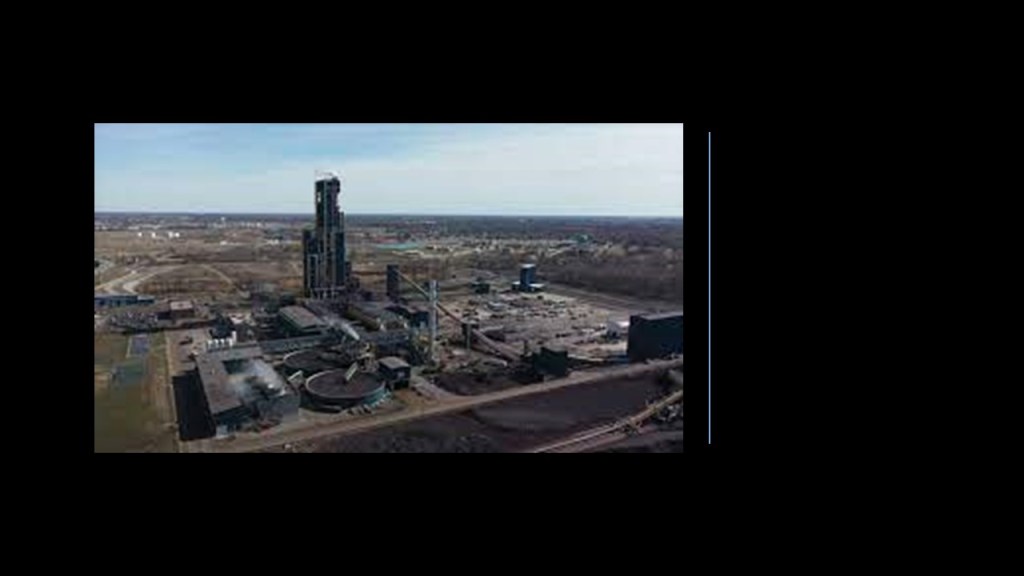
The Cleveland-Cliffs Steel Plant is located on the west side of the Indiana Dunes National Park.
Operated by Cleveland-Cliffs Inc, it is the world’s largest producer of flat-rolled steel in North America.
Next, we come to Gary, Indiana, which is also adjacent to the Indiana Dunes.
This is what we are told about Gary.
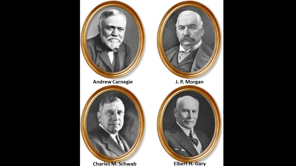
Gary was named after Elbert Henry Gary, a founder of U. S. Steel in 1901, along with J. P. Morgan, Andrew Carnegie, and Charles M. Schwab, and he was the second President of U. S. Steel, from 1903 to 1911.
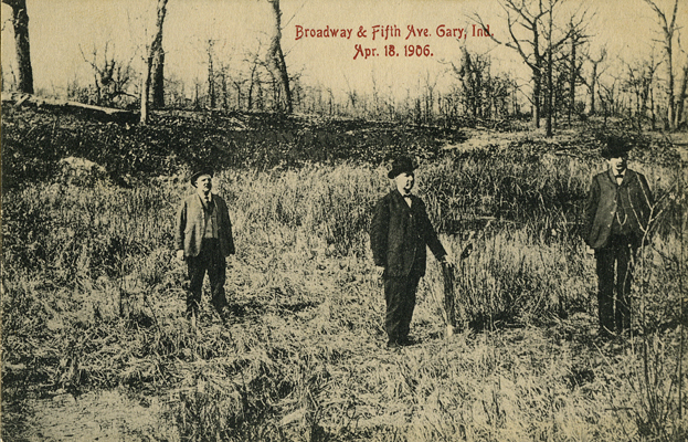
In June of 1906, the location of what became the city of Gary, about 26-miles, or 42-kilometers, east of Chicago, Illinois, was a wasteland of drifting sand and patches of scrub oak.
No one lived there, and there was no agricultural value to the land.
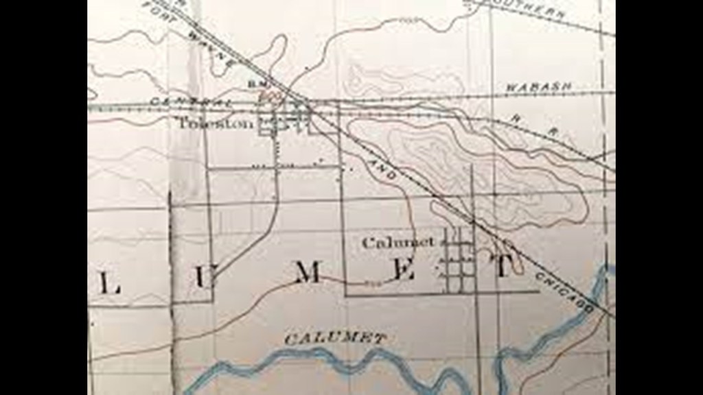
Three or four railroads passed through the area and the Grand Calumet River wound its way around sand dunes to get to Lake Michigan.
It was in June of 1906 that the first shovelful of sand was turned for the creation of the new steel town of Gary.
Laborers were housed in tents and shacks, and were digging trenches as very little work was being done above-ground.

And that by 1908, a mere two-years later, the city of Gary had taken on its shape and form!
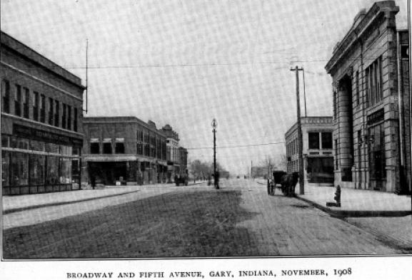
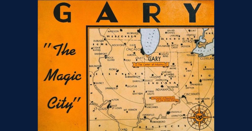
Gary was heralded as a “Magic City,” having been transformed from sand dunes in record time!
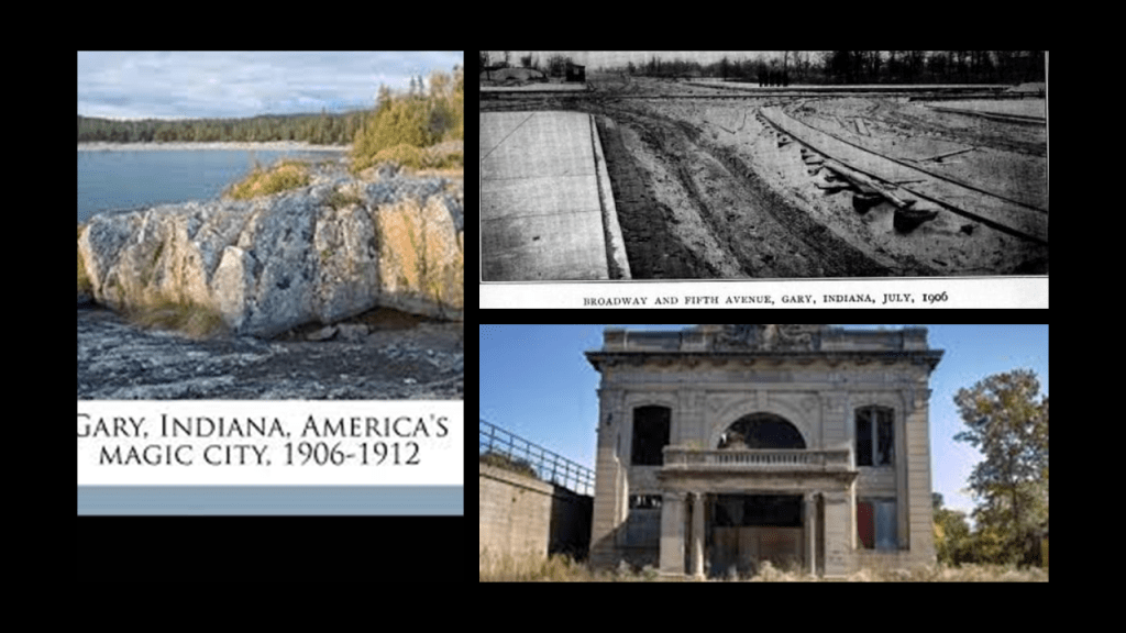
Gary was established to be the “company town” for U. S. Steel, and became home to the largest steel mill complex in the world, with its operation starting in June of 1908, only two-years after the first shovelful of sand was turned at this location.
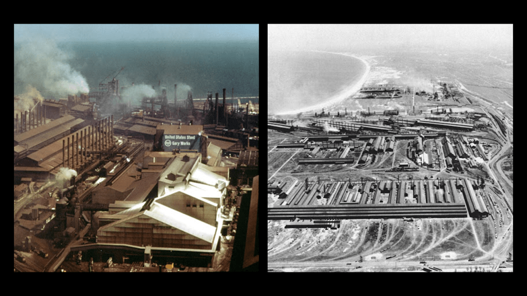
U. S. Steel is still the largest employer in Gary, and is still a major steel producer, but with a significantly reduced workforce due to the increase in overseas competitiveness in the steel industry over the years.
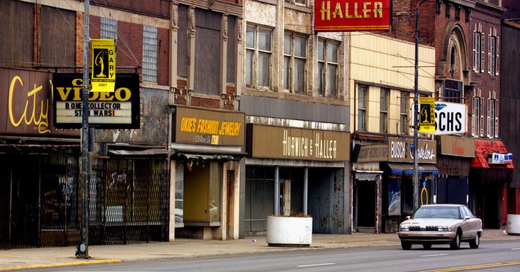
As a matter of fact, Gary has been in decline for years, with population loss leading to abandonment of much of the city, unemployment and decaying infrastructure.
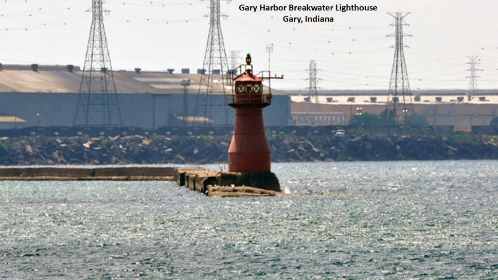
The lighthouses in Gary include the Gary Harbor Breakwater Lighthouse.
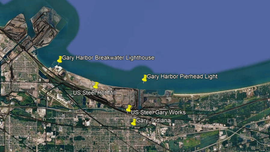
Said to have been built in 1911, the Gary Harbor Breakwater Lighthouse marks the entrance to Gary Harbor on Lake Michigan and is still in use and serves as a landmark for the nearby Gary Works Steel Plant, primarily serving vessels involved in the region’s steel industry.
Now I am going to move up the northwestern shoreline of Lake Michigan to where Chicago is located.
We are told that Chicago’s historic lighthouses tell the story of how a city on the shores of Lake Michigan grew into one of America’s great commercial ports, when during the 19th-century, schooners, sailing ships, and steamships carried grain, lumber, passengers, and other cargo through Chicago’s harbor.
Lighthouses and pier lights helped vessels navigate dangerous shoals, find the entrance to the Chicago River, and enter the protected harbor.
The most important surviving examples are the Chicago Harbor Lighthouse and the Grosse Point Lighthouse just north of Chicago in Evanston, but the city’s maritime history includes several earlier lights that have disappeared.
First the Chicago Harbor Lighthouse.
It is located on the Outer Harbor Breakwater, which is just to the east of Chicago’s Navy Pier and the Chicago Water Tower.
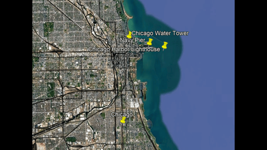
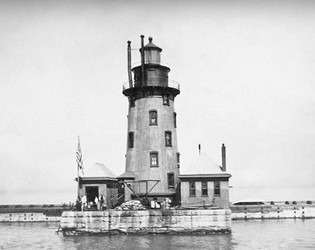
The Chicago Harbor Lighthouse is the city’s best-known historic lighthouse.
Its white tower, red-roofed adjoining buildings, and exposed position on the breakwater make it a distinctive feature of the Chicago waterfront.

According to our historical narrative, the lighthouse was built in 1893 during the year of the World’s Columbian Exposition in Chicago, when the city was showcasing its growing economic and industrial importance.
We are told that this lighthouse was relocated between 1917 and 1918, which would have been during World War I, because major harbor improvements required the lighthouse to be moved from the river-mouth area to the outer breakwater.
The tower stands about 48-feet, or 15-meters, tall.
Its position at the harbor entrance was strategically important because ships approaching Chicago needed to identify the entrance and avoid the structures and shallow waters associated with the harbor’s protective works.
The nearby Navy Pier today is one of the most visited attractions in the Midwestern United States, with shops, restaurants, live theaters, family attractions, parks, gardens and exhibition facilities.
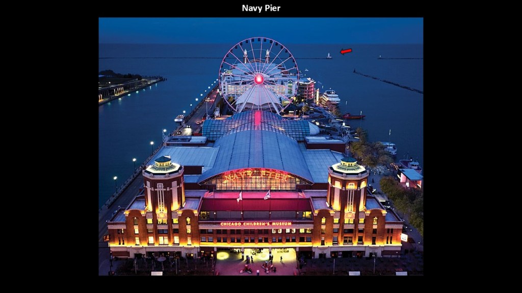
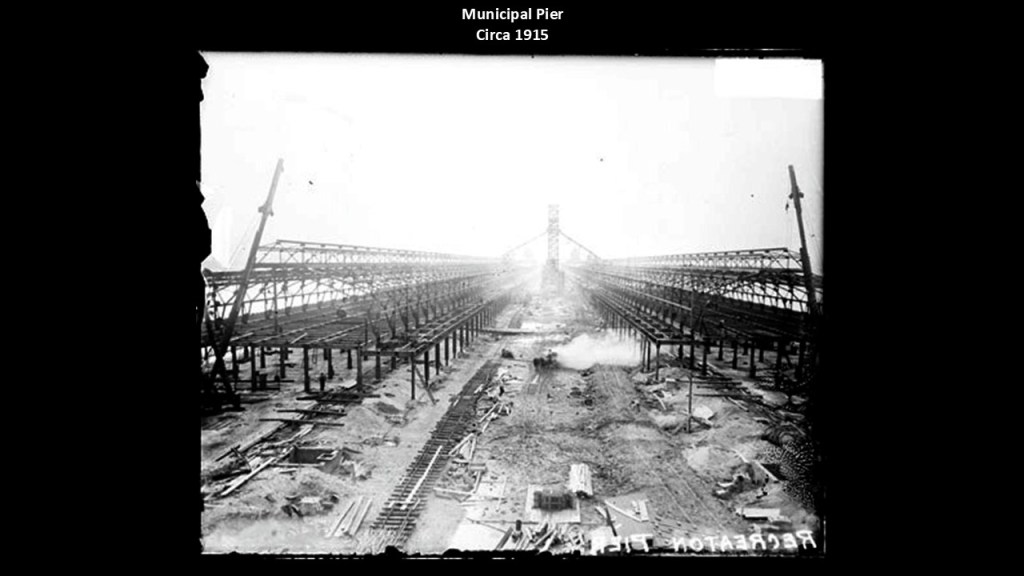
The Navy Pier was first opened to the public as the Municipal Pier on July 15th of 1916, also in the middle of World War I.
Its original purpose was to serve as a dock for freighters, passenger ships, and indoor and outdoor recreational activities including pageants and exhibitions.
Interesting to note that we are told the pier was built on top of 20,000 logs imported from Oregon that were piled into the bed of Lake Michigan.
This is said to be a 1915 construction photo of the pier.
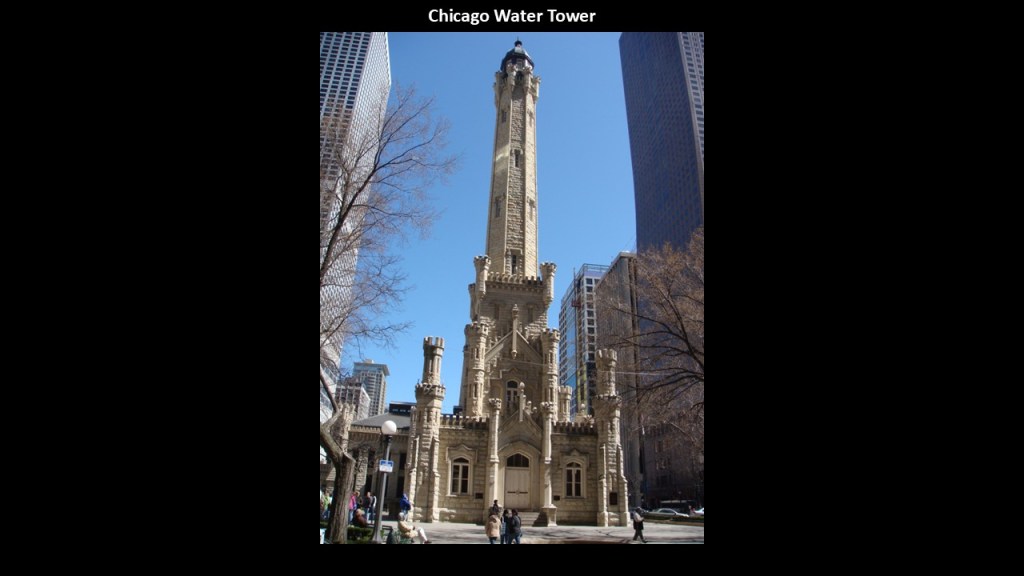
The also nearby Chicago Water Tower was said to have been completed in 1869, only four-years after the American Civil War ended.
This water tower survived the Great Chicago Fire of 1871 and became one of the city’s best-known surviving landmarks from the pre-fire era.
The Great Chicago Fire of October 8th of 1871 burned 3.3-square-miles, or 9-kilometers-squared, over a 3-day period.
Here is an infographic that nicely summarizes all of the data points surrounding the Great Chicago Fire, right down to who is given the credit for re-building after the fire.
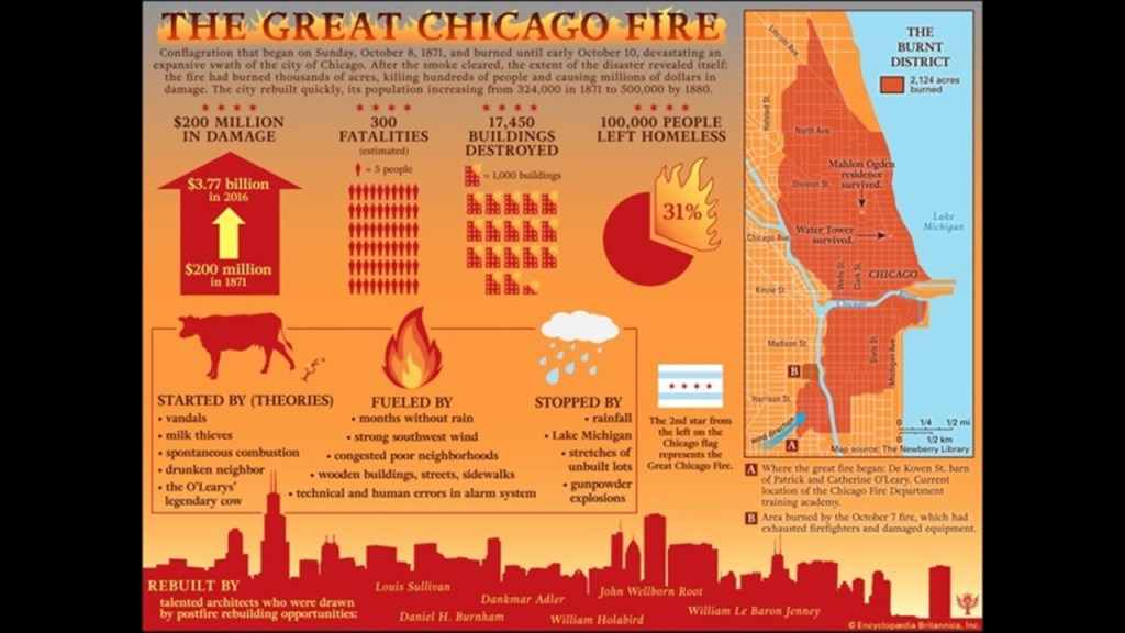
The Great Chicago Fire was one of five destructive fires that burned on October 8th of 1871, though the Great Chicago Fire is the best-known.
The other four great fires on that day were the Peshtigo Fire in Wisconsin; and in Michigan, the Manistee, Holland, and in the Thumb region around Port Huron.
The predominance of wood buildings was one of the explanations given for creating the flammable conditions that fueled the fire.
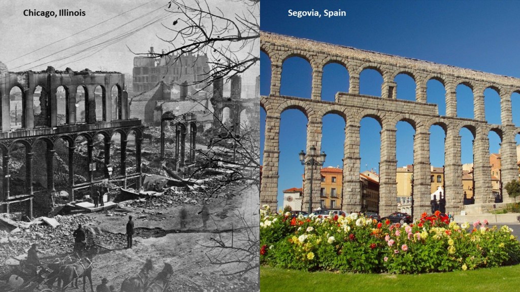
Yet, in this slide we see the ruins of an aqueduct in Chicago after the fire on the left compared with the famous aqueduct in Segovia, Spain, on the right, said to have been built by the Romans in the 1st-Century AD.
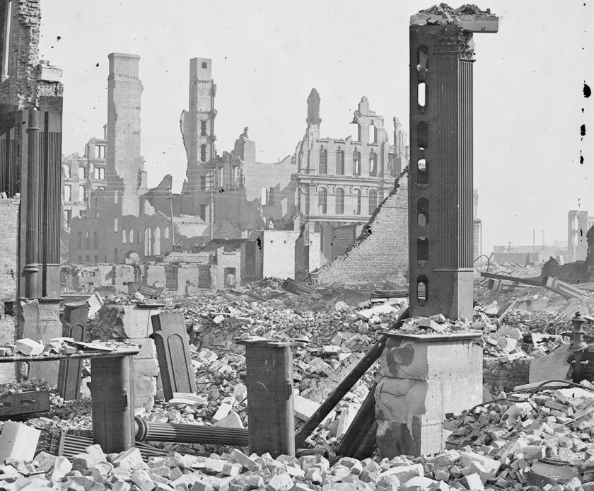
Here’s another one of Chicago after the 1871 fire, with shells of stone masonry, and piles of various types of masonry.
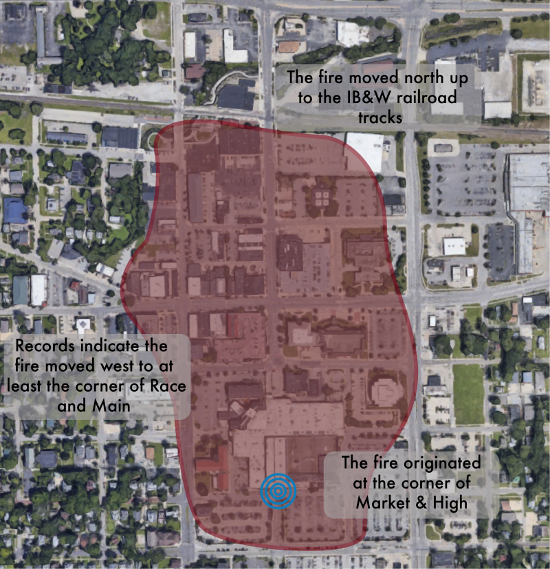
There was another fire the very next day, in Urbana, Illinois on October 9th of 1871.
Urbana is 126-miles, or 202-kilometers, to the southwest of Chicago.

The fire in Urbana destroyed a large part of its downtown area.
The Chicago World’s Fair, also known as the “World’s Columbian Exhibition,” was held in 1893 to celebrate the 400th-anniversary of Christopher Columbus’ arrival in the New World in 1492, and said to have been designed by many prominent architects of the day.
We are told the Fair also served to show the world that Chicago had risen from the ashes of the Great Chicago Fire of 1871, only 22-years earlier.

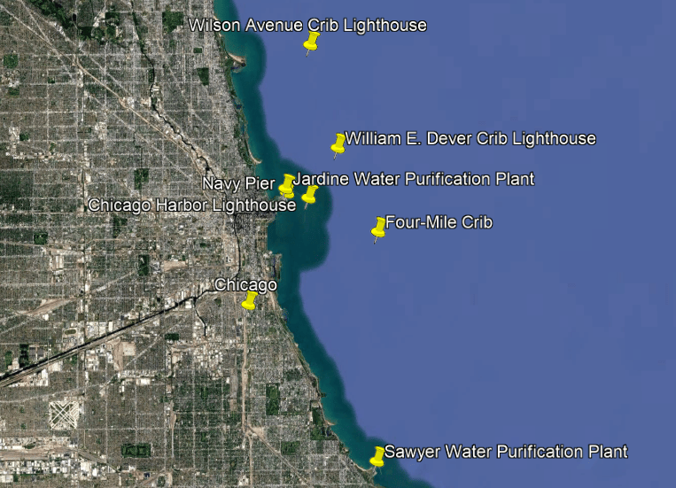
The Wilson Avenue and William E. Dever Crib Lighthouses are to the northeast of the Chicago Harbor Lighthouse in Lake Michigan, and the Four-Mile Crib is to the southeast of it.
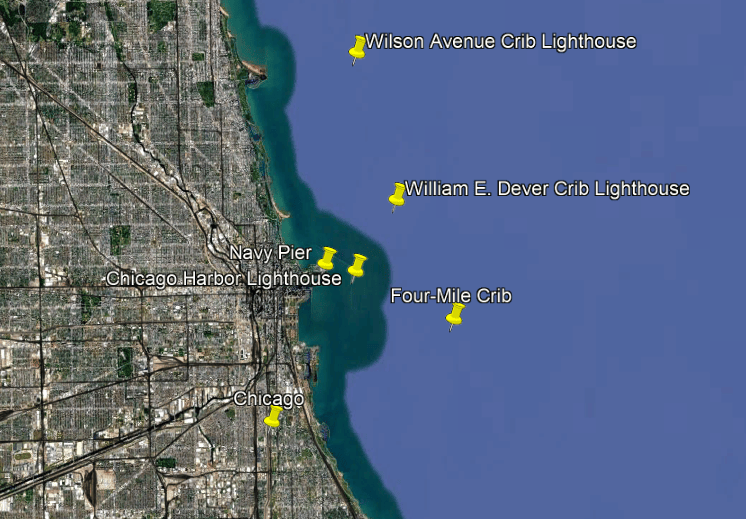
We are told that Chicago’s water cribs were structures built to house and protect offshore water intakes used to supply the city with water from Lake Michigan, by which water is collected and transported through tunnels beneath the lake from the water cribs to the the Jardine Water Purification Plant, which is the largest in the world, and the Sawyer Water Purification Plant , where the water is treated before being pumped throughout the city and its suburbs.
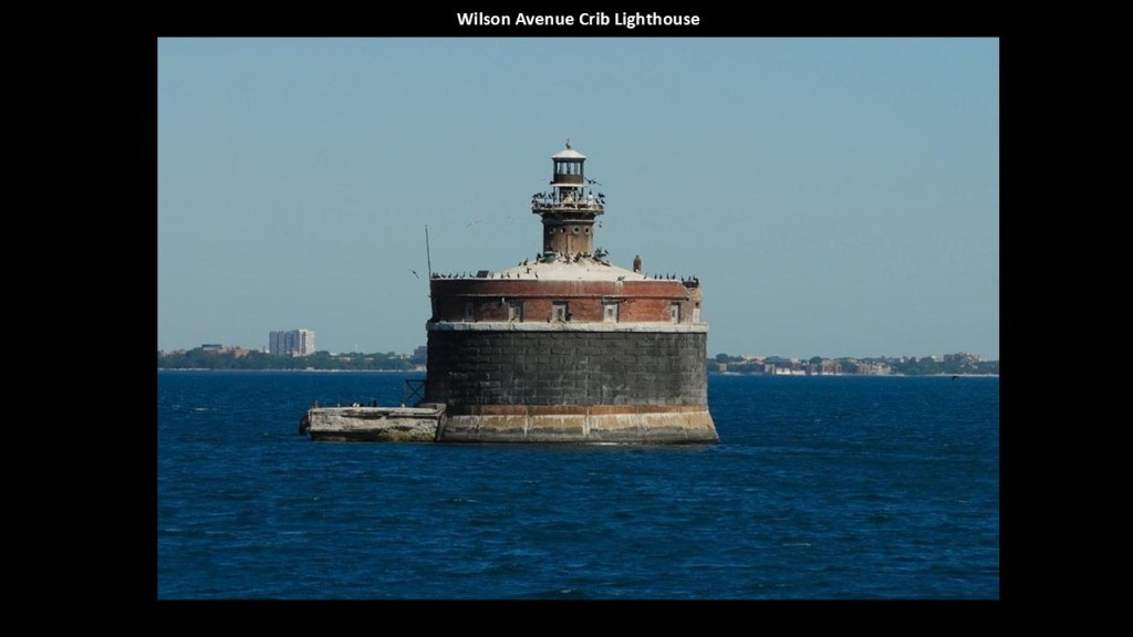
The Wilson Avenue Crib Light was said to have been built between 1915 and 1918, which again would have been during World War I.
It served as both a lighthouse and water-intake structure.
It is currently inactive and is scheduled for demolition.
The William E. Dever Crib Lighthouse was said to have been built in 1935, which would have been during the Great Depression, as an offshore lighthouse and water-intake structure roughly 3-miles, or 5-kilometers, from the Chicago River entrance.
It still supplies water to the Jardine Water Purification Plant and serves as an active navigational aid.
The Dever Crib Lighthouse is located next to the older Carter H. Harrison Crib Lighthouse, which was said to have been built in 1900, and was in use until its tunnel collapsed in 1998 and the older structure was taken out of service.

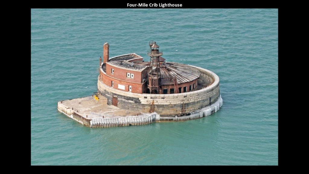
The Four-Mile Crib Lighthouse was said to have been constructed starting in 1887 and started operating some time in the early 1900s.
The crib has arched brick windows, decorative masonry, and a distinctive Romanesque appearance.
While the water-intake facility is no longer in use, the lighthouse is maintained by the City of Chicago and is still in use as an active navigational aid.
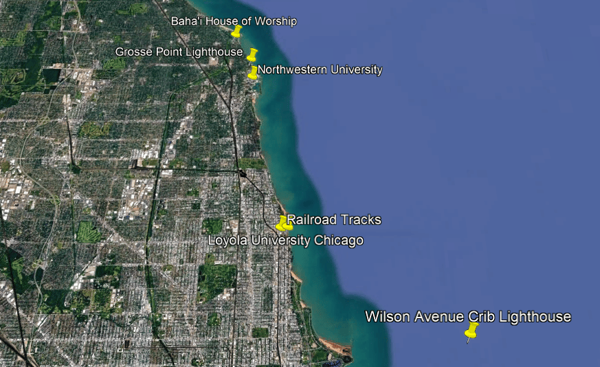
Next, the Grosse Point Lighthouse is north of Chicago in Evanston, approximately 12-miles, or 19-kilometers, north of downtown Chicago, and located roughly halfway between the Baha’i House of Worship and Northwestern University.
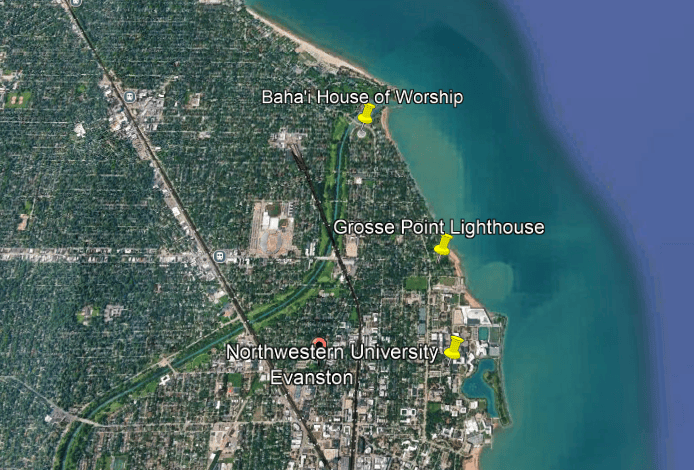
Although it is not within Chicago’s city limits, the Grosse Point Lighthouse is one of the most important historic lighthouses associated with the Chicago region.
It was said to have been built in 1873, following repeated maritime accidents near Evanston’s shoreline and first lit in March of 1874, and became an important navigational aid for commercial shipping serving Chicago.
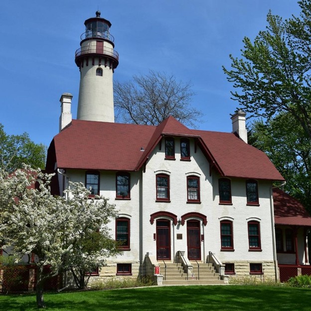
One of its most remarkable features is that it still has its original second-order Fresnel lens, said to have been manufactured in Paris, France in 1850, which is a rarity among existing lighthouses.
Of the more than 200 lighthouses across the Great Lakes and St. Lawrence River region, out of an original estimated 350 to 400 lighthouses, only sixteen have their original Fresnel Lens.
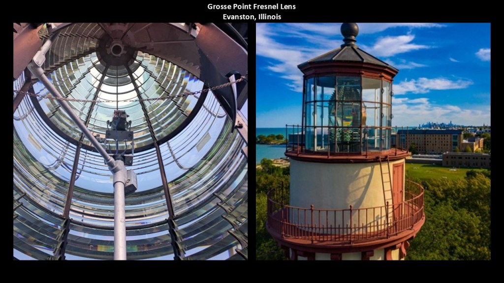
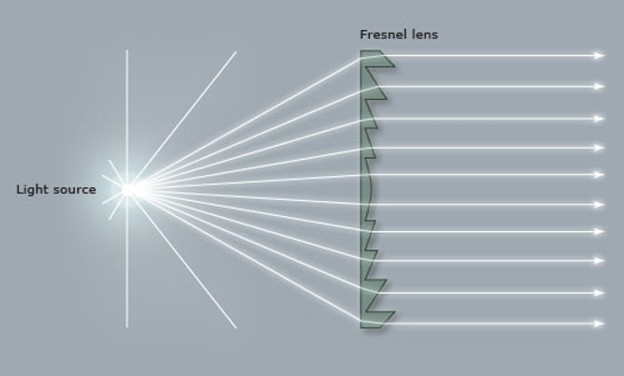
In a Fresnel Lens, hundreds of pieces of specially-cut glass surround a lamp bulb, which intensifies the glow from the light and focuses rays of light that would normally be scattered into one intense beam of light that shines in a specific direction.
The Fresnel Lens could also produce an unlimited number of flashing combinations with an intensified light that could be seen at great distances.
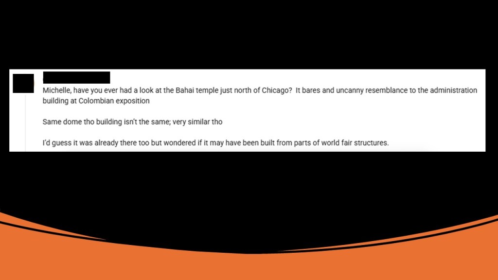
Seeing the Baha’i House of Worship nearby was of interest to me because a viewer just left me a comment on my last YouTube Video on “The Great Fires of October of 1871,” where I talked about the Great Chicago Fire.
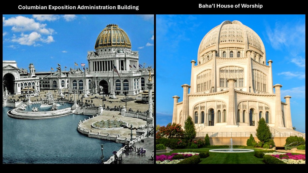
The viewer asked me if I had ever looked at the Baha’i Temple north of Chicago, and that it has an uncanny resemblance to the administration building at the World’s Columbian Exhibition, saying it looked like the same dome but not so much the building though the two are very similar, and wondering if perhaps either it was already there or if it had been built from parts of the world fair structures.
I had in fact looked into the Bahai House of Worship several years ago at a viewer’s suggestion, so I dug up my old research on it for this.
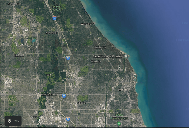
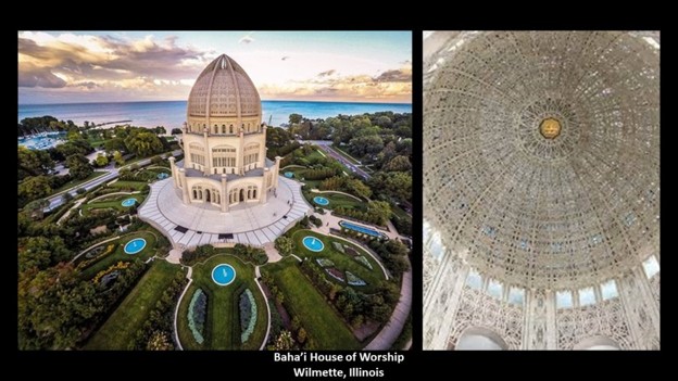
It was said to have been built between 1912 and 1953, and the second oldest Baha’i Temple ever constructed, and the oldest one still standing.
It was said to have been designed by French-Canadian architect Louis Bourgeois, who was said to have received feedback during a trip to Haifa in Israel in 1920 from the son of the founder of the Baha’i Faith.
Here’s a side-by-side comparison of the Administration Building for the 1893 World’s Columbian Exposition and the Baha’i House of Worship.
Definitely similarities between the two buildings.
I would venture say they were both pre-existing buildings built by the original advanced civilization that we have not been told about.
Northwestern University is in Evanston just below the Grosse Point Lighthouse, and both places are east of the Central Metro Station which is part of the historic elevated railway corridor and Metra’s Union Pacific North Line which runs between downtown Chicago and Kenosha in Wisconsin.
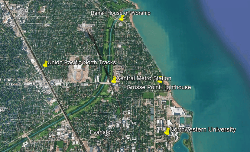
Northwestern University is located right on the very edge of Lake Michigan.
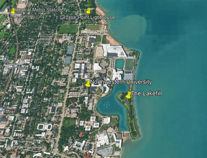
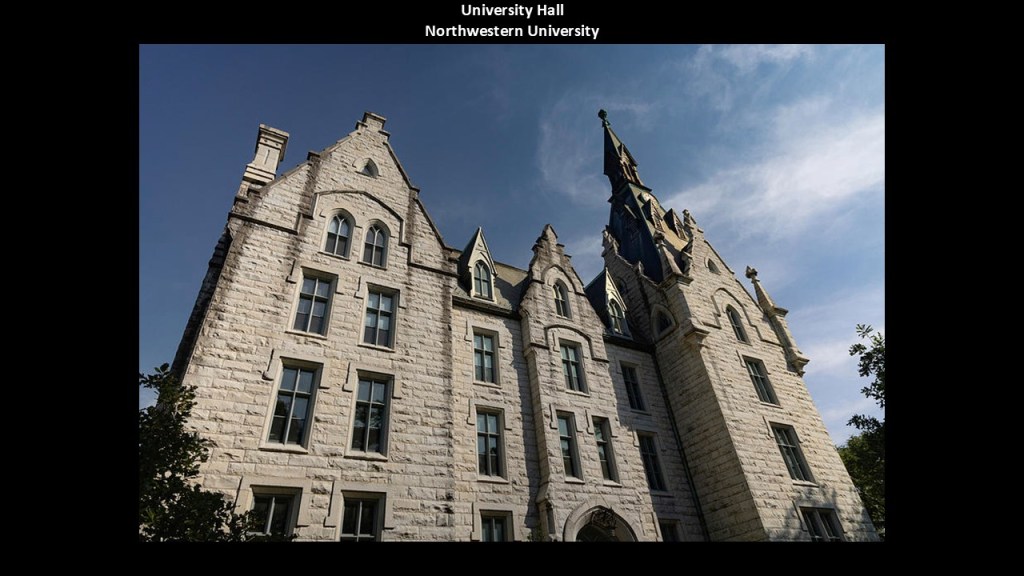
Northwestern University was said to have been founded in 1851, and that the land for the Evanston Campus was purchased in 1853, and that classes began in 1855.
University Hall, the oldest building on campus, was said to have been completed in 1869, which was only four-years after the end of the American Civil War.
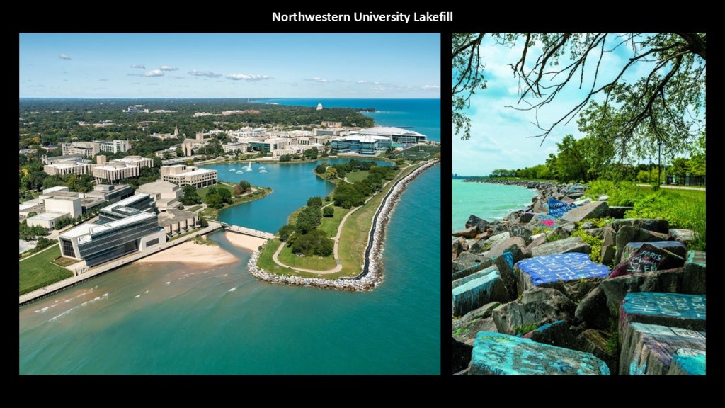
The “Lakefill” refers to land that was added along the shore in the 1960s to accommodate campus expansion.
It is described as a large area of land that was reclaimed from underwater land on Lake Michigan between 1962 and 1964 by creating a seawall of limestone blocks quarried in Illinois and Indiana, and using landfill materials from the construction of the Port of Indiana.
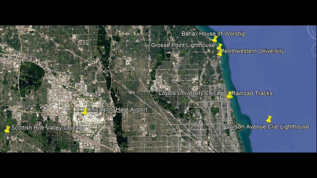
Loyola University Chicago is 15-miles, or 24-kilometers, below Northwestern University, and also located right on the shore of Lake Michigan and east of the railroad tracks.
Loyola University Chicago was originally founded in 1870 by the Jesuits and named after St. Ignatius Loyola, the founder of the order.
Today, it is the fourth-largest Catholic University in terms of enrollment in the United States.
It ranks highly among doctoral universities, with high research-spending and doctoral production.
The Scottish Rite Valley Chicago is in Bloomingdale, on the other side of the Chicago O’Hare Airport from Loyola University Chicago.
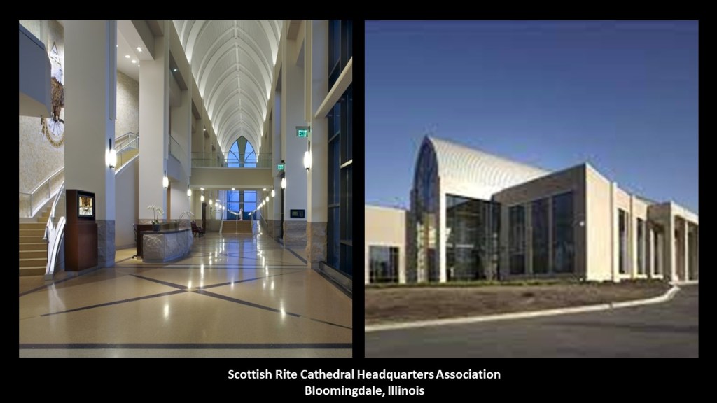
Here we find the Scottish Rite Cathedral Headquarters Association, “telling the story of Free Masons and the Scottish Rite origins in symbolic interior and exterior spaces.”
Upper-degree Freemasons and Jesuits are at the top of my “Whodunnit” list of who was responsible for the reset of history and new historical narrative.
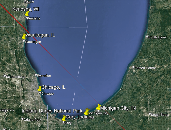
Now I am going to go up the western coast of Lake Michigan from Chicago to Waukegan in Illinois, and then on to Kenosha in Wisconsin.
When the Erie Canal first opened in the 1820s, a direct passage was opened between New York and the Great Lakes, and what became Waukegan quickly became a destination for immigrants for settlement and investment for business interests.
The town was incorporated as Waukegan in 1849.

Waukegan quickly became an important industrial hub in the mid-19th-century, including ship- and wagon-building; flour-milling; dairying; and beer-brewing.
The Chicago and Milwaukee Railroad had arrived in 1855, stimulating the growth of the economy even more.
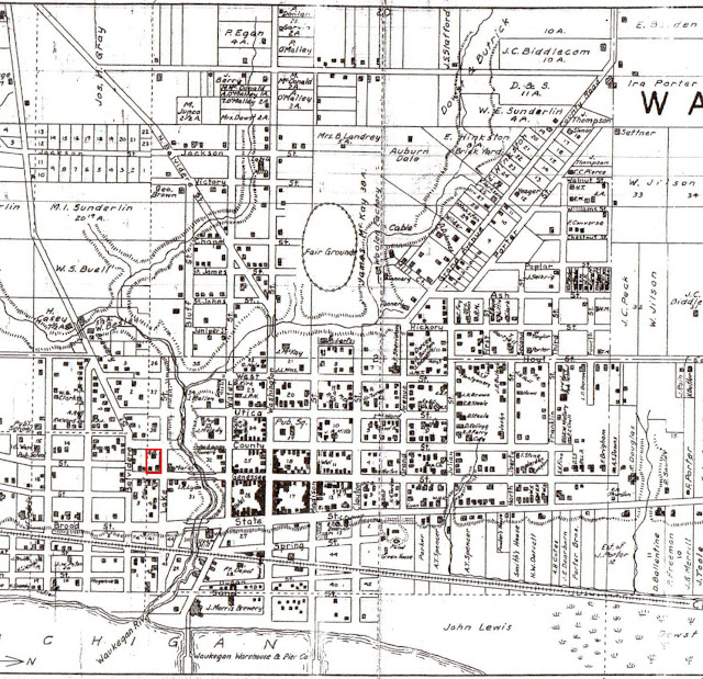
This is a plat-map of Waukegan from 1861, showing an already well-developed cityscape in a very short period of time.
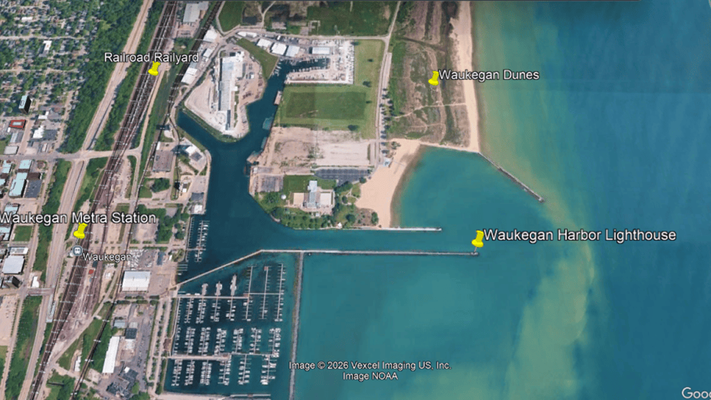
The Waukegan Harbor Lighthouse is located on the end of Government Pier in Waukegan.
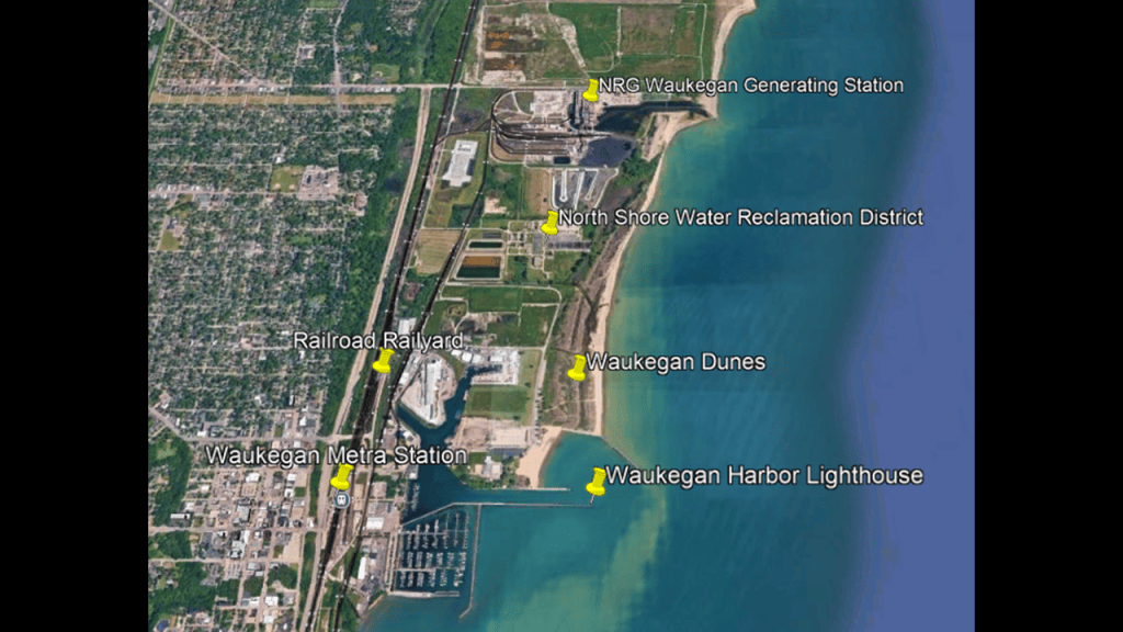
It is immediately adjacent to the Waukegan Dunes to the North, and rail infrastructure of the Metra Union Pacific North Line and trackage which formerly was used by the Elgin, Joliet & Eastern Railway that connected Waukegan with Gary in Indiana, and points in-between.
The Waukegan Harbor Lighthouse was said to have been built in 1889 and moved when the pier was extended in the early 20th-century.
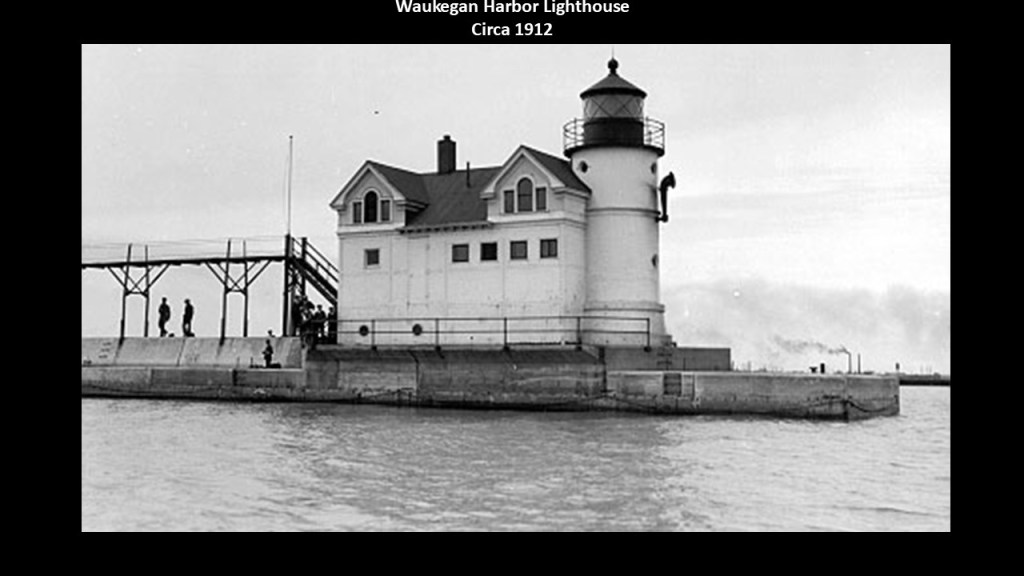
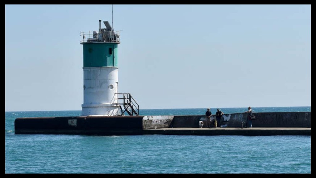
There was a serious fire to the structure in 1967, and while the cast-iron tower remained undamaged, everything else was destroyed.
It remains an active aid to navigation that is owned and maintained by the U. S. Coast Guard.
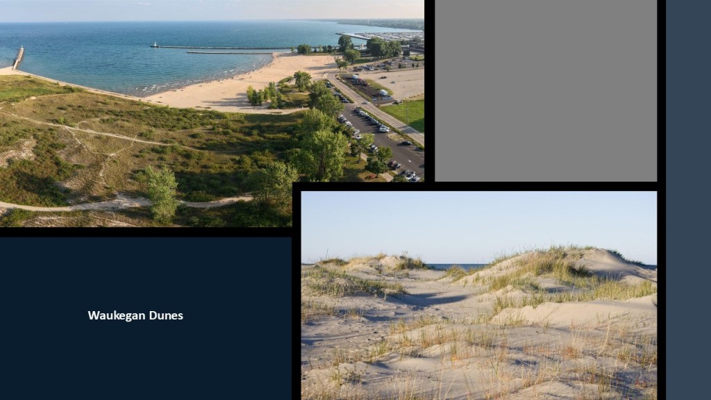
We are told the adjacent Waukegan Dunes are a surviving stretch of natural Lake Michigan shoreline that preserve a rare coastal habitat in the middle of an urban and historically industrial waterfront.
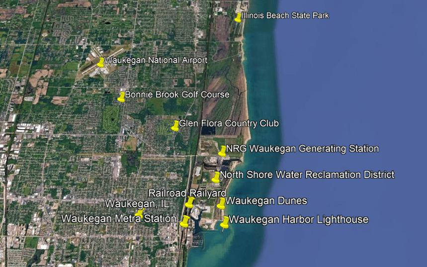
If you zoom out, the Waukegan Harbor Lighthouse is close to the North Shore Water Reclamation District – similar to what we saw back in the Chicago-area with the lighthouses being close to water purification facilities – and also the location of the NRG Waukegan Generating Station.
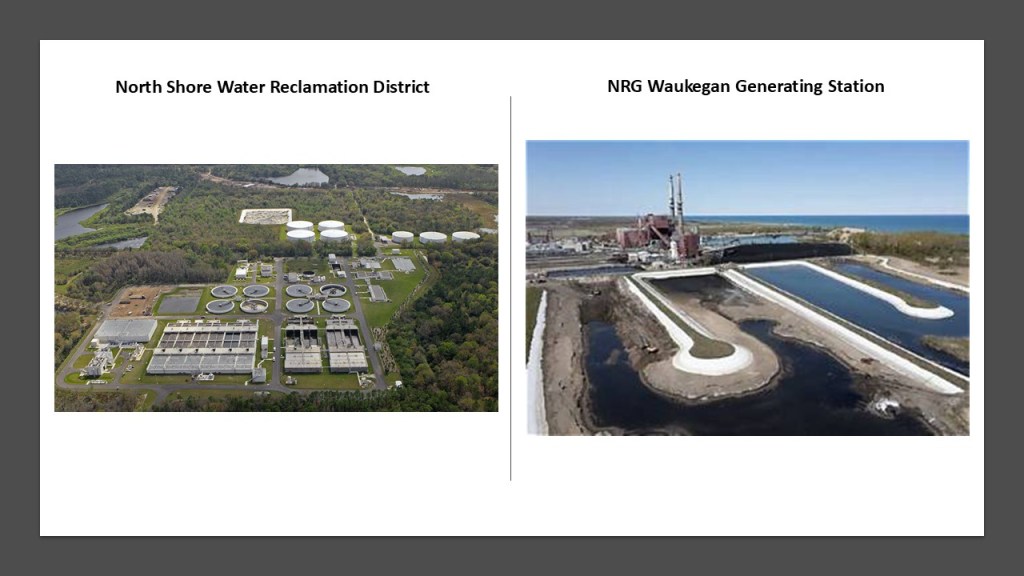
The North Shore Water Reclamation District is a public wastewater treatment facility that collects and treats wastewater from homes, businesses and industries before releasing the treated water back into inland waters.
The the NRG Waukegan Generating Station was a major coal-fired power plant that was almost completely closed-down in May of 2022, though there is still remaining oil-fired equipment that is listed as operational.
There are environmental contamination concerns with coal ash ponds on the power plant’s property that contains potentially harmful substances such as mercury, arsenic and lead.
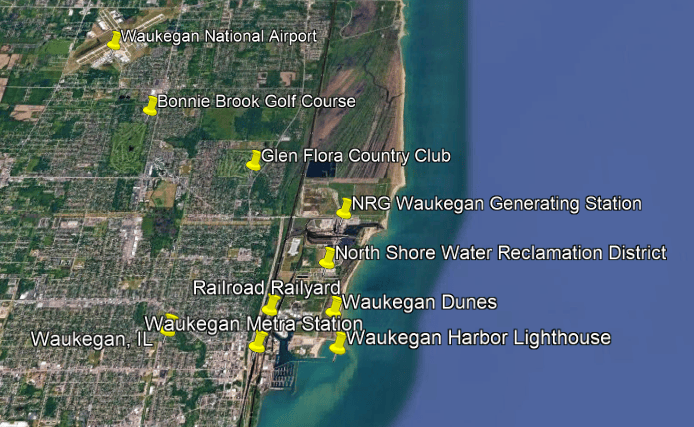
If you zoom out even further, you see the presence of the railroad tracks, two golf courses, and the Waukegan National Airport nearby.
I bring this up because I have consistently founds these specific kinds of places – lighthouses; dunes; rail-lines; water treatment plants; power plants; golf courses; airports – all in close proximity to each other, particularly in research I have done in the Great Lakes Region but I know the same correlations exist elsewhere.
The next place we come to along the shore of Lake Michigan going north from here is the Illinois Beach State Park.
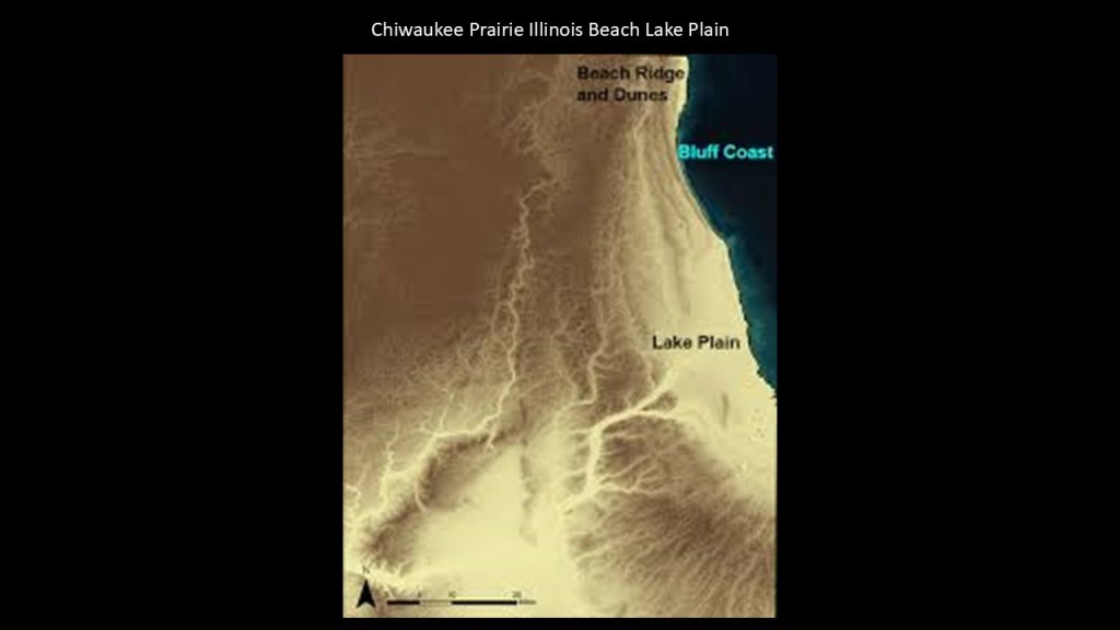
The Adeline Jay Geo-Karis Illinois Beach State Park, so-named for a long-term Illinois Senator from the area, forms most of the Chiwaukee Prairie Illinois Beach Lake Plain, an internationally-recognized wetland of importance under the Ramsar Convention.
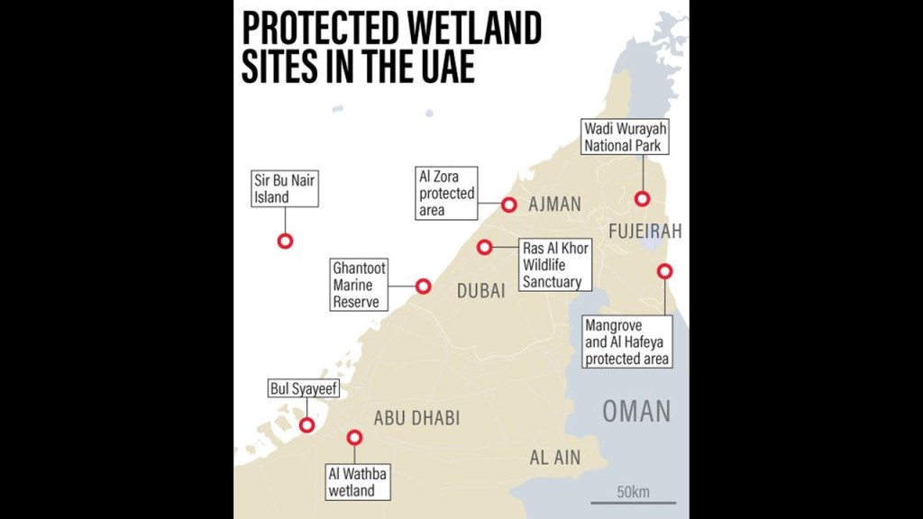
I first became aware of the Ramsar Convention when I was tracking a long-distance leyline through the Strait of Hormuz between the Gulf of Oman and the Persian Gulf.
The Ramsar Convention is an international treaty that was first signed in February of 1971 in Ramsar, Iran, and is reviewed every three-years by the contracting international parties.
It designated sites, known as “Ramsar Sites,” to be considered of international importance when it comes to the conservation and sustainable use of wetlands.

As one example, the predominantly desert country of the United Arab Emirates as a whole has eight Ramsar wetlands sites.
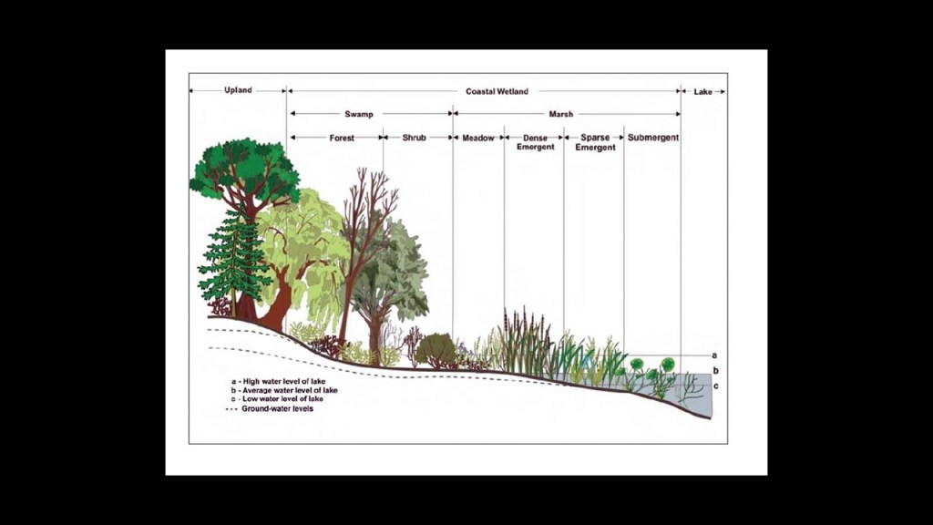
The Ramsar Convention defines wetlands as “areas of marsh, fen, peat, or water, whether natural or artificial, permanent or temporary, with water that is static or flowing, fresh, brackish or salt, including areas of marine water the depth of which at low tide, does not exceed 20-feet, or 6-meters.
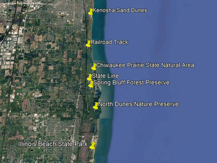
Heading north into the Kenosha, Wisconsin, area, and east of the rail-line, there are several places with dunes and wetland areas, like the North Dunes Nature Preserve; the Spring Bluff Forest Preserve, and crossing over the state line from Illinois into Wisconsin, come to the Chiwaukee Prairie State Natural Area and the Kenosha sand Dunes.
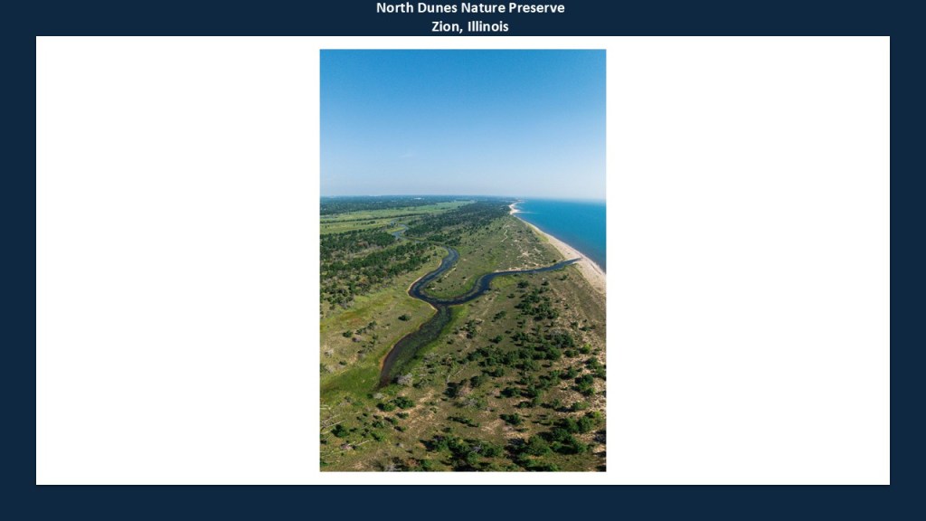
The North Dunes Nature Preserve is in Zion, Illinois, and in the northern part of the Illinois Beach State Park.
It preserves Lake Michigan sand dunes; wetlands; sand prairie; and oak savanna.
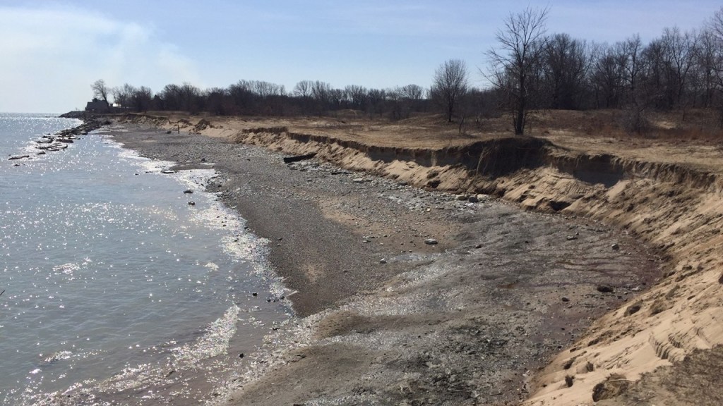
The North Dunes and Illinois Beach State Park ecosystems through here are part of one of the most vulnerable stretches of the Illinois Lake Michigan shoreline, with severe shoreline erosion occurring historically gradually, and during times of high lake levels and storm activity, accelerating significantly.
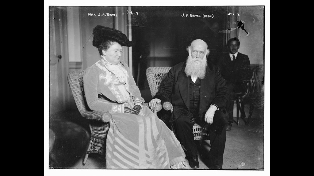
The nearby city of Zion was founded in 1901 by John Alexander Dowie, a Scottish-born evangelist and religious leader, and we are told he envisioned Zion becoming a model Christian city.
In our historical narrative, Dowie established businesses to support the religious community, including lace manufacturing; publishing operations; a bank; and schools.
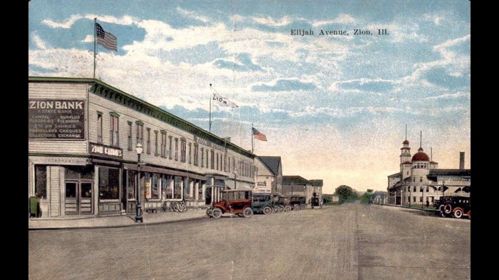
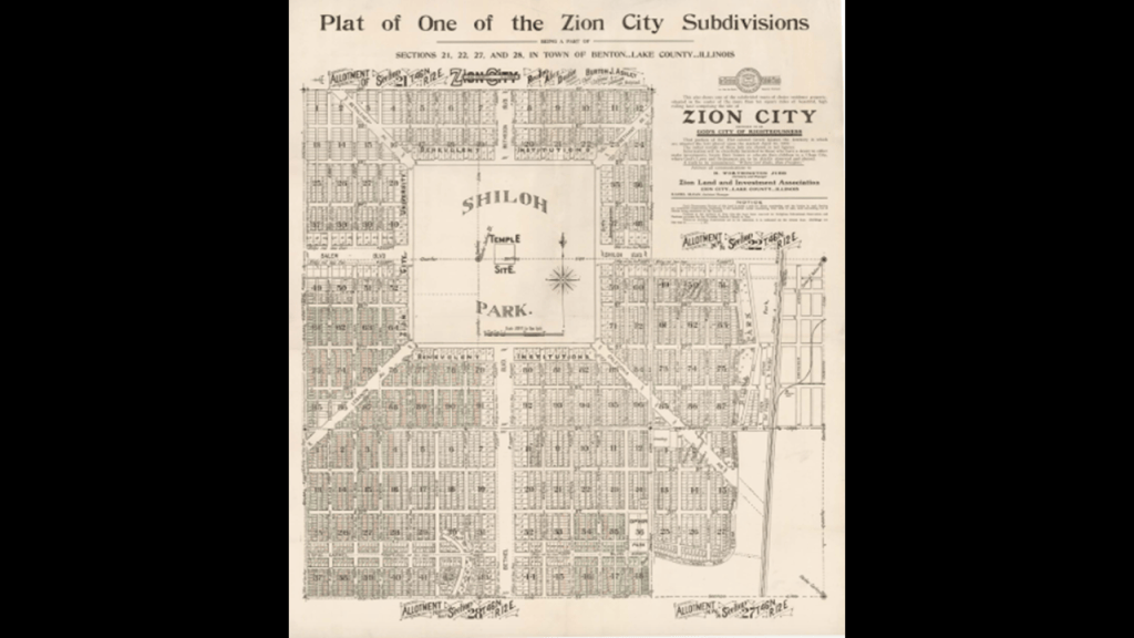
Zion was known for its city plan, which was said to have been designed by Dowie but that the original design was never completed.
It had Shiloh Park at the center of eight boulevards radiating outward from the park, and the original plan is reproduced in the city’s comprehensive planning document.
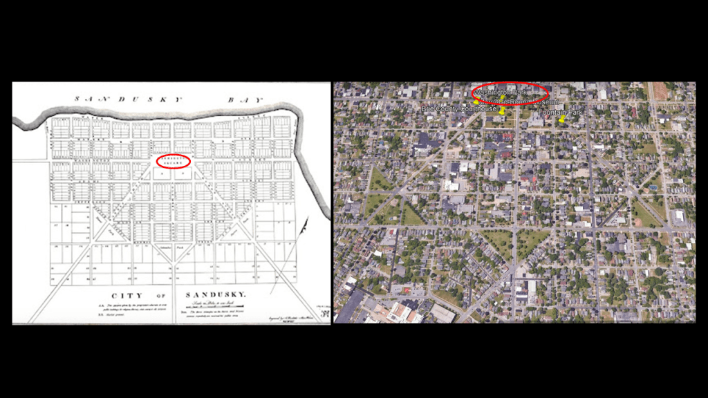
This isn’t the first time I have seen reference to this kind of city-planning in my travels around the Great Lakes.
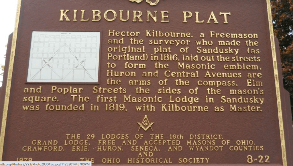
I saw it in Sandusky, Ohio, on Lake Erie with the 1818 Kilbourne Plat that features a geometric pattern in a grid in the original plat map that is visible in this Google Earth screenshot.
We are told that the city plan of Sandusky was an unusual and interesting layout for an early American city, with its standard rectangular street grid; diagonal streets cutting across the grid; and symmetrical blocks and intersections.
Hector Kilbourne was the freemason credited with the survey and design of Sandusky, and he was the Master of the first Masonic Lodge that was founded in Sandusky in 1819.
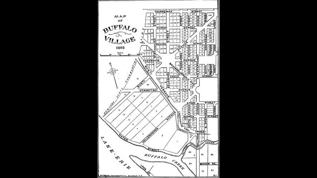
I saw it in Buffalo, New York, on the eastern-end of Lake Erie, where the Buffalo City Hall is located at 65 Niagara Square, which is a square said to be in the original 1805 radial street pattern designed by Joseph Ellicott for the village of New Amsterdam from which eight streets radiated from this central hub.
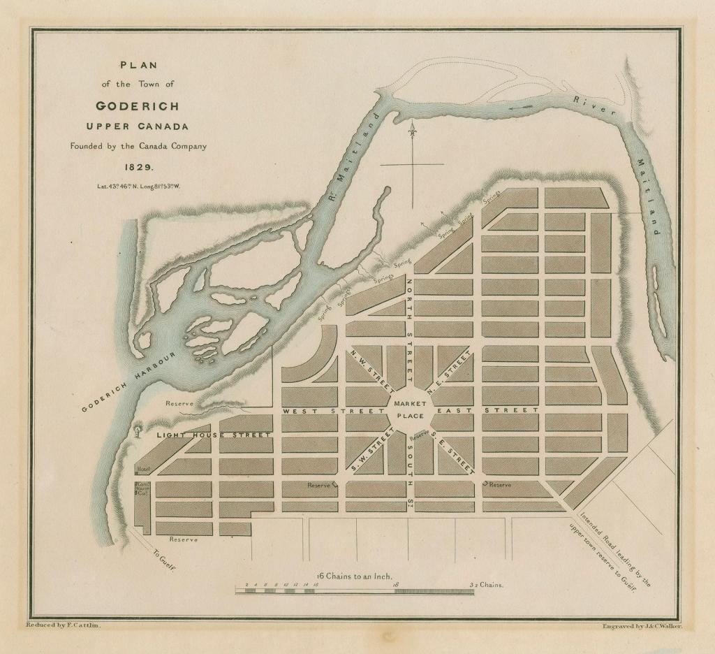
I saw it when I was looking at Goderich on the Ontario-side of Lake Huron.
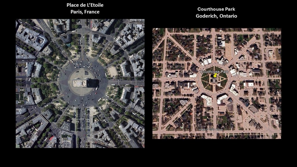
Today’s Courthouse Park is marked “Market Place” on the street plan of Goderich, centrally-placed in a geometric configuration also where eight streets radiate from it.
These plans bring to mind the “Place de L’Etoile” in Paris, which has the Arch de Triomphe sitting in the center of twelve radiating streets.
There was also a nuclear power plant in Zion directly on Lake Michigan that operated from 1973 to 1998, and was said to be shut-down for economic reasons.
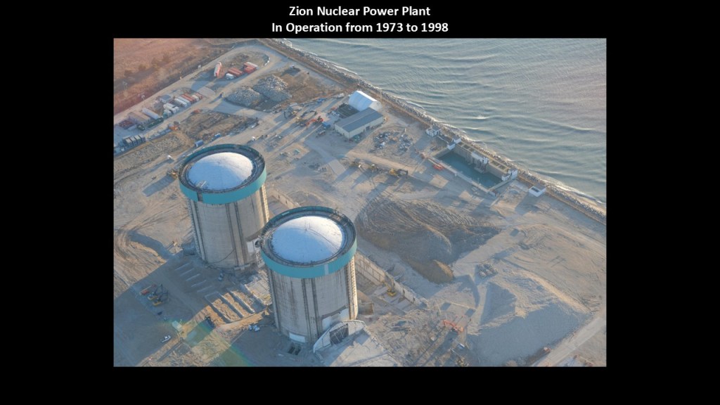
Its location was on the grounds between the Illinois Beach State Park and the North Dunes Nature Preserve.
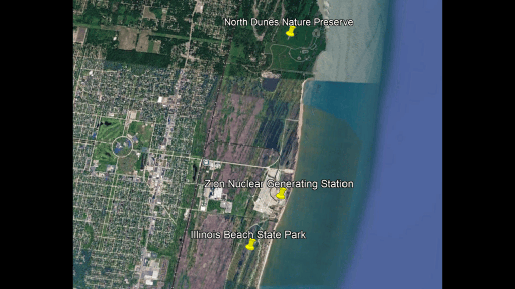
This is not the first time I have seen a nuclear power plant right on the shores of a Great Lake either.
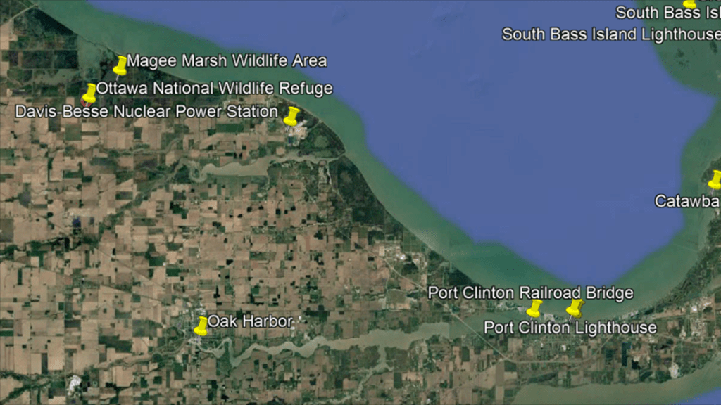
I saw it in several places on Lake Erie, like the the Enrico Fermi Nuclear Generating Station.
It is located on 1,000-acres, or 400-hectares, of land near Monroe in French Charter Township, Michigan, on the western shore of Lake Erie near the entrance to the Detroit River.

The Davis-Besse Nuclear Power Plant, located on the southwest shore of Lake Erie, about 10-miles, or 16-kilometers, north of Oak Harbor, Ohio, and situated next to the Ottawa National Wildlife Refuge, and the Magee Marsh Wildlife Area .
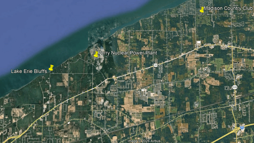
The Perry Nuclear Power Plant is also on Lake Erie, and located 40-miles, or 64-kilometers, northeast of Cleveland.
There is land on the grounds of the Perry plant that was designated as an urban wildlife sanctuary in 1993, where there are trees, shrubs, streams, ponds, and wetlands.
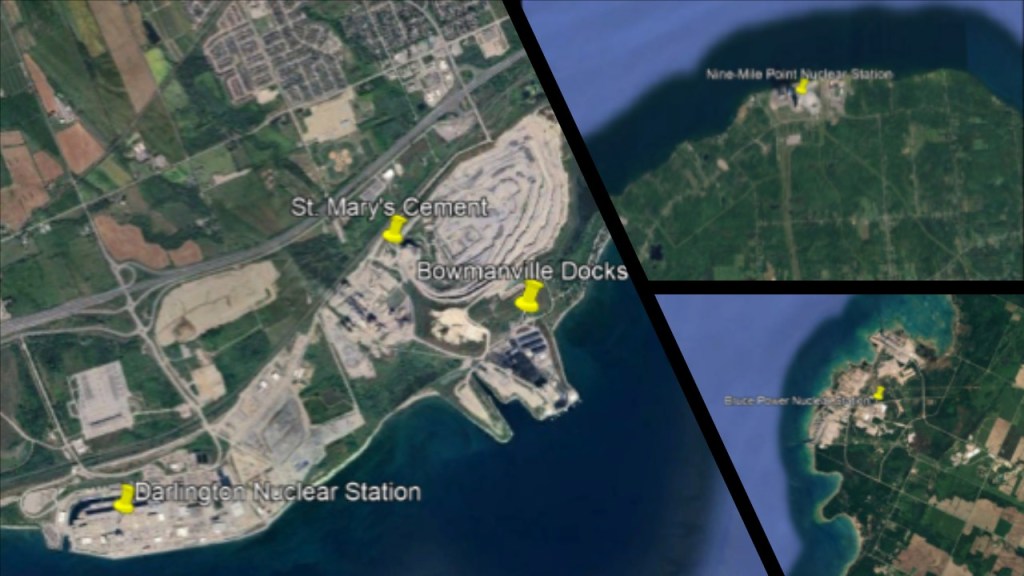
The other three I have encountered were the Darlington Nuclear Power Station in Bowmanville, Ontario, on Lake Ontario; the Nine-Mile Point Nuclear Power Station near Oswego, New York, on Lake Ontario; and the Bruce Nuclear Power Plant in Kincardine, Ontario, on Lake Huron.
So, was there actually a conscious decision made to build nuclear powerplants on unstable dune systems and wetlands literally right next to the Great Lakes, or were nuclear powerplants also pre-existing technology that was brought back on-line in the present-day?
Further up the lake shore from the North Dunes Nature Preserve, we come to the Spring Bluff Forest Preserve in Illinois, and then cross over the state line and come to the Chiwaukee Prairie State Natural Area.
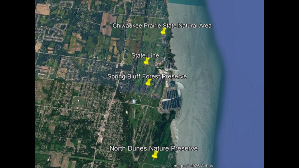
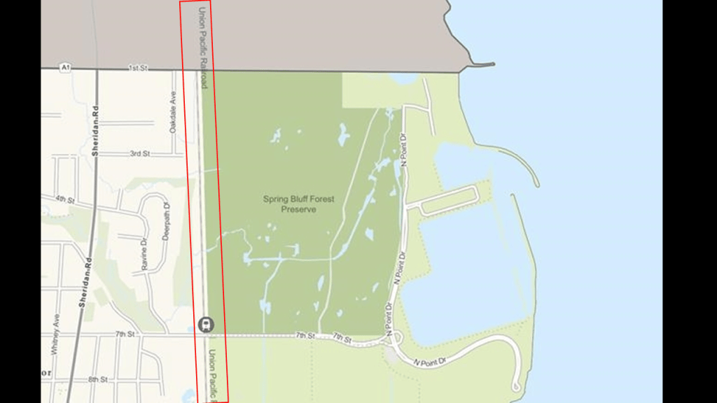
The Spring Bluff Forest Preserve in Illinois is located just north of Zion and one of the most important remaining coastal wetland ecosystems along the Lake Michigan shoreline.
We are told there is a history of attempted residential and industrial development here, but it was never successful, and by 1921, all development activity ended.
The Lake County Forest Preserve District began purchasing the property in 1963; buildings were removed; and ecological restoration began in 1982.
It was officially dedicated in October of 1992.
The Union Pacific North Line runs along the western edge of the Forest Preserve.
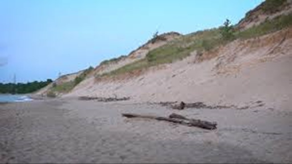
The Chiwaukee Prairie to the north of the Spring Bluff Forest Preserve in Wisconsin above the state line with Illinois includes grassy wetlands, wooded areas, and the Kenosha Sand Dunes, one of the few remaining dune systems in southeastern Wisconsin.
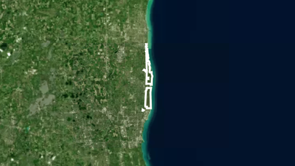
This whole stretch of shoreline from Illinois Beach to the Chiwaukee Prairie forms the Chiwaukee Prairie – Illinois Beach Lake Plain, the previously-mentioned internationally-recognized wetland of importance under the Ramsar Convention.
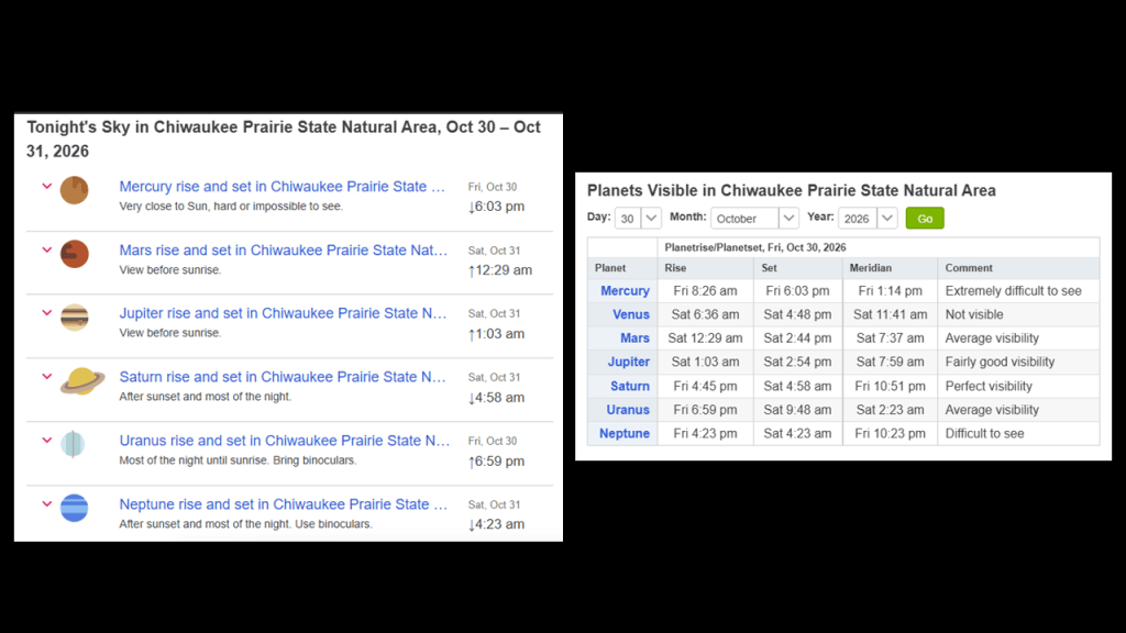
The Chiwaukee Prairie State Natural Area is a good location for night-sky viewing, giving broad views of the night-sky, but is not open to the public for night-time visits, and special permission is required.
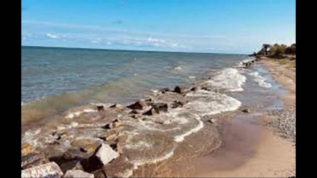
You can also find megalithic stone blocks lining the beach at the Kenosha Sand Dunes location.
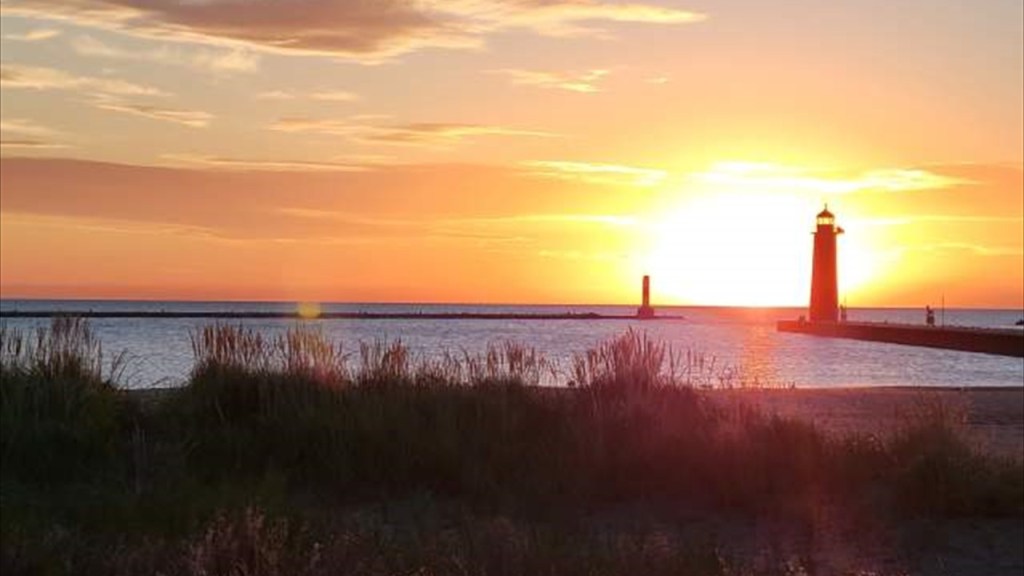
The Kenosha Pierhead Lighthouses are also visible from the Kenosha Sand Dunes.
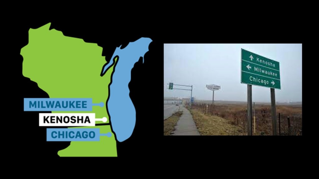
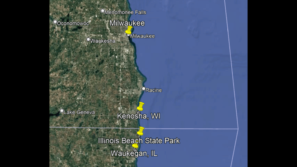
Next, I am going to take a look at Kenosha in Wisconsin, which is located half-way between Chicago and Milwaukee on Interstate 94 which connects all three cities, and Kenosha is the fourth-largest city in Wisconsin.
What became known as Kenosha was settled in 1835 as “Pike Creek” by a group of European settlers from the Western Emigrating Company by way of Hannibal and Troy, New York, led by a man named John Bullen, Jr, who was considered the founder of Kenosha.
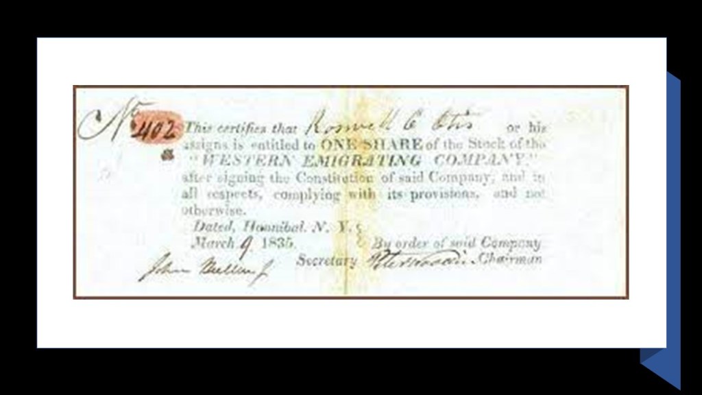
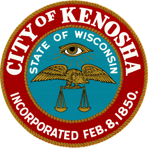
Kenosha was incorporated in 1850, a year after Waukegan, as seen on the city seal of Kenosha, as well as some other interesting imagery.
Kenosha has four lighthouses and an operational electric streetcar line in the city’s harbor area.
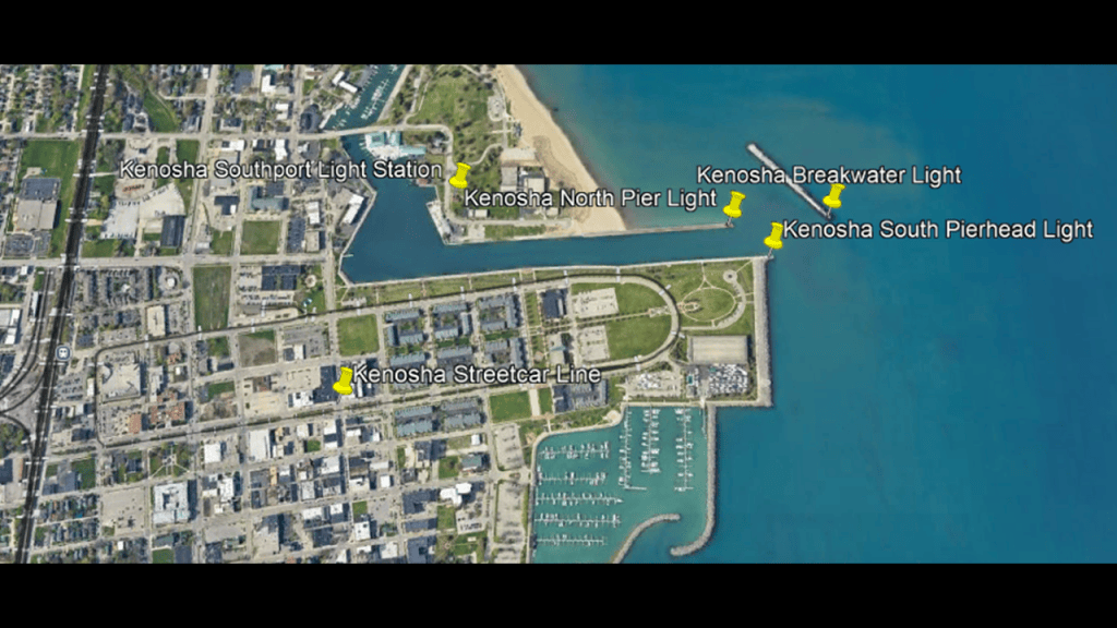
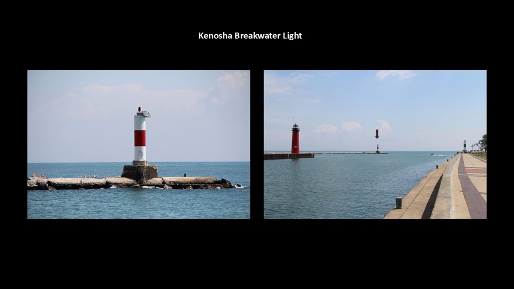
The Kenosha Breakwater Light is a small working lighthouse on Lake Michigan that marks the entrance to Kenosha Harbor and is located at the outer end of a detached breakwater, just offshore from the harbor’s north pier.
We are told the history of the light goes back to 1900 after the breakwater was constructed starting in 1899 to protect the harbor from waves arriving from the northeast.
In the 1960s, the current lighthouse was said to have replaced earlier lighthouses.
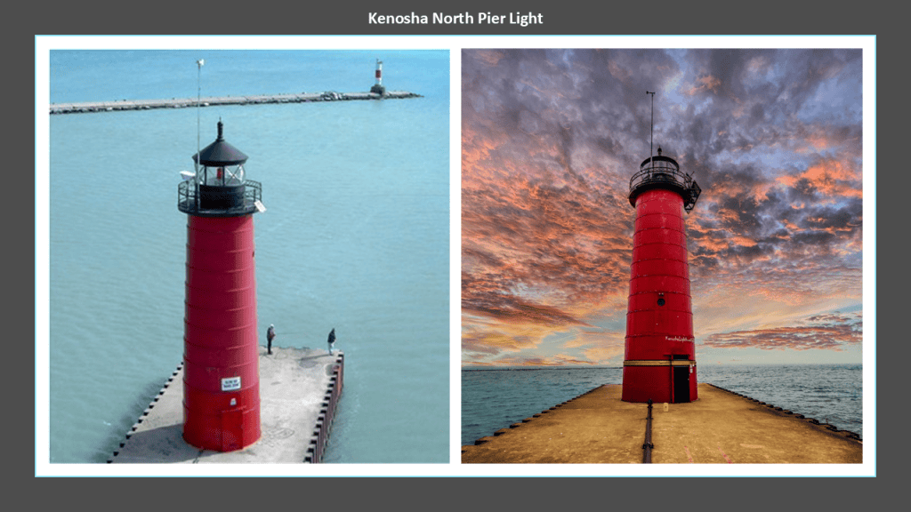
The Kenosha North Pier Light is one of the city’s most recognizable landmarks, and there was said to have been a lighthouse at this location since the early 1900s.
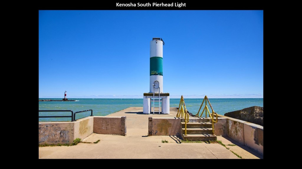
The history of the Kenosha South Pierhead Light goes back to the early 1900s as well, with this lighthouse structure said to date to the 1960s like the breakwater lighthouse.
The two pierhead lighthouses served as navigational markers for vessels entering Kenosha Harbor.
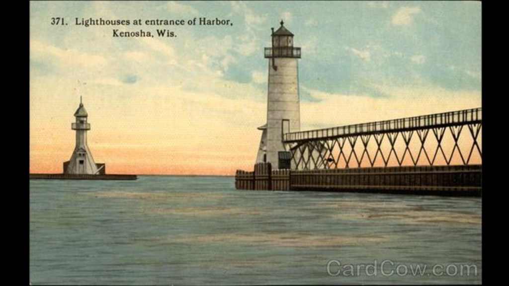
Interesting to note that this old postcard shows two very different-looking structures at these locations from at some point in our history, with the South Pierhead Light having an interesting-looking structure leading to it that I suspect was part of the infrastructure of the original energy grid system.
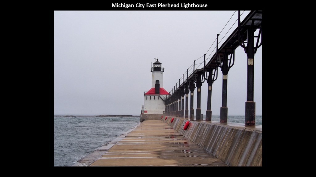
As a matter of fact, that intersting-looking structure is still intact at other lighthouses on the Great Lakes, like the one we saw earlier at Michigan City in Indiana.
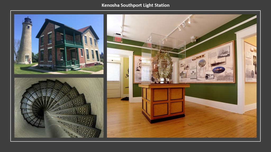
The Kenosha Southport Light Station was said to have been built in 1866 and the lighthouse keeper’s residence was said to have been built in 1867, which was right after the end of the American Civil War in 1865 in our historical narrative.
The lighthouse has not served as an aid to navigation since 1906.
In May of 2010, the Southport Light Station Museum opened in the keeper’s residence after the site underwent extensive restoration.
While there is no longer a fresnel lens in the lighthouse, there is a Fresnel lens on loan from the U. S. Coast Guard currently on display at the museum.
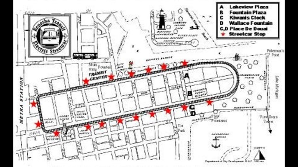
The present-day Kenosha Streetcar Line has been in operation since 2000 and runs a 2-mile, or 3-kilometer, loop in HarborPark, a lakefront area with museums, sculpture walks, events and scenic views.
Prior to its redevelopment, the HarborPark area was a Chrysler Manufacturing Plant, which previously had been an American Motors facility.
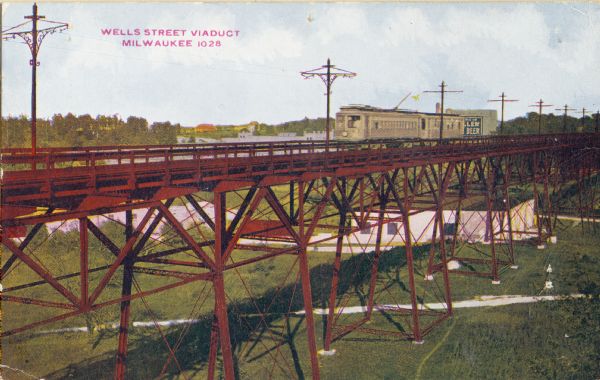
Kenosha was once part of a larger interurban system, the Milwaukee Electric Railway and Light Company (TMER & L), that operated as such in and around Milwaukee between 1896 and 1938, and eventually went away completely for public use in 1958 with the closure of the last line on Wells Street in Milwaukee.
So this brings me into Milwaukee, the largest city in Wisconsin.
Incorporated as a city in 1846, Milwaukee quickly became a hub for Germans immigrating to the United States, especially after the Revolutions of 1848.
In the decade from 1845 to 1855, more than a million Germans fled to the United States to escape economic hardship.
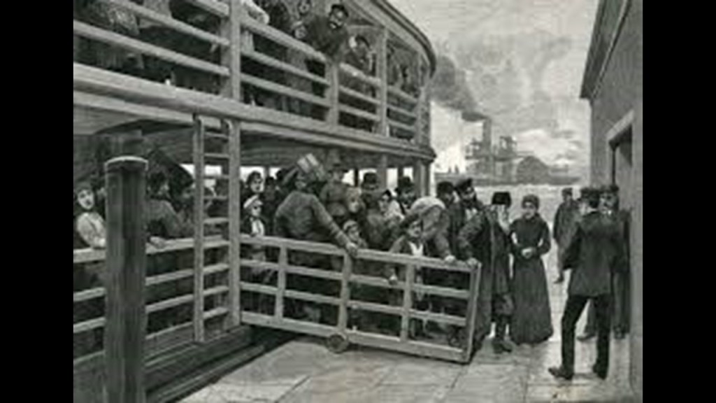
We are told that unlike the Irish who were immigrating to America around the same time because of the Great Potato Famine of 1845 – 1849, many of the German immigrants had enough money to journey to the Midwest in search of farmland and work, and seeking to escape the political unrest caused by riots, rebellion, and the Revolutions of 1848.
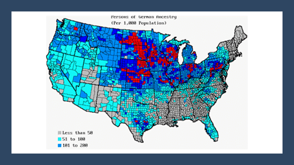
The Revolutions of 1848 were a series of political upheavals throughout Europe that year.
The Revolutions had the aim of removing the old monarchical structures and creating independent nation-states, and was the most widespread revolutionary wave in Europe’s history, with 50 countries being affected.
I have come to the conclusion from my research that the actual goal was to remove the original ancient ruling families, and ultimately replace them with a new form of government, which was ultimately controllable.
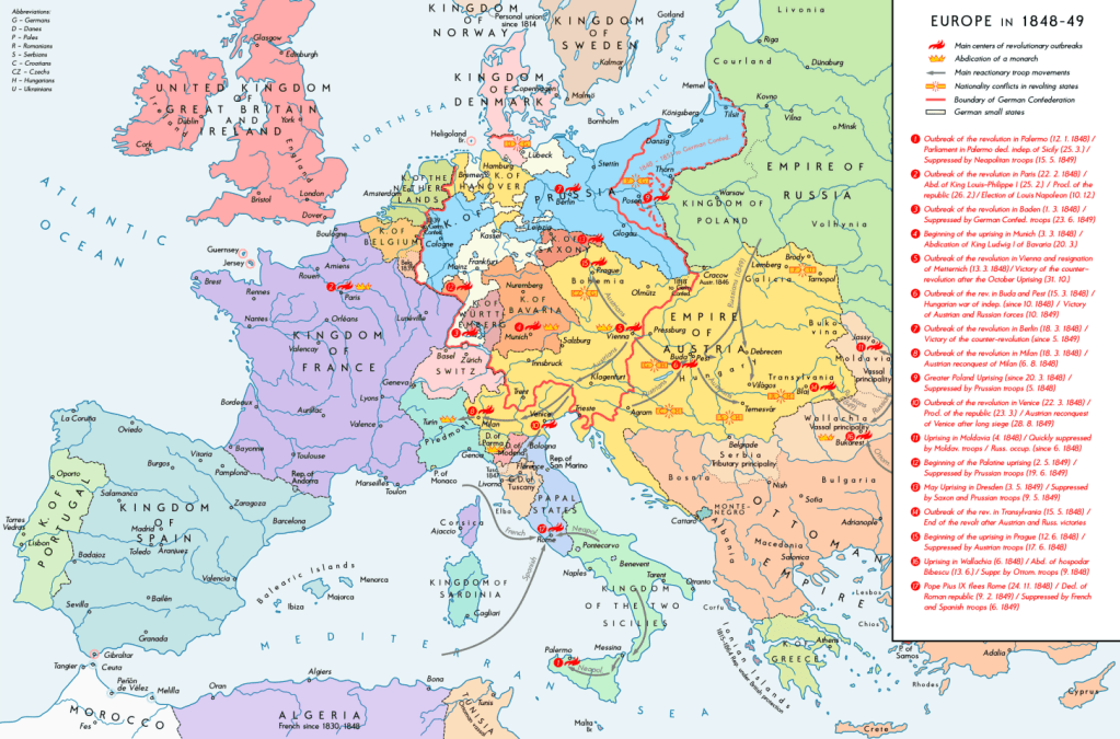
So in our historical narrative, the “Forty-Eighters” were Europeans who left their countries to immigrate to other countries after the “Revolutions of 1848,” for given reasons such as disappointment with their failure to permanently change the government in places like Germany or the Austrian Empire, or because they were ordered by the governments to leave because of their revolutionary activities.
The “Forty-Eighters” tended to be respected, wealthy, well-educated and politically active, and successful in their new countries.
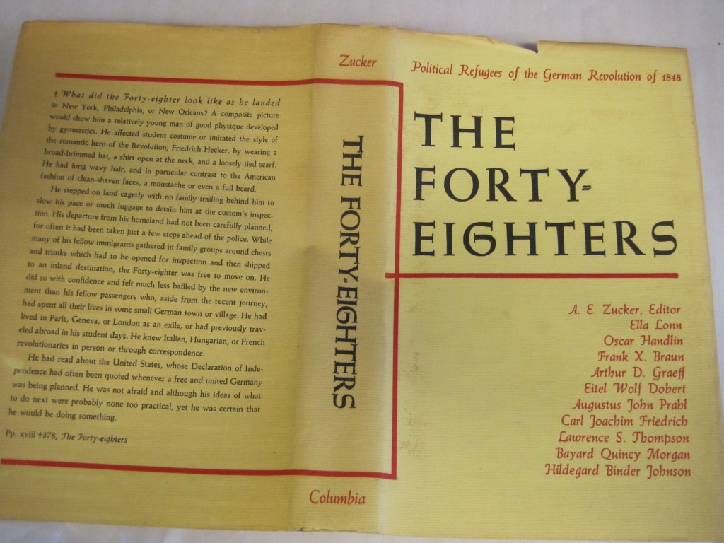
Many of the German “Forty-Eighters” who came to America landed in places like Wisconsin, Missouri, Ohio and Texas, where they developed beer and wine industries and agricultural enterprises, with Milwaukee being a good example of this.

Next, I want to bring forward a few places in Milwaukee.
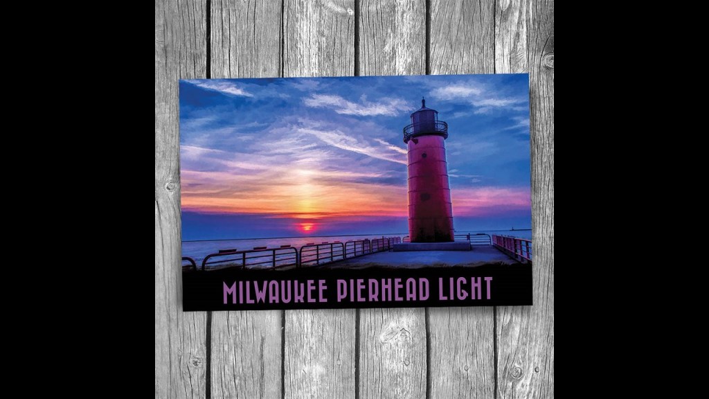
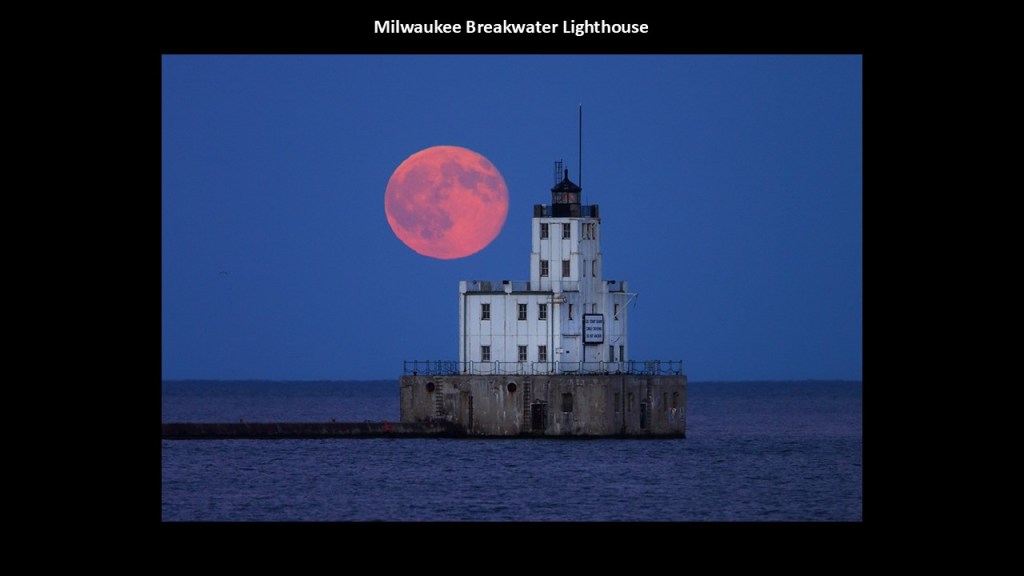
First, Milwaukee’s lighthouses – the Pierhead lighthouse, the Breakwater Lighthouse, and the North Point Lighthouse.
The Milwaukee Pierhead Lighthouse is located just south of downtown in the Milwaukee Harbor, and called a “sister” of the Kenosha North Pier Light
It was said to have been constructed in 1872.
The Breakwater Lighthouse was said to have been built in 1926 to mark the entrance to the harbor.
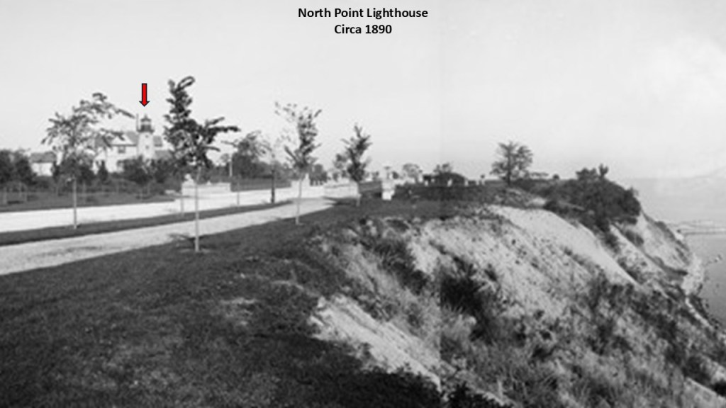
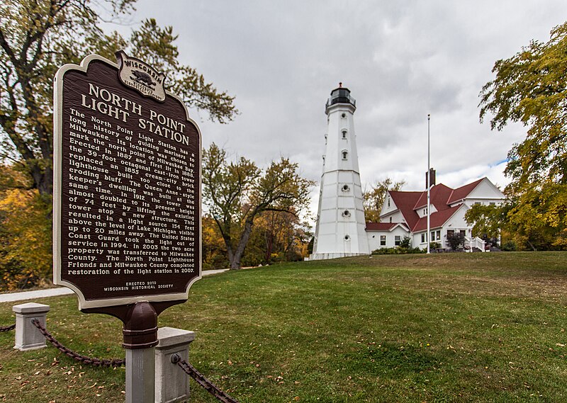
The North Point Lighthouse was said to have been built in 1888 to mark the entrance to the Milwaukee River, and it is in Lake Park.
We are told the first lighthouse was built on this bluff in 1855, but that in the late 1880s, it was jeopardized by the erosion of the bluff and plans were made to replace it.
So by 1888, this lighthouse was built 100-feet, or 30-meters, in from the edge of the bluff.
This photo of the North Point lighthouse next to the bluff was dated 1890.
More on Lake Park in a moment.
The North Point Lighthouse was deactivated in 1994, and today is a maritime museum.
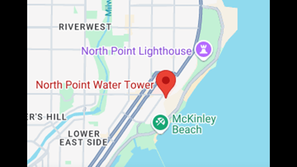
It is interesting to note that the North Point Water Tower is in the vicinity of the North Point Lighthouse.
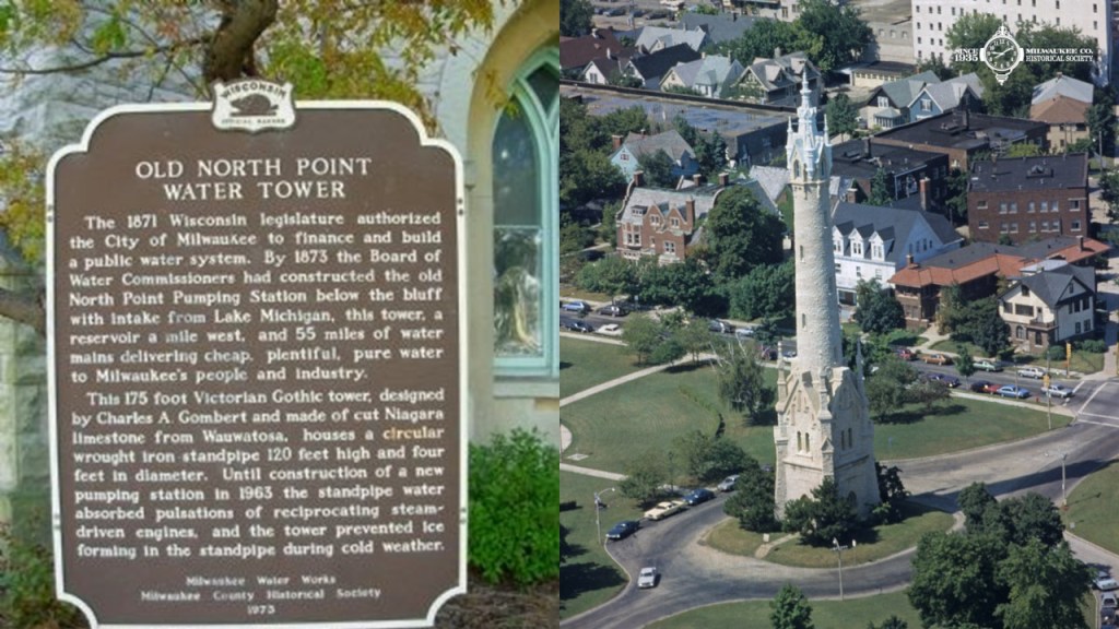
The massive North Point Water Tower was said to have been constructed between 1873 and 1874 as part of Milwaukee’s first public waterworks in the Victorian Gothic-style.
We are told that the elaborate limestone masonry of the water tower was built to house the wrought-iron standpipe and to keep it from freezing.
Starting in 1892, Frederick Law Olmsted was credited with the design of Lake Park, the terrain of which included bluffs and ravines…
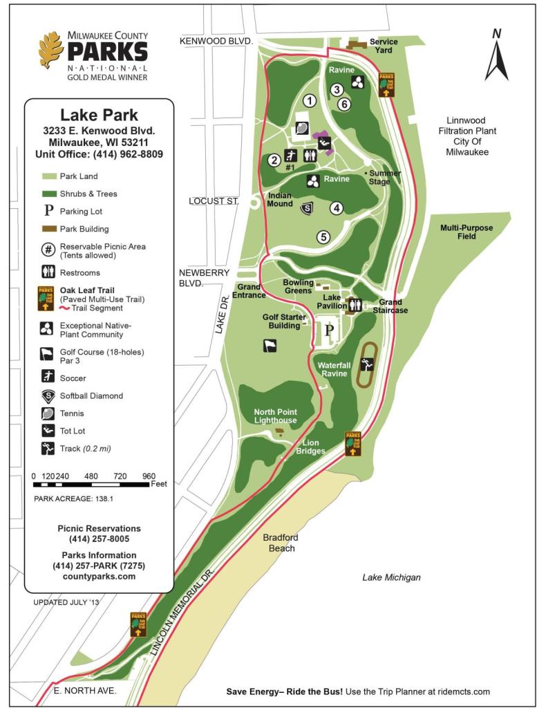
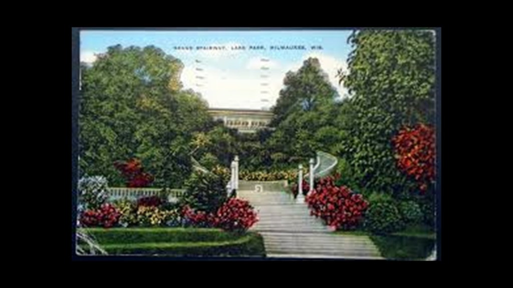
…and the grounds of which, besides the North Point Lighthouse, contain what is called the “Grand Stairway,” said to have been designed by Albert Clas and completed in 1908…
…and the “Lion Bridge,” so-named for Eight Stone Lions said to have been placed to guard each end of two bridges that cross the south ravine on either side of the North Point lighthouse.
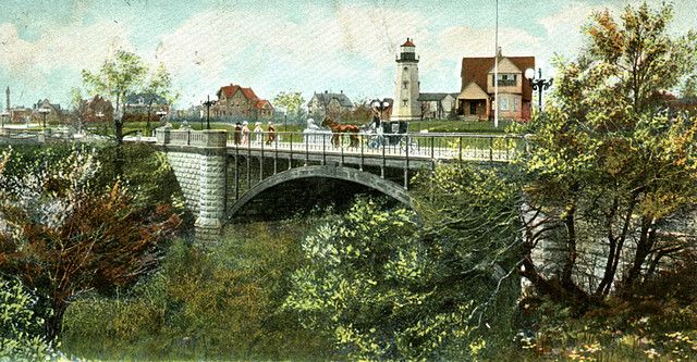
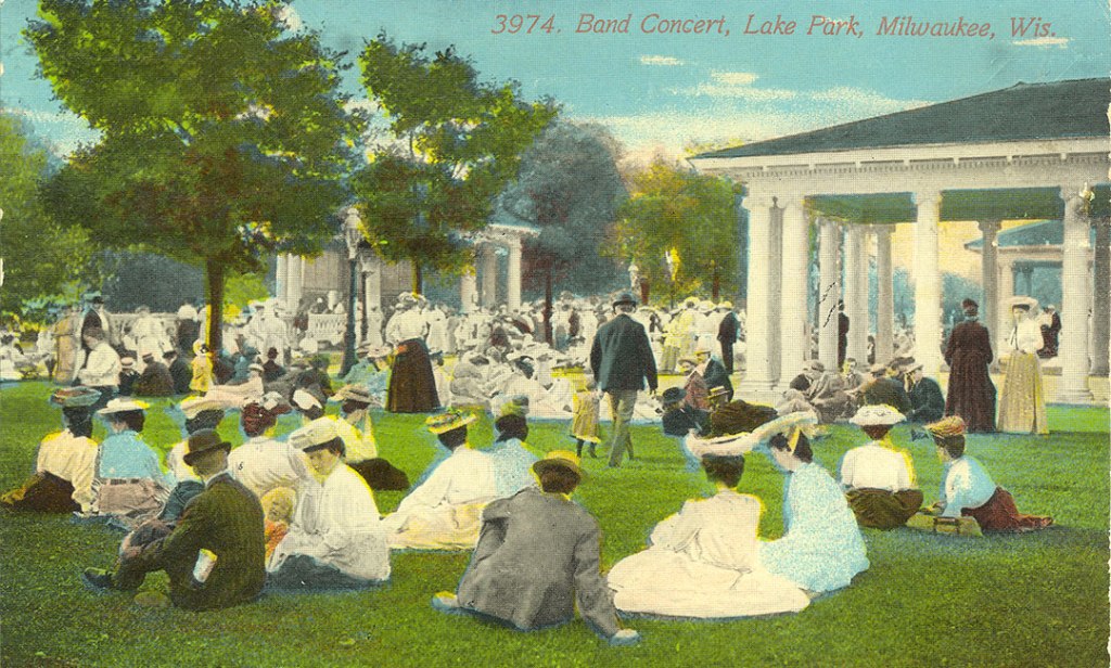
Back in 1897, when the lion sculptures on the bridges were said to have been dedicated, a popular Sunday activity was for families to take the streetcar to the park for picnics and band concerts.
Now I am going to leave Milwaukee and head up the western shore of Lake Michigan to Kohler-Andrae State Park and and the Sheboygan area.
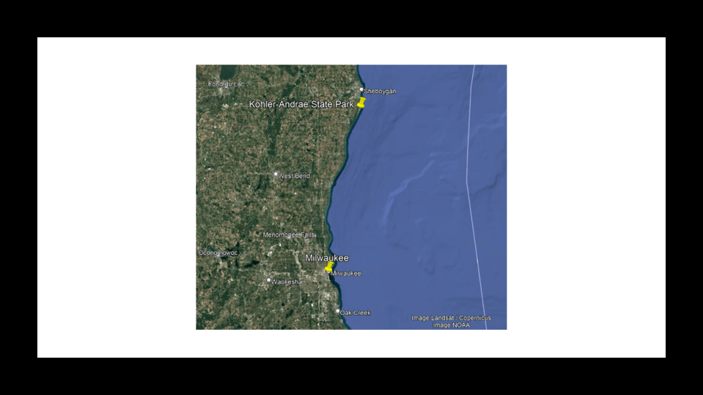
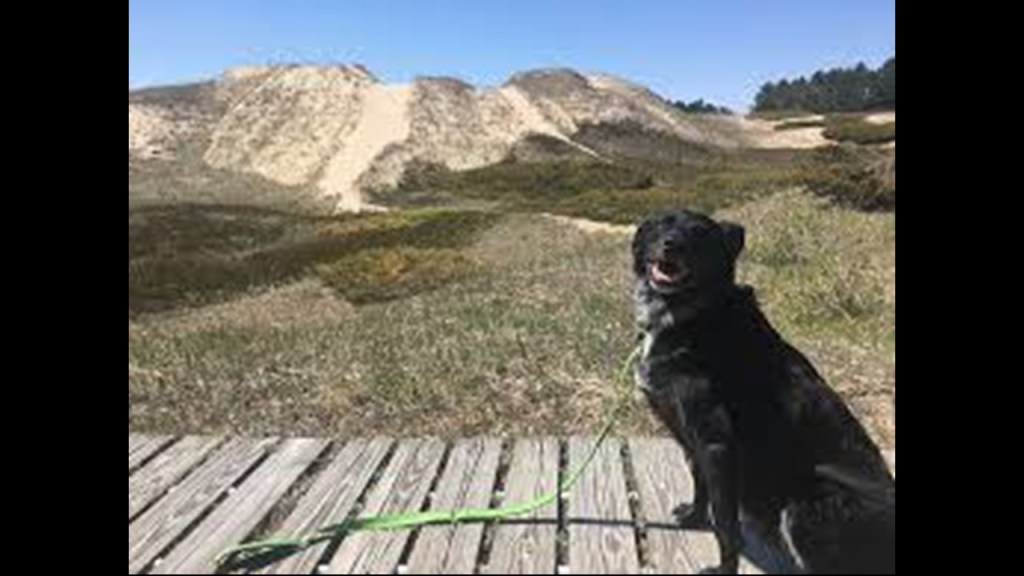
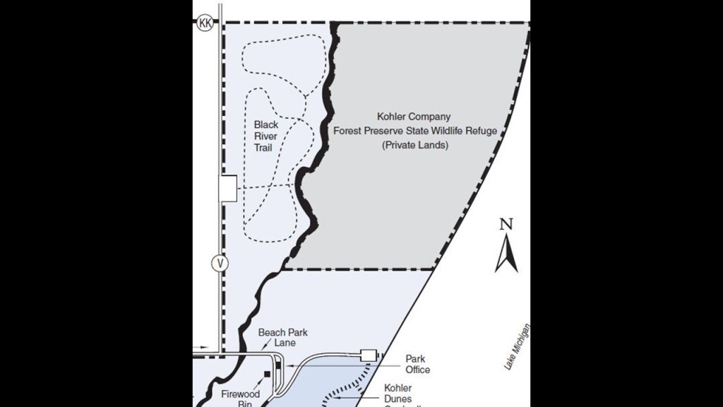
First, Kohler-Andrae State Park are two adjacent Wisconsin State Parks, the Terry Andrae State Park, which was established in 1927; and the John Michael Kohler State Park, which was established in 1966.
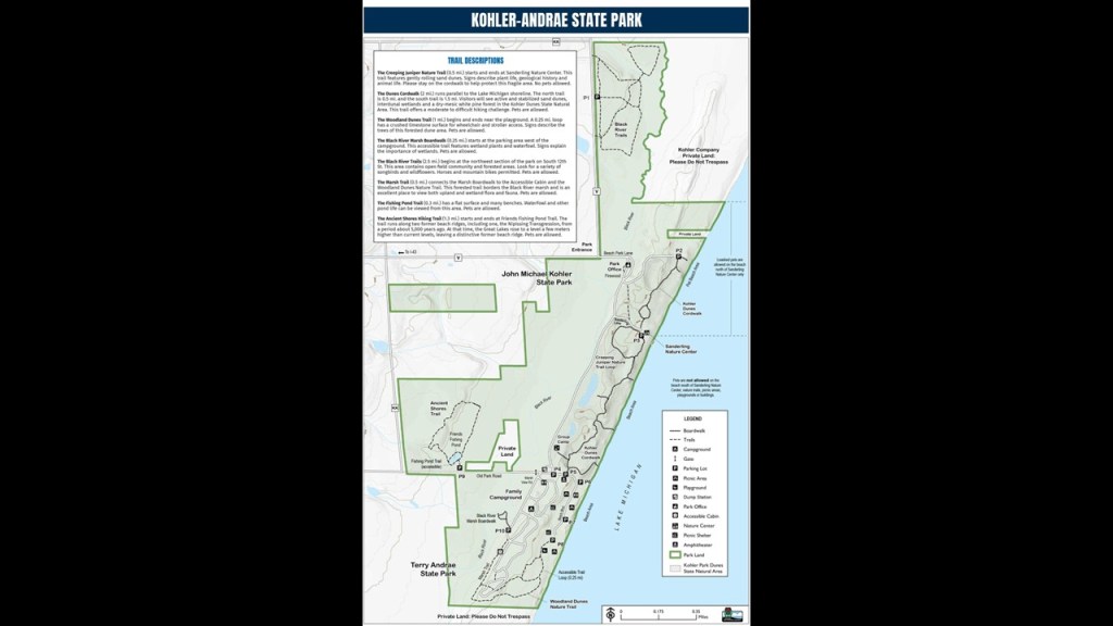
The parks contain over 2-miles, or 3-kilometers, of sand dunes along Lake Michigan’s shoreline, with woods and wetlands away from the water.
The Black River flows through the parks.
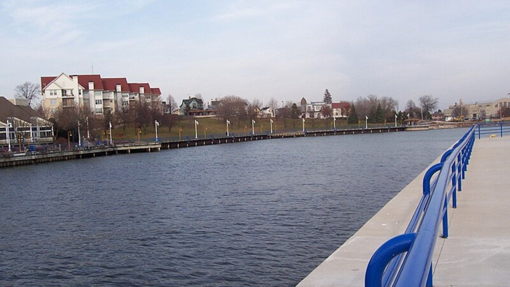
The city of Sheboygan is near the parks, at the mouth of the Sheboygan River, which we are told is a natural river even though it looks like a canal.
Like other cities we have looked at so far on the shores of Lake Michigan, what became Sheboygan got its start as a lumbering community as its first major industry, of many industries to come at this location.

The Sheboygan Breakwater Lighthouse was said to have been constructed in 1915, and is still used as an active aid to navigation.
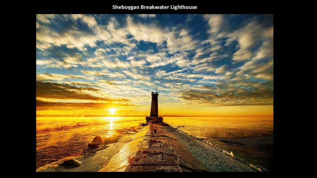
It’s not open for visitation inside, but you can walk out to where the lighthouse is located on the breakwater.
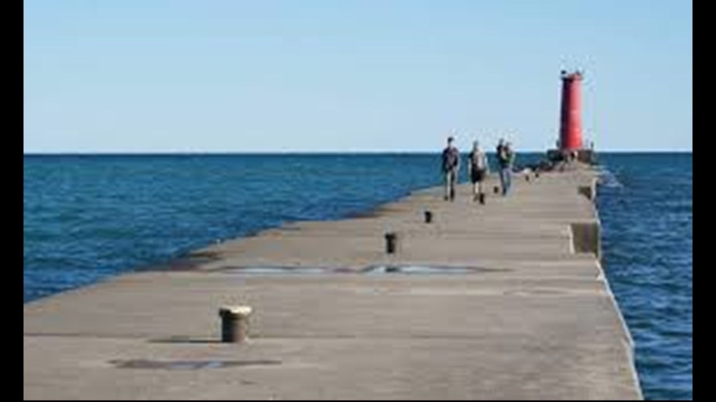
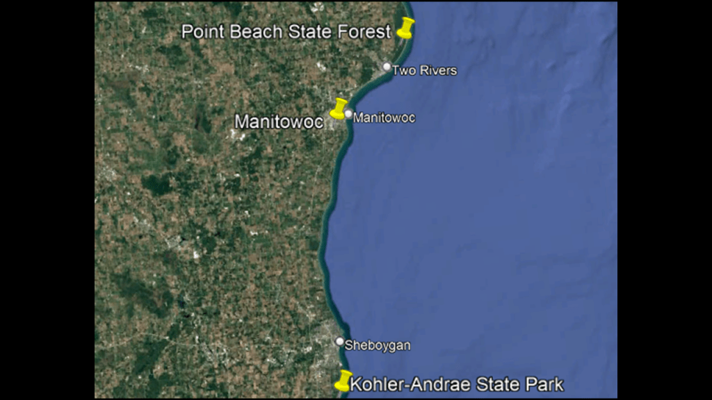
The next places I want to take a look at as we go up the western coast of Lake Michigan from the Sheboygan-area are Manitowoc and Point Beach State Forest.
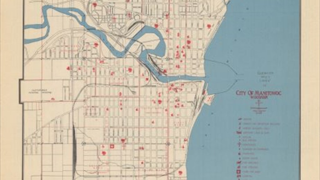
The City of Manitowoc is located at the mouth of the Manitowoc River.
We are told the first Europeans in the area were fur traders from the North West Fur Company that we first saw back in Michilimackinac at the Straits of Mackinac.
They established a fur trading post in Manitowoc in 1795.
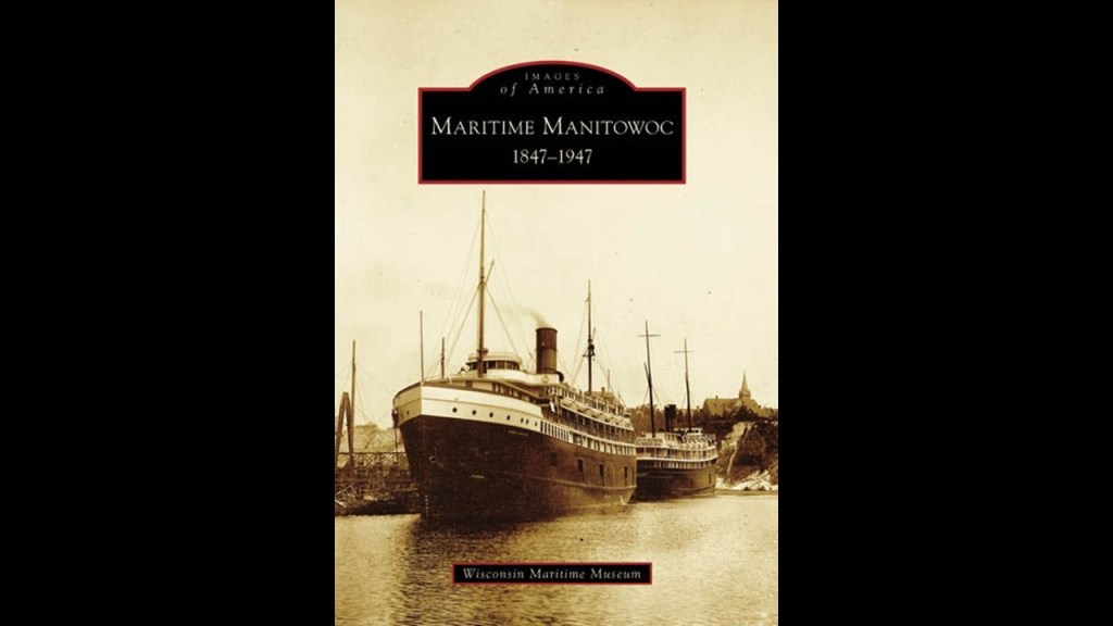
A significant ship-building industry took root in Manitowoc starting in 1847, starting with schooners and clippers for the Great Lakes and beyond the St. Lawrence River, and developing into landing craft, tankers and submarines during World War II.
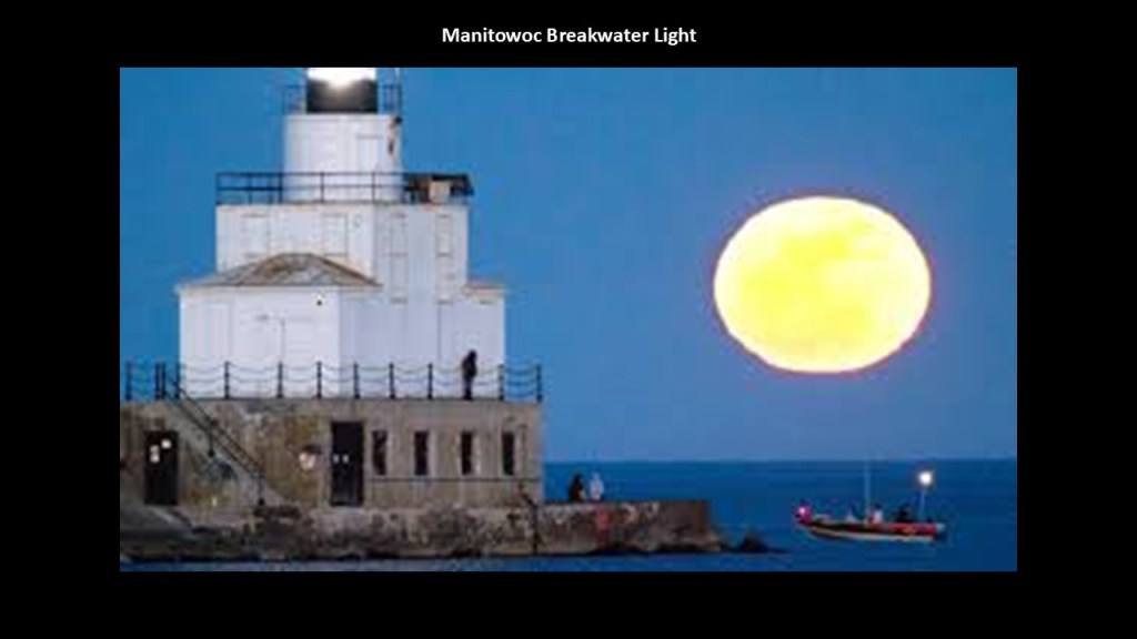
There is a lighthouse on Manitowoc’s North Pier, referred to as the Manitowoc Breakwater Light, and was said to have been constructed in 1918, which was the same year World War I ended.
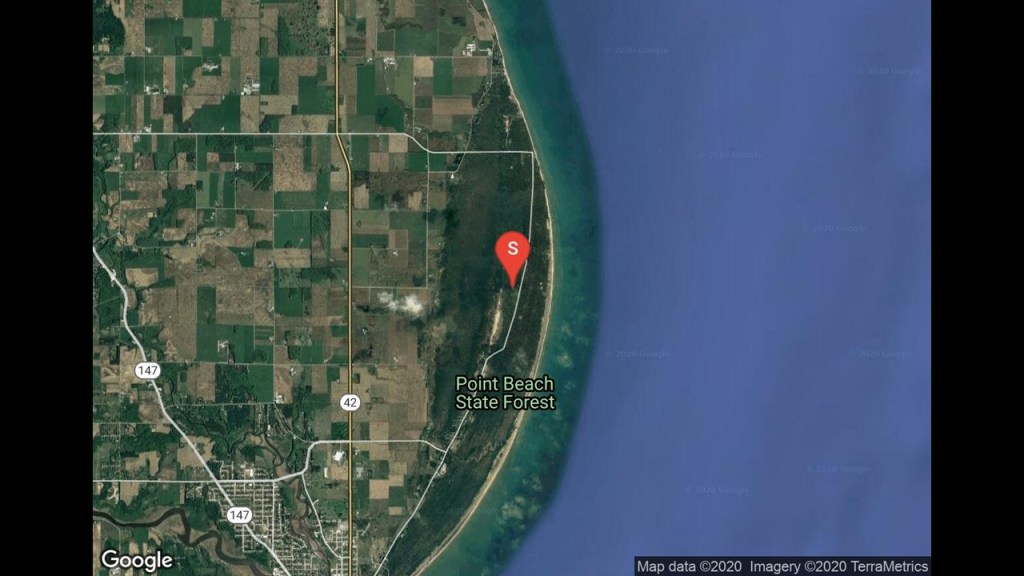
Point Beach State Forest is just to the north of Manitowoc.
It is located along 6-miles or 9.7-kilometers, of the Lake Michigan shore, and has a beach and camping areas.
The state forest grounds contain the National Natural Landmark called the “Point Beach Ridges,” a series of alternating dune ridges and swales.
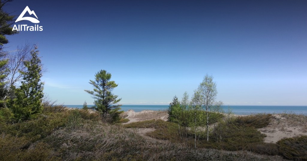
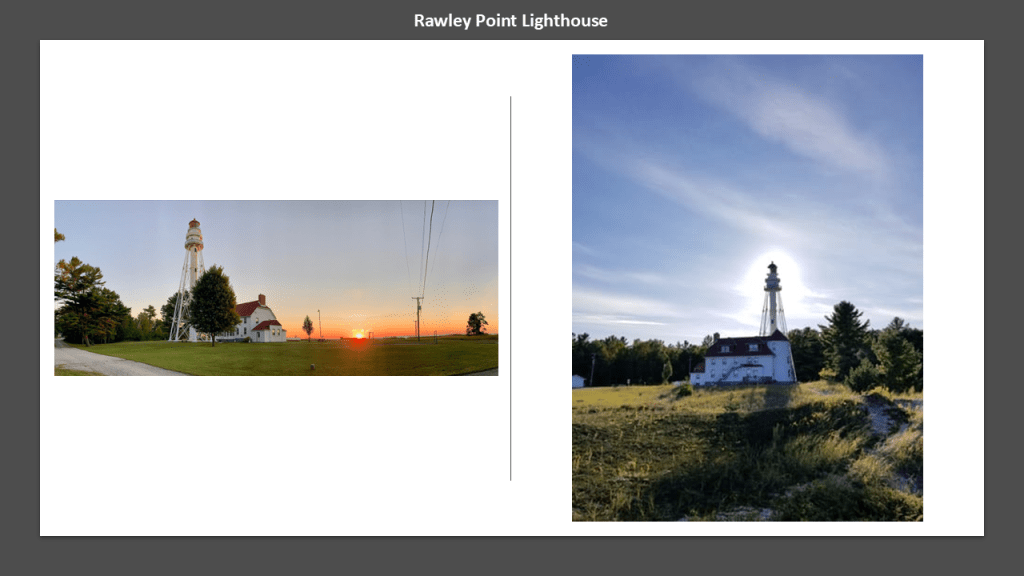
The Point Beach State Forest grounds also contain the Rawley Point Lighthouse, said to have been constructed there in 1873, and is the tallest lighthouse on the Wisconsin shore of Lake Michigan.
The next place we come to going up the Wisconsin shore-line of Lake Michigan is Kewaunee.
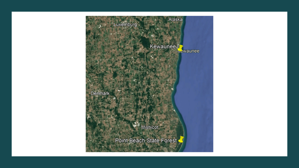
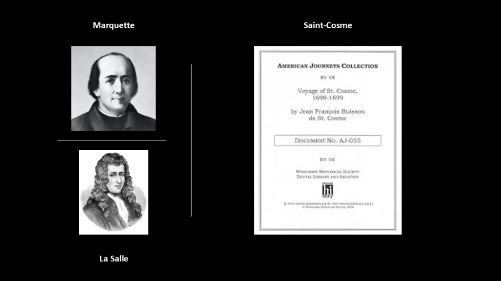
In our historical narrative, the Kewaunee area was visited by the French Jesuit explorer Father Jacques Marquette in 1674, where he was said to have celebrated “All Saints Day” at the Potawatomi village there at the time, though this is in the traditional lands of the Menominee people.
Later in 1679, the French explorer LaSalle visited there, and in 1698, the Canadian Jesuit Jean-Francois Buisson de Saint-Cosme stopped by.
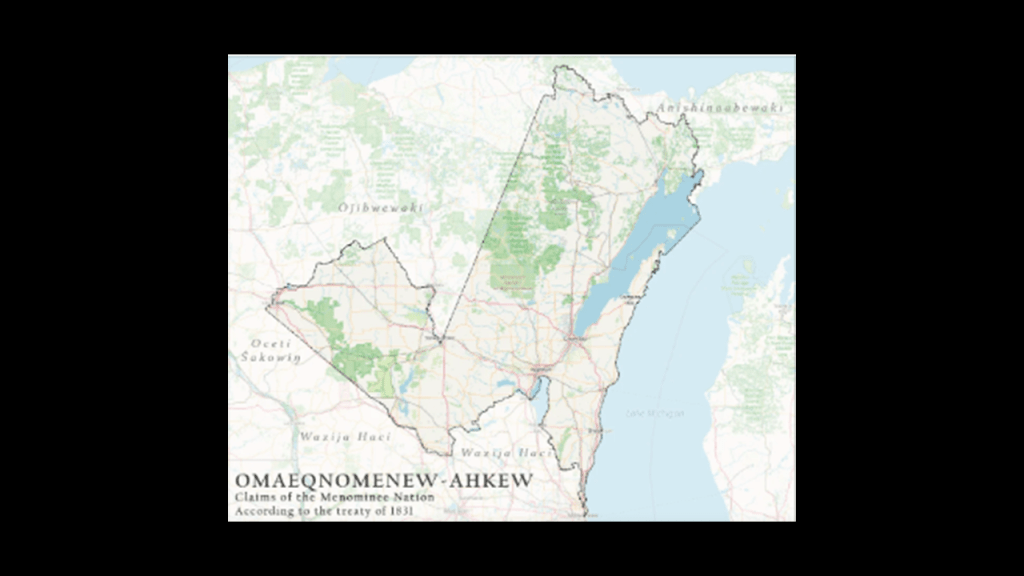
We are told the United States acquired this land from the Menominee Nation in the 1831 Treaty of Washington, in which the Menominee ceded 2,500,000-acres, or 1,011,714-hectares, of their land in Wisconsin primarily adjacent to Lake Michigan.
Kewaunee became the seat of Kewaunee County at the time of its formation in 1852.
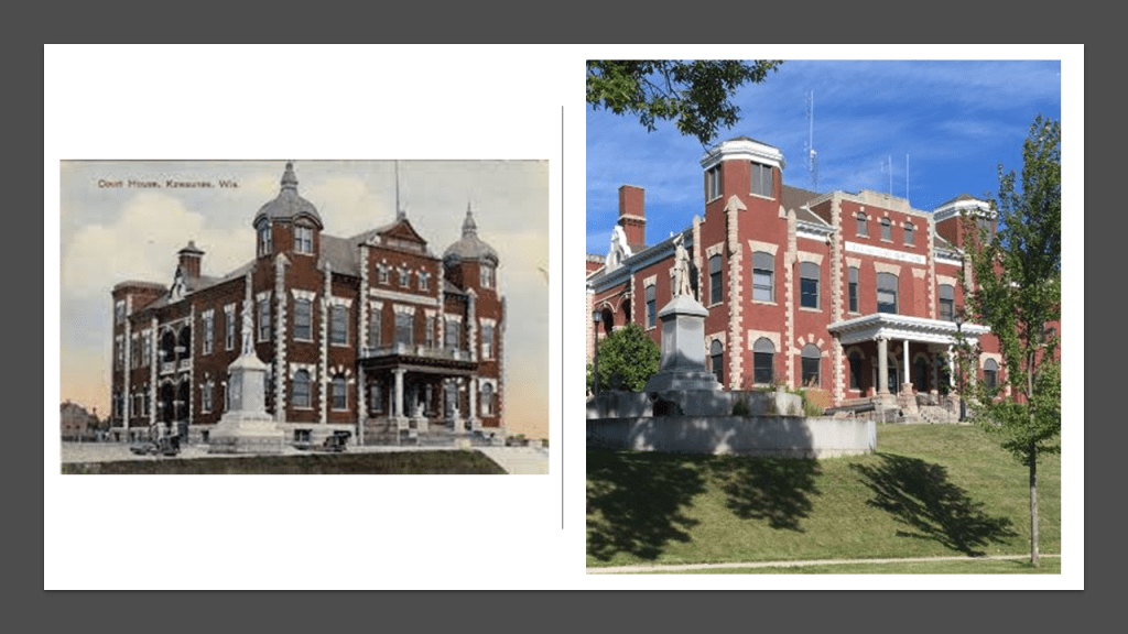
The present-day Kewaunee County Courthouse was said to have been built in 1873.
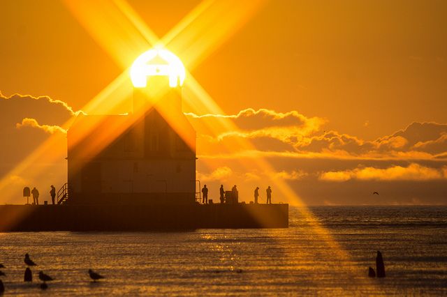
The current Kewaunee Pierhead Lighthouse was said to have been built in 1912.
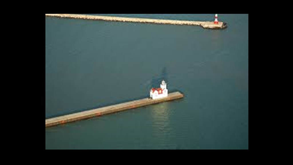
An automated lighthouse since 1981, the light and foghorn are maintained by the U. S. Coast Guard, and the City of Kewaunee has owned the lighthouse since September of 2011 as part of the National Historic Lighthouse Preservation Act.
We are heading into the landform known as the “Door Peninsula.”
Northern Kewaunee County is part of the Door Peninsula, as is northeastern Brown County, and the mainland portion of Door County.
The Door Peninsula separates Lake Michigan from the southern part of the Green Bay.
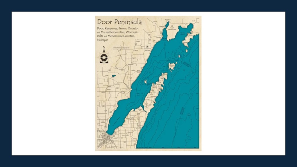
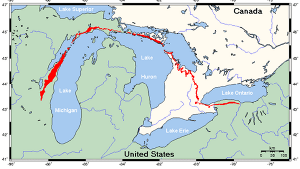
The Door Peninsula is on the western-side of the Niagara Escarpment.
The Niagara Escarpment runs predominantly east-to-west, from New York, through Ontario, Michigan, Illinois, and Wisconsin, with a nice, half-circle shape, attached to a straight-line, when drawn on a map.
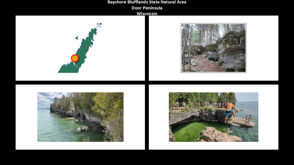
Limestone outcroppings are visible on both sides of the Door Peninsula, but are larger and more prominent on the Green Bay-side, as seen at the Bayshore Blufflands State Natural Area, which contains more than 7-miles, or 11-kilometers, of the Niagara Escarpment.
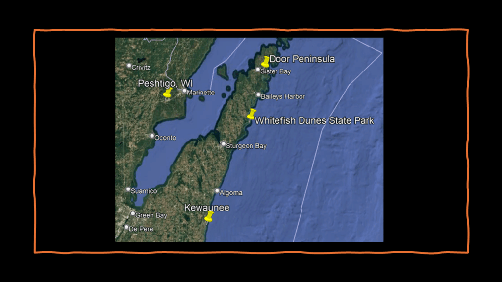
Progressions of dunes are seen on much of the rest of the shoreline, as seen at the Whitefish Dunes State Park.
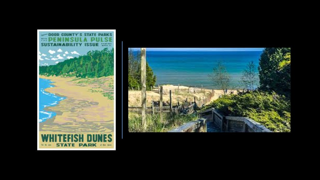
Whitefish Dunes State Park and Natural Area preserves the largest and most significant dune landscape in Wisconsin, and offers trails and picnic areas for visitors.
It is also heavily forested, with such trees as birch, fir, cedar, yew, maple, aspen, hemlock and beech.
Whitefish Dunes State Park also has a stone-masonry-looking shoreline.
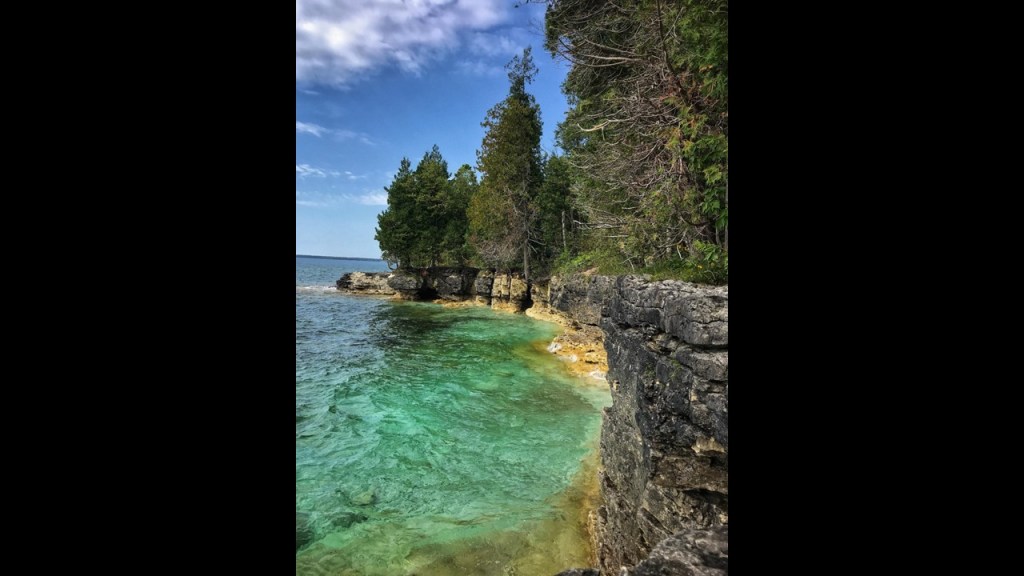
Like Michigan’s Leelanau Peninsula and Grand Traverse Bay area right across Lake Michigan, which not only have dunes like the Door Peninsula…
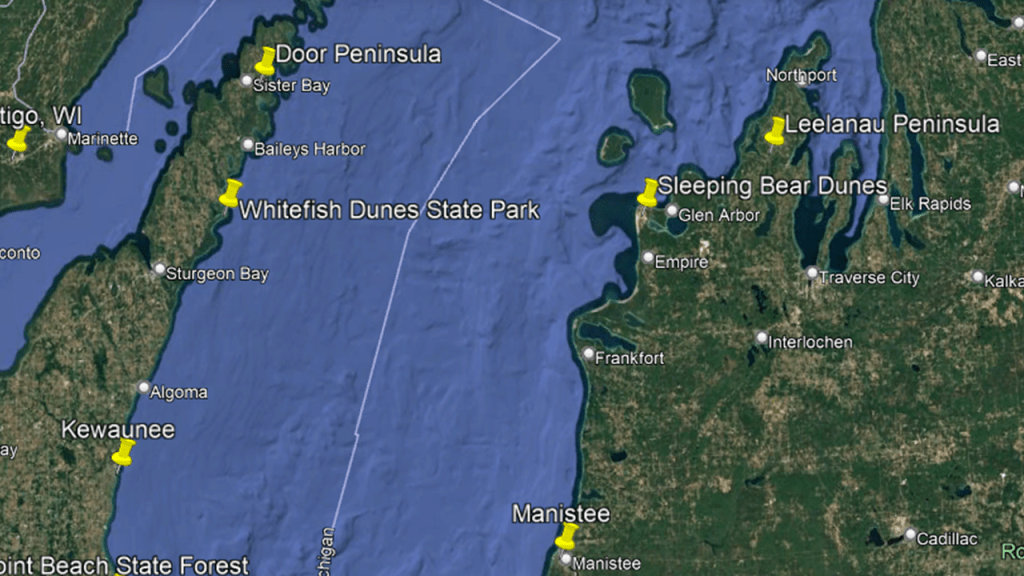
…the Door Peninsula is also well-known for its orchards, particularly cherry and apple, like we saw earlier on the Leelanau Peninsula.

I am going to take a look at Sturgeon Bay on the east side of the Door Peninsula before I head over to the Green Bay side of it.
Sturgeon Bay is the largest city of the Door Peninsula and a popular tourist destination.
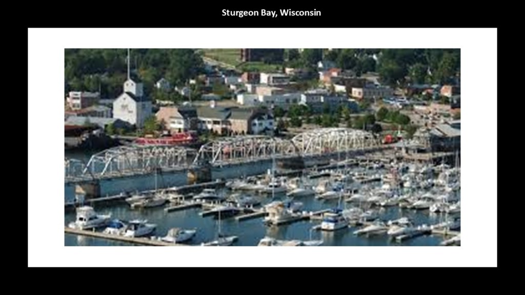
In our historical narrative, this land was ceded to the United States in the previously-mentioned 1831 Treaty of Washington by the indigenous Menominee people, and was opened for new settlement, with the first community here starting around 1850, and by 1862, there were said to be three sawmills here.
In 1874, Sturgeon Bay was incorporated as a village, and as a city in 1883.
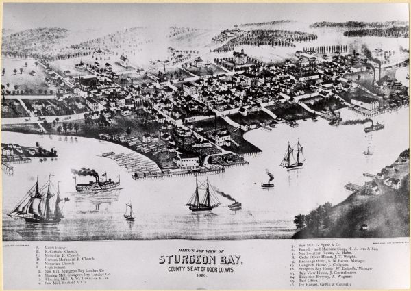
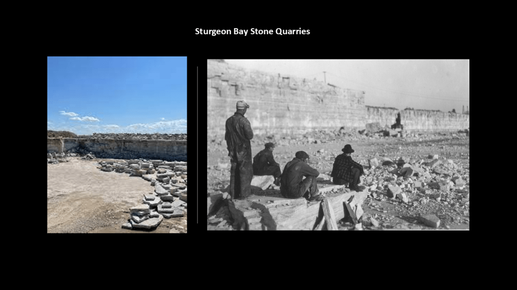
In the 19th-century, Sturgeon Bay became a center of stone quarrying, with five quarries shipping limestone throughout the region.
I strongly suspect that the stone quarries, here and elsewhere in the world, were harvesting megalithic stone blocks from existing infrastructure.
The Sturgeon Bay Ship Canal was said to have been built in the 1880s linking Sturgeon Bay to Lake Michigan, and that the new passage quickly attracted thousands of ships, making Sturgeon Bay a center for maritime traffic and ship-building.
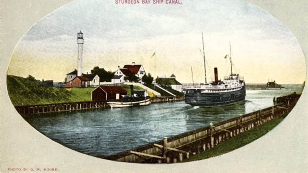
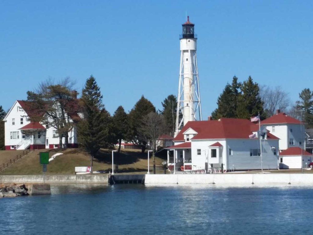
Two lighthouses mark the entrance to the Sturgeon Bay Ship Canal – the Sturgeon Bay Pierhead Light and the Sturgeon Bay Ship Canal Light.
There is also an active U. S. Coast Guard station here next to the Ship Canal Light.
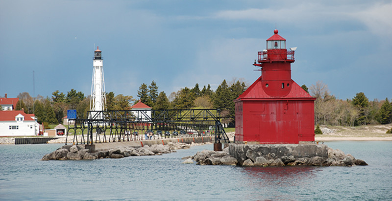
The current Sturgeon Bay Pierhead Light was said to have been constructed here in 1903, though we are told there was one previously from 1882.
Again, we see that intriguing “rail-like” infrastructure here.
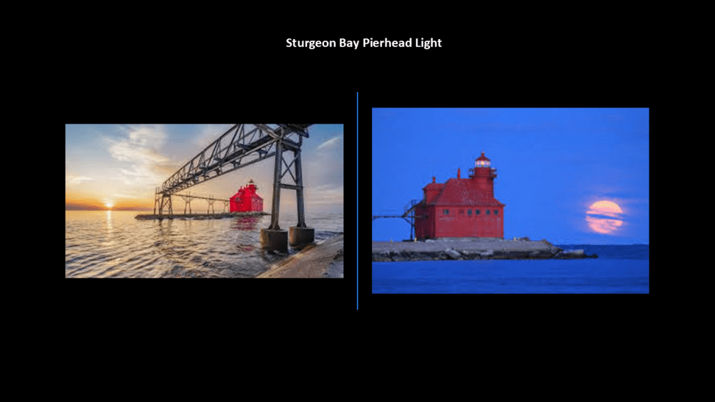
The Sturgeon Bay Ship Canal Light was said to have been constructed in 1899.
Now I am going over to the city of Green Bay at the southern end of the Green Bay, an arm of Lake Michigan.
Green Bay is the largest bay in Lake Michigan.
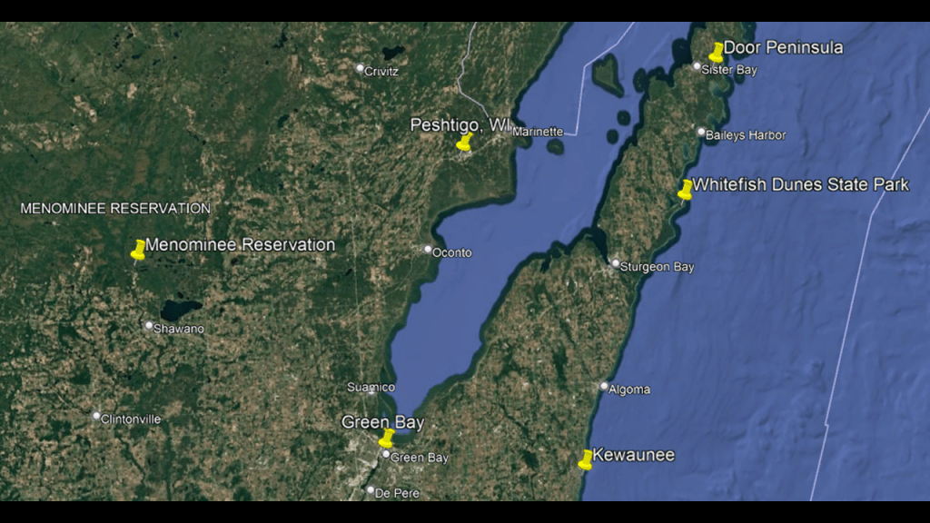
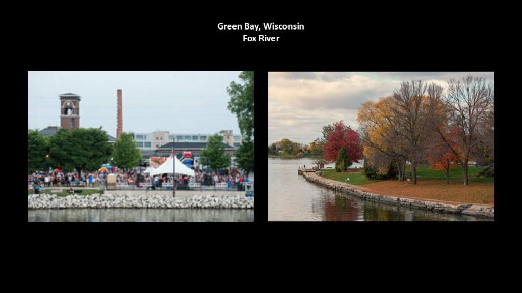
The city of Green Bay is located at the mouth of the Fox River, another river that is called natural with stone masonry banks.
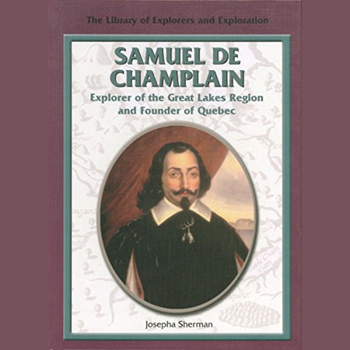
In our historical narrative, we are told that Jean Nicolet settled what is now Green Bay for New France in 1634 with the establishment of a fur trading post here.
Jean Nicolet had been commissioned by Samuel Champlain, the explorer and cartographer who founded New France starting in 1608 with founding Quebec City, to establish peaceful relations with the indigenous Menominee and Winnebago peoples of the region.
The Francis Xavier Jesuit Mission was established in the Green Bay area in De Pere in 1669 under the auspices of the Jesuit missionary and explorer of North America, Father Claude-Jean Allouez, who was behind setting up a number of Jesuit missions in the lands of the indigenous people of the Great Lakes region.
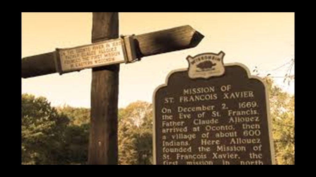
In our historical narrative, Great Britain took control of this area in 1761 during the Seven Years War, also known as the “French and Indian War.”
We are told after the British defeated the French in this war, France ceded its lands east of the Mississippi River to Great Britain.
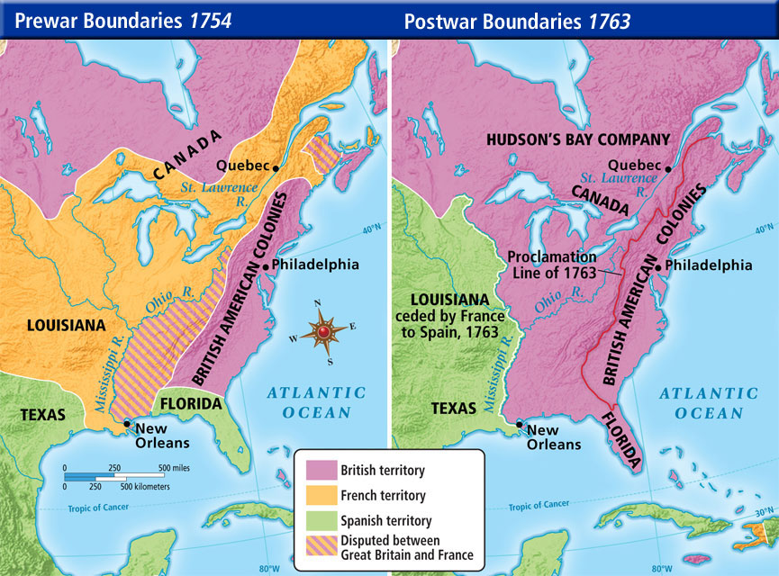
The first permanent European settlers in the Green Bay area were said to be Charles de Langlade and his family, who moved there from Quebec in 1765.
Charles de Langlade, the son of a French-Canadian father and Ottawa mother, had set up a trading post here in 1745, and has been given the moniker of the “Founder and Father of Wisconsin.”
He was typically described as a fur trader and war chief.

Before Wisconsin became a state in 1848, its commerce was based on the fur trade, which was dominated by John Jacob Astor’s American Fur Company.
The German-born John Jacob Astor was the first prominent member of the Astor family and the first multi-millionaire in the United States.
He made his fortune after establishing a monopoly in the fur trade out West, and real estate investment in and around New York City.

After statehood, there was a shift away from fur trading and into lumbering, and the first paper mill was built here in 1865, the same year the American Civil War ended.
Green Bay remains a major center for paper production, and the state of Wisconsin as a whole has more paper mills than any state in the United States.
Here’s what I could find out about the historic lighthouses of Green Bay.
First, the remants of what is called the first Long Tail Lighthouse that was said to have been built in 1848, and was in use for only ten years, from 1849 to 1859, are still-standing.
Long Tail Point is a sandbar next to the channel near the city of Green Bay.
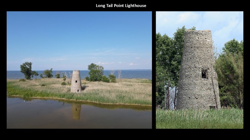
This 1867 survey map of the harbor around Green Bay shows the sand bars and mud there.
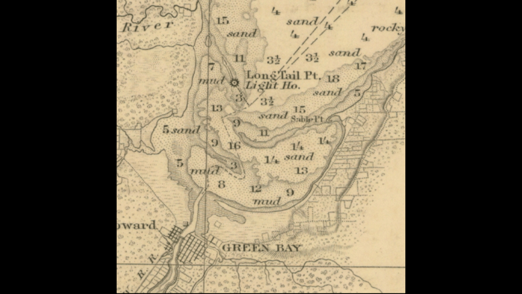
This is what we are told.
The Grassy Island Range Lights were said to have been constructed in 1872 to guide ships through the channel into the harbor.
This is a 1914 photo from the U. S. Coast Guard of them.
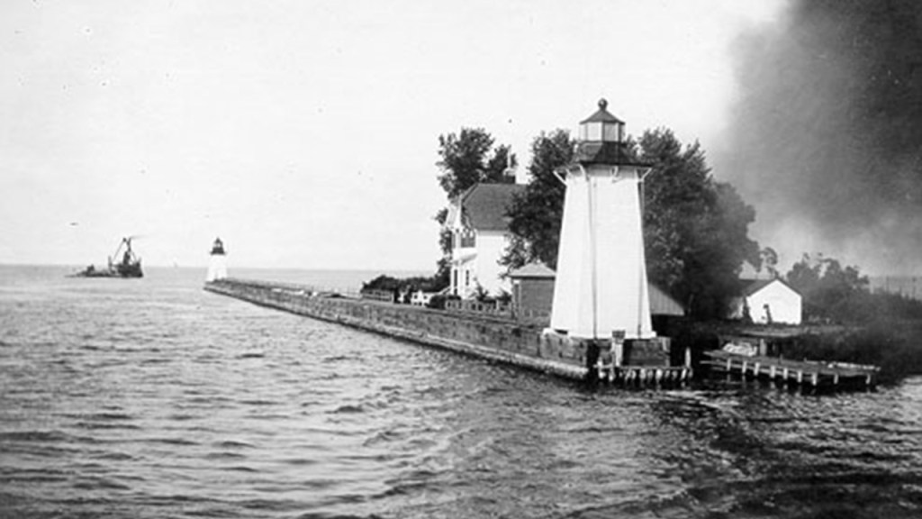
They were deactivated in 1966, and eventually moved to a breakwater at the edge of the Green Bay Yacht Club property where they can be found today.
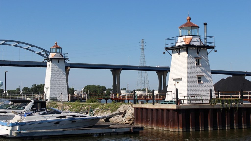
The Green Bay Harbor Entrance Lighthouse is an off-shore lighthouse.
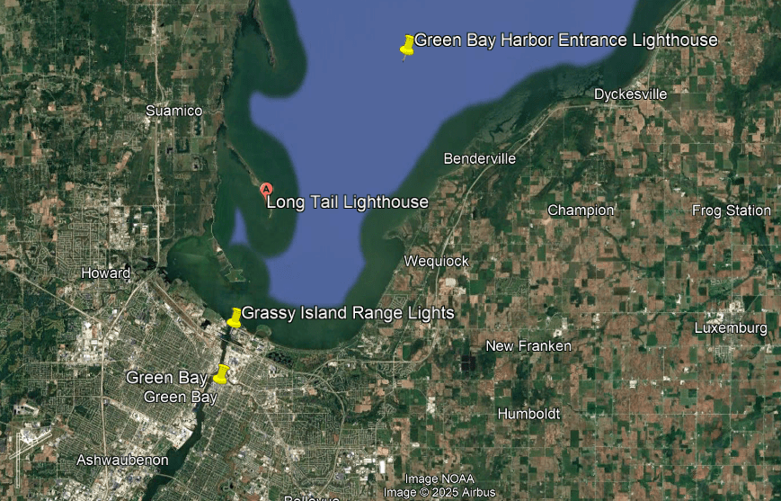
We are told it was erected in 1935 to signal the entrance to Green Bay, and was manned by the U. S. Coast Guard until it was automated in 1979.
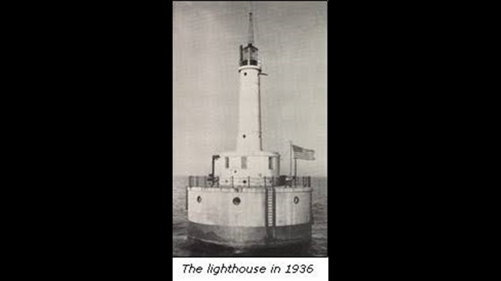
As we move northeast from the city of Green Bay up the northeastern shore-line of the Green Bay towards Peshtigo, we are clearly in Menominee country according to this historic map of the area on the left.
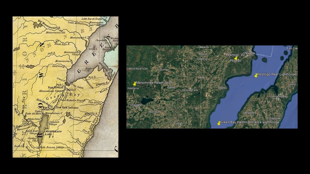
Interestingly, this Bird’s Eye View map of Peshtigo is dated September 1871.
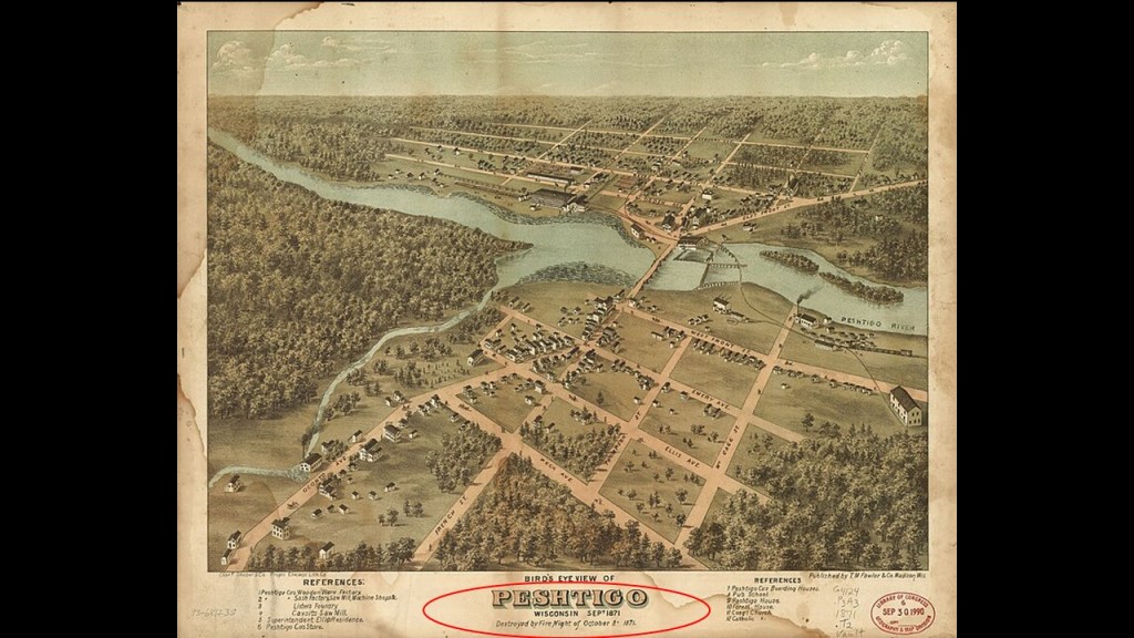
This is noteworthy because as mentioned previously, the Peshtigo Fire was one of the Great Fires that took place on October 8th of 1871.
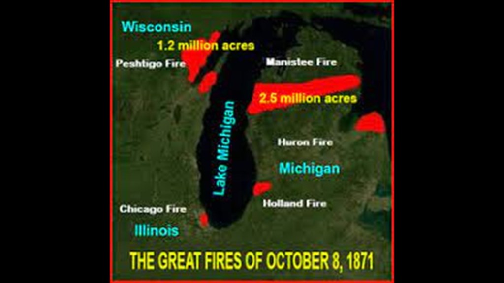
Surprisingly…or not…there is not a whole lot of specific information to find on-line about this fire, with this exception.
It was massive.
It burned somewhere around 1,500,000-acres, or 6,000-kilometers-squared, of land on both sides of Green Bay in northeastern Wisconsin and on up into Michigan, and was the deadliest wildfire in American History.
Though we are given the number of estimated deaths ranging between 600 to 2,500 people, there is no way of knowing the actual number, and we are told things like the unidentifiable remains of hundreds were buried in a mass grave at the Peshtigo Fire Cemetery but not much more than that.
The 1871 Peshtigo Fire consumed the lands of the Menominee people, and we haven’t been told the truth about their identity, or that of any of the indigenous people for that matter.
They weren’t hunter-gatherers.
They were Master Builders.
But we don’t know anything about that because we have all been indoctrinated in the John Wayne version of history and taught egregious lies instead of our true history.
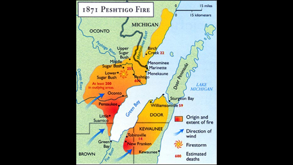
We are told the Menominee Nation of Wisconsin, an Algonquin-speaking people, is the only one in Wisconsin whose origin-story says they have always lived in Wisconsin, and their ancestral lands also include the Upper Peninsula of Michigan.
The Menominee Nation lost federal recognition in the 1960s, we are told due to a policy of assimilation, but they had federal recognition restored by an Act of Congress in 1972.
We are taught that the indigenous people of this land were uncivilized tribes of hunter-gatherers.
This is a painting by an artist named Paul Kane, who died in 1871, called “Fishing by Torchlight,” of the Menominee spearfishing at night by torchlight and canoe on the Fox River.
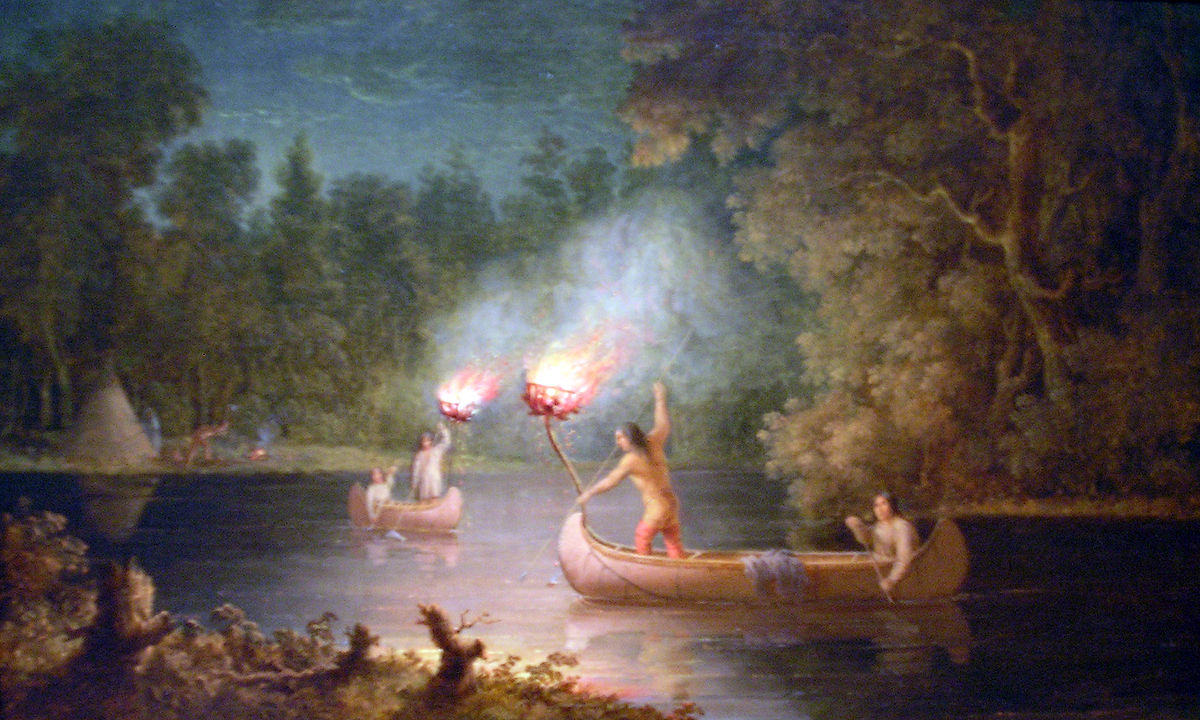
Yet we find architecture of heavy masonry like the Mabel Tainter Memorial Theater here in the city of Menomonie, Wisconsin, 237-miles, or 381-kilometers, to the northwest of Milwaukee, said to have been built in 1889…

…that looks like the acknowledged Moorish architecture of the Alhambra in Grenada, Spain, on the inside.
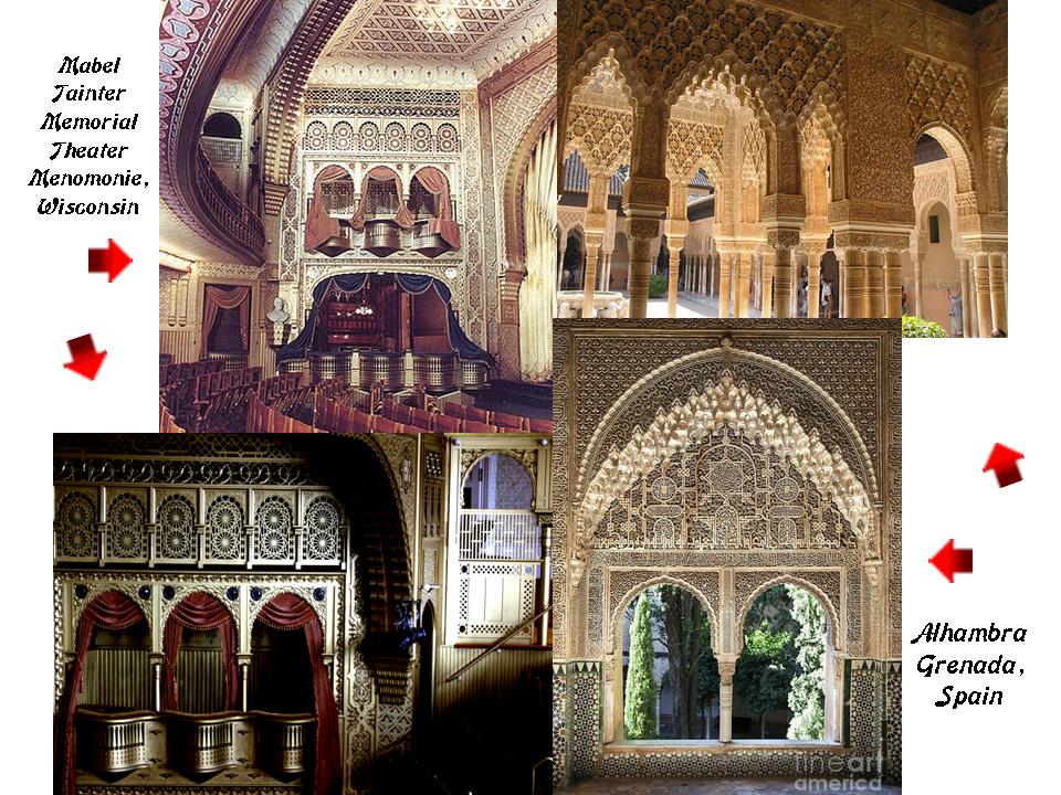
Not only that, this 8-pointed star symbol is found in the Mabel Tainter Memorial Theater.
I have found the same 8-pointed-star in diverse places all over the Earth, like these examples in Pakistan; Afghanistan; Mexico City; and New York City.

The Peshtigo Reef Light is approximately 3.3-miles, or 5-kilometers, southeast of Peshtigo Point in Green Bay.
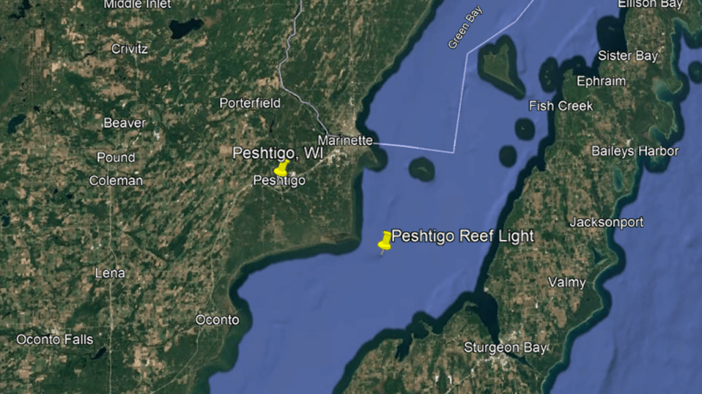
The lighthouse was said to have been constructed in 1936, and is still in service.
The Peshtigo Reef is known for being a significant hazard to navigation, with numerous strandings and shipwrecks.
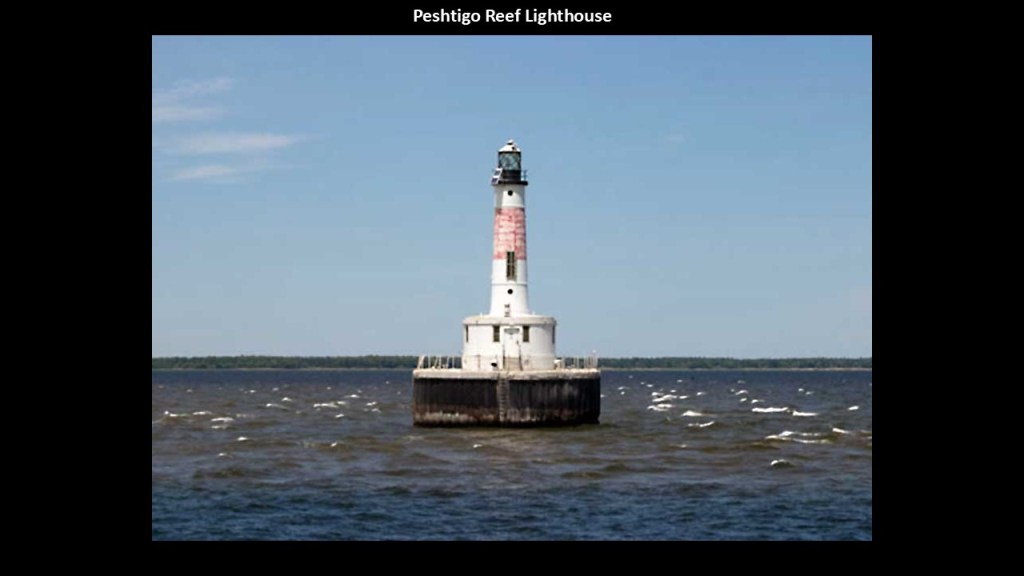
The next places we come to northeast of Peshtigo on the western shore of Green Bay are Marinette in Wisconsin and Menominee in Michigan, with the Menominee River between them.
Known as the “Twin Cities,” there is a close connection between these two cities, and can be considered one interconnected community.
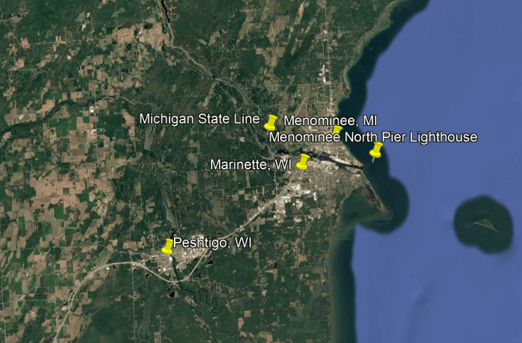
The Menominee River, and its tributary the Brule River, serves as the state line between Wisconsin and Michigan.
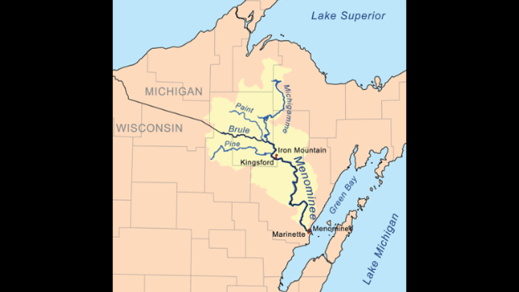
I am going to take a look at a few places in the “Twin Cities” area, particularly along the lake shore, like the Seagull Bar State Natural Area and Red Arrow Park in Wisconsin, and the Menominee North Pier Lighthouse in Michigan.
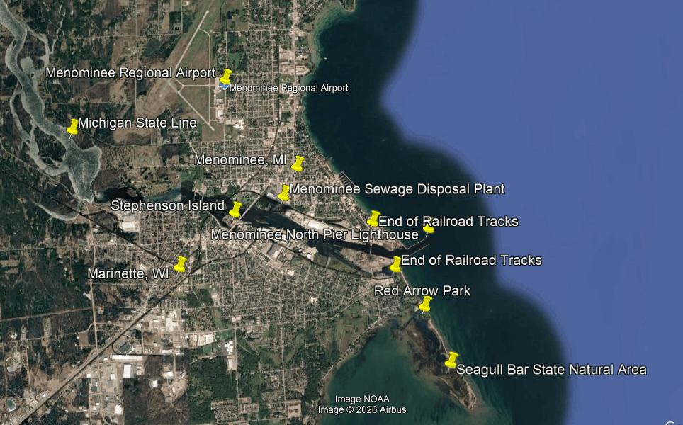
Red Arrow Park and the Seagull Bar State Natural Area occupy the same peninsula below the entrance of the Menominee River but offer the visitor different experiences.
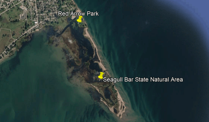
Red Arrow Park in the northern portion of the Peninsula is a developed public recreation area, offering waterfront views of the Menominee River; recreational opportunities; and open green space.
It also has areas associated with wetlands and coastal habitats.
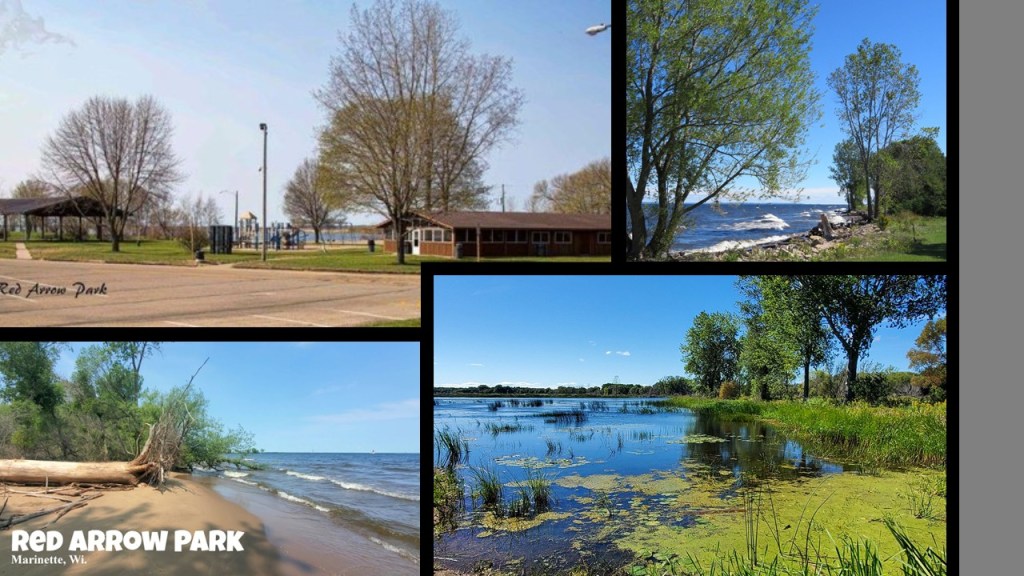
The Wisconsin Society for Ornithology specifically identifies the bird habitats at Red Arrow Park and Seagull Bar State Natural Area as:
–Bottomland Hardwoods and Hardwood Swamp
–Marsh
–Open Water
–Beaches and Mudflats.
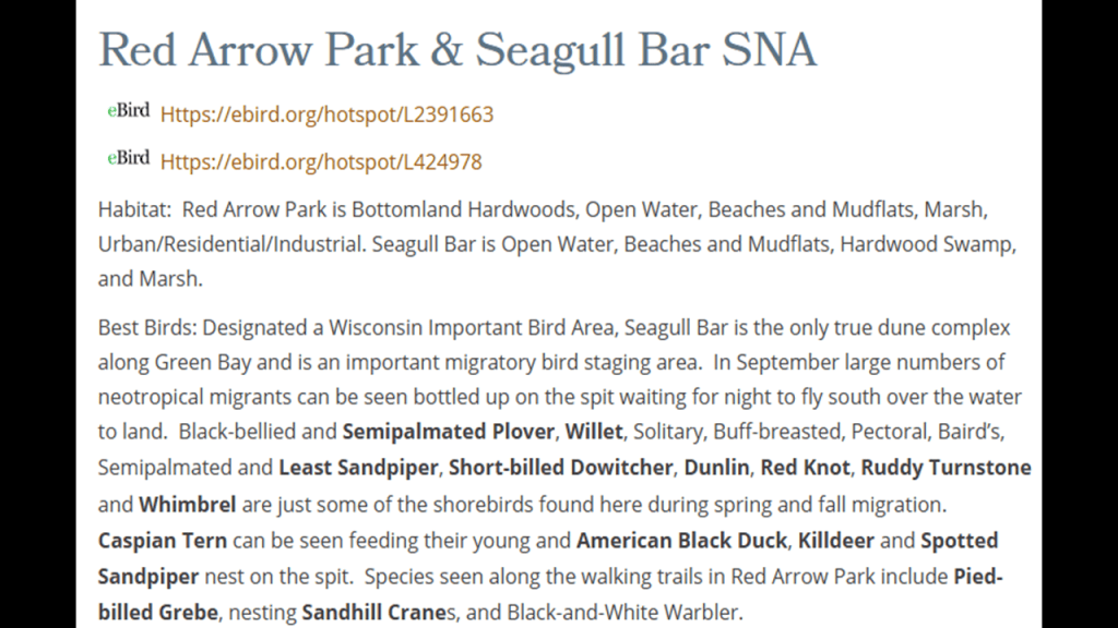
Bottomland Hardwoods and Hardwood Swamps are described as forests that grow on low-lying land alongside rivers, streams, lakes and wetlands and are dominated by broadleaf trees, typically trees like Silver Maple; American Elm; Green Ash; and Black Willow.
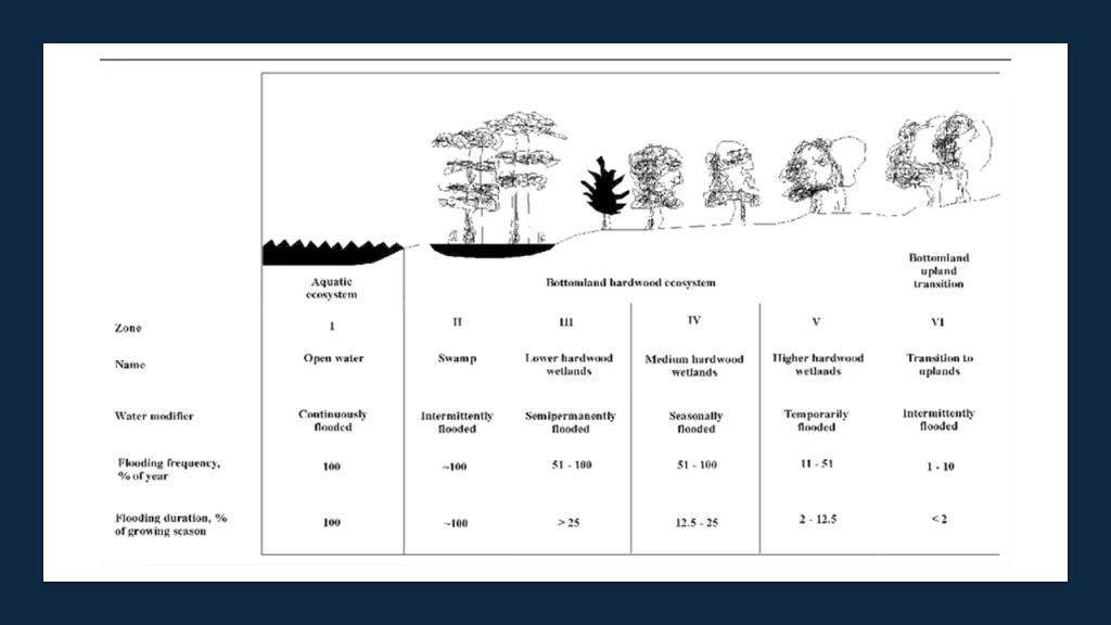
The neighboring Seagull Bar State Natural Area is described as the only true dune complex along Green Bay.
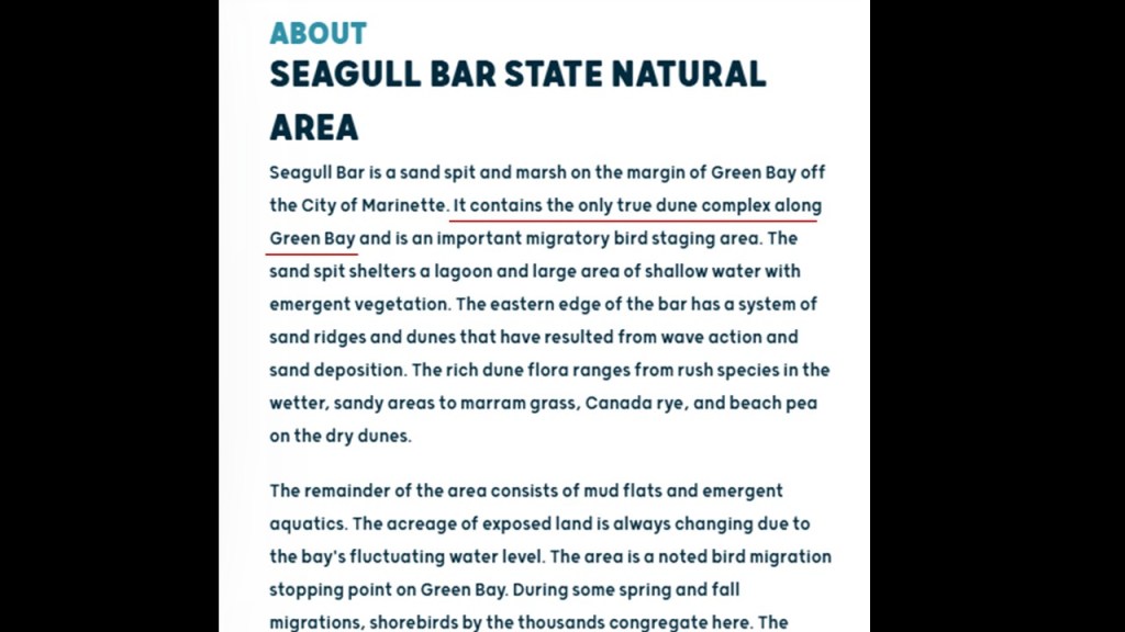
The kind of dune system that is found at Seagull Bar State Natural Area is described as a combination of several coastal landforms: sandspit; sand ridges; low coastal dunes; and marshes and wetlands.
I find places like this noteworthy because I don’t believe this was originally a “natural area” but one of countless examples of ruined land from the destruction of the original energy grid.
More on this to come.
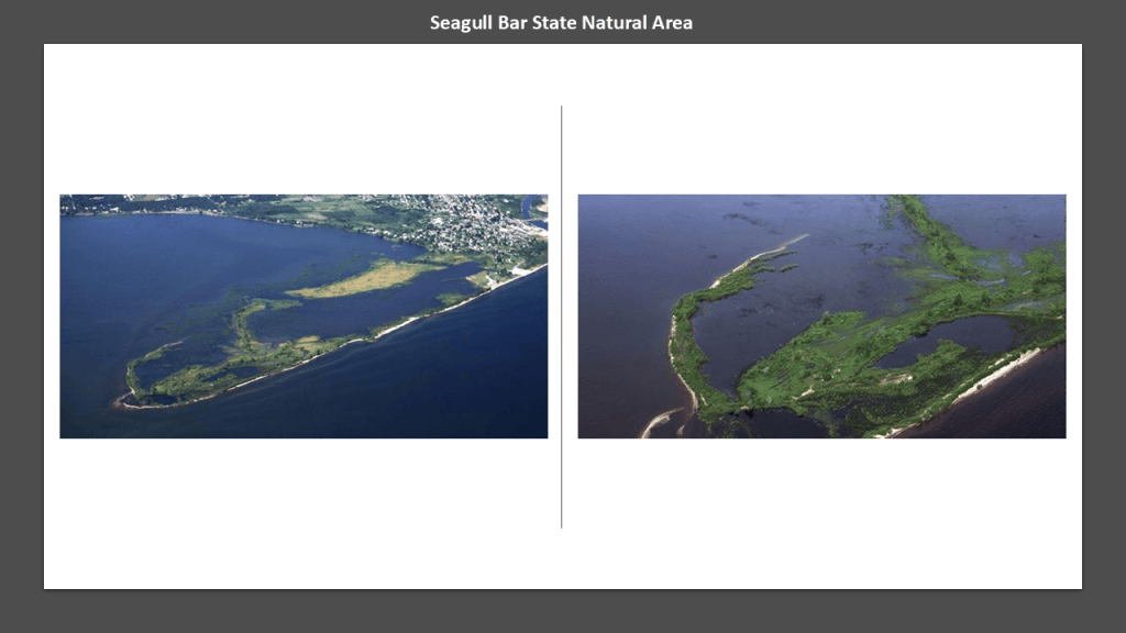
Just above Red Arrow Park is the entrance to the Menominee River, and railroad tracks end right before the lakeshore on both sides of the river, with the Menominee North Pier Lighthouse at the entrance to the channel leading into the river from Green Bay.
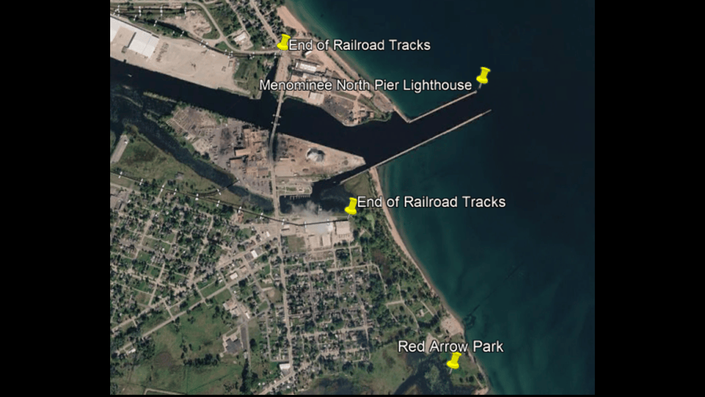
The Menominee North Pier Lighthouse is located in the harbor of Menominee, Michigan.
The current structure is still operational and first lit in 1925.
It originally had a Fresnel Lens, but that lens is currently in use at the Sand Point Lighthouse at Escanaba, Michigan, which we will be coming to shortly.
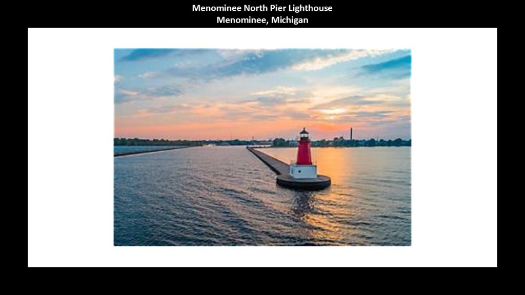
Like we have seen in other places, the Menominee Sewage Disposal Plant, Menominee Water Treatment Plant and the Menominee Regional Airport, and golf course at the Riverside Country Club are near the lighthouse and shore of Green Bay.
I am pointing out recurring patterns that I believe have a meaning beyond what we would normally believe.
I don’t know what the underlying connections are, but I think these connections have been hidden from us.
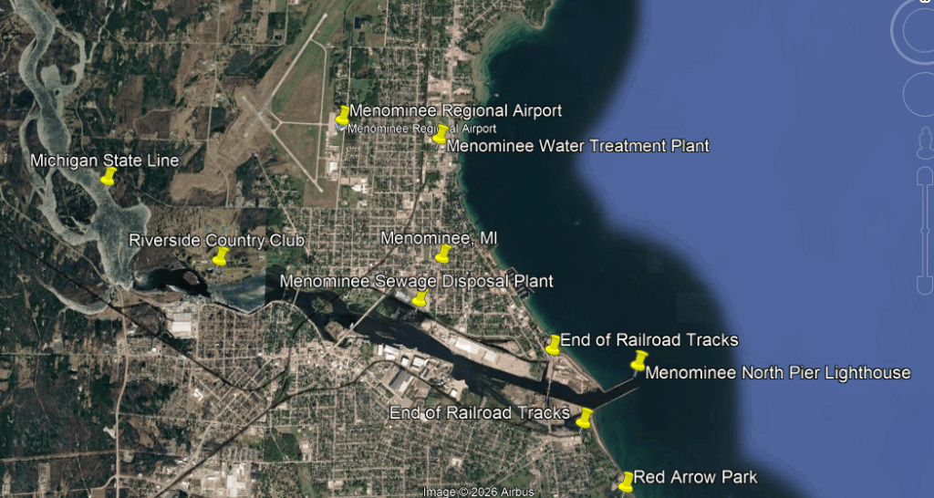
The Menominee Sewage Disposal Plant was constructed in 1940 and it provides wastewater treatment using an activated- sludge treatment process which relies on microorganisms to break down organic material in wastewater before it is released back into the Menominee River.
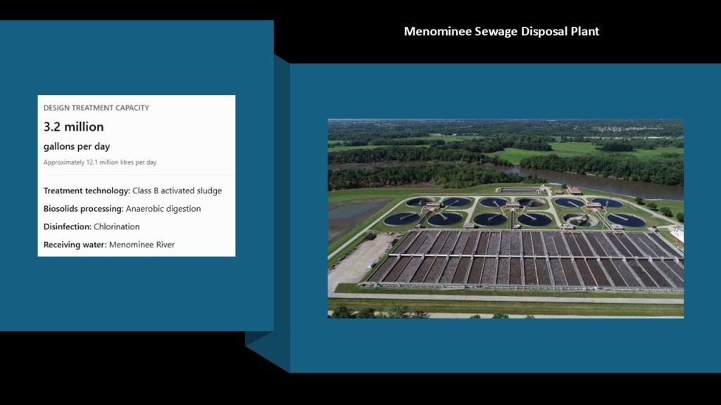
The Menominee Water Treatment Plant, which is located in-between the regional airport and the lakeshore, draws water from Green Bay and uses surface water filtration and treatment.
It supplies water to more than 4,500 customers.
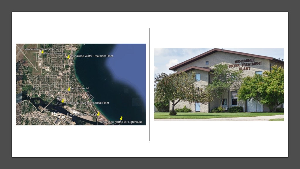
Next, I am going to head up the Green Bay shore line from Menominee to Escanaba, Michigan, on the western-side of Little Bay de Noc in Michigan’s Upper Peninsula, near its southern opening into the main body of Green Bay.
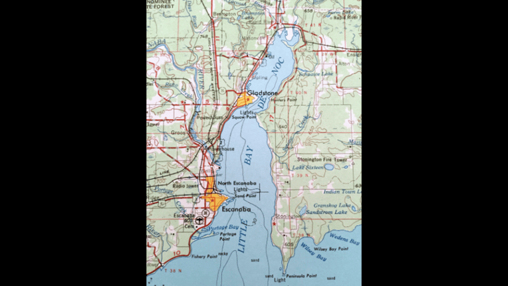
The cities of Escanaba and Gladstone are on the west-side of Little Bay de Noc, and the Big Bay de Noc is on the other-side of the Peninsula which separates the two bays.
Both the Little Bay de Noc and the Big Bay de Noc were named for the Noquet people, an Algonquin-speaking people most closely-related to, and absorbed by, the Menominee.
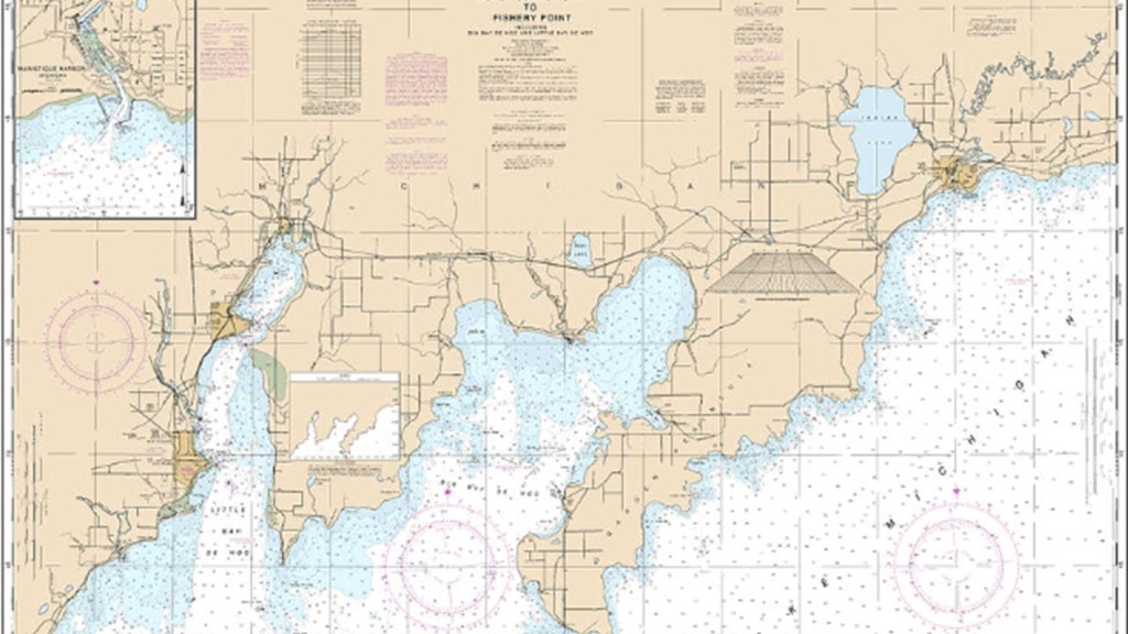
While not yet extinct, the Algonquin language is seriously endangered with relatively few conversational speakers compared with its historical speakers where efforts are being made to keep it alive, primarily a few places in Quebec and Ontario.
Several factors contributed to its dramatic decline, like residential schools where students were punished for speaking their traditional languages; colonization where the English and French language displaced the native languages for every day use; generational disruption, where parents stopped teaching their children the language; and cultural displacement where traditional communities and ways of life were disrupted.

There is something very interesting to note about the Algonquin language.
It is extremely hard to find this kind of information because of the hunter-gatherer theme going on with indigenous peoples of North America in the narrative, but I found an example in the written language script of the Algonquin Mikmaq people of Nova Scotia, and it is that of an apparent connection to the Egyptian language script.
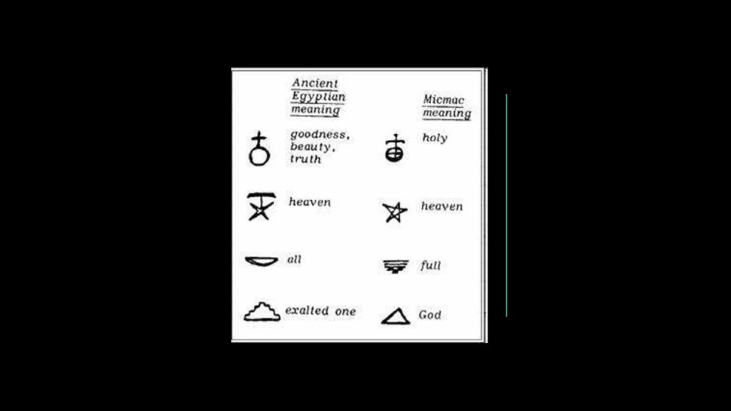
Before I head up the western shore of the Little Bay de Noc, I want to bring forward the bathymetry of Green Bay and the Bays de Noc.
First of all, they are very shallow, ranging in depth from 0- to around -50-meters, or 0- to -164-feet.
I would also like to mention the Au Train– Whitefish Channel – a large, submerged channel beginning in Little Bay de Noc, pointed out by the black arrow, and extends across the floor of Green Bay from around Escanaba to around Washington Island, circled in red, and the Whitefish Fan, where the purple arrow is pointing.
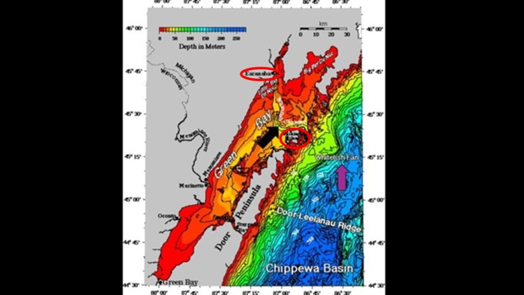
First, Washington Island is one of a string of islands which are an outcropping of the Niagara Escarpment that stretch across the entrance of Green Bay from the Door Peninsula in Wisconsin to the Garden Peninsula on the east-side of the Big Bay de Noc in Michigan.
The strait separating Washington Island and the Door Peninsula is a treacherous waterway littered with shipwrecks.
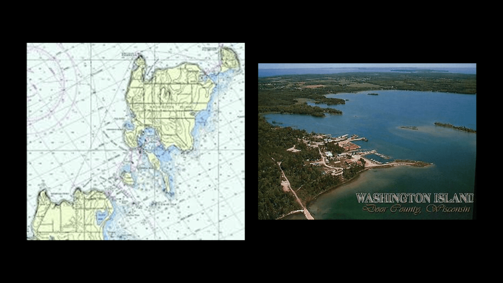
Next, what we are told is that the Au Train Whitefish Channel was a major drainageway for glacial lakes in the Superior Basin when the ice sheet was blocking the St. Mary’s River at Sault Ste. Marie, and today it remains a deep channel through Michigan’s Upper Peninsula, dividing it in two.
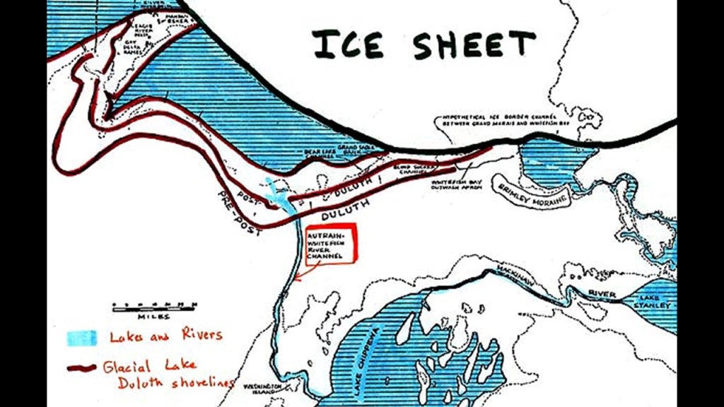
Interestingly, I was able to find a map and reference on-line about there being a proposed ship canal on land in Michigan historically between at Au Train Bay near Munising on Lake Superior, and Escanaba at Little Bay de Noc, and even as recently as the 1980s looked into as a possible project for excavation but was rejected because of projected costs.
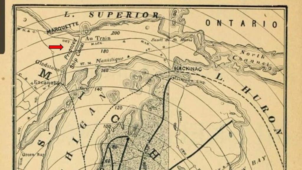
I found an explanation given for the continuation of the underwater channel that when Lake Michigan was in a low stage, the Au Train Whitefish River cut a deep channel in the basin of Lake Michigan, and built a delta known as the Whitefish Fan.
But what if what we are looking at was actually submerged canal?
This is something we are not even given the option to consider in our current world narrative and scientific paradigm.
When I was looking at the bathymetry of this part of Lake Michigan, the Whitefish Fan is what caught my attention and why I wanted to look further into this.
The Whitefish Fan is a large fan that was discovered sometime around 1968 by Northern Michigan University Professor John Hughes that lies at the downslope end of the Whitefish Channel, and has a top depth range of 164- to 180-feet, or 50- to 55-meters.
Professor Hughes attributed the channel and fan to drainage, possibly catastrophic at times, of Lake Superior into Lake Michigan when western Lake Superior was open water and eastern Lake Superior filled with ice.
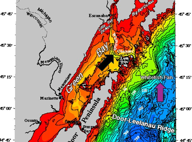
Submarine Fans are described as accumulations of sediment deposits at the terminals of land-to-deep-sea sediment-routing systems.
It is interesting to note that the term of “Toe-of-Slope” is used to refer to the outermost margin of displaced material that marks the end of a landslide’s movement.
Again, I am viewing this as possibly the result of a recent cataclysmic event that caused land to submerge from the deliberate destruction of o the original energy grid, and not a long, long time ago as we have always been taught to believe.
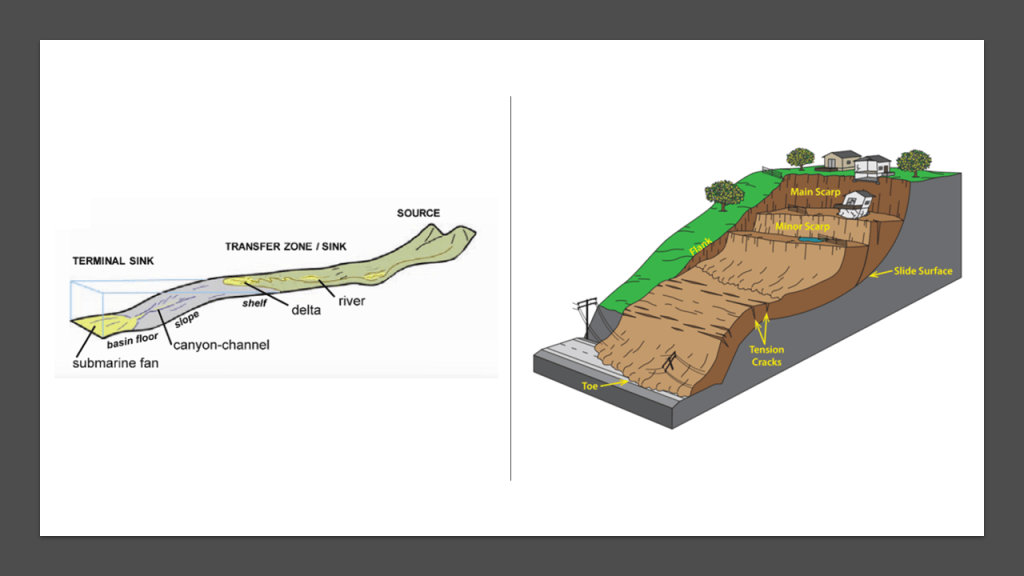
So let’s take a look at the Bays de Noc, beginning with Escanaba.
Escanaba, nicknamed “Esky,” is a port city that is the third largest city in the Upper Peninsula of Michigan, after Marquette and Sault Ste. Marie.
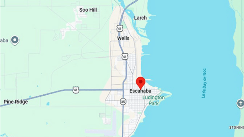
In our historical narrative, Escanaba was founded as a port town by surveyor Eli P. Royce in 1863, which would have been in the middle of the American Civil War.
We are told that iron ore was being mined in the Marquette Iron Range, which shipped out on barges from Escanaba, and that during the Civil War, this port was important to the Union as a shipping point for these ores, in addition to lumber…
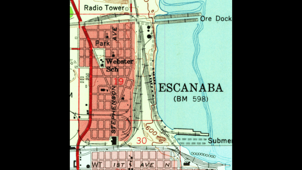
…and that the Peninsula Railroad in Michigan was completed in 1864 to facilitate the transportation of resources from the harbor at Escanaba to the Jackson Mines in Negaunee and further to the mines in Marquette.
This railroad was consolidated into the Chicago and Northwestern Railroad, or C & NW) and played a crucial role in transporting copper and iron ore from the Upper Peninsula to Chicago.
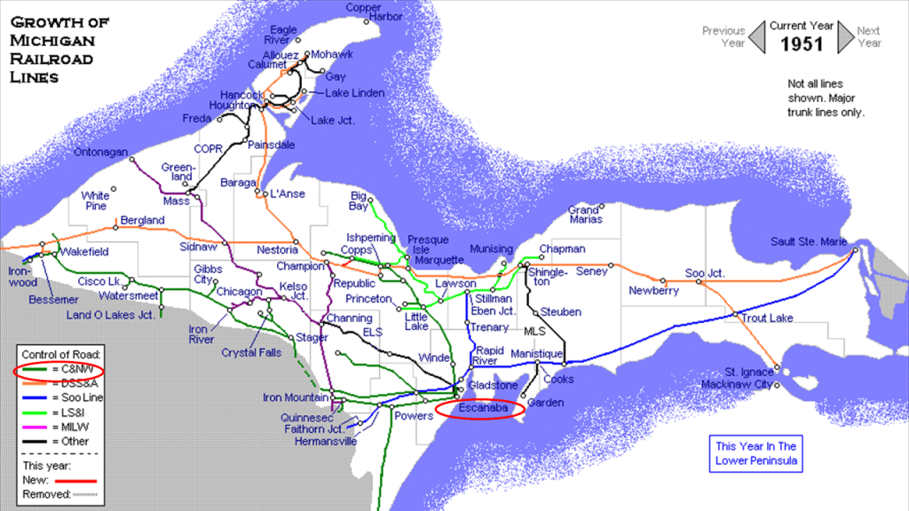
Then, in the years after the end of the Civil War, the Menominee and Gogebic Ranges became important for iron ore in the 1880s.
Iron ore supported industrialization and became a part of the steel industry, as well as other industries, in the Midwest.
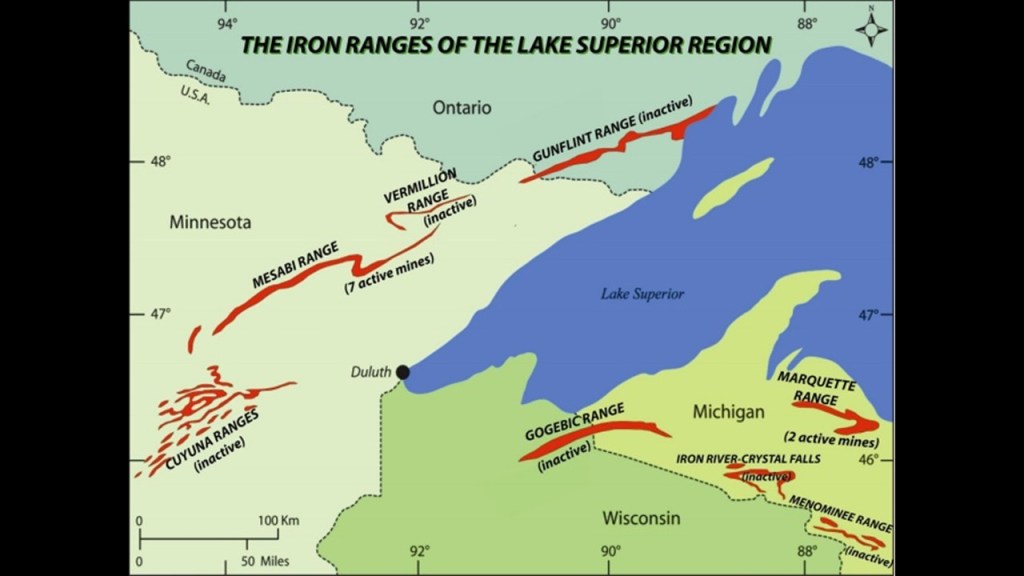
We are told that as shipping increased, a lighthouse was needed to warn of sand shoals in Little Bay de Noc, which extended from Sand Point, a sandspit located just south of, and adjacent to, the Harbor area.
We are told construction of the Sand Point Lighthouse started in 1867, and was completed in 1868.
It was deactivated in 1939.
Its original Fresnel Lens was moved to another lighthouse in 1959, and it received the Fresnel Lens from the Menominee Pier Lighthouse in 1989.
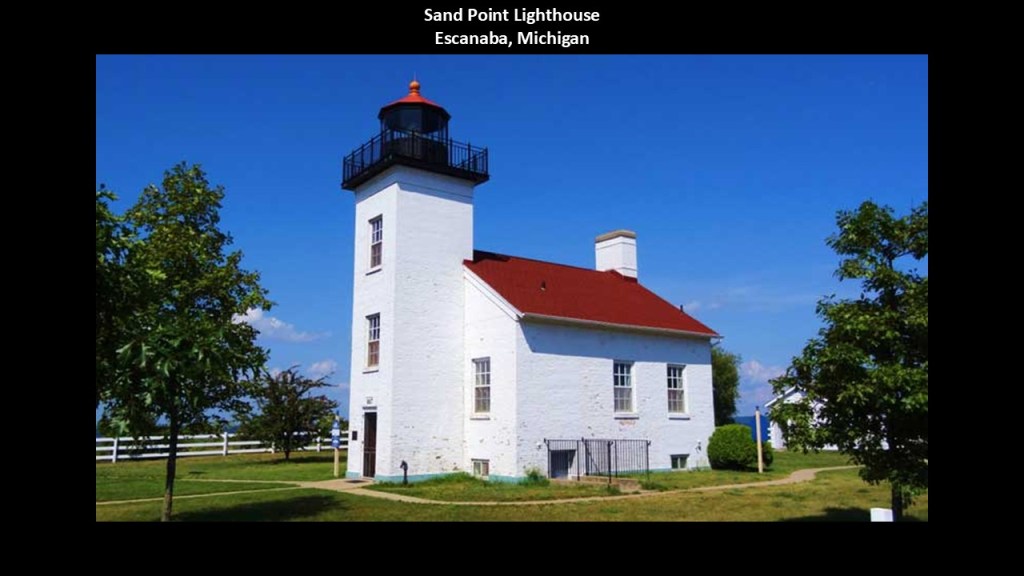
The Escanaba Harbor Crib light is a short distance to the northeast of the Sand Point Lighthouse and the Escanaba City Water Filtration Plant is right next to the Lighthouse, just to the east of it.
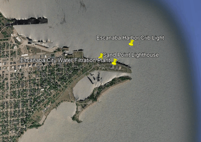
The Escanaba Harbor Crib Light is an offshore navigational beacon that marks the entrance to Escanaba Harbor on Little Bay de Noc.
It was said to have been constructed starting in 1938 and operational in 1939, replacing the historic Sand Point Lighthouse.
We are told that changes to Escanaba’s harbor shoreline made the Sand Point Lighthouse less effective as it was no longer positioned at the entrance to the harbor.
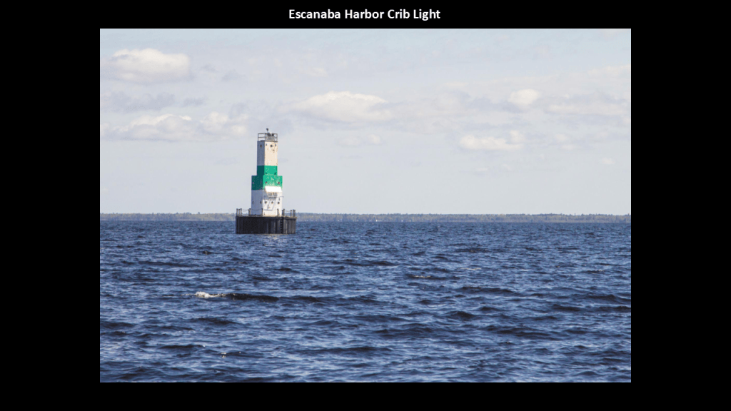
The Escanaba City Water Filtration Plant is right next to the Sand Point Lighthouse on the Sand Point Peninsula.
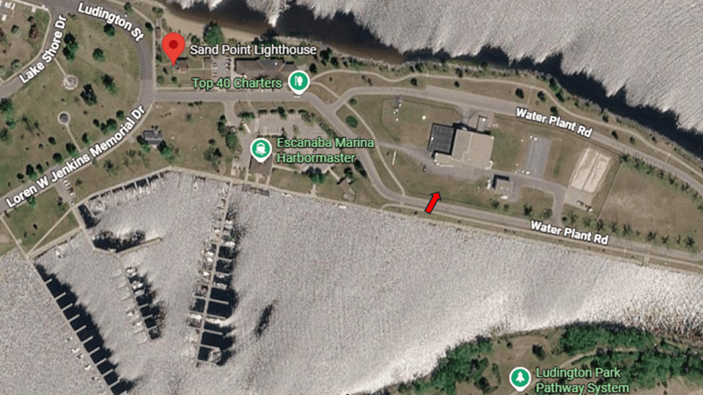
It treats water from Little Bay de Noc for drinking water for the local area using filtration to remove organic material, bacteria, odors, color, and suspended solids.
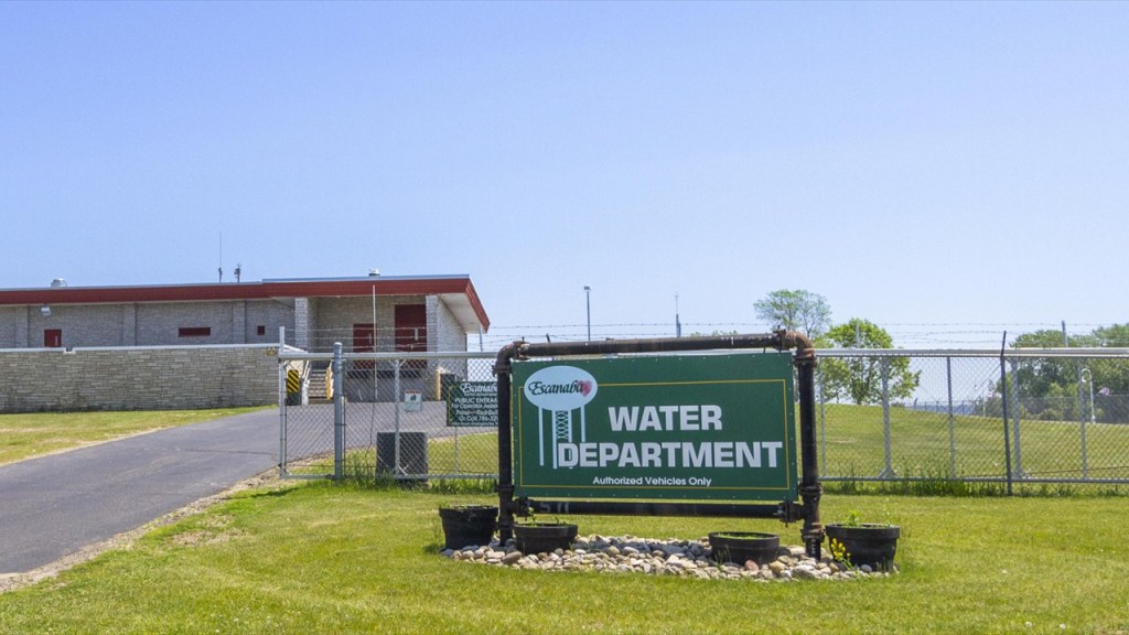
Zooming further out from the Sand Point Peninsula, we find the Escanaba Country Club and the Delta County Airport to the southwest.
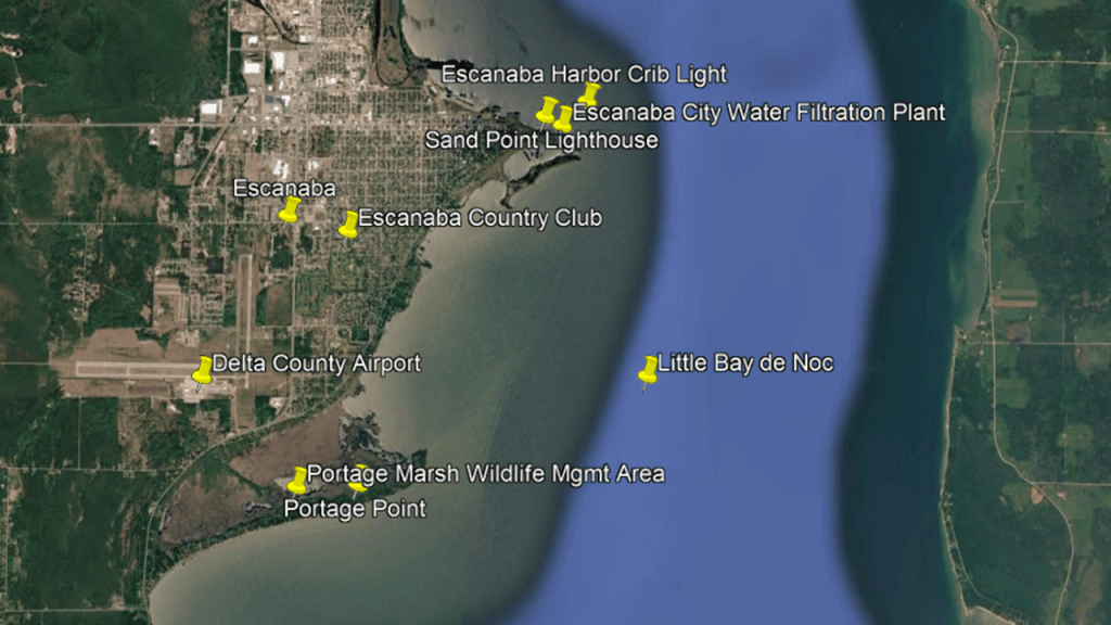
The Escanaba Wastewater Treatment Plant is in close proximity to the Escanaba Country Club and the Delta County Airport.
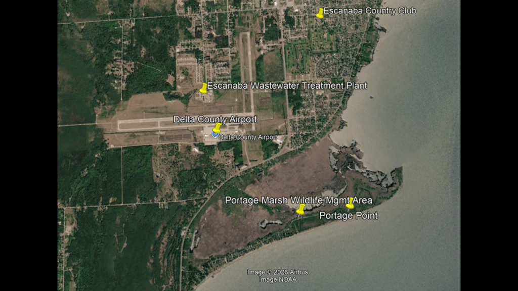
Interesting to note the Escanaba was among the earliest communities in the United States to use an activated-sludge wastewater treatment process.
We are told that Escanaba began operating a wastewater treatment facility in 1890, and that the current facility was established in 1932, when the plant became an early adopter of activated-sludge treatment, whereby microorganisms are used to break-down organic wastes in sewage.
After treatment and disinfection, the wastewater is discharged into Lake Michigan’s Green Bay via an underwater discharge pipeline that extends for 12,000-feet, or 3,901-meters, that is 30-feet, or 9-meters, below the water’s surface at the discharge location.
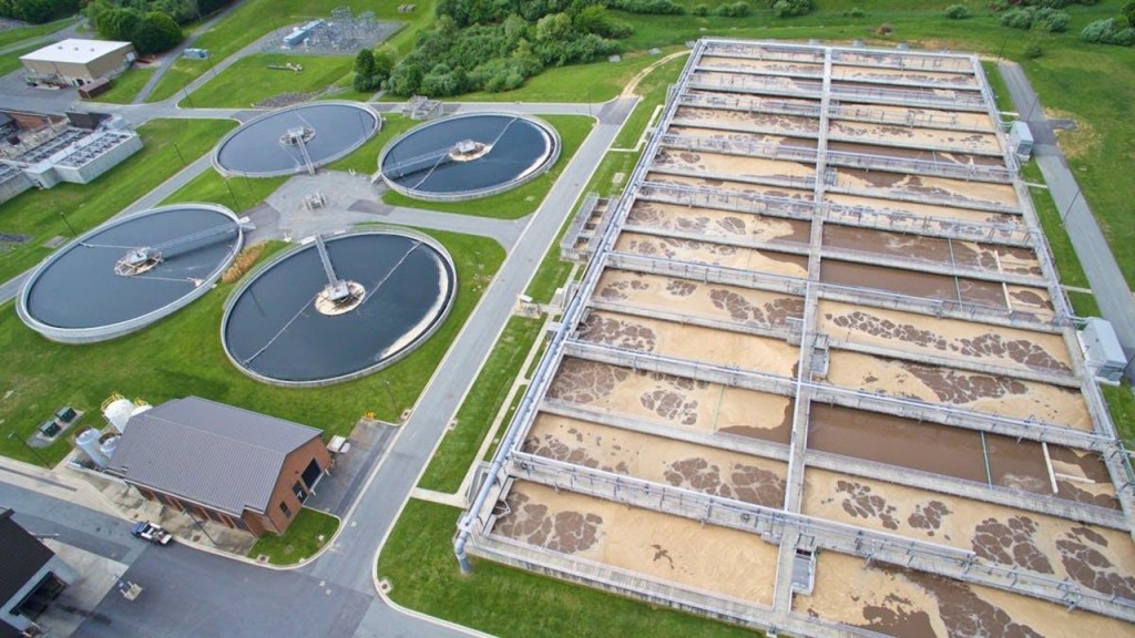
I am interested in the land on the shore-line just below this area at Portage Point that looks rather banged-up.
Portage Point is the geographic peninsula extending into the northern part of Green Bay at the entrance to Little Bay de Noc and the Portage Marsh Wildlife Management Area is the extensive wetland complex surrounding it.
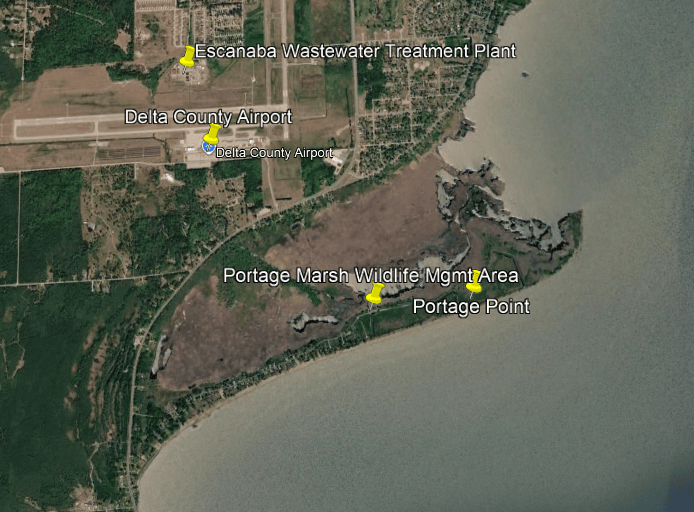
Portage Marsh is a Great Lakes coastal marsh, which is a special type of freshwater wetland found along the Great Lakes.
It features wetland environments such as emergent marsh, wet meadow, shrub swamp, interdunal pools, and creek and open-water habitat.
The marsh is particularly important during spring and fall migration, when waterfowl and shorebirds use the area for resting and feeding.

There is also a sandy dune habitat along the southern edge of Portage Point.
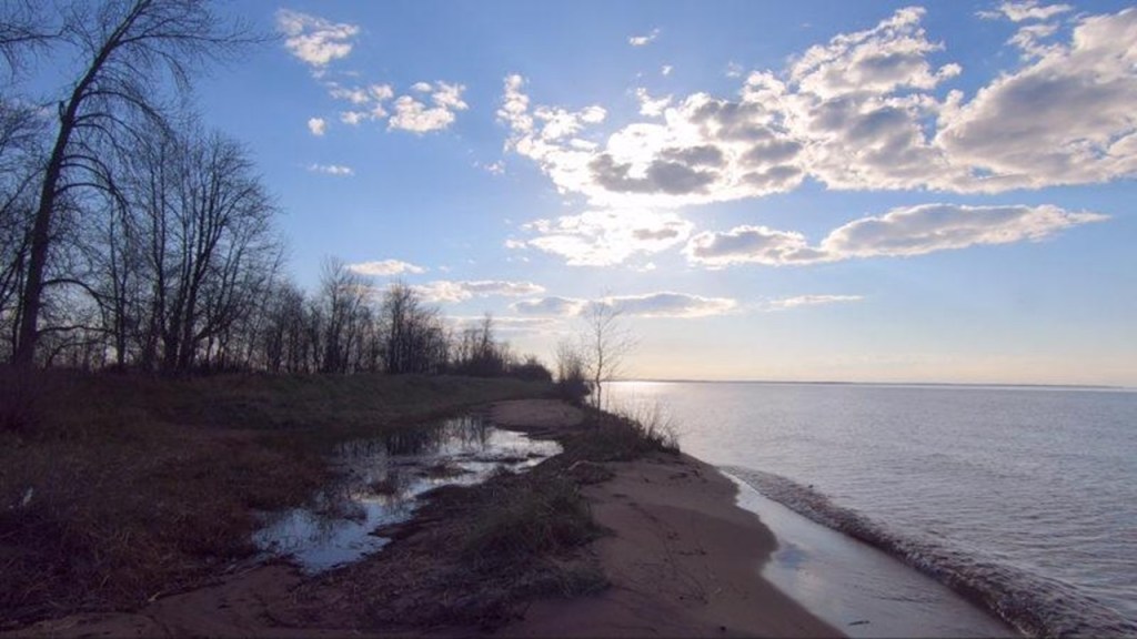
Going 9-miles, or 15-kilometers, northeast up the western shore of Little Bay de Noc from Escanaba, we come to the Gladstone-area.
In the 2020 census, the population of Gladstone was roughly 5,200 people.
We are told that Gladstone was first settled by Europeans in 1859, when the Hamilton Corporation of Fayette began using it as a shipping port for selling and transporting iron ore.
The Hamilton Corporation of Fayette, Michigan, was associated with iron-mining operations near Fayette on the Garden Peninsula.
Its interests included extracting iron ore and transporting it to markets around the Great Lakes.
I will talk more about the Fayette Historic State Park in a bit.
The Hamilton Corporation of Fayette selected a small peninsula extending into the Little Bay de Noc as an iron ore shipping location, which became known as Saunders Point.
Saunders Point is where the Gladstone Water Filtration Plant is located, with the Wastewater Treatment Plant located nearby.
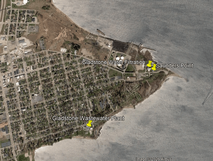
The arrival of the Minneapolis, St. Paul, and Sault Ste. Marie Railroad, known as “The Soo Line,” to Gladstone heralded a new era for it as an important Upper Peninsula Railroad center, with a railroad depot; roundhouse; locomotive machine shop; coal and merchandise docks; and iron ore loading facilities.
This is a photograph notated as the Soo Line depot next to yard and engine terminal, taken in 1984.
The railroad depot was demolished in the 1990s.
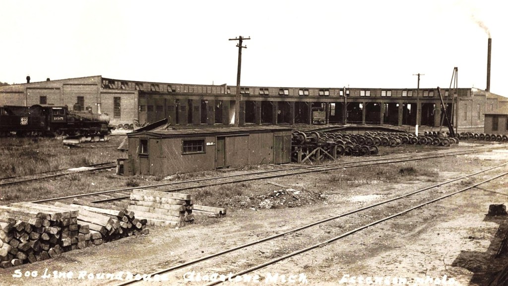
The Canadian National Railway (CN) uses the Gladstone Railyards today, and operates a freight-yard and locomotive servicing facility here.
The CN Railyards are just to the west of Saunders Point, and there is a Gladstone City electric substation just past the railyards.
The Gladstone Lighthouse is located just to the south of Saunders Point.
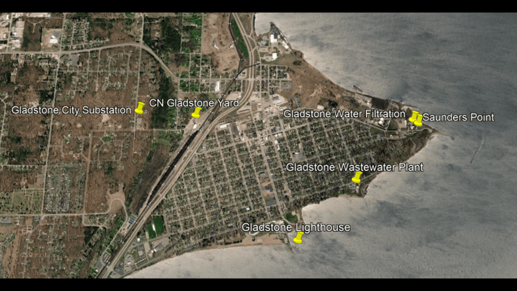
The Gladstone Lighthouse was said to have been built in 2010 as part of a major waterfront improvement project at Van Cleve Park that replaced an earlier tower light that served as a navigational marker for vessels entering Gladstone Harbor.
It’s described as a 30-foot, or 9-meter, – tall octagonal tower made from composite materials to resemble masonry, and is used as an active navigational aid for recreational and commercial vessels.
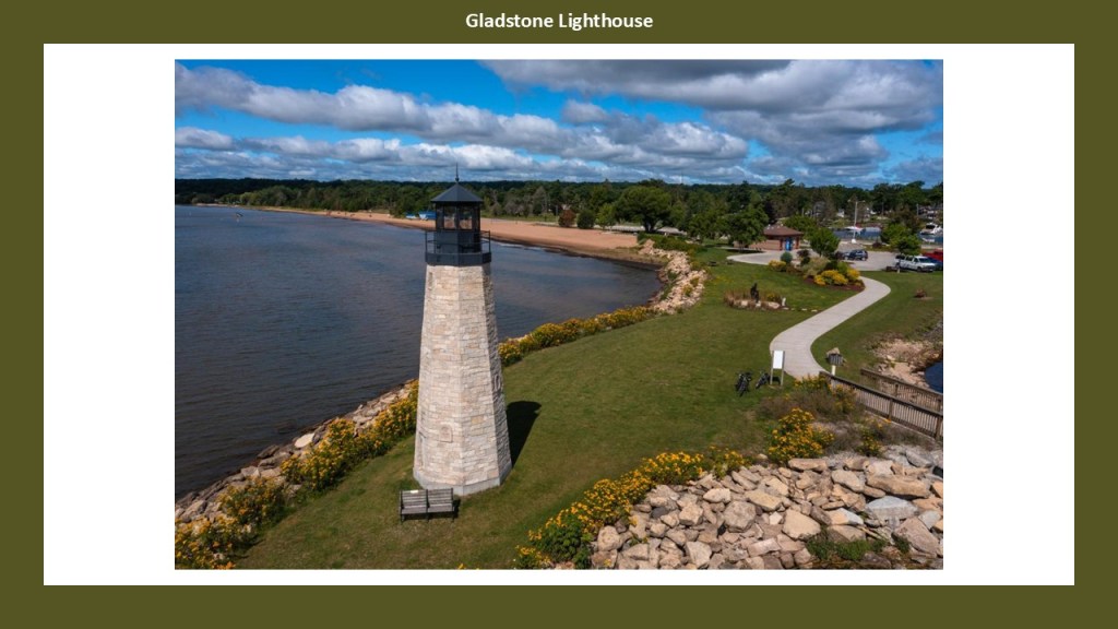
Across the Little Bay de Noc from the Gladstone Lighthouse is the Squaw Point Lighthouse on the Stonington Peninsula..
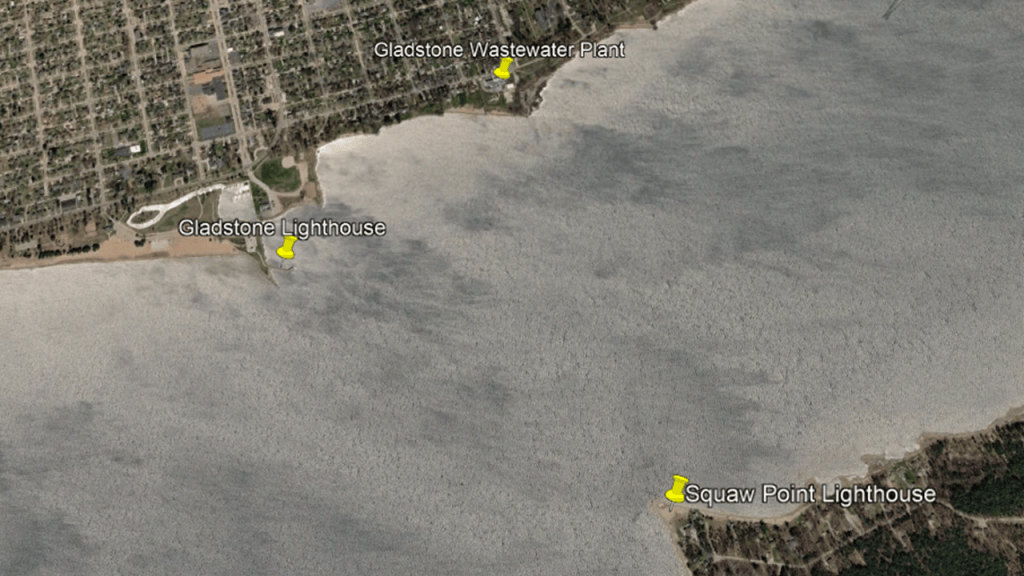
The Squaw Point Lighthouse was described as a much older lighthouse that began operating in 1897 to serve vessels entering the Gladstone Harbor when the Soo Line Railroad and iron ore shipping were transforming the community.
We are told that in August of 1921, a forest fire destroyed the keeper’s building but the tower survived.
Then in 1963 the U. S. Coast Guard demolished the remaining lighthouse tower and replaced it with a steel, pole-mounted light, which was discontinued in 1993.
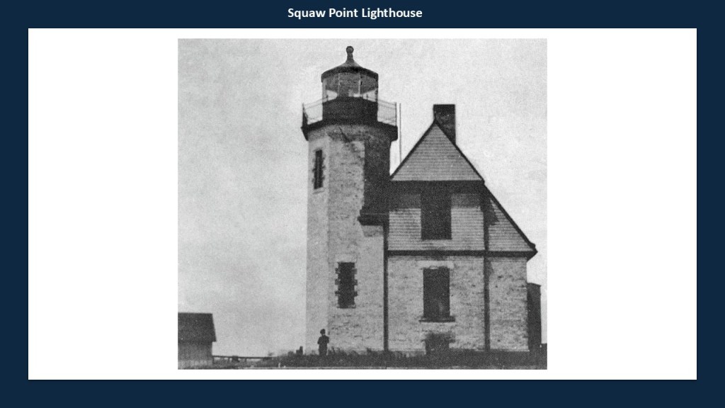
Zooming out from the area concentrated in the middle with the two lighthouses, are a golf club to the south and to the north, and the airport to the west of this area, bearing in mind that this is a community of only around 5,000 people.
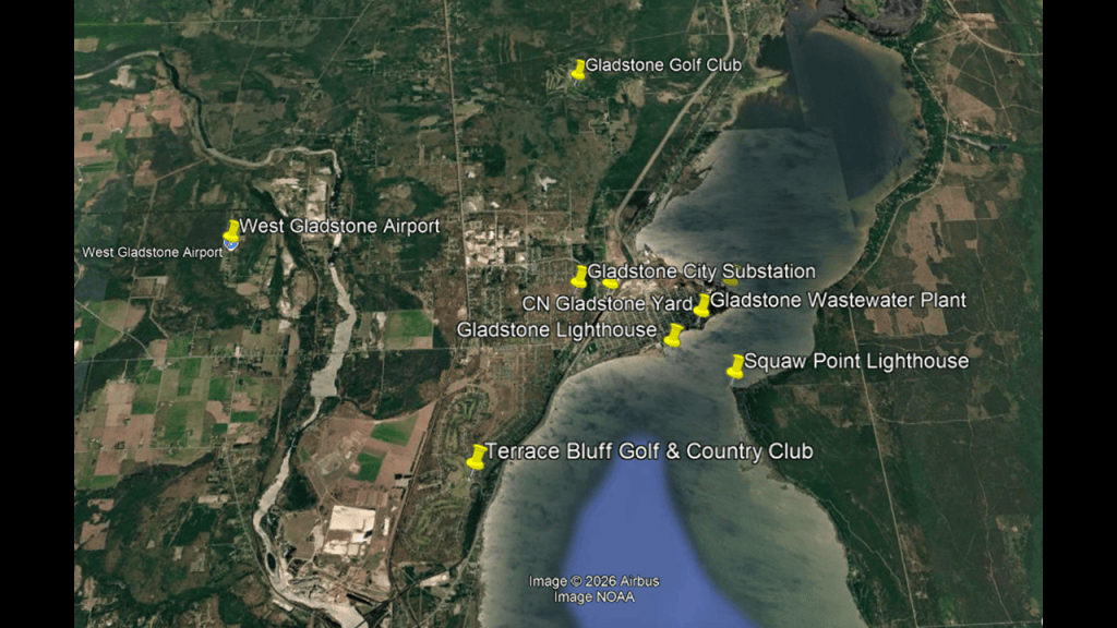
My working hypothesis is that all of this infrastructure seen here in the microcosm of Gladstone and Escanaba on Little Bay de Noc was part of the original free energy grid, and that when it was destroyed, and destroyed the land around it, and brought us what we see in the world today – dunes, beaches, wetlands, and land that was completely submerged underwater.
So in this example, I pointed out with the red arrows that there is a railroad track running along the western edge of the Little Bay de Noc, though I am finding railroad tracks all over the place here as well.
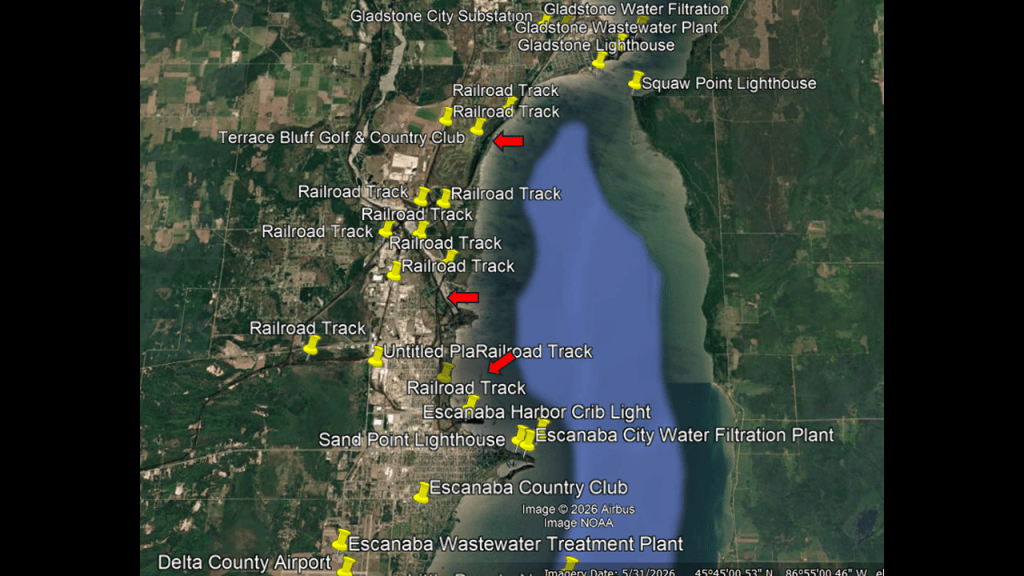
Next, the Stonington Peninsula is along the eastern edge of the Little Bay de Noc and the western edge of the Big Bay de Noc.
It is part of Delta County, of which Escanaba is the county seat, and the county has a total populartion of around 37,000 people.
The peninsula is characterized by: heavily wooded areas; rocky and sandy shorelines; wetlands and marshes; shallow coastal waters; and relatively isolated rurual communities.
The Squaw Point Lighthouse was one of two on the Stonington Peninsula. the other is the Peninsula Point Lighthouse on its southern tip.
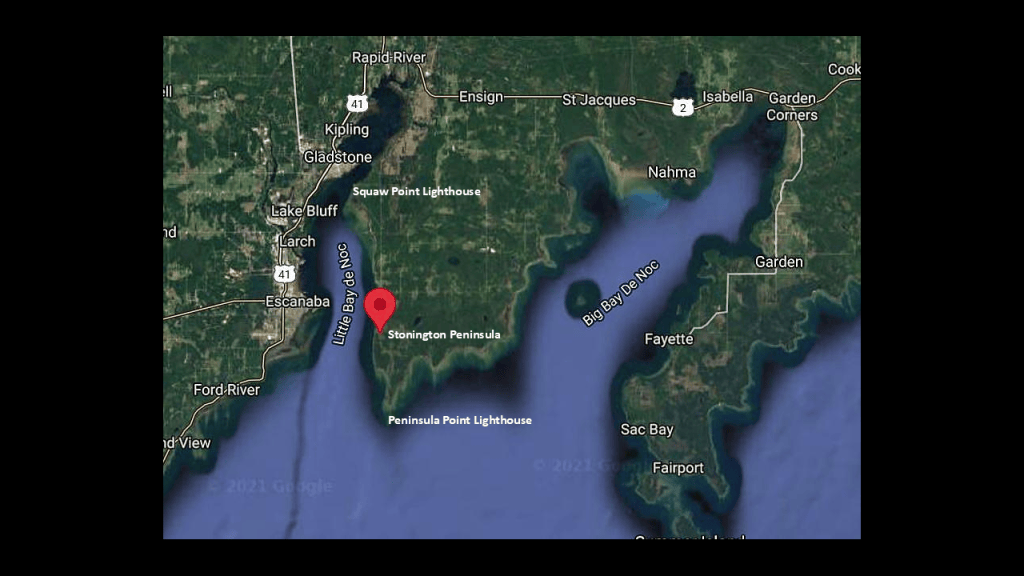
The Peninsula Point Lighthouse was said to have been built in 1865, which was the year the American Civil War ended, and that it was built to guide ships navigating the waters between Green Bay and Lake Michigan.
It was built out of brick and originally had a Fresnel lens, and was decommissioned in 1936.
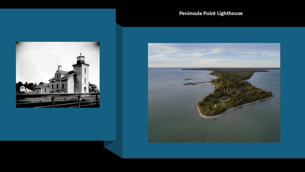
These days it is an historic landmark and tourist destination.
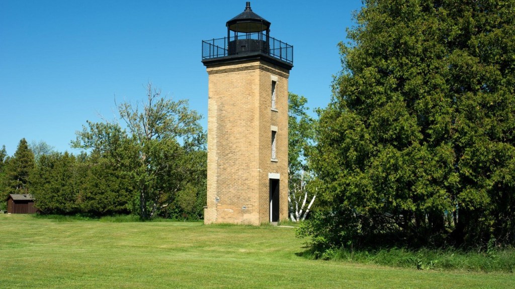
Interesting to note that Peninsula Point is known for thousands of monarch butterflies gathering here on their fall migration before crossing Green Bay heading south to the mountains of central Mexico every year.
The research here since 1994 has produced one of the longest-running monarch migration datasets in North America.
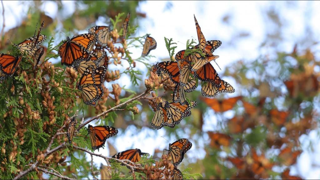
The Minneapolis Shoal Lighthouse is approximately 7-miles, or 11-kilometers, south of Peninsula Point along the shipping approach to Little Bay de Noc.
It marks a hazardous underwater area known as the Minneapolis Shoal, where dangerous underwater obstructions are a danger to navigation.
It was said to have been constructed in 1934, which would have been during the Great Depression.
It is still an active lighthouse.
It also originally had a Fresnel lens, but that was removed and replaced with a modern optical system.
The whereabouts of the original Fresnel lens is unknown.
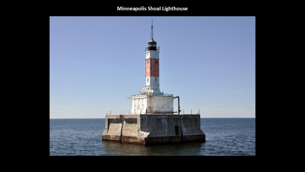
We are told the name comes from a shipwreck that took place in 1898 when a schooner named “Minneapolis” struck an unmarked shoal in Green Bay and drew attention to the navigation hazard.
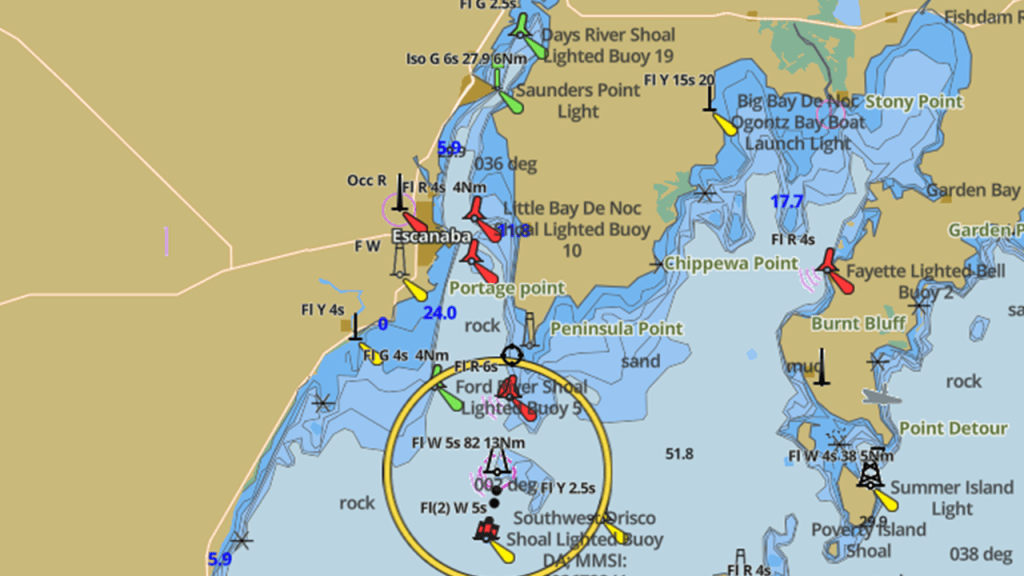
There are lighthouses on the islands at the entrance to Green Bay from Lake Michigan, located in-between Wisconsin’s Door Peninsula and Michigan’s Garden Peninsula on the eastern-side of the Big Bay de Noc.
They are the Pottawatomie Lighthouse on Rock Island; the St. Martin Island Lighthouse and the Poverty Island Lighthouse.
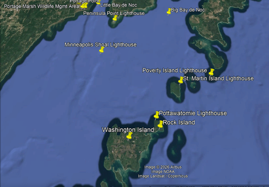
The Pottawatomie Lighthouse is located on Rock Island on the Niagara Escarpment, which is immediately adjacent to the previously-mentioned Washington Island, overlooking the Rock Island Passage between Lake Michigan and Green Bay, known for its hazardous reefs and rocky shoals.
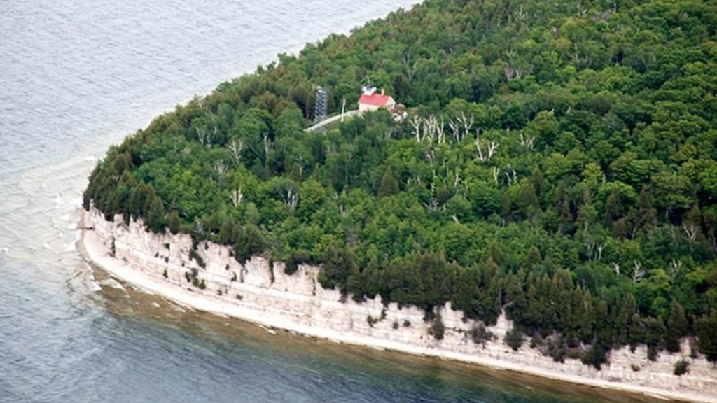
It is considered one of the most historically-significant lighthouses on the Great Lakes as it was Wisconsin’s first lighthouse because it was established in 1836, before Wisconsin became a state in 1848.
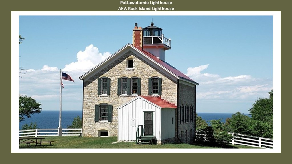
The Pottawatomie Lighthouse was deactivated in 1988, and a navigational light was moved to a nearby steel skeletal tower.
The lighthouse has been restored and is open to the public, and there is a replica of a fresnel lens on display for visitors to see what the optical equipment looked like historically.
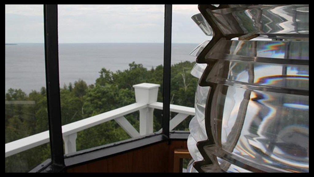
Next the St. Martin Island Lighthouse.
It is on an island approximately half-way between Michigan’s Garden Peninsula and Wisconsin’s Washington Island, near the entrance to Green Bay.
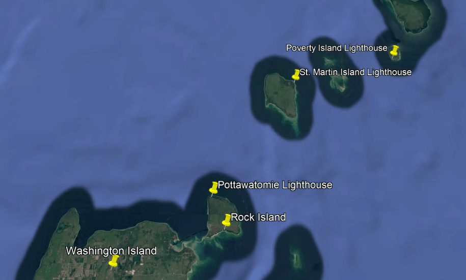
We are told the St. Martin Island Lighthouse is one of the most unusual and architecturally-distinctive lighthouses on Lake Michigan because it has an exoskeletal steel tower as its structural support is provided by an external framework.
It has a hexagonal central tower made of iron plates; six exterior steel support columns; latticed steel bracing connecting the support columns; and the lantern room at the top.
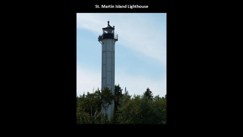
It was said to have been constructed in the early 1900s and active by 1905.
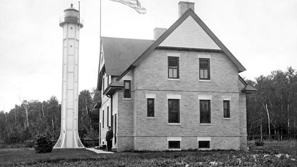
It is still operational with a modern optical system.
The keeper’s residence still stands but is abandoned and in a deteriorated condition.
The Fresnel lens that was here originally was removed from this one and transferred to the Point Iroquois Lighthouse in Chippewa County on Lake Superior.
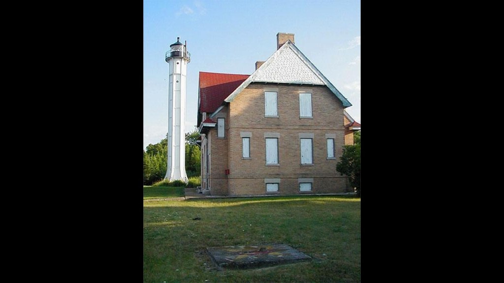
The Poverty Island Lighthouse lies near the entrance of Green Bay on an historic shipping passage used by vessels travelling between Lake Michigan and the ports of Green Bay.
Poverty Island is 6-miles, or 10-kilometers south of Michigan’s Garden Peninsula.
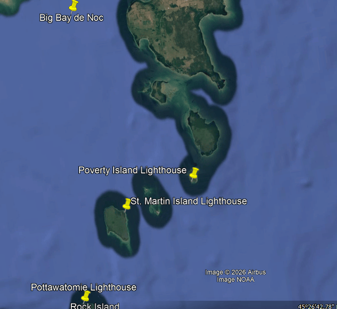
It marked the Poverty Island Passage to help ships avoid dangerous underwater shoals, and was particularly important for commercial shipping associated with Escanaba’s iron ore industry and lumber transportation as well as other commercial and passenger vessels.
These days it is an abandoned and deteriorating structure.
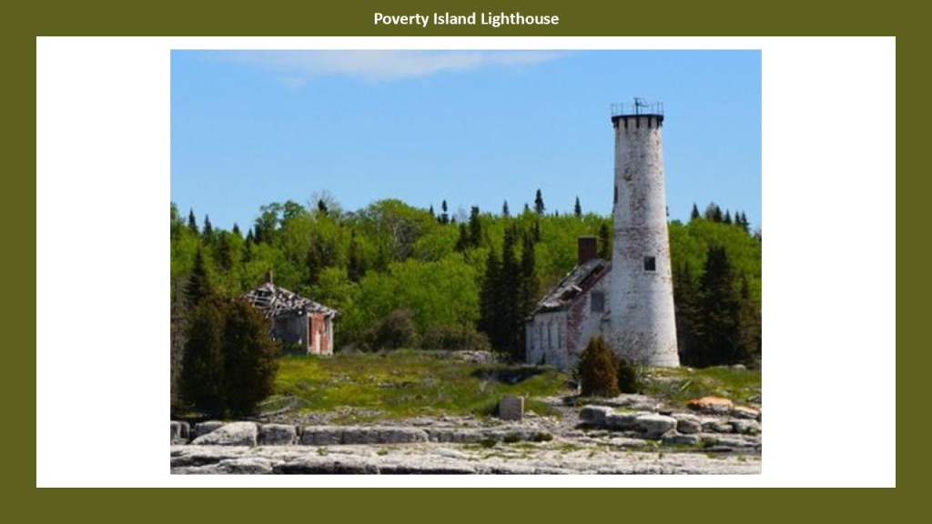
It was said to have been built between 1873 and 1875 and that the original lighthouse tower was deactivated in 1976 when a separate steel skeletal light was installed nearby and it was eventually discontinued as well.
The Fresnel lens at this lighthouse was removed in 1976 and its present location not clearly established.
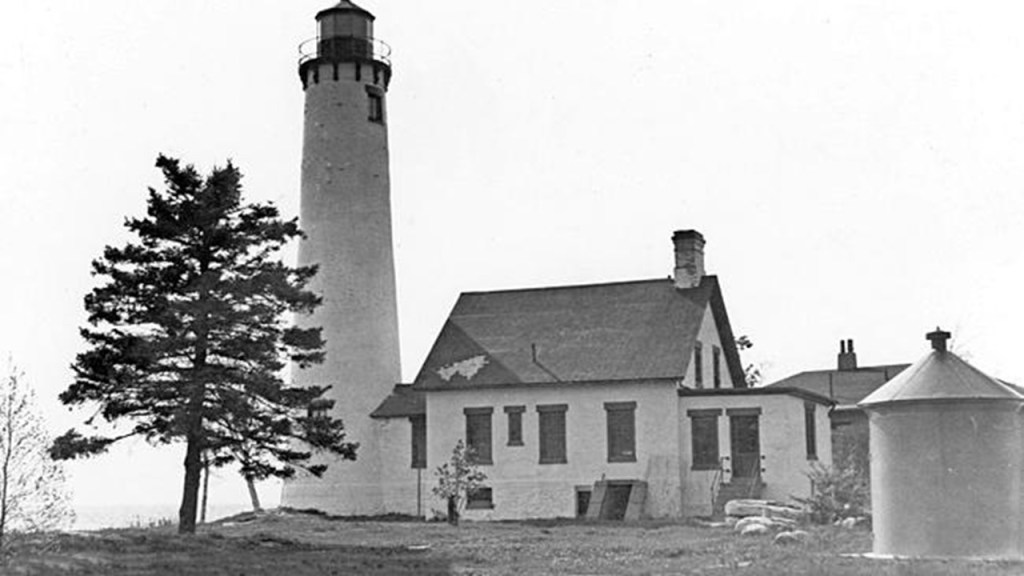
Like the Stonington Peninsula on the other side of the Big Bay de Noc, the Garden Peninsula is part of Michigan’s Delta County.
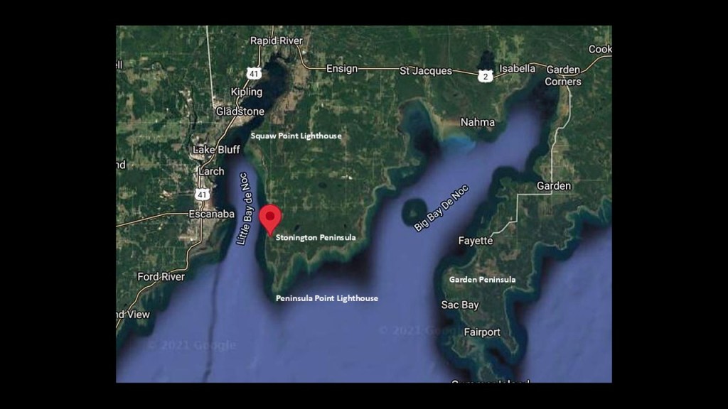
The Garden Peninsula is home to the Fayette Historic State Park, where there is a well-preserved former iron-smelting town.
I had mentioned Fayette previously with the establishment of Gladstone as a shipping port for selling and transporting iron ore by the Hamilton Corporation of Fayette, which was associated with iron-mining operations near Fayette on the Garden Peninsula.
The town of Fayette was established in 1867 by the Jackson Iron Company, and between 1867 and 1891, Fayette produced approximately 230,000 tons of pig iron.
At its height, the community had 500 residents, and a hotel, school, company store, town hall, machine shop and other residences.
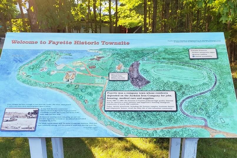
When the iron-smelting operations ended in 1891, most of the population left.
Today, more than 20 historic buildings and industrial structures are visitable at the site.
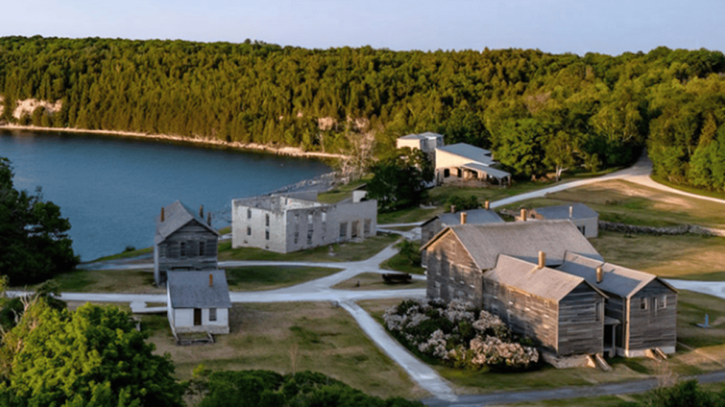
Before and during Fayette’s industrial period, lumbering was a major economic activity, providing charcoal for the iron furnaces from the hardwood, and also harvested for commercial lumber production.
Even today, the Fayette Historic State Park is home to Michigan’s oldest trees .
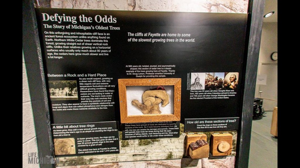
The limestone cliffs overlooking the harbor at Fayette support ancient northern cedars that are estimated to be more than 1,400-years-old that grow around and amongst the cliffs.
The closest rail connection I could find to Fayette was the Garden Bay Railroad, which we are told operated for around 3-years, from 1914 to 1917 in our historical narrative, which would have been during World War I.
It ran from Vans Harbor, to Garden, Michigan, and up to Cooks, where it connected with the Soo Line railroad main-line.
The reason given for its abandonment in 1917 was that it was considered unnecessary by the Federal Government in charge of the railways of the nation during World War.
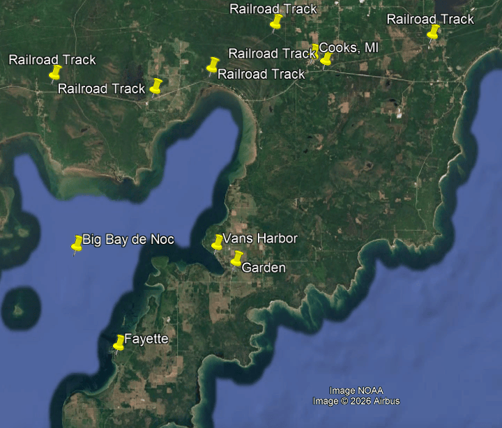
The Soo Line Railroad is one of the most historically important railroads of the American Upper Midwest, and played a major role in connecting the Great Lakes Region.
It was established in 1888 as the Minneapolis, St. Paul and Sault Ste. Marie Railway, and particularly important in northern Wisconsin and Michigan’s Upper Peninsula.
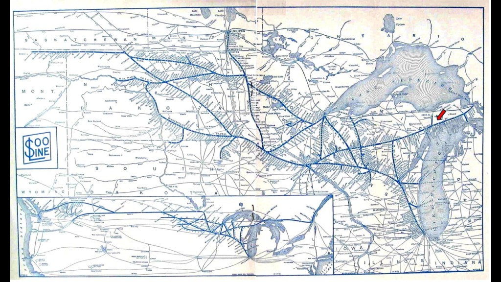
There is still railway trackage from the former Soo Line in use by the Canadian National Railway between Gladstone and Manistique above the Stonington and Garden Peninsulas.
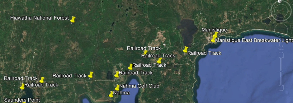
This brings me to Manistique, Michigan.
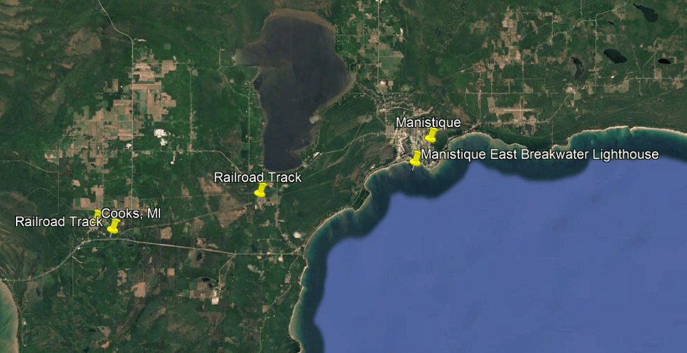
Manistique is the county seat of Schoolcraft County, and its only incorporated city, which took place in 1901, after it had been incorporated as a village in 1883.
The 2020 census recorded the population as just under 3,000 people.
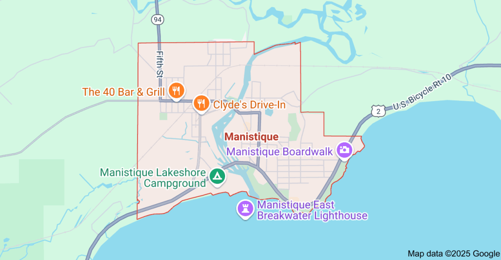
Schoolcraft County was named after Henry Rowe Schoolcraft.
Henry Rowe Schoolcraft was a geographer, geologist, and ethnologist, who explored Michigan’s Upper Peninsula starting in 1820, and who we are told documented Native American cultures of the region.
He also was part of an expedition that determined that Lake Itasca was the source of the Mississippi River in 1832.
He also would appear to have been a Freemason as well.
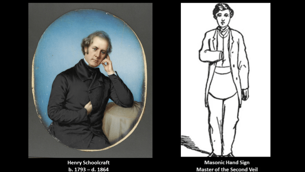
In 1847, Congress commissioned Schoolcraft to do a comprehensive reference work on the history, culture, and social mores of Indian tribes throughout North America,, and which was published in six-volumes between 1851 and 1857, and was likely a source of the new narrative about the indigenous people as well.

The City of Manistique is situated at the mouth of the Manistique River on the Upper Peninsula on the North Shore of Lake Michigan.
We are told that the natural harbor here has been improved by breakwaters, dredging, and the East Breakwater Lighthouse.
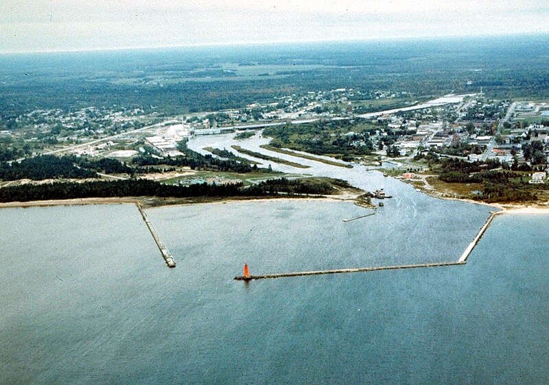
The East Breakwater Lighthouse was said to have been constructed in 1916, and automated in 1969.
While it is still an active lighthouse, it was auctioned off in 2013 in a U. S. General Services Administration auction, and purchased by a private individual.
We are told the auction took place after efforts were made in 2012 under the National Historic Lighthouse Preservation Act of 2000 to transfer ownership of the lighthouse to an eligible entity at no cost, but no such entity assumed ownership of the lighthouse.
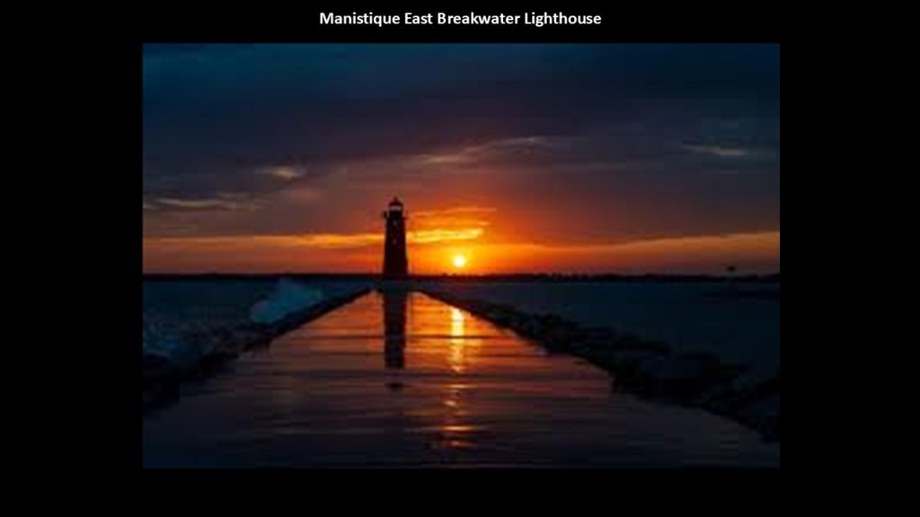
The remnants of the historic Manistique Car Ferry Dock and Sewage Disposal Plant are on the other side of the harbor from the lighthouse.
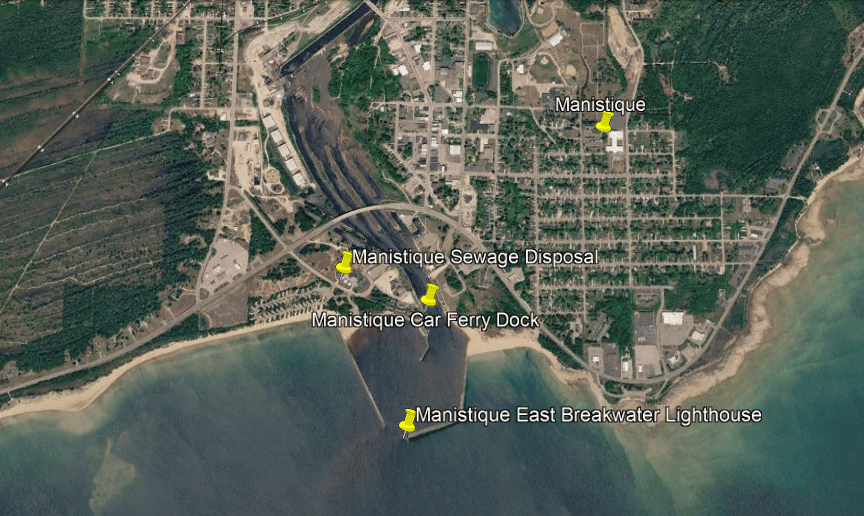
The Manistique Car Ferry Dock was an important part of Michigan’s historic railroad and Great Lakes transportation network.
It had included an adjustable loading apron that allowed railroad cars to move between the shore tracks and the ferry’s deck tracks.
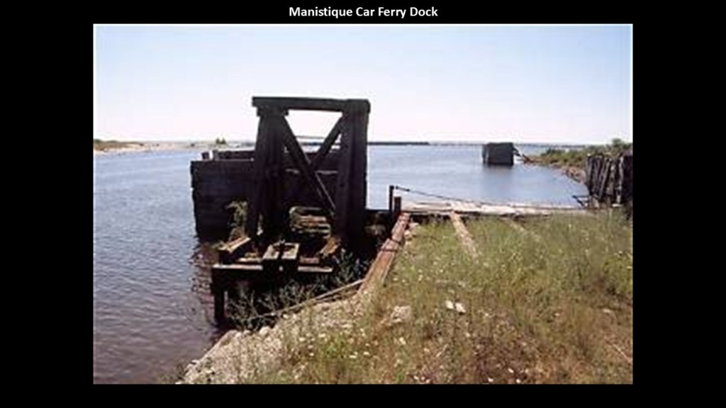
It operated during a time when specially designed ships were used to carry entire railroad cars across Lake Michigan, connecting the Upper Peninsula with railroad networks across the Midwest.
The first Ann Arbor Railroad Car Ferry arrived in Manistique in June of 1897, and operated for the next 71-years, when in August of 1968, it abandoned its car-ferry route and the Manistique and Lake Superior Railroad.
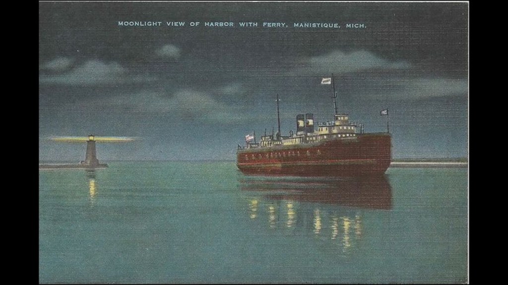
There was a second, short-lived, railroad car ferry service between Manistique and Northport on Michigan’s Leelanau Peninsula, that operated from 1903 to 1908.
The vessel was a substantial steel, twin-screw railroad car ferry.
After its service as a car ferry ended in 1908, it was sold and renamed Milwaukee.
It sank in a Lake Michigan storm in October of 1929, with the loss of everyone on-board.
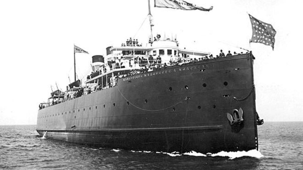
The Manistique Sewage Disposal Plant is right next to the old car ferry dock.
It is a short-distance from the end of railroad tracks, and the end of the railroad tracks is right next to the UP Paper Mill, so the railroad tracks that connected to the car ferry dock are no longer there.
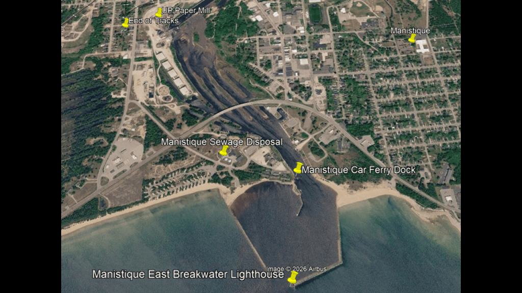
The Manistique Sewage Disposal Plant is the facility responsible for treating the city’s wastewater, and began operating in 1959.
Before 1959, the city’s sanitary sewage and stormwater were discharged directly into Lake Michigan.
The plant started using an activated-sludge biological treatment process in 1979.
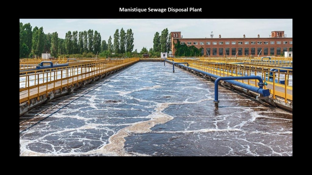
The Manistique River was designated a Great Lakes Area of Concern (AOC) because of decades of industrial and municipal pollution, and in 2024, was awarded $18-million by the State of Michigan for wastewater-treatment improvements.
Several sources contributed to the problem, including: paper manufacturing and recycling operations; PCB contamination associated with the paper de-inking process; historic sawmill waste; sewer overflows; and municipal water discharges.
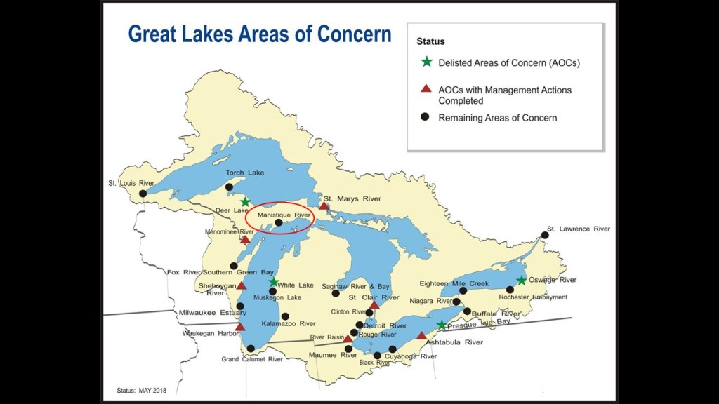
The Old Manistique Water Tower is a short-distance northeast of the UP Paper Plant, and is also next to the end of railroad tracks.
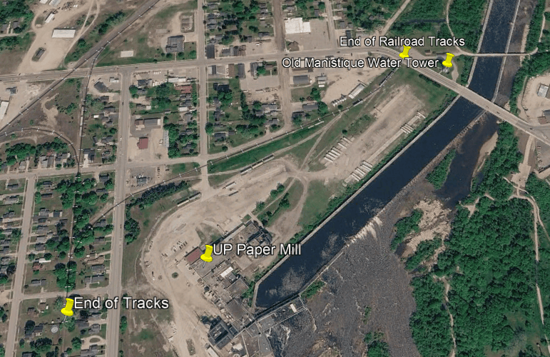
Like we saw back in Milwaukee and Chicago, Manistique also has an historic water tower.
The Manistique Water Tower and Pumping Station was said to have been built in a year, from June of 1921 to September of 1922 to replace the existing water pumping system which was no longer adequate, particularly for firefighting.
This pumping station was then only in use for 32-years, until 1954, when it was replaced by a new pumping station.
The elegant and massive masonry former pumping station now serves as the Schoolcraft County Museum.
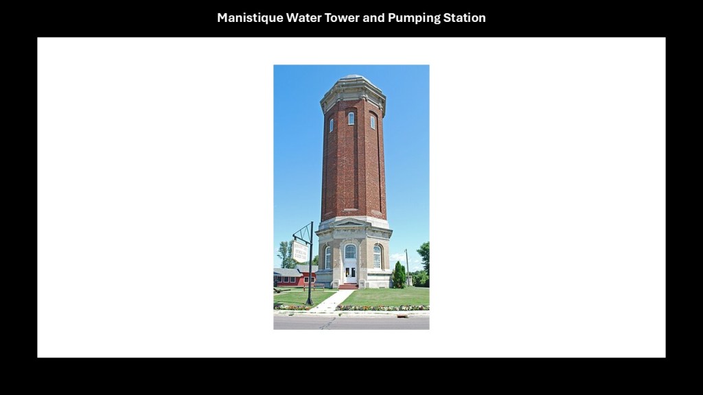
The newer modern Manistique Pumping Station is further northeast of the Old Manistique Water Tower, and was put into operation in 1954.
It is located at Intake Park in northern Manistique, on the other side of the railroad tracks that are still used and run through the area from the Old Manistique Water Tower, and is part of the municipal drinking water infrastructure for treatment and distribution.
I am bringing these kinds of places forward in this post because I believe they were all part of and/or connected to the original energy grid.
Heading east on the Lake Michigan shore-line from Manistique, we next come to the Seul Choix Pointe Lighthouse and the mining operations of Port Inland.
The Seul Choix Pointe Lighthouse in Gulliver, Michigan, is called one of the most distinctive lighthouses on Lake Michigan.
It still operates as a navigational aid; and still has its historic buildings like the Keeper’s residence and other outbuildings.
It once had a Fresnel Lens that is no longer there, having been replaced by an electric airport-style beacon when the lighthouse was automated in 1972.
The Seul Choix Pointe Lighthouse was said to have been first lit in 1895 when the Lake Michigan shoreline was becoming increasingly important to commercial navigation in the late 19th-century from industries like mining; lumber; agriculture and fishing.
The Port Inland mining operations are close to the Seul Choix Pointe Lighthouse.
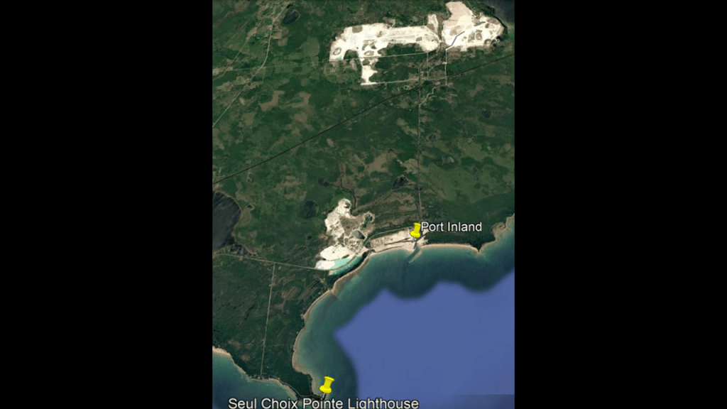
Port Inland is a major limestone mining and shipping operation.
It combines three industries of limestone quarrying, bulk-material processing, and Great Lakes shipping, and is one of the most important industrial sites along this remote stretch of Michigan’s Upper Peninsula.
The operation was initially established by the Inland Steel Company between 1929 and 1930, which was at the beginning of the Great Depression, and was originally known as the “Lime and Stone Company,” needed by the steel making company because it was used in the production of steel, and after producing millions of tons of limestone annually, the operation was closed by Inland Steel in 1989.
Originally, the limestone was hauled from the Inland Quarry to the harbor shipping terminal via an electrified industrial railway that interchanged with the Soo Line at Inland Junction.
The system was later converted to a diesel operation.
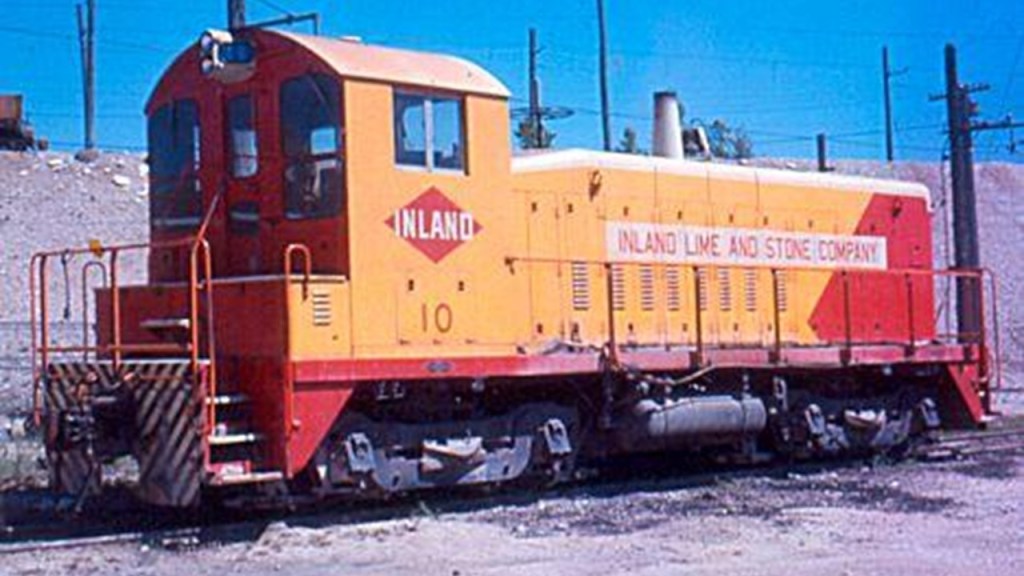
It was purchased by Specialty Minerals in 1990 and reopened as a commercial limestone producer in 1992, with a much broader market than one steel company.
Both high-calcium limestone and dolomite are produced from the quarries.
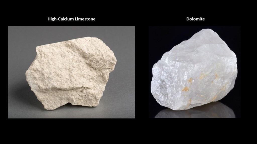
Interesting to note that this area is part of a vast formation of dolomite on the Niagara Escarpment called the ‘Niagara Dolomite, ” or “Engadine Corona,” originating on the eastern tip of Manitoulin Island and extending to Manistique in Michigan’s Upper Peninsula.
The formation is 54 – 95-feet, or 16 – 19-meters, – thick.
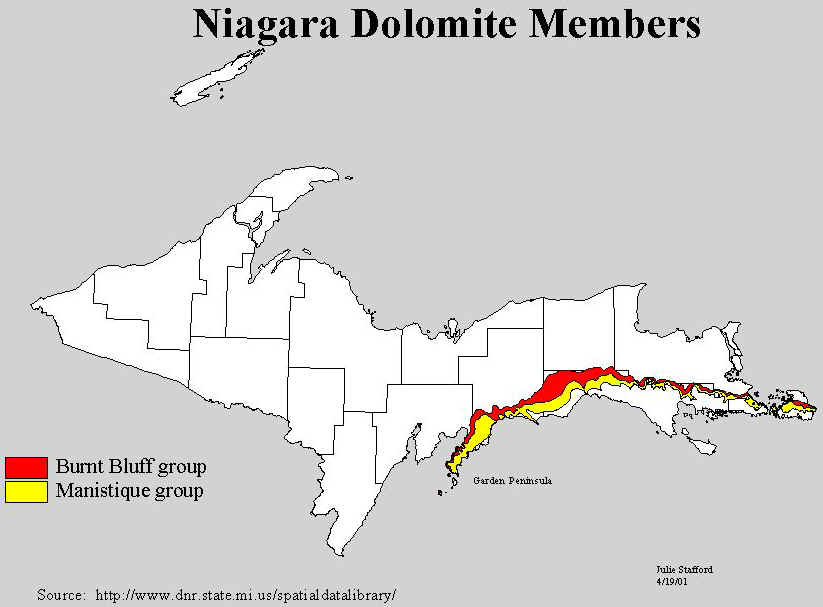
Early geologists noted the rock looked like marble.
Like I said earlier back at the quarries of Sturgeon Bay, I strongly suspect that the stone quarries, here and elsewhere in the world, are harvesting megalithic stone blocks from existing infrastructure.
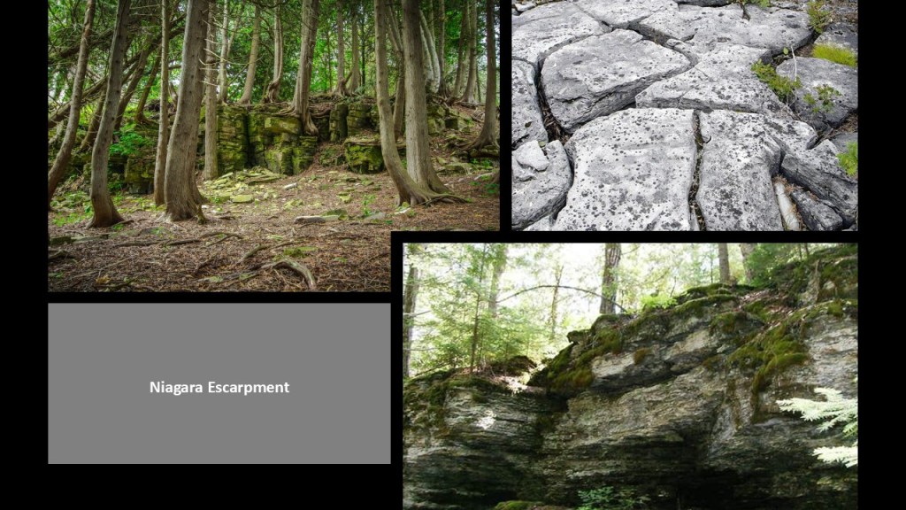
I don’t believe that escarpments like the Niagara Escarpment were created by the glacial forces from the last Ice Age as we have been taught to believe but were all part of the original energy grid that was destroyed and the civilization that built it all was wiped from the face of the Earth.
I believe all of that was a cover story to hide the existence of this advanced civilization from our awareness.
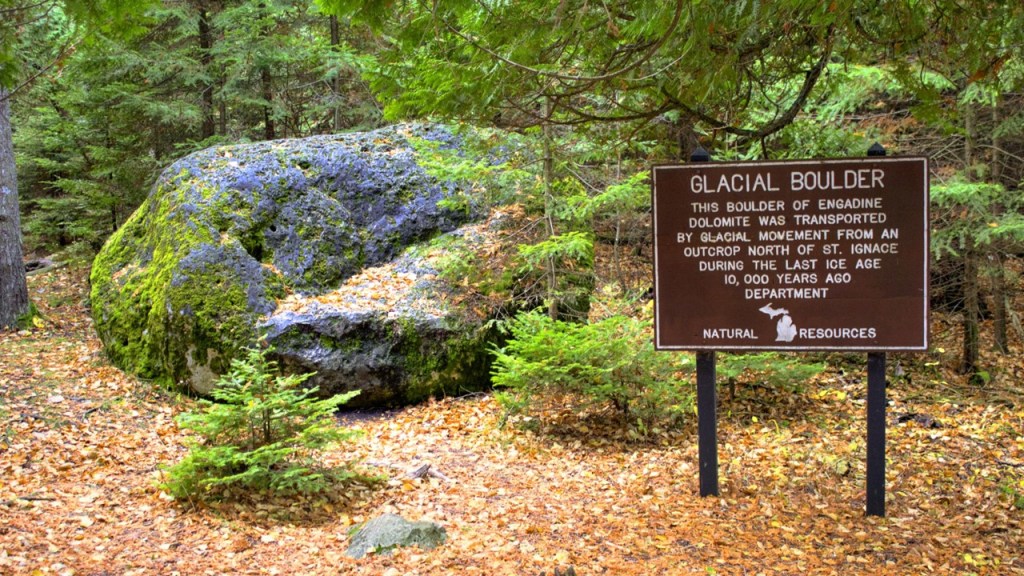
Just to the east of the Seul Choix Pointe Lighthouse, we’re heading back in the direction of the Straits of Mackinac which was my starting part.
There are two more lighthouses I want to look at in or near the Beaver Island Archipelago before I continue on to St. Ignace, Michigan, as I previously looked at the two lighthouses on Beaver Island itself towards the beginning of this post.
They are the Lansing Shoals Lighthouse and the Squaw/Ojibwa Island Lighthouse.
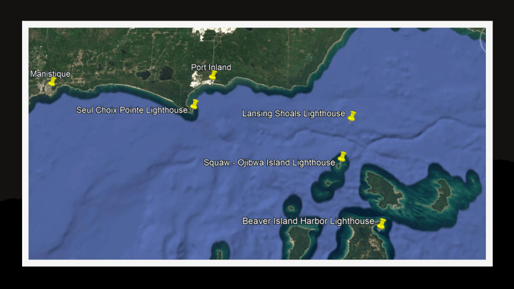
The Lansing Shoals Lighthouse was said to have been built between 1927 and 1928, right before the Great Depression, standing alone in open water in a particularly hazardous area of shallow water and rocky shoals at the northern end of Lake Michigan.
We are told this lighthouse was one of the last major lighthouses constructed on the Great Lakes.
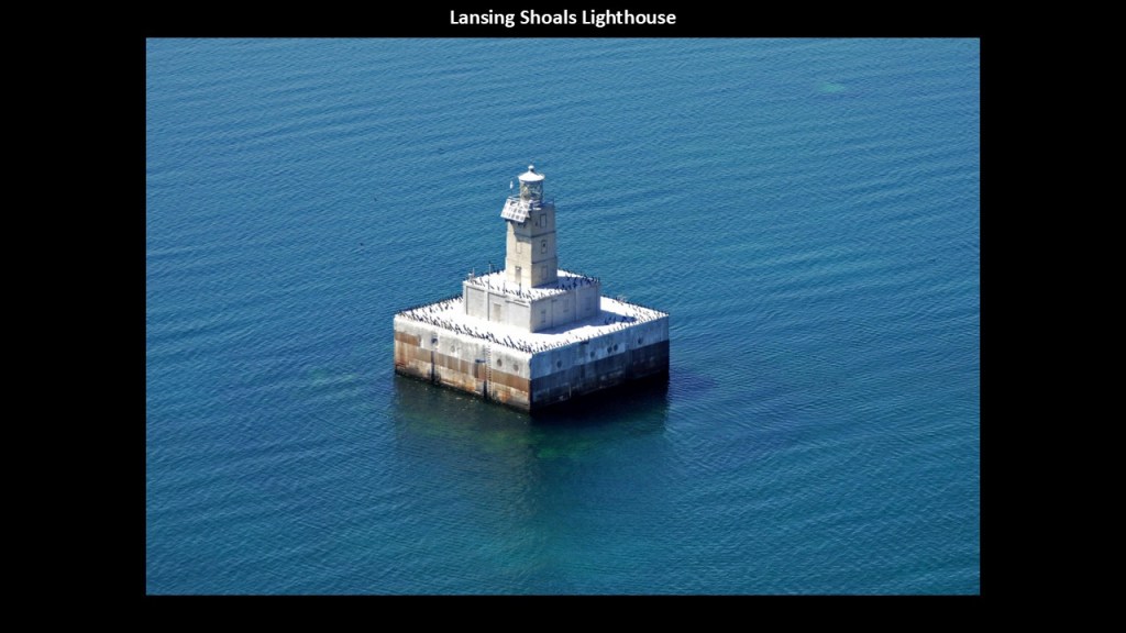
This is what we are told about how the Lansing Shoals Lighthouse was built.
It was built on a massive concrete crib foundation with four, reinforced concrete caissons, with each caisson weighing 500-tons, or 454-metric tons.
The caissons were transported from Milwaukee by tugboats, and were sunk in approximately 25-feet, or 8-meters, of water, and together formed a square foundation measuring 74-feet, or 23-meters, on each side.
The Lansing Shoals Lighthouse was first lit on October 6th of 1928.
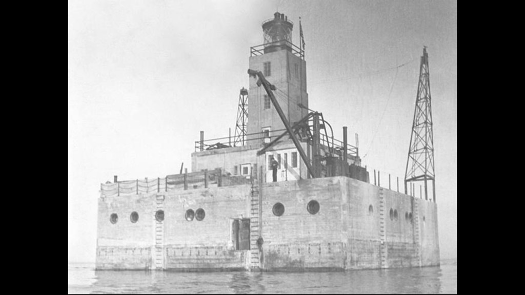
The original light was a Fresnel Lens that remained in service after the lighthouse was automated in 1976.
It was removed, however, in 1985, and replaced with a modern acrylic optic, and the lighthouse’s original Fresnel Lens is currently on display at the Michigan Historical Museum in Lansing.
This lighthouse remains an active aid to navigation.
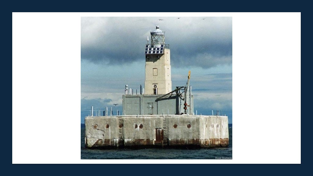
The nearby historic Squaw Island Lighthouse, now known as Ojibwa Island, is located directly on a small island in the Beaver Island Archipelago.
This lighthouse is 6-miles, or 10-kilometers, north of Beaver Island, and is on a privately-owned island today.
The surrounding waters contain dangerous shoals and shallow areas, making it a significant navigational hazard.
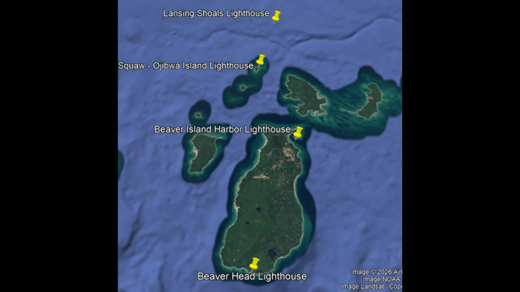
The lighthouse here was said to have been constructed in 1892, and was considered a substantial installation for a small remote island, with a combination residence and lighthouse.
The architectural features of the Lighthouse are described as “Norman Gothic.”
Interestingly, the lighthouse was only in operation for 36-years, until 1928, when it was deactivated upon the completion and activation of the Lansing Shoals Lighthouse.
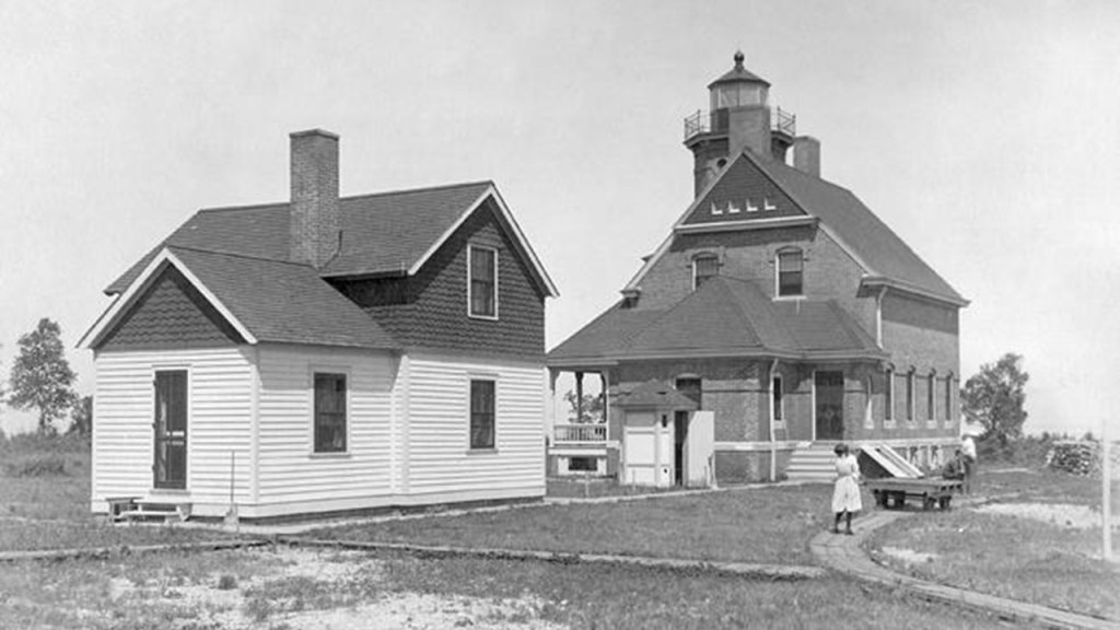
Now we are heading into our final destination of St. Ignace on the Upper Peninsula, which sits directly across the Straits of Mackinac from Mackinaw City at the tip of the Lower Peninsula.
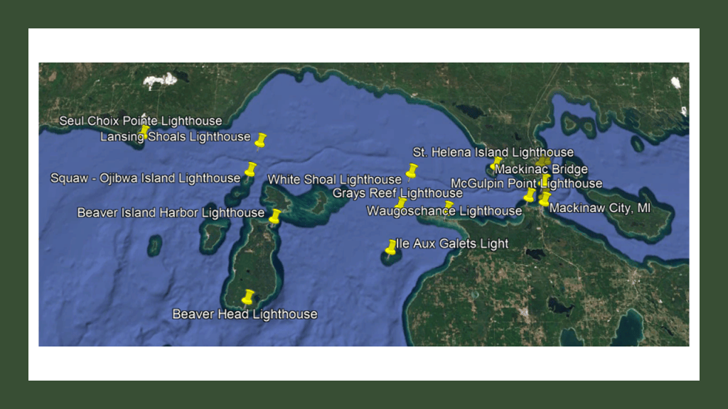
In our narrative, the European history of St. Ignace began when Father Jacques Marquette founded the St. Ignace Mission here in 1671, and named it after the founder of the Jesuits, St. Ignatius of Loyola.
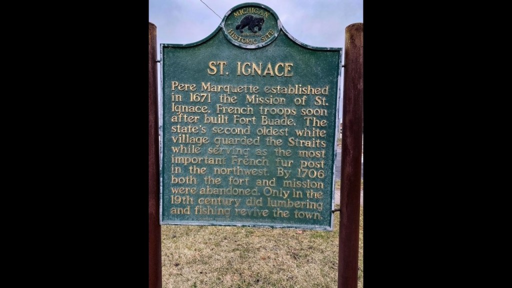
Father Jacques Marquette was said to have been buried in St. Ignace after his death in 1675.
This is the marker for his gravesite.
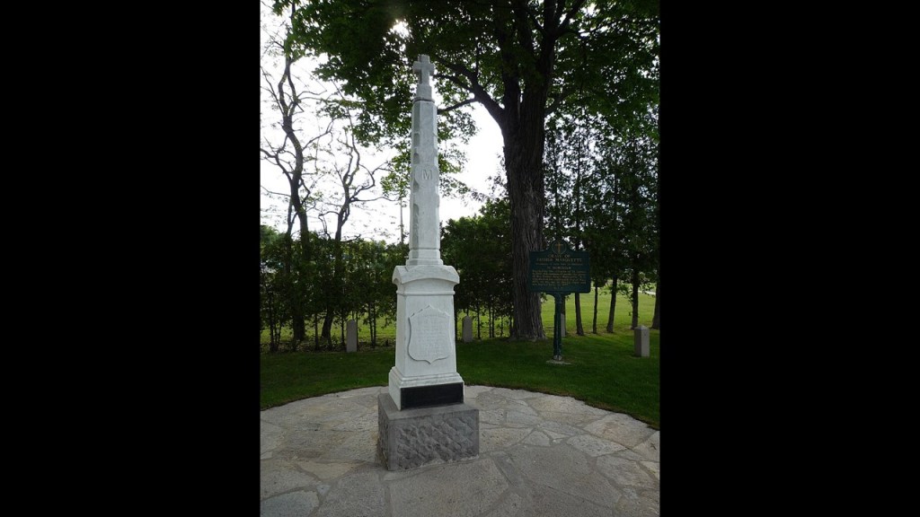
His gravesite is next to the former Jesuit Mission, which today houses the Museum of Ojibwe Culture in St. Ignace.
This was formerly land of Ojibwe, Ottawa, and Wyandotte, also known as Huron, peoples, and the Mackinac Band of the Chippewa and Ottawa Indians is headquartered in St. Ignace, which is state-recognized, meaning they are formally-recognized by the state, but do not have federal recognition, where they have a government-to-government relationship with the federal government.
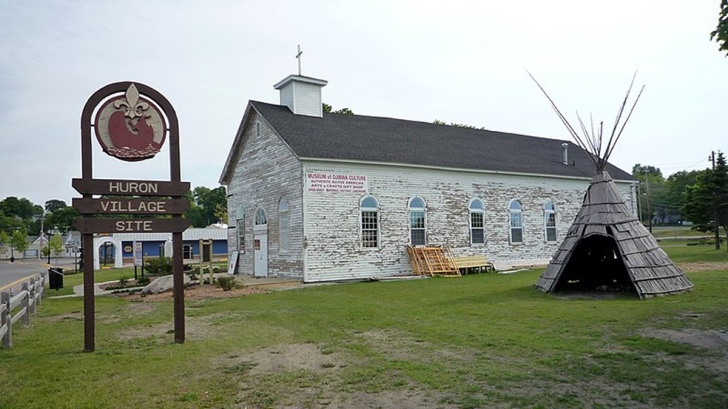
The Father Marquette National Memorial is in the Straits State Park on the northern shore of the Straits of Mackinac off of Interstate-75, which was established in December of 1975 to pay tribute to his life and work.
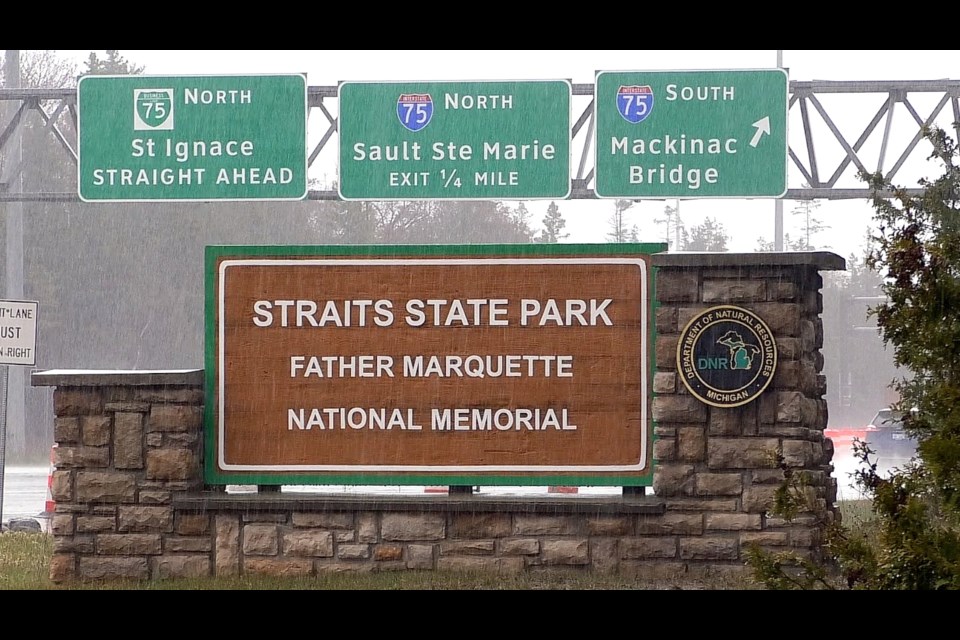
The northern terminus of Interstate-75 is Sault Ste. Marie in Michigan north of St. Ignace, and the southern terminus is in Miami, Florida, and it crosses through a whole lot of major cities in-between on its 1,786-mile, or 2,875-kilometer, length, including, but not limited to Saginaw, Bay City, and Detroit adjacent to Lake Huron in Michigan; Toledo, Dayton, and Cincinnati in Ohio, Richmond in Virginia, and Atlanta in Georgia.
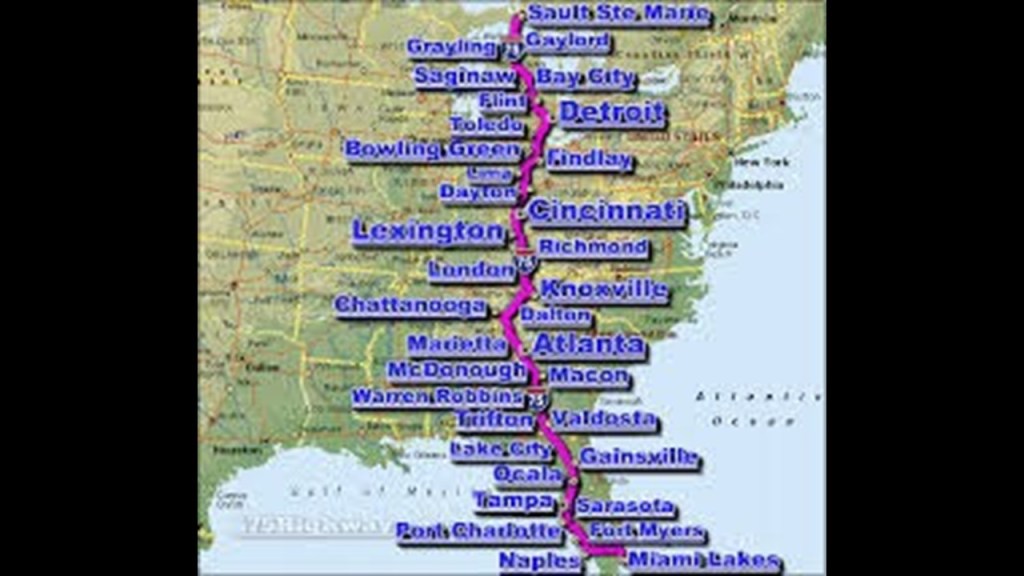
St. Helena Island Lighthouse is an active lighthouse on St. Helena Island in the Straits of Mackinac to the west of St. Ignace.
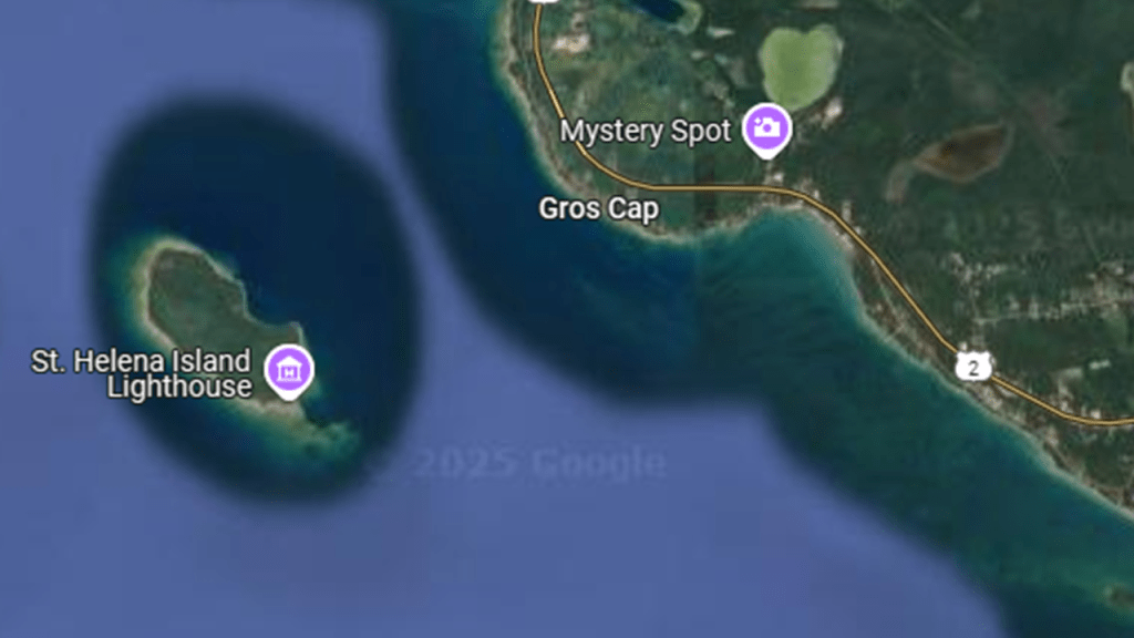
It was said to have been constructed between 1872 and 1873 because of a dangerous shoal that extends from the island, and one of the many lighthouses on the reefs, shoals and hazardous points that we’ve already seen in the Straits of Mackinac and in places in the journey around Lake Michigan since we started this journey in Mackinaw City.
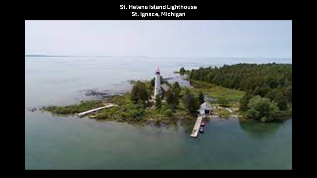
Parts of the historic Soo Line nearby were converted to rail-trails, like the St. Ignace – Trout Lake Trail, which is 26-miles, or 42-kilometers, of multi-use recreational trail in its former railbed.
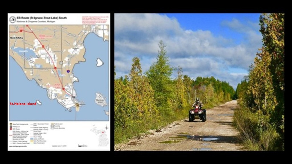
St. Anthony’s Rock is found in the town of St. Ignace, near the Wawatam Lighthouse.
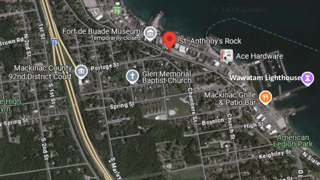
St. Anthony’s Rock is one of several what are called limestone seastacks in St. Ignace.
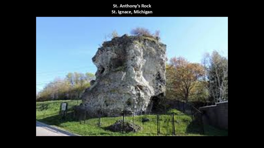
The Wawatam Lighthouse in St. Ignace is located at the far end of the former railroad ferry pier used by the Chief Wawatam Railroad and Passenger Ferry.
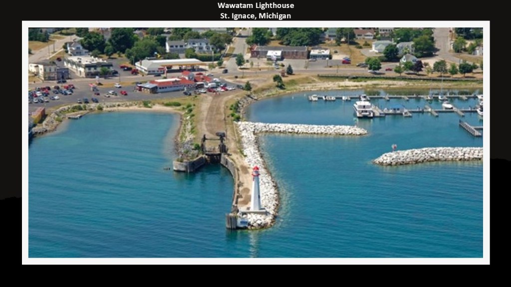
I would like to mention more about the Wawatam Lighthouse and the Chief Wawatam ferry here.
Firstly, what we are told about the Wawatam Lighthouse in our historical narrative is that it was built as an architectural folly for the Michigan Department of Transportation (DOT) in 1998 as a non-functional lighthouse as an element of the tourist heritage of the state for the Welcome Center on I-75 at Monroe, Michigan, but that in 2004, the Michigan DOT slated the lighthouse for demolition when it was deemed obsolete when the Welcome Center was renovated.
The state government agreed to move the structure to another location when concerns were raised about this decision, and when St. Ignace officials learned of this, they applied for it, and got it moved there.
Anyway, that is what they tell us about it, but I have my doubts.
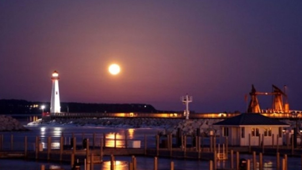
Secondly I would like to mention the Chief Wawatam Railroad and Passenger Ferry.
It was a coal-fired steel ship primarily based in St. Ignace that operated year-round in the Straits of Mackinac between St. Ignace and Mackinaw City between 1911 and 1984 serving in its storied career as a railroad and passenger ferry, and as an icebreaker.
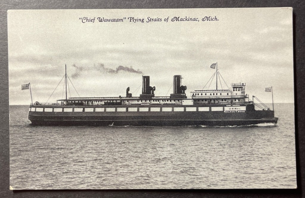
The first part of the Chief Wawatam’s history is that it’s main purpose was as a train service to carry railroad cars, though it also operated as a passenger and car ferry over the years.
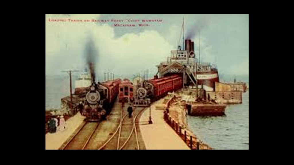
It served as an icebreaker during the winter months until that function was replaced by the U. S. Coast Guard Icebreaker Mackinaw in 1944, and that the ship’s passenger service also dropped off after World War II.
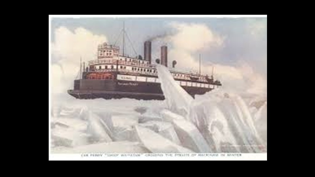
Passenger service ended after the Mackinac Bridge opened in 1957, and it was used exclusively as a railroad ferry until 1985.
The Chief Wawatam railroad ferry was the only railroad connection between the two peninsulas of Michigan, and in the 1950s, transported 30,000 railroad cars per year across the Straits of Mackinac.
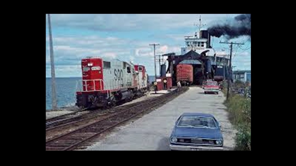
It started servicing the Mackinac Transportation Company in 1911, a joint-venture of the Duluth, South Shore, and Atlantic Railway; the Grand Rapids and Indiana Railway; and the Michigan Central Railroad since all three railroads crossed back and forth at the Straits of Mackinac.

With regards to railroad lines to Mackinaw City on the other side of the Straits of Mackinac, we are told that the Michigan Central Railroad came to Mackinaw City from Detroit in 1881, and the Grand Rapids and Indiana Railroad in 1882 connecting Mackinaw City to Traverse City; Grand Rapids; and Fort Wayne in Indiana.
The former rail-lines have been repurposed into Rail-trails, like the North West State Trail from Petoskey on the left; the North Central State Trail from Gaylord in the middle; and the North Eastern State Trail from Alpena on the right.
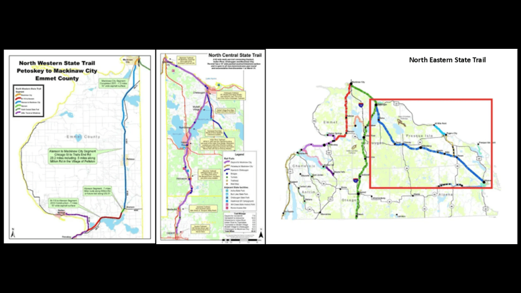
There were two historic roundhouses in Mackinaw City, one for each of the railroads serving the area.
They were both demolished after the rail-lines leading to Mackinaw City were scrapped sometime in the 1980s.
The location of the former Michigan Central Roundhouse is now a Burger King, and the Grand Rapids and Indiana Railroad is a parking lot west of the Mackinac Bridge; and the former railyards a shopping mall.
I find all this rail history fascinating.
Like the lighthouses, I believe that all the rail infrastructure was part of the original energy grid, and as I’ve said many times, I believe the energy grid was deliberately destroyed, and that its destruction created everything we see in the world today that we are told is natural, including, but not limited to, the Great Lakes.
I think there was originally land and rails that crossed over them, and the railway transportation routes were still needed by the Controllers for all the goods they were harvesting and manufacturing from the new economy, so they created the railroad car ferries that we have seen here at the Straits of Mackinac and back in Manistique.
Here is a graphic showing the bathymetry of this part of Lake Michigan, and like was saw back at Green Bay, it is extremely shallow through here.
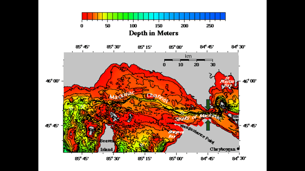
The Straits of Mackinac are described as a submerged valley in the legend in the lower right-hand corner, and the Mackinac channel as a now-submerged, incised river channel that lies below the straits area.
As mentioned in the top paragraph, these features have been ascribed to a significant lowering of the water levels in Lake Michigan and Lake Huron that occurred 10,000-years-ago.
Interesting to note the S-shaped bends of the Mackinac Channel, and particularly the one going around Mackinac Island in Lake Huron.
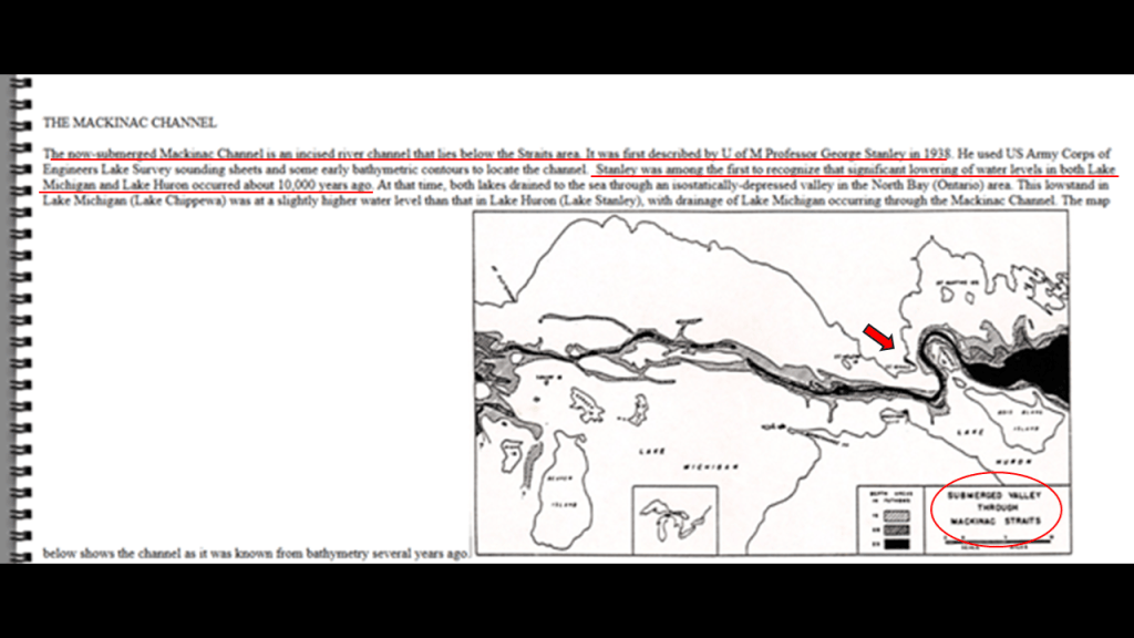
But what if these channels are actually submerged man-made waterways, and part of a sophisticated canal and hydrological system?
S-shaped bends are found in what are called rivers all over the surface of the Earth.
These are just a few of countless examples.
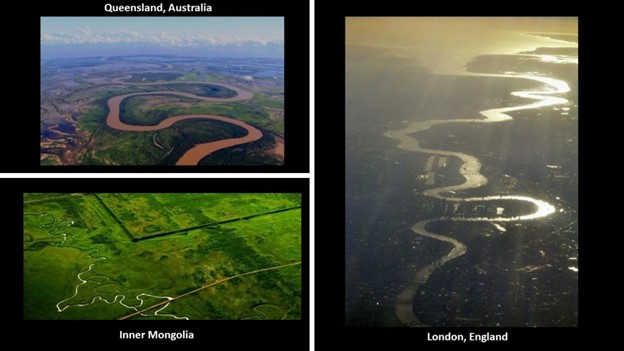
As described in Viktor Schauberger’s work on the hydrodynamics of S-shapes, the motions of this water flow energizes water, and I would surmise it is highly likely that is what these S-shaped water courses were doing in the original energy grid system.
Schauberger was a pioneer in the field of water and energy research in the early 20th-century, and was working on developing a device for the production of living water, water with an enhanced structure and necessary minerals.
Conversely, he believed that modern industries destroy healthy water, including the processes of municipal water treatment plants like we’ve seen manyexamples of on this journey around Lake Michigan, which decompose healthy water.
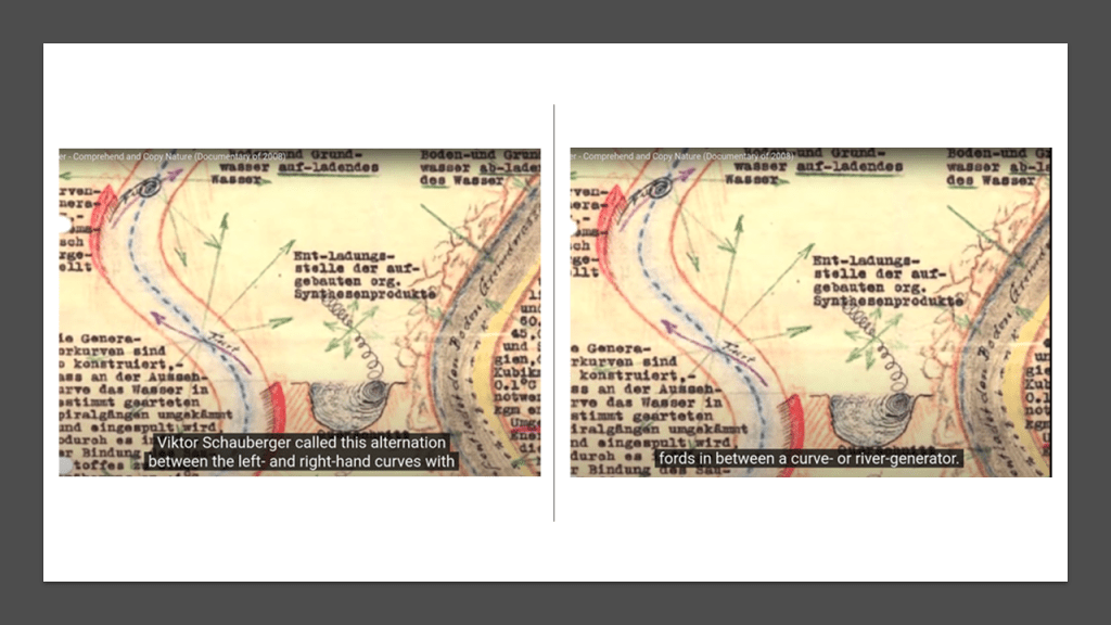
I think the Controllers’ removed the rail-lines that were originally part of the energy grid when they were no longer needed for mining and/or their agenda, and they only kept what was needed for freight, with keeping some for public transportation where it was critical infrastructure and scaled passenger service way-back from what it once was.
They were instead turned into interstates, highways, roadways, and recreational rail-trails. used for harvesting our energy for the benefit of a few from what was the original free-energy grid system for the benefit of all.

I consistently find the infrastructure of lighthouses, as well as railroads, star forts, and all manner of the original infrastructure, like bridges, all being in locations with the same characteristics of wetlands, shallow water, and sunken lands, as well as deserts and dunes, all over the Earth.
I also consistently find that everything on Earth was in perfect alignment with the heavens and each other.
A good example of this is called “Manhattenhenge.”
This is an annual event during which the setting sun or the rising sun is aligned with the East-West street grid of Manhattan on dates evenly spaced around the summer solstice and winter solstice.
There are similar alignments with the sun and street plan that occur in other major cities, like Toronto, Baltimore, Chicago, and Montreal.
So, how could this have happened randomly like we are taught in our history classes?
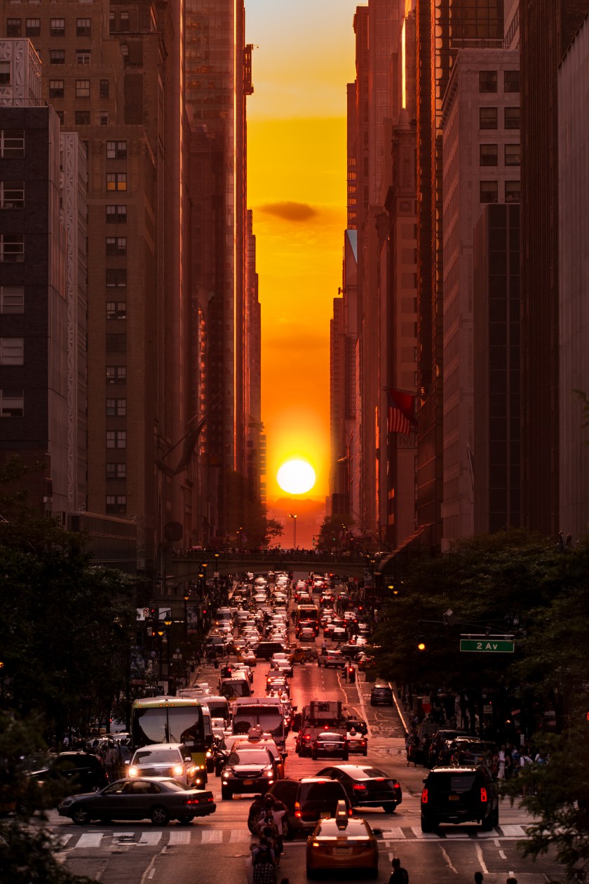
Along these lines, I believe this solar alignment with the Mackinac Bridge was intentional, like with all the lighthouses we have seen in this post along Lake Michigan’s shores.
The White Shoal Lighthouse we saw earlier in this post is 20-miles, or 32-kilometers, to the west of the Mackinac Bridge, and interestingly, the placement of the lighthouse looks slightly offset with the alignment of the sunset behind it.
When you look at the relationship between the White Shoal Lighthouse and the Mackinac Bridge on Google Earth, it appears as though the slightly offset positioning of the lighthouse is oriented to the middle of the Mackinac Bridge.
I have a lot more from my research that I could add in support of what I am saying here, but I think this is a good place to end this deep dive on Lake Michigan’s lighthouses and dunes.
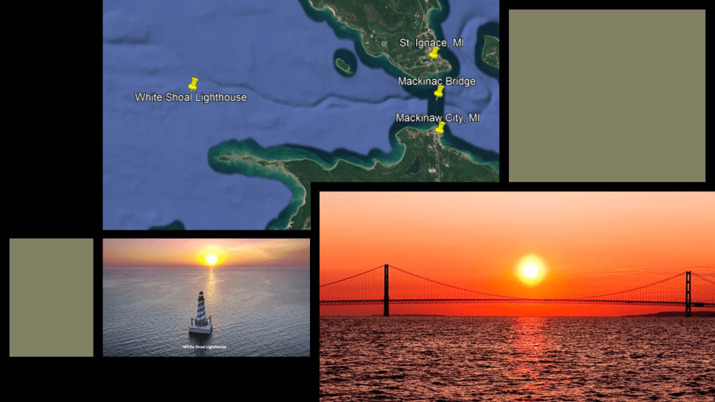
What I am also seeing from tracking leylines all over the Earth, looking from place-to-place at cities in alignment over long-distances, are the consistent presence of dunes, wetlands, deserts, dunes, beaches, and places where it appears land masses sheared-off and submerged under the bodies of water we see today.
My working hypothesis is that the circuit board of the Earth’s original energy grid system was deliberately blown out by one or more forms of directed frequency or energy of some kind into different places on the Earth’s energy grid, causing the surface of the Earth to undulate and buckle.

I believe the beings behind the cataclysm were shovel-ready to dig enough of the original infrastructure out of the ruined Earth so they could be used and civilization restarted, which I think started in earnest in the mid-to-late 1700s and early 1800s.
Then they only used the pre-existing infrastructure until they found replacement fuel sources that could be monetized and controlled by them for what had originally been a free-energy power grid and transportation system worldwide, and when what remained of the original infrastructure was no longer useful to them, or inconvenient to their agenda, they had it destroyed, discontinued, or abandoned, typically in a very short time after it was said to have been constructed.
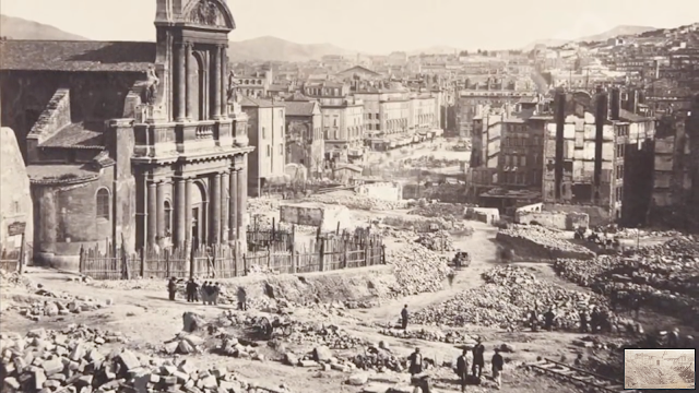
There’s extensive underground infrastructure where people could have survived until the surface of the Earth was habitable.
Like everything else we have been told to explain what is in existence in our world, I do not believe lighthouses were built to guide ships by whom they were said to have built them when they were said to have been built.
What I am seeing is that these were places that were in perfect resonance within a perfectly-resonant system, and that when the energy grid system was directly attacked, it caused the entire system around it to go haywire, and the surrounding land sank, or turned into swamps, bogs, barrens, or deserts and dunes.
Lighthouses ended-up being next to the edge of water when the land around them sank, and were repurposed into navigational aids in the New World to guide ships through the now sunken and broken landmasses in the surrounding waters.
I have come to believe “lighthouses” were literally “houses for light” for the purpose of precisely distributing light energy generated by this gigantic integrated system that existed all over the Earth that was in perfect alignment with everything on Earth and in heaven.
And I believe dunes have infrastructure beneath them, like the previously-seen example of the city of Gary, Indiana, located right next to the Indiana Dunes on the southern shore of Lake Michigan having been .excavated between 1906 and 1908, creating a “Magic City” and the company town for U. S. Steel.