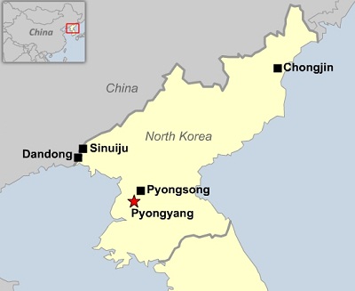
So far in this circle alignment, starting at Amsterdam Island in the South Indian Ocean, I have tracked the alignment through Mauritius and the Seychelles, Somalia, the Gulf of Aden, Yemen, the United Arab Emirates, the Strait of Hormuz, Iran, Afghanistan, Tajikistan, Uzbekistan, Kyrgyzstan, Kazakhstan, China, Mongolia and back through China again. I am picking up the alignment for this post in Chongjin, North Korea.
Chongjin is the capital of North Korea’s North Hamgyong Province and North Korea’s third largest city.
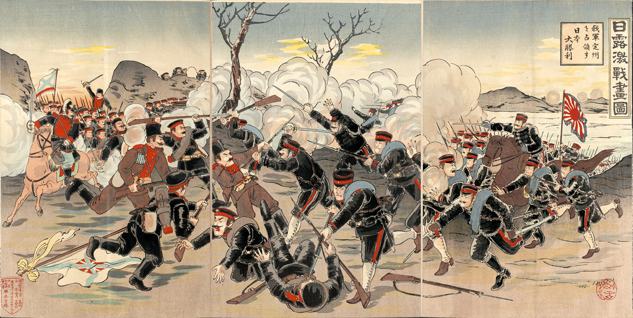
Japanese forces landed in Chongjin at the start of the Russo-Japanese War of 1904 – 1905 and established a supply base here because of its proximity to Manchuria. Both sides in the war had imperial designs in taking control of Manchuria and Korea.
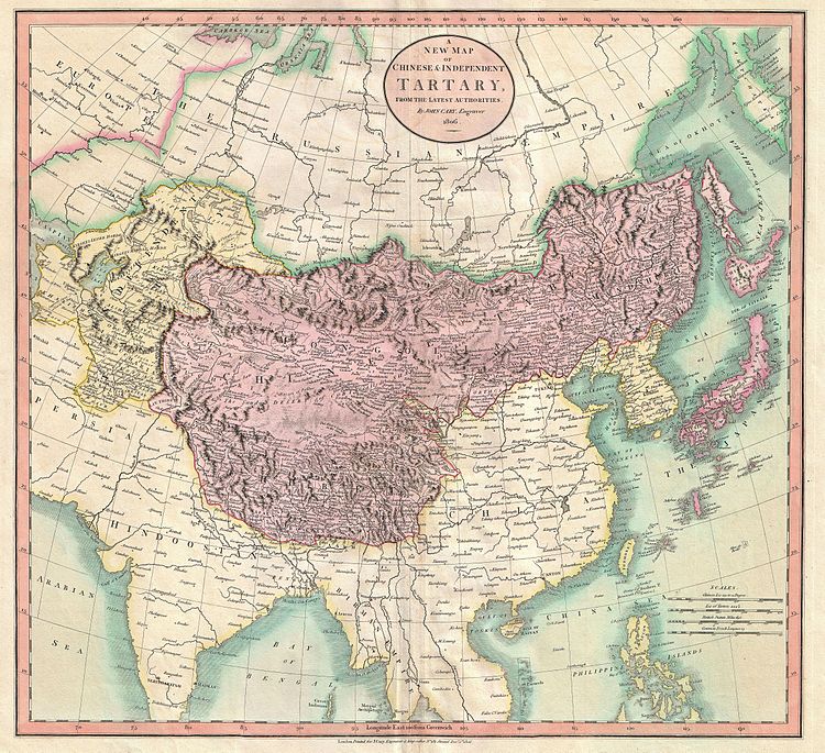
The name of Manchuria is said to have come into use in Europe the 1800s. Prior to that time, the vast region depicted on this map in purple was called Chinese Tartary. The regions in yellow were considered independent Tartary.
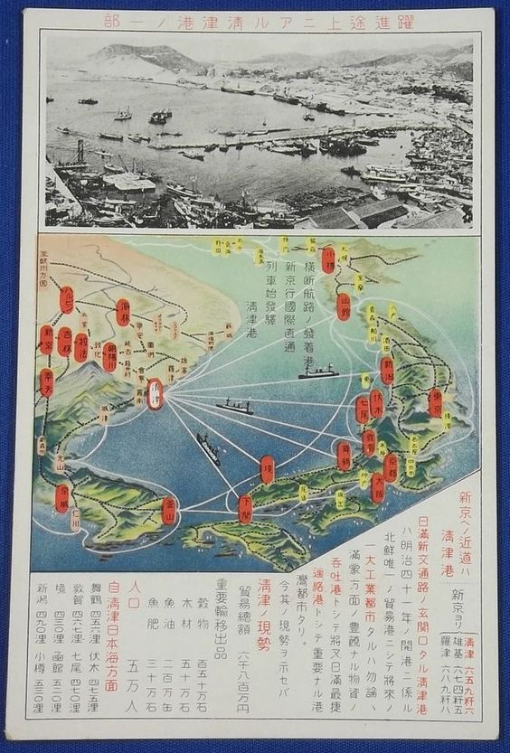
After Japan emerged as the victor of the war, it annexed Korea, and in 1908, opened Chongjin as a trading port between Korea and China.
These were early steps in the eventual establishment by the Japanese of the puppet state of Manchukuo in 1933.

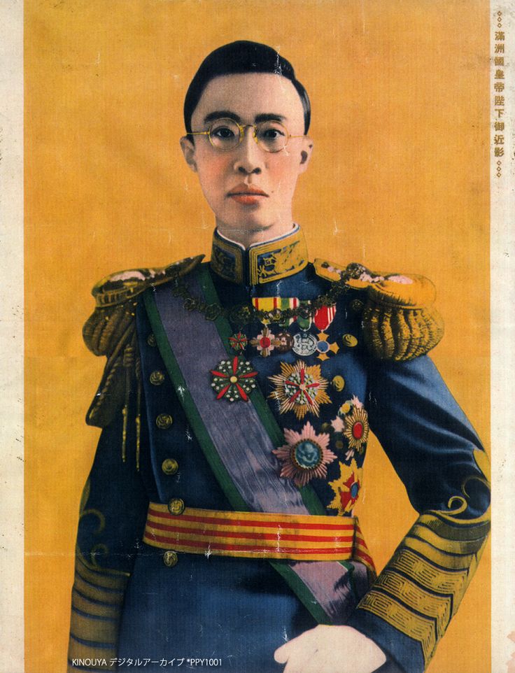
The Last Emperor of China, Puyi, was first installed by the Japanese as the Chief Executive of Manchukuo, and he became its emperor in 1934, a position he held until 1945, when he abdicated as a result of the end of World War II. His life story is very sad, and is told in the movie “The Last Emperor” directed by Bernardo Bertolucci.
Passing along an interesting aside that my research on Chongjin led me to.
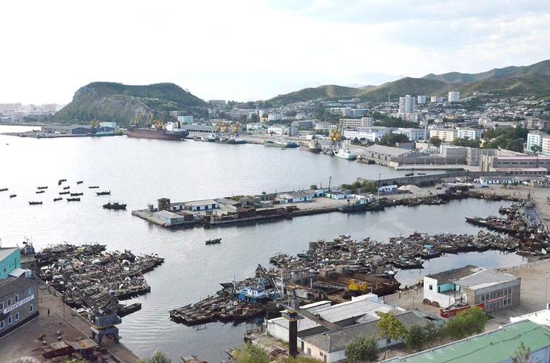
Back to Chongjin. As referenced earlier, Chongjin is a port city. It is an important component of international shipping trade with neighboring parts of Northeast and Southeast Asia, and serves as a base of North Korean trade to Russia and Japan.
Here are photos of the Port of Chongjin:

For comparison, here is a photo of the Port of Townsville in Australia…
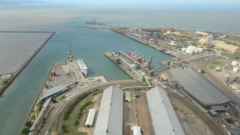
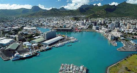
…and Port Louis on the island of Mauritius, that I talked about in the first part of this Circle Alignment series. I just want to show you that ports around the world have shared features of engineering that are not readily explained, involving precisely shaped edges and channels that look man-made. It really looks like the ports were constructed first, and the infrastructure was built-out around the port, not the other way around.
Just a short distance south of Chongjin, on the coast, is the city of Kyongsong.
It features the Kyongsong Town Fort, which includes the only intact city wall in North Korea…
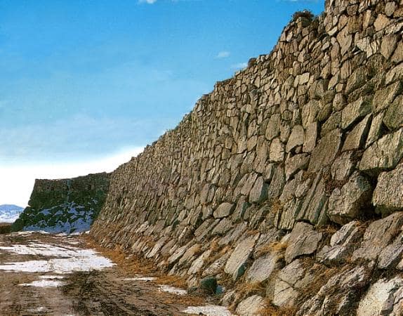
…and the South Gate. These are said to have been built in 1107 AD, during the Koryo Dynasty, which was founded in 918 AD, and from which the modern name of the country evolved.

Compare it with the megalithic construction style of this stone wall at Gozo on the island Republic of Malta in the Mediterranean Sea.

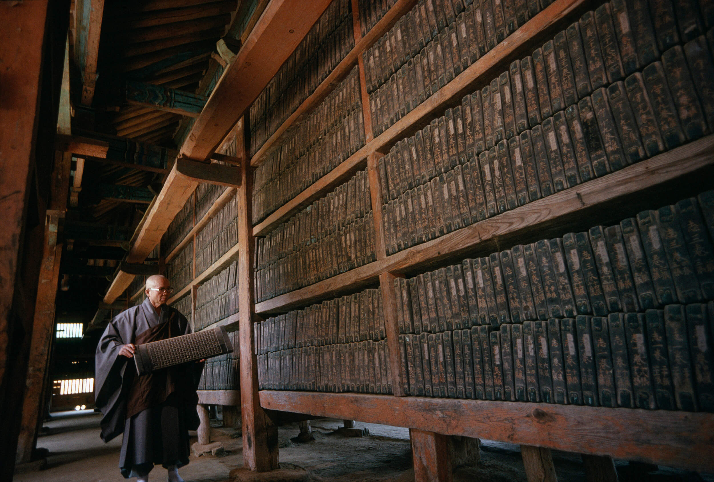
Another side note that I found when I looked up the Koryo Dynasty. There is a strong history of Buddhism in Korea too, as I have found in so many places along this alignment. During the Koryo Dynasty, the Tripitaka Koreana – the Buddhist Canon – was carved into 80,000 wood blocks, without error, in the 13th Century, and still exists where it is stored in Haeinsa, Korea, a Buddhist Temple in South Korea. It has been a UNESCO World Heritage Site since 2007.
Also near Chongjin are these two places. First, Yombun Revolutionary Site.

And this is Jipsam Revolutionary Site. I have found gigantic stonework that looks just like this next to the water all over the world.

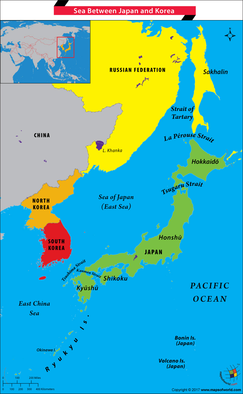
Next on the alignment is the Sea of Japan, also known as the East Sea in South Korea, the East Sea of Korea in North Korea, and was known at one time in China as the Whale Sea.
From my initial look at this place, I can already tell it is interesting.
It is what is referred to as a marginal sea, which is a sea adjacent to a continent, and partly enclosed by peninsulas or islands. It lies between the islands of Japan, Sakhalin Island, the Korean peninsula, and Russia.
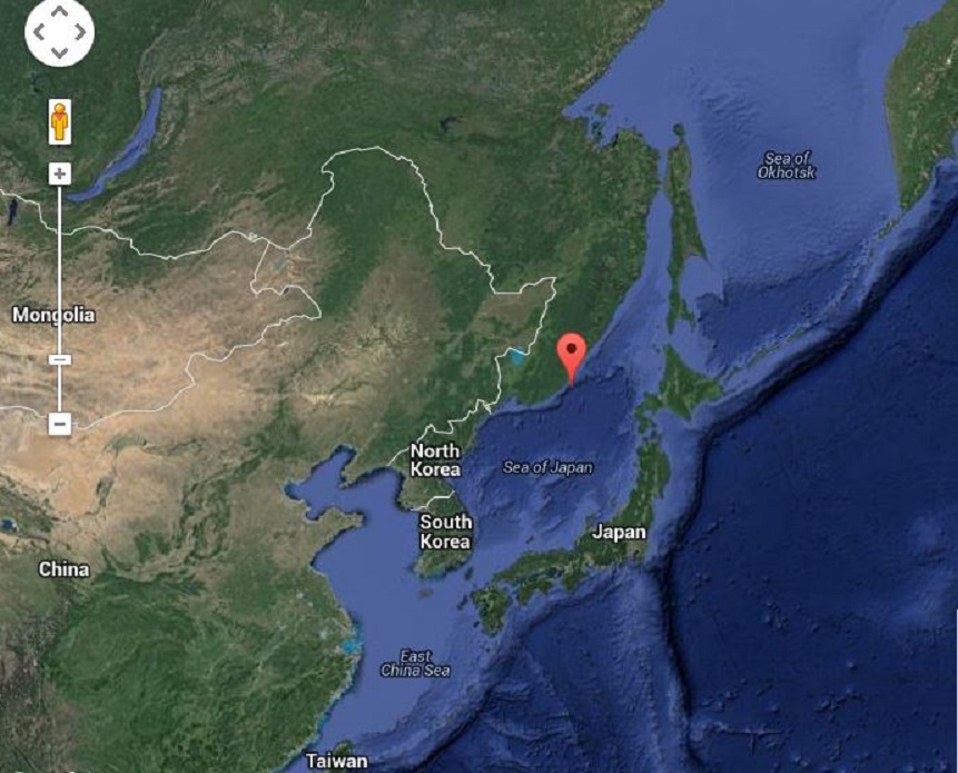
It has almost no tides due to its almost complete enclosure from the Pacific Ocean. It is also one of the deepest seas in the world.
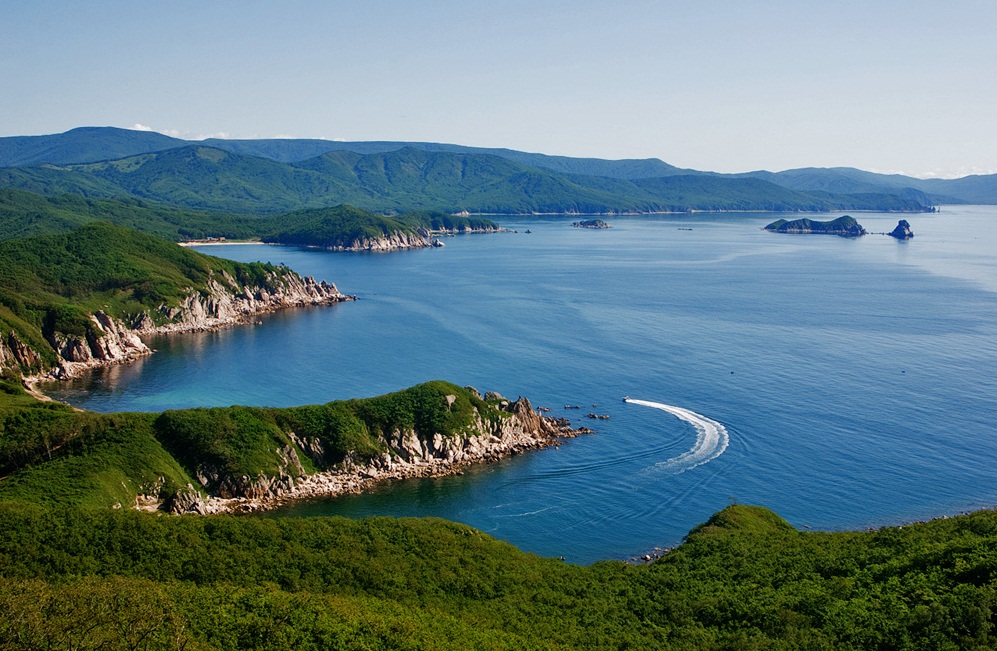
The Sea of Japan meets the weather conditions occasionally for the formation of von Karman vortices, which is a repeating pattern of swirling vortices.

There are several straits here.
The Korea Strait between Japan and Korea, of which the Tshushima Strait is the Eastern Channel, connects of the Sea of Japan with the East China Sea.

This is where the decisive naval battle took place during the Russo-Japanese War in 1905, where Japan destroyed Russia’s naval fleet.
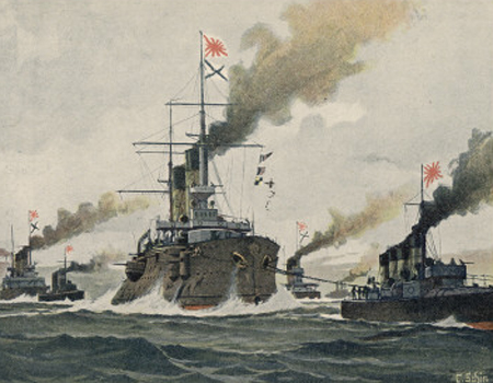
There is the Tsugaru Strait, which is between the Japanese islands of Honshu and Hokkaido, connecting the Sea of Japan with the Pacific Ocean.

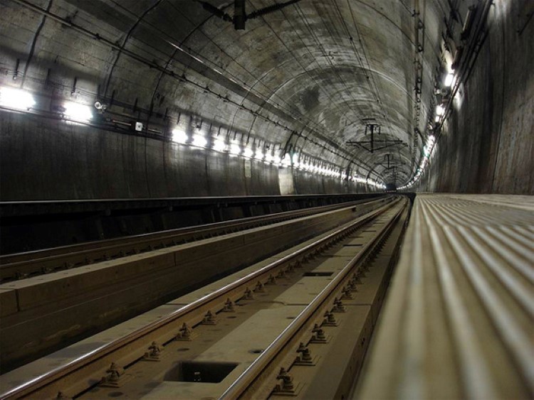
The Seikan Tunnel, a dual-gauge railway tunnel running underneath the Tsugaru Strait, connects the two islands.
Just want to point out that the city of Hakodate in Hokkaido is right there on the coast of the Tsugaru Strait where it is close to the island of Honshu, and the star fort Goryokaku is located there.

Next is the La Perouse Strait, which divides the southern part of Sakhalin Island from the northern part of Hokkaido, connecting the Sea of Japan with the Sea of Okhotsk.

Another naval battle of the Russo-Japanese War took place here, the Battle of Korsakov, in 1904, with the Japanese preventing a Russian cruiser from rejoining the Russian Fleet in Vladivostok.

The Pacific Ring of Fire passes through the Kuril Islands, which are in the vicinity. This island chain has around 100 volcanoes, with 40 being active. This is yet another example of the correlation that I have found between these alignments and the occurrence of volcanoes, and by extension, tectonic plates since most volcanoes and earthquakes occur along the boundaries of tectonic plates.
All of the islands are under Russian jurisdiction, however, Japan claims the two southernmost large islands.
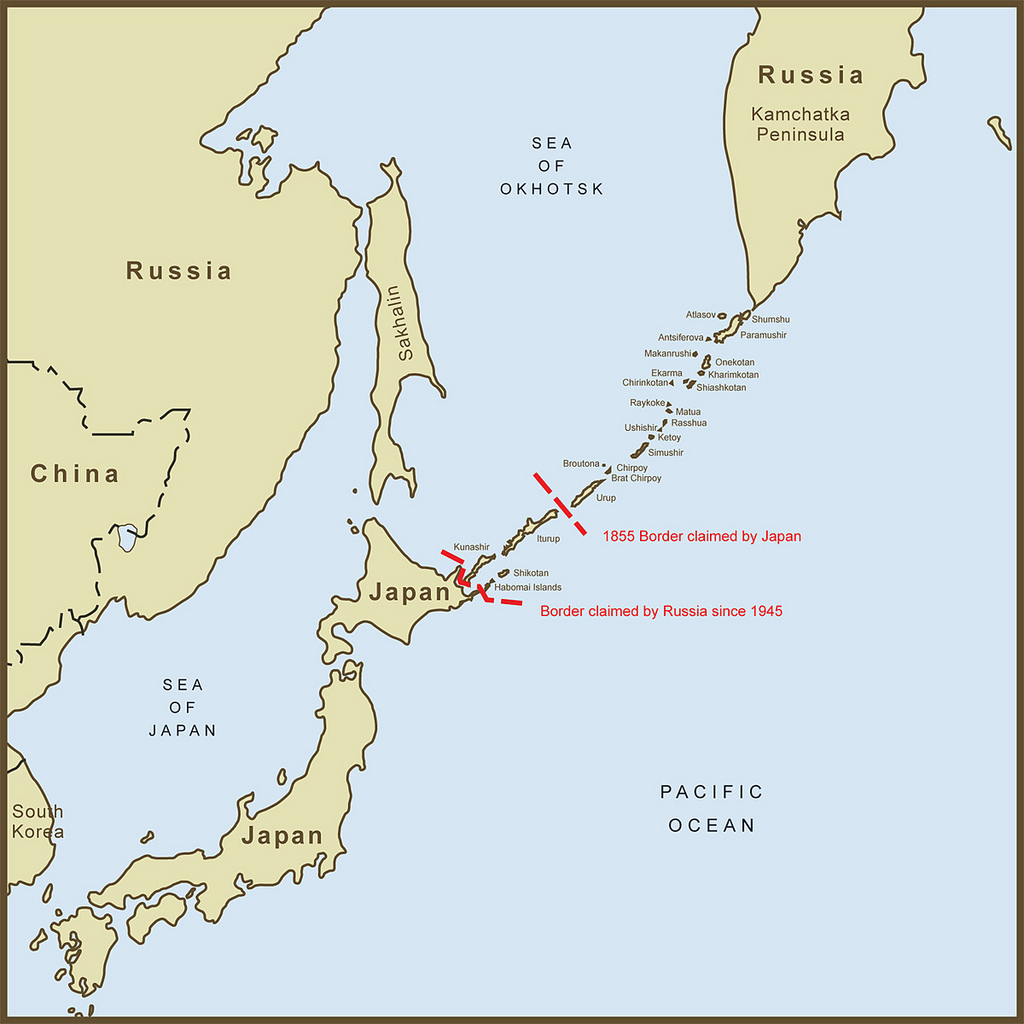
Lastly is the Strait of Tartary, dividing Sakhalin Island from southeast Russia, and connecting the Sea of Japan with the Sea of Okhotsk.
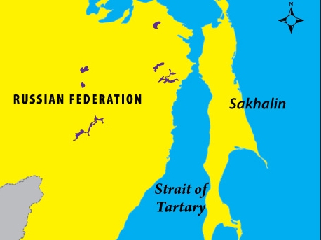
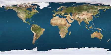
The 51st parallel north passes right through here, a circle of latitude that is 51-degrees north of the equatorial plane. The capital cities of London, England, and Astana, Kazakhstan, are at the same latitude as the Strait of Tartary.
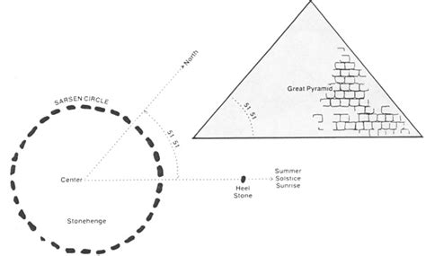
Another interesting aside, the 51-degree pyramid, which is the angle of each of the sides of the Great Pyramid, is a temple whose proportions relate both to the human form and the geomancy of the earth.
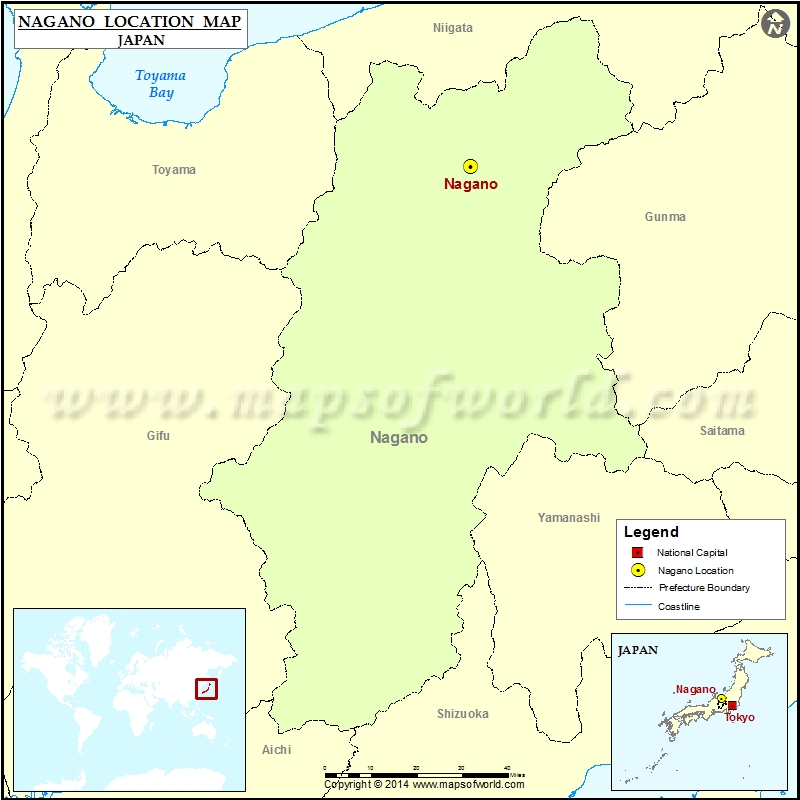
Next on the alignment is Nagano, the capital city of the Nagano Prefecture in Japan.
The city is said to have been built in 1897 around this Buddhist Temple, Zenko-ji, said to have been built in the 7th-century AD.
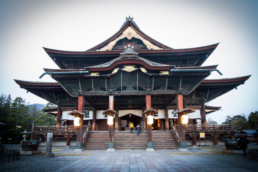
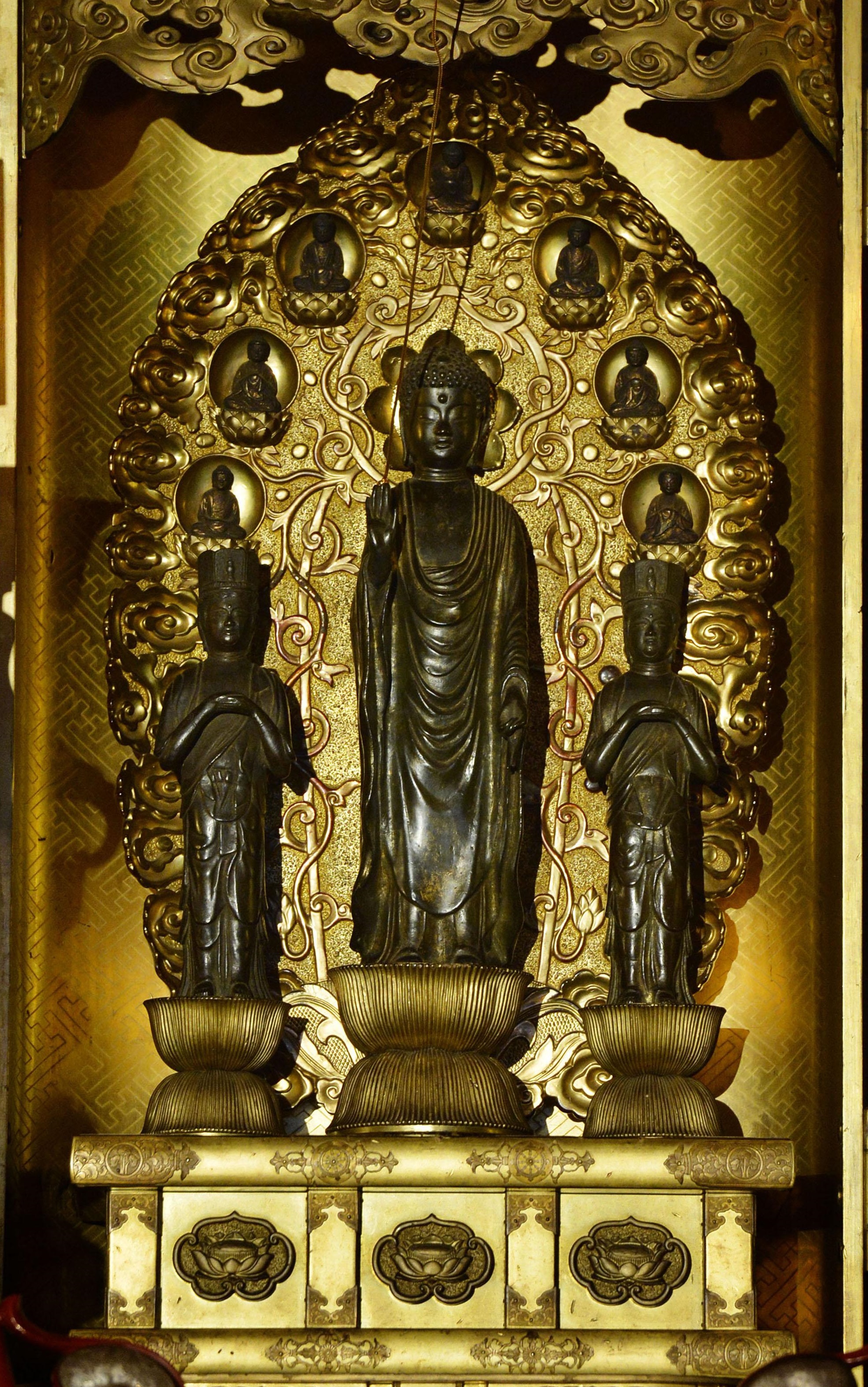
The temple enshrines images of Amida, or Amitabha, the Buddha of Comprehensive Love. There is a hidden Buddha statue there, said to be the first in Japan, that absolutely no one is permitted to see. However, there is a replica of the statue called the Maedachi Honzon that is brought out for public display once every six years.
Kusatsu Hot Springs are close to Nagano. It is the largest natural flow of hot spring water in Japan.

I have found hot springs, and actually springs of all kinds, following the planetary alignments as well. This picture illustrates the presence of large, cut stonework in Kusatsu.

Next on the alignment, we come to Tokyo, the capital of Japan since 1869, and the world’s most populous metropolitan area.

This is the Wako Department Store in the Ginza Shopping District of Tokyo…

…compared with the building style of this one in Chongjin, North Korea…

…and this hotel in Burundi in East Africa.

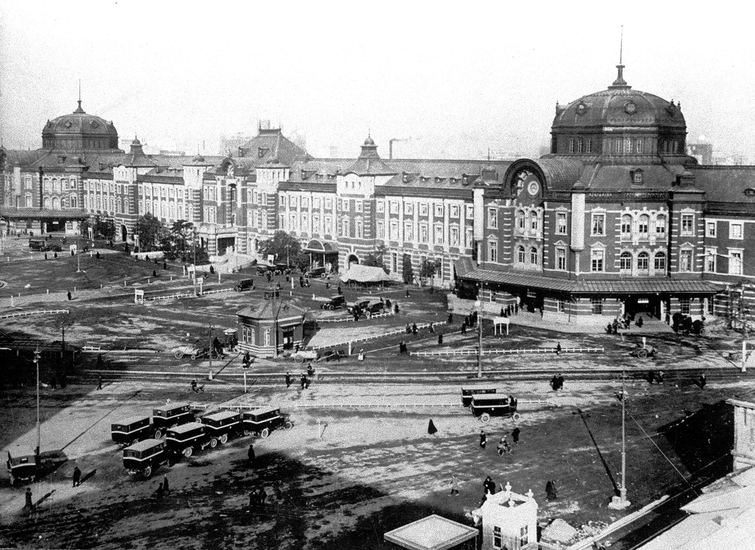
This is a historic photo of the Marunouchi Train Station, said to have been built in 1914. Check out the size of that thing!
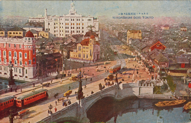
This image is of a 1922 post card, featuring the Nihonbashi, or Japan Bridge, in the foreground, with more gigantic onion-domed buildings in the background. This bridge survived the Great Kanto Earthquake of 1923, but didn’t survive urban development when it was buried underneath a massive expressway that was built in the 1960s.
I showed the bridge at Beishan in Jilin City in the last post. Looks a lot like the Japan Bridge in Tokyo.

Yokohama, the capital of Kanagawa Prefecture and the largest city in Japan by population, is the next stop on the alignment. It is Japan’s most prominent port city, and is a major commercial hub for Tokyo.

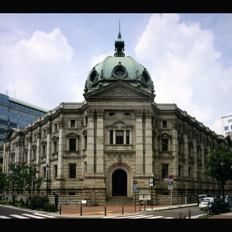
This is the Kanagawa Prefectural Museum of Cultural History in Yokohama, which prior to being a museum was a bank, and is said to have been built a short time after the fall of the Tokugawa Shogunate in 1867…
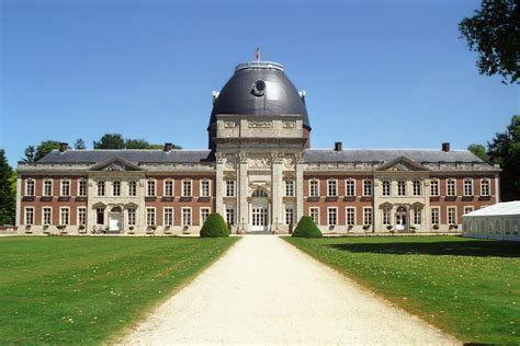
…compared with this building near Brussels, Belgium, called the Abbey Helecine, or the Opheylissem Castle, said to have been built in 1870 on the remains of the Opheylissem Abbey, of a Premonstratensian Order of the Catholic Church that was started there in 1129.
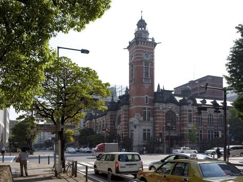
And this is Jack’s Tower, for which the official name is The Historic Port Opening Memorial Hall, in downtown Yokohama, and said to have been completed in 1917…
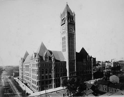
…compared with the City Hall and Court House in Minneapolis, Minnesota, said to have been built around 1900.
I am going to end this post here, and pick up the alignment in Japan’s Bonin Islands.
