
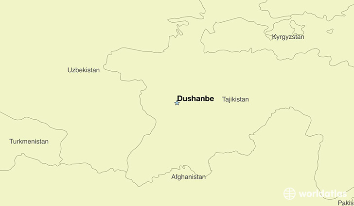
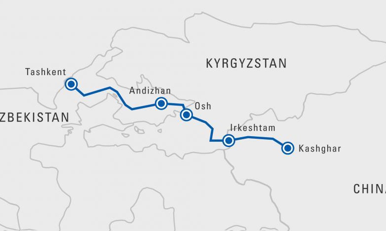
I thought I was going to be starting this post in Dushanbe, Tajikistan. I am not.
I am being drawn through my initial research to start at Quorgonteppa, in Southern Tajikistan, which is located between Mazar-e-Sharif in Afghanistan, the place where I ended my last post, and Dushanbe.
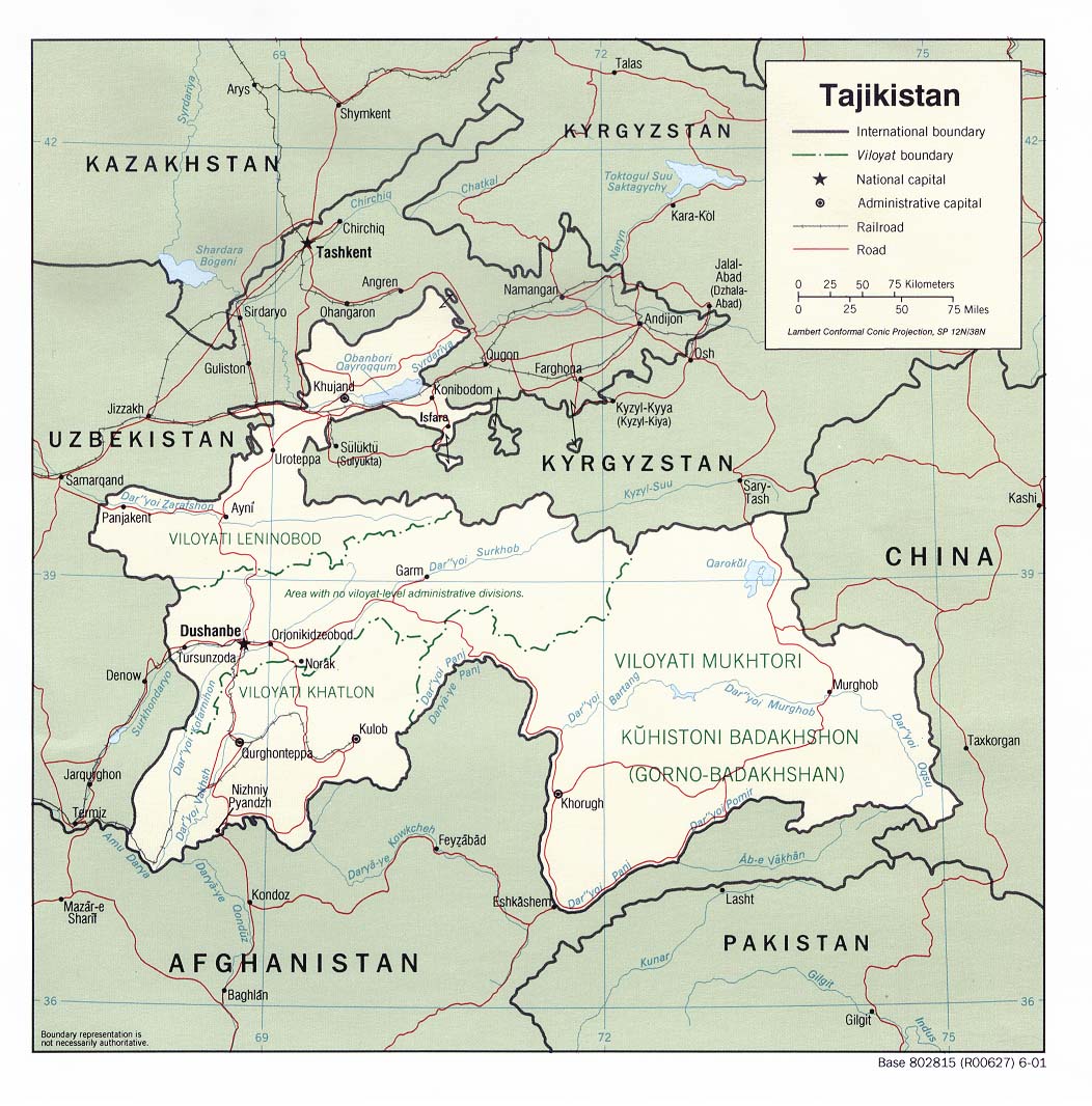
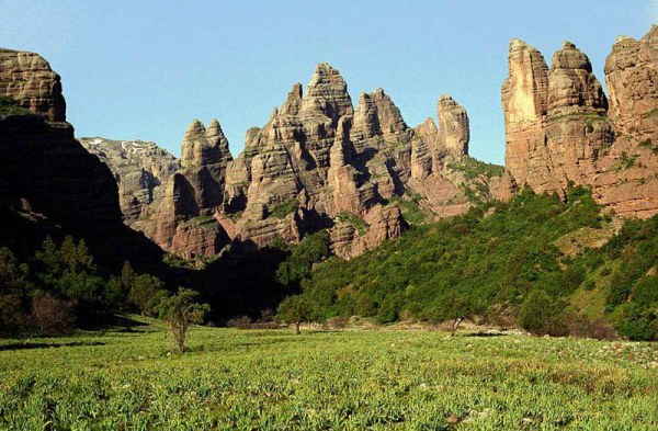
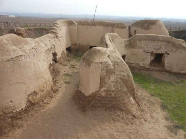
Quorgonteppa, also known as Kurganteppa and now officially called Bokhtar, is the capital of the Khatlon Region. There are some ancient sites here, including the so-called Childukhtaron Mountains.
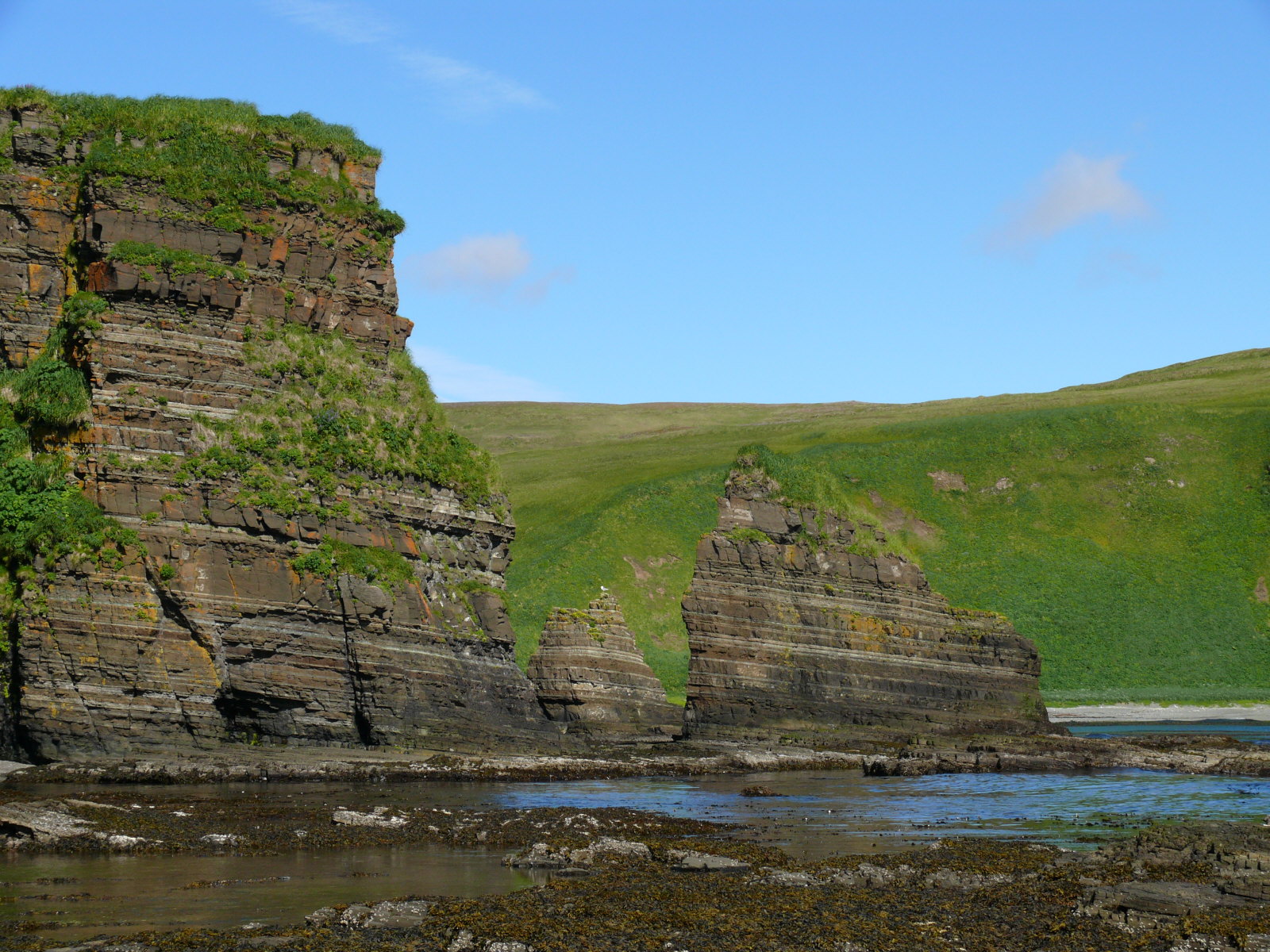
And for comparison of similarity in appearance, in previous posts, I showed you this photo of Agattu Island in the Near Islands, at the far western end of the Aleutian Island chain, near Siberia in the Bering Sea.
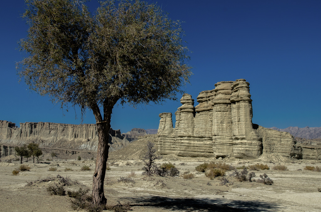
And this photo is from present-day Minab, the historical location of Hormuz City, and located near the port city of Bandar-e-Abbas, at the Strait of Hormuz in Southern Iran.
I can find plenty of other examples from around the world, but these are good examples of what I believe is ancient infrastructure of intentional design. Cover-up code words like sedimentary rock, karst, red rocks, and so forth, are used to lead us to believe places like these are natural features.
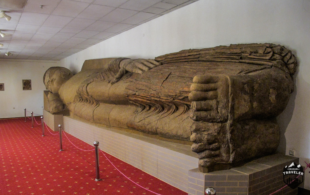
In this Khatlon Region of Tajikistan, there is what appears to be a very old Buddhist Monastery at Ajina-Teppa. There is a large artifact excavated here that I will be showing you that is now in a museum in the next city on the alignment.
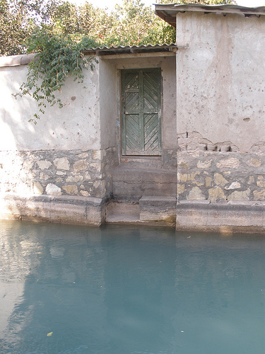
There is a canal system in the city of Quorgonteppa.
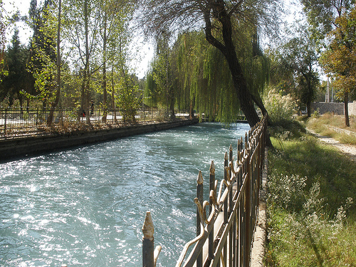
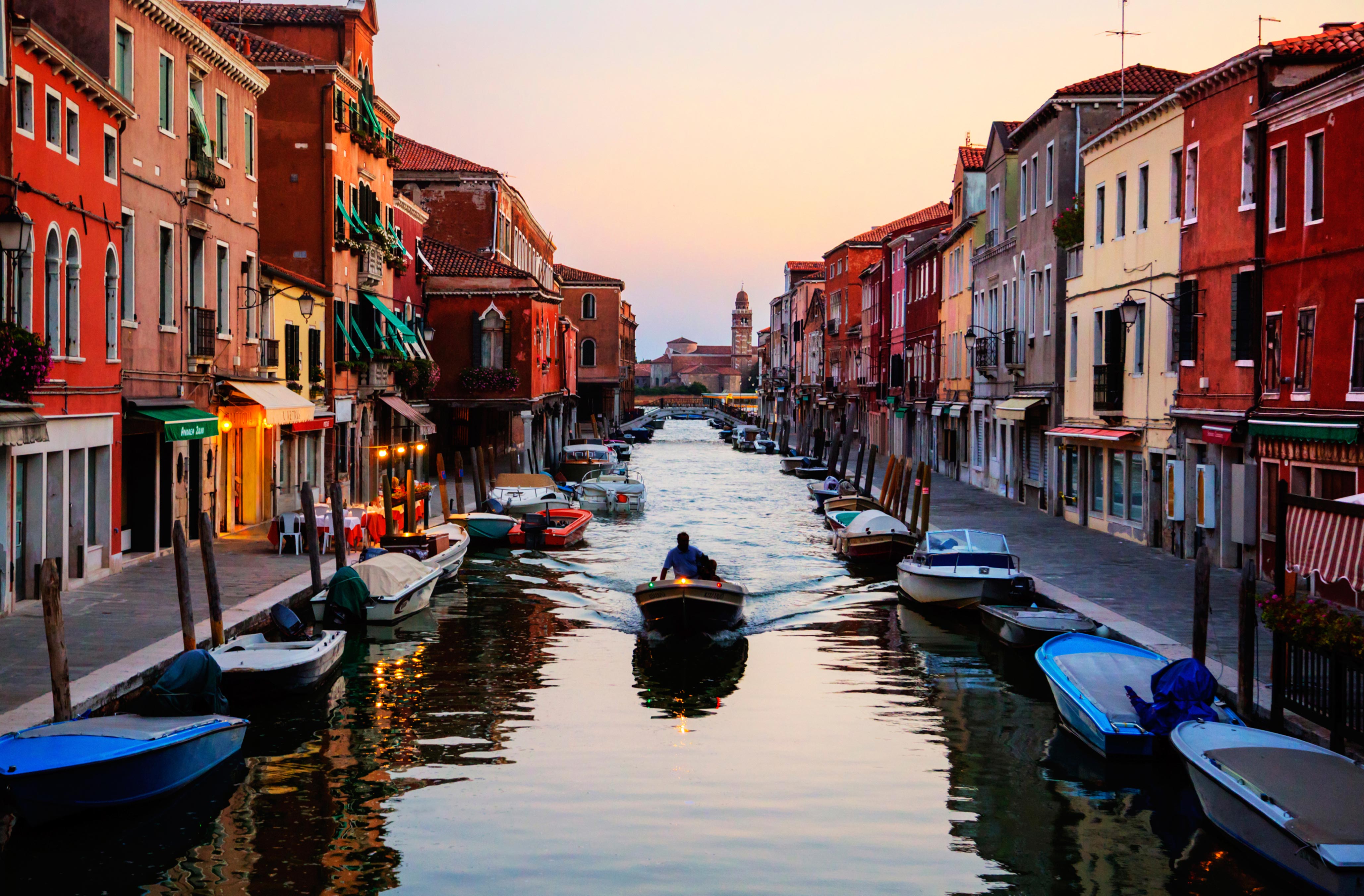
The most famous canal system is in Venice, to my awareness pretty much the only one we learn about in school…
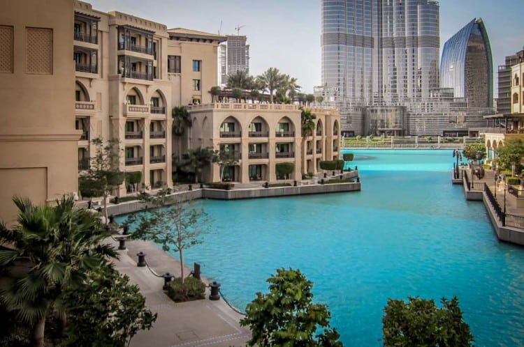
…but I am finding sophisticated canal systems all over these alignments, in places one would not expect to find them according to the history we have been taught, like this one in Dubai’s Old Town…
…in Tashkent, Uzbekistan, interestingly called the Ankhor Canal…
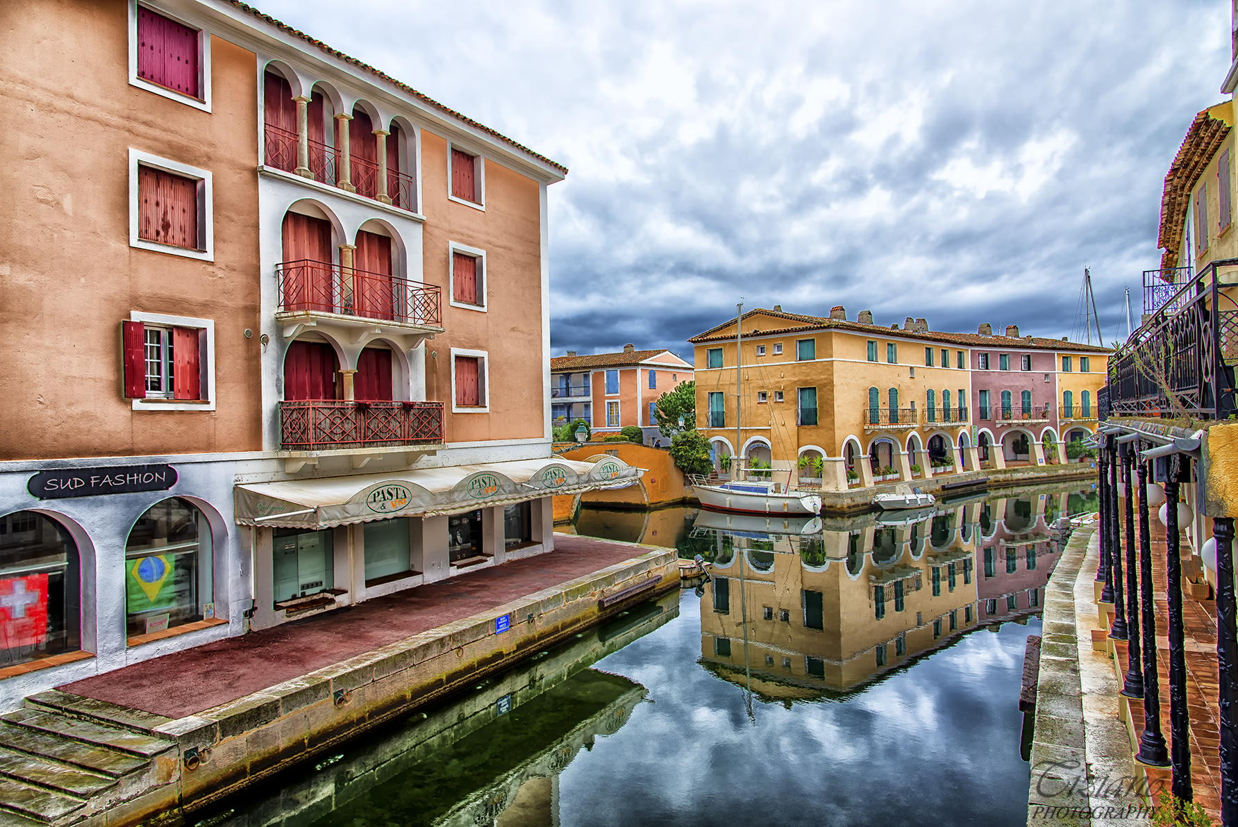
…and here in Port Grimaud in the French Riviera. There is plenty of physical evidence that the ancient advanced civilization built canals all over the world. This information has been removed from the historical record, so we just assume they were built during the times we are taught they were. This is all very sophisticated engineering!
Moving along the alignment, Dushanbe is next, and is the capital and largest city of the country of Tajikistan in Central Asia.
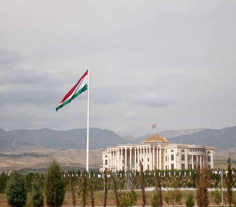
The history books tell us it was a small village in western Tajikistan up until the early 1900s, and that today it is the seat of government of Tajikistan. So here is the monumental Presidential Palace, also called the Palace of Nations. Right next to it is the world’s tallest flagpole!
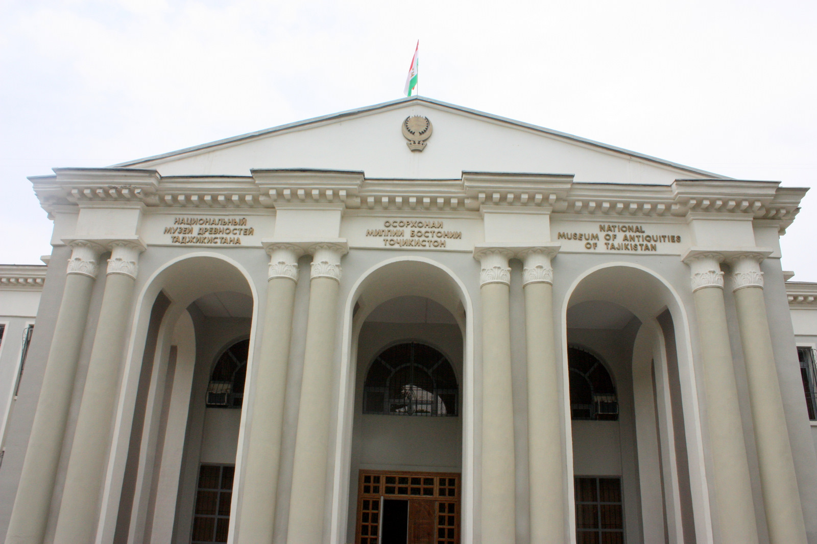
This is the National Museum of Antiquities in Dushanbe…
…and the artifact found at the Ajina-Teppa Buddhist Monastery that I mentioned earlier is here, which is this Sleeping Buddha.
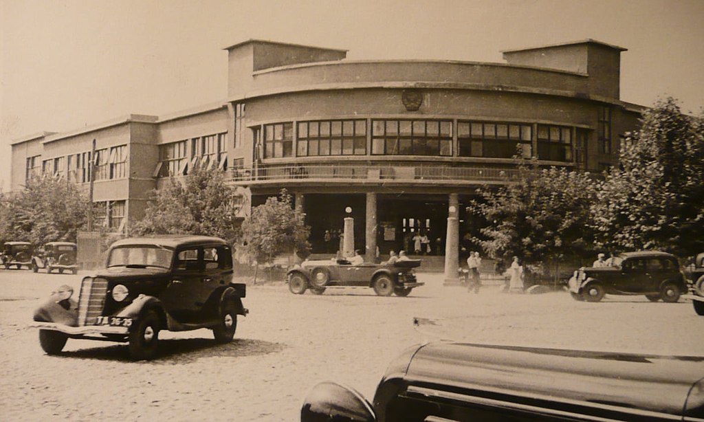
I just wanted to share a comparison of the similarity of appearance of the Dushanbe Post Office circa 1937…
The Palace Hotel in Burundi, a small country in East Africa…
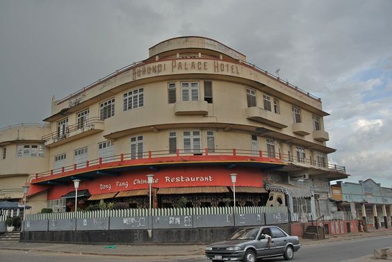
…and the Wako Department Store in the Ginzu Shopping District of Tokyo.

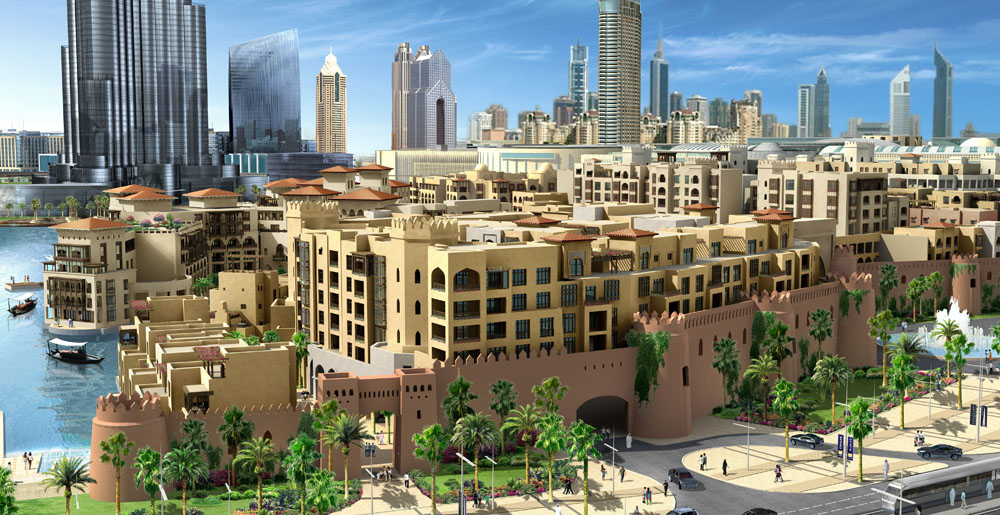
This is the Hissar Fortress in Dushanbe. Notice the earthwork-looking features in the foreground, and in the background the shape and style of the building features…
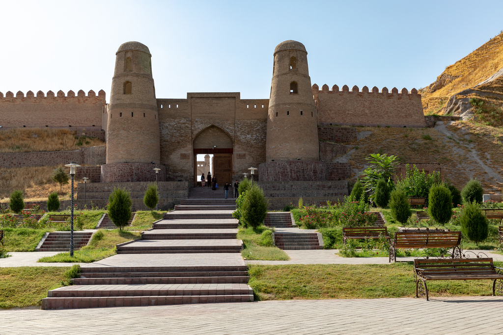
… that looks very similar in appearance to the walls in the foreground surrounding Old Dubai in the United Arab Emirates.
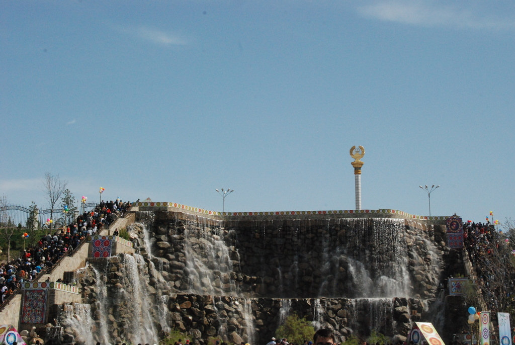
There is also a canal-system in Dushanbe, the Kanali Varnob…
… as well as places like the elaborate waterworks in Dushanbe shown here.
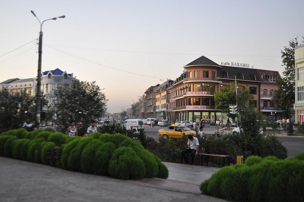
Next on the alignment we come to Andijan, also spelled Andizhan, in Uzbekistan.
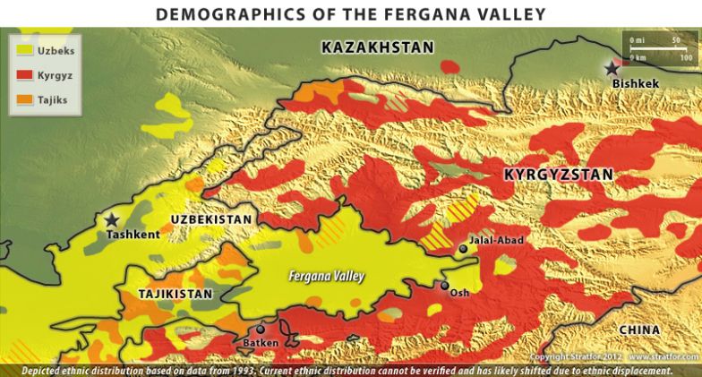
Andijan is located on the southeastern edge of the Fergana Valley near Uzbekistan’s border with Kyrgyzstan. Andijan is one of the oldest cities in the Fergana Valley, and was an important city on the Silk Road. Interestingly, it is believed to have been referred to long ago by Arab geographers as “Hindijaan,” believed to mean the city of Hindus or Hindu temples.
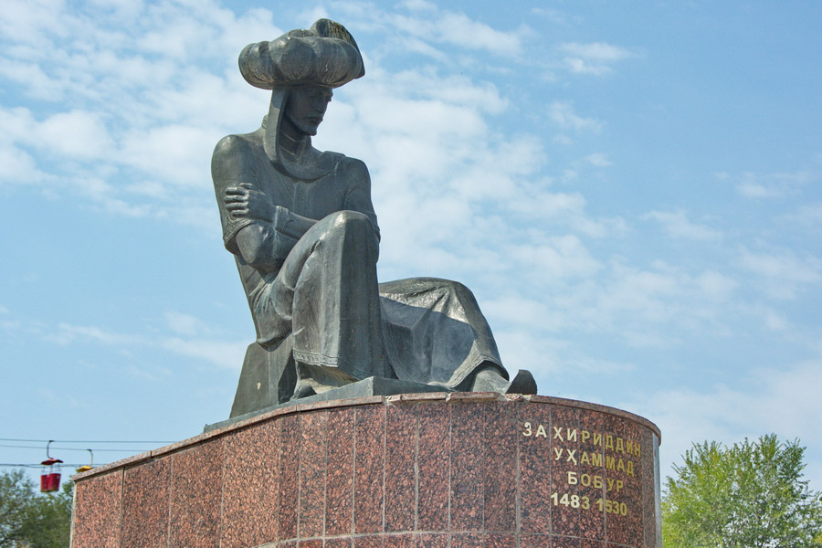
A national hero of Uzbekistan and Kyrgyzstan was born in Andijan. This is his memorial at Bobur Park…

…and this is Bobur, ruler of this part of the world in his day, military leader, and considered the founder of the Moghul Empire in India in 1526.
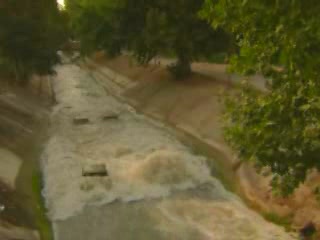
I looked, and indeed there is a canal system here. This is the Great Fergana Canal.
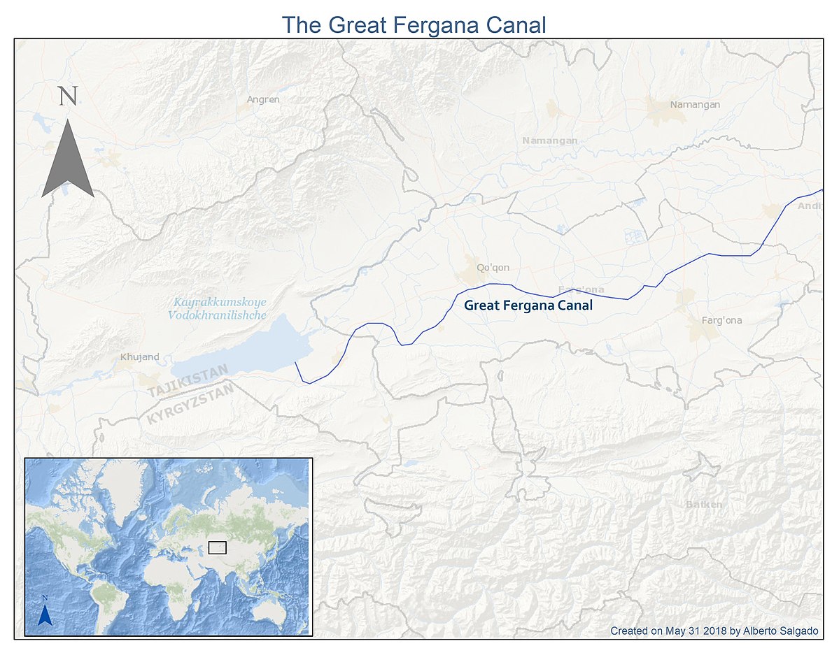
It is said to have been built in 1939, taking only 45 days to complete with conscripted unskilled labor and a high number of fatalities.

Just relaying my findings. I have my doubts about the veracity of the information as to who built it.
This building is in Andijan….
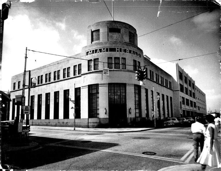
…compared with the old Miami Herald Building, which no longer exists as it was demolished in 2015. This is the fate of a lot of these old buildings, and this one was noted to have been built to be nearly indestructible.
…and this building is in Madrid, Spain, the only place where the Moors are given credit for ruling for 700 years, ending in 1492.

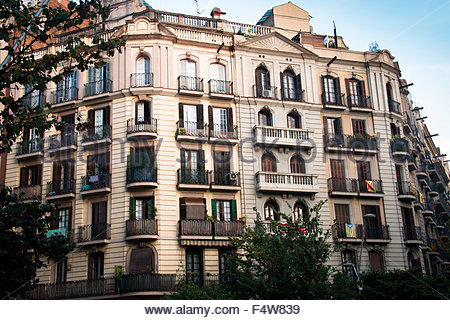
Here is another building in Andijan…
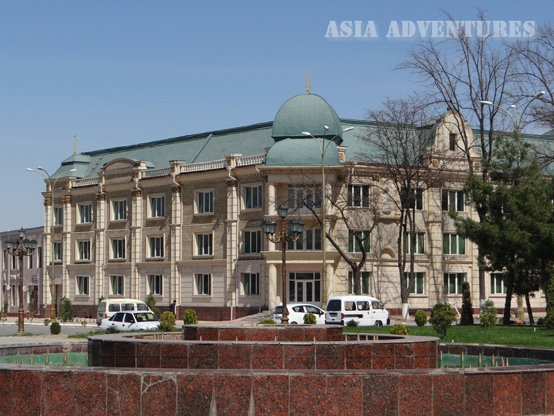
…compared with these historic buildings in Barcelona, Spain.

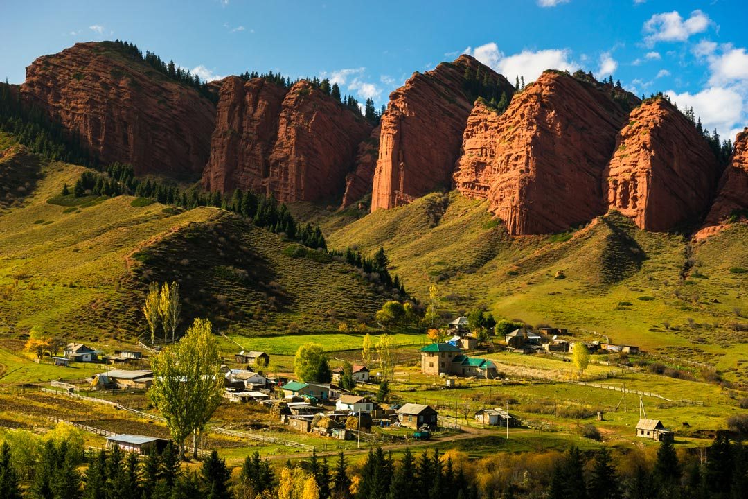
The alignment goes through Lake Issyk-Kul in Kyrgyzstan. This lake is in the Northern Tian Shan mountains, and is the 10th largest lake in the world by volume.
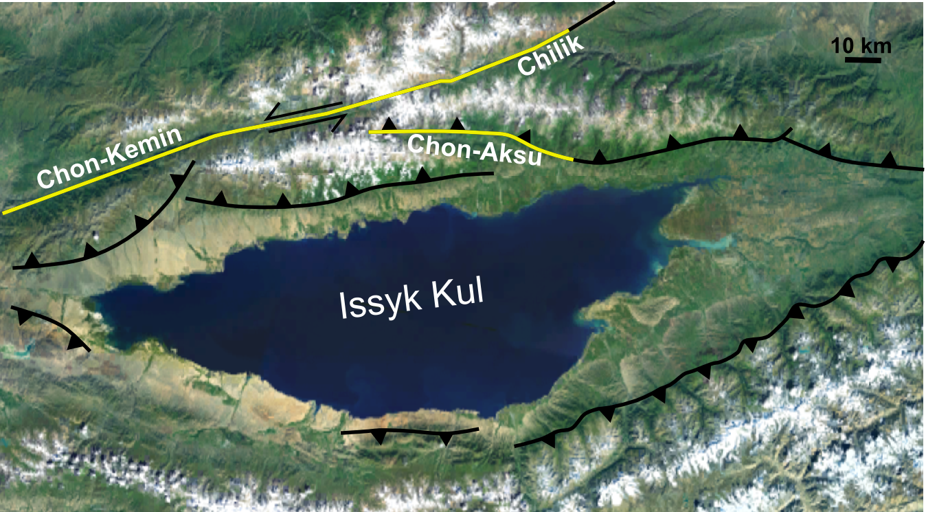
It is the second largest saline lake after the Caspian Sea. It is considered to be a sacred place by the Kyrgyz people.
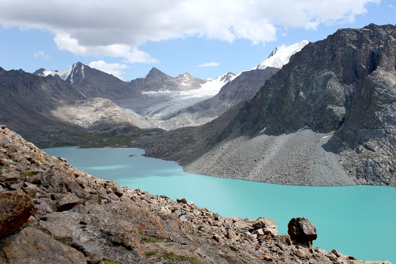
Here is an example at Lake Issyk-kul of what looks to be ancient infrastructure…
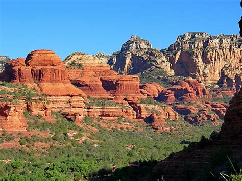
…and here is a comparison of similar looking features at Boynton Canyon in Sedona, Arizona. In both places, you can make out shapes in the rocks that look like ancient temples.
We cross over the Tien Shan Mountains, which straddle the border between Kyrgyzstan, Khazakstan, and China.
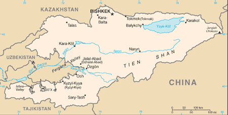
Tian Shan is the Chinese name of the mountain range, and refers to “Celestial Mountains.”
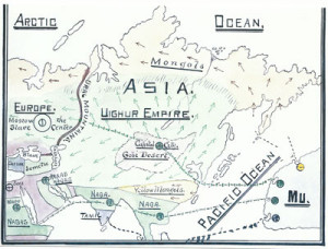
This is a good place to insert the information that we are in the historical region of the Ancient Uighur Empire. I read several of James Churchward’s books about what he discovered about Mu several years before I came into awareness of what I am sharing with you in this blog.
He describes the vast Uighur Empire as wealthy, advanced and powerful. This is a picture of one of his maps. We are approaching the heart of it when we cross the Tien Shan Mountains, entering into the modern-day Uighur Autonomous Region of China.
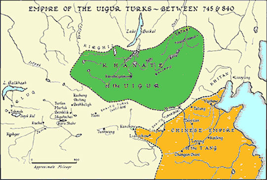
Here is a map depicting the existence of a Uighur Turkic Empire in this part of the world that is said to have existed for almost one hundred years.
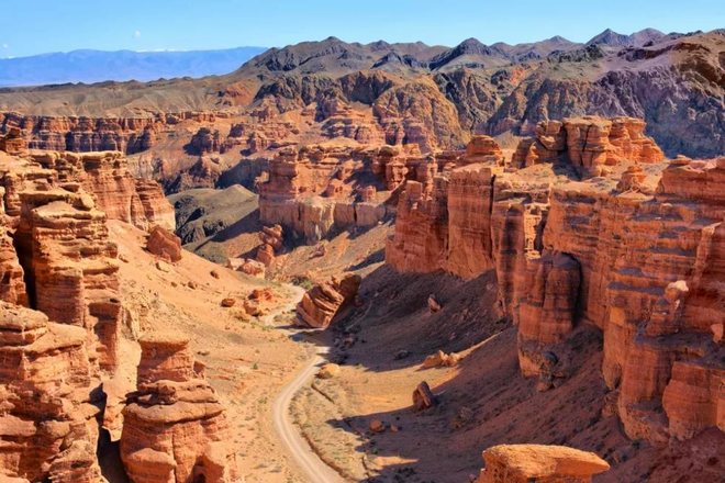
When I first started cracking the code of how the ancient advanced civilization was covered up, I realized that the word canyon is a code word, and that national, state and local parks are places where remnants of this civilization are preserved instead of being destroyed, neglected, or incorporated like what happens in unprotected places.
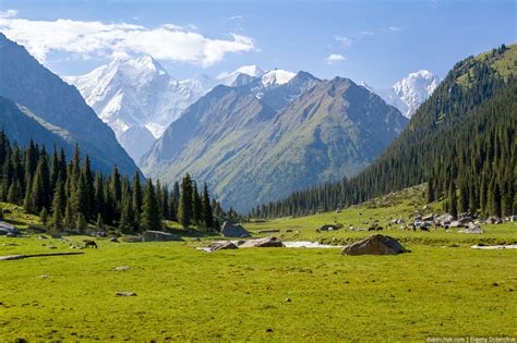
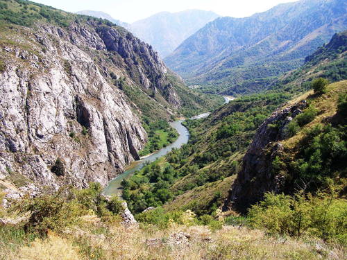
So, in the Tien Shan Mountains in Kazakhstan, I was able to find the Aksu Canyon in the Sayram-Ugam National Park, and the Charyn Canyon in the Altyn Emel National Park.
First, here are photos of Aksu Canyon:
We think of this as being natural because we simply have not been given any other explanation for its existence. This was a civilization of Master Builders and Master Masons that has been removed from our collective memory.
And the last place I would like to look at before ending this post is Charyn Canyon in Kazakhstan’s Altyn Emel National Park.
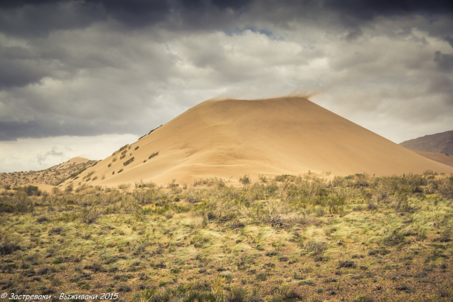
Sand dunes are also found in this National Park. This is called the “Singing Sand Dune.”
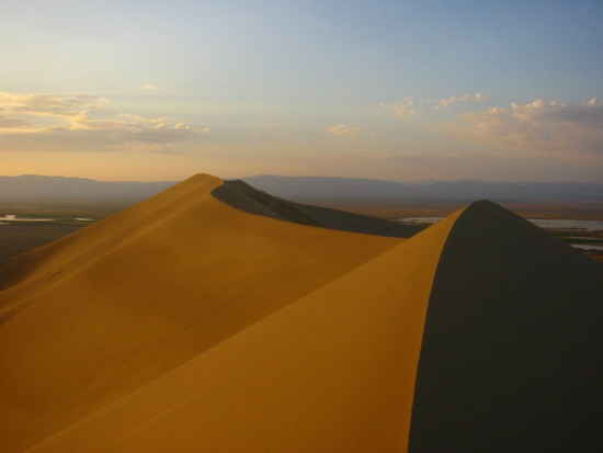
I have come to believe that there is enduring infrastructure underneath sand dunes.
I am going to end this post here, and pick up the alignment in the city of Urumqi in the Uighur Autonomous Region of China in the next post.
