
In the last post, I tracked the alignment from the Gulf of Guinea, exploring different locations and significant points in the Gulf, across the Equatorial Counter Current and just into the South Equatorial Current of the South Atlantic Ocean, across Fernando de Noronha just off the coast of Brazil, and entering South America at the Brazilian city of Natal.
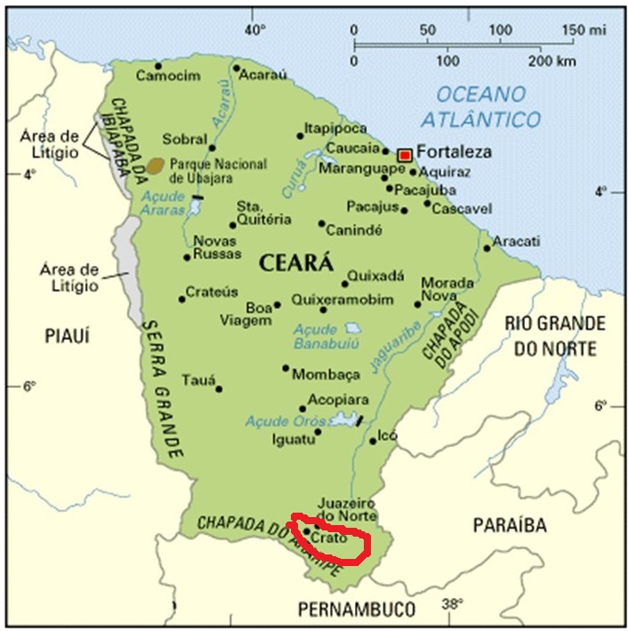
I am picking up the alignment in this post in Ico, a town located in the central part of the Ceara State of Brazil.
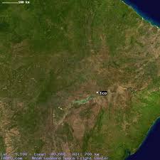
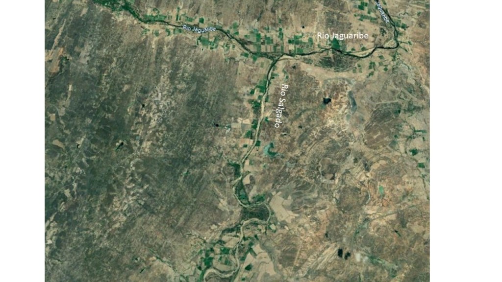
It is situated on the Rio Salgado, on a flat plain, not far from its confluence with the Rio Jaguaribe.
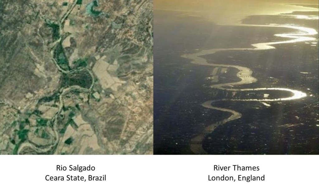
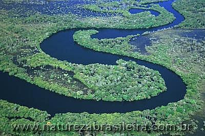
S-shaped, snaky rivers are a signature of the Advanced Ancient Civilization worldwide. For comparison of similarity of appearance, the Rio Salgado in Brazil is on the left, and the River Thames in England on the right.
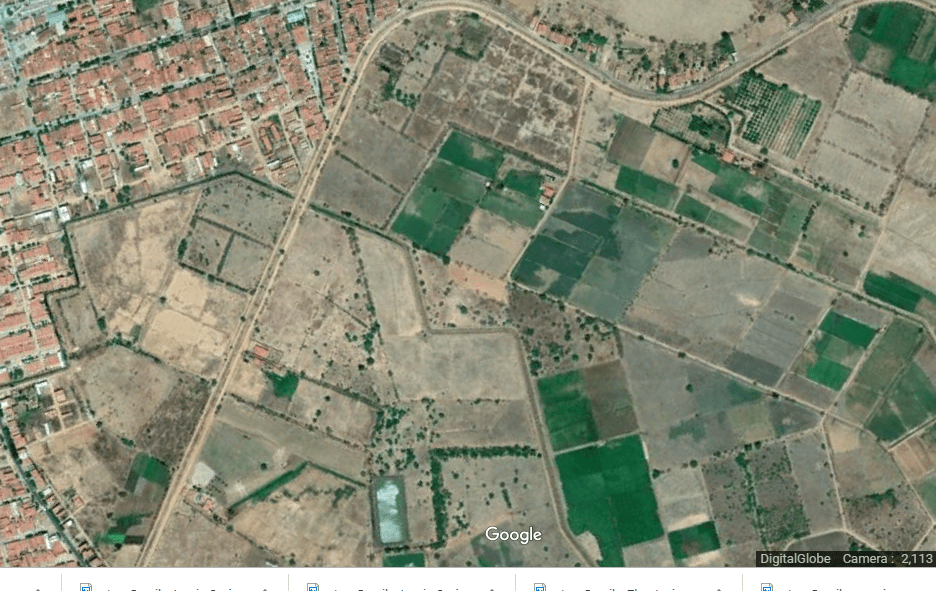
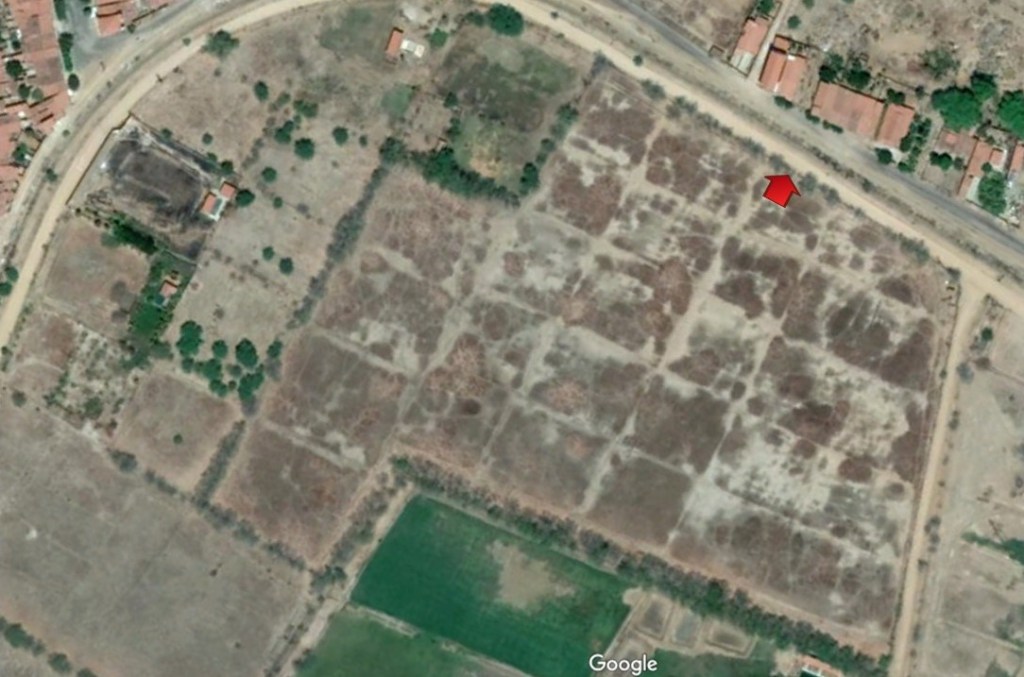
There are some interesting geometries going on in the landscape of Ico, with places with a lot of squares, rectangles, curves and angles showing up with nothing much going on in them.
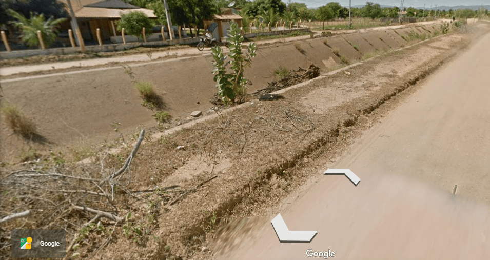
This is a close-up of the top middle section shown previously. It looks like a section of earth that has a grid pattern, and to me it has a much older look, like not something done recently. I took a street-view shot of where the red arrow is pointing…
…and this is what it looks like.
We don’t think of infrastructure from an advanced civilization because it is not supposed to exist, so how could it possibly be? If there was, we would know about it, wouldn’t we?
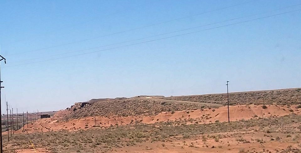
For another example, I had noticed an earthwork embankment on I-40 near the Geronimo Travel Center in northern Arizona as I travelled east. So I stopped on the way back to see what I could see. This was as close as I could get to it.
In my research, I have learned what to look for as signatures of the Advanced Ancient Civilization, and just like snaky, S-shaped rivers, geometric earthworks are key. There also appears to be a salt lake here, which has an energy generative function on the grid, as well as the geometric shapes on the lake shore.
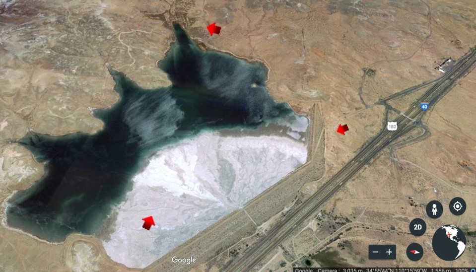
The geometric shapes of the lake in Arizona look like those of Lake Chapala in Mexico near Guadalajara.
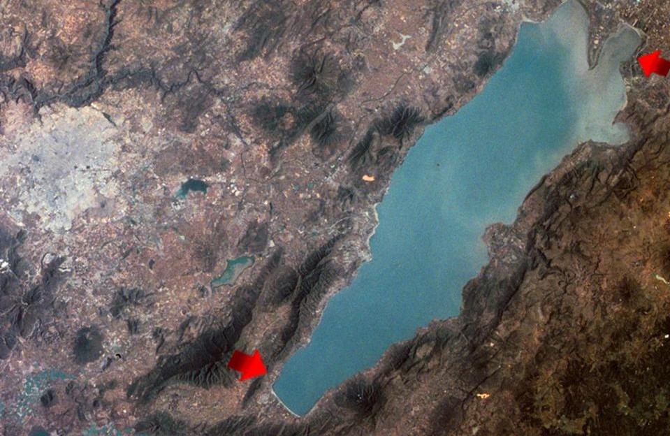
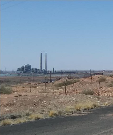
I am sure there is no coincidence that there is a power plant directly across from this location in Arizona. One example of many of how ancient energy technology is harvested by the modern energy industry without public awareness.
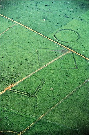
These are geometric shapes that appeared where the Amazon Rainforest was after deforestation.
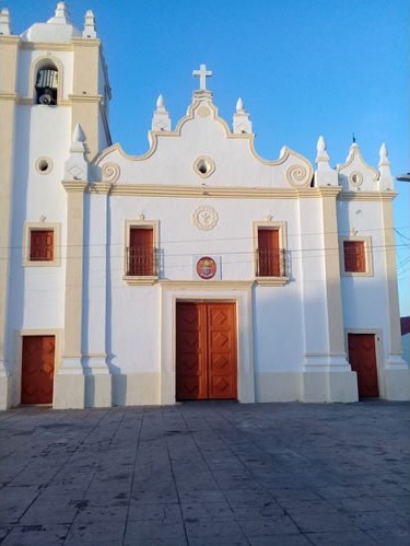
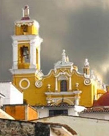
This is the Igreja Senhor do Bonfim in Ico, Brazil…
…compared with this building in Xalapa in Mexico…
…and the Chapel de Les Alegries in Lloret de Mar, on the Mediterranean coast near Barcelona, Spain.
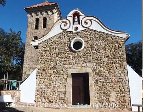
I find the recurring spiral patterns displayed on these three buildings in different countries to be of interest. Why were they incorporated in the architecture of the buildings?
Spirals can represent the expansion of consciousness, pathways between the worlds, and sound and frequency.

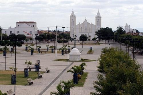
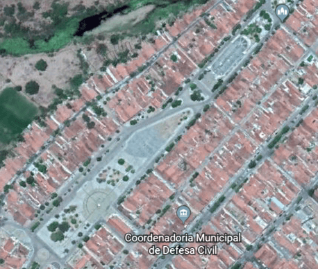
This is the Igreja Matriz da Expectacao in Ico…

…and the beautiful geometry in the plaza in front of it.
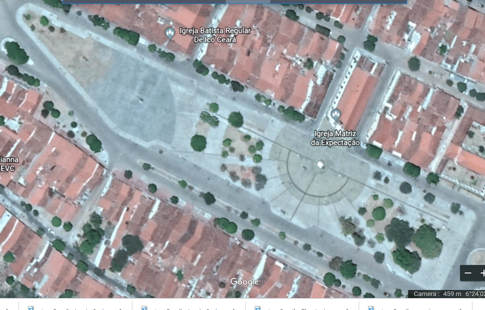
Compare the geometric design in the square with the look of the University of Birmingham in England.

This is a view of the front of the Igreja de Sao Jose from the front from the square in front of the Igreja Matriz da Expectacao that was just shown.
This is what the very large Igreja de Sao Jose looks like from above on Google Earth…
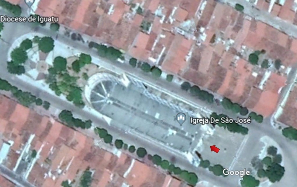
…and what the positioning of the two plazas looks like from above. There’s an interesting city lay-out going on here, with the Igreja de Sao Jose literally built in the middle of the street, perpendicular to the buildings beside it.
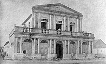
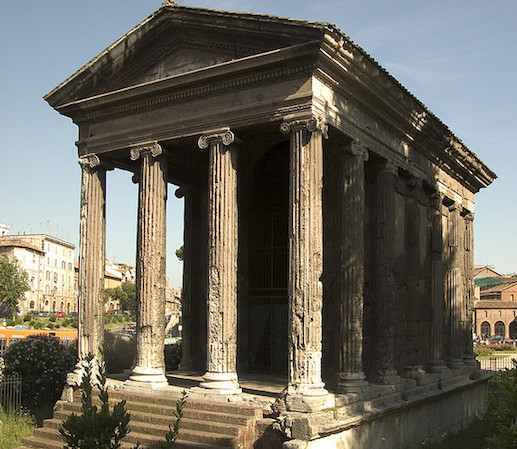
This is an historic photo of the Theater Ribeira dos Icos, circa 1900.
This is the same theater today.
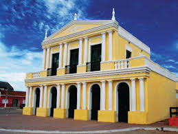
Compare the design features of this theater in Brazil with the Temple of Portunus in Rome, noting in particular the use of columns, and the gabled roofing. This classical style of architecture is found worldwide. Was it built in emulation of? Or was the theater built by exactly the same civilization that built the Roman Temple? My belief is that it was the latter, the advanced ancient civilization that is missing from our collective memory.
The next city I am going to look at on the alignment is Crato, in the southern part of the Ceara State of Brazil.
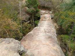
Crato sits on the northeastern edge of the Chapada, or Plateau, do Araripe, on what is called the Crato Formation.
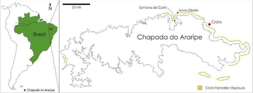
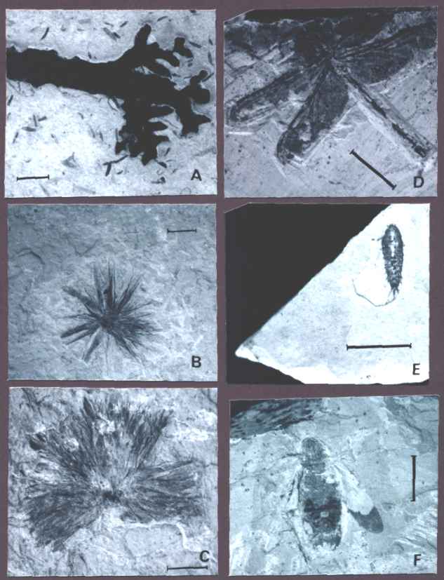
The Crato Formation is particularly known for its limestones containing fossils of plants, vertebrates, and invertebrates.
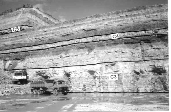
This is a cement quarry in the Crato Formation region at Caldas.
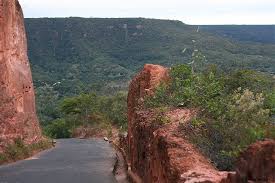
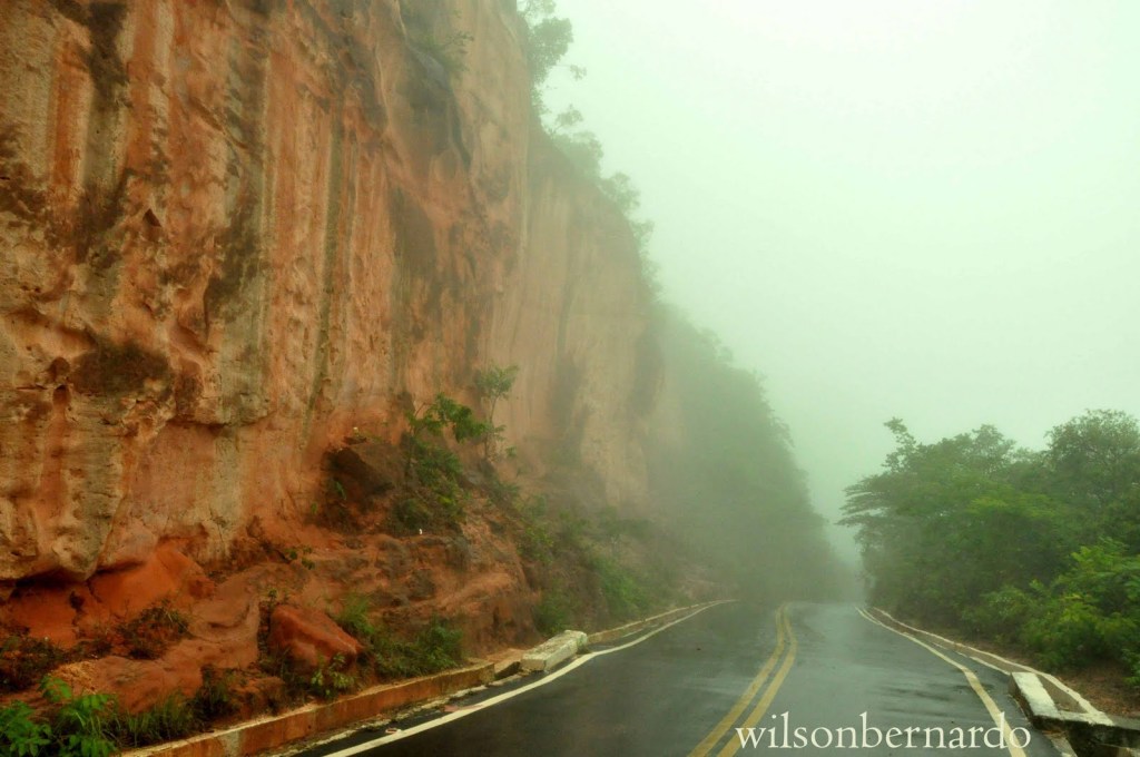
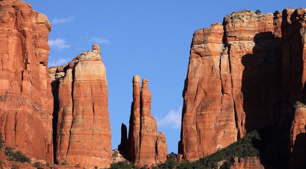
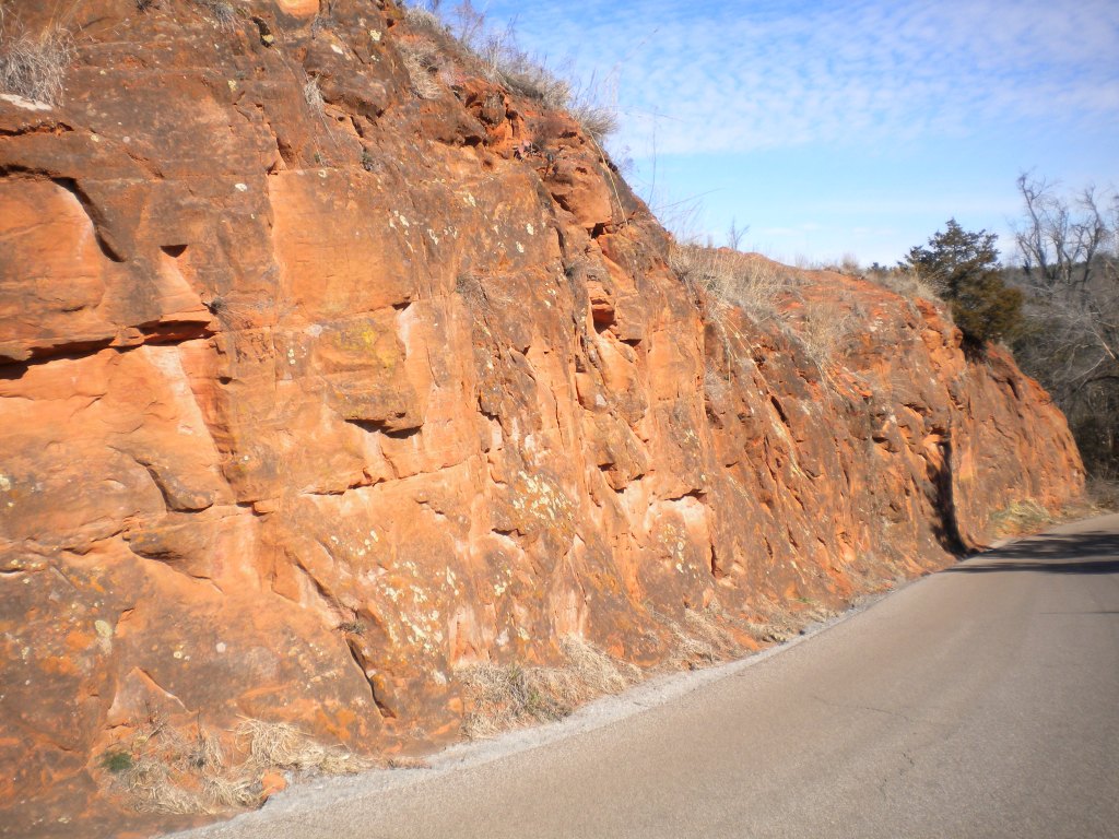
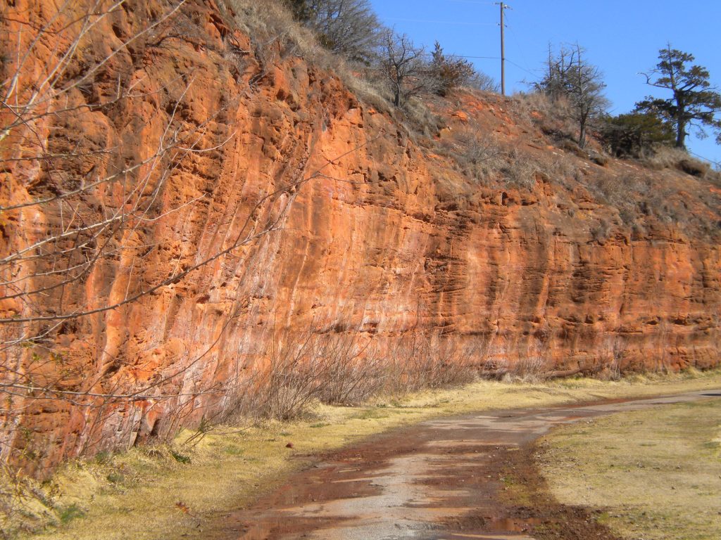
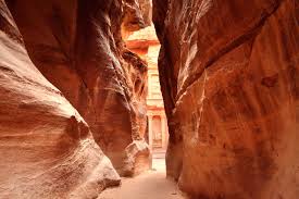
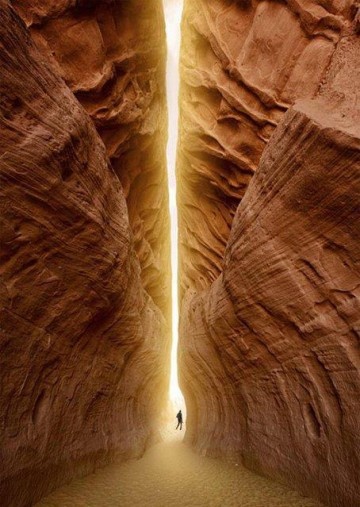
Here are some photos taken of places at the Chapada do Araripe in Brazil…
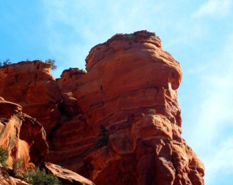
…compared with Sedona, Arizona…
…Red Rock Canyon in Hinton, Oklahoma, outside of Oklahoma City…
…and Petra in Jordan.
The Araripa Geopark has one of the most important fossil deposits in Brazil. Declared a UNESCO Global Geopark in 2006, it has nine geological sites in six municipalities of the state of Ceara, including Crato.
Here are some sights in the Araripa Geopark:

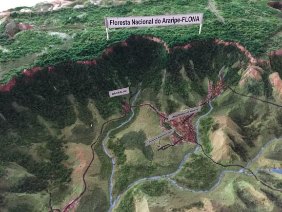
The alignment goes directly across the Floresta Nacional Do Araripe-Apodi, a National Forest with its status designated in 1946.
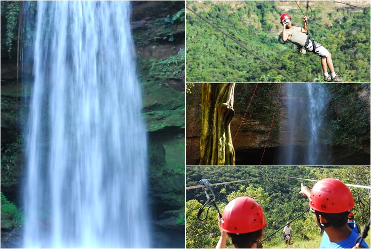
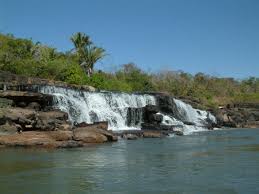
The alignment crosses through Taquarussu, a village in the Tocantins famous for its many waterfalls, natural environment, and as an ecotourism destination, right before you get to Palmas.
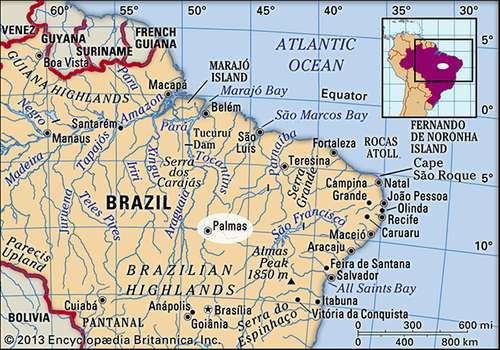
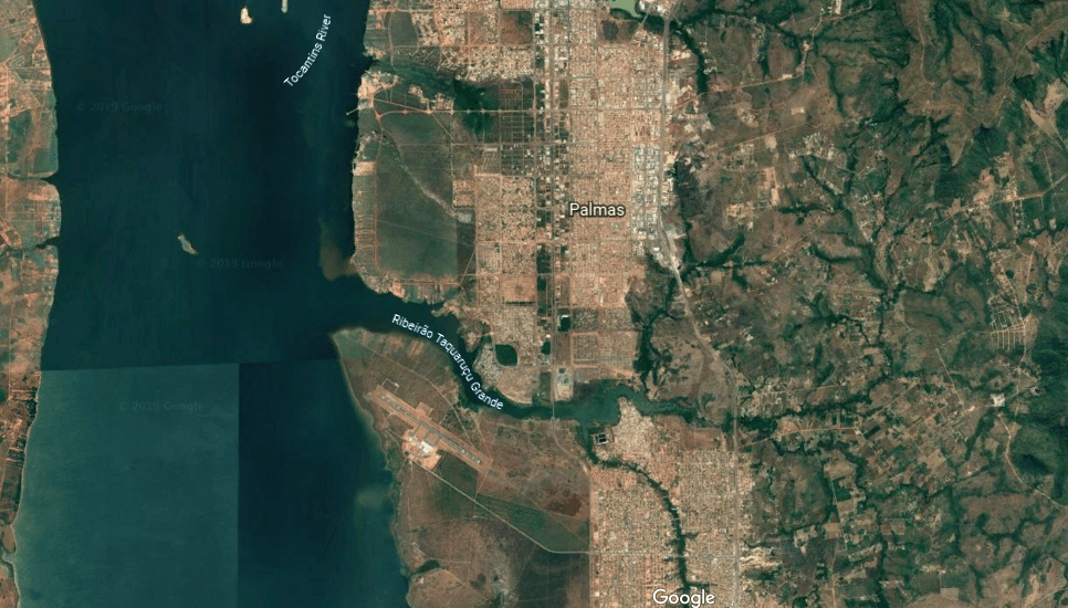
Palmas is the capital city and geographic center of the State of Tocantins and the geodesic center of Central Brazil.
It is bordered on the east by the Serra do Lejeado, where we find this in the Parque Estadual do Lajeado, or Lajeado State Park…
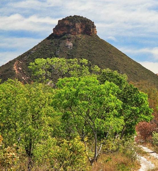
…compared to Pilot Mountain in North Carolina.

Palmas is bordered on the west by the Tocantins River, the central river in Brazil, running from south to north for 1,522 miles, or 2,450 kilometers.
The Parque Nacional do Araguaia, on the Araguaia River, is just a short distance southwest of the city of Palmas, largely on Bananal Island, believed to be the largest inland river island in the world.
I am going to end this post here, and pick up the alignment in the next post in Cachimbo, Brazil.
