
In my research, historical tram systems, also known as streetcars, keep cropping up.
I started to notice a close connection between not only trams, trains, canals, and star forts, but the incredible similarity between these systems all over the world.
I will start with one of the first one I came across in my research, which is in a seemingly unlikely place based on what we have been taught, and go from there. There are so many examples that I will select notable ones for the purposes of this post. There are too many to include them all.
In South America, Manaus is a remote city in the heart of the Amazon Rainforest in Brazil, and is, for all intents and purposes, accessible only by boat or plane.
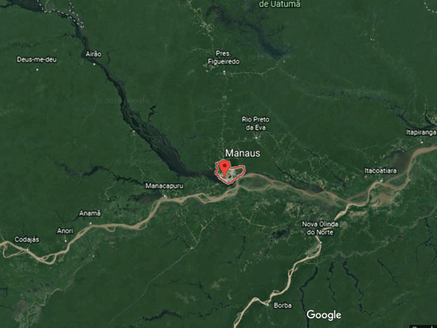
We are told the city was founded in 1669 by the Portuguese as the “Fort of São José do Rio Negro,” and was renamed Manaus, after the indigenous Manaos people, in 1848 when it was established legally as a city. This is a depiction of the star fort that used to be there.

It became the capital of Brazil’s Amazonas Province in 1850.
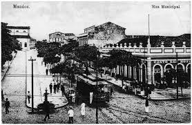
The historical narrative we are given says that rubber made Manaus the wealthiest city in South America in the late 1800s, and wealthy European families are said to have settled in Manaus, bringing their European art, architecture, and culture with them. It was a city at that time with electric trams and streetlights.
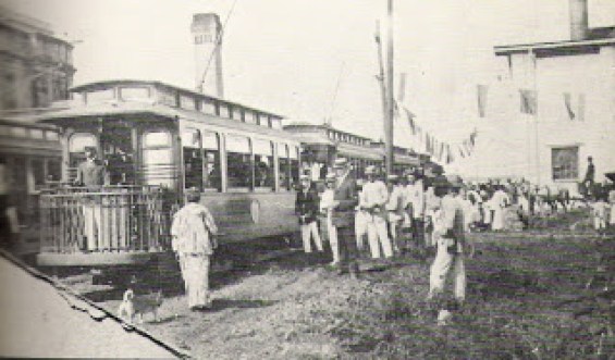
Electric trams and streetlights?
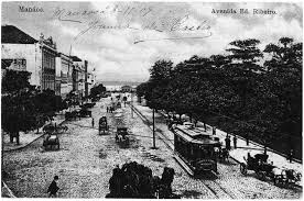
In the middle of the Amazon rainforest?
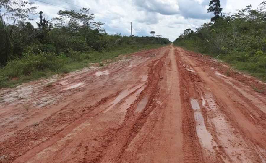
No road connection to Manaus existed until 1973, with the completion of the BR-319, connecting Manaus to Porto Velho, Brazil. It is 540 miles long, or 870 kilometers, going through the rainforest, and is impassable when it rains. It is known as Brazil’s worst highway.
There is no such tram system operating in Manaus today.
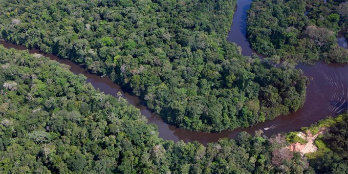
The history we have been taught does not provide an adequate explanation for what was really going on here. This is a photo of undeveloped Amazon rainforest near Manaus. How are they supposed to have built all of this in the mid-to-late 1800’s under these conditions?
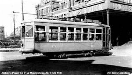
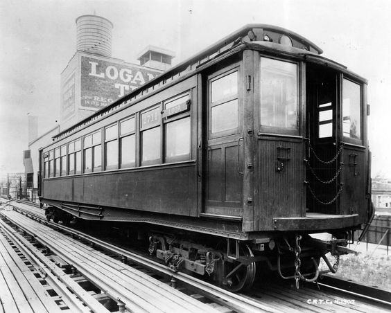
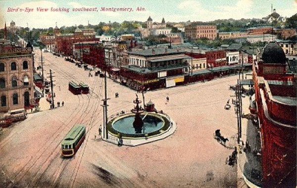
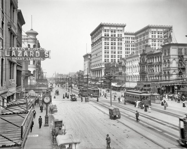
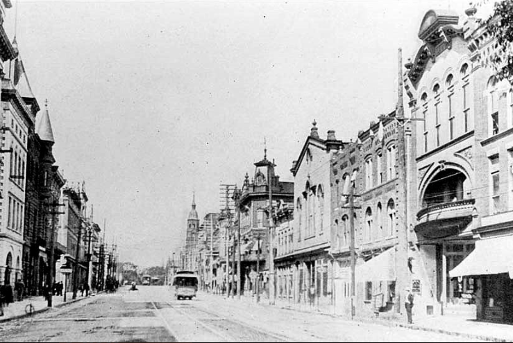
In North America, Montgomery, Alabama, is one of the places we are told was the first place in the world said to have had a city-wide system of electric trams established in 1886, known as the “Lightning Route.”
The technology for this was said to have been developed by Belgian-American inventor Charles Joseph Van DePoele, who was born in 1846, and died in 1892.
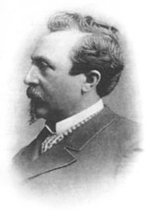
He was credited with the development of electric railways, with his first being established in Chicago in 1883.
Prior to this time, rail-lines were said to have been in existence since the earlier in the 1800s with locomotion provided by either steam-engine or horse.
For some reason, the “Lightening Route” in Montgomery only operated for 50 years, when in 1936, the streetcars were retired in a big ceremony and replaced by buses.
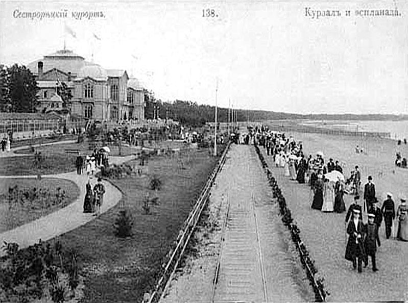
We are also told that the world’s first electric tram system was developed in 1880 by Fyodor Pirotsky, born in 1845 and died in 1898…
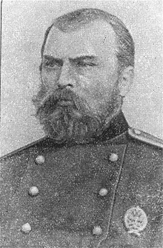
…and tested in Sestroretsk, near St. Petersburg, Russia, in 1880.
I have consistently found forts, castles, and other significant and ancient sites in the vicinity of railways and tramways.
This is Fort Negley in Nashville, Tennessee, with rail-lines close to it, on the other side of the baseball field.
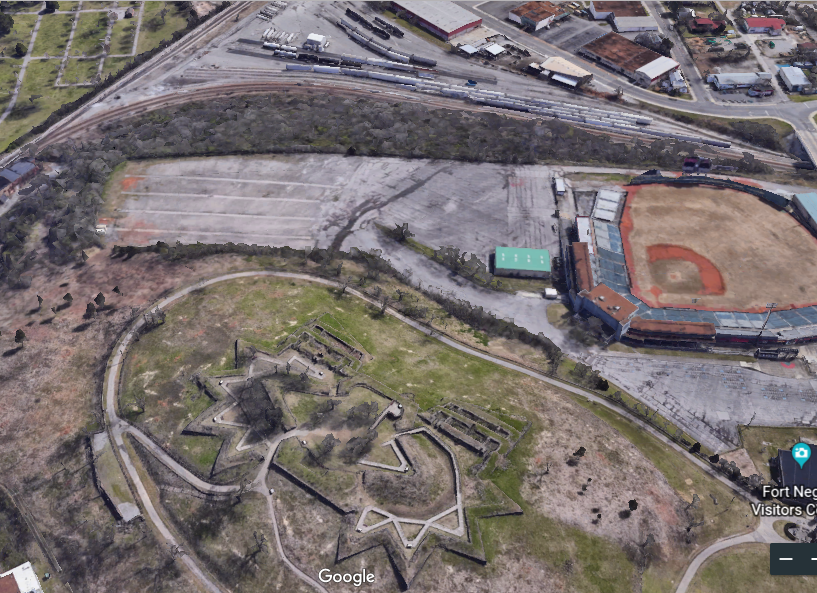
I am really curious about why a baseball field is located right next to the star Fort Negley, and perhaps someday will research the real possibility of a connection of ball-fields, and other athletic fields, to the ancient advanced civilization.
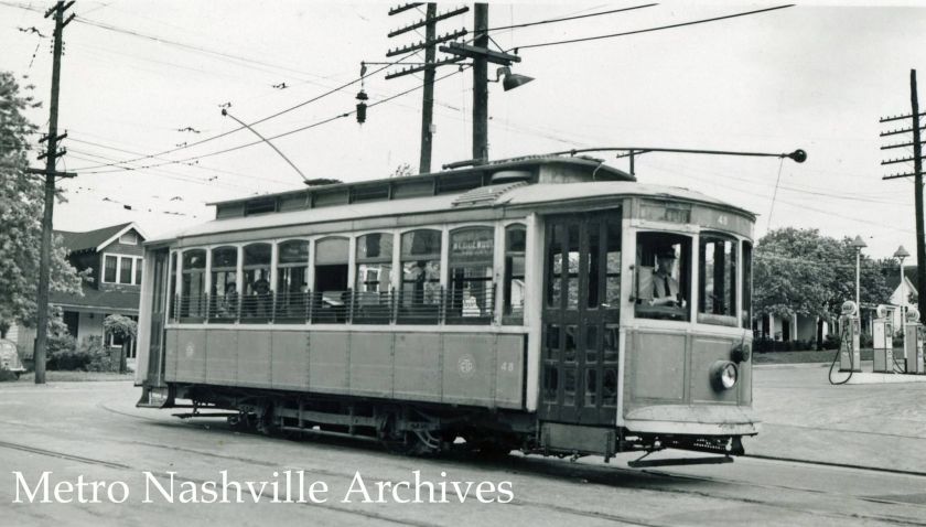
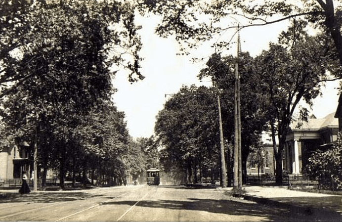
The extensive electric tram system in Nashville ran from 1889 to 1941.
Some cities kept their electrically-power mass transit tram systems in operation. But many did not. Why build the sophisticated infrastructure, and then only use it for fifty or so years?
In Indiana, the Terre Haute, Indianapolis, and Eastern Traction Company was formed in 1907, and the second-largest interurban in Indiana, a type of electric railway with over 400 miles of track.
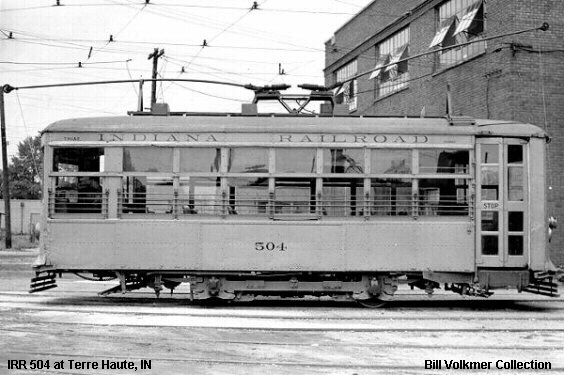
It was incorporated into the Indiana Railroad in 1931.
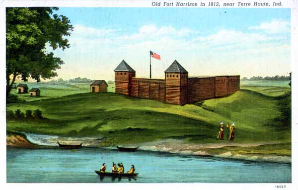
I looked to see what was in this area in the way of forts, and found Fort Harrison near Terre Haute. It is typically depicted as a wooden structure like this.
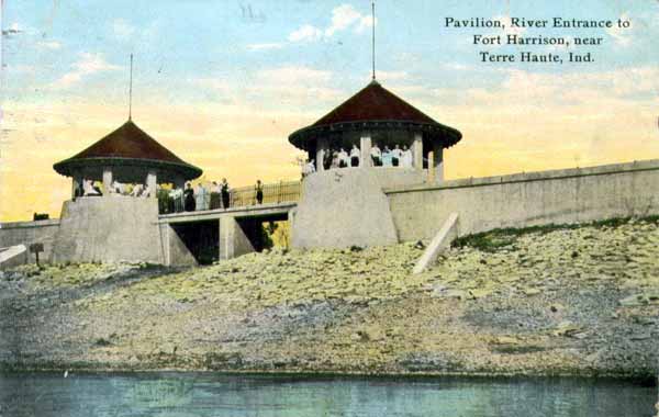
I found this post card, however, showing the Pavilion Entrance to Fort Harrison as having a masonry structure.
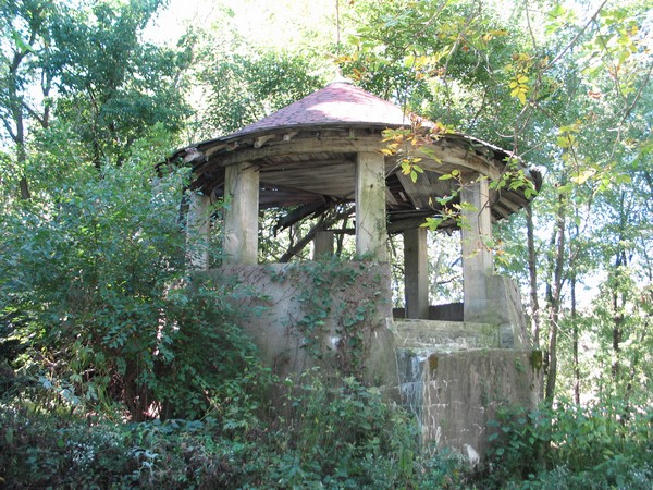
And here’s what is left of it on the grounds of Fort Harrison State Park.
In Europe, this is the Petrin Funicular in Prague in the Czech Republic.
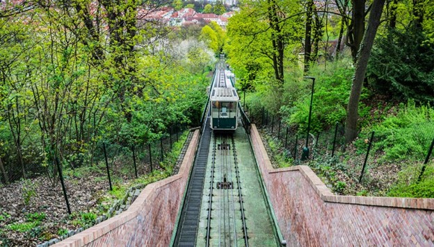
It links the Mala Strana District with the top of Petrin Hill, which overlooks the old city of Prague…
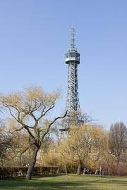
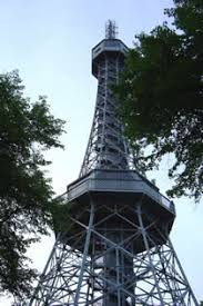
…where there is a look-out tower that looks a lot like the Eiffel Tower in Paris, and said to have been built in 1891 for the Jubilee Exhibition held in Prague – also known as the General Land Centennial Exhibition.
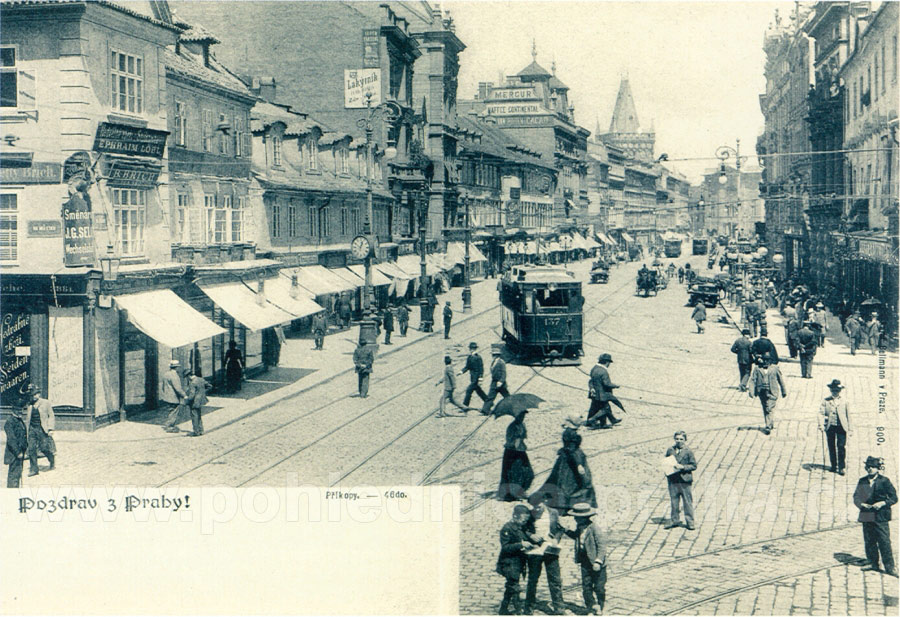
This was the same year the Prague’s electric tram system was said to have been established.
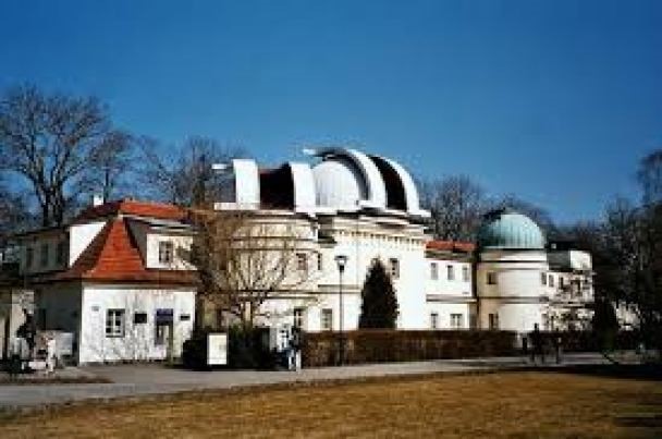
Stefanik Observatory is also on Petrin Hill…
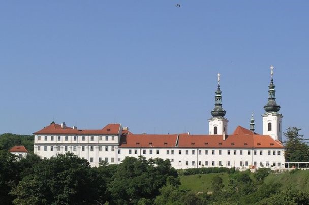
…as well as Strahof Monastery.
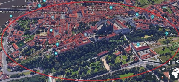
The Prague Castle is a castle complex said to have been built starting in 870 AD, and a seat of power for the kings of Bohemia, Holy Roman Emperors, and the presidents of Czechoslovakia since 1918.
The crown jewels of Bohemia are also kept in Prague Castle.
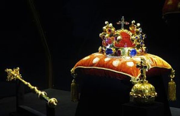
These are power objects in their own right. But that’s another story that I don’t know much about. I just know royal objects such as these are specific power instruments for the ruler.
The Prague Castle complex is close to both Petrin Hill area…
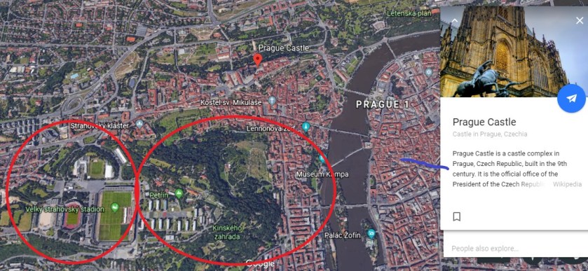
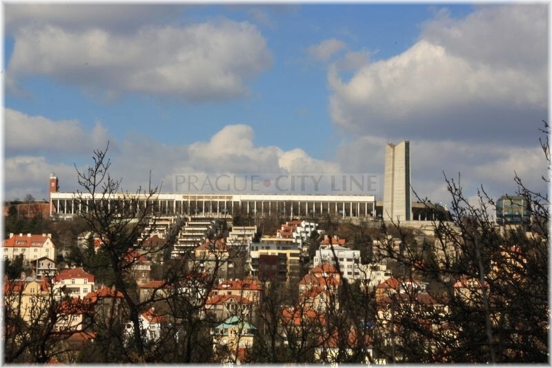
…and the Great Strahov stadium can be accessed by the funicular or several of the tram-lines.
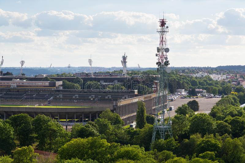
It is the largest stadium in the world, with a capacity to have 250,000 spectators. It is a UNESCO Cultural Heritage site.
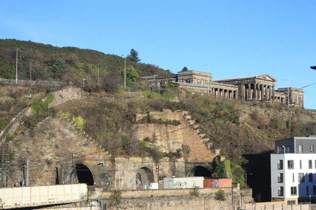
When I was researching Edinburgh for “How Monuments and Memorials Hide the Advanced Ancient Civilization,” I noticed railroad tracks at the base of Calton Hill.
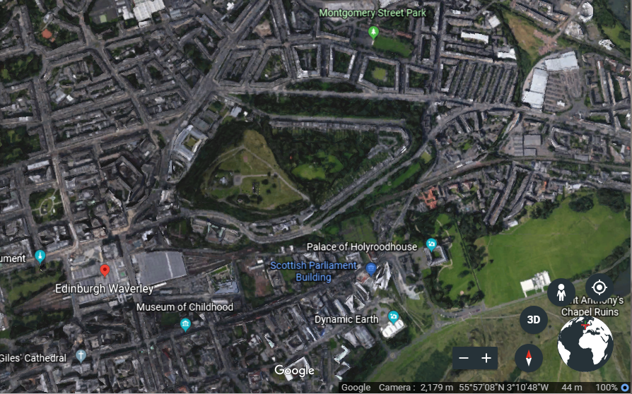
There is a great deal to see on Calton Hill, the seat of Scottish Government, and among other things, it is the location of the Edinburgh City Observatory, like the Stefanik Observatory on Petrin Hill in Prague.
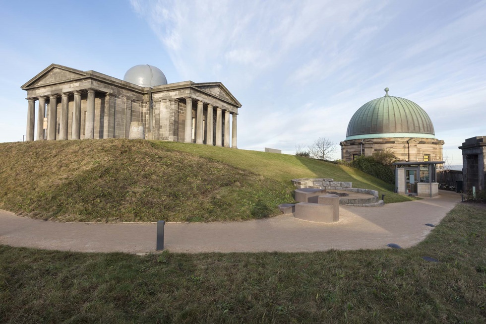
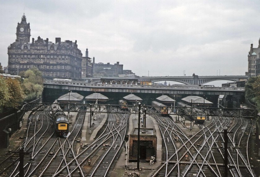
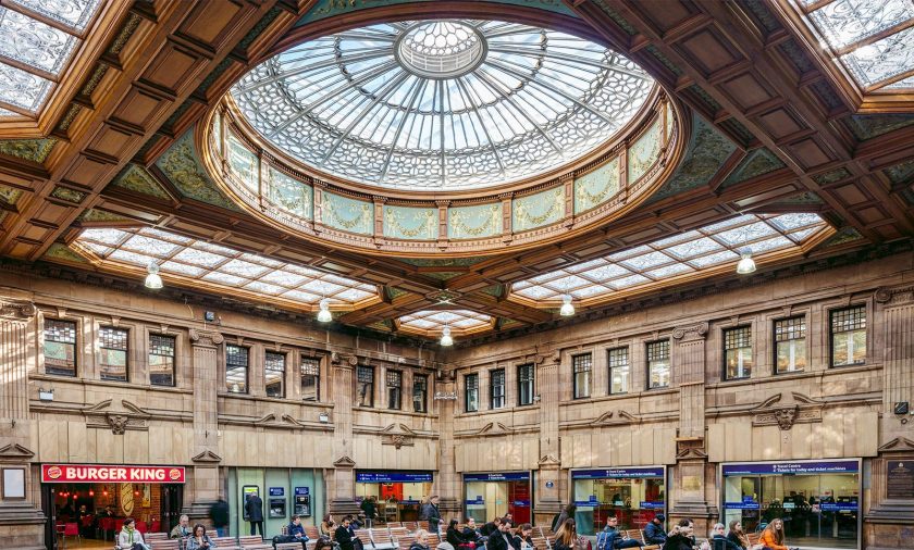
Edinburgh Waverley Train Station is at the base of Calton Hill…
…and this is what it looks like on the inside.
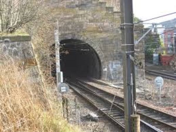
There are actually railroad tunnels going right through Calton Hill.
I noticed a pentagonal shape in a neighborhood on top of Calton Hill…
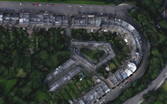
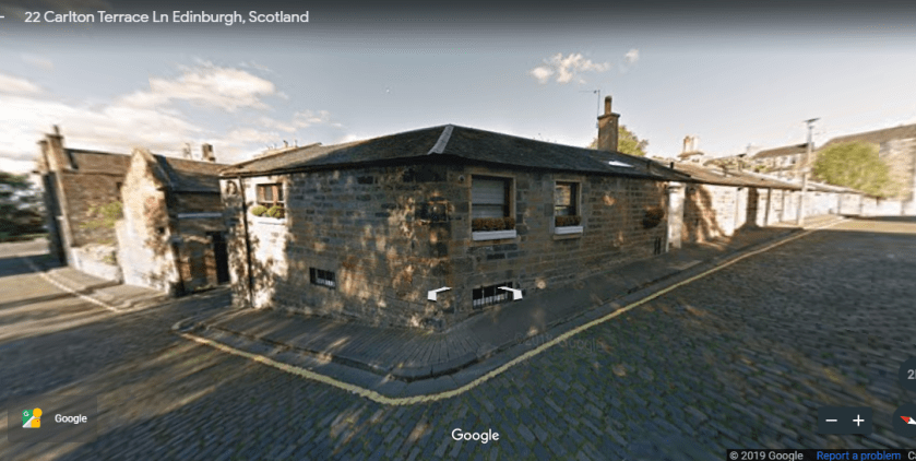
…which turns out to be the Carlton Terrace Mews, a residential neighborhood said to have been designed by the Greek Revival architect William Henry Playfair in the 1820s.
Here is the pentagon formed by the Carlton Terrace Mews on the left, compared with Fort Cunningham on the island of Bermuda on the right.

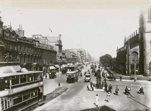
Edinburgh Corporation Tramways were said to have operated between 1871 and 1956, using double-decker trams.
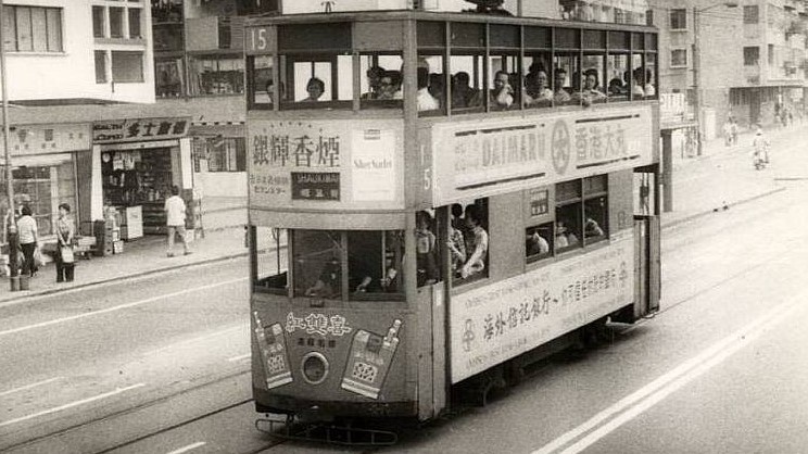
In Asia, Hong Kong Tramways began operating in 1904, and owns the world’s largest operational double-decker tram fleet, and the system there is in use in the present day.
I looked into whether or not there were any star forts in Hong Kong.
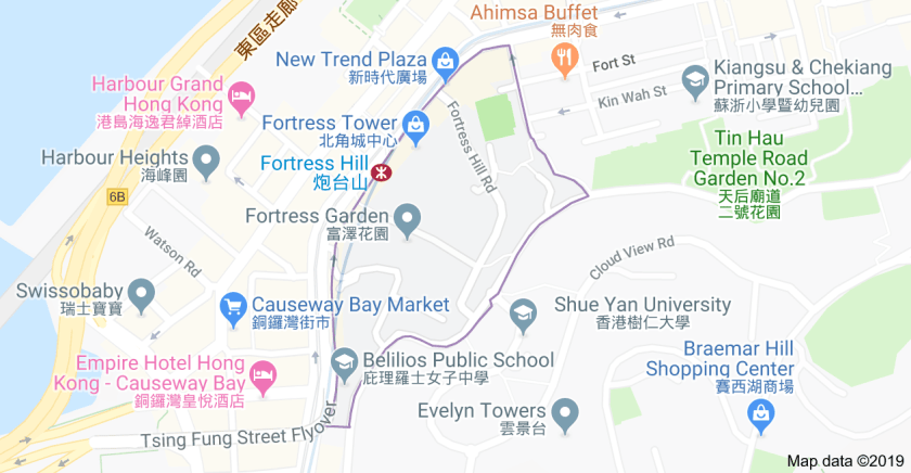
There is a Fortress Hill in Hong Kong, on the North Shore of Hong Kong Island, served by the Hong Kong Tramways, and the rapid transit railway of Hong Kong, the MTR.
The North Point Power Station was located near Fortress Hill, and was severely damaged during the World War II Battle of Hong Kong just prior to the Japanese occupation of Hong Kong, which started on December 25th, 1941. Check out the big, megalithic-looking stones in this picture of North Point in 1941.

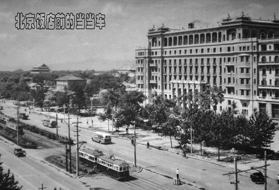
Beijing was said to have had the first tram system in China, opening in 1899.
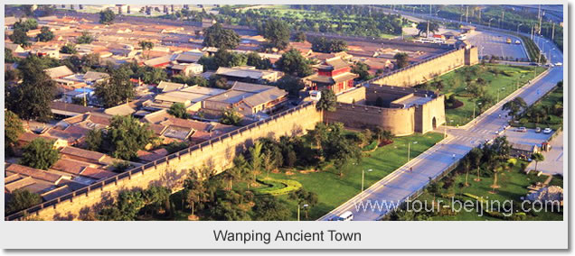
I found Wanping Castle in Beijing, located right next to railroad tracks.
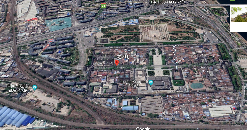
Also called Wanping Fortress, and Wanping Ancient Town, it is called a Ming Dynasty walled city that was built between 1638 and 1640.

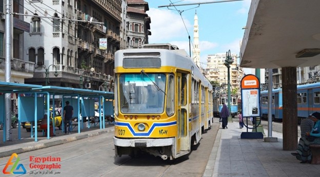
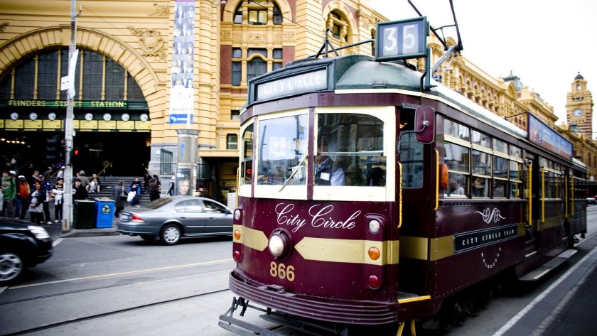
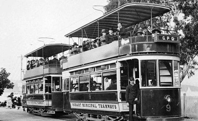
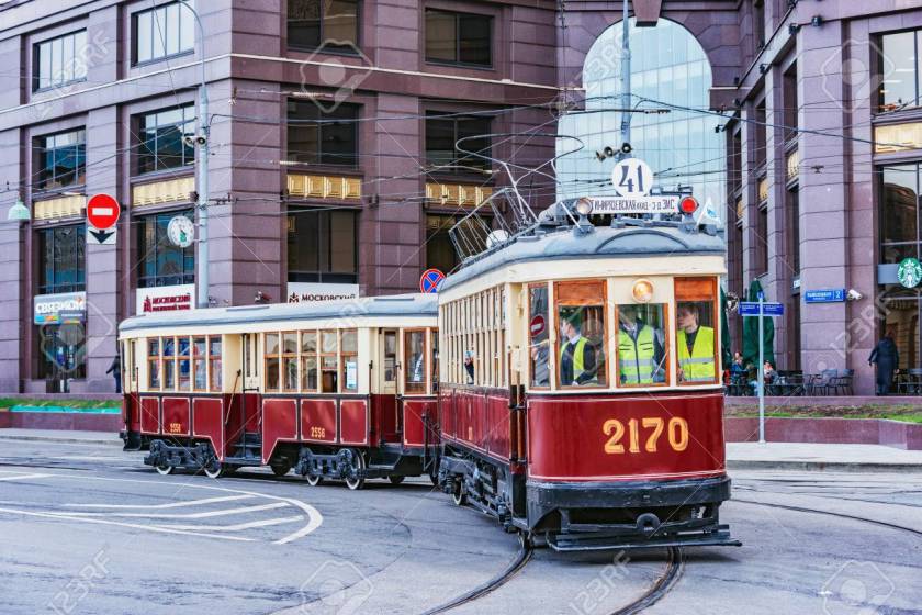
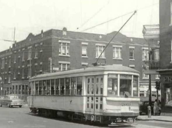
Now I am going to show you other tram systems around the world without going into detail.
In Africa, in Alexandria, Egypt…
…Melbourne in Australia…
…Hobart in Tasmania…
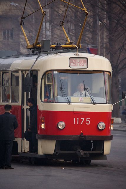
…in Pyongyang, North Korea…
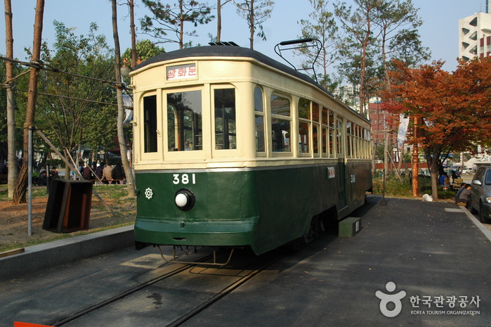
…in Seoul, South Korea…
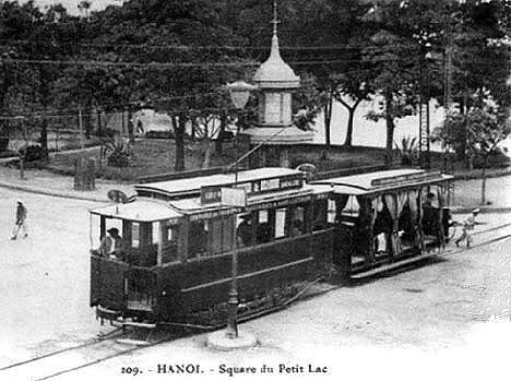
…in Hanoi, North Viet Nam…
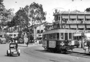
…in Saigon, South Viet Nam…
…in Moscow, Russia…
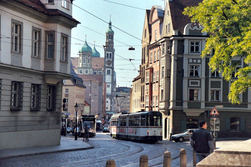
…in Augsburg, Germany…
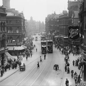
…in Leeds, England…
…in Montreal, Quebec, Canada…
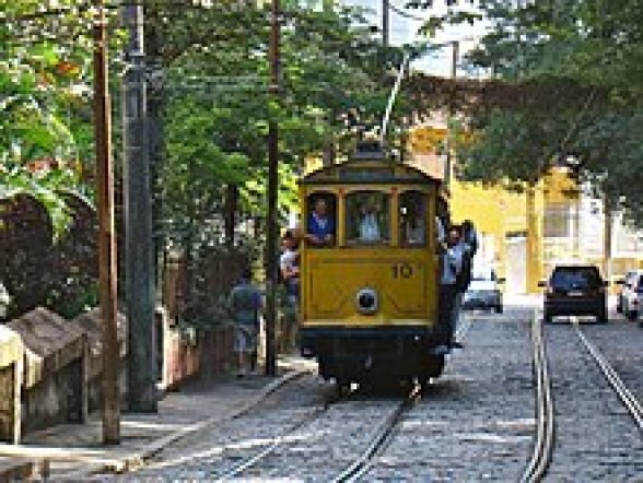
…in Rio de Janeiro, Brazil…
…and back in the United States, in New Orleans, Louisiana…
…in Charlotte, North Carolina…
…and here’s another one in a quiet residential neighborhood in Charlotte…
…and in Denver, Colorado, to name just a few.
One more thing before I end this post is to touch base on the cultural phenomenon of “Trolley Parks,” which were said to have been started in the United States in the 19th-century at the ends of street car lines in most of the larger cities, and said to be the precursor of amusement parks.
I feel I would be re-miss if I didn’t include trolley parks in this post. Look closely at the style of the architecture in the following pictures.
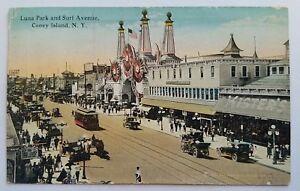
Coney Island in New York was one of them.
I learned about trolley parks when I was doing research on Palisades Park in New Jersey.
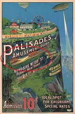
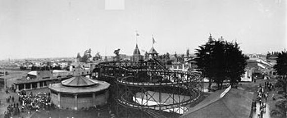
This is a view of the roller coasters at Palisades Park from the trolley terminal at Edgewater, New Jersey, with the photo taken in the early 1900’s.
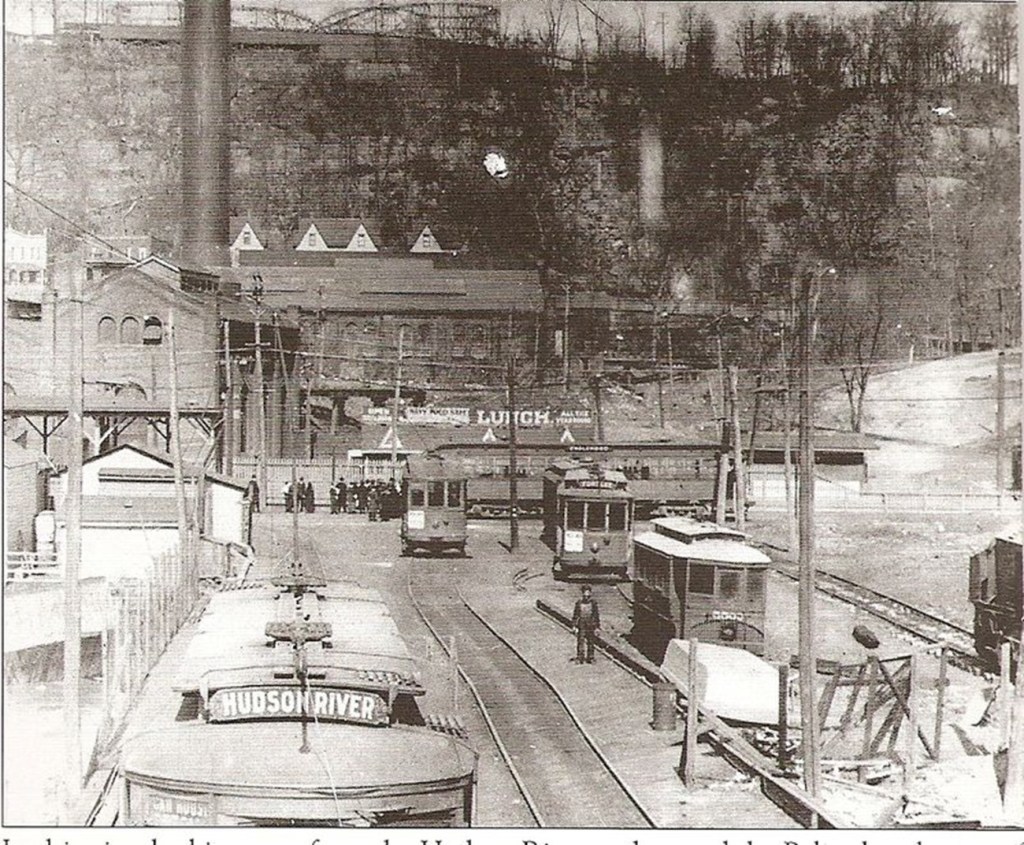
Some other historical trolley parks were the Idora Park in Oakland, California…
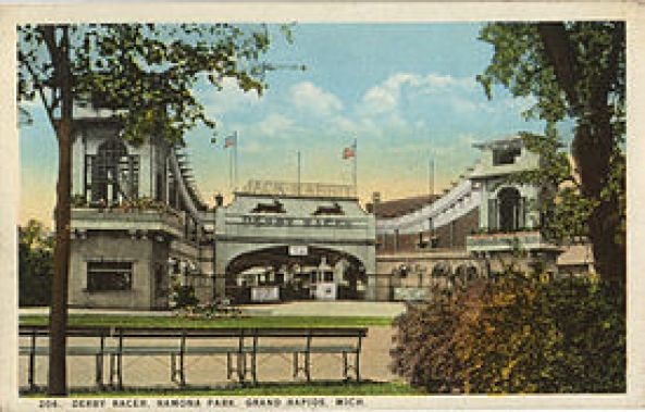
…and Ramona Park in Grand Rapids, Michigan.
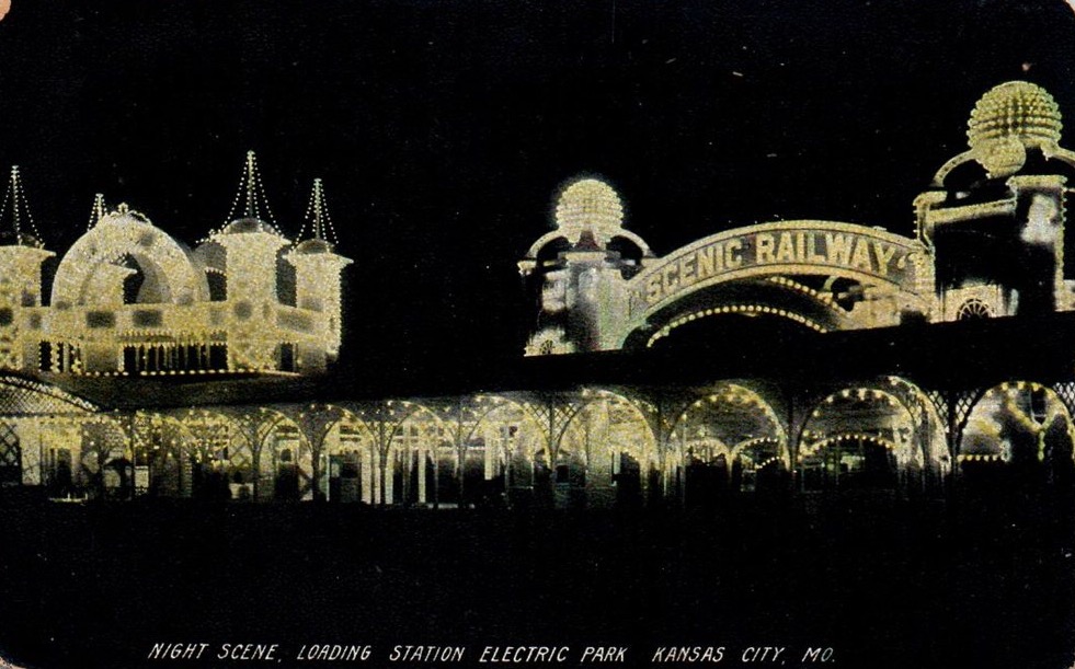
The people who said they built all of this weren’t the people who built it. The collective memory of the ancient and advanced Moorish Civilization is almost completely gone from our historical narrative, with the exception of Moorish Spain. Look at the incredible infrastructure of the Electric Park in Kansas City, Missouri…
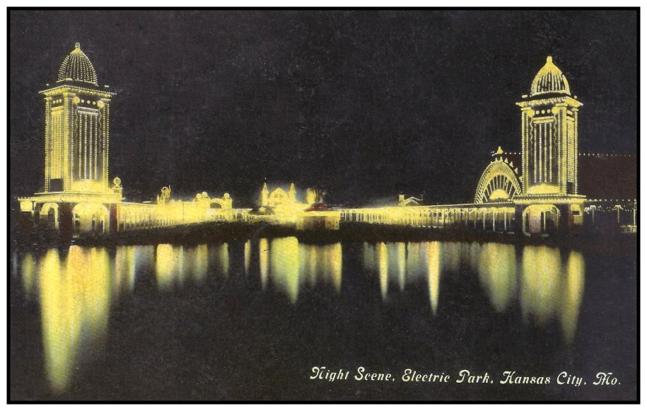
…and said to have been built and closed between 1907 and 1925.
In my next post, I will be finishing up the subject of worldwide transportation systems by looking at underground rail systems.

Fantastic work you do Michelle, very interesting how they could build tram and electric street light in the middle of Amazonas that early. Starforts as power generators is very possible. Keep up the good work!
LikeLike
Amazing cookie cutter tram systems and forts. Not to mention the architecture. I was wondering where did the world wide architects go to college. The same one? Only so many choices of building plans? Maybe the designers of our matrix got tired and kept repeating figuring no one like you was around to expose it all!
Great job!
Jane
LikeLike
I wouldn’t doubt Manaus is still there, buried under mud.since 1741. I wonder what the oldest trees are in the area? Right around 300+ years?
LikeLike
It’s too bad there are some broken image links, maybe you can fix them? Fascinating content! I’m a San Diego native and we have a park named just “Trolley Park” in the middle of one of the older parts of town. There’s an old trolley car across the street that has been turned into a little cafe, and rumor has it that there used to be an adjacent ostrich farm there too. Also, throughout the city there are ancient abandoned tracks that I’ve always wondered about.
LikeLike
I fixed the image links so the photos are there now. There may be some others – please feel free to drop me a note if you come across others. I had an issue with losing photos a couple of years ago when I switched from one WP plan to another. I got a number of them fixed, but there were so many that there are some that aren’t fixed.
LikeLike