
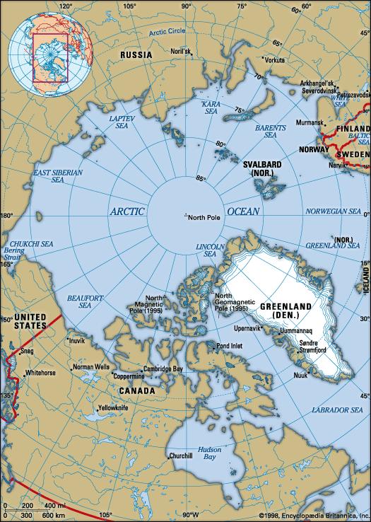
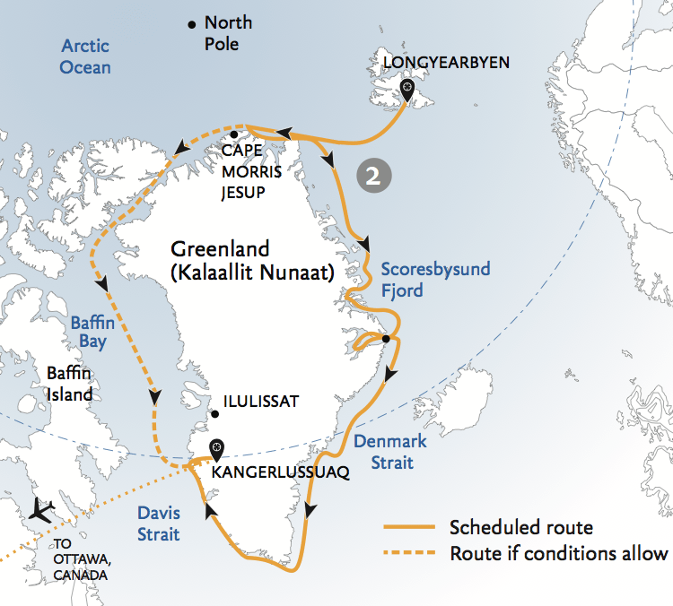
In following this circle alignment that begins and ends in Merida, Mexico, the last post ended in the port city of Akureyri, Iceland’s second largest city, located on the coast of Northern Iceland, and heads over the circumpolar north.
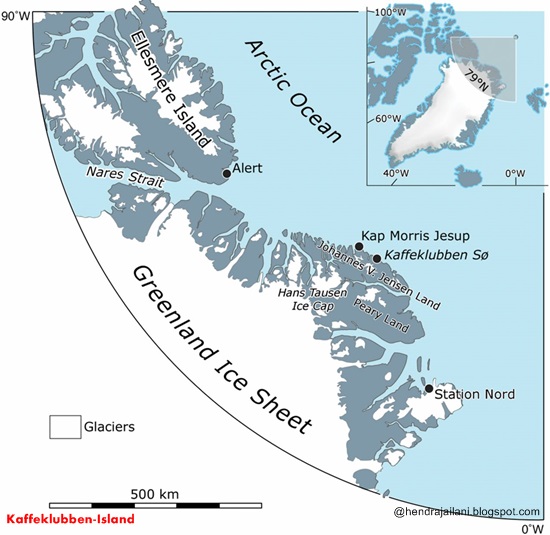
The alignment leaves Iceland and from crosses over the far northeastern tip of Greenland.
Greenland is considered an autonomous constituent country within the Kingdom of Denmark. It is called the world’s largest island.
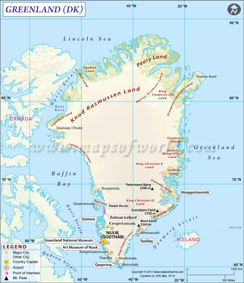
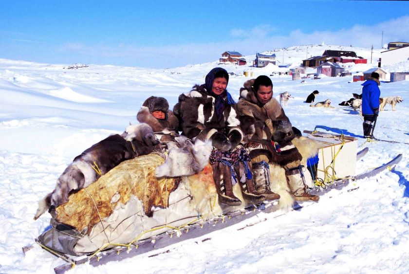
While it is on the North American side of the Atlantic, it has long been politically and culturally tied to Europe, even though the majority of its inhabitants are Inuit Eskimos, who are said to be descended from the Thule people of Greenland.
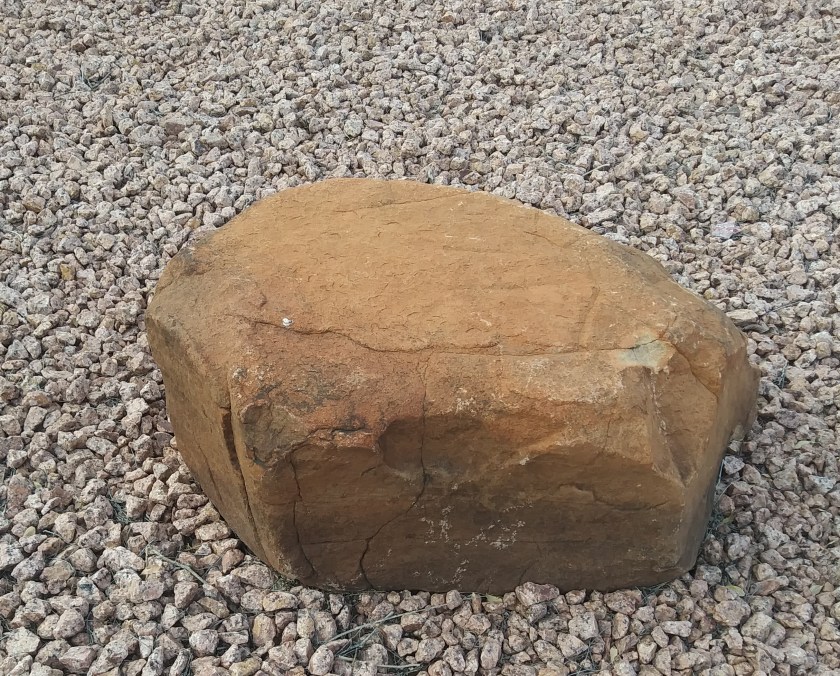
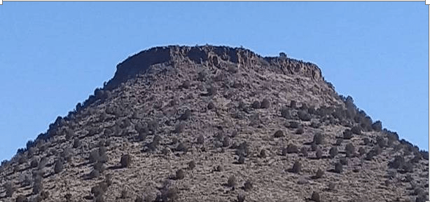
And while you might see this as just a random rock on the right, I see it as a cut and shaped stone…
… just like this one in my front yard. Cut and shaped stones like these are literally everywhere, and you don’t see them until you realize they are there. So if you start looking for them, you will see them – it does not matter where you are on earth. They are there in our yards, parks, beside roadways, you name it. An advanced Ancient Global Civilization that is hidden right in front of our eyes.
Ultima Thule is the northernmost region of the habitable world as thought of by ancient geographers. Northernmost Greenland is which is one of six places in the world with land at the 80-degree N latitude. The other five are as follows: Axel Heiberg Island and Ellesmere Island in Arctic Canada; the Svalbard Islands; and the Franz Josef and Severnaya Archipelagos in the Siberian Arctic waters.
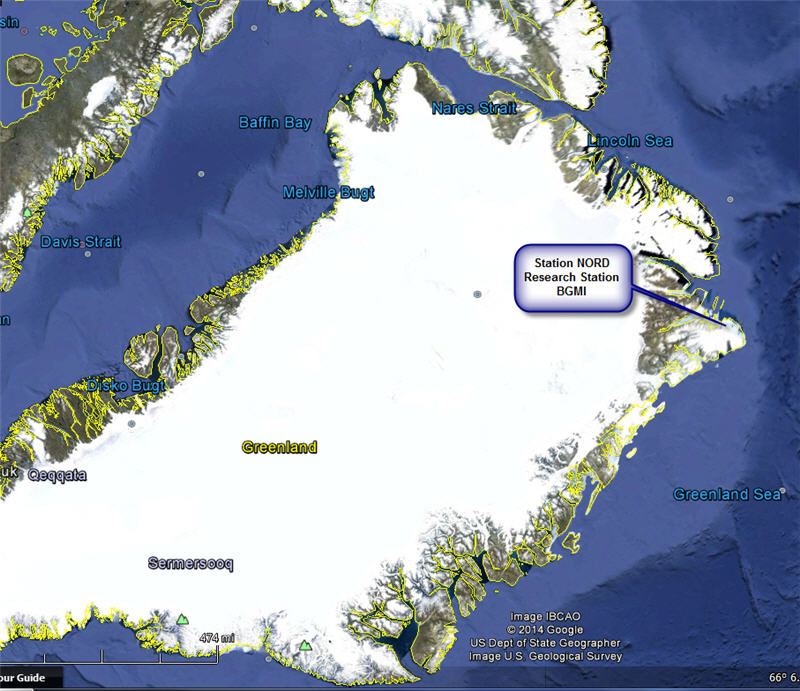
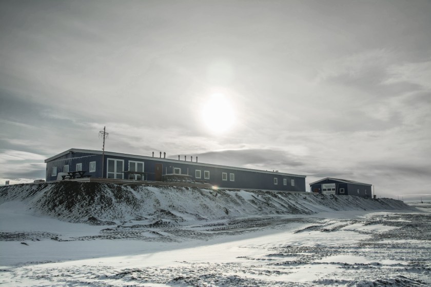
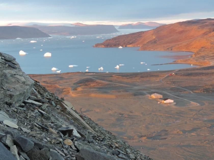
Station Nord is a Danish military and scientific station in northeastern Greenland where the alignment crosses.
It is the second northernmost permanent settlement in the world, and the base of the Northeast Greenland National Park. The station has about 35 buildings.
I selected this photo to share because of the earthwork feature below the buildings pictured. Built by the military? No, I don’t think so. I think the earthwork was already there, and they just built on top of it.
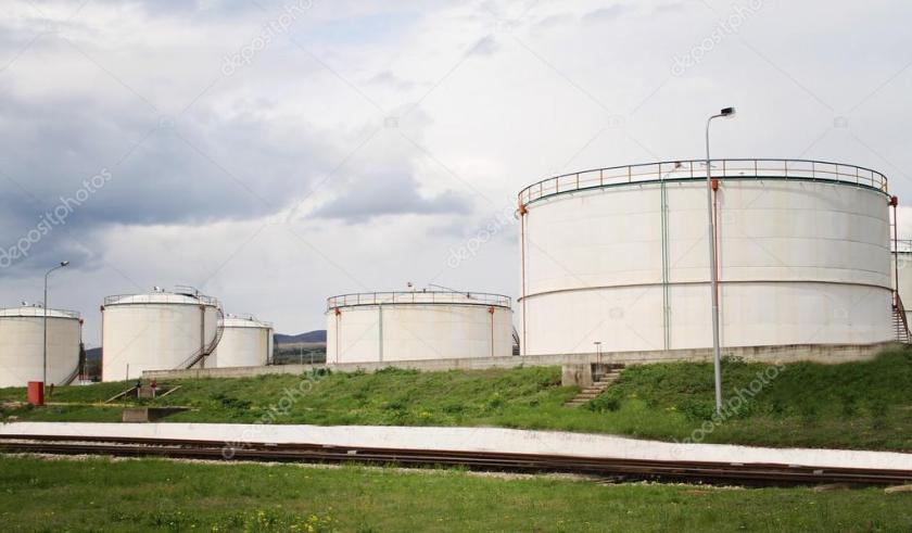
Why do I think this? I do so because when I first started to really wake up to the sophisticated and geometric earthworks in the environment all around me that buildings were built on top of, or that were apparent in the landscape when I was living in Oklahoma, I started noticing that things like energy-related storage facilities…
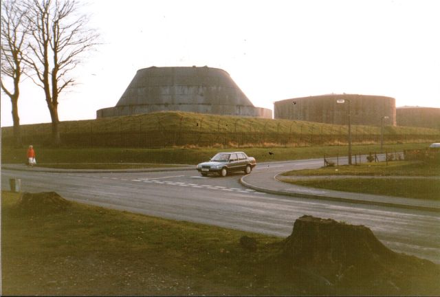
….and tank farms were built on top of earthworks or flat-topped mounds. I do not believe these are the result of modern engineering. I believe the earthworks are from an ancient highly advanced engineering technology that has an energy component that I am sure certain people in the energy industry are well aware of.
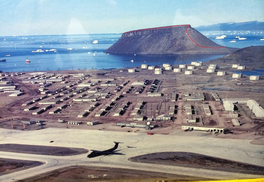
This photo is of Thule Air Force Base, on the northwestern side of Greenland on a different planetary alignment. There is an interesting flat-topped structure that juts into the water in the background…
…that looks remarkably similar to this flat-topped structure, which is Cutimbo in Peru, known for its stone towers at the top called Chullpas…
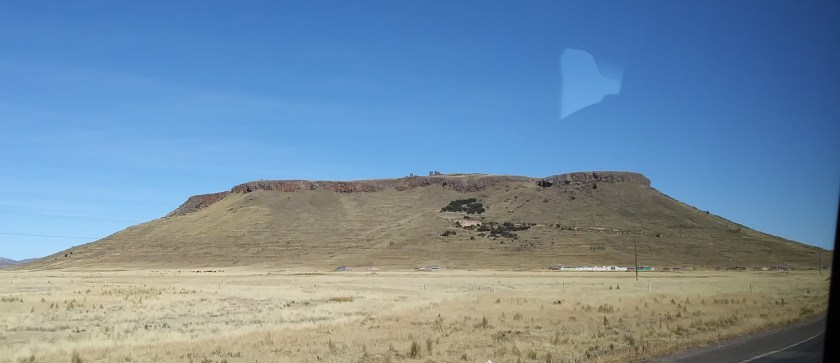
…and this one, of many like it, in Arizona.
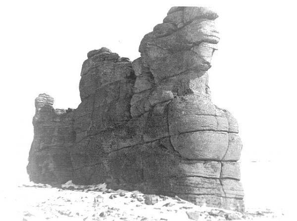
Also in the area around Thule Air Force Base, you find these earthworks in the middle of the photo. The stones in the left foreground look interesting to me, but not enough is shown for me to say much more than stones pictured have straight edges and corners:
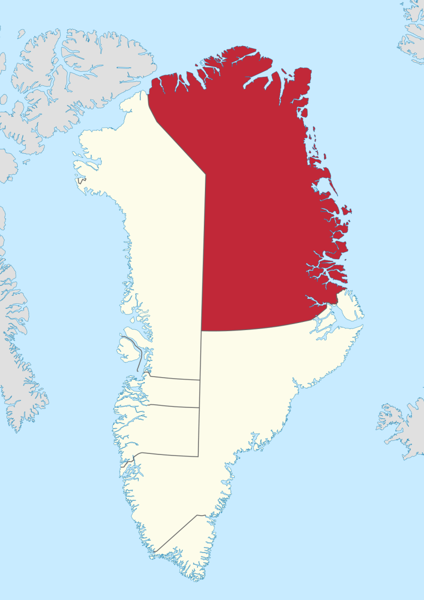
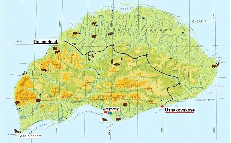
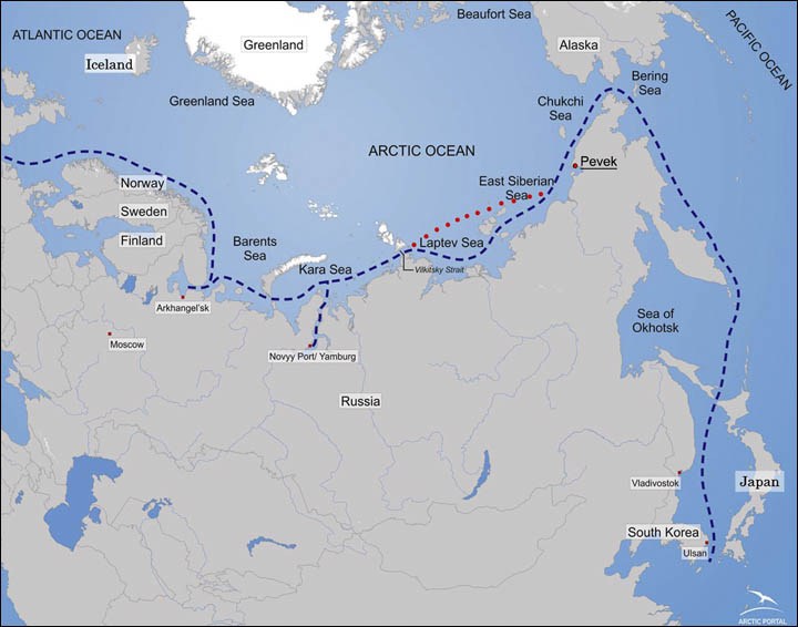
Like I indicated, Station Nord is base of the Northeast Greenland National Park – the largest national park in the world, encompassing 375,000 square miles of northeastern Greenland. It is set-up as a biosphere reserve. The national park is shown in red on this map:
I realized when I first starting cracking the code that covers all of this up, that for as much of the ancient civilization as is destroyed, neglected, or incorporated in unprotected places, much is preserved intact in federal, state, and local parks.
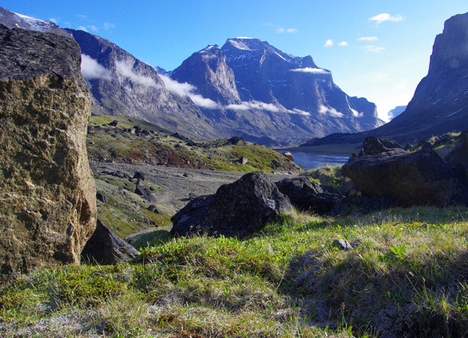
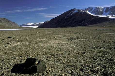
So for example, this photo taken in Greenland National Park shows pointed peaks, and a field with big so-called boulders in the field in the foreground…
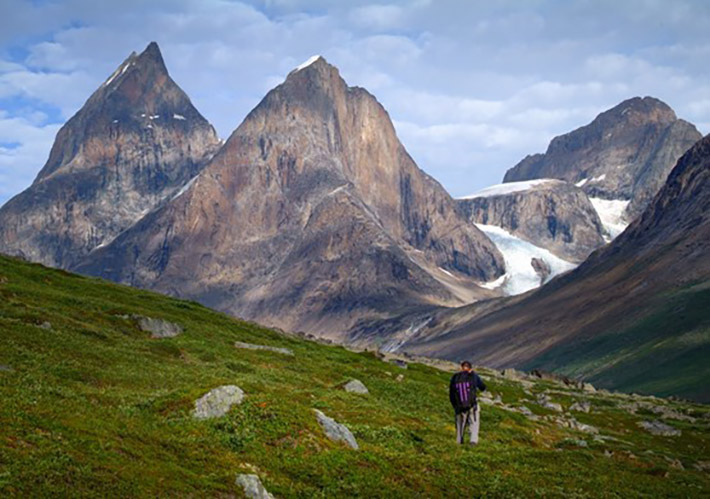
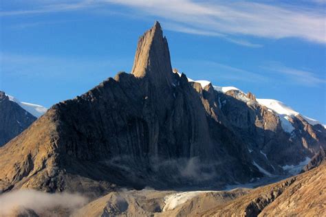
…and here is another photo taken in Greenland National Park with an unusually pointed pyramidal stone feature.
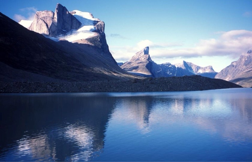
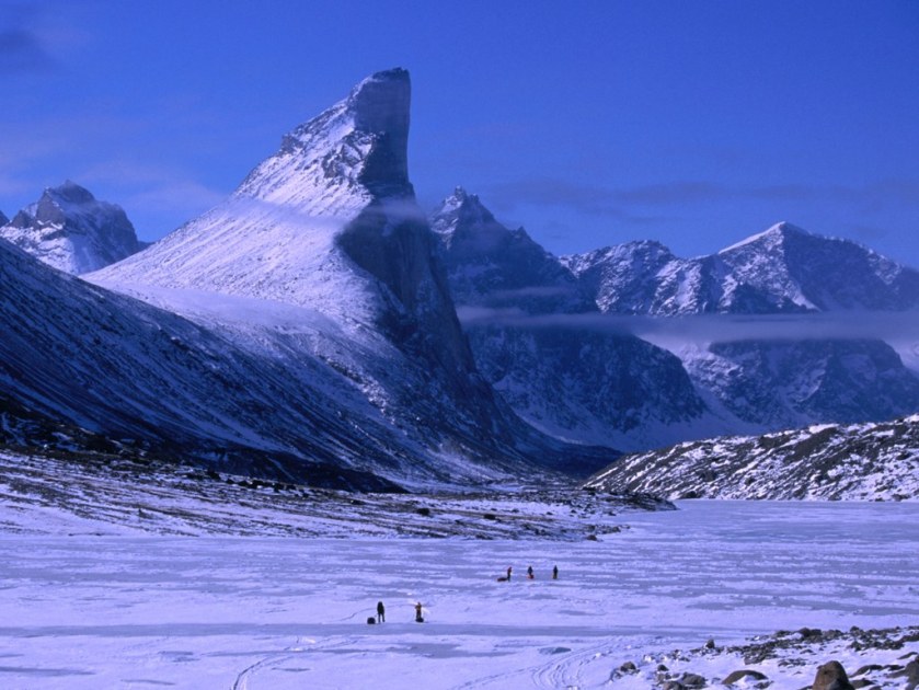
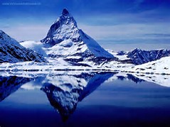
Compared with these photos of Baffin Island’s Auyuittuq National Park, with its pointy pyramidal mountains, including Mt. Thor in the center…
…as well as large boulder fields on Baffin Island.
Just taking a moment before moving on to compare Mt. Thor on Baffin Island in the National Park, called the world’s steepest, tallest cliff, on the top, with the Matterhorn in the Alps straddling Switzerland and Italy on the bottom:
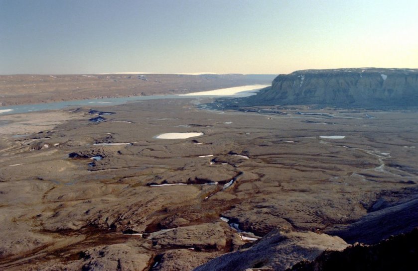
The alignment crosses this region through Peary Land, a peninsula within the Greenland National Park boundaries, which contains the most northerly ice-free region of the world. This is Bronlund Fjord in Peary Land.
Peary Land is also the world’s northernmost land and tundra. Tundra is defined as a level or rolling treeless plain characteristic of arctic and subantarctic regions, a permanently frozen subsoil, and its vegetation consists of lichens, mosses, herbs, and dwarf shrubs. There’s another random cut and shaped rock in the foreground.
Peary Land includes Cape Morris Jesup, which is the northernmost point of mainland Greenland, and 442 miles (or 711 kilometers) from the geographic North Pole.
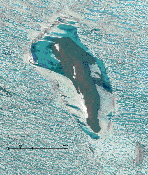
Robert Peary reached the cape in 1900, believing it to be the northernmost point of land in the world, but it lies slightly to the south of Kaffeklubben (Coffee Club) Island, the northernmost point of continental land on the earth.
Before we head over the North Pole into Siberia, I have a couple of more things to add about Greenland.
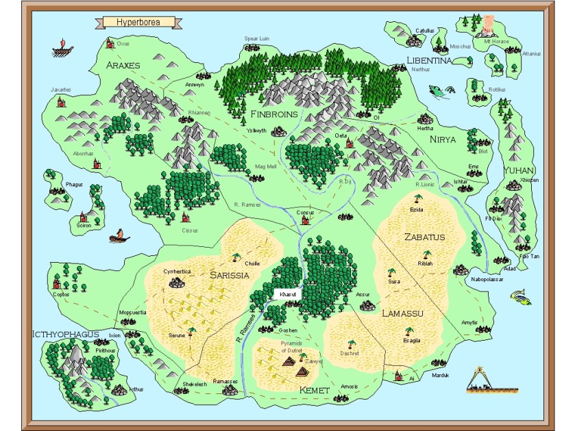
The first is Hyperborea, a lost ancient land considered to have been in the general vicinity of Greenland. It was a fabulous world of eternal spring located in the far north, beyond the home of the north wind. Its people were giants, with blessed and long lives untouched by war, hard work, old age and disease. It is called a myth but I wonder about that.
The second thing I would like to bring forward is the Thule Society. This was a German Occult Secret Society founded initially as a study group in Munich after World War I. It was the organization that sponsored the German Workers Party, which became the Nazi Party under Hitler. They believed there was a connection to the origins of the Aryan race with Hyperborea. Regardless of whether or not there was a connection, the German occult beliefs and practices factor heavily into what has been happening on earth in its most recent history. I will be going more into this particular issue in a new blog post very soon.
I am saying there was actually a lot of historical interest in this landmass that we think of as a big freezer, and of little consequence in the history that we are taught about our timeline.
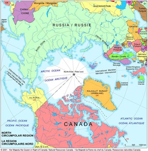
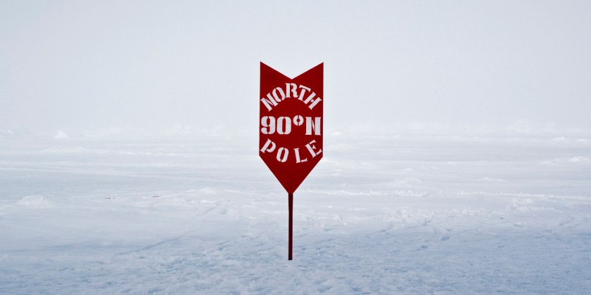
From here the alignment passes over, or close to, the geographic North Pole. The North Pole is defined as where the Earth’s axis of rotation meets its surface, and is its northernmost point at 90 degrees North.
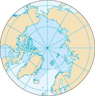
The North Pole is in the middle of the Arctic Ocean on waters covered by drifting sea ice, and is not on a landmass.
The alignment enters Siberia across the East Siberian Sea. Siberia is historically a part of Russia, but is an extensive geographical region also known as North Asia.
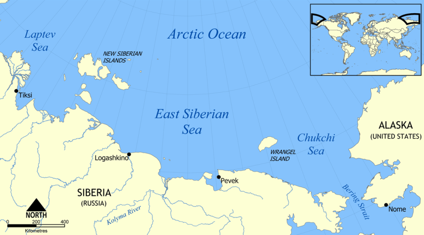
While not directly on the alignment I am following, which originated in Merida, Mexico, and will end there, I am going to include words about Wrangel Island.
Wrangel Island is in the Arctic Ocean between the East Siberian Sea and the Chukchi Sea. It is administered by the Russian Federation, is a protected nature sanctuary, and is a UNESCO World Heritage site.
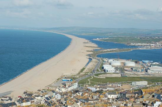
This perfectly curved and shaped shoreline is called Cape Blossom…
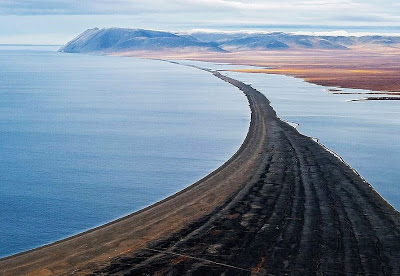
…compared with the Chesil Beach Causeway on Portland Island, off the coast of England.
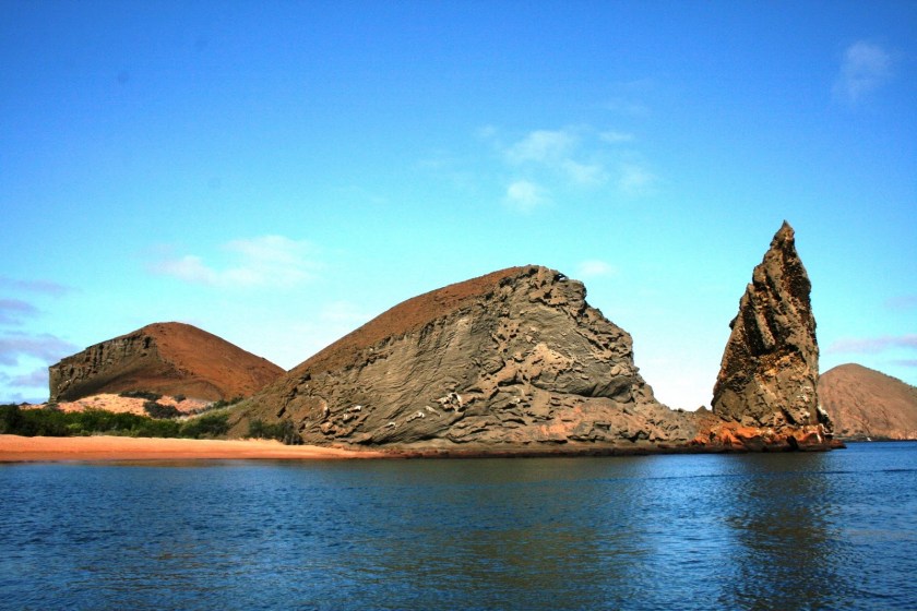
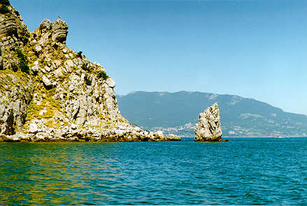
And this is Cape Litke on the eastern coast of Wrangel Island…
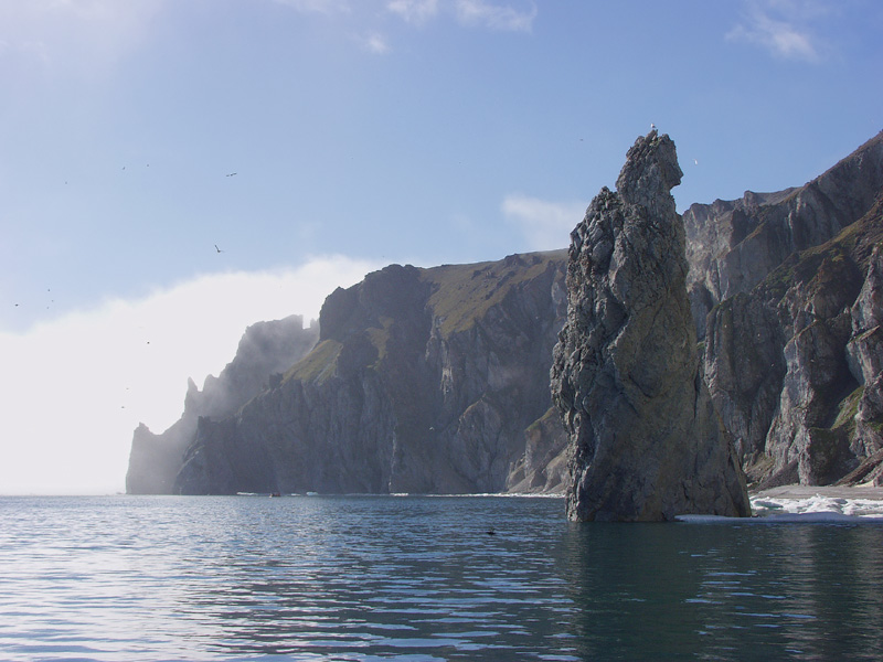
…compared with a similar land feature in the Galapagos Islands on the top, and near Yalta on the Crimean Peninsula in the Black Sea on the bottom.
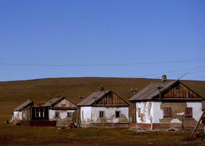
The at the time Soviet government established a settlement in 1926 on Wrangel Island called Ushakovskoye for displaced Chukchi and Russian families, totalling about 60 people. This settlement was abandoned for all intents and purposes in 1994, which is a 68-year-period.
Compare the quality of what are called church ruins in Ushakovskoye, with its ornate design features, arched windows, and onion dome…
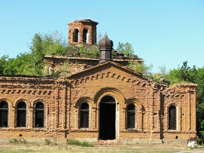
…with the quality of the abandoned residences of this settlement.
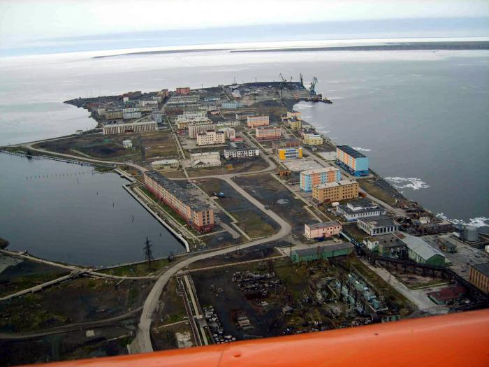
Moving back to the alignment, it goes through Pevek, Siberia, which is the northernmost city in Russia.
Pevek is a port city and administrative center for a district of the Chukotka region. In 2015, it was recorded as having a population of 4,721. Notice what appears to be shaped harbors in this photo…
…and the boulder field next to the shoreline outside of town.
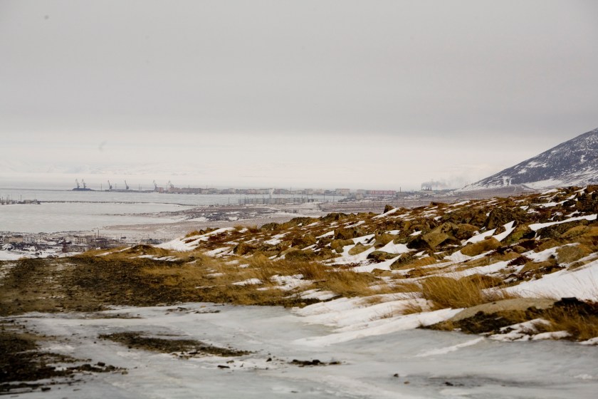
It was a gulag site during the 1940s and 1950s, where prisoners mined uranium. I do think there is significance to the pyramidal shape in the background.
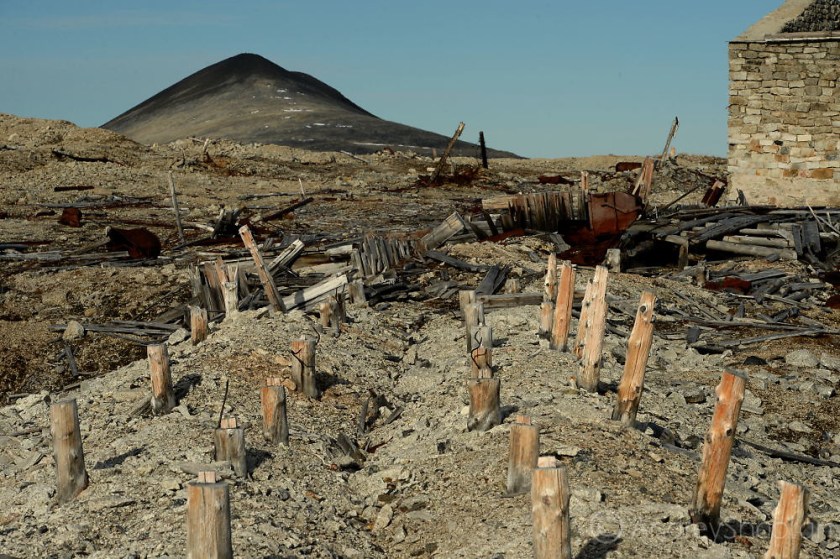
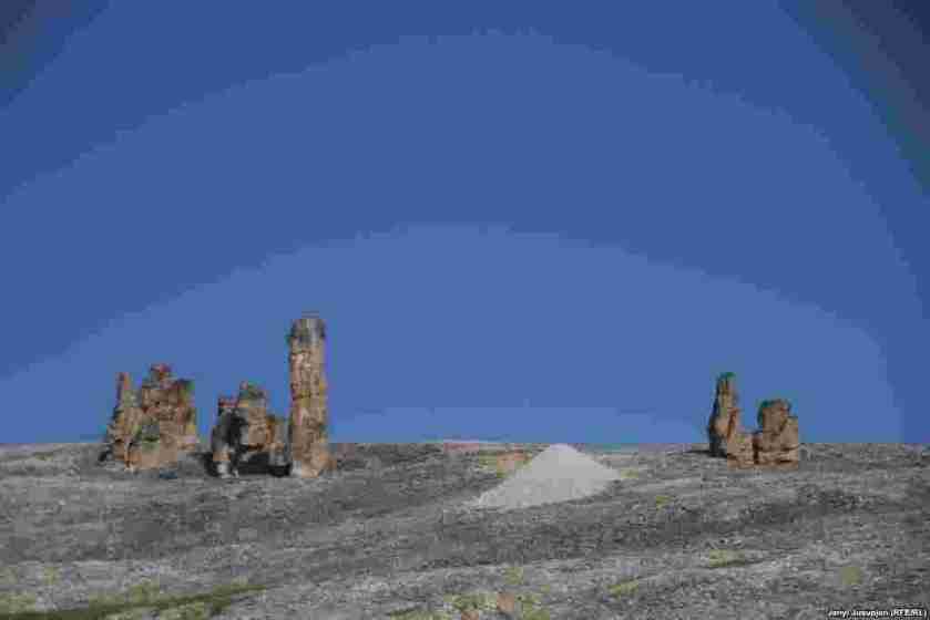
These next two pictures were taken in the same general area around Pevek in the Chukotka Region when I searched for “Pevek gulag”. Natural formations…or man-made?
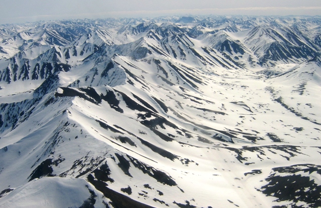
So from this region of Siberia, the alignment crosses over the Koryak Range. This is the second largest mountain range in Siberia.
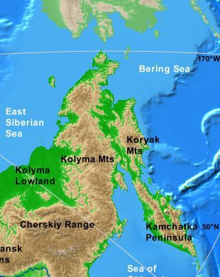
The Koryak mountains are located south of the Anadyr River, and northeast of Kamchatka Peninsula.
Two Rivers have their source in the Koryak Range.
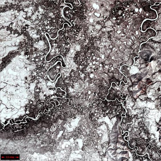
One is the Mayn River. It is one of the major tributaries of the Anadyr River.
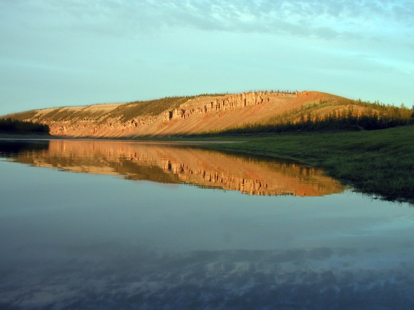
This is the only picture I could find of the Mayn River. I would like to point out that snaky, s-shaped rivers are a signature of the advanced Ancient Civilization worldwide.
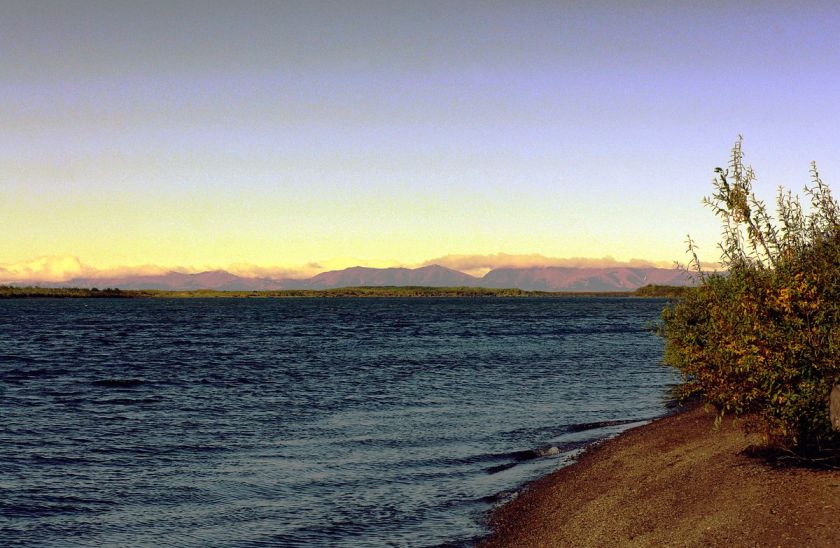
The other is the Velikaya River. It flows north-eastward from the Koryak Range through the Anadyr Estruary into the Bering Sea at the Gulf of Anadyr.
The alignment leaves Siberia at a place on my globe called Apuka on the coast. But when I search for information about it, what is coming up is a people called Apuka.
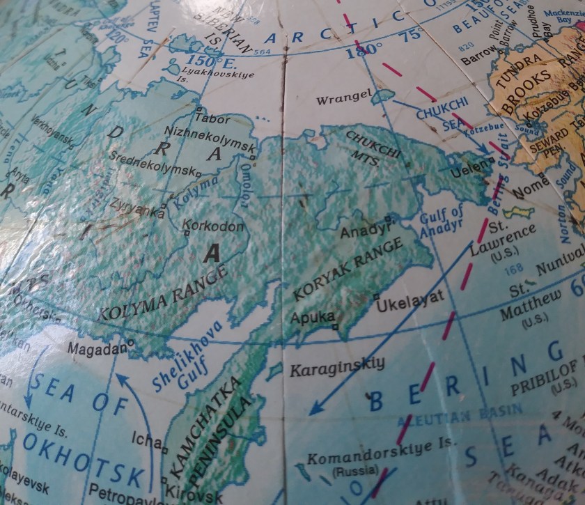
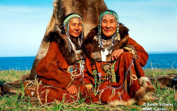
The Apuka are one of nine subdivisions of the Koryak people, an indigenous people of the Russian Far East. They live primarily along the coast of the Bering Sea.
These are Koryak people from the region.
In the next parts of the series I will be following the alignment across the islands of the Pacific Ocean.
