
In the last post, I tracked the circle alignment emanating from Washington, DC, through the Sahara Desert, starting at the ruins of Djado at the southern end of the Djado Plateau in Niger; across the Tenere Desert, the eastern-half of the Air and Tenere National Nature Reserve in Niger; through Bilma, still a modern-day stop in Niger for salt on the Trans-Saharan Caravan route of the Tuareg; across the Great Erg, or Sand Sea, of Bilma; through the towns of N’Guigmi and Diffa in Niger; and into Nigeria the cities through the cities of Abuja, Abeokuta, and ending at Lagos, a major port city of Africa on the coast of Nigeria.
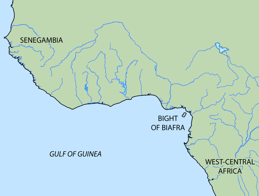
I am picking up the alignment where it enters the Gulf of Guinea, the most northeastern part of the tropical Atlantic Ocean between Cape Lopez in Gabon, north and west to Cape Palmas in Liberia.
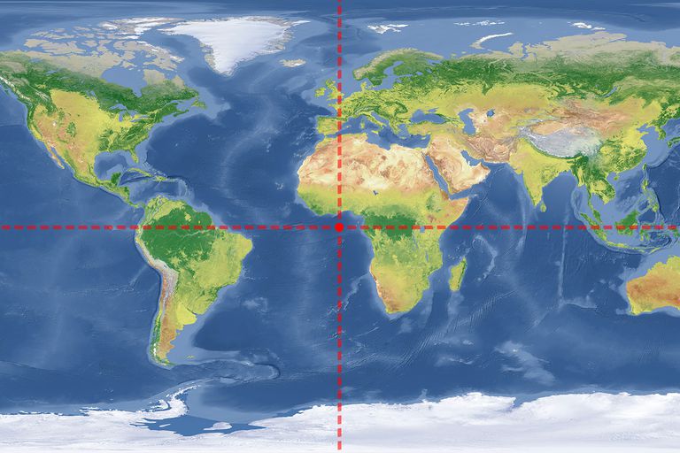
The intersection of the Equator and Prime Meridian is in the Gulf of Guinea, otherwise known as 0-degrees longitude and 0-degrees latitude. Eyeballing on this map, after leaving the mainland at Lagos, Nigeria, the circle alignment tracks over this location on its way to Brazil across the Atlantic Ocean.
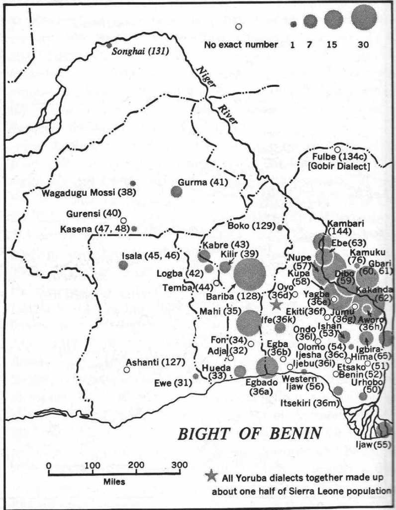
The alignment enters the Gulf of Guinea through what is called the Bight of Benin, which extends eastward for 400 miles, or 640 kilometers, from Cape St. Paul, to the Nun Outlet of the Niger River.
The Bight of Benin and the Republic of Benin were named after the…
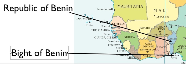
…Kingdom of Benin, which was a pre-colonial Kingdom in southern Nigeria. It was old and highly developed.
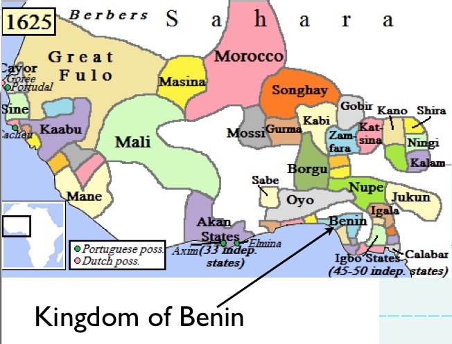
The Edo people were the original people of the Kingdom of Benin, which was founded in 1300.
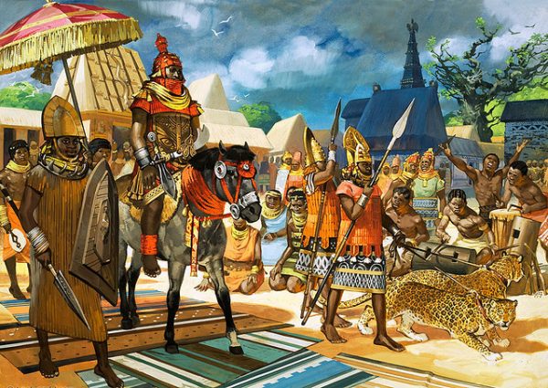
It was one of the major powers in West Africa until the late 19th-century, when it was annexed by the British Empire in 1897.
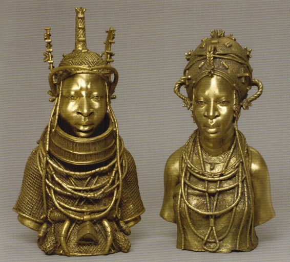
Compare the headgear of the Edo man, with a traditional Mongolian hat. My take on this similarity is that there was a unified worldwide spiritual practice involving the re-connection of each human individual with Source through the crown chakra.
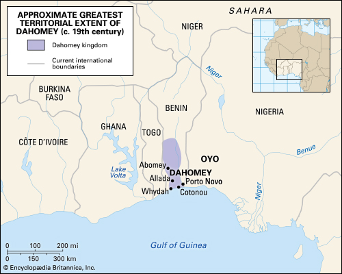
The Republic of Benin was previously the Kingdom of Dahomey, which existed from about 1600, until it was annexed by the French Colonial Empire in 1894.
This is in Ouidah, or Ajuda in Portuguese, on the coast of what was Dahomey. It was said to have been built by the Portuguese in the 1720s.
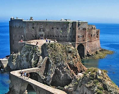
Infrastructure like this is falsely attributed all over the world, instead of giving credit to the actual builders. Like, you know, the indigenous people who lived there instead of the colonizers.
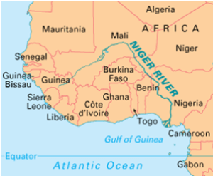
The Niger River, the principal river of West Africa, is that main river that empties into the Gulf of Guinea.
The Niger River Delta, extending over 27,000 square miles, or 70,000 kilometers squared, separates the Bight of Benin…
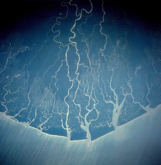
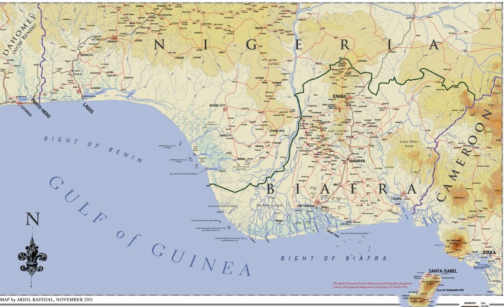
…from the Bight of Biafra, which in the present day is known as the Bight of Bonny. It runs from the Niger Delta to Cape Lopez in Gabon.
Biafra became a part of Nigeria after the Nigerian Civil War of 1967 to 1970.
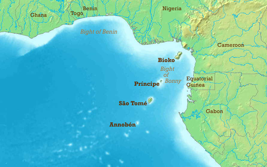
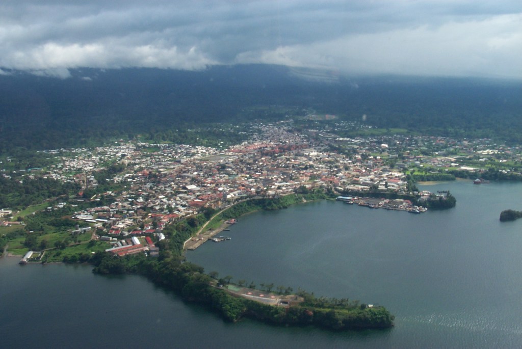
What is now called the Bight of Bonny hosts the Cameroon Line of Volcanoes, which includes the island Republic of Sao Tome and Principe, a former Portuguese colony.
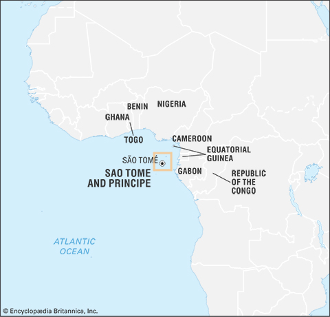
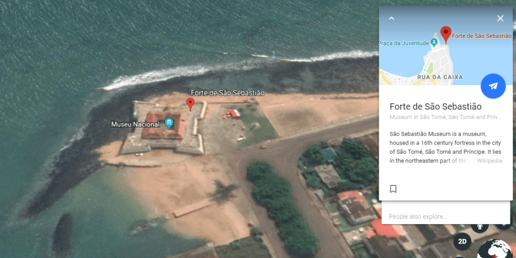
The capital and largest city is Sao Tome, where Sao Sebastiao Fort is located.
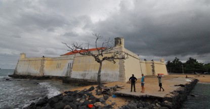
Here is a shot from Google Earth confirming that Sao Sebastiao Fort is in fact a star fort. It was said to have been built by the Portuguese in 1566.
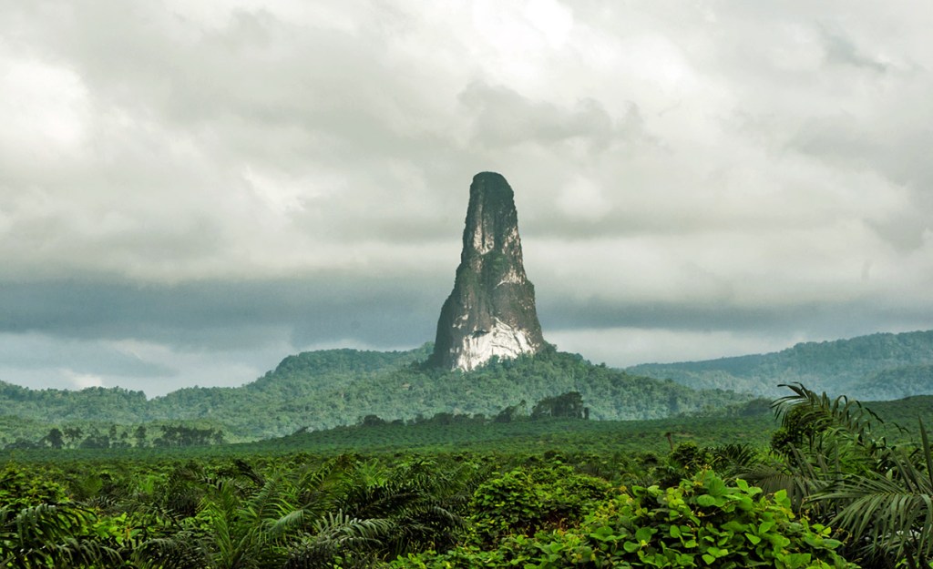
Here are some other things to see on these islands, like what looks like ancient stonework…
…and incredible rock formations, like the Pico Cao Grande, or Great Dog Peak.
Also in the Cameroon Line of Volcanoes, and administered by the country of Equatorial Guinea, are the islands of Bioko…
…Corisco…
…Elobey Grand and Elobey Chico…
…and Annobon.
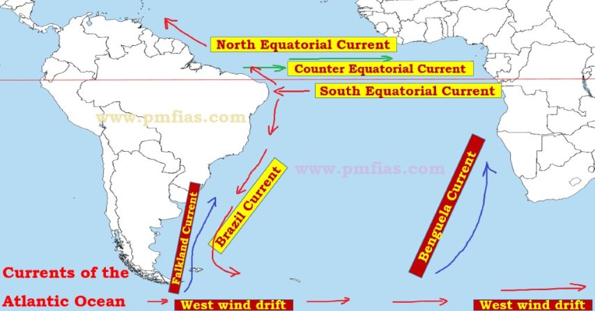
Leaving the Gulf of Guinea, the alignment crosses over the Equatorial Counter Current and and just into the South Equatorial Current of the South Atlantic Ocean..
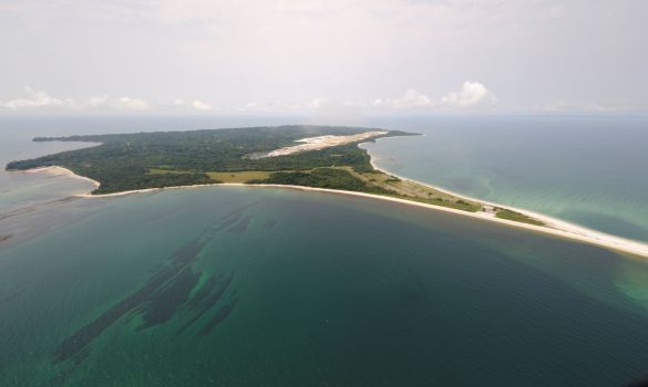
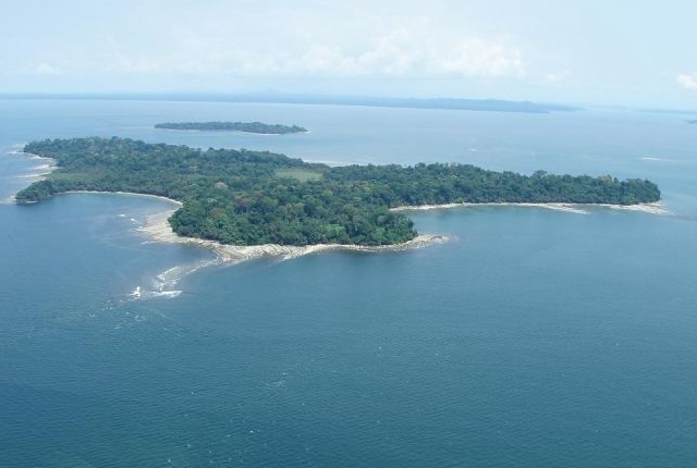
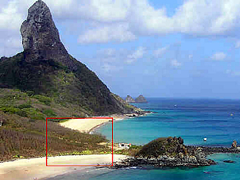
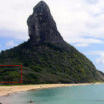
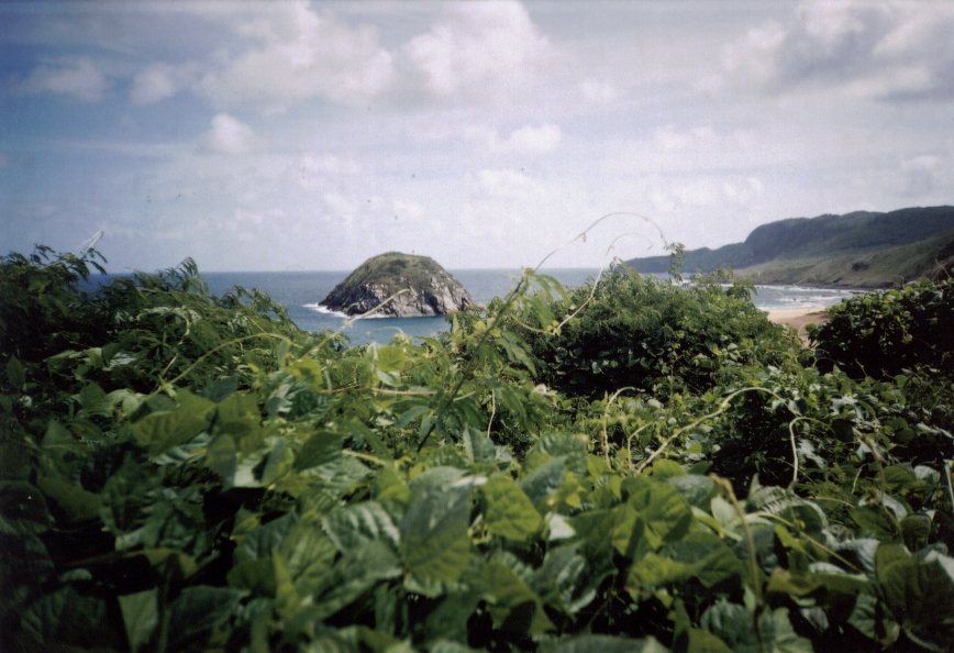
The alignment crosses over Fernando de Noronha, the name of the main island and its archipelago. It is a UNESCO World Heritage Site and on at least one other alignment that I know of. The main island has an area of 7.1 square miles, or 18.4 kilometers-squared, and the archipelago’s total area is 10 square miles, or 26 kilometers-squared.
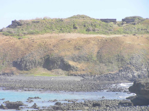
So what I just found out that is really interesting about this place is that in its relatively small area, there were ten, possibly star, forts here.
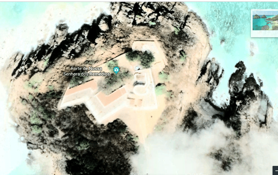
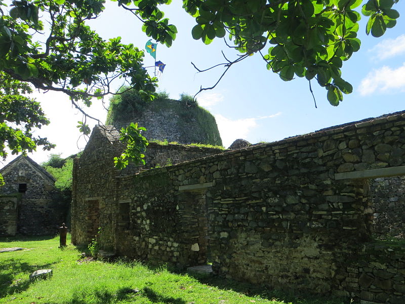
The largest and best-preserved is the Forteleza Nossa Senhora dos Remedios.
The Forte de Sao Jose do Morro was only fort built on a secondary island. It still has imposing ruins.
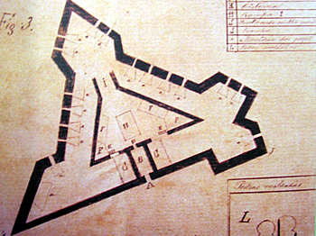
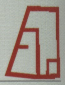
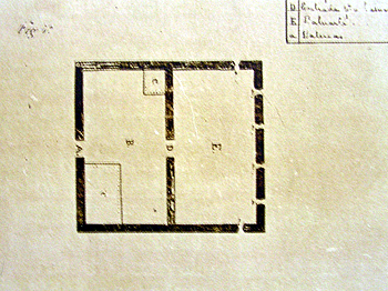
Forte de Santo Antonio construction was an irregular, four-side polygon.
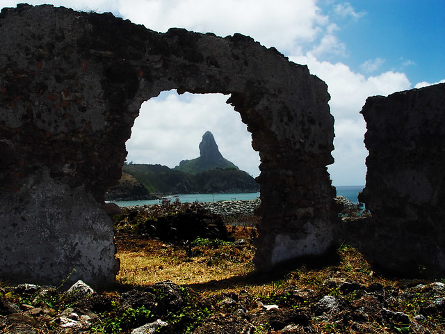
You can see the Morro do Pico framed nicely through this archway at the Forte de Santo Antonio.
The Forte de Sant’ana was situated over the old harbor in the Vila dos Remedios.
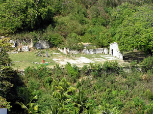
Ruins of the Forte de Nossa Senhora da Conceicao are visible in the vegetation.
The Forte de Santa Cruz do Pico was a small redoubt.
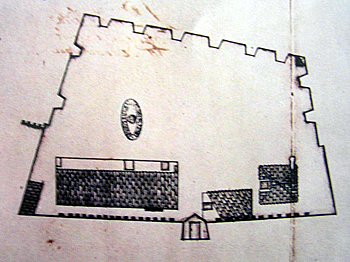
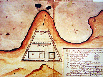
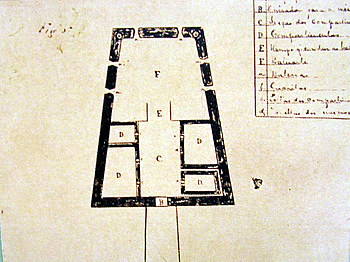
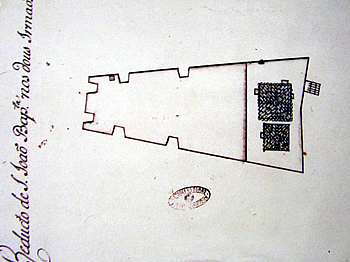
This is an old map of the Forte de Sao Pedro do Boldro.
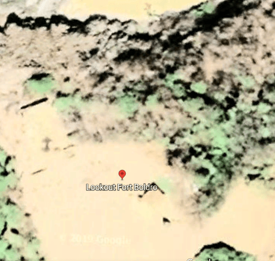
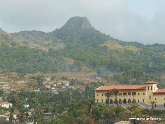
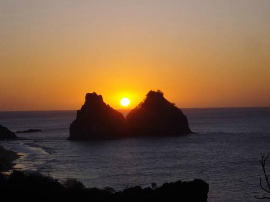
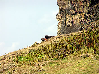
People come to the Fort Boldro look-out for sunsets. There is a good view from here of the Two Brothers Rock, which appears to be alignment with the sun.
Then there was the Forte de Sao Bautista dos dois Irmaios…
…the Forte de San Juaquim do Sueste…
…and lastly the Forte do Bom Jesus do Leao.
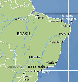
This circle alignment enters the South American continent at Natal, the capital and largest city of the Brazilian State of Rio Grande do Norte, and said to have been founded on December 25th, 1599.
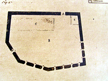
The Portuguese are said to have built the Forte Dos Reis Magos, or the Fort of the Three Wise Men, as the first milestone of the city of Natal
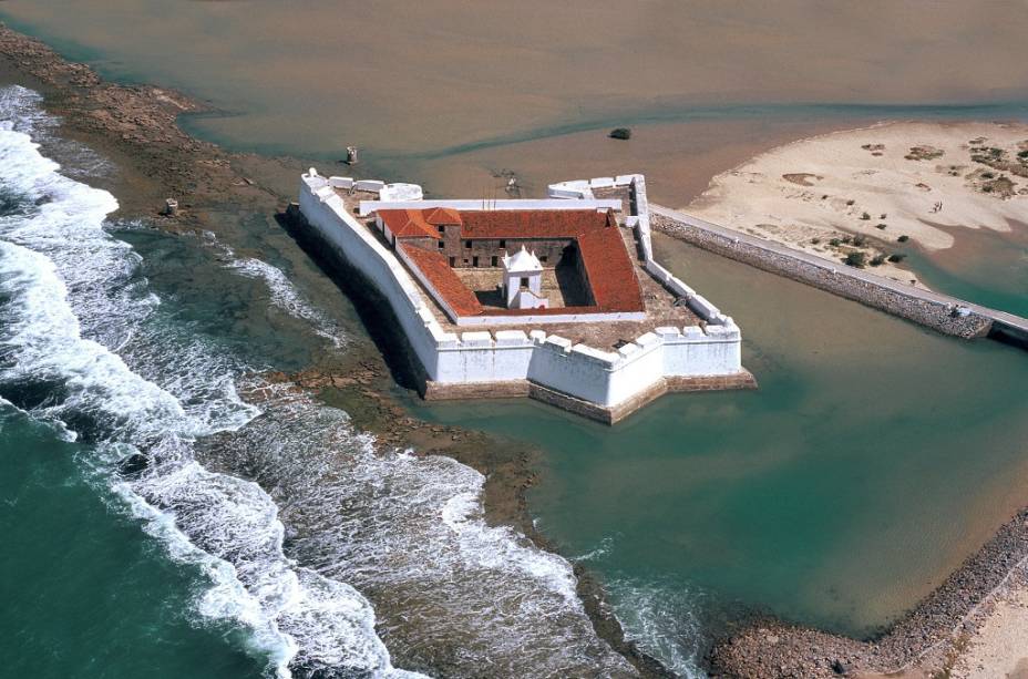
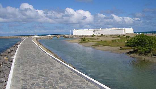
Here is a view of the Forte dos Reis Magos from the ground, with its exquisitely engineered stone entranceway between the channel on the right, and the Potengi, or Potenji, River on the left.
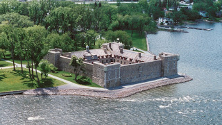
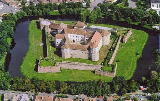
Star forts like all of these shown here present a mystery because the same design and construction style is found around the world. This is Fort Chambly in Quebec…
…the Fagaras Citadel outside of Bucharest, Romania…
…and the Kronborg Castle in Helsingor, Denmark.
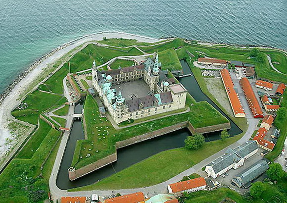
How did all of these places end up with the same design features?
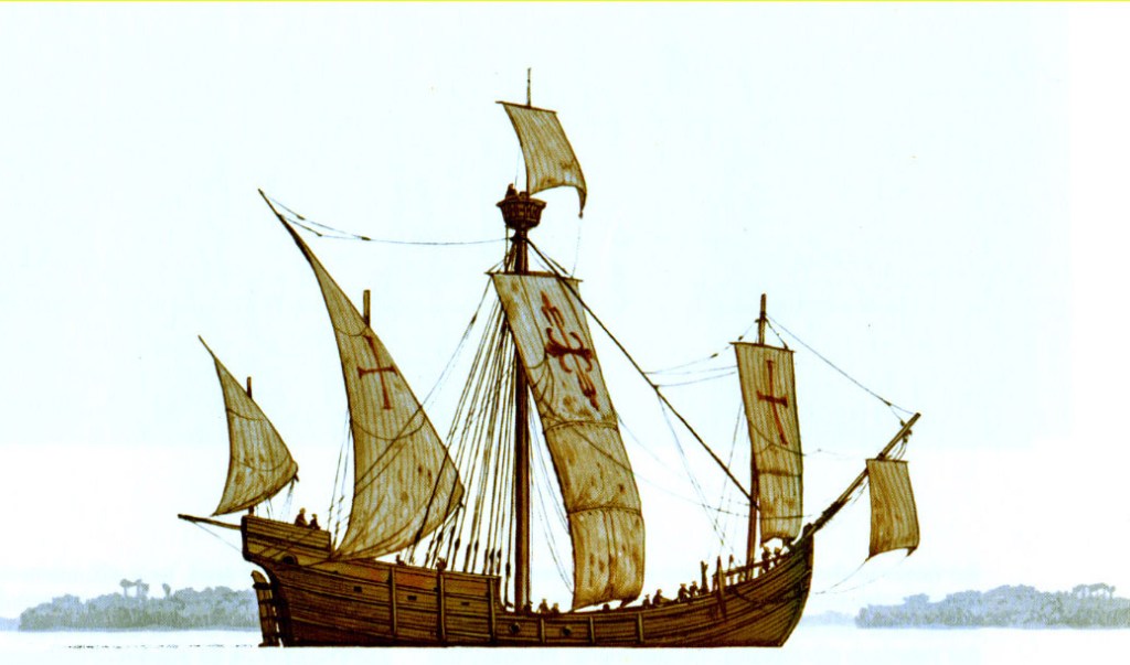
So with the example of the Forte dos Reis Magos in Natal, said to have been built in the 1598, it would have been during times we are told there was low technology, no mass communication or easy transportation.
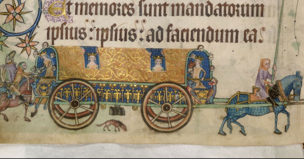
This was a Caravel ship in which the Portuguese would have sailed during that time period.
And is this what we are talking about for ground transportation?
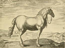
I mean, what else are we taught that was available to them? I can’t think of anything except for maybe a horse-drawn wagon or carriage.
There is nothing in the historical record that we are taught that comes even close to explaining how this advanced masonry, of similar design, came into being around the world.
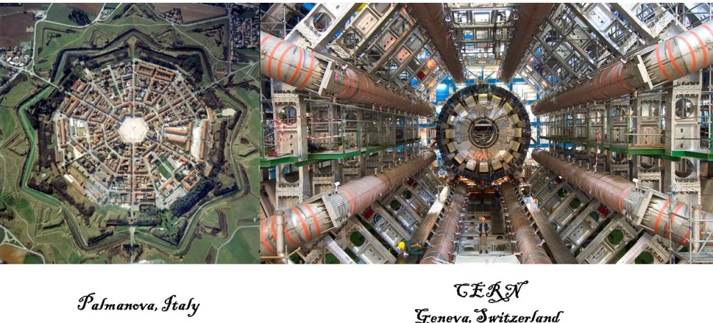
What if these so-called forts served a very different purpose for the Advanced Ancient Civilization, like as energy generators, and not only re-purposed for military use by the colonizers, but actually sought out by them for capture?
The Palmanova star fort in Italy is on the left, compared with CERN on the right, for comparison of their similar look.
The Natal Dunes State Park is the second largest urban park in Brazil, and is located in the heart of Natal.
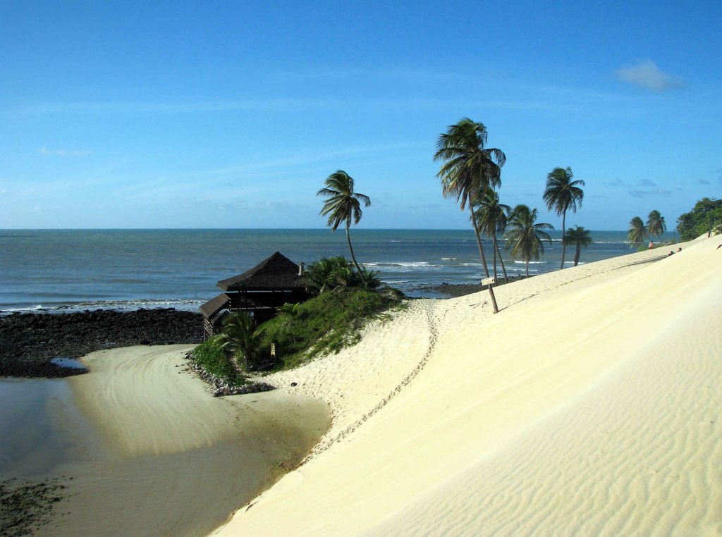
The Ponta Negra Beach is included in the Natal Dunes Park…
This is the Morro de Careca, a landmark icon of Natal, which translates from Portuguese as “Bald Man’s Hill.”
I can’t help but wonder about the origin of the word “Morro”….
On a different note, another unique place of interest near Natal in the Rio Grande do Norte is the Cashew of Pirangi, the world’s largest cashew tree, having the size of 70 normally-sized cashew trees.

I have heard other researchers talk about the role of the planetary grid-lines, or the earth’s leylines, in enhancing agricultural output. In the case of the Cashew of Pirangi, literal food for thought :).
I will be picking up the alignment in the next post in Ico, Brazil.
