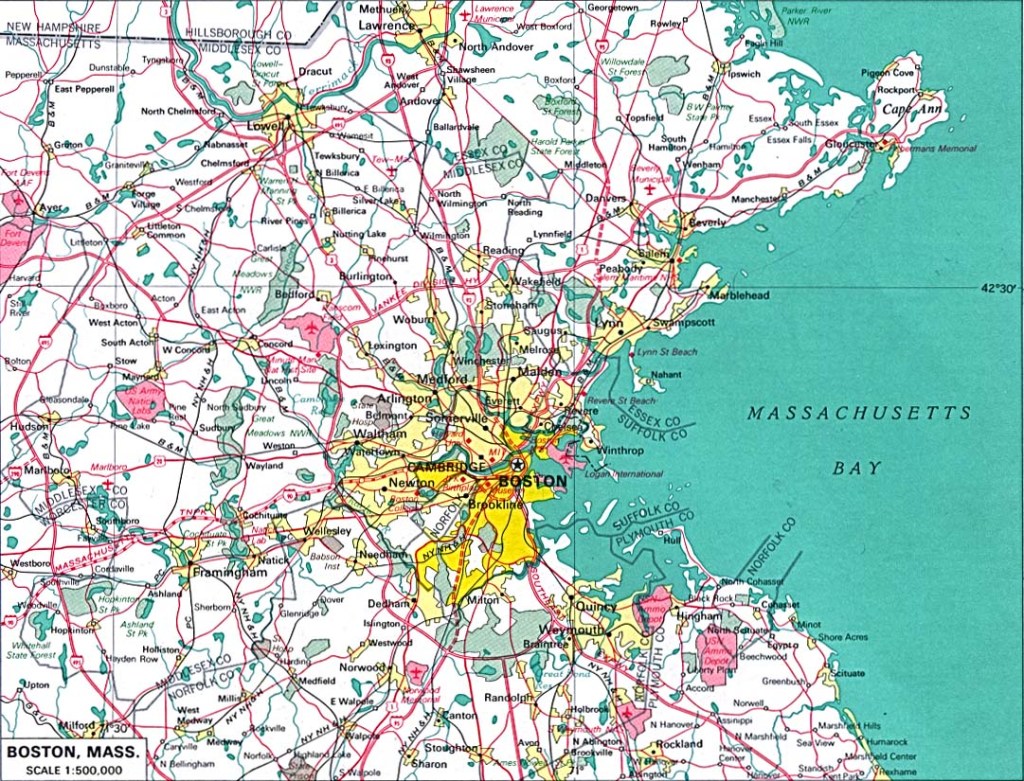
In the last post, I took a close look at these cities on the alignment in Massachusetts: Easton, Brockton, and Weymouth.
I also looked into details around two legendary folk heroes – John Henry, as well as Paul Bunyan, and his travelling companion, Babe the Blue Ox – as possibly giving us glimpses of information into what has actually taken place here, though portrayed as possibly fiction, possibly real from their larger-than-life deeds.
I am starting this post in Boston, slightly to the northwest of this particular alignment. It is definitely an important place to look at while here.
I am going to start this post in the general vicinity of Beacon Hill.
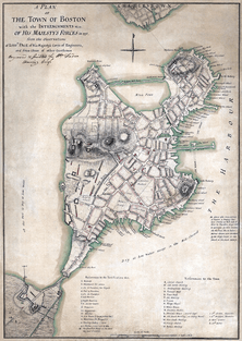
This is a 1775 map of the Shawmut Peninsula, of which Beacon Hill was the center. Land reclamation has been going on here since 1820, to create land, where there was originally water, around the original peninsula.
The area originally had three hills.
Pemberton Hill and Fort Vernon Hill were near Beacon Hill, and both of these hills were levelled for Beacon Hill development.
Beacon Hill itself was reduced from 130-feet, or 42-meters, to 80-feet, or 24-meters, between 1807 and 1832.
The Massachusetts State House is in the Beacon Hill neighborhood. It was said to have been completed in January of 1798, at a cost of $133,333.
It was said to have been designed by Charles Bulfinch, described as the first native-born American to practice architecture as a profession.
Interestingly, the State House sits on top of earthworks, and is constructed in the huge heavy masonry, and other design features, of what would be considered classical architecture.
Not something that one would think could easily be constructed during this time period right after the American Revolutionary War, and before the Industrial Revolution.
This is a view of Beacon Hill neighborhood from sometime in the 1950s…
…taken from the Suffolk County Courthouse. Now called the John Adams Courthouse, it was said to have been completed in 1894.
It is home to the Massachusetts Supreme Judicial Court.
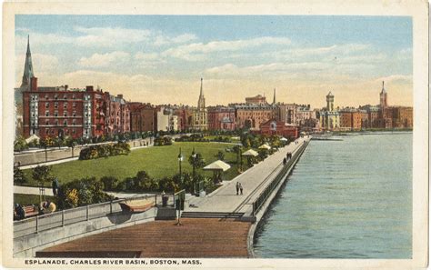
The Charles River Basin Esplanade is to the west of Beacon Hill, on the riverfront.
Here is a historic depiction of the Charles River Basin Esplanade, circa the time-frame of 1915 – 1930. For some reason, there aren’t many people depicted here.
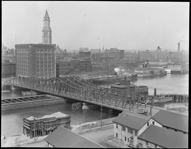
This is an aerial view of the Charles River Basin before it enters Boston Harbor.
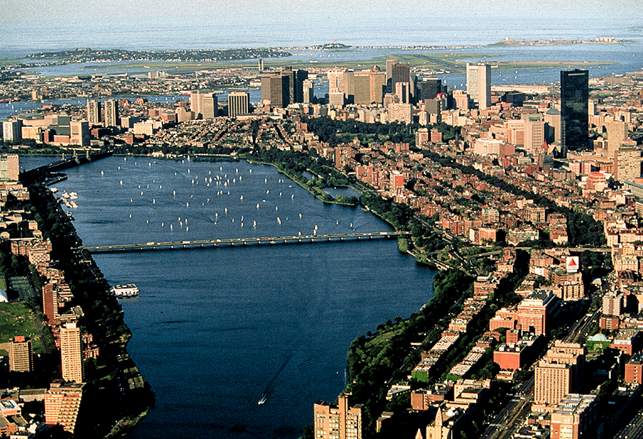
This is a close-up of the Longfellow bridge seen in the aerial view in the middle of the Charles River Basin, with its interesting masonry and towers. In 1927, It was renamed by the Massachusetts General court from the Cambridge Bridge to the Longfellow Bridge in honor of the poet Henry Wadsworth Longfellow, a long-time citizen of Cambridge.
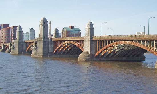
It is described as a steel-rib arch bridge connecting the Beacon Hill neighborhood of Boston, with the Kendall Square neighborhood of Cambridge.
Beacon Hill is just north of the Boston Common, the oldest city park in the United States, dating since 1634.
This is the Parkman Bandstand in the Boston Common…
…said to have been built in 1912, and named after George F. Parkman in honor of a $5 million donation he willed for the care of the Boston Common and other parks.
The Boston Public Garden is north of Beacon Hill as well, and adjacent to the Boston Common. It is considered the first public botanical garden in America.
Here is an idyllic, peaceful autumn scene in the Boston Public Garden, with the beautiful bridge in the background, the stone embankment in the left foreground, and what looks like megalithic masonry in the right foreground.
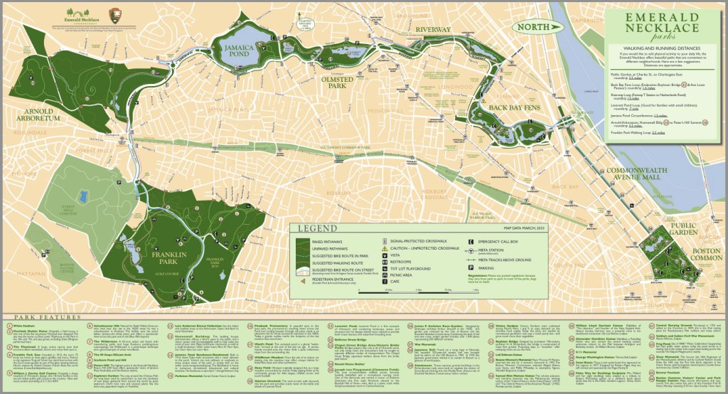
The Boston Common and the Boston Public Garden are part of what is called the Emerald Necklace. This is a system of parks said to have been designed by Frederick Law Olmstead in the 1870s to connect the Boston Common to Franklin Park.
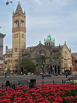
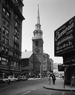
Copley Square is a public square in the Back Bay neighborhood of Boston, and named for the painter John Singleton Copley.
Copley Square is notable for the number of Boston’s Cultural institutions here, to include the Old South Church pictured here.
We are told that the present building of the Old South Church was completed in 1873.
Old South was a Congregational Church community said to have had three houses of worship, the dates of which are said to be inscribed on the cornerstone shown here. Is it just me, or does that cornerstone look a little rough? It looks plastered over, and is not the same material as the stone surrounding it. And the “16” of the “1670” date sure looks like it was worked with more than once.
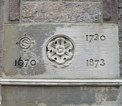
The 1730 date is said to represent the Old South Meeting House pictured here, which gained notoriety as the organizing point for the Boston Tea Party.
Trinity Church is also in Copley Square. It was said to be built in the Richardsonian Romanesque style seen in previous posts on this alignment.
Trinity Church is called the birthplace of Richardsonian Romanesque style, including: Clay roofing; polychromy; rough stone; heavy arches; and massive towers…
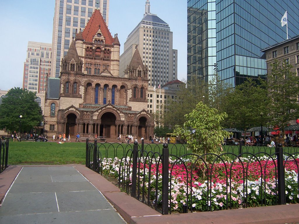
…and is said to be Henry Hobson Richardson’s most exceptional architectural achievement.

So far in this circle alignment series, architecture attributed to him has popped up in Jersey City, New Jersey; Easton, Massachusetts; Laramie, Wyoming; and now Boston, Massachusetts.
Interestingly, he never finished architecture school in Paris due to loss of financial backing due to the American Civil War, and additionally he is said to have died at the relatively young age of 47.
The Boston Public Library McKim Building is in Copley Square, said to have been built in 1895.
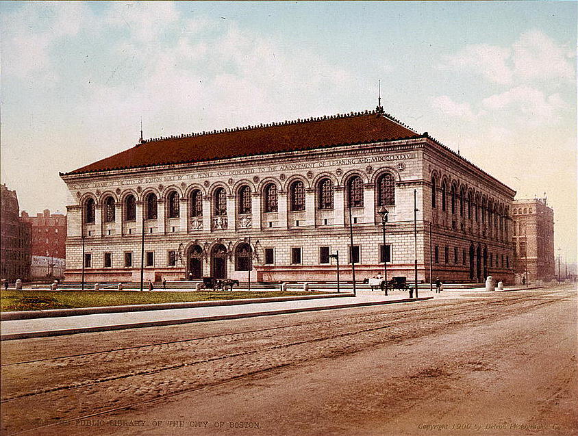
I find the contrast between the huge and stately masonry of the building to the dirt covered road next to it to be stark, as well as noticing an overall lack of people in the depiction here.
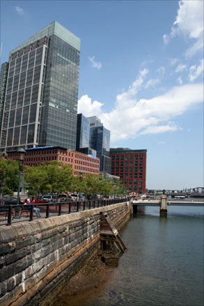
One more place before I leave Boston. I am interested in taking a closer look at Fort Point, a neighborhood in Boston where a fort once stood.
Here is the 1775 map of the Shawmut Peninsula, upon which Boston was built that I showed at the beginning of this post, where there is a star fort depicted on the bottom left.
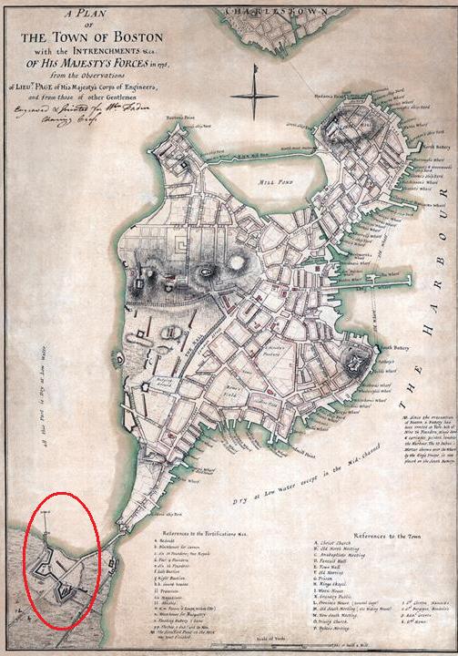
It is long gone, having been removed in 1869, hill and all, to add more room for business facilities.
Another star fort is nearby in Boston Harbor.
Fort Independence is located on Castle Island, a peninsula in South Boston.
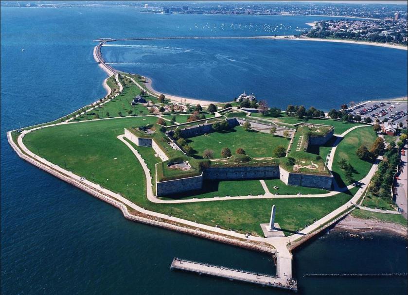
There is an obelisk at Fort Independence.
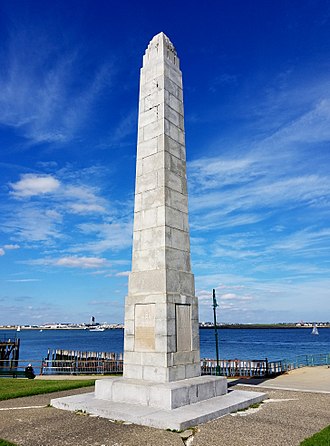
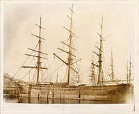
It is called the Donald McKay Obelisk, after the man who is given credit for building famous clipper ships in Boston…
…like the Flying Cloud, said to have been launched in 1851, and set the record for the fastest passage between New York and San Francisco…
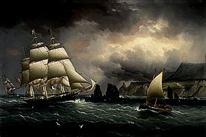
…and the Sovereign of the Seas, said to have been built in 1852, and setting the record for the world’s fastest sailing ship.
The monument at Fort Independence, however, is still an obelisk. It is a tall, four-sided, narrow, tapering monument which ends in a pyramid-shape, or pyramidion, at the top, most commonly associated with Egypt, and not clipper ships, or their builders.
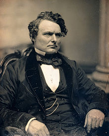
Castle Island and Fort Independence was the location where Prince Hall, and fourteen other men of African-American descent, became Freemasons in their initiation into the British Army Lodge 441 of the Irish Registry, after having been declined admittance into the Boston St. John’s Lodge.
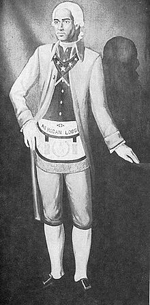
He was the founder of Prince Hall Freemasonry, and the African Grand Lodge of North America.
Until Prince Hall found a way in, Moorish Americans were denied admittance into Freemasonry. There are 360-degrees in Moorish Masonry, compared to the 33-degrees of Freemasonry.
Masonry is based on Moorish Science, which also includes the study of natural and spiritual laws, esoteric symbolism, natal and judicial astrology, and zodiac masonry.
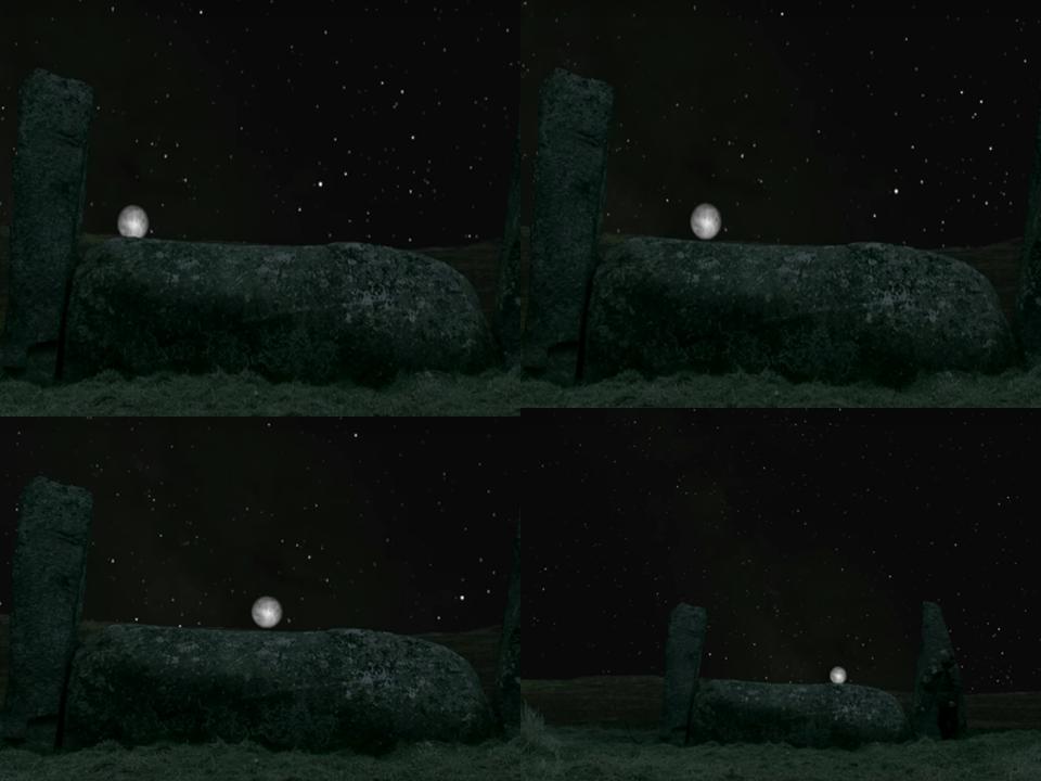
With regards to zodiac masonry, this is where the perfect alignments of infrastructure on earth with the sky comes from – the consummate alignment of earth with heaven that is seen around the world – like the lunar roll along the top of this recumbant stone in Crowthie Muir in Scotland…
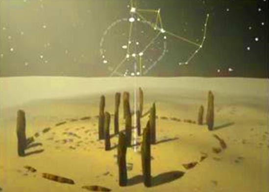
…and the alignment with the Orion constellation at the ancient stone circle of Nabta Playa in Egypt. These guys knew exactly what they were doing!
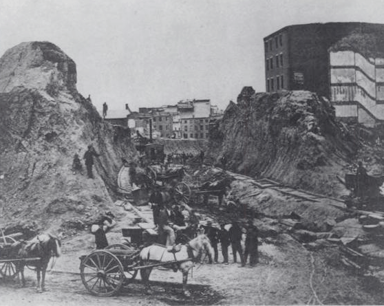
Back to Fort Point, this an historic photo of the Fort Point neighborhood circa 1930…
…and here is a picture of Fort Point today, with the heavy masonry banks of the Fort Point Channel clearly visible in the foreground.
Next, I am getting back on the alignment from where I left off at Weymouth, which is located southeast of Boston, and tracking it to the Hingham, Massachusetts area.
There are two places I would like to look at near Hingham. The first is Wompatuck State Park.
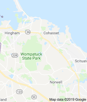
Wompatuck State Park is primarily in Hingham, but has portions of it in the neighboring towns of Cohasset, Scituate, and Norwell as well.
The land was said to have originally belonged to Chief Josiah Wompatuck, who for some unknown reason deeded the land to English settlers in 1655.
There just happens to be a lot of huge, block-shaped rocks here.
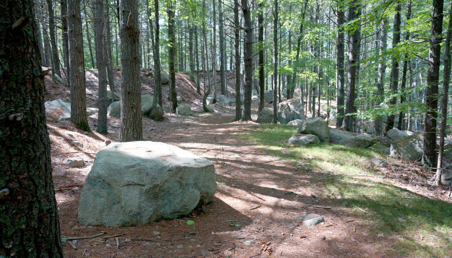

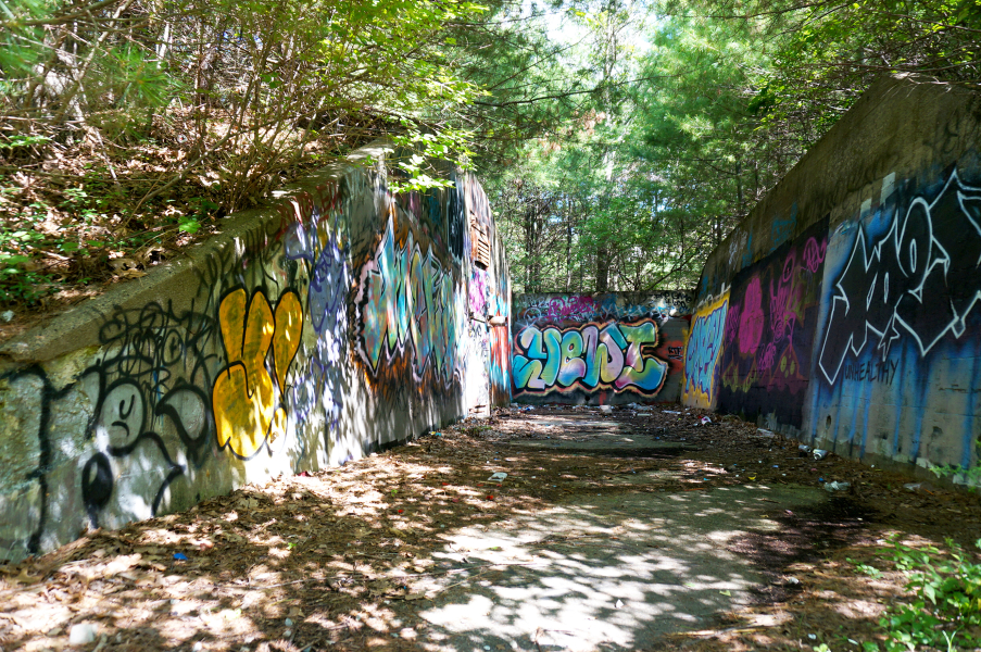
The park was said to have been built on the Naval Ammunition Depot Annex, which was in operation from 1941 to 1965, and has over 100 decommissioned military bunkers.
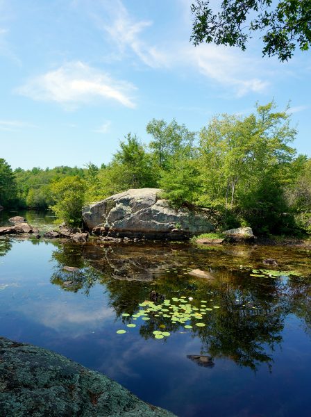
I also want to take a closer look at World’s End near Hingham…
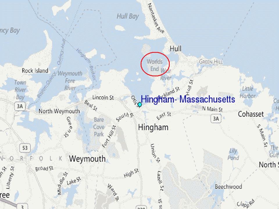
…a park and conservation area located on a peninsula in the Hingham area.
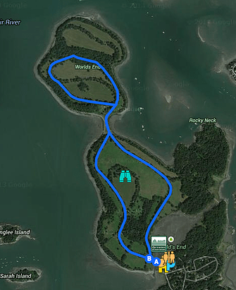
World’s end is described as being comprised of four drumlins.
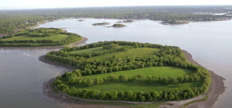
This is an example of a drumlin, said to have been derived from the Gaelic word”druim,” meaning “mound” or “rounded hill.”
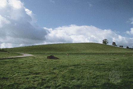
In spite of the artificially-made-looking appearance of drumlins, we are told they were formed by the streamlined movement of glacial ice sheets across rock debris.
Here is another land feature on the top left at World’s End in Hingham, compared with one at the Alter do Chao Beach, near Santarem, Brazil on the top right, and another on Attu Island in the Near Island Group at the far western end of the Aleutian Islands on the bottom.
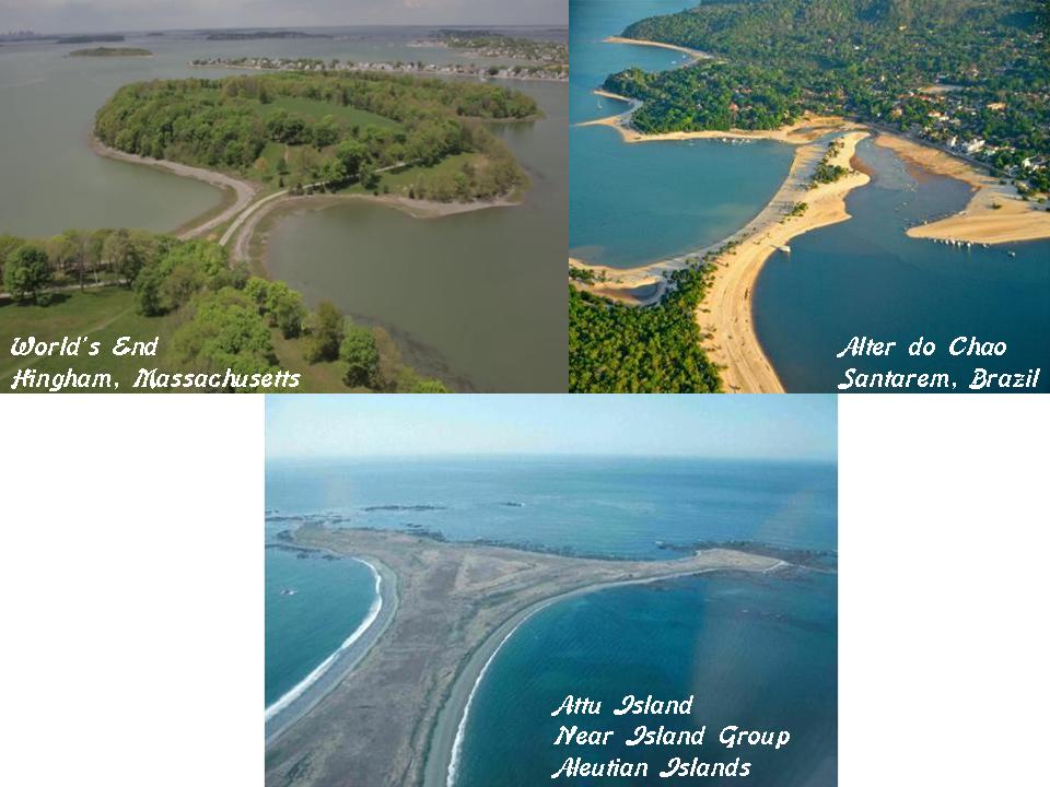
I don’t see these as having formed naturally – I see them as man-made, and the civilization that made them the same worldwide.
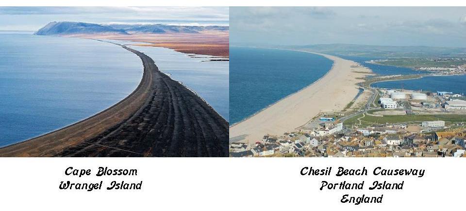
Here is another example of a similar-looking land-feature occurring in two very different places.
On the left is Cape Blossom, on Wrangel Island in the East Siberian Sea, off the far northern coast of Siberia; and on the right is the Chesil Beach Causeway on Portland Island, off the southern coast of England.
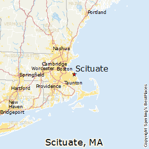
I am going to exit Massachusetts on the alignment on the coast at Scituate, Massachusetts.
There must be some connection with the name Scituate here, and the Scituate Reservoir I looked at back in Rhode Island, but I am not sure what the direct connection is. Presumably it has something to do with the people who lived here.
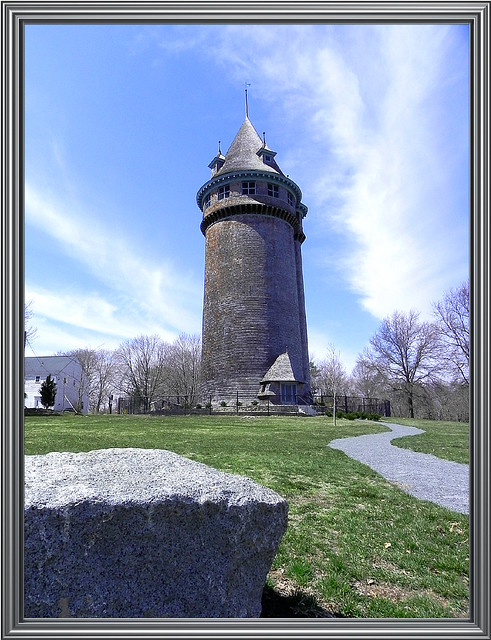
First, here is the Lawson Tower in Scituate, which holds the distinction of being the most ostentatious water tower ever created. It was said to have been built in 1902 to enclose a steel water tank.
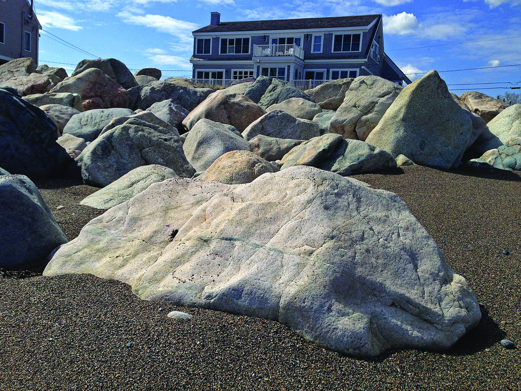
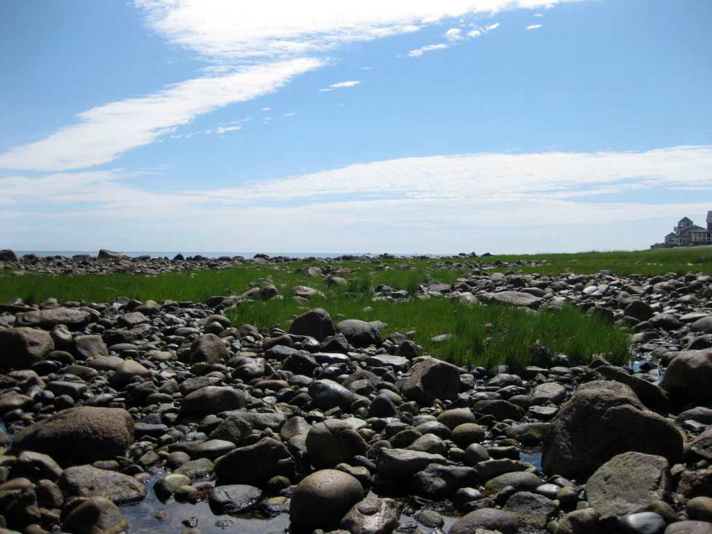
Then there is Egypt Beach, which I found looking at Tide Station locations doing research for this post.
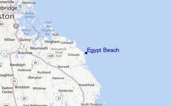
It is described as rocky and exposed.
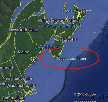
The alignment leaves the Massachusetts coast, and heads across the Atlantic for the southernmost point of the Nova Scotia peninsula, where I will be picking up the alignment on Cape Sable Island in the next post.