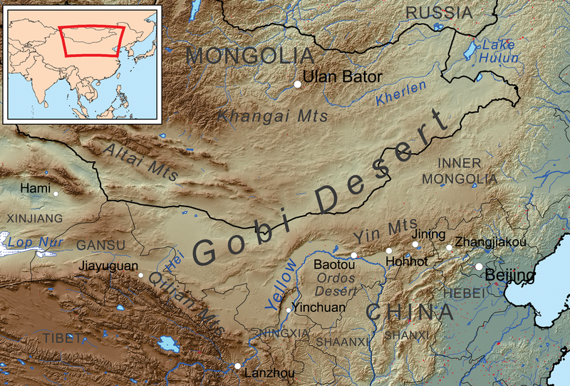
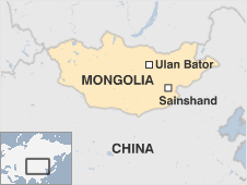
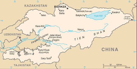
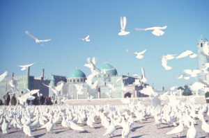
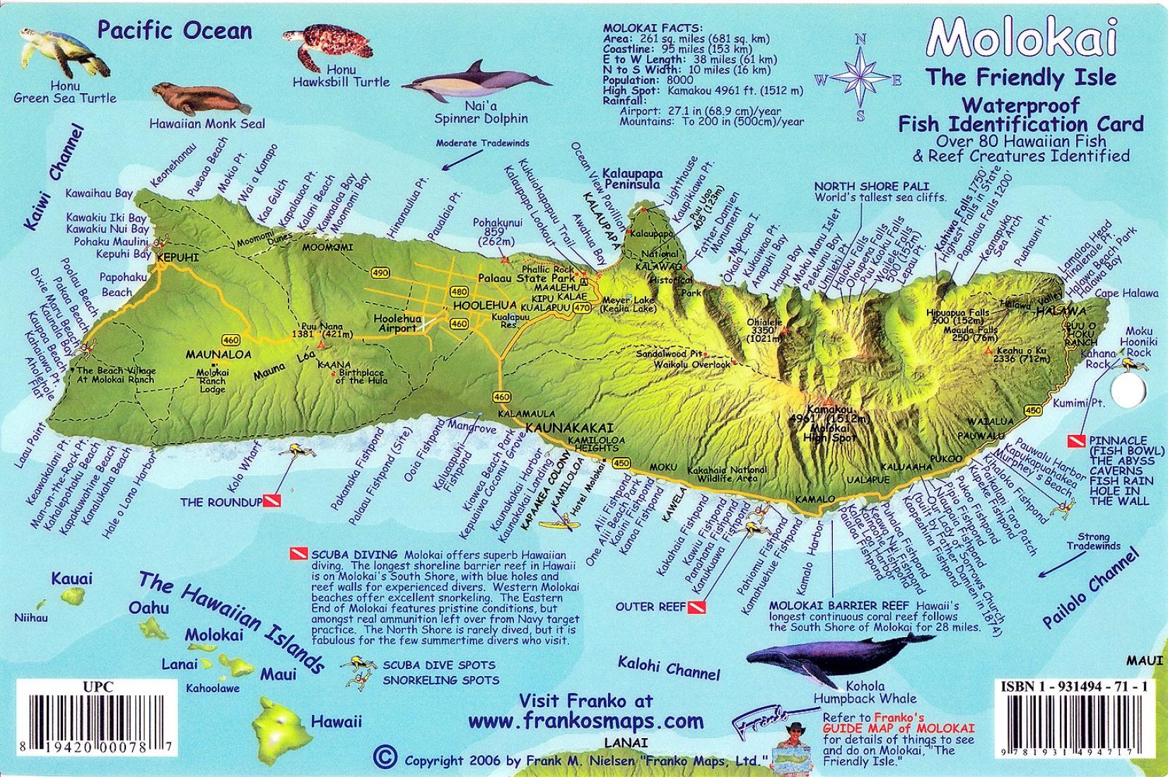
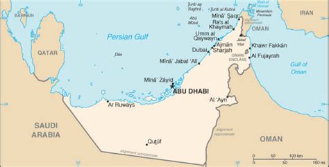
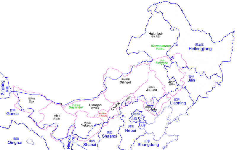
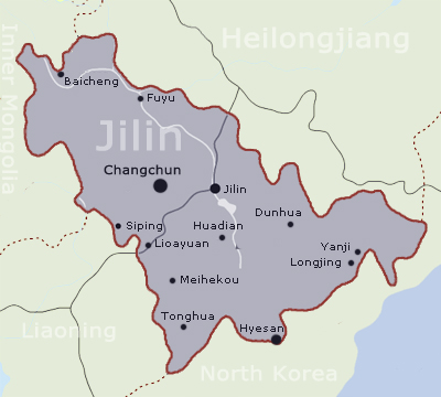
Next on this alignment – for which the starting and ending point is Amsterdam Island, a tiny island in the South Indian Ocean – we come to the Inner Mongolia Autonomous Region of China.
It lies along most of the length of China’s border with Mongolia, and a small section of China’s border with Russia.

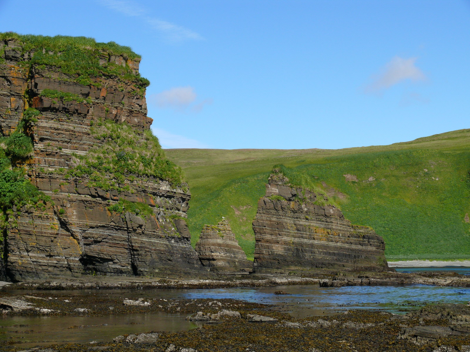
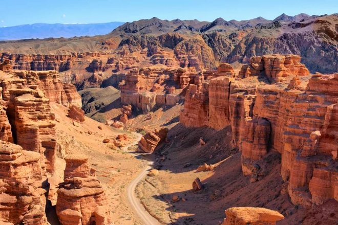
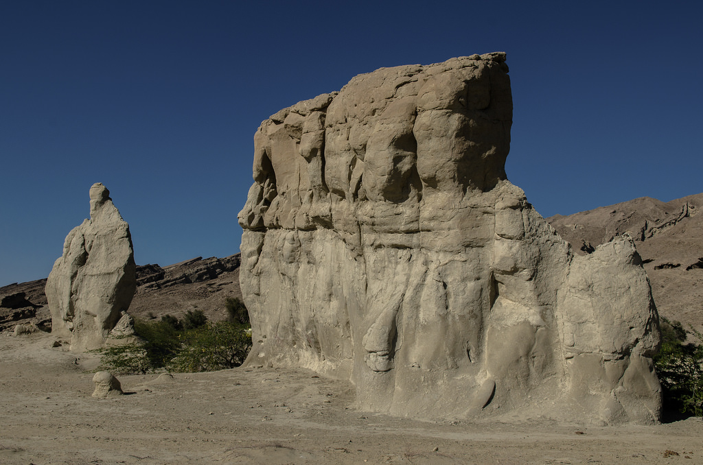
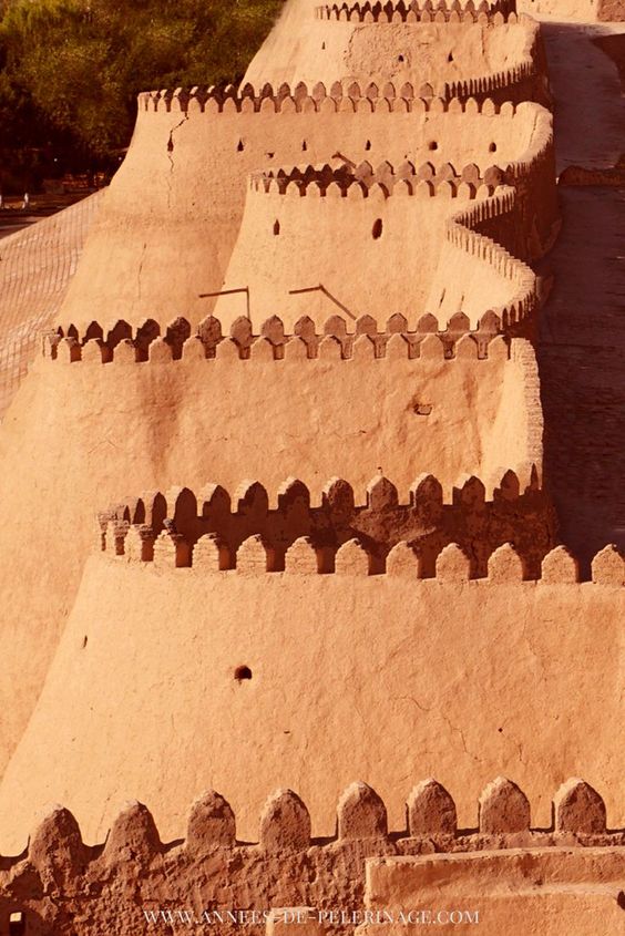
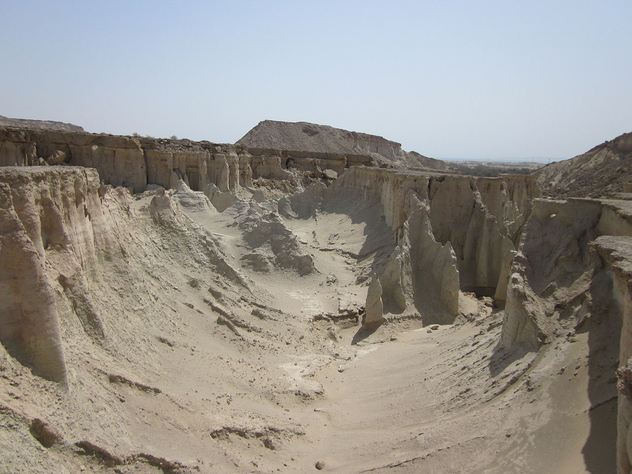
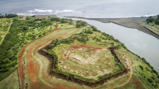
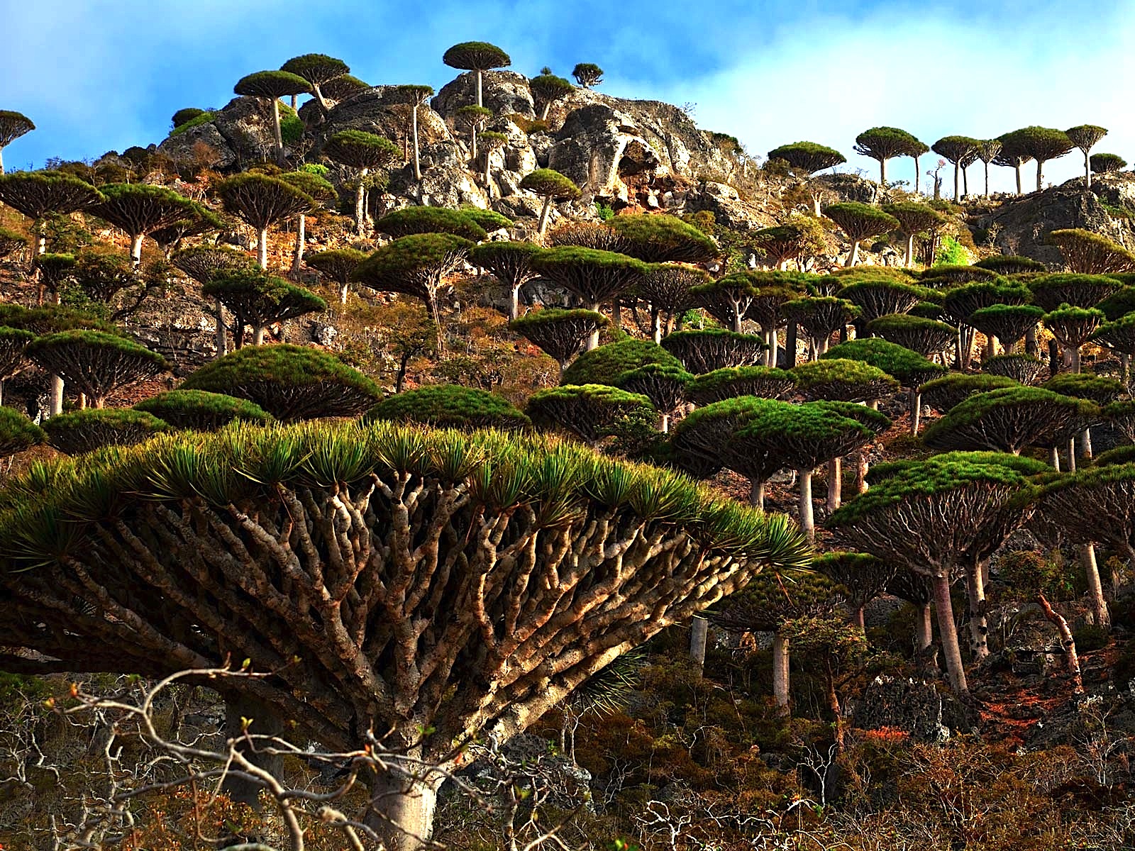
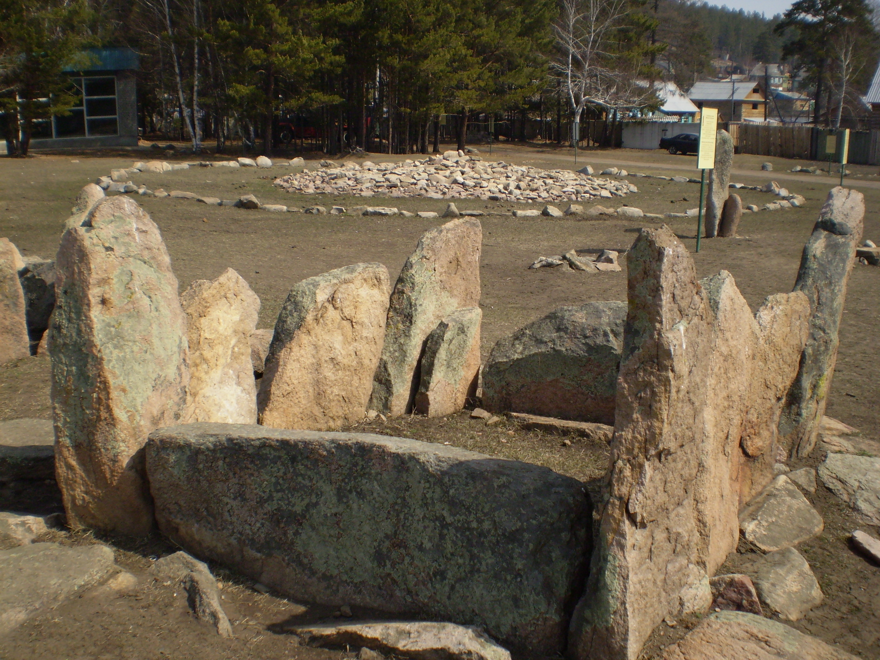
To start out with, one of the recurring features of this part of the world gets attributed to what is called “The Slab Grave Culture,” which is called a nomadic, Eurasian, Scythian-Siberian civilization. What I see here is evidence of the ancient megalithic civilization, with the cut-and-shaped stones in the foreground, and the stone circle seen in the background.
Let’s see what else we find here.
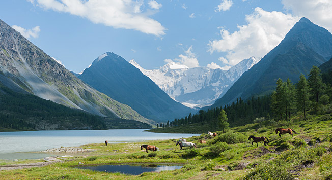
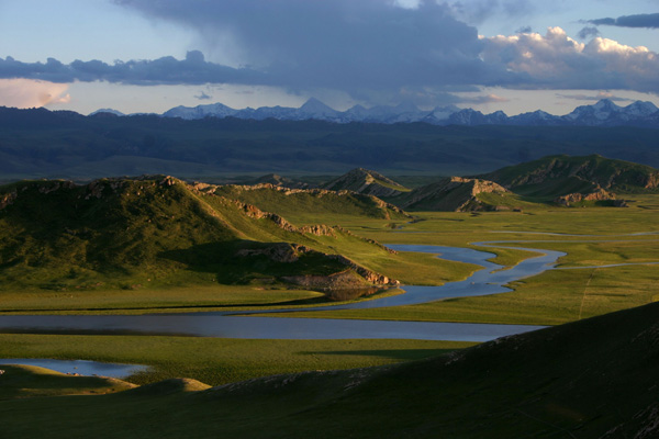
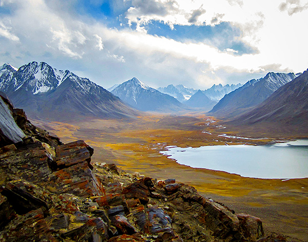
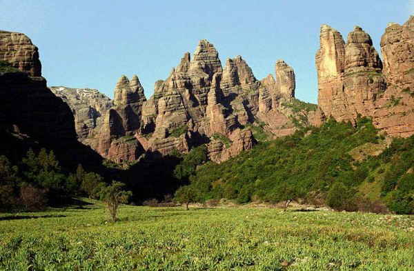
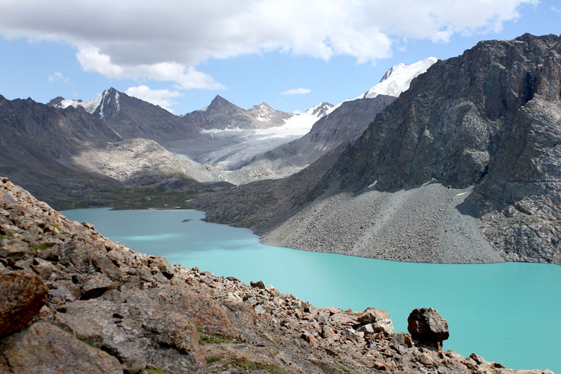
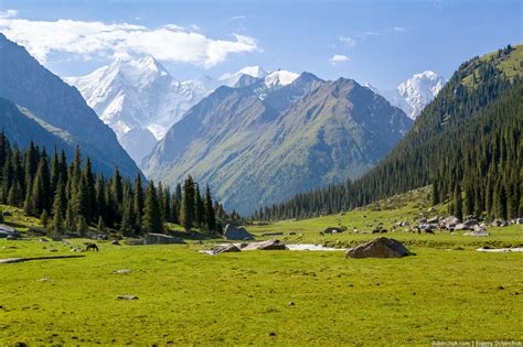
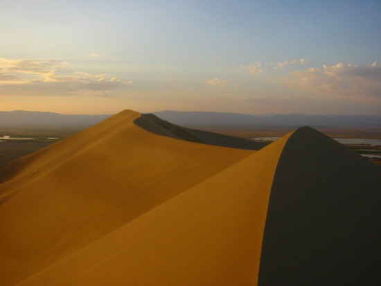
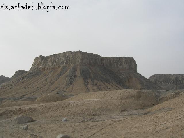
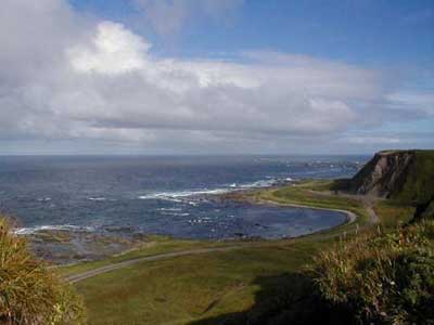
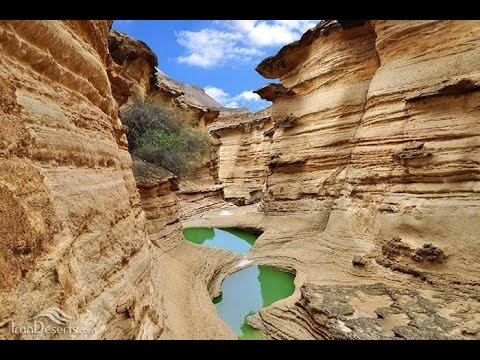
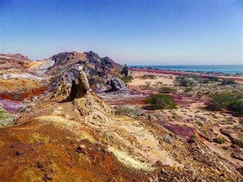
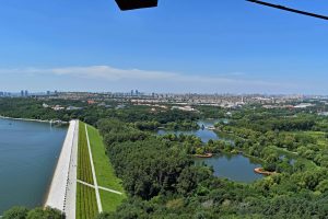
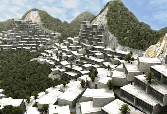
The alignment crosses near the Hulunbuir Grasslands. Looking at photos, I find this pyramidal landscape feature…
.jpg)
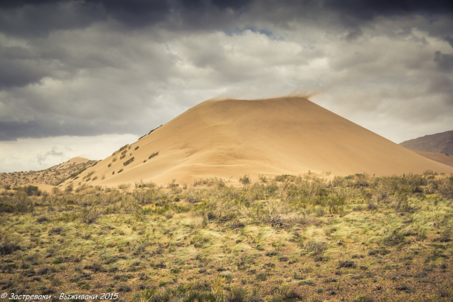
…and here is another one, where you clearly see the abrupt rise in elevation from a relatively flat surface.

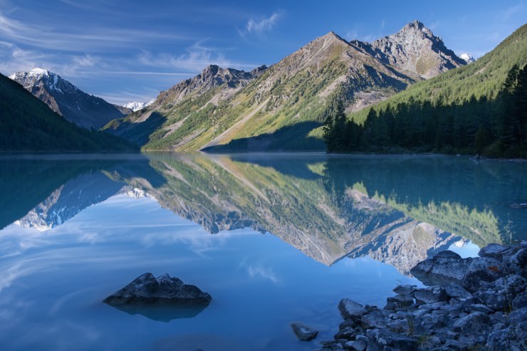
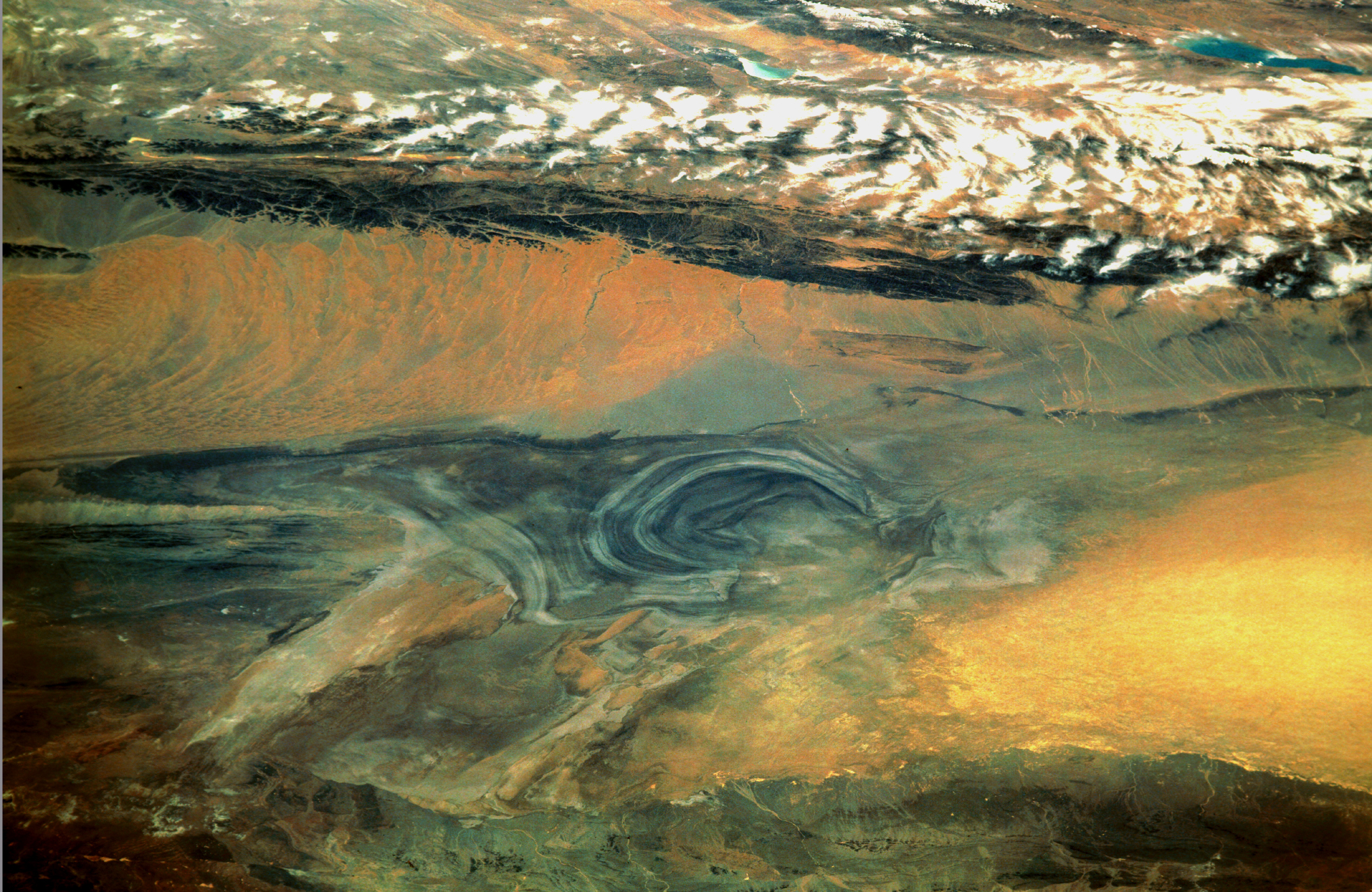
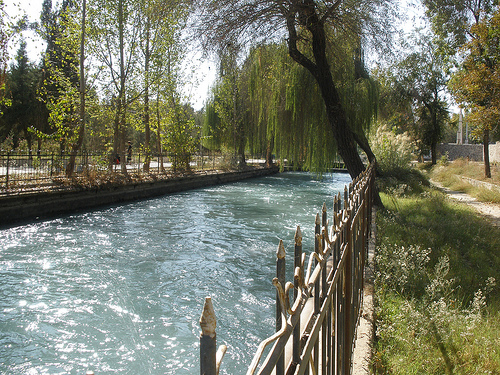
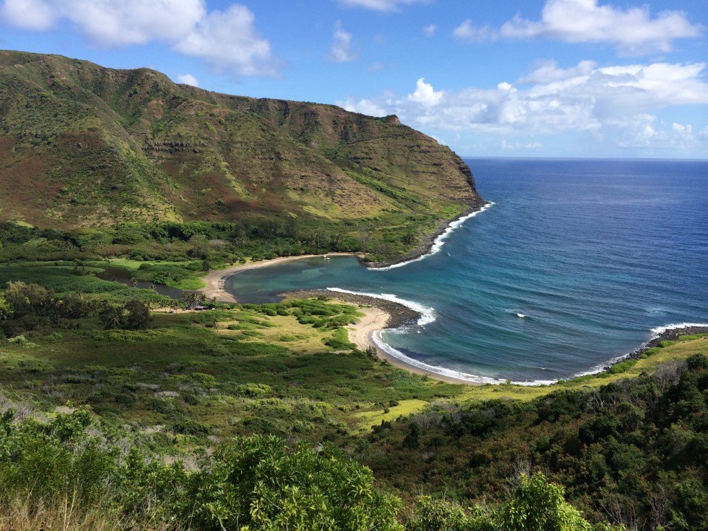
Then, we find this S-shaped river bend in the Hulunbuir Grasslands…

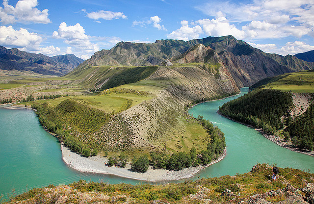
…just like the one we saw in The Ukok Quiet Zone Nature Park in the Altai Mountains in the previous post…

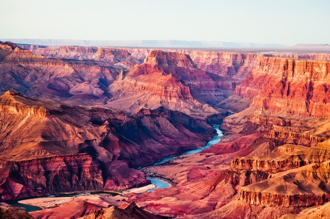
…the Horseshoe Bend of the Colorado River in Arizona’s Grand Canyon…
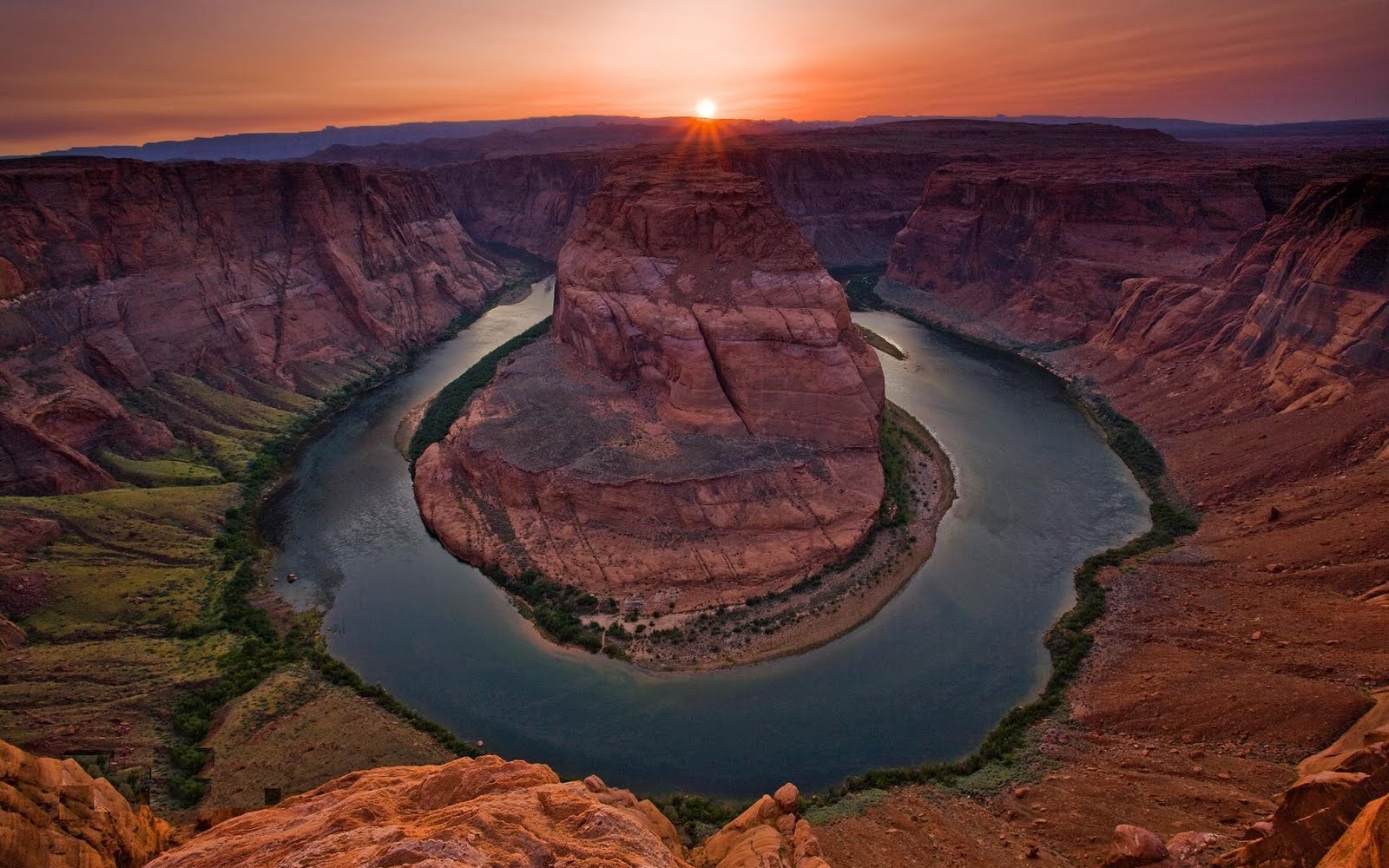
…and the Big Bend of the Rio Grande in South Texas.

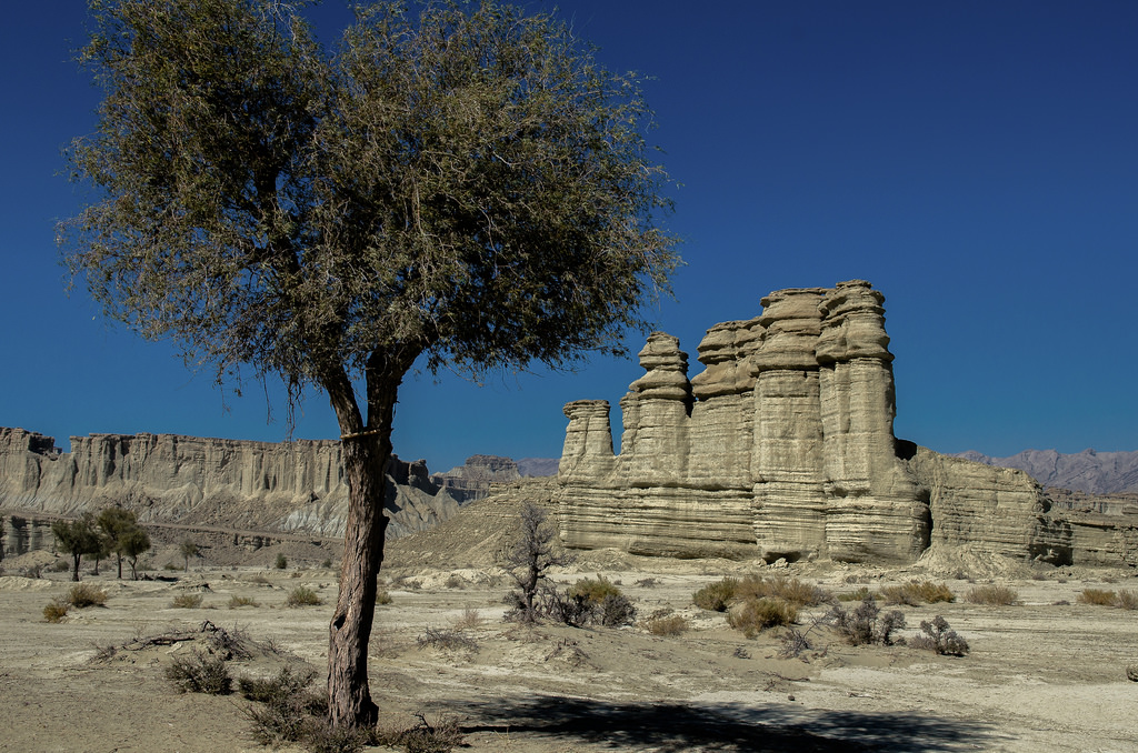
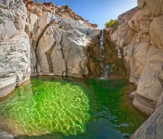
Compare the similarity of this location in the Aershan National Geopark of Inner Mongolia in China…
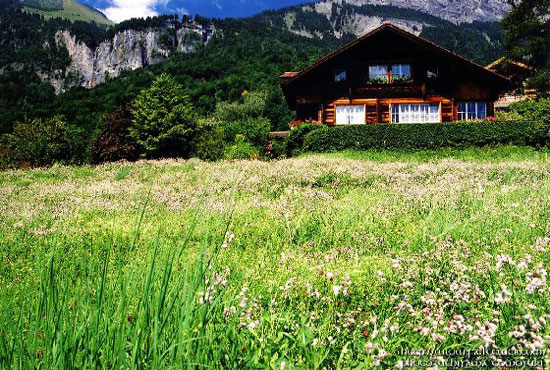
…with this location in the Lauterbrunnen Valley of Switzerland at the Staubbach Falls. These places are not historically associated with each other, and yet look very similar!

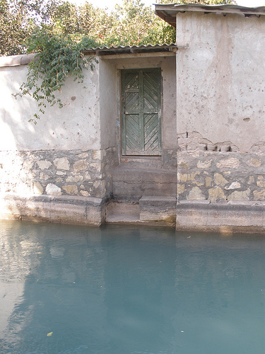
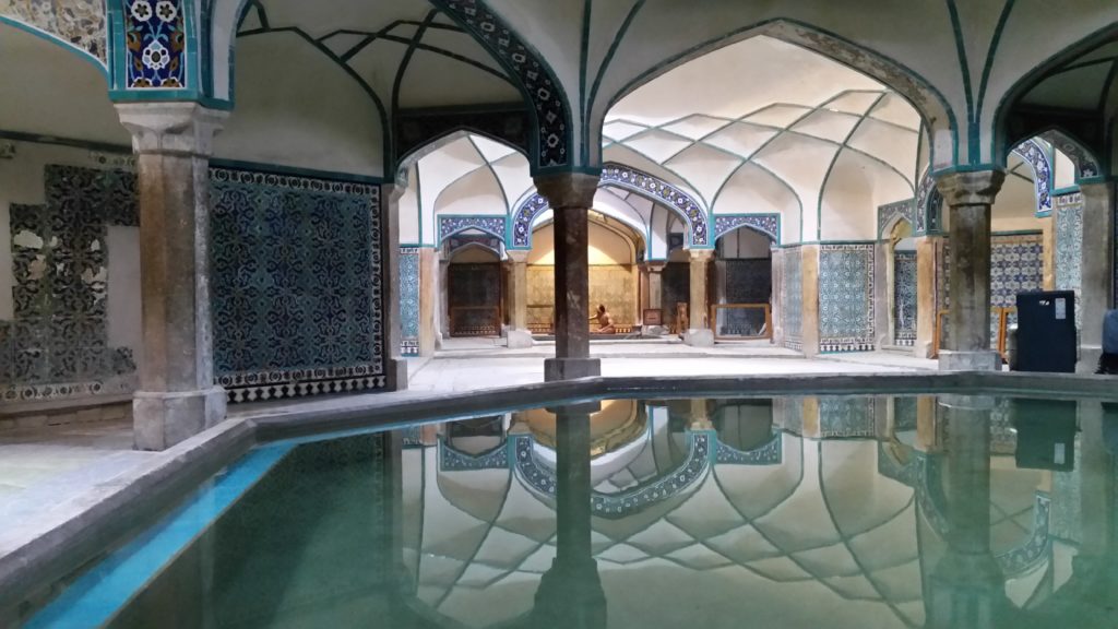
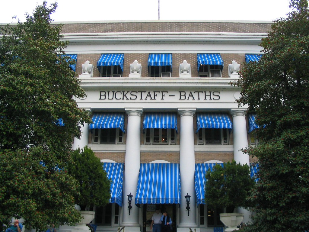
This is the Aershan Hot Springs Hotel…

…compared with inside the Gellert Bath House in Budapest, Hungary, where we find the same double-column design inside as what is seen in the above photo outside…

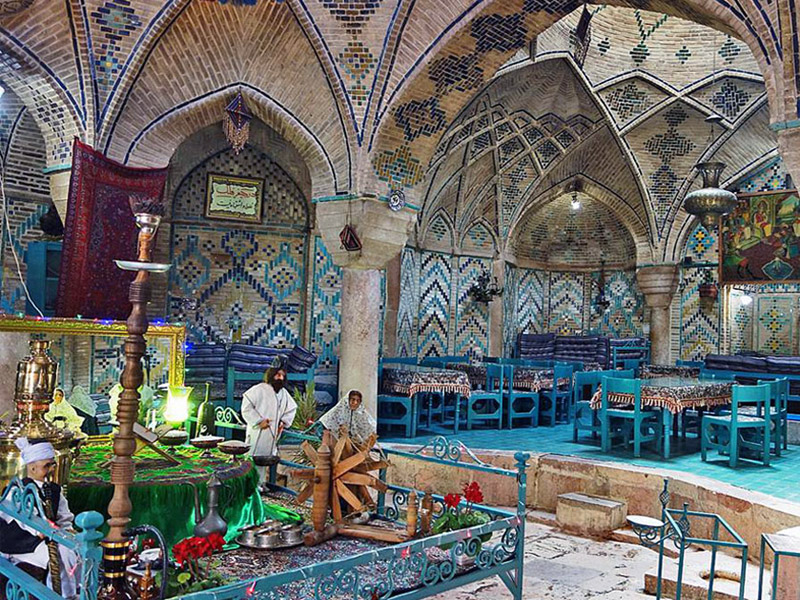
…compared with these historic bath houses in Hot Springs Arkansas. like the columned architecture of the Ozark…

…and the huge columns of the Buckstaff Bath House in Hot Springs. I think there might be something else going on here that we don’t know about.
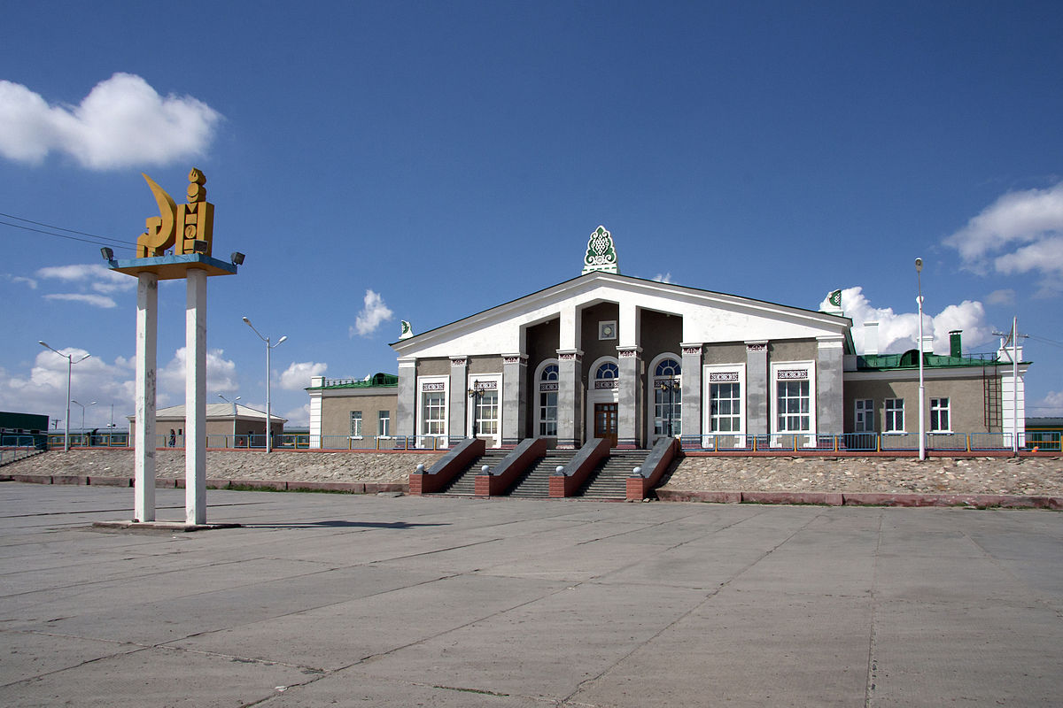
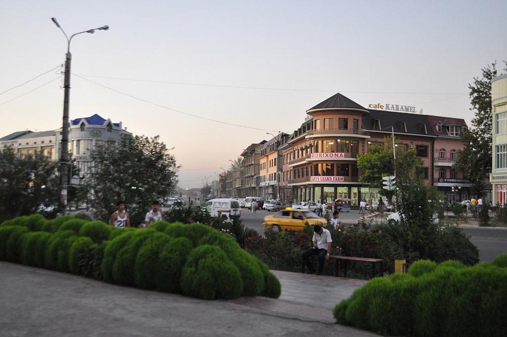
Next we come to the city of Tongliao in Inner Mongolia. Tongliao is a railway hub, which connects Inner Mongolia directly with Beijing and northeast China.
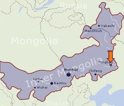
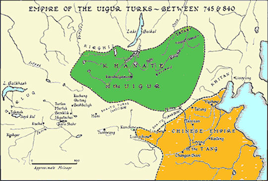
It was the administrative center of the defunct Jirem League. The six original Leagues of Inner Mongolia were ancient administrative units, and they became equal to prefectures in other parts of China when it became the Inner Mongolia Autonomous Region in 1947. They included different tribes and banners. Interesting to note that one of the Leagues shown here, just to the right of the center of the image, is named Juuuda (like Judah?)….
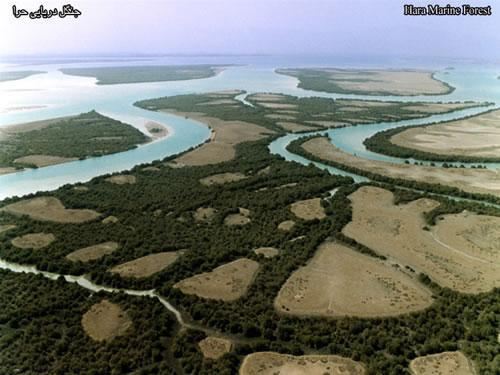
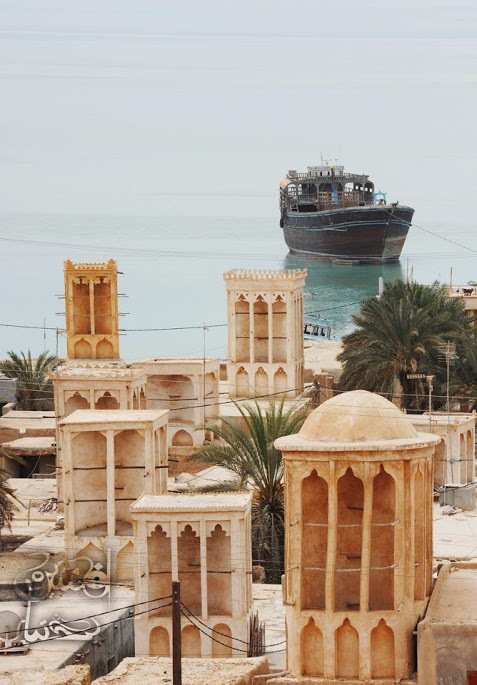
Tongliao sits on the east bank of the Xiliao River, one of
several rivers in this region which the alignment crosses over. It flows in Inner Mongolia and the Liaoning Province in Northeastern China. It is one of the headwaters of the Liao River.

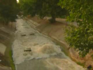
A search for images only yielded one picture of interest for the Xiliao River.
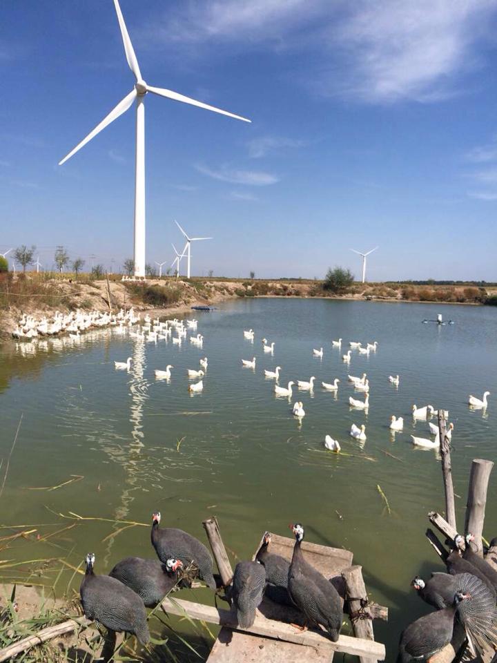
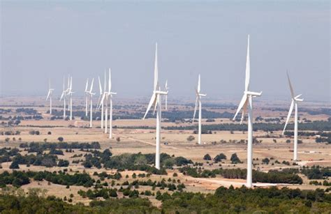
I will use this as an opportunity to say that I find turbines like this all along gridlines.
These are in Okarche, near where I lived in Oklahoma. They are not randomly placed as one might think. They all run at the same speed regardless of whether or not the wind is blowing. I suspect they are harvesting a hidden energy source, and not the wind as we are told. These, and the ones that fill the horizon along Interstate 40 across Texas as well, line up along grid-lines and near energy hubs. See my blog post on “The Relationship Between the Planetary Grid, the Technology of the Ancient Civilization, and the Modern Energy System” for a more in-depth look at this subject.
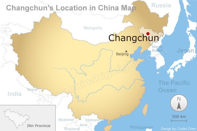
Next on the alignment is Changchun, the capital and largest city of China’s Jilin Province.
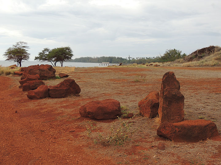
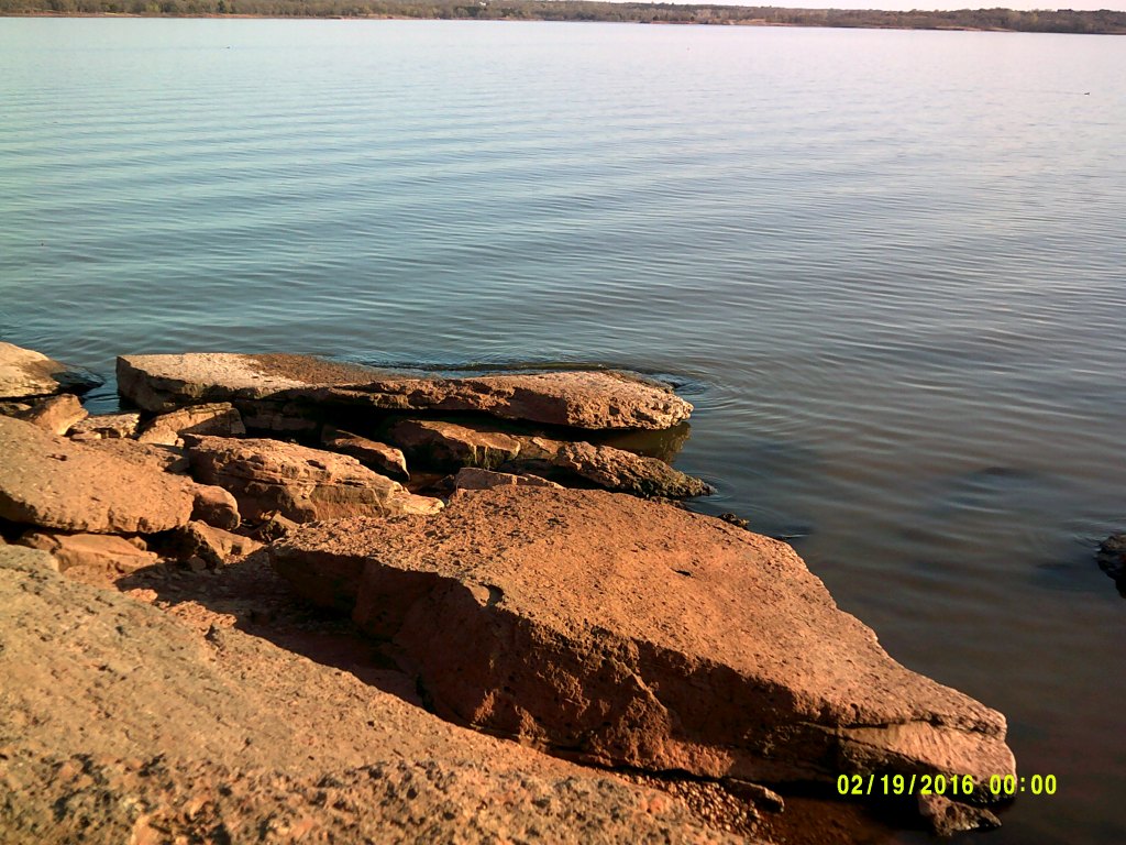
Changchun lies in the center of the Songliao Plain, also known as the Manchurian Plain. Note the red rock in the foreground, similar in appearance to red rocks found in diverse places…
…like what is found on the Hawaiian Island of Kauai at the Fort Elizabeth State Park, also called the Old Russian Fort…
…and at Lake Arcadia, in Edmond, Oklahoma just outside of Oklahoma City.
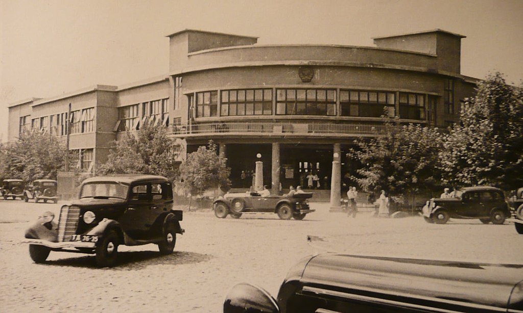
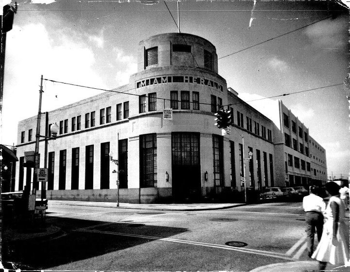
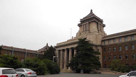
Changchun was the seat of government for the Japanese puppet state of Manchukuo between 1932 and 1945, who were occupying northeast China. This is the Manchukuo State Department building, with its heavy masonry and tall columns.
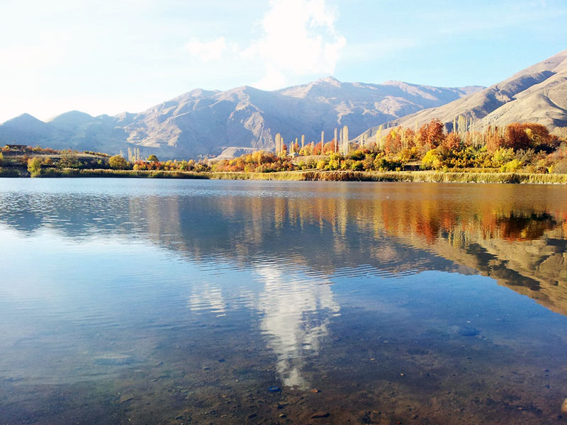
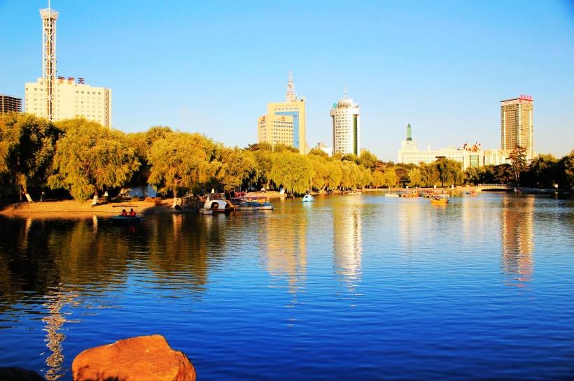
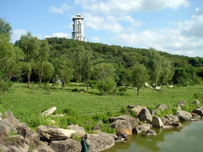
There is a national park near Changchun called the Jingyuetan Forest Park. I always check out parks because they are places that the ancient civilization is preserved, albeit in disguise. This is the crescent-shaped reservoir there…
…and features such things at the stone tower in the background of this photo, and the big stones lining the lakeshore in the foreground…
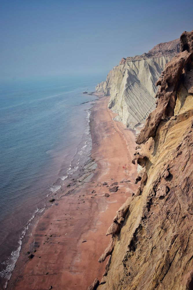
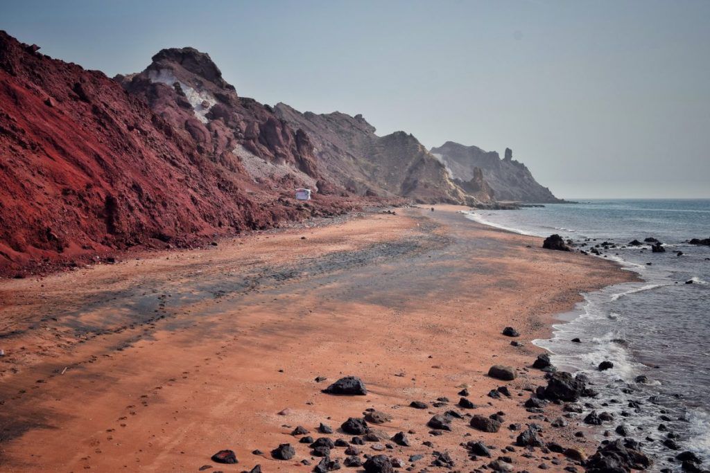
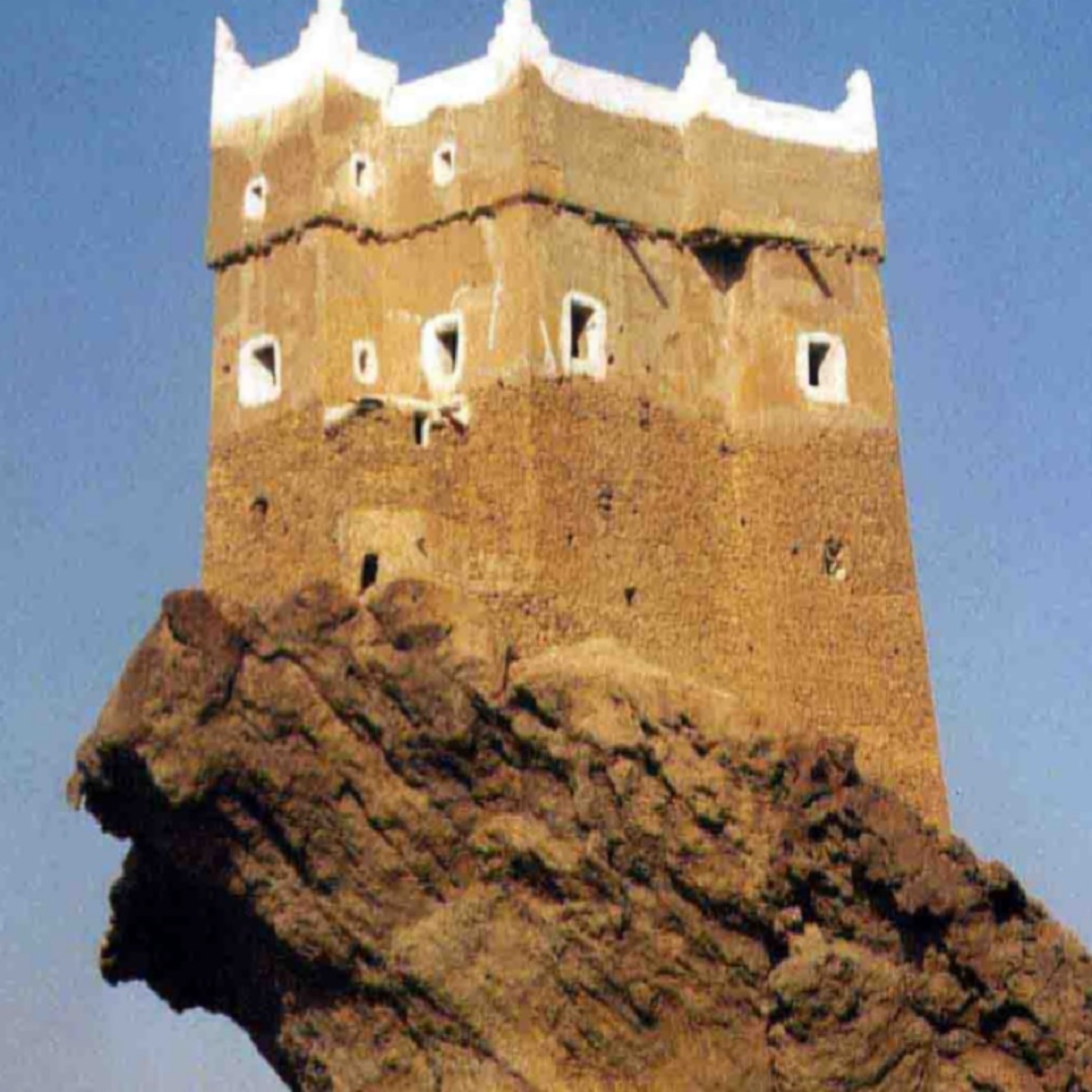
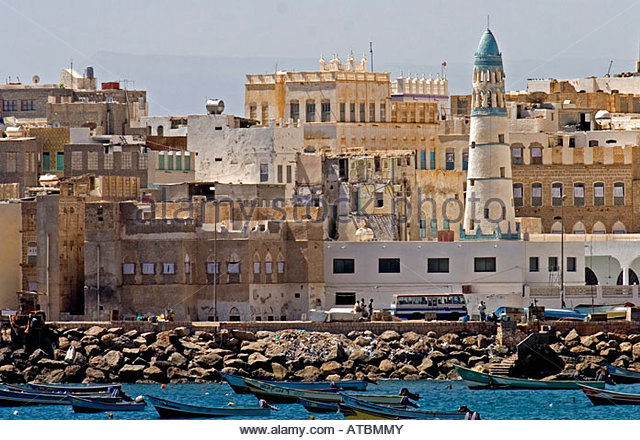
…and is like what we saw in Mukalla, Yemen…
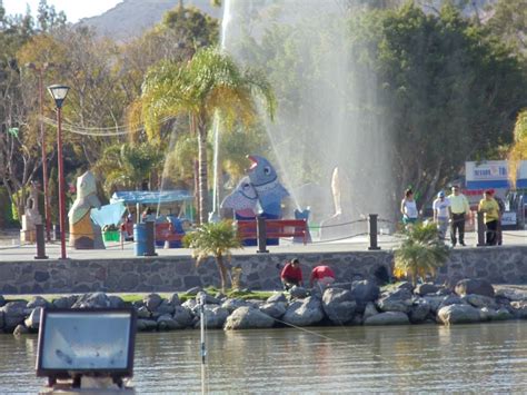
…and at Lake Chapala near Colima, Mexico.

Next on the alignment we come to Jilin City, considered one of the oldest cities in northeast China.
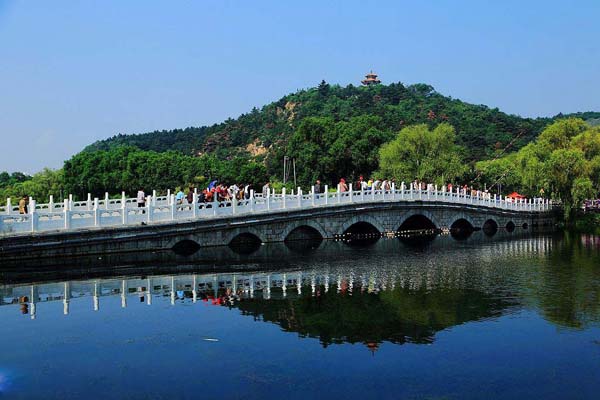
Jilin City is situated near the Songhua River, in a hilly area. Four famous mountains surround it. I can find images associated with two of the four. One is Beishan, or North, Mountain, Park, in the west, home to several Buddhist temples, where the picture of this bridge was taken.
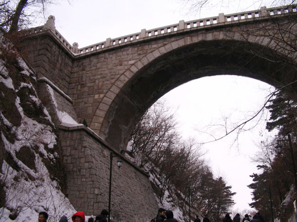
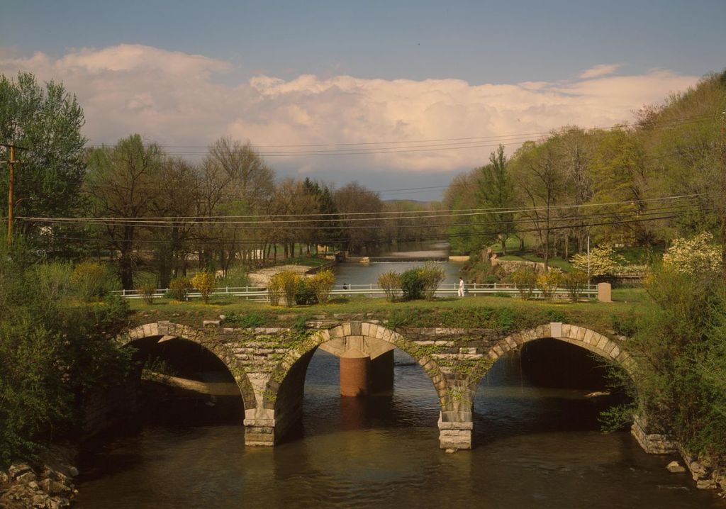
Compare it in appearance with the style of old bridge found over Standing Stone Creek, in the State of Pennsylvania, for one of many examples.
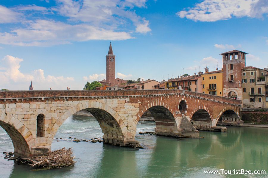
This bridge at Beishan Park…
… looks similar to this one in Verona, Italy.
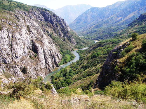
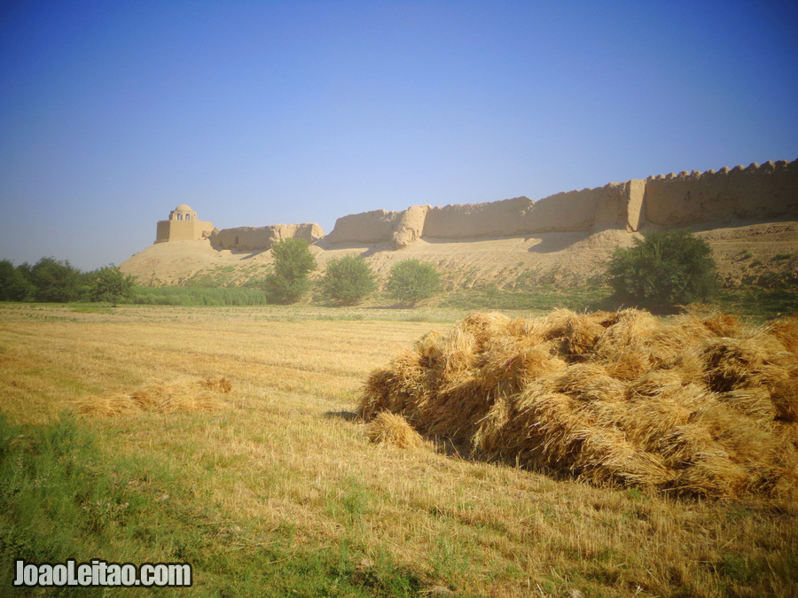
Another is Long Tan Mountain, to the East. Interesting looking place, isn’t it?
Together with the other two – Zuqhue Mountain and Turtle Mountain – these four mountains form a Bagua, which is a Taoist symbol used to represent the fundamental principles of reality.
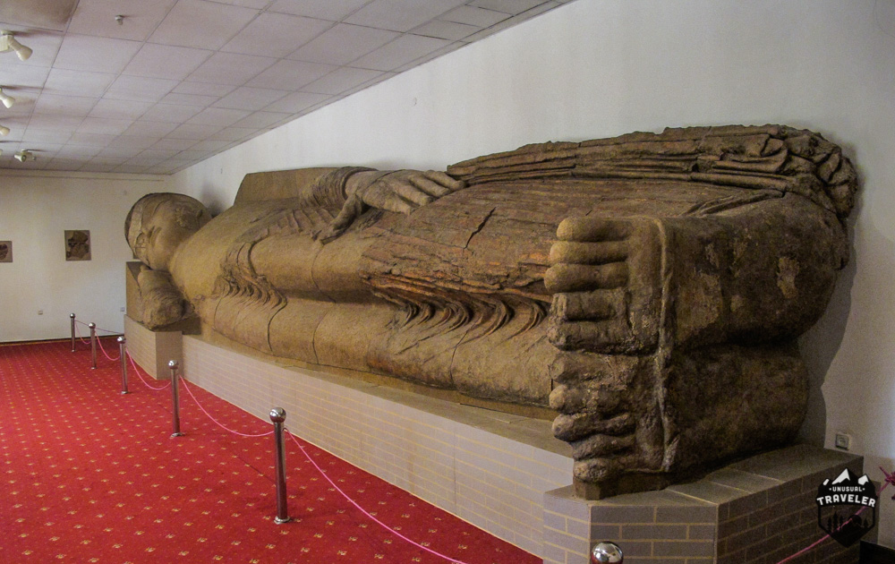
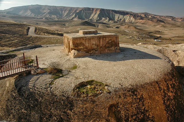
This stone feature is found in Jilin…
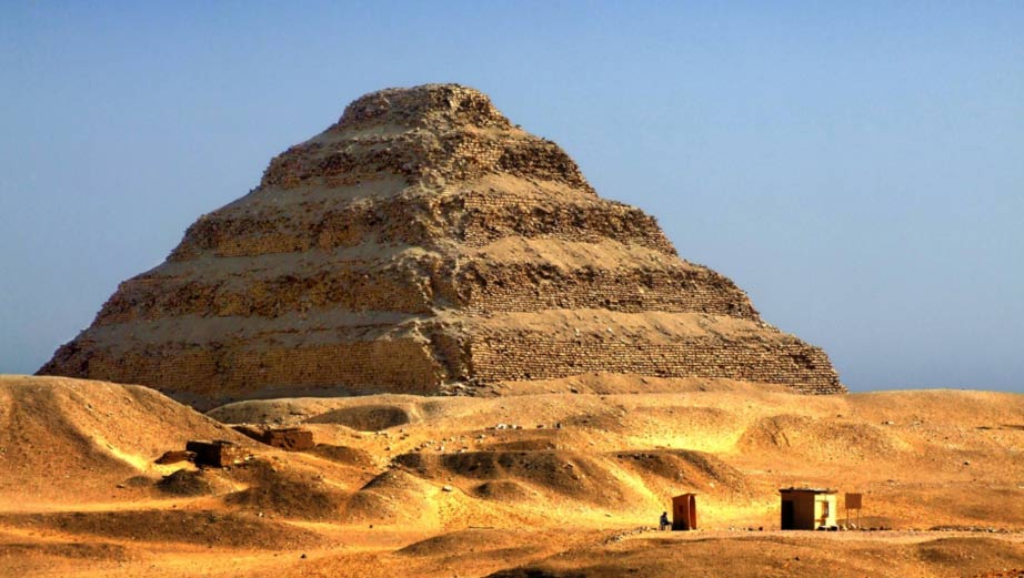
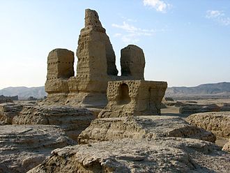
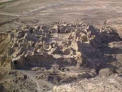
…and I will end this post in Jilin with this photo of what is called a tomb of the Koguryo Kingdom, which flourished in China and North Korea, before we head to Chongjin, North Korea in the next post. This is designated as a Koguryo Tomb in Jilin, China. Looks like a step pyramid to me….
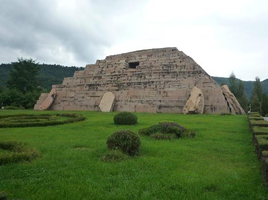
…like the famous step pyramid of Djoser at Saqqara in Egypt pictured here.