When I first decided to do the subject matter in this post, my plan was just to pull together past research that I had done showing what are described as naturally-formed “rock cities” found in national and state parks in different places around the world and present it in one place.
What came forward about these natural “rock cities” in the course of bringing forward old research and doing new research for this post from very different places worldwide were things like, but not limited to the proximity of caverns and caves, railroad roundhouses and other rail infrastructure, American Civil War battles in the United States, as well as their proximity to the places where the world’s oil industry began in Ontario and Pennsylvania in the late 1850s.
I have put my findings and interpretations together for your consideration in this post “Connecting Strange Dots: Natural Rock Formations or Megalithic Cities?”

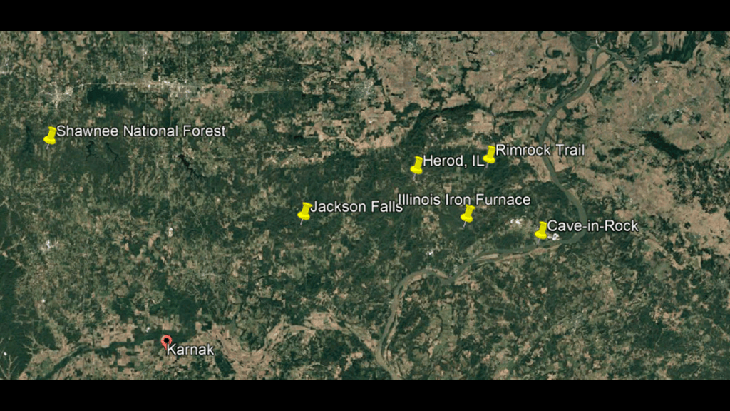
I am going to start at the Shawnee National Forest in Illinois because there are several places of interest there, and then touch on a couple of other places in the surrounding area.
The Shawnee National Forest was established in 1939 during the administration of President Franklin Roosevelt, and named after the Shawnee Native American tribe.
We are told the designation reflects the historical presence of the Shawnee people in the region of southern Illinois and their cultural heritage, which has deep historical ties to the land.
There is a lot to unpack here.
The Rim Rock Trail in the Shawnee National Forest is a 1.7-mile, or 3-kilometer, -long trail.
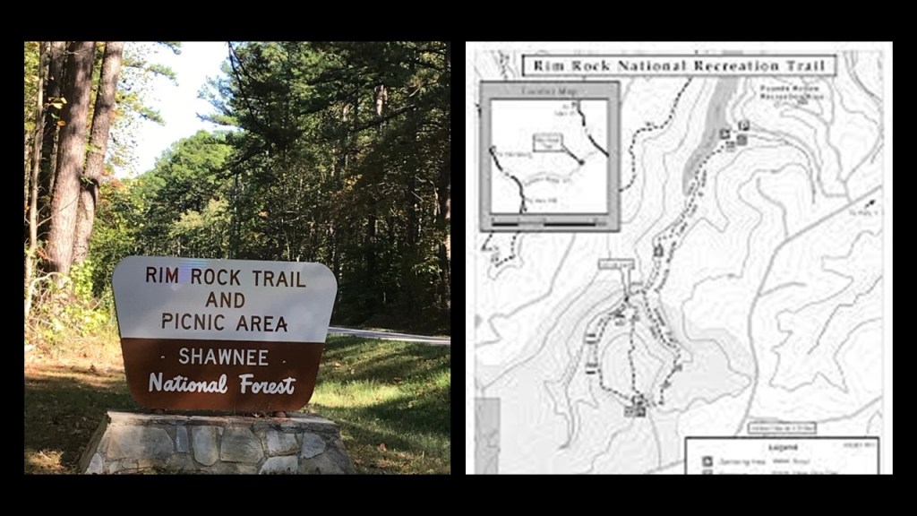
It is described as going around the rim of an escarpment before going down into a crevice in the rock cliff to the valley floor.
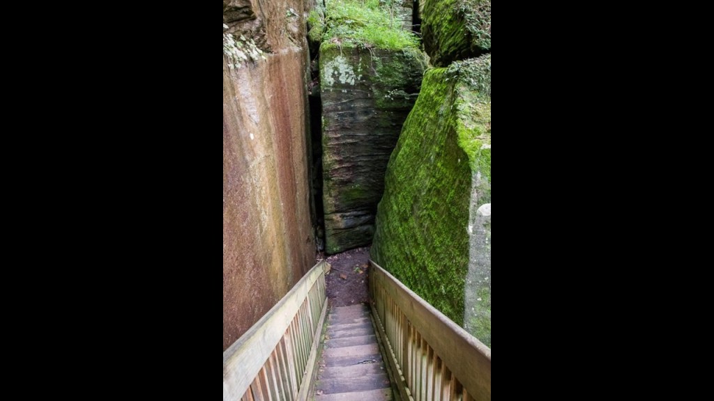
The Rim Rock Trail meanders through massive rock formations, which we are told are natural.
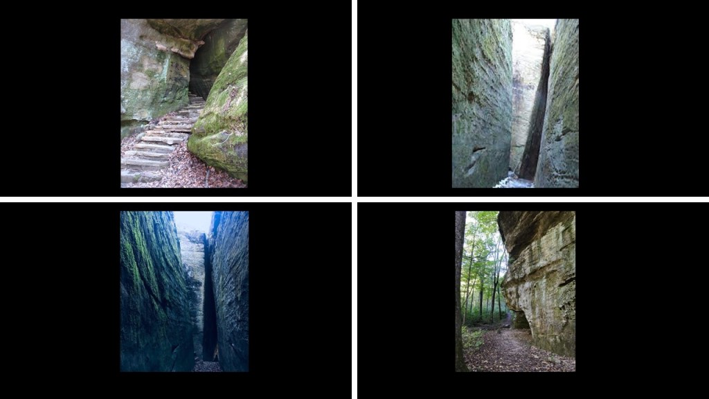
Jackson Falls are located in the heart of the Shawnee National Forest.
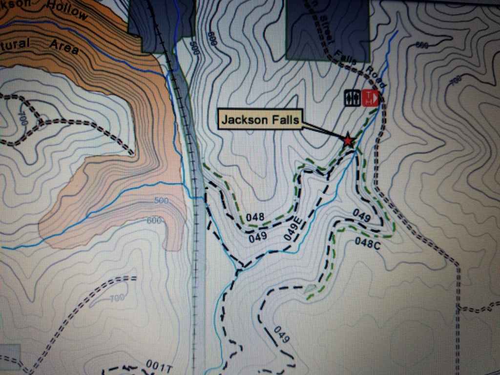
Jackson Falls are a popular rock-climbing and rappelling destination, with its bluffs and vertical rock faces…
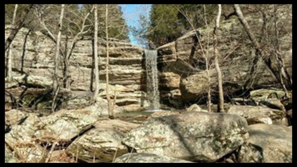
…and the popular 4-mile, or 6.5-kilometer, Jackson Falls loop trail.
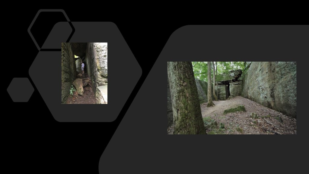
The Garden of the Gods in the Shawnee National Forest is located right next to the town of Herod, Illinois.
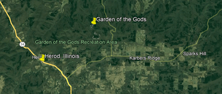
I find it interesting that while there are a lot of biblical names in North America, I could not find a list of Herods in North America, including Herod, Illinois.
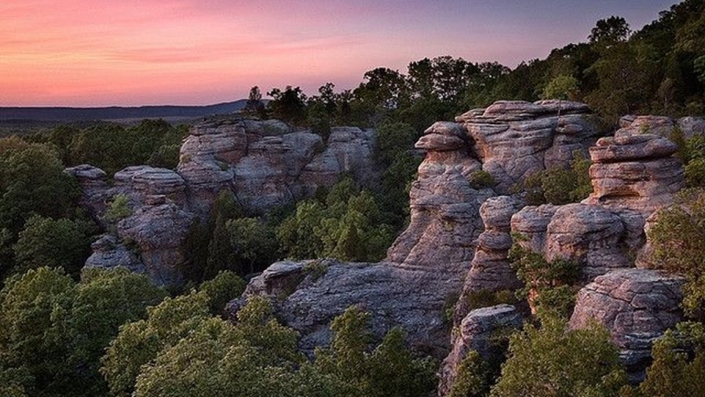
It is also interesting that we are told that the Garden of the Gods was never covered by glaciers because the advance of the ice sheets stopped just north of the Garden of the Gods.
Instead, the explanation given is that millions and millions of years ago, a thick layer of grey sandstone was laid down by geological conditions in Southern Illinois, and that this bed of grey sandstone was later uplifted and that the Garden of the Gods is part of an uplifted sandstone plateau…
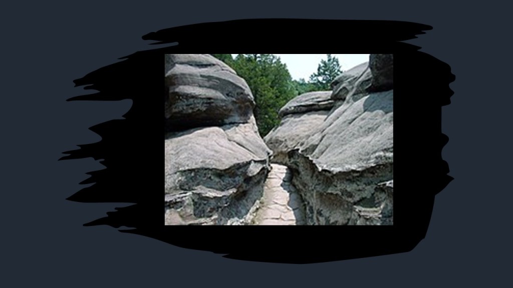
…and that dramatic erosion patterns created what are called “hoodoos,” or tall, thin spires of rock, and other unusual formations from the sandstone, and have names like “Camel Rock,” “Anvil Rock,” and “Table Rock.”
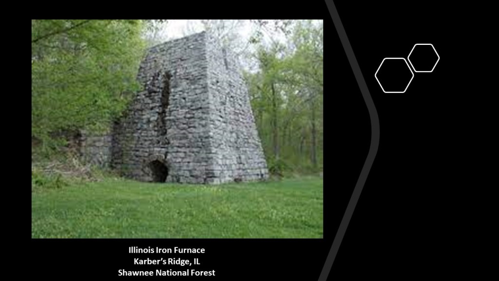
The Illinois Iron Furnace is located at Karbers Ridge near the Garden of the Gods in the Shawnee National Forest.
It was said to have been built some time between 1837 and 1839 by two businessmen, and used to smelt locally-mined iron ore.
The use of the iron furnace ended completely in 1883, which effectively ended the iron industry in Illinois.
The Cave-in-Rock State Park is in the neighborhood, at the edge of the Ohio River on the Illinois-side.
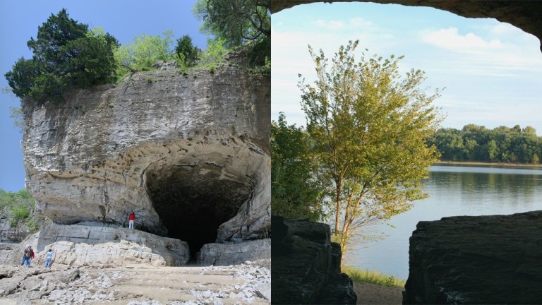
Cave-in-Rock, considered a landmark of the Ohio River, is a 55-foot, or 17-meter, -wide riverside cave, was said to have been formed into a tunnel by wind, water erosion, and the cataclysmic effects of the 1811-1812 New Madrid Earthquakes.
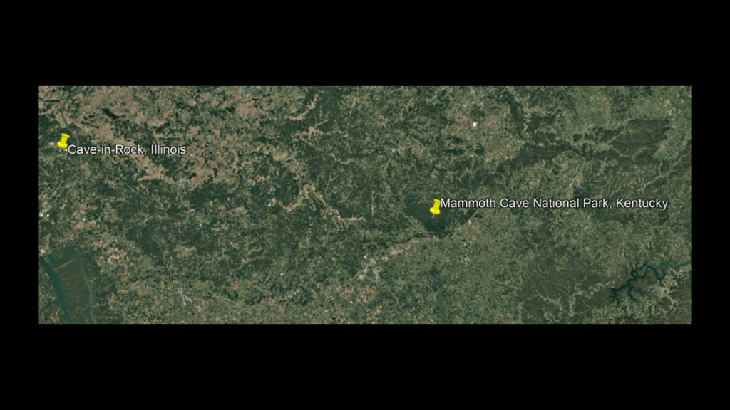
The Mammoth Cave National Park in Kentucky is located 182-miles, or 293-kilometers, to the southeast of Cave-in-Rock in Illinois.
Mammoth Cave National Park in Kentucky is said to be the world’s longest cave-system, with over 425-miles, or 684-kilometers, of explored underground passageways.
The cave’s temperature year-round is a constant 54-degrees Fahrenheit, or 12-degrees Celsius.
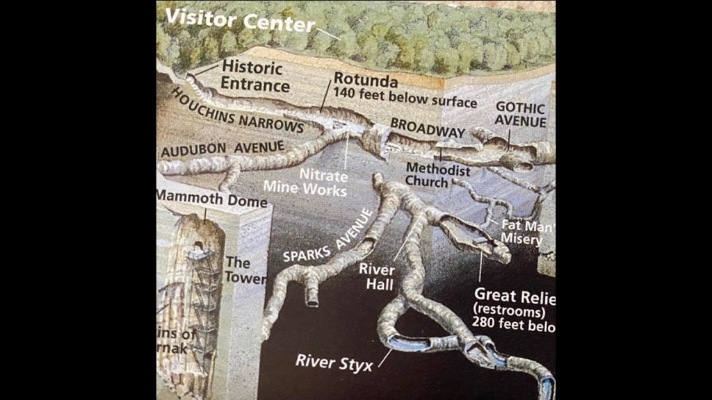
Caves that you can tour include the Rotunda, described as a massive, circular, subterranean room located 141-feet, or 43-meters, below the surface…
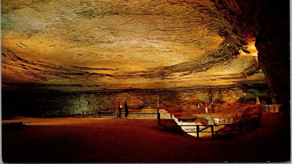
…Methodist Church, a large cavern off “Broadway,” in which we are told the Reverend George Slaughter Gatewood conducted services in the 1830s…
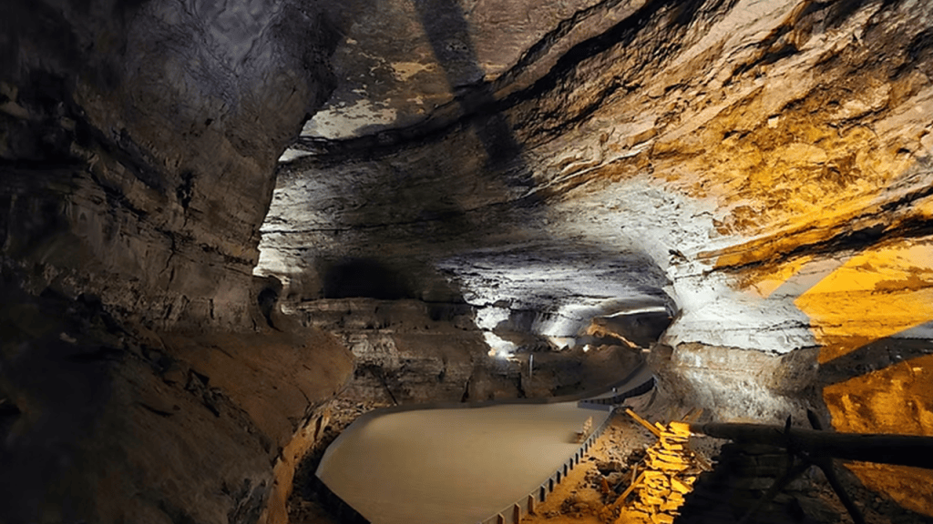
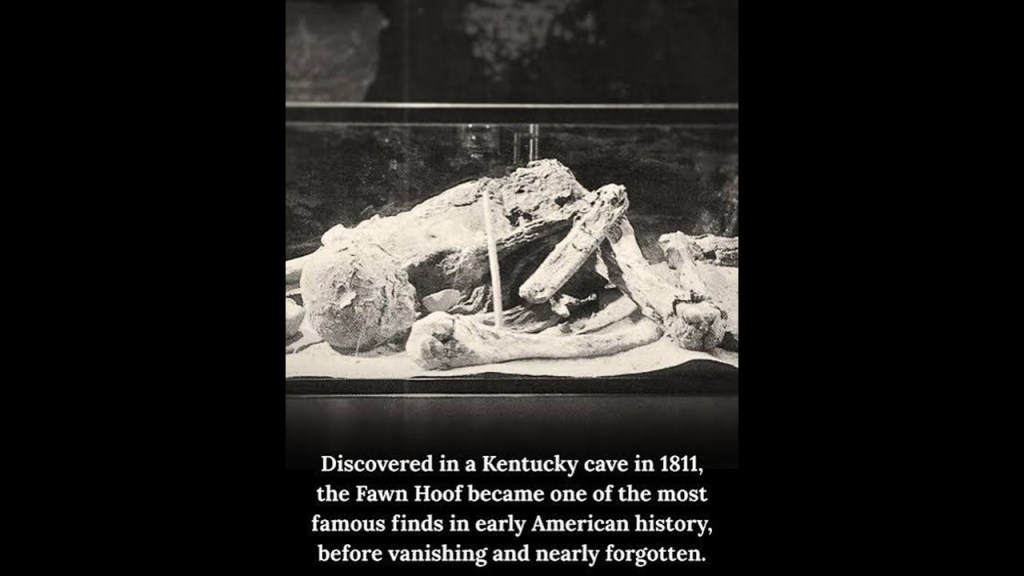
…and Gothic Avenue, the location of the “Mummy’s Seat,” where the mummy called “Fawn Hoof” was discovered.
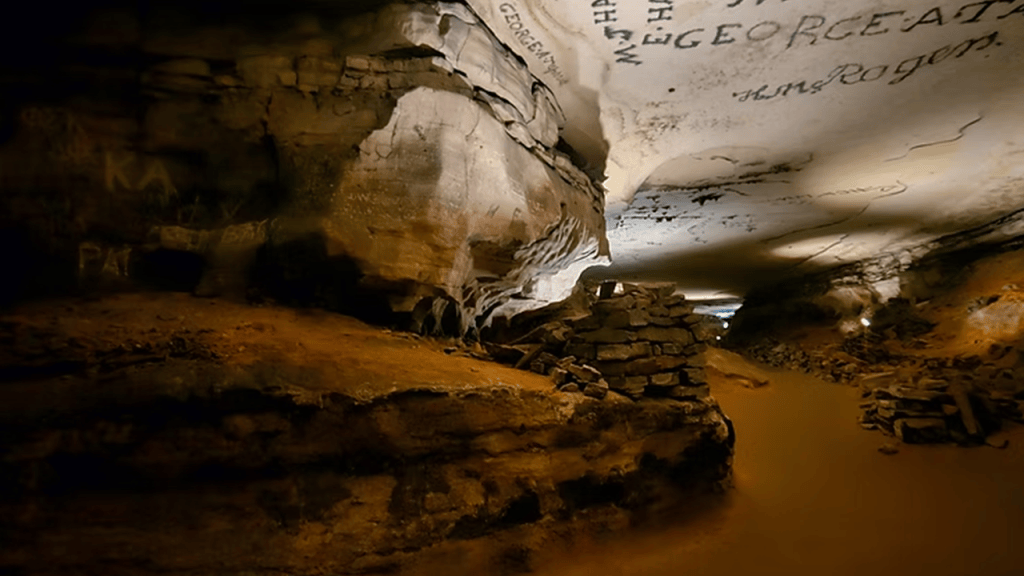
“Fawn Hoof” was discovered by a saltpeter miner in 1811 under a flat rock which turned out to be a crypt which contained a well-preserved woman seated upright.
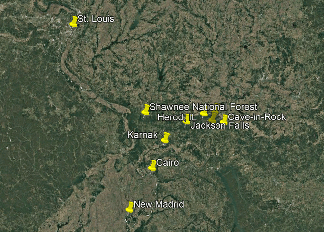
Karnak, Illinois, is further south on the Ohio River, in-between Cairo, which is situated at the confluence of the Mississippi and Ohio Rivers, and the rock formations found in the Shawnee National Forest.
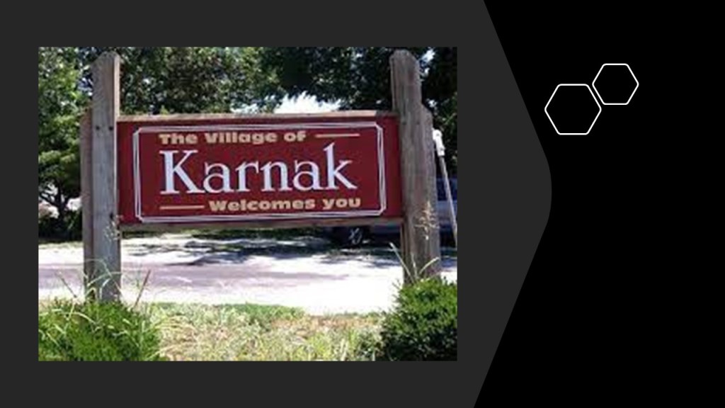
Karnak is a small village that had a population of 499 people in the 2010 census.
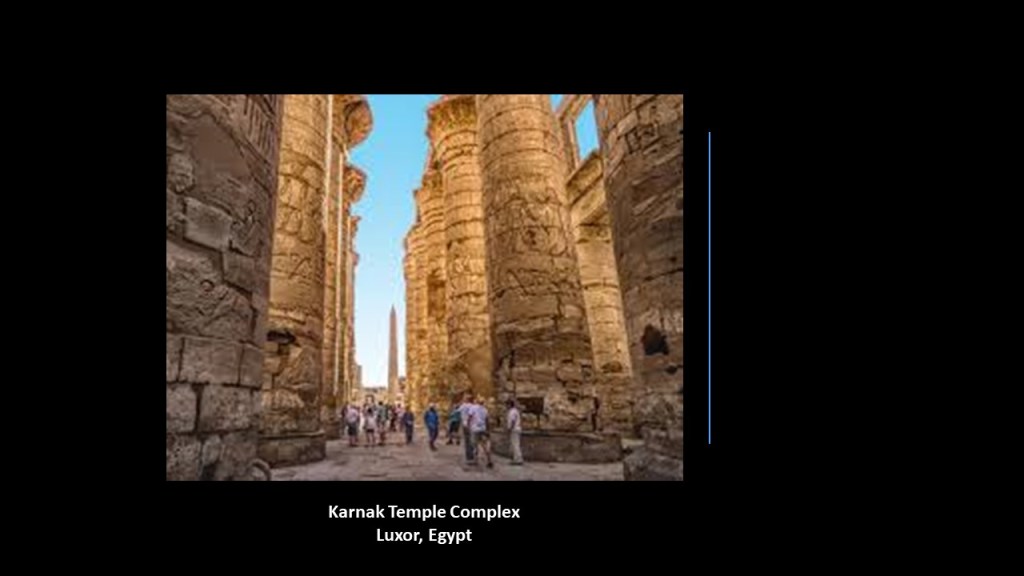
Another Karnak, the Karnak Temple complex near Luxor in Egypt, is known for its gargantuan size.
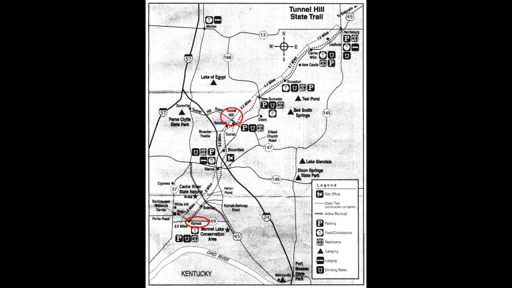
Well, there is nothing of interest to look at showing up for me in Karnak, but just 10-miles, or 15-kilometers north, just up the road from Karnak, is what is called Tunnel Hill.
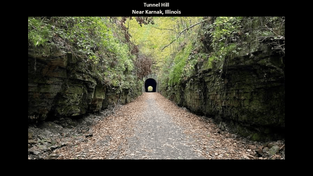
Tunnel Hill is part of today’s Tunnel Hill State Rail Trail, a 45-mile or 72-kilometer, -long recreational trail that runs from Harrisburg, Illinois, to Karnak, Illinois.
The central section of the trail passes through the Shawnee National Forest, and the southern section of the trail through the Cache River State Natural Area, a signficant wetland resource.
The Tunnel Hill Trail was said to have been part of a former railroad founded by Civil War General Ambrose Burnside, when in 1872, he and others were said to have begun the Vincennes & Cairo Railroad, connecting Vincennes, Indiana, and Cairo, Illinois.
It was in operation from 1874 to the 1980s when its freight and coal-hauling services ended, and the abandoned rail corridor was pulled up between 1985 and 1998, with portions later converted into the Tunnel Hill State Rail-Trail.
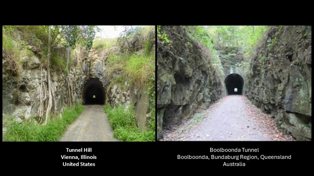
For comparison of similarity of appearance, the Boolboonda Tunnel in Queensland between Bundaburg and Mount Perry is described as a tunnel for a railway line that first opened in 1884 to service the Mount Perry copper mines, and ceased operations in 1960 due to declining revenues.
While the rail tracks were subsequently removed in 1961, the tunnel is heritage-listed, and remains open to the public as a single-lane, unsealed road for vehicular and pedestrian traffic.
The Boolboonda Tunnel is called the longest, unsupported manmade tunnel in Queensland.
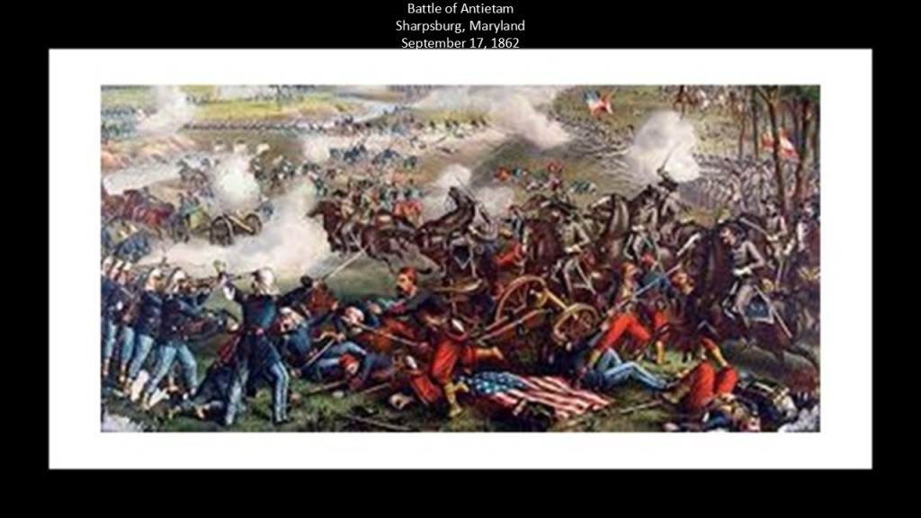
Union General Ambrose Burnside, who we are told was one of the founders of the Vincennes & Cairo Railroad, was known in history for his participation at the Battle of Antietam in Sharpsburg, Maryland.
We are told that Antietam was the deadliest one-day battle in American Military History, on September 17th of 1862, with 22,727 dead, wounded, or missing.
In our historical narrative, the battle was fought between the Confederate troops of General Robert E. Lee’s Army of Northern Virginia and the Union troops of General George McClellan’s Army of the Potomac.
After a long bloody day of fighting and death, the Union Army succeeded in turning back the Confederate invasion of Maryland, and was considered a major turning point in the war in the Union’s favor.
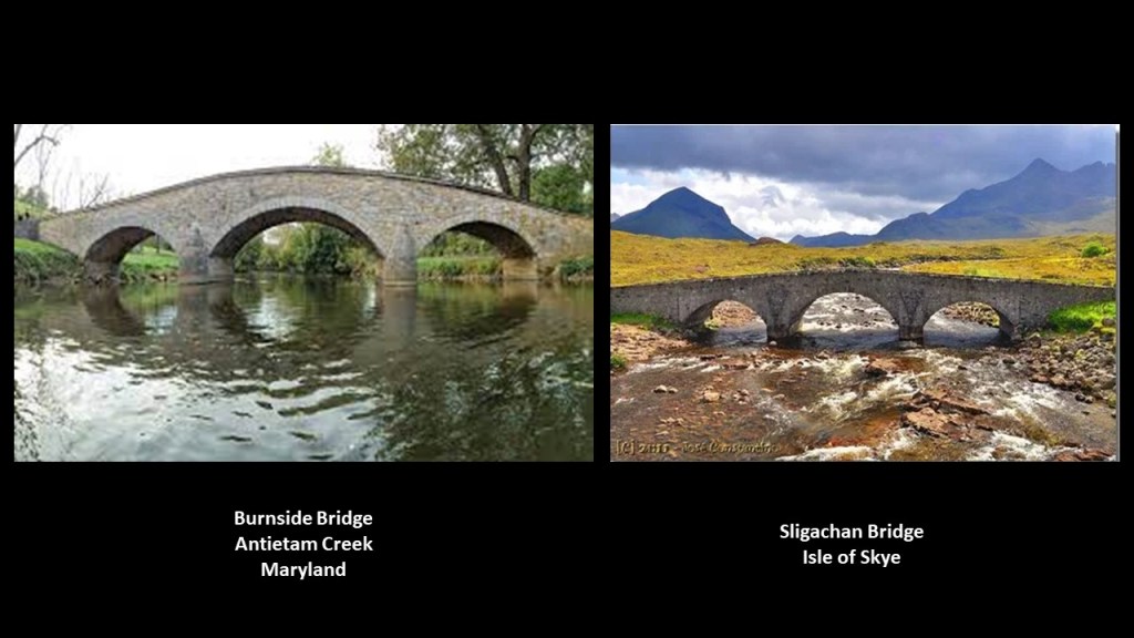
The Battle of Burnside Bridge took place in the afternoon that day to capture the bridge, which was dominated by a wooded bluff on the west bank and strewn with “boulders from an old quarry,” impeding the crossing of the bridge by combatants because this provided good cover.
The attempts of the Union Army troops under the command of Major-General Ambrose Burnside failed to secure the bridge and resulted in a considerable loss of life.
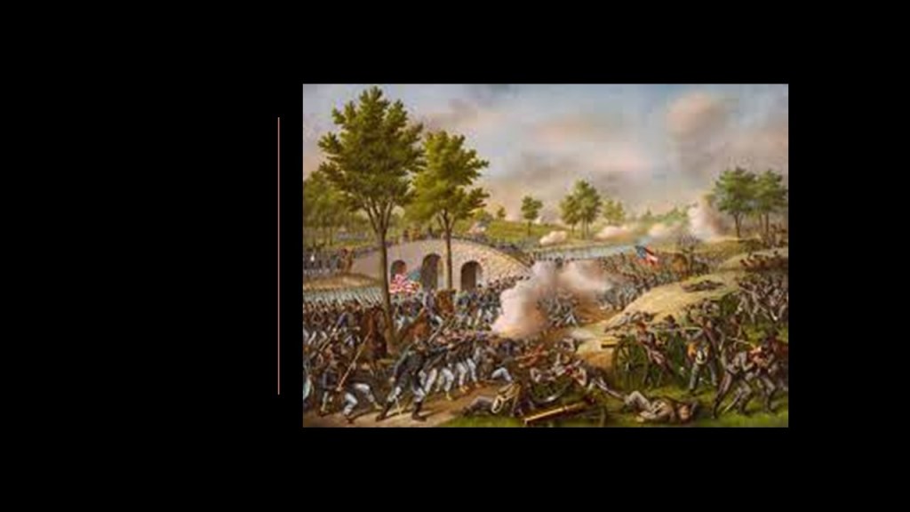
Compare the appearance of the Burnside Bridge on the left with that of the Sligachan Bridge on the Isle of Skye off Scotland’s northwest coast on the right.
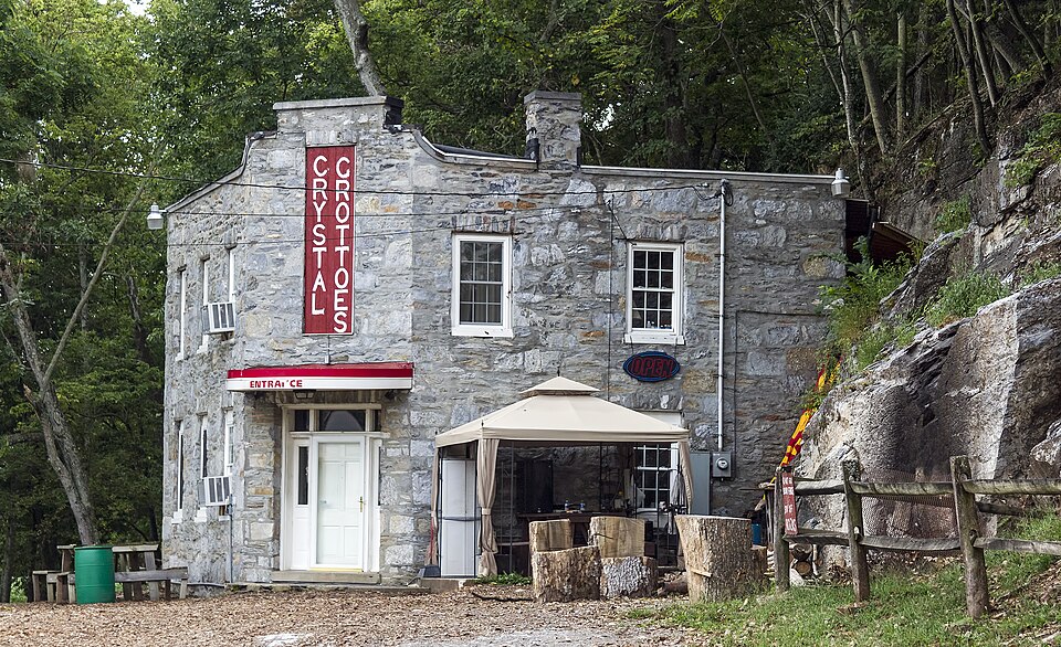
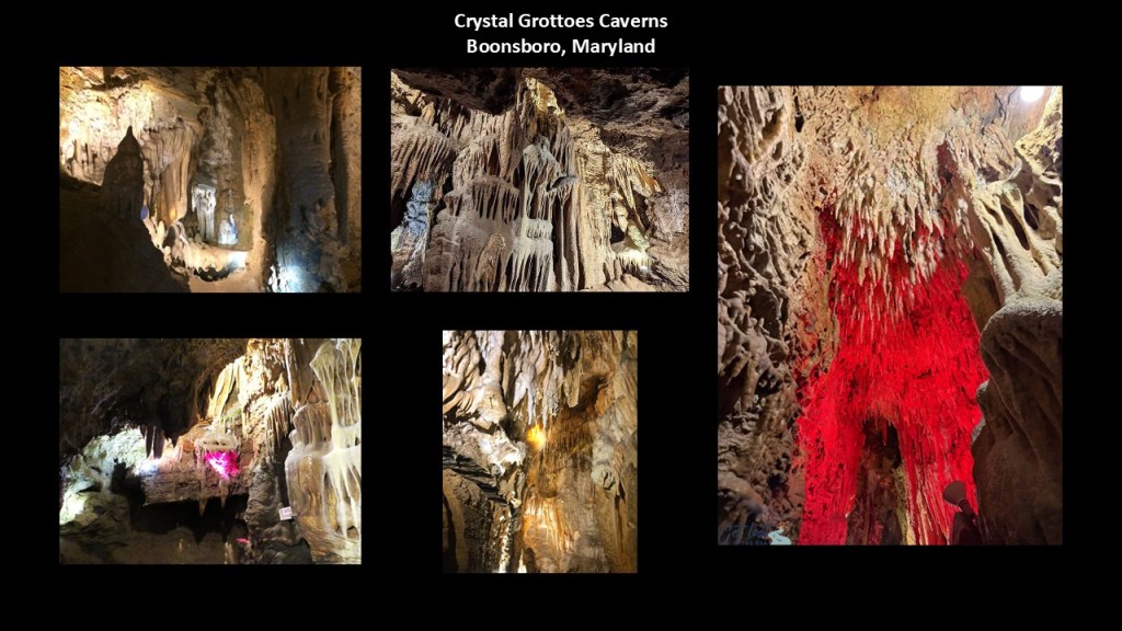
The Crystal Grottoes Caverns are located in Boonsboro, Maryland, just 6-miles, or 10-kilometers, from the Antietam National Battlefield.
Crystal Grottoes Caverns are privately-owned, first discovered in 1920. and opened to the public in 1922.
They are touted as having more formations per square foot than any other caverns.
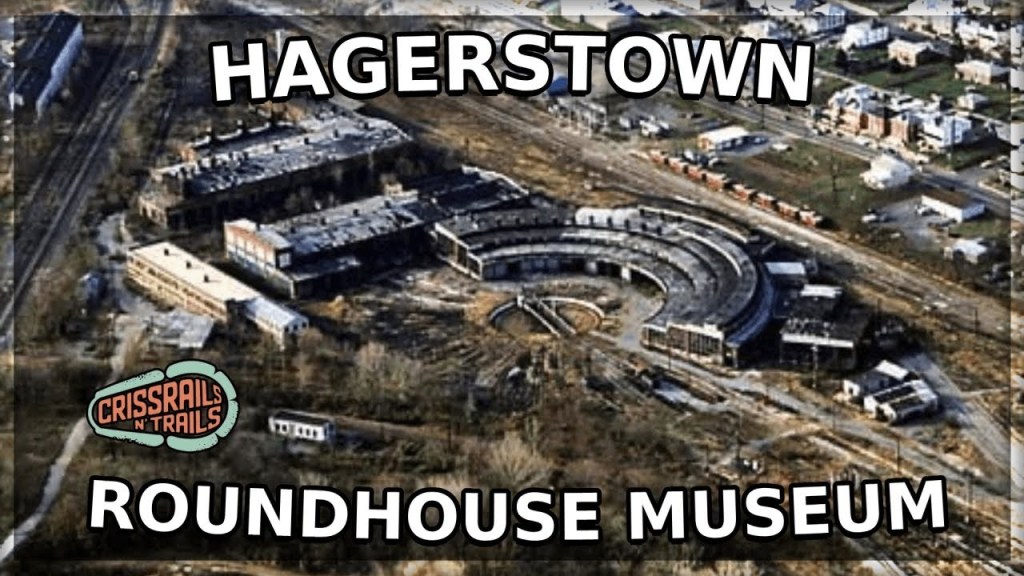
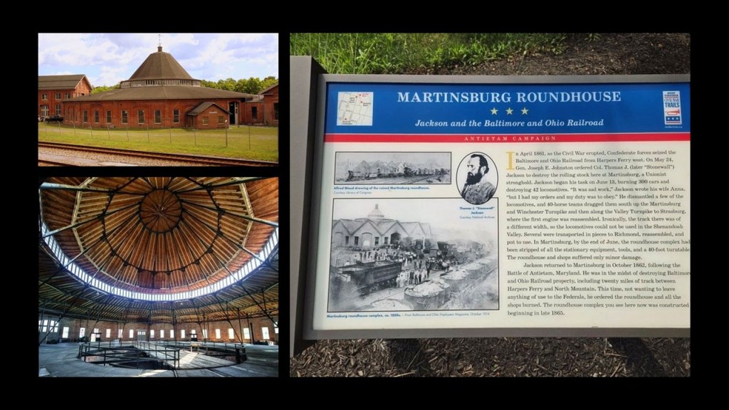
There were two notable railroad roundhouses near Antietam.
One was in Hagerstown, Maryland, which is 12-miles, or 19-kilometers, north of Antietam.
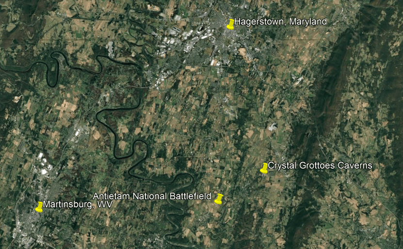
Hagerstown was known as “Hub City” due to its historical significance as a transportation center where multiple railroads converged.
The other was in Martinsburg, West Virginia, which is 12-miles, or 19-kilometers, west of Antietam and one of the most famous rail-sites of the Civil War-era.
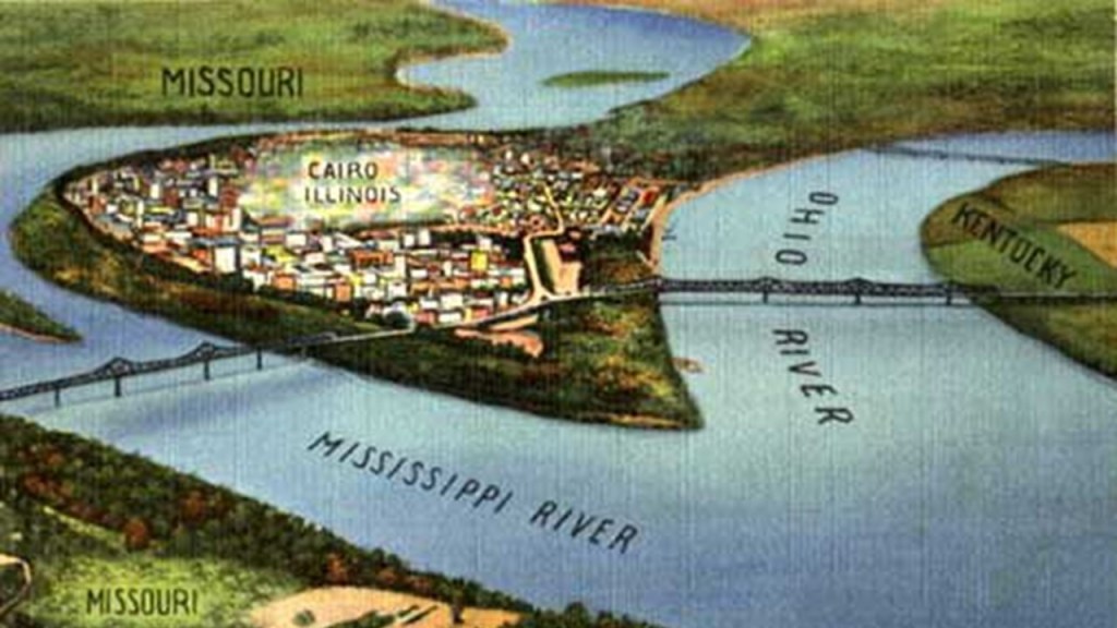
Now, back to Cairo, Illinois.
As already-mentioned, Cairo is located at the southernmost point in Illinois at the confluence of the Mississippi and Ohio Rivers.
In its heyday, Cairo was an important city along the steamboat routes and railway lines.
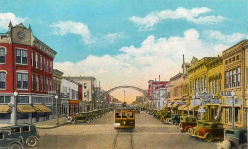
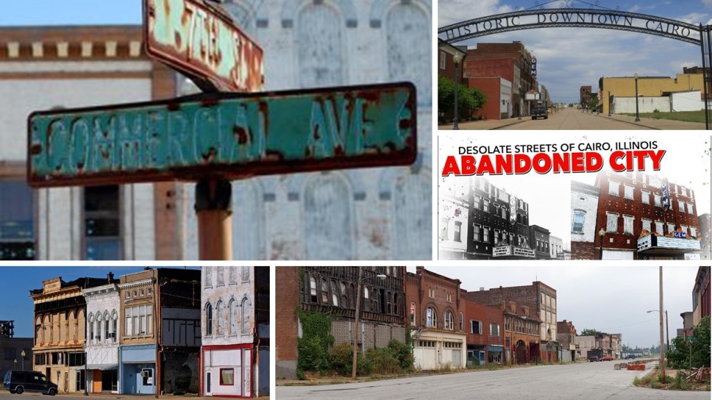
Today, Cairo is largely empty and deserted, and considered a ghost town.
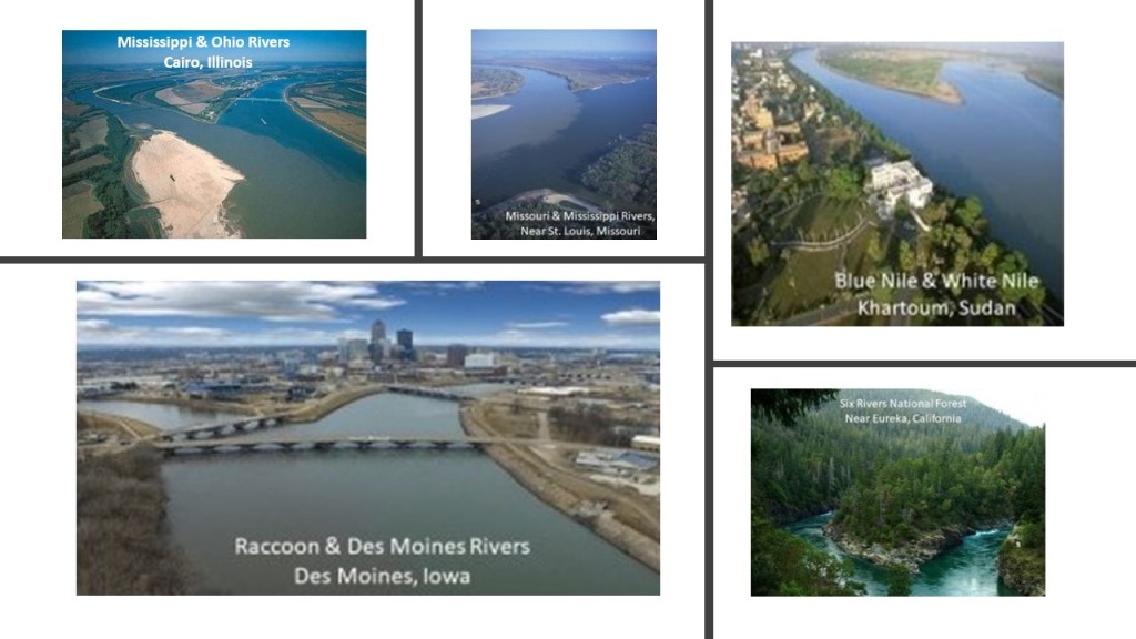
Here is a comparison of the appearance of the confluence of the Mississippi and Ohio Rivers on the top left with the confluences of the Mississippi and Missouri Rivers near St. Louis in the top middle; the Blue Nile and White Nile near Khartoum, in the African country of Sudan on the top right; the Raccoon and Des Moines Rivers near Des Moines, Iowa, on the bottom left; and at the Six Rivers National Forest in Eureka, California on the bottom right.
Is nature responsible for the striking similarities, or are we looking at something else here?
Like, perhaps, what were originally canal-systems?
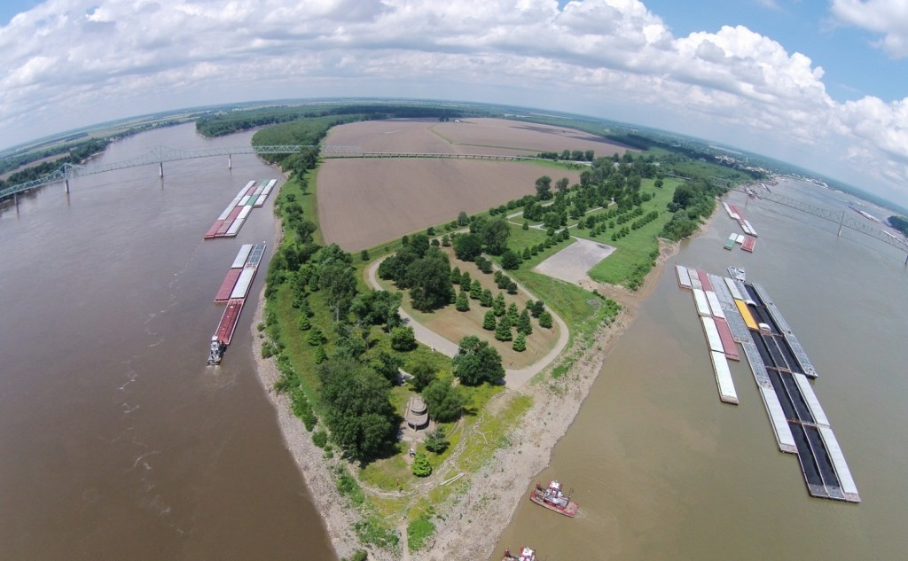
Fort Defiance was situated right where the two waterways come together.
It has Illinois State Park status, and in lieu of an actual fort, it displays historic signage, with no fort in sight.
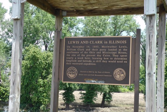
Fort Defiance was said to have been constructed under the direction of Union General Ulysses S. Grant in order to gain strategic access to the rivers.
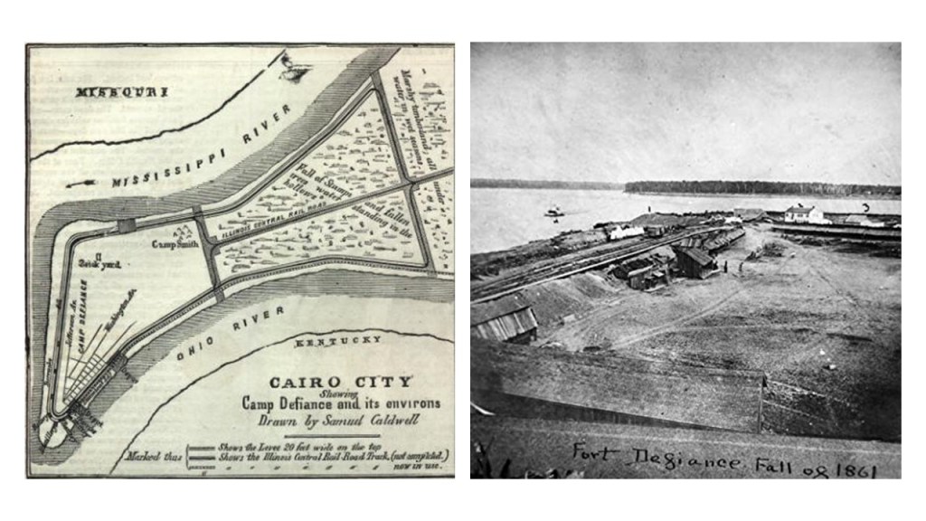
The Village of Makanda, Illinois, is 26-miles, or 42-kilometers, northwest of Karnak, and is known as the True Gateway to the Shawnee National Forest.
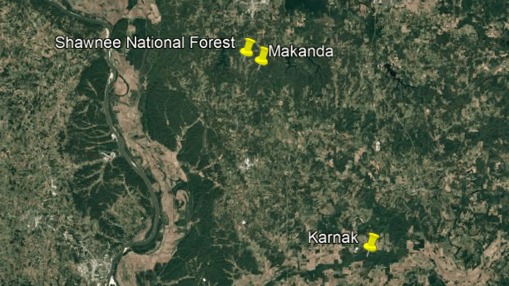
Makanda is also the location of Giant City State Park, which experienced the longest period of totality during the 2017 total solar eclipse, at 2-minutes, and 40-seconds.
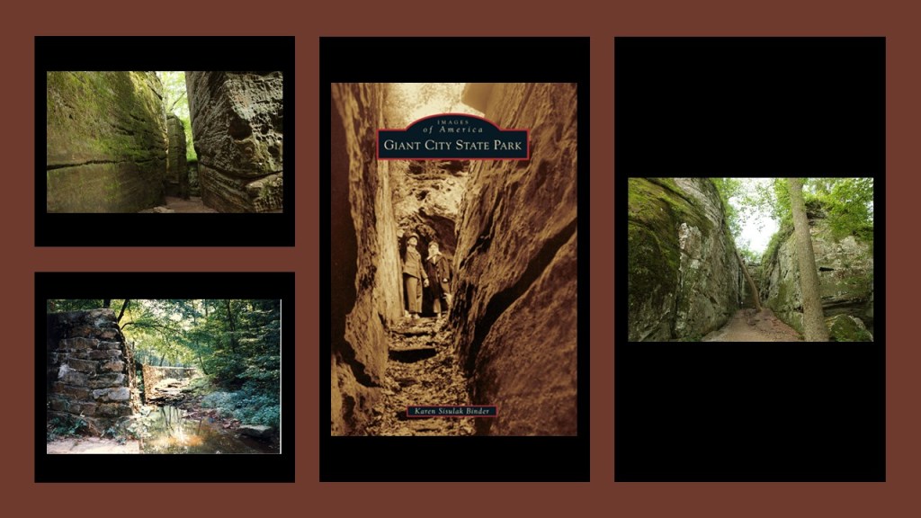
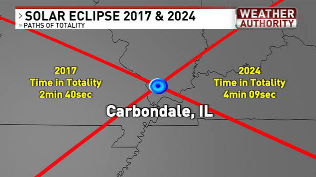
Just north of Makanda and the Giant City State Park, the city of Carbondale is located at the exact center of both of the 2017 Total Solar Eclipse and 2024 Total Solar Eclipse paths.
By the way, southern Illinois is also known as “Little Egypt.”
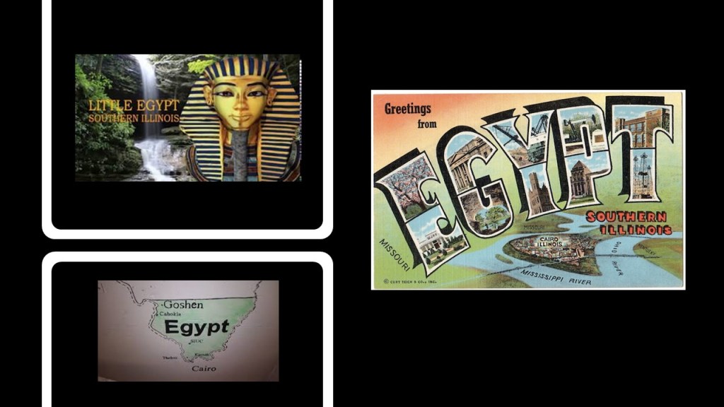
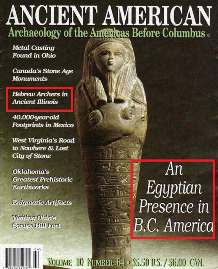
But, didn’t we just see Herod, Illinois, back at the Garden of the Gods in the Shawnee National Forest, presumably named after the Judean King Herod in the Bible?
Well, according to the cover on this issue of “Ancient American,” there is evidence for Hebrew Archers in Ancient Illinois as well.
Things to think about!!!
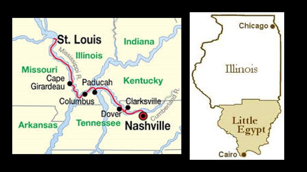
To add a little bit more to the Civil War-related-history in the region of Southern illinois known as “Little Egypt, here’s another example.
The Confederate Army was said to have constructed a fort in Columbus, Kentucky,at the confluence of the Mississippi and Ohio Rivers, very close to Cairo, Illinois.
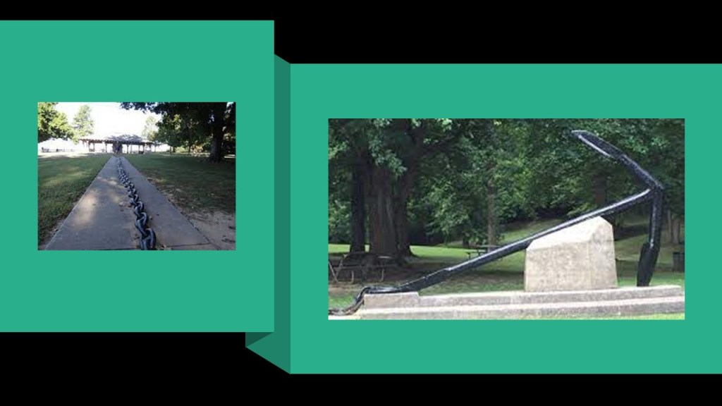
A primary attraction at the Columbus-Belmont State Park, the historical location of that fort, are the remains of a mile-long giant chain, and its anchor estimated to weigh between 4- to- 6-tons.
The giant chain was said to have been constructed under the direction of Confederate General Leonidas Polk, who in 1861 had it stretched across the Mississippi River between the fortification in Columbus, and Camp Johnson in Belmont, Missouri.
But apparently this defensive strategy didn’t work too well, as Union troops under then Brigadier-General Ulysses S. Grant occupied the area and took down most of the chain.
Anyway, that’s what they tell us!
There were several historic roundhouse locations near the Shawnee National Forest.
The most significant roundhouse associated with this region was the 12-stall Illinois Central Railroad roundhouse in Carbondale.
It was said to have been constructed in 1899 and demolished sometime between 1963 and 1982.
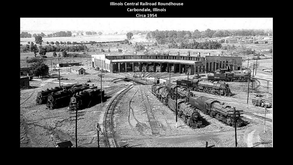
I was able to find a reference on the National Railway Historical Society webpage showing the existence of six roundhouses in Cairo, Illinois, which was an important railroad interchange and river transfer point.

Railroad Roundhouses in our historical narrative were service stations, maintenance shops and storage facilities for steam locomotives, where stalls for individal locomotives radiated around a central turntable.
A steam locomotive could be driven onto the turntable and sent back out into a different direction.
What we are told is that as diesel locomotives replaced steam after World War II, the traditional roundhouse became much less necessary, and were demolished, abandoned, or repurposed.
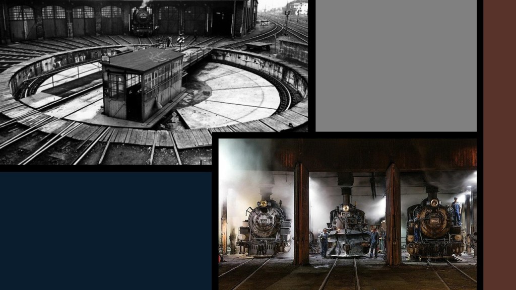
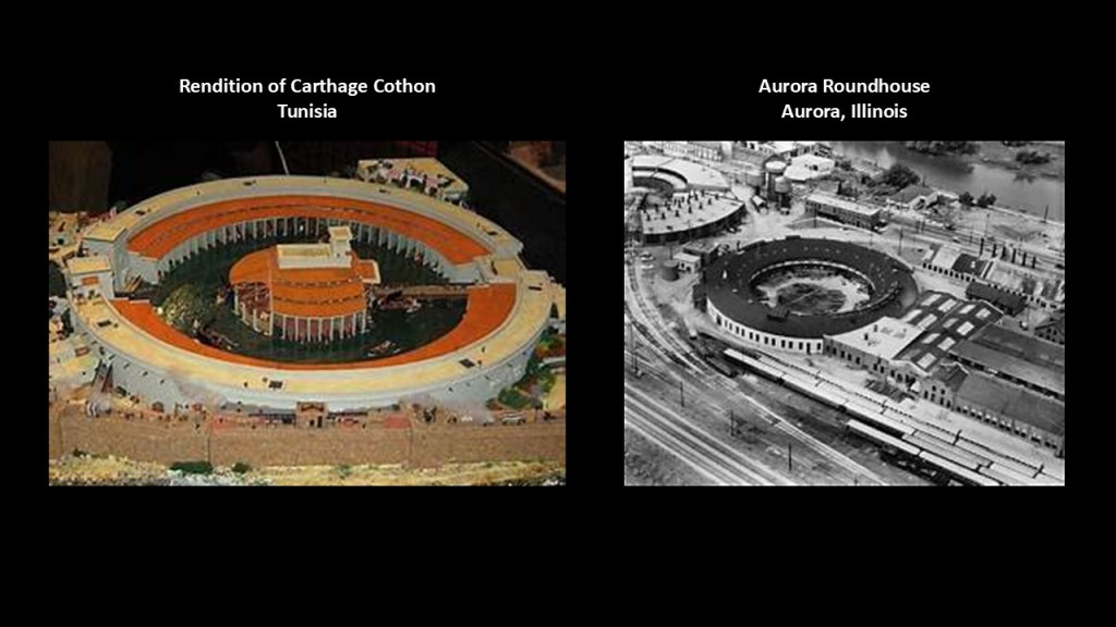
It is interesting to note how much railroad roundhouses resemble “Cothons.”
We are told that Cothons were generally found in the Phoenician world, and were artificial and protected inner harbors.
We are told that the cothon at Carthage, which was located in today’s country of Tunisia in North Africa, was divided into a rectangular merchant harbor followed by an inner protected harbor reserved for military use.
This inner harbor was circular and surrounded by an outer ring of structures divided into a series of docking bays for ship maintenance, along with an island structure at its center that also housed navy ships.
Each docking bay featured a raised slipway to allow ships to be raised out of or lowered into the water.
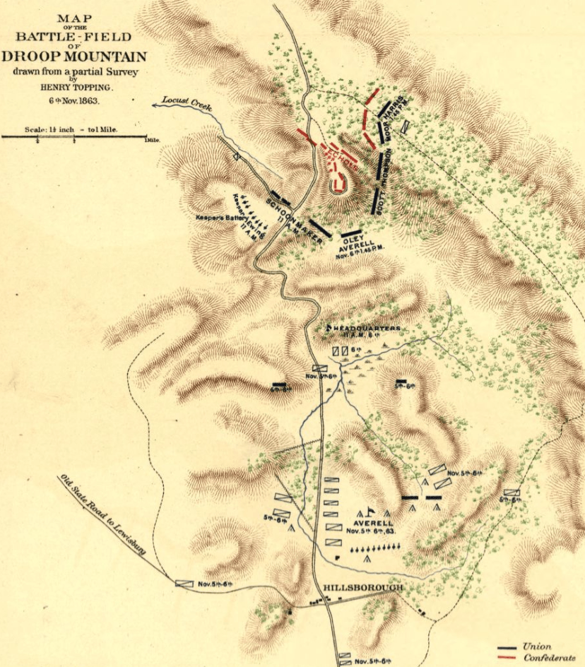
Here’s another “Rock City” example from West Virginia, with the history of a Civil War battle in its vicinity, the Battle of Droop Mountain.
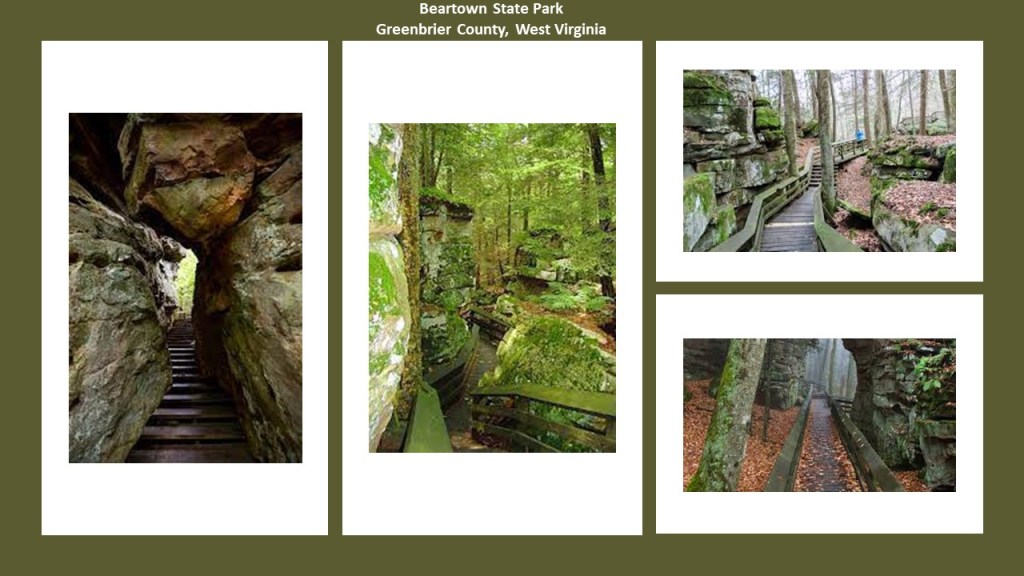
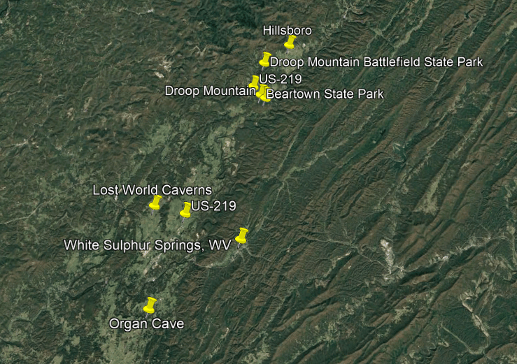
Beartown State Park in West Virginia is located 7-miles, or 11-kilometers, southwest of Hillsboro, on US Highway 219, on the Eastern Summit of Droop Mountain, and right in the middle between the bogs of Cranberry Glades and White Sulphur Springs, the location of The Greenbrier Resort, widely considered one of the most elite and exclusive properties in the United States.

First, the rock formations at Beartown State Park in West Virginia are described as having “unusual rocky formations, massive boulders, overhanging cliffs, and deep crevices,” with the deep crevices having a regular criss-crossed pattern making them appear like the streets of a town.
The Battle of Droop Mountain was said to be the largest battle, and last major battle, of the Civil War to take place in what was to become West Virginia, taking place on November 6th of 1863.
This is what we are told.
Troops under Union Brigadier General William Averill defeated a smaller Confederate force under Brigadier General John Echols and Colonel William “Mudwall” Jackson.
While the Union succeeded in driving Confederate forces from their locations on Droop Mountain, they were able to escape through Lewisburg before the arrival of Union reinforcements.
Though Lewisburg was captured, the Confederate forces returned later, and the Union did not succeed in its objective of damaging the Virginia and Tennessee Railroad that played a strategic role in supplying the Confederate Army.
So it was actually considered a tactical victory for the two Confederate Commanders, since the Confederate Army was not eliminated in Lewisburg, and the railroad was not disturbed.
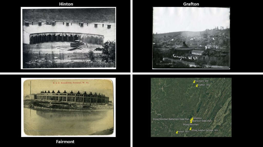
While we are told there was not an historic roundhouse in Hillsboro itself, there were significant roundhouses relatively closeby, like in Hinton, Grafton and Fairmont, to name a few of several in the area surrounding Hillsboro, though they are no longer standing.
There are several notable caverns near Beartown State Park in West Virginia.
The Lost World Caverns and Organ Cave are in the Lewisburg-area, south of Beartown State Park.
Both places are along US Highway 219, and a short-distance west and southwest of the elite luxury resort of White Sulphur Springs.
The Lost World Caverns were said to have been discovered by the Virginia Polytechnic Institute in 1942; and first surveyed in 1946 and then in the 1960s and was found to have over a mile of interconnected passages and that reach a depth of 245-feet, or 75-meters, below the surface.
It was opened for tourism in the early 1970s.
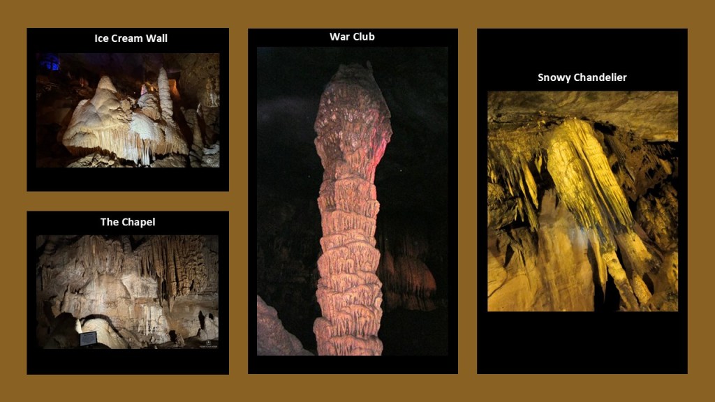
You can see formations at the Lost World Caverns such as the “Ice Cream Wall;” the “War Club;” the “Snowy Chandelier;” and “The Chapel.”
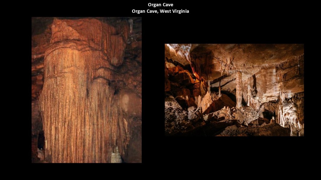
Organ Cave, located in the same general area as the Lost World Caverns, was first surveyed in 1948, and is considered one of the largest cave systems in the United States.
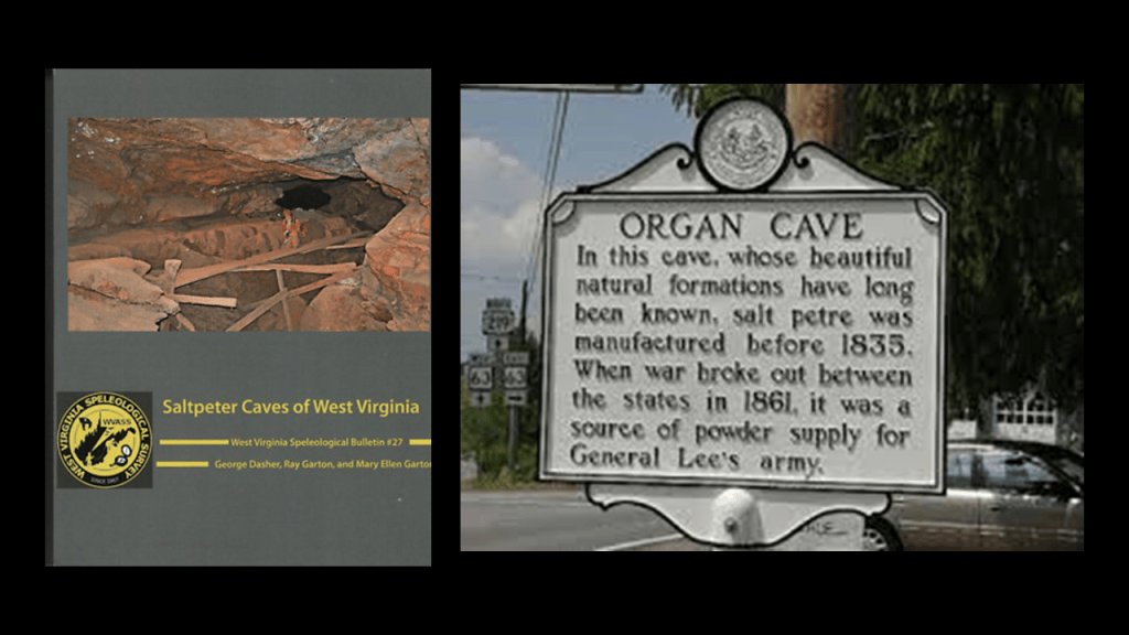
We are told it has been used since before 1835 as a source of saltpeter, the key ingredient for the manufacture of gunpowder, and we are told that during the American Civil War it was mined by Confederate soldiers for saltpeter.
Several years ago, I came across a reference to the “War of the Rebellion: Official Records of the Union and Confederate Armies,” also known as the “Official Records,” or “OR,” which is considered one of the most important, primary-source collections for researching the American Civil War.
It is described as a massive collection of original wartime documents produced by the Union and Confederate military and government authorities that were gathered and published by the U. S. War Department between 1880 and 1901.
The printed set is generally described as 128 published volumes, organized into four series, with Series I about Military Operations; Series II about Prisoners-of-War & State/Political Prisoners; Series III Union Correspondence; and Series IV Confederate Correspondence.
I bring this up because I seriously question what we have been taught about the Civil War – I believe something happened during this time period, and surmise it was actually about covering-up all aspects of the Old World, including the targeting of railroad infrastructure as seen here, and not what we have been told.
Publications like these described as coming from the Government lend credibility to the official narrative and inform our collective views about what happened in history, but when you start to delve into it, the narrative starts to crumble because it hold up under scrutiny.
Like, why has most of the railroad infrastructure, including roundhouses, been made to go away?
I think it was all part of the original energy grid which was deliberately-destroyed causing a worldwide cataclysmic event that in-turn destroyed the surface of the Earth, and that the Civil War, and other wars for that matter, provided, among other things, cover for the creation, and destruction of, Old World infrastructure.

Next I am going to share what I found out about in Guangxi Province and Guilin City in southern China.
The indigenous people of the Guangxi Province are primarily the Zhuang ethnic group, and the largest minority in China with an estimated population of 16-million people, most of whom reside in the Guangxi Zhuang Autonomous Region, where they have lived for centuries and have deep historical roots.

Like what are called the Karst Mountains in Guangxi Province, and are said to have been naturally formed by receding water from hundreds of millions of years ago.
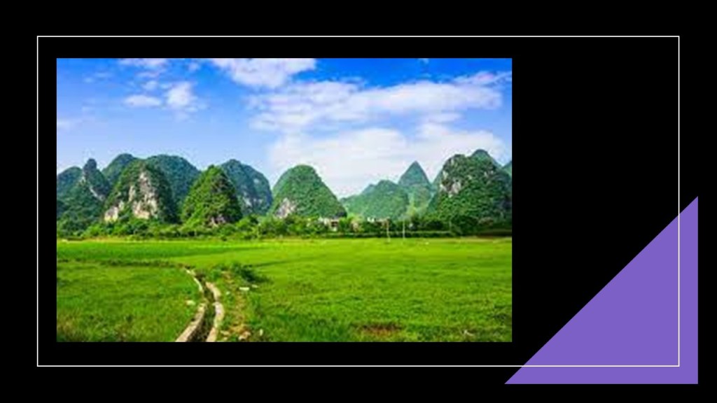
For one thing, the mountains look like pyramids as they rise from an otherwise perfectly flat landscape!
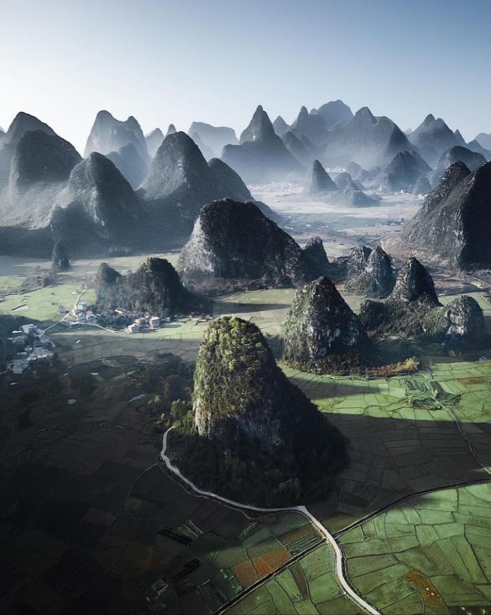
With what are described as limestone surfaces, the what are called mountains of this region are China’s top spot for climbing.
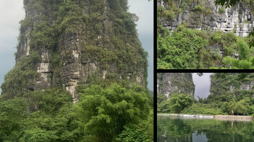
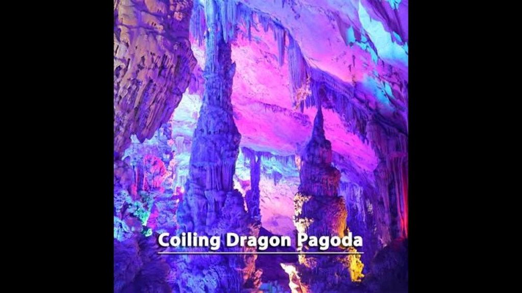
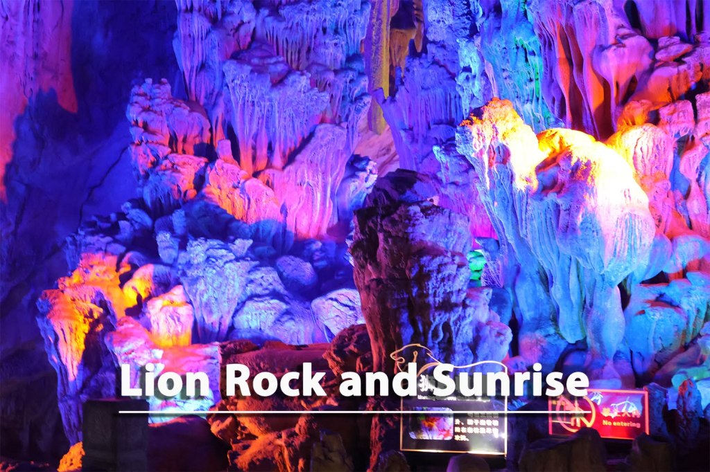
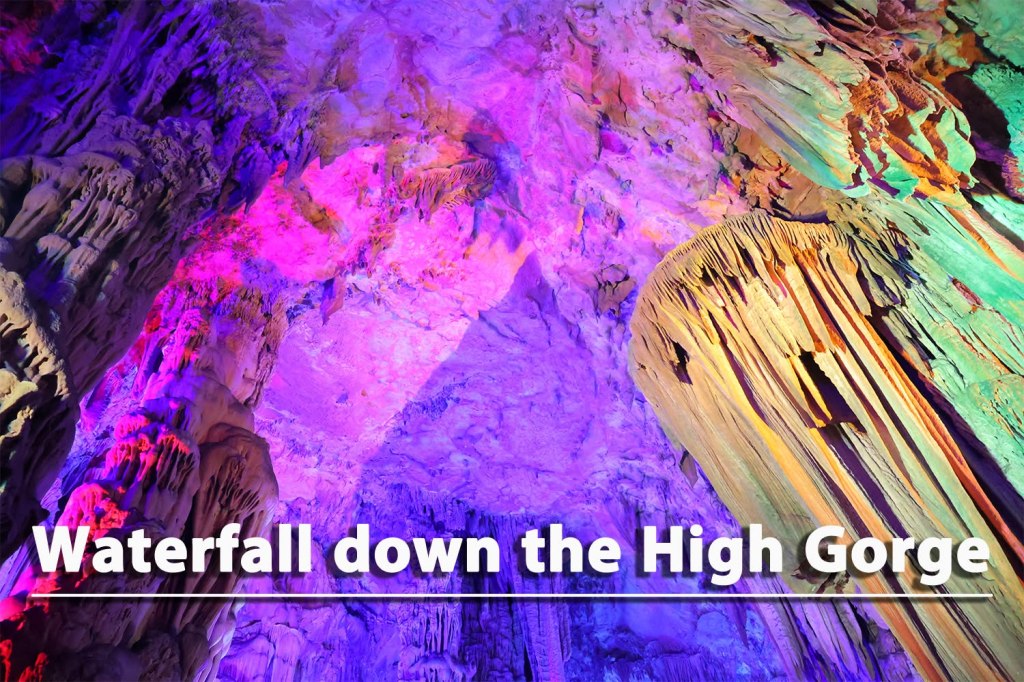
This same region in South China is also known for its karst caves, like the “Flute-Reed Cave,” also known as “the “The Palace of Natural Arts,” so-nicknamed for its stunning array of stalactites, stalagmites, stone pillars and rock curtains said to have been formed over 180-million-years.
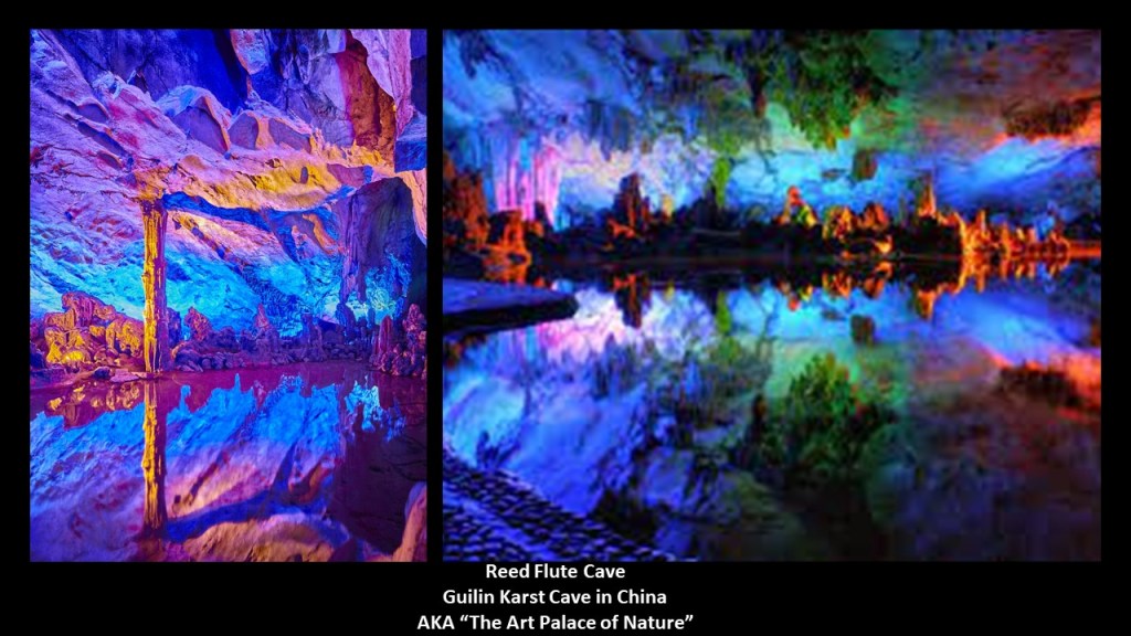
“The Crystal Palace of the Dragon King” is the grandest and widest cavern inside the “Reed Flute Cave.”
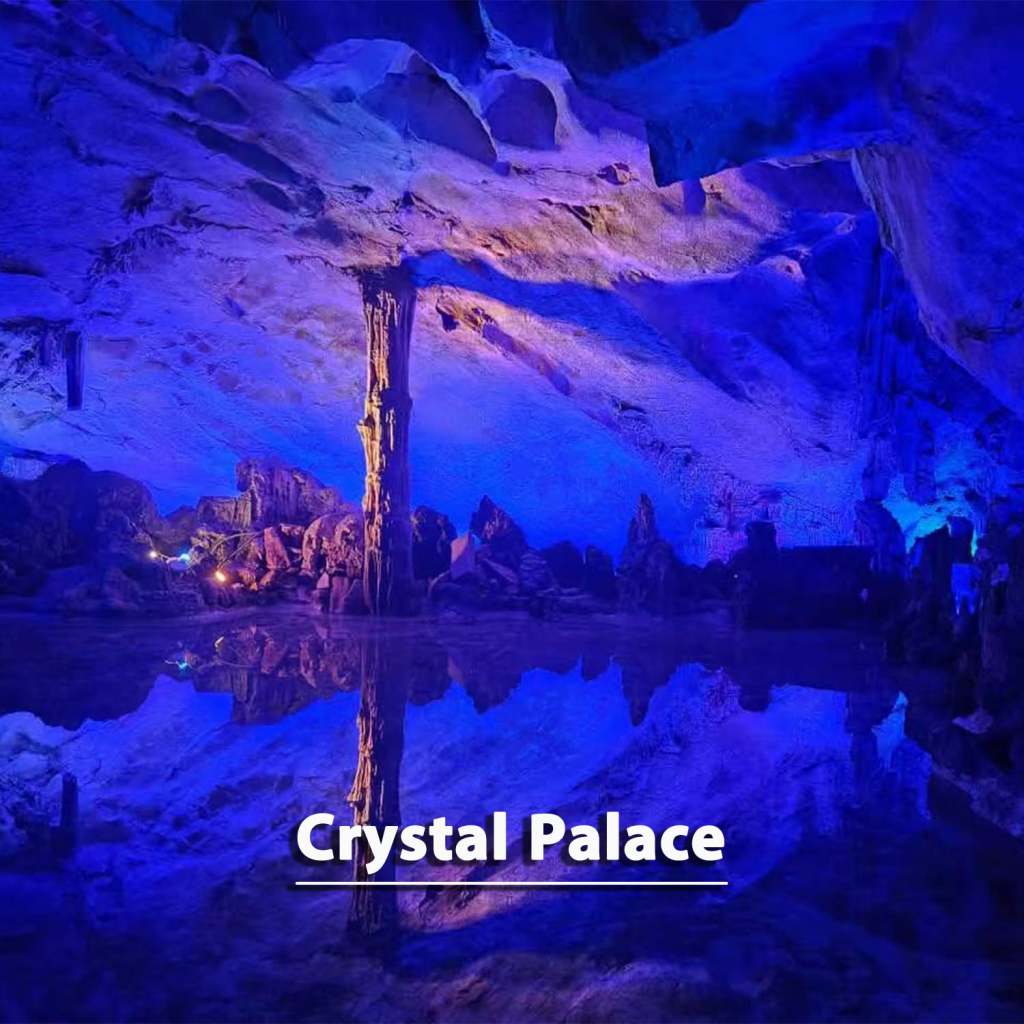
Other rock formations here include:
“Coiling Dragon Pagoda”…
…”Lion Rock and Sunrise”…
…and “Waterfall Down the High Gorge.”
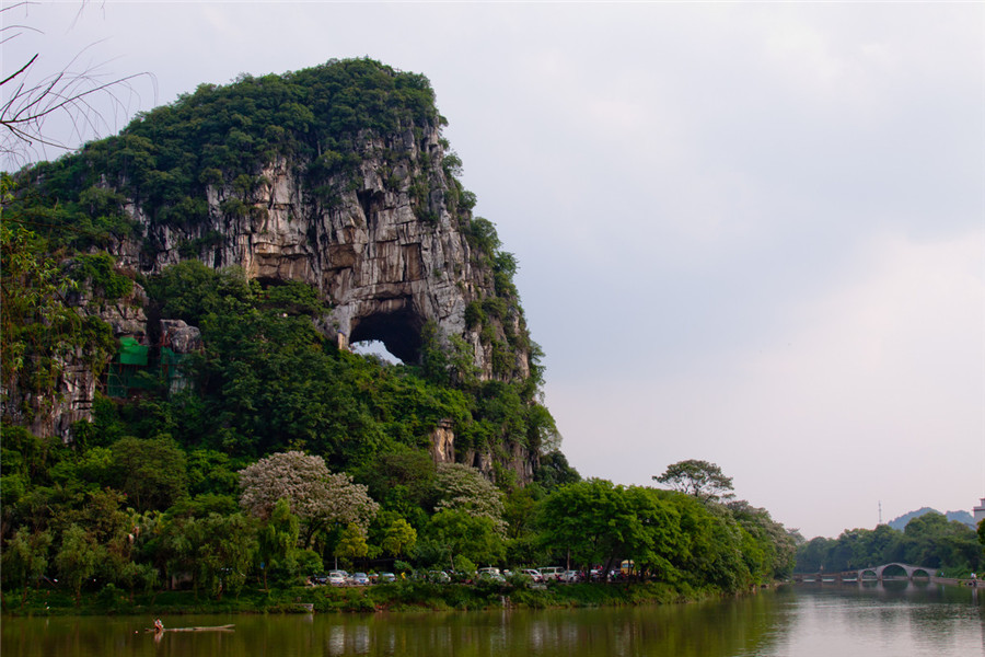
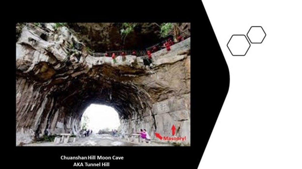
This is Chuanshan Hill in Chuanshan Park in the southern part of Guangxi Province’s Guilin City, with what is called the hill’s “Moon Cave” showing prominently.
This is a close-up photo of the “Moon Hill” in Chuanshan Hill in the park, AKA “Tunnel Hill.”
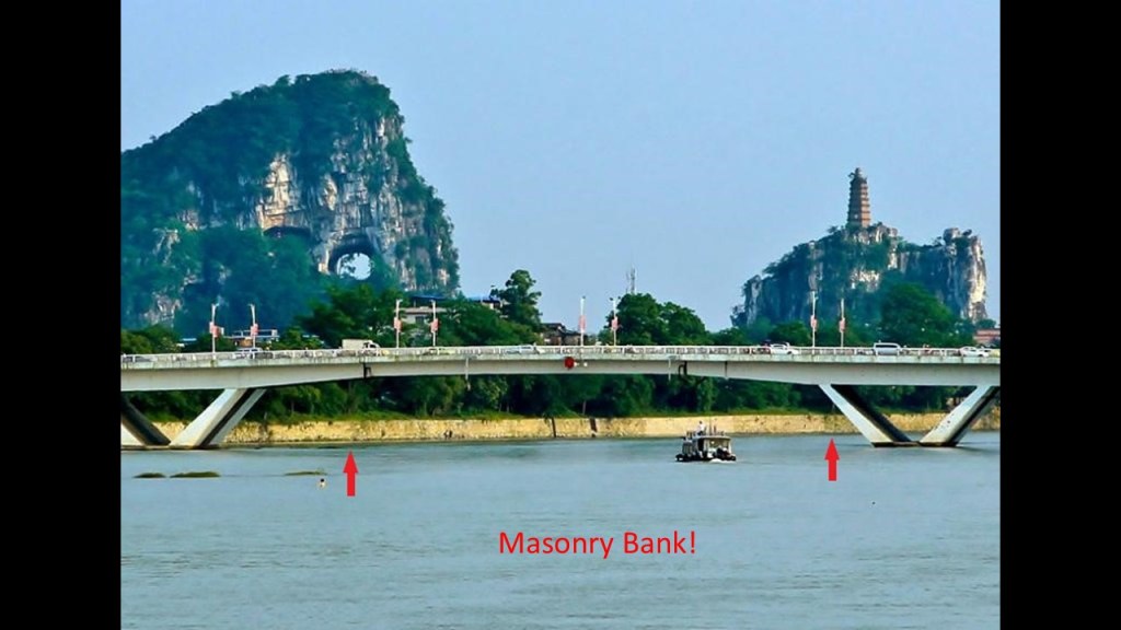
Here is a view of Pagoda Hill next to Chuanshan Hill, with the Li River, with its masonry bank, in the foreground.
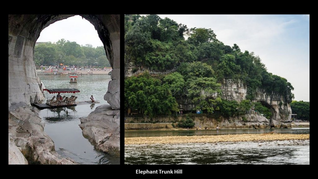
Chuanshan Hill is right across the Li River from the archway at what is called the “Elephant Trunk” Hill.
It’s important to note that other archways like these can be found in places as diverse as on the Mexican Revillagigedo Islands, located in the Pacific Ocean between the Hawaiian Islands and Mexico, like the arch at Cabo Pearce…
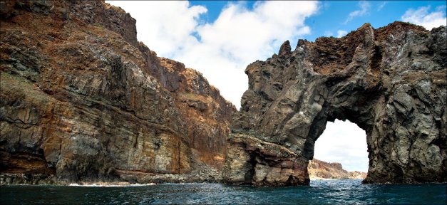
…and the Grand Arch on the Isla Socorro…
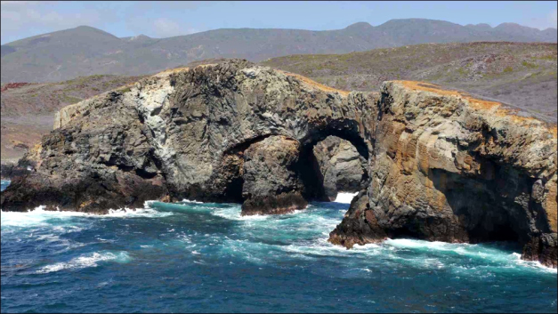
…on the Hollow Rock Beach on Minnesota’s Grand Portage Island in Lake Superior…

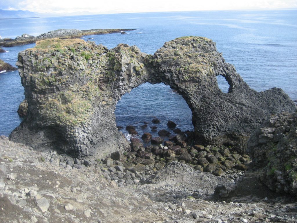
…and Arch Rock in the Atlantic Ocean at Arnarstapi in Iceland, to name a few of countless examples.
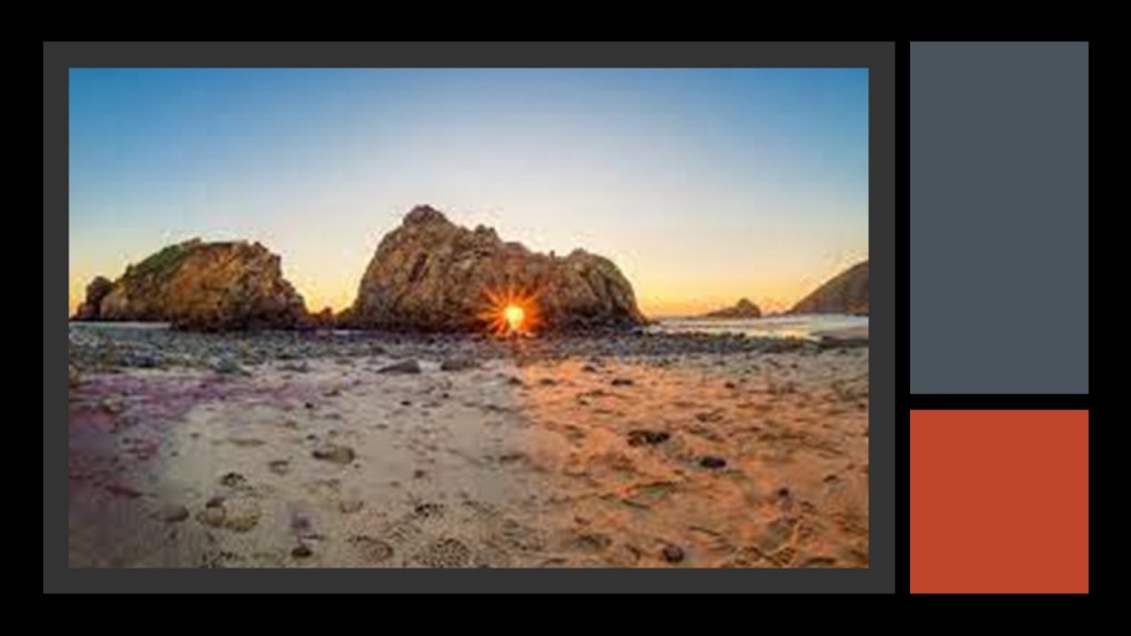
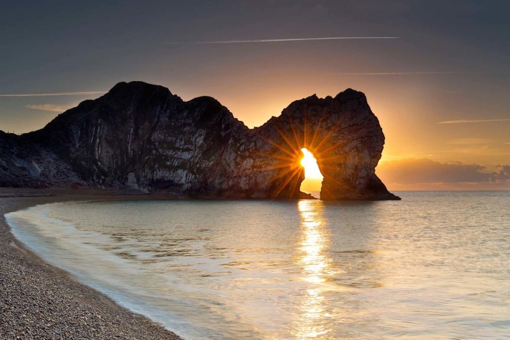
And some of these so-called natural arches are well-known to have things like winter solstice alignments, like Keyhole Rock at Pfeiffer Beach in California…
…and the Durdle Door in Lulworth, England.
While Guilin City is notable for being a rail-hub today, I was not able to find supporting evidence that there was a roundhouse here at one time, and I had to dig deeper than normal to find a list of any historic roundhouses in China, which are shown here.
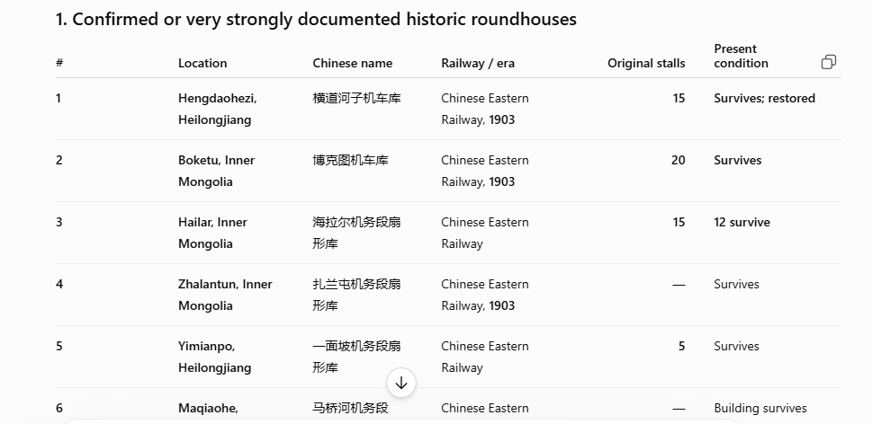
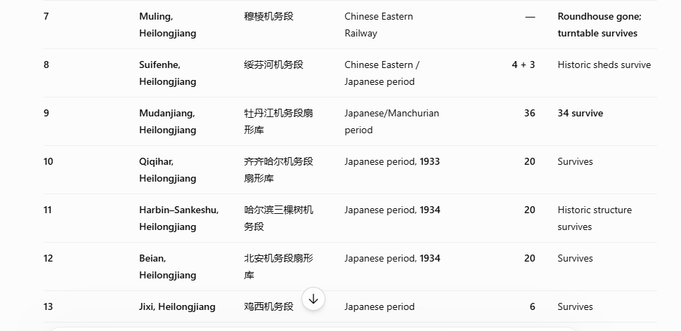
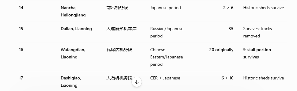
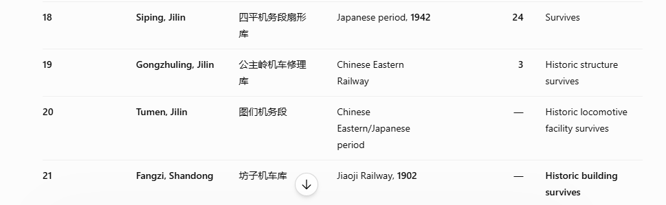
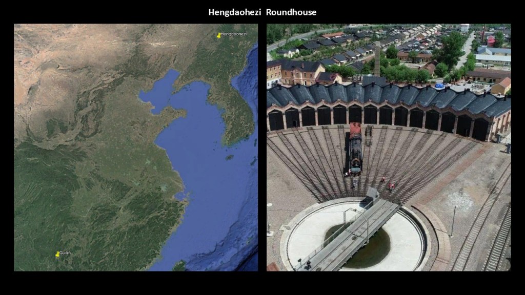
Of these, the first one on the list isat Hengdaohezi in northeastern China, and described as the benchmark Chinese roundhouse, having been built in 1903 by the Chinese Eastern Railway with a 15-stall, fan-shaped building that remains standing but is no longer use.
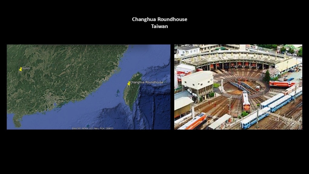
There is a roundhouse still-standing in Changhua in Taiwan, which is significantly closer to Guilin City.
It is still operational today for the maintenance of locomotives, which makes it only one of a handful in the world that are still in use for railroad work.
The remaining roundhouses that I can find that are still use to some extent by the railroad are as follows:
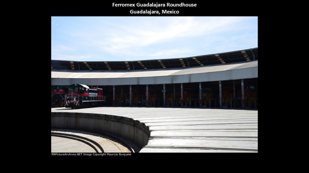
There is one in Guadalajara that is operated by Ferromex, the largest railroad in Mexico…
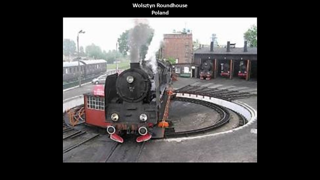
…in Wolsztyn, Poland, the last operational steam locomotive roundhouse in Europe…
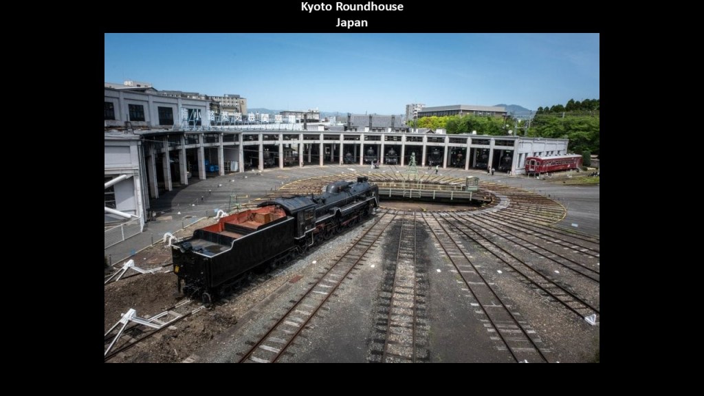
…in Kyoto, Japan, still being used as a roundhouse and is a museum…
…and in Junee in New South Wales, Australia, which along with still being used by the railroad is also a museum.
There are many other historic roundhouses that remain standing but are no longer in use by the railroad, and typically have been turned into museums altogether.
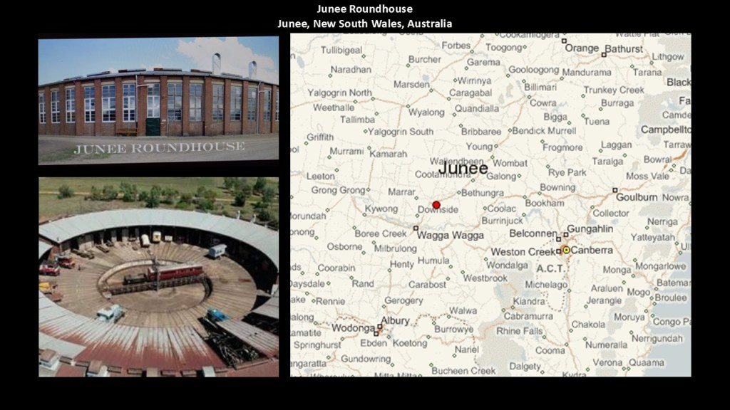
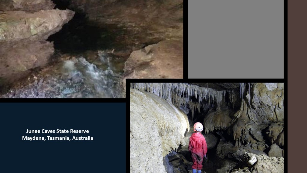
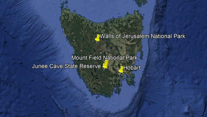
When I was looking for a map of where Junee is in New South Wales in Australia, I came across the “Junee Cave State Reserve” in Maydena in southern Tasmania, known for its extensive Karst system.
The preserve protects the resurgence point of the Junee River, which travels underground through approximately 19-miles , or 30-kilometers, of cave passages and nearly 300 caves, making it one of the most significant cave systems in Australia.
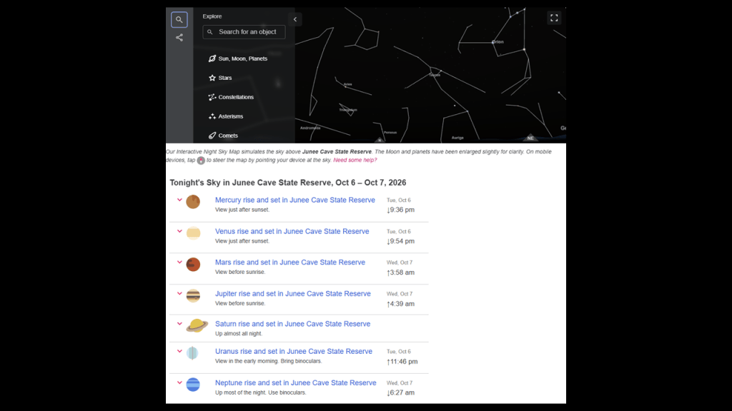
It is also known for its exceptional night-sky viewing, where visitors can enjoy clear views of celestial activity in the southern sky with minimal atmospheric interference and low-light levels.
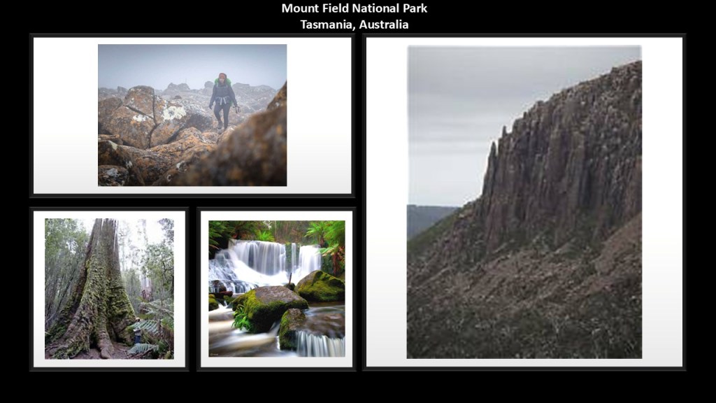
The Mount Field National Park is located next to the Junee River, known for its stunning waterfalls, hiking trails, and renowned for its old growth trees, including giant ash trees that can exceed 230-feet, or 70-meters, in height.
The Walls of Jerusalem National Park is just a little ways north of Mount Field and Junee Caves, and northwest of Tasmania’s capital city of Hobart.
We are told the park got its name from geological features resembling the walls of Jerusalem.
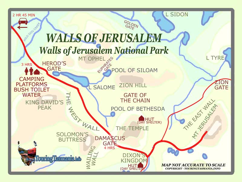
The East Wall runs between Mount Jerusalem and “The Temple,” to mention a few of the features of the Walls of Jerusalem National Park.
I believe the truth of the ancient civilization was hidden in plain sight, and have come to believe that ancient infrastructure has been called natural in order to cover it up.
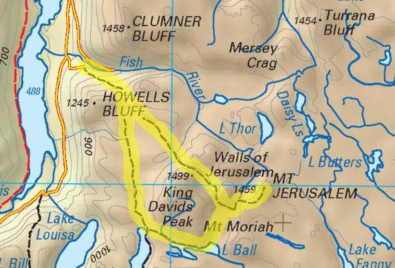
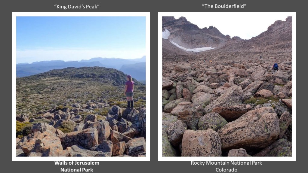
For comparison of similarity of appearance, there is a boulderfield on King David’s Peak in the Walls of Jerusalem National Park in Tasmania on the left, and a feature actually called “The Boulderfield” on Long’s Peak in Colorado’s Rocky Mountain National Park on the right.
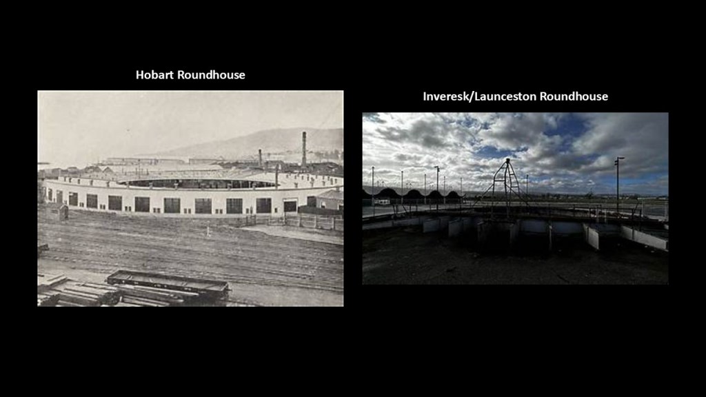
There was a historic roundhouse in Hobart, the capital of the Australian State of Tasmania, as well as Inveresk/Launceston.
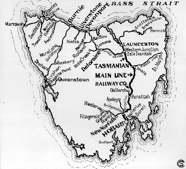
Hobart was a place where I first researched several years ago, and encountered the rail history of Tasmania, most of which is long gone,
The first railroad lines on the island were established starting in 1871.
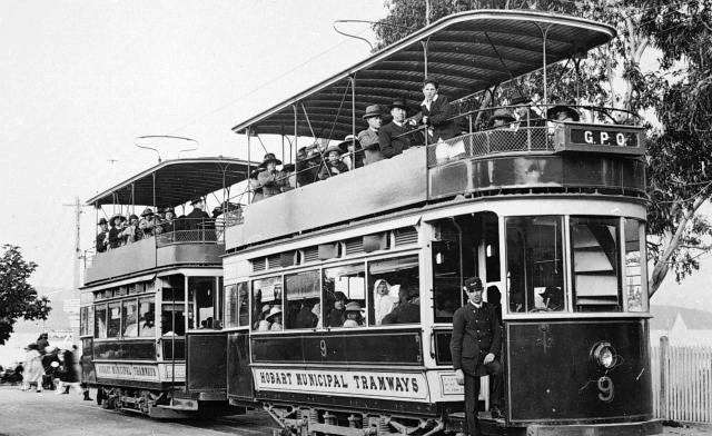
Streetcars were in operation in Tasmania from 1893 to 1960.
Today, there is only freight railroad transport in Tasmania, with the main cargo being cement, and no passenger services in operation.
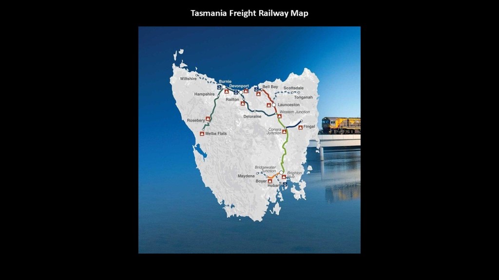
Many historical rail-lines were abandoned, with remnants of the infrastructure still visible.
Today, in much of Tasmania, including Hobart, you can only experience the old rail trails by biking or hiking.
Again, same story all over the world.
Why would this be the case?
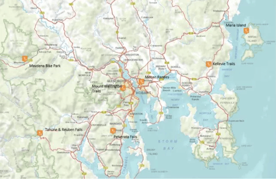
This is what we are told about Tasmania in our historical narrative.
Tasmania got its present name from the Dutch explorer Abel Tasman, who first sighted the island on November 24th of 1642, when he was exploring in the service of the Dutch East India Company.
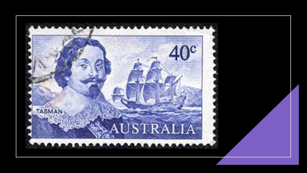
Its European first name, however, became Van Diemen’s Land, when Tasman honored his patron Anthony van Diemen, the Governor-General of the Dutch East Indies at that time.
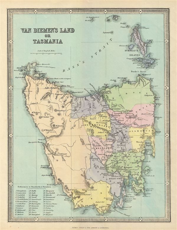
The island was inhabited by aborigines from at least 40,000 years prior to the arrival of Europeans, when they settled the island starting in 1803 as a penal settlement of the British Empire, allegedly to prevent claims to the land by the First French Empire during the Napoleonic Wars.

The aboriginal population of the island was almost completely wiped out within 30-years from the time of European settlement, during a period of conflict in Tasmania between the 1820s and 1832 known as the “Black War,” as well as the spread of infectious diseases.
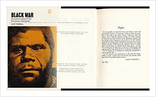
The last full-blooded Tasmanian Aborigine was a woman named Truganini, who died in 1876, though there are an estimated 5% of modern Tasmanians who are of part aboriginal descent.

The traditional owners of Tasmania are known collectively as the Palawa or Palaka, a general term referring to the nine traditional nations of Tasmania.
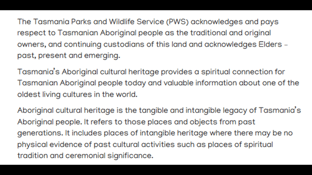
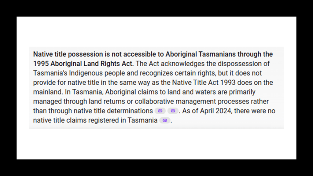
Important to note that Native title possession is not accessible to aboriginal Tasmanians through the 1995 Aboriginal Land Rights Act because of the dispossession of their land.
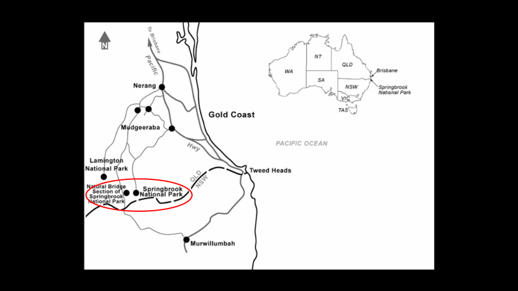
There are a few other places in Australia that I would like to mention – in particular Rockhampton; the Springbrook National Park in the Gold Coast Hinterland of southeast Queensland; and the Minnamurra Rainforest in the Budderoo National Park on the Illawarra Escarpment on the south coast of New South Wales near Wollongong.
First, Rockhampton.
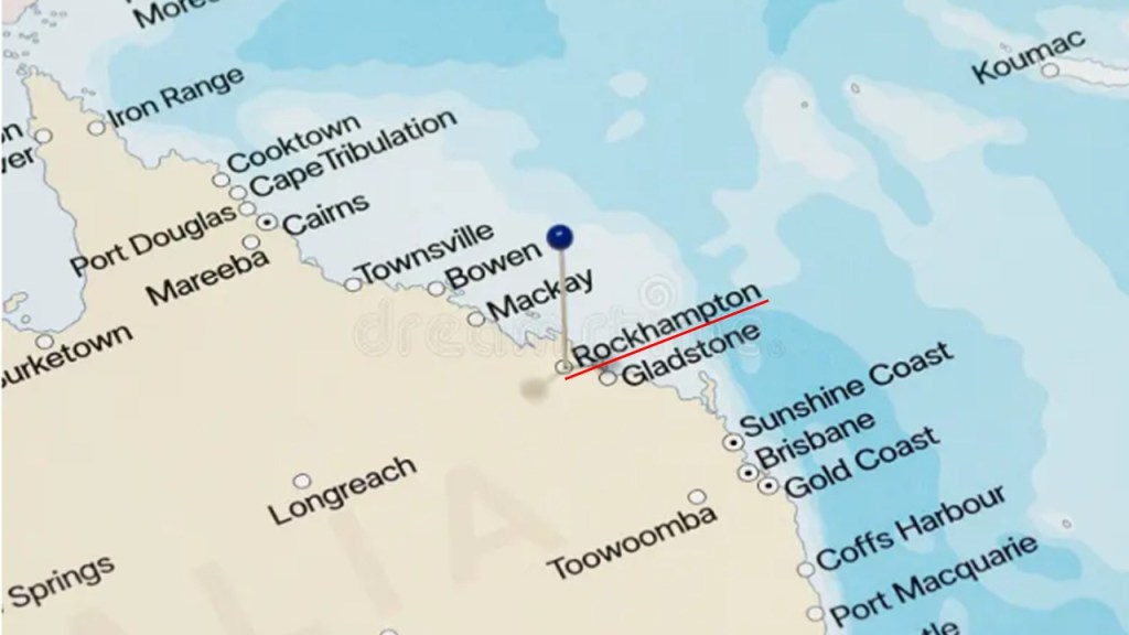
Rockhampton is on the Tropic of Capricorn where it enters Queensland in Australia’s “Capricorn Coast.”
The Tropic of Capricorn is a significant circle of latitude that marks the southernmost point where the sun can be directly overhead at noon during the solstice.
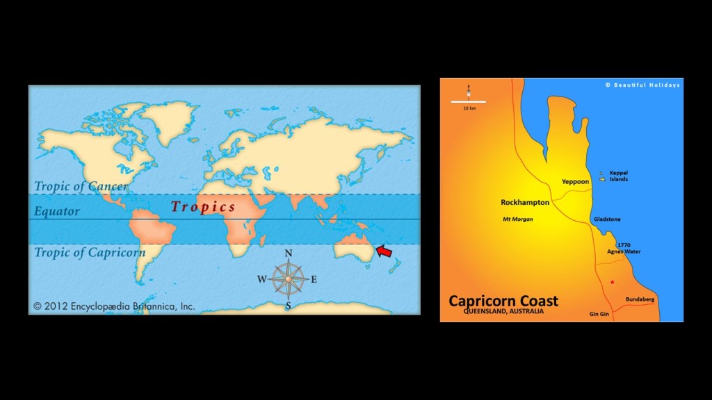
The traditional landowners of Rockhampton and the Capricorn Coast of Central Queensland are the Darumbal Aboriginal People.
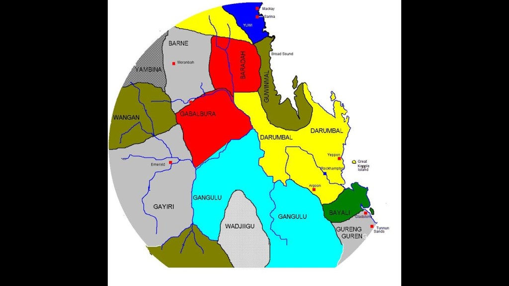
Today, the Darumbal have both statutory land-holdings and federally-recognized native title rights.
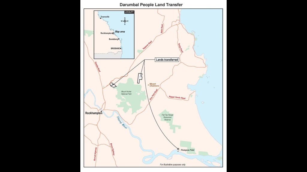
In 2020, Queensland transferred almost 1,000-acres, or 400 hectares, into Darumbal ownership near Mount Chalmers, Mount Archer, and Thompson Point, and the Darumbal People Aboriginal Corporation received freehold title to those lands, in which they legally-own the land indefinitely and not temporarily.
In our official narrative, the Rockhampton-area was discovered by the Scottish-Norwegian brothers, Charles and William Archer in 1853, and the town of Rockhampton was proclaimed in 1858.
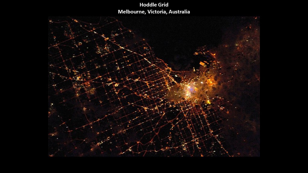
We are told that Rockhampton was surveyed to a design in its early years resembled the Hoddle Grid of Melbourne, with a grid of wide boulevards and laneways.
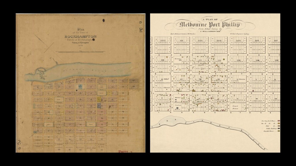
The Hoddle Grid in our narrative was named after surveyor Robert Hoddle who marked it out in 1837 after having been marked first by architect Robert Russell in 1836 who was credited with establishing the first formal town plan.
Let’s take a look at some of the definitions of survey.
Perhaps the most commonly used in our modern culture is the definition of survey which involves a brief interview with someone, for example, with a specific set of questions related to a particular topic to get their feedback.

Then there is the perspective of the definition of survey regarding civil engineering and the activities involved in the planning and execution of surveys gathering information related to all aspects of engineering projects, which is the definition implied in the driving force behind these grid surveys.
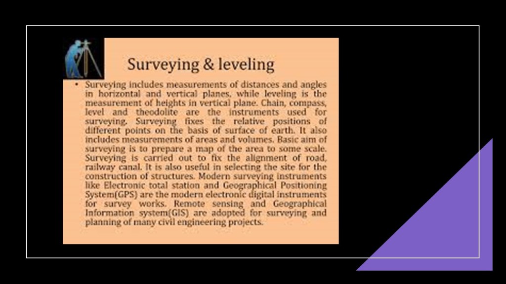
But what if another definition of survey might be in play here?
Perhaps, more like some of the definitions shown here – a short descriptive summary; the act of looking or seeing or observing; considering in a comprehensive way; holding a review; and a detailed critical inspection, and not the kind of surveying for civil engineering projects seen in the previous slide as we have been led to believe through historical omission.
So what if these city surveys were undertaken to “look at and observe” everything, including pre-existing infrastructure in order to restore it to use once again.

The Rockhampton area is the location of the Capricorn Caves.
The Capricorn Caves are located on the traditional land of the Darumbal people, but is a privately-operated tourist property.
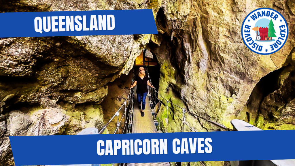
The Capricorn Caves are located within the Mount Etna Caves National Park, named after the pyramidal-shaped, limestone mountain immediately around them which we are told was named by the Archer brothers after Mount Etna in Sicily.
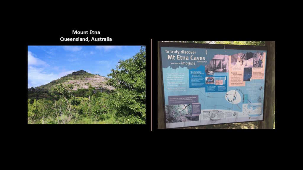
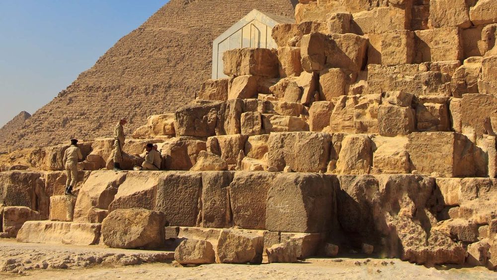
I just want to point out that limestone was a common building material throughout the ancient world, and used in constructions like the Pyramids of Giza.
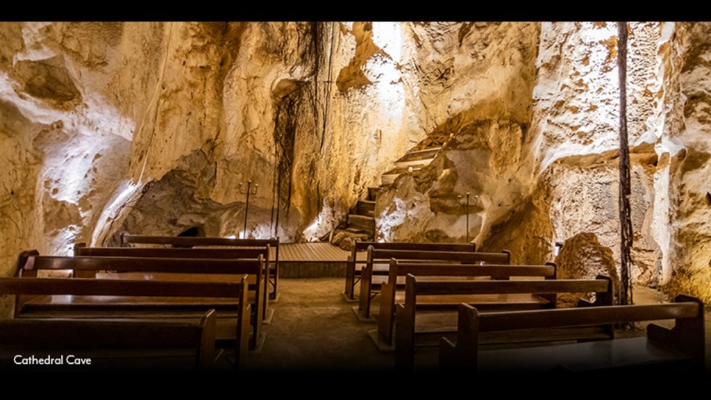
At any rate, the Capricorn Caves has places like what is known as the “Cathedral Cave,” renowned for its high dome and its remarkable acoustics, where sounds resonate beautifully within it.
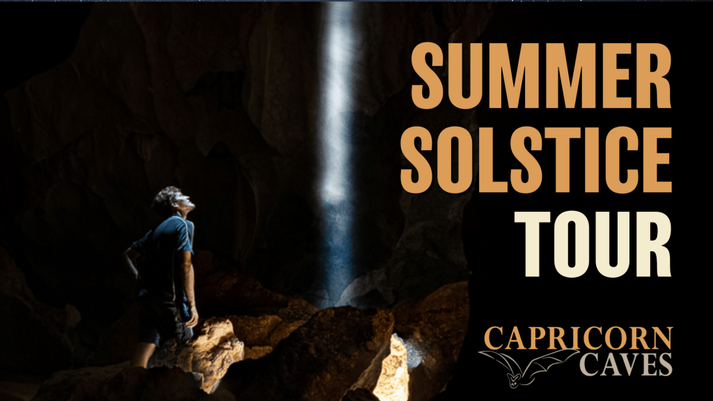
There is also an intriguing astronomical alignment found there as well.
You can take a tour on the Australian Summer Solstice day of December 22nd, and see what is called one of the most spectacular natural phenomena of the Southern Hemisphere when the alignment of the summer sun along the Tropic of Capricorn lights up the Belfry Cave.
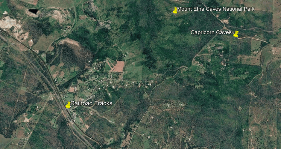
Railroad tracks skirt the western edge of Mount Etna Caves National Park, keeping in mind the previously-seen Mount Etna looks very much like a pyramid!
More of this kind of finding to come later.
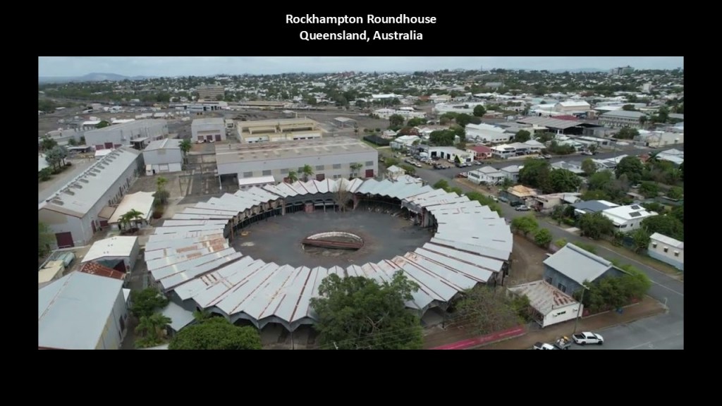
The City of Rockhampton is also the location of one of only two remaining intact full-circle roundhouses in Australia, the other being the previously-seen one in Junee.
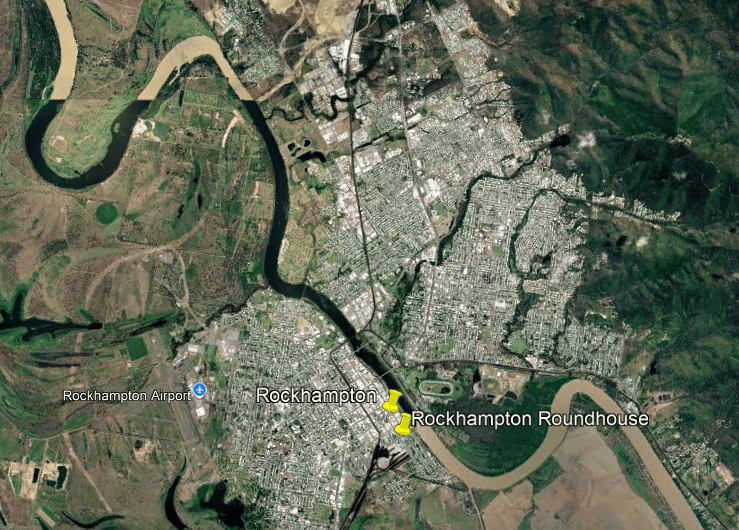
The Rockhampton Roundhouse was said to have been completed in 1914, and was a complete circle containing 52 locomotive bays.
Steam depot operations ended here in 1969.
The Queensland government is currently working on preserving the roundhouse and redeveloping the site.
Besides Rockhampton and Junee, Australia once had an extensive network of roundhouses which have since been decommissioned or repurposed.
Here is a partial list of some of the historic roundhouse locations in Australia:
| Location | State | Status / significance |
|---|---|---|
| Valley Heights | NSW | Oldest surviving roundhouse in Australia; now part of a railway museum. |
| Goulburn | NSW | Large 42-road roundhouse, built in 1928; still used as a heritage/restoration centre. |
| Junee | NSW | Huge 1947 roundhouse; still partly used for locomotive servicing and partly as a museum. |
| Broadmeadow (Newcastle) | NSW | 1948 Roundhouse No. 2 survives; the earlier No. 1 roundhouse was demolished. |
| Cowra | NSW | Former locomotive depot/roundhouse, now associated with the Lachlan Valley Railway heritage centre. |
| Casino | NSW | Former railway roundhouse and turntable survive. |
| Werris Creek | NSW | Remains of the former roundhouse survive. |
| Parkes | NSW | Former roundhouse site/structure associated with railway operations. |
| Temora | NSW | Former NSW locomotive roundhouse site; identified among the surviving examples of the standard NSW design. |
| Rockhampton | Queensland | Exceptional full-circle roundhouse with 52 bays, built in 1914–15; currently being preserved. |
| Peterborough | South Australia | Historic roundhouse at Steamtown Railway Museum. |
| Collie | Western Australia | Former railway roundhouse and turntable; described as the only surviving railway roundhouse in WA. |
| Inveresk/Launceston | Tasmania | Former locomotive roundhouse/turntable area associated with the Inveresk railway workshops. |
| Mount Gambier | South Australia | Former roundhouse site; the original building was demolished, but the turntable/site remains. |
Next, I am going to take you to see the Springbrook National Park in the Gold Coast Hinterland of southeast Queensland, a place I visited on my recent trip to Australia.
The walking trail through the Springbrook National Park is filled with huge stone blocks…
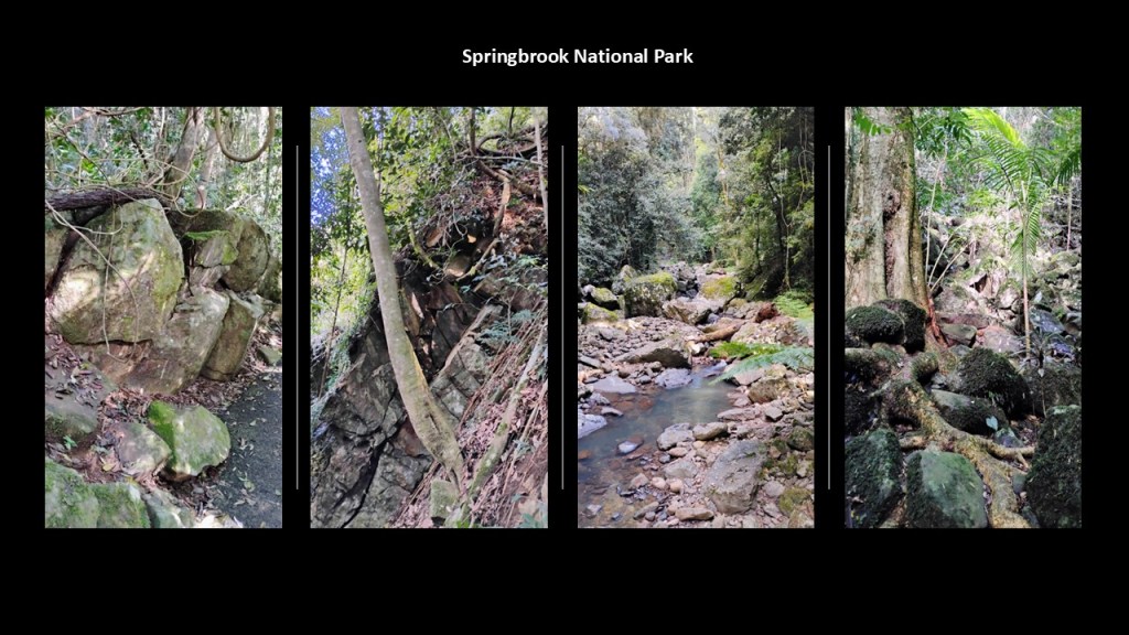
…old stone walls…
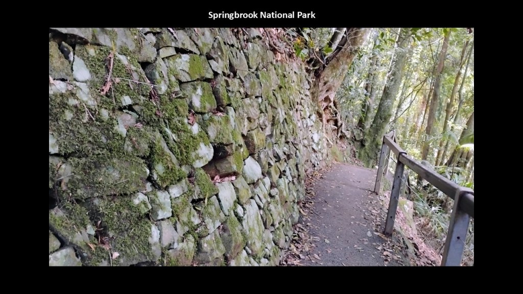
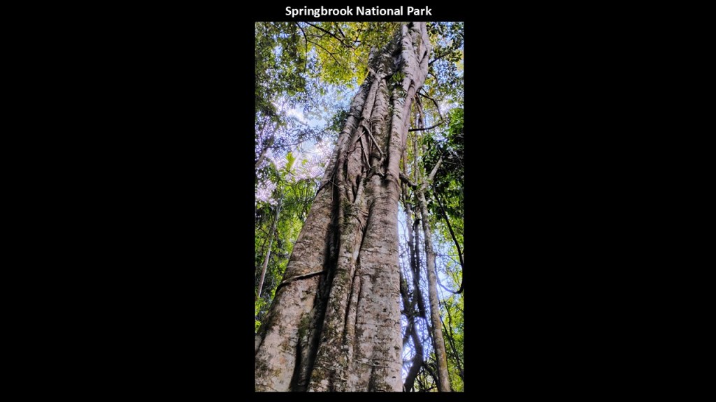
…and massive old-growth trees.
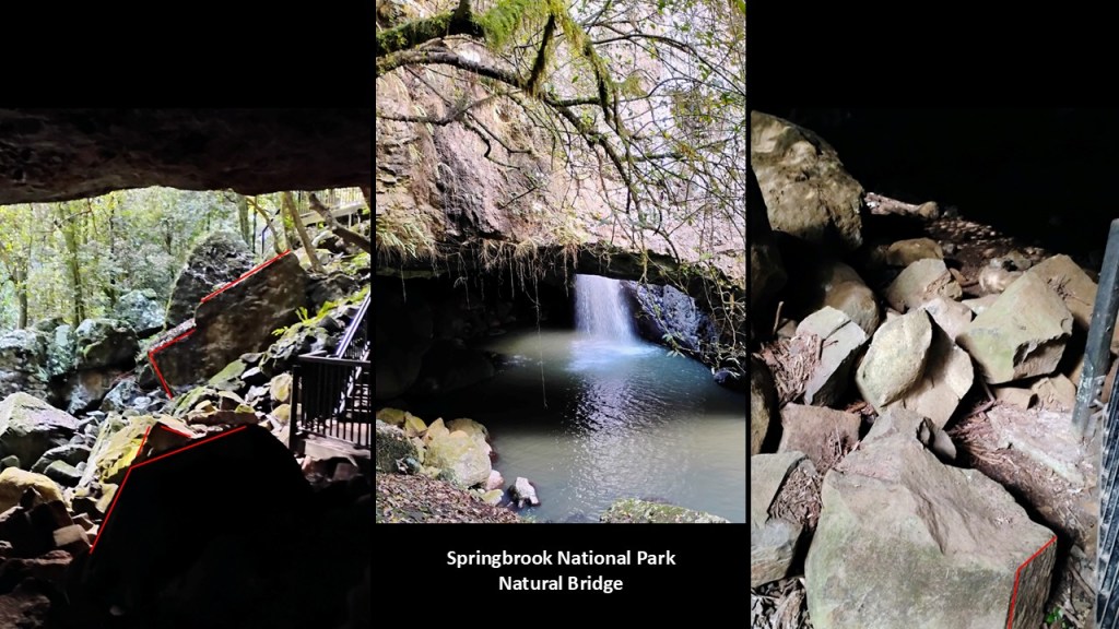
There is a feature within the park called the “Natural Bridge.”
Block-shaped rocks with angles and straight-edges are also found in and around the Natural Bridge location.
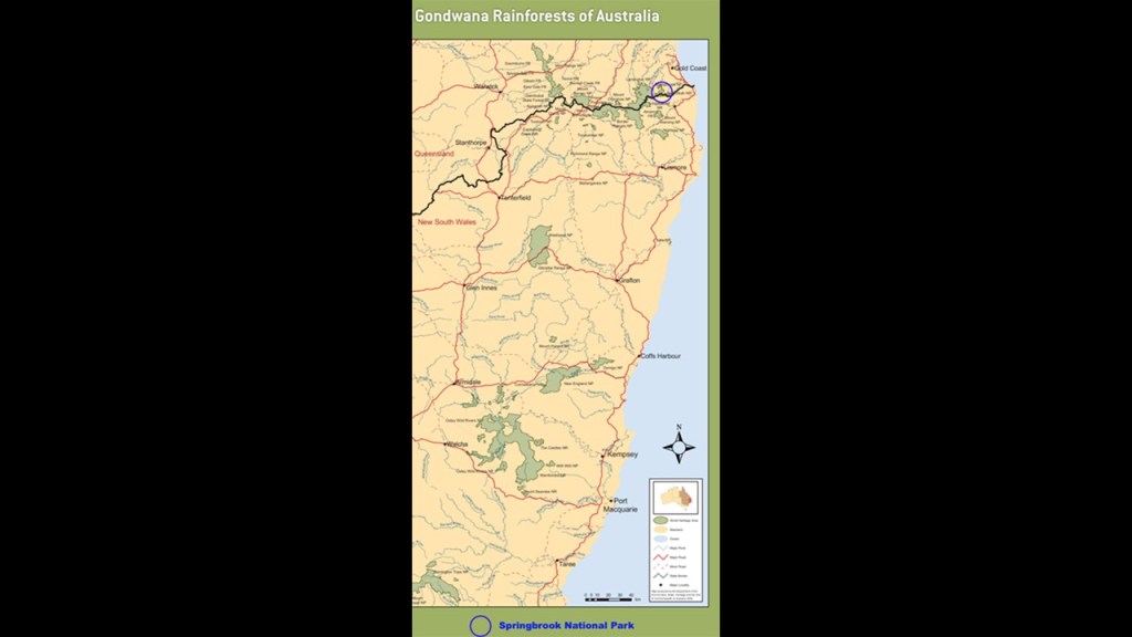
Springbrook is part of the Gondwana Rainforests of Australia. a World Heritage Area.
The Gondwana Rainforests of Australia are called one of Australia’s most extraordinary natural treasures.
More than being a collection of rainforest parks, they preserve living remnants of ecosystems that go back to the ancient southern supercontinent Gondwana.
They consist of numerous protected areas scattered across southeast Queensland and northeastern New South Wales.
This is what we are told in our narrative.
Originally, a supercontinent called “Pangaea” comprised all of the continental crust of the Earth in the late Paleozoic era from 419-million years ago to the early Mesozoic, approximately 200-million years ago, and that it started breaking apart 175-million years ago…
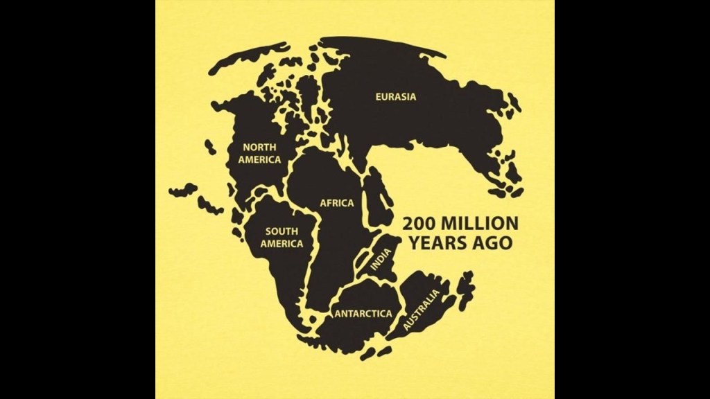
…and that Gondwana was an enormous southern supercontinent that existed hundreds of millions of years ago that included what are now: Australia; Antarctica; South America; Africa; India; Madagascar; New Zealand; and other landmasses.
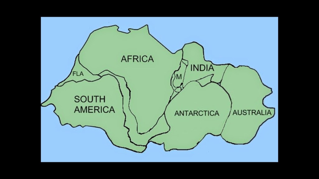
We are told that as Australia separated and drifted northward, its climate changed dramatically, and that where Rainforest once covered much of Australia, over tens of millions of years, Australia’s increasingly dry climate caused those forests to retreat into wetter refuges.
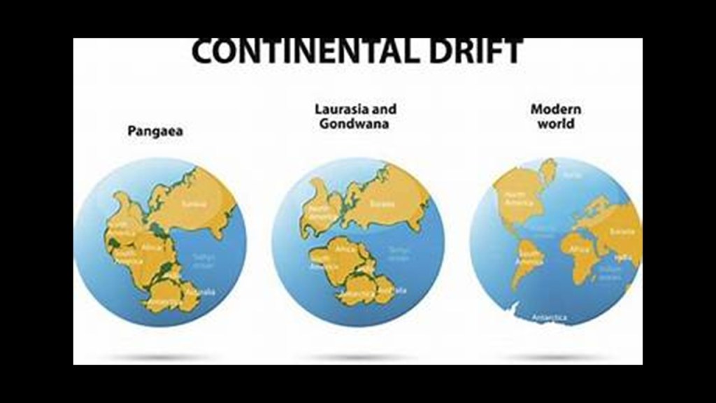
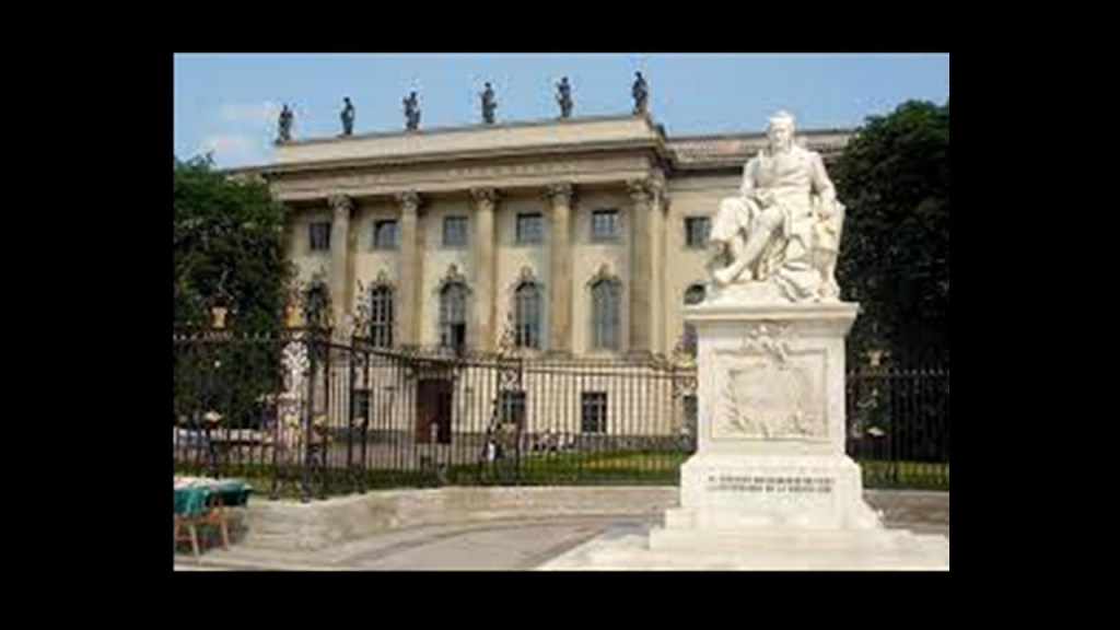
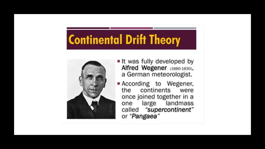
The continental drift theory was proposed by German geologist, Alfred Wegener, who was a 1905 graduate of the Humboldt University of Berlin.
Humboldt University in Berlin was named after Alexander von Humboldt and his brother Wilhelm, and first opened in 1810.
It was regarded as one of the world’s pre-eminent universities in the study of Natural Sciences in the 1800s and 1900s.
Famous faculty and alumni included such famous names in our current historical narrative, besides the previously mentioned Alfred Wegener of Continental Drift fame, include: the theoretical physicist Albert Einstein; Karl Marx and Friedrich Engels, c0-collaborators on “The Communist Manifesto;” Otto von Bismarck, first Chancellor of the German Empire; Georg Hegel, whose philosophy gave us the “Hegelian Dialectic” of Problem-Reaction-Solution; and the Brothers Grimm, best-known for their fairy tales, which include “Little Red Riding Hood and “Hansel and Gretel.”
In 1915, Wegener published “The Origins of Continents and Oceans,” in which he theorized that Earth’s continents move or drift relative to each other over geologic time.
So the idea that at one time there was one large supercontinent is out there as a real thing.
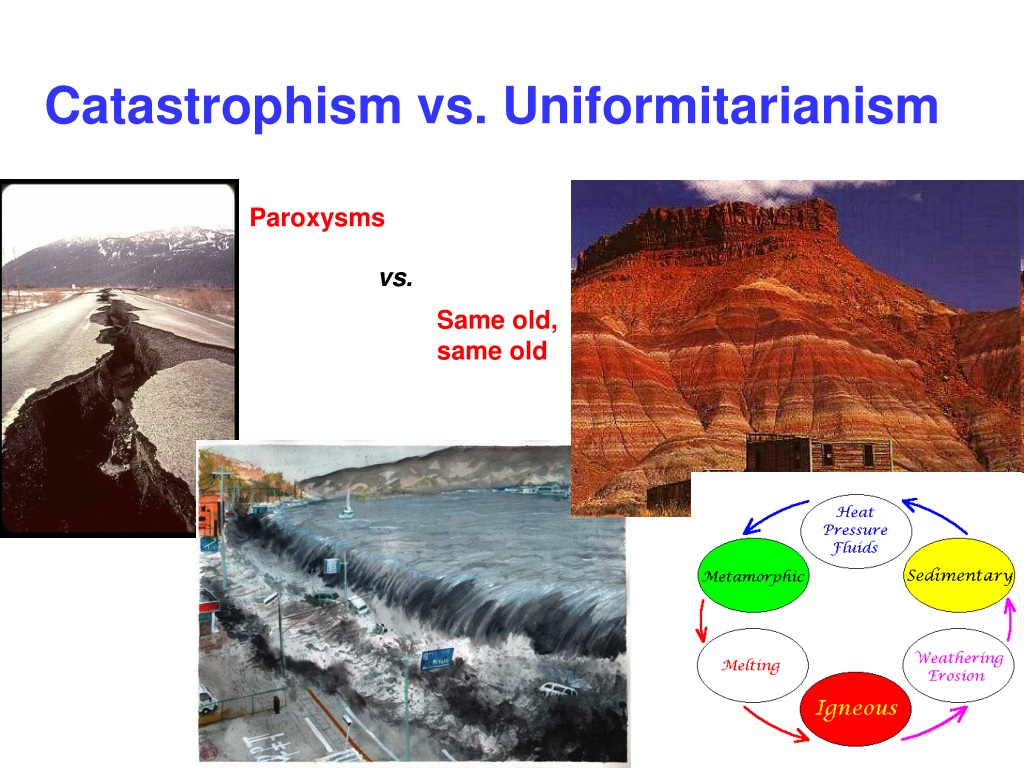
The issue is when and how the continents separated: Slowly and over geologic time, known as uniformitarianism or gradualism vs. suddenly and catastrophically.
And Academia supports the former explanation.
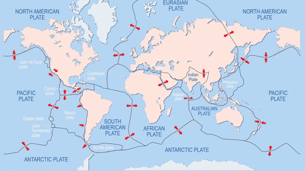
Initially Wegener’s theory was not accepted by Academia because there was not a proposed mechanism, but the Continental Drift theory was later incorporated into Plate Tectonics, the scientific theory that Earth’s lithosphere is comprised of a number of large tectonic plates that have been slowly moving for 3 – 4 billion years, and this is what we are taught today.
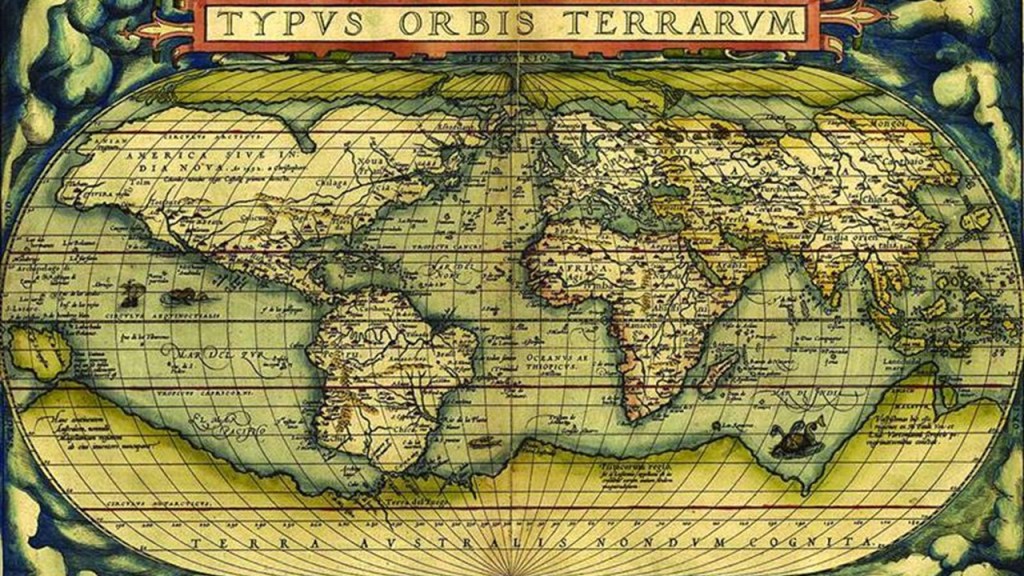
Interestingly, it is out there to find in an internet search that “Terra Australis” was a legendary hypothetical continent mentioned since antiquity and appearing on maps as recently as the 15th and 18th centuries AD.
This information has been downplayed and obfuscated in our narrative, but I find this very interesting because I believe we are looking at a substantial amount of sunken landmasses not only here, but all around the world.
My working hypothesis is that dramatic changes to the Earth’s surface were caused by the destruction of the circuit board of the Earth’s original free energy grid that was part of a highly-advanced civilization that existed from what we would consider ancient times to relatively recently.
What I am seeing from tracking leylines all over the Earth, looking from place-to-place at cities in alignment over long-distances, are the consistent presence of swamps, marshes, bogs, deserts, dunes, and places where it appears land masses sheared-off and submerged under the bodies of water we see today.

I believe there was an original free-energy grid that was intentionally destroyed and was a worldwide event, and that the surface of the Earth was subsequently destroyed around its key infrastructure, which included components like, but not limited to, rail infrastructure, pyramids, lighthouses, canals, waterfalls, what we know of as “forts,” and even giant trees, and that the landscape we see today all over the world was born out of the trauma and changes to the earth’s surface as it buckled and ruptured, and gave way amidst thunderous sound and gigantic force of the deliberate destruction of the original free energy grid, causing the mud-flooded and melted effects seen worldwide.
The free energy grid was replaced as quickly as possible by forms of transportation that are dependent on non-renewable, and controllable, energy sources based on oil and gas, and the infrastructure of the original grid was removed as quickly as possible from physical existence and from our collective memory.which was replaced as quickly as possible by forms of transportation that are dependent on non-renewable, and controllable, energy sources based on oil and gas, and the infrastructure of the original grid was removed as quickly as possible from physical existence and from our collective memory.
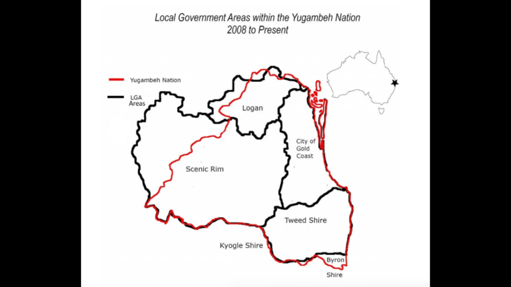
Back to Springbrook National Park, one of the Gondwana Rainforests of Australia The traditional holders of the land upon which the Springbrook National Park is located are the Yugambeh people, who were the traditional holders of southeastern Queensland and northeastern New South Wales for over 60,000-years, known for their strong connection to places like Logan City, the Gold Coast, Scenic Rim, and Tweed Heads.
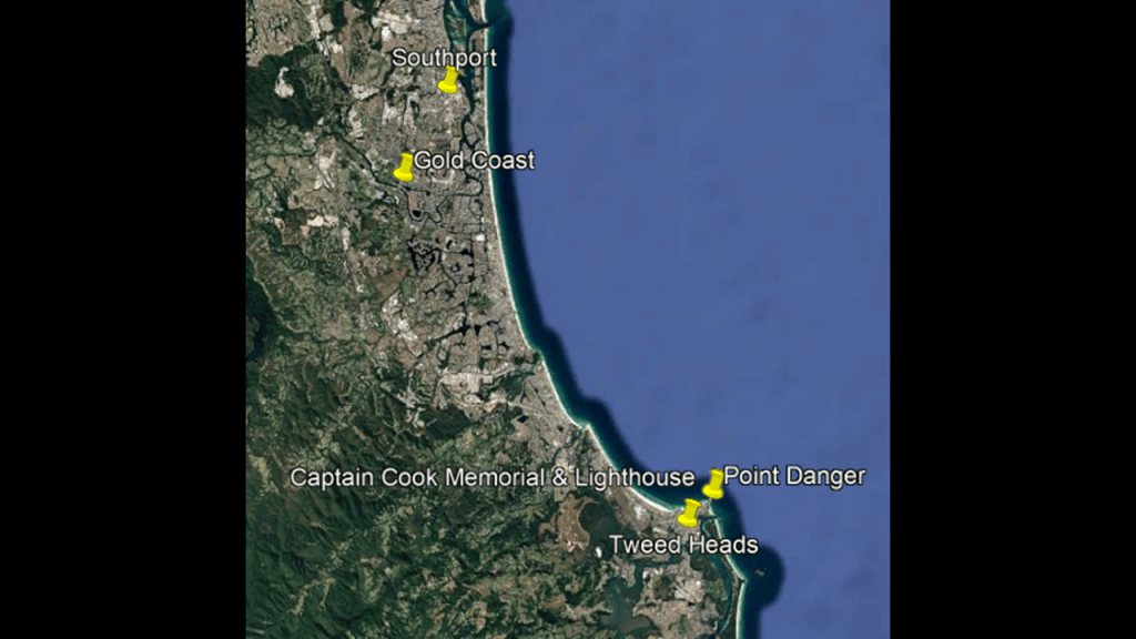
Point Danger and the Captain Cook Memorial and Lighthouse in Coolangatta near Tweed Heads is on the coast east of Springbrook National Park, and Southport is to the North of it.
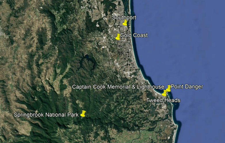
Point Danger marks the border between Queensland and New South Wales.
Point Danger is in Coolangatta in the City of Gold Coast at the southern end of the Queensland’s Gold Coast, and Tweed Heads is adjacent to it in New South Wales.
There are a few things that I would like to mention at this location.
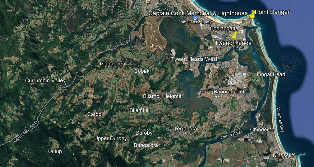
The first is the Captain Cook Memorial and Lighthouse, and what I was able to find out about it.
Built in 1971 to commemorate the 200th Anniversary of Captain Cook’s voyage along the East Coast of Australia, it consists of four rectangular pillars that reach 66-feet, or 20-meters, in height, with an abstract bronze sculpture on top.
Other unique features include it being the first lighthouse in the world to use a helium-neon laser light as a beacon for navigation.
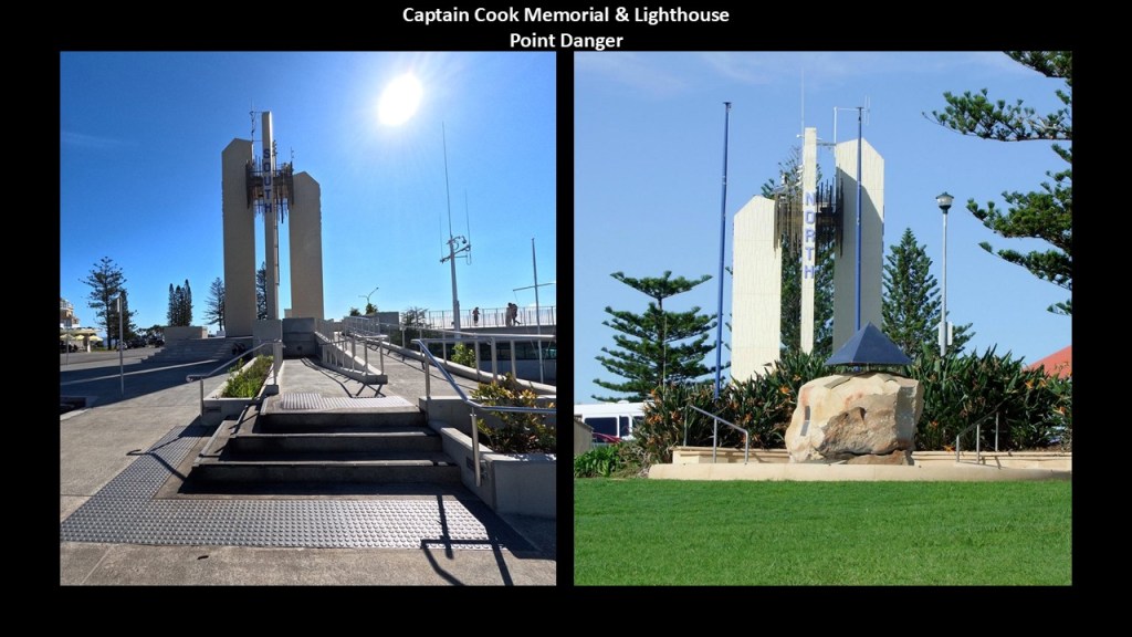
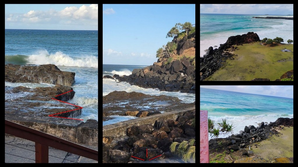
The second thing is what the coast looks like at this location around Point Danger, with its rocky shoreline covered with block-shaped rocks with angles and straight edges.
In our historical narrative, it was so-named by Captain James Cook during his 1770 voyage along the East Coast of Australia to warn mariners about the dangerous reefs in the area which posed significant risks to navigation.
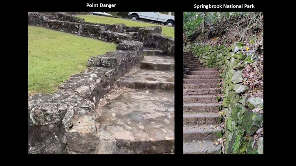
Here is a comparison of an old stone wall and steps at Point Danger on the left, and at Springbrook National Park on the right…not identical, but similar in appearance.
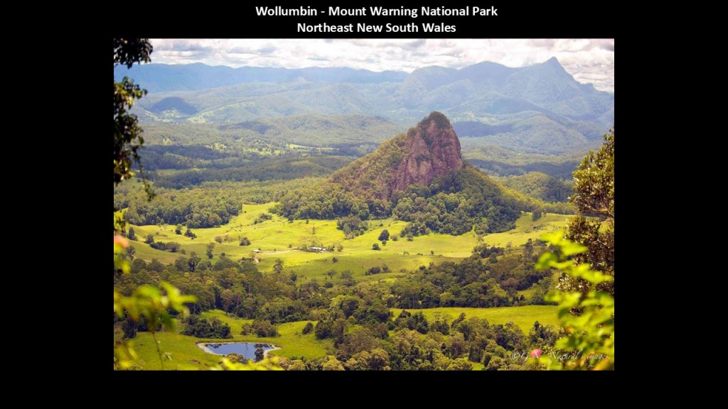
Mount Warning is to the south and southwest of Springbrook National Park and the Point Danger area on the coast.
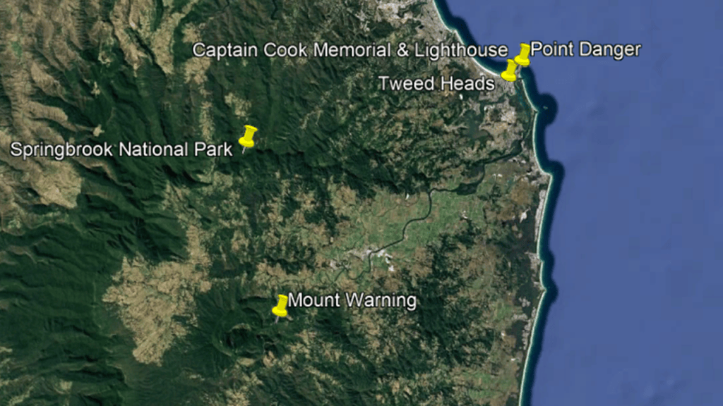
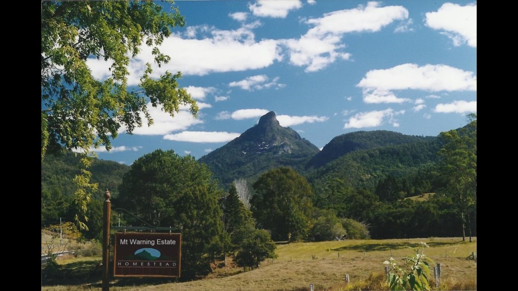
We are told that it was named Mount Warning by Captain Cook when he saw the mountain from the sea.
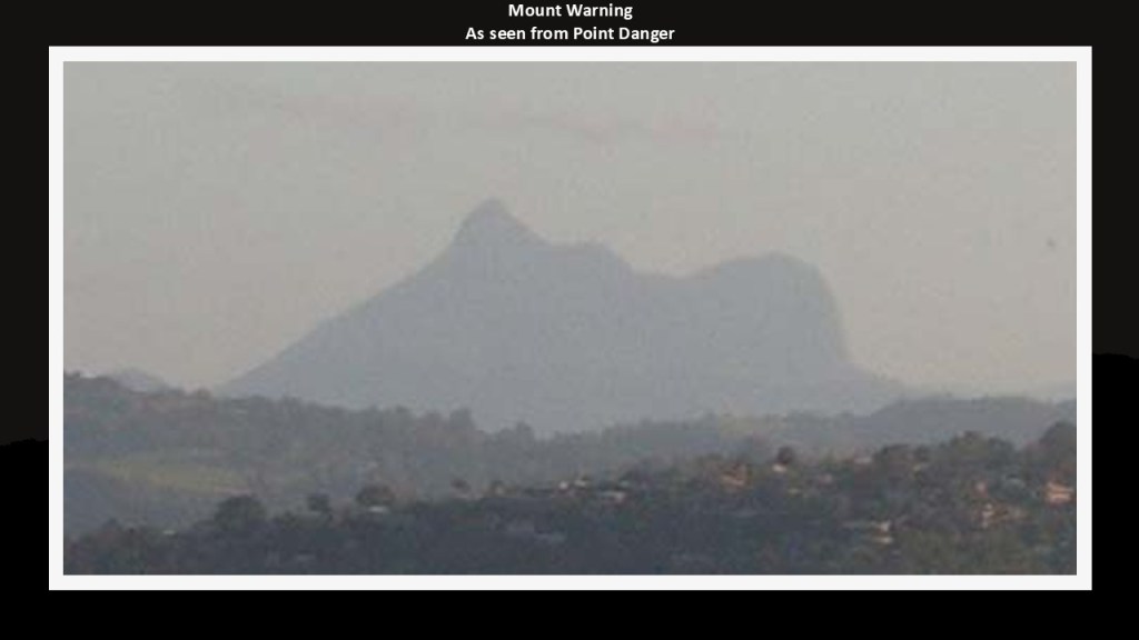
Its original name is Wollumbin and we are told it is the volcanic plug of the extinct Tweed Volcano, which last erupted 23-million-years ago.
Wollumbin is sacred to the Bundjalung people, and its summit is declared an “Aboriginal Place” under the “National Parks and Wildlife Act.”
More thoughts about what we might actually be looking at later in this post.
Next I am going to talk about Southport and the Gold Coast.
First, Southport.
Southport became the southernmost port of the Colony of Queensland in 1875 after it was first surveyed in 1874.
The area was once the site of a significant number of saw mills…
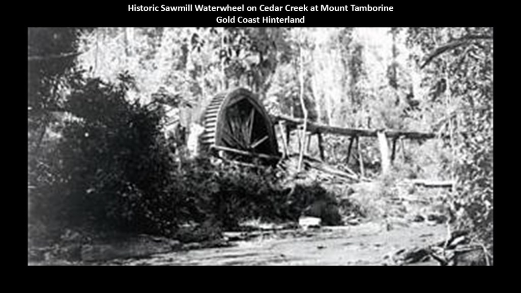
…and a port was established in Southport for things like, but not limited to, shipping logs from the timber industry here, and other early industries included sugar-growing and livestock-grazing.
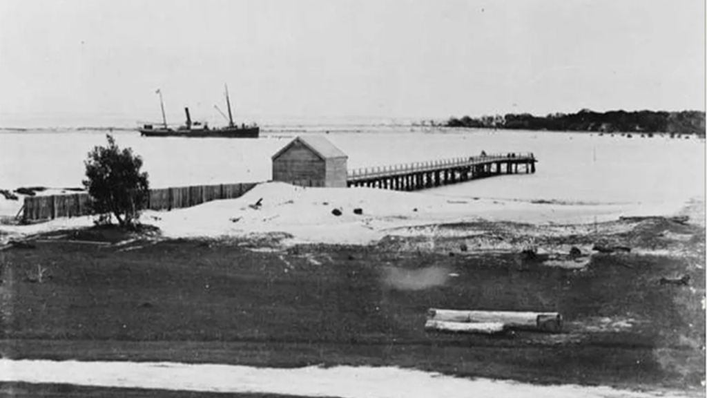
The South Coast Railway from Beenleigh to Southport first opened in 1889, and was later extended to the border with New South Wales at Tweed Heads.
This railway line was part of the broader South Coast Railway system that connected Brisbane to the Gold Coast region, which was operational until 1964
The Tweed Heads branch closed in 1961 and the line between Beenleigh and Southport closed in 1964.
It functioned as an interurban in connecting smaller towns and settlements with Brisbane and the Gold Coast, carrying passengers and freight.
The original railway infrastructure has been repurposed and modern transport options serve the same area.
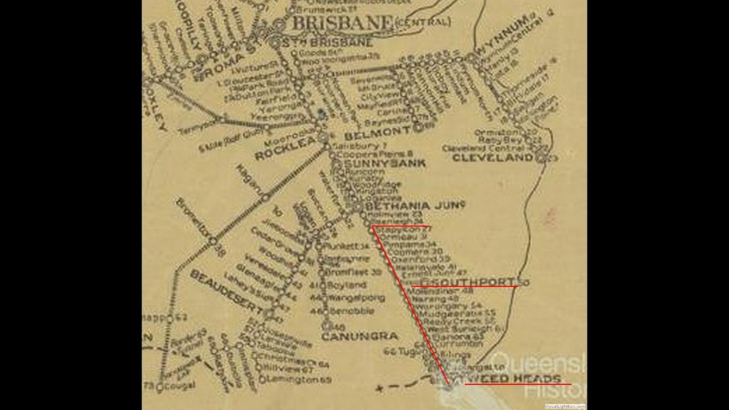
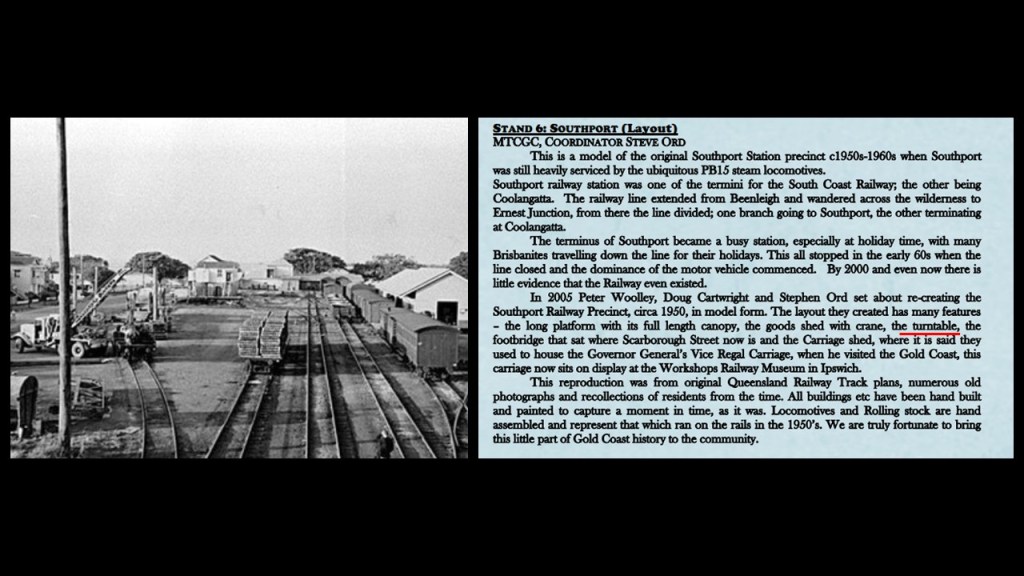
While I could not find a history of an actual roundhouse for the South Coast Railway, I did find out there was a railway station,and railway yards in Southport with locomotive sheds and a turntable, though apparently it was not considered to have a roundhouse in the form we have seen thus far.
Next, I am going to compare Australia’s Gold Coast with the Fort Lauderdale area on the southeast Atlantic Coast of Florida near Miami because there are some striking similarities to show you.
I have known for quite some time about the similarity of appearance of the canals of the Gold Coast in Australia on the left and those of Las Olas Isles in Fort Lauderdale on the right.
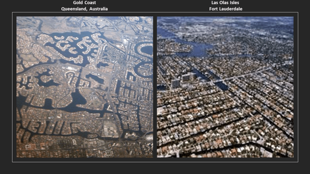
When I visited the Gold Coast area on my recent trip to Australia, I was struck by how much it reminded me of Florida, which I am very familiar with since I have a lot of family there in Central Florida, and lived there for a short period of time.
For one example, Fort Lauderdale, known as the “Yachting Capital of the World,” has more than 100 marinas and more than 50,000 pleasure craft moored at the marinas and private waterfront homes.

Like Fort Lauderdale, the Gold Coast Broadwater and Marina Mirage in Queensland are also known for luxury super yachts and other recreational sailing vessels and in both Las Olas Isles in Fort Lauderdale in Florida and the Gold Coast in Queensland, the real estate is high-end.
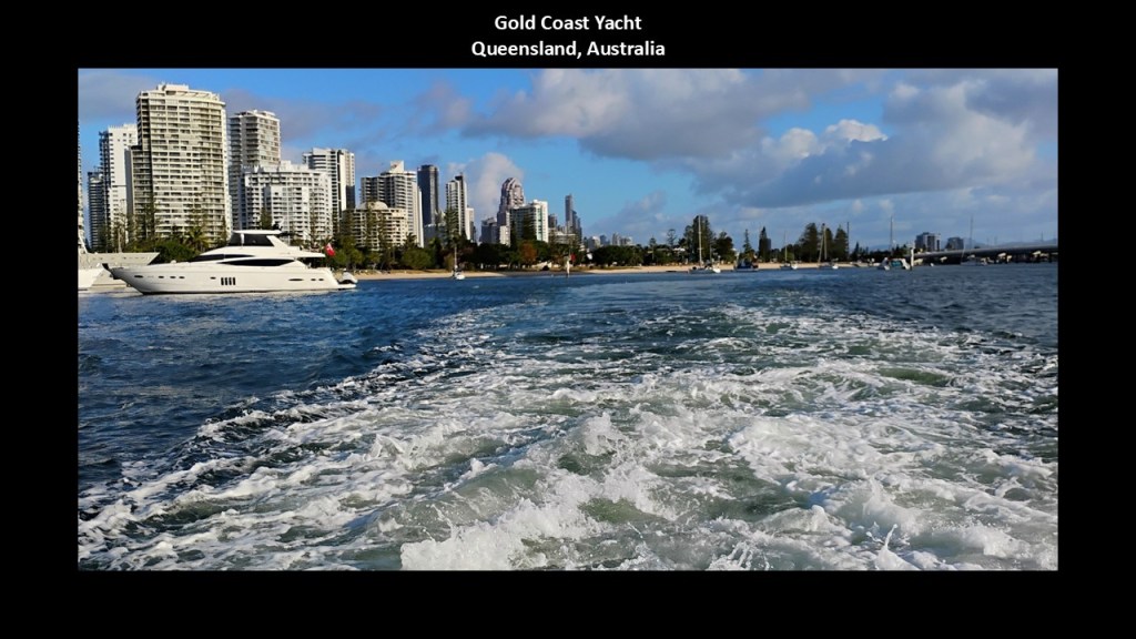
Other intriguing similarities between the Fort Lauderdale area and the Gold Coast and Gold Coast Hinterlands include railroad history and old-growth trees.
First, railroad history.
In our historical narrative, Henry Flagler developed the Florida East Coast (FEC) Railway starting in 1885.
It was the preeminent rail service along Florida’s East Coast, and still is today while most of the state’s rail infrastructure is gone, having been abandoned over the years.
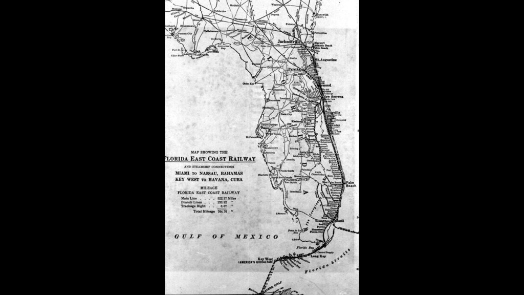
Flagler was an American tycoon, and John D. Rockefeller’s partner in the establishment of Standard Oil in 1870, who subsequently became interested in developing the railroad, resorts, industries, and communities all along Florida’s East Coast on the Atlantic Ocean.
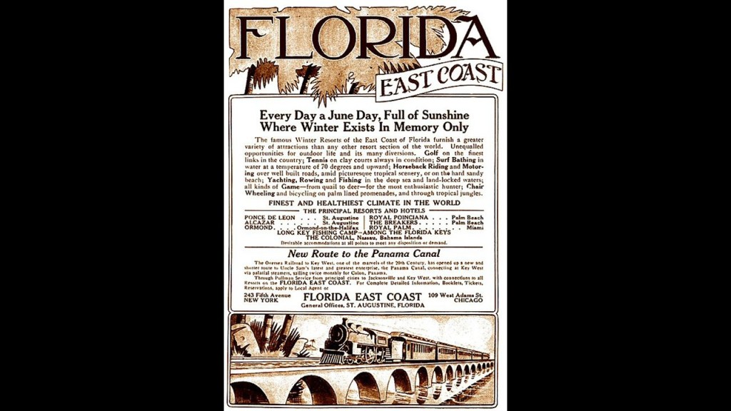
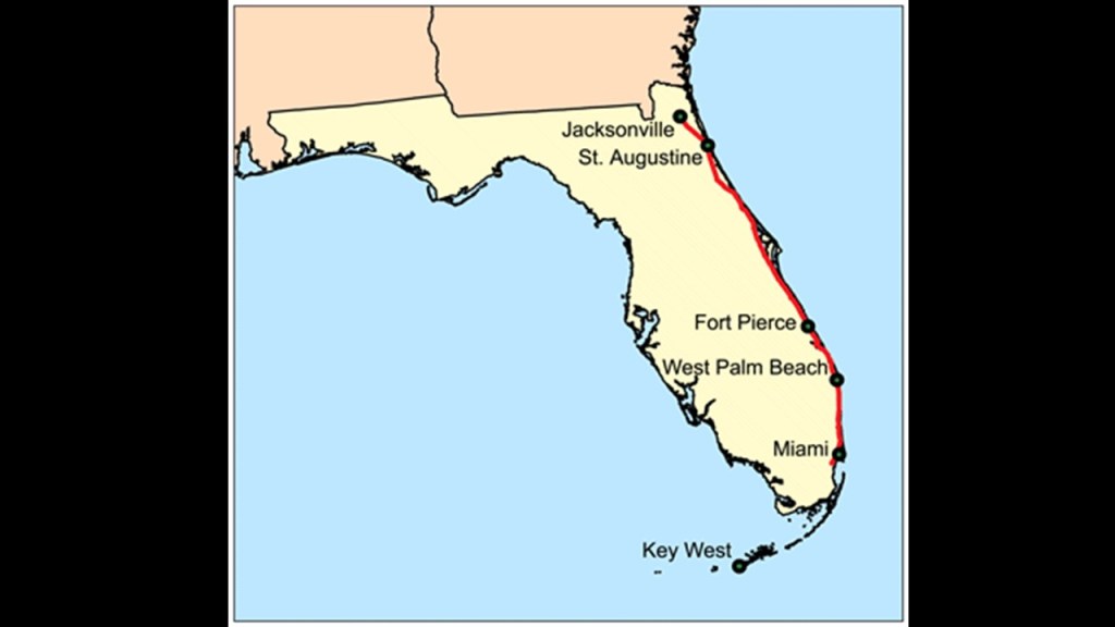
The timeline we are given for the construction of the FEC tells us that: Daytona was reached in 1889; Fort Lauderdale was reached in March of 1896; and Miami was reached in April of 1896
Key West was reached in January of 1912 by Flagler’s famous Overseas Railway connecting it with the Florida mainland, which became the Overseas Highway after the Labor Day Hurricane of 1935 heavily damaged the line and it was rebuilt for vehicle traffic.
The Gold Coast Railroad was an historic excursion train that operated as part of a railroad in Fort Lauderdale from 1966 to 1984, operating full-sized steam trains on railroad tracks along the northside of the Fort Lauderdale – Hollywood Airport.
It seems to be downplayed because there is not much information available to find about it, but apparently there was a roundhouse in Fort Lauderdale that was operated by the Gold Coast Railroad that was used for servicing locomotives.
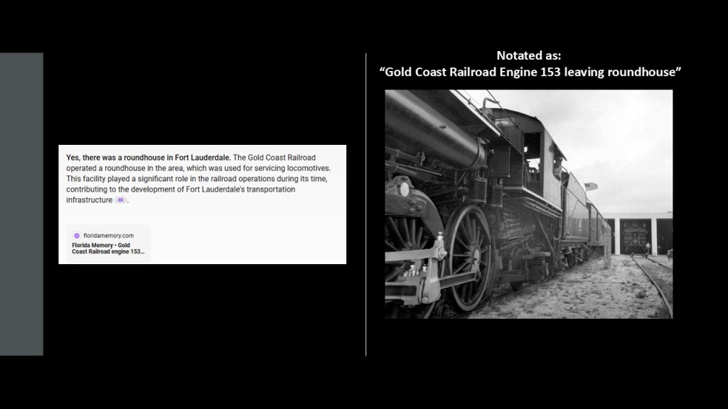
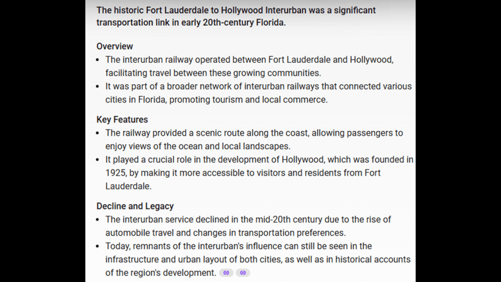
This information is still obscured and hard to find on the internet, but I was able to find one reference to an historic Fort Lauderdale to Hollywood Interurban line, and that it was a significant transportation link in early 20th-century Florida that was part of a broader network of interurban railways that connected various cities in Florida.
Hollywood is approximately 11-miles, or 18-kilometers, south of Fort Lauderdale.
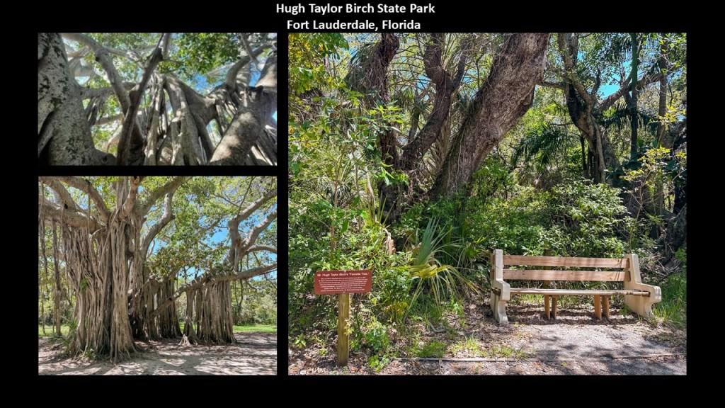
This brings me to old-growth trees in the area, like the ones found in the Hugh Taylor Birch State Park.
The Hugh Taylor Birch State Park is Fort Lauderdale’s “Central Park,” and was the estate left to the city by Hugh Taylor Birch, a Chicago attorney and real estate investor who arrived in South Florida in 1893.
Hugh Taylor Birch State Park is home to a variety of native species that have been preserved in what is described as a lush hammock coastal ecosystem that is a remant of the subtropical forest that once-existed along the Florida coast.
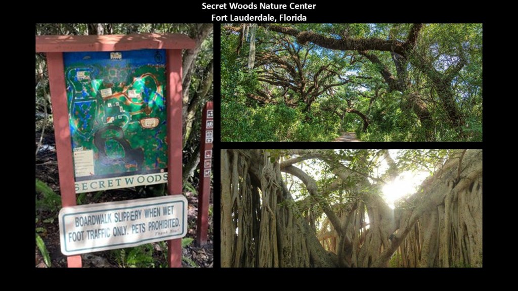
The Secret Woods Nature Center in Fort Lauderdale also features old-growth trees.
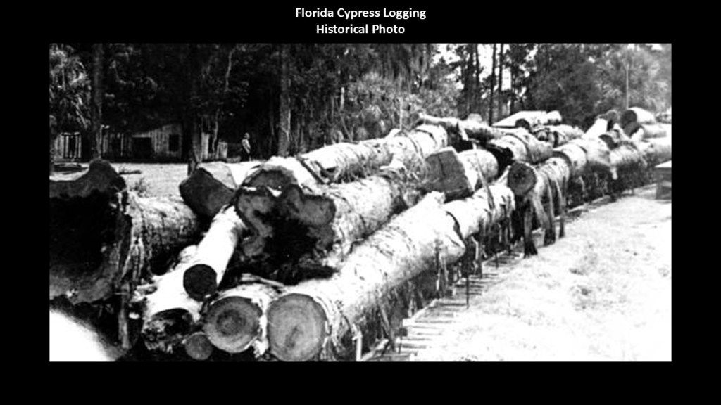
Like what we saw on the Gold Coast in Queensland, there is an extensive logging history in Fort Lauderdale as well,.
Logging began in earnest in the Fort Lauderdale area in the late 1800s, primarily targeting the abundant cypress trees of the region, which were highly-valued for durability and resistance to rot, making cypress wood ideal for construction and ship-building.
The logging industry played a crucial role in the early development of Fort Lauderdale.
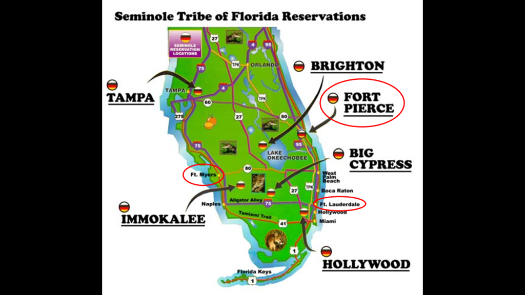
Whereas the Gold Coast is located in the traditional lands of the Yugambeh, Fort Lauderdale is located in what was the traditional lands of the Seminole.
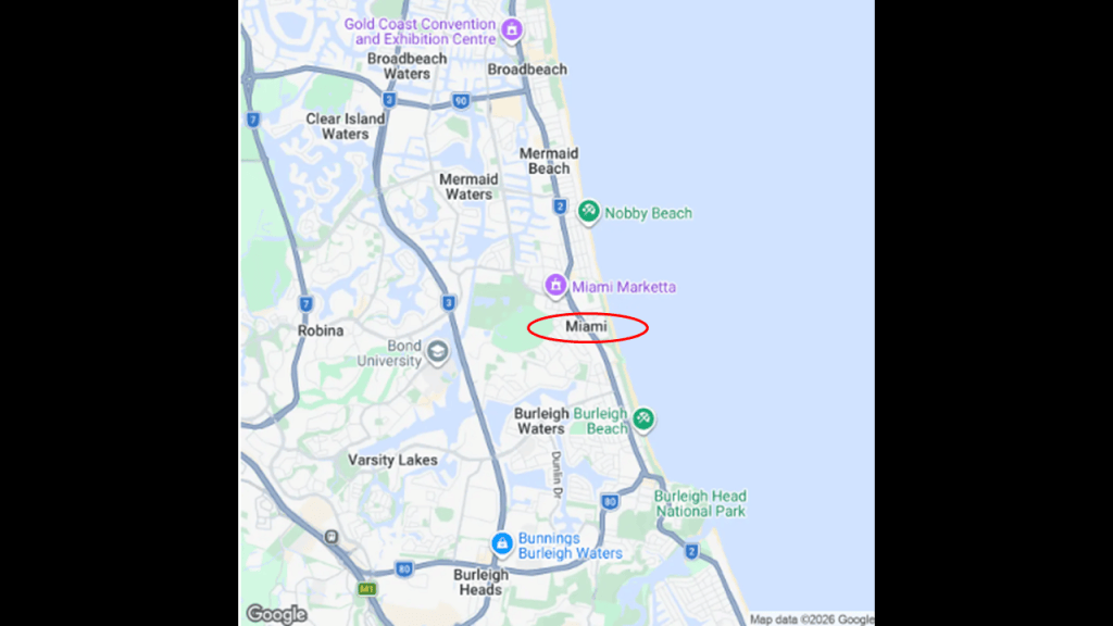
Interesting to note that there is even a coastal suburb of the City of Gold Coast named Miami.
Miami is 11-miles, or 7-kilometers, north of the Queensland/New South Wales border at Point Danger.
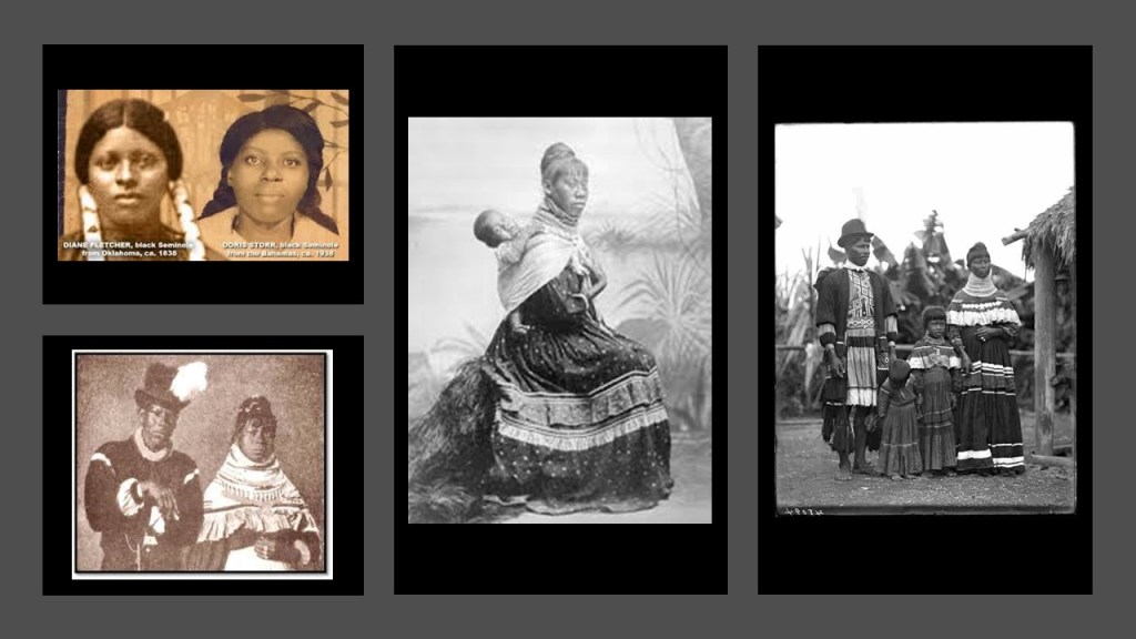
Both the Australian Aborigines and Seminoles of Florida seen identified as the Tribe of Reuben; shared the same colors of red, black and yellow; and historically inhabited parts of the world with so many similarities.
Or is there a connection between these peoples that has been lost in the re-writing of history that is being hidden from us, including who they really were?

These are historic photos of Seminole people you can find on an internet search.
I think a good explanation of this finding of the same tribal name in different parts of the world is contained in a Megalithomania presentation by Christine Rhone on “Twelve Tribe Nations – Sacred Number and the Golden Age.”
She co-authored a book with John Michel of the same name.
Among other things, they followed the Apollo – St. Michael leyline across countries and continents all the way to Jerusalem in Israel. They discuss records and traditions of whole nations being divided into twelve tribes and twelve regions, each corresponding to one of the twelve signs of the zodiac and to one of the twelve months of the year, all formed around sacred centers.
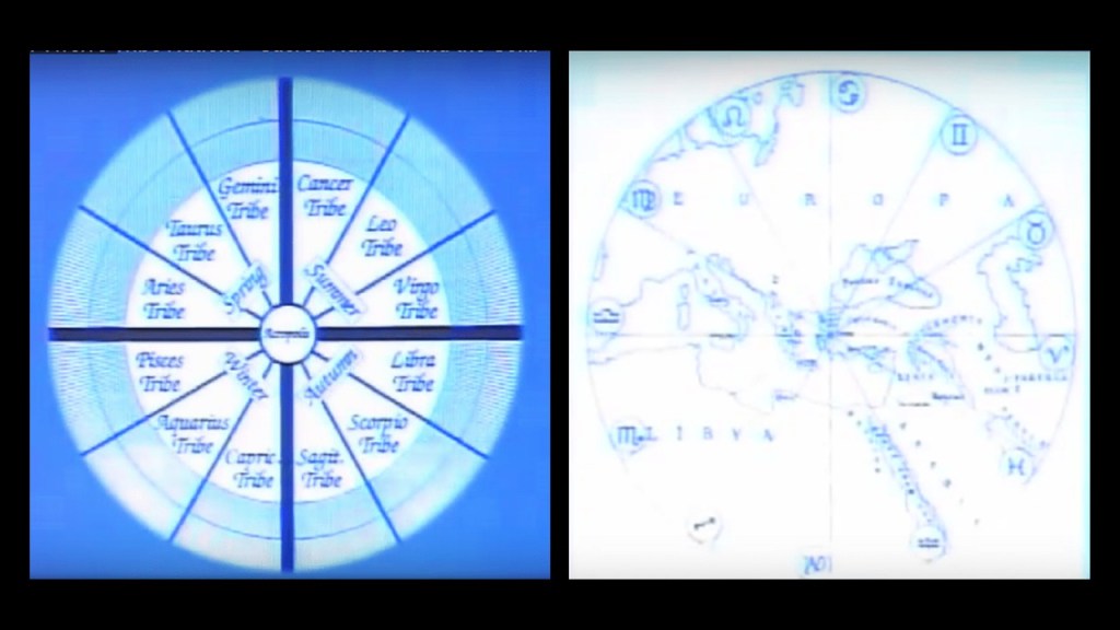
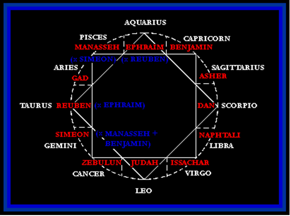
What if we are talking about a civilization arrangement like what you see pictured here with the 12 Constellations and 12 Tribes of Israel all contained within an 8-pointed star?
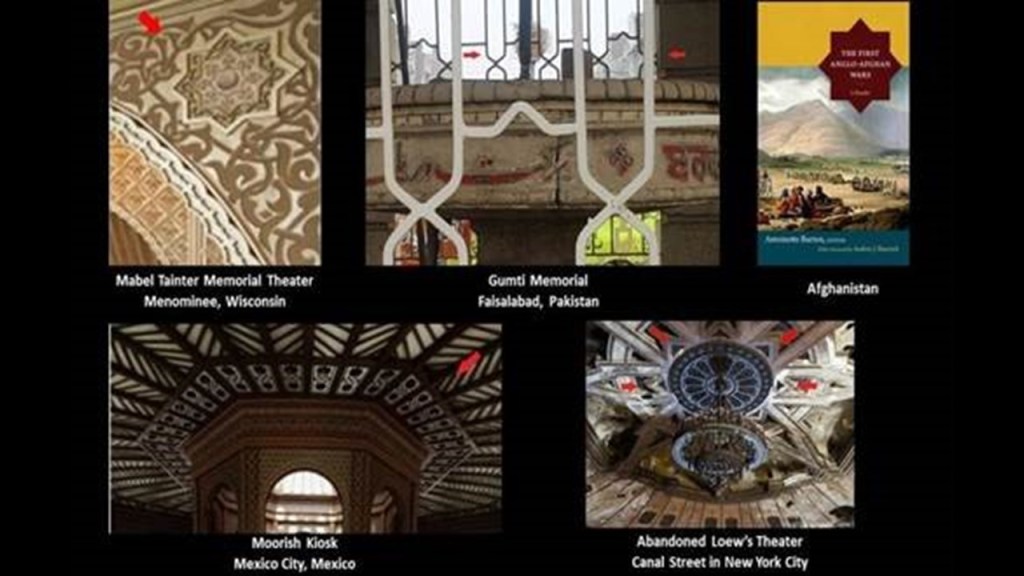
The 8-pointed star is a symbol I have found tracking leylines around the world, like these examples, just a few of many.
Along with being able to conceptualize Israel as being a worldwide civilization, the same thing goes for Egypt, and that neither was referring to an actual geographic location on the Earth as we have been taught to believe in the times in which we live.
Like I mentioned previously as something to think about, according to the cover on this issue of “Ancient American,” there is evidence for Hebrew Archers in Ancient Illinois as well as Egyptians.
We have been told Al-Khem was the ancient name of Egypt.
I believe Al-Khem was actually referencing this worldwide civilization, and referred to a direct synthesis with the Creator, referenced here as “Al-Kimia,” “to fuse with the Highest,” or “to fuse with God.”

In our historical narrativer, the Rothschilds purchased Jerusalem in 1829, and subsequently acquired considerable land in Palestine in the 1800s and early 1900s.

In 1917, the Balfour Declaration was issued by the British government, during the first World War, announcing the support for the establishment of a national home for the Jewish people, written by the Foreign Secretary Arthur Balfour to Lord Rothschild, a leader of the British Jewish community.

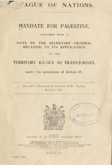
Great Britain had been granted a colonial mandate for Palestine and Transjordan by the League of Nations on April 25th of 1920, which lasted until the formation of Israel in May of 1948.
A League of Nations Mandate was a legal status for certain territories transferred from the control of one country to another after World War I, in this case territories that were conceded by the Ottoman Empire following the end of World War I in 1918.
Despite growing conflict between Palestinian Arabs and Palestinian Jews, Truman ultimately decided to recognize Israel.
David Ben-Gurion proclaimed the establishment of the modern State of Israel on May 14th of 1948, and President Truman recognized the new nation on the same day.
On the same day the new State of Israel was proclaimed, and the British Army withdrawn, gun-fire broke out between Jews and Arabs, and Egypt had launched an air assault that evening.

The people who tie Israel and Egypt together into one are the Moors, an ancient people going back to the time of Mu, through Atlantis.
According to George G. M. James in his book “Stolen Legacy,” the Moors were the custodians of the Ancient Egyptian mysteries.
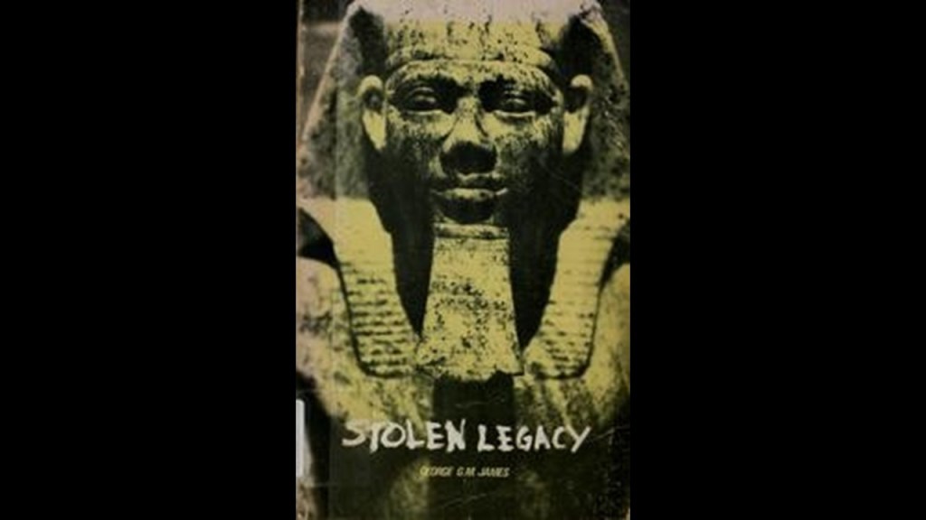
I believe they existed in Harmony throughout the Earth until their advanced civilization was destroyed relative recently.
Moorish Masons built the worldwide civilization in perfect geometric alignment on Earth and in Heaven.
All that we have been allowed to know about the Moors was what is called “Moorish Spain” from 711 AD to 1492 AD in our historical narrative, also known as “Al Andalus.”
The Truth about the worldwide civilization of the Moors, Moorish Master Masons, Moorish Science; Al-Khem and the True Children of Israel rank at the top of the list of the whopping big secrets that have been kept from Humanity, and there is more to reveal about how the Controllers’ used the Moorish Legacy to further their own malevolent destructive and genocidal agendas for total control and domination of the Earth.

The parasitic and multi-dimensionally aware beings behind all of this want us to believe that suffering, sickness, misery, destruction, and death was and is our normal state of being, and not question what we have been taught about who we are.
They are the only ones who benefit because they feed on Humanity’s negative emotional states and our Source energy in general.

Before I leave Australia, I would like to look at a few places around Wollongong in New South Wales.
First, the Minnamurra Rainforest in the Budderoo National Park near the village of Jamberoo on the Illawarra Escarpment.
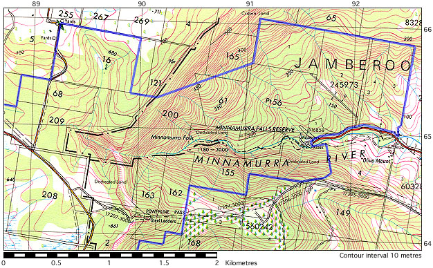
The Minnamurra Rainforest is described as part of an ancient ecosystem that once covered the Illawarra Region, though it is not considered part of the previously-mentioned Gondwana Rainsforests of Australia.
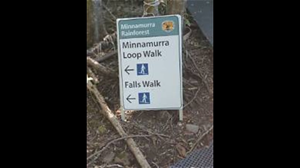
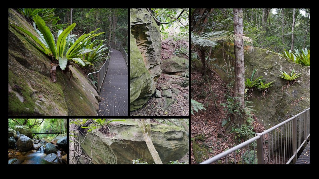
Just like the Springbrook National Park, the Minnamurra Rainforest walking trails are filled with huge stone blocks…
…and old-growth trees.
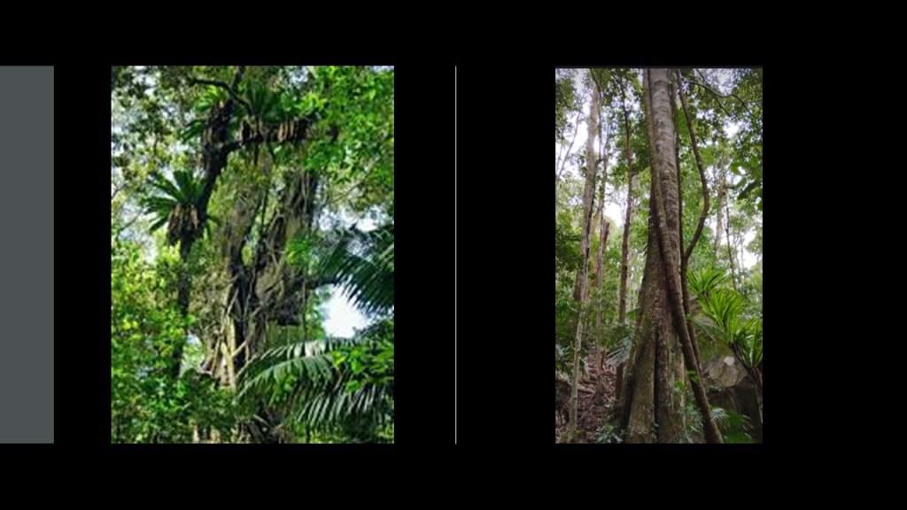
Red Cedar trees can grow up to 197-feet, or 60-meters, -tall.
They were once found throughout the rainforests of New South Wales and Queensland.
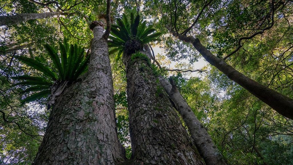
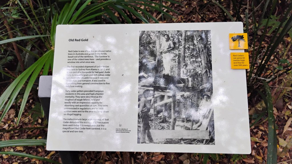
The recent history of red cedar in Australia, which belongs to the same family as mahogany, is that it was exploited for its timber from the earliest days of colonization.
Red cedar trees were very heavily logged along the east coast of Australia from the early 1800s to the early 1900s.
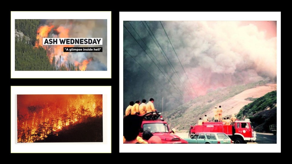
Old-growth trees like these were not only lost to logging, but also to fire, like the Ash Wednesday Fires of 1983.
The Ash Wednesday fires that year significantly impacted old-growth forests in Australia, particularly in Victoria and South Australia that took place on February 16th.
They were a series of bushfires that within 12 hours there were 180 fires fanned by winds up to 68 mph, or 110 kph, made worse by severe drought and extreme weather.
The fires claimed the lives of 75 people and caused widespread destruction including vast areas of old growth forests, leading to ecological damage and loss of biodiversity.
Recovery efforts included reforestation and management practices aimed at restoring the affected ecosystems.
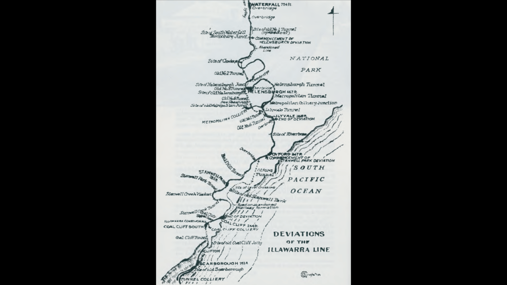
What about rail history in the Wollongong area near where the Minnamurra Rainforest is located?
I found this map of the old Illawarra Line alignment between Wollongong and a town called Waterfall, a suburb of Sydney.
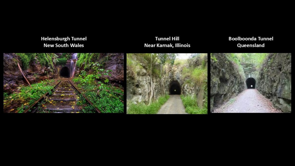
When I found the Illawarra Line map, I found this photo of an abandoned train tunnel at Helenburgh, not far from Stanwell Park.
Here it is on the left compared with the abandoned train tunnels I showed earlier at Tunnel Hill near Karnak in Illinois in the middle and the Boolboonda Tunnel between Bundaburg and Mount Perry in Queensland on the right.
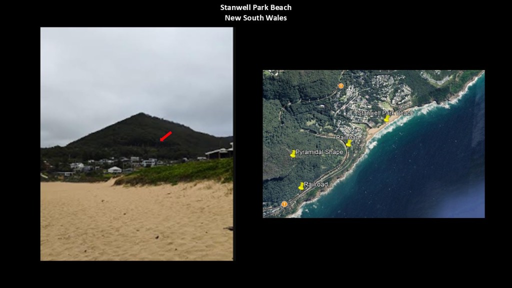
Like what we saw back at Mount Etna near Rockhampton in Queensland, there is a distinct pyramid-shape that is clearly-seen from the Stanwell Park Beach, and railroad tracks pass close to it too.
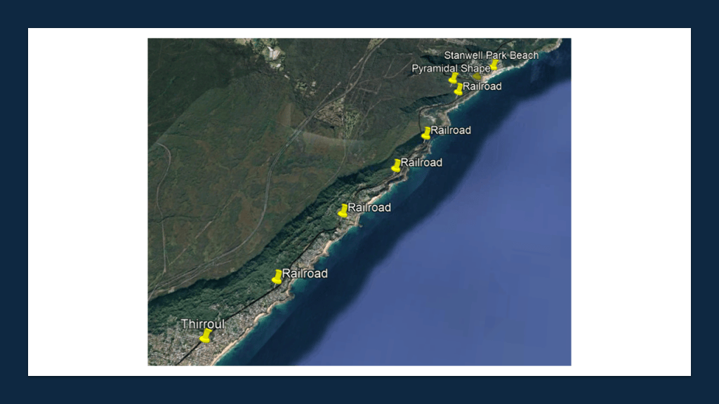
The railroad tracks follow right along the coastline and pass through Thirroul.
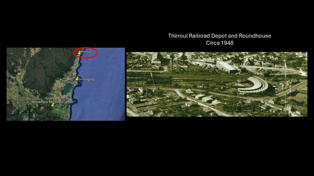
There was an historic roundhouse at Thirroul, north of Wollongong.
The Thirroul Railway Depot was a major steam-locomotive facility on the Illawarra railway. It included an 18-stall roundhouse, engine shed and 90-foot, or 27=meter, turntable.
The depot was particularly important because Thirroul was the base for locomotives assisting trains over the steep grades of the Illawarra line.
The Thirroul Roundhouse no longer survives as the depot was progressively dismantled after steam operations disappeared.
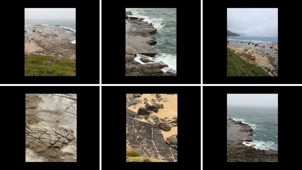
There are places along the coast through the area that look like this, with a broken and jagged-looking coast-line and patterns in the rocks that look like masonry.
The next place I would like to look at is Gornaya Shoria in southern Siberia in the Kemerovo Oblast east of the Altai Mountains.
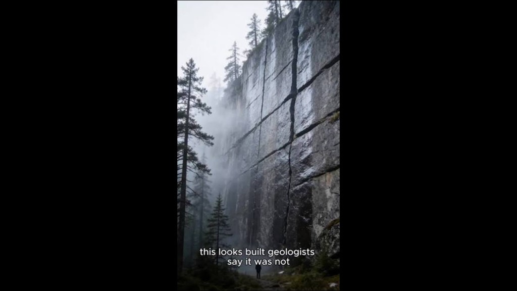
Gornaya Shoria is known for its gigantic stone blocks.
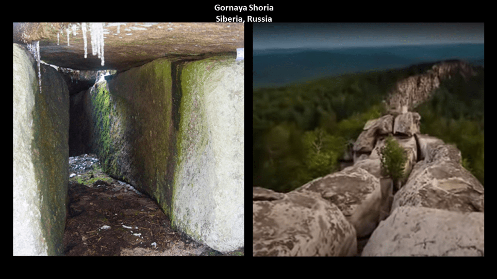
On one-side of the debate, they are believed to be manmade megalithic stones by alternative history researchers, and on the other-side, argued to be natural, block-like structures with flat sides and sharp angles by geologists.
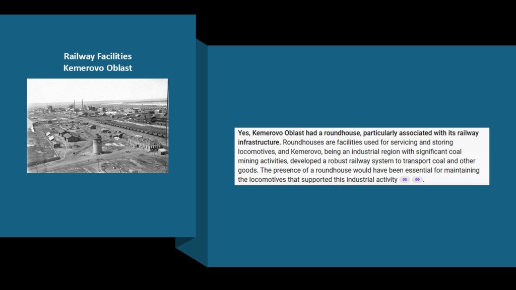
There appears to have been a historic roundhouse in Kemerovo Oblast in Siberia.
I can find a photo of the historic railyards there, but not one specifically showing the roundhouse.
The rail facilities in Kemerovo supported things like the coal mining industry in the region, with Kemerovo being a major industrial center in Siberia.
The Western Siberia Railway branch of the Great Trans-Siberian Railroad passes through Kemerovo, which has two railroad stations.

The Great Trans-Siberian Railway is the longest railway line in the world.
At 5,772-miles, or 9,289-kilometers,-long, it connects Moscow in European Russia to Vladivostok in the Russian Far East.
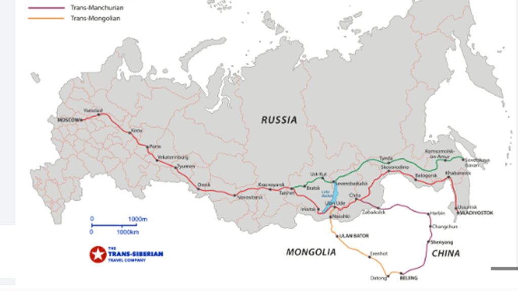
We are told that the first railway projects in Siberia began after the completion of the Saint Petersburg to Moscow Railway in 1851.
The Siberian line was divided into seven sections, and construction started in 1891, and we are told most of the line was simultaneously worked on by 62,000 workers.
This was labelled as an 1895 photo of convicts working on the railroad in East Siberia near Khabarovsk.

The financial support behind the railroad was leading European financier Baron Henri Hottinguer through his bank Hottinger & Cie, one of the first private banks, created by the Hottinguer family in Switzerland on August 1st of 1786.
Known today as the Hottinger Group, it is headquartered in the City of London, and is primarily-owned by the Geneva-based Edmond de Rothschild Group.

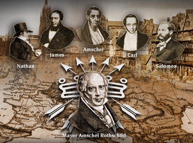
The Rothschild International Banking family dynasty was started by Mayer Amschel Rothschild in Frankurt in the 1760s, who established an international banking family through his five sons throughout major cities of Europe.
My next examples are from Pennsylvania in the United States.
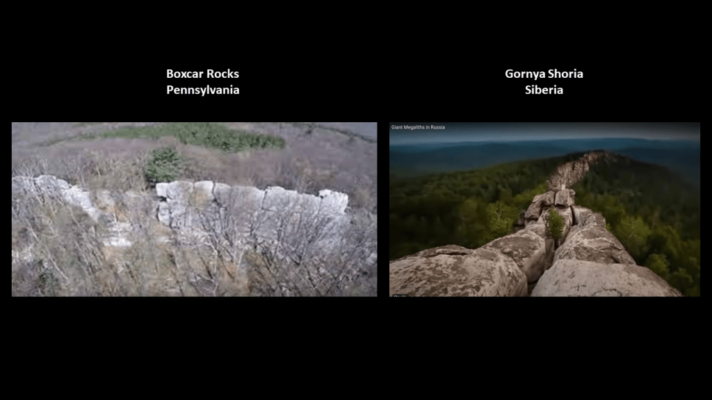
First, Boxcar Rocks in Lebanon County, Pennsylvania, are on the left, compared for similarity of appearance with Gornaya Shoria on the right.
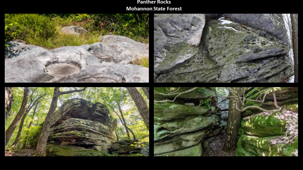
There are similar places nearby on Pennsylvania State Lands, like Panther Rocks and Bilger’s Rocks in the Moshannon State Forest near US Highway 219, which the previously-seen Beartown State Park further down in West Virginia is located on.
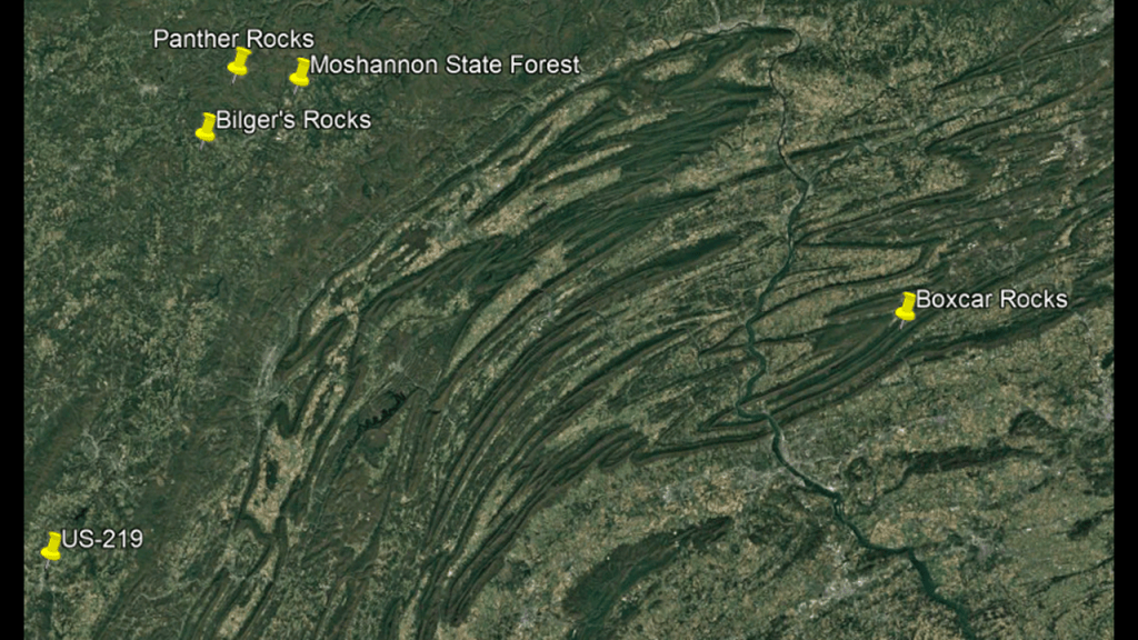
We are told the Moshannon State Forest was formed as a direct result of the depletion of the forests of Pennsylvania that happened in the mid-to-late 19th-century, when lumber and iron companies clear-cut the forests and sparks from passing steam-locomotives caused wildfires from the remnants of the forest-lands, preventing the growth of new forests.

The land that became Moshannon State Forest was purchased by Pennsylvania in 1898.
The old-growth forest was gone by 1921, with a second-growth forest replacing it since then.
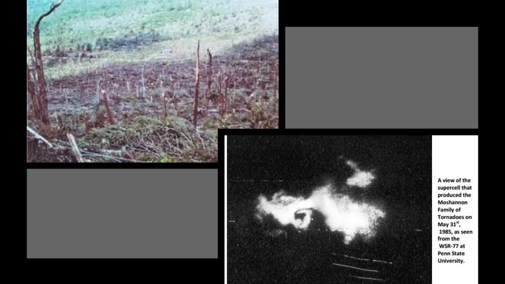
Interesting to note that a tornado in 1985 tore through the forest and destroyed an estimated 88,000 trees.
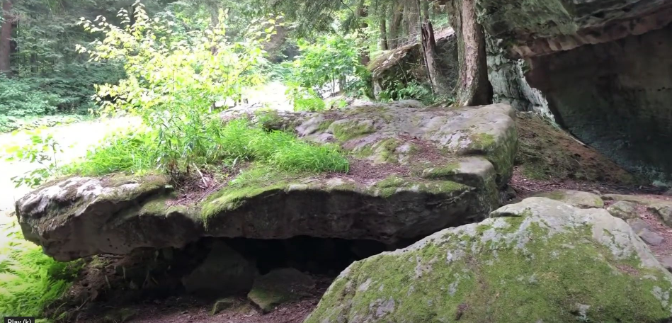
Panther Rocks at Moshannon State Forest are described as “a small rock city made of several large sandstone blocks, complete with streets, overhangs, channels, crevices and a short tunnel.”
They were said to have formed during the Pennsylvania Age of the Carboniferous period of the Paleozoic era more than 300-million-years ago in the Pottsville Group, a rocks formed by sediments deposited in streams and rivers.
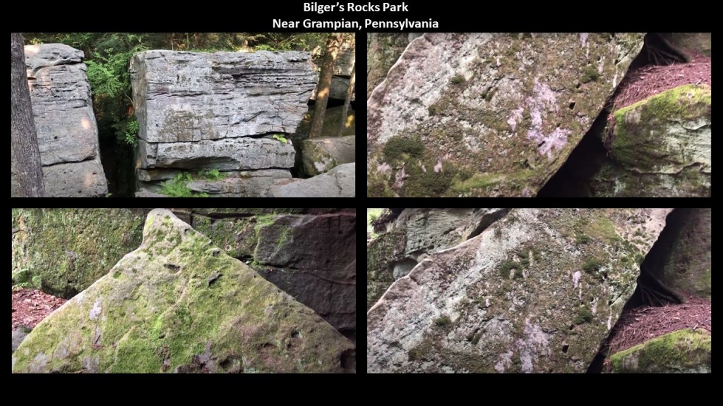
The nearby Bilger’s Rocks is described as a larger stone-city than what is found at Panther Rocks.
The creation of Bilger’s Rocks was also said to have taken place during the Pennsylvania Age of the Carboniferous period of the Paleozoic era more than 300-million-years ago, in the Homewood Formation of the Pottsville Group, a rock-unit formed by sediments deposited in streams and rivers.
Bilger’s Rocks has many examples of what appears to be toolmarks, and linear patterns that look like they were carved or molded.
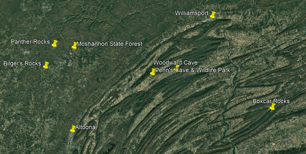
Williamsport is to the north and Altoona is to the south in locations between these rock formations in Moshannon State Forest to the West and Boxcar Rocks to the East.
Both of these places had significant rail infrastructure, including roundhouses.
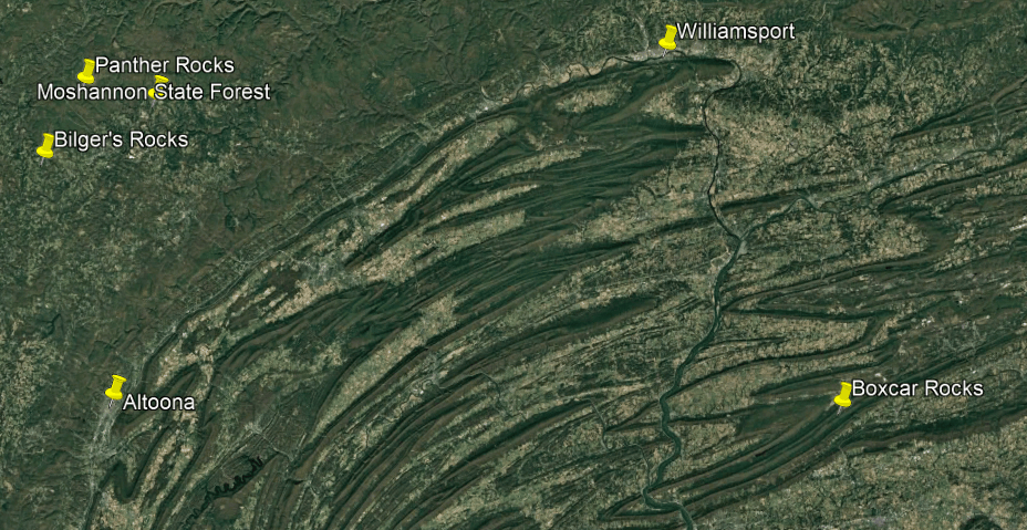
First Williamsport.
There was much logging going on from this region, so the “Susquehanna Boom” was said to have been built in the 1850s across the West Susquehanna River at Williamsport,.
It was a system of cribs and chained logs designed to catch and hold floating timber until it could be processed, and logging railroads transported the lumber, to the tune of 45-cars per day until logging ended here in 1911, when all the trees were gone.
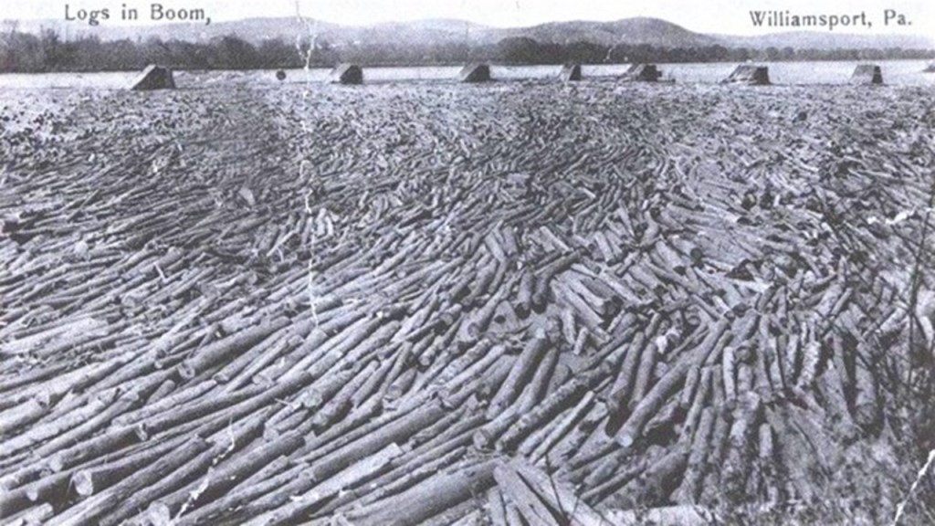
The lumbermen left a barren landscape that was devastated by fires, flooding and erosion many more years, until the CCC came in the 1930s and started replanting trees after Pennsylvania bought the deforested land from the Central Pennsylvania Lumber Company in 1930.
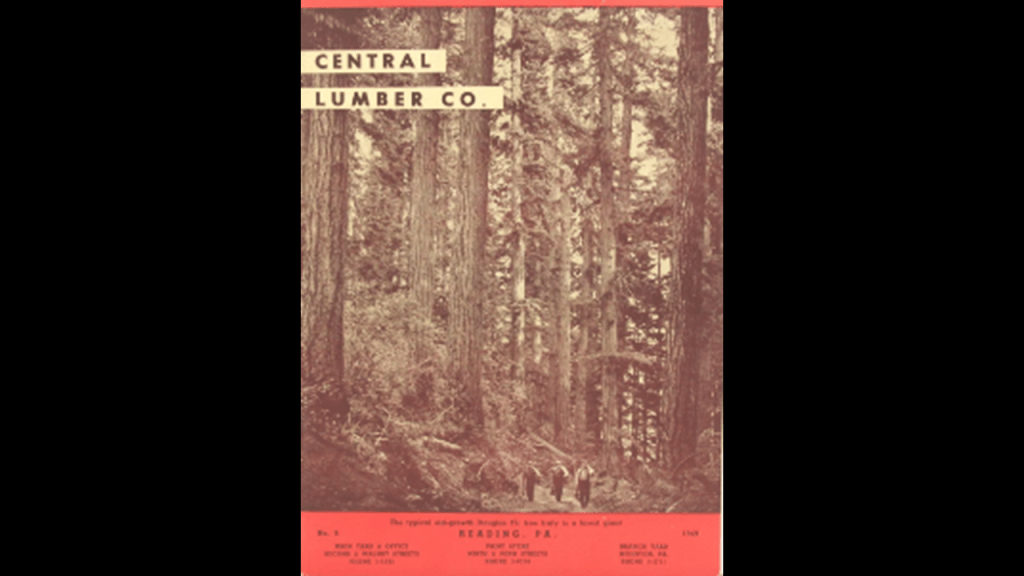
The Civilian Conservation Corps CCC operated from 1933 to 1942 in the U.S. for unemployed, unmarried men to do manual labor related to the conservation and development of natural resources in rural lands owned by federal, state, and local governments.
Originally for young men ages 18–25, it was eventually expanded to ages 17–28.
In the nine-years of its operation, the CCC employed 3,000,000 young men, providing them with food, shelter and clothing, and a wage of $30/month, $25 of which had to be sent home to their families.

I have long-believed that President Franklin Roosevelt’s New Deal work programs played a significant role in the historical reset and the cover-up of the ancient civilization.

New Deal Agencies like the CCC and WPA in particular were responsible for creating access and infrastructure for the park and recreation system around the country.
So when people go to these places, they think what they see was created by the CCC & WPA workers.

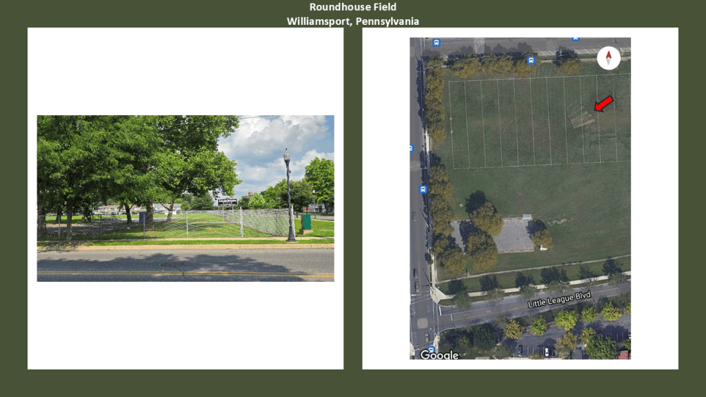
Back in Williamsport, its location on North-South and East-West railroad lines made it an important location for locomotive servicing, and there was said to be a roundhouse here at least as early as 1906 according to the information I was able to find on it, and there was not an exact date available to find on its demolition, though a range was suggested of sometime between 1957 and 1970.
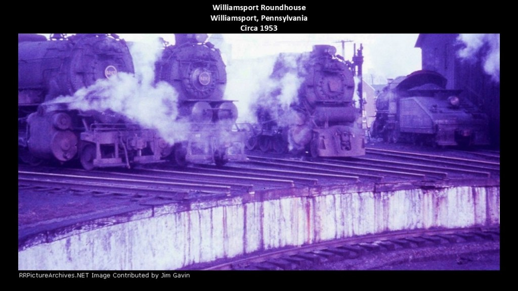
Today, Roundhouse Field,the former location of the Williamsport Roundhouse, is a large open, grassy sports field.
Woodward Cave and Penn’s Cave & Wildlife Park are almost directly in-between Williamsport to the northeast; Moshannon State Forest to the West; Altoona to the southwest; and Boxcar Rocks to the southeast.
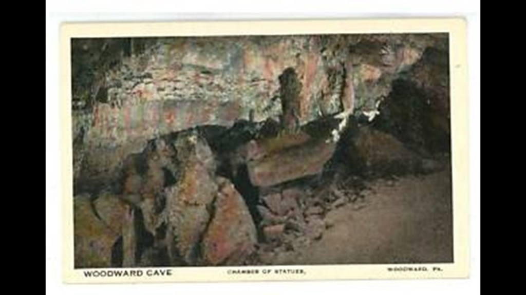
Woodward Cave is one of Pennsylvania’s largest and most notable caverns, with five spacious rooms, including the Chamber, or Hall, of Statues, which is 300-feet, or 91-meters, -long, and 50-feet, or 15-meters,-high.
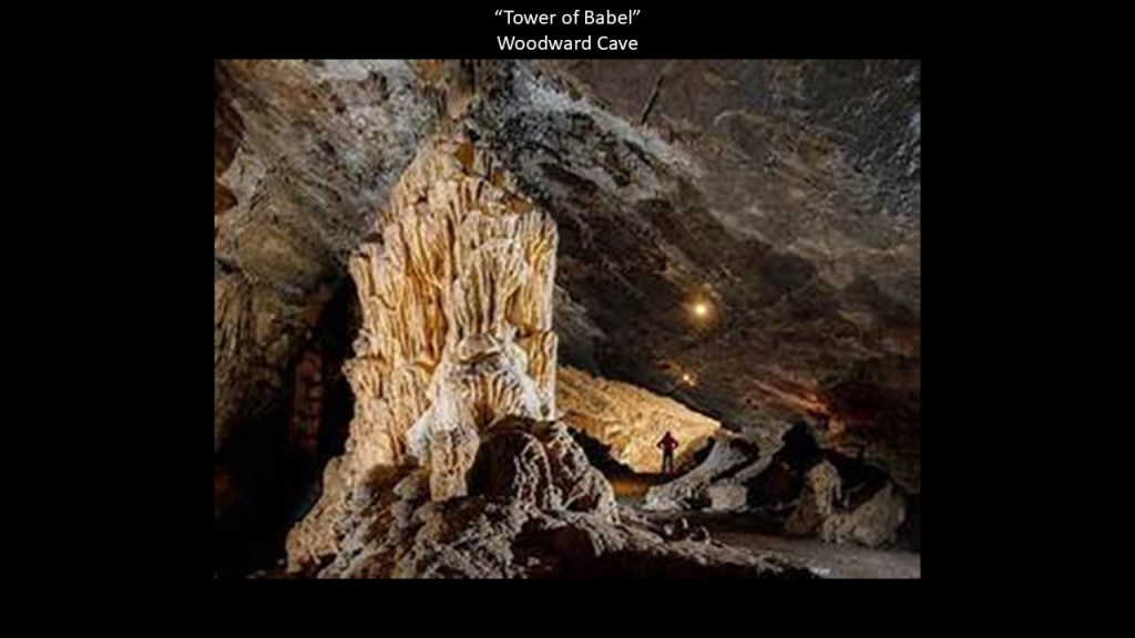
The “Tower of Babel” in Woodward Cave is a 14 foot, or 4-meter, -tall stalagmite that ranks as the tallest stalagmite in Pennsylvania.
Penn’s Cave and Wildlife Park are located not far from Woodward Cave, and both are in an area known as Penns Valley.
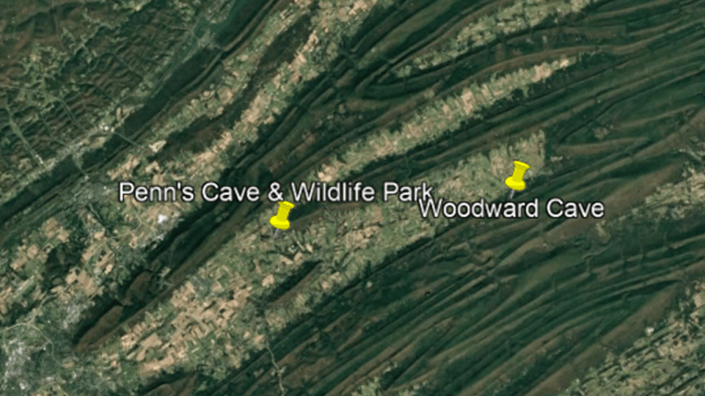
Penn’s Cave is America’s only all-water cavern where visitors travel through the underground limestone cavern’s passages by boat.
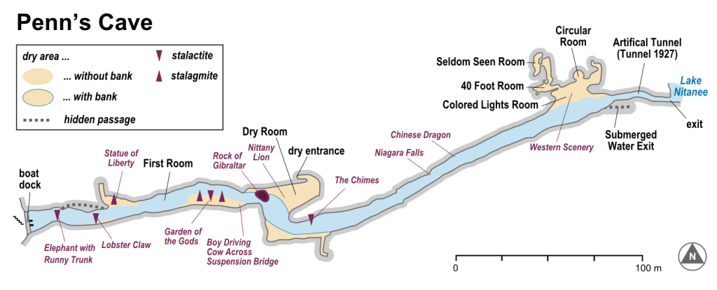
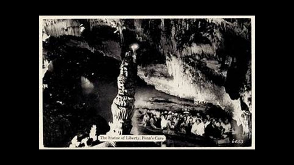
It has stone formations including, but not limited to, Statue of Liberty…
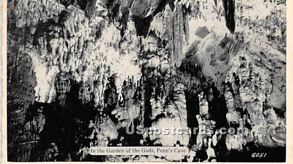
…and the Garden of the Gods.
These two cave systems are located just to the northeast of State College, where the main campus of Pennsylvania State University is located.
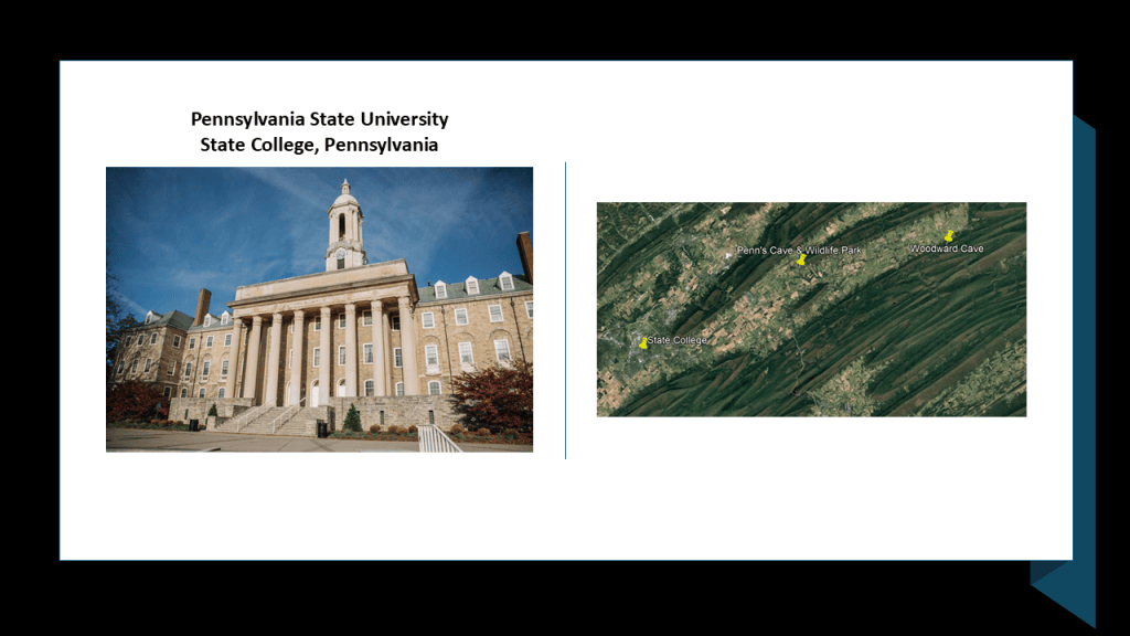
Penn State University has an underground tunnel system, though its origin seems mysterious for some reason.
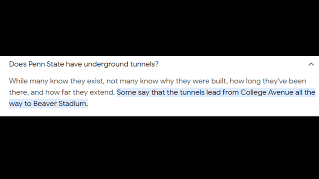
We are told the system of tunnels was built for maintenance purposes, and many of which are used today to generate steam to heat the Penn State sidewalks and keep them clear of snow in the wintertime, and other tunnels for other maintenance purposes.

State College and Penn State University lie at the foot of Mount Nittany.
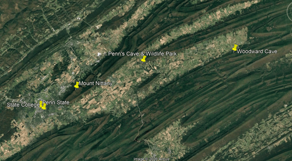
Mount Nittany was said to have gotten its name from the Algonquin word “Nit-a-Nee,” meaning “Single Mountain.”

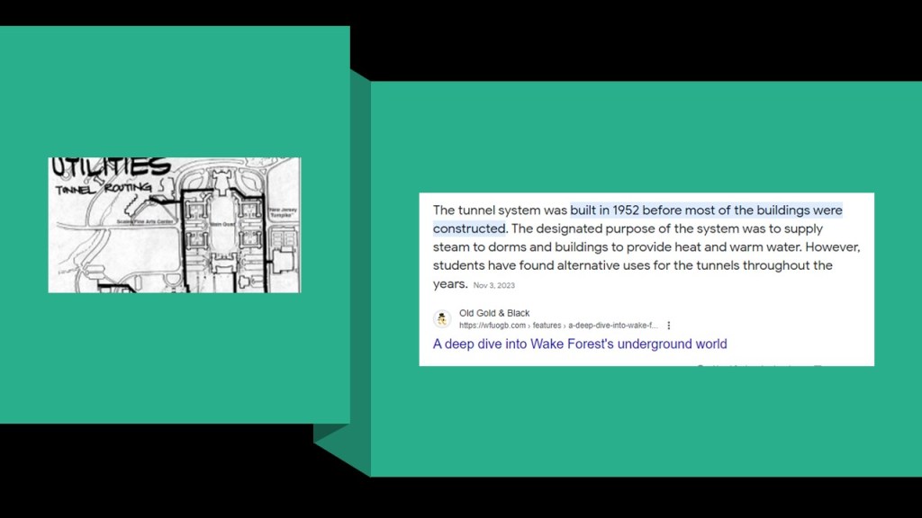
For the purposes of comparison for similarity, I found a different university with tunnels on a route near a single mountain.
In this photo of the Wake Forest University Campus, you can see the Wait Chapel building in a direct alignment with Pilot Mountain in the background.
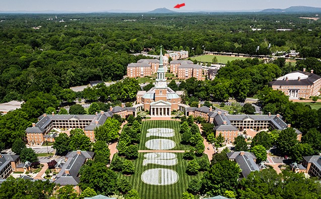
The tunnels at Wake Forest University were also said to have been built for heating and maintenance purposes. They have tours, but they are typically not open for public view.
Pilot Mountain, pictured here in alignment with the Wait Chapel on the Wake Forest campus, is described as one of the most distinctive natural features in the State of North Carolina, with two distinctive features, one named “Big Pinnacle,” and the other “Little Pinnacle.”
It is seen here centered on U. S. Highway 52.
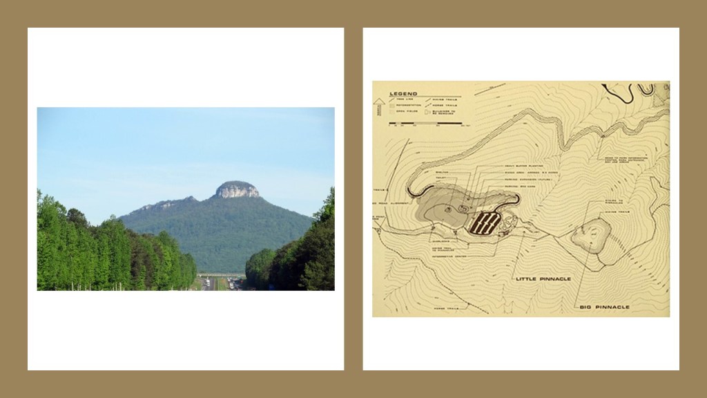
Pilot Mountain is described as a “Quartzite Monadnock.”
This translates to a “hard, metamorphic rock that was originally pure quartz sandstone that is an isolated rock hill, knob, ridge, or small mountain that rises abruptly from a gently sloping or virtually level surrounding plain.”
Here are some other examples of places classified as “Monadnocks.”
Besides Pilot Mountain on the top left, Harteigen in Norway is seen on the top right; Devil’s Tower in Wyoming on the bottom left; and Cooroora in Queensland on the bottom right, which is also described as a “volcanic plug.”
What if “Monadnock” and “volcanic plug” are words used to cover-up gigantic tree stumps?

So could the previosly-seen Mount Warning in New South Wales fall into this category as well?
These are just a few of countless examples.
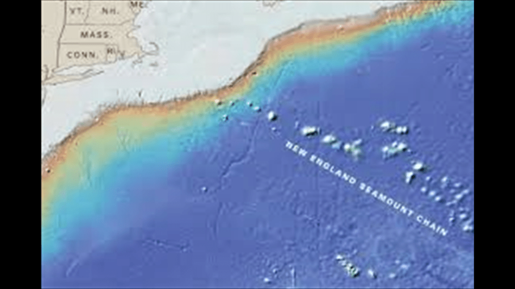
There are also places under the ocean around the world called “Seamounts.”
Like the New England Seamounts.
The New England Seamounts are described as a chain of twenty underwater extinct volcanic mountains known as “seamounts.”
Guyots are seamounts with a flat-surface on top that we are told was created by such things as wave action over a long period of time.
So, for example, the Bear Seamount, part of the New England Seamount chain close to Georges Bank, is an example of a “guyot.”
It is shown here next to Physalia Seamount.
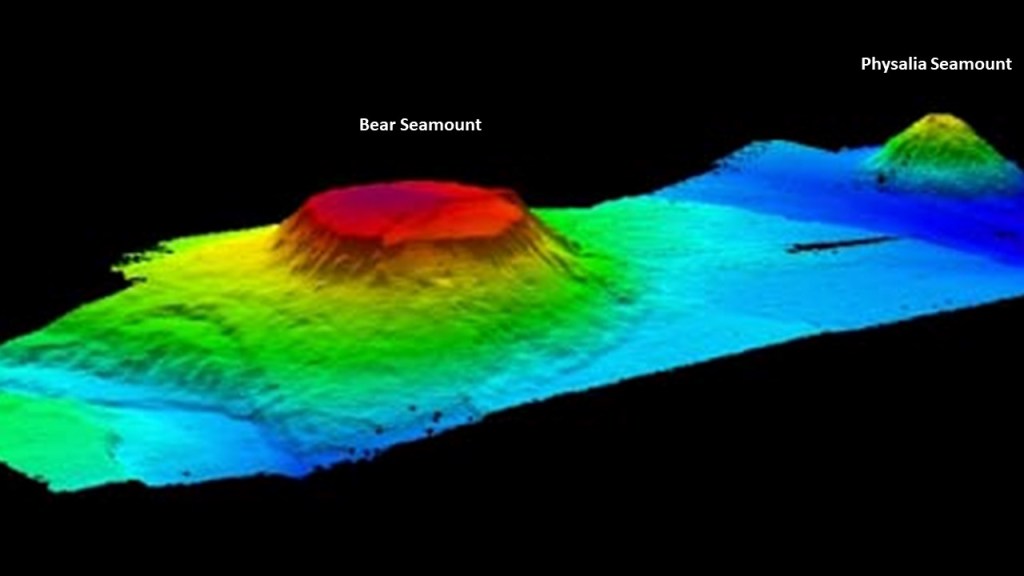
It is interesting to note that these seamounts, described as large, submarine landforms that rise abruptly from the ocean floor and independent features typically formed from extinct volcanoes sounds very similar to the definition of “Monadnocks,” which are found on land.
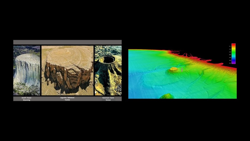
Here’s another comparison, with the Devil’s Tower from another angle on the left; the Jugurtha Tableland in Tunisia in the middle; and the Hammam Damt volcano in Yemen looking very tree-stumpish!
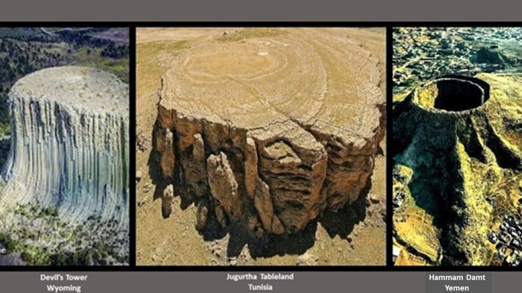
Now compare these three tree-stump-looking land-features with the Bear Seamount under the ocean on the right.
There are two seamount chains located off the east coast of Australia.
The western one is the Tasmanid Seamount Chain.and the eastern one is called the Lord Howe Seamount Chain .
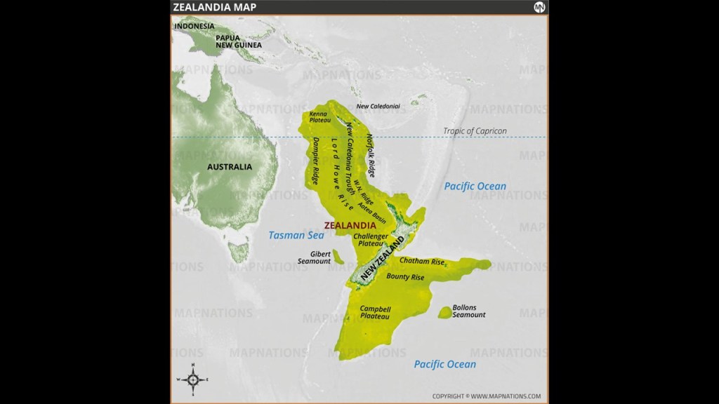
They are parallel to each other in the Tasman Basin in a north-south direction through parts of the Coral Sea and Tasman Sea, and part of “Zealandia.”
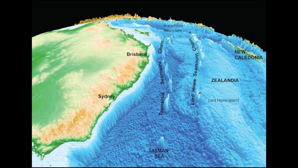
“Zealandia” was the name given to an almost entirely submerged mass of continental crust that we are told subsided after breaking away from Gondwana 83 – 79-million years ago.
We are told that today, New Zealand and New Caledonia are the largest portions of “Zealandia” above sea-level.
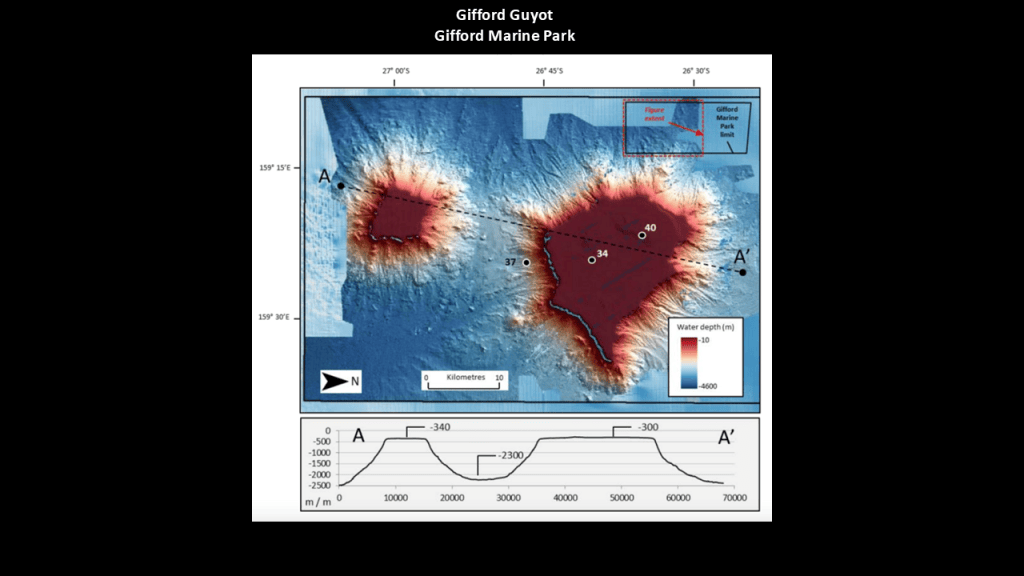
So, for a few examples of several, the Lord Howe Seamount Chain includes:
The Gifford Guyot, which is described as a pair of coral-capped guyots located in the Gifford Marine Park, 435-miles, or 700-kilometers, east of Brisbane…
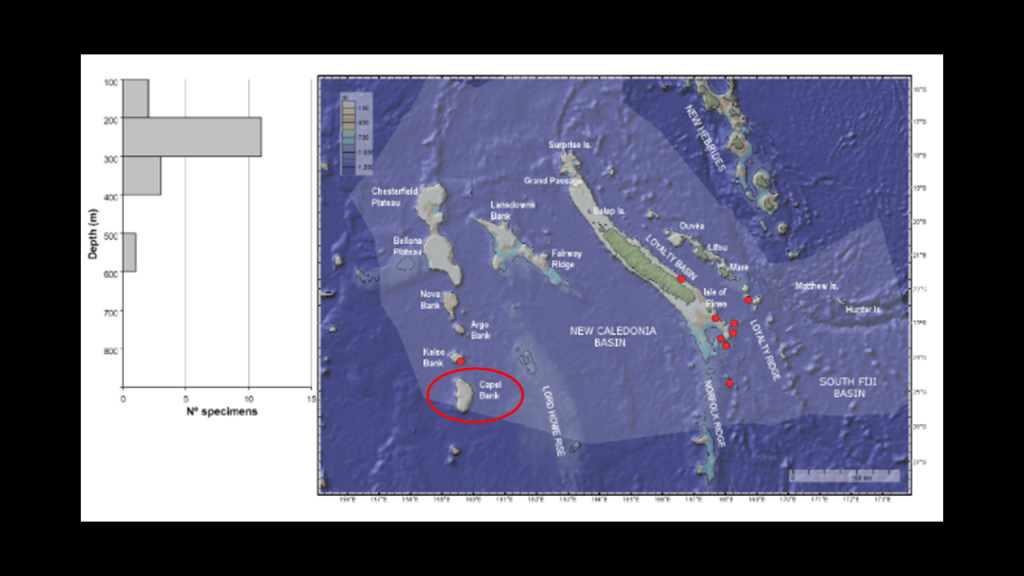
…the Capel Bank, a guyot in the Coral Sea…
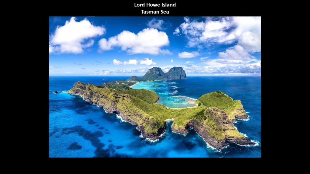
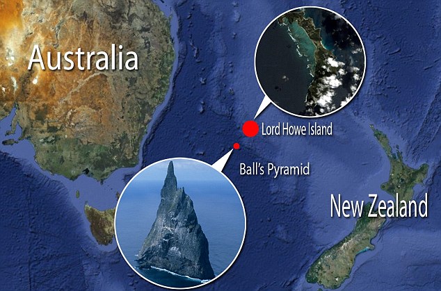
…Lord Howe Island, described as an irregularly crescent-shaped volcanic remnant in the Tasman Sea, and is part of New South Wales with a small permanent population of about 400 people…
…and Ball’s Pyramid, an unhabited islet whose discovery was attributed to Royal Navy Lieutenant Henry Lidgbird Ball in 1788, who also discovered its nearest landmass Lord Howe Island at the same time.
It is described as the steep, rocky basalt outcrop that is the eroded plug of a shield volcano and caldera that formed 6.4-million years ago.
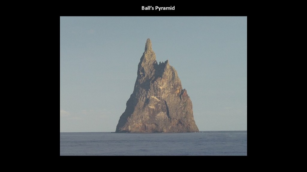
Both are part of Australia’s Lord Howe Island Marine Park.
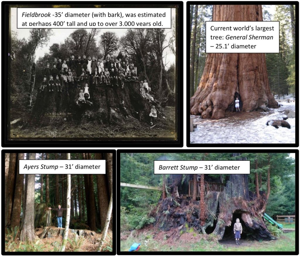
Here are some examples of giant trees and stumps that are identified as such.
This is a view of Earth from space of the southern Appalachians on the left, in comparison with what an extensive tree root system looks like on the right.

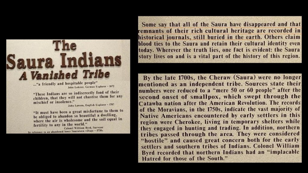
Back in North Carolina, Pilot Mountain State Park is on the western end of what are called the “Sauratown Mountains,” named after the Saura, or Cheraw People, the Siouan-speaking indigenous people who lived here before the arrival of Europeans.
They are described as an isolated mountain range, sometimes called “the mountains away from the mountains.”

When I was looking up information about the Saura people, I found historical records mentioning a vanished tribe, and “remnants of their rich cultural heritage recorded in historical journals, still buried in the earth.”
I will come back to this finding later in this post.
Next I am going to take a look at Altoona, which is south of Moshannon State Forest and Boxcar Rocks, and located near the previously-seen US Highway Route 219 where Beartown State Park, the Lost World Caverns and Organ Cave arelocated in West Virginia.
Altoona was said to have been established by the Pennsylvania Railroad in 1849.
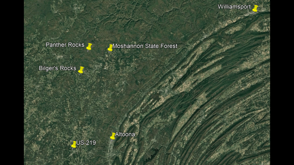
Altoona is famous for its “Horseshoe Curve.”
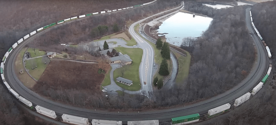
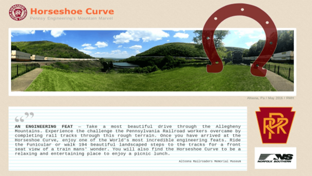
The “Horseshoe Curve” is a three-track railroad curve that is described as one of the world’s most incredible engineering feats, and was accomplished by the Pennsylvania Railroad in 1854 as a way to reduce the westbound grade to the summit of the Allegheny Mountains.
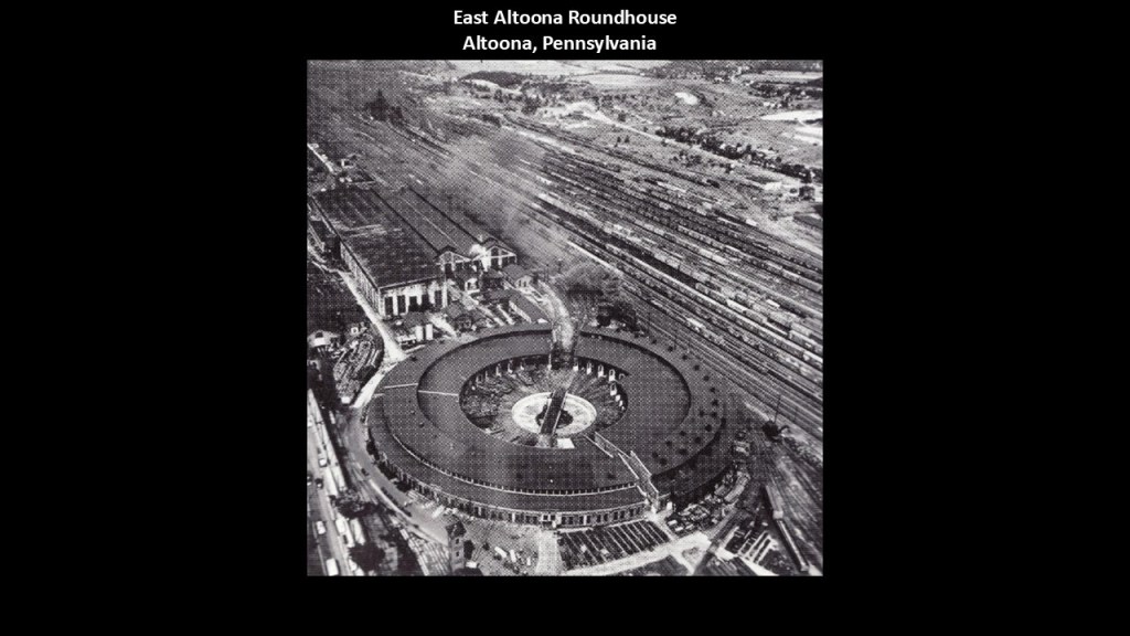
Like the Horseshoe Curve, the historic East Altoona Roundhouse was part of the extraordinary railroad infrastructure in and around Altoona, which became one of America’s most important railroad towns during the Age of Steam Locomotives.
The railroad facilities here were central to the Pennsylvania Railroad’s operations across the Allegheny Mountains.
We are told the 52-stall roundhouse in East Altoona was completed and entered service in 1904.
The roundhouse was demolished in stages in the 1960s as operations changed, with what was left of the roundhouse demolished in 1968.
The “Lincoln Caverns & Whisper Rocks” are in Huntington and the Tytoona Cave in Tyrone are near Altoona and US Highway Route 219.
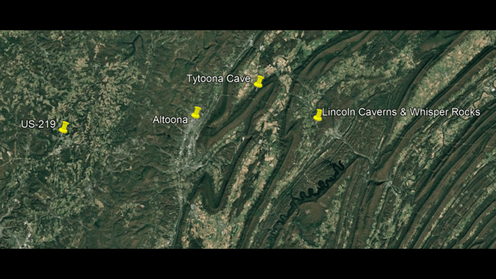
First, this is what we are told about the location known as “Lincoln Caverns & Whisper Rocks.”
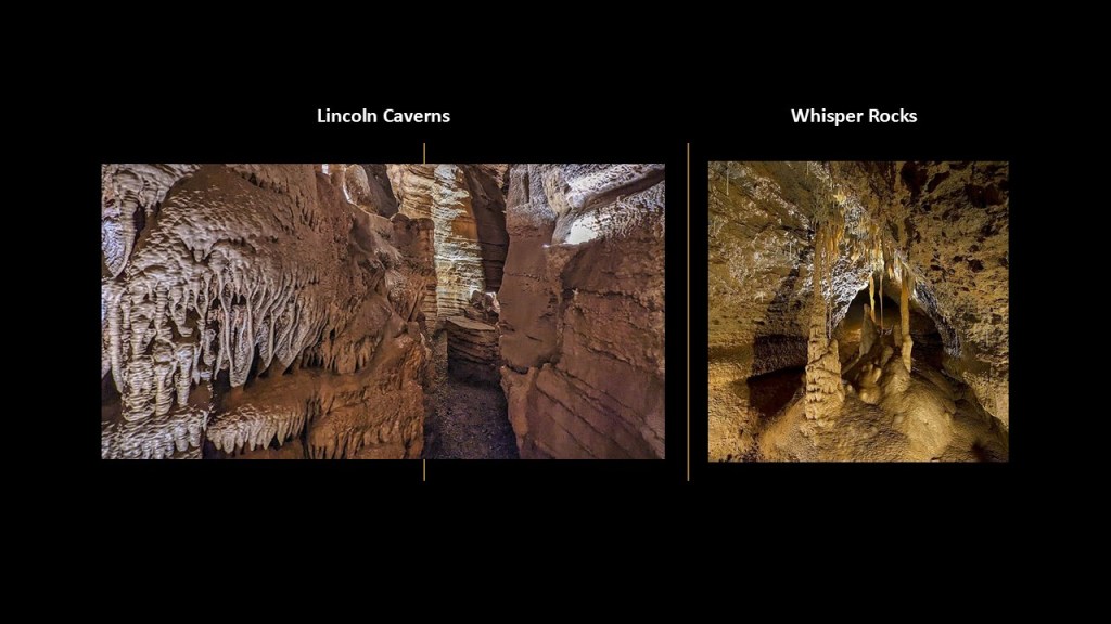
What became “Lincoln Caverns” was first discovered in 1930 during the construction of US Highway Route 22, and opened to the public in 1931 by the family who owned the land they were discovered on.
After the first season, the family put the caverns up for sale, and they were purchased by Myron Dunlavy, Sr, of Buffalo, New York, a manager for the New York Telephone Company, who was also interested in entertainment like Vaudeville, who owned a theater and operated an amusement park as well.
He was also interested in caves, and posted a classified real estate ads looking for “caverns,” and it was he who acquired what became the “Lincoln Caverns”
In 1941, his son discovered “Whisper Rocks,” a second cavern in the area.
The Dunlavy family still owns and operates the caverns today.
The Tytoona Cave is located in what is called the “Sinking Valley” of Blair County in-between Tyrone and Altoona.
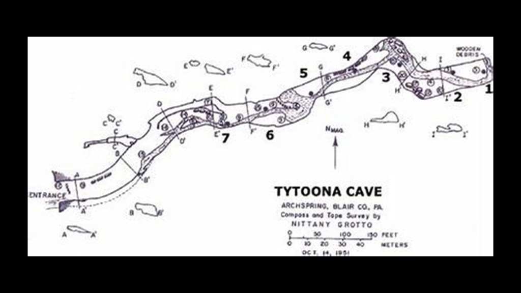
Tytoona Cave is described as a natural limestone cave.
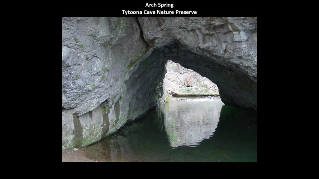
While it has never been successfully-developed as a tourist attraction, its undergound passages can still be accessed for exploration by cavers with a permit and liability waiver from the National Speleological Society who manages the Tytoona Cave Nature Preserve.
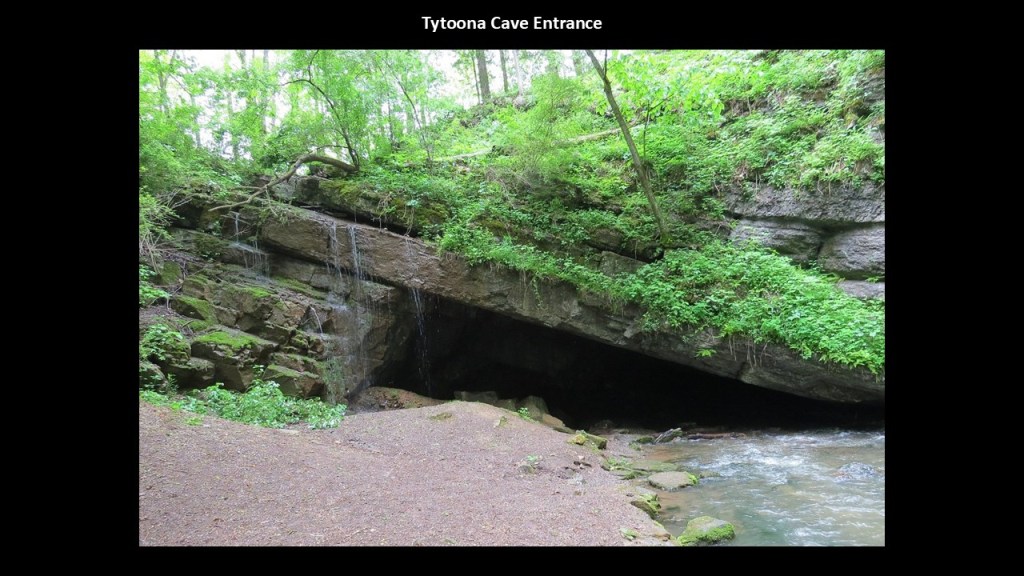
The water that enters the cave tunnel travels underground and reappears at the nearby landmark known as “Arch Spring.”
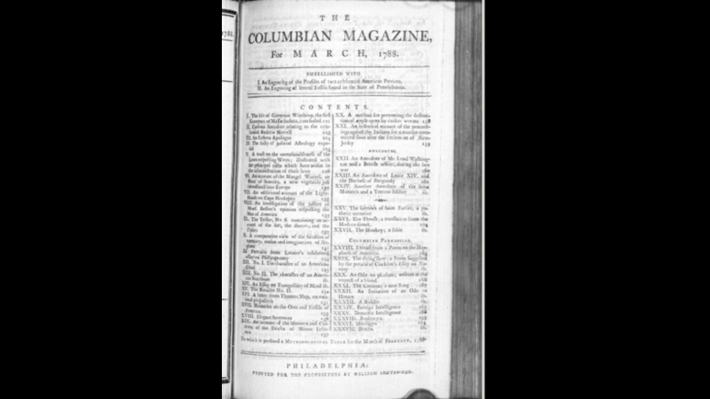
The first published account of the Sinking Valley area was published in 1788 in the “Columbian Magazine” by William Spotswood.
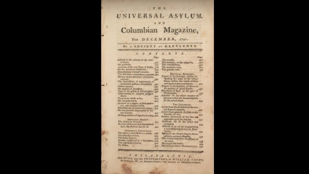
The “Columbian Magazine” was an important early magazine published in Philadelphia between 1786 and 1792.
In 1790, its name was changed to “The Universal Asylum and Columbian Magazine.”
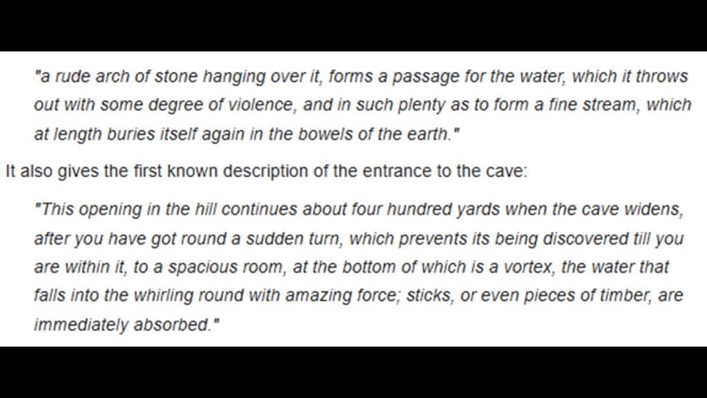
The 1788 “Columbian Magazine” article about Sinking Valley gives a description of the entrance and the end of the Tytoona system at Arch Spring.
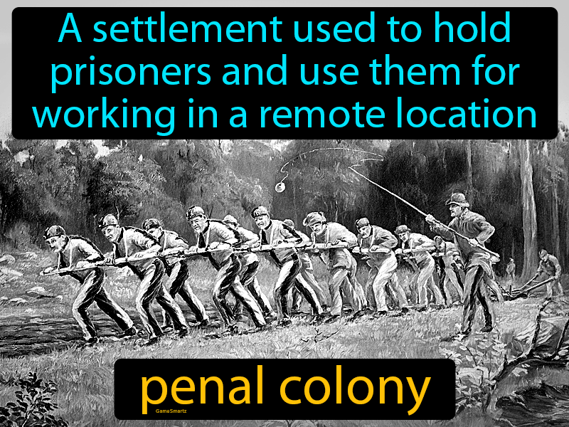
Interesting to note that in our historical narrative, 1788 was that same year as previously-mentioned that Lieutenant Ball “discovered” Ball’s Pyramid and Lord Howe Island, and it was the same year the “First Fleet of Convicts” arrived in Botany Bay in New South Wales in January of that year, and Sydney was founded as a Penal Colony and the first European settlement in Australia.
So, what were they going to do with all these convicts?
Did they just ship them out to get them out of British society, or did they have some specific purposes in mind when they brought them here?
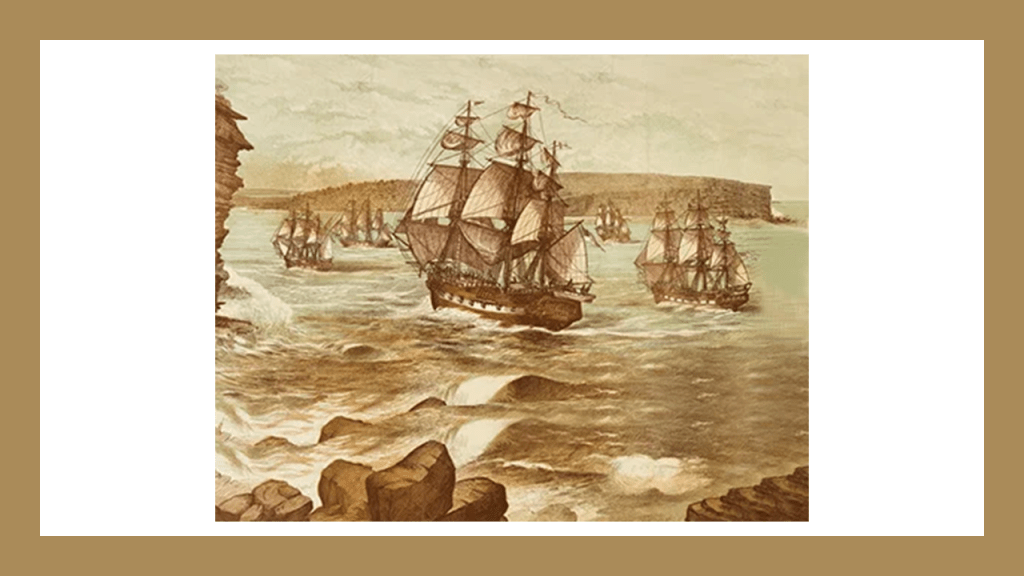
Arthur Phillip was the leader of the “First Fleet” of eleven ships consisting of two Royal Navy vessels, three store ships, and six convict transports, that brought the first colonists and convicts to Australia to Botany Bay
Australia was formally proclaimed a British Colony by now-Governor Arthur Phillip on February 7th of 1788.
Governor Phillip was formally vested with complete control over the inhabitants of the Colony, and the British basically moved in and started the process of taking over absolutely everything, from land to credit for the infrastructure they found there.
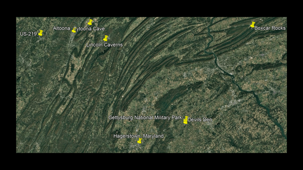
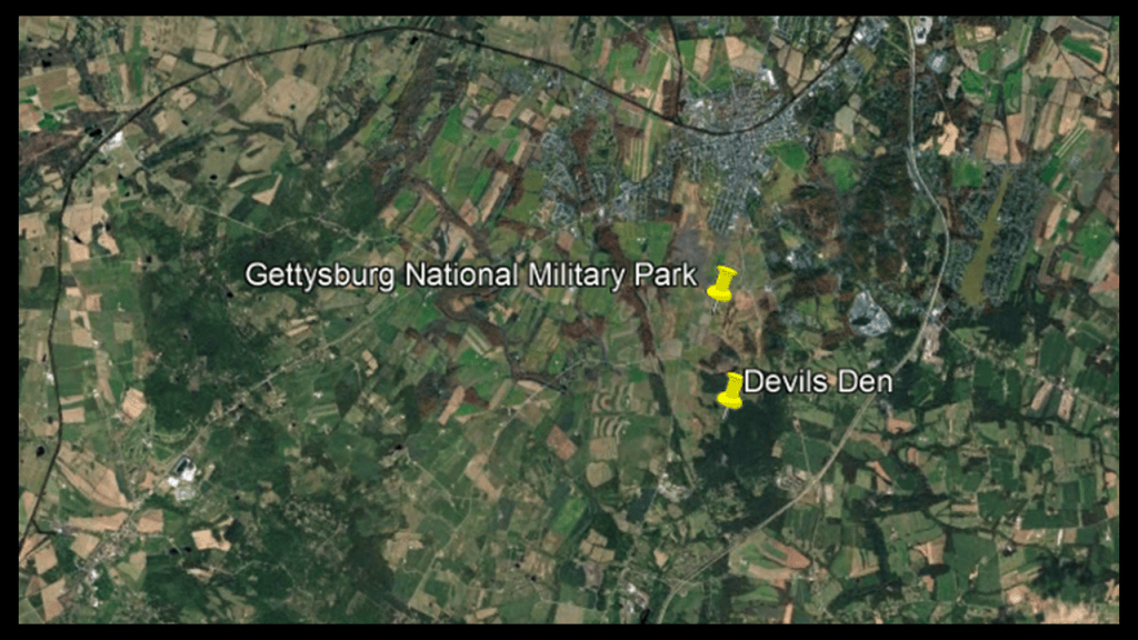
Next, the Gettysburg National Military Park and Devils Den in Gettysburg, Pennsylvania, are to the southeast of Altoona and to the northeast of Hagerstown, Maryland.
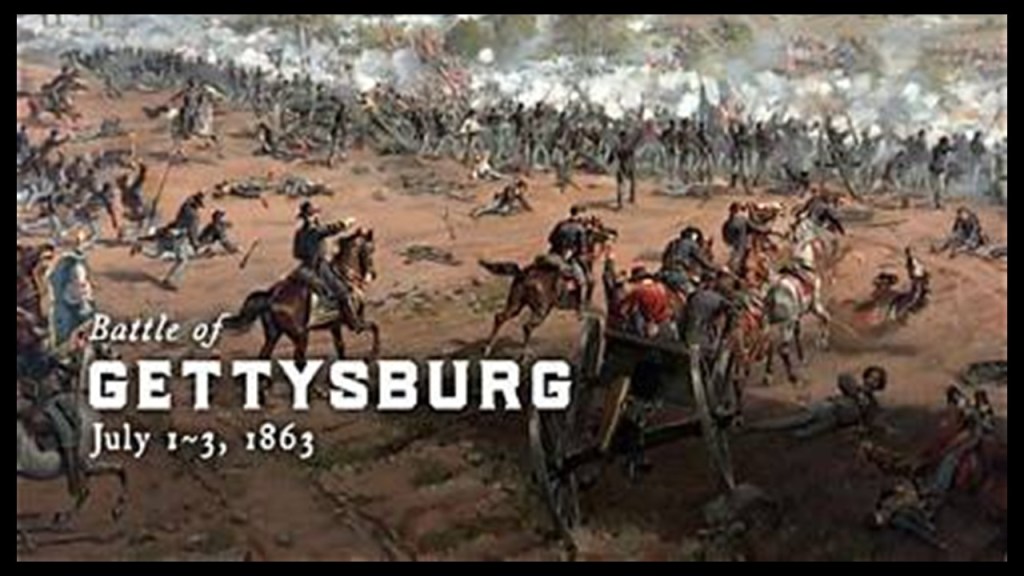
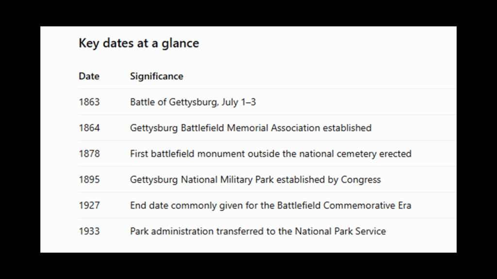
First, the Battle of Gettysburg was fought between July 1st and July 3rd of 1863 and was a pivotal conflict in the American Civil War in our historical narrative, and the bloodiest battle of the Civil War, claiming over 50,000 combined casualties in the three-days it took place.
This Union Victory was considered the turning point of the war due to its significant impact on the momentum of the Confederacy.
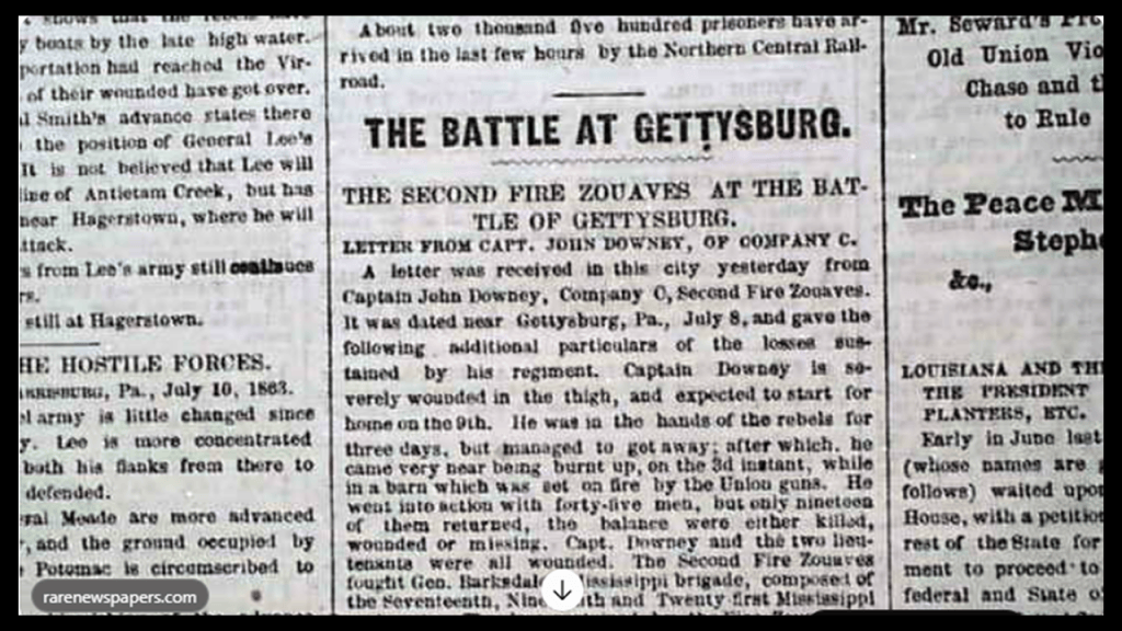
The Battle of Gettysburg received newspaper coverage as it was taking place, and newspaper articles are considered among the most fascinating primary sources for understanding the American Civil War, though it is important to note that we are told newspaper articles published during the battle often reported incomplete, confused, or inaccurate information as editors depended on telegraph messages, military dispatches, correspondents, eyewitnesses, and reports carried by railroad and horseback.
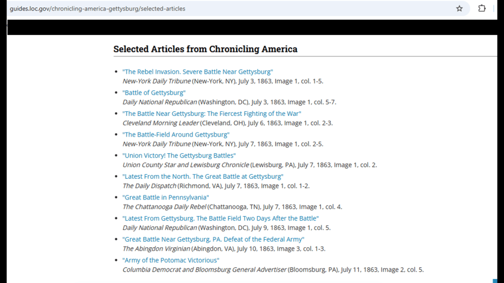
The Library of Congress has assembled a collection of contemporary newspaper coverage during the Battle of Gettysburg.
I am suggesting, and believe, that this was one of the many ways our collective views were shaped about the Civil War, and history in general, in fabricating the new narrative and covering-up the untold story of the original civilization right in front of our eyes.
Devil’s Den is located on the south-end of Houck’s Ridge at the Gettysburg National Battlefield.
The boulder-strewn hill was said to have been used by artillery and sharpshooters on the second-day of the Battle of Gettysburg.
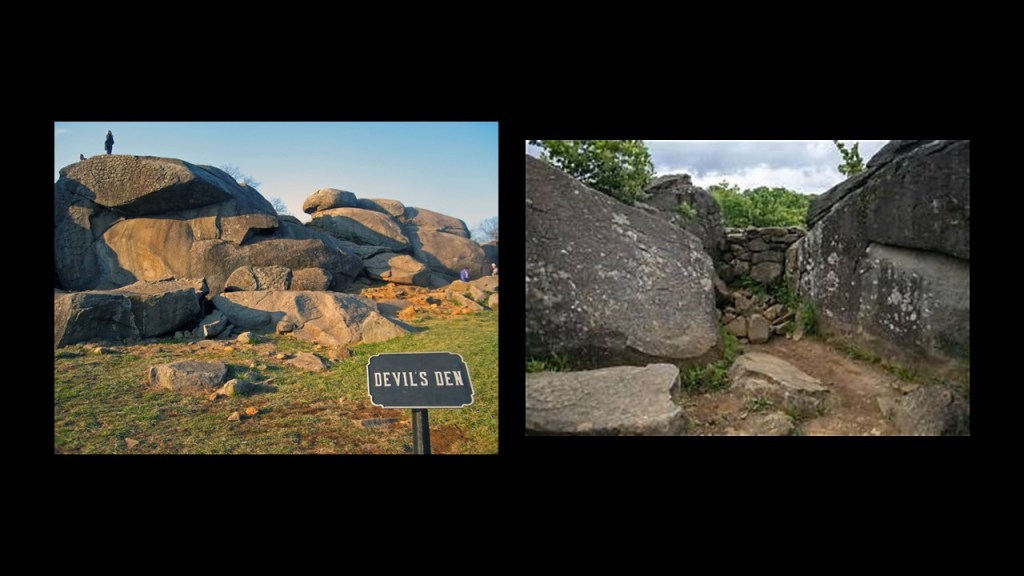
Devil’s Den was said to have been formed with Little Round Top to the East and Big Round Top to the southeast – two other major battle locations in Gettysburg – that were formed 200-million years ago.
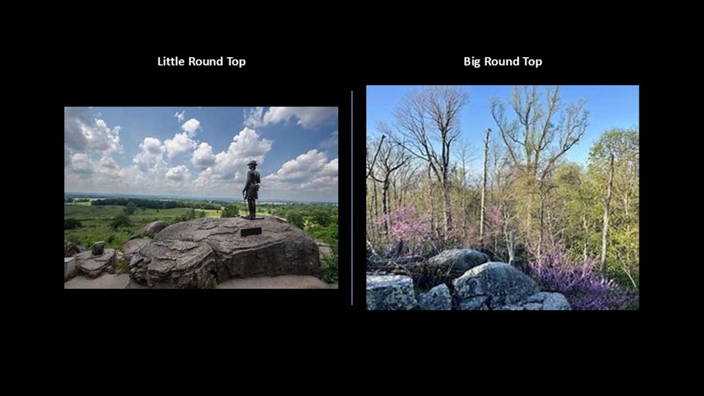
The Round Top Branch was an extension of the Gettysburg and Harrisburg Railroad from the Gettysburg Borough across the Gettysburg Battlefield to Round Top, Pennsylvania, near Little Round Top.
The branch ran southward from the terminus of the railroad’s main line at Hanover Junction, across the field of Pickett’s Charge, south of Cemetery Ridge, through Round Top to a point between Little Round Top’s east base and Taneytown Road.
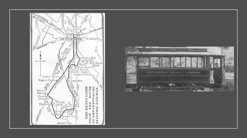
The Gettysburg Electric Railway ran between Little Round Top and Devil’s Den.
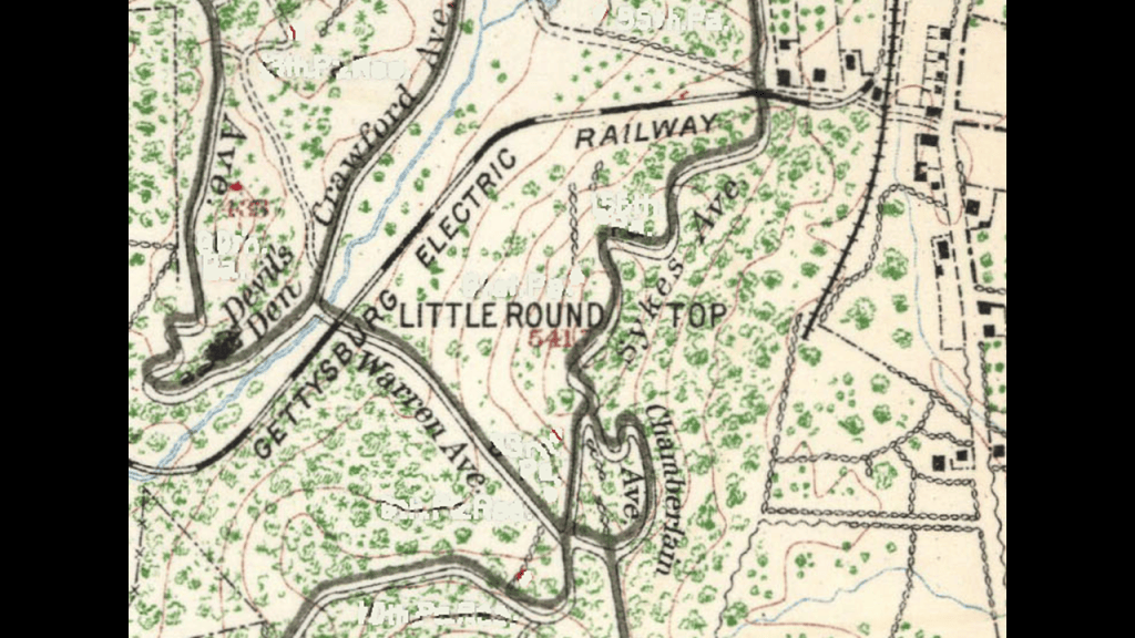
The Round Top Branch was said to transport battlefield tourists, as well as stone monoliths and monuments during the Gettysburg’s Memorial Association and Commemorative Eras between 1864 and 1927.
The Round Top Branch was abandoned in 1942, and the rails were removed.
The Gettysburg Electric Railway was a privately-operated trolley that carried tourists from town to the historic Civil War Battlefield between 1893 to 1916, which was during World War I.
Its purpose was said to make battlefield attractions easier for visitors to reach from town, so an electric trolley was constructed for tourists to access locations associated with the fighting, monuments, and recreational attractions.
We are told the last trolley car ran in 1916 because the railway had become obsolete with both disrepair and the increasing tourist use of automobiles and improved roads through the park.
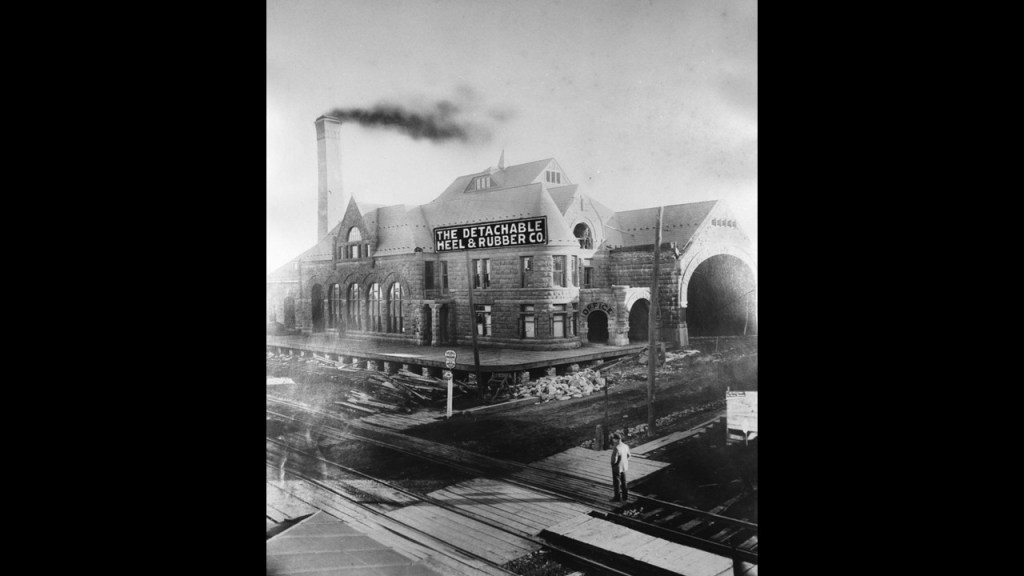
The trolley barn for the Gettysburg Electric Railway was said to have been built in 1894, and also housed the local power plant.
After the trolley service ended in 1916, its use was converted to the “Detachable Heel & Rubber Company” in 1920, and the building was razed to the ground in 1965.
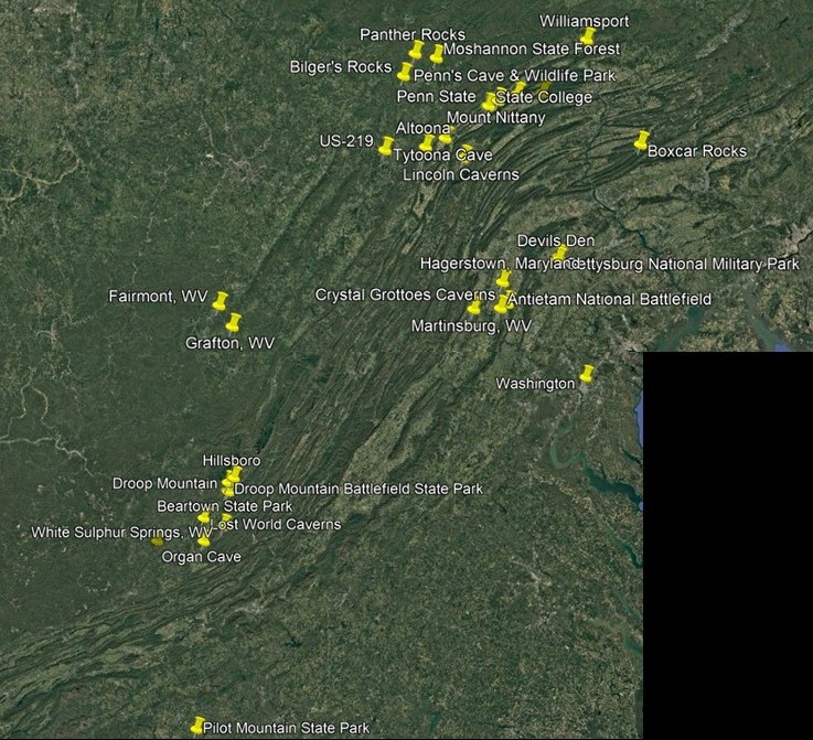
Before I leave the area I have been looking at so far, I want to share what it looks like regarding geographic-proximity, with all the railroad infrastructure, including roundhouses, and civil war and cavern/cave connections.
I am going to share some thoughts starting at Black Moshannon State Park in the Moshannon State Forest near State College, Pennsylvania.
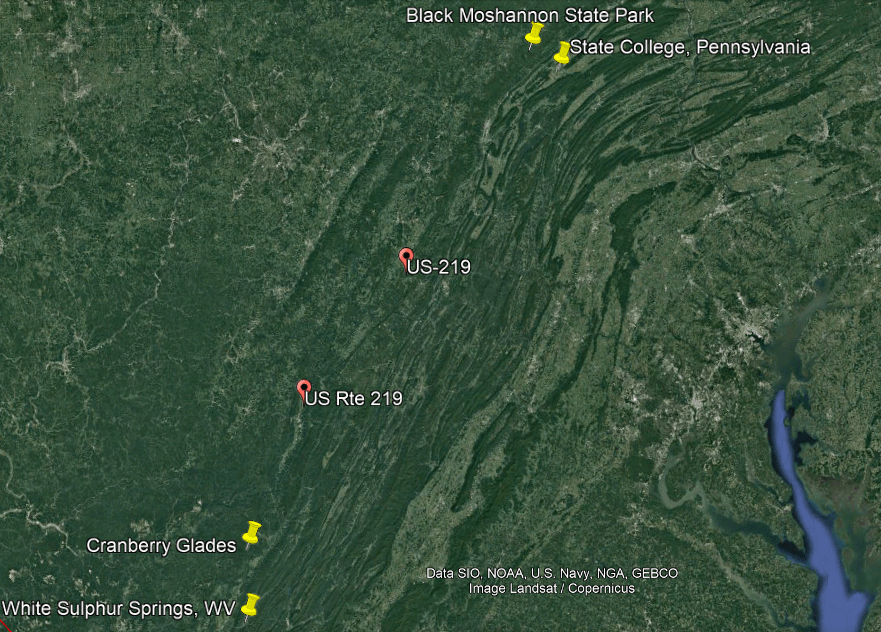
Black Moshannon State Park is the home to the largest reconstituted bog in Pennsylvania, a wetland that accumulates peat as a deposit of dead plant materials, which contains carnivorous plants, orchids, and species typically found further north.
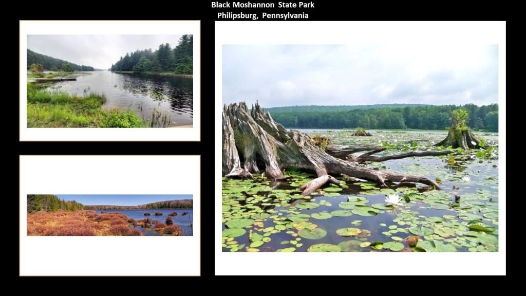
Cranberry Glades, protected in the “Cranberry Glades Botanical Area” area, are a cluster of five, separate boreal-type bogs in Hillsboro, West Virginia, near Beartown State Park and Droop Mountain, and like Black Moshannon State Park, species are found at both these locations that are typically further north.
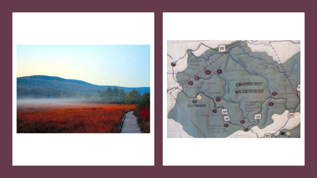
That both of these boglands have species typically found further north may signify some kind of North-to-South movement of land, through this geographic region in the Appalachian Mountains.
Here is a comparison of the intriguing appearance of the landscape here as seen from Google Earth on the left, compared with photos of mud flows on the right.
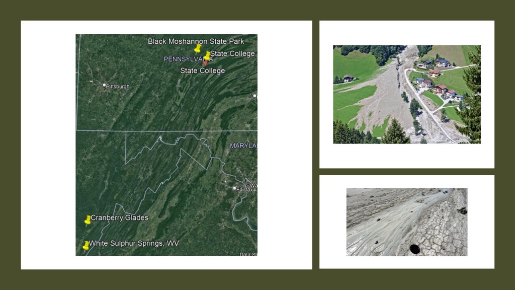
US Highway Route 219 upon which both of these places are located was said to follow what was known as the “Seneca Trail,” a network of trails of “unknown age” used by indigenous Americans for commerce, trading and communication.
The “Seneca Trail” ran through the Appalachian Valley from what was to become Upper New York State, and went well into Alabama, though they are described to us in our historical narrative strictly as “footpaths.”
What we are told is that by the time the land was settled by Europeans starting in the 18th-century, it was largely abandoned by its previous inhabitants.
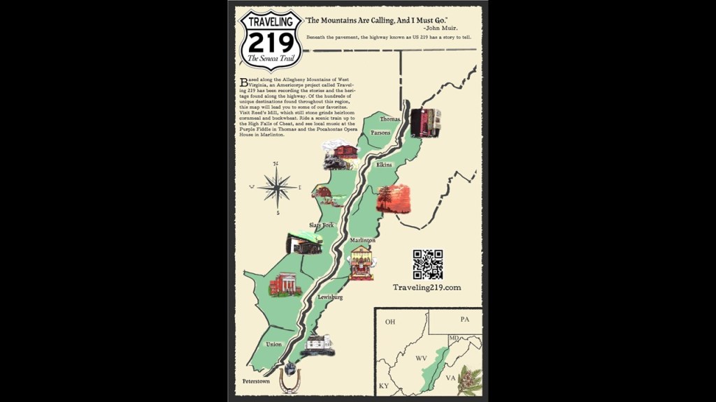
At this point in my research over the years, I think it is highly likely that ancient giant trees and the root system emanating from them were an integral part of the Earth’s energy grid and leyline system.
The original rail-lines and canals would have been providing power for the free-energy system, and the original architecture and infrastructure would have provided the antiquitech to process and utilize the free energy throughout the worldwide system.
The Earth’s original free-energy grid system was based on exact and precise geometric alignments of cities and places.
The Controllers have worked very hard not only to remove gigantic trees from our awareness, but they have also removed the Earth’s grid system from our collective awareness.
I believe that nowadays, the giant tree “roots,” are highway “routes” and recreational trails, which has more to do with human energy being harvested from their use instead of infrastructure creating free-energy for the system to use for the benefit of all life everywhere.

Some other things Black Moshannon and Cranberry Glades have in common are as follows:
Both locations have s-shaped river bends and airports nearby, with the name of the parks notated by an oval; the airports by a box; and the river bends are pointed at by arrows.
I consistently find a history all over the world of these patterns of railroads running in parallel to S-shaped riverbends, and other transportation infrastructure in this configuration.
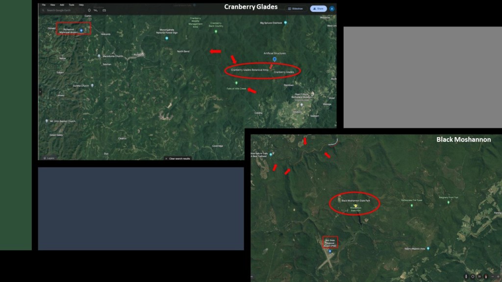
Both are near Rails-to-Trails locations.
The Snowshoe Rail-to-Trails near Moshannon Creek has 19-miles, or 31-kilometers, of abandoned railroad bed along 37-miles, or 60-kilometers, of legalized Snowshoe Township Roads for ATVS/UTVs.
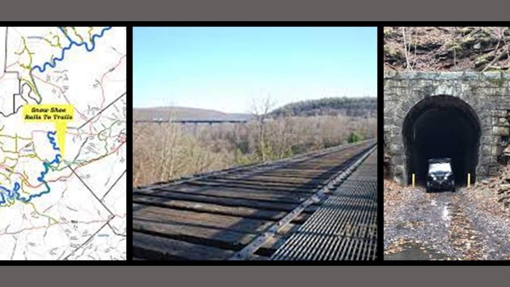
One of the rails-to-trails near Cranberry Glades is the “North Bend Rail Trail,” a 72-mile, or 116-kilometer, – long hiking corridor running between the North Bend State Park in Cairo, West Virginia, and Ellenboro, West Virginia.
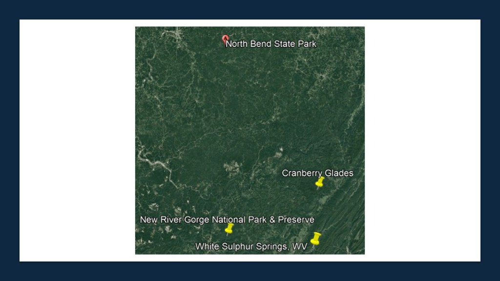
What is now the North Bend Trail was at one time one of the most distinguished railroad lines in United States History.
Said to have been constructed between Grafton, West Virginia, and Parkersburg, West Virginia, by the Northwestern Virginia Railroad between 1851 and 1857, at which time it was sold to the Baltimore & Ohio Railroad and became known as the “B & O Parkersburg Branch.”
During its prime, it hosted the B & O Railroad’s premiere passenger train, the National Limited, between New York City and St. Louis, Missouri.
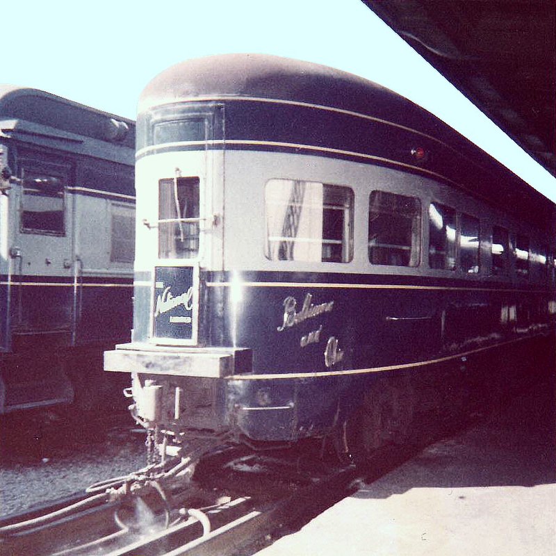
Eventually the rail-line that was part of the North Bend Rail Trail became freight-only, and the line was abandoned and dismantled in 1988.
The trail was completed between 1991 and 1996, and has beautiful, red-brick tunnels along the way.
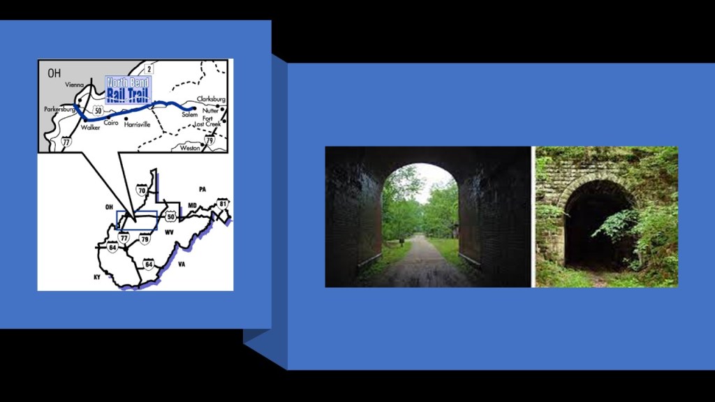
Here’s what I think happened.
Prior to this deliberately-caused cataclysmic event, all of the infrastructure on the Earth was a perfectly-tuned and resonant scientific and musical instrument.
All of it worked together in harmony and balance to produce free energy and abundance for all life everywhere – all the cathedrals, rail-lines, bridges, star forts, lighthouses, organs, bell-towers, and much more.
I think the energy grid was targeted by a directed frequency or energy, and this powerful, perfectly-tuned electromagnetic grid system self-destructed around the key infrastructure across the face of the Earth, causing massive upheaval, liquefaction and subsidence, mud flood and melting, caverns and caves, land dunes and sand dunes, lakes, seas, and oceans, and much, much more, creating the world we see today, and I believe that cataclysmic event happened relatively recently and the original civilization was wiped off the surface of the Earth and from our collectively memory, and a “New World” was ushered-in and built from the ruins of the “Old World.”

Next, I am going to look at Titusville, Oil Creek State Park, and West Hickory, which are located in Pennsylvania to the northwest of Moshannon State Forest, Panther Rocks, Bilger’s Rocks, and Black Moshannon State Park.
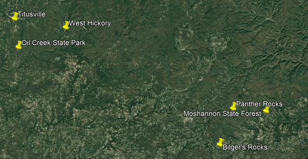
The petroleum industry in the United States began in earnest in 1859 when Edwin Drake found oil on a piece of leased-land near Titusville, in what is now called Oil Creek State Park.
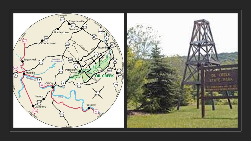
Five years earlier, in 1854, Samuel Kier established America’s first oil refinery for making lamp oil in Pittsburgh.
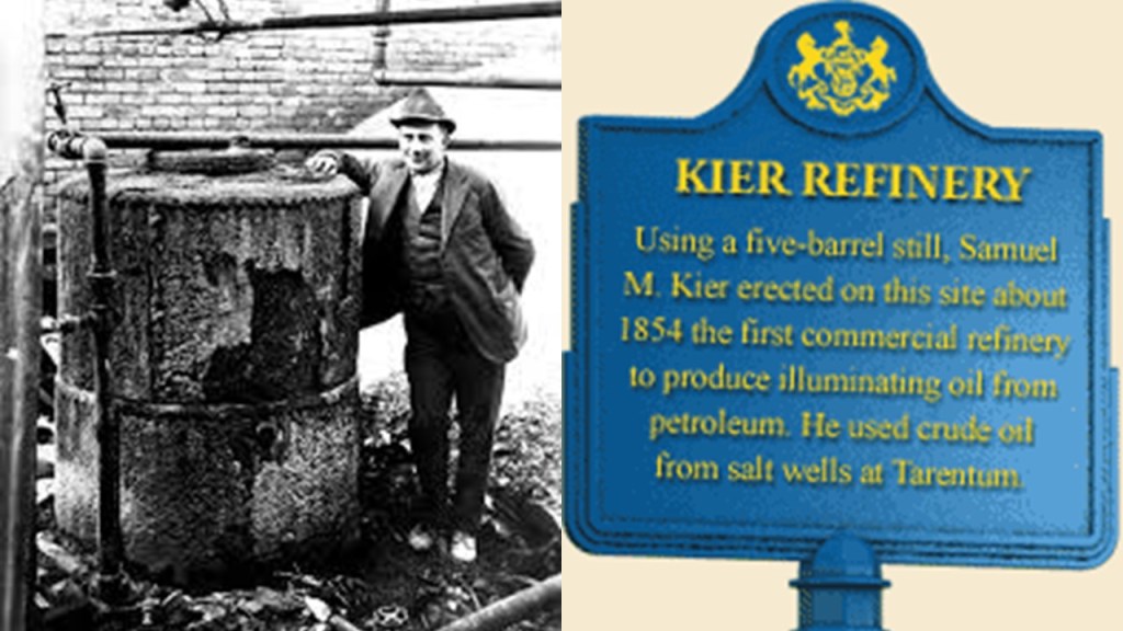
Titusville is called the Birthplace of the Oil Industry, and for a number of years this part of Pennsylvania was the leading oil-producing region in the world.
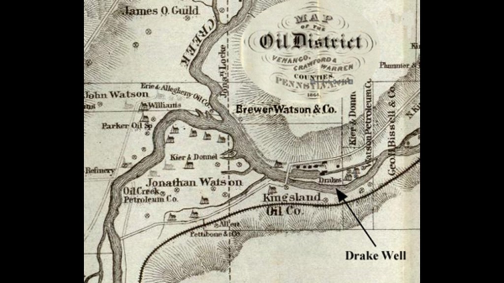
Then roughly a decade after the birth of the oil Industry at Titusville in 1870, John D. Rockefeller, along with Henry Flagler, founded the Standard Oil Company, an American oil producing, transporting, refining, and marketing company.

Oil was used in the form of kerosene throughout the country as a light source and heat source until the introduction of electricity, and as a fuel source for the automobile, with the first gas-powered automobile having been patented by Karl Benz in 1886.
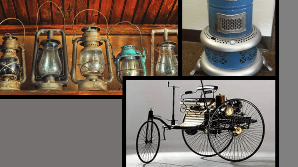
John D. Rockefeller, who was born in the United States in 1839, was the progenitor of the wealthy Rockefeller family.
He was considered to be the wealthiest American of all time, as seen in this ranking by CNN Business, with an adjusted wealth of $253-billion.
Rockefeller’s wealth soared as kerosene and gasoline grew in importance.
At his peak, he controlled 90% of all oil.
As quickly as possible, a way was found to replace what remained of the free-energy system with their own coal- and oil-based system, and in the process make money hand over fist from the total control of the new system.
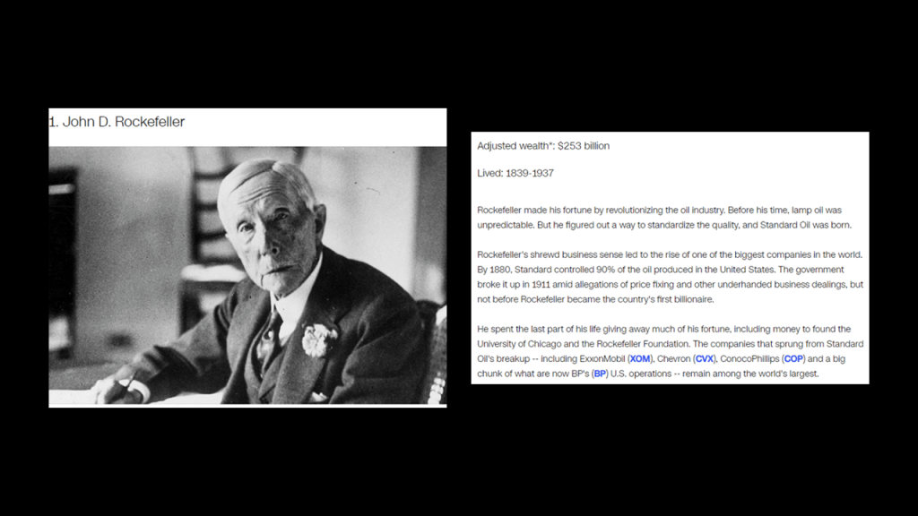
Interesting to note that West Hickory is the short distance ofjust 14-miles or 22-kilometers, south of Titusville, where the tallest recorded skeleton in North America was found at 18-feet, or 5.5-meters.
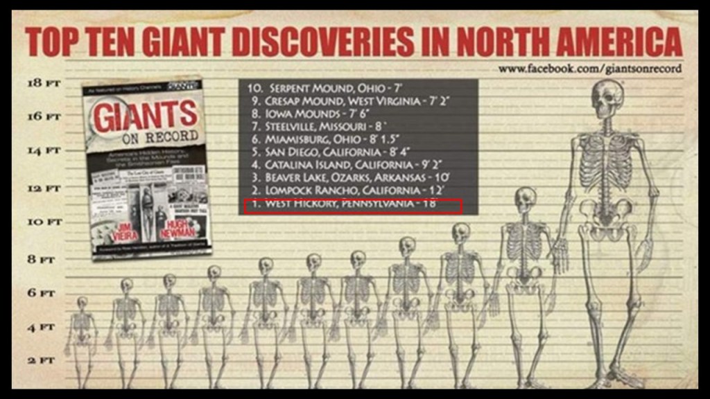
The 1870 newspaper article printed in the “Marysvillle Tribune” in Ohio from the “Oil City Times” in Pennsylvania says this with regards to the giant that was found at West Hickory.
Two men were excavating near West Hickory in preparation for erecting a derrick and unearthed the well-preserved skeleton of an enormous human.
The bones of the skeleton were described as “remarkably white;” the double- teeth all in place, of extraordinary-size; and that when the giant was alive, he must have stood 18-feet, or 5.5-meters, in stockings.
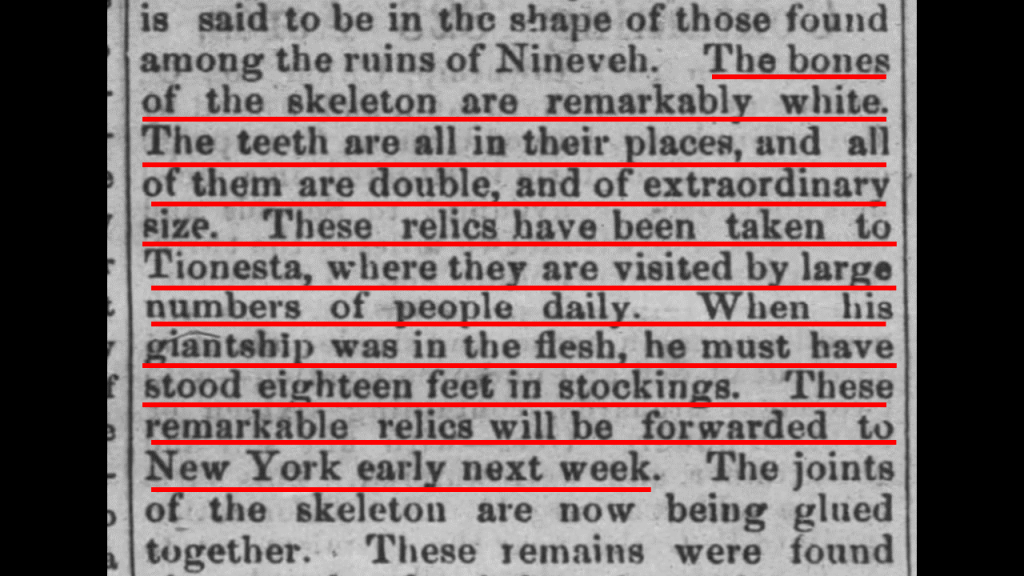
The bones were found about 12-feet, or 3.5-meters, below the surface of a mound, and the mound was not more than 3-feet, or less than a meter, above the level of the ground around it.

To put that into perspective, this garage has 12-foot, or 3.5-meter, walls, so the giant’s bones were found that far below the surface of a mound, which was another 3-feet higher than the ground.
How did the well-preserved skeleton of an enormous human with “remarkably white” bones get way down there?
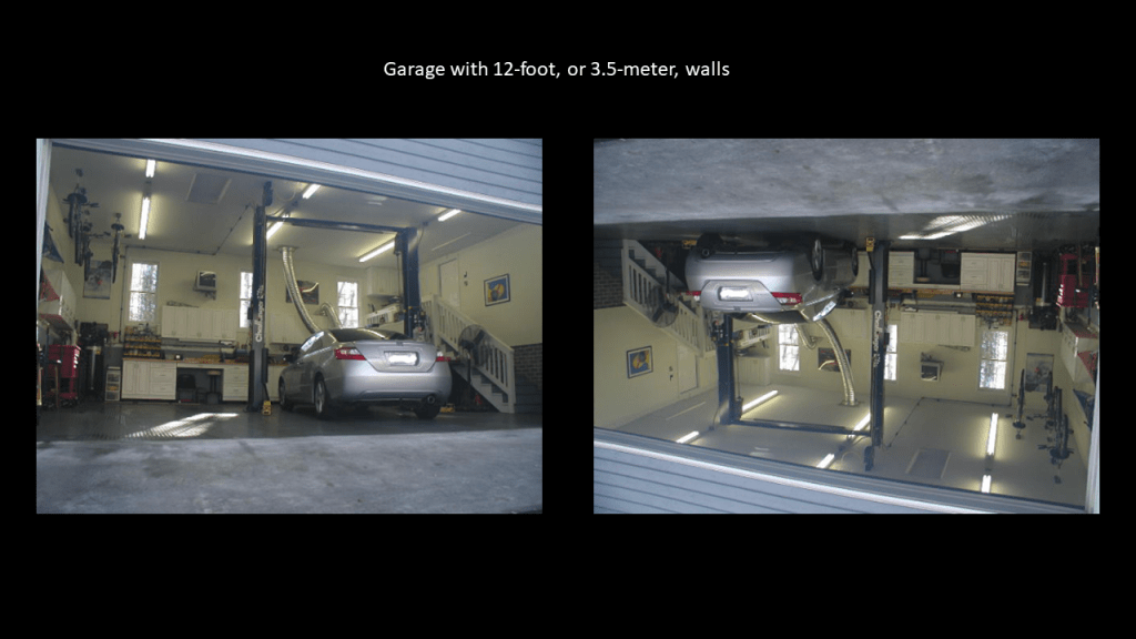
The Smithsonian Institution was established in August of 1846, and was created by the United States government for the stated purpose of the “increase and diffusion of knowledge.”
Researchers have long suspected the Smithsonian to have played a role in the cover-up of giants.
Back in the day, giant skeletons were displayed in public places and mentioned in newspaper articles, but all that went away.

At any rate, a little over 30-years after Standard Oil was established in 1870, the Ford Motor Company was financed by twelve investors in 1903.

In the next ten years, the Ford Motor Company would lead the world in the expansion and refinement of the assembly line concept.
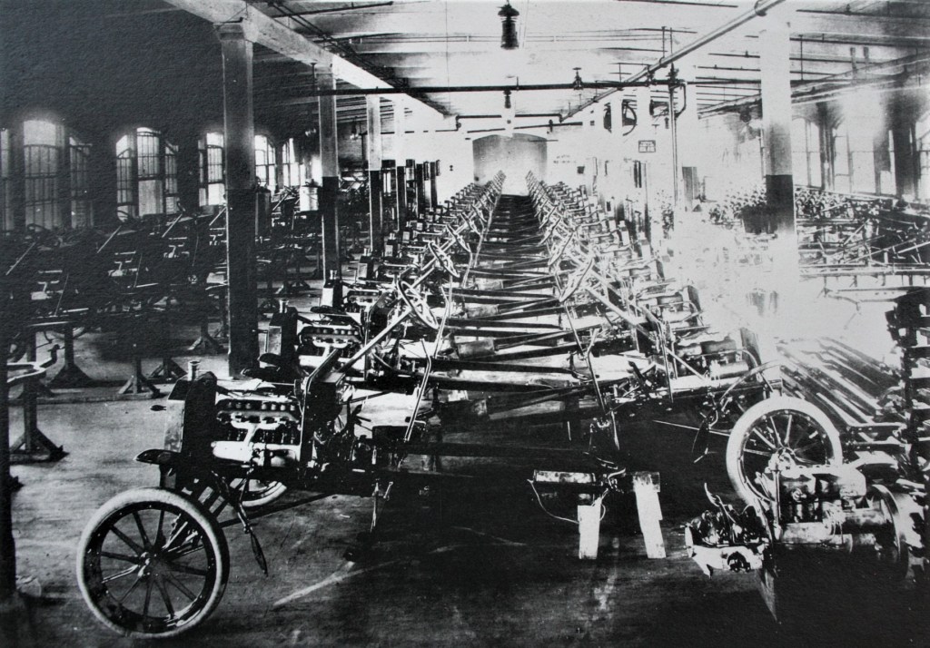
Henry Ford also brought part production in-house, thereby bringing vertical integration into his company, where the supply chain of a company is owned by the company.

The introduction and refinement of the assembly line facilitated the mass production of new cars, which in turn made the purchase of a new car affordable for most people.
Henry Ford was also the 13th-wealthiest American of all-time according to CNN Business, with an adjusted wealth of $67.2-billion.
It is interesting to note that pioneer film-maker Thomas Ince and Henry Ford were both pioneers of assembly line production and vertical integration in their respective industries during the same time period of the early 1900s.

In 1911, Ince introduced the system of “assembly line” film-making, and reorganized how films were outputted, with weekly output increasing from one- to -three reels per week, which were written, produced, cut, assembled, and finished all within a week, particularly westerns.
Inceville became the prototype for Hollywood film studios of the future.
This development facilitated the programming of the minds of generations of children to believe that Hollywood westerns represent real history.
Next I am going to head north into New York State from the Titusville area in Pennsylvania, and take a look at the Rock City State Forest outside of Salamanca, and the Panama Rocks Scenic Park near Jamestown.
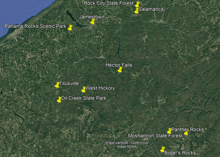
First, Rock City State Forest.
Rock City State Forest is located near US-219, the same previously-seen highway corridor that links the bogs of Black Moshannon State Park in Pennsylvania and Cranberry Glades in West Virginia, where it is known as the “Seneca Trail.”
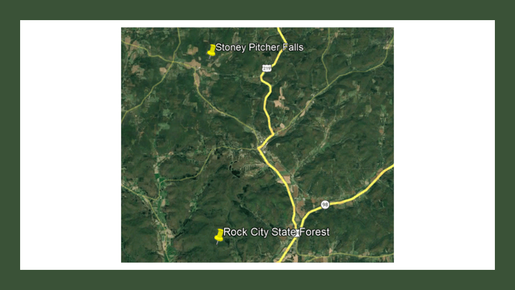
US Route 219 is a spur of US Route 19.
It is 535-miles, or 861-kilometers, -long, and runs from West Seneca, New York, at the eastern end of Lake Erie south of Buffalo, and ends at Bluefield, Virginia, right across the state border from Bluefield, West Virginia
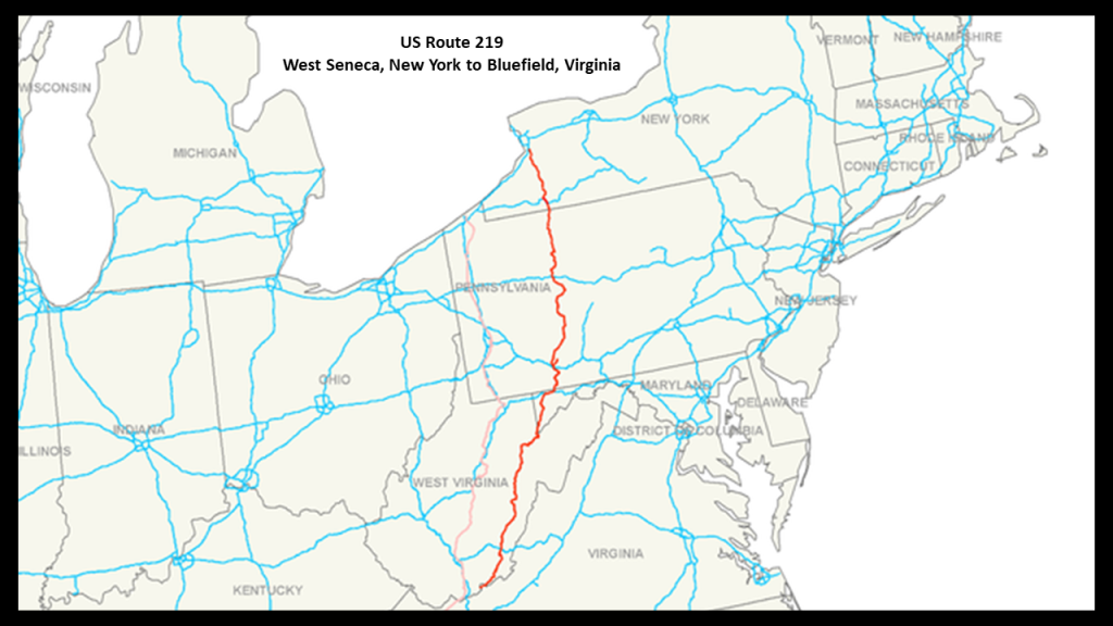
Rock City State Park is noteworthy because it is named for its “Little Rock City” rock formations.
Here huge rock formations are described as forming passages that look like a city of rocks, with massive conglomerate formations that look like houses and others creating narrow streets and corridors.
The reason given for its existence is that over thousands of years, erosion and soil movement created the giant blocks and maze-like passageways.
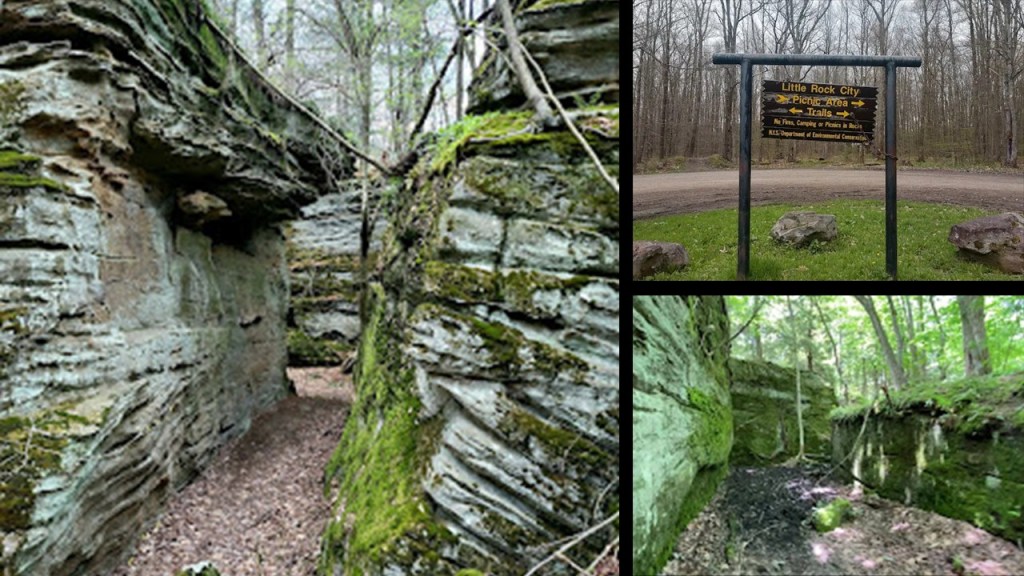
Nearby Salamanca is in Cattaraugus County in New York near Rock City State Park and on US-219, and is within the Allegany Indian Reservation, one of two governed by the Seneca Nation of Indians of New York, a federally-recognized tribe in western New York.
Almost the entire city of Salamanca is on Seneca Nation land.
The Seneca were among the first five nations of the Iroquois Confederacy, along with the Mohawk, Oneida, Onondaga, and Cayuga, also known as the “Haudenosaunee.”
The Haudenosaunee are a Confederacy bound by the Great Law of Peace, a constitution that established a representative government and is still in use today.
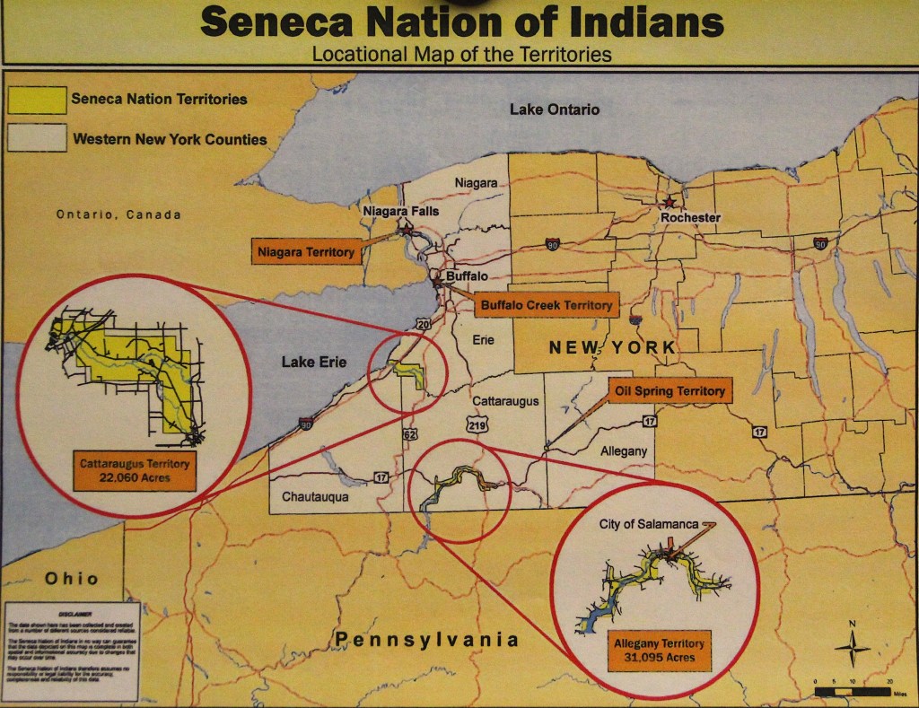
In the 21st-century, more than 10,000 Seneca have three federally-recognized tribes, which are the Seneca Nation of New York and the the Tonawanda Seneca Nation in New York, and the Seneca-Cayuga Nation in Oklahoma, where their ancestors were relocated from Ohio during the Indian Removals in our historical narrative in the period of time between 1830 and 1847.
Federally-recognized tribes have a government-to-government relationship with the United States government, including tribal sovereignty and eligibility for federal benefits.
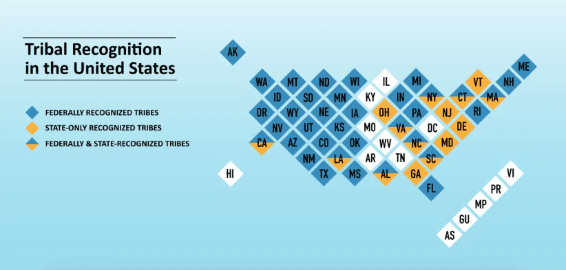
This is in contrast to another New York tribe, the Montauks, also known as Montauketts of eastern Long Island, who have no recognition.
Like seen previously with the Tasmanian Aboriginal people, the Montauks were dispossessed of their land, and not only that, a judge even ruled they no longer existed as a tribe.
The Montauks once resided in large numbers on the eastern end of Long Island.
In 1910, a Judge ruled that the Montauks no longer existed as a tribe and were disenfranchised from their ancestral lands.
Today the Montauk are actively working towards the reversal of this decision, as well as the revitalization of their language and culture.
In our historical narrative, Arthur Benson purchased Montauk Point in October of 1879 for $151,000 and allowed the Long Island Railroad to expand its rail service through it.
In 1897, King Wyandanch Pharaoh went to court to try to get the Montauk land back and fought until 1910, at which time a New York court held that the Montauk Tribe was extinct and stripped the nation of its tribal lands.
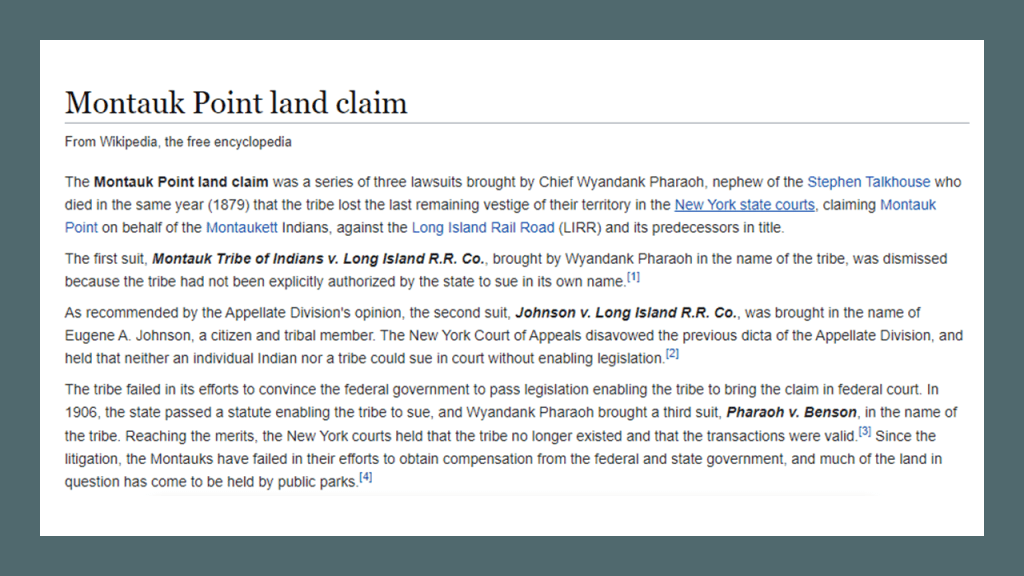
Interesting to note the “Pharoah” surname amongst the Montauks.
This a painting of David Pharaoh of the royal family of the Montauk tribe, called “King of the Montauks.”
The king of the tribe always came from the Pharaoh family.
He lived between 1835 and died on July 18th of 1878. He was buried in the Indian Field Cemetery on the old reservation lands on East Lake Drive in Montauk.
Also interesting to note, like other places we have seen in this post, the towns of East Hampton and Southampton in eastern Long Island near the Montauk area are what are known as “The Hamptons,” another one of the historical summer colonies of the wealthy elite in our society.
: Back to Salamanca in western New York, mostly on Seneca land today.
It was an historic railroad town that was a major hub for the Erie Railroad; the Buffalo, Rochester & Pittsburgh Railway (BR & P); and the Pennsylvania Railroad facilitating passenger and freight service in the late 19th- and early 20th-centuries.
There were two roundhouses here at one time that are long-gone – one for the Erie Railroad and one for the BR & P Railway.
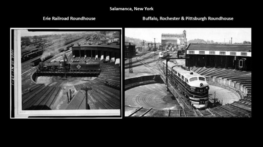
This Salamanca Station was said to have been built in 1851 by the Erie Railroad…Train service at the station stopped on January 6th of 1970….It was abandoned and had several fires over the years, and burned down completely in 2014.
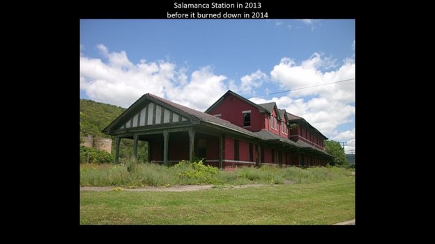
The BR & P Railway Station across the street from the burned-down train station was a railroad museum until it closed last year and is looking for a new home.
The old railroad station is on Seneca land and they declined to issue a lease for the property in 2025, resulting in the the closure of the museum and the removal of the exhibits.
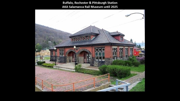
Next, the Panama Rocks Scenic Park.
The Panama Rocks Scenic Park is to the south of the Chautauqua Lake-area, and to the southwest of Jamestown, New York.
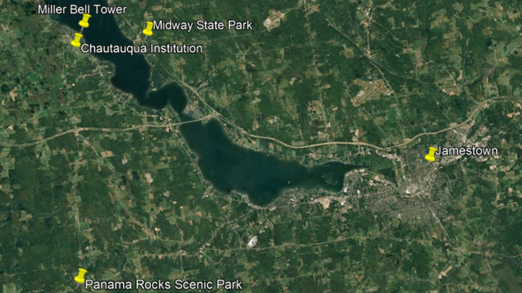
The Panama Rocks Scenic Park, like the previously-seen Rock City State Park, looks like a city of rocks, with massive conglomerate formations that look like houses and others creating narrow streets and corridors.
Described as extending about a half-mile, or almost a kilometer through an ancient forest, rhe rock formations are upwards of 60-feet, or almost 20-meters, in height.
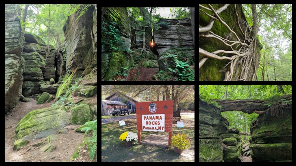
Nearby Jamestown was a railroad hub in the 19th and 20th-centuries, served primarily by the Erie Railroad.
The Erie Railroad’s main-line ran through Jamestown, and connected New York City to Chicago.
The railroad carried passengers, mail and industrial freight, helping Jamestown grow into a regional manufacturing center, in particular furniture manufacturing.
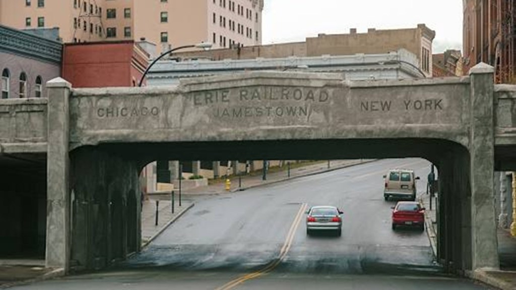
We are told the historic Jamestown Station, the most recent of several previous train stations, was built by the Erie Railroad between 1931 and 1932, in the middle of the Great Depression, as a replacement for the previous one.
It stopped being used for passenger service in January of 1970, and these days it is part of the National Comedy Center, an American museum dedicated to comedy as Jamestown was Lucille Ball’s hometown.
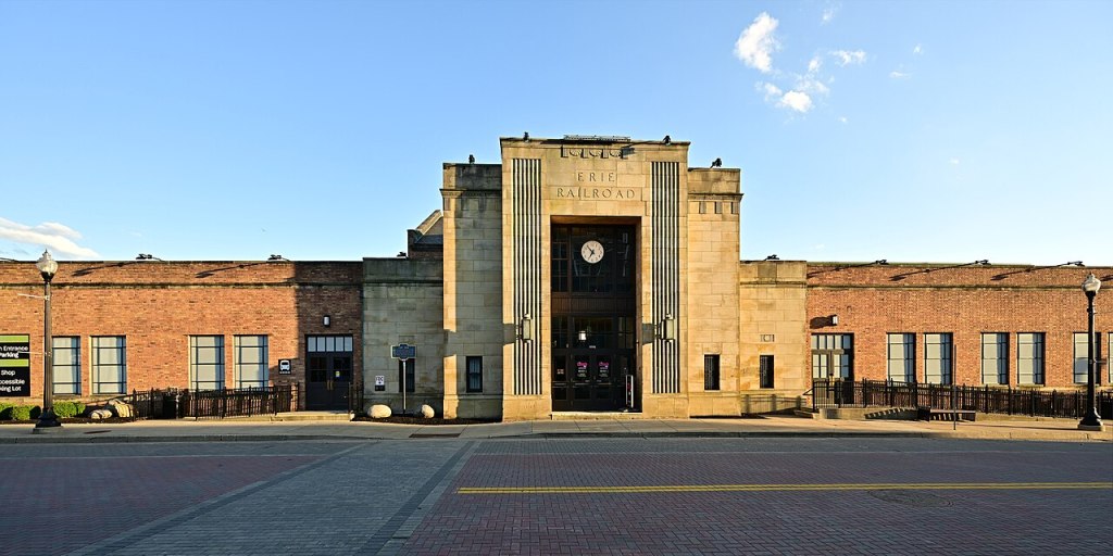
There was also the Buffalo-Jamestown Railroad, which was said to have been built between 1872 and 1875 between the two cities.
It became part of the Buffalo and South Western Railroad, and eventually absorbed into the Erie Railroad system.
It was important for shipping furniture and other manufactured goods, and bringing workers and travellers between Jamestown and the Greater Buffalo region.
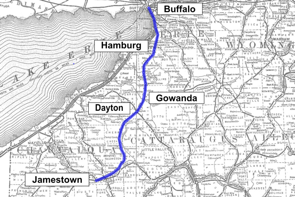
Jamestown had an electrified interurban railway, among several in the area.
The Jamestown, Westfield and Northwestern Railroad operated between 1914 and 1950, and was nicknamed the “Chautauqua Lake Route.”
It was used for passenger service, freight transfer to the Erie and New York Central Railroads, and service for factories in Jamestown.
Passenger service ended in 1947, and the line closed completely in 1950.
The Jamestown, Westfield and Northwestern Railroad interurban could be taken by residents of the area from Westfield on Lake Erie to Jamestown at the southern end of Chautauqua Lake.
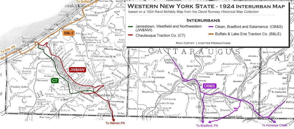
The residents of Westfield could take a trolley to Jamestown, with stops in-between at places like Mayville, Hartfield and Lakewood, and would arrive in Jamestown in about an hour, with the trolley reaching speeds of 50-to-60-miles/hour, or 80-to-97-kilometers/hour, in the early 1900s.
In 1909, the line was extended to Barcelona, and 18-round trips per day were made between Westfield and Jamestown.
The interurban trolley lasted until the end of November in 1947, and the New York Central Railroad stopped major passenger service along Lake Erie through here in 1967, before it merged with the Pennsylvania Railroad to form the Penn Central Transportation Company in 1968.
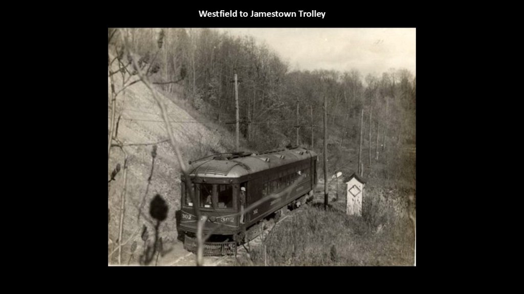
The next places I am going to take a look at are a few places on the Ontario-side of Lake Huron.
Sarnia is the largest city on Lake Huron.
The Sarnia port is an important center for shipping grain and petroleum products.
Oil was discovered here in 1858 at the nearby Oil Springs, the location of North America’s first commercial oil well and which triggered North America’s first oil rush and spurred the growth and development of the area.
In 1866, oil was struck at Petrolia, which quickly replaced Oil Springs as Canada’s Oil capital, though oil continued to be found and extracted from Oil Springs.
The discovery of oil in Canada in 1858 was contemporaneous in time with the discovery of oil in the United States in Titusville in 1859.
There is a complex of refining and chemical companies south of downtown Sarnia in what is called “Chemical Valley,” and accounts for 40% of Canada’s chemical industry.
Sarnia is home to 62 chemical facilities and refineries, and has the highest level of pollutants in Ontario, and the worst air quality in Canada.
This area has high cancer rates, low birth rates, and contaminated water.
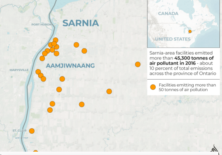
Sarnia Yard is one of the Canadian National (CN) Railways main processing yards in southwest Ontario, and its main function is to support the major petrochemical industry in the Sarnia-area, of which commodities include: petrochemicals; fertilizer; phosphate; liquified petroleum gas; and other dangerous goods.
C-Yard at the Sarnia Yard has 30 tracks running from east-to-west, and a roundhouse.
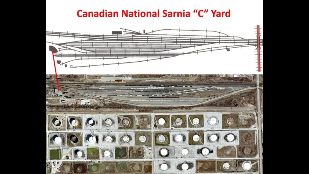
The roundhouse at the western end of the C-yard is described as an interesting survivor of Canada’s railroad history as it survived into the diesel era and was later taken over for private locomotive servicing and repair and is located close to the Canadian entrance to the St. Clair Railway Tunnel to Port Huron in Michigan.
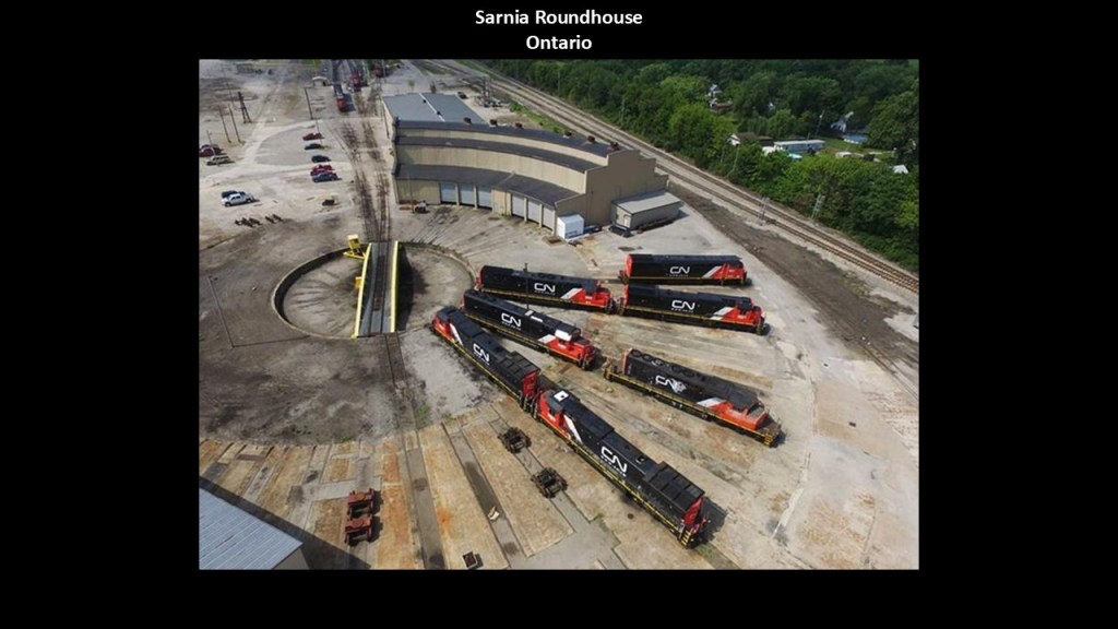
The Canadian National Railway’s St. Clair River Railway Tunnel connects the Sarnia Railyards with the Port Huron Railyards via an underwater railroad tunnel that can accommodate double-stacked railcars.
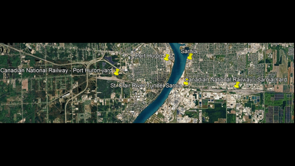
The first tunnel here was said to have opened in 1891, and that it was the first full-sized underwater tunnel in North America.
It was considered an engineering marvel in its day and has been designated as a civil engineering landmark by U. S. and Canadian engineering bodies.
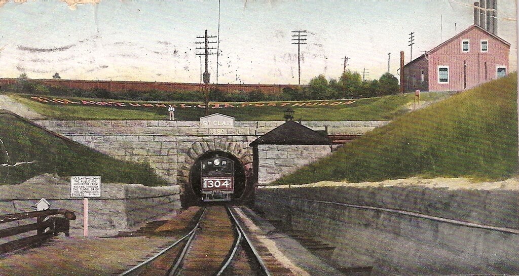
The original tunnel was said to have been replaced in 1995, when a second tunnel opened that could handle railcars with double-stacked shipping containers.
In June of 2019, forty railcars derailed in the tunnel, spilling 13,700-gallons, or 52,000-liters, of sulfuric acid, which resulted in the closure of the tunnel for about two-weeks.
Sulfuric acid is used in chemical and fertilizer manufacture; petroleum refining; battery production; cleaning agents and explosives.
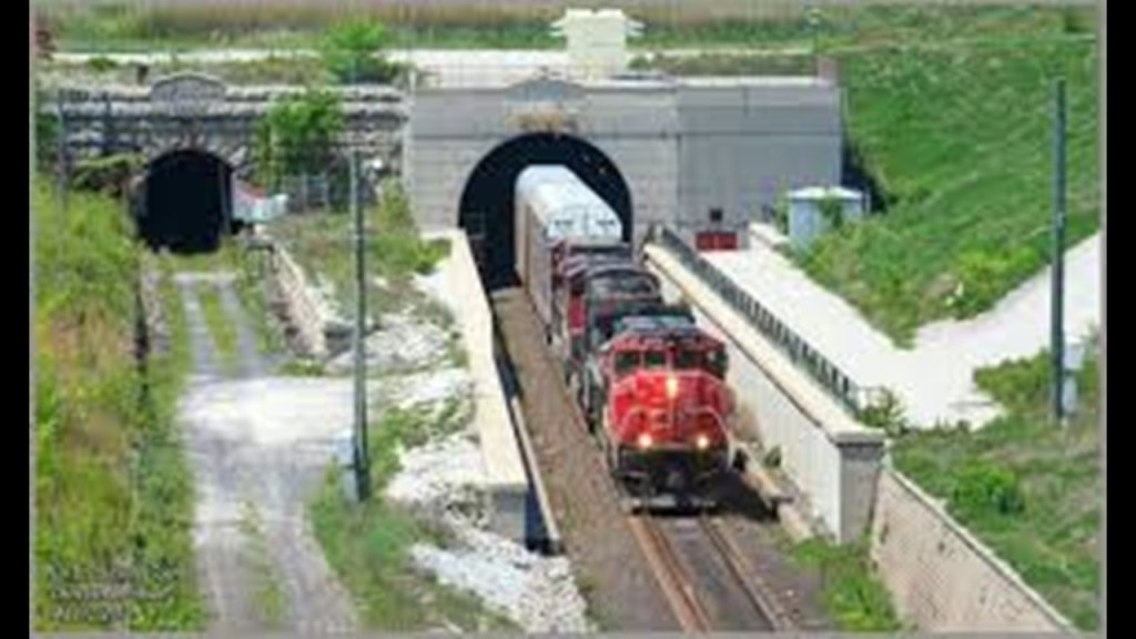
Canatara Beach is the largest and best-known park in the Sarnia area, with a long stretch of beach along the Lake Huron shore-line, and many other popular amenities.
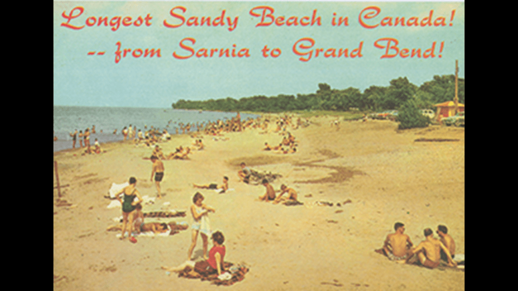
When I was looking at images of Canatara Beach, these jumped out at me, with a view of what appears to be a solid stone surface visible just below the surface of the water, and an aerial photo of a uniform, but jagged, looking shoreline.
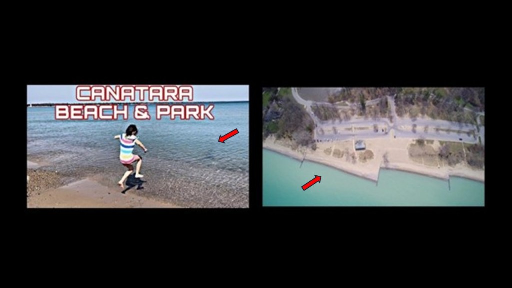
The Sarnia Golf and Curling Club is immediately adjacent to the Canatara Park.

Here is a photo showing megalithic stone blocks on the Sarnia Golf Course.
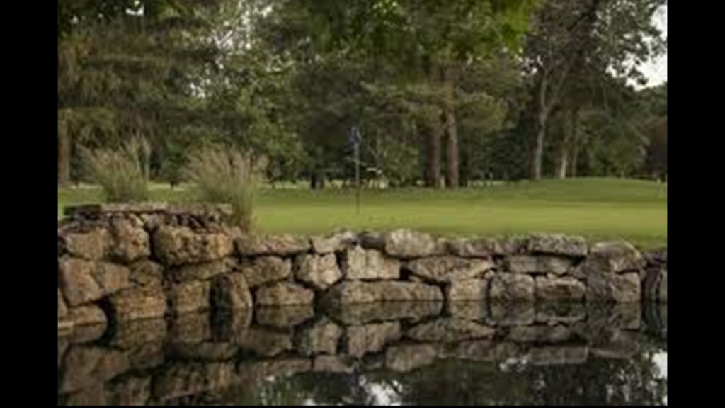
The Sarnia Golf and Curling Club had its origins as a private golf club that was officially founded in 1912.
We are told that the current venue was constructed between 1926 and 1927 on land that was secured on a long-term lease from the Grand Trunk Railway.
Said to have been constructed starting in 1852, the Grand Trunk Railway was officially opened in 1859 between Sarnia in Ontario and Portland in Maine.
We are told the Grand Trunk Railway was merged into the Canadian National Railway in 1923 because of financial difficulties.
In its hey-day, it operated in Ontario and Quebec in Canada, and in the United States, in Connecticut, Maine, Michigan, Massachusetts, New Hampshire, and Vermont.
We are told the original charter for the Grand Trunk Railway was for a line running from Montreal to Toronto along the north shore of the St. Lawrence River and then it went west to Sarnia and east to Portland.
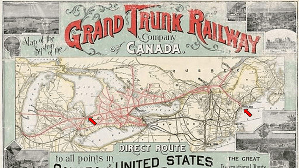
Next, Barrie.
Barrie is located at the western end of Lake Simcoe, and is 219-miles, or 352-kilometers, northeast of Sarnia.
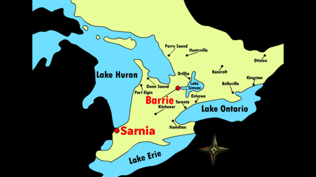
We are told that a line of the Northern Railway was opened in Barrie in 1853, and it connected Barrie with Toronto, and other municipalities in Simcoe County and Muskoka.
The Hamilton and North-Western Railway also ran through Barrie, and in June of 1879, these two railways organized into the Northern and North Western Railway.
Then the Grand Trunk Railway purchased the original Northern Railway, and the line serving Barrie became a branch of the Canadian National Railway.
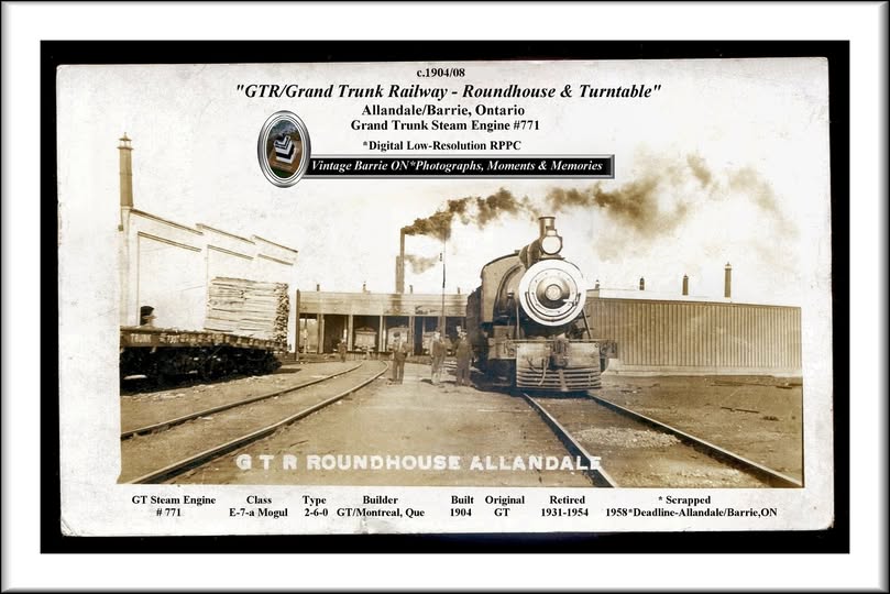
We are told that a roundhouse was built to service steam locomotives in Allandale in 1904, an historic neighborhood that was annexed to Barrie in 1896.
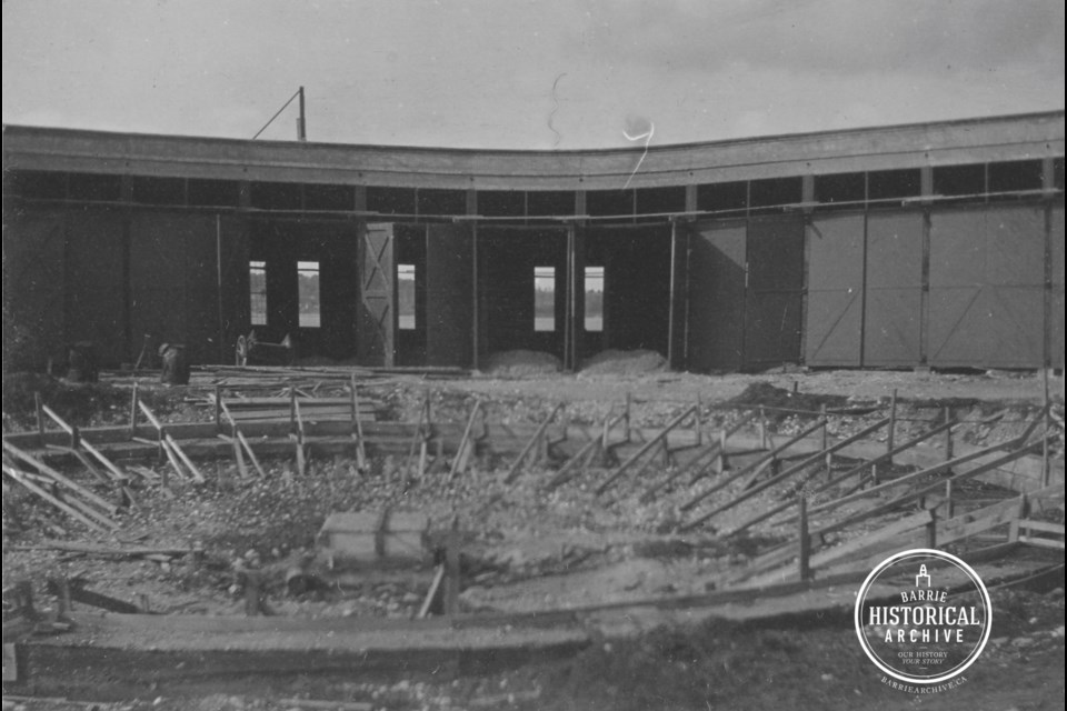
The Allandale Roundhouse was demolished and most of the turntable removed by the 1980s.
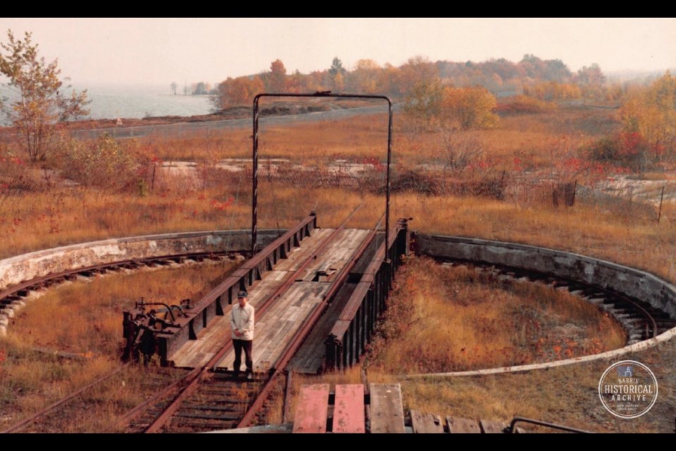
Today, the location of the former roundhouse is Barrie’s Military Heritage Park.
Like we’ve seen in many other examples, stones of varying shapes and sizes can be seen beside and just below the surface of the water.in many places on Lake Simcoe’s edge.
There is a rail-trail today that goes from Barrie to Collingwood that was formerly the Barrie – Collingwood Railway Line.
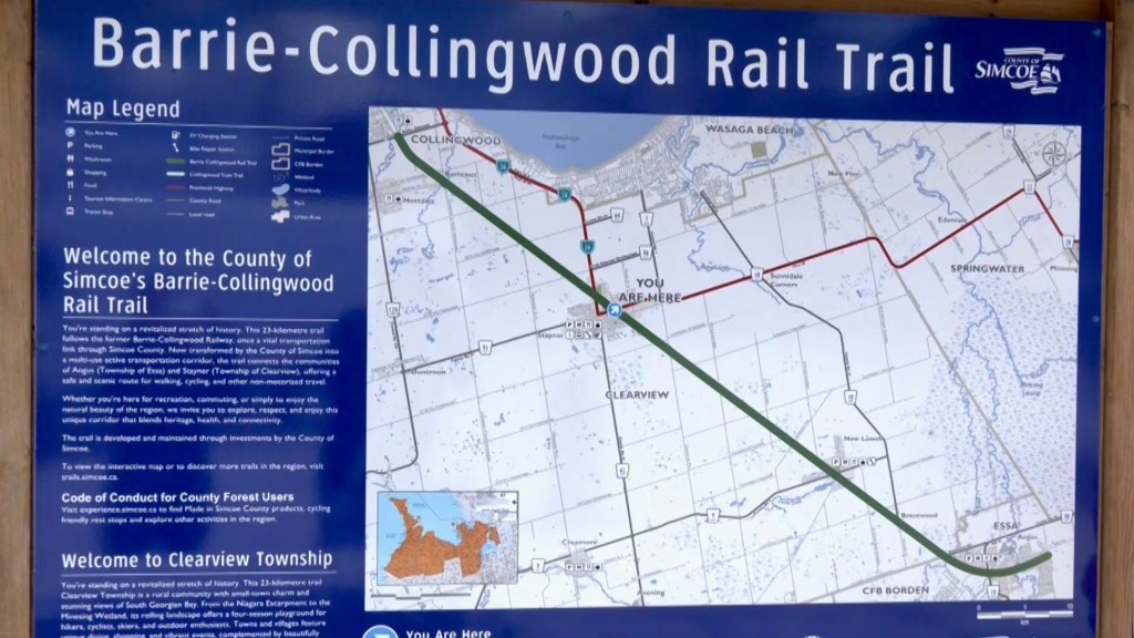
Collingwood is a town in Simcoe County, Ontario, located on Nottaswaga Bay at the southern point of Lake Huron’s Georgian Bay.
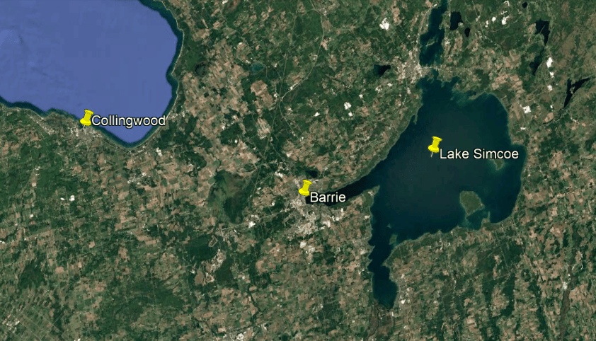
Collingwood on Georgian Bay is known as a tourist destination for its limestone caves along the Niagara Escarpment in the summer.
Georgian Bay is a large bay of Lake Huron, and sometimes called “the sixth Great Lake” because of it’s size and distinctiveness.
It is 5,792-square-miles, or 15,000-kilometers-squared, in size.
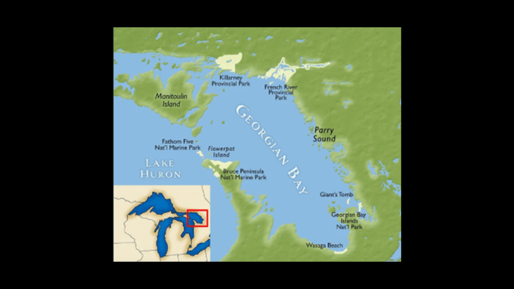
In the course of doing the research for my recent series on the Great Lakes, I came to understand deeply that the Georgian Bay of Lake Huron is formed by the Niagara Escarpment.
When I saw this map of the region’s waterfalls, it struck me how many there are on the Ontario side of Lake Huron and the Georgian Bay, including a series of waterfalls running along the Niagara Escarpment from Niagara Falls.
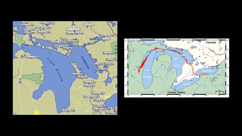
This is what we are told about the origin of the Niagara Escarpment.
It is the most prominent of several escarpments in the bedrock running from eastern Wisconsin north through Northern Michigan, curving around southern Ontario through the Bruce Peninsula and Manitoulin Island and other islands in northern Lake Huron, before extending eastwards across the Niagara region between Ontario and New York, and formed over millions of years ago through weather and stream erosion through rocks of different hardnesses.
That’s what they tell us, anyway!!
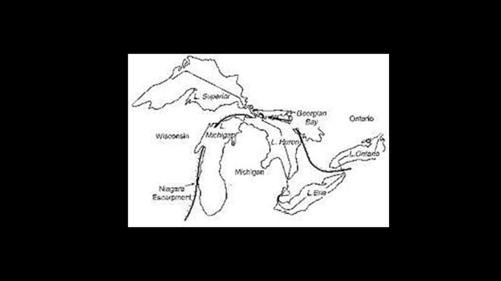
Having extensively researched all the way around each of the Great Lakes, I believe the Great Lakes were formed recently by the outflow of the waterfalls of the region after the deliberate destruction of the energy grid, which subsequently destroyed the surface of the Earth.
There was a highly-sophisticated and highly-controlled hydrological and electrical system found throughout the region as with the examples of the hydrological powerhouses in the Niagara Region between New York and Ontario, and in The Soo region between Michigan and Ontario.
Back in Collingwood on the Niagara Escarpment at the southern-end of the Georgian Bay, limestone caves along the Niagara Escarpment are privately-owned through “Scenic Caves Nature Adventures” and open for paying tourists to explore on a network of 9-miles, or 15-kilometers, of hiking trails.
It combines unusual limestone formations, hiking trails, and indigenous associations with the Petun people who historically lived around the southern Georgian Bay.
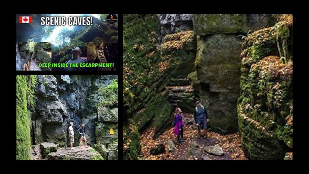
We are told the Petun people lost their identity as a separate people by the late 17th-century, as their descendents eventually merged with the Wyandot Nation.
What’s interesting to me about these so-called natural limestone caves in Collingwood like the one on the top left is that they look exactly like other places I have seen, like Giant City State Park in southern Illinois on the top right; Mineral Wells State Park in Texas near Fort Worth on the bottom left; and Beartown State Park in West Virginia.
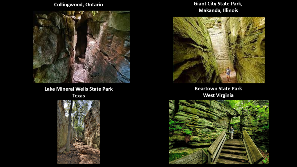
The last place I want to take a look at here is “Giants Tomb Island” to the northeast of Collingwood.
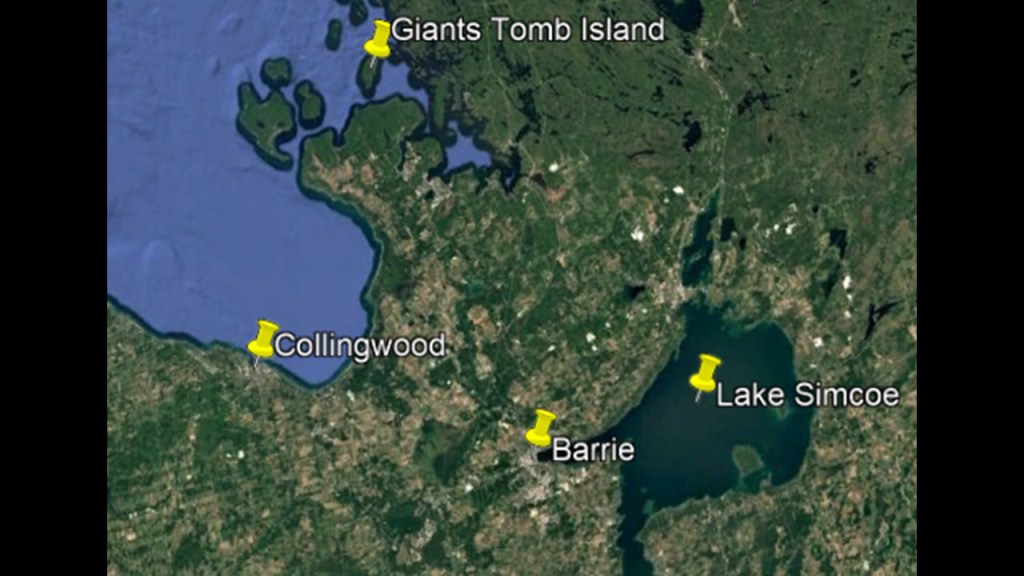
What is called “Giants Tomb Island” is a small island with no permanent residents, though it does have a lighthouse.
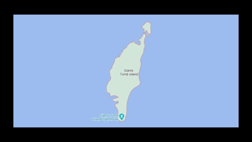
The original lighthouse here was said to have been constructed in 1892 to help mariners navigate the rocky waters here.
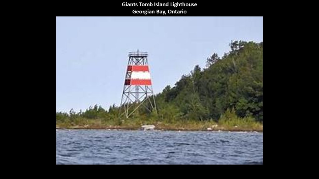
Like we saw earlier at Junee Caves State Reserve in southern Tasmania, “Giants Tomb Island” is considered a favorable location for night-sky viewing, with darker skies due to its natural setting and lack of light-pollution.
The shore of “the “Giants Tomb Island” is strewn with large granite boulders that go out into the Georgian Bay.
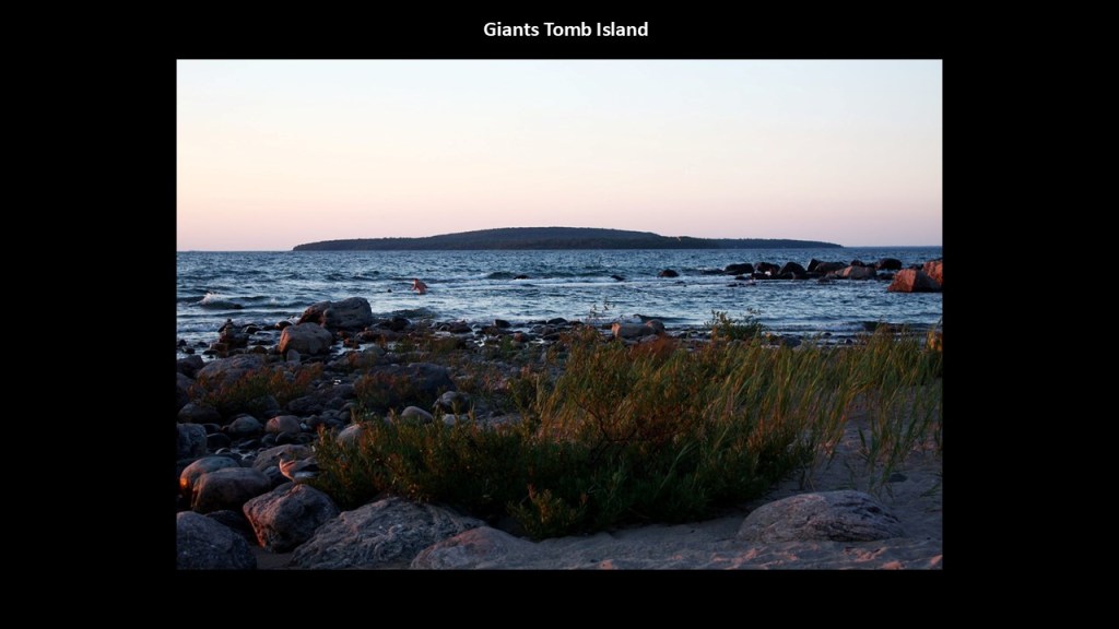
These kinds of place are found worldwide, like the “Felsenmeer,” or “Rock Sea,” in the Odenwald Region in Germany.
The Felsenmeer is on a mountain called the “Felsberg,” and is a rocky landscape of dark-grey, quartz diorite.
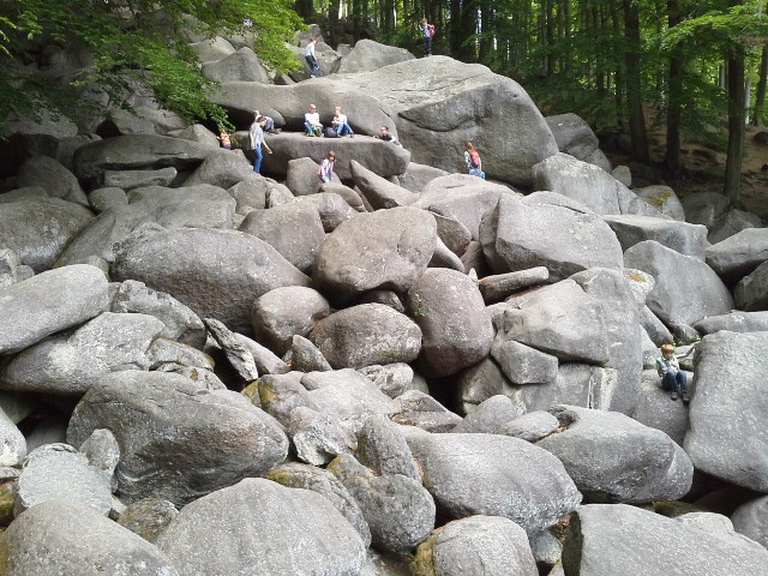
Diorite is a geopolymer, primarily composed of what is called plagioclase feldspar, but it includes other types of minerals as well.
It was used for both art and masonry in numerous ancient civilizations.
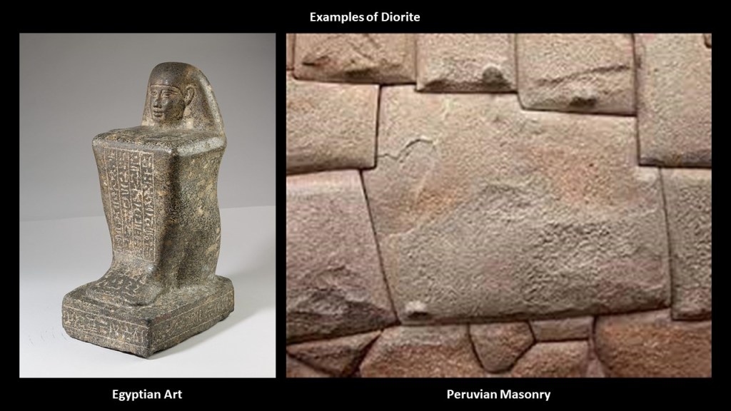
Here are some obviously cut-and-shaped megalithic diorite stone blocks in the Felsenmeer…
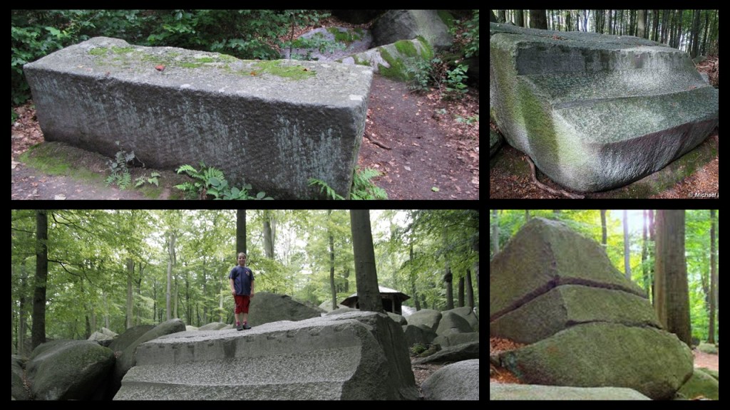
…including megalithic stones with drill-holes.
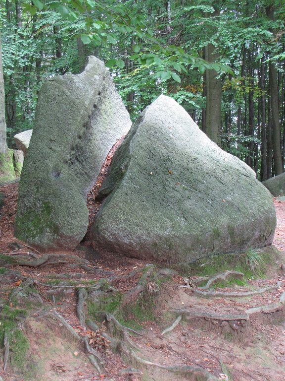
This photo with the beautifully-shaped unfinished megalithic column in the Felsenmeer on the left got my attention, as it reminded me of the famous one I had seen before in Baalbek in Lebanon.
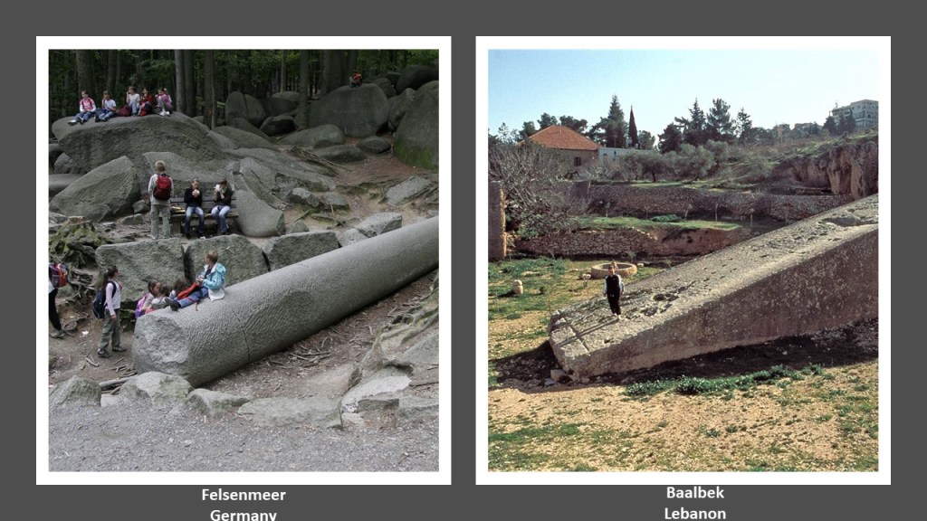
Same kind of thing is found at Taylor Head Provincial Park, which is located southwest of Sheet Harbor in Nova Scotia.
Taylor Head is touted as one of the most beautiful beaches in Nova Scotia, with beautiful white sand beaches, and walking trails.
It also has huge, megalithic-looking stones like the one pictured on the top, that reminded me of one of the largest, if not the largest, acknowledged stone blocks in the world in Baalbek on the bottom.
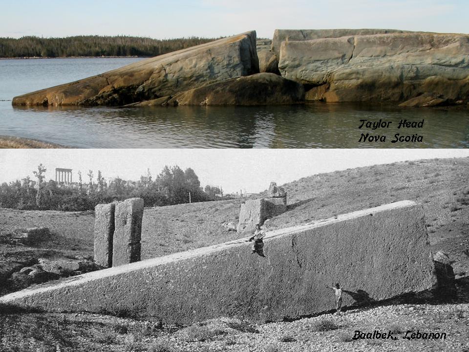
Here are some other photos of what is found at Taylor Head Provincial Park.
Nothing to see here, right?
When I saw this particular photo that was taken at Taylor Head on the top left, I was reminded of this photo I took at Lake Arcadia in Edmond, Oklahoma, on the top right; and of what the Gulf of Bothnia looks like between Sweden and Finland here at Pori, Finland on the bottom.
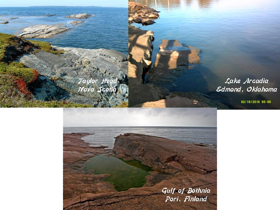
And here’s a comparison between what is found at Shakespeare Island in Ontario on Lake Nipigon, which drains into Lake Superior on the left; Bundabeh in New South Wales in Australia at low tide in the middle, and on the island Republic of Malta in the Mediterranean Sea on the right.
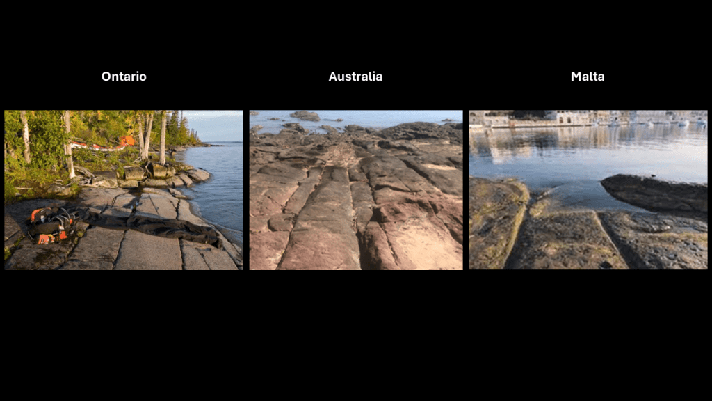
So what is my conclusion to the question I asked in the title of this blog post on “Connecting Strange Dots – Natural Rock Formations or Megalithic Cities?”
My findings and observations from my research of places like these over the years, and quite recently for this blog post, is that what we would consider modern infrastructure like railways have all have these connections to what is apparently ancient megalithic stone infrastructure (no matter how hard they try to cover it up and say that it is natural) and I would suggest that it certainly appears there is a connection between them on an original energy grid that existed from ancient times to relatively recently until it was destroyed.
Here some examples of what we would considered ancient sacred sites and modern rail infrastructure existing side-by-side.
First Macchu Picchu in Peru.
Here are before-and-after photos of the excavation of Macchu Picchu, with the before photo having been taken by explorer Hiram Bingham before the major excavation of the site began in 1912.
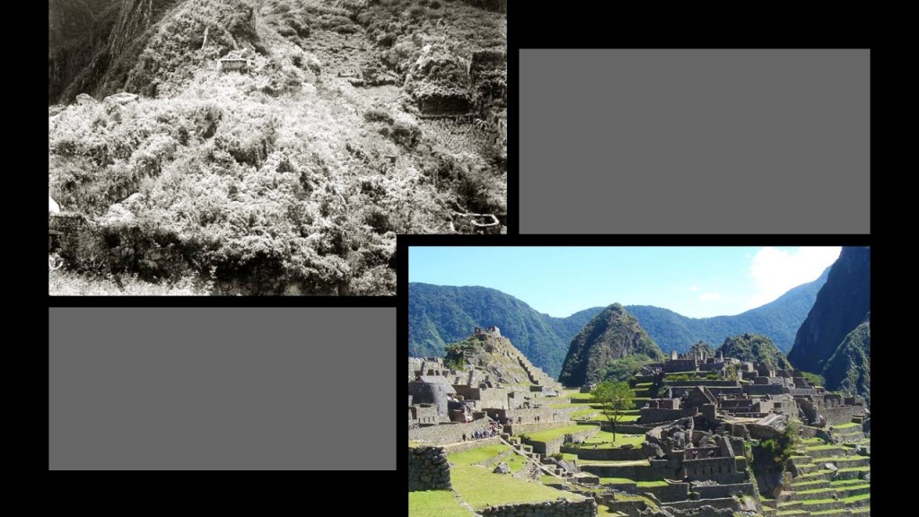
Macchu Picchu is known to have numerous astronomical alignments as well…
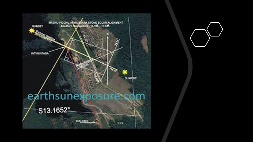
There are only two ways to get to Macchu Picchu.
One is by hiking the Inca Trail to Macchu Picchu.
The other is by taking the train that runs from Cusco to Aguas Calientes,famous for its hot springs, and from there you can get bus transportation up to the famous ruins.
The other example I want to share with you is the Great Serpent Mound near Peebles and Brush Creek in Adams County, Ohio.
Like Macchu Picchu, the Great Serpent Mound has numerous astronomical alignments .

…and it also has historic railroad infrastructure nearby.
The following information comes from a 1914 Railroad Map of Ohio from the Ohio Public Utilities Commission showing all the railroads in Ohio.
It is hard to see in this form, but if you click on the quadrants of the map, it shows a close-up of each.
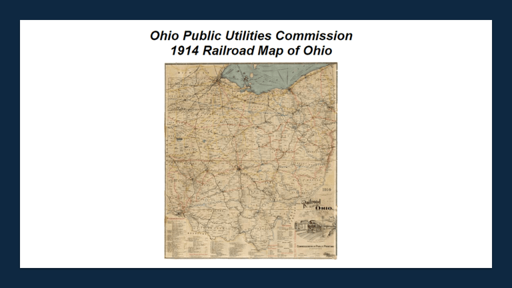
Here is a close-up of the railroads in the southwestern part of Ohio where Peebles and Adams County are located near the state’s border with Kentucky, which is formed by the S-shaped bends of the Ohio River.
The Chesapeake and Ohio Railroad is marked in the yellow on the map, where it parallels the Ohio River.
Peebles in circled in red on the rail-line passing through, and there is a red box around “Brush Creek” showing an historic railroad line there.
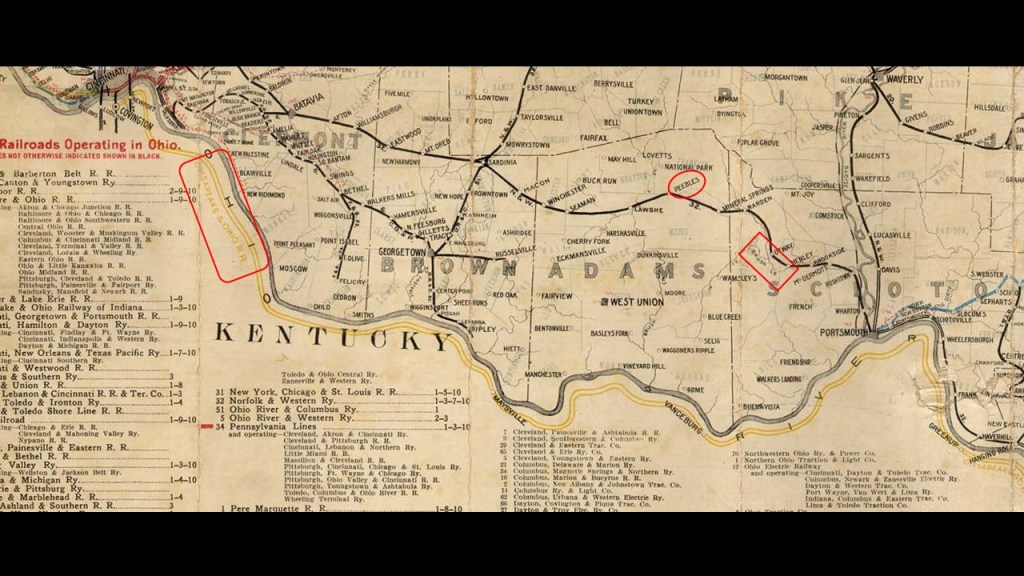
It is interesting to note that in the lower right quadrant of the same 1914 Ohio Railroad map, it shows that insane asylums, and other state institutions, were actually highlighted on it.
It certainly seems like the institutionalization of people for one reason or another was quite common during this time period in our history.
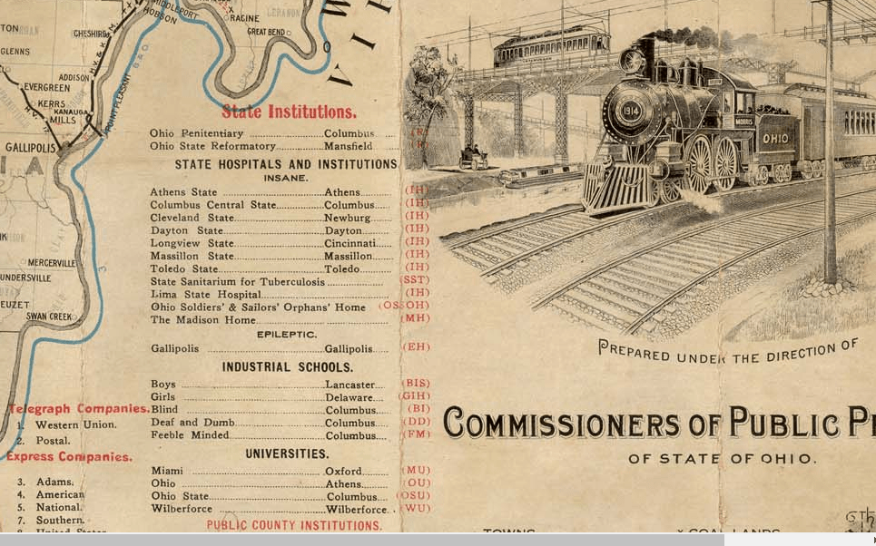
In conclusion, a small number of related, elitist family bloodlines, hidden in different nationalities and religions to carry out their plans for world domination, brought into existence a New World built upon the ruins of the Old World, and have stolen the legacy and identity of the original people and the true builders of all of the original infrastructure of the Earth; claimed their legacy as their own while at the same time, robbing us blind of resources, wealth, and energy without us knowing anything about it because they educated us a new history with them written in to it, and at the same time removed everything about the Old World from our collective awareness.

I believe that the Earth’s original free energy grid system, which was originally designed to benefit all life everywhere, was deliberately-destroyed, and then reverse-engineered into a control system used against Humanity by those responsible for what has taken place here for the benefit of a very few.
And it certainly appears like the petroleum industry was developed in the 1850s in order to provide an energy technology to replace the free energy transportation system of the original civilization and to make insane amounts of money from the harvesting of non-renewable resources, and the imposition of a wage-slavery work system throughout the world.
Oh yes, and they claimed the very best of everything for themselves.
While the new elite class lived in the lap of luxury, and helped themselves to the best of everything, they had little care for anyone or anything else – not at all.
Quite the opposite.

Joseph Goebbels, the Reich Minister of Propaganda in Nazi Germany from 1933 to 1945 was credited with this quote: “If you tell a lie big enough and keep repeating it, people will eventually come to believe it.”

But after centuries of controlling the narrative completely, they’ve lost control of it with the internet, no matter how hard they try to get it back!