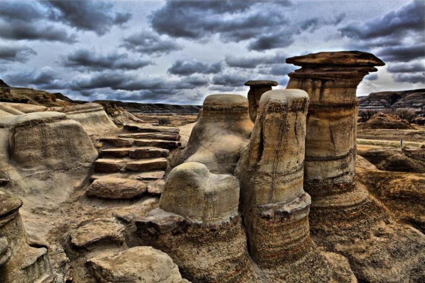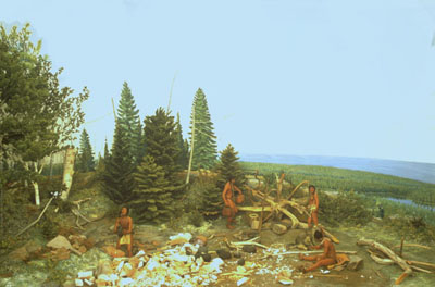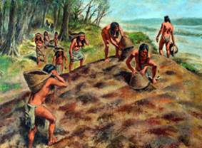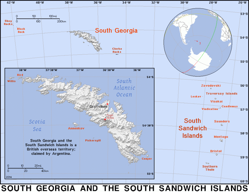
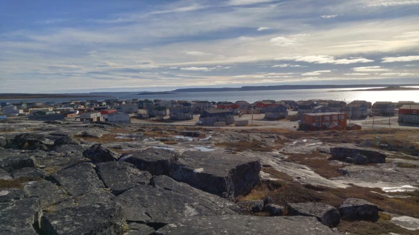
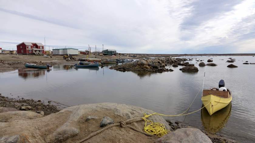
The Washitaw Mu’urs – Pronounced like Moor. Refers to Mu (or Lemuria). The Ancient Ones. The Oldest Indigenous Civilization on Earth.
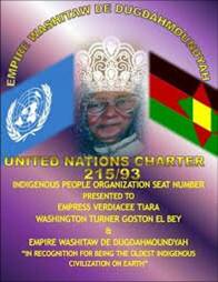
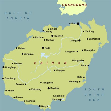
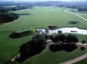
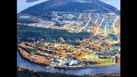
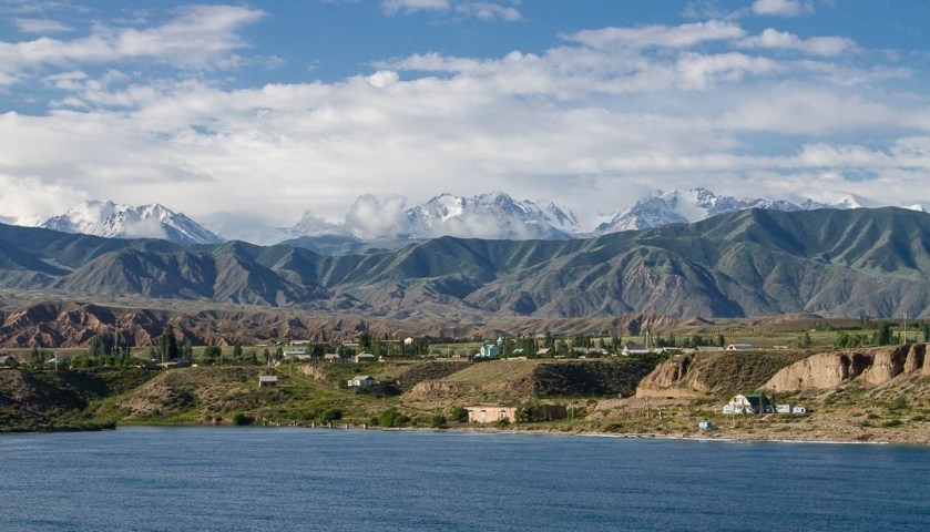
The Empire Washitaw. Matriarchal and Matrilineal. The Washitaw Mu’urs have an Empress to this day. The Ancient Imperial Seat of Government is in Washitaw Proper, in the area of Monroe in Northern Louisiana. How come we’ve never heard anything about it? Quite simply, they don’t want us to know.
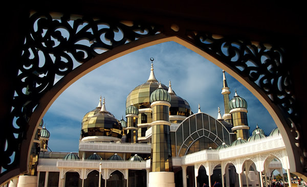
Muurish.
Muurish.
Muurish.
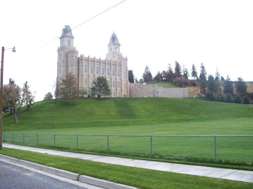
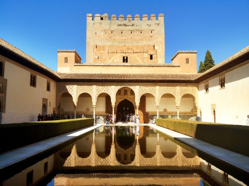
Moorish.
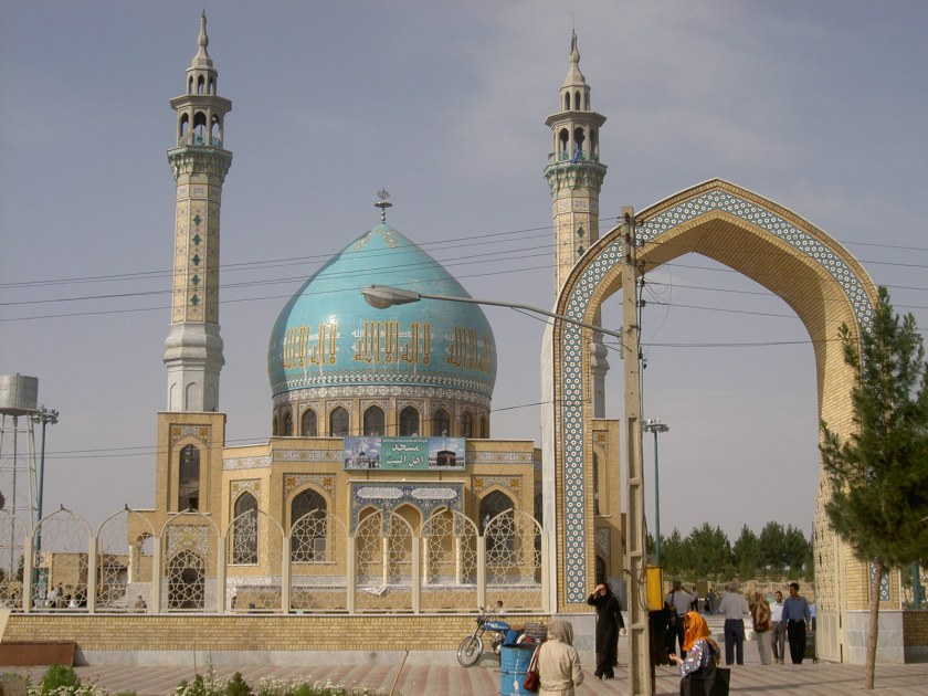
Moorish.
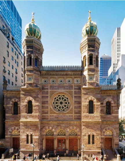
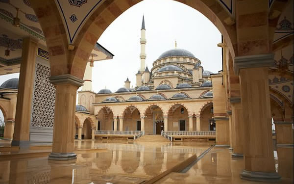
Moorish Empire.
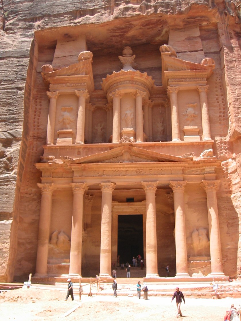
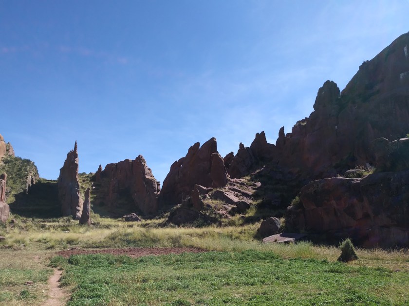
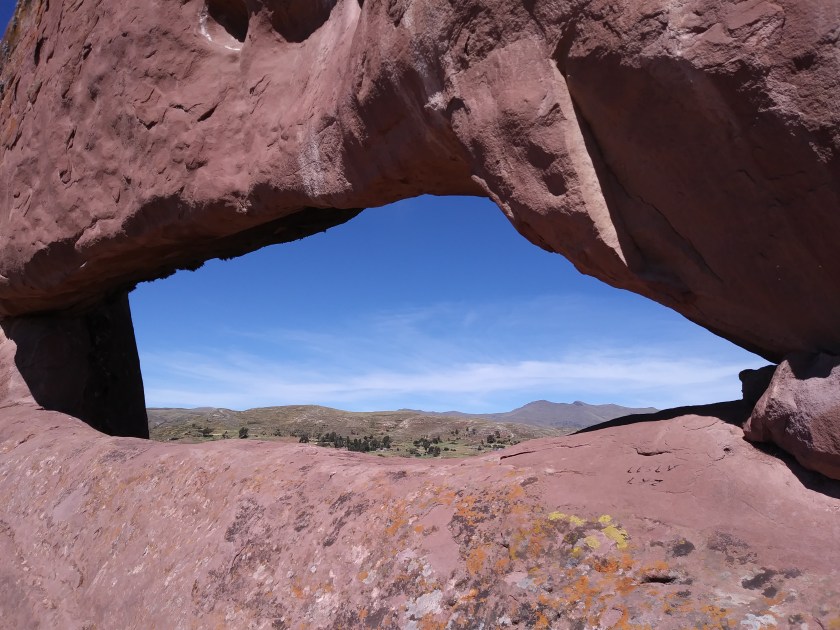
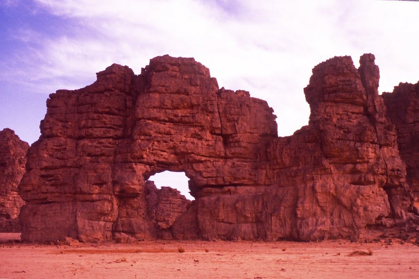
The Advanced Ancient Global Civilization.
The history we have been taught does not line up at all. Something is very wrong with when everything was said to have taken place. Something was done to knock Humanity off the very positive timeline that I am going to tell you about in this post.
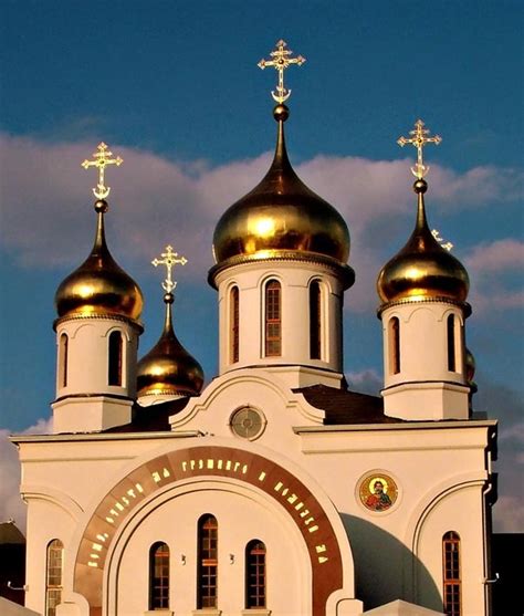
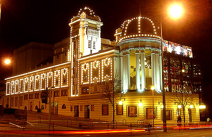
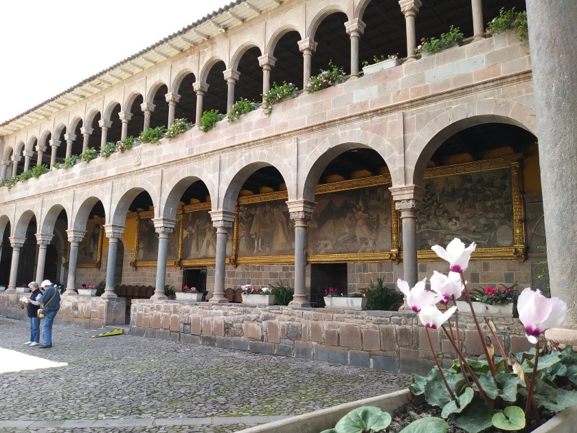
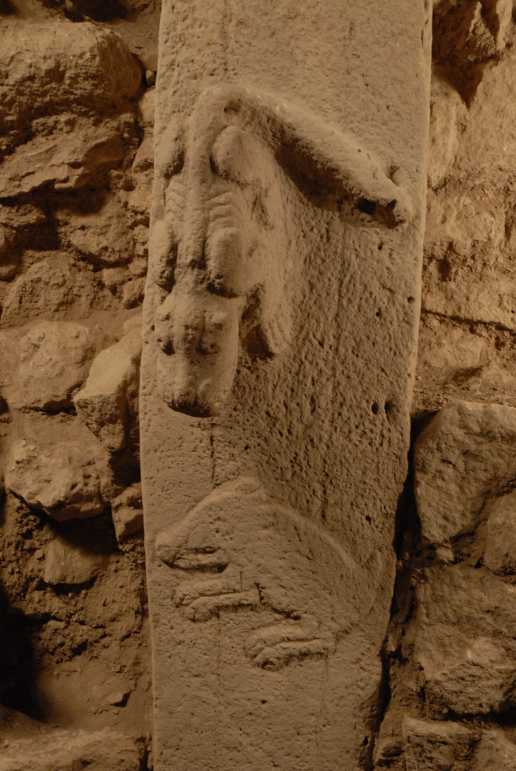
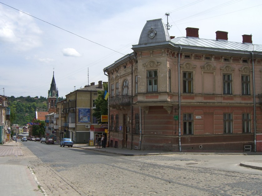
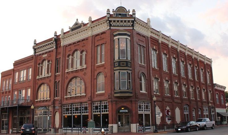
As an example of what I am talking about, older modern buildings with the same style that I see everywhere across the planet, like those in NYC, that I know were built by Moorish Masons, have been attributed to Freemasons in the historical narrative we have been given. Specifically, I am referring to architecture that is believed to have been built in the late 1800s and early 1900s because of what we have been taught about our history. Scratch my head on that one. My drift is this: It looks like Moors were still on their timeline into the 1800 and 1900s. It just doesn’t line up because I know we have been lied to about who the real builders were. If you are new to this blog, and don’t know why I would say that, please look at other posts on my blog. My work is dedicated to providing compelling evidence for why I believe this.

On to the main theme for this post, today I realized a crucial missing piece that ties everything together. I already knew from my research that this Ancient Civilization was all about Harmony, Balance, Beauty, Sacred Geometry and Unity with each other and the Universe, and connecting with One’s Higher Self, Source, Universal Self, whatever word you choose.
I just now realized that it was never, ever about organized religions, which was a stumbling block for me because of what we have been taught. Organized religions came with the hijack of the timeline as a control mechanism for Humanity that I will be delving into shortly.
The Ancient Advanced Civilization was a a civilization where each being knew it was sovereign, and yet an integral part of the whole collective. It was all about aligning Heaven and Earth in the fullest expression of Human Potential that there has ever been here on Earth. Higher even than Atlantis and Lemuria were reputed to be. Pure Human Genius…in Group/Unity Consciousness.
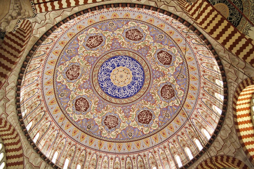
Muurish/Moorish-American Master Adepts in the present day are wisdom-keepers of ancient sacred Kemetic Mysteries and Knowledge about all Creation. They are living practitioners of Egyptian Yoga, known as Uacheta Smai Tawi, or Wadjet Yoga; and Medu Neter, the language of the Egyptian Hieroglyphs.
The Holy Trinity is God/Goddess/Child, Osiris/Isis/Horus. Each Human Being is a Living Hologram of the Universe, with all the Powers of Source, and our sole purpose of existence is to ultimately re-unite with our Higher Self and balance our Masculine and Feminine Qualities along the lines of the Divine Masculine and the Divine Feminine God/Goddess. Up until relatively recently, The Osirian Mysteries were once taught around the world.
The parasitic, vampiric, and multi-dimensionally aware beings that hijacked Humanity’s positive timeline definitely don’t want us to know that information. They not only provided us with the false Rome timeline, and a holographic insert about a tortured Christ figure that was grafted on to the Osirian Mysteries, they replaced the positive timeline of Unity Consciousness with a negative timeline, and gave us a narrative of suffering, sickness, misery, destruction, death, and survival of the fittest. Additionally, they have manipulated Hu-man beings to become the perpetrators of all of their negativity and depravity against fellow Hu-man beings.
I am quite sure there was a Master Teacher that the Christ figure was based upon, perhaps named Yeshua or Issa, who lived and taught the Way of Love that the Christian Christ figure was based on. But that individual’s teachings got hijacked too, and the name was parlayed into a distortion of the Pentagrammaton –
Y H S V H. The Tetragrammaton – Y H V H – is said to be the four-letter biblical name of the God of Israel. The Pentagrammaton is about Humanity’s Future – the Cosmic Human.
I think of John Milton’s epic poem “Paradise Lost” as historical non-fiction. This poem was published in 1667, and Milton was a contemporary of John Dee, the guy, who along with Edward Kelley, allegedly brought Fallen Angels into this dimension (see my blog post “Why is This Relevant Today”).
As related in the poem, newly banished Fallen Angels organize, and Satan volunteers to corrupt the newly created Earth and God’s new and most favored creation, Mankind. He goes to the Garden of Eden, and basically convinces Eve, by duplicity, to eat of the fruit of the tree of knowledge of good and evil, and making it their fault they were kicked out of the Garden of Eden.
This makes a lot of sense to me and is completely relevant to what is playing out in the world today,
I am only using this example to show what appears to be a spiritual warfare technique that was used in the false historical narrative we have been given, a technique that is still being used to this moment, and is the basic tenet of all of the three organized religions as we have come to know them.
The non-human beings that hijacked the time-line gave us: Organized religions that placed Source squarely outside of ourselves; and ministers, priests, rabbis, and imams as intermediaries and interpreters for us of this external God. They gave us the Pope, whose word in certain circumstance is considered infallible, and inviolable Holy Books, that create dogmatic thinking and control of our spiritual beliefs.
The so-called Lost Books of the Bible have the really apropos information for Humanity’s spiritual development, and these teachings were all deliberately removed from the collective consciousness: the Gnostic Gospels and Apochrypha. These missing teachings contain, as Paul Harvey would say, “… the rest of the story.”
This is what I have come to understand as a result of my research and intuitive guidance:
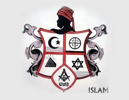
- The Islam of the Ancient Ones is about Applied Sacred Geometry and Universal and Natural Laws.
- It is not at all about the radical Islam we see playing out in today, which has been weaponized, in its radical form, to achieve the aims of the New World Order, just like Christianity was weaponized to take down the Moorish Empire centuries ago in the time-line we have been given.
- The Twelve Tribes of Is-Ra-El are directly connected with the Twelve Tribes of the Great Central Sun. They are the Children of Is-Ra-El, Mother/Father God, God/Goddess, and not the organized religion we have come to associate with them today. It is not a formal religion, as we have come to know Judaism. Hebrew is a language of Light – sounds of Light – along with Egyptian, Tibetan, Sanskrit, and Chinese. All of which are part of the same advanced Ancient Global Civilization, which was of Light and High Vibration.
And why do I believe the Moorish Civilization was in Unity Consciousness?
Drunvalo Melchizedek, in his 2010 Birth of a New Humanity, brings forth lost knowledge about things like: the circumstances of the destruction of Atlantis, what was going on for Humanity at the time; and advanced knowledge about consciousness grids.
I watched this video when it first came out, and it gave me my first clue that the physical foundation for a planetary consciousness grid even existed.
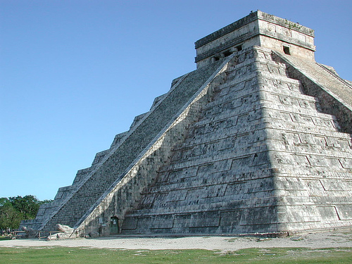
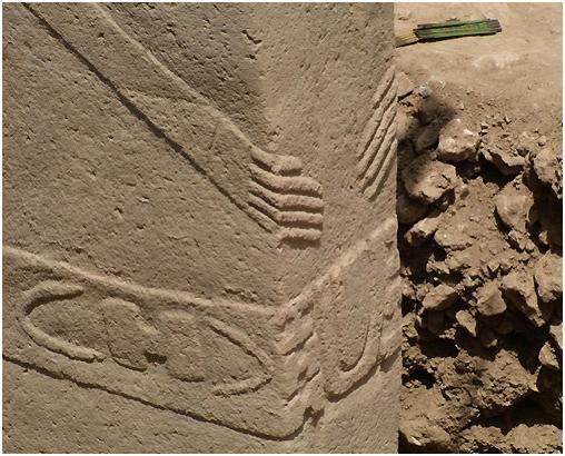
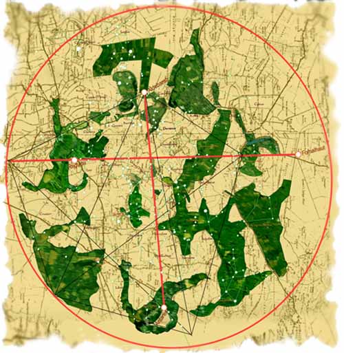
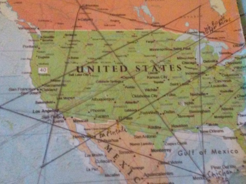
He introduces the work of Carl Munck in “The Code,” who deciphered a shared mathematical code, related to the pyramids of Giza, in the dimensions of the architecture of sacred sites all over the planet, one which encodes longitude & latitude of each that cross-reference other sites. He shows that this pyramid code is clearly sophisticated and intentional, and perfectly aligned over long-distances.
We are at the end of a Precessional Cycle of 26,000 years, and the beginning of a new one. Atlantis is said to have sank approximately 13,000 years ago. Drunvalo explained that Thoth and two other Ascended Masters received permission from the Galactic High Council to start building the Planetary Grid for Ascension because Humanity had been at a high level of consciousness before the Fall of Atlantis, with the Great Pyramid of Giza being the first building to be placed on the grid, located at the exact center of the earth’s landmass, and the actual Prime Meridian of the planet.
At the time this piqued my interest, and I thought “Wow, that sounds great, but who could have built it?” Drunvalo doesn’t really answer this question in the video, but he planted a seed in my consciousness.
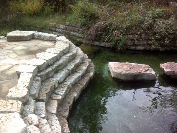
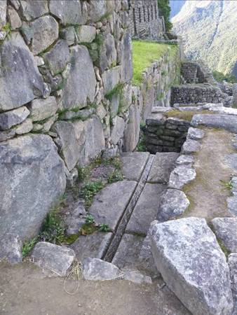
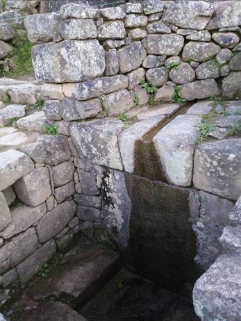
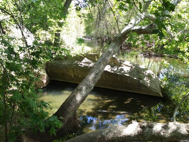
So sometime probably within the last 11,000 – 13,000 years ago, this new advanced civilization started to be built upon a Flower of Life pattern around the planet, building beautiful architecture, engineering rivers and waterfalls, and terra-forming the earth, and existed up until the last 150 years ago, at least in the U. S.
He also planted another seed in me with something he said in his video presentation, “The Maya of Eternal Time.” He said that we need to remember the Ancients. They were waiting for us to remember them because they need us and we need them in the Shift of the Ages, and that we are moving forward together. Again, this stuck with me, and I wondered who exactly he was talking about.
John Michel was an English writer and esotericist, and a prominent figure in the development of the Earth Mysteries movement. He brought forth brilliant information about the Ancient Civilization, as he believed in the existence of an ancient spiritual tradition that connected humanity to Divinity, but which had been lost. His most famous work is “View Over Atlantis”, published in 1969, in which he delves into the topics like ley-lines in Britain and in other places around the world, like China. The sophistication and breadth of his work as it relates to the Ancient Civilization would indicate that he had access to a deep spiritual well of information about it.
He and Christine Rhone co-authored a book called: “Twelve Tribe Nations – Sacred Number and the Golden Age.” Among other things, they followed the Apollo – St. Michael alignment across countries and continents all the way to Jerusalem in Israel. They discuss records and traditions of whole nations being divided into twelve tribes and twelve regions, each corresponding to one of the twelve signs of the zodiac and to one of the twelve months of the year. All formed around a sacred center.
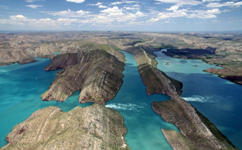
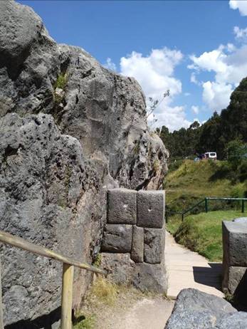
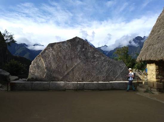
It stands to reason that these people would apply to the same concepts of Harmony, Balance, Beauty, Sacred Geometry, and aligning heaven and earth, to building their communities and themselves that they applied to building all of the infrastructure of the planet.
Alex Putney has done excellent work on the subject of human resonance and sacred sites, and his work is another reason I believe that Humanity existed in Unity Consciousness in the Ancient Civilization.
He reveals that the sacred geometry involved in the placement of sacred sites, for example, is such that all are perfectly harmonically aligned with each other and the pyramids on the Giza Plateau, which he says is a generator tuned to the frequency of the human heartbeat. Thus sacred sites were places people would go to in groups to synchronize their heartbeats.
Anthony Thorley does interesting research on Landscape Zodiacs. I watched a presentation where he goes into detail on the Glastonbury Landscape Zodiac, but he said he knows of more than 50 in Great Britain alone.
I have heard presentations from other researchers, like Mick Harper on his work concerning “The Megalithic Empire” and Tim and Lee Hooker and their work on “Megalithic Discoveries in the Ukraine,” that support these ideas of a brilliant and completely aligned civilization in all ways.
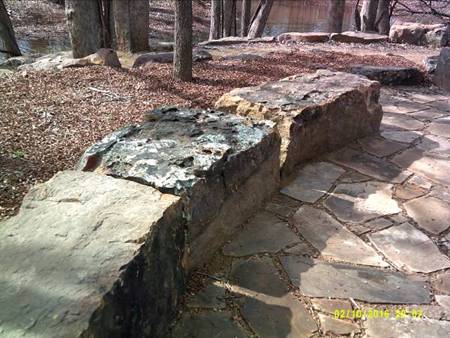
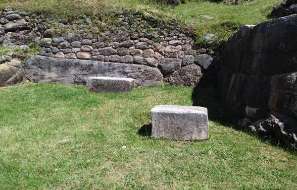
What happened to the Moors?
I asked myself that question over and over as I followed circles and lines around the globe. You can click on the above link to see the spreadsheets I made as I did this. There should be a lot more melanin in the gene pool on every continent. I soon realized in this process that something very, very bad happened to the Moors of the planet, and is still happening to this day. Unimaginable and unspeakable horrors. Evil forces have their way with them because humans do not know the Truth, and have been manipulated by the same forces to perpetuate all of the many Lies that we have been told, and critical information withheld.
The westward expansion started after the Civil War. The Washitaw were still living on their land. The form of slavery that had existed in the South up until the Civil War was no more. There was no other alternative but to kill them. Untold numbers were brutalized and killed, frequently at their sacred places, or powerful points on the grid, and their land was taken
. Of course all of this was left out of the history books.
The vast majority of Southern slaves were not from Africa – they were aboriginal Moors. It’s not talked about, but probably European Moors as well due to the Triangular Slave Trade route between the Americas, Africa, and Europe – white became the dominant skin color there, so something happened to Europe’s Moors.
The only reasonable conclusion based on what I am seeing is that the majority of Moors have been massacred. Genocide on an industrial scale. As a matter of speculation, I would even suggest that they were massacred in the same Holocaust of World War II, in spite of all the photos being of white European Jews. I can list places in the world that are notorious for years-long massacres of people – in France during the French Revolution; the Soviet Union in the Stalin years there were pogroms against “Jews”. In Cambodia – “Khem”-bodia – tremendous killing fields in the 1970s; Ethnic cleansing in Bosnia in 1990s; the Cultural Revolution in China from 1966 – 1976; just to name a few. Why has all this killing taken place? Something happened to all the Moors – all of these places were integral parts of the Advanced Ancient Civilization – and their past presence is no longer evident in the respective populations of these places.

And the non-human beings behind this are still at it today. I feel it urgently necessary to get this information out into collective awareness. All the craziness that is playing out in the world today is the same thing that happened to the Moors. It’s from the same playbook. We have been so lied to about everything, and now they are trying to socially engineer Humanity again in a different way. They always create fear, separation, and division using race and religion. They hate all Humans, and have no respect for life. Fortunately for us, many positive things are happening right now to take down the Deep State, so there is considerable hope for a much brighter future for Humanity.
If you have a hard time believing this, so did the Moors. And their advanced civilization and memory of them subsequently got wiped off the face of the earth. They inadvertently and unknowingly opened the door for great evil to enter when the European exploration and colonial eras started, because they had no concept that such evil could exist. One Love is Law in the Washitaw.
After my journey around the world, following cities in circles and lines, brought me to this level of understanding, it was clear to me that Spirit had chosen me as a vessel, and/or I incarnated with this as my soul mission. I am committed to getting this long-lost Truth out to as many people as I possibly can for the purpose of healing, transmutation and transformation. The only way out of the madness is to go up into the higher consciousness, and into the heart. There is so much to get angry about, but that is not what is going to help Humanity through this time. We have all been ruthlessly manipulated.
Much moor to come out in this blog, and I am looking for venues for public presentations/discourse.


 .
.