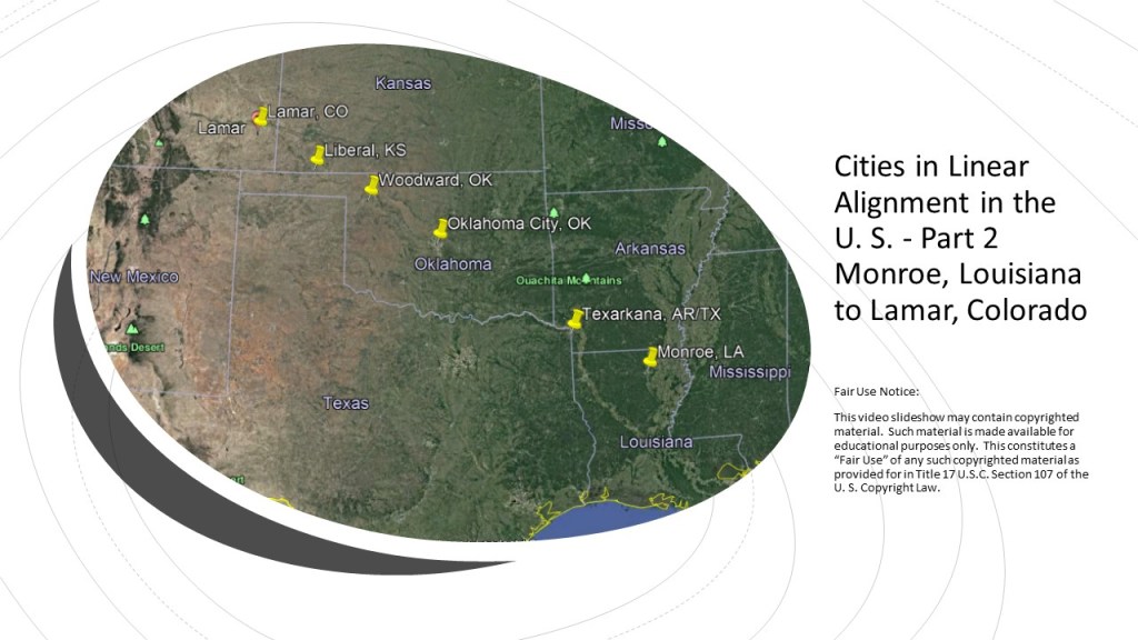
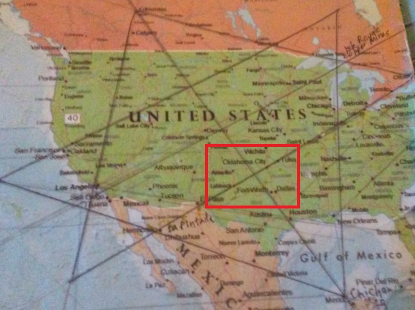
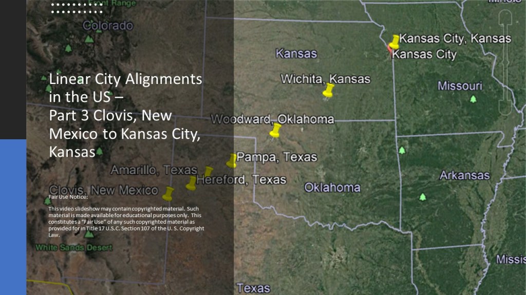
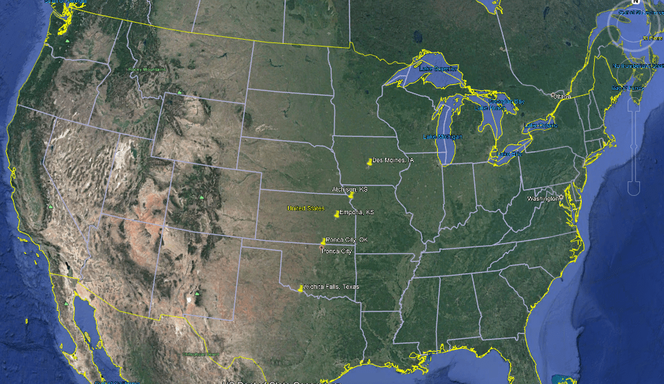
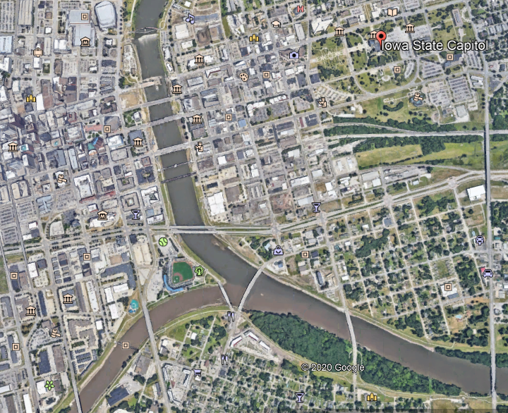
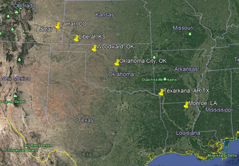
This is the third-part of a four-part series on cities that I found in linear alignment in the United States.

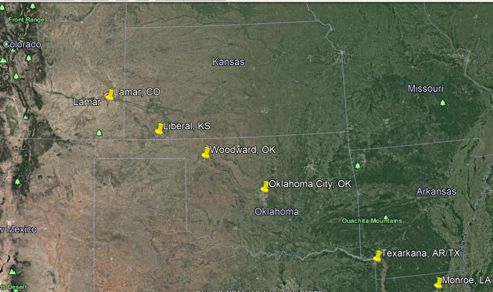
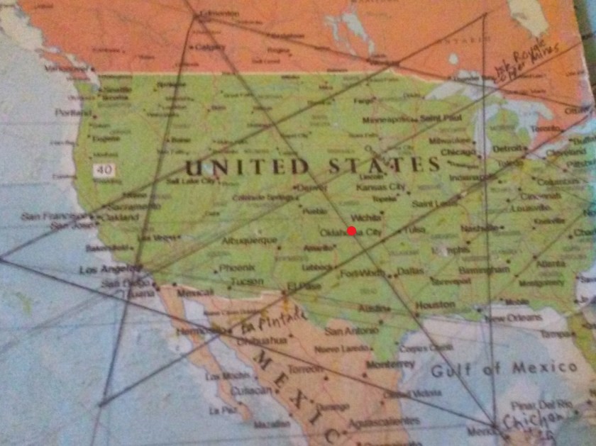
When I was living in Oklahoma City several years ago, during the time I was waking up to all of this, I identified several linear alignments while looking at a map on the internet of the region.
I am showcasing these linear alignments in this series.
For the purpose of this series, each part of this series will be a snapshot of whatever longer alignment this represents, and complete in itself.
Also, let’s see how many county seats we encounter on this alignment.
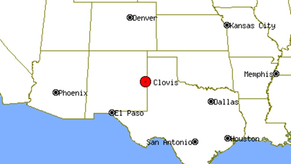
Clovis is the County seat of Curry county in eastern New Mexico.
I lived in Clovis for 5 years, between 1989 and 1994, moving there literally right after I got married – I graduated from college on June 3rd, 1989, got married on June 10th, and left Maryland for New Mexico on June 11th.
My in-laws lived in Hereford, Texas (which is also on this alignment) and, since my husband was a military retiree, we ended up in Clovis because of Cannon Air Force Base.

This is interesting to me because I am looking at Clovis with very different eyes now than I did when I lived there 30 years ago.
I didn’t really like living there.
It was flat, stark and boring to me.

It was really hard to make new friends.
People were friendly, but it was hard to get into social circles there.
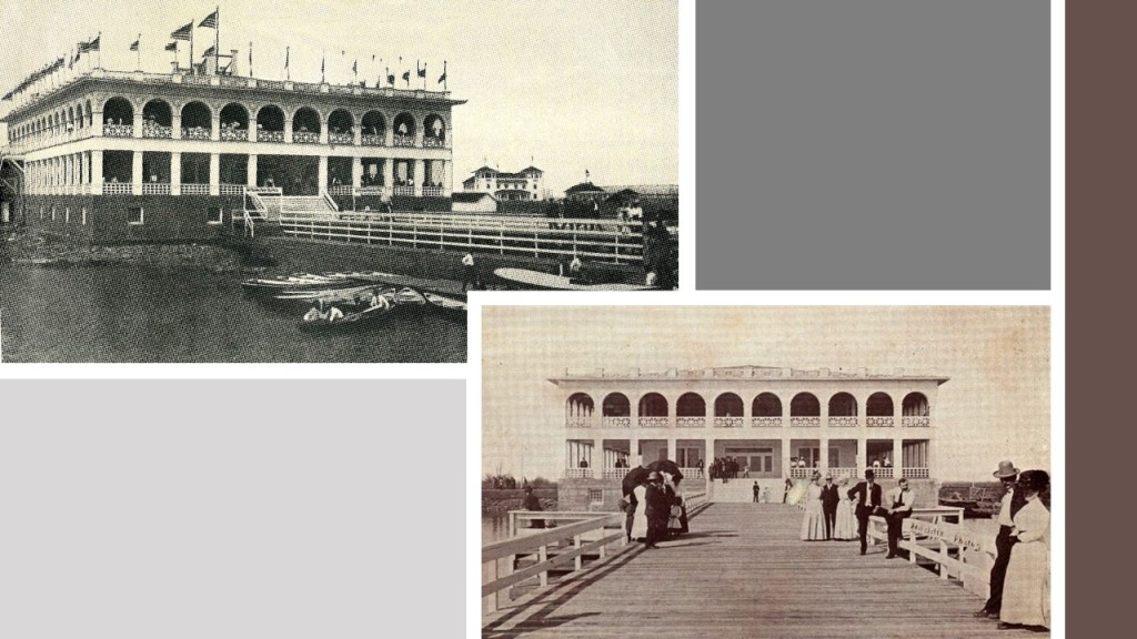
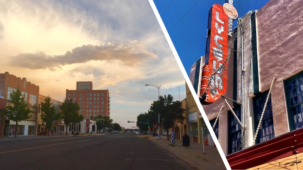
So now, like everywhere else I look, when I see historic photos of the grand architecture that was there, like the Quivera New Santa Fe Hotel Clovis, one of the Harvey House hotels, a chain that was founded by Fred Harvey in 1876 to cater to the growing number of train passengers…

…I see the architecture of the original advanced civilization of North America, instead of the depressing impression I have in my memory of the flat, dusty landscape and the run-down-looking buildings that I remember from when I lived there.
Oasis State Park is located south of Cannon Air Force Base, and southwest of the City of Clovis.
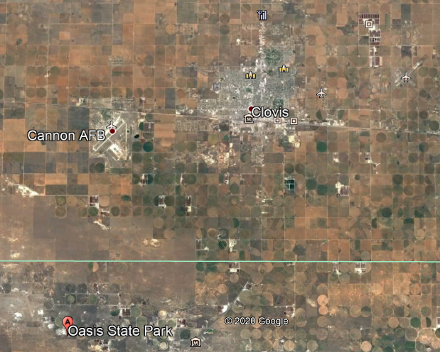
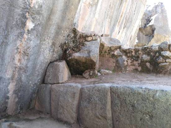
While it is described as a true oasis set among cottonwood trees and shifting sand dunes, what gets my attention are the cut-and-shaped megalithic stone blocks around the edge of the water.

Blackwater Draw is located between Clovis and Portales on Highway 467, one-mile north of Oasis State Park.

It is described as an intermittant stream channel…

…and an important archeological site that was first recognized in 1929 by a local man named Ridgely Whiteman, with Blackwater Locality No. 1 being the type-site of the Clovis Culture.

The Clovis Culture is called a prehistoric Paleoamerican culture of the first cultures that inhabited the Americas, dating back 13,000 to 11,000 years BP, or Before Present…

…and characterized by the manufacture of bone-and-ivory Clovis Points, which were characteristically-fluted projectile points.
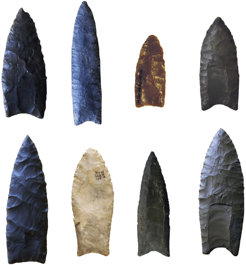
We are told the Blackwater Draw location was a place where generations of the continent’s earliest inhabitants camped and hunted for mammoth, camel, horse, bison, saber-toothed cat, Sloths and dire wolf.

There are also what are called sand dunes, or sand hills around Oasis State Park and Blackwater Draw.

I have long suspected there is enduring infrastructure underneath places in the world with sand dunes, like these in Saudi Arabia’s Empty Quarter, which I found out about by tracking an alignment.

While we are here, let’s see what else is in Portales before going back to Clovis.
Portales is located 17-miles, or 27-kilometers from Clovis.
Portales is the county seat of Roosevelt County.
This is the Roosevelt County Courthouse and Jail, said to have been built by the Works Progress Administration, and completed in 1938….

…and said to have been designed by Clovis architect Robert E. Merrell and built in Art Deco Style 1938…
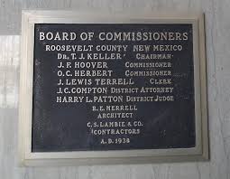
Robert E. Merrell was also given the credit for the Curry County Courthouse in Clovis, said to have been built in 1936…

…over the site of the preceding Curry County Courthouse, said to have been built in 1910 by the J. Sterling Marsh Manufacturing Company.

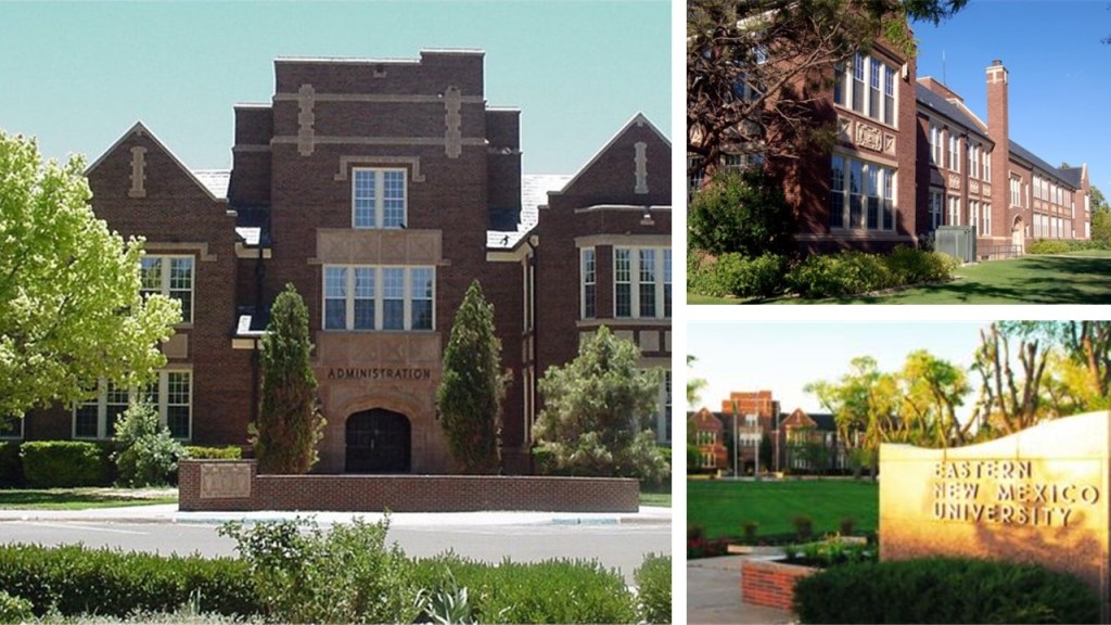
The main campus of Eastern New Mexico University (ENMU) is located in Portales, with construction said to have started in 1931 and completed in 1934.
Apparently, on March 11th of 1978, downtown Portales was said to have caught on fire from an electrical short at the sweet potato warehouse, the sparks from which blew into the original Tower Theater’s air conditioning ducts, and by the time the fire was put out, six buildings were destroyed or damaged, and caused $2-million to $3-million in damage.

Nothing suspicious about the explanation for that start of that fire, right?!
Now, back to Clovis.
The history of Clovis began 1906, we are told, when the Atchison, Topeka, and Santa Fe Railroad was being constructed through the area, and the railway engineers were ordered to select a town site.
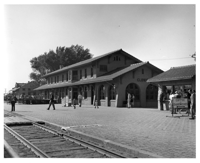
The story is the city was named by the station master’s daughter, who was studying at the time about Clovis, the King of the Franks, and believed to be the founder of the French Merovingian Dynasty in the 5th-century AD.
The City of Clovis was incorporated in 1909.
The Marshall Junior High School building is still in use today, and was said to have been constructed in 1936 as part of Franklin Roosevelt’s New Deal Public Works Administration.

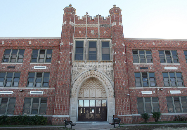
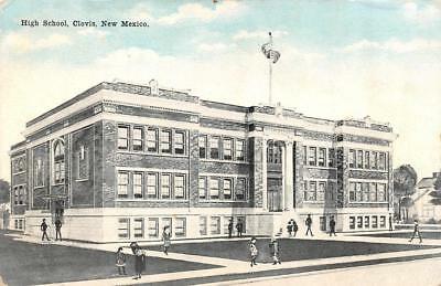
This is an historic post card of the old Clovis High School building, for which I can’t find any information about.
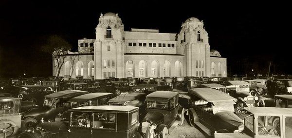
Robert E. Merrell, the local courthouse architect, was also given credit for designing the Hotel Clovis, an art-deco building said to have opened in 1931.

The hotel has been closed since 1983, and renovation plans to turn the building into apartments and commercial space has not come to fruition.
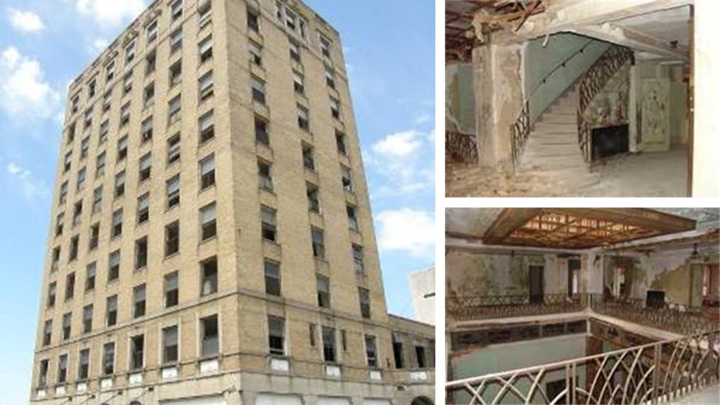
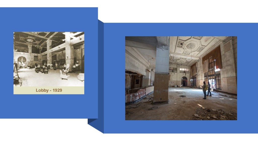
The story and appearance of the Hotel Clovis on the left is a lot like that of the Hotel McCartney on the right in Texarkana, which was said to have been built in 1929, and abandoned in the mid-1970s.

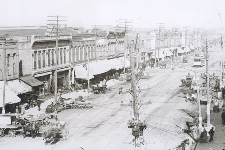
The main street of Clovis is paved with bricks.
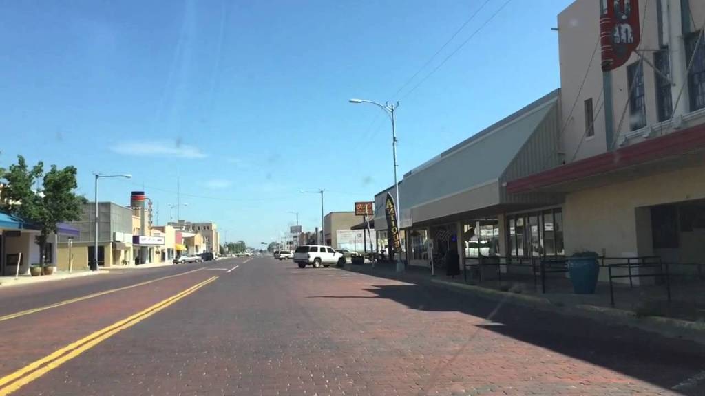
We are told the first patent for paving brick roads was obtained in 1889 by Mr. Mordecai Levi, from Charleston, West Virginia…

…after which time we are told 1,000s of brick-making companies sprang up in the late 1800s and early 1900s to meet the demands of the millions of bricks needed to pave 1,000s of miles of streets throughout the United States.
I did some research about the U. S. Patent Office on the subject of prism pavement lights awhile back.
Information about things being patented that were actually already there led me into wondering if, for example, the historical U. S. Patent Office played the same role as the Smithsonian Institution in covering up True History.
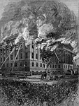
This is the old U. S. Patent Office, said to have been built between 1836 and 1867, with this image of it said to be circa 1846.
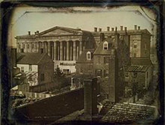
Today the Old Patent building houses two Smithsonian Institution Museums: the National Portrait Gallery and the Smithsonian American Art Museum.

We are told that the original designer of the building in the Greek Revival Design, Robert Mills, was removed for incompetence in 1851, and that the building was eventually completed under the direction of the Dean of American Architecture during that time, Thomas U. Walter, in 1867.…and the year the American Civil War ended.
Then in 1877, a fire in the buildings west wing destroyed some 87,000 patent models and 600,000 copy drawings.
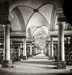
This is said to be a picture of one of the Old Patent Office’s model rooms between 1861 – 1865 (all of the years of the Civil War)…
Food for thought.
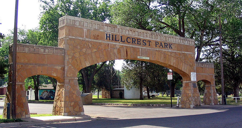
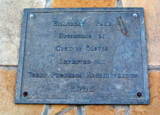
Hillcrest Park in Clovis is a 140-acre complex that has…
…a sunken garden used for things like weddings…
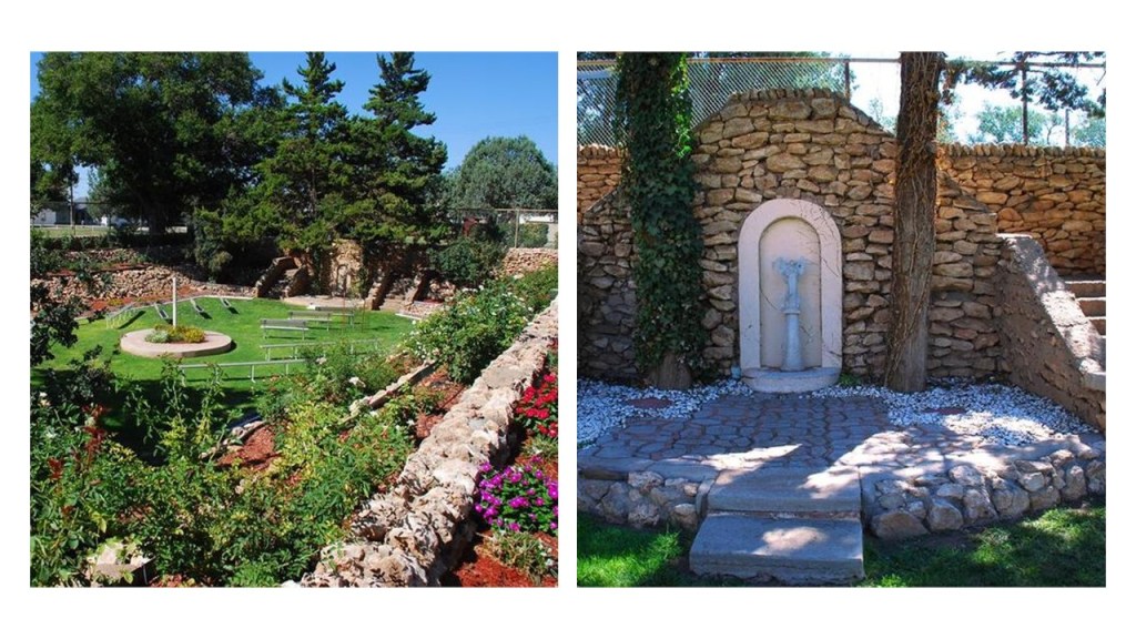
…and has a zoo that is the second-largest in New Mexico.

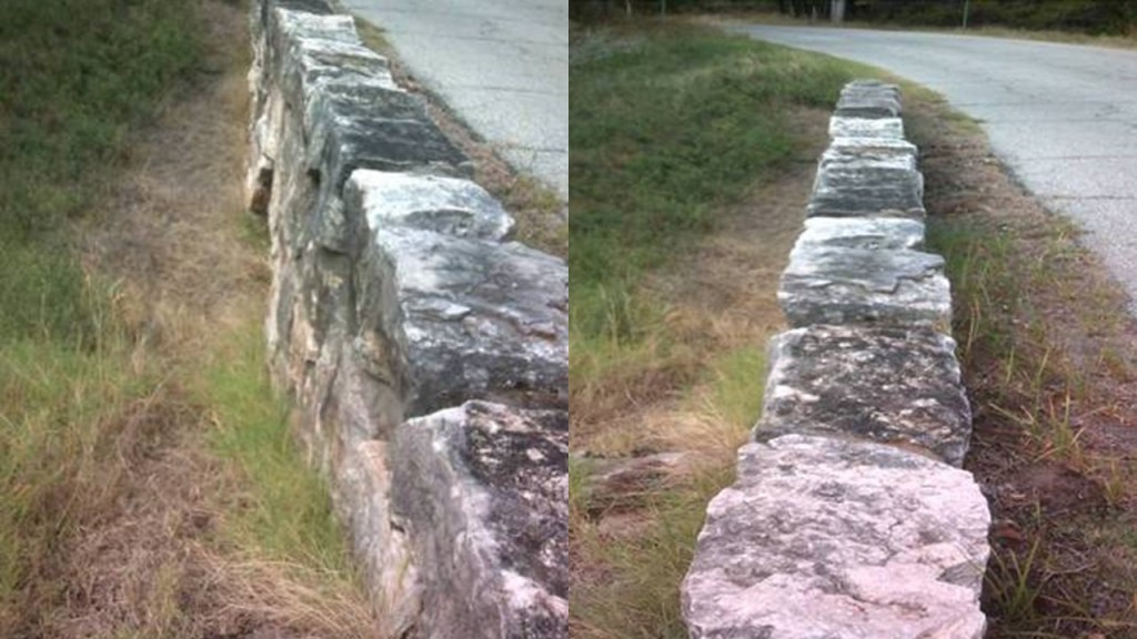
We are told the stone features of Hillcrest Park were the result of a Works Project Administration effort in 1935.
One more thing to share before I leave Clovis.
Clovis was planned to be the centerpoint of a national Super-Grid and become a renewable energy hub.
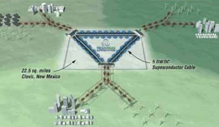
The project, called Tres Amigas, was planned to link three discrete North American electrical grids, the western, eastern, and Texas Interconnections, on state-owned land slightly north of Clovis.
Clovis was the planned location for it because it is where all three grid systems meet.
To my knowledge this project has never came into being.
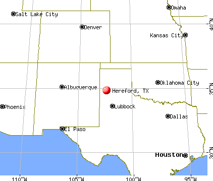
The next city on the alignment is Hereford, the county seat of Deaf Smith county in Texas.
Hereford was founded in 1899, we are told, after the Pecos and Northern Texas Railroad was incorporated in 1898 to construct the railway between Amarillo, Texas, to Farwell, Texas, at the Texas – New Mexico state lines.

Residents named the town “Hereford” in honor of the local Hereford cattle ranchers, which originate from Herefordshire in England.

Hereford is known as the “Beef Capital of the World” because of the large number of cattle fed in feedlots in the area.

It sure smells like it. The memory of that pervasive manure smell is permanent!
This is the Deaf Smith County Courthouse, said to have been built in 1910 by Chamberlin & Company in Classical Revival Style, and the second marble courthouse built in the United States.

Notice there are red brick streets in Hereford as well in the photo on the right.
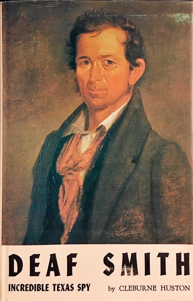
The county was named for Erastus “Deaf” Smith, a partially-deaf frontiersman who played a part in the Texas Revolution of 1835 – 1836.
This building served as the Hereford High School from 1926 to the new one was built in in 1954, and is still in use today as the Stanton Learning Center.

…and this is a photo of Hereford’s Old Central School, which was said to have been built in 1910.
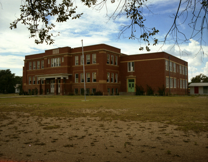
This was a picture of St. Anthony’s Catholic Church in Hereford in 1927…

…and St. Anthony’s since 1951.

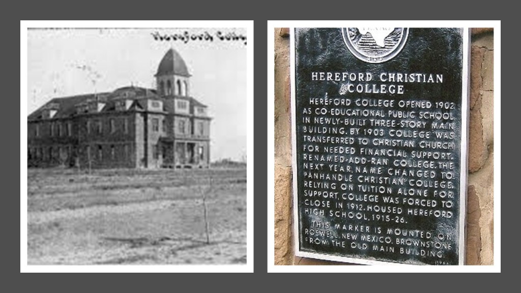
How about this photo of Hereford Christian College sometime between the time it opened in 1902 and closed as a college in 1912.
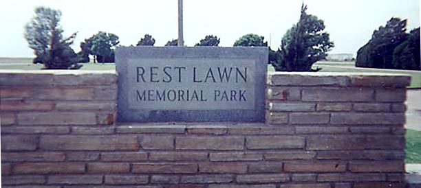
Before I leave Hereford for the next place on the alignment, I want to share where my in-laws were laid to rest in Hereford – father-in-law, mother-in-law, aunt-in-law, and some others.
Whether or not I liked living in this part of the world, I do have family memories and connections here.
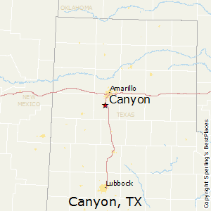
The next place I want to make a stop at on the way to Amarillo is Canyon, the county seat of Randall County.
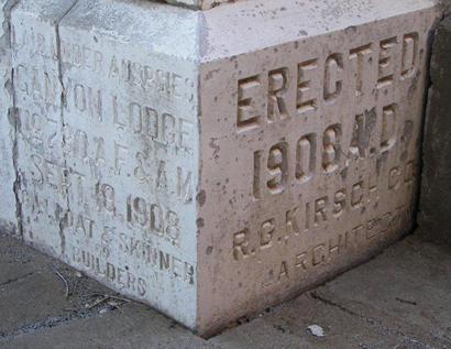
This the Old Randall County Courthouse in Canyon…

…was said to have been built in the Texas Renaissance Style between 1908 and 1909.
Canyon is the location of West Texas A & M University, established in 1910…
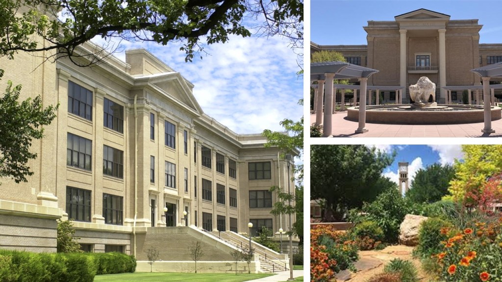
…and Palo Duro Canyon, the second largest canyon in the United States.

Here you can see the TEXAS Musical in the summer with the history of Texas we have been taught…
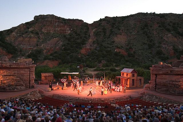
…in the park’s outdoor amphitheater.
I noticed the stonemasonry all around the amphitheater stage.

The feature in the canyon known as the Lighthouse, on the left, has a twin in Big Bend National Park in south Texas, on the right.

The next place on the alignment is Amarillo, the largest city in the Texas Panhandle, and the seat of Potter County.
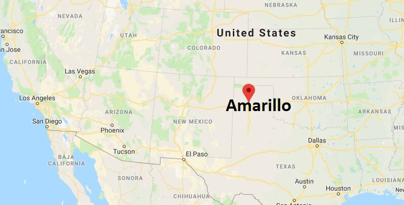
There are two places that immediately come to mind when I think of Amarillo.
One is the Cadillac Ranch, located just west of Amarillo on I-40.
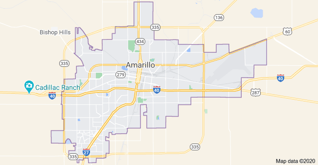
The Cadillac Ranch is described as a public art installation and sculpture by an art group known as Ant Farm.
It was installed in the landscape in 1974.
There are ten cadillacs, spanning the generations of the evolution of the car model’s tail-fin between the years 1949 and 1963.

Over the years, the appearance of the Cadillacs has changed dramatically!

The other place that I immediately associate with Amarillo is the massive signage next to I-40 advertising the Big Texan Steak Ranch.
I don’t remember ever eating there, but I sure remember the sign…
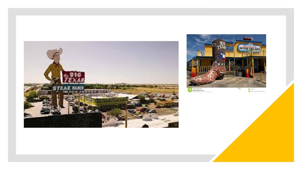
…and they advertise a free 72 oz steak dinner…
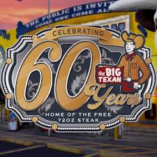
…for anyone who can consume it completely in one-hour.

If you can’t complete the contest, you owe the Big Texan 72-bucks for your 72-oz steak dinner.
There are large ranches in the Amarillo area.
The oldest, and still-functioning today, is the JA Ranch.
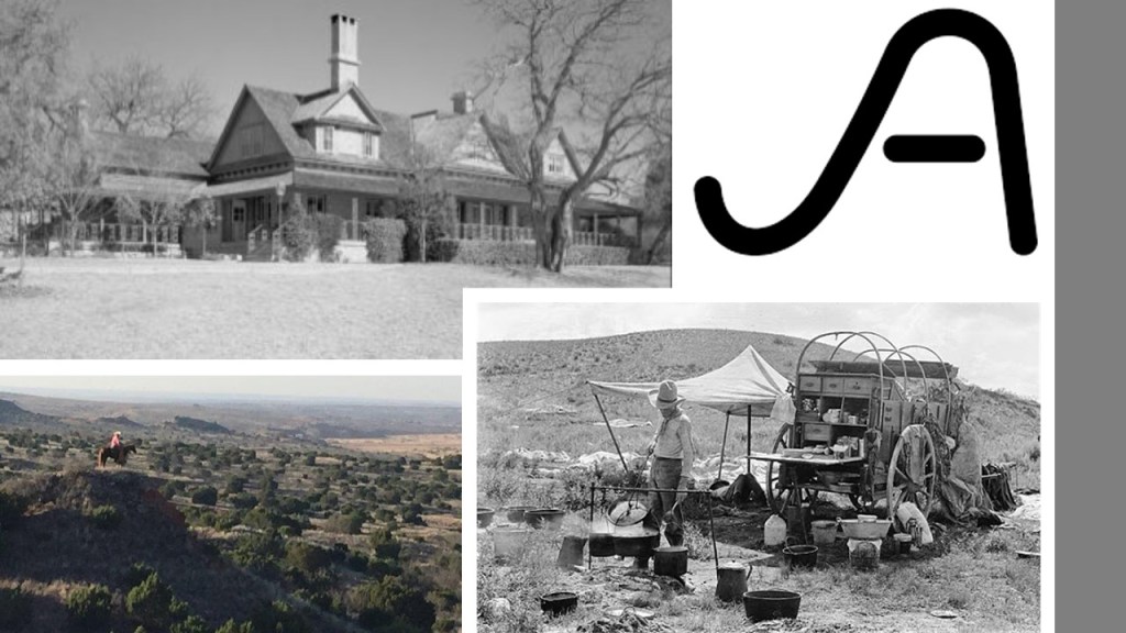
It was founded in Palo Duro Canyon on the outskirts of Amarillo in 1877 by Charles Goodnight, sometimes called the “Father of the Texas Panhandle,” and John Adair, an Irish businessman.
The Fort Worth and Denver City Railroad provided the needed freight service to contribute to Amarillo’s growth as a cattle-marketing center in the 19th-century.

The railroad was chartered by the Texas Legislature in 1873, and operated from 1881 to 1982.
The location for Amarillo was established in 1887, when we are told that the location was chosen for being on a well-watered section of Fort Worth and Denver City Railroad, which had begun building across the Texas Panhandle.
Originally named Oneida, the city that later became known as Amarillo was immediately chosen as the seat of Potter County in 1887.
This drawing on the left was of the 1896 Potter County Courthouse.

The building, located at 5th Avenue and Bowie, had the tower and third-floor removed.
It was used by the Texas DMV for awhile, and it looks like the building is still standing according to Google Earth, pictured on the right.
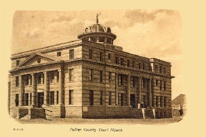
This postcard depicts the 1906 Potter County Courthouse.
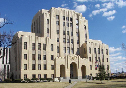
The 1932 Potter County Courthouse was said to have been designed by an Amarillo architectural firm in Art Deco style, and built between 1930 and 1932 with a crew of more than 500 local laborers.
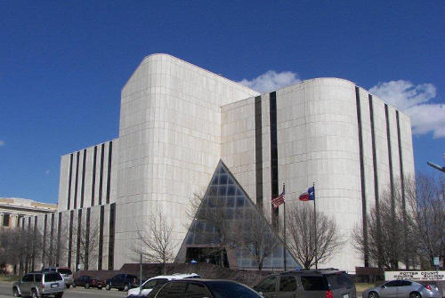
Then, after only 54-years of use, the 1932 Potter County Courthouse was replaced yet again in by the current courthouse which was said to have been built between 1984 and 1986.
By the late 1890s, Amarillo was one of the busiest cattle-shipping points in the world, and its population was growing significantly.
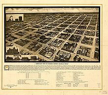
This illustration was said to depict Amarillo’s downtown business district in 1912.
This photo was of Amarillo’s Grand Opera House in 1910.
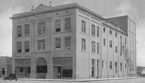
We are told it was destroyed by fire in 1919.
The natural gas and oil industries started to come to Amarillo when natural gas was discovered here in 1918.
The U. S. government purchased the Cliffside Gas Field, which had a high helium content, in 1927, and was the sole producer of commercial helium for a number of years.

The U. S. National Helium Reserve is stored in the Cliffside Gas Field’s Bush Dome Reservoir.
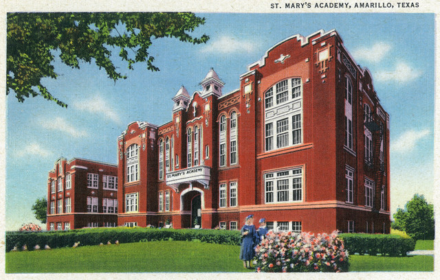
The oldest private school in Amarillo is St. Mary’s Cathedral School.

The current building originaly looked like this, and became the location in 1913 of what was then called the St. Mary’s Academy.
Polk Street is the downtown historic district of Amarillo.

The former Herring Hotel is on Polk Street.
It was said to have been one of three oil-boom-era hotels built in the 1920s.
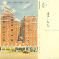
Though it is the only one of those three hotels that is still standing, it was abandoned in the 1970s.

Moving northeast out of Amarillo along the alignment, just 17-miles, or 27-kilometers away, we find Pantex, the primary nuclear weapons assembly and disassembly facility of the United States.
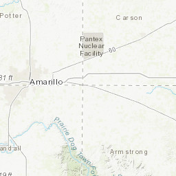
It is a major national security site, and its grounds and air-space are strictly controlled.
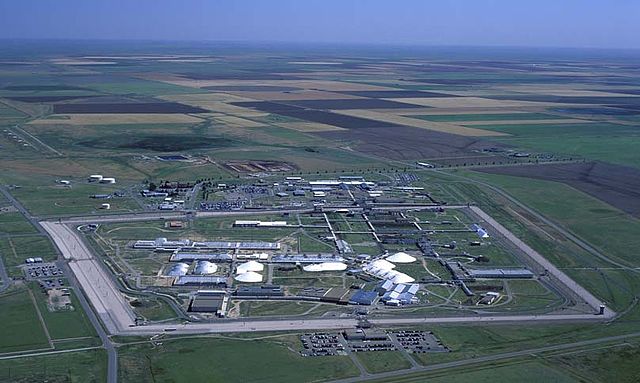
The country’s largest, federally-owned wind farm is at the Pantex plant…

…and the construction of which was part of an effort to reduce carbon emissions by federal agencies.
It is significant to note that there are so-called wind turbines all across the landscape of the Texas Panhandle along I-40.

I have serious doubts as to these turbines being powered by wind, and suspect some other kind of energy technology powering them.
I have watched them and the turbines seem to turn at the same speed regardless of whether or not the wind is blowing.
Just my opinion, but I wonder about what is really going on here.
As well, I have encountered their presence on alignments I have tracked all over the Earth.
The next city on this alignment is Pampa, the seat of Gray County in Texas.

Pampa was founded in 1888 on the Santa Fe Railroad line…

…and we are told that in 1892, received its current name for the location’s resemblance of the surrounding prairie lands to the Pampas in Argentina.

We are told the Texas Panhandle Oil Boom spread to Pampa, and that the city showcased its newfound wealth with elaborate downtown construction with Beaux Arts architecture.
Still functioning as the city’s main fire station, the Central Fire Station was said to have been built in 1919.

What is interesting to me is that I have found basically the same architectural idea in the design of fire houses in very different places around the world, like Honolulu’s Palama Fire Station on the Hawaiian Island of Oahu…
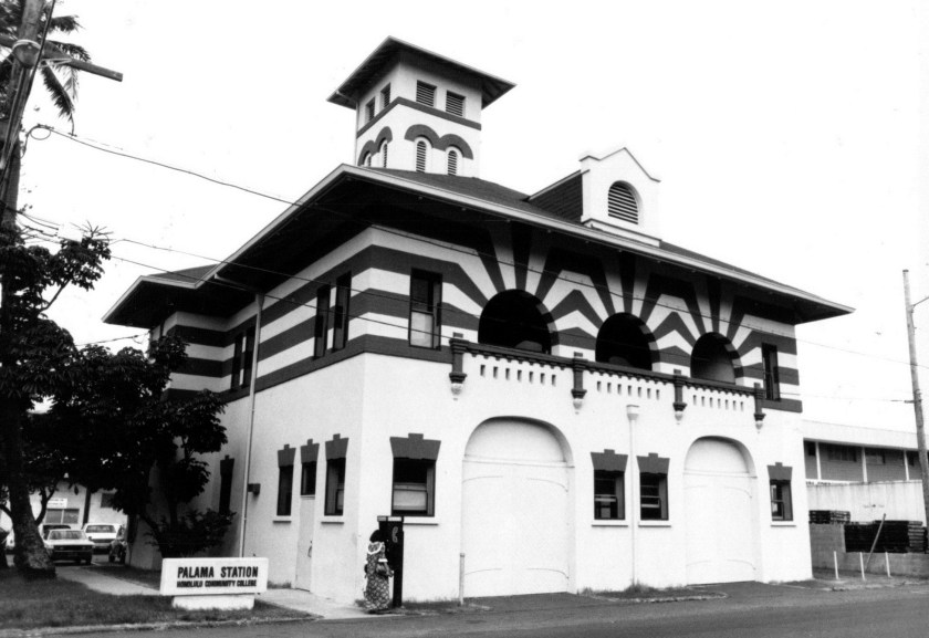
…the fire station in the small down of Jerome, in Arizona’s Verde Valley near Cottonwood and Sedona…

…this one in the country of New Zealand, in the South Pacific Ocean…

…and this one in the city of Birmingham in England.

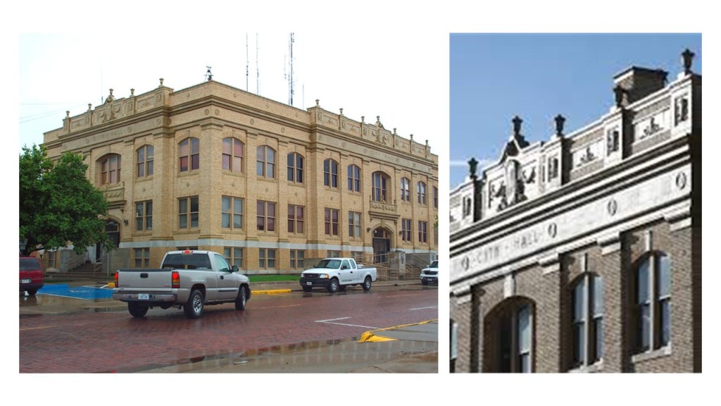
The Pampa City Hall was said to have been constructed in 1930 at the center of the “Million Dollar Row.”
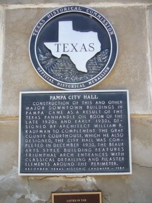
The Gray County Courthouse, also on the Pampa’s “Million Dollar Row,” was said to have been completed in 1929, and designed by Amarillo architect W. R. Kaufman.

It’s telling that they painted the year on the building. Frequently, they at least engrave it when they are falsely taking credit for building the architecture.
Downtown Pampa has red brick streets as well.

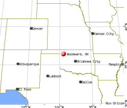
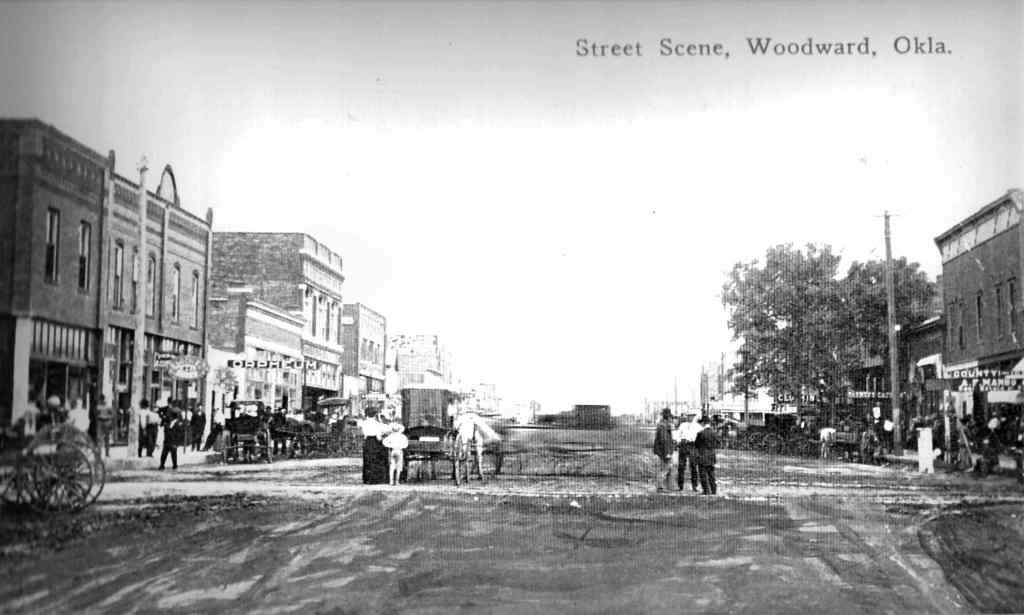
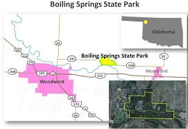
The next place we come to on this alignment is Woodward, the seat of Woodward County in Oklahoma.

Woodward was on the last linear alignment, from Monroe, Louisiana, to Lamar, Colorado…


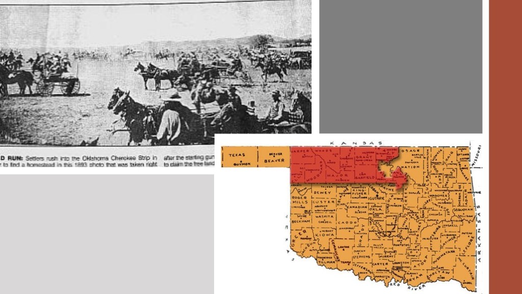
Woodward was on the Great Western Cattle Trail, and the town was established in 1887 after the railroad was constructed there, we are told, to ship cattle to eastern markets.

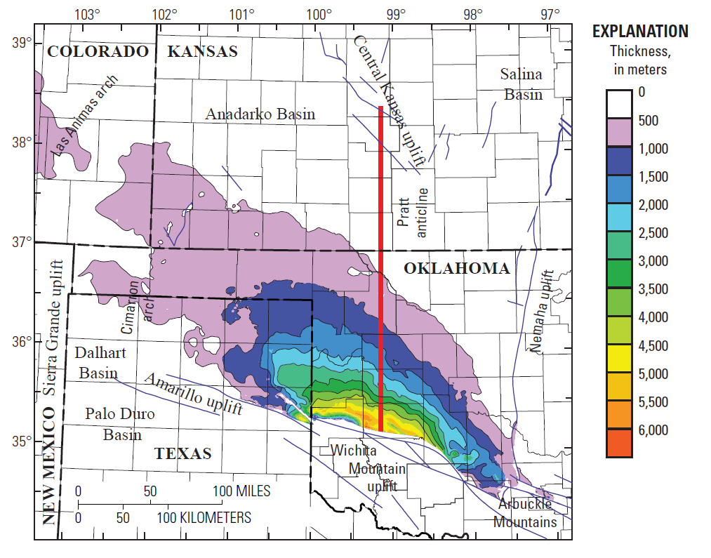
Woodward lies in an oil and natural-gas area on the shelf of Oklahoma’s Anadarko Basin, the largest producer of natural-gas in the United States…

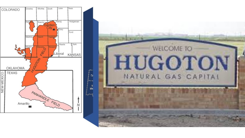
…and within which the huge Panhandle-Hugoton gas field is contained, one of the world’s largest known natural gas fields in Kansas, Oklahoma and Texas.

One of the largest deposits of iodine in the world underlies many portions of Woodward County, and is the only commercial source of iodine in the United States.

Woodward is a commercial hub in northwestern Oklahoma.
Agriculture, oil and gas, and manufacturing all contribute to Woodward’s economy.

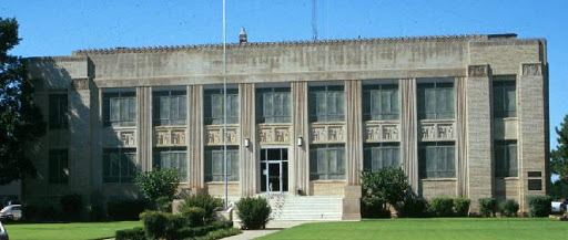
The original Woodward County Courthouse was said to have been designed by architect J. W. McNeal and J. R. Cottingham and built in 1901 by J. C. Blair Construction Company…

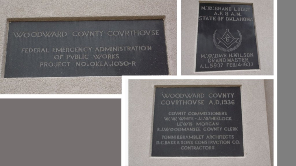
…only to be replaced in 1937 by a new courthouse, said to have been designed by architects Tonini and Bramblett, and constructed by Bass and Sons Construction Company, as part of a New Deal Public Works Administration Project.
There are three black granite cornerstones at the southeast corner of the building, with information supporting those claims, as well as freemasonic involvement.
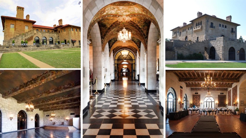
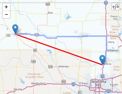
It is important to note that the Scottish Rite Temple in Guthrie is one of the largest in the world, said to have been built in 1919 in Classical Revival style, and recognized as the center of state-level Masonic activities and functions since 1923.

What might some of those activities and functions have been, I wonder, and how might it relate to the cover-up of the original, ancient, advanced Moorish civilization?
Just for point-of-reference, Guthrie is located 116-miles, or 187-kilometers, southeast of Woodward.
The next city I am going to look at on this alignment is Wichita, the largest city in Kansas, and the county seat of Sedgwick County.

We are told the city of Wichita started out life as a trading post on the Chisholm Trail in the 1860s, which was established to drive cattle from ranches in Texas to Kansas railheads…

…and was incorporated as a city in 1870.
The Old Cowtown Museum is located next to the Arkansas River in central Wichita.
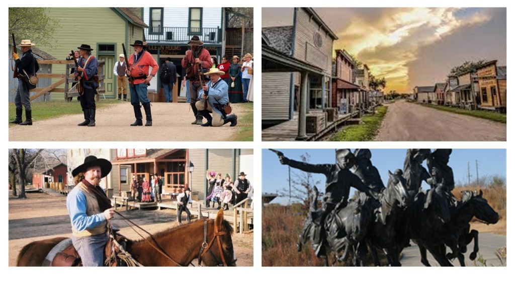
Established in 1952, it is one of the oldest open-air history museums in the central United States, with 54 historic and re-created buildings on 23-acres of land on the original Chisholm Trail.
I am going to call this the John Wayne version of history, the false historical narrative that we have been indoctrinated in from cradle-to-grave.
Among many other examples from Hollywood the entertainment industry, famous western movie actors John Wayne and Roy Rogers were Shriners.

For that matter, so were Franklin Delano Roosevelt and Harry S. Truman, as well as other U. S. Presidents.
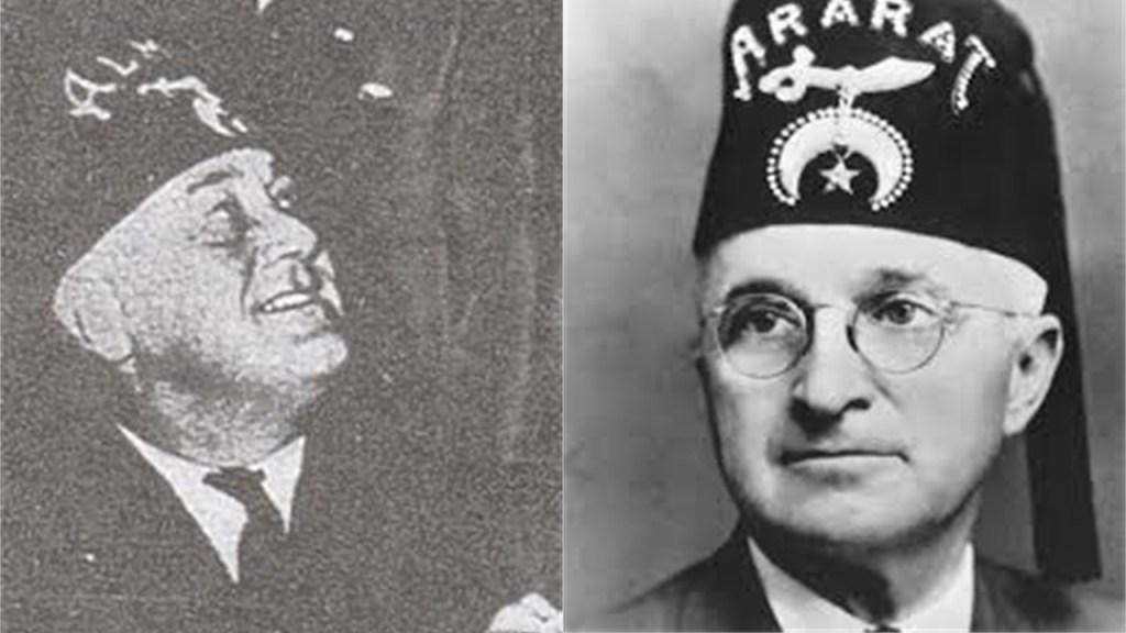
Shriners are comprised of 32nd- and 33rd-degree freemasons, the highest degrees of western freemasonry, also known as the Ancient Arabic Order of the Nobles of the Mystic Shrine.

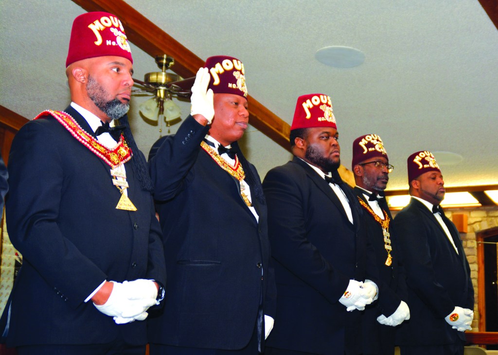
These are Prince Hall Shriners of the Ancient Egyptian Arabic Order of the Nobles of the Mystic Shrine.
Ancient Moorish Masonry has 360-degrees of initiation…327 more than freemasonry.
Fort Independence in Boston Harbor was the location where Prince Hall, and fourteen other Moorish men were initiated into the British Army Lodge 441 of the Irish Registry, after having been declined admittance into the Boston St. John’s Lodge.

He was the founder of Prince Hall Freemasonry on September 29th of 1784, and the African Grand Lodge of North America.

Until Prince Hall found a way in, Moorish Americans were denied admittance into Freemasonry.
Moorish Masonry is based on Moorish Science, which also includes the study of natural and spiritual laws, natal and judicial astrology, and zodiac masonry.
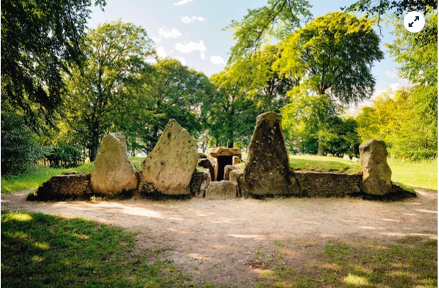
This is where the perfect alignments of infrastructure on earth with the sky comes from – the consummate alignment of earth with heaven that is seen around the world – like the lunar roll along the top of this recumbant stone in Crowthie Muir in Scotland.
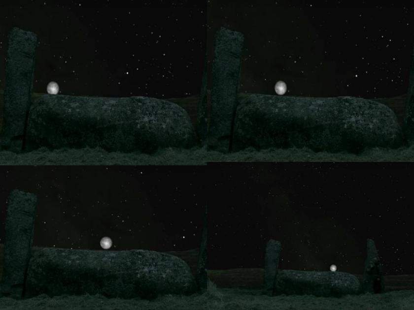
Monument Rocks, also referred to as the Chalk Pyramids, are located northwest of Wichita in Gove County, towards the western part of the state…

…and are designated a National Natural Landmark.

The interesting thing here are the solar and lunar alignments found here.

Mushroom Rock at Mushroom Rock State Park, northwest of Wichita…
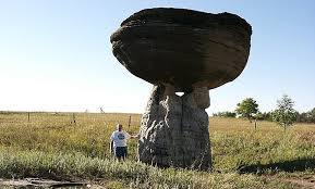
…looks a lot like the rock formations on the Moors of Great Britain, like this one in the North York Moors National Park in northern England.

Same thing with Rock City at Minneapolis, Kansas, slightly northwest of Wichita…

…which also looks like rock formations that you find at North York Moors Park in England.
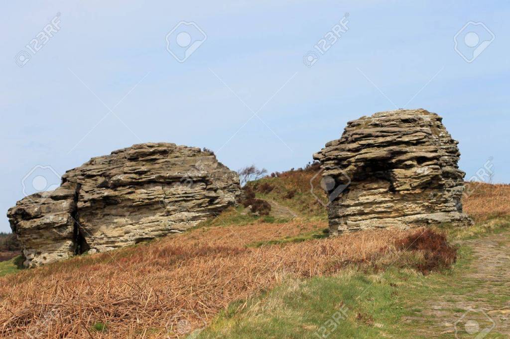
Was the memory of the Moors in Britain retained in the name of what is otherwise defined as “a tract of open, peaty, wasteland, often overgrown with heath, common in high latitudes and altitudes where drainage is poor.”
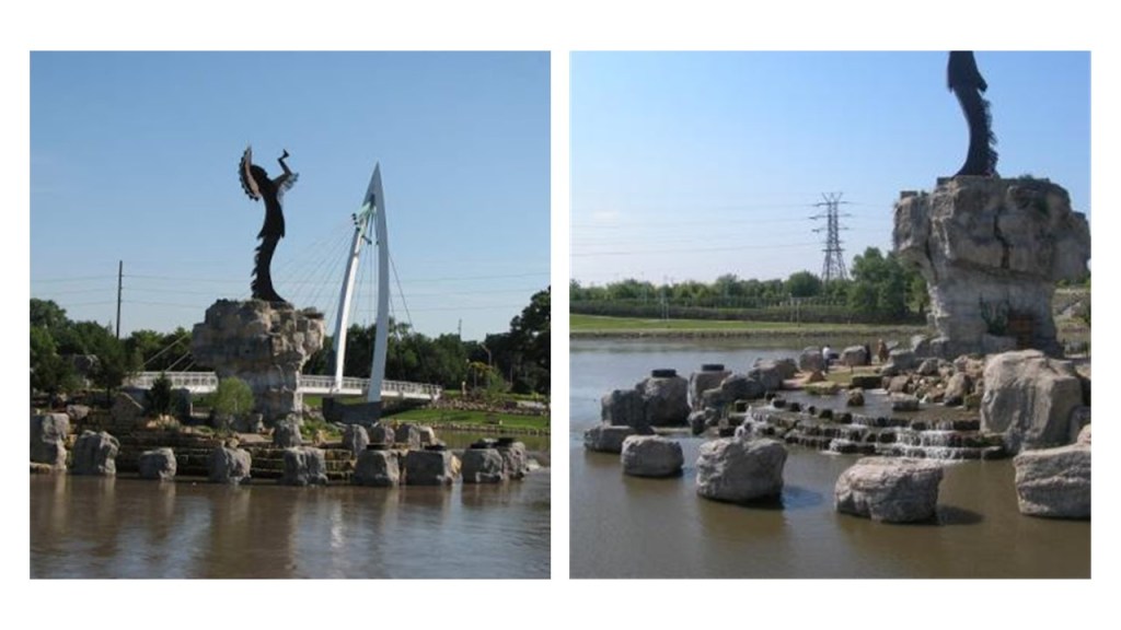
So to get back to the cover-up of the Earth’s True History by the John Wayne version of history, I am going to take a look at the “Keeper of the Plains,” a 44-foot, or 13 1/2 meter, high statue…
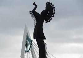
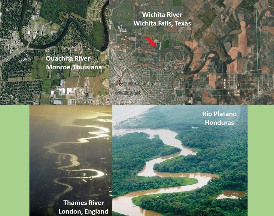
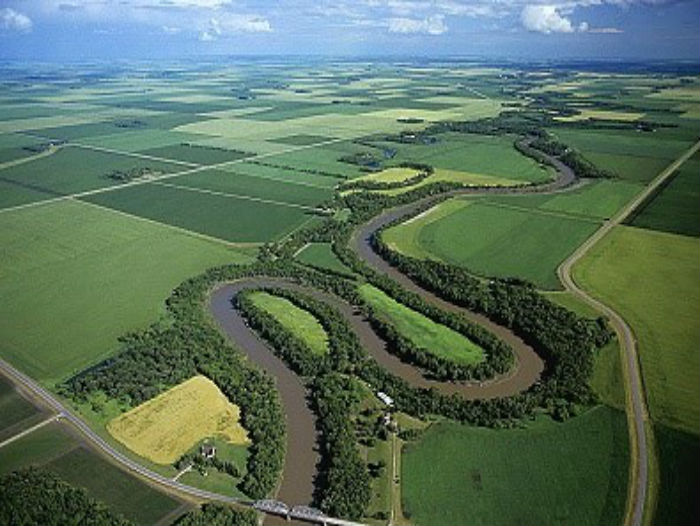
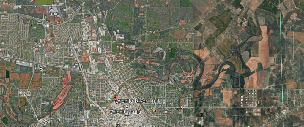
…situated where the Big and Little Arkansas Rivers join together in downtown Wichita, where we see more of the snaky, s-shaped river bends I talked about in the last part of this series, which I believe is signature infrastructure of the ancient advanced Moorish civilization.

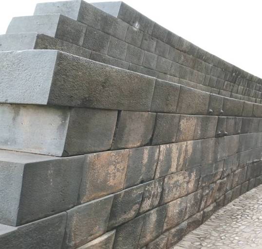
It strikes me that the statue is erected on top of what looks like ancient megalithic masonry to me!
This is a riverwalk along the Arkansas River in downtown Wichita, with megalithic masonry that people walk on by every day without even noticing it for what it is.
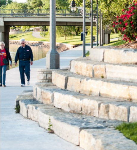
I know I didn’t notice it until I tuned it to it, and that was just 5-years ago in my early 50s.
Then I started seeing it everywhere!
I still do!
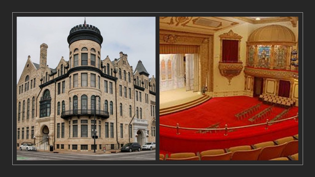
The Scottish Rite Temple in Wichita was said to have been originally constructed in the Romanesque architectural style for the YMCA in 1887 – 1888, and that it was sold to Scottish Rite Freemasons in 1889.
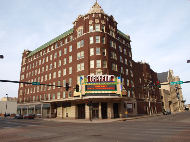
Wichita’s Orpheum Theater, which is still in use today, opened on September 4th of 1922, and was part of the Vaudevillian “Orpheum Circuit,” with well-known vaudeville stars performing there, like Harry Houdini, Eddie Cantor and Fannie Brice.
A Kilgen Theater Pipe Organ used to be there.

There are Orpheum Theaters still in existence all across the United States, and I even found one on the island Republic of Malta in the town of Gzira near the capital of Valletta.
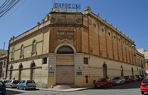
Orpheus was a musician and poet in Ancient Greek legend, said to have had the ability to charm all living things, and even stones, with his music.

What, exactly, caused us to go to sleep, and forget who we are, and what we were? How has the false information we have been taught all our lives been reinforced?
Why would this be important to whoever was responsible for removing the ancient advanced civilization from our collective awareness to begin with?
We are told that the Wichita lived here historically.

Was the memory of Ancient Washitaw Mu’urs in North America retained in the naming of this place as Wichita, like that of the Moors in Great Britain?
I believe so.
The last place I am going to look at on this alignment is Kansas City, the third-largest city in Kansas and otherwise known as KCK.
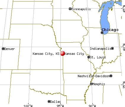
It is the seat of Wyandotte County.
Kansas City in Kansas is situated at Kaw Point, a junction of the Missouri and Kansas Rivers, and a place where Lewis and Clark stopped and camped in 1804.
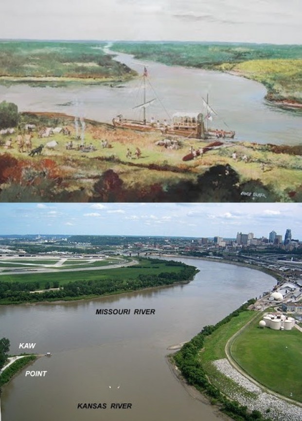
It was here that Clark reported encountering a great number of “parrot queets.”
The now-extinct Carolina parakeet inhabited much of what became the United States at that time.
The last-known Carolina parakeet died in captivity at the Cincinnati Zoo in 1918, and the species was declared extinct in 1939.

KCK was first incorporated in 1872, and then again 1886 when the “New” KCK was formed through the consolidation of five municipalities.
KCK was said to have seen explosive growth as a streetcar suburb of Kansas, Missouri, located right across the Missouri River, and the largest city in Missouri.
Kansas City, Missouri, we are told once had one of the most extensive streetcar systems in North America.

We are told that horse-powered streetcars were introduced in 1870, and that some early routes were powered by underground cables, like those of San Francisco.
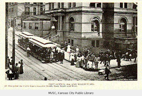
By 1908, all of Kansas City’s streetcar lines except for one was powered by electricity.

The last of its 25 streetcar routes was shut-down in 1957, to be replaced by buses.

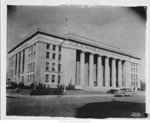
The current Wyandotte County Courthouse in KCK was said to have been built in Neoclassical style between 1925 and 1927 by the Kansas City architectural firm of Wight and Wight…
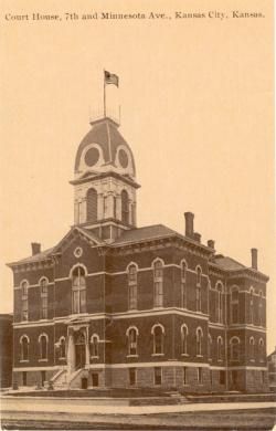
…to replace the county courthouse that was said to have been built in 1882.
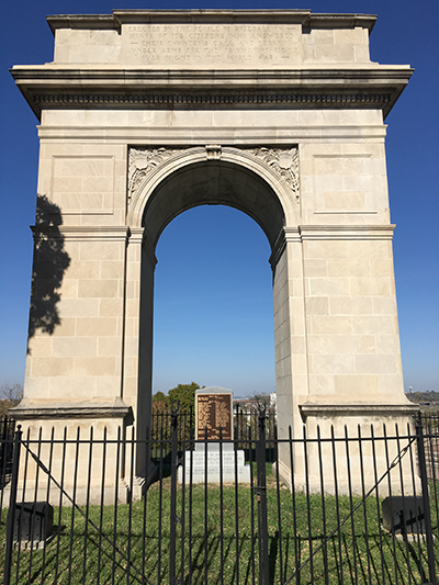
We are told the Rosedale Arch, dedicated in 1924, and said to have been inspired by the Arc de Triomphe in Paris, was erected as a memorial to honor the men of the Rosedale neighborhood of Kansas City who had served in World War I.
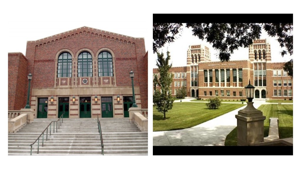
The Wyandotte High School, still in use today, was said to have been built in the 1936 – 1937 time-frame by the New Deal Works Progress Administration and the KCK Board of Education.
Across the river-system, Kansas City, Missouri, was incorporated as a town on June 1st of 1850, and as a city on March 28th of 1853.
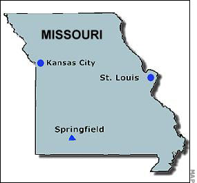
The territory around the confluence of the Missouri and Kansas Rivers was deemed by the founders as a “good place to build settlements.”
Noteworthy architecture on the Missouri of Kansas City side includes:
The Liberty Memorial, the National World War I Memorial and Museum, said to have been built in 1926, after a group of 40 prominent Kansas businessmen decided to form an association to create a memorial to those who had served in the war.

Construction on the Union Station in Kansas City Missouri was said to have started in the early 1900s, and that it opened in 1914, operating as a train station until 1985.

Today it features exhibits, movies, restaurants, and a science center.
Like the current Wyandotte County Courthouse, the Nelson-Atkins Museum of Art was said to have been designed by the architectural firm of Wight and Wight, with groundbreaking for the building occurring in July of 1930, and the museum opening to the public in December of 1933.

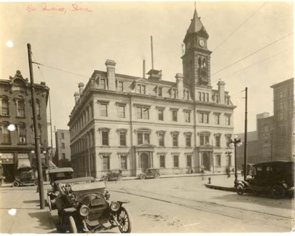
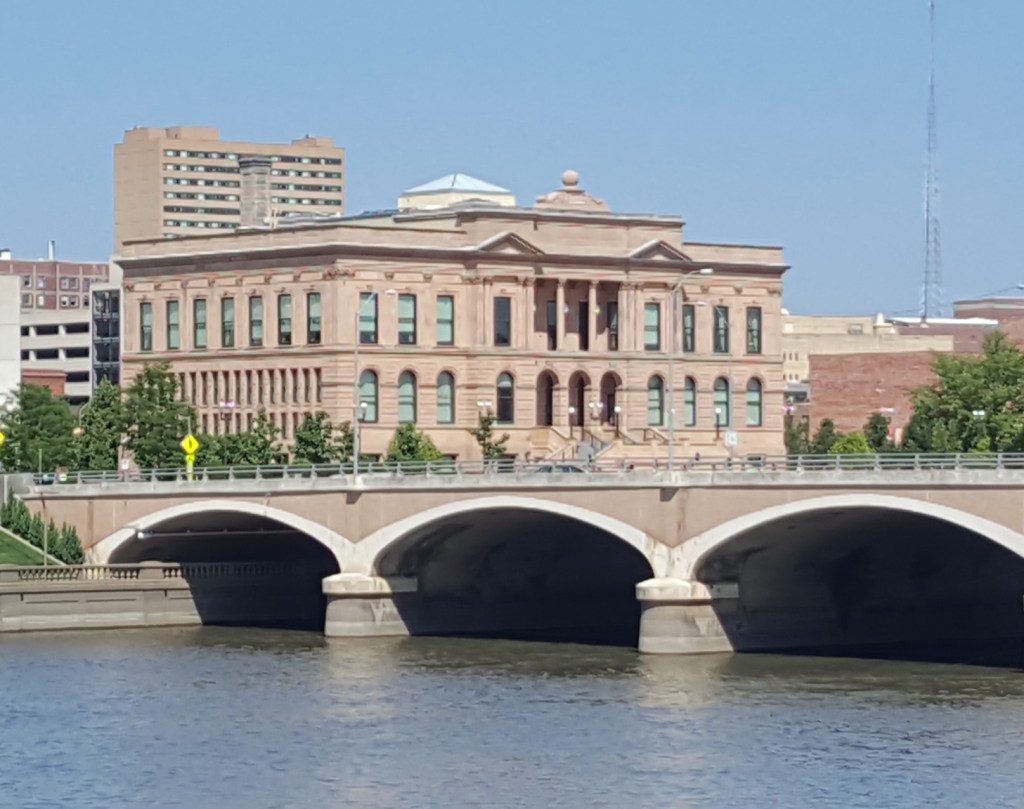
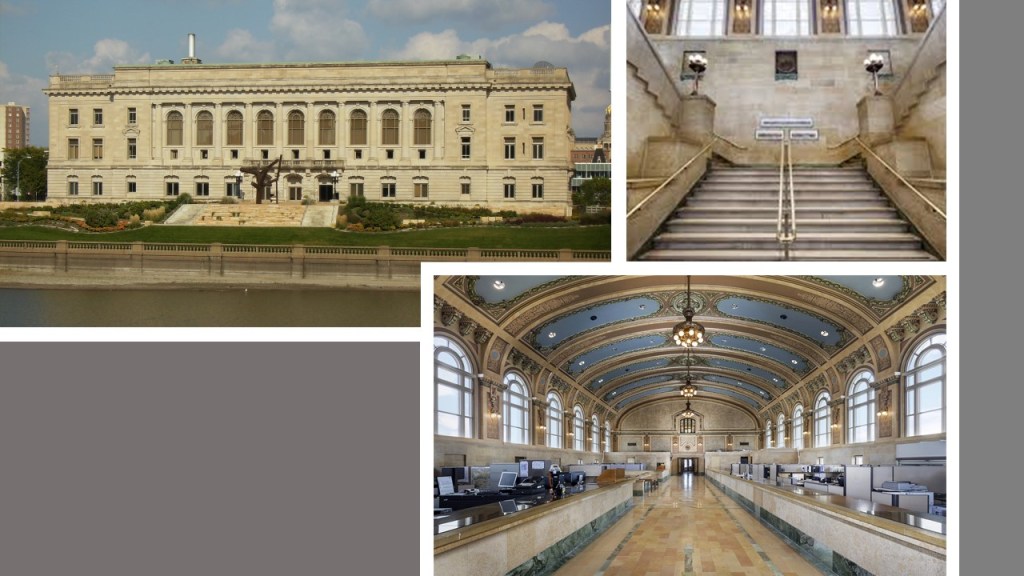
The United States Courthouse and post office, still standing today, that was said to have been built in the late 1930s as one of the last of Franklin Roosevelt’s New Deal programs.

The new courthouse replaced the Old Post Office and Customhouse, on the top left, that once stood at 8th and Grand Boulevard on the bottom right in Kansas City, Missouri.

I am going to end this part of the series here.
Every city that I have looked at on this alignment is a county seat, with the exception of Kansas City, Missouri.
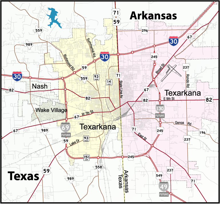
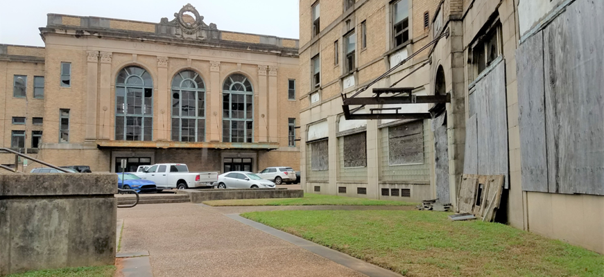
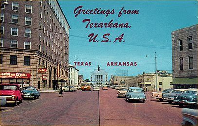
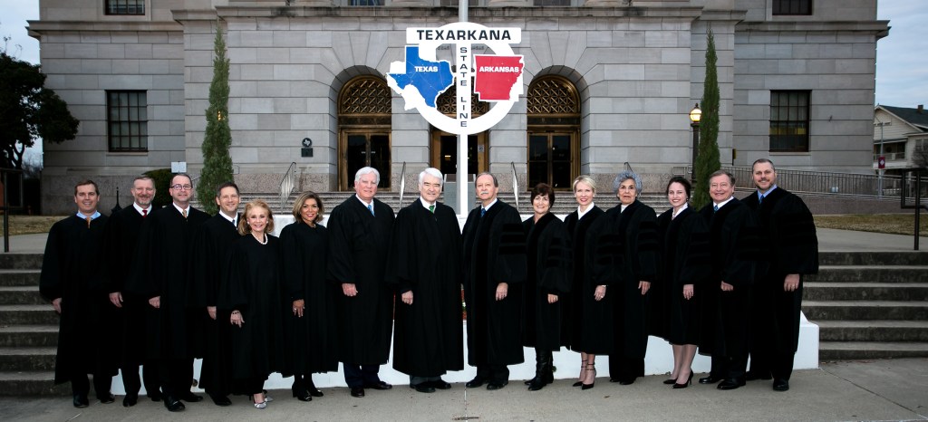
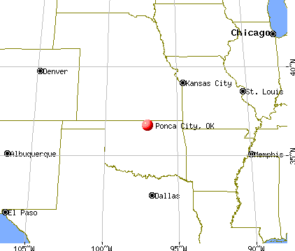
And in all three parts of this series, there were only two places of all the cities in linear alignment that I have looked at that were not county seats – Ponca City, Oklahoma and Texarkana, Texas, though Texarkana, Arkansas was, and those two cities share a huge federal building which straddles the state line that runs between the two cities.

Is the finding the result of coincidence…or the result of intentional planning of the original civilization?
I land hard on the side this was all the result of intentional and precise planning, and not the random, haphazard process our historical narrative would lead us to believe.
In the next and last part of the series, I am going to switch-over to looking at alinear alignment of major cities between San Antonio, Texas and Buffalo, New York.


