
This map was given to me in 2015 by one of my travel buddies when I lived in Oklahoma between 2012 and 2016, and when I was starting to see that ancient megalithic masonry lays all around us and upon which we live.
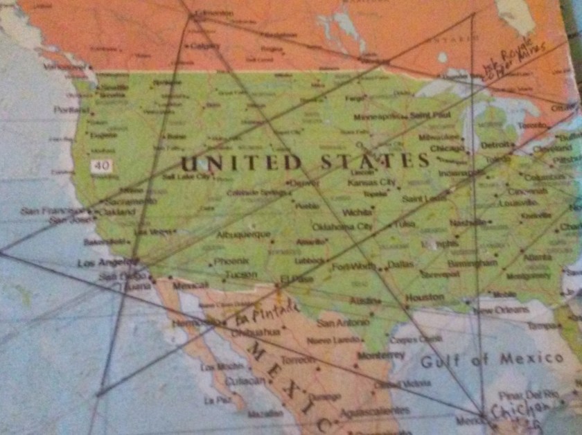
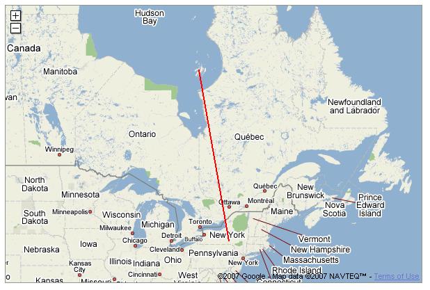
The map, affixed to a bulletin board, just sat there on my dining room table. I studied it for quite some time while eating, and soon I started noticing major cities lining up in lines in North America, Then in the spring of 2016, I found a familiar figure of sacred geometry when I literally started connecting them. I believe it is the terminus/key of a worldwide grid. This discovery has provided me with a tremendous amount of information about the physical lay-out of the planetary grid, which I believe is also our consciousness grid.
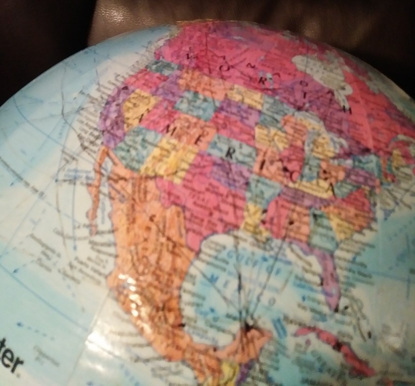
Once I found the star tetrahedron, I extended the lines out, and eventually switched to a globe in order to better visualize the earth’s curvature. I used a magnifying glass and wrote down the cities that lined up primarily in circles and lines. And I got an amazing tour of the world of places I had never heard of with remarkable similarities across countries.
So 2016 was the year it all really came together for me, and I made some connections, literally by connecting cities in North America that I noticed lining up, and by discovering a code of sorts of key words that cover up ancient infrastructure, by calling them natural features, and by seeing architectural similarity worldwide by following these lines. It has been, and still is, a remarkable journey.
The global alignment that I am going to focus on in this post emanates from all of the places that you see pictured below, and all of which line up directly one side of this Star Tetrahedron:
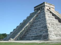
Merida, Mexico (where Chichen Itza is located):
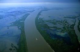
The Mississippi River Delta:
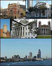
Mobile, Alabama:
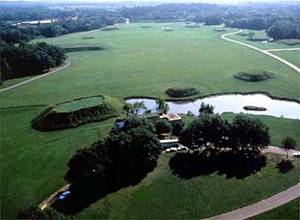
Moundville, Alabama:
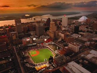
Memphis, Tennessee:
Nashville, Tennessee:

Western Kentucky:
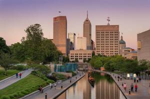
Indianapolis, Indiana:
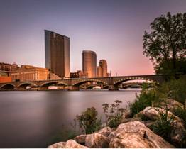
Grand Rapids, Michigan:
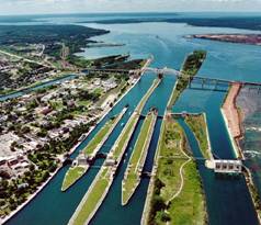
Sault Sainte Marie, Ontario:
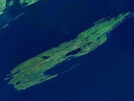
Isle Royale, Lake Superior – which is also the location of ancient high-grade copper mines:
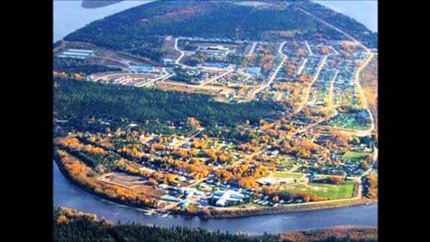
Chapleau, Ontario:
Moosonee, Ontario:
Fort Albany, Ontario:

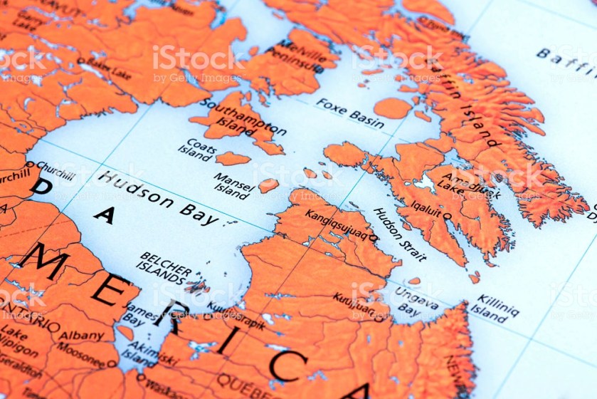
and James Bay, Hudson Bay:
From here, I extended this line out, and connected consecutive cities (dots) around the world. All of the places I am about to introduce you to are in a long-distance alignment with each other around the world.
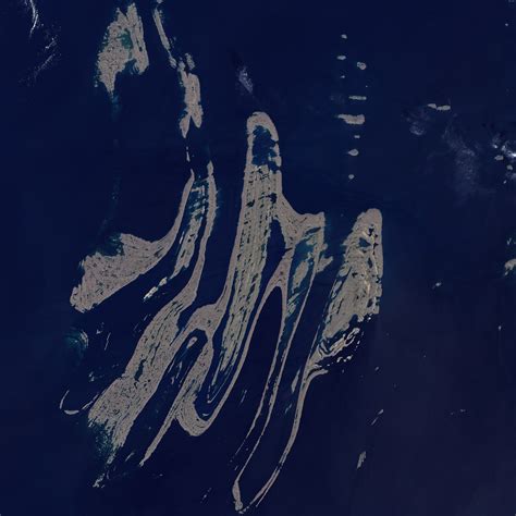
The next place on this alignment is the Belcher Islands. These abstract-art-looking islands, from the air, are situated on this alignment.
It also appears that the Belcher Islands are in an alignment with other important cities and places on the grid in North America. This alignment passes very close to Ottawa, Ontario – the Capital of Canada, and a location which sits at the intersection of two sides of one of the tetrahedrons, and looks like it is tracking through Philadephia, Pennsylvania – another significant location:
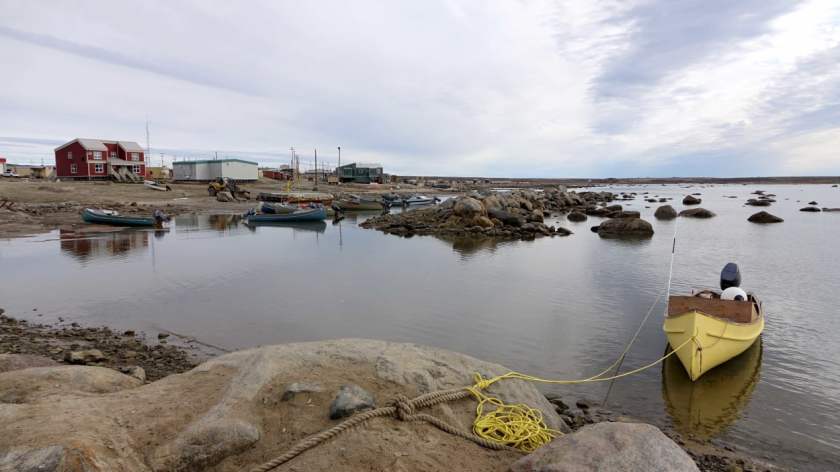
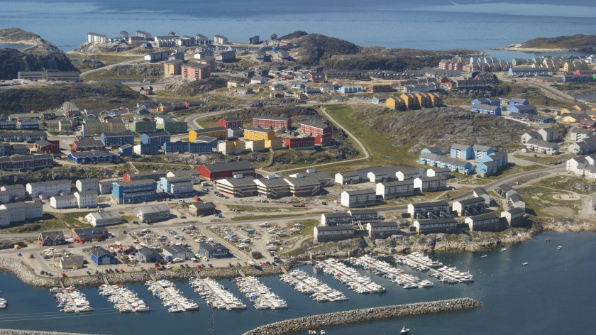
The next place we come to is Inukjuak. It is located on the Hudson Bay, at the mouth of the Innuksuak River, in Northern Quebec, Canada.
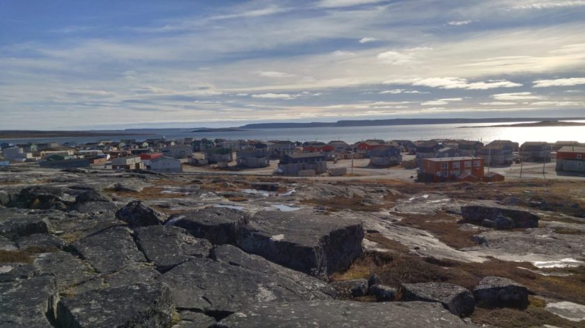
I chose to show this picture of Inukjuak because of the block-shaped rocks in the foreground. This is hugely significant for masonry that we are not told is masonry. Those who teach us want us to believe all rock formations are the result of natural forces. I beg to differ. I firmly believe they don’t want us to know about the Advanced Civilization of the Ancient Ones.
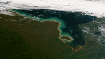
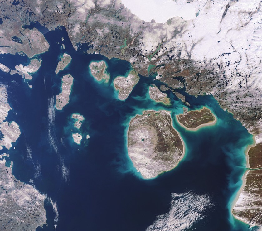
Next, we come to the Foxe Basin, Hudson Bay. The alignment is specifically with the Foxe Channel, while not pictured here, it is in the lower part of the Foxe Basin:
The next stop on the alignment is Baffin Island, which is the largest island in Canada, and the fifth largest in the world.
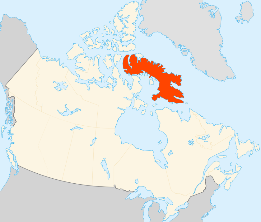
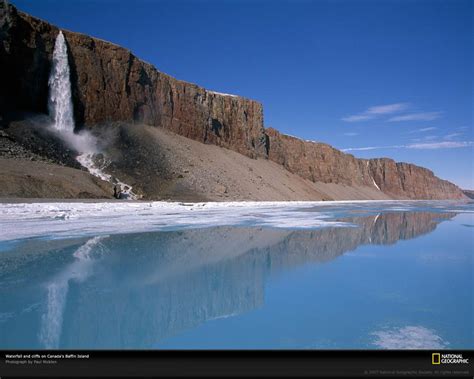
Whether or not you think all of this can be attributed to natural forces (I believe there is another real possibility), can we agree that Baffin Island has some really interesting land forms?


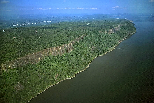
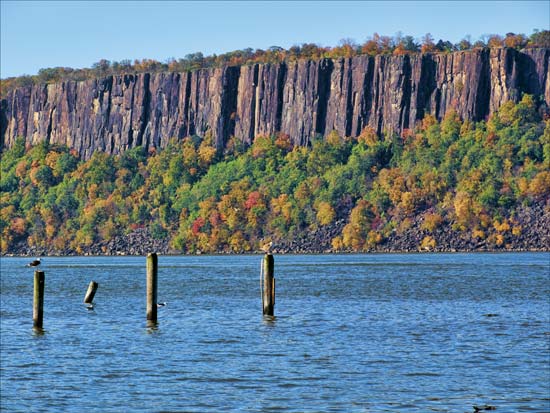
And here are comparison photos of the Palisades of the Hudson River in New Jersey and New York, on the top and in the center; and on the bottom, a photo taken of Baffin Island.
This alignment then crosses over the Clyde River on Baffin Island, where there is a small Inuit Community. Again, note the presence of blocky-rock shapes by and in the water.
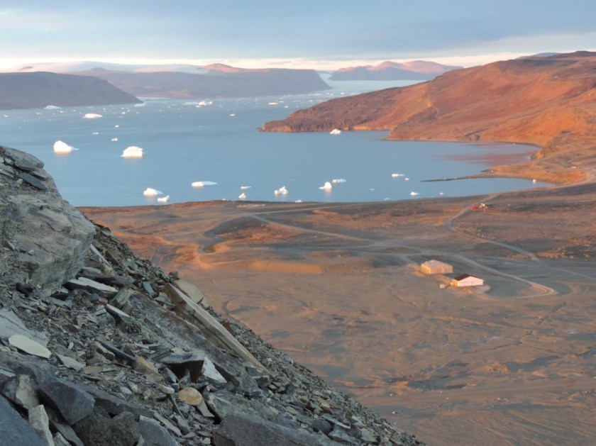
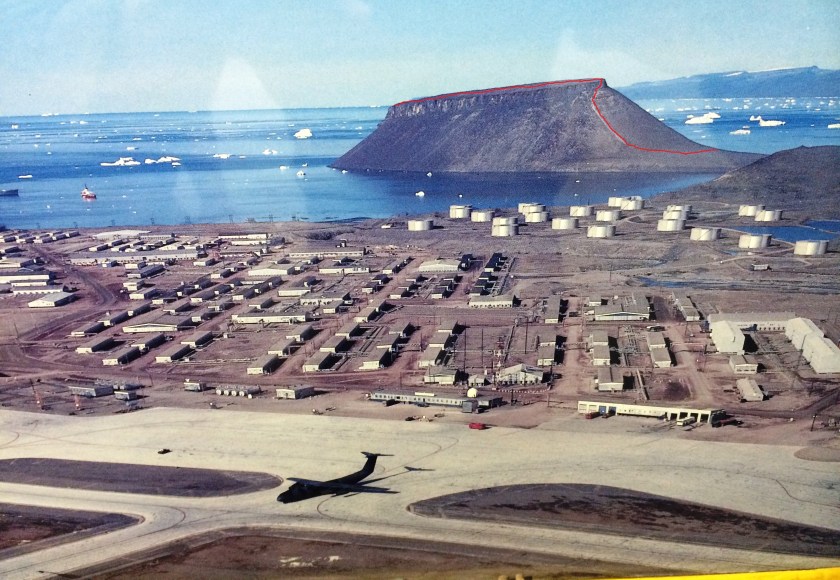
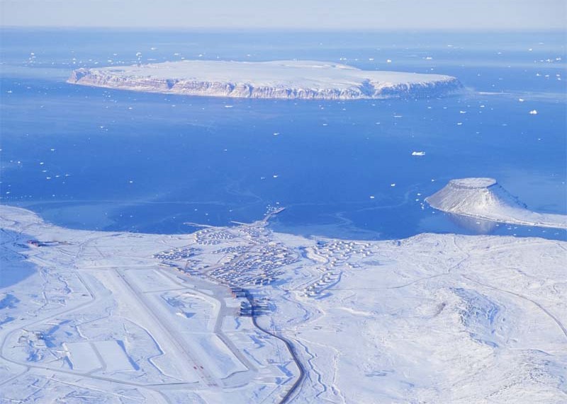
On to the alignment crossing over to Thule, Greenland. Thule Air Base is the United States Air Force’s northernmost base, and is home to the 21st Space Wing’s worldwide network of sensors for space surveillance among other things for the North American Aerospace and Defense Command (NORAD) and the Air Force Space Command (AFSPC). I see some interesting features in the landscape here as well.
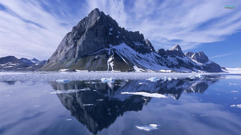
Next on the alignment is Nuussuaq, Greenland. Again, very interesting land features….
From Greenland, the alignment crosses over the Arctic Ocean to the Svalbard Islands, which are located half-way between Norway and the North Pole, and are claimed by Norway.
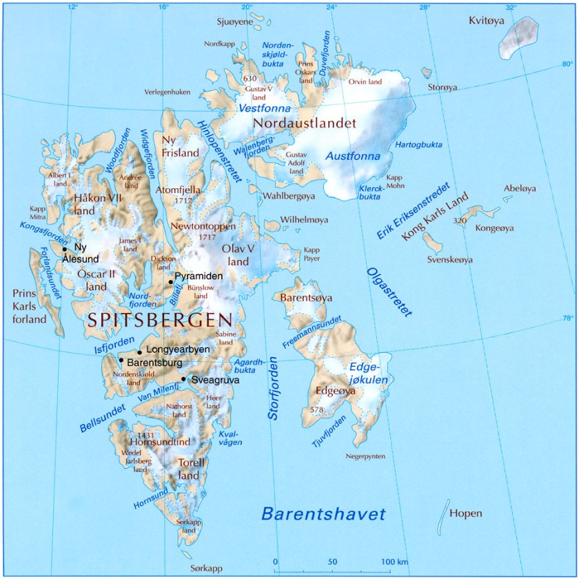
They are dominated by the island of Spitsbergen. Here are some interesting things about the Svalbards:
1) A community named Pyramiden is a Russian Settlement and Coal-mining community;


2) The Svalbard Global Seed Vault is located here, near Longyearbyen, which according to Wikipedia is described as a secure seed vault to preserve a wide variety of plant seeds that are duplicate samples in the event of a large-scale crisis. Primary funders include the Bill and Melinda Gates Foundation and various governments worldwide.


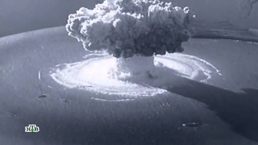
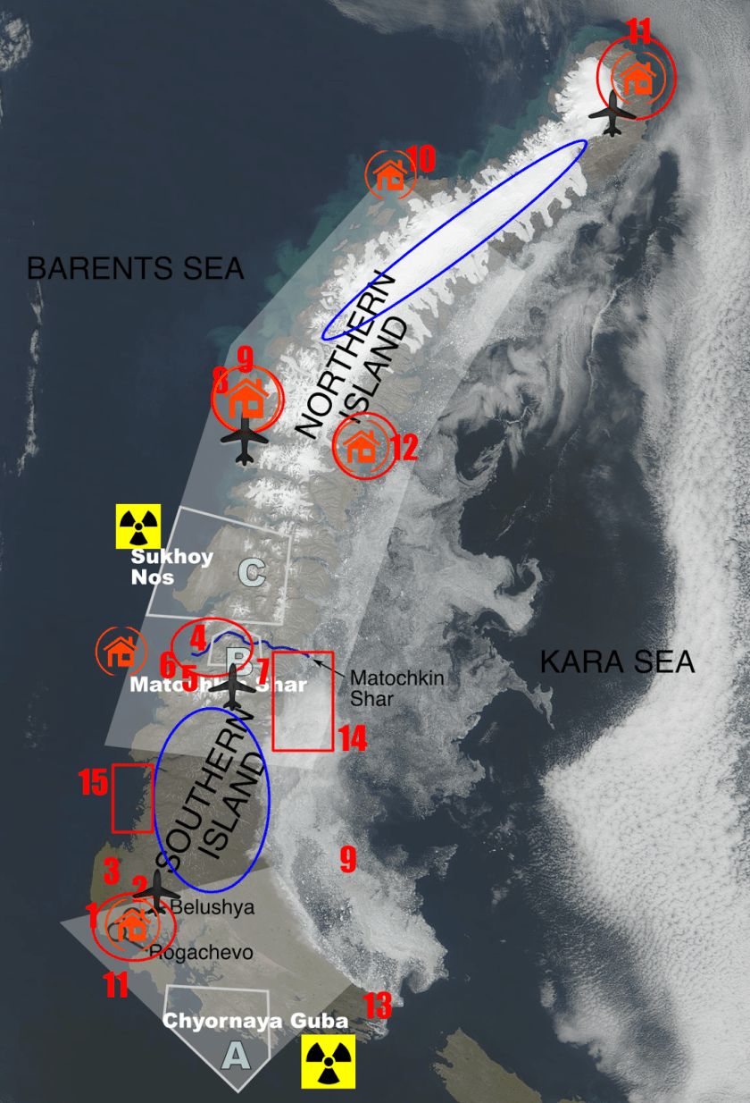
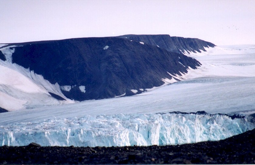
The next place on this alignment is Novaya Zemlya, which is a boomerang-shaped island(s) off of the northern coast of Russia.
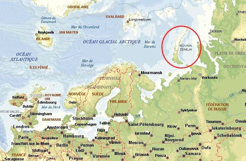
The indigenous population, the Nenets, subsistence hunters, were resettled to the mainland in the 1950s. Since then, Novaya Zemlya has been a nuclear weapons testing site, amongst other things.
More to come on this same alignment to come in my next post….

Wow the works continue the website has unlimited info on truestory not his-story his version who ever he is lol…great work looks like I’ll be living on your site for a while u the best Michelle all the way from Chicago I m in full support 💪🏾💡
LikeLike