
My last post ended in Belize, at the ruins of the Mayan site Altun Ha, a short drive north of Belize City, and a short distance west of the Caribbean Sea.
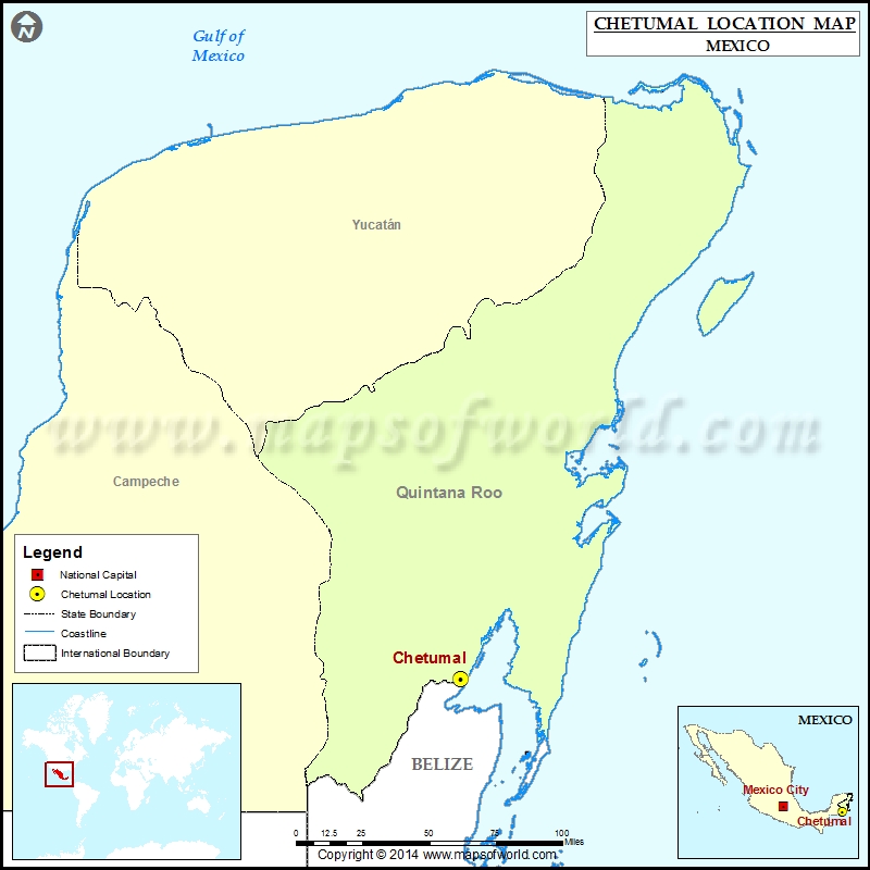
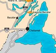
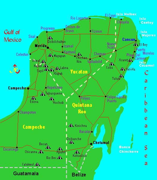
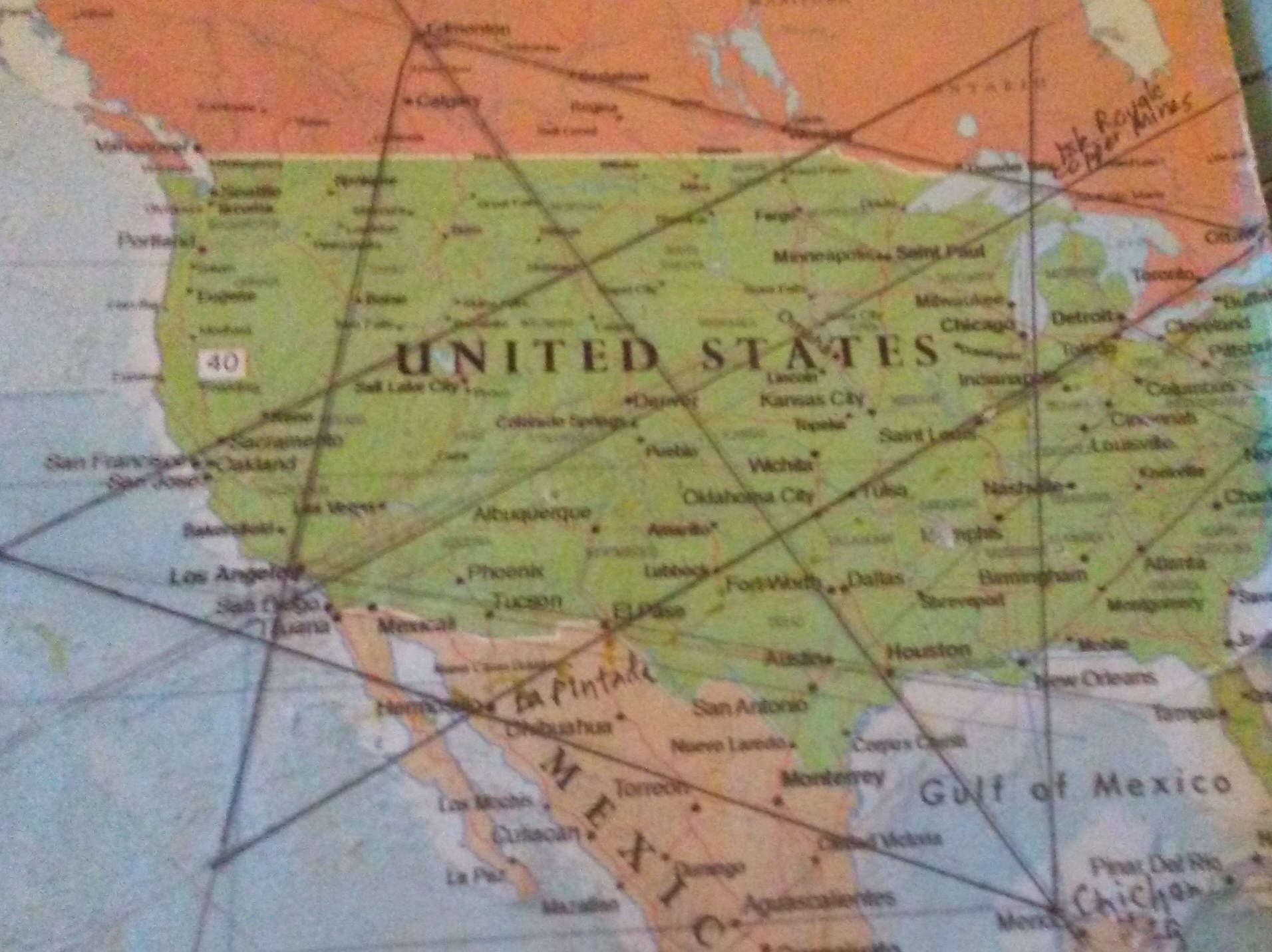
This post picks up the circle alignment, starting and ending in Algiers, in Chetumal, the capital of the Mexican State of Quintana Roo, and the government seat of the Municipality of Othon P. Blanco, the man given the credit for the founding of Chetumal in 1898.
Quintana Roo is the youngest Mexican State, having been granted statehood in 1974. It started out as a Mexican Territory in 1902.
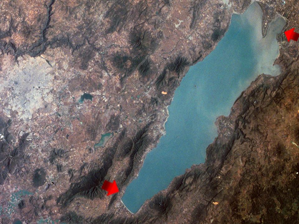
This is an aerial of Chetumal Bay, located off the Caribbean Sea on Mexico’s eastern coast, with arrows to highlight the geometric and angular features of the Bay…
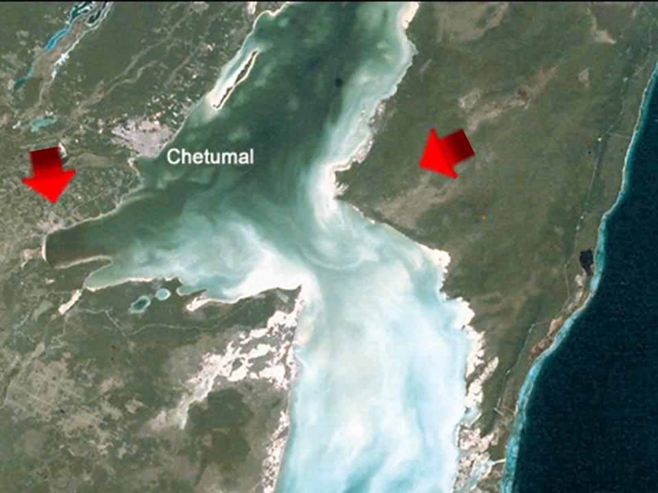
…compared with similar-looking features at Lake Chapala, Mexico’s largest freshwater lake, shared between Jalisco and Michoacan States in western-central Mexico.
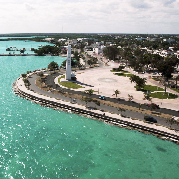
This is the curved and shaped Boulevard de Bahia in Chetumal, with a view of the Monument to the Flag, a white obelisk with a clock face on all four sides.
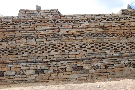
Here is a closer look at old-looking stone wall-feature found along the Boulevard’s sidewalks. It’s possible these walls could have already been standing for a long time, or these could be re-purposed stones found in the area…
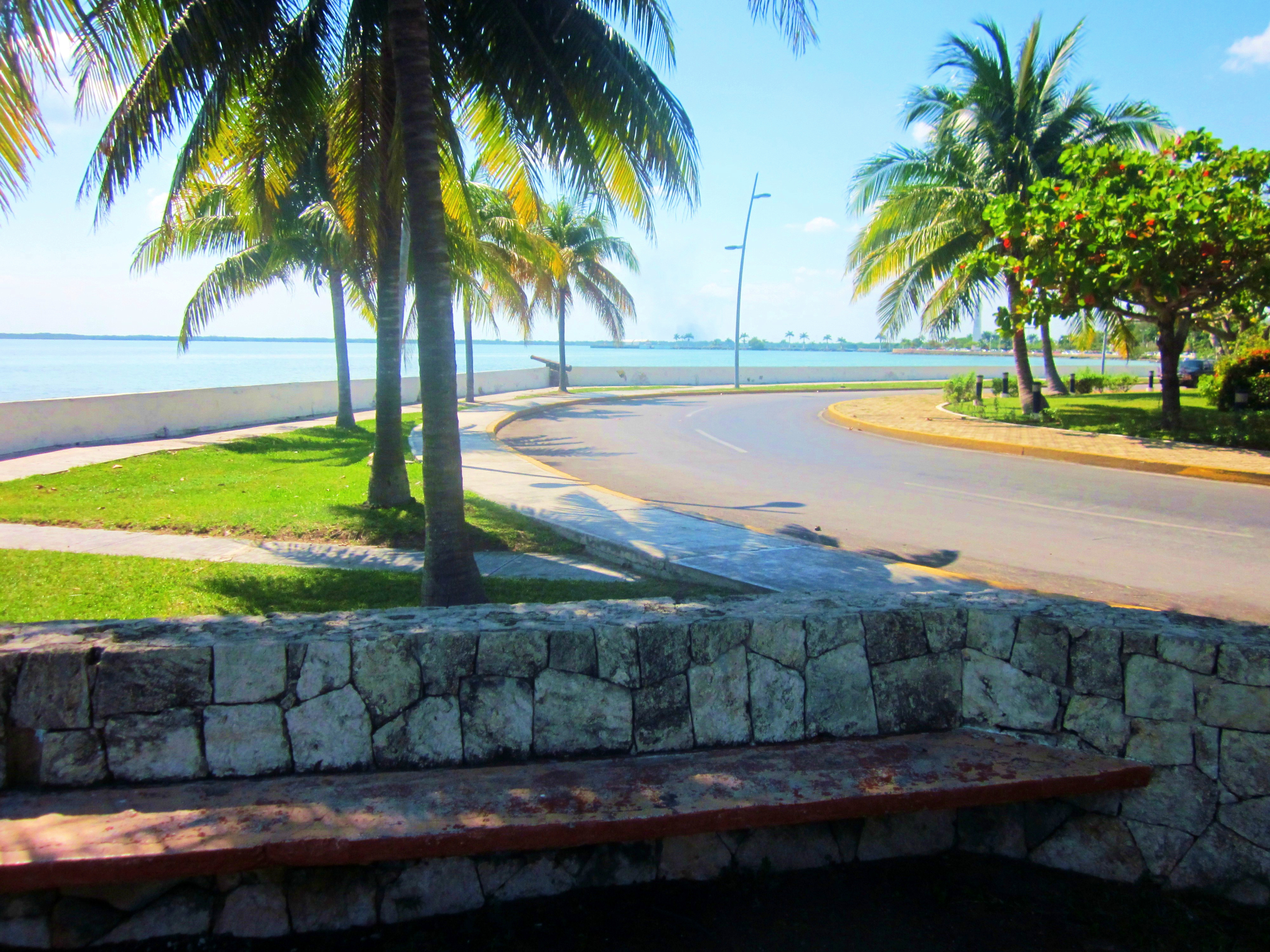
…as there are a number of Mayan ruins surrounding Chetumal itself.
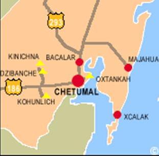
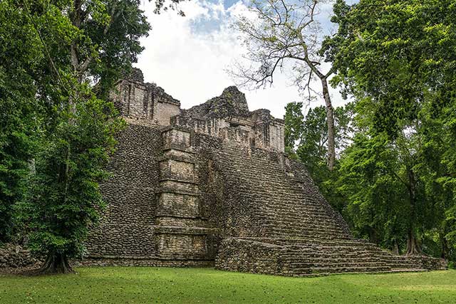
Like Oxtankah, a Mayan site located a short-drive from Chetumal in the town of Calderitas on Chetumal Bay…
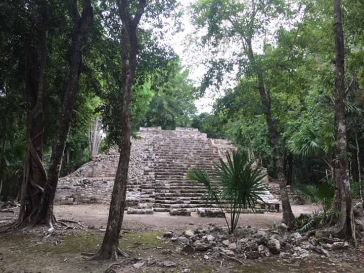
…Kohunlich, west of Chetumal, and an active archeological site of what is being called a Mayan Ceremonial Center…
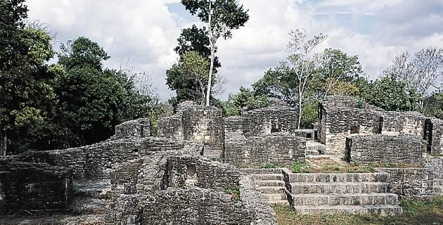
…and Dzibanche, slightly north of Kohunlich and west of Chetumal, it is an archeological site that was believed to be a major Mayan city, and an early capital of the Kan Dynasty, just to name a few of the spectacular Mayan ruins found here.
The alignment passes near Bacalar.
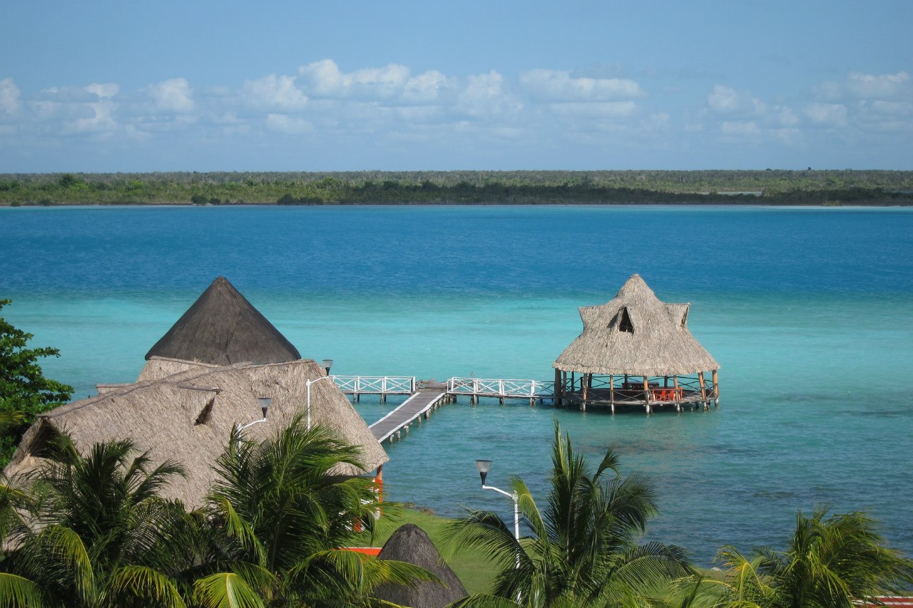
Bacalar Lake, also known as the “Lake of Seven Colors,” is Mexico’s second largest freshwater lake (Lake Chapala is the largest freshwater lake in Mexico). It is also referred to as the “Bora Bora of Mexico.”
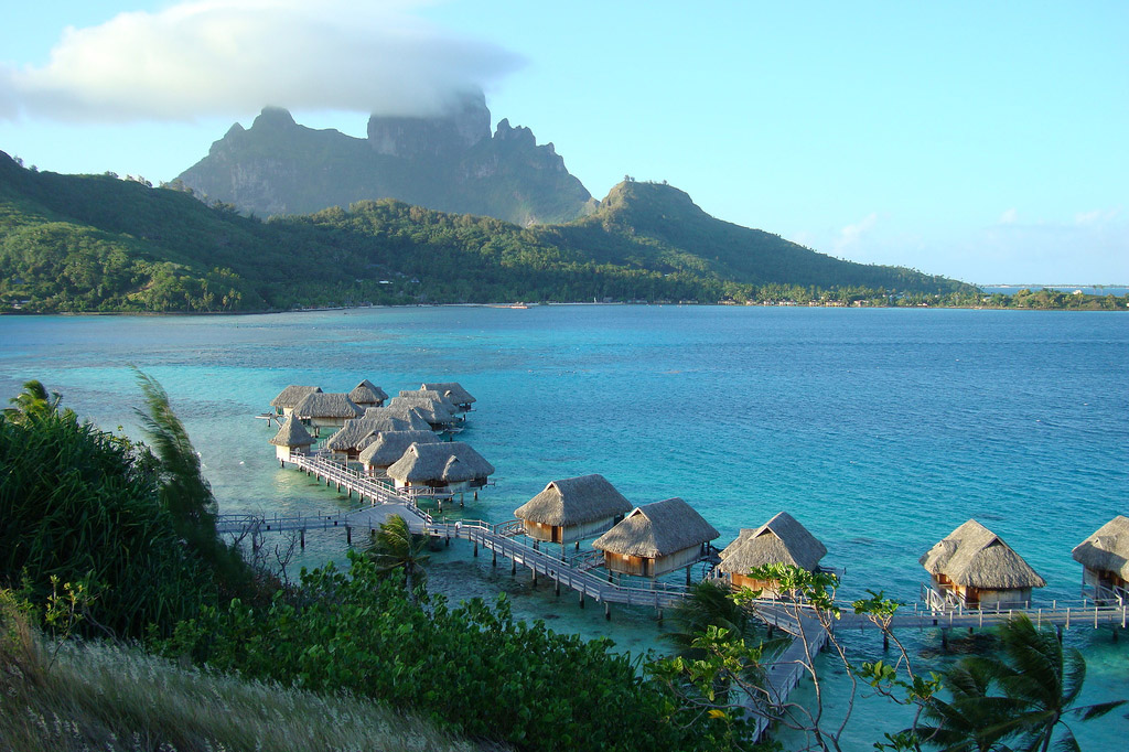
This is what Bora Bora looks like :).
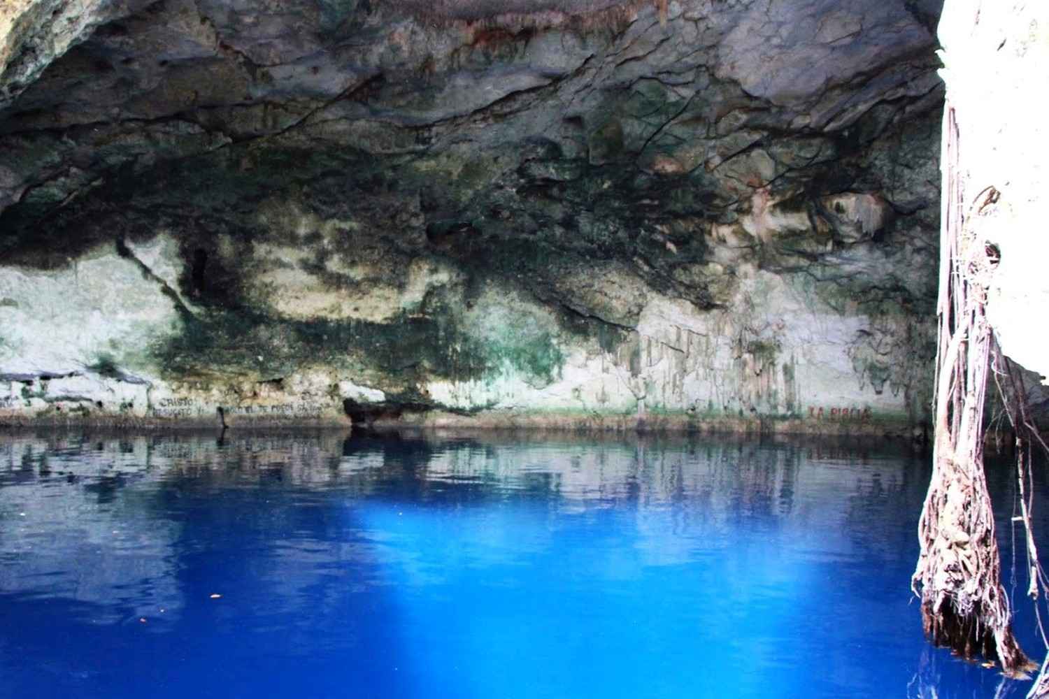
This picture of Bacalar Lake also shows the Cenote Azul Balacar, one of the deepest cenotes in the Yucatan, described as an abyss, believed to be 295-feet, or 90-meters, deep.
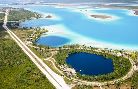
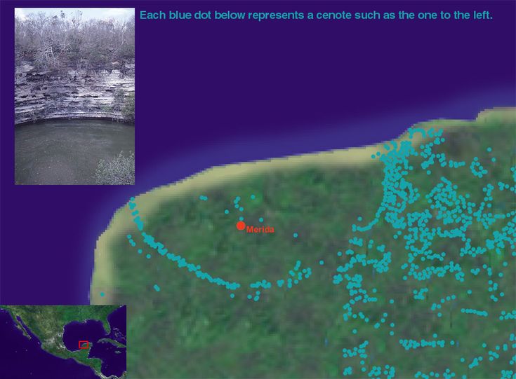
A Cenote is a deep well that connects to the sea or lake through underground rivers. Cenotes are found all over the Yucatan Peninsula.
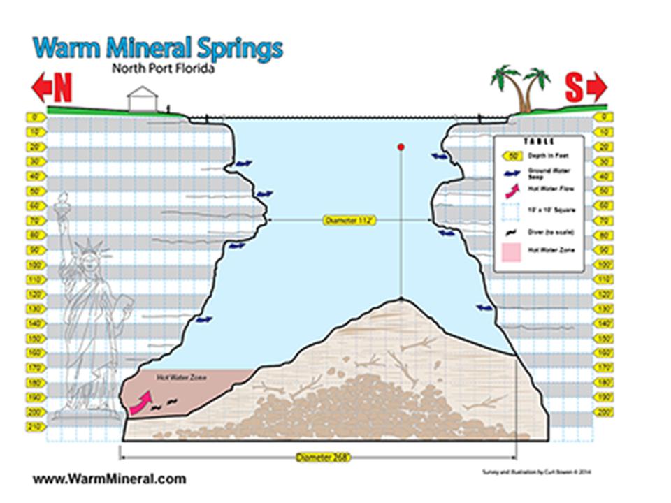
Here are examples of other deep springs, or wells. One is Warm Mineral Springs, in North Port, Florida near Sarasota. Its nickname is “The Fountain of Youth.”
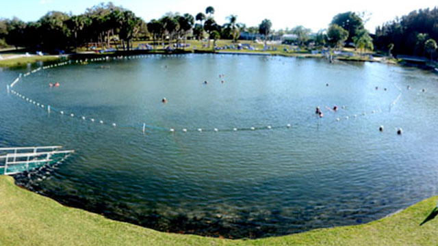
It is similarly deep, believed to be 250-feet, or 76-meters deep.
And Montezuma”s Well in Rimrock, Arizona, from which 1.5 million gallons of water comes up every day from an underground spring. This is a view from the top.
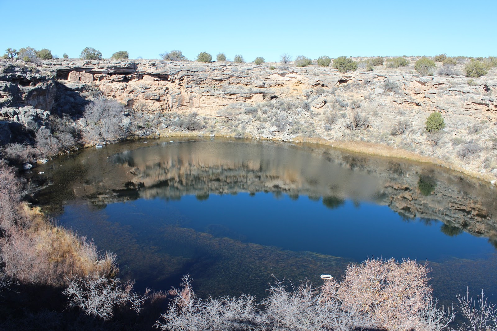
It is a very sacred place to Native Americans, and besides its veneration as a sacred site, it is very interesting. This is a view of the canal at the base of it.
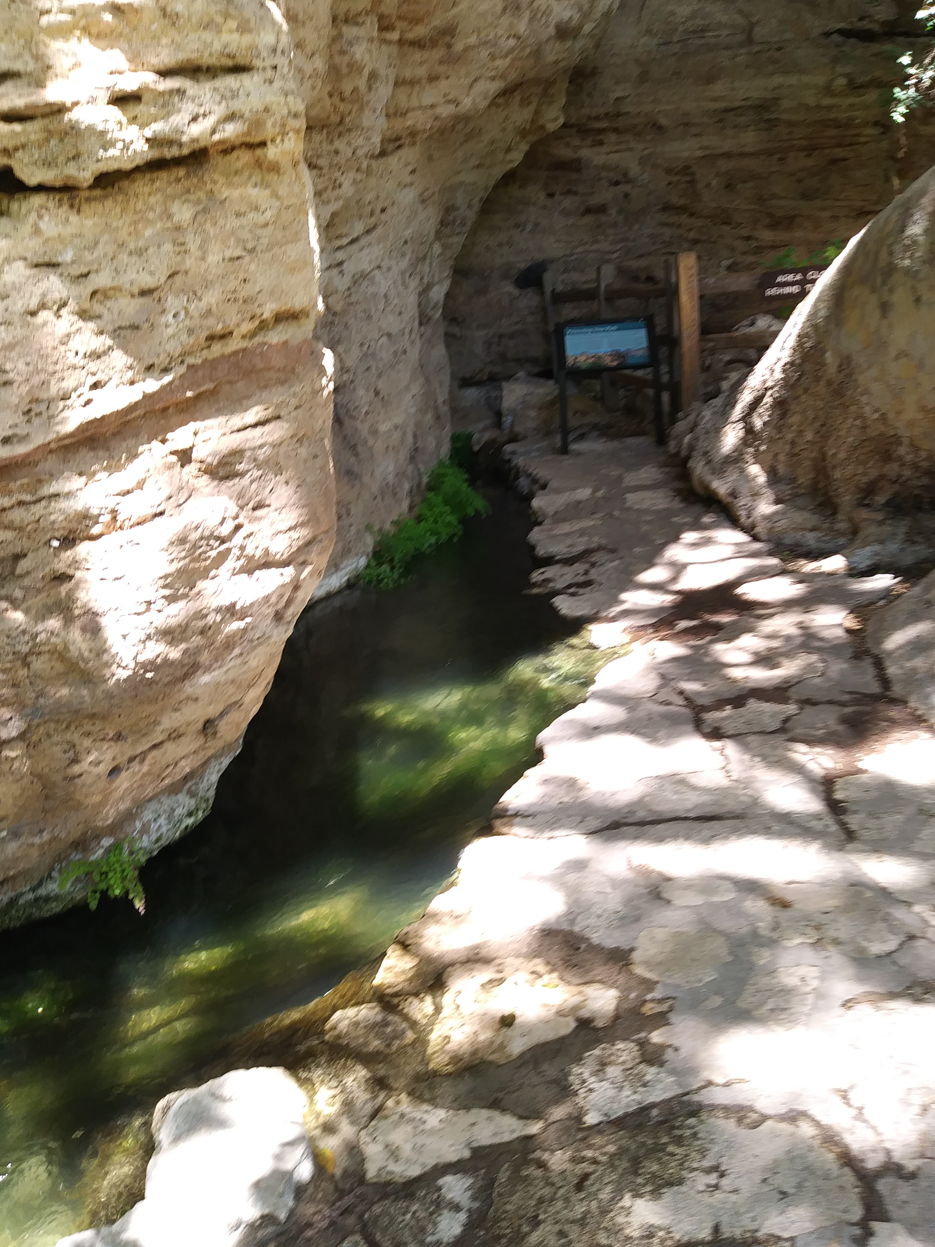
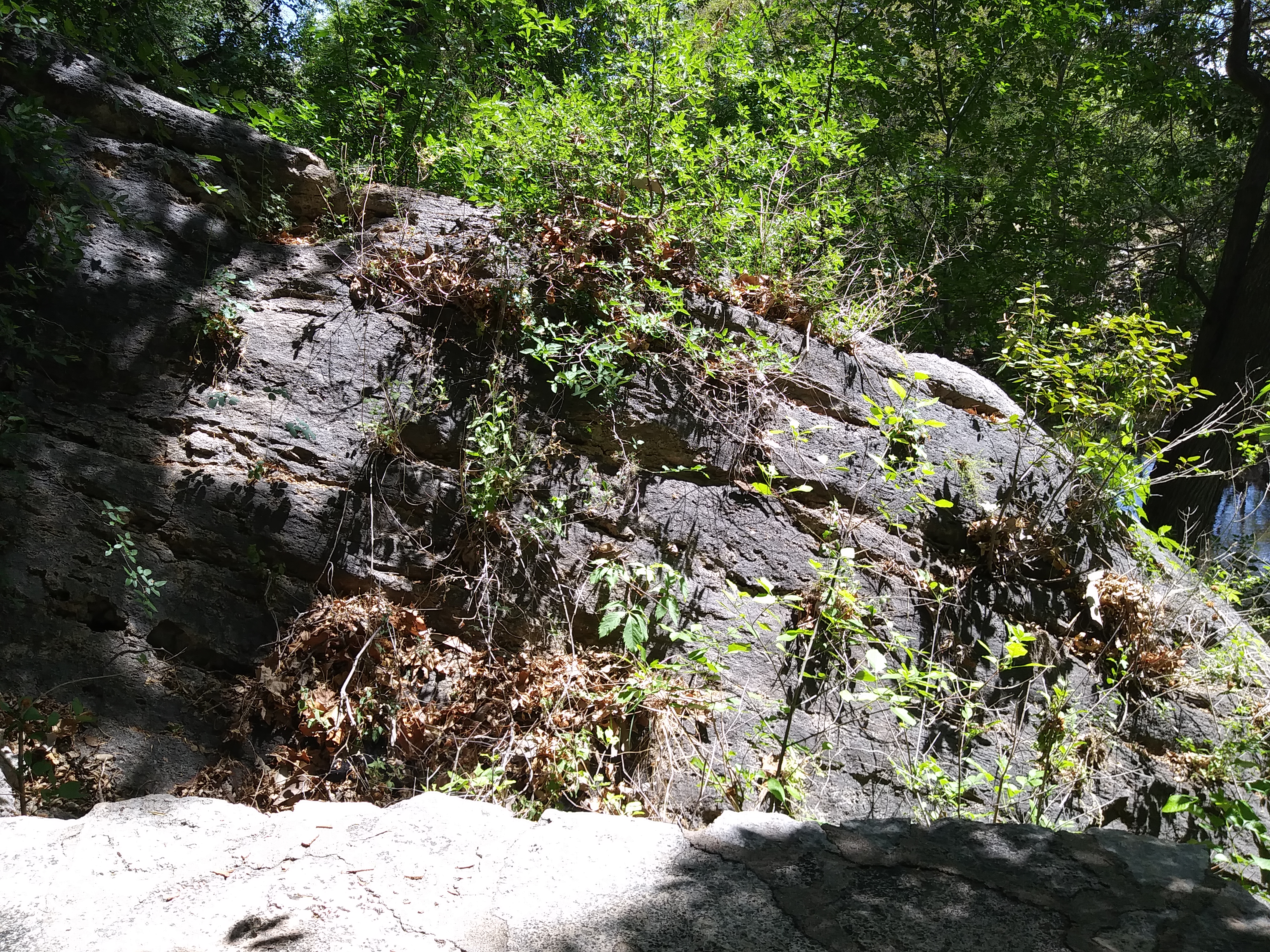
There are many indications that this is an ancient man-made structure. I have been there many times, and have noted that is like a microcosm of different masonry styles that I have photographed in different places. This first photo I took at Montezuma’s Well in Arizona…
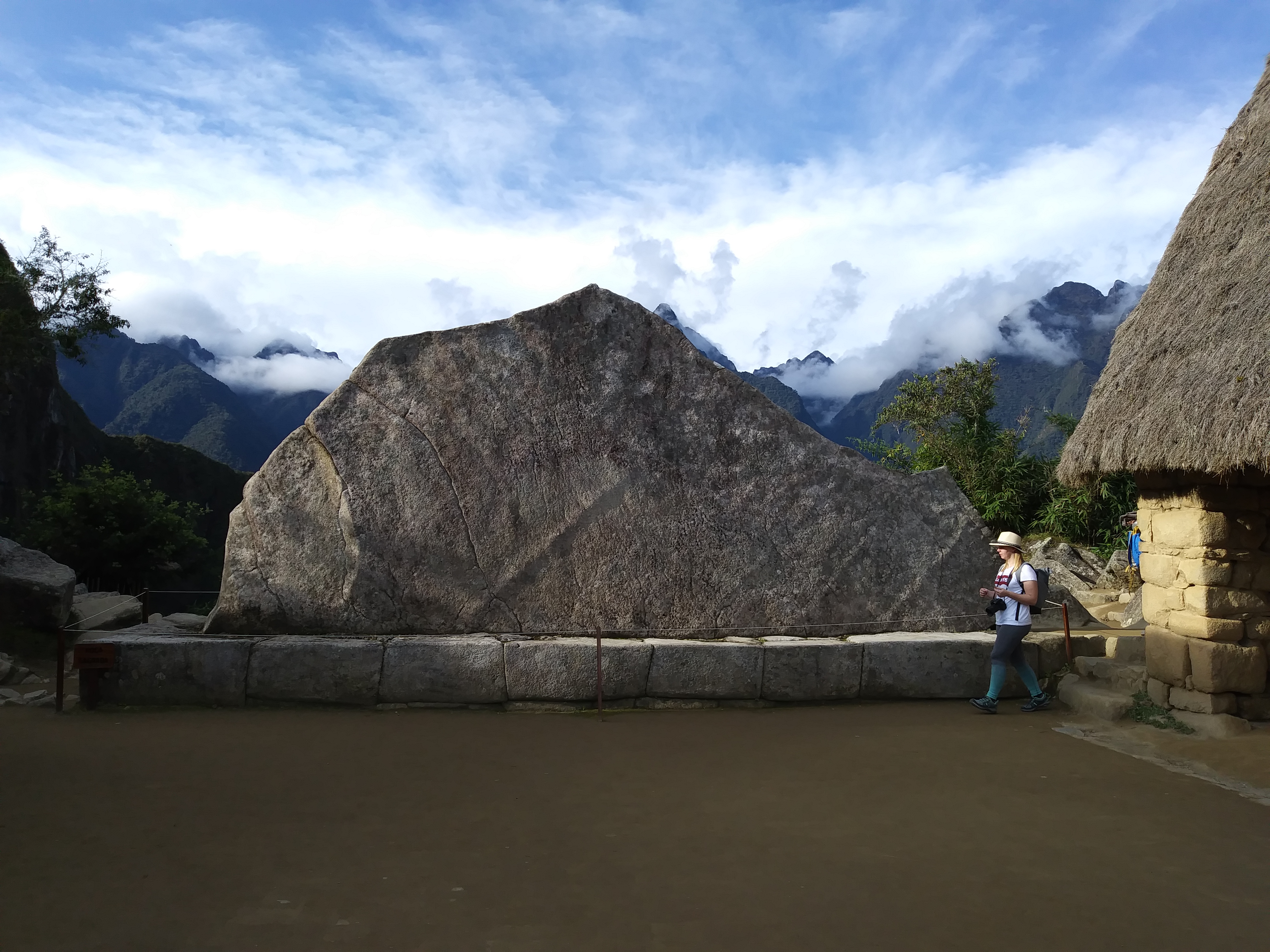
…and I took this photo at Macchu Picchu in Peru last May.
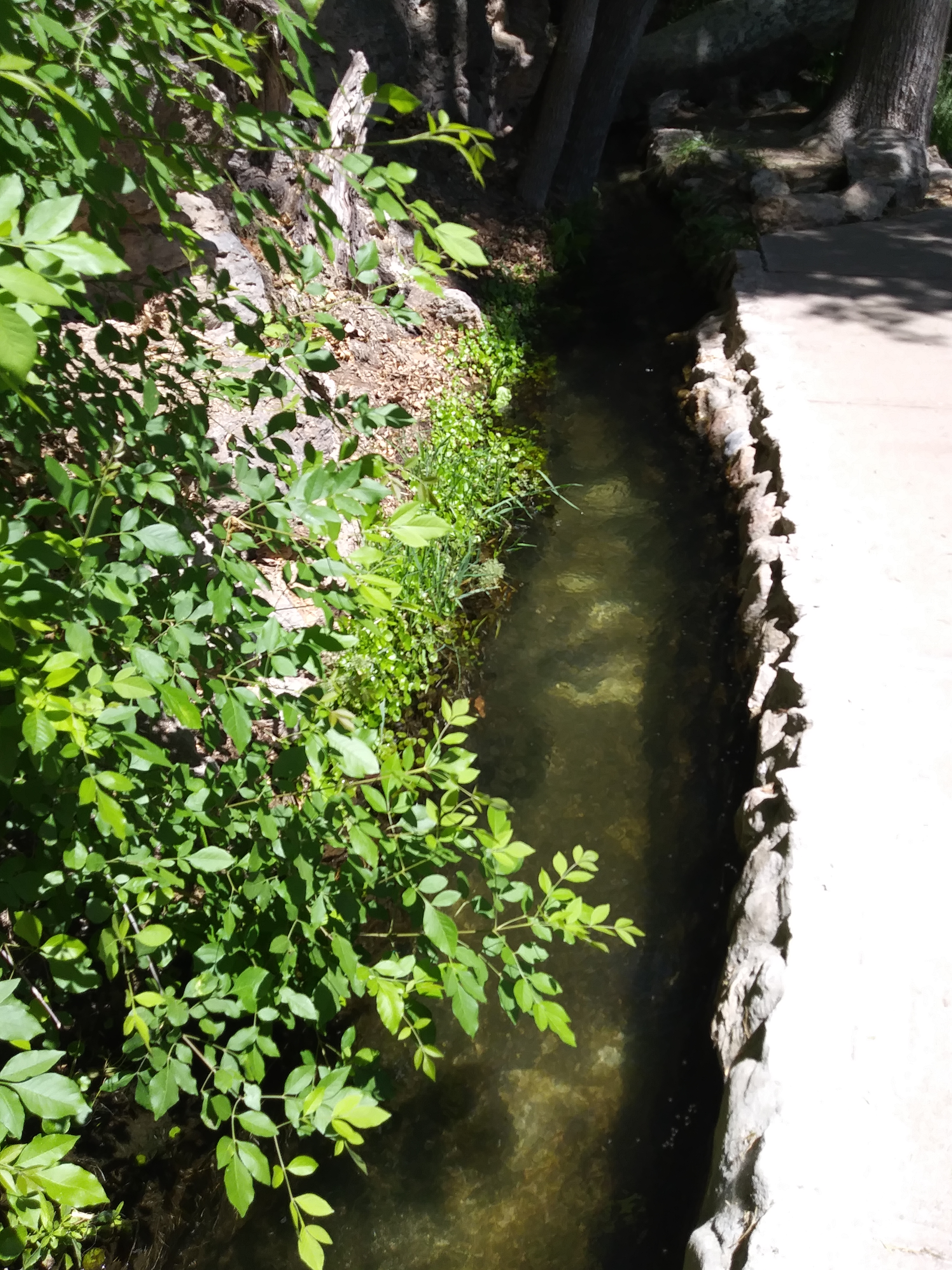
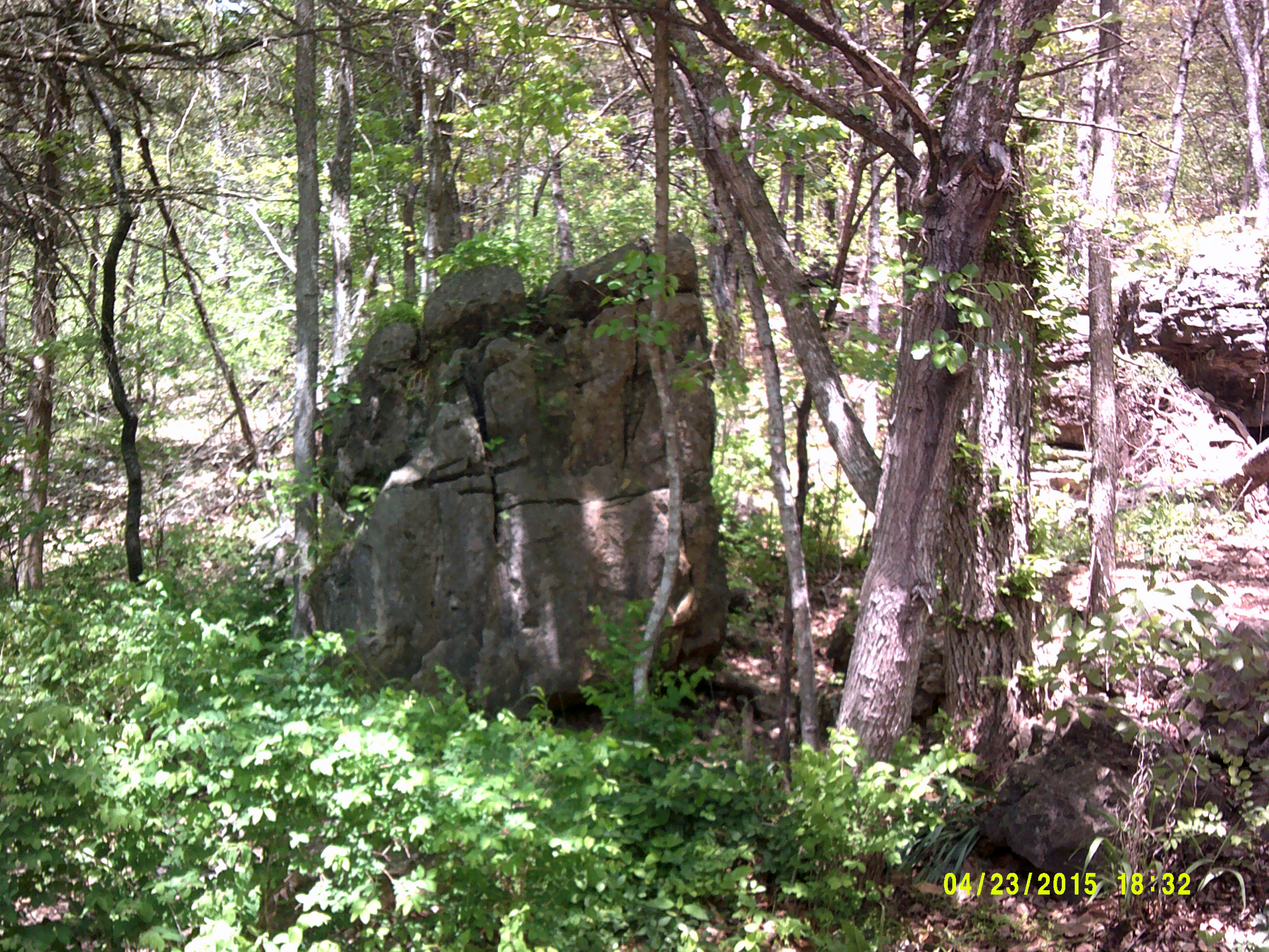
Likewise, I took this picture at Montezuma’s Well…
…and this one in Eureka Springs, Arkansas in 2015. These are a few, of many, examples of why I believe this.
All of these places have recurring similarities that I don’t believe are natural and random. I believe they have a sacred function, and serve a particular purpose on the planetary grid.
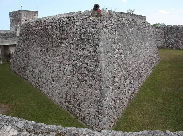
This is the Fortress of San Felipe in the town of Bacalar.
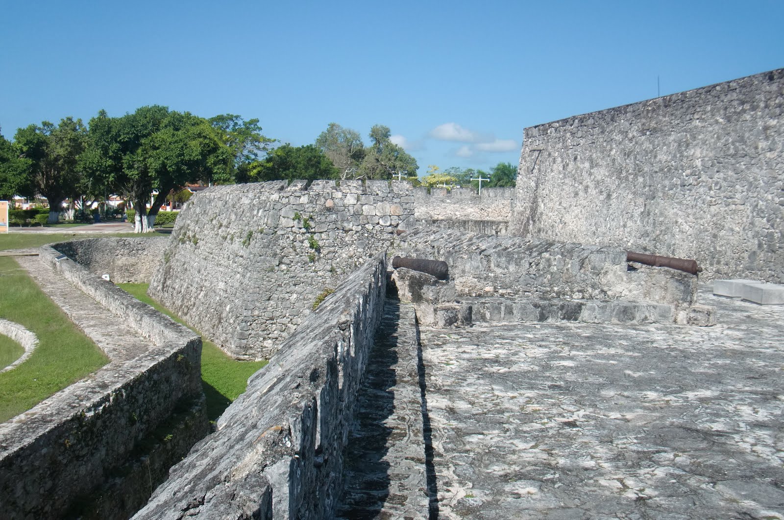
It is the fifth place that I have found since the circle alignment entered South America in Sao Luis in Brazil that either still has a star fort intact; has a heavily damaged one; or where the star fort was completely destroyed.
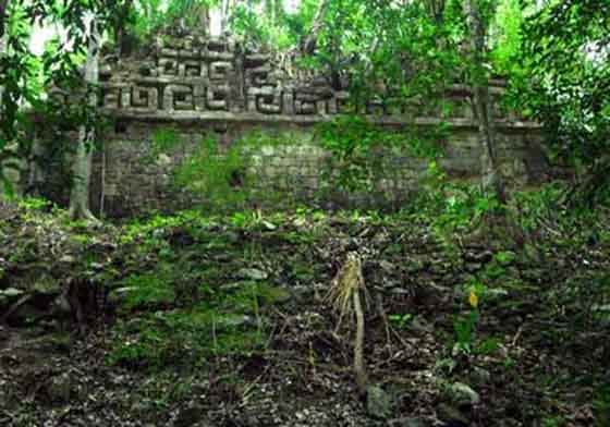
The alignment is heading across the Yucatan Peninsula to Merida, Mexico, through a region covered with the ruins of ancient Mayan sites.
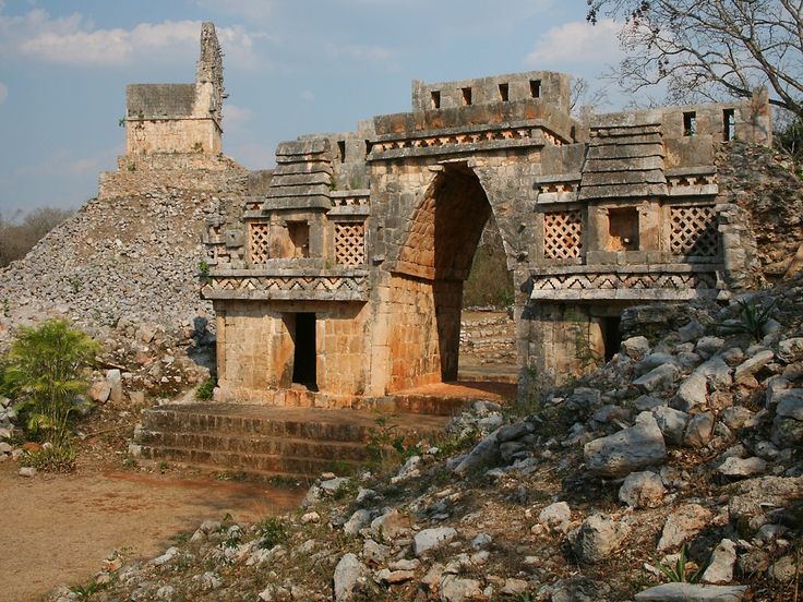
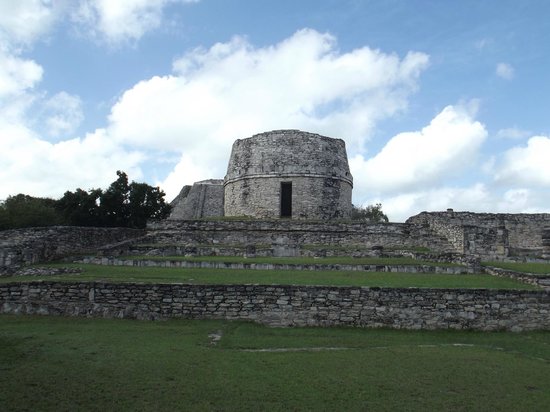
The alignment goes directly through the ancient sites of Labna and Mayapan.
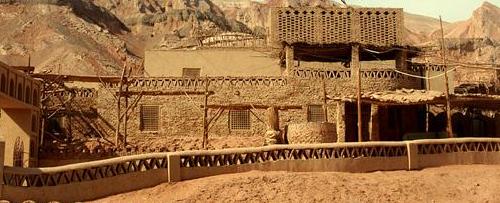
Labna is an archeological site and ceremonial center…
…compared with the Dananombe Ruins, in Bulawayo, Zimbabwe, which is on a different planetary alignment…
…and the Astana Tombs near Turpan in the Uighur Autonomous Region of China, which has the same design patterns in adobe brick, and also on a planetary alignment.
Mayapan is largely regarded as the last big Mayan civilization before the arrival of the Spanish.
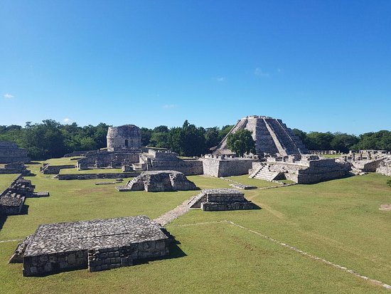
It is 25 miles, or 40 kilometers, southeast of Merida.
Mayapan has a number of cenotes…
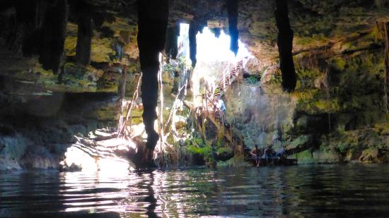
…and as many as twenty-six cenotes have been identified on the Mayapan site.
Next on the alignment is Merida, the capital and largest city of Yucatan State in Mexico.
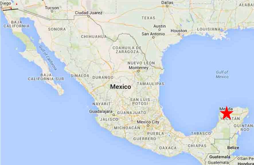
It is also the southern apex of the North American Star Tetrahedron which I found after noticing major cities in North America lining up in lines, and from which my work in this blog is based. A lot of planetary alignments emanate from, or pass through, Merida.
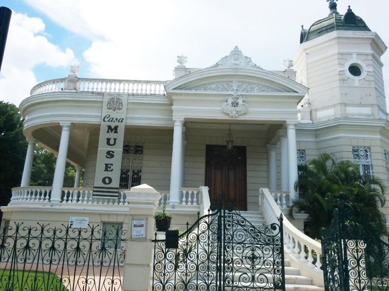
Merida’s nickname is the “White City,” said to be for the white painted buildings, and use of limestone as a building material.
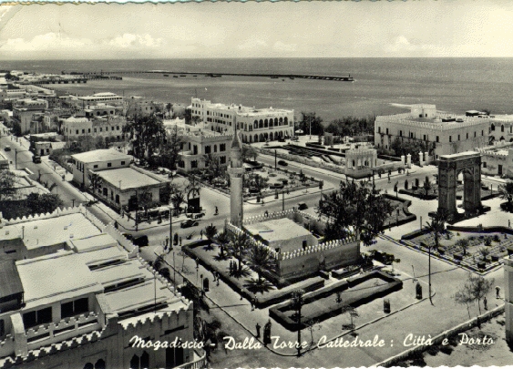
The White City was also the nickname for Algiers, Algeria…

…and a lost city in the Honduran rainforest, known simply as “The White City.”
Mogadishu in Somalia before the Somalian Civil War, which started in the early 1990s, was known as the “White Pearl of the Indian Ocean.
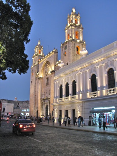
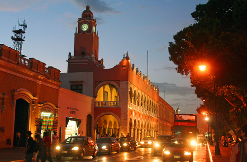
This is a historic building in Merida, Mexico…
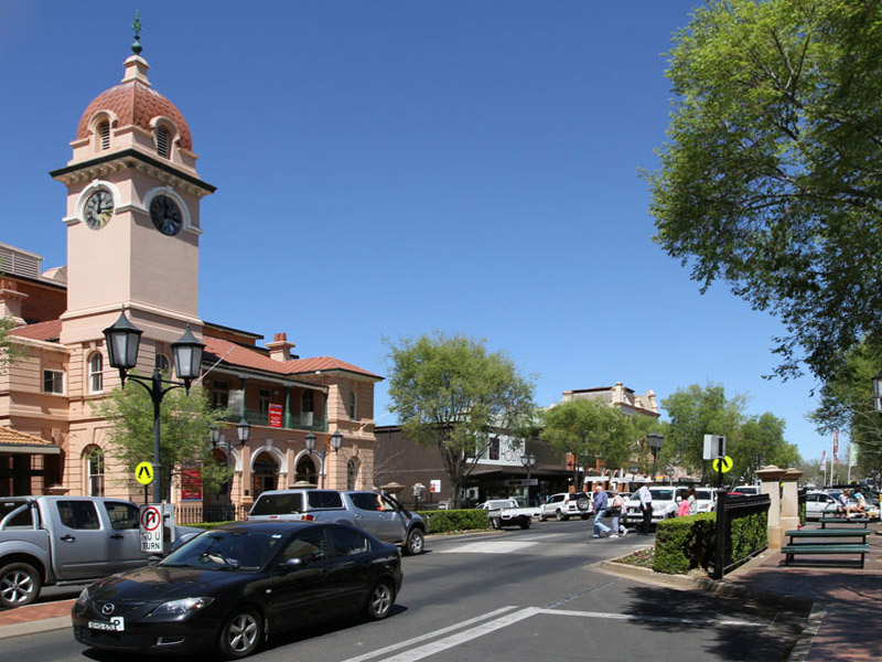
…compared with the historic post office in Dubbo, Australia, in the Province of New South Wales, on a different alignment.
If you are new to my work, my premise is that there was a unified, ancient, advanced civilization that was aligned with itself, the heavens and the stars, and that it existed up until relatively recently. Surprisingly recently.
This civilization that has been removed from our collective memory. My blog is dedicated to providing compelling evidence for why I believe this.
In the next blog post, I will be picking up the alignment in Baton Rouge, Louisiana. The circle alignment that began in Algiers, Algeria, moves into the Heart of the Empire Washitaw of the Washitaw Mu’urs, also known as the Ancient Ones.
