Next on this alignment – for which the starting and ending point is Amsterdam Island, a tiny island in the South Indian Ocean – we come to the Inner Mongolia Autonomous Region of China.
It lies along most of the length of China’s border with Mongolia, and a small section of China’s border with Russia.
To start out with, one of the recurring features of this part of the world gets attributed to what is called “The Slab Grave Culture,” which is called a nomadic, Eurasian, Scythian-Siberian civilization. What I see here is evidence of the ancient megalithic civilization, with the cut-and-shaped stones in the foreground, and the stone circle seen in the background.
Let’s see what else we find here.
The alignment crosses near the Hulunbuir Grasslands. Looking at photos, I find this pyramidal landscape feature…
…and here is another one, where you clearly see the abrupt rise in elevation from a relatively flat surface.
Then, we find this S-shaped river bend in the Hulunbuir Grasslands…
…just like the one we saw in The Ukok Quiet Zone Nature Park in the Altai Mountains in the previous post…
…the Horseshoe Bend of the Colorado River in Arizona’s Grand Canyon…
…and the Big Bend of the Rio Grande in South Texas.
Compare the similarity of this location in the Aershan National Geopark of Inner Mongolia in China…
…with this location in the Lauterbrunnen Valley of Switzerland at the Staubbach Falls. These places are not historically associated with each other, and yet look very similar!
This is the Aershan Hot Springs Hotel…
…compared with inside the Gellert Bath House in Budapest, Hungary, where we find the same double-column design inside as what is seen in the above photo outside…
…compared with these historic bath houses in Hot Springs Arkansas. like the columned architecture of the Ozark…
…and the huge columns of the Buckstaff Bath House in Hot Springs. I think there might be something else going on here that we don’t know about.
Next we come to the city of Tongliao in Inner Mongolia. Tongliao is a railway hub, which connects Inner Mongolia directly with Beijing and northeast China.
It was the administrative center of the defunct Jirem League. The six original Leagues of Inner Mongolia were ancient administrative units, and they became equal to prefectures in other parts of China when it became the Inner Mongolia Autonomous Region in 1947. They included different tribes and banners. Interesting to note that one of the Leagues shown here, just to the right of the center of the image, is named Juuuda (like Judah?)….
Tongliao sits on the east bank of the Xiliao River, one of several rivers in this region which the alignment crosses over. It flows in Inner Mongolia and the Liaoning Province in Northeastern China. It is one of the headwaters of the Liao River.
A search for images only yielded one picture of interest for the Xiliao River.
I will use this as an opportunity to say that I find turbines like this all along gridlines.
These are in Okarche, near where I lived in Oklahoma. They are not randomly placed as one might think. They all run at the same speed regardless of whether or not the wind is blowing. I suspect they are harvesting a hidden energy source, and not the wind as we are told. These, and the ones that fill the horizon along Interstate 40 across Texas as well, line up along grid-lines and near energy hubs. See my blog post on “The Relationship Between the Planetary Grid, the Technology of the Ancient Civilization, and the Modern Energy System” for a more in-depth look at this subject.
Next on the alignment is Changchun, the capital and largest city of China’s Jilin Province.
Changchun lies in the center of the Songliao Plain, also known as the Manchurian Plain. Note the red rock in the foreground, similar in appearance to red rocks found in diverse places…
…like what is found on the Hawaiian Island of Kauai at the Fort Elizabeth State Park, also called the Old Russian Fort…
…and at Lake Arcadia, in Edmond, Oklahoma just outside of Oklahoma City.
Changchun was the seat of government for the Japanese puppet state of Manchukuo between 1932 and 1945, who were occupying northeast China. This is the Manchukuo State Department building, with its heavy masonry and tall columns.
There is a national park near Changchun called the Jingyuetan Forest Park. I always check out parks because they are places that the ancient civilization is preserved, albeit in disguise. This is the crescent-shaped reservoir there…
…and features such things at the stone tower in the background of this photo, and the big stones lining the lakeshore in the foreground…
…and is like what we saw in Mukalla, Yemen…
…and at Lake Chapala near Colima, Mexico.
Next on the alignment we come to Jilin City, considered one of the oldest cities in northeast China.
Jilin City is situated near the Songhua River, in a hilly area. Four famous mountains surround it. I can find images associated with two of the four. One is Beishan, or North, Mountain, Park, in the west, home to several Buddhist temples, where the picture of this bridge was taken.
Compare it in appearance with the style of old bridge found over Standing Stone Creek, in the State of Pennsylvania, for one of many examples.
This bridge at Beishan Park…
… looks similar to this one in Verona, Italy.
Another is Long Tan Mountain, to the East. Interesting looking place, isn’t it?
Together with the other two – Zuqhue Mountain and Turtle Mountain – these four mountains form a Bagua, which is a Taoist symbol used to represent the fundamental principles of reality.
This stone feature is found in Jilin…
…and I will end this post in Jilin with this photo of what is called a tomb of the Koguryo Kingdom, which flourished in China and North Korea, before we head to Chongjin, North Korea in the next post. This is designated as a Koguryo Tomb in Jilin, China. Looks like a step pyramid to me….
…like the famous step pyramid of Djoser at Saqqara in Egypt pictured here.
In this post, we are crossing the Tien Shan Mountains of Central Asia in to mainland China. I am tracking an alignment of cities and places forming a big circle which starts and ends at Amsterdam Island in the South Indian Ocean.
Next on the alignment is Urumqi, the capital and largest city of China’s Uighur Autonomous Region in the Xinjiang Region.
It was a major hub on one spur route of the ancient Silk Roads, the world’s most significant trade routes that linked East and West for thousands of years, and is a location on a modern project linking the ancient trade routes.
As I mentioned in the last post, we are in the historical region of the Ancient Uighur Empire. I read several of James Churchward’s books about what he discovered about Mu (also known as Lemuria) several years before I came into awareness of what I am sharing with you in this blog.
He describes the vast Uighur Empire as wealthy, advanced and powerful. This is a picture of one of his maps.
Most of the Uighur people are Muslim, and their language is related to Turkish. I also want to point out the very large, colonnaded building in the background …
…and culturally they are more aligned with the other countries of Central Asia than China.
Ancient ruins are all around Urumqi.
In particular I want to focus on some noteworthy sites found between Urumqi and Turpan, connected by a modern rail-line.
The ruins of the Jiaohe Ancient City are found near Urumqi. These are considered what’s left of the world’s oldest, largest, and best-preserved city of raw earth buildings.
It is interesting to note that the northern part of the site was reserved for Buddhist Temples and Stupas. This is said to be a Buddhist Stupa at the Jiaohe site.
Nearby, we find the Karez water system in Bidar in the Turpan Basin. It is made up of a horizontal system of vertically-dug wells, linked to water canals that collect run-off from the nearby mountains.
The canals channel water to the surface, taking advantage of gravity through a downward slope. The system has underground canals, dams and wells, and is said to date back to 500 years ago. A centuries-old tunnel cut out of solid rock is nothing out-of-the ordinary, right?
In Turpan, the tombs of Astana are ancient, and considered a significant and protected national cultural relic. While the tombs are considered a communal cemetery for the region…
…this mummy is found there. Mummy???!!! Aren’t we only taught about mummies strictly being an Egyptian thing? Well, they are here too!
Many mummies have been found in the Tarim Basin, west of here in the Xinjiang Region, that date back thousands of years. This one is known as the “Beauty of Loulan.”
Besides mummies, the Bezeklik Thousand Buddha Caves are also found in Turpan, a complex of 77 rock-cut cave grottoes dating from between the 5th and 14th centuries…
…located in the Flaming Mountains of China.
I will just leave this picture here of the Grand Canyon in Northern Arizona for comparison.
The Emin Minaret is here, said to have been built in 1777 in honor of the heroic general from Turpan, Emin Khoja. It is the largest existing old tower in Xinjiang.
Compare similarity with the Islam Khoja Complex in Khiva Uzbekistan, said to have been built in the early 1900s (hmmm), and named after Islam Khoja, Prime Minister of Isfandiar Khan. Not an exact architectural match, but the shape of the tower is similar, as well as the arch of the entryway. There is a distance of 2,375 miles, or 3,822 kilometers between the two places. And, what about that shared name?
So, as in previous posts, we find Buddhism here, as well as Islam. To be clear, I believe all of this is connected to the advanced ancient worldwide civilization, and not separate as we have been taught to believe. I see Islam in its original form being about Sacred Geometry and Natural Law, and very much a part of this original ancient civilization.
Next we come to the Altai Mountains, a mountain range in Central and East Asia where Russia, China, Mongolia, and Kazakhstan come together.
I have chosen this photo of the Ukok Quiet Zone Nature Park in the Altai Mountains because of what looks to be earthworks in the middle of the picture, and the S-shaped river bend in the foreground, both of which are signature features of the ancient advanced civilization. It is sacred to the indigenous people of the region, and part of a UNESCO World Heritage Site called the “Golden Mountains of Altai”…
…which includes, in the Katun Nature Reserve in South Siberia, both Lake Kucherla…
…and Mt. Belukha…
…and Lake Teletskoye in the Altai Mountains in the Altai Republic of Russia. Notice the connecting Heaven with Earth effect displayed in some of the pictures here? Intentional or not, it is there and beautiful!
This is a region with high plant diversity, and is also the home of endangered species like the Altai Mountains Snow Leopard…
…and the Altai Argali, the largest wild mountain sheep in the world, with the largest horns. Unfortunately for them, this magnificent feature makes them the crown jewel of sheep hunters’ trophy rooms.
Next on the alignment, we come to the Gobi Desert in Mongolia, covering parts of northern and northwestern China, and southern Mongolia. It runs 500 miles (800 kilometers) north to south, and is 1,000 miles (1600 kilometers) southwest to northeast.
It was part of the Great Mongol Empire that we are taught about in our history books, said to have formed when Mongol tribes were unified under Genghis Khan in 1206. I am believing at this time this is not True History, but let us see what else we find on the alignment. This is a National Hero after all! No disrespect intended, but some things just don’t add up….
Where the desert is widest, Bosten Lake, the largest freshwater lake in the Bayin’gholin Mongol Autonomous Region of Xinjiang…
…joins in a line with Lop Nur in the Uighur Autonomous Region of Xinjiang, a former salt lake that is mostly dried up, and was a site of the Chinese Nuclear Weapons Test Base, with four nuclear testing zones at Lop Nur, starting in 1959 – with H-Bomb detonation in 1967 – until 1996, with 45 nuclear tests conducted.
Before I leave this region, I would like to include mentioning that the Gobi Desert extends from the foot of the Pamir Mountains. They are mostly in Tajikistan, and are at the junction of the Himalayas with the Tien Shan, Karakorum, Kunlun, Hindu Kush, Suleman, and Hindu Raj Mountain Ranges. The Pamir Mountains are among the highest in the world, and since Victorian times have been known as the “Roof of the World.” Please note what looks like masonry in the left foreground of this photograph taken in the Pamirs.
Next on the alignment, we come to Shainsand, the capital of the Dornogovi province of Mongolia, in the eastern Gobi Desert Steppe, said to have been founded in 1931…
… and is a stop on the Trans-Mongolian Railway. This is the railway station of Sainshand. Yes, it is a railway station, but this is substantial building, size-wise, with the architectural flavor of …
…other grand railway stations around the world, including, Grand Central Station in New York City…
…Antwerp Station in Belgium…
Helsinki Station in Finland ~ aren’t those strange statues in middle the forefront, for the historical times we have been taught?…
…and Madrid Station in Spain.
Here is a restored Tibetan Buddhist Monastery in Sainshand, called Khamar. Originally said to be founded in 1820 as a Red Hat Lineage (Nyimgma) Center of Buddhist Monasticism, Culture and Education in Mongolia, because of the spiritual energy fostered by the Gobi Desert, and it grew to have 80 temples and 5,000 monks. It was destroyed in 1937 as part of Stalinist purges in Mongolia, and was restored after 1990 Democratic Revolution in Mongolia….
…compared with this picture of the Boudhanath Stupa in Kathmandu, Nepal prior to the 2015 earthquake. It has since been renovated, but this is a very holy site for Tibeten Buddhism. Explain it in whatever way resonates with you, there is a 1,810 mile, or 2912 kilometer distance, between these two places. And, from what I understand, Boudhanath is associated with the Red Hat Lineage as well, since Dilgo Khyentse Rinpoche, head of the red hat lineage from 1987 to 1991, founded a Nyingma lineage monastery in Kathmandu at Shechen Monastery in 1980.
These are among my head-scratching moments as I have been on this journey. I have much more clarity now, but if you are seeing this for the first time, Tibetan Buddhism, and perhaps more accurately the ancient practices of Bonpo, is all over this part of the world
I will stop here, and in the next post, pick up the alignment in the Inner Mongolia Autonomous Region of China.
I thought I was going to be starting this post in Dushanbe, Tajikistan. I am not.
I am being drawn through my initial research to start at Quorgonteppa, in Southern Tajikistan, which is located between Mazar-e-Sharif in Afghanistan, the place where I ended my last post, and Dushanbe.
Quorgonteppa, also known as Kurganteppa and now officially called Bokhtar, is the capital of the Khatlon Region. There are some ancient sites here, including the so-called Childukhtaron Mountains.
And for comparison of similarity in appearance, in previous posts, I showed you this photo of Agattu Island in the Near Islands, at the far western end of the Aleutian Island chain, near Siberia in the Bering Sea.
?
And this photo is from present-day Minab, the historical location of Hormuz City, and located near the port city of Bandar-e-Abbas, at the Strait of Hormuz in Southern Iran.
I can find plenty of other examples from around the world, but these are good examples of what I believe is ancient infrastructure of intentional design. Cover-up code words like sedimentary rock, karst, red rocks, and so forth, are used to lead us to believe places like these are natural features.
In this Khatlon Region of Tajikistan, there is what appears to be a very old Buddhist Monastery at Ajina-Teppa. There is a large artifact excavated here that I will be showing you that is now in a museum in the next city on the alignment.
There is a canal system in the city of Quorgonteppa.
The most famous canal system is in Venice, to my awareness pretty much the only one we learn about in school…
…but I am finding sophisticated canal systems all over these alignments, in places one would not expect to find them according to the history we have been taught, like this one in Dubai’s Old Town…
…in Tashkent, Uzbekistan, interestingly called the Ankhor Canal…
…and here in Port Grimaud in the French Riviera. There is plenty of physical evidence that the ancient advanced civilization built canals all over the world. This information has been removed from the historical record, so we just assume they were built during the times we are taught they were. This is all very sophisticated engineering!
Moving along the alignment, Dushanbe is next, and is the capital and largest city of the country of Tajikistan in Central Asia.
The history books tell us it was a small village in western Tajikistan up until the early 1900s, and that today it is the seat of government of Tajikistan. So here is the monumental Presidential Palace, also called the Palace of Nations. Right next to it is the world’s tallest flagpole!
This is the National Museum of Antiquities in Dushanbe…
…and the artifact found at the Ajina-Teppa Buddhist Monastery that I mentioned earlier is here, which is this Sleeping Buddha.
I just wanted to share a comparison of the similarity of appearance of the Dushanbe Post Office circa 1937…
The Palace Hotel in Burundi, a small country in East Africa…
…and the Wako Department Store in the Ginzu Shopping District of Tokyo.
This is the Hissar Fortress in Dushanbe. Notice the earthwork-looking features in the foreground, and in the background the shape and style of the building features…
… that looks very similar in appearance to the walls in the foreground surrounding Old Dubai in the United Arab Emirates.
There is also a canal-system in Dushanbe, the Kanali Varnob…
… as well as places like the elaborate waterworks in Dushanbe shown here.
Next on the alignment we come to Andijan, also spelled Andizhan, in Uzbekistan.
Andijan is located on the southeastern edge of the Fergana Valley near Uzbekistan’s border with Kyrgyzstan. Andijan is one of the oldest cities in the Fergana Valley, and was an important city on the Silk Road. Interestingly, it is believed to have been referred to long ago by Arab geographers as “Hindijaan,” believed to mean the city of Hindus or Hindu temples.
A national hero of Uzbekistan and Kyrgyzstan was born in Andijan. This is his memorial at Bobur Park…
…and this is Bobur, ruler of this part of the world in his day, military leader, and considered the founder of the Moghul Empire in India in 1526.
I looked, and indeed there is a canal system here. This is the Great Fergana Canal.
It is said to have been built in 1939, taking only 45 days to complete with conscripted unskilled labor and a high number of fatalities.
Just relaying my findings. I have my doubts about the veracity of the information as to who built it.
This building is in Andijan….
…compared with the old Miami Herald Building, which no longer exists as it was demolished in 2015. This is the fate of a lot of these old buildings, and this one was noted to have been built to be nearly indestructible.
…and this building is in Madrid, Spain, the only place where the Moors are given credit for ruling for 700 years, ending in 1492.
Here is another building in Andijan…
…compared with these historic buildings in Barcelona, Spain.
The alignment goes through Lake Issyk-Kul in Kyrgyzstan. This lake is in the Northern Tian Shan mountains, and is the 10th largest lake in the world by volume.
It is the second largest saline lake after the Caspian Sea. It is considered to be a sacred place by the Kyrgyz people.
Here is an example at Lake Issyk-kul of what looks to be ancient infrastructure…
…and here is a comparison of similar looking features at Boynton Canyon in Sedona, Arizona. In both places, you can make out shapes in the rocks that look like ancient temples.
We cross over the Tien Shan Mountains, which straddle the border between Kyrgyzstan, Khazakstan, and China.
Tian Shan is the Chinese name of the mountain range, and refers to “Celestial Mountains.”
This is a good place to insert the information that we are in the historical region of the Ancient Uighur Empire. I read several of James Churchward’s books about what he discovered about Mu several years before I came into awareness of what I am sharing with you in this blog.
He describes the vast Uighur Empire as wealthy, advanced and powerful. This is a picture of one of his maps. We are approaching the heart of it when we cross the Tien Shan Mountains, entering into the modern-day Uighur Autonomous Region of China.
Here is a map depicting the existence of a Uighur Turkic Empire in this part of the world that is said to have existed for almost one hundred years.
When I first started cracking the code of how the ancient advanced civilization was covered up, I realized that the word canyon is a code word, and that national, state and local parks are places where remnants of this civilization are preserved instead of being destroyed, neglected, or incorporated like what happens in unprotected places.
So, in the Tien Shan Mountains in Kazakhstan, I was able to find the Aksu Canyon in the Sayram-Ugam National Park, and the Charyn Canyon in the Altyn Emel National Park.
First, here are photos of Aksu Canyon:
We think of this as being natural because we simply have not been given any other explanation for its existence. This was a civilization of Master Builders and Master Masons that has been removed from our collective memory.
And the last place I would like to look at before ending this post is Charyn Canyon in Kazakhstan’s Altyn Emel National Park.
Sand dunes are also found in this National Park. This is called the “Singing Sand Dune.”
I have come to believe that there is enduring infrastructure underneath sand dunes.
I am going to end this post here, and pick up the alignment in the city of Urumqi in the Uighur Autonomous Region of China in the next post.
In the last post, we took a close look at some of the interesting islands of the Strait of Hormuz – specifically, the islands of Abu Musa, Qeshm, and Hormuz. In this post, I am picking up the alignment in Bandar-e-Abbas, Iran and following it to the city of Mazar-e-Sharif in Afghanistan.
I am following an alignment that originates from, and ends on, Amsterdam Island, one of the French Subantarctic Islands.
In this series, I am sharing what I found, by connecting the cities and places that form a circle. Amsterdam Island is a tiny dot in the South Indian Ocean.
Bandar-e-Abbas is a port city, and the capital of Hormozgan Province. It is modern Iran’s most important port, with 75% of Iran’s sea-trade passing through here. It’s previous name, with different pronounciations and spellings in different languages, was Gombroon.
The most important port in Ancient Iran was the nearby Hormuz City.
In 1497, five years after the new false historical timeline was superimposed onto the original positive timeline in 1492 (for what I am talking about, see my post “An Explanation for What Happened to the Positive Timeline of Humanity & Associated Historical Events & Anomalies”), Europeans landed in the region for the first time, in the form of the Portuguese explorer Vasco de Gama.
Nine years later, in 1508, the European invasion began, with the Portuguese sending seven warships to protect their interests there. This is an etching showing what Hormuz City looked like in 1522.
Old Hormuz, or Ormus, was located where the city of Minab is today.
I remember reading somewhere that there is occult or esoteric significance to the name of Ormus, but it is not the scope of this post to delve into it. It is yet another point of information in the piecing together of this puzzle that has many missing pieces.
.
Here are some photos of ancient infrastructure in and around Minab.
Contrary to what we have been taught by historical omission, these are not natural features. My blog is filled with examples of why I say this, however, I would recommend reading my post “Natural Features…or Intelligently Designed Ancient Infrastructure?” – my dedicated post for why I say this.
Hormozgan Province, of which Bandar-e-Abbas is a part, has 13 major cities, and 13 counties.
The people of this region are called Bandari. This province is also known as Iran’s Black South. The flavor of the traditional ceremonies and music in this part of Iran is considered African, but the people are called descendants of African slaves and merchants.
I would like to point out the other explanation, which is that these people are indigenous to this land. There are a lot of really big secrets out there that have not been told to Humanity. I think this is the biggest because everything happening in our world today is related to this Truth being withheld and distorted.
There is a Hindu Temple in Bandar-e-Abbas, that was said to have been built in 1892. Notice anything unusual in this picture?
At the very least, the dome of this building, and perhaps more, has monolithic characteristics – that is, it looks like it was carved from a single block of stone. I see cracks in the foreground, but not sections. Even if it is made from another building material, how did they do it, according to the history we have been taught? What technology did they have to accomplish that in 1892?
There is so much we haven’t been told about the True History of the planet, including how Hinduism, and Buddhism for that matter, connects back into the Advanced Ancient Civilization, and that all of this is not mutually exclusive as we have been taught to believe. More on this later in the post.
Moving along the circle alignment from Bandar-e-Abbas, we find the city of Kerman, the capital of Iran’s Kerman Province. It is one of Iran’s oldest cities.
This is the Arg-e-bam Castle, or Bam Citadel, in Kerman Province. It is called the largest adobe building in the world, and is a UNESCO World Heritage site believed to go back to the 6th-century BC. An earthquake in 2003 destroyed much of it.
Compare it in style to the Grand Mosque of Djenne, in Mali, also an example of adobe architecture.
Djenne is not far from the home of the Dogon, Bandiagara Escarpment, with its adobe dwellings…
…which just happens to look a lot like Mesa Verde in Colorado.
This is Itchan Kala, the inner walled town of Khiva in Uzbekistan. It has been a World Heritage Site since 1990.
And before I move on from adobe structures, I just want to share the astonishing similarity in appearance between the adobe buildings of Ait Ben Haddou in Morocco’s Ouarzazate province…
…and this view of what would be considered more modern constructions in the city of Santa Cruz de Tenerife in the Canary Islands.
This is the Bazaar-e-Sartasari in the city of Kerman, one of the oldest trading centers in Iran…
…compared with Fort Pulaski in the U.S. State of Georgia, on Tybee Island near Savannah, Georgia…
…and Fort Jefferson on Dry Tortuga State Park, west of Key West, Florida, and not accessible by land.
I think these so-called civil war era forts in the United States were re-purposed from their original uses. In other words, they were pre-existing buildings that were converted for military use.
Next in Kerman is the Hammam-e-Ganjali, an historic bathhouse said to have been built in 1631. It is now a museum. Note the monolithic stone columns, and the stylized vaulting in the roof design.
Same idea with the Hammam-e-Vakil, a bath in the same complex, that has been converted into a teahouse.
Leaving Kerman, next on the alignment we come to the Lakes of Hamun (Helmand), which is on the border of Iran and Afghanistan. Hamun is a group of reservoirs. In my post “On Chimney Rocks and Man-Made Lakes” I give a detailed opinion on what that is all about – creating reservoirs is how ancient infrastructure is covered up.
In Iran, Lake Hamun is a UNESCO-protected biopshere reserve.
Mount Khajen is described as a flat-topped basalt mountain (like it’s natural) that turns into a seasonal island during the rainy season in the middle of Lake Hamun in Iran.
Rostam Castle is located on Mount Khajen, the ruins of a citadel complex. It is an important archeological site. This area was also part of a southern branch of the Great Silk Road, part of a ancient network of trade routes that connected East and West.
Within the remains of the complex, there is a Zoroastrian fire temple. Not only that, in legend Lake Hamun is considered to be the “Keeper of Zoroaster’s seed.” This means Zoroastrians believe that when the final renovation of the world is near, maidens will enter the lake, and give birth to the Saoshyans, the saviors of mankind.
Next on the alignment we come to Farah in Afghanistan. It is part of the sparsely populated Farah Province, which is mostly comprised of rural tribal groups. This region is heavily affected by the on-going hot conflicts in Afghanistan. I will be focusing mostly on past history, not present, for the purposes of this blog post.
This is the Citadel at Farah, said to have been built as part of a network of fortresses by Alexander the Great when the history books tell us he took possession of the land in 330 B.C.
To be clear, I am not saying that I believe this is when it was actually built.
The city of Farah is believed to be over 3,000 years old, and one of the ancient places of the Persian Kings.
This is called the Farah Mubarak – Mahdavia on the outskirts of Farah City. It is a major pilgrimage site for Muslims.
The population of Farah province is predominantly Pashtun, also known as Pathan. The Pashtun are a tribal nation of millions of Afghani and Pakistani Muslims who have a strong oral tradition that they are descendants of lost Tribes of Israel, and they refer to themselves as Bani Israel.
Here is an example of a Pashtun textile piece.
Here are examples of traditional Afghani clothing for men and women:
Farah also belongs culturally and historically to Sistan Province in Iran, and the Greater Khorasan, which is a region lying in the northeast part of the historical Persian Empire.
Next on the alignment is Mazar-e-Sharif, Afghanistan. It is the third largest city in Afghanistan, and the capital of the Balkh Province. This region is also part of the Greater Khorasan of the historical Persian Empire.
The city has been spared the devastation of war that has occurred in other parts of Afghanistan, and is considered one of the safest cities in the country. This is the Blue Mosque in the center of the city.
The Blue Mosque is also notable for the white pigeons that congregate in its courtyard….
This is the Citadel in the ancient city of Balkh. Balkh was a center of Zoroastrianism in northern Afghanistan. It is a short distance northwest of Mazar-e-Sharif. It was known as Bactra, the capital of ancient Bactria. Our history books convey to us that Alexander the Great captured the city in 330 BC, and the hordes of Genghis Khan completely destroyed it in 1220 AD. Hmmmm. Something about this particular place attracts major attention!
The Hindu Kush is just south of Balkh. There are many who believe that there is a connection between Balkh, the Hindu Kush, and Shambhala. Zoroastrians, for example, identified the Hindu Kush as the High Hara, or the geographic center of the universe around which the stars and the planets revolve, and the home of the “Masters of the Heart.”
There is a strong history of Buddhism in this part of the world as well. In Balkh, there are stupas over the remains of the first lay disciples of the Buddha – Trapusa and Bahalika. The city is said to have derived its name from Bahalika.
This Buddhist stupa near Balkh sits on top of the Takht-e-Rustam, the throne of the hero of the world.
I am going to end this post in the Bamiyan Valley of Afghanistan, which is not directly on this alignment – it is south of Mazar-e-Sharif in Central Afghanistan, not far from Kabul, the country’s capital.
There were two colossal statues of Buddha there, carved into the sandstone there. Both statues were destroyed by the Taliban in 2001.
I firmly believe there would be no mysteries in history if we had been taught the true history, about an ancient advanced civilization that was all about Harmony, Balance, Beauty, Sacred Geometry and Unity with each other and the Universe, and connecting with One’s Higher Self. This is a poignant example of how dark forces are hell-bent on physically destroying this civilization, and its memory and legacy. Actually, they have been hell-bent on destroying all civilization, but this particular one was the fullest expression of human potential that there ever was on earth.
I will pick up the alignment in Dushanbe, Tajikistan in my next post.
The Strait of Hormuz is the only sea passage from the Persian Gulf to the open Ocean.
It is situated between the Gulf of Persia and the Gulf of Oman.
About 20% of the world’s petroleum passes through here, and it is considered one of the world’s most strategically important choke points.
This is a tense area, to say the least….
In my journey of awareness regarding this information, I have learned what to look for. And I have found that islands on the planetary gridlines are extremely interesting.
I will share with you what I found out about the Islands of the Strait of Hormuz, specifically the islands of Abu Musa, Qeshm, and Hormuz. These islands are windows to a hidden history.
The island of Abu Musa is contested between the United Arab Emirates and Iran. It is administered by Iran as part of the Hormozgan Province. It is the furthest Island from the Iranian coast, and is strategically important as it sits near the entrance to the Strait of Hormuz.
I want to demonstrate to you that beaches with a symmetric curvature, and rocky features right next to the shore, as seen in this photo of Abu Musa, are common features in diverse places.
Compare it with these similar-looking shorelines:
The Israeli side of the Dead Sea…
…Halawa Bay on the Hawaiian Island of Molokai…
…the Black Sea in Bulgaria…
…Lake Baikal in Siberia…
…and Shemya in the Near Island group of the Aleutian Island chain.
How about this comparison of the rocks on the shore of Abu Musa…
… the shore of Flowerpot Island, an island in Georgian Bay in the Province of Ontario…
…and Deadman’s Reef on Bahama Beach, located at West End on the Grand Bahama Island.
The island of Qeshm (formerly known as Kishm, or Kish) in the strait of Hormuz is the largest island in Iran, and one of the largest islands in the world. An important trading center at one time, it is situated just a short distance off the coast of Iran.
Qeshm, like the Hawaiian Island of Molokai, looks like the shape of a fish to me.
This is good place to insert the fact that Qeshm has the earth’s largest mammal, the blue whale, in its waters…
…as well as pods of dolphins that swim close by. The dolphins of Qeshm.
Interestingly, in Cassell’s Bible, Qeshm was mentioned as a supposed site of the Garden of Eden. Hmmm.
Let’s take a look at what is found on the island.
It is called the Island of Seven Wonders, which include the Valley of the Stars, or Stars Valley, called one of the most amazing natural sites in the world. Like everywhere else, I see ancient masonry here.
This view of the Valley of the Stars on Qeshm Island…
…reminds me of Bryce Canyon in Utah.
…and Red Rock State Park in California.
The Hara forest is comprised of floating mangrove trees…
…and the area is a protected biosphere reserve for its ecosystem, with many tidal channels.
The Talla Wells are capable of holding water healthy and cool for a long time. The locals say in the past, the number of these cisterns equalled the number of days in the year, and every day, one of the wells was used for water.
The Talla Wells reminded me of the Plain of Jars in Laos. The Plain of Jars is a mystery, with thousands of huge jars cut from stone filling the landscape.
Some of the stone jars are gigantic!
And then there are the ancient Puquio Wells of Nazca in Peru. This is a system of subterranean aqueducts, and most are still functioning.
This location on Qeshm Island…
…reminds me of the Emerald Pool in Guadelupe Canyon in Baja California, Mexico.
One more thing I would like to point out before I leave the beautiful island of Qeshm, which is in a free zone, so a visa is not required to visit. This photo is of Harbor Laaft on Qeshm. These buildings most definitely have Moorish architectural features.
To support what I am saying, here is a picture of acknowledged Moorish architecture in Cordoba, Spain. In particular, take note of the crenellation -the recurring pattern on the top of the building – in both pictures. Also, there are five-lobed arches present in both pictures, as well as arches with no entrances or windows.
It’s even called the five-lobed Moorish arch. More on this architectural style shortly.
Next, I wish to introduce you to Hormuz Island…the Rainbow Island of Iran.
The red color you see here in the road is red ochre, which has been used for ceremonial and artistic purposes throughout human history.
This is said to be the old Portuguese fort on Hormuz Island. Supposedly built after the Portuguese Duke Alfonso de Albuquerque captured the island in 1507, and became part of the greater Portuguese Empire.
The Portuguese held on to the Island of Hormuz until 1622, at which time the British East India Company allied with the Persians, and successfully re-captured Hormuz. Both the Dutch East India Company and the British East India Company were integral components in how the advanced ancient civilization was taken down. This is a portrait of William Baffin, an English explorer who died of wounds sustained during the Capture of Hormuz. Baffin Bay and Baffin Island are named after him.
Here is a photo of the vaulted arches of the so-called Portuguese fort on Hormuz…
…and the vaulted arches of the Seville Cathedral. Seville was the capital of Moorish Spain.
Compared with this example of what is called “Spanish Gothic” architecture at Bryn Mawr College in PA that was torn down 8 years ago, with its vaulted ceiling, and five-lobed Moorish arches. Demolition in modern times is the fate of many of these structures with heavy and enduring masonry. Sadly, only to be replaced by buildings that are considerably inferior. Like, I am watching a multiple-story apartment complex go up in the neighborhood where I work, framed with wood and particle board.
This style of vaulted arch is seen at Ft. Pulaski in Savannah, Georgia.
They want us to believe all of these architectural similarities were occurring during times across countries and continents during centuries when, according to what we are taught in history class, transportation was limited and communication was regional.
I have found that falsely attributing structures as to their builders is a common practice in the cover-up of this ancient civilization. Another example of this is the “Old Russian Fort” on Kauai, which looks like an ancient star fort to me.
One more thing before I leave the island of Hormuz. There is a place called Deer’s Moor here, on a tiny island off the coast of Iran.
Like the Moors of Britain, I believe the memory of the People remains in the place. This is Scales Moor in Yorkshire, called “Britain’s greatest limestone pavement.”
Here are a few more photos of Hormuz Island:
I will end this post here. This is a long circle alignment. I have been crossing further geographical distances in other posts than I have here, however, I believe what I found in this geographical location was noteworthy enough to focus this post exclusively on it. As always, there is more here than what I have shared, but this serves as an introduction to an obscure, but fascinating, place.
I will pick up the alignment in the next post in Bandar-e-Abbes, Iran.
The Gulf of Aden, also known as the Gulf of Berbera (also the name of a port city in Somalia, and where my last post ended), is bounded on the North by Yemen, the Arabian Sea and Guardafui Channel in the east, and Somalia in the South.
On one side, the Bab-el-Mandeb Strait, located between southwestern Yemen and and northeastern Djibouti, connects the Gulf of Aden to the Red Sea. This strait is of great strategic and economic importance. For one thing, millions of barrels of crude oil are shipped through it every day.
The country of Djibouti is located near a tectonic triple junction of three tectonic plates. There are also two rift zones in Djibouti. Volcanism is a recurring feature along planetary alignments.
Lake Abbe is a Salt Lake on Djibouti’s border with Ethiopia. It is located at the confluence where the three tectonic plates are pulling away. I have also found many salt lakes on planetary alignments (see my post “Salt Lakes on the Grid”).
On the other side of the Gulf of Aden is the Guardafui Channel. It is between the Socotra Archipelago and Cape Guardafui, the tip of the Horn of Africa (which is another name for this region).
The Socotra Archipelago is officially part of Yemen, with Socotra being the largest island.
Have you ever heard of it before?
I first learned about Socotra several years ago when I watched a travel video about it that popped up as a Youtube recommendation for me. I looked more into it at the time. Otherwise I would never have heard of it before.
It is a UNESCO World Heritage Center, and is considered of universal importance because of its rich and distinct flora and fauna, most of which are found no where else. It has also been called the most alien place on earth.
Dragon’s Blood Trees of Socotra
There are more anomalous things about the Gulf of Aden, but I will just leave you with this picture, if you wish to research its validity for yourself. Just saying this is out there. Personally, it wouldn’t surprise me if this is truth. There is so much we haven’t been told about the world we live in, and that is actively kept from our awareness.
Next, we come to Mukalla, Yemen, a port city on the Gulf of Aden.
Mukalla is the capital of Yemen’s Hadhramaut Governate. It is close to an ancient location, called Hadhrami, that served as the principal trading post between Africa and India.
Hadhrami is also the name of the people that live in the Hadhramaut Governate, and are also in diaspora, living in scattered places around the world. The Hadhrami have in their culture a tradition of sea-faring and trading. At one time their presence and influence throughout in the Horn of Africa region was significant. Here is a historic photo of some Hadhrami men.
This is a view of Mukalla from the water. Take particular note of the big, block-shaped rocks in the foreground…
…compared with the big block-shaped rocks seen at Lake Chapala near Colima, Mexico.
This is a photograph of the massive canyon at Wadi Leysar in the Hadhramaut Province of Yemen.
And this is Courthouse Butte in Sedona, Arizona. The best our historical narrative can come up with is that these are natural features. I definitely do not buy that explanation. I think “butte” and “canyon” are cover-up code-words for very ancient infrastructure.
Lastly before moving on, I will share this photo I found of what is called one of the oldest houses in Mukalla. Interesting place to build a house….
Next the alignment crosses the Rub Al Khali, otherwise known as the Empty Quarter. It is the largest desert in the world. It encompasses most of the southern third of the Arabian peninsula.
A recent Saudi Arabian Minister of Petroleum and Mineral Resources, Ali Al-Naimi, reported that the dunes don’t drift – that while sand blows off the surfaces, their essential shape remains intact.
Something tells me there is enduring infrastructure underneath all that sand….
Next, we come to Abu Dhabi, one of the seven Emirates that comprise the United Arab Emirates (UAE). Its capital, Abu Dhabi, is also the capital of the UAE.
This is what it looks like from above. I find all the channels to be noteworthy, because the ancient advanced civilization was a canal-building civilization :
And here is a view of it from the water, with a nice rectangular beach-head…
…and a nicely-shaped harbor.
This is the Sheikh Zayed Grand Mosque in Abu Dhabi, and its elegant and sophisticated design features. The date for construction is given as 1996.
I am comparing it with the Taj Mahal in Agra, India because they have the same style of domes.
Yet the Taj Mahal was built in the mid-1600s as a mausoleum, according to the historical narrative we have been given.
The sophistication and striking similarities of these two monumental works of architecture raise some real questions in my mind about how they were built – both then and now.
The next location the alignment crosses is Dubai, another Emirate, and the largest city of the United Arab Emirates. You can tell just by looking at a map of the city that this is a unique place in the world.
Dubai is one of the world’s “Global Cities,” which means it is a city which is a primary node in the global economic network, with a focus on financial power, and high technology infrastructure.
This is the Dubai Museum. It is said to be the oldest existing building in Dubai, and built in 1787.
The architectural style is reminiscent of buildings I have seen in African countries. Shown here first is the Great Mosque of Djenne in Mali. Djenne is said to be the oldest known city in sub-Saharan Africa.
And this is the Fasilides Palace in Gondar, Ethiopia. It was built by the Solomonic Ethiopian Emperor Fasilides in the 1600s, and subsequently became the home of Ethiopia’s Emperors.
This is an aerial view of Dubai’s Old Town, the Bur Dubai.
Here are more photos of the architecture and canal system of Old Town Dubai.
I will end this post here, and in the next post will pick up the alignment as it goes across the Strait of Hormuz into Iran.
This next series, of several series of circle alignments that I found, involves Amsterdam Island, in the French Subantarctic Islands.
The process of doing this work has opened up for me an awareness of a suppressed advanced ancient global maritime civilization which existed up until relatively recent times and the missing positive timeline of Humanity.
Throughout my blog, I go into depth regarding what I believe about this civilization – what I am calling the Muurish/Moorish/Israelite Empire; what happened to it; and provide compelling evidence as to why I believe this.
From the work I have done thus far, I have reason to believe this ancient global civilization was aligned with itself on a Flower of Life pattern, with the same characteristics that appear to be bringing the heavens to earth, and aligning earth with the heavens.
The start- and end-point of this next circle alignment that I found and am about to share with you over a series of posts is a tiny dot in the South Indian Ocean.
The dot is Amsterdam Island, one of the French Subantarctic Islands, also known as the French Southern and Antarctic Lands, officially claimed by France in 1892.
Amsterdam Island got its name in 1633 from a Dutch sea captain who named it after his ship, Nieuw Amsterdam, which was named after the Dutch settlement of Nieuw Amsterdam (which later became New York City).
This tiny speck of real estate, for which the only settlement is a seasonal research station, even has its own flag.
The research station studies biology, meteorology, and geomagnetics.
Here is a photograph of Lee Waves taken on Amsterdam Island. Lee Waves are atmospheric stationary waves, and are a form of internal gravity waves. Must be a reason as to why the geomagnetics of this island are studied.
Here is a map of the island with French place names. On the lower left hand side you see the Falaises d’Entrecasteaux, or the Cliffs of Entrecasteaux.
In 2016, when I started to crack the code of key words which covers up the advanced ancient civilization, I realized “cliff” was one of those words.
Here are some photographs of the Cliffs of Entrecasteaux:
Leaving Amsterdam Island, the next place we come to on the alignment is Port Louis, the capital of Mauritius.
Mauritius is officially the Republic of Mauritius, and in addition to the main island, consists of the islands of Rodrigues, Agalega, and St. Brandon. These islands are 1,200 miles (2,000 km) southeast of the African continent.
This is the Port Louis Natural History Museum…
…compared with a building in Merida, Mexico’s Centro Historic District…
…and the Merida Natural History Museum. All three buildings share the common characteristics of double column arrangements on the second floor of the respective buildings.
Here are photos of the harbor at Port Louis on Mauritius…
…compared with Honolulu Harbor…
…and Freeport Harbor on Grand Bahama Island.
The advanced ancient civilization was a global, maritime civilization which existed up until relatively recent times, and is the missing positive timeline of Humanity.
They were as comfortable on the waters as on land.
I first learned about Mauritius from an amazing French archaeologist named Antoine Gigal. Much of her work is in Egypt, but she has ventured to other places in her quest for knowledge and understanding, and she has documented much evidence of the sophisticated technology of the ancient civilization.
To learn more about her work on Mauritius, check out this link where she talks about the discovery of massive walls, hydraulic systems and road systems that are all connected with the pyramid complexes there:
So, I first learned about the seven pyramids of Mauritius several years ago in a 2011 Megalithomania presentation by her.
They are terraced structures made of lava stone.
Interesting, there are six terraced pyramids made of lava stone in Guimar on the island of Tenerife in the Canary Islands. In both places they are in perfect astrological alignment with the winter and summer solstice.
Before I leave this part of the Indian Ocean, I want to bring to your attention to the nearby inhabited French island of Reunion, home to nearly 1,000,000.
There is a very active shield volcano on the eastern end of the island, Piton de la Fornaise. Its most recent major eruption was on July 14, 2017.
I share this information because of the numerous volcanoes seen on the Merida circle alignment in my last series of posts. It appears that there is a correlation between these alignments and volcanoes.
Next the alignment goes through the Republic of Seychelles, an archipelago country of consisting of 115 islands in the Indian Ocean.
It is an island republic almost 1,000 miles off the coast of East Africa, and now is a member of the African Union. Independence from the United Kingdom was established in 1976.
The capital of the Seychelles, Victoria, is on the main island of Mahe.This is a beach-head on Mahe in the Seychelles…
…compared with Myrtos Beach on the Greek island of Kefalonia…
…and Vaja Beach at Korcula, Croatia.
These islands are also known as the Granitic Seychelles. And here is an assemblage of photos of the interesting-looking rock formations on the coasts of these islands. Could be Mother Nature. Could be something else….
For comparison, here are photos of similar-looking rock formations on the Natuna Islands, part of Indonesia, and located in the South China Sea, off the northwest coast of Borneo. They are found on a different alignment:
Next on the alignment is Mogadishu, the capital and largest city of Somalia. It is located on the coastal Banadir region on the Indian Ocean, and has been an important port city for millenia. It is known locally is Xamar.
This is a historic photo of Mogadishu. It was the capital of Italian Somaliland from 1889 to 1936. When the Somali Republic became independent from Italy in 1960, it became known as the “White Pearl of the Indian Ocean.”
The Somali Civil War started in the early 1990s, after the ousting of Siad Barre in 1991, who had been serving as President of the Somali Republic since 1969.
It went on for years, where various militias fought for control of Mogadishu. The situation started to stabilize in 2011, and in 2012 a new government was formed with a passing of a constitution and election of a president.
The following photos will show you what happened to the historic buildings of Mogadishu as a result of years of conflict.
This is the Villa Somalia, the presidential residence, before the president was ousted…
…and after as the result of civil warfare.
This is an historic picture of Mogadishu Cathedral:
This is Seville Cathedral. Seville was the capital of Moorish Spain. In particular, note the double window design component of both of the cathedrals’ towers.
This is what remains of Mogadishu Cathedral today:
This is a view Xamar Weyne Beach in Mogadishu:
These rock features are also found at Xamar Weyne Beach. I personally don’t think that is a natural bridge, because I don’t think nature made that (and all the other ones around the world).
I will leave Mogadishu here, and move on to Berbera, another port city in Somalia. Berbera is located on the Gulf of Aden. It was the capital of British Somaliland Protectorate from 1884- 1941.
It is the capital of the Sahil Region of Somaliland, a self-declared independent state that is not internationally-recognized. It is strategically on an oil route, and has a deep harbor. It has served as a commercial port since antiquity and had a glorious past in terms of importance to the region.
It was a powerful and well-built city near the entrance to the Red Sea that served as a major commercial center since antiquity. It is looking a looking a bit rough these days. These next photos are of buildings in Berbera’s Old Town.
I am going to end this post here and pick up the alignment in the Gulf of Aden in the next post.
My conclusions are the result of information from many different sources, plus what I am seeing with my own eyes in following the planetary alignments – that the infrastructure of the world was built by the same advanced civilization up until relatively recently, and that the very positive timeline of Humanity is missing from the collective memory.
I can’t definitively prove what I am going to say in that you can’t go to a book and look it up. However, awareness of this information has come up for me synchronistically and intuitively, and I can definitely give you the evidence for why I believe this to be true.
All of my life I have been collecting puzzle pieces related to this subject, and the Universe made sure I had every thing I needed to be able to put this puzzle together.
This is the star tetrahedron I found in 2016 that led me to uncovering all of the information I am sharing with you in this blog.
Drunvalo Melchizedek’s video “Birth of a New Humanity” in 2010 gave me my first clue that a planetary grid even existed. In the video, he introduces the work of Carl Munck.
Carl deciphered a shared mathematical code, related to the pyramids of Giza, in the dimensions of the architecture of sacred sites all over the planet, one which encodes longitude & latitude of each that cross-reference other sites.
He shows that this pyramid code is clearly sophisticated and intentional, and perfectly aligned over long-distances.
At the time this got my interest, and I thought “Wow, that sounds great! But who could have built it?”
Drunvalo didn’t really answer that question in the video, but he planted a seed in my consciousness.
So, from what I have come to understand from these sources and others, this positive timeline started after the Fall of Atlantis…
…at which time the physical infrastructure of the planetary grid started to be built according to sacred geometry and along the lines of the Flower of Life pattern…
…and I think this ancient civilization lasted until 1942 on what would have been a different timeline, or something comparable to that year in this timeline.
In this post I will explain exactly why I believe this.
During the ensuing millenia after the Fall of Atlantis, this advanced ancient civilization – which I believe was in Unity Consciousness – terraformed the earth, used geomancy to groom the leylines and create balance and harmony between heaven and earth, and built all of the infrastructure of the planet, including – besides buildings – rivers, lakes, waterfalls, canals, etc.
The ancient civilization created infrastructure that would be considered ancient.
This is Bell Rock in Sedona, Arizona. People think of red rocks all over the world as natural, but I see them as ancient infrastructure. These could be extremely ancient, pre-dating the Fall of Atlantis, and go back to Lemuria – also known as Mu – but there would be a direct connection between these two civilizations.
The Washitaw Mu’urs, Also known as the Ancient Ones, still exist to this day, and have been recognized by the UN as the oldest indigenous civilization on earth. But for some reason the general public has never heard of them. Washitaw Proper, the ancient Imperial seat, is in Northern Louisiana, in and around Monroe.
They created infrastructure that would be considered medieval. The Cloisters of Mont Saint Michel in Normandy, France, come up as an example of Medieval architecture, and this is a UNESCO World Heritage Site.
And for comparison, here is a colonnade with similar features at the Alhambra in Grenada, Spain – architecture that the Moors are given credit for.
What would be considered Renaissance. This is the Duomo in Florence, Italy.
Compared with the Seville Cathedral in Spain, with the ornate facade design features, and the double windows and the extensive use of arches. Seville was the capital of Moorish Spain.
And architecture that would be considered modern and still in use.
This is a view from Central Park in New York City, with the lovely stone bridge in the foreground, and the building with the twin towers and onion domes in the background.
Manhattenhenge is quite interesting and noteworthy.
This is an annual event during which the setting sun or the rising sun is aligned with the East-West street grid of Manhattan on dates evenly spaced around the summer solstice and winter solstice. There similar alignments with the sun and street plan that occur in other major cities, like Toronto, Baltimore, Chicago, and Montreal. So, how did that happen?
We certainly don’t learn about that level of precise astronomical city planning in North America in our history classes.
I have come to the conclusion that beings with a negative agenda for Humanity knocked Humanity off the positive Moorish Timeline in order to control Humanity, using Humans in wars against each other, the Creator and Creation. I think there is more than one group of negative beings involved in this. Fallen Angels, Archons, and Reptilians, and probably others, are involved in what has taken place.
I see “Paradise Lost,” the epic poem by John Milton, as historical non-fiction.
This poem was published in 1667.
As related in the poem, newly banished Fallen Angels organize, and Satan volunteers to corrupt the newly created Earth and God’s new and most favored creation, Mankind.He goes to the Garden of Eden, and basically convinces Eve, by duplicity, to eat of the fruit of the tree of knowledge of good and evil, and making it their fault they were kicked out of the Garden of Eden.Whether you know it or not, this is completely relevant to what is playing out in the world today.
So how did the negative beings hijack the timeline?
I think they did it by manipulating the great dragon lines of the Plumed Serpent and the Rainbow Serpent of the Planetary grid, and creating a 3D Time loop that somehow mirrors or involves the Figure 8 on its side of the great dragon lines, which cross each other in two places – Bali in Indonesia, and Lake Titicaca in South America, which is located in Peru and Bolivia.
I think this 3D time loop called Rome somehow got pinned on to the two Great Dragon Lines between years 1492 – the year of the Fall of Grenada in Spain and the year of Columbus’ first voyage…
…and 1942 – midway through World War II, and the year of the Philadelphia Experiment in 1942. Also, the year 1942 is a numeric anagram to 1492. More on this later in this post.
The new timeline was somehow inserted, and everything was grafted on to the existing infrastructure on the planet, and falsely attributed in the new historical narrative. The world history we have been taught is filled with war and violence, death and destruction, which was not our original evolutionary path.
For another thing, I do not believe the Catholic Church existed before 1492.
This is a star map of the Vatican (courtesy of Wayne Herschel’s work), and how it mirrors the heavens. There is that precise astronomical city planning again! It is important to note that the Moors were the Master Astronomers and Builders.
There are 450 years in between 1492 and 1942, and halfway, at 225 years is 1717.
I am going to show you a timeline I have been able to put together through internet research centering around these three years, and show you some noteworthy anomalies and occurrences that I was able to find.
First, I am going to point out some things leading up to the 1492 to 1942 time period.
I remember first learning about black-figure Greek pottery in 6th-grade (1974 for me) when we studied Ancient Greece, where we are taught that the white Greeks had a style called black-figure in their pottery art, said to be reminiscent of silhouettes.
So here’s what this style looks like.
Could this possibly mean something else quite different from an artistic style?
Like, the Ancient Greeks were actually black, and not white as we have been taught?
How about an acknowledged Black Roman Emperor?
In our current historical narrative, Septimus Severus was born in Libya in 145 AD. He ended up in government service in Rome, and really rose through the ranks, becoming Emperor from 193 to 211.
The defacing of ancient statues and monuments is quite common, with many examples of missing noses, heads and badly damaged bodies of statues.
Like these statues at Petra. There are statues of people in the alcoves, but they have been rendered unrecognizable.
The Sphinx in Egypt is another well-known example of this practice.
Legend has it that the troops of Napoleon used it for target practice in 1798. Whatever the reason, the Sphinx nose is missing. Why?
A papal bull is an official papal letter or document, named after the leaden seal used to authenticate it.
They figure prominently in the historical narrative we have been given.
In 1302, the Unam Sanctum papal bull was issued by Pope Boniface VIII.
At the end of it, he writes “Furthermore, we declare, we proclaim, we define that it is absolutely necessary for salvation that every human creature be subject to the Roman Pontiff.”
On December 22, 1216, the Dominican Order was founded by Pope Honorious III via his papal bull called the Religiosam Vitam and gave universal recognition to the order.
This occurred during the Albigensian or Cathar Crusade in Southern France, and the Cathars were called a heretical sect. The Dominicans were founded to preach the gospel and oppose heresy.
The peaceful gnostic Cathars were brutally massacred in the Albigensian Crusade that lasted from 1209 to 1229.
The Spanish Inquisition was established by King Ferdinand and Queen Isabella in 1478 to maintain Catholic orthodoxy.Called the Tribunal of the Holy Office of the Inquisition, it is particularly known in history for its brutality and torture.
Now we are arriving at the beginning of the 1492 to 1942 time period.
The city of Grenada fell on January 2nd, 1492, effectively ending Moorish rule in Spain when Muhammad XII surrendered the Emirate of Grenada to King Ferdinand and Isabella.
Shortly thereafter, via the Alhambra decree, issued on March 31, 1492, Spanish Jews were given the choice of converting to Catholicism, or leaving the Kingdoms of Castile and Aragon.
This decree may have originally applied to the Moors as well. It is out there in the field of information that the next day, April 1st, became known as April Fools Day because while the Moors were told they had the same option, their ships and homes were burned, and many were killed. While this may or may not be true, it would not surprise me, and I have read from different sources that this was the case.
Columbus left Spain on his first voyage on August 3rd, 1492, ostensibly to find a westward route to Asia. There’s a lot of hidden history that I have encountered around this subject. For the purpose of the post, I just want to point out the date.
On May 4th, 1493, the Inter Cetera papal bull was issued by Pope Alexander VI.
This bull became a major document in the development of subsequent legal doctrines regarding claims of empire in the “New World.” The bull assigned to Castile the exclusive right to acquire territory, to trade in, or even approach the lands laying west of the meridian situated one hundred leagues west of the Azores and Cape Verde Islands, except for any lands actually possessed by any other Christian prince beyond this meridian prior to Christmas, 1492.
In 1540, Pope Paul III issued a papal bull forming the Jesuit Order, under the leadership of Ignatius Loyola, Basque nobleman from the Pyrenees in Northern Spain.
The Jesuit Order included a special vow of obedience to the Pope in matters of mission direction and assignment.
In October of 1582, the Gregorian Calendar was introduced by Pope Gregory XIII for the given reason of correcting the Julian calendar on stopping the drift of the calendar with respect to the equinoxes, and included the addition of leap years. It took 300 years to implement the calendar in the west, and nowadays used in non-western countries for civil purposes.
Could there be another reason why this calendar was imposed, like perhaps to manipulate our perception of time?
Indigenous calendrical systems like the Mayan calendar were involved with the harmonization and synchronization of human beings with natural cycles of time.
During the 1582 – 1589 time period, in England John Dee and Edward Kelly were involved in skrying activities that ended up bringing Fallen Angels and other negative beings into this dimensional plane.
John Dee was considered the most learned man of his time in England and had an extensive library. He also had in his possession a collection of mirrors and other skrying devices. He was an advisor to Queen Elizabeth I.
Edward Kelly was an occultist and spirit medium.
Again, my main focus is on dates here, but there is much more to this subject in terms of an occultist element associated with dark arts that came directly into England at that time that is very problematic to this day.
In 1588, the Spanish Armada was mostly defeated by severe weather when it was on its way to invade England.
On December 31st, 1600, the British East India Company was chartered. It was formed to trade with the East Indies – primarily Indonesia and the Phillippines – but ended up trading mostly with Qing China, and it seized control of large parts of India. This is the flag of the British East India Company.
On March 20, 1602, Dutch East India Company was chartered to trade with India and Southeast Asian countries when the Dutch government granted it a 21-year monopoly for the Dutch spice trade. It was an early multinational corporation that existed from 1602 to 1799.
In August of 1642, the first voyage of Abel Tasman took place, starting out from Batavia, the capital of the Dutch East Indies – which corresponds to present-day Jakarta – for the purpose of exploring Mauritius, Tasmania and New Zealand for the Dutch East India Company.
Then on January 30th, 1644, Abel Tasman started out on his second voyage for the Dutch East India Company to find a passage to the eastern side of New Holland, which is Australia. He missed the Torres Strait, and mapped the north coast of Australia.
The years of 1665 – 1666, were when the Great Plague of London took place. This was the last major epidemic of bubonic plague to take place in England. It killed 100,000 people in 18 months.
Between September 2nd and September 6th of the year 1666, the Great Fire of London took place. It swept through central parts of London, and gutted the medieval city of London. The homes of 70,000 inhabitant, out of the 80,000 inhabitants that lived there, were destroyed. Quite interestingly, it did not reach the aristocratic district of Westminster and Whitehall.
In 1667, as I mentioned previously, John Milton’s epic poem “Paradise Lost” was first published. By Universal Law, all beings are required to inform beings of what they are doing to establish consent for what is taking place. I think that is what the negative beings were doing with what was available for communication at that time, even though that is not how it was or is advertised. To this day, their intentions are falsely advertised in whatever media they use. It is not informed consent if people don’t know they are being informed. Their techniques are inherently deceptive.
On May 2nd, 1670, the Hudson Bay Company was granted a permanent charter by King Charles II of England. It conferred two things on a group of French explorers: 1) A trading monopoly with London merchants over the lucrative North American fur trade; and 2) Gave them effective control over the vast region surrounding the Hudson Bay in Canada.
Still in operation today as a Canadian retail business group operating department stores in several countries, it is the oldest corporation in the world.
From 1712 – 1784, the Ascended Master St. Germain is widely believed to have been on earth as the Count of St. Germain. He achieved prominence in European high society of the mid-1700s for his amazing alchemical abilities and apparent non-aging during those those 72 years.
Why was he on earth during this time period?
I think he could have been on the earth plane because of the timeline hijack that had taken place, but I have more anomalous historical occurrences to share in support of this belief as we go along.
The year 1717 is the centerpoint between 1492 and 1942.
This is what I found happening between 1714 – 1742:
1714 – King George I of the German House of Hanover becomes King of Great Britain and Ireland.
This marked the end of the rule of the House of Stuart, which originated in Scotland.
On January 4th, 1717, Great Britain, France, and the Dutch Republic sign the Triple Alliance in an attempt to maintain the Treaty of Utrecht, which was signed in April of 1713, in which in order to become King of Spain, Philip had to renounce his concurrent claim to the French throne.
This prevented the thrones of Spain and France from merging together, and ultimately paved the way for the maritime, commercial, and financial supremacy of Great Britain.
In February of 1717, James Francis Edward Stuart of the House of Stuart, called the Pretender, who at one time was claimant to the throne, left where he was living in France, after the Triple Alliance was signed in January, to seek exile with Pope Clement XI in Rome – why he went specifically there, I don’t know, but he died in Rome in 1766.
While most portraits on-line are of a white person, this is believed to be a portrait of James Francis Edward Stuart that was painted when he lived in France.
On June 24th, 1717, the Premier Grand Lodge of England – the first Free-Mason Grand Lodge – was founded in London. I understand the Truth about Masonry and the Moors, so I find it highly significant that this event shows up at the exact mid-point year between 1492 and 1942.
And then on 7/17/1717 – an interesting date from a numerological perspective – the premier of Georg Friedrich Handel’s “Water Music” took place for King George I on a barge on the Thames. Eyes are now on Handel.
In 1727, Georg Frideric Handel, the German, becomes George Frederick Handel, a British citizen.
Then I was guided through a psychic friend to look at Ireland in 1742.
So I searched for it on the internet, and only two things came up.
The first was that Dublin, Ireland, was the location for the premier of Georg Friedrich Handel’s Messiah on April 13th, 1742.
The second is that between 1740 – 1741, there was an extraordinary weather event in Ireland involving extreme cold.
There is a book out about it entitled “Arctic Ireland.”
During this time in Ireland, there was an almost two-year period of extremely cold, enduring weather in Ireland. The cause is not known and this information is the historical record, but kept pretty much out of sight.
Hundreds of thousand of people died in the cold snap, about 1/5th of the population at the time. To this day, it is the longest period of extreme cold in modern European history, and it led to food riots, famine, epidemics, and death. And then Handel’s Messiah premiers in Dublin the following spring, like nothing had just happened???
What if the explanation involves a disruption in the fabric of space-time?
What if the brand-new Rome timeline was pinned over Ireland?
If you look on a globe, Ireland is definitely in a curved alignment with Bali and Lake Titicaca, the two crossing points of the Great Earth Dragons – The Plumed Serpent and the Rainbow Serpent.
The Irish population endured 21-months of bizarre weather without known precedent that defied conventional explanation. The cause is not known.
What might this event allow to happen?
So far, during this time period around 1717, we find the new British monarch coming from Germany; the Stuart heir in exiled in Rome; and Handel shows up on the scene from Germany premiering on a numerological date and after an extremely severe anomalous weather event in Ireland.
So, who else shows up during this time period?
Well, in 1744 Mayer Rothschild was born in Frankfurt, Germany. He established his banking business there in the 1760s, which became the start of an international banking family.
Then on February 6, 1748, Illuminati-founder Adam Weishaupt was born in Ingolstadt, Bavaria, Germany. He went to a Jesuit school at the age of 7. He was initiated into Freemasonry in 1777.
So fast forward to the time period of November 20th to November 30th, 1910. A meeting took place at Jekyll Island of the coast of the State of Georgia to lay the foundations of the Federal Reserve.
On April 15th, 1912, the Titanic sank. Another space-time event occurred as all the bankers opposed to the creation of the Federal Reserve were on board, including John Jacob Astor IV, one of the richest people in the world at the time.
Then on December 23rd, 1913, the Federal Reserve Act Passed Congress, signed into law by Woodrow Wilson. It created and established the Federal Reserve System, and created the authority to issue Federal Reserve Notes (commonly known as the US dollar) as legal tender.
World War I started on July 28th, 1914, and ended on November 11th, 1918. It was one of the largest wars in history, with 70 million military personnel mobilized, and of that number, 60 million were Europeans. An estimated 9 million combatants died as a direct result of the war, and 7 million civilians. And many more died as an indirect consequence of this war.
Now, here’s that 17 showing up again. On July 17, 1917, the reigning royal house of the United Kingdom and its Commonwealth, the House of Windsor is founded after the death of Queen Victoria. It is also of German paternal descent.
World War II started on September 1st in 1939, and ended on September 2nd in 1945 – exactly six years later. It is considered the deadliest conflict in human history.
Almost halfway through World War II, on July 22nd, 1942, the strange Philadelphia experiment took place at the Philadelphia Naval Shipyard. These next slides give an overview of the experiment.
Did the USS Eldridge just become invisible? Or did it go somewhere else? And if it went somewhere else, where might it have gone?
The timeline and examples I have given provide a framework. There is still much to be accounted for because of all of the fabrication and white-washing that has taken place.
So exactly what they did and when they did it to accomplish all of the white-wash and historical re-write, I really don’t know.
However, there are patterns going on in what I have said here that if you can see and understand them, you will understand and recognize more about what has actually been taking place on earth without our knowledge and consent.
I bring this information to light for awareness, healing and transmutation for the highest good and the greatest need of all.
This is the last part of a series of five posts examining places that are found along a circle alignment originating and ending in Merida, Mexico.
The journey so far has given us a close look at what is found on location in Merida; Key West and Miami, Florida; the western end of Grand Bahama Island; Hamilton, Bermuda; Hekla Volcano and Akureyri, Iceland; Greenland’s Far Northeast tip; the North Pole; the East Siberian Sea and Wrangel Island; in Siberia, the northernmost city of Pevek, the Koryak Range, and Apuka; the Near Islands of Shemya, Agattu, and Attu; the Northwestern Hawaiian Islands of Kure, Midway, and Necker; and we ended up in the last post on the Island of Kauai.
In this last post of the series, the first location is a close look at the island of Oahu, and goes all the way back to Merida, Mexico.
Oahu, known as “The Gathering Place” because the most people live here, is the third largest Hawaiian Island.
Honolulu is the state’s capital and largest city.
Honolulu is the largest city we have been to on this alignment since we left Miami in Part 1.
Let’s take a look at the historic architecture of the city, which is where I am always able to find what I am looking for, like this street-corner architecture in Honolulu in the Merchant Street Historic District.
And this one in Honolulu’s China Town.
Compare the street-corner architecture in Honolulu, with these pictured from around the world:
The Bankers Trust Building in Detroit, Michigan…
…this historic photo of a building in Saskatoon, Saskatchewan…
…this building in Juarez, Mexico, adjacent to the Mexico-Texas border…
…this one in Kherson, Ukraine, near the Black Sea…
…another one in Summerside, Prince Edward Island, Atlantic Canada…
…and this one Punta Arenas, Chile, near Tierra del Fuego at the tip of South America.
Here is a comparison of the monumental architecture of the Central Intermediate School on Oahu…
…with the similar, and even more monumental architecture of El Paso High School in El Paso, Texas. Why build buildings like these for the express purpose of teaching school-aged kids? They both look like their original purpose was for something quite different.
This is the historic Palama Fire Station in Honolulu, compared with historic fire stations with similar architectural features in wide and varied places like….
…this fire station in Jerome, Arizona, which the photo of the one in Hawaii reminded me of because I have seen the one in Jerome in-person before…
…and that led me to look at Fire Stations for the first time. Like this one in New Zealand…
…
…another one in Birmingham, England…
…and Los Angeles, California, to name just a few to give you a sample of many examples. There is clearly an architectural similarity going on with regards to fire stations across oceans and countries.
Next is Pearl Harbor, site of the historic Japanese bombing on December 7, 1942. Check out the geometrically shaped harbor here…
…and here as well in these two photos of Honolulu Harbor…
…and compare the above harbors on the island of Oahu, where we see the same geometric shapes at Freeport Harbor on Grand Bahama Island.
The Kualoa Sugar Mill Ruins are found on Oahu.
Sugar mill ruins? What the heck? I dialed into the phrase “sugar mill ruins’ when I first started cracking the code of key words as to how the ancient civilization was covered up.
I started searching for ruins, for example in different states and state parks, and sugar mill ruins kept coming kept coming up, like these in the states at New Smyrna Beach, Florida…
…and the McIntosh Sugar Mill, St. Mary’s, Georgia.
And I extended the search for “Sugar Mill Ruins,” and found these at Vieques Playa Grande in Puerto Rico…
…and the top photo of what is called a sugar mill in Belize, with this tree growing out of it. How long does it take a tree to grow like that out of a building? It immediately reminded me very much of pictures I have seen of Angkor Wat in Cambodia, with tree and roots and all firmly rooted in ancient temples, like the one shown in the bottom photo.
The alignment crosses the island of Molokai, also known as “The Friendly Island” because the aloha spirit is said to flourish here.
I saw this particular map of Molokai that drew my attention to the resemblance of the shape of the island to an upside-down fish.
In looking at images on Molokai, I found this shaped shoreline on the coast where the Molokai Ranch is on the top. On the bottom, I have provided for comparison, a photo of St. Paul Island, one of the French Subantarctic Islands in the Southern Indian Ocean.
Next is a comparison of the double curves of Halawa Bay on Molokai on the top, and in the bottom photo of the double curves of Casco Cove on the island of Attu, the westernmost of the Aleutian Islands in the Northern Pacific Ocean.
This particular photo shows a high waterfall on Molokai, and in the left foreground there is a noteworthy geometric-looking triangle with sharp edges.
Another high waterfall on Molokai flows from what appears to be a shaped and smoothed watercourse. And what about that rocky beach, with small to large stones? We accept these things as natural because we have been given no other explanation for their existence.
Maui is next. The second largest Hawaiian Island is Maui, known as “The Valley Island” because of the great valley that lies between its two major volcanoes – Pu’u Kukui and Haleakala.
These are views of Haleakala National Park. It was established in 1961, with the said purpose of preserving the outstanding features of the Haleakala crater.
Compare the similar-looking appearances between the Oheo Gulch Waterfalls & Bridge in Haleakala National Park on Maui…
…with the Multnomah Falls in Oregon and the bridge…
…and the Gooseberry Falls and bridge in Minnesota.
Now compare the above style of the bridges at the waterfalls with the style of the bridge seen here in the city of Constantine in Northeastern Algeria near the Mediterranean Sea.
Here are some similar-looking waterfalls in different places, starting with Nemo Falls, located in the Ko’olau Forest Reserve on Maui;
Natural Falls State Park in West Siloam Springs, Oklahoma near the border with Arkansas;
These waterfalls in the Plitvice National Park in Croatia;
And these in Garajonay National Park on La Gomera, one of the Canary Islands.
This is Iao State Park on Maui. There we find an interesting stone formation called the Iao Needle, next to what looks like a sheer stone wall.
Next on the alignment is the Big Island of Hawaii, considered the youngest, and is the largest, island in the Hawaiian Island chain.
This is Green Sand Beach on the Island of Hawaii adjacent to the southernmost tip of the United States compared with…
…Vaja Beach in Korcula, Croatia.
I have spent a lot of time looking at drone video footage of Croatia’s beaches, so it is the first place I looked for a comparison to Green Sand Beach. These photos demonstrate similar shapes and angles of beach and rocky coastline in very different places.
Not a random coincidence, either, as I can find many more. Here are additional examples of basically the same configuration:
Myrtos Beach in Kefalonia, Greece…
…and Grama Bay in Albania.
Next is a comparison of a view of Hilo, the largest settlement on the island of Hawaii, and Hilo Bay, with the canal feature in the foreground…
…and a better view of the long and narrow jetty in Hilo Bay…
…that looks similar to the long narrow jetty found at Playa de las Teresitas on the Island of Tenerife in the Canary Islands.
The Hawaii Volcanoes National Park, on the Big Island of Hawaii, is on the alignment, and is inscribed on the UNESCO World Heritage site list.
Mauna Loa is found here, historically considered to be the largest volcano on earth. Eruptions here are typically fluid and non-explosive.
Its neighbor Kilauea volcano, however, is one of the world’s most active volcanoes…
…and well-known for its violent eruptions.
From the Hawaiian Islands, the alignment crosses over the Pacific Ocean to the Revillagigedo Islands, a group of four volcanic islands known for their unique ecosystem. They lie southwest of the southern tip of Baja California. They were declared a UNESCO World Heritage Site in 2016, and in 2017 Mexico declared them a national park and marine reserve.
Here are some interesting photos of sights you see in the Revillagigedo Islands:
Isla Clarion is the westernmost and most remote of these islands, and the second-largest. It is the location of a small, 9-man military garrison, and home to a large bird population, some rabbits and feral sheep, and a few reptile species.
This is an arch off the coast of Clarion. Nothing to see here, though, right?
Isla Socorro is the largest island It is considered a shield volcano, with a recent eruption in 1993.
This island has a small naval station, including families, near the southernmost point of the island.
There are some interesting stone features here on Isla Socorro, like the arch at Cabo Pearce…
…and the Grand Arch at the entrance to the Blue Lagoon on Isla Socorro.
San Benedicto is the third largest of the Revillagigedo Islands. This island with its very interesting shape is not inhabited by people. The Barcena volcano on the island most recently erupted in 1952. While at the time of the eruption, the existing flora and fauna of the island was wiped out, it became once again the home of a large number of seabirds.
This is Isla Roca Partida, the smallest of the four Revillagigedo Islands…
…and a favorite of divers.
Also, what looks to be a version of the same land feature in the Revillagigedo Islands…
…that is also found near Yalta on the Crimean Peninsula in the Black Sea…
…and in the Galapagos Islands off the coast of Ecuador on the northwestern side of South America.
Next on the alignment, we come to the Mexican mainland at Manzanillo, located on the Pacific Ocean in the Mexican State of Colima, which includes the Revillagigedo Islands. It is Mexico’s busiest port that handles cargo for the Mexico City area.
It is interesting to note that Manzanillo has a squared off beach head like the ones shown previously.
Moving on from here to Colima, the capital city of the Mexican State of Colima.
This is the Basilica Menor Cathedral in Colima, and its construction is said have been started in 1527. The appearance of the twin towers and onion domes reminded me of…
…the twin towers and onion domes of the Frauenkirche in Munich in Bavaria in Germany, with its construction said to have been started in 1468. Looks very sophisticated to me. How did they build these monumental and ornate places? With ladders and pulleys? The building technology they would have needed to accomplish this did not exist in the historical narrative we have been given.
This building has very distinctive arches in the Colima Centro.
The arches are an example of a five-lobed Moorish Arch.
Here is a comparison with another type of Moorish Arch in Alcazar, Seville, Spain.
This is Lake Chapala on the alignment, Mexico’s largest freshwater lake. Note the square ends on both ends of the lake in this aerial photo of it…
…and the block-shaped rocks at the edge of the lake…
…and the round hill at the edge of the lake. Could there be something interesting underneath the trees and soil? There could be. Stay tuned!
Also, the alignment crosses Colima Volcano, one of the most active volcanoes in North America. In recent years there have been frequent temporary evacuations due to threatening volcanic activity.
From here, the alignment goes through Mexico City, another World Heritage Site, the capital city of Mexico, and North America’s largest city.
I couldn’t help but notice a similarity in design features in the central part of the buildings between the Palacio de Bellas Artes in Mexico City…
… and the CEC Bank in Bucharest, Romania.
This structure in Mexico City is called the Moorish Kiosk.
The person who gets the credit for it was a Mexican engineer named Jose Ramon Ibarrola. He is said to have designed it to represent Mexico in the New Orleans International Expo in 1884 -1885. We are told it was transported there, as well as to the St. Louis Missouri Fair in 1904, and then subsequently came back to Mexico. By what means could they have transported this huge, highly ornate structure, twice, in the late 1800s and early 1900s?
Now here’s the thing. The Moors do not even get credit for their own architecture because they weren’t supposed to be there. They were removed from our collective memory. They get credit for 700 years in Spain in the historical narrative we have been given, and that is it. Their amazing accomplishments are falsely attributed all over the world.
This is a photo of a tree- and soil-covered mound at Teotihuacan, outside of Mexico City, that was taken in 1832.
These next two photos were taken in 1905, a few years prior to the beginning of the first major excavations of the site.
This is what Teotihuacan looks like with the ground cover removed. It is known as the place “Where Men Became Gods.”
It is designated a UNESCO World Heritage Site. The complex of temples and pyramids cover an area of 8 square miles. The city had running water and a sewer system, and was said to be home to well over 100,000 people.
The alignment crosses over Mt. Popocapepetl. Located near Mexico City, it is one of Mexico’s most active volcanoes.
Now we arrive on the alignment in Xalapa, Mexico. Xalapa is the capital of Mexican state of Veracruz.
Olmecs are the indigenous civilization of Xalapa.
This is a colossal Olmec Head. There are approximately 17 existing colossal heads made from a single block of basalt that range in weight somewhere between 20 and 40 tons. So, who were they, and how’d they do it? I don’t think a hammer and chisel would do the trick.
Here is a colorful and ornately designed building in Xalapa…
…compared with the similar features of the Town Hall in Kherson, Ukraine…
…and those of the Town Hall in Augsburg in Bavaria, Germany.
And just a quick comparison of the similar alternating off-set masonry blocks, the use of columns in the building design, and the shape of the windows of the Kherson, Ukraine Town Hall on the left, and the Iolani Palace in Honolulu on the right.
This is the Parque de los Tecajetes in Xalapa, with its stunning hydrology and design features.
And the same concept of the stair-step water flow into the fountain in the park pictured in the last photo above is found within the city of Xalapa itself, as well as the elegant steps pictured here.
Moving on the alignment from Xalapa, we return to where we started in Merida, Mexico, on the tip of the Yucatan Peninsula. This whole circle alignment also appears to be on a ring of fire, with major volcanoes found all along the way.
Merida is the southern apex of the North American Star Tetrahedron, and ultimately how I found this circle alignment.
Are the similarities in architecture, and the similarity of features we are taught to call natural, simply random and coincidental?
Or that somehow building design plans were available and accessible worldwide during a time that was not supposed to have technology and mobility according to what we have been taught in our world history books?
Or was there a very beautiful and sophisticated ancient advanced global civilization living on earth in higher consciousness – with Master Masons who built ornate infrastructure, and were Master hydrologists, astronomers, and mathematicians – who worked with the elements of earth, air, water, fire, and ether; and harnessed earth energies to terraform the earth and create our planetary and our consciousness grid that existed up until relatively recent times that we have not been told about…?
I firmly believe there would be no mysteries in history if we were taught the true history of earth. Why would there be such a massive effort to hide it from us if they truly wanted us to know about it? All involved in the hiding of it simply don’t want us to know the Truth.
In the last post, the circle alignment starting in Merida was shown going across Northeast Greenland, the North Pole, and Siberia, which is the Russian Far East. In this post, I will take you on a journey in this post following the alignment over Pacific Island groups.
The alignment enters the Bering Sea from Apuka in the Russian Far East and crosses the Near Islands (Attu, Agattu & Shemya). The Near Islands are the westernmost of the Aleutian Islands, located close to the International Date Line, and closer to Russia than mainland Alaska.
Shemya Island is the home of Eareckson Air Force Base, and is currently the only inhabited Near Island. Attu had a U. S. Coast Guard Base until 2010.
Here are some views from around Shemya:
An aerial view from a different angle showing the interesting outlines and shape of the whole island from directly above…
A nice shaped shoreline…
…how about these blocky rocks on the beach of Shemya, compared with those on the beach of the East Siberian Sea at Pevek on the northern coast of Siberia, and those on Gold Rock Beach on Grand Bahama Island…
…and what looks curiously like ancient masonry in the lower right foreground of this nicely flat-topped cliff-edge right up next to the coast of Shemya. Also what looks like green turf coming down over the edge looks kind of strange, almost carpet- or blanket-like.
And those rocks on the ground below near the water look like red rocks to me, but I can’t get a close-up of them that clearly shows this.
Red sandstone is another building material of the advanced ancient civilization. Here a just a few of many, many examples. It’s just not called masonry. People assume it’s natural because they haven’t been taught anything else.
Red sandstone like you see here at Lake Arcadia in Edmond, Oklahoma;
at Boiling Springs State Park outside of Woodward, Oklahoma;
In Cornville, Arizona, near Sedona;
Here at Amaru Muru near Lake Titicaca in Peru;
And the red rocks you see here that are part of this roadway bridge at Twin Lakes in Bethel, Oklahoma.
This is a photo of Agattu Island taken from Shemya.
Agattu is one of the largest uninhabited islands in the Aleutians. It has a land area of 85,558 square miles (or 221.9 kilometers squared).
There is not a lot written about this uninhabited island in the Bering Sea. You can find written information from the Audubon Society about its seven large seabird colonies of different kinds of birds, numbering in total population an estimated 66,000 birds.
This is a Kittzlitz Murrelet, a rare species found on Agattu.
It is also described as a volcanic island, with rugged fjords and high cliffs on the coast.
So, let’s take a closer look at the rugged cliffs and high fjords of the coast of Agattu Island, and see what we find.
Well, here’s a feature that looks like the ruins of an ancient wall. It reminds me of…
…Hell’s Gate at Possum Kingdom State Park, a little ways west of Ft. Worth, Texas. Shown here is the are huge-wall-like structures surrounded by the waters of the lake that exists there now, compared with how it looked before the lake was created. I know for a fact the creation of artificial lakes is one of the ways they used to hide ancient infrastructure, as there are many examples of this once you know what the deal is – hiding an ancient advanced civilization that was global in plain sight, and creating a water supply at the same time. Two birds with one stone.
Here is Hell’s Gate from another angle, showing more evidence that this is a built structure.
This is another feature found on Agattu’s coast. It immediately brought to mind…
…this feature at Mount Magazine State Park in Paris, Arkansas. This is part of Cameron’s Bluff, and going to this place in person in the fall of 2015 marked the beginning of my putting all of this together by cracking the cover-up code words of how language was used to hide things by leading us to believe things like this are natural features. A bluff, meaning a high cliff, is a bluff, meaning a false display in order to deceive someone.
Lastly, this waterfall on Agattu, one of the westernmost of the Aleutian Islands in the Bering Sea, reminds me of…
…the MadhabKunda waterfall, one of the highest waterfalls in Bangladesh.
Attu Island is the largest of the Near Island group, and so far west it is in the eastern hemisphere, and the westernmost point of land relative to Alaska. The island is protected as one of the National Parks Trust Territories, and has few visitors as it is restricted.
Attu Island is the site of the only land battle in North America during World War II.
The Japanese Army bombed and occupied Attu Island, as well as Agattu and Kiska Islands, in June of 1942. It was a strategic location for both Japanese and the American forces.
American forces retook the islands during the Aleutian campaign starting on May 11th, 1943, and lasted several weeks.
There was an operational U. S. Naval Station, then Coast Guard Station at Casco Cove on Attu from June of 1943 until August of 2010. The airfield located there can still be used for emergency landings.
These are the original buildings of the- station, with its blocky rocks in the foreground:
And this is the Coast Guard Station that was closed 8 years ago, beside a shaped shoreline:
Here’s another view of the same shoreline…
…and here is another shaped shoreline on Attu, reminiscent of the shape and appearance of…
…Cape Blossom on Wrangel Island off the northern coast of Russia.
Moving along on the alignment in a southerly direction in the Pacific Ocean from the Near Islands, I am going to make mention of what are actually considered the Northwestern Hawaiian Islands – Midway and Kure Atolls, the most northerly coral atolls in the world. While not directly on the alignment, these places are definitely in the general vicinity, and on other planetary alignments as well. Actually, I have found World War II battle sites all over these planetary gridlines.
In the same coordinated campaign in June of 1942 that led to the Japanese occupation of Attu and Agattu for almost a year, the Battle of Midway brought about the sinking of four Japanese warships, and downing of hundreds of Japanese planes in the Battle of Midway. It was a turning point for the Allied Forces of the war in the Pacific.
The alignment did cross Necker Island, also part of the Northwestern Hawaiian Islands.
Necker Island is a relatively small island with over 30 stone temples and shrines. These have been studied by archeoastronomy experts for astronomical alignments. This is a shrine on Necker Island…
…and a sketch of a temple platform there.
The center of the island is located at almost exactly the latitude of the Tropic of Cancer in the year 1000.
From Necker, the alignment crosses the Hawaiian island of Kauai.
It is called the “Garden Isle,” and is considered the oldest of the main Hawaiian Islands.
British explorer, Captain James Cook, is said have been the first European to arrive at Waimea Bay on Kauau in 1778.
This is a painting of Hawaiian King Kamehameha I. He was the founder and first ruler of the Kingdom of Hawaii, which originated in 1795, but became official when the whole Hawaiian Archipelago became unified in 1810.
And this is King Kalakaua, the last elected Monarch of the Kingdom of Hawaii. He lost his absolute power in 1887 when he was forced by Hawaiian elites to accept a constitution that provided for a constitutional government.
The Kingdom was overthrown in 1893 under Queen Lili’uokalani, and the Republic of Hawaii was annexed at a Territory by the United States in 1898.
Let’s do a quick tour of some interesting places on Kauai.
I noticed on the above map a place called the Old Russian Fort. Sounded kind of suspicious to me, so I looked it up, and this is what I found. All of these are on the grounds of the Russian Fort Elizabeth State Historical Park. It is on the coast of Kauai, southeast of the city of Waimea. Remember the red rocks I showed you earlier? Well here are some more….
And this is the Old Russian Fort itself. It looks very much like a star fort to me. Star configurations similar to this are found all over the world.
This is Waimea Canyon, called the Grand Canyon of the Pacific. The canyon has red soil, and notice the shaped red rock in the foreground. I have found that canyon is cover-up code word also, just like bluff.
Here’s another view of the canyon. It is 10 miles long, and up to 3,000 feet deep. And yet another waterfall, similar to the one we saw earlier…
…on Agattu Island.
Before leaving Kauai, just wanted to show you some pictures of Na Pali Coast on the northwestern shore of Kauai. Interesting pointed peaks, and a stone formation in the foreground there on the coast…
…that kind of looks like what we saw on the coast of Agattu Island.
I am going to end this post here, and in the last post of the series, will pick up the alignment on the island of Oahu and complete the circle in Merida, Mexico.


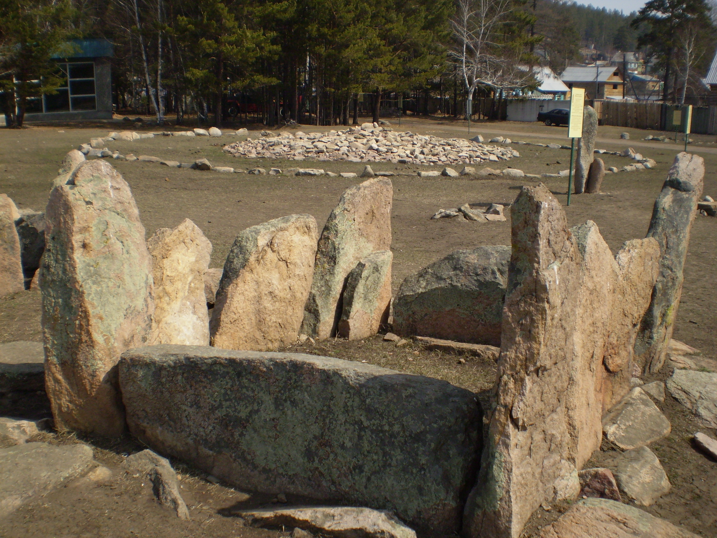
.jpg)


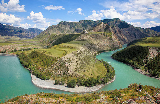
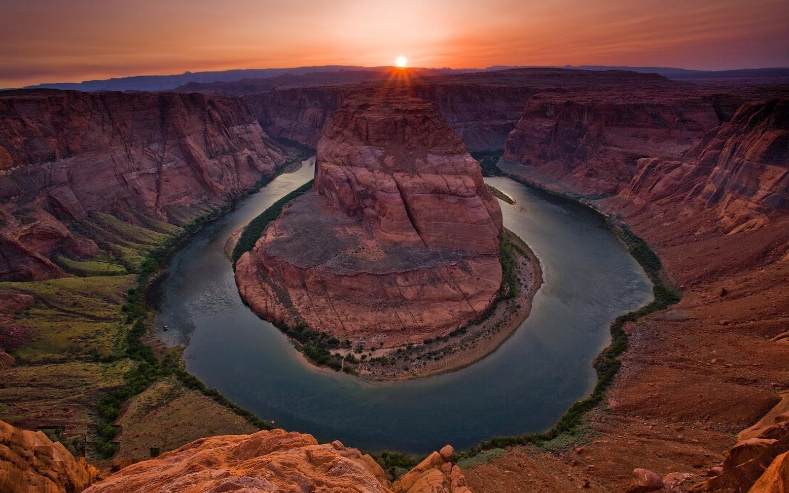

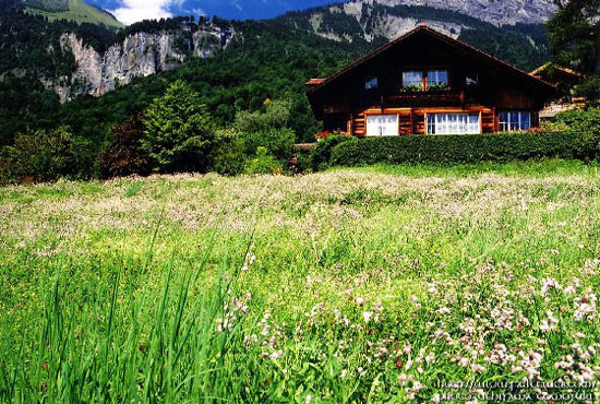


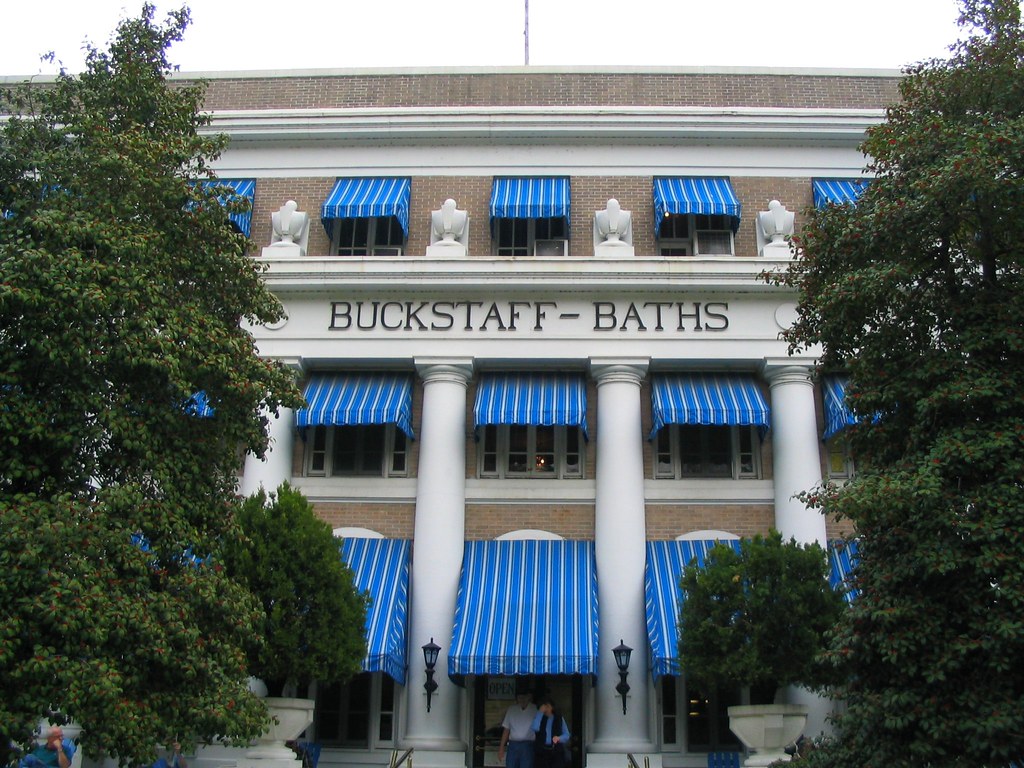
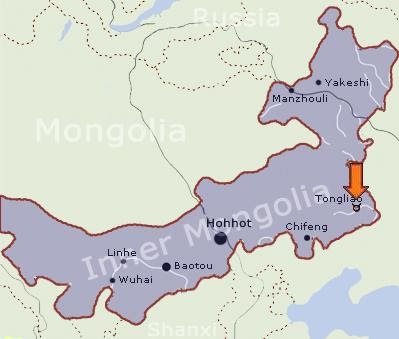
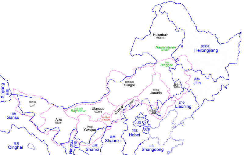

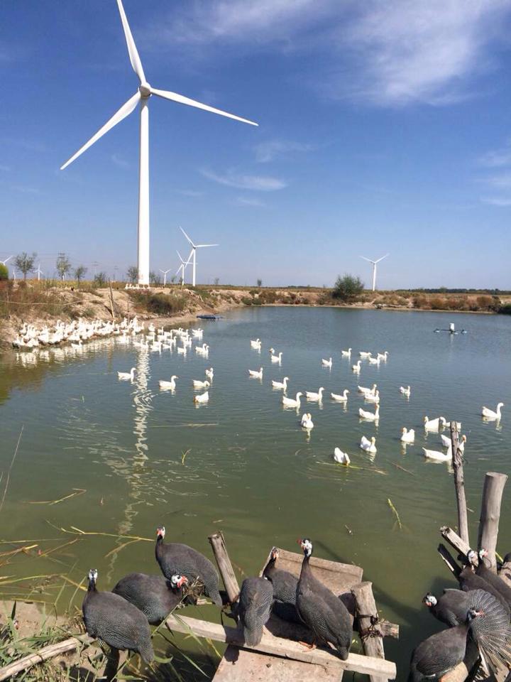
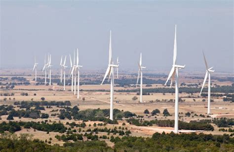
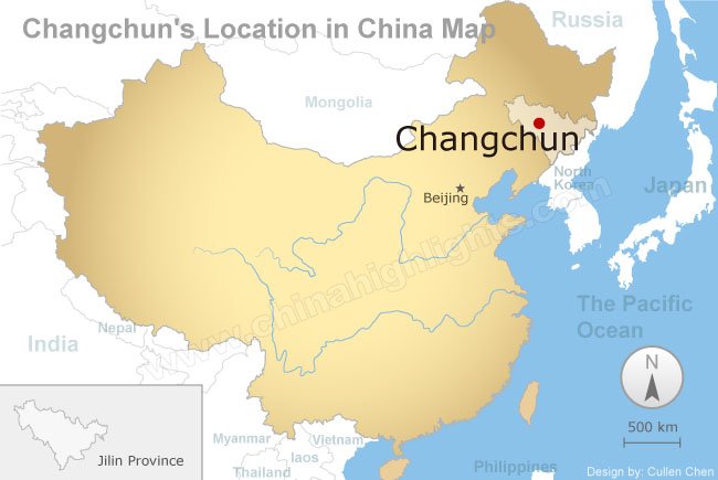
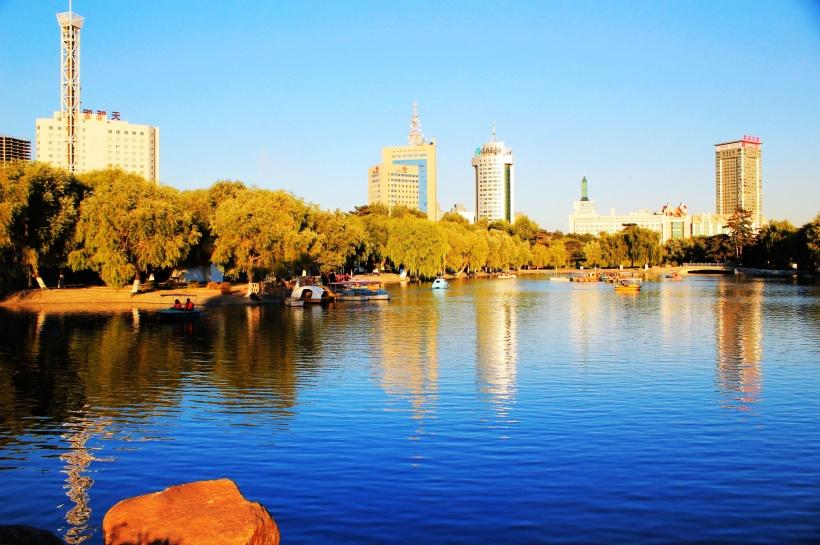
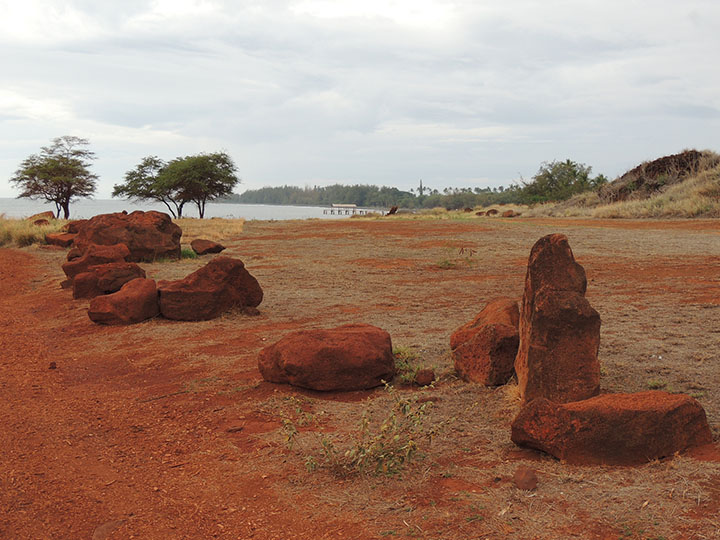
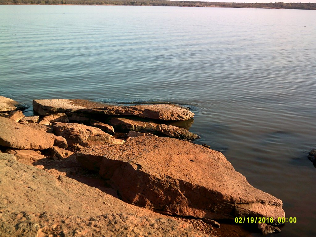
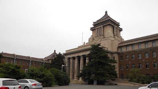
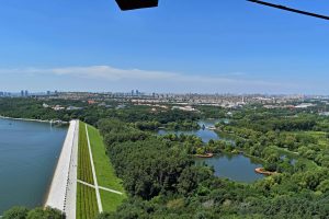
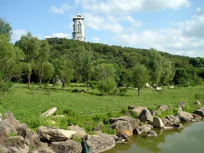
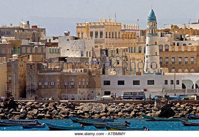
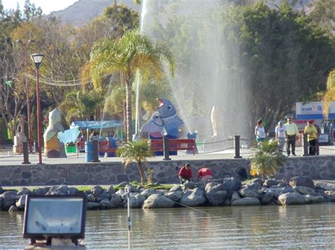
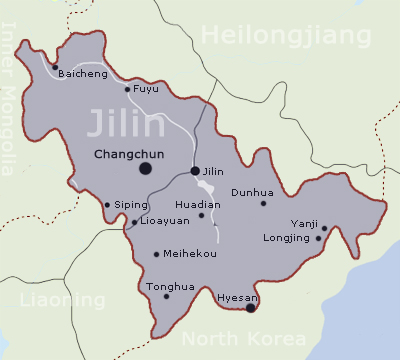
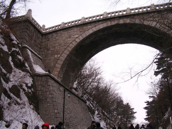
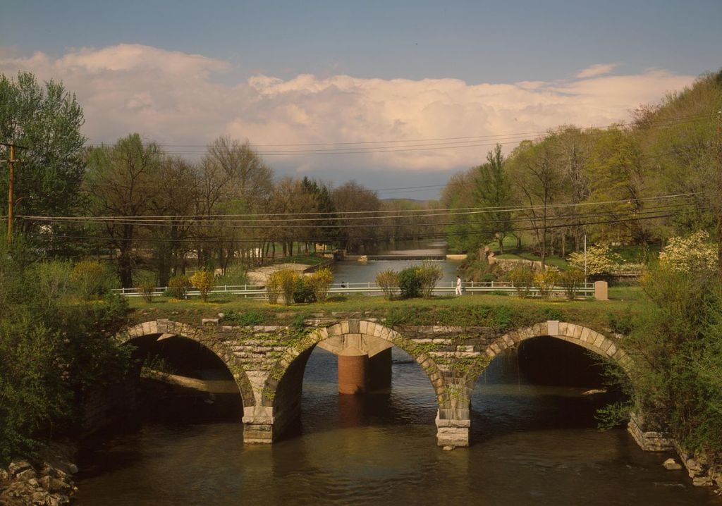
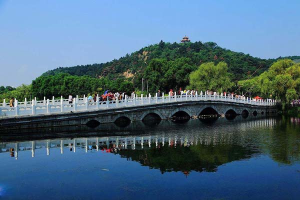
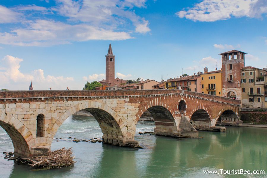
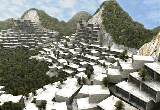
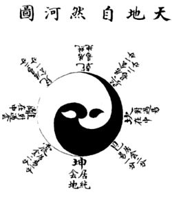
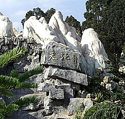
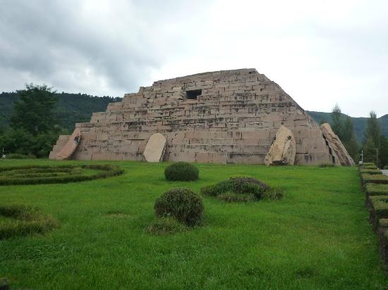
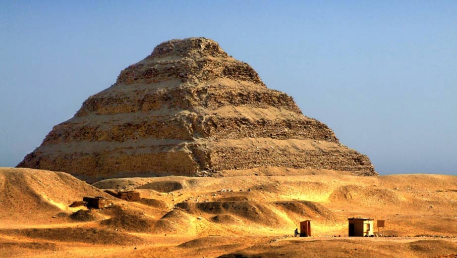
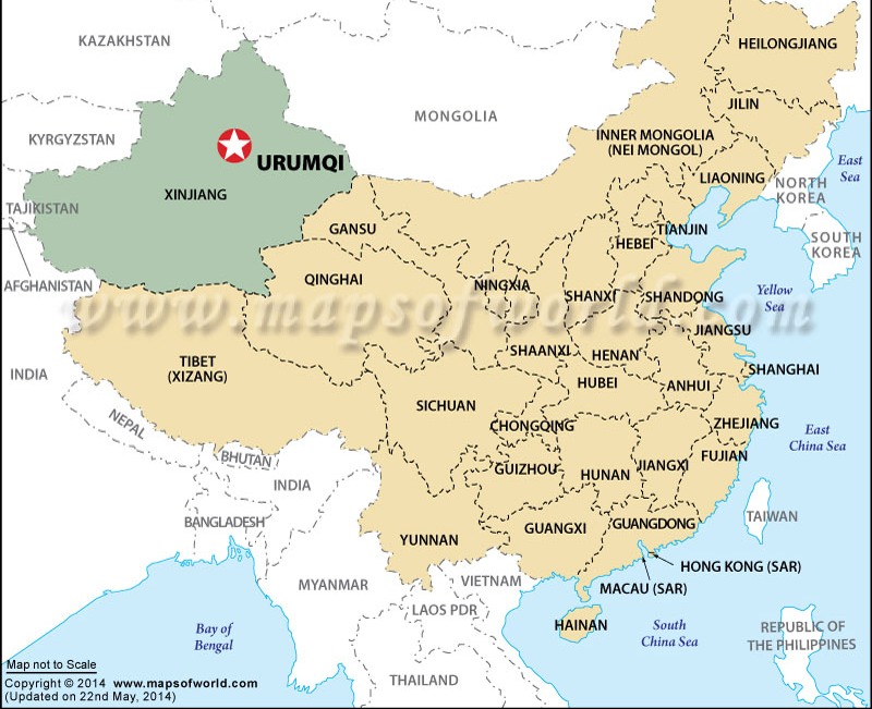
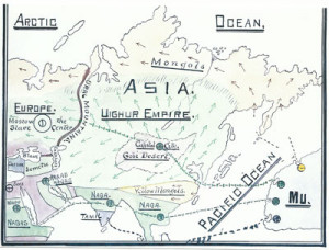
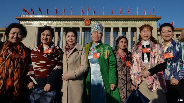
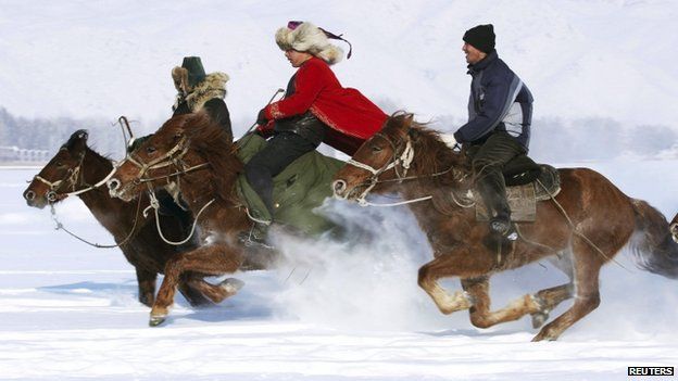
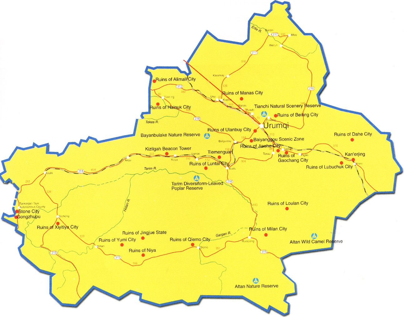
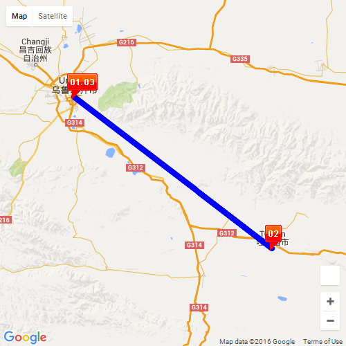
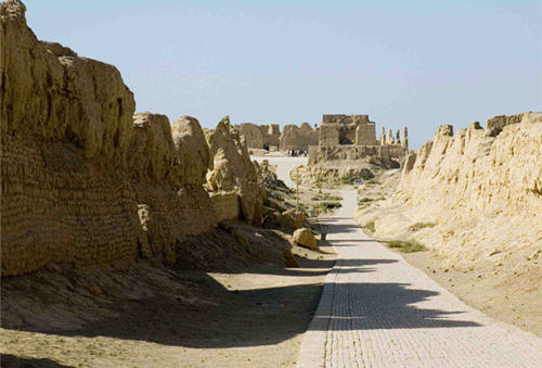
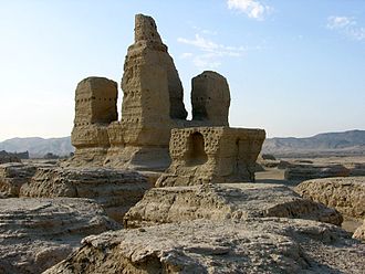
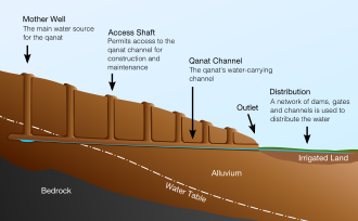
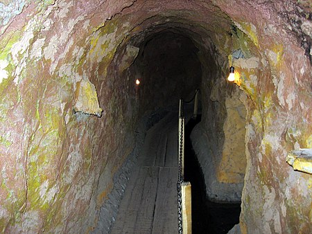
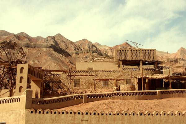
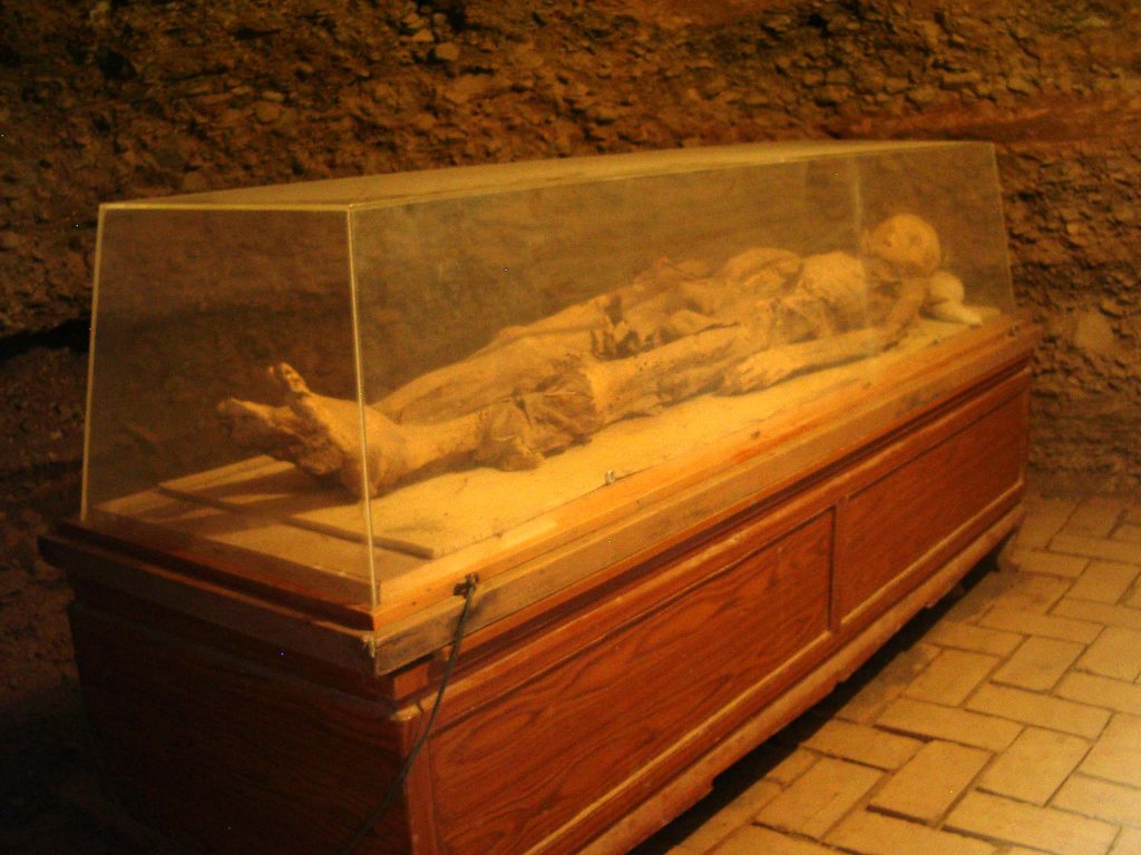
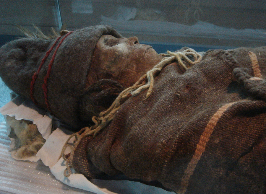
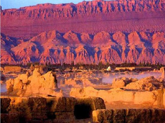
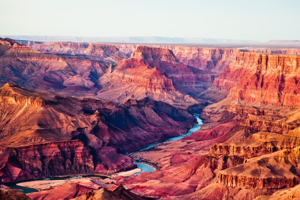
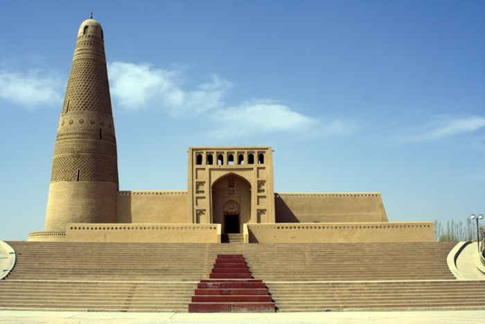
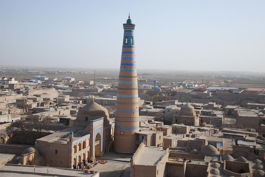
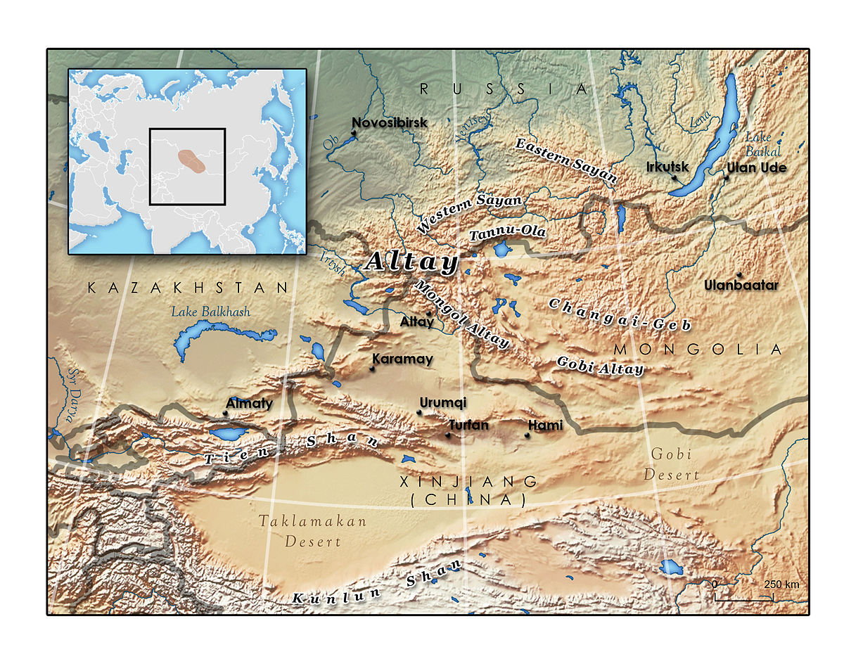
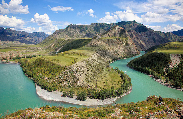
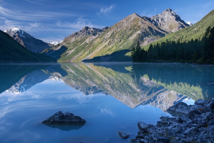
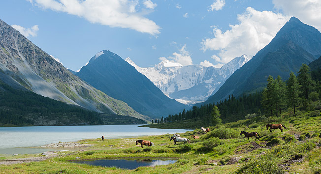
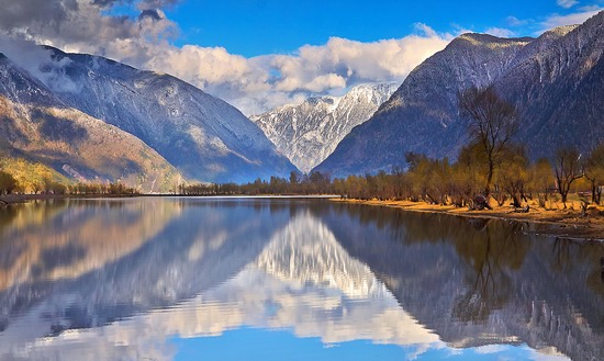
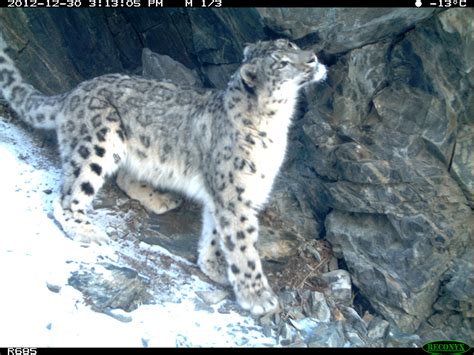
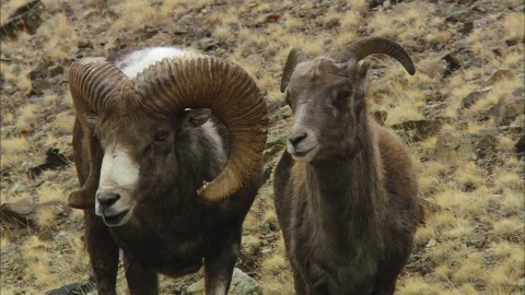
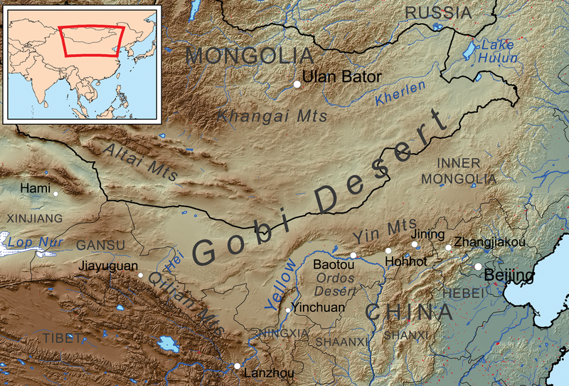
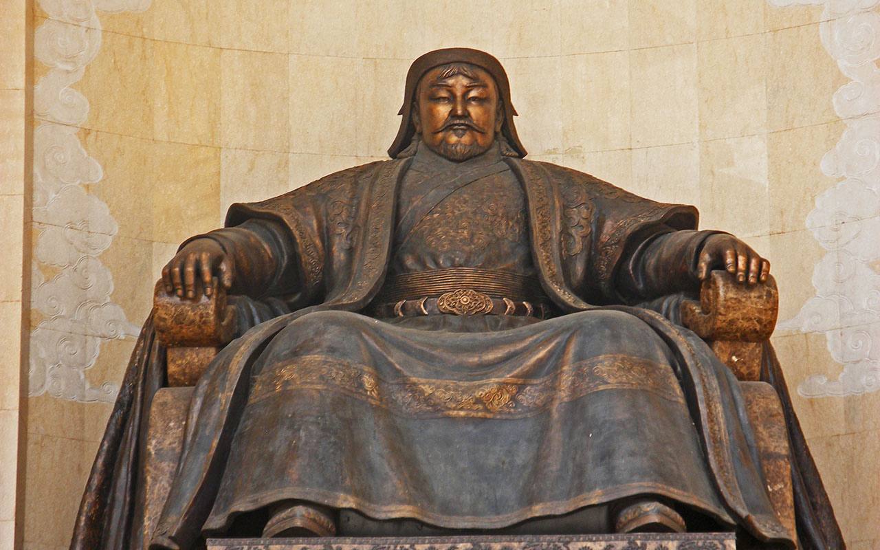
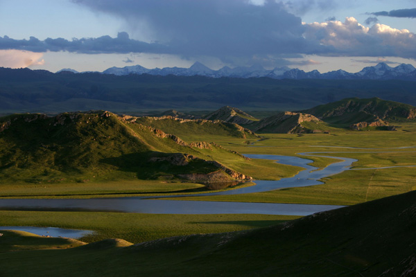
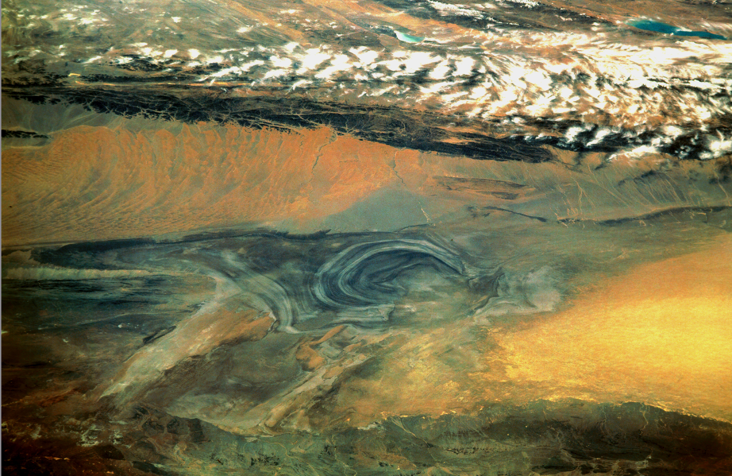
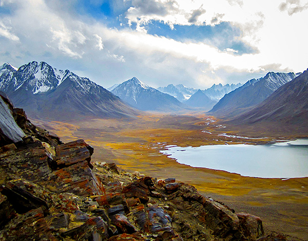
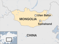
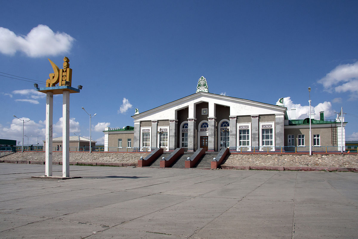
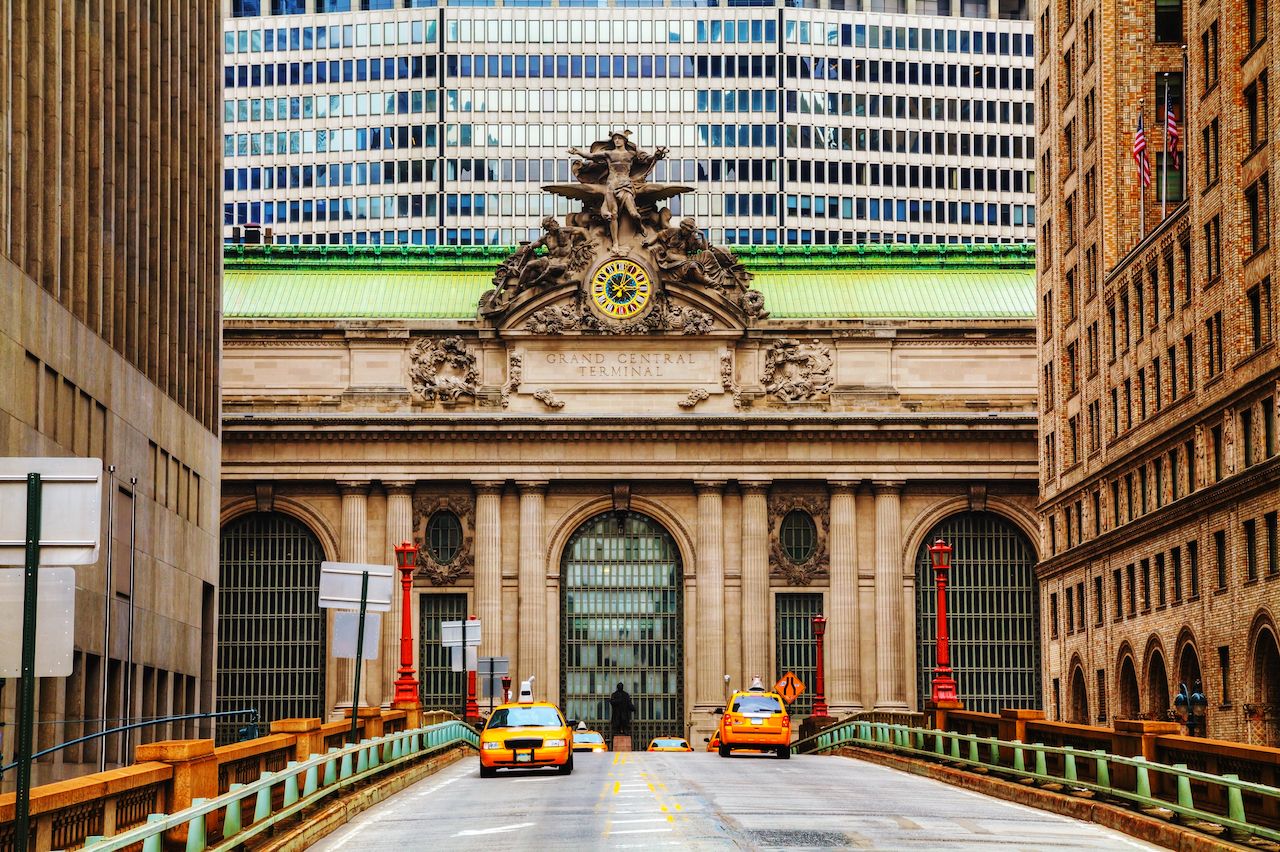
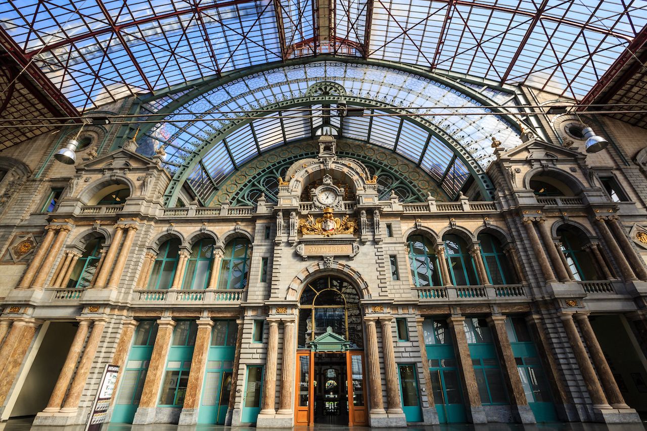
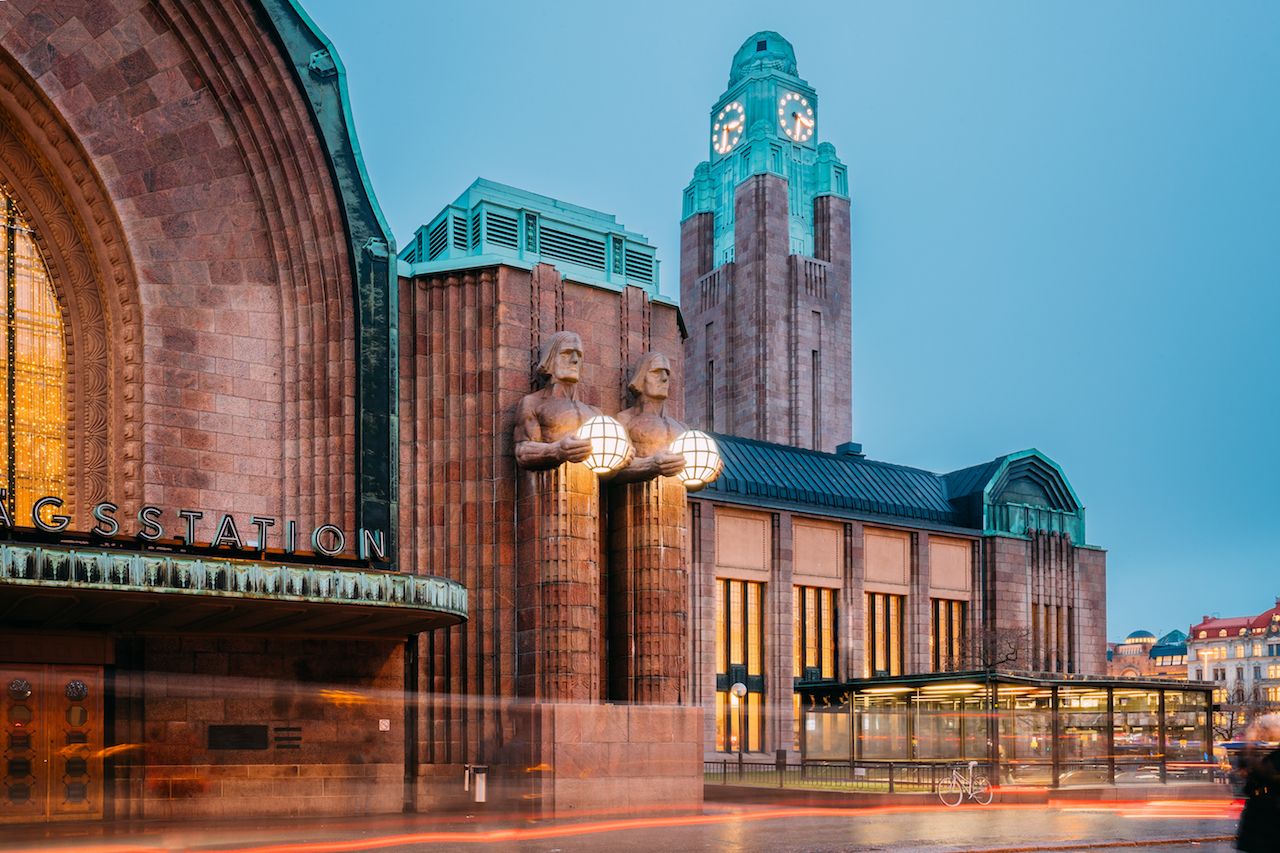
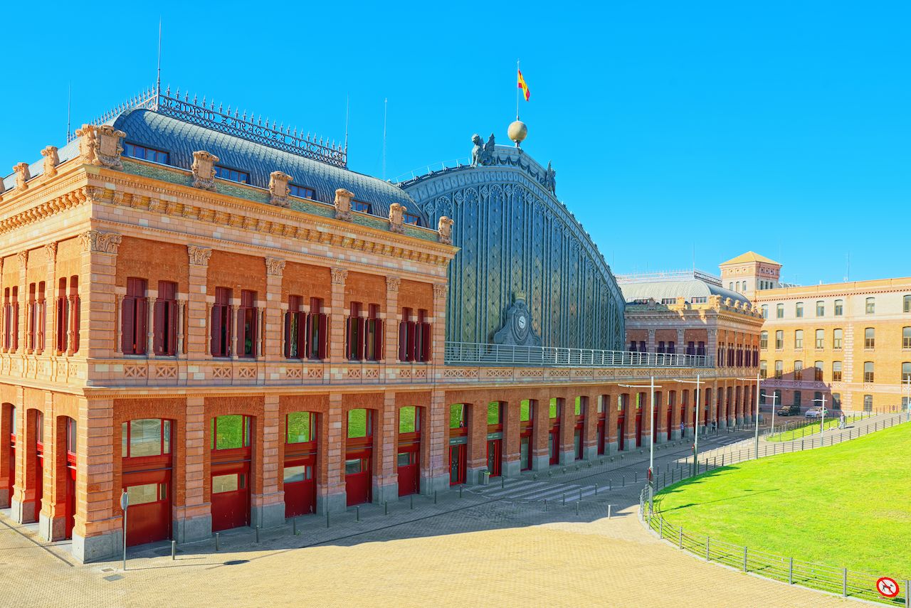
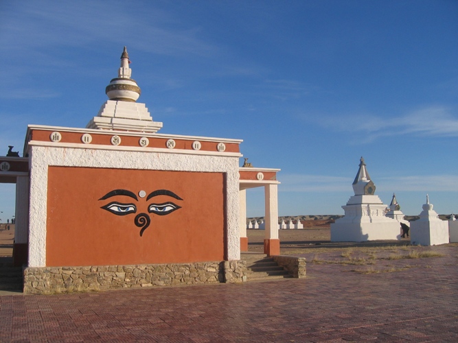
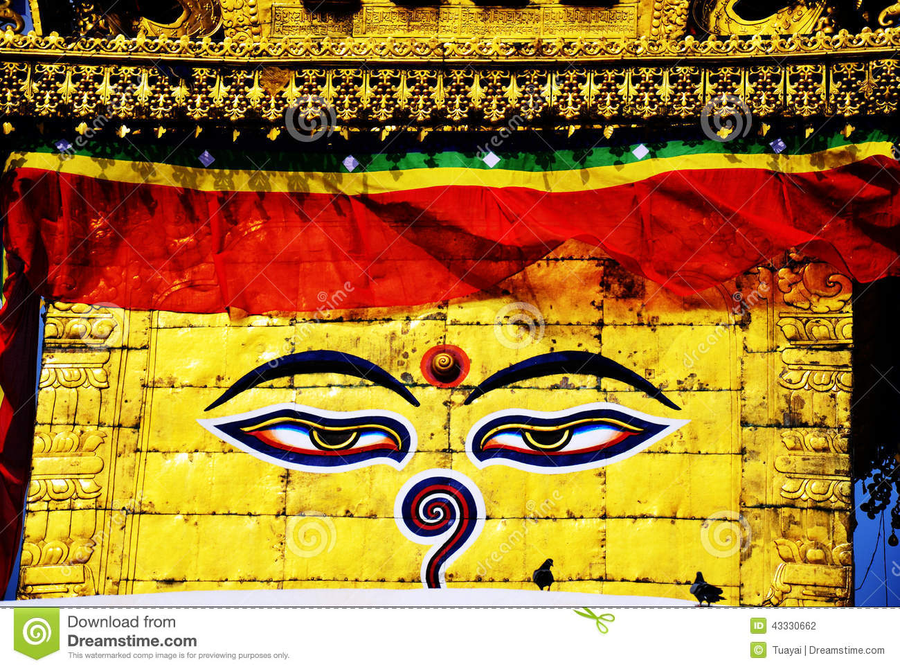
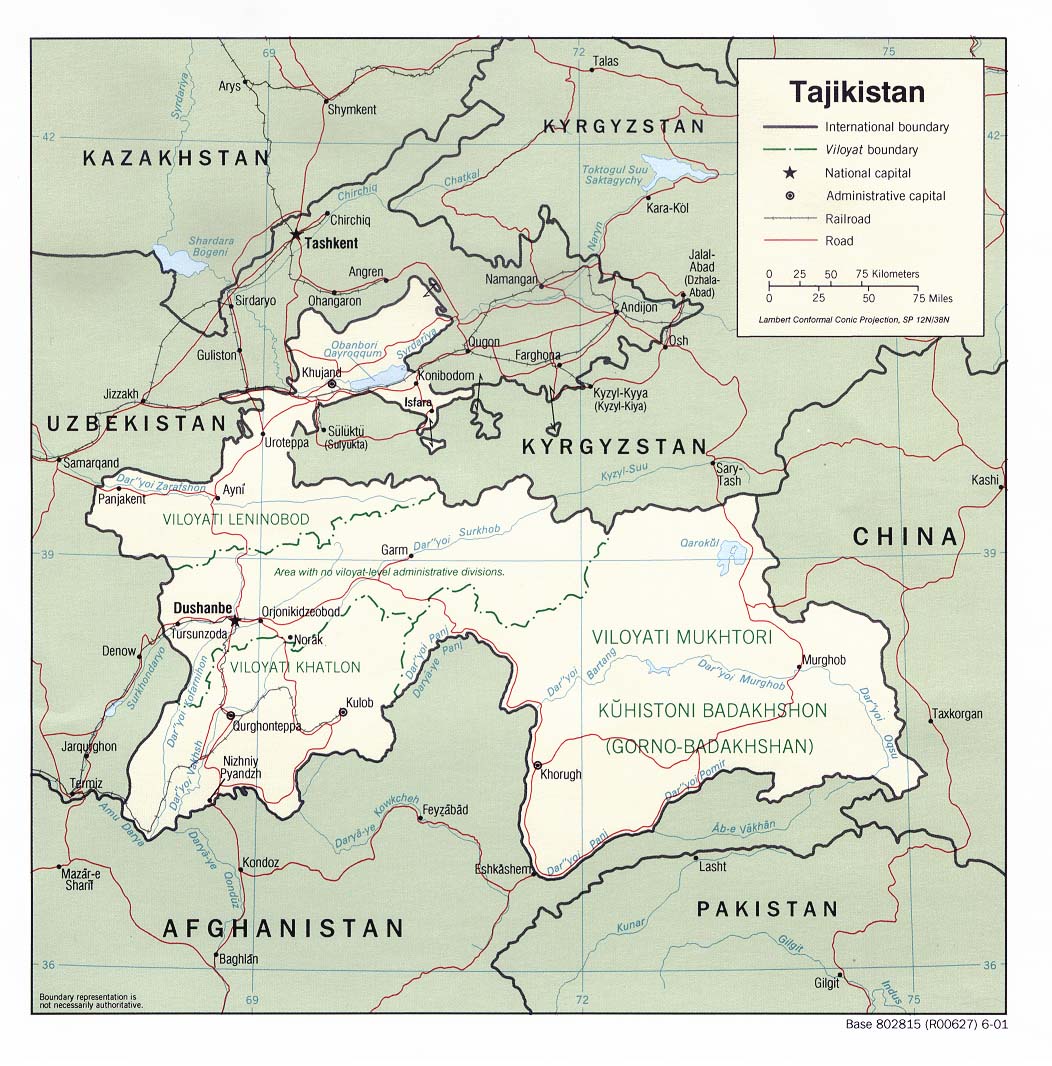
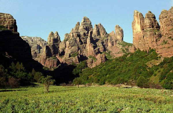
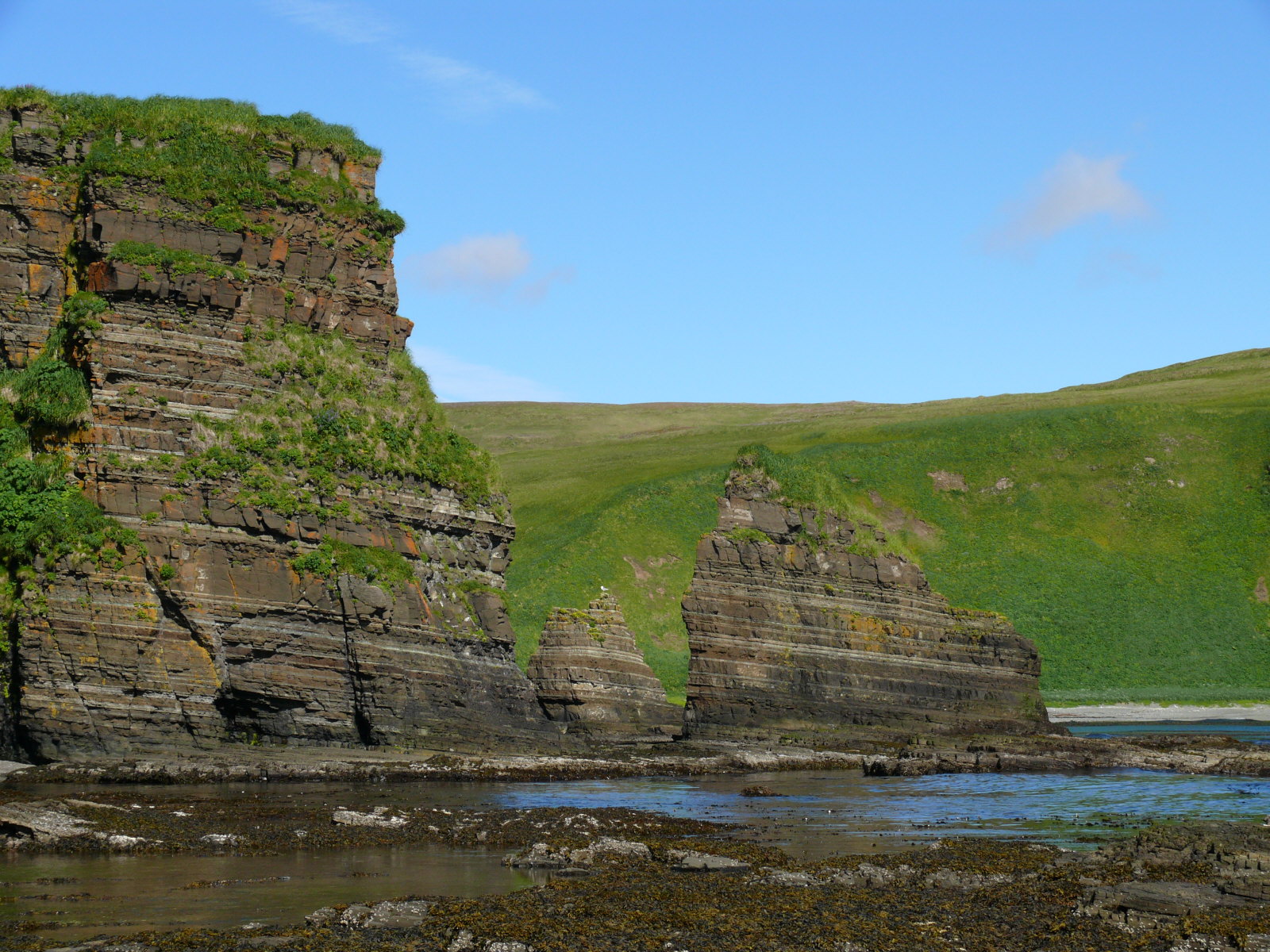
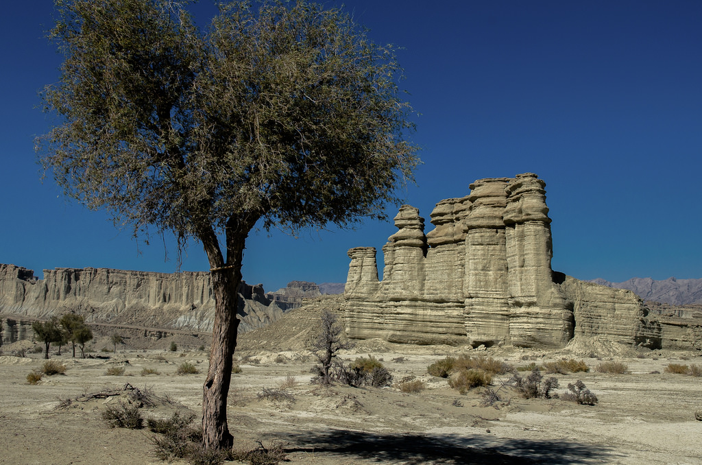
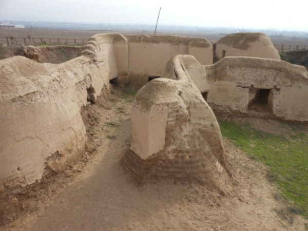
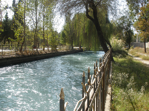
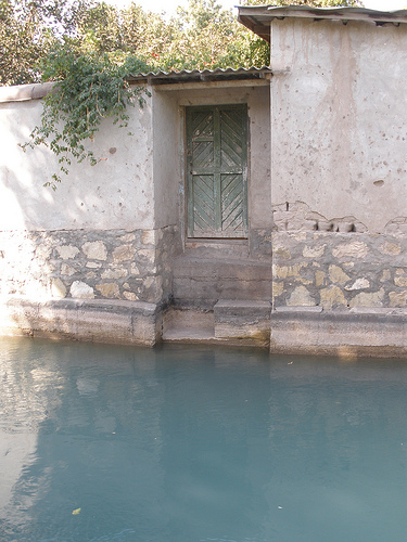
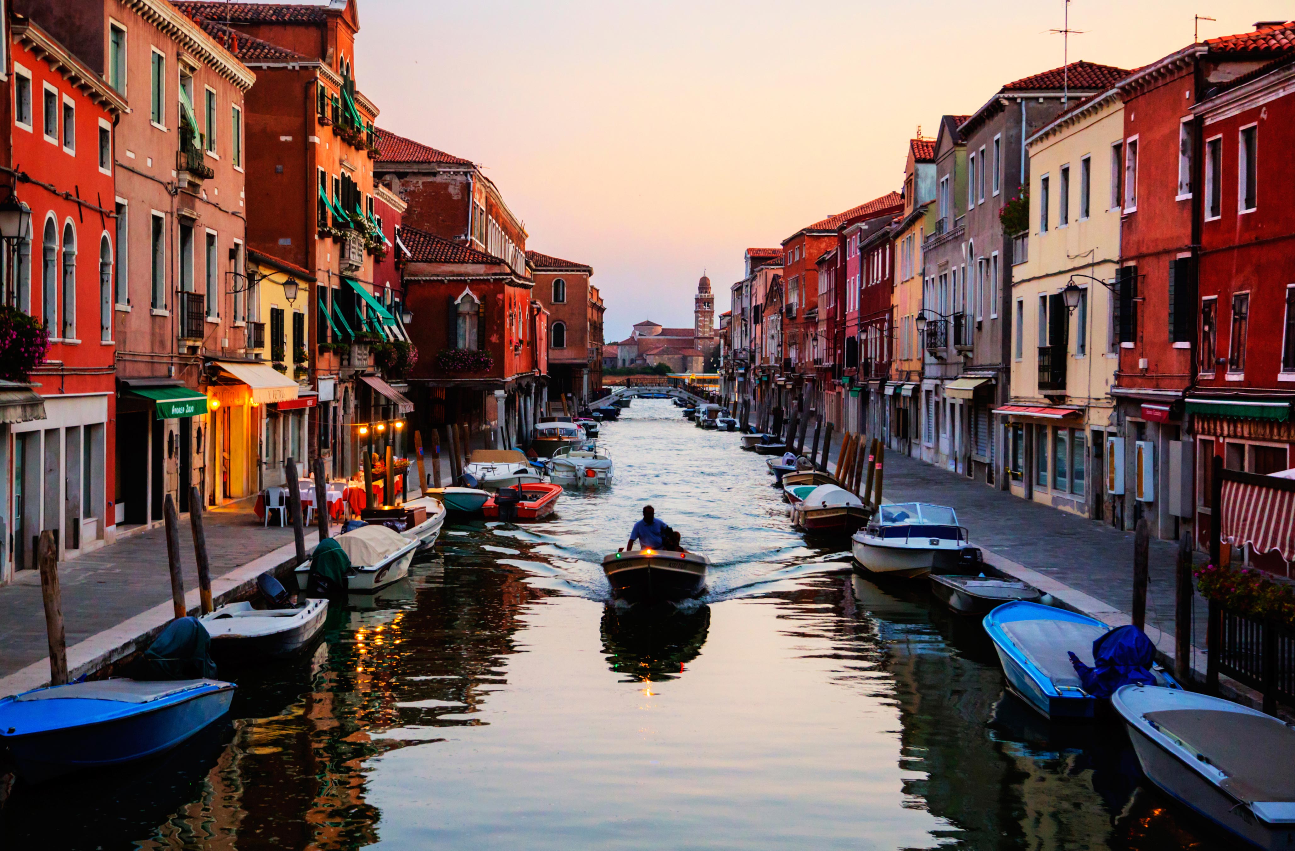
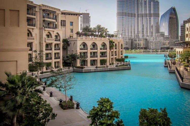
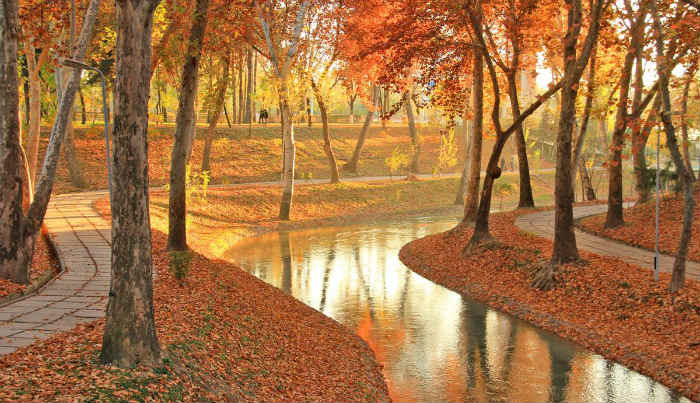
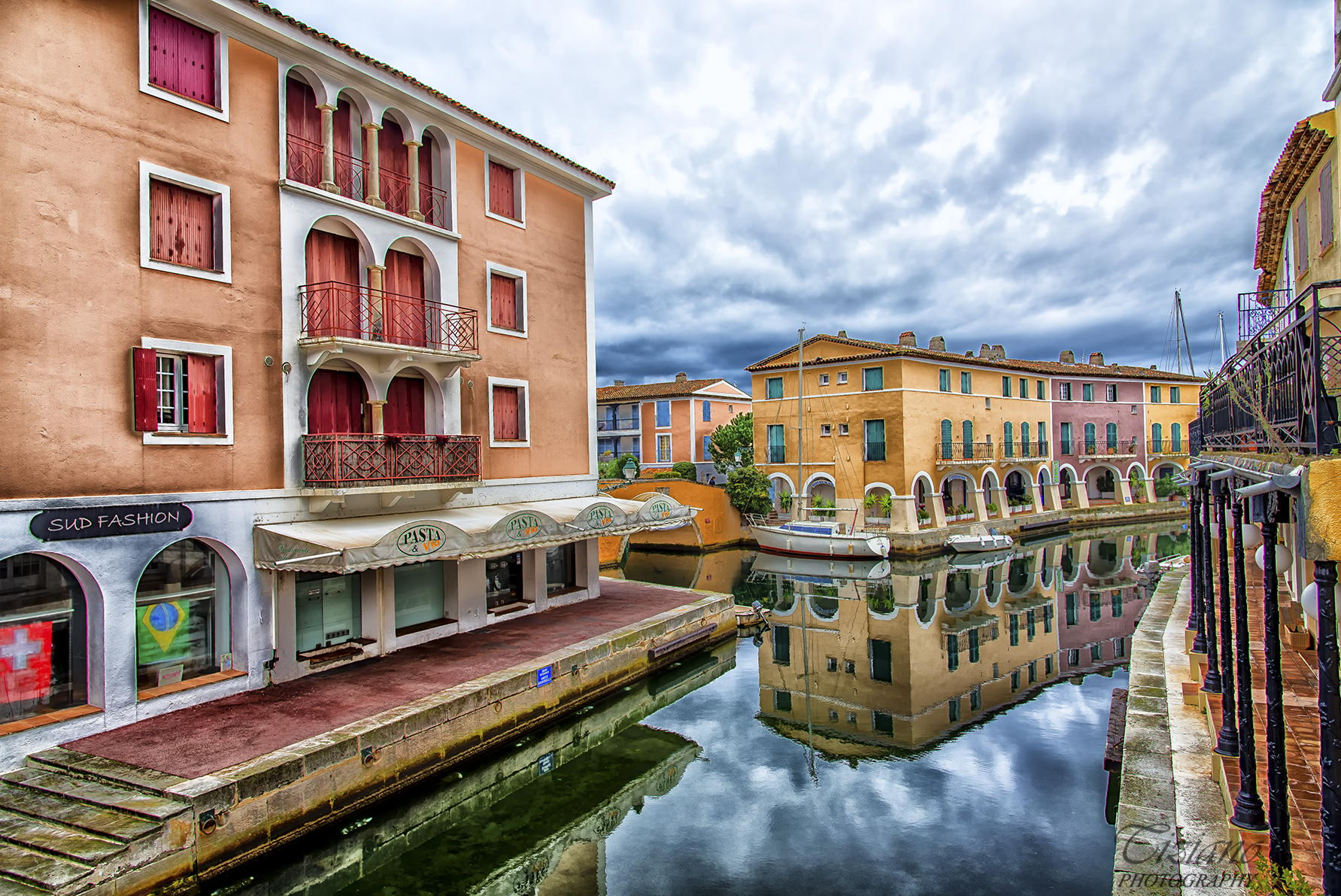
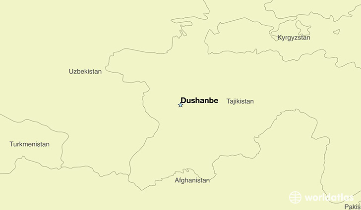
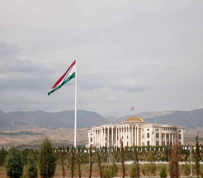
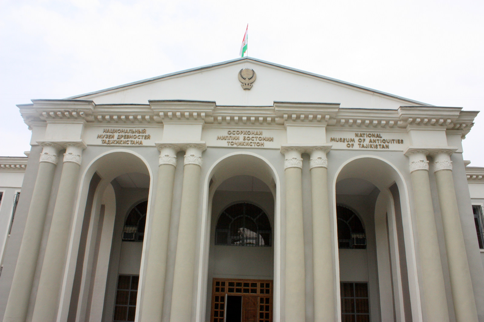
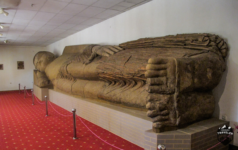
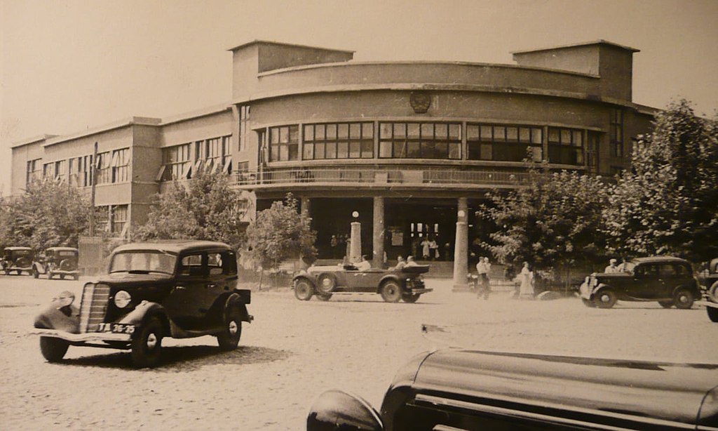
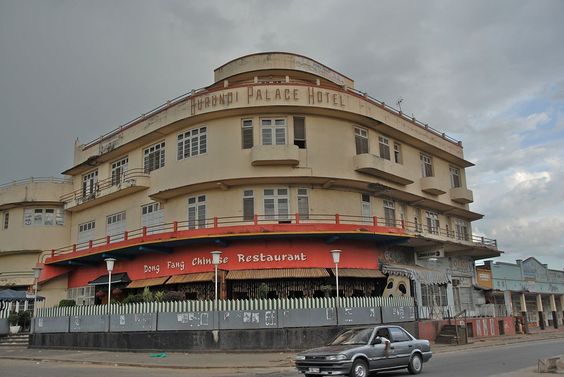
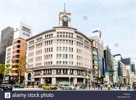
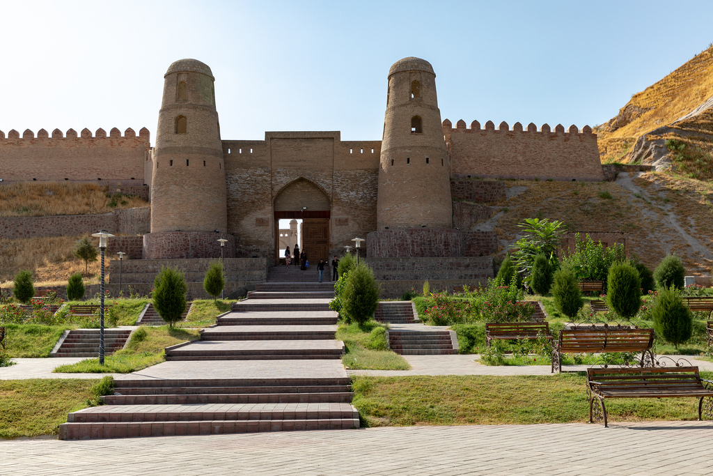
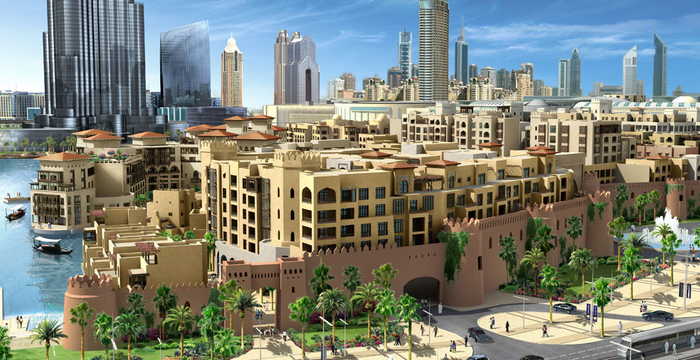
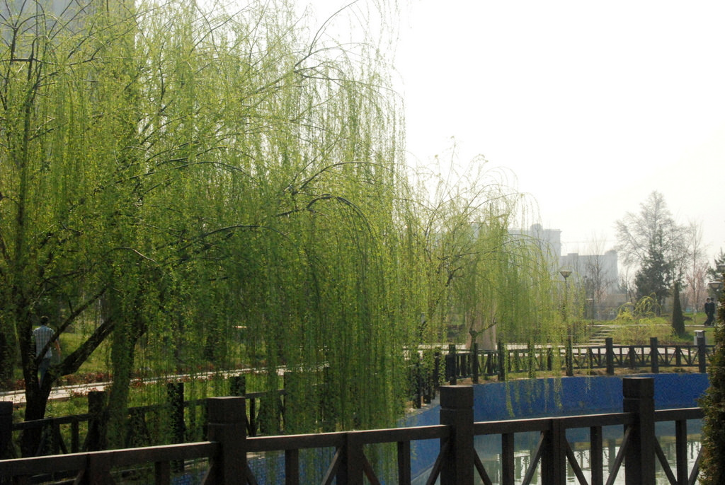
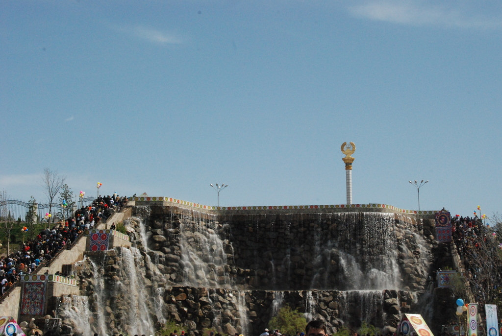
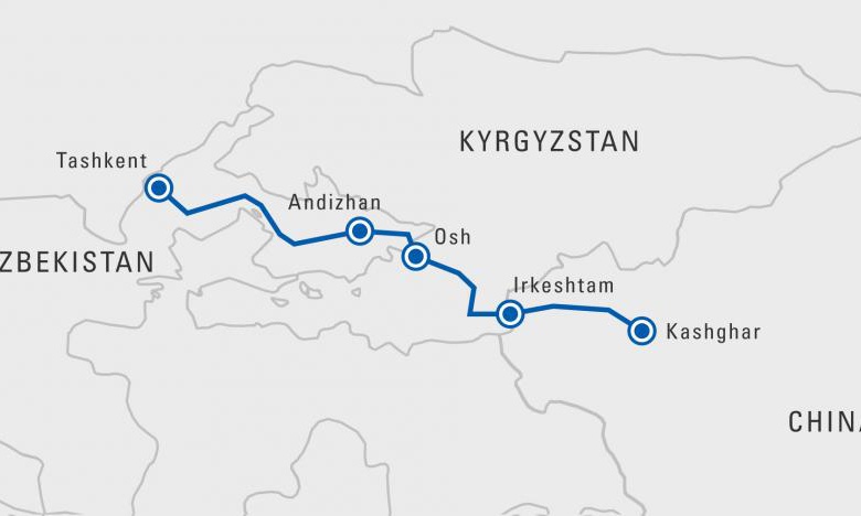
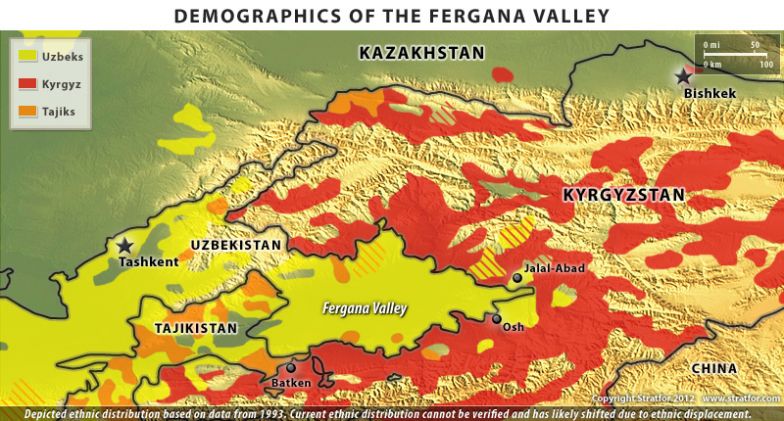

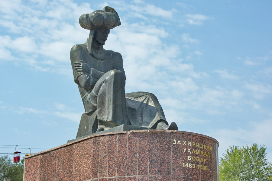
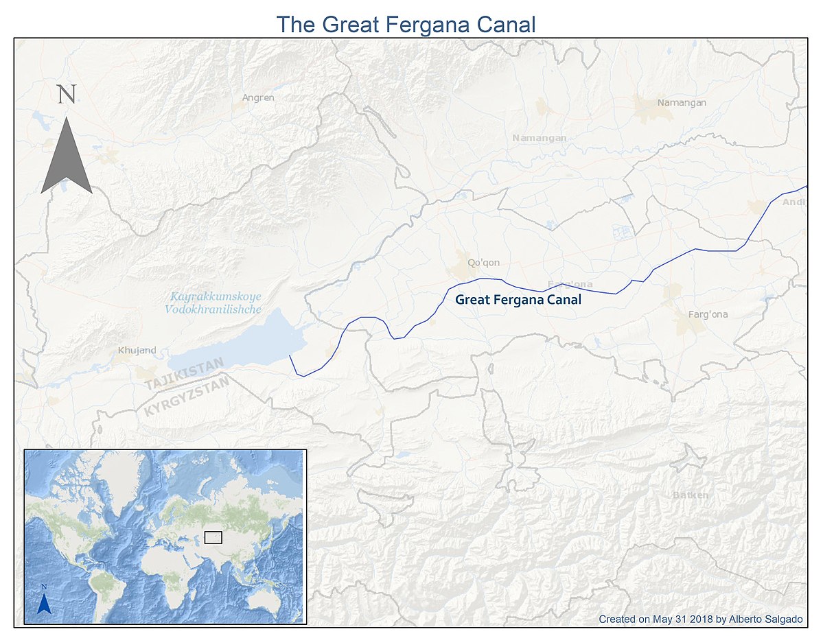

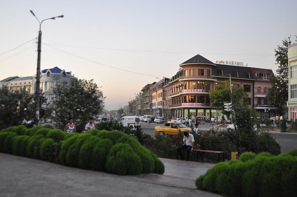
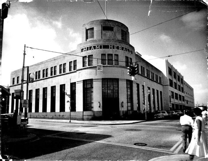
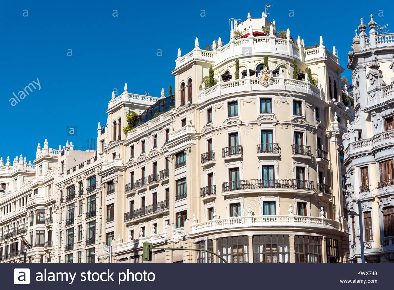
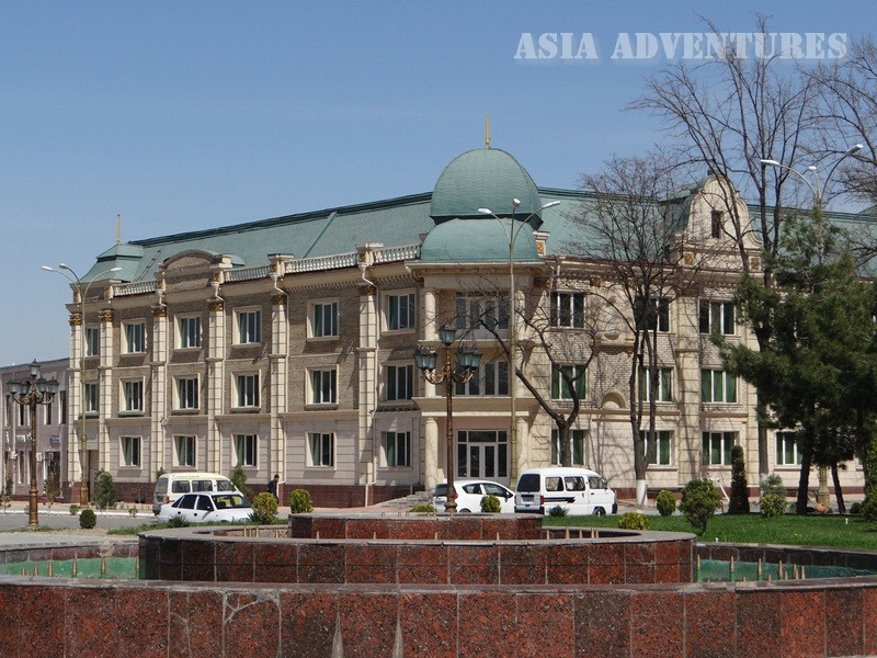
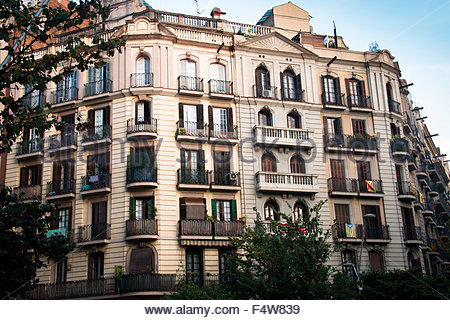
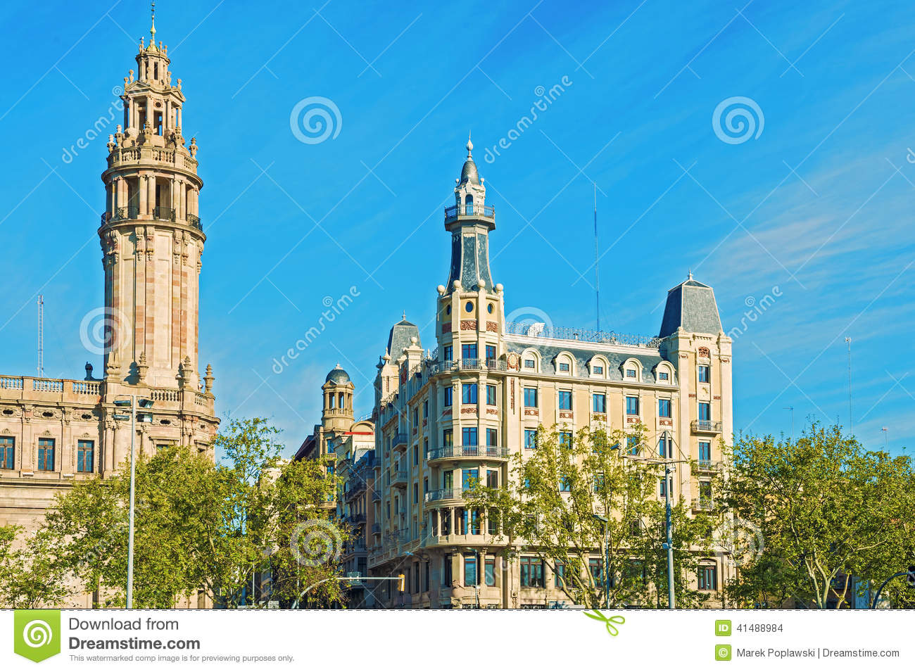
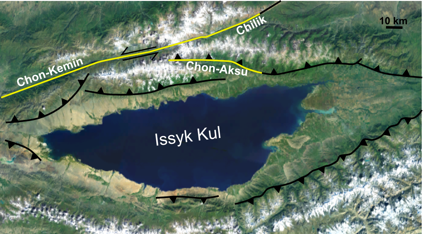
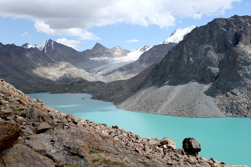
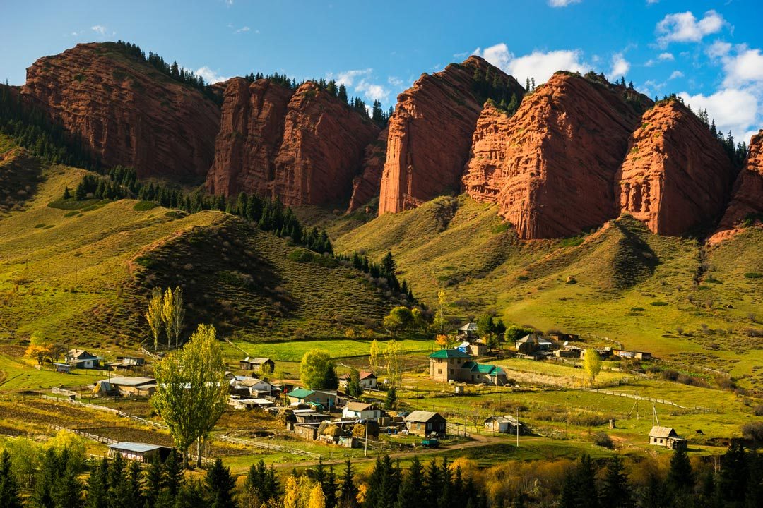
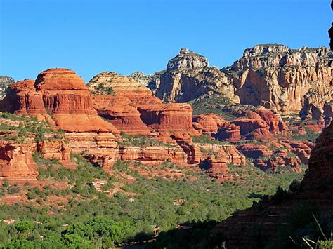
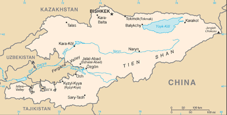
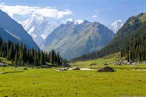
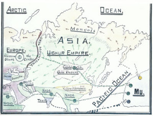
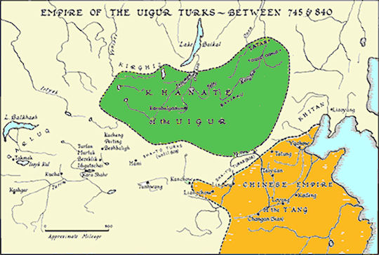
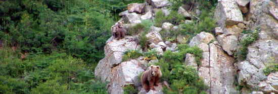
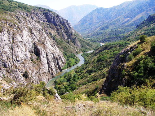
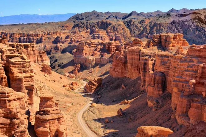
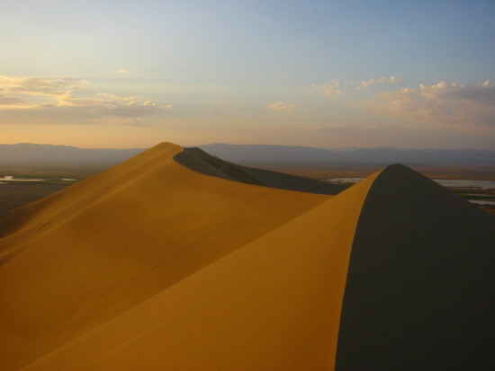
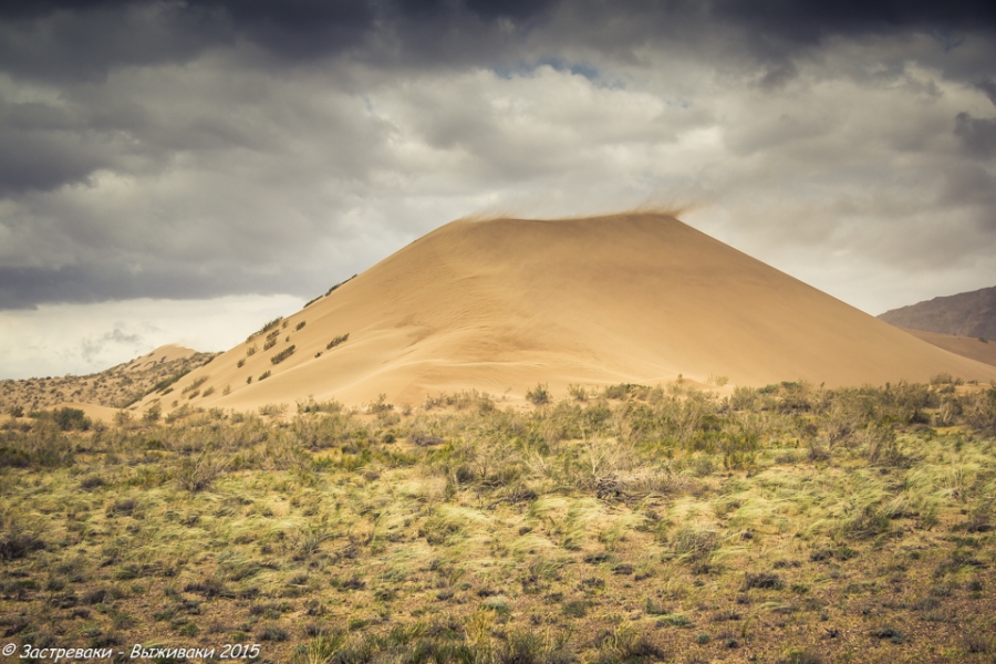
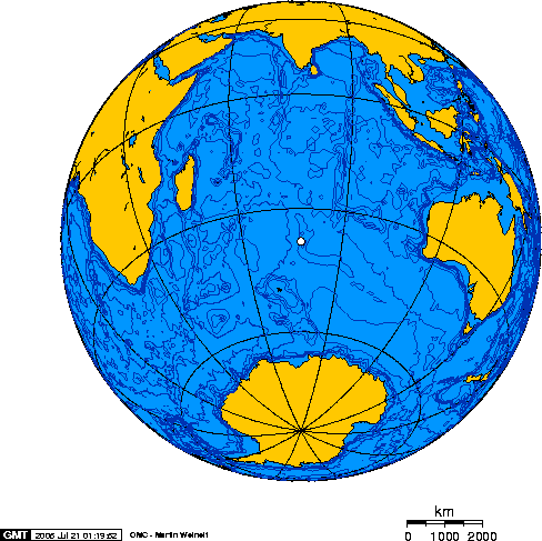

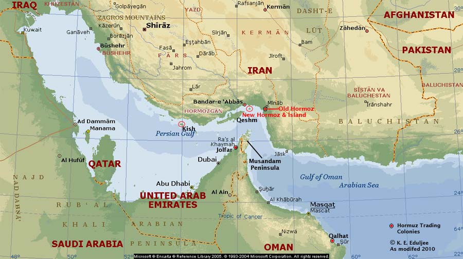
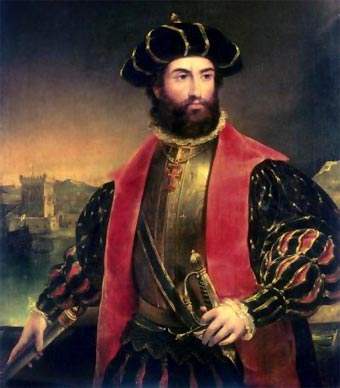
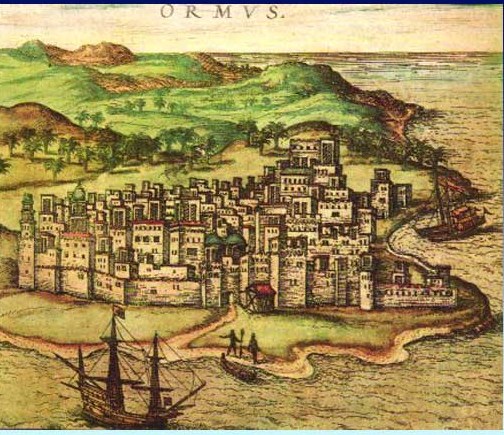
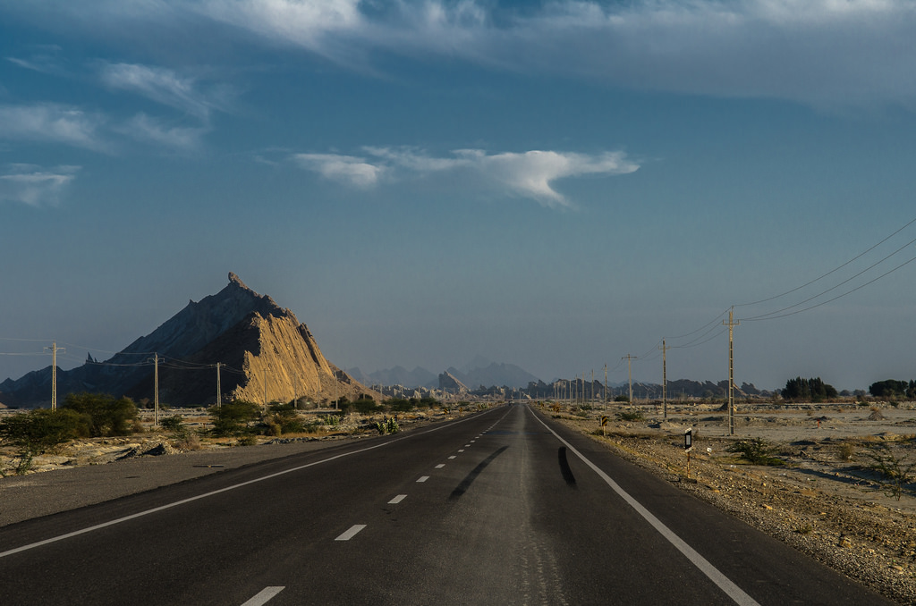
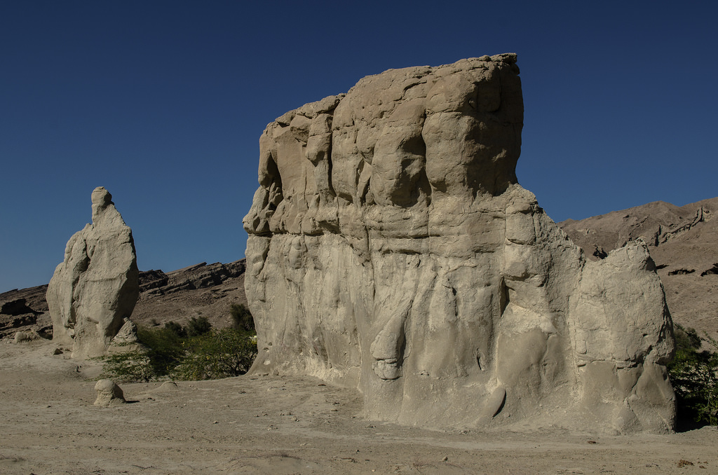
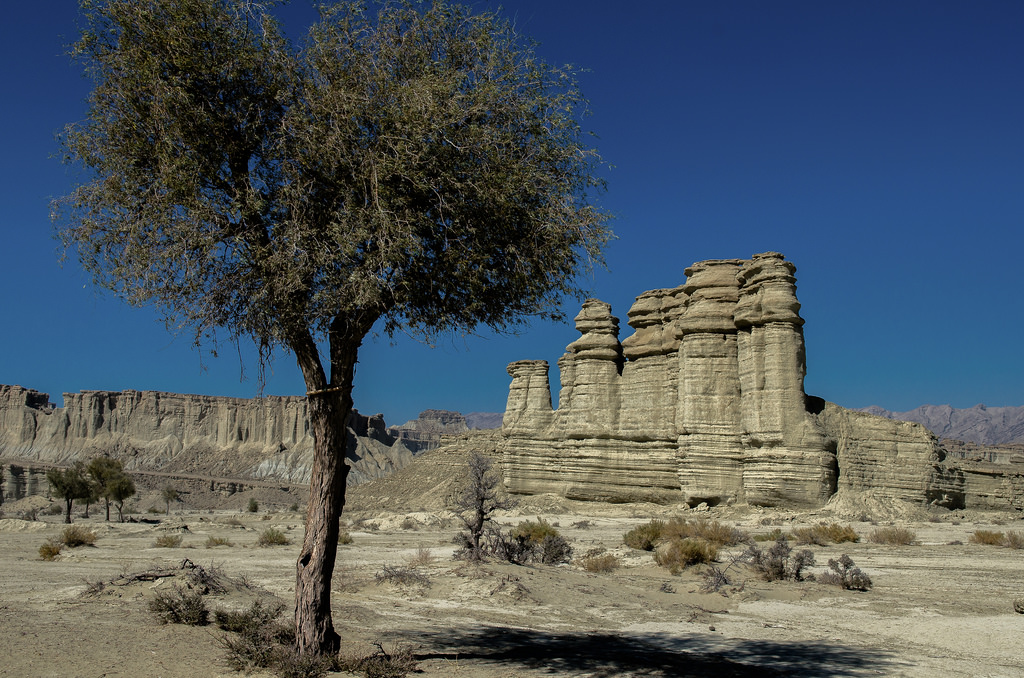
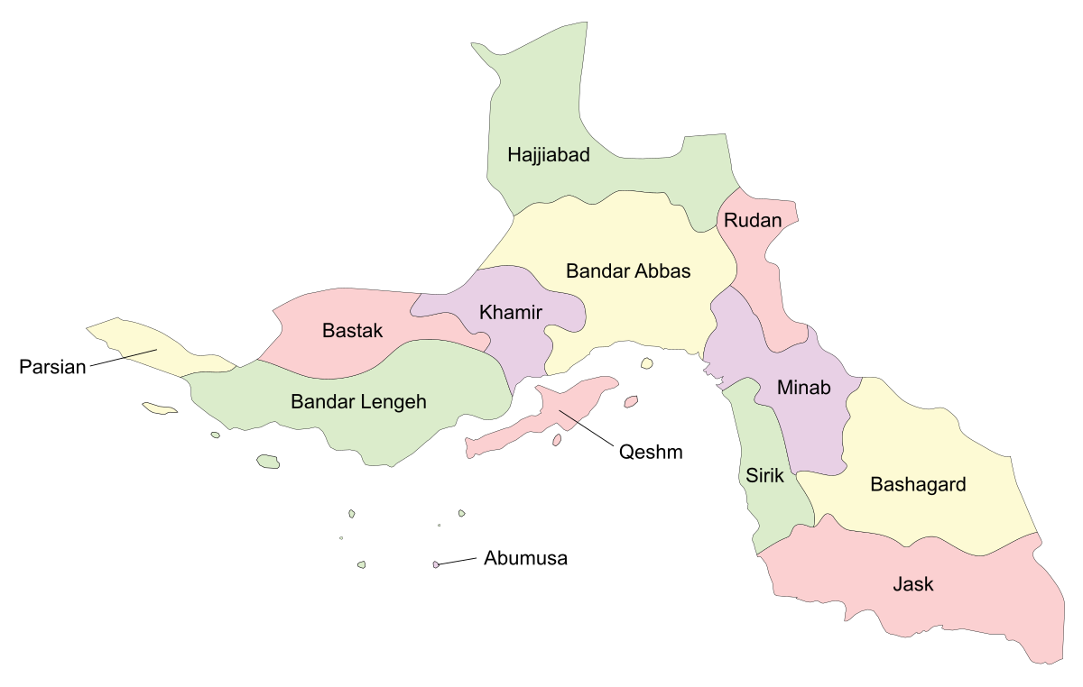
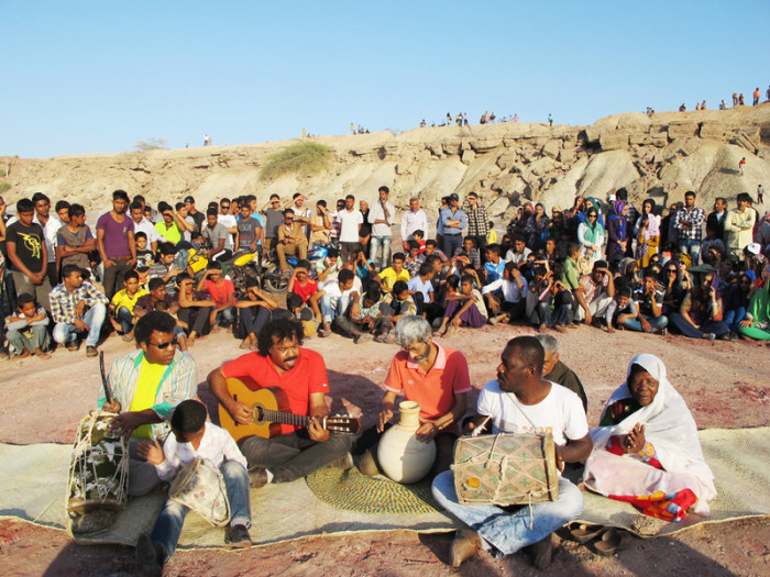
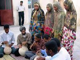
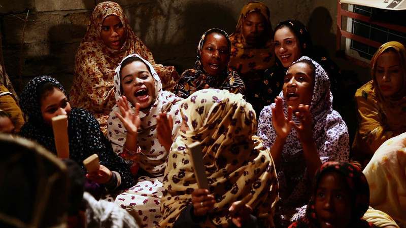

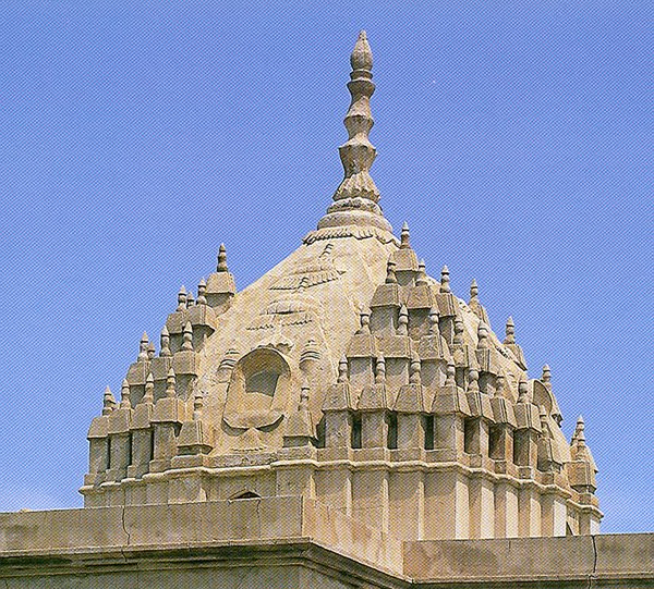

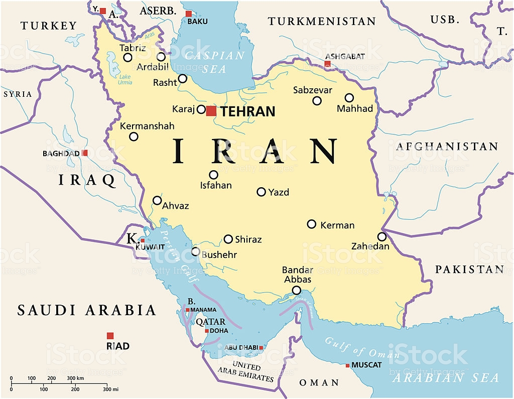
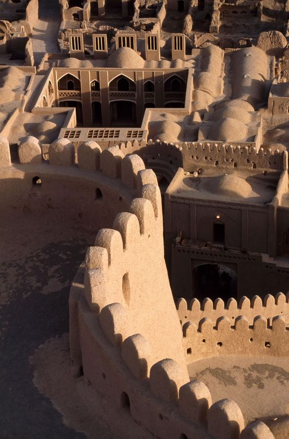
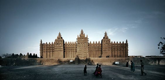
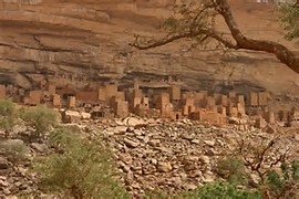
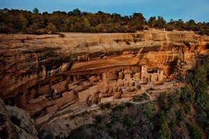
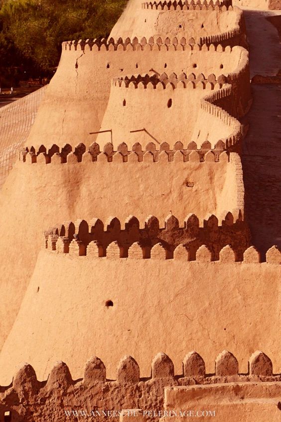
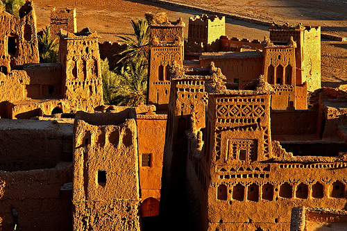
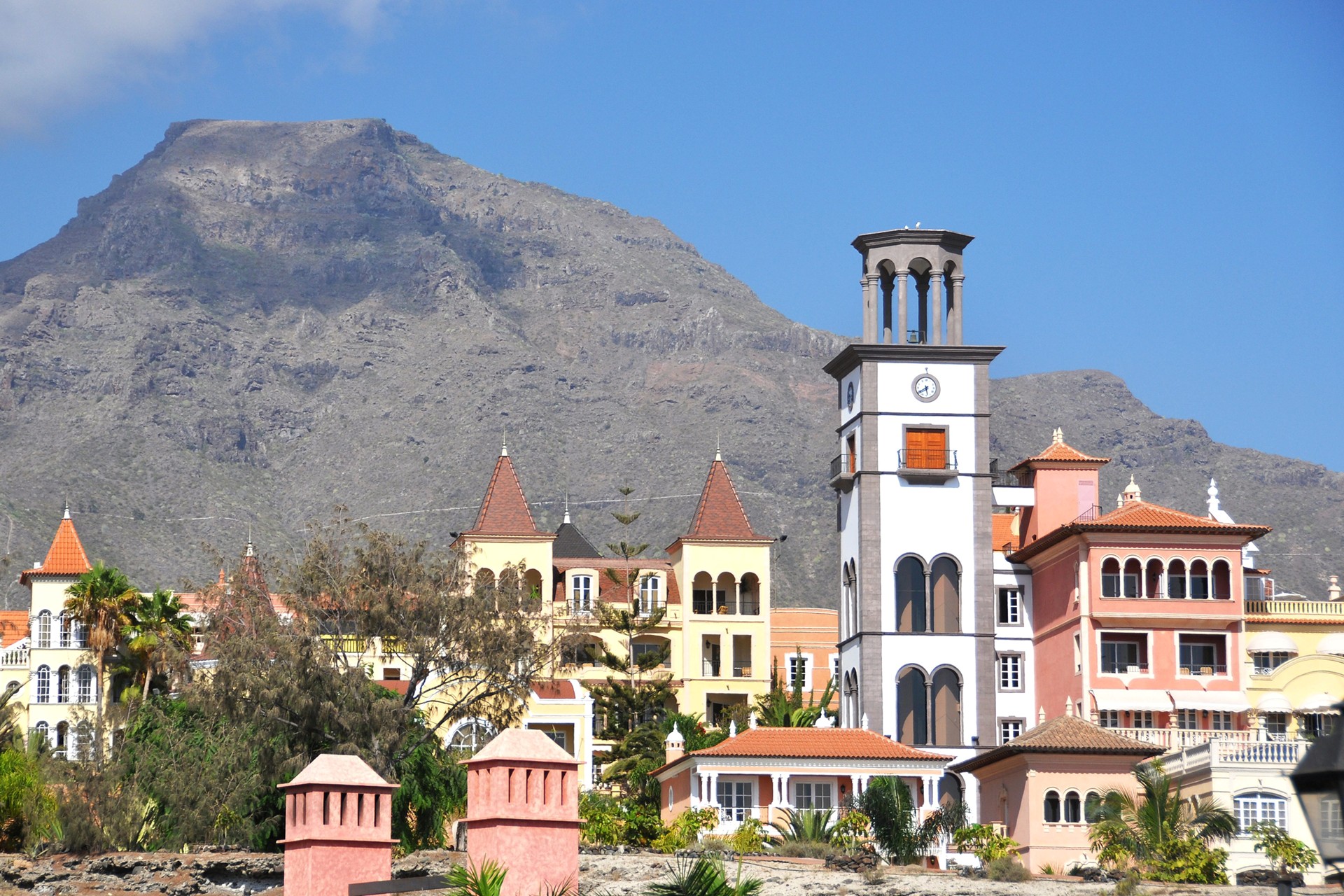
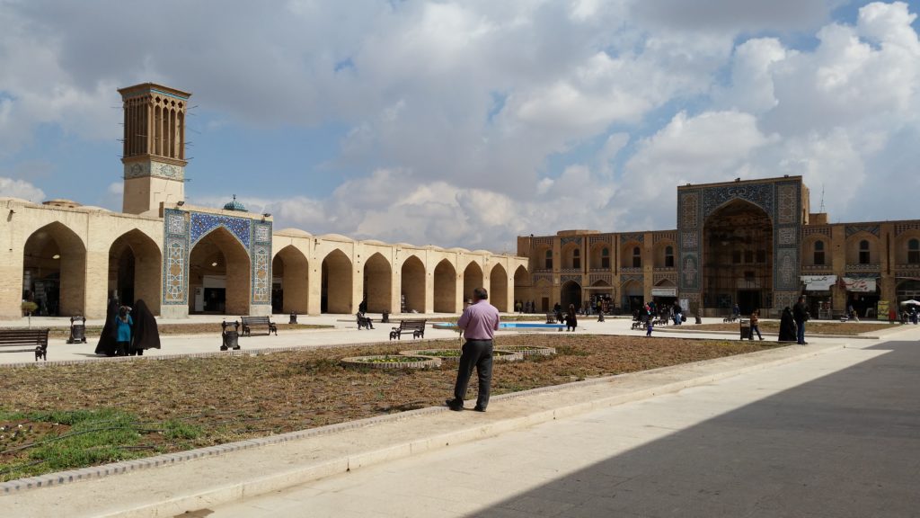

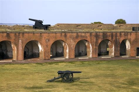
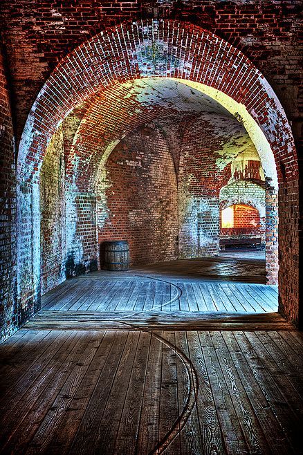
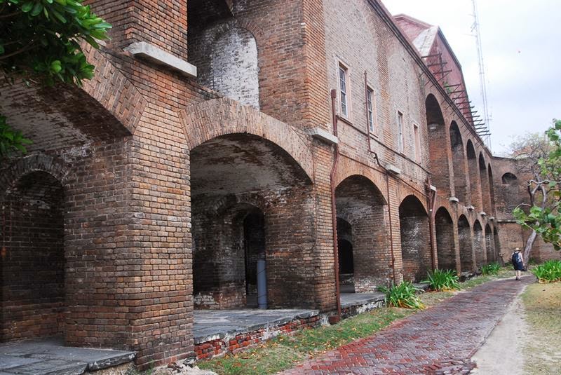
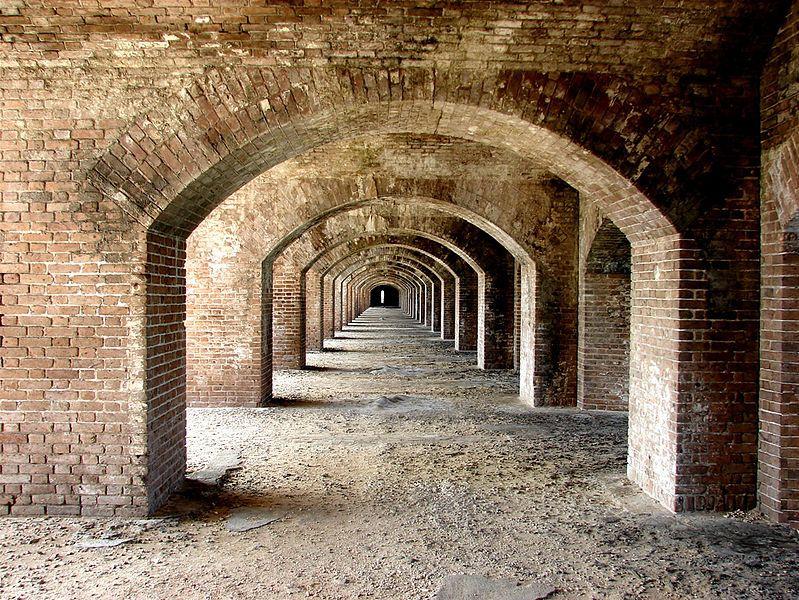
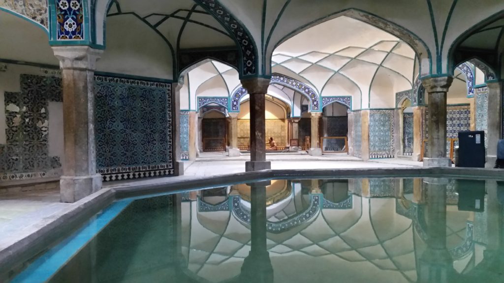
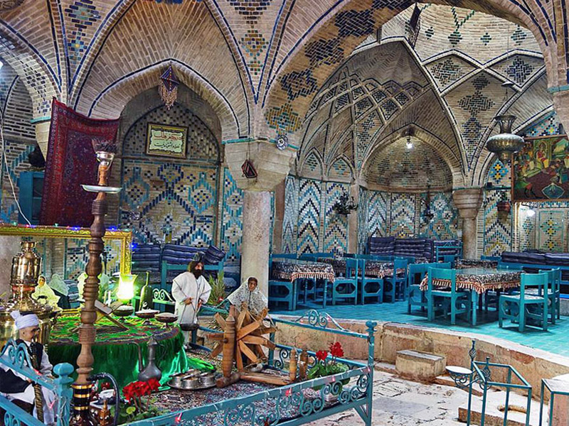
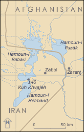
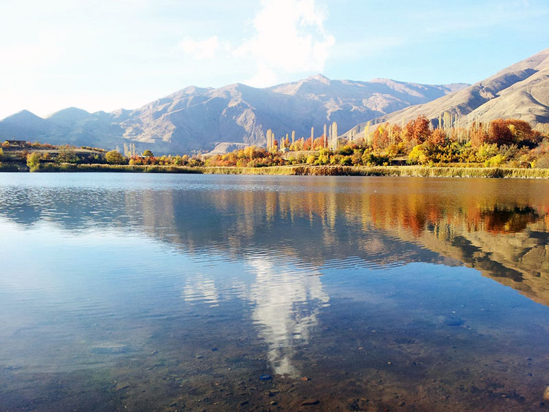
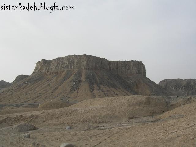
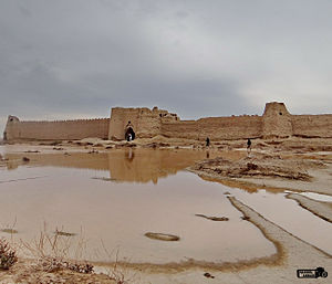
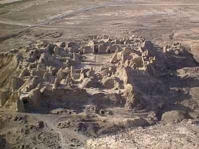
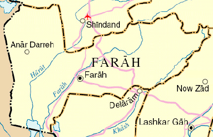
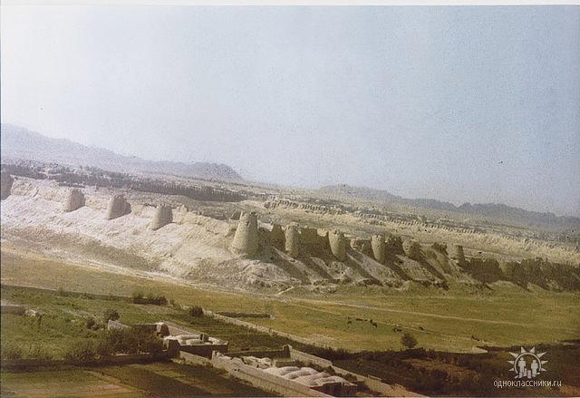
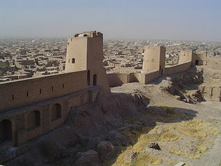
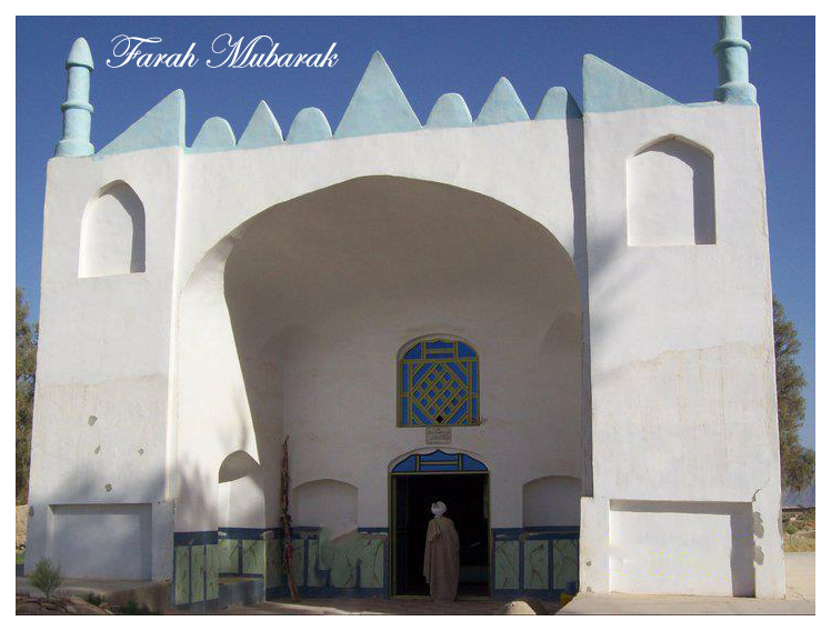
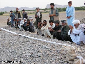
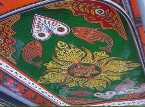

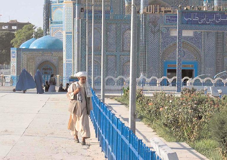
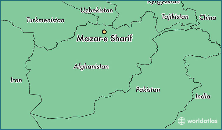
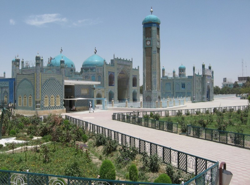
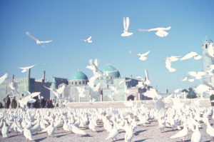
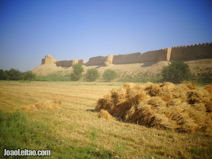
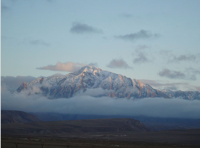
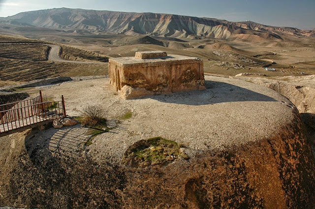
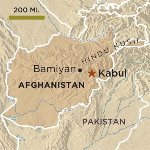
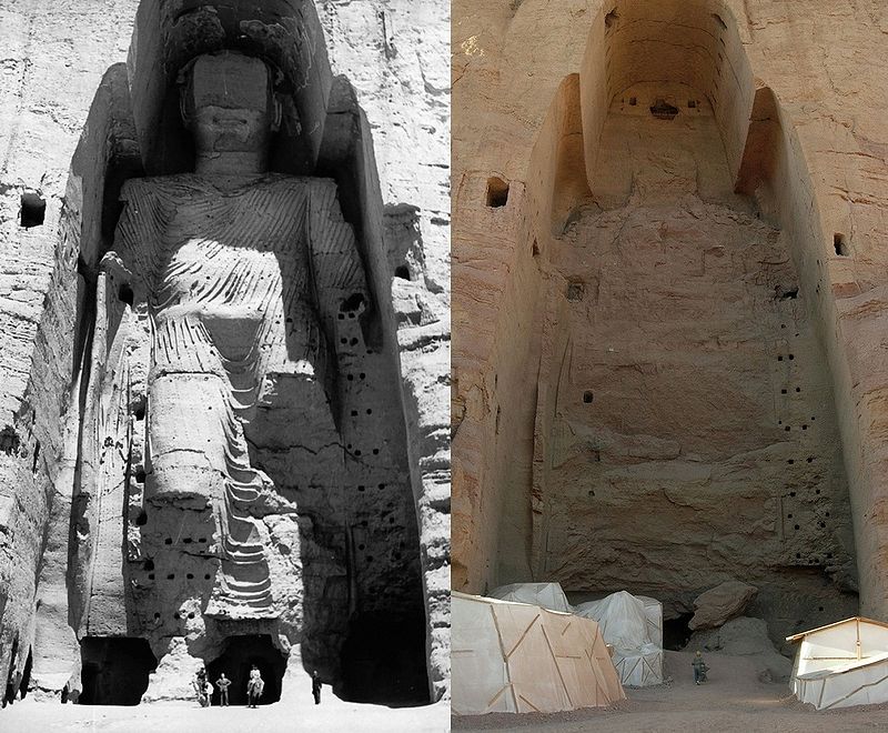

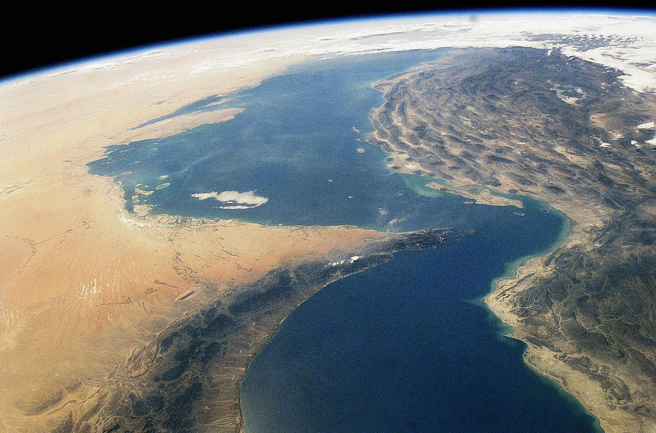
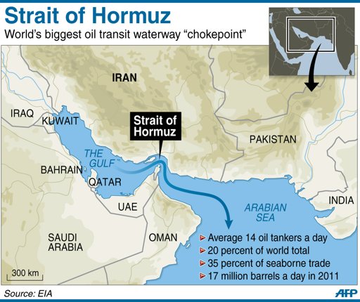
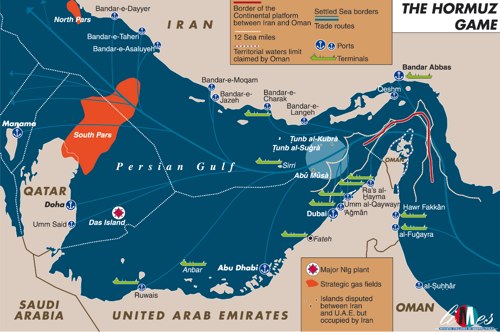
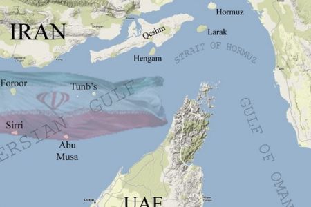
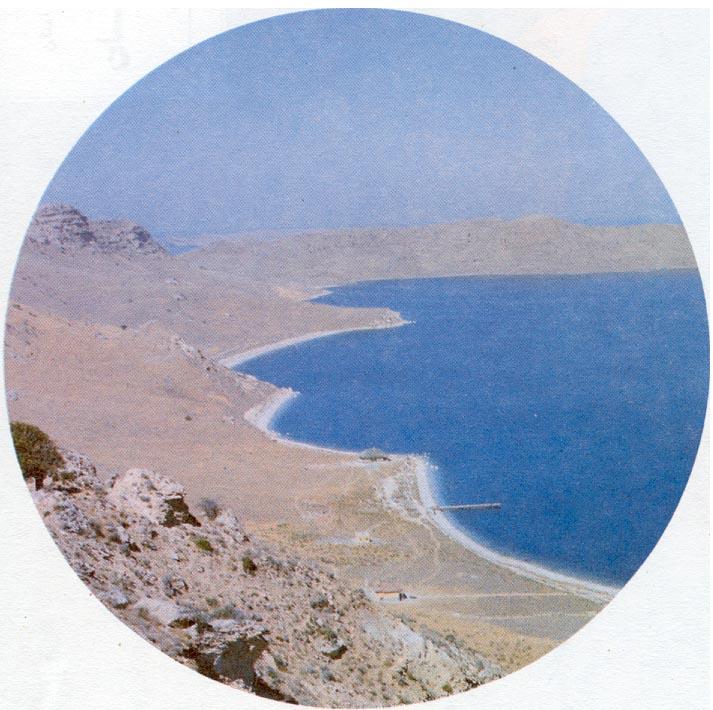
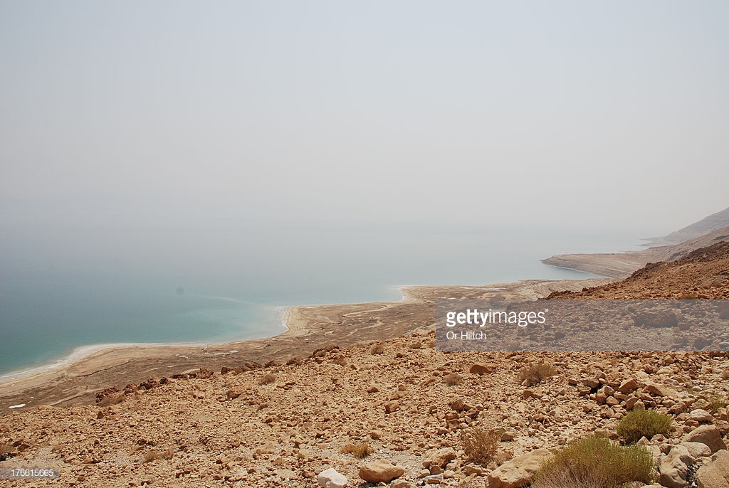
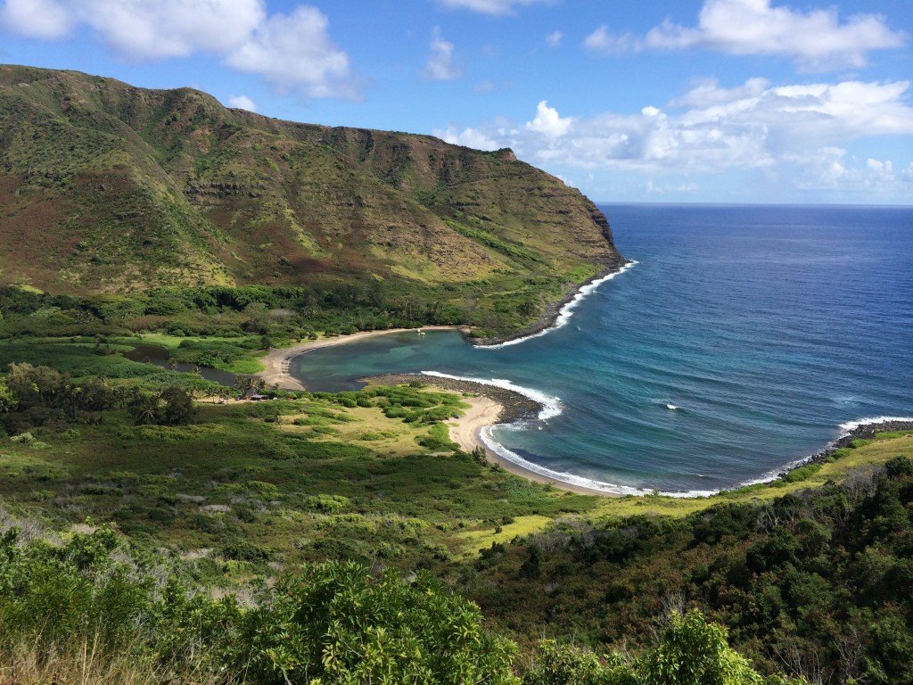
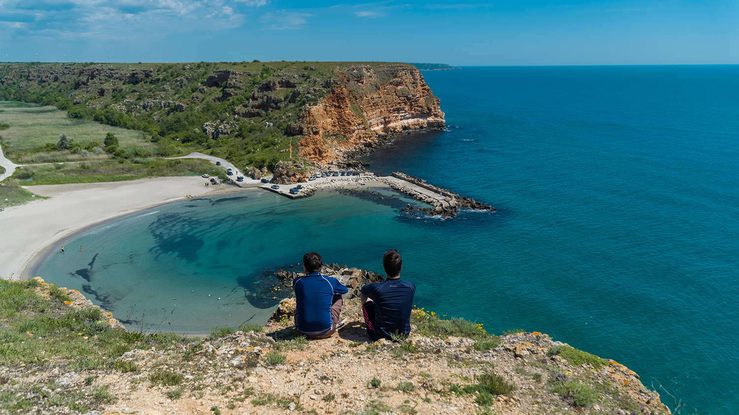
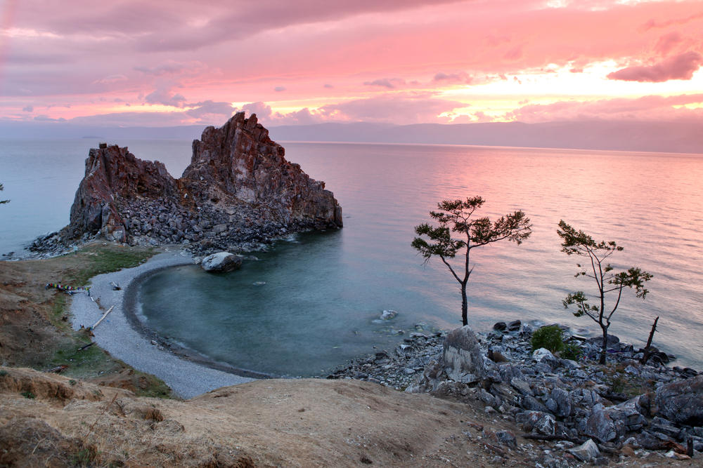
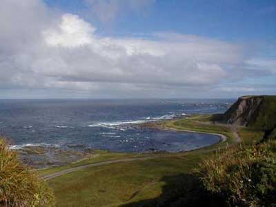
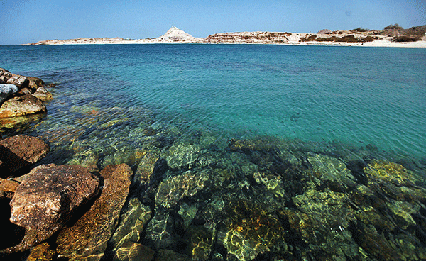
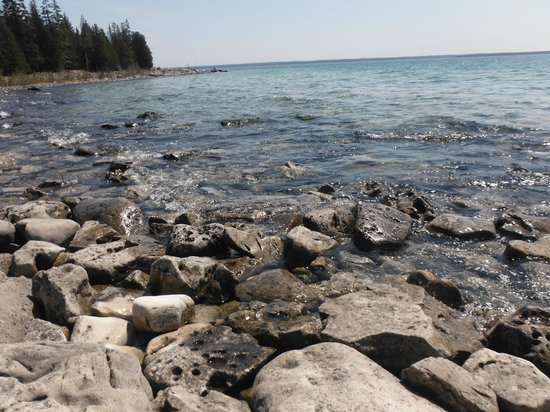
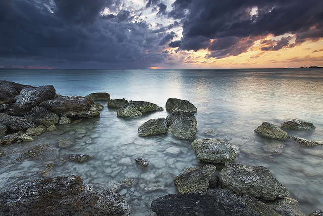
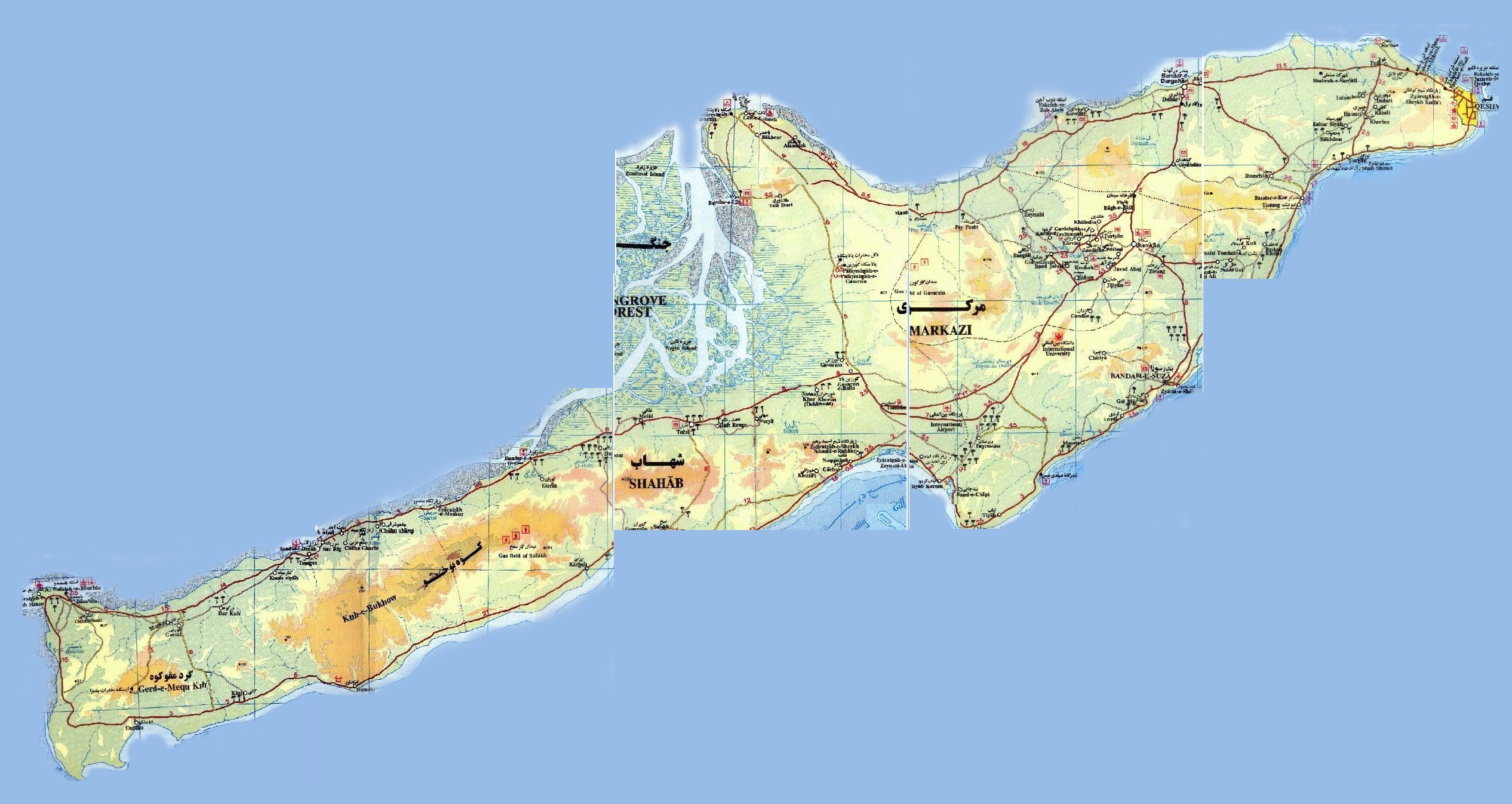
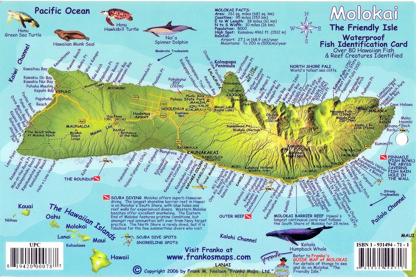
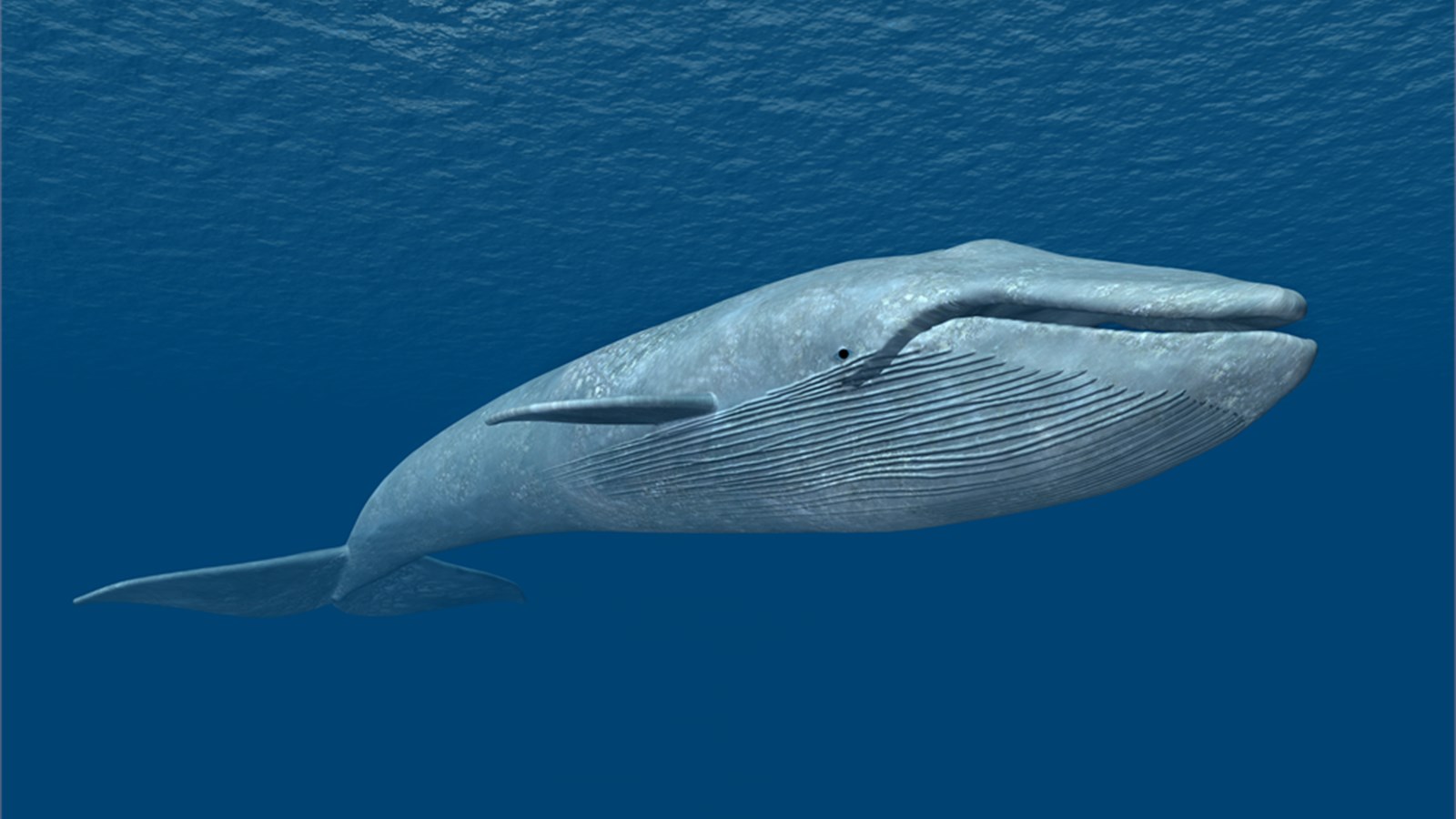
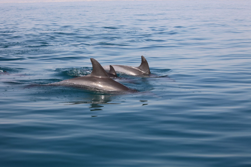
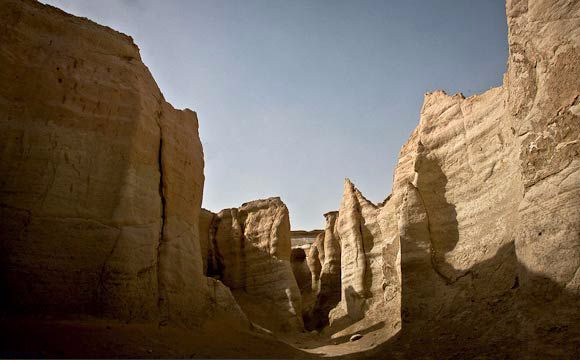
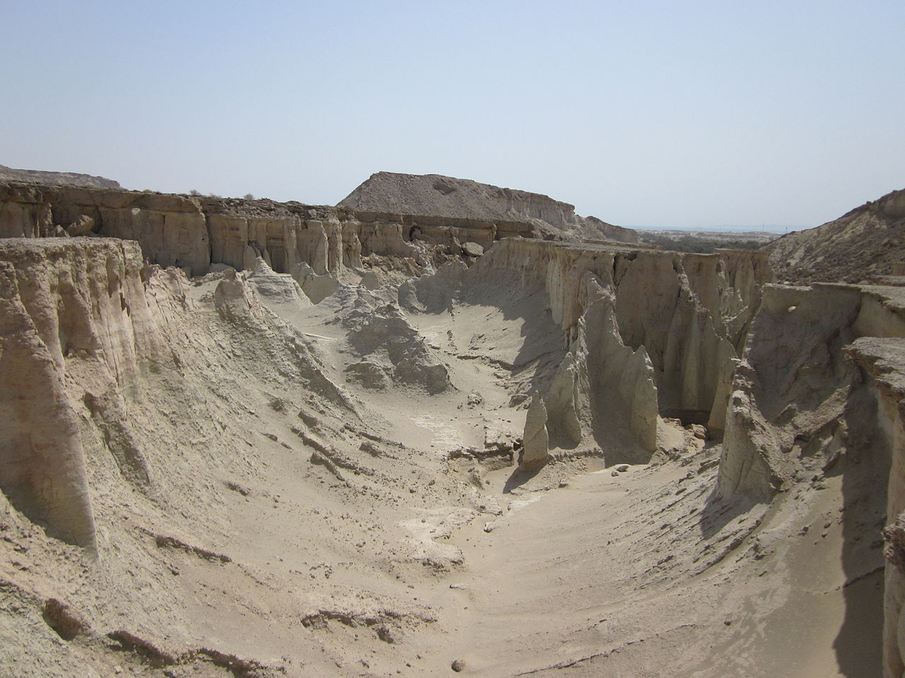

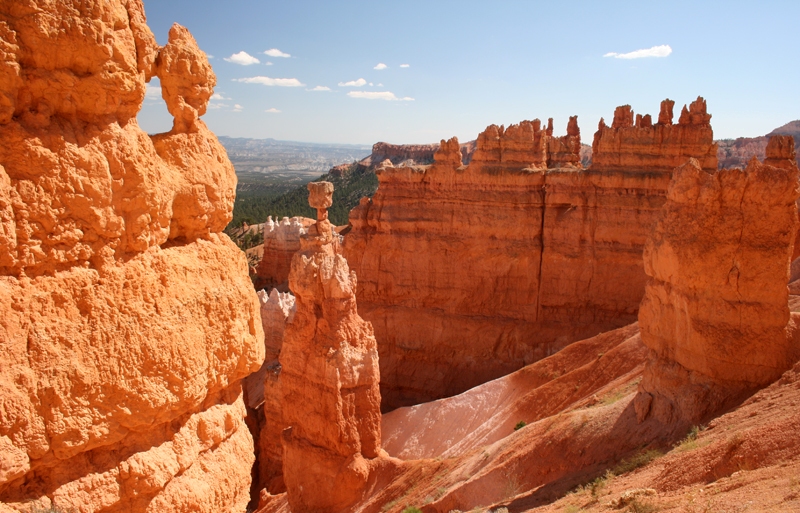
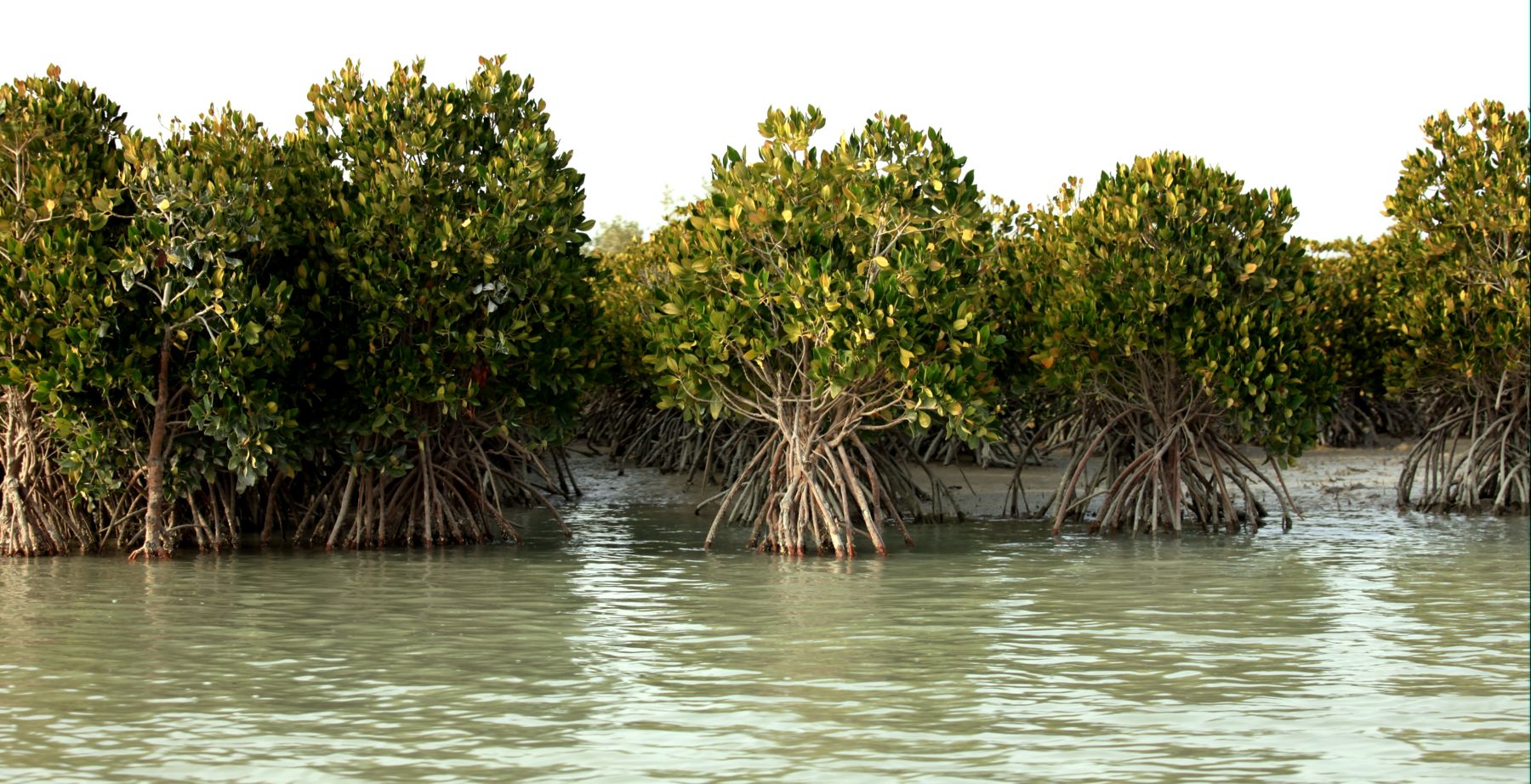
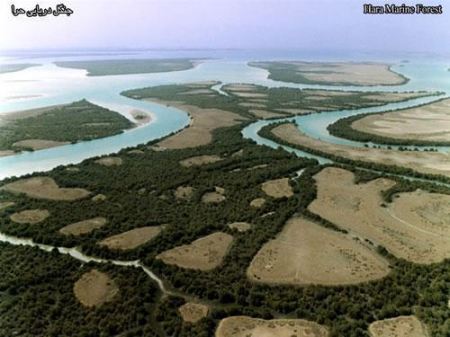
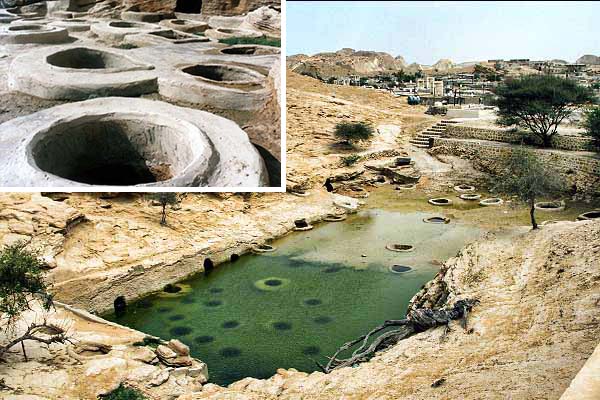
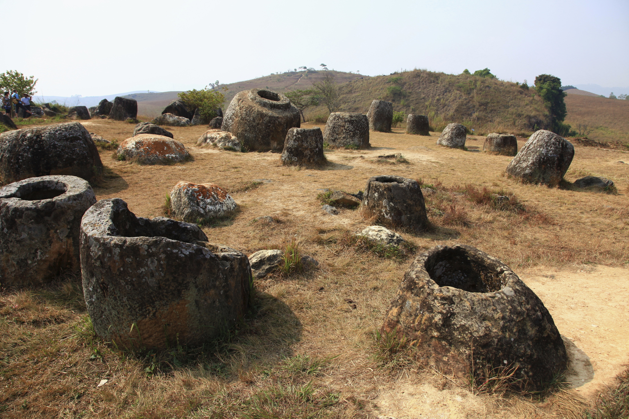
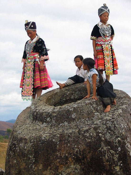
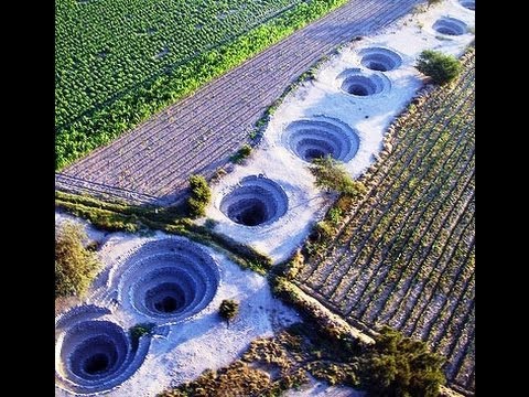
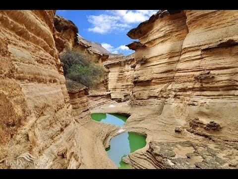
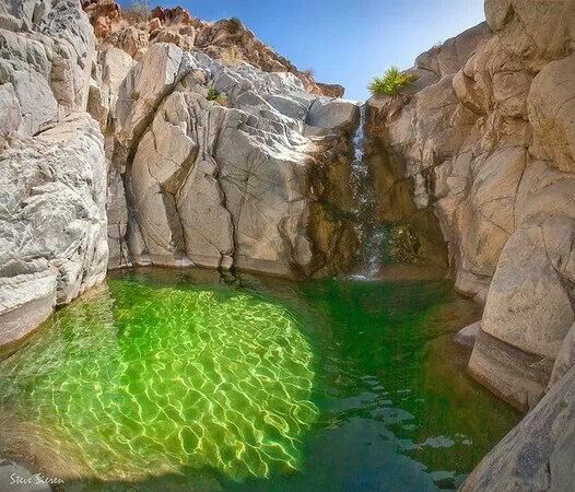
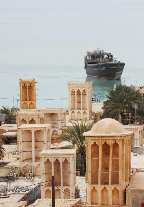
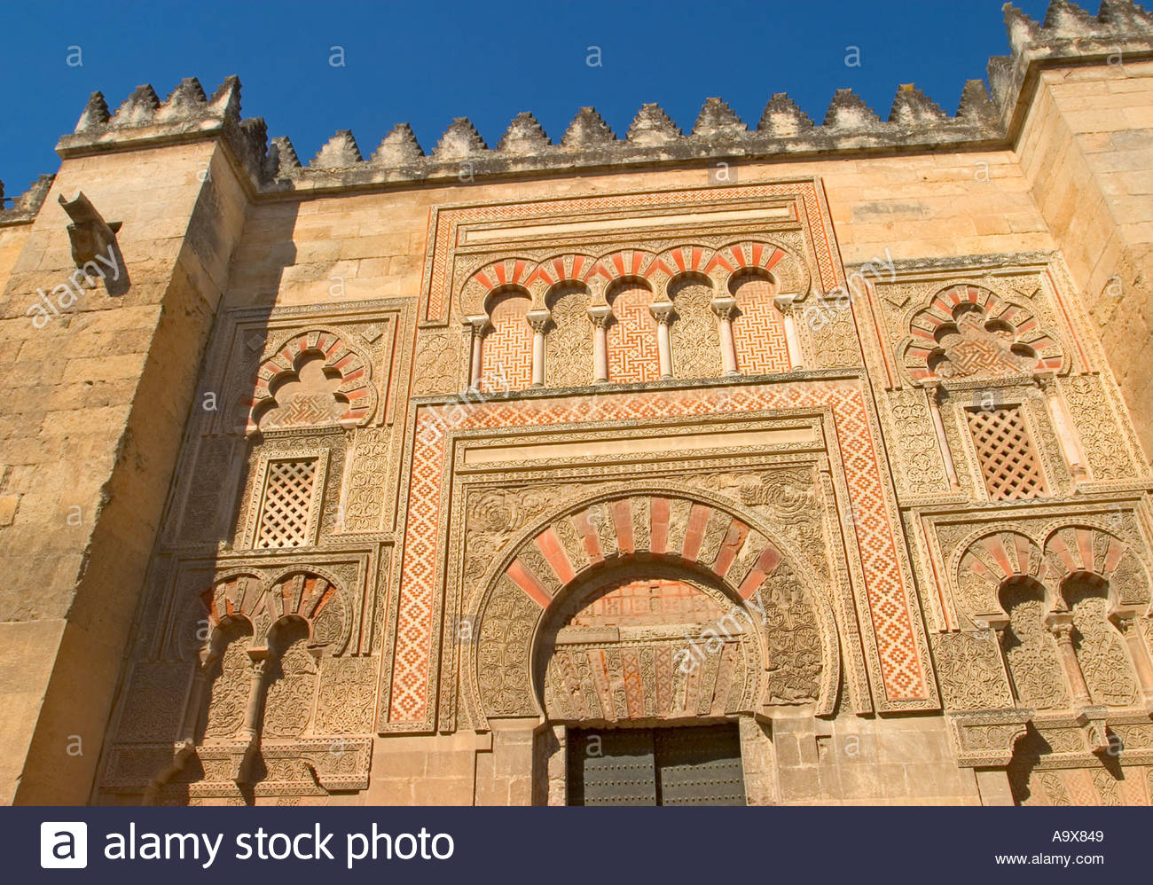
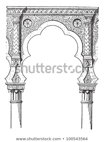
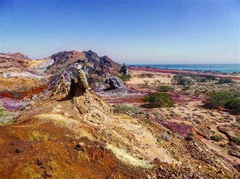
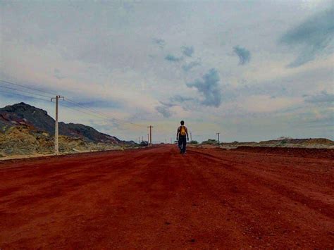
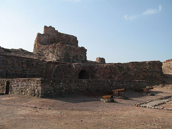
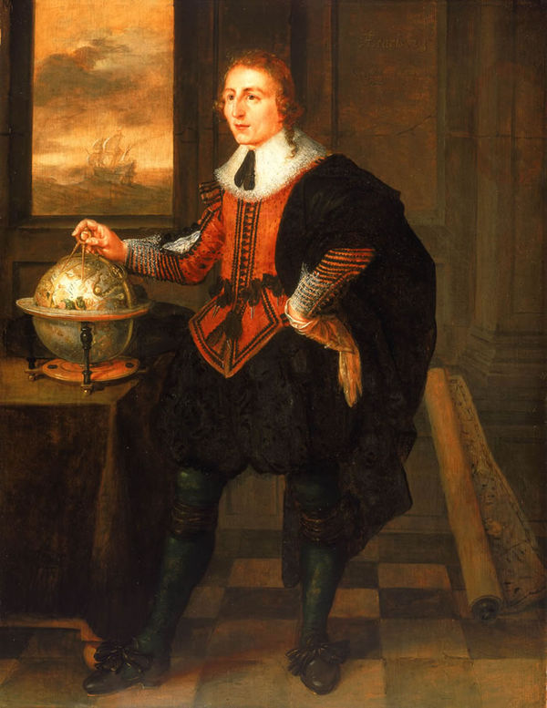
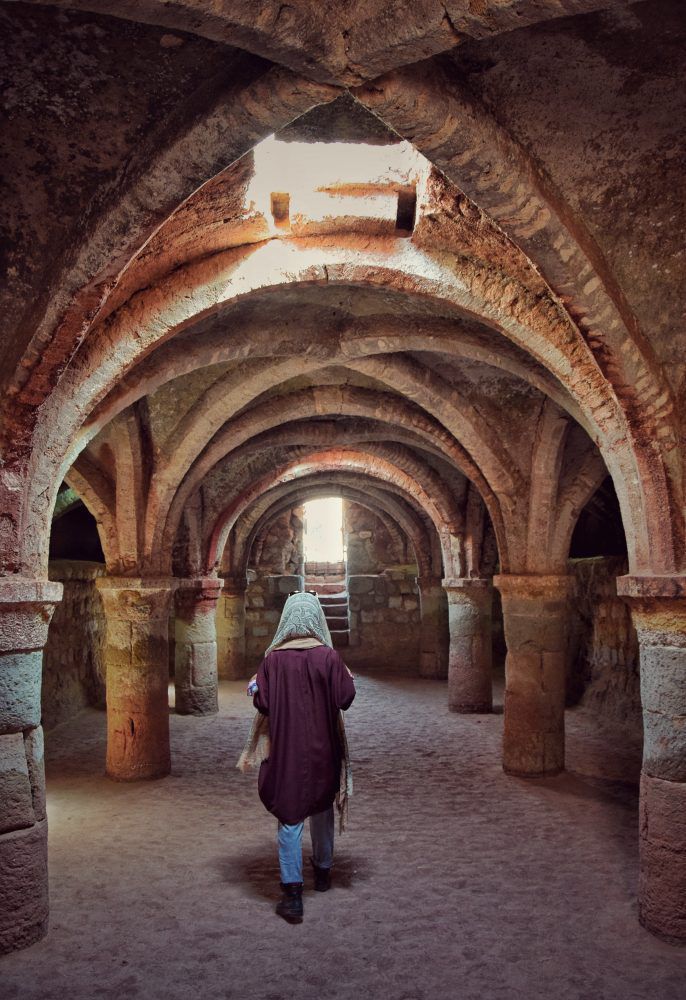
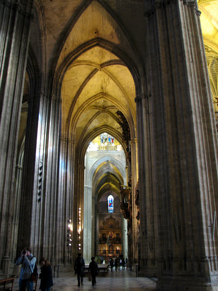
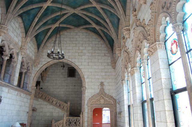
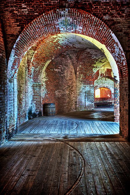
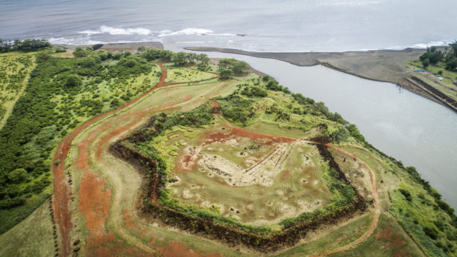
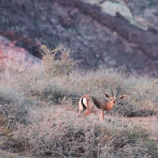
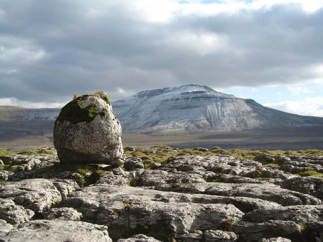
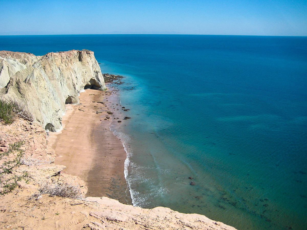
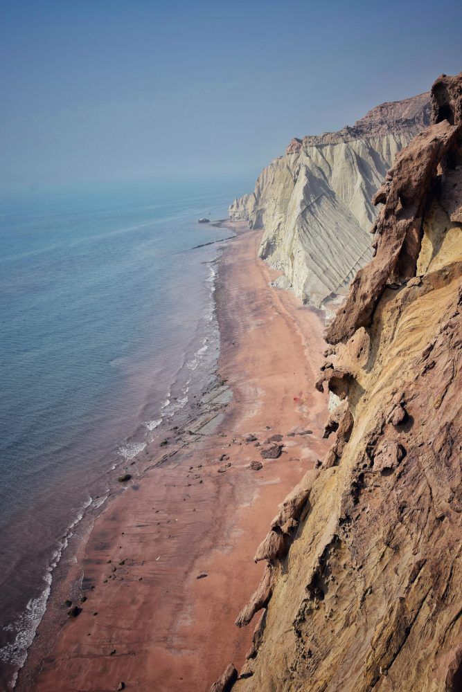
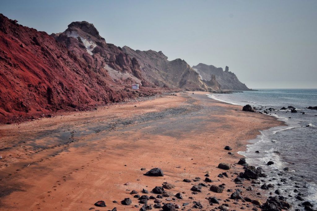
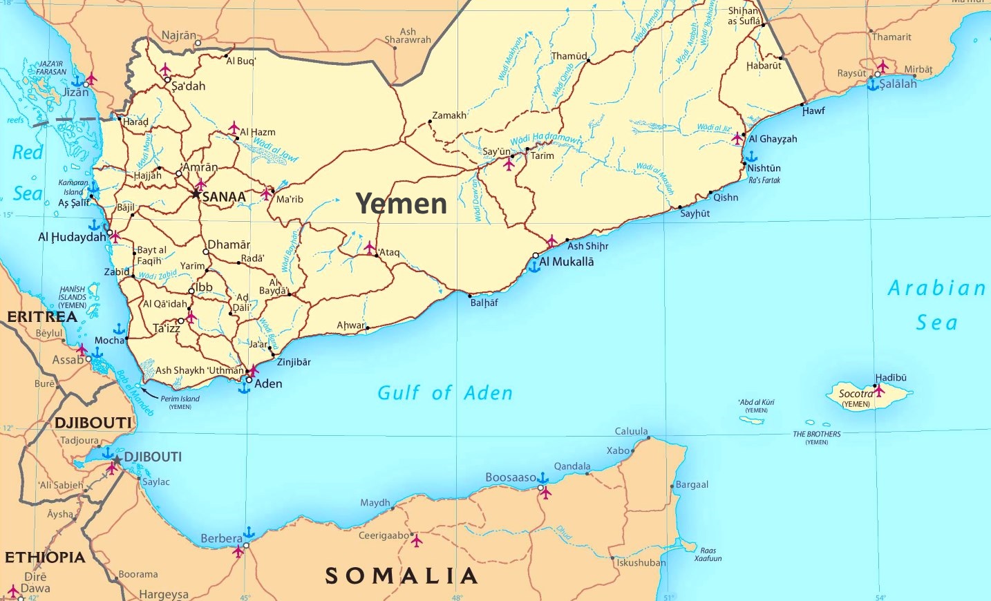
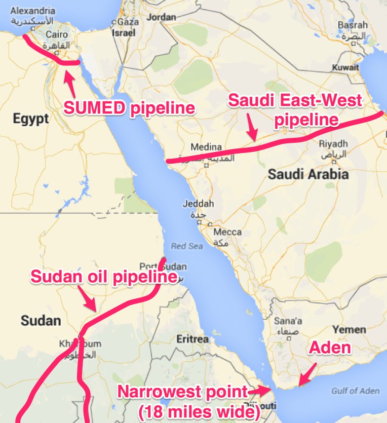
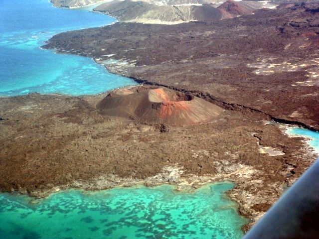
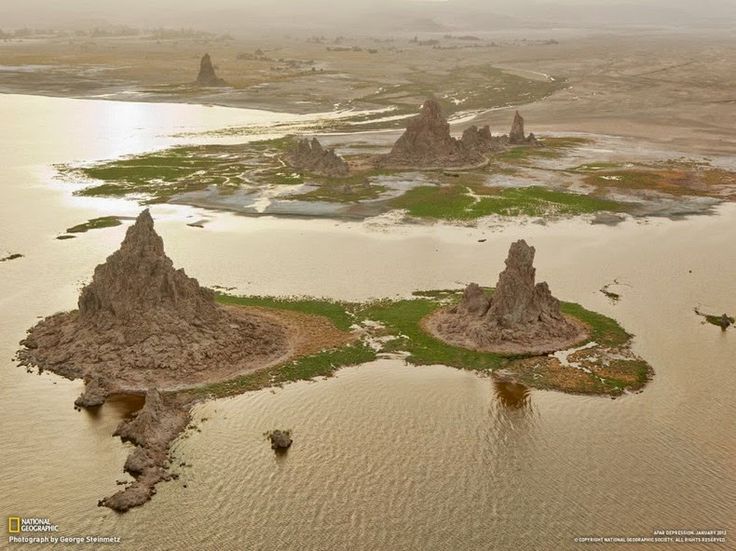
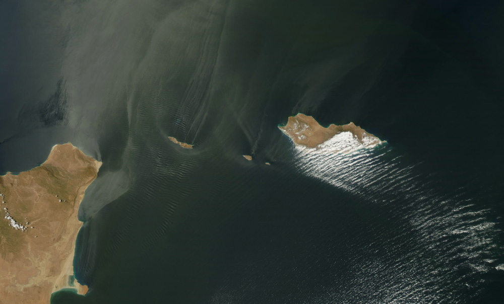
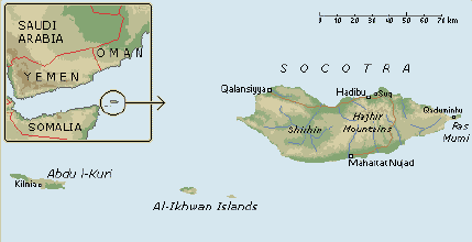
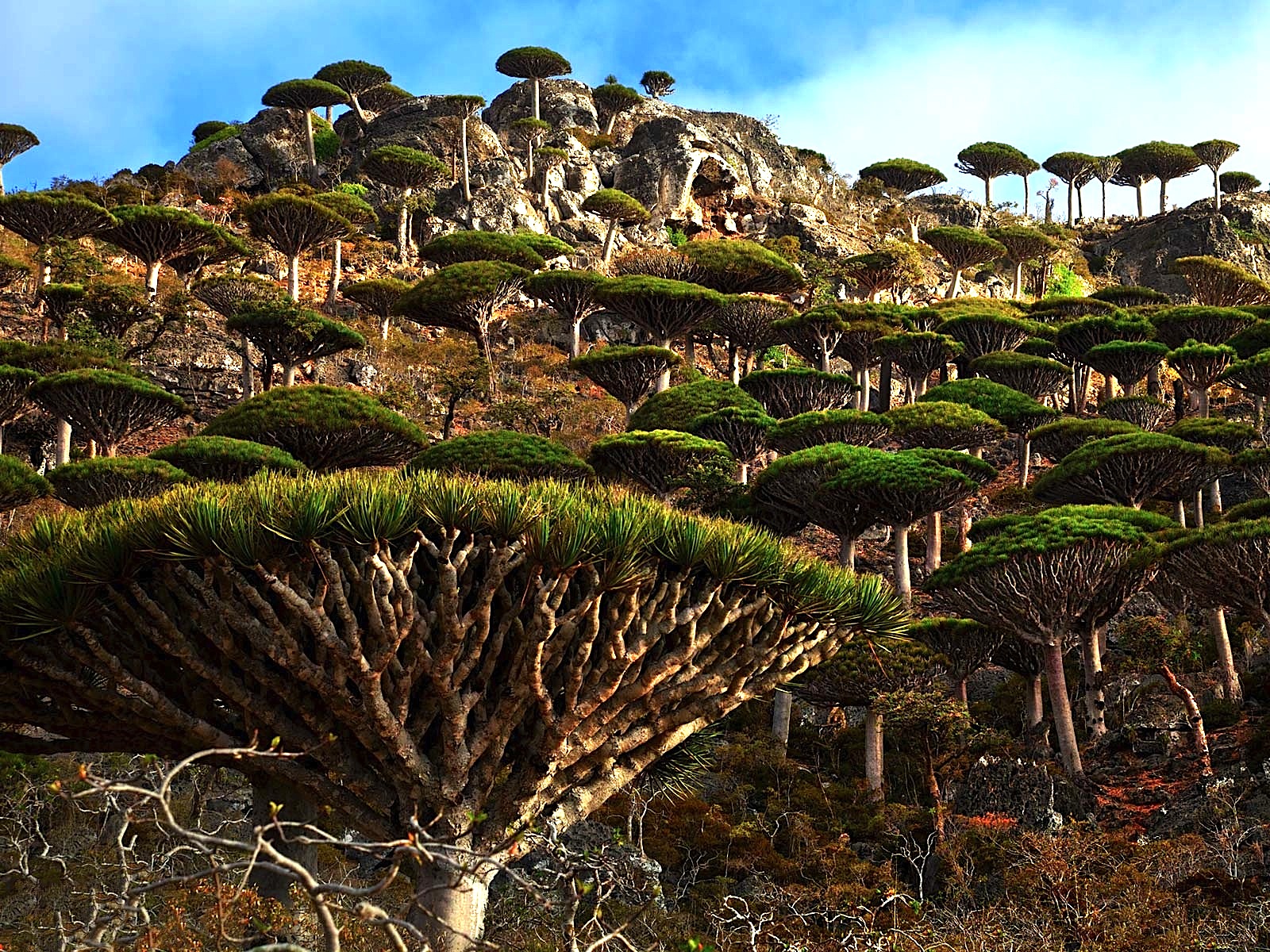
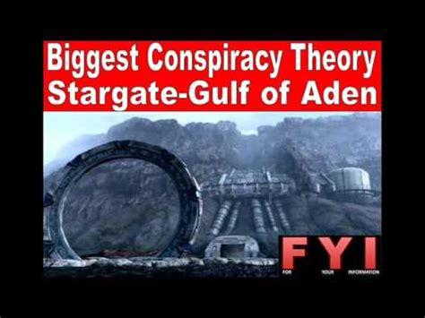
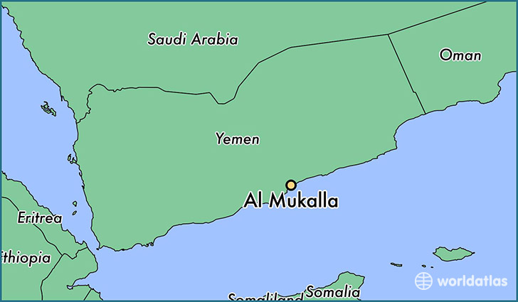
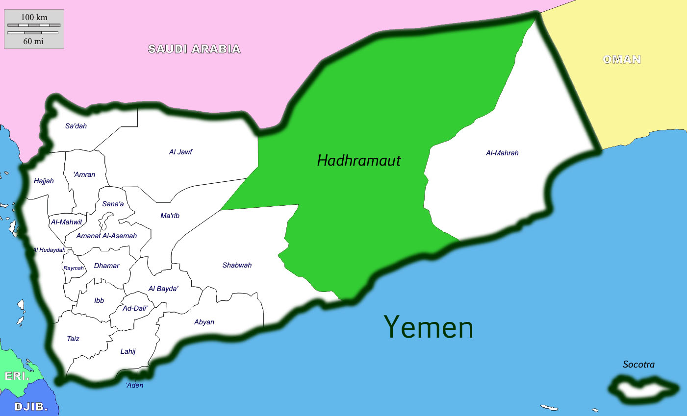


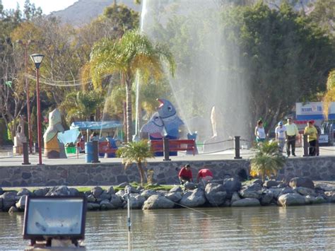


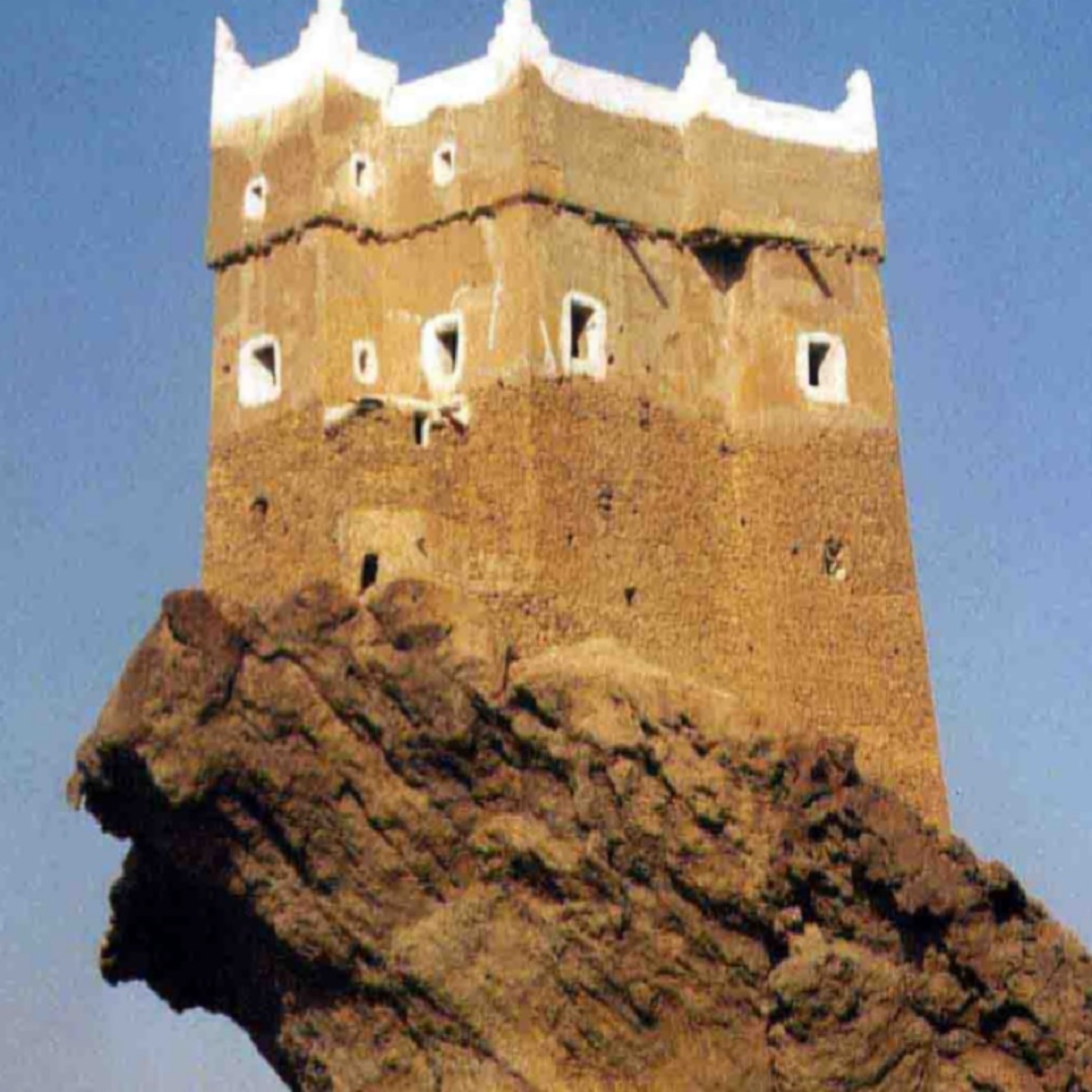
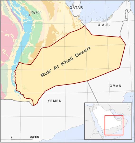

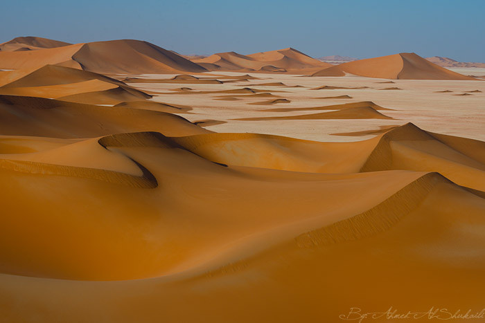
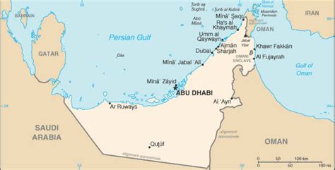
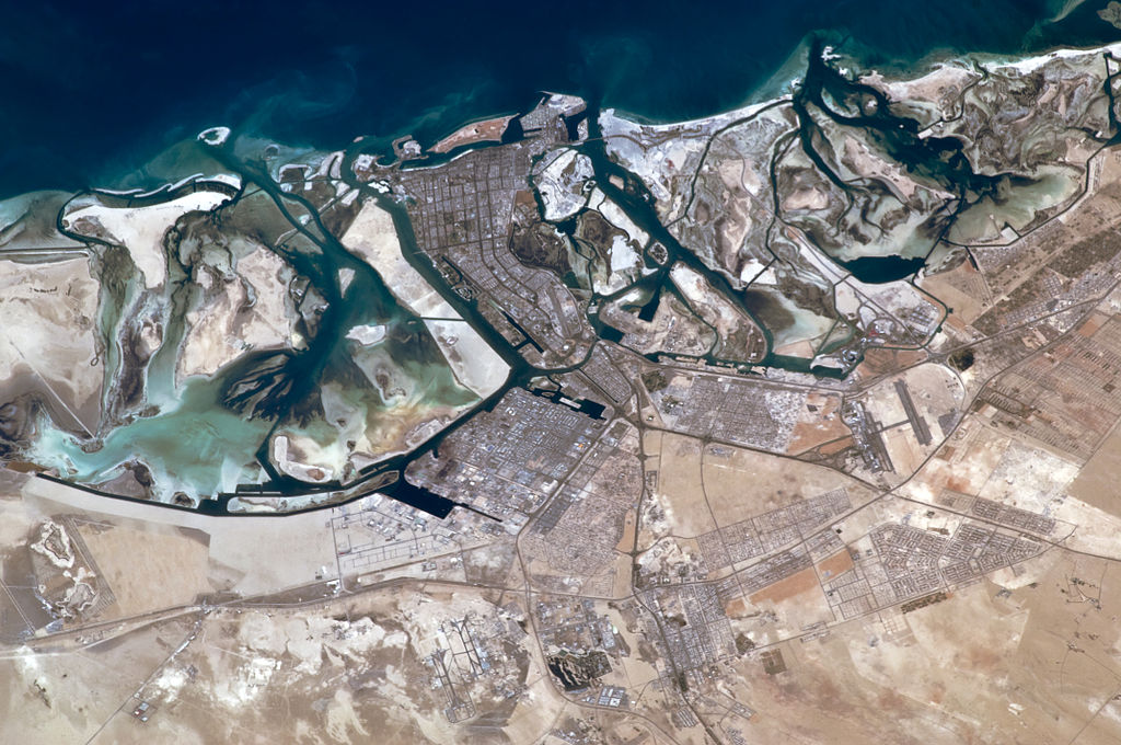
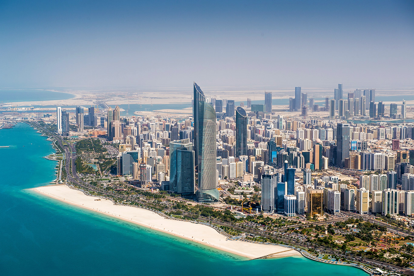
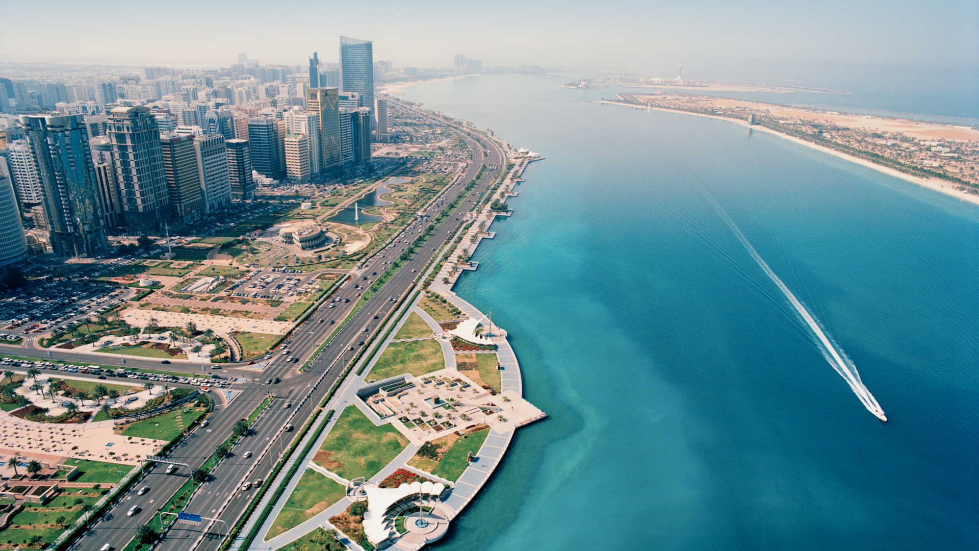
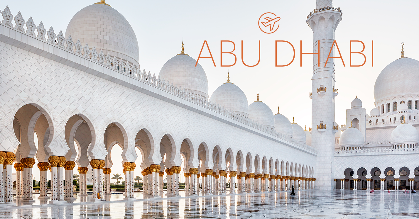
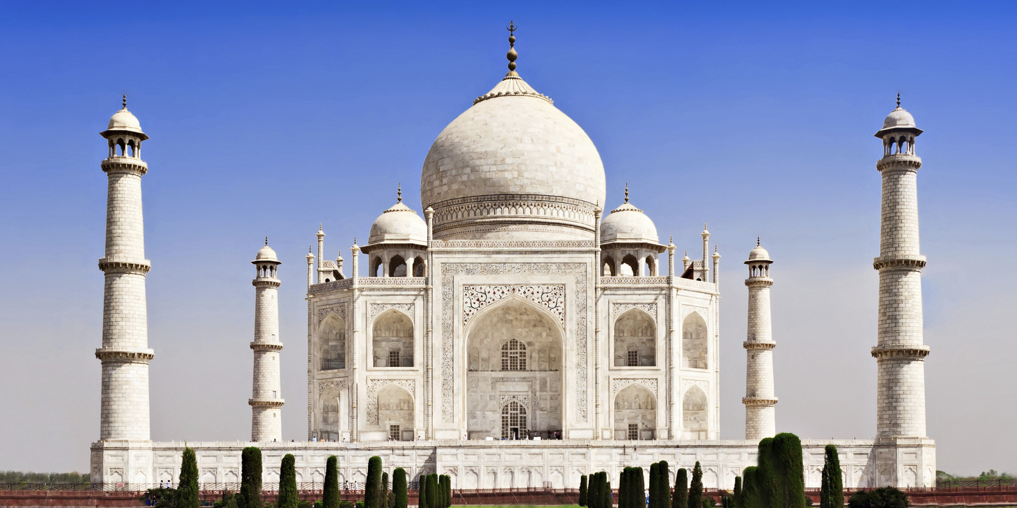
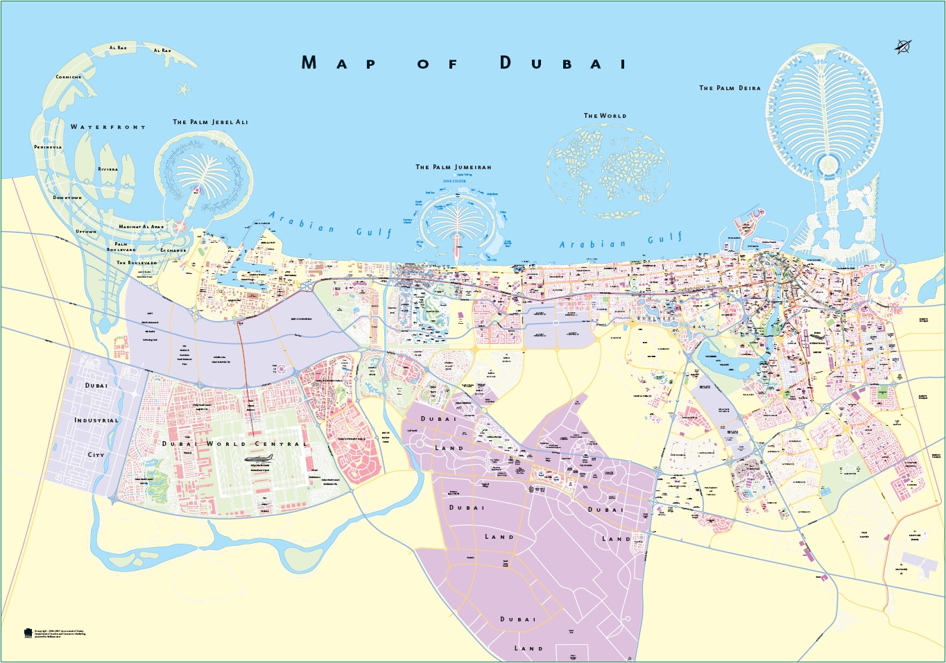
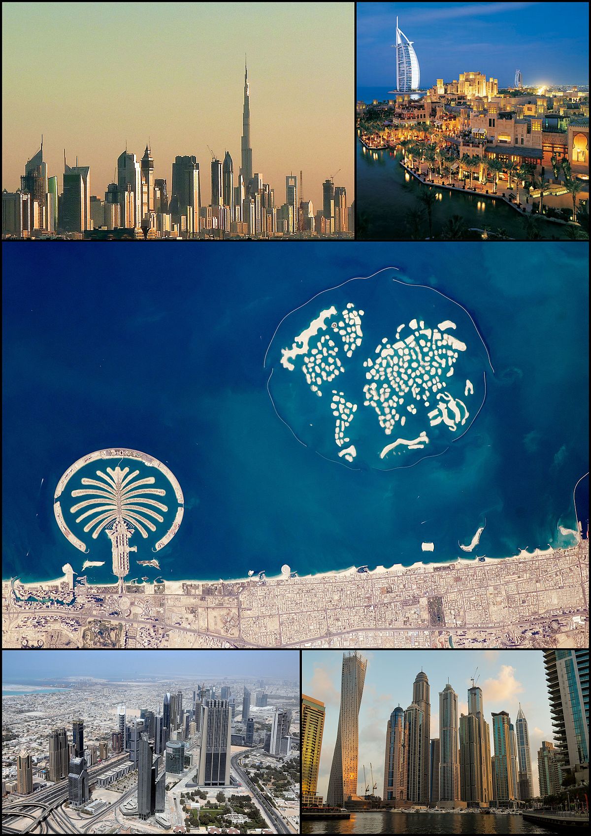
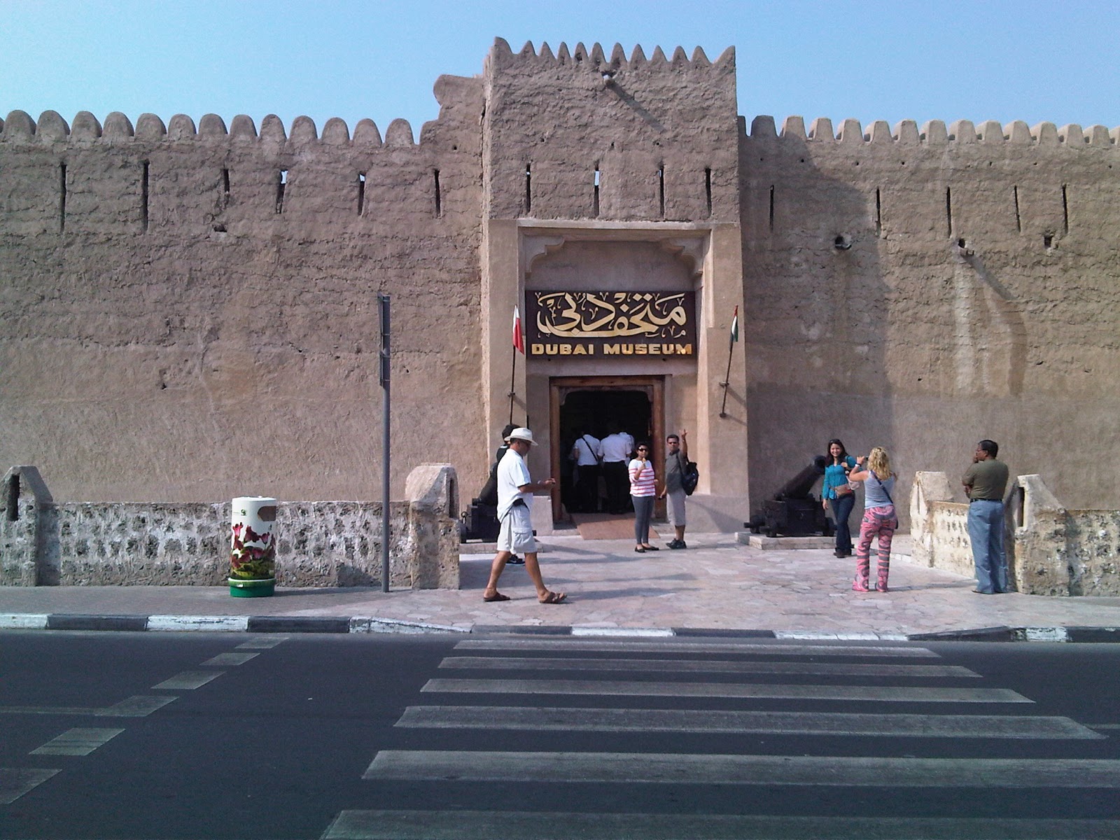
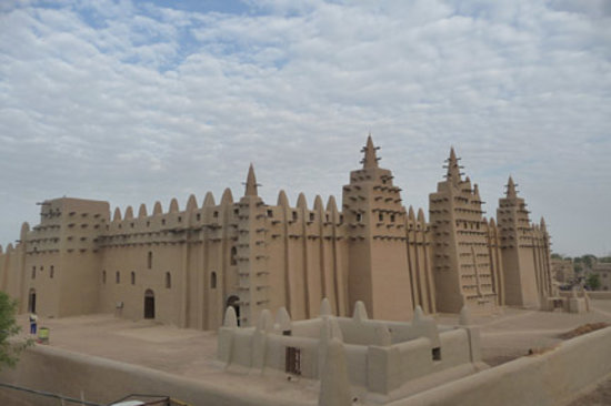
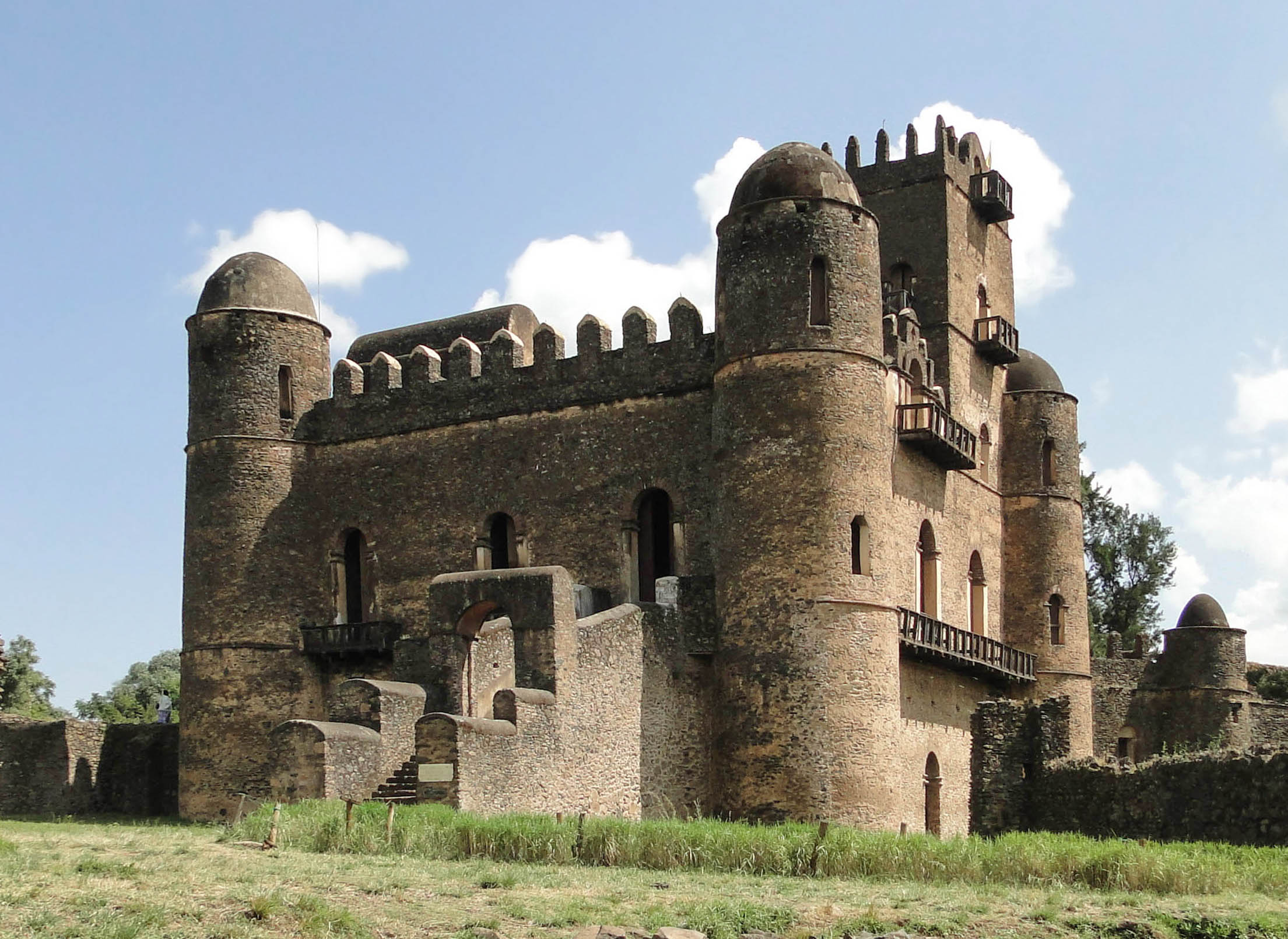
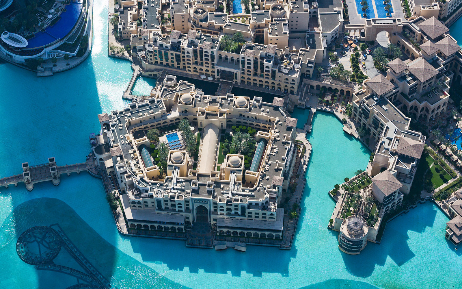
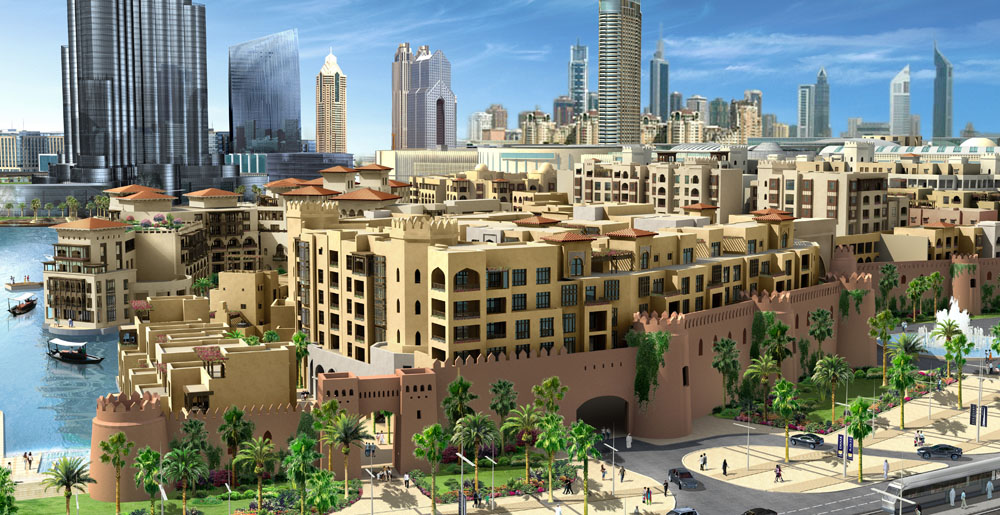
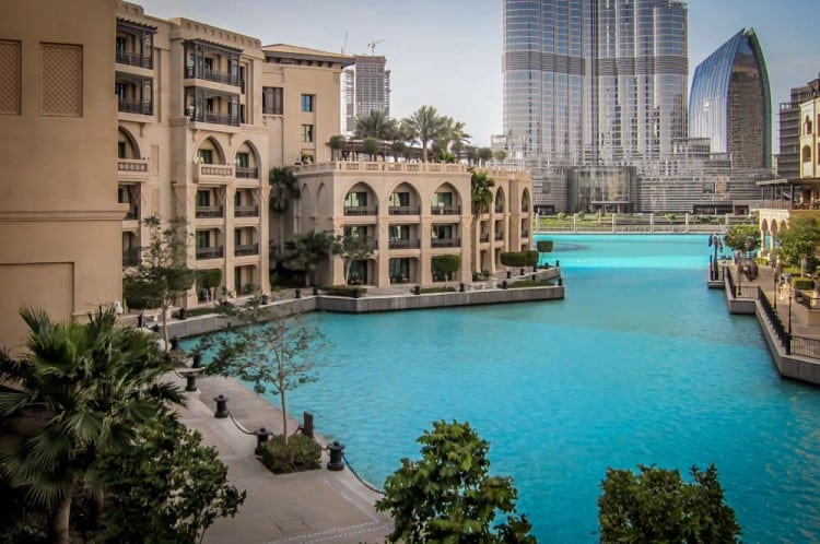
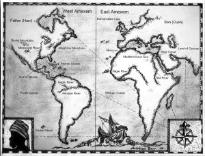

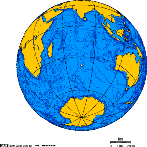
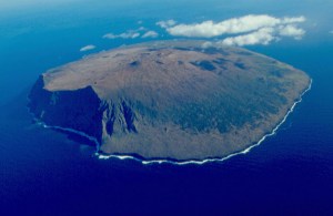
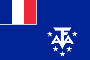
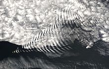
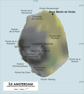
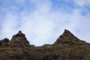
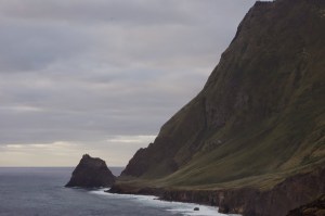
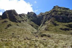
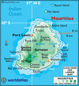
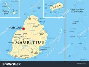
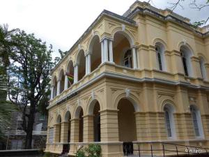
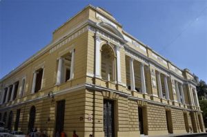
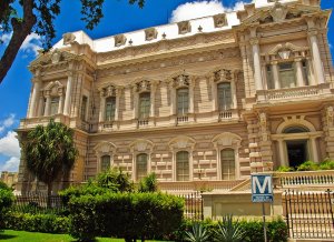
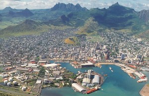
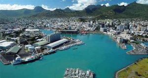
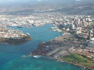
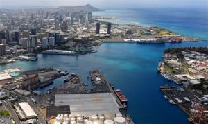
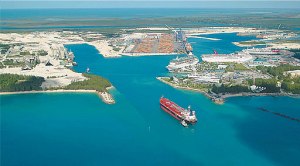
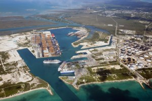
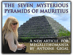
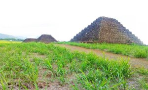
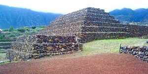
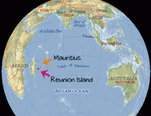
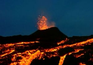
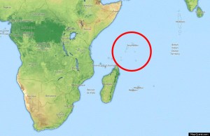
 This is a beach-head on Mahe in the Seychelles…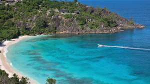
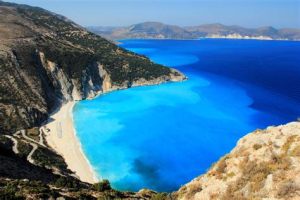
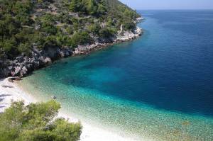
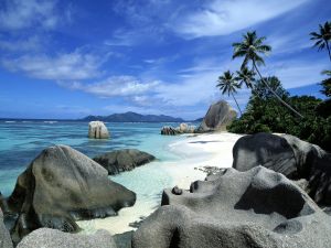
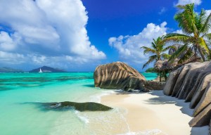
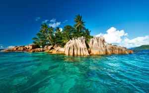
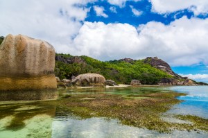
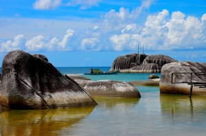
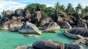
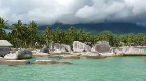
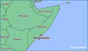
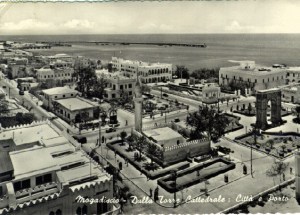
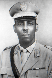
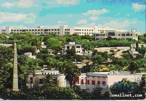
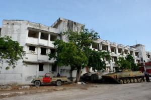
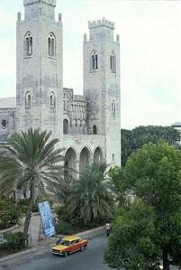
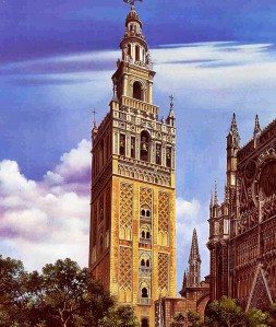
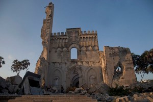
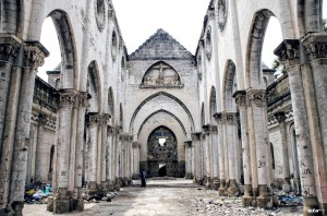
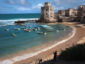
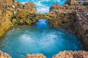
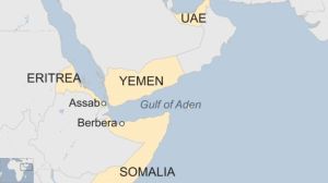
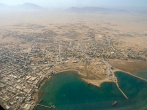
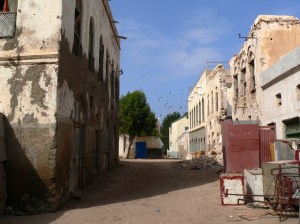
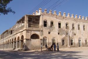
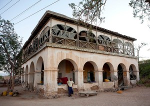

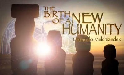
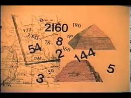


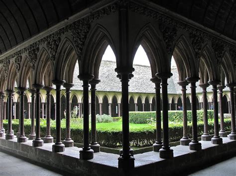


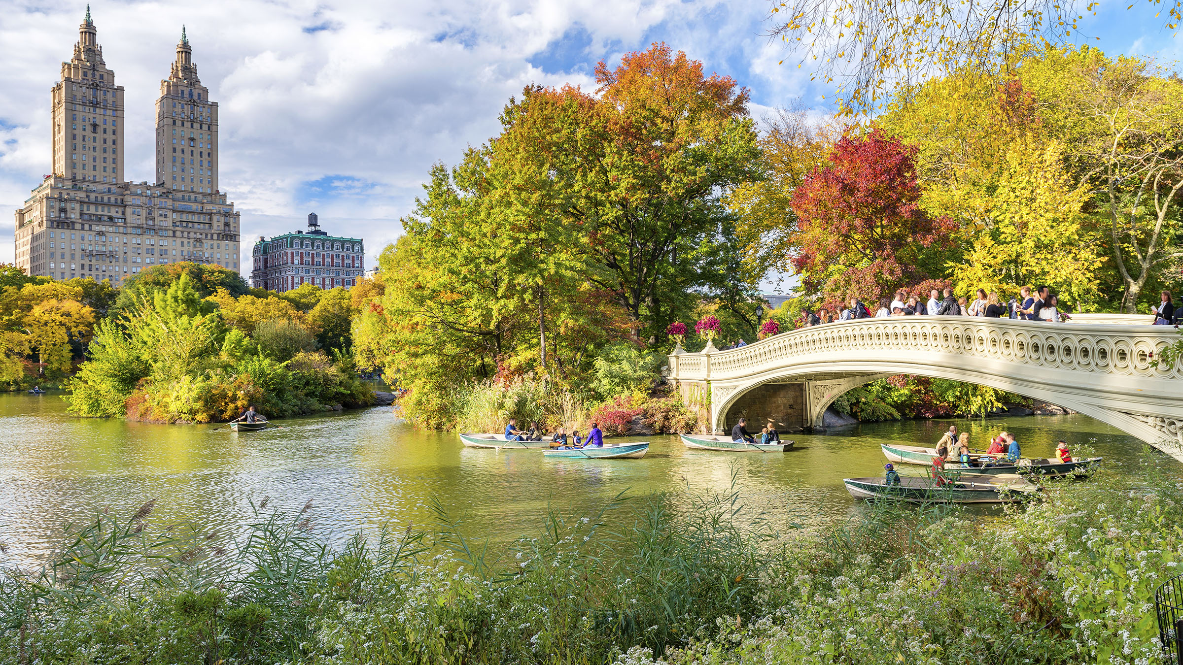
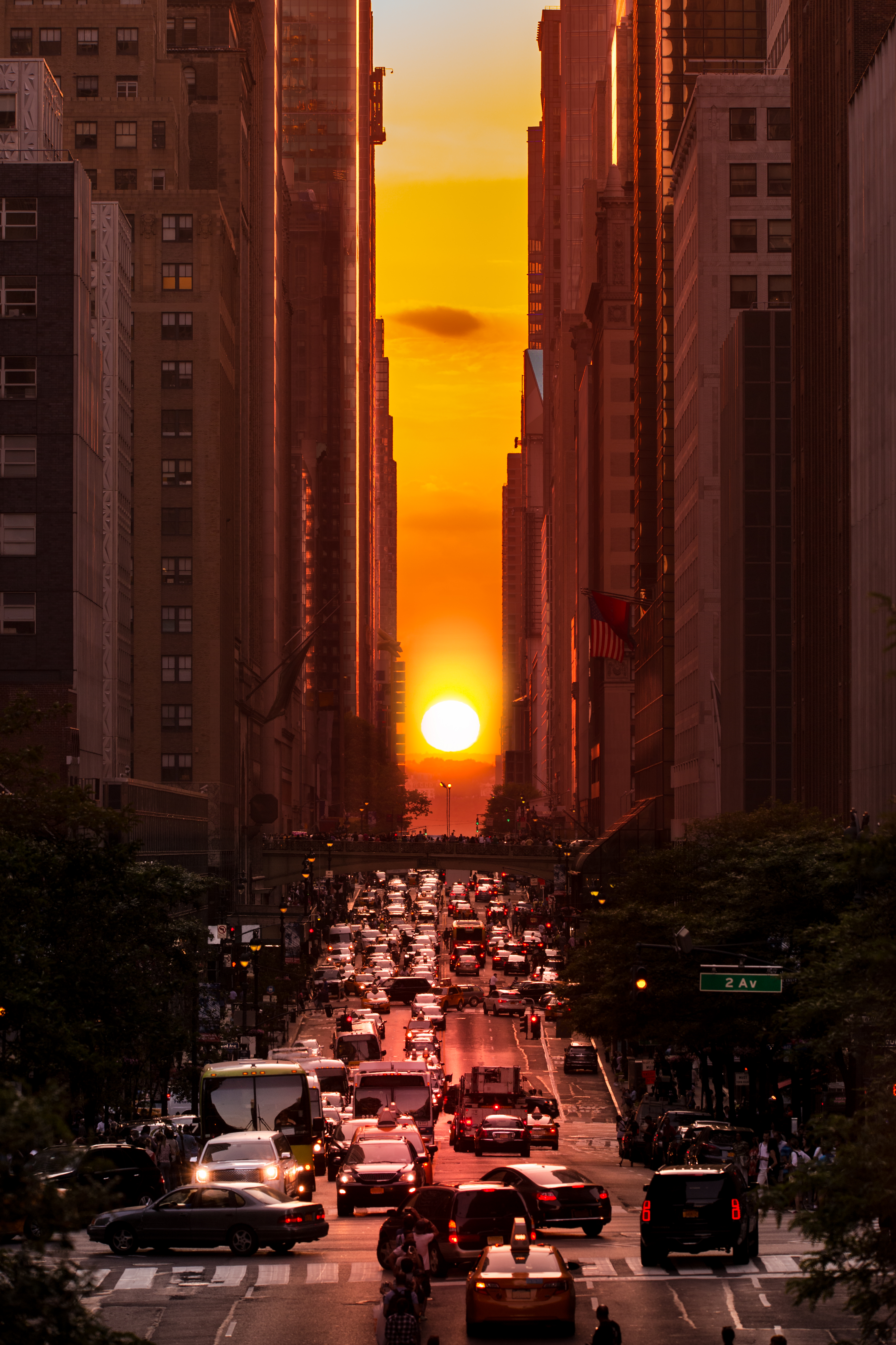


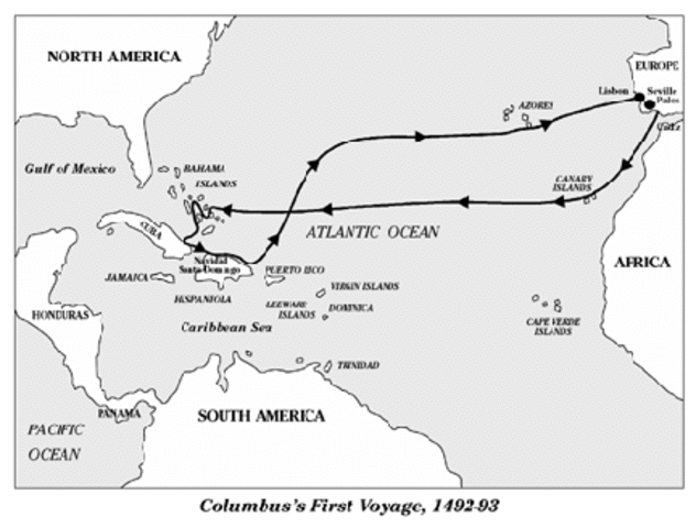


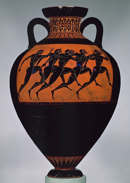
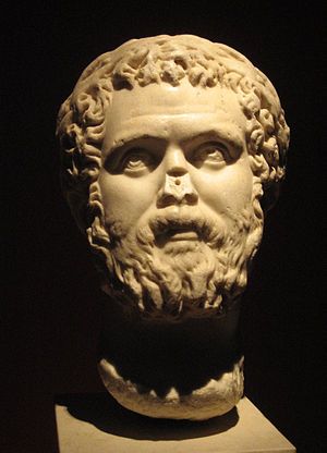
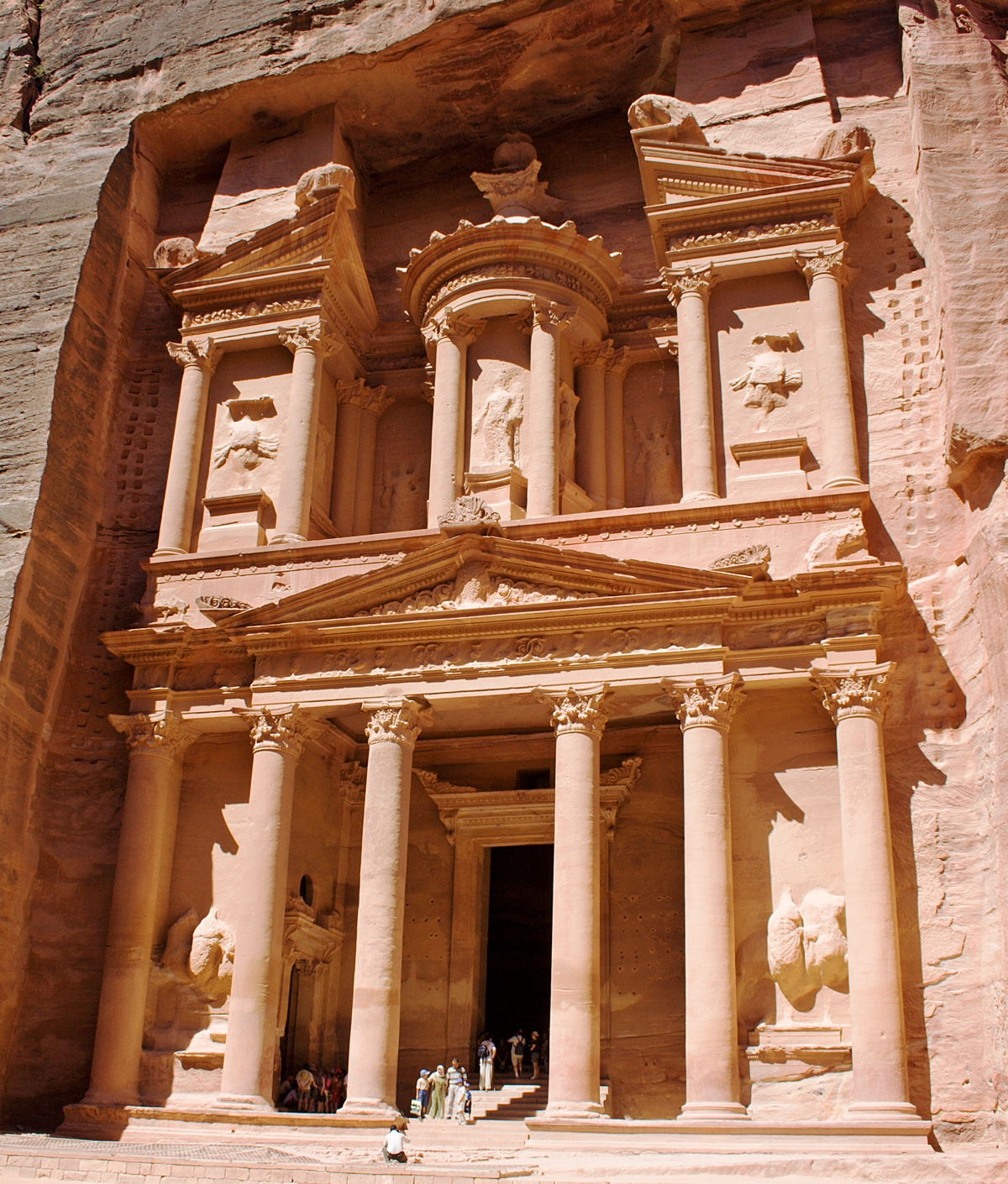
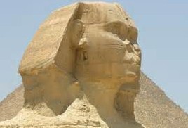
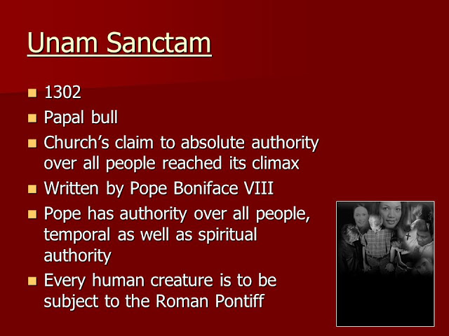


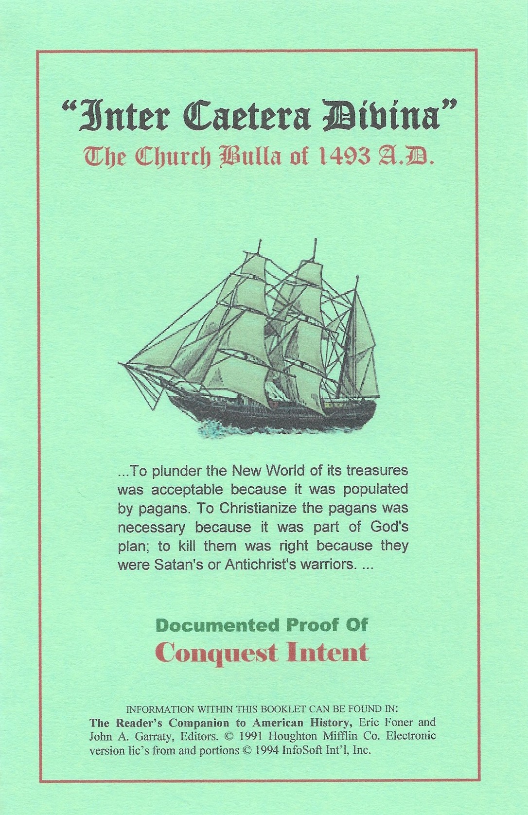

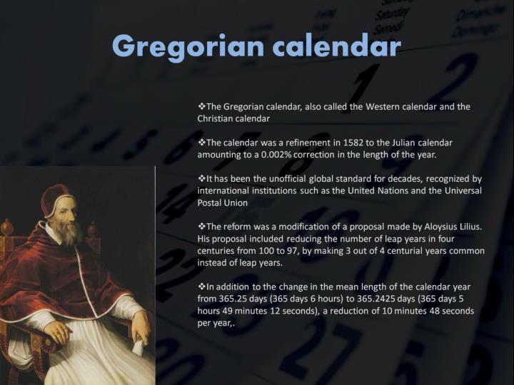


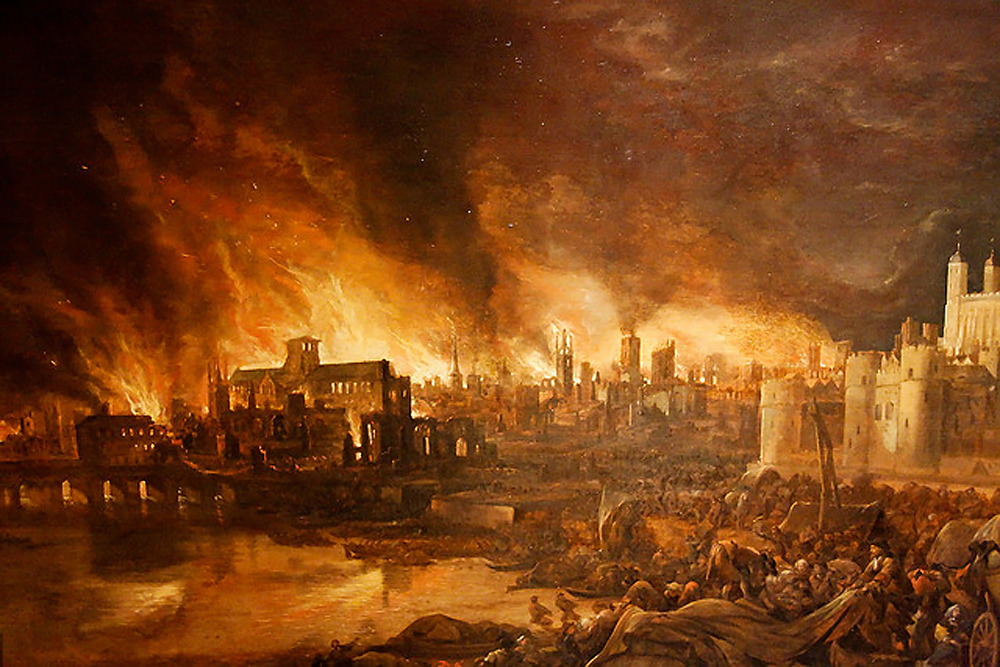


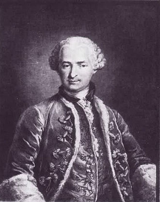


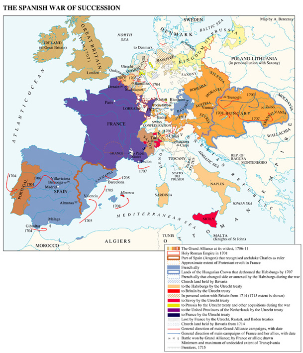


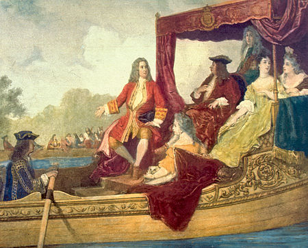


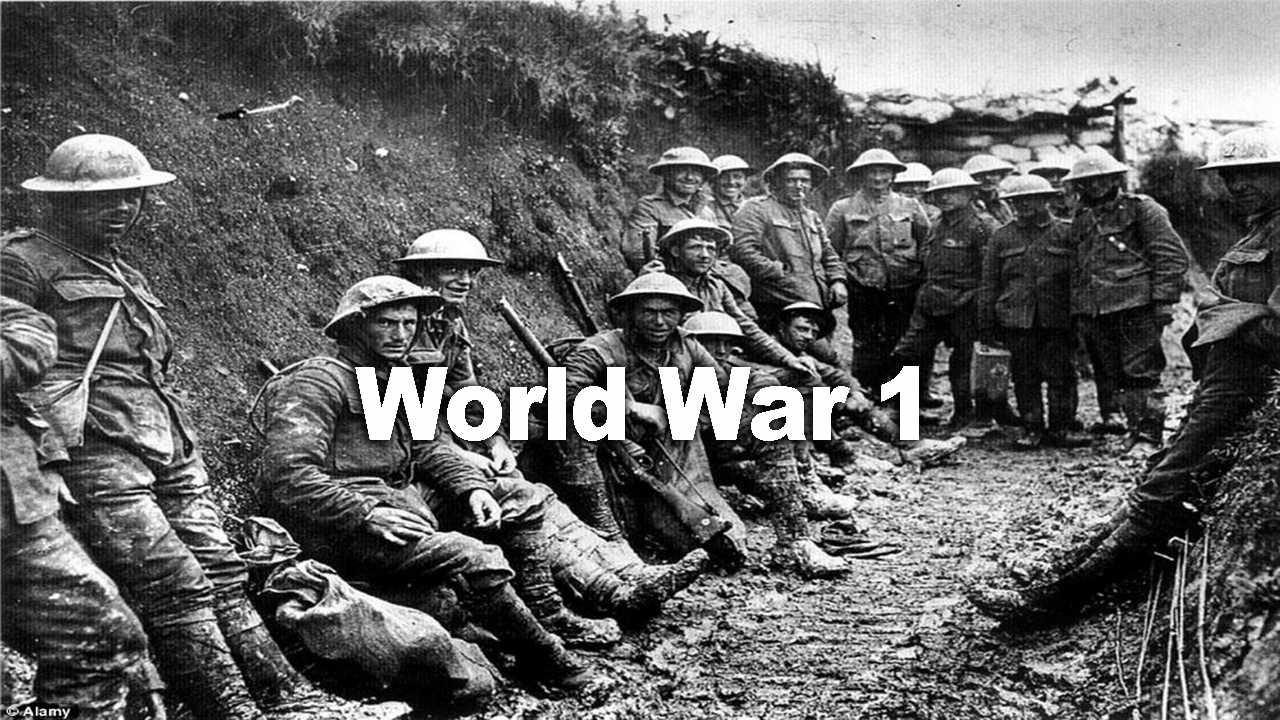


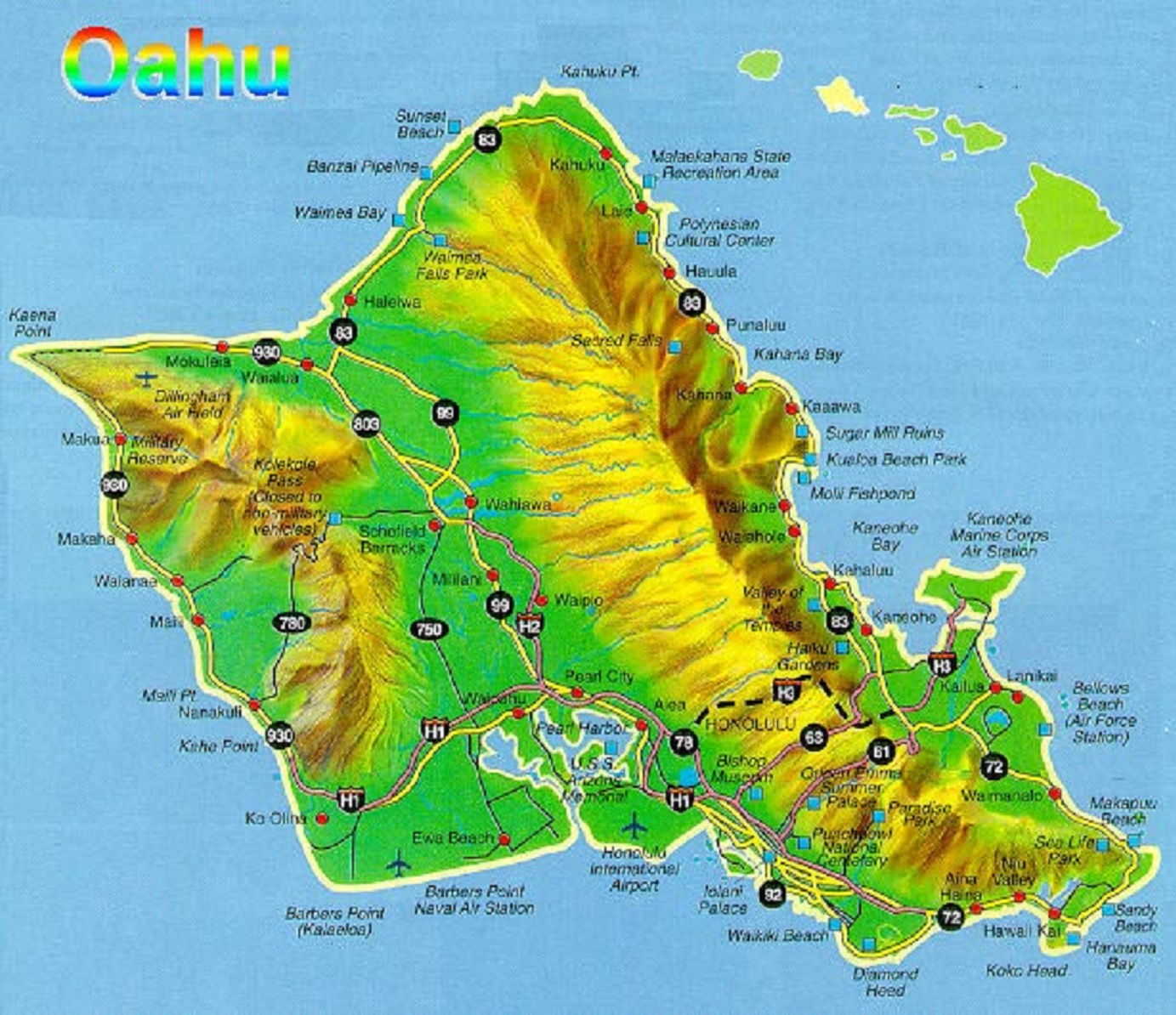



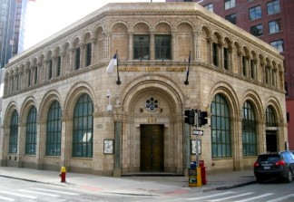


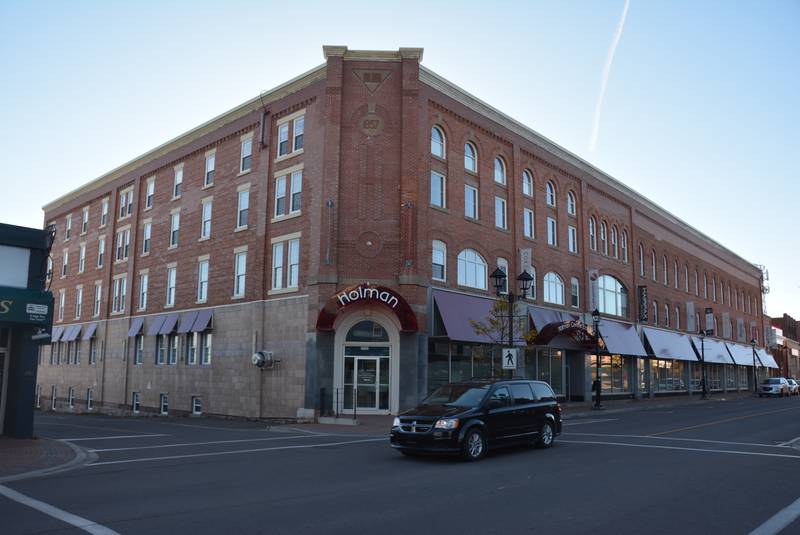


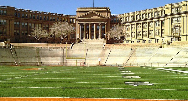
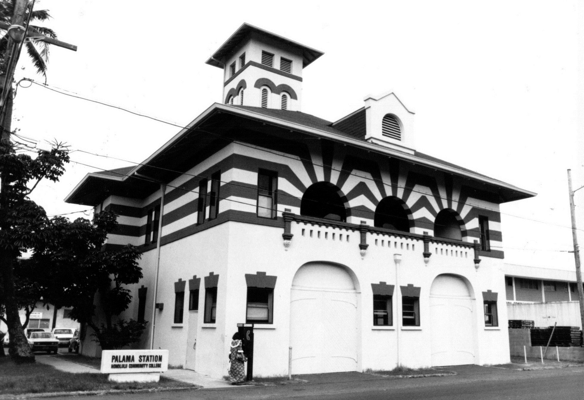
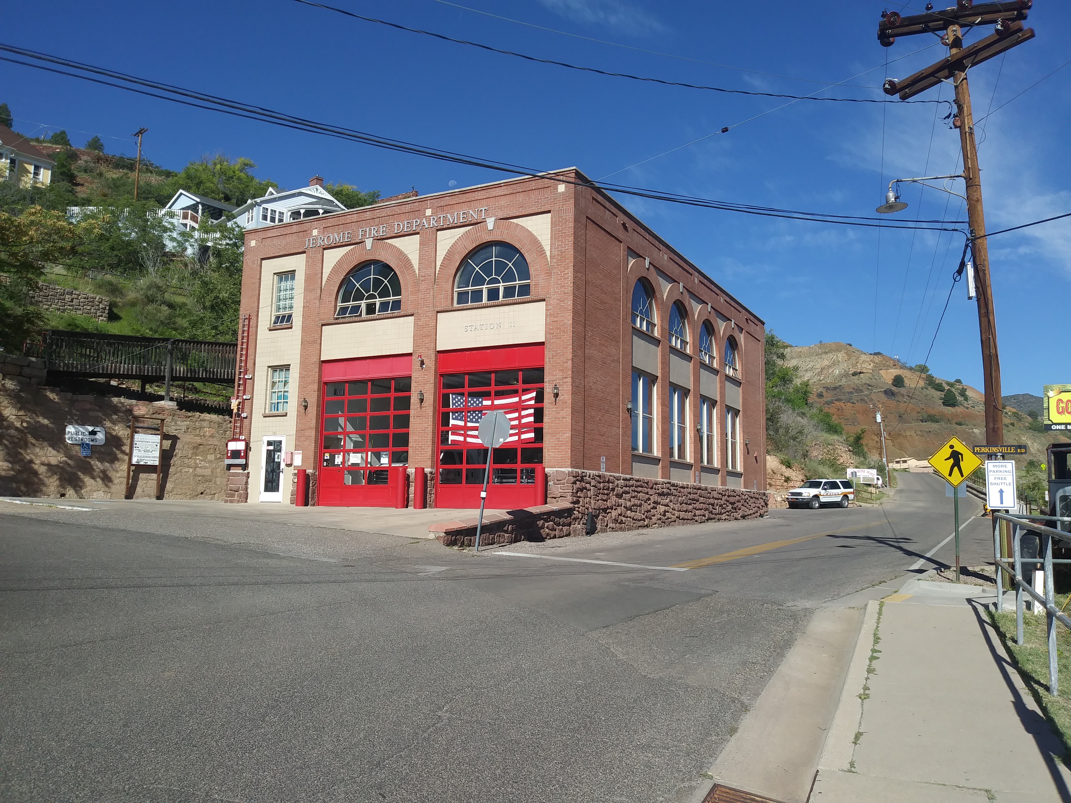
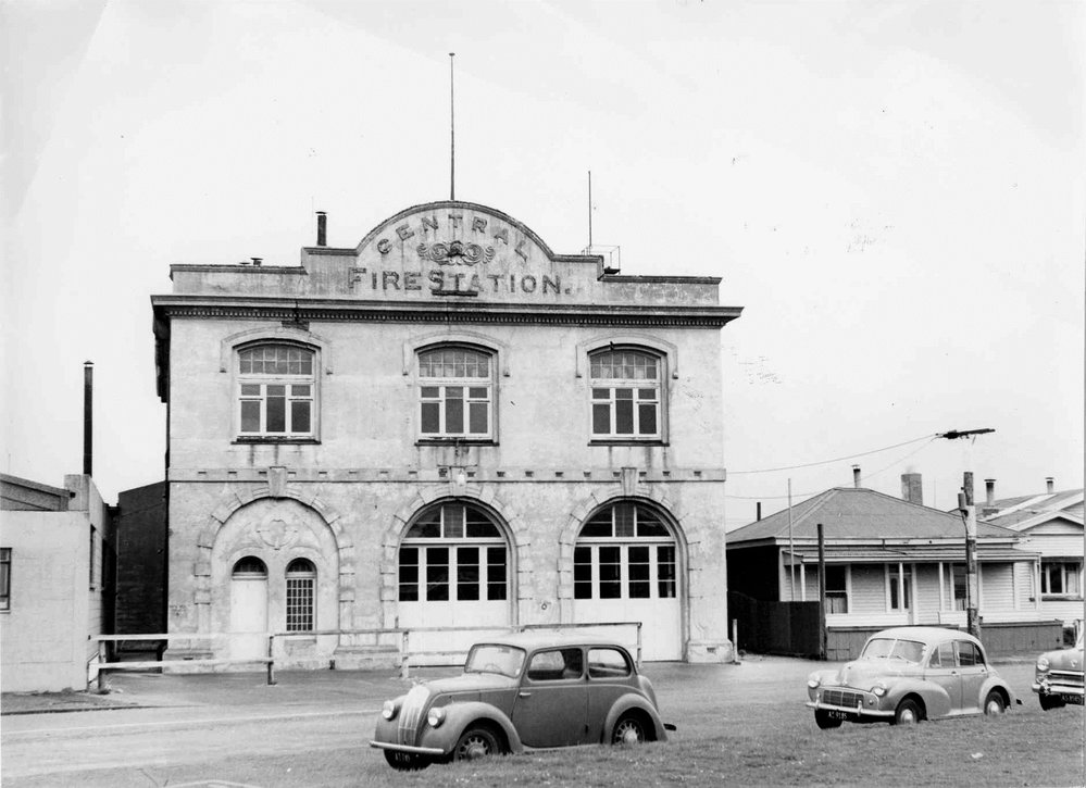


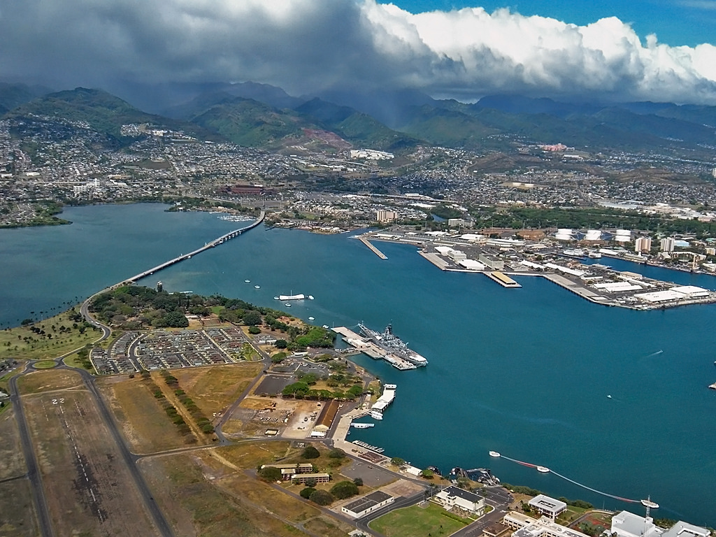
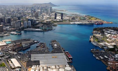

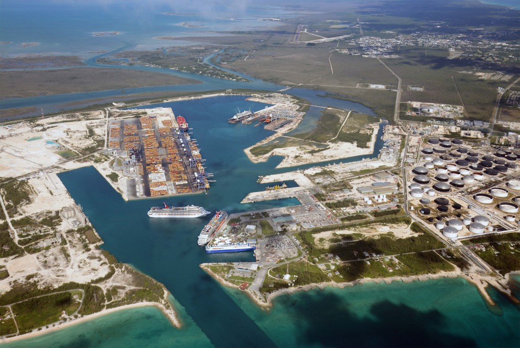
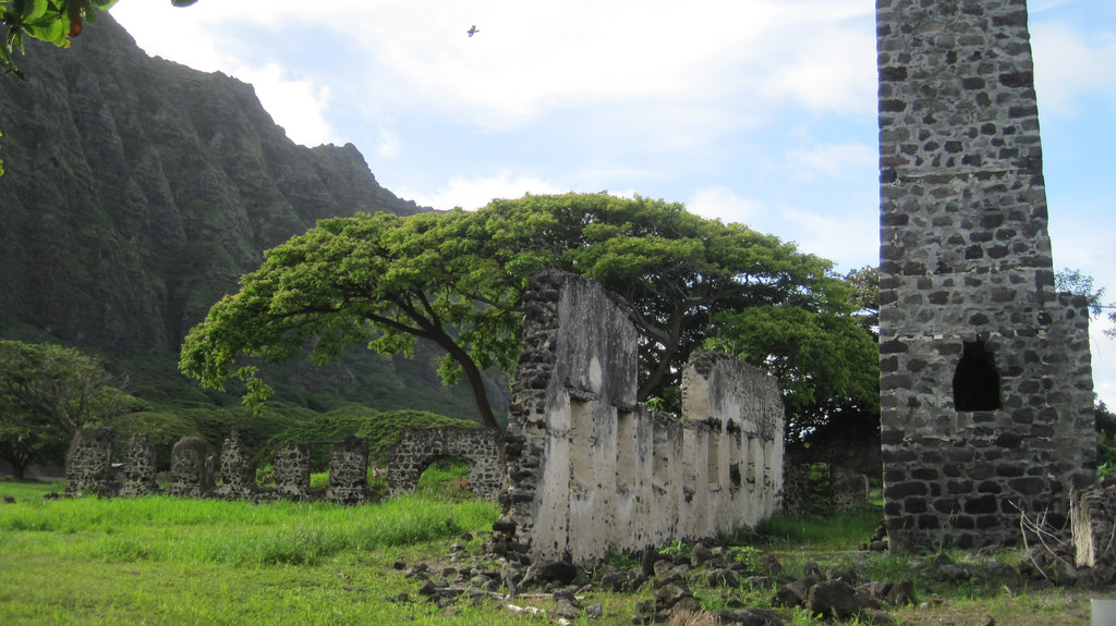


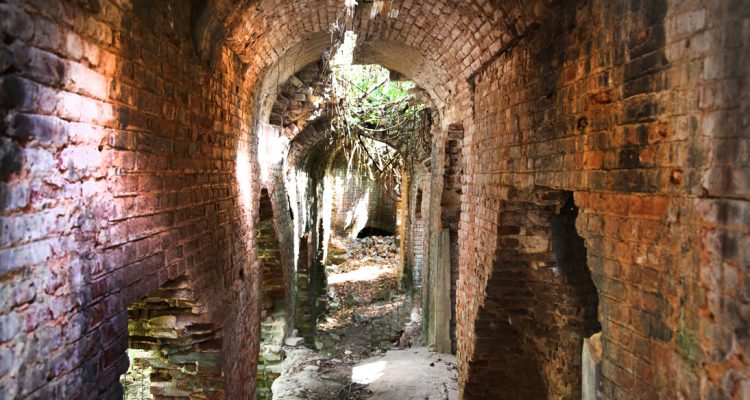


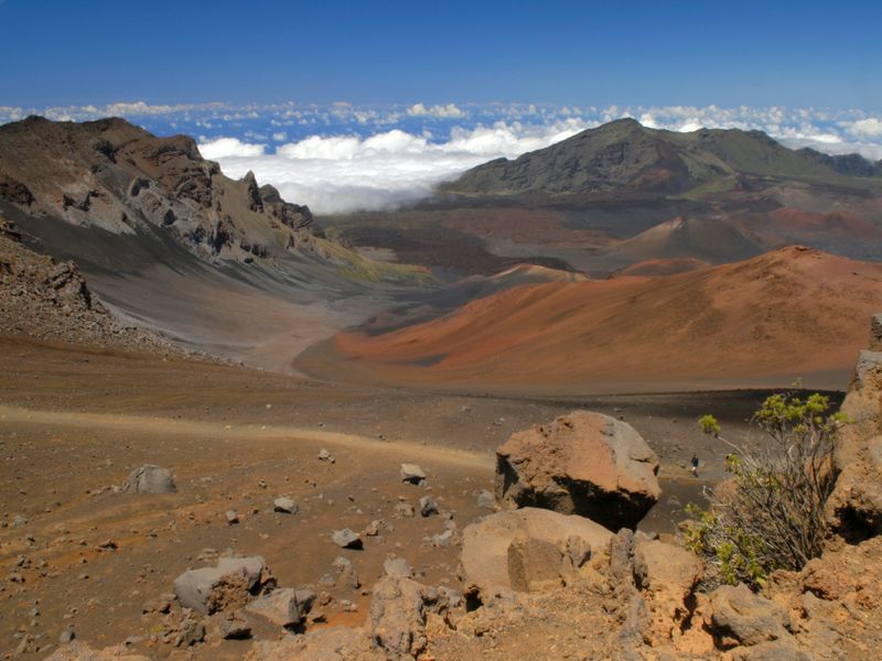
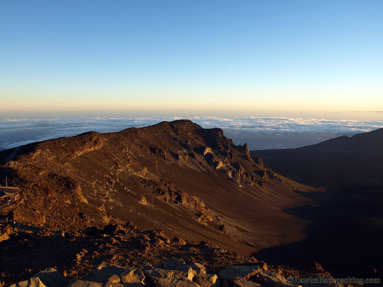

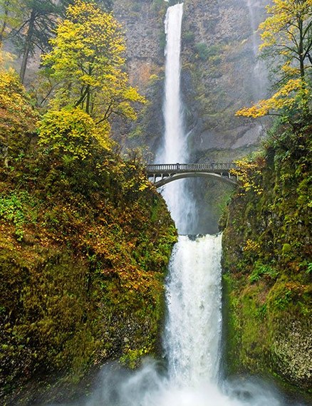
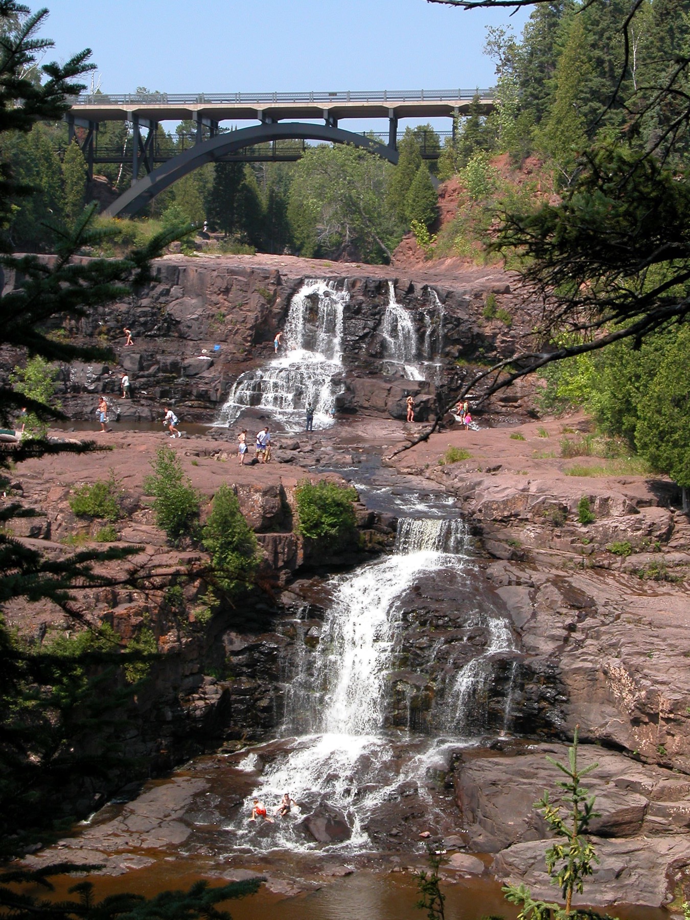
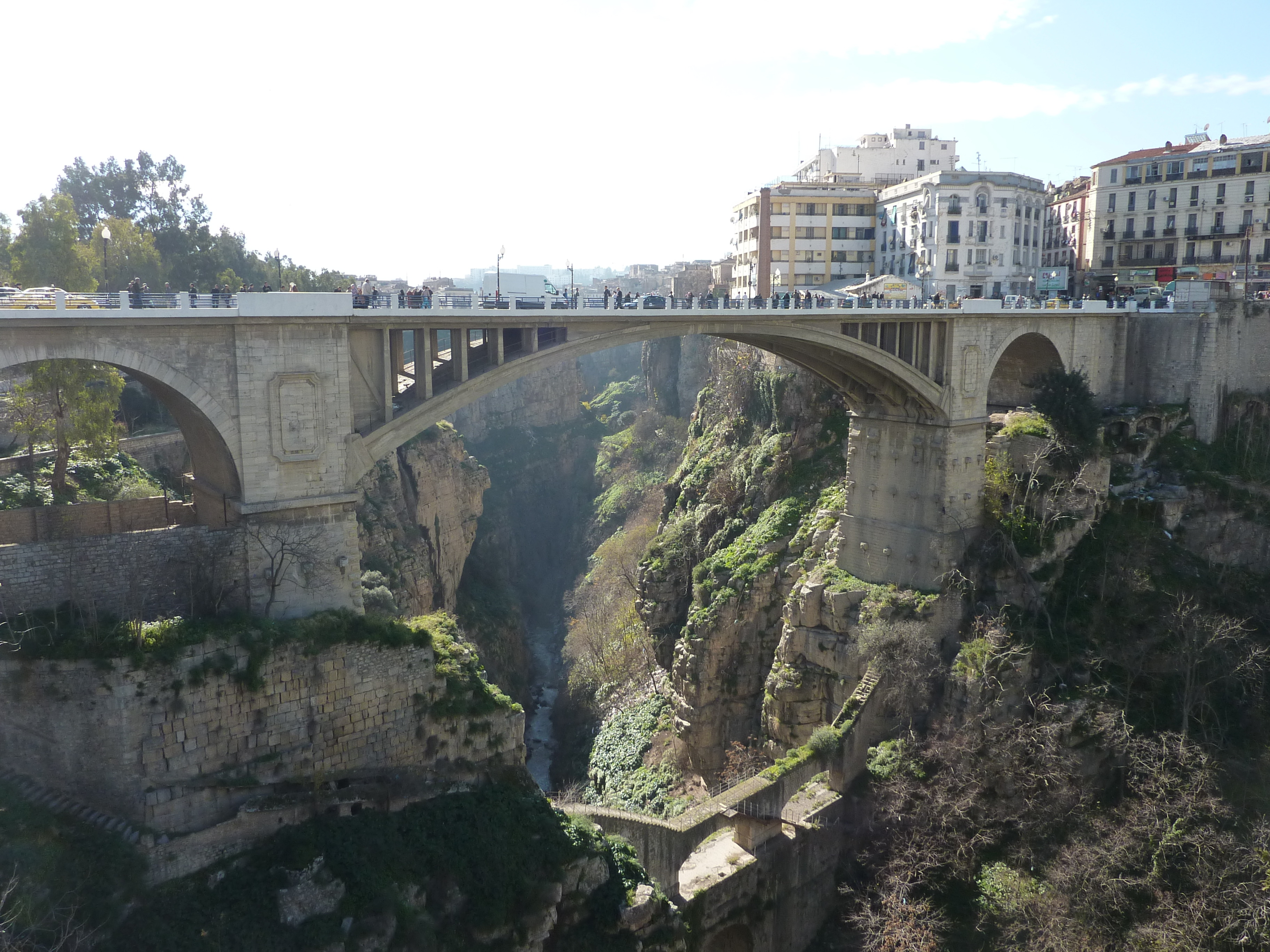

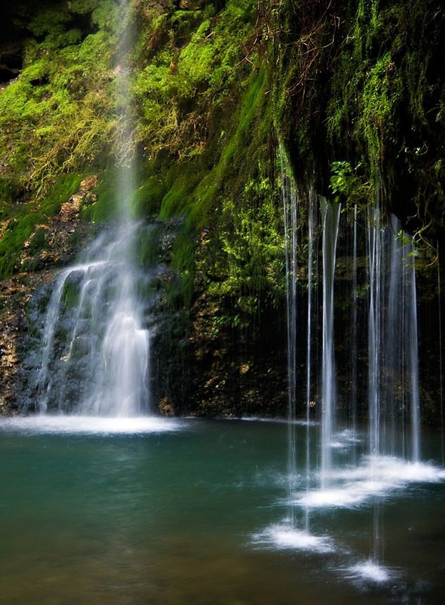

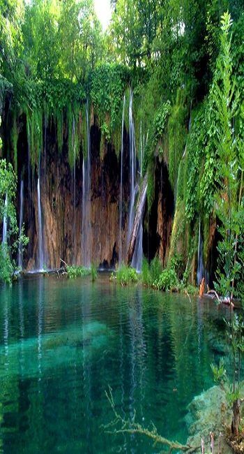
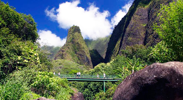


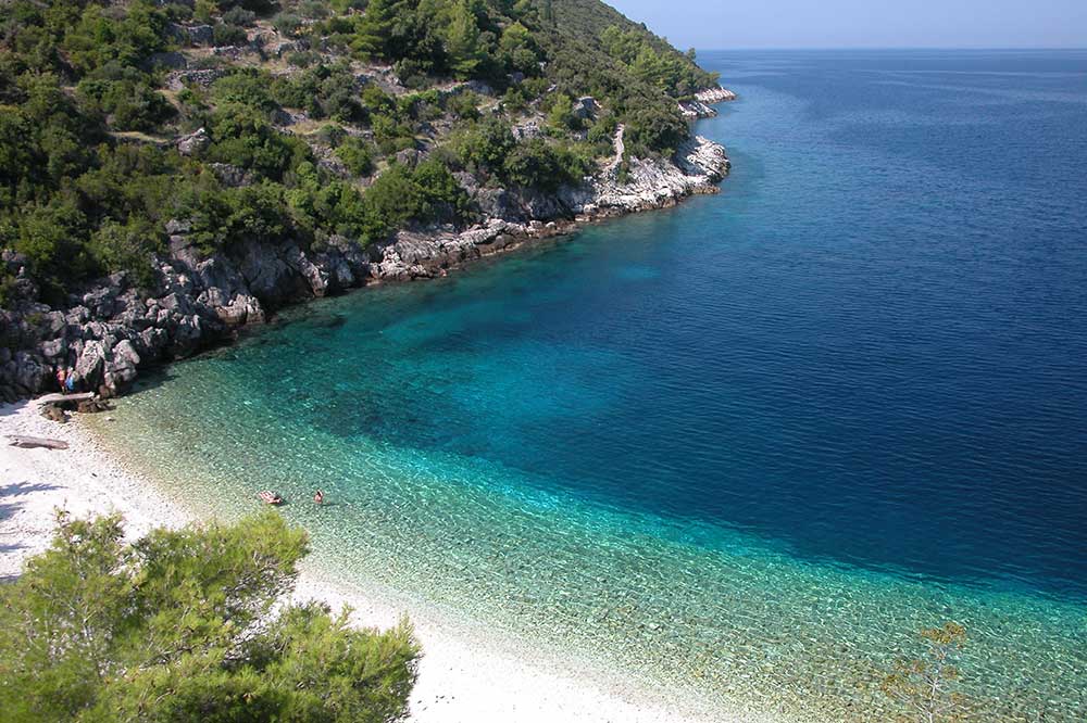


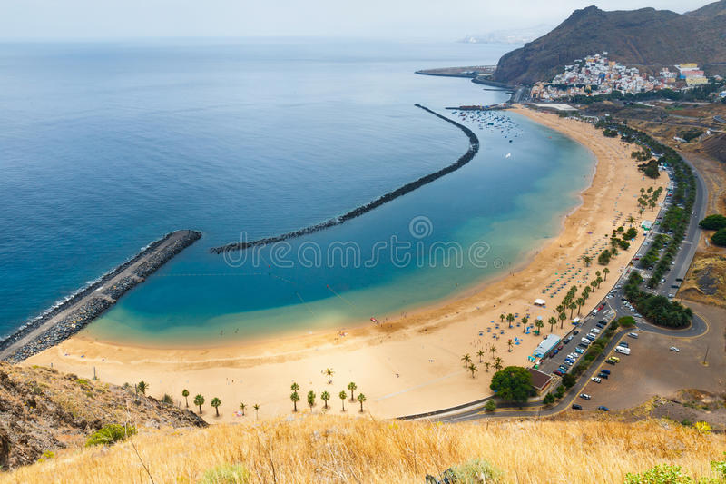

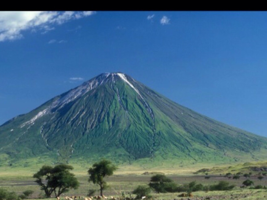

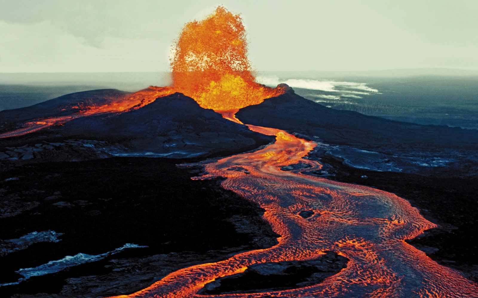

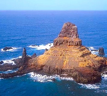
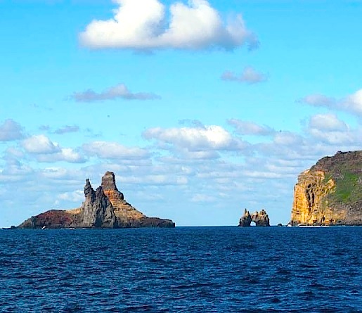


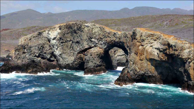


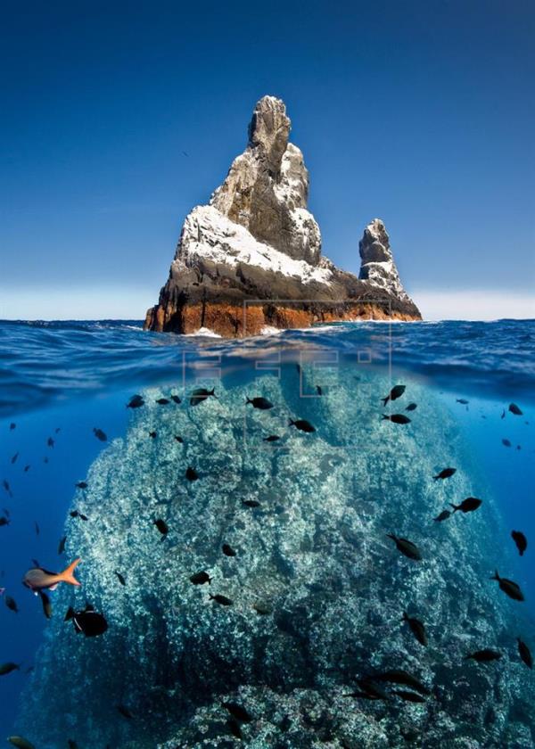
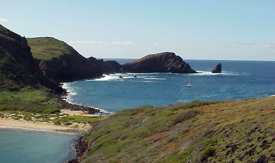


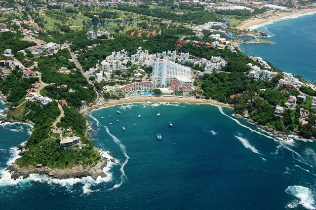


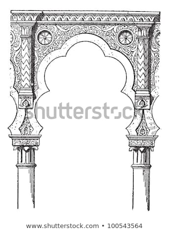

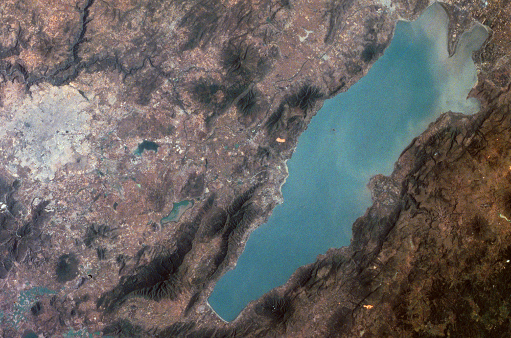

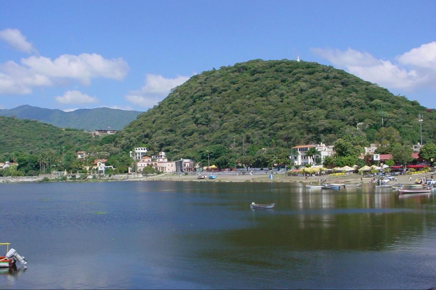

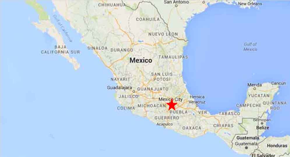


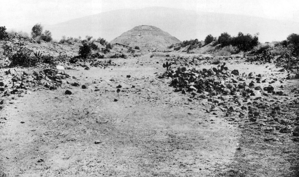
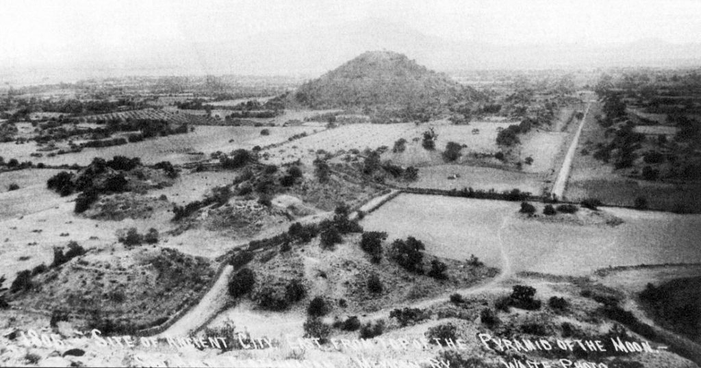


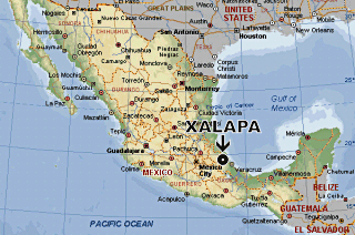


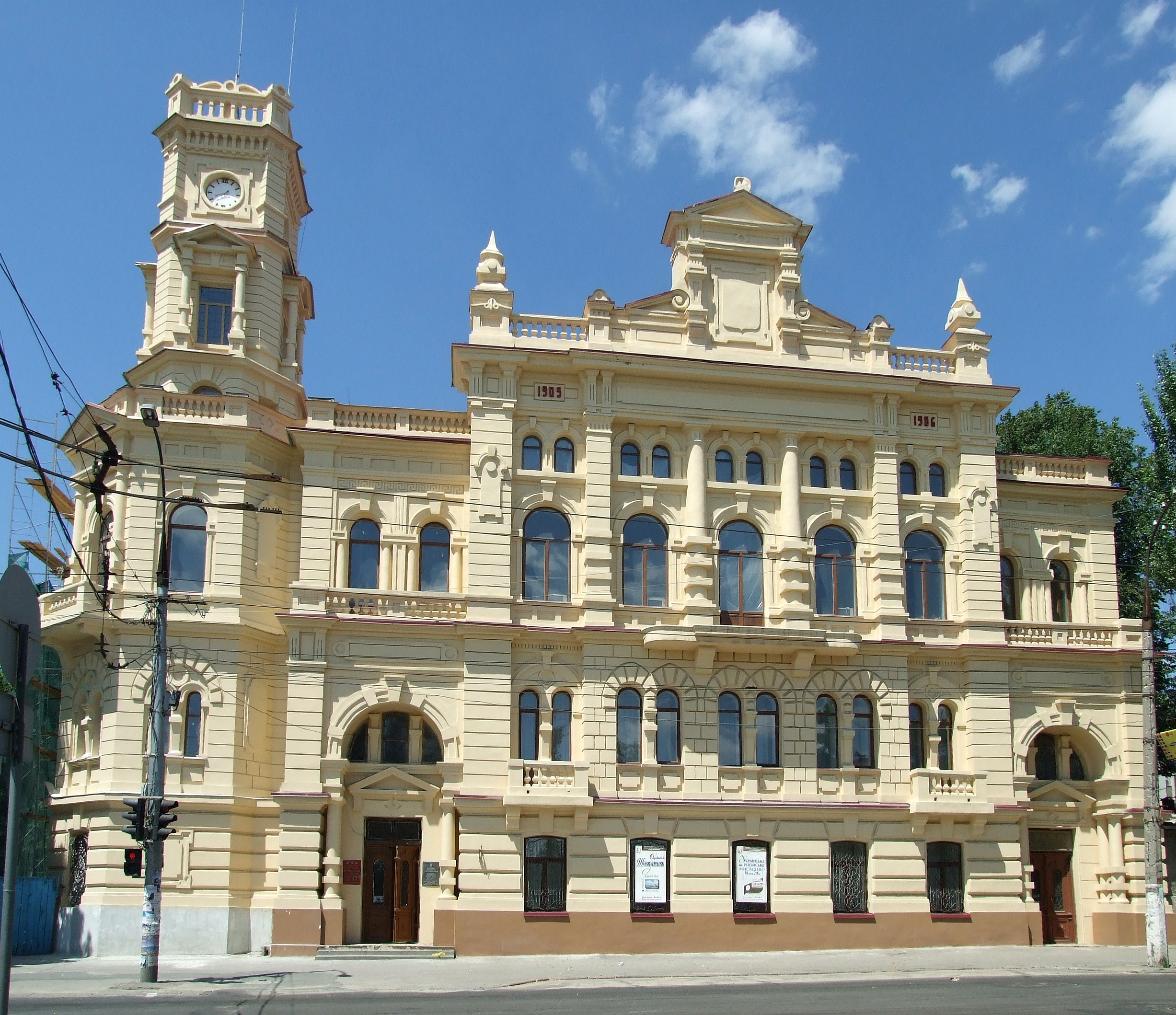

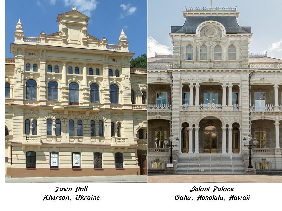
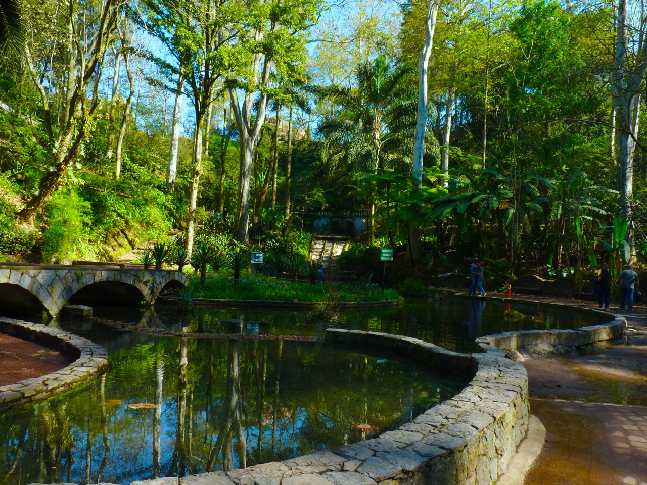


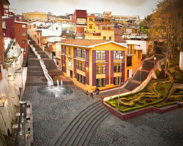


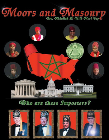

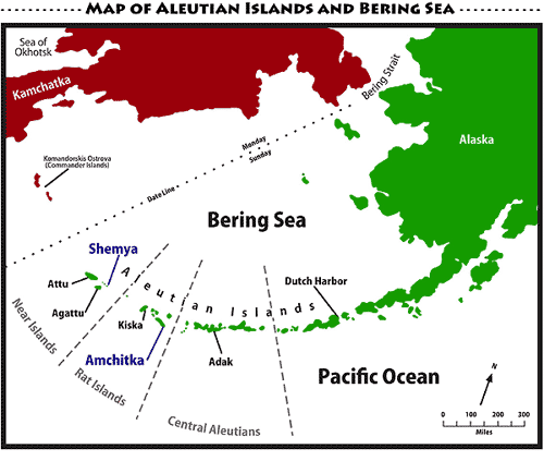
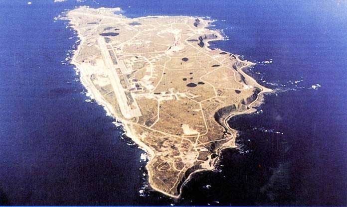

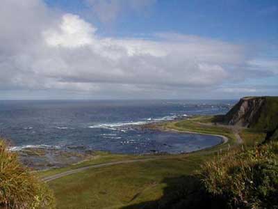
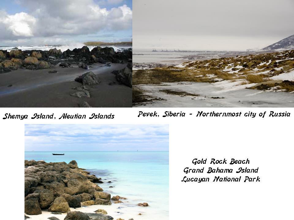


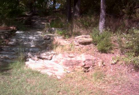


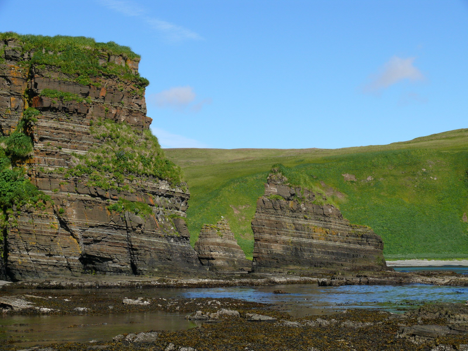
 Here is Hell’s Gate from another angle, showing more evidence that this is a built structure.


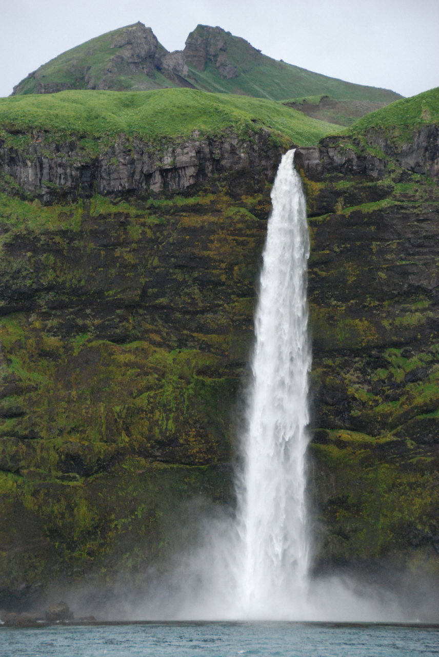
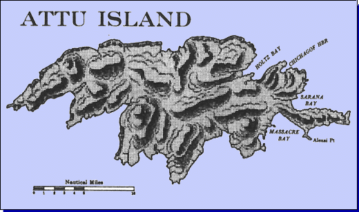

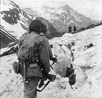



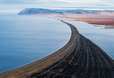
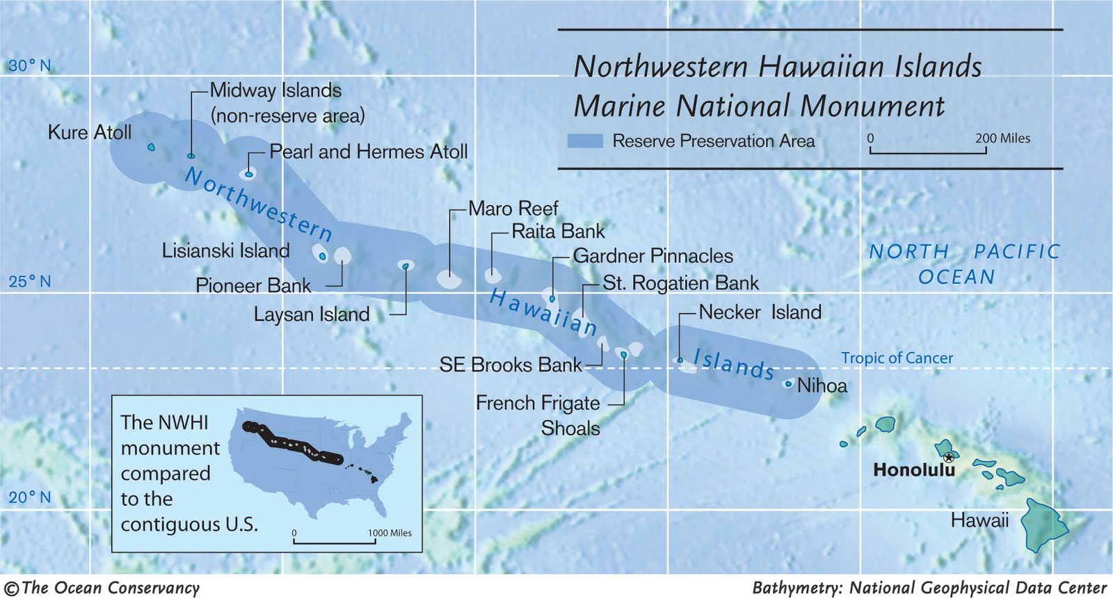
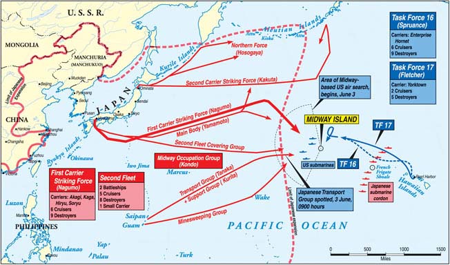
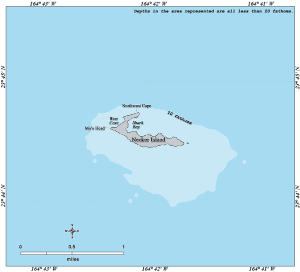

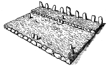
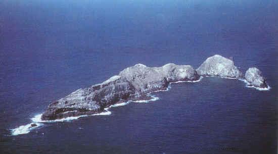


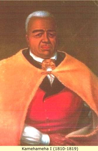

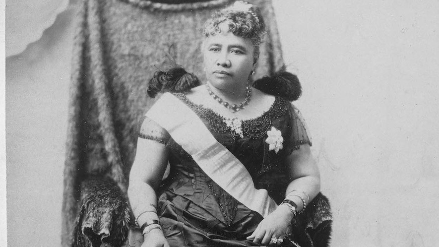

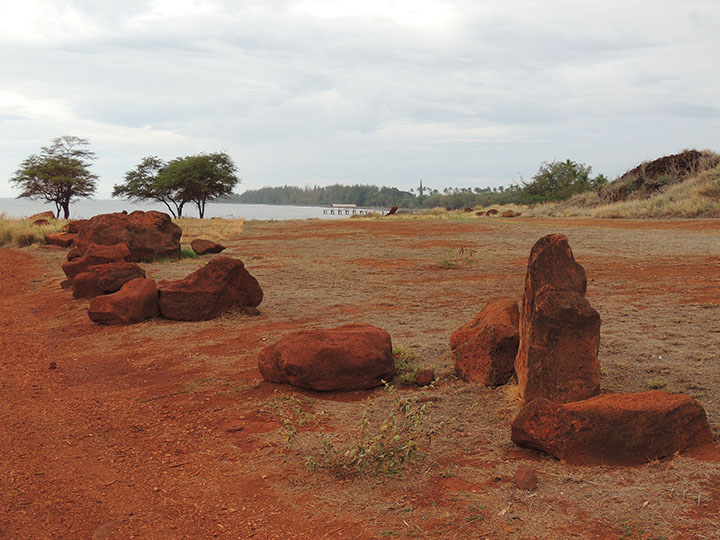

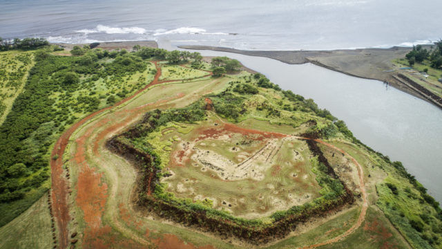

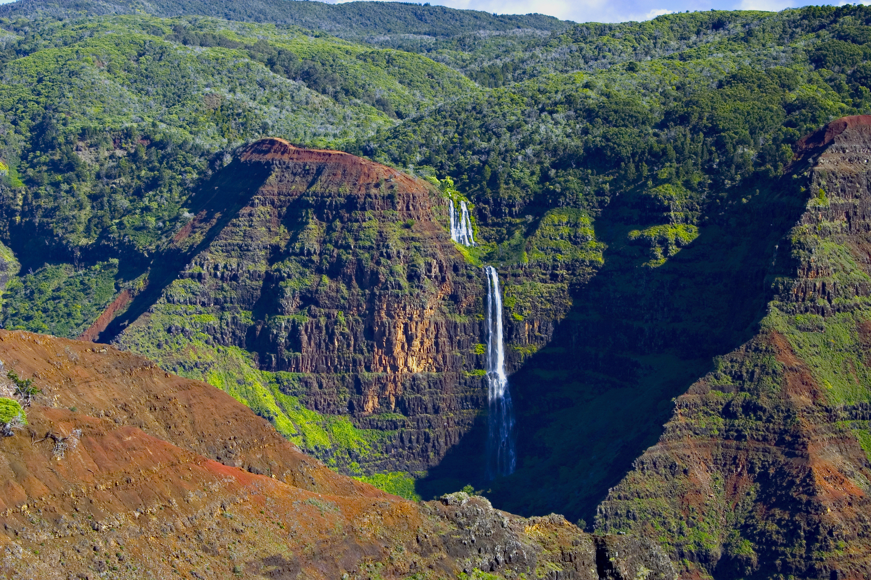

 Revealing What Has Been Hidden in Front of Our Eyes