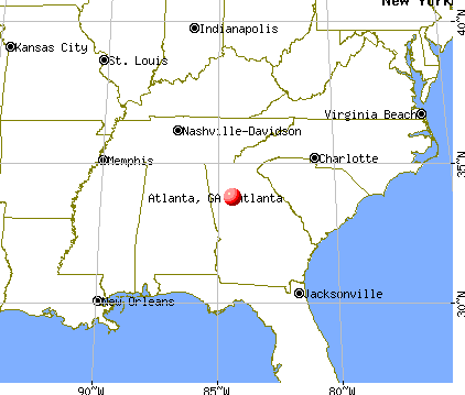
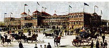
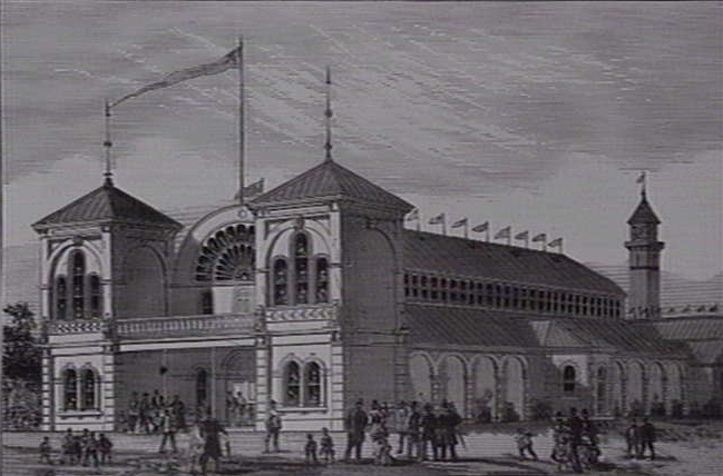
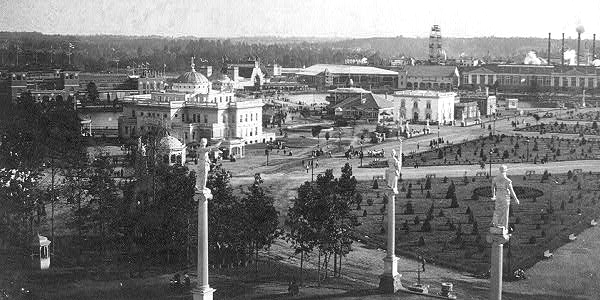
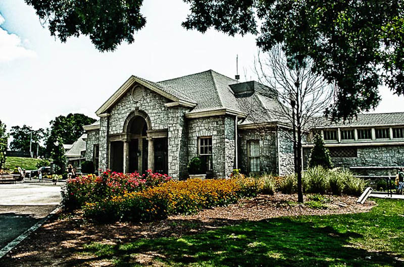
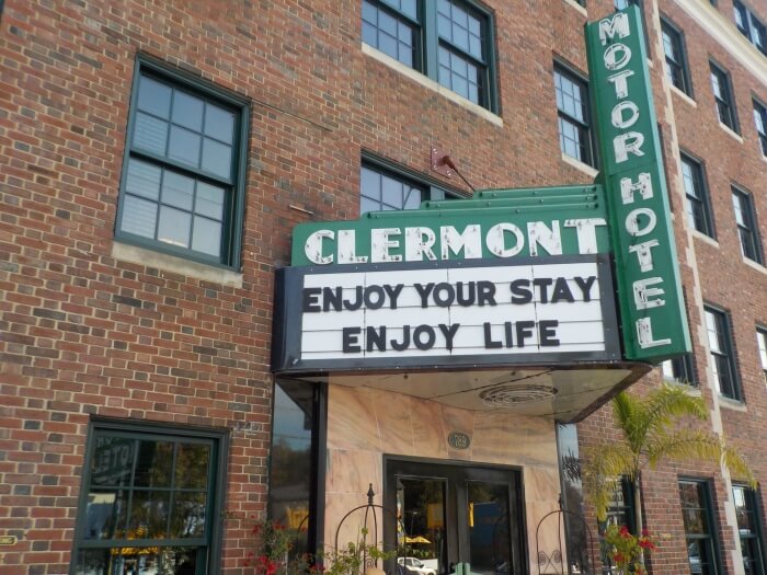
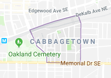
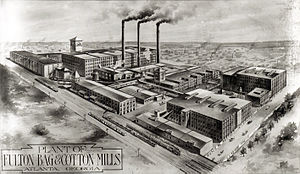
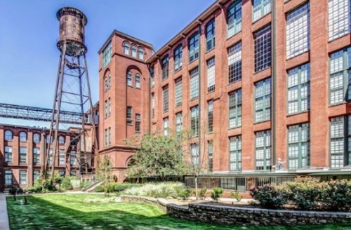
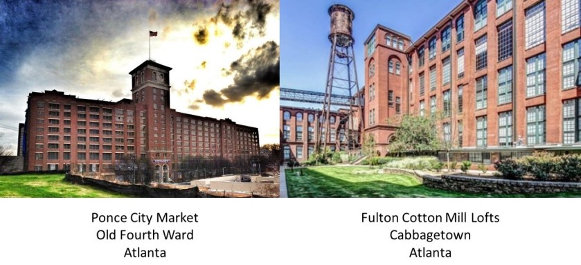
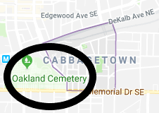
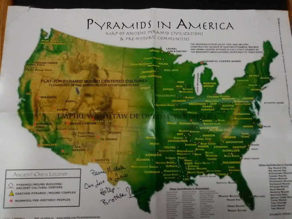
In the last post, I focused on the city of Atlanta, Georgia, and took a close look there at Druid Hills, Midtown Atlanta, Piedmont Park (called the Central Park of the South), the Old Fourth Ward, Cabbagetown, and the Oakland Cemetery.
I am picking up the alignment in Athens, officially Athens-Clarke County, is what is called a consolidated city-county and home to the flagship campus of the University of Georgia. It was said to have been named after Athens in Greece.
This took me to Athens, Greece, to look for comparisons.
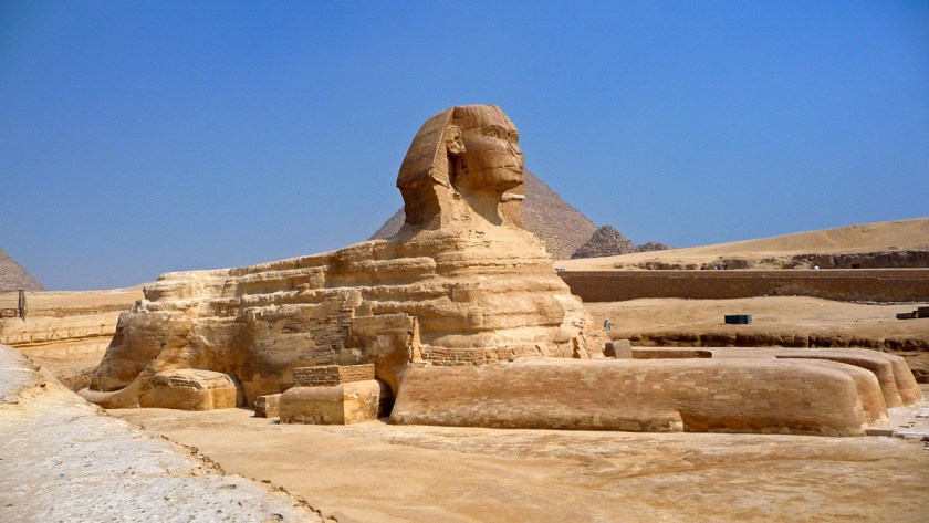
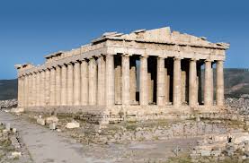
The most famous and recognizable symbol of Athens is the Parthenon. It was dedicated to the goddess Athena, whom the people of Athens considered their patron. It was said to have been completed in 432 BC.
By the way, in case you didn’t know, there is a Parthenon in Nashville, Tennessee, said to have been designed by Confederate veteran William Crawford Smith, and built in 1897 for the Tennessee Centennial Exposition that same year. One of Nashville’s nicknames is “Athens of the South.”

Back to Athens in Greece for a few more examples of the architecture there.
Here is the National Library of Greece in Athens, said to have been designed by the Danish architect Baron Theophil Freiherr von Hansen (I am not joking, that was his name) …
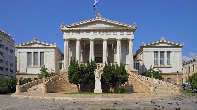
…as part of his famous trilogy of what are called neo-classical buildings including the Academy of Athens…
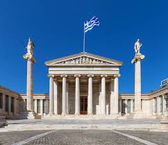
…and the University of Athens. These buildings were said to have been built in the 1800s. It’s interesting to note that even in Athens, Greece, more modern architects are being given the credit designing and building architecture in modern times with exactly the same characteristics as the ancient architecture all around it.
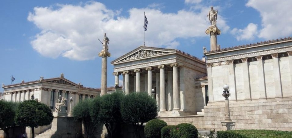
This was photograph of the trilogy at the beginning of the twentieth-century by Odysseas Fokas.
What’s wrong with this picture?
Here is the Temple of Hephaestus with construction starting in 449 BC. It is located in the Agora of Athens, which translates to mean an assembly of people, and by extension means the gathering place.

The modern Greek word Agora means marketplace.
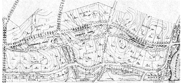
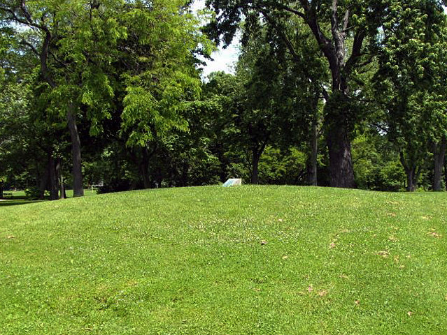
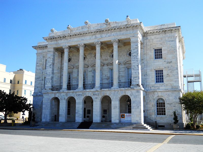
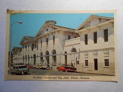
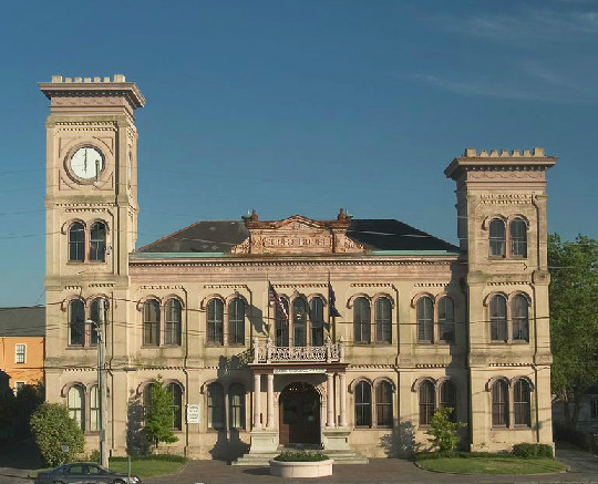
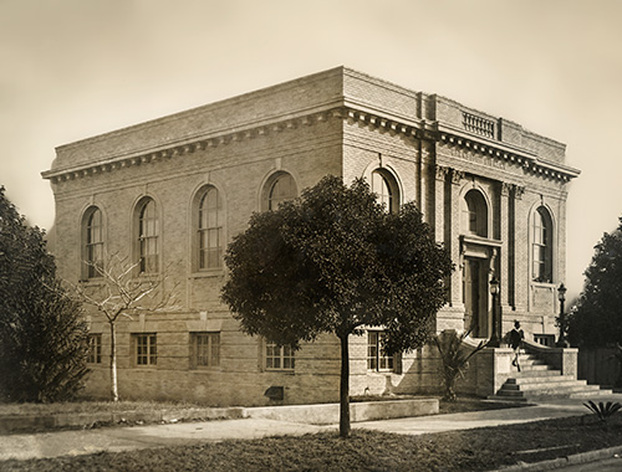
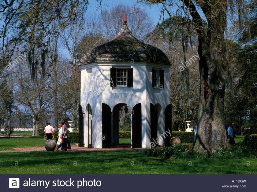
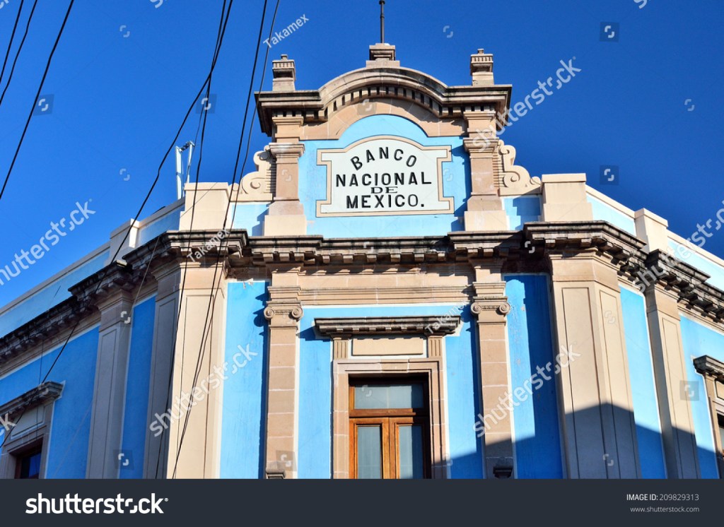
This is the City Hall on Market Street in Athens, Georgia, said to have been designed by Augusta architect L. F. Goodrich, and built by the contractor J. W. Barnett, with construction starting in 1903 and ending in 1904.
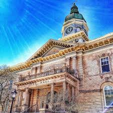
We are told it was built to also provide a market place where meat was sold on the ground floor; a jail; a political meeting place; and for theatrical performances. It has an auditorium that accommodates 300 people. Based on its stated multiple public uses, it sounds like a gathering place, just like the Agora of Athens, Georgia.
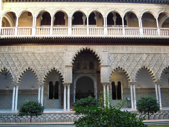
This is a picture of Syntagma Square, on Hermes Street, in Athens, Greece. The building in the background is the Old Royal Palace, said to have been completed in 1843.
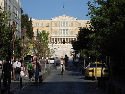
It has been home to the Greek Parliament since 1934.
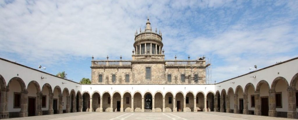
Just wanted to give you some examples for comparison before taking a look at the University of Georgia, the first state-supported university. Its charter was granted in by the Georgia General Assembly in 1785, and is considered the birthplace of public higher education in America.
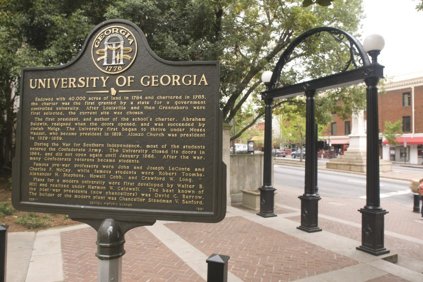
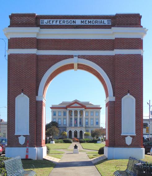
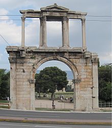
The Georgia Arch pictured here is said to have been modeled after the Georgia State Seal, featuring the three pillars of wisdom, justice, and moderation. It was said to have been forged at the Athens Foundry in 1857.
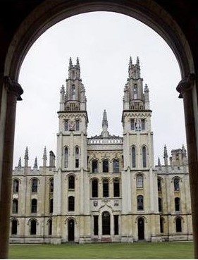
It reminds me somewhat of the Arch of Hadrian in Athens, Greece. Not sure if there is a connection, but you never know. It has been dated to 131 or 132 AD.
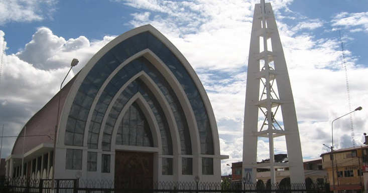
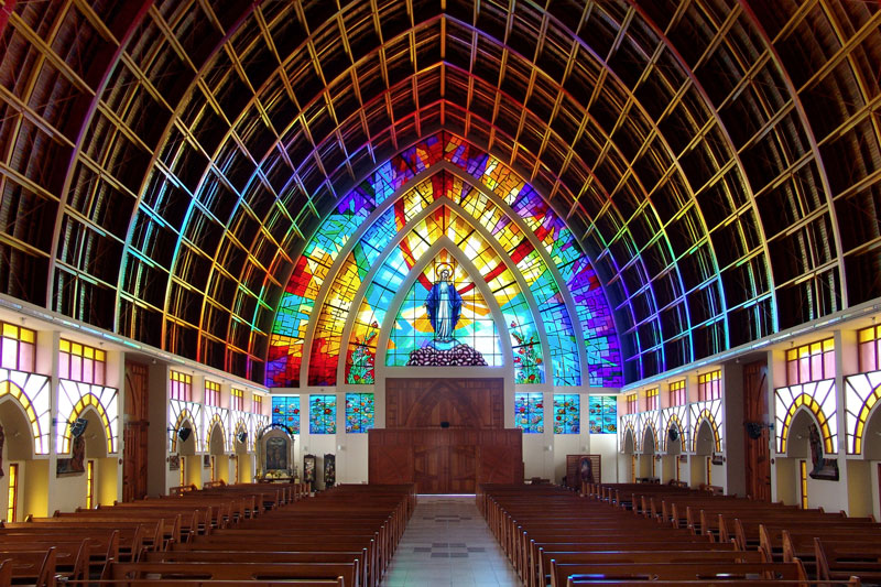
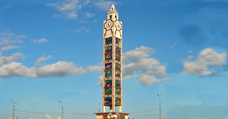
This is a picture of the Chapel on the University of Georgia campus, said to have been built in 1832…

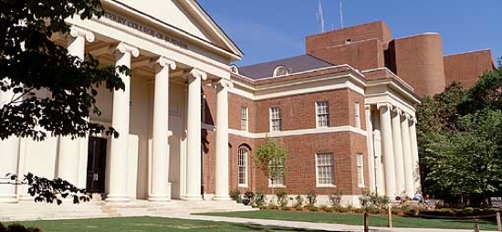
…the Terry College of Business in Brooks Hall in 1928…
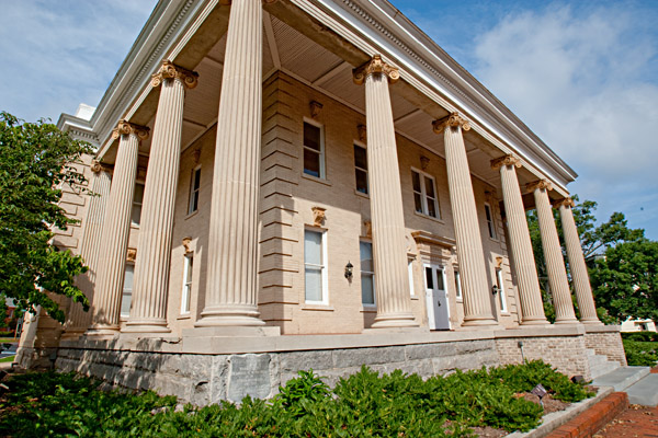
…the Health Sciences Building on campus, 1900…
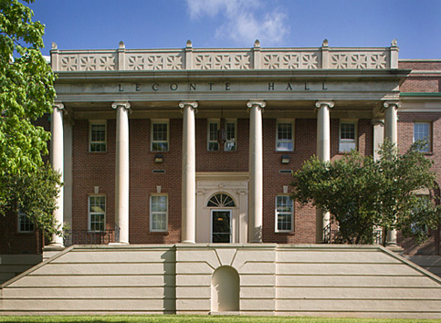
…Leconte Hall in 1905…
…and the Delta Sigma Phi Fraternity House. I can’t find a date for the building…
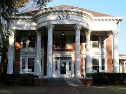
…but check out the banner I found for Delta Sigma Phi!

Is this random? I don’t believe so. The truth is hidden in plain sight.
How were monumental buildings like these built at the time we are told with the historical narrative we have been given? How?
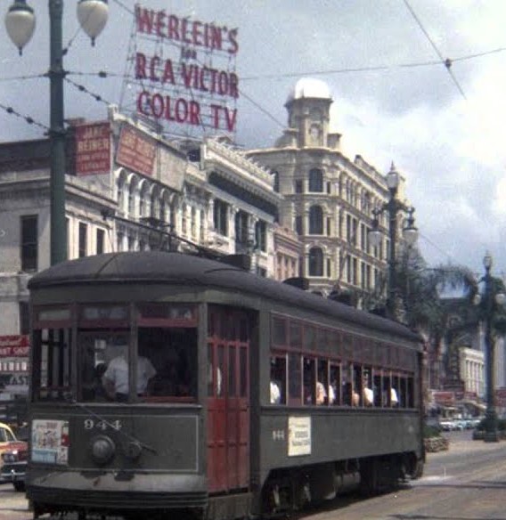
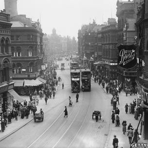
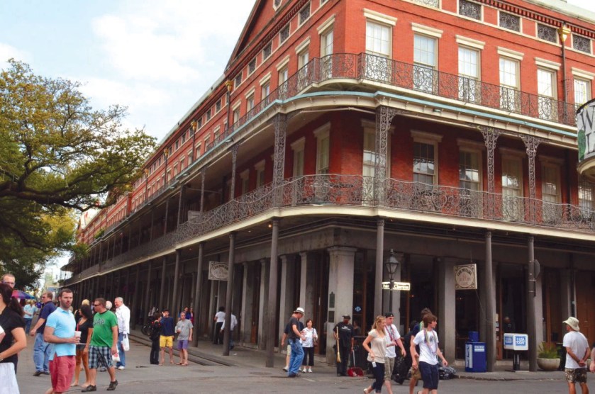
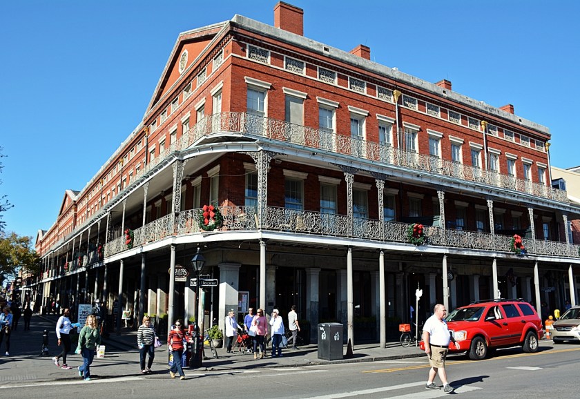
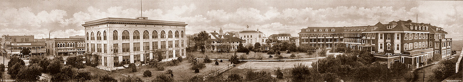
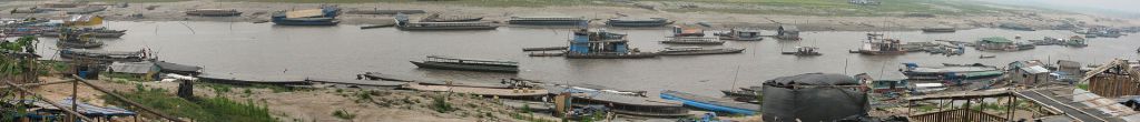
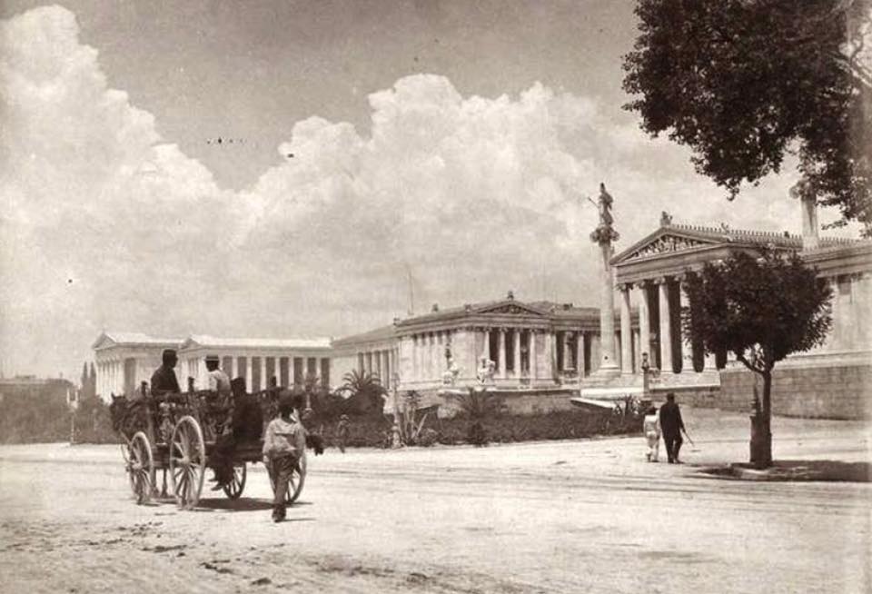
There are also old photographs like this one of Athens, Georgia, showing electric streetcars and horse-drawn carriages in the same image, as well as advanced architecture.
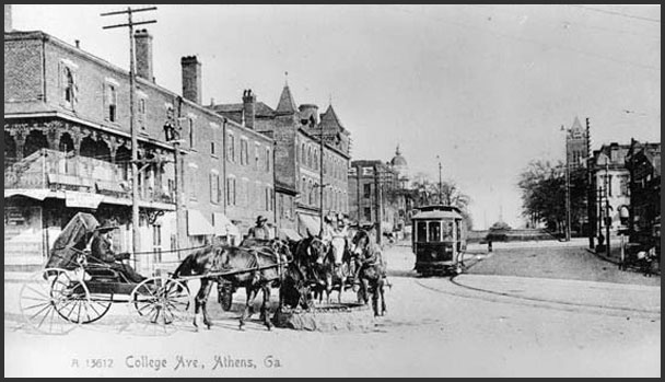
How do we reconcile having the technology to have an electric streetcar system and at the same time be dependent on the horse for propulsion?
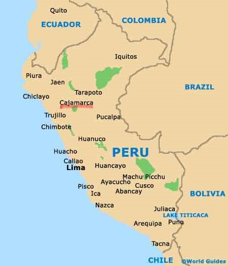
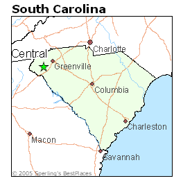
Next on the alignment is Central, a town in Pickens County, South Carolina, that was founded by the Atlanta and Richmond Air Line Railway in 1873.
It was called Central because it was mid-way between Atlanta, Georgia, and Charlotte, North Carolina.
This Railway went broke the following year, and was re-organized into the Atlanta and Charlotte Airline Railway…
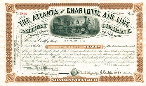
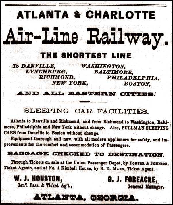
…and later became part of the Southern Railway.
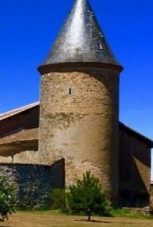
This was Central High School in Central, South Carolina, and said to have been built in 1908.
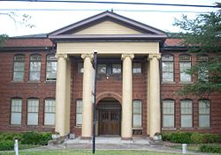
The building is currently being used for residential living.
Next on the alignment is Greenville, is the largest city in Greenville County, South Carolina, and its county seat.
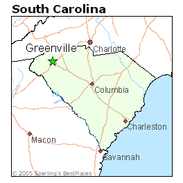
It is 145-miles, or 233 kilometers from Atlanta in Georgia, and 100-miles, or 160-kilometers, from Charlotte, and the same distance from Charlotte in a southeast direction to Columbia, the capital of South Carolina.
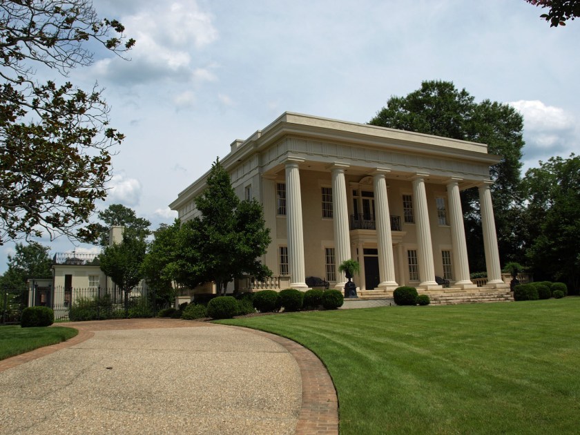
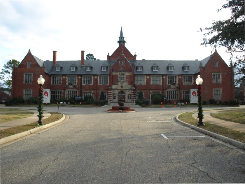
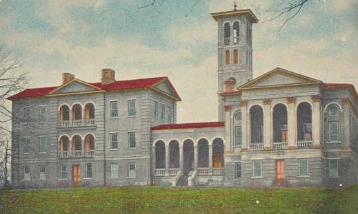
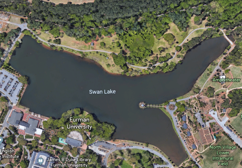
This is the old campus of Furman University, the oldest private institution of higher learning in South Carolina. It was located in the West End Historic District.
The Bell Tower of Furman University is a symbol of the University. Note the block-shaped rocks in the foreground.
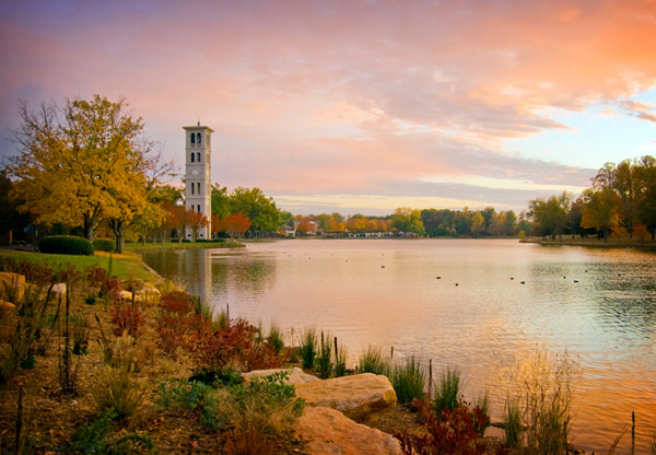
The Bell Tower is on the interestingly-shaped Swan Lake, with all of its straight-edges.
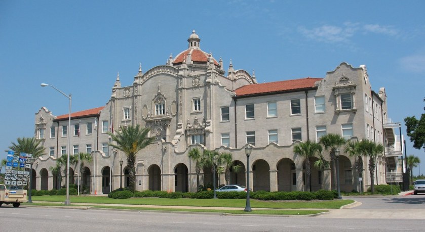
The groundbreaking for the Poinsett Hotel in downtown Greenville was said to have been in 1924, and it opened in 1925.
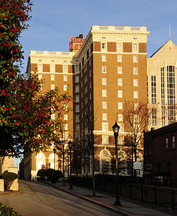
It was said to have been built to accommodate visitors for the Southern Textile Exposition, which was held in Greenville from 1915 to 2004 due to its status as the “Textile Center of the South.”
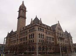
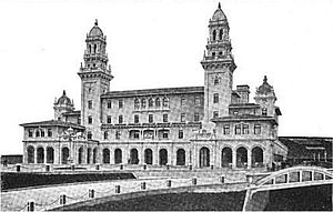
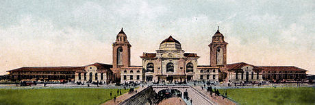
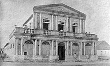
This was the Greenville City Hall, Court House, and Post Office, said to have been built in 1889 in the Richardsonian Romanesque style, and to be one of the best pieces of period architecture in the region.
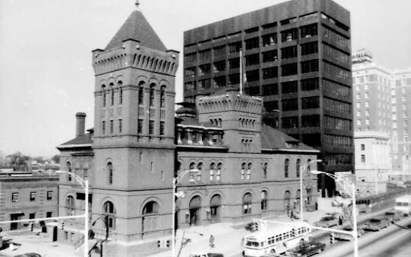
It was demolished for some reason in the early 1970s.
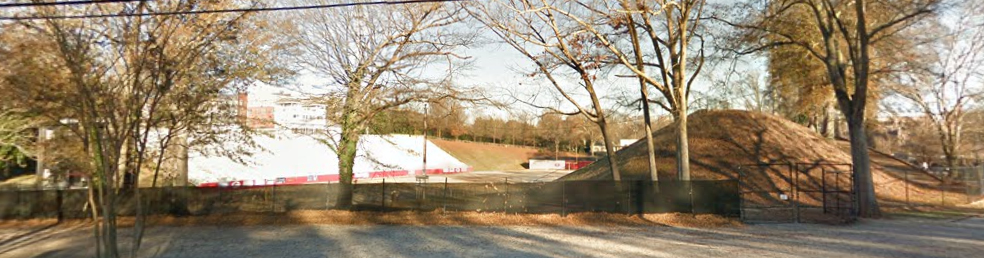
This is Sirrine Stadium in downtown Greenville.
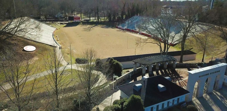
It is definitely situated on a mound.
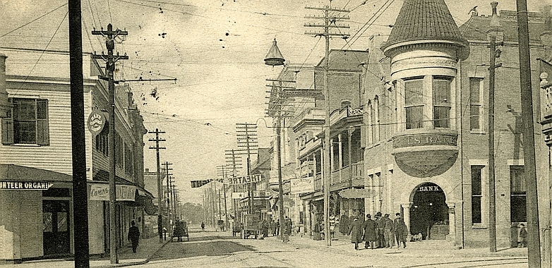
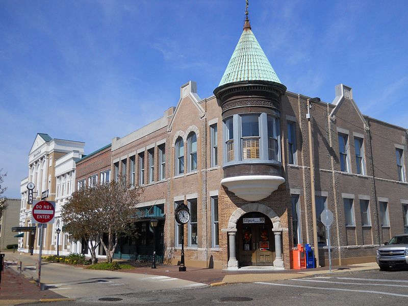
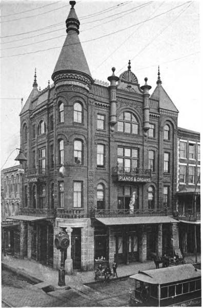
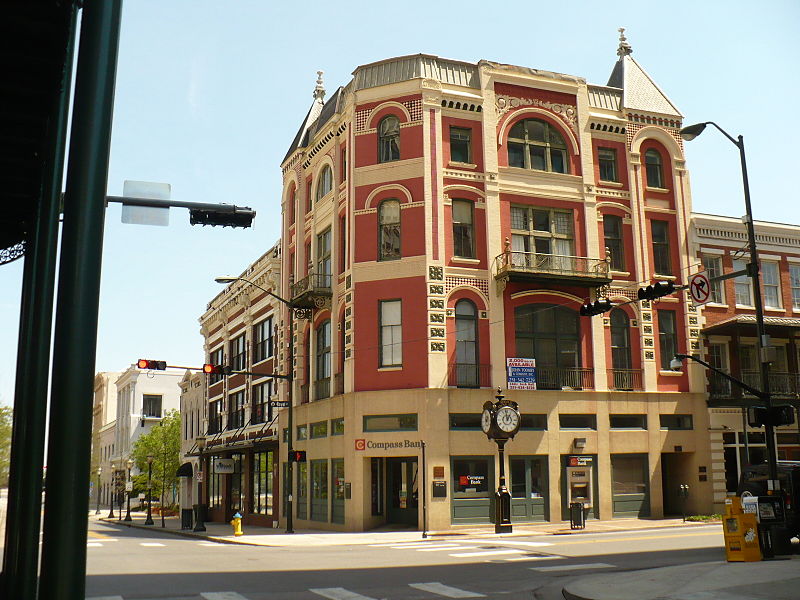
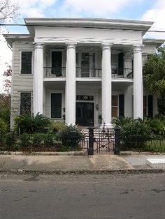
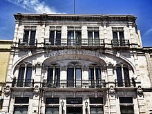
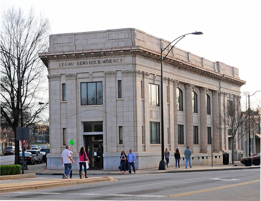
Here is one heck of a building on South Main Street in the West End Historic District of Greenville, said to have been constructed in 1890 as the American Bank.
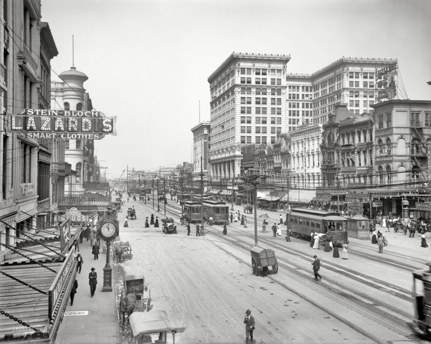
I find it interesting that in this picture of Greenville’s Main Street in 1910 was either unpaved or dirt-covered.
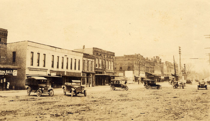
Yet they are building monumental architecture like the American Bank in the late 1800s?
I am going to end this post here, and pick up the alignment in Charlotte, North Carolina in the next post.