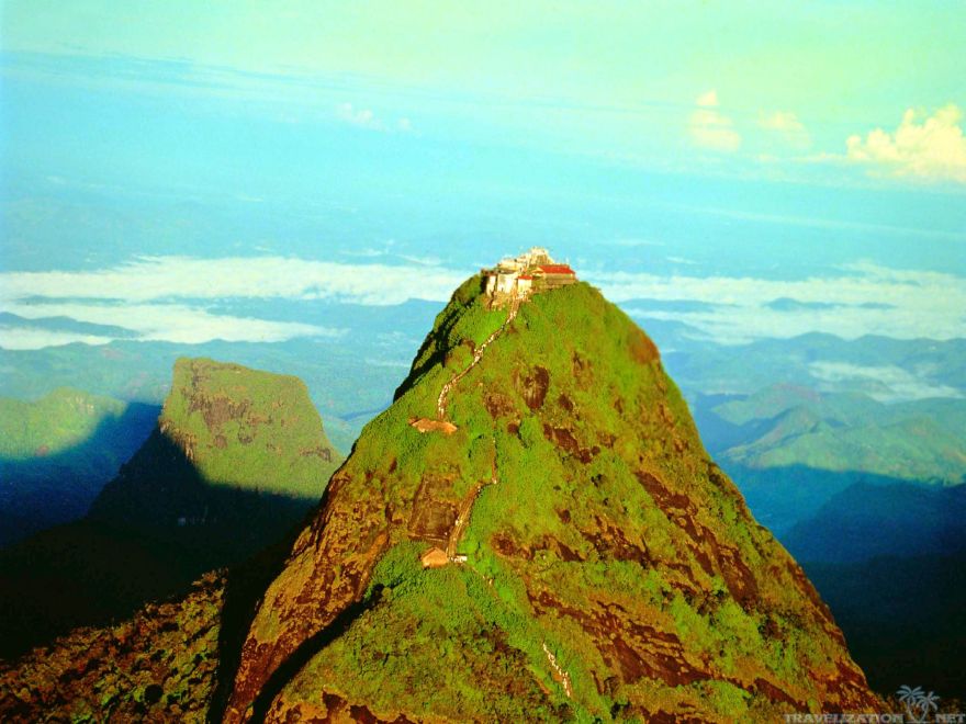
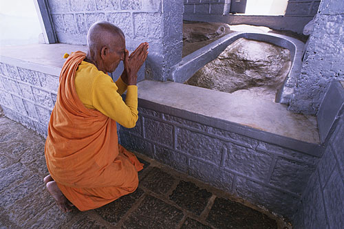
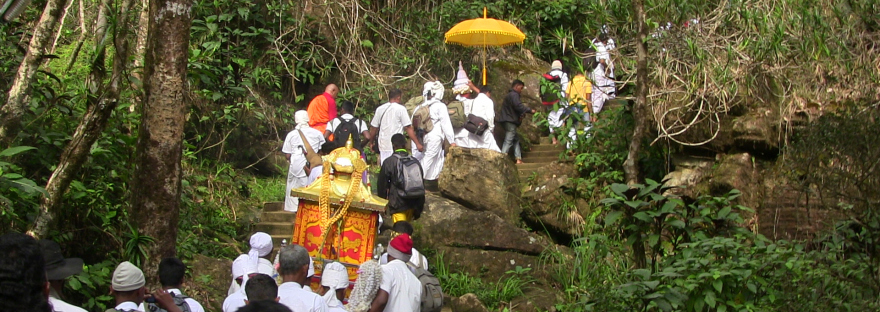
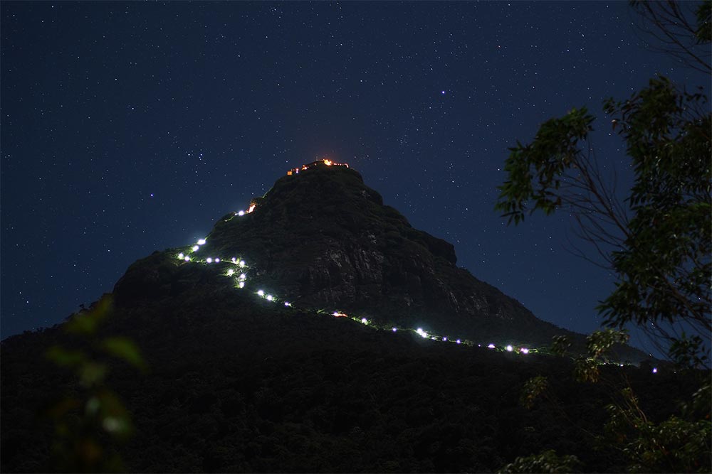
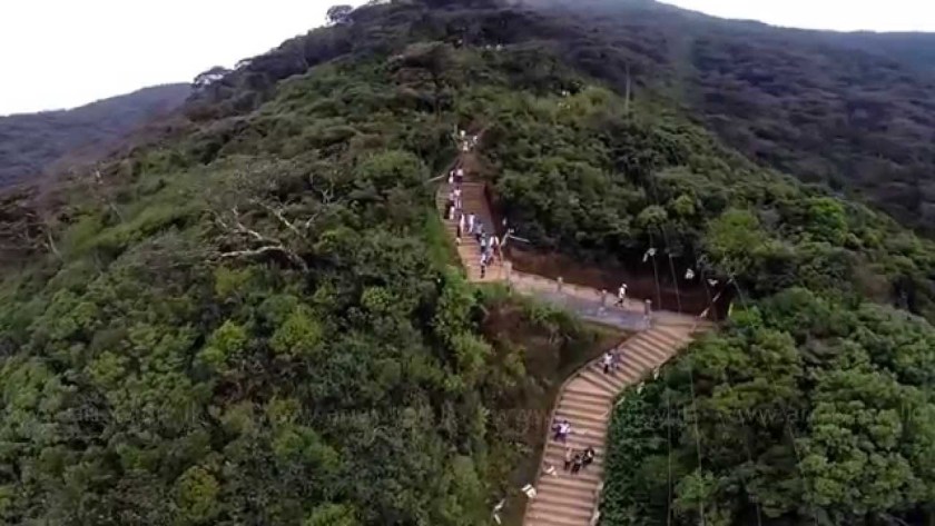
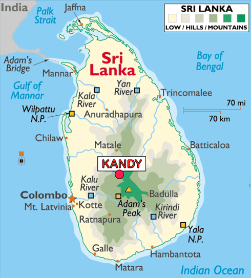
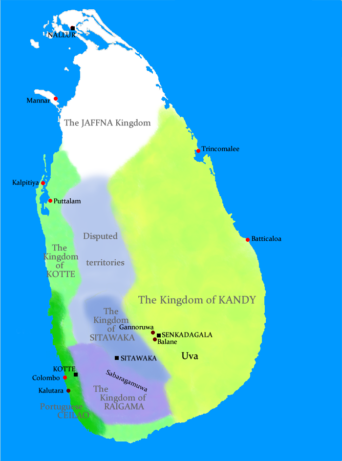
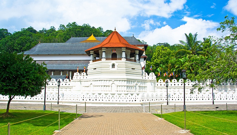
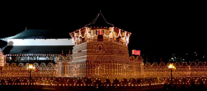
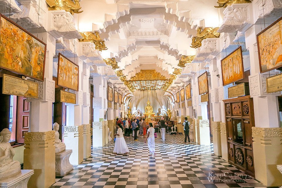
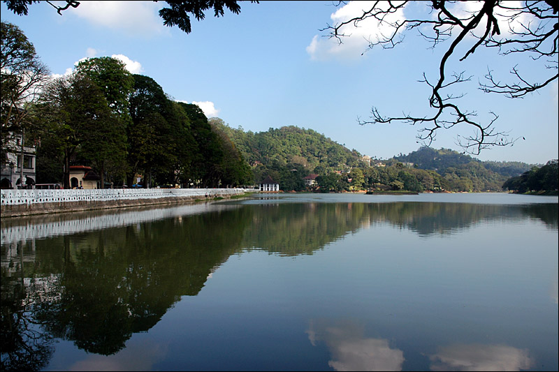
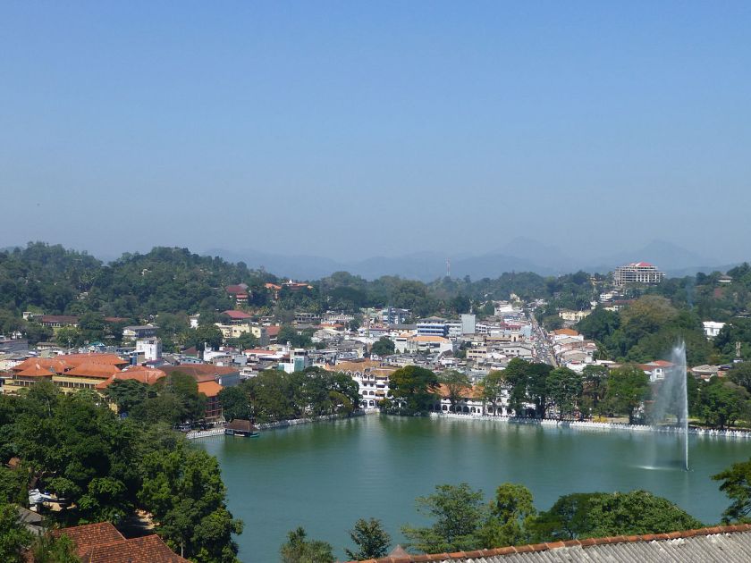
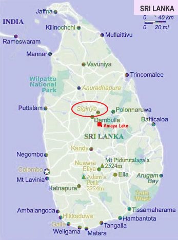
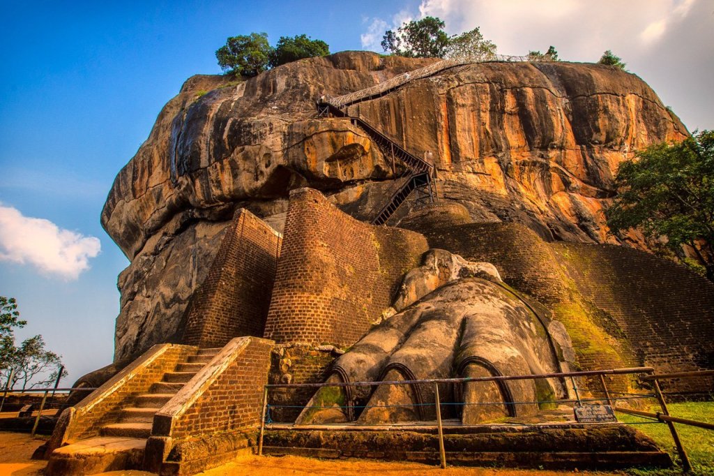
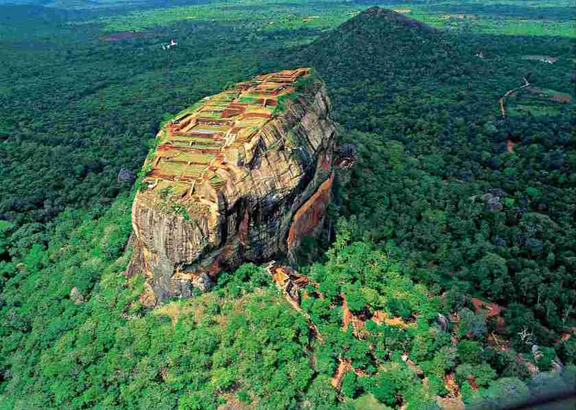
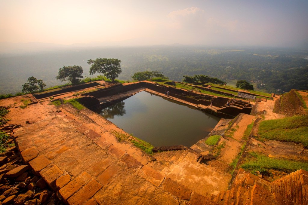
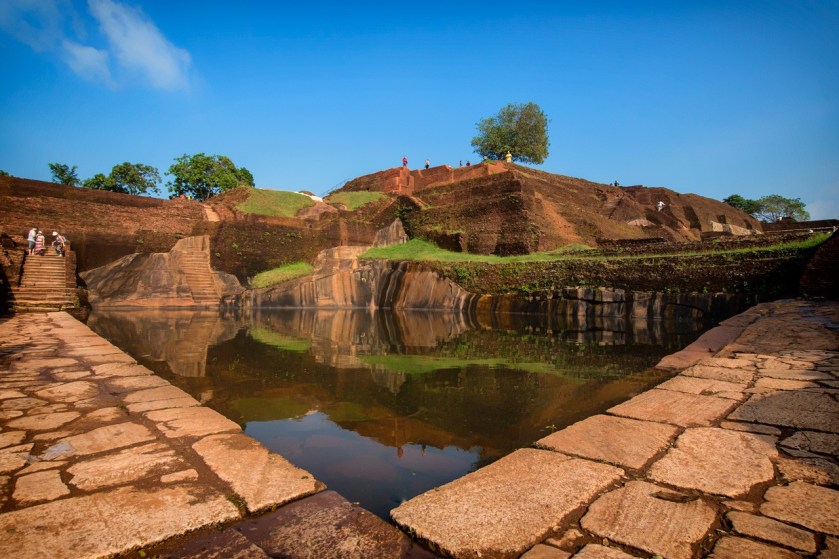
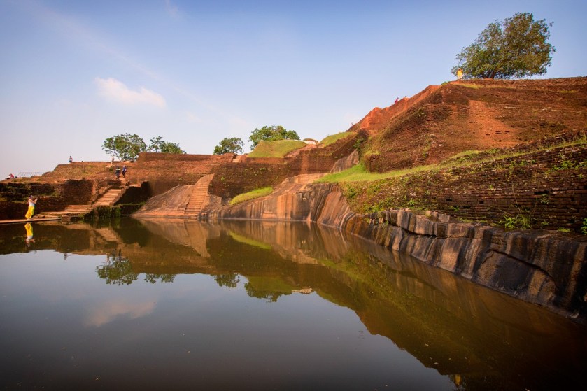
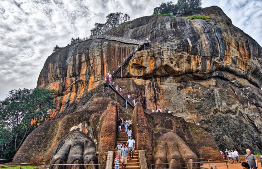
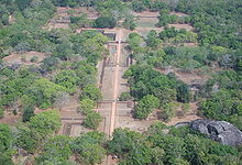
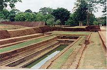
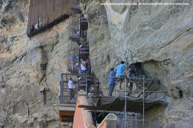
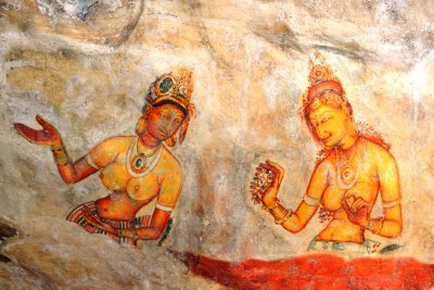
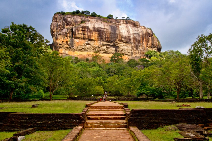
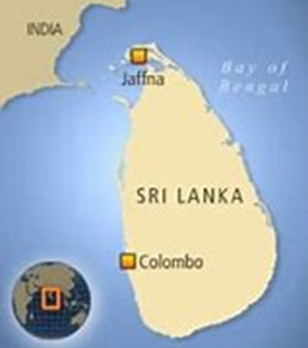
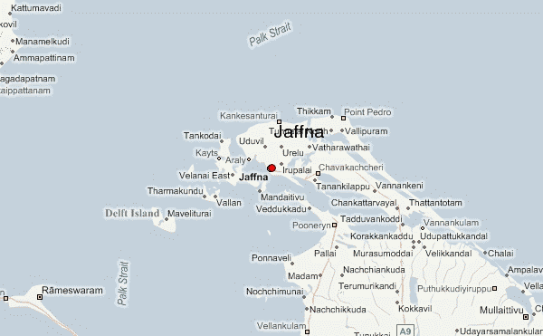
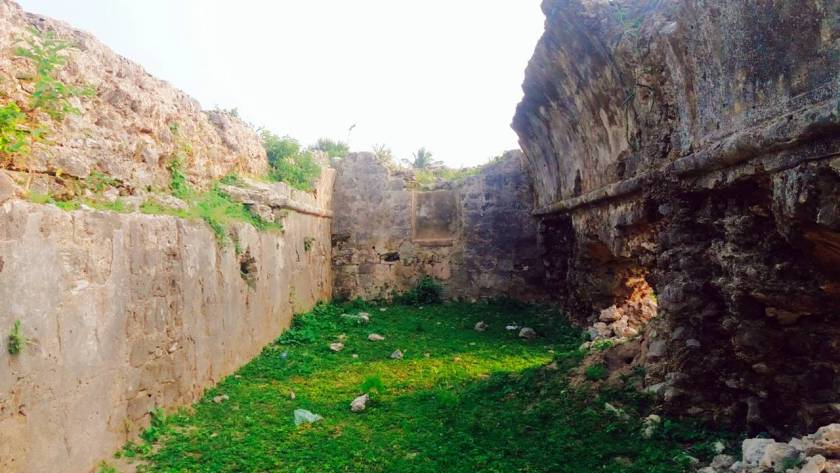
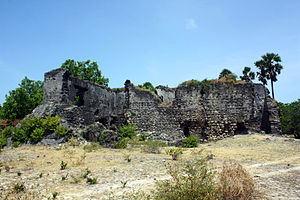
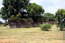
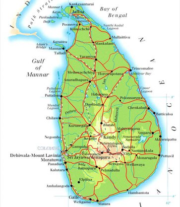
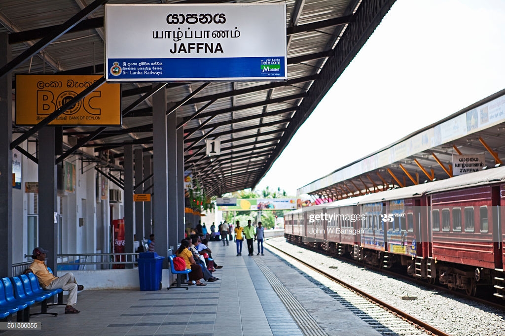
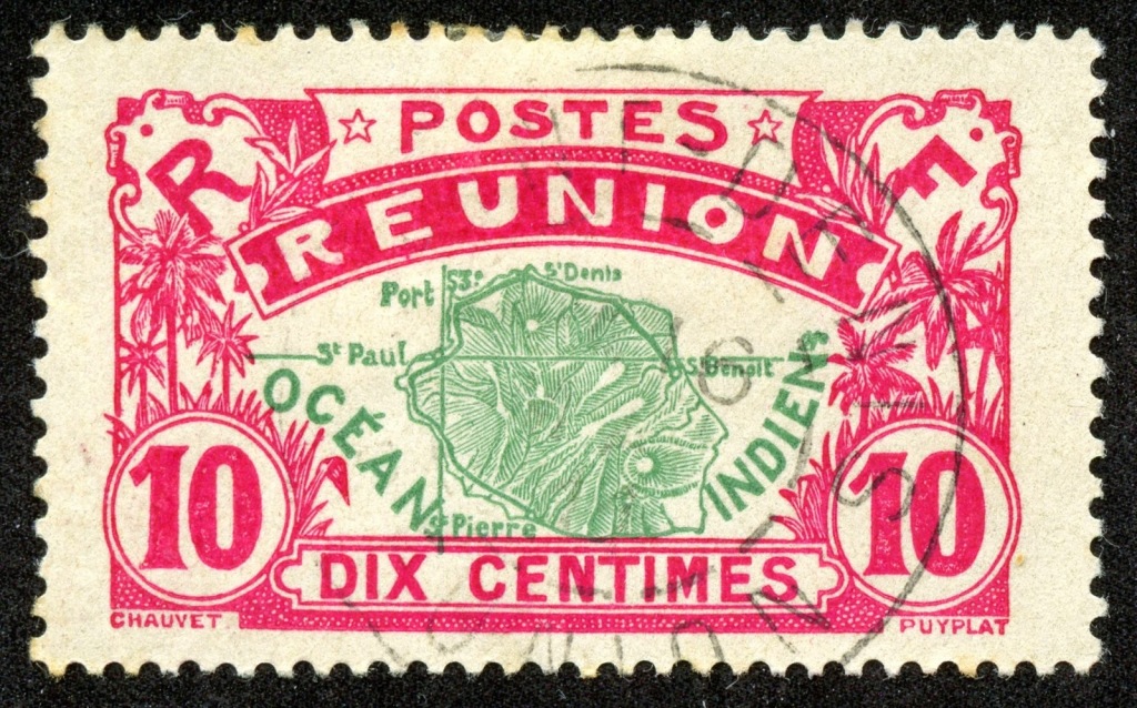
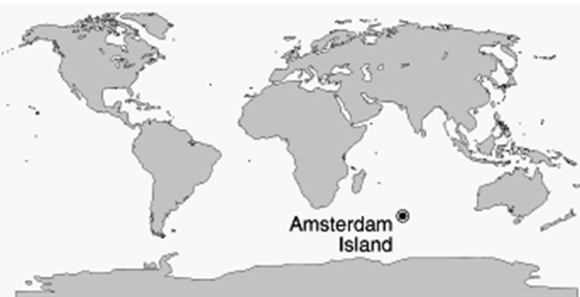
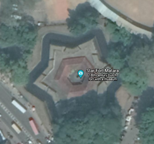
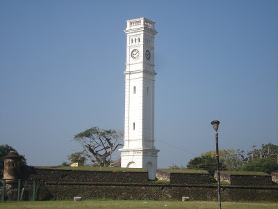
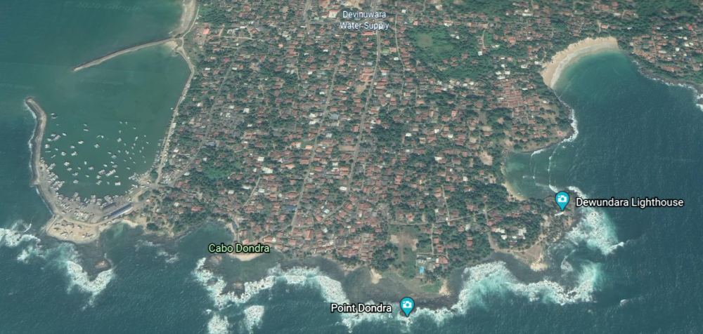
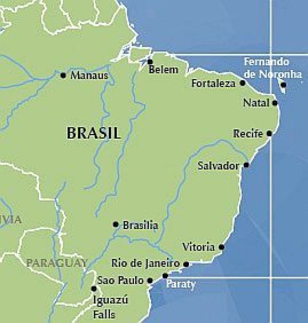
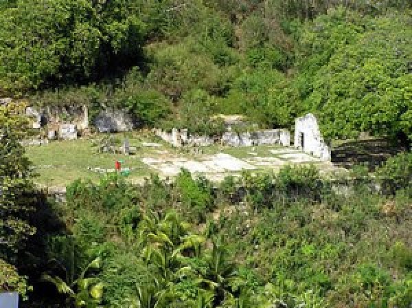
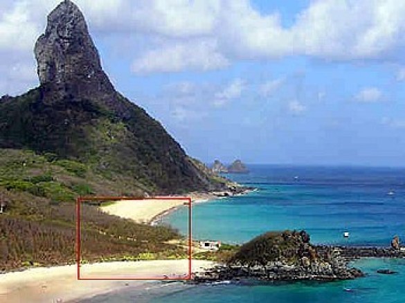
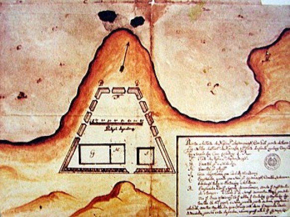
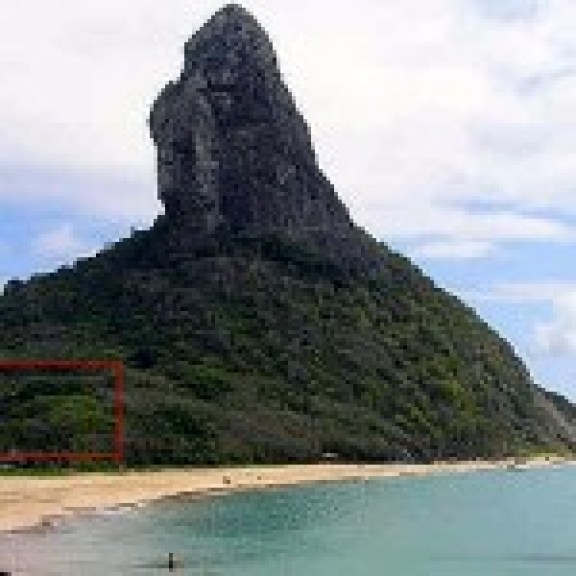
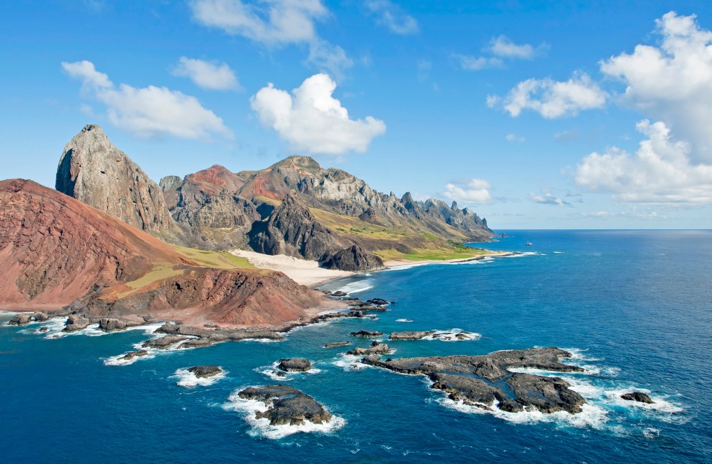
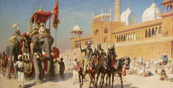
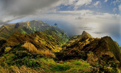
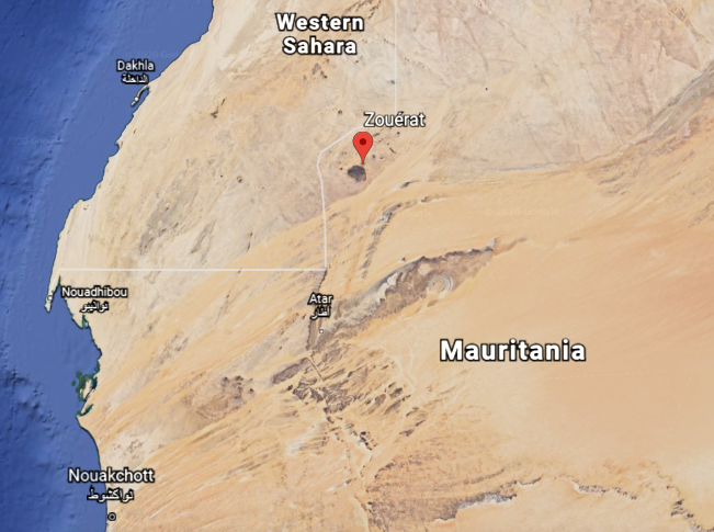
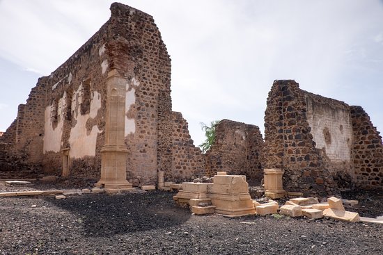
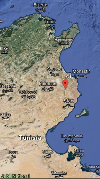
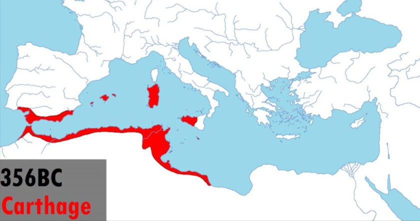
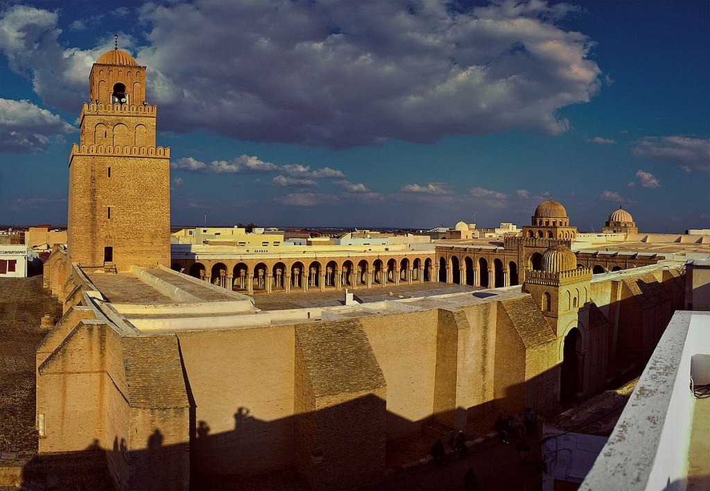
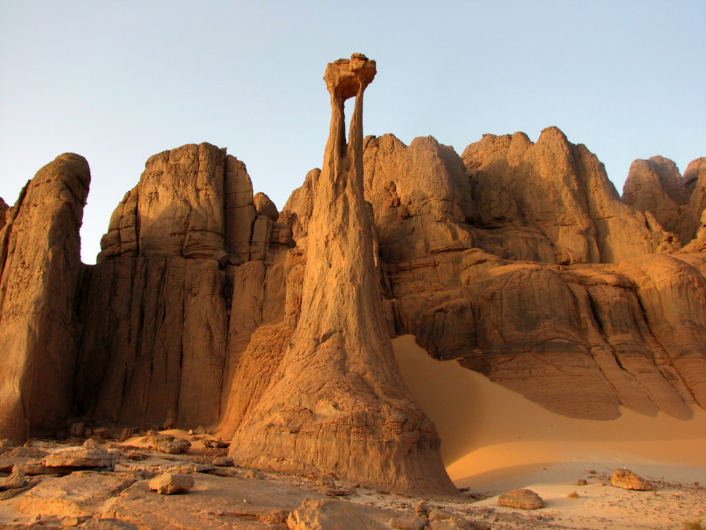
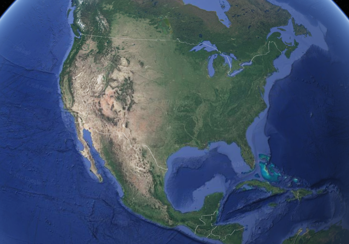
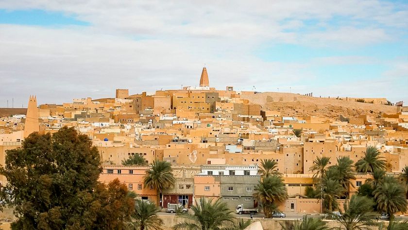
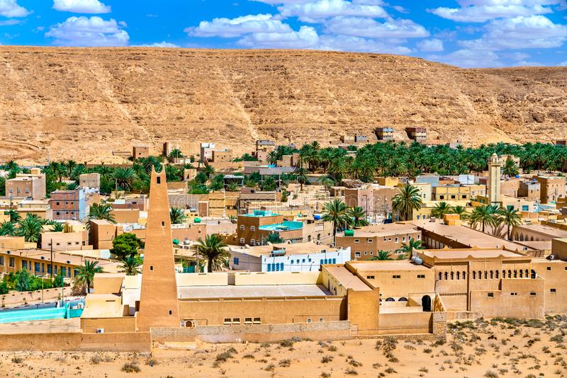
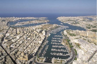
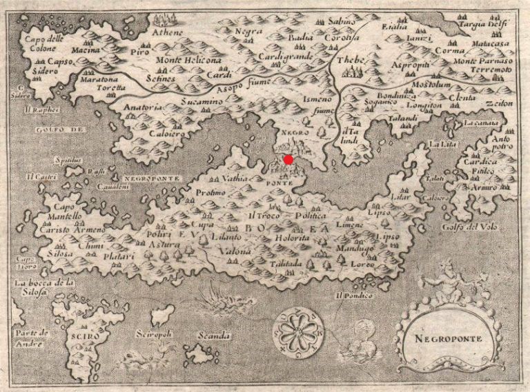
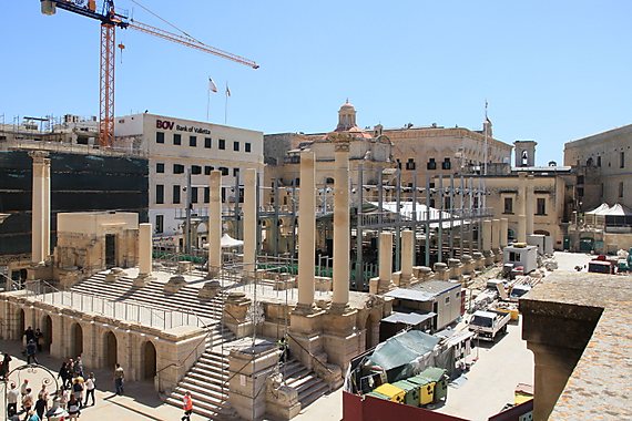
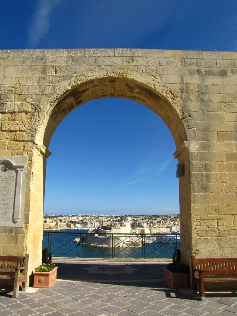
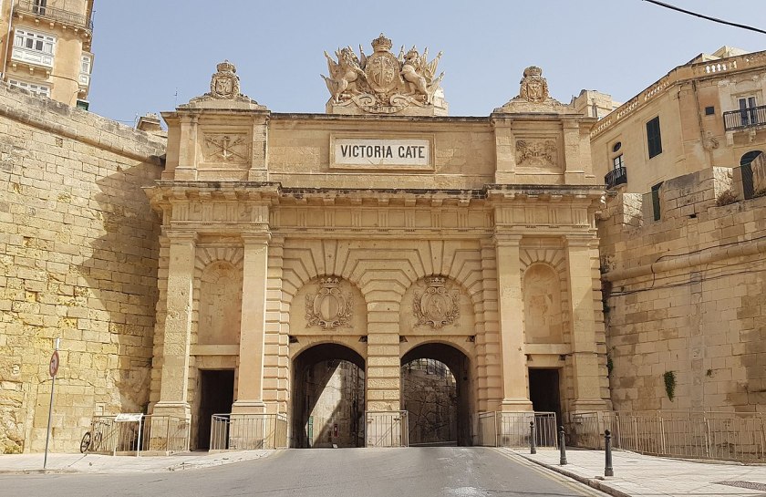
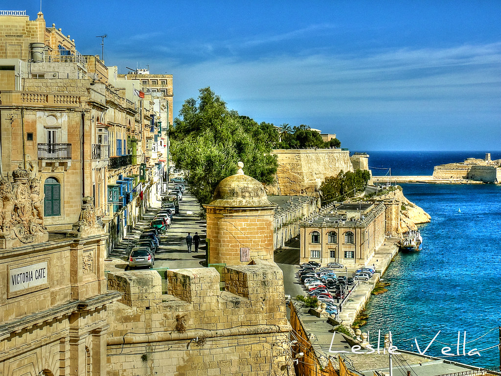
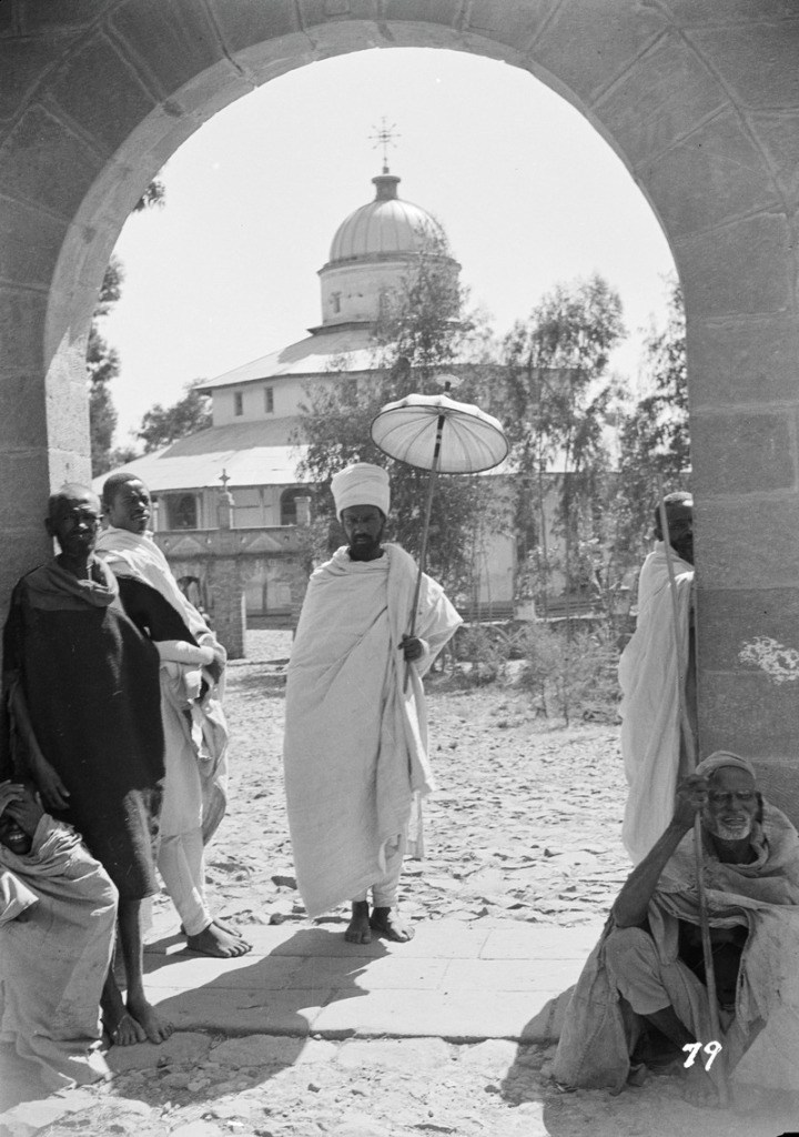
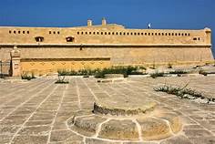
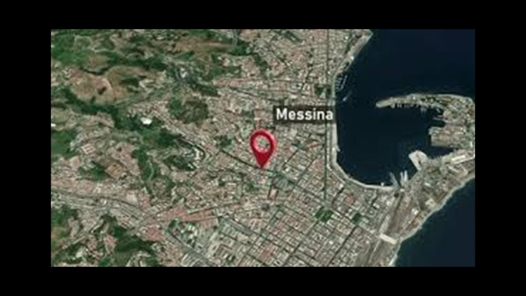
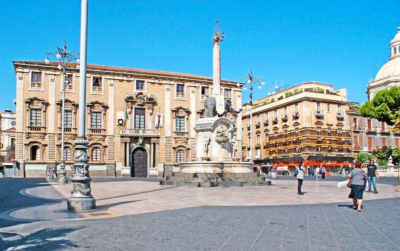
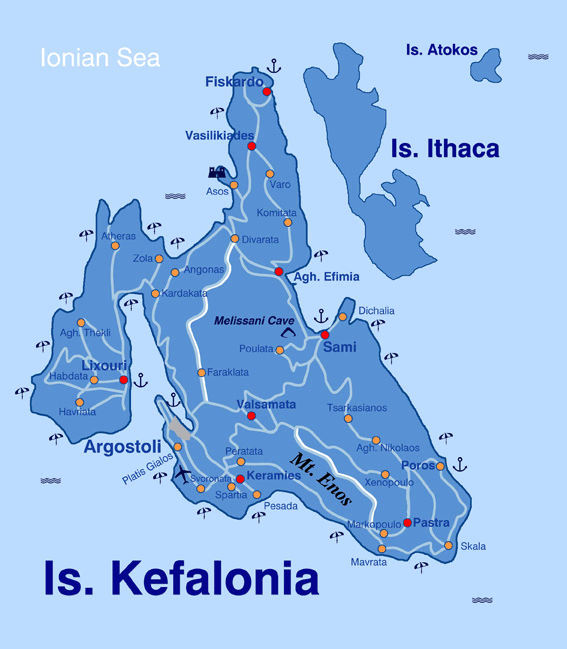
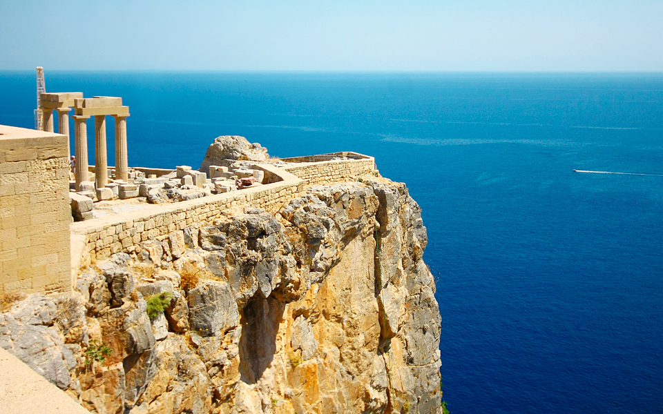
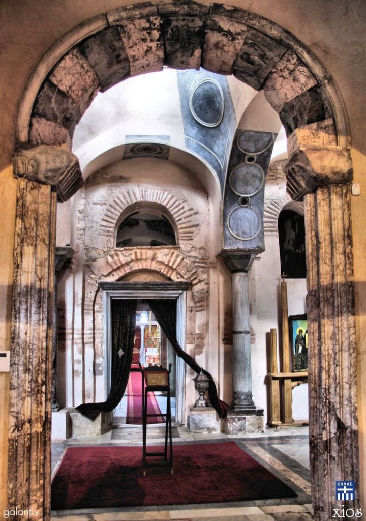
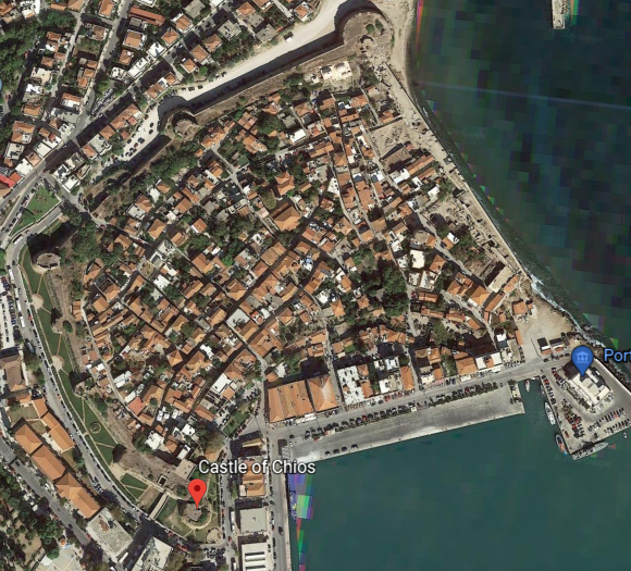
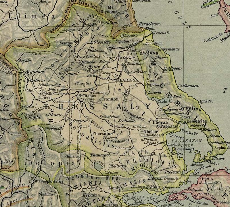
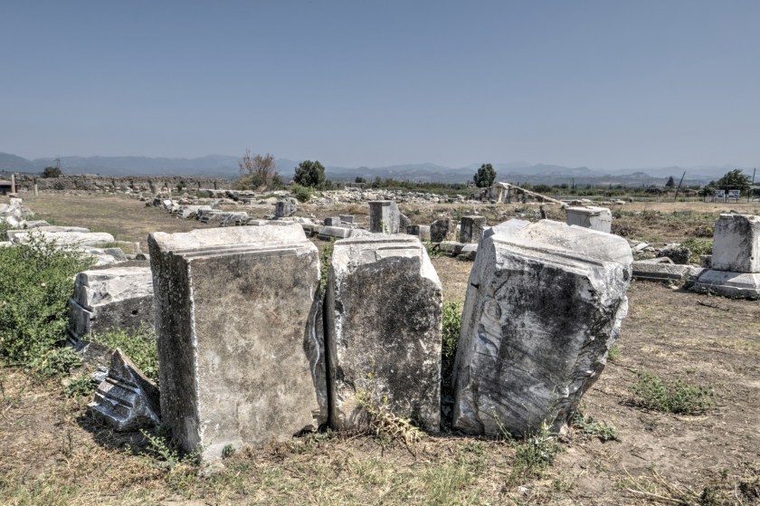
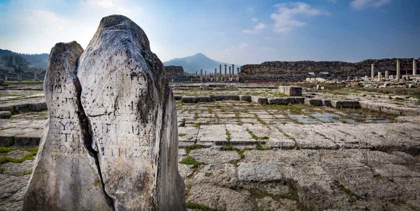
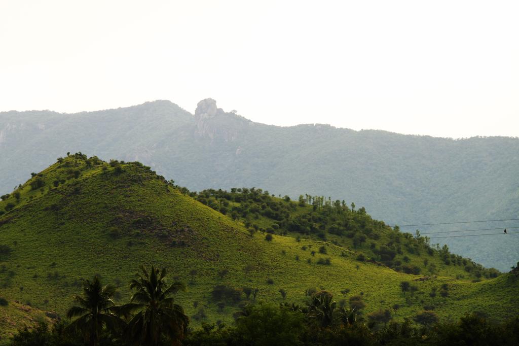
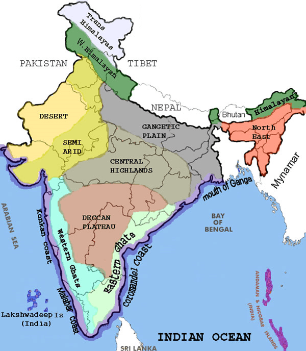
In the last post, I tracked the alignment from Adam’s Peak, a conical mountain in Sri Lanka that is revered by Buddhism, Hinduism, Islam, and Christianity for the “Sri Pada,” or “Sacred Footprint”, a major pilgrimage site, and one of the twelve primary nodal points on the earth’s grid system; through Kandy, the last capital of the ancient kings’ era of Sri Lanka; to Sigirya, an ancient rock fortress in Sri Lanka’s Central Province that is a UNESCO World Heritage Site, and considered one of the best-preserved examples of urban planning in the world; to Jaffna, the capital city of the Northern Province of Sri Lanka, and part of a region historically called Naga Nadu.
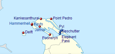
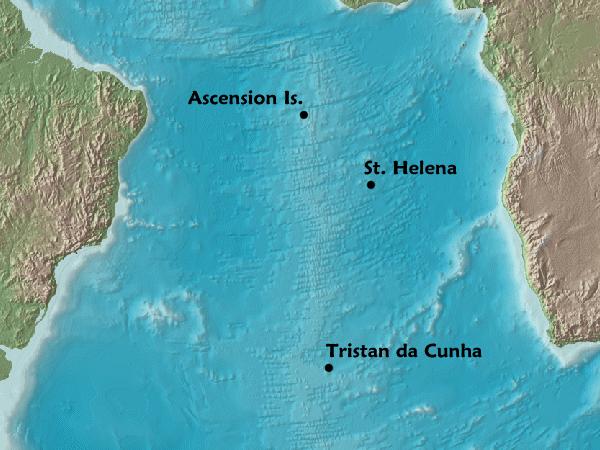
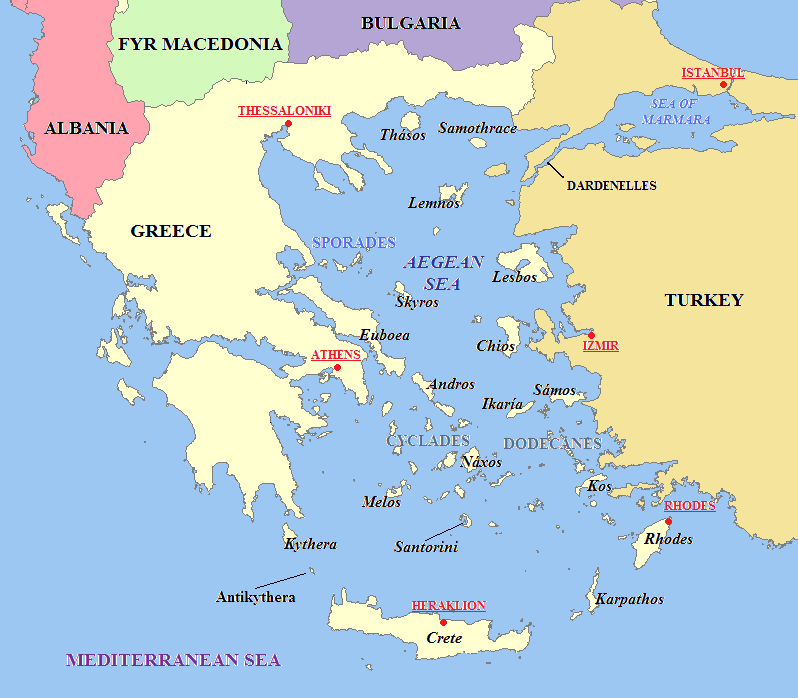
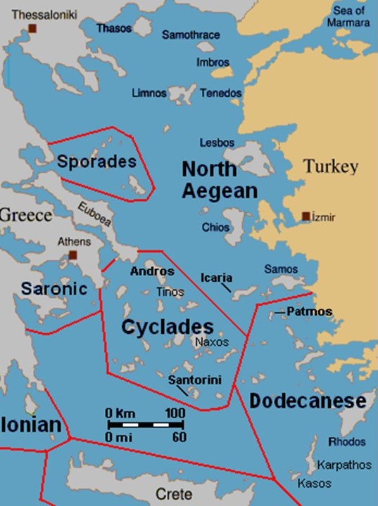
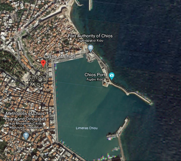
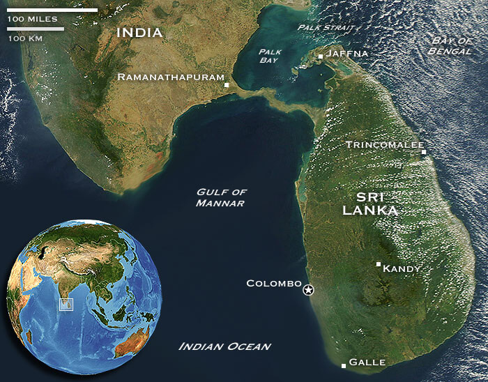
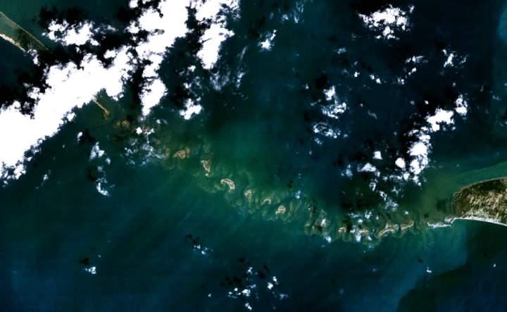
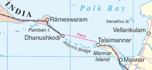
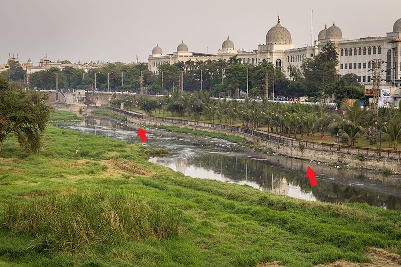
The alignment from Jaffna crosses the Palk Strait, located between the Jaffna District of the Northern Province of Sri Lanka and the Tamil Nadu state of India.
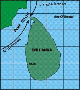
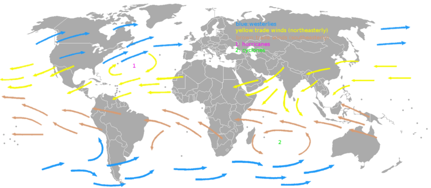
It connects the Bay of Bengal…
…the largest bay in the world, at 839,000-square-miles, or 2, 172,000-square-kilometers…
…with Palk Bay, to the southwest.
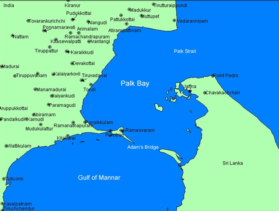
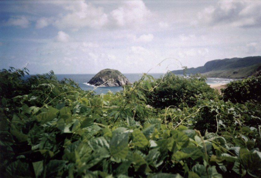
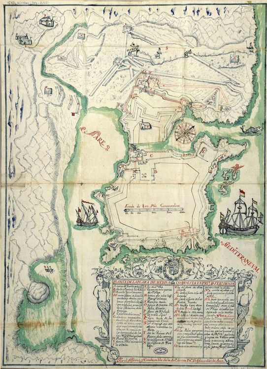
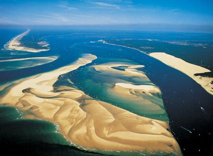
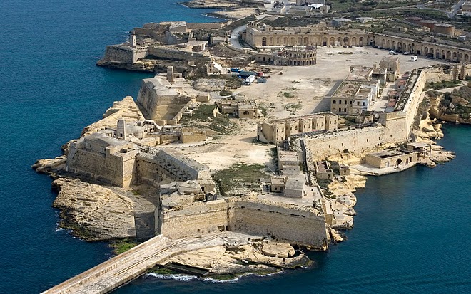
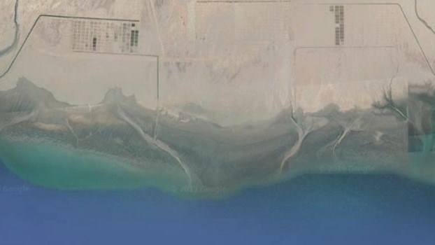
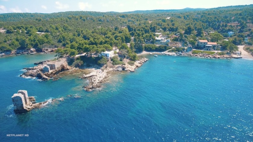
The chain of low islands and reefs called Adam’s Bridge, also known as Rama’s Bridge, or Ramsethu, which separates the Gulf of Mannar, known for having one of the most productive Pearl fisheries in the world, from Palk Bay.
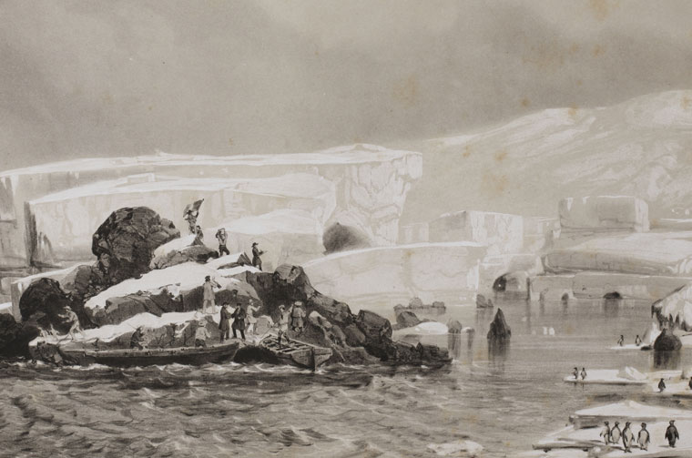
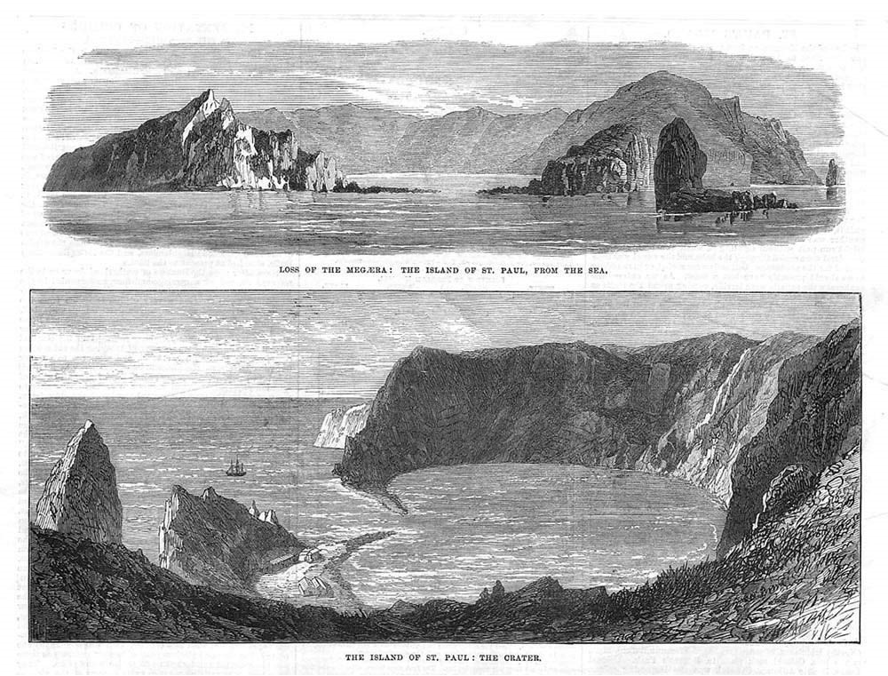
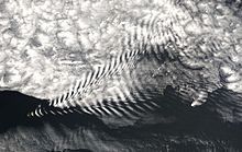
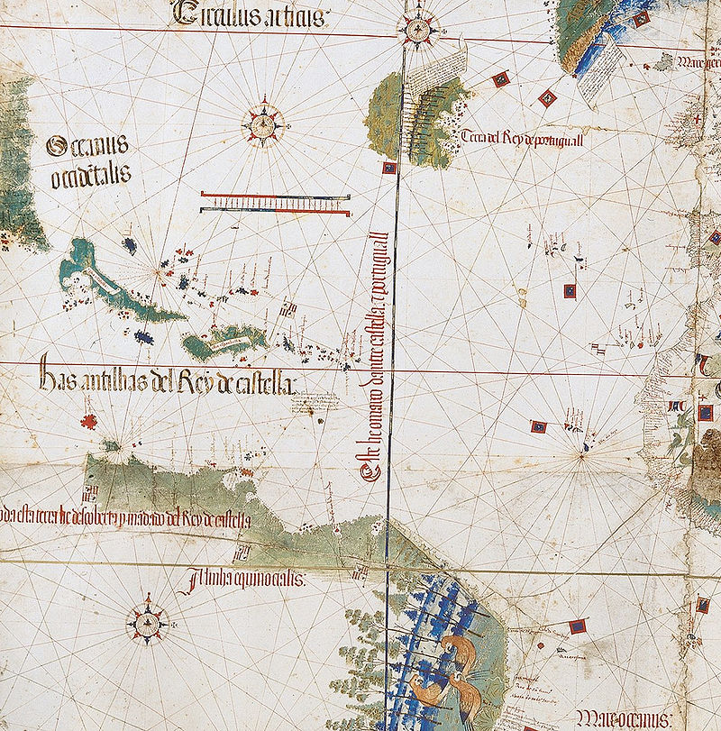
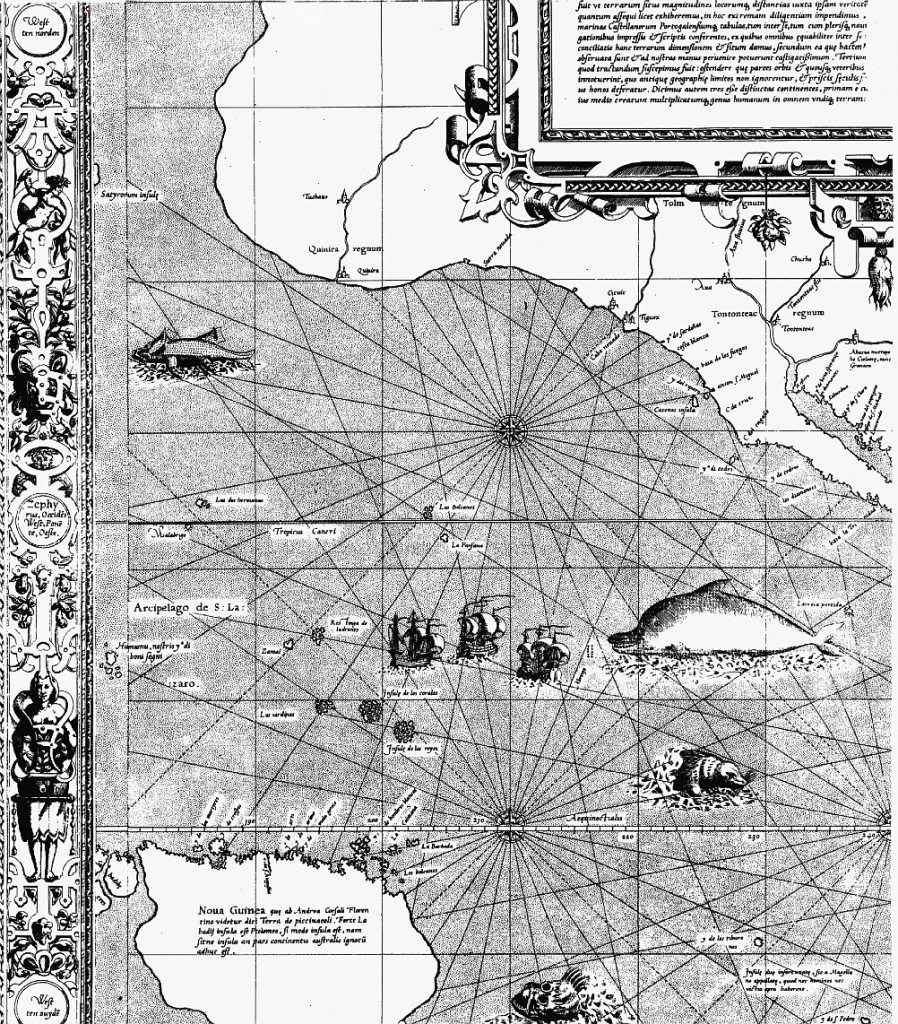
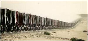
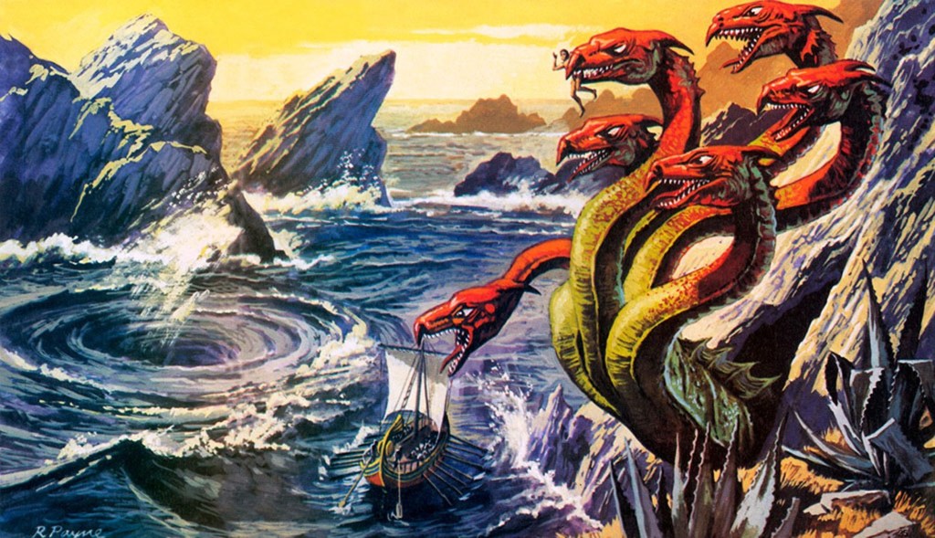
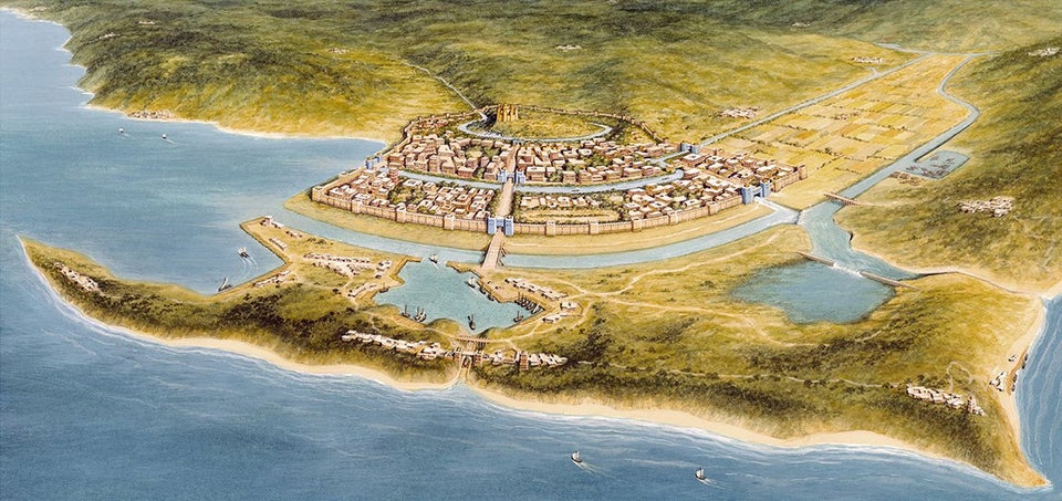
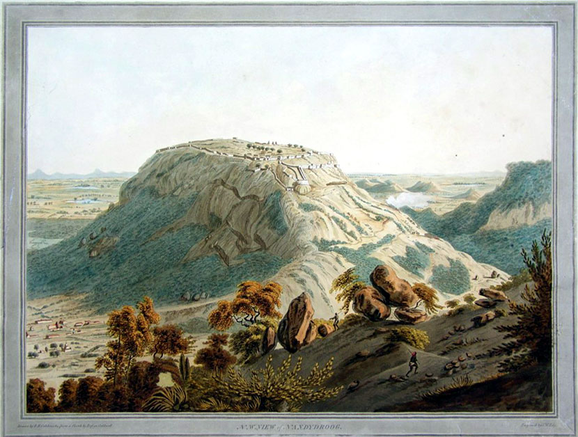
This is a depiction I found of what this place might have looked like when it connected India and Sri Lanka location circa 1480…
…at which time supposedly a cyclone deepened the channels between the two places.
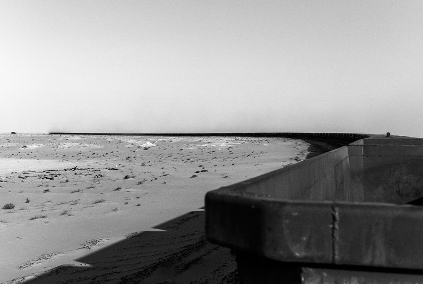
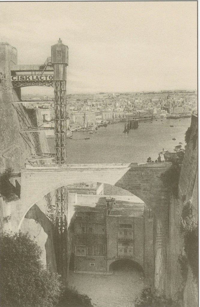
At any rate, the Pamban Bridge, a railway bridge, connects the town of Mandapam in Tamil Nadu with Pamban Island and Rameswaram to the Indian Railways, ending at the Indian side of Adam’s Bridge.
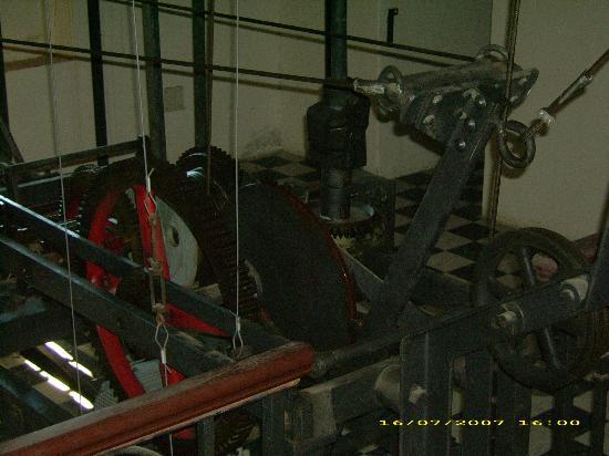
It was said to have been constructed between 1911 and 1914, which was the year World War I started.
It is over a mile-long, at 6,776-feet, or 2,065-meters.
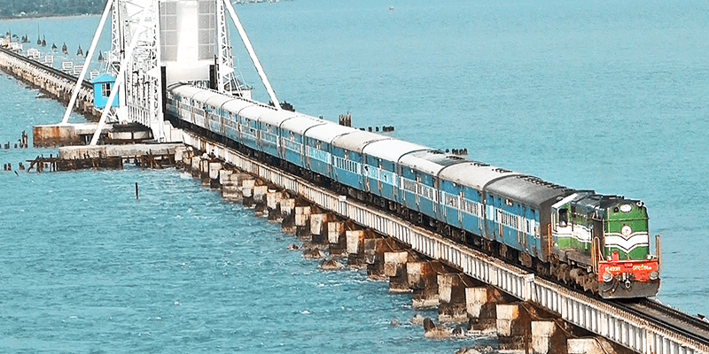
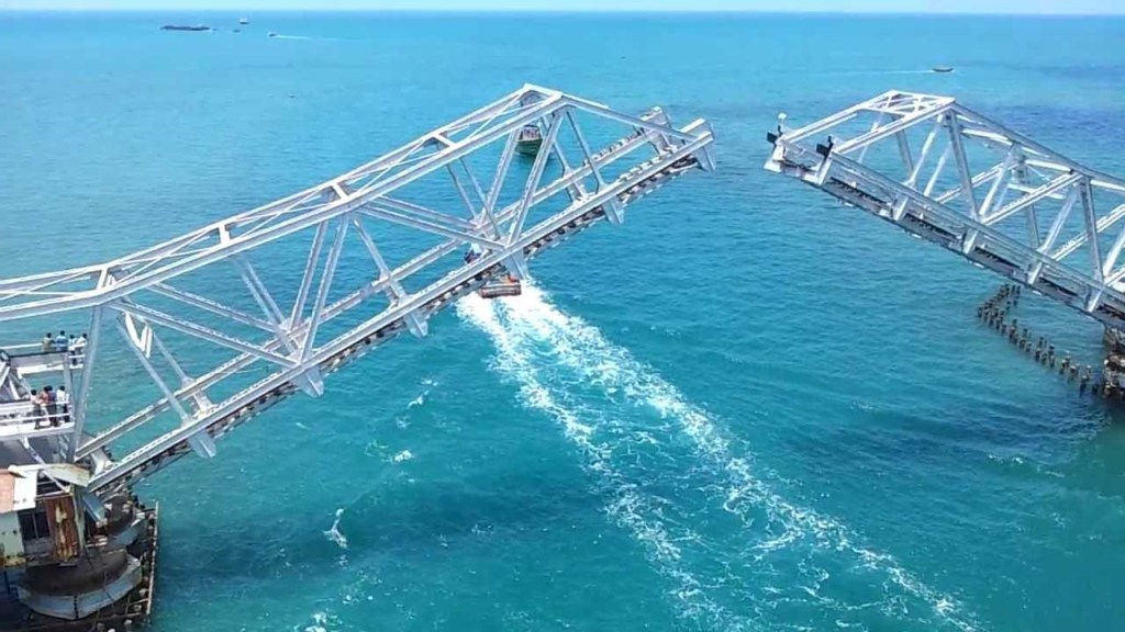
Described as a masterpiece of engineering, it has a movable section midway that is raised to allow ship and barge traffic to pass through.
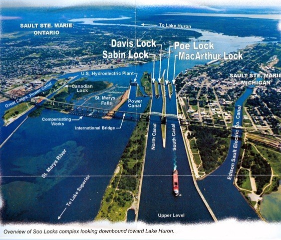
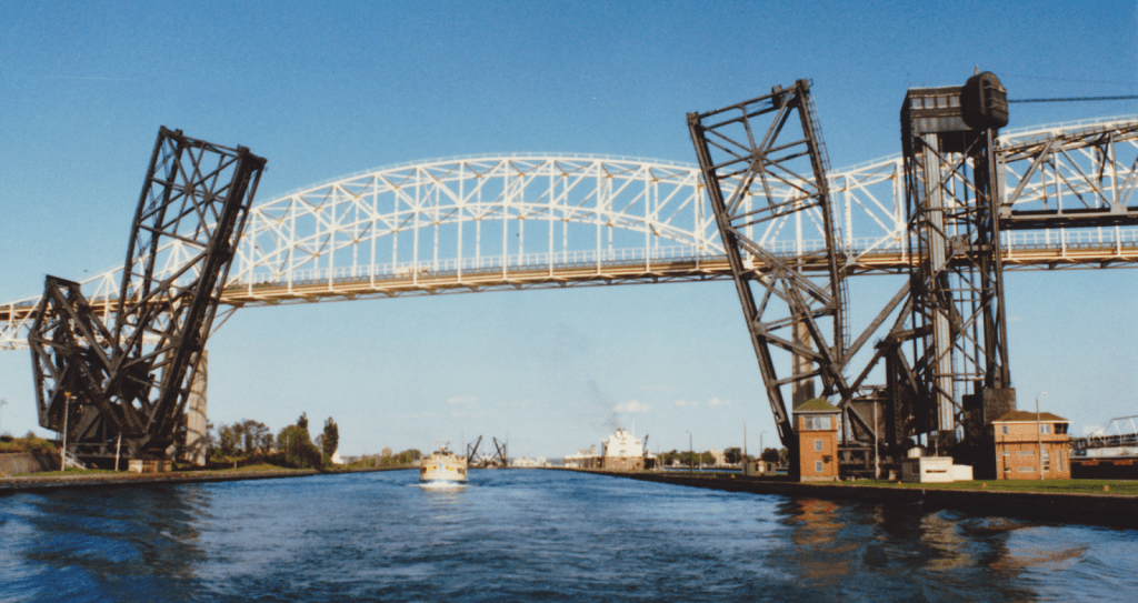
There are similar movable sections on the Sault Ste. Marie International Railroad Bridge, with a swing bridge…and a vertical lift bridge.
It was said to have been built in 1887.
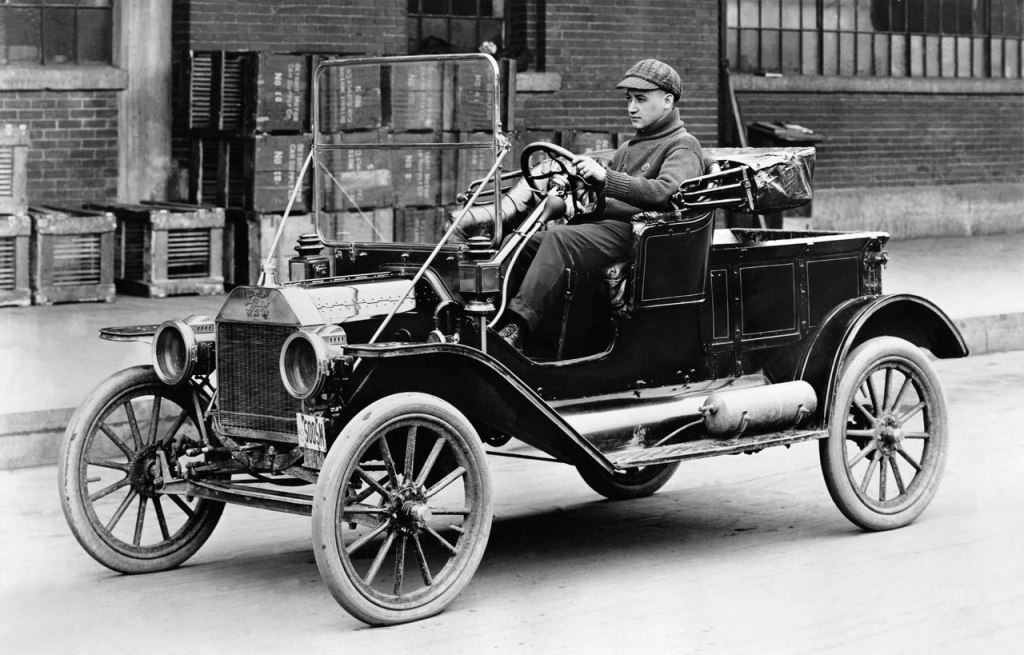
For perspective in the historical narrative we have been taught, the Model T Ford first came into production in 1908…
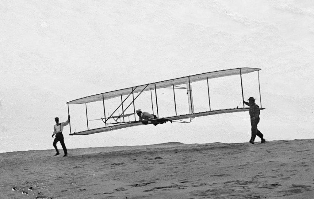
…and the Wright Brothers had their first flight at Kitty Hawk in North Carolina’s Outer Banks in 1903.
So, were we actually capable of engineering feats like these based on the technology we are taught existed that at those times?.
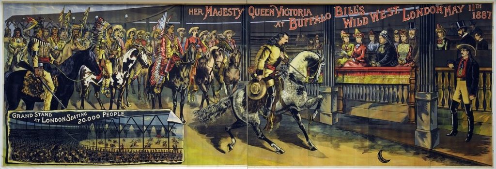
And what in the world was going on in 1887, the year the Sault Ste. Marie International Railroad Bridge was said to have been built?
Well, for one, Buffalo Bill took his Wild West Show…
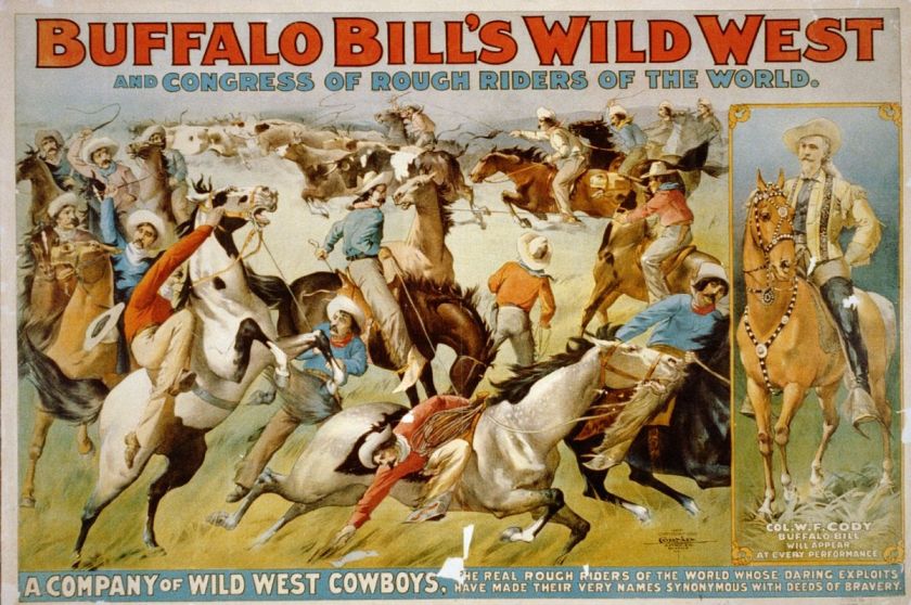
…to Great Britain for the celebration of the Jubilee Year of Queen Victoria in 1887.
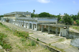
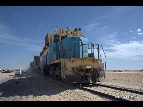
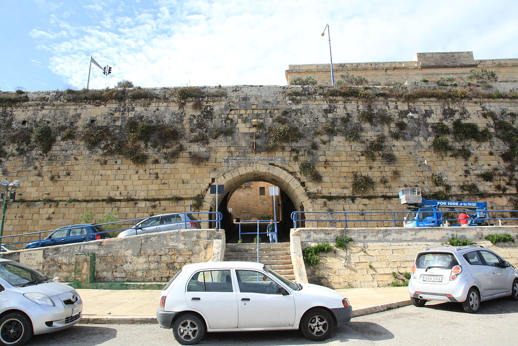
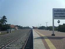
Back to Palk Bay, you can take a ferry across, in the same general location as the sunken parts of Adam’s Bridge, to Talaimannar, on Sri Lanka’s Mannar Island, and catch the train on to anywhere you want to go in Sri Lanka.
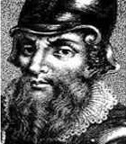
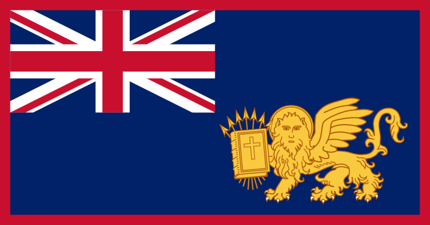
The Palk Bay and Palk Strait were named for Sir Robert Palk, an officer in the British India Company that served as the Governor of Madras between 1755 and 1763…
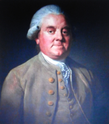
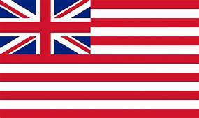
…during the period called Company Raj period, or Company rule in India, when the British East India Company ruled over parts of the Indian Subcontinent between 1757 and 1858…
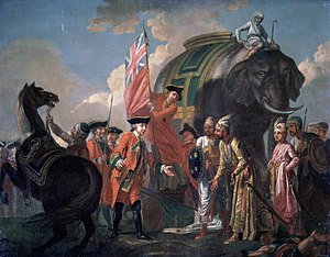
…commencing after the 1757 Battle of Plassey, called a decisive victory over the Nawab of Bengal, Mir Jafar, after which time the Nawab ceded revenues to the what was called the “Company.”
Mir Jafar was considered the first dependent Nawab of Bengal of the British East India Company, and this was considered to be the start of British Imperialism in India, and a key step in the eventual British domination of vast areas there.
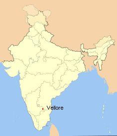
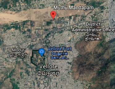
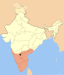
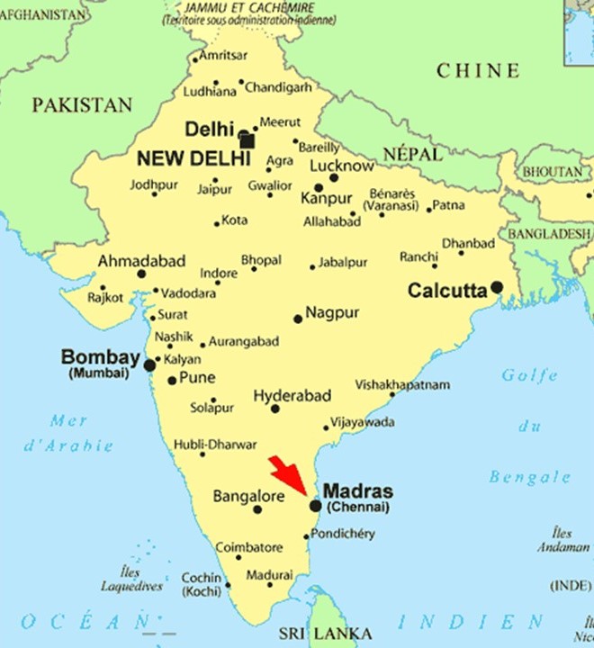
The next place I come to tracking the alignment from Jaffna, is Vellore, a city and administrative headquarters of the Vellore District in the northeastern part of the Indian state of Tamil Nadu.
It is located on the banks of the dry-looking Palar River today…
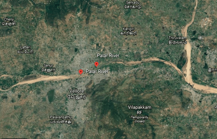
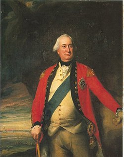
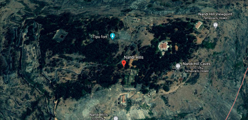
…which historically flowed from the Nandi Hills, also known as Nandidurg, an ancient hilltop fortress in Karnataka State that was at one time believed to have been impregnable…
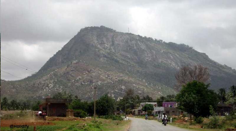
…but was successfully stormed by the Army of Charles Cornwallis in 1791, the 1st Marquess of Cornwallis in the Third Anglo-Mysore War, a conflict in South India between the British East India Company and the Kingdom of Mysore…
…and the same General Cornwallis famous for being defeated at the Battle of Yorktown in 1781, and being forced to surrender, basically ending the American Revolutionary War.
In spite of his loss and surrender to the Americans in the Revolutionary War, Cornwallis was knighted in 1786, and in the same year became the Governor-General and Commander-in-Chief of the British Colony in India.
Nandi Hills later became a resort for British Raj officials during the hot season.
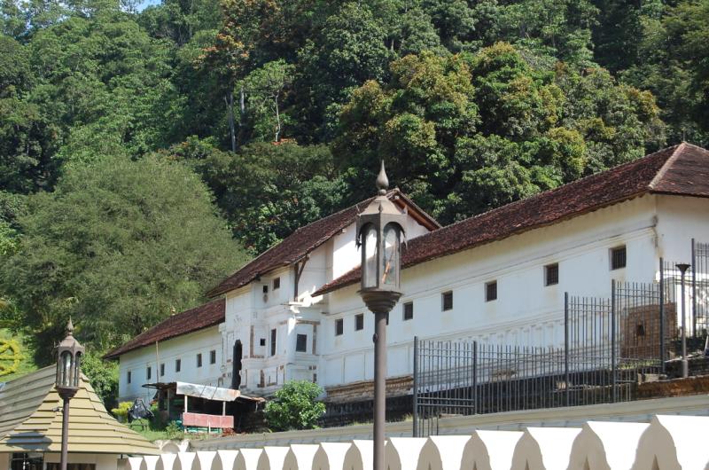
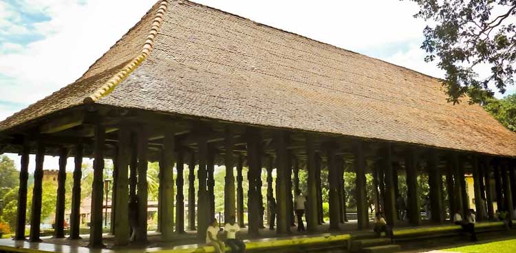
The Muthu Mandapam, or Pearl Hall, located on the banks of the Palar River…
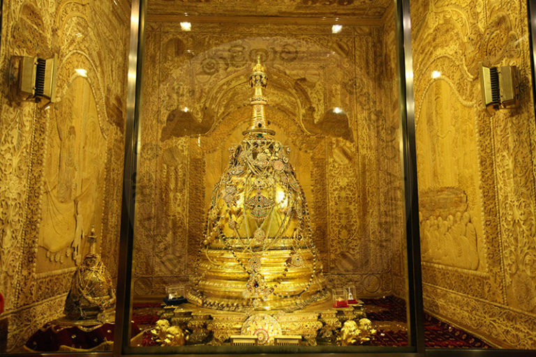
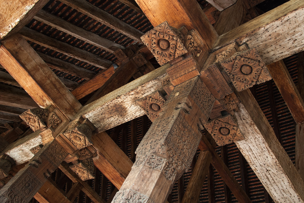
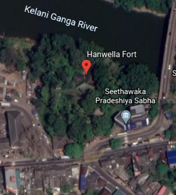
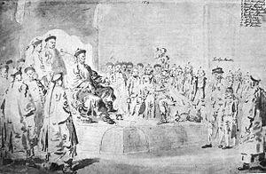
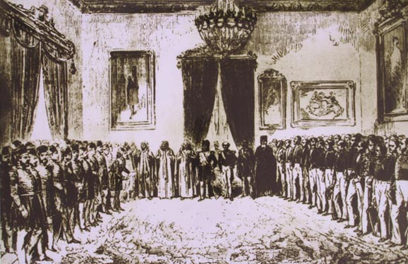
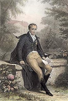
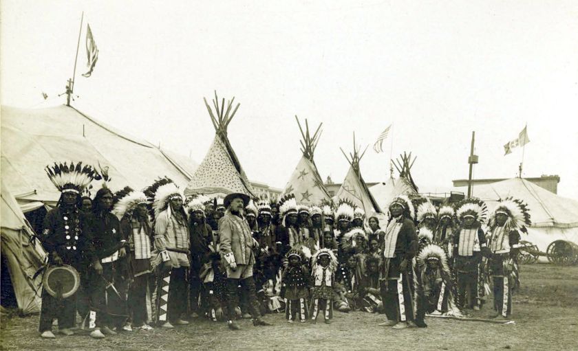
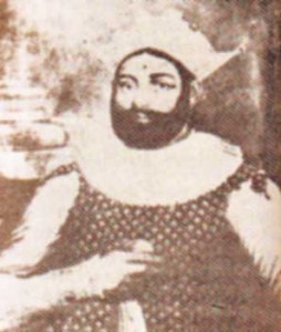
…is the resting place of the last King of Kandy in Sri Lanka, Sri Wickrama Rajasinghe, and a place where Sri Lankans journey to in order to pay their respects to him.
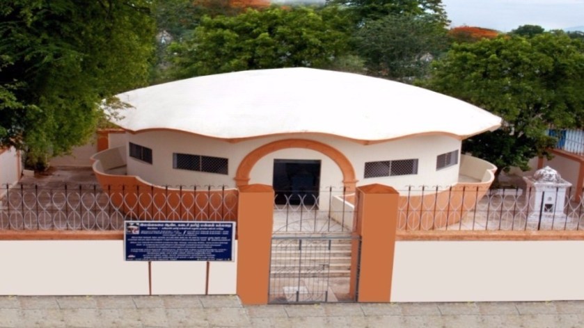
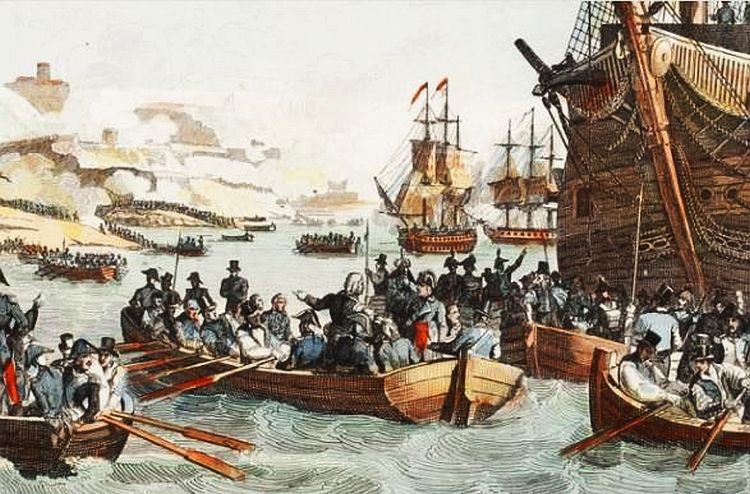
He had been arrested by the British in 1815, and ended up in exile in India.
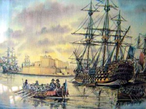
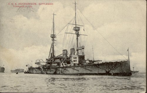
In January of 1816, he and his families were sent to Madras on the HMS Cornwallis…
…which was the same ship on which the Treaty of Nanking, or Nanjing, between the British Empire and China would be signed after China’s defeat, after the First Opium War in 1842.
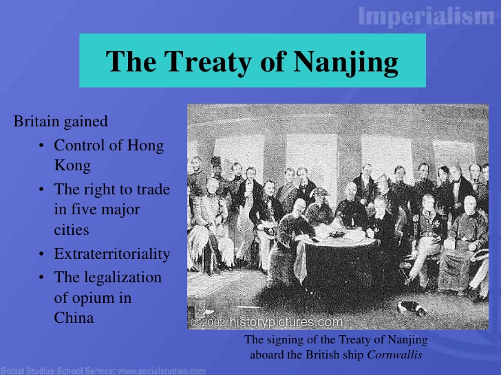
The First Opium War was fought between Qing Dynasty of China and Britain between 1839 and 1842, a military engagement that started when the Chinese seized opium stocks at Canton in order to stop the opium trade, which was banned.
The British government insisted upon free trade and equality among nations and backed the merchants’ demands.
From 1757 to 1842, the Canton System served as a means for China to control trade with the west by focusing all trade in the southern port of Canton.
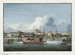
To counter this, the British East India Company began to grow opium in Bengal, in present-day Bangladesh, and allowed private British merchants to sell opium to Chinese smugglers for illegal sale in China.
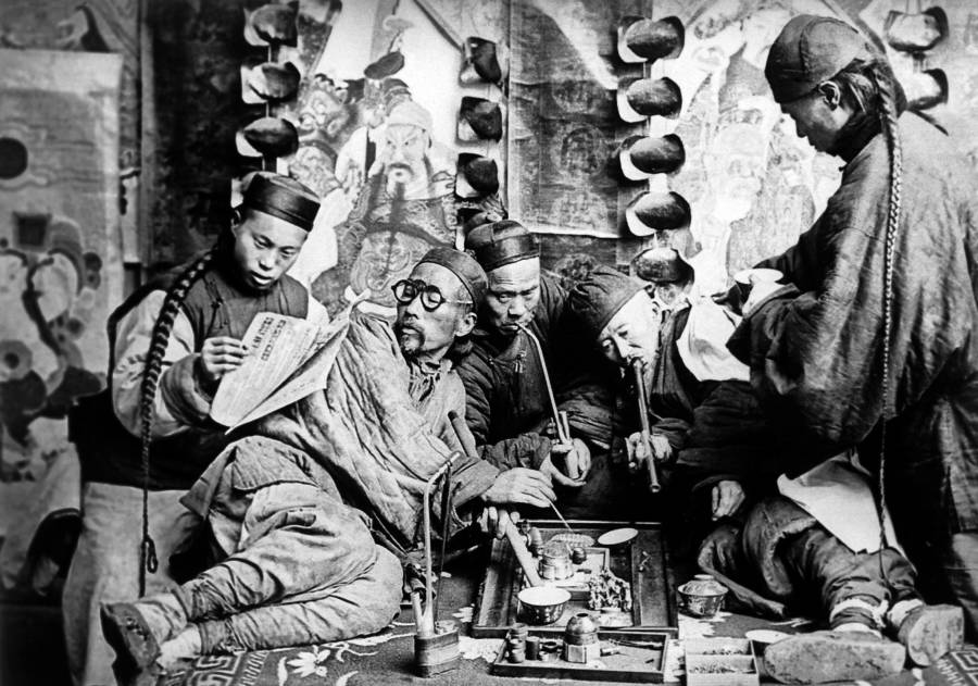
As a result from these events in history, opium dens, establishments where opium was sold and smoked, became prevalent in many parts of the world throughout the 19th-century.
Sounds like these events were the origins of the same drug trade that plagues the world today, a means by which to keep Humanity asleep and unconscious as much as possible, and make a ton of money in the process.
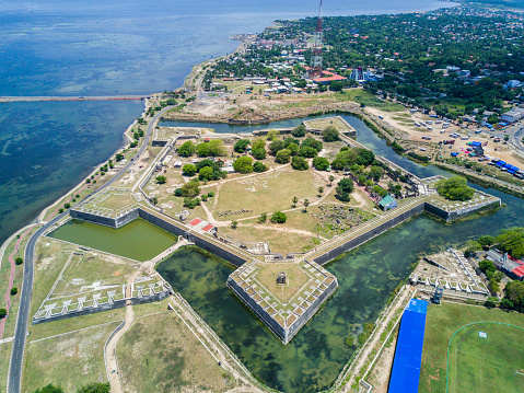
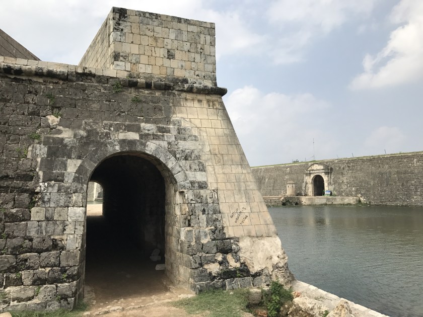
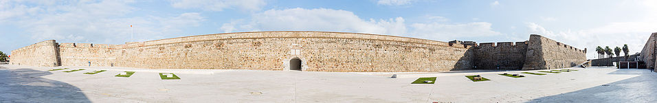
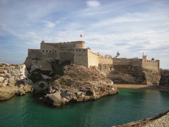
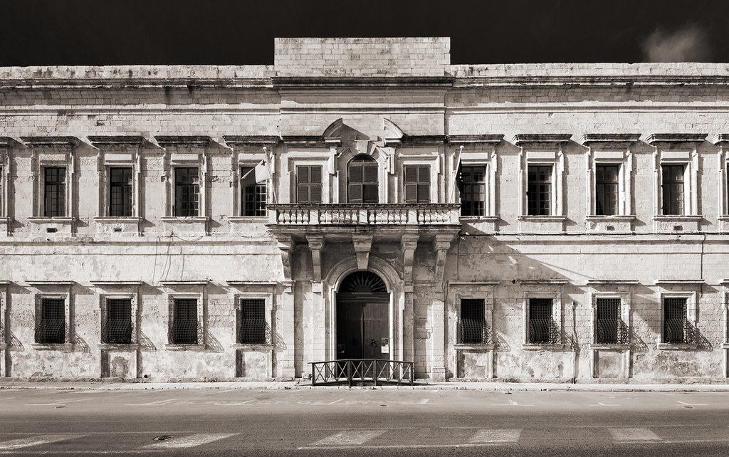
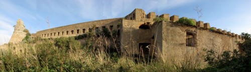
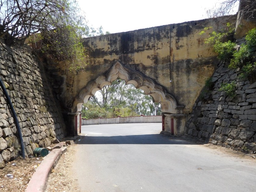
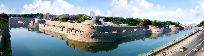
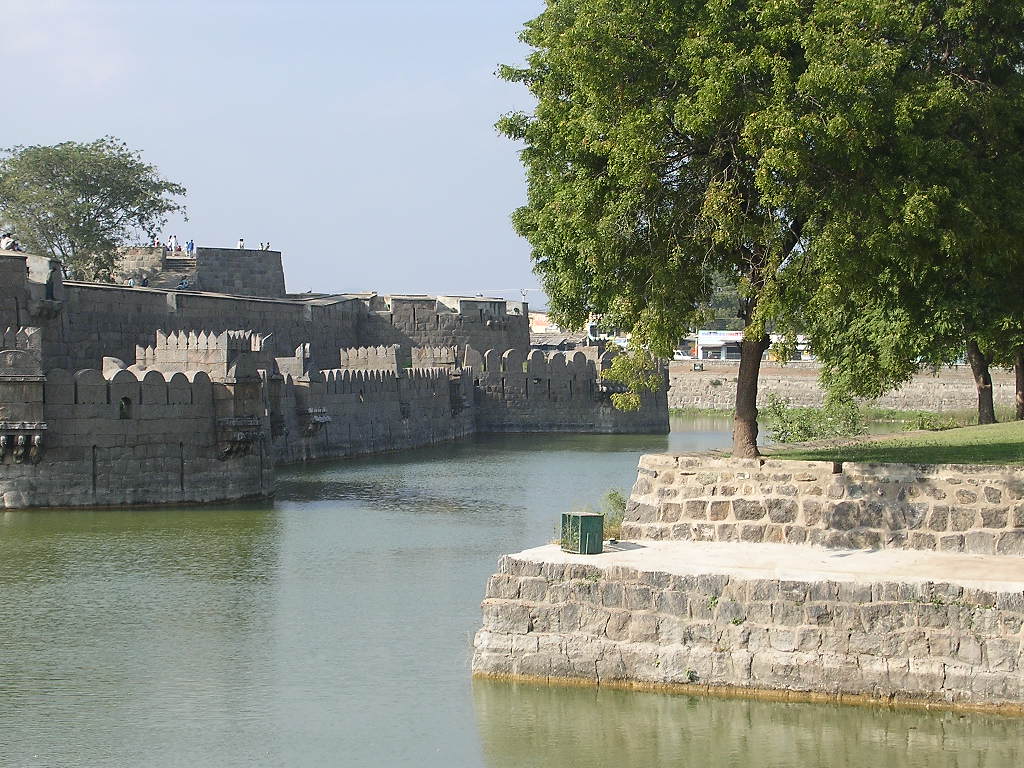
The Vellore Fort is situated in the heart of Vellore…
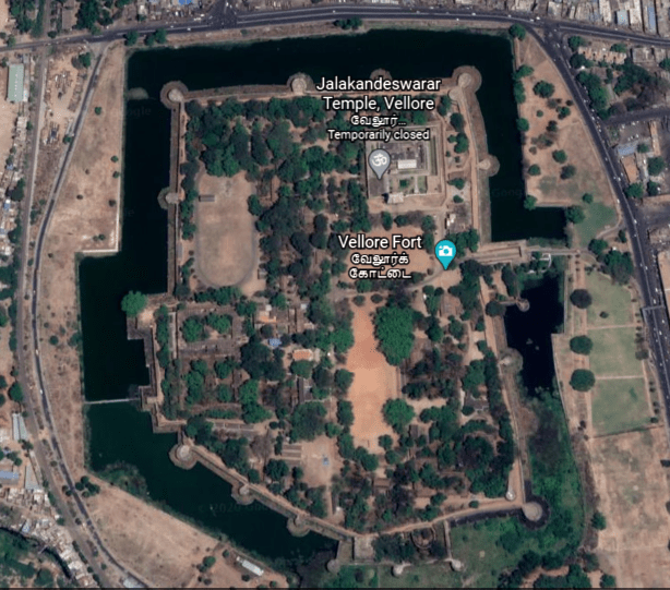
…said to have been built by the Vijayanagara, also called the Karnata Empire, that was based in the Deccan Plateau Region of South India.
The Vellore Fort is known for its grand ramparts, wide moat, and robust masonry.
The fort’s ownership was said to have passed from the Karnata Empire to the Bijapur Sultans, to the Marathas, to the Carnatic Nawabs, and finally to the British…
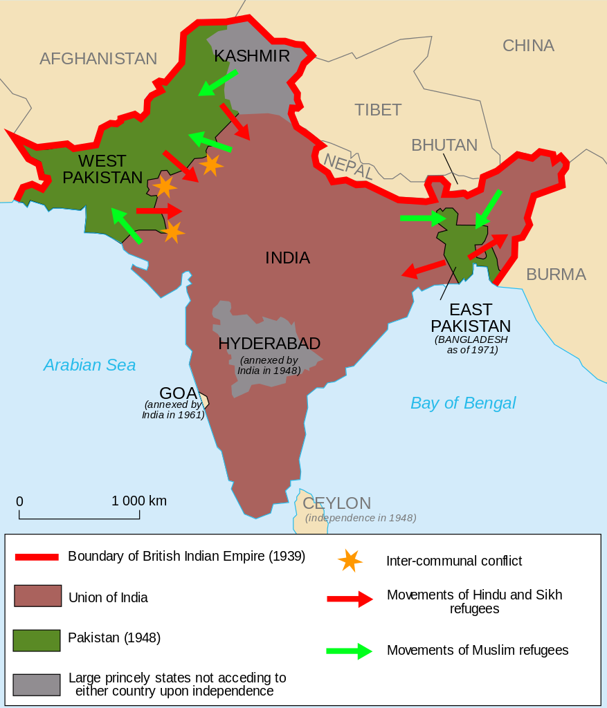
…who held the fort until India gained independence in 1947, at which time the heart-wrenching Partition of India displaced 10- to 12-million people along religious lines, and created an overwhelming refugee crisis in the newly constituted independent dominions of India and Pakistan, as well as large-scale violence and death.
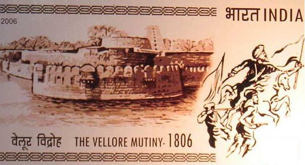
The first significant rebellion against British rule erupted at Vellore Fort in 1806, known as the Vellore Mutiny, or Vellore Sepoy Mutiny.
While it only lasted one day, it was the first instance of a large-scale and violent mutiny by Indian Sepoys against the British East India Company.
The Sepoys seized the Vellore Fort, and killed or wounded 200 British soldiers, but the mutiny was subdued by the end of the day by cavalry and artillery from another nearby British unit.
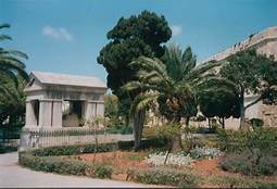
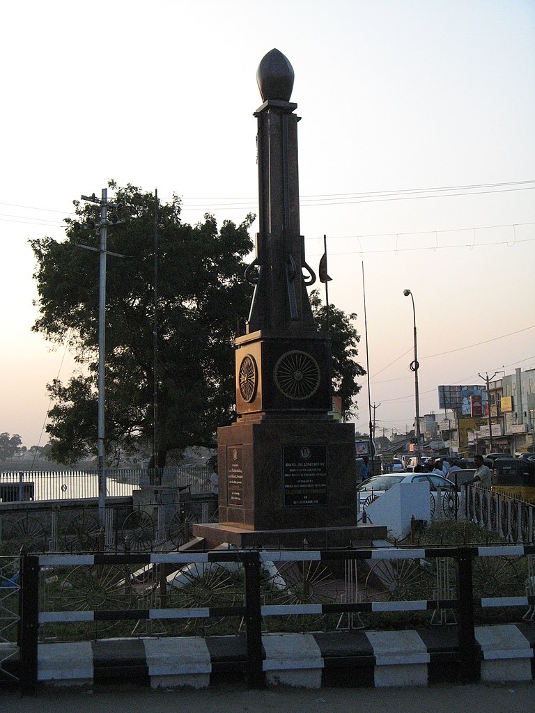
This pillar at Hazrath Makkaan Junction in Vellore commemorates the 1806 Vellore Mutiny.
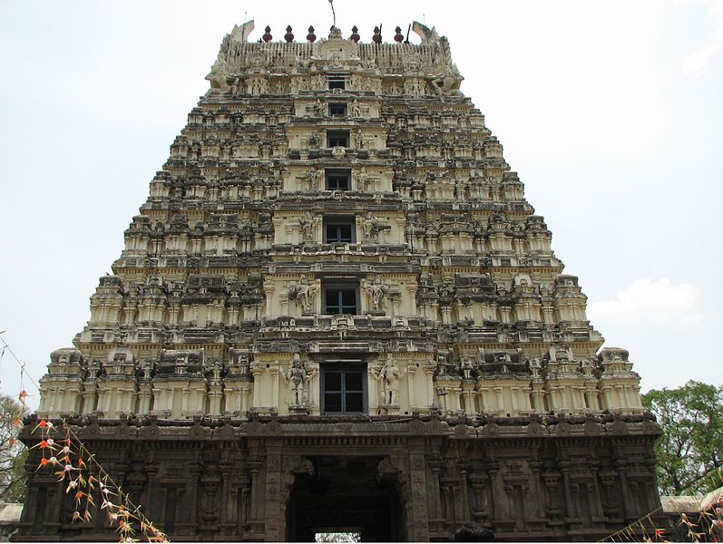
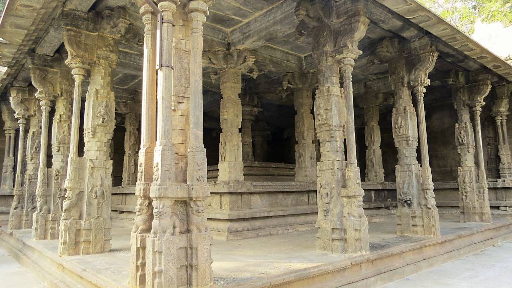
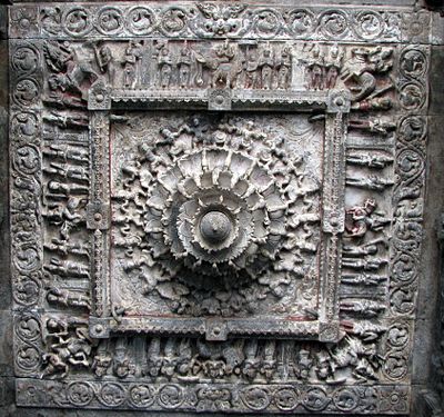
The Jalakandeswarar Temple is a temple dedicated to Shiva in the Vellore Fort, and its construction was said to have been completed by a Karnata chieftain in 1550.
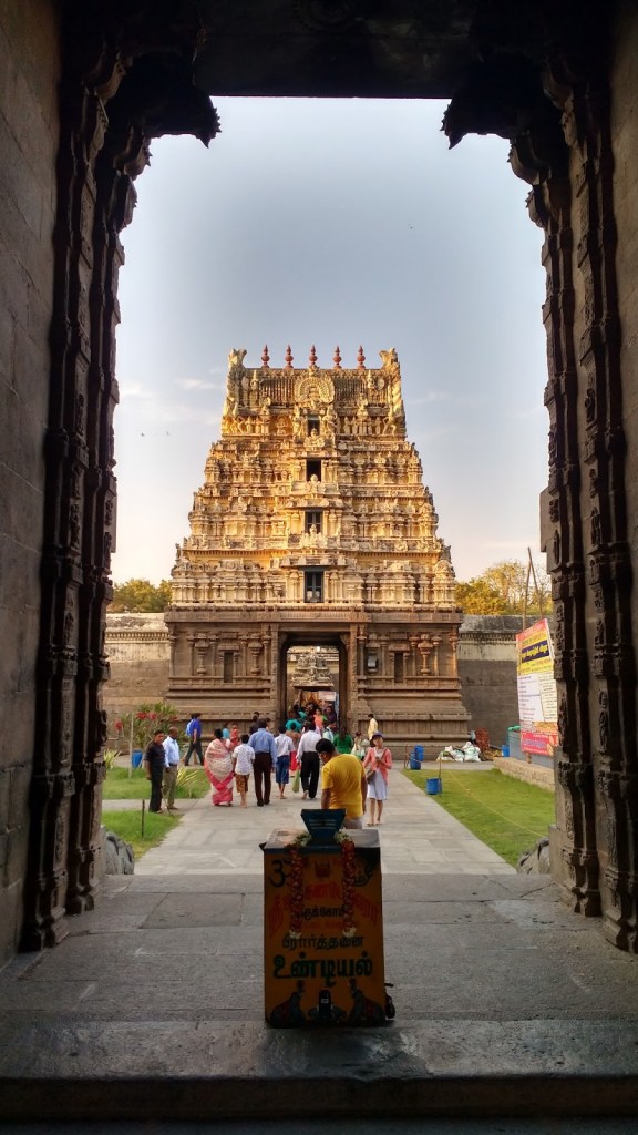
The temple has exquisite statues on its gopuram, or tower…
….richly carved stone pillars…
…and a stone-carved ceiling.
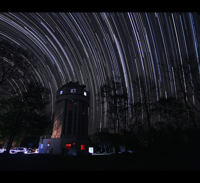
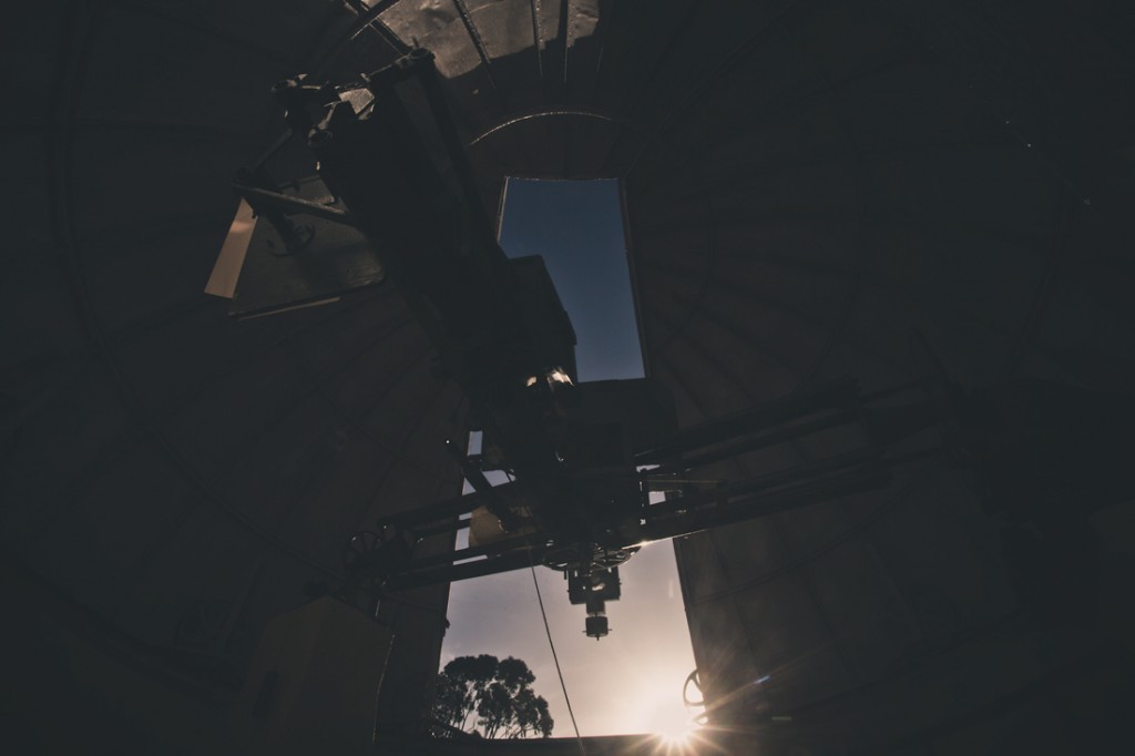
The Vainu Bappu Observatory in Kavalur in the Vellore District…
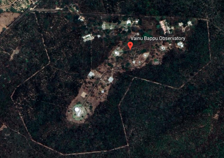
…is in what are called the Javadi Hills of the Eastern Ghats.
It is the biggest observatory in Asia, with observations said to have started here in 1968.
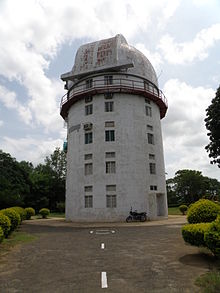
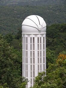
Its location 12-degrees north of the equator allows for the coverage of the northern and southern hemispheres, and it is the only major astronomical facility between Australia and South Africa for observing the southern objects.
On-going programs include the observations of stars, star clusters, novae, super novae, blazars, galaxies, solar system objects, and many others.
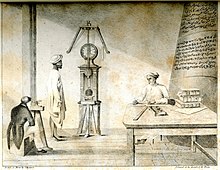
William Petrie was an officer in the British East India Company in Madras in the 1780s. An amateur astronomer, he was given the credit for making the first modern astronomical observations outside of Europe in Madras in 1786.
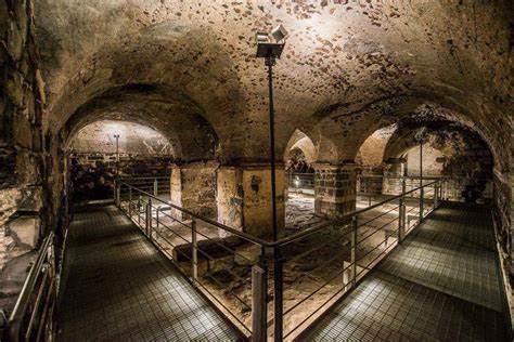
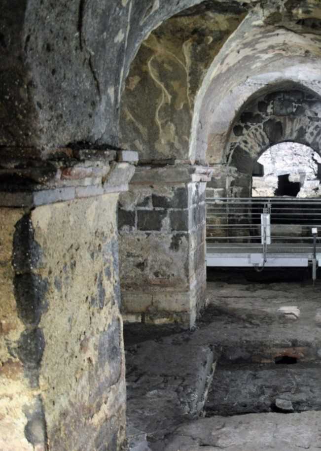
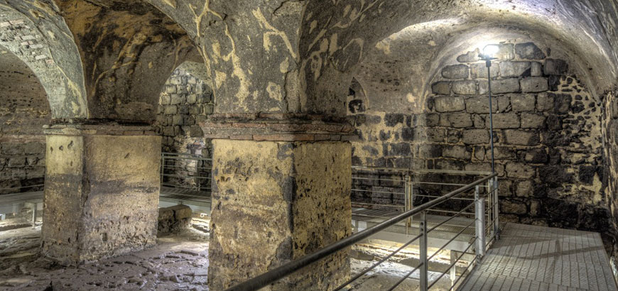
We are told his home observatory and instruments contributed to the first modern observatory outside of Europe, the Madras Observatory, shown here, said to have been built around 1792, with the first observations on the meridian being in 1793, said to have been designed by Michael Topping, the Chief Marine Surveyor of Fort St. George in Madras.
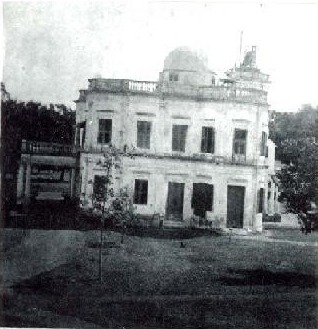
The Madras Observatory was described as having a single room that was 40-feet, or 12-meters, long and 20-feet, or 6-meters, wide, with a 15-foot, or 5-meter, high ceiling, as well as a granite pillar weighing 10-tons, or 9-metric tonnes, in the center of the room.
Seriously, a 10-ton granite Pillar?
Well, the granite pillar still exists in the present-day, with an engraving by those said to have erected it.
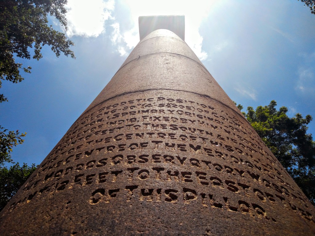
Could some kind of sand-blasting technology been used on an already existing pillar?

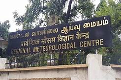
This massive granite pillar is found on the grounds of the present-day Regional Meteorological Centre in Chennai, what Madras is called today, and the original building of the Madras Observatory no longer exists…
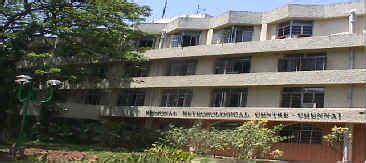
…and where I read other stone slabs and broken pillars are found in a fenced-off section on its grounds.
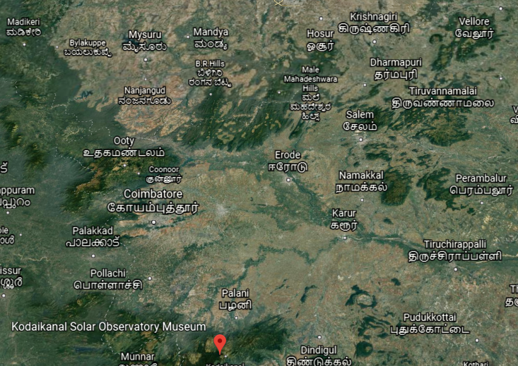
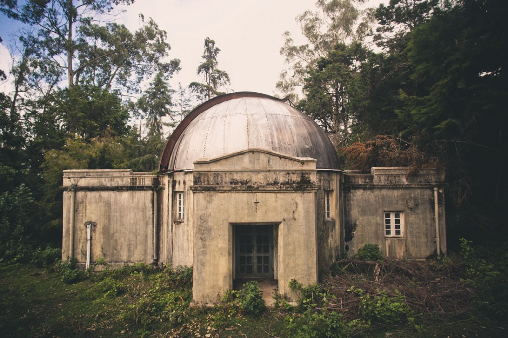
Another observatory in South India is the Kodaikanal Solar Observatory…
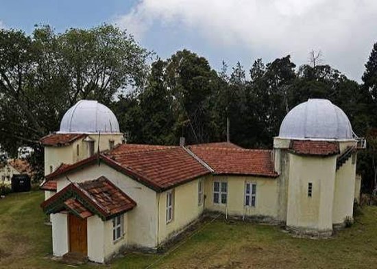
…located in the Palani Hills, southwest of Vellore in Tamil Nadu State.
Founded in April of 1899, legend has it that the observatory’s 6-inch telescope was said to have been brought on foot by four men who climbed steep valleys and braved the attack of wild animals, carrying the telescope on their shoulders for almost three-months.
It is interesting to note that there are abandoned observatories dotting the landscape of the hills behind Kodaikanal.
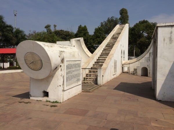
In northern India, we are told that between 1724 and 1730, Jai Singh II, the Raja of Jaipur, oversaw the construction of five monumental stone observatories, called Jantar Mantars, across his domains.
The primary purpose of these observatories was for the study of space and time.
There is one in Delhi, an ancient city and the seat of the Mughal Empire.
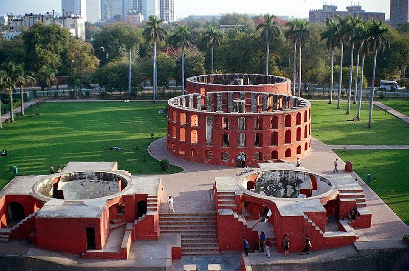
It is interesting to note that the Jantar Mantar in what is now called New Delhi is surrounded by the government buildings of India, in a rather geometric-looking configuration…
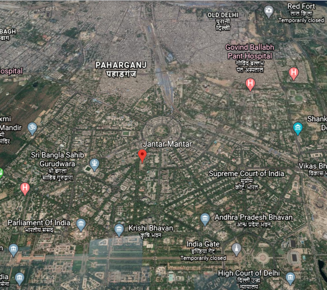
…which the British were said to have built New Delhi between 1911 and 1931, after the laying of the foundation stone laid by Emperor George V of India, a title used by British Monarchs from 1876 to 1948…
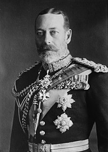
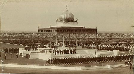
…during the Delhi Durbar of 1911, an Indian imperial-style mass-assembly organized by the British at Coronation Park to mark his accession as Emperor of India.
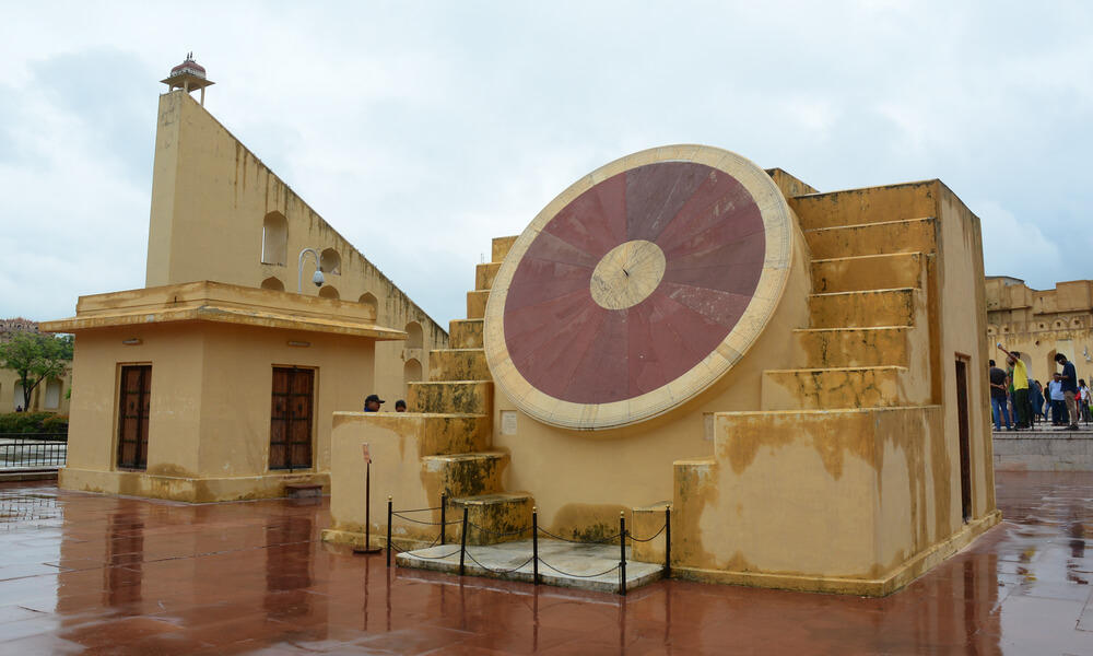
Other Jantar Mantars are in Jaipur, a collection of nineteen architectural instruments forming the largest stone observatory in the world…
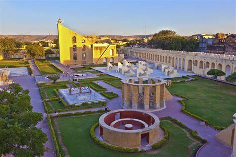
…including the world’s largest stone sundial…
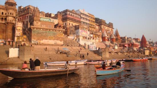
…in Varanasi, India, a major religious center in India, and considered the holiest city of Hinduism and Jainism…
…in the holy city of Ujjain, with thirteen architectural astronomy instruments…
…and the Jantar Mantar of Mathura, an ancient city believed to be the homeland and birthplace of Krishna.

Vedic astronomy has ancient roots in India…
…going back thousands of years.
Yet they want us to believe the British East India Company brought the science of astronomy to India?
One more place I would like to take a look at before leaving Tamil Nadu State is its capital in modern-times, Chennai, known historically as Madras.
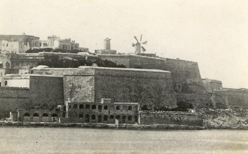
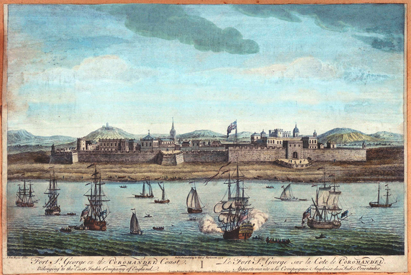
The British East India Company arrived in what came to be known as Madras in 1600, making it their principal settlement, and we are told, constructed Fort St. George in 1644.
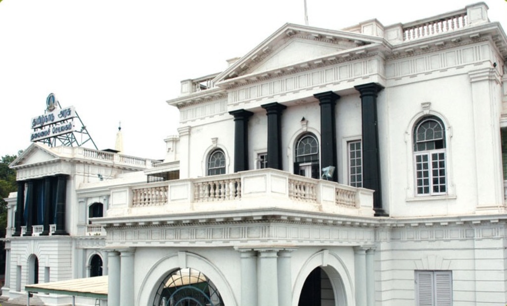
…which serves today as the Secretariat and Legislative Assembly of the Tamil Nadu Government.
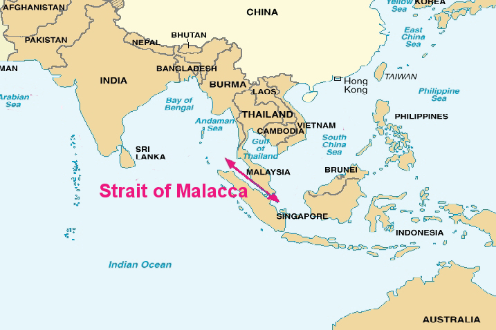
The British India Company was said to have come here in order to have a port close to the Malaccan Straits, the main shipping channel between the Indian Ocean and Pacific Ocean, and to secure its trade lines and commercial interests in the spice trade.
It is one of the most important shipping lanes in the world.
They must have succeeded in their securing their goals, because the British East India Company officer I mentioned previously, who was said to have made the first astronomical observations outside of Europe, William Petrie, was also the Governor of Prince of Wales Island in the Malaccan Strait between 1812 to 1816.
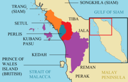
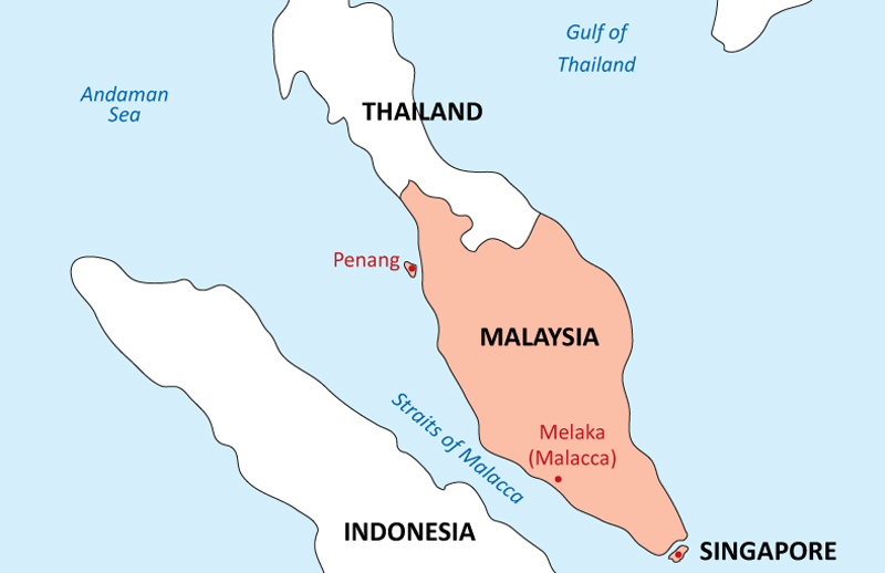
Prince of Wales Island is known as Penang Island, the main constituent island of the Malaysian state of Penang.
Apparently the British East India Company was able to take Penang from the Kedah Sultanate, and keep it.
St. Mary’s Church at Fort St. George is said to the oldest Anglican church in India, built between 1678 and 1680…
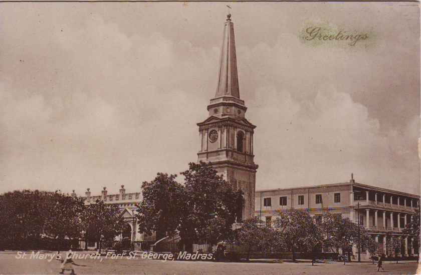
…and Elihu Yale, a British merchant, trader, and a President of the British East India Company settlement at Fort St. George, was married at St. Mary’s Church.
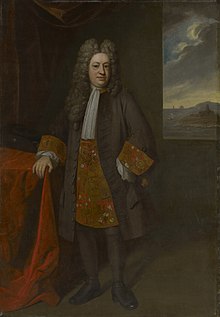
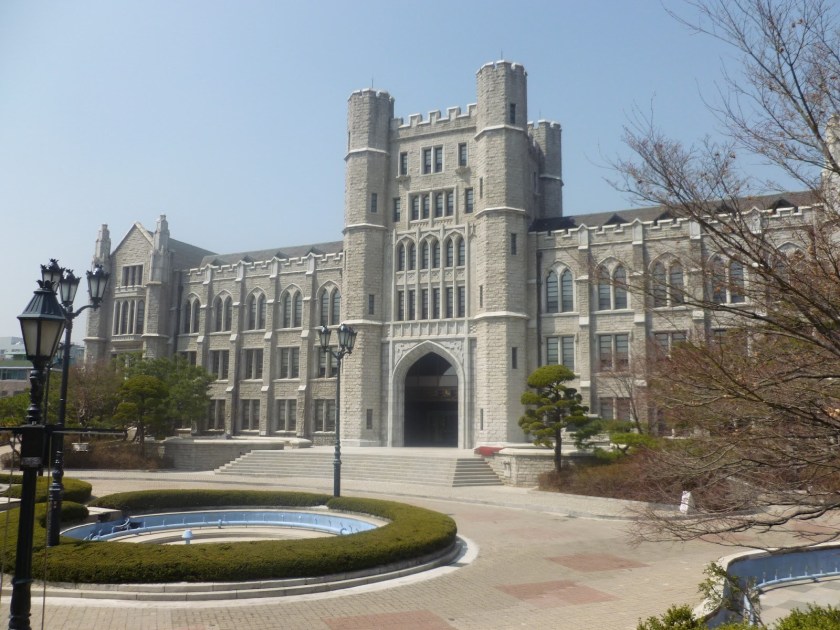
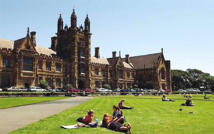
Elihu Yale later became a benefactor of the Collegiate School in the Colony of Connecticut, which in 1718 was renamed Yale College in his honor.
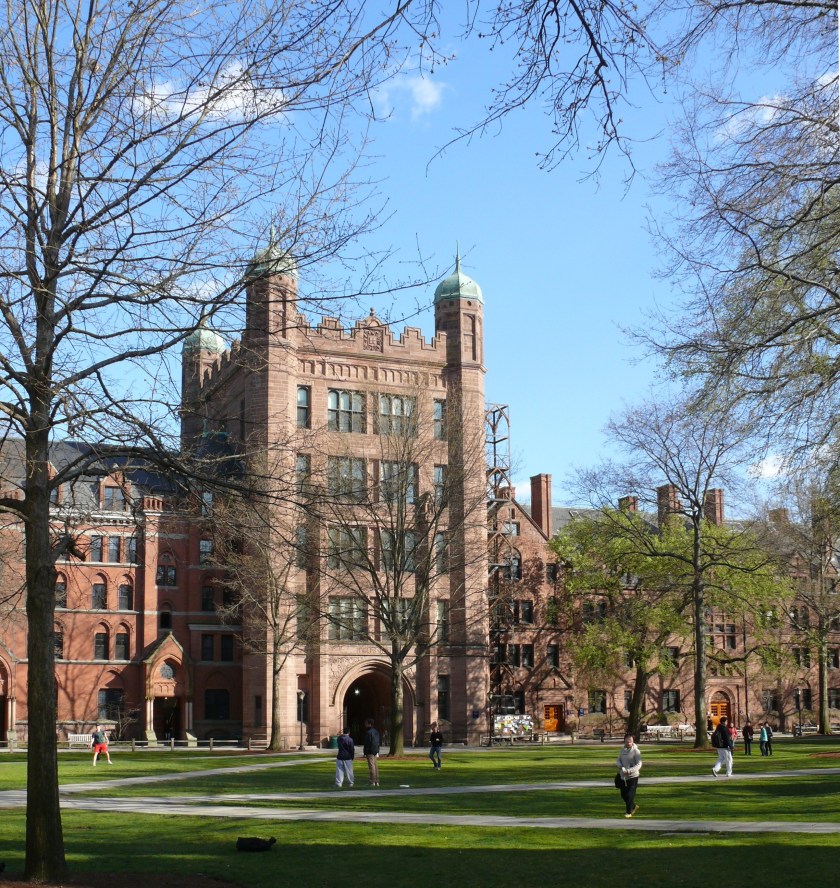
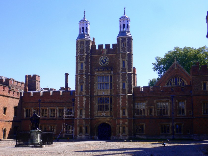
I have found the same style of architecture at universities and colleges around the world, including, but not limited to, Korea University in Seoul, Korea…
…the University of Sydney, in Australia…
…and Eton College, in Windsor, England.
The Madras Presidency, or the Presidency of Fort St. George, was an administrative subdivision of British India, and established in 1652, and of which Elihu Yale became president in 1684.
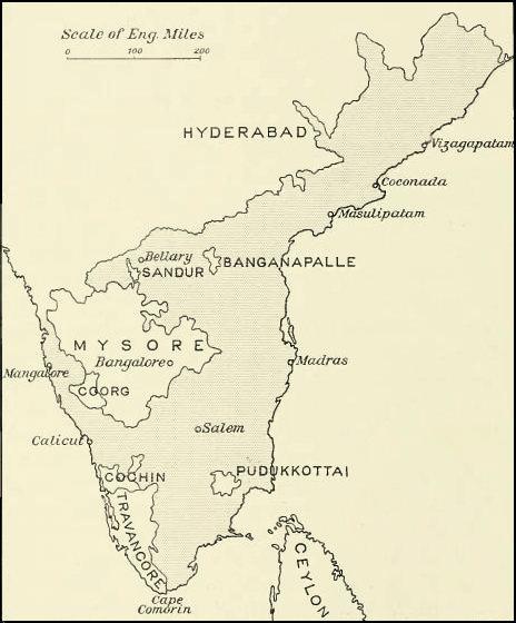
At its greatest extent, the Madras Presidency included most of southern India, including the whole of the states of Tamil Nadu and Andhra Pradesh; parts of Odisha, Kerala, and Karnataka; and the union territory of Lakshadweep, a group of islands off India’s southwestern coast.
The Madras Presidency ended with the advent of Indian independence on August 15th of 1947.
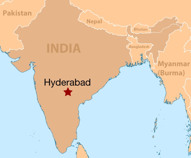
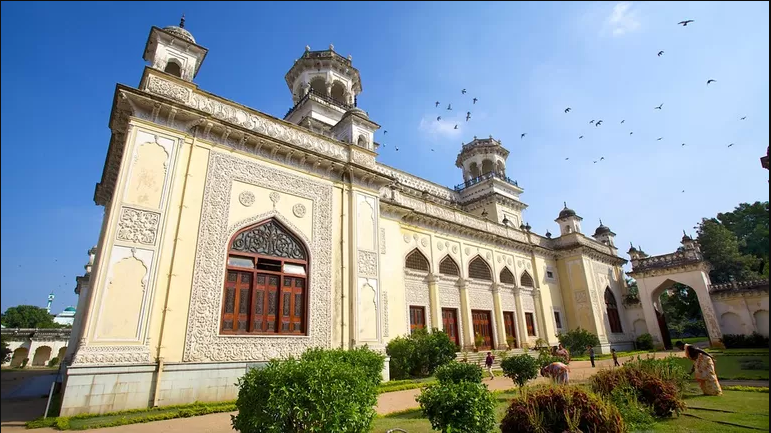
We come to Hyderabad next on the alignment, the capital and largest city of India’s Telengana State on the Deccan Plateau.
The Deccan Plateau bounded by the Eastern Ghats and the Western Ghats…
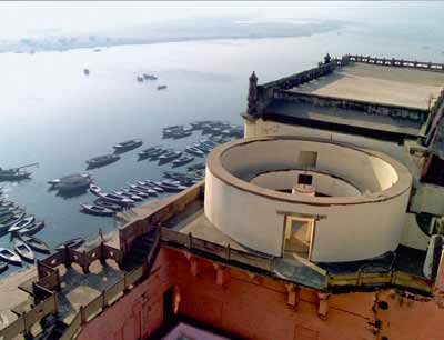
…and it is important to the note that ghats in India are also a series of steps leading down to water, like the Harishchandra Ghat in Varanasi.
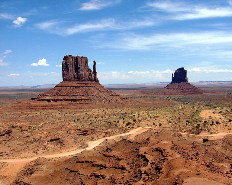
This is a screenshot from a YouTube video I watched several years ago entitled “The Eastern Ghats in Journey through India”…
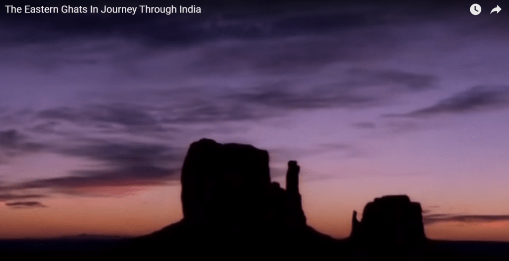
…showing this part of the subcontinent of India looking like Monument Valley, in Arizona near the border with Utah in the American Southwest.
Hyderabad occupies 241-square-miles, or 625-square-kilometers along the Musi River.
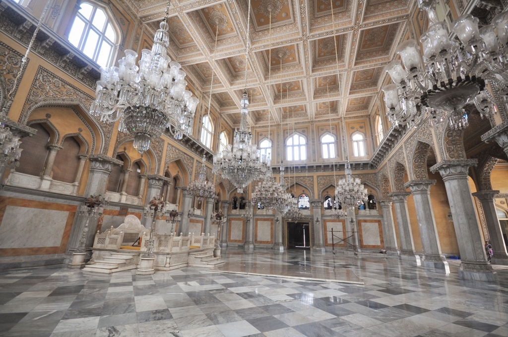
This is a view of the Salar Jung Museum in Hyderabad showing masonry banks on the Musi River.
The Salar Jung Museum is described as having the largest collection of antiques belonging to a single person, said to have been sourced from Nawab Mir Yusuf Ali Khan Salar Jung III, former prime minister of the 7th Nizam, the title of the ruler of what was then the princely state of Hyderabad.
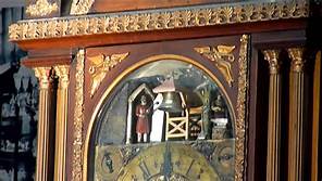
One of the most popular attractions at the museum is what is described as a 19th-century musical clock.
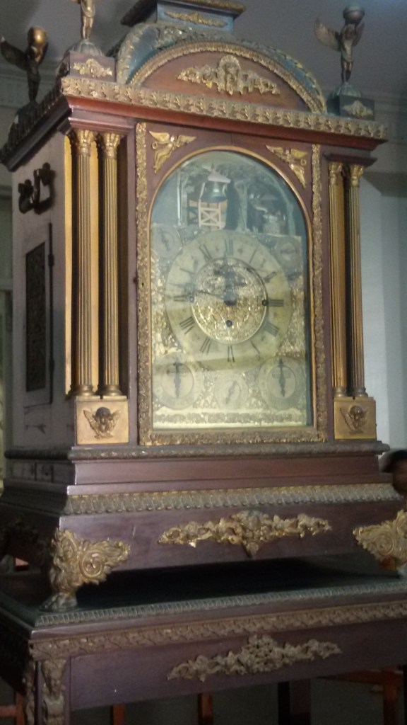
It has a bearded man that comes out from the enclosure exactly three minutes before every hour.
On completion of each hour, the bearded man on the left side strikes the bell as per the number of the hour, and a bearded man on the right side who strikes every second.
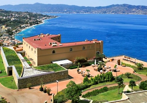
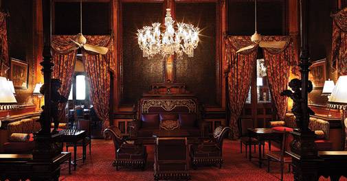
The Palace owned by the Nizam of Hyderabad, the Falaknuma Palace, was said to have been built in 1893, and converted into a 5-star hotel in 2010.
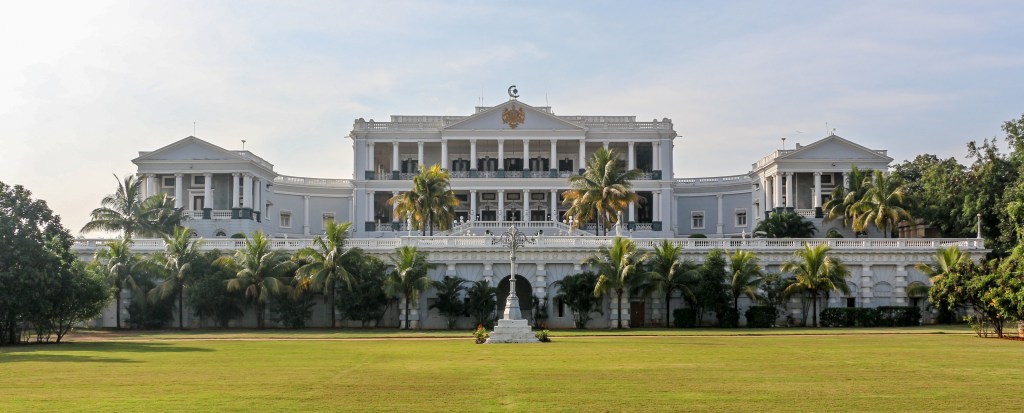
There are 60-rooms and 22-halls inside the Falaknuma Palace…
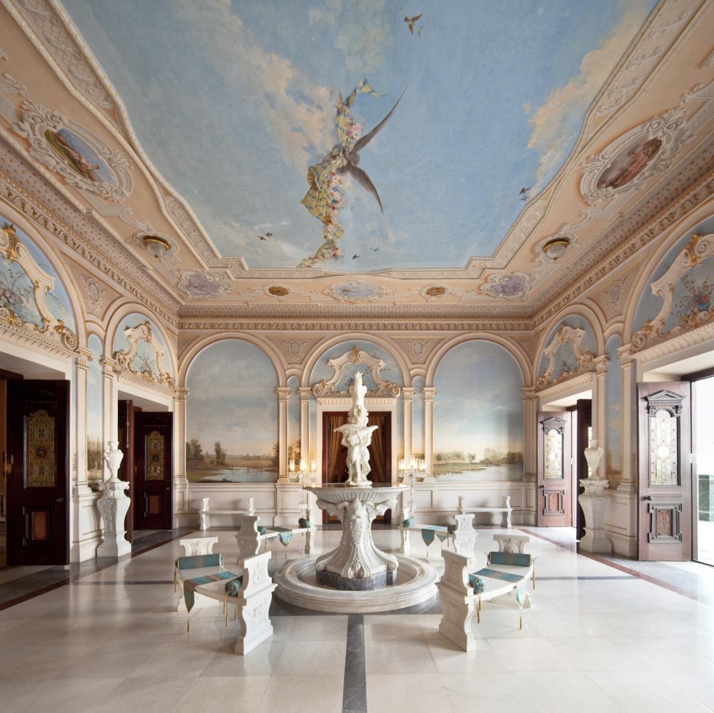
…as well as a large collection of the Nizam of Hyderabad’s treasures, including furniture, paintings, statues, books and manuscripts.
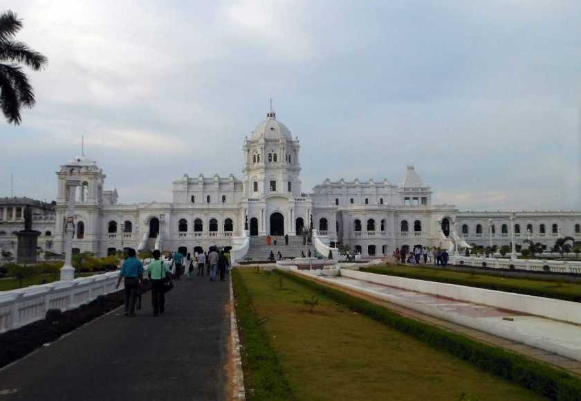
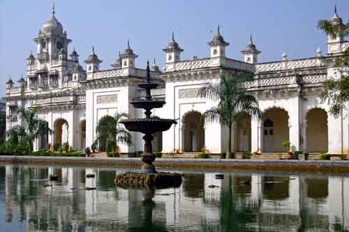
The official residence of the Nizams of Hyderabad was the Chowmahalla Palace, said to have been built starting in 1750.
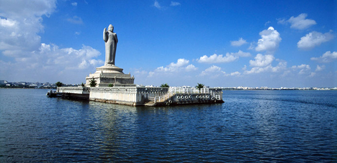
We are told that Hyderabad is located on hilly terrain around artificial lakes, including the heart-shaped Hussain Sagar lake, located north of the city center.
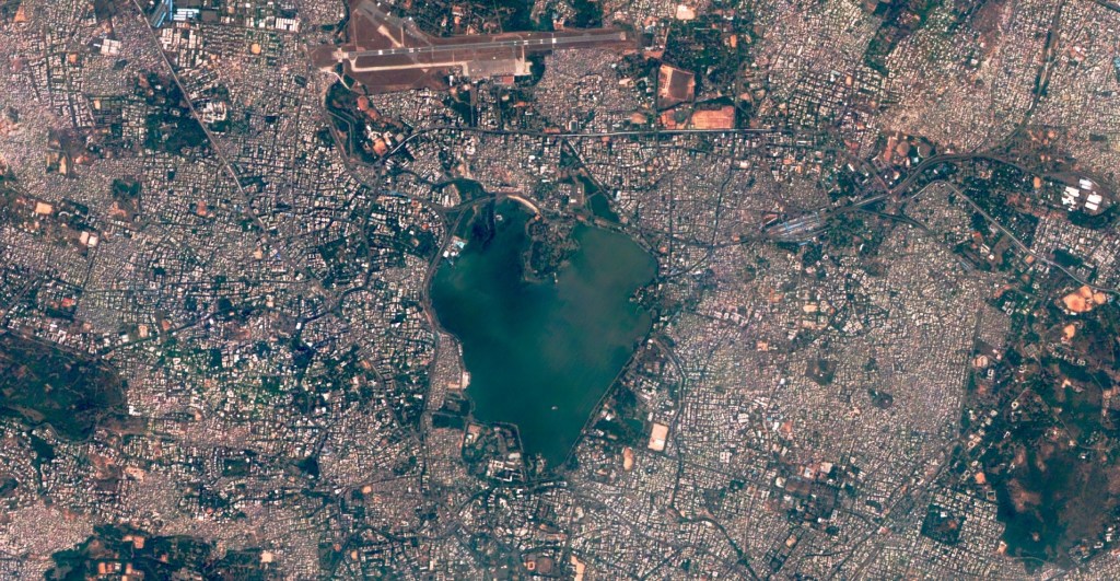
The lake was said to have been built by Ibrahim Quli Qtub Shah in 1563, and the large monolithic (meaning cut from one block of stone) statue of Gautama Buddha was said to have been erected in 1992 on top of what is called Gibraltar Rock in the middle of the lake.
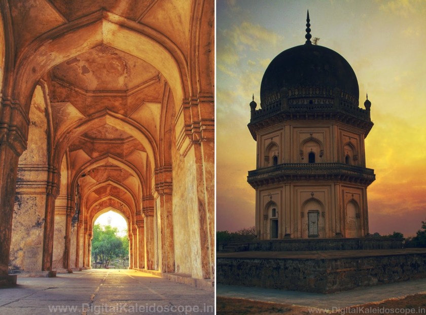
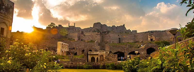
The Qtub Shahi tombs are located in the Ibrahim Bagh, or Garden District, near the Golconda Fort.
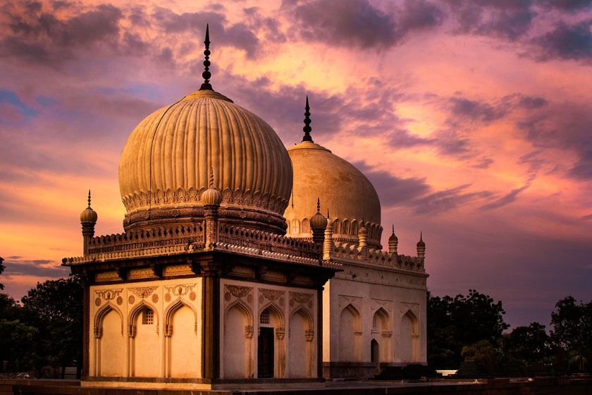
We are told they are the tombs and mosques were built by the various kings of the Qtub Shahi, which ruled the Golconda Sultanate of South India between 1518 and 1687.
There are seven tombs all together, built of grey granite.
I found this picture of a view of the Qtub Shahi tombs from the Golconda Fort said to date to around 1902 that brings mud flood immediately to mind.
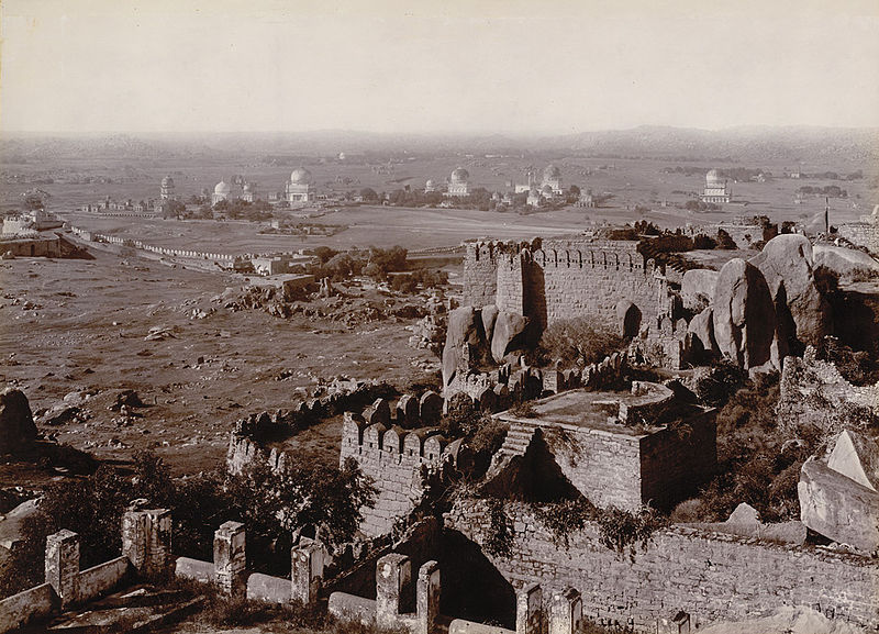
I am sharing what I am finding in the written historical record, and I know many things happened to take down the original ancient advanced Moorish civilization and erase it from our collective memory.
Just leaving this here for consideration as to one of the ways this might have happened.
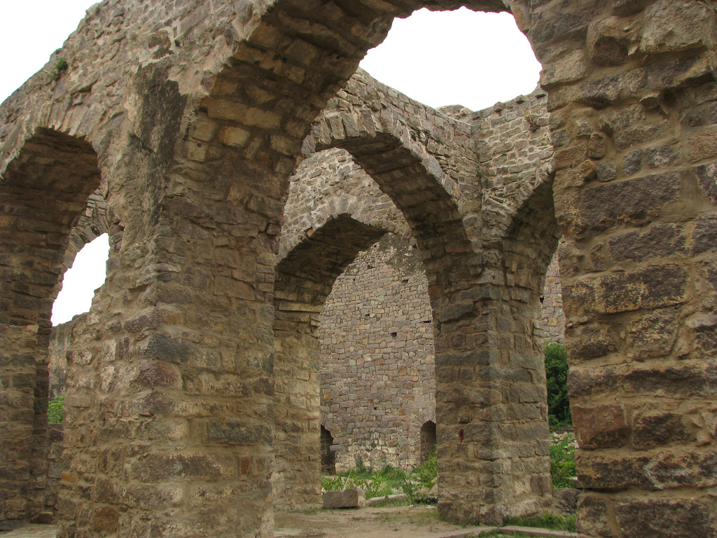
The Golconda Fort is described as a 12th-century citadel with four forts, eighty-seven bastions and numerous buildings.
It is described as an early capital of the Qtub Shahi kings.
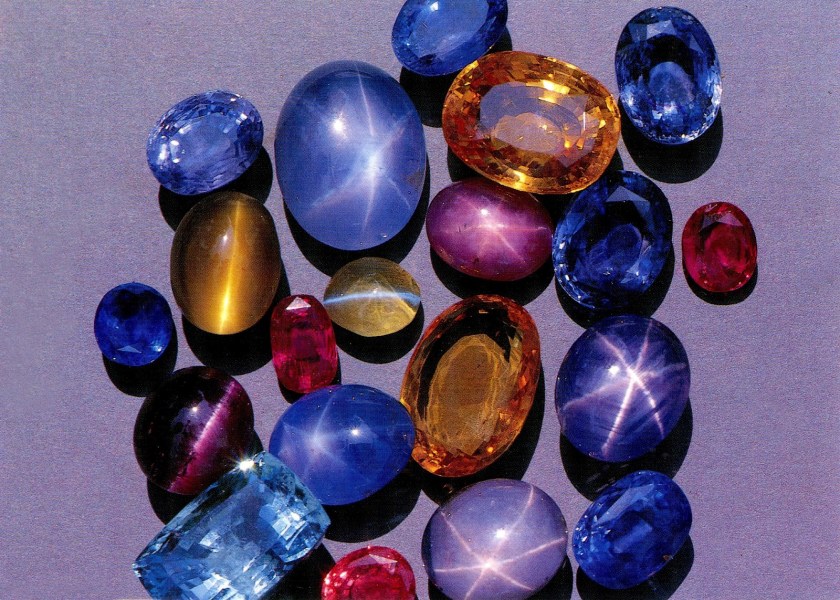
Golconda flourished as a trade center of large diamonds, known as Golconda Diamonds.
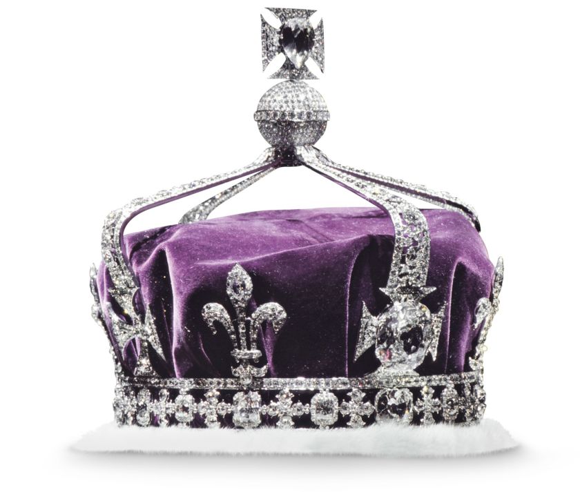
It has produced some of the world’s most famous diamonds, including the Koh-i-Noor, one of the largest cut diamonds in the world. This is a glass replica of it…
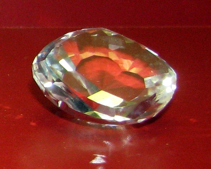
…because it is part of the British Crown Jewels…
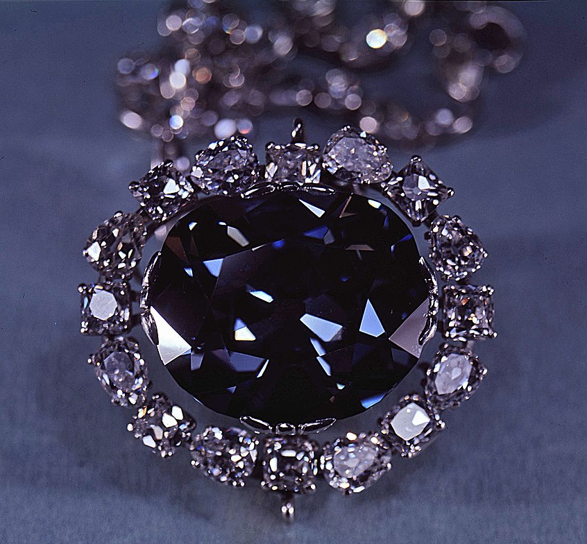
…and the Hope Diamond, a famous, blue-diamond that is on exhibit at the Smithsonian in Washington, DC.
After India gained independence in 1947, the Nizam of Hyderabad, Mir Osman Ali Khan, the world’s richest man of his time, declared his intention to remain independent rather than become part of the Indian Union.
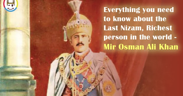
The Hyderabad State Congress began to agitate against him, with the support of the Indian National Congress and Communist Party of India, and in 1948, the Indian Army invaded Hyderabad, and he ended up surrendering to the Indian Union, signing a instrument of Accession which made him a Princely Governor of Hyderabad until October 31st of 1956.
Then on November 1st of 1956, Hyderabad was split into three parts, and merged into neighboring states. Eventually, the Telengana State, of which Hyderabad is the capital, was formed on June 2nd of 2014.

One more thought before ending this post. India was called the “Jewel in the Crown” of the British Empire. and its largest, and most important, overseas possession.
Much of the British Empire was built around India, in order to provide routes to, or protection for, India.
India was prosperous and rich, in spices, silk, indigo, gold, cotton, and other products and resources.
Trade with, and eventual political dominance of large parts of India, was what provided Britain with large parts of its wealth in the 1700s through 1900s.
There were other players in the mix in India – the Jesuits, the Portuguese, the French East India Company, the Dutch East India Company – but for whatever reason, the British came out on top there…for a long time.
I think the truth of the matter is that all these players were actually working towards the same goal of taking down the Old World Order, taking its wealth, faking the historical narrative to exclude the original civilization, and establishing the conditions for what we have seen happening in the world today.
I am going to be picking up the alignment in the next post at the Ellora Caves, one of the largest, rock-cut, monastery- temple cave complexes in the world.