In the second part of this series, I will continue to research places from the long list I have that viewers brought to my attention in comments and/or sent me pictures and information.
I am going to start with comments that were made in response to part 1 of this series because they expose more of the same types of patterns that I saw in part one.
After I talked about hippodromes, racing tracks, and proximity to international airports in part one, a viewer brought to my attention in a comment about part 1 of this series that the Montreal Hippodrome is located next to rails; is 15-minutes to the Montreal Pierre Trudeau International Airport; and the St. Lawrence River is just south of it.
The Montreal Hippodrome was located 8-miles, or 13-kilometers from Montreal-Pierre Trudeau-International Airport, or a driving distance of 11-miles, or 18-kilometers, from there.
The location of the historical Montreal Hippodrome appears to be situated at a similar angle to major international airports as seen in Shepherd’s Bush in West London and Sulphur Springs in Tampa shown and dicussed in the first part of this series, where both places had had elliptical-shaped race-tracks in their vicinities.
Also known as the Blue Bonnets Raceway, a thoroughbred horseracing track and casino, the Montreal Hippodrome was permanently closed in October of 2009 after 137 years of operation, and the abandoned site was demolished starting 2018.
The Hippodrome was located right next to the Canadian Pacific St. Luc Railyards, and its interesting to note this array of elliptical shapes on the race track grounds between the main ellipse and the railyards.
It is also interesting to note that the roundhouse at the St. Luc Railyards was said to have been completed in 1950…
…and by 2003, it was reduced to 4 or 5 stalls.
Why was a beautiful structure like this deconstructed after only a half-century of use?
The appearance of the historical St. Luc Roundhouse reminded me of depictions I have seen of the ancient harbor of Carthage in Tunisia, called a cothon, meaning an artificial, protected harbor.
This is a 2017 photo of the former grand 37-stall roundhouse , considered a shining example of the Canadian Pacific Railway when it was built.
Studies and planning have been done to re-develop the hippodrome site into social housing units.
The hippodrome was located in the western part of Montreal’s Cote-des-Neiges neighborhood, which is the geographic center of the Island of Montreal, said to have been founded in 1862…
…and is also the location of the Notre-Dame-des-Neiges Cemetery…
…as well as the nearby Saint Joseph’s Oratory, the construction of which was said to have started in 1914, and completed in 1967.
Saint Joseph’s Oratory is: the highest building in Montreal; a National Shrine; a Roman Catholic minor basilica; the largest church in Canada; and has one of largest domes in the world.
Like Shepherd’s Bush in West London, the Cotes-des-Neiges neighborhood is an underground transportation hub, with five Orange Line metro stops, and four on the Blue Line.
Another place I would like to bring your attention to before I move on is in Philadelphia.
I decided to take a peek at Philadelphia, another place I have studied on a map previously, and I knew the Philadelphia International Airport was in the southwestern part of the city.
So I looked at it on a map, and proceeded to look for an elliptical shape nearby to see if I could find one.
I came across this track on Google Earth, which I was able to identify by looking-up tracks in South Philadelphia.
The South Philadelphia Super Site is located 4-miles, or 7-kilometers in a straight-line, from the Philadelphia International Airport, and is a driving distance of 6-miles, or 10-kilometers.
Here is a comparison of the appearance of all four of these locations I have looked at with an elliptical race-track and relatively short-distance to a major international airport.
The South Philadelphia Sports Complex is adjacent to the Super Site…
…and which consists of Citizens Bank Park, the home of baseball’s Philadelphia Phillies; the Lincoln Financial Field, the home of football’s Philadelphia Eagles; and the Wells Fargo Center, the home of basketball’s Philadelphia 76’ers and hockey’s Philadelphia Flyers, and the sport of lacrosse’s Philadelphia Wings.
The South Philadelphia Super Site track and the three professional sports venues are both located very close to the CSX railyards…
…below which I noticed there was an abandoned elliptical shape surrounded by trees.
When I looked on a map, the railroad and sports complexes in South Philadelphia are adjacent to the Philadelphia Naval Yard, the location of the Philadelphia Experiment.
A couple of thoughts before I move on from here.
First, I have long-wondered about a connection between athletic fields to the Earth’s grid system since finding ball-fields sandwiched between a star fort in called Fort Negley and the railroad yards in Nashville.
I am definitely beginning to think ellipses served a function similar to star forts as circuitry on the Earth’s electro-magnetic grid system.
Secondly, for a variety of reasons, I have come to believe that the Philadelphia Experiment was part of how the Earth’s original positive timeline was hijacked, which I have talked in-depth about in other blog posts.
And if that belief sounds out-there, there actually is a time-travelling naval vessel in the field of information in the form of the 1980 movie “The Final Countdown.”
I am wondering if Philadelphia was a very powerful node even amongst the network of electrical power node points around world, or if its location was the key for something like this to take place…or both.
One last thing before moving on from this particular topic for now.
A viewer sent me this graphic awhile back saying:
“If you haven’t yet researched the Indianapolis Motor Speedway, I think it’s worth a glance.
Balloon racing and monorail aeroplanes being used there before they were racing cars.
Check this out: Vatican City, the Wimbledon Campus, the Roman Colosseum, the Rose Bowl, Yankee Stadium, and the Kentucky Derby all fit inside the automobile racing CIRCUIT.”
The Indianapolis Motor Speedway is the largest sports’ venue in the world, and said to have been constructed in 1909.
It was the second-purpose built, banked oval racing circuit after Brooklands in Surrey, England, which opened in 1907 and closed in 1939.
It certainly looks like the Controllers’ utilized the existing performance-enhancing features of the physical infrastructure of the Earth’s grid system for the sporting venues of the new historical timeline.
Someone mentioned the Battersea Power Station on the south bank of the River Thames in Battersea in the London Borough of Wandsworth.
The one building comprises two power stations, with Power Station A said to have been constructed between 1929 and 1935, and Power Station B between 1937 and 1941.
One of the largest brick buildings in the world, and known for its Art Deco.
Then, after all that work to design and construct it, both power stations of the Battersea Power Station were decommissioned by 1983…only 42-years later?
After 30-years of abandonment, interest in the redevelopment of the site picked up, and it is currently being turned into luxury apartments, office space, and commercial business space.
Someone mentioned the Efteling Amusement Park, located in the North Brabant Province of the Netherlands, with largest nearby city being called Hertogenbosch, also known as Den Bosch.
Sounds like Bush, and Busch, as noted London and Tampa in the first part of the series.
The Efteling Theme Park was opened in 1952 on the grounds of what was a former sports and recreational park under the guidance of the three visionary men who developed the park.
Amusements at the park include the King’s Castle of the Symbolica ride, a trackless dark family ride…
…with a grand ballroom at the end of the ride…
…the Villa Volta…
…an unusual type of ride in which the visitors get the illusion while inside that either the building, or the visitors, or both, are turned-upside down.
…and the Fata Morgana, also known as the Forbidden City and the 1001 Arabian Nights, an attraction that opened in 1986.
I have to wonder if the infrastructure for the park was already there….
Another theme place with a theme park that someone brought to my attention was in Chippewa Lake, a town in Ohio at the end of a trolley-line that came from Cleveland.
It operated for 100-years, from 1878 to 1978, after which time it was abandoned, with many of the original rides left to deteriorate in situ.
The Chippewa Park Dance Hall burned-down in June of 2002.
A viewer from Belgium commented about the Antwerp Zoo, one of the oldest in the world as it was established on July 21st of 1842…
…and is located right next to the Antwerpen-Centraal Railway Station, which first opened in 1905.
The following are some of the architectural features of the Antwerp Zoo:
The Egyptian Temple, said to date from 1856, which houses the giraffes…
…the Moor Temple, said to date from 1885, which houses okapis, known as forest giraffes and the world’s first zoo with okapis starting in 1918…
…the Reptile Building, said to date from 1901…
…and the Winter Garden, a tropical garden dated to 1897.
The Belgian viewer also mentioned the Albert Canal, connecting Antwerp and Liege, which was said to have been built first by a German engineering company between 1930 and 1934, and then completed by Belgian companies by 1939…
…just in time for the German forces to cross the Albert Canal on May 11th of 1940, the destruction of Fort Eben-Emael, and the beginning of the German Occupation of Belgium.
Fort Eben-Emael was a star fort that was called part of the National Redoubt of Belgium, said to be a network of fortifcations that functioned as the infrastructural cornerstone of the Belgian defensive network and built between 1890 and 1914.
Along with Fort Eben-Emael, near the border with the Netherlands, the National Redoubt included:
The Fortified position of Liege, at the other end of the Albert Canal from Antwerp.
The Belgian government was said to have upgraded and extended the already existing infrastructure of the Fortified Position of Liege after World War I to block Germany’s invasion corridor through Belgium to France.
This was done after World War I because the Belgians were able to hold up the German forces invading France for a week at Liege, which in-turn affected the German timetable for invading France.
Interestingly, the Belgian King Leopold III declared Belgium’s neutrality in 1936 to try to prevent another conflict, which was said to prevent France from making active use for its defense of the Belgian defenses and territory, and as seen with Fort Eben-Emael, the Belgian fortifications did not hold the Germans, who occupied Belgium and France for at least four years during World War II.
Liege is one of the most important railway hubs in Belgium, with its first station opening in 1842…
…and in 1843, becoming the location of the first international railway connection linking Liege to Aachen and Cologne in Germany.
There was even a World’s Fair held in Liege in 1905.
This is the Liege-Guillemins Railway Station, which opened in 2009, one of four Belgian stations on the high-speed rail network.
The Fortified Position of Namur of the Belgian National Redoubt was said to have been established for the same reason as the Fortified Position of Liege – to fortify the traditional invasion corridor of Germany through Belgium to France.
The old forts here were said to have been built between 1888 and 1892.
The Siege of Namur took place in World War I, between August 20th and August 25th of 1914, when the German Army bombarded and destroyed the forts with heavy artillery.
I think quite likely star forts were targeted for destruction in both World Wars, and other wars as well, and not because they were military fortifications.
During the Siege, the German Army captured the Namur Citadel…
…and Namur was occupied by the German Army for the rest of World War I.
Namur is situated at the confluence of the Meuse and Sambre Rivers, which reminded me in appearance of Pittsburgh in Pennsylvania at the Forks of the Ohio, where the Ohio and Monongahela Rivers meet.
I am really quite sure that what we are told are natural river systems are in fact man-made canal systems.
Interestingly Namur was also the name of the Montreal Underground stop next to the former Montreal Hippodrome.
The most important part of the Belgian National Redoubt, we are told, was the double-ring of defensive fortifications around the port city of Antwerp.
During World War I, the Germans also laid siege to Antwerp, against Belgian, French, and British forces.
The Germans were again victorious after bombarding the so-called Belgian fortifications with heavy and super-heavy artillery.
During World War II, on September 4th of 1944, the British Armored 11th-Division captured the port city of Antwerp intact except for the bridges across the Albert Canal.
Apparently, the retreating Germans blew up these bridges on their way out of town.
Then on October 12th of 1944, Hitler and the German High Command exclusively focused their V-weapon missile attacks on the cities of Antwerp and London, and for a period of 175-days-and-nights, German missile-launching crews fired more than 4,000 V-1s and more than 1,000 V-2s at Greater Antwerp, and Antwerp had become known as the “City of Sudden Death.
The Antwerp Underground is known as the “Ruien” and here there are vaulted ceilings, narrow canals, bridges, sewers and sluices.
It is interesting to note that Antwerp is not located too far from the Efteling Amusement Park, being only 51-miles, or 82-kilometers, apart from each other.
Other places on my list of places suggested by commenters include:
Silloth Harbour and Beach in Cumbria, a northwest County in England near the country’s border with Scotland.
Silloth Beach is located on England’s Solway Coast, which is designated as an Area of Outstanding Natural Beauty in Cumbria.
Silloth Harbor and Beach was said to have been inspired by Carlisle business men in the 1850s as a deepwater port, seaside resort and railway hub.
Carlisle, the administrative center of Cumbria, at one time had seven railway companies operating out of the Carlisle Railway Station, which was said to have first opened in 1847.
Silloth Port, one of the busiest ports in Cumbria, is clearly man-made, with old-looking walls, with its main cargoes being wheat, molasses, fertilizer, and general cargo.
Carrs Flour Mill is located right next to the port, called a Victorian-era mill that was said to have been built in 1887, and still provides flour to leading food manufacturers.
Silloth was called a planned community, and we are told that the railway company even had grey granite shipped here in its own vessels from northern Ireland for the Christ Church, a prominent landmark in Silloth, occupying a complete rectangle of the planned town, and its construction completed, we are told, in 1870.
The Silloth Green is considered to be one of the largest and longest greens in England, going back to the 1860s…
…and is fronted by the Silloth Promenade along the shoreline heading up the Solway Coast towards Skinburness.
Skinburness is considered a residential area for Silloth…
…and its most prominent building, the Skinburness Hotel, said to have opened in the 1880s and demolished in 2017, after having been abandoned for about ten years.
Another commenter pointed out the similarity between the architecture of Shipstone’s Brewery in Nottingham, England, founded in 1852, on the left, and the Anheuser-Busch Brewery in St. Louis, Missouri, on the right, first established as the Bavarian Brewery in 1852.
Both Shipstone’s Brewery and Anheuser-Busch Brewery are famous for their Clydesdales, a Scottish breed of draughthorse.
Someone else drew my attention to a place called Yednize in Dresden, Germany.
Come to find out Yenidze was formerly a tobacco and cigarette factory, which was said to have been built between 1907 and 1909, and designed by architect Marvin Hammitzsch in Moorish Revival style.
Often confused for a mosque by tourists, we are told that no, it’s not a mosque, it was just the clever way that the architect designed the mosque as an art-deco, mosque-inspired structure, because according to Dresden law at the time, we are told, it was prohibited to build factory buildings that might spoil the city’s baroque sky-line.
Jewish entrepreneur Hugo Zietz started the tobacco company which imported tobacco from Ottoman Yenidze in Thrace, which is now Genisea, Greece.
The bombing of Dresden took place between February 13th and 15th of 1945, more than 1,200 bombers of the British and American Air Forces dropped more than 3,900 tons of high-explosive bombs and incendiary devices on the capital of the German State of Saxony.
These attacks destroyed more than 1,600-acres, or 6.5-kilometers-squared, of the city-center, and as many as 25,000 people were believed to have been killed.
I am going to continue this series in “Interesting comments I have Received Redux – Part 2B of All Over the Map.”
In this new series, I am planning to once again research places from a long list I have of places that viewers have brought to my attention in comments and/or sent me pictures and information.
James C. relayed to me that there are many hidden secrets in the Shepherd’s Bush District and its wards of White City and Wormholt in West London.
In taking a cursory look there and seeing many interesting things, I am going to make this location the primary focus for this blog post.
Shepherd’s Bush is a District of West London in the Borough of Hammersmith and Fulham.
One of the explanations for the District’s name is that it was said to have been named Shepherd’s Bush because it was originally a pasture for shepherds as they made their way with their sheep…
…to the Smithfield Market in the City of London, the current building for which was said to have been designed by Victorian architect Sir Horace Jones and built in the second-half of the 19th-century.
Both the Shepherd’s Bush District and its White City Ward are located on the Central Line of the London Underground System, and along with the Metropolitan Line, one of only two lines to cross the Greater London boundary.
The Central Line first opened in 1900 as the third deep-level Tube line to be built after electric trains were said to have made them possible.
It is interesting to note that the Shepherd’s Bush Train Station was only in use for 42-years, by the London and South Western Railway, between January of 1874 and May of 1916, at which time it was closed, along with other nearby train stations, never to be used again.
The Shepherd’s Bush Green is an approximately 8-acre, or 3.2-hectare, triangular space of open grass that is surrounded by busy roads on all three sides.
Four main roads radiate from the western side of the green, and three approach from the eastern side, meeting at the Holland Park Roundabout.
The Thames Water Tower is located in the Holland Park Roundabout.
The Thames Water Tower was said to have been designed and built in 1994 on top of an underground shaft that brings drinking water up from the London Ring Main, an extensive underground tunnel of flowing water 30 meters, or 98-feet, underground.
The steel core of the glass-covered tower functions as one of the world’s largest barometers, said to forecast the weather by responding to changes in air pressure, characterized by filling-up with colored water, and turning the tower blue.
Neighboring Shepherd’s Bush, Holland Park is an affluent section of Kensington, known for its Royal Crescent, said to have been designed in 1839 by Robert Cantwell, and considered one of the most architecturally interesting 19th-century developments in Holland Park.
The Shepherd’s Park Green is an important node of the Bus Line, with eighteen bus routes arriving here, as well as being near five underground stations.
In addition to the two mentioned previously at Shepherd’s Bush and White City, the following underground stations are nearby:
The Shepherd’s Bush Market…
…the Goldhawk Road Tube Station…
…and the new Wood Lane Station on the Circle and Hammersmith & City Lines, that opened in 2008.
The original Wood Lane Station on the London Underground’s Central Line was said to have been built to serve the Franco-British Exhibition and the Olympic Games in London, which took place in 1908.
The Wood Lane Tube Station was said to have been closed when the White City Tube Station was opened a short distance north on the Central Line, and while the Wood Lane platforms were abandoned, the depot here became known lines as the White City Depot, one of three traction maintenance depots on the Central Line.
The depot at this location became operational in 1900.
Until 1928, it had the main power station for the Central London Railway (CLR) to generate electricity for the railway’s trains…
…after which time the Lots Road Power Station supplied the London Underground’s electricity until it was decommissioned in 2002.
Uxbridge Road is on the north side of the Shepherd’s Bush Green, a major road through West London that also provides transportation connections for buses and the London Underground.
The Shepherd’s Bush Green is bounded to the East by the West London Overland Line…
…and at one time bounded to the west by the rail-line which serviced the Shepherd’s Bush Station, again which was closed in 1916, and the tracks have been built over.
It is important to note that during the Second World War, Shepherd’s Bush and its environs were targeted heavily by German V-1 flying bomb attacks, which would strike with little notice.
Now I am going to take a look at the Franco-British Exhibition and the Olympic Games in London, both of which took place in 1908 in this complex in the White City Ward of Shepherd’s Bush.
What we are told is that the area now called White City was farmland until it was used as the building site of the Franco-British Exhibition, so-named as a celebration of the 1904 Entente Cordial between the two countries, said to mark the end of hundreds of years of intermittent conflict between the two states and their predecessors…among other things, and one of six Exhibitions held there between 1908 and 1914.
The 1908 Olympic Summer Games were held in London alongside the Franco-British Exhibition, as they were not able to be held in Rome as originally scheduled because of a violent eruption of Mt. Vesuvius in 1906 that put the breaks on that plan.
First on the Exhibitions.
We are told the chief architect of the White City Buildings for the 1908 Franco-British Exhibition…
…was John Belcher, President of the Royal Institute of Architects from 1904 – 1906.
In addition to the twenty palaces and eight exhibition halls that were said to have been built expressly for the 1908 Exhibition, there were a number of amusement attractions featured, including:
The Flip-Flap in the Elite Gardens…
…the Mountain Scenic Railway…
…the Spiral Railway…
…and the Canadian Toboggan.
There were also two Human exhibits, otherwise known as Human zoos, at the 1908 Franco-British Exhibition.
One was called “Ballymacclinton,” and said to have been the largest and most successful Irish Village ever staged…
…and the other was the “Senegalese Village.”
The White City was also the location of five more Exhibitions:
The Imperial International Exhibition in 1909, called an opportunity to reflect upon the achievements of the three members of the 1907 Triple Entente, an accord between Russia, France, and Great Britain…
…and which also featured two Human exhibits, one from France with people from Dahomey, now Benin, in Africa…
…and the other from Russia of Kalmyk people, Buddhist Mongols from Russia and Kyrgyzstan, otherwise known as Tartars.
The Japan-British Exhibition was held in 1910 to celebrate and reinforce the Anglo-Japanese Alliance signed between the two countries in 1902, and driven by the Empire of Japan’s desire to develop a more favorable image to Britain and Europe.
Most of the content of the Exhibition was Japanese and not British, like the Japanese Gardens…
…that included a Human exhibit of Ainu, the indigenous people of Japan, from the island of Hokkaido…
…and from some of the Japanese colonies, like Taiwan, known as Formosa at that time, with the given reason of showing that Japan was following in Great Britain’s footsteps as an Imperial Power striving to “improve” the lives of its “colonial natives.”
The Coronation Exhibition was held in the White City starting in May of 1911, to showcase highlights of the British Empire and to celebrate the coronation of King George V and Queen Mary in Westminster Cathedral in June of 2011.
In March of the same year, King George V and his wife Queen Mary were elevated to Emperor and Empress of India, a title used by British Monarchs from 1876 to 1948…
…during the Delhi Durbar of 1911, an Indian imperial-style mass-assembly organized by the British at Coronation Park in Delhi, India .
The Human exhibits at this Exhibition were from Somalia…
…Ireland…
…Canada…
…and India.
The Latin-British Exhibition in 1912 focused on the Latin countries in Europe of France, Spain, Italy, and Portugal, and South America.
…and while I am seeing references to Human exhibits from the colonies at this one, I am not finding any photographs or depictions of these other than on this program cover.
In 1914, the White City of London held its last Exhibition, the Anglo-American Exposition.
Among other things, the Anglo-American Exposition featured the “American Picanninny Band,” comprised of a group of young people recruited from the Jenkins orphanage in Charleston, South Carolina…
…and the Miller Brothers’ 101 Ranch Wild West Show from Ponca City in Oklahoma.
It is interesting to note that the 101 Ranch was also the physical location of the 101 Ranch Oil Company.
The 101 Ranch Oil Company was founded by in 1908 by E. W. Marland, a lawyer and oil-man who moved to Ponca City from Pennsylvania and entered into a leasing arrangement with the Miller Brothers 101 Ranch.
The 101 Ranch was a focal point of the oil rush in northeastern Oklahoma.
In 1917, E. W. Marland founded the Marland Oil Company, which by 1920 controlled 10% of the world’s oil reserves.
Marland Oil Company merged with Continental Oil, also known as Conoco, in 1929, after a successful take-over bid by J. P. Morgan, Jr.
The company maintained its headquarters in Ponca City until 1949, when it moved to Houston, Texas.
Conoco was owned by the DuPont Corporation between 1981 and 1998, and in 2002, Conoco merged with Phillips Petroleum, which also had its roots near Ponca City in northern Oklahoma, to become today’s ConocoPhillips.
A thought with regards to these international exhibitions and expositions.
There are two definitions of the word exposition.
One is a device used to give background information to the audience about the setting and characters of the story.
Exposition is used in television programs, movies, literature, plays and even music.
What better way to tell your audience the story you want them to believe than the other definition of exposition, a large exhibition of art or trade goods.
Following the 1914 Anglo-American Exposition, the White City site fell into disuse and disrepair.
In 1937, a large portion of the White City was cleared to make way for a housing estate
The White City Stadium was the main venue for the 1908 Summer Olympics held concurrently with the Franco-British Exhibition on the White City grounds..
This stadium with a seating capacity for 68,000 was said to have been designed by engineer J. J. Webster, and built in 10-months by the George Wimpey construction firm starting in 2007, on part of the site of the Franco-British Exhibition.
The 1908 London Olympic Games were opened by King Edward VII at the White City stadium on April 27th.
One of the notable outcomes of these particular Olympic Games was that the distance for the marathon was fixed for future games and sporting events, and calculated by the distance from Windsor Castle to a point in front of the royal box.
After the 1908 Olympic Games, only the running track at the White Stadium was used until 1914, and there were attempts to sell it.
Other than that, the White Stadium track was used as by some athletes in training for the 1924 Olympic Games in Paris.
Then the Greyhound Racing Association took-over the White City Stadium in 1926.
The stadium became the host to the English Greyhound Derby between 1927 until the time of its closure in 1984.
Today, the BBC White City occupies the site of the White City Stadium, which was demolished in 1985.
The former White City Exhibition Site now hosts the Westfield Shopping Center, one of the largest in London.
We are told this 1841 map shows a largely rural and undeveloped Shepherd’s Bush, with a lot of open farmland compared to fast-developing Hammersmith.
I have an arrow pointing to the green feature marked “Hippodrome” which jumped out at me because of the White City Stadium and what a “Hippodrome” actually is – a Greek word used from ancient times to mean a racetrack.
Famous Hippodromes from antiquity include one in Caesarea in Israel on the top left; Constantinople on the top right; the Circus Maximus in Rome on the bottom left; and one in Messina in Sicily.
Long before I started doing my own research, I lapped up the available research on megalithic sites like Stonehenge in southern England.
In the neolithic landscape surrounding the dominating Stonehenge, much is found, including two features, one which is known as the Greater Cursus, and the other as the Lesser Cursus.
Besides having the meaning of being a neolithic earthwork enclosure comprising parallel banks, cursus is another historical term with the meaning of racetrack.
When I was doing research into underground railway systems, I found an elliptical-, or cursus-, shaped subway in Glasgow, Scotland, said to have first opened in 1896.
The fifteen stations of the subway are distributed over a 10-kilometer, or 6-mile, circuit of the West End and City Center of Glasgow, with eight stations to the north of the River Clyde, and seven to the south. There are two lines: an outer circle running clockwise, and an inner circle running counter-clockwise.
Circuit is a word in the English language that means: 1) a roughly circular line, route, or movement that starts and finishes at the same place; and 2) a path in which electrons from a voltage or current source flow. The point where those electrons enter an electrical circuit is called the source of the electrons.
This came up when I searched for “particle accelerator diagram,” showing counter-rotating beams in a circular accelerator, contrasted with the Glasgow subway’s outer and inner circle running in opposite directions from each other.
Like with what I found in Shepherd’s Bush previously in this post, there are also abandoned rail-line stations in Glasgow, like the Botanic Gardens Station, said to have been built in 1896, and closed to passenger transport in 1939…
…and there is an abandoned tunnel at the Botanic Gardens as well.
When I look at the configuration of the blueprint for the lay-out of the Franco-British Exhibition and the White City Stadium, R2D2, the beeping ‘droid from Star Wars comes to mind as a similar match.
This is a detail of a map from 1912 called “Bacon’s Up-to-Date Map of London” showing the White City configuration, along with London Underground lines marked in red, and Tram lines marked in yellow.
To me, the whole White City configuration reminds me of sophisticated circuitry that appears to plug into the Central London Depot, which I mentioned previously, was the main power station for the Central London Railway (CLR) until 1928.
This is an old postcard depicted Shepherd’s Bush Tram Terminus, where electric trams operated from 1901, until replaced by trolley-buses in 1936.
Trolley-buses operated here until they were replaced by diesel buses in 1960.
Now, there is a place I want to revisit in Tampa, Florida, which I researched last summer, that reminds me in very many ways of Shepherd’s Bush.
There is a similar relationship in the location of both of these places being close to a major international airport, with Shepherd’s Bush being 10-miles, or 16-kilometers in a straight-line, from London’s Heathrow Airport on the left; and on the right, the Sulphur Springs neighborhood of Tampa in a straight-line is 6-miles, or 10-kilometers, from Tampa International Airport.
Both places are located in a similar relationship to snaky, s-shaped rivers bends that have the same curvature…
…where the similarity would be even more pronounced had the water of the Hillsborough River not been dammed up and subject to water resource management.
Sulphur Springs is located six-miles north of downtown Tampa.
Its southern boundary is the Hillsborough River; the northern boundary is Busch Boulevard; Florida Avenue, Nebraska Avenue, and the CSX Railroad line forms boundaries on the west and the east.
Going from left to right on this map of Google Earth, there is a water tower here…
…like finding one in the Holland Park Roundabout right next to the Shepherd’s Bush Green…
…the construction of which was said to have been finished in 1927, to include a full automatic elevator for some reason, commissioned by local developer Josiah Richardson for the purpose of ensuring an adequate water pressure to supply the building which housed his Sulphur Springs Hotel & Apartments, and the first shopping mall in Florida, Mave’s Arcade.
Also, like the White City Stadium in Shepherd’s Bush, there was a stadium and track here that became a popular Greyhound Racing Track…
…and Sulphur Springs at one time in its history was a trolley park, known as the “Coney Island of Florida.”
It featured the Toboggan Water Slide…
…and a circular pool and beach…
…which looks like it still has a presence on the grounds of the Sulphur Springs pool in the present-day, according to Google Earth.
Trolley parks were said to have started in the United States in the 19th-century as picnic and recreation areas at the ends of street car lines, and were precursors to amusement parks.
By 1919, there were estimated to be between 1,500 and 2,000 such parks. For example, Luna Park at Coney Island in Brooklyn was a trolley park.
I was not at all surprised when I found out that Sulphur Springs was the terminus of a trolley line at one time…and Shepherd’s Bush was a trolley line terminus as well, as previously mentioned.
Tampa was said to have a steam-powered trolley system by 1885 carrying passengers between Tampa and Ybor City, and that in 1893, the Tampa Street Railway and Power Company converted its trolley system to electric-power from steam.
Sulphur Springs became the northernmost terminus of what was known as the Tampa Streetcar line, which TECO (Tampa Electric Company) took control of in 1899.
By the late 1930s, trolleys were in use in many cities, and by the end of World War II in 1945, Tampa and St. Petersburg were the only Florida cities with trolleys.
Then on August 4th of 1946, the last Tampa electric trolley was retired. The overhead wires were eventually taken down, and the rails paved over.
Today, TECO operates a 2.7-mile trolley line in downtown Tampa between the city’s Channel District and Ybor City…
…the only remnant of what was once an extensive trolley system here.
This brings me to the Busch Gardens in Tampa, located just slightly to the northeast of Sulphur Springs.
The “Busch Gardens” name was first used in reference to gardens developed near Pasadena between by Adolphus Busch, the co-founder of Anheuser-Busch with his father-in-law Eberhard Anheuser…
…where we find interesting-looking earthworks.
They were said to have been open to the public between 1906 and 1937.
The Busch Gardens amusement parks were developed initially as marketing vehicles for Anheuser-Busch, and Busch Gardens in Tampa opened on March 31st of 1959 as a hospitality-facility for an Anheuser-Busch brewery which provided visitors with the opportunity to taste beer.
It is known for the African theme of the park.
There was no charge for admission at that time.
We are told there initially was a bird-garden and an escalator called “Stairway to the Stars,” which took visitors to the roof of the brewery where the tour began.
Rides and attractions were added, developing into a full-theme park while still promoting Anheuser-Busch beer.
I tracked a straight-line relationship between the old greyhound racing track in Sulphur Springs, another elliptical shape in the landscape near Busch Boulevard, and a point in the African Safari park of the Busch Gardens complex.
It is hard to tell from Google Earth exactly what is there at the thumb-tack, but this is what I got when I tried to find out.
I would love to know if there is an esoteric connection between the “Bush” of Shepherd’s Bush, and the “Busch” of Busch Gardens in relationship to the similarities found both of these places.
If anyone knows what it might be, please let me know.
From the similarities in configurations and features found between the Shepherd’s Bush District and the Sulphur Springs neighborhood in Tampa, Florida, I surmise they were both significant power nodal points in the Earth’s original grid-system of the ancient advanced Moorish civilization, which I believe existed up until relatively recently, until a deliberately-caused cataclysm wiped out the original civilization, and Earth’s positive timeline was hijacked by negative Beings for their own benefit, not ours.
Among other significant power nodal points, I would include places like Las Vegas in Nevada on that list, as well as other amusement parks still in existence, like Busch Gardens in Tampa, as well as others from ancient times to modern.
I cover the topic of the cataclysm and historical reset timeline extensively in other blog posts, like “My Take on the Mud Flood & Historical Reset Timeline.”
I will be continuing on the subect of “Interesting comments I have Received Redux” in this new series.
The Driftless Region came into my awareness several years ago when I worked in a Rock Shop in Sedona.
There were pieces of galena in the display case from the Driftless Region.
Galena is the natural mineral form of lead sulfide, and the most important ore of lead and an important source of silver.
I found the name “Driftless” to be intriguing, so I looked into it briefly at the time.
This would have been sometime during 2017 or 2018.
We are told it was called the “Driftless Region” because it was by-passed by the last glacier on the continent and lacks glacial drift.
The last ice age is known to us as the Pleistocene Epoch, defined typically as a period of time beginning about 2.6-million-years-ago and lasting until about 11, 700 years ago, and the epoch during which homo sapiens evolved.
We are told that during the Pleistocene Epoch, the continents had moved to their current positions on the Earth, and glacial sheets of ice covered Antarctica, as well as large parts of Europe, North America, South America, and small parts of Asia.
The glaciers didn’t just sit there, as we are given the explanation that there was much movement over time, apparently with 20 cycles of the glaciers advancing and retreating as they thawed and refroze.
The name Pleistocene first came into use, a combination of the Greek words for “most recent,” with Sir Charles Lyell, a Scottish geologist who was said to have demonstrated the power of known natural causes in explaining Earth’s history.
In his books, “The Principles of Geology,” published in three volumes between 1830 and 1833, he presented the idea that the Earth was shaped by the same natural processes that are still operating today at similar intensities, and a s such a proponent of “Uniformitarianism,” a gradualistic view of natural laws and processes occuring at the same rate now as they have always done.
This theory was in contrast to “catastrophism,” or theory that Earth has been shaped by sudden, short-lived violent events of a worldwide nature.
At any rate, as a result of Lyell’s work, the glacial theory gained acceptance between 1839 and 1846, and we are told during that time, scientists started to recognize the existence of ice ages.
The concept of “glacial erratic” has come to be the explanation for large masses of rock that have been moved by glacier ice and lodged in glacier valleys or scattered over hills.
Examples include the rectangular Madison Boulder in New Hampshire is considered to be one of the largest glacial erratics in the world, at 83-feet, or 25-meters, long, and 23-feet, or 7-meters, high, and upwards of 5,000 tons, with one part of it said to be buried to a depth of up to 12-feet, or 4-meters.
It is interesting to note the number of glacial erratics that end up either perfectly balanced by themselves…
…or as a large block of stone balanced on top of smaller stones.
The exact same idea is called a dolmen in other parts of the world, and is considered the the most common megalithic structure in Europe, believed to be a tomb or burial space.
Cataclysmic flooding during the the last ice age was given the credit for creating the “Channeled Scablands” in the southeastern part of Washington State…
…but I really think these geologic explanations were a way to falsely attribute natural forces to explain and cover-up ancient, man-made stonework.
So, since we are told it was called the “Driftless Region” because it was by-passed by the last glacier on the continent and lacks glacial drift, lets see what we find here.
Thanks in advance to all who left suggestions of places to look here in the comments section.
I am going to start my journey through the Driftless Region in Nauvoo, Illinois.
Nauvoo was the main gathering place for Joseph Smith and the Mormons after their expulsion from Missouri.
Joseph Smith was the founder of Mormonism.
In 1830, he published “The Book of Mormon” and organized his church in New York, the same year Sir Charles Lyell published the first volume of “The Principles of Geology.”
Joseph Smith had a series of visions as a young man, and in one of the visions, he was directed by an angel to a buried book of golden plates engraved with a Judeo-Christian history of an ancient American civilization, of which The Book of Mormon was his translation of the information contained on the golden plates.
Joseph Smith and his followers left New York, and moved west in 1831 to build an American Zion, which within Mormonism has multiple meanings, including the central physical locations the Mormons have gathered, including Kirtland, Ohio; Jackson County, Missouri; Nauvoo, Illinois; Zarahemla, Iowa; and the Salt Lake Valley in Utah.
…and according to Joseph Smith, the entirety of the Americas was Zion.
Zarahemla refers to a large city in the Ancient Americas described in The Book of Mormon.
While the exact location of Zarahemla is not known, there was a Mormon settlement named Zarahemla in Iowa directly across the Mississippi River from Nauvoo, and where there is an excavation of what might be Zarahemla.
There appear to be geometric and astronomical alignments between the possible location of the Zarahemla temple and the city of Nauvoo, with an equinoctial alignment between the proposed Zarahemla Temple site and the Nauvoo Temple.
This is what we are told about the Nauvoo Temple.
It was the second temple constructed by the Mormons, with its cornerstone being laid on April 6th of 1841, and it was designed in the Greek Revival style by architect William Weeks under the direction of Joseph Smith.
Its construction was said to have been completed under the leadership of Brigham Young and in use by the winter of 1845.
Interesting to see the windows at ground-level in the photo of the temple on the left, and the wooden shacks in the foreground in contrast to the limestone building in the background.
On June 27th of 1844, Joseph Smith and his brother Hyrum were in jail in Carthage, Illinois awaiting trial on charges including inciting a riot in Nauvoo, when they were both killed by an armed, anti-Mormon mob that stormed the jail building.
The Nauvoo Temple was only in use by the Mormons for three months, as they Mormons ended up leaving Nauvoo under Brigham Young’s leadership for the Salt Lake Valley in Utah because of increasing anti-Mormon violence and sentiments in that part of Illinois.
The Nauvoo Temple was said to have set on fire an unknown arsonist around midnight of October 8th and 9th of 1848, gutting the temple.
Whatever was left standing of the temple was said to have been completely demolished in 1865.
Then in 1999, the Mormon Church president at the time announced that the Nauvoo Temple would be built on its original footprint, and by June of 2002, a replica of the original temple was dedicated.
Interesting to note that in the 2010 census, Nauvoo’s population was only 1,149.
The stone arch bridge in Nauvoo was said to have been built by Mormon settlers in 1850.
Keokuk in Iowa is just a short-distance southwest of Nauvoo, and is the location of the Des Moines Rapids Canal, located on the Mississippi River.
The construction of the 12-mile-long Des Moines Rapids Canal was said to have started in 1866, one year after the end of the American Civil War, and completed in 1877.
Then it is said to have been in use for only 36 years, closing in 1913.
Like what we are told about the Nauvoo Temple, does any of this make sense with the amount of effort and expertise that would be needed to construct a massive engineering project like this?
Fort Madison, Iowa is just a short-distance up the Mississippi River from Nauvoo.
Here is a historic bank building in Fort Madison…
…compared with the historic Alberta Hotel in Edmonton, Alberta…
…and the Richardson Building in Burlington, Vermont.
This is a wall of the Iowa State Penitentiary at Fort Madison…
…compared with this wall of the Cardiff Castle in Wales.
This is said to be the original fortification on the grounds of Cardiff Castle, which is said to have been built in the late 11th-Century, after the Norman Conquest by William the Conqueror in 1066.
It is what is called a motte-and-bailey castle, but looks suspiciously like a mound to me.
For comparison, this is Silbury Hill, called a prehistoric artificial chalk hill in Wiltshire.
It is part of a complex of Neolithic monuments, and located a short driving distance from the Avebury Stone Circle.
It is considered the largest man-made structure in Europe, believed to date back to 2,400 BC…
…and a popular place for crop circles…
…and other geometric shapes to appear.
Galena is further upriver from Nauvoo in Illinois.
It is the largest city in, and county seat of, Jo Daviess County.
Charles Mound, called the highest natural point in the state of Illinois, is 11-miles, or 18-kilometers, northeast of Galena, in Jo Daviess County.
The city is named for the lead ore Galena, which formed the basis for the region’s early mining economy.
Galena was the location of the first big mineral rush in the U. S.
By 1828, Galena’s population of 10,000 was said to rival Chicago at the time, and it developed into the largest steamboat hub on the Mississippi River north of St. Louis.
The Galena Historic District is listed on the National Register of Historic Places…
…and it immediately reminded me of Portland, Maine…
…Edinburgh, Scotland…
…the Casbah in Old Algiers in Algeria.
…Old Zagreb in Croatia…
…and Ellicott City outside of Baltimore, Maryland.
Dubuque, Iowa is located at the junction of the states of Iowa, Illinois, and Wisconsin, in a region known as the Tri-State Area.
We are told the first permanent European settler here was a French-Canadian by the name of Julien Dubuque, who arrived in 1785.
In 1788, he received permission from the Spanish government, who controlled the Louisiana Territory to the west of the Mississippi River at the time, and the Meskwaki, also known as Fox ,tribe to mine the area’s rich lead deposits.
The Julien Dubuque Monument, located in Dubuque’s Mines of Spain Recreation Area, was said to have been constructed in the Late Gothic Revival style in 1897 at his grave-site.
The Mines of Spain Recreation Area has a network of trails to choose from.
This is the recreation area’s Horseshoe Bluff.
If there weren’t supposed have been any glaciers freezing and thawing over-and-over-again in the Driftless Region, what is the explanation for the existence of this wall-like-looking rock formation with the Mississippi River on top of it?
And why are there large cut-and-shaped stones seen around a parking area for Horseshoe Bluff on a street-view from Google Earth?
Elsewhere in Dubuque, the Fenelon Place Cable Car is found in the Cathedral Historic District, described as the world’s steepest, shortest scenic railway, said to have been built in 1882 for the private-use of J. K. Graves, a local banker and State Senator.
It is a funicular, also known as incline, railway, a transportation system that uses cable-driven cars to connect points along a steep incline, using two counterbalanced cars connected to opposite ends of the same cable, and found in diverse places like Look-out Mountain Incline Railway in Chattanooga Tennessee, said to have been constructed in 1895…
…the Budapest Castle Hill Funicular in Hungary, said to have opened in 1870…
…the East Hill Cliff Railway in Hastings, England, said to have opened in 1902…
…and two operating funiculars in Pittsburgh, the Duquesne Incline, said to have been completed in 1877…
…and the Monongahela Incline, said to have opened in 1870.
A couple of more things back in Dubuque before moving along.
The Dubuque Star Brewery was established by Joseph Rhomberg in 1898, which became one of the largest businesses of its kind in Iowa.
Starting in 1885, Joseph Rhomberg was also the General Manager and Superintendant of the Dubuque Street Railway Company, which at that time was still powered by horses as streetcar service had started there in 1868.
Electrification of the streetcar system in Dubuque came in sometime around 1892, and the system was only in use until 1932.
Dubuque’s North End was first settled by working-class German immigrants in the late-19th-century…
…and the South End of Dubuque was settled by working-class Irish immigrants.
Pike’s Peak State Park is upriver from Dubuque, and features a 500-foot, or 105-meter bluff located at the confluence of the Upper Mississippi and the Wisconsin Rivers.
Pike’s Peak State Park is part of a larger system of Parks that includes the Effigy Mounds National Monument; the Yellow River State Forest; the Upper Mississippi River National Wildlife and Fish Refuge; and the Driftless Area National Wildlife Refuge.
The Effigy Mounds National Monument has more than 200 mounds, of which many are animal effigies, which we are told a hunter-gatherer culture built for unknown reasons.
The Yellow River State Forest is just north of the Effigy Mounds National Monument, and was said to have been established by the Civilian Conservation Corps in 1933, one of the New Deal programs established by President Franklin Roosevelt during the Great Depression.
The Upper Mississippi River National Wildlife and Fish Refuge is one of only two in the United States the spans parts of four states – Minnesota, Wisconsin, Illinois, and Iowa, all the states of the Driftless Area – running from Wabasha, Minnesota to Rock Island in Illinois.
These land-forms are found in the Upper Mississippi River National Wildlife and Fish Refuge.
In the historical narrative we have been given, we are clearly told there were not glaciers here during the last Ice Age, a typical explanation for features in the landscape.
Then…how might these have been created?
The Driftless Area National Wildlife Refuge is in both Iowa and Wisconsin, and there are only three units open for public use: Fern Ridge; Howard Creek; and Pine Creek.
Makes me wonder why they would limit the public’s access here.
There are even closed areas within the units open to the public.
Let’s take a look-see at the Driftless Area National Wildlife Refuge. Not finding a lot of pictures taken there, but here is one that was clearly marked as such.
The cities of McGregor and Marquette in Iowa and across the Mississippi River in Prairie du Chien, Wisconsin, are nestled between these parks.
Alexander McGregor established a ferry-landing in what became known as McGregor in 1837 after the end of the Blackhawk War in 1832, and the United States government opened up the expansion of land west of the Mississippi for settlement.
The City of McGregor was incorporated in 1857.
McGregor quickly became a commercial hub, after the Milwaukee and Mississippi Railroad finished the railroad track for a line running from Milwaukee to Prairie du Chien in 1857, and grain from Iowa and Minnesota was transported across the river for to send by railroad to Milwaukee.
This photo is notated as McGregor in the mid-1860s.
We are told more railroads were built to connect McGregor with cities further west.
This hand-drawn map illustrated what appears to be the explosive growth of McGregor circa 1869.
The Lewis Hotel was said to have been built starting in 1899, with the lead architect being the Austrian-born Hugo Schick of Schick & Roth, based out of LaCrosse, Wisconsin.
The Lewis Hotel still stands today, only it’s now called the Alexander Hotel, minus the domes it had originally.
More on LaCrosse shortly.
I found this interesting-looking historical picture of McGregor with the Lewis Hotel seen in it.
Apparently the destruction pictured here in McGregor was the result of an electrical storm in which lightening caused a fire, and the same storm produced a heavy-downpour, causing a flood of mud and water, on May 19th of 1902.
Here is an historic photograph of MacGregor’s Main Street…
…and Main Street today.
Marquette, Iowa, is located just a short-distance north of McGregor, and across the river from Prairie du Chien in Wisconsin.
Named for the Jesuit Jacques Marquette, who along with Louis Joliet, was said to have discovered the Mississippi River through here in 1673, it was originally incorporated as North McGregor in 1874.
It served as a railroad terminus for McGregor.
The Riverboat Casino Queen is a popular attraction in Marquette, and I can’t help but notice the distinctive conical shape it sits right next to it.
Marquette is connected to Prairie du Chien via the Marquette-Joliet Bridge, taking U. S. Route 18 from Iowa to Wisconsin.
Prairie du Chien was established in the late 17th-century…
…by French Voyageurs, French Canadians who transported furs by canoes during the fur trade years between the early-17th-century and mid-19th-century.
A fur-trading post was established in the area in 1685 by Nicholas Perrot.
Then in the 19th-century, German-immigrant John Jacob Astor, the first prominent member of the Astor family and America’s first multi-millionaire, established the Astor Fur Warehouse, said to have been built in 1828, and was an important place for the regional fur trade for which Astor established a monopoly out west.
The Astor Fur Warehouse has a mud-flooded appearance with the ground-level window, and the below-ground-level entranceway.
During the 19th-century, Fort Crawford was an outpost of the U. S. Army at Prairie du Chien.
The first Fort Crawford was said to have been occupied between 1816 and 1832…
…and the second was occupied between 1832 and 1856, and has been preserved as the Fort Crawford Museum in what was the Fort’s military hospital.
Fort Crawford was said to have been part of a series of fortications along the Upper Mississippi River that included Fort Snelling, located in Minnesota near St. Anthony Falls, with its construction said to have been completed in 1825…
…and Fort Armstrong, in Rock Island, Illinois, said to have been constructed between 1816 and 1817.
…and Fort Crawford was part of a string of forts in the Fox-Wisconsin Waterway, which included Fort Howard, near the mouth of the Fox River in Green Bay, and said to have been the first fortification built in what became Wisconsin…
…and Fort Winnebago in what is now Portage, Wisconsin, and said to have been constructed in 1828.
The next place we come to heading north on the Mississippi River is LaCrosse, Wisconsin, the largest city on Wisconsin’s western border.
A regional hub, companies based in LaCrosse include:
Kwik Trip, a family-owned chain of convenience stores founded in 1965…
…City Brewing Company, established in 1999…
…after investors purchased the former brewery buildings belonging to the G. Heileman Brewing Company which had been originally founded in 1858 by two German immigrants – Gottlieb Heileman and John Gund.
…and Trane is based in LaCrosse, a manufacturing company of HVAC systems and building management systems and controls…
…the origins of which apparently date back to 1885, when an immigrant from Tromso, Norway, James Trane, first established a plumbing and pipe-fitting shop in LaCrosse.
The Losey Memorial Arch at the entrance of LaCrosse’s Oak Grove Cemetery was said to have been designed by the same architectural firm responsible for designing the Lewis Hotel back in McGregor, Schick and Roth, and built in 1901.
Schick and Roth are also given the credit for designing other buildings in LaCrosse, including the:
The old County Courthouse in 1904…
…and the Holway House 1892, now the Castle LaCrosse Bed & Breakfast.
LaCrosse is surrounded by bluff-lands, towering around 500-feet, or 150-meters over an otherwise flat plain.
The next place I am going to look at is Winona in Minnesota…
…in the Mississippi River Bluff Country.
It has a notable landscape feature is called “Sugar Loaf,” described as a rock pinnacle that was created by quarrying in the 19th-century, towering over Lake Winona.
Sugar Loaf in Winona reminds me of Chimney Rock in Sedona, where I live and see it every day.
Lake Winona has a really massive band-shell…
…which we are told was dedicated as a new structure in June of 1924.
Europeans arrived to settle Winona in 1851, laying out the town in lots in 1852 and 1853.
The first settlers were said to have been Yankees from New England, and then in 1856 German immigrants arrived to settle the area, and later immigrants from Poland.
…with the construction of the Winona-St. Peter Railroad from Winona to Stockton, Minnesota, being completed in 1862, which would have been during the American Civil War.
Wabasha, Minnesota is my next stop.
It was founded in 1830, and apparently wants the world to know, and only know, it was the setting for the 1993 movie “Grumpy Old Men.”
The only thing that I remember about “Grumpy Old Men”…
…is that there was ice-fishing in it.
That’s about all I remember from it!
What else comes up for Wabasha?
This is what we are told.
Wabasha was first settled by Europeans in 1826, and is Minnesota’s oldest city and longest continually inhabited River town.
It was recognized as a city in 1830, when Chief Wabasha II of the Mdewakanton Dakota Sioux tribe, and representatives of other tribes of the region, signed the Treaty of Prairie du Chien in 1830, ceding territory to the United States.
Then Chief Wabasha III, signed the 1851 and 1858 treaties that ceded the southern half of what is now the State of Minnesota to the United States, beginning the removal of his tribe to several reservations further and further away from Minnesota, ending up at the Santee Reservation in Nebraska, where Chief Wabasha III died.
In the 1830s, Augustin Rocque established a fur trading post there, and the community grew around his trading post, with the city being platted in 1854 and incorporated in 1858.
Wabasha became a bustling town, with industries like trading, clamming, factories, shipping, and flour-milling, and it became a rail transportation hub in 1857, with three railroads intersecting here – the Minneapolis, St. Paul & Chicago Railroad; the Minnesota Midland Railroad; and the Lake Superior & Chippewa Valley Railroad.
Here are some historic photos of Wabasha, with nice masonry buildings, dirt-covered streets, not very many people, and possibly a pyramidal-shape in the background in the lower-left photo.
And here is downtown Wabasha today.
The last place I want to look for the purposes of the post on the Driftless Region is Red Wing, Minnesota.
Trails from Red Wing lead up to the massive landmark above the city known as Barn Bluff.
I have to say that one of my first a-ha’s in this journey of waking up to the ancient civilization in the environment around me was realizing the code of how they managed to cover it up by calling everything natural, and leaving it out of our historical narrative.
The light-bulb about this came on for me when I visited Mt. Magazine in Arkansas several years ago where “Cameron’s Bluff” is located.
Cameron’s Bluff is such an ancient wall that there is some element of doubt.
But there are some places you can really tell it is a built structure.
I took these photos of Cameron’s Bluff in Arkansas.
I think the definition of bluff meaning high cliff is actually a bluff, meaning an attempt to deceive someone.
Bluffs, canyons, mesas and the like are actually really ancient infrastructure.
The St. James Hotel in Red Wing is described as Italianate architecture that was built between 1874 and 1875, the year that it opened for business as…
…one of the most elaborate hotels on the Mississippi River.
The Minnesota Correctional Facility in Red Wing, said to have been constructed in 1889…
…used to be known as the Minnesota State Training School once-upon-a-time.
And, in case you are wondering, Red Wing, Minnesota, is the home of the Red Wing Company, Museum and Store, where you can find the perfect shoe for the giant in your life.
Again, I really appreciate everyone’s suggestions, as I had a good list of places to look into in the Driftless Area.
I ended up sticking to places along the Mississippi River because that is the direction my research happened to unfold when I realized the Mississippi River runs through the heart of the Driftless Region.
I am noticing a recurring pattern coming up in my research, so my next blog post will be about German entrepreneurs and settlements in the Mississippi and Ohio River Valleys in the 19th-century.
My attention was drawn recently to so-called “natural” disasters like the 1900 Great Galveston Hurricane and the 1969 Hurricane for the several reasons.
A commenter on my YouTube channel drew my attention to the ending scene of the 1944 musical “Meet Me in St. Louis,” starring Judy Garland.
Interesting that a musical like this would be made during wartime, as World War II was in progress that year, not ending until 1945.
In the very last scenes of the movie, the cast of characters were at the St. Louis World’s Fair enjoying the sights and sounds and cotton candy of the fair together.
Out of absolutely nowhere, with no context for it whatsoever, the little girl who was the youngest member of the group, in the strangest outburst, talked about big waves that flooded the city of Galveston, and when the water went back it was muddy and full of dead bodies.
The context for her outburst came up when I was putting together a video slideshow from photocopies a viewer had sent me of a book he had purchased about the 1904 St. Louis World’s Fair…
…but that she was talking about an exhibit at the fair wasn’t even mentioned by the little girl.
On the stage of the large Galveston Flood Hall, the fairgoers could view the city of Galveston reproduced in grand scale.
Miniatures were masterly combined with murals to join a quite realistic look.
Boats sailed, trains crossed Galveston bridge via bridge, the sun was shining, electric cars passed through the streets.
All was calm.
Then, the clouds gathered, and the wind and the rain began their bombardment of the city-island.
Through dramatic narration, miniatures, water lighting and special effects, attractions illustrated the enormous power of mother nature.
The city was in ruins.
But the show did not end on a sad, bleak note, as a better and brighter new Galveston was depicted for the audience, rebuilt by American resources and courage.
At the very end of “Meet Me in St. Louis,” when the buildings of the World’s Fair were lit-up, here were some of the things that were said by different characters:
“Never been anything like it in the whole world.”
“We don’t have to come here on a train or stay in a hotel. It’s right in our own home town.”
“Grandpa, they will never tear it down, will they?”
“Well, they’d better not.”
“I can’t believe it…right here where we live…right here in St. Louis!”
The media of cinematography and music were powerfully-utilized to shape the narrative in the minds of the collective, and are a vehicle for soft disclosure without the public’s knowledge that information is being disclosed within it, in this case the advanced ancient civilization that was everywhere, literally “in our own home towns,” and as is the case with world fairs, they were showcasing the technology and architectural wonders of the original civilization before being hidden away or forever destroyed.
Hurricane Camille came up from someone in email contact with me who pointed me in the direction of researching Camille because she said that it had absolutely devastated Nelson County in Virginia and for me to research and see what came up, and to also look into Norfolk, Virginia and Hampton Yards.
I will be looking at other so-called natural disasters in the 20th- and 21st-centuries.
My starting point is taking a look at Galveston’s early history.
It is a port city off the coast of southeast Texas on Galveston and Pelican Islands, and the seat of Galveston County.
The present-day city of Galveston was said to have been named for Bernardo de Galvez y Madrid, Count of Galvez, who was the Colonial Governor of Spanish Louisiana and Cuba from 1777 to 1783, and later the Viceroy of New Spain from 1785 to 1786.
Galvez aided France and the fledgling United States in the defeat of the international war against Britain, defeating the British at the Siege of Pensacola in 1781 and conquering west Florida, after which time the whole of Florida was returned to Spain in the Treaty of Paris of 1783.
In 1825, the Congress of Mexico established the Port of Galveston following its independence from Spain in 1810, but became the main port for the Texas Navy during the Texas Revolution in 1836.
Galveston later became the temporary capital of the Republic of Texas, a sovereign state in North America that existed from March 2nd of 1836 to February 19th of 1846.
Galveston’s old Fort San Jacinto, located on the northeast tip of Galveston Island at the entrance to the southern portion of Galveston Bay.
Four batteries were said to have been built during the Endicott Period between (1890 and 1910): Croghan, Mercer, Hogan, and Heileman.
We are told an additional two batteries were added during World War II: Battery #235, and the Anti-Torpedo Motor Boat (ATMB) shown here.
Here is a view of downtown Galveston from Battery #235, also with a view of mud-flats in Galveston Bay, which has a complex mixture of sea water and fresh water.
Here is a screenshot of Google Earth showing the entrance to Galveston Bay between Fort San Jacinto on Galveston Island, the western tip of the Bolivar Peninsula, and Pelican island.
In the course of my research, I have found star forts in pairs or clusters, so I look for this now.
Sure enough, the location of the tack marked “Star Fort #3” turns out to be the location of Fort Travis Seashore Park at the western tip of the Bolivar Peninsula, with Fort Travis said to have been originally established in 1836, and federal construction starting in 1898, and ending in 1943, and was declared war surplus in 1949 and turned over to a private developer.
The Bolivar Peninsula has been devastated by hurricane activity.
This was picture of it was taken notated as having been taken after Ike, a massive hurricane that hit there in 2008.
Pelican Island, the location of the tack named “Star Fort 2,” was said to have been merely a narrow spit of marsh in 1815, and that in 1859, we are told the federal government began to construct a fort on Pelican Island.
After Texas seceded from the Union in 1861, apparently the Confederate Army promptly finished the fort by building barracks, adding five guns, and storehouses.
Then, Union Army re-took Pelican Island in 1862.
By 1872, the City of Galveston had recorded the deed to Pelican Island in the County Clerk’s Office.
Galveston’s historic Beach Hotel was said to have been built in 1882 by Nicholas J. Clayton, a prominent Victorian-era architect in Galveston.
The historic Beach Hotel didn’t even make it to the 1900 hurricane, as it was destroyed by a mysterious fire in 1898.
Mr. Clayton was also the architect credited with the First Presbyterian Church of Galveston, considered one of the best examples of Norman Revival architecture in the region, and constructed in 1872.
Apparently the First Presbyterian Church was unscathed by the 1885 Great Fire of Galveston, which took place on November 14th of 1885 and said to have destroyed forty blocks worth of mostly wood-framed buildings that were primarily residential.
I found this historical photograph that was notated to be taken in 1956, showing the Buccaneer Hotel, Hotel Galvez, and the Mountain Speedway Rollercoaster in Galveston.
A stand-alone roller coaster in a city-scape?
It was said to have been built in 1921 , and once surrounded by a small amusement park.
The rollercoaster was demolished after it sustained damage as a result of Hurricane Carla in 1961.
The Buccaneer Hotel was said to have been built on the seawall in 1929, and used as a hotel until 1962, at which time it was donated by the Moody Foundation to the Methodist Church and turned into the Edgewater Methodist Retirement Community campus.
The building was demolished, 1999, only 70-years after its supposed 1929 construction date, for the given reason of the structure being unsound.
The Buccaneer Hotel was the home of Radio Station KFUL from 1924 to 1933.
It is interesting to note that in August of 1929, KFUL broadcast a special program about the world flight of the German Airship Graf Zeppelin, called the only airship to fly around the world, and funded by the multimillionaire newspaper publisher, William Randolph Hearst, known in history for yellow journalism, sensationalism, and emotional human-interest stories.
A local concert orchestra would play “appropriate” music, and an announcer would give details about each of the countries being traversed.
Do we have yet another example of how the masses were programmed with the narrative about the world in which we live?
In contrast to the fate of the Buccaneer Hotel, the Hotel Galvez, a luxury hotel and spa, remains standing as the only historic beachfront hotel on the Gulf Coast of Texas, said to have been built starting in 1910 by the architectural firm of Mauran and Russell in Mission/Spanish Revival Style, and first opened for business in 1911.
I want to look at a few more historic buildings in Galveston before I jump into the 1900 Great Hurricane to see what was said to have been built before and after the devastating event to establish what was still standing after the onslaught of the Hurricane.
The Bishop’s Palace, also known as the Gresham Mansion, was said to have been built between 1887 and 1892 for lawyer and politician William Gresham, the U. S. Representative from Texas, and his family by the same prominent Galveston architect, Nicholas J. Clayton, that was credited with the Beach Hotel and First Presbyterian Church I highlighted early in this post.
It later became the home of the Bishop for the diocese, until the diocesan offices were moved to Houston.
On the outside, we find colored stonework, intricately-carved ornaments, and decorative wrought-iron balustrades.
The 7,500-square-foot, or 697-square-meter, interior boasts floors and wall paneling of rare woods, stained glass windows, bronze dragons, expensive sculptures, and exquisite imported fireplaces including one lined in pure silver.
It was cited by the American Institute of Architects as one of the 100 most important buildings in America.
More on the Bishop’s Palace when we get to the 1900 Hurricane.
The Ashbel Smith Building in Galveston, also known as “Old Red,” was also said to have been credited to architect Nicholas J. Clayton, and was built in 1891.
It was the first University of Texas Medical System building.
Though it was one of the few buildings to survive the 1900 Hurricane and flood, Hurricane Ike flooded it with six-feet, or 2-meters, of water in 2008.
The ground-breaking for the construction of St. Mary’s Cathedral Basilica was said to have taken place in 1843 and completed by 1847, under the supervision first of architect Theodore E. Giraud, and a later addition by Nicholas J. Clayton.
Designated by Pope John Paul II as a minor basilica in 1979, it is the Mother Church of the Catholic Church in Texas, and the primary Church of the Diocese of Galveston-Houston.
Like “Old Red,” St. Mary’s Cathedral Basilica survived the 1900 Hurricane, but sustained significant water damage during the 2008 Hurricane Ike, and was closed for restoration until 2014.
This is what we are told about surrounding the Great Galveston Hurricane of 1900.
By 1900, Galveston was a prosperous port of 37,000, and the location of a number of firsts in Texas: first medical college; first electric lights and streetcars; and the first public library…until its history was changed forever by the deadliest hurricane in United States history.
This image was notated as a Bird’s Eye View of Galveston circa 1888.
So how commonplace was the ability to obtain aerial views in 1888, which would have been before what is generally-recognized as the beginning of the Age of Aviation starting in the 1900s?
In research for a recent post, I found this even earlier “Air View of Memphis,” circa 1870.
How was this even possible based on the history we have been taught?
The hurricane that became known to history as the Great Galveston Hurricane made landfall in the United States there on September 8th of 1900 as a Category 4 on the Saffir-Simpson Scale, with estimated winds of 140 mph/hr, or 220 km/hour, at the time of land-fall.
The death toll from the storm surge of the hurricane was estimated to be between 6,000 and 12,000 people, with 8,000 being the most cited number officially.
The big variance in the death toll numbers was attributable to a large number of victims having been washed away by the surge and never seen again.
We are told that the loss of life was attributed to Weather Bureau officials in Galveston brushing off the incoming weather reports because they did not realize the threat.
In Galveston alone, there was an estimated $30 million worth of damage, out of $34 million dollar in damage throughout the United States on the hurricane’s path.
The following photos record the destruction of Galveston in the aftermath of the hurricane and its storm surge.
We are told that the few buildings that survived in Galveston were mostly the solidly built Victorian-era mansions and houses in the Strand District, a National Historic Landmark District which today houses restaurants and shops.
As a result of the devasting effects of the hurricane on Galveston, the early years of its prosperity came to an end, and its citizens were faced with the difficult task of rebuilding their city.
We are told the process of bringing Galveston back to life was one of the most complicated and extensive feats of civil engineering in American history, with efforts including raising buildings that had survived the storm, and the creation of temporarily-functioning canals by which the city was able to transport millions of tons of dirt into the eastern half of the island.
We are told dredge-material was pumped onto Galveston Island following the hurricane, with residents enduring years of pumps, sludge, canals, stench, and miles of cat-walks during the project.
Now where have I heard about that before?
Oh yes, I have heard that about Seattle.
The streets here were said to have been elevated after the Great Fire of Seattle in 1889, thereby creating the underground spaces of Seattle’s vast underground network.
In the aftermath of the 1889 fire, we are told new construction was required to be of masonry…and the town’s streets were regraded one to two stories higher.
At any rate, we are told after the fire, for the regrade, streets were lined with concrete walls that formed narrow alleys between the walls and the buildings on both sides of the street…with a wide alley where the street was.
Then, the naturally steep hillsides were used to raise the streets to the desired new level by washing material into the wide alleys through a series of sluices, and raising the street level by at least 12-feet (or 3.7-meters), and in some places, by 30-feet (or 9.1-meters) high.
I was able to find this picture labelled as the Seattle re-grade.
We are told pedestrians in Seattle during this time climbed ladders to go-between street level and the sidewalks in front of the building entrances.
I am just relaying what they are telling us is going on here, and the similarity of the narrative and photos concerning the two very different disasters.
Are we talking about weather and fire as covers for a different event involving mud?
As a matter of fact, why would the Galveston Flood even have been show-cased at the 1904 St. Louis Exposition?
One of the meanings of the word “exposition” is a device used to give background information to the audience about the setting and characters of the story.
Exposition is used in television programs, movies, literature, plays and even music.
What better way to tell your audience the story you want them to believe than the other definition of exposition, a large exhibition of art or trade goods.
Something to ponder.
Coney Island in New York had a permanent exhibit on the Great Galveston Flood, housing a mechanical cyclorama depicting the devastating flood, complete with real and fake water, large sheets of painted cotton fabric, and intricate lighting and mechanical effects.
Back to Galveston after the flood.
Galveston’s seawall was also said to have been built after the 1900 flooding.
The next chapter in Galveston’s history started in 1910, when the Maceo brothers, Rosario and Salvatore, arrived there from Sicily.
While the Maceos had legitimate business and real estate holdings, the are best-known as the leaders of the “Beach Gang,” a group of bootleggers that owned and operated numerous clubs across the island during the Prohibition-era.
Galveston went from being called a “Victorian Playground on the Gulf,” and “The Wall Street of the South” before the 1900 hurricane, to becoming the “Sin City of the Gulf” under the Maceos influence.
The most famous of their clubs in Galveston was “The Balinese Room,” which served as the center of their operations in bootlegging and gambling.
It was shut-down by the Texas Rangers in 1928.
It became known after that as the Sui Jen Restaurant, until 1942, when it was remodelled and reopened as the Balinese Room once-again, and during its hey-day was considered to be one of the most popular, if not the most popular, big-name entertainment venues in the American Southwest.
Texas Rangers raided Galveston in 1957, and shut down the illegal operations going on there, and “Sin City” was out-of-business.
The last artifact of the period was the Balinese Room, surviving as a legitimate night-club until it was destroyed by Hurricane Ike in 2008.
Now I am going to turn my attention to Hurricane Camille, a Category 5 hurricane which first made landfall in the United States on the Gulf Coast on August 17th of 1969.
Originating from a tropical wave off the western coast of Africa on August 5th of 1969, it tracked quickly along the 15th-parallel north, and four-days later appeared as a tropical disturbance on satellite imagery.
It reached tropical storm status in the western Caribbean.
By the time it reached the Gulf of Mexico, it briefly weakened to a Category 4 storm because of an “eyewall replacement cycle.”
I remember doing a double-take when I first heard the phrase several years ago, because it struck me as mechanical wording.
We are told that “eye-wall replacement cycles,” which are also known as “concentric eye-wall cycles,” occur naturally in intense tropical cyclones of greater than 115 mph, or 185 kmh.
With this intensity, when the inner eye-wall is sufficiently small, some of the outer rain-bands may strengthen into an outer eye-wall that slowly moves inward and takes the moisture of the inner eye-wall, potentially causing the re-intensification of the storm.
The U. S. government operated a hurricane modification experiment named Project Stormfury, which ran from 1962 to 1983.
During Project Stormfury, aircraft were flown into hurricanes to seed them with silver iodide, to see if this process would weaken the hurricane.
Researchers reported that unseeded hurricanes often undergo the eyewall replacement cycles that were expected from seeded hurricanes, so the Project Stormfury was eventually ended.
Camille entered the United States between Bay St. Louis in Mississippi…
…and Plaquemines Parish in Louisiana.
Hurricane Camille devastated the entire Mississippi Gulf Coast.
This photo was taken of Beach Boulevard and Main Street in Bay St. Louis in the aftermath of the hurricane.
The strength of Camille’s winds caused the Mississippi river flow backwards for a distance of 125-miles, or 201-kilometers, from its mouth to a point above New Orleans.
One of the Camille’s most prominent architectural victims was the Episcopal Church of the Redeemer, said to have been designed by New Orleans architect Thomas Sully and built in 1892.
While the bell-tower of the 1892 church remained still-standing, both it, and the said-to-be older church building behind it, which were spared by Hurricane Camille…
…were destroyed by Hurricane Katrina in 2005.
Here is a before-and-after picture of the Richelieu Apartments in Pass Christian, Mississippi.
After devastating the Mississippi Gulf coast, the storm tracked across the rest of Mississippi, the Ohio Valley, West Virginia, and entered the State of Virginia.
By the time the weather-system that was Camille entered Virginia, it was no longer a hurricane, but carried high-amounts of moisture, and contained sufficient strength and low-pressure to pull in additional moisture.
Much of western and central Virginia received 8-inches, or 200-millimeters, of rain from the storms remnants, which led to significant flash floods across the state, and landslides occurring on hillsides.
To this day, Hurricane Camille is on the record as Virginia’s deadliest natural disaster, with 153 deaths, of which 123 were in Nelson County alone.
Virginia’s Nelson County was devastated with twenty-six-inches, or 660-millimeters, of rain, one of the heaviest rainfalls ever recorded, causing flooded rivers, mudslides, prolonged power-outages, and washed out roadways and structures.
The storm was still strong enough to cause the James River to flow backwards for 8-miles, or 13-kilometers, the same effect Camille had on the Mississsippi River.
Some of the Nelson County communities that sustained the worst of the damage include: Massies Mill, Roseland, Lovingston, Bryant, and Tyro.
I am going to poke around to see what is available to find out about these communities.
Massies Mill is an unincorporated community next to the headwaters of the Tye River.
We are told that a company incorporated in 1914 to build the Virginia Blue Ridge Railway, a 16-mile, or 26-kilometer, -long short-line railroad in Central Virginia, connecting Massies Mill to the interchange with the Southern Railway at the Tye River Depot in Nelson County.
Known as Th’ Blue Ridge locally, it was said to have been constructed to haul American chestnut trees from the heavily-forested region, which also contained oak and poplar trees, to lumber mill towns like Massies Mill.
This was the Bee Tree Lumber Mill in Massies Mill in 1920.
The laying of track for the short-line was said to have begun in 1915 at the town of Tye River in Nelson County, at the location where the interchange with the Southern Railway was.
There was even Civil War activity here in 1864, when a Confederate Army battery was said to have prevented the union army from destroying the Orange and Alexandria Railroad Bridge crossing the Tye River.
Jeepers, I found this creepy- and posed-looking photograph taken at the Orange and Alexandria bridge…
…that looks like others I have seen like this one taken in Trenton, New Jersey sometime in the 1870s…
…and this one taken in front of the Machinery Hall in Cincinnati…
…at the 1888 Centennial Exposition of the Ohio Valley and the Central States.
This photo is notated as “Construction Steam Shovel 8-1916 in Lowesville, Virginia” regarding the construction of the Virginia Blue Line.
A blight emerged that affected the chestnut lumber industry, so the railroad’s primary utilization turned into support of mining & processing operations like Piney River, which got shut-down in 1971 because of waste management issues, and was designated as a superfund site in 1983 …
… and supplies and transportation for the region’s many fruit orchards.
Hurricane Camille damaged some of the Virginia Blue Line’s bridges and twisted miles of track.
Although the necessary repairs were made to keep the line operational, ultimately, the historic short-line railroad ended its run in 1980.
Nelson County is a fertile farming and fruit-tree growing region…
…and Massies Mill was no exception here.
The Drumheller Orchard in Lovingston was first established in 1937, and is operational to this day with apple and peach trees, as well as blackberries, raspberries, plums, and pluots, a type of plum.
Interestingly, Nelson County has suffered from the effects of heavy flooding more than once, as it did with the tropical depression Florence causing the Tye River to overflow its banks, flooding out its rich farm-lands.
I want to share one more picture I found in Nelson County before moving on from here – of the cathedral-like-facade of the “Voter Registration and Elections Office” in Massies Mill.
After causing major flooding on its way across the rest of Virginia, washing out bridges and leaving entire communities underwater and effectively cutting off communication between the Shenandoah Valley from Richmond, where flood waters from the James River even reached the steps of Main Street Station…
…Camille emerged into the Atlantic east of Norfolk.
Incorporated in 1705, Norfolk is one of the oldest cities in the Hampton Roads Metropolitan area, of which it is the core.
Hampton Roads is described as the world’s largest “natural” harbor, with all of its straight-edges, located at the mouth of the Chesapeake Bay.
Hampton Roads has the largest concentration of military personnel in the nation, including Naval Station Norfolk…
…Fort Monroe…
…Joint Base Langley Air Force Base – Fort Eustis Army Base…
…and Joint Expeditionary Base Little Creek – Fort Story.
In addition to its extensive military presence, Norfolk has a long history of being a strategic transportation point, the place where many railway lines started, and having an extensive network of interstate highways, bridges, tunnels, and three bridge-tunnel complexes.
In 1907, the Jamestown Exposition was held in Sewell’s Point in Norfolk, located at the mouth of the Hampton Roads port, commemorating the 300th- Anniversary of the founding of Jamestown in the Virginia Colony.
Some of the exposition buildings were taken over by Naval Base Norfolk on Sewell’s Point, primarily for use as Admirals’ Quarters, thirteen of which are on what has been called “Admirals Row” like the exposition’s Maryland House…
…the Missouri House…
…and the Georgia House.
I am not finding any information on Camille’s effects on the Norfolk – Hampton Roads area itself, but it certainly looks to have been a prominent place throughout Earth’s history – both known and unknown.
While I have a whole list of hurricanes to choose from…
…I am going to focus next on, and last regarding the subject of hurricanes, the destructive 2017 Hurricanes Harvey, Irma, and Maria that took place, one right after the other, during the very busy 2017 hurricane season.
Harvey made landfall as a Category 4 hurricane in Texas on August 25th of 2017.
The flooding it caused was catastrophic, and 106 deaths were attributed to Harvey.
The cost of the damage in the Houston Metropolitan Area and Southeast Texas was in the $125-billion-range, and is tied with the 2005 Hurricane Katrina as the costliest hurricanes on record.
In a four-day period, slow-moving Harvey dumped more than 40-inches, or 1,000-millimeters, of rain in many areas, and, in combination with adjacent waters, caused unprecedented flooding.
Harvey was the wettest tropical cyclone on record in the United States.
As the monster storm moved across Texas and Louisiana, thousands of homes were flooded, displacing 30,000 people, and more than 17,000 were rescued.
Hurricane Irma formed off Africa’s Cape Verde islands on August 30th of 2017, just as Hurricane Harvey was dissipating.
Irma caused widespread damage throughout the Caribbean, and was the first Category 5 hurricane to hit the Leeward Islands, which include the Virgin Islands, St. Martin, and Antigua and Barbuda, among others.
Hurricane Maria arrived there two-weeks later, and became the second Category 5 hurricane on record to hit the Leeward Islands. More on Maria to come.
At the time, Irma was considered the most powerful hurricane ever in the open Atlantic, until surpassed by Hurricane Dorian two-years later.
Irma had an “eyewall replacement cycle” as she moved through the Caribbean, weakening to a Category 4 as she passed south of the Turks and Caicos Islands, after having maintained Category 5 intensity for 60 consecutive hours, the second-longest on record in the Atlantic, maintaining winds above 156-mph, or 251-km/h, during that time.
When the “eye replacement cycle” ended, Irma reintensified to a Category 5 storm, and she hit the island of Little Inagua in the Bahamas.
Irma made landfall again in Cayo Romano, Cuba sustaining winds of more than 165-mph, or 265-km/h, and then weakening shortly thereafter to a Category 2 hurricane.
From Cuba, Irma turned northwest towards Florida, and regained strength over the warm waters, and hit Cudjoe Key in the Florida Keys as a Category 4 storm…
…and from there making its 7th-landfall at Marco Island, Florida, with winds of 115-mph, or 185-km/h.
From there, Irma tracked northwest into the Gulf of Mexico, passing east of Tampa, growing weaker as it entered the United States in the State of Georgia, eventually becoming a remnant low.
From the beginning to end of Irma’s trek, 134 deaths were reported.
Next I am going to look at Maria, a hurricane which caused catastrophic destruction across the northeastern Caribbean, ultimately doing upwards of $91.61 billion in damages in the course of its life, mostly in Puerto Rico.
Hurricane Maria formed on September 16th of 2017, east of the Lesser Antilles, and reached Category 5 strength on September 18th, just before making first- landfall on Dominica, bringing destruction to the whole island.
The hurricane was said to have an “eyewall replacement cycle” on September 20th, and as a high-end Category 4 storm, hit Puerto Rico, where it devastated the whole island and caused a major humanitarian crisis.
The heavy rains, storm surge, and wind gusts of over 100-mph, or 160 km/h, crippled the island’s power grid and flattened neighborhoods.
The storm weakened after it left Puerto Rico, and it moved northeast of the Bahamas, and gradually dissipated into a tropical storm over the Atlantic by September 28th, and was completely dissipated by October 2nd.
The official death toll from Hurricane Maria in Puerto Rico was revised to 2,975 in August of 2018…
…and a total of 3,059 from across all the Caribbean islands in its path.
I have just given a few of many examples of modern weather-mayhem. Are we looking at nature wreaking all of this havoc, or could something else possibly be going on?
If it is not natural, then what could it possibly be?
Besides hurricane-seeding weather modification projects like the Project Stormfury that I mentioned earlier, HAARP is another candidate, and has long been suspected of being used to control the weather.
The High-Frequency Active Auroral Research Program, better known as HAARP, is described as the most high-power, high-frequency transmitter for the study of the ionosphere.
The ionosphere forms the boundary between space and the lower atmosphere of the Earth.
The operation of HAARP was transferred by the United States Air Force to the Geophysical Institute of the University of Alaska Fairbanks in 2015.
While HAARP may have absolutely nothing to do with weather modification programs, it has certainly generated a lot of wild speculation about its role in a lot of things!
I ask these kinds of questions, especially with three of the most powerful and damaging storms on record forming one right after the other in the late summer, early-fall of 2017, during a hurricane season with 18 named-storms, with Hurricanes Irma and Maria hitting some of the same places two-weeks apart, as well as the exact locations I have encountered that have gotten hit more than once, like Nelson County in Virginia with at least more than one tropical cyclone flooding event; and the historic Episcopal Church of the Redeemer in Biloxi being partially destroyed by Hurricane Camille in 1969 and later completely destroyed by Hurricane Katrina in 2005.
Statistically, what are the odds of all of this occurring as a result of natural events?
The Seven Salem Eclipse, also known as the North American Eclipse, took place on August 21st of 2017.
It is known as the Seven Salem Eclipse because its path of totality overshadowed seven cities named Salem as it travelled across North America – in Oregon, Idaho, Wyoming, Nebraska, Missouri, Kentucky, and South Carolina.
Why is the name Salem significant?
Salem or Shalom, in Hebrew, signifies ‘Peace’ and the similar word salaam in Arabic also means peace.
Besides taking a look at the Salems, I will also explore other places that were on the eclipse’s path of totality.
Another total solar eclipse will occur in the U.S. in a seven year time-frame, with the second one occurring on April 8, 2024.
The 2017 eclipse traveled from northwest to southeast and the 2024 eclipse will travel from southwest to northeast.
The paths of the two eclipses will cross each other over an area spanning parts of Missouri, Illinois, and Kentucky. For comparison purposes, the map here shows a national and regional view of both paths of totality over the U.S.
This is an interesting and totally unexpected find for me – I just realized the path of totality for the 2024 crosses over many of the major cities in linear alignment that I was tracking in part 4 of my last series, including cities showing on this map of San Antonio, Texas; Cincinnati, Ohio; Cincinnati, Ohio; Erie, Pennsylvania; and Buffalo, New York.
The other cities I had looked at that are not showing on this map, are located very close to the southern boundary – Shreveport, Louisiana; Memphis, Tennessee, and Louisville, Kentucky.
And the city of Carbondale, Illinois, which I will be looking at in this post, is at the exact center of both eclipse paths.
Hmmm. Is all of this coincidental…or intentionally or intentionally done by the original builders of the ancient advanced civilization?
Total solar eclipses occur when the moon completely blocks the view of the sun, and are only visible along a narrow track of the Earth’s surface.
For a few moments during totality, when the moon completely covers the sun, the day becomes night, the horizon displays the colors of sunset, and the heavenly bodies usually seen only at night appear.
So, let’s take a look at the cities on the path of totality of the Seven Salem solar eclipse of 2017.
Salem is the capital of the State of Oregon, and the seat of Marion County, in the center of the Willamette Valley…
…alongside the Willamette River.
It was said to have been founded by Jason Lee and other Methodist missionaries in 1842, became capital of the Oregon Territory in 1851, and incorporated as a city in 1857.
This was notated as a survey map of Salem from 1852.
Jason Lee, called the Father of Salem, established a Methodist Mission here in 1834…
…and Willamette University in 1842, the oldest university in the western United States.
The first financial institution in Salem, the Ladd & Bush Bank, was co-founded in 1867 by William Ladd and Asahel Bush.
The building is known for its elaborate, cast-iron facade.
Construction of the Reed Opera House was said to have commenced in 1869 and was completed in 1870, quickly becoming the center of Salem’s entertainment and social life.
We are told its function as an opera house theater officially ended in 1900, and became a department store shortly thereafter, because of the opening of the nearby Grand Theater, which had more modern amenities and a ground-floor entrance.
Here is a picture of the Grand Theater with its original architecture on the left, and what the building looks like today minus the extended tower at the center of the building.
It currently houses retail businesses, offices, and a ballroom, and other facilities rented for special events.
The Independent Order of Odd Fellows (I.O.O.F.) were credited with having built the Grand Theater, and the building later became Odd Fellows Chemeketa Lodge Number 1 and is also known as the I.O.O.F. Temple.
The American lodges formed a governing system separate from the English Order in 1842, and assumed the name Independent Order of Odd Fellows in 1843.
The command of the IOOF is to “visit the sick, relieve the distressed, bury the dead and educate the orphan.”
Would be interesting to know what was really going on here.
It seems…well…odd….
The Marion County Courthouse in Salem was said to have been built in 1872…
…and demolished in 1952 to make space for the current Marion County Courthouse.
The Elsinore Theater first opened in 1926, with the owner George Guthrie enlisting the architectural firm of Lawrence and Holford to design the building in the Tudor Gothic style meant to resemble the city of Elsinore from Shakespeare’s play “Hamlet.”
Said to have originally been designed for live performances and silent films, in 1929, the owner leased the theater to Fox West Coast Theaters, and then a year later to Warner Brothers Theaters, which ran it as a movie theater until 1951.
It began a general decline starting in the 1950s into a second-run movie theater, and was set to be demolished in 1980, but was saved by a grass-roots effort.
Over time, massive restoration was undertaken to restore the Elsinore to its former grandeur.
The Oregon State Capitol Building was said to have been constructed between 1936 and 1938, with the first two state capitol buildings having been destroyed by fire, the first in 1855, and the second in 1935.
Marble comprises much of the interior and exterior of the building.
The federal government’s Public Works Administration was said to have partially financed the construction of it during the Great Depression.
The next place we come to along the eclipse path is Madras, a small town in the high-desert country of Oregon, and the seat of Jefferson County.
It was originally called “The Basin” for the circular valley it is situated in…
…and a local distillery commemorates this nickname.
The town was said to have been named after either the city of Madras in India, or the cotton fabric called “madras” which originated from there in India.
The county was said to have been named after the nearby Mount Jefferson, described as a stratovolcano in the Cascade Volcanic Arc in Oregon’s Cascade Range.
The plat for Madras was filed in 1902, and the town was incorporated in 1911, the same year the railroad arrived there.
Here is an early street scene of Madras looking like a dirty, Hollywood-western movie set…
…and another scene where the town looks covered with dirt and mud.
The Madras Hotel, considered to have been the oldest commercial building in Madras at around 100-years-old, mysteriously burned down from unknown causes in 2014, after having been condemned in 2011, and described in an article from the time as the most recent of a long line of historic Madras buildings destroyed by fire over the decades.
Another historic Madras building, the original combination Jefferson County Courthouse and Madras City Hall was said to have been designed by Oregonian architect Gilbert Brubaker, and built in 1917.
The old building is apparently still standing, as it was saved and renovated for office space starting in 2013, but was replaced by a new Jefferson County courthouse in 1961.
Madras was a prime-viewing 2017 eclipse viewing location because of its high desert environment and consistently clear skies in August, with all of the hotel and motel rooms in the area having been reserved for years.
This was a photo of a camping area in Madras for visiting eclipse-viewers.
The next place we come to is the historical location of Salem, which was absorbed at some point into the neighboring community city of Rexburg, and the Rexburg Micropolitan Statistical Area, in Idaho’s Madison County…
…and part of the Idaho’s Snake River Valley region.
I am not finding much left of Salem in Idaho.
I found this Salem settlement historical marker.
The memory of Salem is retained in the name of the Sugar-Salem High School.
Sugar City was a company town for the Fremont County Sugar Company…
…supporting a sugar beet processing facility said to have been built between 1903 and 1904, and dismantled in 1947.
The location of the Sugar Beet Factory marker is 1.7-miles, or 2.74-kilometers, from the settlement of Salem marker.
The sign says three chemists from Germany were sent by the Church of Jesus Christ of the Latter-day Saints (also known as Mormons, which I will be referring to them as from here on out) somewhere around 1903, when the cornerstone of the factory was said to have been laid in December of that year.
I wonder if I should read anything into the chemists being German. Let’s see what else we find on the journey along this total solar eclipse path of totality.
This is the old Fremont County Bank Building in Sugar City, still in use as office space today.
The Rexburg Milling Company Marker is 3.3-miles, or 5.3-kilometers, from the Salem settlement marker.
According to the historical marker, two mills burned down at this location, the first in 1889, and the second in January of 1915.
The Rexburg Tithing Barn Block Marker is also 3.3-miles, or 5.3-kilometers from the settlement of Salem marker.
The historical marker honoring the Rexburg Stake Pioneers is 3.4-miles, or 5.47-kilometers from the Salem settlement marker…
…which has “The Pioneer Call” inscribed on it:
“Go into the Snake River Country, found settlements, care for the Indians, stand upon and equal footing, and Co-operate in making improvements…Gain influence among all men, and strengthen the cords of the Stakes of Zion.”
The Rexburg Stake Pioneer marker is located on the grounds of what was the Rexford Stake, also known as Fremont Stake, Tabernacle, which was said to have been built in 1911 and served as a Mormon meeting house for religious services.
It was purchased by the city of Rexford in 1980, and turned into a community civic center.
The Rexburg Tabernacle Civic Center also houses the Teton Flood Museum.
The Teton Dam Flood marker is also on the civic center grounds.
On June 5th of 1976, the Teton Dam unleashed a savage flood which caused $500,000,000 in damages, eleven deaths, and made thousands homeless in the communities of Wilford, Sugar City, Rexburg, Salem, Hibbard, Firth, Blackfoot and Roberts.
Construction of the dam was said to have been completed by the Bureau of Reclamation in November of 1975, and the dam suffered a catastrophic failure on June 5th, of 1976, with damage to the area estimated to be 80% of existing structures.
Before I move on from Idaho, let’s see what else we see nearby in the Snake River Valley.
Idaho Falls is 26-miles, or 42-kilometers, southwest of the Rexburg-Sugar City-Salem area on the Snake River.
It is the second-largest city in Idaho outside of the Boise metropolitan area, and the seat of Bonneville County.
The Idaho Falls Idaho Temple was said to have been the first Mormon temple built in Idaho, and the tenth constructed, and eighth-operating in the world, with a dedication date of September 23rd of 1945.
Blackfoot is located on the Snake River, 15-miles, or 24-kilometers, downriver from Idaho Falls, and is the county seat of Bingham County.
Land claims were filed near present-day Blackfoot in 1866, and by 1880, the makings of a town started to form, especially with the announcement of the Utah Northern Railroad expanding north into Idaho in the 1870s.
This photo taken of Blackfoot in its early days was notated as “early settlers plow the road for Main Street.”
And here is an historic view of Blackfoot’s Main Street by 1909.
The Nuart Theater in Blackfoot first opened in 1930, and was said to have been built by Paul Demordaunt, and one of seven in Idaho opened by Demordaunt and his business partner Hugh Drennan.
It was said to have been the first theater built in southeastern Idaho, and had superior acoustics from other theaters in that it had been built specifically for the “talking pictures.”
Restoration work on the Nuart Theater started in 1986, and re-opened by about 1988, where the Blackfoot Community Players stage live performances and open the facility for rental as a community center.
This was the Mormon Tabernacle Civic Auditorium in Blackfoot, said to have been designed by architects Hyrum Pope and Harold W. Burton and completed in 1921.
In 1980, the church sold the building to the city of Blackfoot as a civic auditorium, which it used until the 1990s, and it sat empty until 2003, at which time it was purchased by a local businessman and became the building for the Hawker Funeral Home.
The Blackfoot Municipal Swimming Pool, on the left, was said to have been built in 1973, and officially closed its doors in November of 2018 after a third failed bond election.
On the right is the Gold Dome building in Oklahoma City, which I saw routinely when I lived there between 2012 and 2016.
The Gold Dome building in Oklahoma City was said to have been built in 1958 and originally housed a Citizens Bank.
Slated for demolition in 2001, a local group organized to save it, and it is still standing.
As of 2016, the plans were to redevelop the historic Gold Dome building into a Natural Grocers Store, though I am not finding that this project has come to completion yet.
Of all places, Blackfoot boasts the largest potato industry in any one area, and is known as the “Potato Capital of the World.”
Next along the Snake River, we come to American Falls, the county seat of Idaho’s Power County.
American Falls was a landmark waterfall on the Snake River, where in 1811, the Wilson Price Hunt expedition camped one night.
Wilson Price Hunt, an agent in the fur trade under John Jacob Astor, a German-immigrant to the United States and its first multi-millionaire, organized and led the greater part of a group of about 60 men on an expedition to establish a fur-trading outpost at the mouth of the Columbia River.
The Astorians, as they have become known, were the first major party to cross to the Pacific after the Lewis and Clark Expedition.
The expedition of John C. Fremont camped at American Falls in 1843.
During the 1840s, Fremont led five expeditions into the western United States, and became known as “The Pathfinder.”
In 1925, the town of American Falls became the first town in the United States to be entirely relocated to facilitate the construction of the nearby American Falls dam.
The old townsite sits at the bottom of the reservoir, northwest of the present city.
This is an old power house, the only remnant left-standing of what is left of the old town site that was here previously.
And here is a view of the same old power house with the Union Pacific bridge behind it, which became part of the Oregon Short Line Railroad system following the bankruptcy of Union Pacific in 1897.
The Oregon Short Line from Pocatello, Idaho, to Huntington, Oregon, was said to have been completed in late 1884.
The last place I want to look at before I leave the Snake River Valley in Idaho, and head into Wyoming, is the Craters of the Moon National Monument, which encompasses three major lava fields along the Great Rift of Idaho, and represents one of the best-preserved flood basalt areas in the continental United States.
It is located midway between Boise, Idaho, and Yellowstone National Park.
This scene is from the Craters of the Moon National Monument in Idaho on the left, compared with Malham Ash in the Yorkshire Dales National Park in England, which is actually called a limestone pavement on the right.
The definition of the word pavement is this: 1) a hard, smooth surface, especially of a public area or thoroughfare, that will bear travel; and 2) the material with which such a surface is made.
The next place we come to along the path of totality for the 2017 solar eclipse is Casper, the second-largest city in Wyoming, and the seat of Natrona County.
Casper is nicknamed “The Oil City,” which goes back to the development of the Salt Creek Oil Field, which is located 40-miles, or 64-kilometers, north of Casper in Midwest, Wyoming…
…where the first well to strike oil was drilled in 1889, and by 1970, more oil produced here than any other in the Rocky Mountains region.
Casper boomed with the oil and refining businesses between 1910 and 1925, and by 1922, Standard Oil of Indiana owned a controlling interest in the Midwest Refinery, which that year was the world’s largest refinery by volume of its gasoline production.
The city of Casper lies at the foot of Casper Mountain in east-central Wyoming…
…at the north-end of the Laramie Mountain Range on the eastern edge of the Rocky Mountains…
…and on the North Platte River.
We are told the city was established east of Fort Caspar, built along the mass migration routes of the Oregon, California, and Mormon trails.
The area was the location of several ferry crossings on the North Platte River in the 1840s, and in 1859, Fort Caspar was said to have been built as a military post of the U. S. Army as a trading post and for a toll bridge on the Oregon Trail.
I can’t find any old maps showing a star fort, but I certainly wonder if there was one here originally.
We are told the city of Casper was founded in June of 1888 by developers as an anticipated stopping point during the expansion of the Wyoming Central Railroad.
In 1904, the same year as the Louisiana Purchase Exposition in St. Louis, Casper was the site of fourth Industrial Exhibition in Wyoming.
The sign on the double-archway at the entrance of the Exhibition read “Look out for Wyoming, Keep your Eye on Casper.”
The back of the signage welcomed visitors to the “Land of Wool and Oil.”
Wyoming is still known to this day for sheep ranching.
This was Casper’s second City Hall, with a wing for the Fire Department, that opened in 1919.
This is today’s Casper City Hall.
The worst train wreck in Wyoming’s history took place in Casper in September of 1923.
The Chicago, Burlington & Quincy No. 30 passenger train had left Casper for Denver…
…and crashed into the swollen Cole Creek near its mouth on a rainy night, 16-miles, or 26-kilometers, east of Casper.
The historic Rex Theater in Casper was said to have opened in November of 1925, listed as operating in 1941; closed in 1943; reopened in 1952; and closed-for-good in June of 1956.
The Rex Theater was demolished in the summer of 1962.
The next place we come to is Salem, in Wyoming’s Laramie County, the remnants of which appear to be the Salem Cemetery, because I am not finding anything else that is physically left of the Salem that was here.
Apparently at some point in time, Salem was renamed Lindbergh, about which there isn’t any information except that the Salem Cemetery is also known as the Lindbergh Cemetery.
Since I can’t find out anything in the present-day about either Salem or Lindbergh, I am going to look around Laramie County to see what I can find.
This the Nagle Warren Mansion in Cheyenne, Wyoming’s largest city and state capital, and is the principal city of the Cheyenne Metropolitan Statistical area, which encompasses all of Laramie County, and southwest of the historical location of Salem.
The Nagle Warren Mansion is one of the few residences remaining in Cheyenne that date back to the 1800s, said to have been built by Erasmus Nagle in 1888.
Its architectural style reminds me of these homes in Penns Grove, New Jersey on the left; Jerome in Arizona in the middle; and Providence in Rhode Island on the right.
I have encountered the Ames Monument in previous research, located in the ghost town of Buford in Laramie County.
This large pyramid was said to have been designed by Henry Hobson Richardson, the namesake of the Richardsonian Romanesque architectural style and built between 1880 and 1882.
It was dedicated to the Ames brothers for their role in financing the Union Pacific Railroad.
Here’s the back-story on the Ames brothers.
Oliver Ames, Jr. was a co-owner of the Ames Shovel Shop, nationally known for providing the shovels for the Union Pacific Railroad, which opened the west, and the world’s largest supplier of shovels in the 19th-century.
Why would shovels, really only useful for digging, be so crucial for the Union Pacific Railroad and the opening of the West, moreso than other tools?
Oliver was also the President of the Union Pacific Railroad from when it met the Central Pacific Railroad in Utah for the completion of the first Transcontinental Railroad in North America.
He was co-owner of the Ames Shovel Shop with his brother, Oakes Ames.
Oakes was a member of the U. S. Congress House of Representatives from Massachusetts 2nd District from 1863-1873.
He was credited by many as being the most important influence in building the Union Pacific portion of the first Transcontinental Railroad.
He was also noted for his involvement in the Credit-Mobilier Scandal of 1867, regarding the improper sale of stock of the railroad’s construction company.
He was formally censured by Congress in 1873 for this involvement, and he died in the same year.
He was exonerated by the Massachusetts State Legislature on May 10th, 1883, the 10th-Anniversary of the completion of the Transcontinental Railroad.
The cities of Ames, Iowa, and Ames, Nebraska, are both said to be named for Oakes Ames, and were stops on the Union Pacific Railroad.
This is the historic high school in Pine Bluffs, Wyoming, closer to the historic location of Salem, in Laramie County near the Nebraska state line, and said to have been built in 1929.
The Lincoln Highway, the first transcontinental road for automobiles, opened in 1913 and entered Wyoming and Laramie County at Pine Bluffs from Nebraska.
…and the Lincoln Highway, designated as U.S. Highway 30, like the later Route 66, was known as the Main Street of America for a period of time.
I did find this image about the eclipse, which states that the name Salem refers to Jerusalem as evidenced by Psalm 76:2, which uses “Salem” as a parallel for “Zion,” the citadel of Jerusalem.
I am going to take a deeper dive into what comes up with regards to this information, especially with regards to Salem and Zion.
This is the King James Version of Psalm 76:1-2 referenced in the Salem eclipse graphic:
1In Iudah is God knowen: his name is great in Israel. 2In Salem also is his tabernacle, and his dwelling place in Sion.
This is the New International Version of Psalm 76:1-2:
1God is renowned in Judah; in Israel his name is great. 2 His tent is in Salem, his dwelling place in Zion.
So let’s break down some meanings to explore what else could possibly be referred to here.
I mentioned previously that Salem or Shalom, in Hebrew, signifies ‘Peace’…
…and the similar word salaam in Arabic also means peace.
In the King James Version, “God’s tabernacle is in Salem, and his dwelling place in Sion.”
A Tabernacle, or Mishkan, was a portable sanctuary in the wilderness, and the earthly dwelling-place of God.
As a portable sanctuary for use anywhere, and not a fixed location.
The tabernacle was surrounded by a regular fence with a gate, a courtyard, and the “Holy Place” was screened off from the courtyard.
Even deeper, a curtain created a barrier to the “Holy of Holies.”
The true meaning of the word “Sion” is hard to track down, because there is a tendency to make it synonymous with “Zion,” which I don’t believe it is.
On the surface, we are told that “Sion” is the Greek form of “Zion;” denotes Mt. Hermon in Deuteronomy 4: 48, where Mt. Hermon referred to as Mt. Sirion…
…and a hill where King David captured a stronghold, a temple was later built, and later become synonymous with Jerusalem.
I also found a definition of “Sion” as ‘an imaginary place considered to be perfect or ideal.’
The metaphysical meaning of “Sion” is defined thus, with words describing things like high power, virtue, courage and strength:
So, what if the King James Version of Psalm 76:2 of “God’s tabernacle is in Salem, and his dwelling place in Sion” actually means something to the effect of:
“God’s portable sanctuary is in Peace, and his dwelling place in the Highest Ideals,” which could also be applied to each individual Human Being as a “portable sanctuary of peace” striving to live life in the highest manner possible.
The word Zion has come to be associated as a placename for Jerusalem, as well as for the Land of Israel as well.
The Rothschilds purchased Jerusalem in 1829, and subsequently acquired considerable land in Palestine in the 1800s and early 1900s.
Zionism as a political movement started in 1897, the year the first Zionist Congress was held in Basel, Switzerland, which was convened by Theodore Herzl for the small minority of Jewry in agreement with the implementation of the Zionist goals of creating a national state for the Jewish people in Palestine.
It was after the First Zionist Congress that “The Protocols of the Elders of Zion” was first published in Russia in 1903.
A text describing a Jewish plan for global domination, it has been widely called an anti-semitic forgery.
In 1917, the Balfour Declaration was issued by the British government, during the first World War, announcing the support for the establishment of a national home for the Jewish people, written by the Foreign Secretary Arthur Balfour to Lord Rothschild, a leader of the British Jewish community…
…and in 1948 the State of Israel was formed in the part of the Middle East where Palestine was located.
What if the Twelve Tribes of Israel were not from a specific location on the Earth, but an integral part of the original worldwide civilization?
Now, I want to a look at the significance of Zion to the Mormons.
Among other things in Mormonism, Zion is a metaphor for a unified Society of Latter Day Saints, metaphorically gathered as members of the Church of Christ, and in this sense, any stake of the Church may be referred to as a “Stake of Zion.”
A stake the the name given to administrative units composed of multiple congregations in certain denominations of the Church, like the Palestine Stake of Zion, in Palestine, Illinois.
I want to go back to “The Pioneer Call” on the “Rexburg Stake Pioneers” Marker, where Zion was mentioned…
…in “The Pioneer Call” inscribed on it:
“Go into the Snake River Country, found settlements, care for the Indians, stand upon and equal footing, and Co-operate in making improvements…Gain influence among all men, and strengthen the cords of the Stakes of Zion.”
To me the imagery evoked of “strengthen the cords of the Stakes of Zion” is not benevolent.
It evokes to me the image of binding something or someone to stakes of some kind, like the giant Gulliver by the tiny Lilliputians.
Then there was what Joseph Smith, the founder of Mormonism and the Latter Day Saint movement, believed, that the entirety of the Americas was Zion.
Since there was already an advanced civilization in all of the Americas, what happened to it, especially in North America, where we are taught to believe empty land was available for the taking and the indigenous people were all hunter-gatherers.
Who was responsible for completely re-writing the historical narrative in favor on the newcomers to this land, who took credit themselves for everything that was here before?
Next along the solar eclipse’s path of totality, we cross into Nebraska, over places like Scotts Bluff National Monument, a National Park Service site that protects over 3,000 acres, or 1,214 hectares, of overland trail remnants, mixed-grass prairie, badlands, and towering bluffs.
The north bluff was named after Hiram Scott, a clerk for the Rocky Mountain Fur Company who died near the bluff in 1828.
Could the photo of Scotts Bluff on the right be showing us an intentional solar alignment?
It’s not the first time I have seen one between so-called natural features, like the Twins just off-shore of the small island of Fernando de Noronha, located near the mainland Brazil…
…Durdle Door, near Lulworth, England, in Dorset, during the winter solstice period…
…and Keyhole Rock at Pfeiffer Beach at Big Sur in California, where light comes through the Keyhole arch during the winter solstice as well.
At any rate, Scotts Bluff served as an important landmark on the Oregon Trail, California Trail, Pony Express Trail, and was visible at a distance from the Mormon Trail, with fur traders, missionaries and military expeditions making regular trips past Scotts Bluff starting in the 1830s.
The Eclipse path also passed over what is called Chimney Rock in Nebraska…
…which looks like the Chimney Rock found in the Terry badlands of eastern Montana…
…the Chimney Rock National Monument in southwest Colorado…
…and the same idea is found at Wyoming’s Flaming Gorge.
They all look like pyramids…with antennas.
Next, we cross the Sand Hills of Nebraska…
…described as a region of mixed-grass prairie on grass-stabilized sand dunes, covering over a quarter of the state.
The sand hills are on top of the massive Oglalla Aquifer, and shallow lakes are commonly found in low-lying valleys…
…and the region is drained by the Loup River…
…and the Niobrara River.
When I saw this view of the Niobrara River, it reminded me of this view of the Connecticut River, which is the state line between Vermont and New Hampshire in this photo on the right.
Moving along, Grand Island is directly on the total eclipse path, and is the seat of Nebraska’s Hall County.
Hall County and Grand Island were founded by German Settlers in 1857.
The Grand Island Downtown Historic District is a roughly six-block stretch along West Third Street that has served as the commercial center of town since its development in the 1870s, and was added to the National Register of Historic Places in 2017.
Here is a comparison between Grand Island’s Downtown Historic District way back when, and now.
Does it appear we have progressed since then…or have we regressed?
The first successful sugar beet factory in the United States was said to have been in Grand Island, and was in operation between 1890 and 1964.
The Hall County Courthouse in Grand Island was said to have been built in 1902, and Thomas Rogers Kimball was the architect.
This is the Federal Building in Grand Island, which now houses the post office, but at one time also housed the United States District Court for the District of Nebraska.
James Knox Taylor authorized the final architectural plans in 1908, and the building was said to have been officially opened in November of 1910.
Taylor was the Supervising Architect of the Treasury between 1897 and 1912, and his name is listed as a result of his position as the supervising architect of hundreds of federal buildings during his tenure with the Treasury Department.
It is interesting to note that there is an office for the United States Comptroller of the Currency (OCC) in Grand Island.
The OCC is an independent bureau of the U. S. Department of the Treasury that charters, regulates, and supervises all national banks, federal savings associations, and federal branches and agencies of foreign banks.
On June 3rd of 1980, Grand Island was hit by a massive supercell which spawned seven tornadoes through the course of the night.
The part of the city that was the hardest hit was the South Locust Business District.
The next place we come to is Salem, a small village in Nebraska’s Richardson County that had a population of 112 in 2010.
Well, I’ll take a look around and see what I can find in Salem, Nebraska.
This building used to be, until quite recently, the Big Red Inn Bar and Grill on Main Street, in an old-brick building with a mud-flooded appearance, with the slanted street in the front, and the almost ground-level windows on the side.
These old buildings are what remain standing from the end opposite what was the bar and grill.
Three men founded Salem in 1854, on land they purchased for $50, and the town was laid out in 1855 on the rise between the Great Nemaha River and its North Fork.
The Atchison and Nebraska Railroad started running trains from Atchison, Kansas, to Salem, Nebraska in 1871, and Salem in 1883 became a rail junction when a second line came in from Nemaha, Nebraska.
In 1910, a fire burned down almost the entire town, and the Salem has been in decline ever since.
The nearby Falls City, founded in 1857 and the seat of Richardson County…
….has much more to find regarding historical architecture.
We come to St. Joseph, the seat of Missouri’s Buchanan County, next on the eclipse path.
St. Joseph was founded by local fur trader Joseph Robidoux, and the city was incorporated in 1843.
It was the westernmost point in the United States accessible by rail until after the American Civil War…
…and the last supply point and jumping off point on the Missouri River for wagon trains heading westward.
Known as the “Home of where the Pony Express started, and Jesse James ended,” St. Joseph was one of two end-points of the Pony Express, the first fast mail-line across the North American continent, with the other end-point being Sacramento in California.
The Pony Express only operated for 18-months, from April of 1860 to October of 1861.
I came across this ad seeking Pony Express riders…interestingly worded!!
The headquarters of the Pony Express were housed in the Patee House, built by John Patee, the construction of which we are told was completed in 1858, and was a 140-room, luxury hotel.
It was said to have been built as development around the Hannibal and St. Joseph Railroad, the first railroad to cross Missouri, and the construction of the railroad was said to have been started in 1851 and completed in 1859.
The railroad carried the first letter to the Pony Express on April 3rd of 1860.
The overland stagecoach replaced the Pony Express in 1861.
The St. Joseph City Hall was said to have been built in the Italian Renaissance Revival style between 1926 and 1927, and designed by the architectural firm of Eckel and Aldrich.
The Buchanan County Courthouse in St. Joseph was said to have been first built in 1873…
…and today is a Renaissance Revival-style brick building featuring pedimented porticos with Corinthian columns, and a central dome made of glass-and-tin.
This is a view of the intersection of Francis Street and North 4th Street in downtown St. Louis, with the same mud-flooded appearance of the slanted street in the front, and the ground-level windows on the side that we saw back at the bar-and-grill in Salem, Nebraska…
This picture was notated as having been taken in December of 1914 of the Lyceum Theater and Robidoux Hotel in St. Joseph, also with a mud-flooded appearance going on here.
We are told that after the Robidoux Hotel was built, there was a need for hotel parking space, and eventually the Lyceum Theater was converted into a parking garage.
As a result of urban renewal in the downtown core of the city, we are told, both the Lyceum and Robidoux Hotel buildings were demolished, and today the site is the home of a U. S. Bank branch building.
The Missouri Theater building in St. Joseph were said to have been designed by the Boller Brothers of Kansas City, Missouri, in the Atmospheric style, using a combination of Art Deco and Moorish detailing, and completed in 1927.
The Boller Brothers, Carl Heinrich and Robert Otto, were credited with the design of almost 100 classic theaters in the midwestern United States in the first-half of the 20th-century.
The next stop on the eclipse path is Columbia, the seat of Missouri’s Boone County and fourth-largest city.
We are told Columbia’s origins begin with the settlement of American pioneers from Kentucky and Virginia in a region known as the Boonslick, or Boone’s Lick Country, in the early 1800s.
It is a cultural region along the Missouri River that was important in the westward expansion of the United States and Missouri’s statehood in the early 19th-century.
The Boone’s Lick Road was the primary thoroughfare for settlers moving westward from St. Louis, and its terminus in Franklin marked the beginning of the Santa Fe Trail, which became a major conduit for trade in the southwestern United States.
It was the earliest precursor to Interstate 70.
Columbia was founded in 1821, and chosen as the seat of Boone County, named after Daniel Boone, and Boone’s Lick Road was re-routed down Broadway.
The Daniel Boone Hotel and Tavern in Columbia was said to have been built on Broadway between Seventh and Eighth Streets in 1917 and was considered the nicest hotel and tavern between Kansas City, Missouri, and St. Louis, Missouri – which Columbia is located half-way between.
The hotel and tavern closed 50-years later, and it burned in the early 1970s.
The city and country jointly bought the building in 1972 and converted it into city and county office space and today is part of Columbia’s City Hall…
…which had a major addition and restoration that was completed in 2011, along with a matching five-story structure.
Columbia is home to the University of Missouri, which was founded in 1839 and the first public university west of the Mississippi River.
In the background of this photo is Jesse Hall, its main administration building, said to have been completed in 1895, and in the foreground are what are called “The Columns,” said to be all that remains of Jesse Hall’s predecessor Academic Hall, which burned in 1892.
The Missouri Theater in Columbia was also credited to the prolific Boller Brothers, and said to have been built in 1928.
It is Columbia’s only surviving, pre-Depression movie palace and Vaudeville stage, and is the resident home of the Missouri Symphony Orchestra.
As of July 1st of 2014, the University of Missouri took over ownership of the theater, and it is one of the main performance venues for the University of Missouri School of Music.
Next we come to Salem, the seat of Missouri’s Dent County, and, unlike the Salems of Idaho, Wyoming, and Nebraska, it is still a functioning city, with a population of almost 5,000 according to the 2010 census.
Salem is located a few miles north of the Ozark Scenic Riverways, a recreational unit of the National Park Service in the Ozark Mountains of southern Missouri.
The park was created by an Act of Congress in 1964 to protect the Current and Jacks Fork Rivers.
Salem is also located close to Montauk State Park, which contains the headwaters of the Current River.
The dam and spillway in the hatchery area of the park was said to have been built by Company 1770 of the Civilian Conservation Corps (CCC) as part of a trout hatchery development project…
…and the CCC was also involved in the rehabilitation of an 1896 grist mill, which had replaced an earlier grist mill said to have been built in 1870.
The 1896 grist mill has a gabled roof and a stone foundation.
Dent County was first explored and settled between 1818 and 1829, and in 1851, the Missouri Assembly created Dent County from portions of other counties.
The Dent County Museum is housed in Salem in the former home of William P. Elmer, a one-term U. S. Representative from Missouri in the 1940s.
The Dent County Courthouse in Salem was said to have been completed in 1870 as a Second Empire architectural style brick-building with a hewn-limestone foundation, with an addition constructed in 1897.
We are told the Nova Scotia furnace in eastern Dent County was the largest charcoal blast furnace in the world when it was built in 1881.
The town of Nova Scotia was home to at least 2,000 people until 1885, at which time it was completely abandoned afer the failure of its iron mine and depletion of the surrounding timber supply.
The location of Nova Scotia was completely consumed by the Mark Twain National Forest, of which we are told only industrial ruins and traces remain.
We are told that in 1872, the voters of Dent County passed a $100,000 bond issue to bring the railroad to Salem, and that by 1873 the railroad was extended to the Simmons Hill iron mine just south of Salem.
Eventually called the St. Louis, Salem, and Little Rock Railroad, it was said to have been conceived by a St. Louis family by the name of Lee who had iron mines in Dent County, and needed a way to transport their iron ore.
This was the Frisco Railroad Depot on North Grand Street in Salem, circa 1893.
There looks to me to be quite a few young folks in the crowd on the platform….
Electricity came to Salem in 1909 with the formation of the Salem Light & Power Company, and the city continued to prosper.
This is a photo of Salem back-in-the-day of Salem’s Main Street looking westward.
Today’s largest employer in Salem is U. S. Foods…
…which ended up in Salem from a family-owned distribution business known as Craig Distributing after World War II.
After leaving Salem, Missouri, we come to a location on the eclipse’s path of totality that is noteworthy for a variety of reasons, and not only because it is the exact location where the 2024 solar eclipse path of totality crosses the 2017 path.
I had already found one Salem in Illinois near Carbondale from a commenter who knows the area…
…when another commenter informed me that there are 9 Salems all together along the 2024 solar eclipse path of totality!
She relayed to me that they were the towns named Salem in Texas, Arkansas, Missouri, Illinois, Kentucky, Indiana, Ohio, New York, Maine, New Brunswick & Newfoundland.
I think it is accurate to say that most of these nine Salems are directly on, and several are near but not directly on, the 2024 eclipses path of totality.
Carbondale, and southern Illinois in general, is known as “Little Egypt.”
Why would that be?
The reasons we are given include this one:
The name arose in the 1830s, when cold weather caused a very poor harvest in the northern part of Illinois, with the winter between 1830 and 1831 being known as “the winter of deep snow.”
Due to lack of food, droves of people headed to southern Illinois and the Carbondale region, which became known as Little Egypt because the northerners likened themselves to the children of Israel, who in time of famine were forced to head south to Egypt in search of food for their families.
Might there be another reason this area is called “Little Egypt?”
This picture of a massive pyramidal-shaped stone surrounded by what appear to be stone walls was taken at the Bell Smith Springs Recreation area in the Shawnee National Forest in Ozark, Illinois.
The city of Cairo, Illinois, was located at the southernmost point in Illinois, where the Mississippi and Ohio Rivers meet…
…but today, Cairo is empty and deserted, and considered a ghost town…
In its heyday, Cairo was an important city along the steamboat routes and railway lines.
There are several other places in Illinois with Egyptian names besides Cairo: Carmi, Karnak, Goshen, Thebes, and Dongola.
Olney, Illinois is located 128-miles, or 206-kilometers, from Carbondale, which is known to be the geographic location of Burrows Cave.
Burrows Cave was the name given to a cave site that a man named Russell Burrows discovered on a hillside near the Ohio River when he was looking for Civil War-era artifacts.
While he was looking around, he fell into a hole that led him to a cave system containing thirteen crypts…
…and filled with ancient artifacts of all kinds.
Burrows kept the cave’s location a secret and took out artifacts for the purpose of selling them.
Eventually Russell Burrows blew-up the cave’s entrance, thereby sealing it off permanently.
Burrows Cave is the subject of a book I read a while back by Frank Joseph called “The Lost Treasure of King Juba – the Evidence of Africans in America before Columbus.”
In this book, he explores the idea that the cave was the destination of King Juba II of Mauretania, and his wife Cleopatra Selene and here brother Alexander Helios, the twin children of Cleopatra and Marc Antony, and others, fleeing the Romans with their treasures to rebuild their society in North America.
It was in this book that I first learned of the Washitaw Mu’urs, about which learning more about them, and bringing forward their missing history, has been very much a part of my journey in the work that I am doing.
Was Egypt, and Israel for that matter, in actual fact, already long-established in America, and not imported?
So back to Carbondale on the 2017 eclipse path.
Carbondale was said to have developed starting in 1853 when three men purchased a parcel of land because of railroad construction there, and named for the large coal deposit in the area.
It was incorporated in 1856.
The first train came through Carbondale on July 4th of 1854, travelling north on the main line from Cairo, Illinois.
Southern Illinois University first opened in Carbondale in 1874, and is the flagship campus of the Southern Illinois University system.
There is a massive obelisk on the scale of the Washington Monument standing next to the African American Museum of Southern Illinois in Carbondale.
The Giant City State Park, located just south of Carbondale, experienced the longest period of totality during the 2017 eclipse, at 2-minutes, and 40-seconds.
The next place on the 2017 eclipse path is Salem, a home-rule class city in Kentucky’s Livingston County, with a 2010 population of 752.
It is part of the Paducah Micropolitan Area, which is a region consisting of five counties – three in the Jackson Purchase region of Kentucky, one county bordering the Purchase, and one county in southern Illinois, all anchored by the city of Paducah in Kentucky.
I will be taking a closer look at the city of Paducah in a little bit.
The Jackson Purchase, also known as the Purchase, is a region in Kentucky bounded by the Mississippi River to the West; the Ohio River to the North; and the Tennessee River to the East.
The Purchase land was ceded after prolonged negotiations with the Chickasaw, in which the United States was represented by Andrew Jackson and Isaac Shelby, and the Chickasaw by their chiefs, and on October 19th of 1818, the two sides agreed to the transfer with the signing of the Treaty of Tuscaloosa.
The United States paid the Chickasaw $300,000, at $20,000/year over 15-years, and the Chickasaw gave up their land east of the Mississippi River, and north of the new state of Mississippi border.
Then in 1832, the Chickasaw were pressured into signing the Treaty of Pontotoc Creek in Mississippi, where they ceded the remainder of their homeland in Mississippi, and after which the entire Chickasaw Nation was forced to relocate to the Oklahoma Indian Territory.
Along with the Cherokee, Choctaw, Creek and Seminole, the Chickasaw were considered one of the Five Civilized Tribes of the southeastern United States…
…all of which, in total or in part, were forcibly relocated in the early- to mid-1830s to the Indian Territory in what became Oklahoma.
The town of Salem in Kentucky was established in 1810 by settlers from Salem, North Carolina, who were said to have named the town after their former home.
This is the Faith Pool and Baptismal at the Faith Church in Salem.
The Cave in Rock Ferry terminal in Marion, Kentucky, is 10-miles, or 16-kilometers, from Salem…
…and crosses the Ohio River to the Cave in Rock State Park at the river’s edge in Illinois.
I want to take a quick look at Paducah, Kentucky, the anchor and largest city of the Jackson Purchase region with a population of around 25,000, located at the confluence of the Tennessee and Ohio Rivers, half-way between St. Louis, Missouri, and Nashville, Tennessee.
Twenty blocks of Paducah’s downtown have been designated as a historic district, and listed on the National Register of Historic Places.
Nashville is the next place we come to on the 2017 eclipse path, the capital and largest city of the state of Tennessee.
The Ryman Auditorium in downtown Nashville was the home of the Grand Ole Opry from 1943 to 1974.
Its construction was said to have been promoted by Thomas Ryman, a Tennessee business man who was a riverboat captain as well as the owner of a riverboat company…
…as an auditorium and tabernacle for Samuel Porter Jones, an influential revivalist of the day, after Ryman was converted to Christianity in 1885 after attending a tent-revival held by Jones.
Opening in 1892 as the Union Gospel Tabernacle, it was not only used as a house of worship, it was also rented out as a venue for different types of events, including, but not limited to concerts, speaking engagements, boxing matches.
Here’s another location with the classic mud flood features of the slanted pavement in front of the building, and the ground-level windows on the side of the building that are level with the not-ground-level windows of the front of the building.
To give a good photographically documented example of this reclamation process, here are two historic photographs of St. Mary Magdalene Church in Omaha, Nebraska, on the left, with the lower part of it having been dug out of the dirt surrounding it, and the same church today on the right with the slanted paved street covering the points at which the lower part of the church had been excavated.
Also known as the “Mother Church of Country Music”…
…the Ryman Auditorium became the home of the “Grand Ole Opry” show in 1943 until March 15th of 1974…
…at which time the “Grand Ole Opry” was moved to its current venue, the massive “Grand Ole Opry House.”
It is interesting to note that the Ryman Auditorium was almost demolished by the owners of the “Grand Ole Opry,” with the reason given that it was in poor condition.
Though it was not demolished because of the outcry against this, the Ryman Auditorium sat dormant until 1989, and has been utilized as an event venue since then.
The Tennessee State Capitol building was said to have been designed by architect William Strickland, one of the architects credited with establishing the Greek Revival movement in the United States.
…and built between 1845 and 1859.
It was added to the National Register of Historic Places in 1970, and named a National Historic Landmark in 1971.
It is interesting to note the entrance to an old tunnel was unearthed near the State Capitol building in 1951, under 6th Street.
Formerly known as the First Presbyterian Church, the Downtown Church in Nashville was also said to have been designed by William Strickland and completed in 1846.
The Downtown Presbyterian Church is considered the best-surviving ecclesiastical example of what is called Egyptian Revival architecture.
The Nashville Parthenon was said to have been built for the 1897 Tennessee Centennial Exposition.
We are told that Nashville’s nickname of “Athens of the South” influenced the choice of an exact replica of the Parthenon in Athens, Greece, as the centerpiece of the Exposition.
The architect of Nashville’s Parthenon was said to be the former confederate soldier, William Crawford Smith.
It was said to have been originally built as a temporary structure out of plaster, wood, and brick, but it was left standing after the Exposition because of its popularity, and that it was rebuilt with concrete in the 1920s.
Here is an old photo of the Exposition, with the Memphis Building next to the Parthenon.
…said to be the Memphis, Tennessee -Shelby County construction for the Exposition, modelled after Memphis’ namesake in Egypt.
Next we come to the last Salem on this eclipse path, located in a hilly area in the northwestern corner of South Carolina, near the state’s border with North Carolina and Georgia, known as the gateway to the Blue Ridge Mountains.
In 2010, its population was 135.
Lake Keowee and Keowee-Toxaway State Park is to the east of Salem.
Lake Keowee is a man-made reservoir formed in 1971…
…that we are told was constructed for the needs of Duke Energy, which it uses for things like cooling three nuclear reactors at the Oconee Nuclear Generating Station…
…and for public recreational purposes.
The historic Cherokee Keowee Town had been located on the bank of the Keowee River and was part of what was known as the Lower Town Regions, all of which were inundated by the formation of Lake Keowee, its artifacts and history lost.
The Reserve at Lake Keowee is a private, 3,900-acre, or 1,578-hectare, golf and recreational community on the lakeshore.
While Jack Nicklaus is given the credit for designing the golf course in 2002, I long ago came to the conclusion – and one of my first “A-ha’s” – that golf courses are pre-existing mounds and earthworks, and the sand-traps are just carved-out of them to create the “course.”
I quickly came to this conclusion after learning things like the Octagon and Circle Mounds in Newark, Ohio, come into play in eleven of the holes at the Moundbuilders Country Club.
The mounds in Newark, Ohio are located on a Golden Ratio Longitude on the Earth, along with other sites, like Poverty Point in Louisiana, and Chavin and Pachacamac in Peru, and Tiwanaku in Bolivia.
Keowee-Toxaway State Park on Lake Keowee was created from lands previously owned by Duke Power, all part of the historical lands of the Cherokee, one of the five civilized tribes mentioned previously.
There is a feature called Natural Bridge in Keowee-Toxaway State Park.
There are so-called Natural Bridges all over the world, and three alone in Natural Bridges National Monument near the Four Corners boundary of southeast Utah.
They are named the Kachina Natural Bridge…
…the Owachomo Natural Bridge…
…and the Sipapu Natural Bridge.
Another early a-ha in my journey of cracking the code of covering-up Earth’s ancient advanced civilization, besides golf courses, was realizing that man-made infrastructure was called natural, and leaving mention of this ancient civilization completely out of our historical narrative.
I suspect that many of these bridges and arches had something to do with the consummate alignment of places on the Earth with astronomical events, as I mentioned previously in this post, like the sun being perfectly framed by Mesa Arch in Canyonlands National Park in Utah in this picture.
Lake Jocassee is another man-made lake northeast of Salem.
It was formed in 1973 in a partnership between the state and Duke Power, and also flooded areas where there was pre-existing infrastructure, like the Mt. Carmel Baptist Church Cemetery, which was the setting for a scene in the movie “Deliverance,” which had been filmed there in 1972, and the following year was covered by 130-feet, or 39-meters, of water.
This feature at Lake Jocassee is called “The Wall,” which is only accessible by boat.
These are the Twin Falls in the Jocassee Wilderness Area, flowing over a suspiciously-looking wall-like structure, just like what you find at…
…the Twin Falls in Seneca, New York…
…the Twin Falls in Richland Creek, Arkansas…
…and the Twin Falls in Mullens, West Virginia.
The last place I am going to look at is Columbia, the capital and second-largest city of South Carolina, and the second Columbia on the 2017 eclipse path.
We are told the name “Columbia” is the female personification of the United States…
…and the Americas in general…
…yet somehow her name originated from that of Christopher Columbus?
Columbia is situated around the confluence of the Broad and Saluda Rivers, we are told, which merge to form the Congaree River.
We are told that Columbia received a large stimulus for development when it was connected to Charleston by the 22-mile long Santee Canal, which was said to have first been chartered in 1786 and completed in 1800, making it one of the earliest canals in the United States.
Then we are told that with increased railroad traffic, after all the engineering and construction work required to build it, the Santee Canal ceased operation in 1850, only 50-years later.
The University of South Carolina in Columbia, the largest university, in the state, was first established in 1801.
What is now the McKissick Museum on campus, which started out as a library, was said to have been built in 1940…
…and Preston College, located on the old campus grounds, was said to have been built in 1939, and funded by the New Deal during the Great Depression.
As the state capital, Columbia is also the location of the South Carolina State House, which was said to have opened in 1855…
…and was the location of the South Carolina Secession Convention in 1860 in our historical narrative, which marked the departure of the first state from the Union prior to the American Civil War.
Columbia in South Carolina is the end of my journey along the total eclipse path of 2017.
This journey I have taken along the eclipse path has brought forth compelling evidence for the theft, destruction, and misattribution of the legacy of the advanced civilization of Master Builders, Mathematicians and Master Astronomers that originated far back in time in ancient Mu, also known as Lemuria, who knew exactly what they were here for – to align their civilization and themselves with Heaven and Earth, who apparently could align cities with eclipse paths, and, in the primary example in this case, with cities whose name means “Peace” in both Hebrew and Arabic.
People have been divided by race and religion since the original positive timeline of Humanity was hijacked, by what I believe was a deliberately-caused cataclysm that created a world-wide flood of mud, and evidence for that showed-up here in North America.
Like I said earlier in this post the KJV version of Psalms 76:2 reads, referring to God “In Salem also is his tabernacle, and his dwelling place in Sion” and I spectulated that the actual meaning is a spiritual interpretation to the effect of “God’s portable sanctuary is in Peace, and his dwelling place in the Highest Ideals,” and pertains to each individual Human Being as a “portable sanctuary of peace” striving to live life in the highest manner possible.
1In Iudah is God knowen: his name is great in Israel. 2In Salem also is his tabernacle, and his dwelling place in Sion.
This is in contrast to the later NLV translation of Psalms 76:2 of “His tent is in Salem, his dwelling place in Zion,” interpretations of which typically are about putting our focus on a physical location as opposed to spiritual ideals to guide each individual.
1God is renowned in Judah; in Israel his name is great. 2 His tent is in Salem, his dwelling place in Zion.
We have been deceptively manipulated by parasitic beings into reacting in distrust and fear of fellow Humans based on one’s skin color, instead of recognizing each individual Human Being’s direct and integral connection to the Creator and All That Is, including with Each Other, and to keep Us from knowing Our True Identity.
My next post will be on the destructive forces of the 1900 Great Galveston Hurricane & Hurricane Camille in 1969.
This is the fourth-part of a four-part series on cities that I found in linear alignment in the United States.
I am showcasing linear alignments in the United States in this series.
For the purpose of this series, each part of this series will be a snapshot of whatever longer alignment this represents, and complete in itself.
When I was living in Oklahoma City several years ago, during the time I was waking up to all of this, I identified multiple linear alignments between cities when I was studying the map of North America.
In this post, I am going to look at an alignment I found with larger cities instead of the ones with smaller cities I have looked at in detail in the previous three posts.
San Antonio is the second largest city in Texas, and the 7th-largest in the United States.
The oldest municipality in Texas, it was said to have been founded as a Spanish mission and colonial outpost in 1718, the same year the Alamo was said to have been built by Roman Catholic missionaries.
Our history tells us that the Alamo is most famous for the “Battle of the Alamo,” a pivotal event in the Texas Revolution, which we are told was a rebellion of colonists from the United States and and Texas Mexicans putting up an armed resistance to the Mexican Republic.
It was a 13-day siege that place in 1836, between February 23rd and March 6th, at which time the President of Mexico, and General, Santa Anna reclaimed the Alamo Mission after killing the Texian, or residents of Mexican Texas, occupiers of the Alamo.
Then, on April 6th of 1836, the Battle of San Jacinto took place, from which the famous cry “Remember the Alamo” comes, in which General Sam Houston led the Texan Army to victory over Santa Anna’s troops in a very short, 18-minutes-long, period of time.
This paved the way for the formation of the Republic of Texas, which was an independent country from 1836 to 1845, the borders of which were based on the Treaties of Velasco between the newly-created Texas Republic and the Mexican President Santa Anna, who had been captured in battle.
The Mexican Congress never recognized the independence of the Republic of Texas, though the U. S. did, and then on December 29th of 1845, it was annexed by the United States and became the 28th state on the same day.
San Antonio is the seat of Bexar County.
This is the Bexar County courthouse in San Antonio, said to have been designed in Romanesque Revival-style by renowned architect James Riely Gordon, best-known for his 18 landmark county courthouses in Texas, 6 of which have been demolished, and 12 of which remain.
Some of the other courthouses he was given the credit for designing are the:
The 1902 Angelina Courthouse in Lufkin, Texas, which was demolished in 1953…
…the 1894 Brazoria County Courthouse in Brazoria, Texas, which was demolished around 1930…
…the 1897 Ellis County Courthouse in Waxahachie, Texas, which is still in use today…
…and the 1898 Comal County Courthouse in New Braunfels, Texas, also still in use today.
Though in a different county, New Braunfels is part of the San Antonio – New Braunfels metropolitan and statistical area.
New Braunfels is known for its German-Texan heritage.
Here are the masonry banks of the Comal “River” in New Braunfels.
It looks like a canal to me!
New Braunfels was established in 1845 by Prince Carl of Solms-Braunfels, Commissioner-General of the Mainzer Adelsverein, or “Nobility Society of Mainz ” which was organized on April 20th of 1842 as a colonial attempt to establish a new Germany within the borders of Texas through organized mass immigration, and land was purchased via land grants from the Republic of Texas.
Besides New Braunfels, organized German communities in Texas included: Bettina; Castell; Leningen; Meerholz; Schoenberg; Indianola; Fredericksburg; Sisterdale; Tusculum; New Ulm; Gruene; and Schertz.
The Adelsverein was said to have ended its colonization campaign in 1853 due to a large amount of debt.
One of the founding members of the Adelsverein was Ernest II, the Duke of Saxe-Coburg & Gotha, and the older brother of Prince Albert, Queen Victoria’s husband, with the House of Saxe-Coburg & Gotha being the German line of descent of the British Royal House of Windsor.
San Antonio is an anchors the southwestern corner of the Texas Triangle, a megaregion which contains four of the state’s largest cities – San Antonio and Austin which are located close to each other; Dallas – Ft. Worth; and Houston.
I just wanted to show you where these four cities are with respect to the Star Tetrahedron that I found when I connected cities lining up in lines in North America, and which I believe is the terminus of the Earth’s grid system.
The San Pedro Springs Park is located about 2 miles north of downtown San Antonio.
We are told the first surveyor of San Antonio, Francis Giraud, defined the park’s boundaries in 1851, and the city officially declared it a park in 1852, making it the oldest park in Texas.
By 1856, the U. S. Camel Corps had camel stables in the park.
The U. S. Camel Corps was said to have been an experiment tried by the Army in the 1850s with camels, deemed to be well-suited for the desert conditions of the American Southwest, and procured from overseas locations but was ultimately discontinued for a variety of reasons, seemingly because of Civil War-related issues.
The 1976 movie “Hawmps” was based on the U. S. Camel Corps.
The Lone Star Brewery was the first mechanized brewery in Texas, said to have been built between 1895 and 1904, and founded by Anheuser-Busch magnate Adolphus Busch and a group of San Antonio businessmen, and said to have been designed by the same St. Louis architectural firm, E. Jungenfeld and Company…
…responsible for building the Anheuser-Busch brewery facilities in St. Louis in the 1870s time-period.
Since the 1970s, the old Lone Star Brewery building has housed the San Antonio Museum of Art.
This is the old Pearl Brewery in San Antonio, said to have been built in 1894, and the largest brewery in Texas by 1916.
Its last owner as a brewery was Pabst, and when the company moved its brewing operations to Fort Worth in 2001.
At first, the building complex was abandoned but over a period of years, developers revitalized the area into a vibrant central hub of shops, and turning the old brewery into the Hotel Emma, the first name of the Brewery’s president back in the storied history of the Pearl Brewery.
The heart of San Antonio is the River Walk, a city park and network of walkways along the masonry banks of the San Antonio River, one-story beneath the streets of San Antonio.
Said to have been designed by local architect Robert Hugman, who was said to have submitted his plans for what would become the River Walk in 1929, and crucial funding for the project came through the the New Deal’s Works Project Administration 1939, which was used for the initial construction of 17,000 feet (or 5,200 meters) of walkways, twenty bridges and extensive plantings of bald cypress trees whose branches stretch up to ten stories are visible from street level.
It is important to note that there are bald cypress trees along the River Walk that are quite old, like the Ben Milam bald cypress, named for a soldier in the Texas Revolution, said to have been killed in 1835 by a Mexican sniper hiding in its branches…
…and the size of its trunk would indicate that it is quite old.
The Tower of the Americas was said to have been built for the 1968 World’s Fair in San Antonio, which was called HemisFair ’68.
Standing at 750-feet, or 229-meters, tall, the observation tower and restaurant is the tallest building in San Antonio, and also has a steel-mast that is the host for three FM antennas.
The next place I am going to take a look at on this linear alignment is Shreveport, the parish seat of Caddo Parish and third-largest city in Louisiana.
The first Caddo Parish Courthouse in Shreveport was said to have been built in 1859.
We are told the first courthouse was demolished in order to make room for the second courthouse, which was said to have been built between 1890 and 1891.
Then…again…the second courthouse was torn down in order to build the current courthouse in 1928.
The Shreve Town Company founded Shreveport in 1836, at the junction of the snaky, s-shaped Red River and Texas Trail, an overland route to the newly formed Republic of Texas.
After the discovery of oil in Louisiana, Shreveport became a national center for the oil industry, and the location of the headquarters for Standard Oil of Louisiana, also known as Stanocola from 1909 to 1944, when it was absorbed into its parent company, Standard Oil of New Jersey.
When I did a search looking for the historic headquarters building, I found The Standard Downtown Lofts Apartments in downtown Shreveport, said to have been built in 1910 to house the Commercial National Bank headquarters.
Shreveport is the location of several institutions of higher learning, including Centenary College of Louisiana, which opened in Shreveport in 1908.
I wonder if those pine cone-looking decorations at the entrance…
…actually represent the pineal gland, also known as the third-eye, which is shaped like a pine cone.
Here is Centenary College’s library…
…with this picture of the columns in front to give you a different perspective on their size…
…and College Hall on campus.
Shreveport was the location of the Trans-Mississippi Department of the Confederate Army, which I first heard about when I was doing some research around Albert Pike, an influential 33rd-degree freemason who was a senior officer of the Confederate Army who commanded the District of Indian Territory in the Trans-Mississippi Theater of the American Civil War, otherwise known as Oklahoma, and makes me wonder what was really going on here.
The Trans-Mississippi Theater of the Civil War covered everything west of the Mississippi River as pictured here.
We are told that over 200,000 men were engaged in the Trans-Mississippi Theater of War, and there were all together 7 battles in Arkansas, New Mexico, Missouri and Louisiana between 1862 and 1864.
This was also the heart of the ancient Washitaw Empire, with Monroe, Louisiana being the Imperial Seat.
In the Battle of Pea Ridge in Arkansas in March of 1862, the Confederate Army was led by Major General Earl Van Dorn, the great-nephew of Andrew Jackson, who ultimately lost the battle to Union Brigadier General Samuel Curtis.
This was the battle flag of General Van Dorn.
The star and crescent symbolism has been identified with Islam, and what we are told is that this happened primarily with the emergence of the Ottoman Turks, and for one example of several national flags, are depicted on the modern Turkish flag.
I also read where the Egyptian hieroglyphs of a star and the crescent moon denote the Venus Cycle from morning star to evening star.
What would stars and a crescent be on a Confederate general’s battle flag?
And why is theater, defined as a collaborative form of performing art that uses live performers, usually actors or actresses, to present the experience of a real or imagined event before a live audience in a specific place, like a stage, is an interesting word choice for an area or place in which important military events occur or are progressing.
A theater can include the entirety of the air space, land and sea area that is or that may potentially become involved in war operations.
The next place on this linear alignment is Memphis, the second-largest city in Tennessee after Nashville and the largest city on the Mississippi River.
This illustration of Memphis I found was described as an “Air View” in 1870.
Air view?
What?
How did they get this view of Memphis from the air?
We are told air transport didn’t come around until after the Wright Brothers successful air flight at Kitty Hawk, North Carolina in December of 1903.
Here is what we find the Main Street of Memphis looking like circa 1910.
Memphis had several department stores on Main Street.
Many customers perceived Goldsmith’s Department Store on Main as Memphis’ Greatest Store.
With its beginnings at its Beale Street location, in 1870 the German immigrant Goldsmith brothers, Isaac and Jacob, started doing business in Memphis.
This was the Goldsmith Brothers store on Main Street starting in 1895, and became a true “department store” in 1902, when they arranged merchandise by departments, among the first in the South to do so.
The Kress Department store in Memphis was the first opened in 1896 in what was to become a nationwide chain of five-and-dime stores, and moved to this new location on Main Street, said to have been designed by E. J. T. Hoffman and built in 1927.
In 1980, the Kress Store became McCrory’s and the store finally closed in 1994.
We are told that due to being conscious of the historical significance of the building, the structure was restored and is now a museum.
Elias Lowenstein immigrated to Memphis from Germany in 1854, where he opened Lowenstein’s Department Store, prominent in Memphis for 125-years.
He was a leader in the Memphis Jewish community and contributed liberally, we are told, to rebuilding the city of Memphis after the disastrous yellow fever epidemic in 1878, the worst American outbreak of yellow fever occurring in the Mississippi River Valley that year.
The outbreak originated in New Orleans in the spring and summer of that year, and spread up the Mississippi River and inland.
Yellow fever was so named because of the yellow-ish hue of the skin and eyes it causes, affecting multiple organ systems and causing internal bleeding.
What we are told is that in July of 1878, an outbreak of yellow fever was reported in Vicksburg, just south of Memphis, so Memphis officials stopped travel to the city from the safe.
However, a man from a quarantined steamboat slipped away and went to Kate Bionda’s restaurant in Memphis on August 4th.
He was hospitalized and quarantined the next day and died, and Kate Bionda became Memphis’ first death from yellow fever on August 13th, and from there the yellow-fever infections spread quickly throughout Memphis.
We are told mosquitoes were the carriers of yellow fever.
Elias Lowenstein was said to have built his mansion in 1891, called one of the most important Victorian Romanesque mansions in Memphis, and one of the finest of its style in the South.
This is an illustration of the original Lowenstein’s Department Store in Memphis, said to have been built in 1886, with its classic mud flood feature of the slanted pavement from the ground-level windows in front of the building, to the not-ground-level windows with the slant of the pavement, and showing dirt covered streets as well.
The original Lowenstein’s Department Store building, vacated by the Lowensteins in the 1920s, was first taken over by a furniture company who eventually moved out in 1980, and the building sat vacant for 30-years. It was saved from demolition and today houses apartment and retail space.
The “new” Lowenstein building, said to have been built and opened in 1924 to replace the original Department Store, and is also still standing today on Main Street in Brinkley Plaza.
The Bry’s Department store at the corner of Main Street and Jefferson Ave is no longer there.
The Renaissance Apartments tower and its parking garage are there now.
The Hotel Claridge building to the right of what used to be Bry’s is still there today and is now a condominium.
The Memphis Street Railway Company was a privately-owned operator of streetcars and trolleybuses in Memphis on roughly 160-route miles, or 258-kilometers of overhead electrified cable and rails between 1895 and 1960.
Memphis could be traversed easily by passengers to within blocks of any corner of the city, but for some reason the operations were eventually abandoned in favor of city buses.
Lastly, before I leave Memphis, here is an old photo of the Exposition, with the Memphis Building next to the Nashville Parthenon.
This was said to be the Memphis, Tennessee -Shelby County construction for the 1897 Tennessee Centennial Exposition, said to have been modelled after Memphis’ namesake in Egypt.
It was said to have been built out of temporary materials, like plaster and wood, and was demolished after the Exposition.
Was the Memphis Pyramid in this example really made from temporary materials…or was it already there?
The Nashville Parthenon sitting right next to the Memphis – Shelby County pyramid was also said to have been built for the 1897 Tennessee Centennial Exposition.
The architect of Nashville’s Parthenon was said to be the former confederate soldier, William Crawford Smith.
It was also said to have been originally built as a temporary structure out of plaster, wood, and brick, but it was left standing after the Exposition because of its popularity, and that it was rebuilt with concrete in the 1920s.
The next place I come to on this alignment is Louisville, the largest city in Kentucky and the seat of Jefferson County on the border with the state of Indiana.
Founded in 1778 on the Ohio River, Louisville is one of the oldest cities west of the Appalachians, and the settlement was said to have grown as a portage site for Ohio River traffic because of the Falls of the Ohio, the only obstruction for river traffic between the upper Ohio River and the Gulf of Mexico.
The Falls of the Ohio were also where Lewis and his crew met up with Clark at what is now Clarksville, Indiana in October of 1803, across the river from Louisville, Kentucky…
…after a keelboat for their expedition was said to have been built to Lewis’ specifications near Pittsburgh, Pennsylvania in the summer of 1803.
The earliest settlements around the Falls of the Ohio are shown here:
I can’t help but notice the presence of Fort Nelson on the Louisville, Kentucky side of the Ohio River and Fort Finney on the Jeffersonville, Indiana side of it.
I frequently find pairs or clusters of star forts all over the Earth in the research work of done of tracking cities in alignment with each other over long-distances.
Like the example of the four pairs of star forts along the Lower and Upper New York Bay, with each pair situated along various points starting from Fort Hancock on Sandy Hook island in New Jersey and Fort Tilden on the Rockaway Peninsula in New York at the entrance of the Lower New York Bay; the pair of star forts on either side of the Verrazano Narrows Bridge, with Fort Wadsworth on the Staten Island-side of the bridge, and Fort Hamilton on the Brooklyn-side; Fort Wood upon which the Statue of Liberty stands on top of, which was situated across from the no longer standing Fort Gibson on Ellis Island; and the pair of Fort Jay on Governors Islands and what was Fort Amsterdam in Battery Park in Lower Manhattan.
One definition of the word battery is a device that produces electricity that may have several primary or secondary cells arranged in parallel or series, as well as a battery source of energy which provides a push, or a voltage, of energy to get the current flowing in a circuit.
I think this is the reason there are so many star forts that are paired together, or even the reason clusters of them are found in the same location, because they originally functioned as circuitry and batteries for the purpose of producing electricity and/or some form of free energy to power the planetary grid system of the advanced civilization.
At any rate, neither of the star forts situated across from each other next to the Falls of the Ohio are still standing.
There is now a park in Louisville called Fort Nelson Park.
Fort Nelson itself was said to have been built in 1781 by troops under George Rogers Clark, the brother of William Clark of Lewis and Clark fame, between the River and Main Street, and said to have been used as a courthouse and jail until one was built.
Fort Nelson was actually said to have been the second fort built here under the direction of Clark, with Fort-on-Shore being the first one built in 1781 but said to have been proven insufficient.
Fort Finney, directly across the Ohio River from Fort Nelson, and situated where the Kennedy Bridge is today, was said to have been built in 1786 and abandoned sometime in the 1790s.
The location of Fort Finney was Jeffersonville, a settlement that was established in 1801, the year Thomas Jefferson took office.
We are told that residents of the new settlement used a grid pattern designed by Thomas Jefferson for the formation of the city starting in 1802.
The Jeffersonville Quartermaster Depot was said to have been built starting in 1871 by the U. S. Army with the design of Quartermaster General Montgomery Meigs and Frederick Law Olmsted as an edifice to contain all the individual Quartermaster units that had spread all around Jeffersonville, and was used for the manufacture of military uniforms and supplies.
The 100-foot, or 30-meter, high tower in front of the main building of the depot was razed in 1900.
By 1870, seventeen-percent of the citizenry Jeffersonville were foreign-born, mostly from Germany.
This is the German-American bank location in Jeffersonville today.
Back to Louisville.
We are told the construction of the Jefferson County Courthouse started in 1837, and the city of Louisville and Jefferson County started to use it in 1842, though its full construction was said to not have been completed until 1860, which have been the year before the beginning of the American Civil War.
Now called the Louisville Metro Hall, it now primarily houses the offices of the Mayor of Louisville Metro, as well as the offices of the Jefferson County Clerk, the Kentucky Court of Appeals, and the Kentucky Supreme Court Justice for the Louisville District.
It was the founding city of the Louisville-Nashville Railroad, which grew into a 6,000-mile, or 9,700-kilometer system across 13 states.
We are told it was first chartered by the Commonwealth of Kentucky in 1850, it grew into one of the great success stories of American business, operating continuously for 133-years under the same name…
…and that its first line extended from just south of Louisville, with the laying of track starting in 1853, and taking until 1859 to reach its second namesake city of Nashville with 180-miles, or 290-kilometers, of track.
The Union Station in Louisville, still standing today, closed as a railway station, but serving as the offices for the Transit Authority of River City.
Construction of the station was said to have begun in 1880, and completed in 1889.
The first Kentucky Derby was held in Louisville on May 17th of 1875 at the Louisville Jockey Club track…
…later renamed Churchill Downs.
The Inner Bluegrass Region of Kentucky has been a center of breeding high-quality thoroughbred race horses, and other livestock, since the 19th-century.
The next place on the alignment I am going to check out is Cincinnati, a major city in Ohio, located across the Ohio River which marks the state line with Kentucky, and is the county seat of Hamilton County.
The Cincinnati City Hall was said to have been designed by Samuel Hannaford in Richardsonian Romanesque style, and completed in 1893.
Richardsonian Romanesque was named after 19th-century architect, Henry Hobson Richardson.
Interestingly, Mr. Richardson is said to have never finished his architecture studies in Paris due to the Civil War.
He also was said to have died at the age of 47, after having a prolific career in the design of mind-blowingly sophisticated and ornate buildings of heavy masonry, like the Oakes Ames Memorial Hall on the left and Ames Free Library on the right in North Easton, Massachusetts…
…the Trinity Church in Boston…
Boston’s Trinity Church
…and the Central Railroad of New Jersey Terminal in Jersey City.
This is the current Hamilton County Courthouse in Cincinnati. It was said to have been built between 1915 and 1919, with construction of it starting during World War I, by the Charles McCaul Company.
This is the Cincinnati Union Terminal, which has the largest half dome in the western hemisphere.
The architectural firm of Fellheimer and Wagner were given the credit for the architectural design of the Terminal, and work on it was said to have started in 1928 and completed in 1933.
It is still in use today as an Amtrak train station, as well as housing different aspects of the Cincinnati Museum Center, which includes three museums, a library, and a theater.
The Rotunda, the building’s main space, has two enormous mosaic murals created by Winhold Reiss from 1931 to 1932, depicting the history of Cincinnati from its settlement to the development to its manufacturing.
I have come to believe that huge murals like these are programming devices to to reinforce what we have been told about our history, like the settlement of the west via the early settlers meeting the Native Americans in the vast empty plains and wagon train depicted in the background…
…and things that we are not told about so much.
We are told lighter-than-air airships existed, but we are not told they likely had a far greater presence in the history of Earth than we have been told.
I am curious about why the artist depicted the airship seen in the background here of the mural depicting skyscraper construction workers.
I mean, doesn’t the main shape of the Cincinnati Union Terminal resemble that of an airplane hangar?
On the backside of the Terminal, what was called “Tower A” is still standing…
…but Tower B and Tower C are no more.
At the time the Cincinnati Union Terminal opened, it served seven railroads, with 216 trains entering or departing the terminal each day.
These towers controlled the track switches, actuated by electro-pneumatic machines utilizing compressed air through valves which were energized by electric signals from the towers, and were described as being similar to the control towers of airports.
This is what we are told about airships in our historical narrative.
Australian inventor William Bland sent designs for his “Atmotic Airship” to the 1851 Great Exhibition in the Crystal Palace in London where a model was displayed.
This was an elongated balloon with a steam engine driving twin propellers suspended underneath.
Then, in 1852, Frenchman Henri Giffard was credited as being the first person to make an engine-powered flight when he flew 17-miles, or 27-kilometers, in a steam-powered airship, and airships would develop considerably over the next two decades.
The era of the airships in our historical narrative was somewhere between 1900 and 1940.
We are told their use decreased as their capabilities were surpassed by those of airplanes.
Sounds like the story we are about the superior capability of trains causing the use of canals for transportation to become obsolete.
Then, we are told the decline of airships was accelerated by a series of high-profile accidents, including the 1937 burning of the German Hindenburg airship.
This is the Eden Park Stand Pipe in Cincinnati, said to have been completed in 1894 by the same Samuel Hannaford architectural firm responsible for the City Hall, and was said to have been built to provide sufficient water pressure for the Walnut Hills neighborhood of the city.
At one time a copper spire adorned the turret, removed in 1943 for a war scrap drive.
A public observation deck that once operated is no longer accessible to visitors.
Though most likely it served multiple purposes on the Earth’s original energy grid system, how hard is it to envision this structure as an airship docking station?
There are two more places I would like to look at before I leave Cincinnati on this alignment.
The first is the Cincinnati Music Hall, a classical performance hall that is home to the Cincinnati Symphony Orchestra, Ballet, Opera, Pops Orchestra, and May Festival Chorus.
The construction of it in was said to have been completed in 1878.
Said to have been built over a paupers’ cemetery, it has the reputation of being one of the most haunted places in America.
The second is Cincinnati’s Over-the-Rhine neighborhood, which is among the most intact and largest historic districts in the United States.
The name of the neighborhood comes from the mostly German immigrants who developed the area, we are told, in the mid-1800s.
Amongst the districts within the Over-the-Rhein neighborhood is the Brewery District, the heart of Cincinnati’s beer-brewing industry.
Christian Moerlein established his first brewing company there in 1853, the city’s largest brewery developing into a national market.
The Germans sure made sure there was plenty of beer to go around right from the get-go, didn’t they?!
We are told Prohibition brought an end to the company in the 1920s, but it was revived as a Cincinnati brewery in 2010.
The next place on the alignment is Erie, the largest city in northwestern Pennsylvania, and the seat of Erie County.
Erie is halfway between Buffalo, New York and Cleveland, Ohio, on the south shore of Lake Erie.
We are told the French were the first Europeans to arrive in the area, which had been inhabited historically by the indigenous Erie people, and that the French were the ones to construct Fort Presque Isle near Erie in 1753 to protect the northern terminus of the Venango Path, the year before the beginning of the French and Indian Wars in 1754, which lasted until 1763.
It was abandoned only six-years later.
The Venango Path was a Native American trail…
…between the canal-looking Forks of the Ohio at present-day Pittsburgh…
…and Presque Isle at present-day Erie, Pennsylvania.
The French were also said to have built Fort Le Boeuf that same year, with the reason given to guard the road into the Ohio Valley, and it was also abandoned at the same time as Fort Presque Isle.
Fort Machault was also included in this line of fortifications the French were said to have built around the same time-period, and also abandoned by the French in 1759.
The last fort said to have been built by the French in 1754 in this line of fortifications was Fort Duquesne, situated between the Forks of the Ohio in present-day Pittsburgh.
Fort Duquesne was considered strategically important for controlling the Ohio Country for both settlement and trade.
The French were said to have destroyed the fort later in the French and Indian Wars, and the site was taken over by the British, who were said to have built Fort Pitt, eventually taken over by the Americans and the area became known as Pittsburgh.
Back to Erie.
We are told the first railroad station in Erie was established in 1851, and replaced in 1866 by the Romanesque Revival Union Depot, which was demolished in 1925.
The current Art Deco Union Station was said to have opened in 1927, designed by the Fellheimer and Wagner architectural firm we are told was responsible for the Cincinnati Union Terminal.
Still in use as part of the Lake Shore Limited route between Boston and the northeastern United States cities of New York and Boston, Erie is the only stop in Pennsylvania.
The station’s ground floor is commercial space today, including a brew pub.
Presque Isle State Park is an arching peninsula that juts into Lake Erie, 4-miles, or 6-kilometers, west of the city of Erie.
Presque Ile served as a base for Commodore Oliver Perry’s fleet during the War of 1812, and played a part in the victory over the British in the Battle of Lake Erie.
The Perry Monument on one of Presque Isle’s southern tips was so-named to commemorate this victory.
The obelisk is situated on a circular…
…and what definitely appears to be artificially-shaped land-form.
I typically find obelisks as commemorative monuments, like the Bunker Hill Monument in Boston, Massachusetts…
…the Sergeant Floyd Monument in Sioux City Iowa, said to have been erected to commemorate the only death that was said to have occurred during the Lewis and Clark Expedition in 1804…
…and Speke’s Monument is located in the Kensington Gardens, a red granite obelisk dedicated to John Hanning Speke, the explorer who “discovered” Lake Victoria and led expeditions to the source of the Nile, to name a few of many such examples.
Waldemeer Park at the base of Presque Isle is one of only thirteen trolley parks still operating in the United States.
Waldemeer was first leased as a trolley park in 1896 by the Erie Electric Motor Company, and is the fourth-oldest amusement park in Pennsylvania, and the tenth-oldest in the United States.
One more place I would like to look at before leaving Erie since it is the county seat is the Erie County Courthouse.
Most of the original building was said to have been built in the Greek Revival style between 1853 and 1855.
The architect given the credit for designing the court house was Thomas Ustick Walter of Philadelphia, called the Dean of American Architecture in between 1820 with the death of Benjamin Latrobe, the architect primarily given credit for the U. S. Capitol building among other elaborate buildings, and the emergence of Henry Hobson Richardson in the 1870s.
The next and last place I am going to look at on this alignment is Buffalo, New York’s second-largest city, and the county seat of Erie County.
The city serves as a major gateway for travel and commerce across the Canadian border, forming part of the bi-national Buffalo-Niagara Region and Buffalo-Niagara Falls metropolitan area.
Niagara Falls is at the International Boundary between the United States and Canada, with the city of Niagara Falls in New York on one side, and the city of Niagara Falls in Ontario.
We are told Europeans started entering the area in the 17th-century, with Frenchmen Robert de la Salle given the credit for building Fort Conti at the mouth of the Niagara River in 1679, as a base for exploring for the Northwest Passage to Japan and China to extend France’s trade.
He was accompanied by Belgian priest, missionary, and explorer of the North American interior, Franciscan Father Louis Hennepin, said to have been the first European to see the Niagara Falls.
While the Franciscans were members of related-religious orders said to have been founded by the highly-venerated and gentle St. Francis of Assisi in 1209…
…I see the Franciscans playing a similar role to the Jesuits with regards to what took place here in subverting the indigenous peoples and real history of the Americas.
The Franciscans were called the vanguard of missionary activity in the New World.
The city of Buffalo is situated on top of the Niagara Escarpment, which forms the falls over which the Niagara River flows through a 36-mile, or 58-kilometer, channel that connects Lake Erie and Lake Ontario and separates New York from Ontario.
The Niagara Escarpment extends runs predominately east-west from New York through Ontario, Michigan, Wisconsin and Illinois in a remarkably geometric-looking shape when you consider the long-distance it covers.
And this is a view of the Niagara Escarpment pictured on the left in comparison with what is called the Endless Wall at the New River Gorge State Park in West Virginia on the right.
Are we talking natural here or more like intentional design?
Old Fort Erie, now the Fort Erie National Historic Site of Canada, was said to have been constructed by the British as part of a network of fortifications after the 1763 Treaty of Paris, sign at the end of the French and Indian War, in which France ceded its territories east of the Mississippi River to Great Britain.
The present-fort was said to have been built between 1805 and 1808.
The Peace Bridge is an International Bridge connecting a location near the center of downtown Buffalo and Fort Erie, Ontario.
We are told the idea of a bridge joining the United States and Canada was discussed as early as 1853, though actual construction of the bridge didn’t start until August 17th of 1925, and first opened on June 1st of 1927.
Typically we don’t ask questions about what we are told, because why on Earth would we be lied to, but consider if what we have been told about the construction is consistent with the engineering required to build this massive bridge.
This is the Buffalo City Hall, with the McKinley Monument standing in front of it.
The story that goes along with this particular obelisk is that it was commissioned by the State of New York and dedicated to the memory of the 25th-President of the United States, William McKinley, on September 6th of 1901, who was assassinated while attending the 1901 Pan-American Exposition in Buffalo.
The 32-story Buffalo City Hall itself was said to have been completed sometime around 1931 by the architectural firm of Dietel, Wade, and Jones in Art Deco style.
Now the Hotel Henry Urban Resort Conference Center in Buffalo, this building started out life as the Buffalo State Asylum for the Insane, said to have been built starting in 1870, and to have been designed by the premier architect Henry Hobson Richardson in his namesake style of Richardsonian Romanesque.
The Buffalo Central Terminal, another building attributed to Fellheimer and Wagner in the historical narrative, with its construction starting in 1925, and operating as an active station from 1929 to 1979.
It was abandoned for years, and now owned by a non-profit preservation group working on restoring and repurposing the complex.
This is another train station that brings airships to mind, with its tall main tower and the airplane hangar-appearing structure right next to it.
I highly recommend this video done by Dustin of the Berserker Bear Youtube Channel, in which he does an excellent boots-on-the-ground field research work on the Buffalo Central Terminal.
The Erie Canal was built in the middle of what was called the American Canal Age between 1790 and 1855 in our historical narrative.
The 363-mile, or 584-kilometer, long Erie Canal, connected the Hudson River in Albany, New York, with Lake Erie in Buffalo, New York, and was first used on May 17th, 1821.
The construction of the Erie Canal was said to have started on July 4th, 1817, in Rome, New York, where Fort Stanwix is located, said to have been built in 1758 by the British.
In my next post, I am going to be taking a look into the North American Solar Eclipse in August of 2017, which is also known as the Seven Salem Eclipse because its path of totality overshadowed seven cities named Salem in Oregon, Idaho, Wyoming, Nebraska, Missouri, Kentucky, and South Carolina as it travelled across North America.
This is the third-part of a four-part series on cities that I found in linear alignment in the United States.
When I was living in Oklahoma City several years ago, during the time I was waking up to all of this, I identified several linear alignments while looking at a map on the internet of the region.
I am showcasing these linear alignments in this series.
For the purpose of this series, each part of this series will be a snapshot of whatever longer alignment this represents, and complete in itself.
Also, let’s see how many county seats we encounter on this alignment.
Clovis is the County seat of Curry county in eastern New Mexico.
I lived in Clovis for 5 years, between 1989 and 1994, moving there literally right after I got married – I graduated from college on June 3rd, 1989, got married on June 10th, and left Maryland for New Mexico on June 11th.
My in-laws lived in Hereford, Texas (which is also on this alignment) and, since my husband was a military retiree, we ended up in Clovis because of Cannon Air Force Base.
This is interesting to me because I am looking at Clovis with very different eyes now than I did when I lived there 30 years ago.
I didn’t really like living there.
It was flat, stark and boring to me.
It was really hard to make new friends.
People were friendly, but it was hard to get into social circles there.
So now, like everywhere else I look, when I see historic photos of the grand architecture that was there, like the Quivera New Santa Fe Hotel Clovis, one of the Harvey House hotels, a chain that was founded by Fred Harvey in 1876 to cater to the growing number of train passengers…
…I see the architecture of the original advanced civilization of North America, instead of the depressing impression I have in my memory of the flat, dusty landscape and the run-down-looking buildings that I remember from when I lived there.
Oasis State Park is located south of Cannon Air Force Base, and southwest of the City of Clovis.
While it is described as a true oasis set among cottonwood trees and shifting sand dunes, what gets my attention are the cut-and-shaped megalithic stone blocks around the edge of the water.
Blackwater Draw is located between Clovis and Portales on Highway 467, one-mile north of Oasis State Park.
It is described as an intermittant stream channel…
…and an important archeological site that was first recognized in 1929 by a local man named Ridgely Whiteman, with Blackwater Locality No. 1 being the type-site of the Clovis Culture.
The Clovis Culture is called a prehistoric Paleoamerican culture of the first cultures that inhabited the Americas, dating back 13,000 to 11,000 years BP, or Before Present…
…and characterized by the manufacture of bone-and-ivory Clovis Points, which were characteristically-fluted projectile points.
We are told the Blackwater Draw location was a place where generations of the continent’s earliest inhabitants camped and hunted for mammoth, camel, horse, bison, saber-toothed cat, Sloths and dire wolf.
There are also what are called sand dunes, or sand hills around Oasis State Park and Blackwater Draw.
I have long suspected there is enduring infrastructure underneath places in the world with sand dunes, like these in Saudi Arabia’s Empty Quarter, which I found out about by tracking an alignment.
While we are here, let’s see what else is in Portales before going back to Clovis.
Portales is located 17-miles, or 27-kilometers from Clovis.
Portales is the county seat of Roosevelt County.
This is the Roosevelt County Courthouse and Jail, said to have been built by the Works Progress Administration, and completed in 1938….
…and said to have been designed by Clovis architect Robert E. Merrell and built in Art Deco Style 1938…
Robert E. Merrell was also given the credit for the Curry County Courthouse in Clovis, said to have been built in 1936…
…over the site of the preceding Curry County Courthouse, said to have been built in 1910 by the J. Sterling Marsh Manufacturing Company.
The main campus of Eastern New Mexico University (ENMU) is located in Portales, with construction said to have started in 1931 and completed in 1934.
Apparently, on March 11th of 1978, downtown Portales was said to have caught on fire from an electrical short at the sweet potato warehouse, the sparks from which blew into the original Tower Theater’s air conditioning ducts, and by the time the fire was put out, six buildings were destroyed or damaged, and caused $2-million to $3-million in damage.
Nothing suspicious about the explanation for that start of that fire, right?!
Now, back to Clovis.
The history of Clovis began 1906, we are told, when the Atchison, Topeka, and Santa Fe Railroad was being constructed through the area, and the railway engineers were ordered to select a town site.
The story is the city was named by the station master’s daughter, who was studying at the time about Clovis, the King of the Franks, and believed to be the founder of the French Merovingian Dynasty in the 5th-century AD.
The City of Clovis was incorporated in 1909.
The Marshall Junior High School building is still in use today, and was said to have been constructed in 1936 as part of Franklin Roosevelt’s New Deal Public Works Administration.
This is an historic post card of the old Clovis High School building, for which I can’t find any information about.
Robert E. Merrell, the local courthouse architect, was also given credit for designing the Hotel Clovis, an art-deco building said to have opened in 1931.
The hotel has been closed since 1983, and renovation plans to turn the building into apartments and commercial space has not come to fruition.
The story and appearance of the Hotel Clovis on the left is a lot like that of the Hotel McCartney on the right in Texarkana, which was said to have been built in 1929, and abandoned in the mid-1970s.
The main street of Clovis is paved with bricks.
We are told the first patent for paving brick roads was obtained in 1889 by Mr. Mordecai Levi, from Charleston, West Virginia…
…after which time we are told 1,000s of brick-making companies sprang up in the late 1800s and early 1900s to meet the demands of the millions of bricks needed to pave 1,000s of miles of streets throughout the United States.
I did some research about the U. S. Patent Office on the subject of prism pavement lights awhile back.
Information about things being patented that were actually already there led me into wondering if, for example, the historical U. S. Patent Office played the same role as the Smithsonian Institution in covering up True History.
This is the old U. S. Patent Office, said to have been built between 1836 and 1867, with this image of it said to be circa 1846.
Today the Old Patent building houses two Smithsonian Institution Museums: the National Portrait Gallery and the Smithsonian American Art Museum.
We are told that the original designer of the building in the Greek Revival Design, Robert Mills, was removed for incompetence in 1851, and that the building was eventually completed under the direction of the Dean of American Architecture during that time, Thomas U. Walter, in 1867.…and the year the American Civil War ended.
Then in 1877, a fire in the buildings west wing destroyed some 87,000 patent models and 600,000 copy drawings.
This is said to be a picture of one of the Old Patent Office’s model rooms between 1861 – 1865 (all of the years of the Civil War)…
Food for thought.
Hillcrest Park in Clovis is a 140-acre complex that has…
…a sunken garden used for things like weddings…
…and has a zoo that is the second-largest in New Mexico.
We are told the stone features of Hillcrest Park were the result of a Works Project Administration effort in 1935.
One more thing to share before I leave Clovis.
Clovis was planned to be the centerpoint of a national Super-Grid and become a renewable energy hub.
The project, called Tres Amigas, was planned to link three discrete North American electrical grids, the western, eastern, and Texas Interconnections, on state-owned land slightly north of Clovis.
Clovis was the planned location for it because it is where all three grid systems meet.
To my knowledge this project has never came into being.
The next city on the alignment is Hereford, the county seat of Deaf Smith county in Texas.
Hereford was founded in 1899, we are told, after the Pecos and Northern Texas Railroad was incorporated in 1898 to construct the railway between Amarillo, Texas, to Farwell, Texas, at the Texas – New Mexico state lines.
Residents named the town “Hereford” in honor of the local Hereford cattle ranchers, which originate from Herefordshire in England.
Hereford is known as the “Beef Capital of the World” because of the large number of cattle fed in feedlots in the area.
It sure smells like it. The memory of that pervasive manure smell is permanent!
This is the Deaf Smith County Courthouse, said to have been built in 1910 by Chamberlin & Company in Classical Revival Style, and the second marble courthouse built in the United States.
Notice there are red brick streets in Hereford as well in the photo on the right.
The county was named for Erastus “Deaf” Smith, a partially-deaf frontiersman who played a part in the Texas Revolution of 1835 – 1836.
This building served as the Hereford High School from 1926 to the new one was built in in 1954, and is still in use today as the Stanton Learning Center.
…and this is a photo of Hereford’s Old Central School, which was said to have been built in 1910.
This was a picture of St. Anthony’s Catholic Church in Hereford in 1927…
…and St. Anthony’s since 1951.
How about this photo of Hereford Christian College sometime between the time it opened in 1902 and closed as a college in 1912.
Before I leave Hereford for the next place on the alignment, I want to share where my in-laws were laid to rest in Hereford – father-in-law, mother-in-law, aunt-in-law, and some others.
Whether or not I liked living in this part of the world, I do have family memories and connections here.
The next place I want to make a stop at on the way to Amarillo is Canyon, the county seat of Randall County.
This the Old Randall County Courthouse in Canyon…
…was said to have been built in the Texas Renaissance Style between 1908 and 1909.
Canyon is the location of West Texas A & M University, established in 1910…
…and Palo Duro Canyon, the second largest canyon in the United States.
Here you can see the TEXAS Musical in the summer with the history of Texas we have been taught…
…in the park’s outdoor amphitheater.
I noticed the stonemasonry all around the amphitheater stage.
The feature in the canyon known as the Lighthouse, on the left, has a twin in Big Bend National Park in south Texas, on the right.
The next place on the alignment is Amarillo, the largest city in the Texas Panhandle, and the seat of Potter County.
There are two places that immediately come to mind when I think of Amarillo.
One is the Cadillac Ranch, located just west of Amarillo on I-40.
The Cadillac Ranch is described as a public art installation and sculpture by an art group known as Ant Farm.
It was installed in the landscape in 1974.
There are ten cadillacs, spanning the generations of the evolution of the car model’s tail-fin between the years 1949 and 1963.
Over the years, the appearance of the Cadillacs has changed dramatically!
The other place that I immediately associate with Amarillo is the massive signage next to I-40 advertising the Big Texan Steak Ranch.
I don’t remember ever eating there, but I sure remember the sign…
…and they advertise a free 72 oz steak dinner…
…for anyone who can consume it completely in one-hour.
If you can’t complete the contest, you owe the Big Texan 72-bucks for your 72-oz steak dinner.
There are large ranches in the Amarillo area.
The oldest, and still-functioning today, is the JA Ranch.
It was founded in Palo Duro Canyon on the outskirts of Amarillo in 1877 by Charles Goodnight, sometimes called the “Father of the Texas Panhandle,” and John Adair, an Irish businessman.
The Fort Worth and Denver City Railroad provided the needed freight service to contribute to Amarillo’s growth as a cattle-marketing center in the 19th-century.
The railroad was chartered by the Texas Legislature in 1873, and operated from 1881 to 1982.
The location for Amarillo was established in 1887, when we are told that the location was chosen for being on a well-watered section of Fort Worth and Denver City Railroad, which had begun building across the Texas Panhandle.
Originally named Oneida, the city that later became known as Amarillo was immediately chosen as the seat of Potter County in 1887.
This drawing on the left was of the 1896 Potter County Courthouse.
The building, located at 5th Avenue and Bowie, had the tower and third-floor removed.
It was used by the Texas DMV for awhile, and it looks like the building is still standing according to Google Earth, pictured on the right.
This postcard depicts the 1906 Potter County Courthouse.
The 1932 Potter County Courthouse was said to have been designed by an Amarillo architectural firm in Art Deco style, and built between 1930 and 1932 with a crew of more than 500 local laborers.
Then, after only 54-years of use, the 1932 Potter County Courthouse was replaced yet again in by the current courthouse which was said to have been built between 1984 and 1986.
By the late 1890s, Amarillo was one of the busiest cattle-shipping points in the world, and its population was growing significantly.
This illustration was said to depict Amarillo’s downtown business district in 1912.
This photo was of Amarillo’s Grand Opera House in 1910.
We are told it was destroyed by fire in 1919.
The natural gas and oil industries started to come to Amarillo when natural gas was discovered here in 1918.
The U. S. government purchased the Cliffside Gas Field, which had a high helium content, in 1927, and was the sole producer of commercial helium for a number of years.
The U. S. National Helium Reserve is stored in the Cliffside Gas Field’s Bush Dome Reservoir.
The oldest private school in Amarillo is St. Mary’s Cathedral School.
The current building originaly looked like this, and became the location in 1913 of what was then called the St. Mary’s Academy.
Polk Street is the downtown historic district of Amarillo.
The former Herring Hotel is on Polk Street.
It was said to have been one of three oil-boom-era hotels built in the 1920s.
Though it is the only one of those three hotels that is still standing, it was abandoned in the 1970s.
Moving northeast out of Amarillo along the alignment, just 17-miles, or 27-kilometers away, we find Pantex, the primary nuclear weapons assembly and disassembly facility of the United States.
It is a major national security site, and its grounds and air-space are strictly controlled.
The country’s largest, federally-owned wind farm is at the Pantex plant…
…and the construction of which was part of an effort to reduce carbon emissions by federal agencies.
It is significant to note that there are so-called wind turbines all across the landscape of the Texas Panhandle along I-40.
I have serious doubts as to these turbines being powered by wind, and suspect some other kind of energy technology powering them.
I have watched them and the turbines seem to turn at the same speed regardless of whether or not the wind is blowing.
Just my opinion, but I wonder about what is really going on here.
As well, I have encountered their presence on alignments I have tracked all over the Earth.
The next city on this alignment is Pampa, the seat of Gray County in Texas.
Pampa was founded in 1888 on the Santa Fe Railroad line…
…and we are told that in 1892, received its current name for the location’s resemblance of the surrounding prairie lands to the Pampas in Argentina.
We are told the Texas Panhandle Oil Boom spread to Pampa, and that the city showcased its newfound wealth with elaborate downtown construction with Beaux Arts architecture.
Still functioning as the city’s main fire station, the Central Fire Station was said to have been built in 1919.
What is interesting to me is that I have found basically the same architectural idea in the design of fire houses in very different places around the world, like Honolulu’s Palama Fire Station on the Hawaiian Island of Oahu…
…the fire station in the small down of Jerome, in Arizona’s Verde Valley near Cottonwood and Sedona…
…this one in the country of New Zealand, in the South Pacific Ocean…
…and this one in the city of Birmingham in England.
The Pampa City Hall was said to have been constructed in 1930 at the center of the “Million Dollar Row.”
The Gray County Courthouse, also on the Pampa’s “Million Dollar Row,” was said to have been completed in 1929, and designed by Amarillo architect W. R. Kaufman.
It’s telling that they painted the year on the building. Frequently, they at least engrave it when they are falsely taking credit for building the architecture.
Downtown Pampa has red brick streets as well.
The next place we come to on this alignment is Woodward, the seat of Woodward County in Oklahoma.
Woodward was on the last linear alignment, from Monroe, Louisiana, to Lamar, Colorado…
Woodward was on the Great Western Cattle Trail, and the town was established in 1887 after the railroad was constructed there, we are told, to ship cattle to eastern markets.
Woodward lies in an oil and natural-gas area on the shelf of Oklahoma’s Anadarko Basin, the largest producer of natural-gas in the United States…
…and within which the huge Panhandle-Hugoton gas field is contained, one of the world’s largest known natural gas fields in Kansas, Oklahoma and Texas.
One of the largest deposits of iodine in the world underlies many portions of Woodward County, and is the only commercial source of iodine in the United States.
Woodward is a commercial hub in northwestern Oklahoma.
Agriculture, oil and gas, and manufacturing all contribute to Woodward’s economy.
The original Woodward County Courthouse was said to have been designed by architect J. W. McNeal and J. R. Cottingham and built in 1901 by J. C. Blair Construction Company…
…only to be replaced in 1937 by a new courthouse, said to have been designed by architects Tonini and Bramblett, and constructed by Bass and Sons Construction Company, as part of a New Deal Public Works Administration Project.
There are three black granite cornerstones at the southeast corner of the building, with information supporting those claims, as well as freemasonic involvement.
It is important to note that the Scottish Rite Temple in Guthrie is one of the largest in the world, said to have been built in 1919 in Classical Revival style, and recognized as the center of state-level Masonic activities and functions since 1923.
What might some of those activities and functions have been, I wonder, and how might it relate to the cover-up of the original, ancient, advanced Moorish civilization?
Just for point-of-reference, Guthrie is located 116-miles, or 187-kilometers, southeast of Woodward.
The next city I am going to look at on this alignment is Wichita, the largest city in Kansas, and the county seat of Sedgwick County.
We are told the city of Wichita started out life as a trading post on the Chisholm Trail in the 1860s, which was established to drive cattle from ranches in Texas to Kansas railheads…
…and was incorporated as a city in 1870.
The Old Cowtown Museum is located next to the Arkansas River in central Wichita.
Established in 1952, it is one of the oldest open-air history museums in the central United States, with 54 historic and re-created buildings on 23-acres of land on the original Chisholm Trail.
I am going to call this the John Wayne version of history, the false historical narrative that we have been indoctrinated in from cradle-to-grave.
Among many other examples from Hollywood the entertainment industry, famous western movie actors John Wayne and Roy Rogers were Shriners.
For that matter, so were Franklin Delano Roosevelt and Harry S. Truman, as well as other U. S. Presidents.
Shriners are comprised of 32nd- and 33rd-degree freemasons, the highest degrees of western freemasonry, also known as the Ancient Arabic Order of the Nobles of the Mystic Shrine.
These are Prince Hall Shriners of the Ancient Egyptian Arabic Order of the Nobles of the Mystic Shrine.
Ancient Moorish Masonry has 360-degrees of initiation…327 more than freemasonry.
Fort Independence in Boston Harbor was the location where Prince Hall, and fourteen other Moorish men were initiated into the British Army Lodge 441 of the Irish Registry, after having been declined admittance into the Boston St. John’s Lodge.
He was the founder of Prince Hall Freemasonry on September 29th of 1784, and the African Grand Lodge of North America.
Until Prince Hall found a way in, Moorish Americans were denied admittance into Freemasonry.
Moorish Masonry is based on Moorish Science, which also includes the study of natural and spiritual laws, natal and judicial astrology, and zodiac masonry.
This is where the perfect alignments of infrastructure on earth with the sky comes from – the consummate alignment of earth with heaven that is seen around the world – like the lunar roll along the top of this recumbant stone in Crowthie Muir in Scotland.
Monument Rocks, also referred to as the Chalk Pyramids, are located northwest of Wichita in Gove County, towards the western part of the state…
…and are designated a National Natural Landmark.
The interesting thing here are the solar and lunar alignments found here.
Mushroom Rock at Mushroom Rock State Park, northwest of Wichita…
…looks a lot like the rock formations on the Moors of Great Britain, like this one in the North York Moors National Park in northern England.
Same thing with Rock City at Minneapolis, Kansas, slightly northwest of Wichita…
…which also looks like rock formations that you find at North York Moors Park in England.
Was the memory of the Moors in Britain retained in the name of what is otherwise defined as “a tract of open, peaty, wasteland, often overgrown with heath, common in high latitudes and altitudes where drainage is poor.”
So to get back to the cover-up of the Earth’s True History by the John Wayne version of history, I am going to take a look at the “Keeper of the Plains,” a 44-foot, or 13 1/2 meter, high statue…
…situated where the Big and Little Arkansas Rivers join together in downtown Wichita, where we see more of the snaky, s-shaped river bends I talked about in the last part of this series, which I believe is signature infrastructure of the ancient advanced Moorish civilization.
It strikes me that the statue is erected on top of what looks like ancient megalithic masonry to me!
This is a riverwalk along the Arkansas River in downtown Wichita, with megalithic masonry that people walk on by every day without even noticing it for what it is.
I know I didn’t notice it until I tuned it to it, and that was just 5-years ago in my early 50s.
Then I started seeing it everywhere!
I still do!
The Scottish Rite Temple in Wichita was said to have been originally constructed in the Romanesque architectural style for the YMCA in 1887 – 1888, and that it was sold to Scottish Rite Freemasons in 1889.
Wichita’s Orpheum Theater, which is still in use today, opened on September 4th of 1922, and was part of the Vaudevillian “Orpheum Circuit,” with well-known vaudeville stars performing there, like Harry Houdini, Eddie Cantor and Fannie Brice.
A Kilgen Theater Pipe Organ used to be there.
There are Orpheum Theaters still in existence all across the United States, and I even found one on the island Republic of Malta in the town of Gzira near the capital of Valletta.
Orpheus was a musician and poet in Ancient Greek legend, said to have had the ability to charm all living things, and even stones, with his music.
What, exactly, caused us to go to sleep, and forget who we are, and what we were? How has the false information we have been taught all our lives been reinforced?
Why would this be important to whoever was responsible for removing the ancient advanced civilization from our collective awareness to begin with?
We are told that the Wichita lived here historically.
Was the memory of Ancient Washitaw Mu’urs in North America retained in the naming of this place as Wichita, like that of the Moors in Great Britain?
I believe so.
The last place I am going to look at on this alignment is Kansas City, the third-largest city in Kansas and otherwise known as KCK.
It is the seat of Wyandotte County.
Kansas City in Kansas is situated at Kaw Point, a junction of the Missouri and Kansas Rivers, and a place where Lewis and Clark stopped and camped in 1804.
It was here that Clark reported encountering a great number of “parrot queets.”
The now-extinct Carolina parakeet inhabited much of what became the United States at that time.
The last-known Carolina parakeet died in captivity at the Cincinnati Zoo in 1918, and the species was declared extinct in 1939.
KCK was first incorporated in 1872, and then again 1886 when the “New” KCK was formed through the consolidation of five municipalities.
KCK was said to have seen explosive growth as a streetcar suburb of Kansas, Missouri, located right across the Missouri River, and the largest city in Missouri.
Kansas City, Missouri, we are told once had one of the most extensive streetcar systems in North America.
We are told that horse-powered streetcars were introduced in 1870, and that some early routes were powered by underground cables, like those of San Francisco.
By 1908, all of Kansas City’s streetcar lines except for one was powered by electricity.
The last of its 25 streetcar routes was shut-down in 1957, to be replaced by buses.
The current Wyandotte County Courthouse in KCK was said to have been built in Neoclassical style between 1925 and 1927 by the Kansas City architectural firm of Wight and Wight…
…to replace the county courthouse that was said to have been built in 1882.
We are told the Rosedale Arch, dedicated in 1924, and said to have been inspired by the Arc de Triomphe in Paris, was erected as a memorial to honor the men of the Rosedale neighborhood of Kansas City who had served in World War I.
The Wyandotte High School, still in use today, was said to have been built in the 1936 – 1937 time-frame by the New Deal Works Progress Administration and the KCK Board of Education.
Across the river-system, Kansas City, Missouri, was incorporated as a town on June 1st of 1850, and as a city on March 28th of 1853.
The territory around the confluence of the Missouri and Kansas Rivers was deemed by the founders as a “good place to build settlements.”
Noteworthy architecture on the Missouri of Kansas City side includes:
The Liberty Memorial, the National World War I Memorial and Museum, said to have been built in 1926, after a group of 40 prominent Kansas businessmen decided to form an association to create a memorial to those who had served in the war.
Construction on the Union Station in Kansas City Missouri was said to have started in the early 1900s, and that it opened in 1914, operating as a train station until 1985.
Today it features exhibits, movies, restaurants, and a science center.
Like the current Wyandotte County Courthouse, the Nelson-Atkins Museum of Art was said to have been designed by the architectural firm of Wight and Wight, with groundbreaking for the building occurring in July of 1930, and the museum opening to the public in December of 1933.
The United States Courthouse and post office, still standing today, that was said to have been built in the late 1930s as one of the last of Franklin Roosevelt’s New Deal programs.
The new courthouse replaced the Old Post Office and Customhouse, on the top left, that once stood at 8th and Grand Boulevard on the bottom right in Kansas City, Missouri.
I am going to end this part of the series here.
Every city that I have looked at on this alignment is a county seat, with the exception of Kansas City, Missouri.
And in all three parts of this series, there were only two places of all the cities in linear alignment that I have looked at that were not county seats – Ponca City, Oklahoma and Texarkana, Texas, though Texarkana, Arkansas was, and those two cities share a huge federal building which straddles the state line that runs between the two cities.
Is the finding the result of coincidence…or the result of intentional planning of the original civilization?
I land hard on the side this was all the result of intentional and precise planning, and not the random, haphazard process our historical narrative would lead us to believe.
In the next and last part of the series, I am going to switch-over to looking at alinear alignment of major cities between San Antonio, Texas and Buffalo, New York.
This is the second-part of a four-part series on cities that I found in linear alignment in the United States.
I am showcasing linear alignments I identified while looking at a map on the internet of the region where I was living in Oklahoma City several years ago during the time I was waking up to all of this.
I am sure there are more cities…and alignments…. that could be added, but each part of this series will be a snapshot of whatever longer alignment this represents, and complete in itself for the purpose of this series.
My starting point is Monroe, the parish seat of Louisiana’s Ouachita (pronounced Washitaw) Parish.
Monroe and West Monroe, which together are called the Twin Cities of northeast Louisiana, are situated on either side of the snaky, S-shaped Ouachita River, on the top left, which looks like the snaky, s-shapes of the Wichita River in Wichita Falls, Texas, on the top right; the Thames River in London on the bottom left; and the Rio Platano in Honduras on the bottom right.
These are just a few examples of the countless rivers and creeks all over the world that have the same S-shaped river bends.
I do not believe this is a random or natural occurrence.
I believe these S-shaped waterways are signatures of the ancient civilization, and artificially-made canal systems.
We are taught these are natural so we don’t see and understand the truth.
Here are the earthwork-banks of the Ouachita River in downtown Monroe next to the city’s Riverwalk…
…and the masonry banks of the River Thames in downtown London.
Fort Miro was located on the site of present-day Monroe, described as a late-18th-century Spanish outpost that served the Ouachita River valley, said to have been named after Esteban Miro, the governor of the Spanish provinces of Louisiana and Florida from 1785 to 1791.
The settlement became known as Monroe in 1819, we are told, with the arrival of the steam-powered paddle-wheeler “James Monroe,” named for the 5th President of the United States.
Apparently, the arrival of the paddle-wheeler had such a profound effect on the settlers that the name of the settlement was changed to Monroe.
Now a retirement community, the Frances Tower in downtown Monroe, the city’s tallest building at a height of 179-feet, or 55-meters, was said to have been built between 1931 and 1932 (which would have been during the Great Depression) because the city needed more hotel rooms, and the owner wanted to compete wth the top meeting location of the time in Monroe…
…The Virginia, which was said to have been built in 1925, and had three ballrooms.
The hotel was closed in the 1960s, and it became a state office building.
The building was restored in 2016, and became the Vantage State Building.
Joseph Biedenharn was a German-American businessman who was born in Vicksburg, Mississippi, to parents who had immigrated to the United States following the Revolutions of 1848, a series of revolts against European monarchies that affected over 50 countries, including Germany, and one of the factors of a huge wave of immigration to America that took place during the mid-1800s.
The German immigrants were said to typically have come to America with money and greater ability to be mobile than immigrants from other countries.
Joseph was a candy-maker, the first bottler of coca-cola, and the first to develop an independent network of franchise bottlers to distribute the drink.
He moved his manufacturing and bottling operations to Monroe, Louisiana, from Vicksburg, Mississippi in 1913.
Along with his son, Malcolm and other investors, Joseph bought a crop-dusting business in 1925, along with his son and other investors, and added eighteen planes to the fleet, moving the company headquarters from Macon, Georgia, to Monroe.
This was the origin of Delta Airlines, which was incorporated in December of 1928.
Delta’s headquarters moved from Monroe to Atlanta in 1941.
The First Baptist Church in downtown Monroe was said to have been built in Neo-Palladian style, with an octagonal dome, columns, and pediments, which is the triangular upper-part of a building in classical style, typically surmounting columns.
The church congregation was founded in 1854, and the present church was said to have been built in 1911.
Palladian architecture was a European architecture was said to have been derived from Venetian architect Andrea Palladio, who lived between 1508 and 1580, whose work was based on the formal classical temple architecture of the ancient Greeks and Romans.
In downtown Monroe?
Similarly, St. Matthew’s Catholic Church was founded in 1851, and this building was said to have been built starting in 1897 with a large frontal tower that also echoes European architecture.
The old Monroe City High School was said to have been built between 1900 and 1901 as the first school in the Monroe City school system…
…and was located where the Anna Grey Noe Park is today, named after a former first lady of Louisiana.
Why destroy beautiful architecture like this in the heart of downtown Monroe, only to create a building-less public park?
Here is a comparison of the old Monroe City High School on the left, and Parliament Hill pre-1916 in Ottawa, the national capital of Canada on the right.
This was the original Ouachita National Bank, which opened in Monroe in 1906.
Before closing in 1933, the Ouachita National Bank printed six different types of national currency, and moved twice, during that 27-year-period.
It is important to note that Monroe was the ancient Imperial Seat of the Washitaw Empire, in an area known as Washitaw Proper.
This is a picture of the relatively recently deceased Empress of the Washitaw, Verdiacee Washitaw Turner Goston El Bey, who passed away in 2014.
Empress Verdiacee passed away in 2014, and her granddaughter Wendy Farica Washitaw succeeded her as the Washitaw Empress.
You are not going to find the memory of the Washitaw anywhere in our history books, but they are found everywhere in place-names – Wichita, Ouachita, Hatchita, Washa, Wabash, Washoe, Waxhaw, to name a few off the top of my head.
In 1993 Empress Verdiacee published the book “The Return of the Ancient Ones,”on the true history of the Washitaw Empire.
The Washitaw Mu’urs were formally recognized by the United Nations in 1993 as the “Oldest Indigenous Civilization on Earth.”
The Watson Brake Mounds are in the vicinity, and are located south of Monroe in Richwood, Louisiana.
Watson Brake is an archeological site in Ouachita Parish, Louisiana, dated to 5,400 years ago, and is the oldest earthwork mound complex in North America, acknowledged to be older than the Egyptian Pyramids and Stonehenge in England. It is located on private land, so is not available for public viewing.
Stonehenge, which has an earthwork very similar to Watson Brake around its perimeter, according to what we are told, dates from starting at 3,100 BC, about 5,100 years ago.
Thirty-eight miles northeast of Monroe, near the town of Epps, Louisiana, is Poverty Point.
It is said to have become known as Poverty Point because the farming was terrible here.
Its name was actually Awulmeka, and was an ancient sacred city of the Washitaw Mu’urs.
The story that we are told about all the mound sites is that indians wearing loincloths were responsible for building the perfectly geometrically- and astronomically-aligned mounds and earthworks, one basketful of dirt at a time. This is not the truth, and does not hold up with any scrutiny whatsoever.
These are the kinds of artifacts on display at Poverty Point as being representative of what was found here. While perhaps they were found here, I don’t think these were representative of the highly advanced and sophisticated ancient civilization that lived here.
The artifacts on display at Spiro Mounds in Oklahoma, like this one here, would be more representative of what was found at Poverty Point.
According to George G. M. James, in his book “Stolen Legacy,” the Moors were the custodians of the Ancient Egyptian mysteries…
…and in the present-day, Muurish-American Master Adepts and Teachers are wisdom-keepers of ancient sacred Kemetic Mysteries and Knowledge about all Creation.
They are living practitioners of Egyptian Yoga…
…and Medju Neter, or Meroitic, the language of the Egyptian Hieroglyphs..
The Meroitic language and script are named after Meroe, the royal capital of the Kingdom of Kush, and located on the Nile River where it flows through in northeast Sudan in northeastern Africa.
We are told that Fort Miro was the original name of the settlement that became Monroe.
Is it just a coincidence that these two place-names, one in Sudan and one in Louisiana, sound phonetically identical, or is there something else going on here that we are not being told about?
The next stop on this linear alignment is the Texarkana Metropolitan Area, a region anchored by the Twin cities of Texarkana, Texas and Texarkana, Arkansas, and which also shares a state line with Louisiana.
The story goes that the Cairo and Fulton Railroad, reached present-day Texarkana from St. Louis in the early 1870s, and that the Texas and Pacific Railroad had reached across Texas to the Arkansas state line, where it had been decided the border was the logical place for the different railways to connect.
On December 8, 1873, the Texas and Pacific sold the first town lots for the future city. The first to buy was J. W. Davis, who purchased the land where the Hotel McCartney, said to have been built in 1929, now stands, opposite Union Station.
The Hotel McCartney has been abandoned since the mid-1970s.
Why build a massive building like this, to use it for only 50-years?
Similar idea with the Union Station across the street from it.
It is described as a grand Renaissance station built in 1928 across the Arkansas – Texas state line and placed on the U. S. National Register of Historic Places in 1978.
Amtrak still uses a small portion of the station for its Texas Eagle Line, but otherwise the station has been abandoned.
State Line Avenue follows the Texas-Arkansas state line throughout much of Texarkana.
Thousands of locals actually live in one state and work in the other.
In the distance in the center of this post card is the Texarkana U. S. Post Office and Courthouse.
The Texarkana twin cities are home to the only federal building in the U. S. that straddles a state line and houses federal courts in two jurisdictions.
The two sides of Texarkana share a federal building, courthouse, jail, post office, labor office, chamber of commerce, water utility, and several other offices, however two mayors and two sets of city officials.
The Hotel Grim on the Texas side of the city was said to have been completed in 1925, and in its hey-day was known as the “Crown Jewel” of Texarkana.
While like the Hotel McCartney, the Hotel Grim was closed and also abandoned in the 1970s…
…it is in the process of being restored and redeveloped as commercial space and residential apartments.
So we have an official founding date of Texarkana by the railroad in 1873, and here is an historic map of the city circa 1888.
Here is an 1892 photo of Texarkana showing big masonry buildings, not many people in it, what appear to be dirt-covered streets, and mule-drawn transportation…
…and that in 1902 the first electric street-cars appeared in Texarkana, after having had a mule-drawn streetcar system having been established there in the 1880s…
…only to have the electric street-car system there discontinued in 1934 after only 32-years.
I have circled where the Red River of the South passes through the Texarkana region on its way into Louisiana.
I have also circled the names of the Wichita River in Texas, the Washita River in Oklahoma, and the Ouachita River in Arkansas and Louisiana that are all tributaries of the Red River of the South.
Here is an aerial photo of some of the snaky, s-shapes of the Red River of the South…
…and of the some of the same of the Red River of the North at Grand Forks in North Dakota.
With a straight-line distance roughly of 135-miles northeast of the Texarkana Metropolitan area, just slightly west of the state capital in Little Rock, in Roland, Arkansas, there is a special site known as Pinnacle Mountain that hasn’t been brought forward into public awareness, and represents how sacred ancient sites are deliberately covered-up.
This is a picture of Pinnacle Mountain, which is only viewable like this from the Education Pond at Pinnacle Mountain State Park.
I had first heard of Pinnacle Mountain when I learned about a conference that was held there in 2012.
I didn’t think much of the name Pinnacle Mountain until several years later, in 2015, when finding this image on-line. This was the beginning of my “looking” and then “finding” out more and more. It really got my attention!!!
So I had to go there! It was about a 3 – 4 hour drive from where I was living at the time, and I went twice with friends.
There are two more what appear to be pyramids next to Pinnacle Mountain, and this view is only obtainable from the Visitor Center Observation Deck on a relatively clear day, which I was lucky enough to photograph.
Otherwise, access to all other views is completely cut off by private property and fences, and these are certainly not advertised as pyramids.
Here is a comparison of what is seen from the Pinnacle Mountain Visitor Center Observation deck on the left, and the pyramids on the Giza Plateau in Egypt on the right, in which they all seem to be facing in the same direction.
Here is another connection between America and Egypt.
I have drawn a red line on this world map to demonstrate that there is a straight, west-to-east, linear relationship between the location of the Mississippi River Delta in Louisiana, and that of the Nile River Delta in Egypt.
Also, this is an aerial view of the Mississippi Delta, which is on the southeastern coast of Louisiana, on the top, showing what appear to be man-made channels, compared with the same type of straight, man-made looking channel is also found in the Nile Delta.
The alignment next crosses over the Ouachita Mountains of eastern Oklahoma and western Arkansas between Texarkana and Oklahoma City.
This is Cameron’s Bluff at Mount Magazine, the highest elevation in Arkansas, in the Ouachita Mountains of western Arkansas and eastern Oklahoma.
I visited Mount Magazine several times, and this is where I started waking up to seeing what was really in the environment around me.
As soon as I took to the turn-off for the road that skirts the bluff, I started seeing a wall.
It is such an ancient wall that there is some element of doubt.
But there are some places you can really tell it is a built structure.
The next place in this alignment is Oklahoma City, Oklahoma, the state capital and county seat of Oklahoma County.
It is a major economic and transportation hub with its central location in the country, and on the nation’s interstate highways, sitting at the convergence of I-35 and I-40 and I-44.
This is also where I was living when I started to put together what I am sharing with you, where I started to see what was really in the environment around me, and where I first learned about the advanced Ancient Moorish Civilization that has been removed from our awareness.
Oklahoma City was said to have “sprang” into existence on April 22nd of 1889, the day that approximately 50,000 participants of the land run that day claimed their land in the first land run in what was known as the Unassigned Lands.
This lithograph dated from 1890 was said to have been prepared 10-months after the 1889 land run…
…and this postcard of Broadway in Oklahoma City is circa 1910, twenty-years later, with the same big, elegant masonry buildings, dirt-covering the street, mule-drawn buggies, and electric streetcar system that we saw back in Texarkana.
The electric streetcar system in Oklahoma City was ended in 1947.
I am going to focus on unknown canal systems in Oklahoma, because this is where I have studied it the most.
Canal systems were very important to the Ancient Civilization as a transportation system, in addition to a land-based road system, because it was in fact a Maritime Civilization.
They were as comfortable on the waters as on land.
There is an acknowledged canal in Oklahoma City.
This is the Bricktown Canal, a mile-long canal that links downtown, Bricktown, a lively entertainment district, and the Oklahoma River.
Now to some unrecognized canal systems.
I took these three photos all at the same location at 36th Avenue & Shartel Avenue in Northwest Oklahoma City.
The first photo on the left is very reminiscent of what the river beds look like in Oklahoma – ugly red clay gashes. In the top right photo, there is a root system that appears to be growing out over air, and on the bottom right, what remains of masonry is still in place.
This is as good a place as any to assert my belief that the cement industry is built upon pulverizing ancient masonry. It’s not supposed to be there in our historical narrative, so we don’t even conceive of it, so certain industries can do whatever they want because it doesn’t exist.
The Dolese Brothers Company of Oklahoma is a major company providing aggregates, concrete, and products used for building.
They are not the only example, but the first that I became aware of.
And where exactly do they get their stone material from?
I don’t know if all of the waterways called rivers in Oklahoma look like red clay cuts in the land, but so many of them do!
This is a photo I took of a roundabout, with ancient masonry blocks in the foreground; the road sign saying Cement Plant Road in the middle of the picture; and in the distance in the right of the photo, the Cement Plant in Clarkdale, Arizona, is visible.
There’s plenty of ancient masonry everywhere in this area, so they will never, ever run out of raw material.
The advanced Ancient Civilization was so massive that there is an inexhaustible supply of unrecognized masonry for the cement industry all over the world!
This is a picture I took of the Oklahoma River in Oklahoma City, where it flows, very straight…
…until it abruptly ends at Martin Luther King Jr. Boulevard, at which point there is only a red clay bed from there on out.
I have marked with arrows the places along the Oklahoma River where there appear to be canal entrances.
At the corner of I-40 and Martin Luther King Jr. Boulevard, right where the river stops flowing, is what I call the “The Thing.”
I noticed it at some point after driving past it a bazillion times, and I remember thinking “What the heck is that thing?”
So, I tried to find out more information.
I drove the short way up to the entrance.
Right next to the entrance, there was a billboard that said something to the effect of “Your American Indian Cultural Center and Museum.”
The entrance, however, had several no unauthorized entry signs.
Well, apparently this project has been in the works for many years, and now they are saying will be completed in several years, but that looks like a very, very sophisticated and very geometric earthwork to me.
And you can’t get close to it unless you are on an Oklahoma River Cruise ship or are a rowing crew member.
I drove around the block, and it is all locked up with businesses and an industrial park.
Here is an old postcard on the left depicting The Baum Building in Oklahoma City. It was razed in 1973, supposedly as part of an Urban Renewal project. In its day, the Baum Building was compared to the Doge’s Palace in Venice, shown here on the right.
This is Capitol Hill High School in South Oklahoma City…
…and the Central High School in Oklahoma City.
Pretty fancy places to have been built for high school kids!
This is the old Criterion Theater in Oklahoma City, with its ornate styling, which was demolished in 1973 to make way for a shopping mall that was never built.
Moving along the alignment north-westward from Oklahoma City, in Okarche, there is a massive wind-farm spread across the landscape.
These turbines, however, are not just placed anywhere – they are placed in a relatively linear fashion within a defined space.
So their placement appears to be intentional, and not random.
Also, all of the wind turbines that are running go at the same speed, regardless of whether the wind is blowing.
I really question whether they are actually being powered by wind, or by some other technology.
Wind turbine farms have popped up in different places in Western Oklahoma, and the Texas Panhandle.
I came to realize that the wind turbine line-up in Okarche approximates with the lines in the star tetrahedron, and as you can see, Oklahoma and Texas are located where two major lines cross.
Roman Nose State Park is located in Watonga, Oklahoma, northwest of Okarche and southeast of Woodward, named for a Cheyenne Warrior known as Roman Nose.
For part of the year they have a teepee set up on the grounds, and we are told that this location was the winter camping grounds for his Cheyenne tribe.
It was one of the many Depression-era Civilian Conservation Corps, or CCC, projects in Oklahoma… when you go to the part of the park that has springs, this is what you find…This is where you enter the area.
Then, as you walk along the path that takes you by the water, you find that the embankment looks like this.
The further down the path you go, the more intact you find the stonework:
Until you finally come to this exquisitely peaceful spring:
The stonework pictured is clearly of the same design, and built out in a purposeful way.
The CCC operated from 1933 to 1942 in the U.S. for unemployed, unmarried men to help them weather the Great Depression. Originally for young men ages 18–25, it was eventually expanded to ages 17–28. Does it make sense that they could have done the original stone work?
Okarche and Roman Nose in Watonga are on the way to Woodward, Oklahoma.
At some point in 2016, I noticed that Woodward, OK, fell on this alignment: Houston, Dallas, Woodward, Denver, and Edmonton, Alberta.
This observation got me wondering about what was in Woodward. It is off the beaten track as far as the National Highway System goes.
The town was on the Great Western Cattle Trail, and we are told that Woodward was established in 1887 after a railroad was constructed to that point for shipping cattle to markets.
It was one of the most important depots in the 19th-century for shipping cattle East.
Like Ponca City in my last post, Woodward was in the Cherokee Strip region that was opened up by the United States government for settlement during the Land Run of 1893.
Woodward lies in an oil and natural-gas area on the shelf of Oklahoma’s Anadarko Basin.
In 1956, natural gas was discovered in Woodward County.
Thereafter, Woodward enjoyed significant growth due to the opening and location of oil field service and drilling companies in Woodward.
When I drove to Woodward, I stopped by Boiling Springs State Park, located east of Woodward, between Woodward and Mooreland.
This is just one section of a fairly large area containing masonry at Boiling Springs.
The masonry here is very similar to the masonry at the Roman Nose State Park.
I took these pictures of large, white, pink, and gray cut-stone blocks on the state park grounds when I visited there.
Then, after a trip I took to Cusco in Peru in 2018, I trotted out the photos of Boiling Springs State Park, and saw white, pink, and gray granite stone material there, similar to what I saw in Peru.
Like at Qenko, just outside of Cusco…
…and at the Coricancha in Cusco.
After I left Boiling Springs, I came to Mooreland, and saw a facility that looked something like this:
Turns out Mooreland is a hub of the energy industry, including natural gas resources, and connecting energy resources to end-use markets.
I continued driving east on Highway 412 towards Enid, Oklahoma.
It goes all the way across the top of Oklahoma, and then on into Arkansas. Lots of ancient infrastructure all through there.
All along the way, I saw features in the landscape that looked like these at Gloss Mountains State Park near Enid, a city which is 84-miles, or 135-kilometers, east of Woodward.
At many places along the way in this drive, I saw what looked like fracking wells in the distance next to these features.
For many reasons, I have come to firmly believe that there is a direct connection between the modern energy industry, ancient energy technology, and the Earth’s grid system.
Other places you can visit in this part of northern Oklahoma between Woodward and Enid include the Little Sahara State Park in Waynoka…
…and the Alabaster Caverns State Park in Freedom, Oklahoma, in Woodward County.
This is a view inside one of the largest gypsum caves in the world here.
The Alabaster Caverns Bridge apparently collapsed in 1992…
…and when I was doing research on Chimney Rocks, I found out that we are told the one that used to be in Freedom was worn away so much over thousands of years, that one day in 1973, big winds caused it to fall without anyone seeing it happen.
Nothing strange about that statement, right? Hmmmm.
The next stopping place on this linear alignment is Liberal, the county seat of Seward County in Kansas.
It was incorporated in 1888, we are told, after the railroad came by this small settlement in Kansas near the Oklahoma state line where S. S. Rogers had built the first house in 1872, and where he built general store and post office in 1885.
From the arrival of the railroad, so the story goes, the town’s growth began.
The plot on the townsite of Liberal opened on April 13th of 1888.
The sale of lots in the next twenty-four hours, we are told, totalled $180,000, and within a week, there were 83 constructed wooden houses, and within a year there was a boom, at which time Liberal was incorporated as a city.
This is a picture of Kansas Avenue in Liberal taken sometime in the years between 1928 ad 1938.
In 1920, natural gas was discovered west of Liberal in what became the huge Panhandle-Hugoton gas field, which contains one of the world’s largest known natural gas fields…
…oil was discovered southwest of town in 1951…
…and in 1963, National Helium opened there, the largest helium plant in the world.
The last place on this alignment that I am going to be taking a look at is Lamar, the county seat of Prowers County in Colorado.
Lamar was founded in 1886, and Prowers County was established in 1889.
The Atchison, Topeka, and Santa Railroad railroad was said to have arrived through this part of Colorado in 1873, and the first station was established in 1886. The existing station was built in 1907, and in addition to being an Amtrak stop, houses the local Chamber of Commerce and a Colorado Visitors’ Center.
We are told the railroad allowed Lamar to become an important farming and ranching community.
This is the first county courthouse building in Lamar, with a construction date of 1890, said to have been designed by Bulger & Rapp, an architectural firm that worked together in Colorado for five years before dissolving in 1892.
The present Prowers County Courthouse was said to have been built in 1928 in Classical Revival style by Colorado architect Robert K. Fuller and A.E.Danielson & Sons.
It is easier to carve words into stone than build out of stone.
The Carnegie Library in Lamar was said to have been completed in 1908…and demolished in 1975.
The Carnegie Corporation of New York was said to have provided 27 grants between 1899 and 1917 to build 35 public libraries in Colorado.
As of 2010, 30 of these buildings were still standing, and 18 still operate as libraries.
This is Pike’s Tower in Lamar.
It is 40-feet, or 12-meters, tall, and was designed to commemorate Zebulon Pike’s 1806 expedition across Colorado, during which time they allegedly stayed at Willow Creek, near Lamar, where Pike’s Tower is located.
It was said to have been developed in 1933 as the first project in Colorado of the Works Progress Admininstration, or WPA, another of FDR’s New Deal agencies like the CCC, which I believe served multiple purposes: 1) To create Depression-era jobs; 2) To build park infrastructure; and 3) to cover-up ancient sites/infrastructure.
I am going to end this post here, and in the next part will be looking at a linear alignment that begins in Clovis, New Mexico, and ends in Kansas City, Kansas.
This is the first-part of a new four-part series on cities that I found in linear alignment in the United States.
Each part of this series is the complete linear alignment that I am showcasing. I am sure there are more cities…and alignments…. that could be added, but these are based on short alignments I identifed while looking at a map on the internet of the region where I was living in Oklahoma City several years ago.
I found these alignments not long after I found the North American Star Tetrahedron in 2016, when I noticed major cities lining up in lines, and all of my research is based on this original finding.
I believe this is the terminus, or key, of the Earth’s grid system.
Once I found the star tetrahedron, I extended the lines out. I used a magnifying glass and wrote down the cities that lined up in linear and circular fashion.
And I got an amazing tour of the world of places I had never heard of with remarkable similarities across countries.
I have found so much informationjust by literally connecting dots on maps.
The starting point of this part of the series is Wichita Falls, the largest city and county seat of Wichita County in Texas.
It is situated on the Wichita River.
As a matter of fact, we are told is that the Wichita Falls area was settled by Choctaw Native Americans in the 1830s after they were relocated to Indian Territory from their lands in Mississippi as a result of the Treaty of Dancing Rabbit Creek.
This was the first removal treaty carried out after the Indian Removal Act, which was signed into law by President Andrew Jackson on May 28th of 1830, after it was passed by both Houses of Congress, just prior to that.
The new law authorized the President to negotiate with the southern Native American tribes for their removal to federal territory west of the Mississippi River in exchange for settlement of their ancestral lands.
This is a fancy way of saying that the Indian Removal Act was put in place to give to the southern states the land that belonged to the Native Americans.
The Indian Removal Act was passed only seven years after the United States Supreme Court ruled in 1823, based largely on the Doctrine of Discovery, and under which title to lands lay with the government whose subjects travelled to and occupied a territory whose inhabitants were not subjects of a European Christian monarch.
In other words, the Supreme Court ruled that Native Americans didn’t own their land.
The Treaty of Dancing Rabbit Creek, signed in September of 1830 and effective at the end of February of 1831, was one of the largest land transfers ever signed between the United States Government and Native Americans in time of peace.
According to what we are told, the Choctaw ceded their remaining traditional homeland to the United States.
Article 14 of the treaty allowed for some Choctaw to remain in the State of Mississippi, if they wanted to become citizens.
The treaty ceded about 11 million acres (45,000 km2) of the Choctaw Nation in what is now Mississippi in exchange for about 15 million acres (61,000 km2) in the Indian Territory, now primarily the state of Oklahoma.
The Choctaw were the first of what were called the “Five Civilized Tribes” to be removed from the southeastern United States, as the federal and state governments desired Native American lands to accommodate a growing agrarian American society.
In 1831, tens of thousands of Choctaw walked the 500-mile, or 800-kilometer, journey to Indian Territory and many died. Like the Creek, Cherokee, Chickasaw, and Seminole who followed them, the Choctaw attempted to resurrect their traditional lifestyle and government in their new homeland.
Then, starting in the 1850s, settlers arrived in the area to form cattle ranches, like the Waggoner Ranch, started by Dan Waggoner sometime around 1852 with 15,000 acres for longhorn cattle, and which today is the United States’ largest cattle ranch behind a single fence.
It stretches from west of Wichita Falls in Wichita County, also covering parts of Archer, Baylor, Foard, Knox, and Wilbarger counties.
The official naming of the city as Wichita Falls occurred on September 27th of 1876, and on the same day, we are told, a sale of town lots occurred at what is now the corner of Seventh and Ohio Streets, a location that is considered the birthplace of the city.
Then six-years later, in 1882, the Fort Worth and Denver City Railway arrived.
The railway’s train depot was located on the northwest corner of Seventh Street.
Said to have been built in 1909, the Kemp and Kell Depot Route Building was called an example of the Renaissance Revival style of architecture.
Industrialists Joseph Kemp and Frank Kell came to prominence as a result of their railroad involvement, and the depot route building housed offices for their expanding interests as well as serving as both a passenger and freight depot.
In the short time period of eight-years from the arrival of the railroad, this is a map showing how much Wichita Falls had grown by 1890.
The Depot Square Historic District from where the city started is designated as a Texas Historic Landmark.
Buildings in the Depot Square Historic District include the following:
The Newby-McMahon Building…
…said to have been completed in 1919 as the result of a fraudulent investment scheme by a con man, became a source of embarrassment to the city, and was featured in “Ripley’s Believe it or Not” in the 1920s as the “World’s Littlest Skyscraper,” and the name stuck.
The City National Bank Building was located at Ohio Avenue and Seventh Street, which is where I noted earlier that a sale of town lots was held on the day the city was named in 1876, and which was notoriously robbed in 1896.
The Union Passenger Station on the northwest corner of Eighth and Ohio Streets in the Depot Square Historic District was said to have been built in 1910…
…and abandoned and demolished shortly after the last passenger train came through Wichita Falls in 1967.
The former location of the Union Passenger Station is the current Farmers Market.
At the peak of the railroad passenger era during the Burkburnett oil boom of 1918, more than thirty trains boarded and de-boarded daily.
We are told that a flood in 1886 destroyed the original Wichita Falls for which the city was named, and that 100-years later, the city built a 54-foot, or 16-meter, high multi-cascade artificial waterfall to replace the original 5-foot, or 1.5-meter, high waterfall at a bend in the Wichita River where Lucy Park is today.
The falls are visible from I-44.
Lake Wichita is described as a manmade reservoir that was said to have been completed through the efforts of Joseph Kemp, who when unable to finance the construction of it as a bond issue, we are told, found a business partner in Galveston to privately finance the construction of the dam and reservoir with the establishment of the Lake Wichita Irrigation and Water company.
It was completed in 1901 at a cost of $175,000, and nicknamed “The Gem of North Texas.
Lake Wichita had a recreational area that included a three-story colonnaded pavilion, and we are told that by 1909, Lake Wichita was connected by an electric trolley line to the city of Wichita Falls.
The Lakeside Hotel at Lake Wichita was said to have burned down in 1918…
…and the colonnaded pavilion was razed to the ground in 1955, we are told, after visitors were said to have lost interest over time in Lake Wichita as a resort.
The Memorial Auditorium in Wichita Falls, located on 7th Street, just west of Wichita Falls downtown district, was said to have been built in 1927 in the hopes of attracting conventions and major entertainers.
We are told that it was modelled after the Fair Park Music Hall in Dallas, which was said to have opened in 1925 with Spanish Baroque and Moorish architectural influences.
Midwestern State University has its original campus in Wichita Falls.
It was founded in 1922 as Wichita Falls Junior College, and renamed Hardin Junior College in 1937 in honor of Mr. and Mrs. John G. Hardin, local business people who had donated $400,000 to the college.
They got wealthy after oil was discovered on their land in nearby Burkburnett, Texas, which had an oil boom starting in 1918.
This is the Hardin Administrative Building on campus, said to have been completed around 1937, with a bell-tower shown on the right.
Here is a comparison of the front of the Hardin Administrative Building in Wichita Falls, Texas, on the left with the front of the Natural History Museum in Milan Italy on the right.
The Hardin Administration Building pictured here in the middle also shares design features with buildings in diverse places, like on Wrangel Island in the East Siberian Sea on the top left; Trenton, New Jersey on the top right; the Dalian Castle in Dalian, China, on the bottom left; and Neuschwanstein Castle in Bavaria Germany on the bottom right.
One last thing I would like to mention before I move on from Wichita Falls.
I think it is interesting to note it is the home of the United States Air Force’s largest technical training wing and the Euro-NATO Joint-Force Jet Pilot Training Program at Sheppard Air Force Base, and the world’s only multinationally staffed and managed flying training program chartered to produce combat pilots for both USAF and NATO.
The next place I am going to be taking a look at in this particular linear alignment is Ponca City, the largest city in Kay County in north-central Oklahoma close to the state’s border with Kansas.
Ponca City was established in 1893 after the Cherokee Outlet was opened for European-American settlement during the Cherokee Strip land run, which was the largest land run in United States history.
The Cherokee Outlet was part of the lands the Cherokee Nation had acquired after resettlement to lands in present-day Oklahoma…
… as part of the 1835 Treaty of New Echota.
The Treaty of New Echota was signed on December 29th of 1835 by officials of the United States government, and a minority Cherokee political faction known as the Treaty Party.
Although the Treaty of New Echota was not approved by the Cherokee National Council, or signed by the Principal Chief, John Ross, it established the terms under which the entire Cherokee Nation ceded its territory in the southeast…
…and agreed to move west to the Indian Territory.
The Treaty of New Echota became the legal basis for the forcible removal of the Cherokees, which became known as the “Trail of Tears.”
The Cherokees ended up selling their land of the Cherokee Outlet at a price ranging from $1.40 to $2.50 per acre to the United States government following a Proclamation by President Benjamin Harris which forbade all grazing leases in the Cherokee Outlet after October 2nd of 1890, thereby effectively eliminating tribal profits from cattle leases.
There was an agreement included in this land sale that individual Cherokees could still establish claims in the Cherokee Outlet.
The Cherokee Strip land run began at noon on September 16th of 1893, with approximately 100,000 people hoping to stake claim in the free 6-million acres of land and 40,000 homesteads that had been opened up.
The counties of Kay, Grant, Woods, Woodward, Garfield, Noble, and Pawnee were established following the run. These seven counties were initially designated by the letters K thru Q respectively, and Kay County is the only one of the seven to have kept its original “name” as Oklahoma moved from a territory to a state.
This is the present Kay County Courthouse in Newkirk, Oklahoma, said to have been built in 1926 to replace the original 1894 wooden courthouse which was said to have burned down.
Here is an historic 1910 photo of a building in Newkirk on Main Street which housed the National Bank…as well as a drug store.
Back to Ponca City, the largest city in Kay County and named after the Ponca tribe.
The city was created as “New Ponca” in 1893 after the Cherokee Strip land run, said to have been selected for its location near the Arkansas River, a nearby freshwater spring, and access to the railroad.
Ponca City was named after the Ponca Tribe of Oklahoma.
Approximately 700 members of the Ponca Tribe of Nebraska had been made to forcibly relocate to a reservation in this part of northern Oklahoma from their traditional lands in Nebraska between 1877 and 1880, and of that number, 158 died in Oklahoma within a two-year-period.
The credit for the founding of the city goes to Burton S. Barnes, a furniture-manufacturer who sold his plant in Michigan to seek his fortune in the land being opened in the Cherokee Strip.
We are told that he organized the Ponca Townsite Company, through which he sold town-lots that he had surveyed for $2 each, then the new owners of the lots was determined by a drawing, after which Burton Barnes was elected the first mayor of Ponca City.
This signage of him and the city’s history is located in front of the City Hall and Civic Center of Ponca City.
Called one of the most beautiful city halls in the United States, it was said to have been designed by Solomon Andrew Layton and built as an auditorium in 1916 (which would have been during World War I), and then the east and west wings added in 1922.
Solomon Andrew Layton, we are told, was one of the main architects of the Oklahoma State Capitol Building, with construction dates given between 1914 and 1917 (which also would have been during World War I).
Ponca City’s economy and history has been predominantly influenced by the petroleum industry.
E. W. Marland was a lawyer and oil-man who moved to Ponca City in 1908 from Pennsylvania…
…at which time he founded the “101 Ranch Oil Company” when he entered into a leasing arrangement with the Miller Brothers 101 Ranch in Ponca City.
The Miller Brothers 101 Ranch was a 100,000 acre, or 45,000 hectare, cattle ranch founded in 1893 by Colonel George Washington Miller, a Confederate Army veteran.
In addition to being a focal point of the oil rush in northeastern Oklahoma, it was the birthplace of the Miller Brothers 101 Ranch Wild West Show…
…which went national in 1907 at the Ter-Centennial Jamestown Exposition at Hampton Roads in Norfolk, Virginia, which commemorated the 300th-anniversary of the founding of the Jamestown Colony, the first permanent English settlement in what became the United States.
Then in 1917, E. W. Marland founded the Marland Oil Company, which by 1920 controlled 10% of the world’s oil reserves.
The Ponca Nation played a major part in the development of the Marland Oil Company, leasing resource-containing portions of the tribe’s allotted land to the Miller Brothers 101 Ranch and E.W. Marland for oil exploration and development.
Marland Oil Company merged with Continental Oil, also known as Conoco, in 1929, after a successful take-over bid by J. P. Morgan, Jr.
The company maintained its headquarters in Ponca City until 1949, when it moved to Houston, Texas.
Conoco was owned by the DuPont Corporation between 1981 and 1998, and in 2002, Conoco merged with Phillips Petroleum, which had its roots in Bartlesville, Oklahoma, near Ponca City in northern Oklahoma, to become ConocoPhillips.
The wealth of the company of E. W. Marland, who went on to serve Oklahoma as a United States Congressman, and Governor, was said to have built Ponca City from the ground-up, which has a high concentration of buildings described as Spanish Colonial Revival architecture, like the Poncan Theater, said to have been designed by the Boller Brothers of Kansas City, and opened on September 20th of 1927…
…and the Marland Mansion, also known as the “Palace on the Prairie,” said to have been designed by Tulsa architect John Duncan Forsyth in the Mediterranean Revival style and built between 1925 and 1928.
Another noteworthy place is the Wentz Camp and Pool, which was donated to Ponca City by oil-man Lew Wentz, who was one of the ten wealthiest men in the United States when he died in 1949.
He was said to have spent hundreds of thousands of dollars constructing the camp, cabins and pool in Romanesque Revival style for the use of the people of Ponca City.
The next place I am going to look at in this linear alignment is Emporia, KS.
Emporia is the county seat of Lyon County…
…and is located roughly half-way between Topeka and Wichita in the Flint Hills of Kansas.
The Flint Hills are described as a region in eastern Kansas and northcentral Oklahoma named for the abundant residual flint eroded from bedrock that lies near or at the surface…
…and it also has the densest coverage of intact tallgrass prairie in North America.
What I find interesting about the landscape of the Flint Hills is the striking similarity to what is found in the landscape of Neolithic Britain, the beginning of which is dated back to 4,000 BC.
And not only is the landscape between the Flint Hills and Neolithic Britain similar.
On the left is Teter Rock, said to be a monument erected for James Teter the landowner located near the former Teterville and Teter Oil Fields in southeast Kansas, and on the right are four examples of the more than 270 such structures that have been located and documented here, mostly on private property, and of which the Flint Hills region is considered to have the largest concentration of this type of construction in the world.
For comparison is this standing stone and the underground passageway to Maes Howe in the Orkney Islands off the northern coast of Scotland.
The entrance is aligned to the setting sun of the winter solstice, the darkest point of winter.
This is Grime’s Graves in Norfolk in England, a neolithic site that is the only flint mine that is open to the public, where visitors over ten years of age can enter the mine to see the jet-black flint.
We are told it was a large neolithic mining complex dating back to 2,600 BC.
Are the Flint Hills in Kansas an important, yet unacknowledged, neolithic landscape?
Back to Emporia.
Emporia was founded in 1857, and, we are told, took its name from ancient Carthage.
An “emporia” was a place where the traders of one nation had reserved to their business interests within the territory of another nation, and in ancient Greek, it referred to the Phoenician city-states and trade outposts of North Africa, including Carthage and Lepcis Magna, as well as others in Spain, Britain, and Arabia.
By December of 1860, the Missouri-Kansas-Texas Railroad had reached Emporia, setting the stage for it to become a major railroad hub.
Emporia State University was established here in 1863, two years after Kansas became a state in 1861 (and both of these years were during the American Civil War, which took place between 1861 and 1865).
Emporia was chosen as the county seat of Lyon County in 1860, and this courthouse was said to have been built between 1901 and 1903…for a community at that time which was said to have a population of approximately 8,200 people.
Ground-level windows are noted here as possible mud flood evidence.
By the early years of the 20th-century, Emporia had become an important railroad center, as not only the junction of the Missouri-Kansas-Texas Railroad, but also as the main-line of the Atchison, Topeka & Santa Fe Railroad.
By 1910, Emporia was said to have the following:
Waterworks; electricity for lighting and power; police and fire departments; well-paved streets; a public library; woolen and flour mills; foundries; machine shops; carriage and wagon works; an ice plant; broom factories; a planing mill; a creamery; brick-and-tile works; a corrugated culvert factory; and marble works. All, we are told, with a population of approximately 9,058.
The Emporia Public Library has been in operation since 1869, and is the oldest in the State of Kansas to remain in operation.
This photograph of Commercial Street is said to date between 1910 and 1919.
The historic Granada Theater in Emporia is located on Commercial Street, and like the Poncan Theater in Ponca City, was said to have been designed in the Spanish Colonial Revival Style by the Boller Brothers of Kansas City.
It opened in 1929.
It was closed in 1982 due to damage and neglect, but local preservationists saved it from demolition in 1994, and it was reopened for public use.
I am going to look at Atchison next on the alignment, the county seat of Atchison County in Kansas.
The year of its founding was 1854, and named after the United States Senator from Missouri, David Rice Atchison, who had interested some of his friends in forming a city when Kansas was opened for settlement.
This portrait of Senator Atchison was credited to the Civil-War-era photographer Matthew Brady in 1849.
Atchison was the original eastern terminus of the Atchison, Topeka and Santa Fe Railway.
The railroad was chartered in February of 1859 to serve the cities of Atchison and Topeka in Kansas, and Santa Fe, New Mexico.
Despite being chartered to serve the city, the railroad was said to have chosen to bypass Santa Fe, because of the engineering challenges of the mountainous terrain, and eventually a branch line from Lamy, New Mexico brought the Santa Fe railroad to its namesake city.
The railroad was the subject of a popular song written by Harry Warren and Johnny Mercer for the 1946 film “The Harvey Girls.”
The Soldiers’ Orphans Home was said to have been founded in Atchison in sometime around 1887 for the nurture, education and maintenance of indigent children of soldiers and sailors who served in the Union during the Civil War, and eventually changed to the State Orphans Home, which was in operation until 1962.
The construction of the current Atchison Post Office was said to have been authorized by the United State Congress in 1890, with construction of the Romanesque-style limestone building starting in 1892.
The Atchison County Courthouse was said to have been built between 1896 and 1897 to replace the first courthouse which had been built in 1859.
Then there is St. Benedict’s Abbey in Atchison, which was established in 1857 in order to provide education for the sons of German settlers in the Kansas Territory.
The German Benedictines were quite active in establishing institutions in America during the 1840s and 1850s, said to have been pursuing their religious calling in peace, as well as providing guidance to the German immigrants to America during that period.
When I saw the view of Atchison, Kansas in the top left photo, I was immediately reminded of the view of the city of Santa Cruz de Tenerife on the island of Tenerife in the Canary islands, which are located off the coast of Morocco, on the bottom left. Then on the right is a picture of the ancient city of Ouarzazate, Morocco, which I had encountered in my research, and its appearance reminded me of Santa Cruz de Tenerife and Atchison, especially with regards to the orientation of the buildings, and the placement of the windows.
The last place I am going to take a look at on this linear alignment is Des Moines, the state capital and largest city of Iowa.
It was incorporated in 1851 as Fort Des Moines, with the Army said to have built the fort in 1843.
The stated reason for having a fort in Des Moines was to control the Sauk, an Algonquin language-speaking people of the Green Bay, Wisconsin area and the Meskwaki. closely related to the Sauk, known as the Fox, and also Algonquin language speakers. Their homelands were in the Great Lakes region. Both the Sauk and Meskwaki had been relocated from their homelands to eastern Iowa.
The Fort was located where the Raccoon River and Des Moines River meet…
…which has the same appearance as where the Mississippi River and Missouri river meet near St. Louis in Missouri…
…and where the Blue Nile and White Nile meet at Khartoum in the Sudan.
Even though there was a flood here in May of 1851, destroying crops, houses, and fences when the Des Moines and Racoon Rivers rose to an unprecedented height…
…it was incorporated on September 22nd of 1851 as Fort des Moines, and the name was shortened to Des Moines in 1857.
This is an 1875 map showing a well-developed city of Des Moines in less than 25-years.
This “Land Ownership” map indicated the original land owner plot number and many times their names.
So, for example, this is an historic photo of the Des Moines Post Office, circa 1850…
…then this building was constructed in 1871 to house the court house and post office, and it was demolished in 1968…
…and then the U. S. Central Post Office in Des Moines was said to have been built between 1909 and 1910, which was the first structure the federal government provided as part of the “City Beautiful Project”…
…a turn-of-the-20th century project the city of Des Moines undertook to construct large Beaux Arts public buildings and fountains along the Des Moines River.
Other architecture attributed to this time included:
The old Des Moines Public Library Building, said to have been constructed in 1903, was listed on the National Register of Historic Places in 1977.
Since 1973, it has been the Norman E. Borlaug/World Food Prize Hall of Laureates for the World Food Prize, an international award recognizing the achievements of individuals who have advanced human development by improving the quality, quantity, or availability of food in the world.
Like the Central Post Office, the Des Moines City Hall was also said to have been built between 1909 and 1910.
These three buildings are part of the Civic Center Historic District that is located at the confluence of the Des Moines and Raccoon Rivers.
The Iowa State Capitol Building is located near the Civic Center Historic District in Des Moines…
…and was said to have been completed in 1886, and only one of two state capitol buildings in the country with five domes…
…the other one being in Providence, Rhode Island.
I am going to go ahead and end this post here, and in the next part of the series, I will be looking at a linear alignment of cities between Monroe, Louisiana, and Lamar, Colorado.
In this series, I have been highlighting places, historical events, and people that have been mentioned in the comments section of my blog and YouTube Channel.
The fourth and final part of this series is focusing on the suggested topics of the Lewis & Clark Expedition, the Mandela Effect, and I am adding a few more places at the end that photos have been sent in readers and viewers.
What I am finding in my research is pointing to the Victorian Era as the official start of the new historical reset timeline, what I also call the “New World Order” timeline, after enough infrastructure was dug out to re-start civilization following what I believe was a mud flood cataclysm that was deliberately caused by negative beings who sought absolute power and control over Humanity and the Earth.
I am going to start this post with the Lewis and Clark Expedition, as suggested in a comment by a viewer.
This is what we are told about the Lewis & Clark Expedition.
Also known as the Corps of Discovery, the Lewis & Clark Expedition started on August 31, 1803 and lasted until September 25, 1806, with a mission to explore and map the newly acquired western portion of the country after the Louisiana Purchase.
We are told the Louisiana Purchase was the acquisition of the Territory of Louisiana by the United States from France with the signing of the Louisiana Purchase Treaty on April 30th of 1803, which was officially announced on July 4th of 1803.
It was said to have doubled the size of the United States and paved the way for the nation’s westward expansion.
One of the negotiators with France for the terms of the Louisiana Purchase in 1803 on behalf of President Jefferson was the minor French nobleman Pierre Samuel Dupont de Nemours, who was living in the United States at the time.
His son Éleuthère Irénée du Pont, a chemist and industrialist, founded the E. I. du Pont de Nemours and Company to manufacture gunpowder and explosives in 1802, with the du Ponts becoming one of America’s richest families, with generations of influential businessmen, politicians and philanthropists.
Under the command of Captain Meriwether Lewis and his close friend Lieutenant William Clark, the expedition was comprised of a select group of United States Army and civilian volunteers.
They were commissioned by President Thomas Jefferson to find: 1) a practical route across the western half of the country; 2) to establish an American presence in this Territory before European powers tried to claim it; 3) to study plants, animal life, and geography; and 4) to establish trade with the local American Indian tribes.
This map is attributed to Captain Lewis and Lieutenant Clark from their expedition.
After Jefferson chose Meriwether Lewis as the expedition’s leader in 1803, he made sure Lewis was educated in medicinal cures by Dr. Benjamin Rush in Philadelphia…
…in navigational astronomy by American land surveyor Andrew Ellicott…
…and Jefferson gave Lewis full access to his extensive library on the subject of the North American continent at his home in Monticello in Charlottesville, Virginia, which Jefferson is credited with designing and building between 1768 and 1772.
In the summer of 1803, a keelboat said to have been built to Lewis’ specifications near Pittsburgh, Pennsylvania…
…and that Lewis and his crew travelled in it immediately after it was finished in August down the Ohio River to meet up with Clark at what is now Clarksville, Indiana in October of 1803 at the Falls of the Ohio, across the river from Louisville, Kentucky.
We are told that in 1803, Lewis and Clark met a well-known Frenchman at Cahokia by the name of Nicholas Jarrot, who agreed to let them camp on his land on the Wood River, at that time known as the Riviere du Bois.
Known today at the Cahokia Mounds State Historic Site, it is the site of a pre-Columbian Native American city that is considered the largest and most complex archeological site north of the great pre-Columbian cities of Mexico…
…and is located directly across the Mississippi River from St. Louis, Missouri.
The location of Camp Dubois at Wood River is almost directly north of Cahokia, both on the Illinois side of the Mississippi River.
While I am not seeing the remnants of a star fort in this Google Earth screenshot of the area surrounding Ft. Dubois in Wood River…
…I am seeing that it is situated beside a location where two railroad lines merge into one, as well as a landscape filled with huge lots and huge tanks…
…that are apparently connected to the oil refineries in Wood River.
Also, just south of Camp Dubois in Wood River is a city government office and complex for Veolia Water North America, which primarily operates in the bottled water delivery business.
This is the East Alton-Wood River High School, founded in 1956…
…known as the “Oilers.”
Apparently, the city of Wood River was founded in 1907 with the establishment in the vicinty of a refinery for John D. Rockefeller’s Standard Oil Company.
Interesting that this would also be the historical location of the actual launch point for the Lewis and Clark Expedition.
John D. Rockefeller, Sr, was the progenitor of the Rockefeller family and considered to be the wealthiest American of all time.
He founded the Standard Oil Company in 1870.
The expedition members stayed through the winter at Camp Dubois in present-day Wood River, awaiting the transfer of the lands of the Louisiana Purchase to the United States, which did not occur until March 9th & 10th of 1804.
Jefferson’s instructions to the expedition, we are told, were stated thus:
While the US mint prepared special silver medals for the expedition called “Indian Peace Medals” with a portrait of Jefferson and inscribed with a message of friendship and peace distributed by the soldiers in it…
…they also had advanced weapons to display their military firepower, like the .46 caliber Girandoni air rifle, a repeating rifle with a 20-round tubular magazine that was invented in 1779 by the Italian Bartolomeo Girandoni.
They also carried flags, gift bundles, medicine, and other items that they would need for their journey.
The Corps of Discovery of approximately 45 members left Camp Dubois on May 14, 1804.
Under Clark’s command, they traveled up the Missouri River in their keelboat and two pirogues…
…to St. Charles, Missouri.
Founded in 1765, it is called the third oldest city west of the Mississippi River.
Lewis joined them six days later.
The expedition set out the next afternoon, on the 21st of May.
From St. Charles, the expedition followed the Missouri through what is now Kansas City, Missouri, where they camped at Kaw Point on June 26th of 1804, where the Kansas River runs into the Missouri River…The way these two rivers merge together into one at Kaw Point is another example of the many reasons I believe that so-called natural rivers are in actuality canal systems.
Here are some other examples of the similarity of river confluences like what is seen at Kaw Point:…On the top left is Six Rivers National Forest in Eureka, California, compared with the confluences of the Mississippi and Missouri Rivers near St. Louis on the top right; of the Raccoon and Des Moines Rivers near Des Moines, Iowa, on the bottom left; and of the Blue Nile and White Nile near Khartoum, in the African country of Sudan, on the bottom right.
It was here that Clark reported encountering a great number of “parrot queets.”
The now-extinct Carolina parakeet inhabited much of what became the United States at that time.
The last-known Carolina parakeet died in captivity at the Cincinnati Zoo in 1918, and the species was declared extinct in 1939.
The Corps of Discovery famously landed next in the area surrounding the Missouri River of what is now Omaha, Nebraska, and Council Bluffs, Iowa.
Here in this landscape of tall prairie grass and river, we are told, the Lewis and Clark expedition traveled, camped, hunted, and fished, met with the Native people, and held council with the Indian chiefs of the area.
The Lewis and Clark Monument Park in Council Bluffs, Iowa, memorializes what was said to be a historic meeting between the expedition and the Otoe and Missouri Indians in 1804.
It is important to note the old stonework seen on the memorial grounds.
Council Bluffs was incorporated in 1853, receiving its name from this historic meeting.
The Jesuit explorer and missionary Pierre-Jean deSmet set up a mission in the late 1830s in what became Council Bluffs for several tribes that had been forced onto reservations there in the 1830s.
This was what he wrote about one reservation/settlement there:
There is a 150-foot, or 46-meter, tall moontower that was used for city-lighting in this historic picture of Council Bluffs.
We are told there were seven of what were called moontowers erected in Council Bluffs starting in 1887, and by 1908 they were all removed for a variety of given reasons – too expensive, safety, etc.
Council Bluffs was the historic starting point of the Mormon Trail, which was in use between 1846 and 1869.
Omaha was said to have been founded in 1854 by speculators from Council Bluffs, and that a river-crossing called the Lone Tree Ferry gave the city its nickname “Gateway to the West.”
We are told that Omaha introduced this “New West” to the world when it hosted the 1898 Trans-Mississippi Exposition to showcase the development of the entire West, from the Mississippi River to the Pacific Coast.
And, as with what I have seen with regards to what was called the “temporary” nature of all of the massive and ornate architecture associated with Exhibitions, Expositions, and World Fairs, starting with the Crystal Palace Exposition of 1851 in London, Omaha is no exception to this story.
This is the Old Market in Omaha, located near the Lewis and Clark Landing Park.
I can’t help but notice a similarity between the scenery in Omaha on the left, and New Orleans on the right, down to the similarity of the design and angles of the street-corner lay-out between the two buildings shown, much less the horse-and-buggies…
…as well as the similarity between this building in Omaha’s Old Market on the left, and the Columbus Tower, also known as the Sentinel Building, in San Francisco, California, on the right.
Just up the Missouri River from Omaha, in present-day Fort Calhoun, Nebraska, is the location of Fort Atkinson State Historical Park, said to have been the first fort established west of the Missouri River, in 1819, in what was called the “unorganized region of the Louisiana Purchase of the United States.”
In use for only 8-years, it was abandoned in 1827.
Back to the Corps of Discovery.
The only death to occur on the expedition was said to have taken place on August 20th, of 1804, when Sgt. Charles Floyd died, allegedly from acute appendicitis.
He had been among the first to sign up with the Corps of Discovery and was buried at a bluff by the river that was named after him in what is now Sioux City, Iowa.
We are told that his burial site was marked with a cedar post on which was inscribed his name and day of death, but that by 1857, the ground around the cedar post had eroded, and slid into the river, and concerned citizens were said to have rescued his skeleton.
This is the Floyd Monument today in Sioux City.
We are told the concrete-base of the monument was poured in 1900, at which time Floyd’s remains were reinterred almost on the hundredth-anniversary of his death, on August 20th of 1900, and that the obelisk was completed in 1901.
A minor historical character memorialized with an obelisk?
The expedition held talks with the Sioux Nation near the confluence of the Missouri and Bad Rivers in what is now Fort Pierre, South Dakota.
The meeting, which verged at one time on serious hostilities, took place in what is now Fischers Lilly Park in Fort Pierre…
…right where the Bad River enters the Missouri River in Central South Dakota.
Fort Pierre was the location of Fort Pierre Chouteau, one of the most important fur trade forts of the western frontier.
Fort Pierre Chouteau was said to have been built in 1832, after John Jacob Astor, head of the American Fur Company, decided to expand operations into the Upper Missouri River region in the 1820s.
The German-born John Jacob Astor was the first prominent member of the Astor family and the first multi-millionaire in the United States. He made his fortune after establishing a monopoly in the fur trade out West, and real estate investment in and around New York City.
This is the Old Stockgrowers Bank, said to have been built in 1903, and one of the oldest buildings in Fort Pierre.
It has a mud-flooded appearance to me, with street-level windows and it looks top-heavy.
From Fort Pierre, the expedition continued up the Missouri River between present-day South Dakota and North Dakota.
The Missouri River forms the eastern boundary of the Standing Rock Sioux Reservation, which straddles these two states.
Fort Yates is the tribal headquarters for the Standing Rock Sioux.
This is the memorial for Sacagawea, also known as Sakakawea, in Fort Yates.
More on Sacagawea in a bit.
The Standing Rock Reservation was the location of a major stand-off between the Sioux and the Dakota Access Pipeline Project in 2016 and 2017.
Standing Rock looks like a huge man-made mound or earthwork to me.
Interestingly, there is a Mound City in South Dakota a short-distance east of the reservation’s boundary on the Missouri River.
I am not finding a mention of the Lewis and Clark Expedition doing anything of note in what is present-day Bismarck, the State Capital of North Dakota, which the Missouri River passes through.
Bismarck was said to have been founded in 1872, and North Dakota’s capital city since 1889.
Apparently there was a fire in Bismarck in 1898 that devastated the city, especially the downtown area.
The city of Mandan, across the river from Bismarck, was founded in 1879, and named after the indigenous Mandan people of the region.
Crying Hill is a sacred Native American heritage site located in Mandan. It overlooks the Missouri River basin and is the highest place in the area.
Like Standing Rock, Crying Hill has the appearance of a large mound or earthwork of some kind.
The old Morton County Courthouse in Mandan was said to have been built in 1885, and gutted by fire in 1941.
The next place we find the Corps of Discovery landing was near present-day Washburn, North Dakota, where they built Fort Mandan to live in during the winter of 1804 – 1805.
The town of Washburn was founded in 1882 and named after entrepreneur, politician and soldier Cadwallader C. Washburn, who founded a mill that later became General Mills.
A former governor of Wisconsin, this is the Cadwallader C. Washburn Monument and grave site at Oak Grove Cemetery in La Crosse, Wisconsin.
So we find yet another obelisk…..
The McLean County Courthouse in Washburn on the left was said to have been built in 1907, and I can’t find a construction date given for the historic public school in Washburn on the right.
Lewis & Clark continued on up the Missouri River in the territory of the Mandan Nation, where, we are told, they managed not to fight each other.
Historically, the lands of the Mandan nation were primarily in North Dakota around the Upper Missouri River, and its tributaries, the Heart and the Knife River.
While at Fort Mandan, Lewis and Clark met the French-Canadian fur trapper Toussaint Charbonneau, and his 16-year-old, pregnant Shoshone wife, Sacagawea, who both joined the expedition, and served as translators for the expedition.
Sacagawea, another minor historical character memorialized with an obelisk, and later, starting in 2000, the Sacagawea dollar coin?
The Lewis and Clark Expedition met with the Salish in Ross’ Hole, September 4, 1805…
…near Sula on the Bitterroot River in the Bitterroot Velley of Montana, near what is now Idaho.
From there, they followed the Missouri River to its headwaters, and went over the Continental Divide at Lemhi Pass on the now Idaho-Montana border in the Beaverhead Mountains of the Bitterroot Range of the American Rockies, and from 1803 until the time of the Oregon Treaty, Lemhi Pass marked the western border of the United States.
The Corps of Discovery then descended from the mountains by way of the Clearwater River…
…the Snake River…
…and the Columbia River.
They would have passed right by the physical location of the Maryhill Stonehenge, on a bluff on the Washington-side of the Columbia River, though…
…this stonehenge was said to have been commissioned in the early 20th-century by the wealthy entrepreneur Sam Hill, and dedicated on July 4th, 1918, as a memorial to the people who died in World War I, so it wouldn’t have been there in the early 1800s.
Or would it have already been there?
In addition to having a solstice alignment…
…it also has a nice alignment going on with the Milky Way.
The Lewis and Clark Expedition was said to have camped for three nights on the Columbia River near Celilo, at the Rock Fort Campsite, described as a natural fortification, in late October of 1805.
The nearby city of The Dalles was said to be a major Native American trading center for at least 10,000 years, and that the general area is one of North America’s most significant archeological regions.
The rising water filling The Dalles Dam submerged the Celilo Falls, and the village of Celilo, in 1957…
…which was the economic and cultural hub of Native Americans in the region, and said to be the oldest continuously inhabited settlement in North America.
As a matter-of-fact, the historic Granada Theater in the nearby city of The Dalles…
…is on the Lewis and Clark Trail, and still in use as a theater today.
It was said to have been built in the Moorish Revival style, between 1929 and its opening in 1930, and is famous for having been the first theater west of the Mississippi to show a “talkie.”
Was the Granada Theater built when it was said to have been built?
What if the Moorish architecture of the Granada Theater was already built, and not during the time frame, and originally for the use, we are told?
The Corps of Discovery arrived at the Pacific Ocean around November 21st of 1805, near the location today of Astoria, Oregon (which was named after John Jacob Astor).
This is the John Jacob Astor Hotel in Astoria, said to have been constructed between 1922 and 1923, and opened in 1924, and is one of the tallest buildings on the Oregon Coast.
Interesting to note, the world’s first cable television system was set up in 1948 using an antenna on the roof of the Hotel Astoria.
Also, during the same time period the hotel was said to have been built, on December 8th of 1922, a fire destroyed almost all of downtown Astoria.
Back in the winter of 1805, the members of the expedition built Fort Clastrop for shelter and protection, and to officially establish the American presence there, with the American flag flying over the fort.
I looked on Google Earth to see if I could detect the remnants of a star fort on the grounds of the Fort Clatsop National Monument, which I did not – if remnants are there they are most likely covered by trees…
…but I happened to notice Fort Stevens State Park in close vicinity to Fort Clatsop.
I typically find star forts in my research in pairs and clusters.
Fort Stevens was said to have been constructed as an earthwork battery on the shore of the mouth of the Columbia River between 1863 and 1864 during the American Civil War…
…and built along with Fort Cape Disappointment at the same time, later known as Fort Canby…
…and Fort Columbia, said to have been built between 1896 and 1904…
…as part of the “Three Fort Harbor Defense System” at the mouth of the Columbia River.
Back to the Lewis and Clark Expedition.
During the winter at Fort Clatsop, Lewis committed himself to writing. He filled many pages of his journals with valuable knowledge.
So when I looked up a graphic for Lewis about this writing, I came upon the title page to this publication on the journals of Lewis and Clark…
…as well as a dedication to President Theodore Roosevelt on the 100th-Anniversary of the departure of the Lewis and Clark Expedition.
Are we talking about faithful reproduction of actual journals, or historical fiction to back-fill the history in the new historical narrative that we have been taught?
Additionally, the title page for the Lewis and Clark expedition journals is similar in format and wording to the title page of the publication about Comenius that I shared in the last post, most notably being “Anniversary” publications.
More on other anniversary “occasions” coming up soon.
We are told Lewis was determined to remain at the fort until April 1, but was still anxious to move out at the earliest opportunity.
By March 22, the stormy weather had subsided and the following morning, on March 23, 1806, the journey home began.
The Corps of Discovery arrived back in St. Louis on September 23rd of 1806.
We are told their visit to the Pacific Northwest, maps, and proclamations of sovereignty with medals and flags were legal steps needed to claim title to each indigenous nation’s lands under the Doctrine of Discovery, a concept of public international law expounded by the United States Supreme Court in a series of decisions in 1823.
Under it, title to lands lay with the government whose subjects travelled to and occupied a territory whose inhabitants were not subjects of a European Christian monarch.
In other words, the Supreme Court ruled that the Native Americans didn’t own their land.
Chief Justice John Marshall explained and applied the way that colonial powers laid claim to lands belonging to foreign sovereign nations during the Age of Discovery, and Chief Justice Marshall noted, among other things, the 1455 papal bull Romanus Pontifex and the 1493 Inter Cetera bull in the Court’s decisions to implement the Doctrine of Discovery.
Meriwether Lewis had returned from the Lewis & Clark Expedition in 1806; was made Governor of Louisiana Territory in 1807 by Thomas Jefferson; and had made arrangements to publish his Corps of Discovery Journals.
For a point of information, he was initiated into freemasonry between 1796 and 1797, from where he was born and raised in Ablemarle County, Virginia Colony, shortly after he joined the United States Army in 1795.
Being Governor of the Louisiana Territory didn’t work too well for Lewis for a variety of reasons, and on September 3rd of 1809, he set out for Washington, DC, to address financial issues that had arisen as a result of denied payments of drafts he had drawn against the War Department when he was governor…and he carried with him his journals for delivery to his publisher.
He decided to go overland to Washington instead of via ship by way of New Orleans, and stayed for the night at a place called Grinder’s Stand, an inn on the historic Natchez Trace, southwest of Nashville, Tennessee.
Gunshots were heard in the early morning hours, and he was said to have been found with multiple gunshot wounds to the head and gut.
His remains were interred here at Grinder’s Stand.
We are told that Thomas Jefferson and some historians generally accepted Lewis’ death as a suicide.
What did he know?
Who would have wanted him silenced?
What happened to his journals?
Did someone nicely get them along to his publisher for him as was?
The Louisiana Purchase and Corps of Discovery were said to have been showcased in two consecutive Expositions.
The first, the 1904 Louisiana Purchase Exposition In St. Louis, was to have been held celebrate the Centennial of the 1803 Louisiana Purchase.
The grounds were said to have been designed by landscape architect George Kessler on present-day Forest Park and the Washington University campus.
There were over 1,500 buildings, connected by some 75 miles (121 km) of roads and walkways.
The prominent St. Louis architect Isaac S. Taylor was said to have been selected as the Chairman of the Architectural Commission and Director of Works for the fair, supervising the overall design and construction.
The Exposition’s Palace of Agriculture alone covered 20 acres, or 81,000 meters-squared.
The 1905 Lewis & Clark Exposition was said to have been held in Portland to celebrate the centennial of the Lewis and Clark Expedition.
Numerous individuals were involved in the design and construction of the fairgrounds and buildings.
The Olmsted Brothers, John Charles and Frederick Law Jr, were given the credit for designing the grounds of the Exposition…
…and architect Ion Lewis was the supervising architect of a board of seven architects that designed the buildings, which were said to be constructed with temporary, plaster and wood, materials, and most of the buildings were torn down the following year.
Called the world’s largest log cabin, the Forestry Building at the Exposition was said to have been built for the 1905 Exposition from massive, old-growth logs…
…that, as one of the last-surviving structures from the Exposition, burned down in 1964, we are told, from faulty electrical-wiring.
I can’t help but notice what appears to be a correlation between the map of the Washitaw Empire on the left, and the map of the Louisiana Purchase on the right.
But…who are the Washitaw?
The Washitaw Mu’urs, also known as the Ancient Ones and the Mound-Builders, still exist to this day, and have been recognized by the UN as the oldest indigenous civilization on Earth, with roots going back to Ancient Mu, or Lemuria.
But for some reason the general public has never heard of them.
Washitaw Proper, the ancient Imperial seat, is in Northern Louisiana, in and around Monroe.
How come we’ve never heard anything about the Washitaw? Quite simply, they don’t want us to know.
So far I have found references to some of the wealthiest families in history in my research of the Louisiana Purchase and along the route of Lewis and Clark Expedition, and I wasn’t even trying – they were just there:
The du Ponts involvement in negotiating the terms of the Louisiana Purchase from France, which coincided with the very beginnings of their gunpowder, explosive, and chemical empire…
…the Rockefellers and the Standard Oil Refinery in Wood River at the location of Camp Dubois, the official starting point of the expedition…
John Jacob Astor and the American Fur Company’s fur-trading fort at Fort Pierre, a stopping point of the expedition in Sioux country in present-day South Dakota, and the beginning of the wealth and influence of the Astor family…
…and other beginnings of the corporatocracy in which we have been living under…
…like the namesake of Washburn, North Dakota, the location of the expedition’s Fort Mandan for their first winter, Cadwallader C. Washburn, being a founder of General Mills.
I think these are all clues found in the journey of the Lewis and Clark Expedition about how a small number of families took control of the resources and wealth of the Earth.
I found three of the thirteen names on this chart in the little bit of digging I have done here.
If the Lewis and Clark actually took place, what was its true purpose?
I don’t think it was the story of the Great Wilderness Adventure that we have been taught, but actually a part of the process of the Great Cover-Up and Removal of an Ancient, Advanced Moorish Civilization from Collective Awareness, not only in North America, but all over the Earth.
The next topic I will be looking into from a commenter’s suggestion is what is called the “Mandela Effect.”
The Mandela Effect is typically defined as occurring when a large mass of people believe an event it occurred when it did not, with most sources of information referring to it as a “collective false memory.”
A few sources speculate that the Mandela effect originates from quantum physics, and relates to the idea that rather than one timeline of events, it is possible that alternate realities or universes are taking place and mixing with our timeline.
In theory, this would result in groups of people have the same memories because the timeline has been altered as we shift between these different realities.
This effect gets its name from many people having memories that Nelson Mandela died when he was in prison in the 1980s…
…even though he actually died in 2013, after having been released from prison in 1990 after serving 27 years, and was as President of South Africa from 1994-99.
Two things I was already personally aware of related to the Mandela Effect are remembering Bragg’s Apple Cider Vinegar, but that somewhere along the way the ‘s went away, and it became Bragg…
…with Bragg’s nowhere to be found except in one place on the label that was found by a researcher.
Also, I read several years ago that in the King James Version of the Bible it now says in Exodus 32: 15 – 16 that Moses came down from the mountain with two tables, not tablets.
Exodus 32: 15 – 16 King James Version
15 And Moses turned, and went down from the mount, and the two tables of the testimony were in his hand: the tables were written on both their sides; on the one side and on the other were they written.
16 And the tables were the work of God, and the writing was the writing of God, graven upon the tables.
I mean, for those of us who remember watching Charlton Heston portray Moses in the movie “The Ten Commandments,” no question he is holding tablets.
Other versions of the Bible still say “tablets,” so apparently it only “effected” the King James Version.
Other examples include:
…Mr. Moneybags, also known as Rich Uncle Pennybags, of Monopoly no longer having a monocle…
…was it always Jif Peanut Butter…
…or was it Jiffy at one time?
Did Curious George ever have a tail…or not?
…and which one was it: Looney Toons or Tunes?
These are just a few examples of details which are remembered differently by many.
So are we talking about a collective false memory…or the possibility of a phenomenon involving altered time as a result of shifting timelines?
At any rate, it is an interesting subject and I have just scratched the surface by way of an introduction!
I am going to end this post by sharing photos and information that were emailed to me bysome viewers.
The following four sets of comparison photos are from a viewer in the Czech Republic, which is also called Czechia.
The first set is a comparison of a bend of the Vltava, the longest river in the Czech Republic, on the left, with the Horseshoe Bend of the Colorado River near Page, Arizona on the right.
Next is showing a railroad bridge in Liberecko, a region in the northernmost part of the historical region of Bohemia in the Czech Republic, compared with a railroad bridge in Scotland on the right.
She also sent me a photo of terracing in Litomericko, also in historical Bohemia on the left, and terracing in Portugal on the right.
And lastly of this group, I want share the photo she sent comparing the view of a river in Hrensko, a village on the border with Germany at the confluence of the Kamenice and Elbe Rivers, and a portal to the Bohemian Switzerland National Park, compared with a view of a river in the State of Oregon.
A viewer in Mexico sent me photos of interest from several Mexican cities.
The first photos are from Merida, the capital city of the Yucatan State, and the largest city of the Yucatan Peninsula.
This first building in Merida shows evidence of mud flood, with both ground-level windows, and uneven ground surrounding the base of the building.
He also shared a photo of this building in Merida, which reminded me in appearance of the Iolani Palace, the home of the last reigning monarchs of Hawaii in Honolulu, with similar masonry and use of columns in the architectural design.
The Iolani Palace as well has ground-level windows.
The next photo is a comparison of the Cathedral of Leon in Guanajuato State on the left, with construction said to have been started in 1764, and completed by the cathedral’s consecration in 1866,compared with the Cathedral of Notre Dame in Paris on the right, with a construction date started in 1163 and opening in 1345.
This building is in Monterrey, Mexico…
…and at the very top of it, the dates of 1855 – 1901 are inscribed.
Another viewer sent me information about Cutthroat Castle, the northernmost unit of the Hovenweep National Monument in Colorado.
He commented that he was curious about this and how it may relate historically to other similar dwellings that look like castles. He said if someone had shown him a photo and said this was in the highlands of Scotland or even somewhere else, he might have initially believed them, granted the light earthy colored building rock material are different from the gray kind found in Europe and the British Isles, but there are some similarities in old castle styles.
So, for comparison of appearance, is Cutthroat Castle on the top left; Dunluce Castle in Antrim, Ireland, on the top right; and what is called the Castelo dos Mouros, or Castle of the Moors in Sintra, Portugal, on the bottom right.
The viewer found out that in 1854, W. D. Huntington submitted what may be the first published report on Hovenweep to the editor of the Deseret News in Salt Lake City, though he has not yet found the report.
It is interesting to note that the 1854 date of Huntington’s report is contemporaneous with the starting date of 1855 at the top of the building in Monterrey in the previous photo.
This leads me back to the question “What on Earth was going on in the 1800s?!” and in particular the mid-1800s were a hotbed of activity in our historical narrative.
I will leave one more photo that a viewer sent to me here, with the question: How in the heck did that happen?
This is the end of the present series in which I have highlighted places, people, and topics that were mentioned in comments by readers and viewers of my blog and YouTube Channel.
I received many more than what I have shared, and will plan do this again in the future to incorporate more of them.
Thank you to all who take the time to make suggestions!
I thoroughly enjoy the journeys down the new roads you take me!


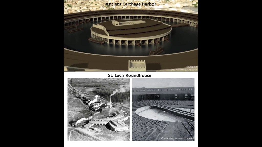

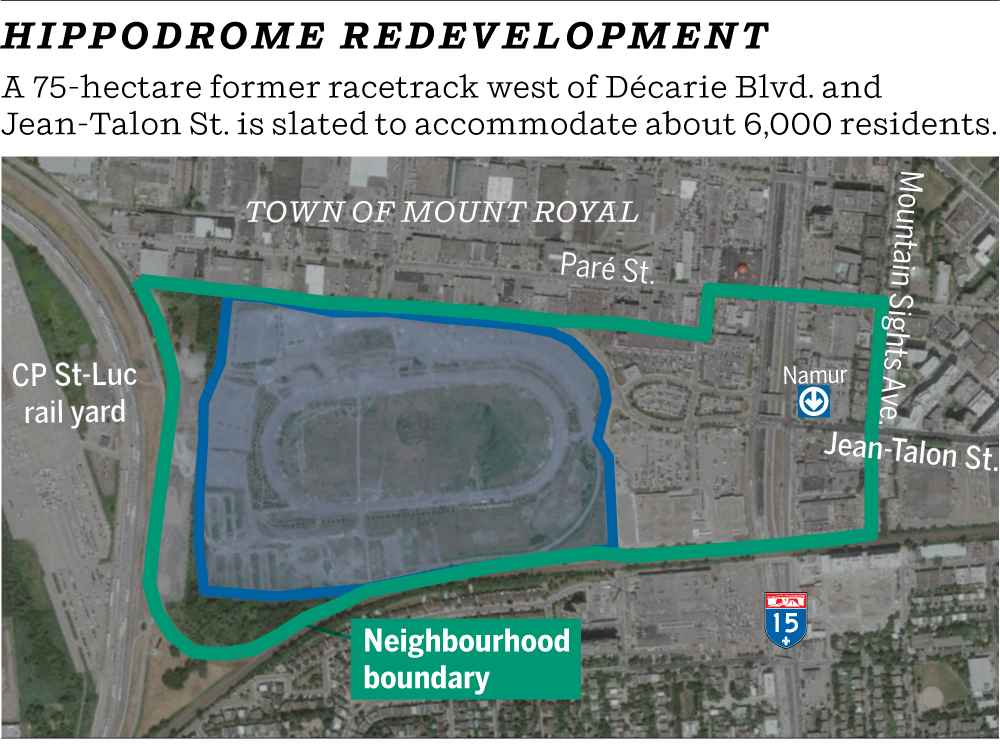

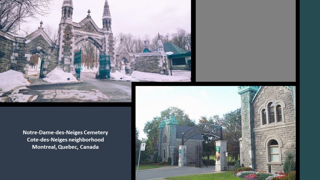
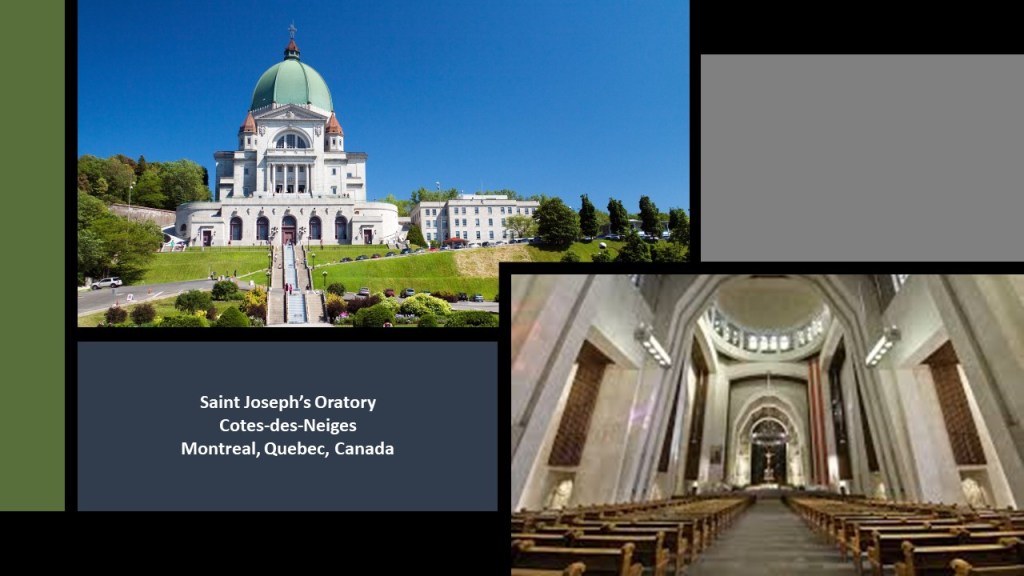
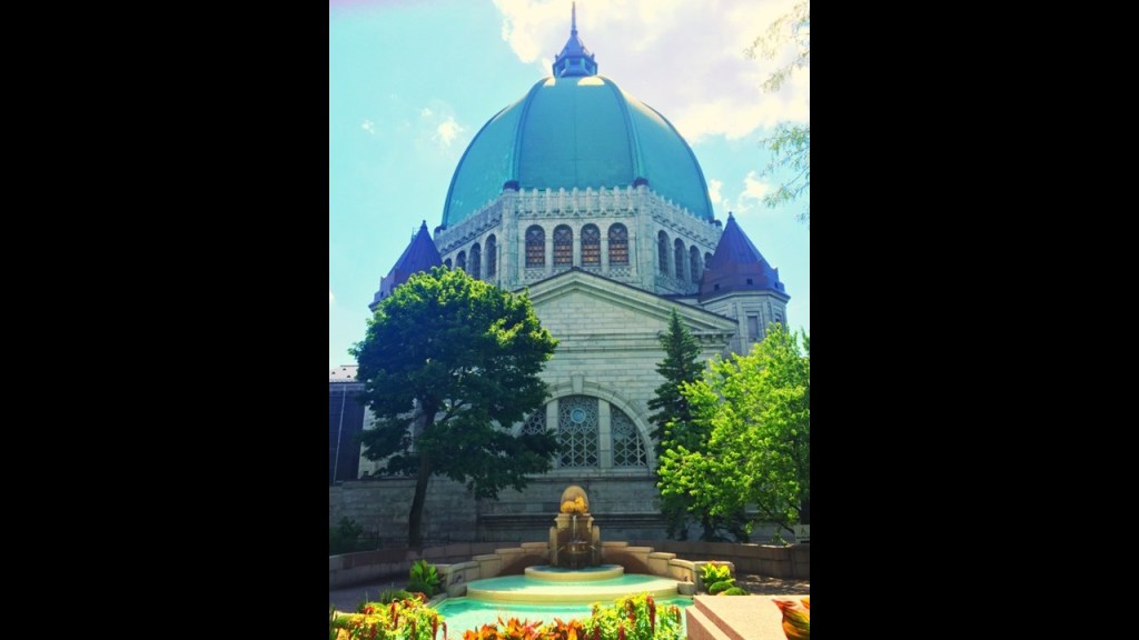
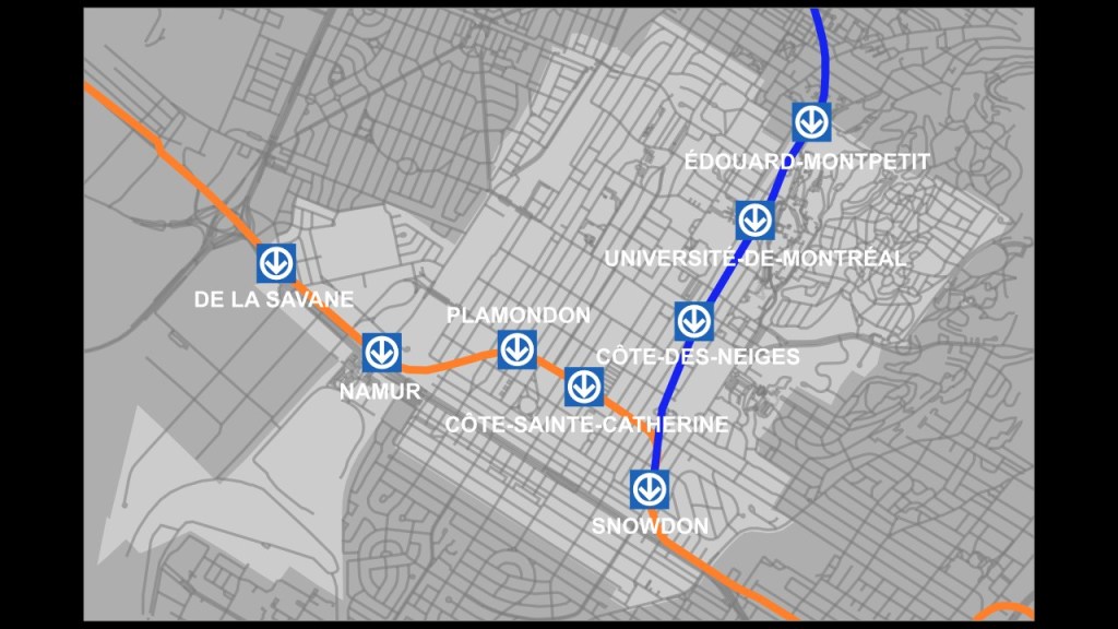
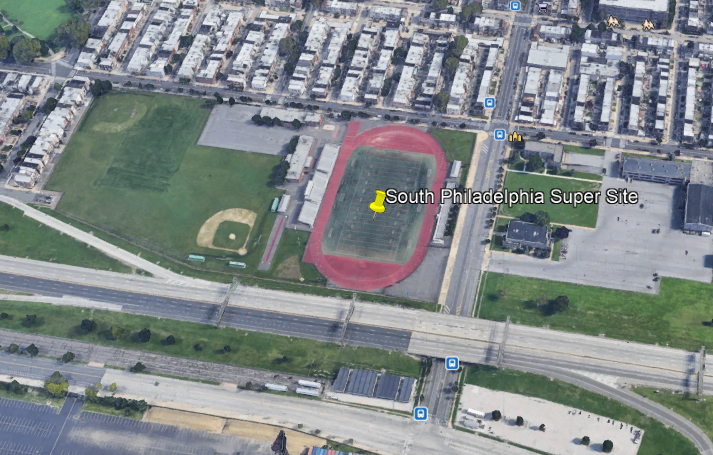


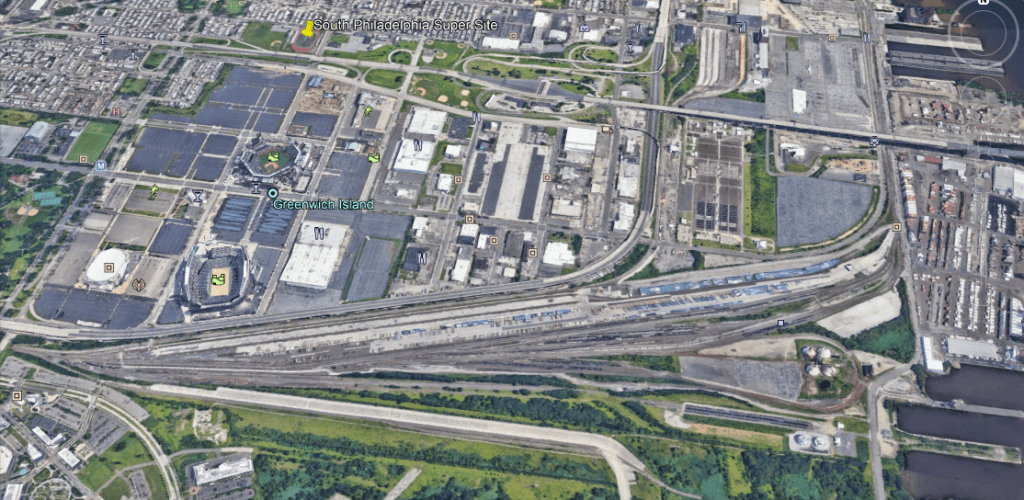
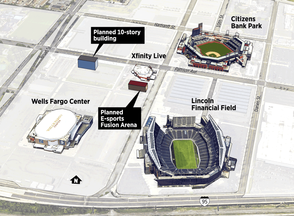

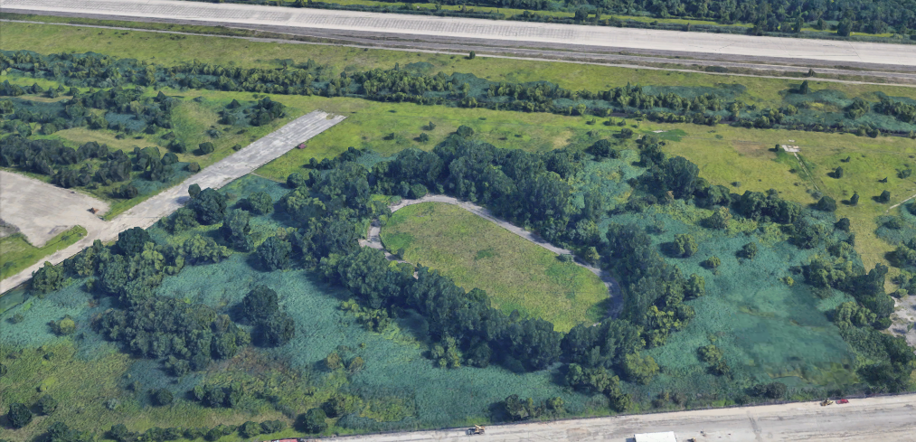
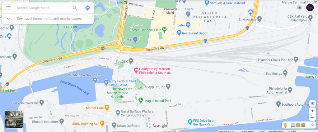
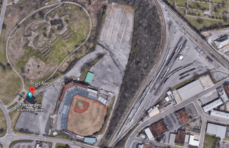


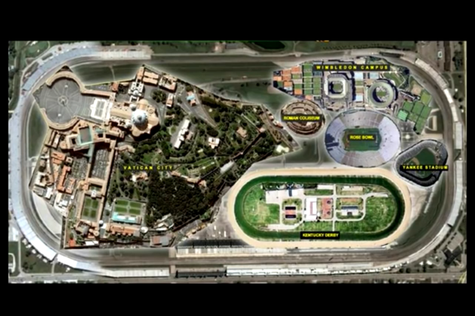
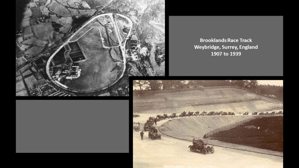
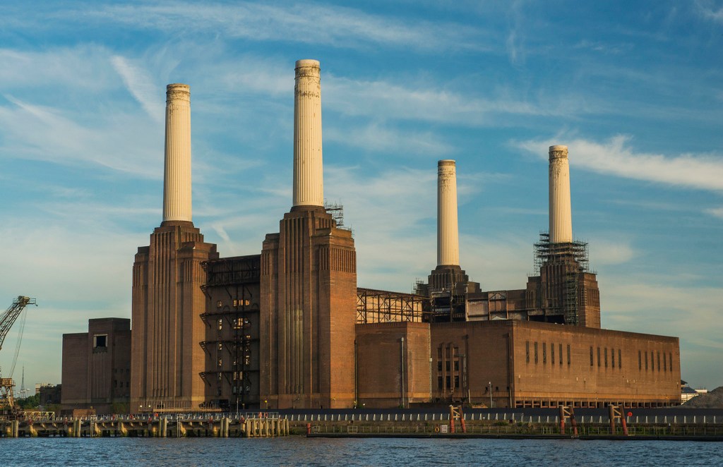

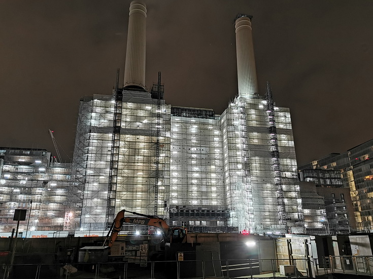
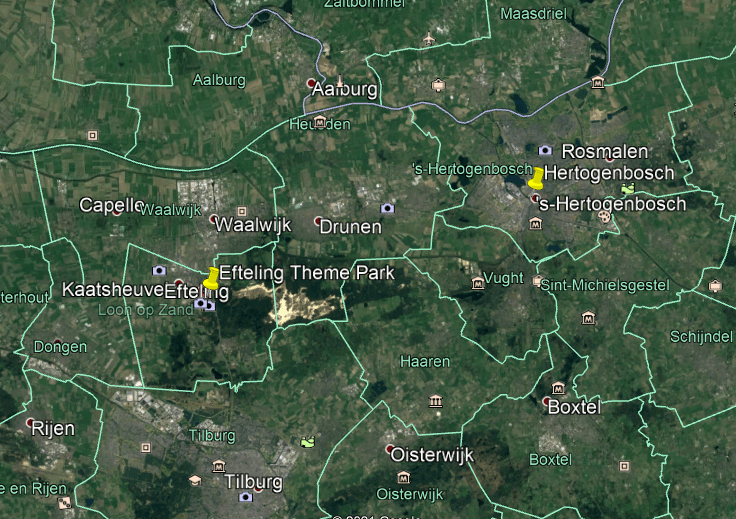
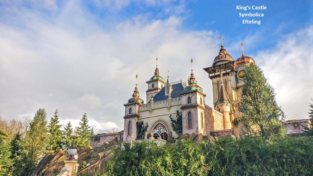
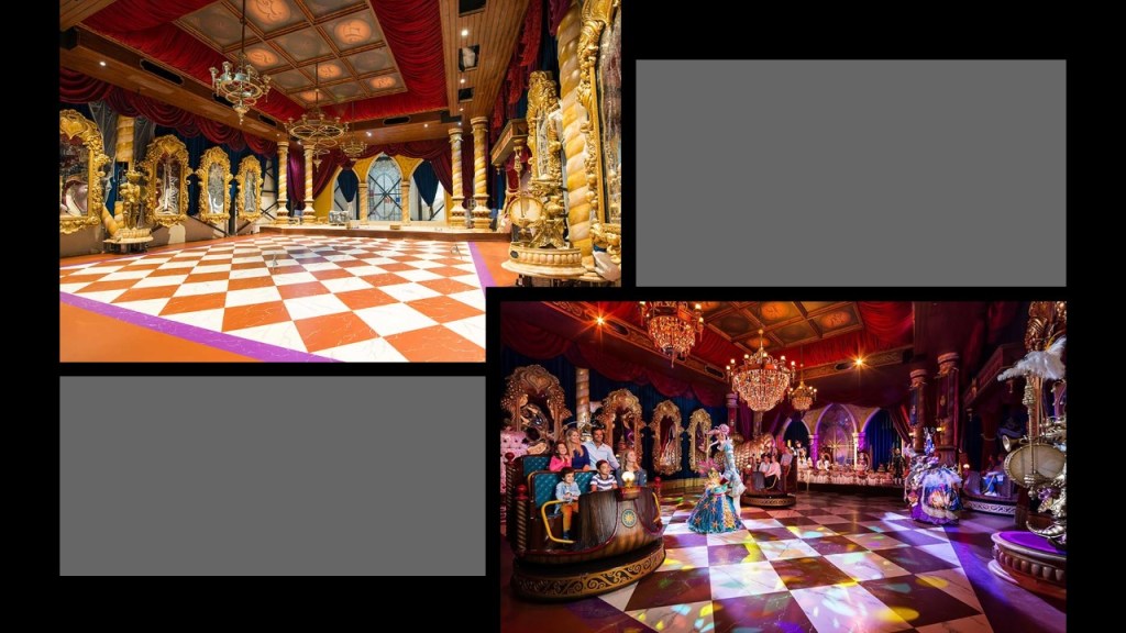


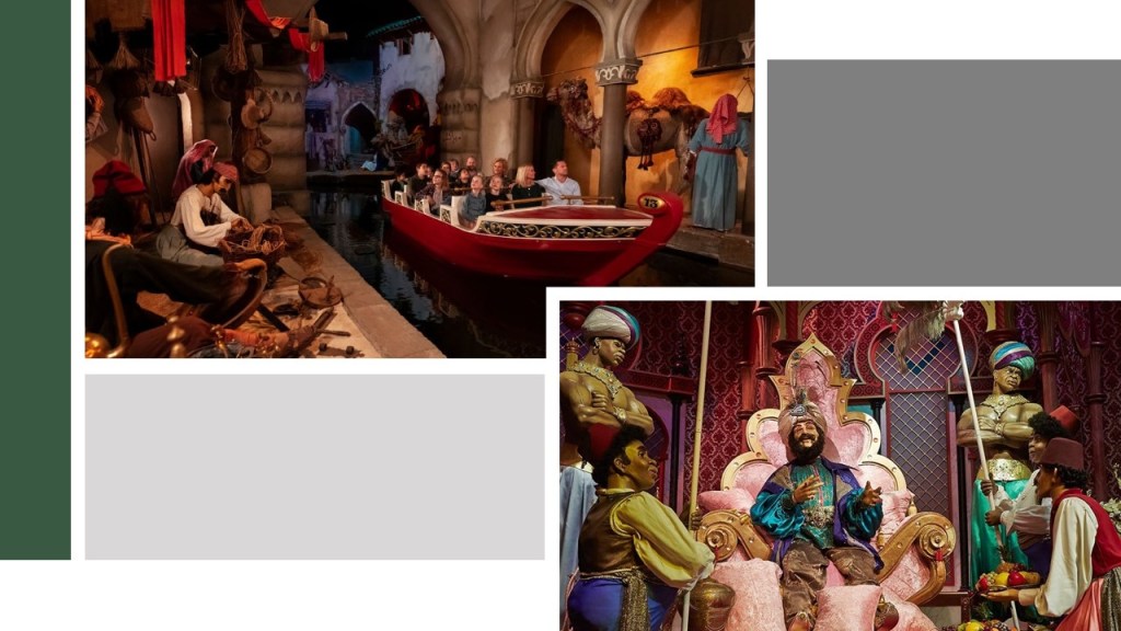


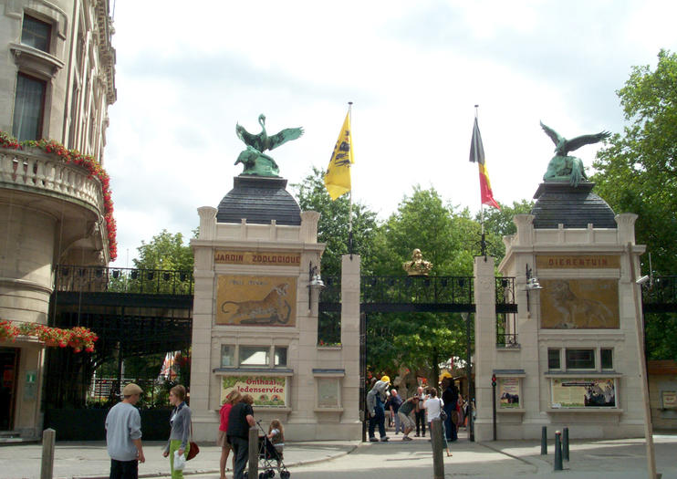
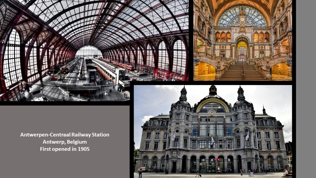

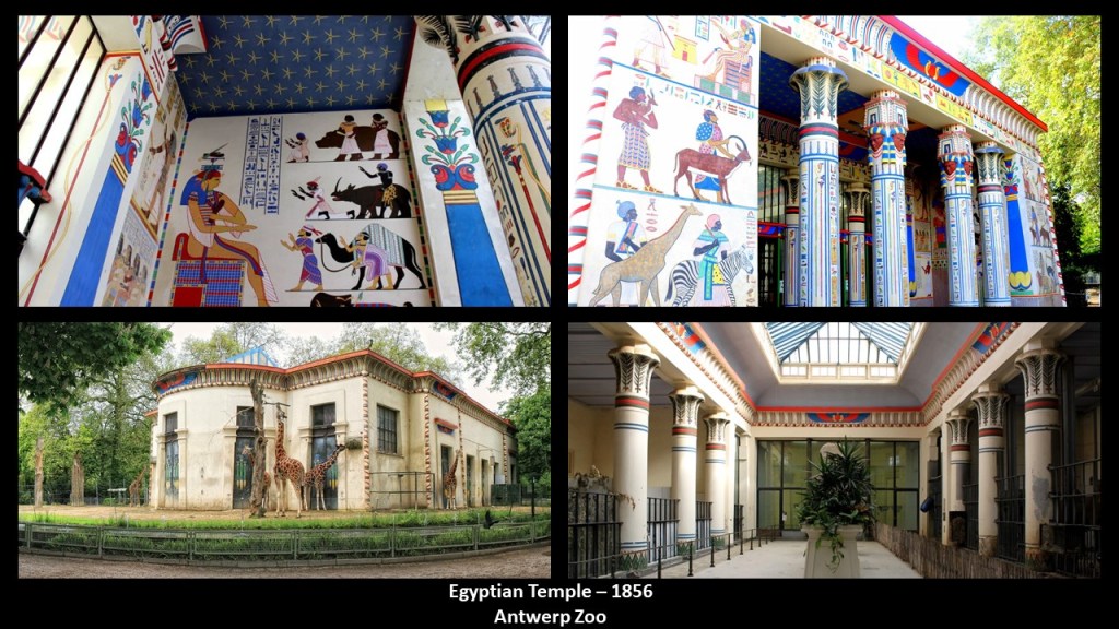

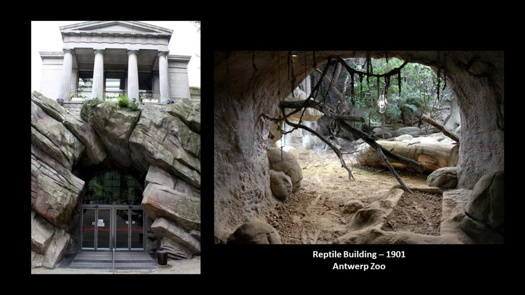
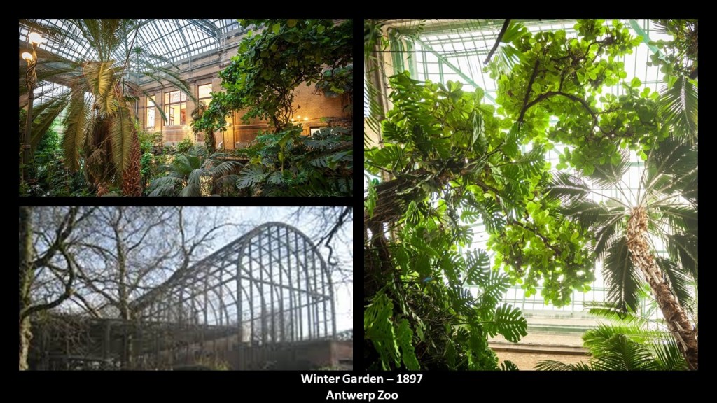
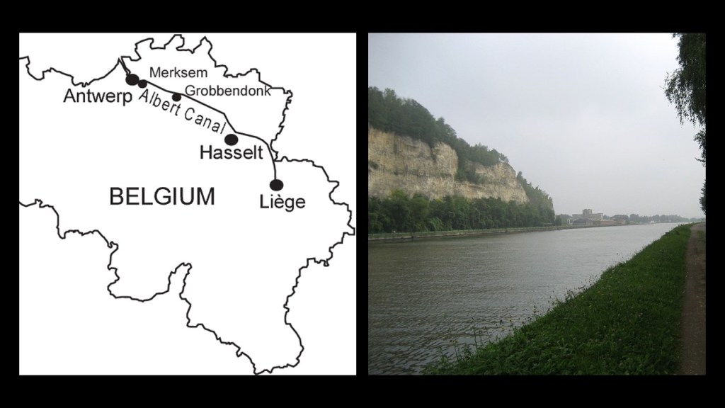
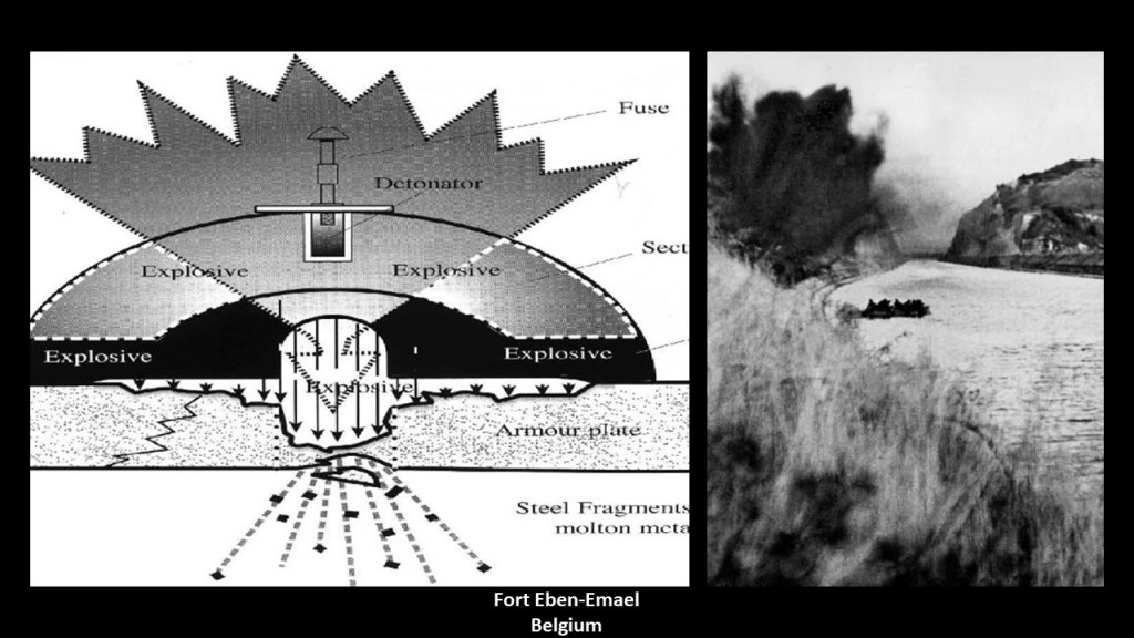
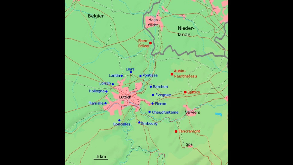
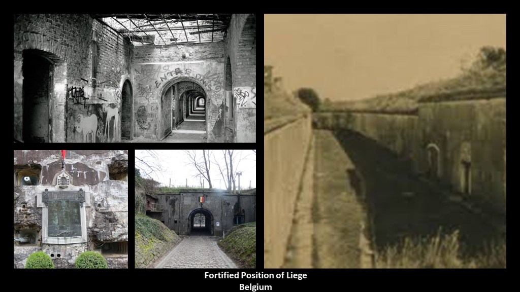


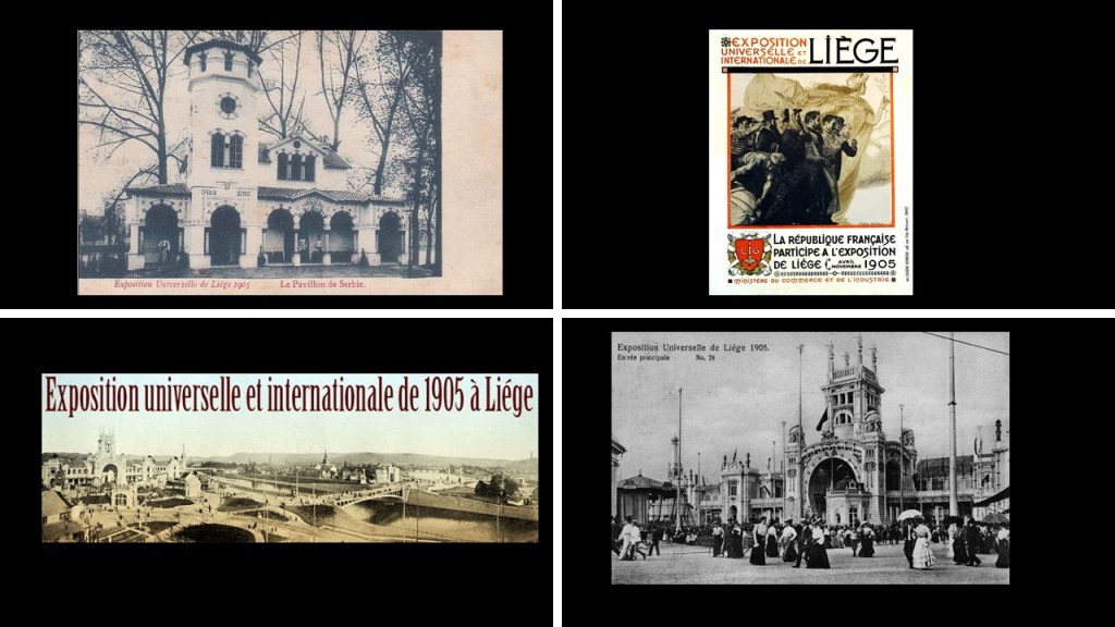
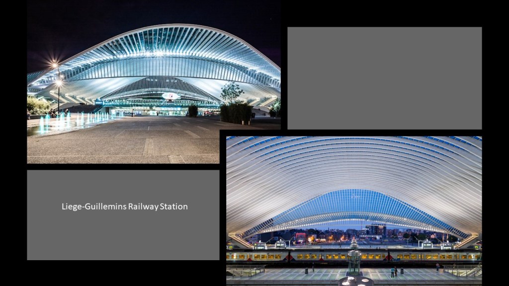
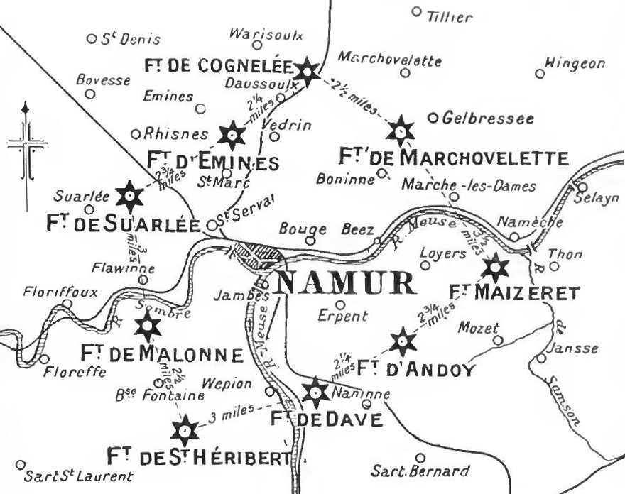
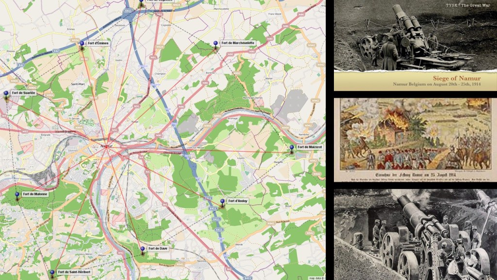
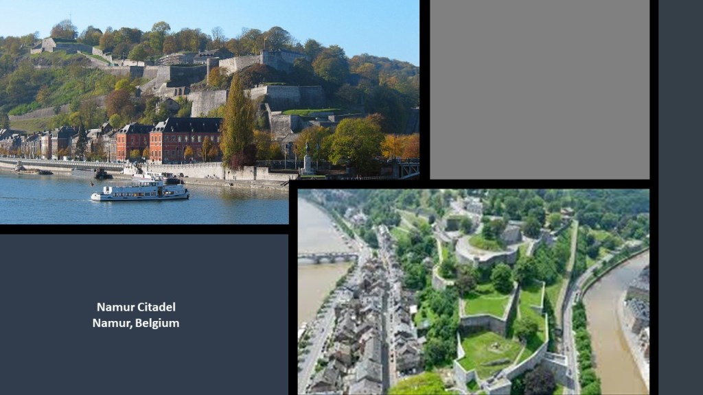


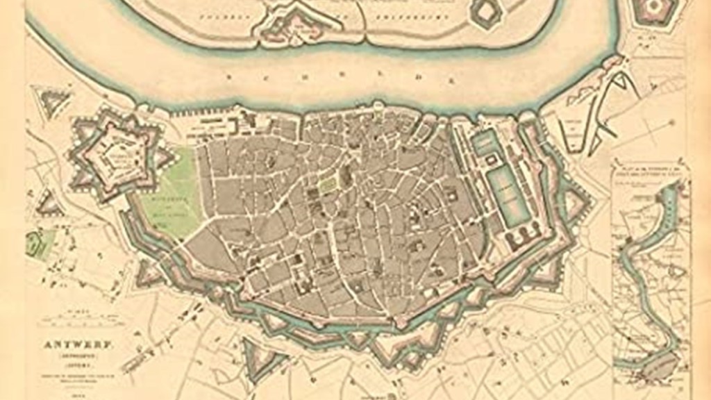
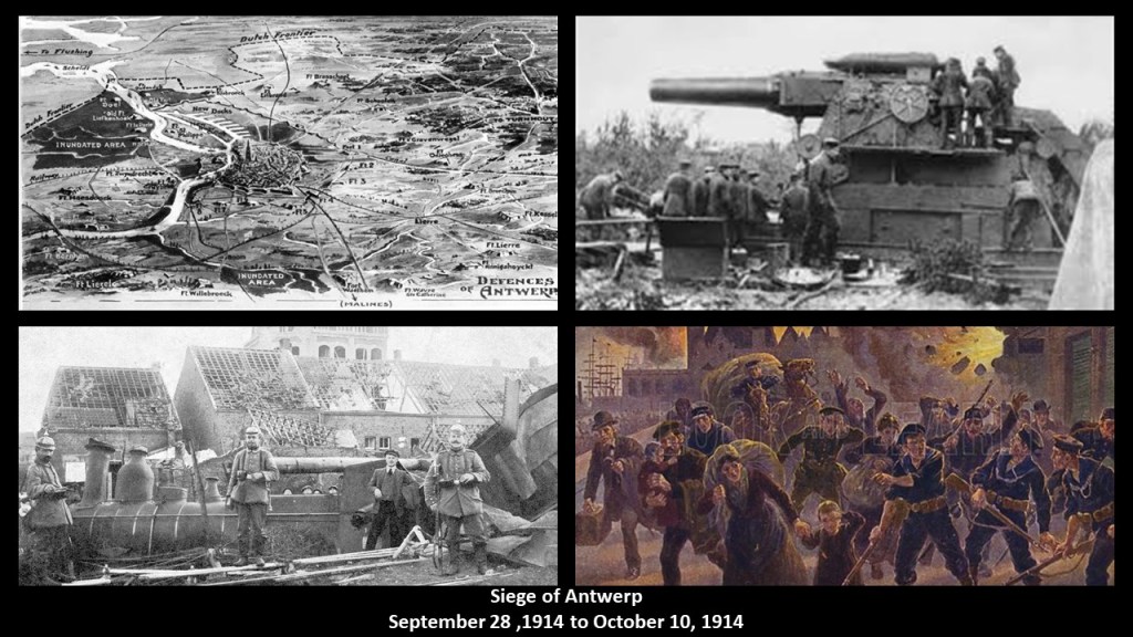


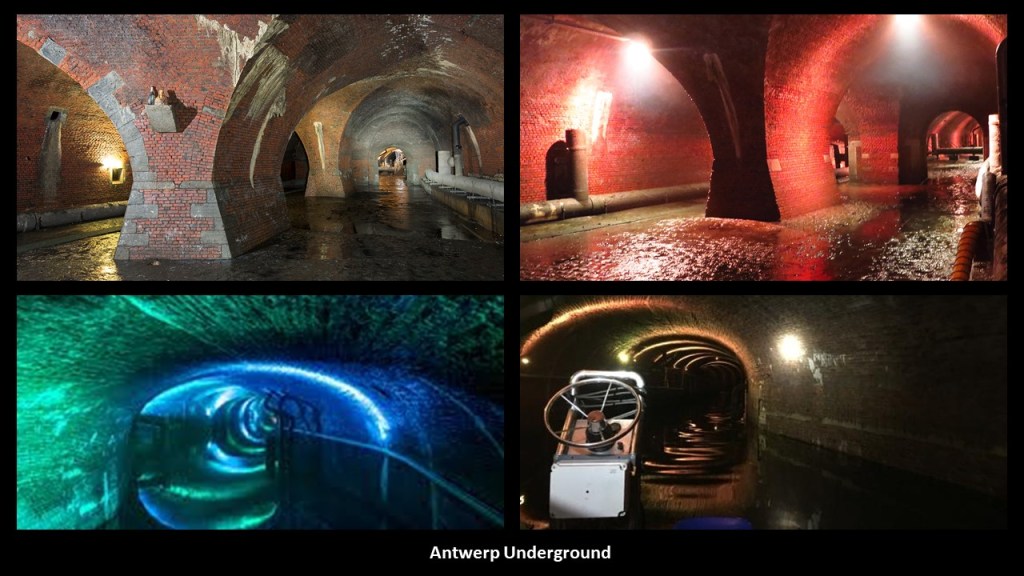
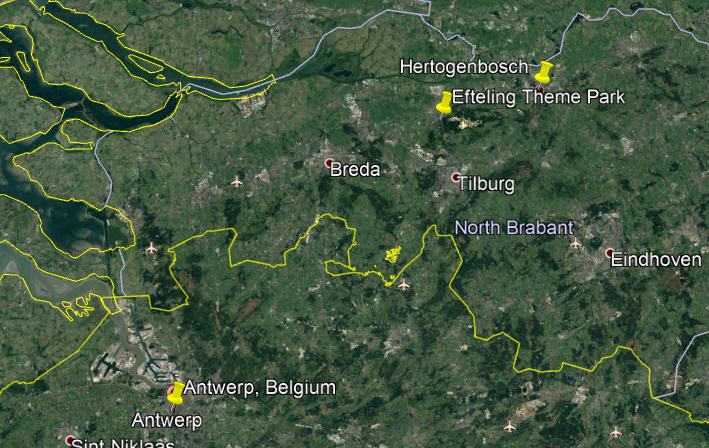
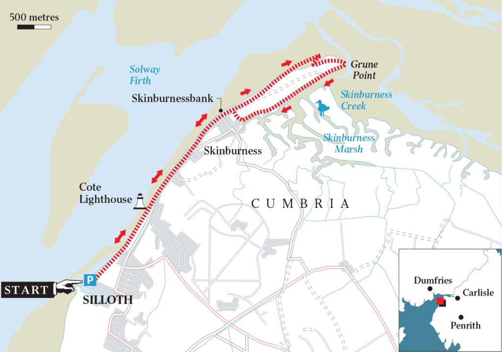
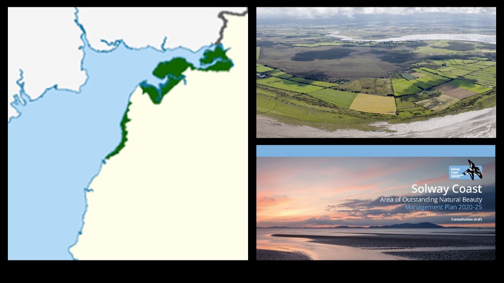
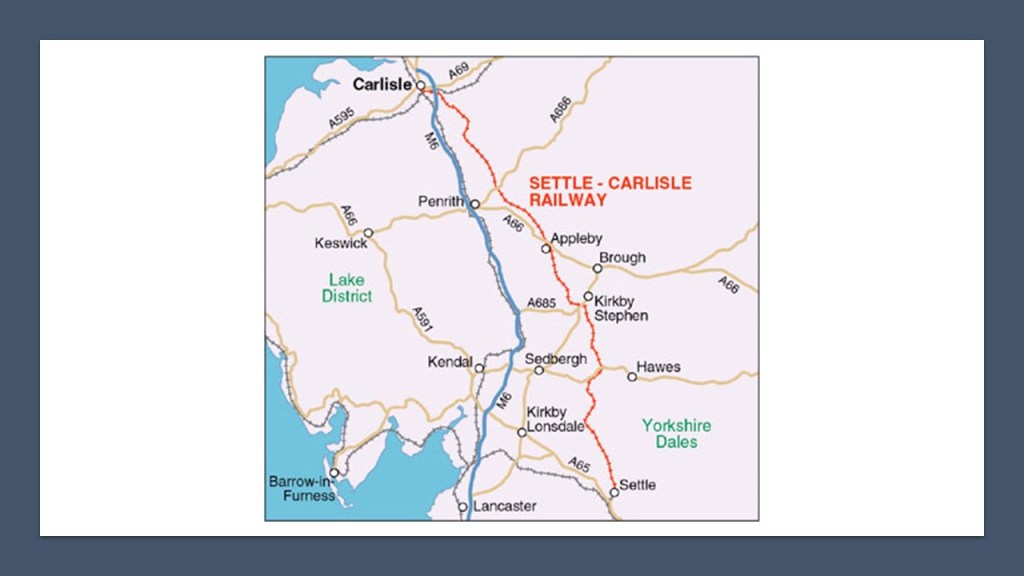
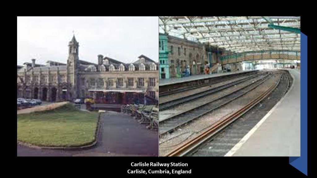

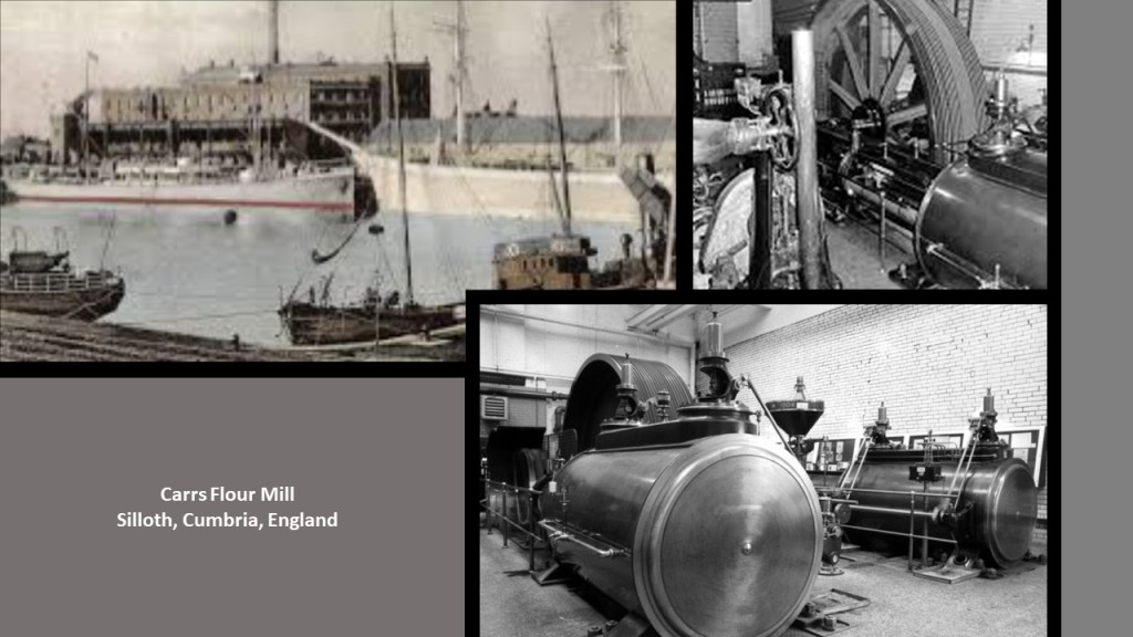
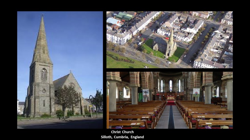
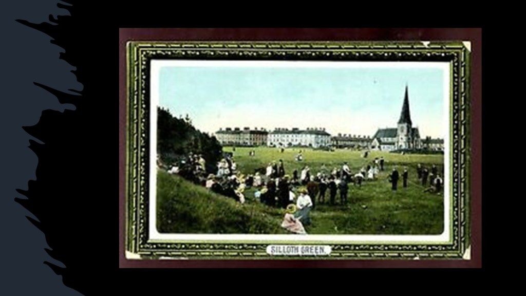

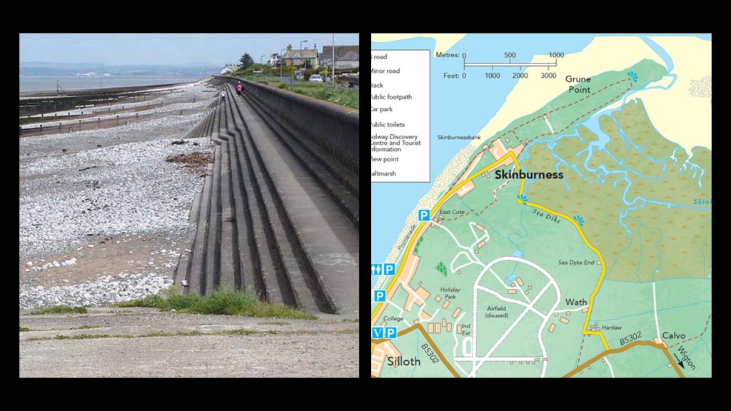
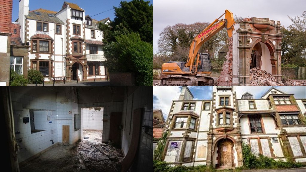
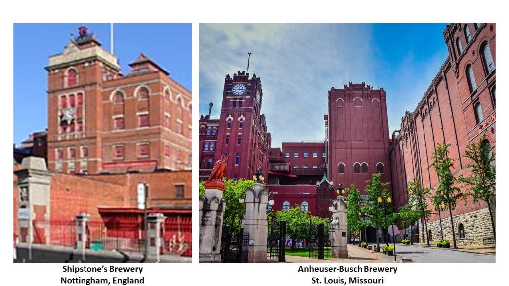

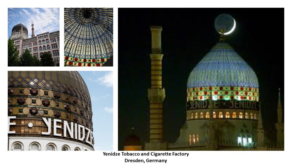

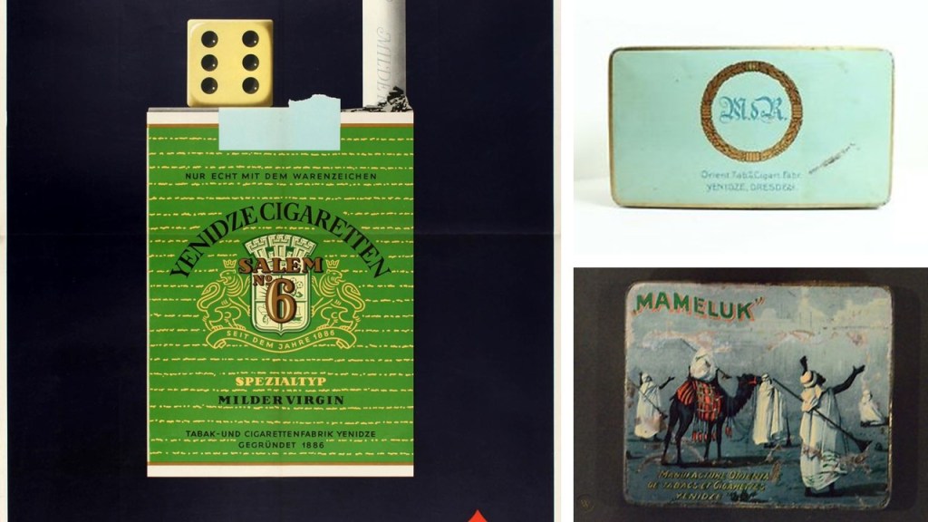

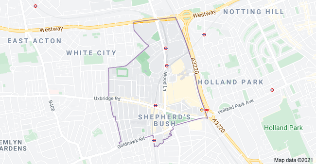


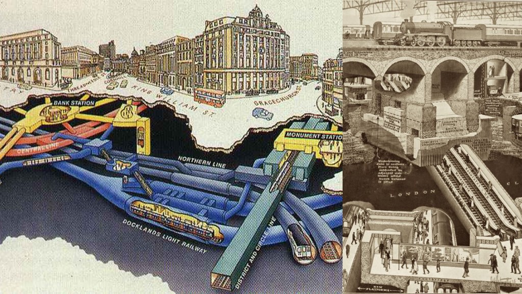
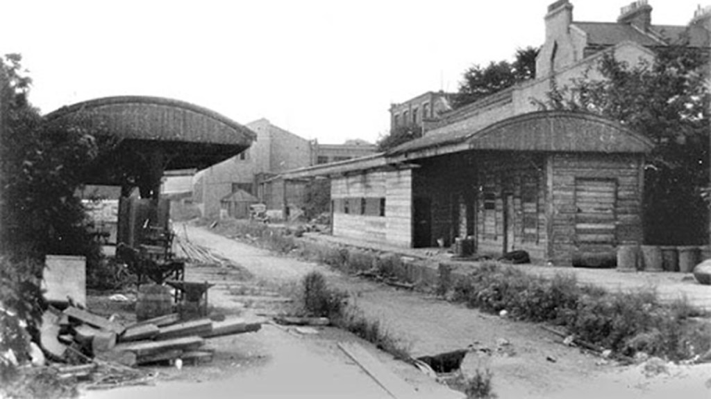


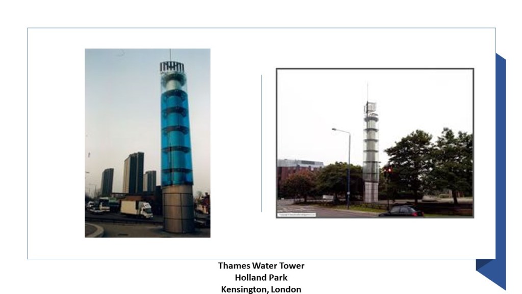
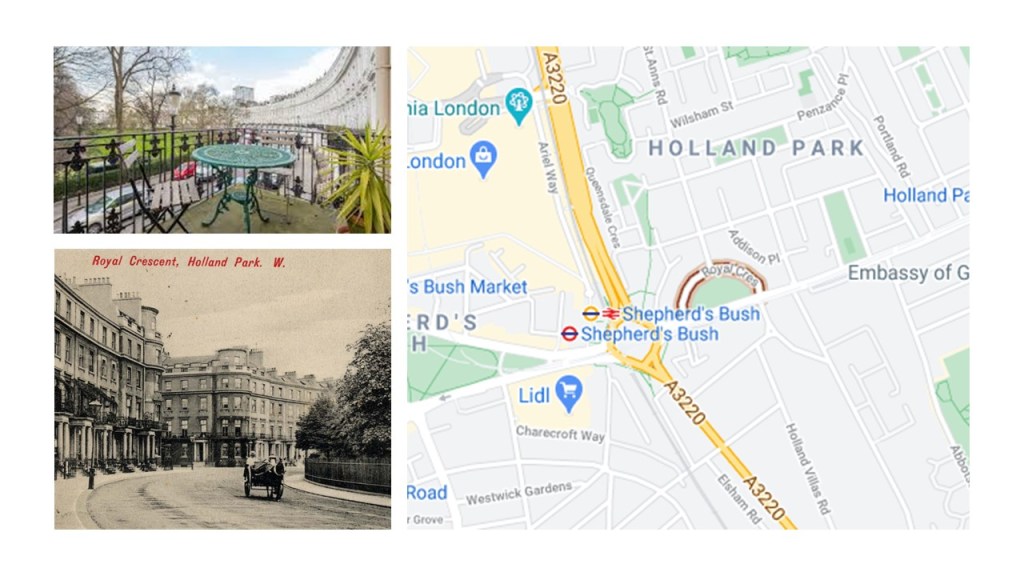


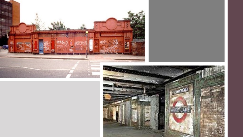

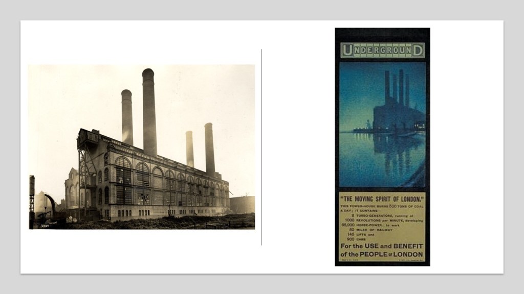
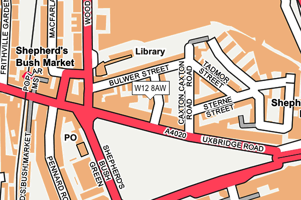
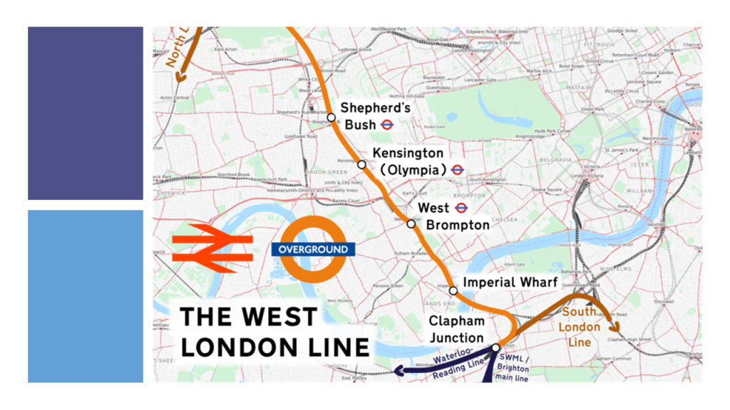
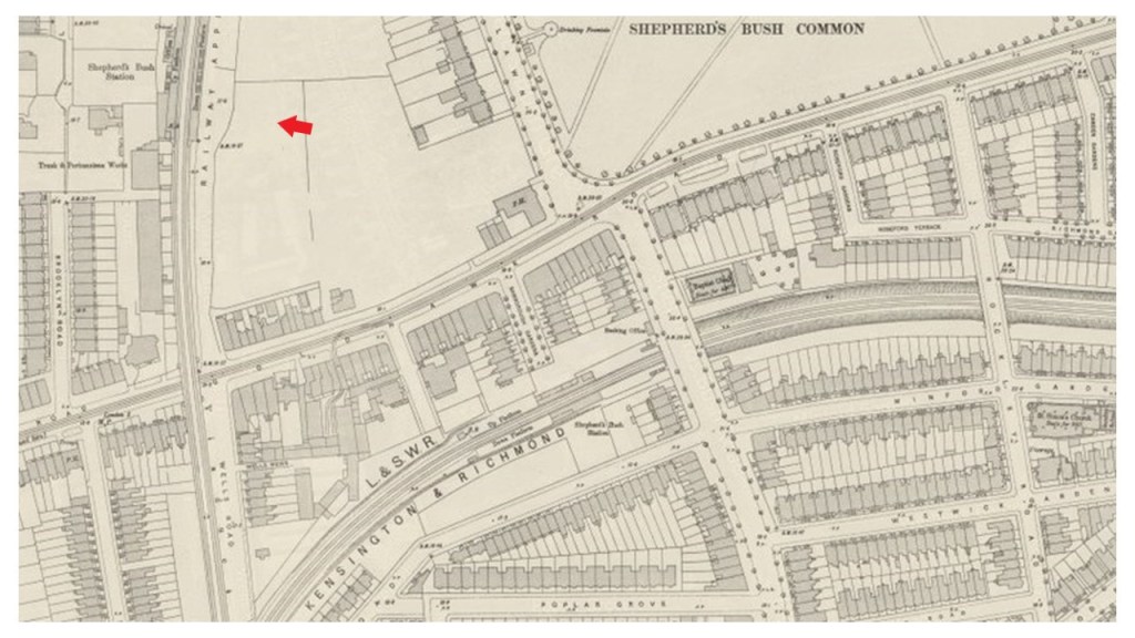
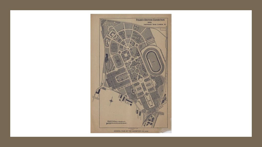

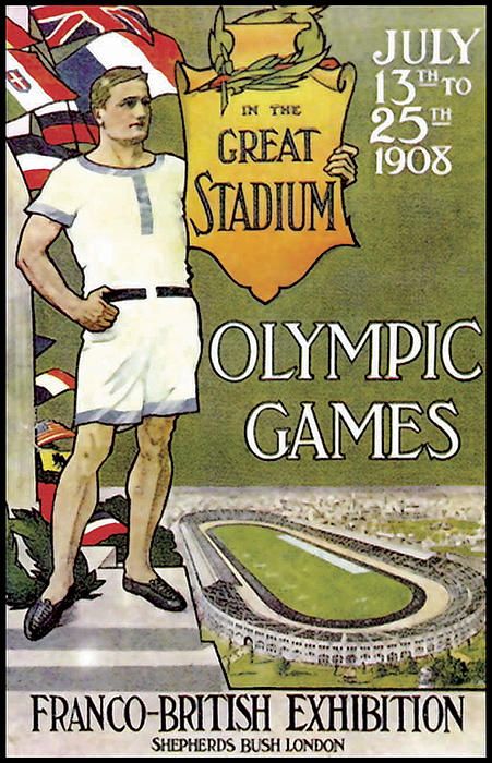
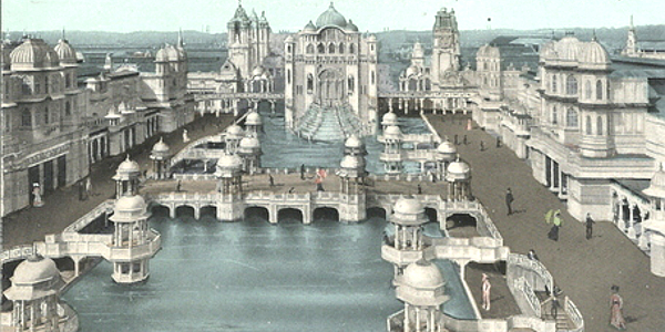
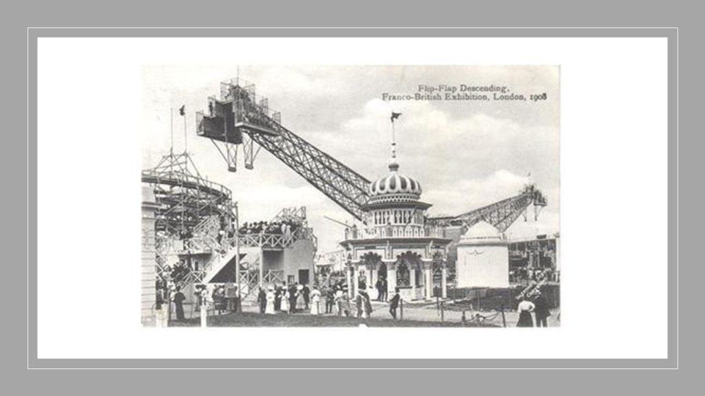

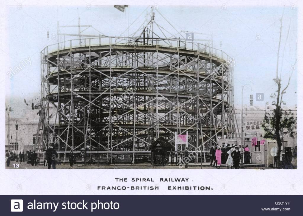

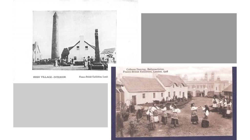
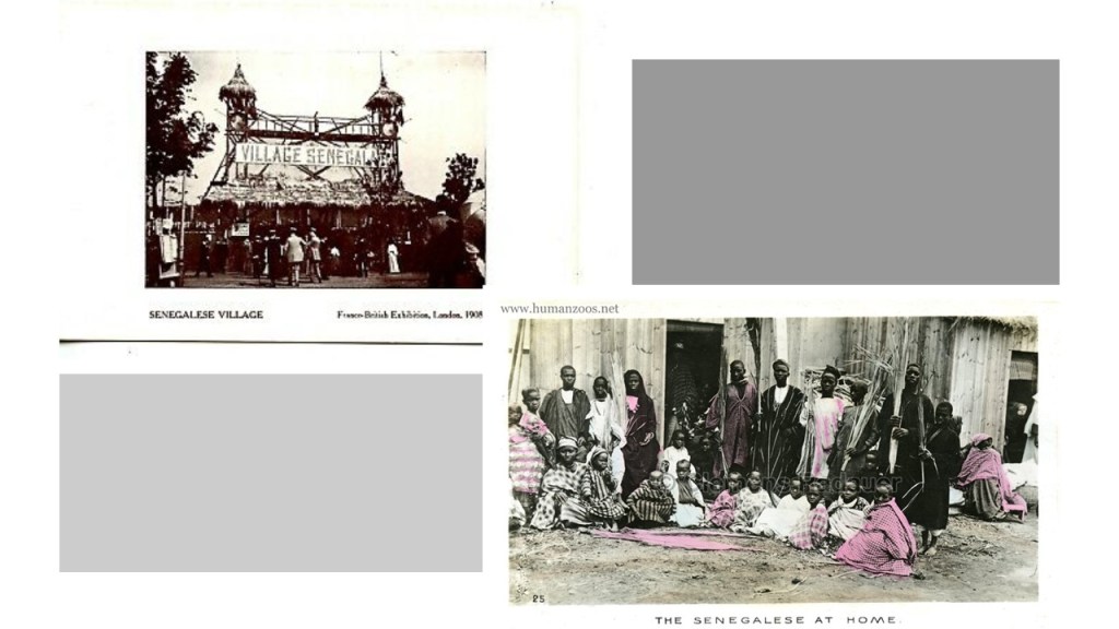
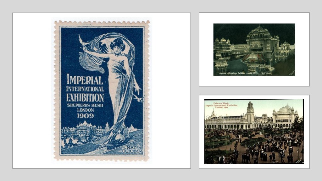
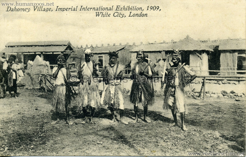
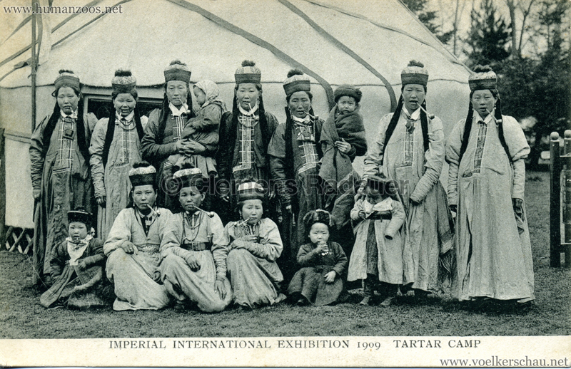
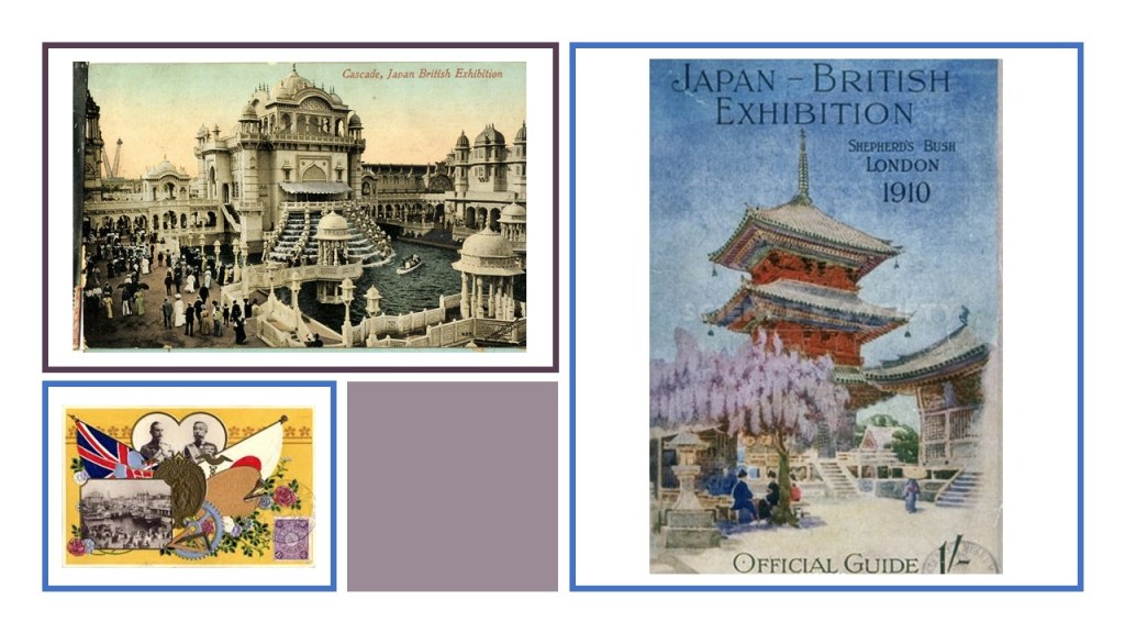
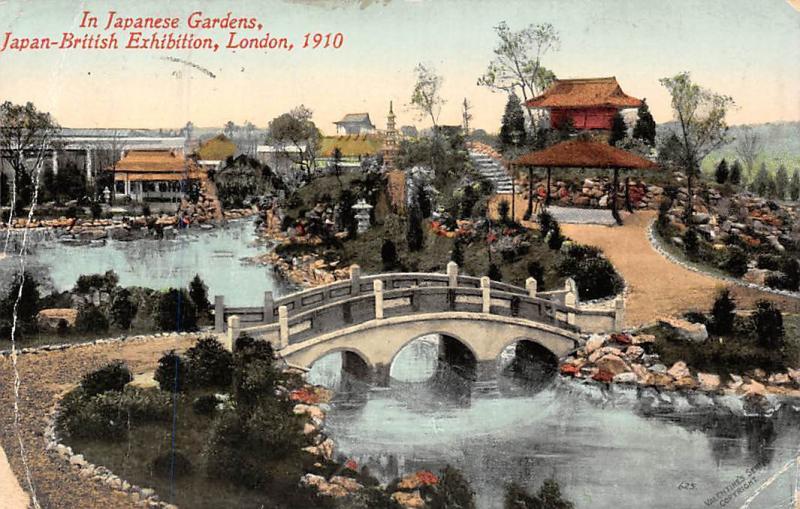
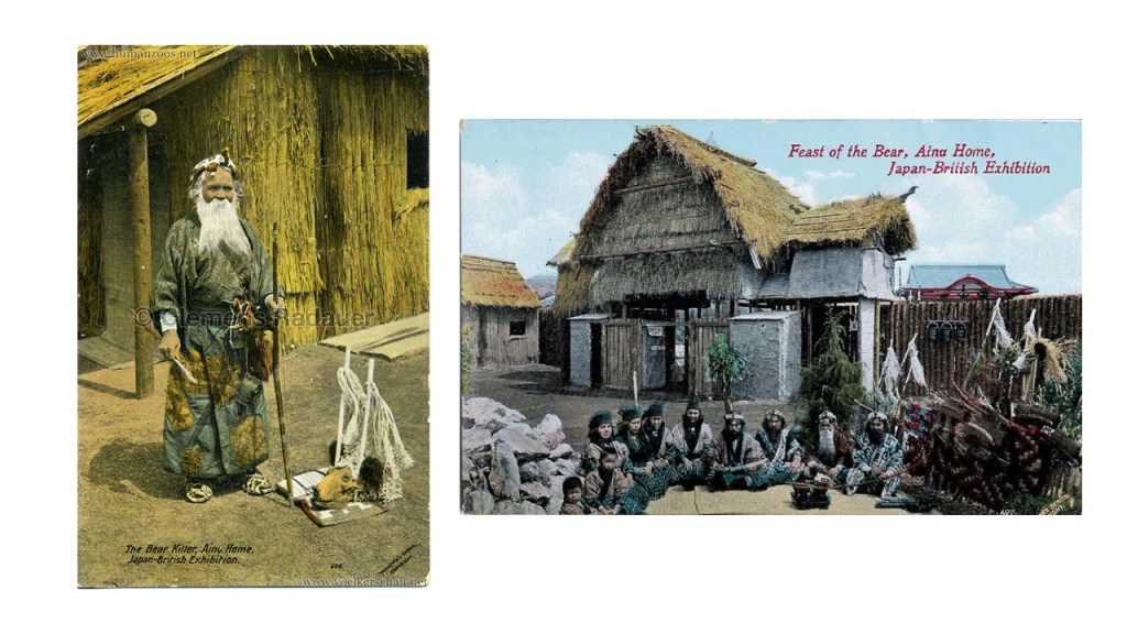
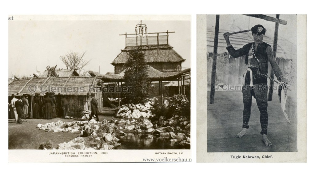
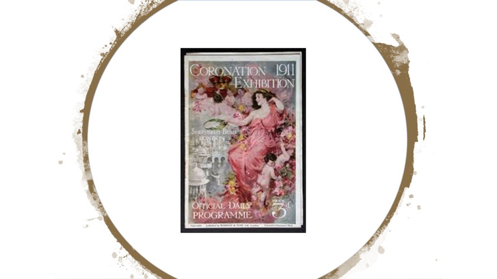
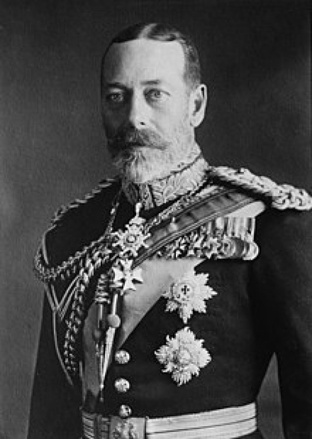
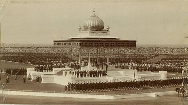
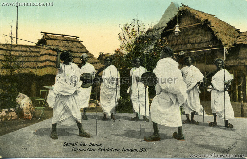
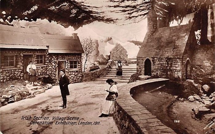
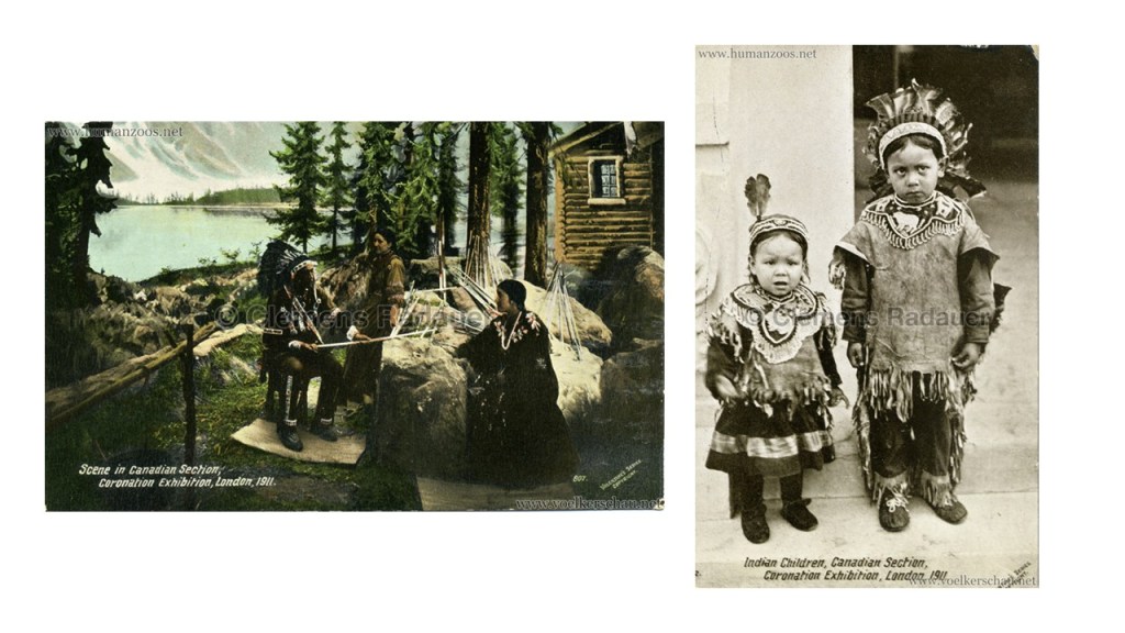

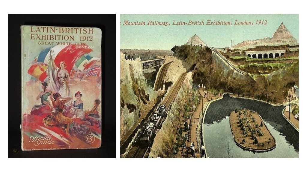
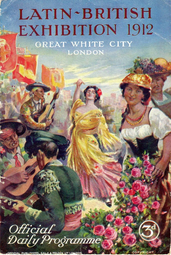

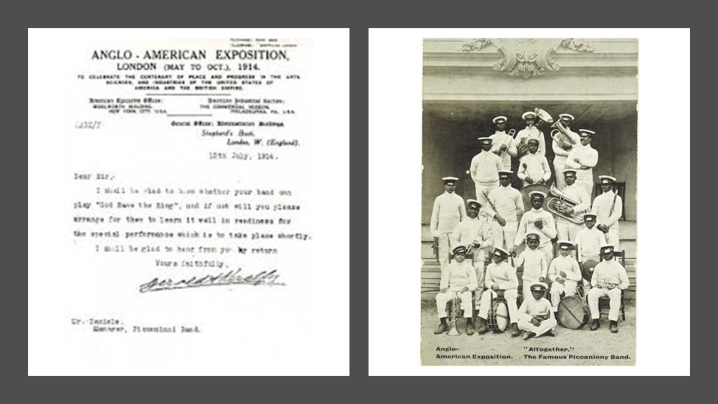
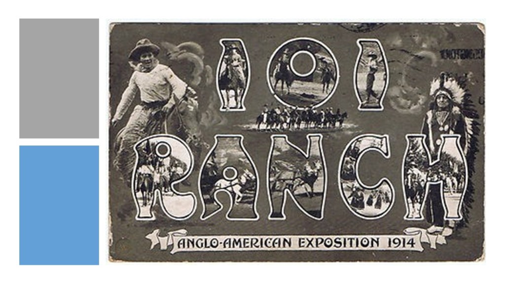
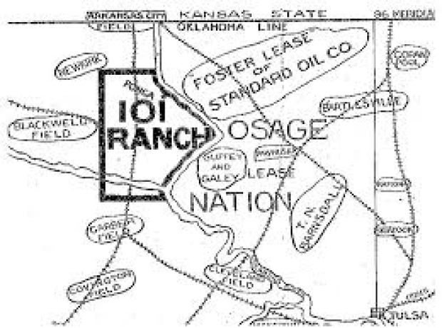


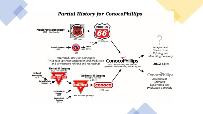


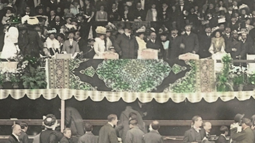

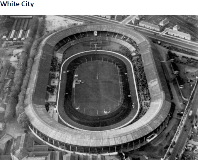
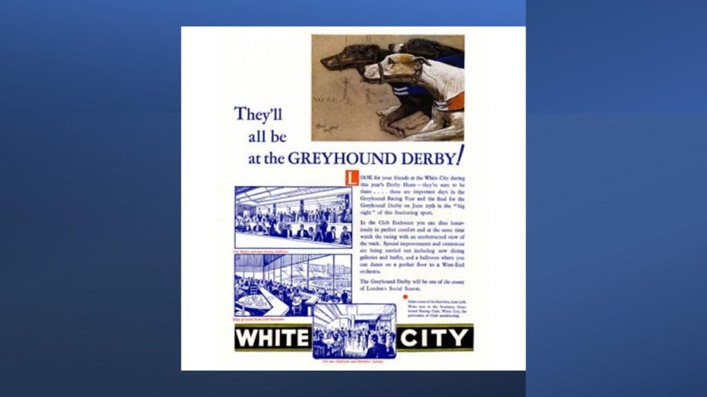
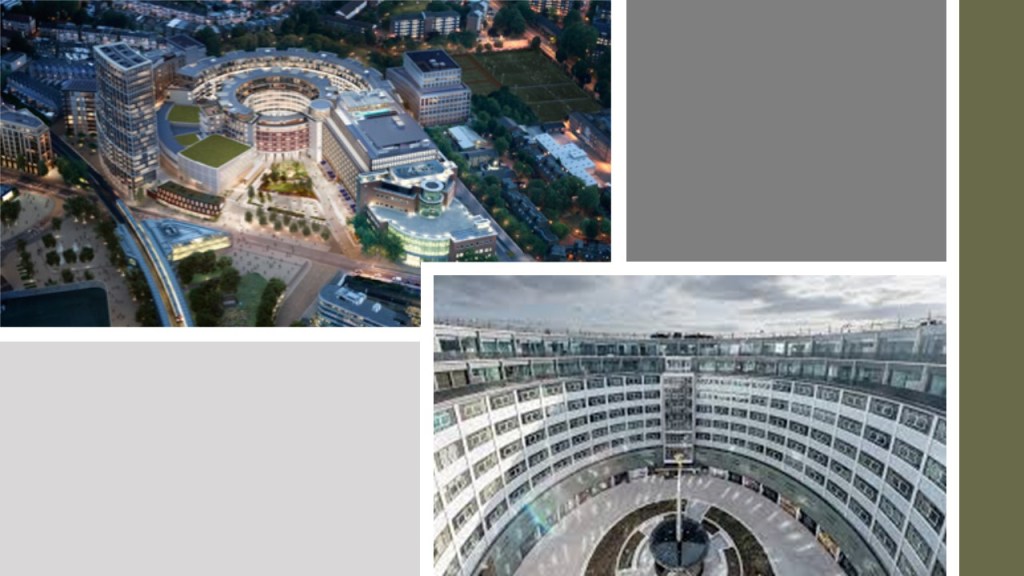
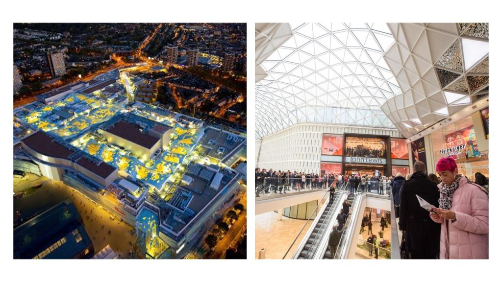

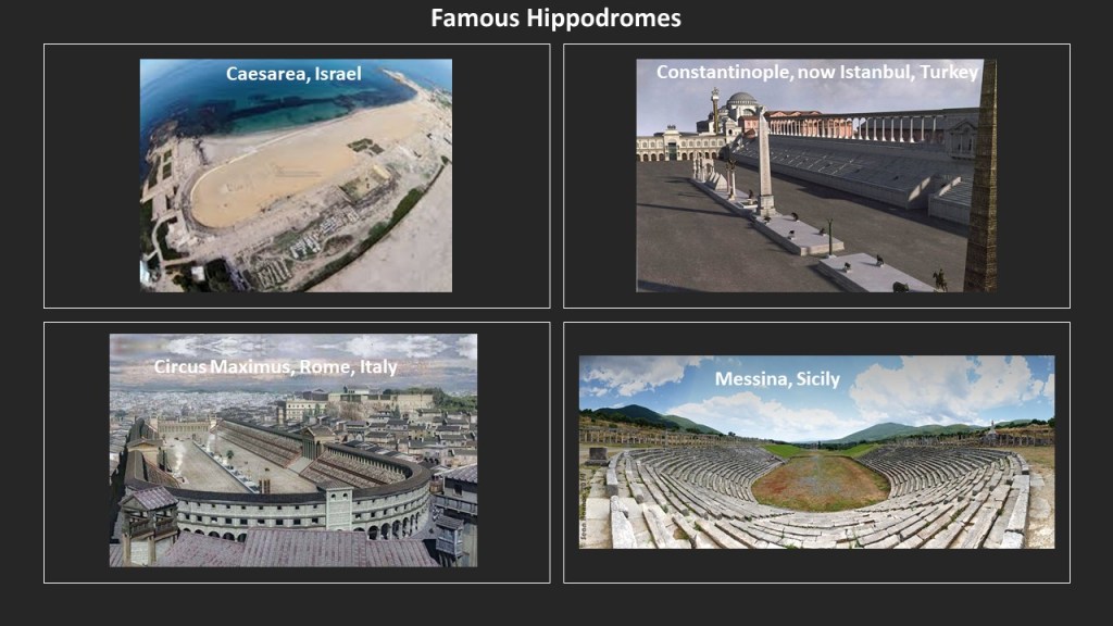
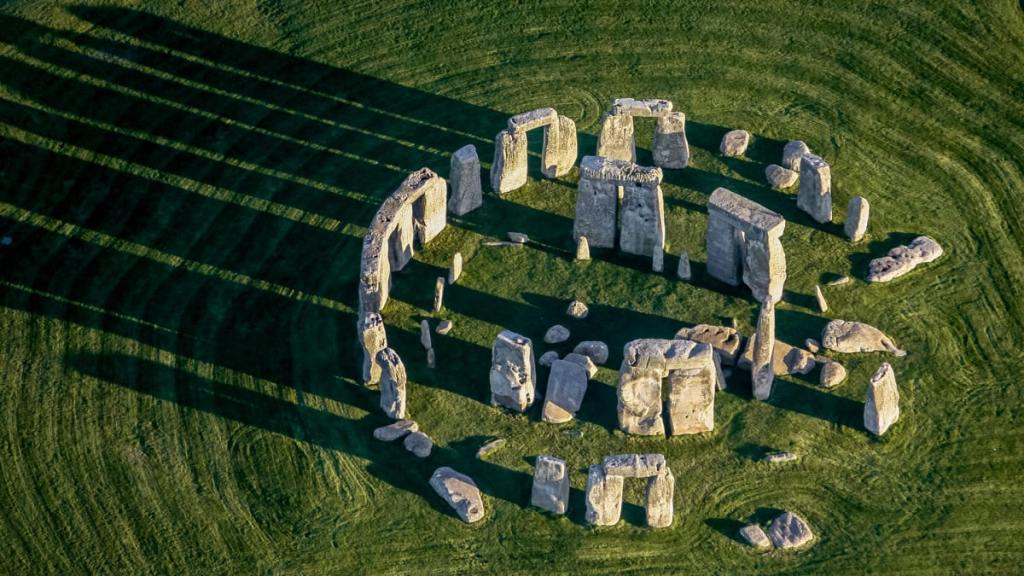
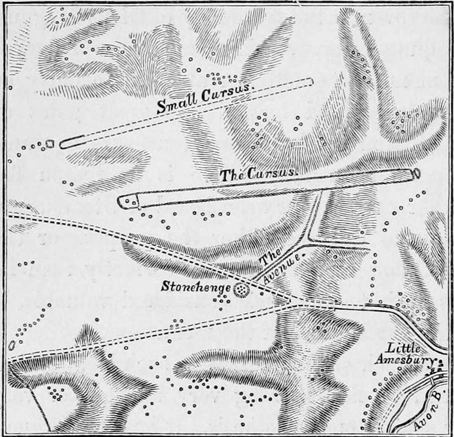
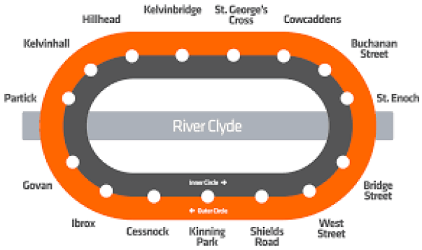

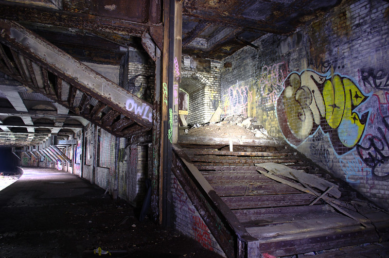
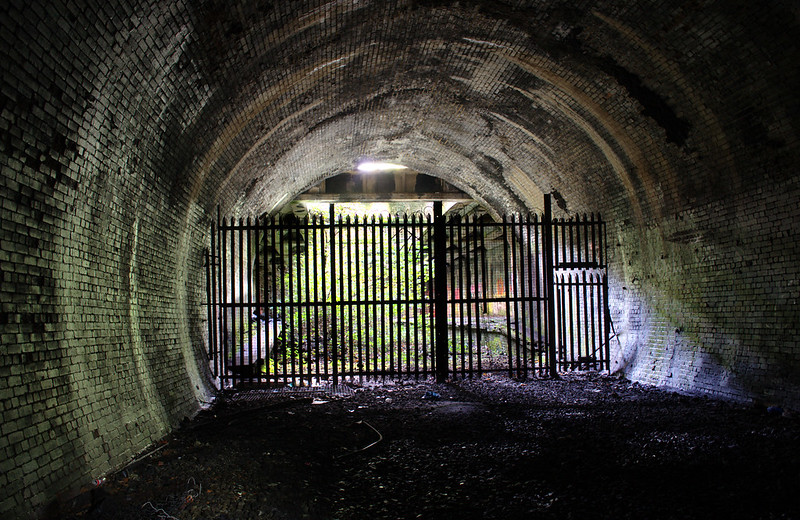

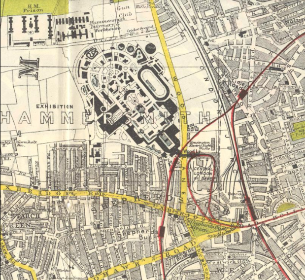

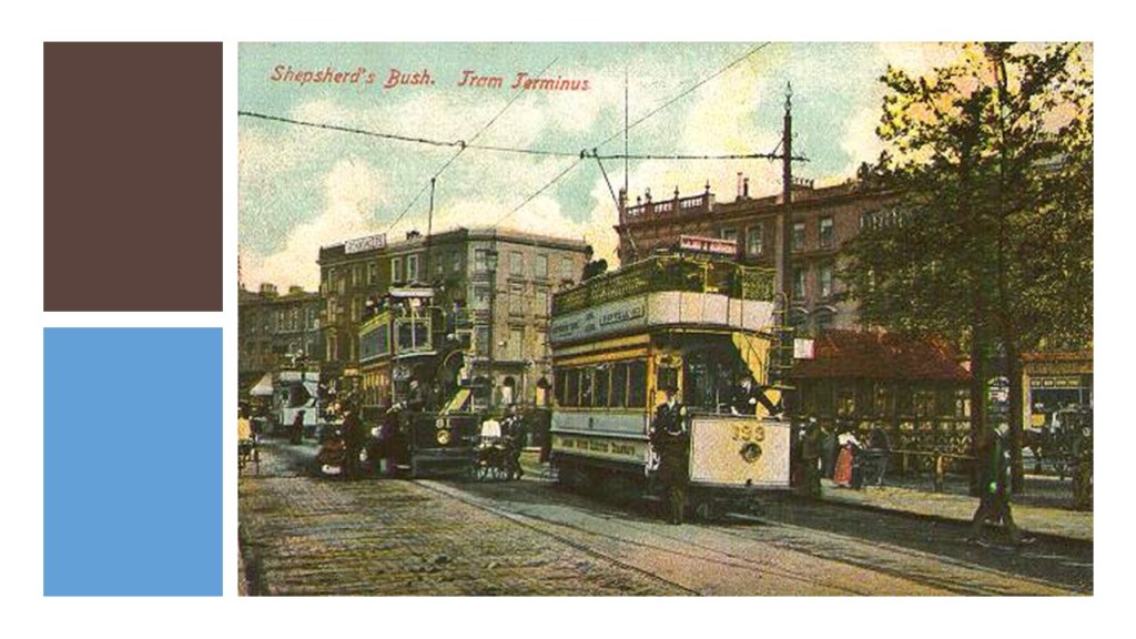
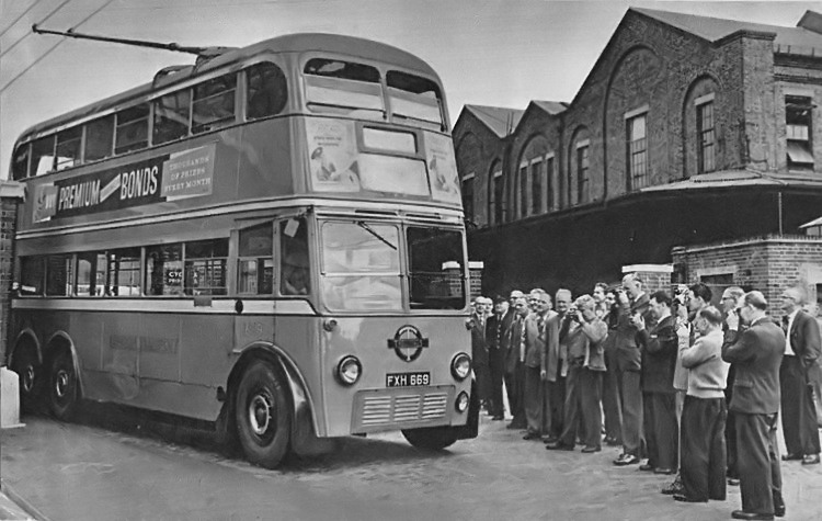
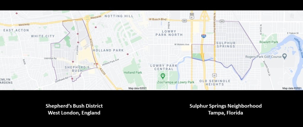
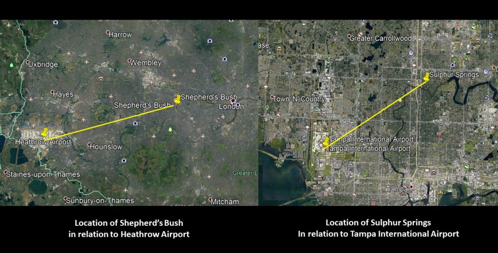
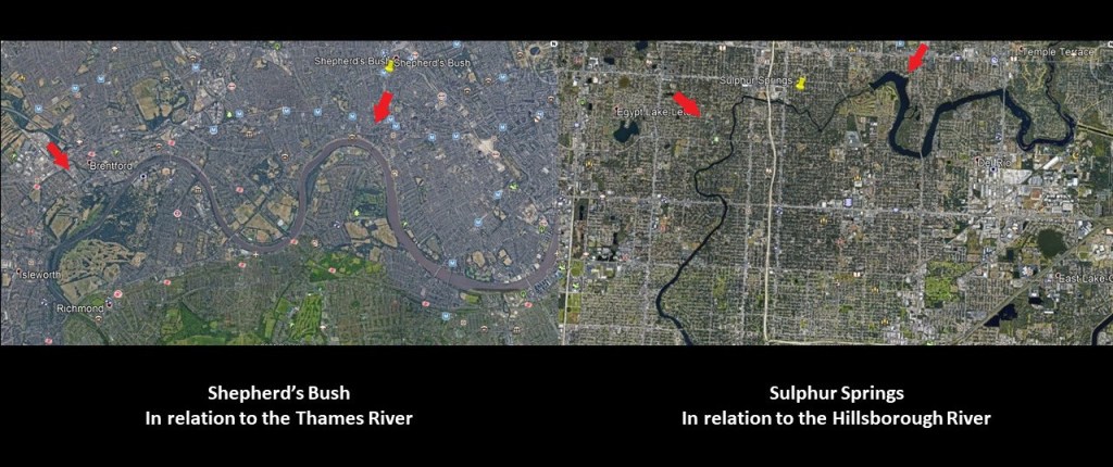
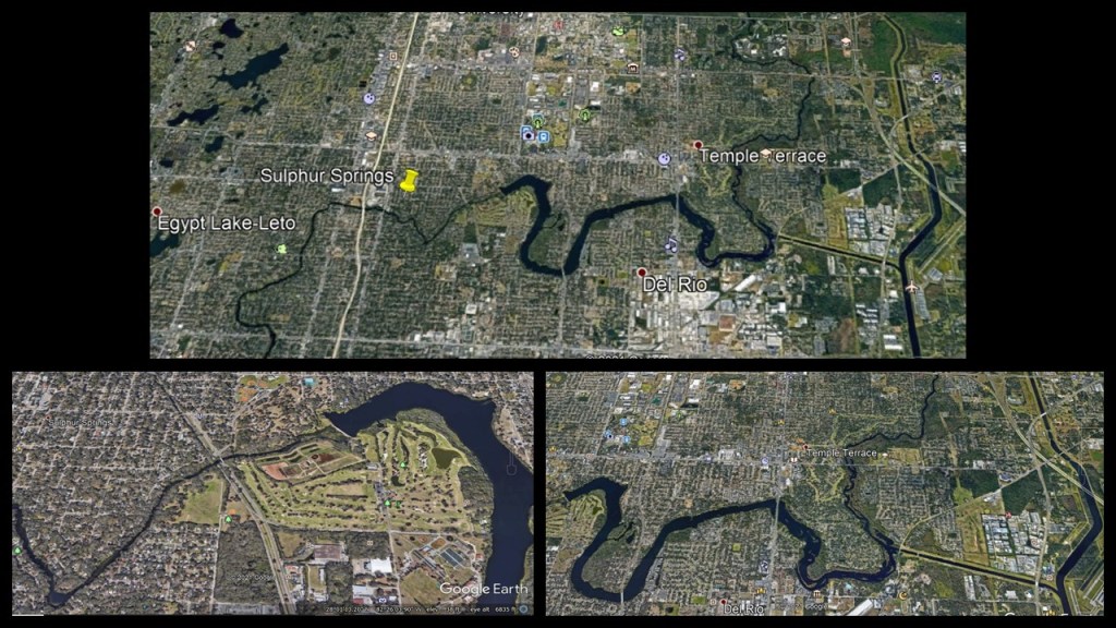
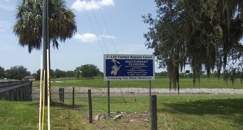

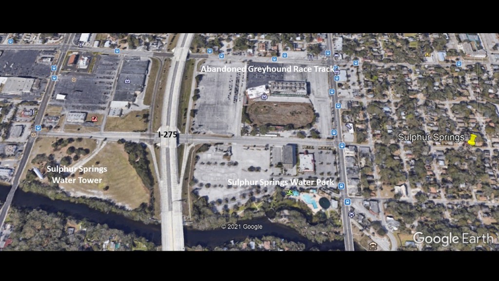
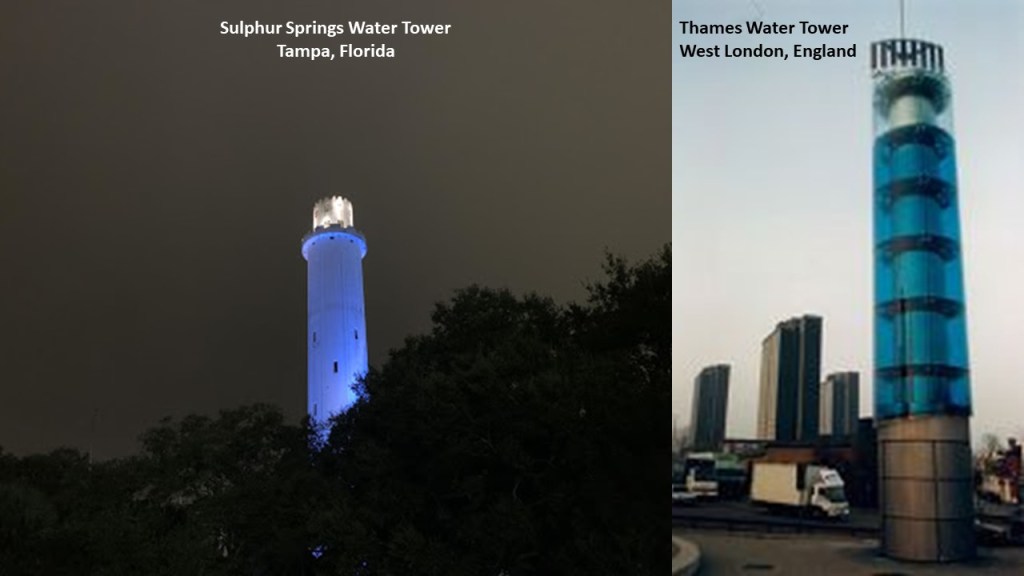

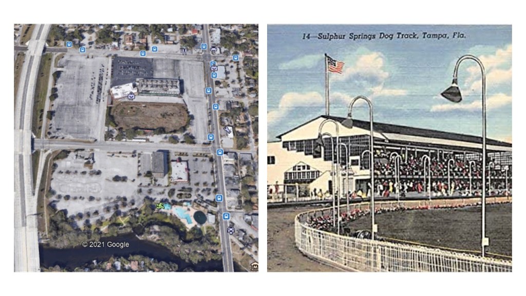
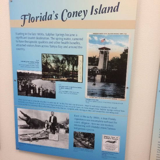
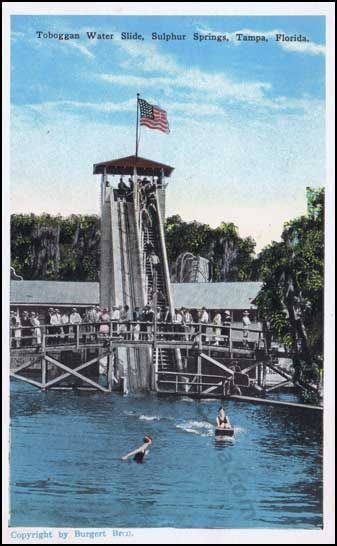
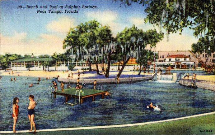
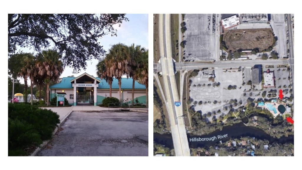
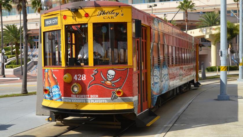
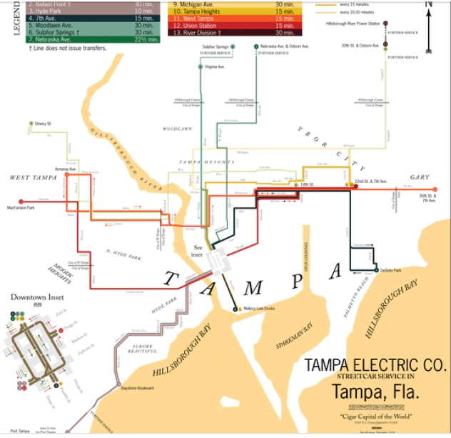
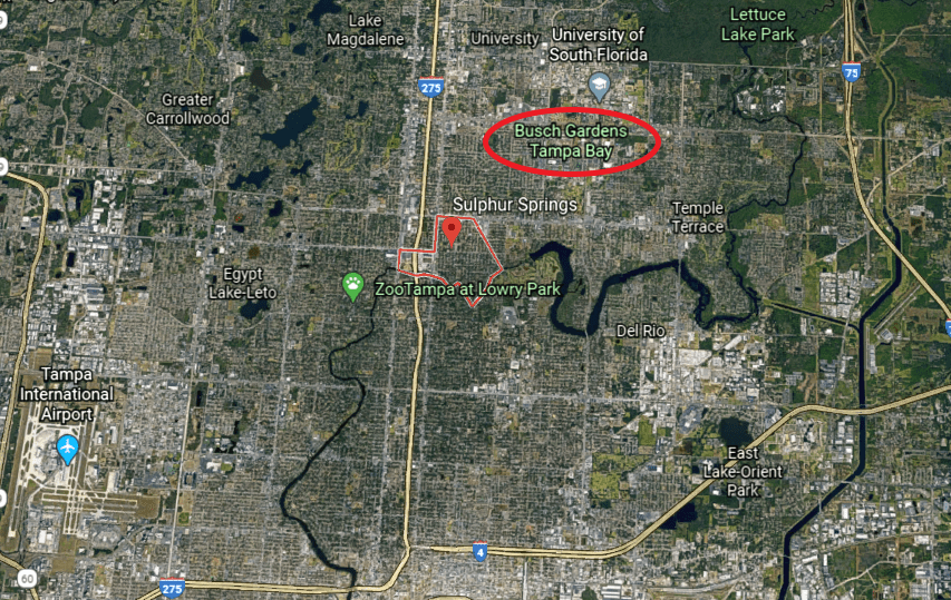
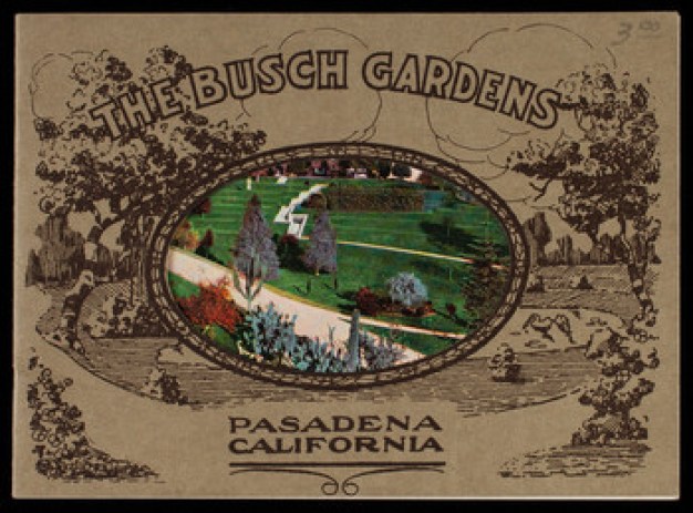
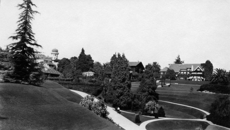
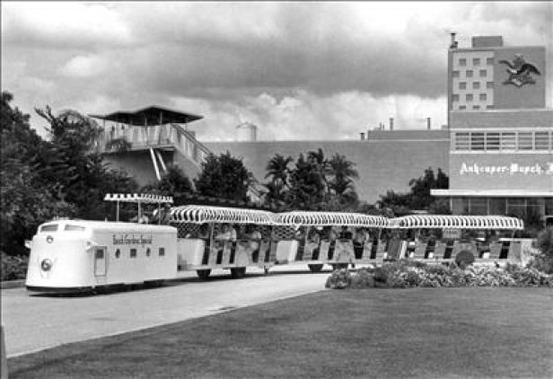
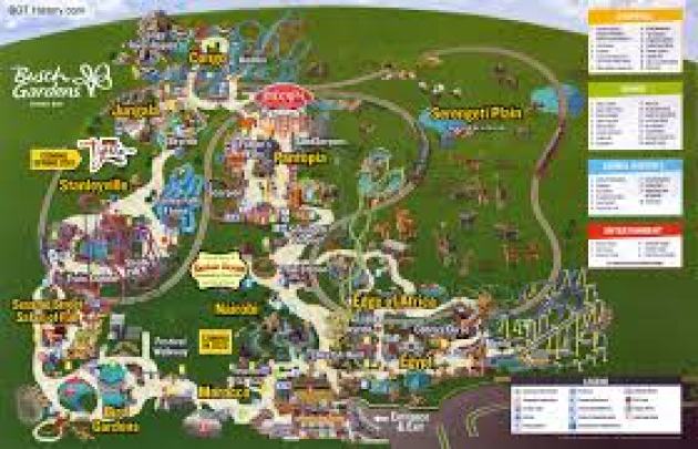
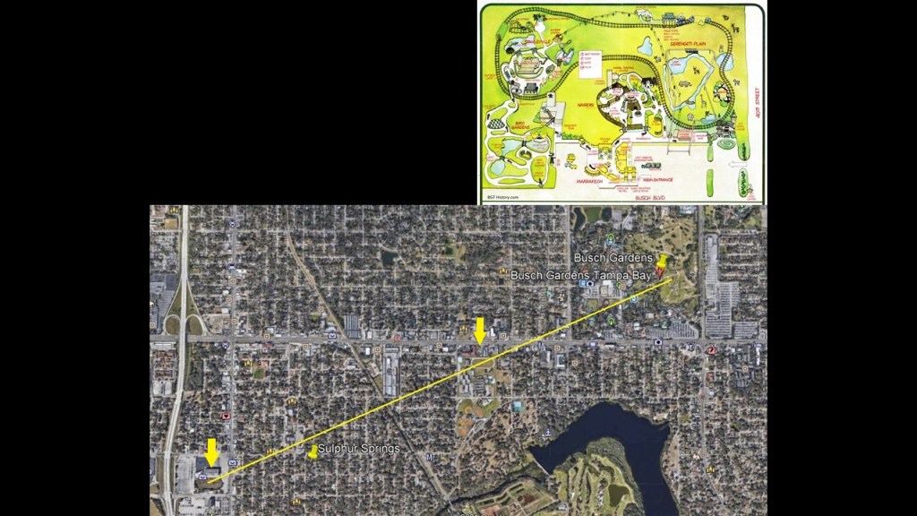
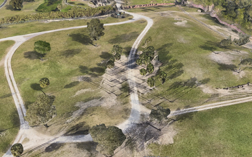
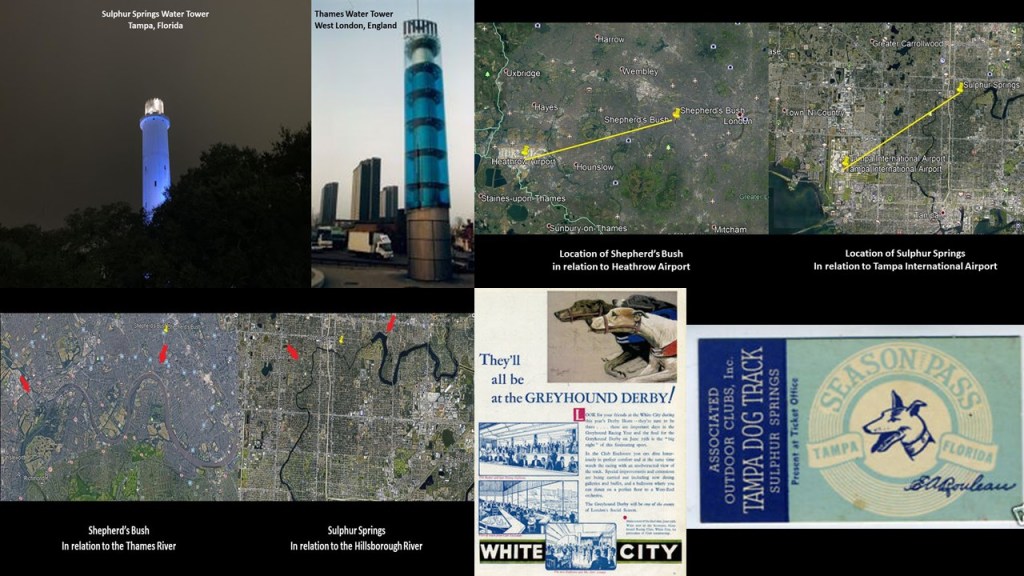
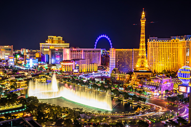
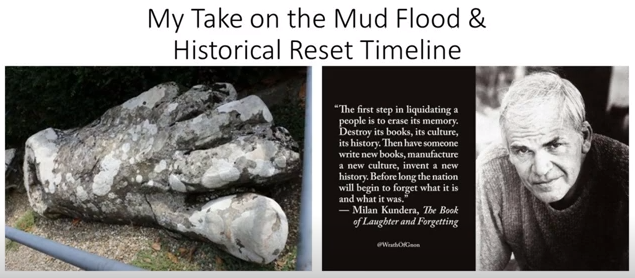
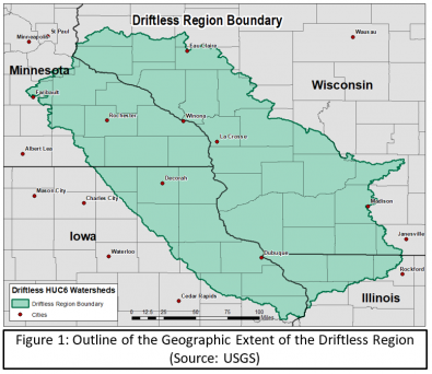


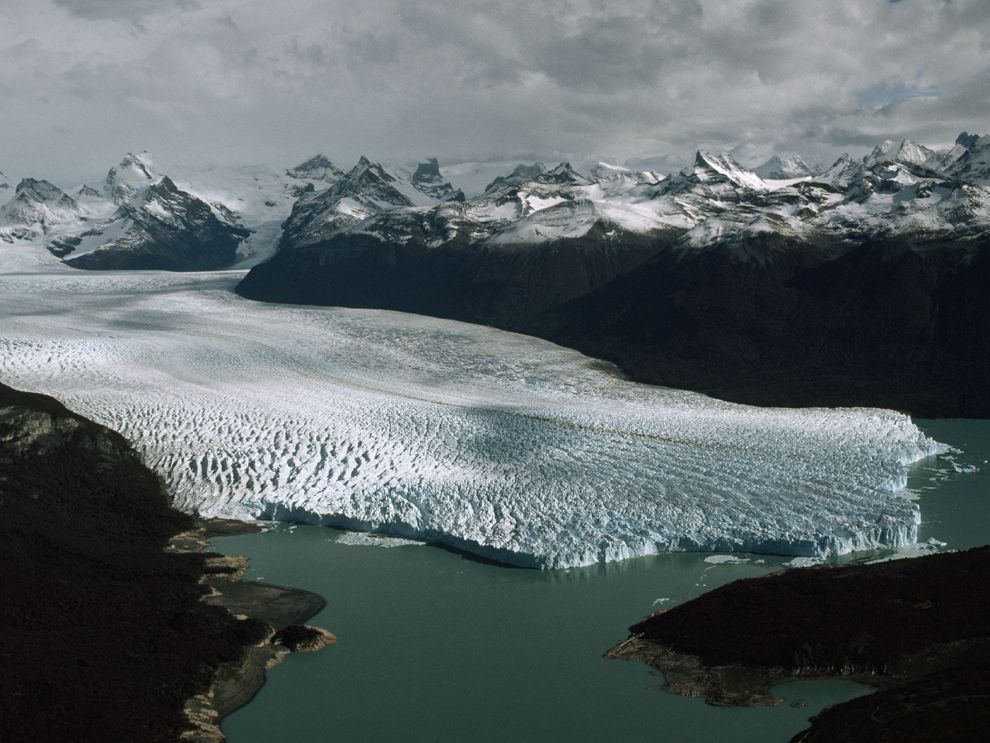


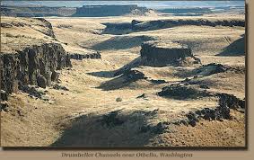
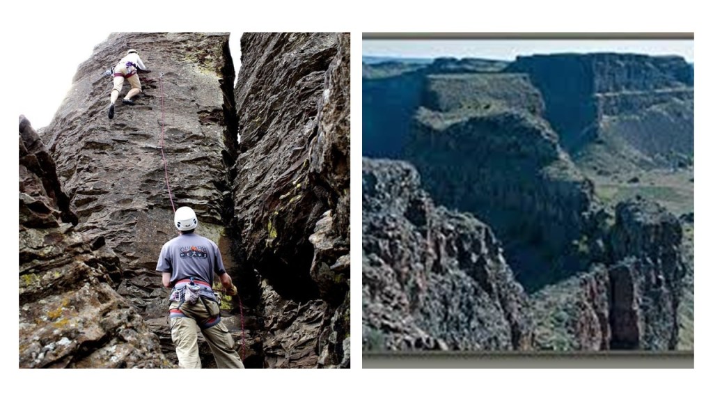


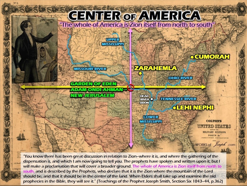
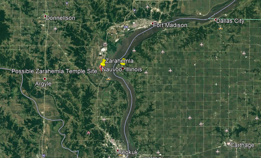


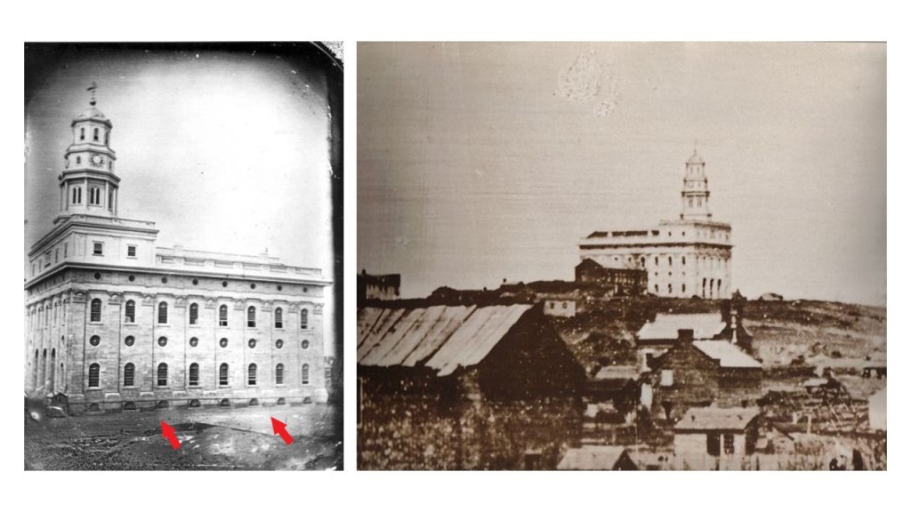


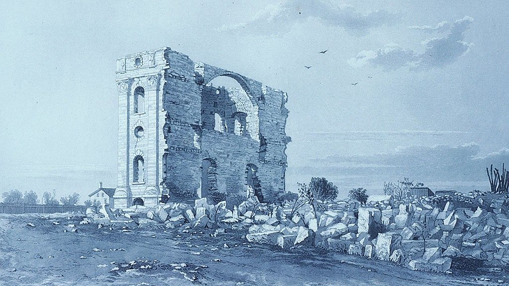


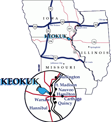
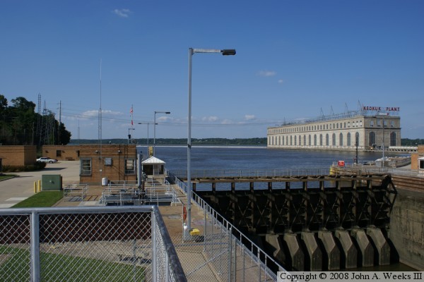
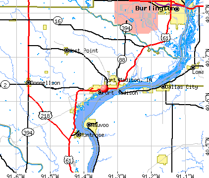

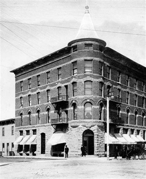
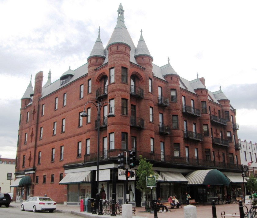


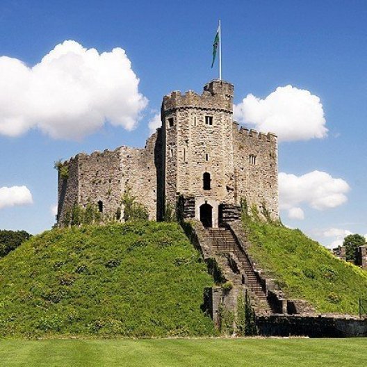
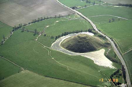
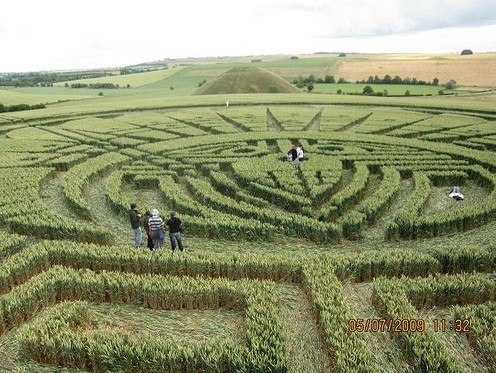


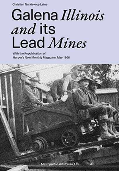

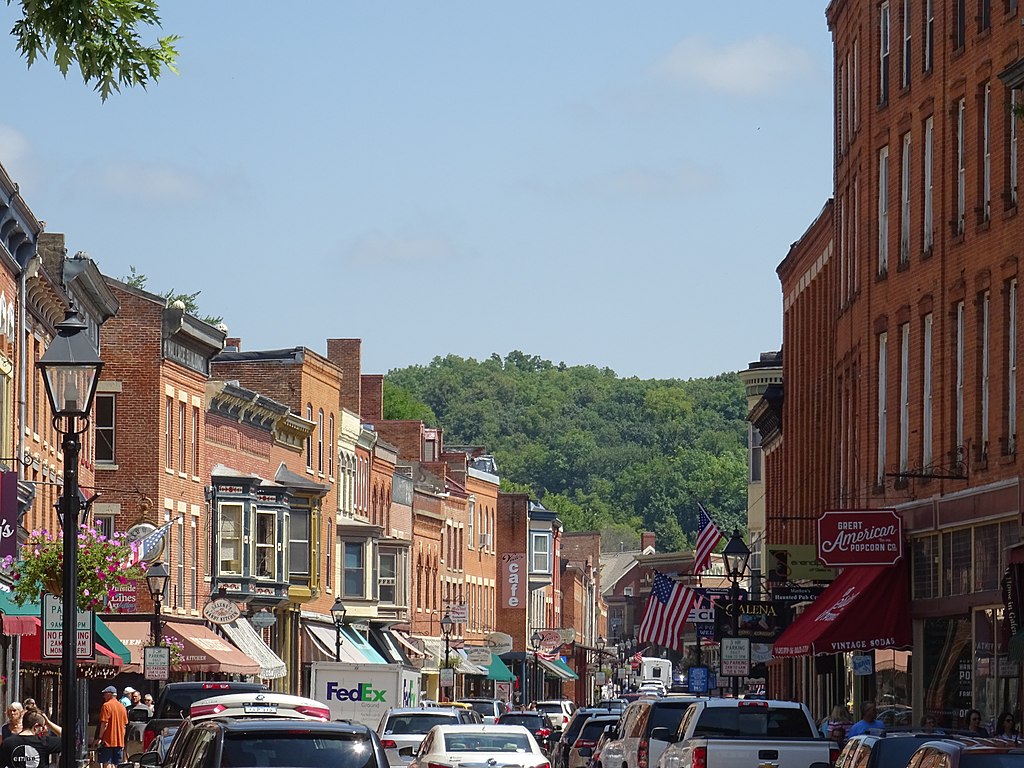
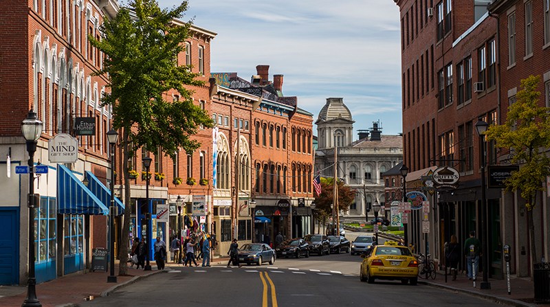
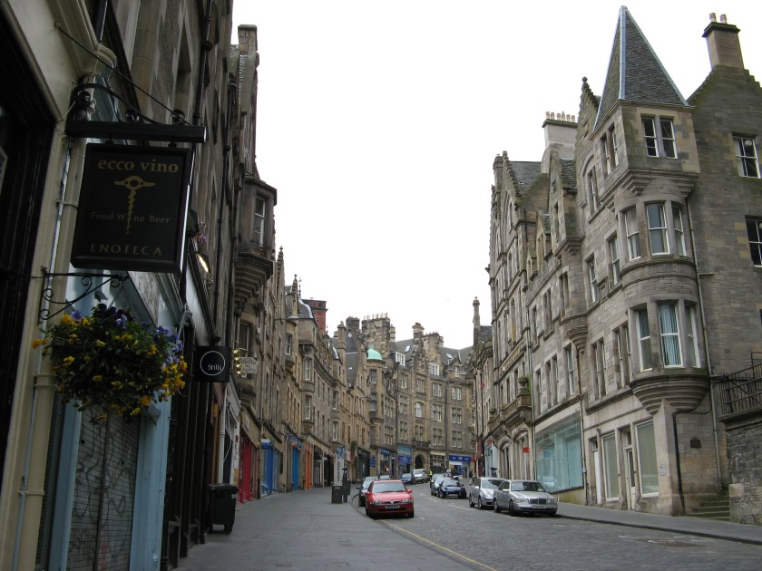
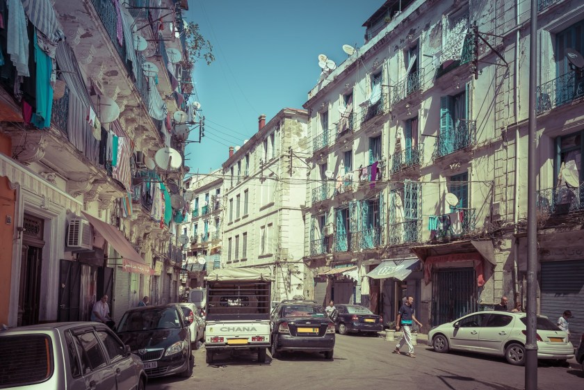
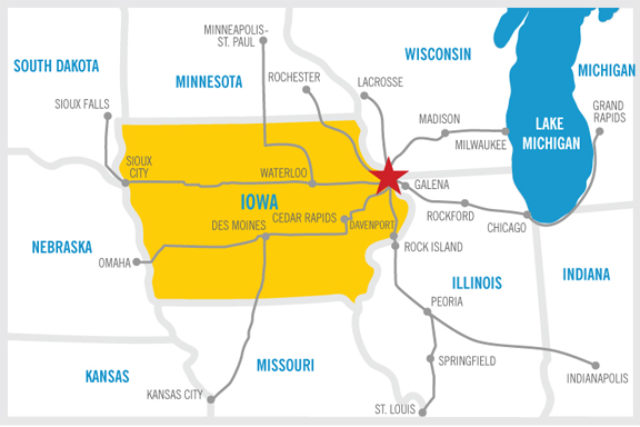
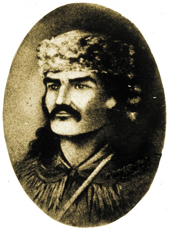
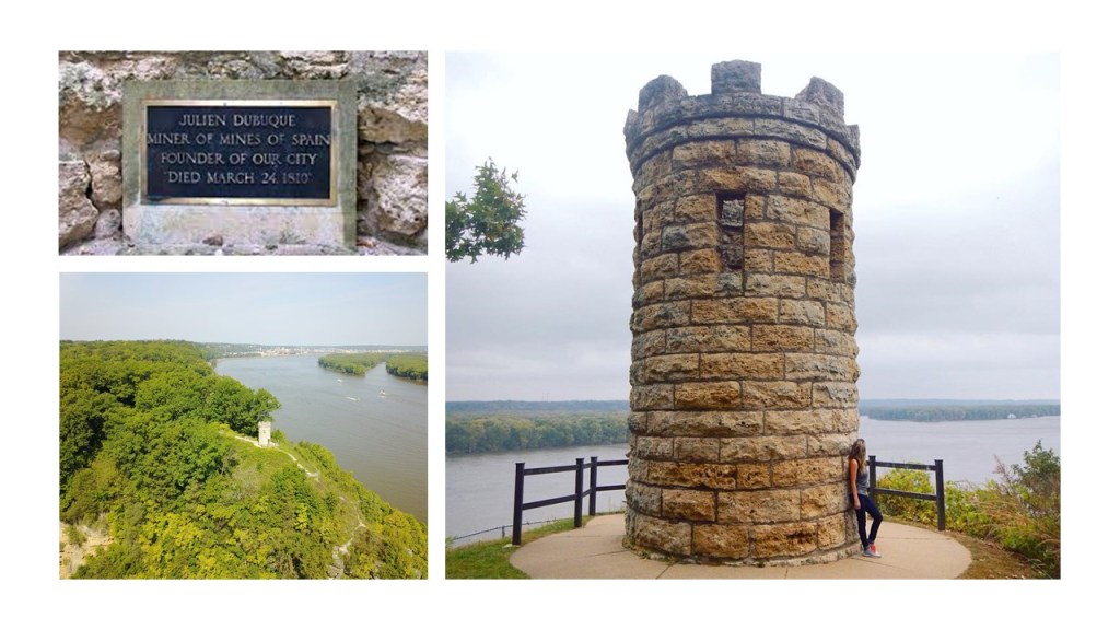

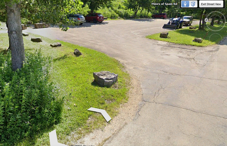
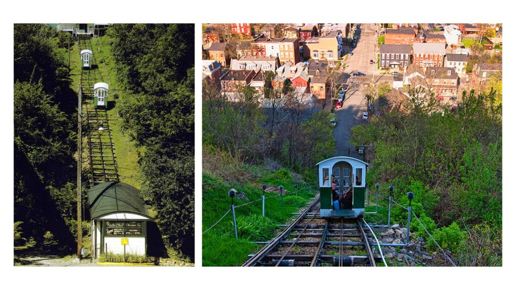
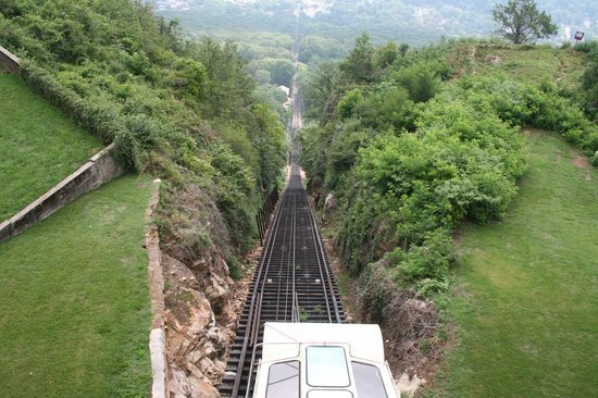

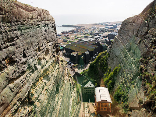
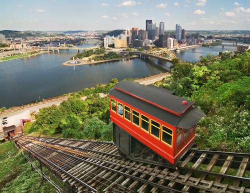


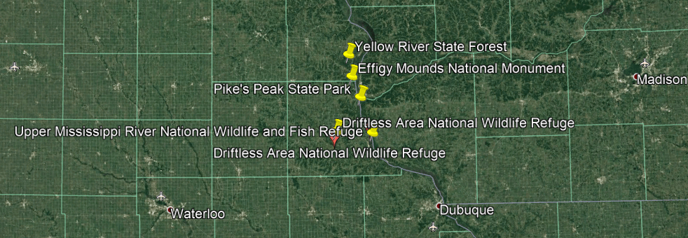


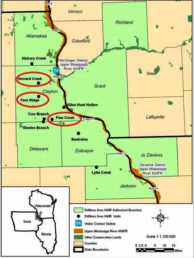
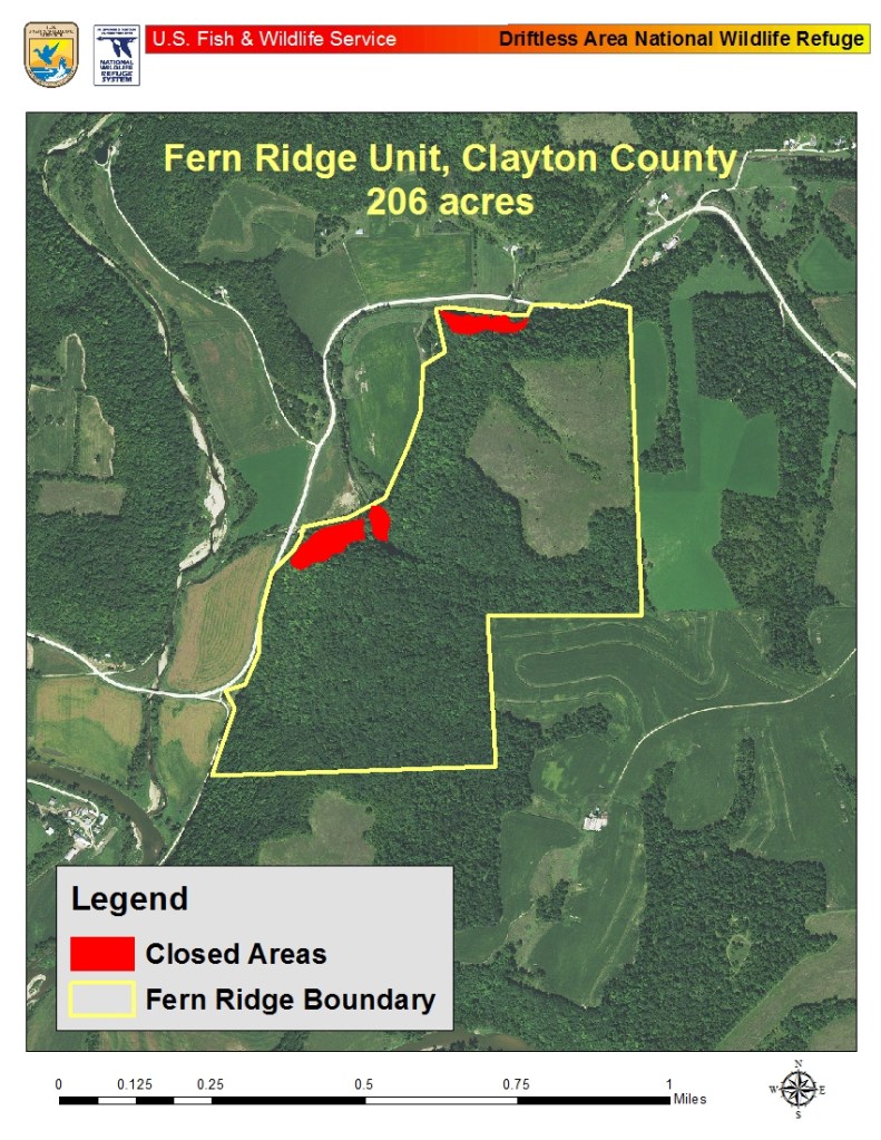
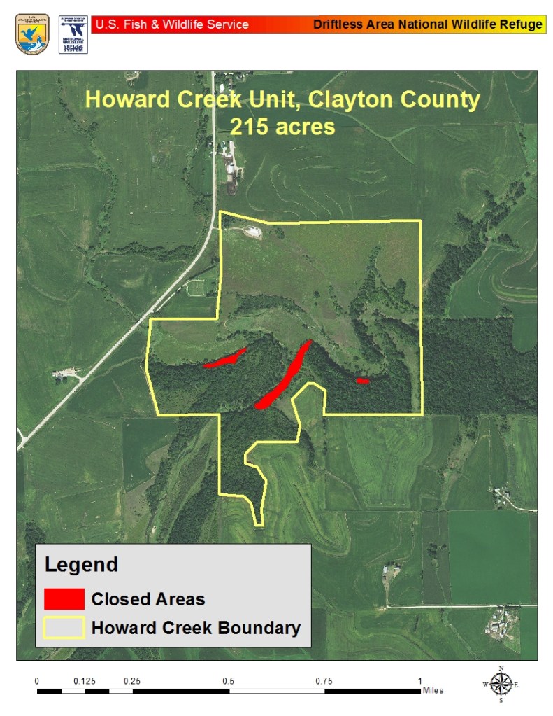


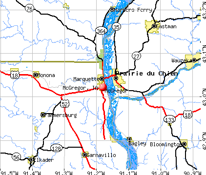


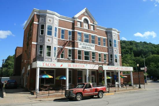


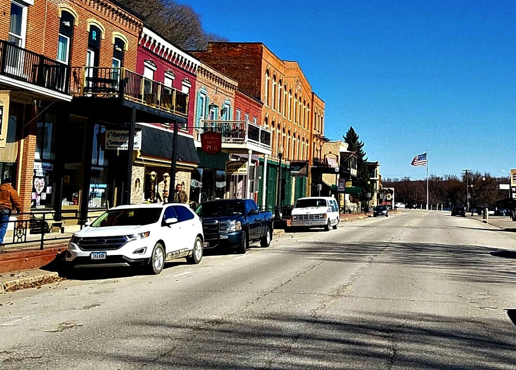
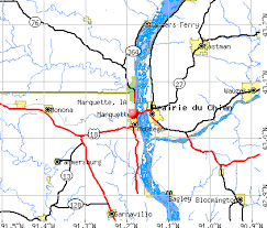


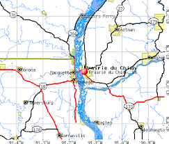

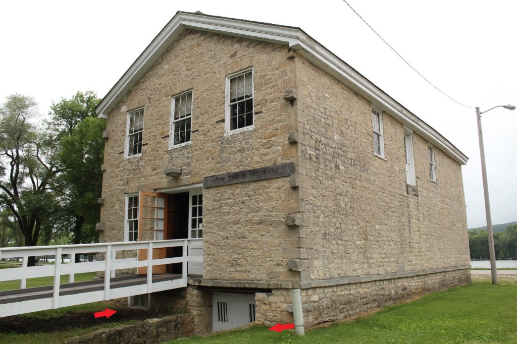


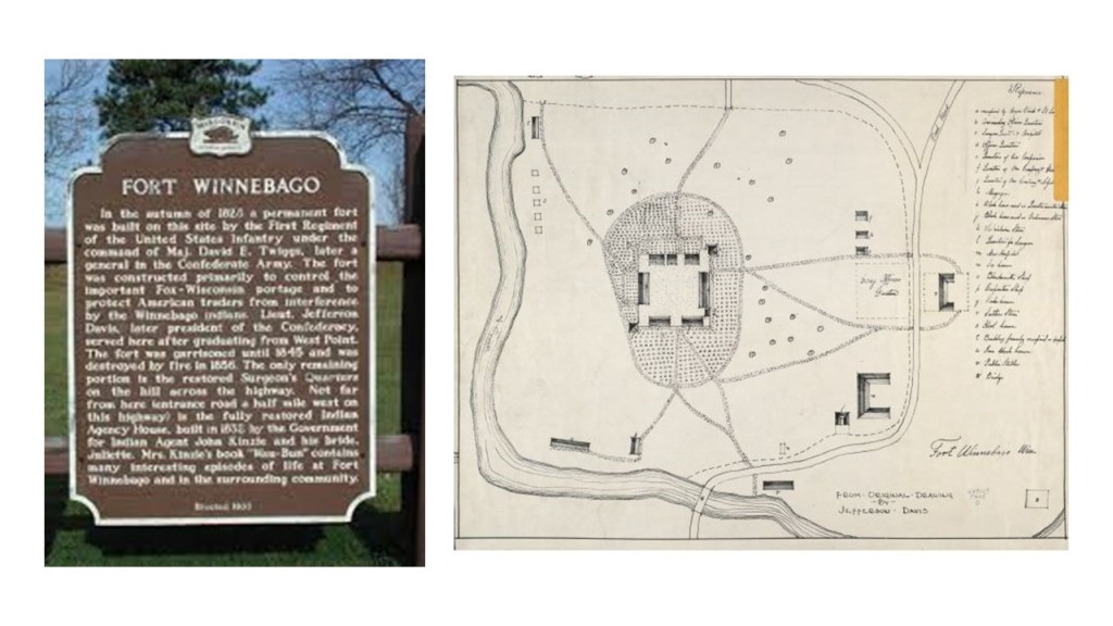


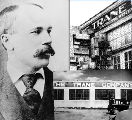

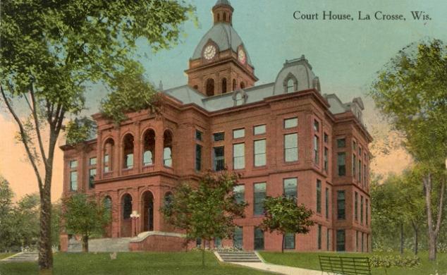


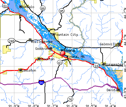


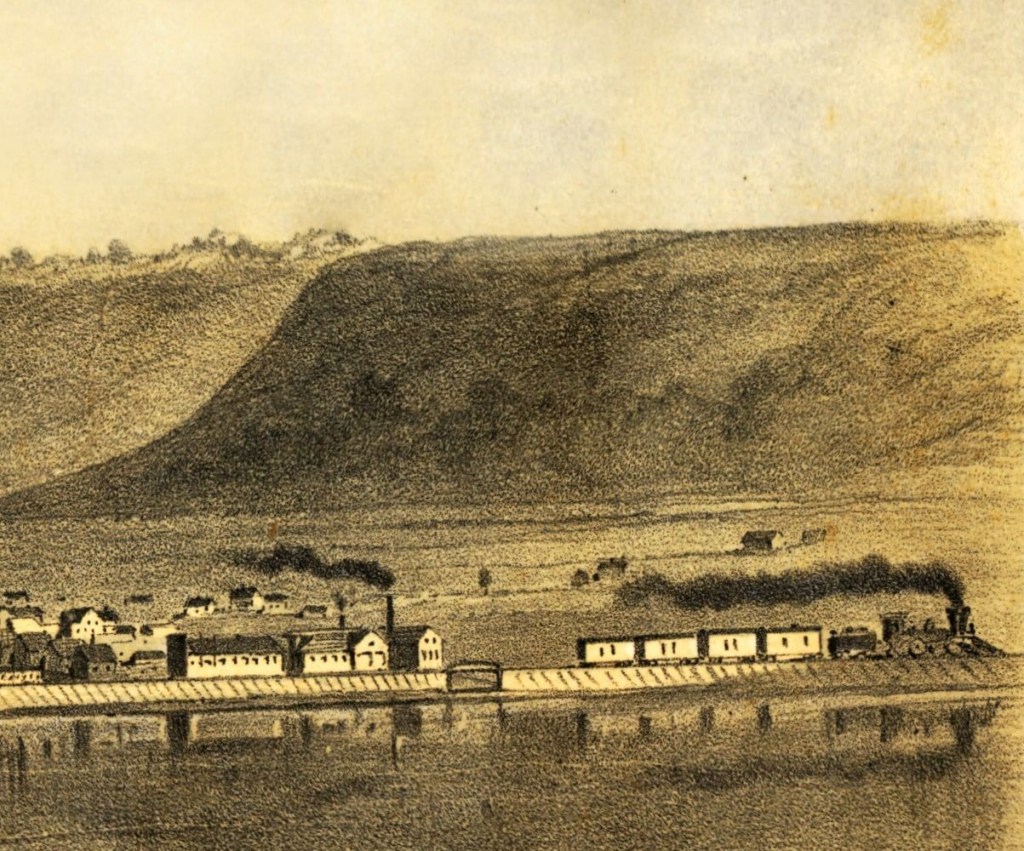

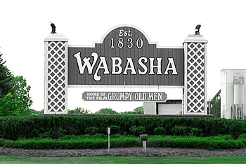


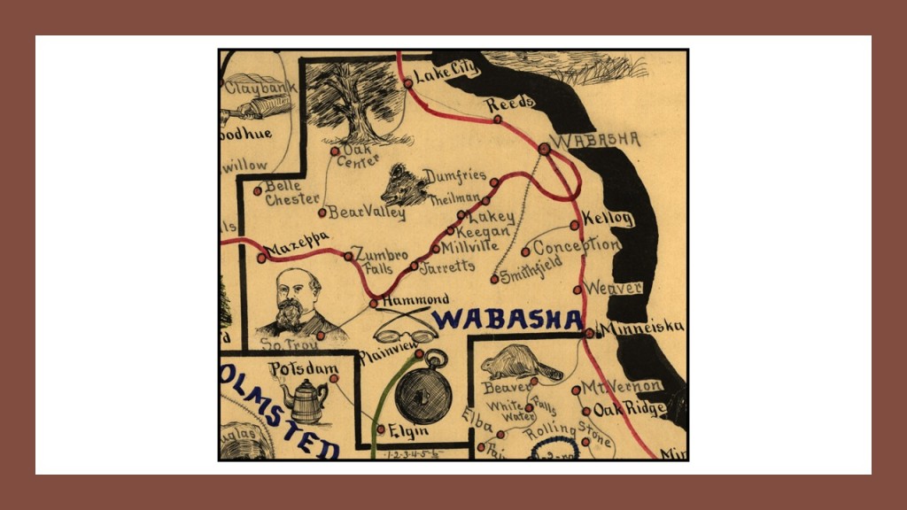
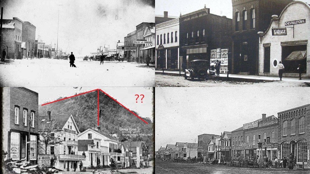
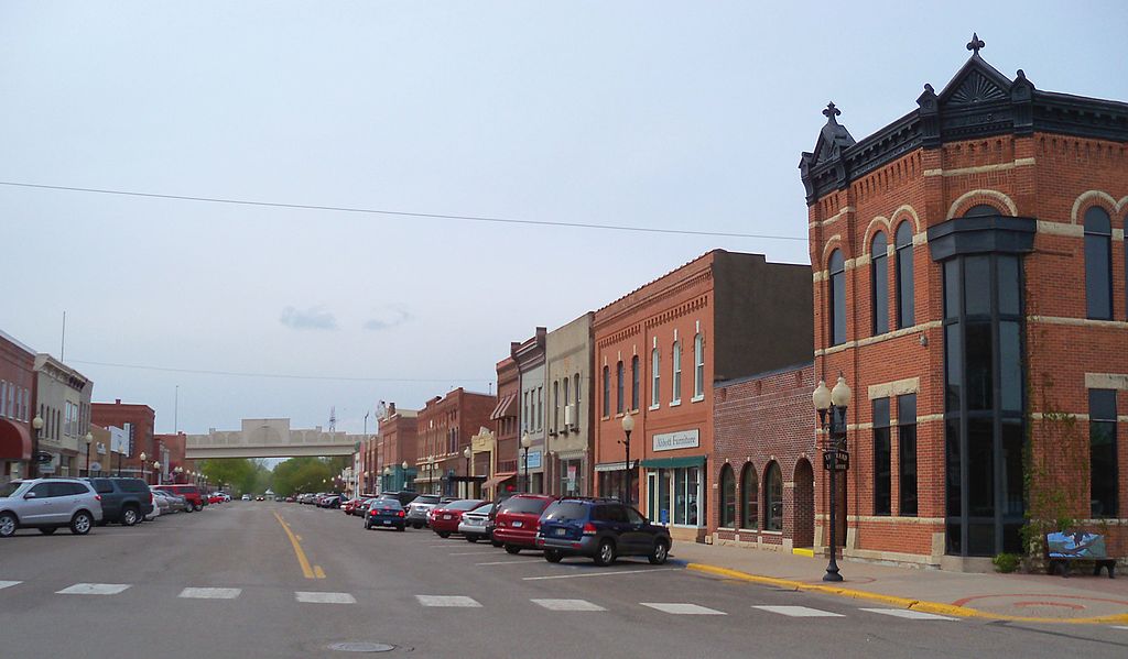


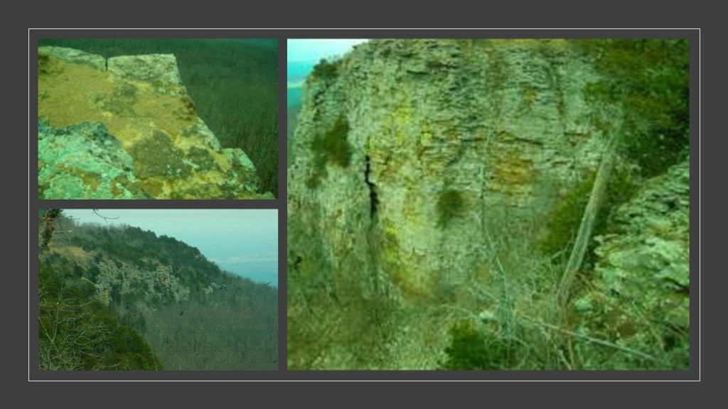


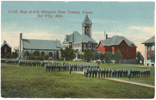


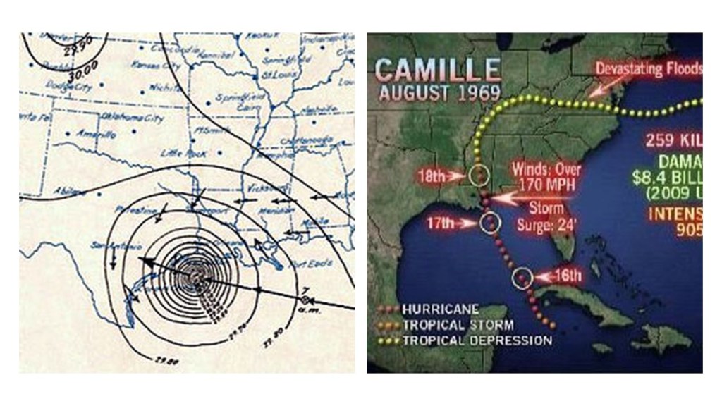

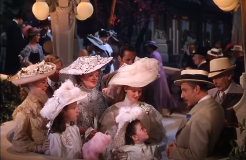
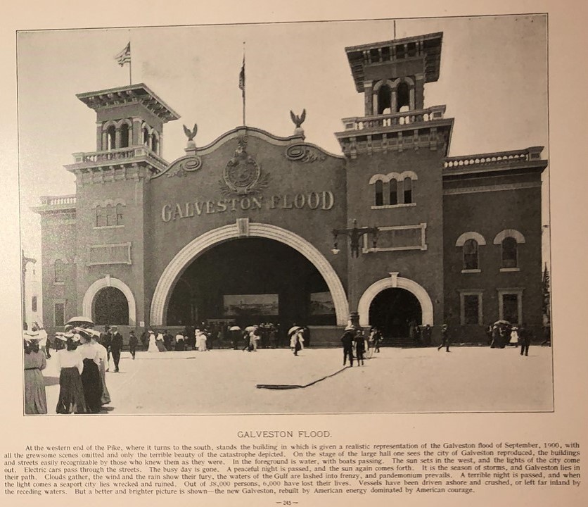


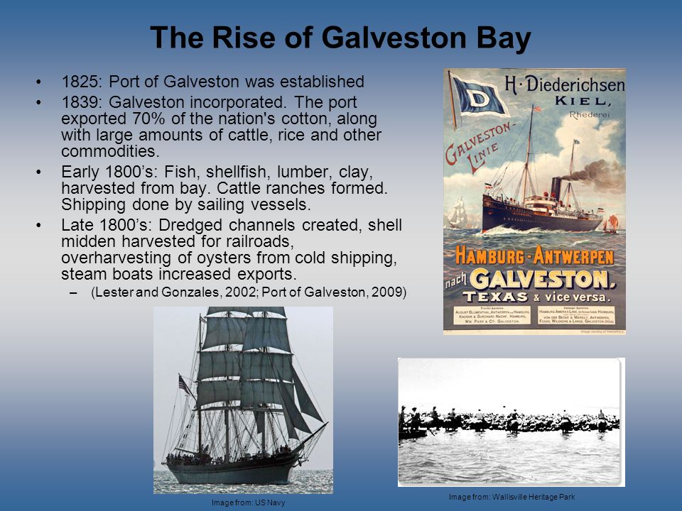


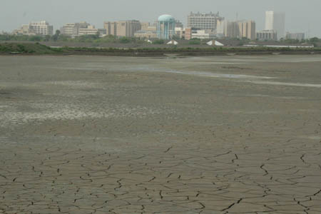

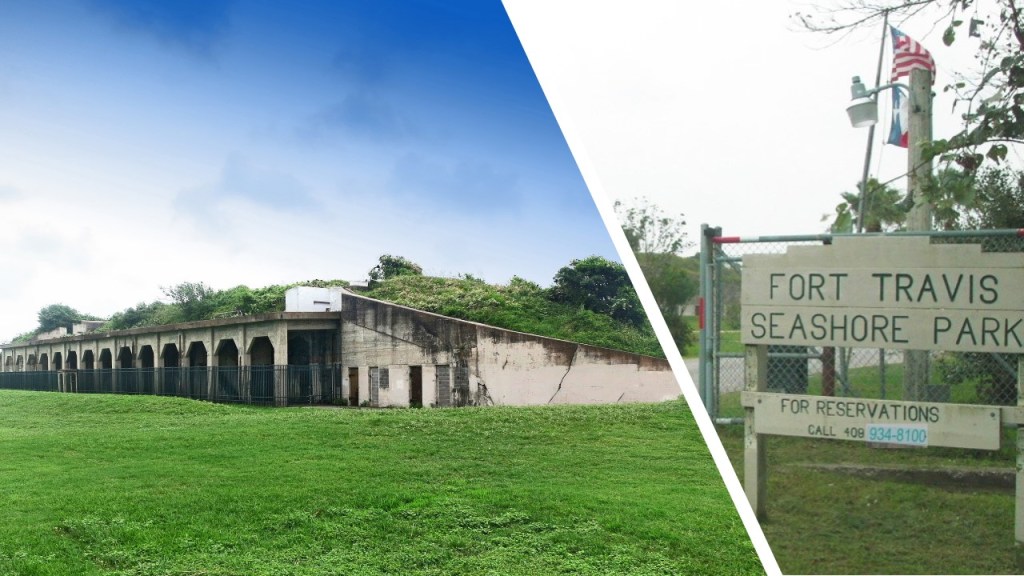
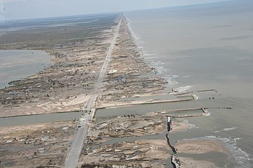
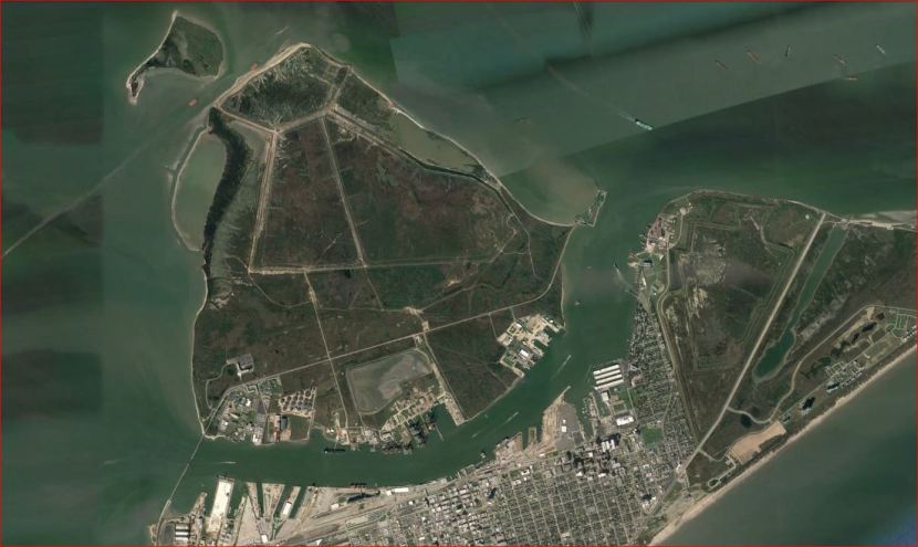

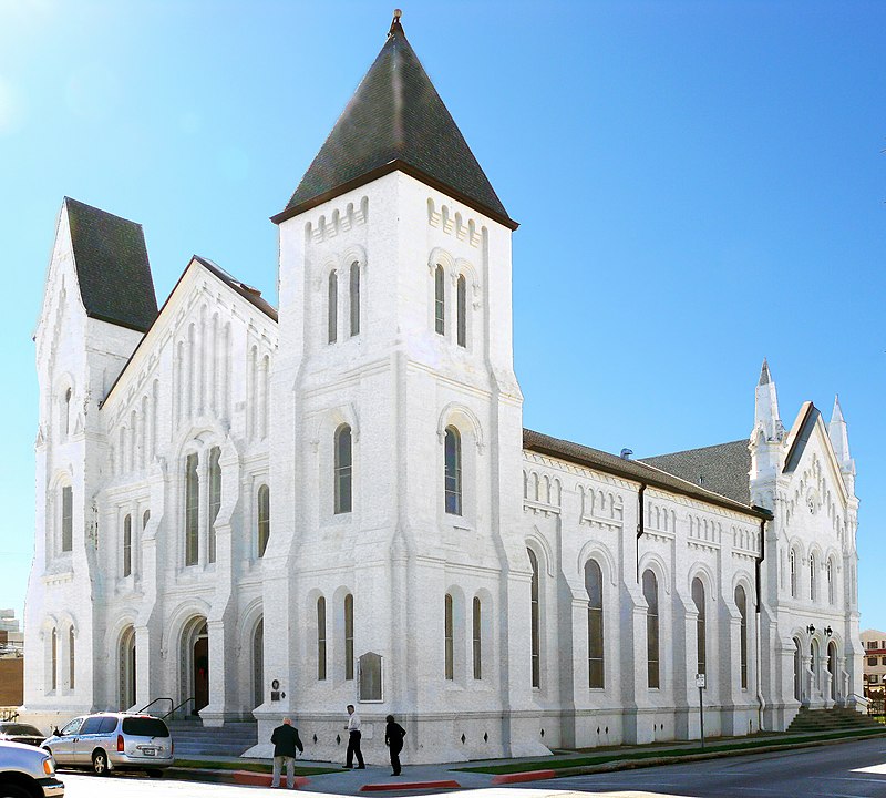
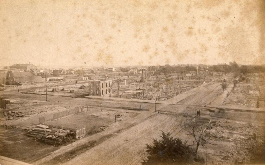


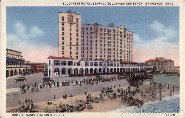


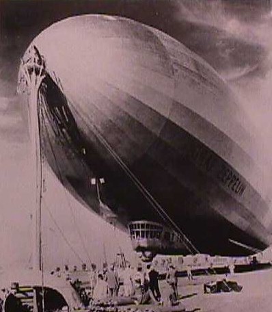
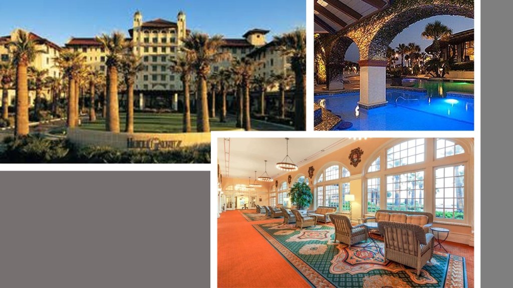
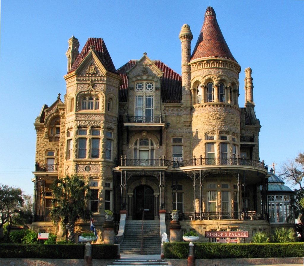

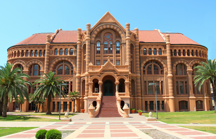

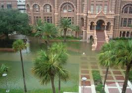


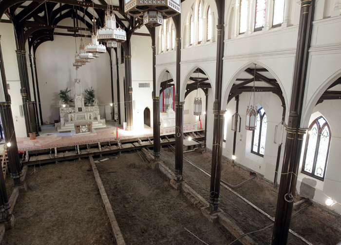

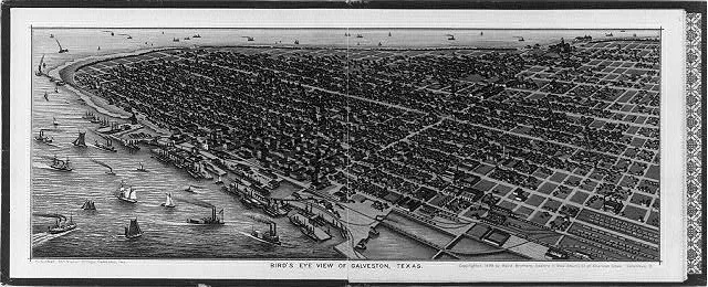


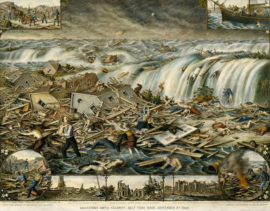
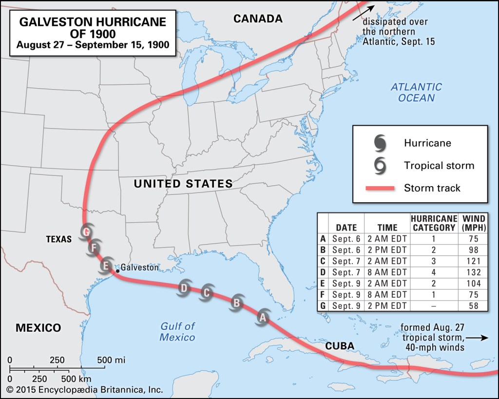
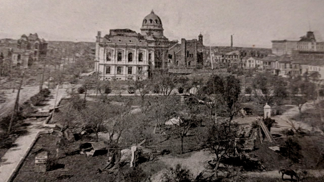


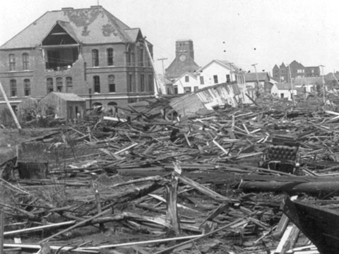

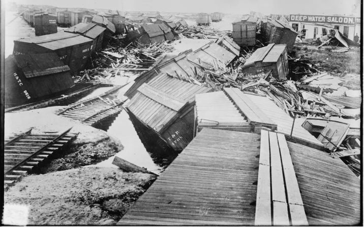

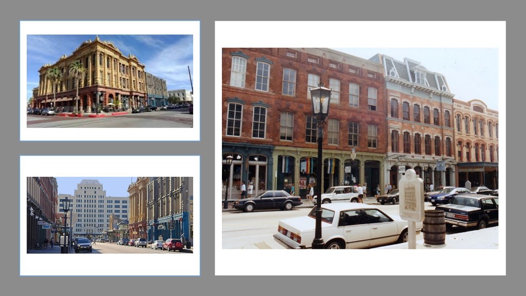
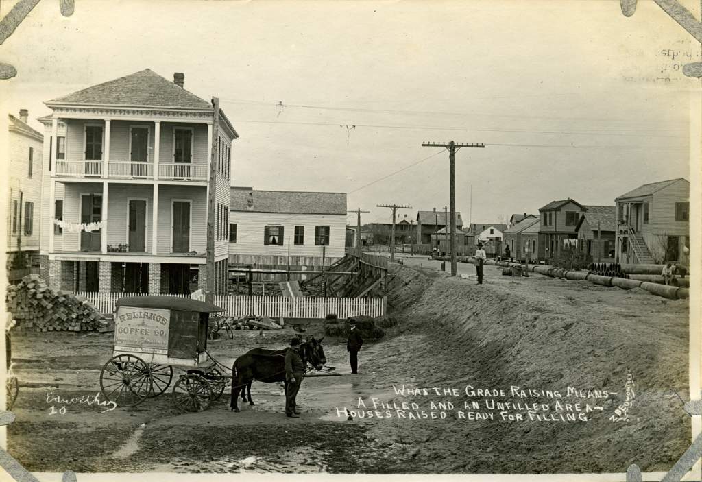

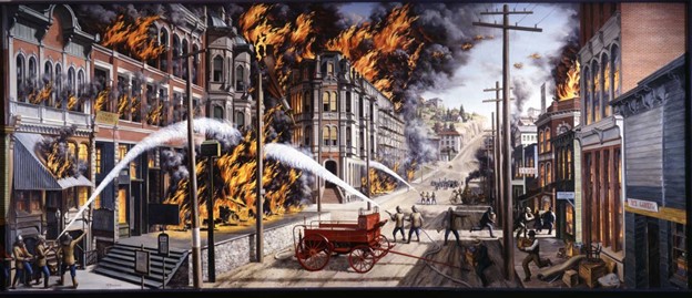

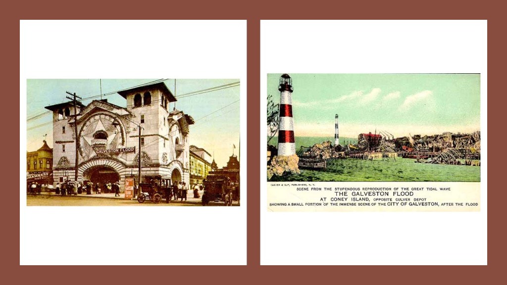

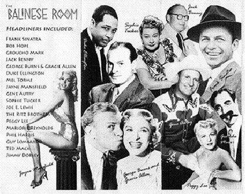
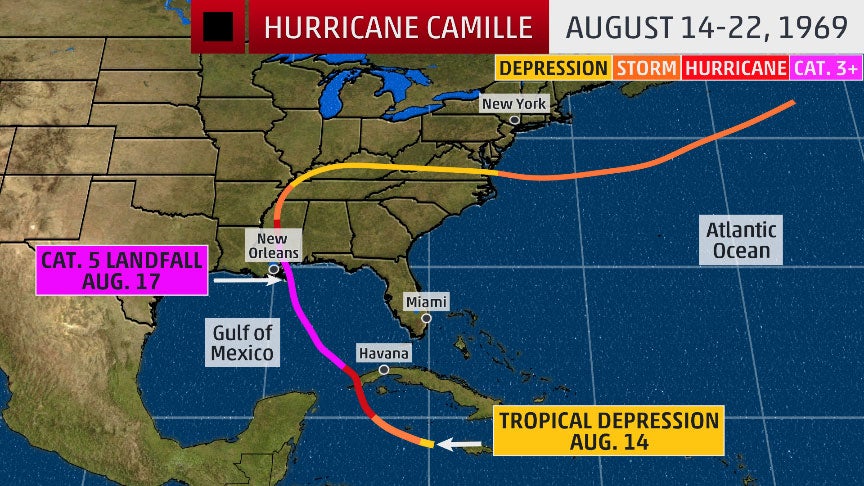
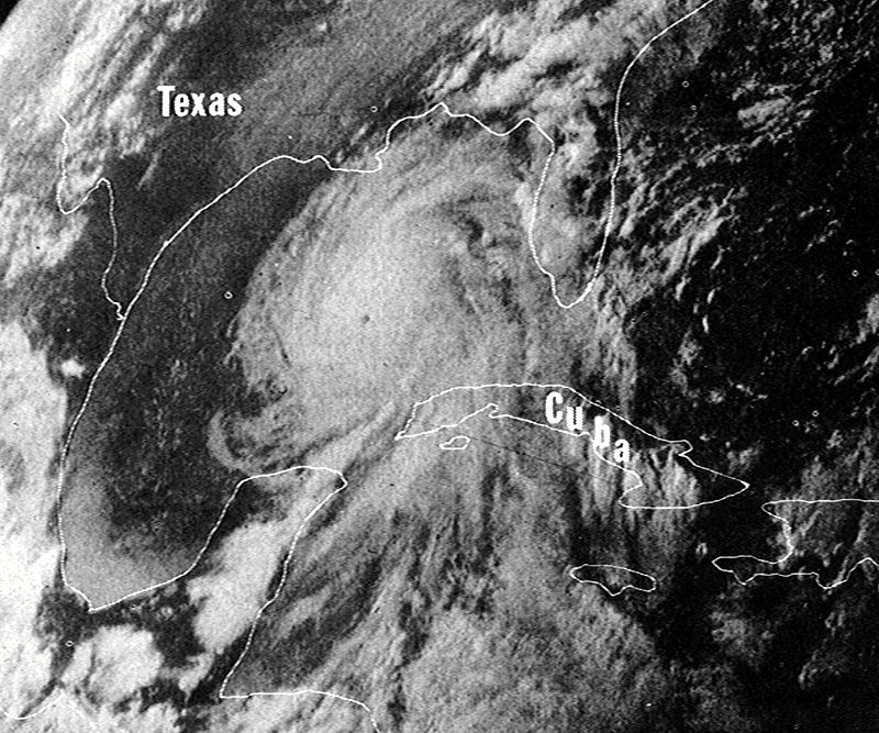
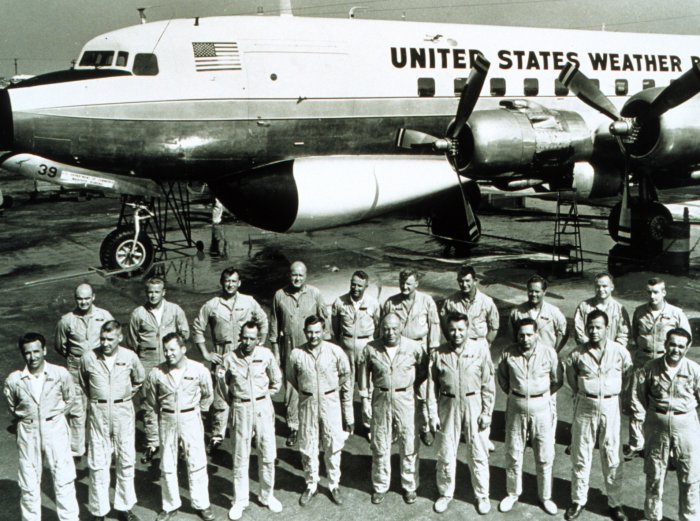


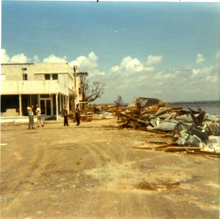

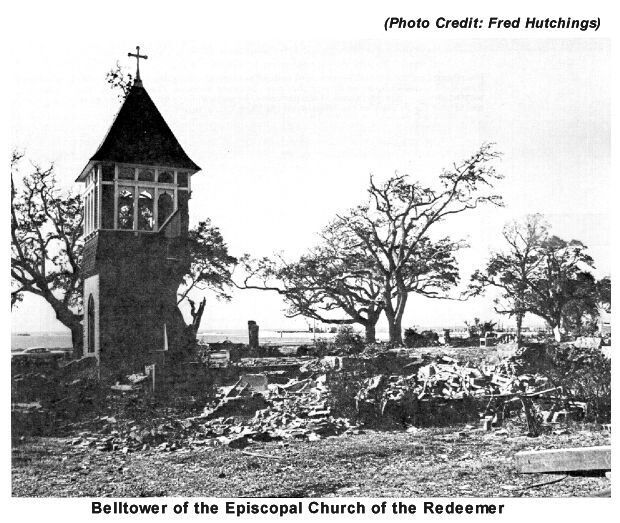


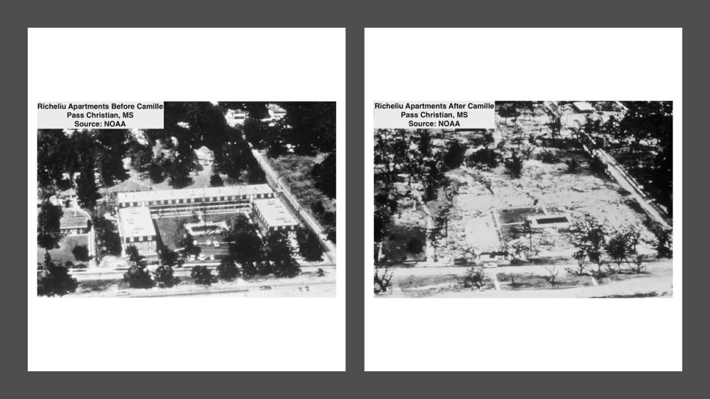

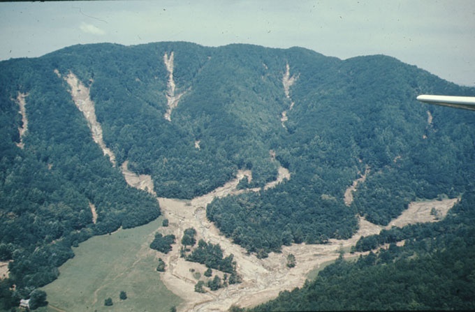
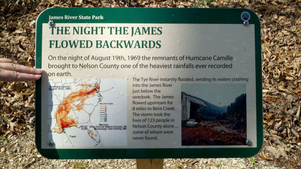
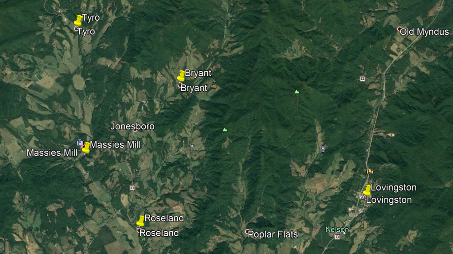


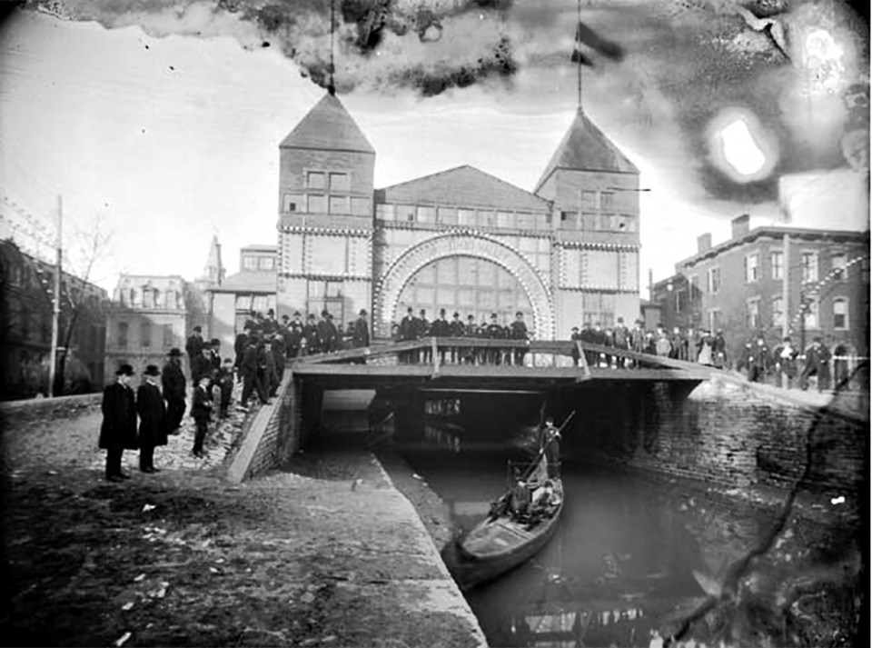

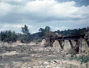


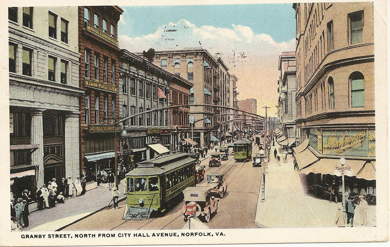

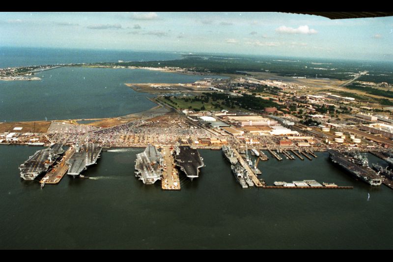

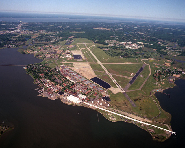


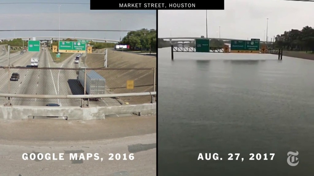


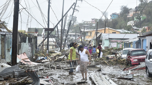


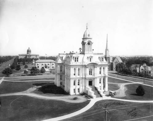

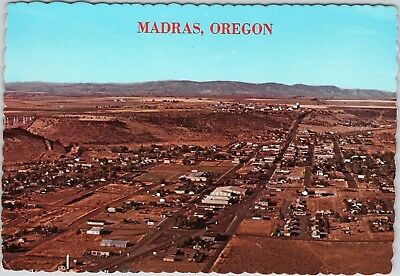


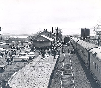
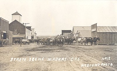
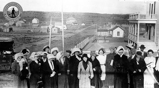
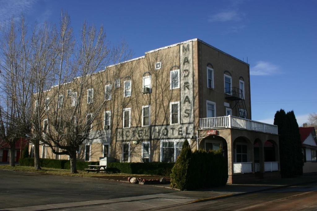
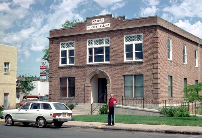
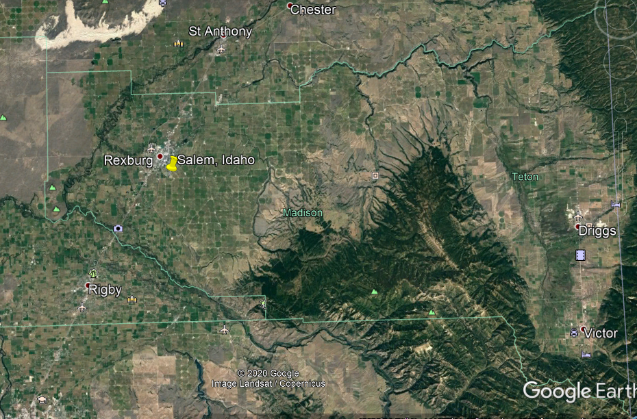
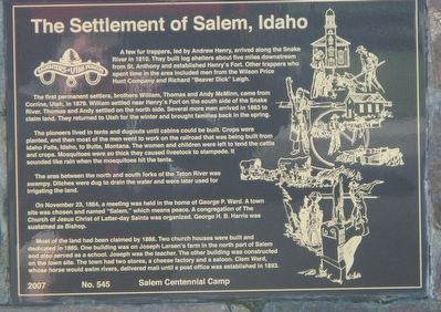

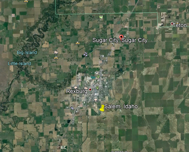


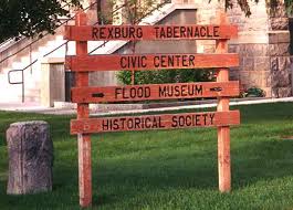


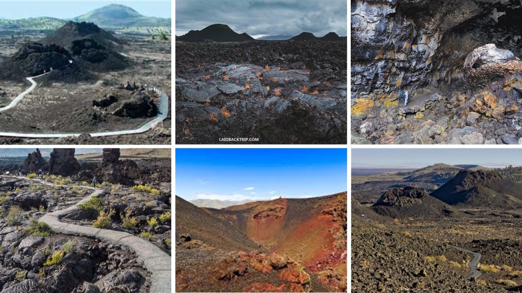
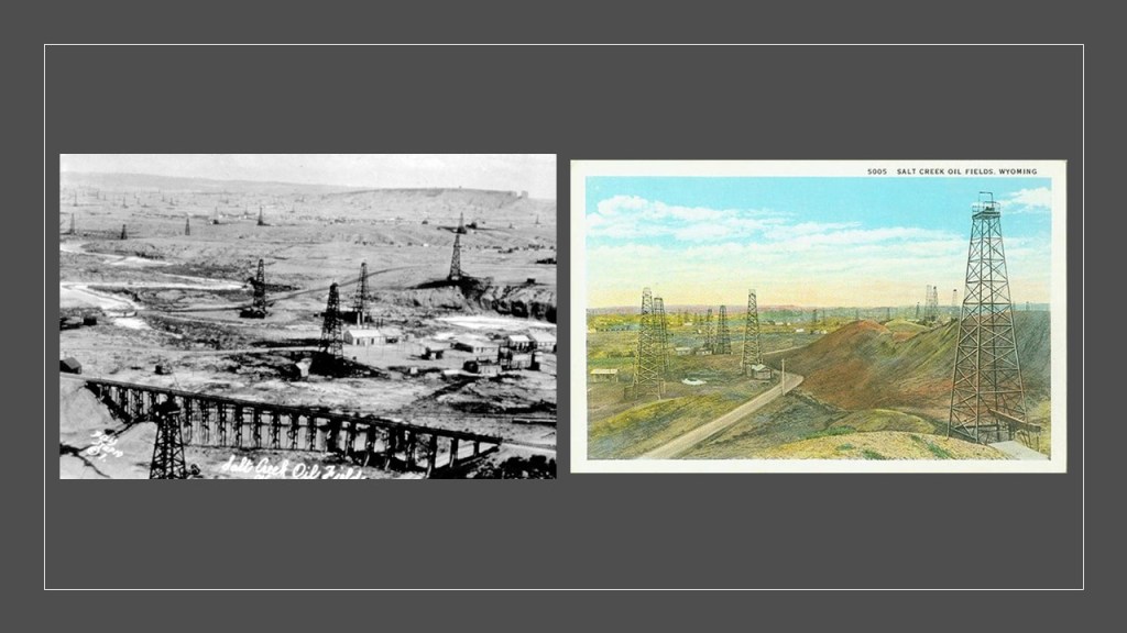
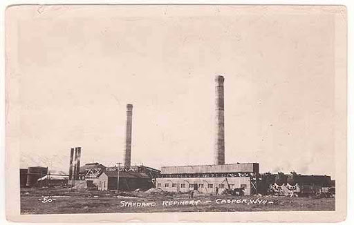
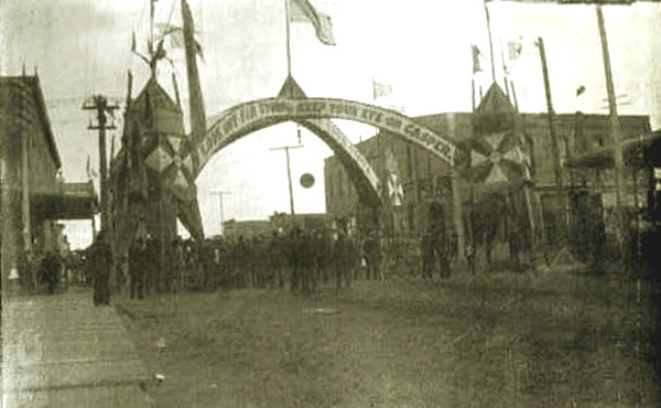
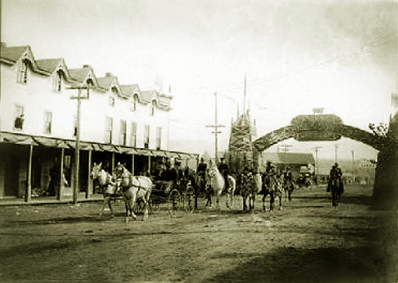
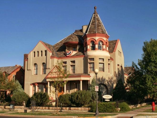
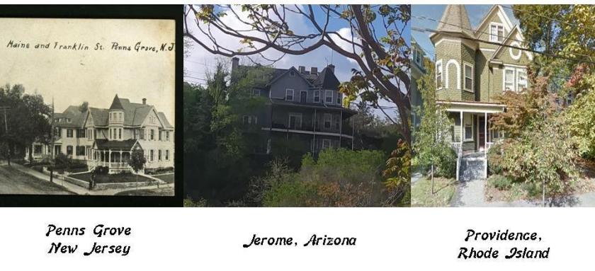
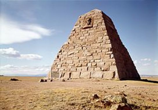
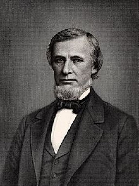


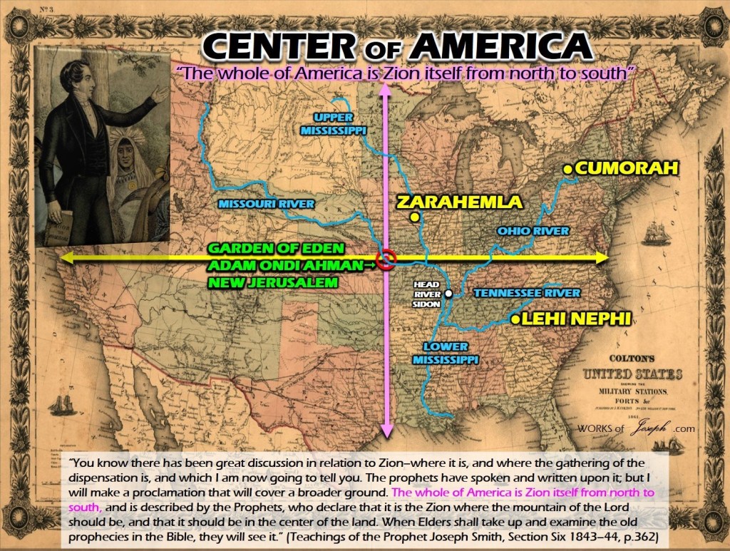
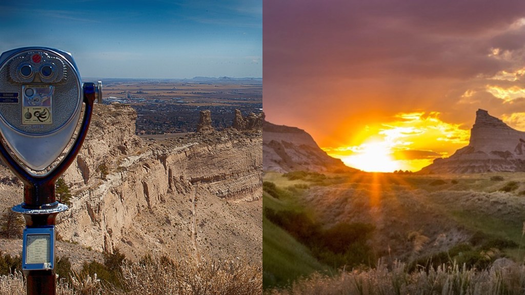


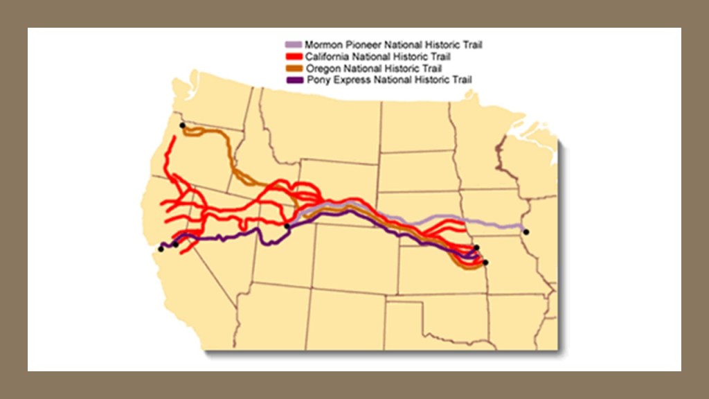
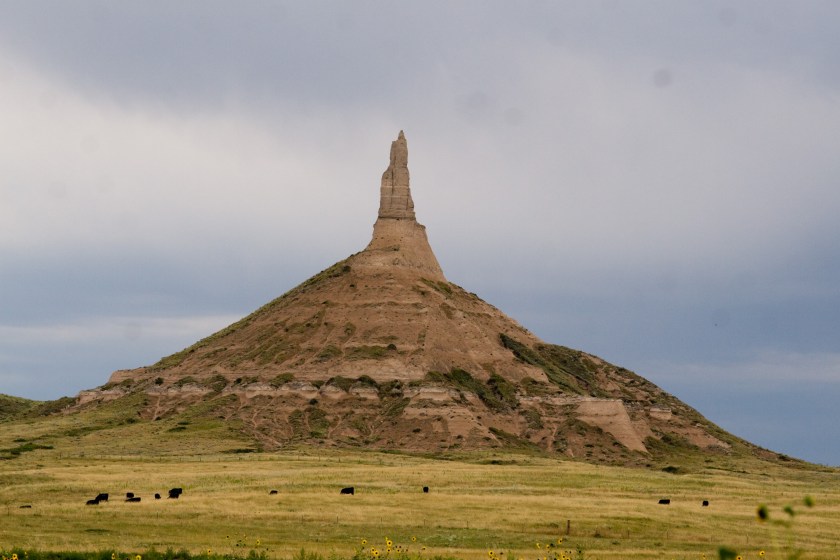
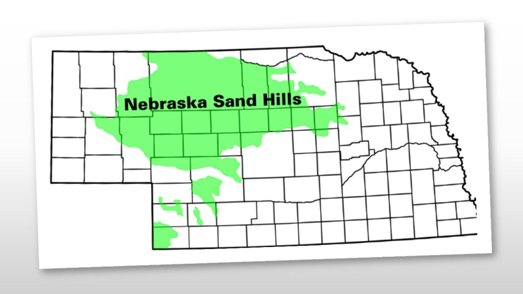
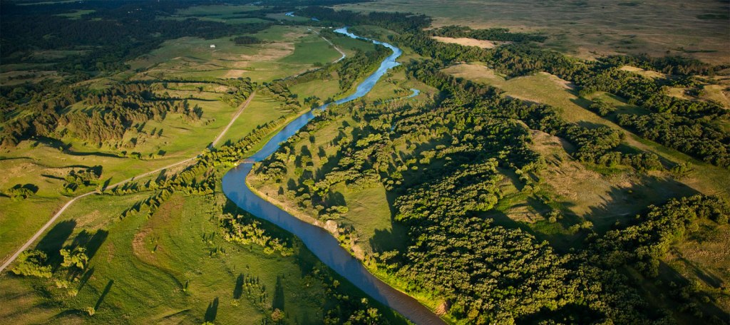
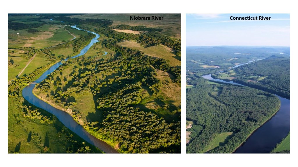


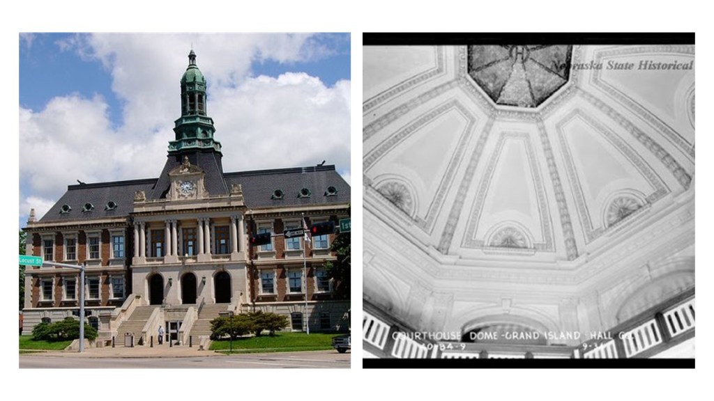


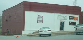
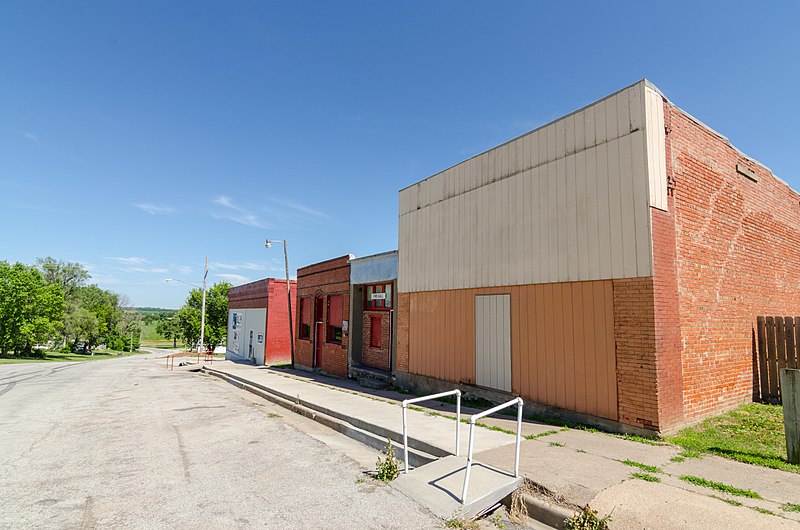
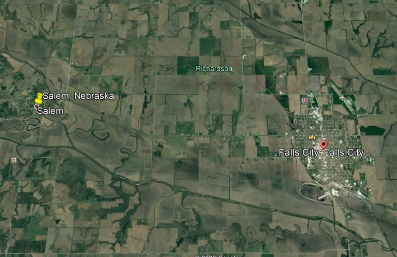

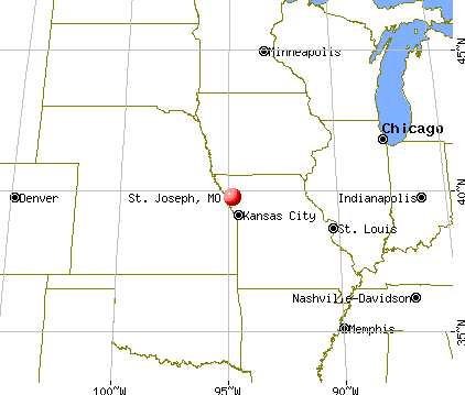


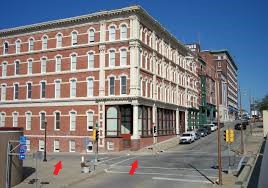
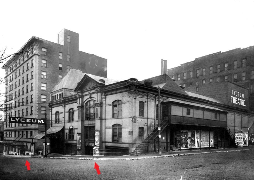
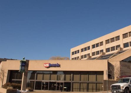
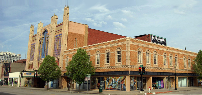
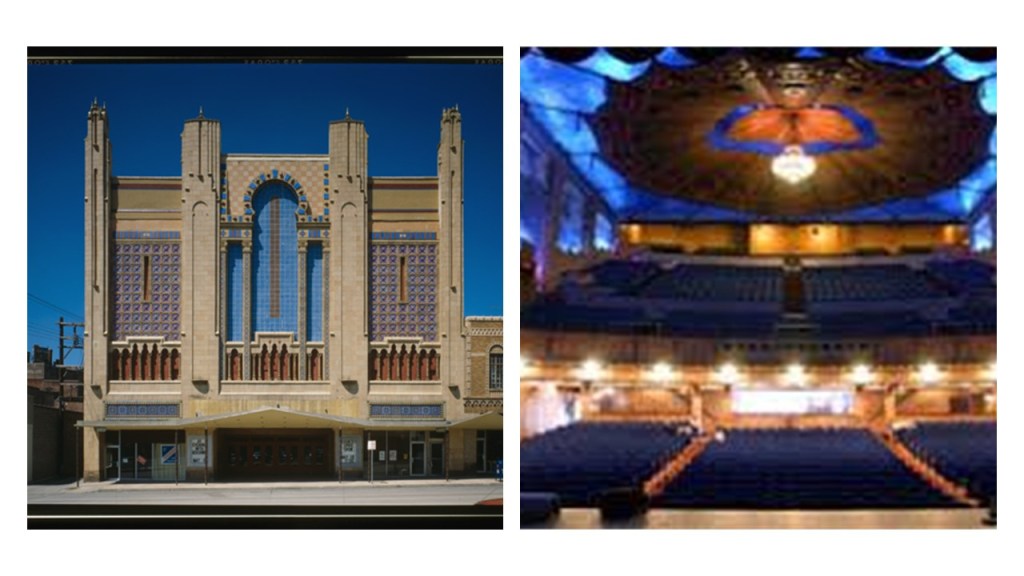

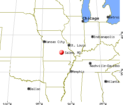
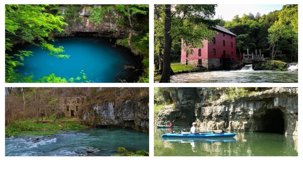

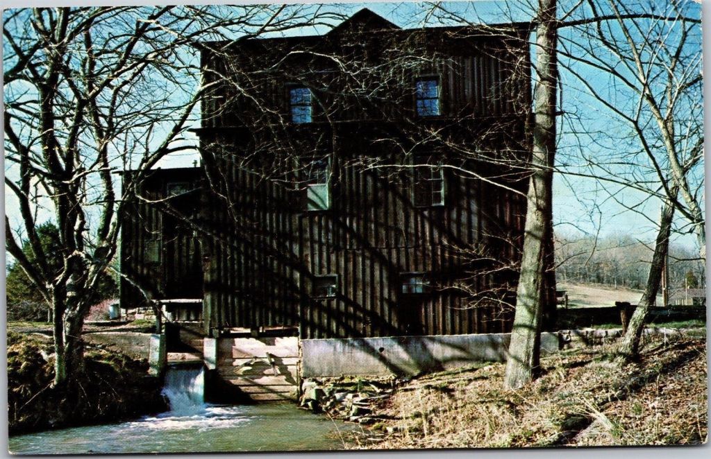
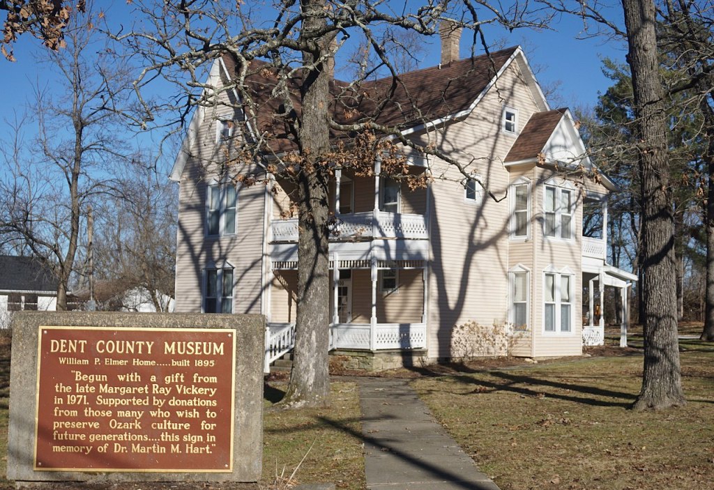

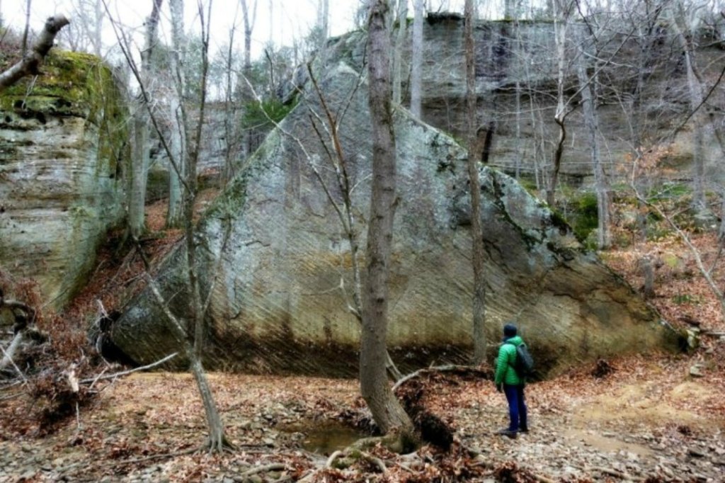
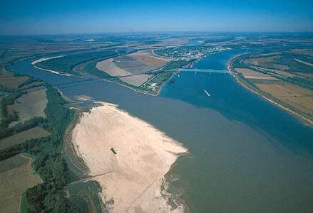
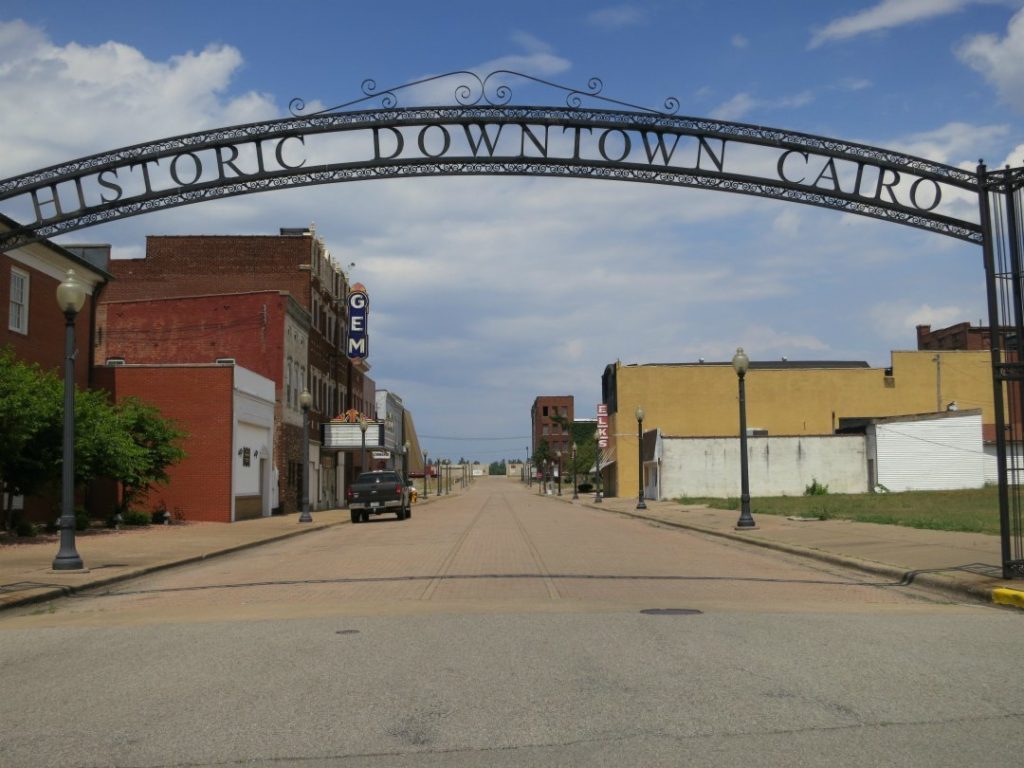


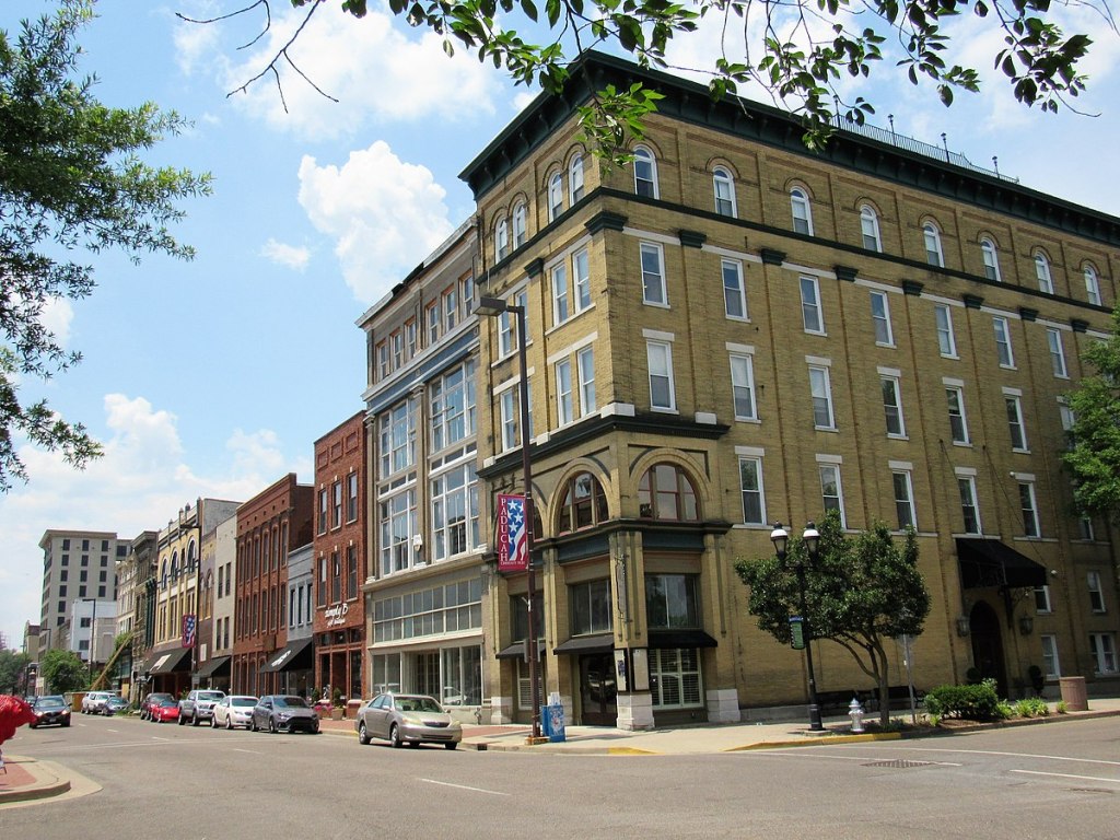
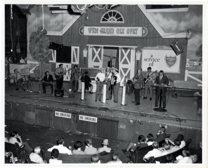


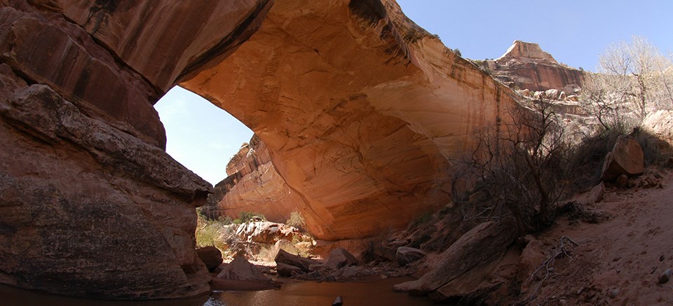
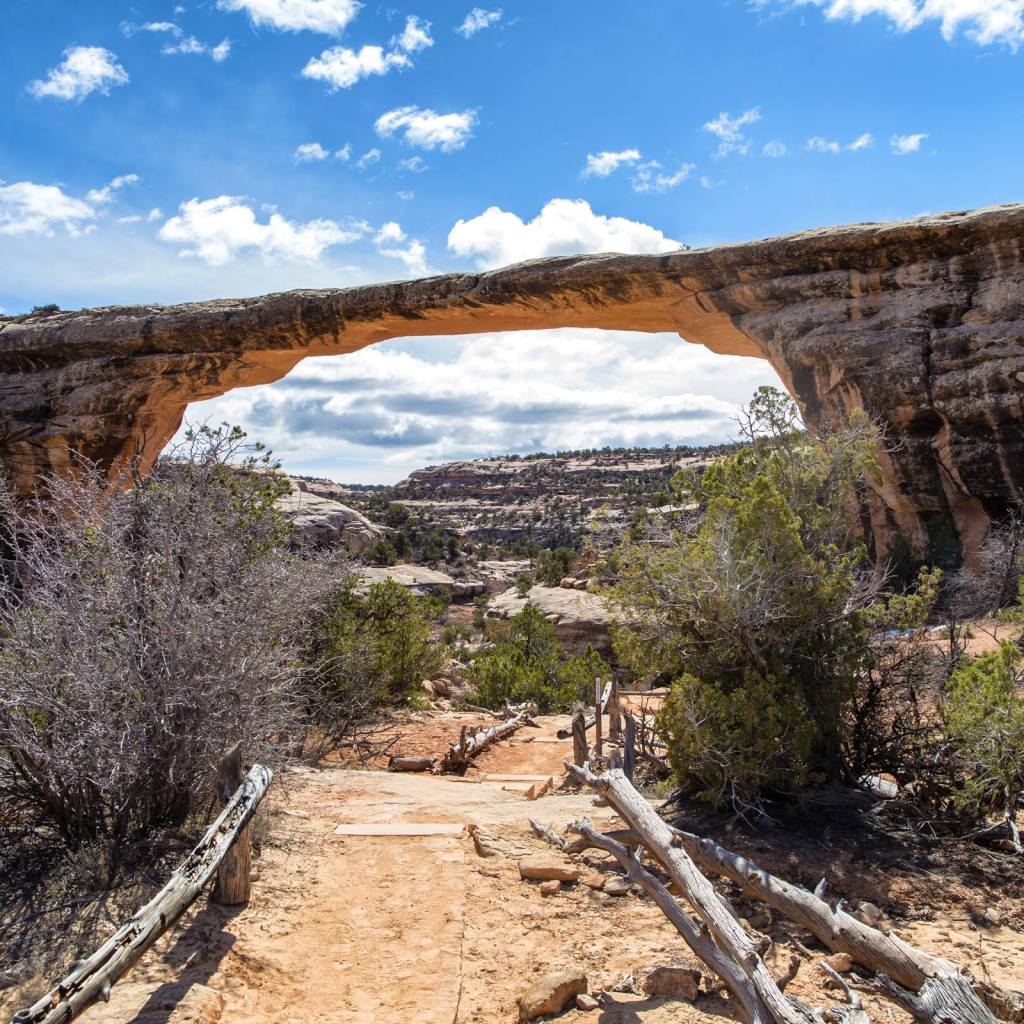
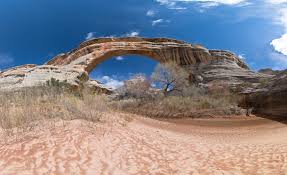
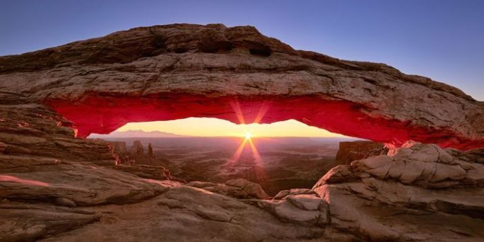

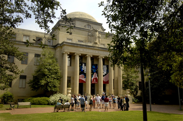


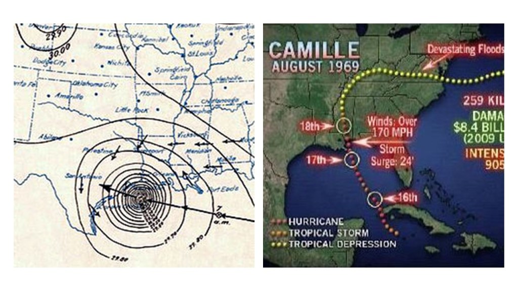
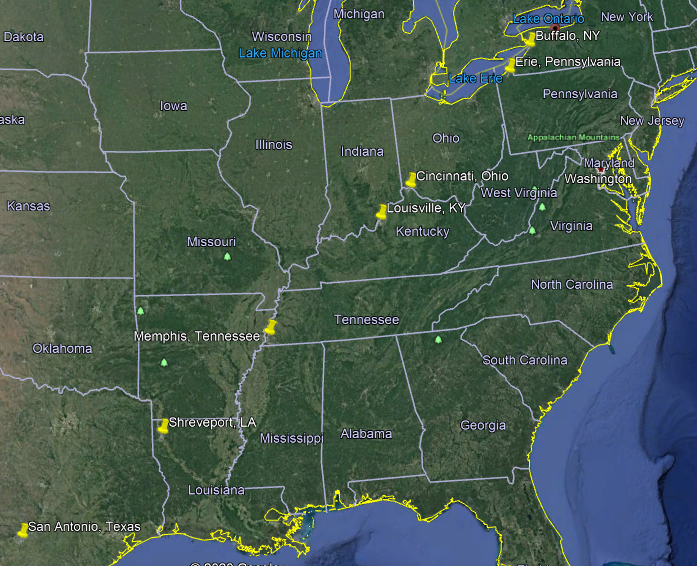
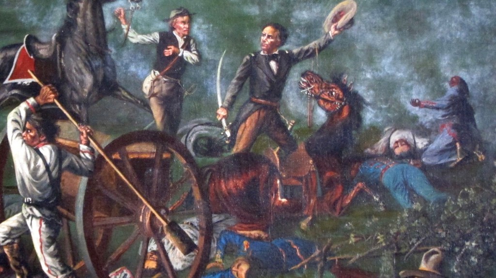


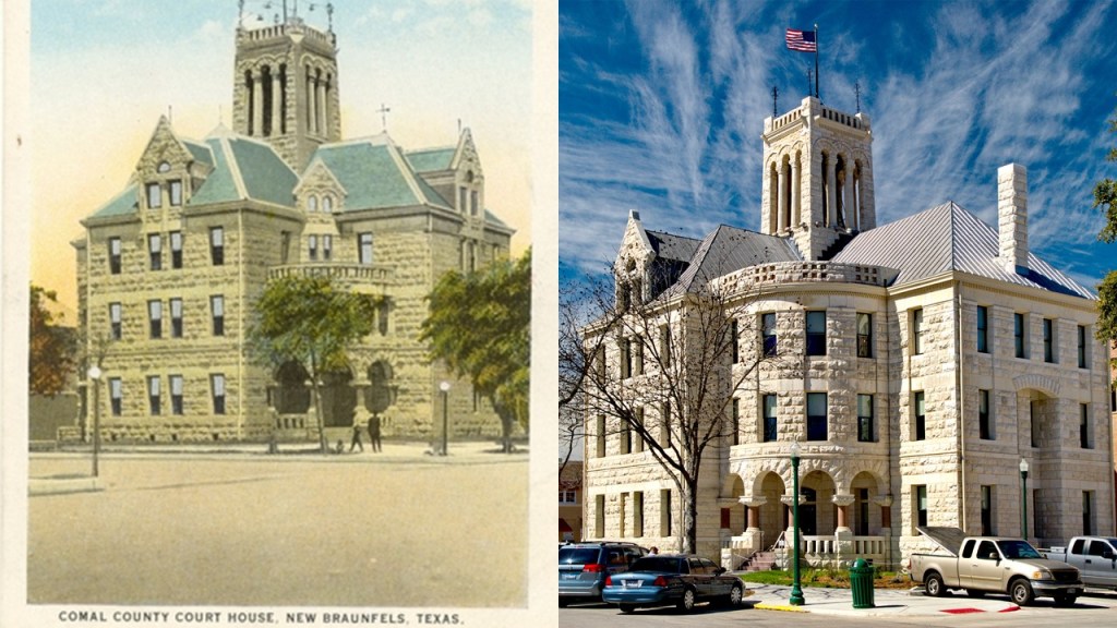

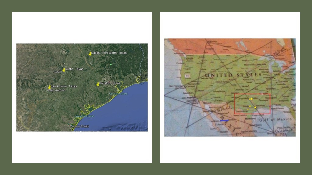

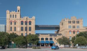
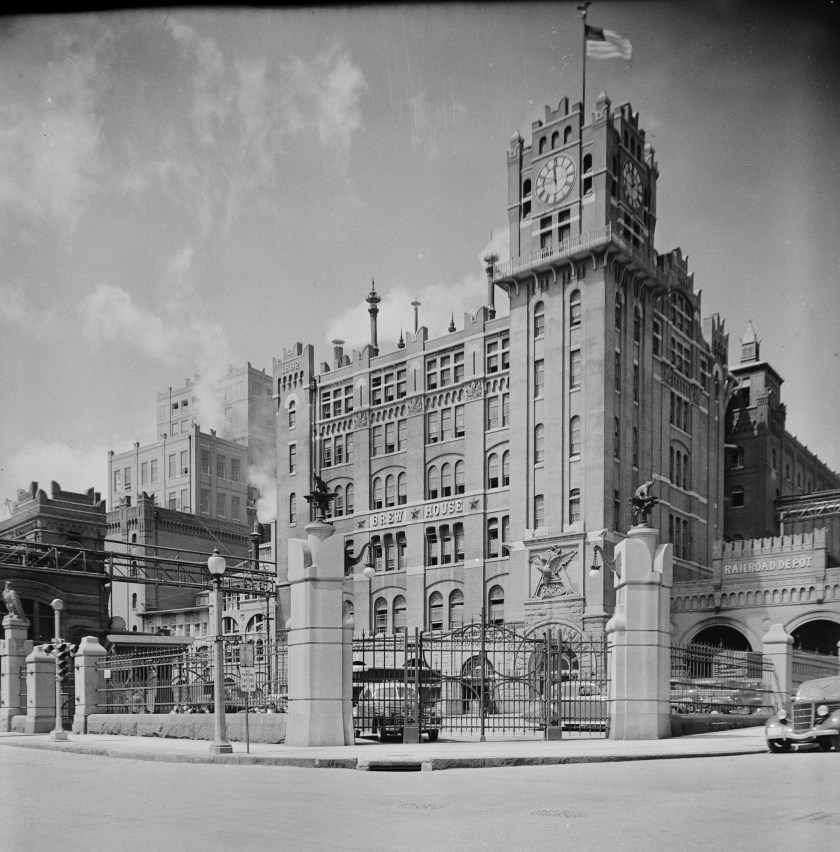
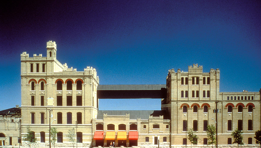
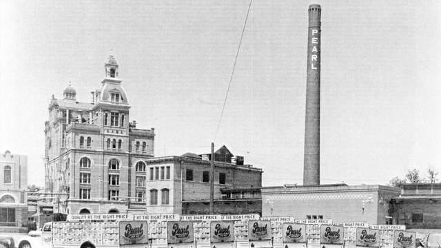


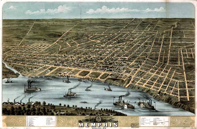

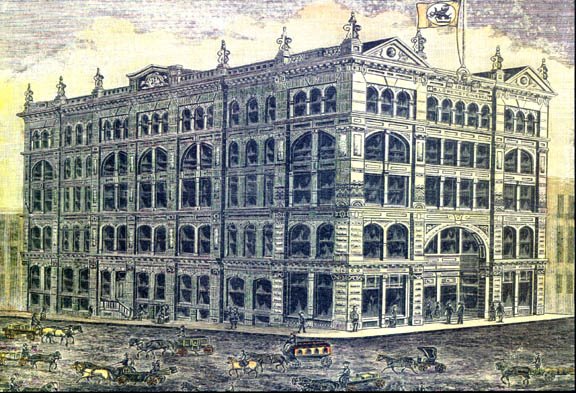
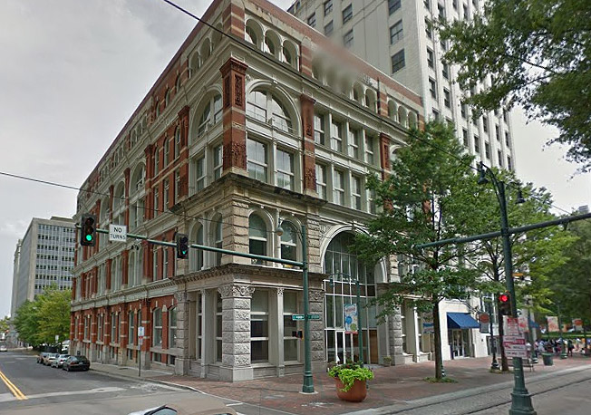
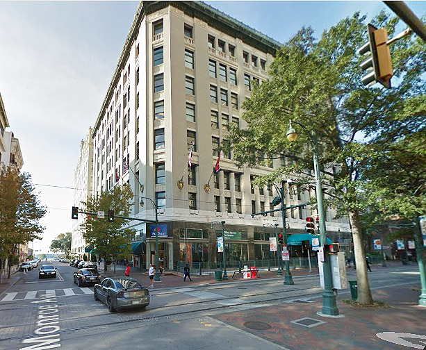
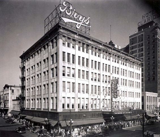
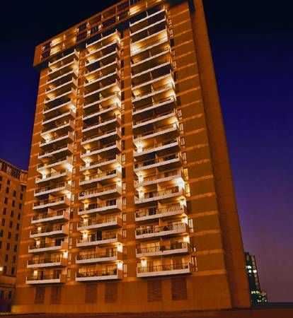
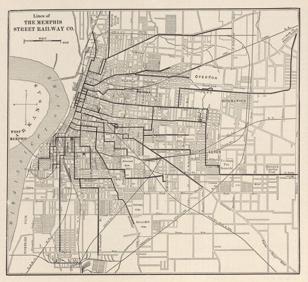
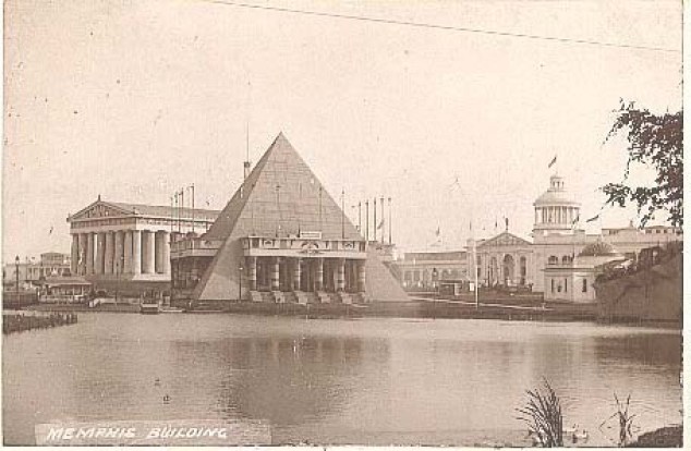

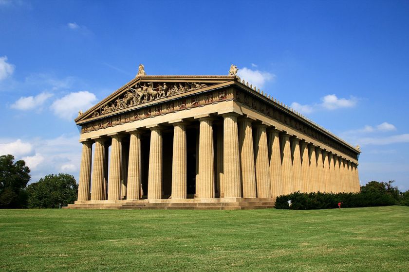
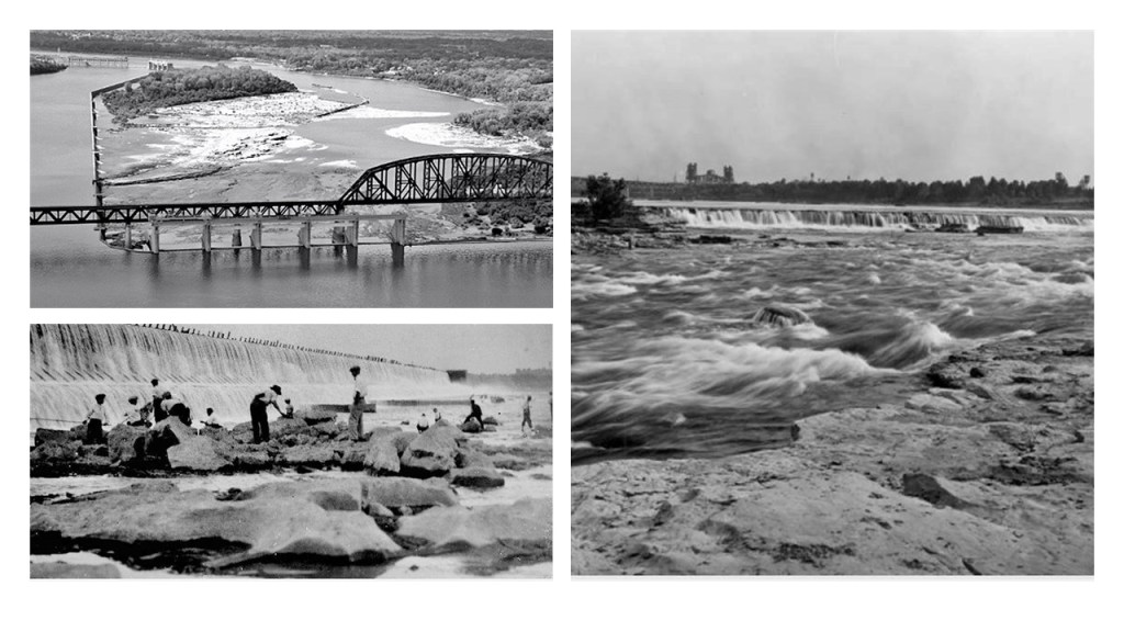


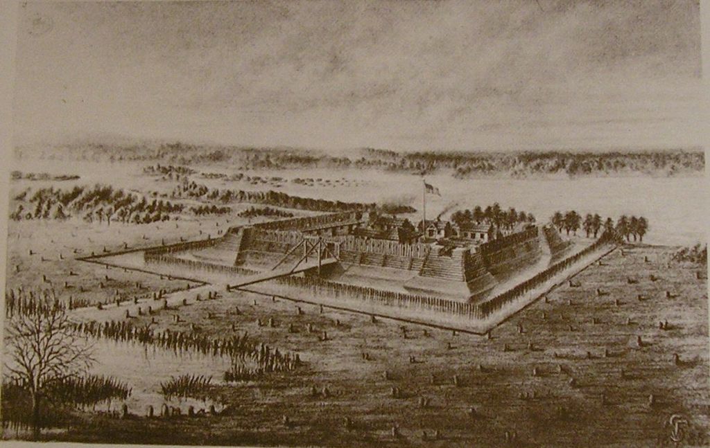
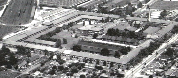
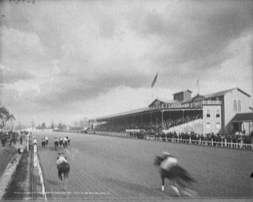
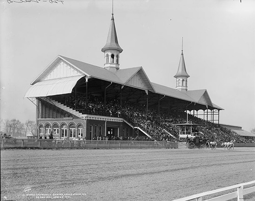
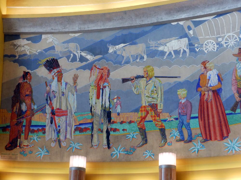

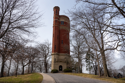

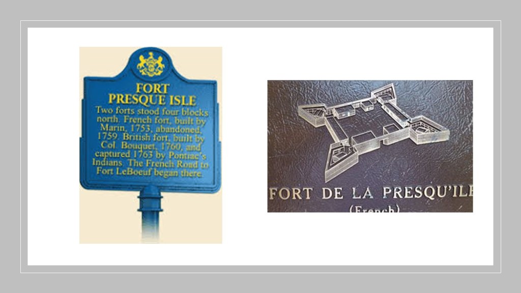
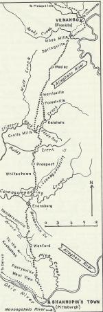
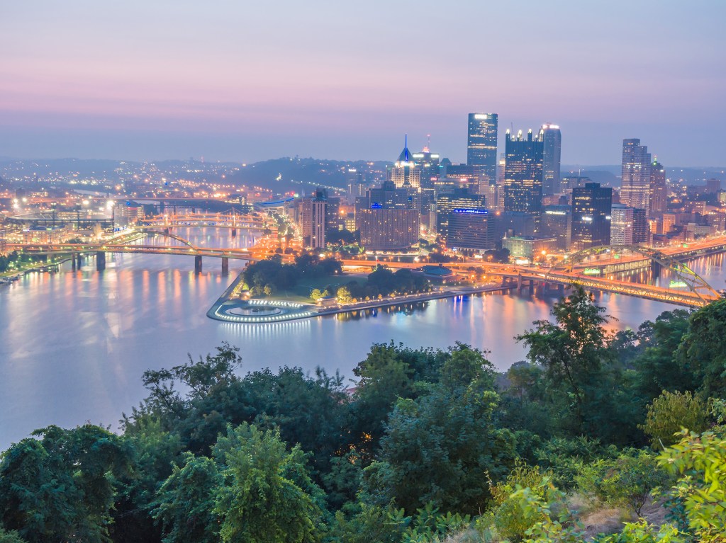
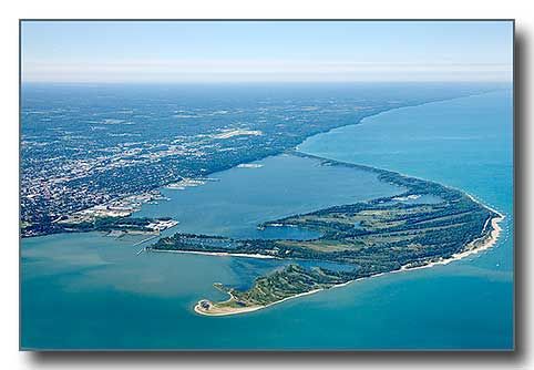
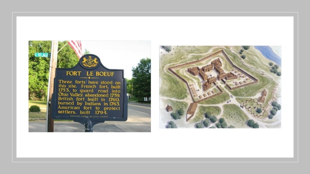
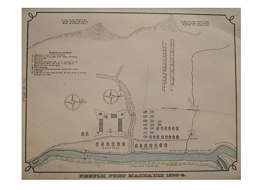
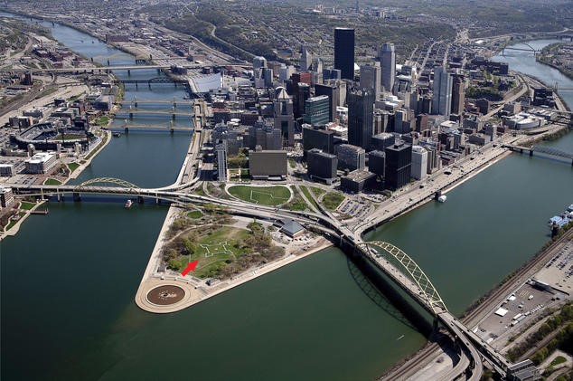
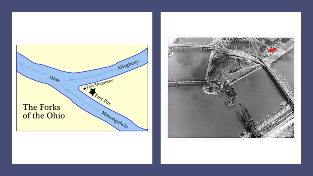
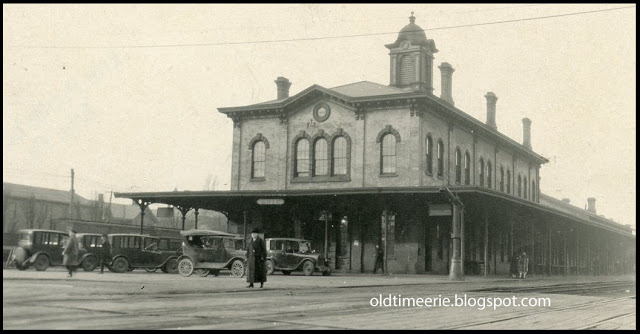
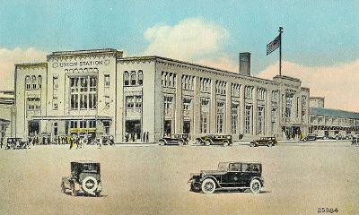
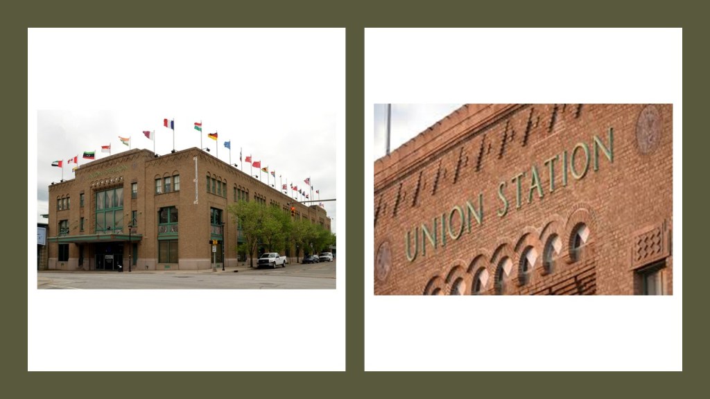

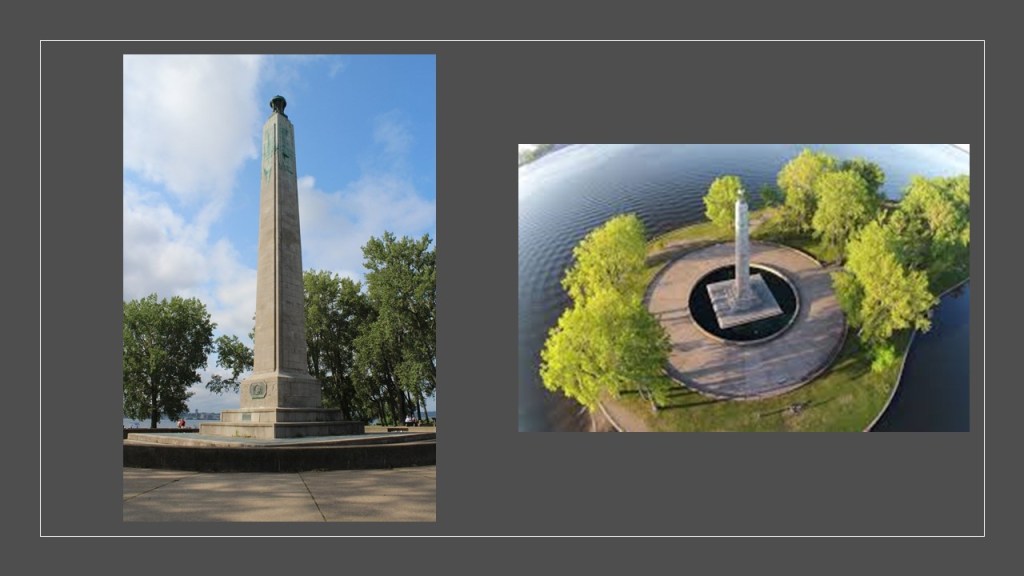
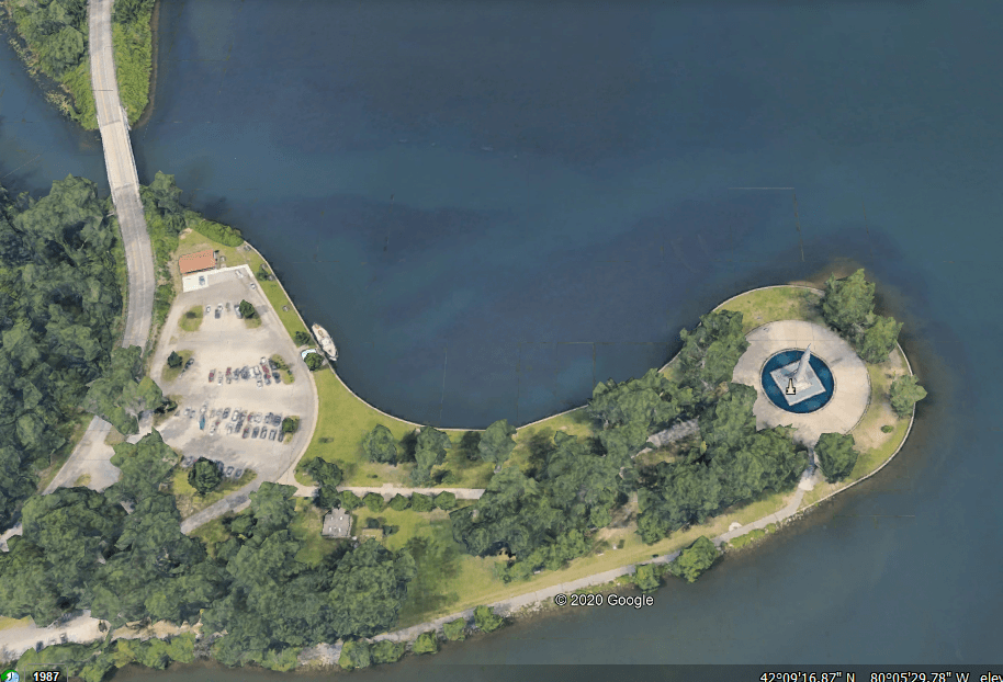
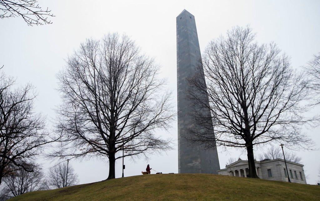
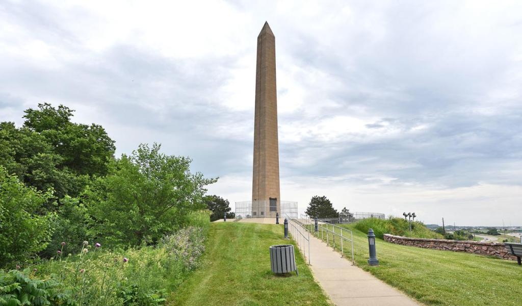
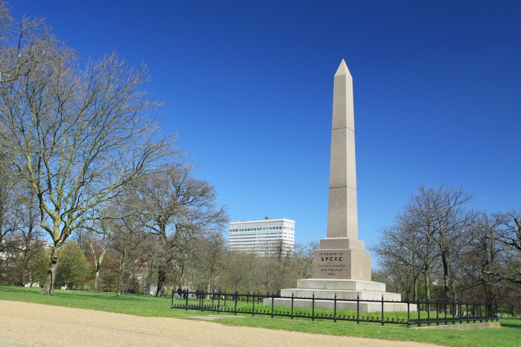

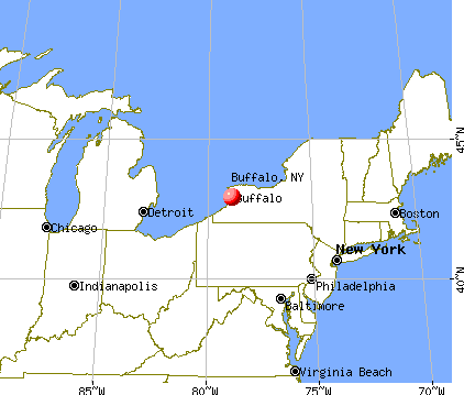


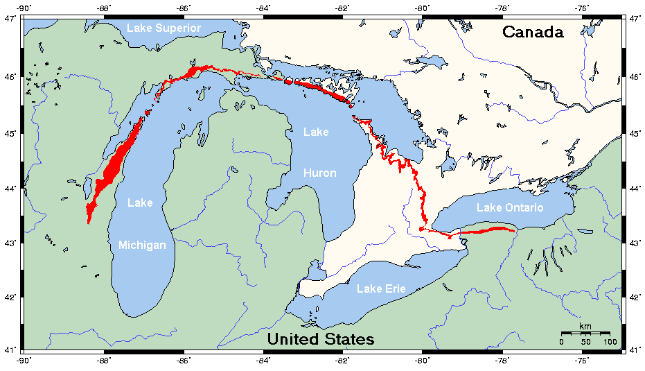
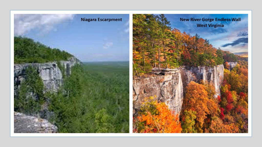
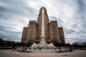
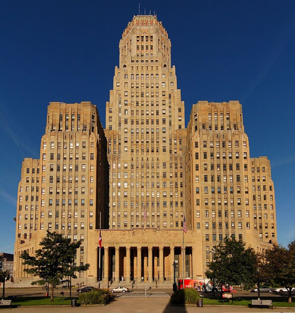
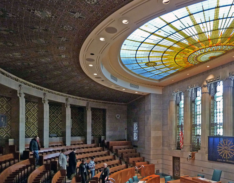

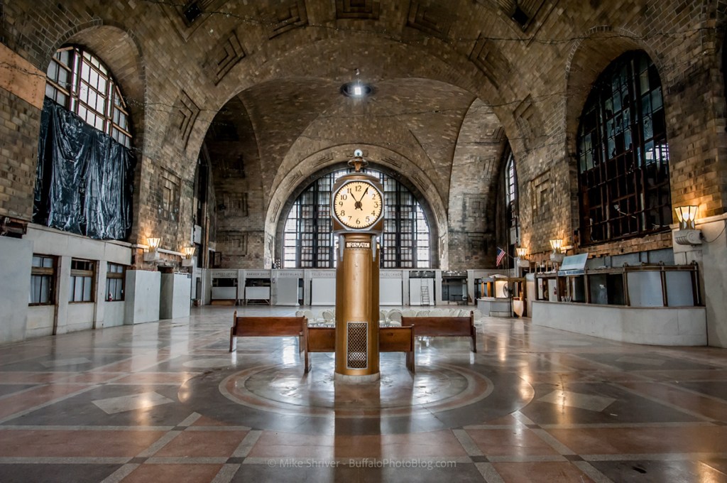
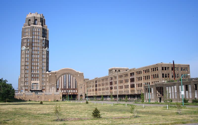
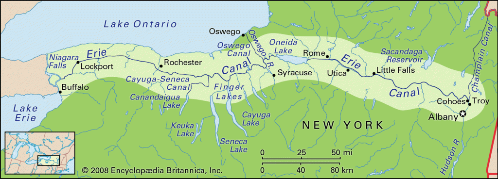


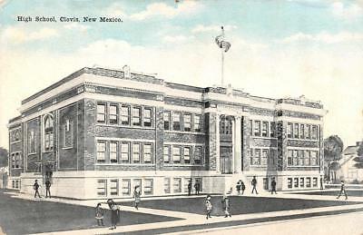


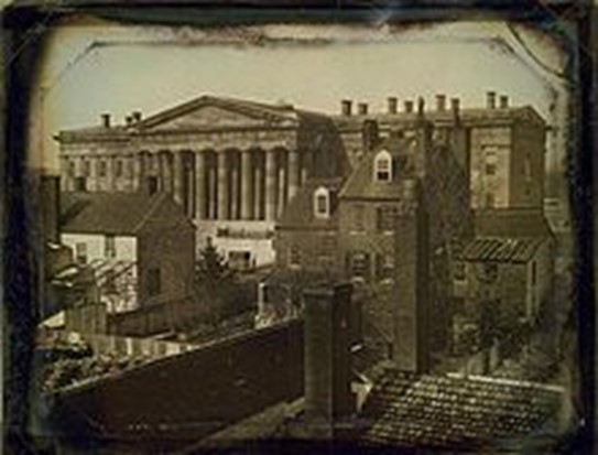

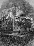


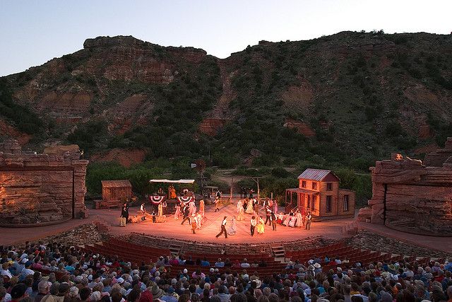


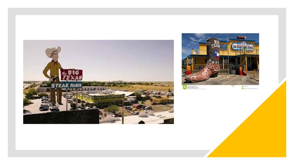


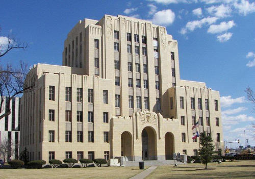
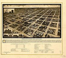
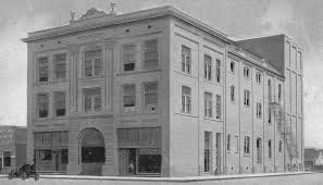


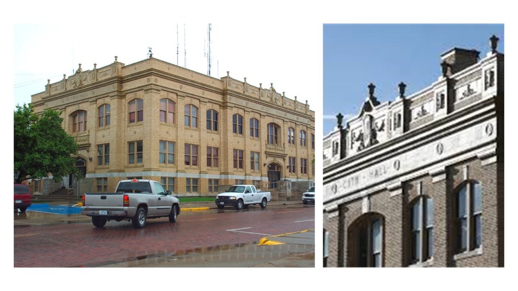


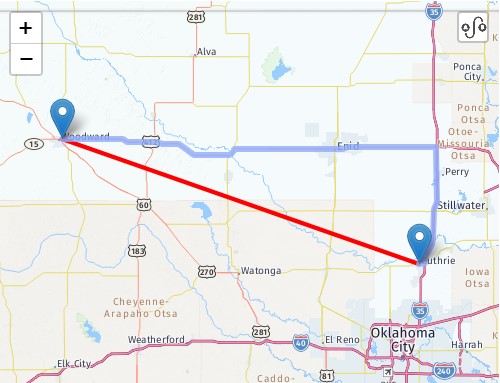


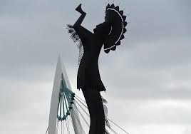

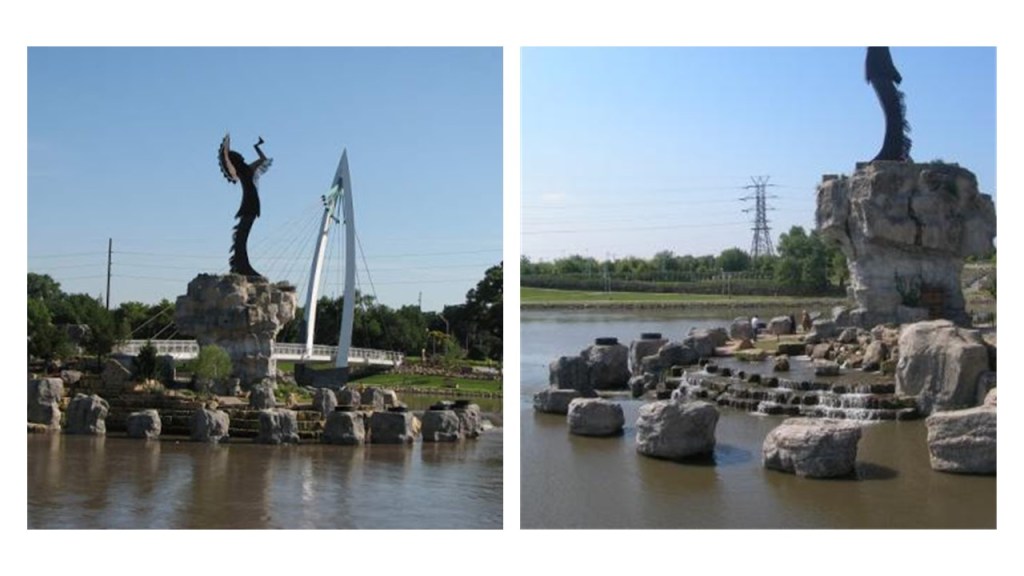


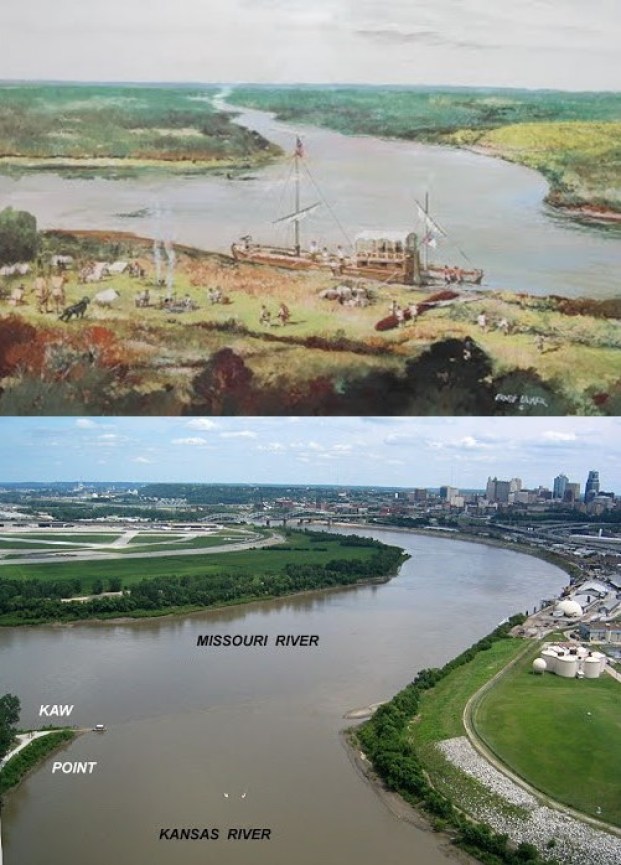


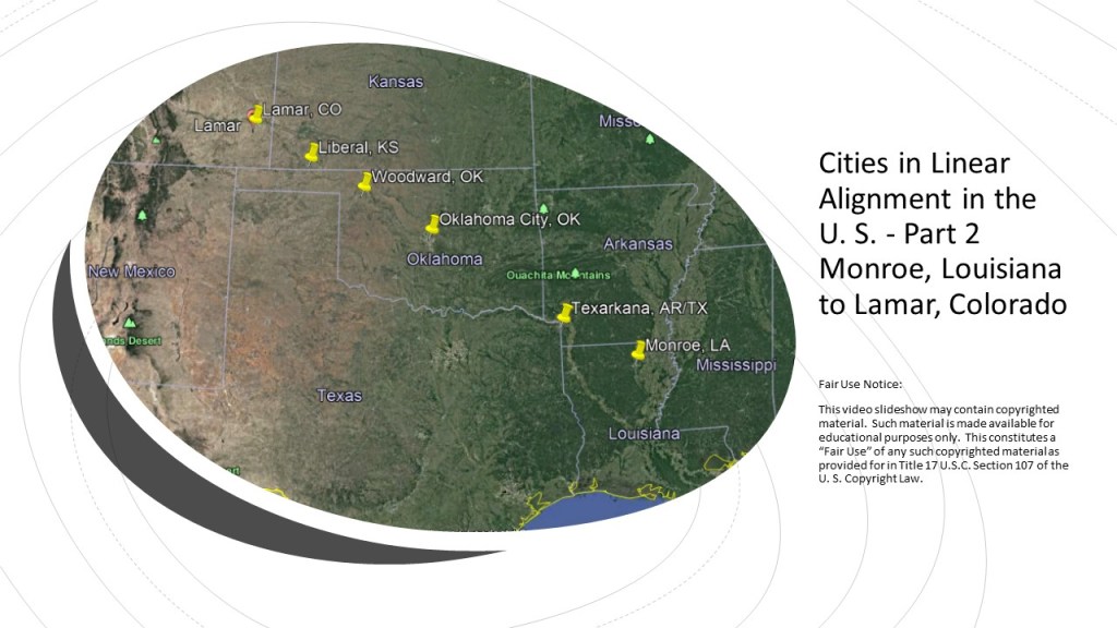
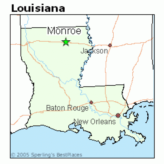
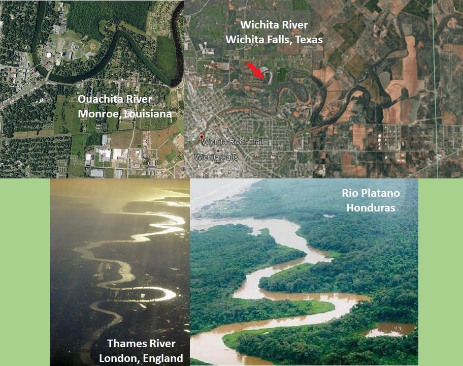

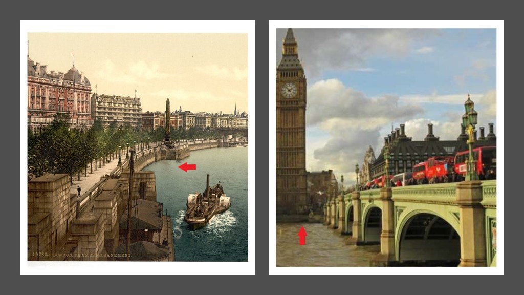
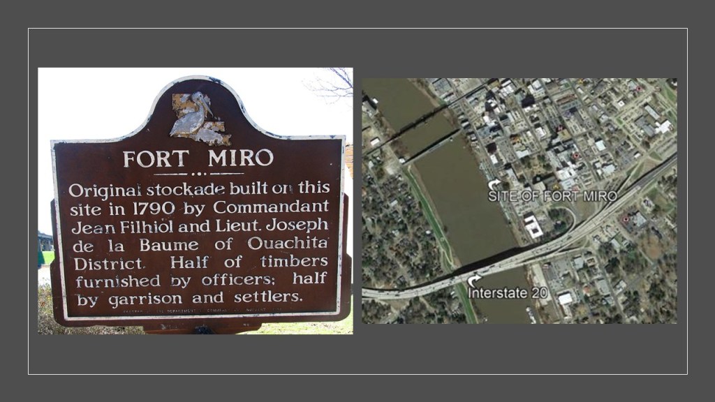


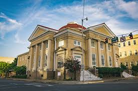


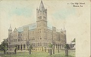


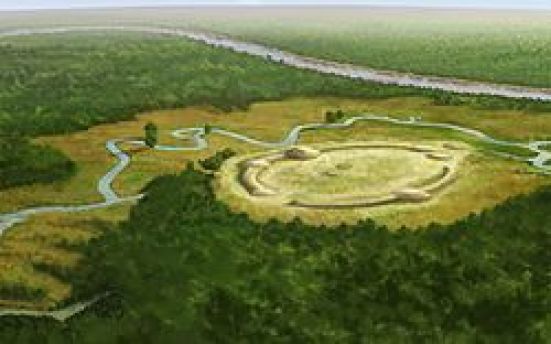
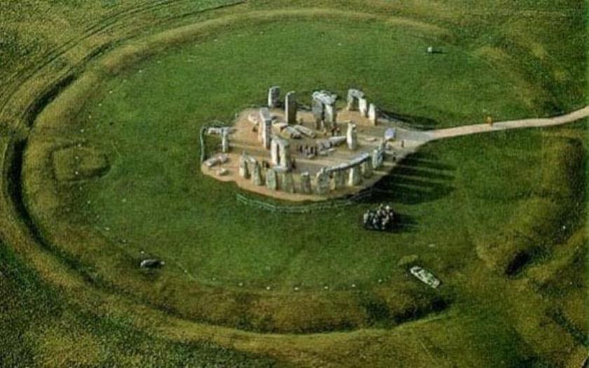


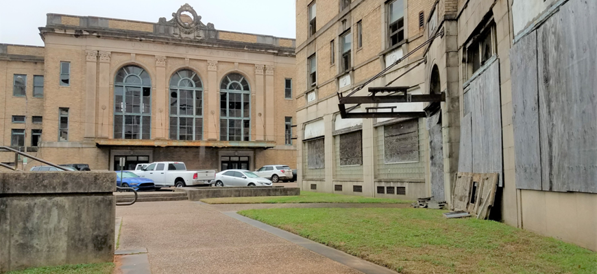


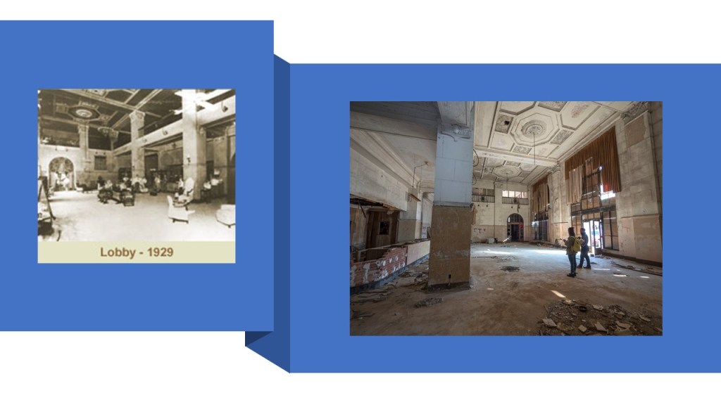

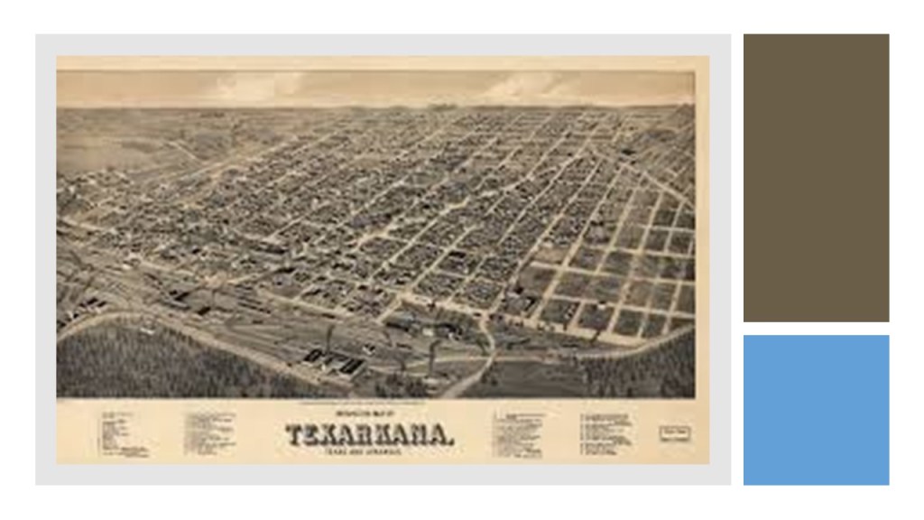


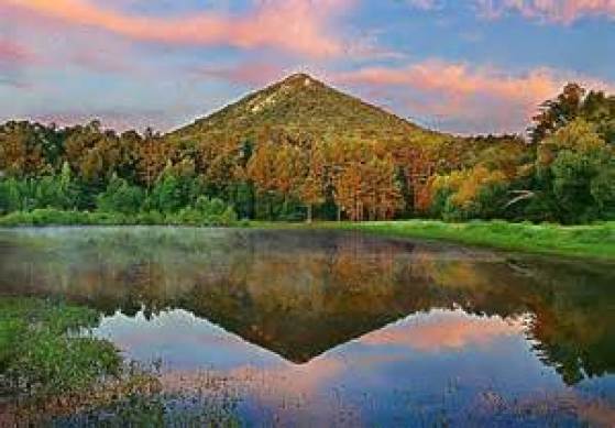

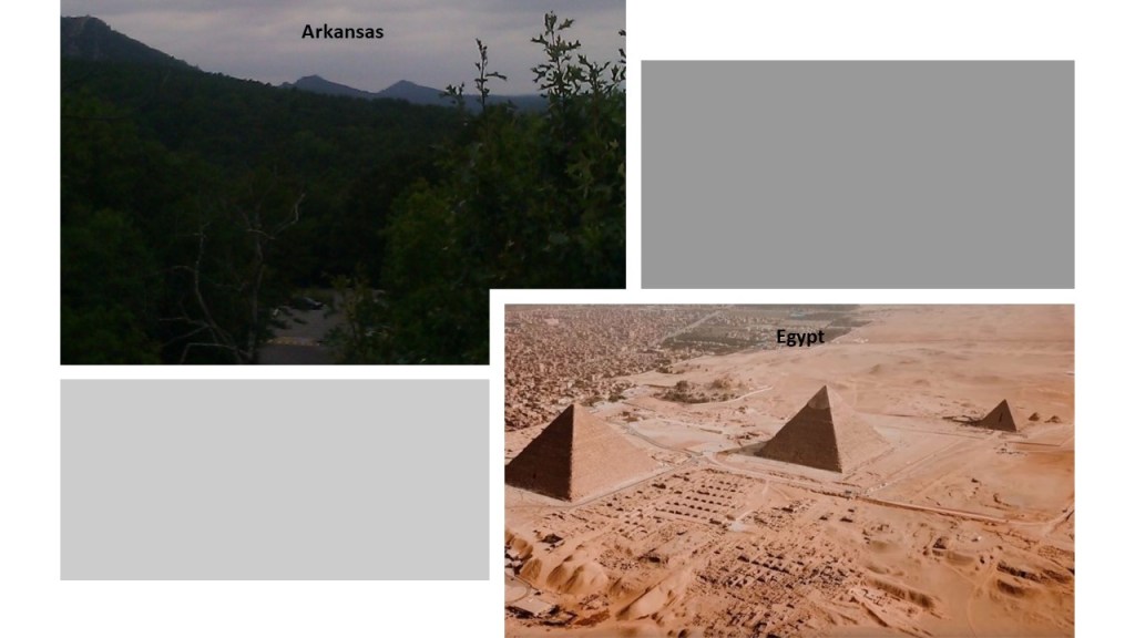


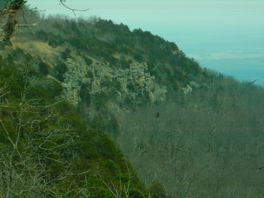


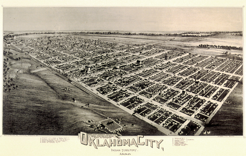
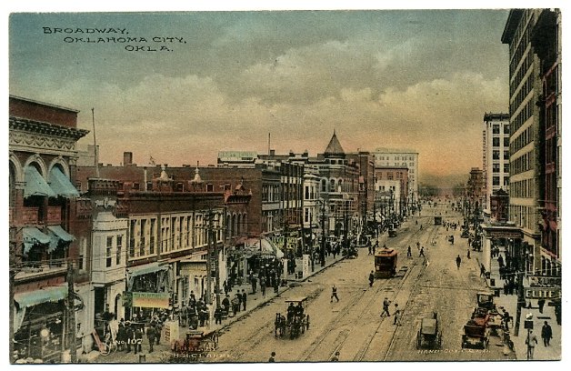
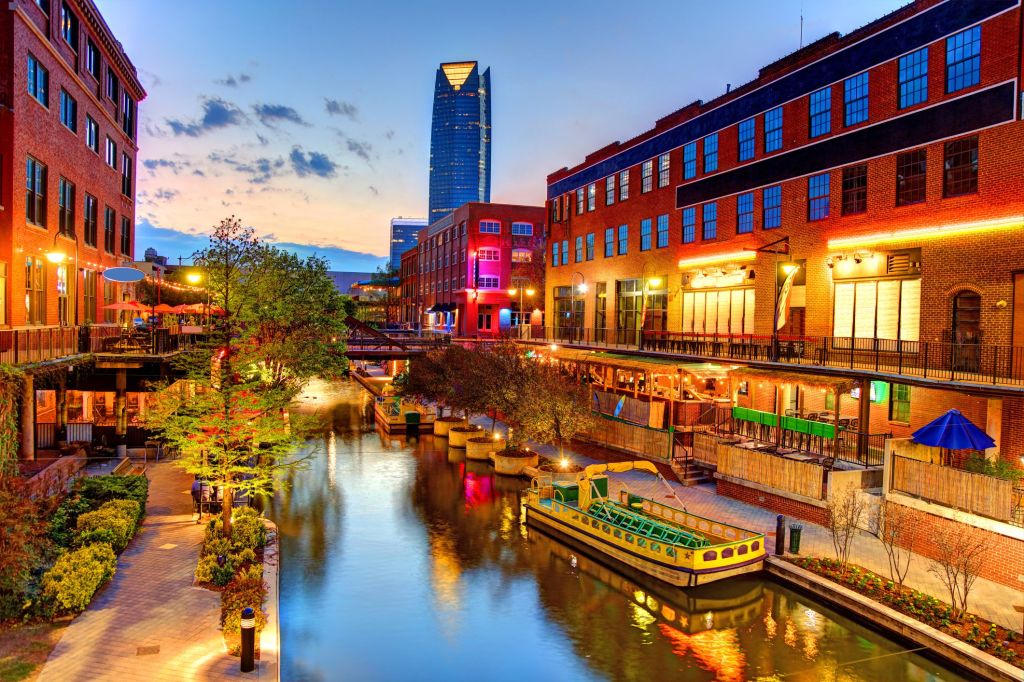
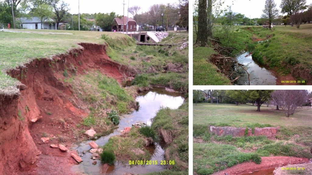


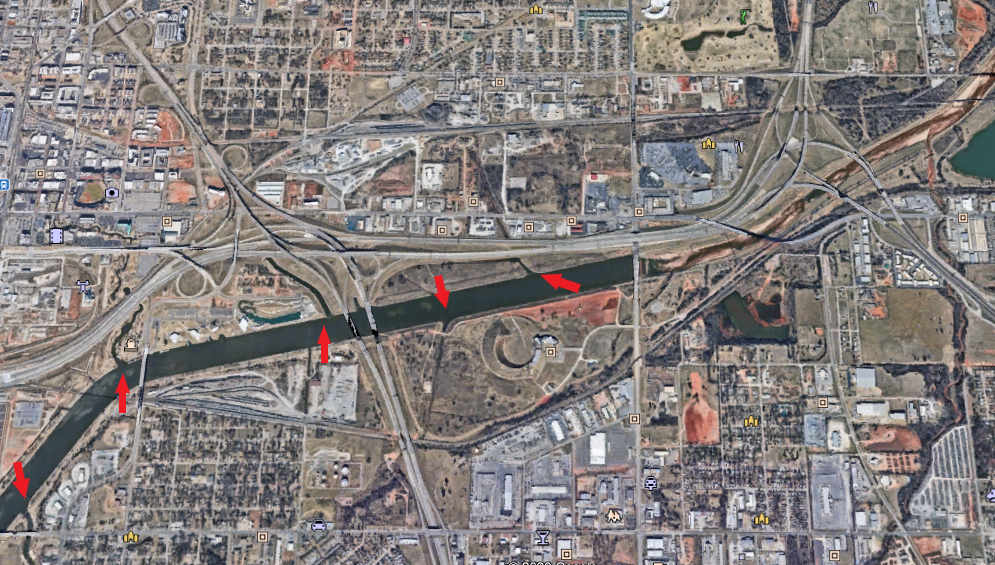
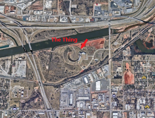
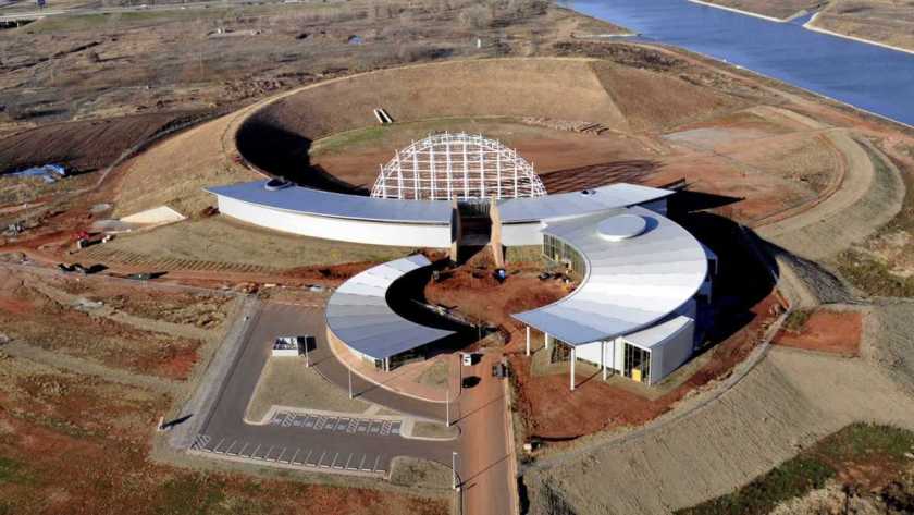

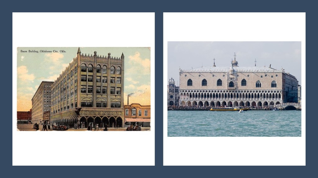


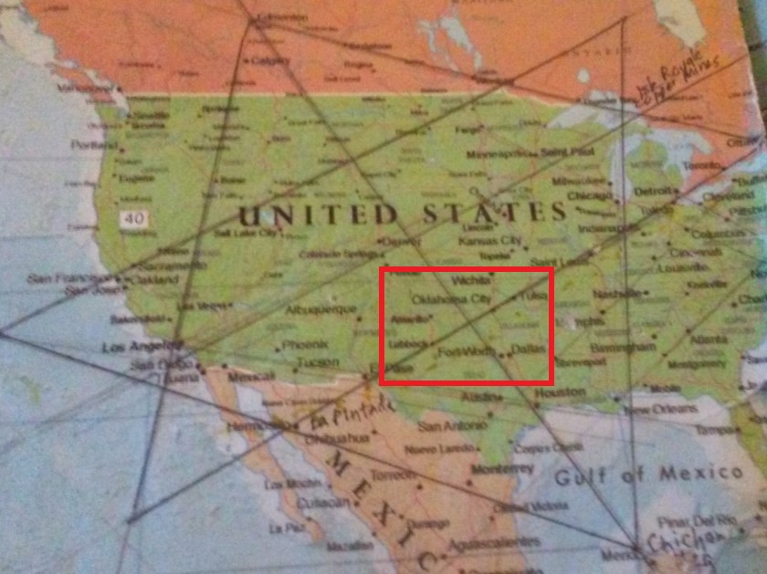


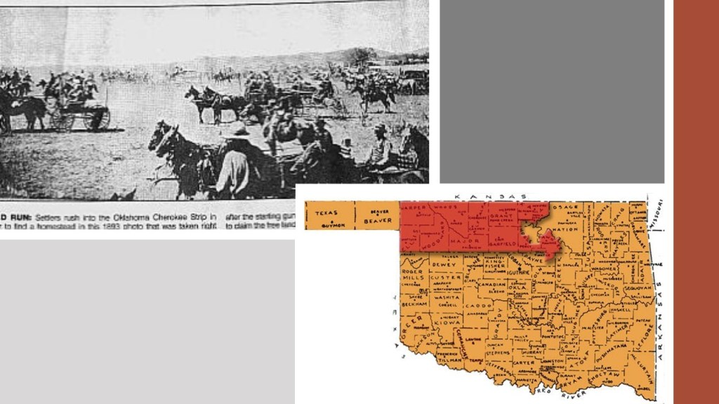


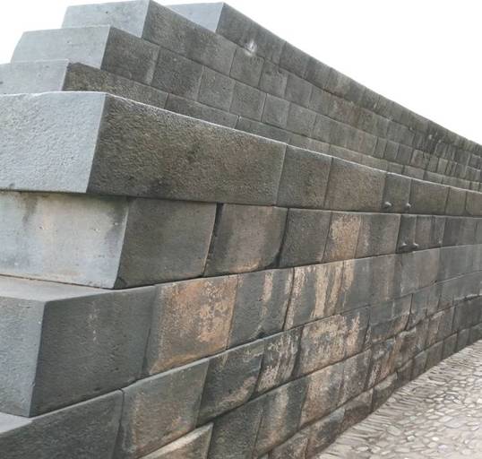

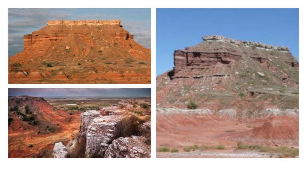


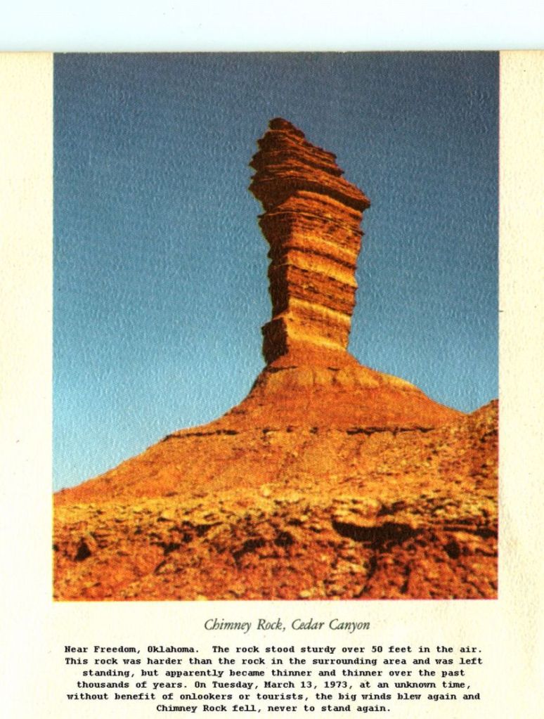

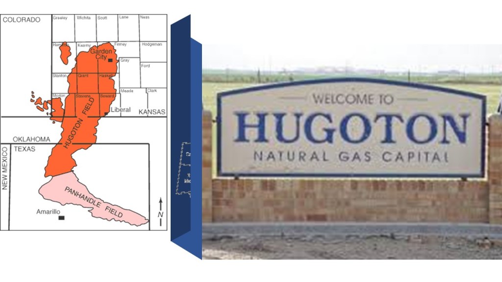
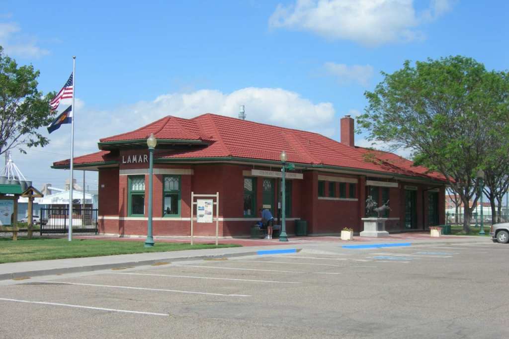

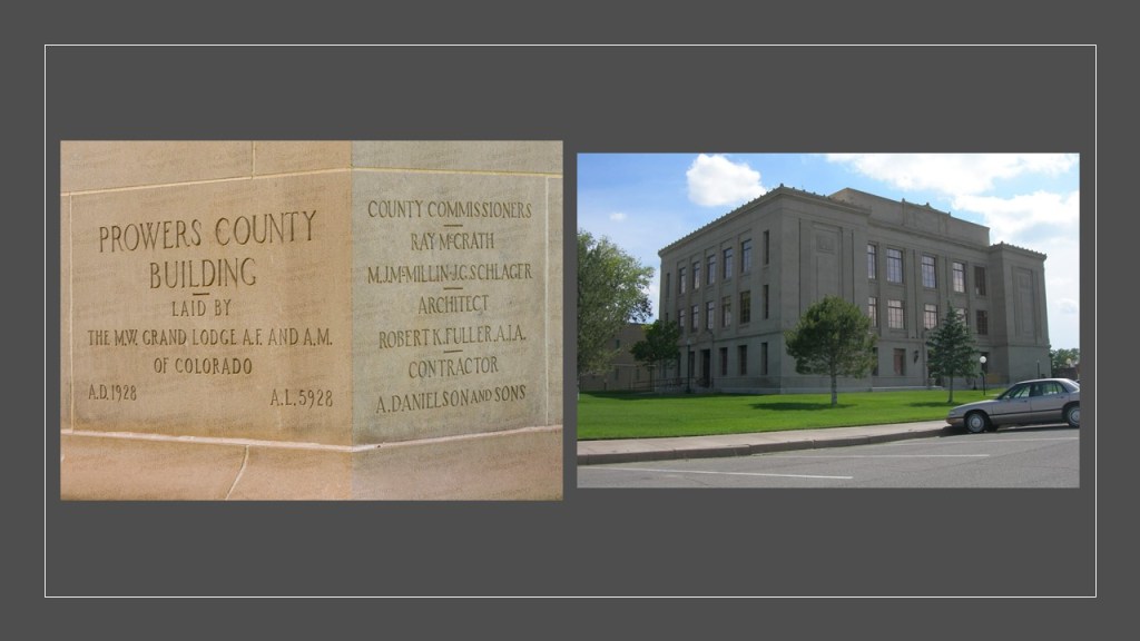


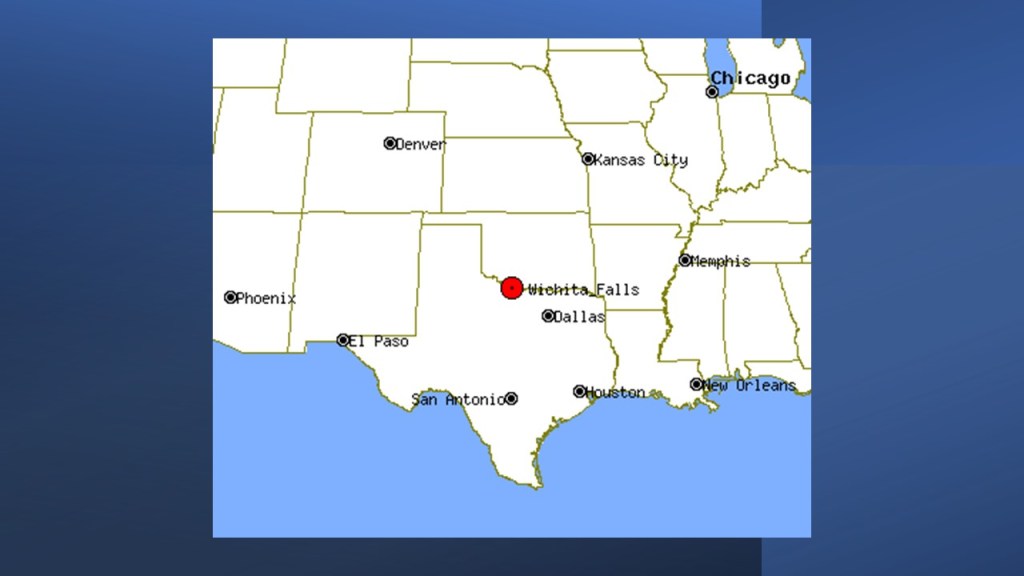
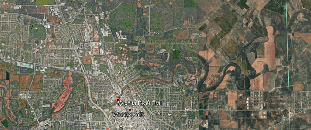


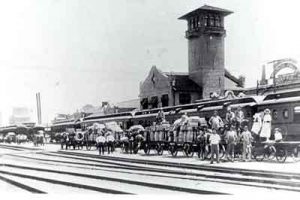

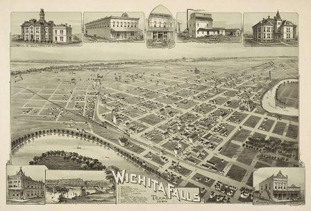

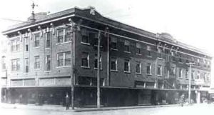

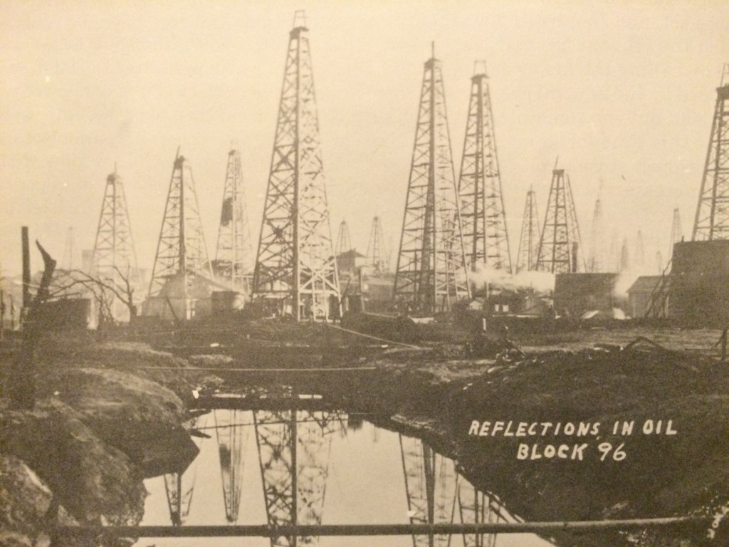


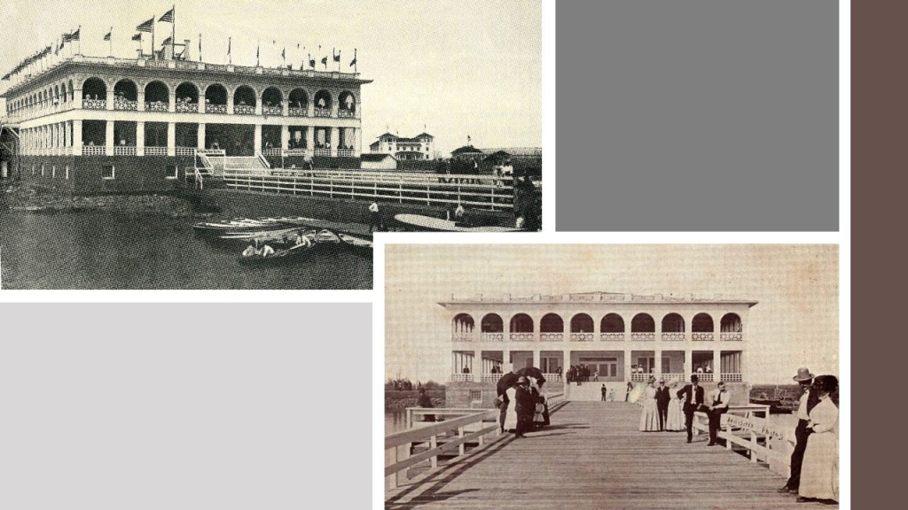

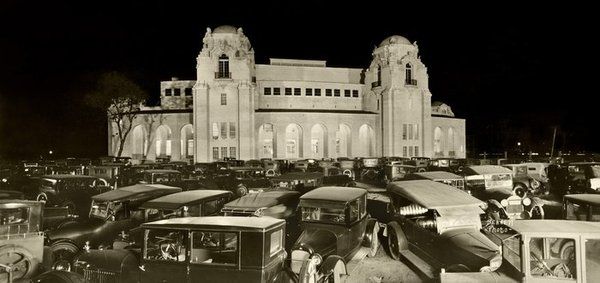

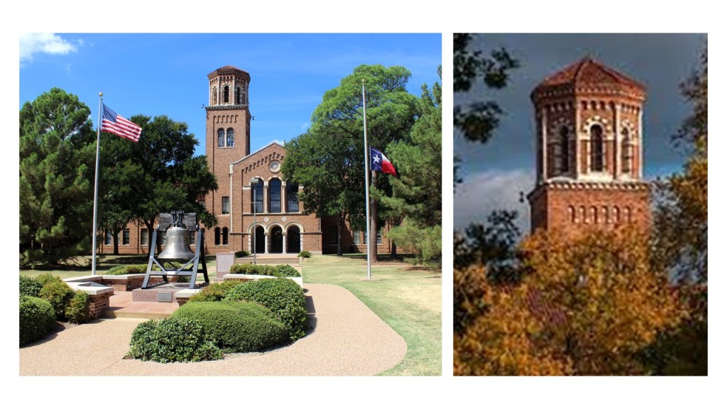

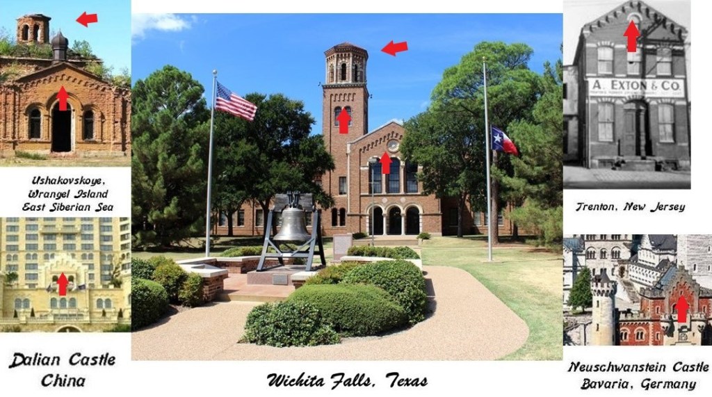
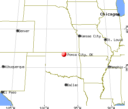


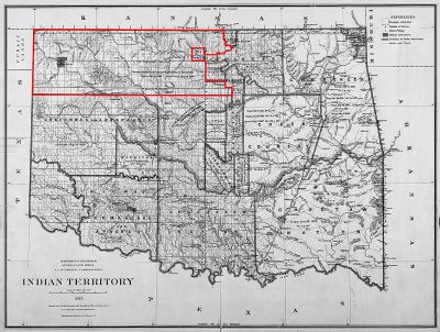


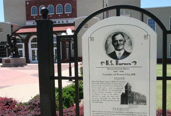


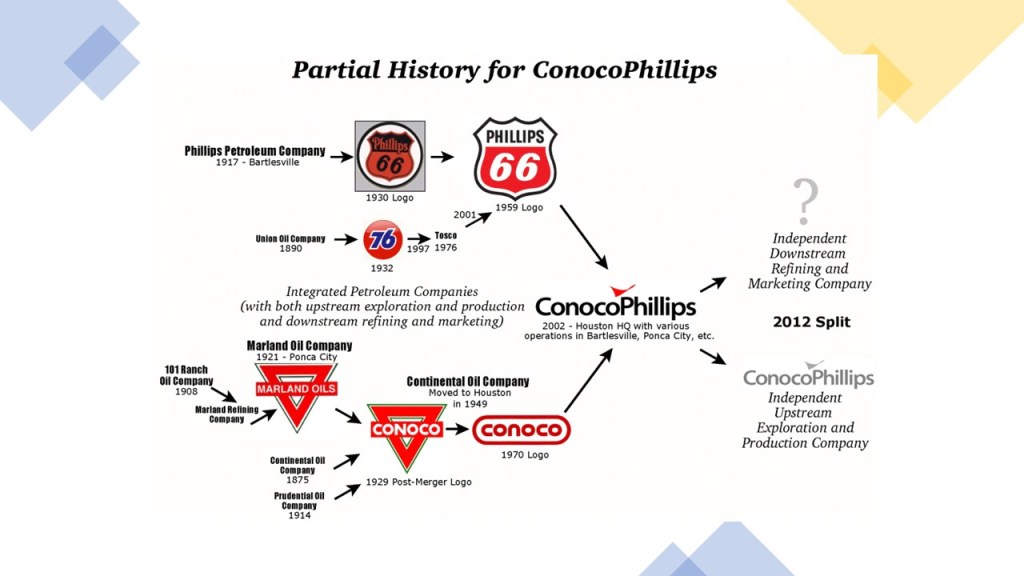


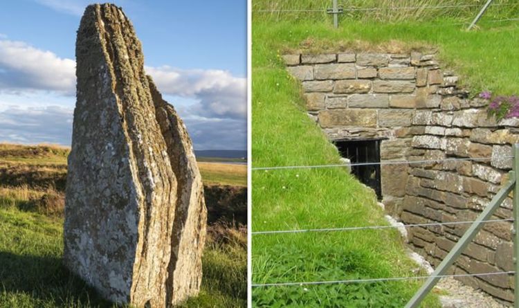
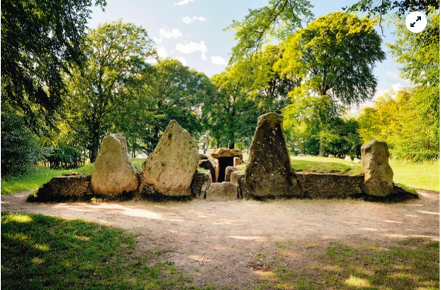


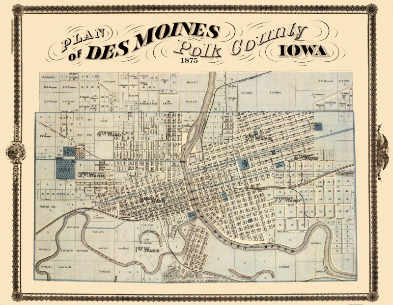

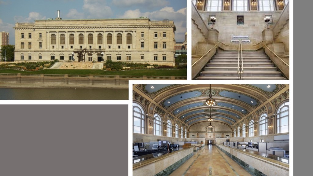

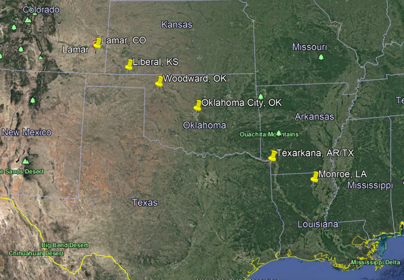
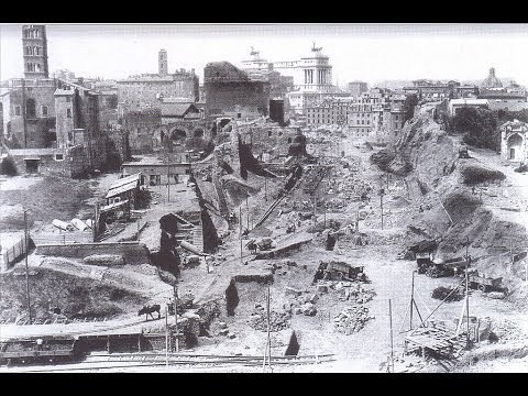

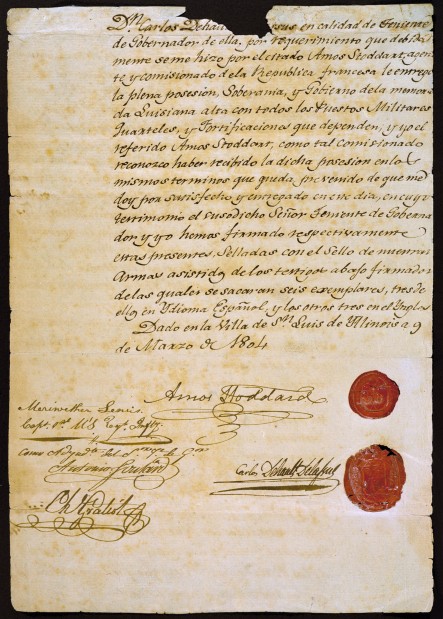

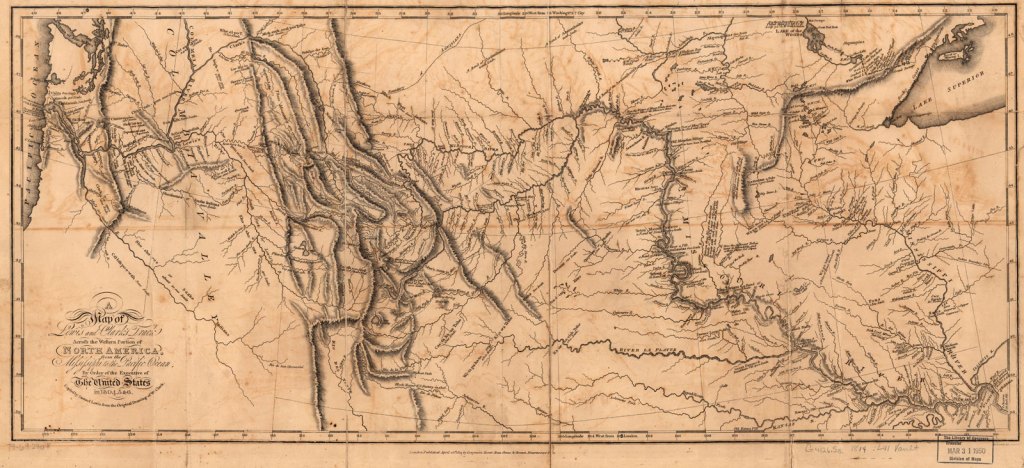

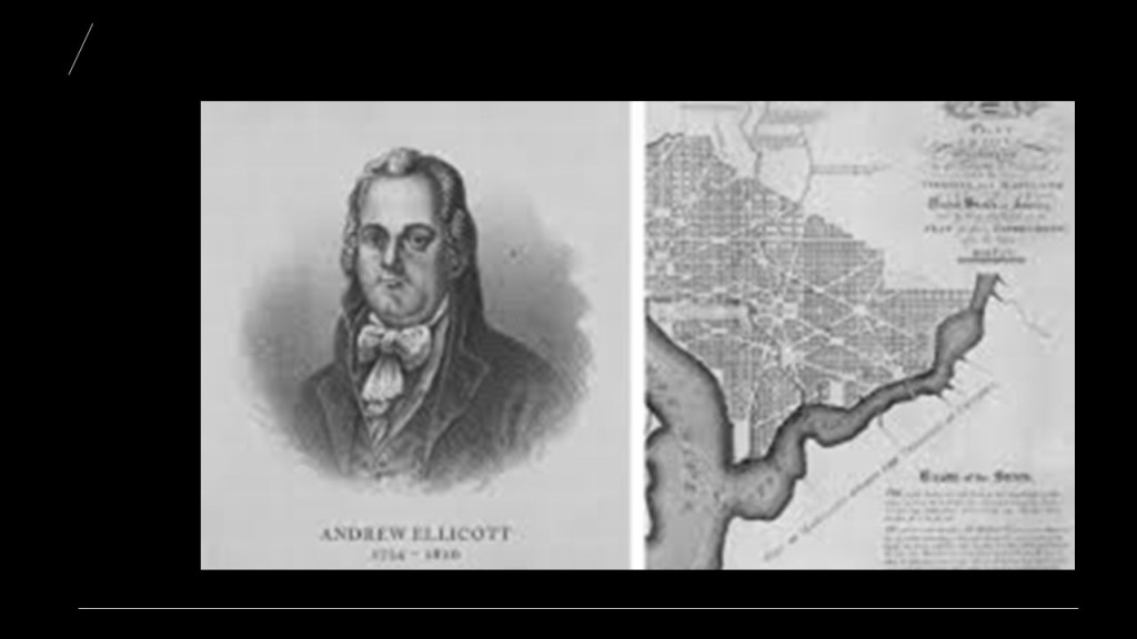

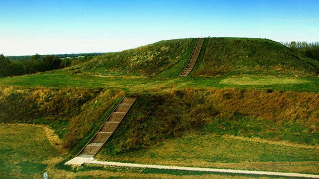
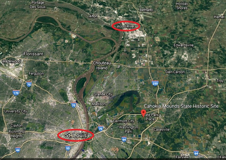

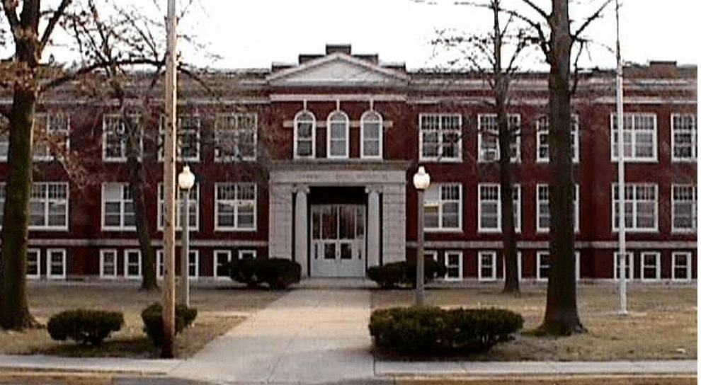


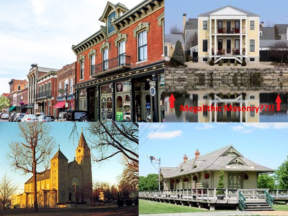


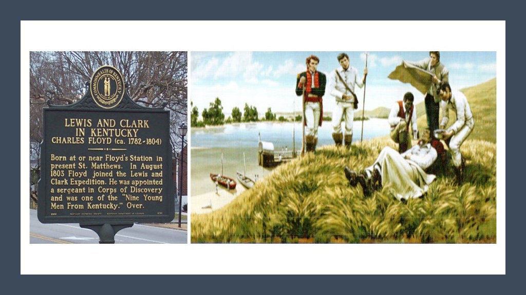

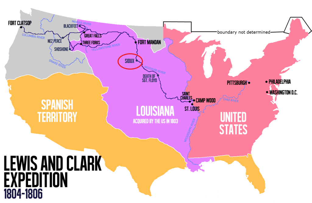
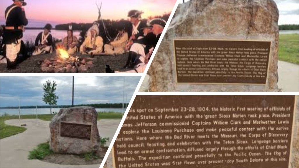


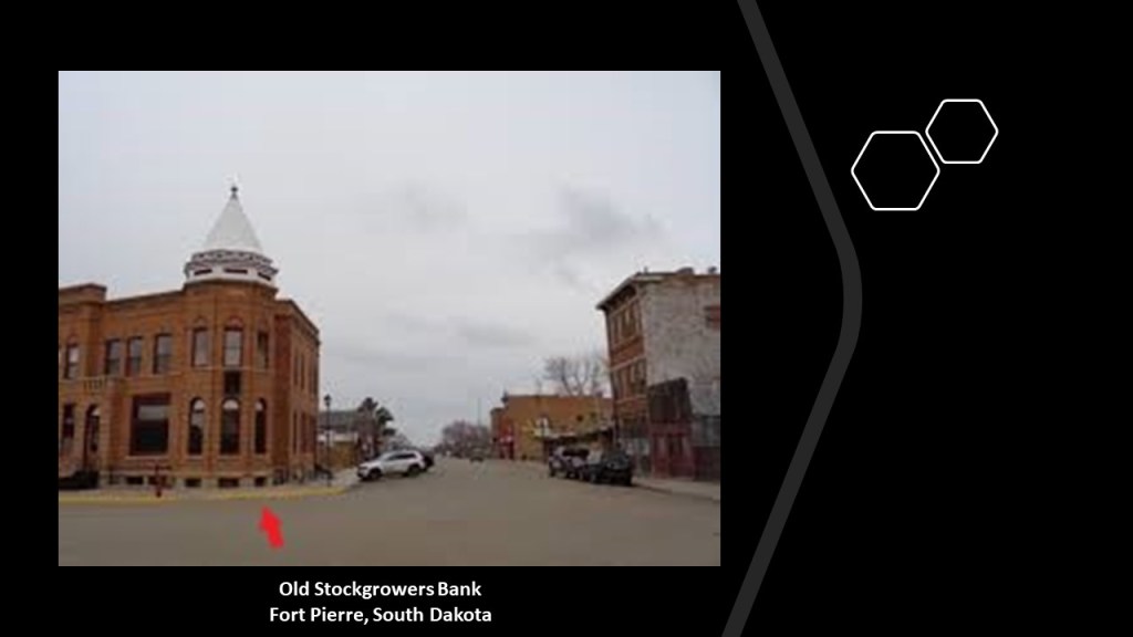

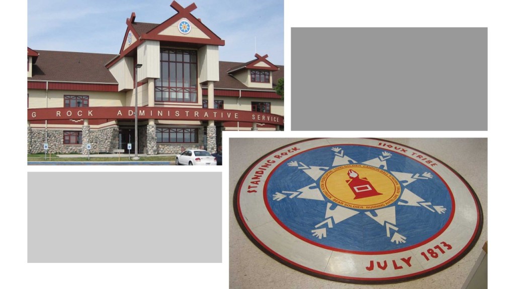
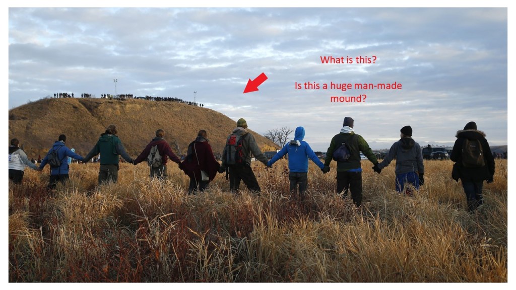

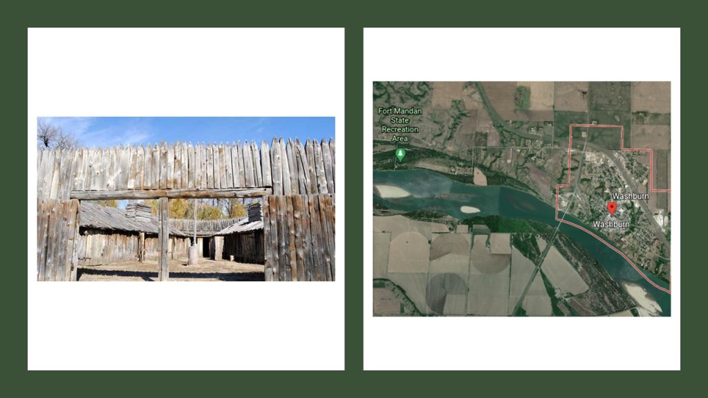


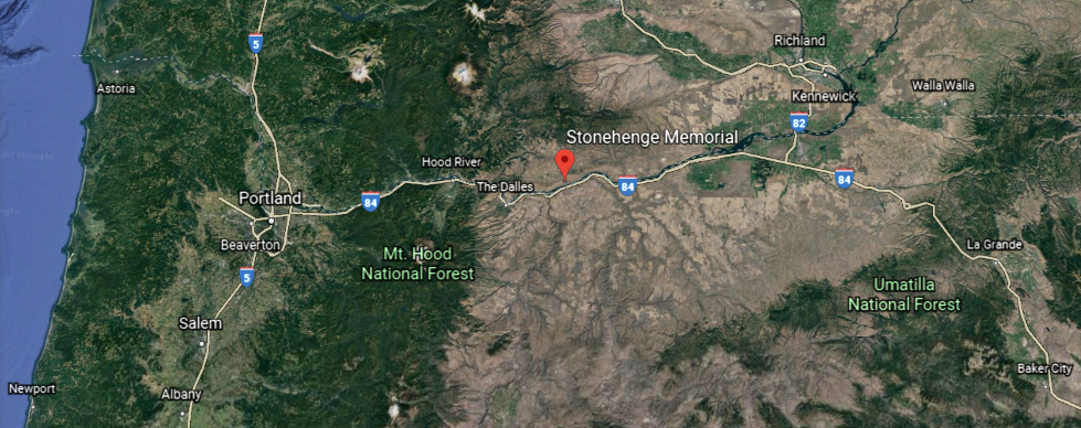
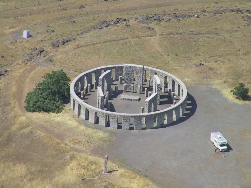


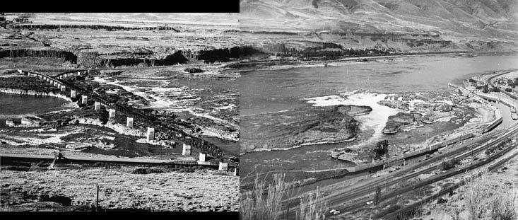
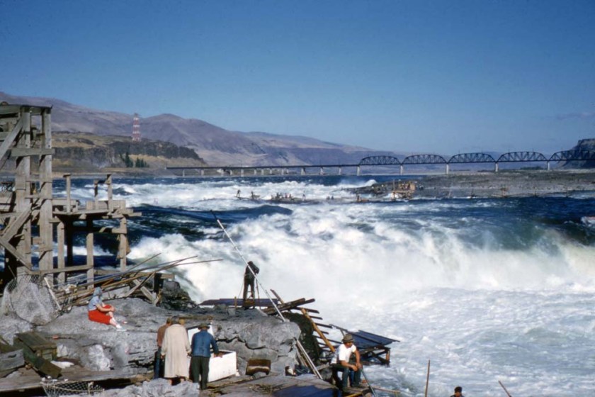
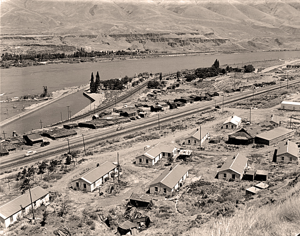
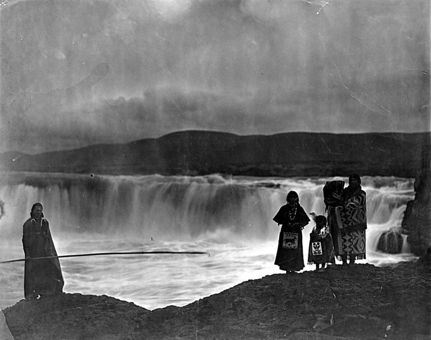
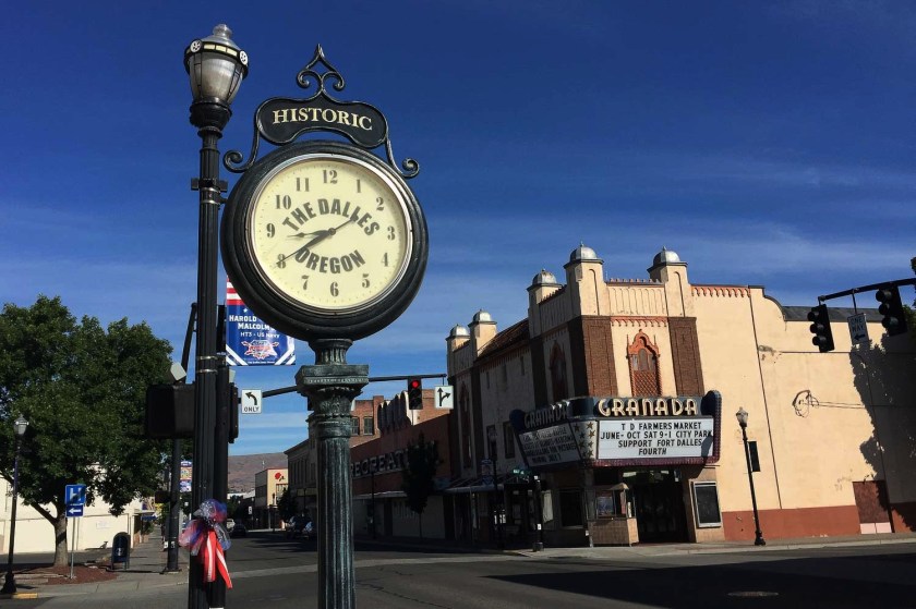
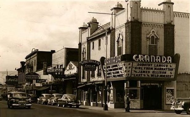

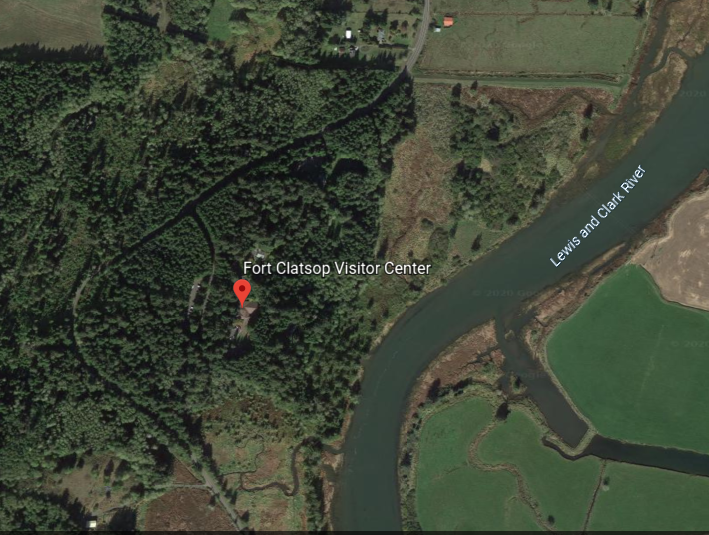
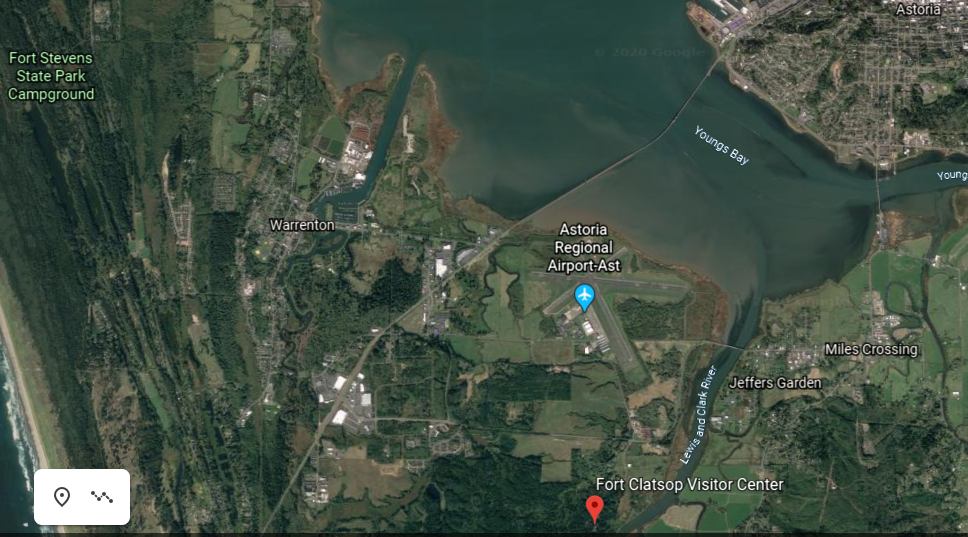
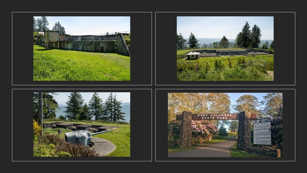
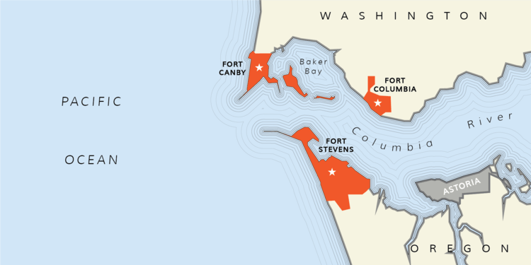
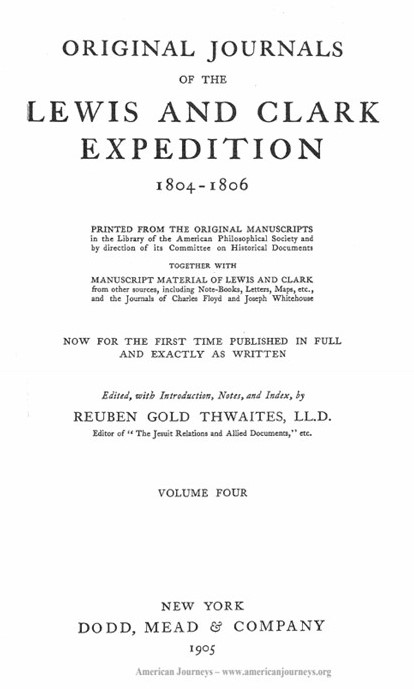
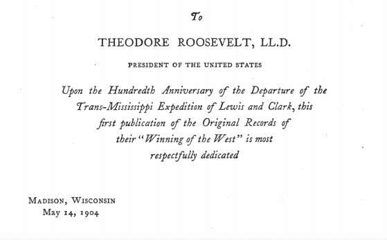

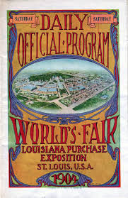
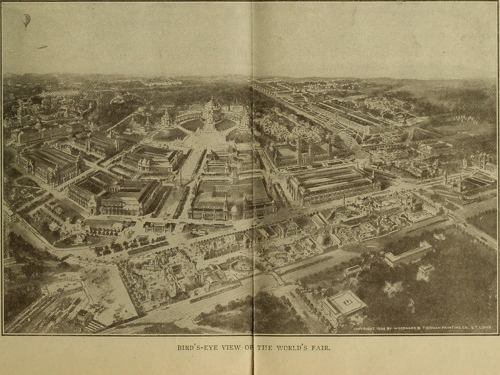
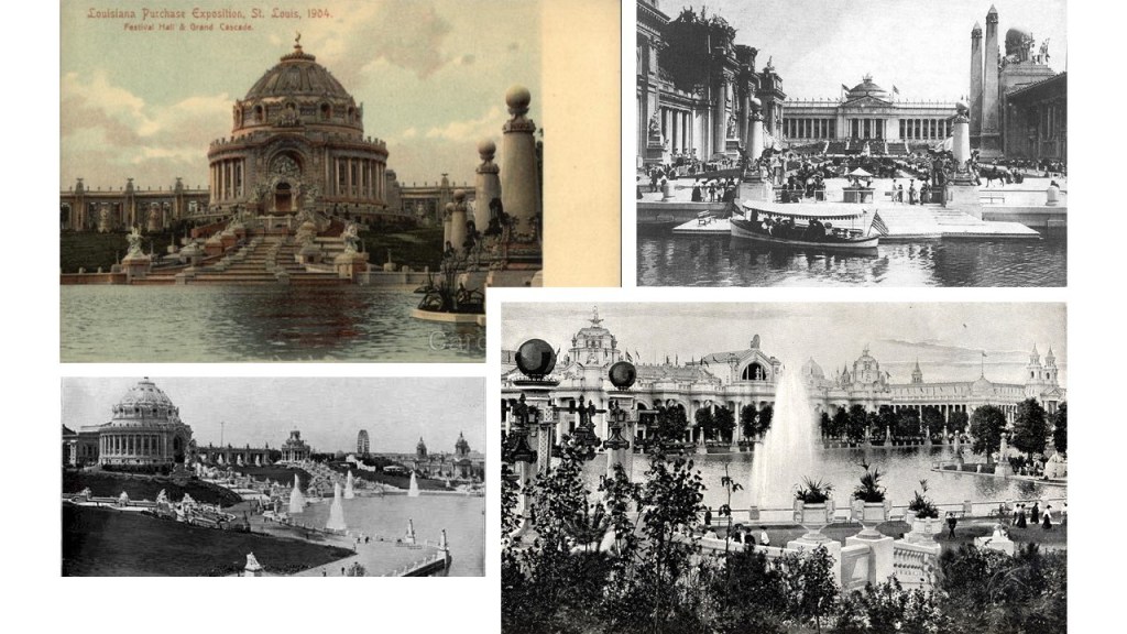
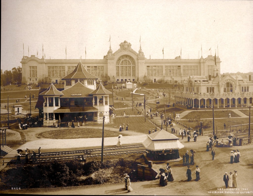

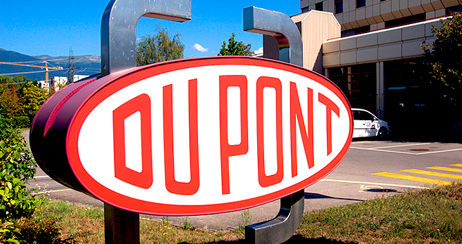


