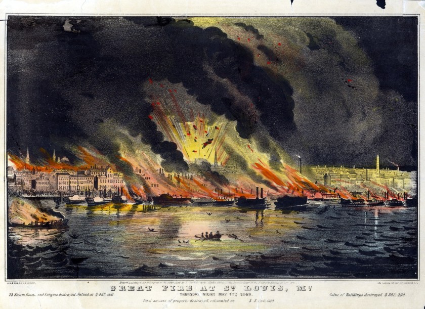
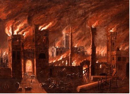
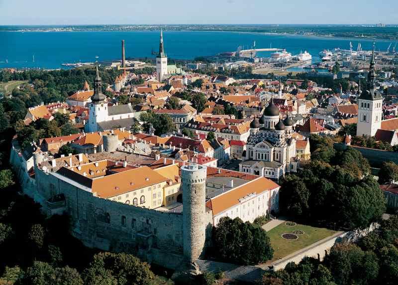
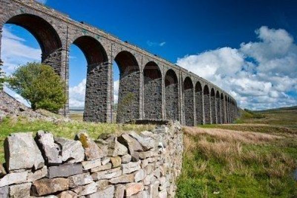
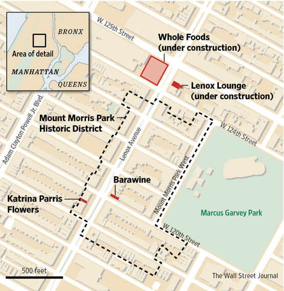
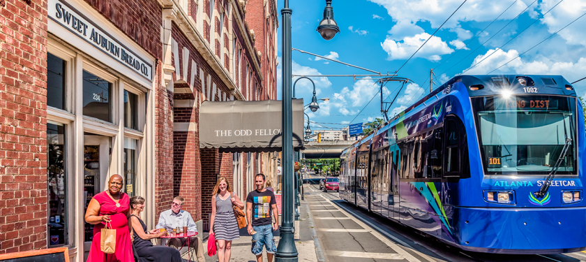
I am going to be taking a close look at historical fires in different countries in this post, recorded in the historical narrative as having occurred between 1851 and 1871.
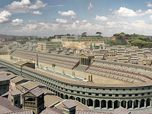
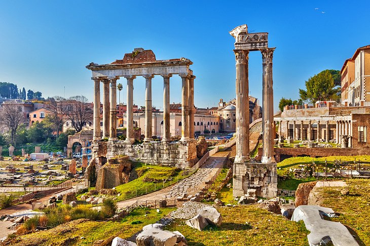
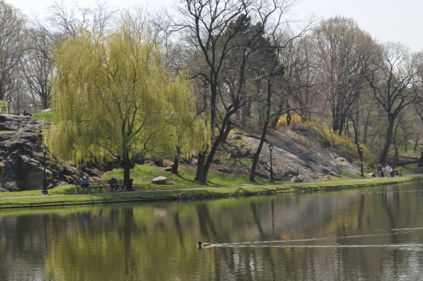
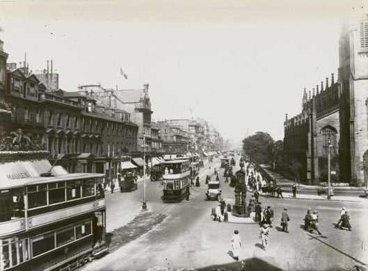
There was a two-day fire in San Francisco in early May of 1851 that was said to have destroyed as much as three-quarters of San Francisco.
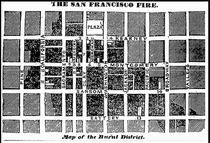
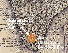
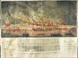
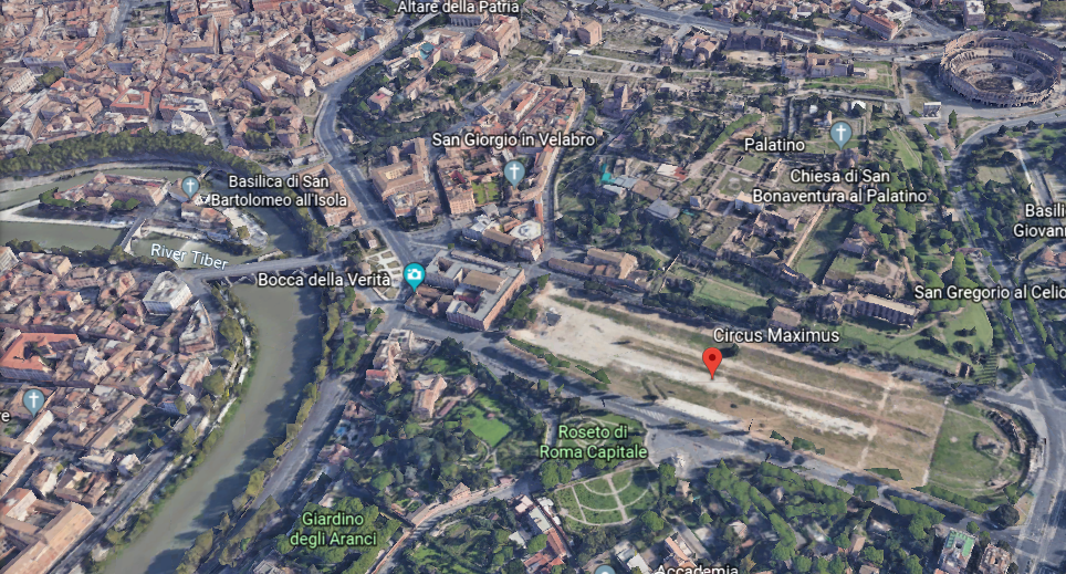
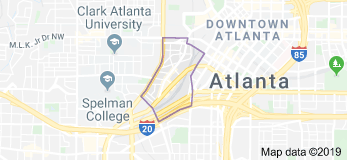
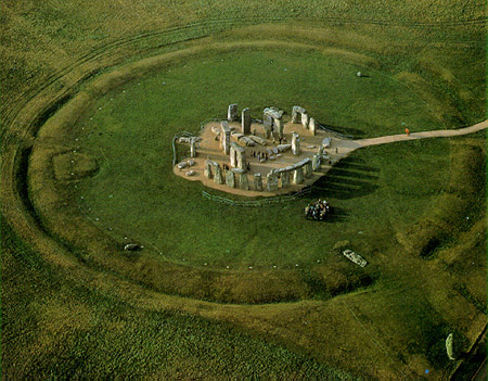
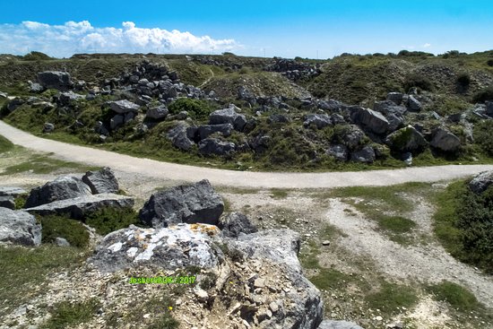
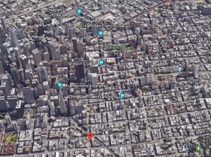
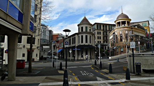
Here is the map of the Burnt District of the 1851 San Francisco Fire and a map of its exact location in the city today.
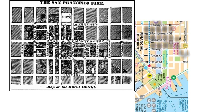
I was able to pinpoint it right away by searching for a map of San Francisco’s Financial District, and then greyed in the affected city blocks for this comparison graphic.
This is the historical narrative surrounding the fire.
It was said to have occurred during the height of the California Gold Rush between December of 1849 and June of 1851.
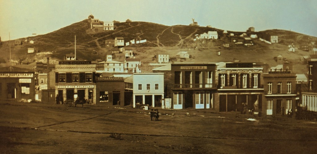
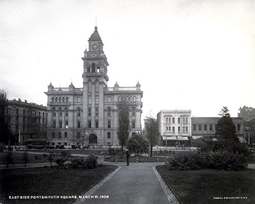
This was said to be an early daguerrotype, an early form of photography, of Portsmouth Square in San Francisco from 1851, some time before June of 1851.
Besides the fact that it looks like a mud flood scene, the fire was said to have started in Portsmouth Square in a paint and upholstery store on the night of May 3rd, 1851.
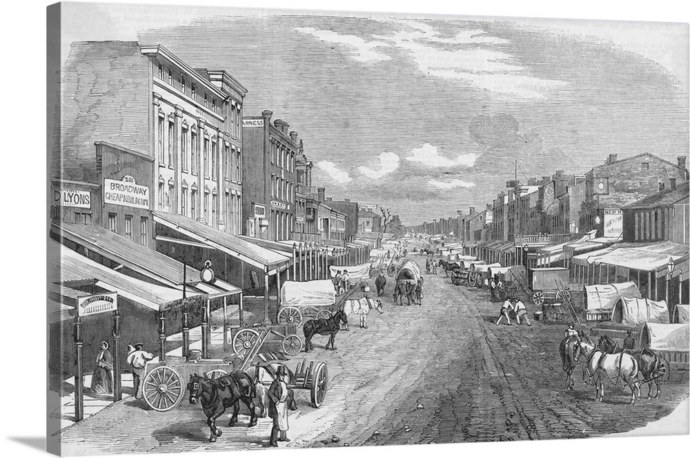
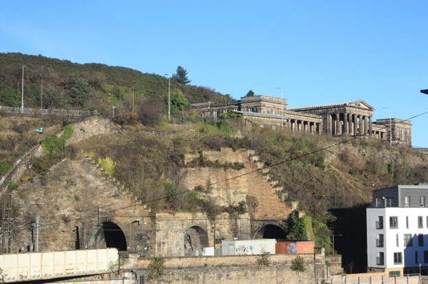
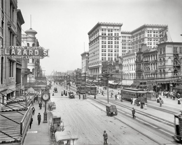
High winds were said to carry the fire down Kearny Street, which runs north from Market Street to the Embarcadero, and on its south end separates the Financial District from Union Square and China Town.
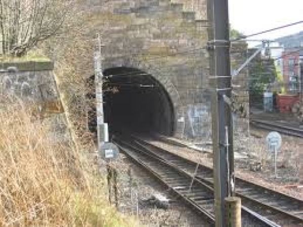
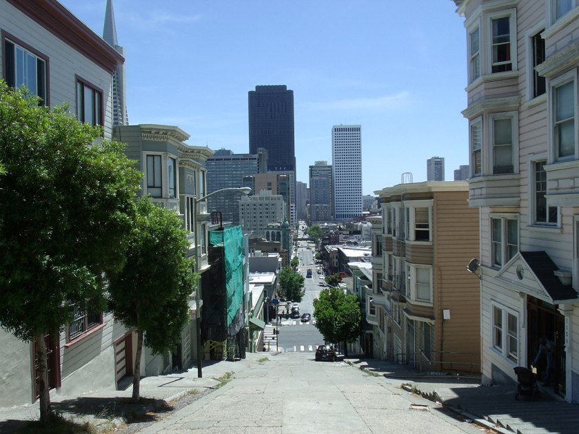
Here is a view down Kearny Street, and its perfectly smooth, and angled, steep slope…
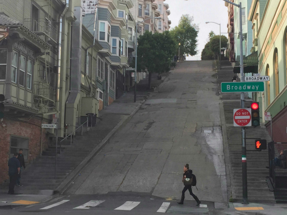
…and here it is from another direction, showing the Kearny Street steps on either side of it, also known as the Peter Macchiarini steps, said to be named to commemorate an Italian-American modernist sculptor and jeweler of San Francisco.
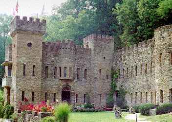
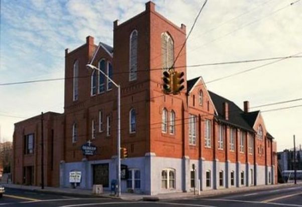
Here is an historic photo of the First Kearny Street Hall of Justice, a jail that was called a book and intake facility, and said to have been built in 1912; rehabilitated by FDR’s New Deal’s Works Project Administration in the 1930s; and then demolished in 1968.
It was mighty grand building for a temporary jail that only existed for 56-years.
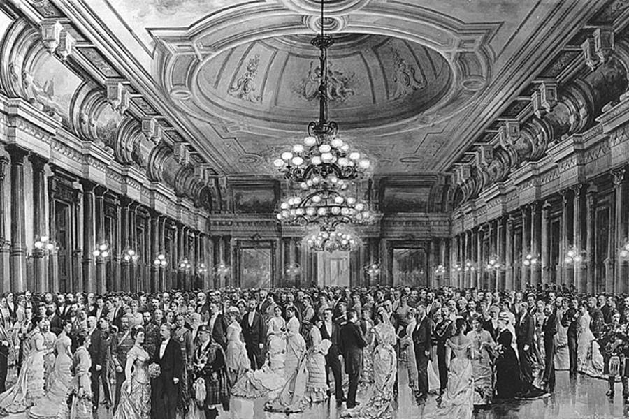
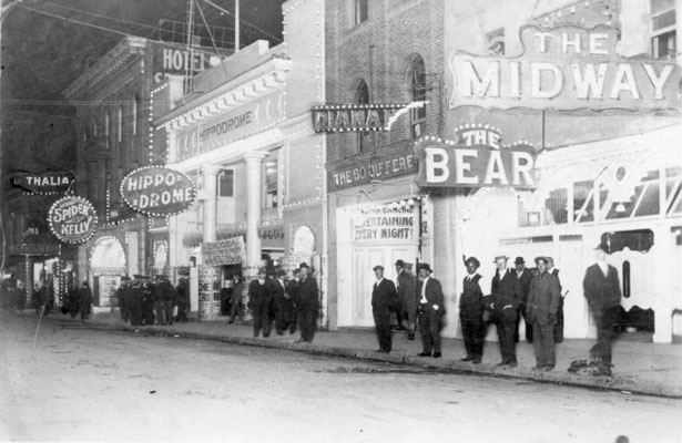
This picture is said to be from 1925 of the Old Hippodrome and Bella Union Dance Halls was located between Kearny & Montgomery Streets…
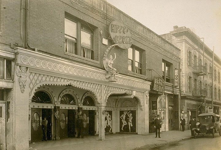
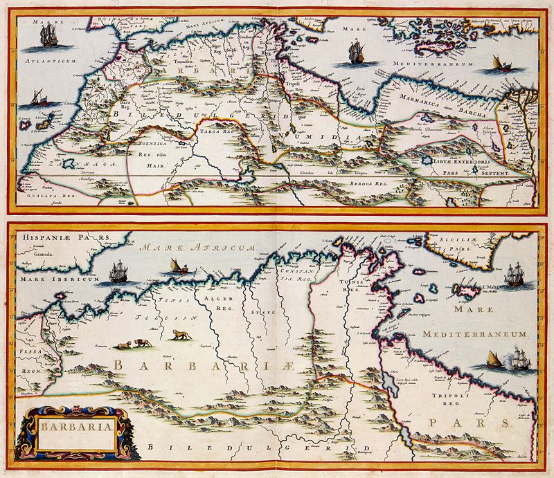
…located in what was called the Barbary Coast, which was the red-light district of San Francisco.
The Barbary Coast, or Barbaria, was also the name given to a vast region stretching from the Nile River Delta, across Northern Africa, to the Canary Islands.
This region stopped being referred to as the Barbary Coast, or Barbaria, in the early-1800s.
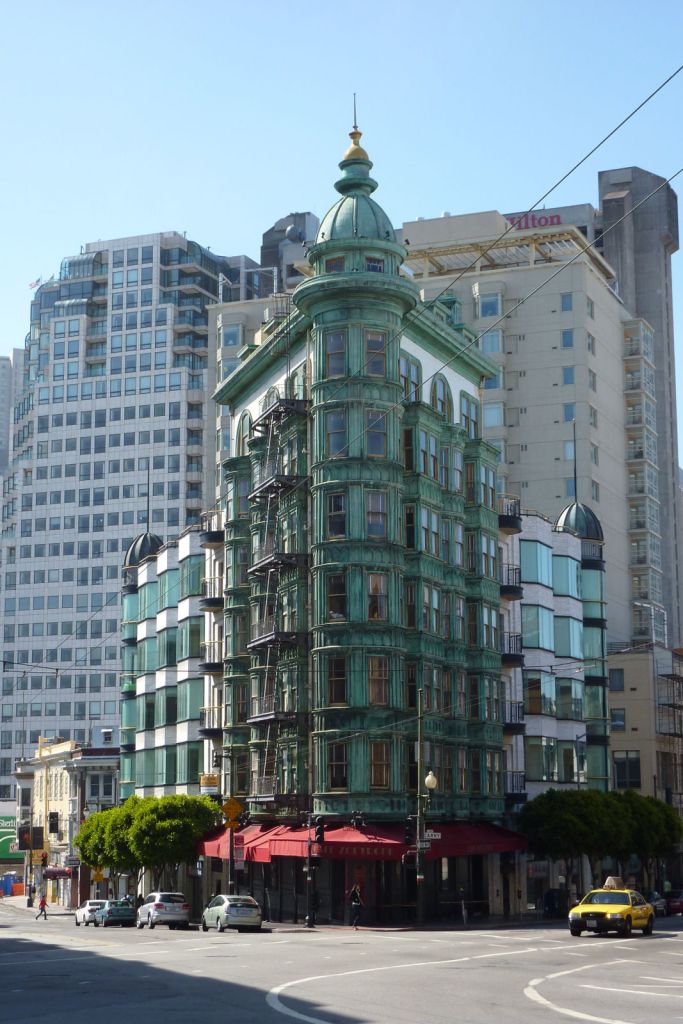
This is the Columbus Tower, also known as the Sentinel Building, on Kearny Street, with its copper and white-tile exterior. Construction of it was said to have been begun before the 1906 fire, which it purportedly survived.
It is now primarily occupied by Francis Ford Coppola’s production studio.
From Kearny Street, the fire was said to shift south into the downtown area. Well, the Columbus Tower is very close to the Transamerica Pyramid…
…and the place where the Transamerica Pyramid is located interestingly in what appears to be in the center of what was called the Burnt District.
Construction of the Transamerica Pyramid was said to have in December of 1969, and completed in 1972.
Special things about the Transamerica Pyramid include a 32-pane, cathedral-style glass top…
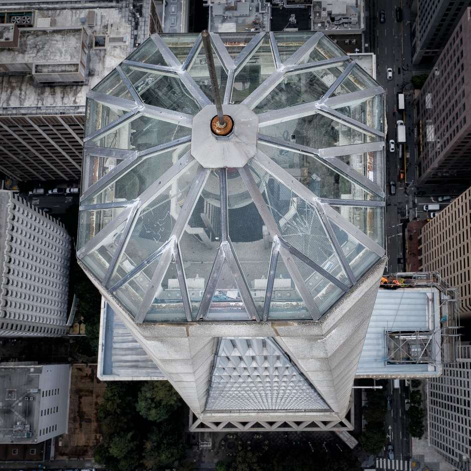
…which contains a 6,000-watt beacon light.
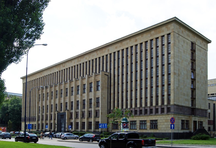
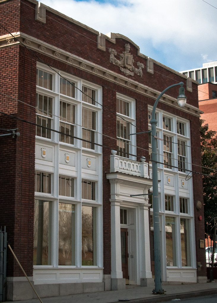
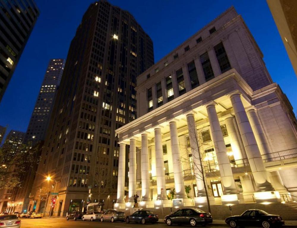
This is the Bently Reserve Building, formerly the Federal Reserve Bank of San Francisco and now a conference center.
What if…the California Gold Rush starting in 1849 was a cover story for a massive influx of workers into the Bay area needed to dig San Francisco out of mud?
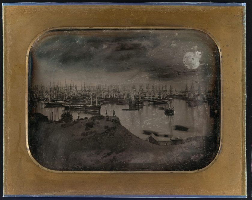
This is said to be a daguerrotype showing a panorama of San Francisco Harbor in 1851.
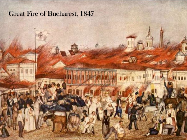
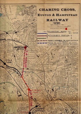
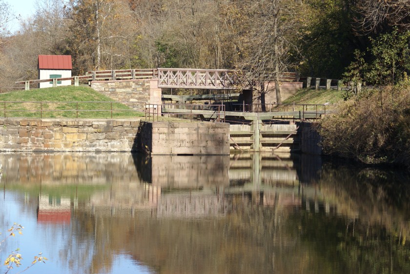
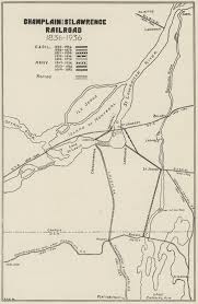
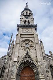
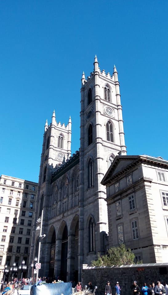
In the Province of Quebec in Canada, stating that wood was the typical construction material of the time, the Great Montreal Fire took place in July of 1852, and said to have started at a tavern on St. Lawrence Boulevard, and quickly spread because of high winds and hot summer weather.
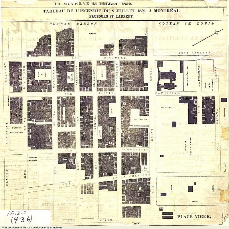
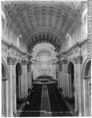
From the tavern, it spread to the block between St. Denis Street and Craig Street (now Saint Antoine Street), engulfing the St. Jacques (or St. James in English) Cathedral, said to have been rebuilt by 1857; burned down again in 1858, and rebuilt by 1860; and burned out again in 1933. It was purchased in 1973 by the University of Quebec at Montreal, and demolished except for the spire and transept. They were then incorporated into the University’s infrastructure.
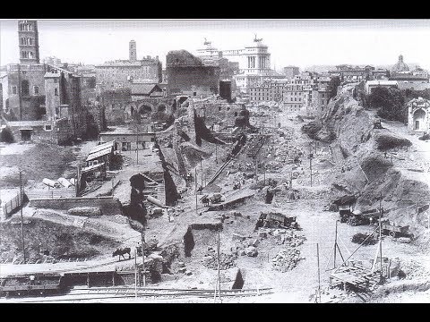
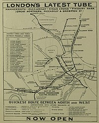
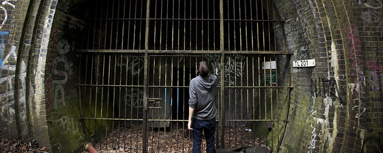
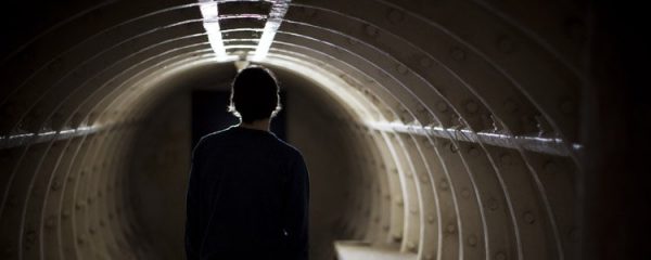
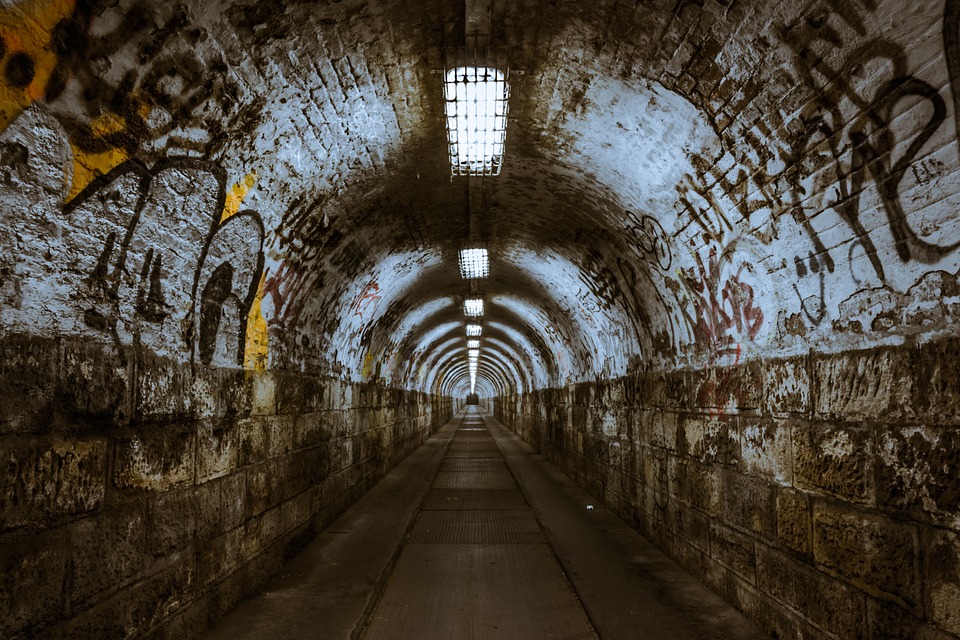
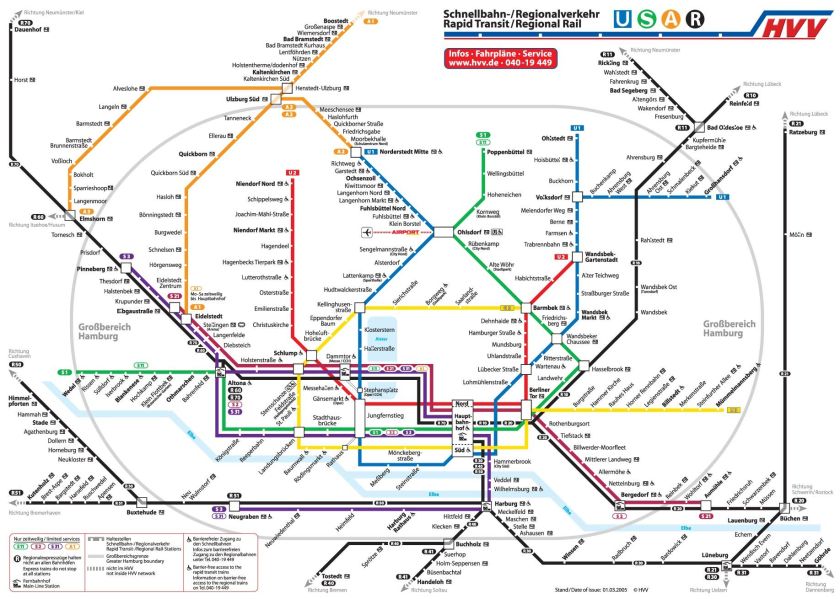
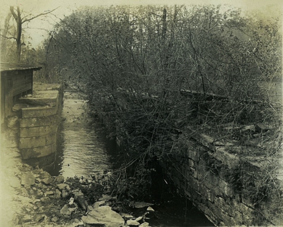
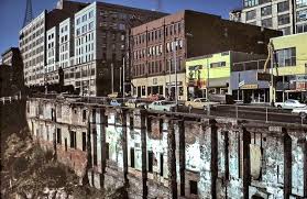
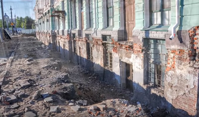
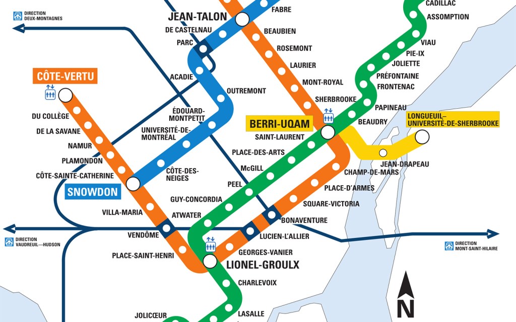
St. Jacques Cathedral was directly connected to the Berri-de Montigny Metro Station. Here are some historical photos of what is described as the construction of this metro station in 1964. Is this new construction going on here…or excavation?
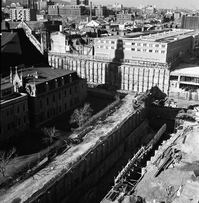
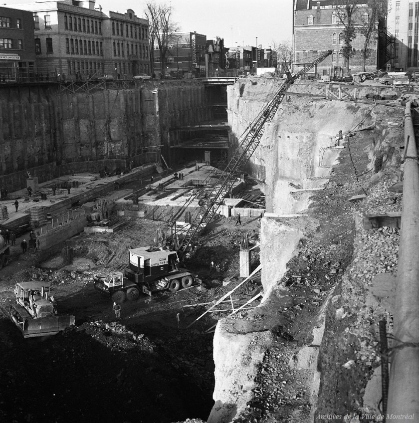
Here are similar-looking photos showing evidence for the mud flood in comparison for appearance:

St. Jacques Cathedral was also connected to Montreal’s underground city – a series of office towers; hotels; shopping centers; residential and commercial complexes; convention halls; universities and performing arts venues that are connected underground in the heart of downtown Montreal…
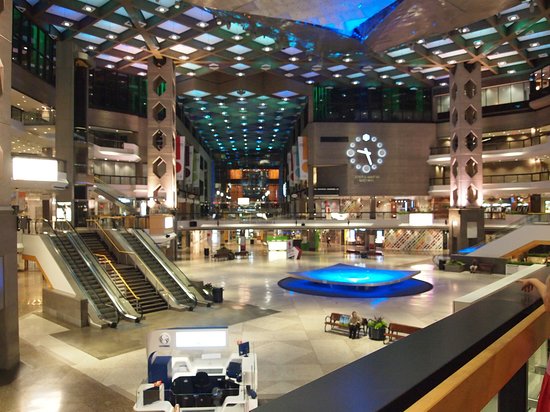
…all of which is completely integrated with Montreal’s Metro System.
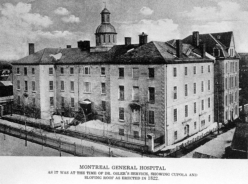
The fire spread to the Montreal General Hospital on Dorchester Street on Mont Royal, said to have been built in 1822…
…and the Theater Royal.
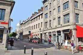
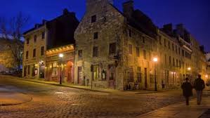
We are told within hours, one-quarter of Montreal, the oldest part of Montreal was destroyed, in Vieux-Montreal.
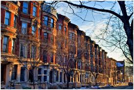
Here are some of the sights of Old Montreal today, with its masonry buildings and slanted streets.
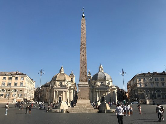
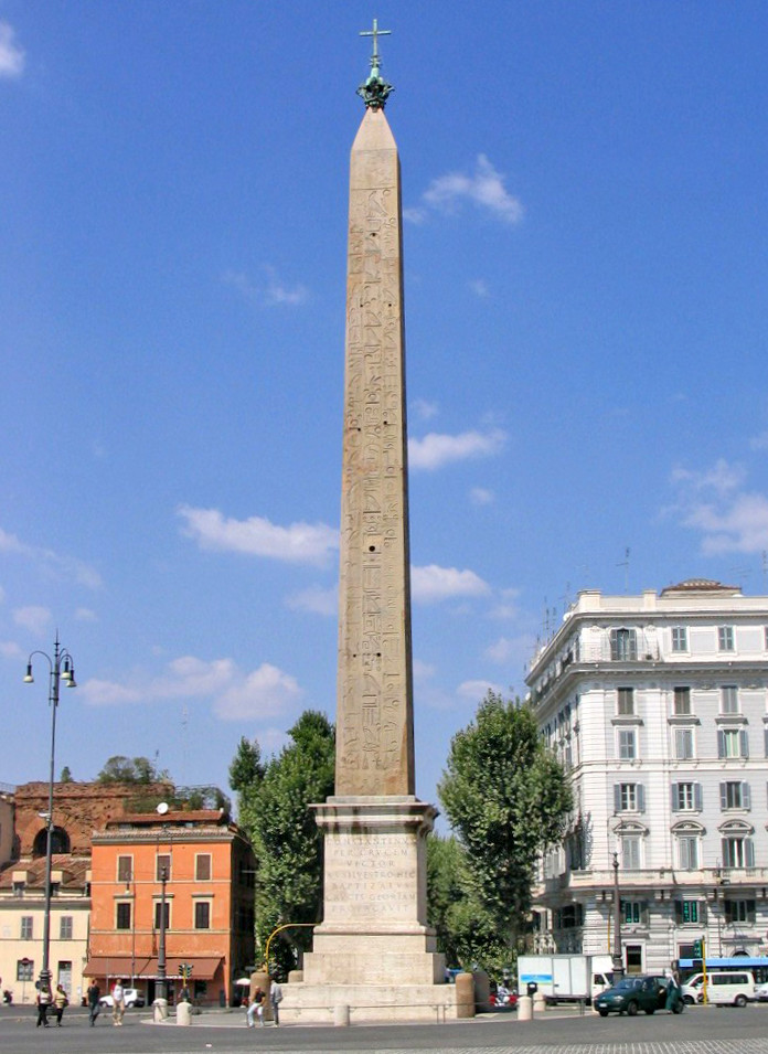
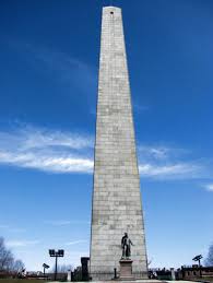
One more thing before leaving Old Montreal that I would like to share is the presence of an obelisk there.
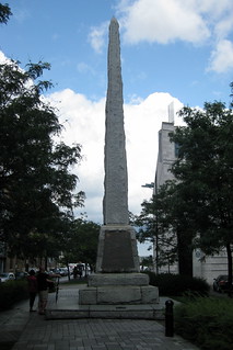
It was said to have been made from a block of granite that stands 41-feet, or 12.5-meters, above its base, and commemorates the establishment of the settlement and fort of Fort Ville-Marie in May of 1642.
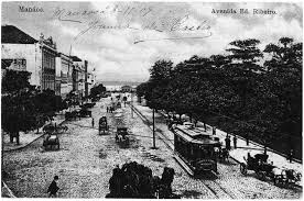
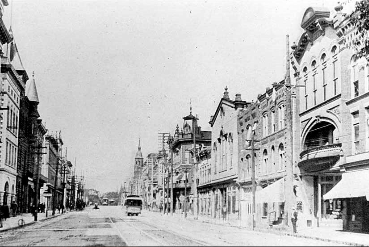
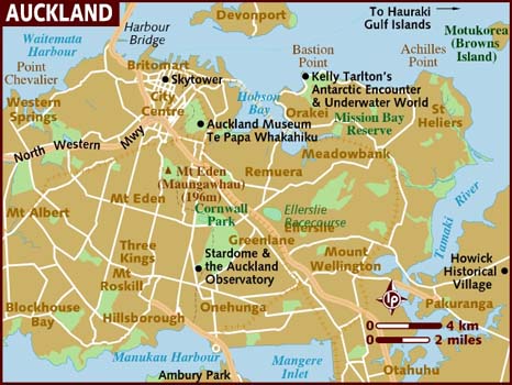
In New Zealand, there was a fire in Auckland in 1858. Auckland is located in the northern part of the North Island, and is New Zealand’s largest city.
It was said to have been founded in 1840.
The 1858 fire was said to have destroyed about 50 buildings on High Street…
…and Shortland Street.
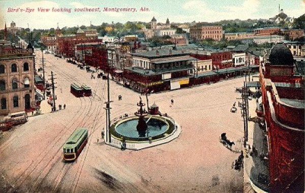
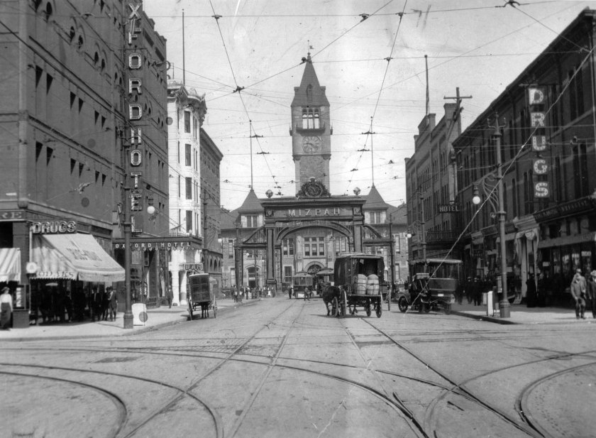
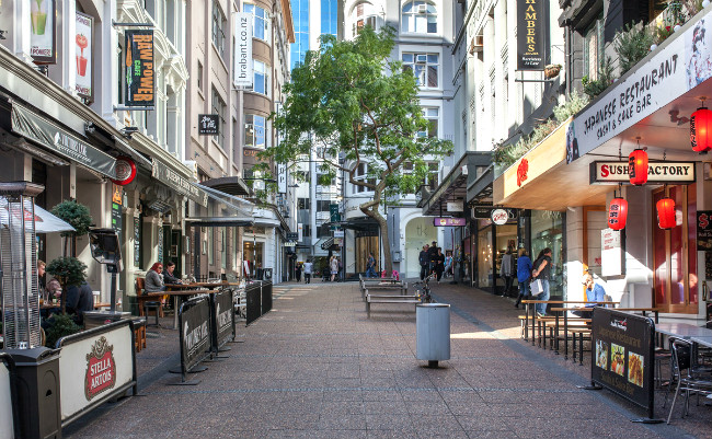
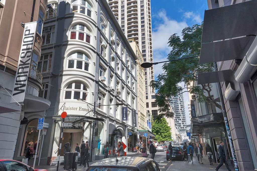
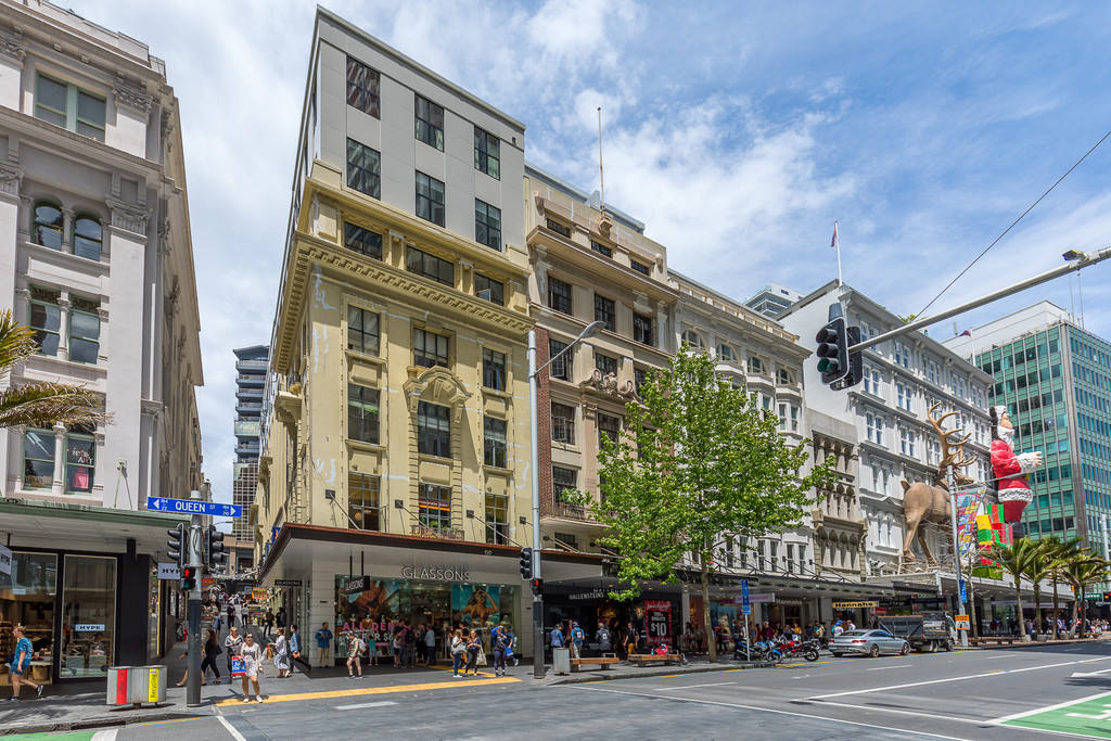
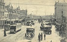
After this fire, we are told the commercial district of Auckland began to shift towards Queen Street, named after Queen Victoria.
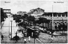
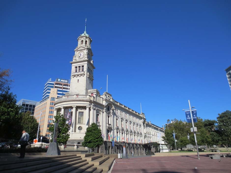
This is the Auckland Town Hall on Queen Street, with construction of it said to have started in 1909…
…the Auckland Ferry Building, said to have been built between 1909 and 1912…
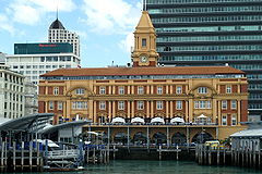
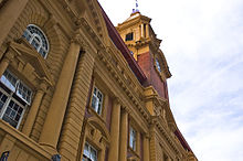
…and the Britomart Transport Center at the foot of Queen Street.
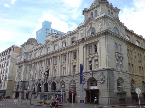
The Britomart Transport Center is the public transport hub in the Auckland’s Central Business District and the northern terminus of the North Island Main Trunk Railway Line.
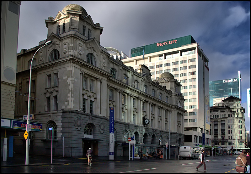
The building was said to have originally been an Edwardian-era Post Office, built in 1911.
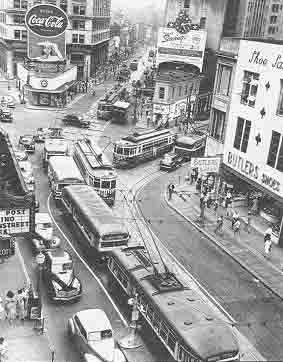
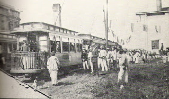
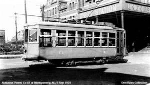
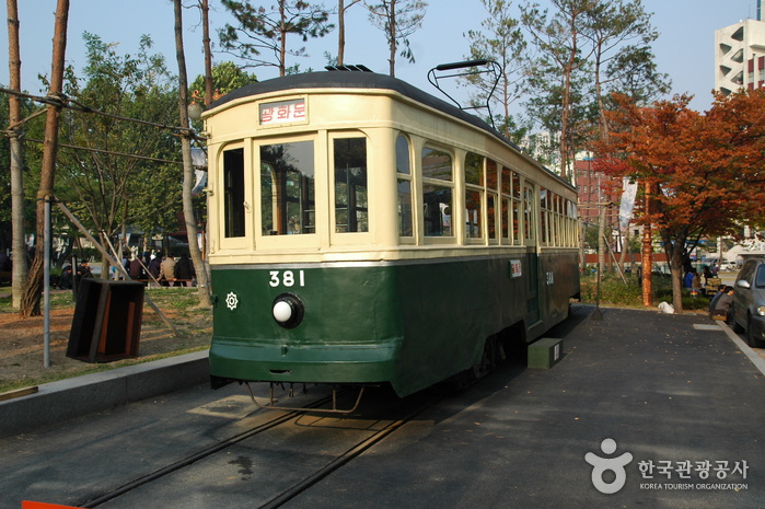
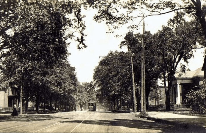
We are told the electric tram system arrived on Queen Street in Auckland in 1900, and use of this system was discontinued in 1956.
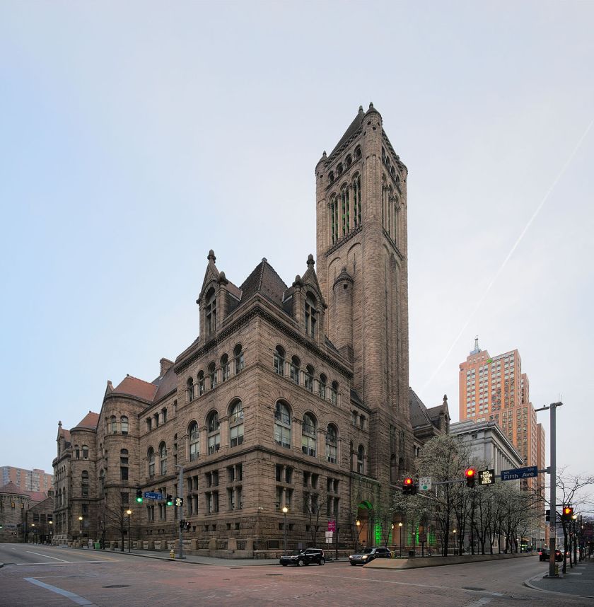
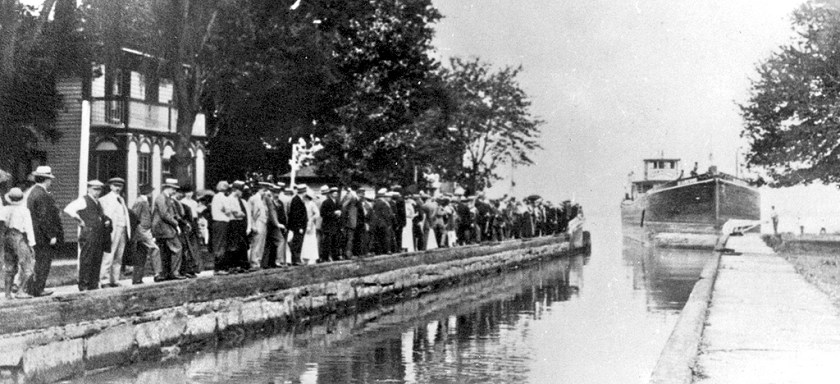
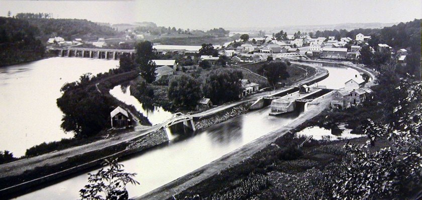
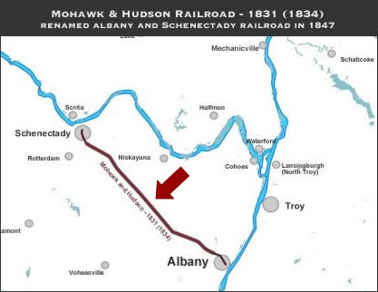
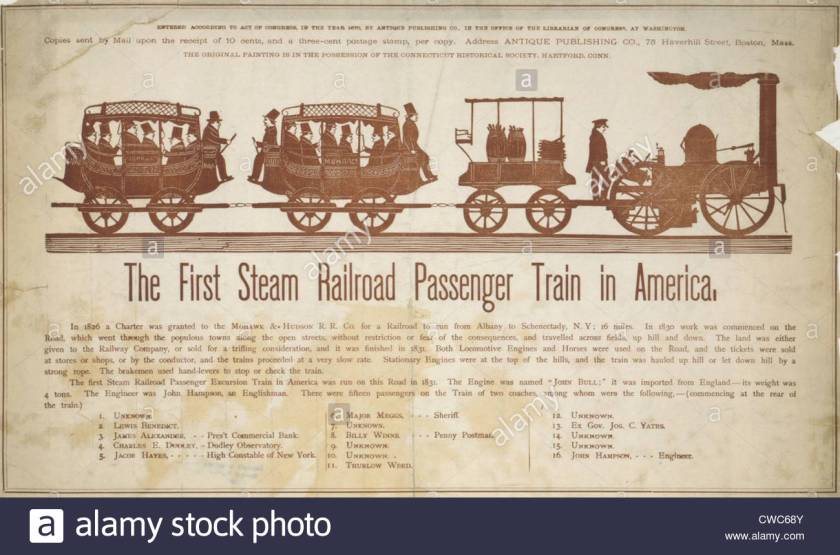
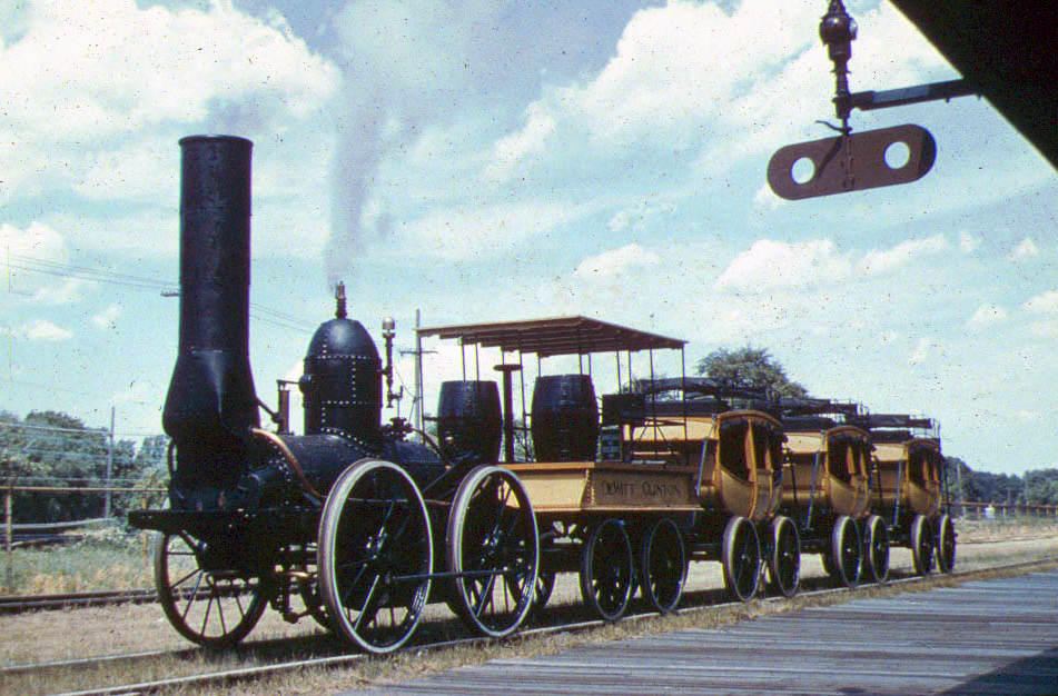
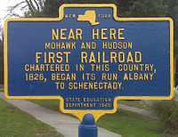
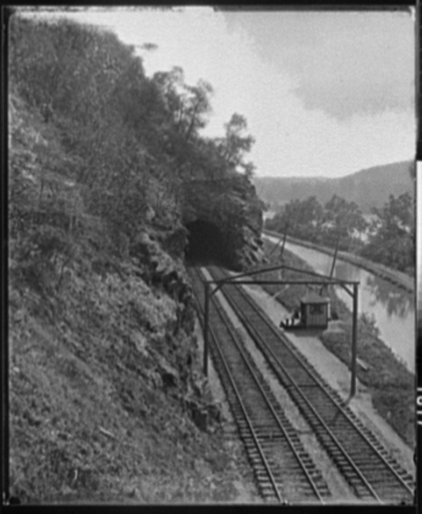
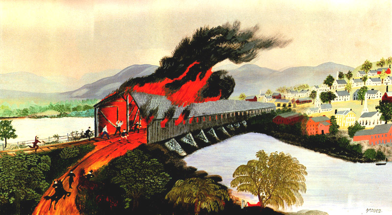
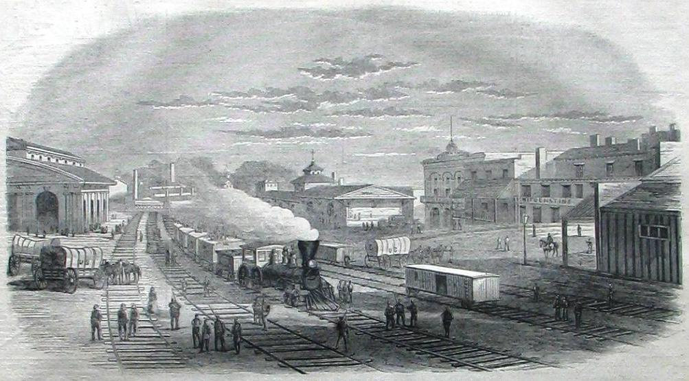
The Great Fire of Troy, in eastern New York State, near Albany and Schenectady, was said to have taken place in 1862. This would have happened during the time-frame of the American Civil War, and caused by a spark from the engine of a train that caused the Green Island Bridge to catch on fire, and which quickly spread from gale force winds. Here is the bridge depicted as a wooden structure.
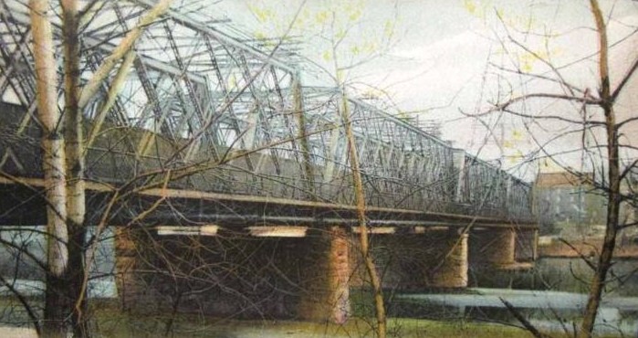
But wait ~Here’s a post card showing the Green Island Bridge as a steel-truss bridge!
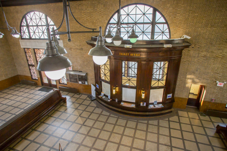
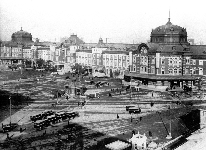
Troy’s Union Station, or Depot, was said to have burned down, and rebuilt in this form by 1900…
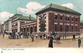
…only to be torn down in 1958.
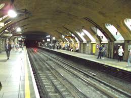
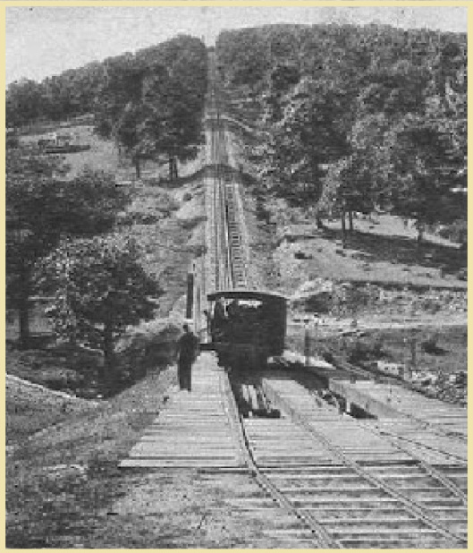
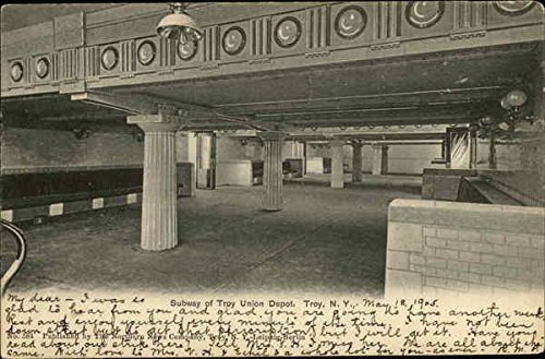
There was even a subway station there!
The Rensselaer Polytechnic Institute in Troy was said to have been founded in 1824, and the oldest, continuously operating technological university in the English-speaking world and the Americas.
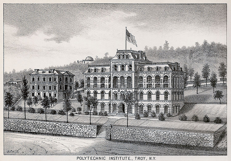
The physical plant of the university was said to have been completely destroyed by this fire…
…and that when it was rebuilt, all of the buildings steadily moved east, up the hill overlooking Troy and the Hudson River.
Next, I would like to look at three fires that have come to us in history as Acts of War during the American Civil War.
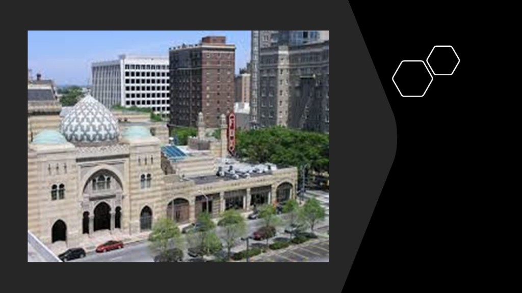
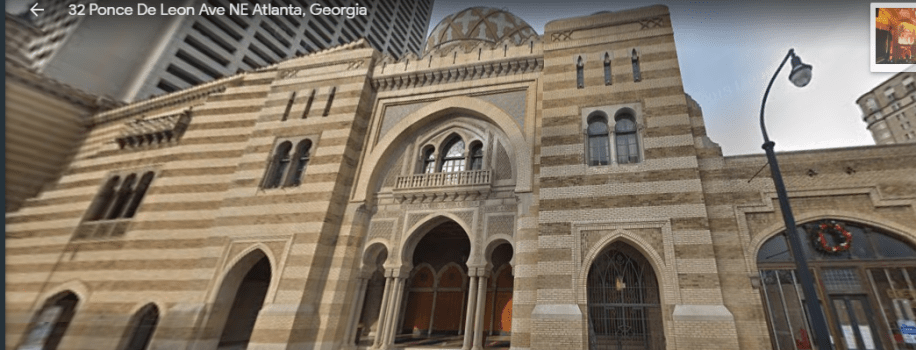
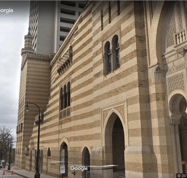
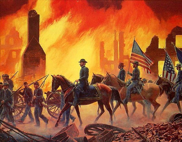
The first was the Burning of Atlanta, which we are told took place in 1864.
Atlanta was an important rail and commercial center at the time of the Civil War.
General Sherman and his Union Forces, we are taught, captured the city of Atlanta in September 2nd of 1864, and occupied from then until November of 1864.
He gave orders to destroy Atlanta as a transportation hub and as a war material manufacturing center, and in particular the railroad system and everything connected to it.
His orders were carried out destroying physical infrastructure, and on November 15th, everything that had been destroyed was set on-fire.
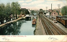
Columbia, the capital of South Carolina, was said to be an important political and supply center for the Confederacy.
Rail-lines were said to have reached the city in the 1840s, and the railroad lines going through there were primarily concerned with transporting cotton bales.
Columbia was said to have surrendered to General Sherman on February 17th, 1865, after the Battle of Rivers’ Bridge.
On the same day, the fires started, burning much of Columbia, though there is disagreement between historian regarding whether or not the fires on that day were accidental or intentional.
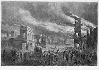
However, the next day General Sherman’s forces destroyed anything of military value, including railroad depots, warehouses, arsenals, and machine shops.
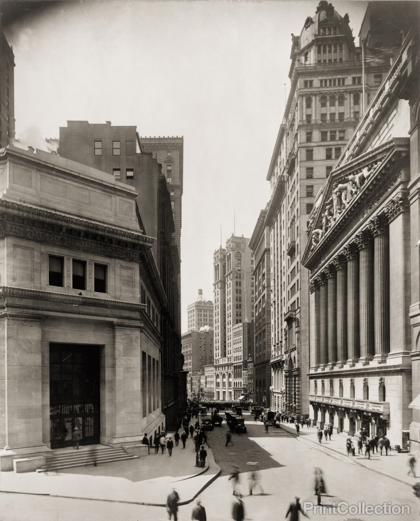
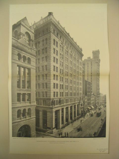
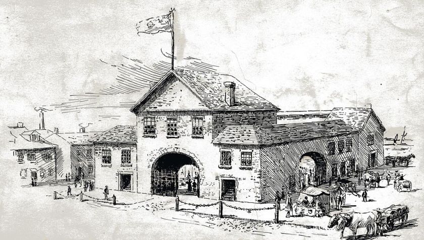
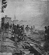
Here are some photos of Columbia’s historic infrastructure:

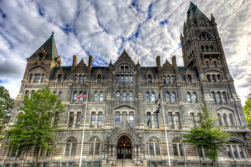
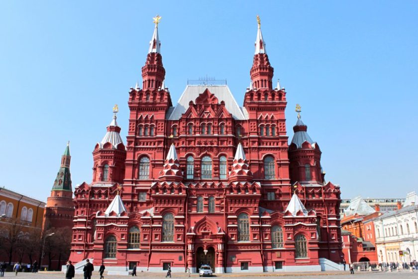
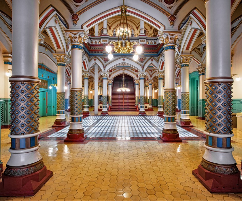
The third major Civil War fire was the April of 1865 Burning of Richmond, the capital of Virginia, and of the Confederate States of America.
In this case, the fire was said to have been started by Confederate forces evacuating Richmond. It was also known as the Evacuation Fire. This is a lithograph depicting it by Currier & Ives.
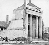
This huge classical temple-like building was the Exchange Bank of Richmond, said to have been damaged by the fire.
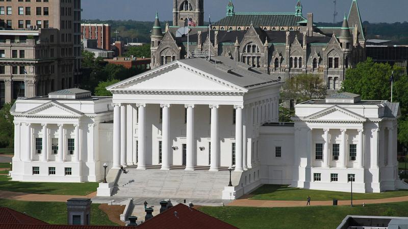
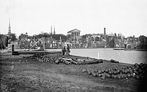
Here is another view of Richmond and its State Capitol Building in the middle of the picture, as seen from above the Canal Basin after the 1865 fire.
This is the location of the Canal Basin in Richmond…
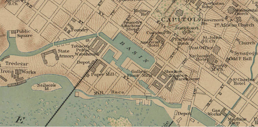
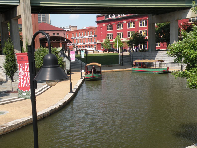
…and here is what the canal basin it looks like.
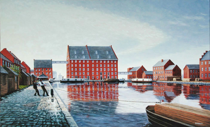
So I just learned Richmond, Virginia, is a city of canals!
I was not aware that Richmond had that distinction! But then again, I am finding a lot of places that do have it in my research.
Richmond was also a transportation hub, and the terminus of five railroad lines.

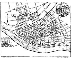
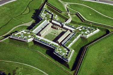
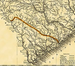
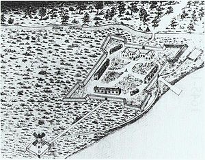
It looks like there were two named star forts on this map of Richmond and the surrounding areas – Fort Johnston and Fort Jackson – and possibly many more that don’t have names that are depicted as various shapes in the landscape.
There are suspicious elements going on in these three Civil War fires – intentional destruction of infrastructure of these transportation hubs, especially rail-lines, but so much more than that. What was really going on here?
I don’t think the answer to this question is to be found in the books of the history we have been taught.
I am going to finish up by highlighting four fires that took place on the exact same day in 1871, and one fire that took place on the following day.
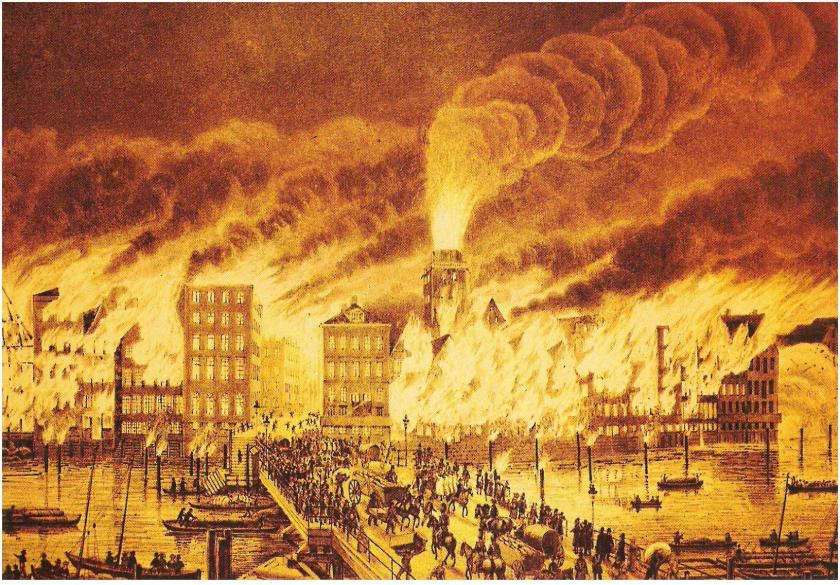
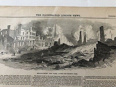
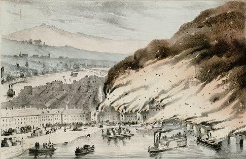
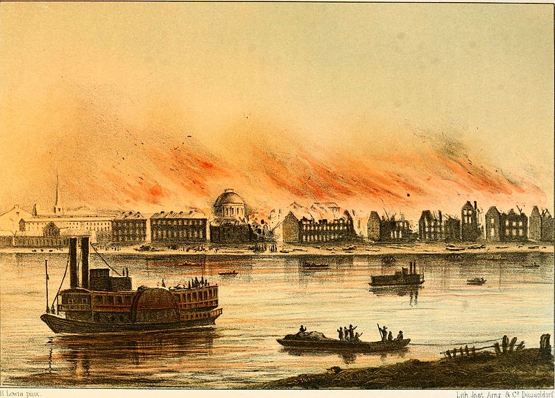
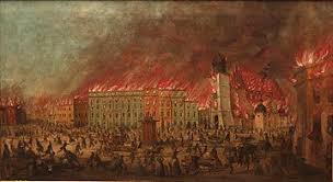
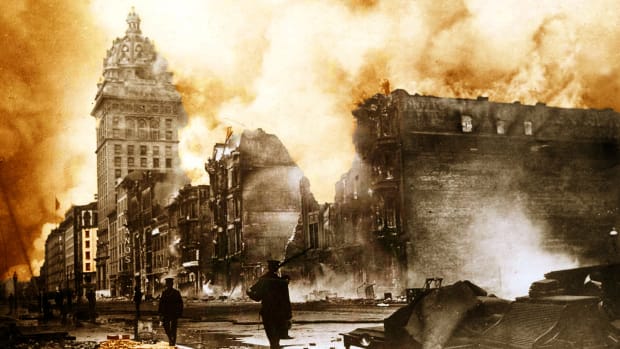
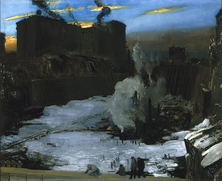
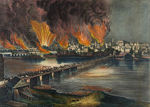
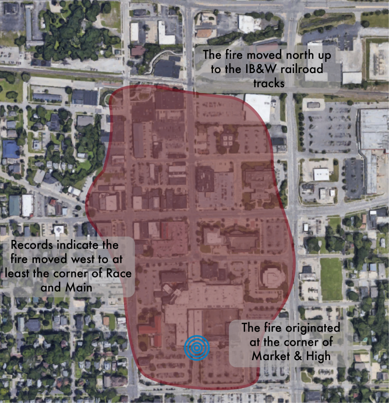
The Great Chicago Fire was said to have started on October 8th of 1871, and burned 3.3-square-miles, or 9-kilometers-squared, over a 3-day period.
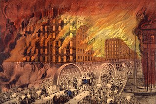
Here is another Currier & Ives print, this one depicting the Chicago fire, from northeast across the Randolph Street Bridge.
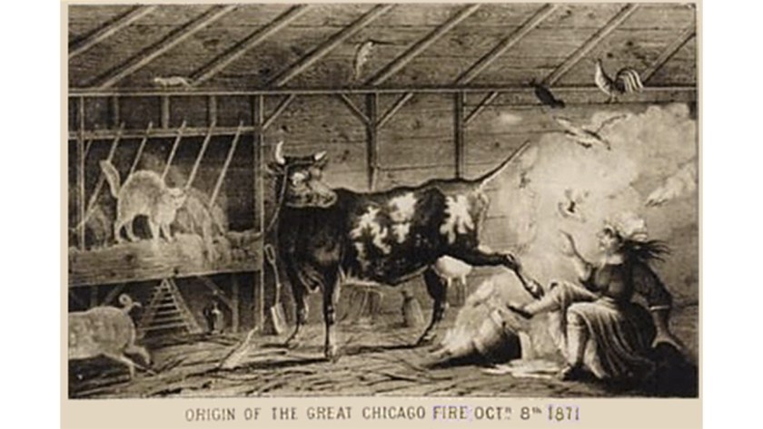
The fire was claimed to have started around 9 pm on October 8th in a small barn belonging to the O’Leary family, and that the shed next to the barn was the first building consumed.
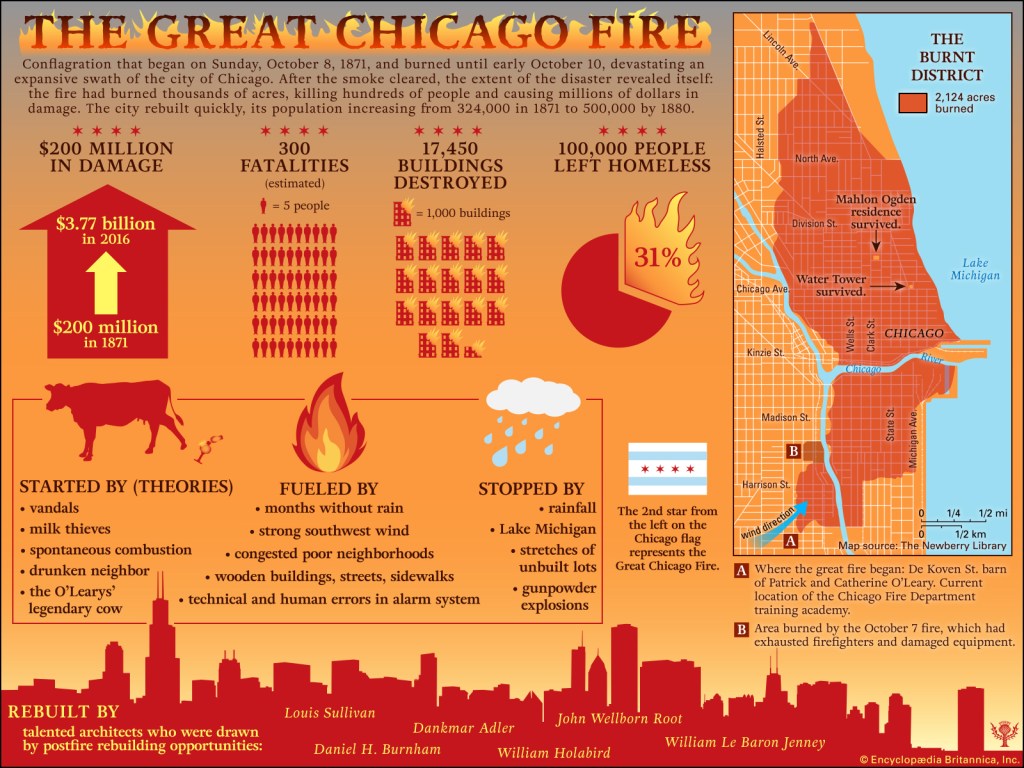
Here is an infographic that nicely summarizes all of the data points surrounding the Great Chicago Fire, right down to who is given the credit for re-building after the fire.
The predominance of wood buildings was one of the explanations given for creating the flammable conditions that fueled the fire.
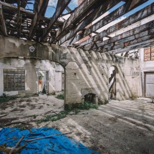
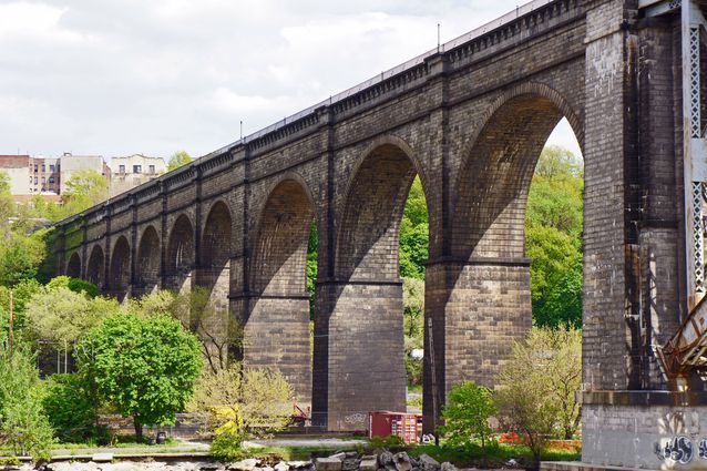
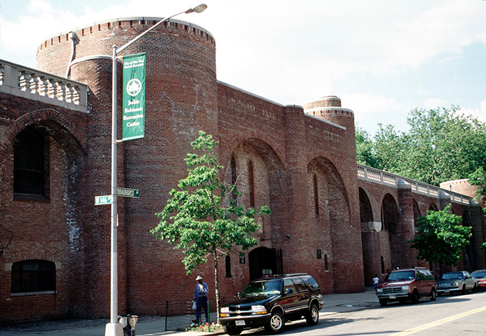
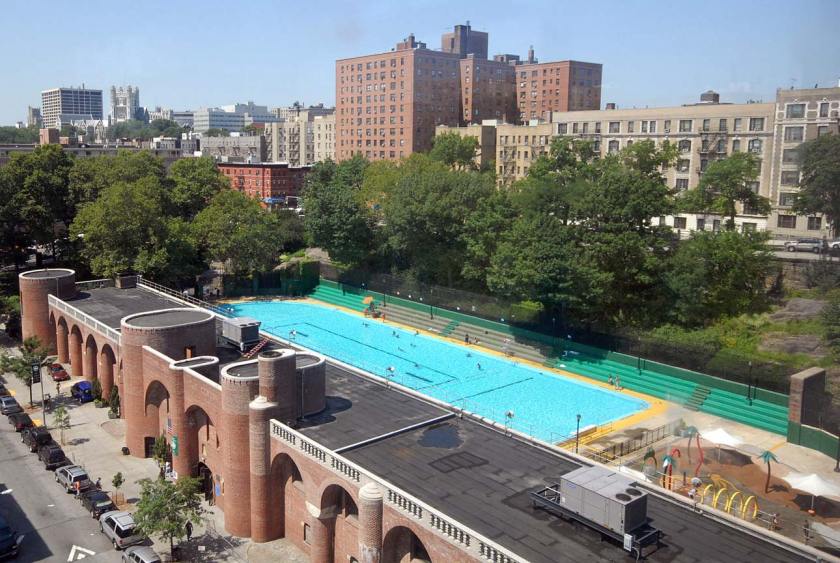
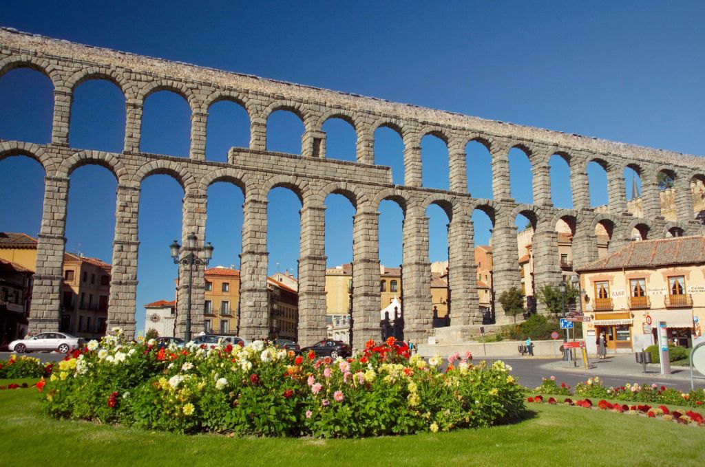
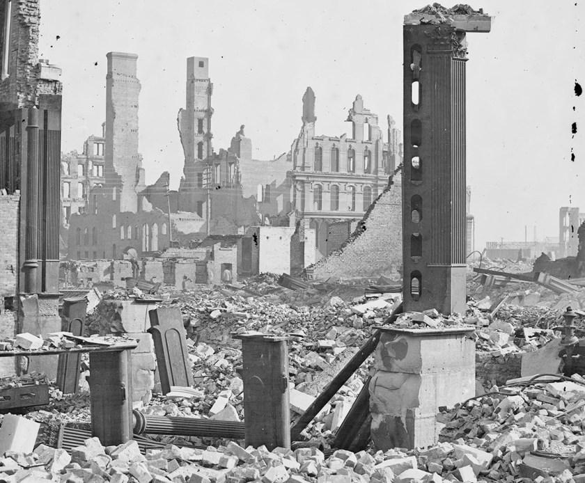
Yet, here are some photographs taken after the Chicago fire showing what remained. This one is showing a ruined, yet still beautiful stone aqueduct…
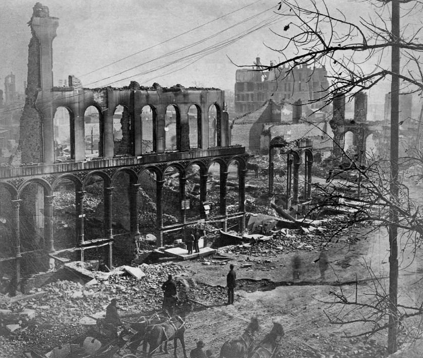
…like the famous one in Segovia, Spain.
Here’s another one, with shells of stone masonry, and piles of various types of masonry.
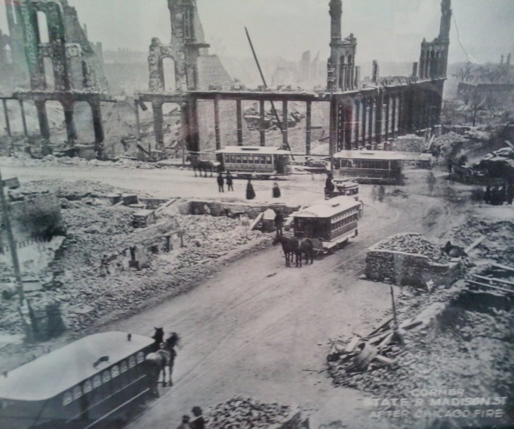
This photo is interesting. What exactly are the mule-drawn trams there for in this photo? Trying to carry on as usual, or serving some kind of other purpose after the fire’s destruction?
The Peshtigo Fire was described as a large forest fire that took place primarily in northeastern Wisconsin. Peshtigo was the largest community in the affected area.
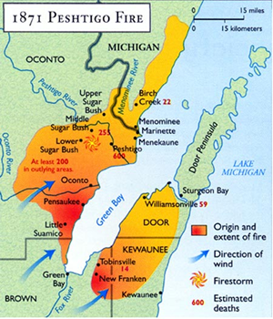
It was the deadliest wildfire in American History, with estimated deaths of 1,500 to 2,500 people, though it is largely forgotten in our collective memory, unlike the Great Chicago Fire of the same day.
The Great Michigan Fire of 1871 was comprised of three separate fires: The Port Huron Fire; the Manistee Fire, and the Holland Fire.
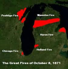
The Port Huron Fire burned a number f cities including Port Huron and White Rock, as well as much of the countryside of the “Thumb” Region Michigan.
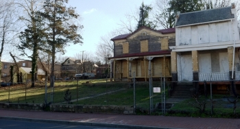
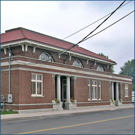
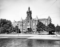
This is an historic picture of the Port Huron City Hall…
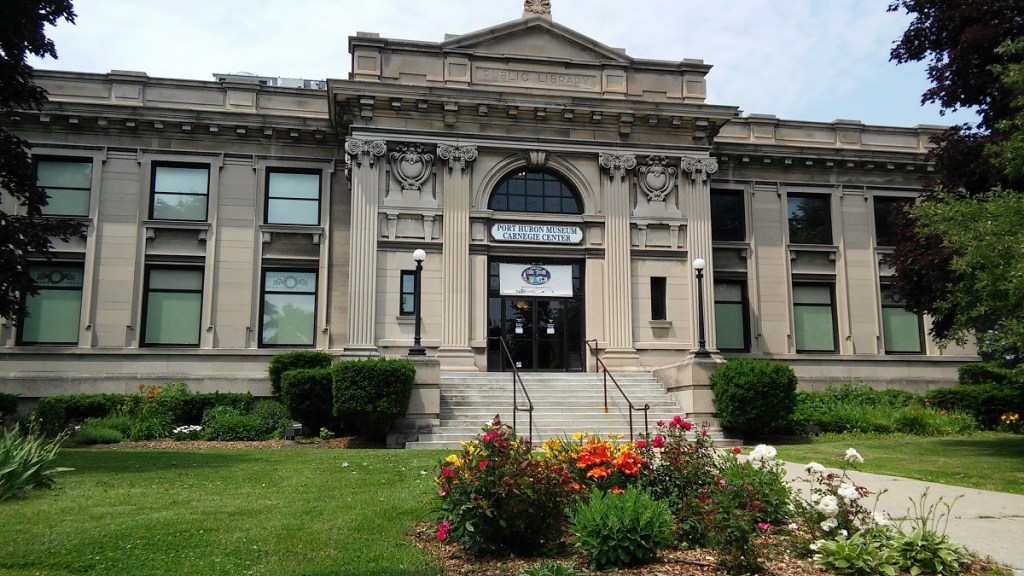
…what started out as a library and is now a museum in Port Huron…
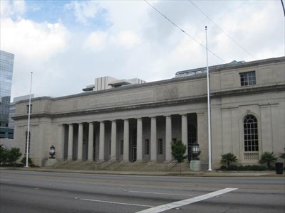
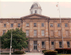
…and the Federal Building and U. S. Courthouse in Port Huron.
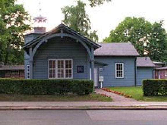
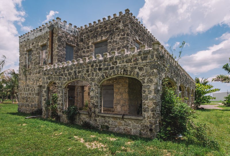
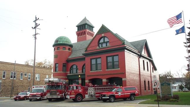
This is the Manistee Fire Department, said to be the oldest continuously manned fire station in the world.
Interesting to note that this fire station was said to have been built in 1888, seventeen years at the Manistee fire of 1871.
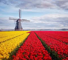
Then there was the Holland, Michigan fire on the same day. Holland, Michigan looks like…well, Holland in Europe. This photo of a windmill and tulip fields was taken in Holland, Michigan
Lastly, south of Chicago, in Urbana, Illinois, there was a fire on the very next day, October 9th, 1871, destroying part of its downtown area.
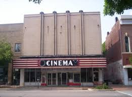
The two buildings said to have survived the fire in downtown Urbana are the what is now called the Cinema Gallery…
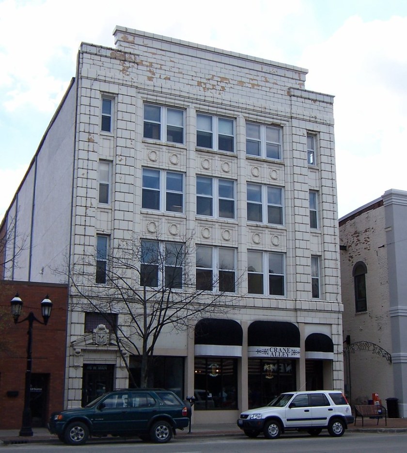
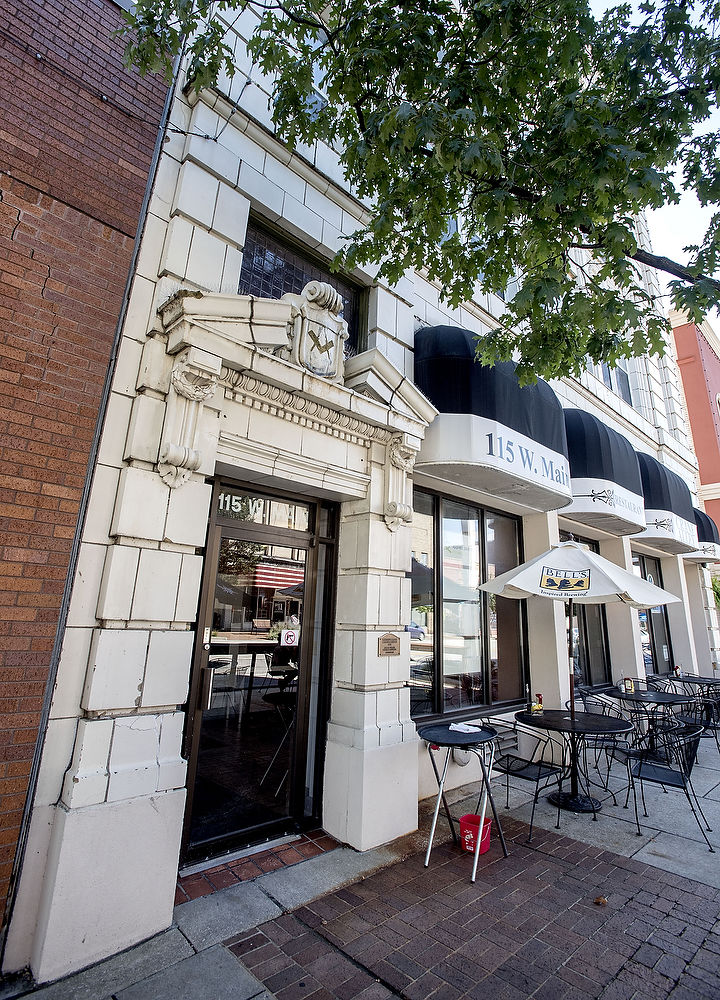
…and the Tiernan Building.
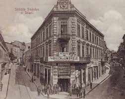
Here is a picture of Main Street in Urbana’s downtown today…
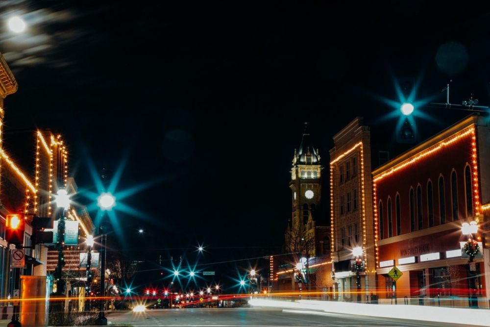
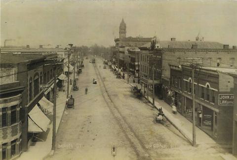
…and an historical picture of the same place, with what look to be very similar buildings.
I am not sure exactly where this location is in relationship to where the fire was, but the fire was said to consume much of Main Street.
I am going to finish up this series in my next post with a sole focus on the San Francisco Fire of 1906, and give my conclusions as to what I think the information surrounding great fires in the historical narrative is actually all about.