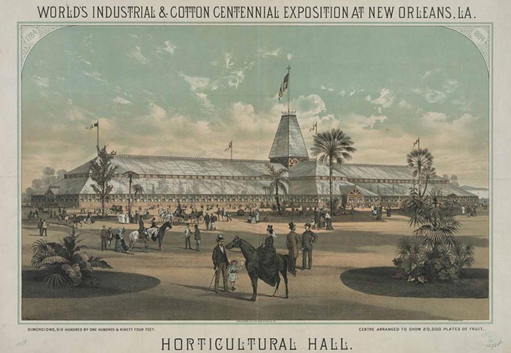
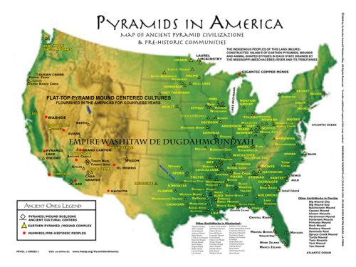
I want to share with you the recurring theme of contests and gifts I found cropping up around the subject of explaining how art and infrastructure came into being in the present-day.
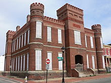
The first example I am going to share about is the colossal statue of Orpheus at Ft. McHenry, under the heading of contests, but before I do that I would like to share some examples of colossal statues in history.
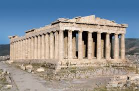
The 2nd-century B. C. Greek poet, Antipater, designated the Colossus of Rhodes, a bronze statue of the Greek God Helios, as one of the Seven Wonders of the Ancient World.
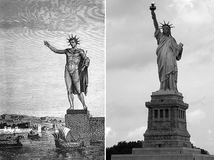
It stood 108-feet, or 33-meters, high, the approximate height of the Statue of Liberty in New York Harbor, about which I will be talking about later in this post. Since there is not an actual depiction of the Colossus of Rhodes in existence, all depictions are artists’ renderings of what they think it looked like. However, Helios, the Sun God and personification of it, was often depicted with a radiant crown as shown in this rendition, like the radiant crown of the Statue of Liberty.
The Colossus of Helios was said to have stood at the entrance to the harbor of the Greek Island of Rhodes, taking twelve years to complete by 280 B. C. and destroyed by earthquake after only 54-years, in 226 B. C.
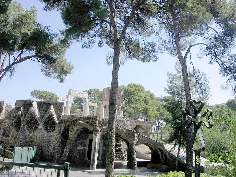
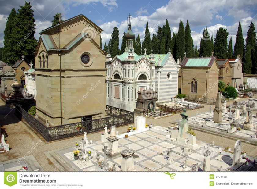
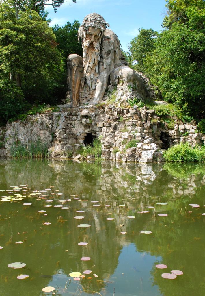
In other parts of the world, colossal statues include the 35-foot, or 11-meter, tall Appenine Colossus, or the Mountain God, on the grounds of the Villa de Pratolina in Florence, Italy.
Said to have been carved by Giambologna in the late 1500s as a symbol of Italy’s rugged Apennine Mountains…
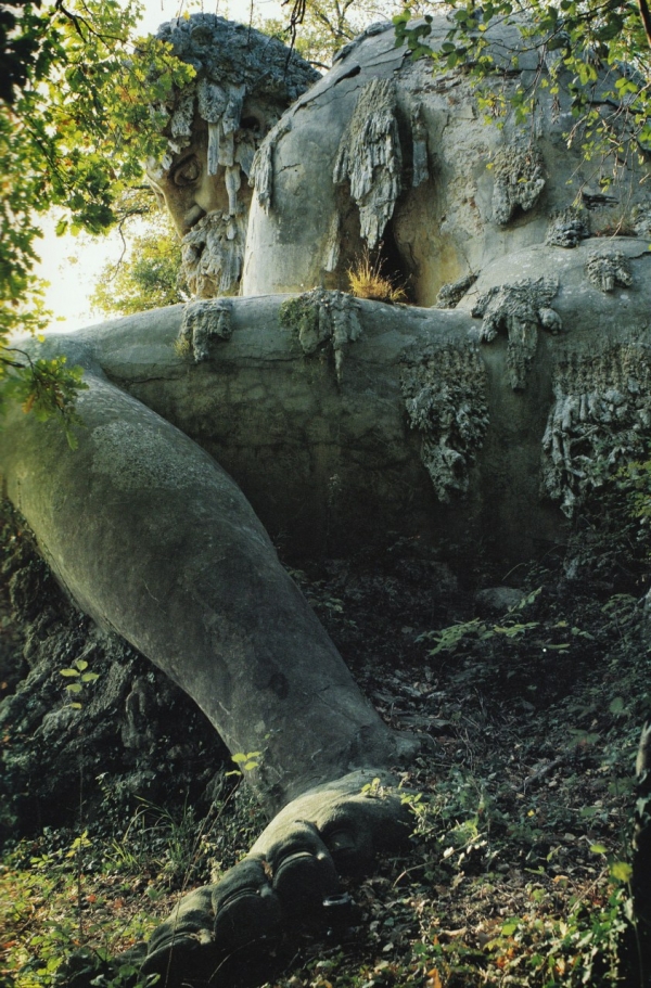
…it has rooms inside of it, said to be for bringing the colossus to life…
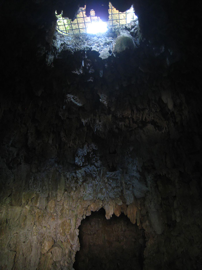
…which bring in the ability of water, and smoke, to come from the head of the monster the left hand of the colossus holds.
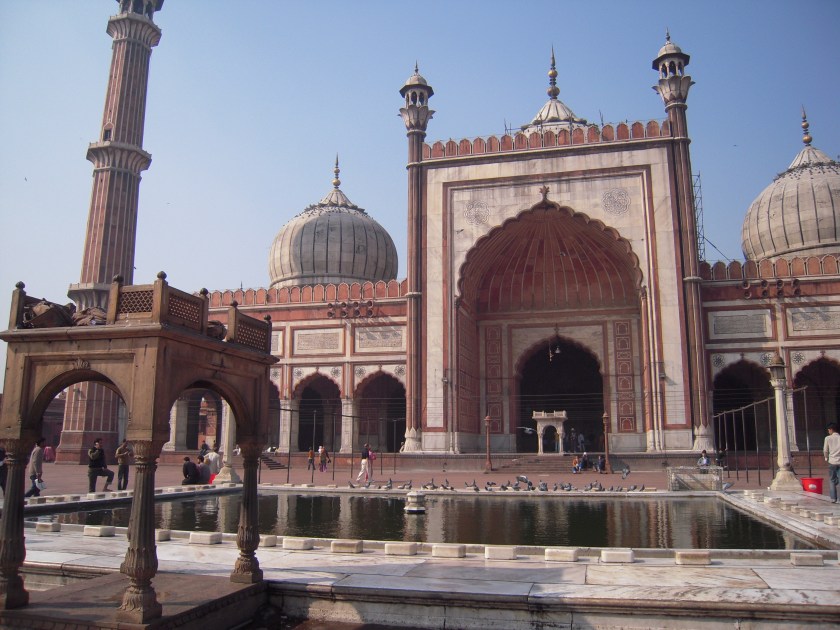
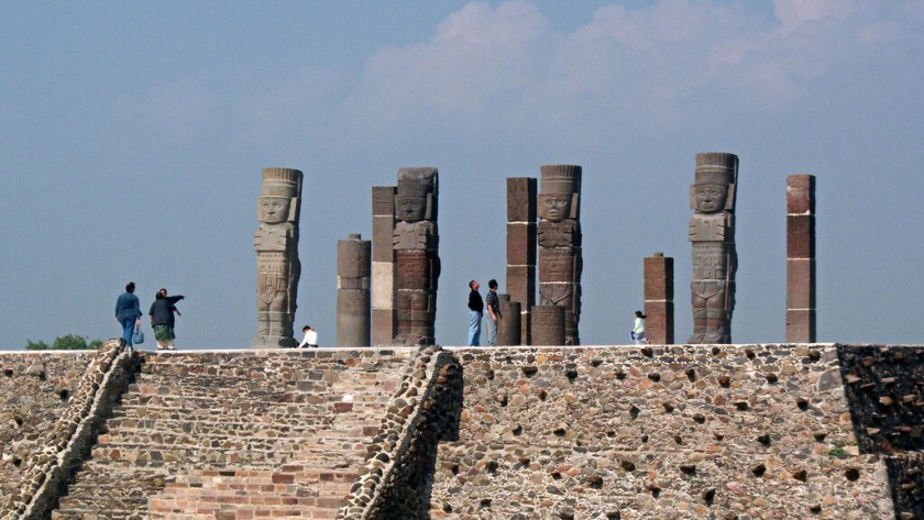
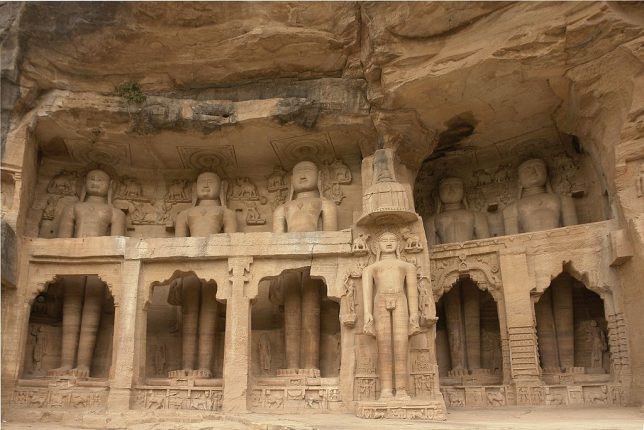
In Gwalior, an ancient city in Madhya Pradesh state in India, these colossal statues are examples of some of the many Tirthankara Jain sculptures. The sculptures are carved right into the rock ~not an easy or ordinary accomplishment!
All of the Jain sculptures here are believed to date from between the 7th-century A. D. and 15th-century A. D.
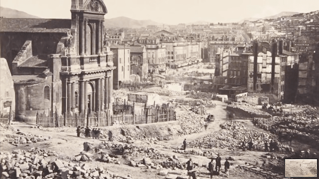
Huge statues made by people of average modern-day height? Or huge humans such as the depictions of these skeletons. While documented in historical records, human giants found all around the world, with very few exceptions, like Goliath in the Bible, have been removed from our collective awareness. To the point where giant skeletons, which were prominently displayed in the 1800s, have been hidden away or destroyed.

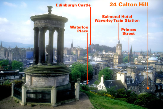
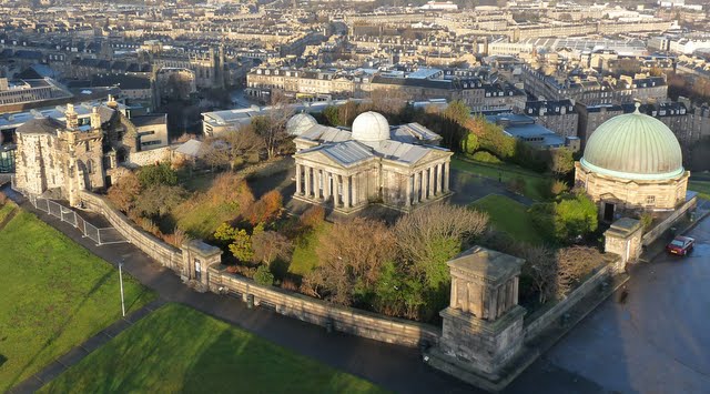
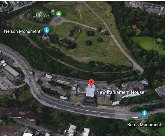
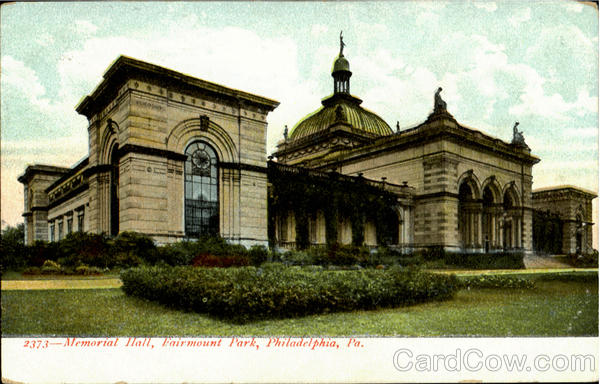
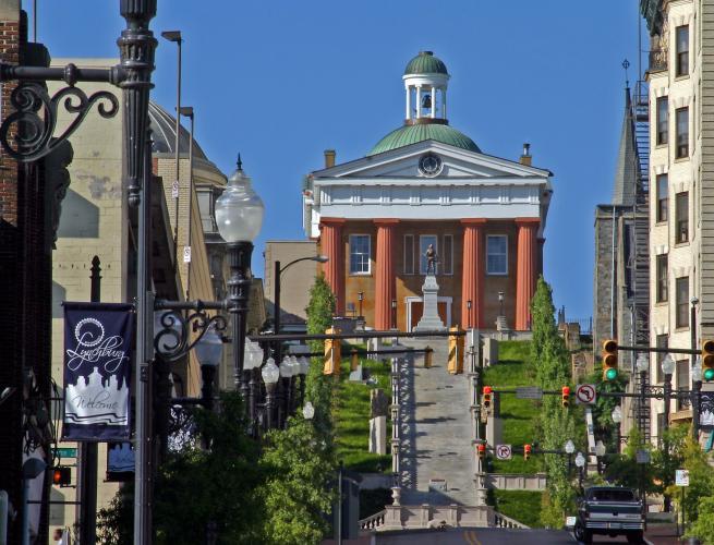
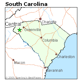
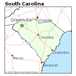
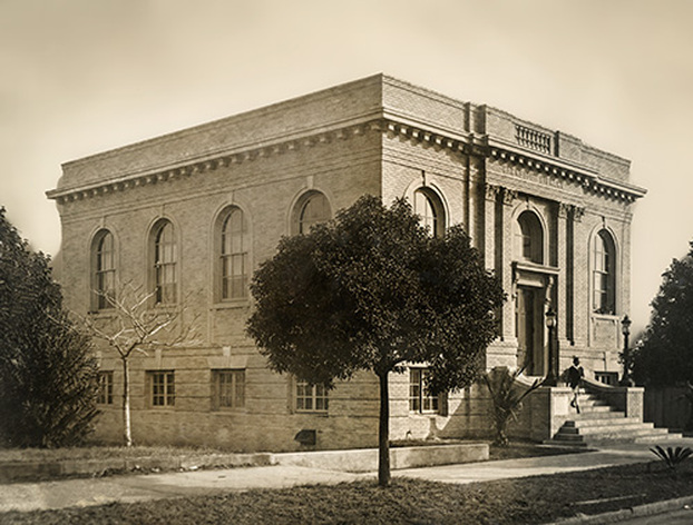
Now back to the Orpheus Statue at Fort McHenry in Baltimore
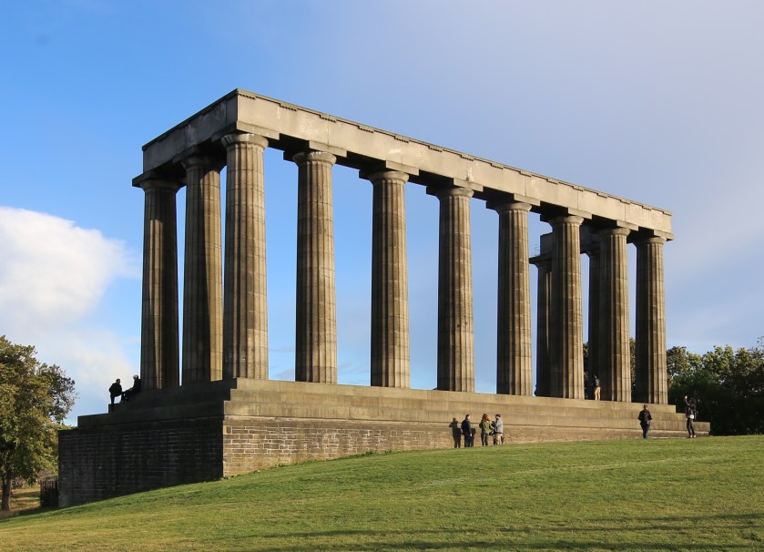
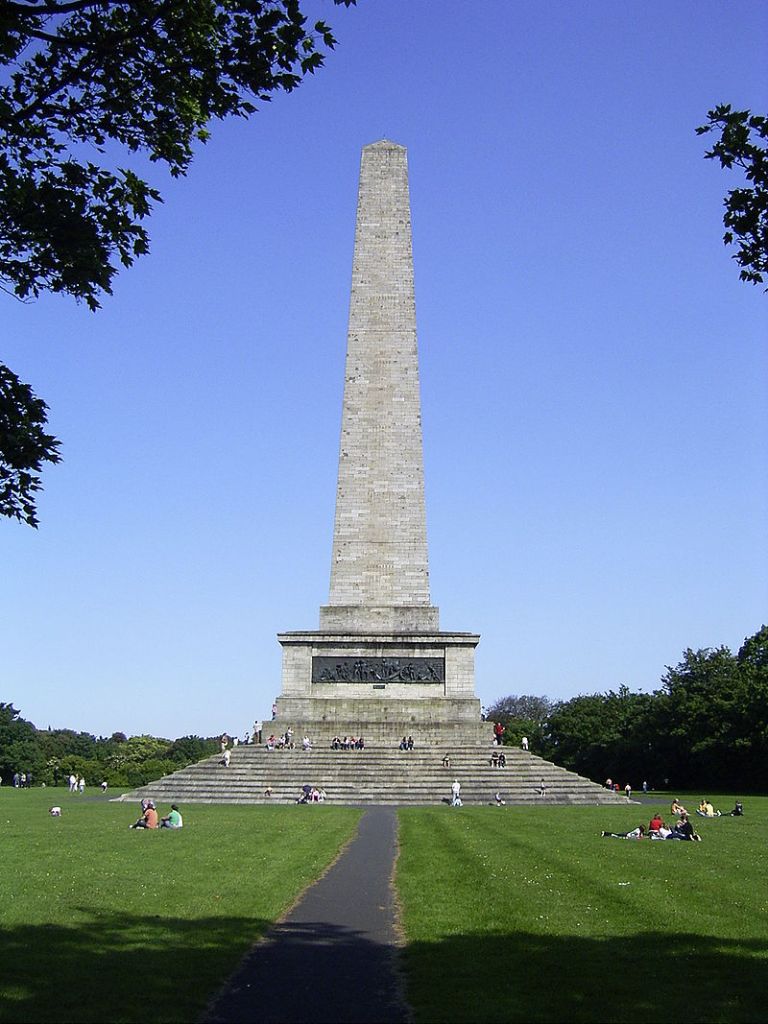
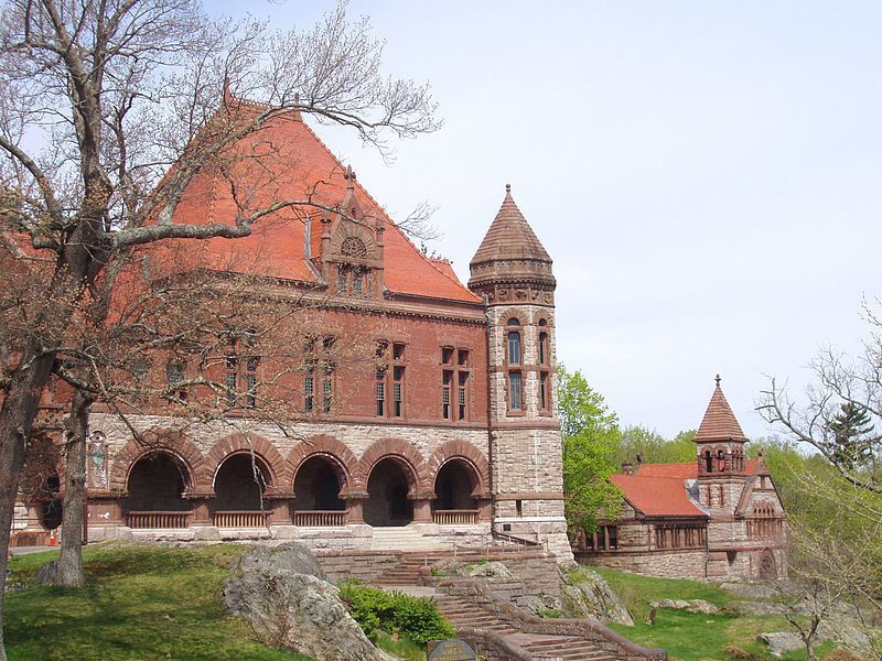
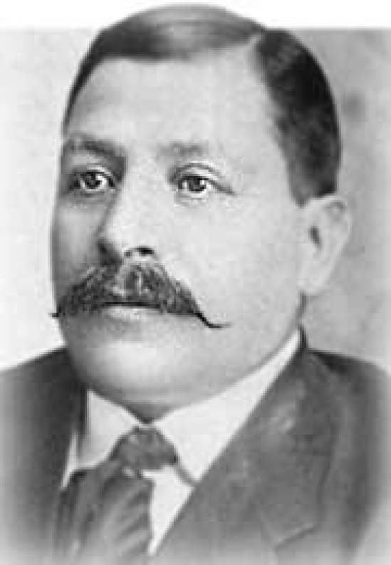
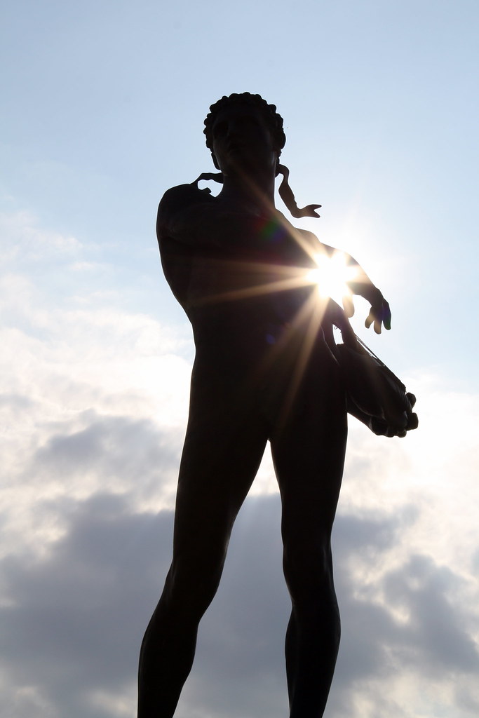
This is the statue of Orpheus playing the lyre called “Orpheus Walking” at Fort McHenry, said to be the winning design by Charles Niehaus in a national contest hosted by the Fine Arts Commission in 1916 to come up with a monument to commemorate the centennial of the writing of the “Star Spangled Banner” by Francis Scott Key. It was dedicated in 1922.
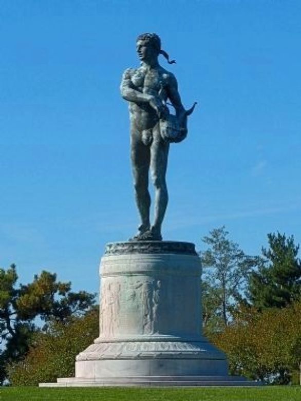
It is a 24-foot, or 7-meter, tall bronze statue. The marble base is 15-feet, or 5-meters, tall, making the whole edifice almost 40-feet, or 12-meters, tall.
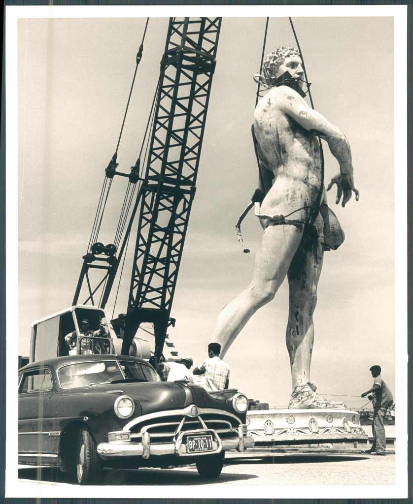
In 1962, we are told, officials decided that Orpheus needed to be moved because either a new road and parking lot were being added to the fort grounds, or so it “would be more effectively oriented toward other features at the fort.”
Apparently in order to accomplish this, the 15-ton, or 14-metric ton, bronze statue was moved by crane. Fifteen tons = 30,000 pounds, or 13,608 kilograms. Did that crane move this statue? I can’t answer that question, but leaving this picture here for your consideration as to whether or not that seems feasible.
Orpheus was a musician and poet in Ancient Greek legend, said to have had the ability to charm all living things, and even stones, with his music.

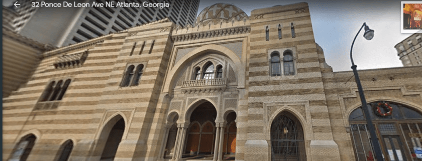
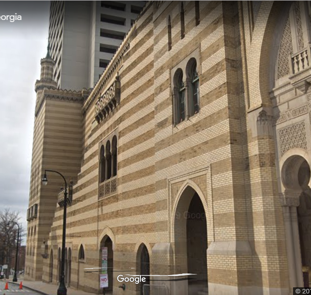
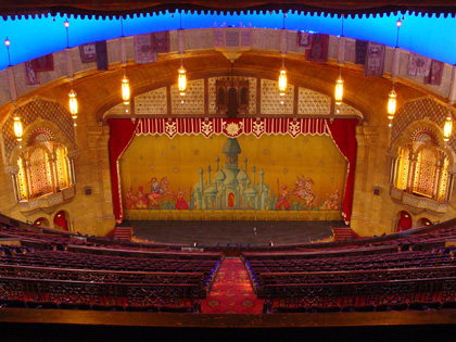
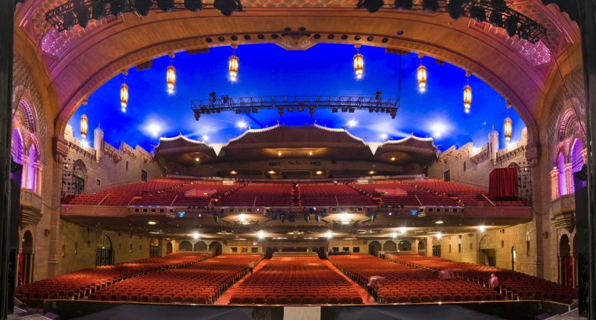
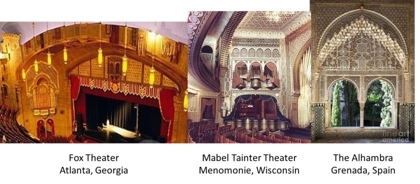
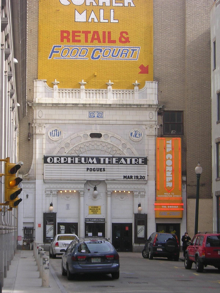
In the course of my research, I found numerous early theaters called “Orpheums,” like The Orpheum Theater in Los Angeles…

…the Orpheum Theater in Boston…
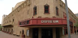
…and in Phoenix.
What, exactly, caused us to go to sleep, and forget who we are, and what we were? How has the false information we have been taught in school been reinforced?
Why would this be important to whoever was responsible for removing the ancient advanced civilization from our collective awareness to begin with?
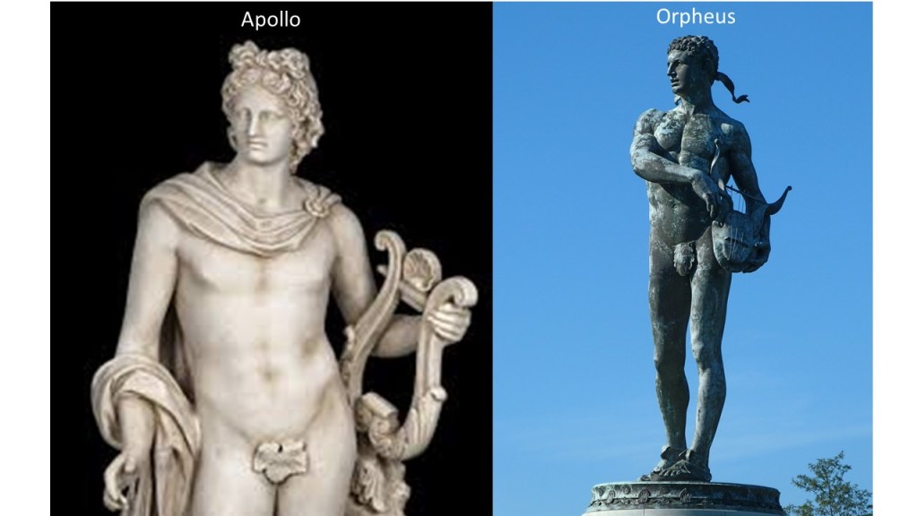
The statue of Orpheus, Master-Charmer, could also be a representation of Apollo, Orpheus’ teacher, and the Greek God of Light, Music & Dance, and Healing, among other things, who was also often depicted as naked, with a lyre and fig leaf.
Why is this noteworthy? There could have been a deliberate change of identity of this massive statue to facilitate a change from light and healing, to one of casting a spell on the population in order to control it. This is not as far out a notion as you might think. Much has been going on along these lines to this day that the general population has no knowledge of.
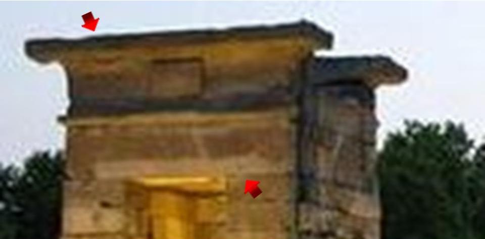
I selected this last photo of the massive statue at Fort McHenry because of the rays of the sun streaming through the arms. While it may be a random occurrence, I am coming across information that shows it well could have been intentional. More about this subject later in this post.
On to contests and competition in architecture, starting with this one from the 1600s in our historical narrative.
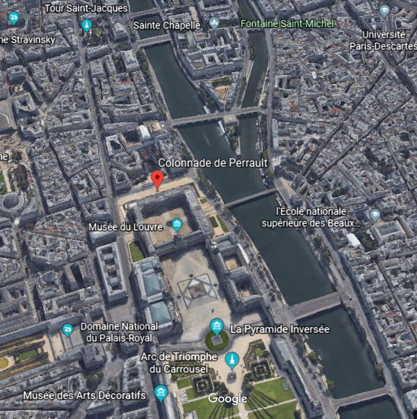
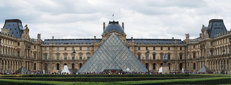
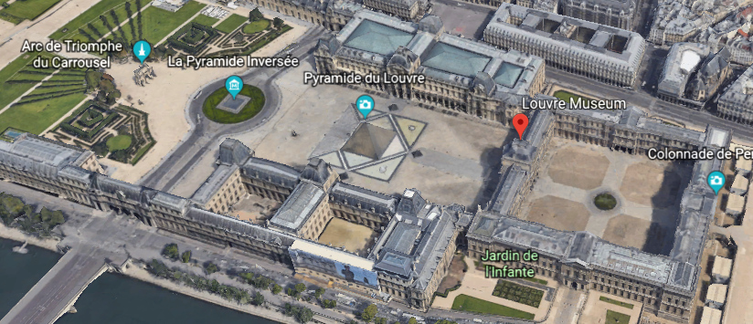
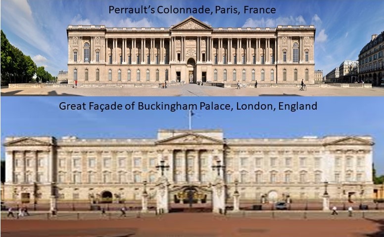
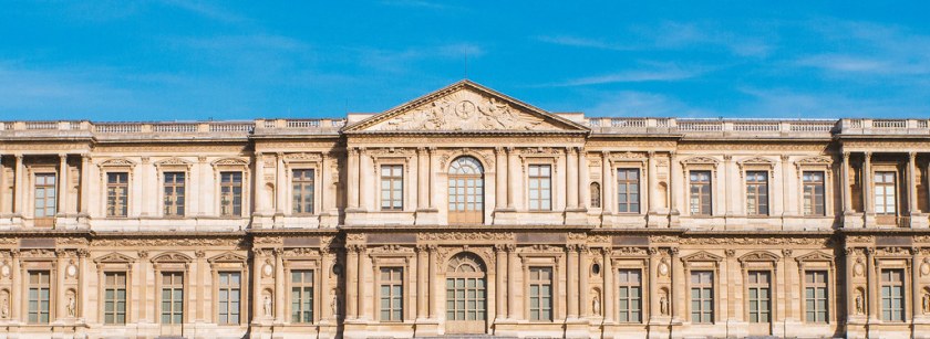
Claude Perrault was said to have won the competition held by Louis XIVth for a design for the eastern façade of the Louvre Palace, which he worked on from 1665 to 1680, and which established his reputation. The colonnade overlooking the Place du Louvre became widely celebrated, and was named in his honor.
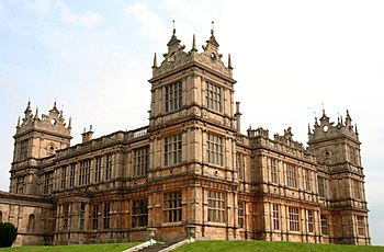
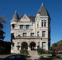
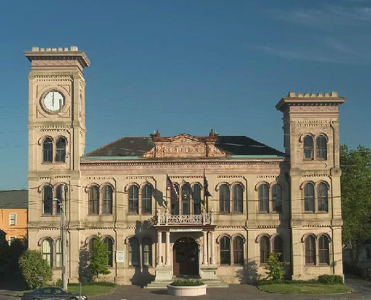
Here is the Leeds Town Hall in Leeds, England, one of the first examples I found in my research of the use of contests and competitions to explain how what we would consider relatively modern, monumental architecture came into being. It was said to have been completed in 1858, and opened by Queen Victoria.

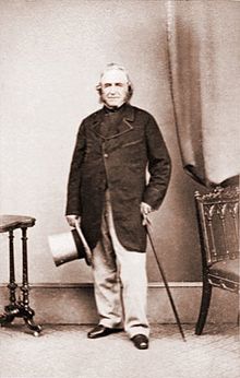
This gentleman, Cuthbert Brodrick, was given the credit for designing it, after winning a design competition for it, when he was 29-years-old, in 1852, and is considered his most famous architectural work.

Not bad for a young guy!
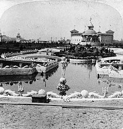
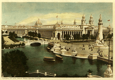
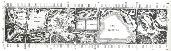
In New York City, Central Park was said to have been approved as an urban park project in 1853, and that there was a competition to select the designers.
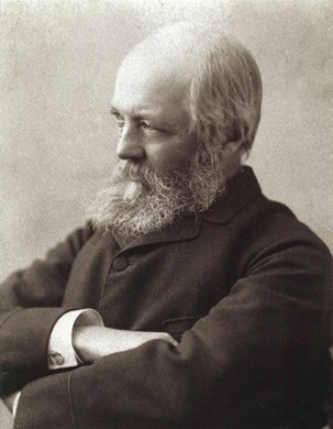
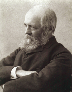
We are told landscape architects Calvert Vaux on the left, and Frederick Law Olmsted, on the right, won this competition in 1857…

…with what they called the Greensward Plan. Construction of the park was said to have begun that year, and the park’s first areas were open to the public in late 1858.
Interestingly, Frederick Law Olmsted was said to have been inexperienced before his work on Central Park. In his biography, it says he created the profession of landscape architecture by working in a dry goods store; taking a year-long voyage in the China trade; and by studying surveying, engineering, chemistry, and scientific farming. He was not a college graduate.
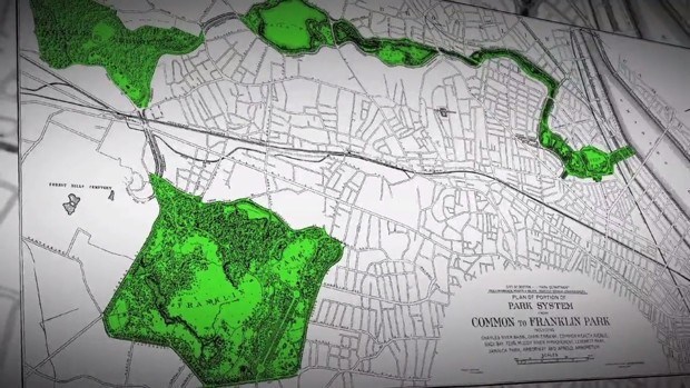
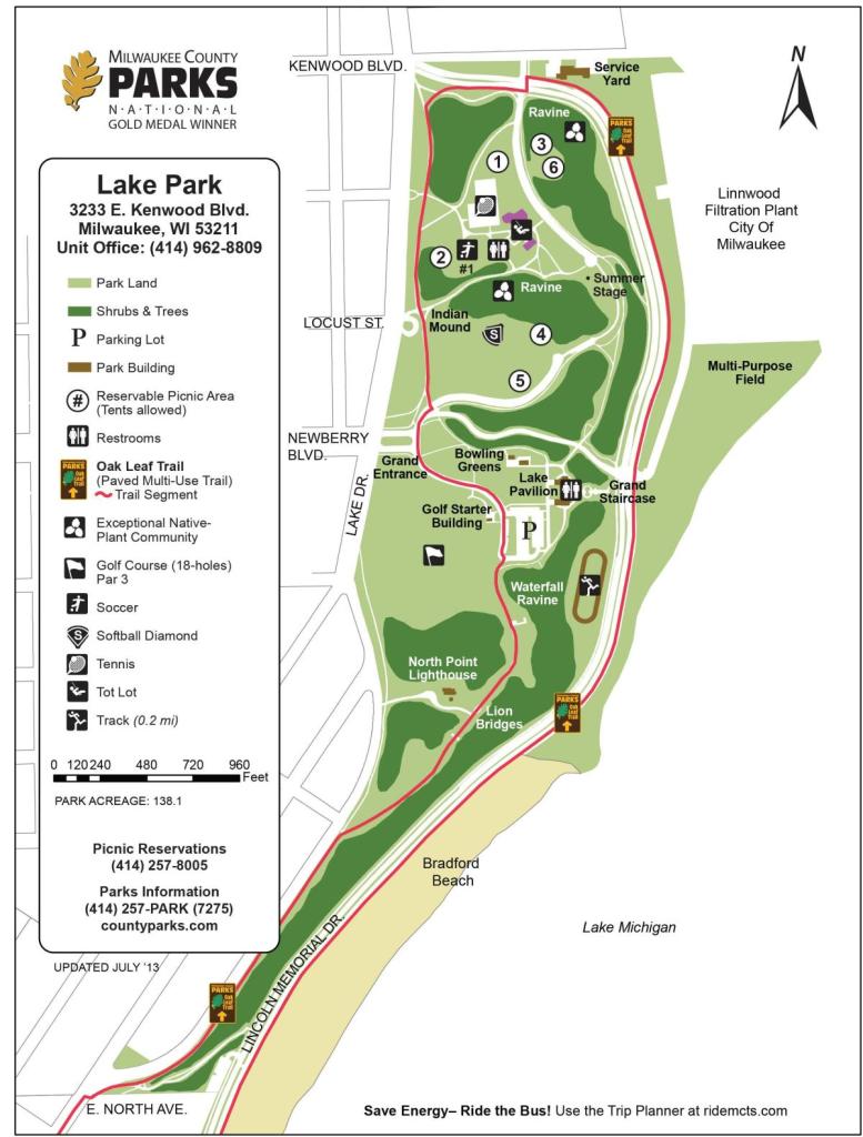
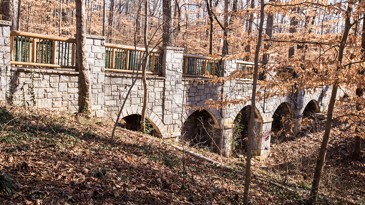
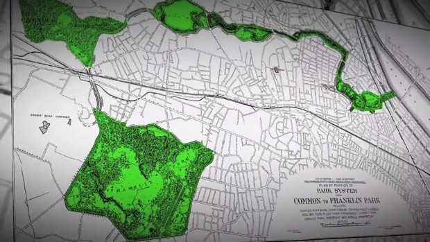
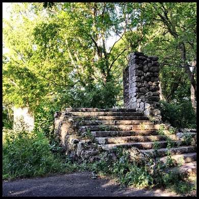
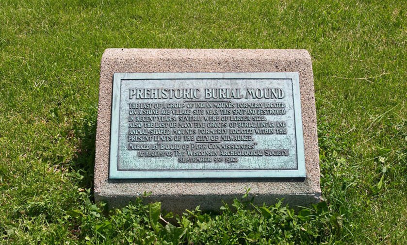
He was given the credit historically for the design of many other urban park systems, including ones in Atlanta, Boston, and Milwaukee to name just a few.

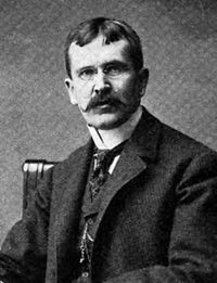
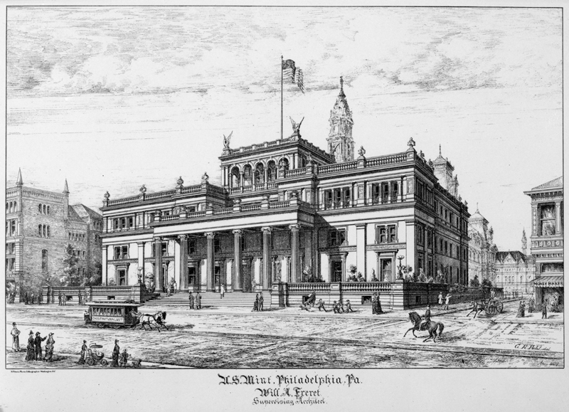
Next, James Knox Taylor was the Supervisory Architect of the United States Department of the Treasury between 1897 and 1912.
In 1893, a Congressional Bill was introduced, called the Tarnsey Act, and subsequently passed, that allowed the Treasury Department’s Supervisory Architect to hold competitions among private architects for major structures.
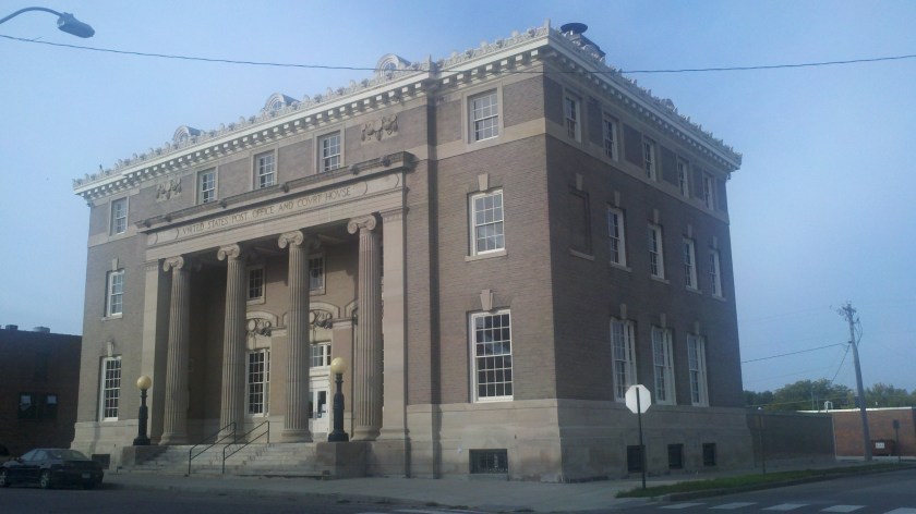
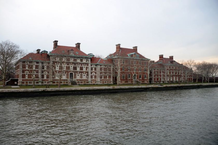
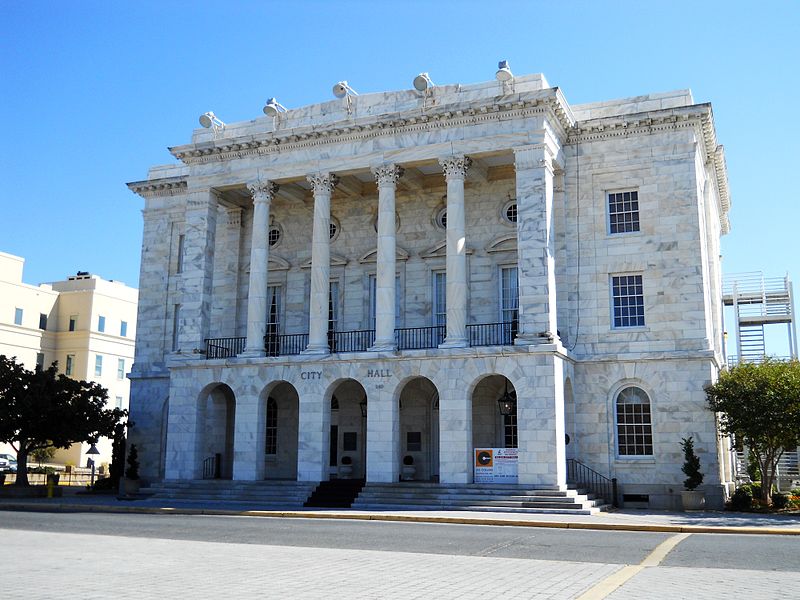
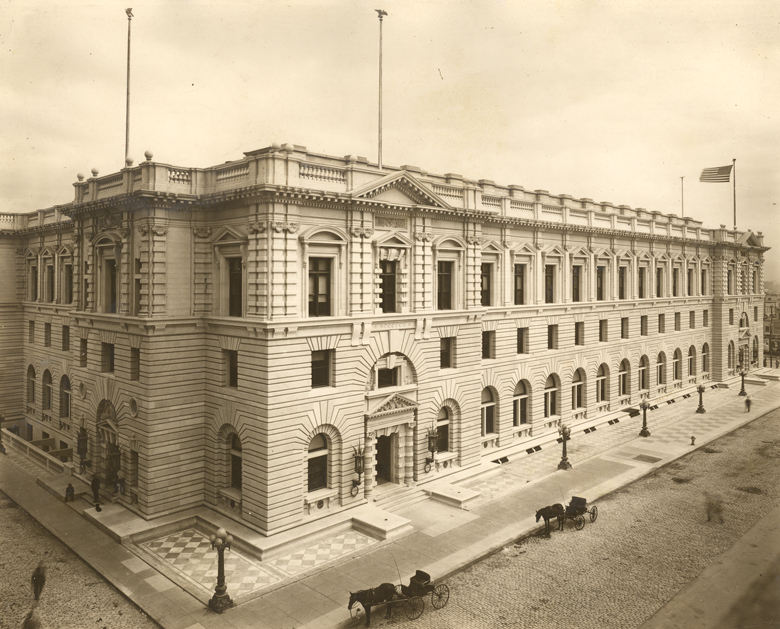
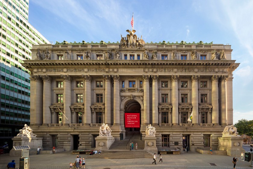
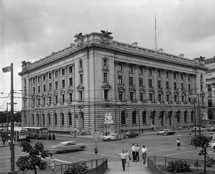
Competitions under Taylor’s supervision included the New York U. S. Custom House in Lower Manhattan, said to have been built between 1902 and 1907…
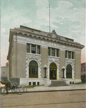
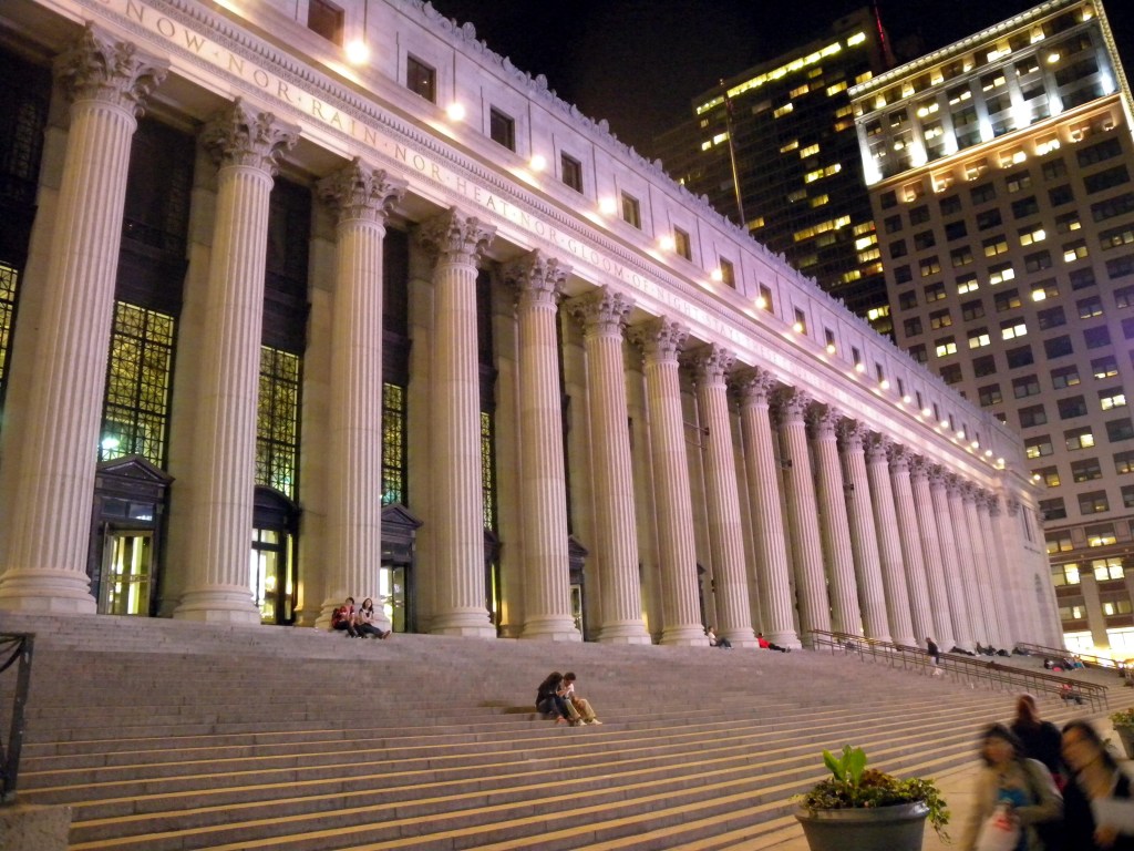
…the James Farley Post Office in New York City, said to have been built in 1912…
…the Old Cleveland Federal Building and Post Office, said to have been built in 1910…
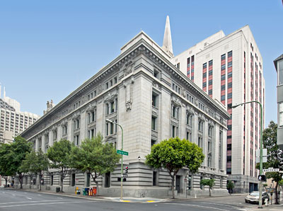
…and the U. S. Customhouse in San Francisco, opening in 1911.
The competitions allowed by the Tarnsey Act were said to have been met with enthusiasm by the community, but also marred by scandal, as when Taylor picked his ex-partner Cass Gilbert for the New York Customs House commission. The Tarnsey Act was repealed in 1913.
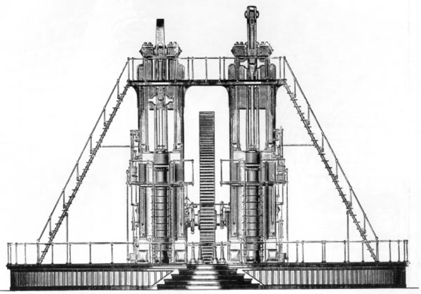
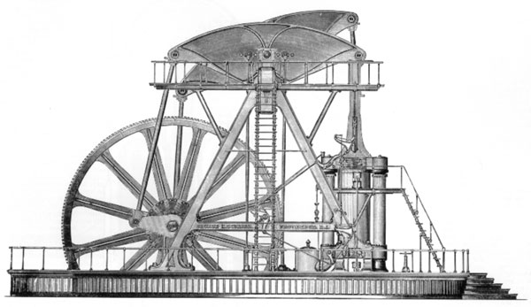
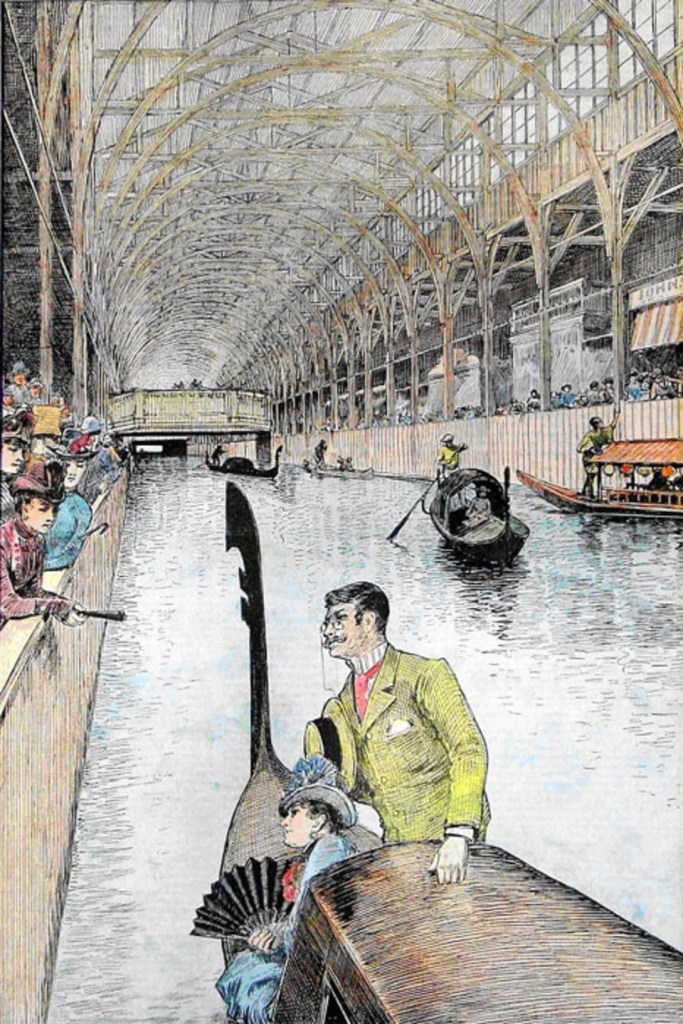
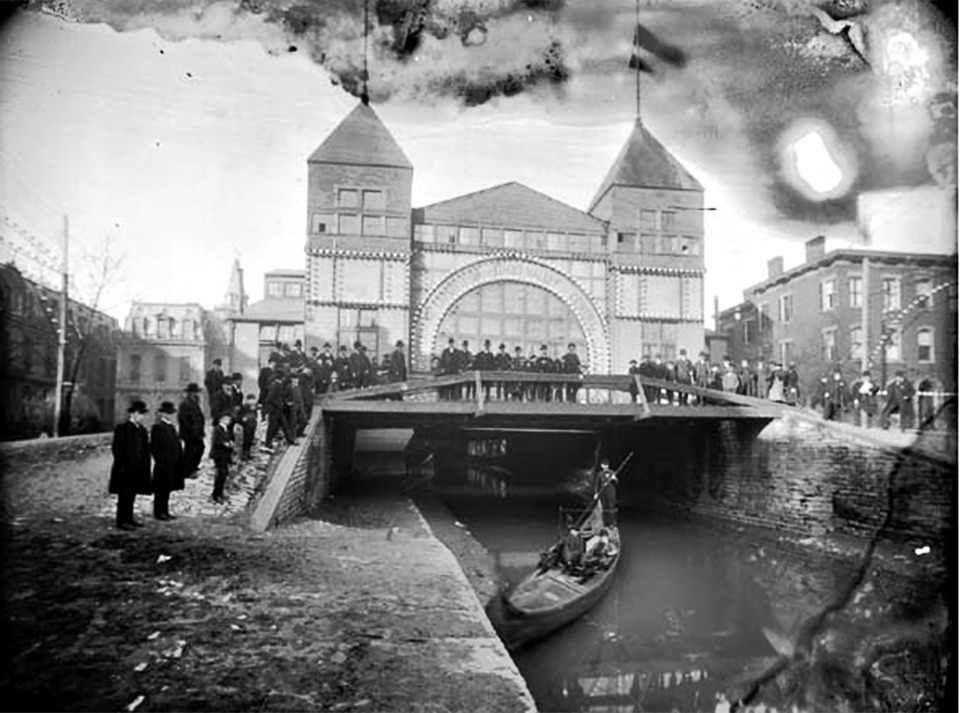
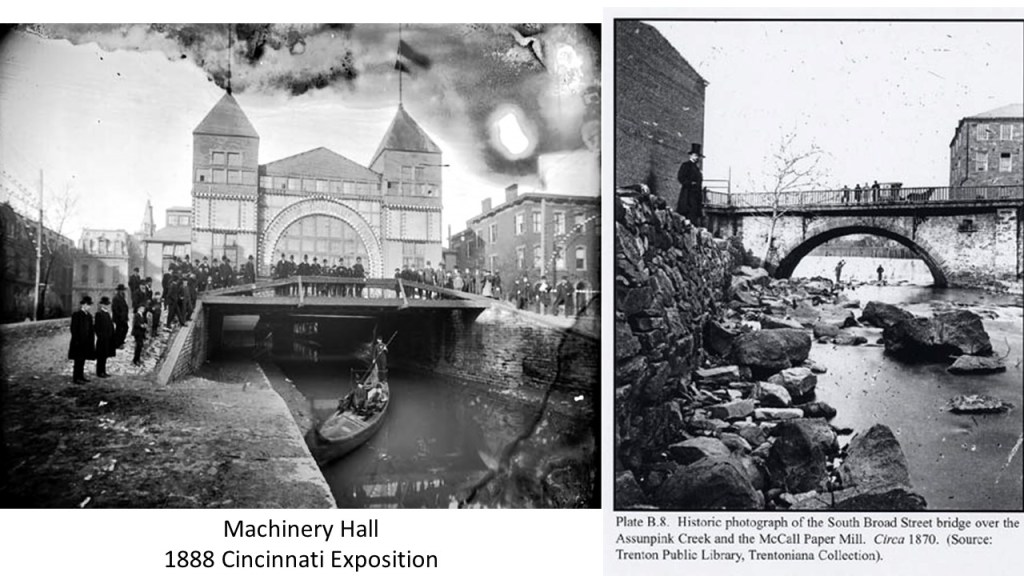
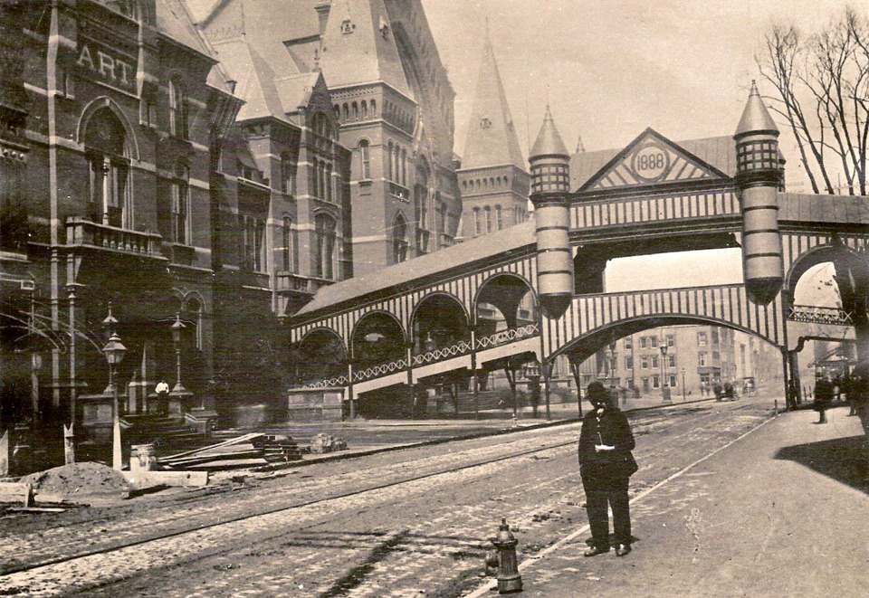
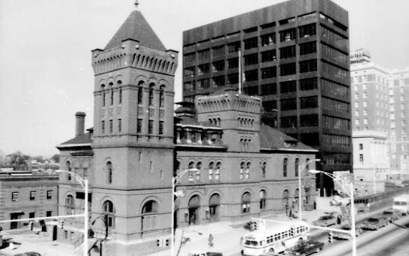
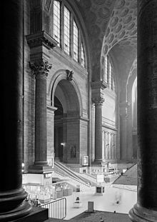
The old Pennsylvania Station in New York City was said to have been built in this same time period, and while the design of it was not said to be the product of a competition, it is interesting to note that it opened in 1910, and was demolished in 1963. So this big, beautiful building only got 53-years of use. Does this make any sense?
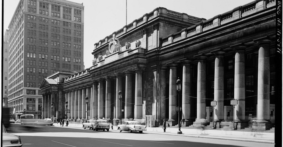
This was what the inside of Pennsylvania Station in New York looked like. The demolition of this incredible building was not an exception. This has been the fate of many grand old train stations, and grand old buildings in general.
There were other railway stations where their design was said to come about from competitions.
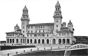
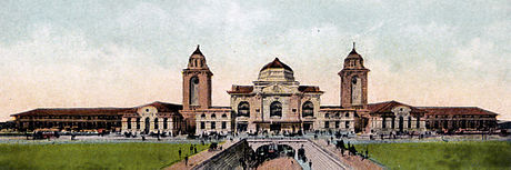
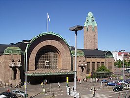
One example is the present-day Helsinki Central Railway Station, said to have come about as the result of a design contest in 1904. The winner of the design contest was Eliel Saarinen, and the new station he designed opened in 1919.
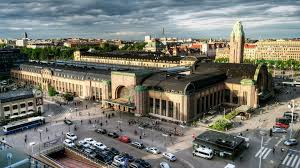
It serves as the hub for Finnish Transport, including buses, the underground metro station, and the Helsinki Tram Network.
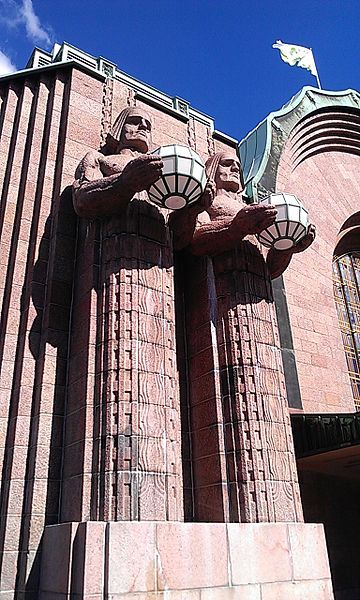
And I don’t know who these guys are supposed to represent – there are two pairs on either side of the main entrance – but they certainly look huge, interesting… and out-of-place!
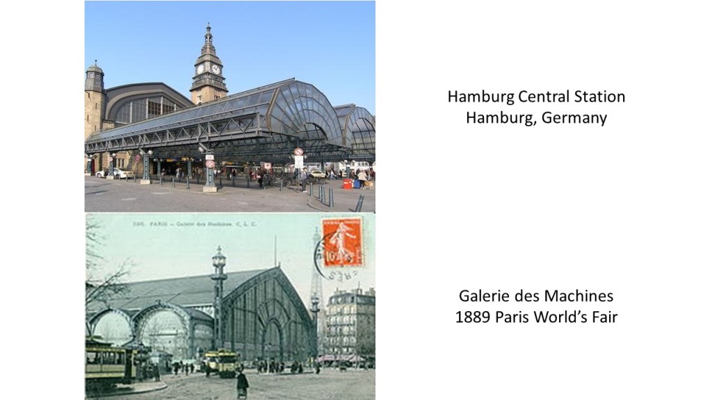
In Hamburg, Germany, it is interesting to note that the first railway line in Hamburg, between Hamburg and Bergedorf, was opened on May 5th, 1842, the exact same day as the “Great Fire” ruined most of the historic city center of Hamburg. This was the Bergedorf Station in Hamburg, used between 1842 and 1846.

When the decision was made to build a Central Station for all the rail-lines in Hamburg, a competition was arranged for architectural designs in 1900. It was said to have been built between 1902 and 1906, and designed by Heinrich Reinhardt and Georg Sussenhuth. It is a centrally-located transportation hub, including rapid mass transit networks, some underground.

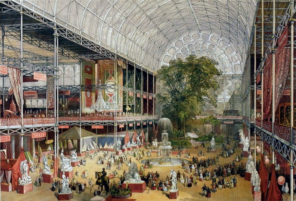
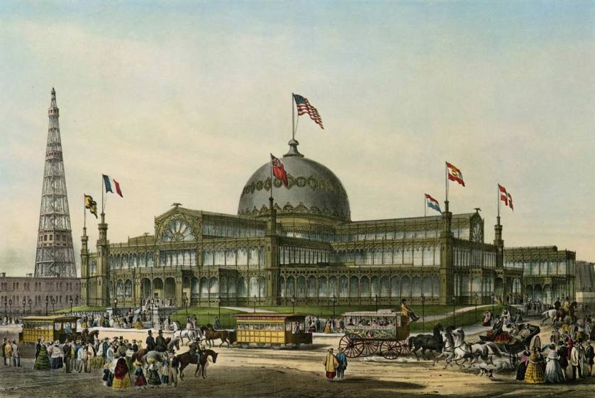
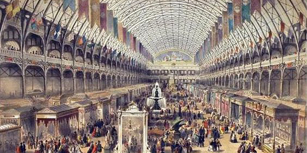
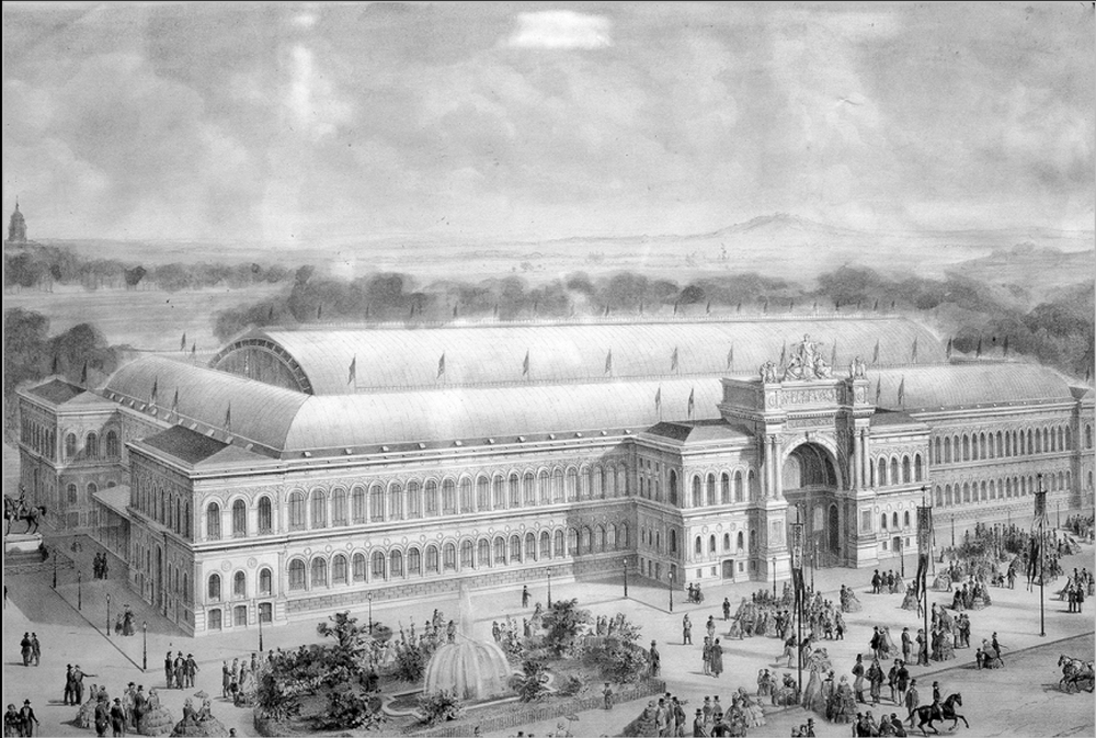
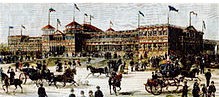
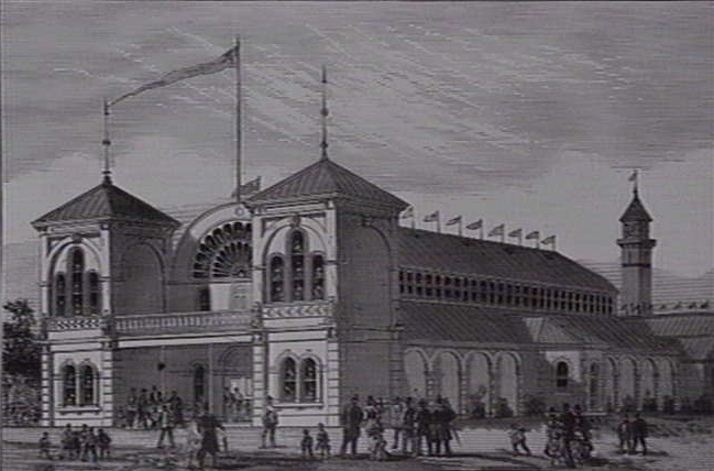
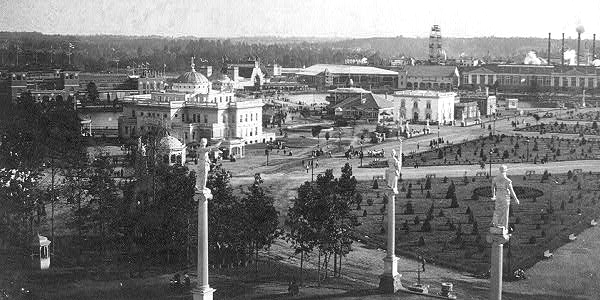
The design was said to have been based on the Galerie des Machines of the Paris World’s Fair in 1889.
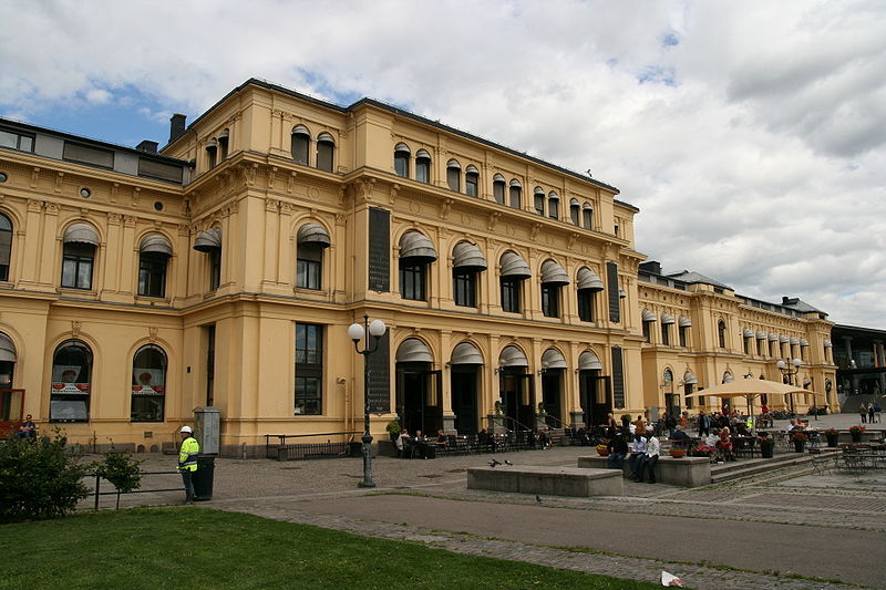
In Oslo, in 1852, an architectural competition was held for the design of the old Oslo Central Station. Long replaced, it is now a shopping mall, but still part of the current station.
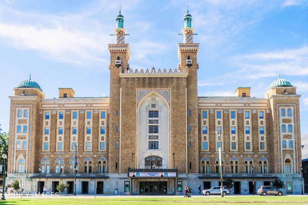
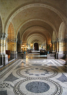
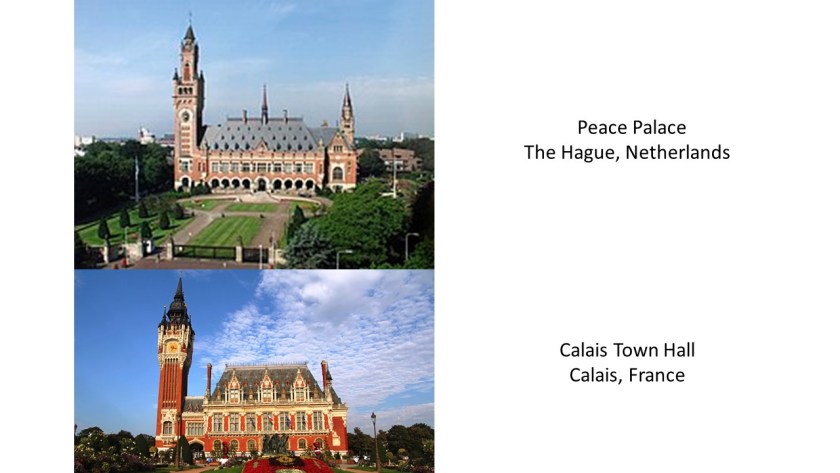
In The Hague, Netherlands, the Peace Palace, an international law administrative building that houses the International Court of Justice, was said to have been opened up to an international competition to find a suitable design. This is a view inside of the Peace Palace at The Hague.
Construction of the Peace Palace shown here on the top was said to have begun in 1907, and completed on July 28th, 1913 – one-year to the day before the beginning of World War I. I find it to look strikingly similar to the Town Hall of Calais, France, on the bottom, said to have been built between 1912 and 1925. A competition for the design of the Calais Town Hall was launched in 1887 we are told, but apparently the original project was abandoned due to its cost.
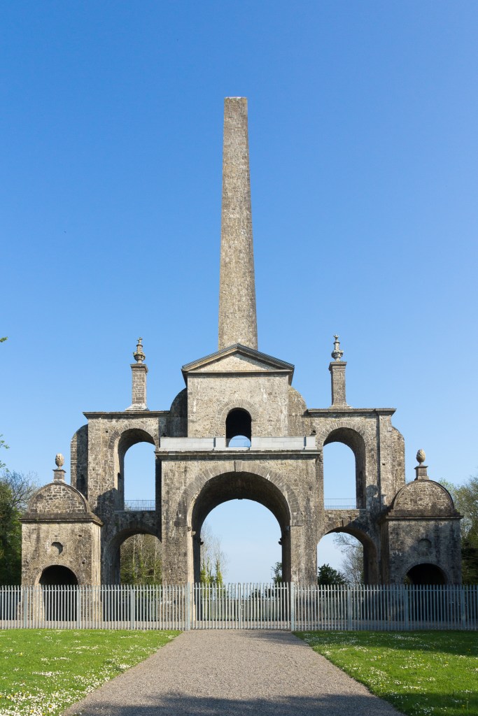
I can find more examples of contests and competitions, but let’s move on to the topic of gifts as a mechanism for the cover-up of the missing Advanced Civilization.
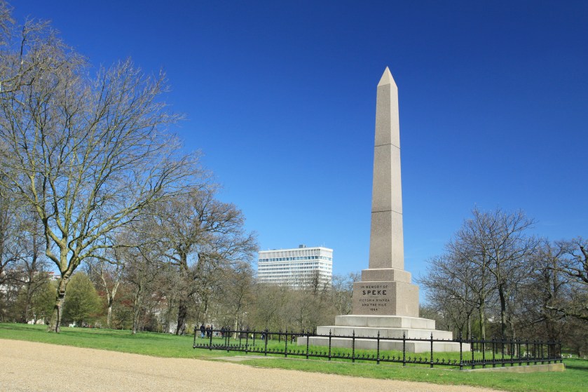
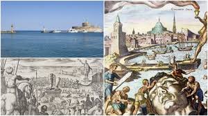
This is Cleopatra’s Needle in London. It is said to weigh 240 tons, or 480,000 lbs. In metric terms that would be 218 metric tons, or 218,000, kilograms.
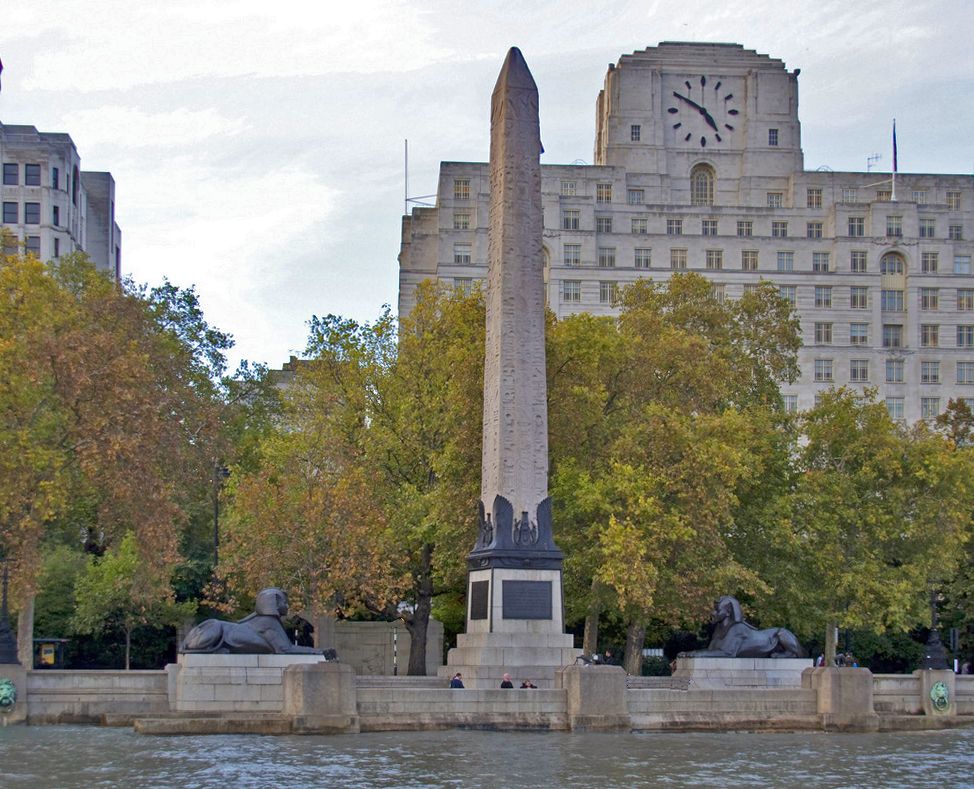
It was said to have been given to the government of the United Kingdom in 1819 by the ruler of Egypt and Sudan, Muhammad Ali, to commemorate the British victories over the French in the Battle of the Nile (1798) and the Battle of Alexandria (1801).
We are told the gift was initially declined because expense of shipping it to England.
In 1877, one version of the story about how it got here says that Sir William James Erasmus Wilson, a distinguished anatomist, paid 10,000 pounds for the shipping of it…

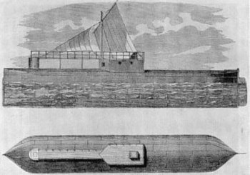
…and I found another version of the story saying the British public raised 15,000 pounds to have it shipped in 1877. At any rate, however it was said to have gotten there, we are told it was dug out of the sand where it had been buried for 2,000 years, and a shipping container was made for it specifically – a 92-foot (28-meter) long and 16-foot wide (4.9-meter) iron cylinder which was pulled by tugboat.
It eventually made its way to London where it was re-erected on the banks of the River Thames.
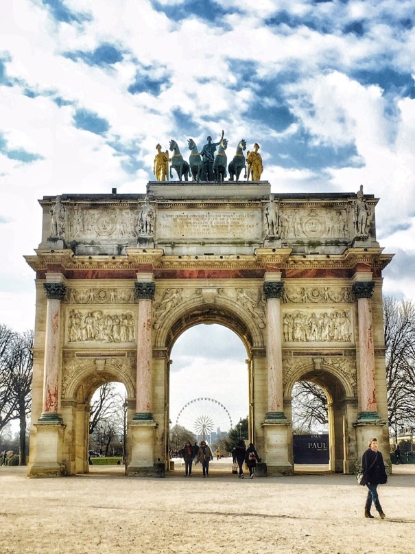
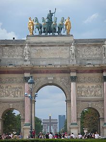
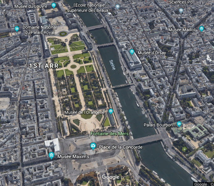
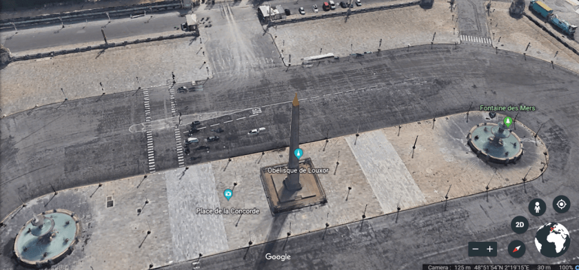
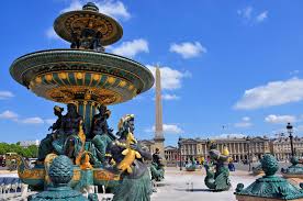
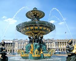
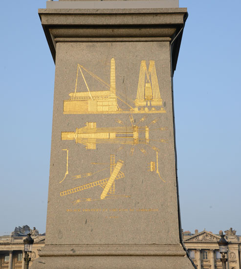
This is the Place de la Concorde, in the center of Paris, with its centerpiece obelisk, the Parisian Cleopatra’s needle. It was said to have marked the entrance of the Luxor Temple, and given to France by Muhammad Ali, the ruler of Egypt and Sudan, in 1828.
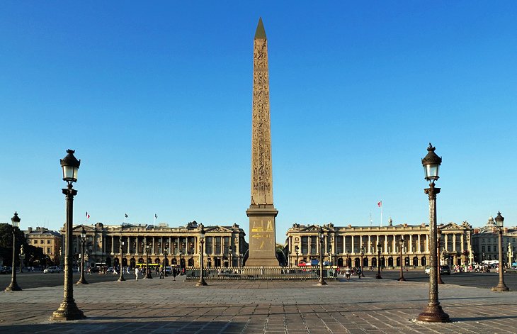
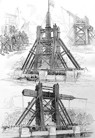
It was said to have been transported to the Place de la Concorde in 1833, and placed near the spot where King Louis XVI and Marie Antoinette were guillotined in 1793. We are told on the pedestal there are diagrams explaining the machinery used for its transportation. Keep in mind, we are told the obelisk weighs over 250 tons.
Muhammad Ali of Egypt gave away a third obelisk to the United States in 1879 for remaining a friendly neutral, as the European powers Britain and France maneuvred to gain political control of the Egyptian government.
Say What? After the Egyptian ruler had just given obelisks to the same two countries trying to control Egypt?

At any rate, the third obelisk nicknamed “Cleopatra’s Needle” is located in Central Park behind the Metropolitan Museum of Art in the Greywacke Knoll.
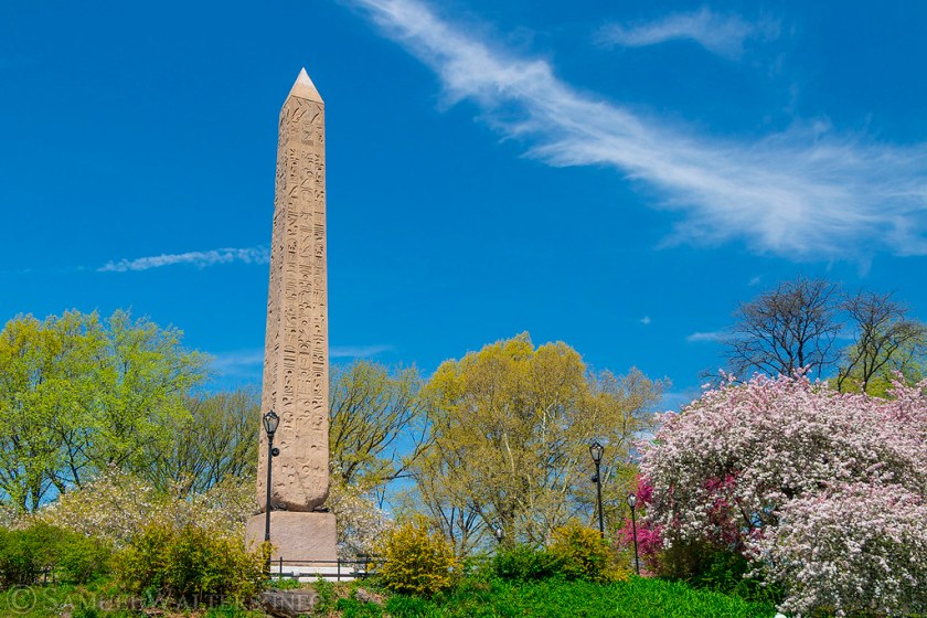
The 71-foot, or 22-meter, and 244-ton, or 221 metric ton, obelisk was said to have been shipped from Egypt to Upper New York Harbor, and that it took 112-days, or almost 4 months, to move the obelisk from the banks of the Hudson River to its present location.
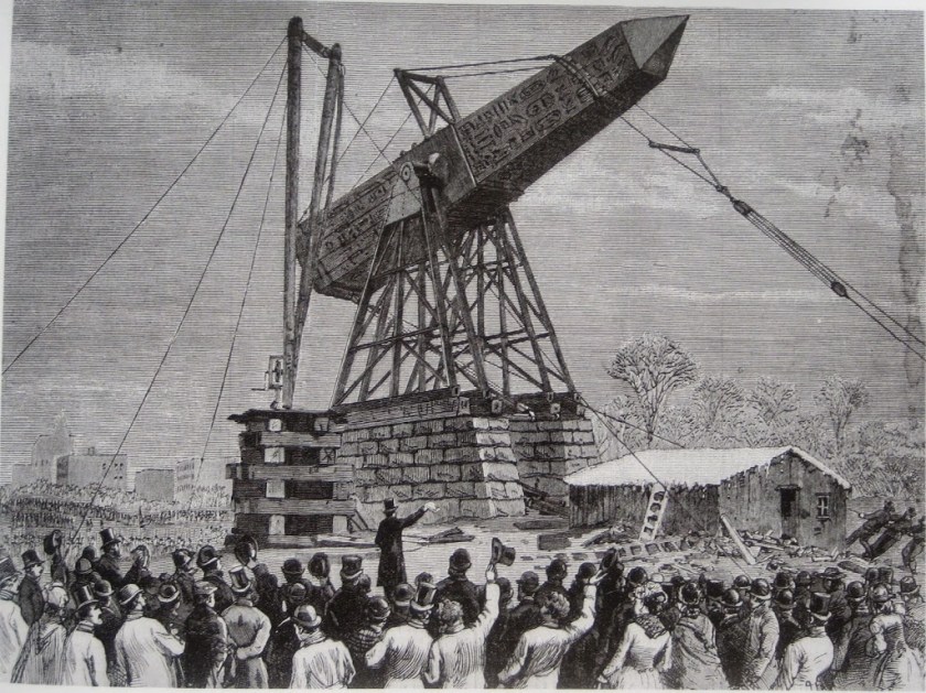
The mode of transportation to get it to Central Park was described as laborers inching the obelisk on parallel beams aided by roll-boxes and a pile-driver engine.
What is harder to believe – obelisks weighing over 200 tons could be shipped via ocean transport to other countries, or, that they were already there?
In another example of this explanation, Egypt was said to give Spain an ancient Egyptian temple, called the Temple of Debod, for Spain’s help in saving it when it was dismantled at Abu Simbel before the construction of the Aswan High Dam.
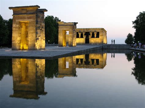
It was shipped to Spain, and rebuilt in Parque del Oeste in Madrid, Spain, supposedly between 1970 and 1972 at the tail end of the Franco’s rule in Spain.
I am just wondering how a megalithic temple complex like this could have been transported. Those stones would be heavy. Arrows are pointing to what appears to be single-block stones.
So let’s take a look at the most famous gift of them all – the Statue of Liberty.
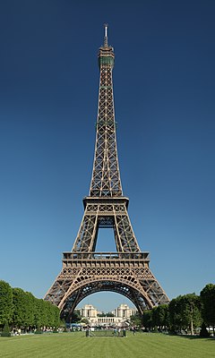
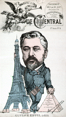
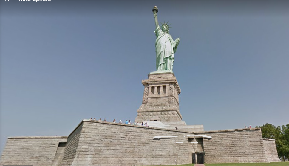
We are told the Statue of Liberty was a gift from the people of France to the people of the United States, and that it was designed by French Sculptor Frederic Auguste Bartholdi and its metal framework built by Gustave Eiffel. It was dedicated on October 28th, 1886. She is said to be a figure of Libertas, a Roman goddess and the personification of liberty.
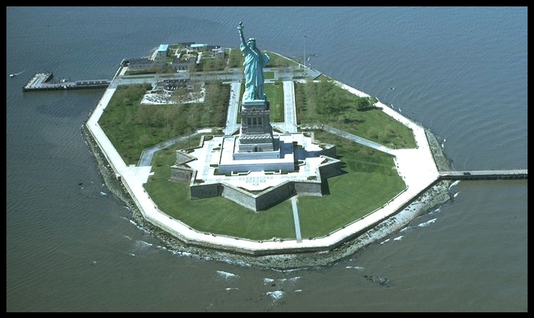
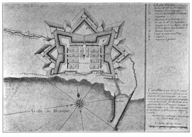
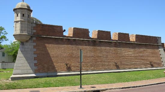
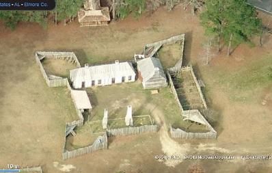
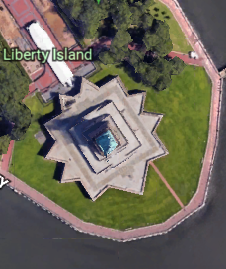
The Statue and its pedestal are situated on top of Fort Wood on Liberty Island, an eleven-pointed star fort said to have been built between 1806 and 1811.
The 89-foot, or 27-meter, high pedestal was said to have been designed by Richard Morris Hunt in 1881, and completed in 1886 in time to receive the Statue of Liberty.
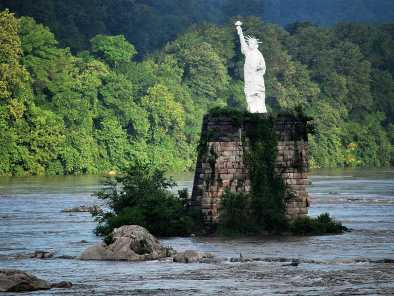
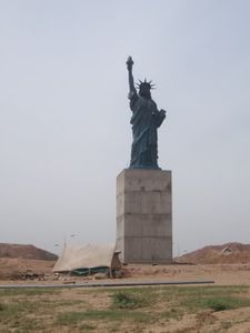
Besides several what are called replicas of the Statue of Liberty in the United States, like the oddly located Statue of Liberty in the Dauphin Narrows of the Susquehanna River in Pennsylvania…
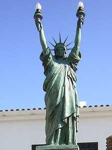
…and this one in Oklahoma City, Oklahoma…
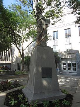
…there are so-called replicas in 29 other countries. This is the Statue of Liberty in Paris…

…the Statue of Liberty at the Liberty Hotel in Pristina, Kosovo…

…the Statue of Liberty at Cadaques in Spain…
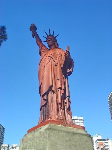
…in Buenos Aires, Argentina…
…and even two in the country of Pakistan, including this one in Bahria…
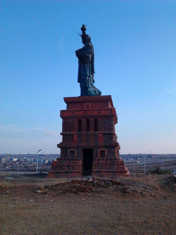
…and this one in Islamabad. This is to name just a few of the Statues of Liberty found around the world.
Are they replicas…or do they represent something else entirely?
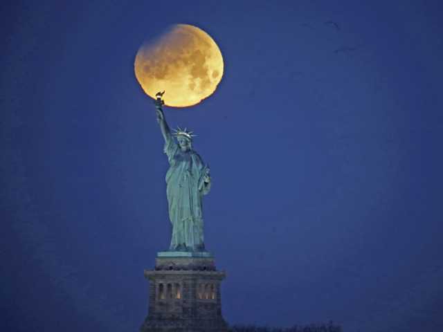
Not only that, but apparently the Statue of Liberty in New York Harbor has a solstice alignment. This photo was taken on June 21st, 2016…
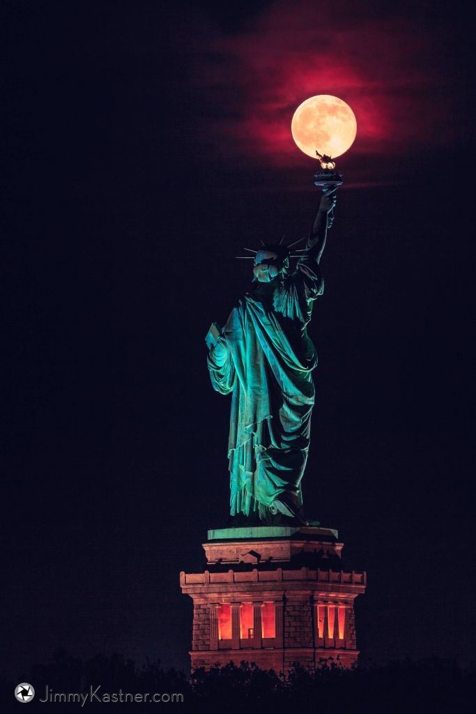
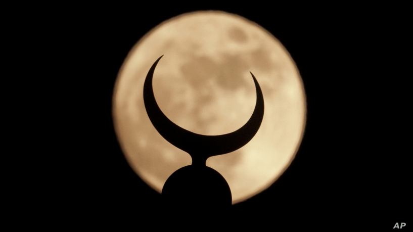
…and this photo of the Statue of Liberty in alignment with a full moon was taken on July 31st, 2018.
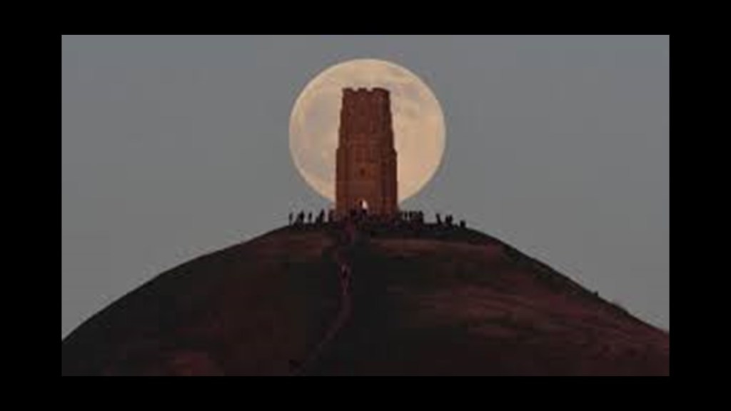
The Ancient Builders of Glastonbury Tor achieved both solar alignments, like on the solstices…

…and lunar alignments as well.
This is ancient Angkor Wat in Cambodia, the location of a perfect alignment with the sun and central tower every year at the solstice.

What is interesting to me is that I am finding astronomical alignments with what would be considered more modern infrastructure, like the Empire State Building…
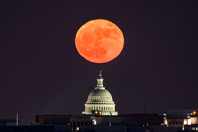
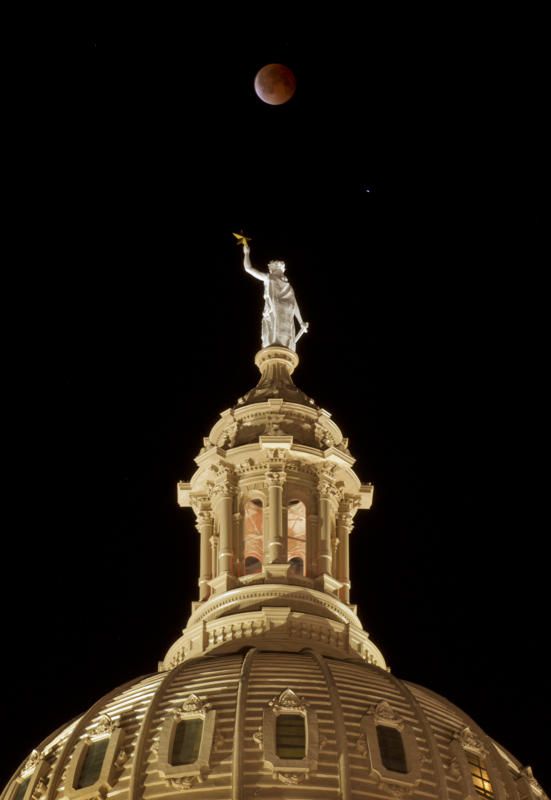
…the U. S. Capitol Building…
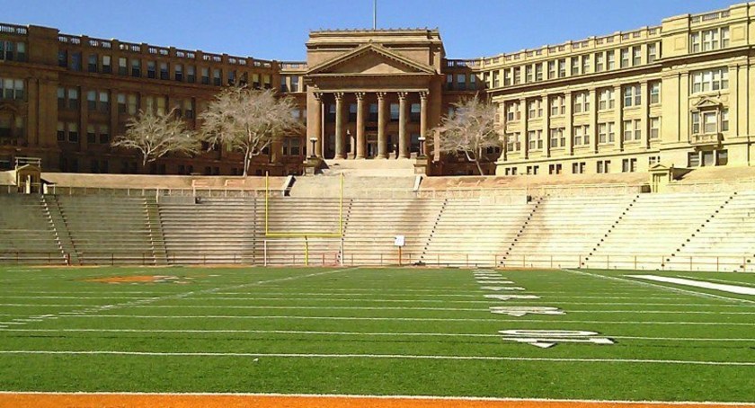
…the Texas State Capitol Building in Austin, Texas…
…and the Faisal Mosque in Islamabad, Pakistan.
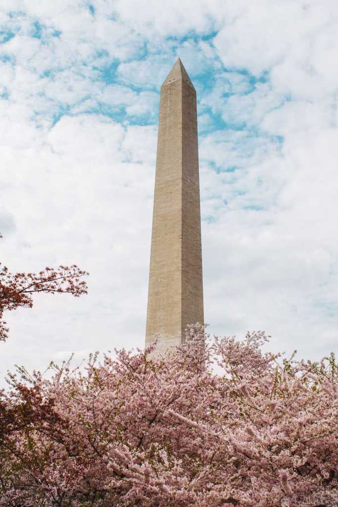
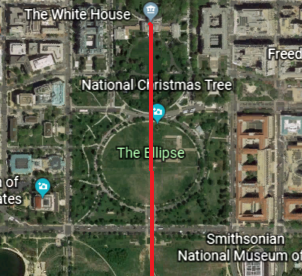
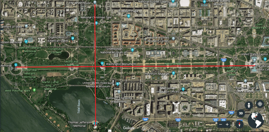
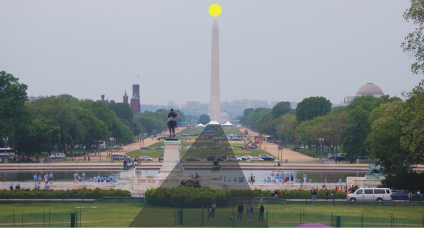
I am also finding alignments with obelisks as well, like what happens with the sun on the Washington Monument every year on September 17th…
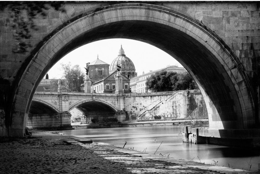
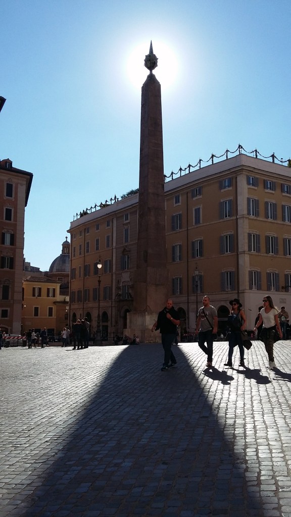
…and with the Montecitorio Obelisk in Rome, among others.
I believe these solar and lunar effects were created by the Ancient Master Builders of the Ancient Advanced Civilization that is missing from our collective awareness, and that aligned Heaven and Earth worldwide.
The historical narrative we are given to explain it does not match the monumental and precise nature of what is found on close inspection. It is not random, haphazard, or of poor quality as we have been led to believe.
My next post is going to be about “My take on the Mud Flood & Historical Reset Timeline.”