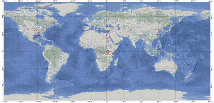
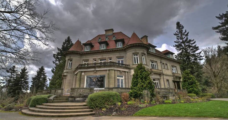
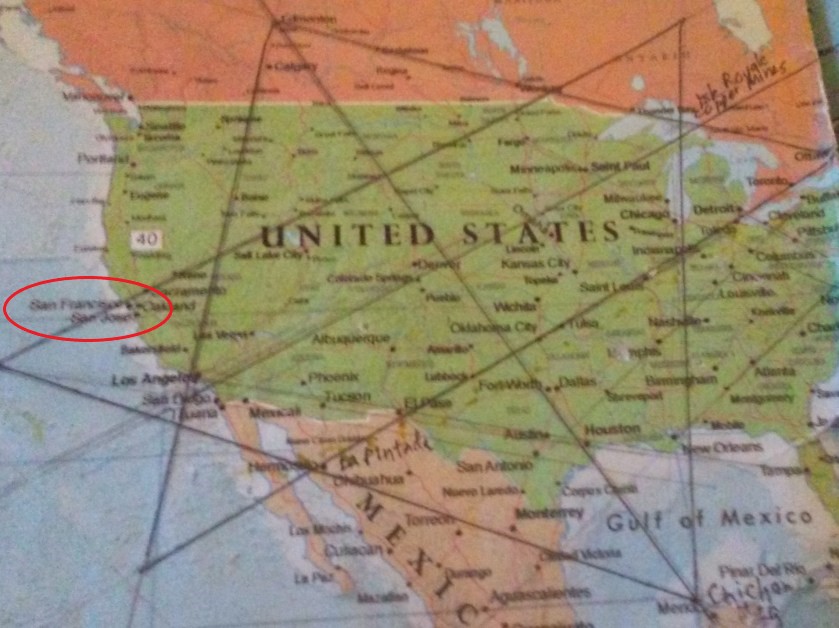
This new series will be about cities I found around the world in long-distance alignment with each other, starting from San Francisco.
I came into this level of awareness about the physical planetary grid system after I found a star tetrahedron by connecting cities in North America that lined-up in lines.
I believe this is the terminus of the planetary grid system, and that everything about the advanced ancient civilization was based on sacred geometry, including how all of the physical infrastructure on the earth was laid out.
Once I found the star tetrahedron, I extended the lines out. I used a magnifying glass and wrote down the cities that lined up in linear and circular fashion. And I got an amazing tour of the world of places I had never heard of with remarkable similarities across countries.
Sacred Geometry is a language of geometric patterns that spans all cultures, timelines, and species on earth, and beyond. It is the foundation of everything in existence when broken down to the smallest parts.
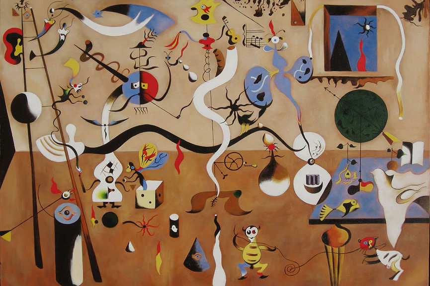
This is the Flower of Life pattern upon which it is based.
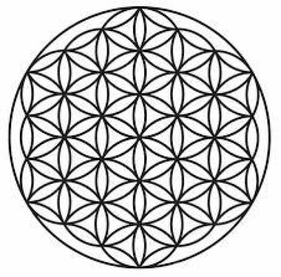
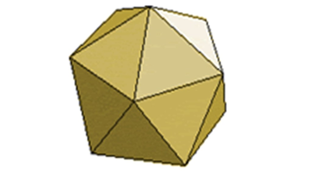
It is the creation pattern of the Universe, and when you connect the centers of each circle, you find all the sacred geometric shapes are contained within it, including, but not limited to, the star tetrahedron…
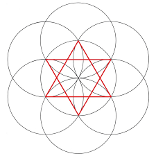
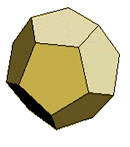
…which is one of the five Platonic Solids, all of which are contained within the Flower of Life. The five shapes shown here are within the Fruit of Life, also known as Metatron’s Cube, in the Flower of Life pattern.
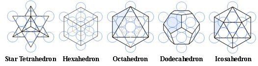
Named after the Greek philosopher Plato, each one of the Platonic Solids are a polyhedron, which is a solid with flat faces; each face is of the same size and shape; and all are convex polyhedrons, meaning having many finite points, but not all in the same plane.
They are also associated with the five elements:
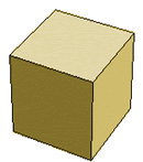
The hexahedron, or cube, is associated with earth…
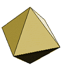
…the octahedron is associated with air…
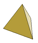
…the tetrahedron is associated with fire…
…the icosahedron is associated with water…
…and the dodecahedron is associated with ether, and the Universe.
The fifth element has been removed from our education, so we only learn about the first four – earth, air, fire, and water.
The original ancient, advanced Moorish civilization was concerned with applying sacred geometry in creating infrastructure and communities in harmony, balance, beauty, and Unity with each other and the Universe.

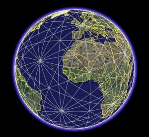
So think of the earth with the Flower of Life superimposed on it…
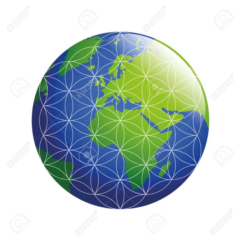
…and the leylines representing the sacred geometric shapes that are contained with the flower of life when the lines are connected to the centers of the circles.
My intuitive understanding of sacred geometry, which I first learned about starting in 2007, is what has guided me in uncovering the information I am bringing forward, and in finding the alignment that I am going to focus on in this post.
There are many kinds of alignments, all connected to each other, so what I am going to share is one of many possible alignments emanating off of the same place.
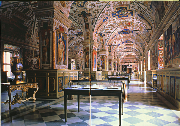
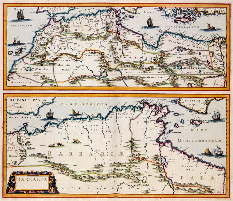
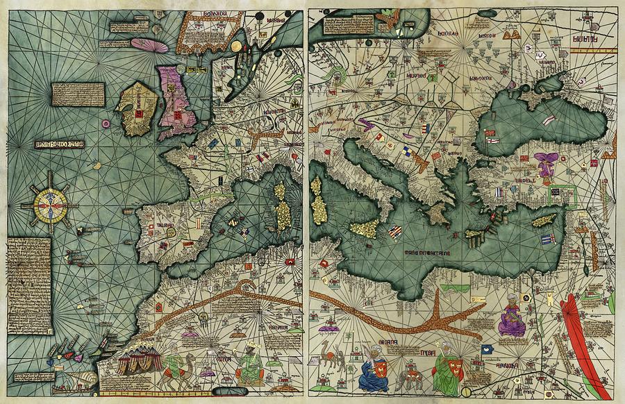
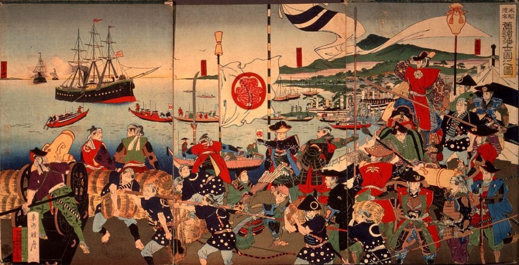
Before I begin, once upon a time, before knowledge of sacred geometry and the existence of the planetary grid system was removed from the collective awareness, the maps that were made included these alignments, like the 1375 Catalan Atlas, a product of the Majorcan Cartographic School that flourished in Majorca in the 13th-, 14th-, and 15th-centuries.
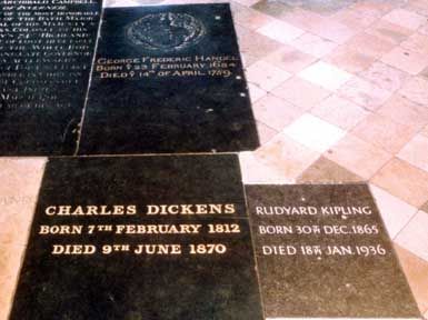
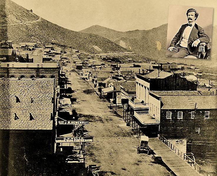
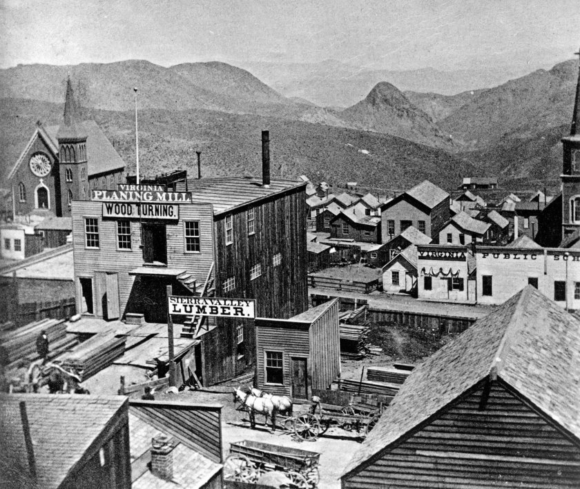
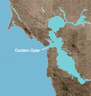
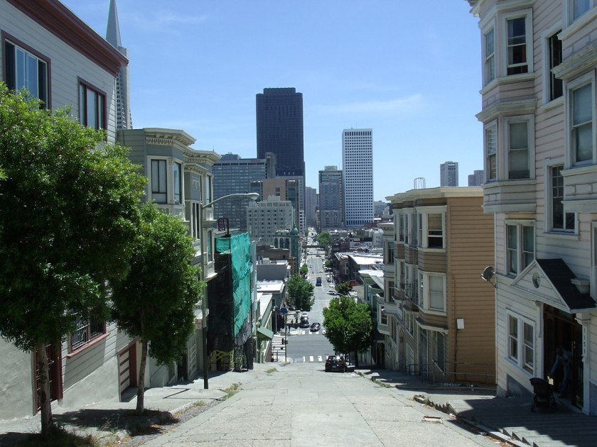
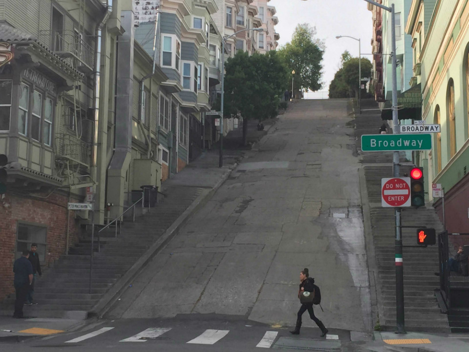
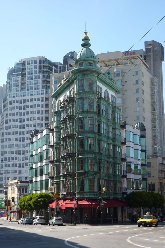
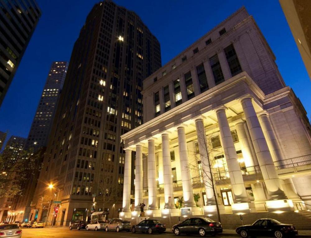
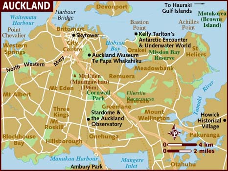
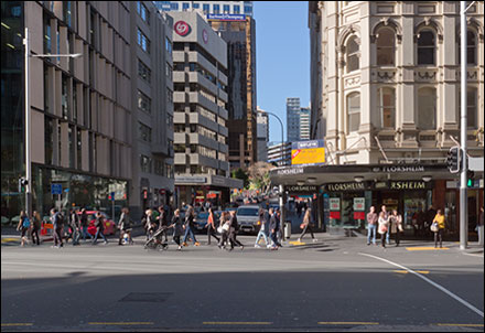
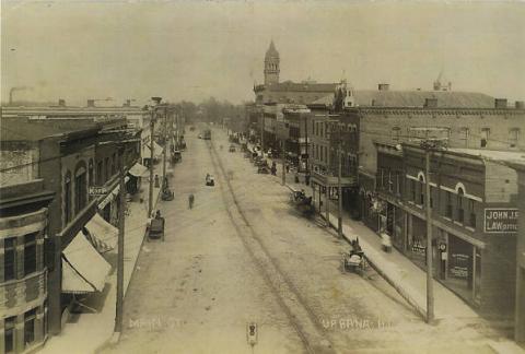
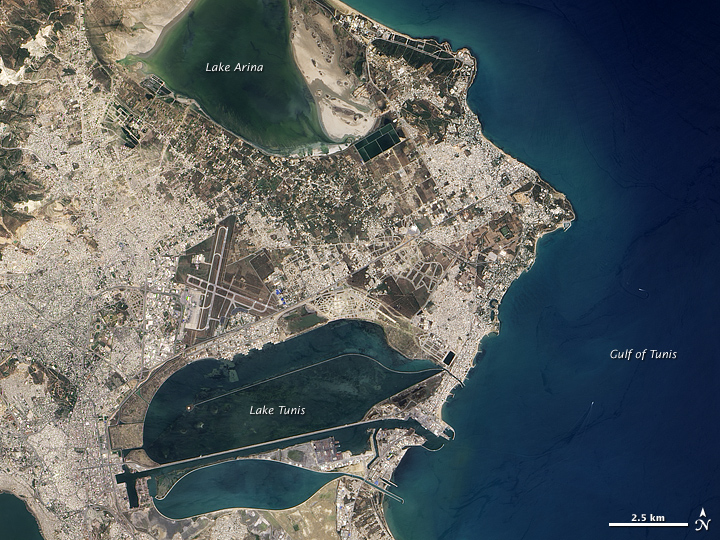
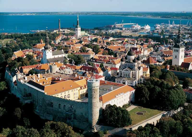
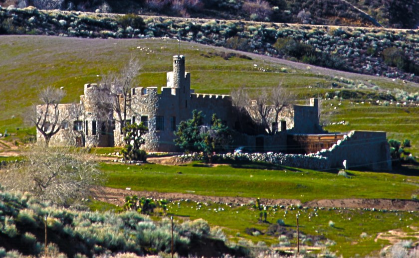
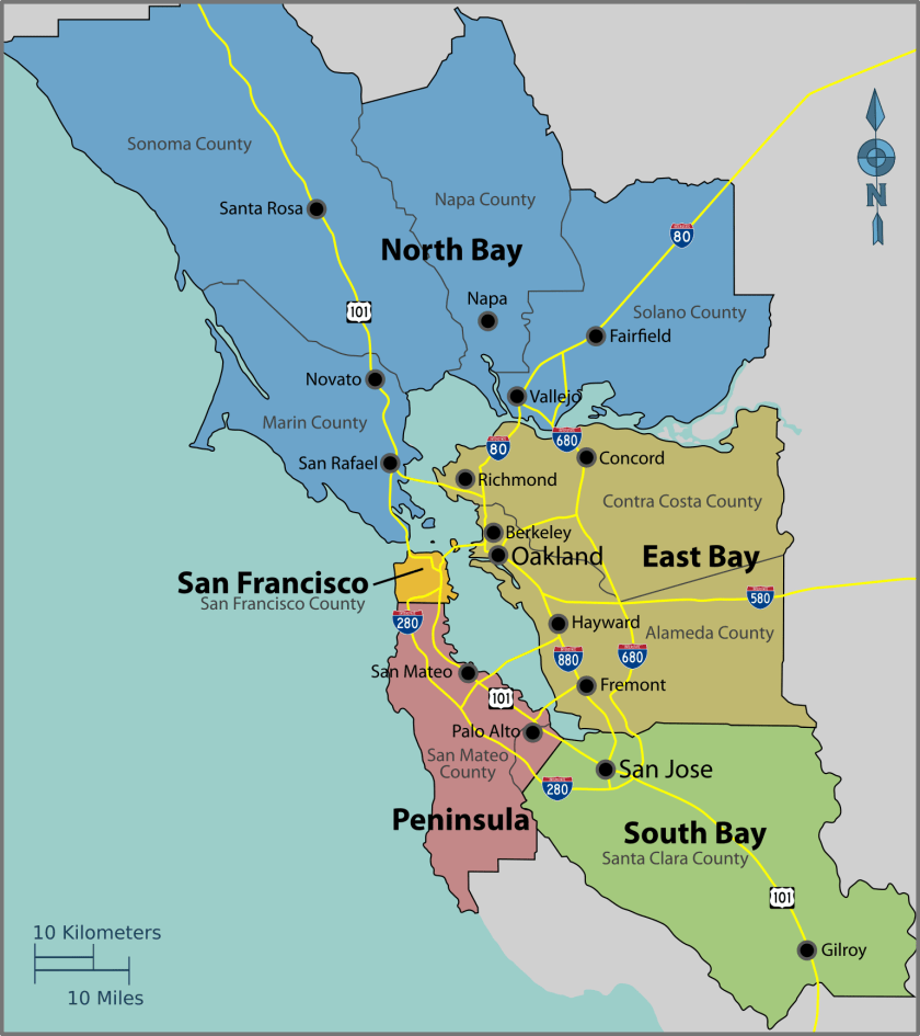
I am going to start this series in San Francisco, the cultural, commercial, and financial center of northern California.
It covers an area of about 50 square-miles, or 121 kilometers-squared, at the north-end of the San Francisco Peninsula in the San Francisco Bay area.
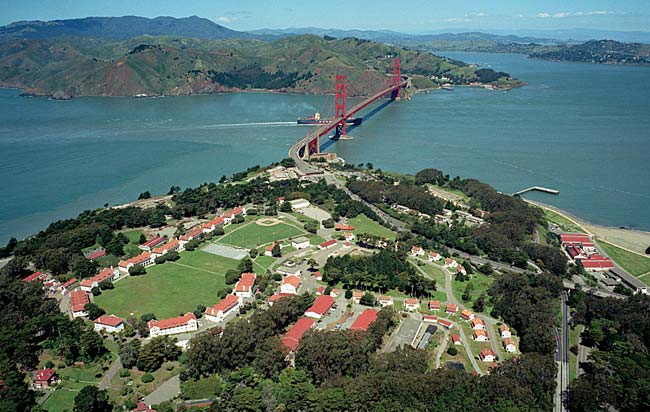
San Francisco was said to have been founded by Spanish colonists in 1776, who built a fortification called “El Presidio Real of San Francisco,” or “The Royal Fortress of Saint Francis of Assisi,” at what is now simply called the Presidio, a park and former U. S. military installation until 1994, which it was transferred to the National Park Service.
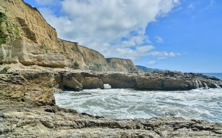
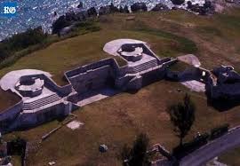
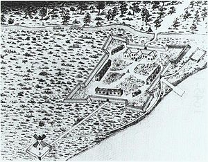
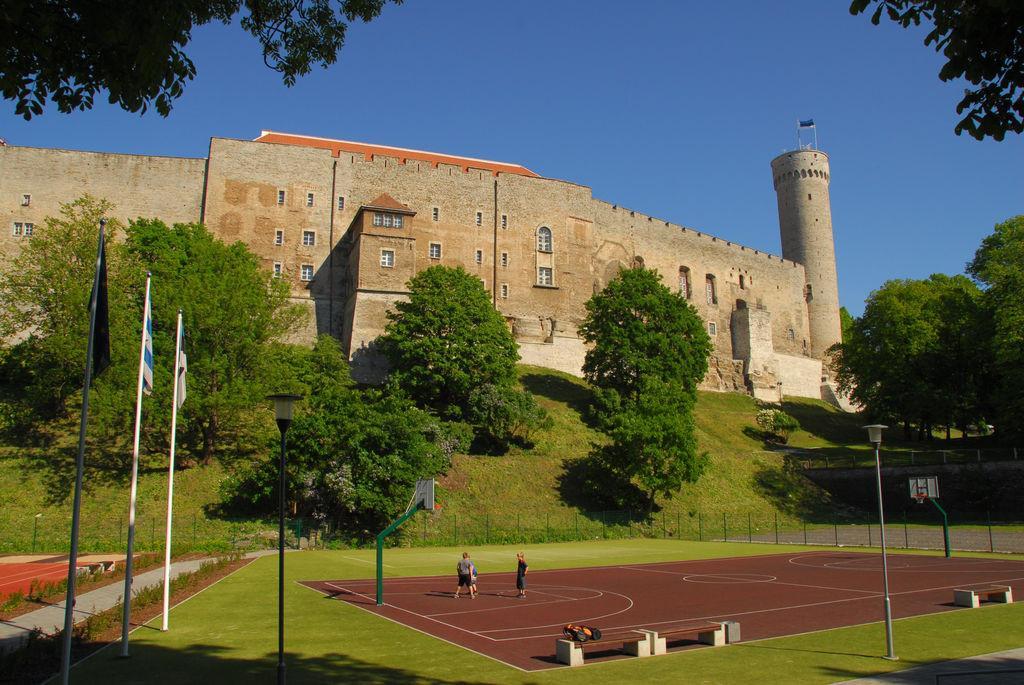
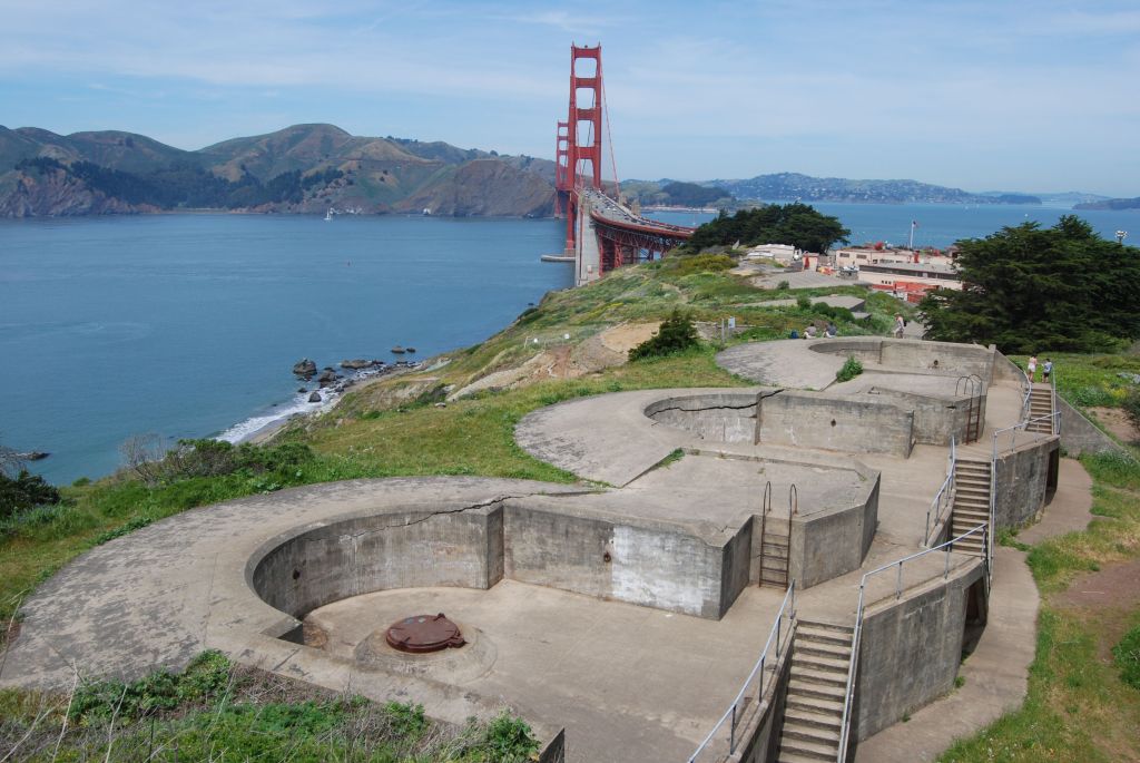
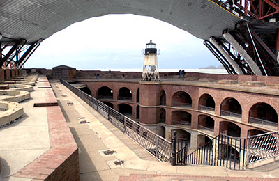
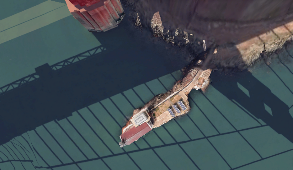
I looked at a map of the Presidio, and noticed “Fort Point” at its tip, where Highway 101 crosses the San Francisco Bay over the Golden Gate Bridge…
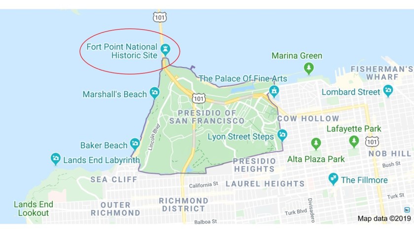
…and sure enough, I found what looks like a star fort tucked away underneath the base of the bridge.

Battery Boutelle is also on the Presidio Grounds beside the bridge.
This is what it looks like inside the structure at Fort Point underneath this end of the Golden Gate Bridge, including a lighthouse…
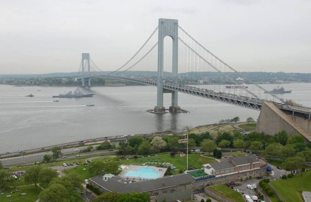
…which reminded me of Fort Wadsworth’s Battery Weed, on the Staten Island side of the Verrazano Narrows Bridge crossing over to Brooklyn in the narrow channel between Lower New York Bay and Upper New York Bay.
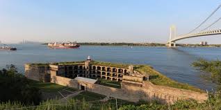
Since I knew that Fort Hamilton is located right next to the base of the Verrazano Narrows bridge on the Brooklyn side…
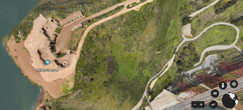
…I looked on the other side of the Golden Gate Bridge since I consistently find star forts in one or more pairs around the world, and I found Battery Spencer on the other side of the bay right next to the bridge…
…and underneath the base of the Golden Gate Bridge, I found this old-looking structure with solar panels, and stone steps…
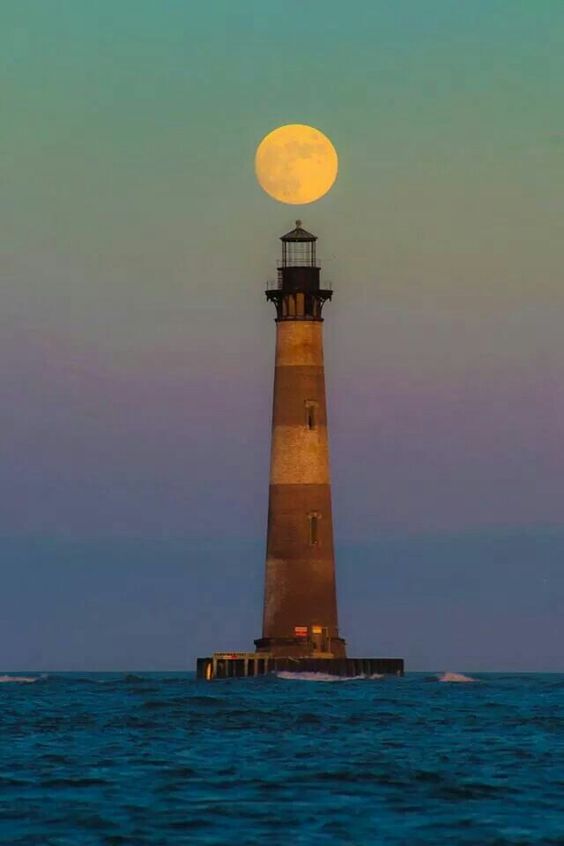
…which is the Lime Point Lighthouse, said to have been built in 1883 and automated since 1961.
Based on finding clusters of two or more star forts, and lighhouses for that matter, around the world all along planetary alignments, and other infrastructure I have shared with you that don’t feature the classic look of a star fort, I think all of these functioned together worldwide as the circuitry producing the power for the planetary grid system and the advanced civilization, and that star forts and batteries were not originally military in nature as we have been led to believe.
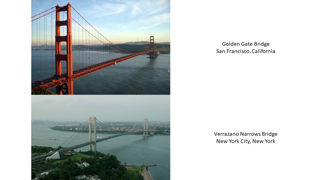
Also, this is a comparison of the Golden Gate Bridge on the top, with the Verrazano Narrows Bridge on the bottom.
They are both suspension bridges, which means the deck of the bridge is hung below suspension cables on vertical suspenders.
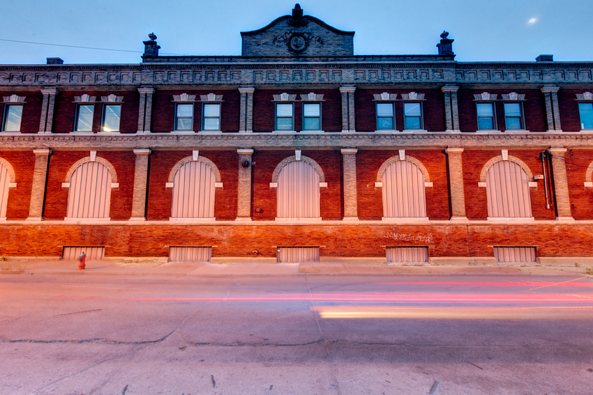
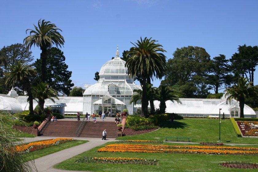
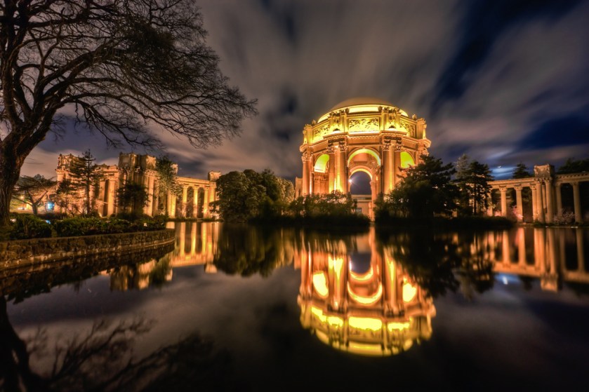
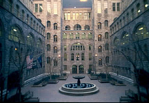
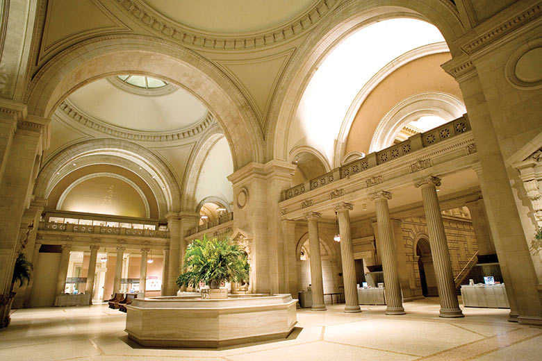
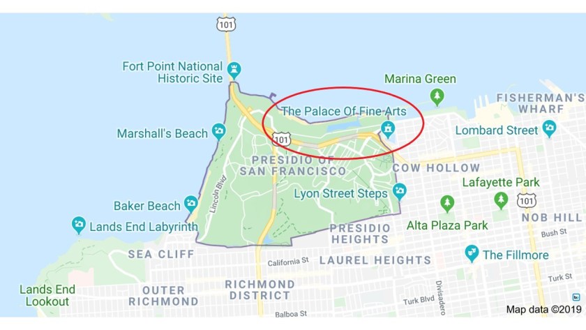
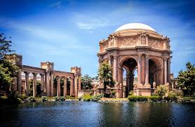
The Palace of Fine Arts is right next to the Presidio Park in the Fisherman’s Wharf section of San Franscisco.

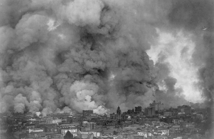
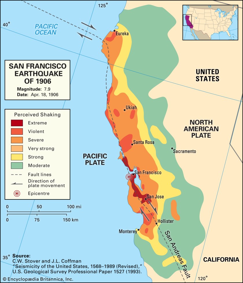
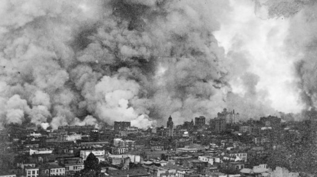
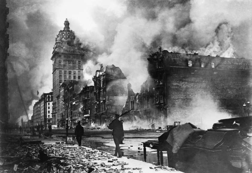
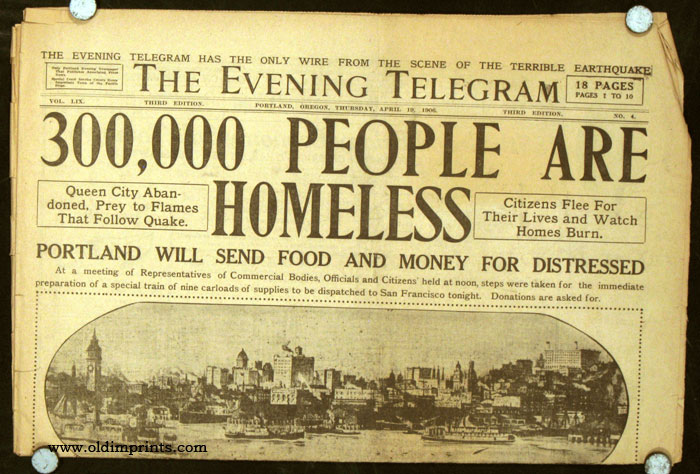
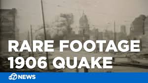
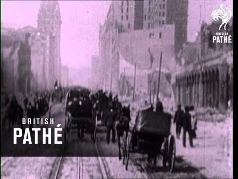
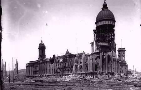
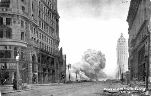
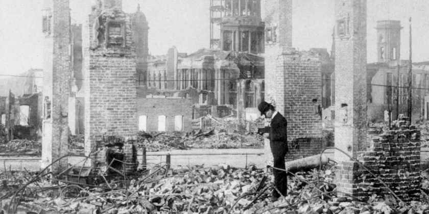
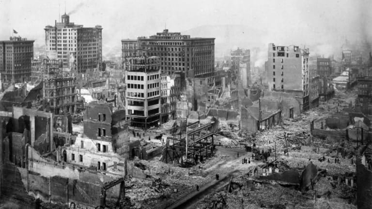
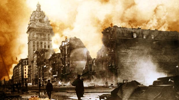
It was said to have been built for the Panama-Pacific Exposition of 1915, an exposition which celebrated the city and its rise from the ashes from the Great Earthquake and Fire of 1906. and one of its few surviving structures of the Exposition.
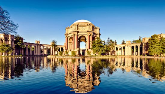
Interesting to note such a massive engineering feat and event like this taking place during World War I, which took place between 1914 and 1918 in our historical narrative.
Besides having the nickname of the “Golden Gate City,” other nicknames have included “Baghdad by the Bay…”
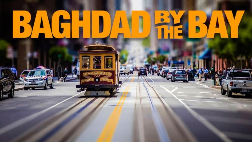
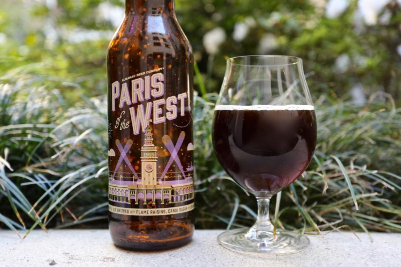
…and “Paris of the West.”

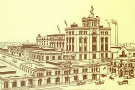
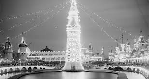
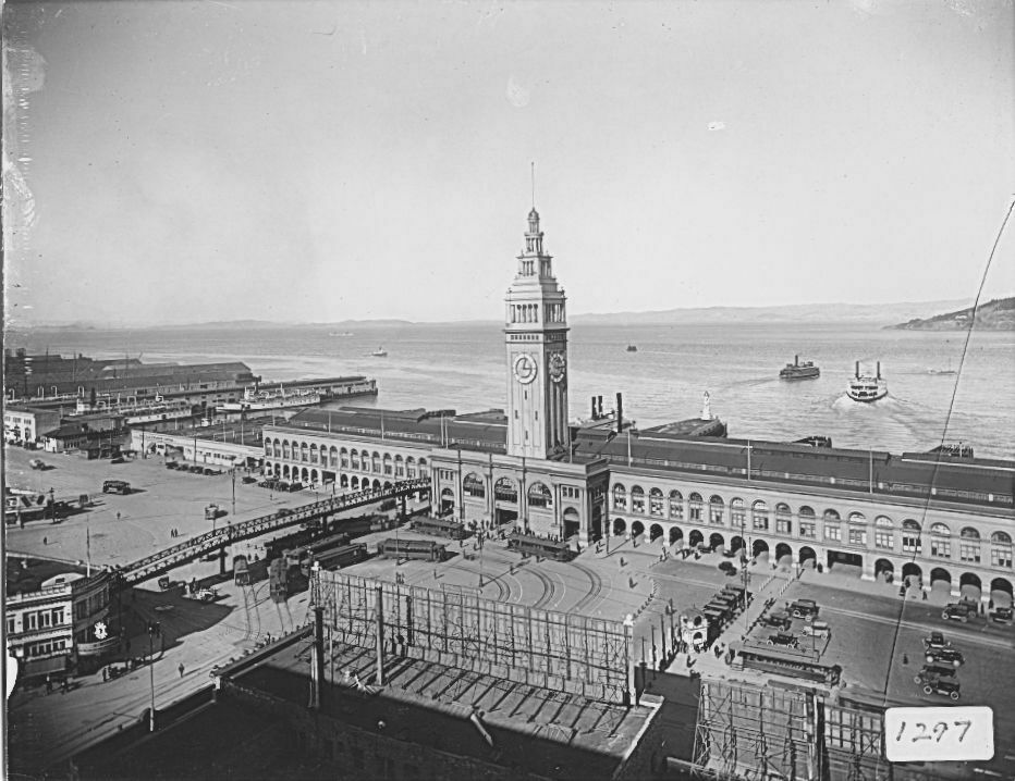
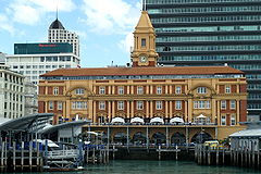
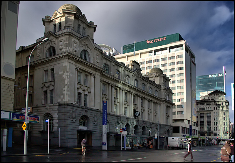
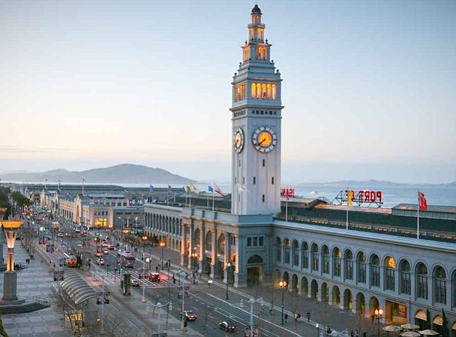
“Paris of the West” is the name of a popular craft beer of the Almanac Beer Company of the Hermitage Brewery in San Francisco. The picture on the bottle is the San Francisco Ferry Terminal.
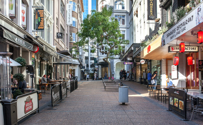
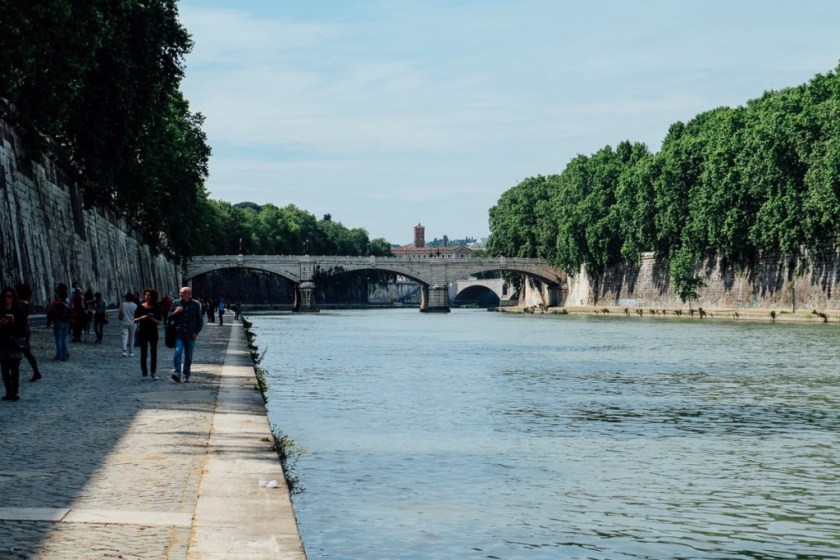
The ferry terminal is located on San Francisco’s Embarcadero. The Embarcadero is the eastern waterfront and roadway of the Port of San Francisco, and built on reclaimed land along a 3-mile long engineered seawall.
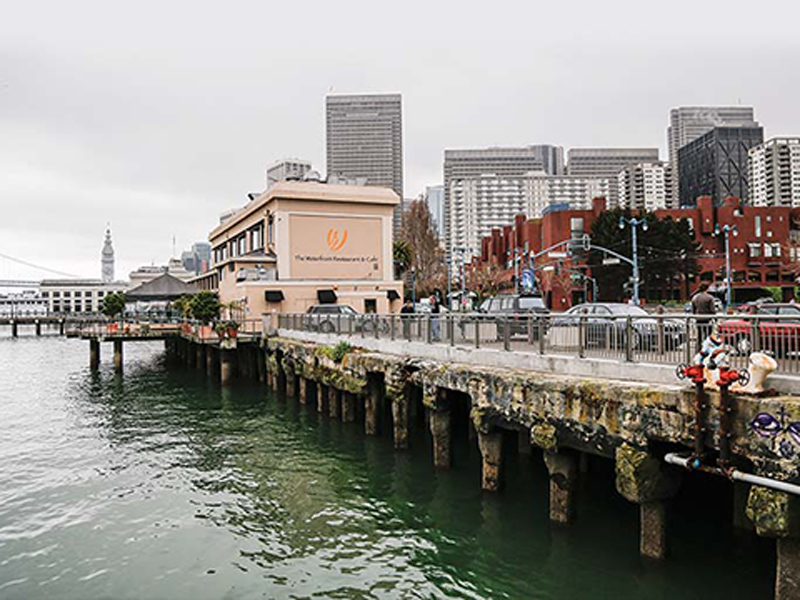
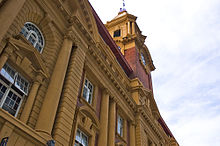
The San Franciso Ferry Terminal was said to have been designed in 1892, and opened in 1898.
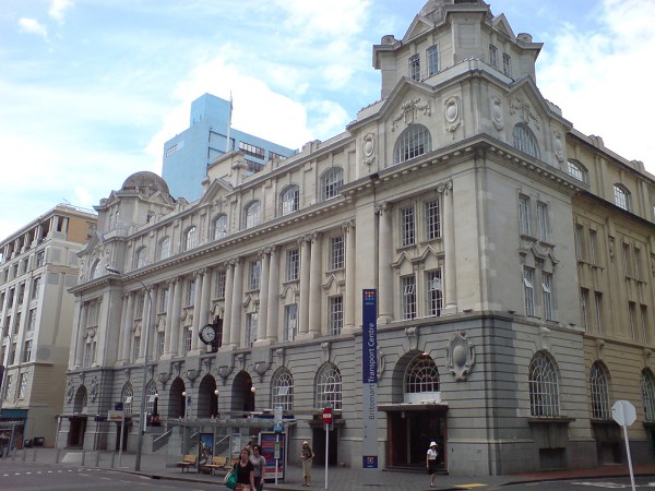
For comparison is the Auckland Ferry Terminal, also said to have been completed on reclaimed land, in Auckland, New Zealand, in 1912.
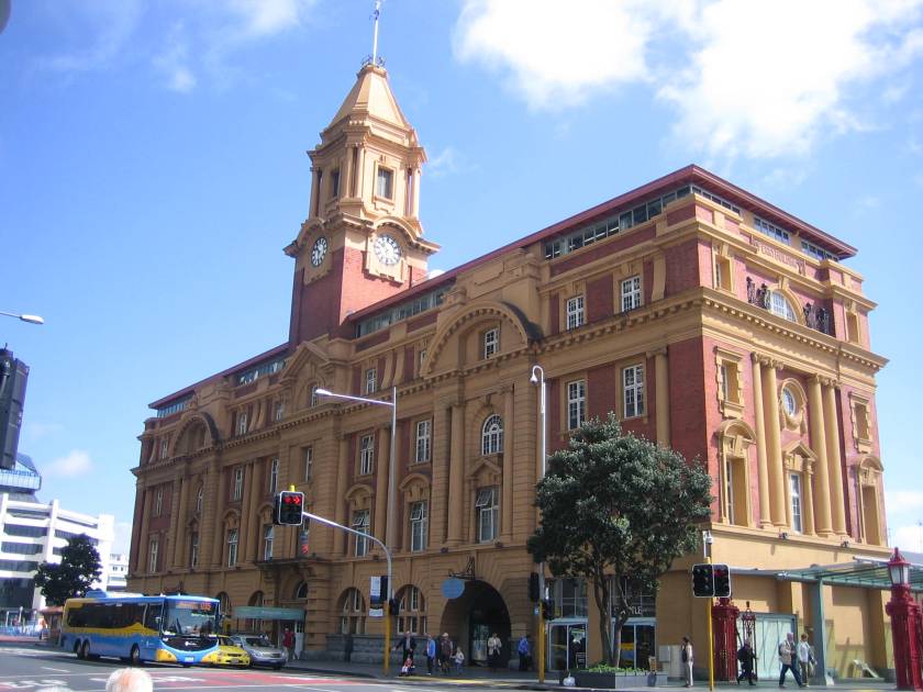
Reclaimed from what?
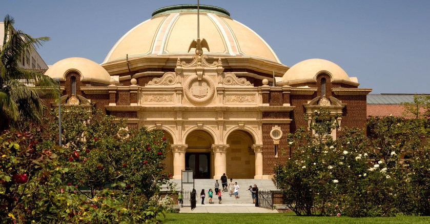
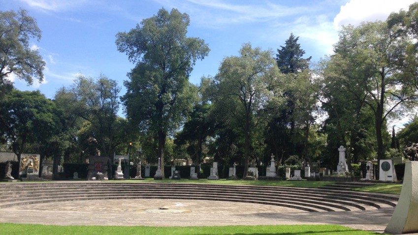
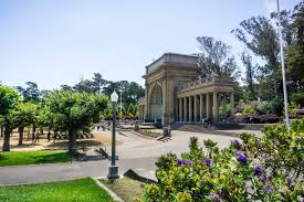
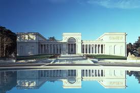
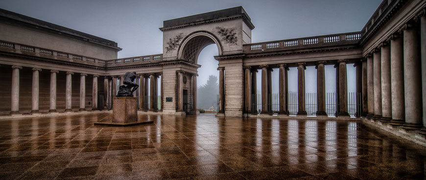
The Legion of Honor Museum, at one time known as the California Palace of the Legion of Honor, is in San Francisco’s Lincoln Park.
It was said to have been donated as a gift to the City of San Francisco in 1924 by Alma de Bretteville Spreckels, the wife of…
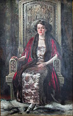
…sugar magnate and thoroughbred horse owner and breeder Adolph Spreckels.
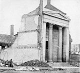
The Legion of Honor Museum is said to be a full-scale replica of the French Pavilion at the San Francisco Panama-Pacific Exposition of 1915, and based on the Legion of Honor Museum in Paris.
Dedicated as a Memorial to California soldiers killed in World War I, the Legion of Honor Museum in San Francisco opened on Armistice Day, November 11th, in 1924.
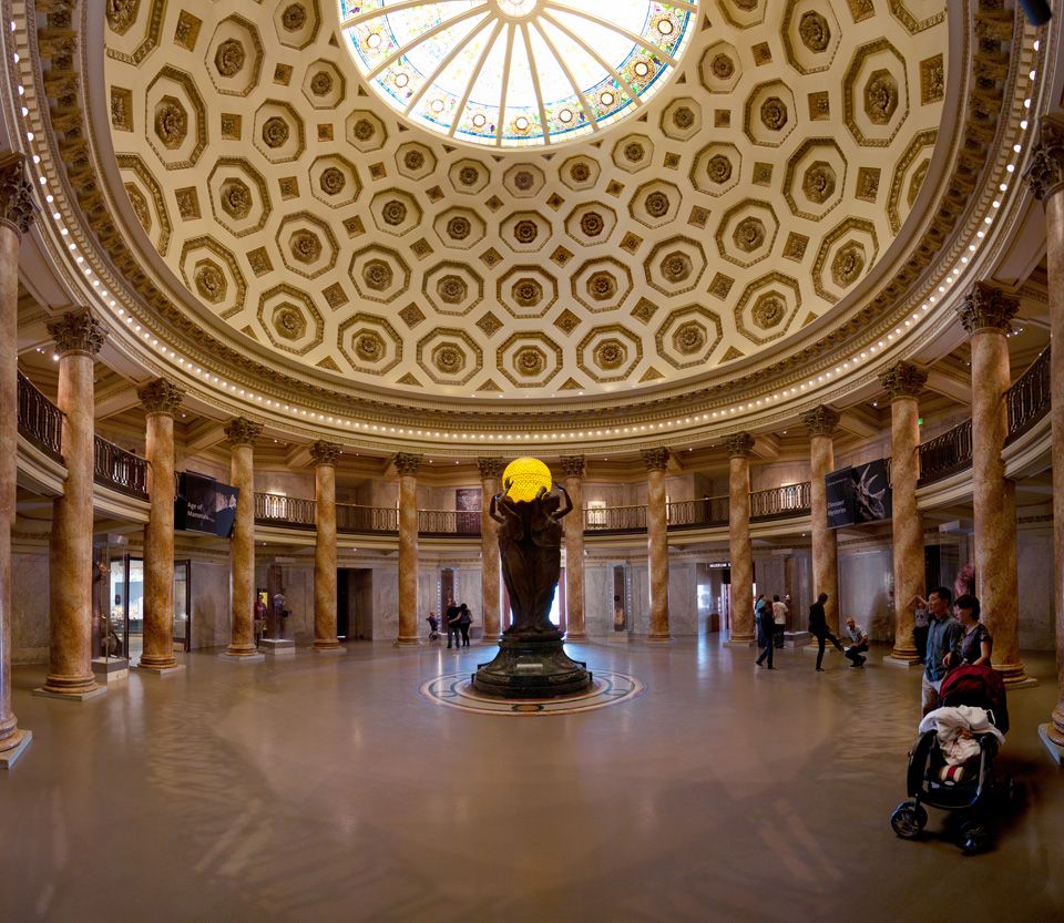
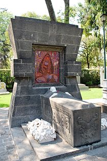
In the Court of Honor, besides Auguste Rodin’s famous cast bronze statue, the Thinker, donated to the museum by Mrs. Spreckels in 1924…
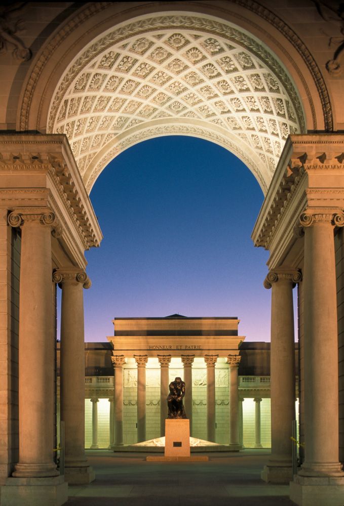
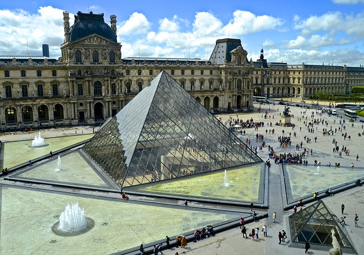
…there is said to be what is a miniature of the Louvre Pyramid installed in the courtyard…
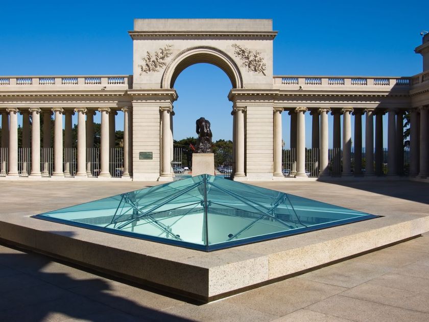
…as a skylight for the museum underneath it, right in front of the entrance.

The Louvre Pyramids in Paris are said to have been created by the Chinese-American I. M. Pei in the 1980s.
Verifiable, you say? Well, maybe so, but as we know, desirable information can easily be added, or removed, from the data base. Who is actually going to question it, and check on it, anyway?
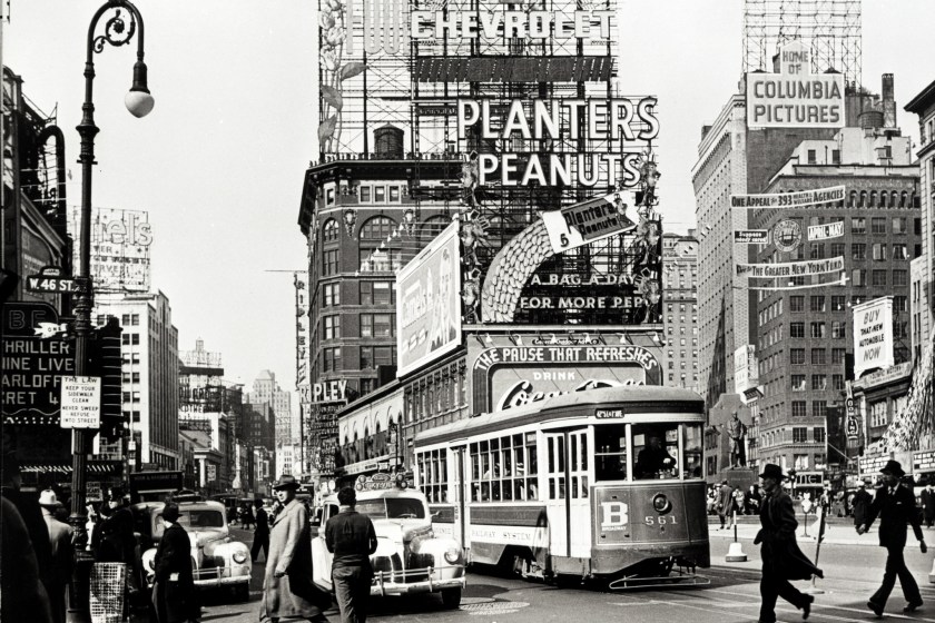
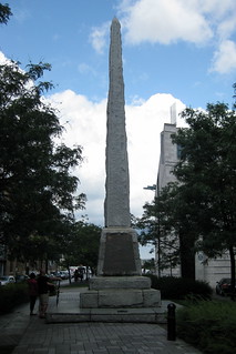
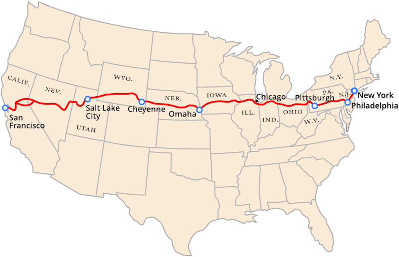
The Legion of Honor Museum is also the western terminus of the Lincoln Highway, of which Times Square in New York City is the eastern terminus.
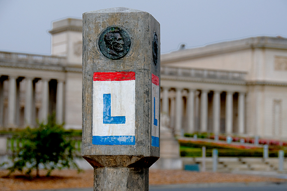
The Lincoln Highway was one of the earliest transcontinental routes for automobiles in the United States, said to have been conceived of by Indiana entrepreneur Carl G. Fisher in 1912, and formally dedicated on October 31st in 1913.
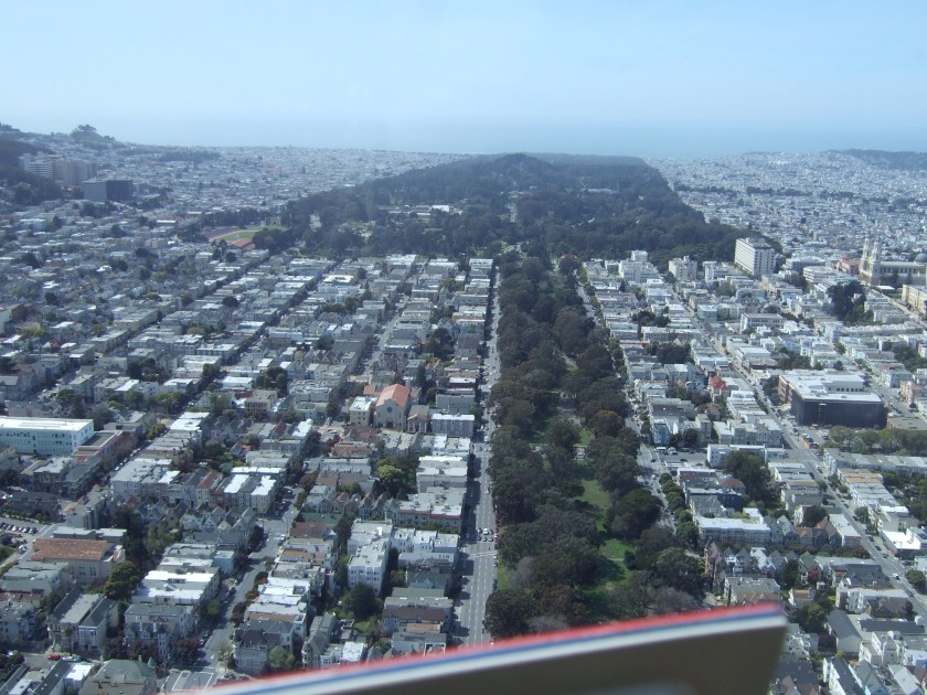
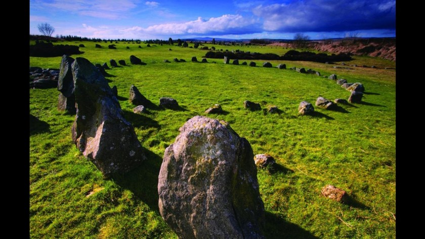
The Legion of Honor Museum is located in San Francisco’s Lincoln Park, which is also home to a golf course, which I believe are actually ancient mound sites.
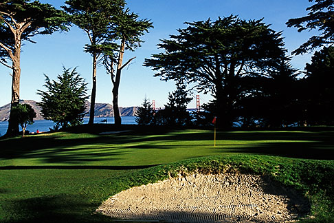
Just carve out a section of a mound, and voila, you have a sand trap!
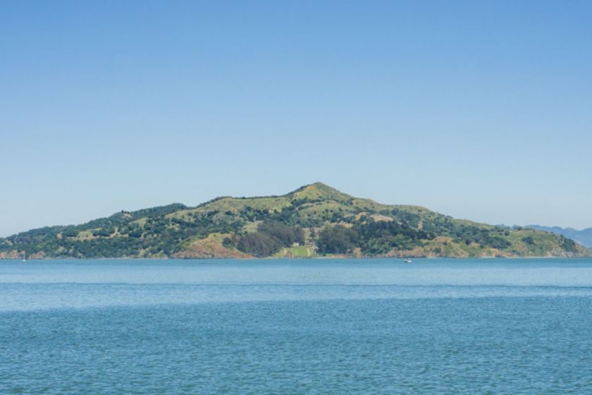
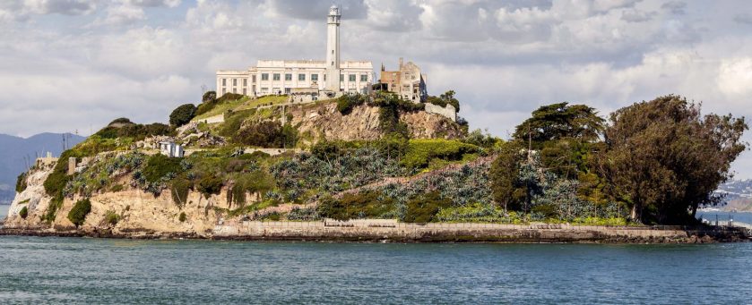
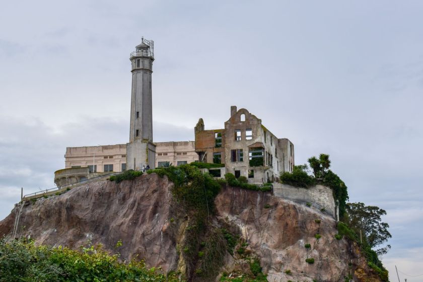
Next, I am going to take a close look at Alcatraz Island, 1.25-miles, or 2.01-kilometers off-shore from San Francisco in San Francisco Bay. It is best known as an infamous federal penintentiary for troublesome prisoners.
The first thing that draws my attention are the relatively flat, and relatively level, sections at the top of this small and rocky island.
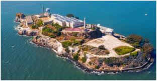
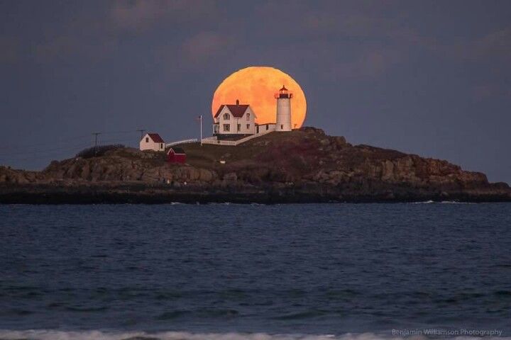
The next thing that draws my attention is the lighthouse.
To put the lighthouse into the context of the historical narrative we have been given, the island of Alcatraz was said to have been given by the Mexican Governor Pio Pico to Julian Workman in 1846 to build a lighthouse on it. Workman was a member of the Workman and Temple families prominent in the history of the Los Angeles area.
Then, in 1850, President Millard Fillmore ordered that Alcatraz Island be set aside specifically as a United States Military Reservation.
This also would have been during the historical time-frame of what we are told was the California Gold Rush between 1849 and 1851.
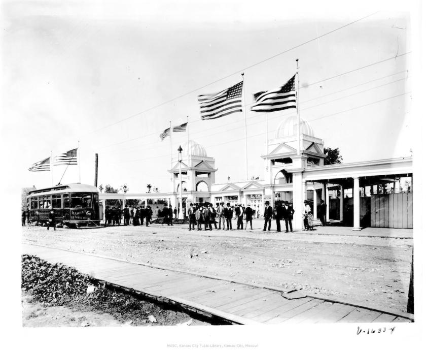
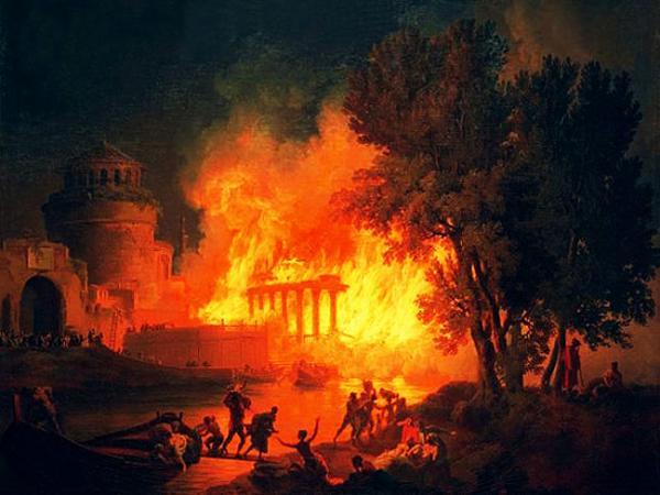
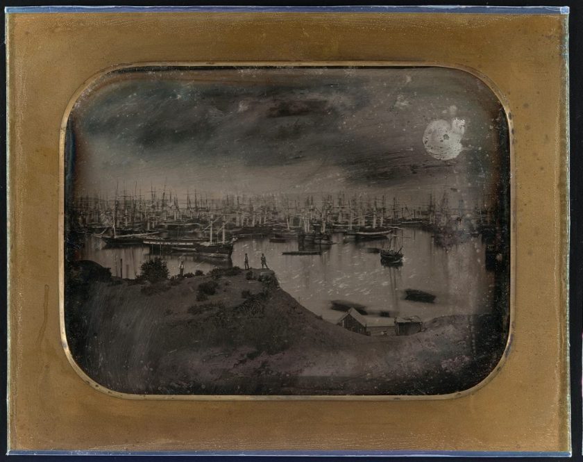
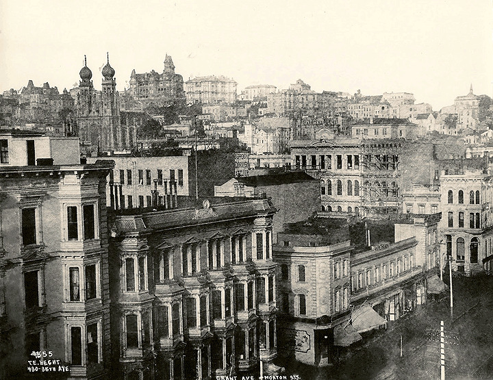
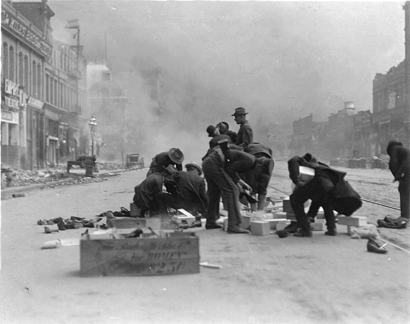
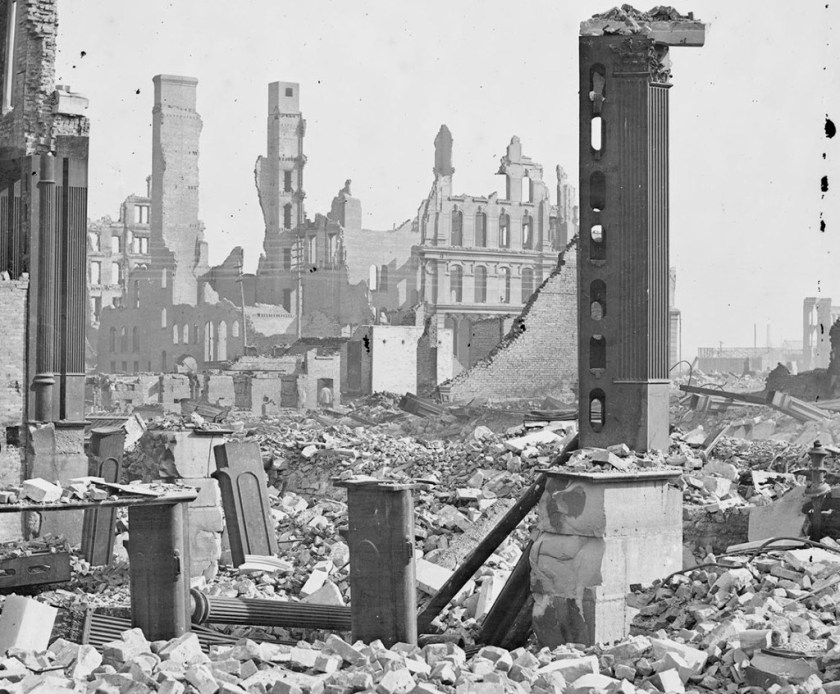
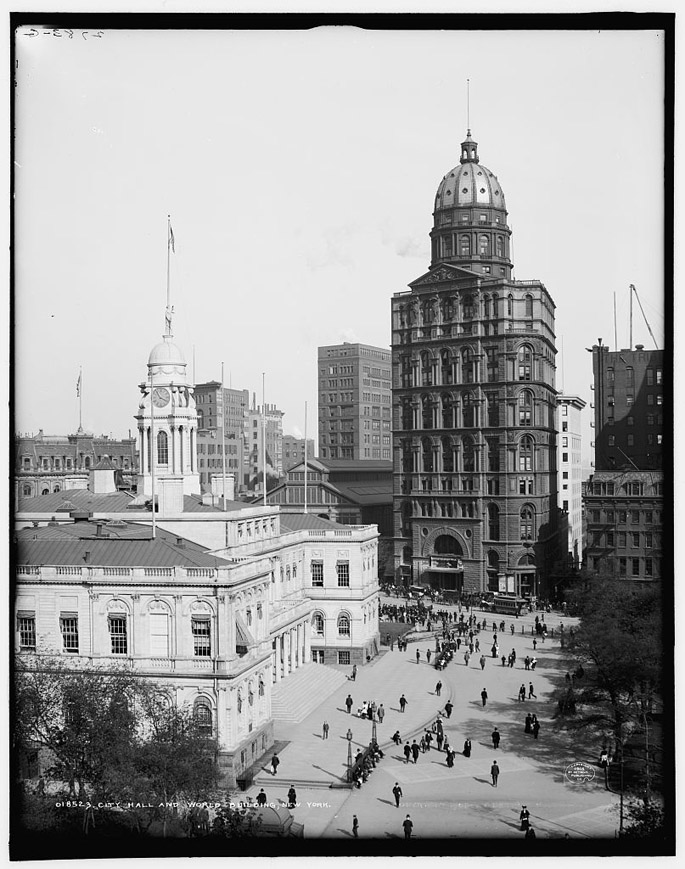
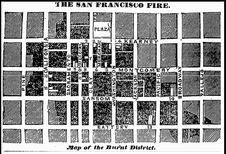
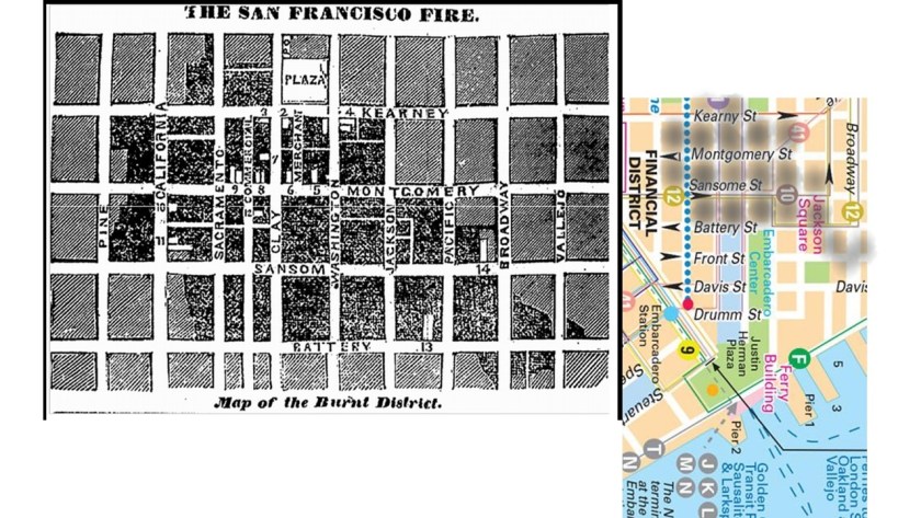
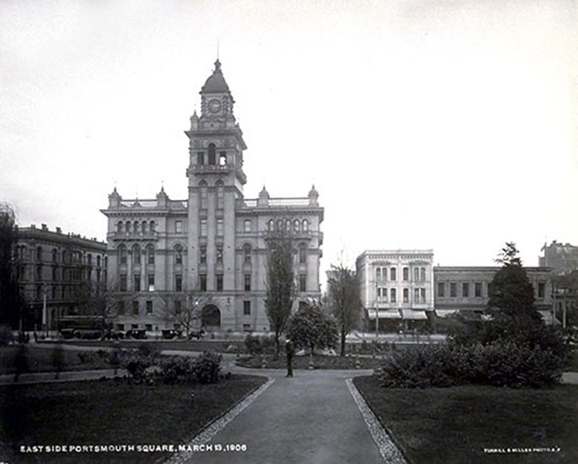
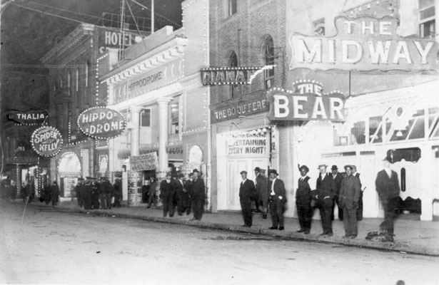
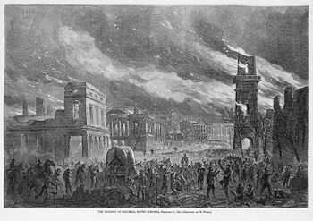
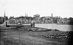
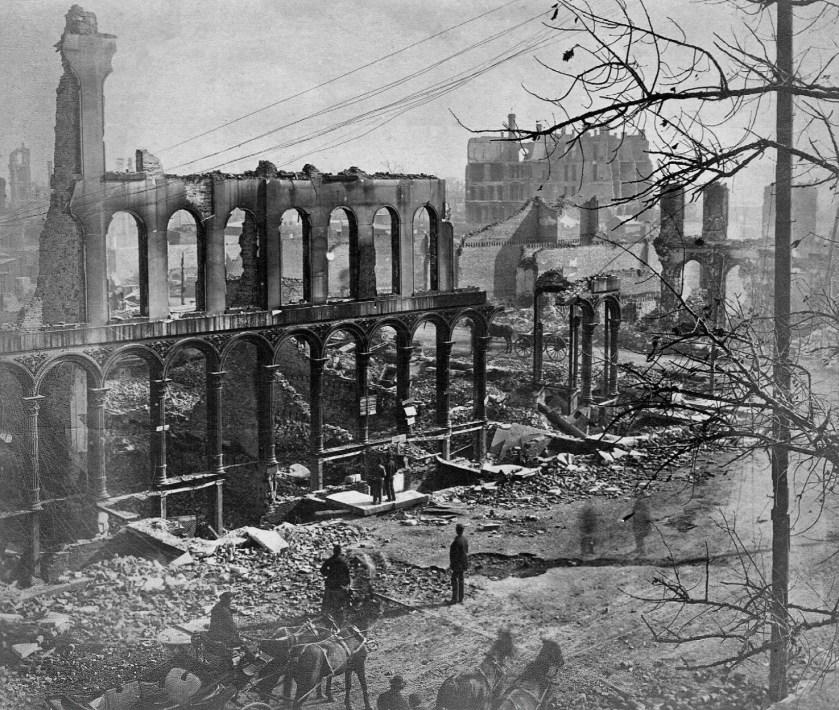
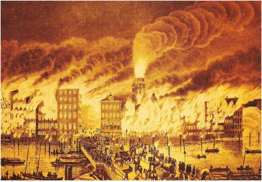
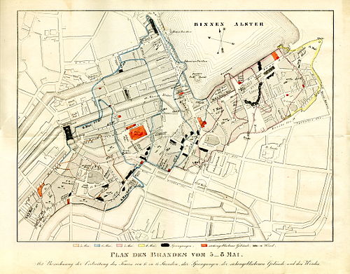
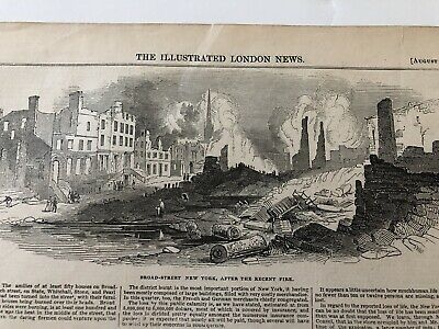
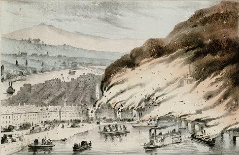
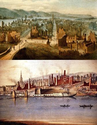
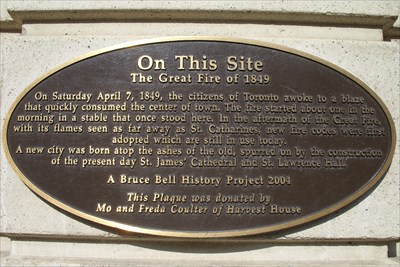
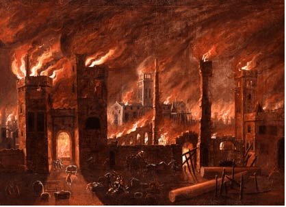
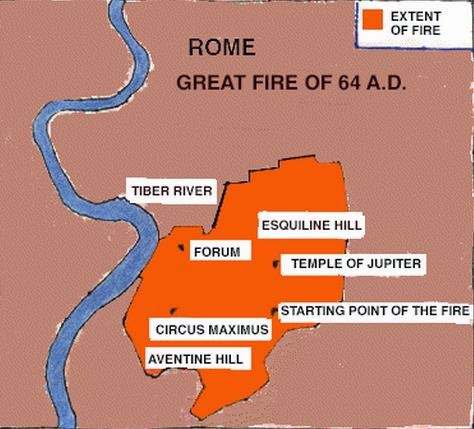
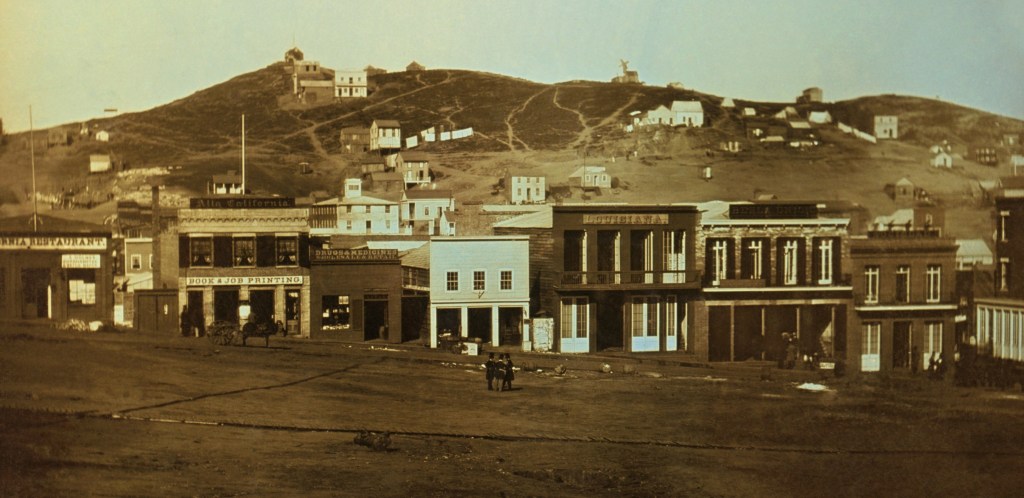
This is a daguerrotype of Portsmouth Square in San Francisco from sometime before June of 1851, which was when the Great Fire of San Francisco of 1851 was started in Portsmouth Square.
Millard Fillmore was the Vice-President to President Zachary Taylor, who was said to have died of problems from something he ate several days after attending a July 4th celebration in 1850. So he became President Millard Fillmore in 1850.
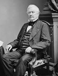
Millard Fillmore was also the President who ordered Commodore Matthew Peary to Japan in 1853 to force the opening of Japanese ports to American trade by any means necessary.
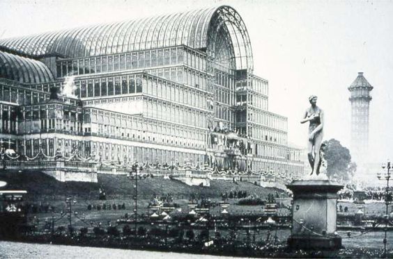
As I have indicated previously in other posts, I believe that 1850 was the main starting point of the new historical narrative, with the official kick-off of it being in 1851 at the Great Exhibition of the Works of All Nations in the Crystal Palace in London.
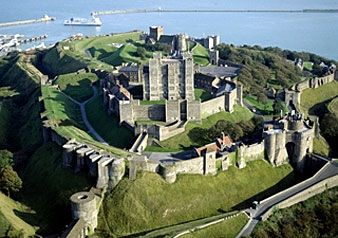
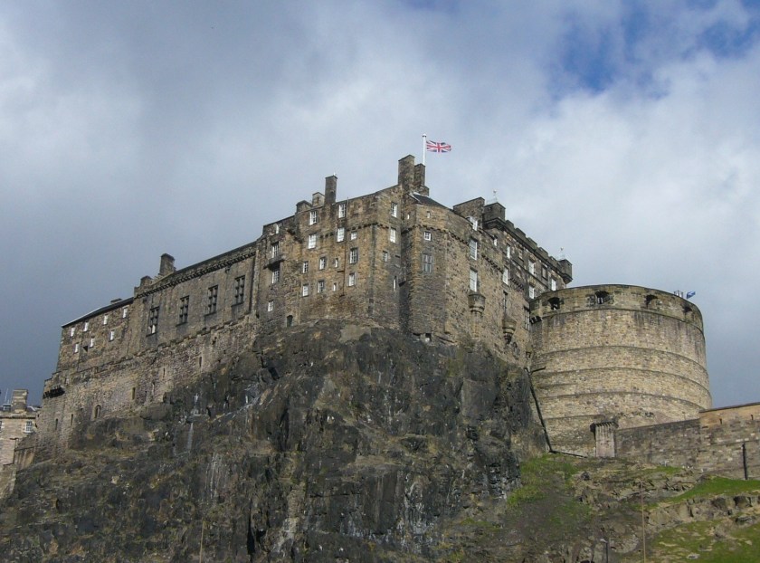
Back on Alcatraz, I find it interesting to note the rocky promontory the lighthouse is located on top of…
…is quite similar in appearance to the rocky promontory that Edinburgh Castle in Scotland is situated upon.
Another thing to point out is the location of this lighthouse and Alcatraz with respect to the Golden Gate bridge, and the two lighthouses on either end of the bridge.
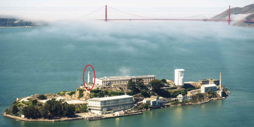
It really looks like there was a triangulated relationship between the lighthouse on Alcatraz Island, the Fort Point Light on the Presidio side of the Golden Gate Bridge, and the Lime Point Light on the other side of the bridge.
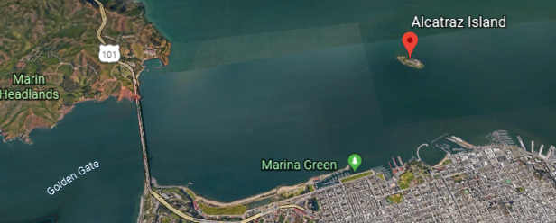
And there was a whole series of lighthouses throughout the San Francisco Bay…
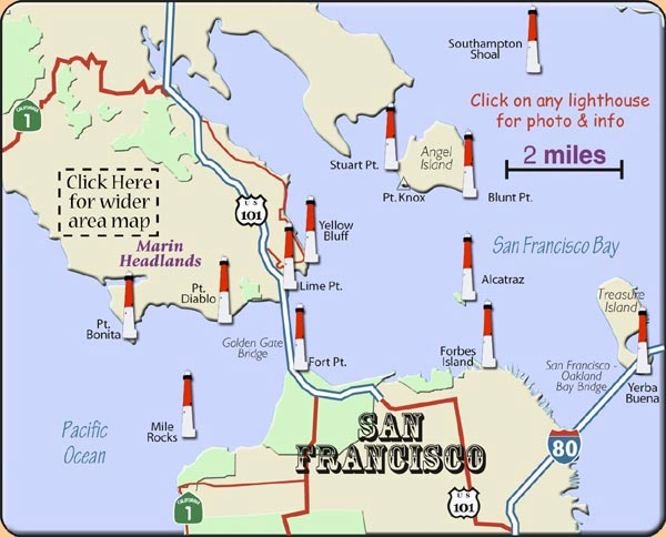
…just like what you find at New York bay on the east coast.
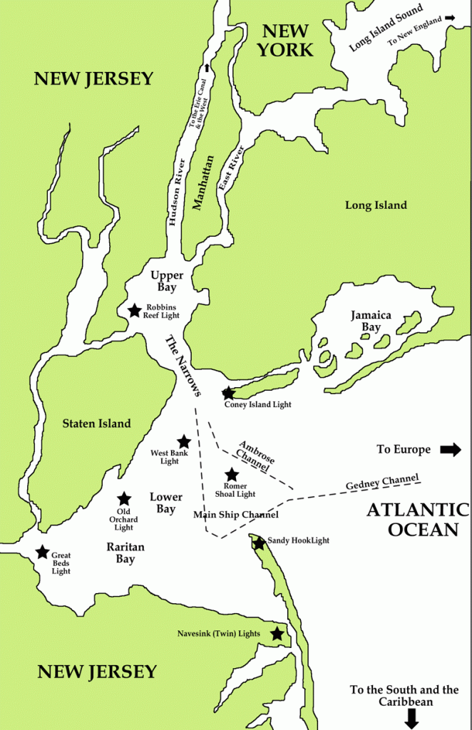
While I do believe that lighthouses served to guide ships through maritime passages, I also think they were serving multiple purposes on the planetary grid, including, but not limited to, astronomical alignments.
There are just a few more places in San Francisco that I would like to show you before moving on to the next place on this alignment.
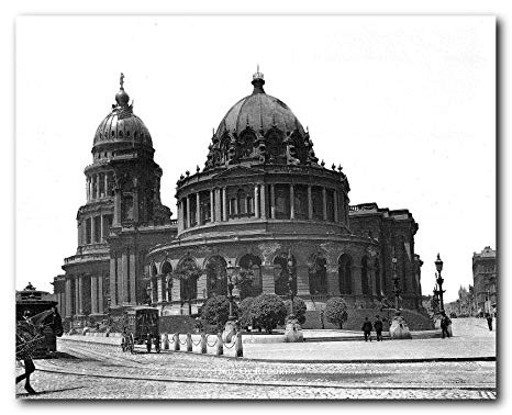
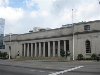
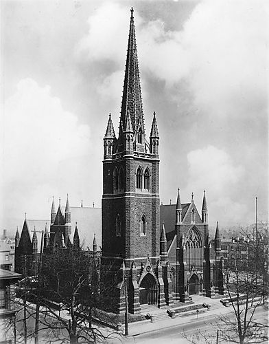
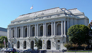
This the War Memorial & Performing Arts Center, said to be one of the last Beaux-Arts structures erected in the United States, and built between 1928 and 1932…
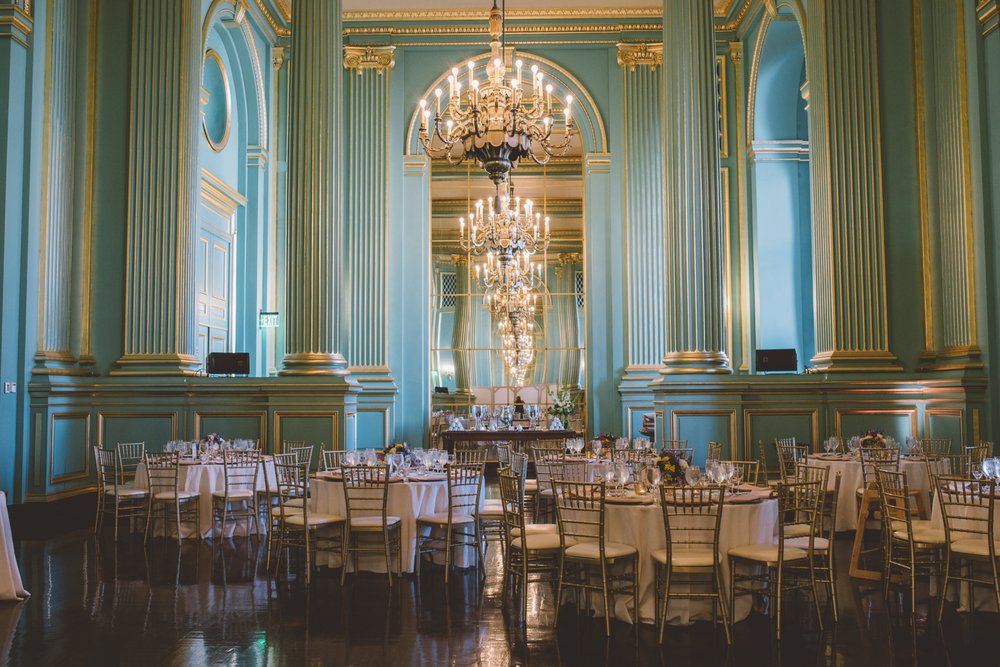
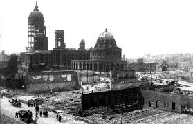
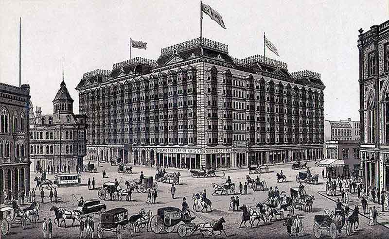
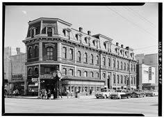
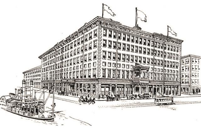
…and what was the San Francisco Emporium, which was called, at the time it opened in 1896, the grandest mercantile in the world.
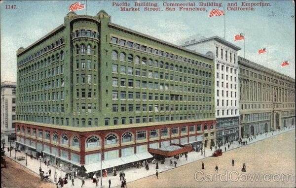
Its original structure survived the 1906 earthquak and fire, but not urban developers after it closed in 1995. Since that time, most of the building was demolished with the exception of the dome and facade to be used in a new building.
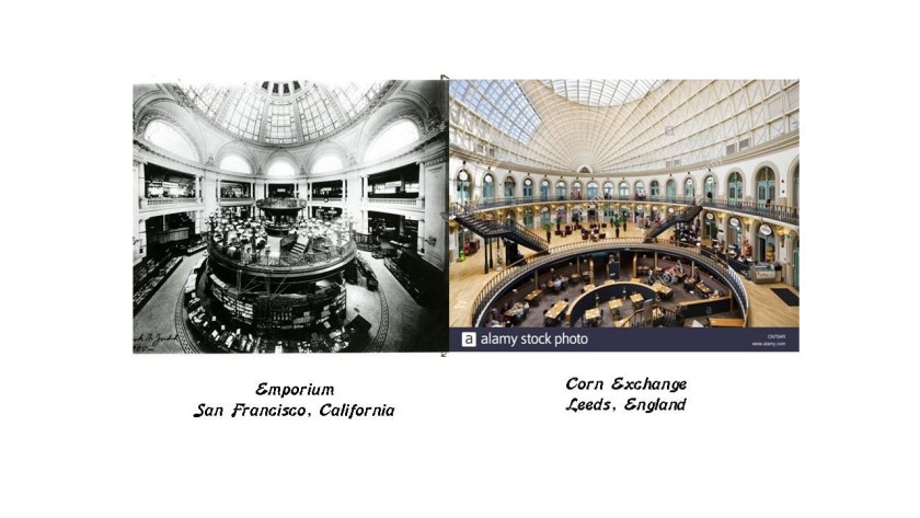
This is a comparison of the inside of the San Francisco Emporium back in its hey-day with the inside of the Corn Exchange in Leeds, England, which said to have been built between 1852 and 1858.
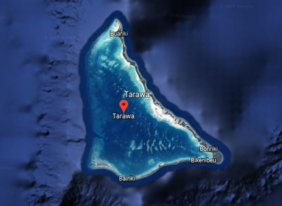
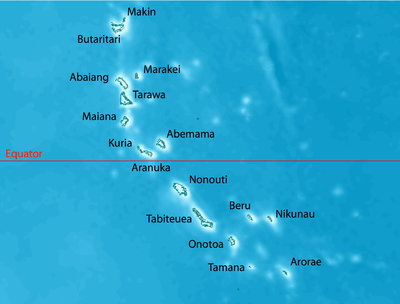
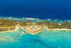
Next, the alignment crosses the central Pacific Ocean to Tarawa, an atoll, and comprises North and South Tarawa, of which South Tarawa is the capital of the island Republic of Kiribati, which consist mainly of the Gilbert Islands.
An atoll is defined as a coral island consisting of a reef surrounded by a lagoon.
The Gilbert Islands were named for Thomas Gilbert, captain of the British East India Company’s East Indiaman vessel Charlotte.
East Indiaman was the general name of any sailing ship operating under charter or license to any of the East India companies of the major European trading powers of the 17th- through 19th-centuries.
The British East India Company held a monopoly granted to it by Queen Elizabeth I of England in 1600 between South Africa’s Cape of Good Hope and Tierra del Fuego’s Cape Horn at the southern tip of South America, until 1834 when the monopoly was lost.

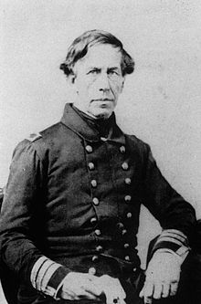
Tarawa was surveyed in 1841 by the U. S. Exploring Expedition, an exploring and surveying expedition of the Pacific Ocean and the surrounding lands conducted by the United States between 1838 and 1842. It involved a squadron of four ships, and specialists including naturalists, botanists, a mineralogist, a taxidermist, and a philologist, which is someone who studies written and oral histories.

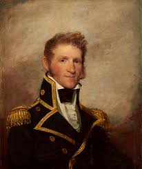
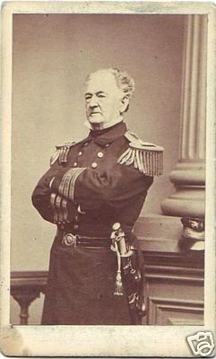
It is sometimes referred to as the “U. S. Ex. Ex.” or “Wilkes Expedition,” after the commanding officer, Navy Lt. Charles Wilkes.
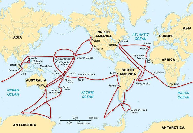
The Wilkes Expedition departed from Hampton Roads in Virginia for the first stop the Madeira Islands off the coast of Africa on August 18th, 1838. The route of the expedition went something like this – all over the place.
The Peacock, a ship from expedition under the command of Lieutenant William Hudson…
… surveyed and explored Tarawa and the Gilbert Islands in April of 1841.
The Battle of Drummond Island, called Tabiteuea on this map, took place during that time due to what were called conflicts between the expedition and the Gilbert Islanders. From what I am reading about the expedition, this kind of conflict was not an isolated occurrence for the expedition, so there’s that aspect to it as well.
Tarawa was occupied by the Japanese during World War II, and in November of 1943 became the location for the Battle of Tarawa, 76-hours of intense fighting between U. S. Marines and the Japanese forces on the island of Betio, ending with over 6,000 dead on both sides.
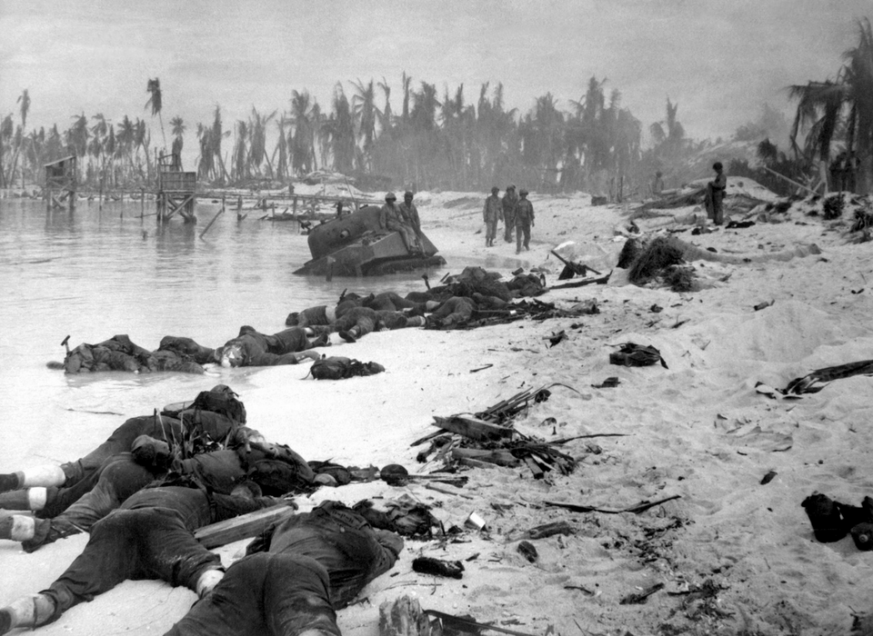
This is how Betio looked after the Battle of Tarawa.
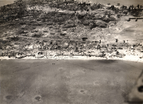
I couldn’t find any pictures of what Betio looked like before the battle.
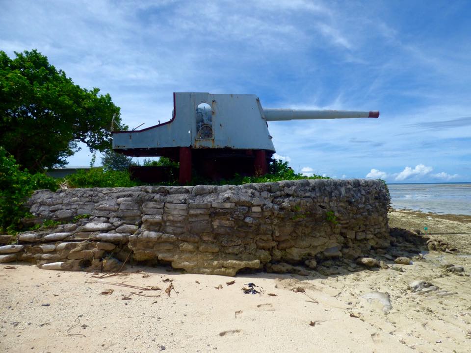
I did find this picture of what is said to be a Japanese gun still sitting there on top of what looks to be an old rock wall embankment on Betio.
On South Tarawa, in Bairiki, where the seat of government for the Republic of Kiribati is located, there are a few things to share with you.
The first is the location of the Parliament building of Kiribati…
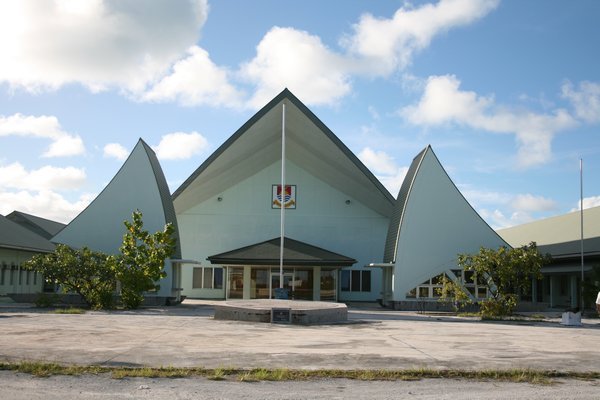
…on what looks like a triangular artificial island.
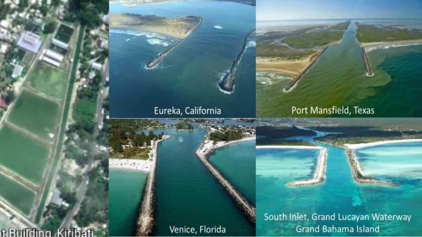
Here is a view of the same location from Google Earth, where I see some very interesting things going on here…
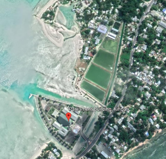
…like the remnants of a canal system…
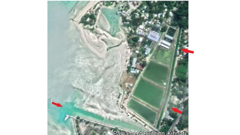
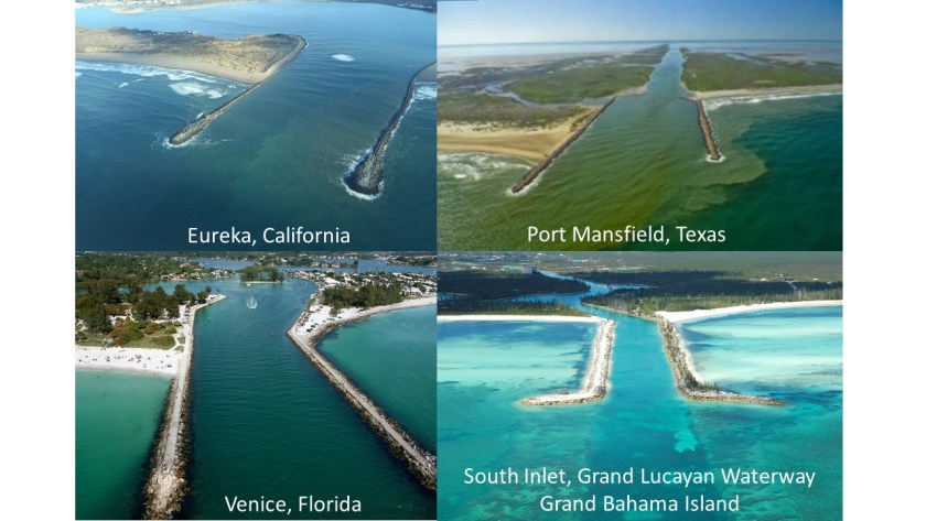
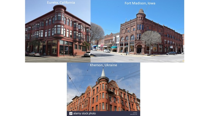
…and on the left, the holding ponds next to the existing canal look very much in how they were made like the jetties at Eureka, California in the top middle; Port Mansfield, Texas, on the top right; and in the bottom middle, Venice, Florida; and the bottom right the South Inlet of the Grand Lucayan Waterway of the Grand Bahama Island.
I am going to end this post here, and pick up the alignment on Nukuoro Island in the Caroline Islands of Micronesia.