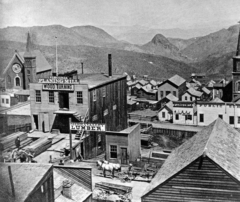
I will be delving into famous European writers of the 1800s and 1900s in this post.
Many of these authors were required reading in secondary-school English classes, and many of their books were also turned into movies.
I am going to be focusing on how these authors were used to shape the new and historical narrative in our collective minds, as well as what the fate was of past literature and records.
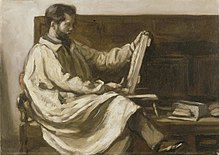
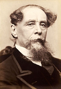
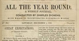
Charles Dickens, we are told, was born in February of 1812, and died in June of 1870, at the relatively young age of 58. He created some of the world’s best known fictional characters, and is regarded by many is the greatest novelist of the Victorian-era.
In spite of having no formal education after having left school to work in a factory because his father was in Debtors’ Prison, he edited a weekly journal for 20-years; wrote 15 novels; 5 novellas; and hundreds of short stories and articles. He’s one of many famous and incredibly accomplished people I have come across in my research said to have little or no training in their respective fields, including art and architecture.
Amongst his earliest efforts, “Sketches by Boz ~ Illustrative of Every Day Life and Every Day People” became a collection of short pieces Dickens published between 1833 and 1836 in different newspapers and periodicals.
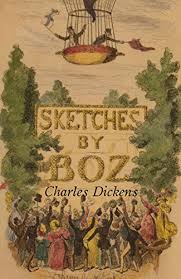
The first completed volume came along in 1839. George Cruikshank was involved with the illustrations.
The work is divided into four sections: “Our Parish,” “Scenes,” “Characters,” and “Tales.

So…Charles Dickens’ first published work involved illustrations, of visual imagery forming our perceptions of what life was like at that time?
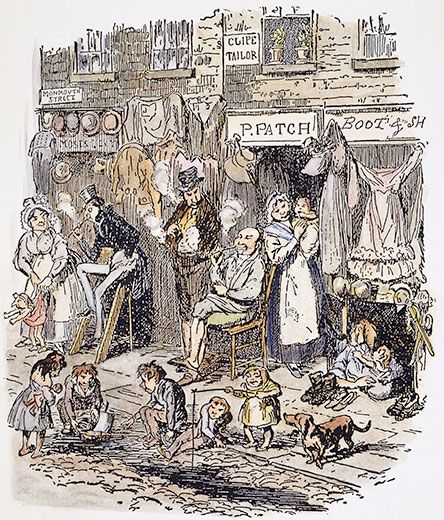
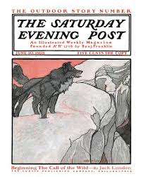
This concept was further evolved when he agreed to a commission in 1836 to supply the description necessary for the “Cockney sporting plates” of illustrator Robert Seymour for a graphic novel, a book made up of comics content, for serial publication. This was how the “Pickwick Papers” came about, first published in serial form, and called his first literary success.
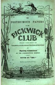
And who exactly was the target audience for the highly visual and cartoon-like nature of this early work? Like maybe a younger audience, perhaps?

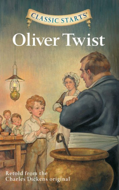
He sure wrote a lot of books featuring orphans, like, but not limited to, “Oliver Twist.”
Within a few years, Charles Dickens had become an international celebrity, and pioneer of the serial publication of narrative fiction, which became the dominant Victorian mode for novel publication, featuring cliffhanger endings.
Maybe geared for an older, literate and mature, audience?
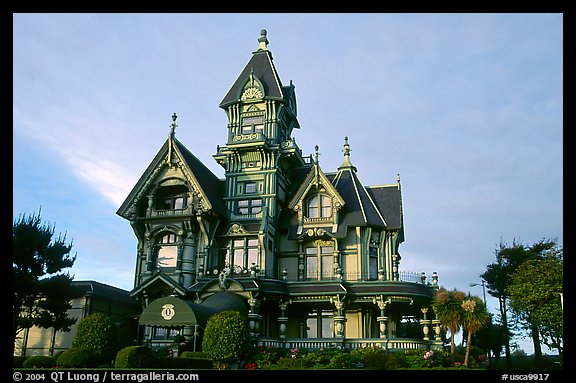
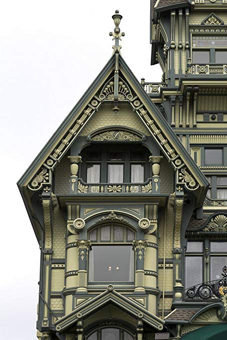
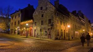
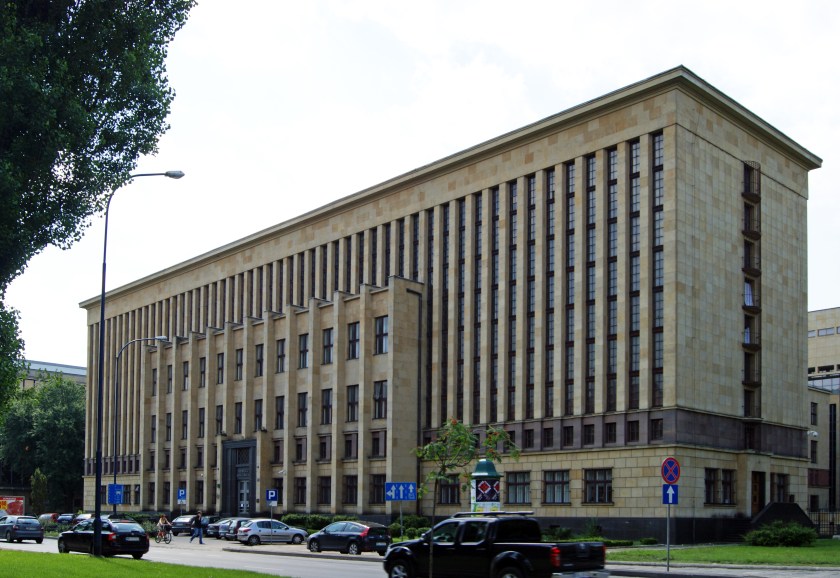
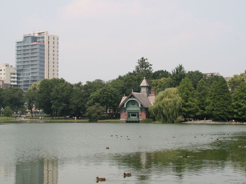
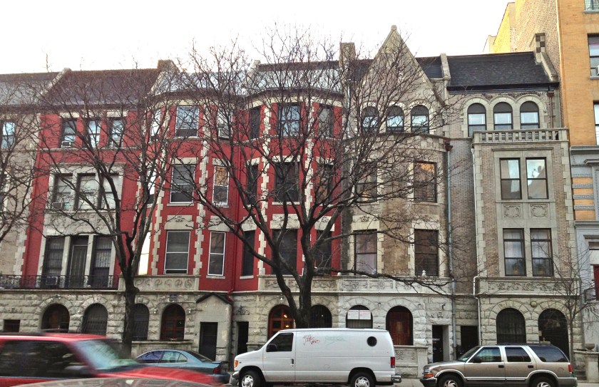
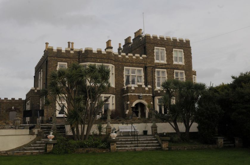
This is Bleak House, Charles Dickens’ seaside summer home in Broadstairs in Kent, said to have been originally built in 18o1…
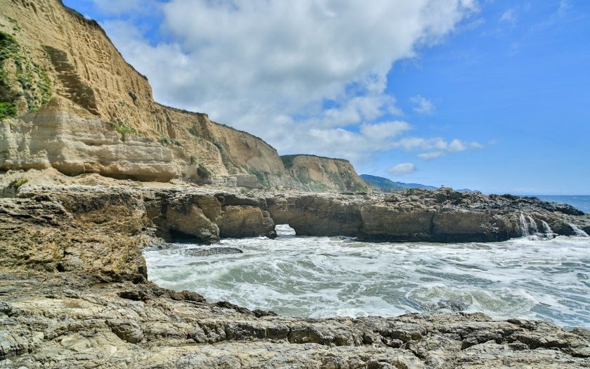
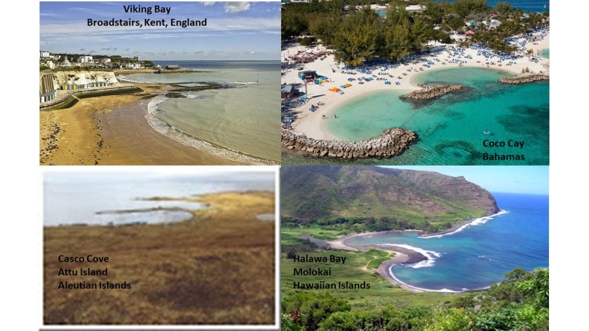
… overlooking Viking Bay. I have seen the curved, double-shoreline of Viking Bay on the top left in other places, including Coco Cay in the Bahamas on the top right; at Casco Cove on Attu Island, the far western island of the Aleutian Island chain of Alaska, on the bottom left; and Halawa Bay, on the Hawaiian Island of Molokai, on the bottom right.
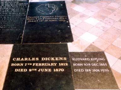
He was buried in Westminster Abbey. Not bad for a poor kid made good!

As a matter of fact, he and Rudyard Kipling, George Frederic Handel, and Archibald Campbell are hanging out together for eternity.
On a similar but different note, there is even a sign at the designated grave of William Shakespeare at Holy Trinity Church in Stratford-on-Avon, England, asking people not to dig here, and even threatening a curse on anyone who tries to remove his bones.
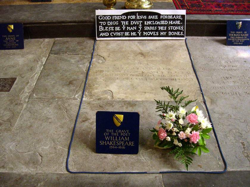
Is there something someone doesn’t not want found out about what is, or is not, inside this particular grave site?
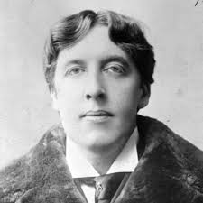
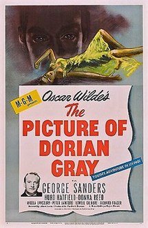
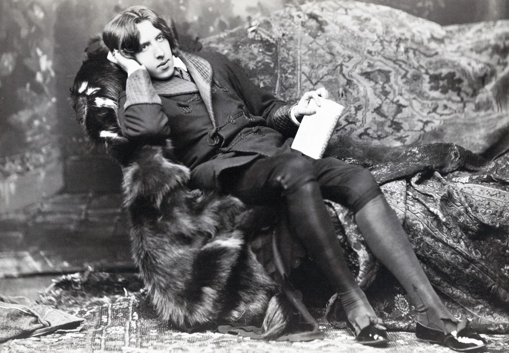
Oscar Wilde was an Irish poet and playwright, born in Dublin in October of 1854, and who died in Paris in 1900 at the age of 46, shortly after his release from prison for two-years of hard-labor, his sentence for his conviction of gross indecency with men.
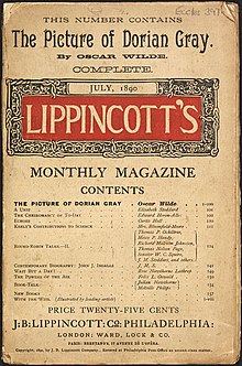
I want to look into his novel “The Picture of Dorian Gray” because of its strange theme. It was first published in serial form in Lippincott’s Monthly Magazine in July of 1890.
Dorian Gray was an aristocrat who had a full-length portrait of himself painted.

Dorian expresses the desire to sell his soul to ensure that the picture, rather than he, will age and fade.
The wish is granted, and he pursues a life of various amoral experiences while he stays young and beautiful, while the picture ages and records every sin.
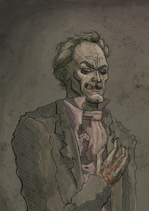
After a long life of experimenting with every vice, and a chain of events centering around a young woman who had fallen in love with him that he had spurned, he ended up destroying the portrait, at which time he immediately aged and took on all the sins etched into the portrait. He was found unrecognizable and stabbed in the heart. The portrait itself was then restored to its original youthful appearance.
This novel of highly questionable subject matter for viewers young and old was also made into a movie, first in 1945.
The one and only time I saw this movie, it was shown by the youth pastor on a church retreat when I was a teenager. The truly degenerate nature of the story is hidden because it is cast as a fictional story being told, and disguised as a creative object lesson about the choices a person made in his life.
A movie version was made again in 2009, released on 09/09/09.

I bring this in about Oscar Wilde because there has been a subversive current running through our culture and society that is related to Oscar Wilde’s personal life and literature, and is very much a part of what has been going on here without the knowledge, awareness, and conscious consent of the general public. This has been done deliberately in an on-going effort to corrupt, degrade, and control Humanity by keeping people stuck in their lower selves rather than coming into awareness of Higher Self, and stuck in the head instead of living from the heart.
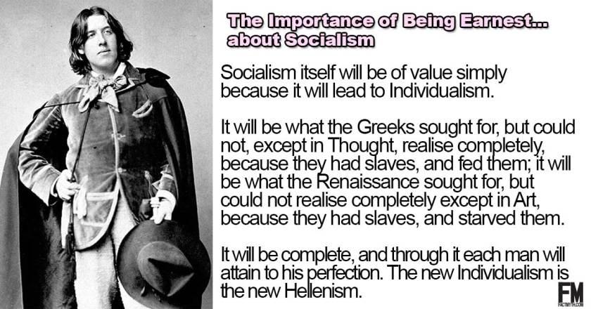
Oscar Wilde was also a socialist, and this is what he had to say about it:
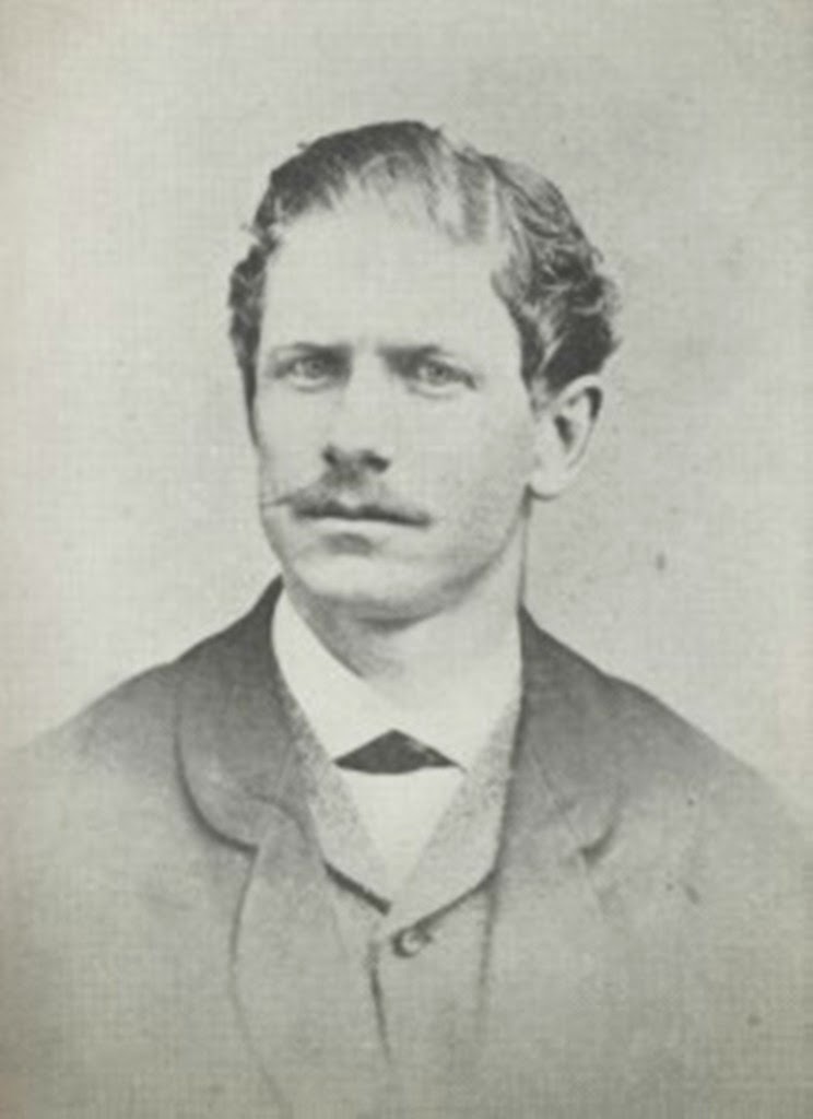
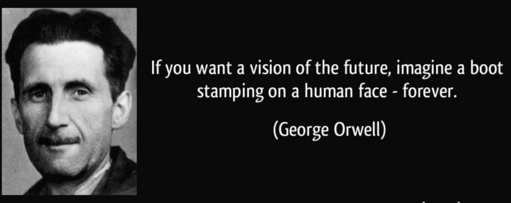
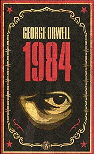
George Orwell was born Edward Arthur Blair in 1903. He died at the age of 46 in 1950. In 2008, he was ranked the 2nd by British daily newspaper “The Times” in their compilation of the 50 greatest British writers since 1945.

Like Jack London from the last post, George Orwell was a socialist who was said to have had an awareness of social injustice, and was against totalitarianism.
Were these men humanitarians…or propagandists?
Seemingly contradicting the said characterization of Orwell’s beliefs against totalitarianism, “Orwellian” has come into usage as an adjective in the English language that describes authoritarian and totalitarian practices.
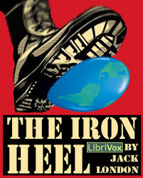
I read where George Orwell was influenced in his writing of “Nineteen Eighty-Four” by Jack London’s novel “The Iron Heel.”
George Orwell’s “Nineteen Eighty-Four” is a dystopian novel centering on the risks of government overreach, totalitarianism, and repressive regimentation of all persons and behaviors within society.
Jack London’s novel “The Iron Heel” was about the rise of an oligarchic tyranny in the United States.

Our recent modern history has shown us that socialism, by its very nature is totalitarian, as the ones who benefit from it are the ruling class in a socialist country. We now have multiple failed socialist states to look at, but this was the model of society that was being foisted on us by these so-called literary greats, and is still being promoted today.

Mind-control and propaganda are the only tools at their disposal to promote socialism as a benevolent and beneficial system.
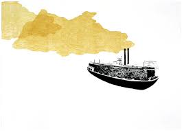
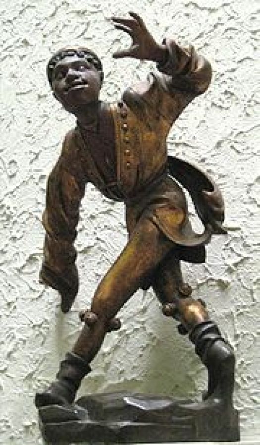
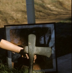
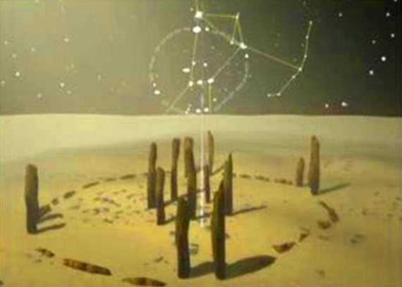
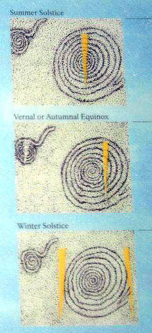
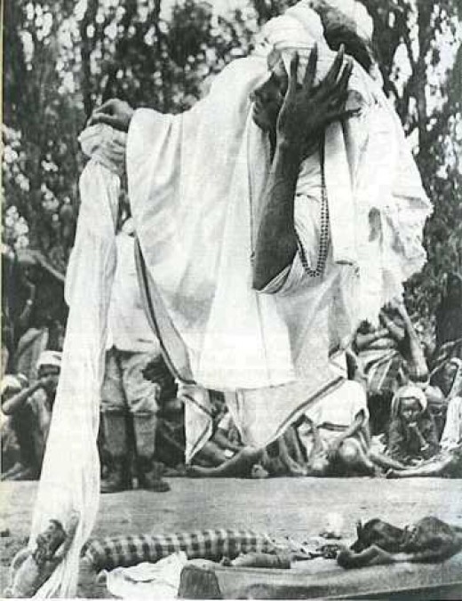
Why are we inundated with scary and terrifying subject matter about a dystopian future, and why are we not taught about by the knowledge of Human Potential still preserved in eastern yogic traditions regarding how to access human superpowers, like levitation pictured here?
This knowledge is also preserved by Moorish-American Adepts who practice the Egyptian Wadjet Yoga.


The yogic techniques were once part of a worldwide spiritual system.
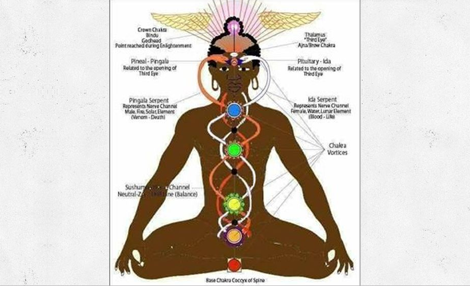
Human superpowers are called siddhis in Sanskrit, a noun with reference to perfection, accomplishment, attainment or success.

Why are we so forcibly educated in a future for Humanity that is dismal, and not in one that is bright?
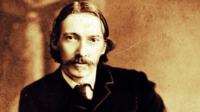
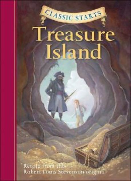
Robert Louis Stevenson was born in Scotland in 1850, and whose best known works are…
…”Kidnapped,” set around the events of the Jacobite Uprising of 1745, an attempt by Charles Edward Stuart, also known as “Bonnie Prince Charlie,” and the “Young Pretender,” to regain the British Throne from the House of of Hanover, from Germany, which assumed the British Throne under King George I in 1714, for his father, James Francis Edward Stuart, otherwise known as the “Old Pretender…”
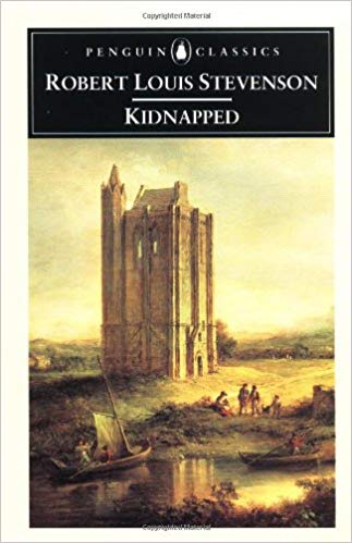
…”The Strange Case of Dr. Jekyll and Mr. Hyde,” which is about a legal practitioner who investigates strange occurrences between his friend, Dr. Henry Jekyll, and the evil Edward Hyde, with “Jekyll and Hyde” coming into our language to refer to people with an unpredictably dual nature – usually good, but sometimes evil…
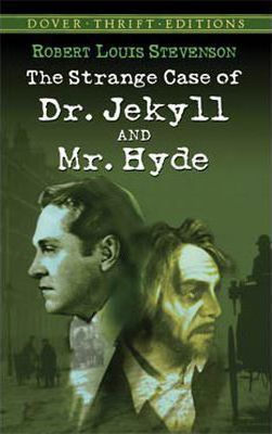
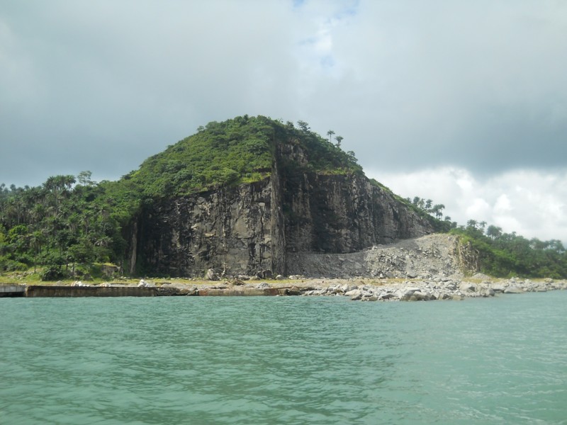
…and “Treasure Island,” which was published in 1883. It is an adventure novel telling a story of pirates and buried treasure.
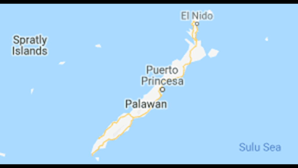
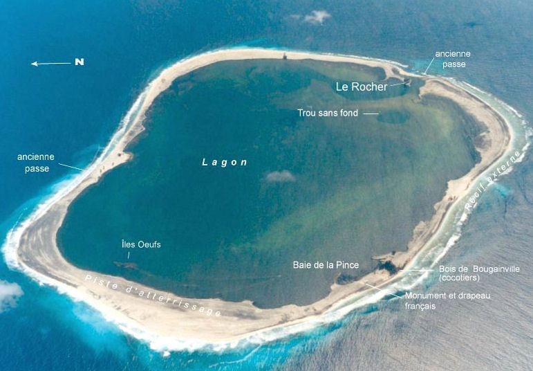
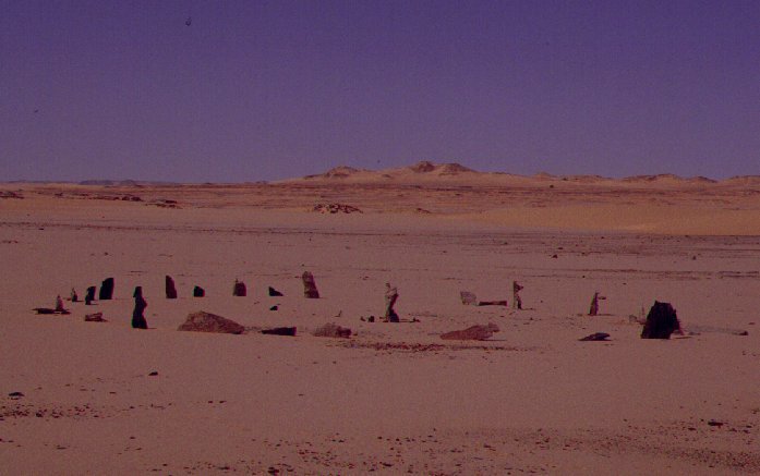
Interestingly, I came across “Treasure Island” when I was researching the circular planetary alignment emanating off of Algiers, Algeria.
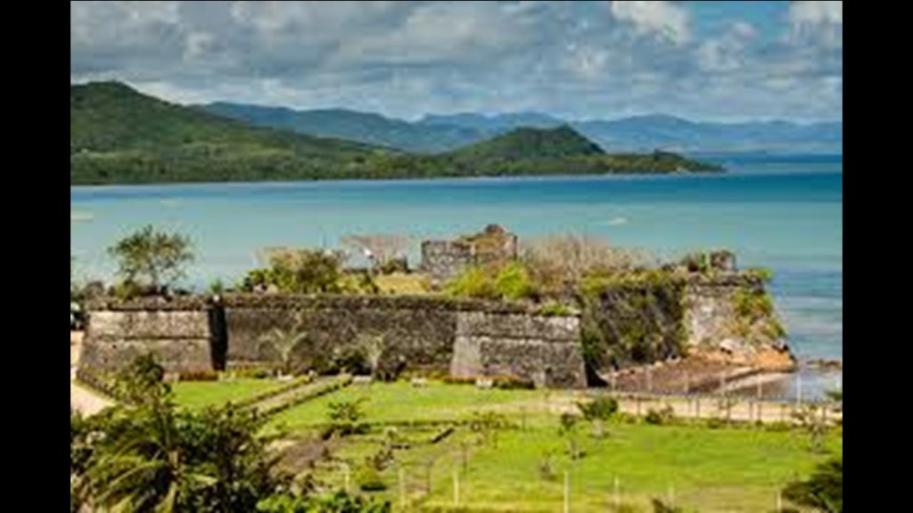
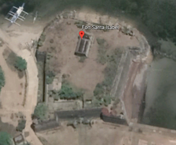
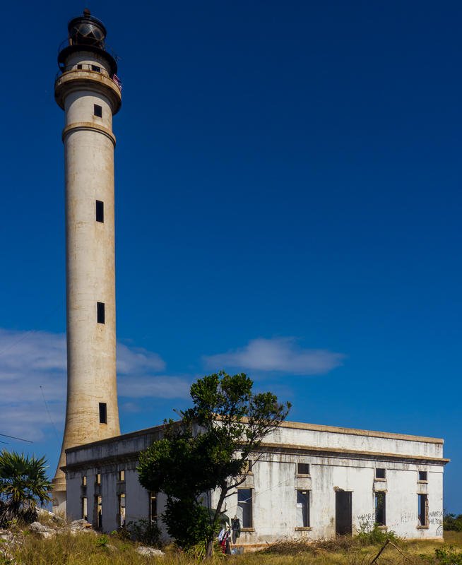
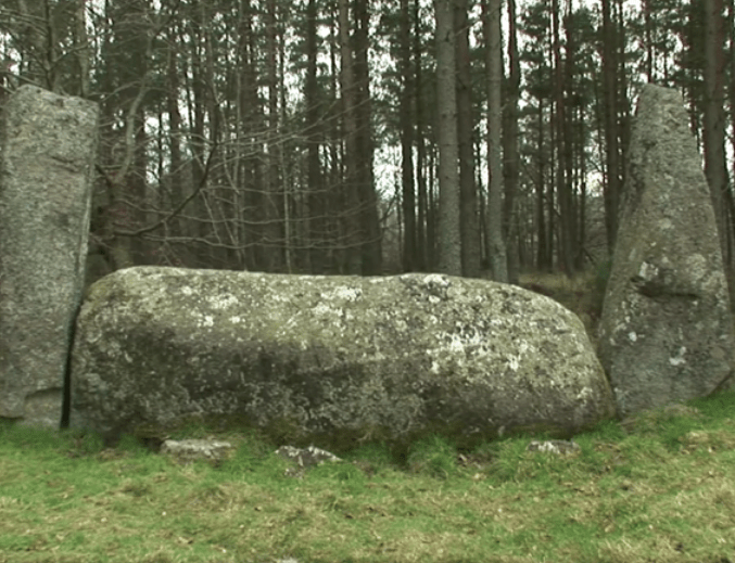
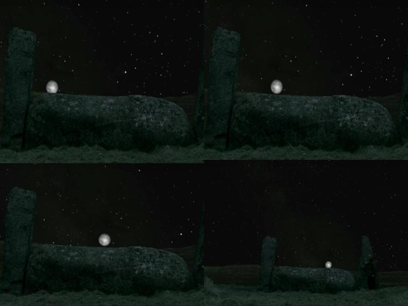
When I was looking into the Loos Islands, which consist of three main islands just off the coast of Conakry, Guinea, I found that one of them, Roume, was said to be the inspiration for this novel. This is what you find on Roume Island:

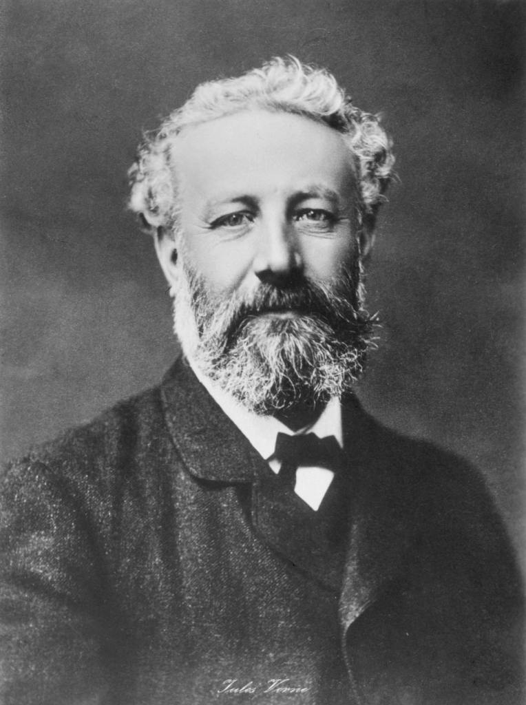
On the same Algiers Circle alignment way up north, I encountered Jules Verne a couple of times.
Jules Verne, born in 1828, was a French novelist, poet, and playwright. He sometimes been called the “Father of Science Fiction,” but so have other authors been called, like H. G. Wells.
I first came across Jules Verne tracking the Algiers circle alignment through western Iceland, at Snaefellsjokull, an ice-covered stratovolcano in the first national park of the same name established in Iceland, and said to be one of seven great energy centers of the Earth.

It is was the entrance to Inner Earth that German adventurers took in Jules Verne’s classic 1864 novel, “Journey to the Center of the Earth.”
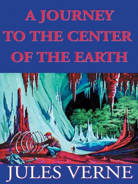
In the novel, the adventurers came to the surface of the earth again at the Stromboli volcano of the north coast of Sicily.

I wonder how Jules Verne came up with that unusual story line!
I came across him again further down the same alignment,at Fingal’s Cave, on the island of Staffa, in Scotland’s Inner Hebrides…

…which is known for its natural acoustics. It is formed by hexagonally-jointed basalt columns.
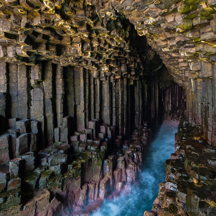
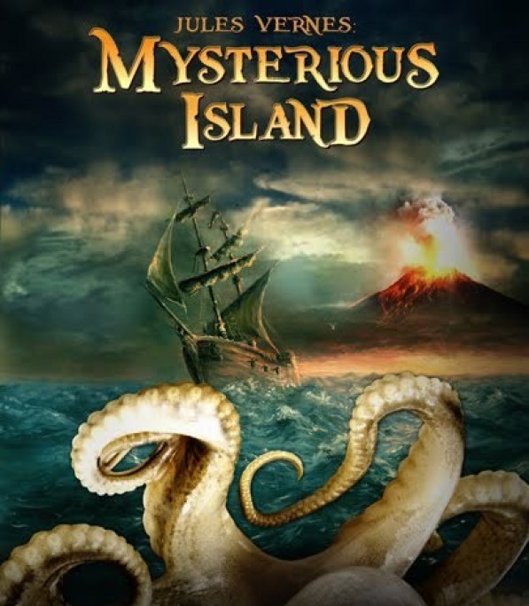
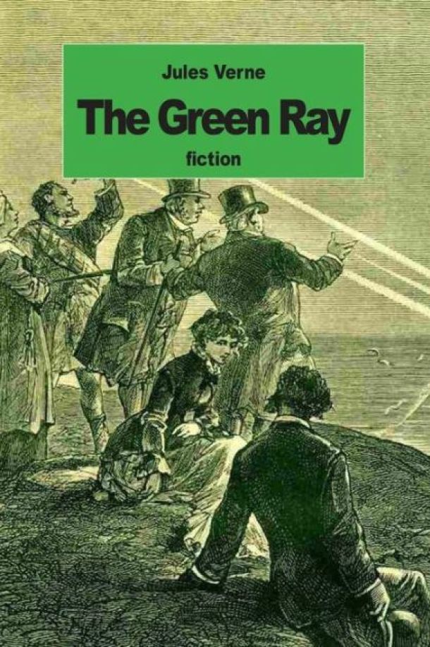
Jules Verne was also a visitor to Fingal’s Cave, and he mentions it in his novel “Mysterious Island”…
…and in “The Green Ray.”
So many of these preeminently famous authors were also world travellers, and amazingly really got around the world back in the day!
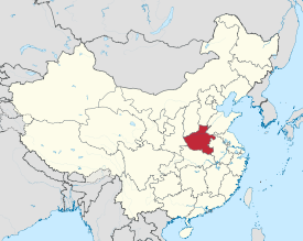
Count Leo Tolstoy was born in 1828…
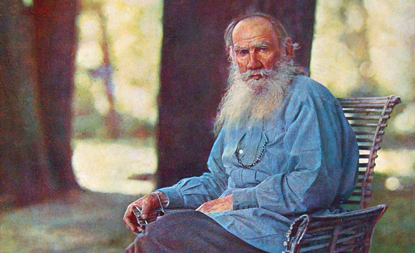
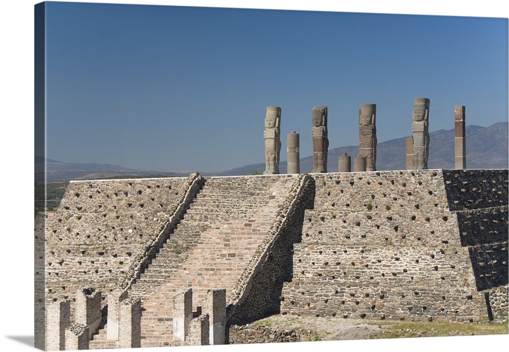
…in Russia’s Tula Province.

There is a Temple of the Atlantes in a place of the same name, Tula in Mexico…
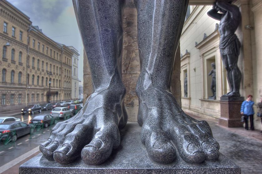
…and what are called “The Atlantes of the Hermitage,” in St. Petersburg, Russia, where ten Atlantes carved from dark gray granite hold the entrance ceiling at head level…
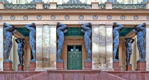
…which are truly huge!
Leo Tolstoy is said to be regarded as one of the greatest authors of all time, though he never received the Nobel Prize for Literature or Peace, both of which he was nominated for several times.
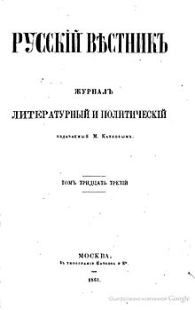
“War and Peace” is perhaps his best known work, which was first published serially, like other famous authors of his day, in the “Russian Messenger” between 1865 and 1867…
…and first published in its entirety in 1869.
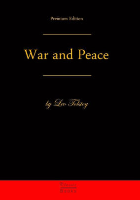
It chronicles the French invasion of Russia by Napoleon, and the impact of the Napoleonic era, between 1805 and 1820, through the stories of five aristocratic families.
His other most famous work is “Anna Karenina,” also first released in serial installments in the “Russian Messenger” between 1873 and 1877, before being published in its entirety in 1878.
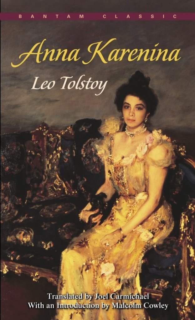
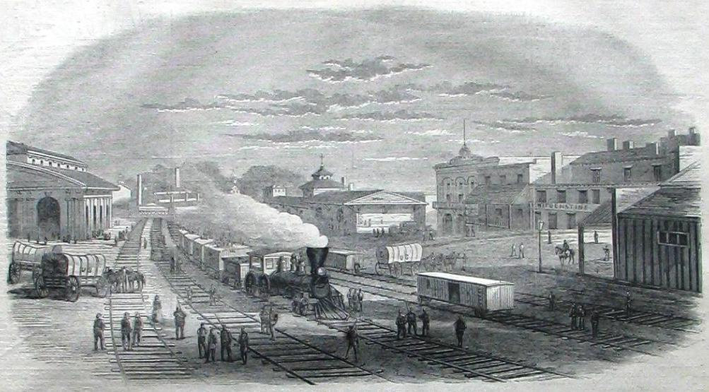
It deals with themes of betrayal, faith, family, marriage, Imperial Russian society, desire, and rural versus city life…and trains are a recurring theme throughout the book, taking place against the backdrop of rapid transformation.
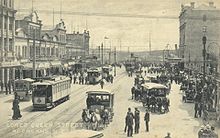
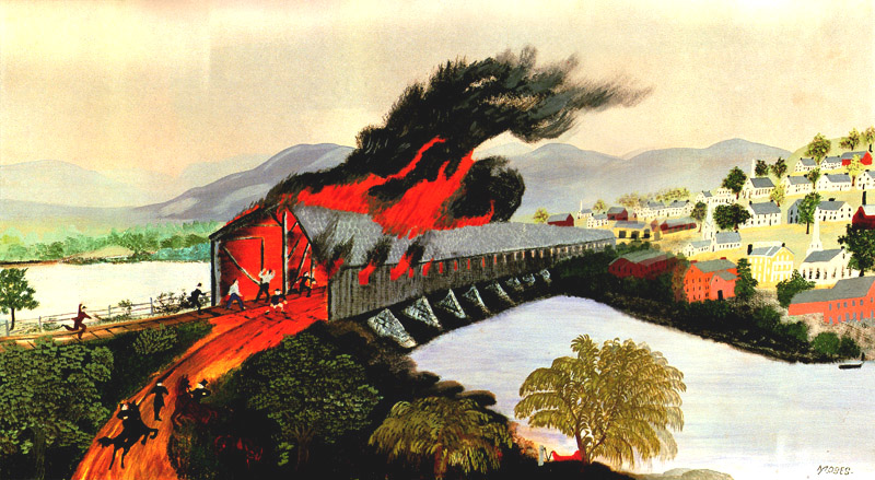
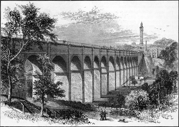
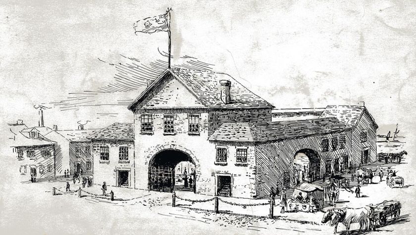
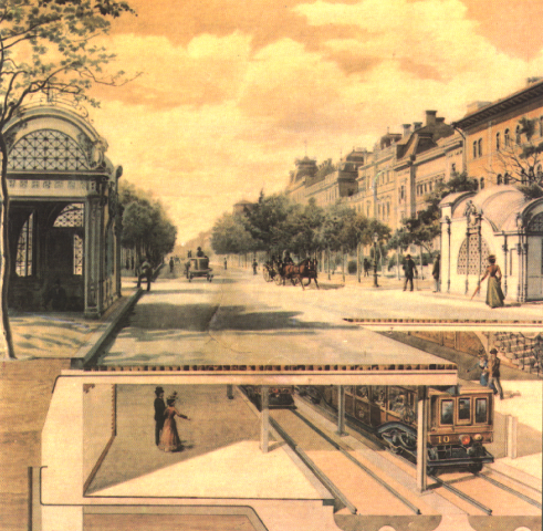
For example, this is said to be an illustration of the opening of the first railroad in Russia, the Tsarskoe-Selo Railway, said to have been built between 1836 and 1837 by an Austrian engineer for Tsar Nicholas I from St. Petersburg to his summer palace.
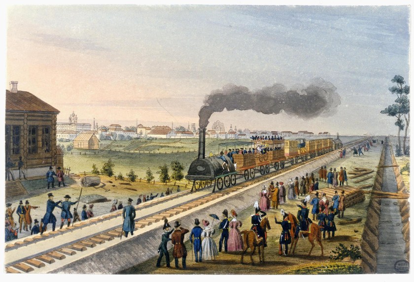
Note the beautiful and uniform raised railroad bed, and the canal running straight as an arrow parallel to it.
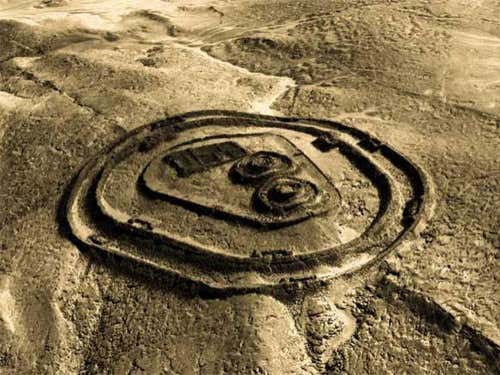
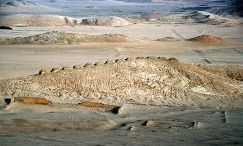
I have explored the subject of railroads and canals as being part of the ancient advanced civilization in earlier posts.
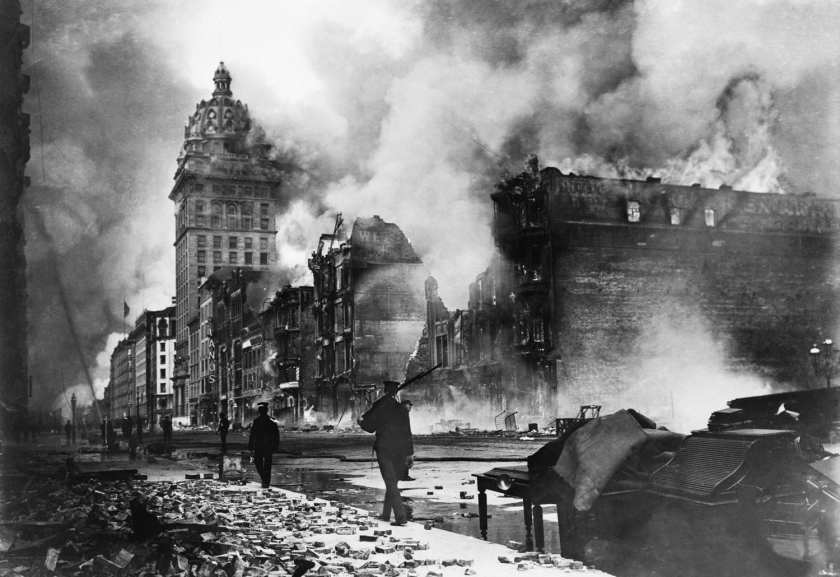
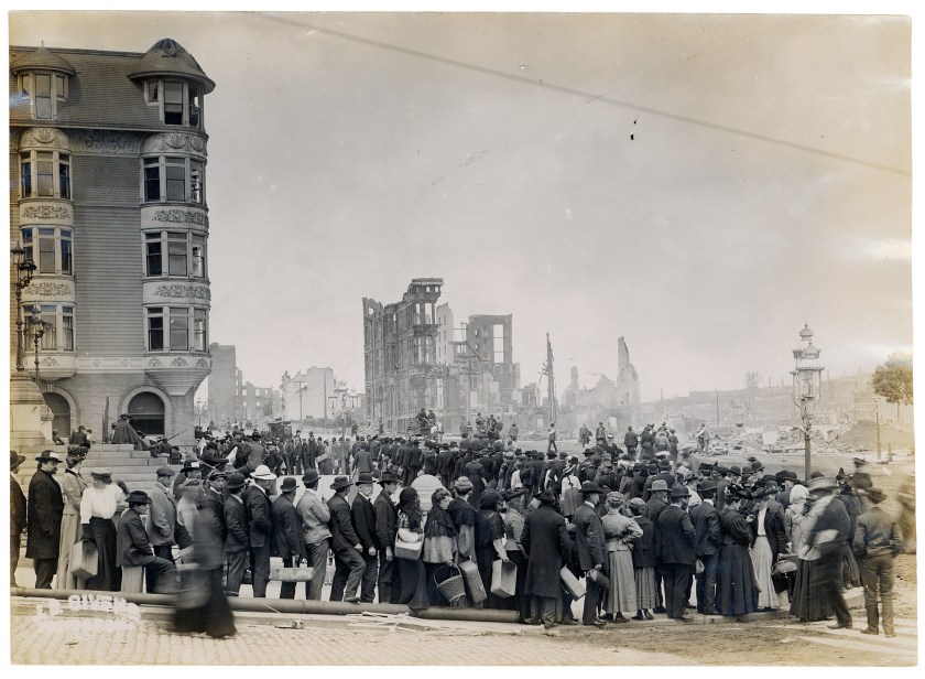
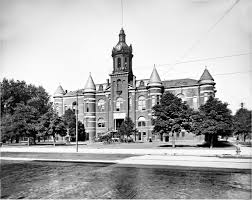
On a related topic to relatively modern literature serving as programming devices for a new historical narrative, libraries throughout history have been deliberately destroyed.
The Great Library of Alexandria in Egypt was one of the largest and most significant libraries of the ancient world.

It was set on fire multiple times during the Roman era, including by Julius Caesar in 48 BC, but its final destruction was said to come in 297 AD during the Emperor Diocletian’s siege of Alexandria in 297 AD.

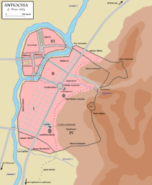
The Royal Library of Antioch in Syria, said to be established in 221 BC, and destroyed in 363 by the Christian emperor Jovian at the urging of his wife. It was said to have been stocked with unholy pagan literature.
The Library of Avicenna was said to have been destroyed in Isfahan, Iran, in 1034 AD by the Sultan Mas’ud I.
Avicenna, or Abu Ali Sina, was a Persian polymath, or an individual whose knowledge spans a significant number of subjects known to draw on complex bodies of knowledge to solve specific problems.
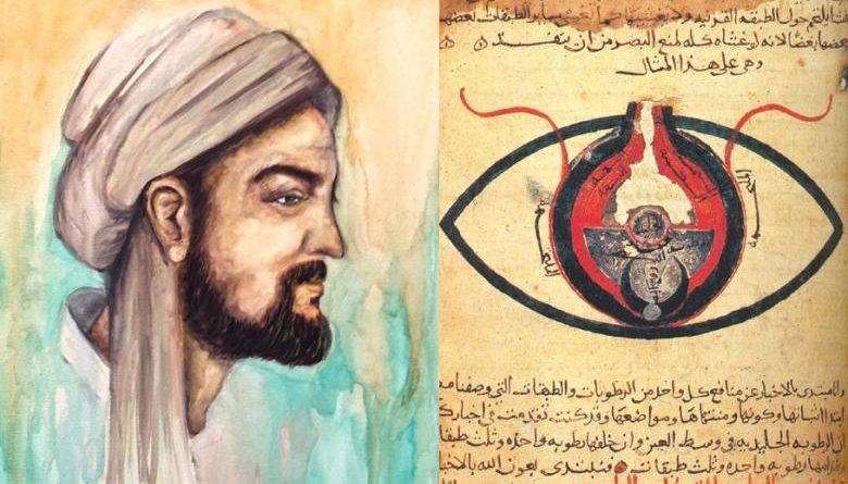
He is regarded as one of the most significant physicians, astronomers, thinkers and writers of the Islamic Golden Age, traditionally dated from the 8th-century to the 14th-century AD, and is considered the father of modern medicine.
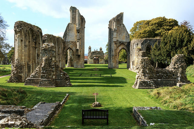
The monastic libraries of England were destroyed or dispersed following the dissolution of the monasteries by King Henry the VIII between 1536 and 1541, including, but not limited to, Glastonbury Abbey and its library.
This is just a small sample of the destruction of important libraries throughout history.
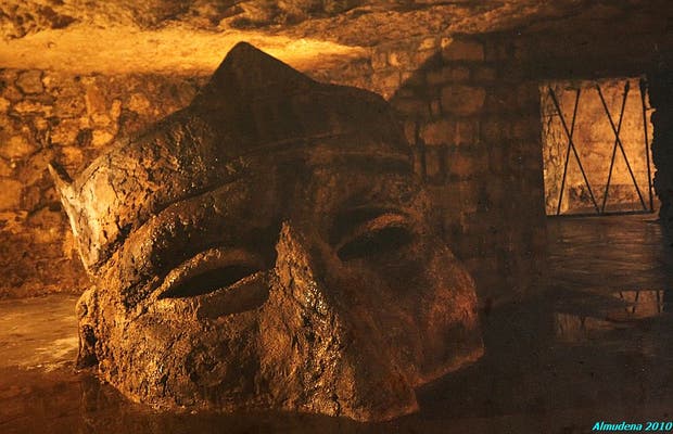
And what’s in the library buried underneath the Vatican they don’t want us to see?
It is not open to the general public…only to people who can document their qualifications and research needs.
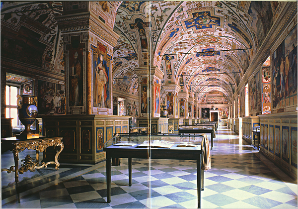
Said to have been formally established in 1475, it is said to house one of the most significant collections of historical texts, including 75,000 codices, and 1.1 million printed books.
In my next post, I am going to start looking at the artwork of the 1800s as programming devices.