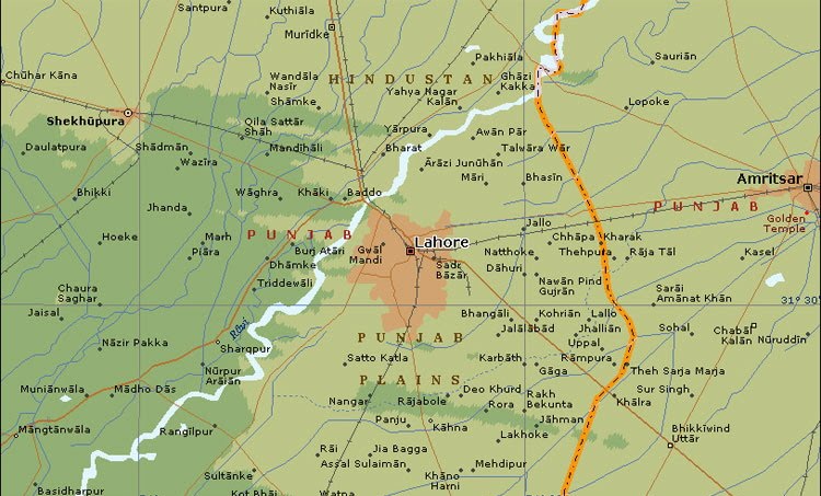
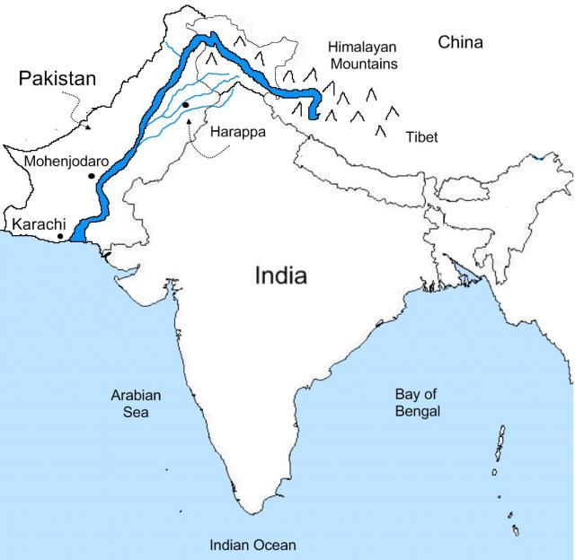
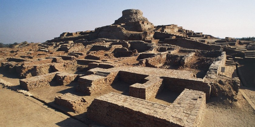
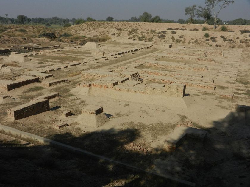
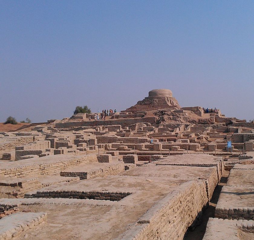
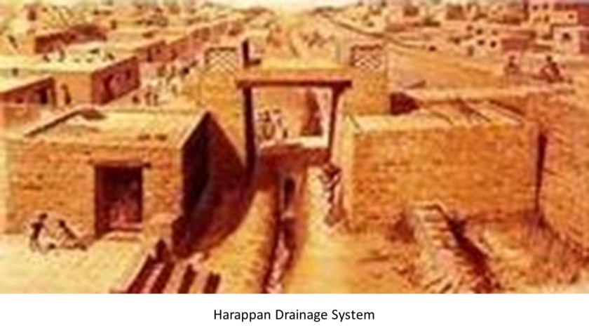
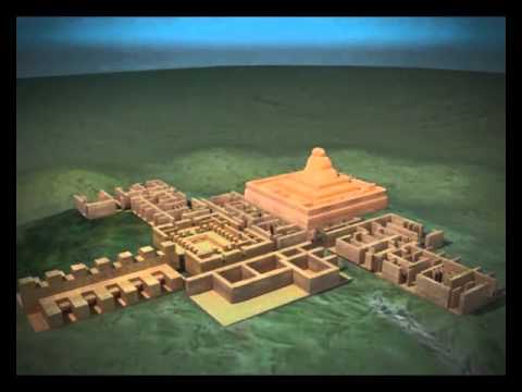
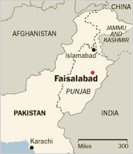
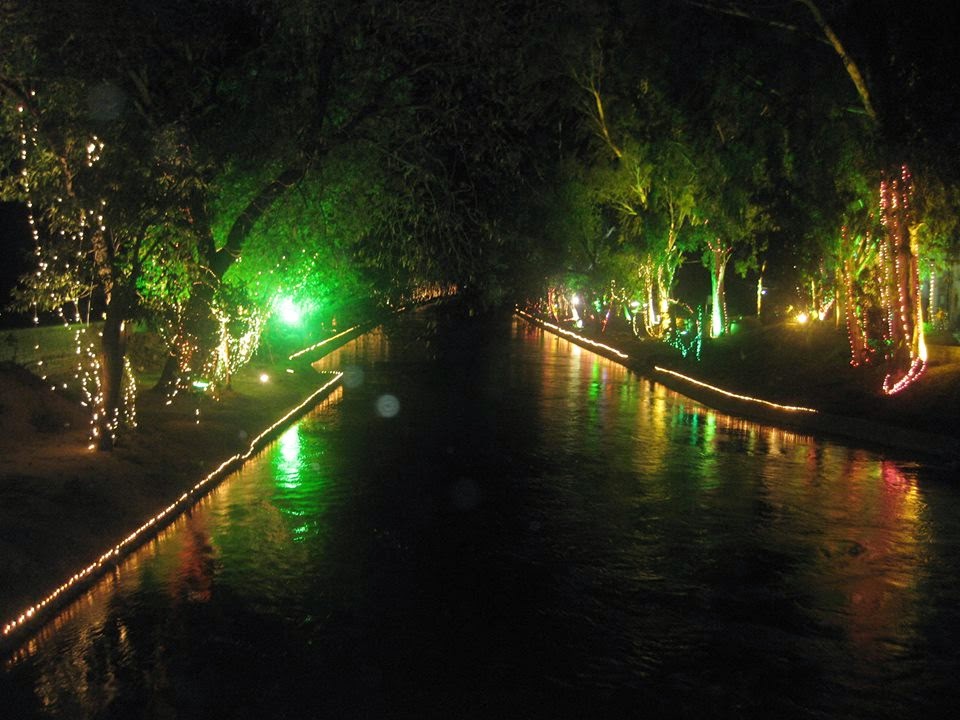
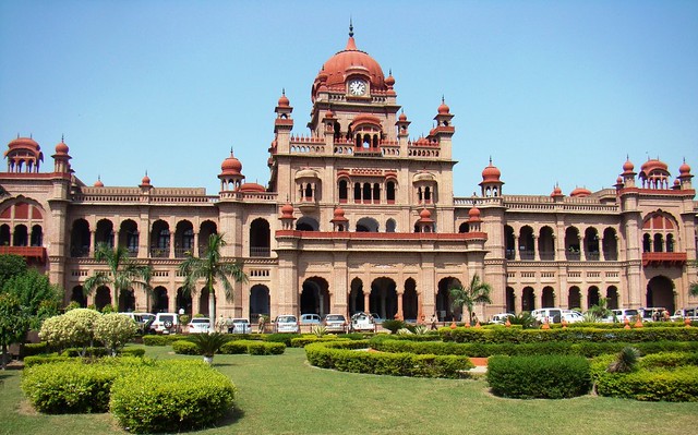
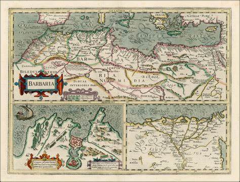
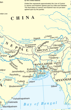
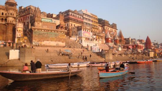
I started out in Lahore Pakistan in the last post, the capital city of the Punjab Province of Pakistan; through the cradle of the ancient Harappan Civilization of the Indus River Valley, which was largely in Pakistan; to Faisalabad, also in the Punjab Province, and a major industrial and transportation center of Pakistan.
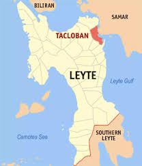
I am picking up this alignment in Waziristan, a mountainous region of Pakistan on the country’s border with Afghanistan…
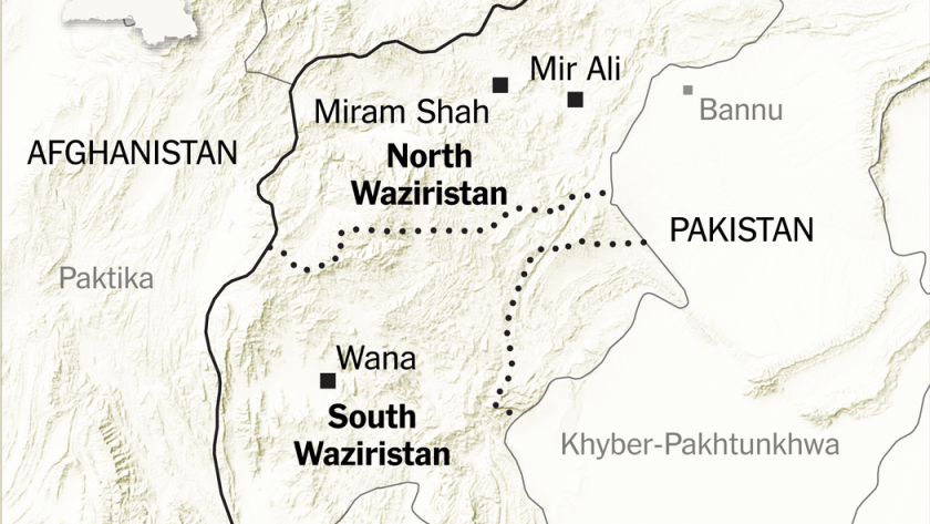
…and of which North and South Waziristan are districts of the Khyber-Pakhtunkwha Province, formerly known as the Northwest Frontier Province.
Khyber-Pakhtunkwha Province is the location of the Khyber Pass, a mountain pass in the northwest of Pakistan, and an integral part of the ancient Silk Road. A translation is “On the Khyber side of the Land of the Pashtuns.”
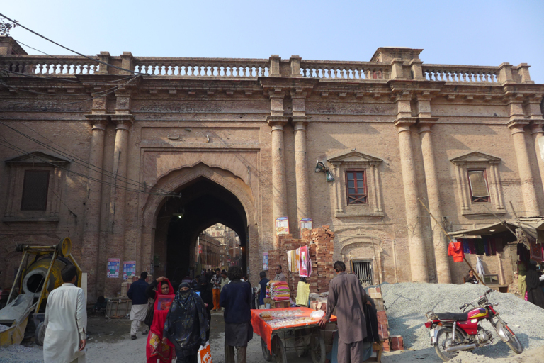
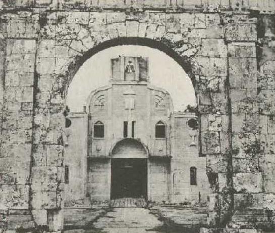
This is the Bab-e-Khyber, a gate that stands at the entrance to the Khyber Pass…
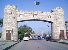
…said to have been constructed in 1965.
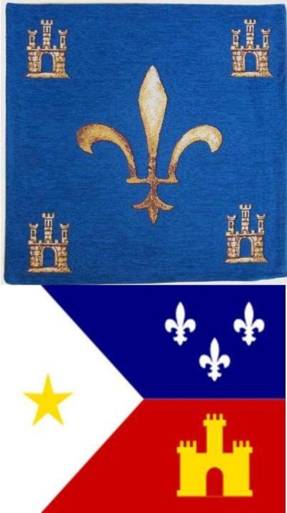
The turreted and crenellated appearance of the Bab-e-Khyber brought to mind the style of architecture seen on this old Merovingian textile from France on the top, and the Cajun flag of Louisiana on the bottom.
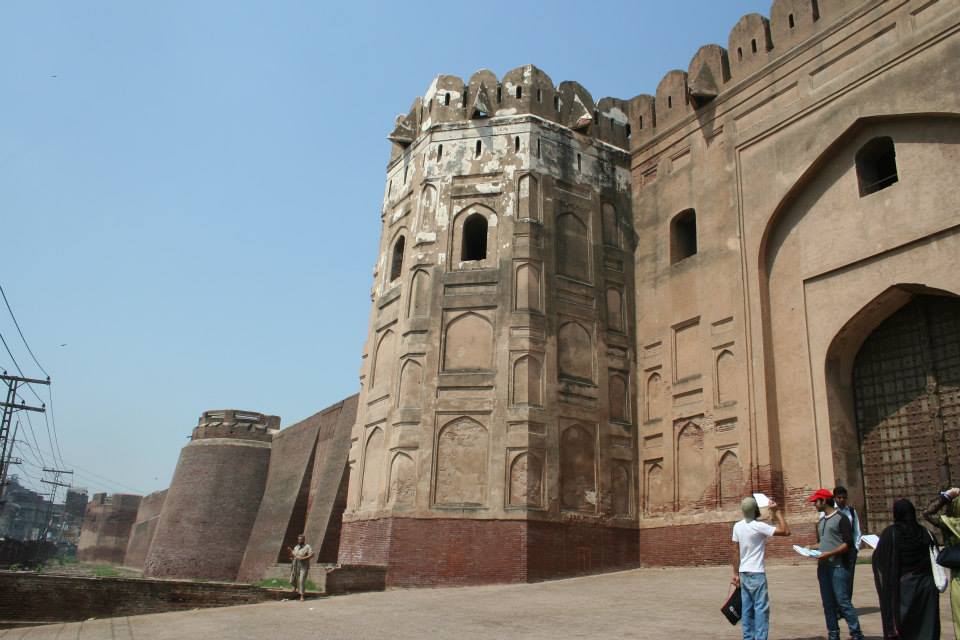
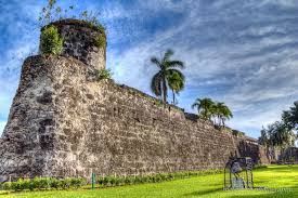
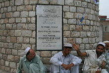
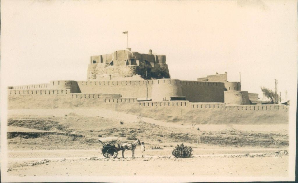
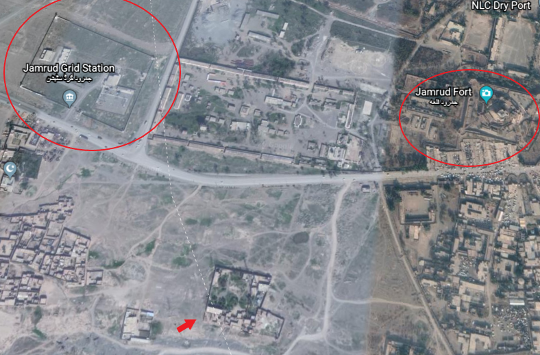
The Jamrud Fort is adjacent to the Bab-e-Khyber. We are told that the foundation of the fort was laid out by the Sikh General Hari Singh Nalwa on the 18th of December in 1836, and that the fort was completed in 54-days, after Jamrud was lost to the Afghan Durrani Empire and conquered by the Sikh Empire.
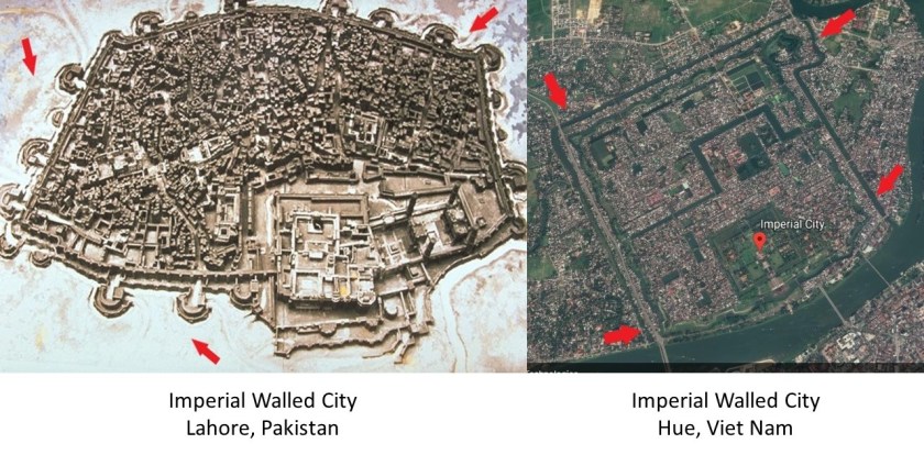
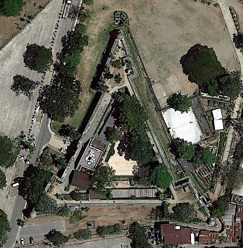
This is a screenshot of the Jamrud Fort on Google Earth…
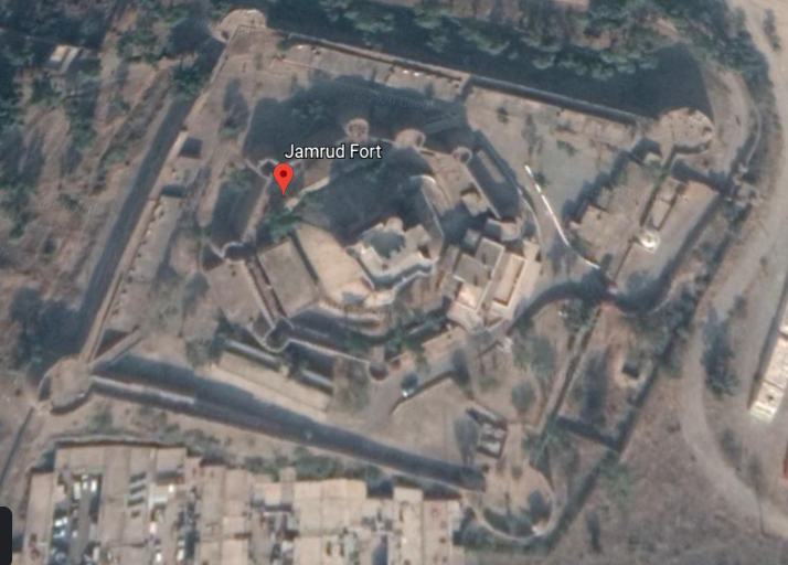
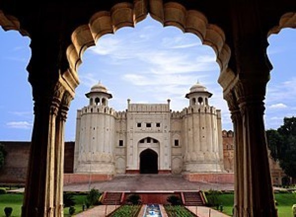
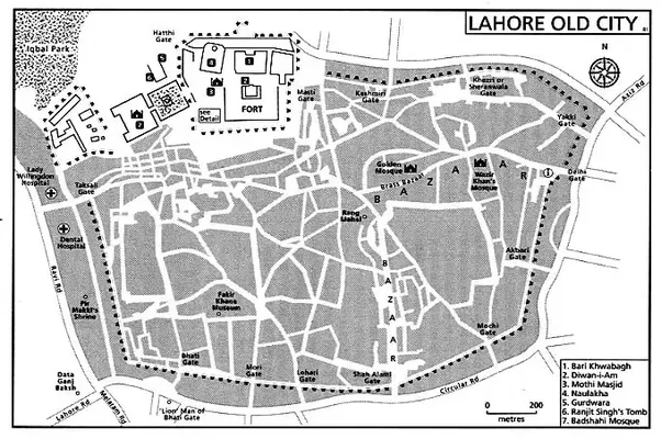
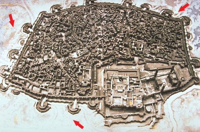
…looking similar, especially with regards to the shape of the outer walls to the Lahore Fort in Lahore, Pakistan…
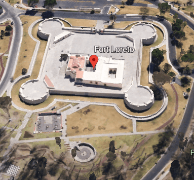
…as well as the rounded corners of Fort Loreto in Puebla, Mexico…
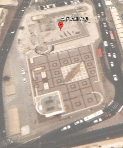
…and rounded corners are seen at Dubai’s Al Fahidi Fort.
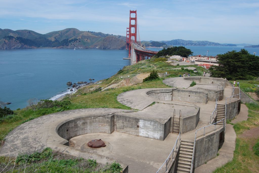
While most star forts have more angled configurations, making them look like stars, not all do, and I believe they were originally part of the electrical circuitry of the planetary system, and not military in nature as we are taught to believe.
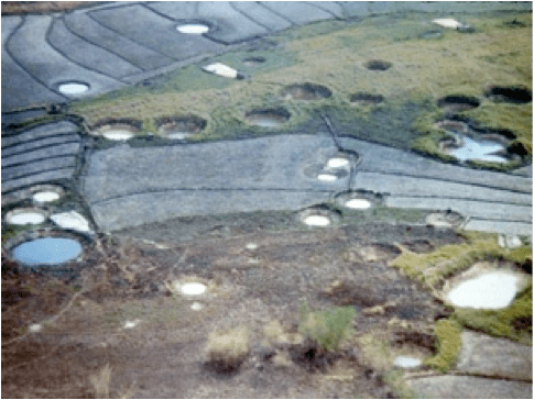
As a matter of fact, the Jamrud Electrical Grid System is located very close to Jamrud Fort, as is at least one other structure with the arrow pointing towards it, and possibly more, that looks like it could be connected to this system. It is typical to find star forts in clusters of two or more.
For more information about this finding, see my blog post “The Consistent Finding of Star Forts on Planetary Alignments.”
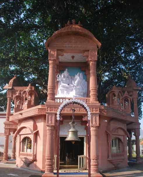
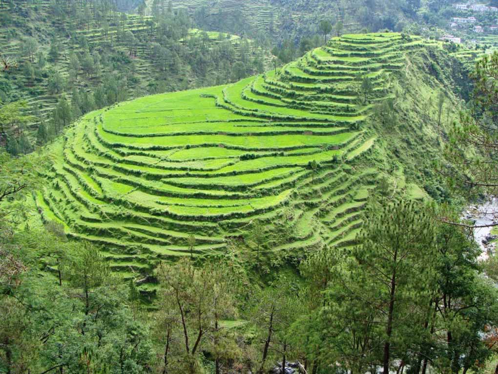
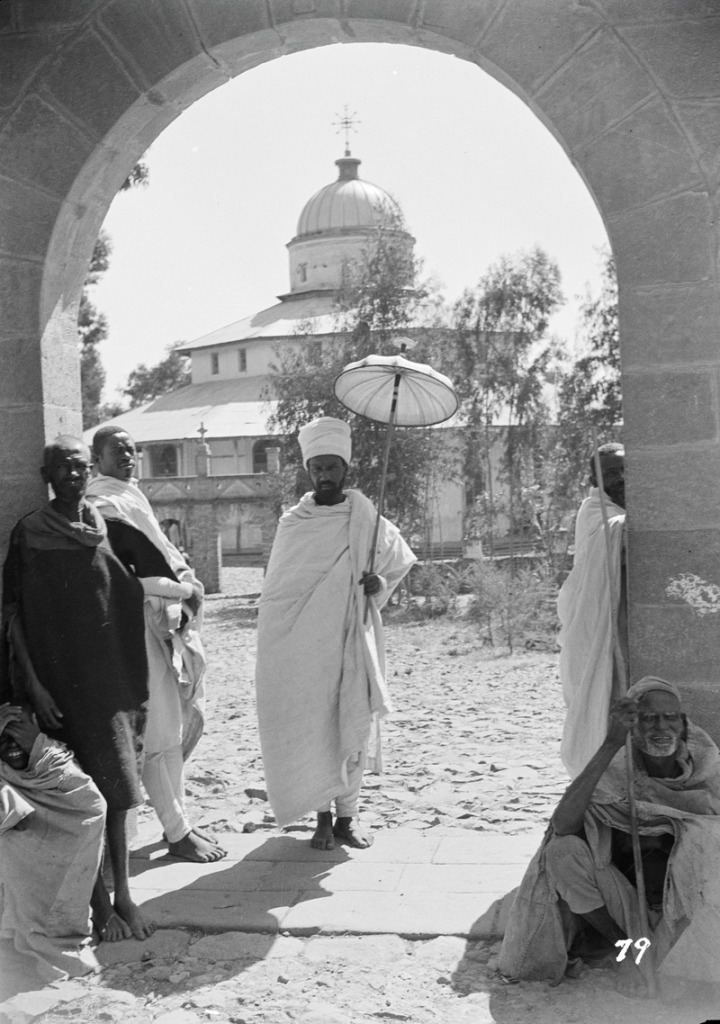
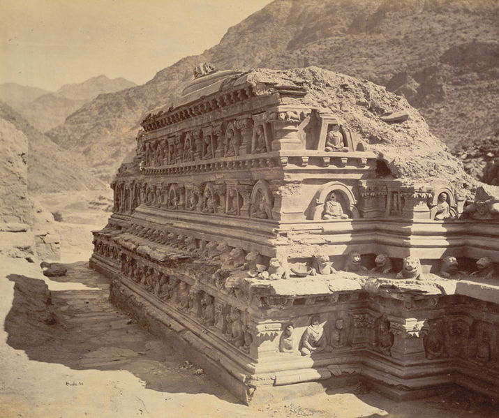
Khyber-Pakhtunkwha Province was the historical location of the ancient kingdom of Gandhara, including the ruins considered to be 2,000 years old of its capital city Pushkalavati, near modern-day Charsadda.
Pushkalavati was originally a stronghold of Buddhism.
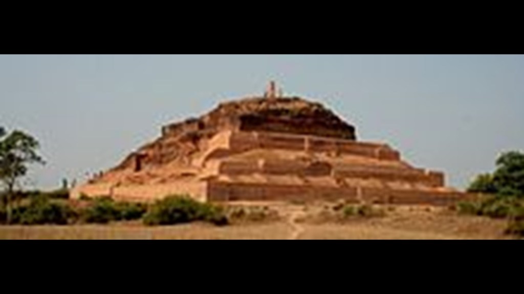
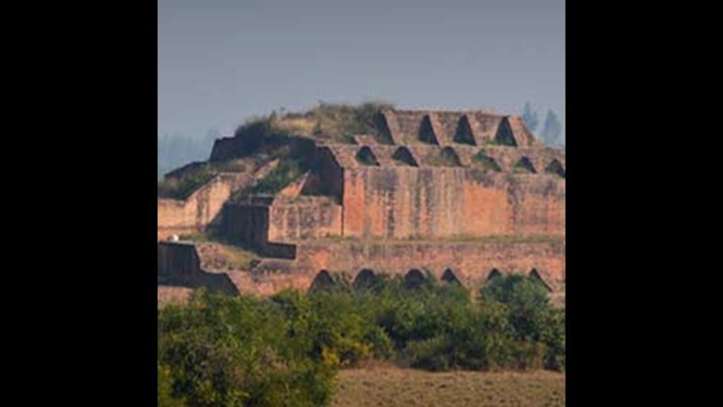
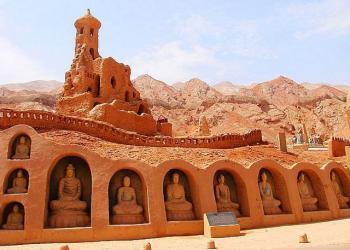
These Buddhist ruins are found in the Khyber Pass of Afghanistan…
…compared in appearance to the Bezeklik Thousand Buddha Caves in Turpan in northern China’s Uyghur Autonomous Region…
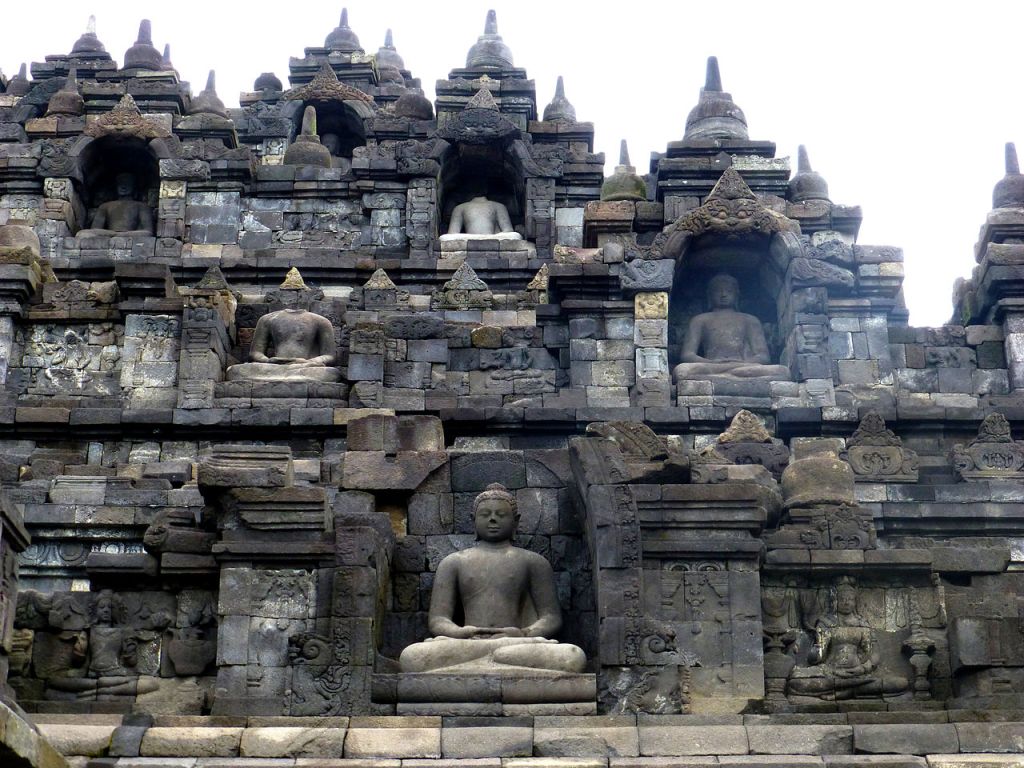
…and Borobudur on the island of Java in Indonesia.
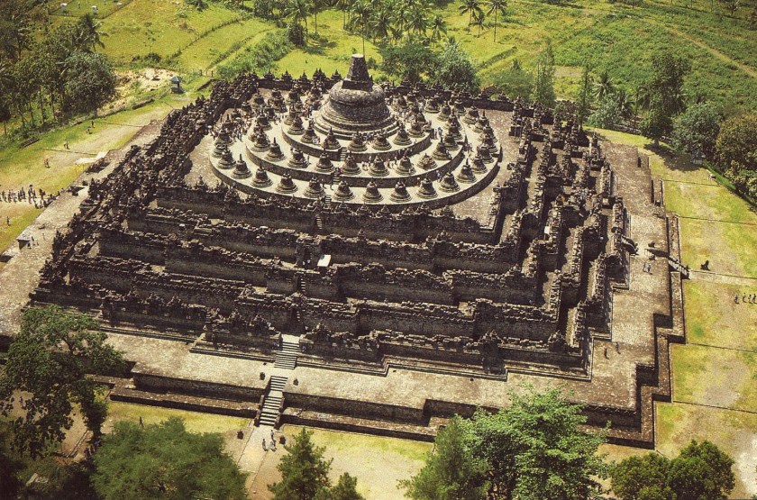
Here is what Borobudur looks like from above.
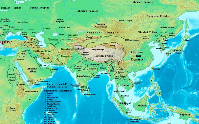
Ancient Gandhara in present-day Pakistan was said to have attained its height from the 1st- to the 5th-centuries AD, flourishing as the “Crossroads of Asia” under the Kushan Empire.
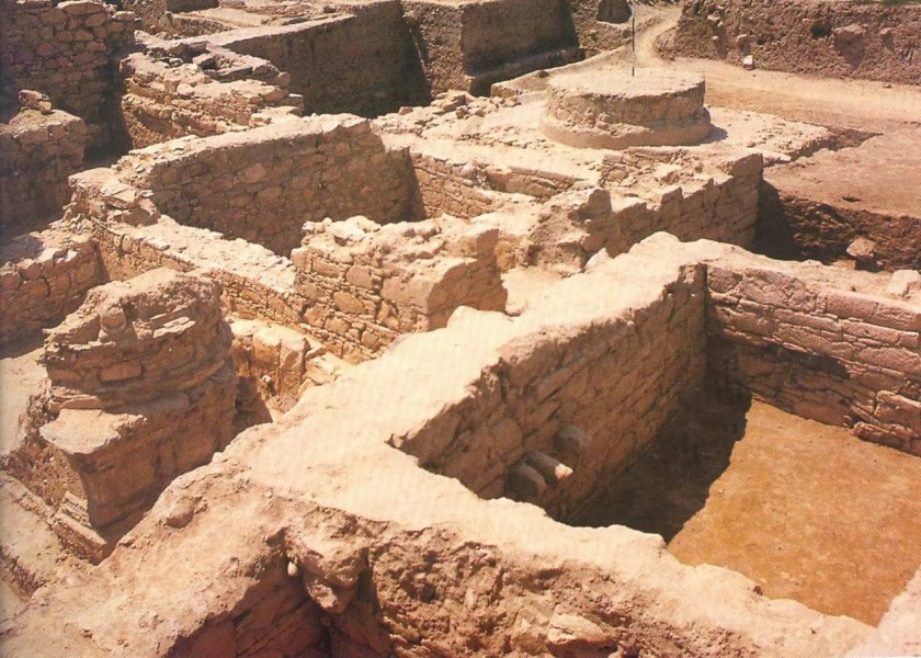
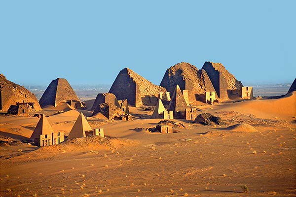
Could there have been a connection between the Kushan Empire, in this region which includes a mountainous region known to this day as the “Hindu Kush,” and the Kushite Empire of northern Africa with its capital of Meroe (also sounds like “Merovingian” mentioned previously in association with the French textile design) in Sudan near the Nile River, pictured here?
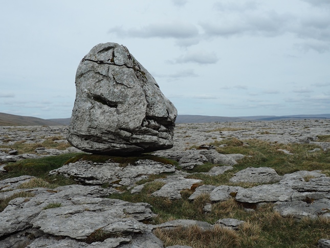
I don’t know the answer to that question. That information is long-gone. I do find quite often, however, that the memory of the people was retained in place names, like the Moors of Great Britain. This is Scales Moor in Yorkshire…
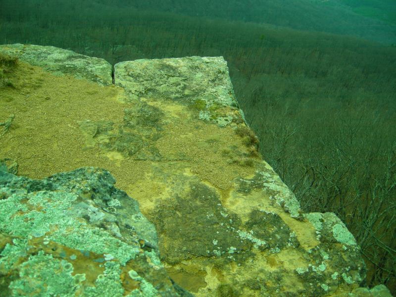
…and places like the Ouachita (pronounced Washitaw) Mountains of Eastern Oklahoma and Western Arkansas. This picture was taken at Mt. Magazine of the Ouachita Mountains in Arkansas. The Washitaw Mu’urs were the inhabitants of the ancient Washitaw Empire in North America, with its imperial seat near Monroe, Louisiana.
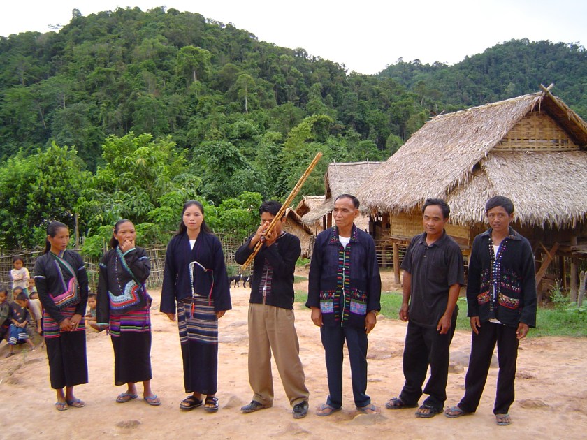
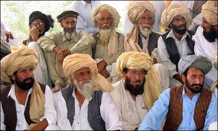
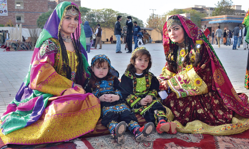
All of this is a lead-in to the Pashtun tribal peoples.
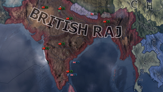
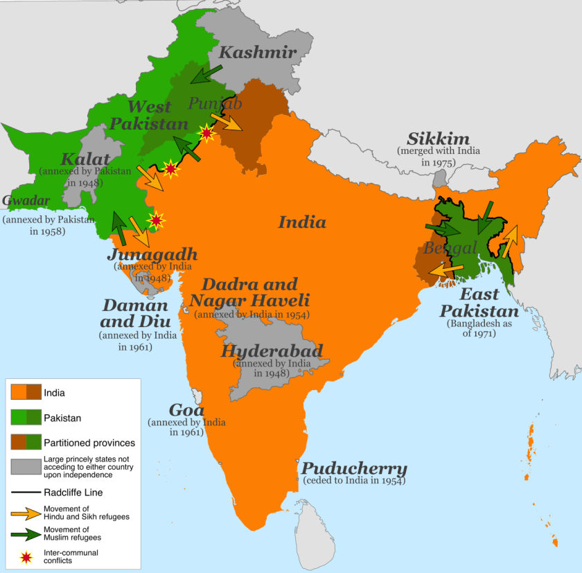
They are the primary inhabitants of a region including North and South Waziristan, the Khyber-Pakhtunkwha and Balochistan Provinces of Pakistan, and the Pashtun are also found in Afghanistan, in a region regarded as Pashtunistan, split between two countries since the Durand Line border between the two countries was formed in 1893 after the second Anglo-Afghan War.
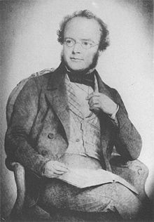
The name sake of the line, Sir Henry Mortimer Durand, was a British Diplomat and Civil Servant of the British Raj. We are told that together with the Afghan Emir, Abdur Rahman Khan, it was established to “fix the limit of their respective spheres of influence and improve diplomatic relations and trade. Well, that certainly sounds good…but what was really going on here?
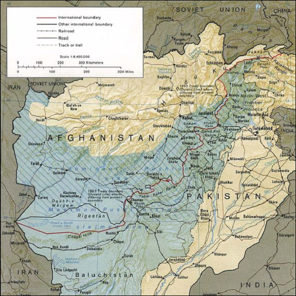
The Durand Line cuts through the Pashtunistan and Balochistan regions, politically dividing ethnic Pashtuns and Baloch, who live on both sides of the border.
But, really, why divide a people in this fashion?
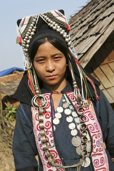
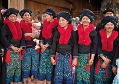
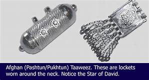
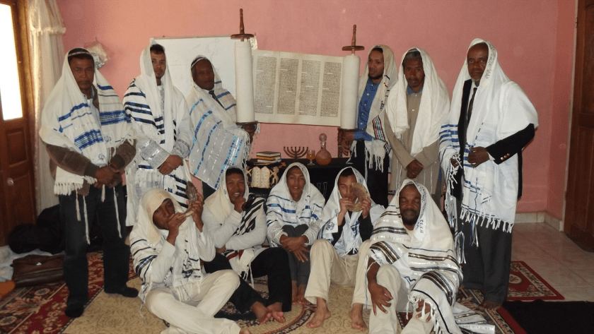
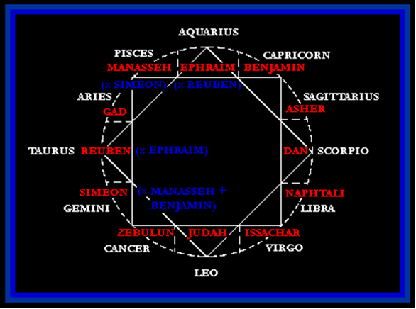
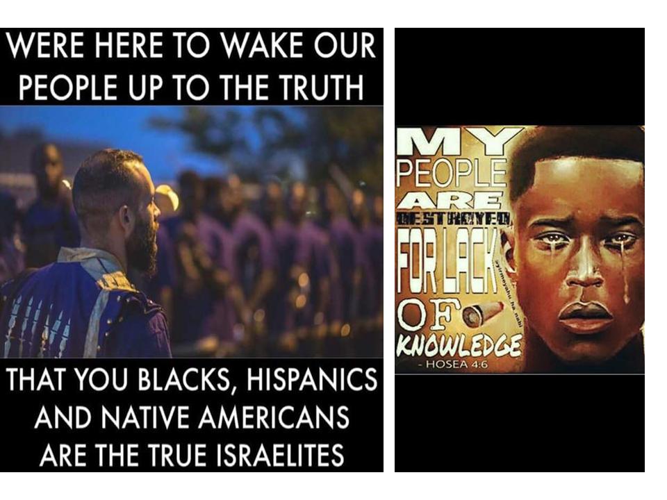
The Pashtun are a tribal nation of millions of Afghani and Pakistani Muslims who also have a strong oral tradition that they are descendants of lost ten Tribes of Israel, and they refer to themselves as Bani Israel.

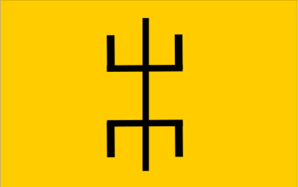
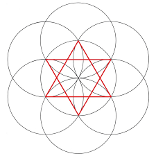
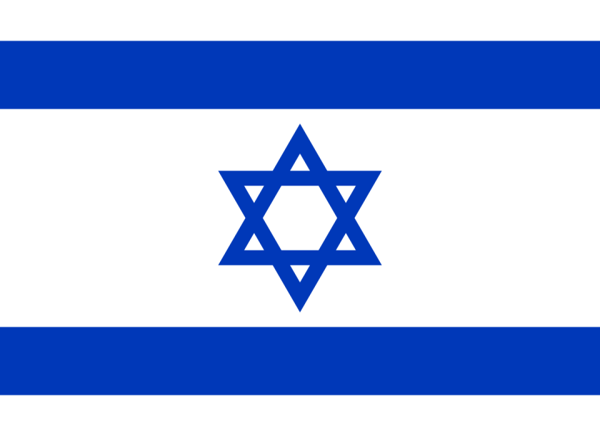
Here is an example of a Pashtun textile piece showing the sacred geometric shape of a star tetrahedron in the center, also known as the Star of David…
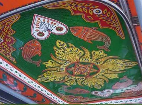
…and a recognizable symbol of what is called Judaism today, as seen on the flag of Israel.
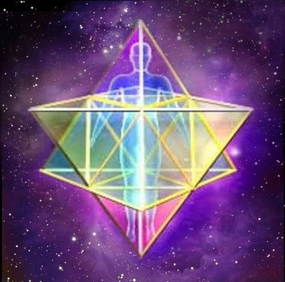
This symbol of the star tetrahedron is also the sacred geometric shape of the Human Lightbody, known as the Merkaba.
So, according to the history we have been taught, how can the Pashtun be Hebrew Israelites and Muslim at the same time?
For many reasons, this is a good opportunity to share why I think there was one original spiritual tradition, and that organized religion came in with the hijack of the original timeline for the purposes of control and serving an agenda not in Humanity’s best interests.
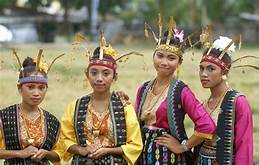
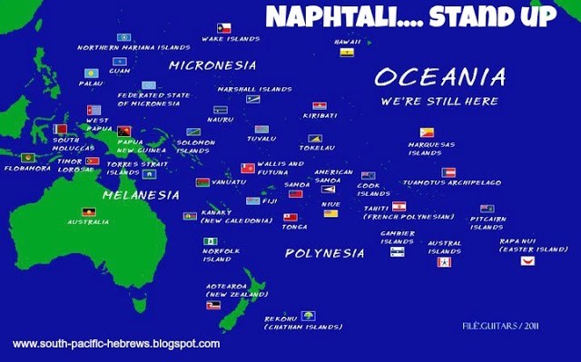
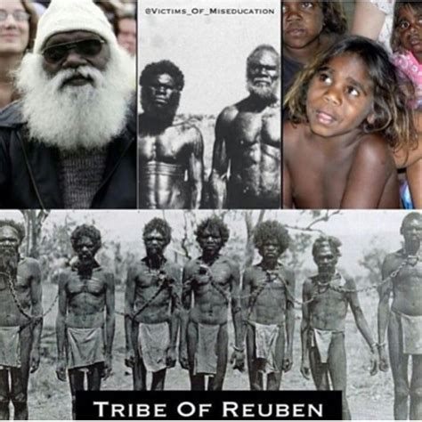
At first I was puzzled by seeing references to the twelve tribes in different places besides the Pashtun in Pakistan and Afghanistan.
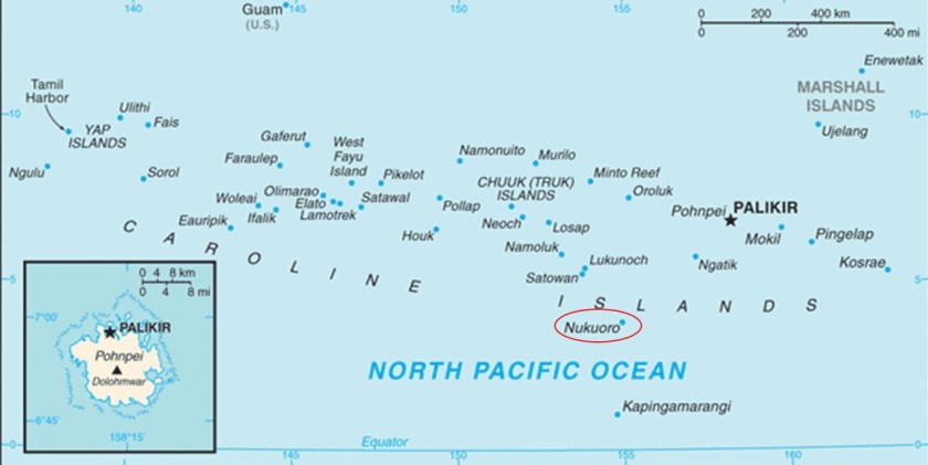
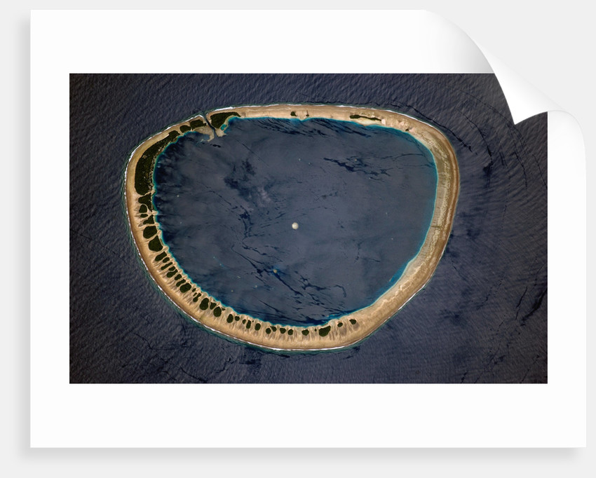
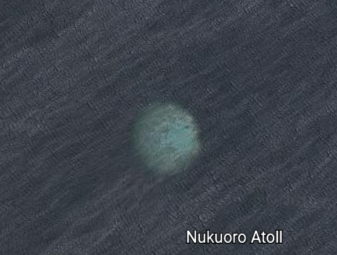
I found the Tribe of Naphtali in the South Pacific…
…the Tribe of Reuben in Australia…
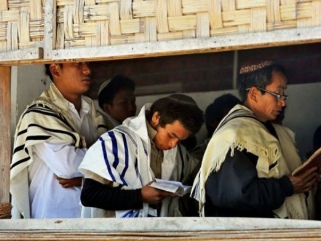
…the Kuki of India say they are of the Tribe of Manasseh…
…and on Madagascar, there is a resurgence of what they say the original faith of the island. The Jesuits were said to have arrived here in 1845, and entrusted with the Prefecture Apostolic of Madagascar in 1850. There’s 1850 again!
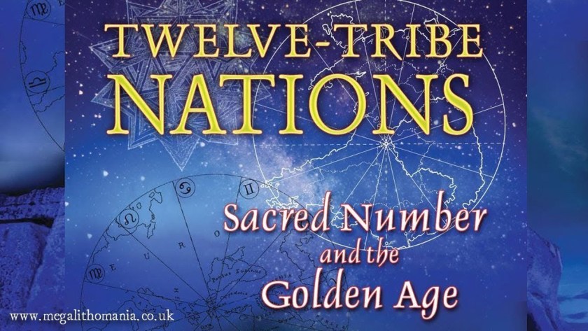
I think a good explanation of this finding of the same tribal name in different parts of the world is contained in a Megalithomania presentation by Christine Rhone on “Twelve Tribe Nations – Sacred Number and the Golden Age.”
She co-authored a book with John Michel called: “Twelve Tribe Nations – Sacred Number and the Golden Age.”
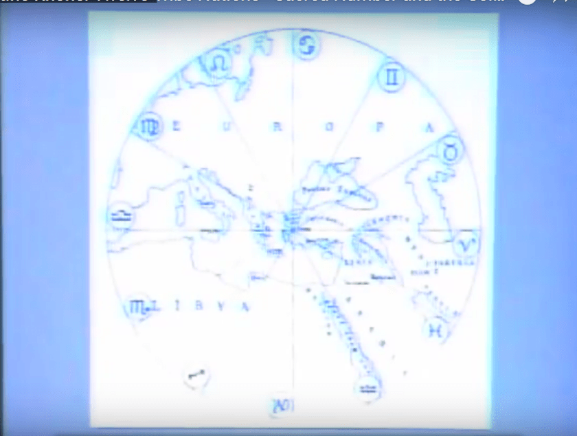
Among other things, they followed the Apollo – St. Michael alignment across countries and continents all the way to Jerusalem in Israel. They discuss records and traditions of whole nations being divided into twelve tribes and twelve regions, each corresponding to one of the twelve signs of the zodiac and to one of the twelve months of the year.

All formed around a sacred center, and sacred centers.
It stands to reason that these people would apply to the same concepts of Harmony, Balance, Beauty, Sacred Geometry, and aligning heaven and earth, to building their communities and themselves that they applied to building all of the infrastructure of the planet.
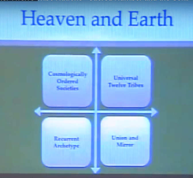
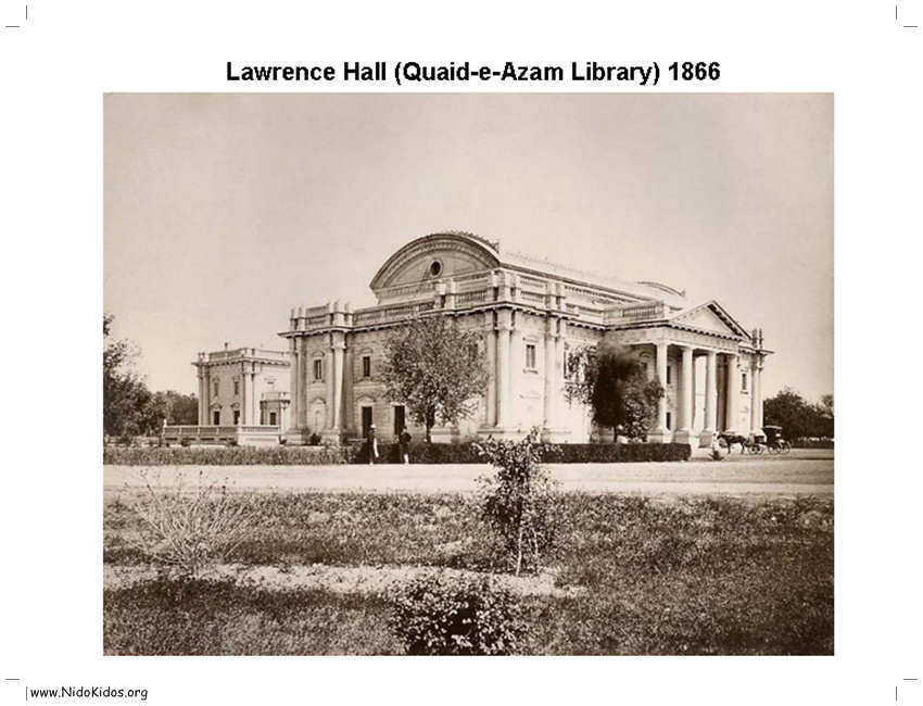
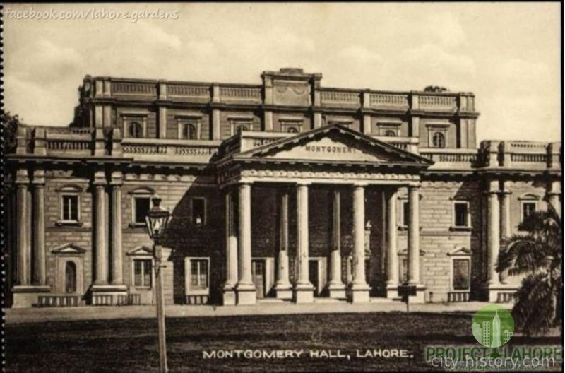
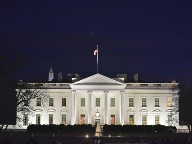
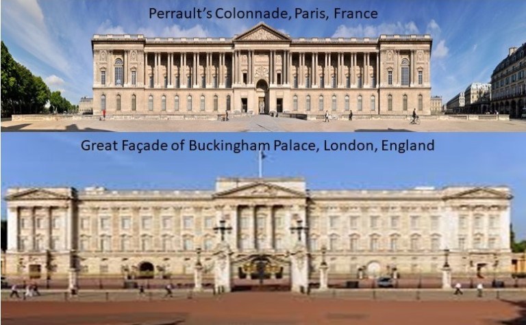
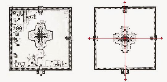
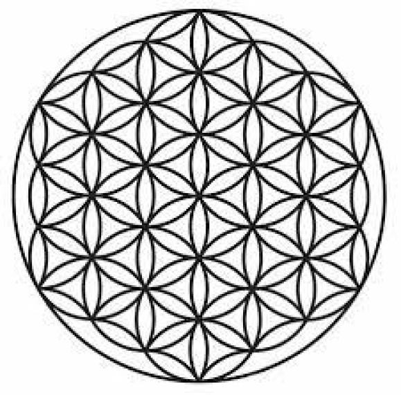
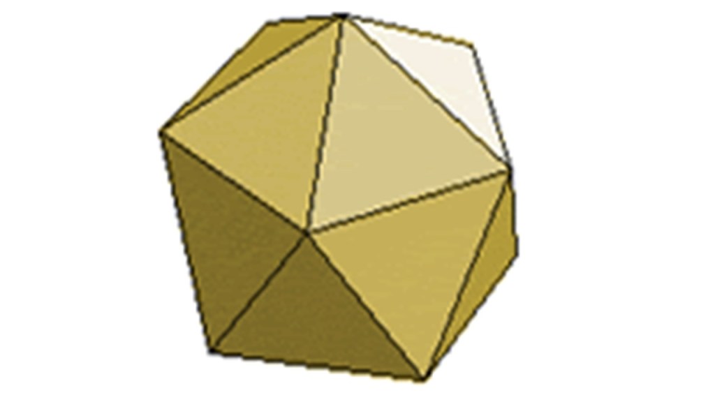
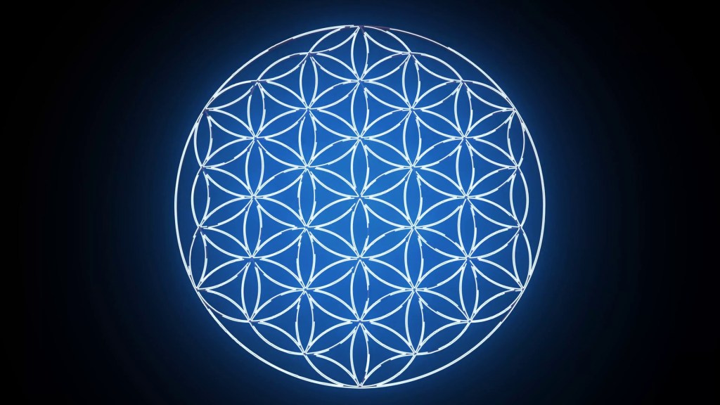
So what if we are talking about a civilization arrangement like what you see pictured here (and in which you see the eight-pointed star contained within this configuration)…
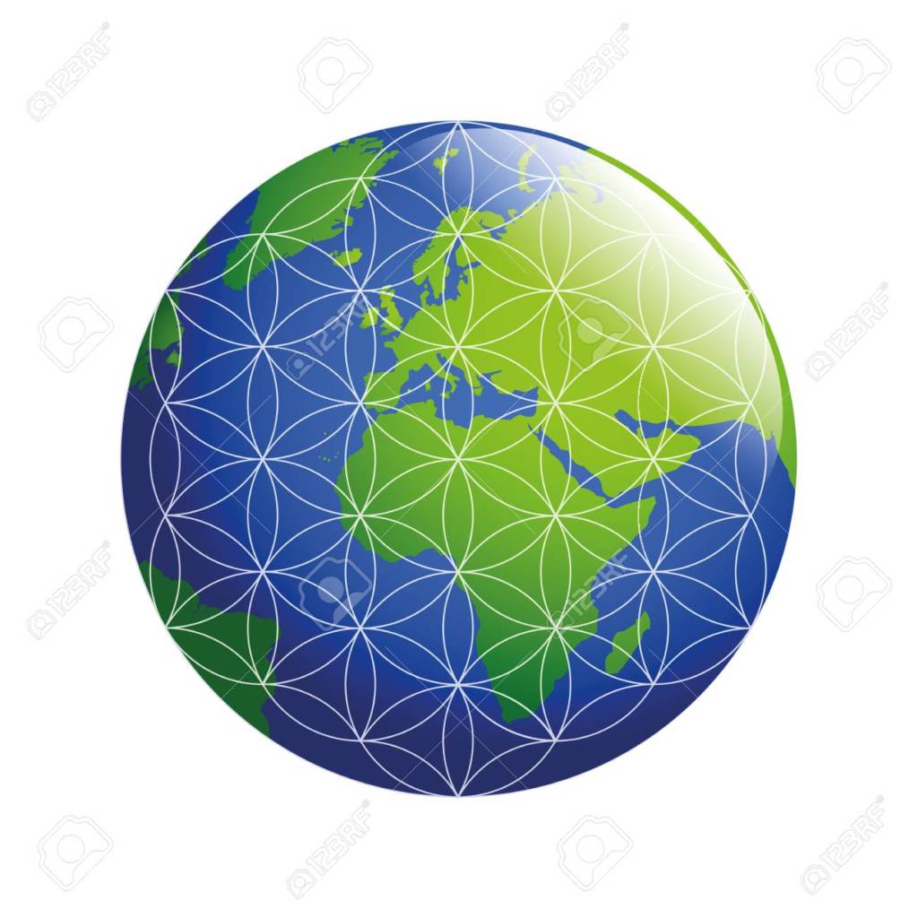
…occurring in a flower of life pattern, from macro to micro, covering the surface of the Earth?
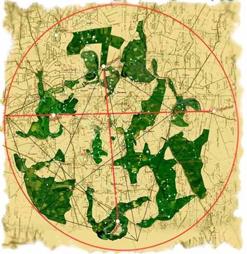
Researchers have looked into zodiacs that have been revealed in features in the landscape, like the Glastonbury Zodiac in England…
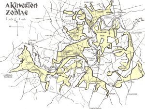
…and the Kingston landscape Zodiac in Surrey, England.
I recently realized that earth’s true history was not about organized religions, which was a stumbling block for me because of what we have been taught.

The controllers didn’t rewrite history from scratch – they rewrote the historical narrative to fit their agenda. And from the new official historical reset year, which I believe was 1850 or 1851, we are immersed in learning their history of what has taken place here from a very young age.
The identity of the true Israelites was replaced with a false identity and hidden away, and many were relegated to an existence of slavery, degradation and marginalization, if they weren’t killed.
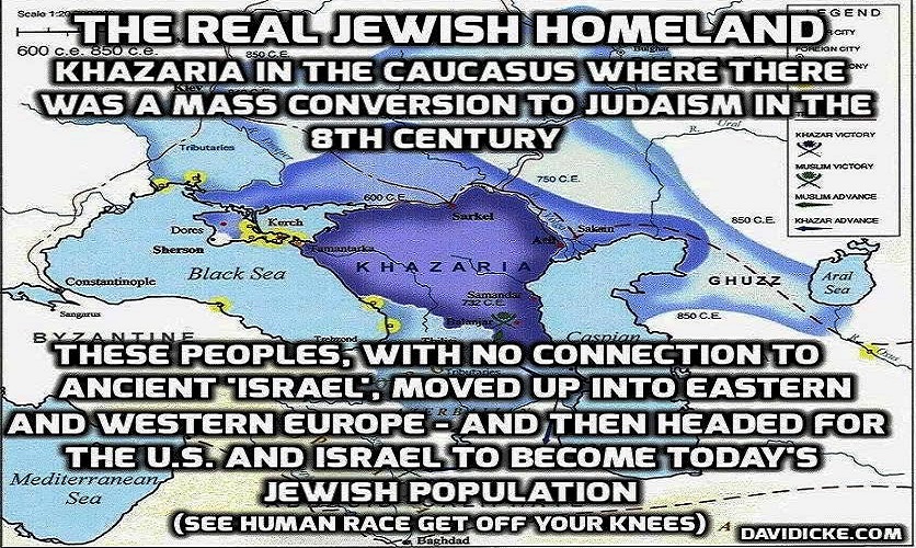
This subjugation allowed for the identity of the Israelites to be co-opted by the Khazarian Jews and Zionists.
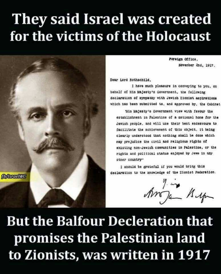
The Rothschilds purchased Jerusalem in 1829, and subsequently acquired considerable land in Palestine in the 1800s and early 1900s.
And what about all the Buddhists I have been finding here?
The Bamiyan Valley of Afghanistan, for example, is located not far from Kabul, the country’s capital…
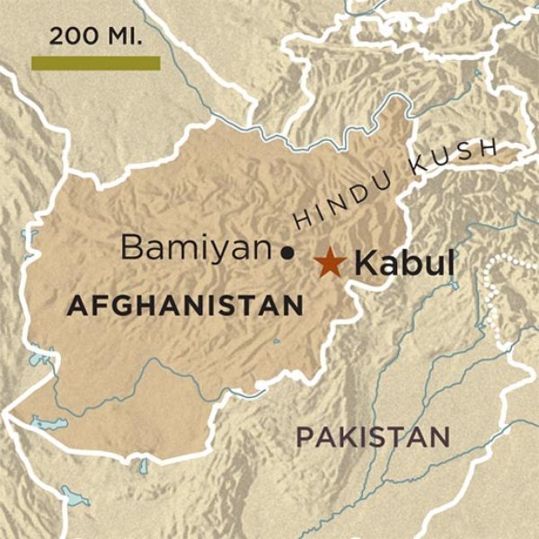
…was known for two colossal statues of Buddha there, carved into sandstone.
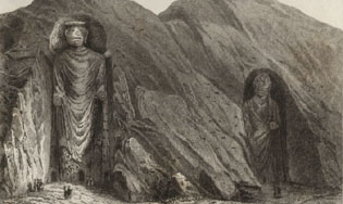
Both statues were destroyed by the Taliban in 2001.
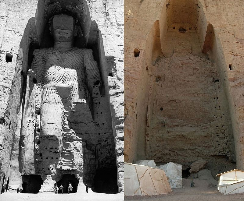
This is a poignant example of how dark forces are hell-bent on physically destroying this civilization, and its memory and legacy.
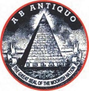
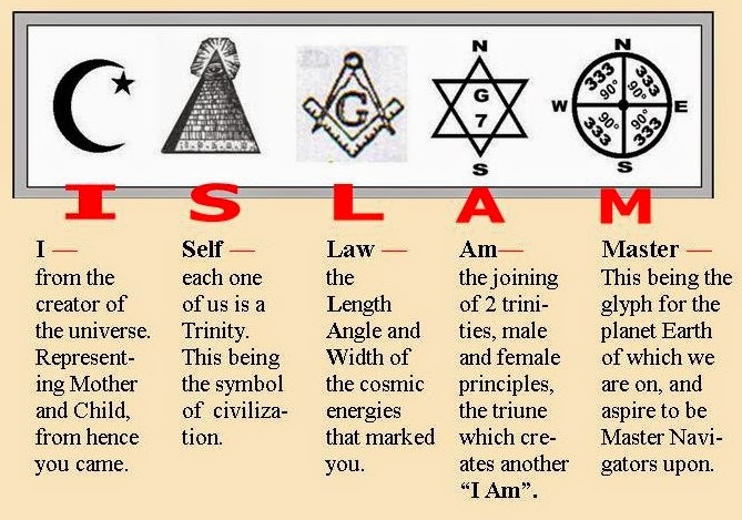
And here is what ISLAM was originally all about: I-Self-Law-Am-Master.

It did not start out as the weaponized belief system we see today that was developed to divide and conquer.
There is so much we haven’t been told about the True History of the planet, including how all organized forms of religion connect back into the Advanced Ancient Civilization, and and are not mutually exclusive as we have been taught to believe, and are actually different aspects of one and the same spirituality.

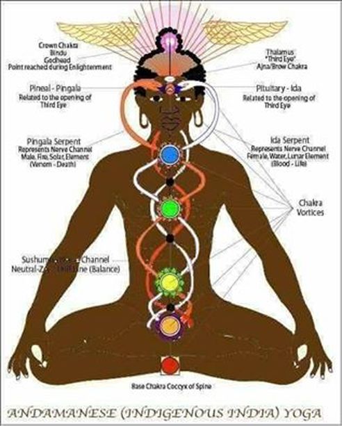
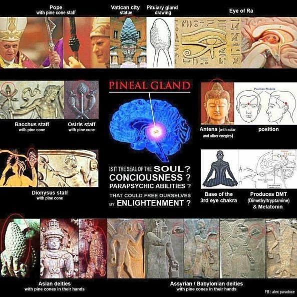
Originally, all of Humanity was being taught the knowledge of who we really are as spiritual beings and holograms of the Universe, and how to reconnect with Higher Self by raising kundalini energy from the base of the spine up to the pineal gland.
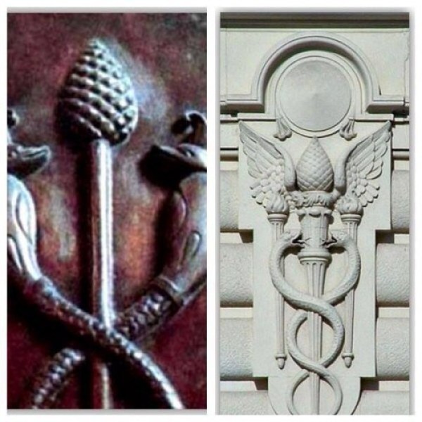
Does this statue at the Vatican represent a pine cone as we are taught…
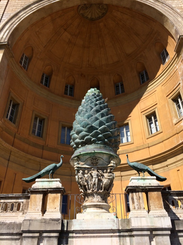
…or the human pineal gland?
They definitely don’t want us to know who we really are, and try to keep most of Humanity stuck in their lower selves in every way possible, including addictions, distractions, and consumerism that huge, in many cases multinational, corporations are making a heck of a lot of money from.

It has been clear to me travelling through this part of the world how what we know as the European Colonial powers, starting in the 18th-century, just tore up this part of the world through so many partitions, for one example, along religious lines when in fact there were no differences between the original people and their spirituality.
While a very clear example of this took place in what is called South Asia…

… it was only one of many examples around the world.
Race and religion were manipulated by European colonialism to create divides over almost the entire landmass of the earth into new countries from lands that were taken, and creating divisions and discords between peoples that originally existed in harmony worldwide.
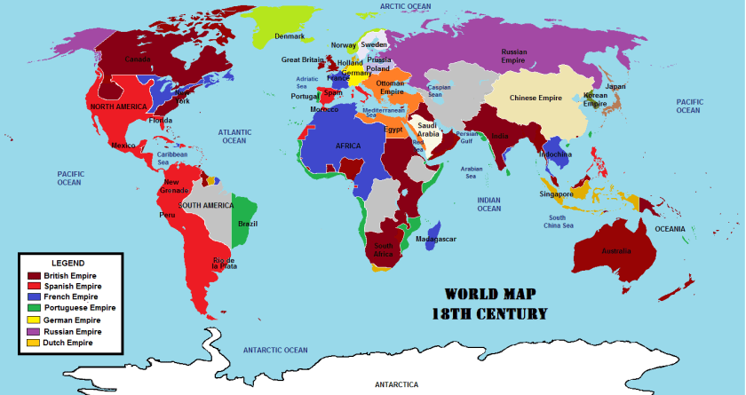
It also diagrams the means by which power and control were consolidated worldwide, mostly starting out as “trading” companies that ended up being very powerful in their respective regions, and after gaining complete control, transferring power and control of the regions to their respective European empires.

With regards to the efforts to establish one universal, hierarchical, organized religion, in which Humanity was taught it needed an intermediary to reach the Creator, the main Catholic missionaries were the Jesuits, Benedictines, Franciscans, and Dominicans (as in the Dominican Republic) were also quite busy in their world travels…
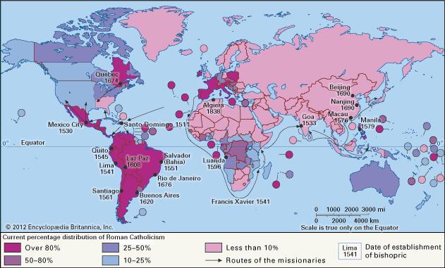
…and most likely involved in many activities of cultural obfuscation we will never know about.
The main foundational piece for the Catholic Church’s claims for dominion over all of Humanity was the Unam Sanctum papal bull, which are told was issued by Pope Boniface VIII in 1302.
At the end of it, he writes “Furthermore, we declare, we proclaim, we define that it is absolutely necessary for salvation that every human creature be subject to the Roman Pontiff.”

A papal bull is an official papal letter or document, named after the leaden seal used to authenticate it.
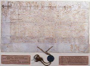
They figure prominently in the effort to authenticate what has taken place on earth in the historical narrative we have been taught, but which in actuality was a hostile take-over of Humanity and the earth’s grid system without our knowledge and consent.
Back to the alignment I am tracking.
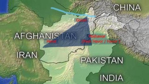
After leaving the Waziristan districts in Pakistan, the alignment comes to Ghazni in Afghanistan.
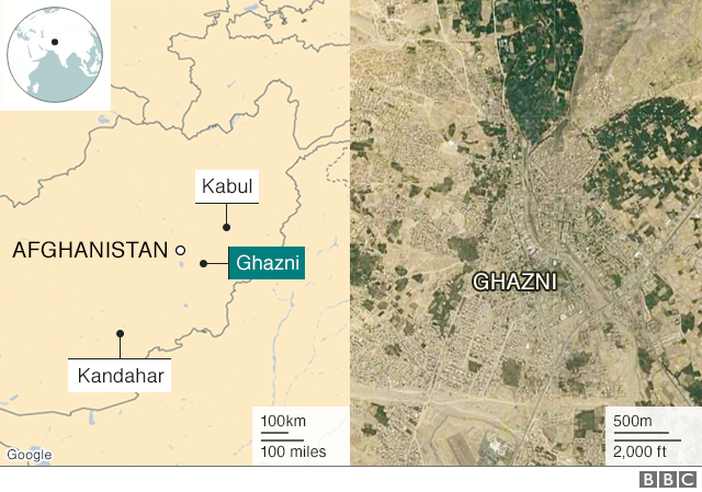
It is stategically located on the main Highway 1 between Kabul and Kandahar, which has served as the main road between those two cities for thousands of years.
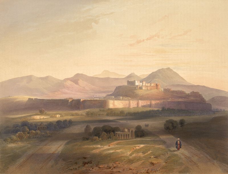
Ghazni is an ancient city with a rich heritage.
The Ghazni Citadel was said to have been built in the 13th-century to form a walled city.
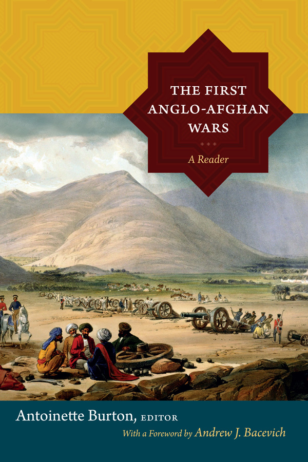
This is a lithograph painting of the Ghazni Citadel in 1839 by James Rattray, a soldier and artist serving in Afghanistan in the 1st Afghan War of the same period as an officer of the 2nd Grenadiers of the Bengal Army.
The First Anglo-Afghan War was fought for three years between the British East India Company and the Emirate of Afghanistan starting in 1839, after the British had successfully captured Kabul, and they capitalized on a succession dispute between a current and former Emir there, at which time the British exiled the Emir at the time, Dost Mohammed, and installed the former Emir, Shah Shujah. There’s that 8-pointed star again on this book cover.
The British forces subsequently attacked the Ghazni Citadel in 1839, a battle in which the British claimed victory.
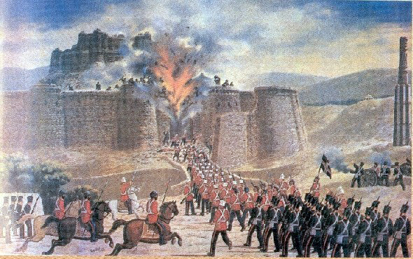
When the main British forces occupying Kabul retreated in January of 1842, they were almost completely annihilated by Afghani tribesmen. In retaliation, the British sent what was called an “Army of Retribution” to Kabul to avenge their defeat and demolished parts of the city, recovered prisoners, and left Afghanistan, with the exiled Emir Dost Mohammed returning from India to Kabul.
Destruction that was done in retaliation for people who were defending their own land from invading foreigners who wanted to take it.
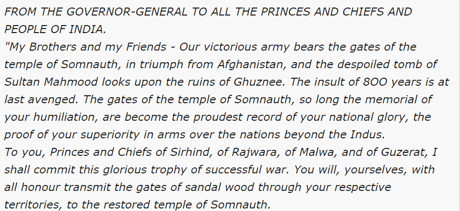
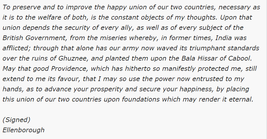
Also at that time, in 1842, Edward Law, the 1st Earl of Ellenborough, and Governor-General of India between 1842 and 1844, issued what was called his famous “Proclamation of the Gates,” in which he ordered the British Army in Afghanistan to return via Ghazni and bring back to India the Sandalwood Gates from the tomb of Mahmud of Ghazni.
They were returned to the Somnath Temple in India, where they had been allegedly taken from by Mahmud 8-centuries previously from Somnath, and for which the British used as justification to the Indians for the destruction of Ghazni .

The First Anglo-Afghan War is called one of the first major conflicts of what was called “The Great Game,” the 19th-century competition for power and influence in central Asia between Britain and Russia.
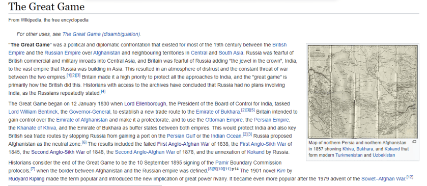
Calling all of that creation of destruction and deviseness “The Great Game” tells me something about what sounds like the ultimately malevolent intent of those behind all of this new empire-building.
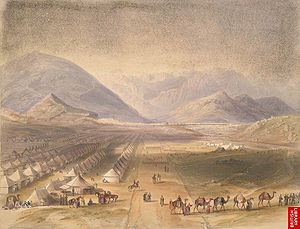
The last place I am going to look on this particular alignment in this post is Herat, the third-largest city in Afghanistan, and linked to Kabul, Ghazni, and Kandahar, and other main cities in Afghanistan, via Highway 1, also known as the “Ring Road.”
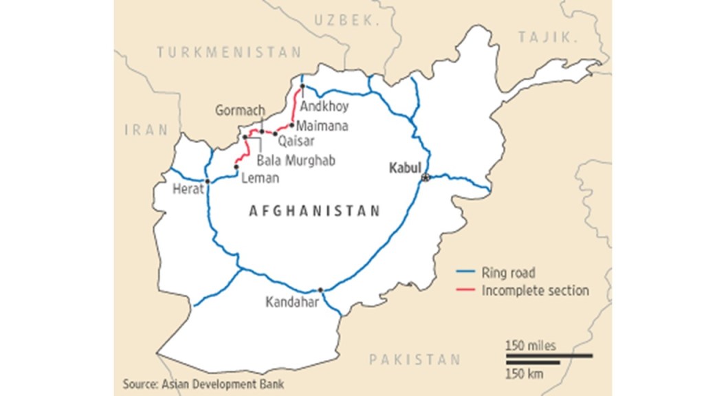
It is one of the largest cities in Afghanistan with a population of almost 500,000 people.
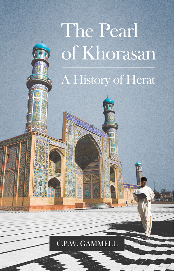
It is located in the fertile Hari River Valley, with a history that goes back thousands of years. In some literature it is referred to as the “Diamond of Asia,” as well as the “Pearl of Khorasan.”
The Khorasan was a historical region that formed the northeast province of Greater Iran, comprising the present territories of northeastern Iran, parts of Afghanistan, and much of Central Asia.
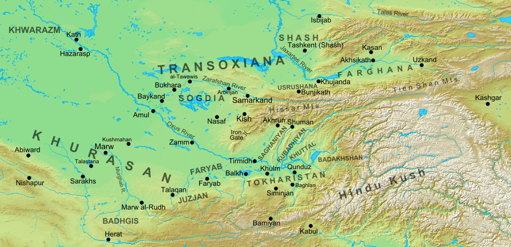
The meaning of Khorasan is said to have signified “Land of the Sun.”
Like so many other places along the alignment, there is also a citadel in Herat. It was said to have been built in 33o BC, when Alexander the Great arrived in Herat after the Battle of Gaugamela, which was close to the city of Dohuk in Iraqi Kurdistan.
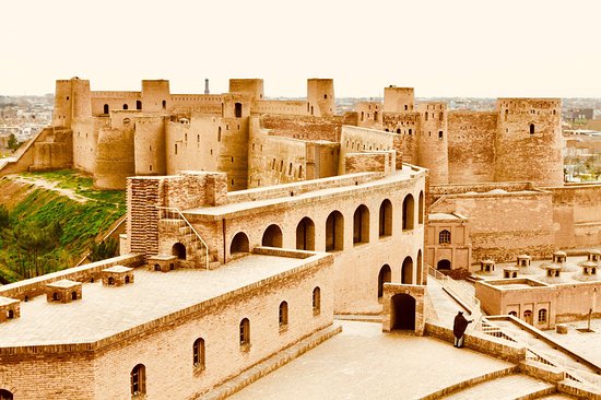
It was said to have been saved from demolition in the 1950s, and restored by UNESCO between 1976 and 1979.
The National Museum of Herat is housed in the lower part of the Citadel.
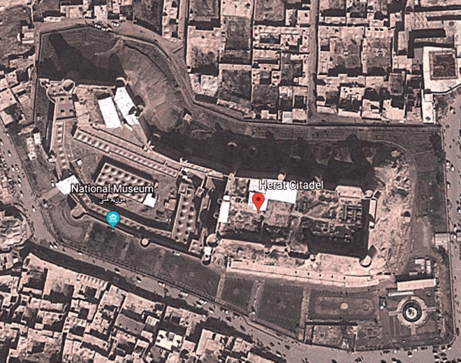
It was established as a museum in 1925 by order of King Amanullah, one of the kings of modern Afghanistan.
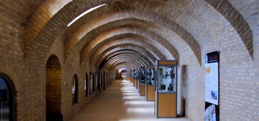
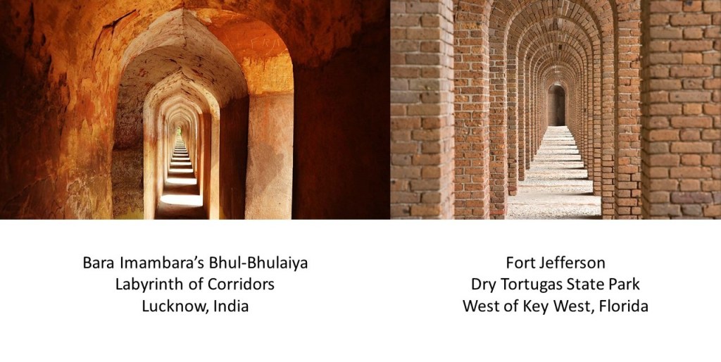
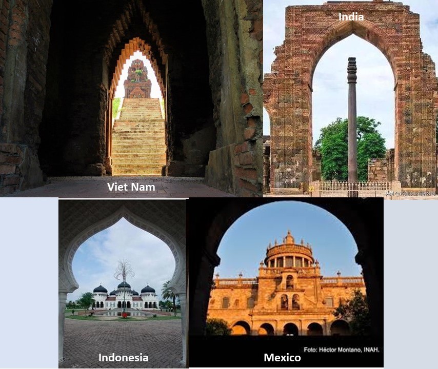
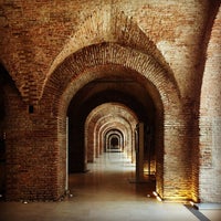
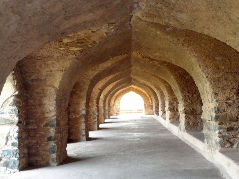
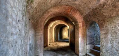
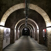
Here are just a few examples of similar brick or stone archways in other places.
The Buenos Aires History Museum in Argentina…
…these archways in Mandu, India…
…this passageway in Pompeii, Italy…
…and the House of Vans Skate Park in the Waterloo District of London.
I am going to end this post here, and pick up the alignment in Mashhad in Iran in the next post.