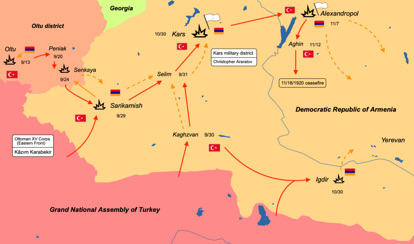
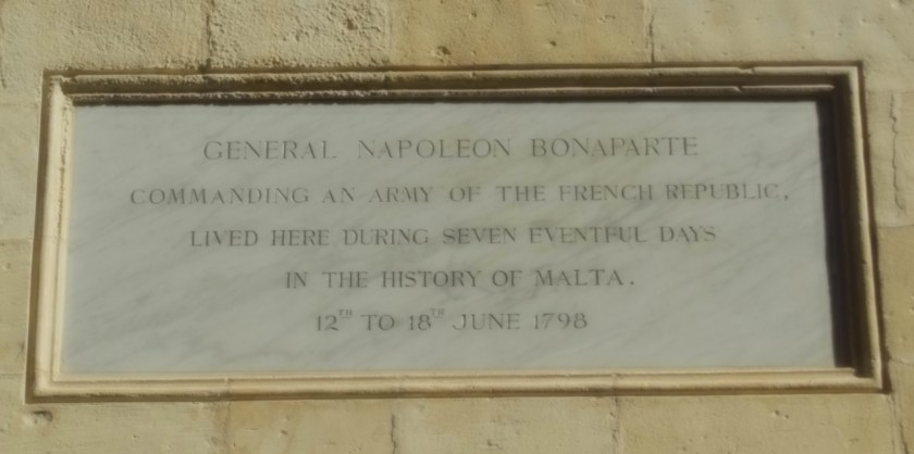
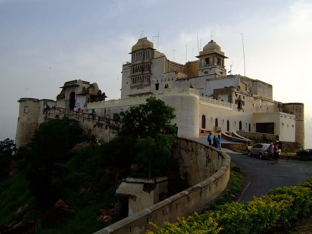
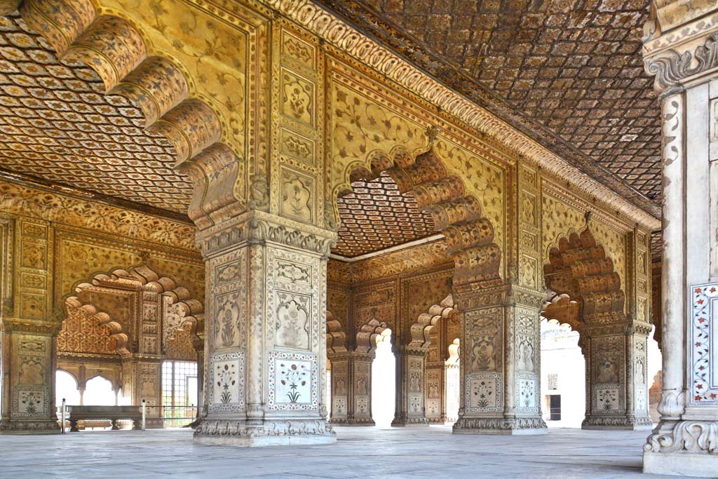
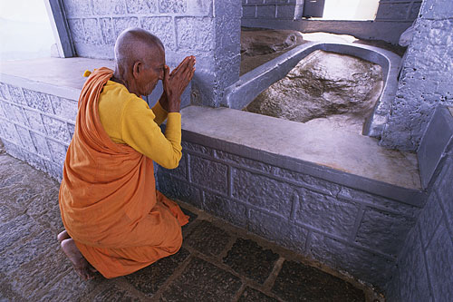
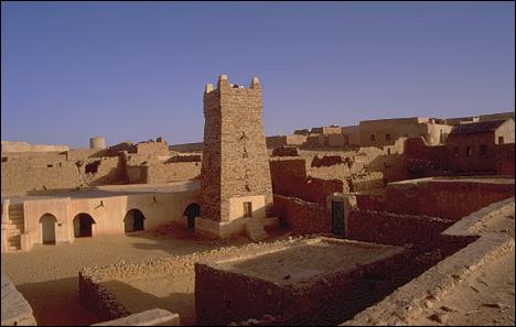
The subject matter I am going to bring forward in this post is largely about, but not limited to, “The Age of Discovery,” described as the period of European history in which extensive overseas exploration occurred from the beginning of the 1400’s to the middle of the 1600’s.
Overseas exploration emerged as a powerful factor in European culture and was the beginning of globalization.
I will also be looking at the various scientific expeditions of the 1800s.
I think it is important to begin this post with some information about how concepts of space and time are viewed in the present-day versus how they were viewed in the past.
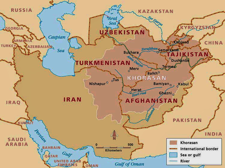
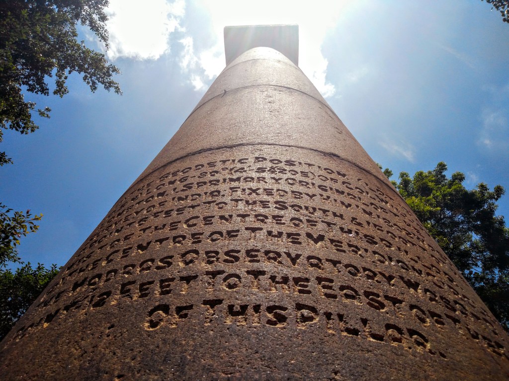
The study of geodesy is the science of accurately measuring and understanding the Earth’s shape, orientation in space, and gravitational field.
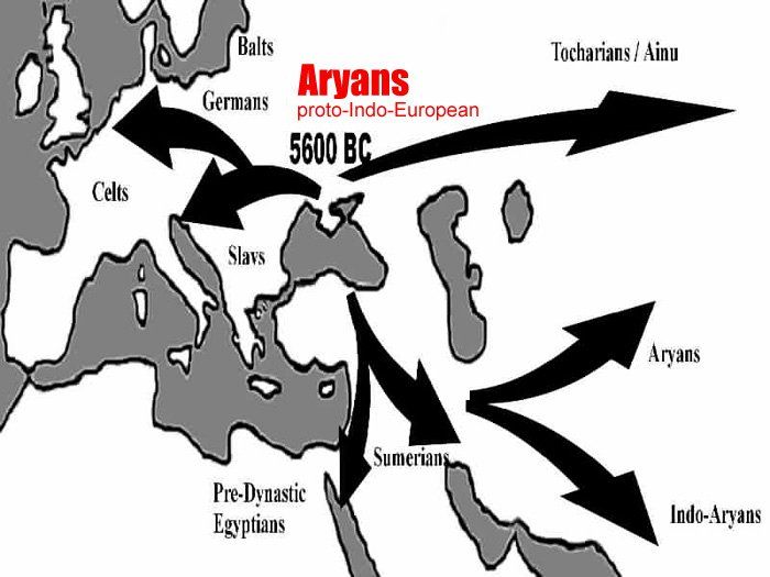
A geographic coordinate system enables every location on Earth to be specified by a set of numbers, letters and symbols.
The coordinates are often chosen such as that one of the numbers represents a vertical position, which would derive from the North-South lines of latitude on this map projection of the Earth, and the horizontal position, from the East-West lines of longitude.

We are told that in cartography, the science of map-making, a map projection is the way of flattening the globe’s surface into a plane in order to make it into a map, which requires a systematic transformation of the latitudes and longitudes of locations from the surface of the globe into locations on a plane.
This is a 1482 engraving by Johannes Schnitzer of the “Ecumene,” an ancient Greek word for the inhabited world, and used in cartography to describe a type of world map used in late antiquity and the Middle Ages.
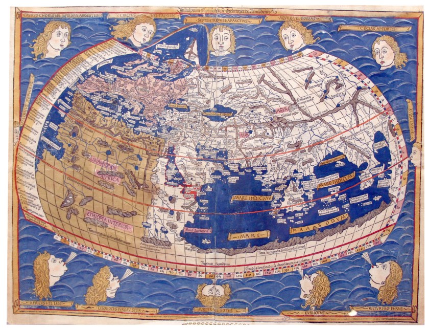
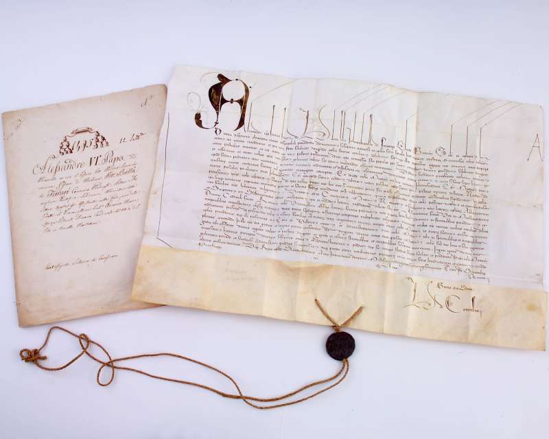
He was said to have constructed it from the coordinates in Claudius Ptolemy’s “Geography,” an atlas, and treatise of geography, from 150 AD said to compile the geographical knowledge of the 2nd-century Roman Empire, and a revision of the now-lost atlas of Marinus of Tyre, a Phoenician cartographer and mathematician who was said to have founded mathematical geography, and who introduced improvements to the construction of maps and developed a system of nautical charts.
Longitude fixes the location of a place on Earth east or west of a North-South line of latitude called the Prime Meridian, given as an angular measurement that ranges from 0-degrees at the Prime Meridian to +180-degrees westward and -180-degrees eastward.
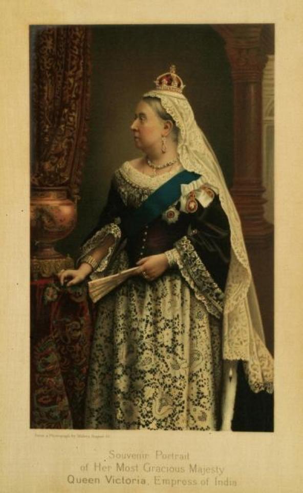
In 1851, Sir George Airy established the new prime meridian of the Earth, a geographical reference line at the Royal Observatory of Greenwich in London, and by 1884, over two-thirds of all ships and tonnage used it as the reference meridian on their charts and maps.
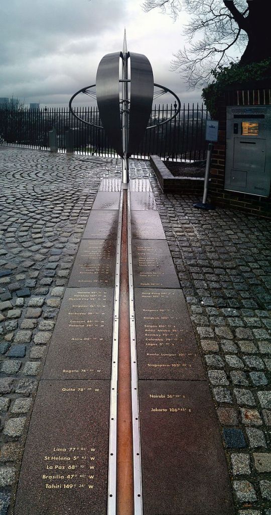
Previous to that, the great pyramid of Giza, located at the exact center of the Earth’s landmass, was the Prime Meridian.
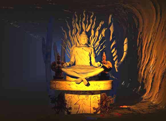
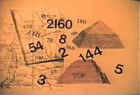
Carl Munck deciphers a shared mathematical code in his book “The Code,” related to the Great Pyramid, in the dimensions of the architecture of sacred sites all over the Earth, one which encodes longitude & latitude of each that cross-reference other sites.
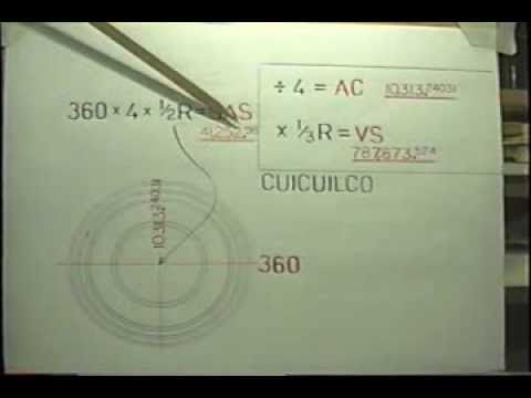
He shows that this pyramid code is clearly sophisticated and intentional, and perfectly aligned over long-distances.
In October of 1884, the United States hosted the International Meridian Conference, attended by twenty-five countries, in order to determine the Prime Meridian for international use.
Twenty-two of the twenty-five countries in attendance voted to adopt the longitude of the Royal Observatory in Greenwich as the zero-reference line.
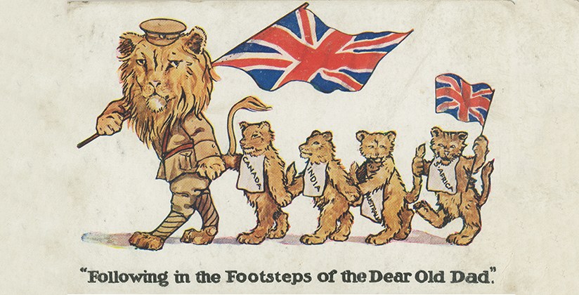
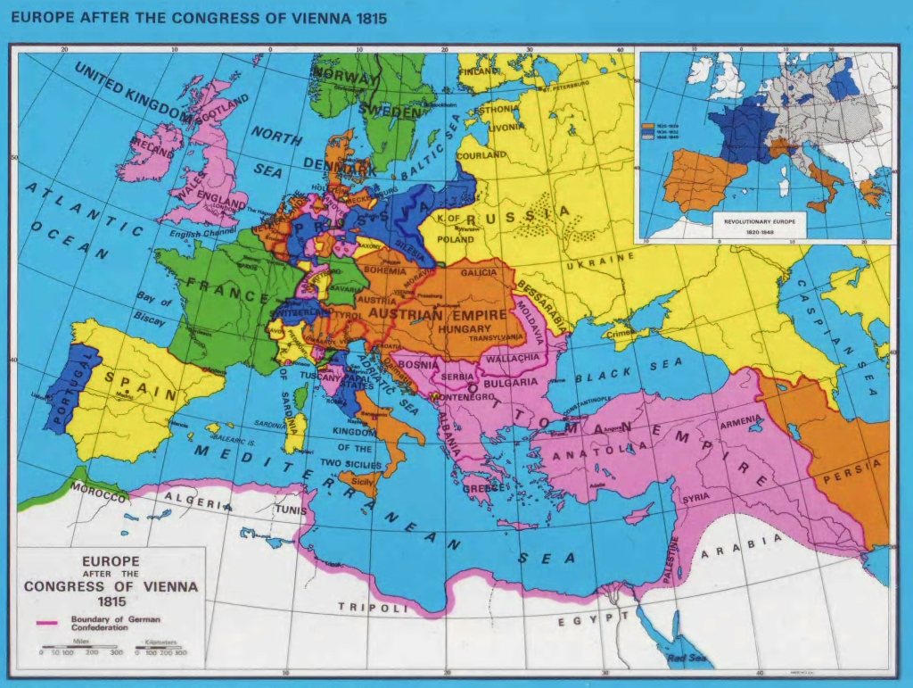
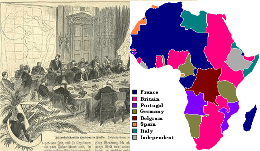
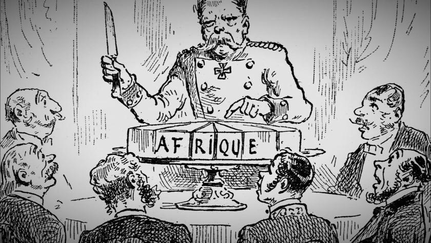
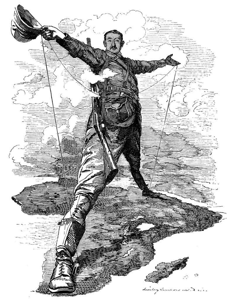
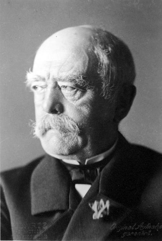
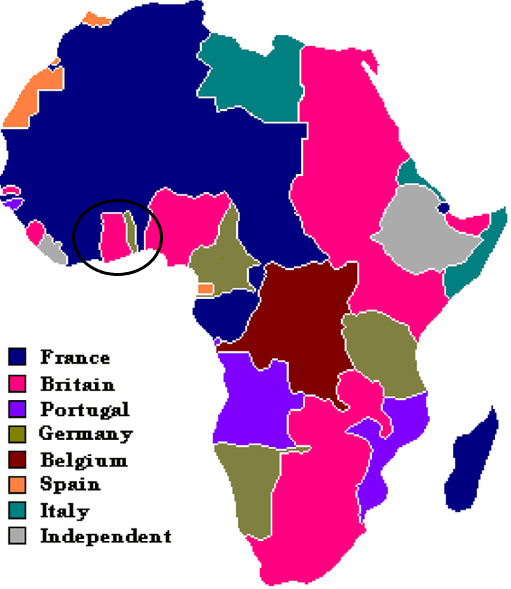
The International Meridian Conference was held right before the Otto von Bismarck-organized Berlin Conference, which was convened in November of 1884 and lasted until February of 1885, during which time the entire continent of Africa was carved up between the European powers.

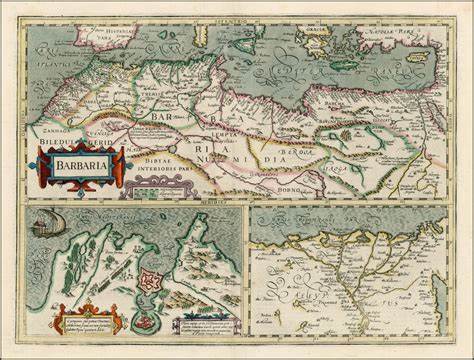
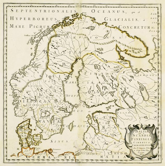
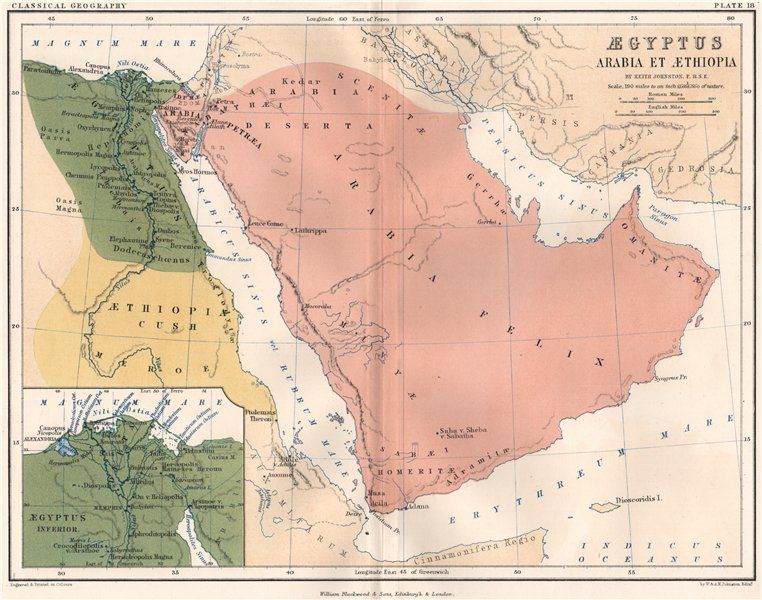
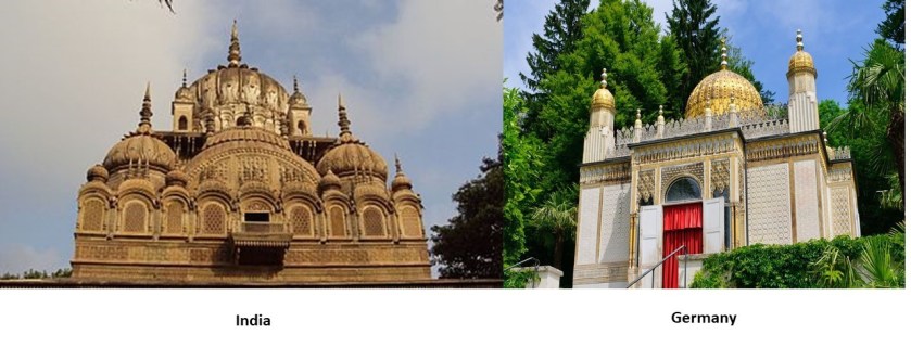
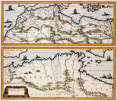
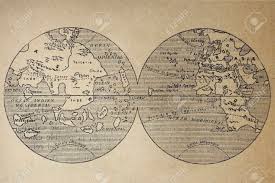
Interestingly, in earlier maps, ley-lines were depicted, and not latitude and longitude.
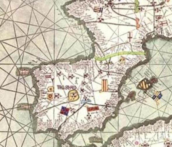
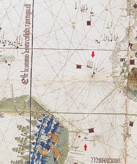
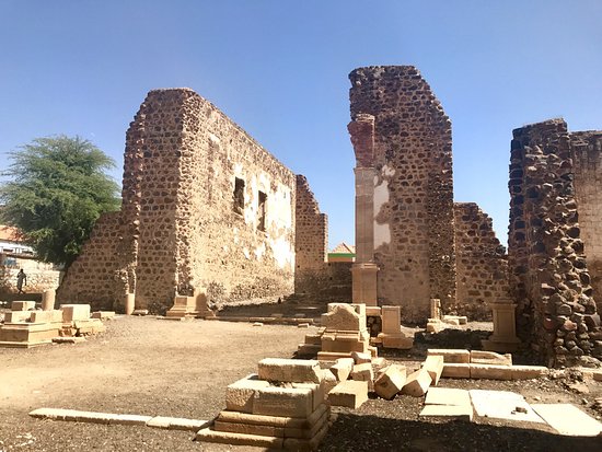
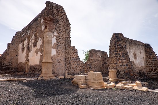
The Catalan Atlas of the Majorcan Cartographic School is considered the most important map of the Medieval period in the Catalan language, dated to 1375.
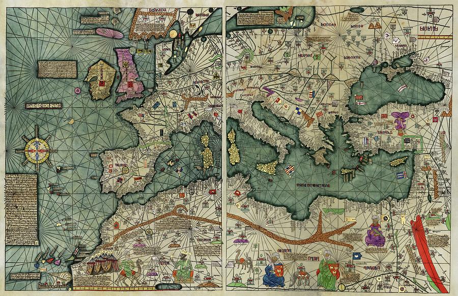
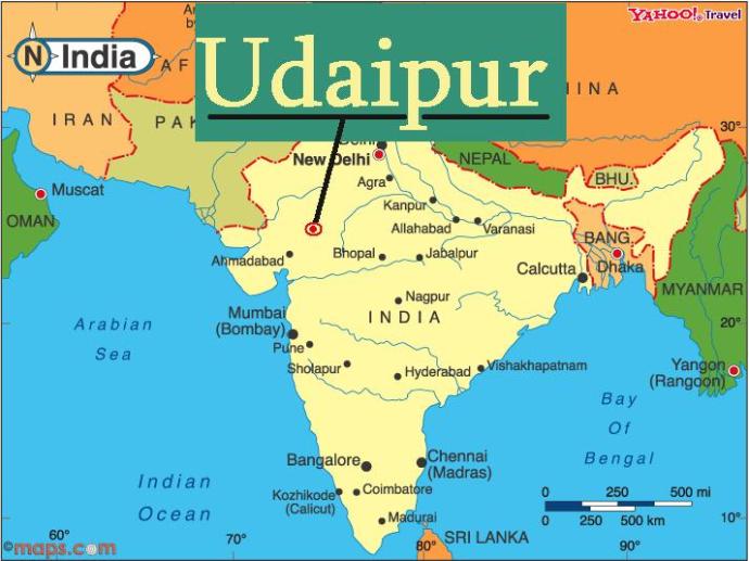
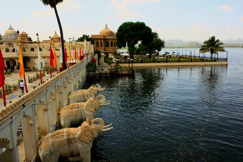
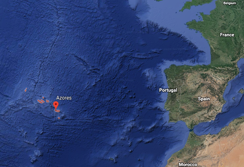
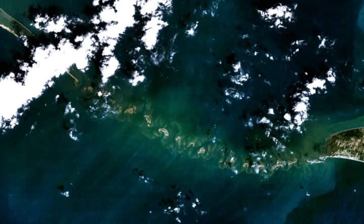
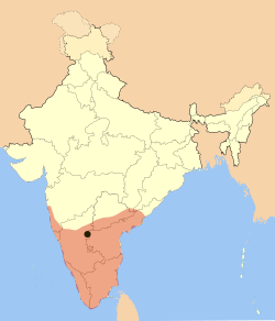
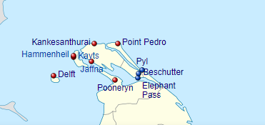
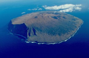
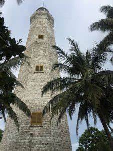
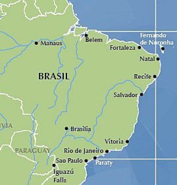
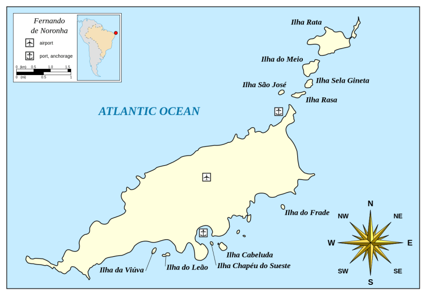
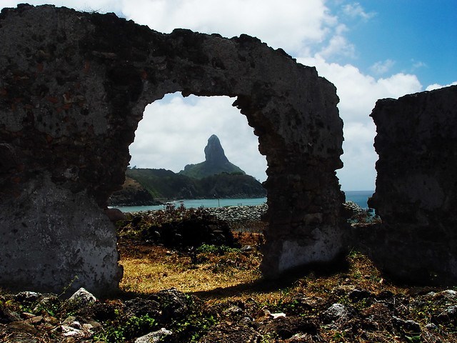
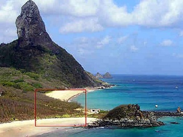
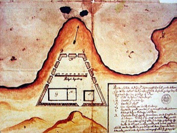
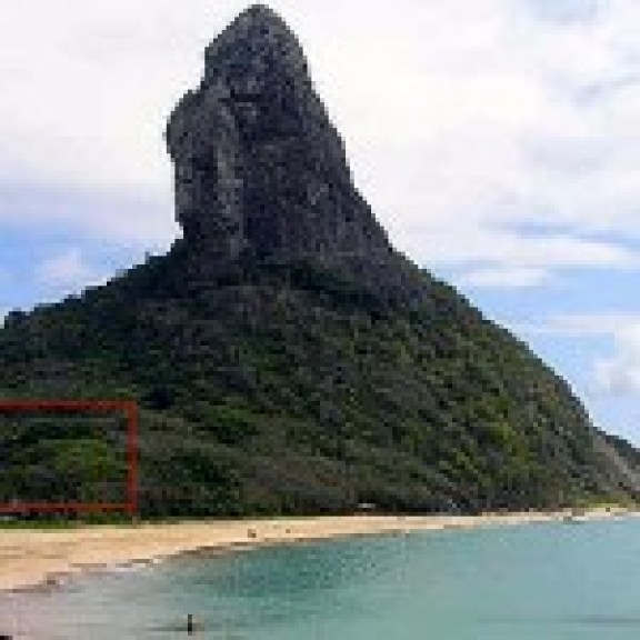
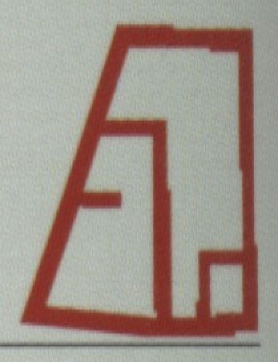
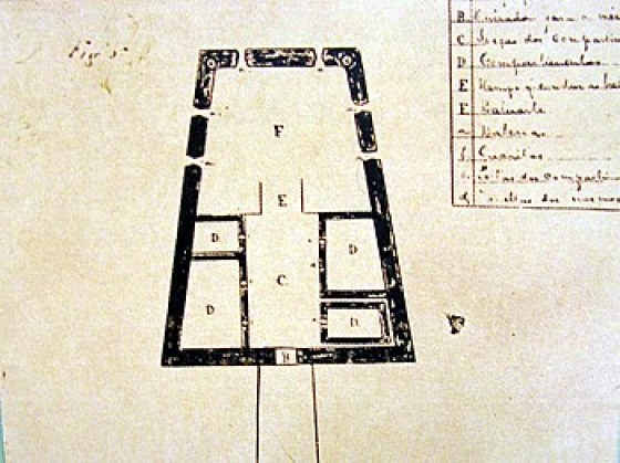
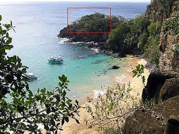
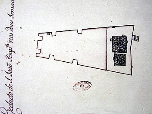
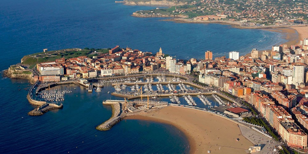
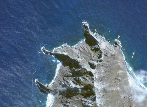
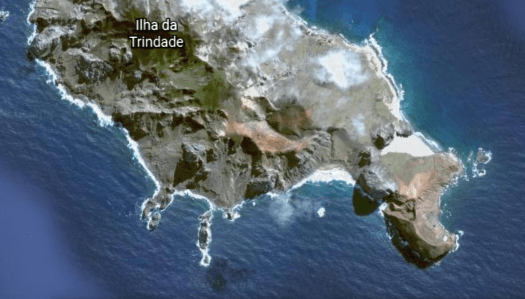
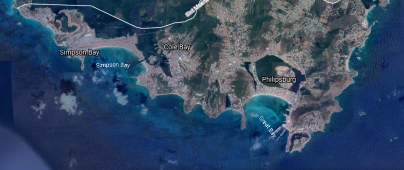
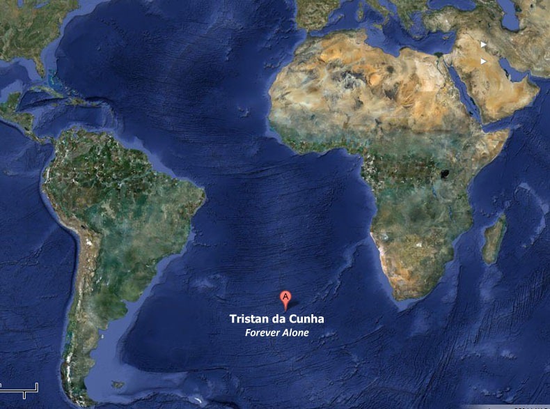
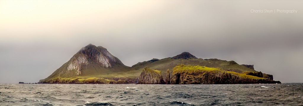
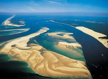
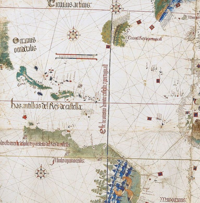
I encountered another old map depicting ley-lines when I was researching for information on Fernando de Noronha, an island group just off the coast of Brazil.
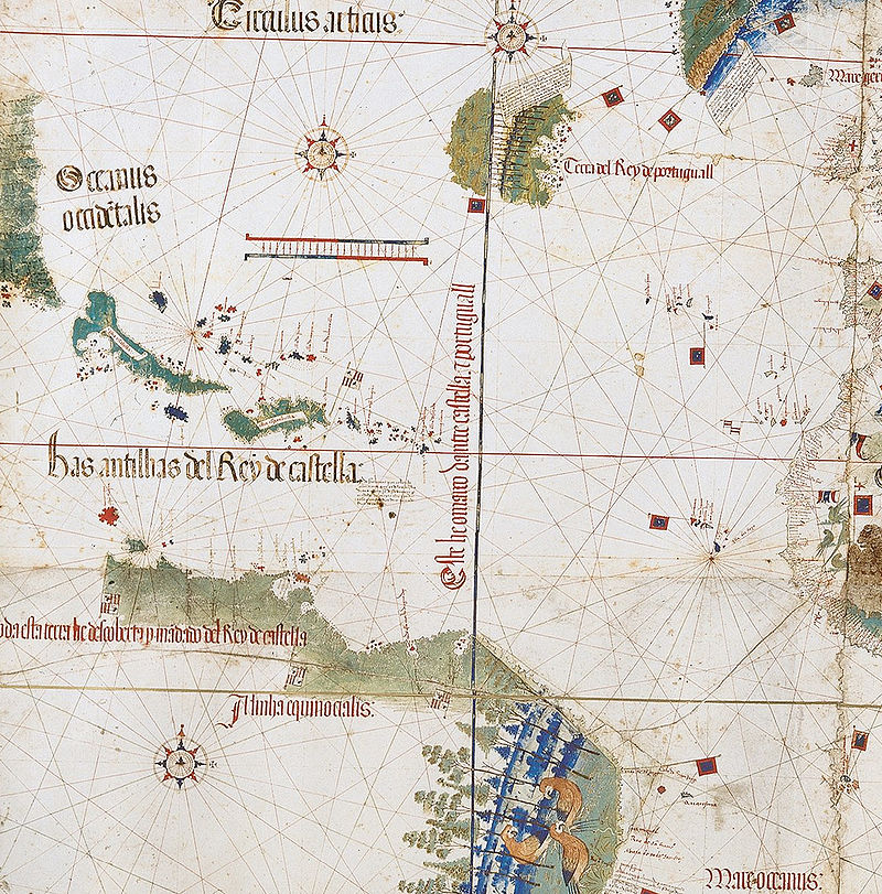
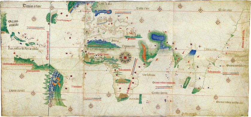
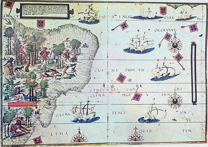
The Cantino Planisphere was said to have been completed by an anonymous Portuguese cartographer some time before 1502.
A planisphere is defined as a map formed by the projection of a sphere or part of a sphere on a plane.
Were there deliberate manipulations of Space and Time introduced in the 1500s?
The following are examples of why I think there was a deliberate manipulation of how we viewed the Earth, and our perception of Space and Time.
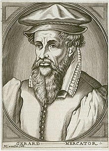
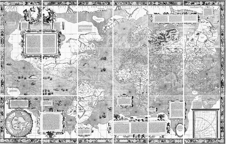
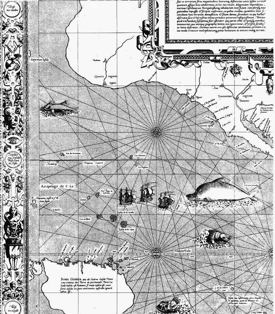
It would seem that the Earth’s grid-lines started to disappear from maps in the 1500s, as Gerardus Mercator, a Flemish geographer, cartographer and cosmographer…
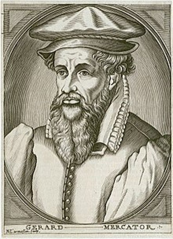
…published a world map in 1569 that is considered to be the first where sailing courses on the sphere were mapped to the plane map, allowing for a “correction of the chart to be more useful for sailors.”

Here is a close-up section of the 1569 map showing the depiction of straight ley-lines in the seas…
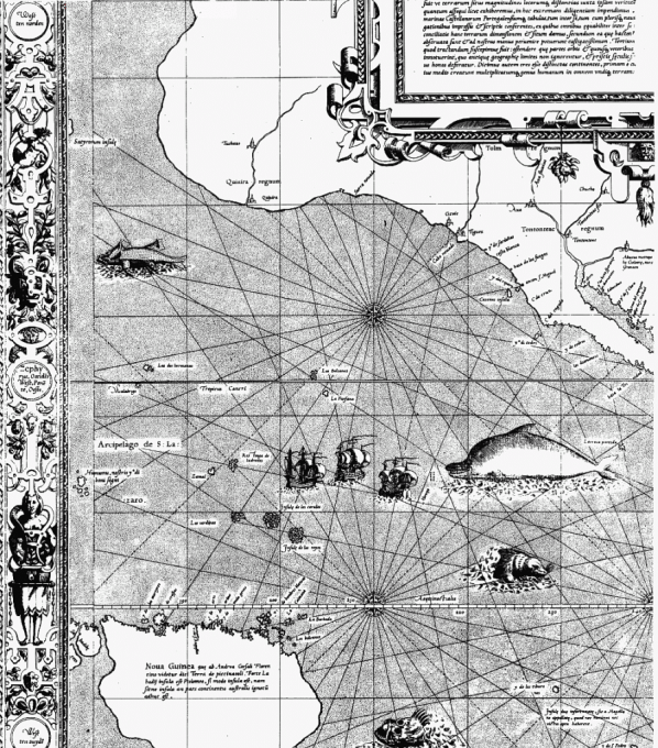
…but not on land and sea as were present on the flat projections of the Cantino Planisphere and the Catalan Atlas.
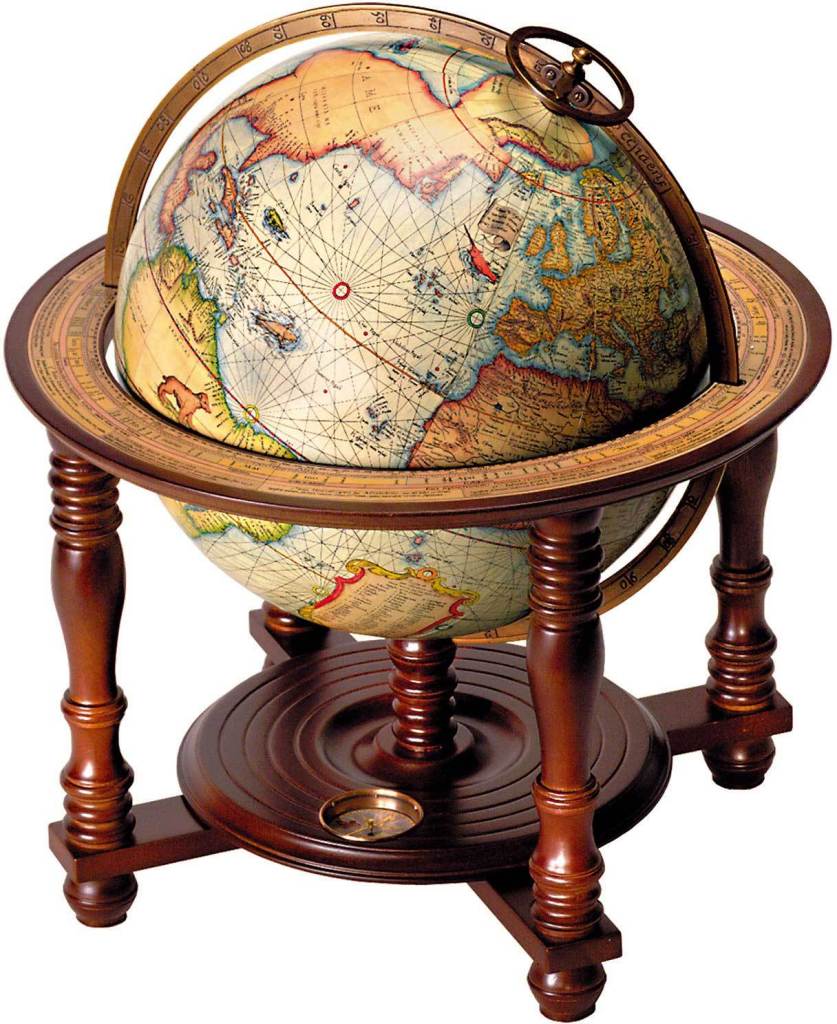
Not only that, Mercator was also a globe-maker, like this one from 1541.

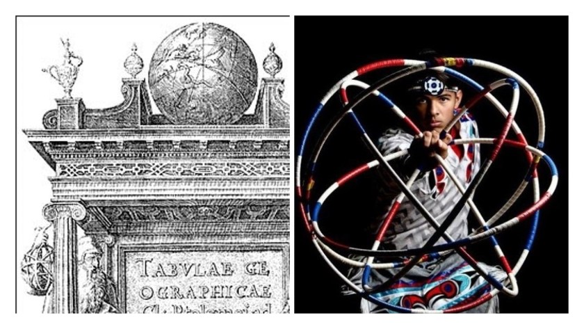
And this is the cover of Mercator’s 1578 publication of “Tabulae Geographicae,” along with the globe, and Ptolemy said to depicted on the left, and Marinus of Tyre on the right.
Notice the difference between the lines on the globe at the top of the engraving, and the globe at the bottom, and while he is pointing down to the globe at the bottom…
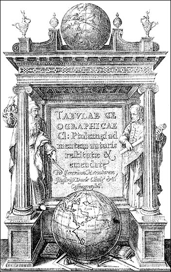
…and Ptolemy is holding up a geometric shape that looks like the lines on the globe at the top on the left, which looks remarkably like the shape the sacred hoops formed in the Native American Hoop Dance on the right.
The Erdapfel, which translates from the German as “Earth apple,” was a terrestrial globe produced by Martin Baheim, a German textile merchant and cartographer, between 1490 and 1492.
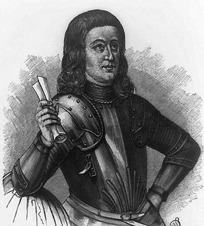
This engraving of him was said to have been done in 1886.
The Erdapfel is the oldest surviving terrestrial globe.
It is a laminated linen ball, constructed in two-halves, reinforced with wood…
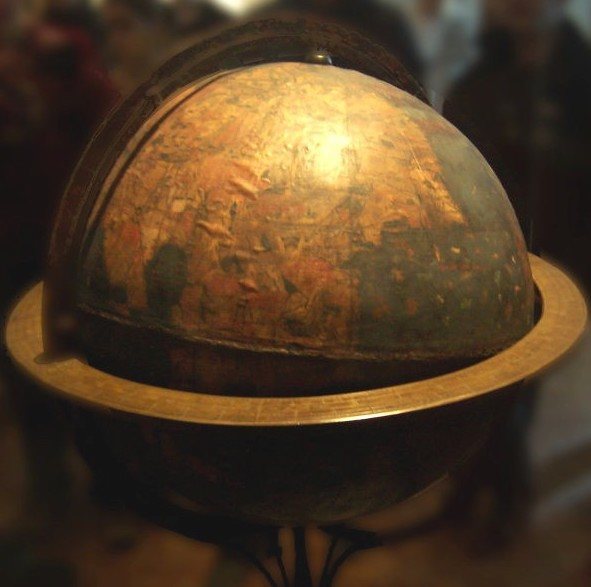
…and overlaid by a map painted by Georg Glockendon, pasted on a layer of parchment around the globe.
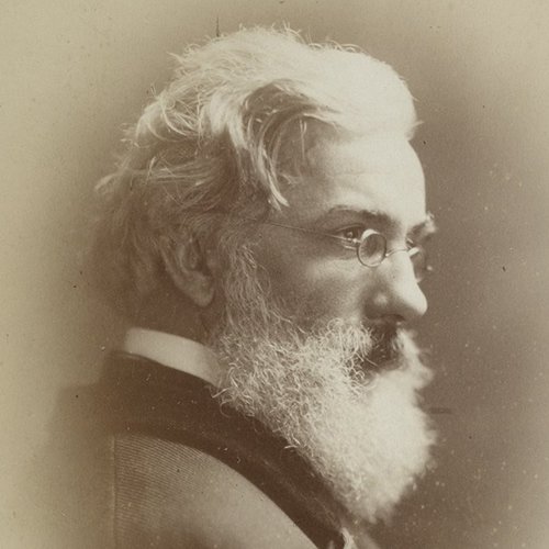
The German-English geographer and cartographer, Ernst Georg Ravenstein, who was born in Germany in 1834, but spent most of his adult life in England, wrote a book about Martin Baheim and his Erdapfel in 1908, and, as we shall see, Mr. Ravenstein’s name will come up again in more than one reference.
I have to ask the question – is all of this information telling us something about what was actually going on here to manipulate the true shape of the Earth?
Then, as far as the manipulation of our perception of time goes, only 13-years after Mercator was said to have published his world map, the Gregorian Calendar was introduced by Pope Gregory XIII in October of 1582, for the given reason of correcting the Julian calendar on stopping the drift of the calendar with respect to the equinoxes, and included the addition of leap years.
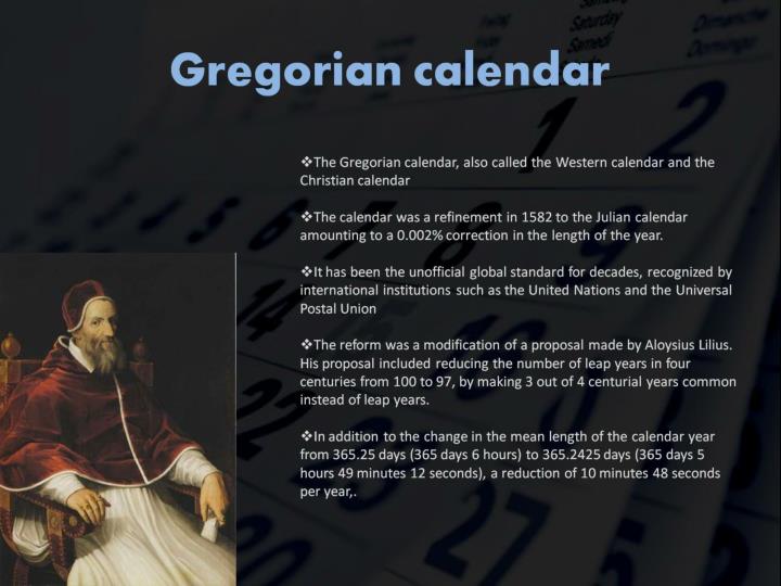
It took 300 years to implement the calendar in the west, and nowadays used in non-western countries for civil purposes.
The Mayan calendar was involved with the harmonization and synchronization of Human Beings and the development of Human Consciousness with natural cycles of time.
The Mayan calendar consisted of several cycles, or counts, of different lengths.
The 260-day count, or Tzolkin, was combined with a 365-day solar year known as the Haab’, to form a synchronized cycle lasting for 52 Haab’, called the Calendar Round, still in use today by many Mayan groups in the highlands of Guatemala.
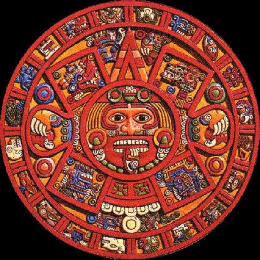
The Tzolkin calendar combines twenty day-names and symbols, with thirteen day numbers, which represent different-sounding tones, to produce 260 unique days.
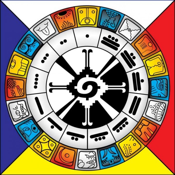
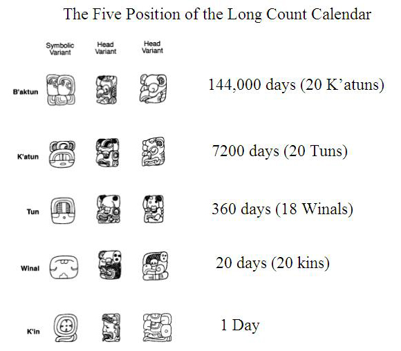
The Mayan Long Count calendar was used to track longer periods of time.
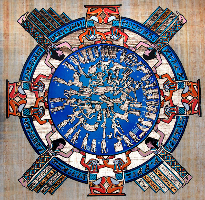
The ancient Egyptian calendar was a solar calendar with a 365-day-year, with three seasons of 120-days each, and 5-6 epagomenal days, also known as an intercalary month, transitional days that were treated as outside of the year proper to make the calendar follow the seasons or moon phases in common years and leap years.
Now on to the main subject of this post.
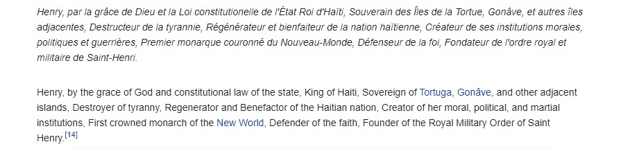
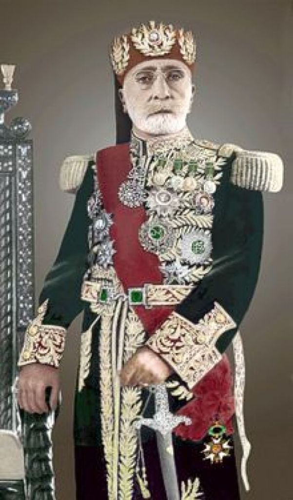
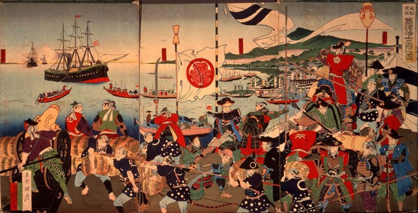
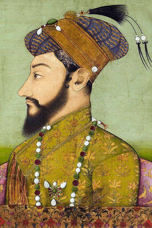
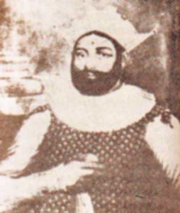
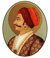
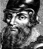
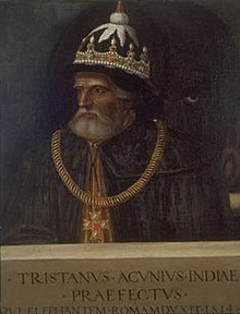
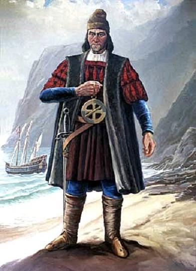
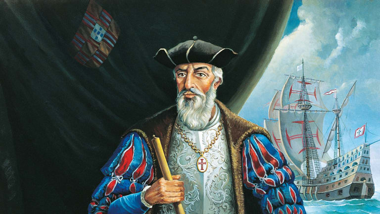
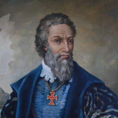
The primary initiator of the earliest time period of maritime exploration in our historical narrative, known as “The Age of Discovery, was Prince Henry the Navigator, who was said to have been born in 1394.
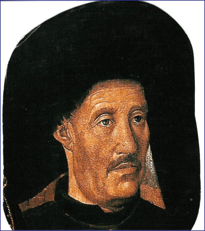
The fourth child of the Portuguese King John I, he was a central figure in the early days of the Portuguese Empire, and in the 15th-century European maritime discoveries and maritime expansion.
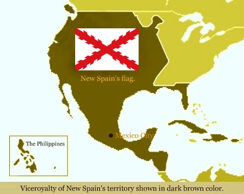
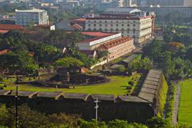
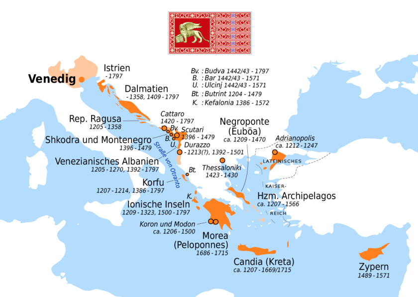
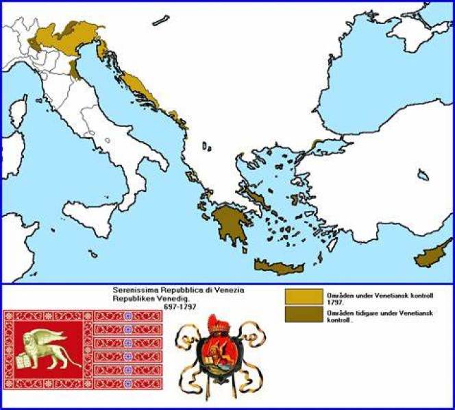
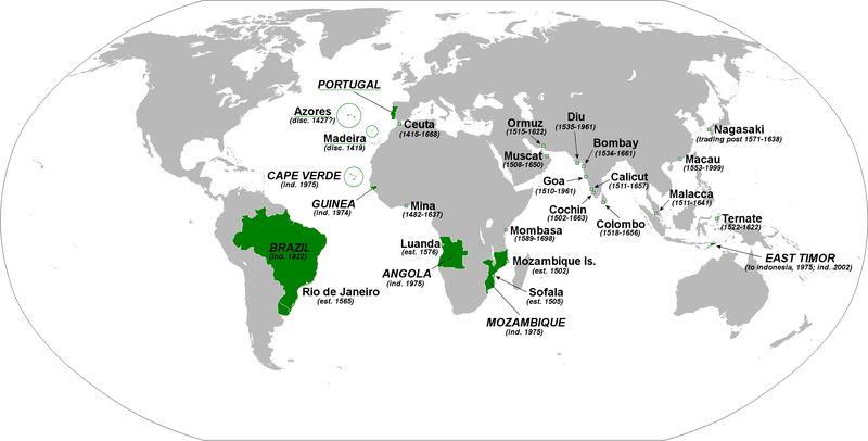
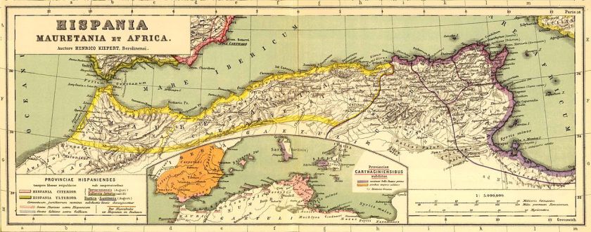
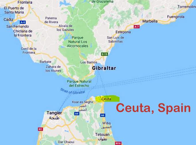
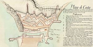
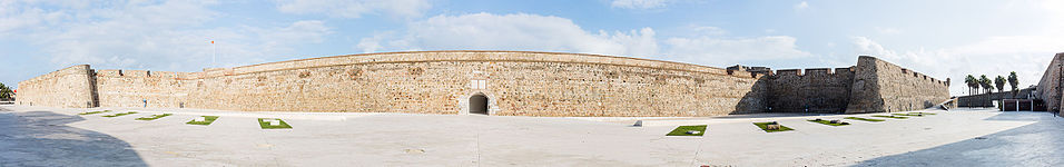
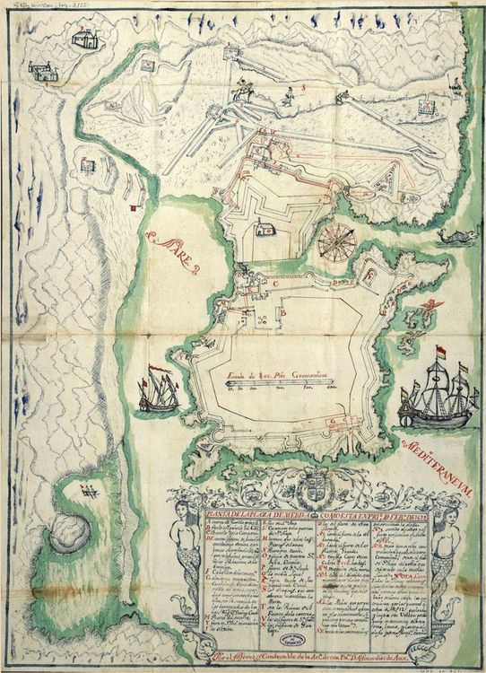
The Portuguese Empire was composed of the overseas colonies and territories government by Portugal, existing from 1415 with the capture of the port of Ceuta, on the Moroccan-side of the Strait of Gibraltar…
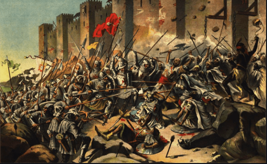
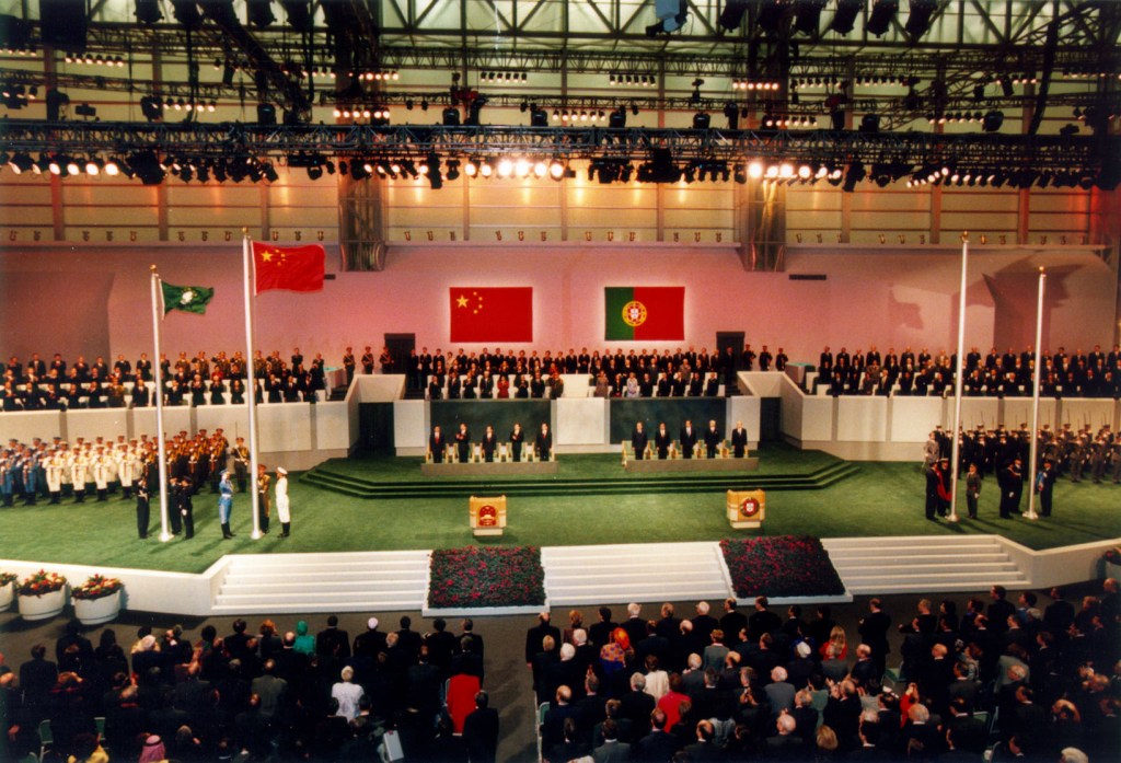
…to the handover of Portuguese Macau to China in 1999, the last remaining dependent state in China and the final vestige of European colonialism in the region, we are told, after 442-years of Portuguese rule.
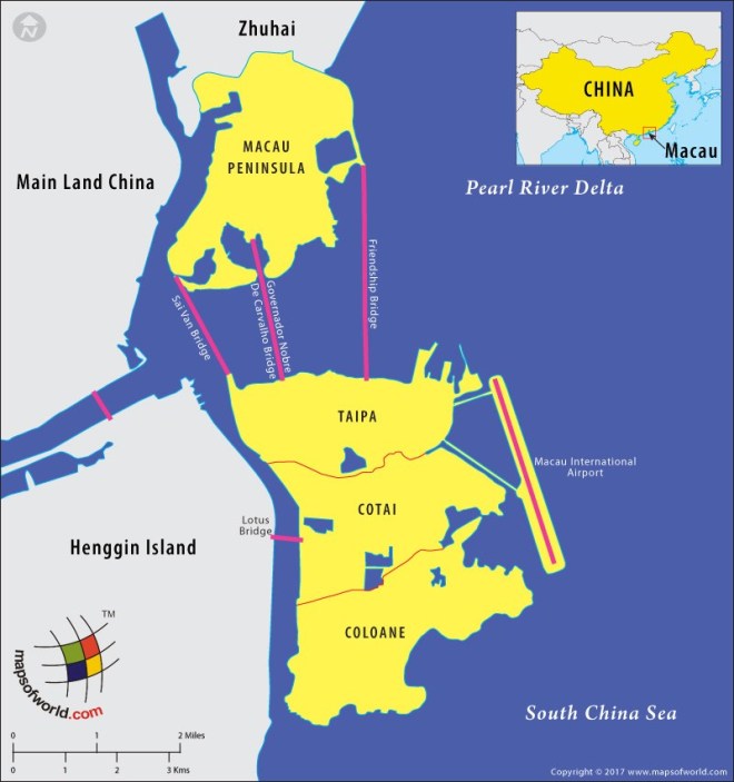
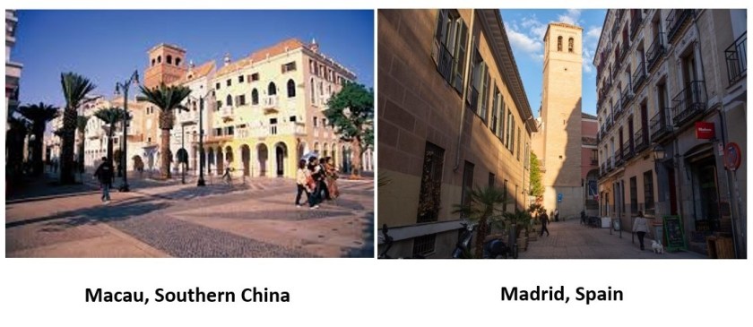
Macau is designated as an autonomous region on the south coast of China, across the Pearl River Delta from Hong Kong…
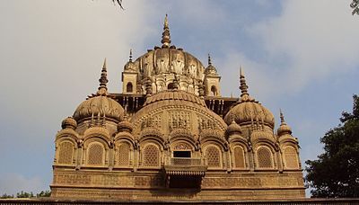
…where there is Moorish-looking architecture in Macau on the left that looks like what is found in Madrid, Spain, on the right…
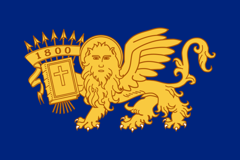
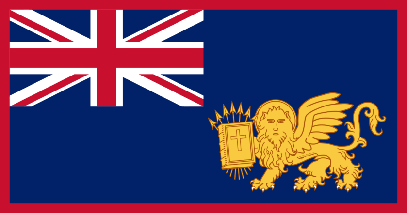
…as well as Venice, Italy, in Macau.
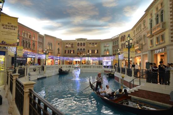
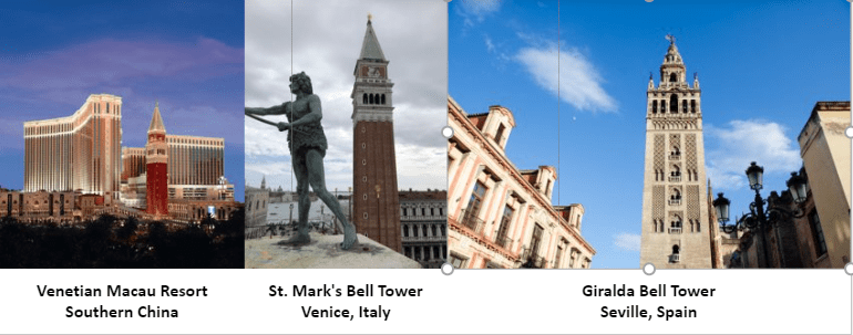
The Venetian Resort in Macau on the left is owned by the American Las Vegas Sands Company, which was said to have opened in 2007 after the main hotel tower was completed.
For comparison, the Bell Tower of St. Mark’s Basilica in Venice, said to have been built starting in the early 10th-century, is in the middle, and the Giralda Bell Tower, acknowledged Moorish architecture said to have been first completed in 1198 AD, is on the right.
At any rate, Prince Henry the Navigator, who was involved in the capture of Ceuta, took the lead role in promoting and financing Portuguese maritime exploration until his death in 1460.
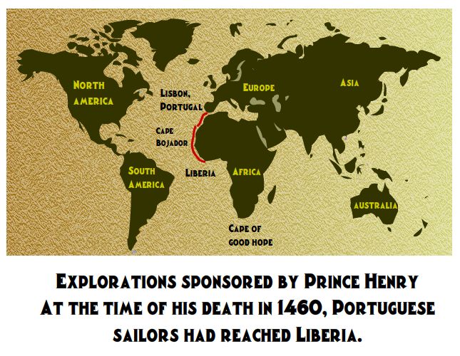
He was said to have been responsible for the early development of Portuguese exploration and maritime trade with other continents through the systematic exploration of western Africa, the islands of the Atlantic Ocean, and the search for new routes.
We are told that under Prince Henry’s direction, a new and lighter ship was developed, called the Caravel, to replace the slow and heavy ships of the time that were unsuitable for exploration.

The caravel was independent of prevailing winds, and Portuguese mariners could explore rivers and shallow waters as well as the open ocean.
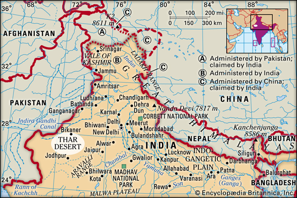
Prince Henry’s father had appointed him the governor of the Algarve Province in 1419, the southernmost region of Portugal.
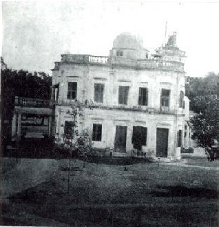
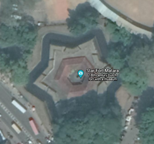
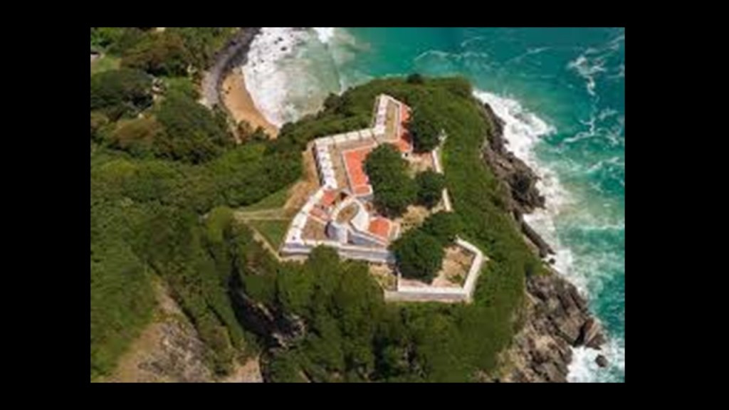
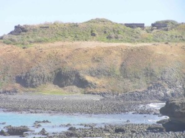
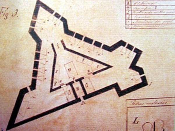
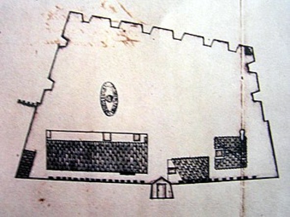
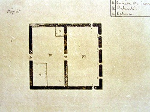
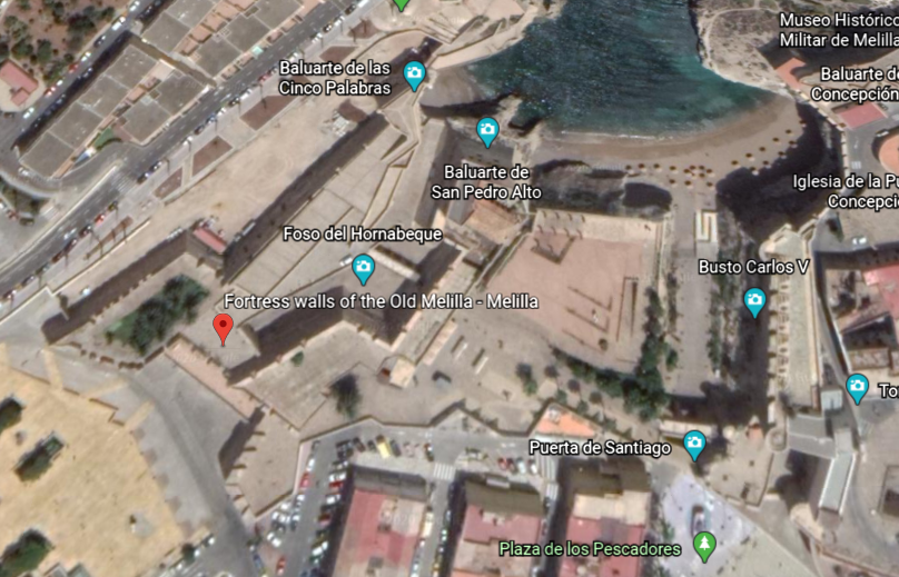
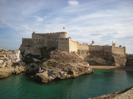
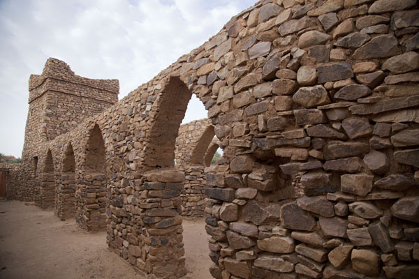
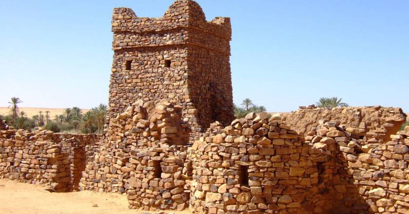
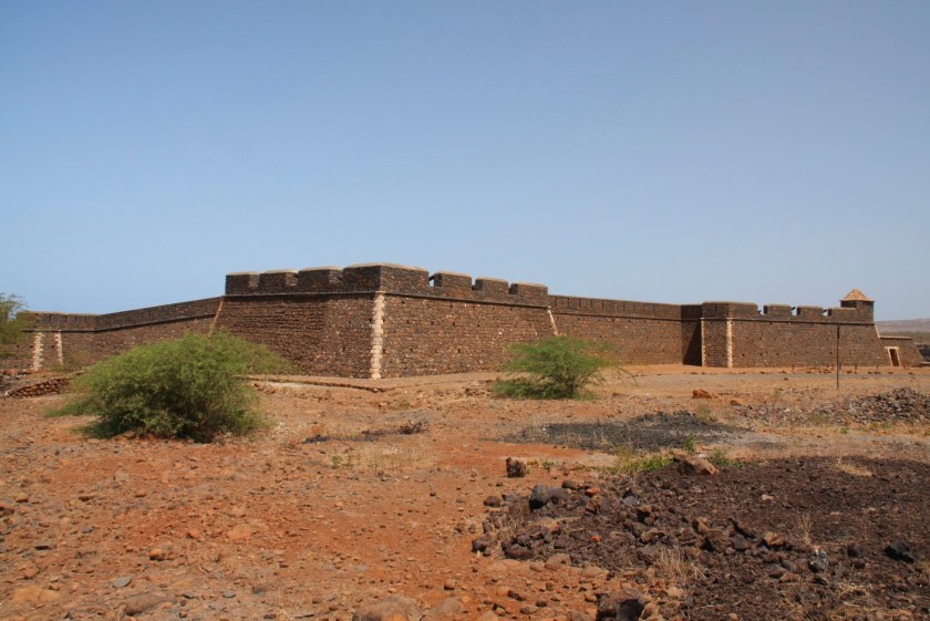
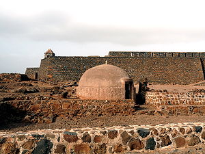
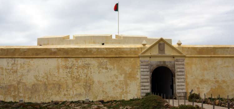
He was said to have gathered a school of navigators and map-makers, at his villa on the Sagres peninsula, described as a wind-swept, shelf-like promontory…

…which is the location of the Fortaleza Sagres, said to have been constructed on the orders of Prince Henry to guard the town and harbor of Sagres.
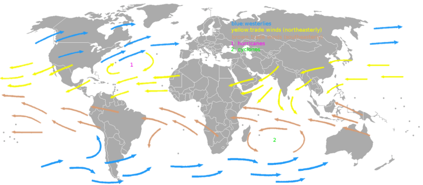
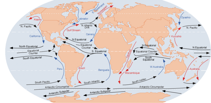
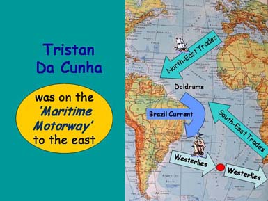
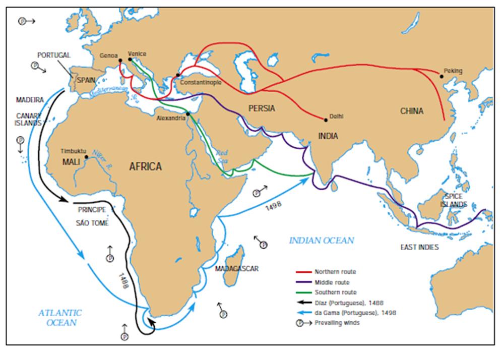
Portuguese navigators were said to have discovered and practiced the “Volta do Mar,” or “Turn of the Sea,” during Prince Henry’s time and after.
This is the dependable pattern of trade winds blowing largely from the East, near the equator, and the returning westerlies in the mid-Atlantic.

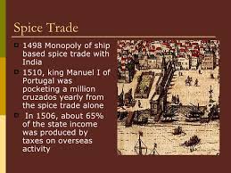
The understanding of oceanic wind patterns was a crucial step for Atlantic navigation, enabling the main trade route between the New World and Europe, and future voyages of discovery in other parts of the world, including the East Indies with the aim of finding a sea route to the source of the lucrative spice trade. More on the spice trade later in this post.
One last thing about Prince Henry.
Apparently no one used the nickname “the Navigator” during his lifetime, or in the following three centuries.
We are told the term was coined by two 19th-century German historians – Heinrich Schaefer and Gustave de Veer – and that the nickname was popularized by two British authors in the titles of their biographies of Prince Henry.
One was by Richard Henry Major in 1868…

…and the other was by Raymond Beazley in 1895.

I included this information I found because I found the nationalities of the authors of Prince Henry’s biography to be noteworthy, as well as the time-frame within which they were published, in the period of time after which, I have come believe from my research, the New World Order timeline was officially started in 1851.
Let’s see what else comes up like this.
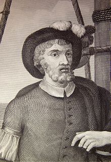
The next Portuguese explorer to come on the scene was Bartolomeu Dias, a nobleman of the Portuguese royal household.
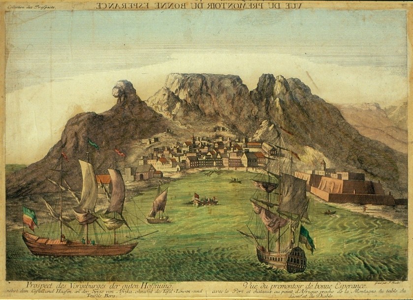
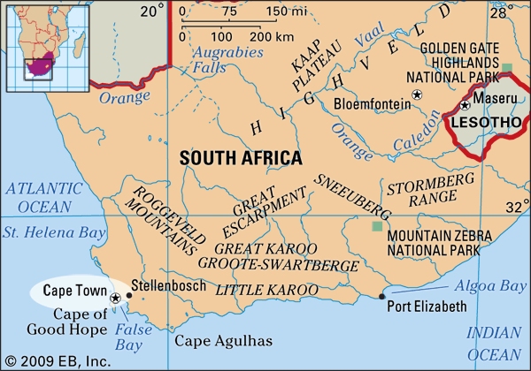
We are told he sailed around the southernmost tip of Africa, the Cape of Good Hope, in 1488, setting up the route from Europe to Asia later on.
He was also said to be the first European during the “Age of Discovery” to anchor at what is present-day South Africa.
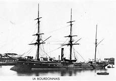
Bartolomeu Dias was the sailing master of the caravel “Sao Cristovao” or “Saint Christopher.”
In 1487, he led a Portuguese exploration expedition down the west coast of Africa
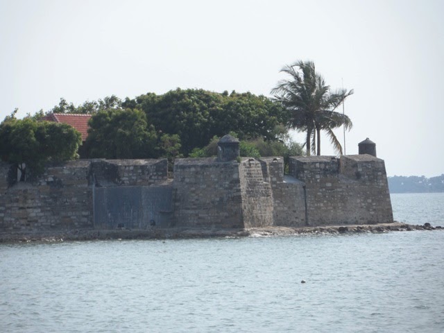
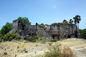
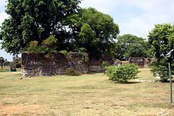
Provisions were picked up on the way down at Sao Jorge de Mina, a fortress said to have been built by the Portuguese in 1482…

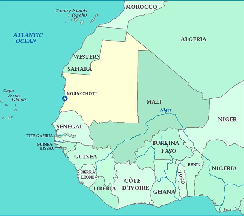
…on the Portuguese Gold Coast, a Portuguese colony on the West African Gold Coast, present-day Ghana, known for its gold, petroleum, sweet crude oil, and natural gas.
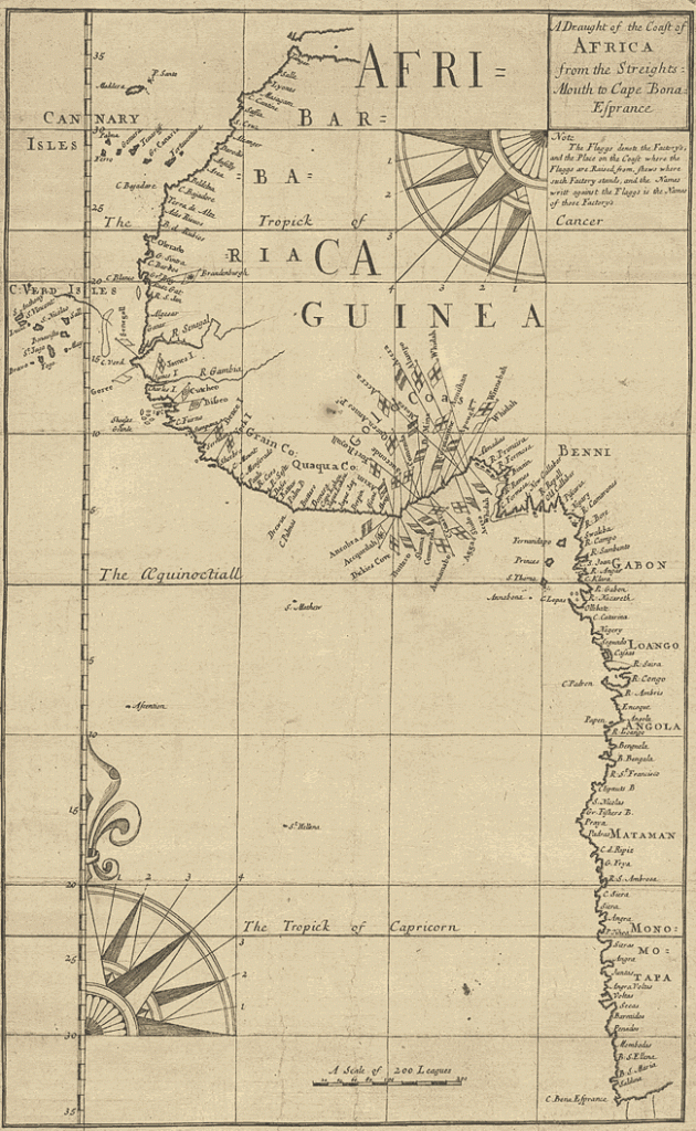
The Portuguese Gold Coast was the first claim.
The Dutch arrived in 1598 and in 1642, incorporated the Portuguese Territory into the Dutch Gold Coast.

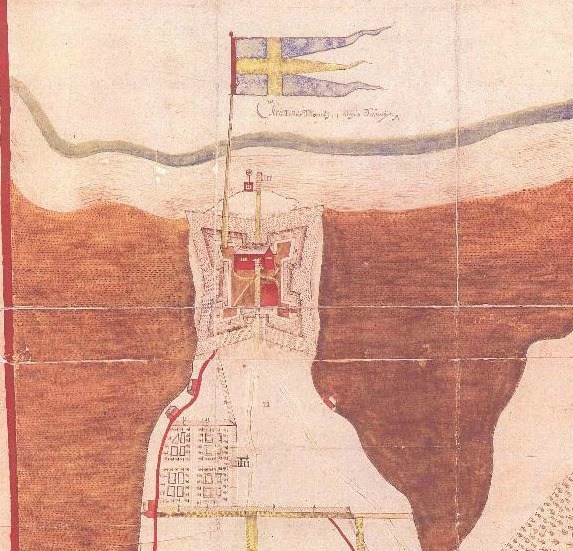
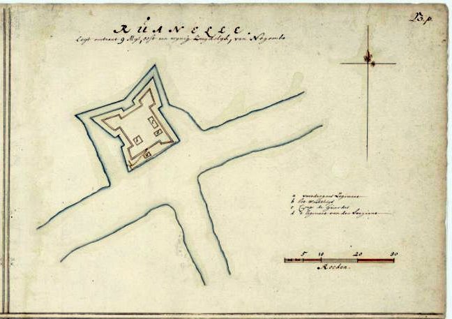
This was said to be a 1675 map of the Dutch Gold Coast, depicting ley-lines instead of lines of longitude and latitude.

Then the Prussians established the Brandenburger Gold Coast in the area in 1682, for less than 50-years, when they sold it to the Dutch in 1742.
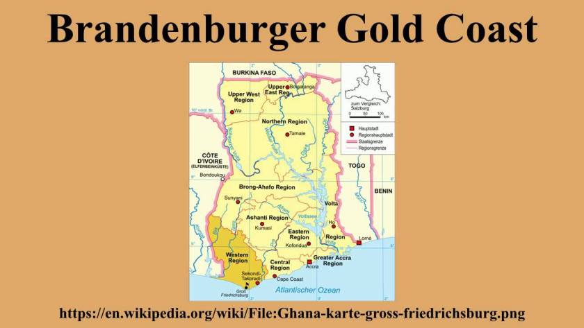
The Swedes established settlements on the Swedish Gold Coast starting in 1650, but this state-of-affairs, was said to have only last 13-years…

…because in 1663, Denmark seized the Swedish territory, and incorporated it into the Danish Gold Coast.
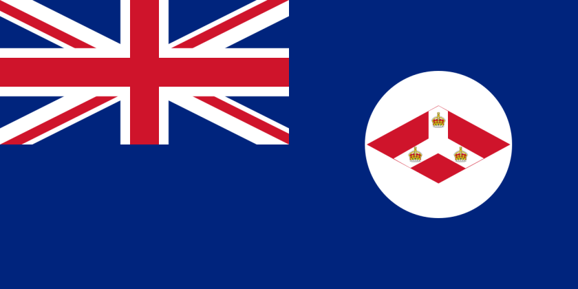
Then in 1850, all of the settlements became part of the British Gold Coast…

…which remained in British hands in 1885 after the Berlin Conference.
In the 1487 expedition of Bartolomeu Dias, after the caravel left the Portuguese Gold Coast, the crew sailed to Walvis Bay, the name of the location in modern Namibia.
After encountering violent storms along the way, the ship eventually rounded the Cape of Good Hope, the name it received from King John II of Portugal because it represented an opening of a route to the East.
The expedition ended up not going any further, and set sail back for Portugal, returning to Lisbon, the capital of Portugal, in 1488.
Not only did I find the German-English geographer and cartographer, Ernst Georg Ravenstein, come up in association with a biography of Bartolomeu Dias…

… he also published “A Journal of the First Voyage of Vasco Da Gama” in 1898, the next Portuguese explorer of note, who made it to India in a journey between 1497 and 1499.
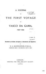
Ravenstein was said to have translated what was called the only known copy of a journal believed to have been written on-board ship during Vasco da Gama’s voyage to India.
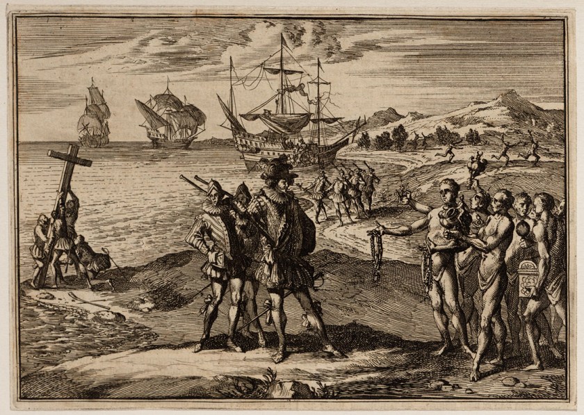
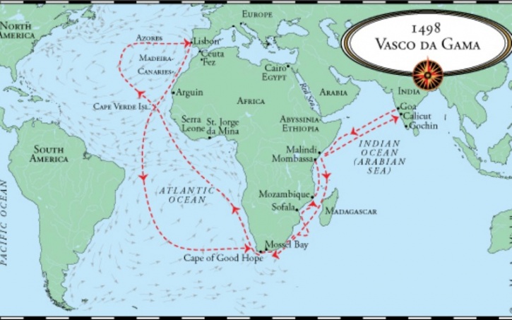
We are told that Vasco da Gama’s first voyage to India was the first link to Europe and Asia by an ocean route.
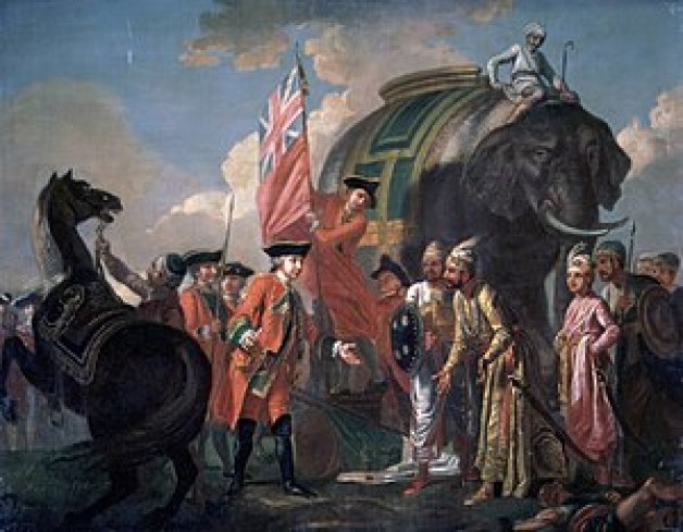
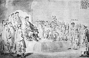
He was said to have landed in Calicut on May 20th of 1498.
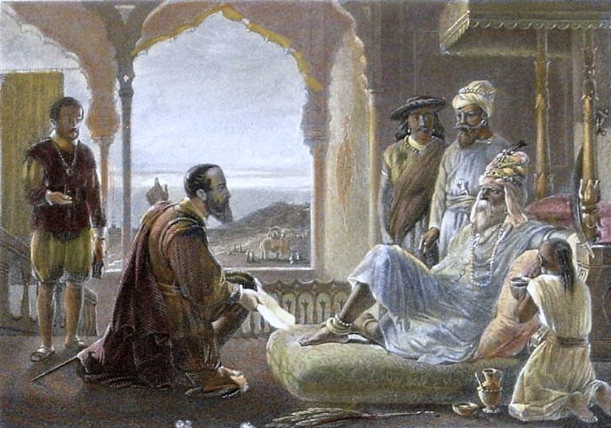
This is said to be a steel engraving from the 1850s of the meeting between the King of Calicut and Vasco da Gama, which apparently didn’t yield the favorable results the Portuguese explorer desired, as it failed to yield the commercial treaty with Calicut that was da Gama’s principal mission.
Regardless of the failure to secure a commercial treaty with the King of Calicut, Vasco da Gama’s voyage to and from India led to the yearly Portuguese India Armadas, fleets of ships organized by the King of Portugal dispatched on an annual basis from Portugal to India…
…and 6-years after da Gama’s initial arrival in 1498, the Portuguese State of India was founded.
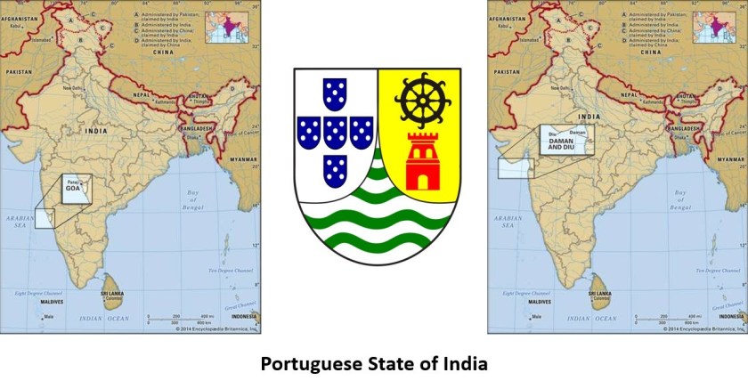
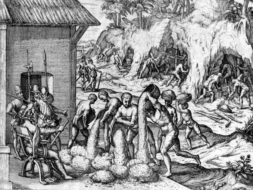
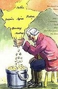
Portugal’s unopposed access to the Indian spice trade routes boosted the economy of its empire, and maintained a commercial monopoly on spice commodities for several decades.

Vasco da Gama’s discovery of the sea route to India, we are told, is what enabled the Portuguese to establish a long-lasting colonial empire in Asia.
It was considered a milestone in world history and the beginning of a sea-based phase of global multiculturalism.
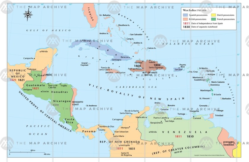
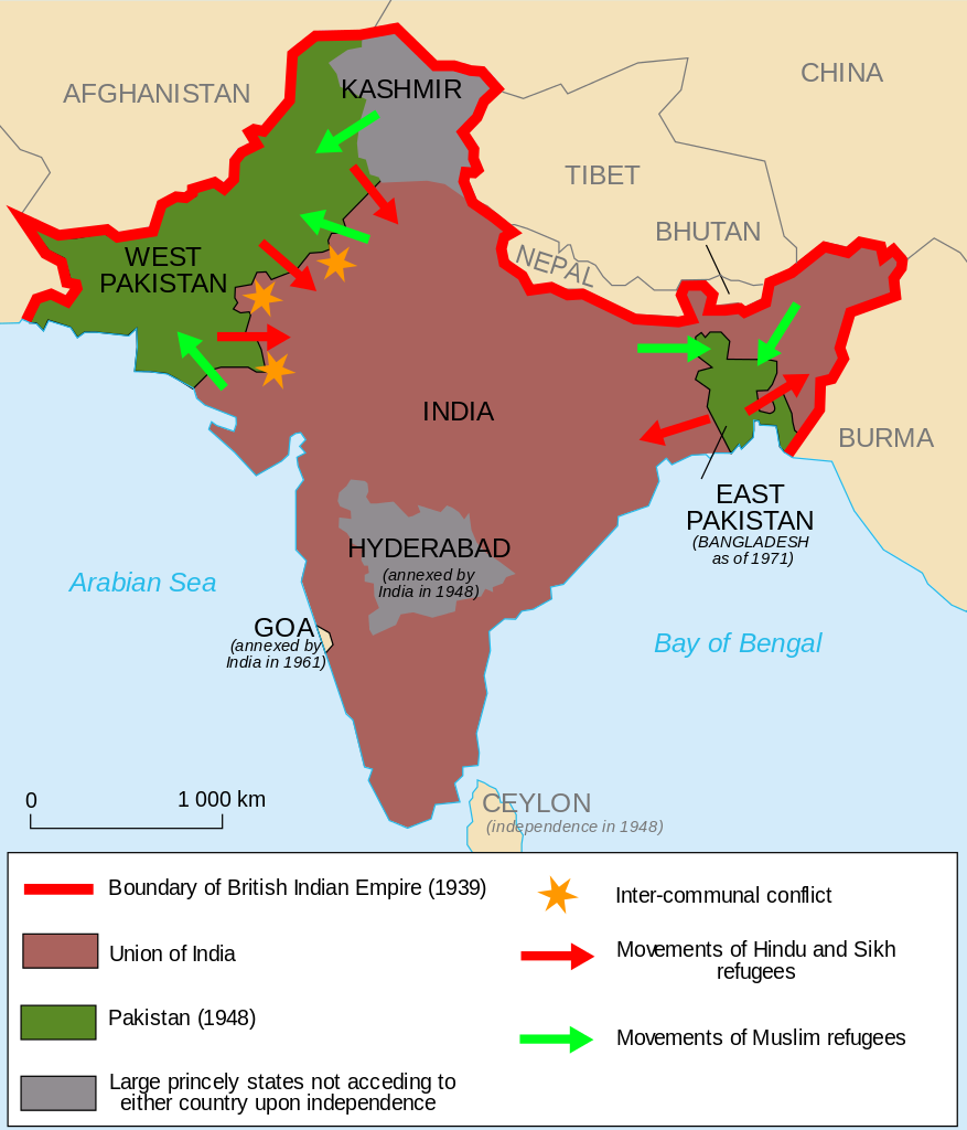
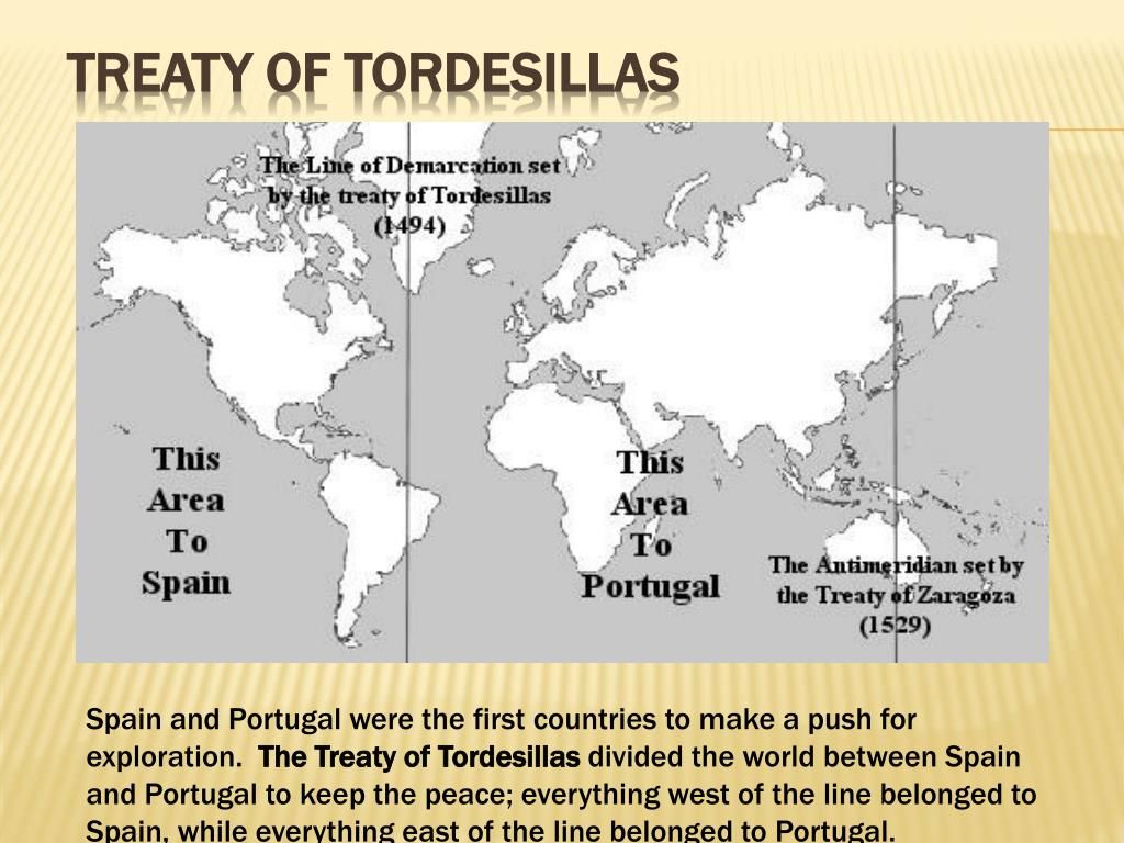
The Treaty of Tordesillas of 1494 divided the newly discovered lands outside Europe between the Portuguese Empire and the Spanish Empire (Crown of Castile), a long a meridian 370 leagues west of the Cape Verde Islands, off the West Coast of Africa.

Then, 35-years later, the Treaty of Zaragoza was signed, which specified the Antimeridian to the line of demarcation specified by the Treaty of Tordesillas, defining the areas of Spanish and Portuguese influence in Asia.
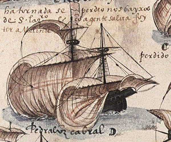
Pedro Alvares Cabral, a Portuguese nobleman, military commander, navigator and explorer, was a contemporary of Vasco da Gama.
He was said to have led a fleet of thirteen ships into western Atlantic Ocean, and made landfall in what we know as Brazil in 1500.
As the new land was in the Portuguese sphere according to the 1494 Treaty of Tordesillas, Cabral claimed it for the Portuguese Crown.
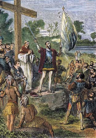
He explored the coast, and realized, we are told, that the large land-mass was most likely a continent, and dispatched a ship to notify the Portuguese King, Manuel I of the new territory.
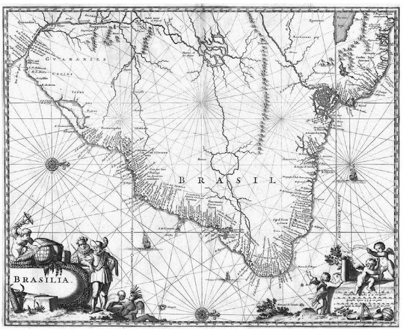
The land Cabral had claimed for Portugal later became known as Brazil on the continent of South America.
From Brazil, Cabral turned his fleet eastward to sail to India.
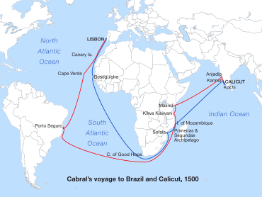
He was said to have lost seven of his thirteen ships in a storm in the southern Atlantic Ocean.
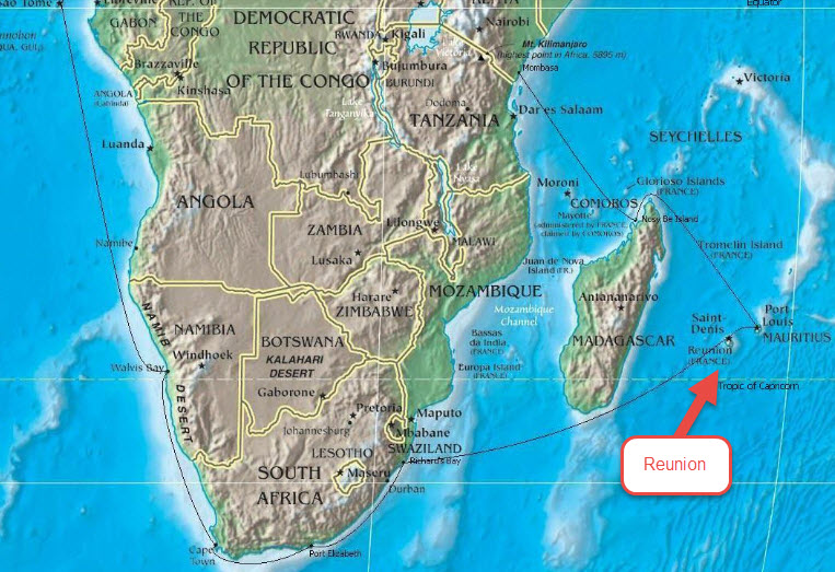
The remains of Cabral’s fleet regrouped in the Mozambique Channel, located beween the East African country of Mozambique and the island of Madagascar.

Mozambique had become a Portuguese colony in 1498 as a result of Vasco da Gama’s first voyage, and is known for what is described as its Portuguese colonial architecture.
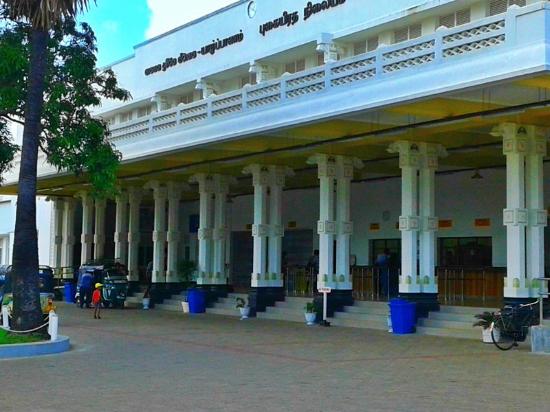
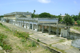
Here are some examples from Maputo, the capital of Mozambique.
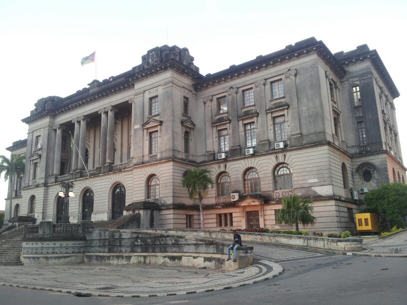

We accept the idea that the colonial Portuguese built infrastructure like this because it is what we have been taught…

…and at the same time we are told that the indigenous people of Mozambique were the San, who were hunter-gatherers.
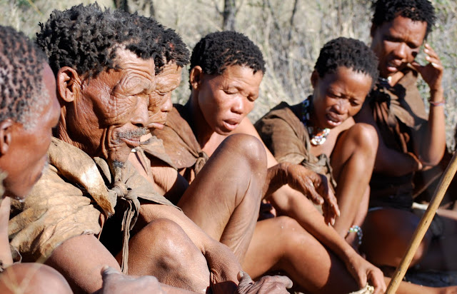
The San, also known as bushmen, are considered the oldest inhabitants of southern Africa, with a history there said to date back 20,000-years, and are among the oldest peoples in the world.
From the Mozambique Channel, Cabral’s fleet sailed to to Calicut in India, at which time Cabral was said to have been attacked by Hindus and Muslims stirred up by Arab traders who saw the Portuguese venture as a threat to their monopoly.
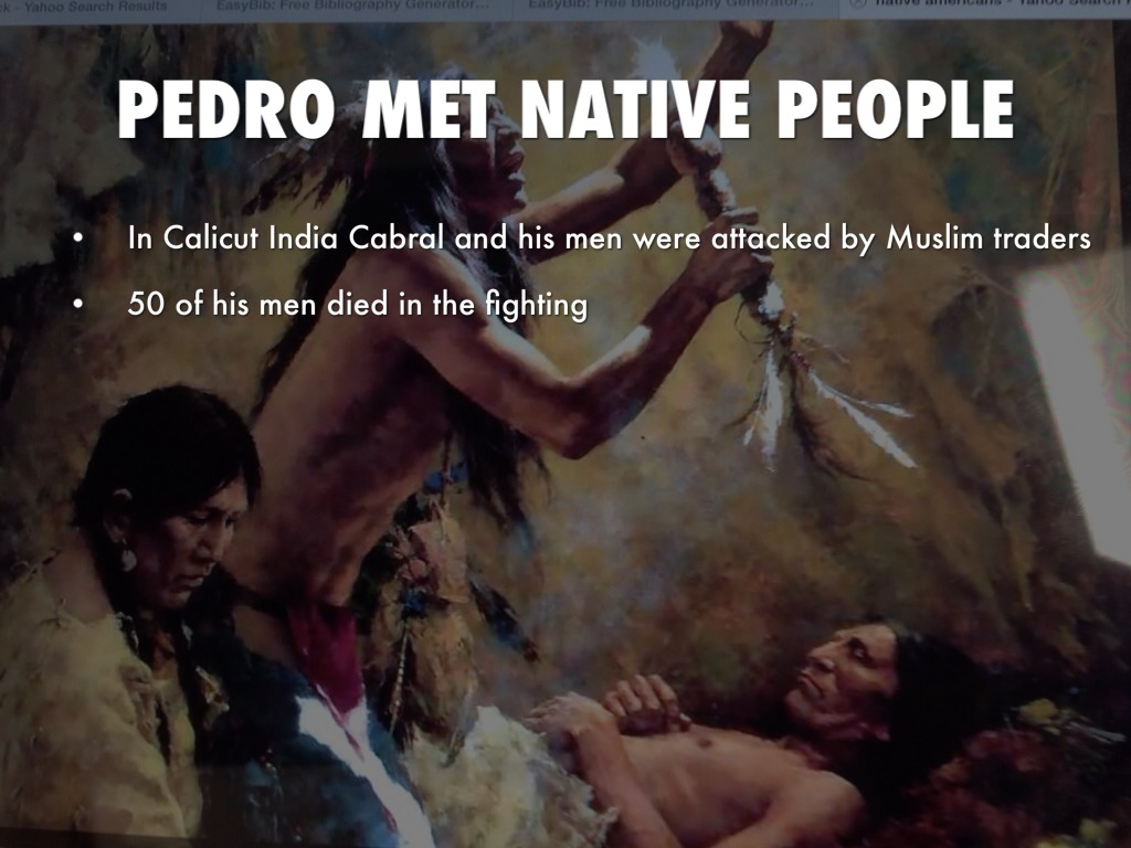
Cabral was said to have retaliated, with his men looting and burning the Arab fleet at Calicut, and he sailed onto the Kingdom of Cochin, befriended its ruler, founded the first European settlement in India at Kochi, and loaded his ships with coveted spices before returning to Portugal.
After his return, Cabral’s voyage was deemed a success, in spite of the loss of ships and lives, and we are told the extraordinary profits resulting from the sale of the spices he brought back with him helped lay the foundation of the Portuguese Empire.
Interestingly, apparently after that, Cabral slipped into obscurity for 300 years, until the 1840s that is, when the Brazilian Emperor Dom Pedro II…
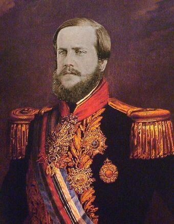
…sponsored research and publications dealing with Cabral’s life and expedition through the Brazilian Historical and Geographic Institute, which was founded in 1838, and part of the emperor’s plan to foster and strengthen a sense of nationalism among Brazil’s diverse citizenry.


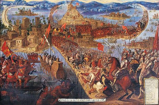
The Spanish explorer, governor, and conquistador, Vasco Nunez de Balboa, is best known for crossing the Isthmus of Panama to the Pacific Ocean in 1513, becoming the first European expedition to have seen the Pacific from the New World.

Wait a minute!
There was already a viable waterway across the Isthmus of Panama?
What was the Panama Canal all about then?
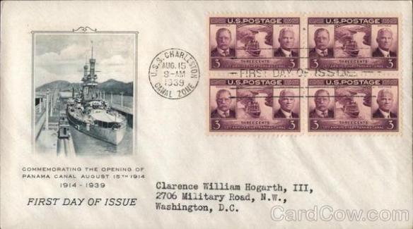
The Panama Canal was said to have been built, starting with the French in 1881…
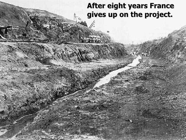
…and completed and opened by the Americans on August 15th of 1914, about two weeks after the start of World War I on July 28th of 1914.
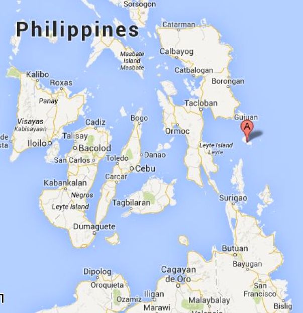
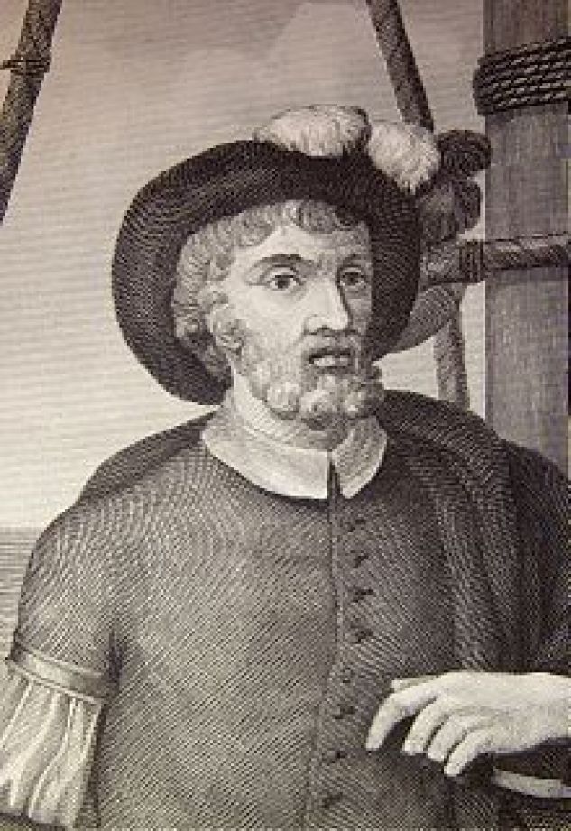
Ferdinand Magellen was a Portuguese explorer who organized the Spanish expedition, which started in 1519 and ended in 1522, to the Spanish East Indies, a fleet known as the “Armada de Molucca” to reach the Spice Islands, and said to have resulted in the first circumnavigation of the earth.
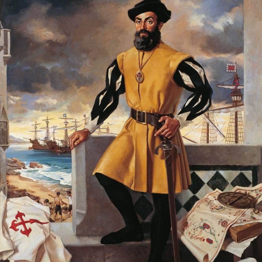
Magellan was said to have been killed in the Philippines in the Battle of Mactan on April 27th of 1521, and a Basque-Spanish explorer by the name of Juan Sebastian de Elcano was said to have completed the expedition after Magellan’s death, from the Moluccas and back to Spain.
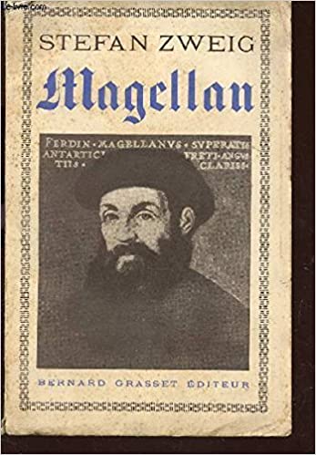
I found a biography about Magellan written by an Austrian novelist, playwright, journalist and biographer named Stefan Zweig, who was born in Vienna in 1881, and died, along with his wife, in Petropolis, Brazil in 1942, of barbituate overdoses, we are told.
Petropolis is the name of a German-colonized mountain town 42-miles, or 68-kilometers, north of Rio de Janeiro.
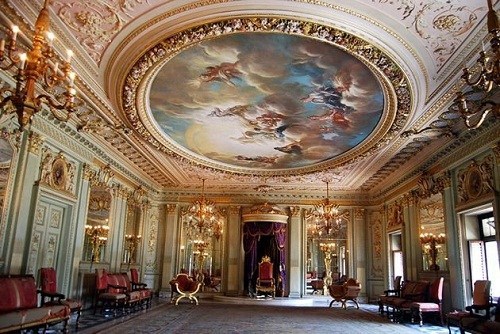
Called the “Imperial City,” the Emperor Pedro II was said to issue an imperial decree ordering the construction of a settlement to be formed, with the arrival of German immigrants, as well as for the construction of his summer palace there, with the cornerstone said to have been laid in 1845, and that it was built by 1847.
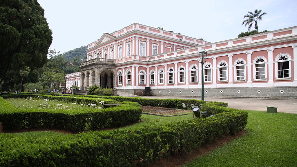
Interesting edifice, and intriguing blue glow of its steeple, in Petropolis.
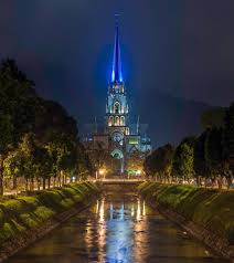
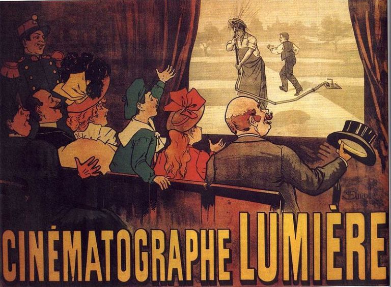
The first cinema was said to have opened in Petropolis in 1897, showing the Lumiere Brothers first films.
The Lumiere Brothers premiered ten short films in Paris on December 28th, 1895, considered the breakthrough of projected cinematography, meaning pertaining to the art or technique of motion picture photography.
More on the role of movies in the creation of the New World from the Old World later in my conclusions.
Back to the Moluccas.
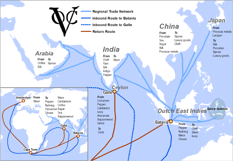
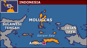
The Moluccas that Juan Sebastian de Elcano reached and sailed back to Spain from are also known as the Spice Islands, because of the nutmeg, spice, and cloves that were exclusively found there, the presence of which sparked extreme colonial interest from Europe in the 16th-century.
So much so, that the Dutch-Portuguese War between 1601 and 1663 was also known as the Spice War, the commodity at the center of the conflict.
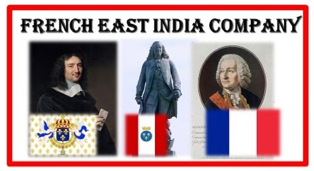
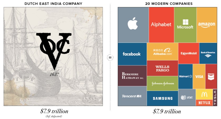
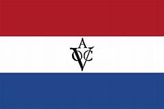
On March 20, 1602, Dutch East India Company was chartered to trade with India and Southeast Asian countries when the Dutch government granted it a 21-year monopoly for the Dutch spice trade. It was an early multinational corporation that existed until 1799.
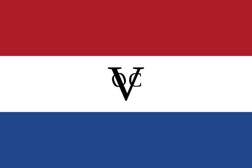
Beginning in 1602, the conflict was said to have primarily involved the Dutch companies invading Portuguese colonies in the Americas, Africa, India, and the Far East.
The Dutch West India Company was formed on June 3rd of 1621.

It was a chartered company of Dutch merchants as well as foreign investors, with a charter for a trade monopoly in the West Indies.

A charter is a legal document that formally establishes a corporate entity, and stipulates its business purpose.
The Dutch-Portuguese War was said to have served as a way for the Dutch to gain an overseas empire and control trade at the cost of the Portuguese.
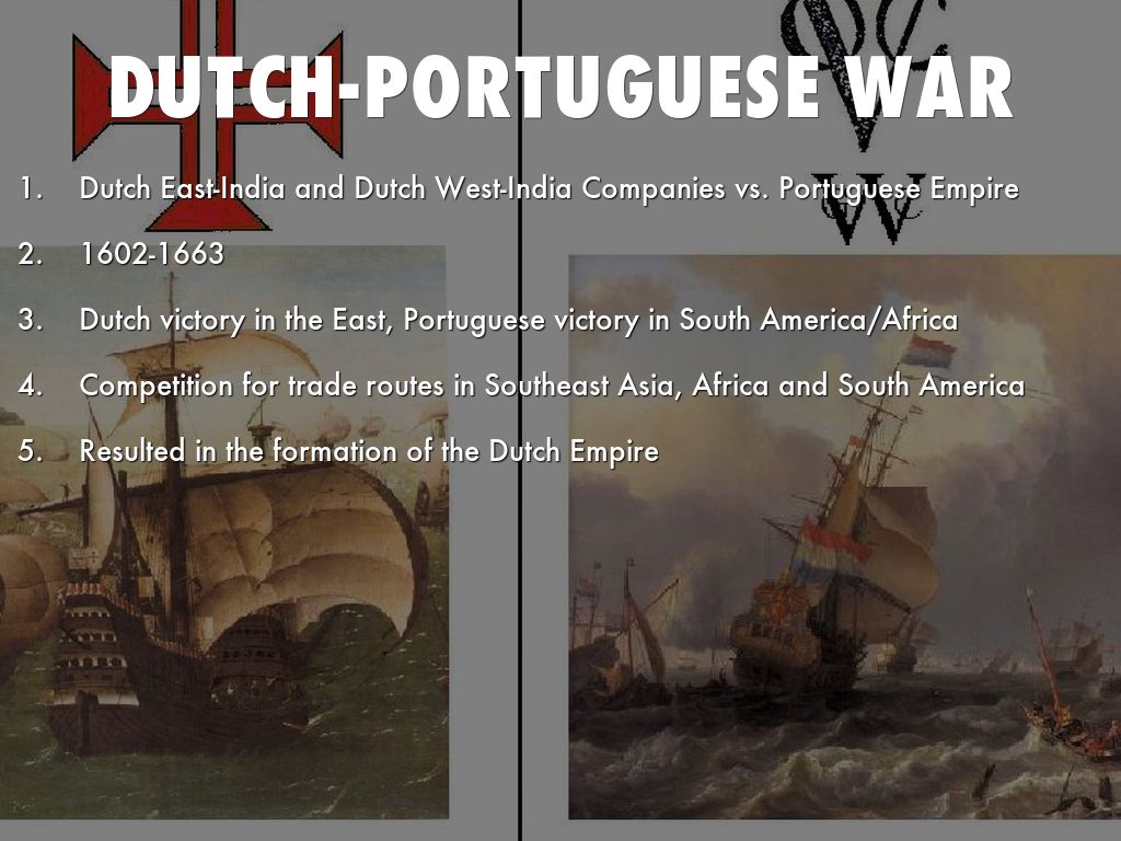
The outcome was that Portugal successfully repelled Dutch attempts to secure Brazil and Angola.
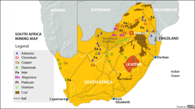
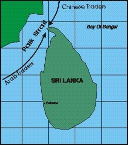
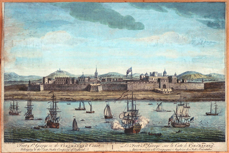
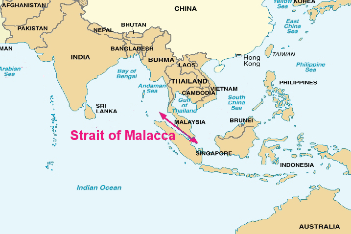
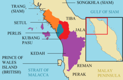
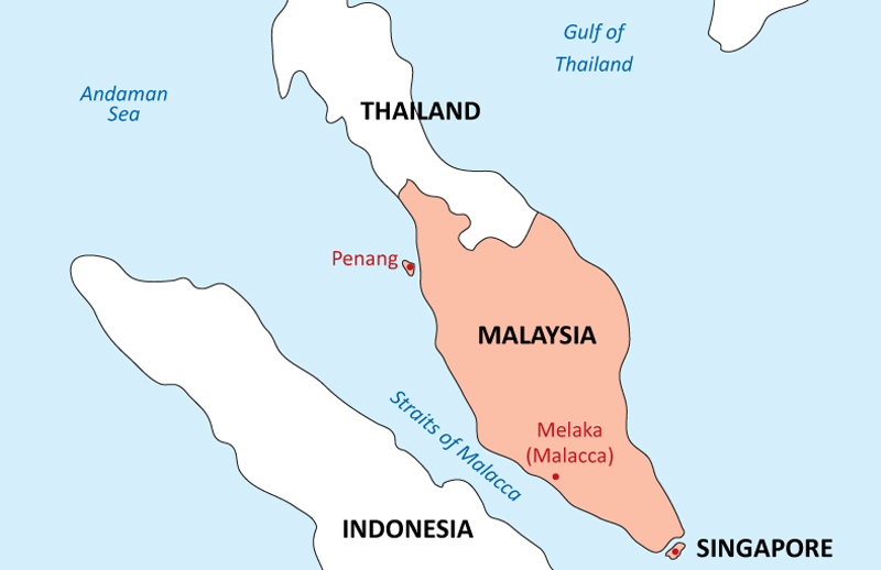
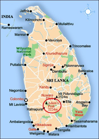
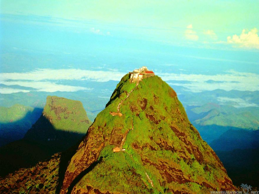
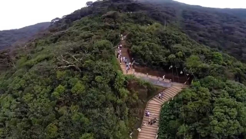
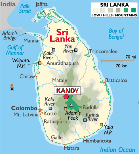
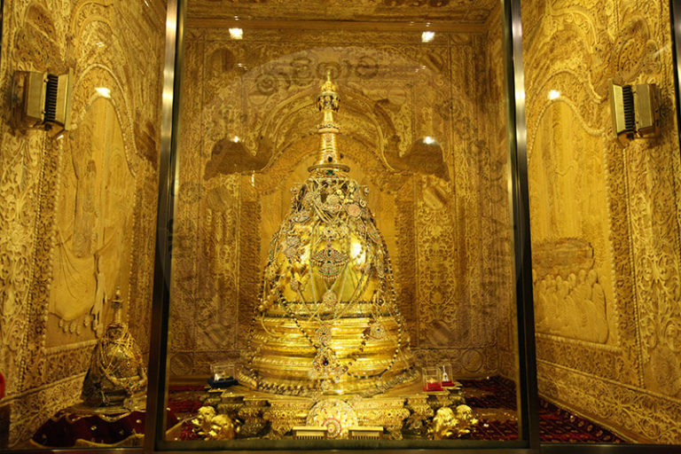
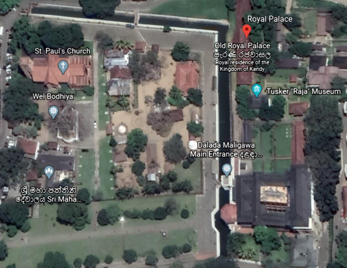
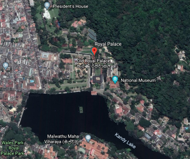
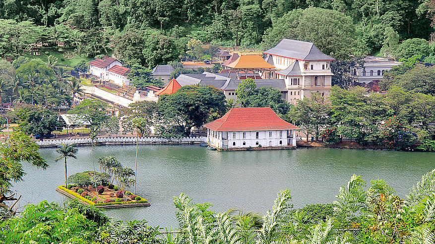
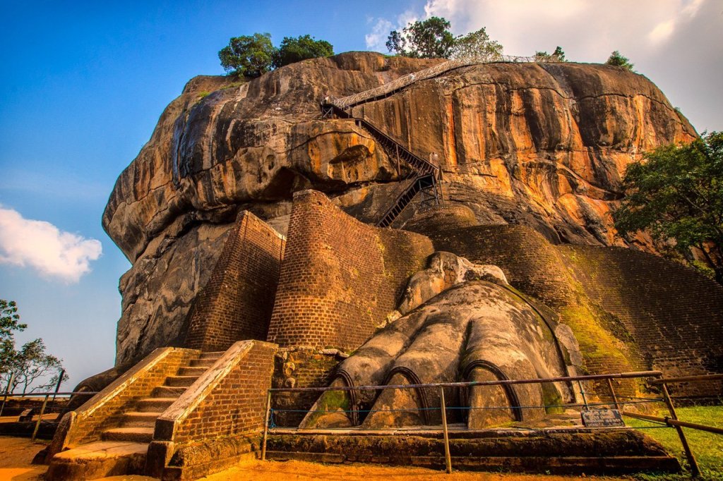
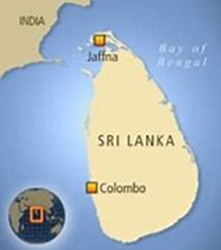
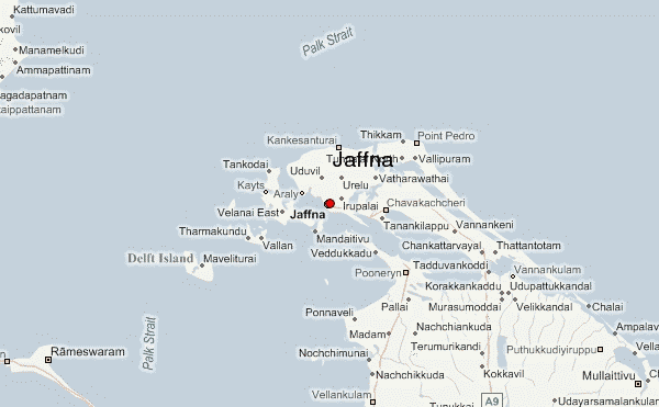
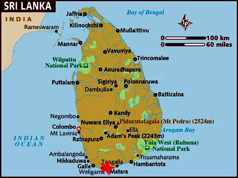
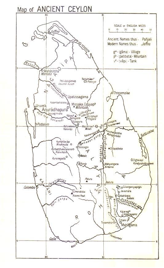
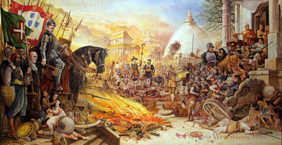
The Dutch were the victors in capturing the Cape of Good Hope in South Africa; the East Indias except for Macau; the Malacca in Malaysia; Ceylon (which later became Sri Lanka); the Malabar Coast on India’s west coast where Portuguese India was located; and the Moluccas.
British ambitions benefited from this long-standing rivalry between the Portuguese and the Dutch, beginning in the late 18th-century and early 19th-century, as Malacca, Ceylon, and Malabar became British possessions.
Other notable explorers from the first “Age of Discovery” include:
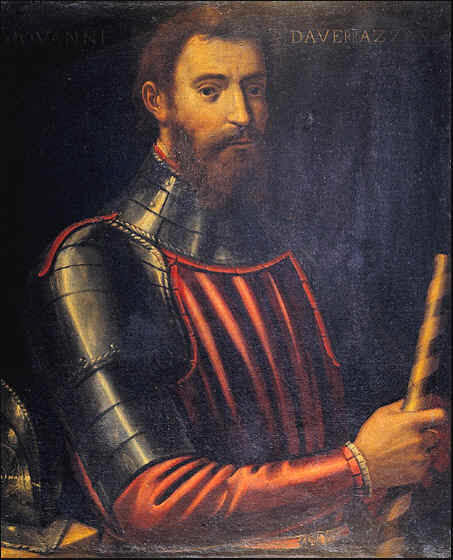
Giovanni da Verrazzano was said to be a Florentine explorer, in the service of the French King Francis I, and being the credited with first European to explore the Atlantic Coast of North America between Florida and New Brunswick between 1523 and 1524.
This included New York Bay, where the Verrazzano Narrows and bridge forever enshrines his memory, with Fort Hamilton on the Brooklyn side…
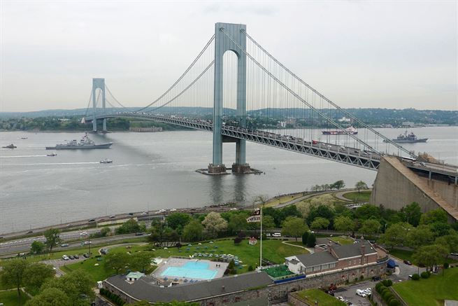
…and Fort Wadsworth on the Staten Island side.

He also explored Rhode Island’s Narragansett Bay in 1524…
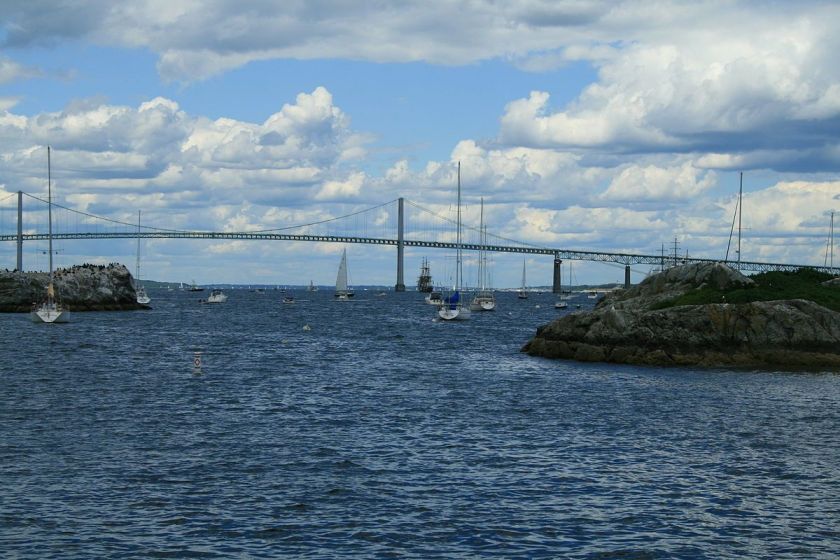
…and he even gave Rhode Island its name, we are told, when he was said to have likened an island near the mouth of Narragansett Bay to the Island of Rhodes.
Now…what would make him think that…if there wasn’t anything here?
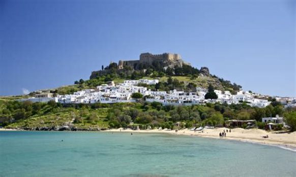
The island of Rhodes is the largest of the Dodecanese Islands in the Aegean Sea pictured here.
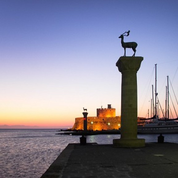
This is the City Gate of the Island of Rhodes.
What kinds of things do we find in Rhode Island?
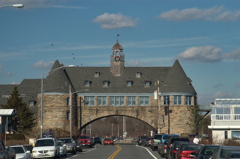
Well, for one, the Narragansett Twin Towers, what is said to be the remnant of the Narraganset Pier Casino said to have been built in the 1880’s.
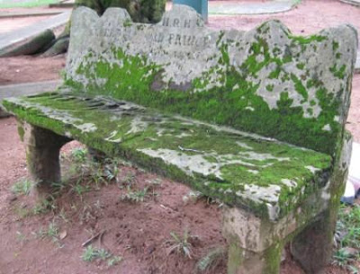
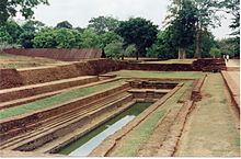
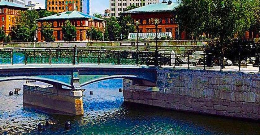
…and for another at Waterplace Park in downtown Providence, there is the presence of megalithic masonry.
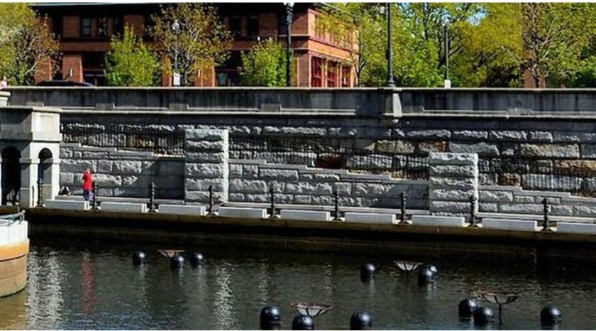
The park was said to have been finished in 1994.
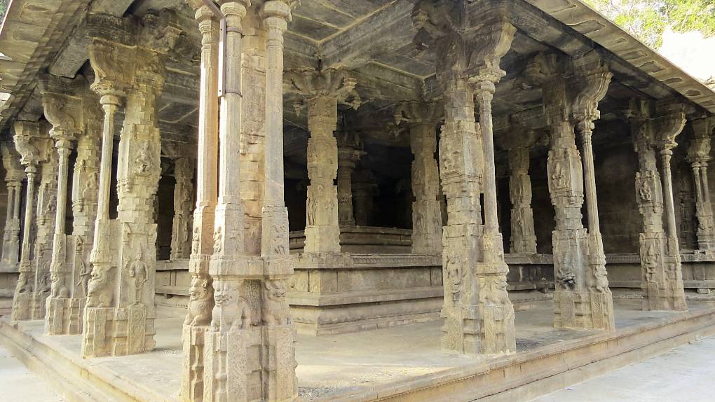
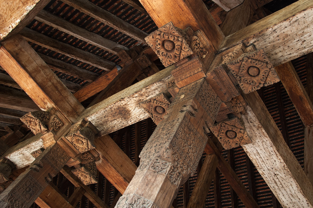
The meaning of megalith is a large stone used in construction, typically associated with Peru and Egypt, but actually found everywhere around the world. Here is another megalithic wall at Waterplace Park.
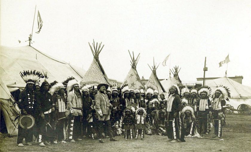
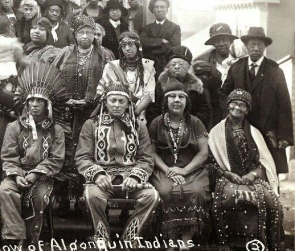
The Narragansetts are an Algonquin people whose land is now Rhode Island. Here is an historic photo of the Narragansett.
We are told that the book “Verrazano’s Voyage Along the Atlantic Coast of North America, 1524,” was reproduced from an original artifact that was written by Giovanni da Verrazzano himself.
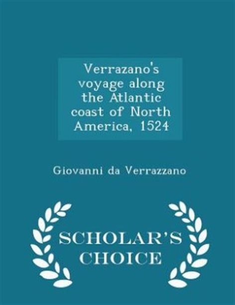
It was published in 1916, with an introduction by Edward Hagaman Hall, a New York State historian who was born in 1858 and died in 1936.
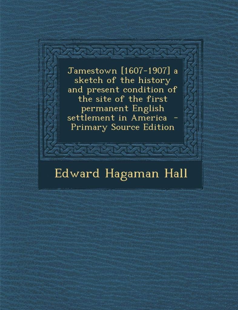
Edward Hagaman Hall also published a book about Jamestown, Virginia in 1902.
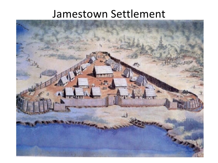
What I remember about Jamestown, which I visited with my parents when I was 6-years-old on a trip to Williamsburg in 1969, is that it was supposed to have looked something like this…
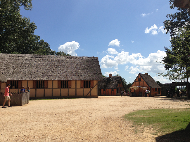
…and that when the colonial capital was moved to Williamsburg in 1699, Jamestown was said to have ceased to exist as a settlement.
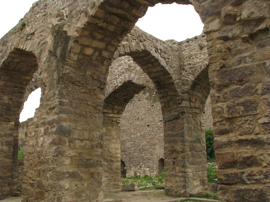
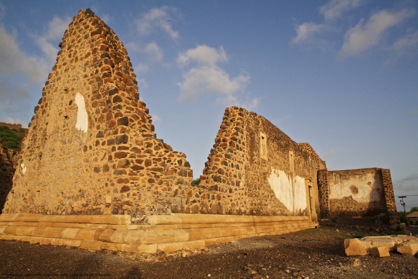
These brick masonry ruins are in Jamestown…


…even though the attention of tourists is drawn to the living history museum there.

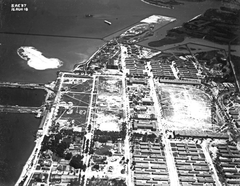
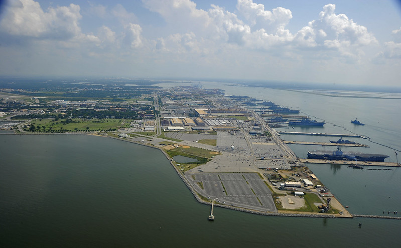
It is interesting to note that when I was doing research on Expositions and World Fairs awhile back, I came across the 1907 Jamestown Exposition, said to have commemorated the 300th-anniversary of the founding of Jamestown in the Virginia Colony.
It was held on Sewell’s Point at Hampton Roads in Norfolk, Virginia.


…which is Norfolk Naval Base today.
Henry Hudson was said to have been an English navigator and explorer during the early 17th-century, best known for his explorations of parts of the northeastern United States and Canada.
Between 1607 and 1611, he was engaged by various trading companies to sail to the Far North to find another way to Asia, via either the Northeast Passage or Northwest Passage.
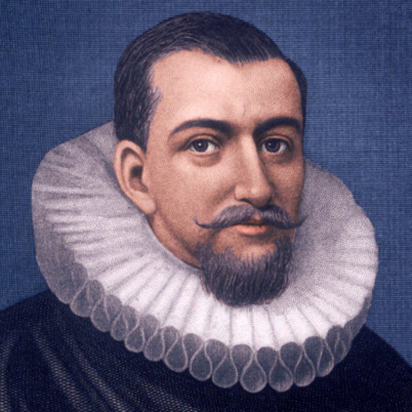
In 1609, Henry Hudson was chosen by Dutch East India Company merchants to find an easterly passage to Asia.
His attempts to go in an eastward direction were said to have been blocked by ice in northern Norway, so he decided to go west and find a northerly passage through North America.
His ship, the Half Moon, travelled down the coast…
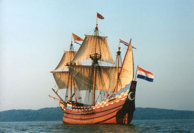
…from LaHave in Nova Scotia; to Cape Cod; to the Chesapeake Bay; to Delaware Bay; then New York Bay…
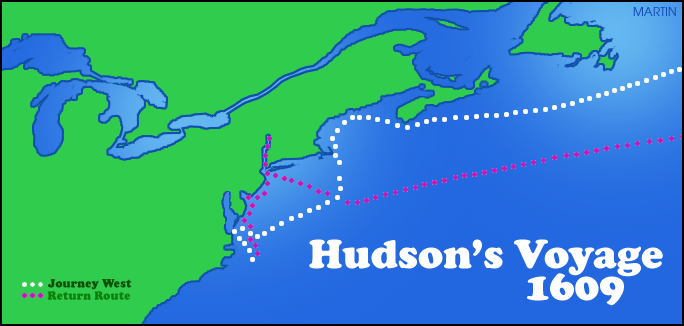
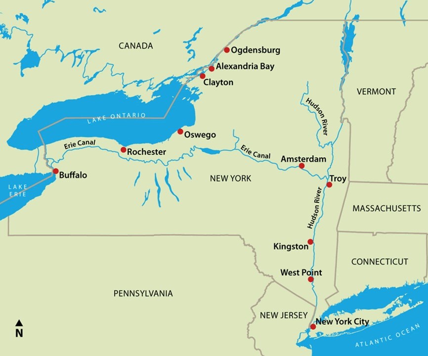
…and the river which bears his name, New York’s Hudson River.
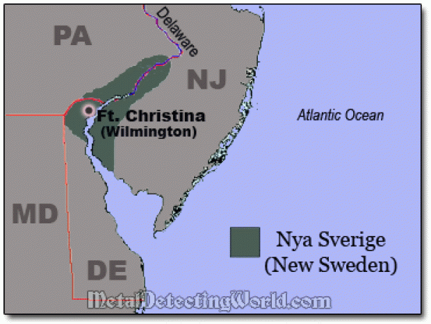
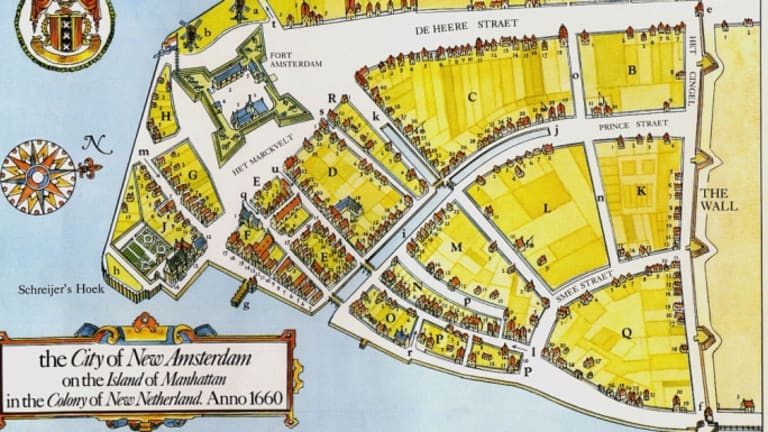
His voyage was said to have been used to establish Dutch claims to the region, and to the fur trade that prospered there when a trading post was established at Albany in 1614, and with New Amsterdam on Manhattan island becoming the capital of New Netherland in 1625.
Then Henry Hudson received backing from the Virginia Company and British East India Company in 1610, and sailed north to Iceland and Greenland in his new ship, the “Discovery,” and then across the Labrador Sea to what is now the Hudson Strait at the northern tip of Labrador, and through when he entered the Hudson Bay.
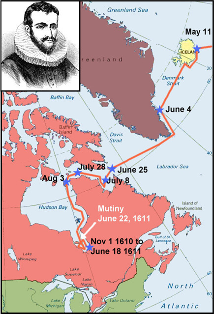
Hudson met his death in the James Bay region of the Hudson Bay, when his crew mutinied, and sent him, his son, and 7 crew members adrift in a small boat with limited supplies.
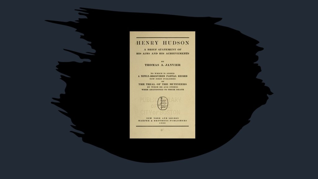
Did Henry Hudson happen to have anything thing published about him in the late 19th-century, early 20th-century?
I found this 1909 publication about Henry Hudson by Thomas Allibone Janvier, described as an American story-writer and historian, who was born in 1849 and died in 1913.
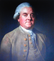
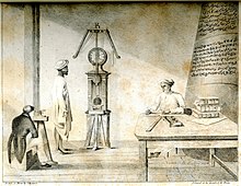
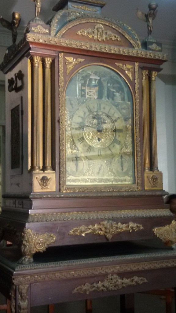
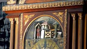
John Harrison was a carpenter and clock-maker who was said to have invented the marine chronometer, a device which solved the problem of calculating longitude while at sea.
The problem of solving longitude was considered so important after a naval disaster in 1707, that the British Parliament passed the 1714 “Longitude Act,” offering a financial reward.
Harrison presented his first design, H1, to the Longitude Board in 1730.

He received the support of the Longitude Board in building and testing his designs.
The second chronometer, H2, was said to have been finished in 1741.

Number 3, H3 was completed, we are told, in 1757…

…and that he produced the marine chronometer that won the Longitude Act prize in 1579, H4, also called the “sea watch.”
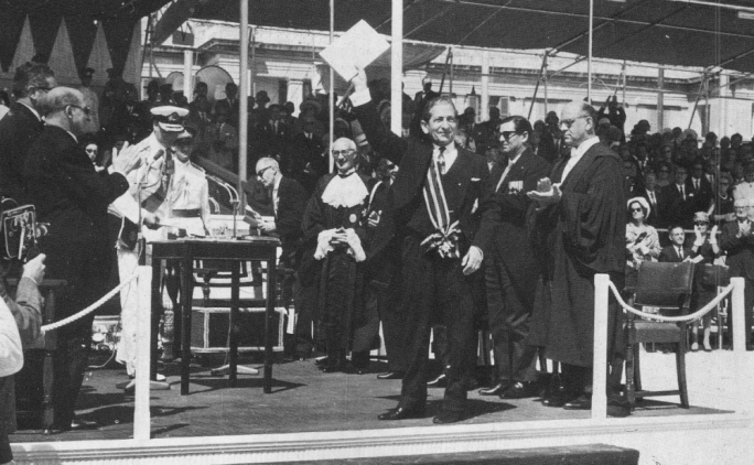
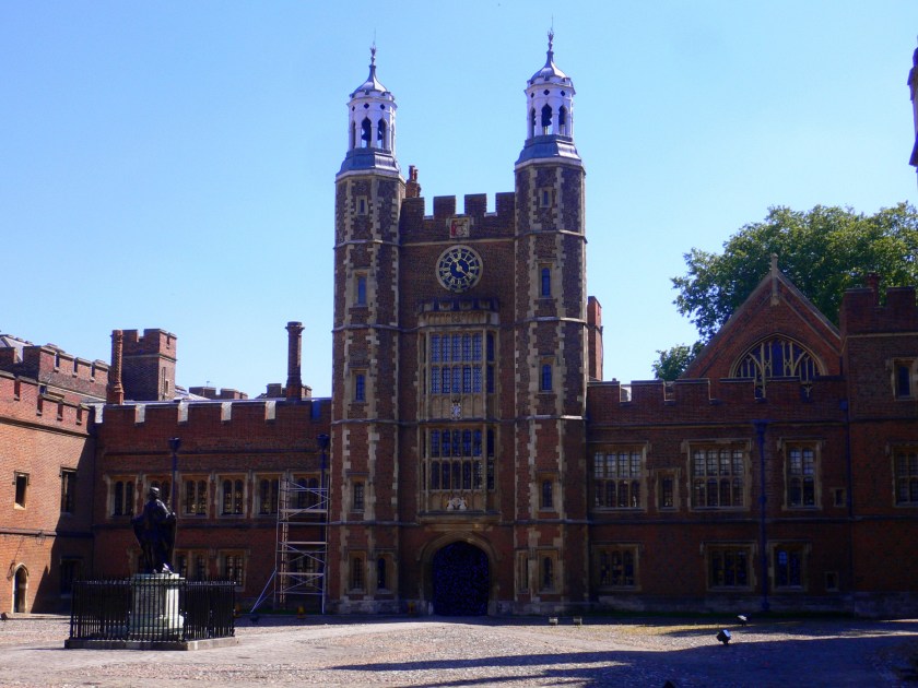
I have to wonder about this now, as I have found also found that winners of architecture contests, like Cuthbert Broderick for one example, a 29-year-old architect who was said to have won a design contest in 1852 for the…

…Leeds Town Hall, said to have been opened by Queen Victoria in 1858.

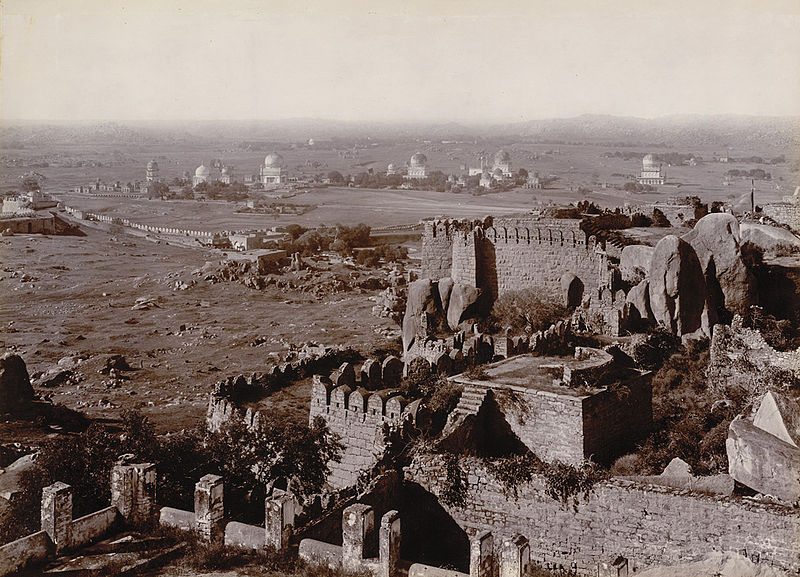
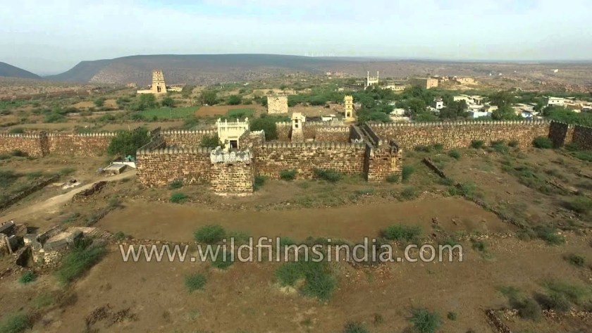
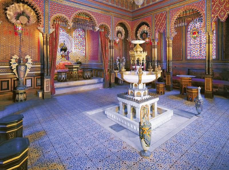
And, according to this picture of what is called the ruins of a “sugar mill” in Belize, someone knew a thing or two about gears a very long time ago.

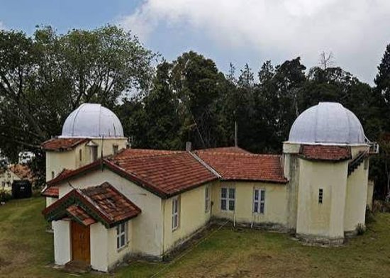
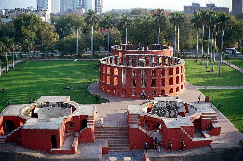
A new era of scientific maritime exploration commenced in the 1800s.
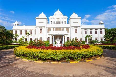
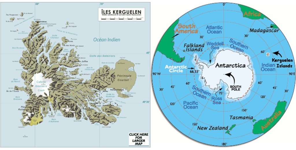
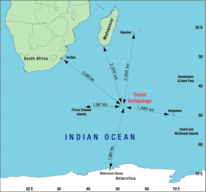
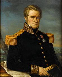
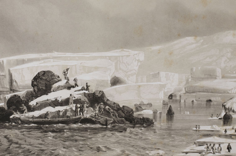
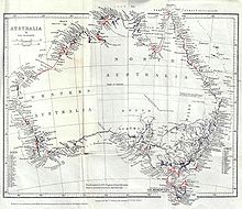
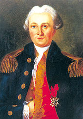
in August of 1822, Jules Dumont d’Urville set out on an expedition to collect scientific and strategic information, on a ship named originally La Coquille, and sailed to the Falkland Islands; the coasts of Peru and Chile in South America; New Guinea; New Zealand and Australia.

The expedition carried out research in the fields of botany and insects, bringing back thousands of specimens to the Natural History Museum in Paris.
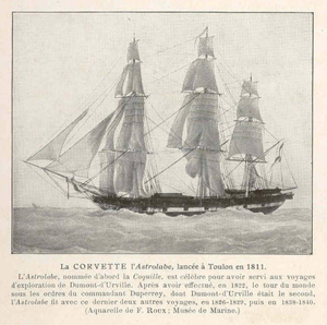
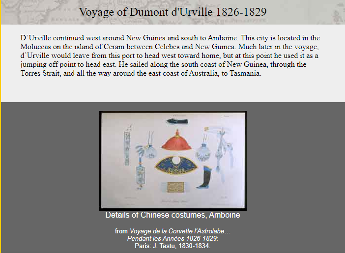
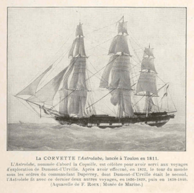
Then, 1826, Dumont d’Urville departed on La Coquille, now called L’Astrolabe, or the Astrolabe, named for a navigational device…
…for a three-year voyage to New Zealand; Fiji; the Loyalty Islands; New Guinea; the Solomon Islands, Caroline Islands, and the Moluccas in eastern Indonesia.

In 1837, Dumont d’Urville set out yet again on the Astrolabe for the South Orkney Islands in the Southern Ocean; the Marquesas Islands; Tasmania; along the coast of Antarctica, at which time he claimed land on January 21st of 1840 for France, considered it his most significant achievement. He named it Adelie Land after his wife Adele.
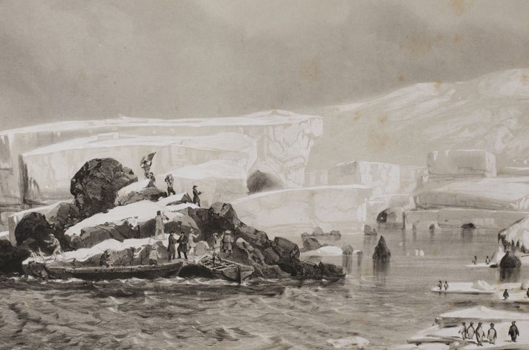
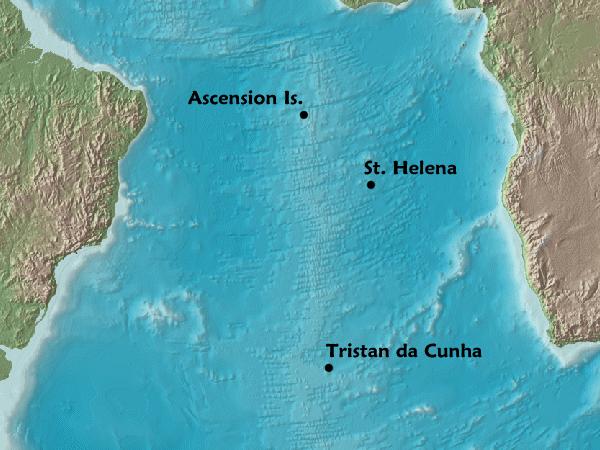
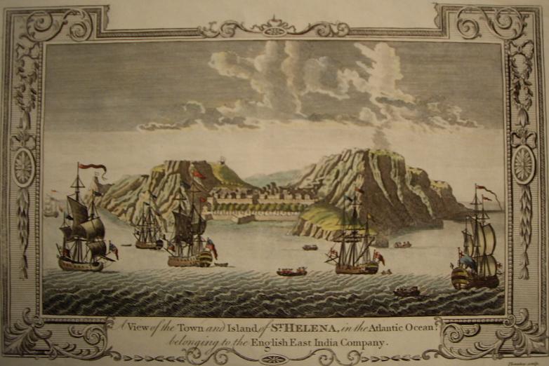
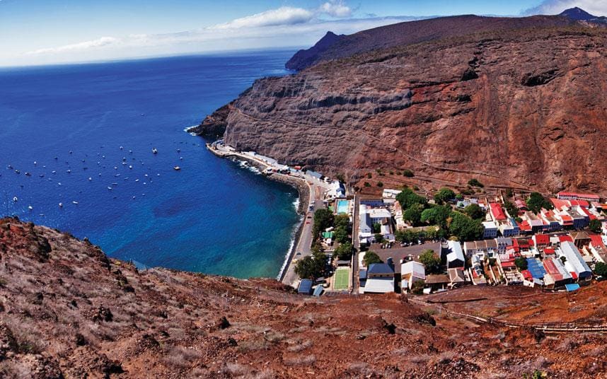
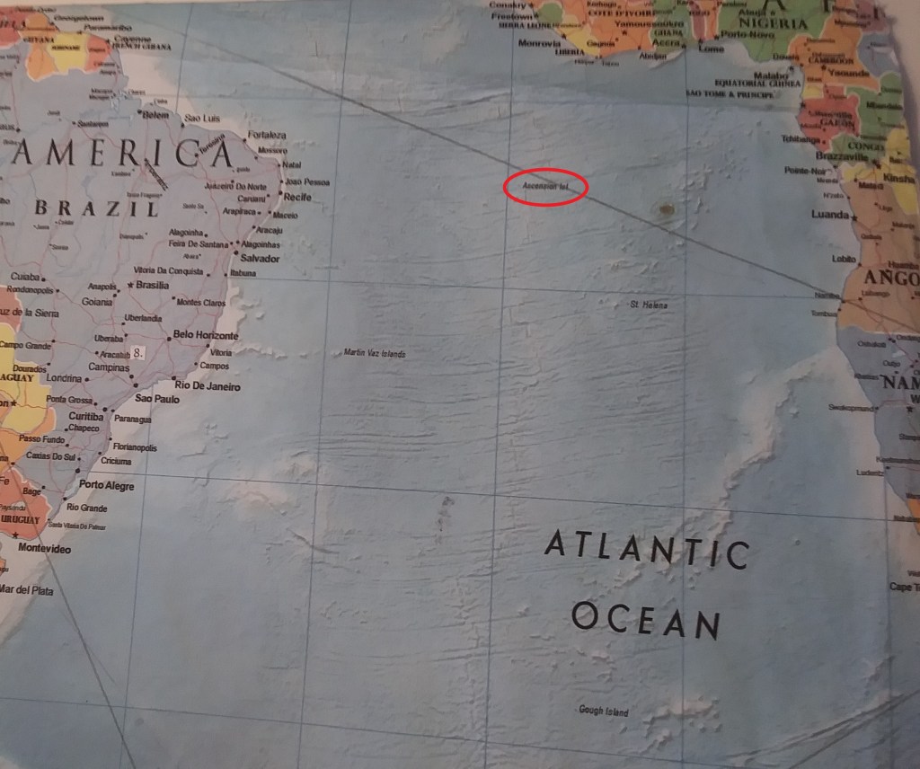
He then sailed onto New Zealand; the Torres Strait; Reunion Island; and St. Helena island, and returning to France later in 1840.
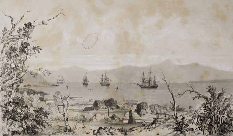
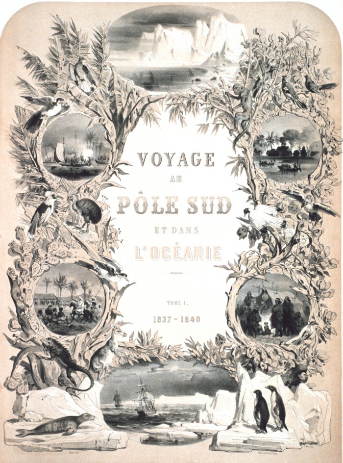
He was promoted to Rear Admiral upon his return, and he wrote a report of the expedition entitled “Voyage au Pole Sud et dans L’Oceanie sur les Corvettes Astrolabe et la Zelee 1837 – 1840,” which was published between 1841 and 1854 in 24 volumes.
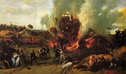
An interesting side-note about Dumont d’Urville’s life was his death – he and his entire family were killed in the first ever rail disaster in France in May of 1842, called the Versailles Rail Accident, in which the train’s locomotive derailed, the wagons rolled, and the coal tender ended up at the front of the train and caught fire. This was said to be a painting of the incident.

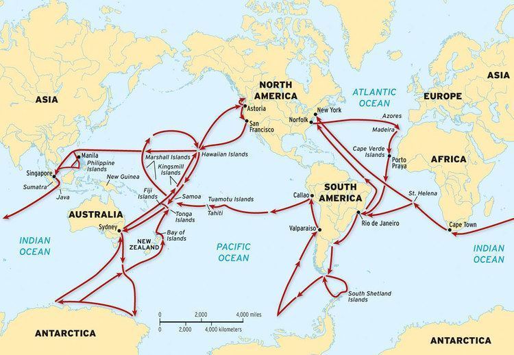
The U. S. Exploring Expedition was another exploring and surveying expedition of the Pacific Ocean and the surrounding lands, conducted by the United States between 1838 and 1842.
The expedition was described as of major importance to the growth of science in the United States, and that during the events of its occurrence, armed conflict between Pacific Islanders and the expedition was common, and dozens of natives were killed, as well as a few Americans.
It involved a squadron of four ships, with specialists on each including naturalists, botanists, a mineralogist, a taxidermist, and a philologist, which is someone who studies written and oral histories.
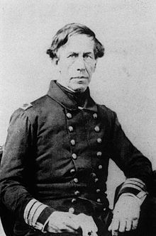
It is sometimes referred to as the “U. S. Ex. Ex.” or “Wilkes Expedition,” after the commanding officer, Navy Lt. Charles Wilkes.

The ships of the Wilkes Expedition was said to have departed from Hampton Roads in Virginia for the first stop the Madeira Islands off the coast of Africa on August 18th, 1838.
The routes of the expedition went something like this – all over the place.

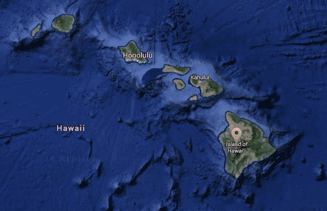
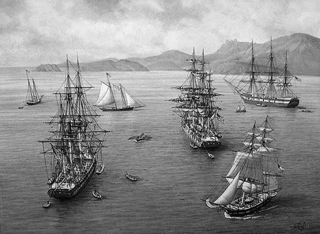
The squadron of ships pretty much sailed together, at different rates of speed, from their first stop at Madeira, to Rio de Janeiro in Brazil; Tierra del Fuego at the southern tip of South America; Valparaiso in Chile; Callao in Peru; the islands of Tahiti, and Samoa, in the South Pacific; Sydney in Australia; Antarctica, which they arrived at and “discovered” on January 16th of 1840, just mere days before the completely different expedition of Dumont d’Urville’s claimed land on Antarctica on January 21st of 1840; and then, by way of Fiji, to the Sandwich Islands (otherwise known as the Hawaiian Islands), before returning to the United States. The ships did break-off into pairs on occasion to explore different places in the same general location.
Then there were the voyages of the HMS Beagle, originally a Cherokee class 10-gun boat of the British Royal Navy, said to have set off from the Royal Dockland of Woolwich at the River Thames on May 11th of 1820.

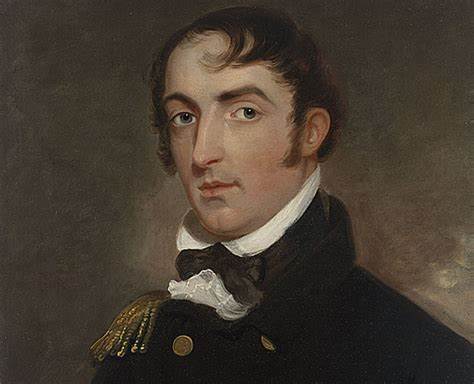
The HMS Beagle’s first voyage was between 1826 and 1830, accompanying the larger ship, HMS Adventure, on a hydrologic survey of Patagonia and Tierra del Fuego, under the overall command of the Australian Navy Captain, Phillip Parker King.

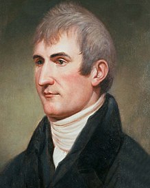
The second voyage of the HMS Beagle, between 1831 and 1832, was joined by naturalist Charles Darwin, on a second trip to South America, and then around the world.
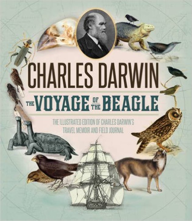
Charles Darwin kept a diary of his experiences, and rewrote this as a book titled “Journal and Remarks,” becoming published in 1839 as “The Voyage of the Beagle.”
It was in “The Voyage of the Beagle” that Darwin developed his theories of evolution through common descent and natural selection.
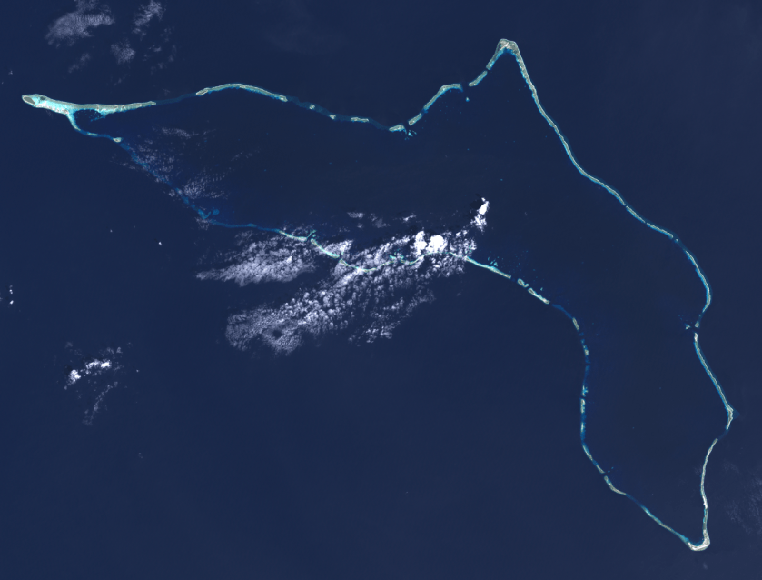
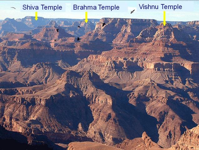
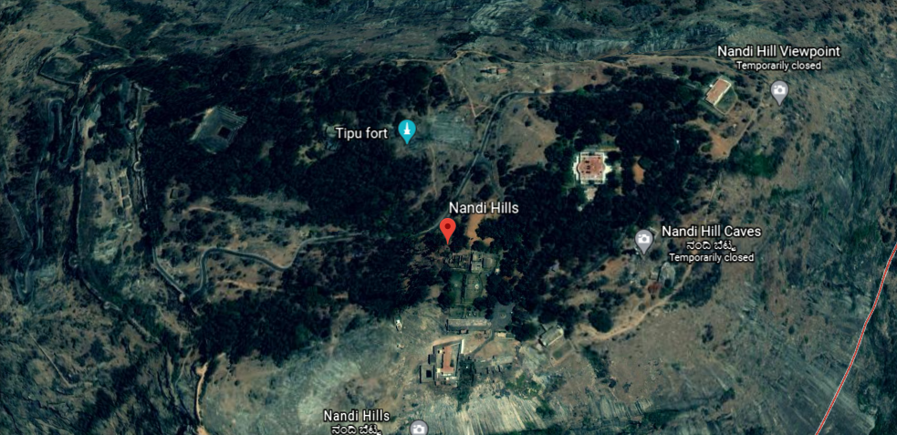
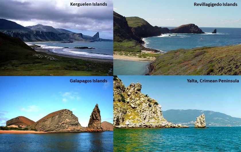
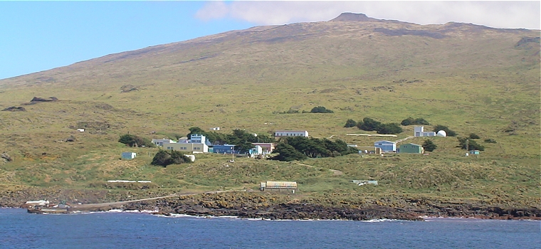
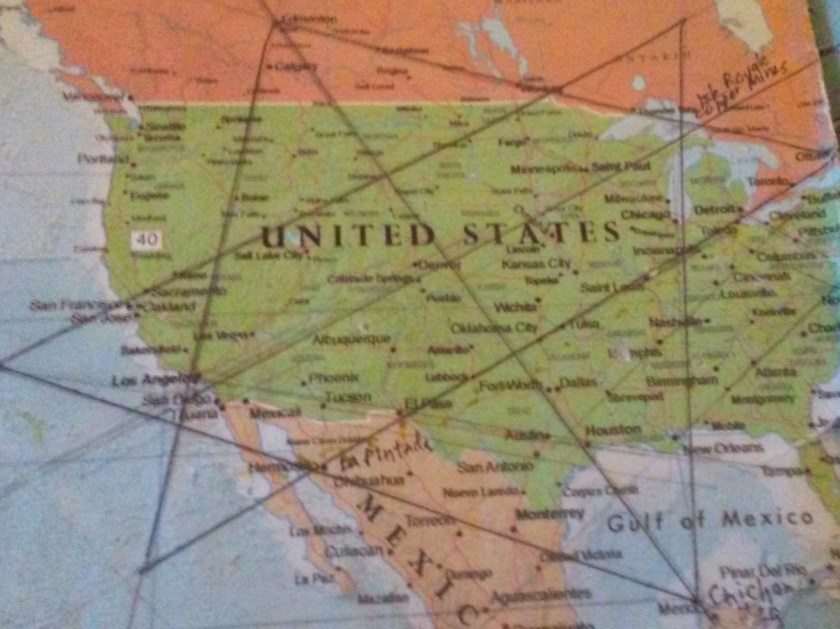
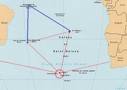
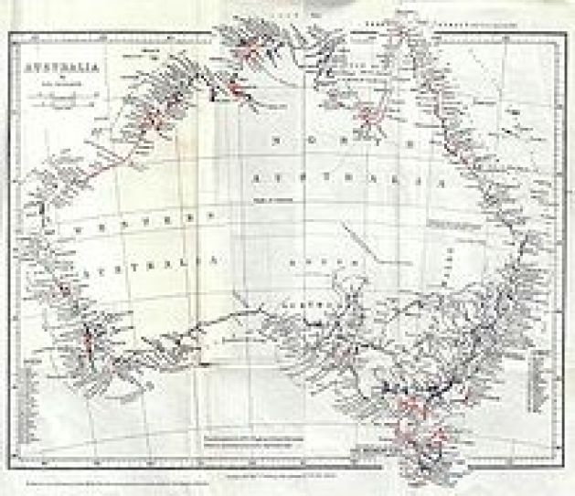
The third voyage of the HMS Beagle took place between 1837 and 1843, and was a third surveying voyage to Australia, stopping on the way at Tenerife in the Canary Islands; Salvador on the coast of Brazil in Bahia State; and Cape Town in South Africa. I have found all three of these places on planetary grid alignments.
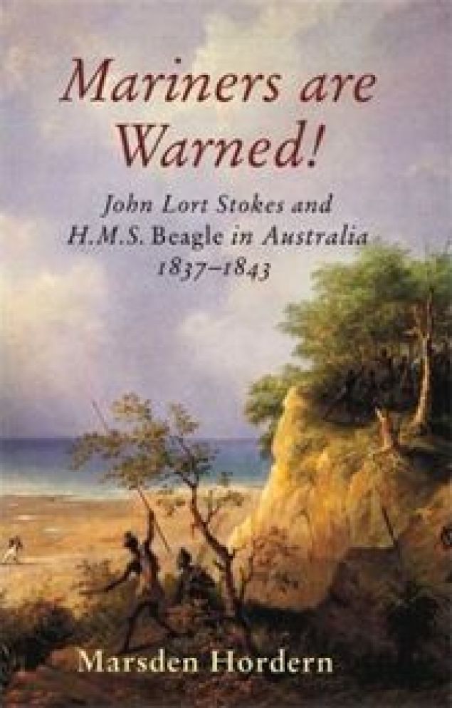
In Australia, the crew surveyed Western Australia, starting in what is now Perth, to the Fitzroy River; then both shores of the Bass Strait in Australia’s southeast corner; then north to the shores of the Arafura Sea, across from Timor. Again, all of these places figure prominently on grid alignments.
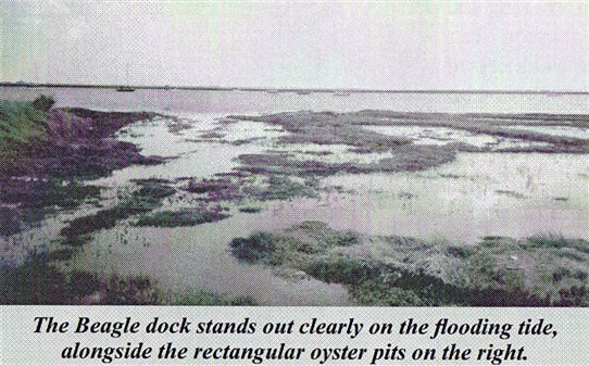
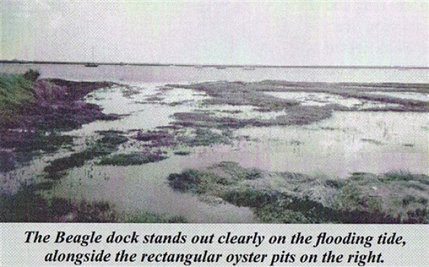
In 1845, the HMS Beagle was refitted as a Coast Guard watch vessel in Essex, in the navigable waters beyond the Thames Estuary, moored in the middle of the River Roach, until oyster companies and traders petitioned to have it removed in 1851, citing the vessel was obstructing the river and its oyster beds.
The Navy List shows that on May 25th of 1851, the Beagle was renamed “Southend ‘W.V. No. 7′” at Paglesham, and sold in 1870 to be broken-up.
All of my conclusions are the result of information from many different sources, plus what I am seeing with my own eyes in following the planetary alignments – that the infrastructure of the world was built by the same advanced civilization up until relatively recently, and that the very positive timeline of Humanity is missing from the collective memory.
I can’t definitively prove what I am saying in that you can’t go to a book and look it up. However, awareness of this information has come up for me synchronistically and intuitively, and I can definitely give you the information which forms the basis for my beliefs.
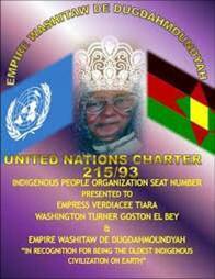
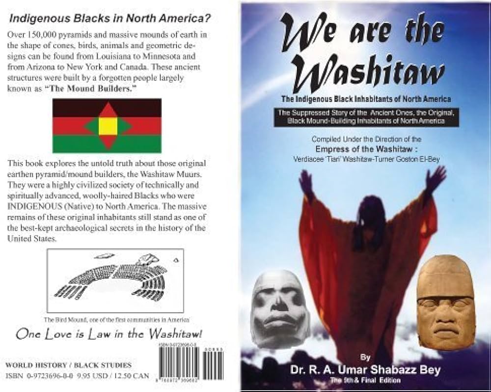
I have come to the conclusion that beings with a negative agenda for Humanity knocked Humanity off the positive Moorish Timeline in order to control Humanity, using Humans in wars against each other, the Creator and Creation.
I think there is more than one group of negative beings involved in this, including fallen angels.
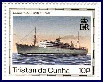
I think they hijacked the timeline by deliberately creating what I believe to have been a worldwide cataclysm, known as the mud flood, by creating a 3D-time-loop between 1492 and 1942, with 1717 as the midpoint year.
When I started to research the years around 1717 and 1942, this is what I found.
King George I of the German House of Hanover became King of Great Britain and Ireland in 1714.

This marked the end of the rule of the House of Stuart, which originated in Scotland.

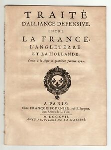
On January 4th, 1717, Great Britain, France, and the Dutch Republic sign the Triple Alliance in an attempt to maintain the Treaty of Utrecht, which was signed in April of 1713, in which in order to become King of Spain, Philip had to renounce his concurrent claim to the French throne.
This prevented the thrones of Spain and France from merging together, and ultimately paved the way for the maritime, commercial, and financial supremacy of Great Britain.
In February of 1717, James Francis Edward Stuart of the House of Stuart, called the Pretender, who at one time was claimant to the throne, left where he was living in France, after the Triple Alliance was signed in January, to seek exile with Pope Clement XI in Rome – why he went specifically there, I don’t know, but he died in Rome in 1766.
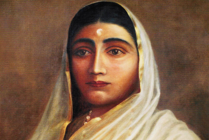
While most portraits on-line are of a white person, this is believed to be a portrait of James Francis Edward Stuart that was painted when he lived in France.

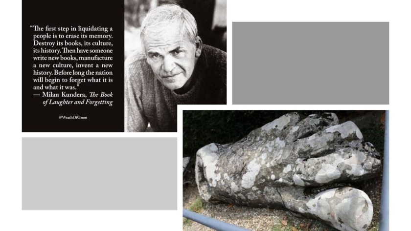
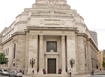
On June 24th, 1717, the Premier Grand Lodge of England – the first Free-Mason Grand Lodge – was founded in London.
I find it highly significant that this event shows up at the exact mid-point year between 1492 and 1942.
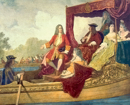
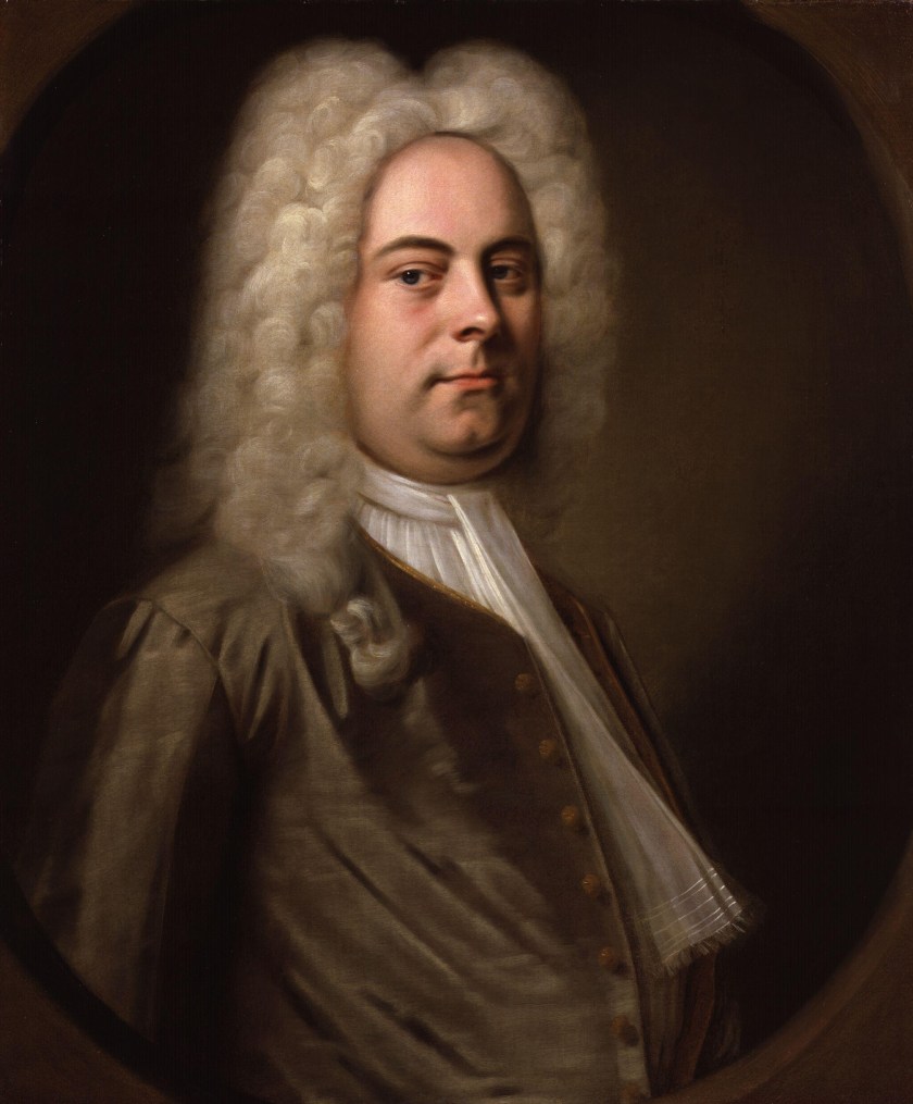
And then on 7/17/1717 – an interesting date from a numerological perspective – the premier of George Frideric Handel’s “Water Music” took place for King George I on a barge on the Thames. Eyes are now on Handel.
In 1727, George Frideric Handel became a British citizen.
I was guided through a psychic friend to look at Ireland in 1742.
So I searched for it on the internet, and only two things came up.
The first was that Dublin, Ireland, was the location for the premier of Georg Frideric Handel’s Messiah on April 13th, 1742.

The second is that between 1740 – 1741, there was an extraordinary weather event in Ireland involving extreme cold.
There is a book out about it entitled “Arctic Ireland.”
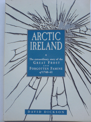
During this time in Ireland, there was an almost two-year period of extremely cold, enduring weather in Ireland. The cause is not known and this information is in the historical record, but kept pretty much out of sight.
What if the explanation for it involves a disruption in the fabric of space-time?
So far, during this time period around 1717, we find the new British monarch coming from Germany; the Stuart heir in exiled in Rome; and Handel shows up on the scene from Germany premiering on a numerological date and again right after an extremely severe anomalous weather event in Ireland.
So, who else shows up during this time period?
Well, for one, in 1744 Mayer Amschel Rothschild was born in Frankfurt, Germany. He established his banking business there in the 1760s, which became the start of an international banking family.

His third-born son, Nathan Mayer Rothschild, was sent to England in 1798, and after becoming a citizen, established a bank in the City of London in 1804.
Then on February 6, 1748, Bavarian Order of the Illuminati founder Adam Weishaupt was born in Ingolstadt, Germany.

He went to a Jesuit school at the age of 7.
He was initiated into Freemasonry in 1777.
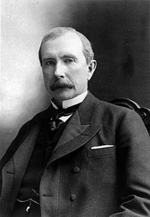
In 1839, John D. Rockefeller, Sr. was born in the United States, the progenitor of the wealthy Rockefeller family and considered to be the wealthiest American of all time.
So fast forward to the time period of November 20th to November 30th, 1910. A meeting took place at Jekyll Island off the coast of the State of Georgia to lay the foundations for the Federal Reserve.

On April 15th, 1912, the Titanic sank. All the bankers opposed to the creation of the Federal Reserve were on-board, including John Jacob Astor IV, one of the richest people in the world at the time.

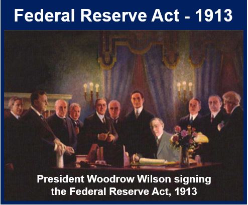
Then on December 23rd, 1913, the Federal Reserve Act Passed Congress, signed into law by Woodrow Wilson. It created and established the Federal Reserve System, and created the authority to issue Federal Reserve Notes (commonly known as the US dollar) as legal tender.
World War I started on July 28th, 1914, and ended on November 11th, 1918.

It was one of the largest wars in history, with 70 million military personnel mobilized, and of that number, 60 million were Europeans.
An estimated 9 million combatants died as a direct result of the war, and 7 million civilians.
And many more died as an indirect consequence of this war.
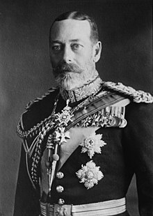
On July 17, 1917, the reigning royal house of the United Kingdom and its Commonwealth, the House of Windsor, was founded after the death of Queen Victoria.

There’s that 17 showing up again.
It is also of German paternal descent.
World War II started on September 1st in 1939, and ended on September 2nd in 1945 – exactly six years later. It is considered the deadliest conflict in human history.
Almost halfway through World War II, on July 22nd, 1942, the strange Philadelphia experiment took place at the Philadelphia Naval Shipyard.
These next slides give an overview of the experiment.


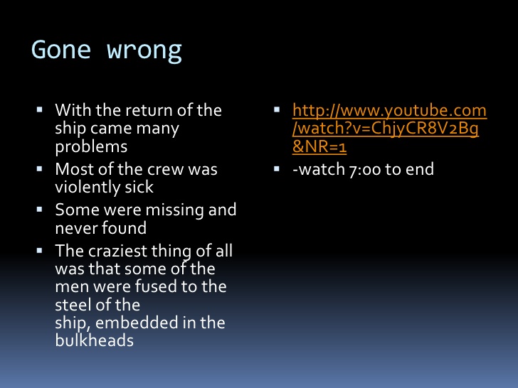
Did the USS Eldridge just become invisible? Or did it go somewhere else? And if it went somewhere else, where might it have gone?
Was the USS Eldridge somehow transported back to the time of the Great Frost of Ireland in 1740 and 1741 , creating a rip in the fabric of space-time?
If this was actually the case, it would have taken the beings involved in the cataclysm a little over 100-years to dig enough of the original infrastructure out of the mud flow to re-start civilization and create the new, false historical narrative superimposed onto this infrastructure.
There is plenty of underground infrastructure around the world where people could have lived until the Earth’s surface became habitable once-again.
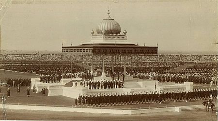
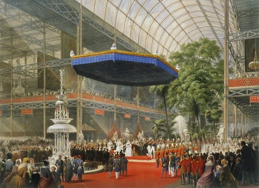
I believe the official kick-off of the New World Order timeline was “The Great Exhibition of the Works of Industry of All Nations” in 1851, in the Crystal Palace in London, the first in a series of World’s Fairs, exhibitions of culture and industry that became popular in the 19th-century…

…and I think subsequent Exhibitions, Expositions, and World Fairs, for the next 100 years, were showcasing the technology and architectural wonders of the original civilization before being hidden away or forever destroyed.
So, how did the new historical narrative get inside our heads?
The following screenshots are from a page entitled “The Origin of Compulsory Education” on Foster Gamble’s Thrive website. As I recall, it was from his movie “Thrive” that I first learned that the Rockefellers were the originators of the American Educational System.
When John D. Rockefeller established the General Education Board, it says the interest was in organizing children, and creating reliable, predictable, and obedient citizens, and not in producing critical thinkers.
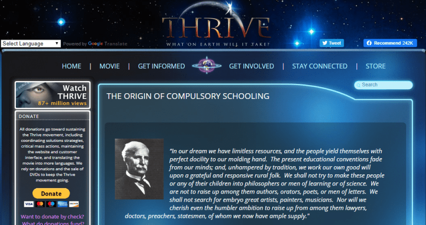

Massachussetts passed the First Mandatory Attendance Law in 1852, which lines up with what I believe was the beginning of the new historical timeline.

This brings me to the example of a writer and a book that has been in the high school English curriculum in the United States seemingly forever.
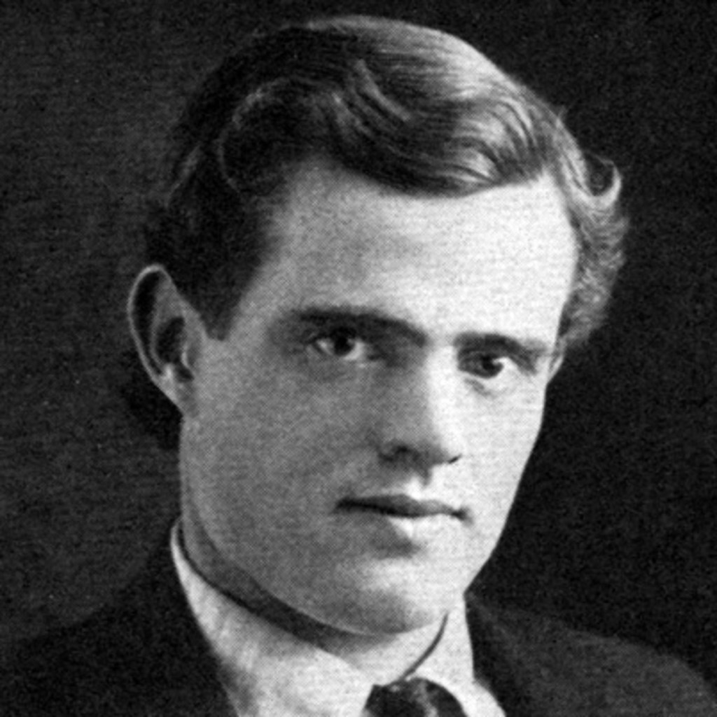
Jack London was born in San Francisco on January 12th, 1876. We are told he was one of the first writers to have worldwide fame, and great financial success.
One of his most famous novels is “Call of the Wild.”
It was first published in serialized form in the Saturday Evening Post in 1903.

Basically the story-line of “The Call of the Wild” was about a St. Bernard – Scotch shepherd mix dog named Buck…

…who was stolen from a happy life in California to be sold into service as a sled dog in Alaska, and terribly abused by most of the humans he came into contact with from there on. He ultimately became feral, and answered “The Call of the Wild” by the end of the book.
Not uplifting content at all! Very strange actually that it would have themes of animal theft and extreme animal abuse.
Why are we made to read a book with this kind of subject matter in school?
The “Call of the Wild” was even made into a movie multiple times, starting in 1935…

…and even as recently as February of this year, in 2020.

How was an ancient advanced worldwide civilization erased from our collective awareness so much so that we don’t even see the copious evidence of it in the environment around us?
Literature is a powerful tool with which to form our world view and the accompaniment of movies based on the literature we are required to read in school in, for example, the United States, this information is coming into our conscious-thought processes through different modalities, and into our subliminal processes as well.
We are thoroughly schooled in the new narrative from the moment we are born.
Somewhere along the way I learned that the Druids used the wood of the holly tree to cast spells.
Hence “Hollywood.”
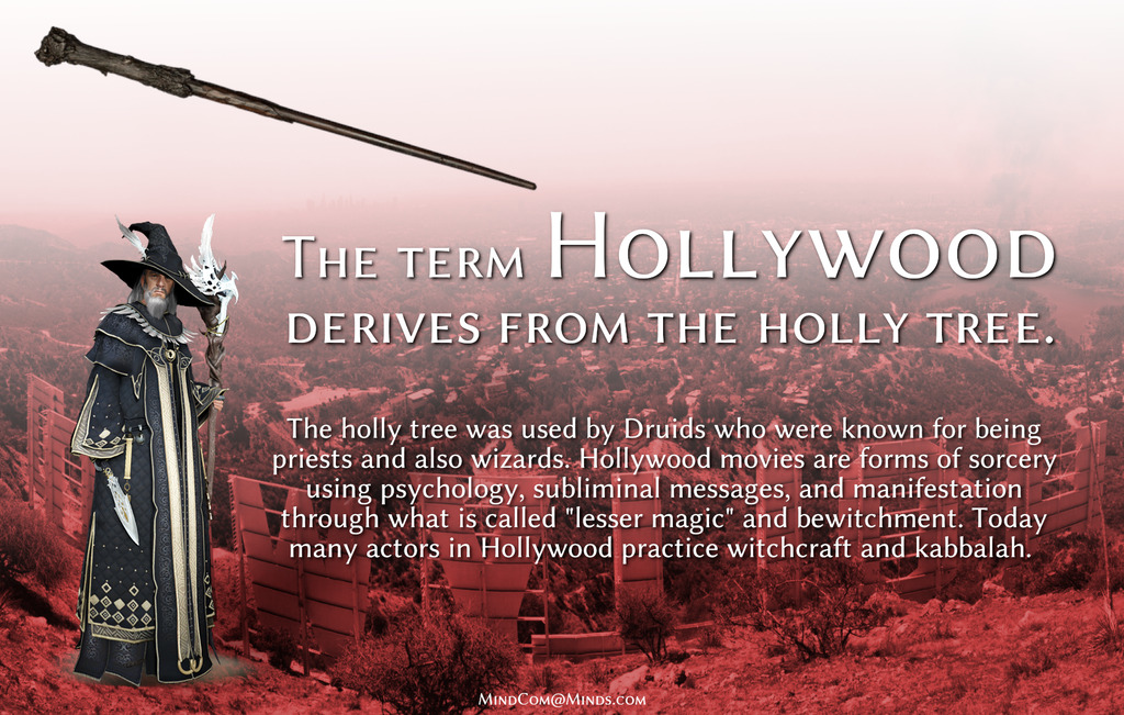
I absolutely believe this name was chosen for this purpose.
In the course of my research, I also found numerous early theaters called “Orpheums,” like this one in Los Angeles, California.

Orpheus was a musician and poet in Ancient Greek legend, said to have had the ability to charm all living things, and even stones, with his music.
These are examples of the many ways we forgot who and what we were, and how the false information we have been taught in school has been reinforced.
The writer Jack London was also an advocate of socialism.

In 1908, he published the book “The Iron Heel,” which refers to the rise of an oligarchic tyranny in the United States.

An oligarchy is a form of power structure in which power rests with a small number of people.
The story-line emphasized future changes in society and politics, and not technological changes. It is called a dystopian novel, meaning characterized by mass poverty, public mistrust and suspicion, a police state or oppression.
The same themes come up in the art world.
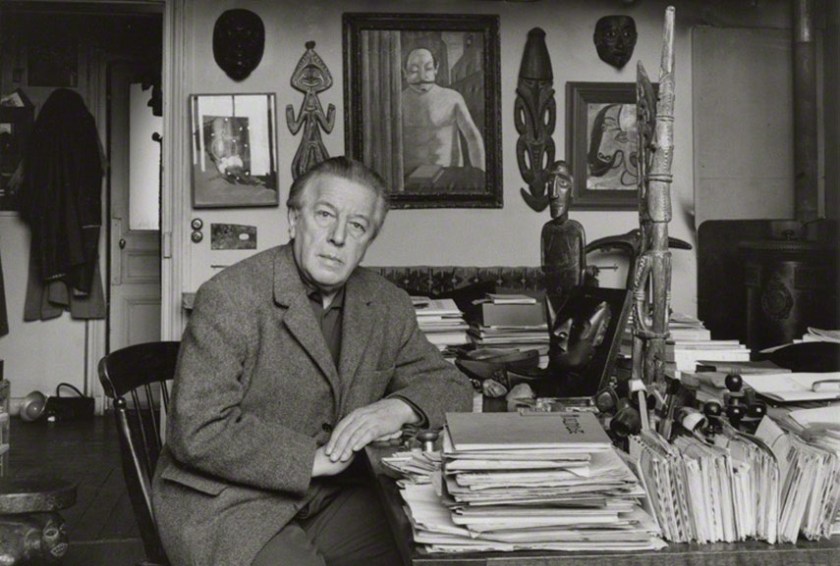
Salvador Dali was a surrealist artist, born in Figueres, in the Catalonia region of Spain in 1904, and died there in 1989. He is best-known for his eccentricity.

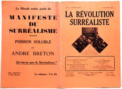
Surrealism was an artistic and literary movement that started in France and Belgium in 1917, and on the surface, one of its aims, we are told, was to release the creative potential of the unconscious mind by the juxtaposition of irrational images.
Surrealism is also called one of the most influential cultural, artistic, and literary movements of the 20th-century. It impacted art, philosophy, social theory, and political thought and practice.

Beneath the surface, the founder of Surrealism, Andre Breton, was a dedicated Marxist. He got his start in the Dada movement, which was said to have developed in reaction to World War I by artists who rejected the logic, reason, and aestheticism of modern capitalist society, instead expressing nonsense, irrationality, and anti-capitalism protest in their works.
He wrote his first of four Surrealism Manifestos in 1924. The Surrealists sought to overthrow the oppressive rules of modern society by demolishing its backbone of rational thought by tapping into the “superior reality” of the subconscious mind.
The Surrealists hailed Dali’s development of the “Paranoiac-critical” surrealistic technique in the 1930s, in which the artist invokes a paranoid state, said to result in the deconstruction of the concept of identity, allowing subjectivity to become the primary aspect of the artwork.
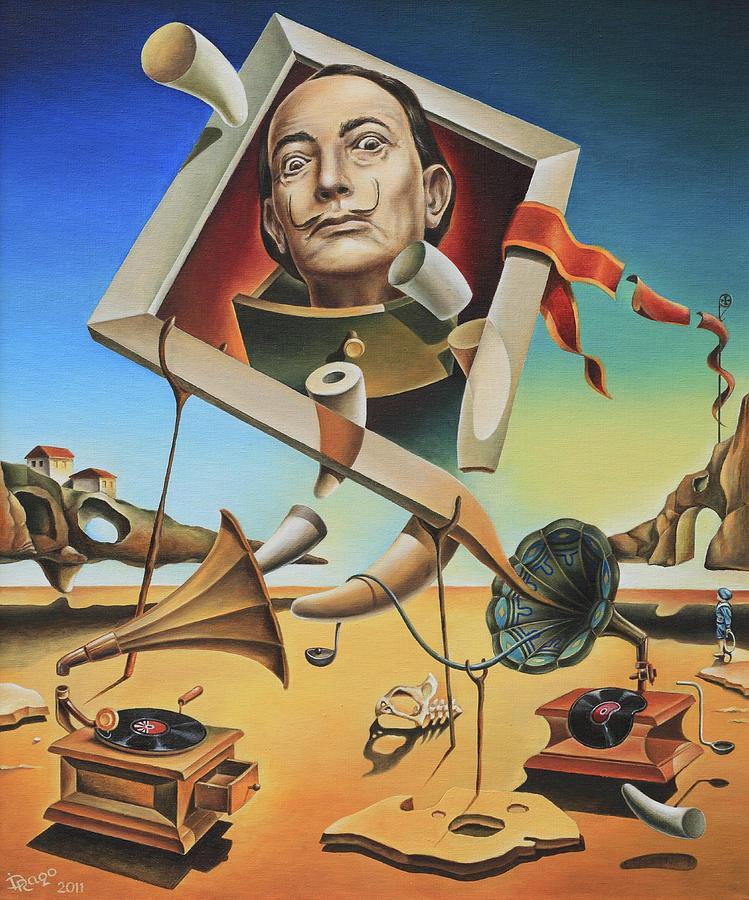
Surrealism definitely seemed to promote mental illness and the breakdown of society!
The Book of Enoch is an ancient Hebrew text, ascribed by tradition to Enoch, the great-grandfather of Noah.

The Book of Enoch contains unique material on things like the origins of demons and giants, and why some angels fell from Heaven.
The Ethiopian Orthodox Church considers the Book of Enoch to be divinely-inspired, and the most complete Book of Enoch comes from Ethiopian manuscripts…

…said to have been brought back to Europe in 1773 by the Scottish traveller James Bruce.
The Book of Enoch was said to have been excluded from the Bible by the Council of Nicaea in 325 AD.
The Georgia Guidestones, anonymously erected in 1980 in Elberton, Georgia, use positive-sounding verbiage to disguise a negative agenda towards Humanity.

“Maintain Humanity under 500,000,000…” with Earth’s current population said to currently be 7.8 billion?
Say what?!
Like the destruction of the Ancient Civilization, this is another human and social engineering process that has nothing to do with benefiting Humanity.
Problem – Reaction – Solution: The destabilization of Western Civilization by Socialism and radical Islam is going to be restored to order by the New World Order. Or so they planned.

Their activities are being more and more exposed in the alternative media and the Internet. They do destruction, death and deception well, and will say and do anything that serves their purposes, but it is getting harder and harder for them to keep their activities hidden, and high crimes within government and crimes against humanity are being exposed.

II think very soon there will be more public awareness of those of who have committed innumerable crimes being held accountable for their crimes.
In my next post, I am going to be looking at Reservoirs and Hydroelectric Power systems.