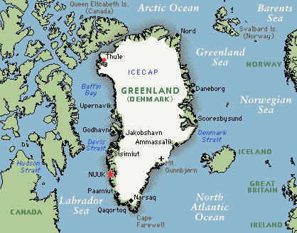
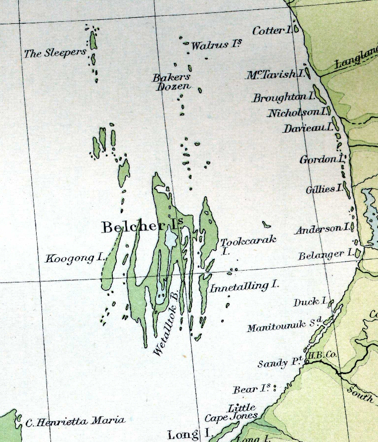
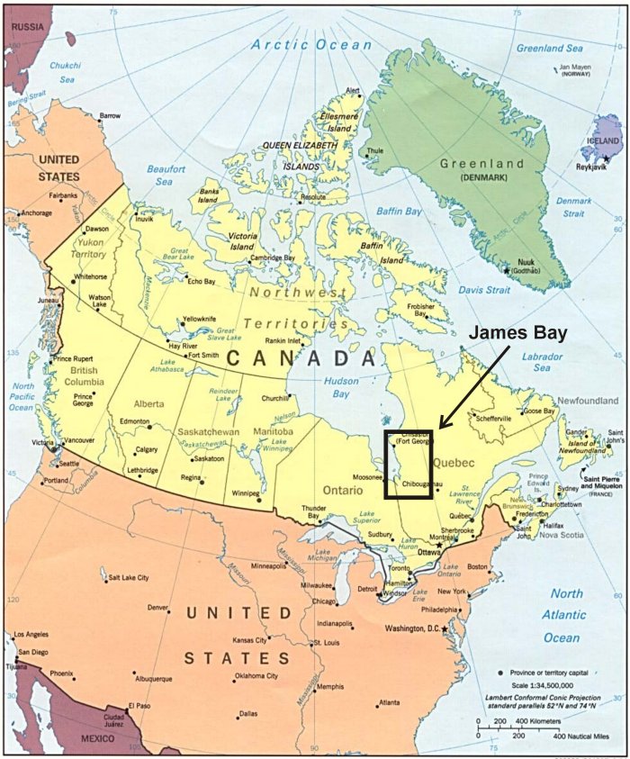
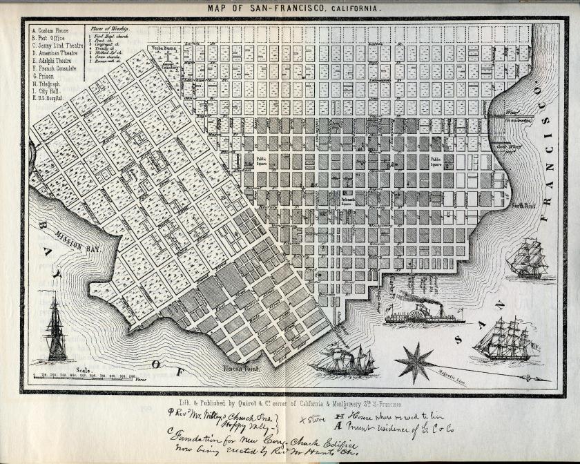
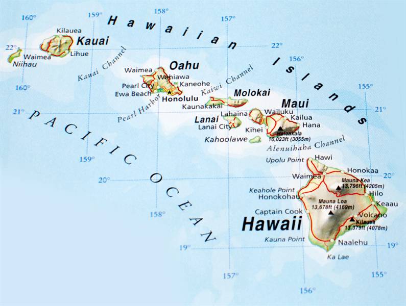
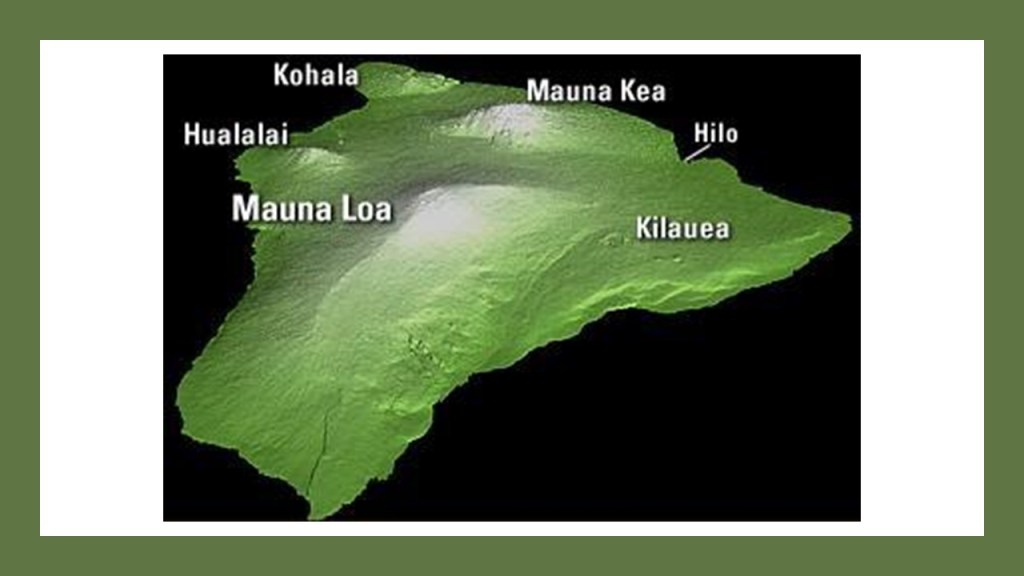
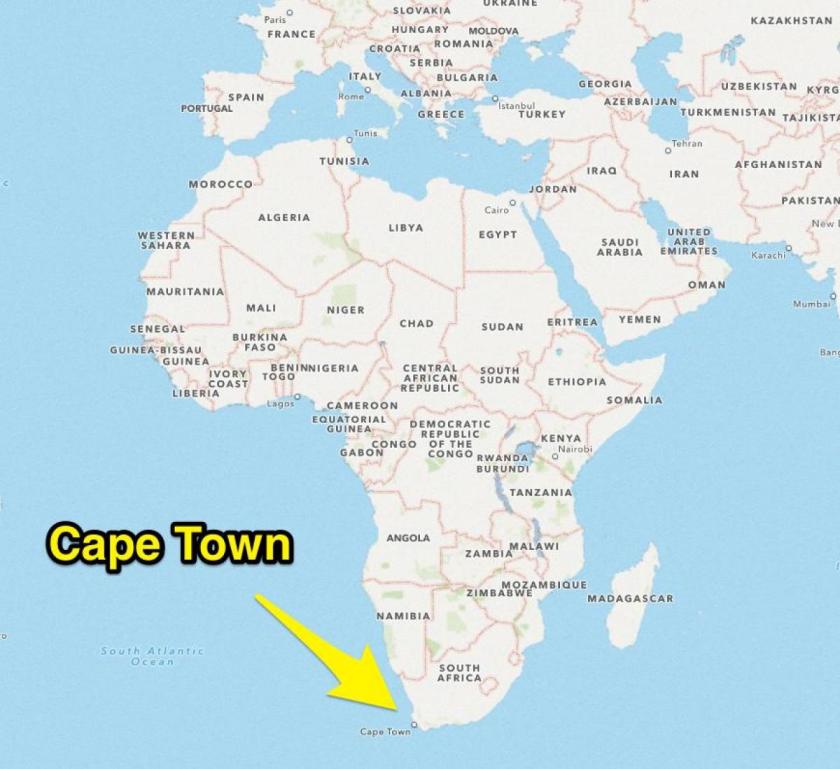
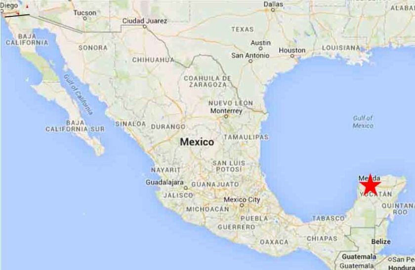
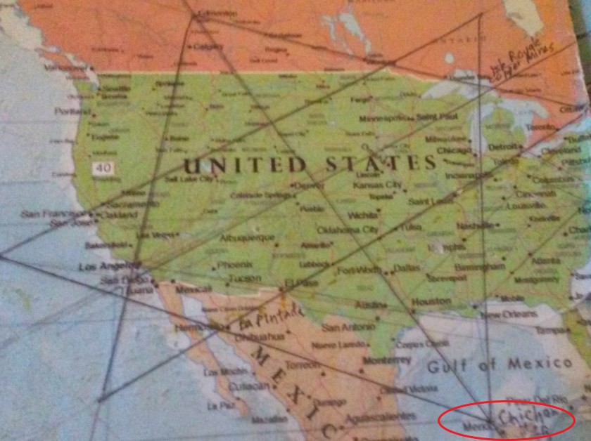
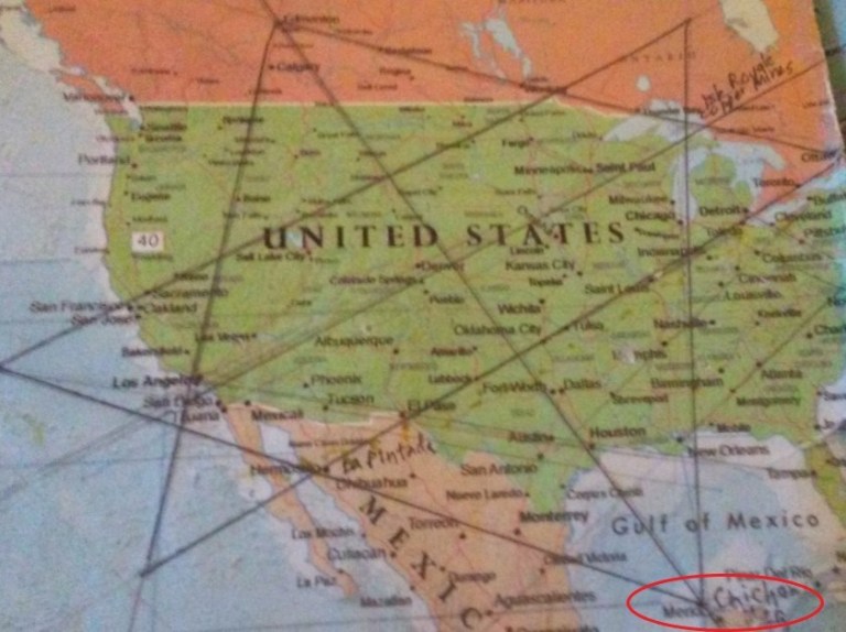
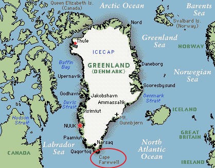
In the first part of the series, I tracked an alignment looking for mines and mineral occurrences starting at Cape Farewell in Greenland; through northern Labrador and northern Quebec; the Belcher Islands and the James Bay region of the Hudson Bay; southwestern Ontario; the Northwest Angle of Minnesota; North Dakota; Montana; Idaho; Nevada; the Sierra Nevadas and San Francisco in California; in the Pacific through the Big Island of Hawaii, the Republic of Kiribati and the Solomon Islands; Australia; Cape Town in South Africa; Brazil; Venezuela; Colombia; Panama; Nicaragua; Honduras; Belize, and Mexico, ending at Merida, the southern apex of the star tetrahedron, which I believe is the terminus of the Earth’s grid system.
I chose Cape Farewell at the southern tip of Greenland as my starting point for this two-part series because it sits on an alignment that globally connects with two different sides of the North American Star Tetrahedron.
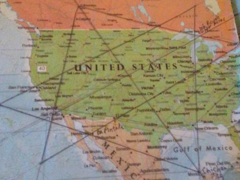
I found it early in 2016 by connecting the dots when I noticed major cities in North America that were lining up in straight lines.
I extended the lines out, wrote down the cities and places that were in linear or circular alignment in spreadsheets, and got an amazing tour of the world of places I had never heard of after looking at countless images, and hours and hours of drone videos, and seeing the same signature and hand of design, from ancient to modern, all over the Earth.
In this post, I am going to cover mining and mineral findings along an alignment going in the other direction from Cape Farewell.
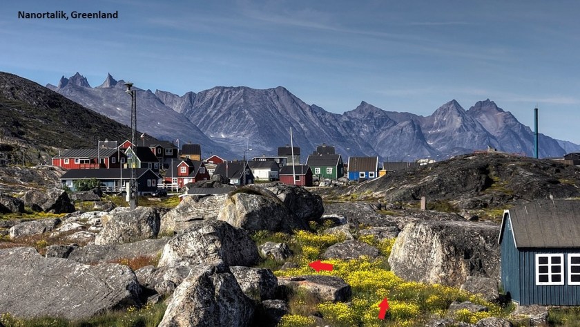
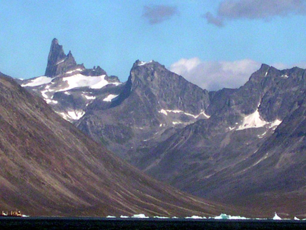
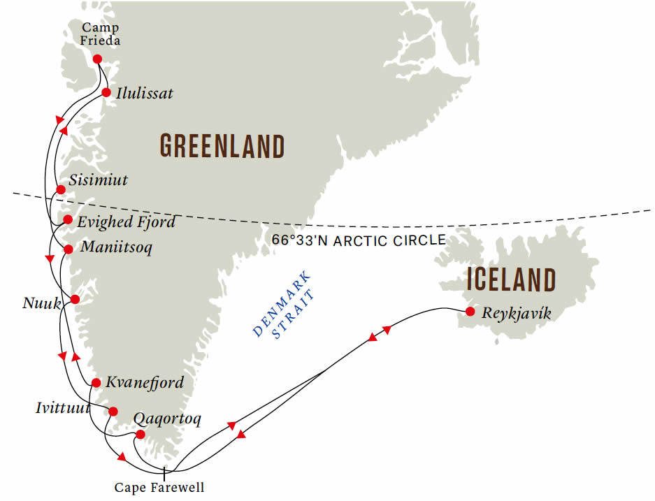
Cape Farewell is the southernmost point of Greenland.
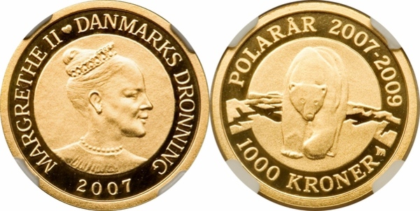
Greenland is an autonomous territory within the Kingdom of Denmark.
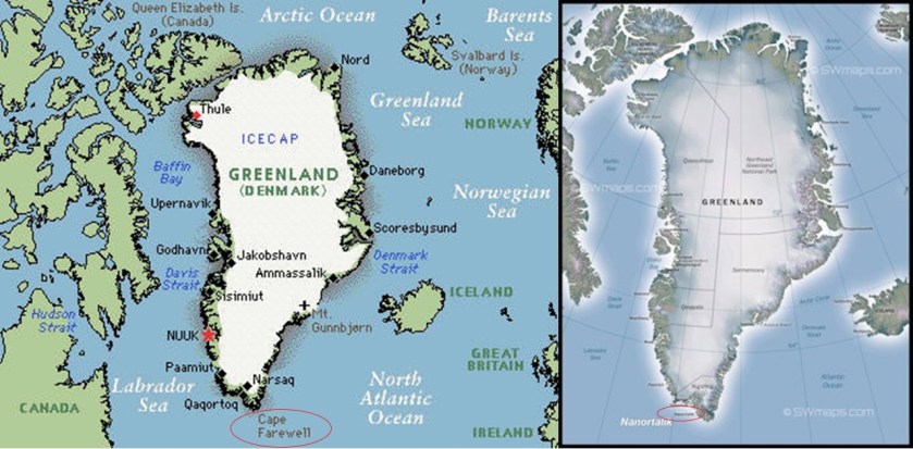
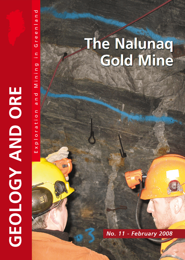
As I mentioned in the first part of this series, the Nalunaq Gold Mine, Greenland’s first gold mine, opened in 2004 at the Inuit community of Nanortalik and the first mine developed in Greenland in over 30-years.
A narrow-vein, high-grade gold deposit, the Crew Gold Exploration company was the first to mine it for approximately 4-years, producing 308,000 ounces of gold.
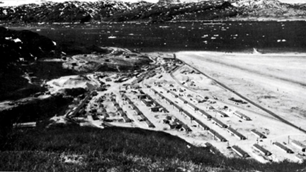
Before World War II, Greenland was a tightly controlled colony of Denmark, otherwise closed off to the world.
After Denmark fell to the Germans in April of 1940, the United States established numerous and extensive facilities for air and sea traffic in Greenland, among other things.
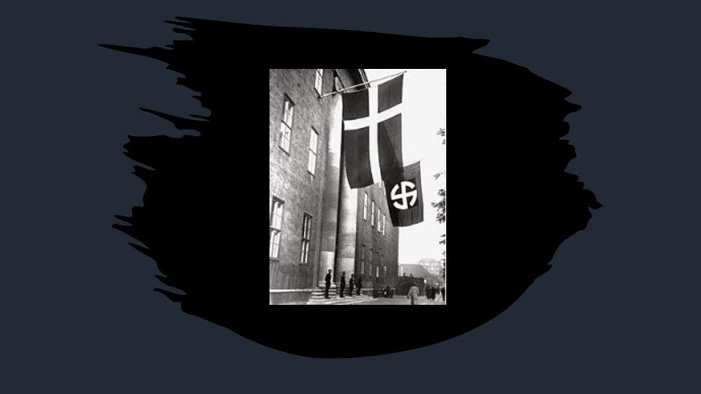
Denmark was occupied by the Nazi Germans from 1940 to 1945. The headquarters of the Danish SS Unit was the massive Danish Freemasonic Lodge.
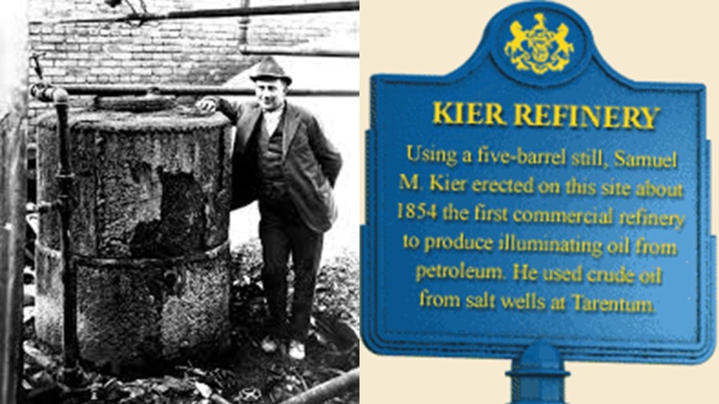
Apparently the chief concern by the United States and other interested parties in 1940 was to secure the strategically important supply of cryolite at Ivittuit, also at the southern tip of Greenland.
Ivittuut was one of the few places in the world so far discovered to have what is called naturally-occurring cryolite, which is an important agent in modern aluminum extraction.
Cryolite was discovered here in 1794, and it was mined until production was stopped in 1987 after synthetic cryolite was developed and reserves depleted.
The town of Ivittuut was abandoned soon afterwards.

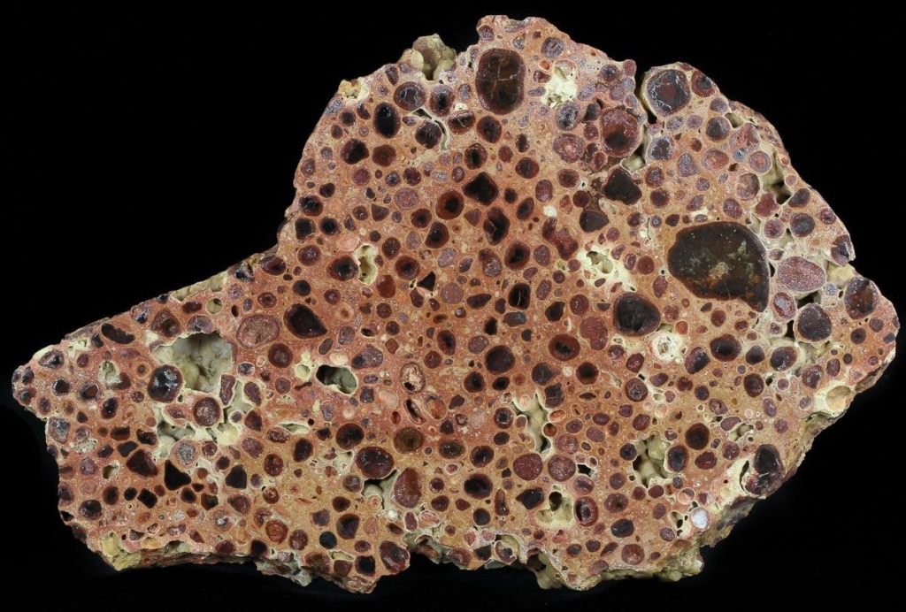
Cryolite is an aluminum oxide mineral used in the electrolytic processing of Bauxite, an aluminum-rich oxide ore.
Aluminum is a chemical element with the symbol “Al” and the atomic number of 13.
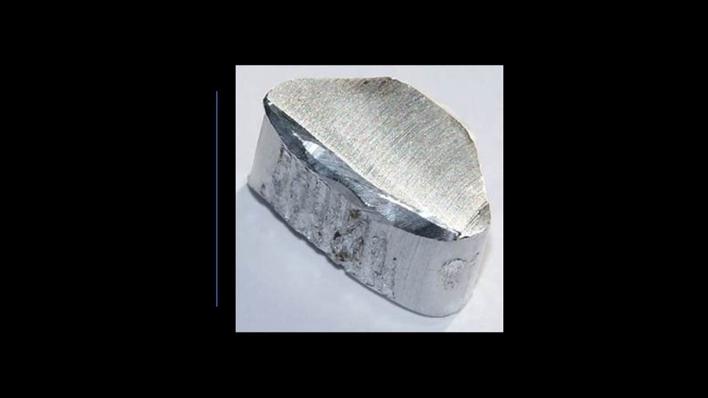
It is a silvery-white, soft, non-magnetic and ductile metal in the boron group, and the Earth’s most abundant metal.
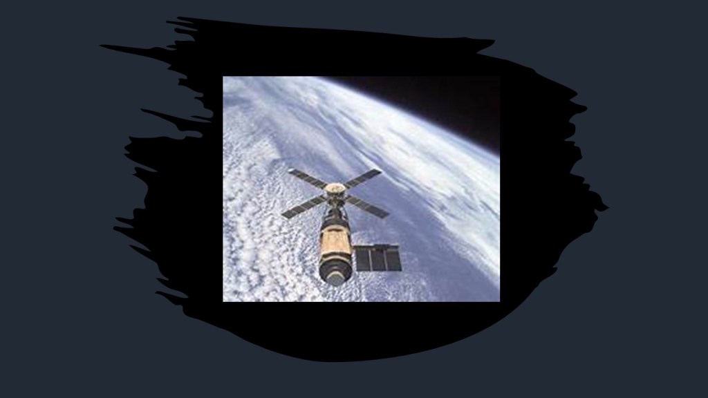
Due to its low density and ability to resist corrosion, aluminum and its alloys are vital to the aerospace industry, as well as other transportation and building industries.
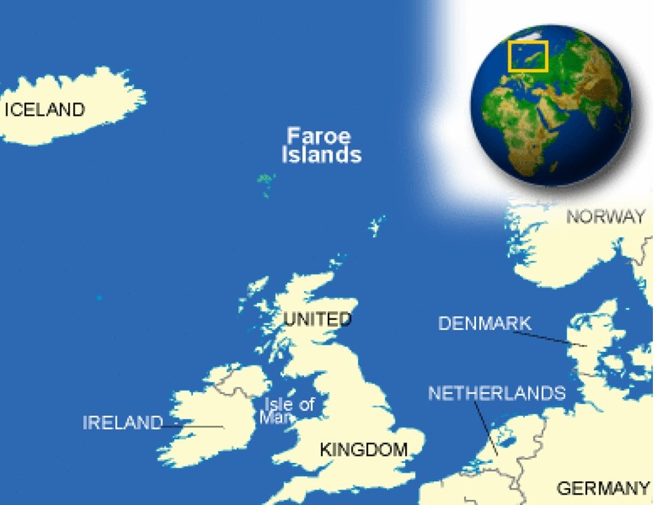
From Cape Farewell, the next place we come to are the Faroe Islands are a North Atlantic archipelago located 200-miles, or 320-kilometers, north of Scotland, and about half-way between Iceland and Norway.
Like Greenland, the Faroe Islands are an autonomous territory within the Kingdom of Denmark.

In our historical narrative, we are told that between 1450 AD and 1814 AD, The Faroe Islands were part of the Union of the Kingdom of Denmark-Norway, also known as the Oldenburg Monarchy.
We are told the Oldenburg Monarchy had long-remained neutral in the Napoleonic Wars.
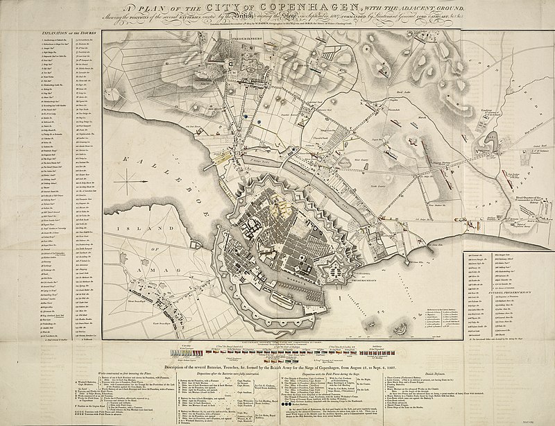
Britain was said to have feared that Napoleon would attempt to conquer the Danish-Norwegian naval fleet, and used that as a pretext to attack Copenhagen in what became known as the Seige of Copenhagen in August of 1807, and Britain seized the naval fleet in September of 1807.
This also assured the use of the sea lanes in the North Sea and Baltic Sea for the British merchant fleet.
Then in 1814, during the Napoleonic Wars, the Treaty of Kiel, between the United Kingdom and Sweden on the anti-French-side, and Norway and Denmark on the French-side, dissolved the Oldenburg Monarchy by transferring Norway to the King of Sweden.
The King of Denmark retained the Faroe Islands, Greenland, and Iceland.
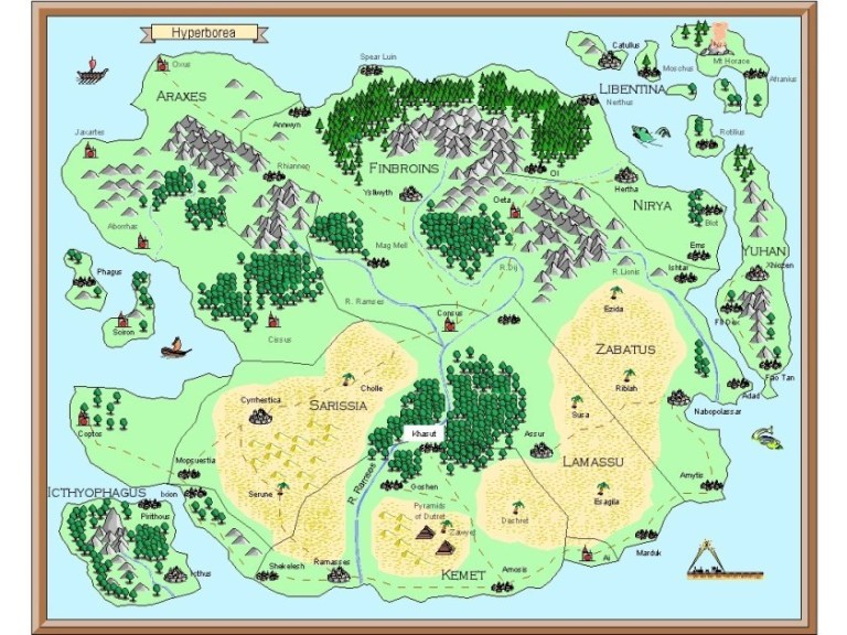
I find it interesting to notice the word “Hyperboreus” in this map associated with the 1814 Treaty of Kiel.
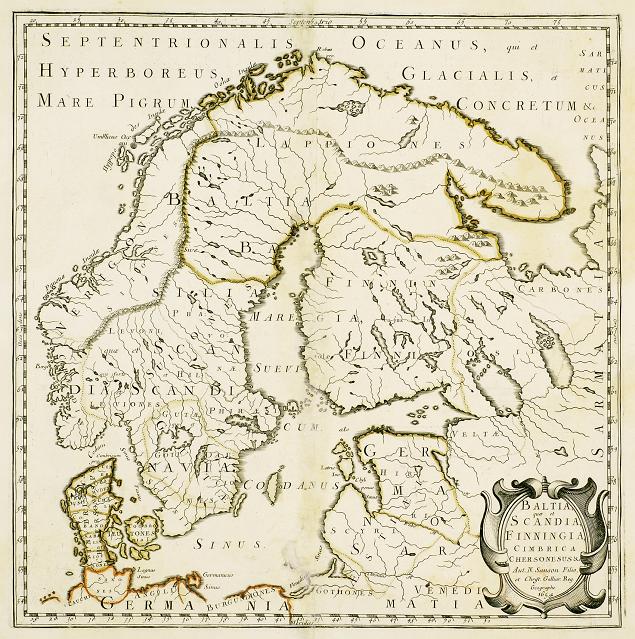
Legendary Hyperborea, a lost ancient land and fabulous world of eternal spring, was said to be located in the Far North, and Tthe Nazis believed there was a connection to the origins of the Aryan race with Hyperborea.
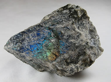
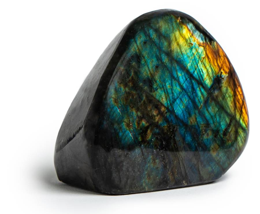
At any rate, the Faroe Islands are one of the classic zeolite localities of the world.
Zeolites are minerals with very small pores, composed primarily of aluminum, silicon, and oxygen, and used commercially as absorbents and catalysts.
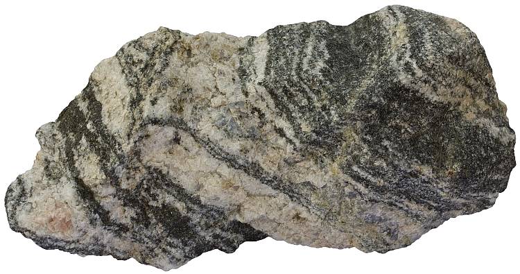
Zeolites found on the Faroe Islands include, but are not limited to, different varieties of Stilbites…
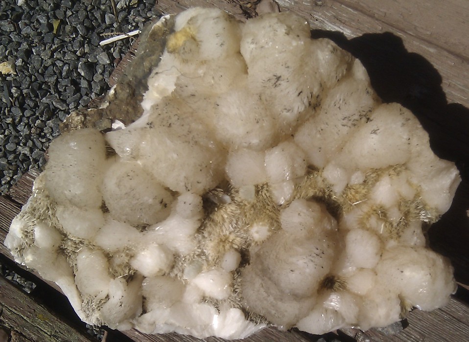
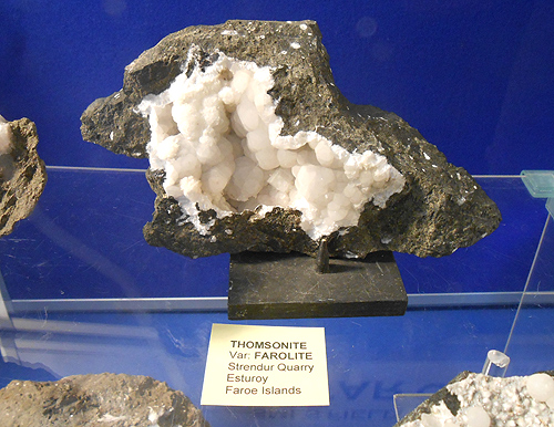
…as well as a zeolite called Thomsonite, a silicate material, which are rock-forming minerals made up of silicate groups.
This example of Thomsonite is called Farolite.
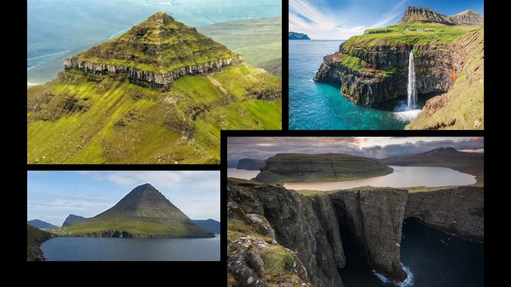
Here are some of the sights found on the Faroe Islands.
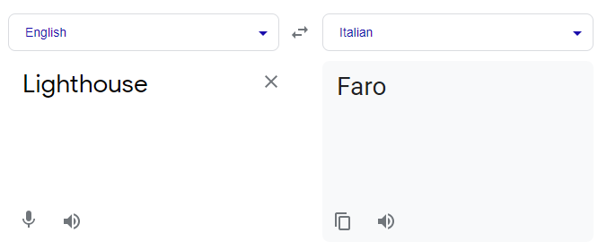
While we are told the etymology of the name of these islands came from possibly an Old Norse word for “sheep” or the Swedish verb “fara,” meaning to travel, it is interesting to note that at least in the Romance languages, the word for lighthouse includes the root sound of “Far”:
Italian – Faro…
…Spanish – Faro…
…French – Phare…
…Portuguese – Farol…
…and Romanian – Far.
This is the Tower of Hercules, a lighthouse on Faro Island in A Coruna, Spain, which is located on the northwest coast of Spain in Galicia.
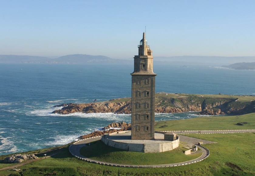
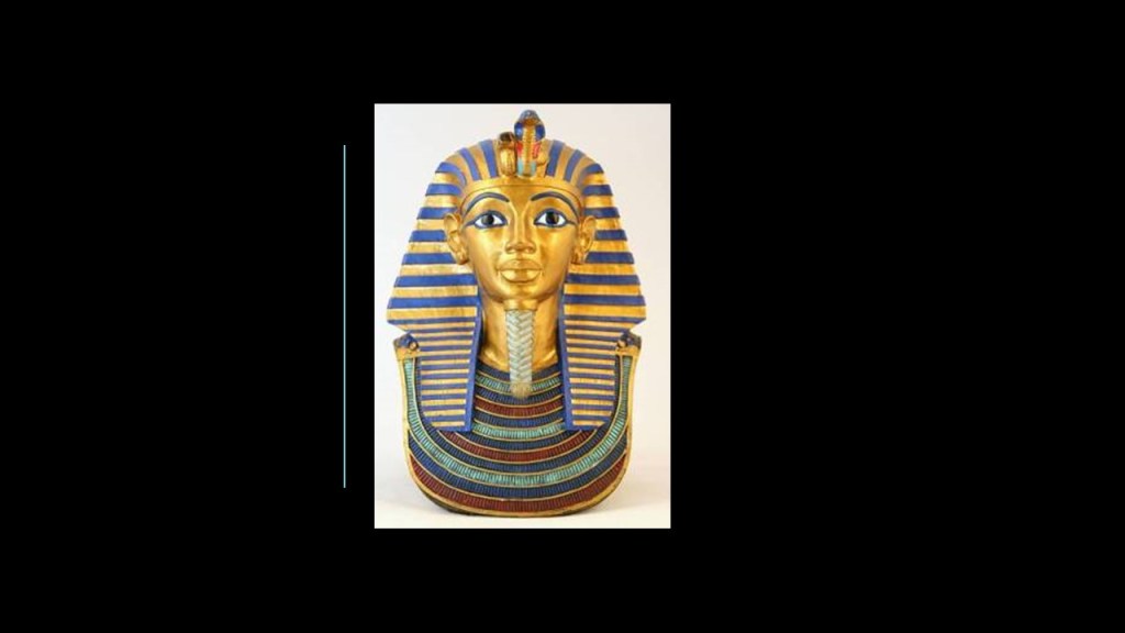
And phonetically, “Faro” sounds like the word “Pharaoh,” which we are told was the common title for monarchs of ancient Egypt from the First Dynasty, starting in 3,150 BC, up to the annexation of Egypt by the Roman Empire in 30 BC.
Are they telling us something without telling us they are telling us?
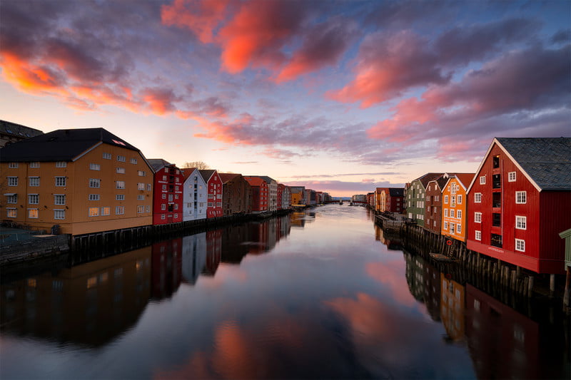
From the Faroe Islands, we cross the Norwegian Sea to Trondheim, Norway’s third most populous urban area, and fourth most populous municipality.

One of the historical name of Trondheim is Nidaros, with the city of Trondheim having been established in 1838.
It is located at the mouth of what is called the River Nidelva…
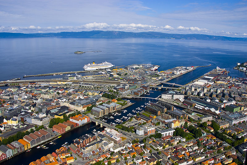
…but which looks distinctly canal-like to me.
Trondheim is the seat of the Lutheran Diocese of Nidaros, and the Nidaros Cathedral is the national sanctuary of Norway and is the traditional location of the consecration of new kings of Norway, and is considered the northernmost medieval cathedral in the world.
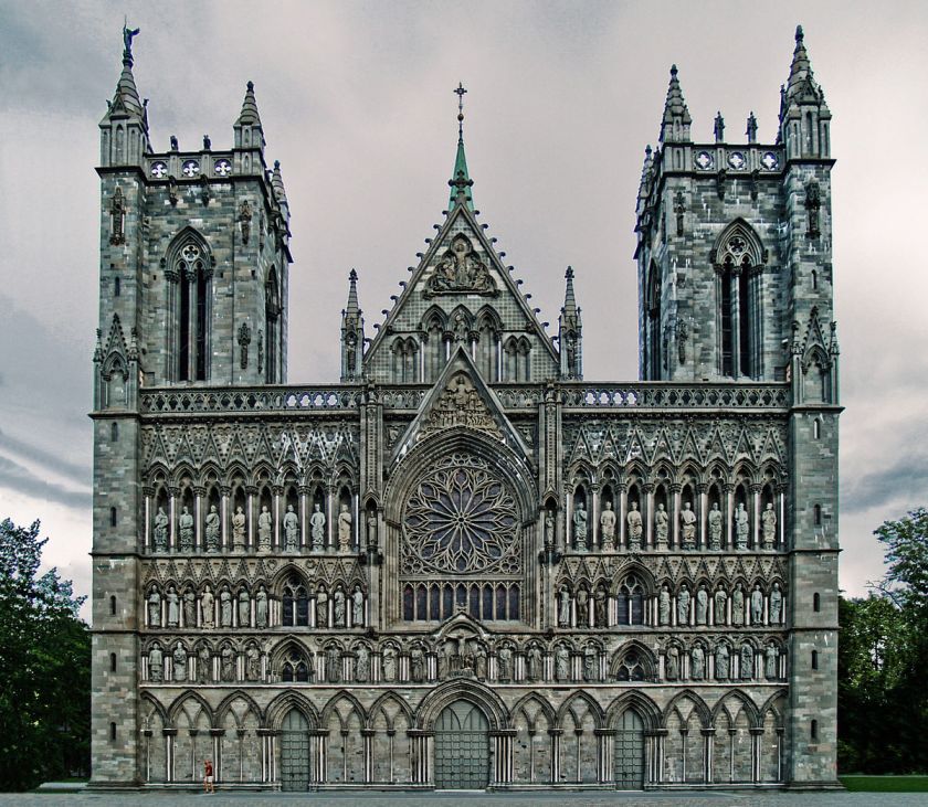
It was said to have been built in the years between 1070 and 1300.
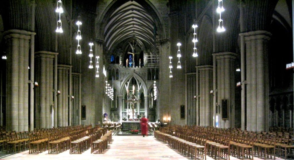
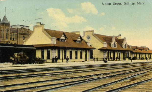
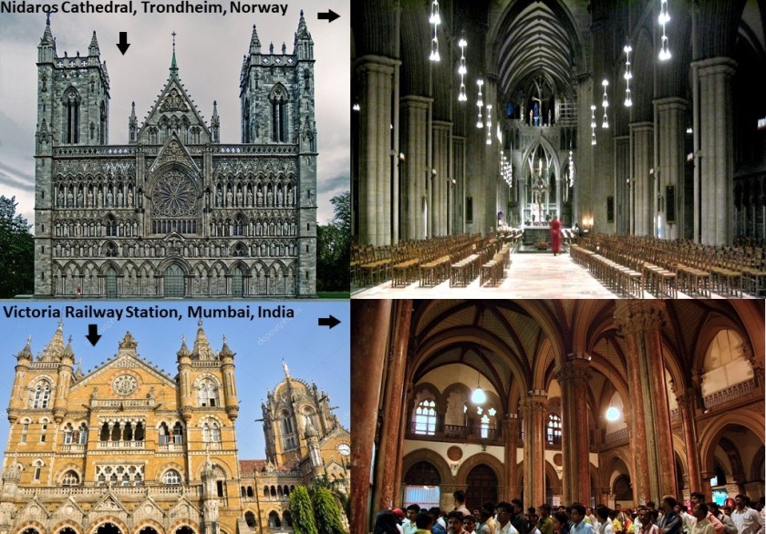
Just for similarity of appearances, here are the Nidaros Catheral in Trondheim in the top pictures, and the Victoria Terminus Railway Station in Mumbai, which used to be Bombay, India, pictured in the bottom photos, and said to have been built by the British in India between 1878 and 1888.
Nidaros Cathedral was said to have been constructed with the soapstone from a medieval soapstone underground quarry called Bakkaunet, close to the city center of old Trondheim, much of which has been destroyed by modern development.
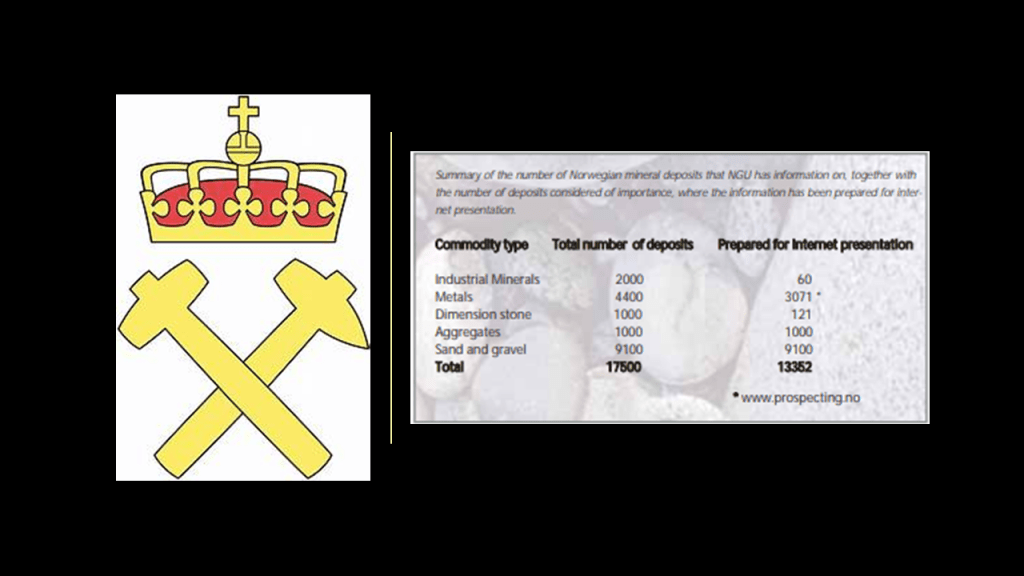
There is considerable mining activity today in Norway, including but not limited to, the precious metals gold, silver, and platinum group elements.
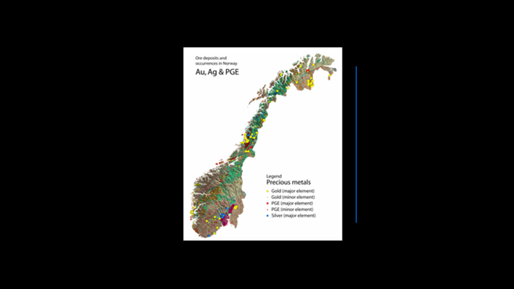
The Headquarters of the Norwegian Directorate of Mining with the Commissioner of Mines at Svalbard is located in Trondheim.
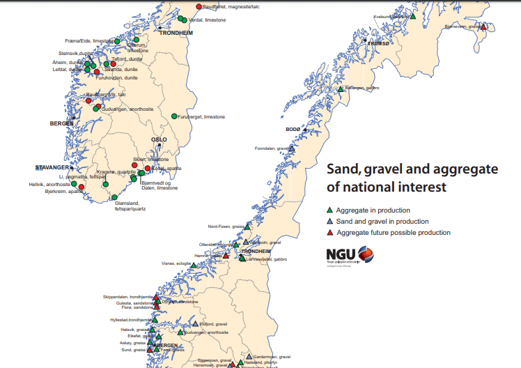
In the area surrounding Trondheim today, the active mining is primarily for limestone and aggregate, which is a broad category of coarse- to medium-grained particulate matter used in construction in the form of sand, gravel, and crushed stone.
Nickel deposits are located northeast of Trondheim…
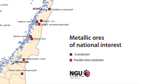
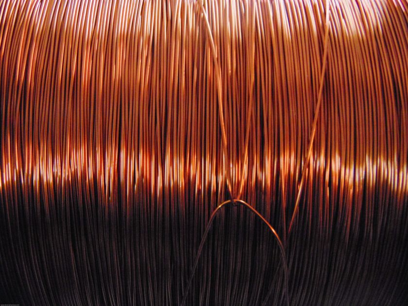
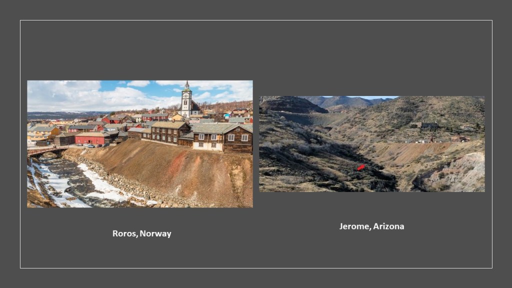
…and copper/zinc/gold deposits are located southeast of Trondheim at Roros-Tydal.
As a matter of fact, Roros has long been known for its copper mining industry, with the Roros Copper Works said to date back to 1646.
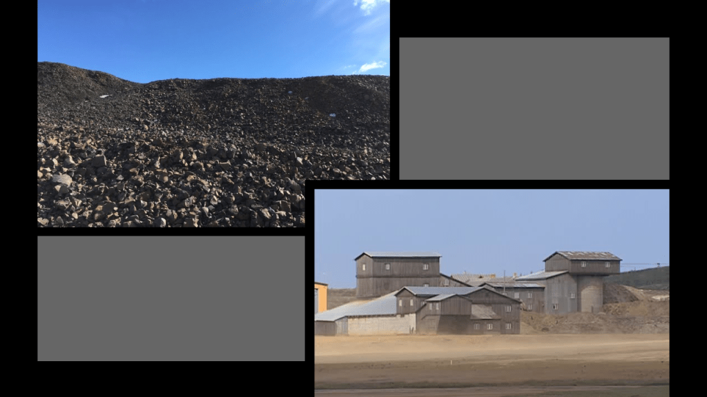
Rich deposits of copper ore were discovered here, which was said to have led to a golden age for the community in the 18th-century on the left, compared for similarity in appearance on the right with Jerome, an old copper mining town in Arizona.
In World War II in Norway, Germany invaded neutral Norway in 1940 on the pretext that Norway needed protection from British and French interference, and like Denmark, the Nazis occupied Norway for 5-years, until 1945.
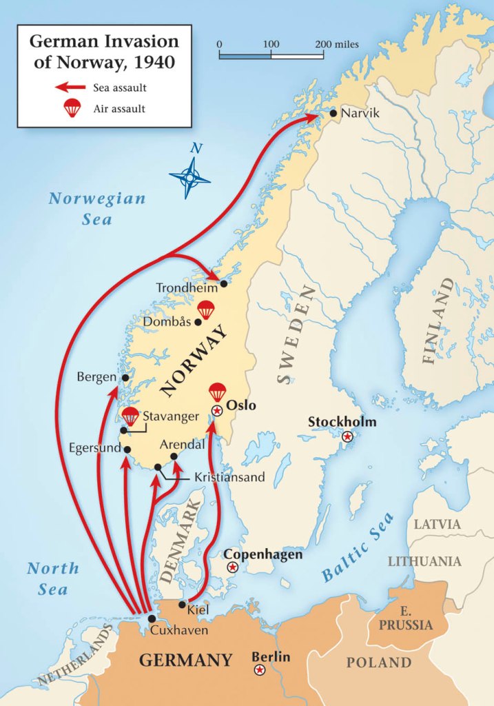
These were other reasons given for Germany’s invasion of Norway: strategically, to secure ice-free harbors from which its naval forces could seek to control the North Atlantic; to secure the availability of iron ore from mines Sweden through the ice-free port of Narvik; to pre-empt a British and French invasion with the same purpose; and to reinforce the propaganda of a “Germanic empire.”
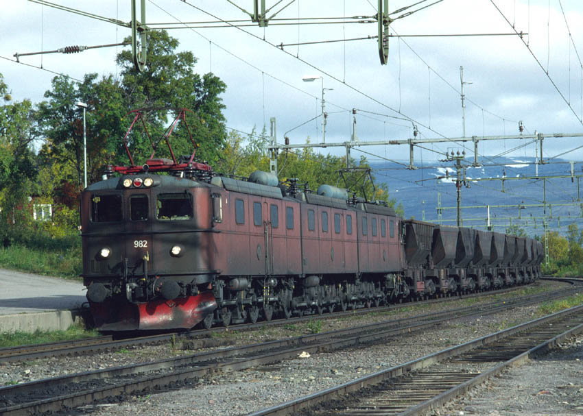
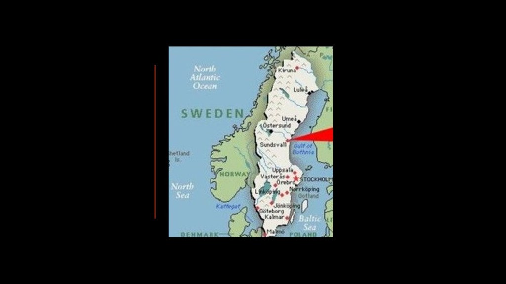
There are two iron ore mines in Lapland, in northern Sweden.
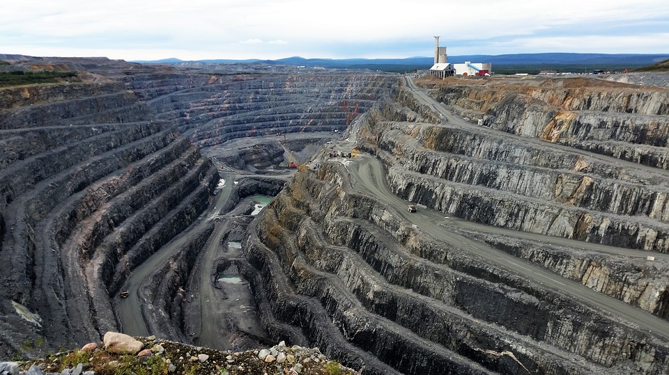
One is Kiruna, the largest and most modern underground iron ore mine in the world.
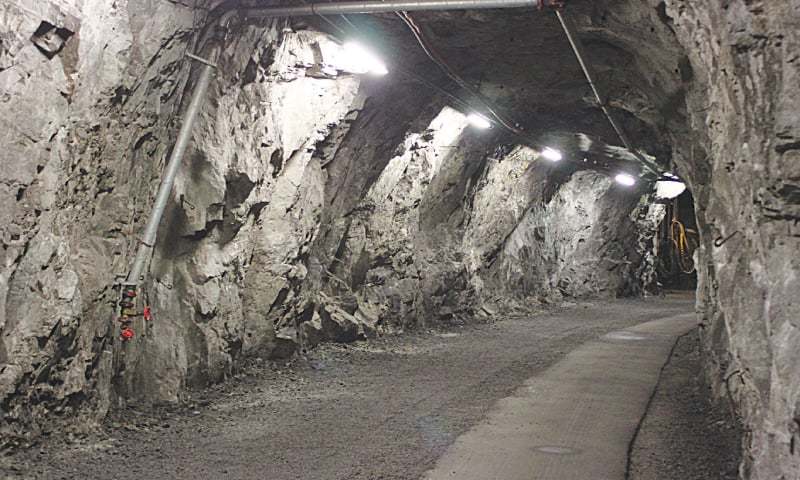
Kiruna first opened in 1898.
Iron ore is also mined at Gallivare.
The Iron Ore Line, a 247-mile, or 398-kilometer, long railway connects Kiruna and Gallivare to Narvik.
The Iron Ore Line was said to have opened in 1888.
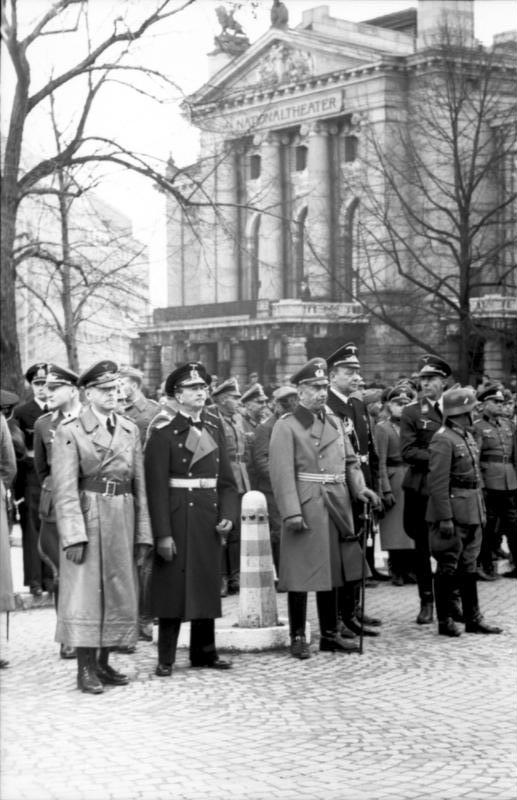
I am quite sure there were other reasons the Nazis were there related to the original advanced civilization, but our true history has been completely removed from the historical record.
It is only available in what is not written, in architecture like Norway’s National Theater in the background of this photo.
Who were the Nazis, really? Certainly not friends of Humanity.
Were they defeated in World War II as we have been taught?
Or did they continue on to this day without our knowledge in a hidden form?
From Trondheim, the alignment next crosses the Scandinavian Mountains, also known as the Kjolen Mountains, which run through the Scandinavian Peninsula.
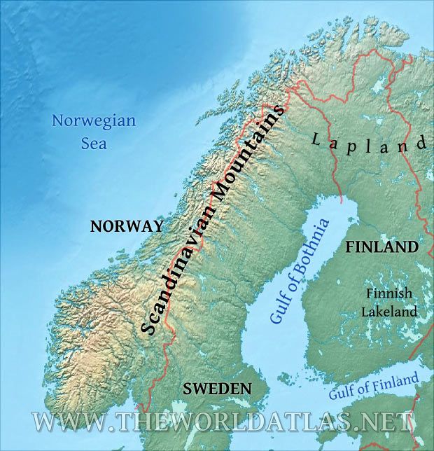
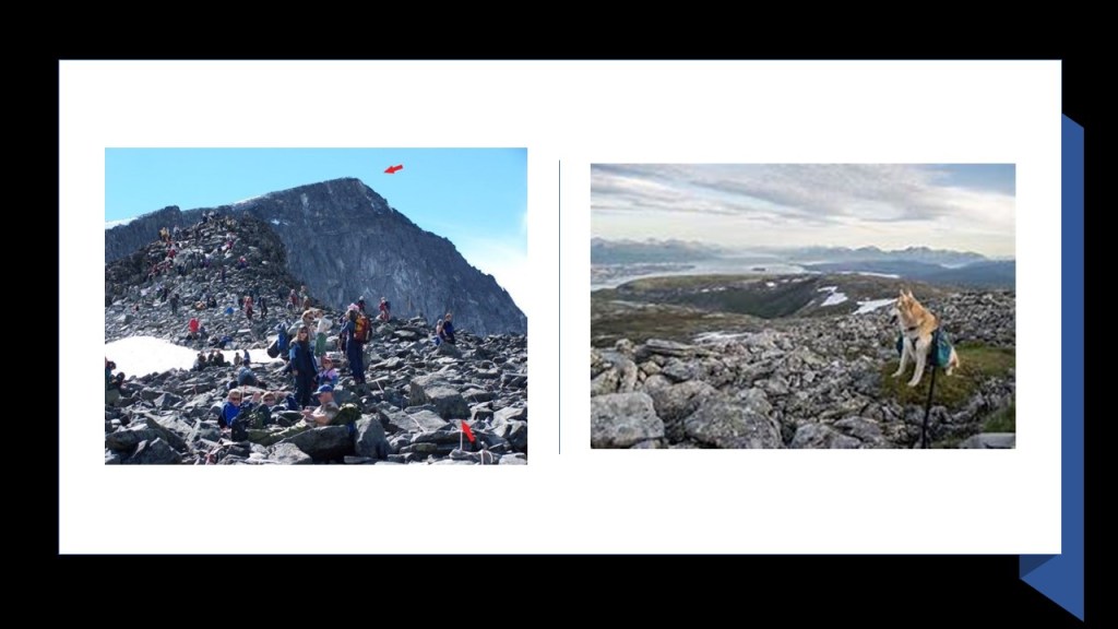
The highest peak in Norway is Galdhopiggen, southwest of Trondheim.
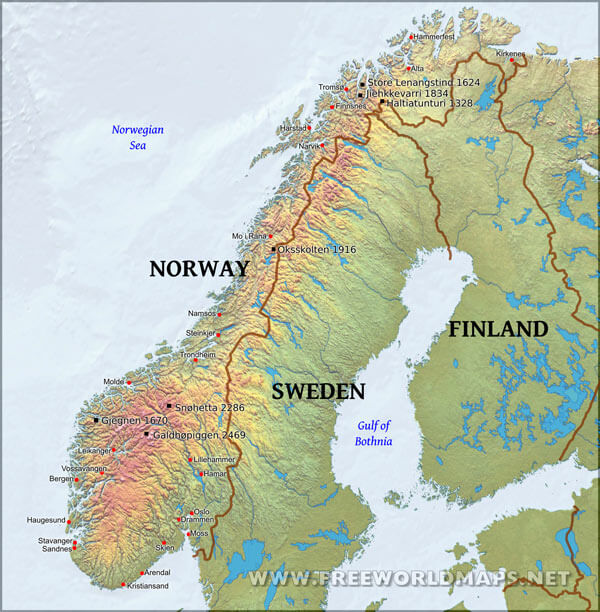
It’s name is said to mean “Home of the Giants.”
We have never been given any other information that would provide another explanation, so we accept that its natural as the only possible explanation.
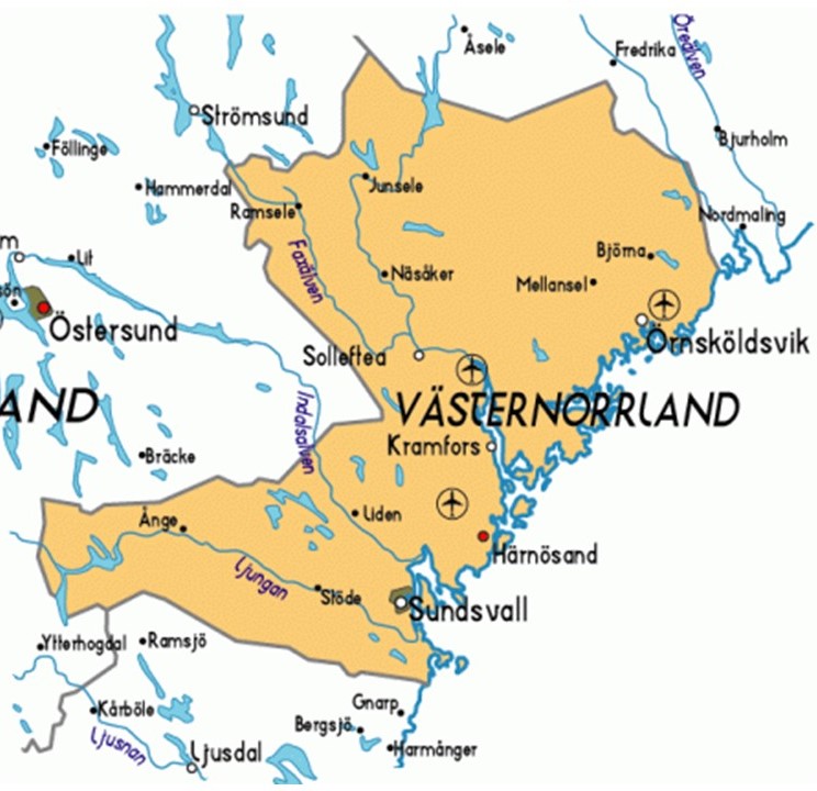
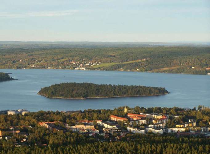
Next on the alignment from Trondheim across these mountains is Sundsvall, a port by the Gulf of Bothnia between Sweden and Finland.
It is the seat of Sundsvall Municipality in Vasternorrland County.
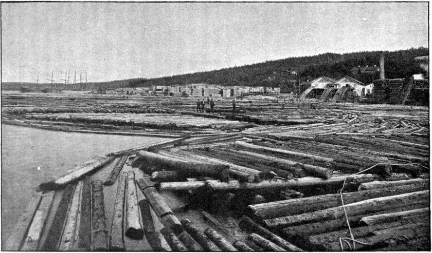
Sundsvall was said to have been chartered in 1621, and that Swedish industrialism started there in 1849 when the Tunadal Sawmill brought a steam-engine-driven saw.
It is still a center of the Swedish forestry industry.
We are told that Sundsvall has burned down and been rebuilt four times.
The last time it burned down was on June 25th of 1888, allegedly due to a spark from a steamship.
Two other Swedish cities were said to have burned the same day – Umea and Lilla Edet – from what we are told were unusually windy conditions.
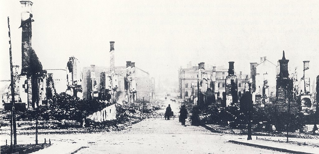
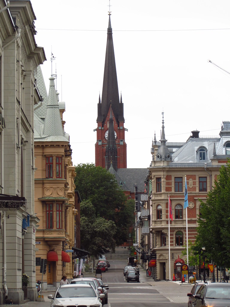
Then we are told, after the fire, the decision was made to rebuild Sundsvall using stone.
Sundsvall’s city center was nicknamed the Stenstaden, or the “Stone City.”
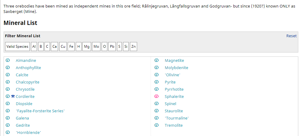
At any rate, on the subject of mining and minerals, the Saxberget Mine is one of the mines in the Vasternorrland County of which Sundsvall is a part, in which not only copper, lead, silver, and zinc is mined…
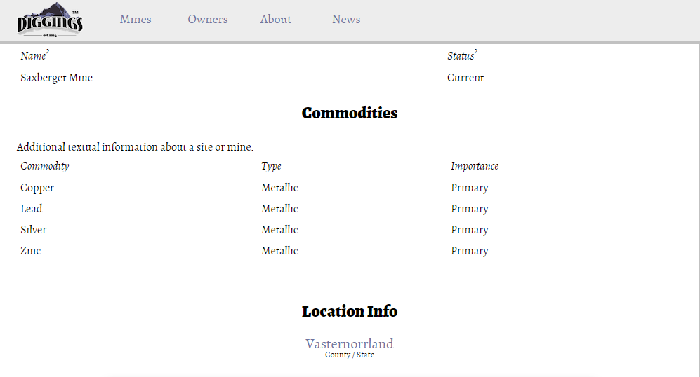
…these minerals are as well.
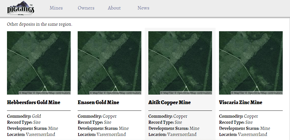
There are also four other active mines in Vasternorrland County, including mines for gold, copper, and zinc.
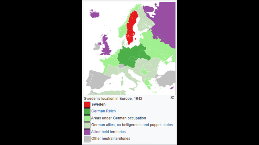
Sweden had a different experience from Norway and Denmark during World War II.
We are told Sweden was successfully able to maintain its policy of neutrality during the entirety of World War II.
Keeping its neutrality translated to allowing the Germans to transport the 163rd Infantry Division in 1941, along with heavy weapons, from Norway to Finland; allowing German soldiers to use the railway when on leave between these two countries; and selling iron ore to Germany throughout the war.
For the Allies, Sweden shared military intelligence, and helped to train soldiers from Norway and Denmark, to enable them to be used for the liberation of their home countries; and allowed the Allies to use Swedish air bases between 1944 and 1945.
It sounds like Sweden’s definition of neutrality was having no problem working for both sides.
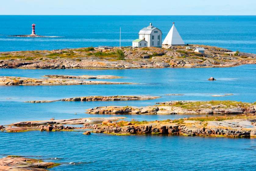
From Sundsvall, we cross the Gulf of Bothnia between Sweden & Finland, and is the northernmost arm of the Baltic Sea.
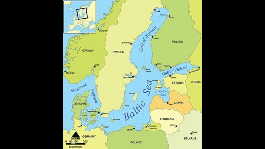
The land surrounding the Gulf of Bothnia is heavily-forested, which are logged and transported for milling.
This gulf is also important for the shipping of oil to the coastal cities and ores to steel mills.
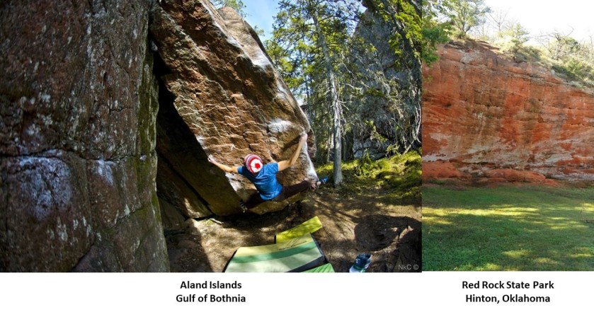
The Aland Islands are a group of approximately 500 islands located at the entrance of the Gulf of Bothnia.
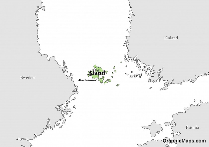
The islands are an autonomous, Swedish-speaking, province of Finland.
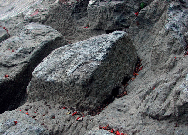
It is a favorite destination of people who like to climb boulders.
When I see these “boulders” on the left, I see ancient masonry, which also reminds me of Red Rock Canyon in Hinton, Oklahoma, just west of Oklahoma City and south of I-40, on the right.
The alignment next enters Vaasa, a city on the west coast of Finland, and the capital of the Ostrobothnia region of Finland.
Both Finnish and Swedish are spoken here.
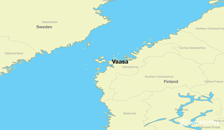
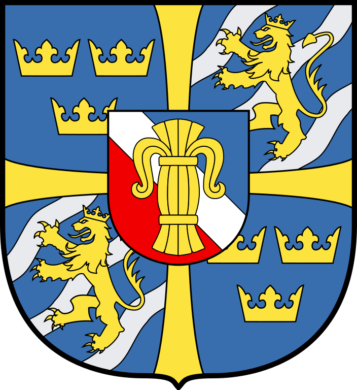
It was said to have been founded in 1606, and named after the House of Vasa, an early modern royal house founded in 1523 in Sweden.
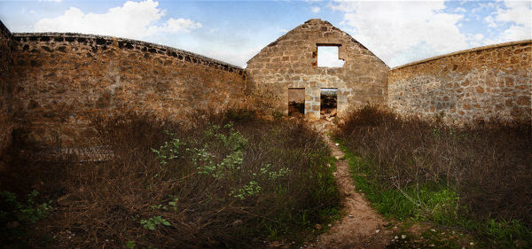
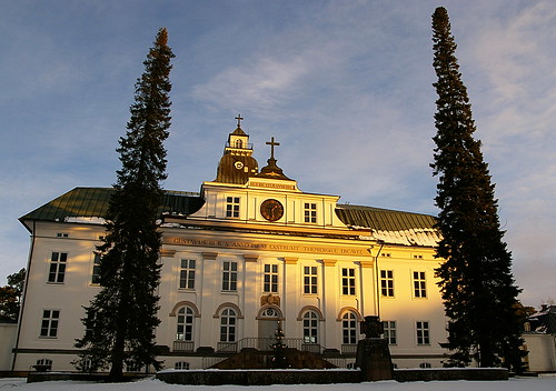
We are told the mainly wooden and densely built town was almost completely destroyed by fire in 1852, and that out of 379 buildings only 24 privately-owned buildings survived, including what was the Court of Appeals, said to have been built in 1775 and now the Church of Korsholm…
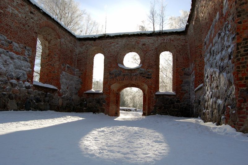
…and these stone ruins are said to be of St. Mary’s church where the fire was in Old Vaasa.
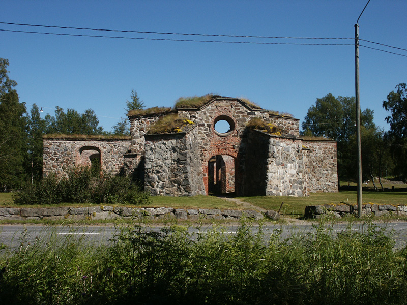
The fire was said to have started in a barn owned by a district court judge by a visitor who fell asleep in the barn and dropped his pipe in the dry hay.
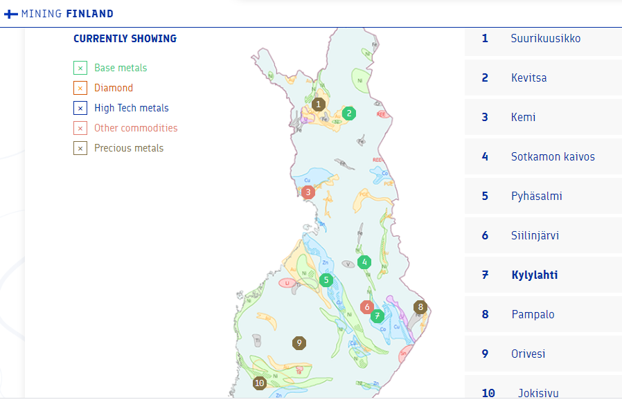
Finland is one of the leading mining countries in Europe, and the mining industry plays a very important role in Finland, along with its future growth potential.
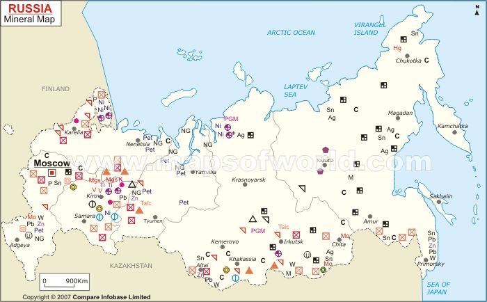
On this map, there are four mines around the alignment as it leaves Vaasa.
One is #5, which is mined for zinc, sulphur, copper, silver, gold and iron.
The next is #6, mined primarily for phosphorus and mica.
Also # 7, mined for copper, zinc, gold, silver, nickel and cobalt.
And #8 is mined for gold.
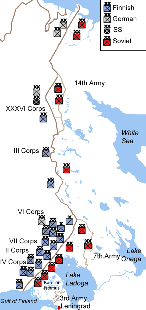
Finland’s role in World War II was similar to Sweden, but slightly different.
It openly participated in the war initially as an Axis power between 1939 and 1944, allied with Germany, Japan and Italy, and then switched sides until the end of the war to the Allies, the grouping of the victorious countries of World War II, against the Axis Powers.
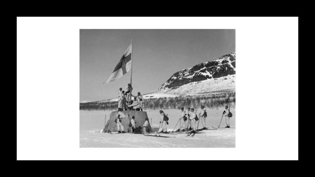
This is a photo of Finnish soldiers raising their flag at the war’s end at the Three-Country Cairn, which marks where the international borders of Finland, Sweden, and Norway meet.
By the end of the war, Finland had ceded nearly 10% of its territory, including its fourth-largest city, Vyborg, to the Soviet Union, as well as pay a large amount of war reparations to them.
As a result of the territorial loss, we are told all of the East Karelians abandoned their homes, and relocated to areas that remained within the borders of Finland.
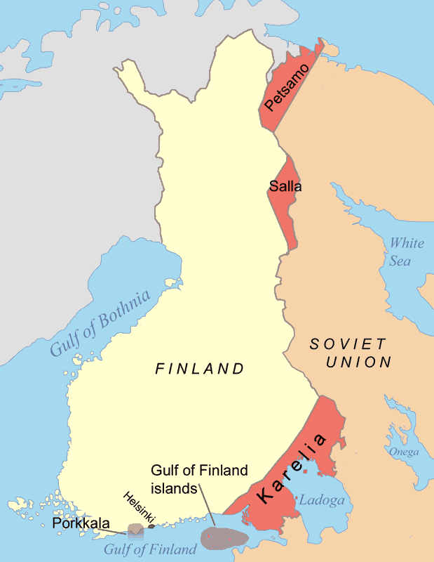
Karelia is described as an area of historical significance for Finland, Russia, the former Soviet Union, and Sweden, and since 1945 divided between Finland and the Northwestern Russian Federation…
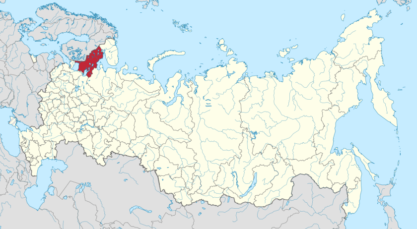
Next we arrive at Archangelsk, in the north of European Russia, or Archangel in English.
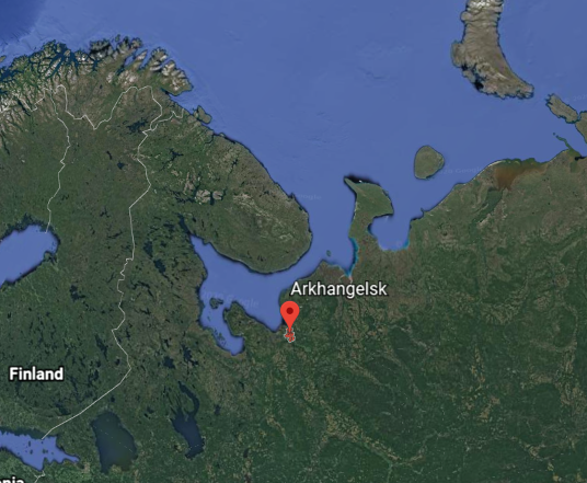
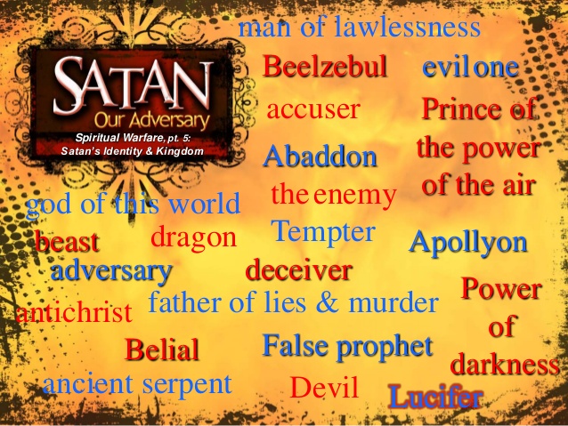
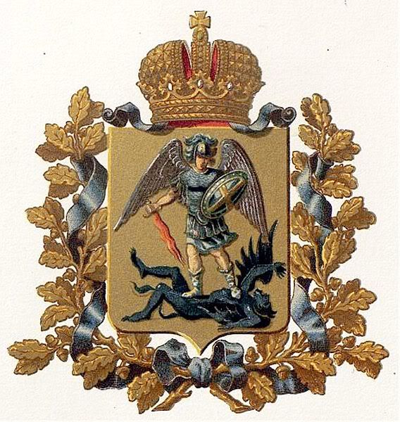
The city’s coat-of-arms display Archangel Michael defeating the devil, and the legend states that the victory took place near where the city stands, and that Michael still stands watch over the city.
Archangelsk was the chief seaport of medieval and early modern Russia, until 1703, when it was replaced by Saint Petersburg.
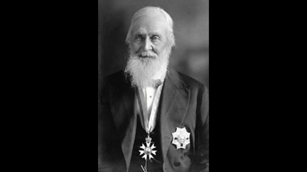
This is a portrait I found of Tsar Ivan III, also known to history as Ivan the Great.
He was said to have brought the Archangelsk area back into the Grand Duchy of Moscow in 1478.

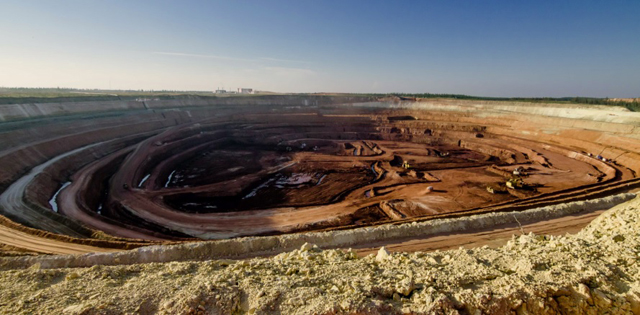
As far as mining goes, I found the Grib Diamond Mine in Archangelsk Oblast, one of the largest diamond mines in Russia and in the world.
It has estimated reserves of 98.5 million carats of diamonds, and annual production capacity of 3.62 million carats.
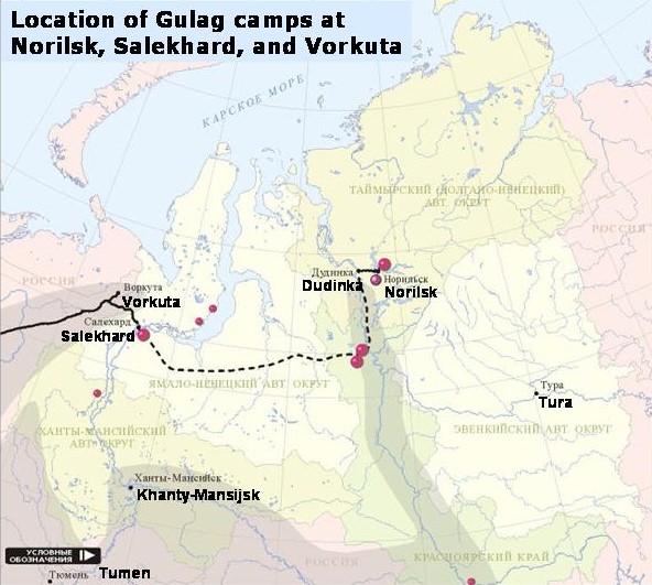
This map shows the locations of Soviet forced labor camps of the Gulag.
Most of them served mining, timber and construction works.
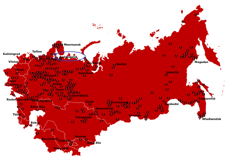
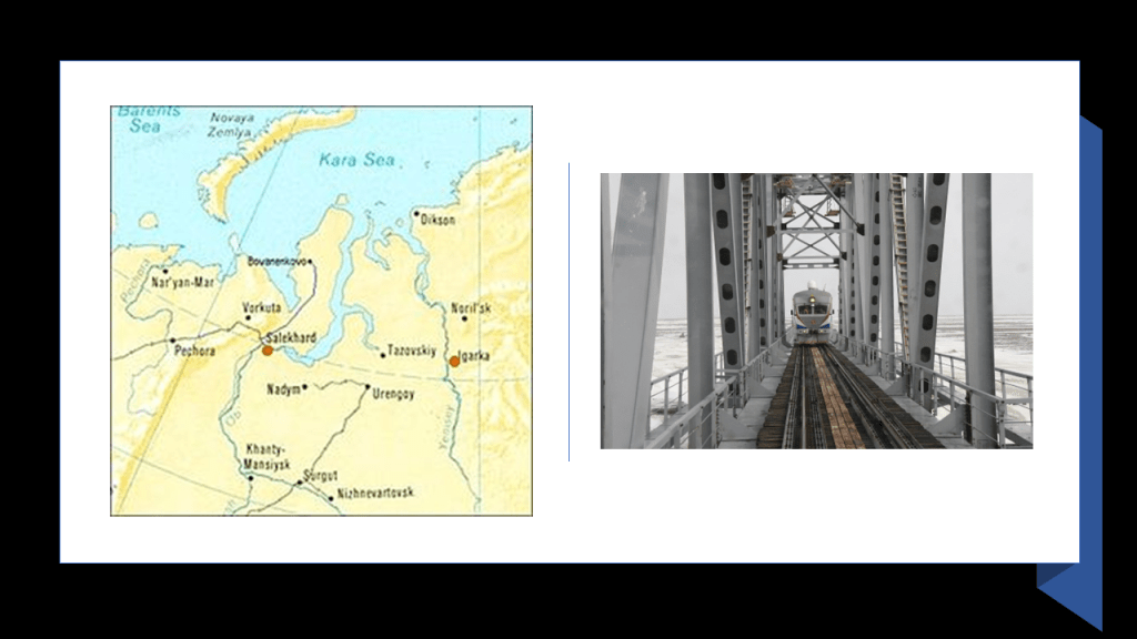
From Archangelsk, the alignment crosses the Yamal Peninsula, located in northwest Siberia.
The Yamal Peninsula holds Russia’s biggest gas reserves…
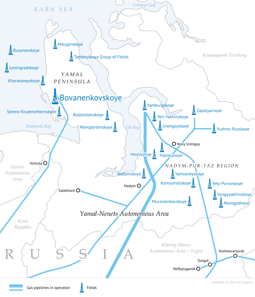
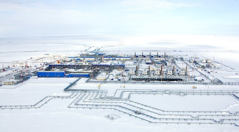
…and gas production facilities are actively evolving there, as well as infrastructure such as gas-pipeline and bridges.
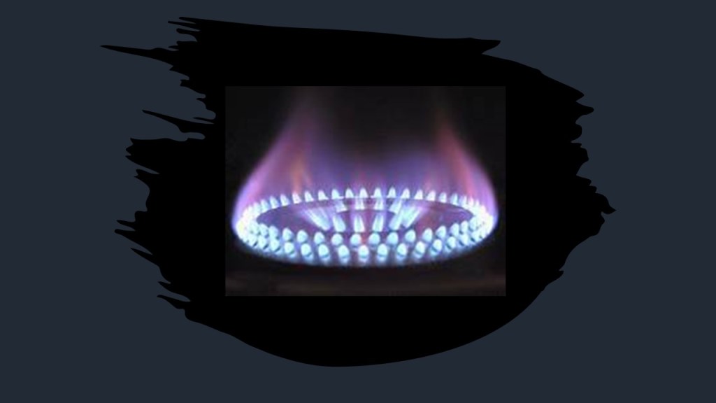
Natural gas is a hydrocarbon, a compound which consists of hydrogen and carbon.
It is used as a fuel source for heating and cooking, and electricity generation, as well as for vehicles, and used in the manufacture of plastics, and other commercially important chemicals.
The Obskaya-Bovanenkovo Railway there, owned and operated by the Russian gas corporation Gazprom, is the world’s northernmost railway.
The Yamal Peninsula has been in the news in recent years because of the appearance of huge sinkholes, starting with one that appeared in 2014. By 2015, five more had developed.
Hearing about the appearance of sink holes here several years ago is where I first heard about this place.
I Wonder if the ground underneath it had been mined?
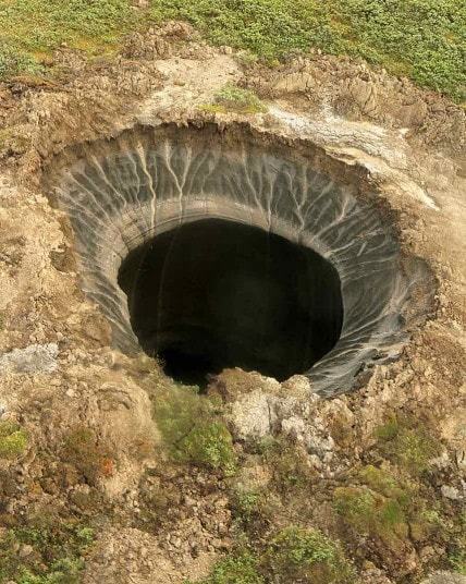
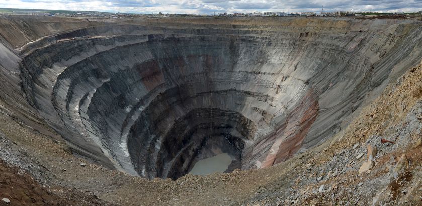
It’s appearance looks somewhat similar to an open-pit mine.
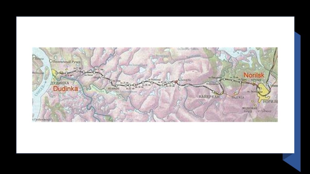
The next places we come to on the alignment are Dudinka and Norilsk in Krasnodar Krai, which is a federal subject of Russia within the Siberian Federal District.
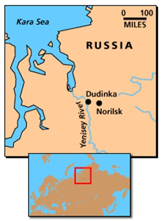
Dudinka processes and sends cargo via Norilsk Railway to the Norilsk Mining and Shipping Factory, as well as shipping non-ferrous metals, coal and ore.
Non-ferrous refers to metals other than iron or steel.
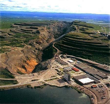
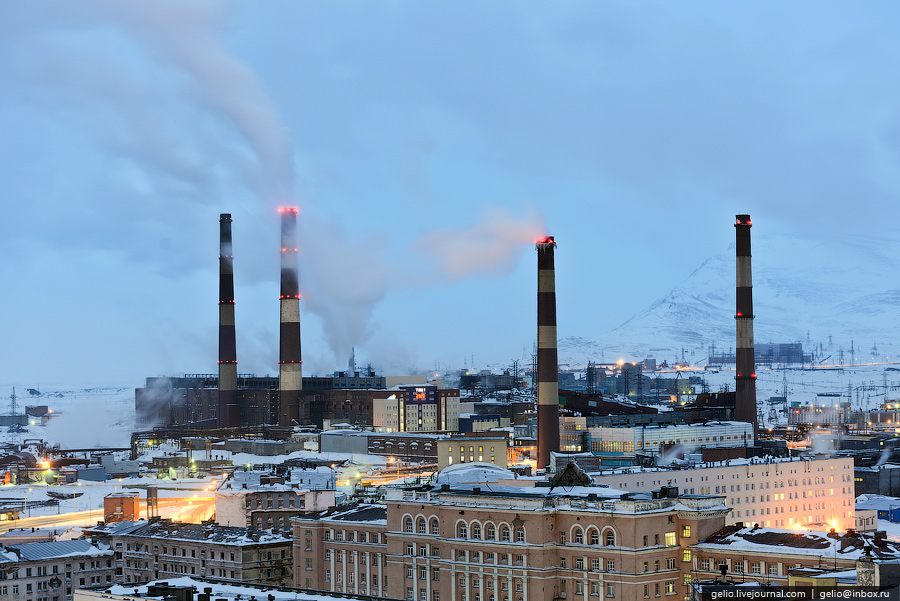
Norilsk and the surrounding area is heavily engaged in the mining industry.
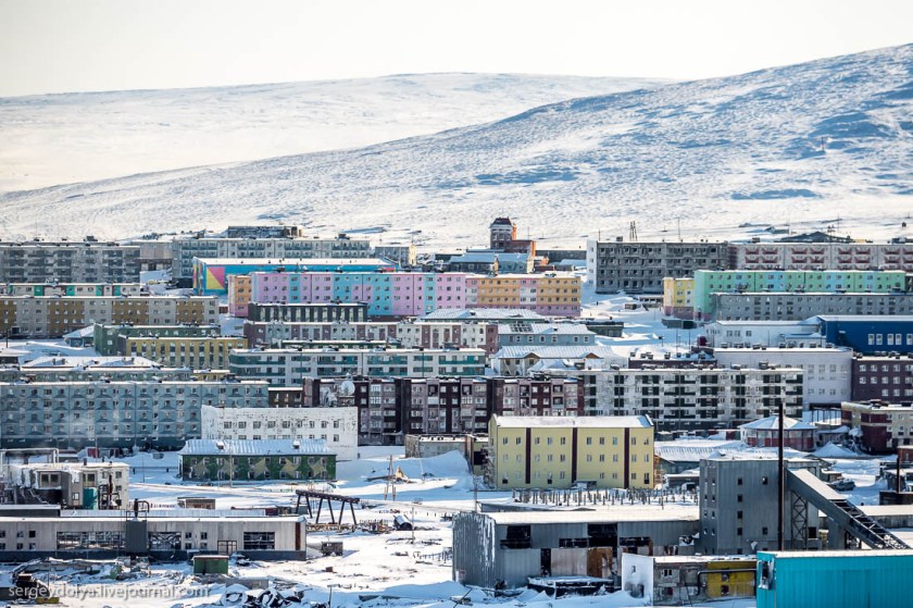
Norilsk is the world’s northernmost city with a population of more than 100,000, with permanent inhabitants at 175,000, and the second-largest city inside the Arctic Circle.
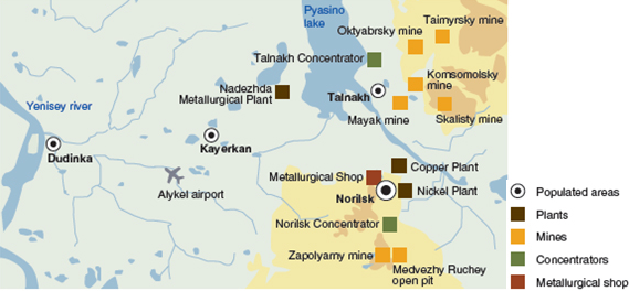
The official founding date of Norilsk is 1935, and then it was expanded as a settlement for the Norilsk mining-metallurgic complex, and then subsequently became the center of the Norillag system of Gulag forced-labor camps, which existed from June of 1935 to August of 1956.
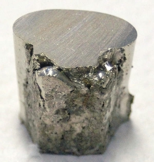
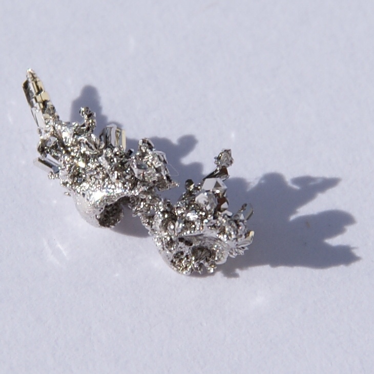
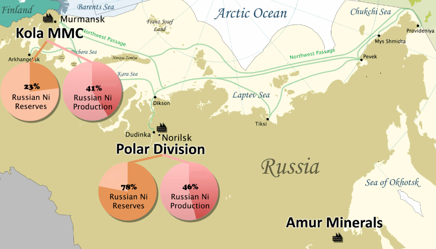
The nickel deposits of Norilsk-Talnakh are the largest known nickel-copper-palladium deposits in the world.
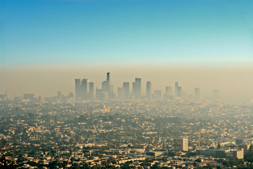
The smelting of the nickel ore is directly responsible for severe pollution, typically coming in the form of acid rain or smog, and some estimate the 1% of the world’s sulphur dioxide emission comes from Norilsk’s nickel mines.
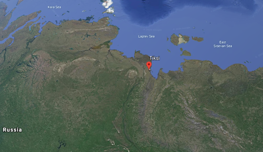
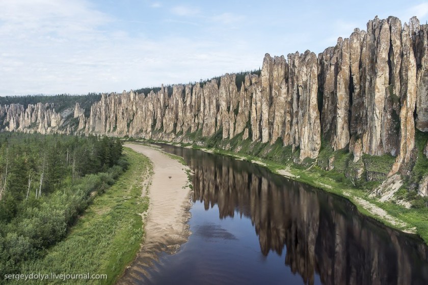
The next place we come to is Tiksi, an urban locality in the Sakha Republic on the shore of the Buor-Khaya Gulf of the Laptev Sea, southeast of the delta of the Lena River.
When I first tracked this alignment several years ago, I came across information about the Lena River Pillars, so they have been in my awareness for awhile.
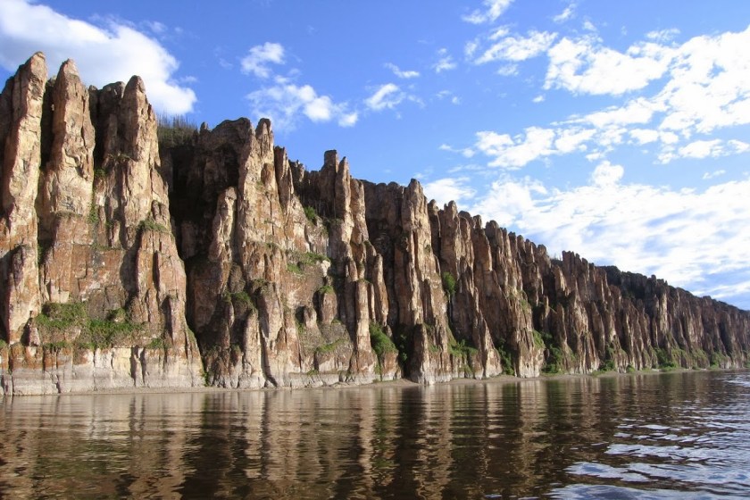
They are called a natural rock formation, with alternating layers of limestone, marlstone, dolomite, and slate.
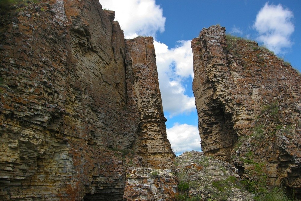
The Lena Pillars Nature Park was inscribed as a UNESCO World Heritage site in 2012.
Keep the Lena Pillars in mind when we come to some places further down on the alignment.
Tiksi serves as one of the principal ports for access to the Laptev Sea.
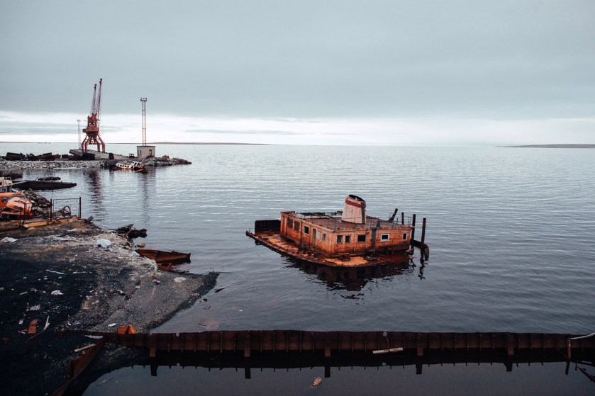
Modern Tiksi was said to have been founded in 1933, and since the dissolution of the Soviet Union, its population has considerably declined, and many of its apartment blocks are abandoned.
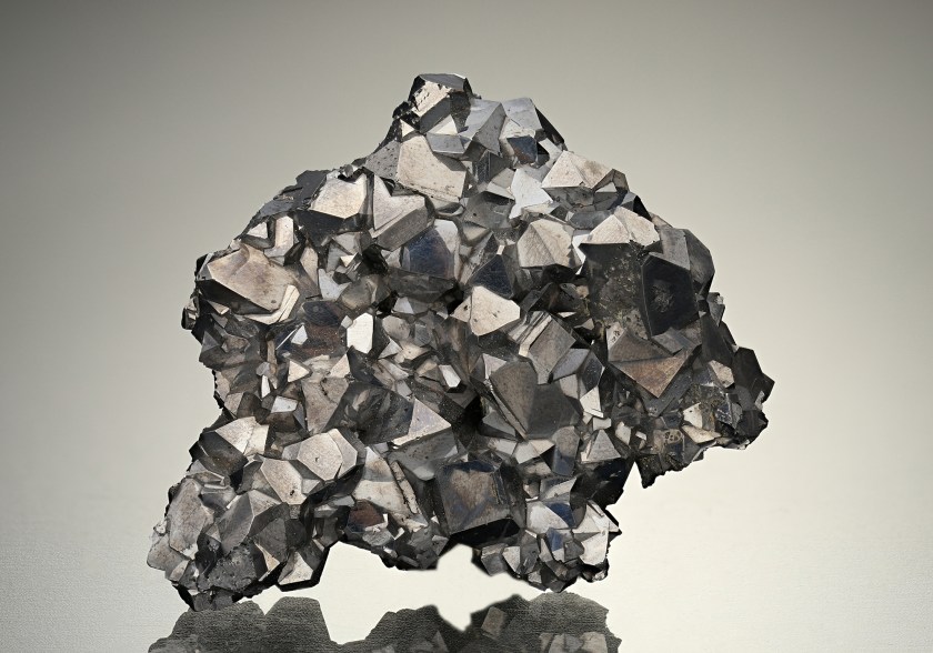
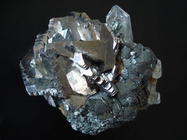
Silver and tin are listed on this map as being in the region surrounding Tiksi.
Tin is a chemical element with the symbol “Sn” and the atomic number of 50.
It is a silvery metal that characteristically has a faint yellow hue, and is soft enough to be cut without much force.
In modern times, tin is used for tin/lead soft solders, which are 60% tin…

…and in the manufacture of electrically conducting films of indium tin oxide in optoelectronics, which is the study of and application of electronic devices having to do with lighting.

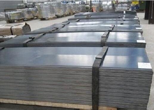
Other uses are corrosion-resistant tin-plating in steel…
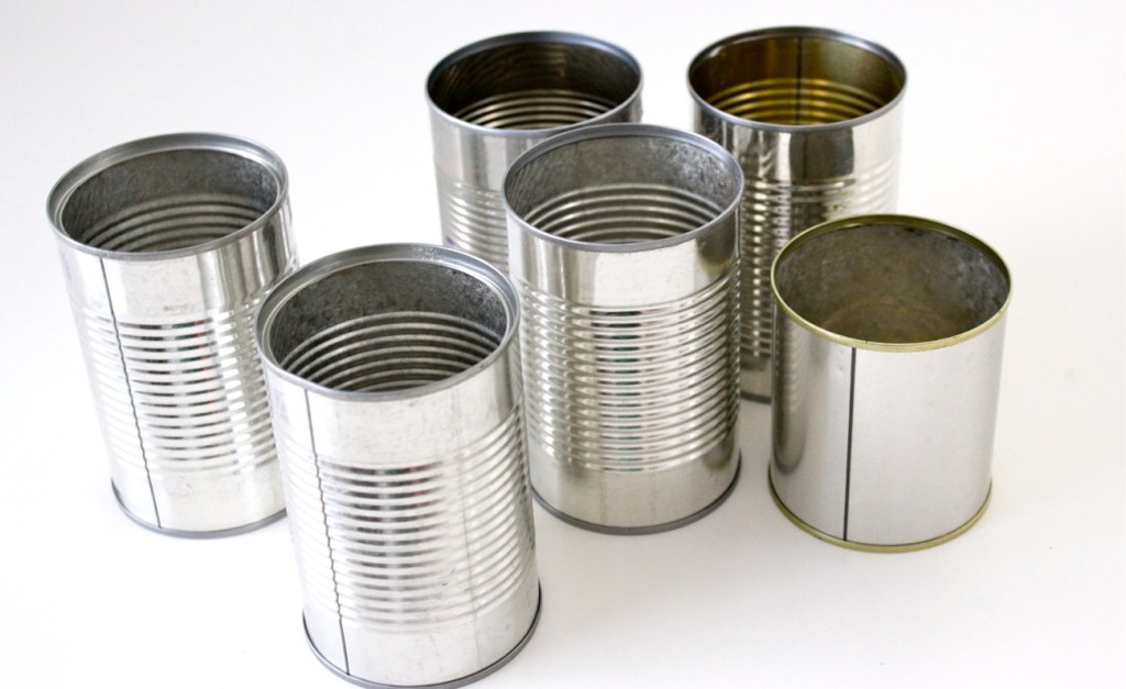
…and it is widely used for food-packaging.
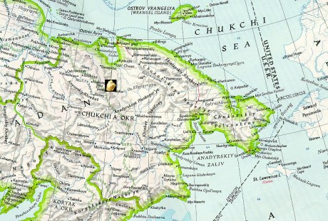
Next, the alignment crosses into the Chukchi, also known as Chukotka, Peninsula, the easternmost peninsula of Asia, where I found the Kupol Gold mine.
The mine is situated over the Kayemraveem ore belt, which contains both high-quality gold and silver.
The mineral deposits are estimated to hold 4.4 million ounces of gold and 54.2 million ounces of silver, on top of 1.72 million inferred ounces of gold, and 22.2 million inferred ounces of silver.
Inferred deposits mean that the ore is not necessarily accessible due to geological obstacles.
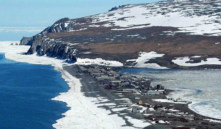
The alignment exits Russia at Uelen, a small settlement just south of the Arctic Circle in the Chukotka Autonomous Okrug in the Russian Far East.

Located near Cape Dezhnev, where the Bering Sea meets the Chukchi Sea, it is the easternmost settlement in Russia…and all of Eurasia.
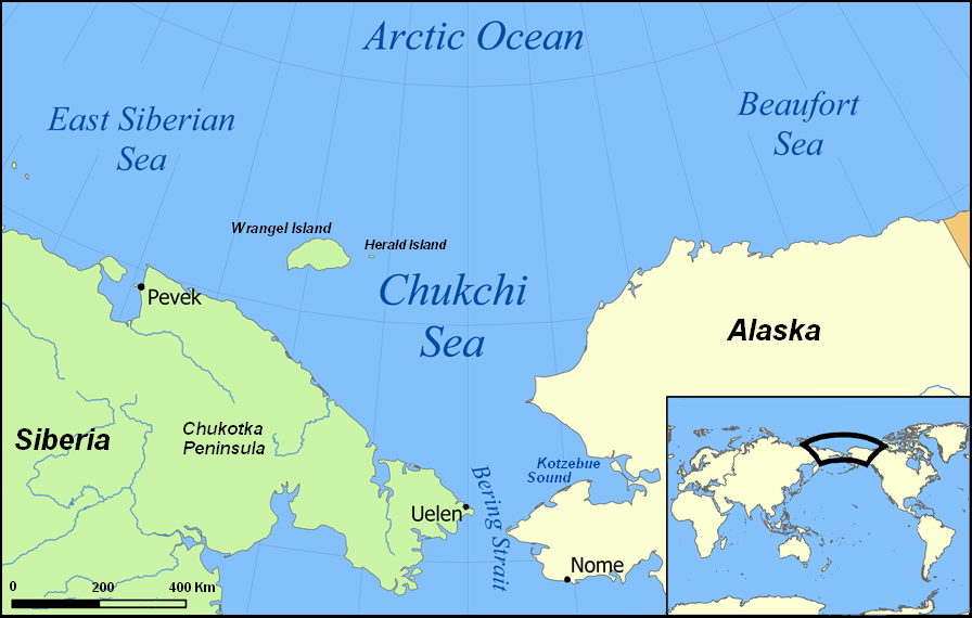
The Chukchi Sea forms part of the Arctic Ocean, bordered in the east by northwestern Alaska and in the west by northeastern Siberia.
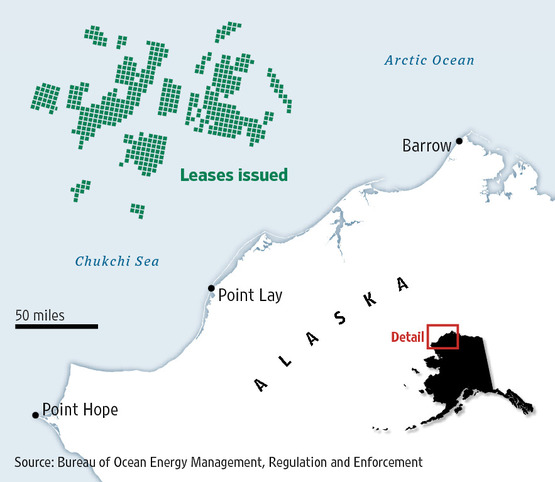
Estimates of oil and gas reserves on the U. S. portion of the Continental Shelf, including both the Chukchi and the neighboring Beaufort Sea, range up to 30 billion barrels of oil equivalent.
The U. S. government began offering oil and gas leases in the Chukchi Sea in the 1980s, but little exploration and no development occurred on them, and all the older leases expired.
There is significant opposition to exploration and drilling here.
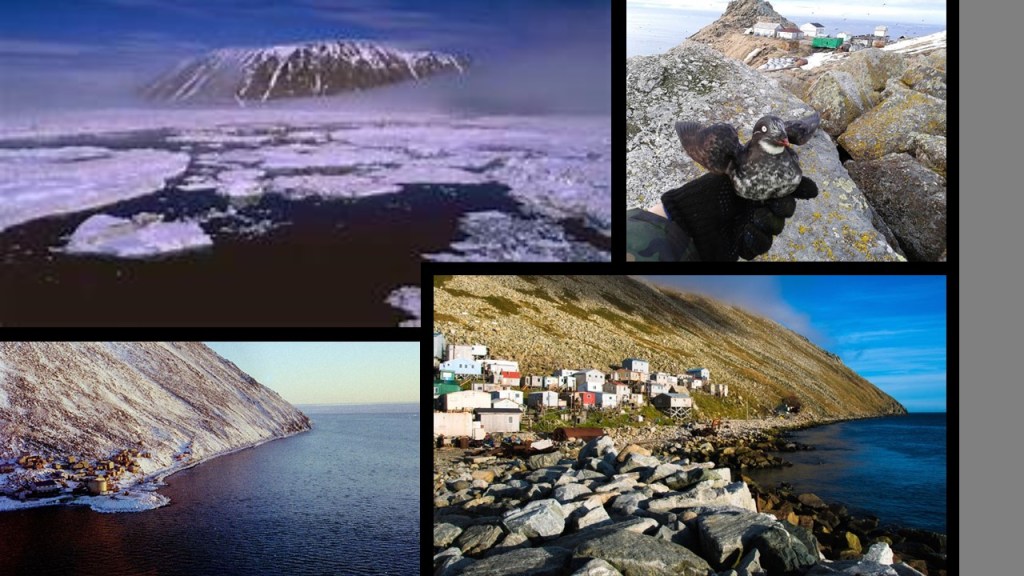
The Diomede Islands are located in the middle of the Bering Strait between Russia and Alaska.
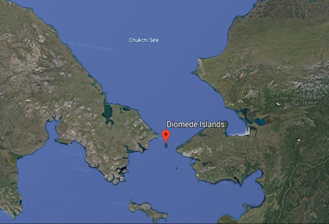
The island of Big Diomede belongs to Russia, and Little Diomede to the United States.
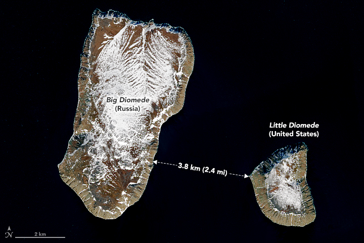
In spite of their proximity to each other, they are separated by the International Date Line, and Big Diomede is 21 hours ahead of Little Diomede, almost a day.
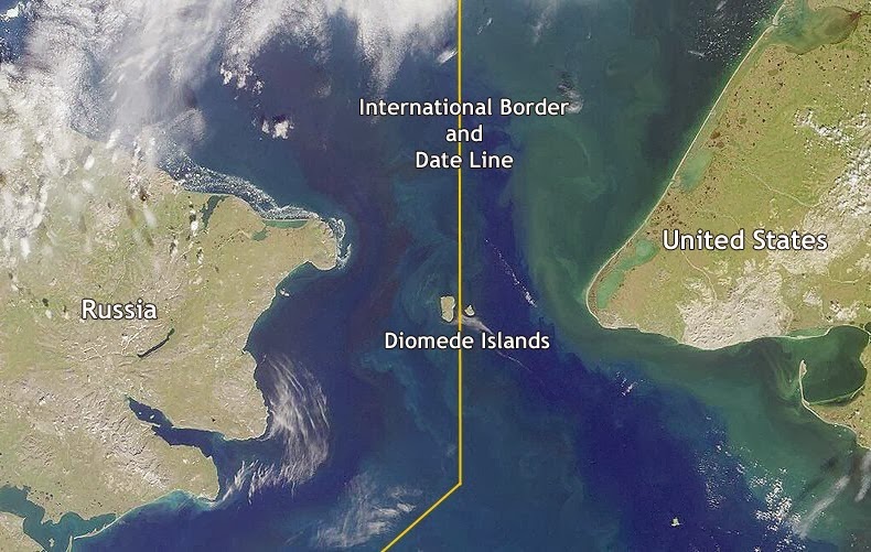
They are described as rocky, mesa-like islands.
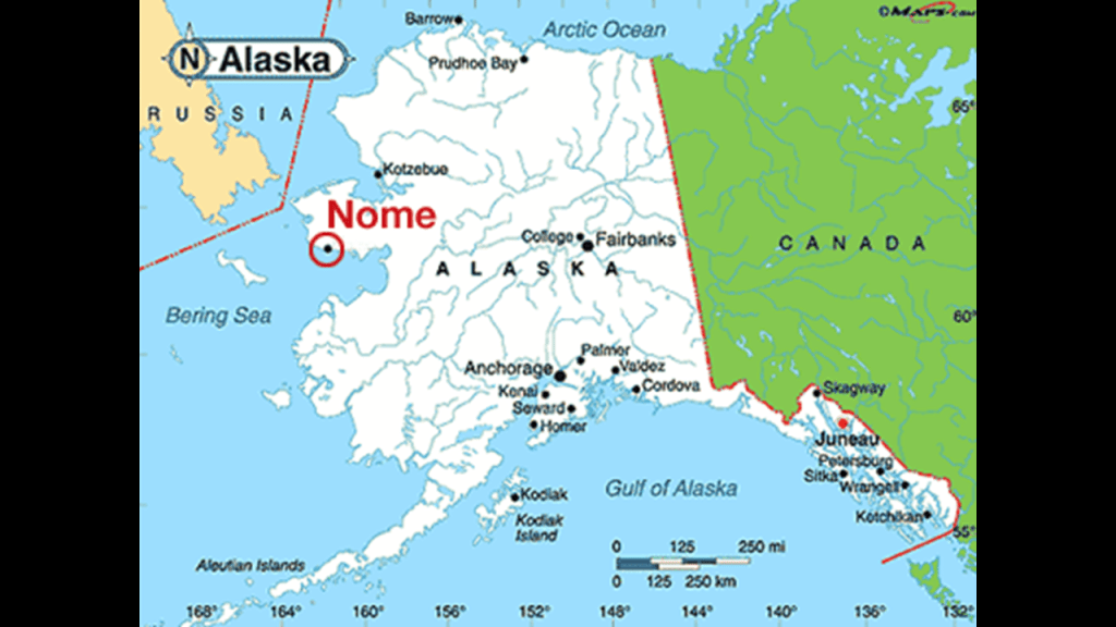
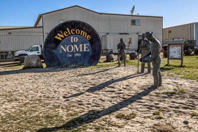
Next we come to Nome, located on the southern Seward Peninsula coast of Alaska on the Norton Sound of the Bering Sea.
The most populous city in Alaska at one time, Nome was incorporated in April of 1901, shortly after gold was discovered on Anvil Creek there in 1898 by “three lucky Swedes.”
News of the discovery was said to have reached the outside world that winter, and that by 1899, had a population of 10,000 people.
The area was first organized as the “Nome Mining District.”
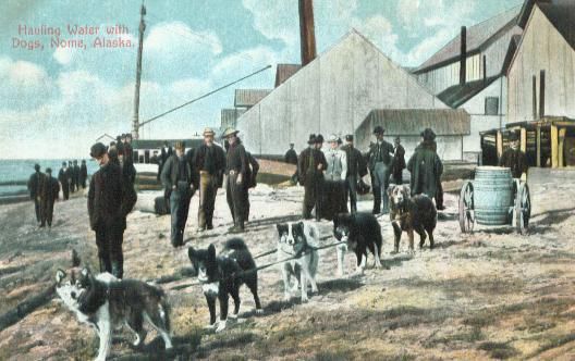
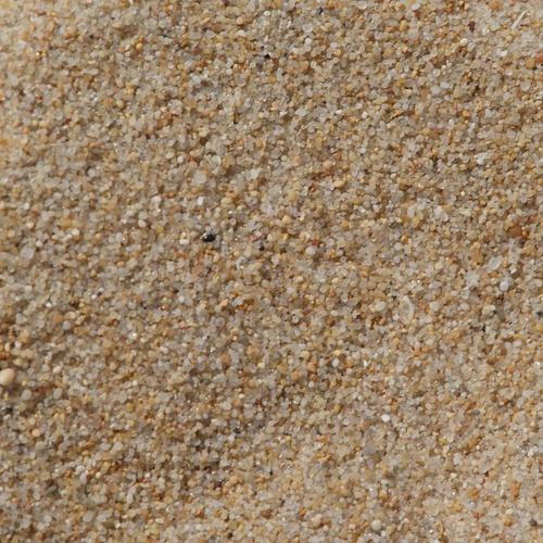
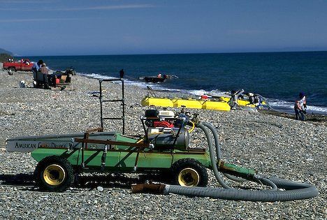
Also in 1899, gold was found in the beach sands for dozens of miles along the coast at Nome, spurring the stampede to new heights.
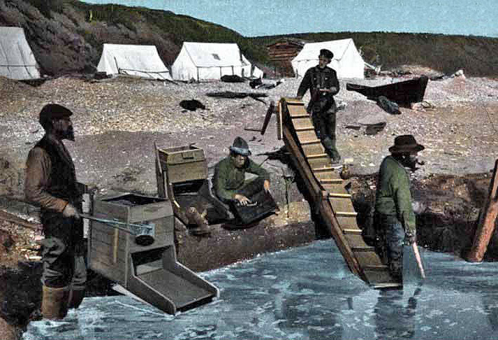
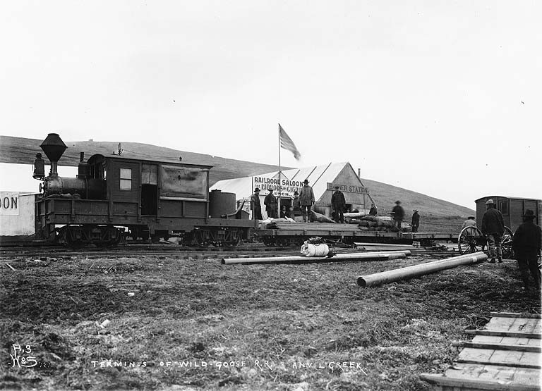
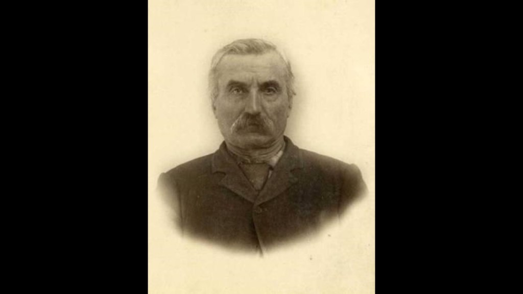
In 1899, Charles D. Lane founded the Wild Goose Mining and Trading Company…
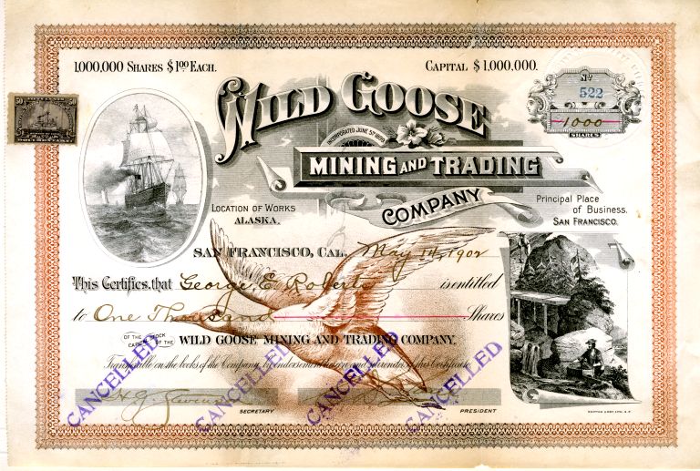
…for which he was said to have built the Wild Goose Railroad, which ran from Nome to Dexter Discovery, and by 1908 to the village of Shelton.
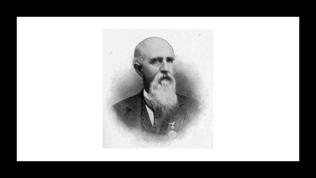
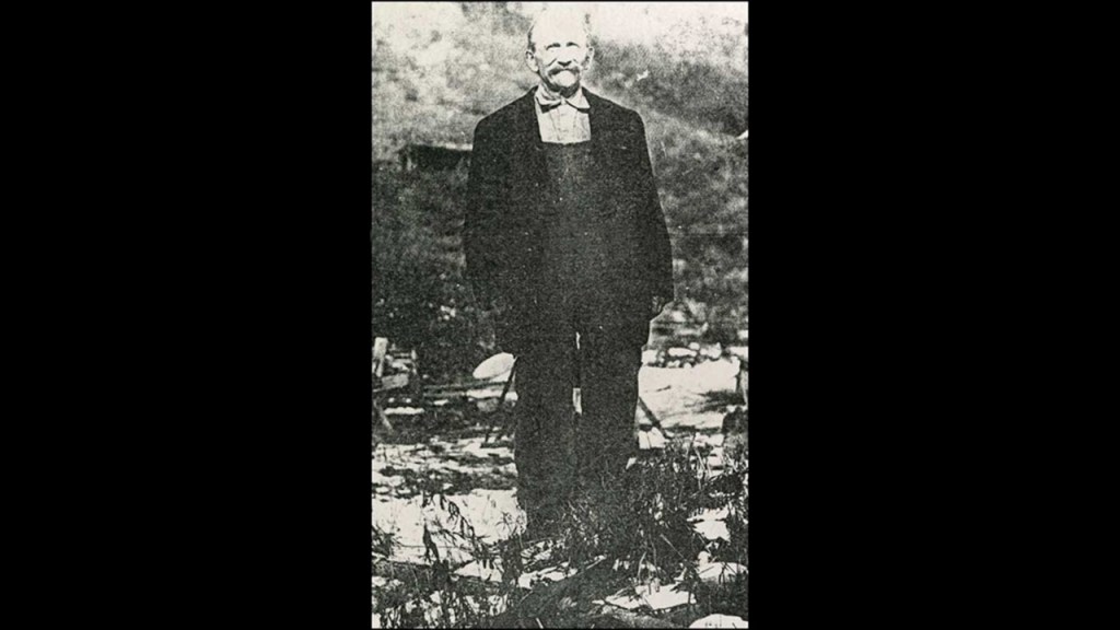
Charles D. Lane, a millionaire mine owner, was recognized as a founder of Nome.
He was born in Palmyra, Missouri, in 1840, and moved to California with his father in 1852.
He got involved in the mining industry, developing successful mines in Idaho, California, and Arizona, before hearing of the first gold strike in Nome in 1898.
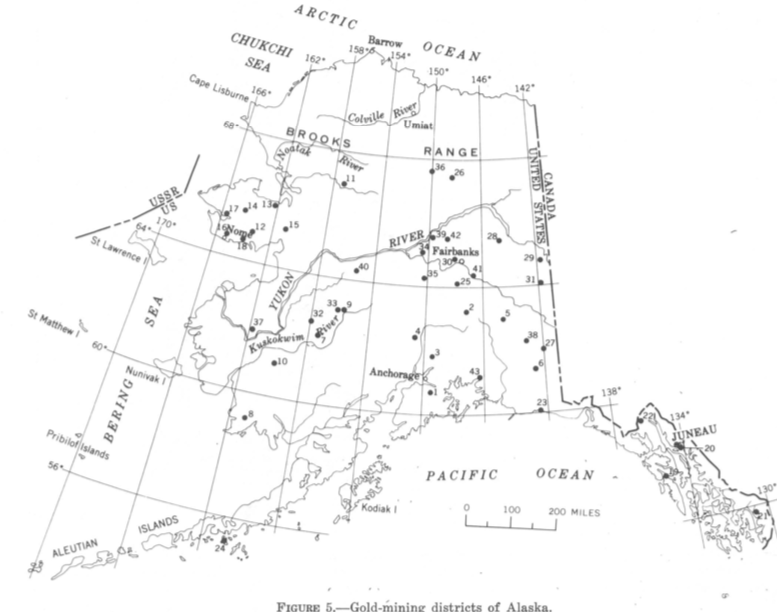
Gold mining has been a major source of employment and revenue for Nome through to the present day.
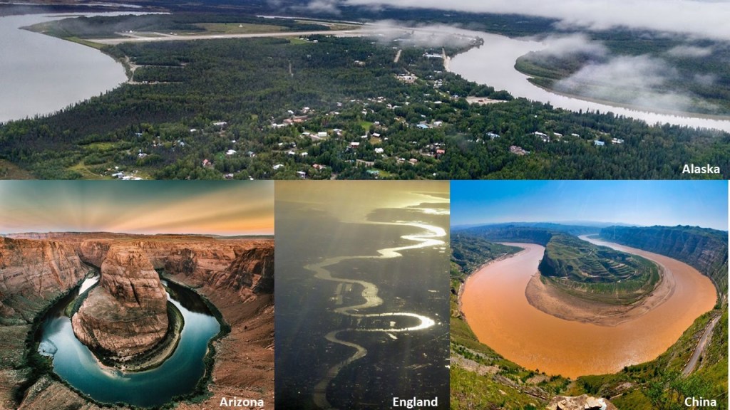
We come to McGrath next…
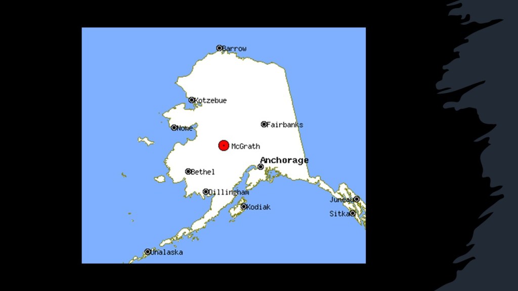
…which sits in the middle of a snaky, s-shaped river bend of the Kuskokwim River shown in the top photo, the same shape that I find in rivers all over the world, like the Horseshoe Bend of the Colorado River near Page, Arizona on the bottom left; the River Thames in London, England in the bottom middle; and the Yellow River in China on the bottom right.
In 1906, gold was discovered in what became the Ophir Creek Mines in the Innoko Mining District, the first of many mining claims and sites throughout this region, besides what became known as Ophir.
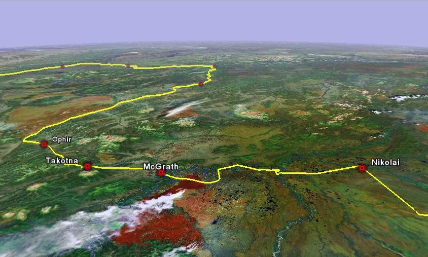
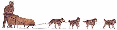
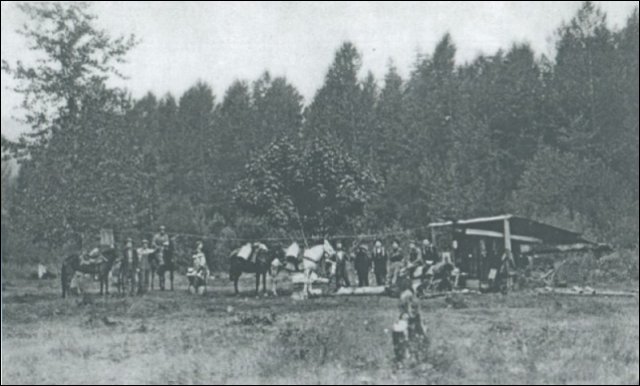
Since McGrath was the northernmost point on the Kuskokwim River accessible by large riverboats, it became a regional supply center, and from 1911 to 1920, hundreds of people went to the Ophir Gold District by way of dog sled, or on foot.
We next come to Anchorage, Alaska’s largest city, located in Southcentral Alaska…
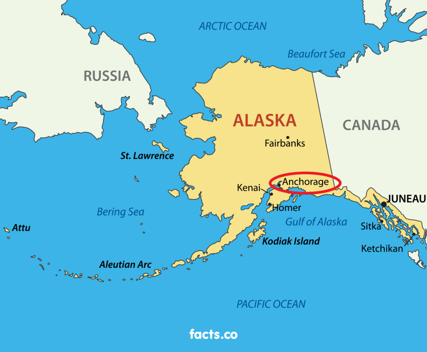
…at the terminus of the Cook Inlet, between the Knik Arm to the North and Turnagain Arm to the South.
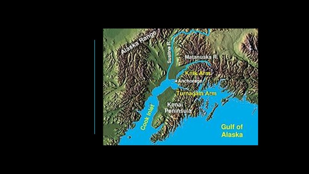
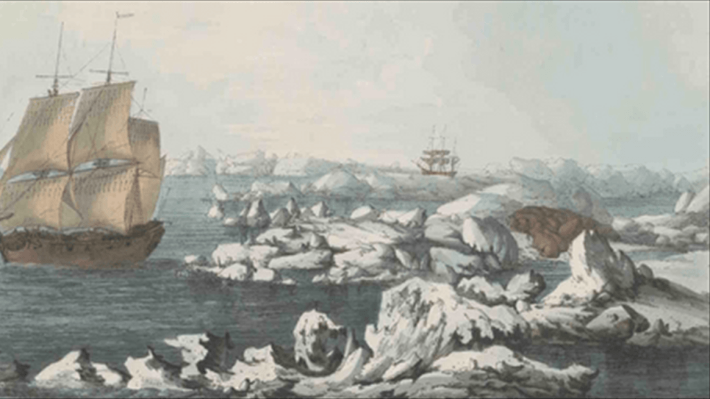
The Cook Inlet was named for the English explorer, Captain James Cook…
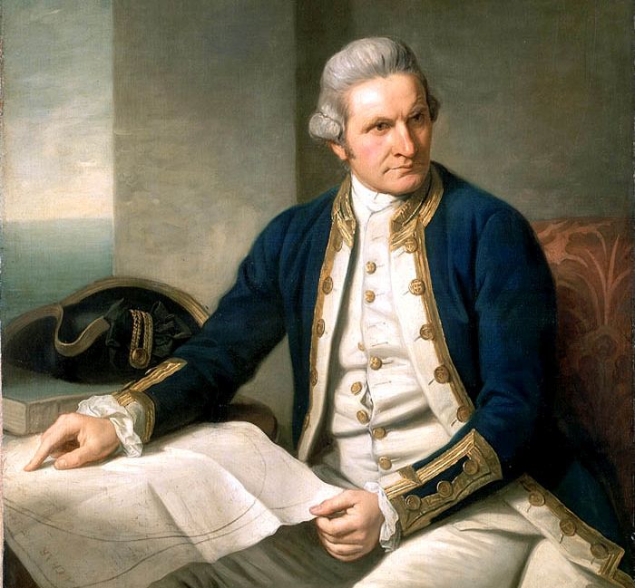
…who sailed into it in 1778 when he was looking for the Northwest Passage.
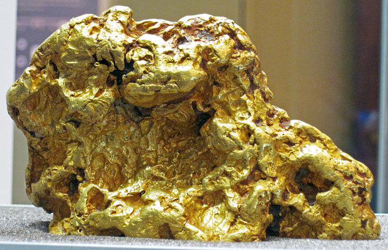
Gold was discovered in Anchorage in the 1880s, and was said to have turned the region into a mining area overnight.
This is an Alaskan gold nugget.
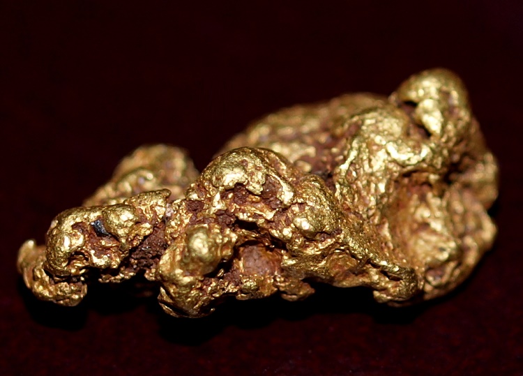
Over the following years, several mines were established in the area producing hundreds of thousands of ounces of gold, with Anchorage becoming an active gold mining center.
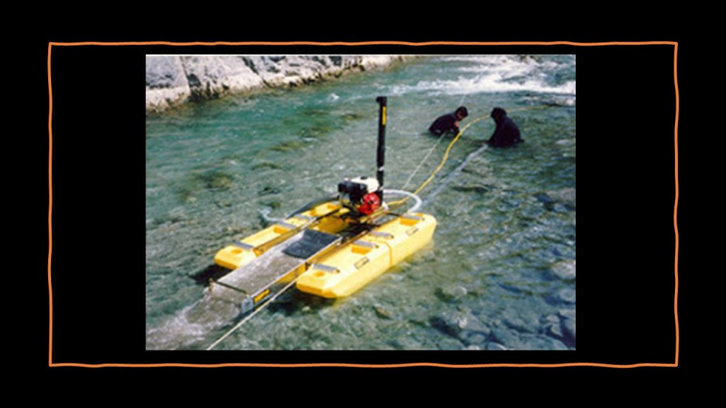
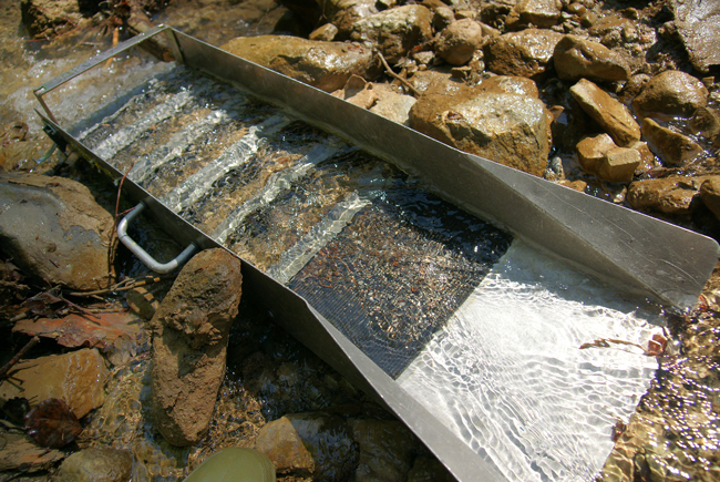
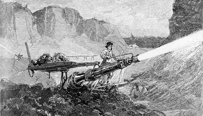
The Crow Creek Mine, in the Girdwood section of Anchorage, is one of the best known hydraulic gold mines in Alaska.
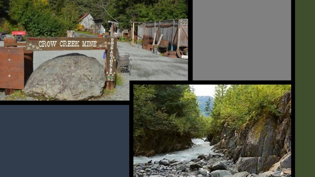
Hydraulic mining involves delivering water through a nozzle at high-pressure against the gravel deposits.
These deposits, or slurries, were then passed on to large sluice boxes, which separated all the gold from the deposits.
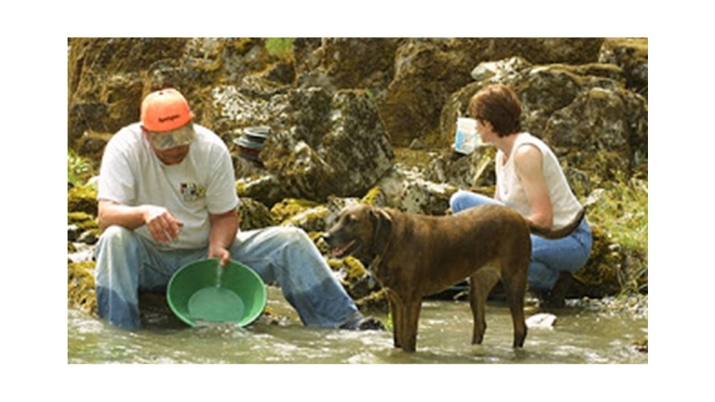
The Crow Creek Mine is family-owned; still in production; and allows visitors to pan for gold.
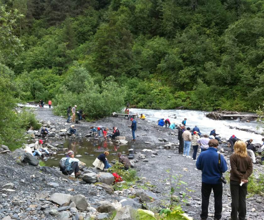
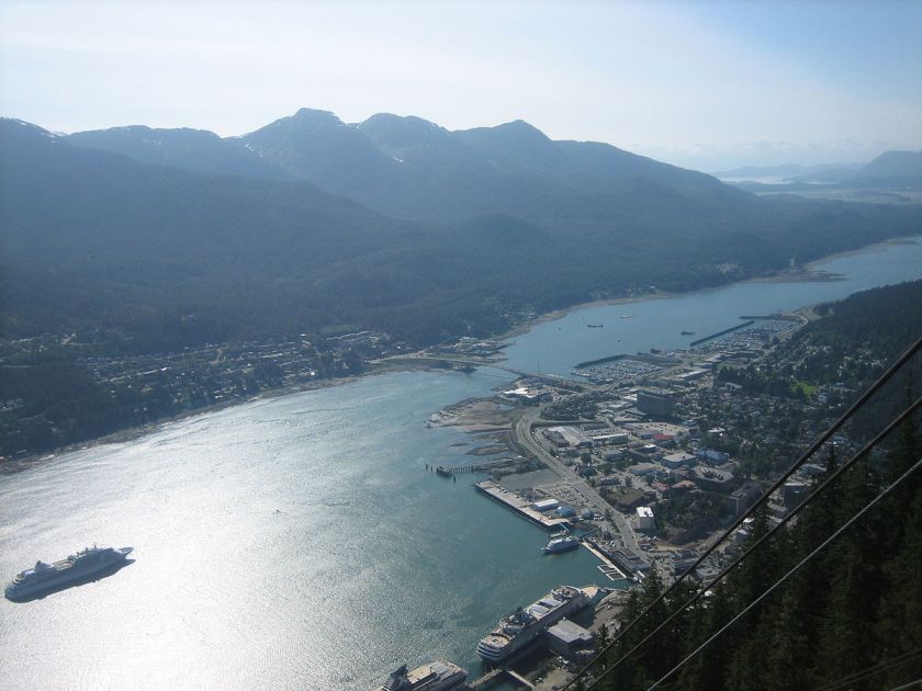
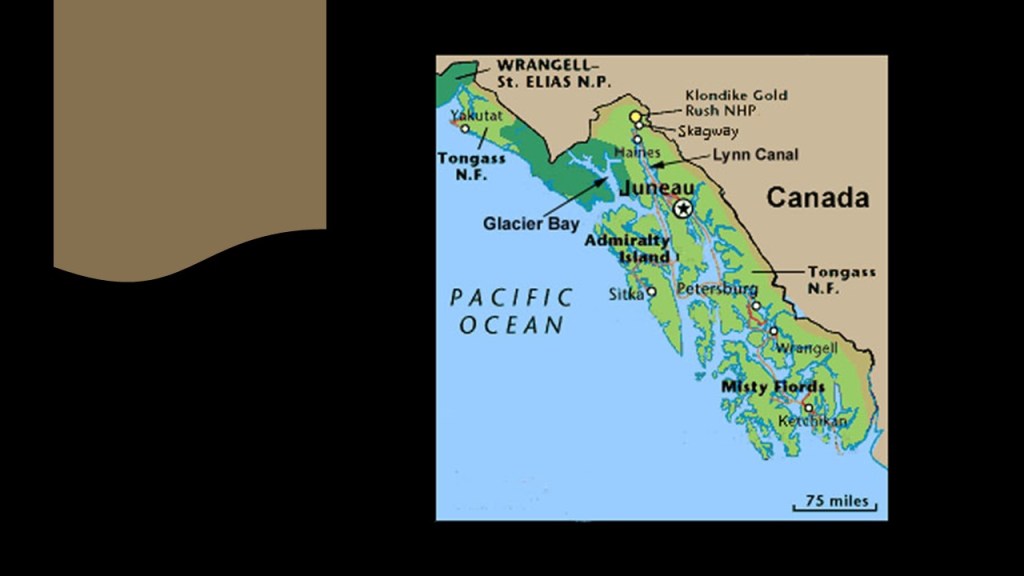
The next place we come to is Juneau, the capital city of Alaska.
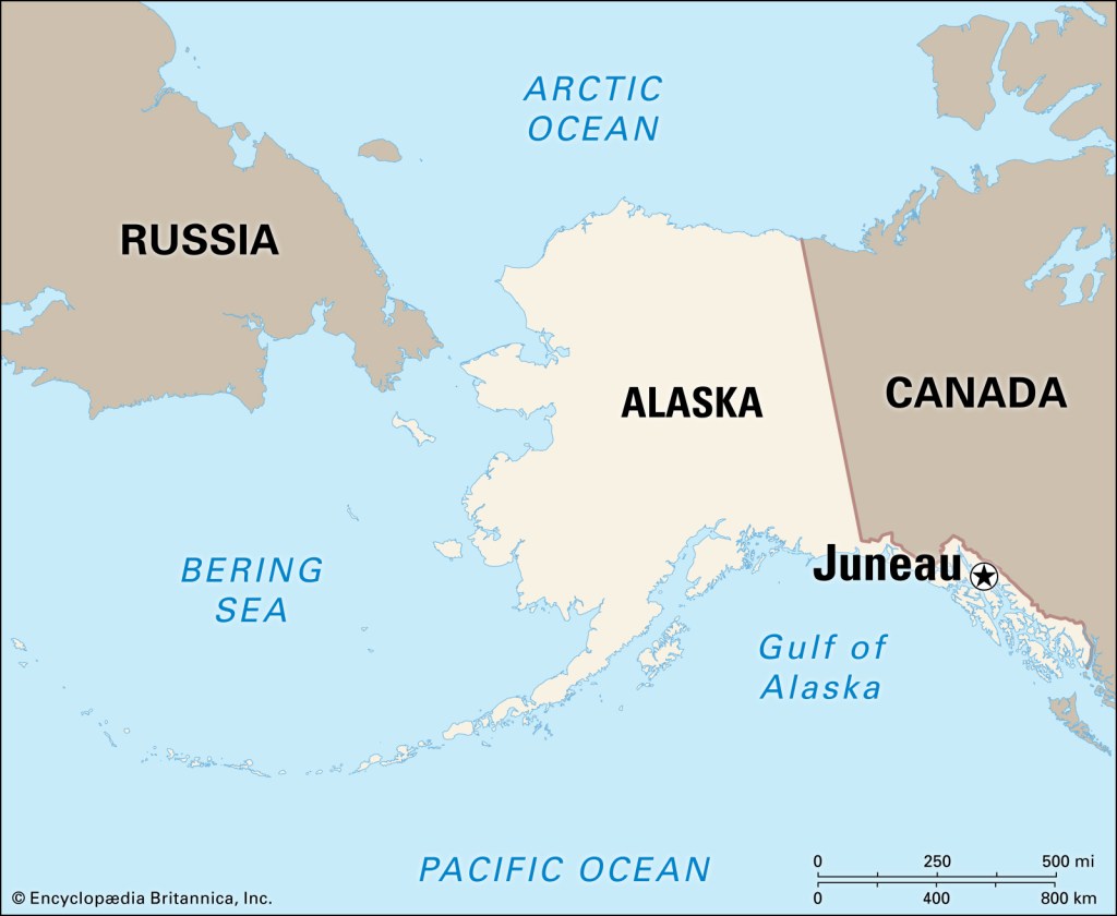
It is located in the Gastineau Channel…
…and the Alaskan Panhandle, the southeastern portion of Alaska, bordered to the east by the northern part of British Columbia.
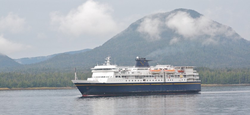
Juneau is unique as a state capital for not having roads connecting it to the rest of the state. All transportation-related activities are by air and sea only.
Vehicles are transported to Juneau by barge or the Alaska Marine Highway Ferry System, which serves communities in Southeast Alaska with no road access, and also transport people and freight.
The city is said to be named after a gold prospector from Quebec named Joe Juneau.
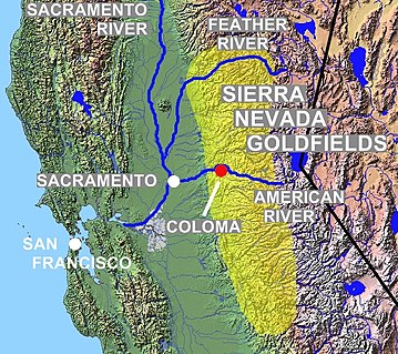
What we are told is that after the California Gold Rush, miners migrated up the Pacific coast in search of other gold deposits.
In 1880, mining engineer George Pilz from Sitka, which was formerly under Russian rule, offered a reward to any local native Alaskan who could lead him to gold-bearing ore.
Pilz received information that prompted him to direct prospectors Joe Juneau and Richard Harris to the Gastineau Channel to Snow Slide Gulch at the head of Gold Creek, where they found nuggets as big as “peas and beans.”
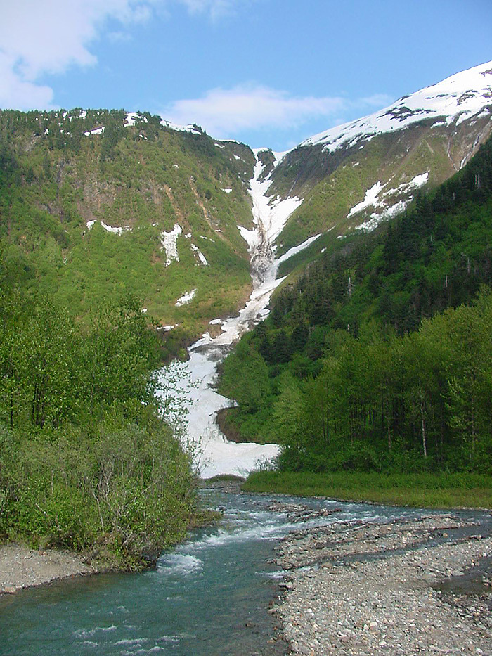
Shortly thereafter a mining camp sprang up, and shortly after that, so many people came looking for gold, that the camp became a village.
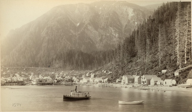
This is said to be a photo of Juneau in 1887.
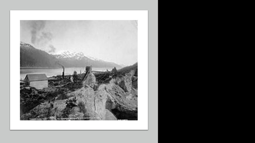
Major mining operations in the Juneau Mining District prior to World War II included the Treadwell Mine, owned and operated by a man named John Treadwell, southeast of Juneau on Douglas Island.
In its time, it was the largest hard-rock gold mine in the world, employing 2,000 people, and producing over 3-million Troy ounces of gold between 1881 and 1922.
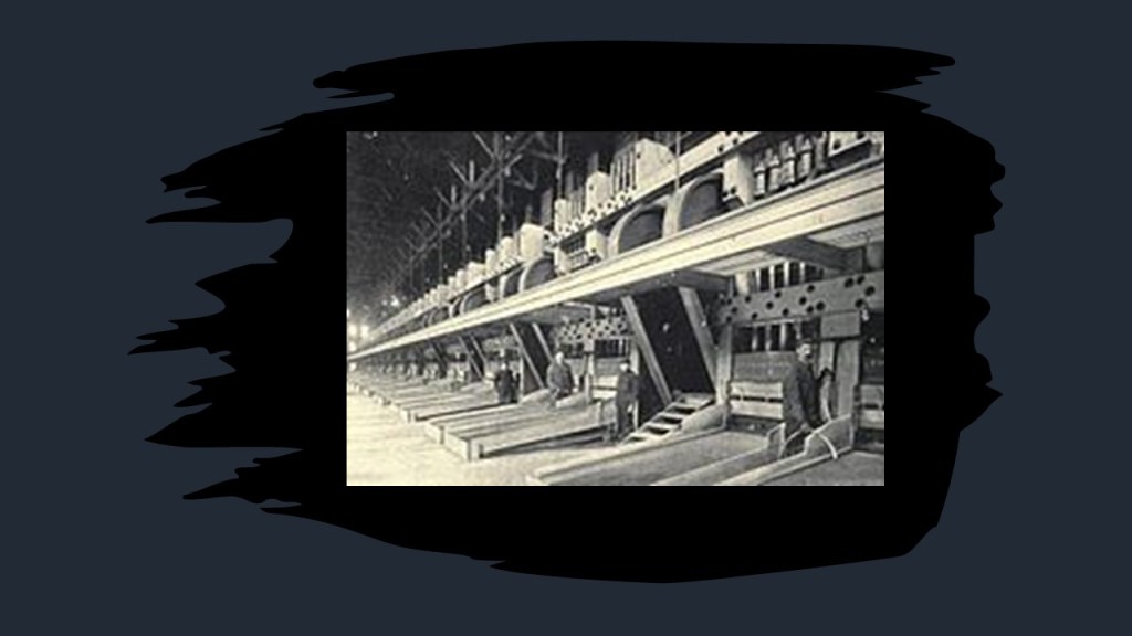
He operated a stamp mill, pictured here circa 1908, which mined gold by way of a mill machine that crushed ore by pounding rather than grinding for either further processing or extraction of metallic ores.
The next place we come to on the alignment is Whitehorse, the capital of Canada’s Yukon Territory.
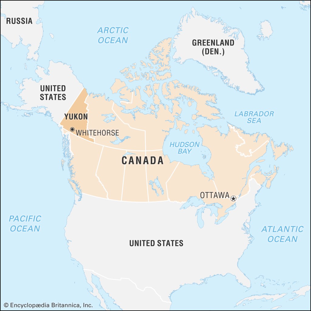
It was named after the White Horse Rapids, near Miles Canyon.
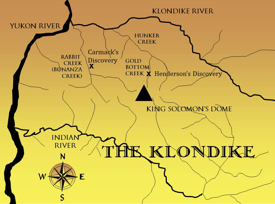
These rapids, and the Miles Canyon, provided a significant challenge to gold-seekers heading to the Klondike gold rush.

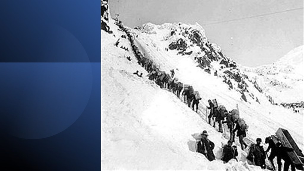
The Klondike Gold Rush was a migration by an estimated 100,000 prospectors to the Klondike region of northern Yukon between 1896 and 1899.
Same kind of story as the other places I have mentioned – as soon as word about the discovery of gold in the Klondike reached Seattle and San Francisco, it triggered a stampede of prospectors, immortalized in photos like this of the long-line waiting to cross the Chilkoot Pass, a high-mountain pass between the Boundary Ranges of the Coast Mountains between Alaska and British Columbia.
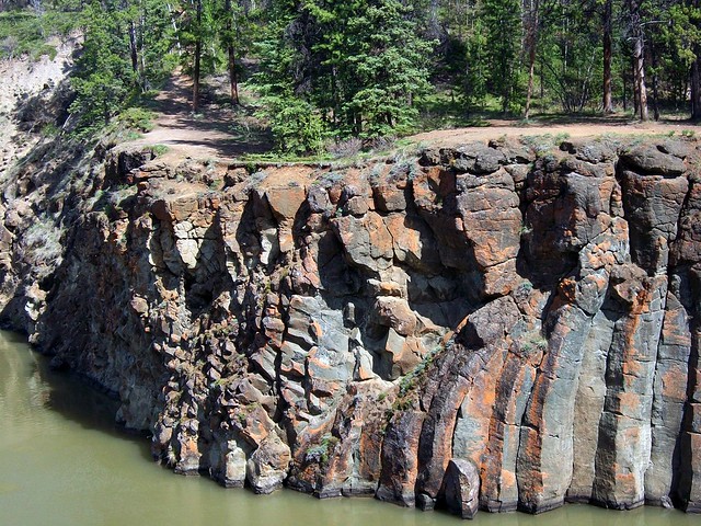
Miles Canyon is also one of the places I had in mind when I shared the pictures of the Lena River Pillars previously in this post.
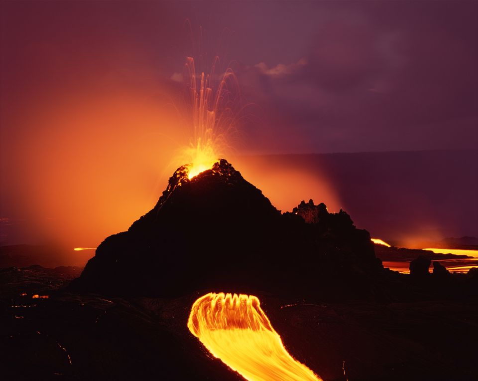
These are called the Miles Canyon Basalts.
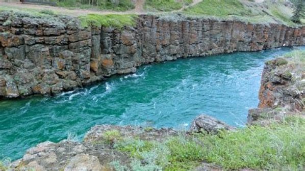
We are told they are a package of rocks that include various exposures of basaltic lava flows and cones that erupted and flowed across an ancient, pre-glacial landscape in south-central Yukon.
Again, because we are given no other possible explanation as to how they came into existence, we accept this information as the only explanation.
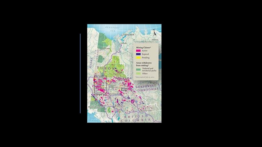
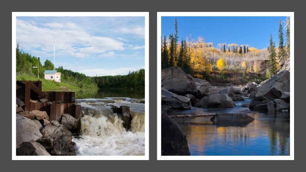
The Minto Mine is an open-pit copper and gold mine located 149-miles, or 240-kilometers, north of Whitehorse, beginning production in 2007…
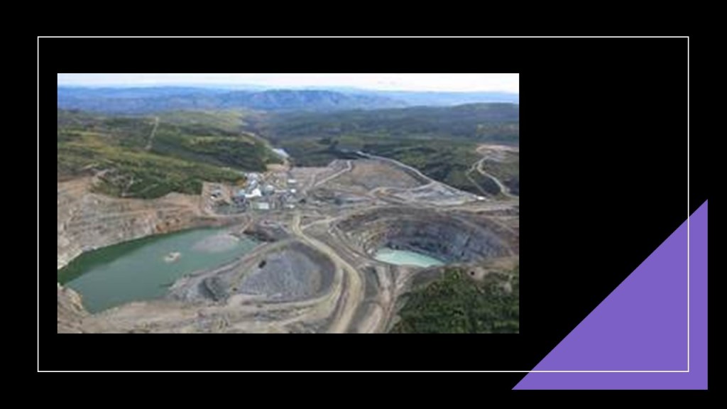
…and there are numerous mining claims in the Yukon Territory as well.
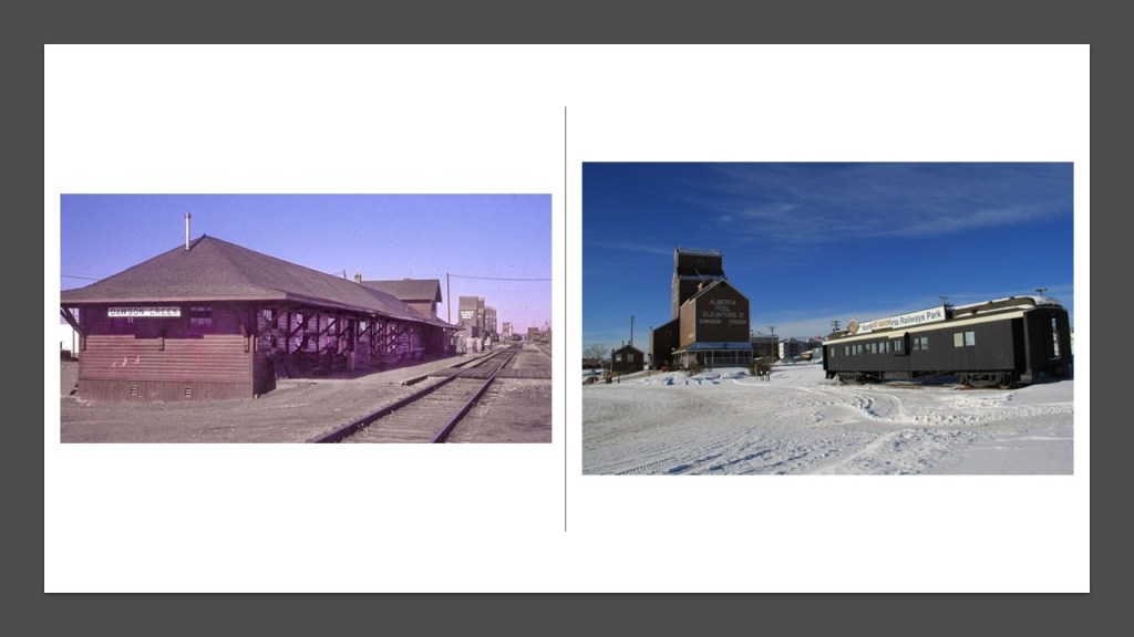
The next place we come to on the alignment is Dawson Creek, a city near the eastern edge of the Peace River Regional District of British Columbia.
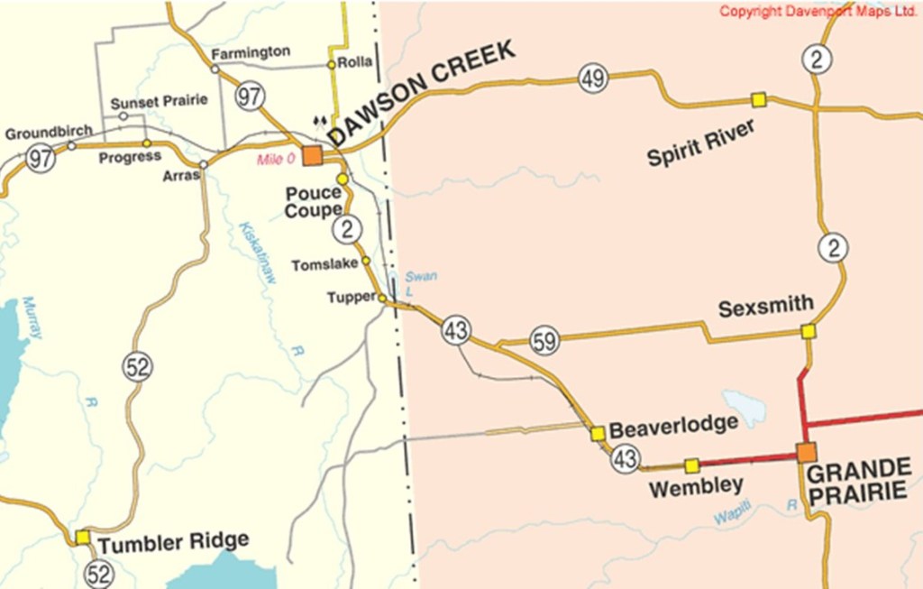
The city of Dawson Creek received its name from the Dawson Creek that flows through here, which was named after the surveyor George Mercer Dawson, when he and his team came through in 1879.
Dawson Creek became a regional center after the western terminus of the Northern Alberta Railways was extended there in 1932.
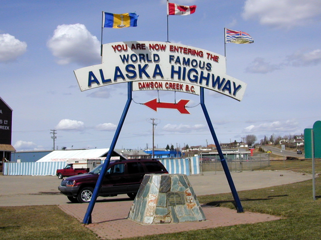
The community grew rapidly in 1942, when the U. S. Army used the rail terminus as a shipment point during the construction of the Alaska Highway, and it is the starting point of the Alaska Highway.
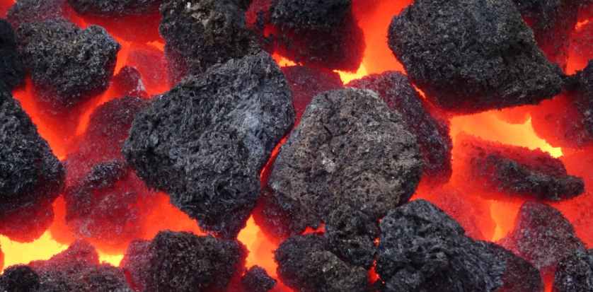
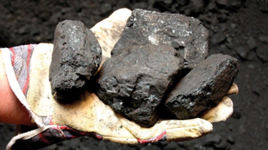
The Peace River Region of which Dawson Creek is a part has an extensive coal-mining industry, centered in the municipality of Tumbler Ridge.

There are at least five major mining projects here, with the Murray River Mine developed starting in 2017 as an underground metallurgical coal mine.
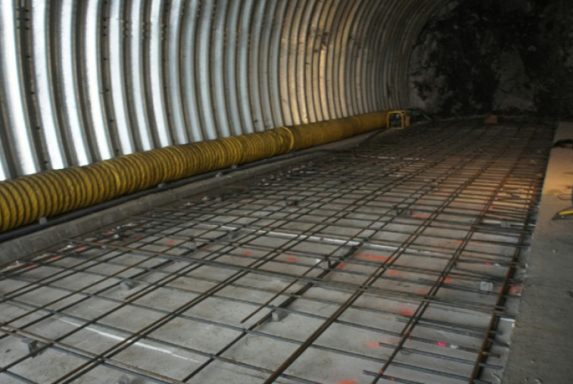
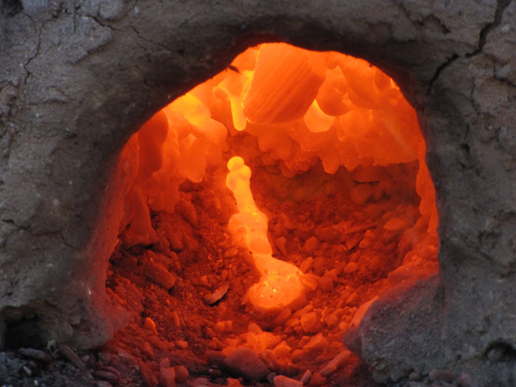
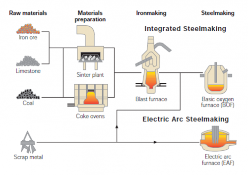
Metallurgical coal, or coking coal, is a grade of coal that can be used to produce good-quality-coke, which is used as an essential fuel and reactant in the blast furnace process for primary steel-making.
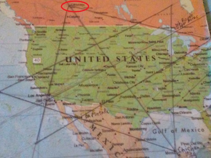
Next we come to Edmonton, the capital city of the Province of Alberta.
Edmonton is North America’s northernmost metropolitan area, with a population of over 1-million.
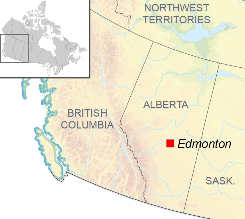
Edmonton is also the northern apex of the North American Star Tetrahedron that I found in 2016, which was the starting point of all of my research work.
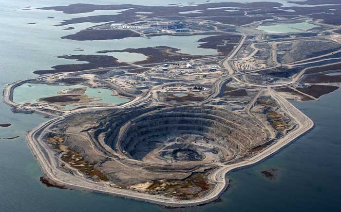
Known as the “Gateway to the North,” Edmonton is the staging area for large-scale oil sands projects in northern Alberta…
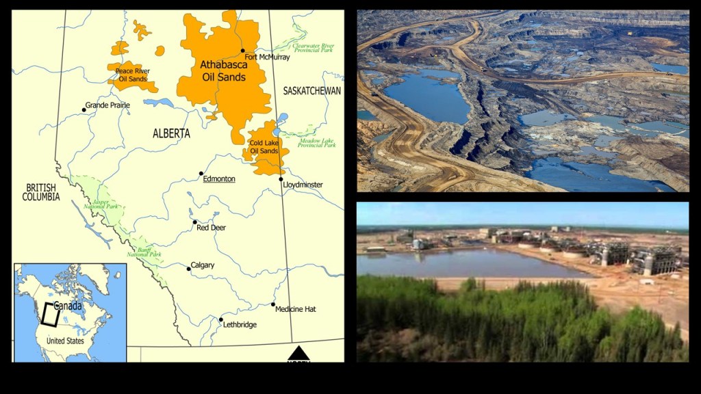
…and large-scale diamond-mining operations in the Northwest Territories.
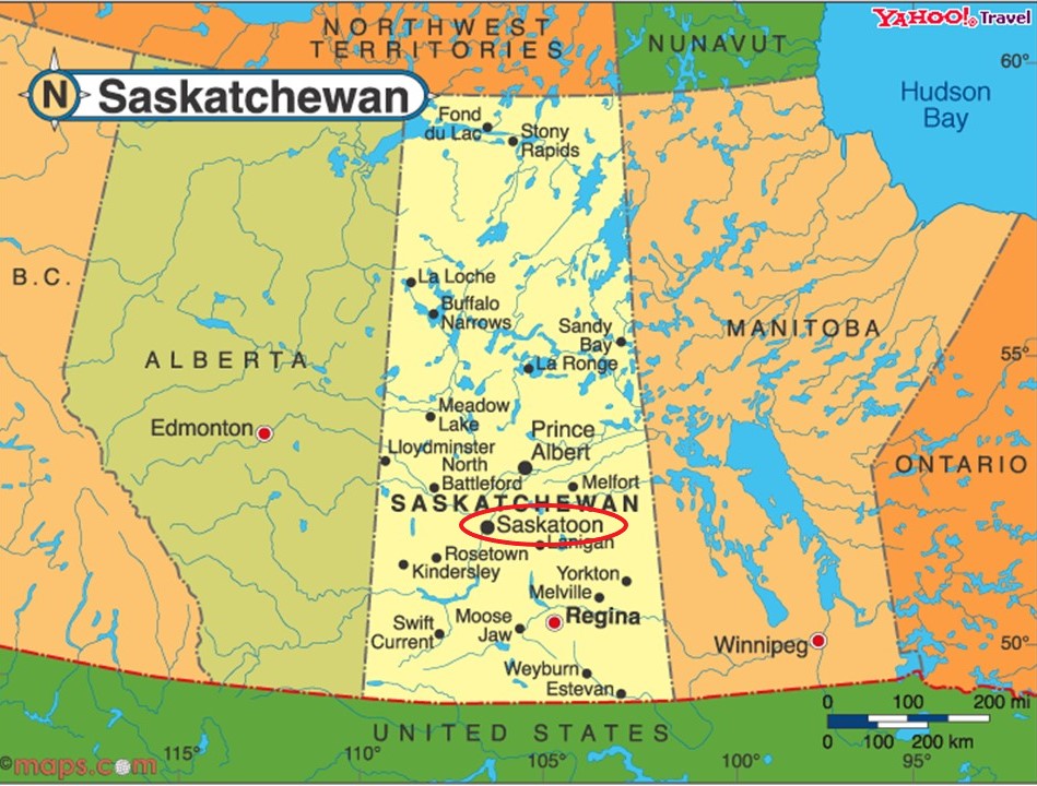
The next place on the alignment is Saskatoon on the South Saskatchewan River, and the largest city in the Province of Saskatchewan.
The city has nine river crossings, and is nicknamed “Paris of the Prairie”…
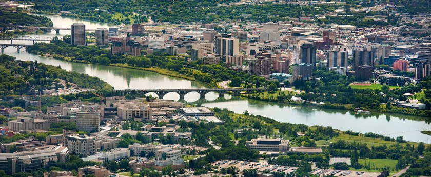
…and notable architecture like the Delta Bessborough Hotel, also known as the “Castle on the River,” said to have been built for and opened in 1935 for Canadian National Hotels, a division of Canadian National Railway.

We are told that the founding of Saskatoon started with the purchase of 21-sections of land straddling the South Saskatchewan River by the Toronto-based Temperance Colonization Society in 1882, for the purposes of setting-up a dry community in the prairie.
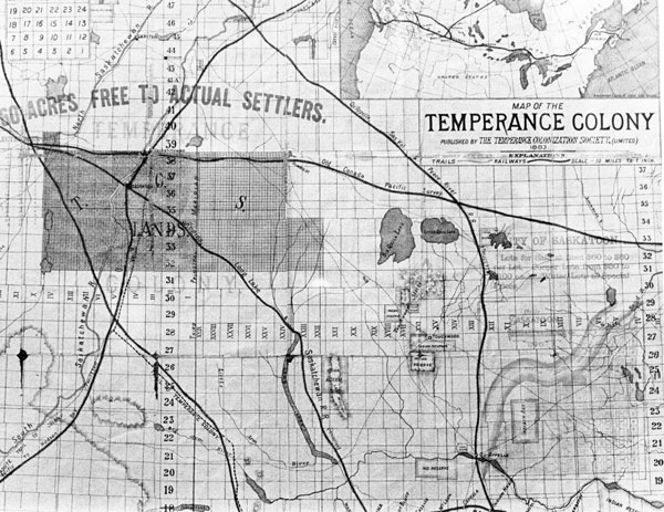
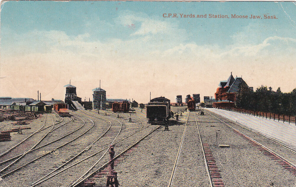
The first settlers were said to have arrived by railway from Ontario to Moose Jaw in Saskatchewan, then complete the final leg to what became Saskatoon by horse-drawn cart, as the railway had yet to be completed to Saskatoon.
Saskatoon lies on a long, rich belt of rich potassic chernozem, which is a rich, black-colored soil containing a high-percentage of humus, or amorphous organic soil material, and high-percentages of phosphoric acids, phosphorus, and ammonia.
It is very fertile, and can produce high agricultural yields.
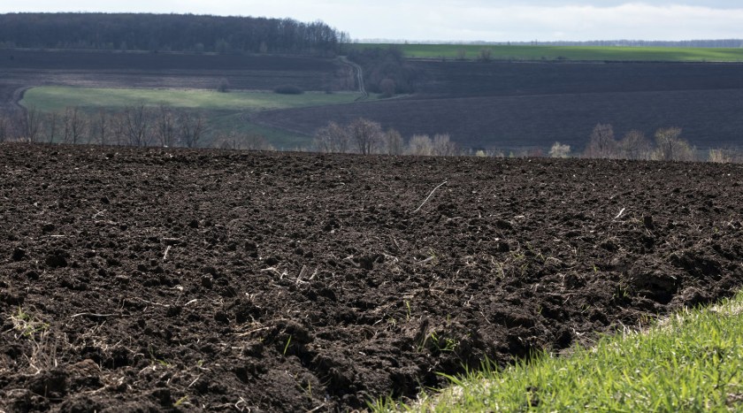
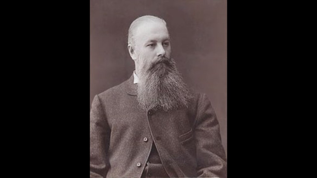
It was said to have been first identified and named by Russian geologist and soil scientist Vasily Dokuchaev in 1883, when he was studying the tall-grass steppe, or prairie, of European Russia.
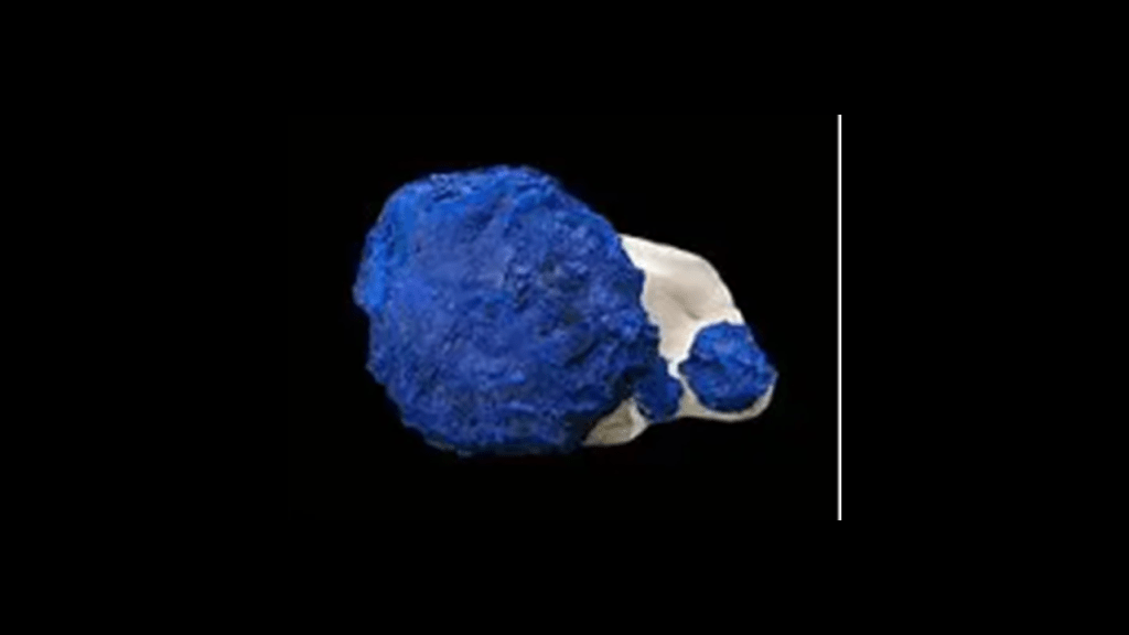
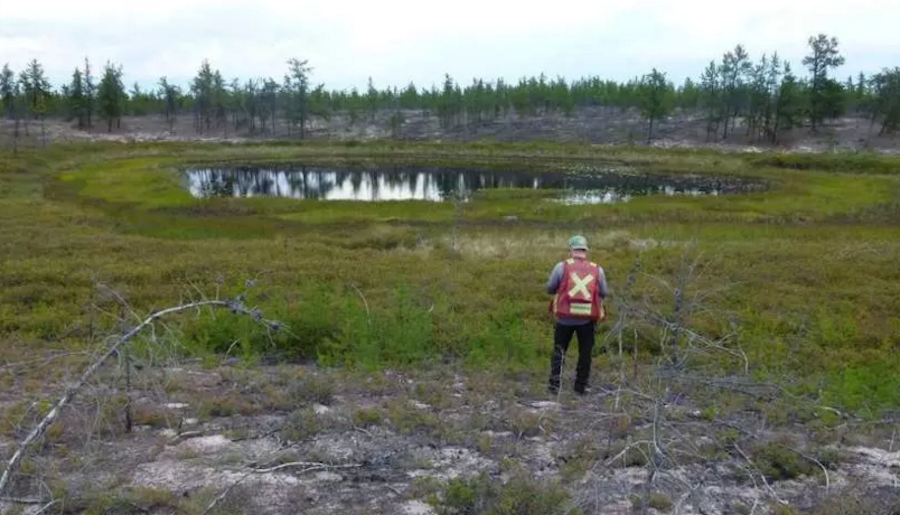
Kimberlite, a rare, blue-tinged, coarse-ground intrusive igneous rock sometimes containing diamonds…
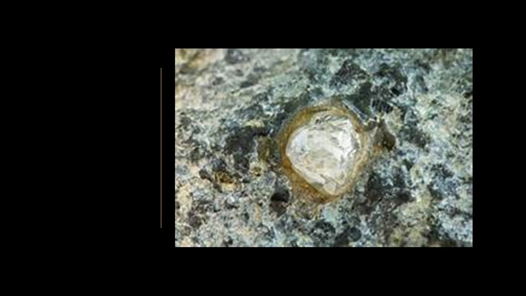
…was first discovered in the Sturgeon Lake area of northwestern Saskatchewan in 1988.
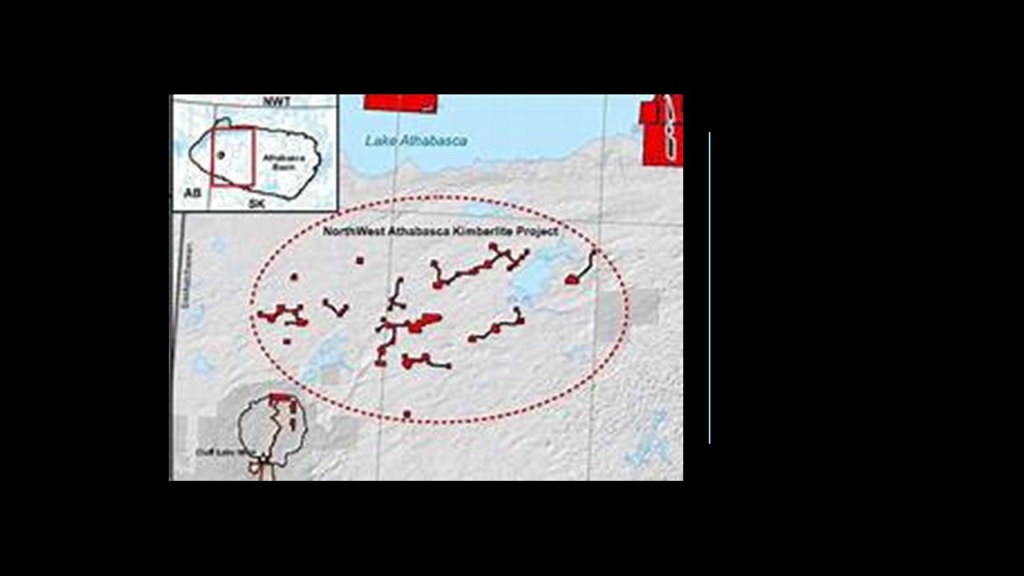
In 2016, DeBeers tested for kimberlite targets in the Northwest Athabaska Kimberlite Project, but ended its search when drill-test results from several targets did not yield expected results.
The DeBeers Group, an international corporation that specializes in all aspects of the diamond industry, was founded in 1888 by British businessman, Cecil Rhodes.
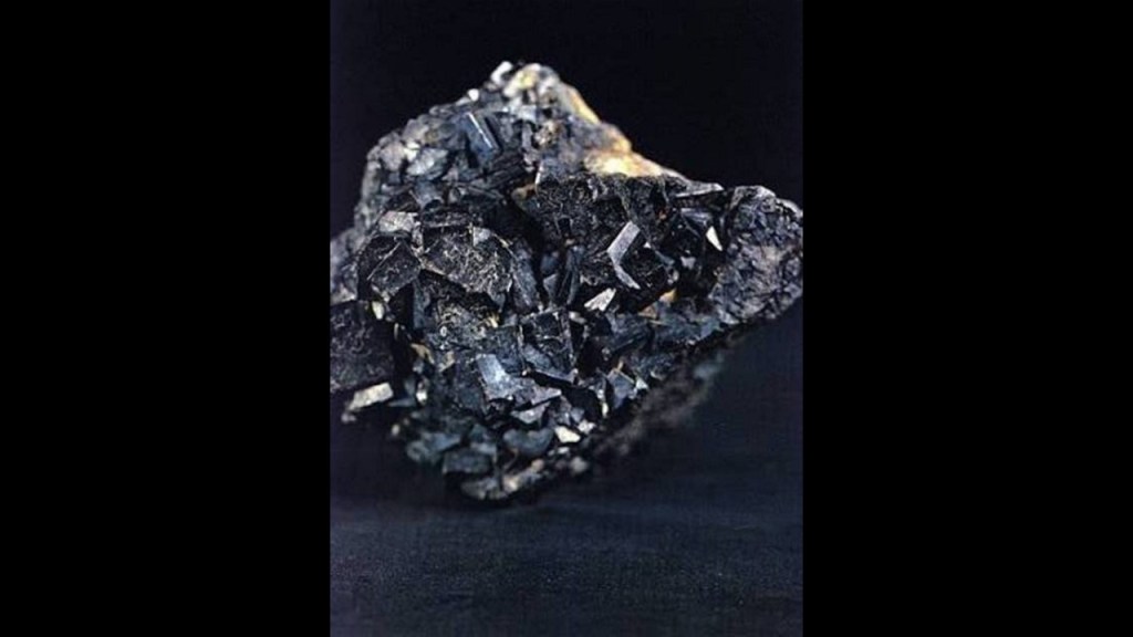
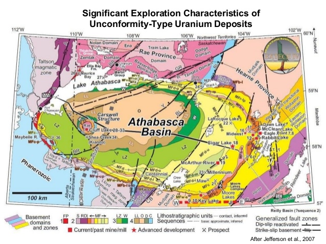
The Athabasca Basin is best known for its substantial uranium deposits.
Next, the alignment crosses Winnipeg, the capital and largest city of the Province of Manitoba, located on the confluence of the Red and Assiniboine Rivers.
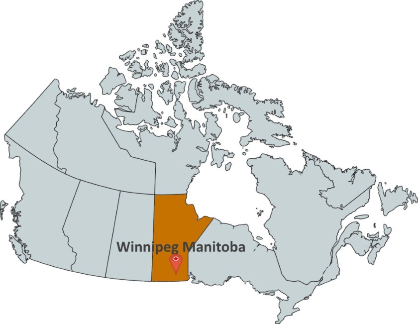
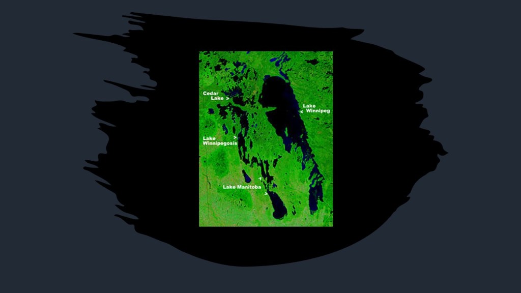
The city is named for the nearby Lake Winnipeg…
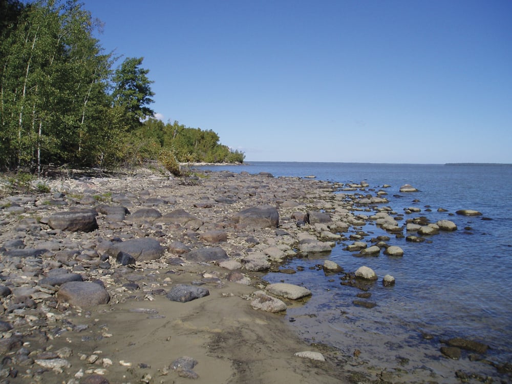
…which has the largest watershed of any lake in Canada, receiving water from four U. S. states, and four Canadian provinces.
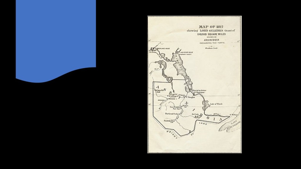
Lord Selkirk, a Scottish philanthropist, was involved with the first permanent settlement by sponsoring immigrant settlements in Canada starting in 1811 at what was known as the Red River Colony.
He purchased the land from the Hudson Bay Company, and surveyed the river lots for immigrant settlement.
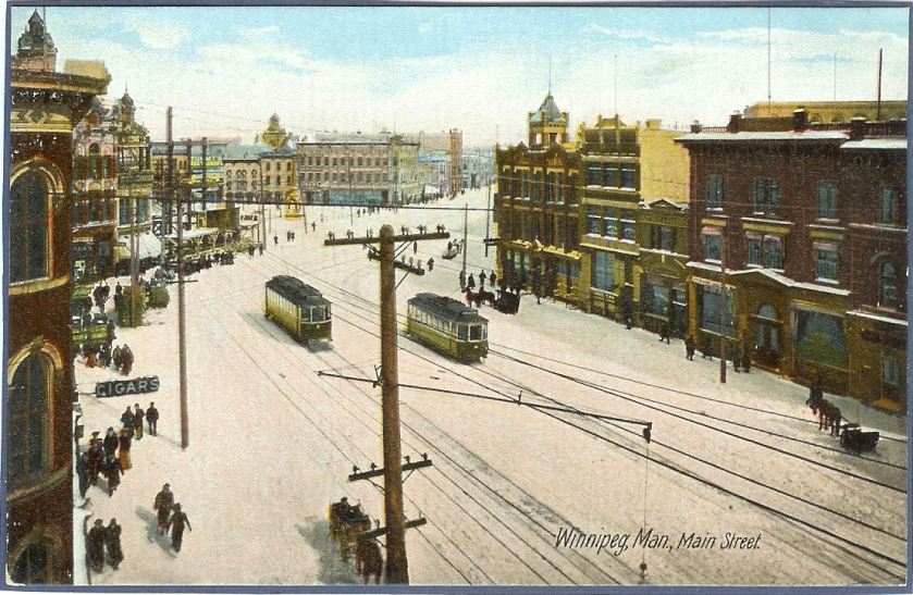
We are told Winnipeg developed rapidly after the coming of the Canadian Pacific Railway in 1881…
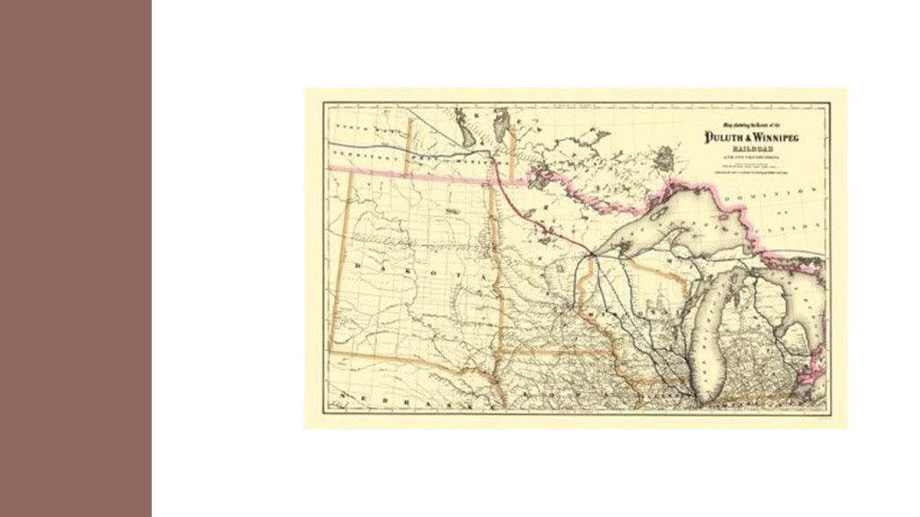
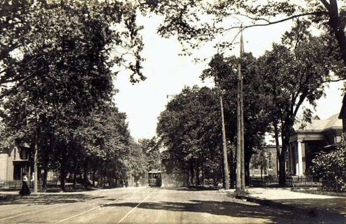
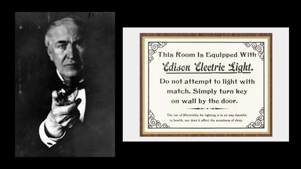
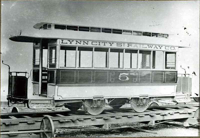
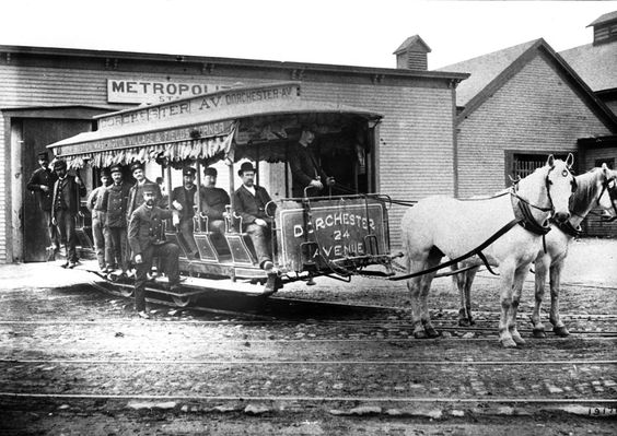
…and became a transportation hub, including having electric streetcars at one time, according to this historical postcard, among other things.
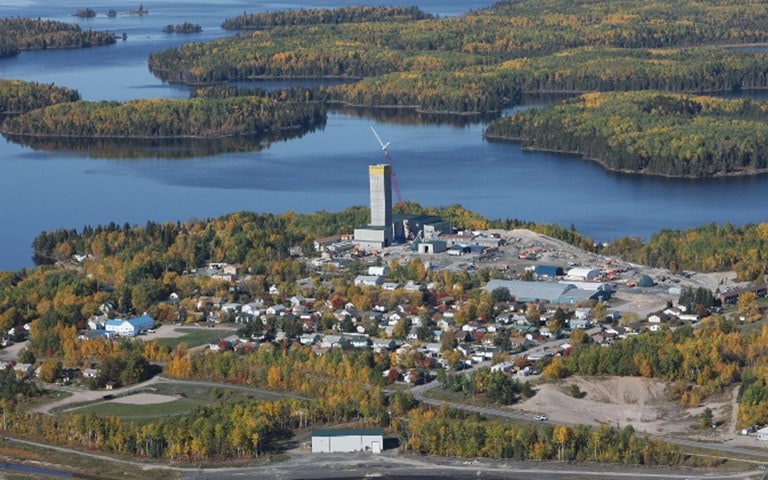
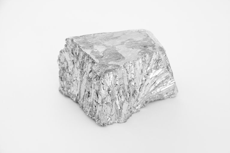
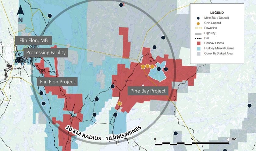
Manitoba is home to several active mines, one of which is in Flin Flon, Manitoba, on the provincial border with Saskatchewan.
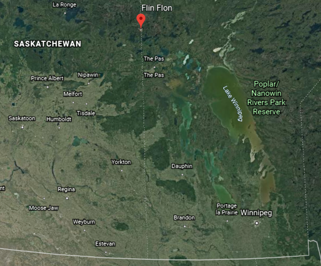
It has high-grade zinc and copper deposits in what is called a VMS, or “Volcanogenic Massive Sulphide” deposit.
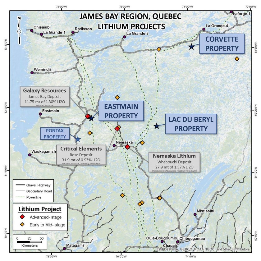
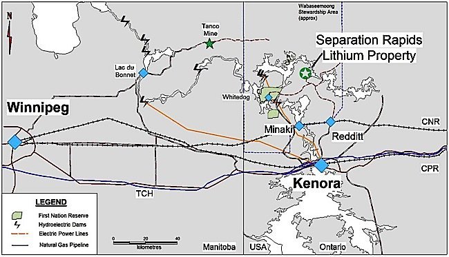
Manitoba also produces 100% of Canada’s cesium, lithium, and tantalum, minerals used in such things as electronics, specialized batteries, and jet engine components.
Cesium is a chemical element with the symbol “Cs” and atomic number of 55.
It is a silvery-golden alkali metal with a melting point of 83.3-degrees Fahrenheit, or 28.5-degrees Celsius, one of only five elemental metals that are liquid at near room temperature.
It has a wide range of applications in the production of electricity, in electronics, and in chemistry.
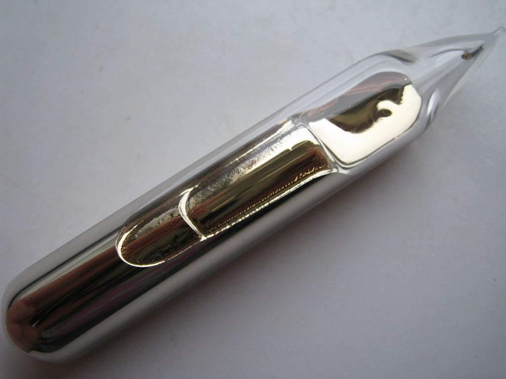
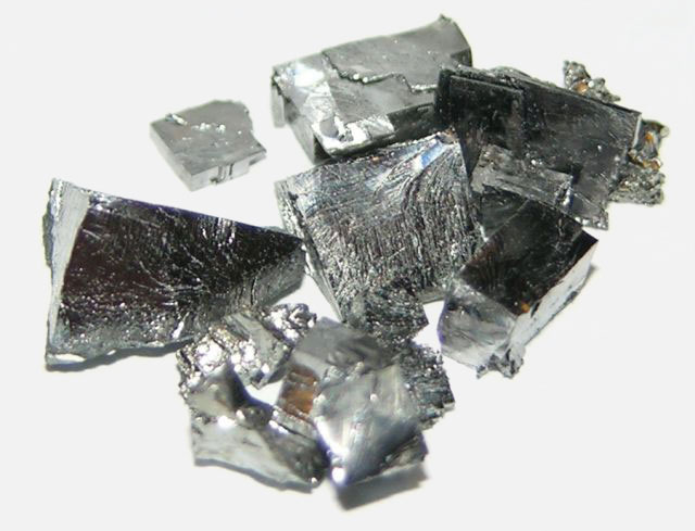
Tantalum is a chemical element with the symbol “Ta” and the atomic number of 73.
It is a rare, hard, blue-gray lustrous metal that is highly resistant to corrosion.
The chemical inertness of tantalum makes it a valuable substance for laboratory and electronic equipment and as a substitute for platinum.
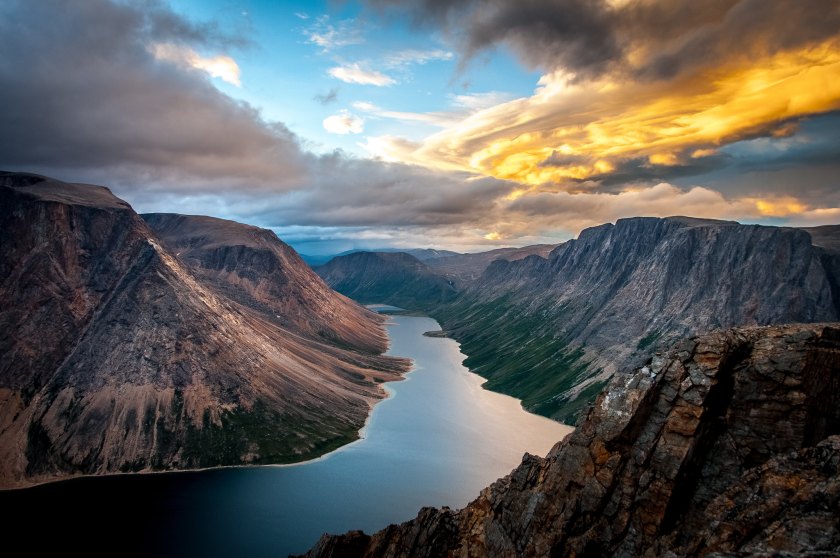
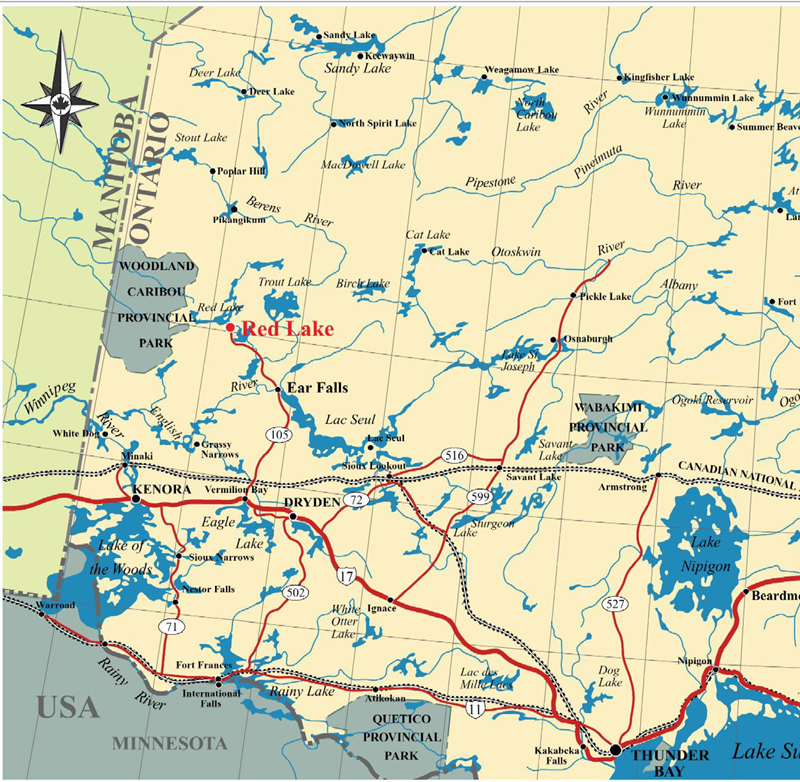
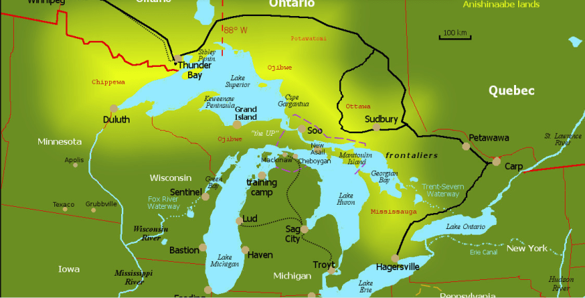
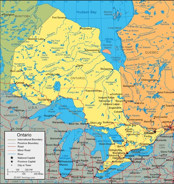
We come now to Thunder Bay, Ontario, on this alignment.
Thunder Bay is the seat of the Thunder Bay District in Ontario and is located at the head of Lake Superior.
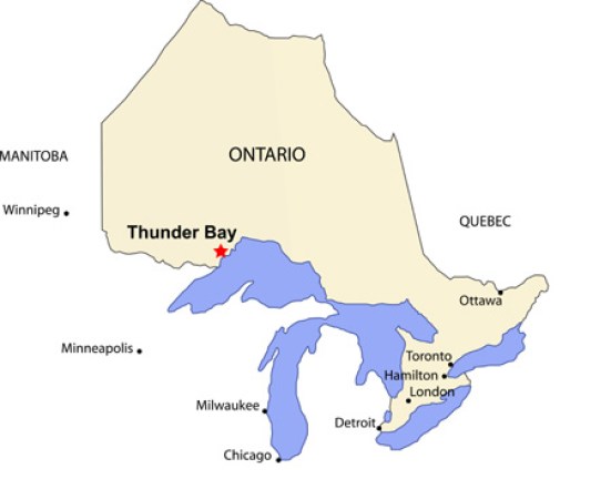
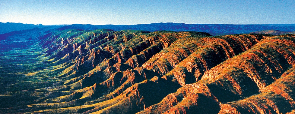
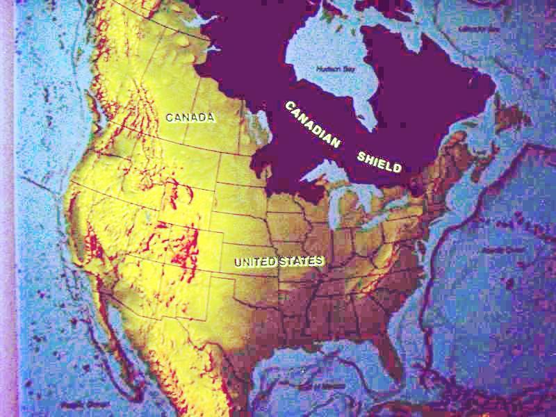
We have crossed into the southern edge of the Canadian Shield, also known as the Laurentian Plateau.
It is called one of the world’s largest geologic continental shelves, of exposed precambrian igneous and high-grade metamorphic rock that forms the ancient geological core of North America.
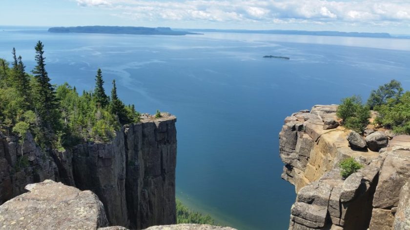
So I want to share some photos with you of what it looks like with all those nice straight edges, angles, and flat stone surfaces.
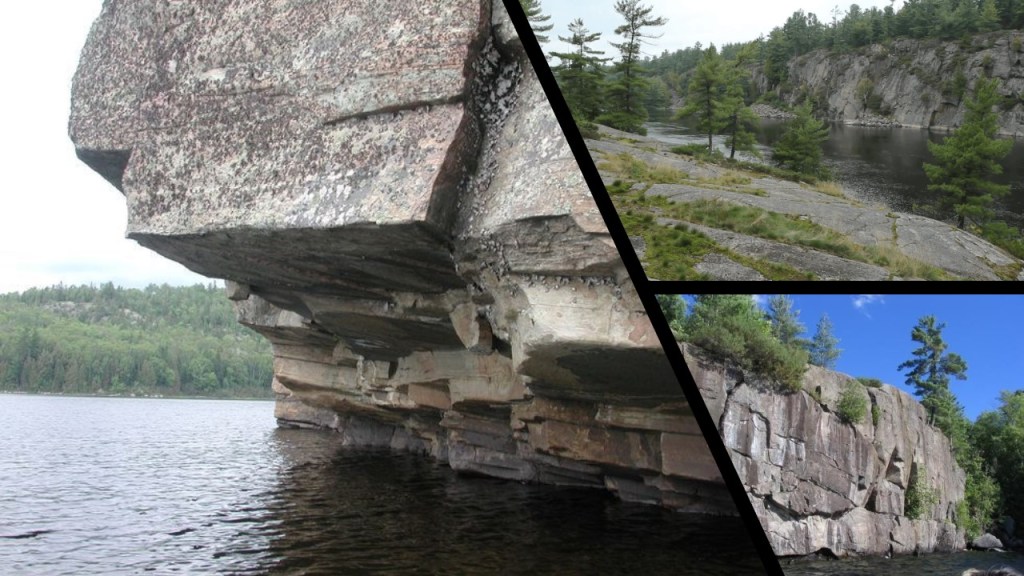
This picture was taken at Sleeping Giant Provincial Park near Thunder Bay.
There are several places of interest in the vicinity of Thunder Bay.
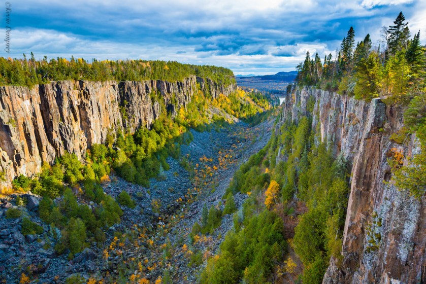
One is Ouimet Canyon is thirty-seven miles, or sixty kilometers, northeast of the city of Thunder Bay.
This is another place I would like to bring to your attention for its similarity to the Lena River Pillars and Miles Canyon Basalts.
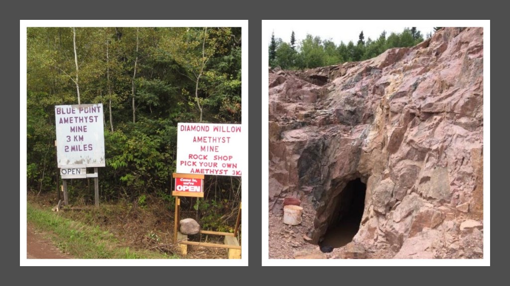
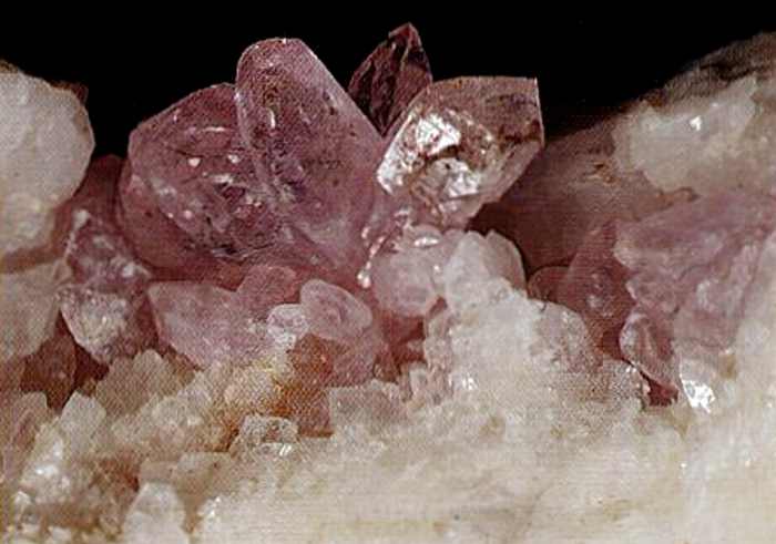
There are also Amethyst Mines close to the alignment as it goes through the Thunder Bay District.
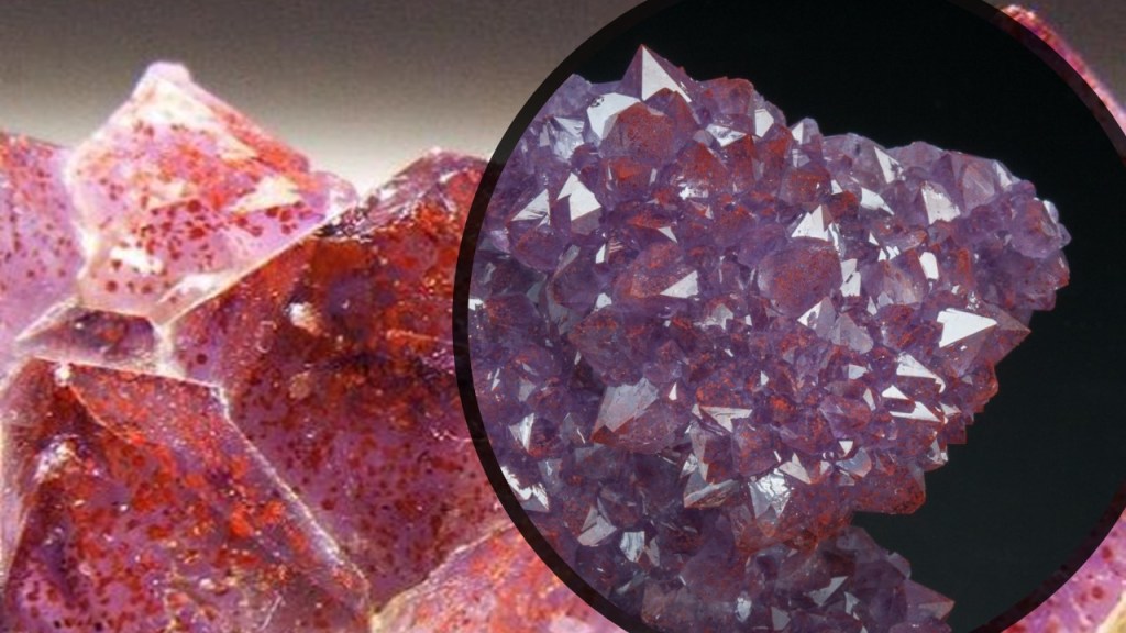
These are Thunder Bay amethysts, with hematite inclusions showing up as the red colorations in the amethyst points.
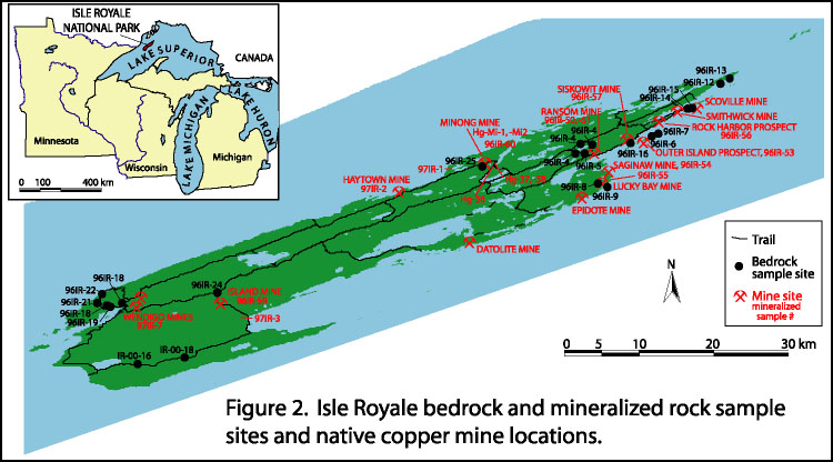
Next we come to Isle Royale in Lake Superior.
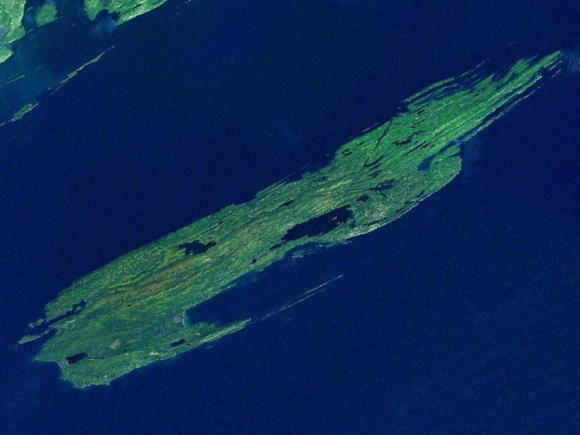
While geographically it is very close to Grand Portage in Minnesota, it is part of the State of Michigan.
It is the only national park in Michigan, and the only island national park in the United States.
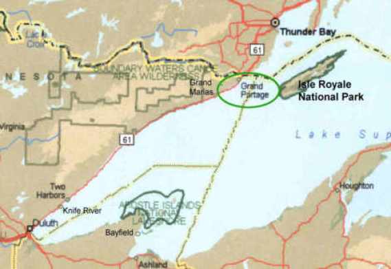
Isle Royale was known for its ancient copper mines dating at least back to the Bronze Age, and considered the purest copper in the world.
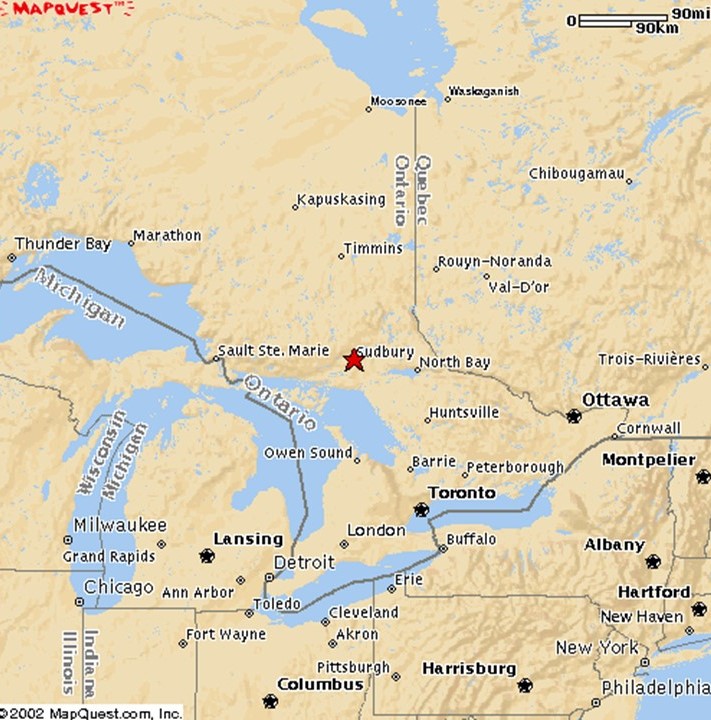
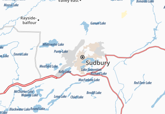
Next we come to Sudbury, officially Greater Sudbury, the largest city in Northern Ontario, a geographic and administrative region of Ontario, but is administered as a Unitary authority, and not part of any district, county or regional municipality.
We are told the Sudbury region was inhabited by the Ojibwe, an Anishanaabe people of the Algonquin Group, for 9,000-years.
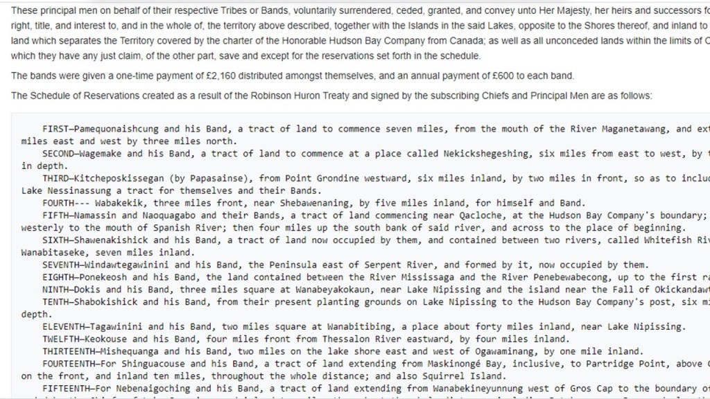
We are told a large tract of land, including what is now Sudbury, was signed over to the British Crown in 1850, by the local chiefs, as part of the Robinson-Huron Treaty.
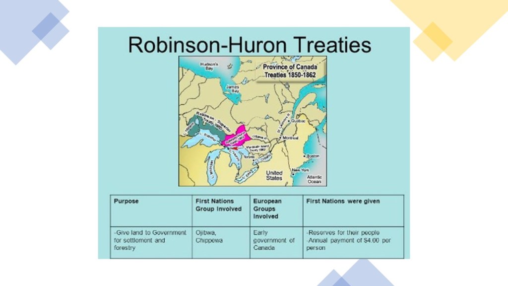
In return, the Crown pledged to pay an annuity to these First Nations people, originally set at $1.60 per treaty member, and it was last increased to $4 in 1874, where it is fixed to this day.
Reservations were also established as result of this Treaty.
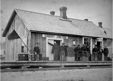
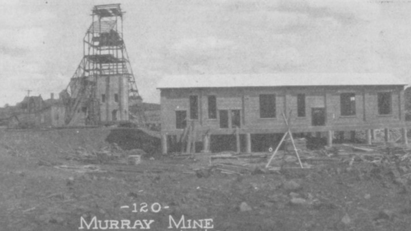
We are told nickel, and copper, ore was discovered in Sudbury in 1883, the same year as its founding, during the construction of the transcontinental railway.
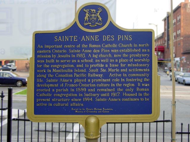
The Jesuits arrived here in 1883, the same year the railroad was coming through, and established the Sainte-Ann-des-Pins Mission.
The Murray Mine, where there was a high concentration of nickel-copper ore, was said to have been the first mine established in 1883, apparently “discovered” by a blacksmith in the railway construction gang.
It was mined during different periods of time between 1883 and 1971.
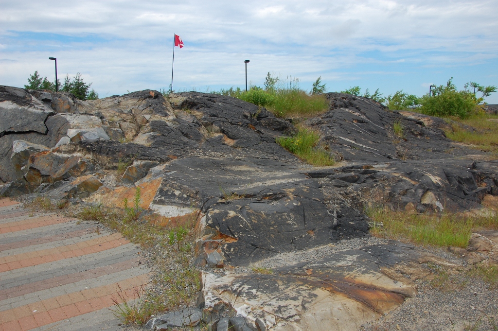
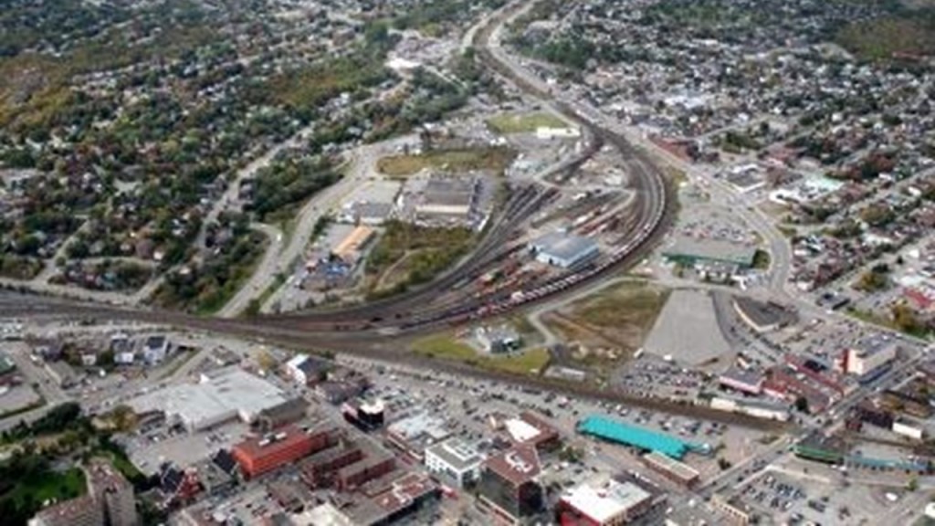
The people who live in Greater Sudbury live in an urban core, with many smaller communities scattered around 330 lakes…
… and among rock-hills said to have been blackened by the historical smelting that took place here.
In its history, Sudbury has been a major world leader in nickel mining.
Mining and mining-related industries dominated the economy here for much of the 20th-century, and has expanded to emerge as the major retail, economic, health, and educational center for northeastern Ontario.
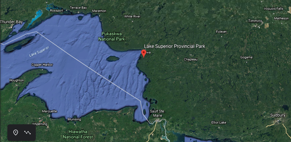
The Lake Superior Provincial Park is northwest of Sudbury, and one of the largest provincial parks in Ontario.
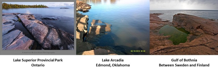
On the left is a photo of Katherine Cove at Lake Superior Provincial Park, compared for similarity of appearance with Lake Arcadia in Edmond, Oklahoma, in the middle, and the Gulf of Bothnia on the right, on the alignment earlier in this post, between Sweden and Finland.
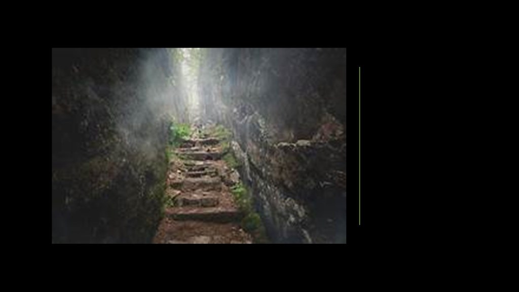
The stone steps and walls pictured here are also at Lake Superior Provincial Park.
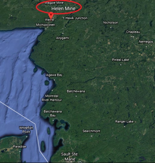
Not too far from the northern end of Lake Superior Provincial Park, and the Township of Wawa, there are numerous mining concerns, including gold…
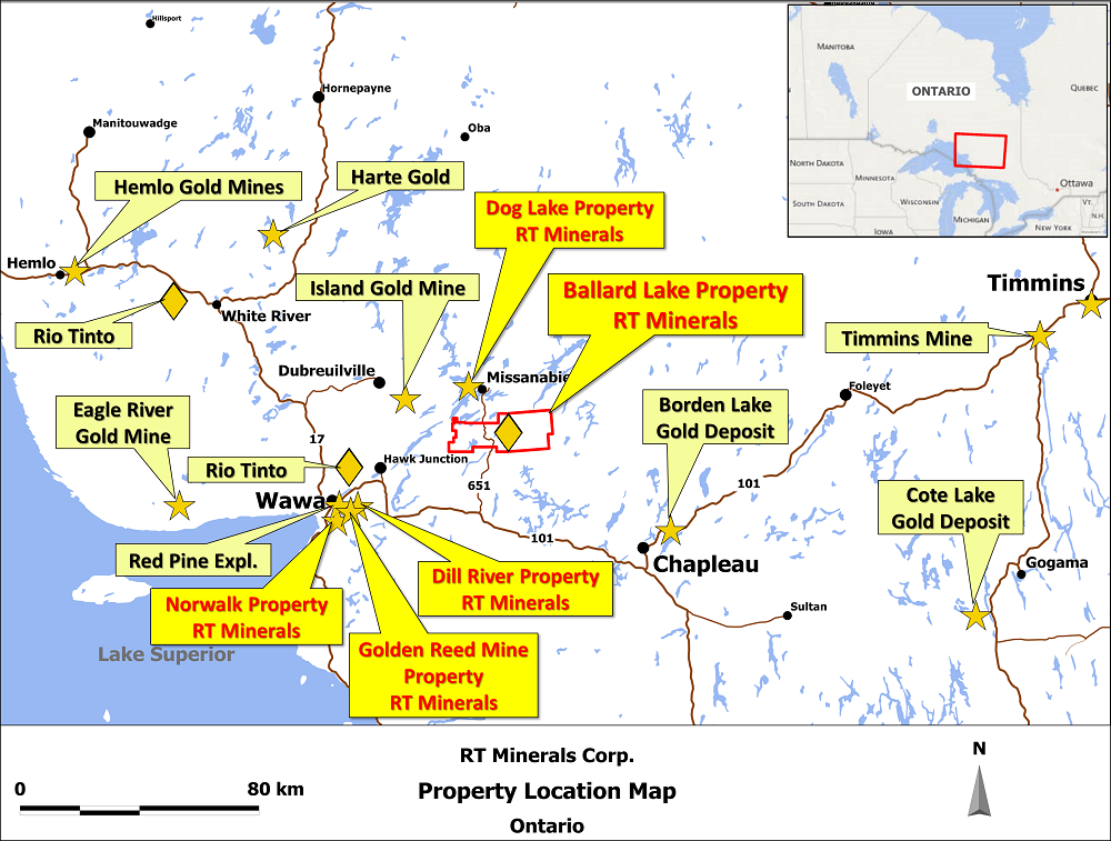
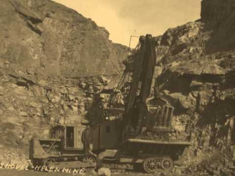
…and historical mining for iron ore at the defunct Helen Mine and Magpie Mine.
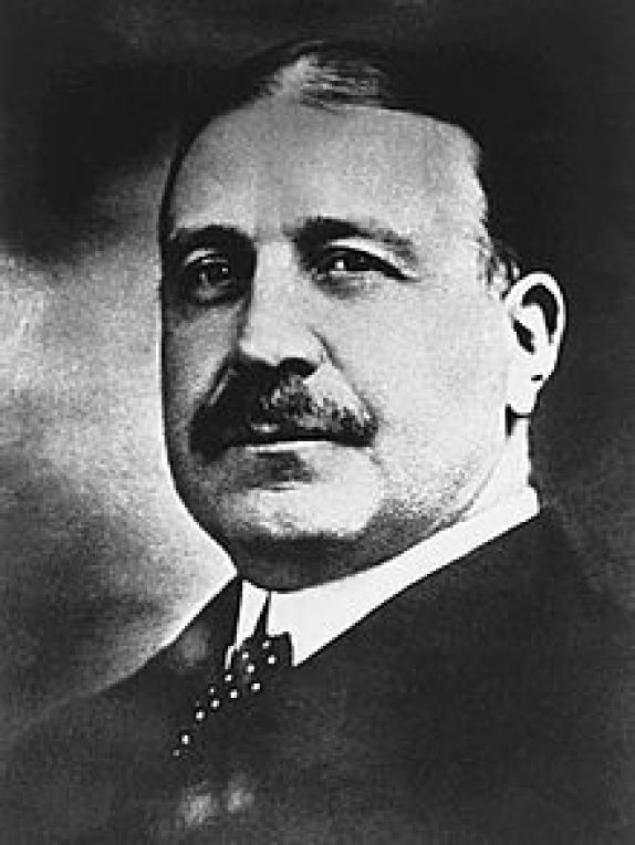
Starting in 1900, the Helen Mine was owned and mined by…
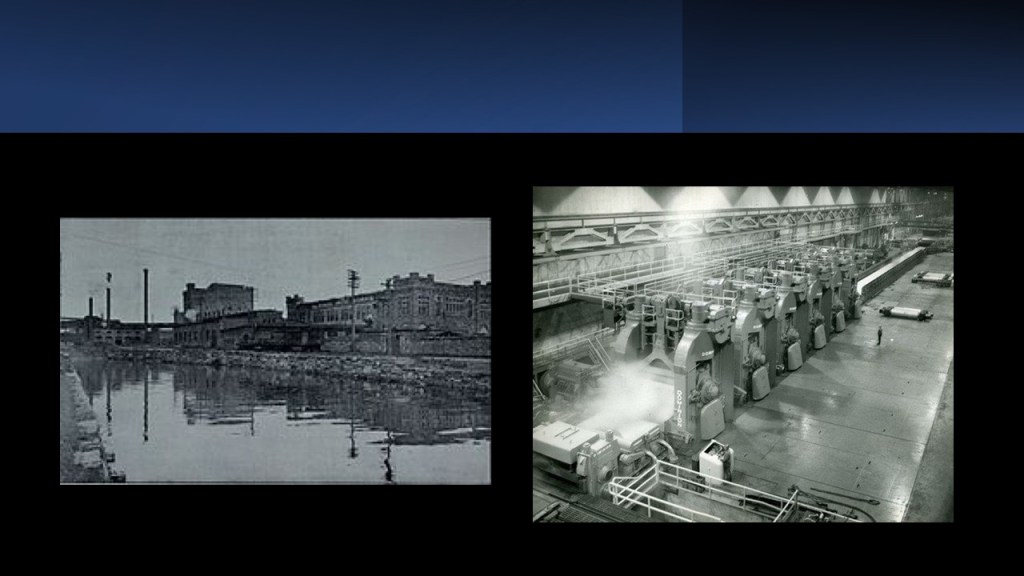
…Francis Clergue, an American businessman who became the leading industrialist of Sault Ste. Marie, Ontario, who was said to have been responsible for…
…the building of the Algoma Central Railway, which was chartered in 1899…
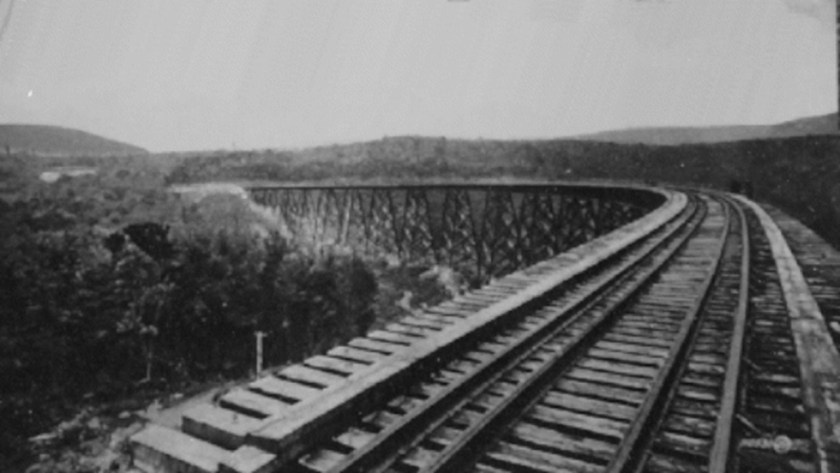
…and starting in 1902, was said to have built a large refinery and steel mill in Sault Ste. Marie, where the ore was shipped after it opened in 1904.
We are told that a large iron deposit was discovered north of the Helen Mine in 1909.
The land was purchased by the Algoma Steel Company, and the Magpie Mine was commercially developed, in production between 1914 and 1926.
Ottawa, the capital city of Canada, is on the south bank of the Ottawa River on Ontario’s border with Quebec, with Gatineau on the other side of the river in Quebec.
We are told that it was founded as Bytown in 1826, which was marked by a sod-turning, and a letter from Governor-General Dalhousie which authorized Lt. Col. John By to divide up the town into lots.
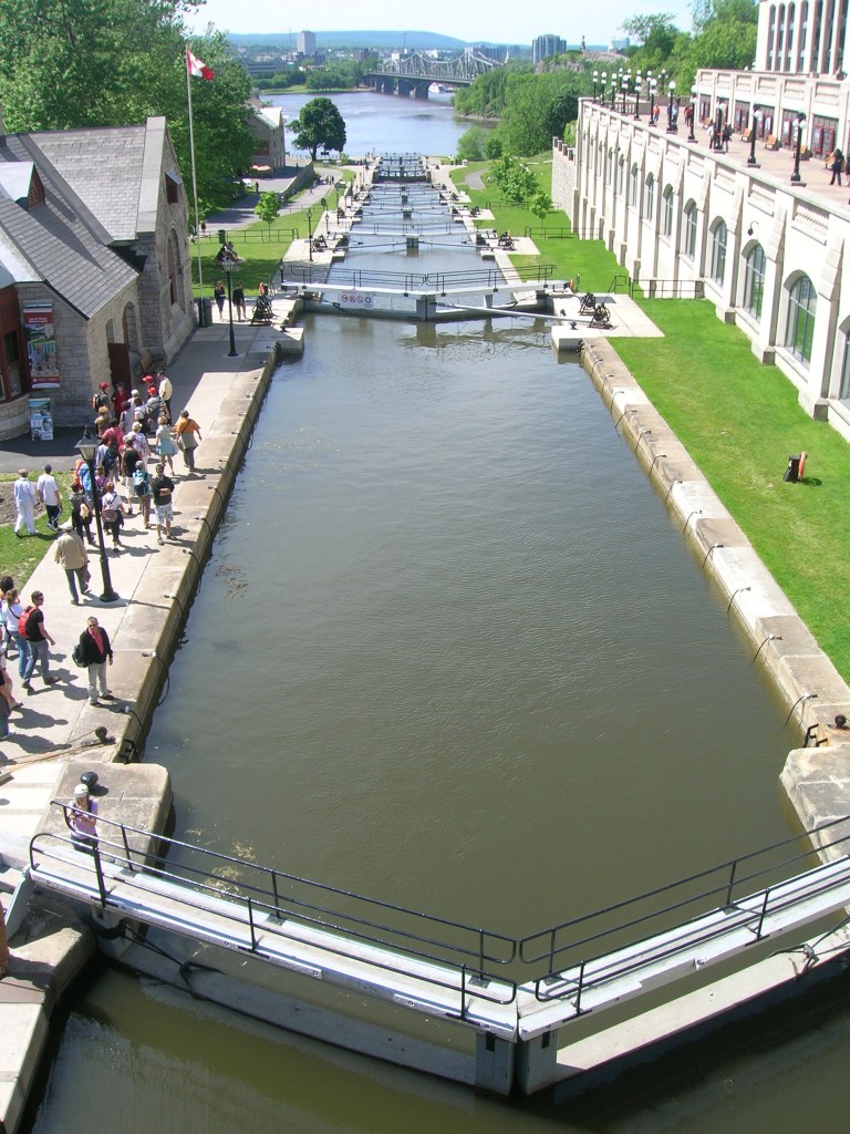
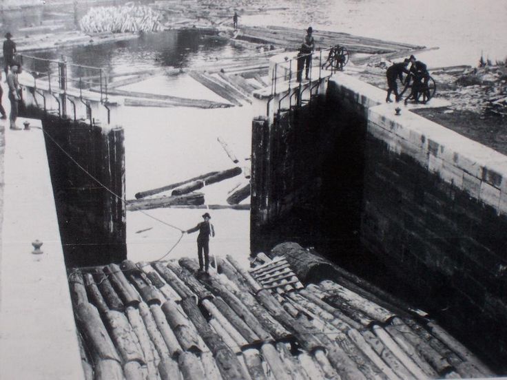
We are told Bytown came about as a direct result of the construction of the Rideau Canal, which was said to have been built by Lt. Col. By, and opened in 1832…
…and Bytown was said to have grown because of the Ottawa River timber trade.
Bytown was incorporated as a town on January 1st of 1850, and this was superseded by the incorporation of the city of Ottawa on January 1st of 1855.
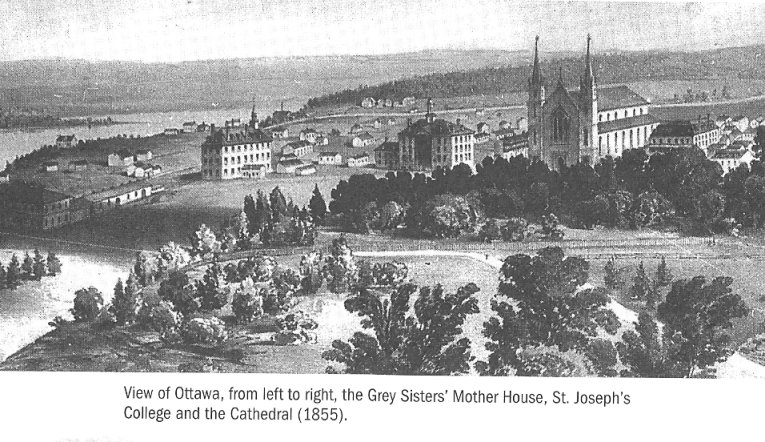
This is a depiction of Lower Town in Ottawa in 1855.
Lower Town is said to be the oldest part of the city.
Our history tells us that on New Year’s Eve of 1857, Queen Victoria was presented with the responsibility of choosing the location for the permanent capital of Canada, with Ottawa being described as a small, frontier town.

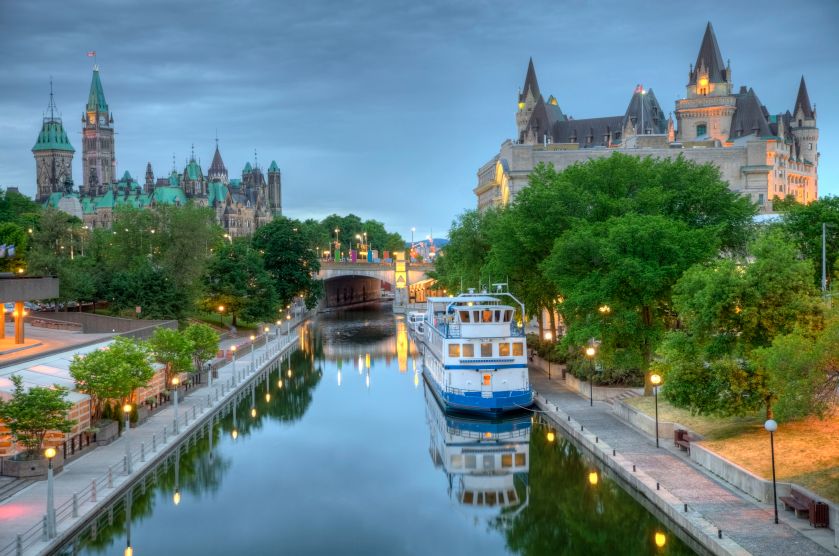
The Parliament buildings were said to have been constructed between 1859 and 1866, in an architectural style called Gothic Revival.
This a view of Parliament Hill from the Rideau Canal.
We are told the first gold was discovered at Eldorado in 1866, southwest of Ottawa.
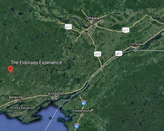
That year, we are told that prospector Marcus Powell was in a 15-foot, or 5-meter, deep hole on a hill, whacking away at a seam of copper with a pick-axe and shovel, when he broke into a cave.

Years later, he described the cave as being “12-feet-long, six-feet-wide and six-feet-high,” or “4-meters-long, 2-meters-wide and 2-meters-high.”
The rush was on when he said the largest nugget was the size of a butternut…
…and the cave walls as dripping with golden leaves.
Pictured here is a wall at the Rosia Montana Gold Mines in western Transylvania in Romania, located in a region known as the “Golden Quadrilateral”…
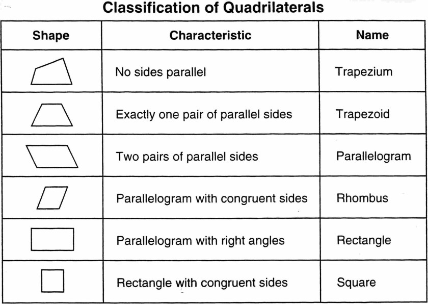
A quadrilateral is a geometric 4-sided figure.
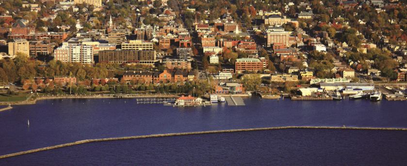
Next we come to Burlington, the largest city in the state of Vermont, and located 45-miles, or 72-kilometers, south of Vermont’s border with the Canadian province of Quebec.
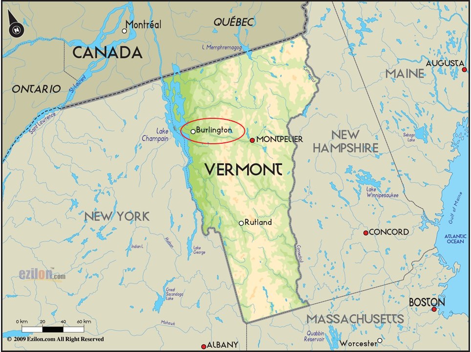
We are told the town’s position on Lake Champlain helped it develop into a Port of Entry and center for trade…
…after the completion of the Champlain Canal in 1823, which connects Lake Champlain with the Hudson River system…
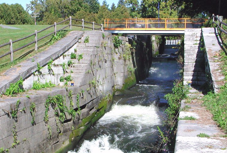
…New York’s Erie Canal in 1825…
…and the Chambly Canal along the Richelieu River in Quebec in 1843, part of a waterway that connects the St. Lawrence River with the Hudson River in New York.
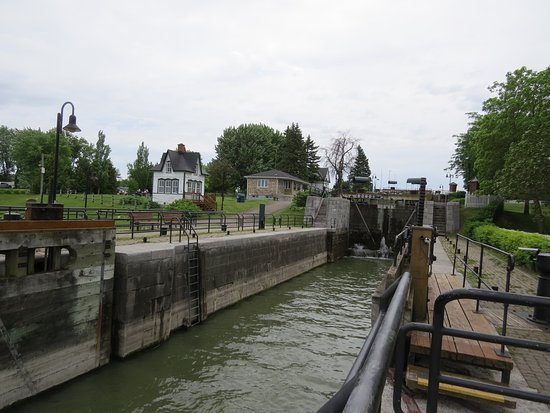
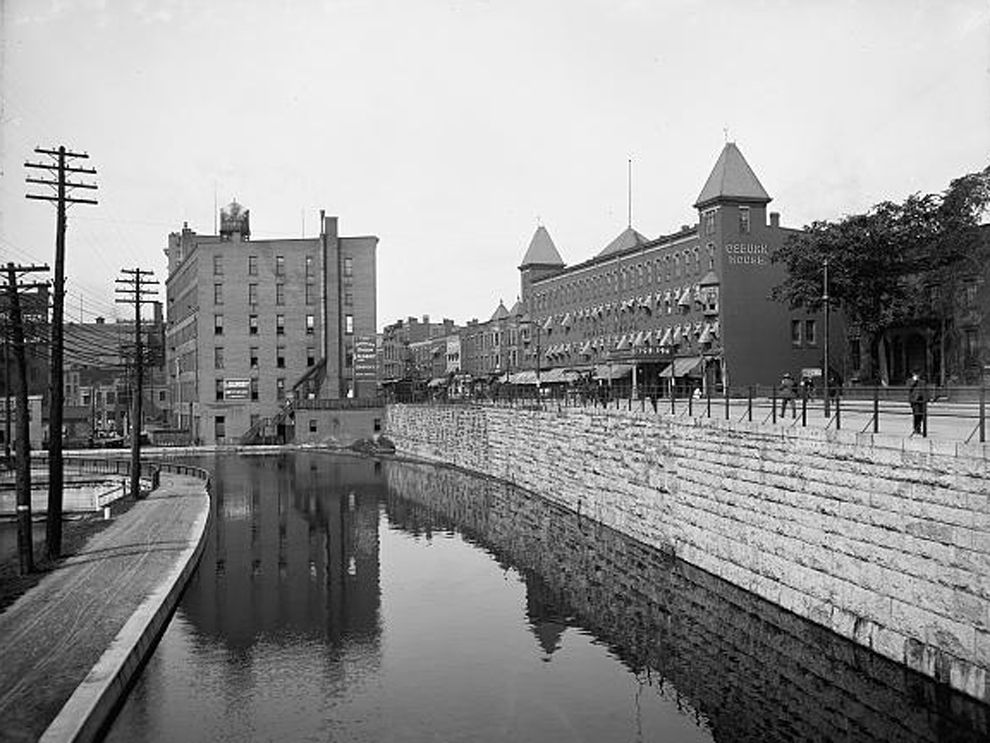
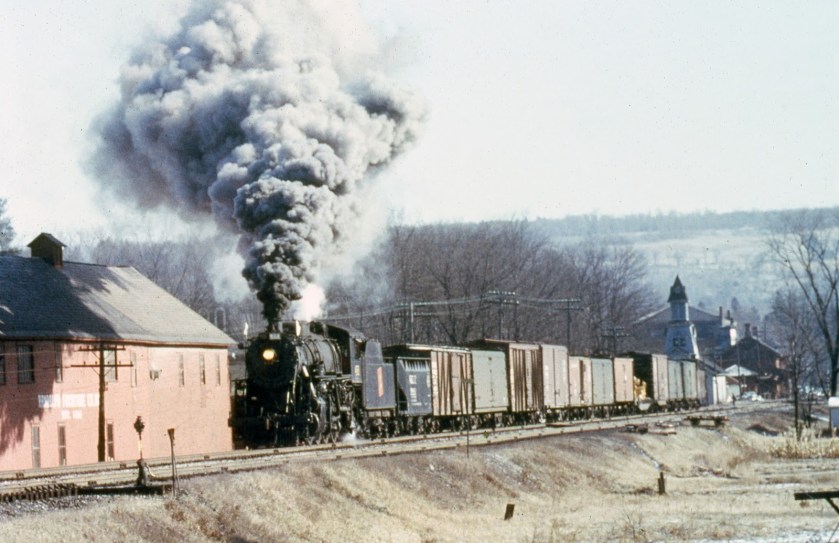
Steamboats connected freight and passengers with the Rutland and Burlington Railroad, which was said to have been chartered to build in 1843…
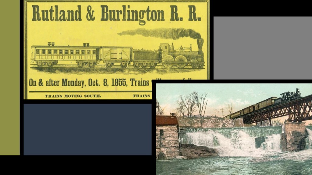
… and the Vermont Central Railroad, also said to have been chartered in 1843.
Again, the historical narrative we have been given in no way explains the existence of all of these massive long-distance engineering projects, which then seeks to inform us, after putting forth all that effort to build them, that in most cases, canals became obsolete as transportation arteries because the railways were so much more efficient.
At any rate, Burlington became a transportation hub and manufacturing center for the region, and it was incorporated in 1865, which was the same year the American Civil War ended.

This brings me to mining in Vermont.
For one, gold prospecting has been happening in Vermont since the “Vermont Gold Rush” of the 19th-century.
Apparently a San Francisco 49er-miner named Matthew Kennedy discovered gold at Buffalo Creek in Plymouth, Vermont, and by 1855, a gold rush was underway in Plymouth and nearby Bridgewater, both of which are close to Rutland, of the Rutland and Burlington Railroad.
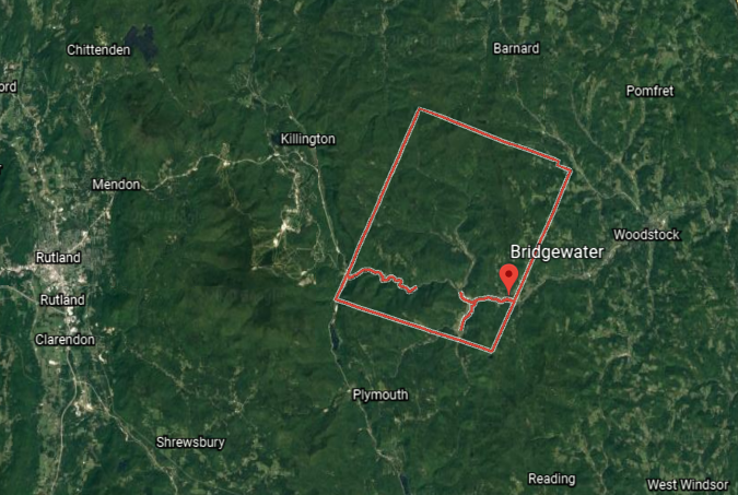
We are told the exact same thing happened in Vermont that we are told about the other gold rushes: one person found gold, then another, and soon people were swarming to the brooks and rivers of Vermont with dreams of getting rich.
Apparently each year, more gold is revealed from erosion all over the state, with the most well-known site still being Buffalo Creek near Plymouth, where the whole thing was said to have started.
Starting in the early 19th-century, high-quality marble deposits were found in Rutland, and in the 1830s, a large-deposit of nearly solid marble was found in West Rutland.
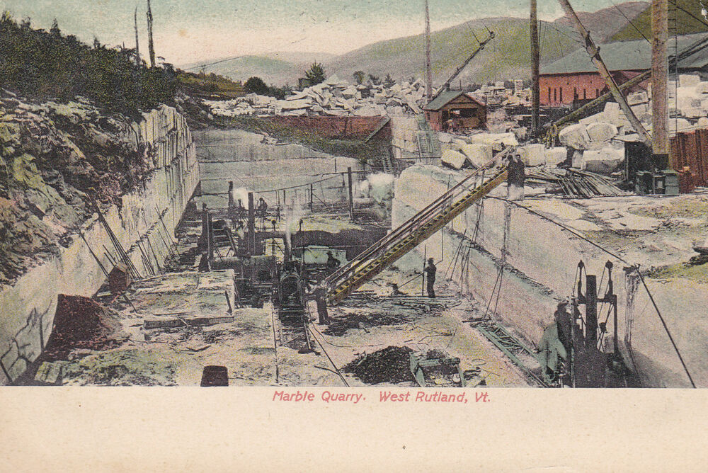
We are told that by the 1840s, small firms had begun excavations, but that marble quarries proved profitable only after the arrival of the railroad in 1851.
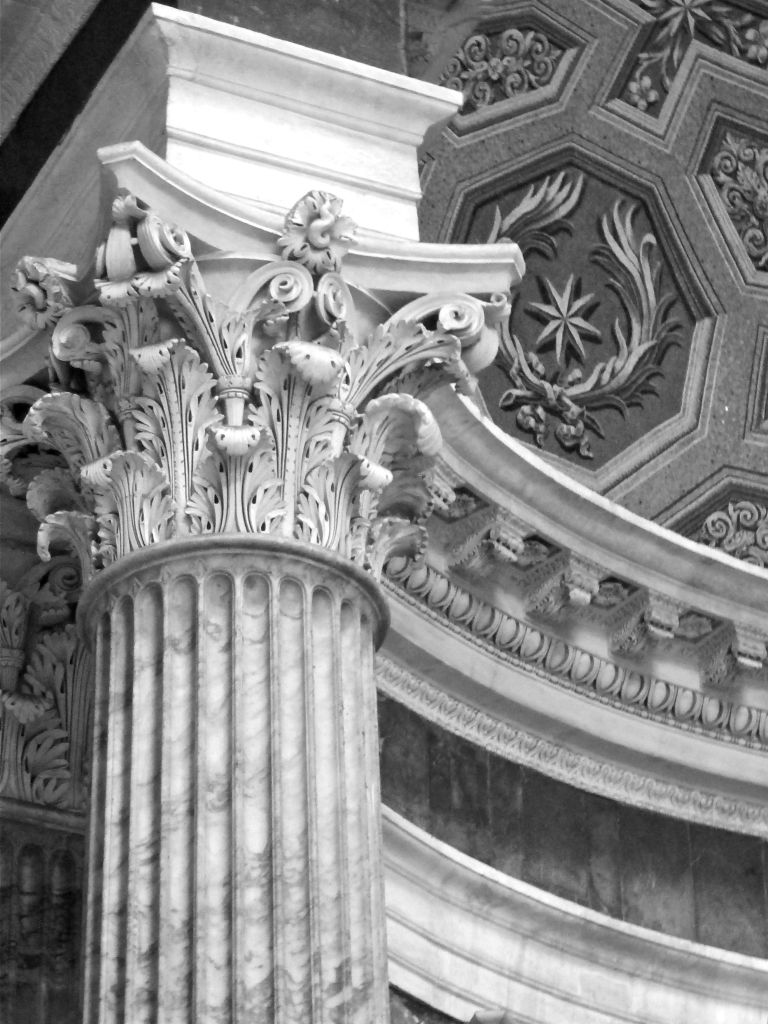
Marble is a type of limestone used as a stone building material since antiquity, like in the Pantheon in Rome pictured here.
The Pantheon was said to have been built as a Roman Temple between 113 AD and 125 AD.
Rutland went on to become one of the world’s leading marble producers when, we are told, the marble quarries of Carrara in Italy became largely unworkable because of their extreme depth.
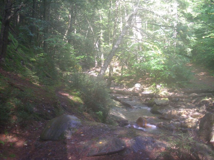
Inside Proctor Mountain in Danby, Vermont, which is south of Rutland, in Rutland County…
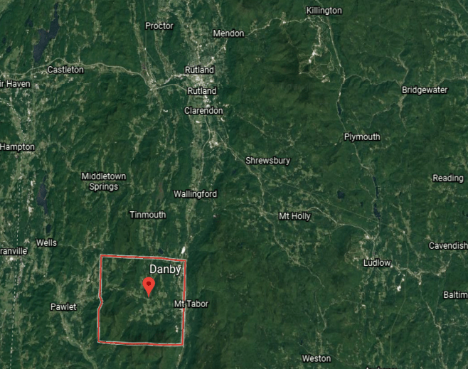
…is the Vermont Danby Quarry, the world’s largest underground marble quarry, from where ten different types of marble are extracted.
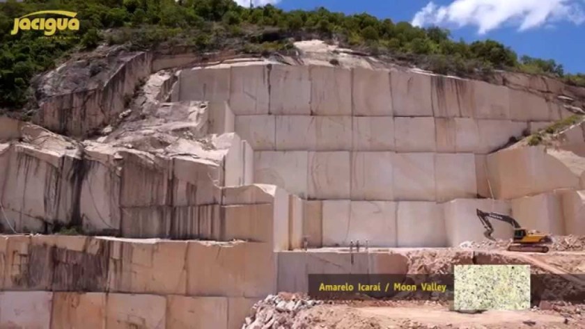
This is what the Vermont Danby Quarry looks like:
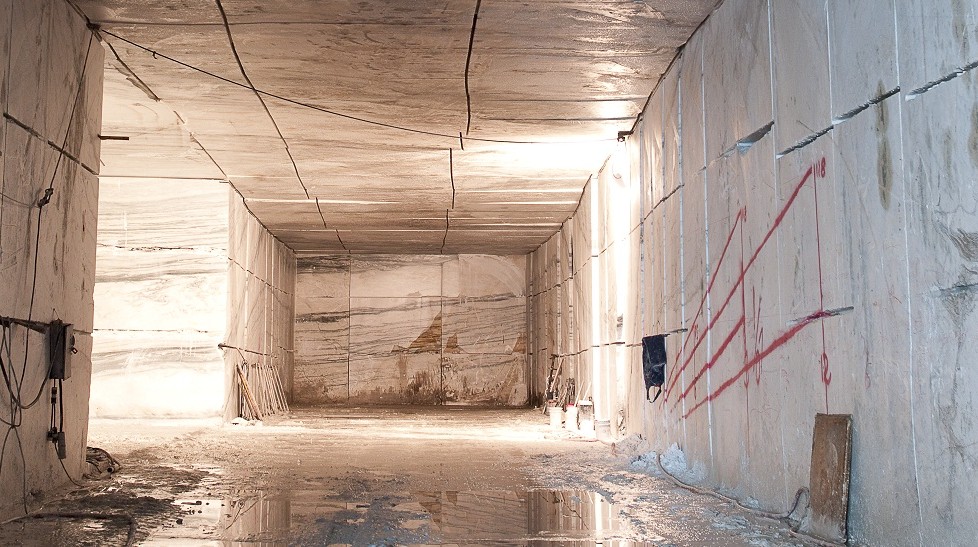
The stone in marble quarries like this one already has the appearance of being pre-existing huge stone rectangular blocks.
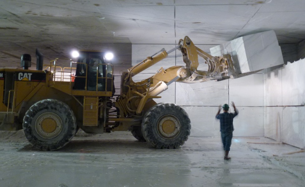
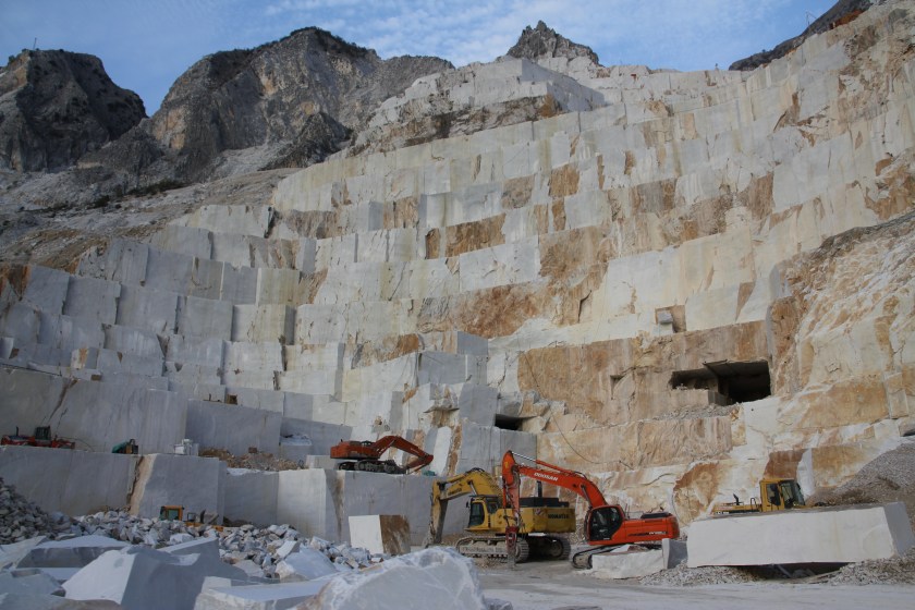
Other examples showing this are the marble quarries of Carrara in Italy…
…at this marble quarry in Afyon, Turkey…
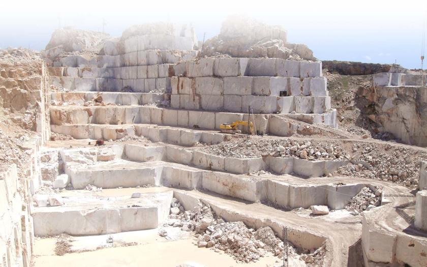
…and this one in Victoria Brazil.
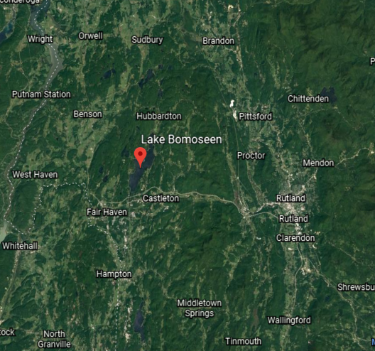
Dorset Mountain is part of the Taconic Mountains, a major range of peaks running along the eastern border of New York State, northwest Connecticut, western Massachusetts, north to central-western Vermont.
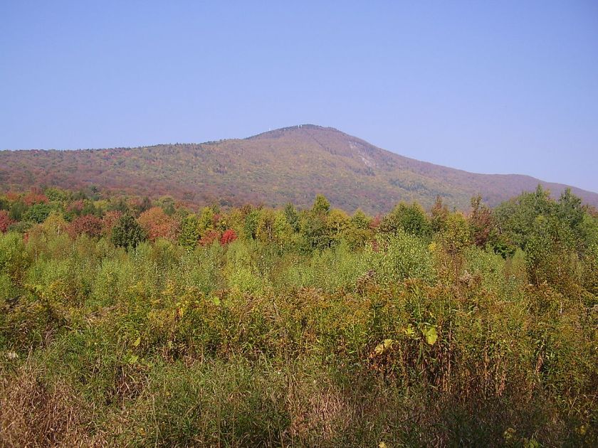
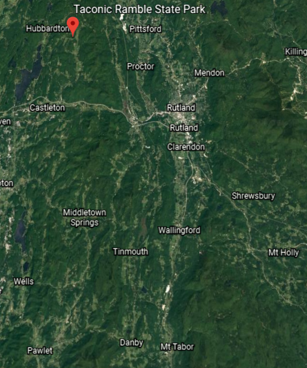
These are pictures of the Taconic Ramble State Park…
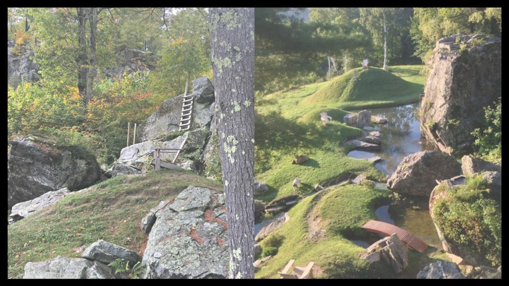
…in Hubbardton, Vermont, northwest of Rutland.
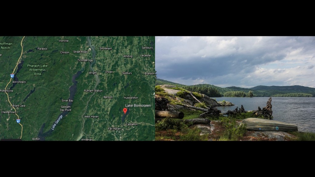
There is also slate mining in the Taconic Mountains, notably in the Lake Bomoseen Region, notable for extensive slate-quarrying operations.
Located within Bomoseen State Park are the remnants of slate quarries, like the operation at Cedar Mountain pictured here in this historical post card.
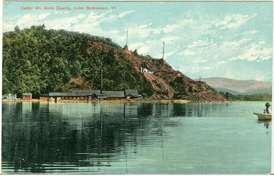
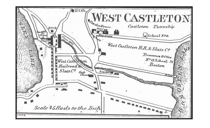
The slate quarries here provided slate to the West Castleton Railroad and Slate Company, which started operations in the 1850s.
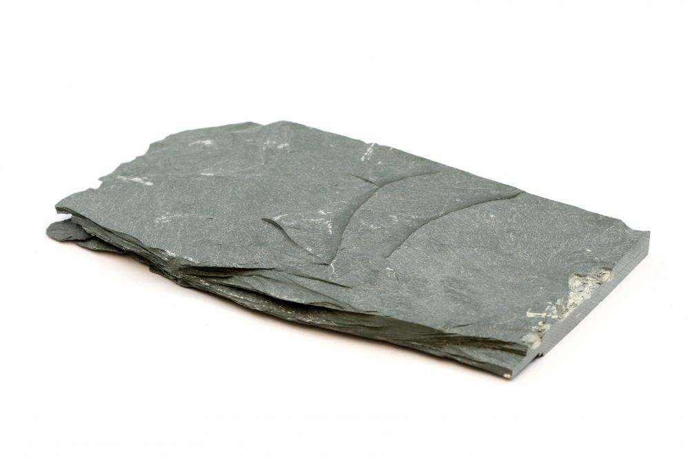
Slate is a fine-grained rock formed by the metamorphosis of clay and shale that tends to split along parallel cleavage planes, usually at an angle to the planes of stratification, and used for things like roofing material and writing surfaces.
The “Pharaoh Lake Wilderness Area” is near Lake Bomoseen.
This is the Rock Pond Mine at Pharaoh Lake, at some point in time a graphite mine.
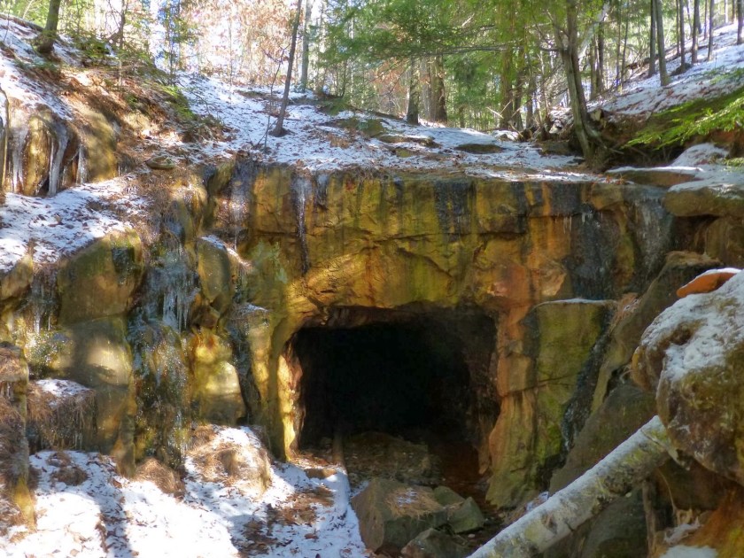
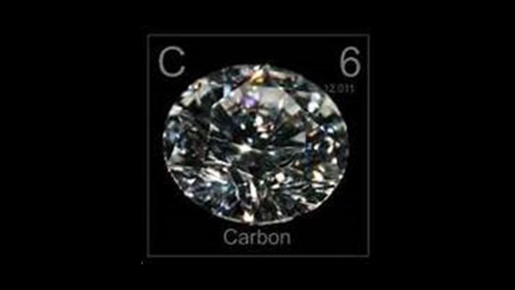
Graphite is a crystalline form of the element carbon, with atoms arranged in a hexagonal structure.
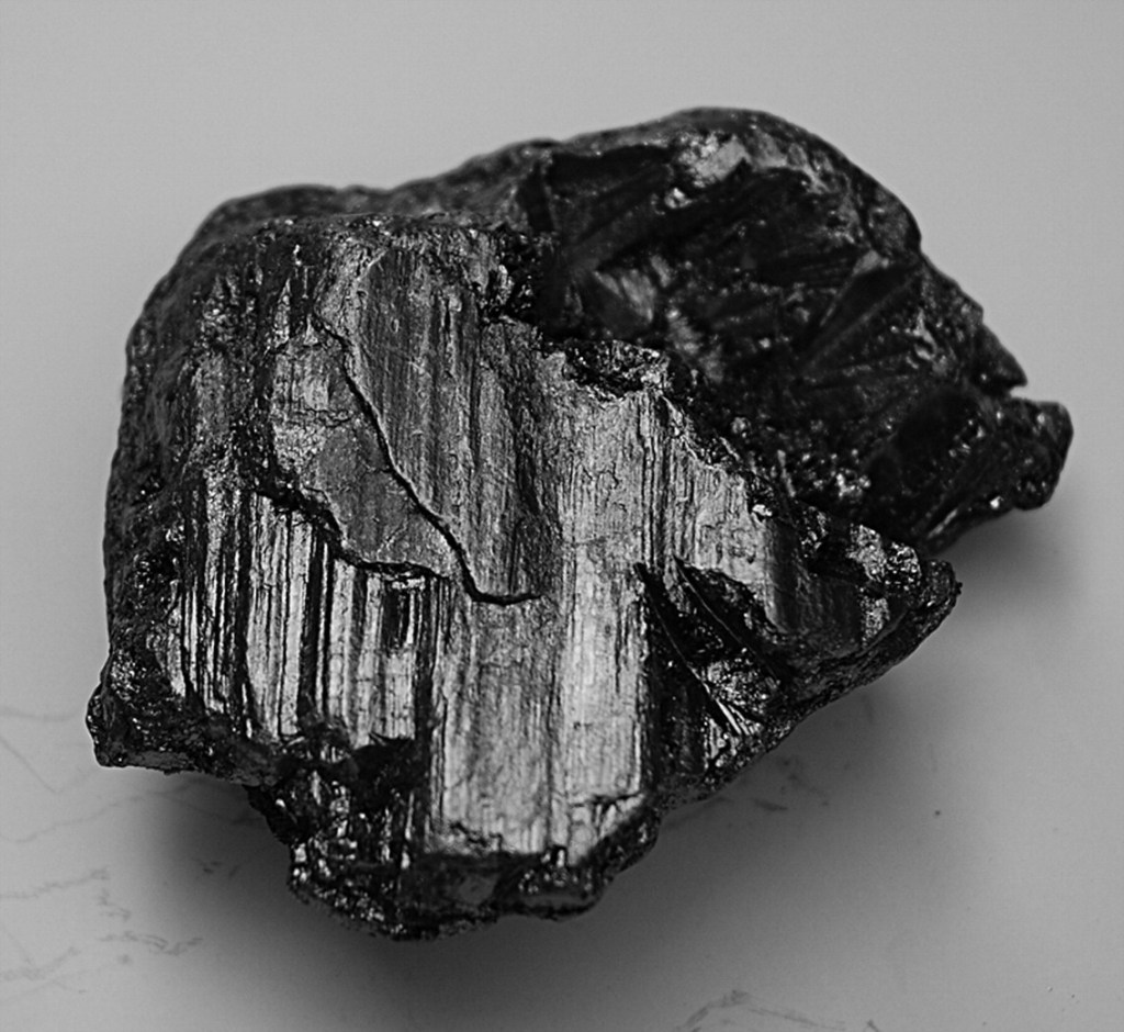
It is used in steel production, pencils, lubricants, and electronics, and converts to diamond under high temperatures and pressures.
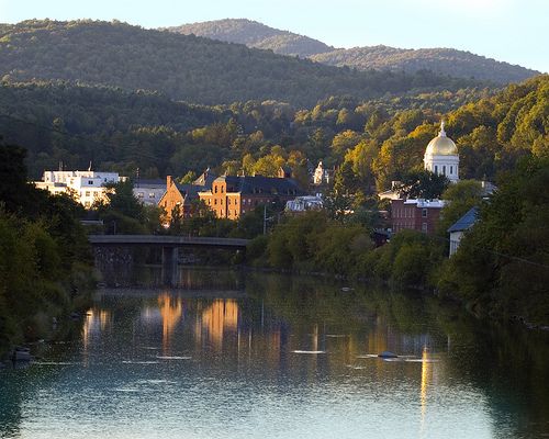
Montpelier, the capital of Vermont, is next on the alignment.
It is the least populous state capital in the United States.
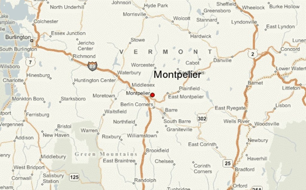
The city center of Montpelier is described as being in a flat clay zone, surrounded by hills and granite ledges, with the Winooski River flowing along the south edge of downtown Montpelier.
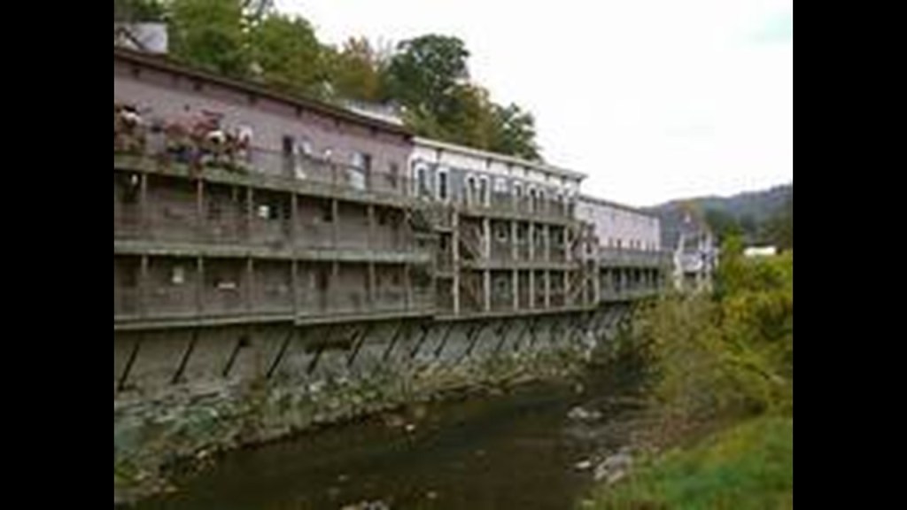
Here are the Winooski River Houses in Montpelier, built right on top of old stonemasonry.
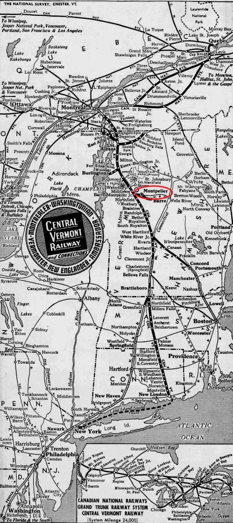
Montpelier was incorporated as a village in 1818, and the town developed into a center for manufacturing, especially after the Central Vermont Railway opened in Montpelier on June 20, 1849.
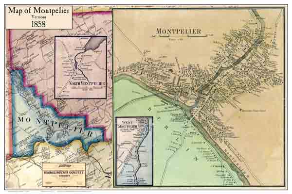
We are told the layout of the main streets paralleling the rivers was in place by 1858, and that the downtown street pattern has changed very little since that time.
In 1895, Montpelier was incorporated as a city.
In Graniteville, southeast of Montpelier…
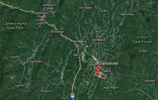
…we find the Rock of Ages Quarry, with the same big blocks of stone going on.
It is the world’s largest, deep-hole dimension granite quarry, and provides memorials of all kinds, as well as granite for precision machine bases.

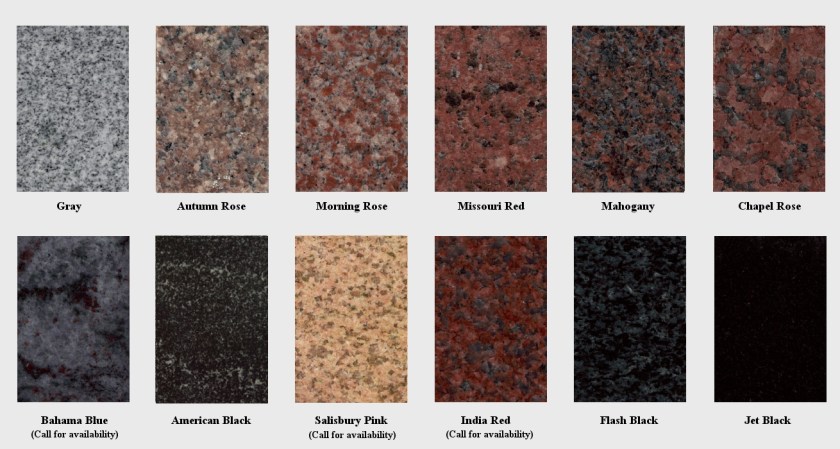
Granite is an igneous rock with 20% – 60% quartz by volume, as well as other crystalline minerals, and can be a variety of different colors, depending on their mineralogy.
Like marble, granite has been used as a stone building material since antiquity.
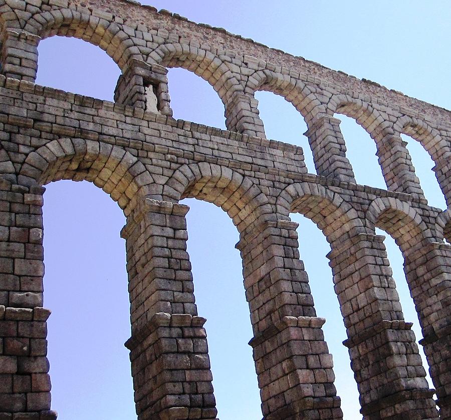
The famous aqueduct of Segovia in Spain was made from granite.
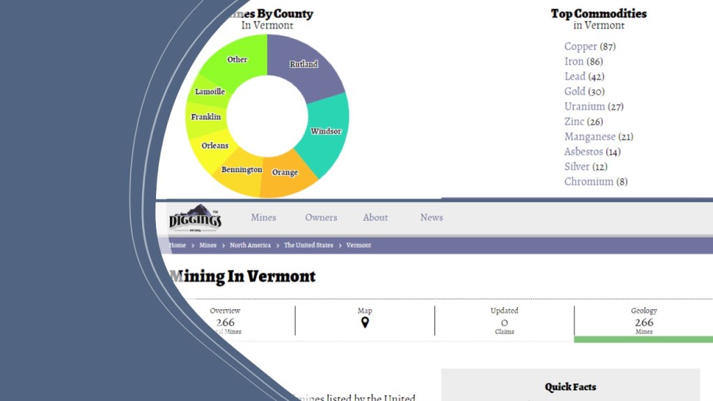
Besides the massive stone quarry industry, there are 266 mines of different types listed in Vermont.
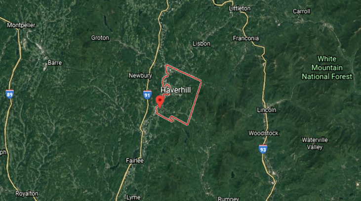
The next place we come to on the alignment is Haverhill in New Hampshire, and the county seat of Grafton County.
It includes the villages of Woodsville, Pike, and North Haverhill, Haverhill Corner, and the district of Mountain Lakes.
It was said to have been incorporated in 1763, and that by 1859, had 2,405 inhabitants…and three grist-mills; twelve saw-mills; a paper mill; a large tannery; a carriage manufacturer; an iron foundary; seven shoe factories; a printing office; and several mechanic shops.
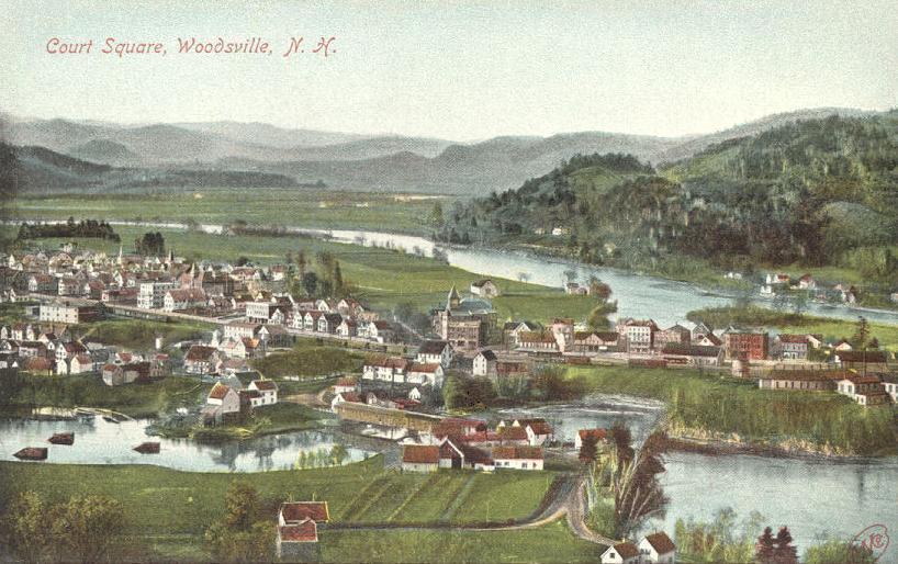
Here is an historic depiction of Woodsville in Haverhill…
…and, as well, Woodsville was once an important railroad center.
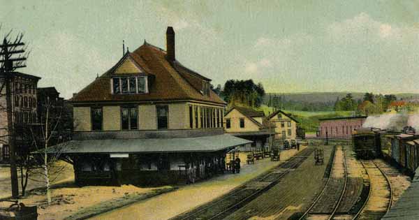
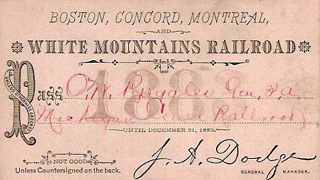
A railway supply enterprise was said to have been developed there by saw-mill operator John Woods, after the establishment of the Boston, Concord & Montreal Railroad, which was said to have opened in Woodsville in 1853, and was where the railroad established its division offices and a branch repair shop.
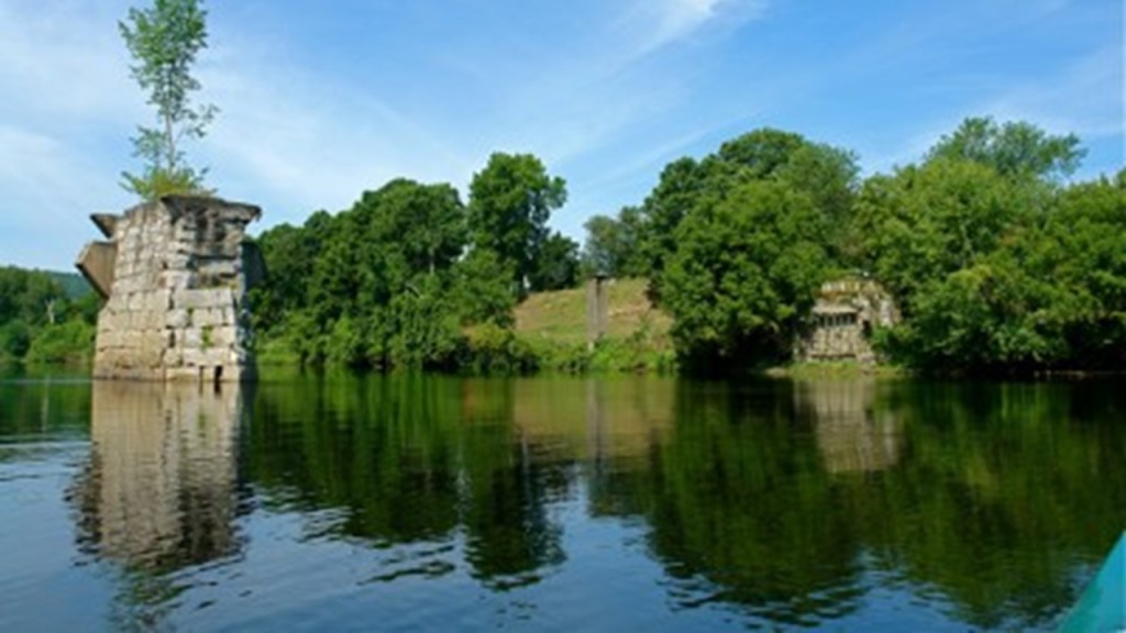
Haverhill is the location of the Bedell Bridge State Historic Site, which was the location of the second-longest covered bridge in the country, and which was unfortunately, we are told, destroyed by wind in 1979.
All that remains are the stone piers of the bridge in the Connecticut River.
There are 76 mines in Grafton County, out of the 260 listed for New Hampshire as a whole.
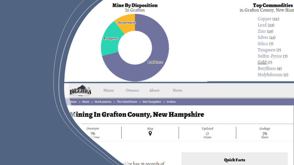
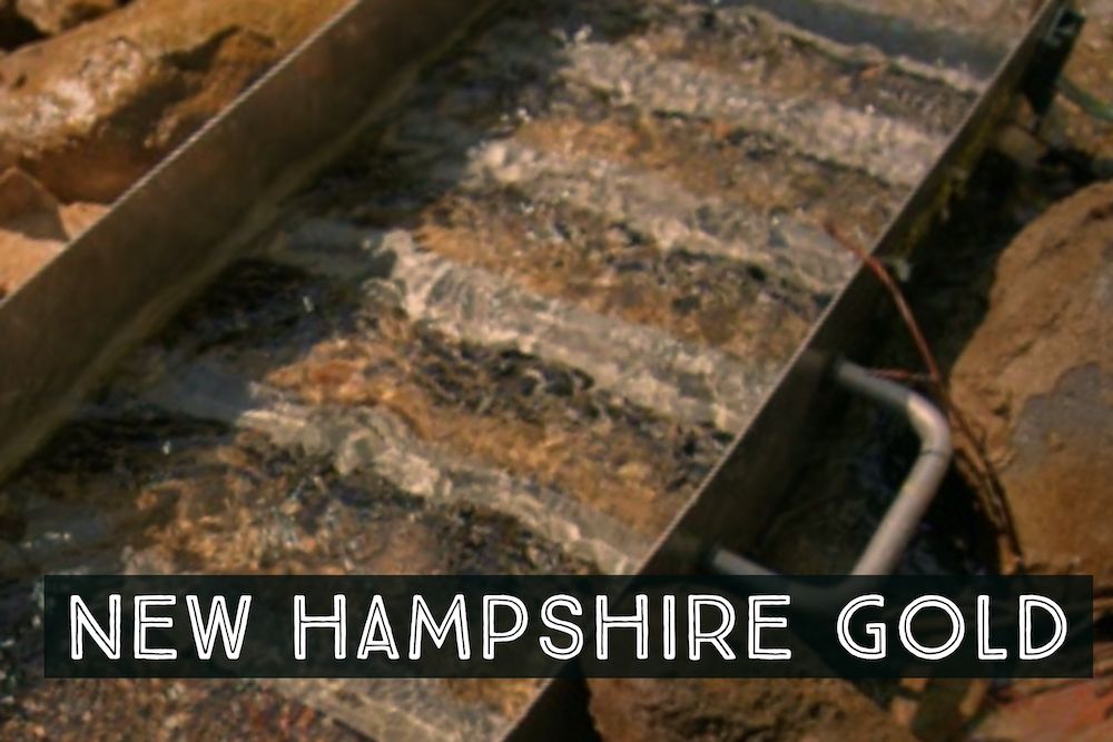
Most of the gold-bearing water in New Hampshire is found in the northern and western parts of the state, although scattered gold deposits have been found across the state in limited quantities.
As a matter of fact, gold fever never really took off here after a gold rush in the 1860s because the discoveries here paled in comparison to all of the other gold- rush places.
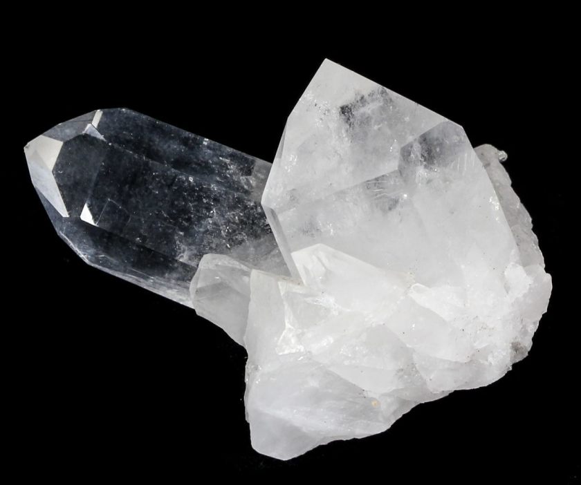
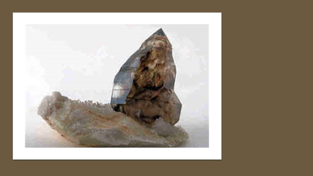
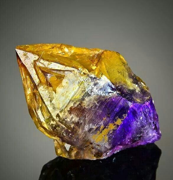
New Hampshire is known, however, as a fantastic state for rock hounds, with an abundance of valuable gems and minerals, including, but not limited to amethyst…
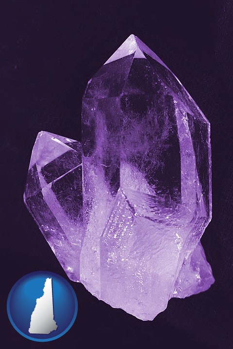
…aquamarine…
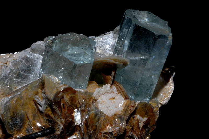
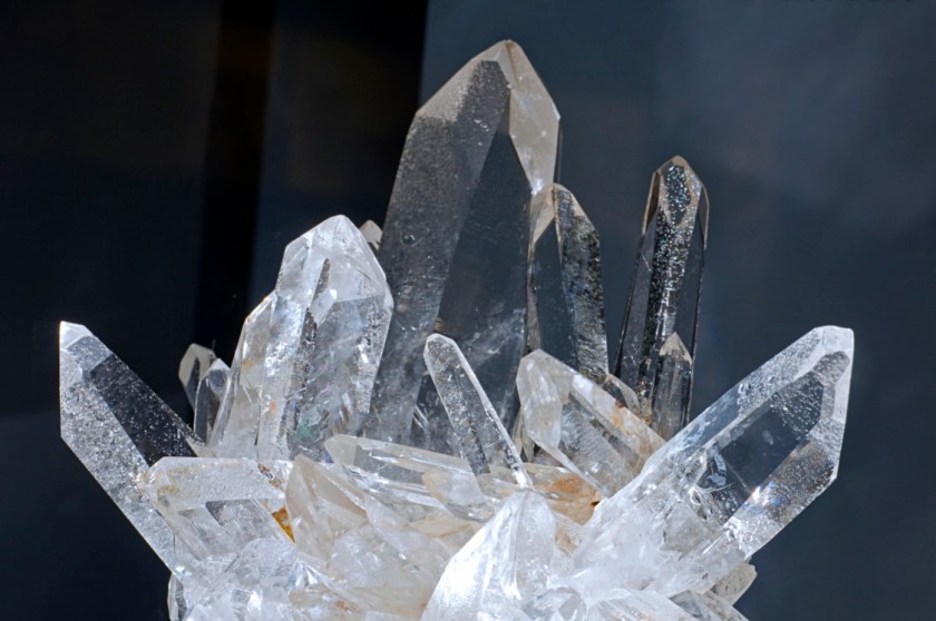
…and the state gemstone, smoky quartz.
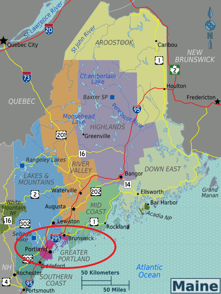
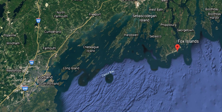
Next we come to Portland, the largest city in the state of Maine, and the seat of Cumberland County.
It is the largest metropolitan area in northern New England, with the Greater Portland metro area having over a 500,000 people, which is one-third of Maine’s total population.
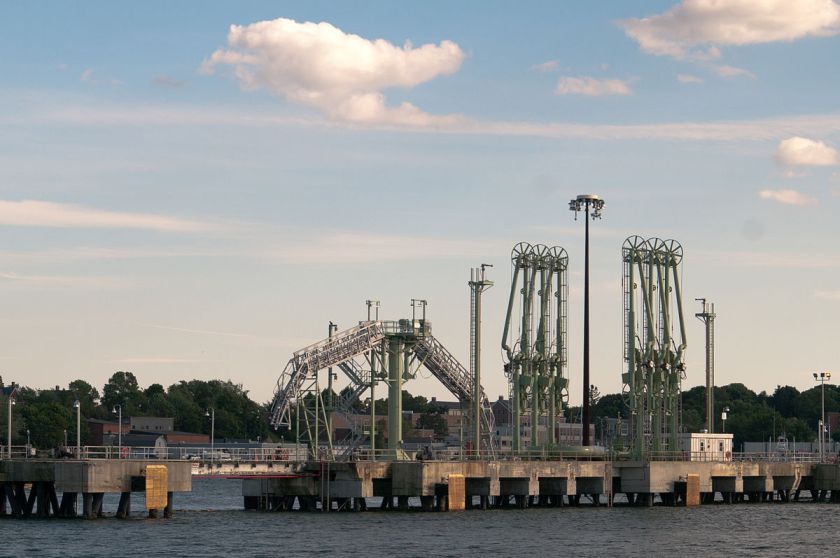
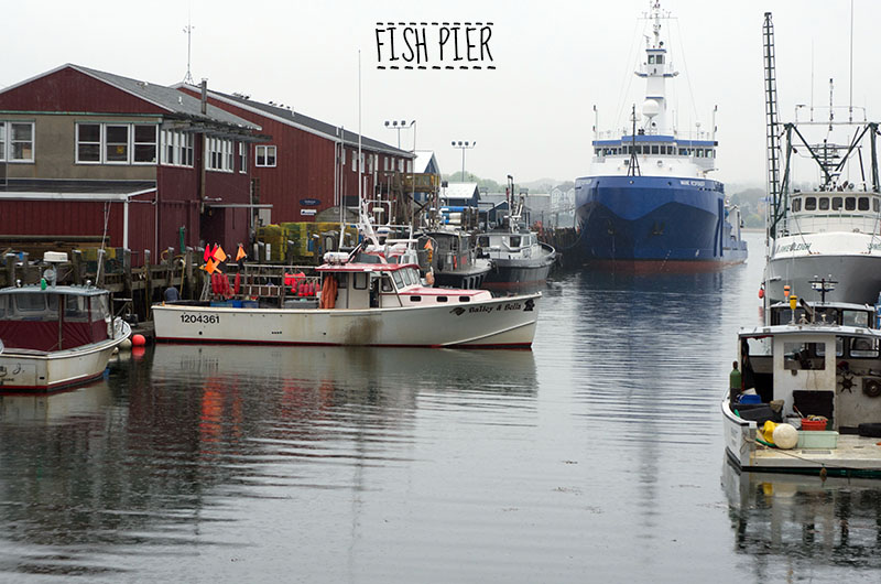
The Port of Portland is the largest tonnage seaport in New England.
The Old Port is a district of Portland, known for its cobblestone streets, 19th-century brick buildings…
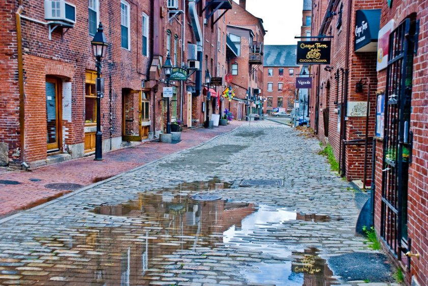
…and its fishing piers.
So…when did Portland first come into being?
We are told there was an attempt to establish a colony there in 1623 by English naval captain, writer, and explorer Christopher Levett, when he was granted 6,000 acres, or 2,400 hectares, to establish a settlement at what was known as Casco Bay.
He was said to have built a stone house, left a company of ten men, and departed for England to write a book in order to bolster the settlement, but the settlement failed within a year, and the fate of the men unknown.

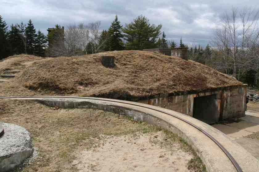
Fort Levett on Cushing Island in Casco Bay was named for him, a U. S. Army fort said to have been built beginning in 1898.
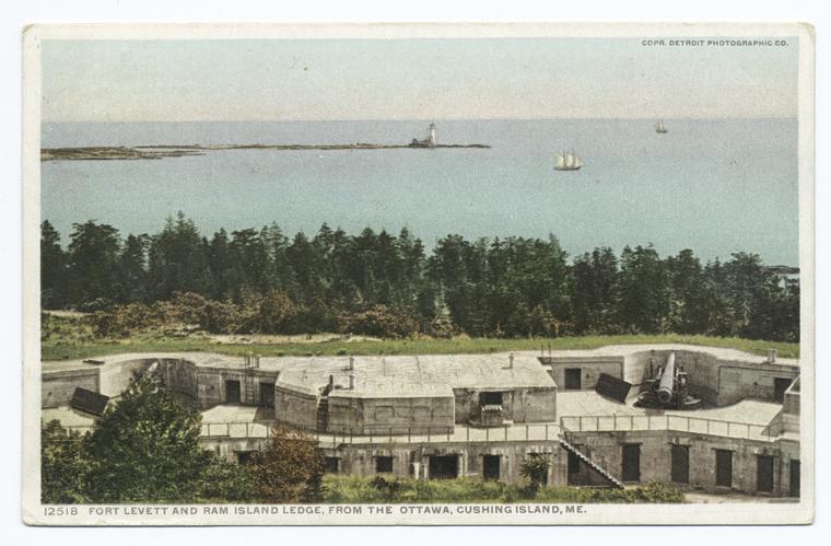
Fort Levett was part of the Harbor Defenses of Portland, a U. S. Army Coast Artillery Corps Harbor Defense Command, active between 1895 and 1950, and which also included Fort Baldwin, said to have been constructed between 1905 and 1912…
…Fort Popham, said to have been commissioned in 1857, and built starting in 1861…
…Fort Scammel, which was said to have been built in 1808…
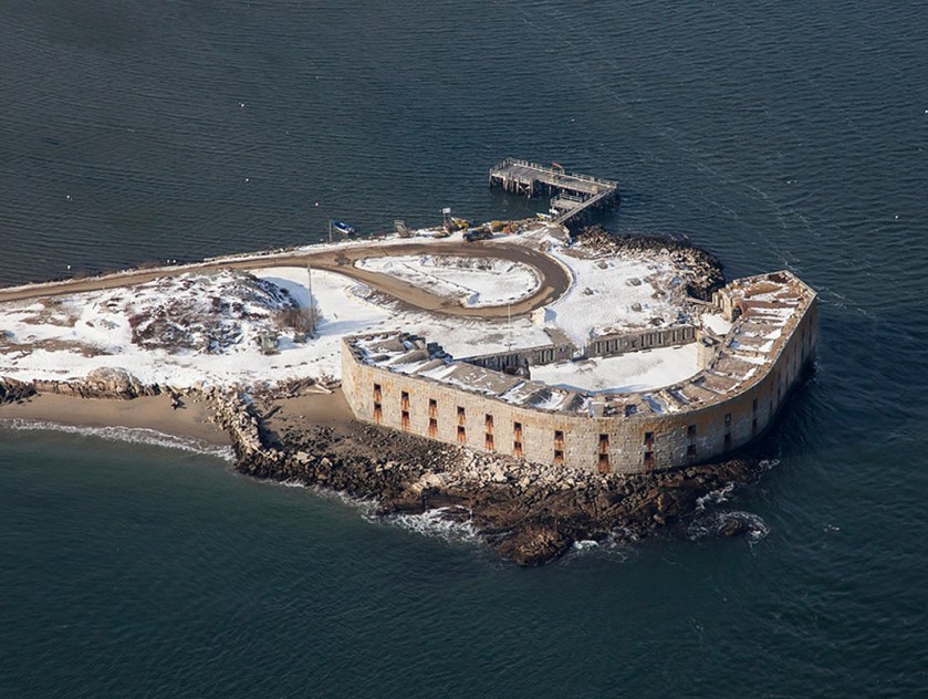
…and Fort Gorges, among others.
Fort Gorges was said to have been built between 1858 and 1864.
Like Vermont, there is a great deal of rock-quarrying in Maine.
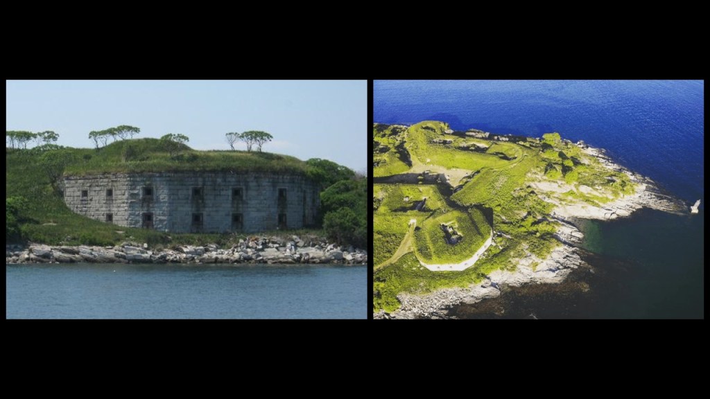
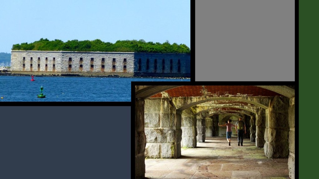
The granite which was used to build Fort Popham, for example, was said to have come from quarries on the nearby Fox Islands in Casco Bay.
This is the old granite quarry at Vinalhaven, a small town on the larger of the two Fox Islands.
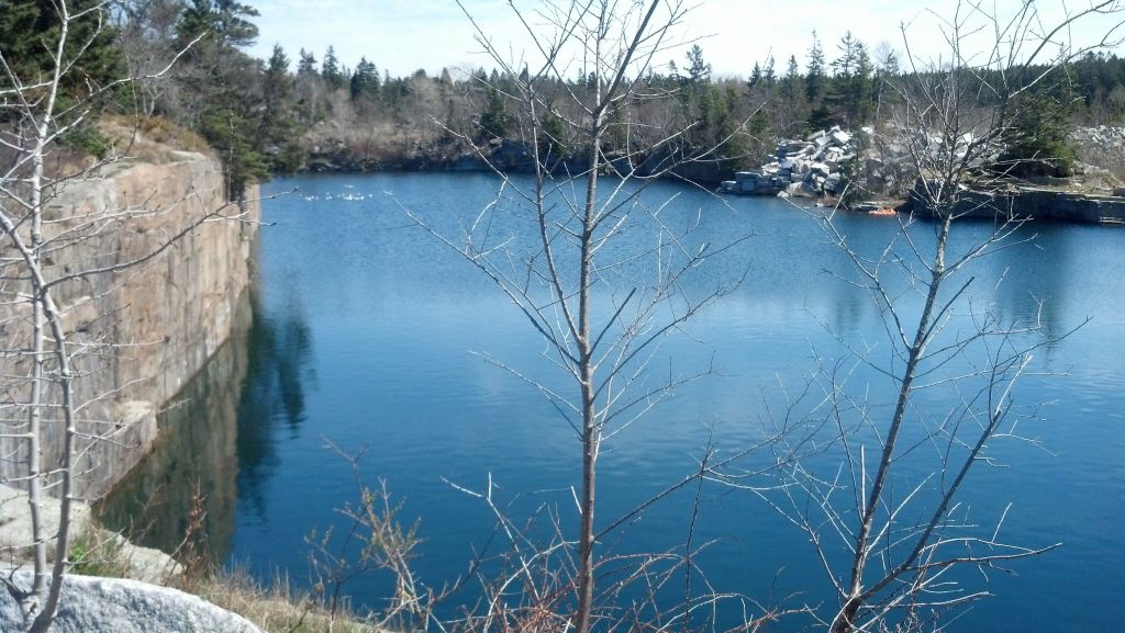
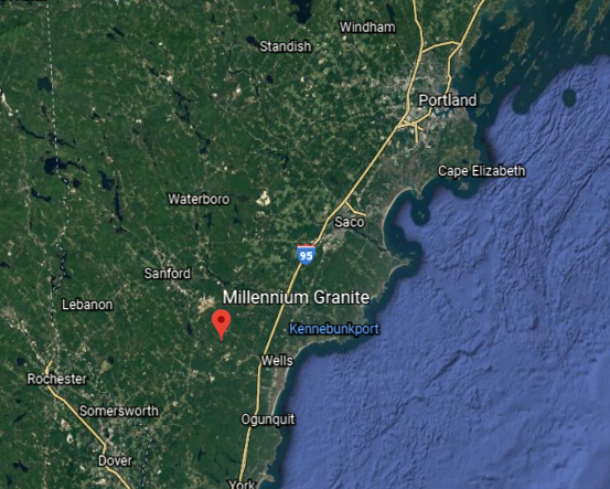
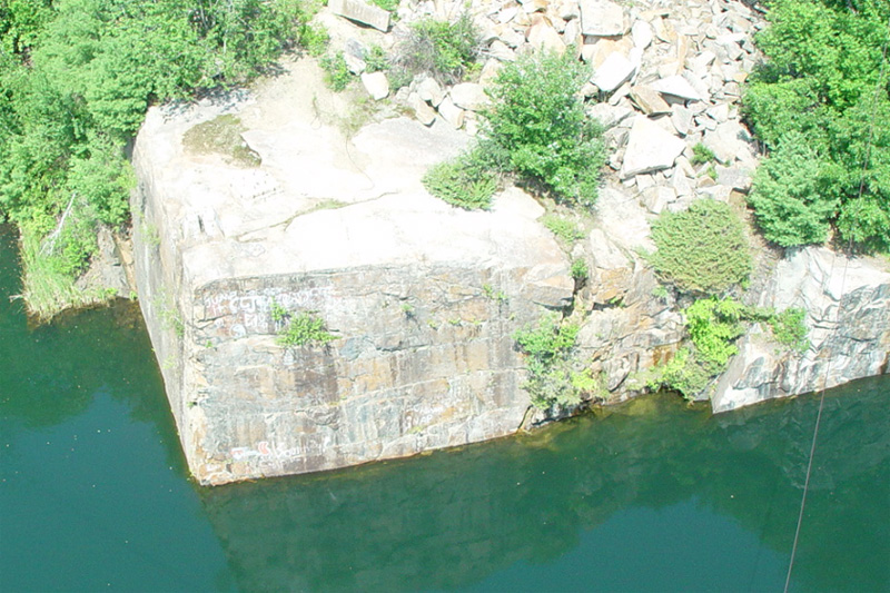
The Millennium Granite Quarry and Stoneworks is just south of Portland, in Wells, Maine.
It has been mined for centuries…
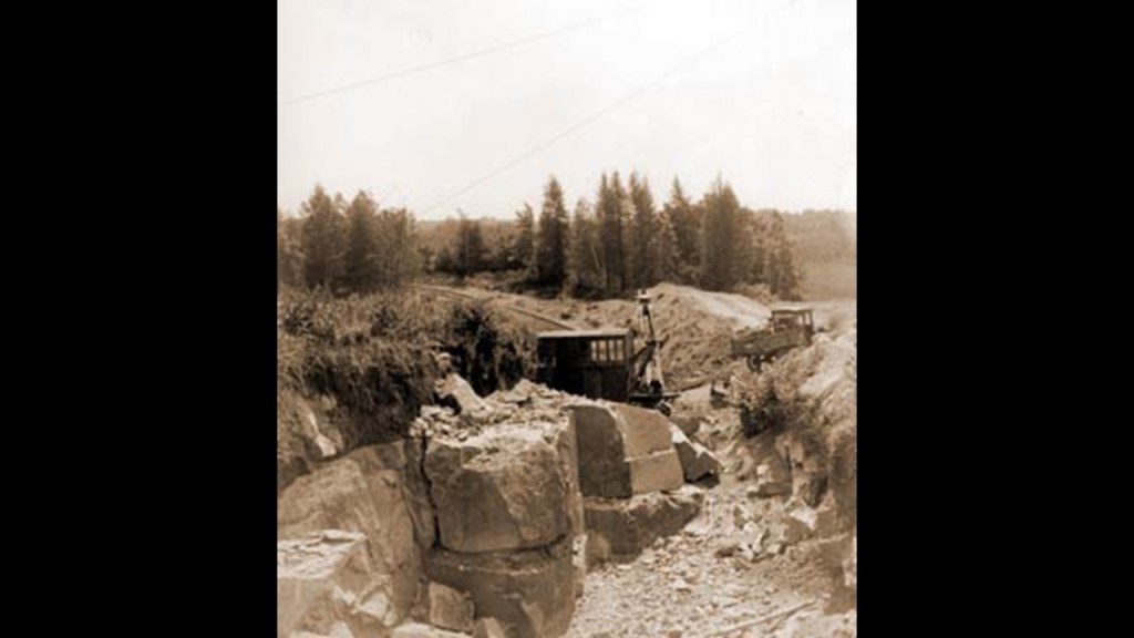
…and provides superior, soft-pink granite.
The first commercial gemstone mine was discovered in 1821 near Paris, Maine, when two young men found tourmalines that were lying on the ground, and then later the same year, gem-quality red and green tourmalines were found in a nearby rock ledge.
Many world-class tourmalines have been mined here, and is the official state gemstone.
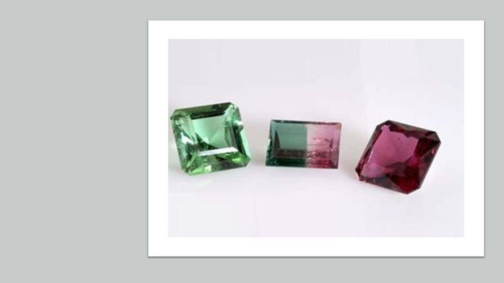
…but there are other gemstone found in Maine as well, like citrine…
…and rose quartz, among others.
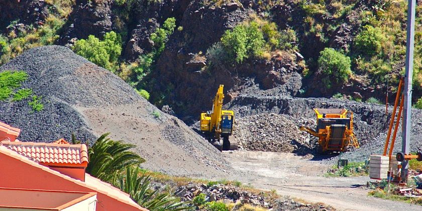
Next, we come to the Canary Islands, an island group and the southernmost autonomous community of Spain in the Atlantic Ocean.
Historically, the Canary Islands have been considered a bridge between Africa, North America, South America, and Europe.
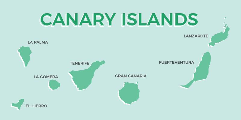
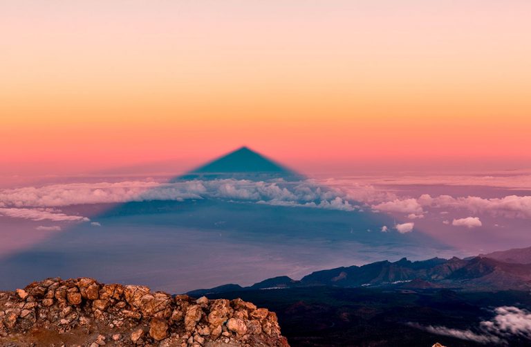
Mount Teide, a volcano on the island of Tenerife, is the highest point in Spain, and the highest point above sea-level in the islands of the Atlantic.
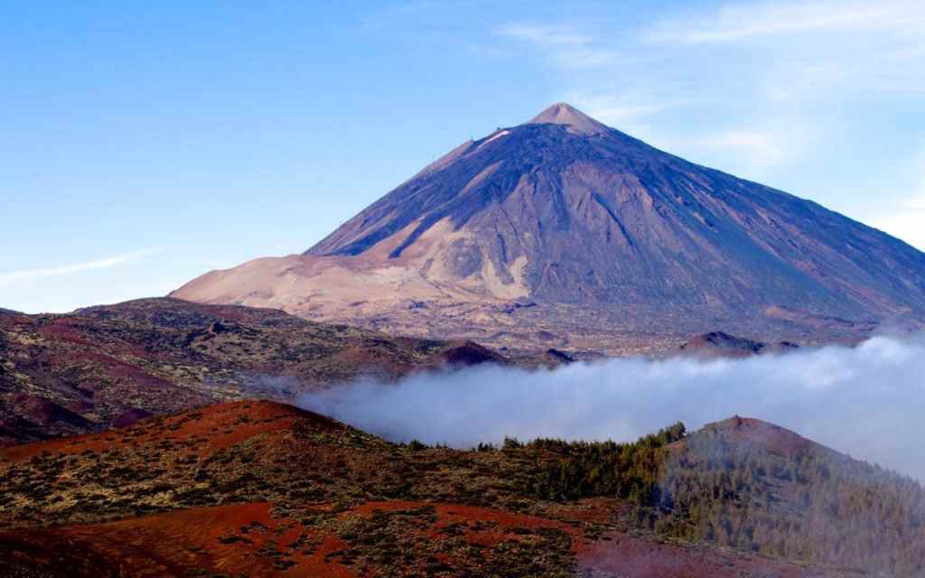
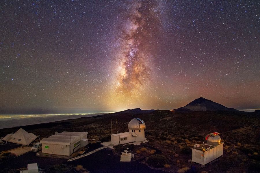
Teide Observatory , a major international astronomical observatory, is located on the slopes of the mountain.
Although the peak of Teide seems to not have a completely regular shape, this is the projection of its shadow.
With regards to mining and mineral occurrences in the Canary Islands, this is what I found.
On the island of La Gomera in the Valle Gran Rey, a place where this interesting terracing is going on…
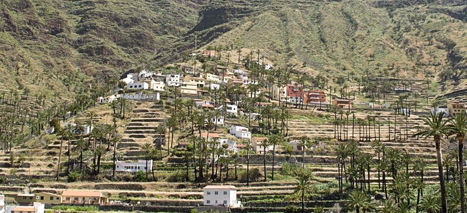
…there was a gold mine in a mountain being worked secretly…
…and where there was high-quality gold to be found, with the potential for more to be discovered throughout the area.
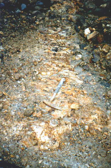
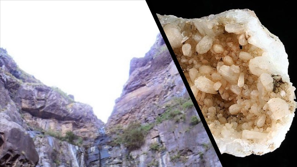
Like in the Faroe Islands in the North Atlantic between the tip of Greenland and Norway, zeolites are found in the Canary Islands.
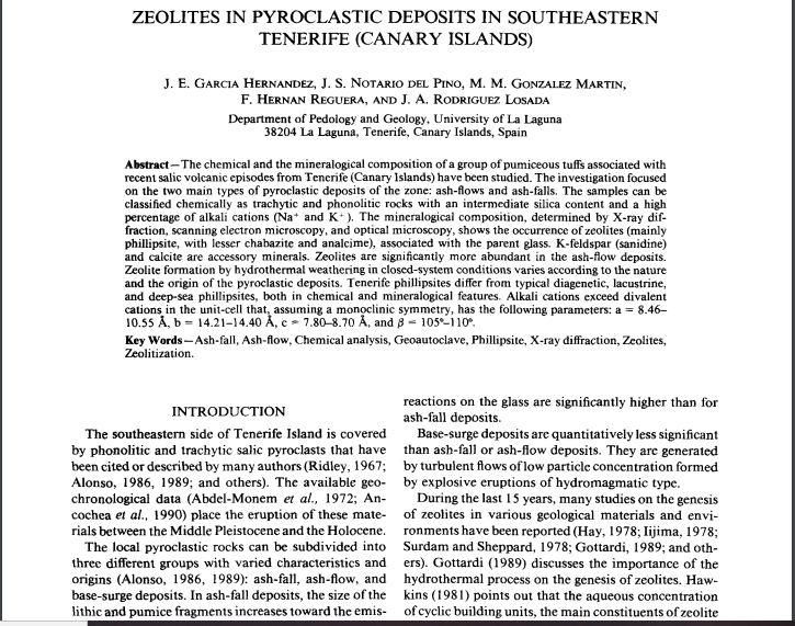
Again, zeolites are microporous, aluminosilicate minerals commonly used industrially as commercial absorbents and catalysts.
Here is an example of a Stilbite zeolite that was found on the island of Gran Canaria at the Barranco de Agaete, said to have steep walls lined with stilbite.
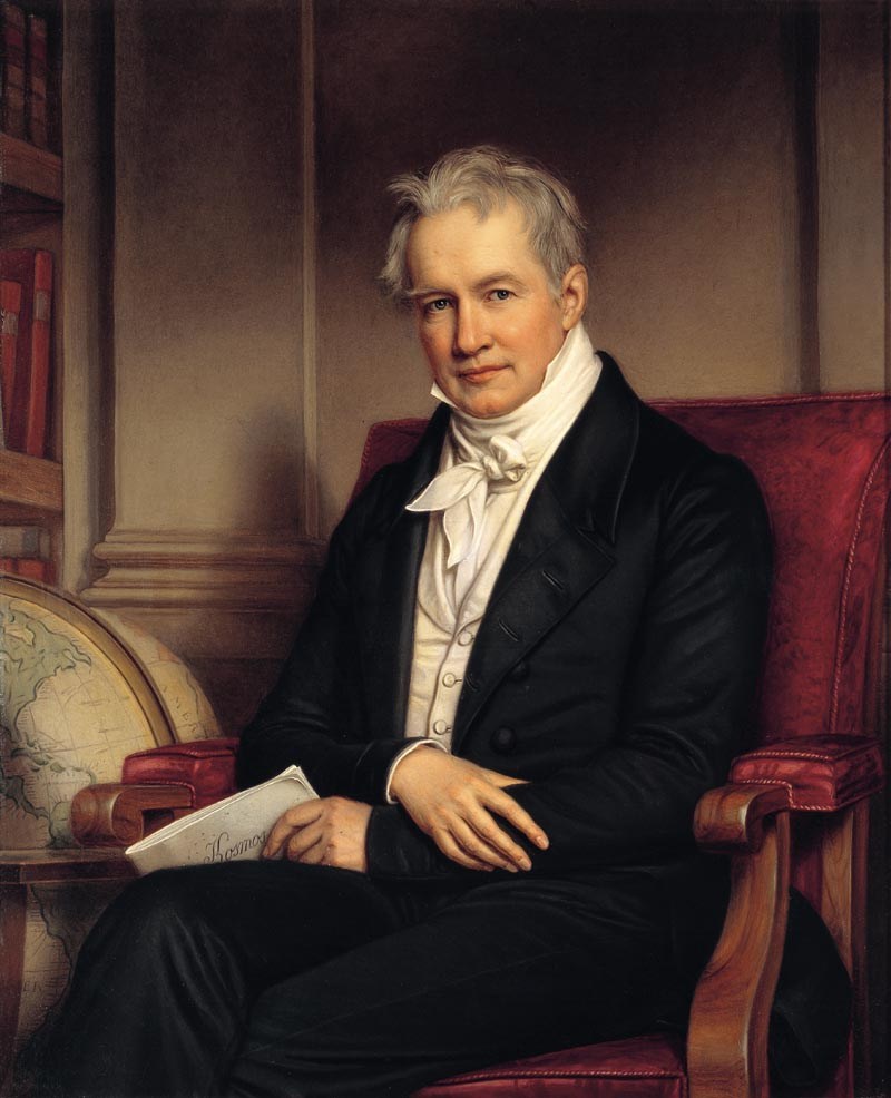
The Canary Islands are said to be of volcanic origin, and have been visited by researchers from the very beginning of the 19th-century, including Alexander von Humboldt in 1799, a Prussian naturalist and explorer, who was said to have climbed the Teide volcano, before heading off to study Venezuela…
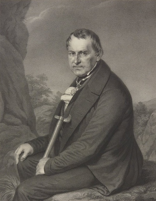
…and in 1815, the German geologist and paleontologist Leopold von Buch visited the Canary Islands, where he primarily studied the production and activities of volcanoes.
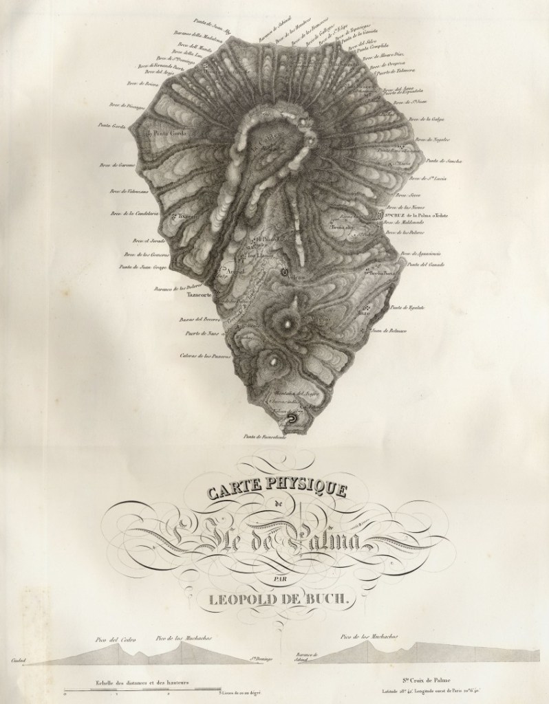
Von Buch studied with Alexander von Humboldt at the Freiburg School of Mining, and was considered a founder of modern geology.
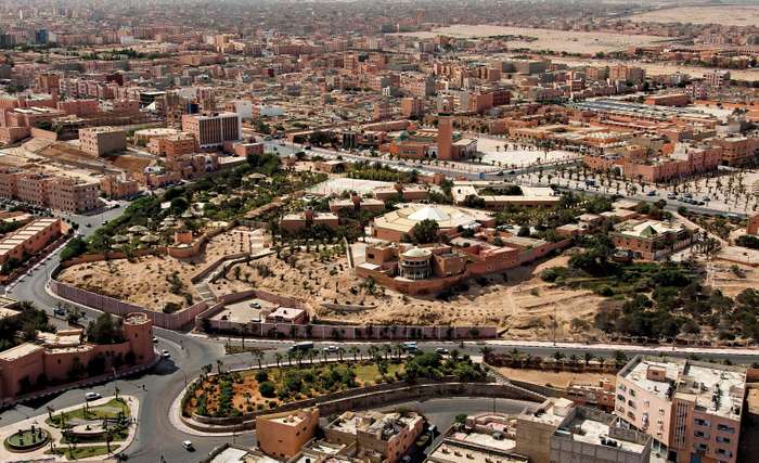
The next place on the alignment we come to is Laayoune, the capital of Western Sahara.
Western Sahara is a disputed territory, and classified as a non-self-governing territory by the U.N.
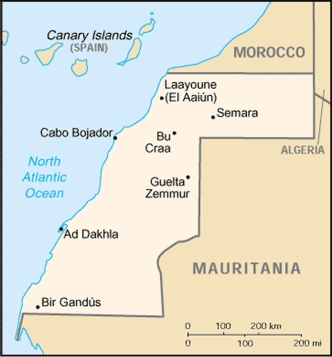
It is claimed by, and de facto administered by Morocco, in on-going dispute with the native inhabitants, the Sahrawis, who want self-governance.
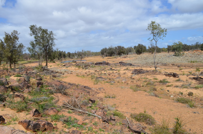
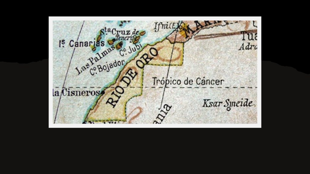
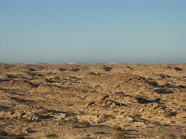
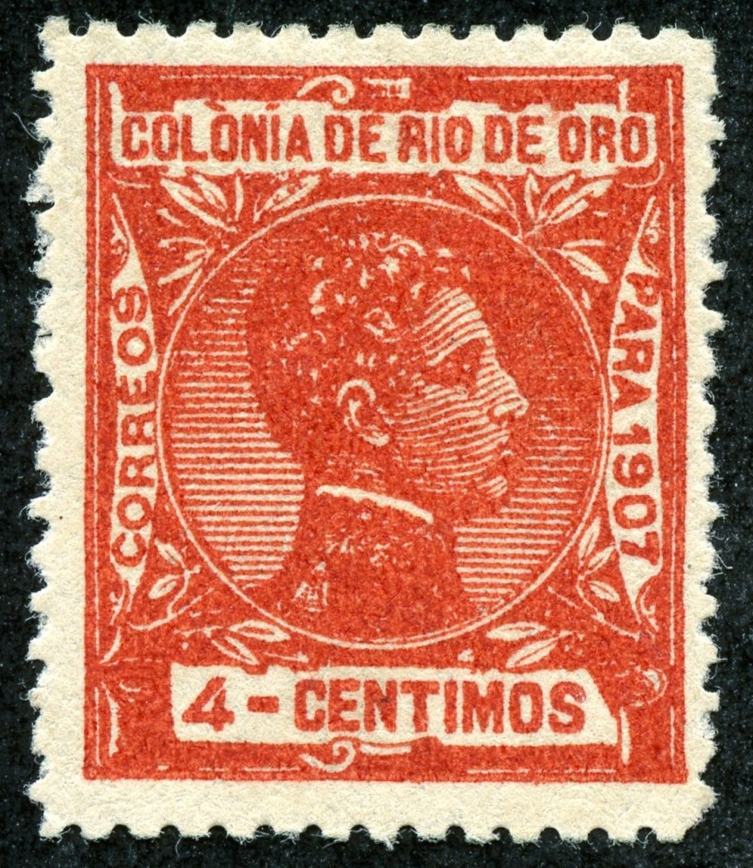
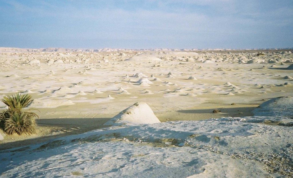
The Western Sahara is composed of the geographic regions that include Rio de Oro (meaning “River of Gold” in Spanish).
This is what the landscape there looks like today.
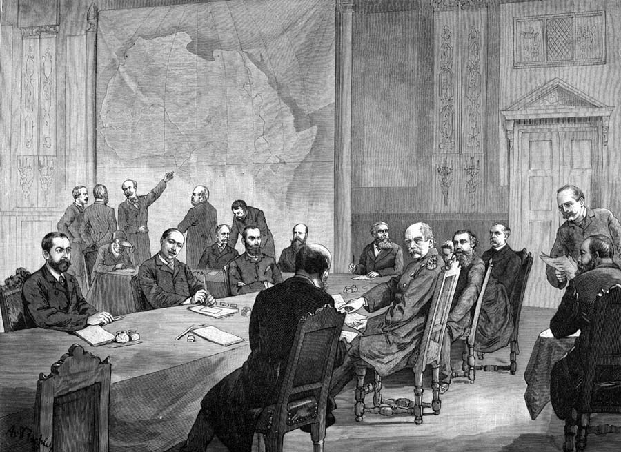
We are told that Rio de Oro became a Spanish protectorate in 1884 as a result of the Berlin Conference.
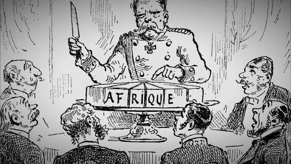
The Berlin Conference of 1884 – 1885 was organized by the German Chancellor Otto von Bismarck, and regulated European colonization and trade in Africa during the New Imperialism period, and coincided with Germany’s sudden appearance as an imperial power.
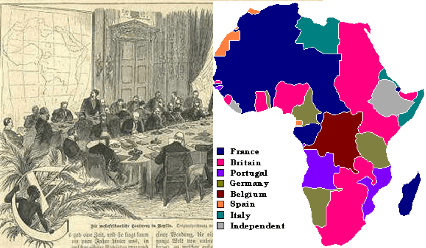
The outcome of the “General Act of the Berlin Conference” can be seen as the formalization of the “Scramble for Africa,” also known as the “Partition of Africa” or the “Conquest of Africa,” was the invasion, occupation, and division of African territory by European powers during the New Imperialism period between 1884 and 1914, the year in which World War I started.
The period of history known as New Imperialism is characterized as a period of colonial expansion by European powers, the United States, and Japan during the late 1800s and early 1900s.
I am sure this was a motive…
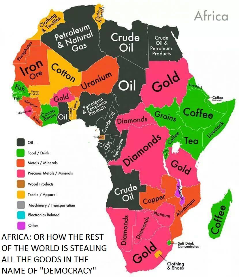
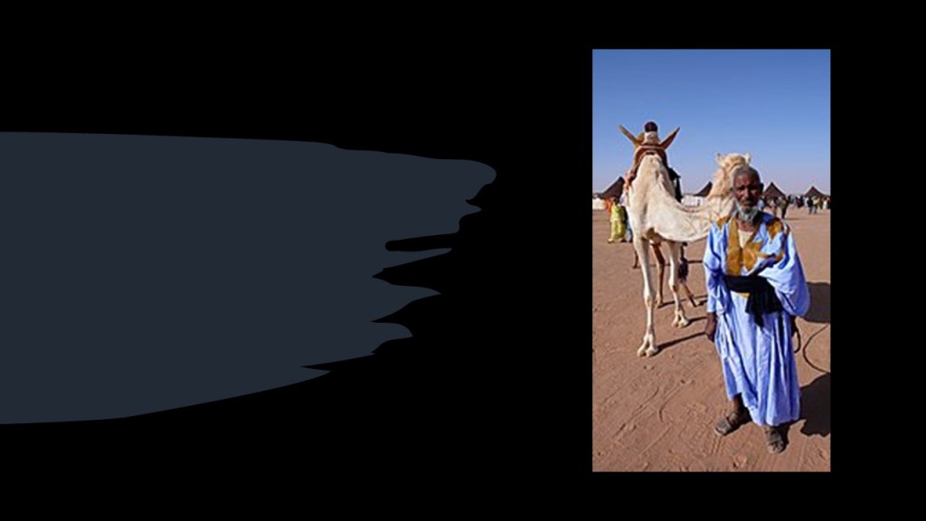
…but there was also a rich and proud heritage of Africa and its people that has been removed from the collective awareness that was replaced with something quite different from what it originally was.
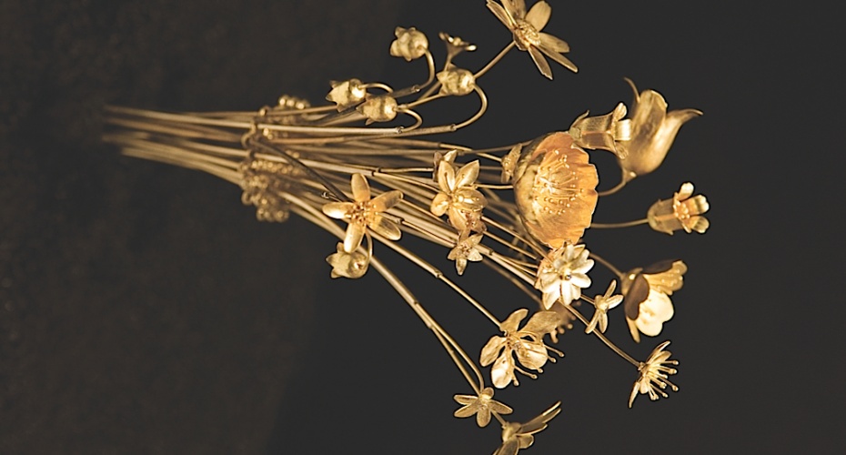
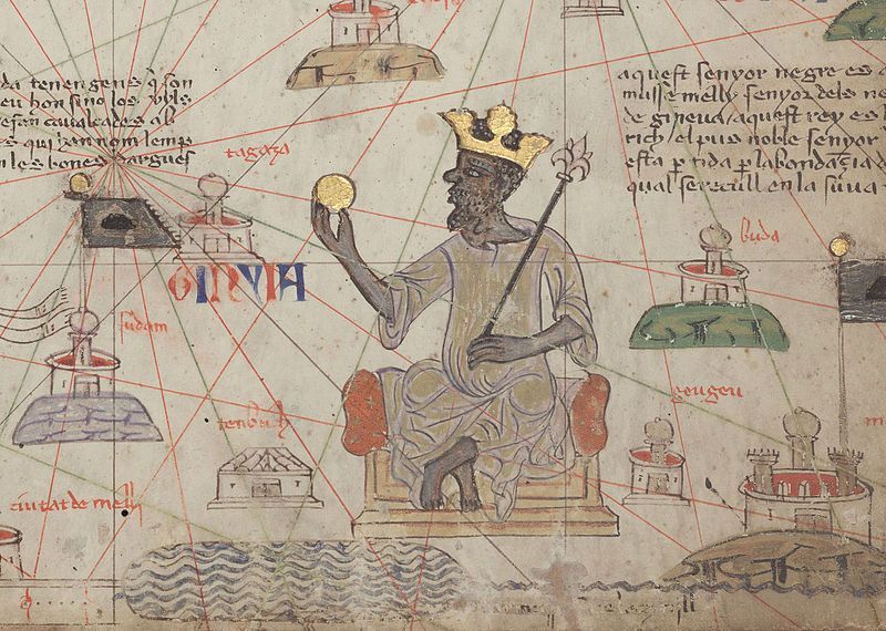
Mansa Musa, the King of Mali between 1312 and 1337….but has the general population ever heard of him?
Mansa Musa was one of the richest men in World history, if not the richest. One of his titles was “Lord of the Mines of Wangara.”
During his reign, Mali may have been the largest producer in the world of gold.
Does this immense wealth fit the historical narrative we have been given about this part of the world?
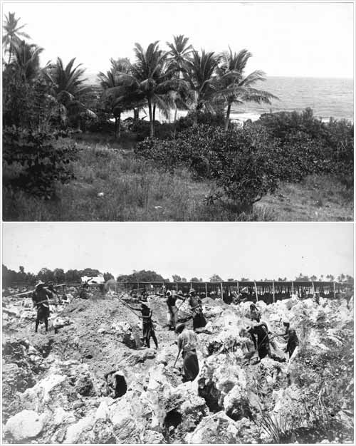
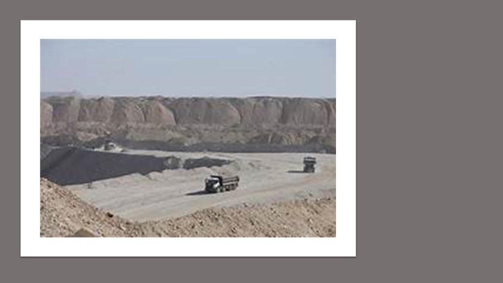
At any rate, Laayoune is said to have been founded in 1938, and is a hub for phosphate mining in the region.
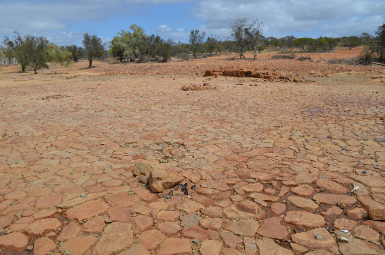
Vast phosphate deposits are mined at Bu Craa, southeast of Laayoune, where abundant, pure phosphate deposits lie near the surface.
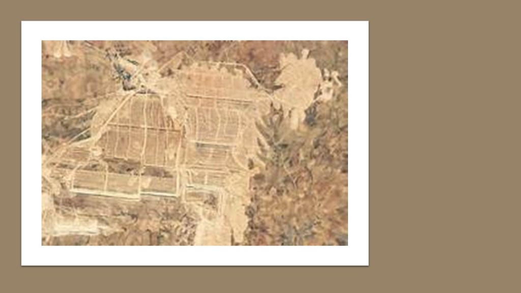
It produces about 2.5 million tons of phosphates each year.
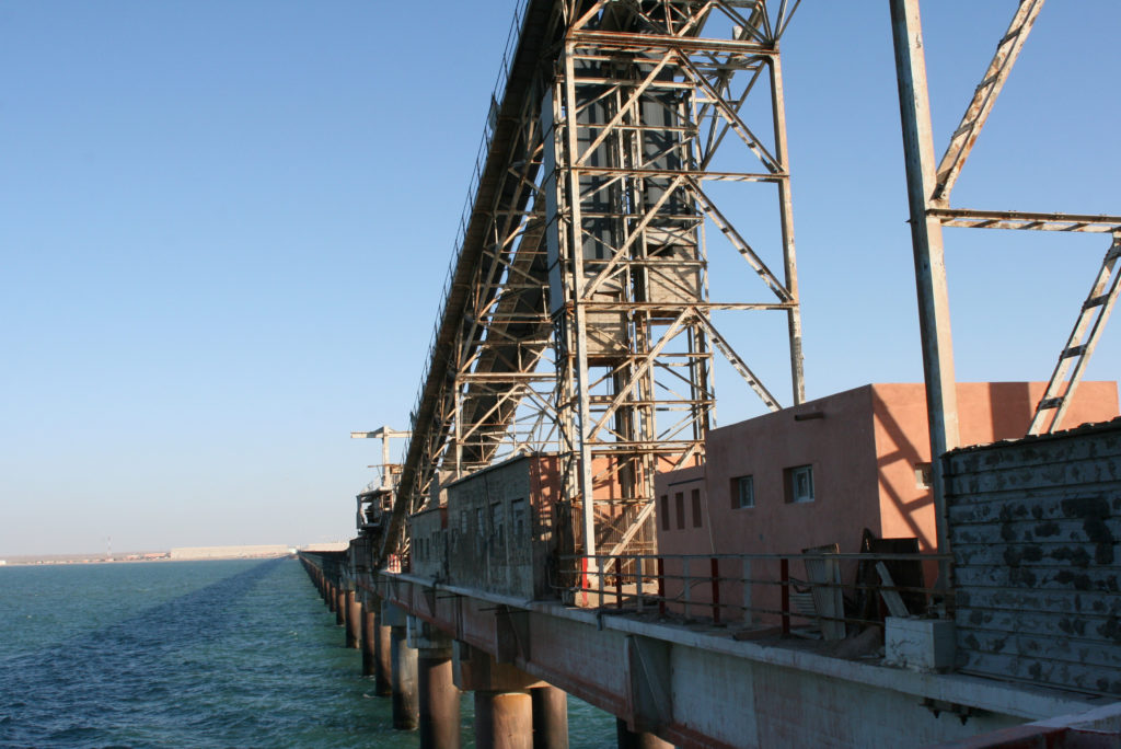
Aided by the longest conveyor belt in the world, which travels 61-miles, or 98-kilometers, phosphates are shipped from Bu Craa to Laayoune…
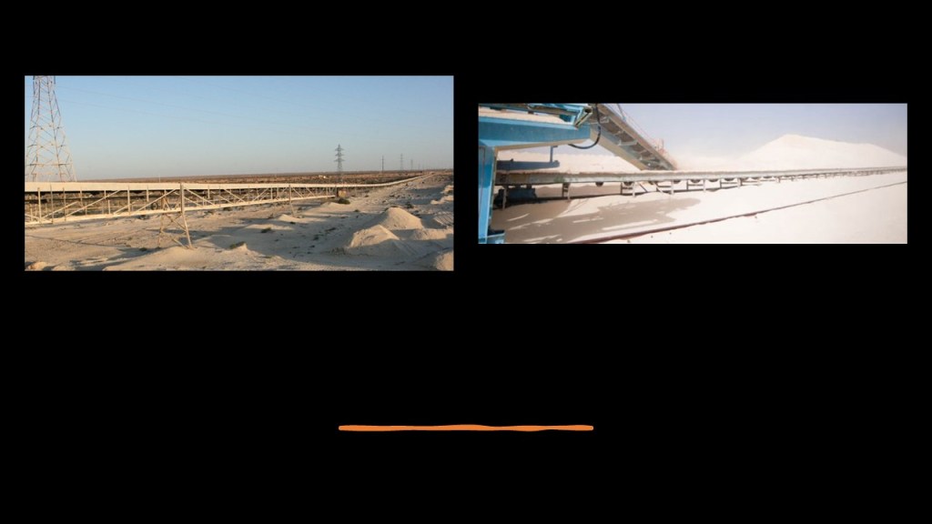
…where ships transport it around the world.
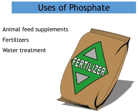
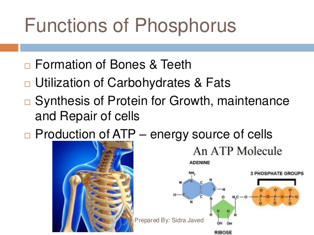
Phosphate, a form of the chemical element of phosphorus, and along with nitrogen, is a necessary component of the synthetic fertilizer needed for the world’s agricultural sector.
Abalessa, in Algeria’s Tamanrasset Province in southern Algeria, is the next place we come to on this alignment.

It is the former capital of the Ahaggar, or Hoggar, Mountains, a highland region in the central Sahara, along the Tropic of Cancer.
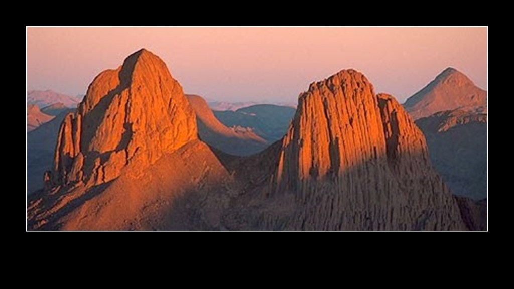
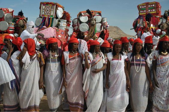
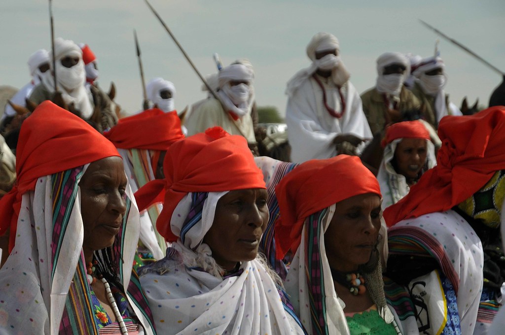
Abalessa is famous for the Tin Hinan Tomb, the 1,500-year-old monumental grave, we are told, built for the Tuareg matriarch, Tin Hinan.
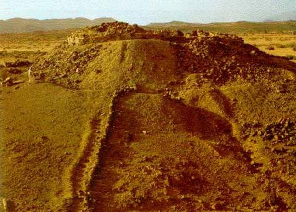
She was believed to have lived between the 4th and 5th centuries A.D.
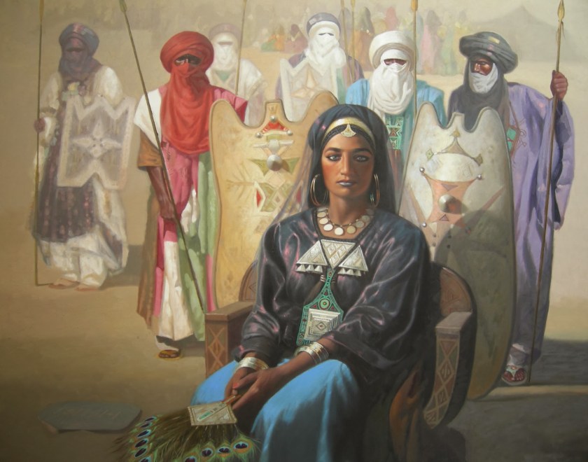
Women have a high status in the matriarchal and ancient Tuareg society. Among other things, primarily women own livestock, and other movable property, while personal property can be inherited by both women and men.

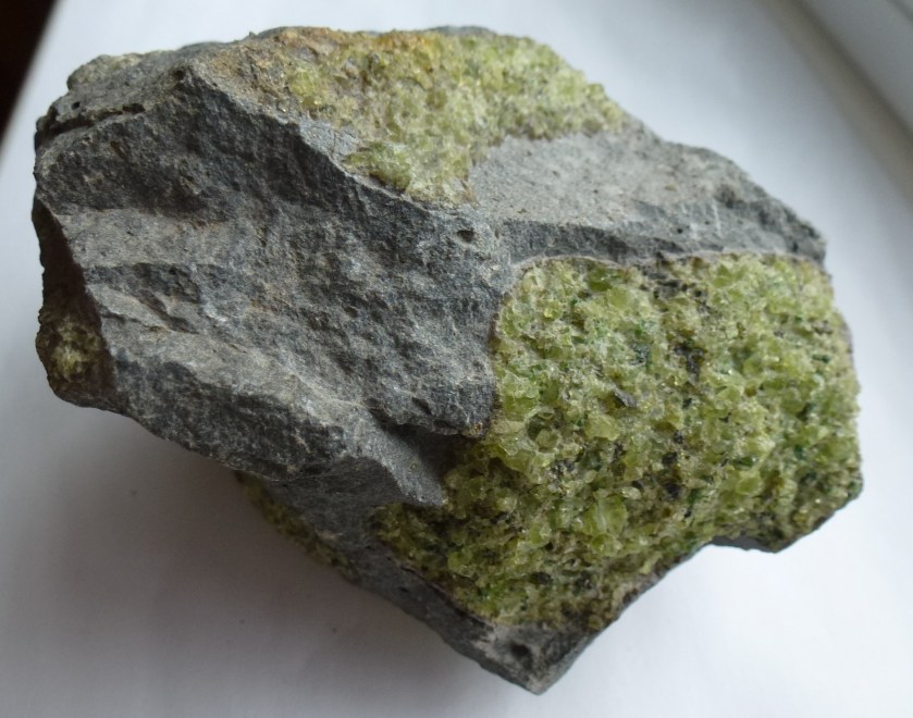
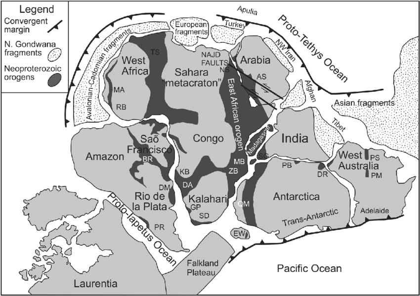
The Tuareg Shield, from which are told the Ahaggar Mountains were formed, is a host for world-class gold deposits, with at least 600 gold occurrences having been identified…
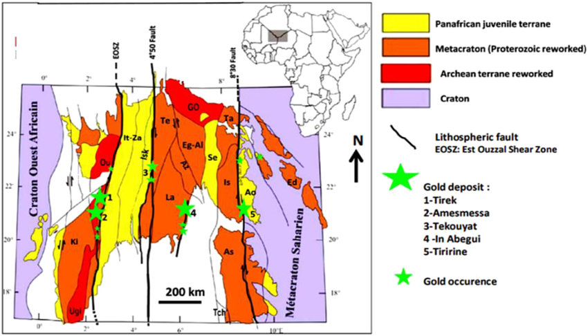
…and is part of the 3,000-kilometer, or 1864-mile, long Pan-African, Trans-Saharan belt that was believed by some geologists to have been one of the most important orogenic systems leading to the formation of the Gondwana Supercontinent.
Orogenic means events that cause distinctive structural phenomena related to tectonic activity, affecting rocks and crusts in particular region, happening within a specific period, in this case said to have been during the end of the Neoproterozoic era, the unit of geological time said to have been between 1,000-million years ago, and 541-million years ago.
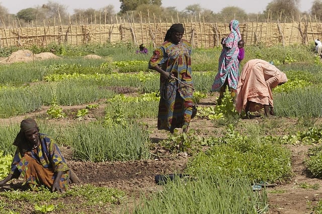
Next we come to Bilma, an oasis town in east Niger…
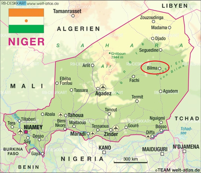
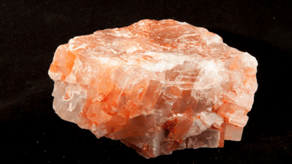
…known for its salt and natron production through the salt pans there…
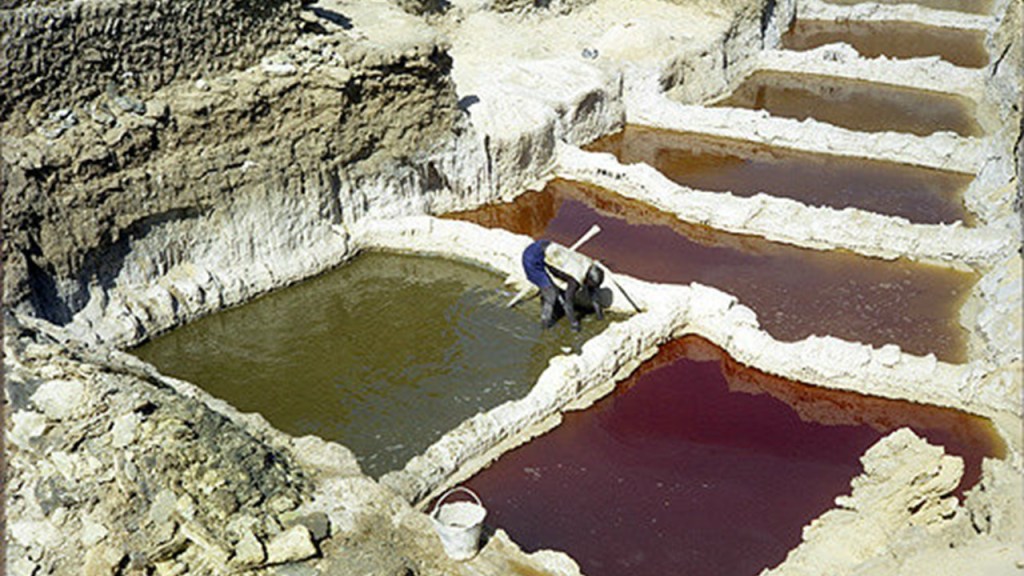
…and from which salt cones are made, sold for livestock use throughout western Africa.
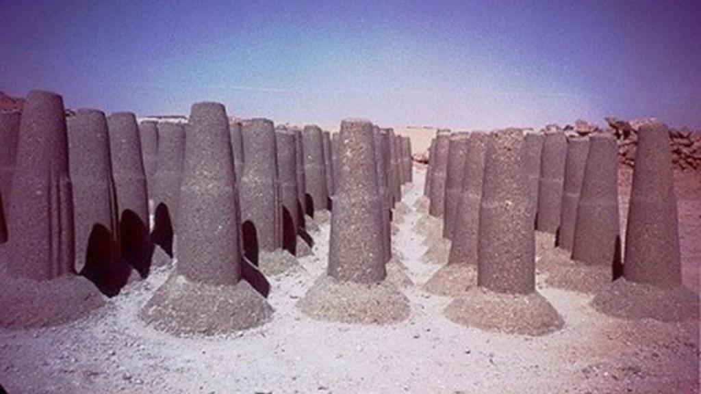
Salt is a crystalline compound of sodium chloride and widely used, for example, for seasoning food and in food preservation…
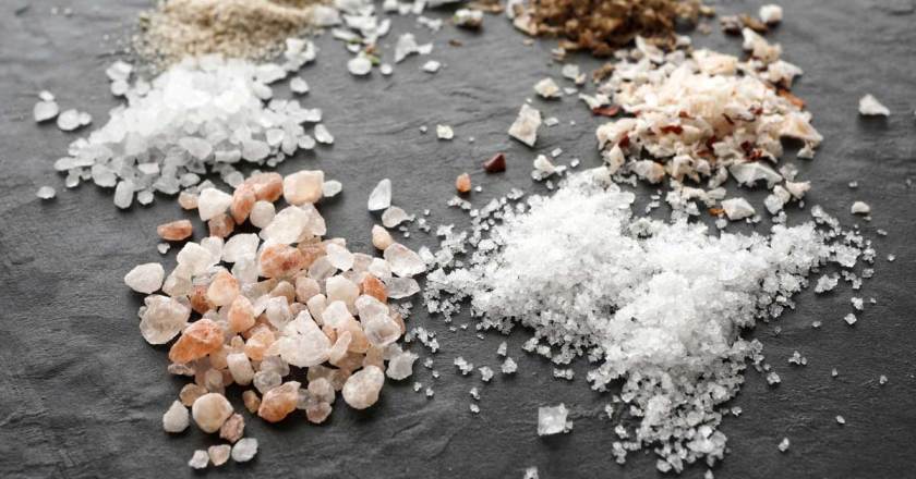
…and natron, a sodium bicarbonate component of salt, and historically used as well as a cleaning product for home and body.
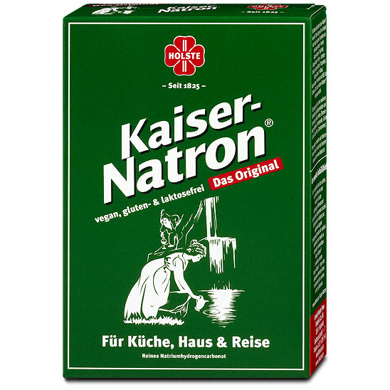
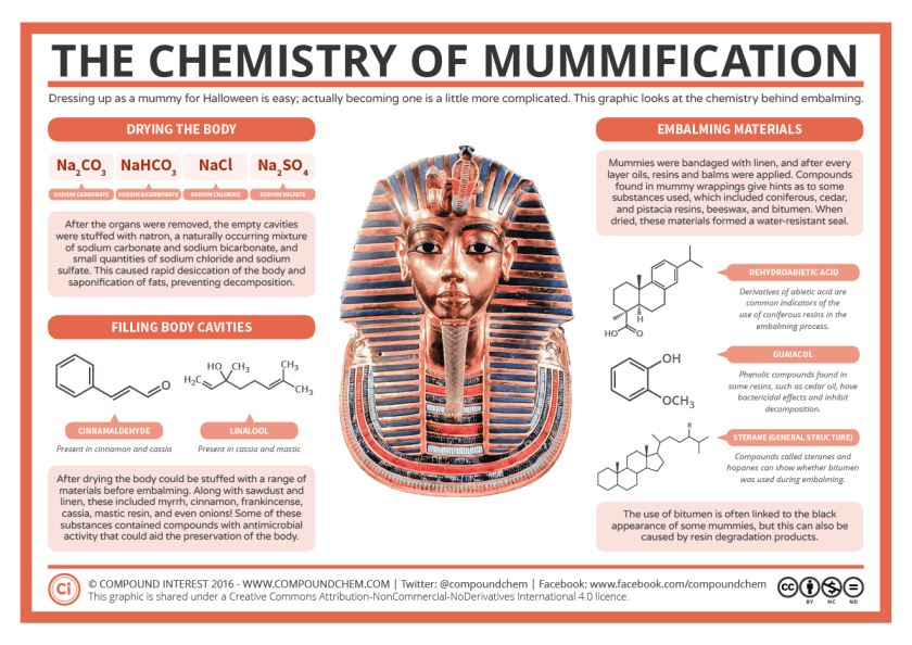
Natron refers to Wadi el Natrun, or Natron Valley, in Egypt, from which natron was mined by the ancient Egyptians…
…for the burial rites of mummification.
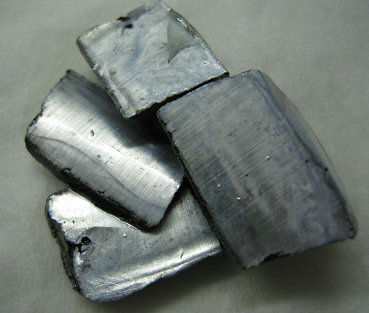
The symbol for the chemical element sodium is “Na” was derived from natron, and its atomic number is 11.
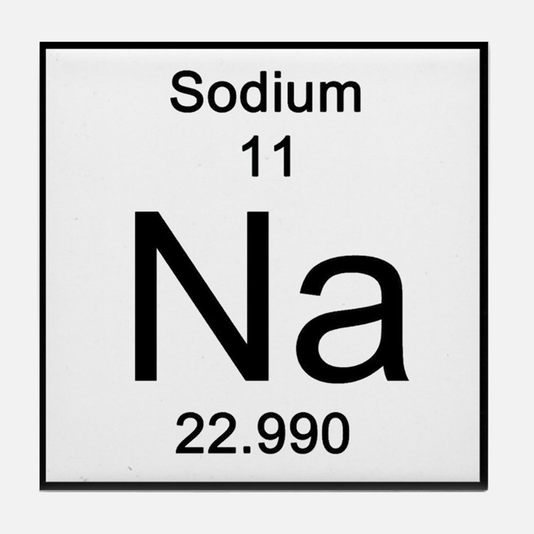
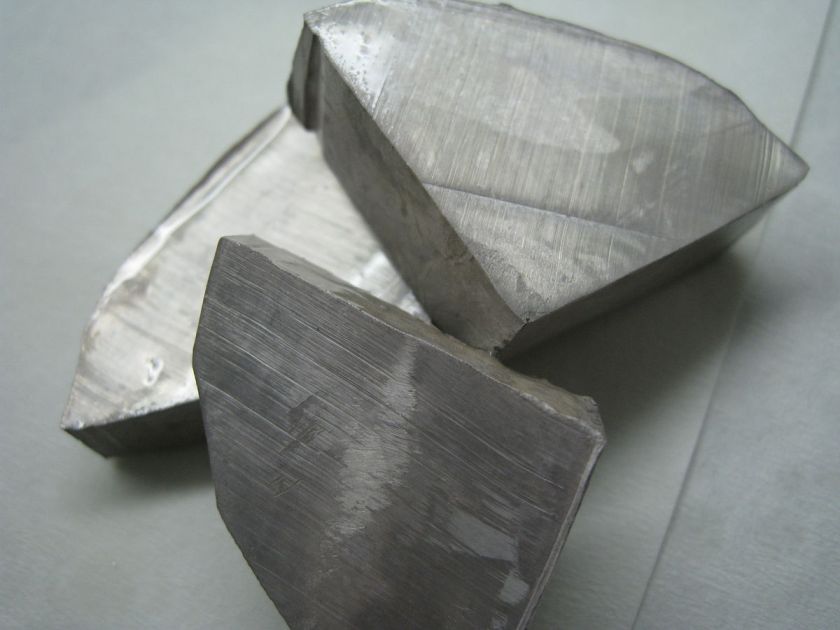
Sodium is a soft, silvery-white, highly-reactive metal, however, the free metal does not occur in nature and must be prepared from compounds.
Sodium is an essential element for all animals and some plants.
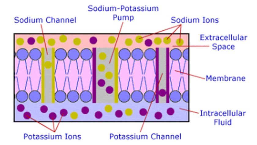
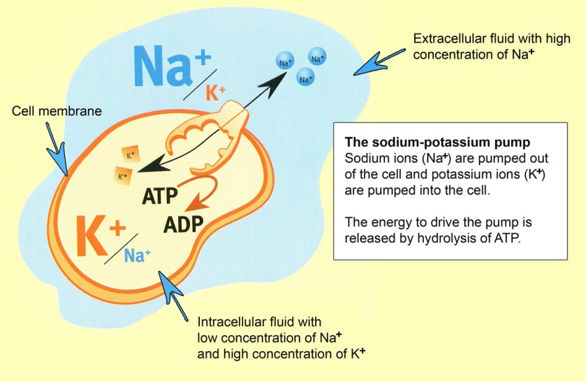
By means of the sodium-potassium pump, living human cells pump three sodium ions out of the cell in exchange for two potassium ions pumped in.
In nerve cells, the electrical charge across the cell membrane enables transmission of the nerve impulse – an action process – when the charge dissipates, and sodium plays a key role in this.
One more thing before moving from here is that Bilma is primarily inhabited by the Kanuri people.
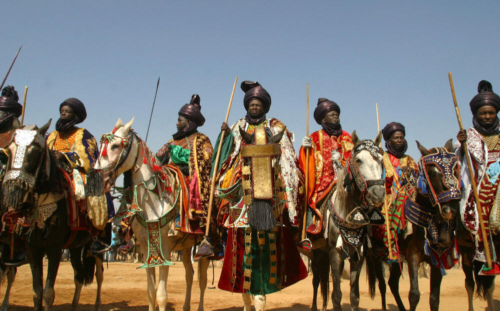
The Kanuri people are described as the African people that founded the powerful pre-colonial Kanem-Borno Empire.
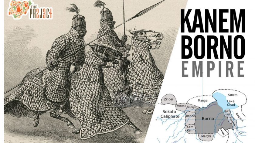
The Kanem Empire was said to have existed from 730 AD to 1380 AD…
…and then continued as the Bornu Empire until 1900.

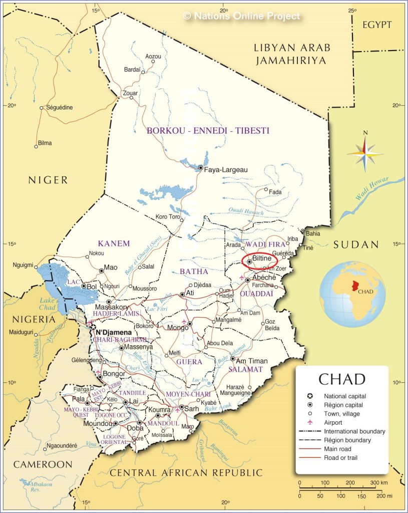
The next place on the alignment is Biltine, the capital of the Wadi Fira region of Chad, formerly known as the Biltine Prefecture.
Chad is a land-locked country in north-central Africa.
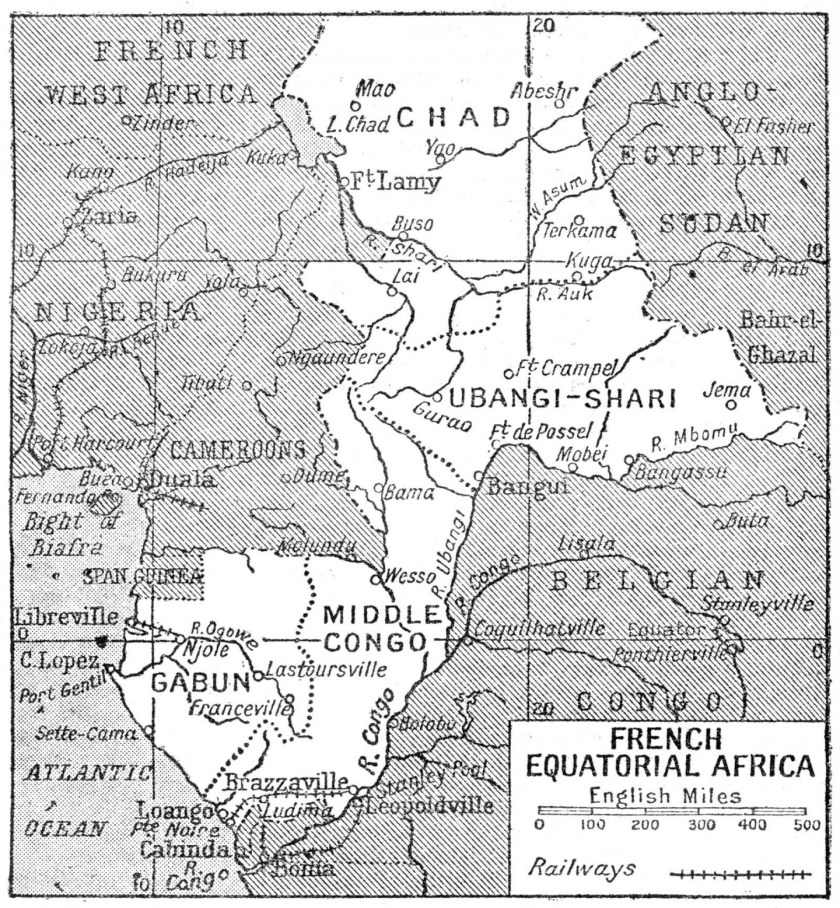
France conquered the territory in 1920, and incorporated it as part of French Equatorial Africa, a French colonial empire that lasted from 1900 until 1960.
Since its independence in 1960, Chad has been plagued by political violence, and is one of the poorest countries in the world, with most of its inhabitants living in poverty as subsistence herders and farmers.
The Zaghawa people are described as a central African Muslim ethnic group of eastern Chad and western Sudan, and as nomads who obtain their livelihood through herding cattle, camels and sheep and harvesting wild grains.
Interestingly, it is said that in the Girgam, the royal history of the Kanem-Bornu Empire I mentioned previously, refers to the Zaghawa people as the Duguwa, the line of kings of the Kanem Empire prior to the rise of the Islamic Seyfawa dynasty in 1086 AD.
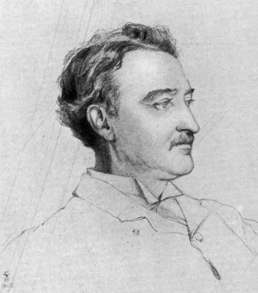
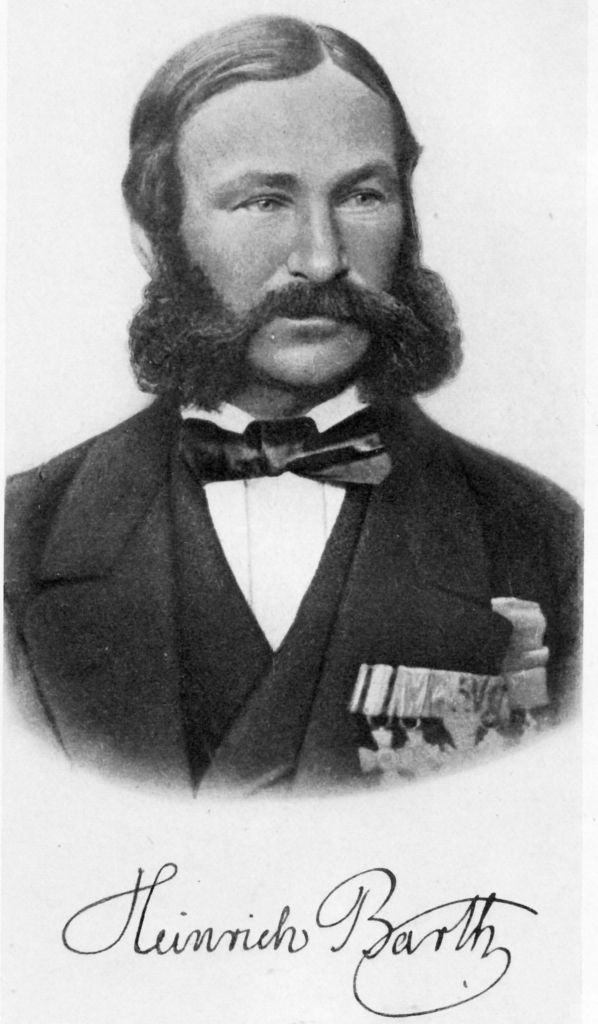
In 1851, a copy of the Girgam was given by a local associated with the Seyfawa Dynasty of the Kanem-Bornu Empire to Heinrich Barth, an Arabic-speaking German explorer of Africa, and he published a translation of it in 1852.
He travelled throughout Africa between 1850 and 1855, establishing friendships with rulers ands scholars, and carefully documenting the details of the cultures he visited.
And it was the Germans who organized the Berlin Conference in 1884 that carved up the continent of Africa between the European colonial powers?
Could there possibly be a connection between these occurrences?
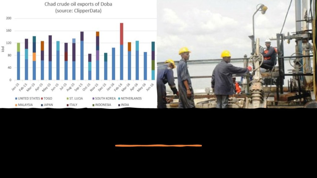
Important to note that Chad has sizeable reserves of crude oil, which is the country’s primary source of export earnings.
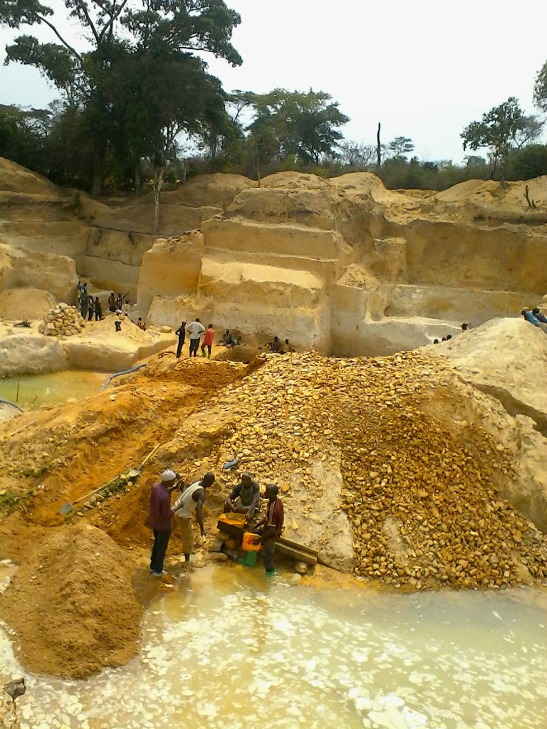
Also, Wadi Fira region of which Biltine is the capital is reported to have large deposits of gold-bearing quartz, as well as deposits of natron, uranium, silver and diamonds.
Most of the mining in Chad is small-scale due to the lack of foreign investment because of political and cultural instability.
The next place we come to on the alignment is El Obeid, the capital of the state of North Kurdufan in Sudan.
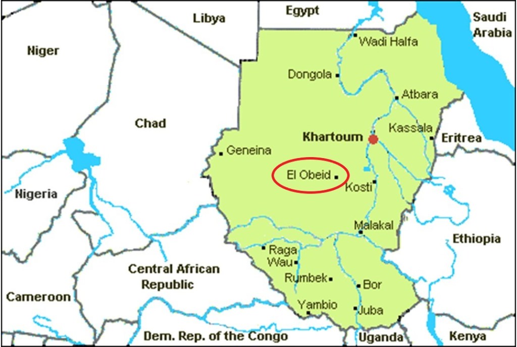
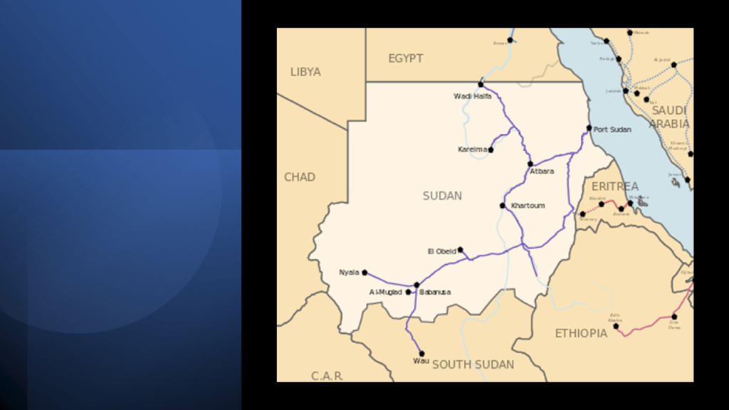
El Obeid is a terminus of Sudan Railways.
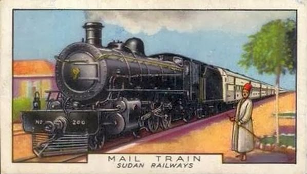
Sudan has 2,935-miles, or 4,725-kilometers, of narrow-gauge, single-track railways that serve the northern and central part of the country, with construction of the railroad said to have first started in 1878.
There is an oil refinery in El Obeid…
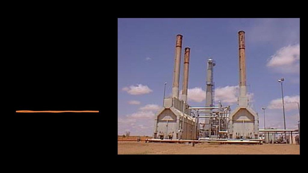
…that is part of Sudan’s oil industry.
As of 2016, Sudan held 5-billion barrels of proven oil reserves, ranking 23rd in the world.
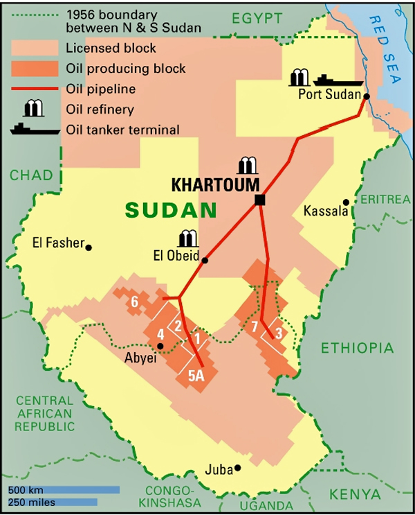
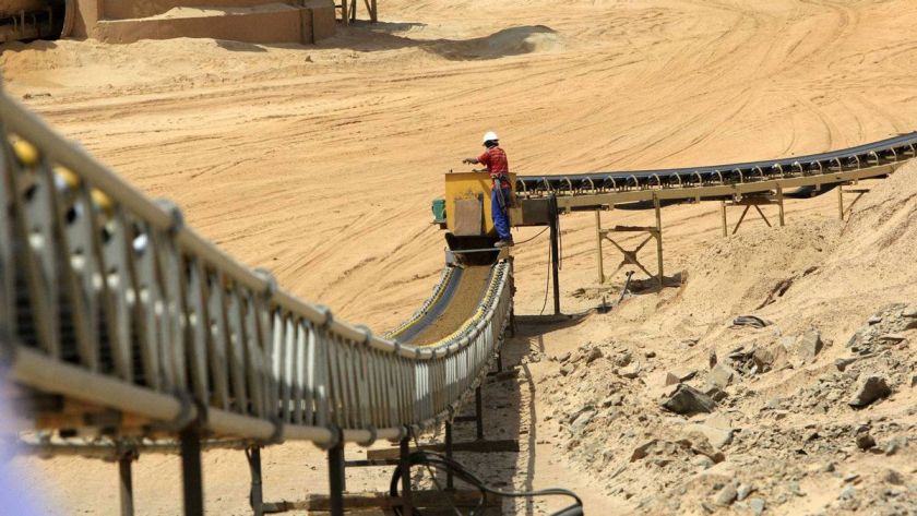
Also, there are more than 40,000 gold-mining sites, and about 60 gold-processing companies operating in Sudan.
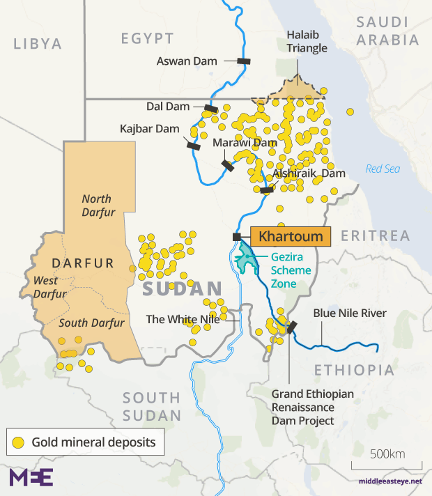
It looks like Sudan’s resources have been developed in a way that Chad’s has not, in spite of both countries having the same issue of political and cultural instability since independence from Britain in 1956.
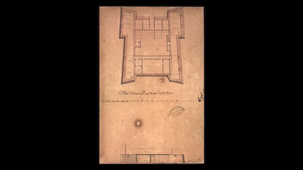
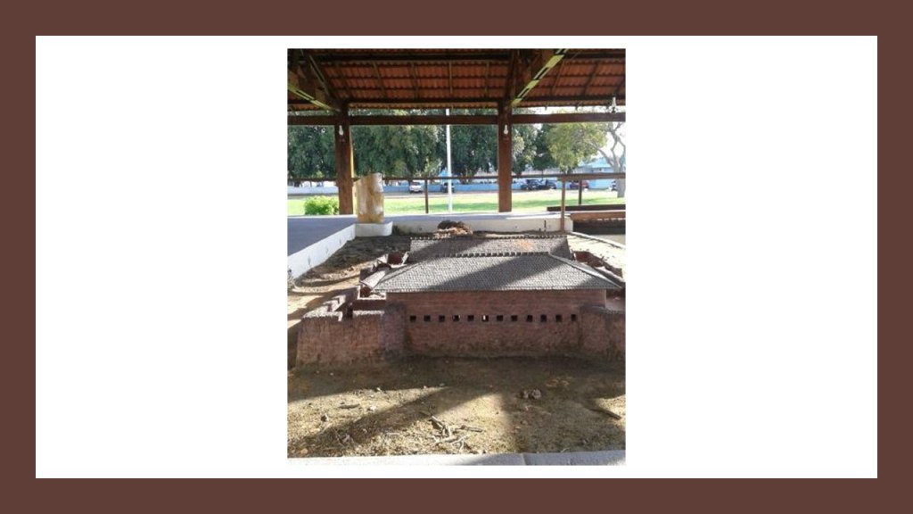
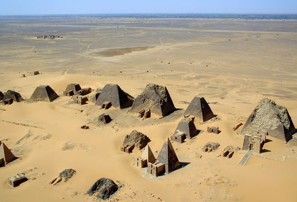
Sudan was the historical location of the Kingdom of Kush…
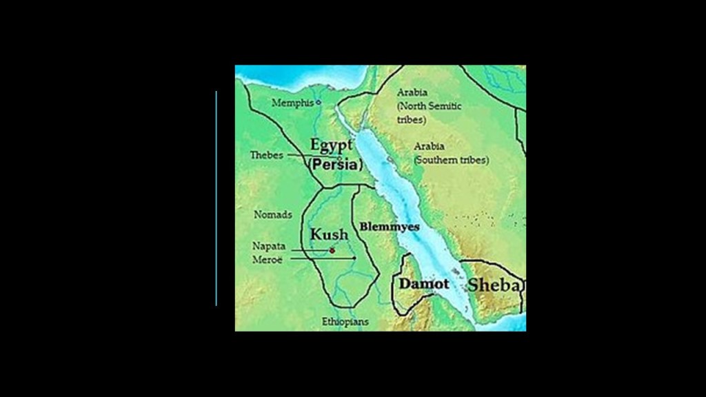
…with its capital being Meroe, situated on the east bank of the Nile River in Sudan.
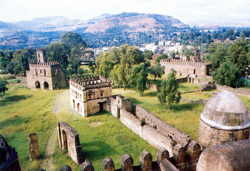
Now we come to Gonder, a city and district in Ethiopia.
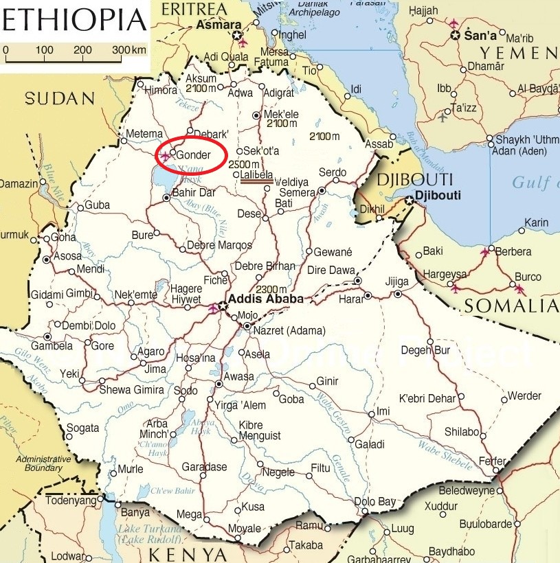
It previously served as the capital of the Ethiopian Empire, and holds the remains of numerous royal castles, including those of the Fasil Ghebbi, the home of the Ethiopian emperors.
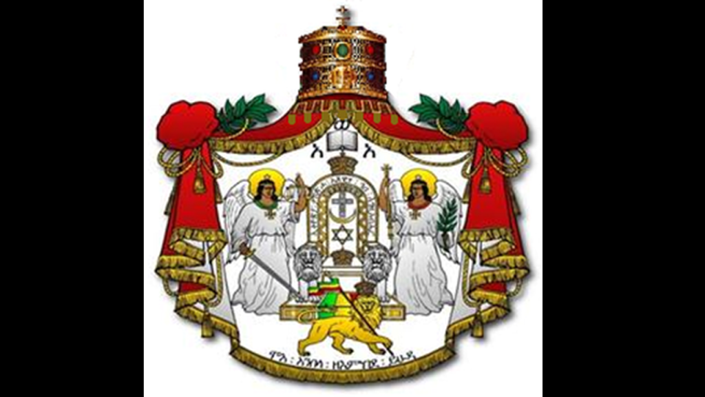
The Solomonic dynasty, also known as the House of Solomon, is the former ruling dynasty of the Ethiopian Empire.
Its members were lineal descendents of King Solomon and the Queen of Sheba through their son Menelik I, the first Emperor of Ethiopia.
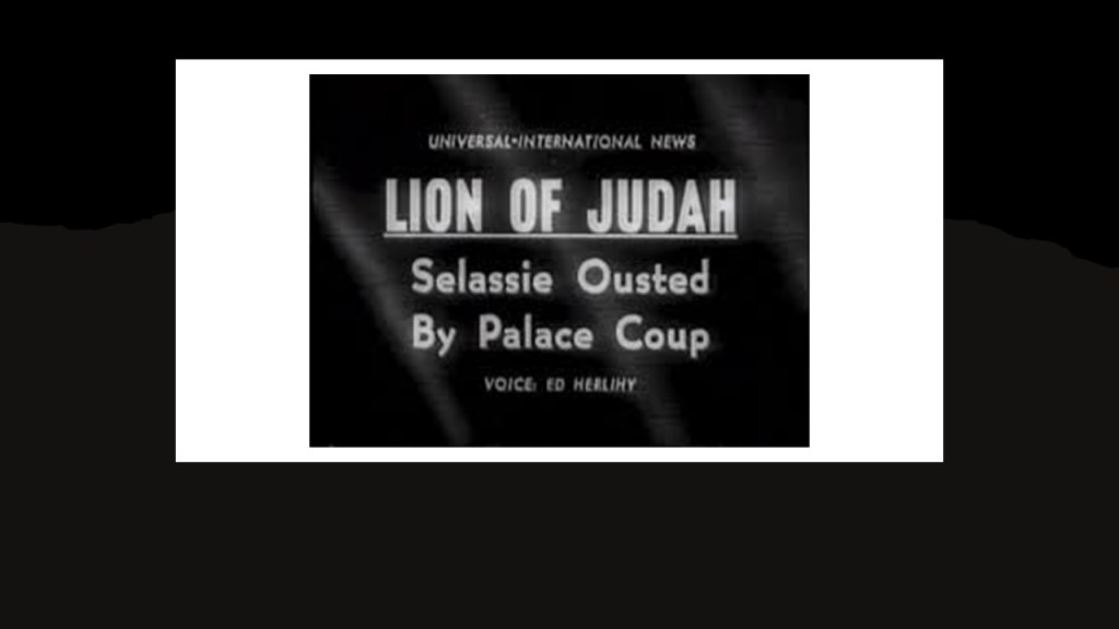
Haile Selassie was the last Emperor of Ethiopia from 1930 to 1974…
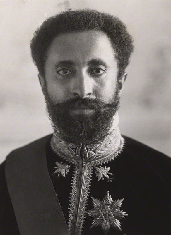
…at which time he was deposed in a coup, and a one-party communist state was established in Ethiopia in March of 1975.
Ethiopia became a Federal Democratic Republic in 1991.
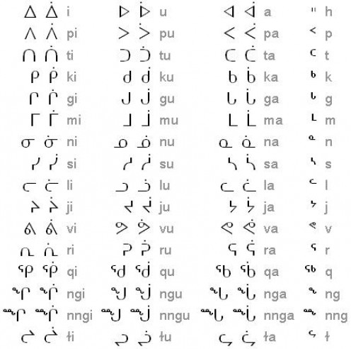
Ethiopia uses the ancient Ge’ez script, one of the oldest alphabets still in use in the world, and when I saw the script pictured here, it immediately brought to mind a few others.
This is Ge’ez script on the top left, compared with the Armenian alphabet on the top right, Norse runes on the bottom left, and Vril on the bottom right.
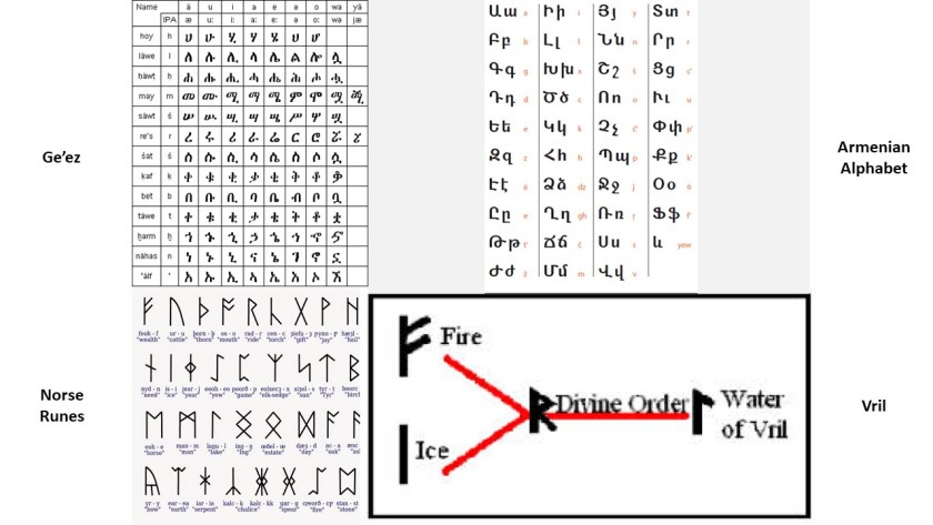
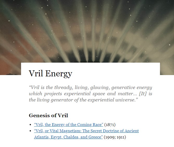
It would not surprise me to learn that these are scripts of the original language, Vril, which was connected to the Ancients and their mastery of how to harness natural energy to create amazing things.
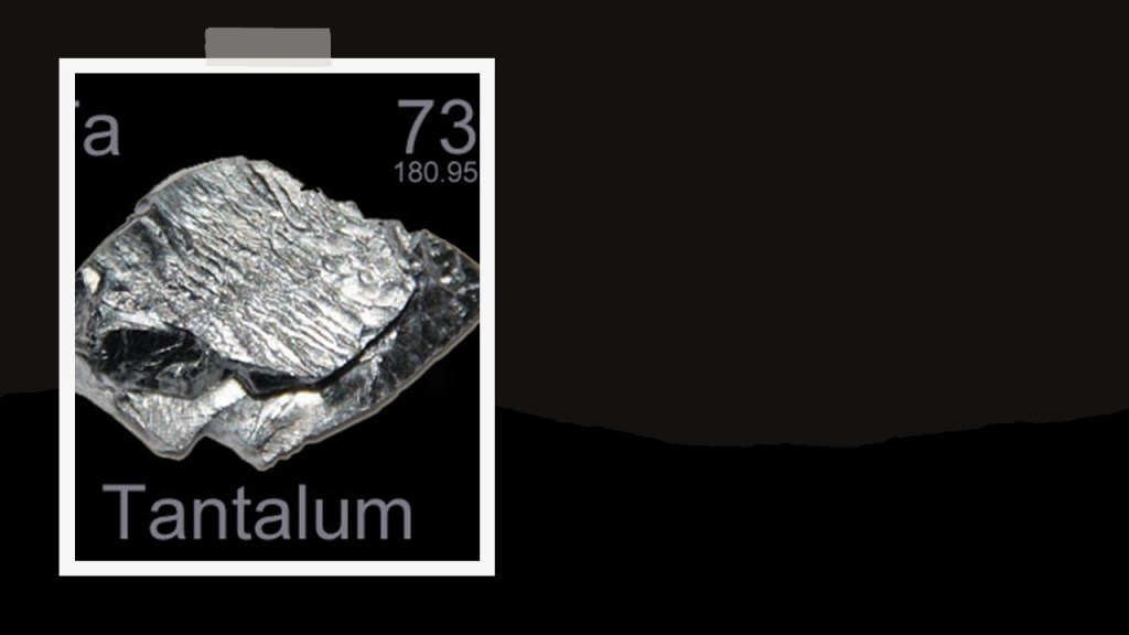
And…yes…there is mining in Ethiopia, including but not limited to gemstones like diamond and sapphire, industrial minerals, gold and tantalum.
Tantulum is a chemical element with the symbol “Ta,” and atomic number of 73.
It is a rare, hard, blue-gray metal that is highly-corrosion resistant, and is considered a technology-critical element.
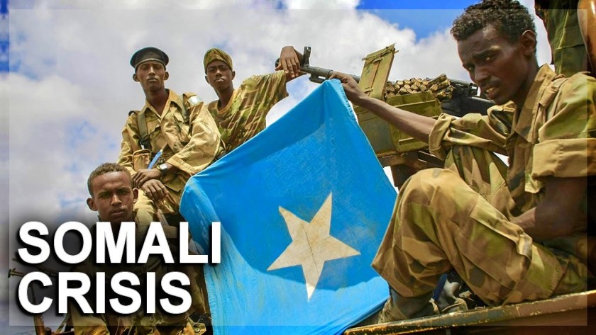
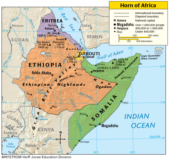
Next we come to Hargeysa, Somalia, in Somaliland in the Horn of Africa.
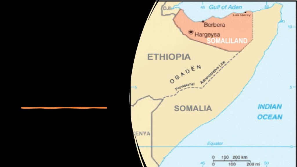
The Horn of Africa is the peninsula that is the easternmost projection of the continent, and referred to in ancient and medieval times as Barbara, and denotes the region containing Somaliland, Djibouti, Eritrea, Ethiopia, and Somalia.
This is a map showing oil concessions in Somaliland circa 2007.
There have been exploratory geological surveys done here, but the mining industry is new and looking for developers.
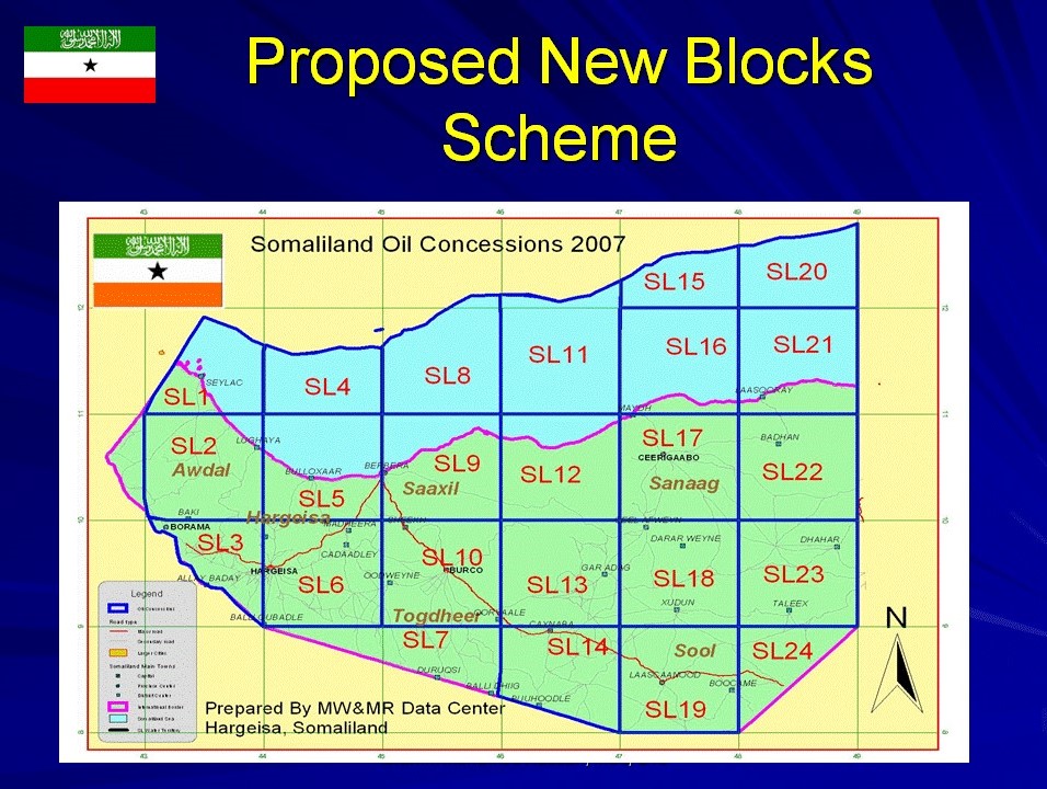
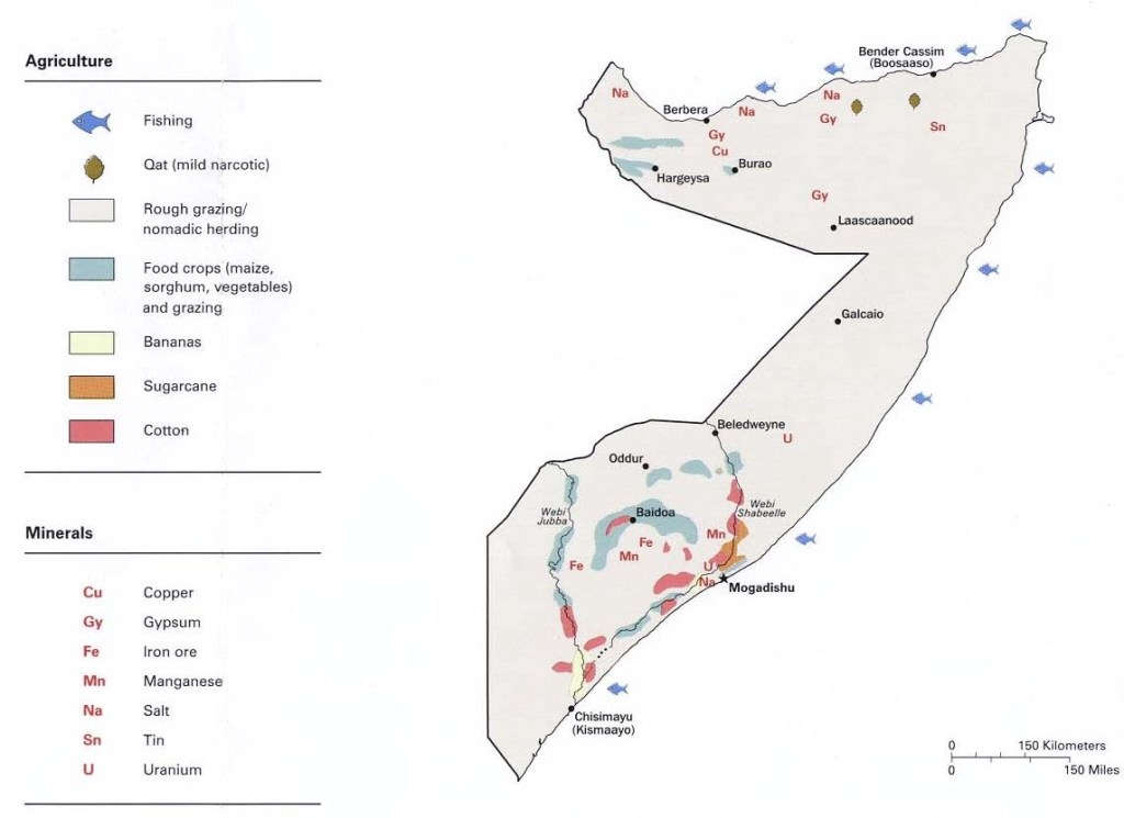
Around Hargeysa, the mineral resources include sodium, copper, tin and gypsum in the region as well.
Gypsum is a soft, sulphate mineral…
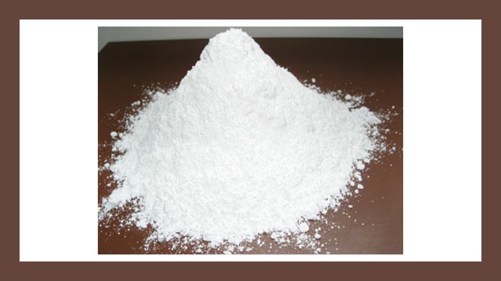
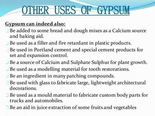
…and is the main component of many forms of plaster, drywall, and blackboard chalk, but has many other uses as well.
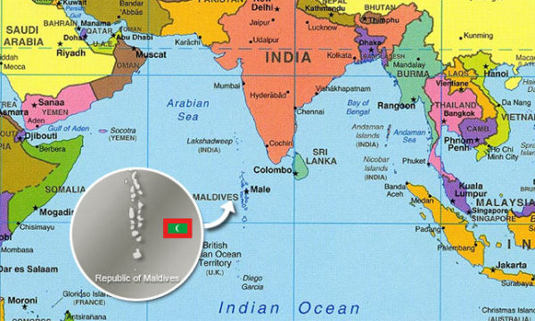
The last place I want to look at on this alignment are the Maldives, an island republic in the Indian Ocean, southwest of the Indian subcontinent.
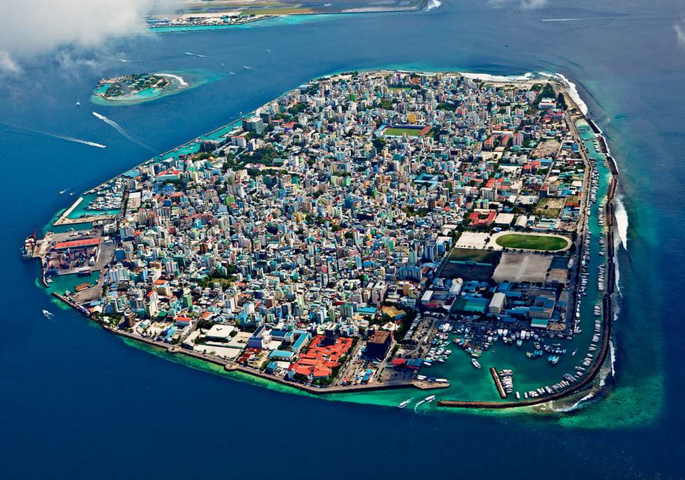
Now at first glance, you wouldn’t associate mining with a place that looks like this.
This is the capital of the island nation of the Maldives, Male, on Male Atoll.
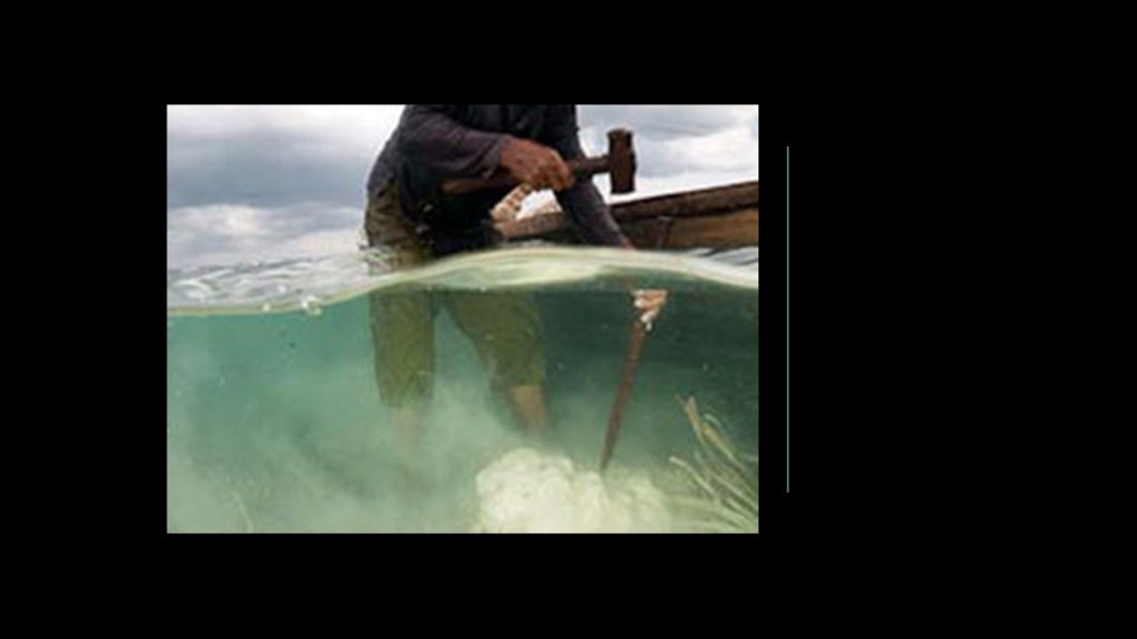
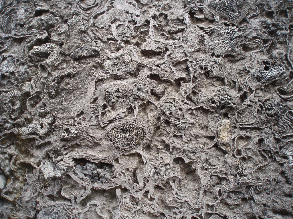
But I did find mining activity ~ coral mining!
Coral mining can take place anywhere coral is available in a convenient location, usually occurring at low tide, and is done by either using dynamite…or iron bars to manually to retrieve the coral by breaking-up the larger corals into smaller pieces that can easily be carried to shore.
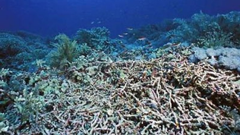
However it is extracted, the results are loss of biodiversity, and erosion and land retreat.
The most common use of coral is to turn it into limestone or a cement substitute for use as a building material…
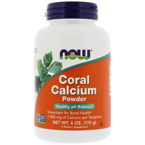
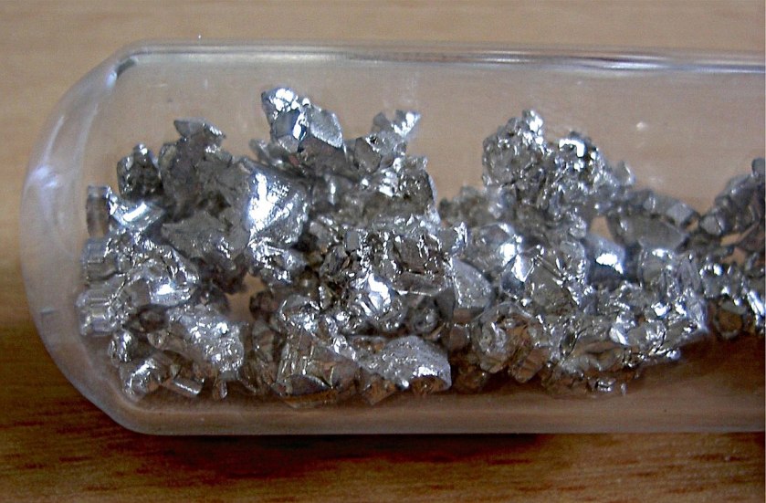
…but it can also be used to make calcium substitutes, which are then used to produce lime…
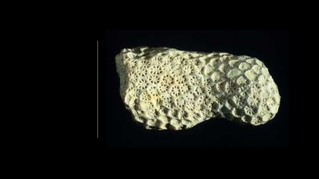
…and coral calcium is also marketed as a nutritional supplement.
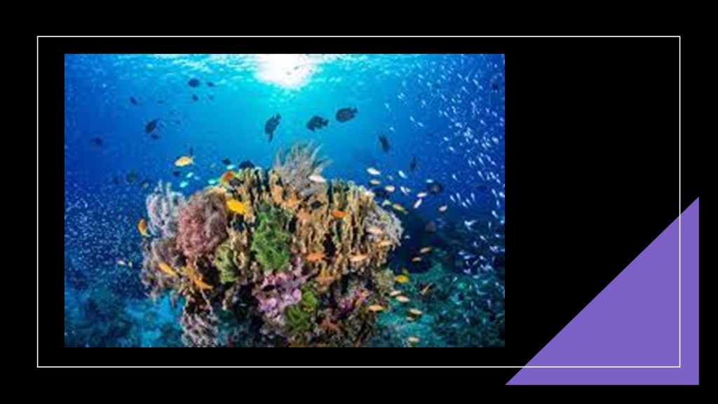
Coral reefs are formed by colonies of coral polyps held together by calcium carbonate, a chemical compound which includes calcium, carbon, and oxygen.
Calcium is a chemical element with the symbol “Ca” and the atomic number of 20.
It is an alkaline earth metal, and the fifth most abundant element in Earth’s crust, and the third most abundant metal after iron and aluminum.
In addition to many industrial uses, calcium is the most abundant metal, and the 5th-most abundant element, in the human body.
I could continue on looking into places on this alignment, but I am going to stop here because I have more than made my point about the correlation of mining and minerals on this long-distance alignment, along which I have found something related at every data point that I had on my spreadsheet.
I do want to share my thoughts on my findings and tie them into related topics.
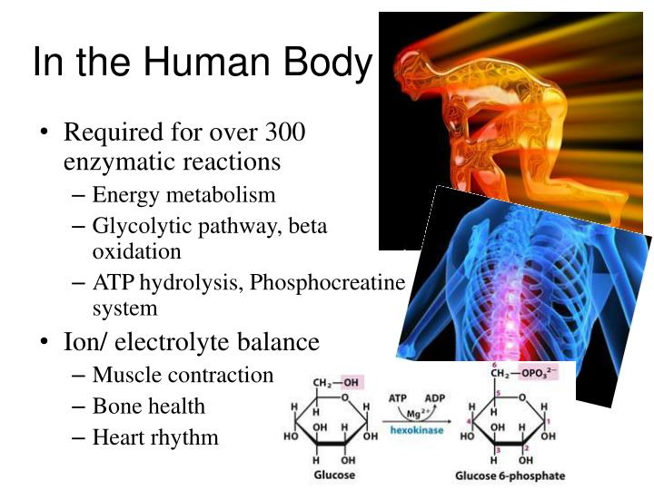
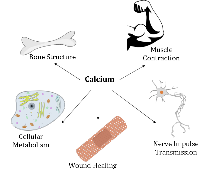
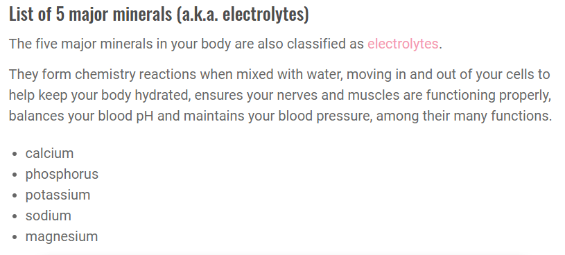
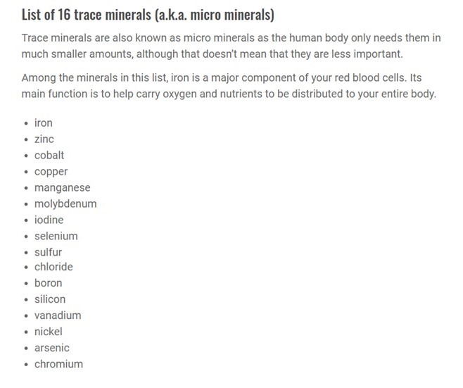
Chemical elements form the basis of all life and the processes of creation.
Chemical elements are essential minerals for the processes of the cells of our body and making sure everything works and stays in balance, critical parts of us and everything in physical form existence.
Which brings up the question – so how exactly does Spirit become Matter?
Chemistry is currently defined as the branch of science that deals with the identification of the substances of which matter is composed; the investigation of their properties and the ways in which they interact, combine, and change; and the use of these processes to form new substances.

Alchemy is currently defined as the medieval forerunner of chemistry, based on the supposed transformation of matter, and concerned particularly with converting base metals into gold.
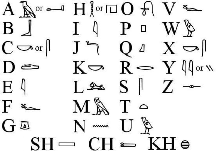
Khem was the ancient name of Egypt.
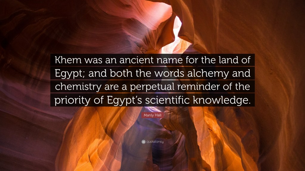
What if Egypt means much more than what we have come to know as one geographical location on the Earth?
Just leaving this concept I found in my research here for consideration as well.
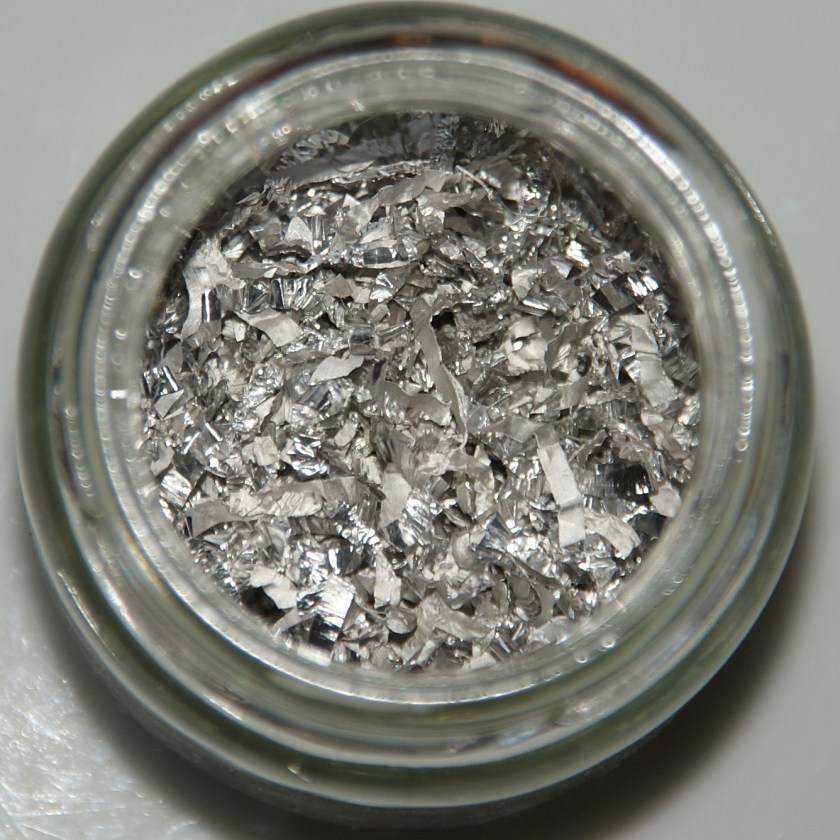
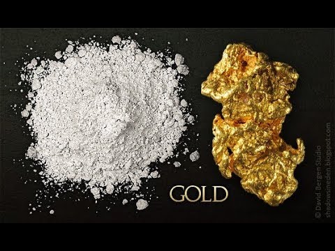
This is a good place to mention monoatomic gold and red mercury.
Monoatomic gold is known to strengthen one’s immune system through the boosting of red blood cells, and an overall vast increase to the speed of cell regeneration.
It is a superconductor, and when ingested into the body, it influences cellular structure to become superconductive as well.
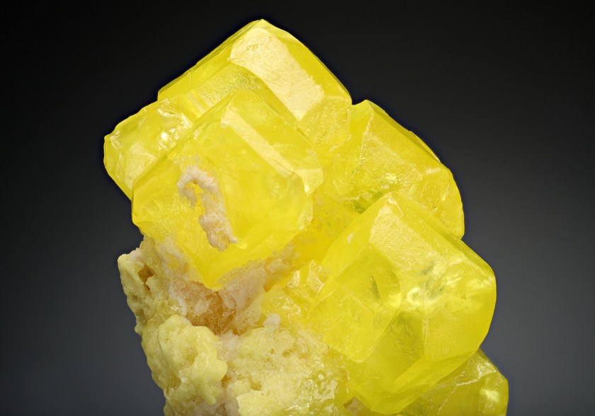
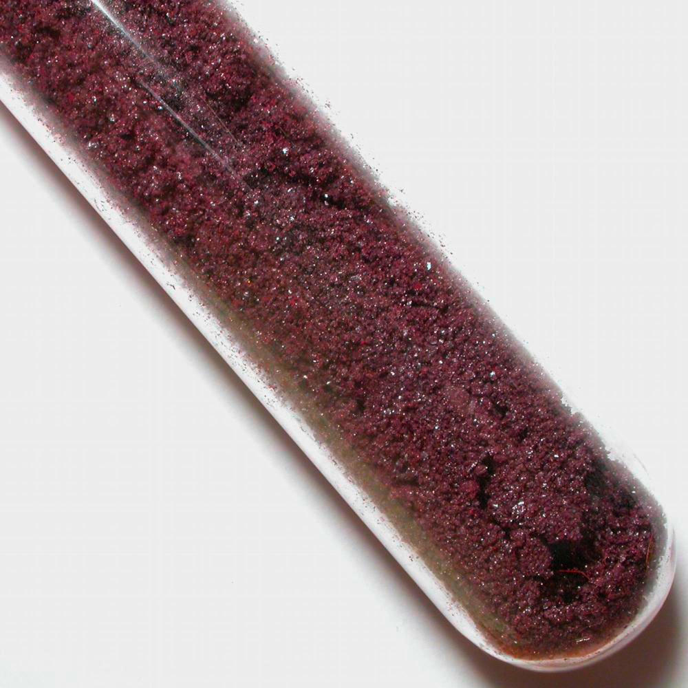
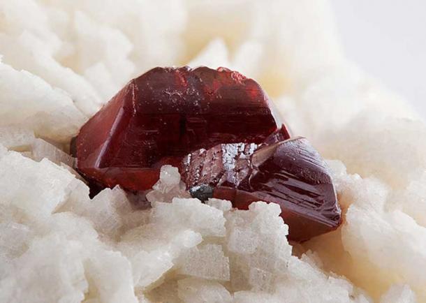
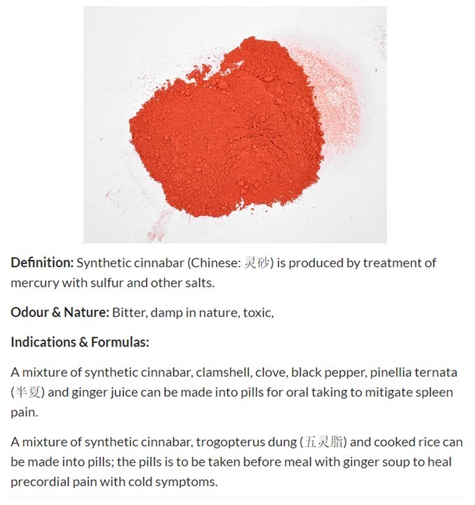
In looking up red mercury, I came across Cinnabar.
Cinnabar is a compound of mercury, sulphur, and salt, or otherwise known as a salt of mercury sulfide.
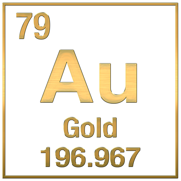
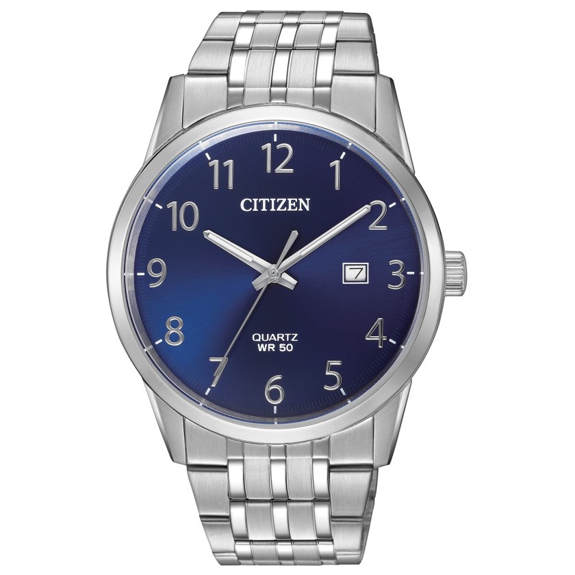
The symbol for the chemical element mercury is “Hg” from the Greek word meaning “liquid silver,” with the atomic number of 80.
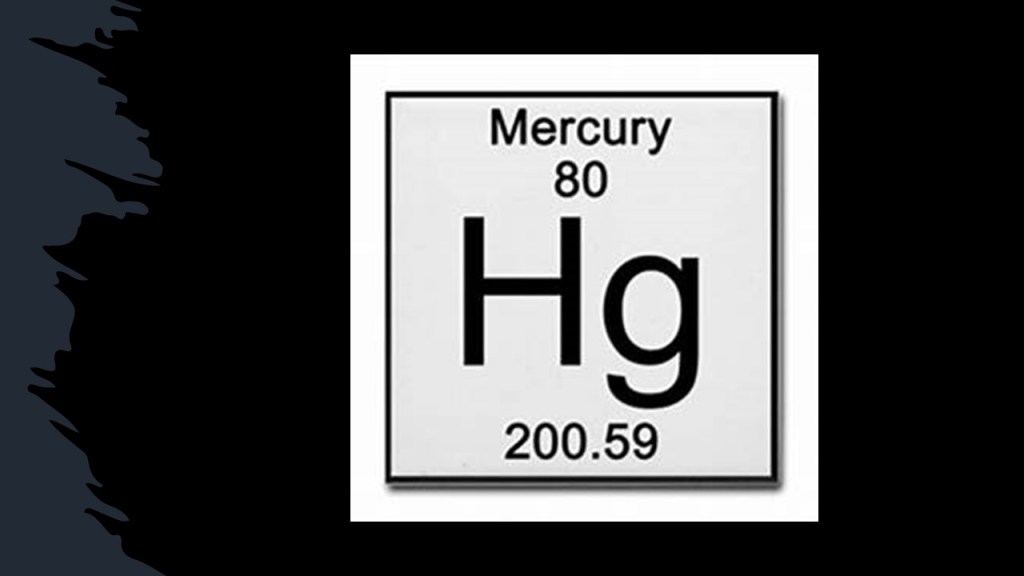
The Ancients used cinnabar and mercury as a sacred substance, an elixir of life, and as a medicine…even though mercury in any form is poisonous.
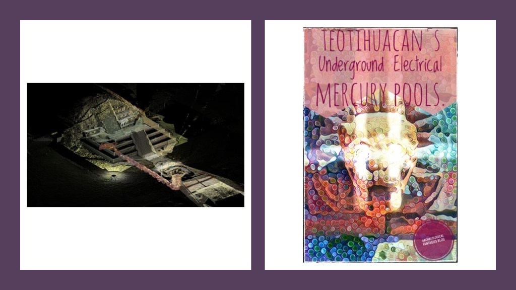
There are also questions about why large quantities of mercury were in three chambers underneath the Quetzelcoatl – Feathered Serpent pyramid at Teotihuacan in Mexico.
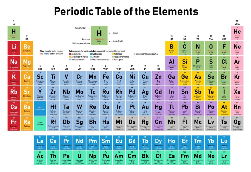
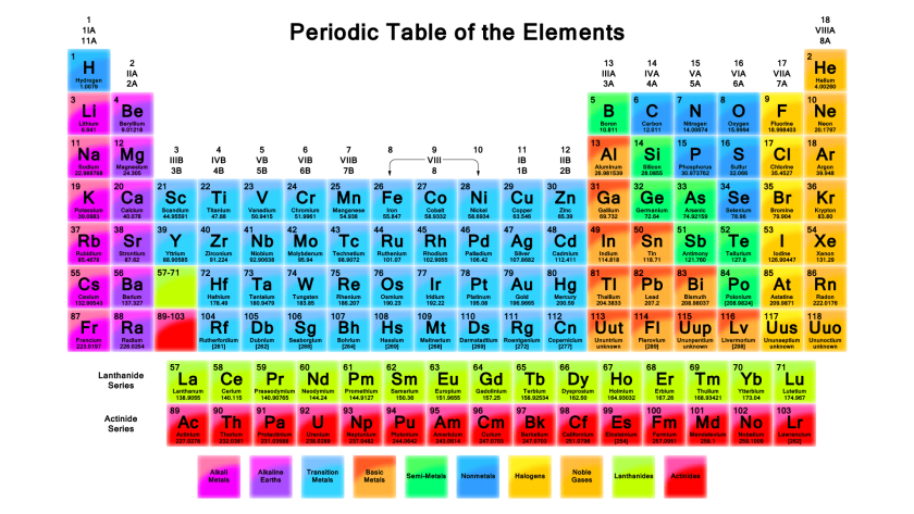
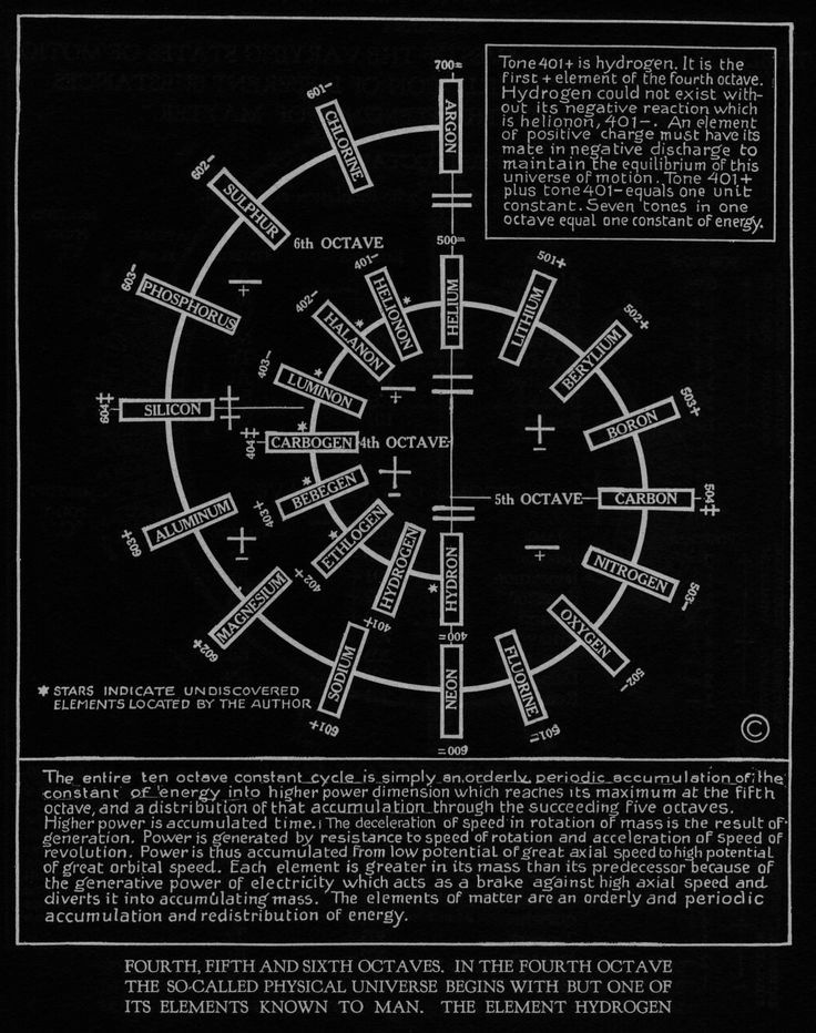
I have been referring to the Periodic Table of the Elements that I remember learning about in high school through this series, the current form of which was first published in 1923, and circulated to schools at that time.
I didn’t know about the Russell Periodic Chart of the Elements, published in 1926, until quite recently.
In this periodic chart, elements are standing waves over a period of time.
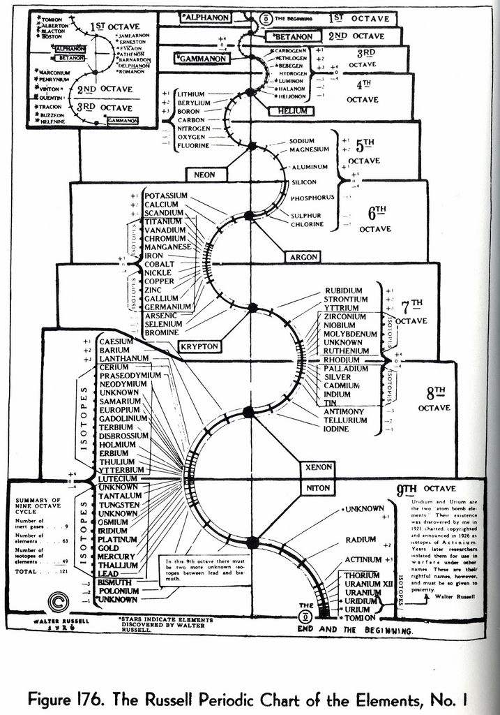
The concept that it is based on is that time is continuously being formed by the spontaneous absorption and emission of electromagnetic radiation (EMR), forming a universal process of spherical symmetry, forming spiral patterns, with each element of the periodic table having a set position forming the curvature of these spirals…
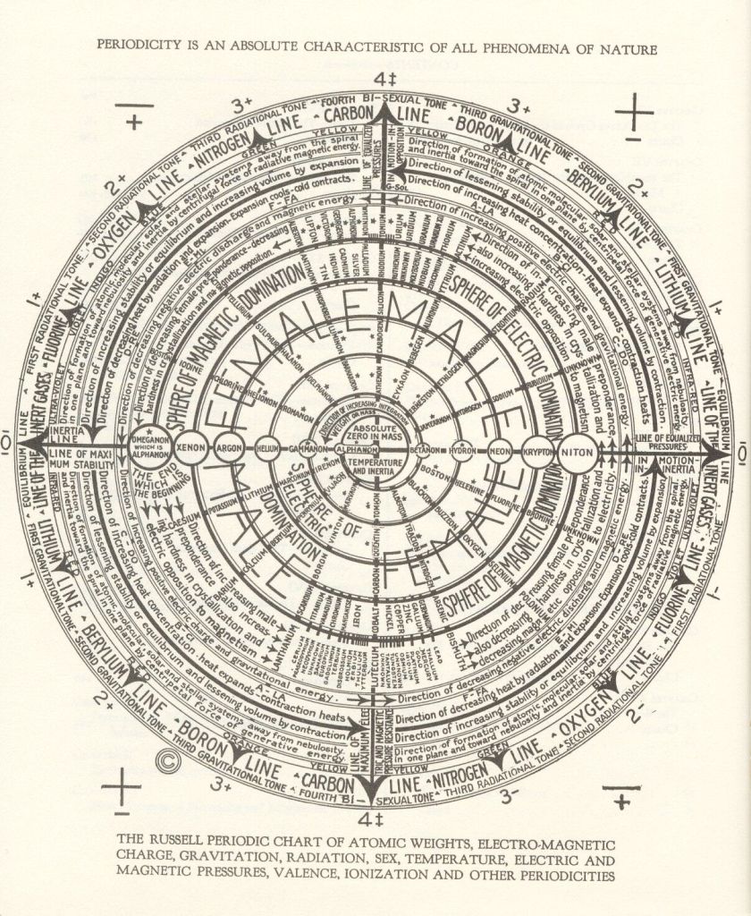
…and are organized in octaves.
There is one more concept that I would like to tie into this subject for consideration.
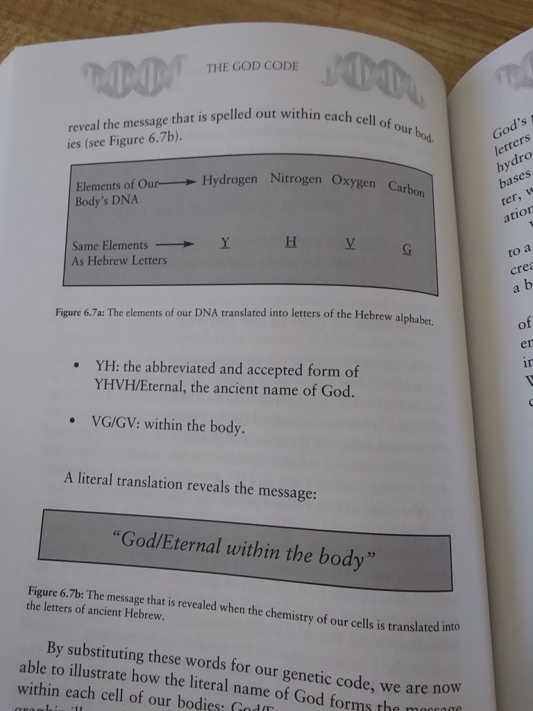
Several years ago, I read a book by Gregg Braden entitled “The God Code.”

On the book’s back cover he writes “A coded message has been found within the molecules of life, deep within the DNA in each cell of our bodies. Though a remarkable discoverlinking biblical alphabets to our genetic code, the ‘language of life’ may now be read as the ancient letters of a timeless message.”
In Ancient Hebrew, God’s sacred name is reveal as 4 letters – Yod (Y) He (H) Vau (V) He (H), and is referred to as the Tetragrammaton.
What Gregg Braden found preserved through his deep study of ancient records were instructions that allows us to substitute the elements that form our DNA with the letters of the Hebrew alphabet, and in so doing, we are able to translate the language of life and read a message.
All life is formed as combinations of four DNA bases – Adenine (A); Thymine (T), Guanine (G); and Cytosine (C) – which arrange themselves into precise pairs (G – C) and (A – T) to produce the blue print of life.

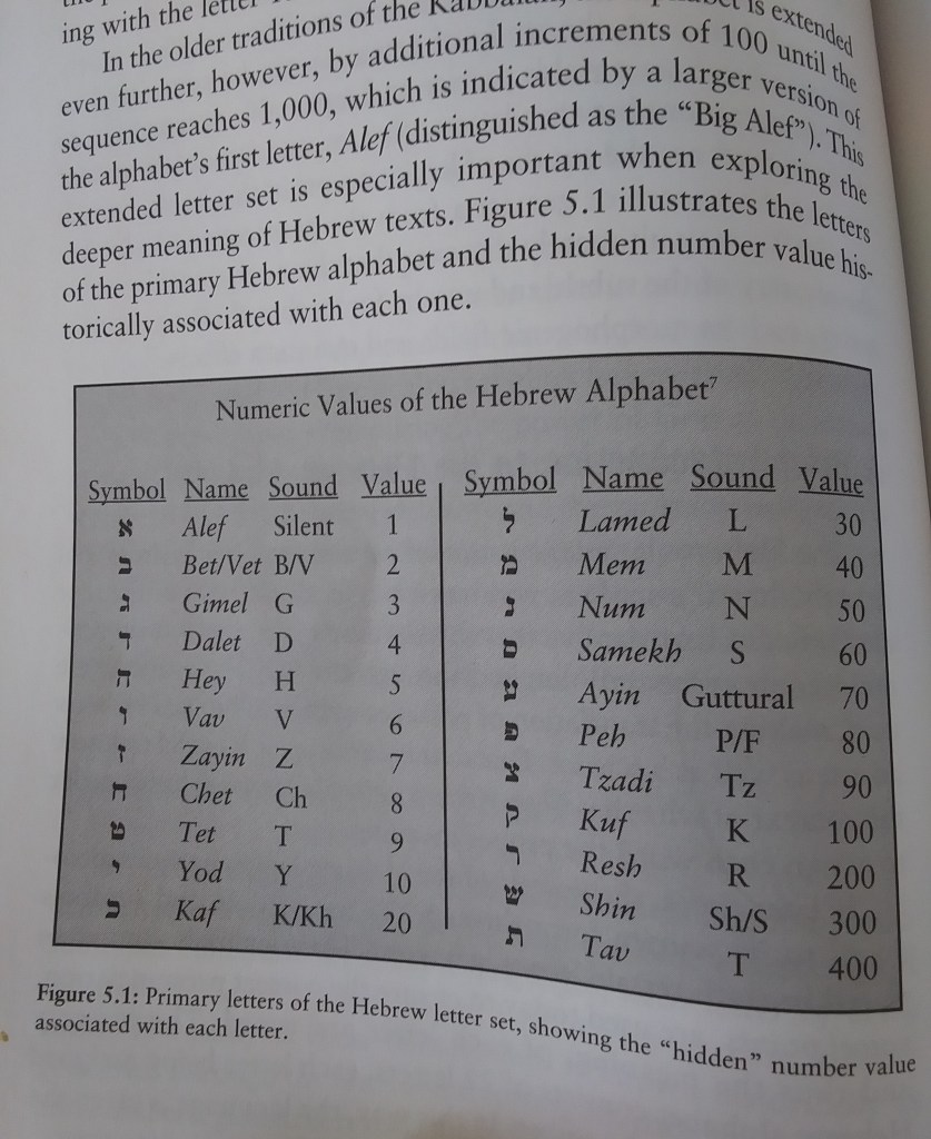
Each letter of the Hebrew alphabet is linked with a very specific number value.
The study of these relationships is known as gematria.
He explains that the key to translating the code of DNA into a meaningful language is to apply the discovery that converts elements to letters.
Based upon their matching values, hydrogen becomes the Hebrew letter Yod; nitrogen becomes the letter He; oxygen becomes the letter Vau; and carbon becomes the letter Gimel.
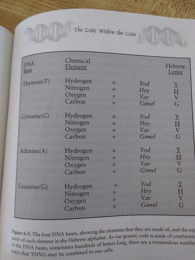
He further explains that by substituting modern elements for the ancient letters, although we share the first three leters of our Creator’s name, the fourth letter of our chemical name – “carbon” – sets us apart from God and makes us “real” in our world.
He says as “YH” forms one-half of God’s name and the name coded into our cells, and that by substituting these words into our genetic code, we are now able to illustrate how the literal name of God forms the message “God/Eternal within the Body” in our DNA.
With regards to the correlation of the mines & minerals that I have consistently found all along this long distance alignment, I have come to believe that when the ancient Master Builders constructed the Earth’s Grid System, everything on that grid system was precisely placed for a specific reason and/or function, such as chemical elements being placed in certain places and relationships to each other as circuit elements.

Through travelling this long-distance alignment, I am seeing a hidden pattern of widespread environmental, and in many places cultural, devastation around mining activity, with little or no accountability on the part of the mining companies for the damage they cause to the environment and the local communities.
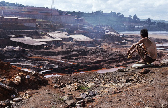
They provide jobs in many cases for only a short time, and then leave the people with nothing, and the people that have nothing destroy their environment to get the little bit they can mine to sell in order to make some money.
The Ancient Ones mined, but they mined for what they needed, and not for profit, and not until mineral resources were completely depleted.
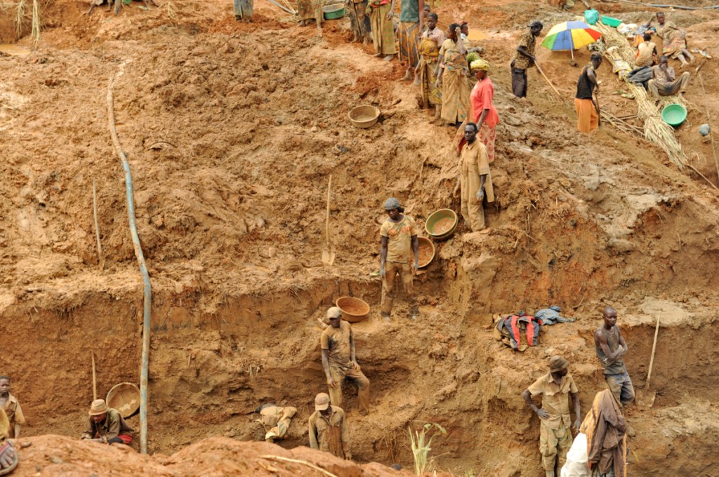
Not only that, the examples of the cruelty and inhumanity of forced labor in mines in places like the Gulag, by far not the only example.

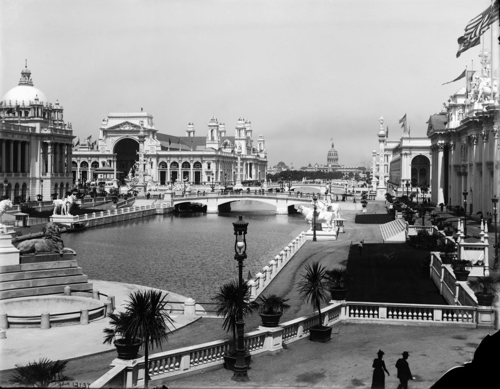
Those responsible for wiping out the memory of the original advanced Human civilization knew about the earth’s grid system, and capitalized on it, at the same time removing the existence of this civilization and grid system from collective awareness.
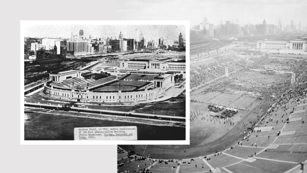
This is a picture of the 1893 Chicago World’s Fair.
I look forward to digging deeper into this subject as there is much more to bring to light as this series only scratches the surface of what there is to find about Earth’s Hidden History, Ancient Advanced Civilization, and what has been taking place here without our awareness.