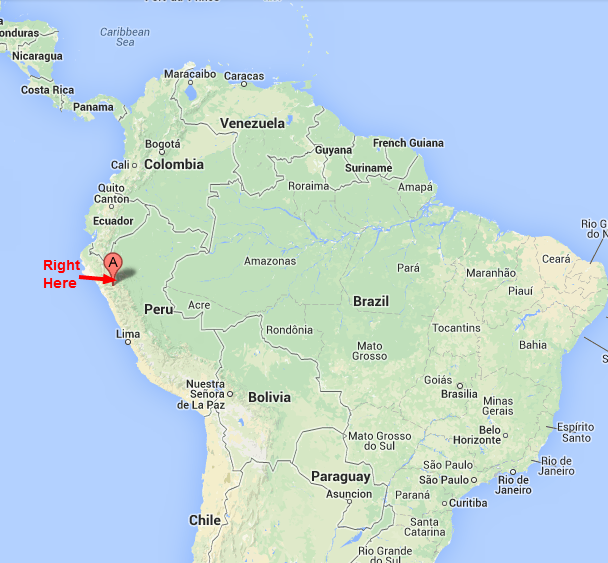
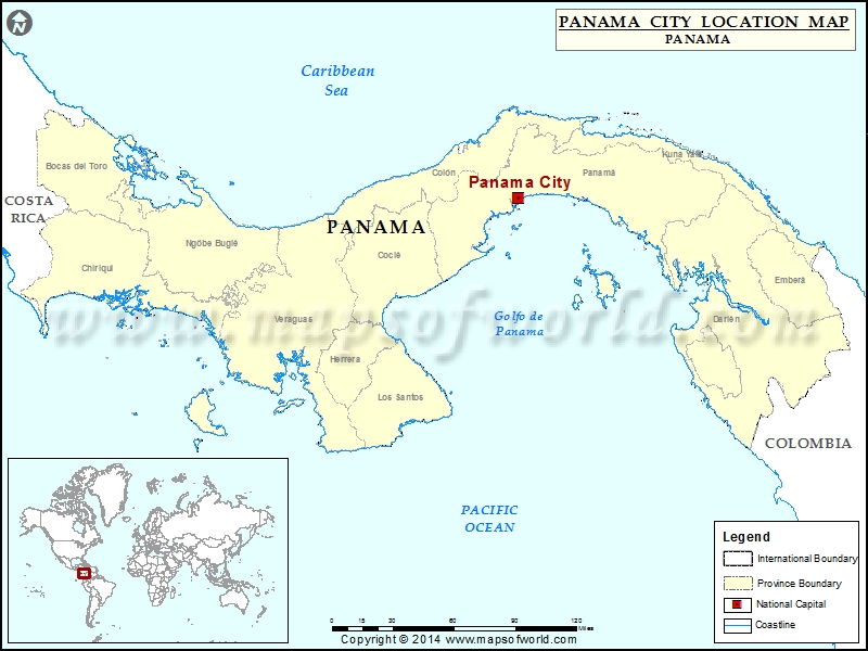
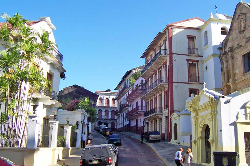
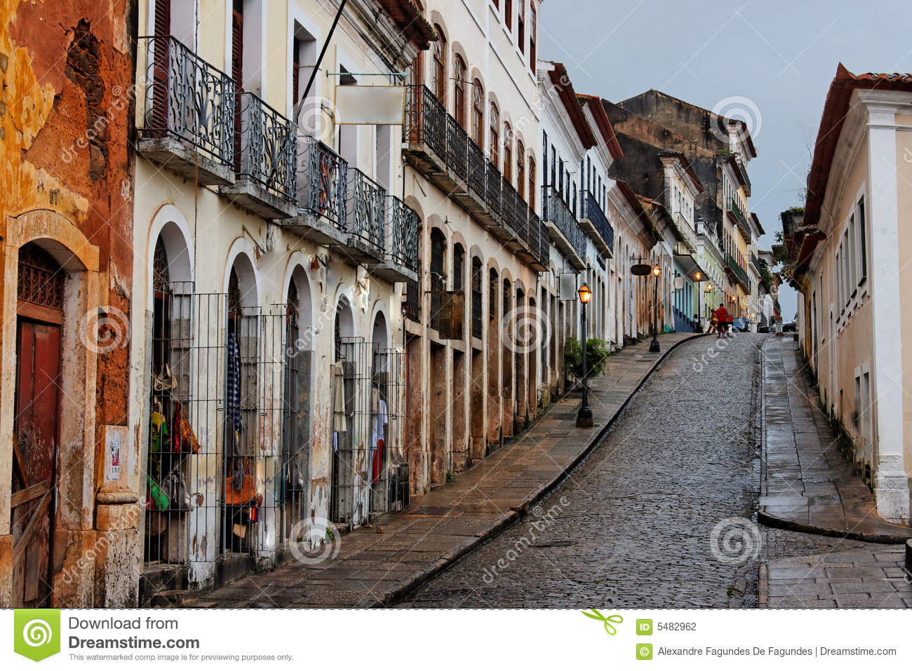
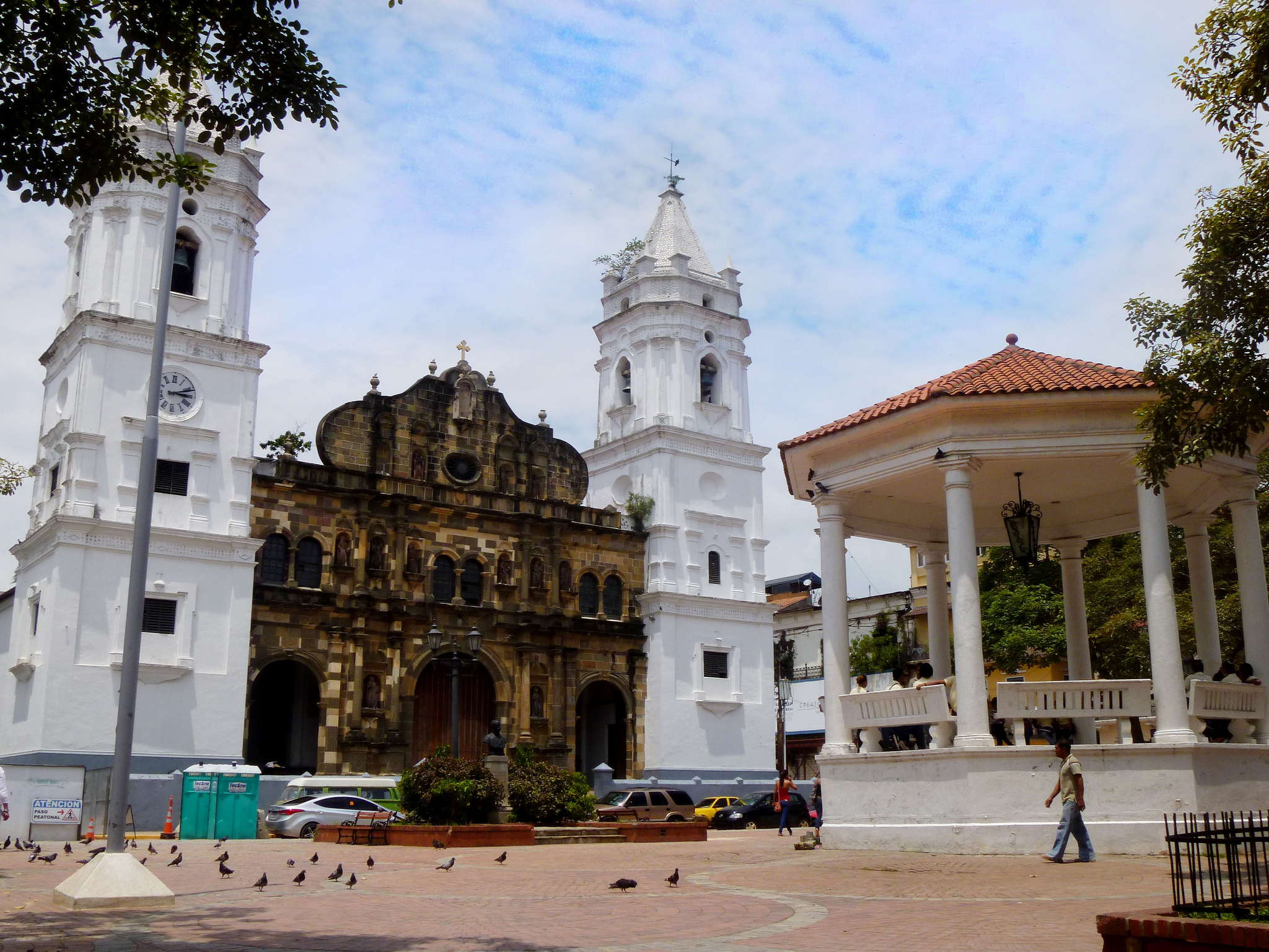
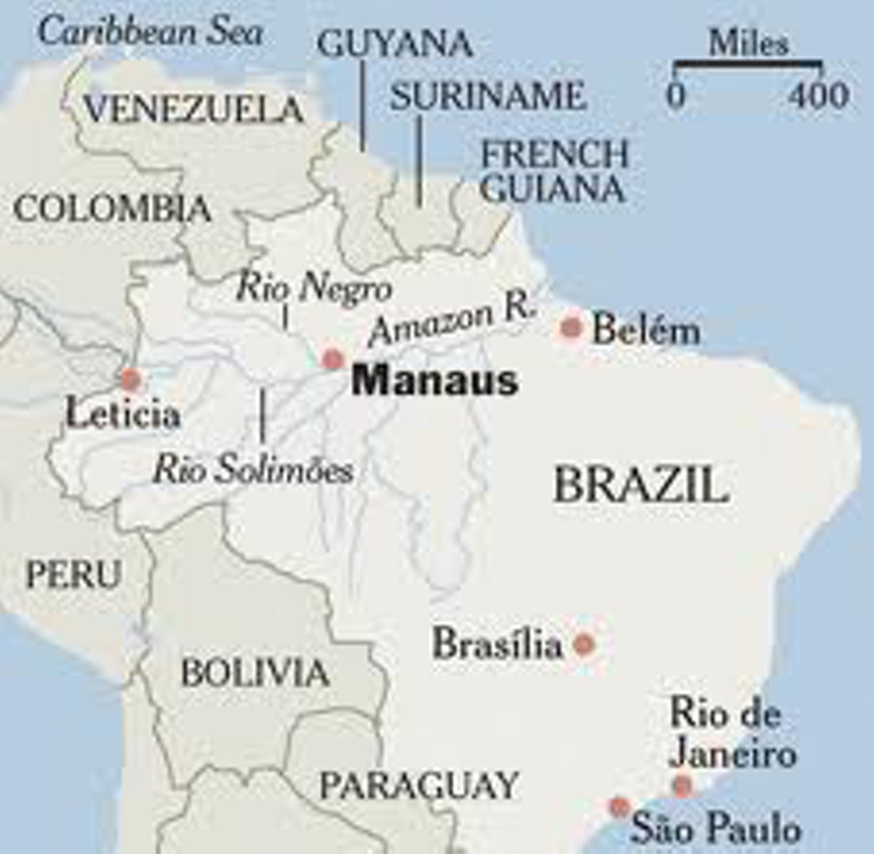
My last post ended in Panama City, Panama, the capital and largest city of Panama, and the Pacific Entrance of the Panama Canal.
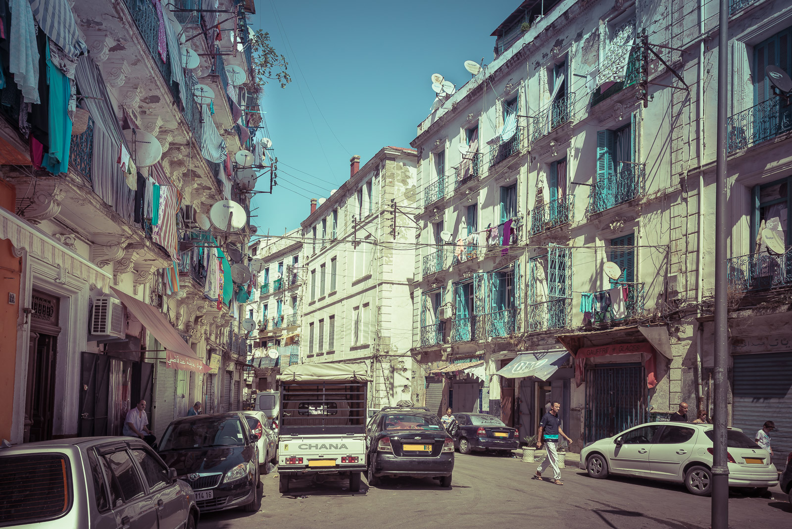
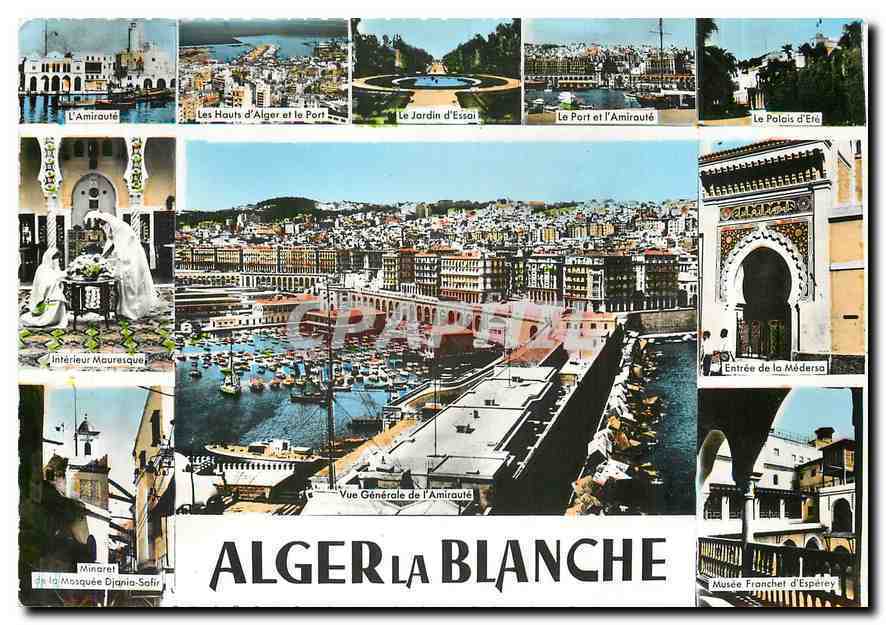
I am picking up the alignment that starts, and ends, in Algiers, as it tracks over length of the Panama Canal.
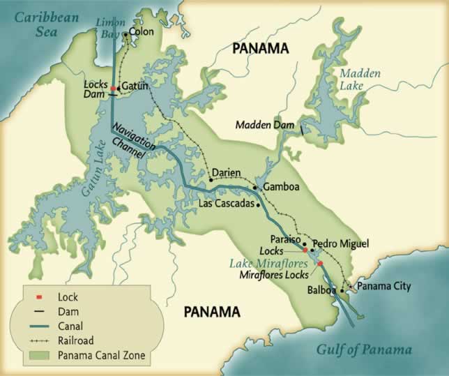
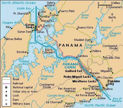
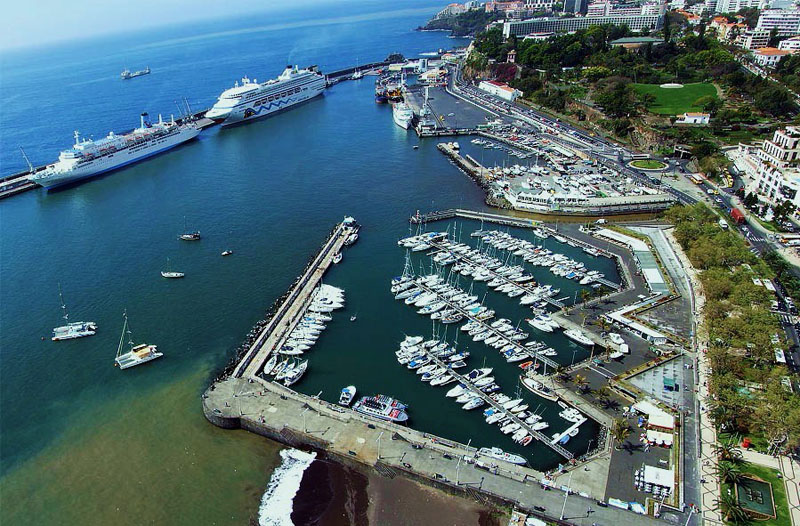
The Panama Canal is an artificial 82-mile, or 51-kilometer, waterway in Panama that connects the Atlantic Ocean and Pacific Ocean via the Isthmus of Panama.
The project of building a canal across the Isthmus of Panama is said to have been started by the French in 1881.
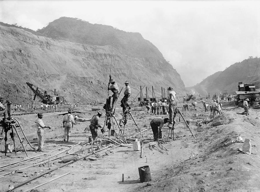
They are said to have been unsuccessful in completing it due to engineering problems and a high worker mortality rate.
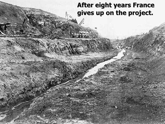
Then the Americans are said to have taken on the project starting in 1904. This is President Teddy Roosevelt posing at the controls of a steam shovel at the Culebra Cut of the Panama Canal in 1906.

The Panama Canal opened on August 15th, 1914…
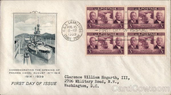
…just in time for the beginning of World War I, which started on July 28th, 1914.

The completion of the Panama Canal is said to have greatly reduced travel time for ships to travel between the Atlantic and Pacific Oceans, and allowing them to avoid the hazardous Cape Horn route via the Strait of Magellan at the tip of South America.

A Strait is defined as a narrow channel of water joining two larger bodies of water.
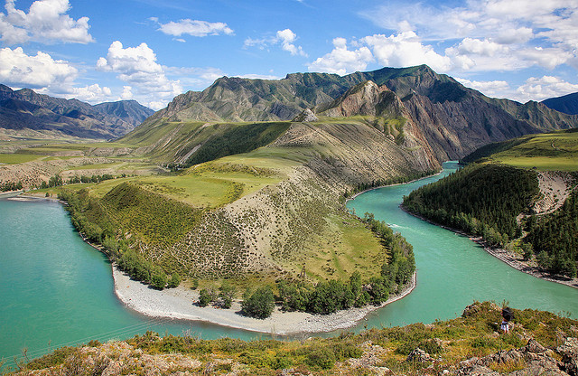
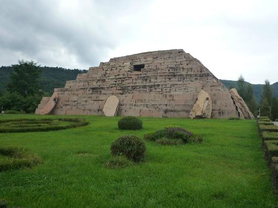
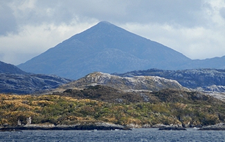
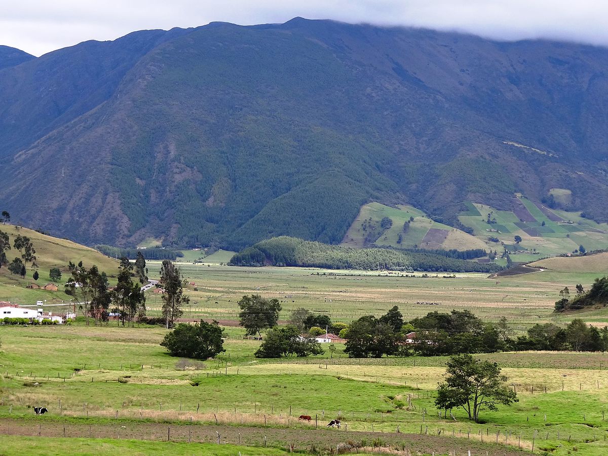
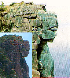
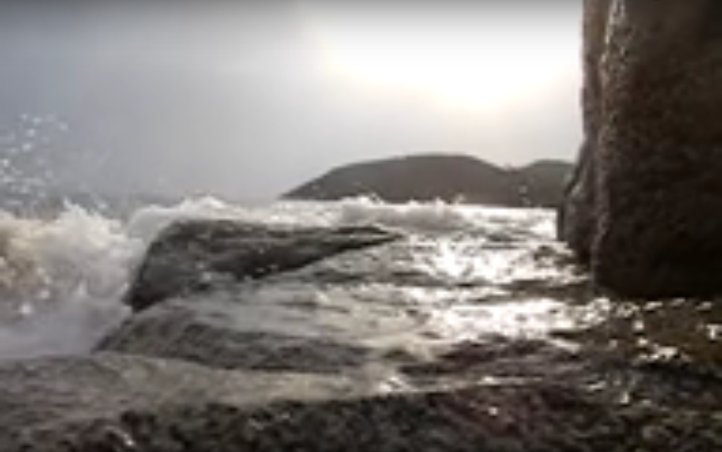
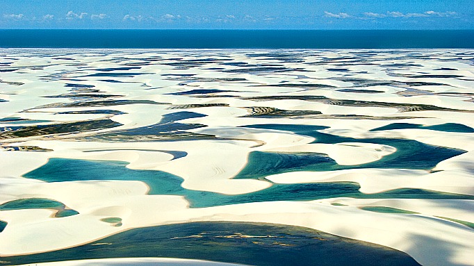
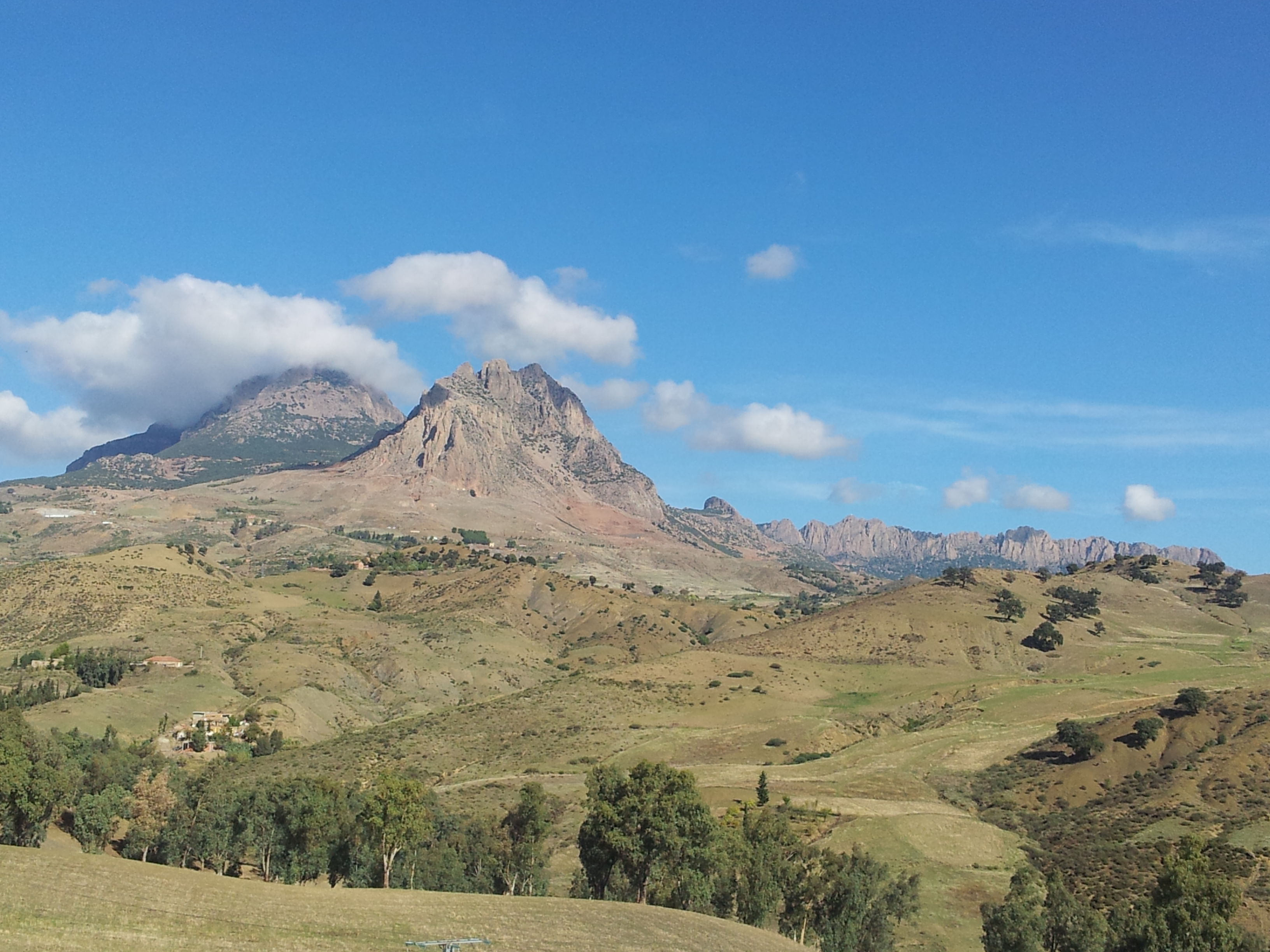
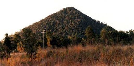
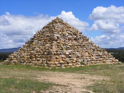
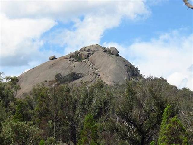
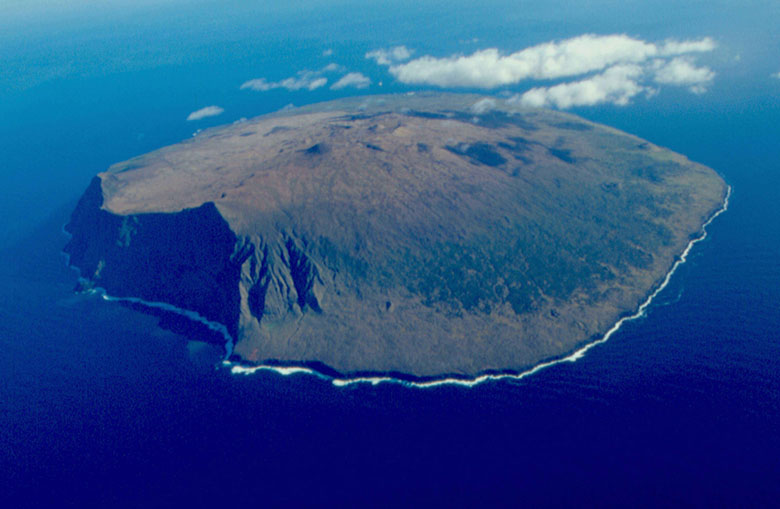
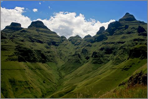
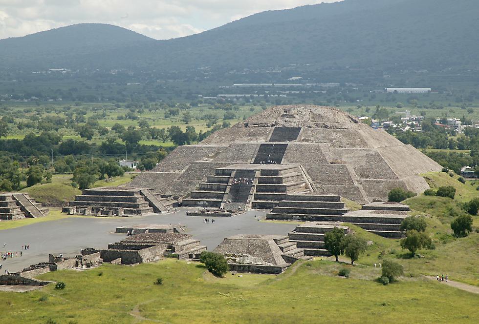
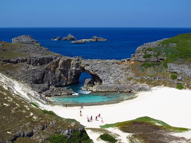
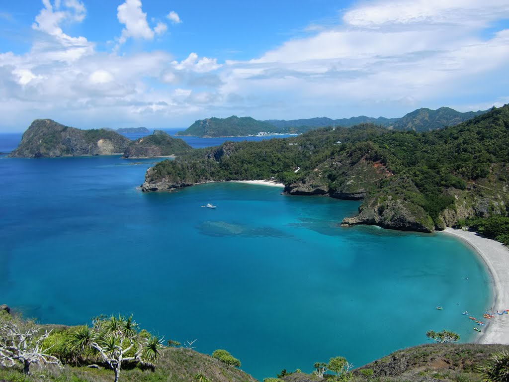
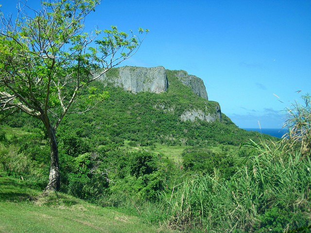
The Strait of Magellan is a navigable sea route in Southern Chile that separates South America from Tierra del Fuego, and is considered the most important natural passage between the Atlantic and Pacific Oceans. Interesting pyramidal-shaped mountain in the background here. Volcano? Well, at least that is what we have been taught to think.

Looks like a pyramid to me….
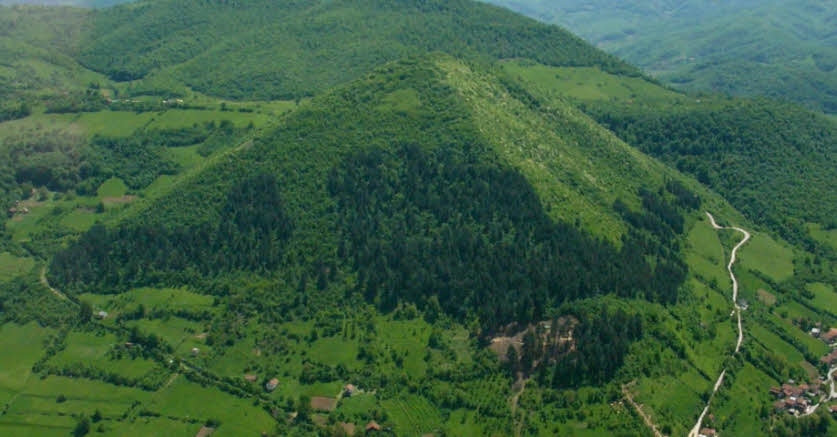
For comparison, this is the Bosnian Pyramid of the Sun in Visoko, Bosnia, before archeological excavation work started here in 2005, revealing an entire pyramid complex.
So what I am curious about now is how the Spanish Conquest of Peru and South America is supposed to have happened.
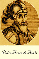
We are told that Pedro Arias D’Avila established a base of conquest in Panama City for Peru in 1519, on the Pacific side of the Isthmus of Panama. The coast of Spain is on the Atlantic Ocean and Mediterranean Sea. Isthmus is defined as a narrow strip of land connecting to larger land areas.

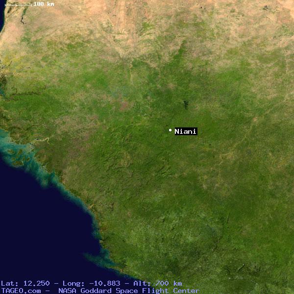
The Spanish Conquest of Peru is said to have started in 1532 with the Battle of Cajamarca, a city in Northern Peru.

It is quite a distance from Panama City, by land or sea. It sits at 8,900 feet in elevation, or 2,750 meters.
That’s way up there, about 1.7 miles, or 2.75 kilometers, in elevation! It is generally agreed that altitude sickness typically tends to start occurring at 8,000 feet. Characterized by headache, nausea, shortness of breath and vomiting.
Apparently, Pizarro and his 128 men marched to Cajamarca from Piure, on the coast of modern-day Peru. If the Conquistadors arrived by sea, according to the information we have been given in our history, they would have had to come by way of the hazardous Strait of Magellen, which had just been explored by Magellen in 1520, twelve years earlier, and in the opposite direction from Panama City. This tells me there was some kind of viable waterway in Panama already.
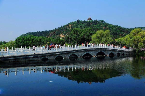
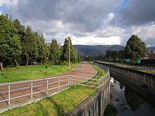
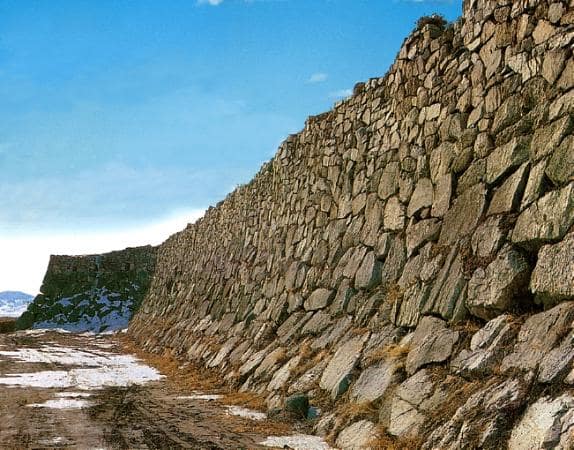
This is a picture of earthworks at locks in the Panama Canal…
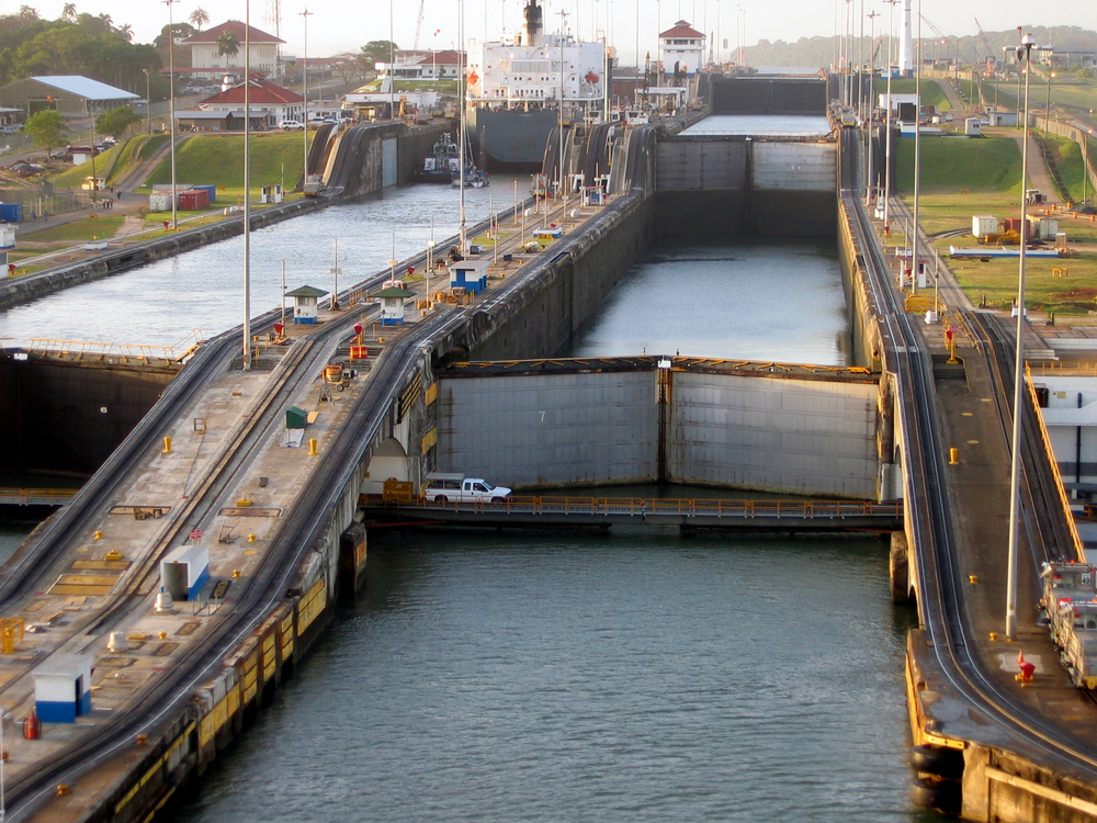
…compared with the earthworks at the Caledonian Canal locks in Northern Scotland, said to have been started in 1803, and completed in 1822 by Scottish Engineer Thomas Telford.

Keep in mind the Industrial Revolution was just getting started in Scotland. For example, the hot blast furnace for smelting iron was invented and implemented in 1828 in Scotland. This was after the Caledonian Canal was said to have been completed.
Back to the French and canal-building. The French Engineer Ferdinand de Lesseps is said to have built the sea-level Suez Canal…
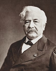
…connecting the Mediterranean Sea and the Red Sea through the Isthmus of Suez between 1859 and 1869.
He was also the guy said to have been behind the what we are told was the failed French effort to build the Panama Canal.

I just wanted to demonstrate how many inconsistencies and holes there are in the history we have been given to explain how certain things came about, as well as how canals were built and who built them.
These are sophisticated engineering projects, built during times we are told we did not have advanced technology, which one would expect would be needed to build this monumental infrastructure.
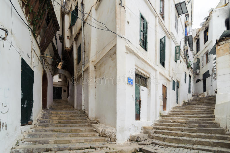
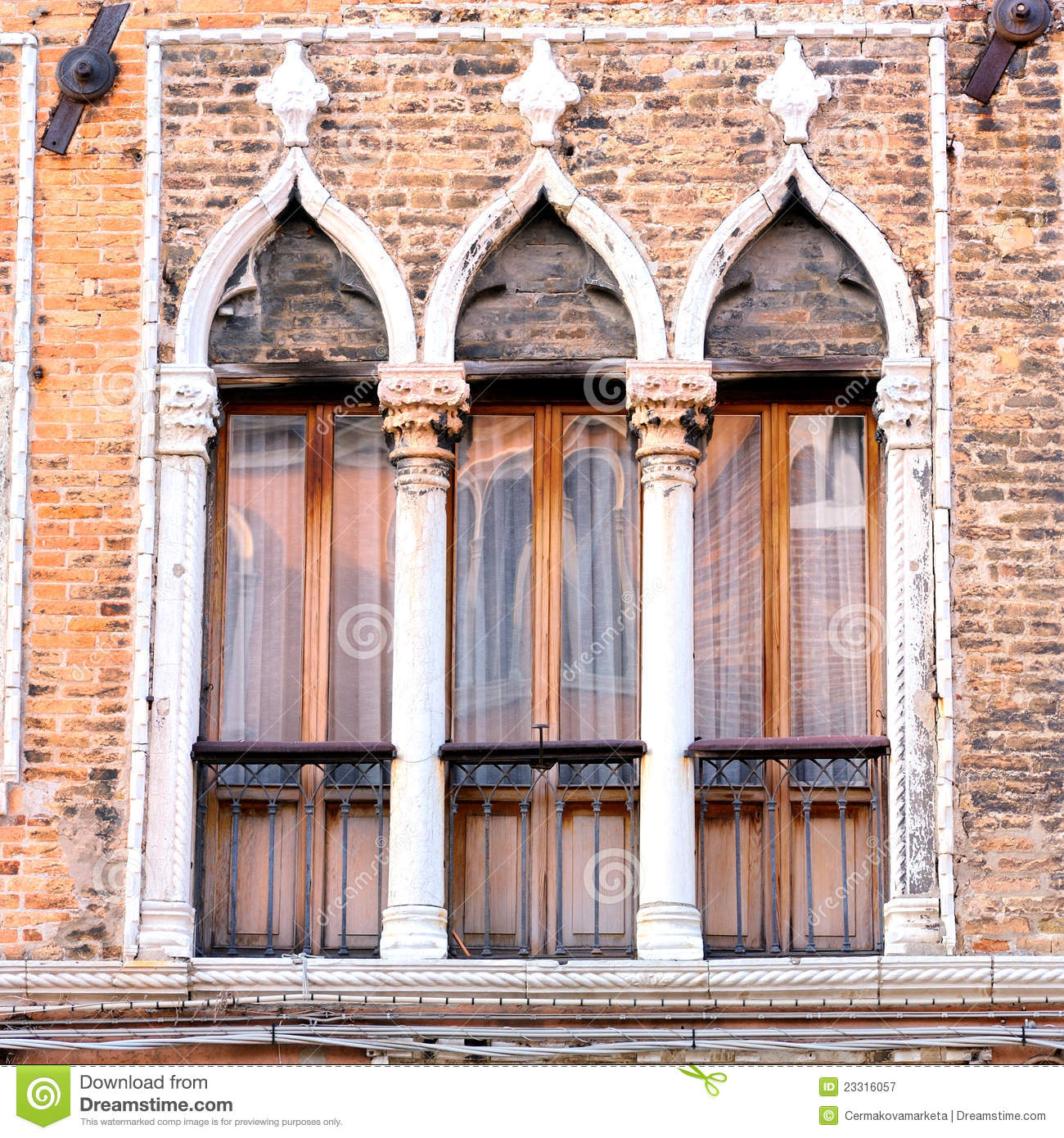
I have found canal systems in cities around the world. The best known is in Venice, Italy, but Venice is far from being the only one.

The Advanced Ancient Civilization was a maritime civilization, as comfortable on water as on land.
I believe Moorish Master Masons of the Advanced Ancient Civilization built all of these canals systems.

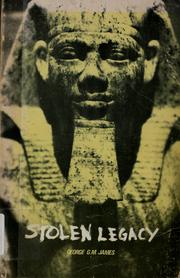
The Moors were the custodians of the Ancient Egyptian mysteries, according to George G. M. James in his book “Stolen Legacy,” and they still are. I will be bringing up this subject again soon, as we will be going through the Heart of the Ancient Washitaw Empire in Louisiana on this particular circle alignment. While there are a number of whopping big secrets that have been kept from Humanity, this one ranks at the top of the list!!!
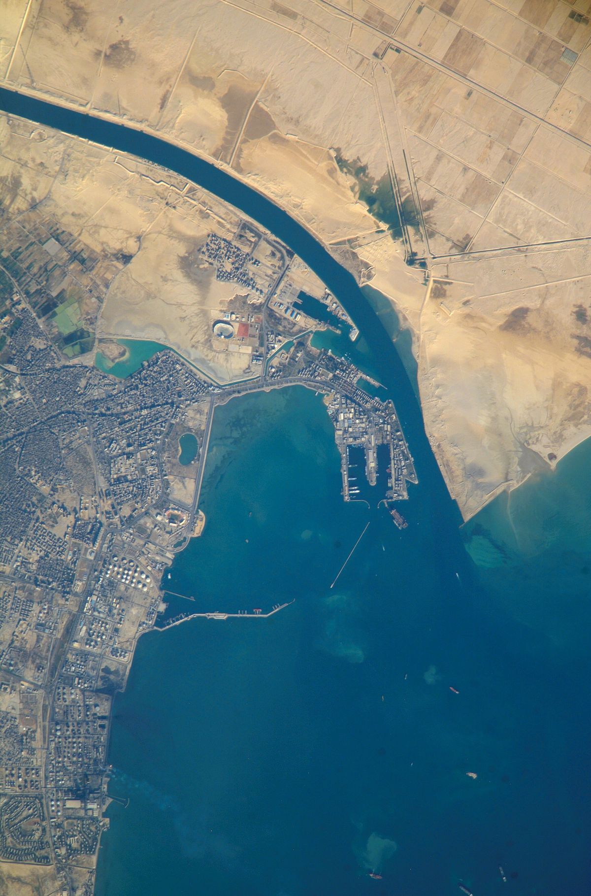
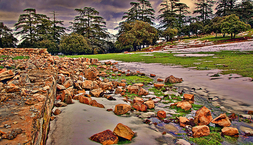
This is a section of the Suez Canal in Egypt, with stone walls on either side of a very straight channel that look sheared off evenly with each other.

Napoleon’s teams of experts discovered ancient canals through this region in 1798. Is this why the French ended up with whatever they did at the Suez Canal, I wonder?
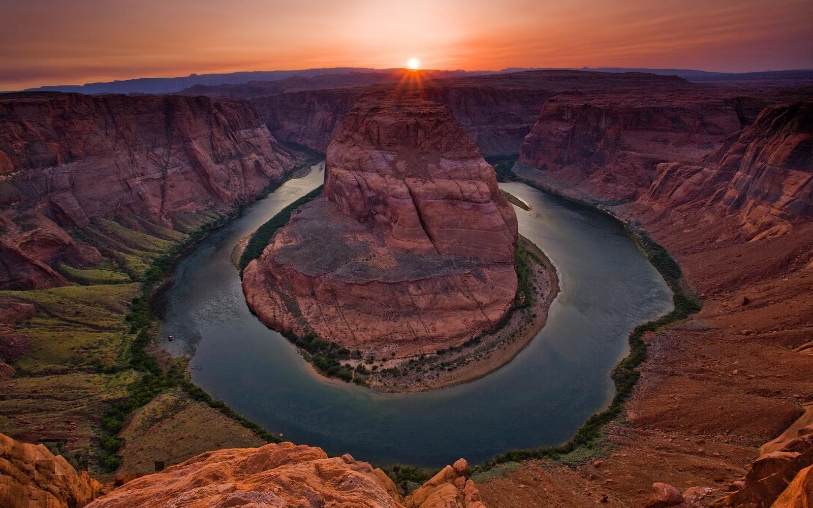
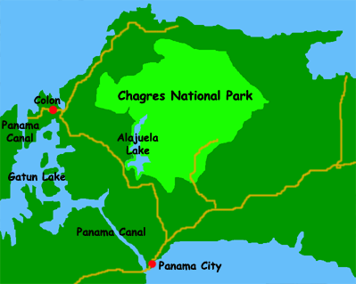
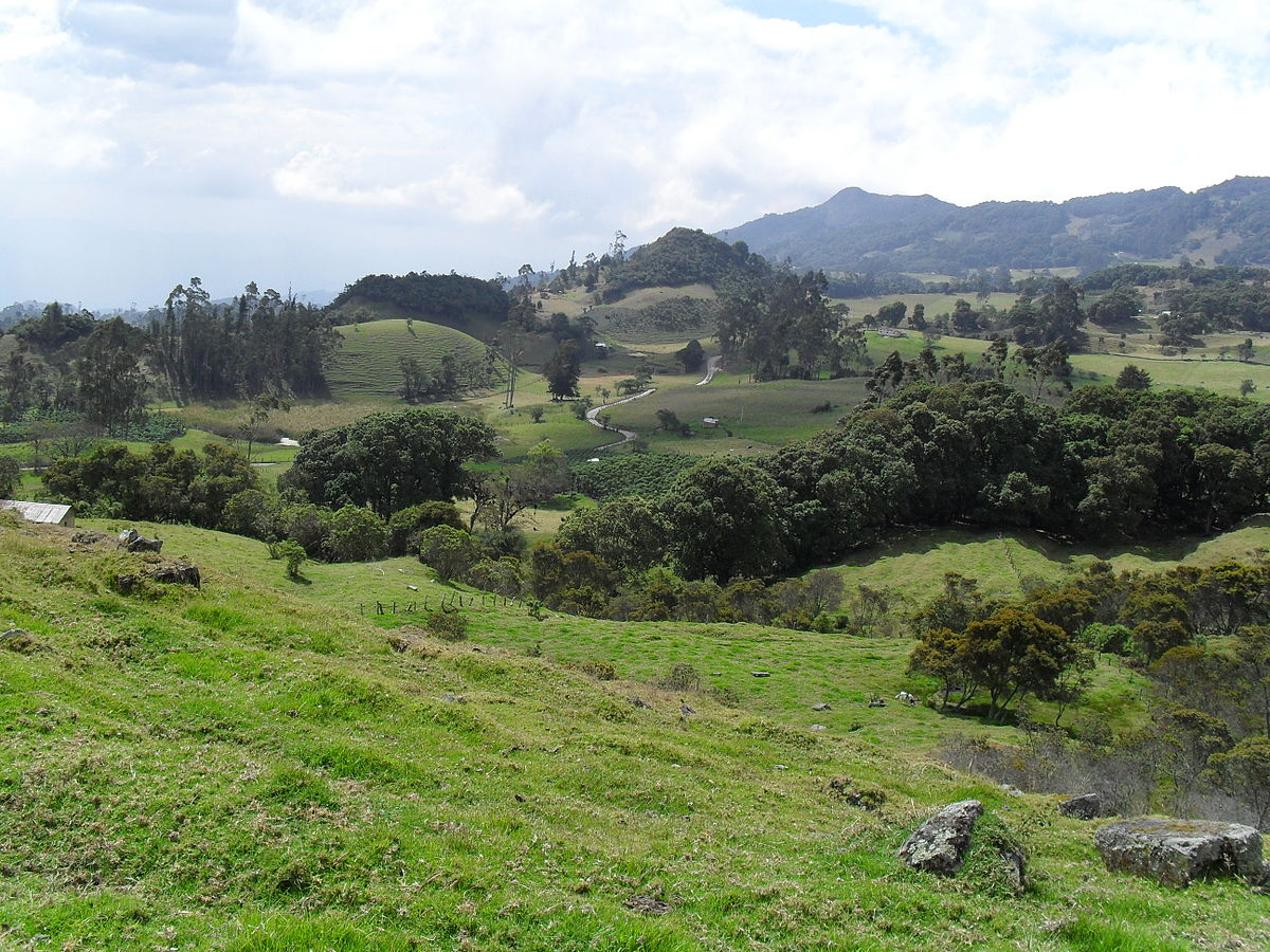
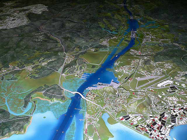
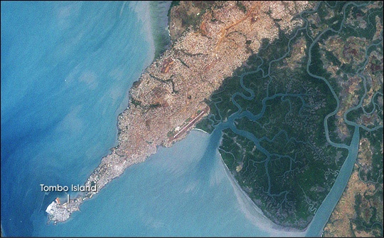
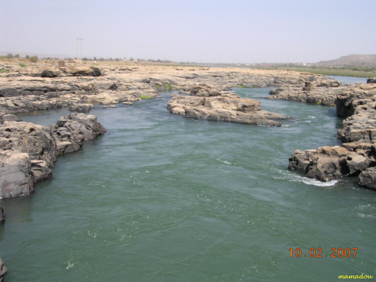
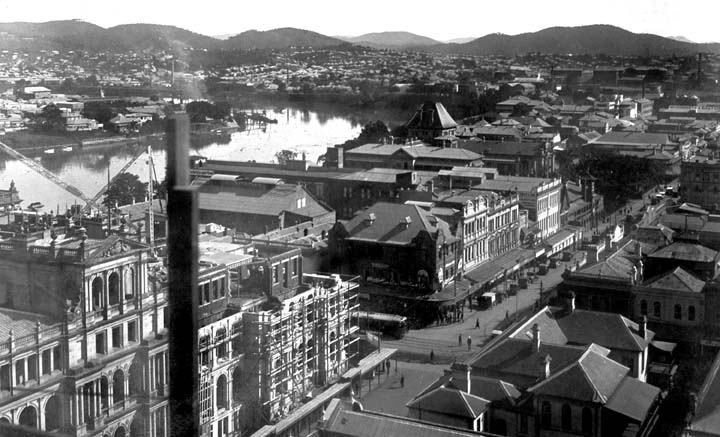
Back to Panama. The alignment – and the Panama Canal – cross over the Continental Divide on its way across the Isthmus of Panama to Lake Gatun, just south of the next major city at Colon, Panama.
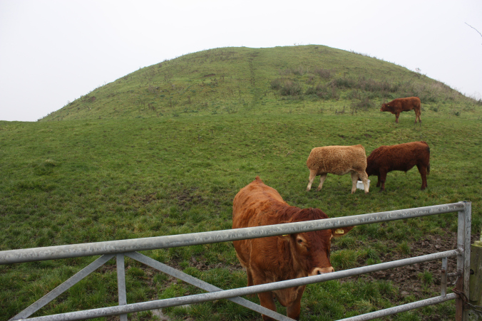
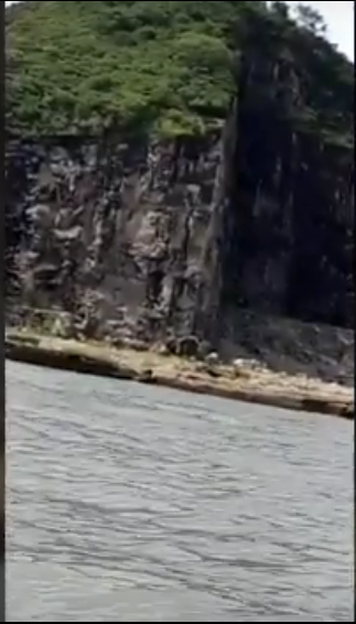
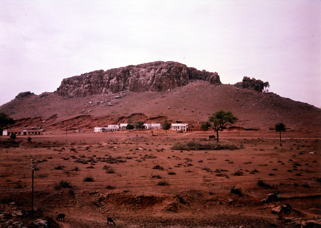
This interesting land feature is located where the Panama Canal and the Continental Divide cross each other, and actually looks like an old mining site to me…

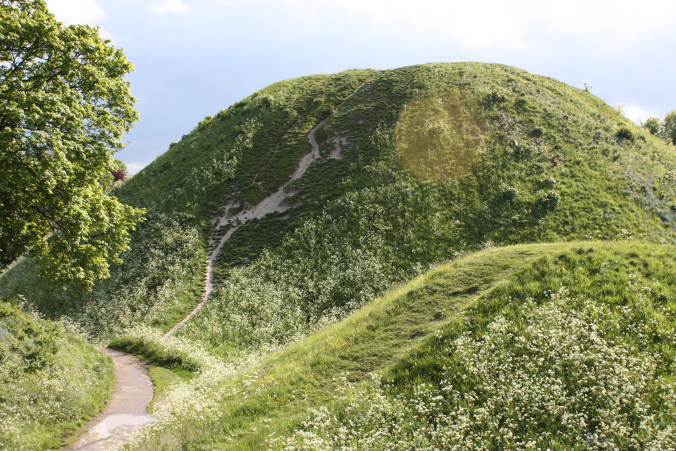
..like this one, the Boddington Gold Mine in Western Australia near Perth.

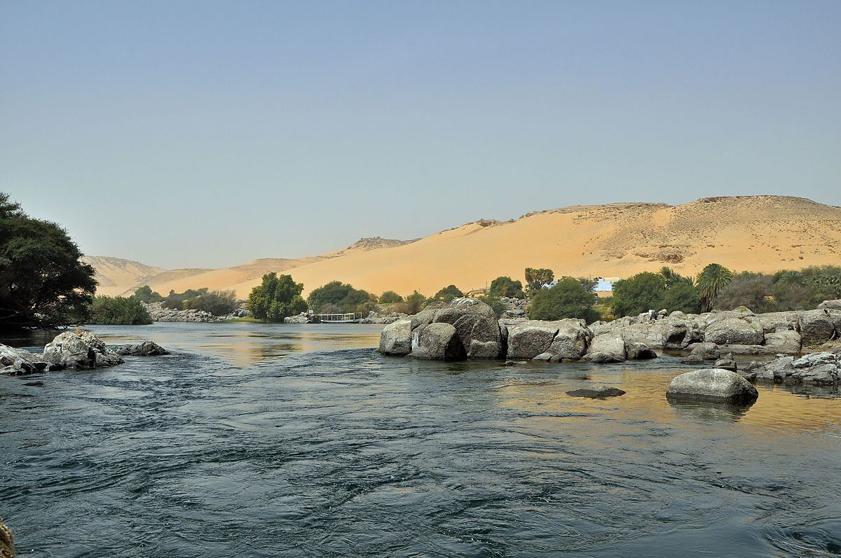
This is Lake Gatun. It is a large artificial lake which forms a major part of the Panama Canal, carrying ships across for 21 miles, or 33 kilometers. Lake Gatun was created between 1907 and 1913 from the damming of the Chagres River. At that time it was the largest man-make lake ever created. I have my own beliefs about man-made lakes having dual purposes – creating infrastructure, and covering up ancient sites. See my blog post “On Chimney Rocks and Man-Made Lakes” for more information in this subject.

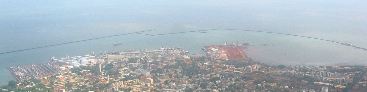
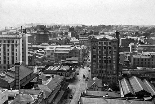
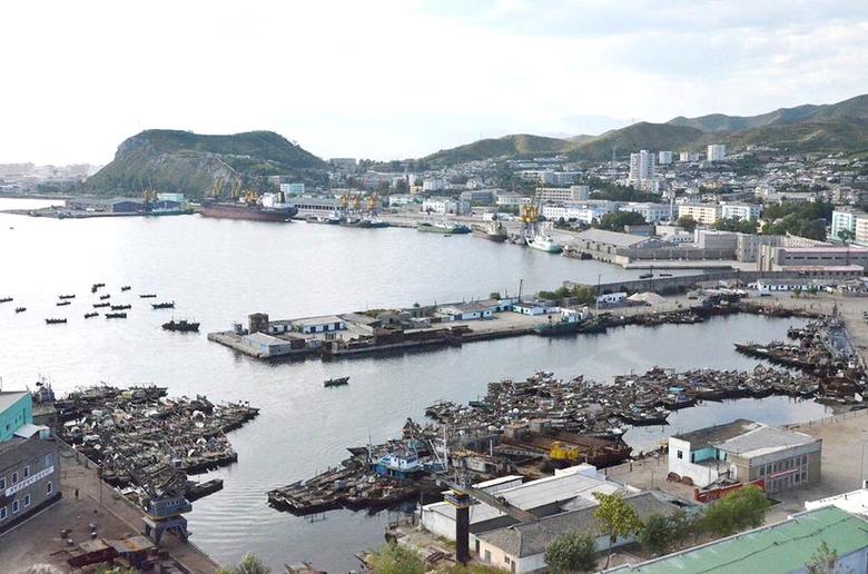
Now we come to the city of Colon, the capital of Colon Province, and a sea port on the Caribbean Sea…

…and near what serves as the Atlantic Ocean entrance of the Panama Canal.

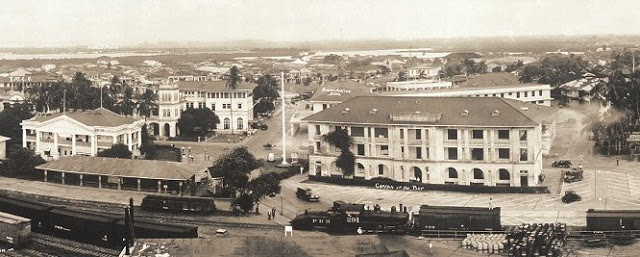
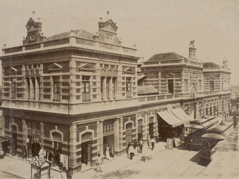
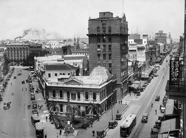
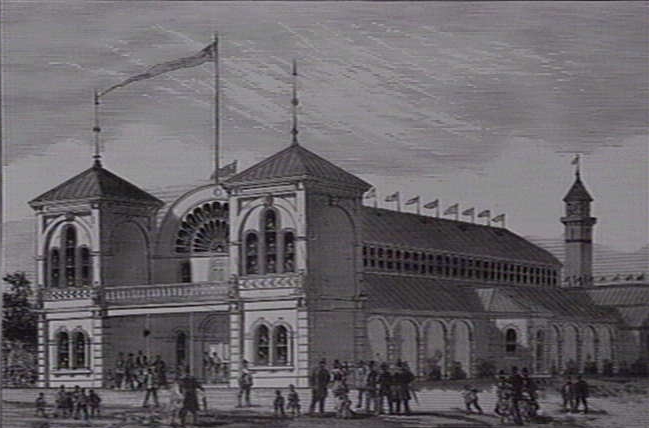
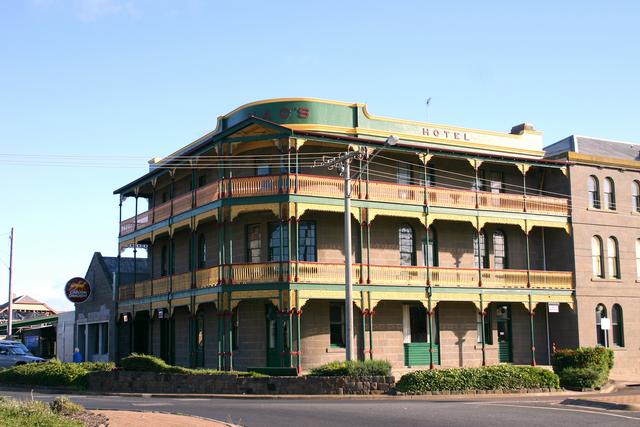
The city is said to have been founded in 1850 as the Atlantic Terminal of the Panama Railroad, which was said to have been under rush construction to meet the demand for a fast way to get to California for the Gold Rush. This is a historical photo of the massive and ornate office buildings of the Panama Railroad Atlantic Terminal…
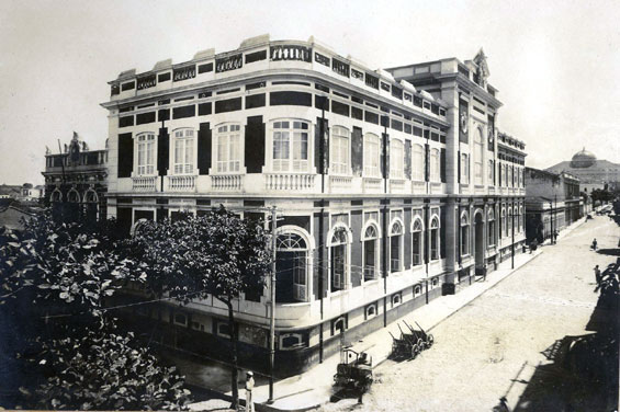
…and this is a historic photo of the Old Quarter of Colon, circa 1933.

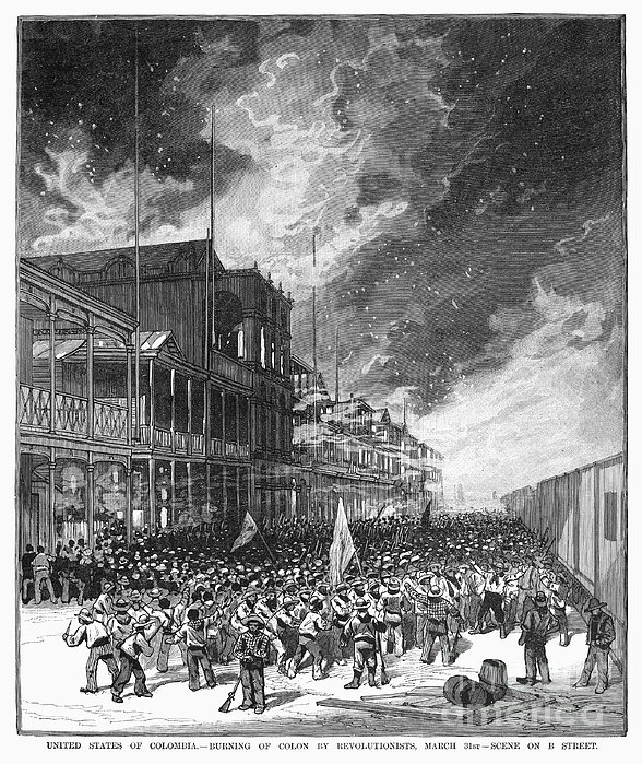
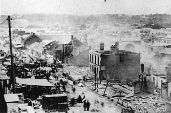
Colon has a history of fires. The first was called the Burning of Colon in 1885, which took place during the Colombian Civil War.
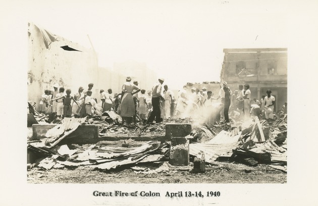
Then there was the Great Colon Fire of 1940, in which fire destroyed one-third of the city…
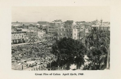
…and displaced many city residents, who were forced to migrate from Colon when their homes were lost.
This is an aerial of Fort San Lorenzo, on the Caribbean coast at the village of Chagres, near Colon.

It is a UNESCO World Heritage Site, said to have been built in 1587.
Henry Morgan, a Welsh pirate, ordered the destruction of Fort San Lorenzo in 1670.

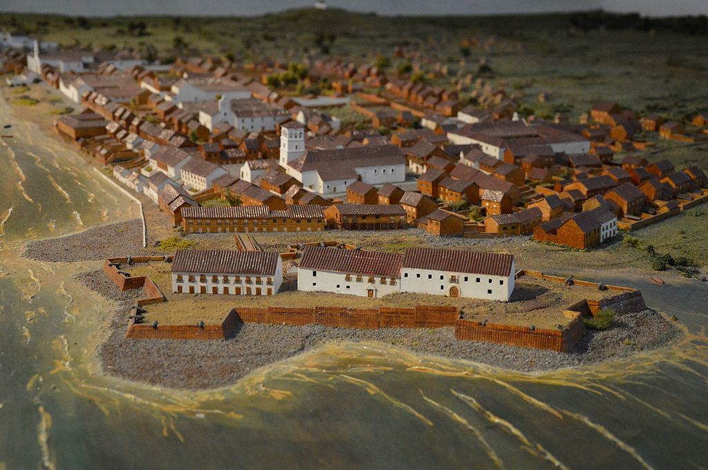
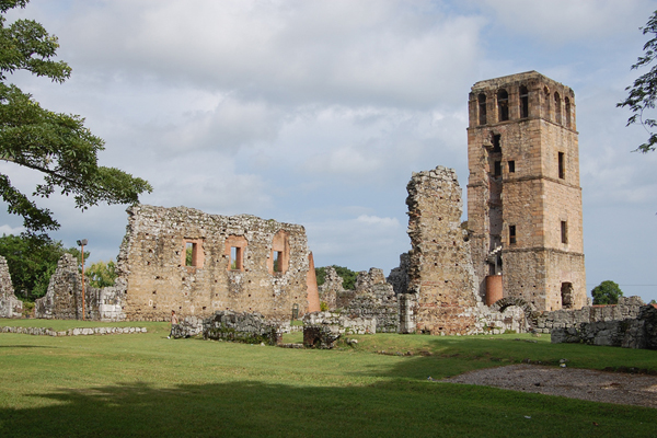
He is said to have invaded Panama City the following year from Fort San Lorenzo, and destroyed what was Old Panama, or Panama Viejo…
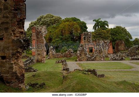
…which had a similar fort of which only ruins remain. This is a diorama of what Panama Viejo would have looked like before its destruction.

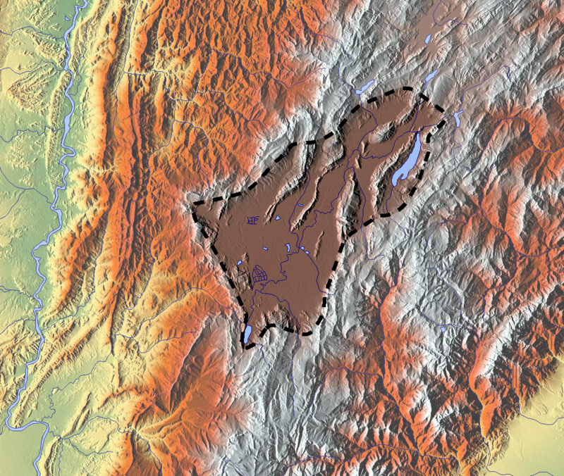
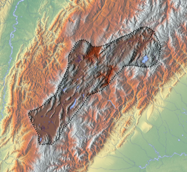
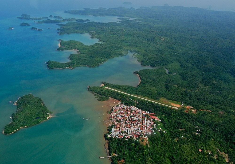
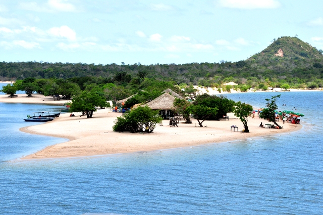
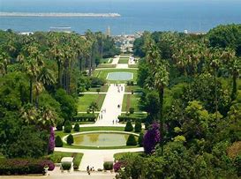
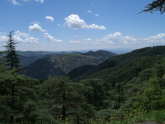
There is one more place I would like to look at before leaving Panama, and that is Chagres National Park, just east of Colon, and encompassing 300,000 acres, or 129,000 hectares, of Colon Province.
I have found that what hasn’t been destroyed of the Advanced Ancient Civilization is preserved in national, state, and local parks around the world.
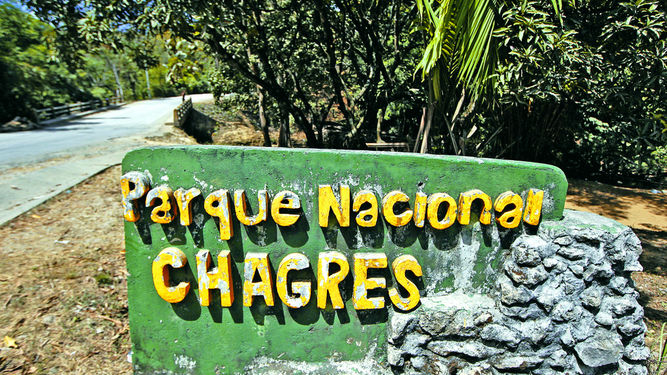
So for starters, this is the park sign for Chagres National Park, which has stonework pictured…
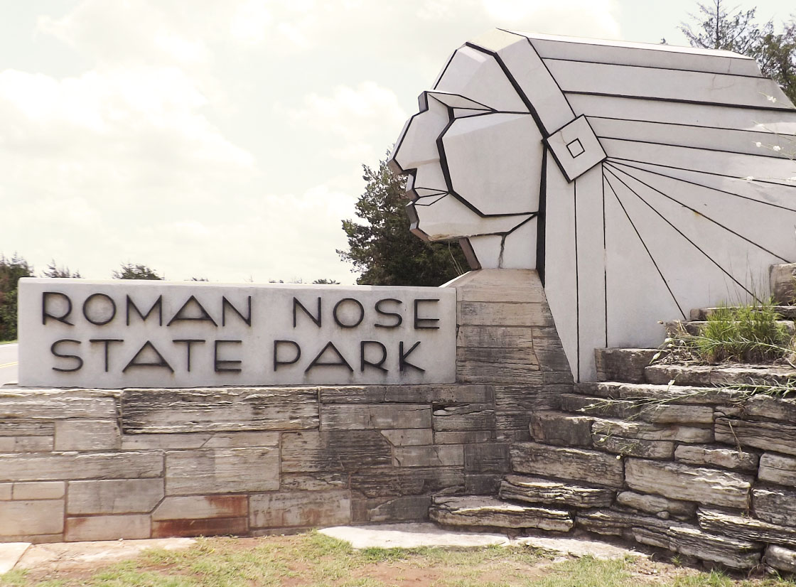
…as does this sign for Roman Nose State Park in Watonga, Oklahoma…
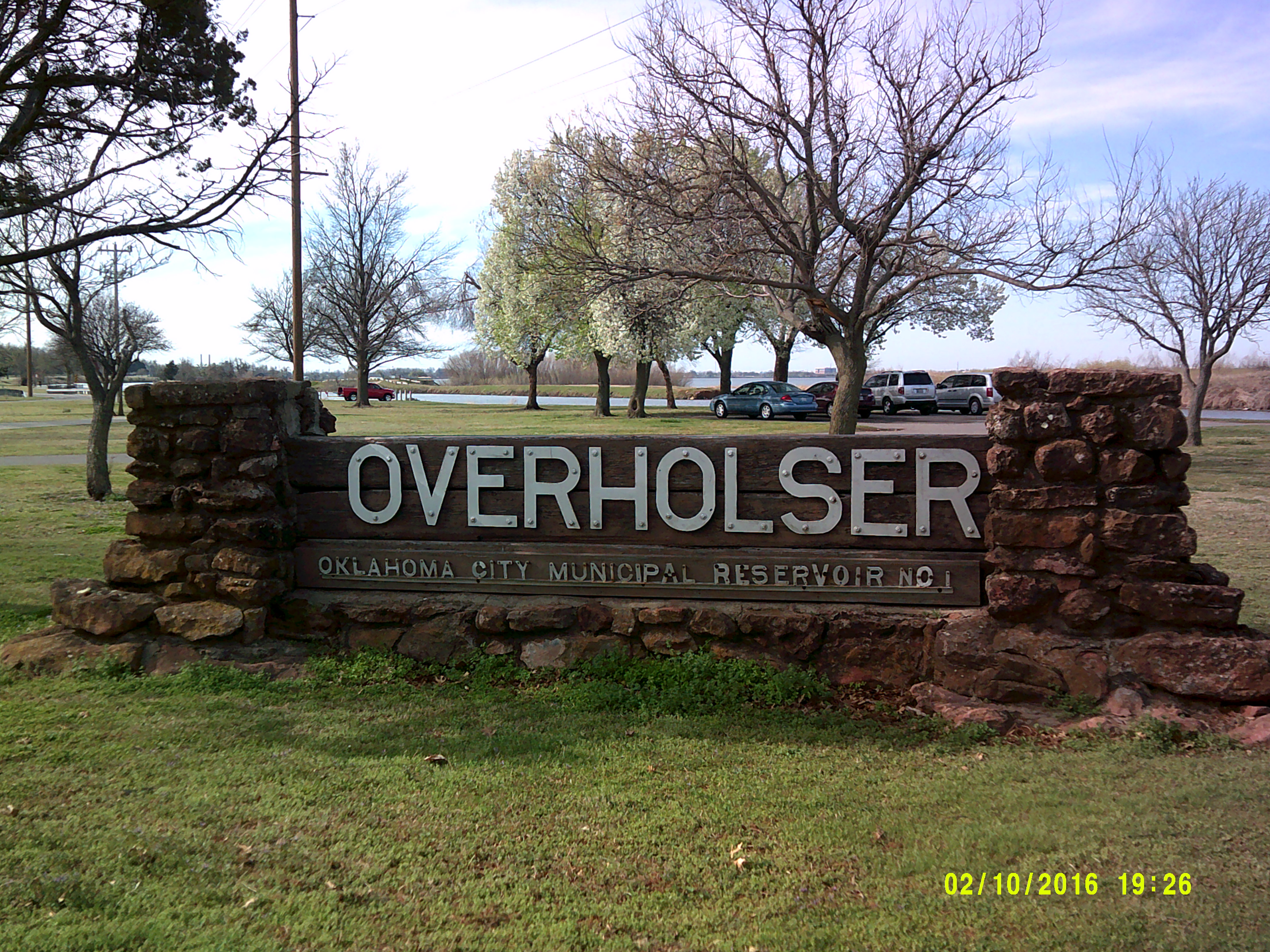
…and this one at Lake Overholser in West Oklahoma City, which is an artificial lake, like pretty much all of the lakes in Oklahoma. They are telling us something here with this. It’s like their way (the people who know about the ancient civilization) of telling us without their really telling us they are telling us.
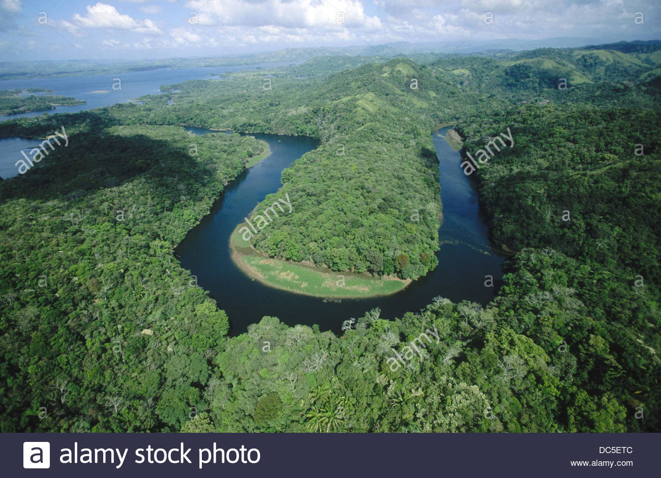
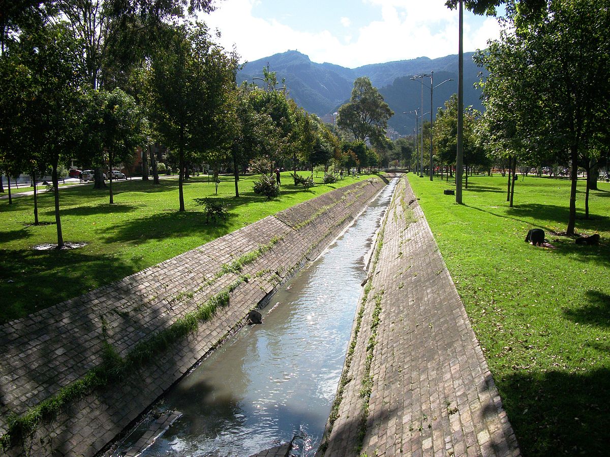
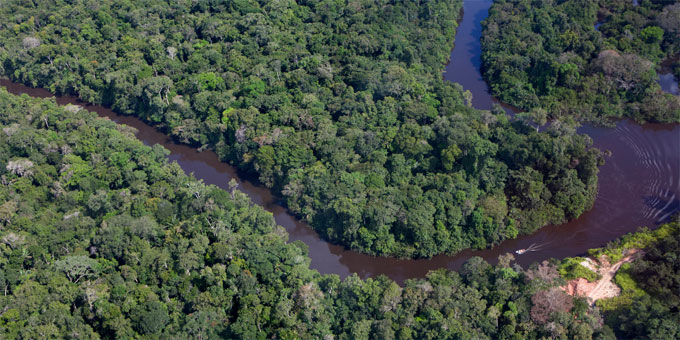
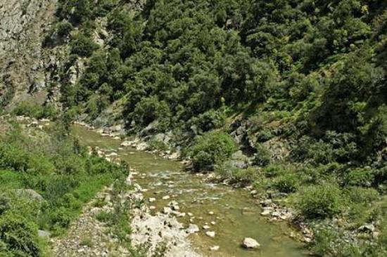
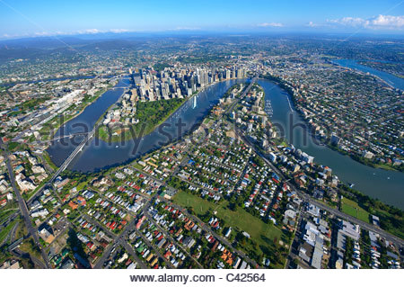
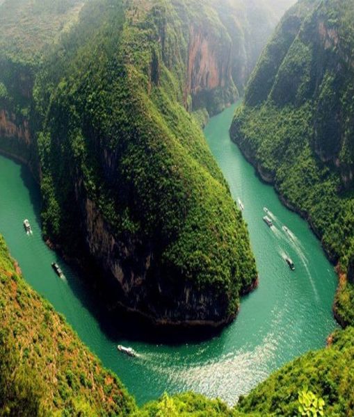
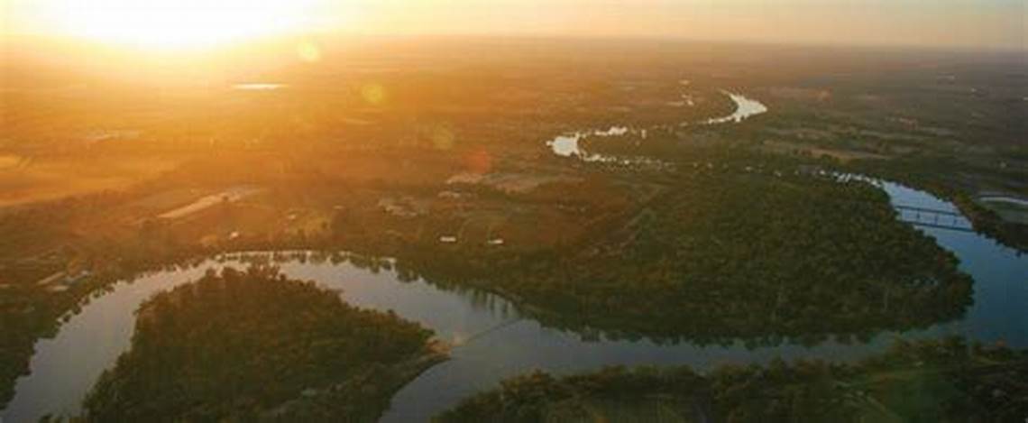
Also, from Chagres National Park is this S-shaped river bend of the Chagres, which is a signature of the ancient civilization…
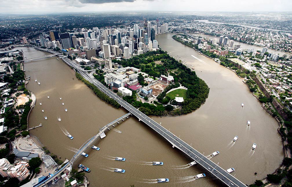
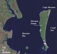
…like the Brisbane River in Brisbane, Australia…
…and the Yangtze River in China

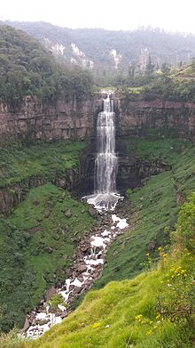
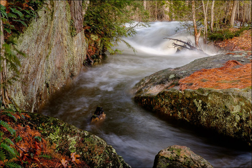
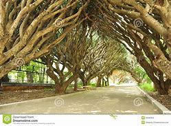
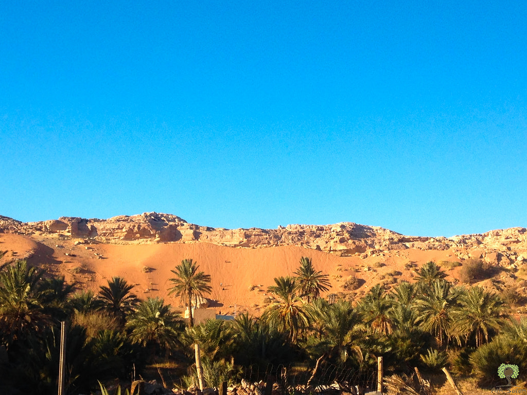
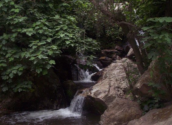
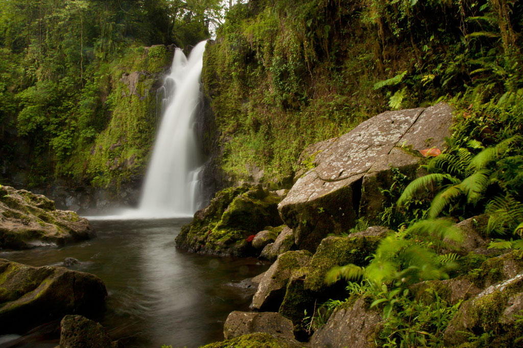
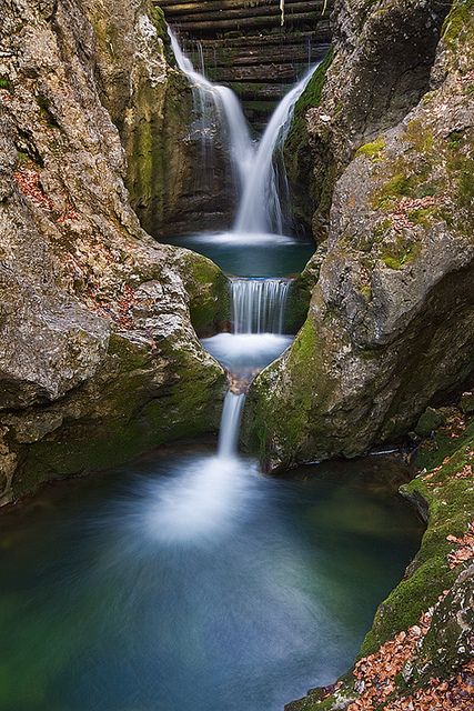
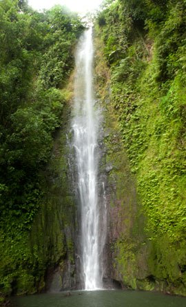
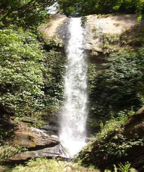
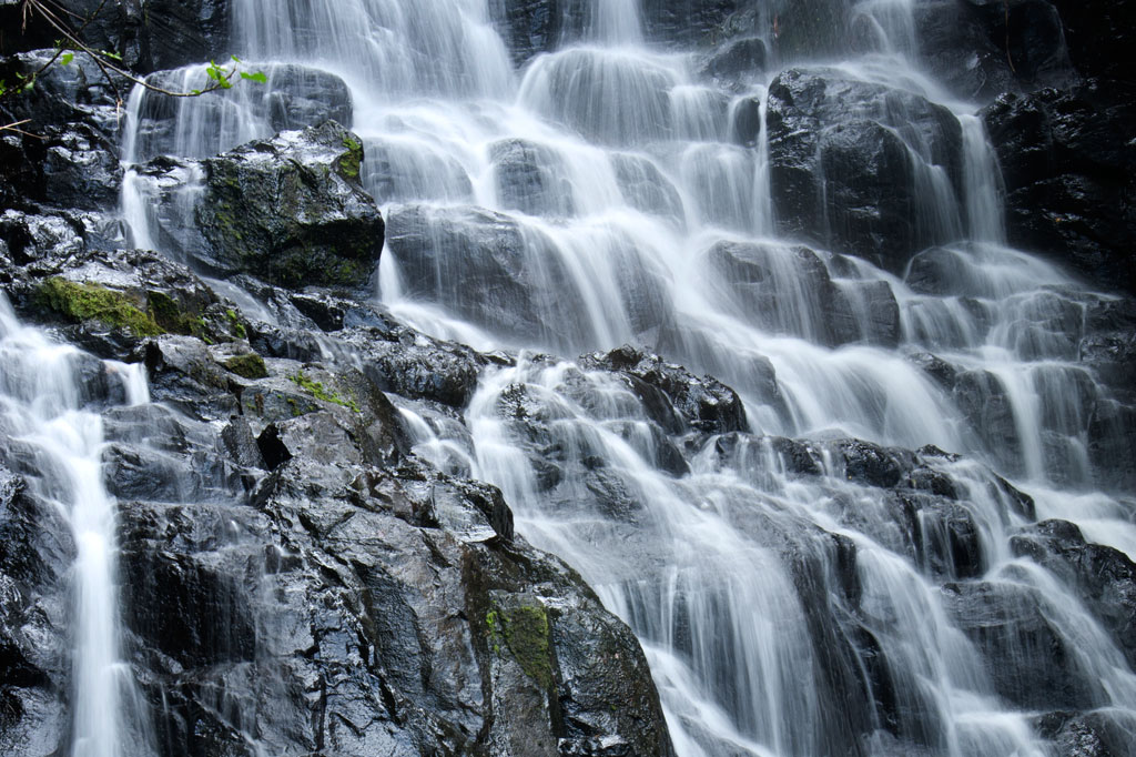
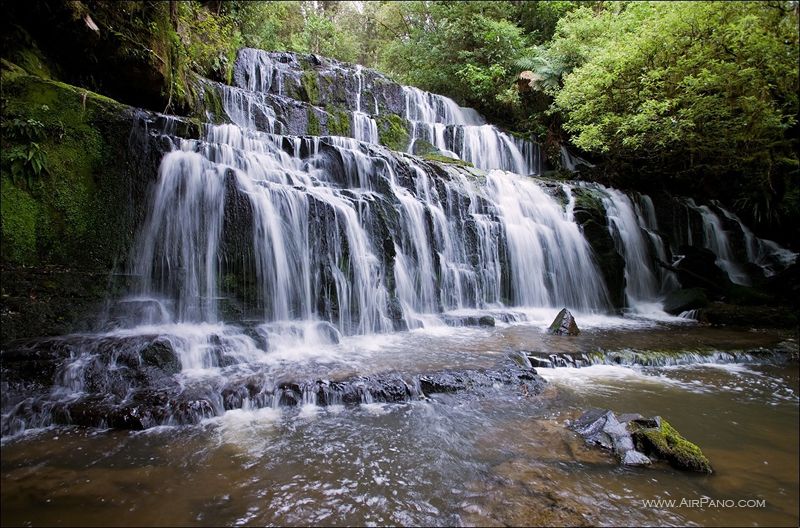
There are also waterfalls in Chagres National Park…

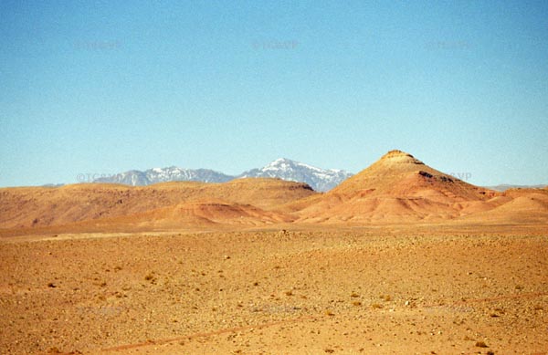
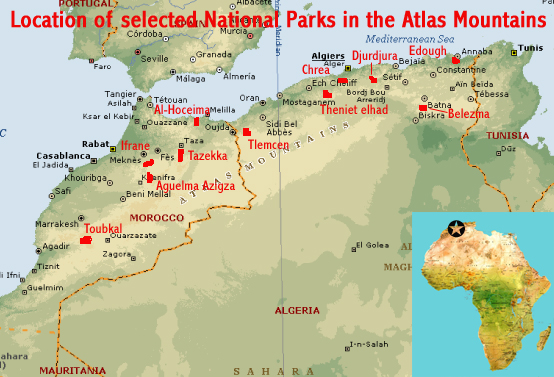
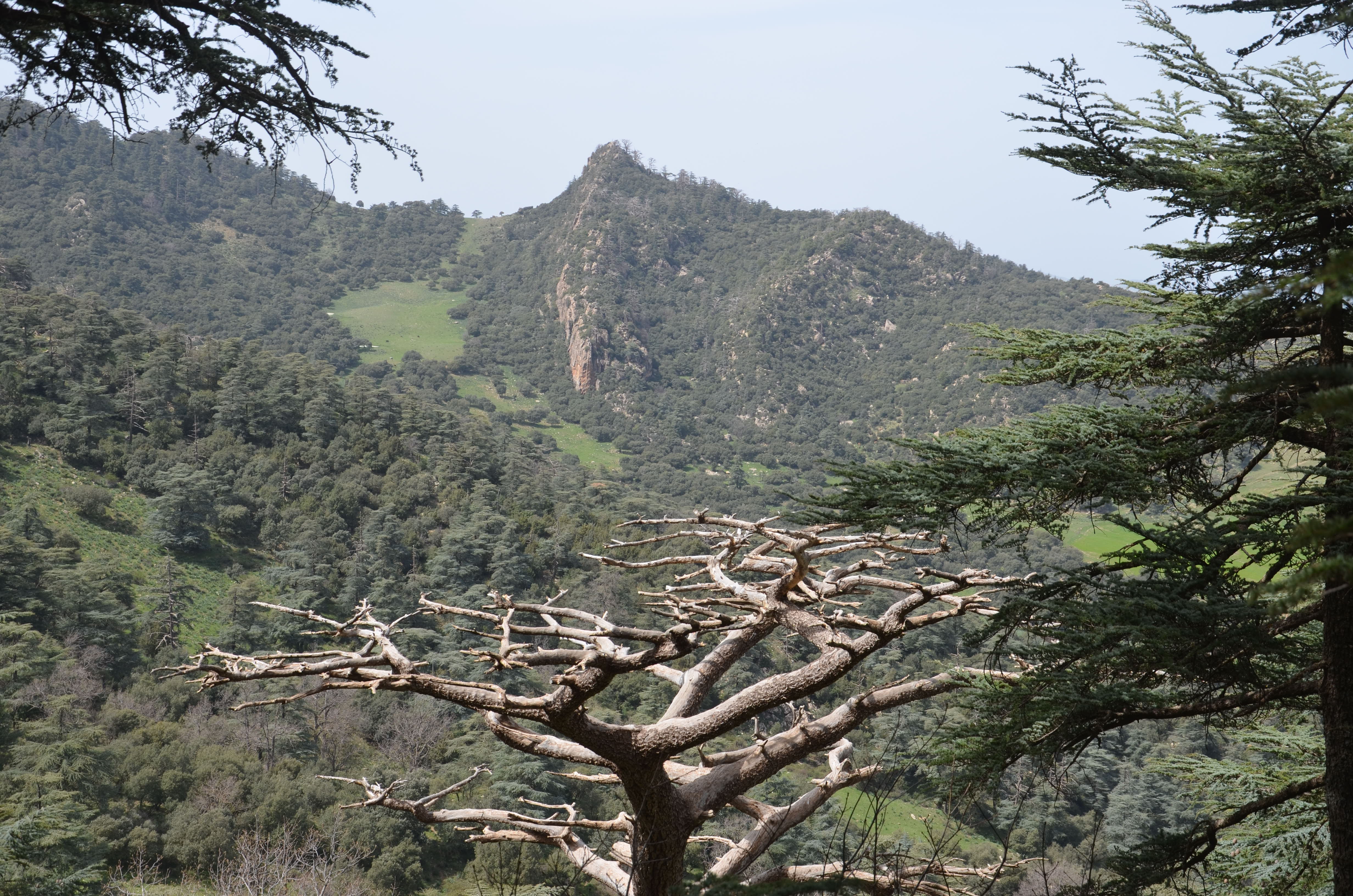
…compared with the waterfall I found back in Algeria, in the Chrea National Park in the Atlas Mountains. I always find waterfalls on the alignments as they are an important part of the planetary grid system.

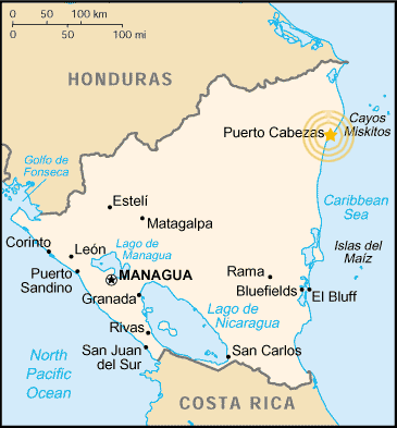
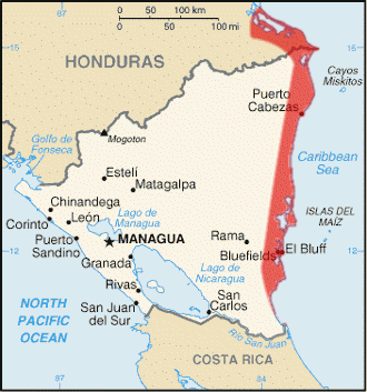
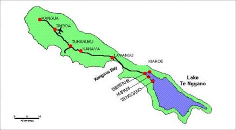
From Colon in Panama, the alignment crosses the Caribbean Sea to Puerto Cabezas, also known as Bilwi in the Miskito Language, and is the capital of the North Caribbean Coast Autonomous Region of Nicaragua.
The municipality and this entire region are indigenous lands.
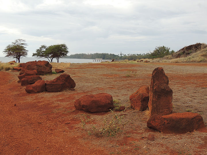
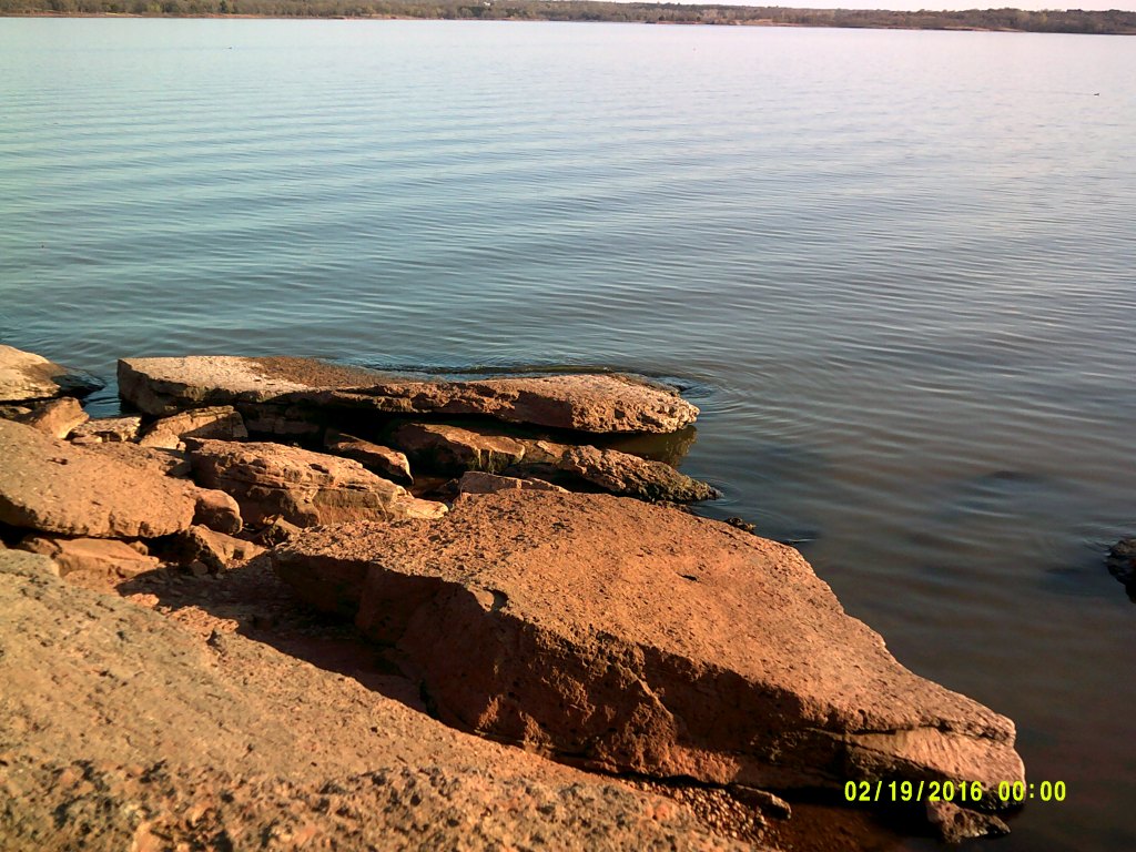
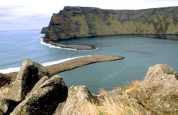
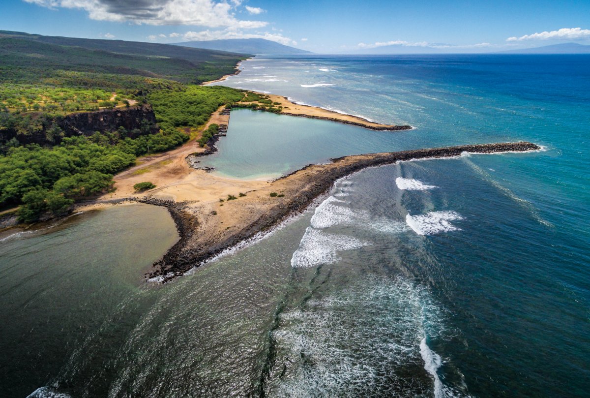
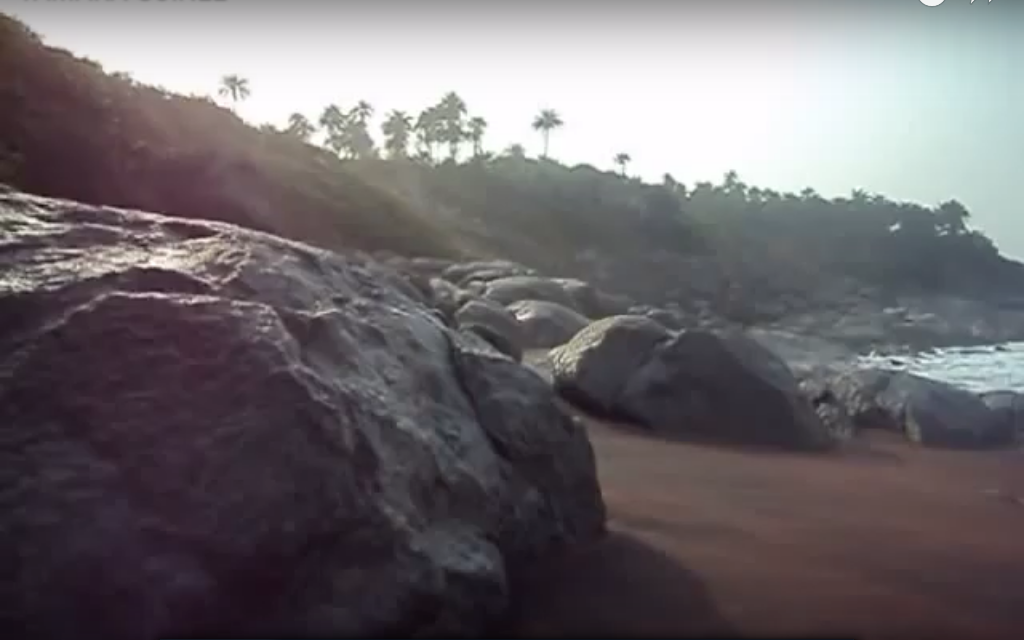
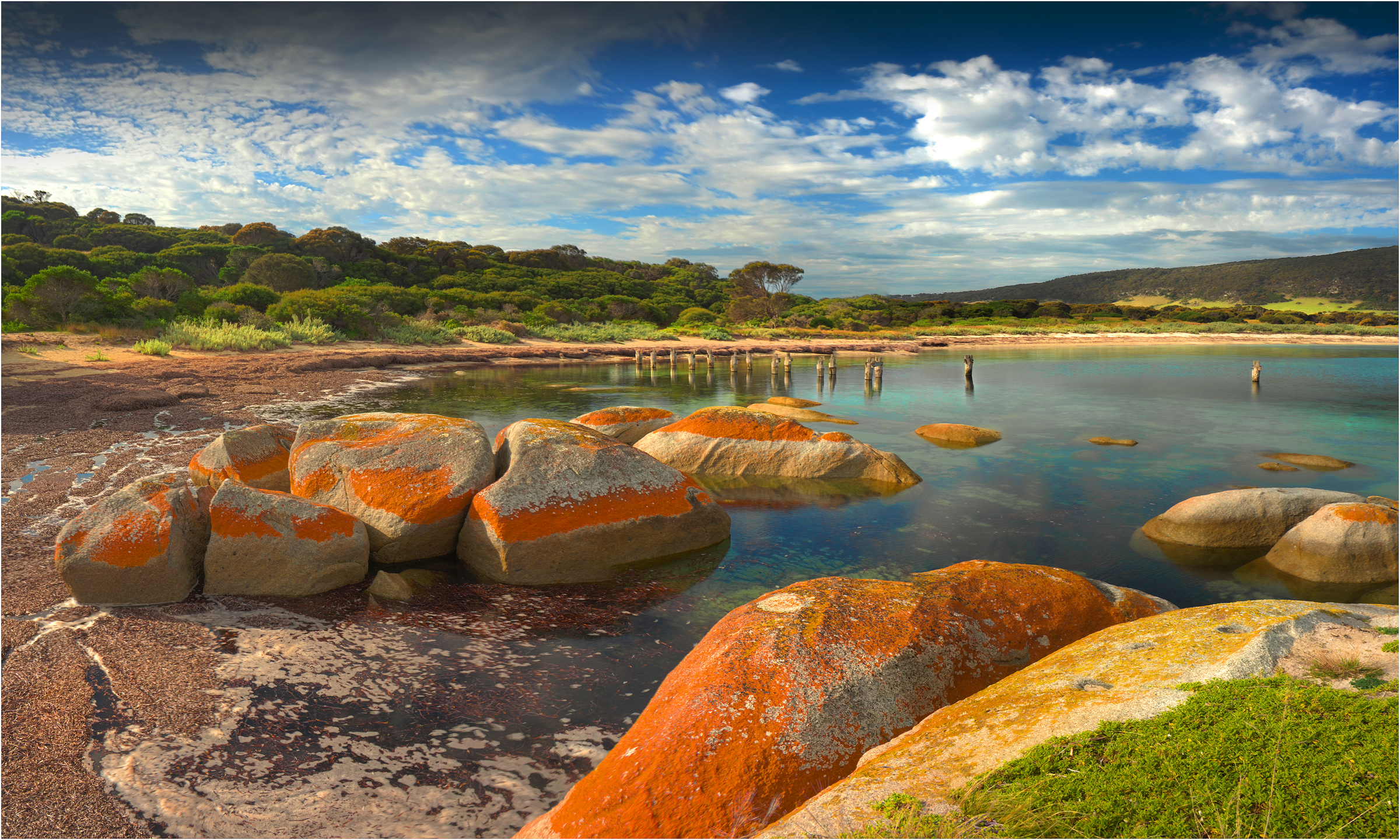
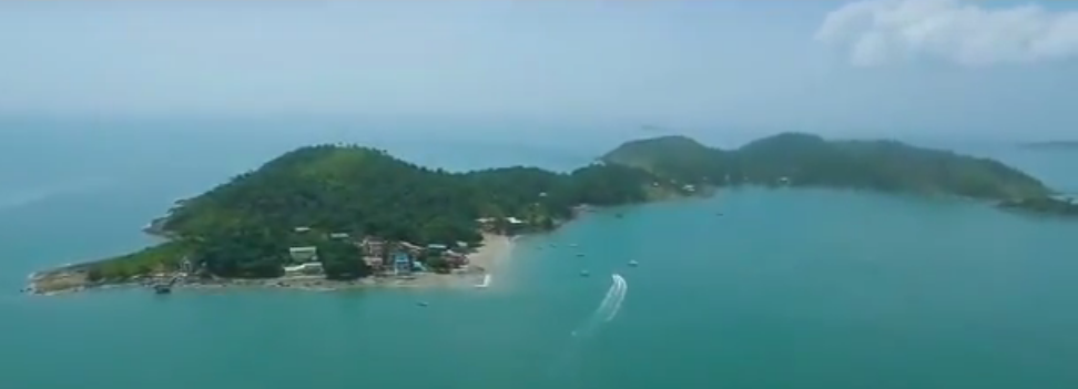
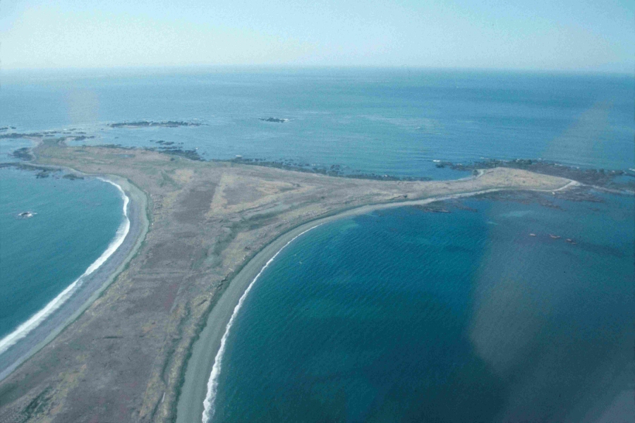
This is what a section of the coastline at Puerto Cabezas looks like…

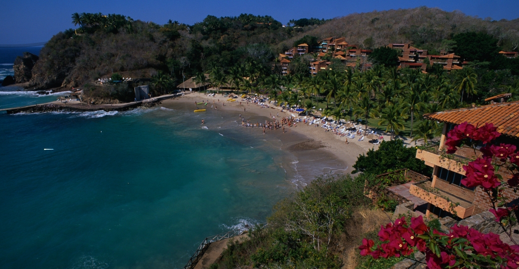
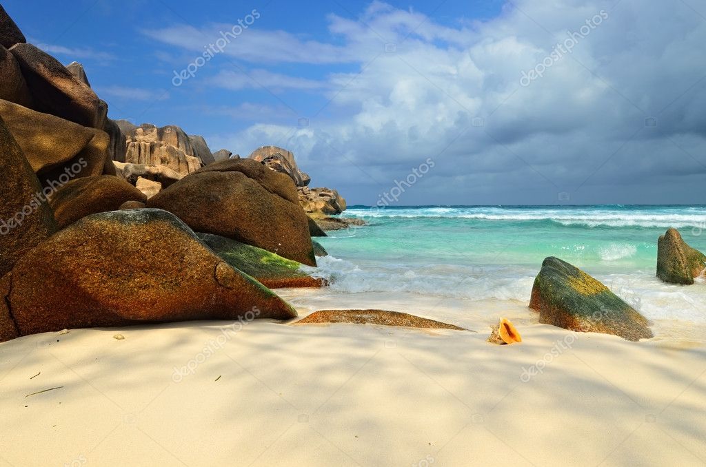
…compared with this beach at Manzanita on the western coast of Mexico near Colima.
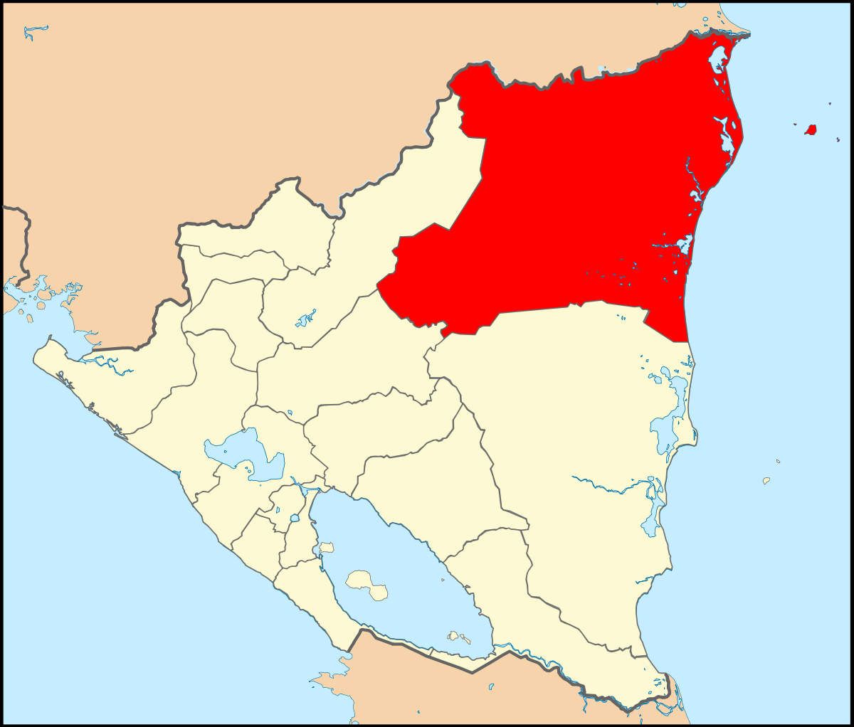
Puerto Cabezas is at the northern end of Nicaragua’s Miskito Coast, also known as the Mosquito Coast and the Miskito Kingdom. It runs from the southern coast of Honduras and pretty much the length of the Nicaraguaran Coast along the Caribbean Sea. It is named after the Miskito people, and not the insect mosquito.
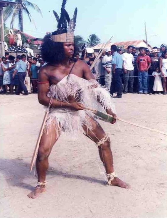
The Miskito are considered a First Nation People, having occupied the North Caribbean Coast of Nicaragua for thousands of years.
It was a kingdom until the colonial powers got involved, starting with the British in 1740. Then things changed over time.
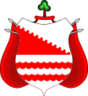
The last actual Miskito king was His Majesty George Augustus Frederic from 1842 to 1865. This is the Coat of Arms of the Miskito Monarchy…
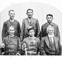
…and from there the lineage continued with Hereditary Chiefs, with the last one being His Eminence Robert Henry Clarence from 1890 to 1908. He was born in 1872, so he would be the young man in this photo with his Executive Council.
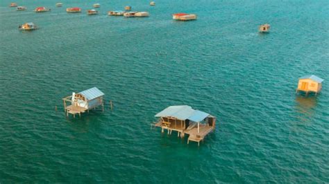
The Cayos Miskitos, or the Miskito Cays, are part of the North Caribbean Coast of Nicaragua off the northeastern coast of Nicaragua, and are in a protected status.
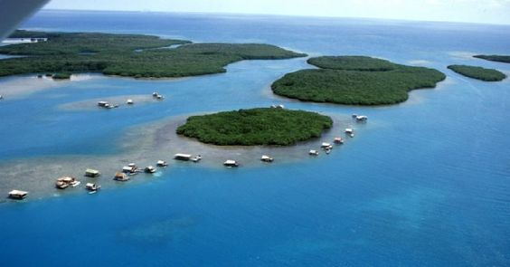
They are uninhabited except for wooden fishing villages supported on poles above the water.
I am going to end this post here, and will pick up the alignment in Honduras.


.jpg)