Part 1 of this series following the Merida Circle alignment ended in Miami, Florida. This part will begin on the Grand Bahama Island.
Grand Bahama is the northernmost of the Bahama Islands, 52 miles (84 kilometers) off the coast from Palm Beach, Florida.
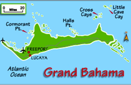
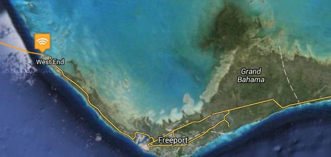
West End is the capital of Grand Bahama.
This is now part of the Marina here, but my belief is that this is an artificially shaped harbor of the advanced ancient civilization. I have seen countless examples of this around the world. It was a maritime civilization. We have not been taught about it, so collectively we just assume harbors like this were constructed in recent times. I am saying not so!
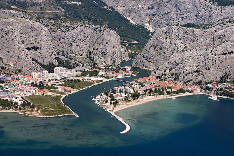
This is a picture of the shaped harbor, and what looks to be a canal, at Omis Beach in Croatia.
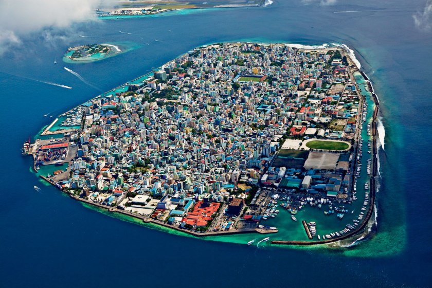
And this is Male, the capital of the Maldives, located in the Arabian Sea of the Indian Ocean. It sits on a major planetary alignment. As you can see, there are protected, shaped harbors all around the island.
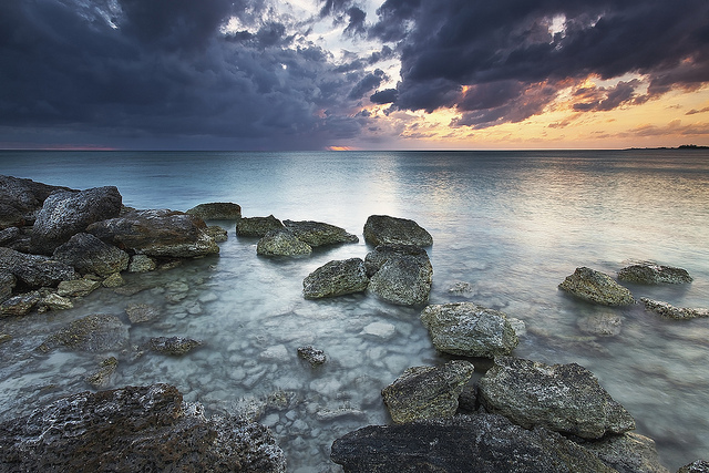
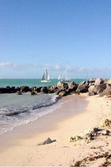
Before I move on to Freeport on the Grand Bahama Island, this is a picture of Deadman’s Reef on Bahama Beach at West End. I take particular notice of the presence of the block-shaped rocks here, which I believe are ancient masonry.
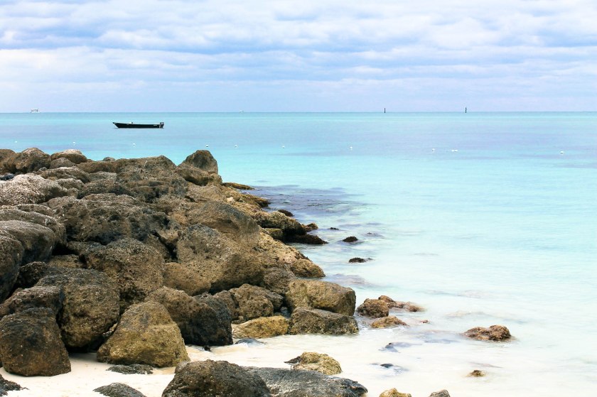
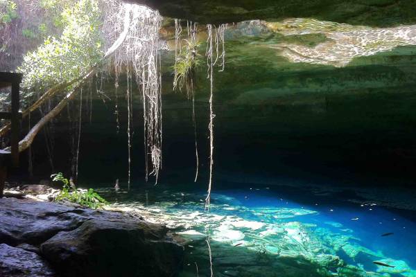
Same thing here at the Gold Rock Beach of Lucayan National Park, a 40-acre park on the southern shore of Grand Bahama Island near Freetown.
Lucayan National Park has one of the longest charted underwater cave systems in the world.
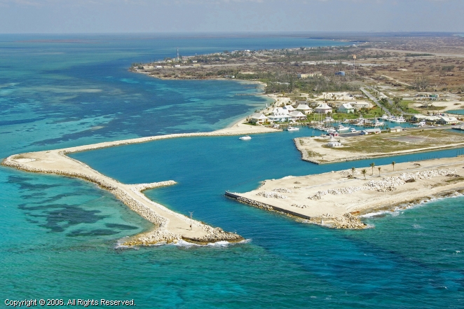
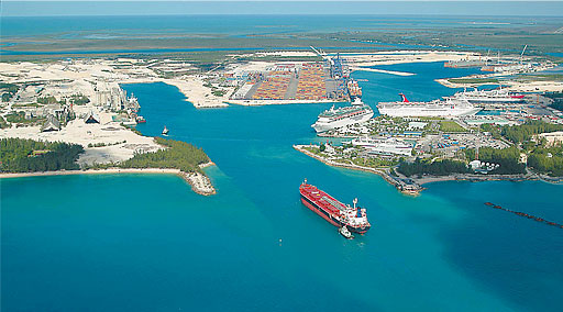
Freeport is the main city of Grand Bahama, which besides and airport, has a commercial ship harbor.
I believe the same thing about this harbor that I believe about the one at West End – that it was artificially created by the Ancient Advanced Civilization, and not in modern times:
Here are more pictures of the coast and beaches on the Grand Bahama Island near Freetown to give you a feel for exactly how rocky it is:


We are taught to believe sights like this are of natural rock formations. Compare with these photos from the previous post, with this one with big block-y rocks on the beach from Key West…
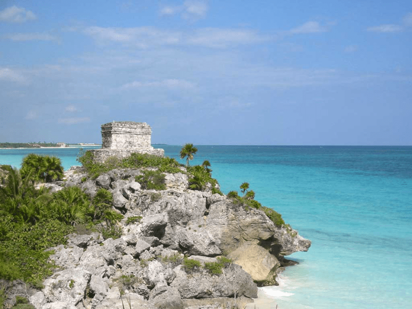
…and this one from Tulum on the Yucatan Peninsula Coast also with block-y rocks with a lot of straight edges.
Grand Bahama Island also has a canal system.
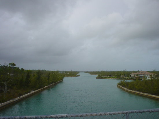
Here is the view from Casuarina Bridge of the Grand Lucayan Waterway.
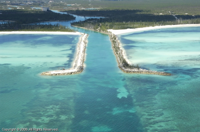
This is a picture of the south inlet of the Grand Lucayan Waterway on the coast at Lucaya, near Freetown…
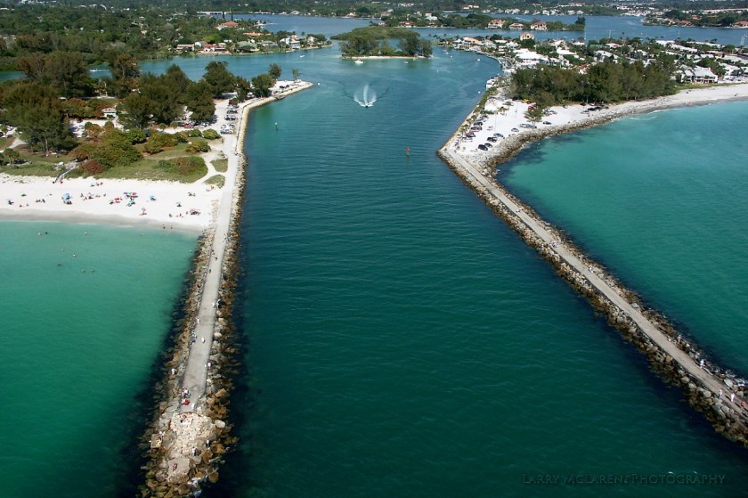
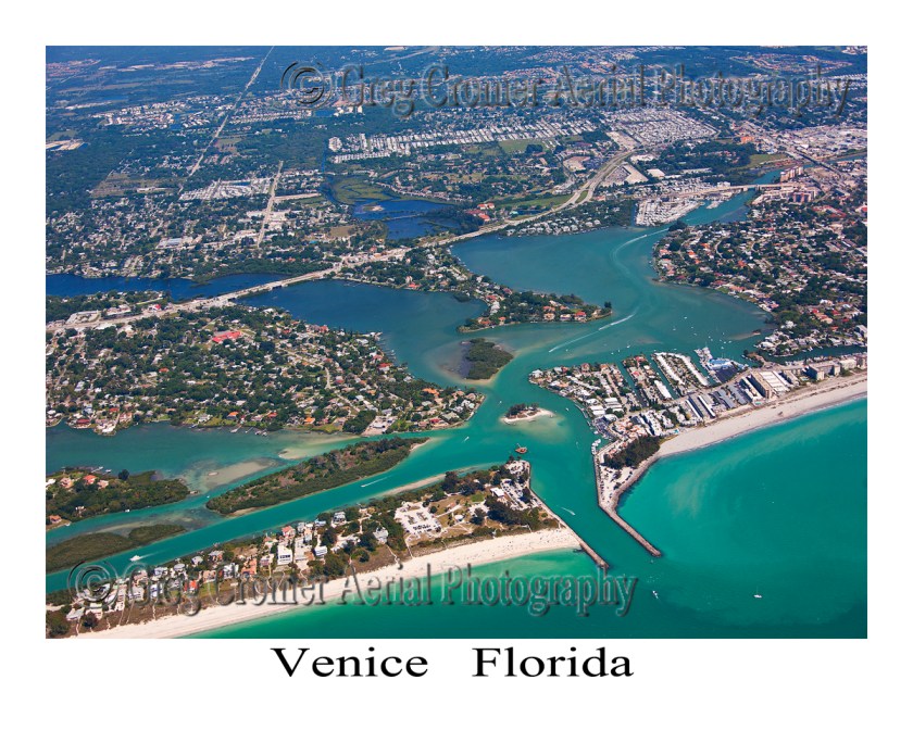
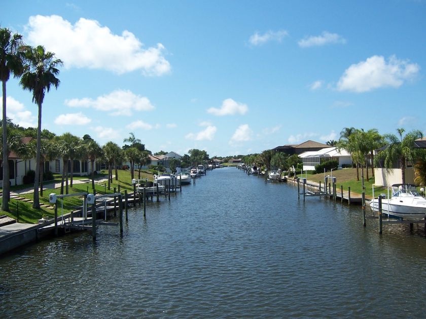
…and for comparison this is Venice, Florida, on the opposite side of Florida on the Gulf of Mexico.
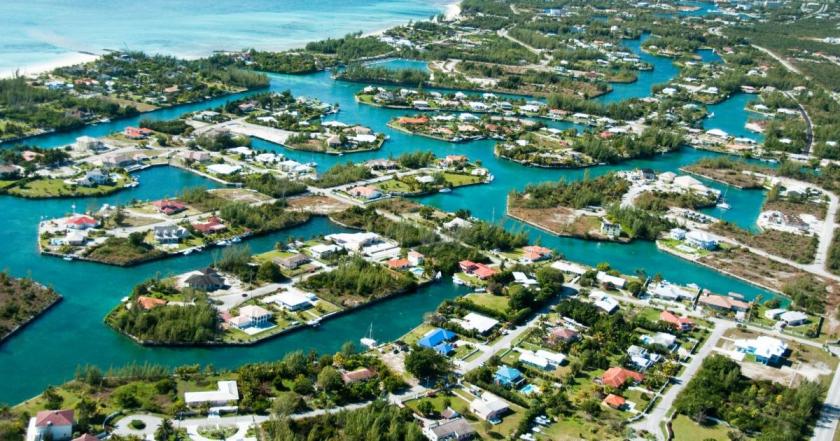
Also for comparison, an aerial view of the canal system on Grand Bahama Island…
…compared with views of Venice, Florida.
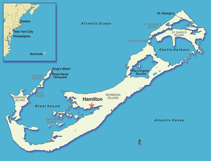
On to Bermuda, where the alignment crosses through the capital of the British Overseas Territory, Hamilton:
This is a picture of the Bermuda Parliament building on the left, and a view taken of Santa Cruz de Tenerife, showing a similarity of tower construction, arches and window design in both locations on different sides of the Atlantic Ocean.


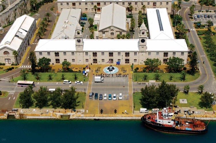
This map shows the location of the Royal Navy dockyards in Bermuda.

We are told it was built by the British Royal Navy in 1795. It was once home to Britain’s largest naval base outside of the United Kingdom until it closed permanently as a naval base in 1995.
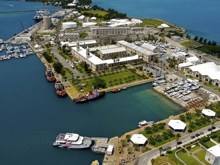
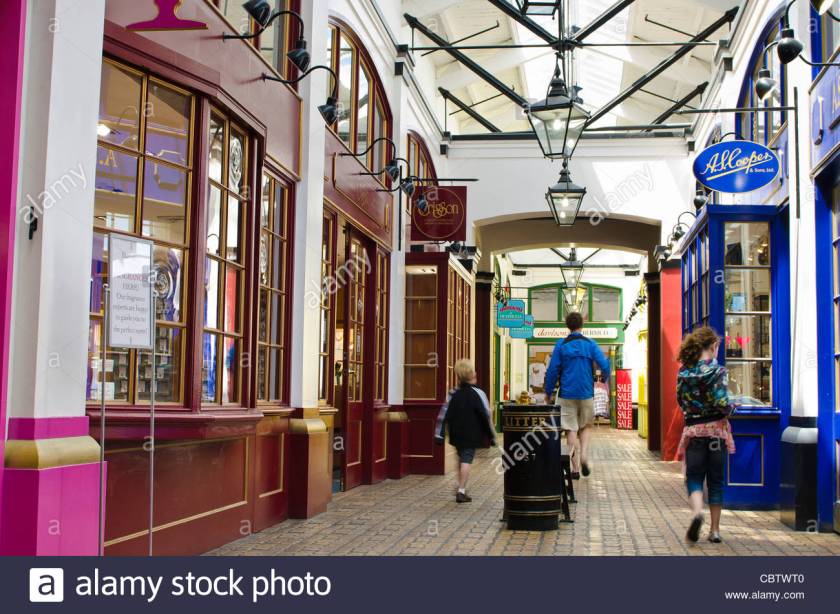
Now it is the home of the Clocktower Mall, hosting a variety of shops, boutiques and restaurants. So these 200-plus-year-old buildings must be in extraordinarily good condition to still be in use today!
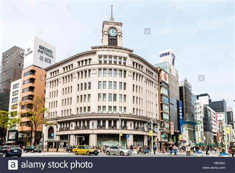
Modern-use department stores with clock towers is not unique in the world. The Wako Department Store building in the Ginza Shopping District of Tokyo has a clock tower and heavy masonry…
…and a version of that street-corner lay-out design I keep seeing, like the original Miami Herald Building on the left, and the historic Alberta Hotel in Edmonton, Alberta.


Another notable clock-tower mall is in Mecca, Saudi Arabia. This complex is called the Makkah Royal Clock Tower Hotel, and includes a 5-story shopping mall in addition to hotel and residential rooms, and has many other uses as well.
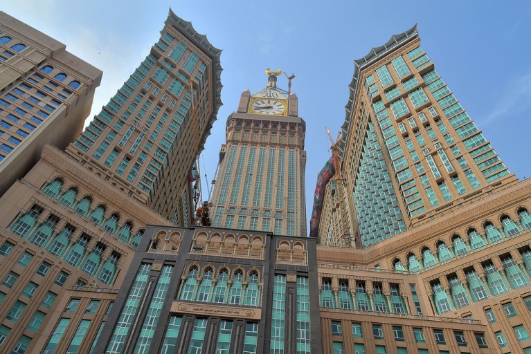
Compare the overall look of the Makkah Royal Clock Tower Hotel with this historic hotel, the Mincks-Adams Building in Tulsa, Oklahoma, you know the – “Oklahoma! Where the wind comes sweeping down the plain, and the wavin’ wheat can sure smell sweet when the wind comes right behind the rain” Oklahoma has historic, beautifully ornate architecture like this.


Just digressing for a moment. It is interesting what you find when you start looking at this stuff. I think very telling also, as I believe one in the same civilization were the original builders, and now all of these are falsely attributed to other builders. All of these places are on the planetary grid lines. For more about Oklahoma, see the “How I Found the Silk Road – Part 6 Santa Rosalia to Montreal” post, and Saudi Arabia will be in the next Circle Alignment series involving Amsterdam Island.
This is the Hotel Hamilton, said to have been built in 1851, and destroyed by fire in 1955. Notice anything unusual about the size, and design features, for example of this hotel building that said to have been built as a hotel in the 1850s? To me, it looks more palatial than hotel-like. And how did they build something like this in the 1850s without modern equipment (that goes for whole lot of other buildings as well) in the timeline we have been given?


Before leaving Bermuda, let’s take a look at Fort Hamilton in Hamilton. It is situated above the city of Bermuda, and is said to have been built in 1870. It looks to be in the shape of a pentagram. Quite possibly a star fort.
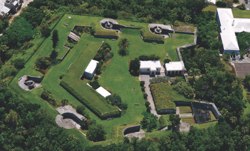
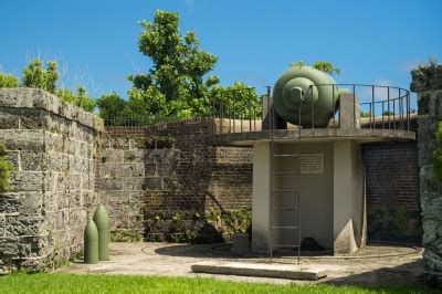
Interestingly they have cannon on platforms at only three of the 5 main points of the fort’s pentagram shape…
…resting upon what looks to be a more recent concrete platform…
…and nothing in two of the five points.
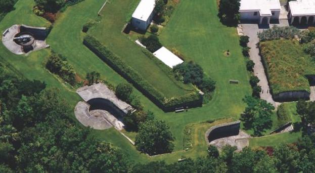
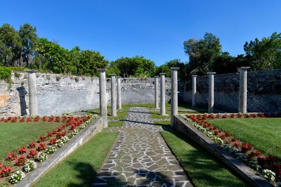
The fort has beautiful colonnades, seemingly holding up air, and a nice wall in the background about the same height. Don’t know if the area used to be enclosed or not, but sure looks like it could have been!
From Bermuda, the alignment goes through Hekla Volcano in Iceland.
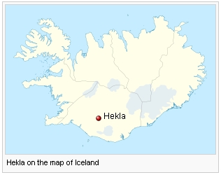
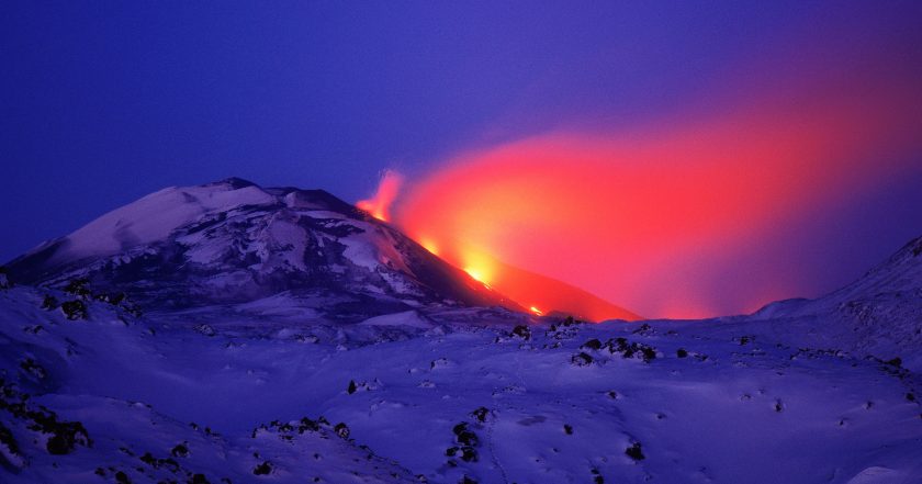
Hekla is a stratovolcano that is one of the most active in Iceland. It is a legendary gate of hell in medieval literature. This alignment will go through other volcanoes and volcanic regions as we follow it. I have found that these alignments approximate the edges of tectonic plates, as evidenced by volcanic and earthquake activity. I frequently recognize place names when I hear of such activity now.
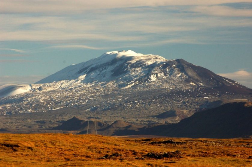
Over 20 eruptions have occurred since 840 AD. It was last active from February 26th to March 8th, 2000.
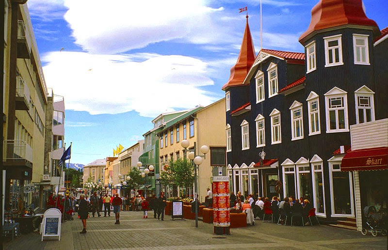
Next the alignment goes through Akureyri, Iceland.
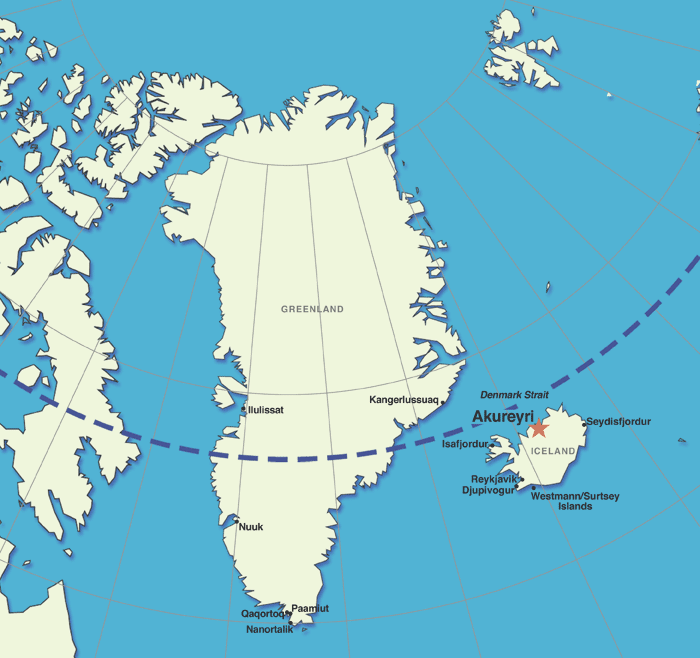
Akureyri is in northern Iceland, and Iceland’s second largest urban area. These days, it is an important port and fishing area. It has an ice-free harbor, and relatively mild climate. This is the historic city center of Akureyri.
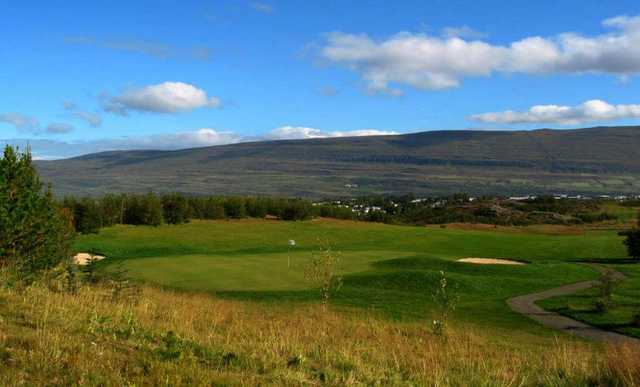
The world’s most northerly 18th-hole golf course is located in Akureyri. I believe golf courses are involved in the cover-up mound sites. See my post “A Word about Golf Courses” for how and why I came to this conclusion.
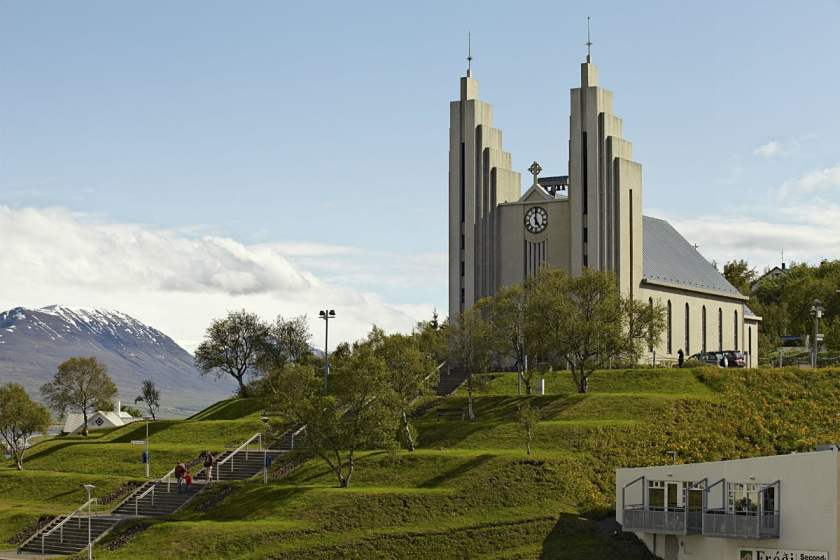
This is the Lutheran Church of Akureyri. What I find most of interest, besides the twin towers, is the stair-stepped, mound shape it sits on.
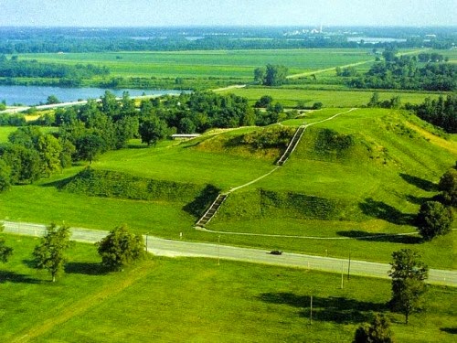
For comparison of similarity somewhat in appearance, this is an aerial photo of Cahokia mounds outside of St. Louis, Missouri.
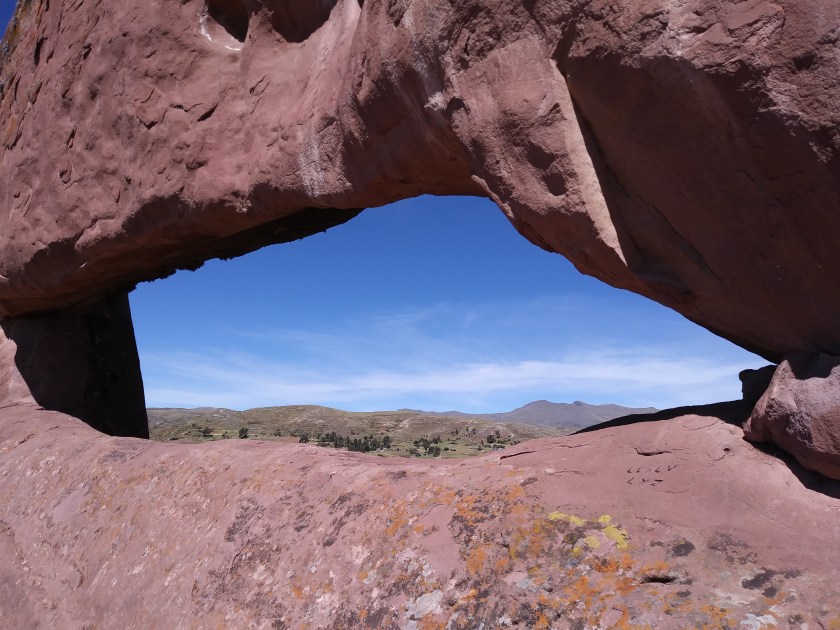
This spot in the region of Akureyri is called Dimmuborgir. It is described as various rock formations and volcanic caves reminiscent of an ancient collapsed citadel. Hmmm.


At any rate, what this particular picture reminded me of is this picture from the Garden of the Gods in Colorado…
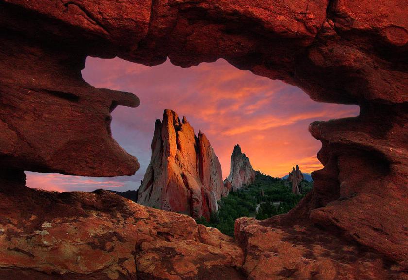
…and this one from Amaru Muru near Lake Titicaca in Peru.
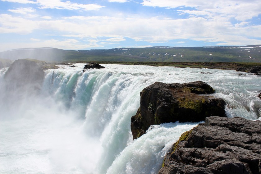
The last photo I would like to share with you is of the Godafoss waterfalls near Akureyri. It is considered one of the most spectacular waterfalls in Iceland. It is also a reminder that I have found waterfalls all along the way of, and I believe important constructions of, the planetary grid system.
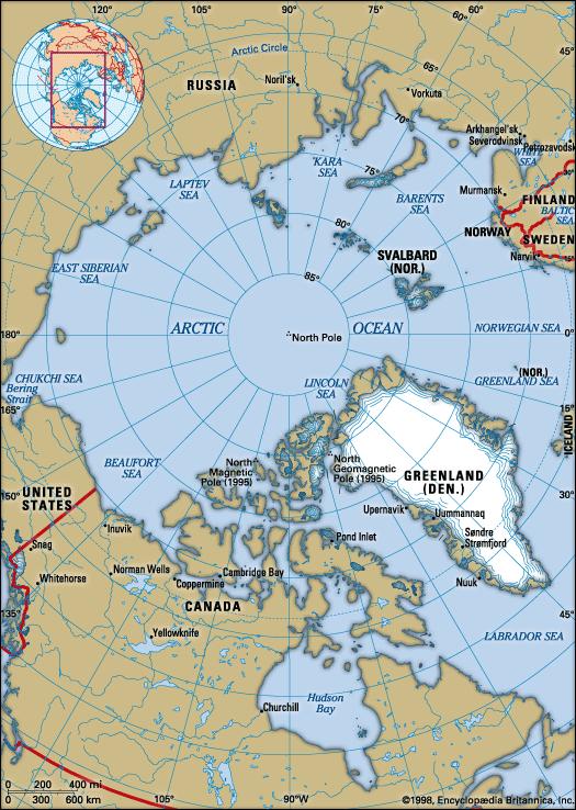
In the next part of this series, we will be picking up this circle alignment going across the far northeast tip of Greenland, over the north pole region, and following it into Siberia, as we work our way back around to Merida.